Trails in Switzerland
15,055 hiking trails, each with its route, climb, walking time and grade.
All trails, page 197 of 314
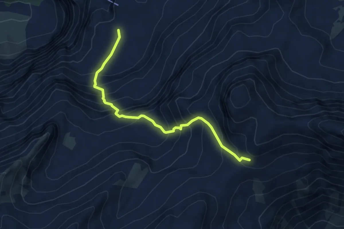
Medium · Trail
Rote Härd – Hohkien
5.2 km · ↑ 663 m · 2 h 40 min
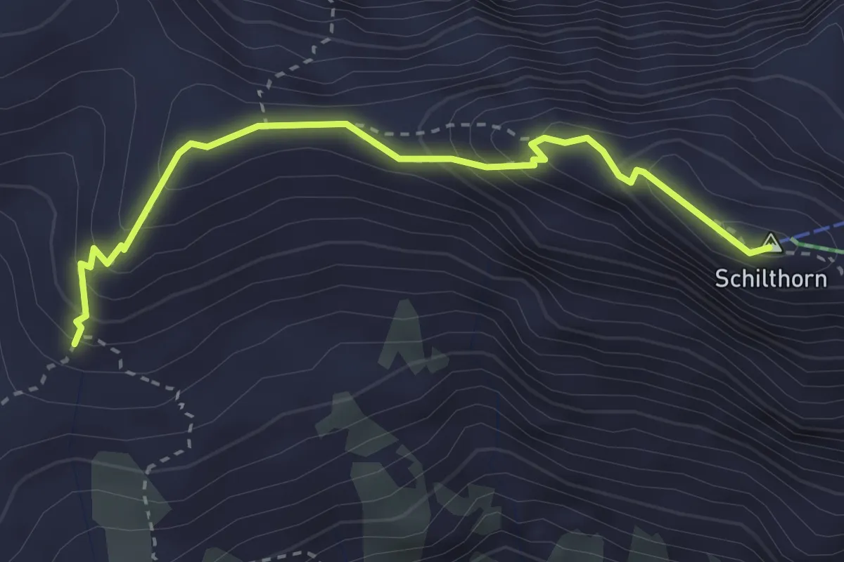
Demanding · Summit
Rote Härd – Schilthorn
3.1 km · ↑ 309 m · 1 h 25 min
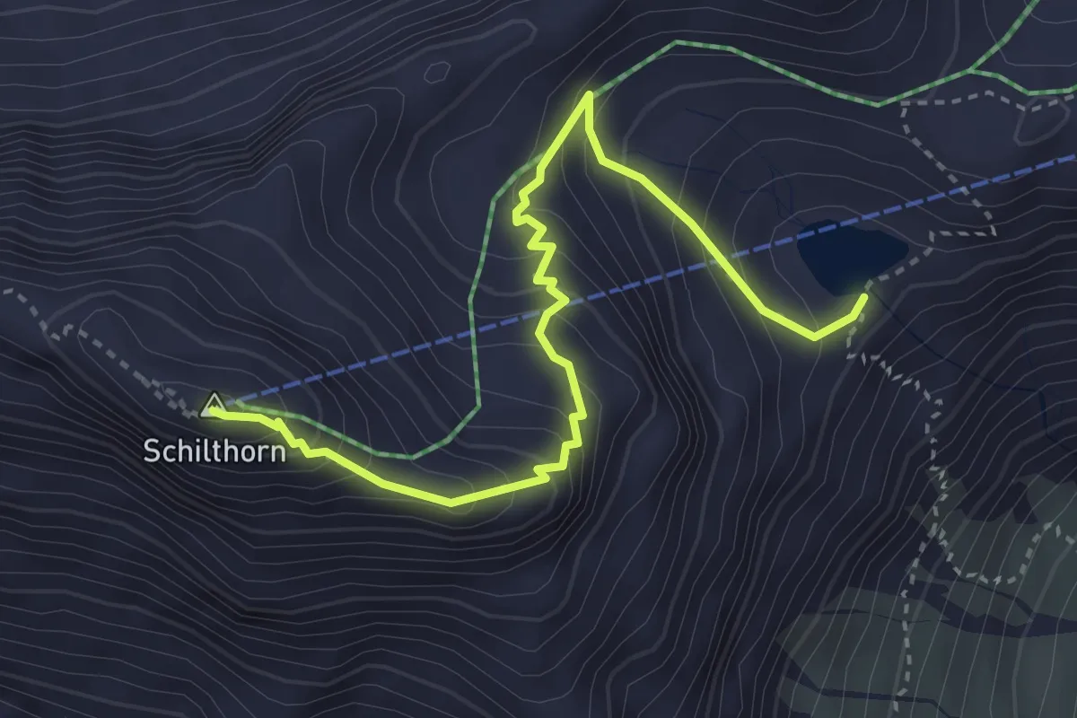
Medium · Summit
Grauseeli – Schilthorn
3.9 km · ↑ 425 m · 1 h 50 min
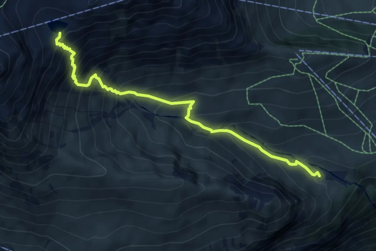
Demanding · Cabin
Spilboden – Grauseeli
6.2 km · ↑ 727 m · 3 h 2 min
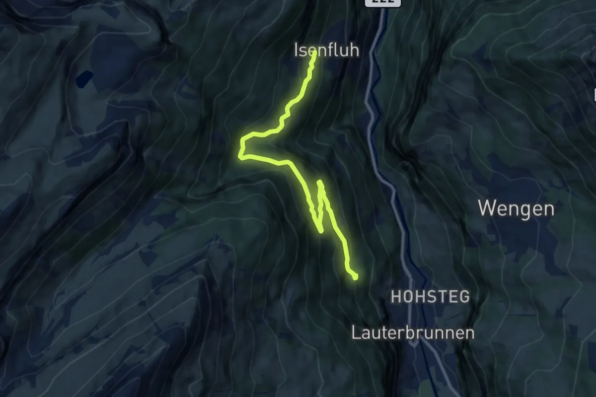
Medium · Trail
Isenfluh – Alpweg
9.0 km · ↑ 618 m · 3 h 28 min
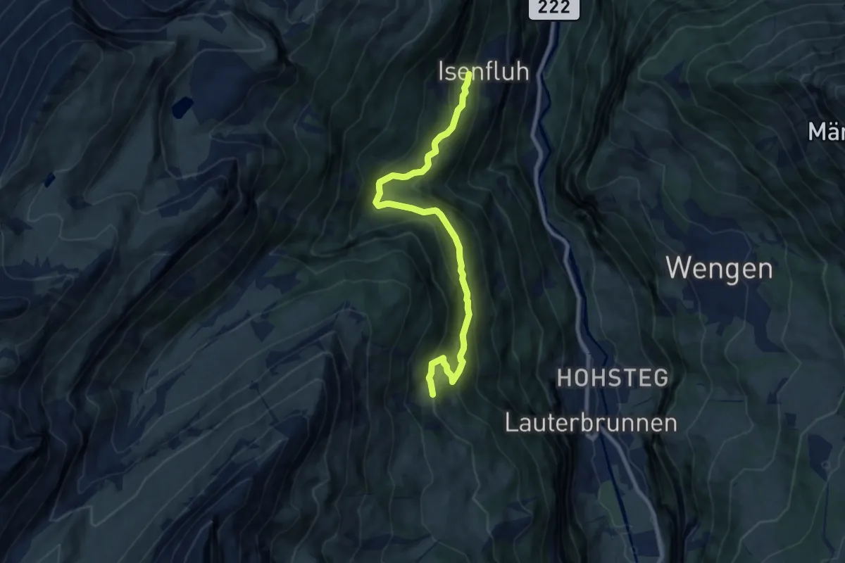
Medium · Trail
Grütschalp – Isenfluh
8.4 km · ↑ 596 m · 3 h 16 min
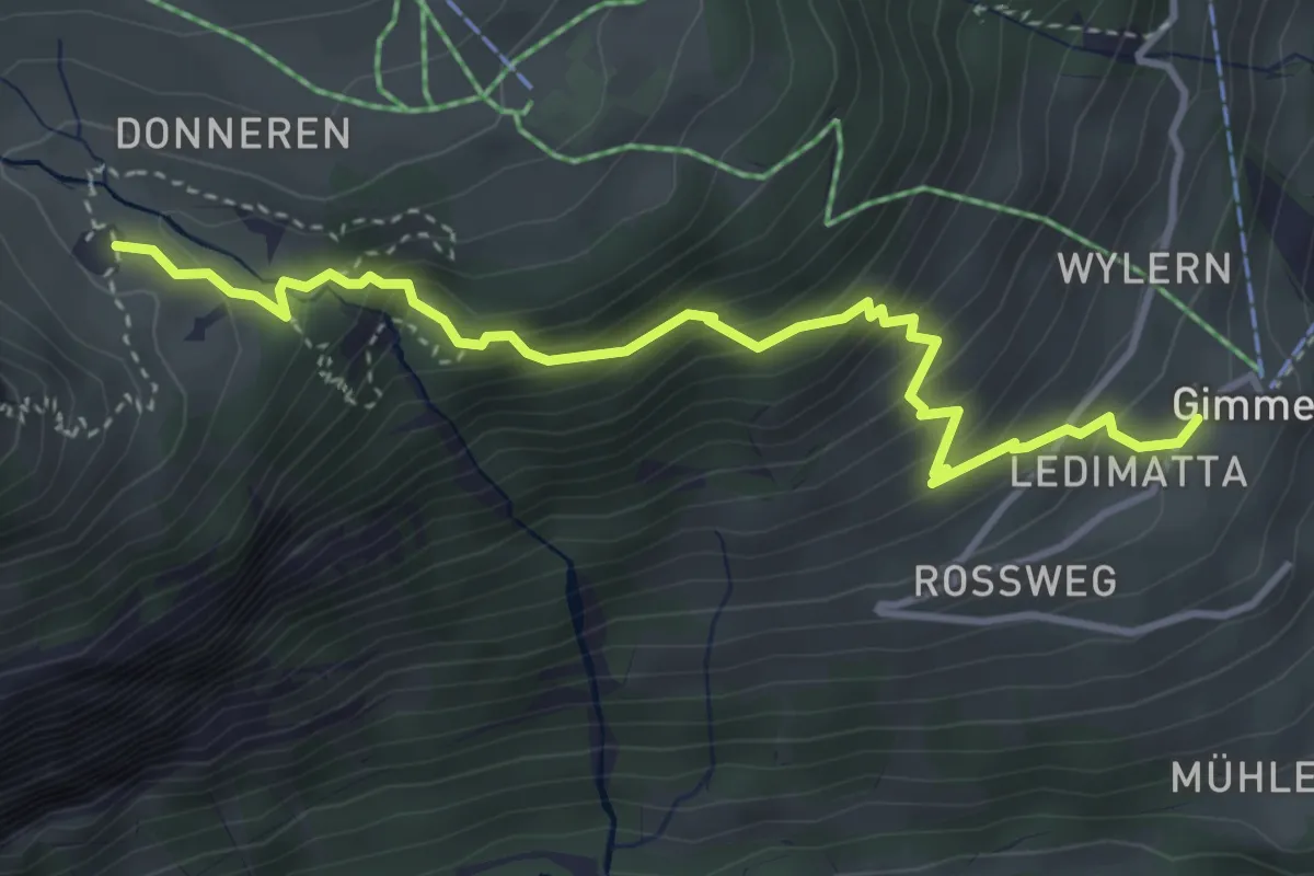
Medium · Cabin
Gimmelwald – Spilboden
4.1 km · ↑ 414 m · 1 h 51 min
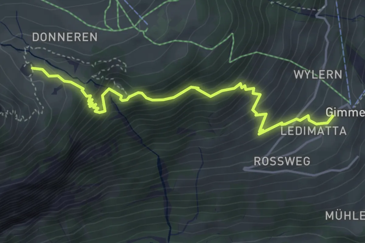
Medium · Cabin
Gimmelwald – Spilboden
4.5 km · ↑ 528 m · 2 h 13 min
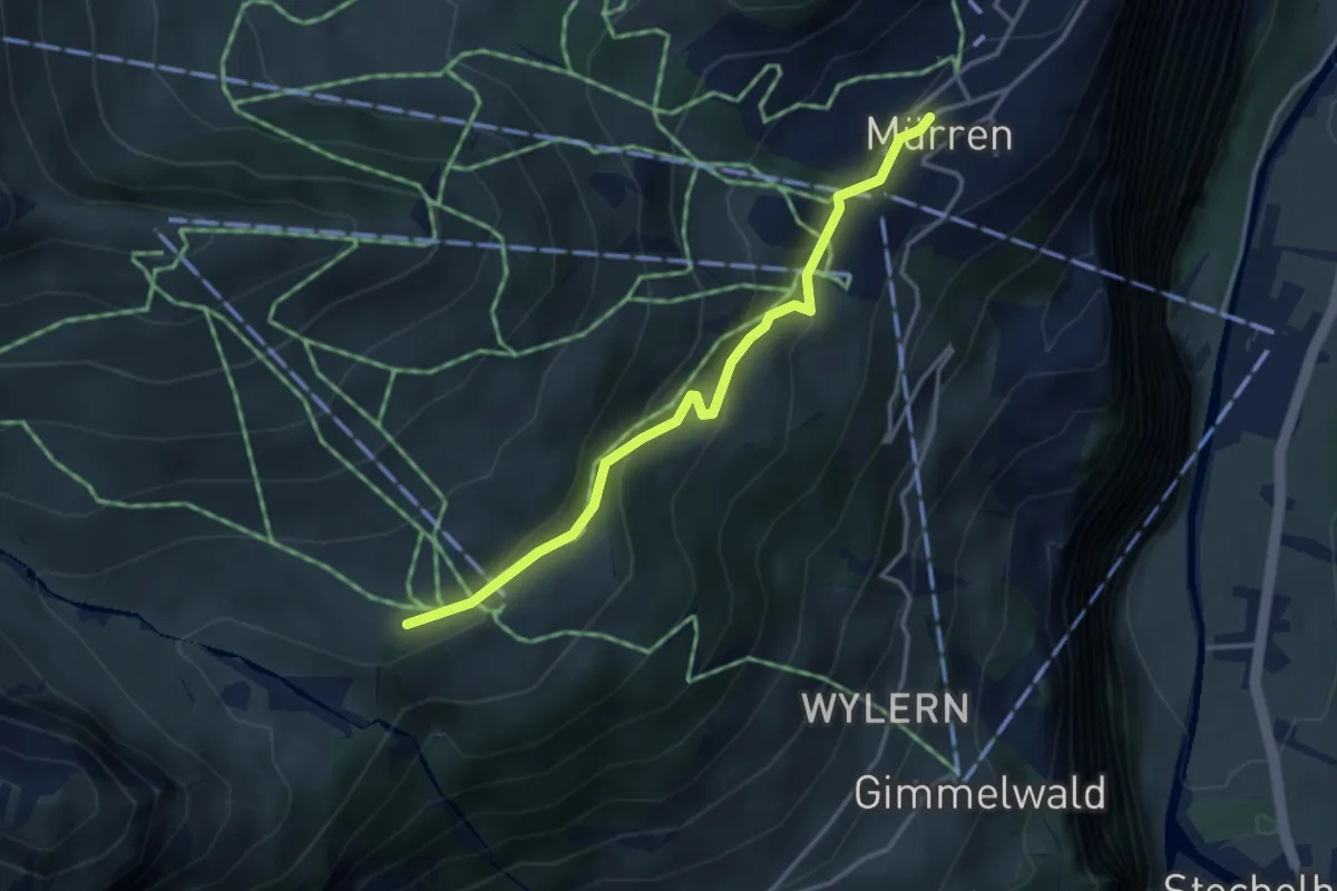
Easy · Trail
Mürren – Gimmeln / Uf Donern
3.4 km · ↑ 179 m · 1 h 12 min
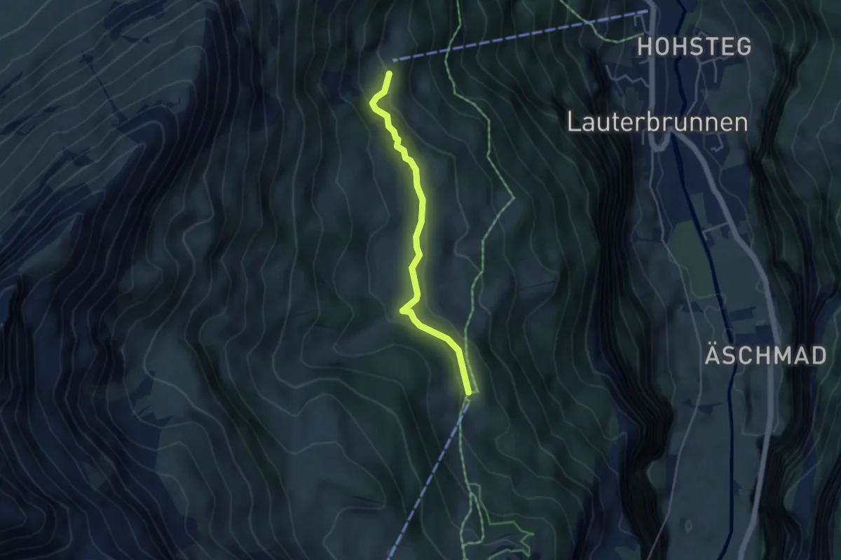
Easy · Trail
Grütschalp – Winteregg
3.8 km · ↑ 125 m · 1 h 10 min
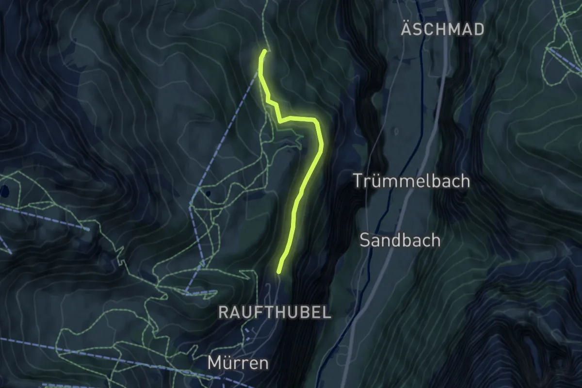
Easy · Trail
Wintereggalp – Winteregg
4.5 km · ↑ 188 m · 1 h 28 min
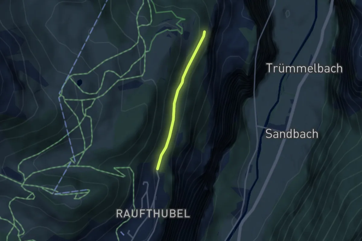
Easy · Trail
Mürren/Aegertenbach – Wintereggalp
2.2 km · ↑ 81 m · 41 min
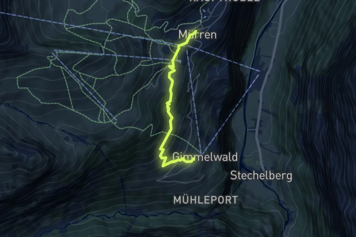
Medium · Trail
Gimmelwald – Mürren
4.9 km · ↑ 392 m · 2 h
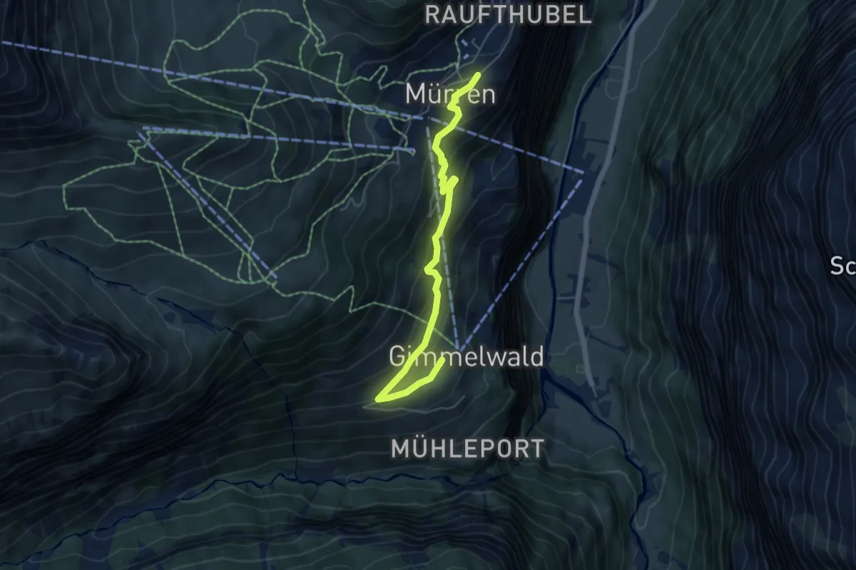
Easy · Trail
Mürren – Gimmelwald
5.3 km · ↑ 280 m · 1 h 51 min
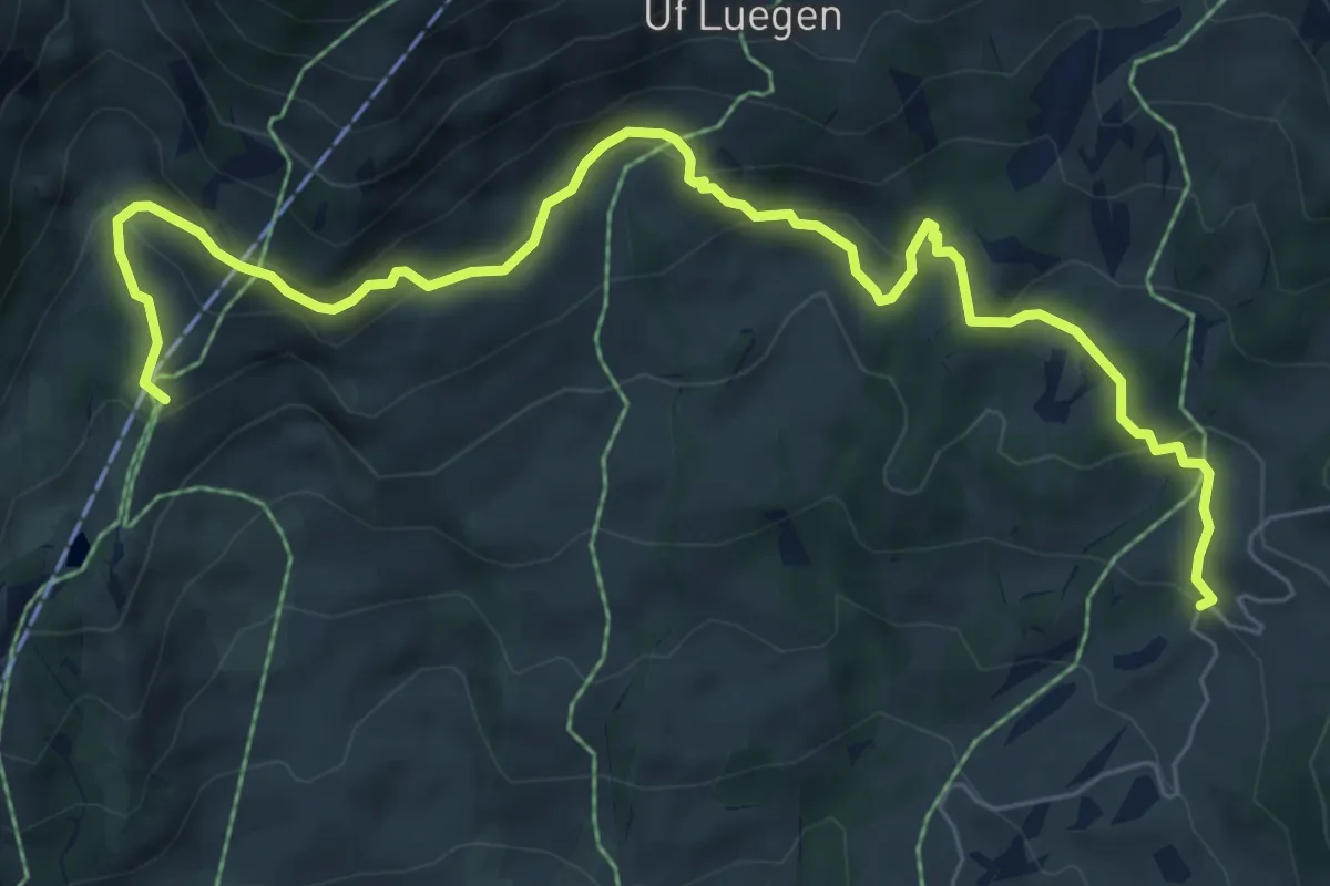
Medium · Trail
unterer Lauchbühl – Bort
8.3 km · ↑ 403 m · 2 h 50 min
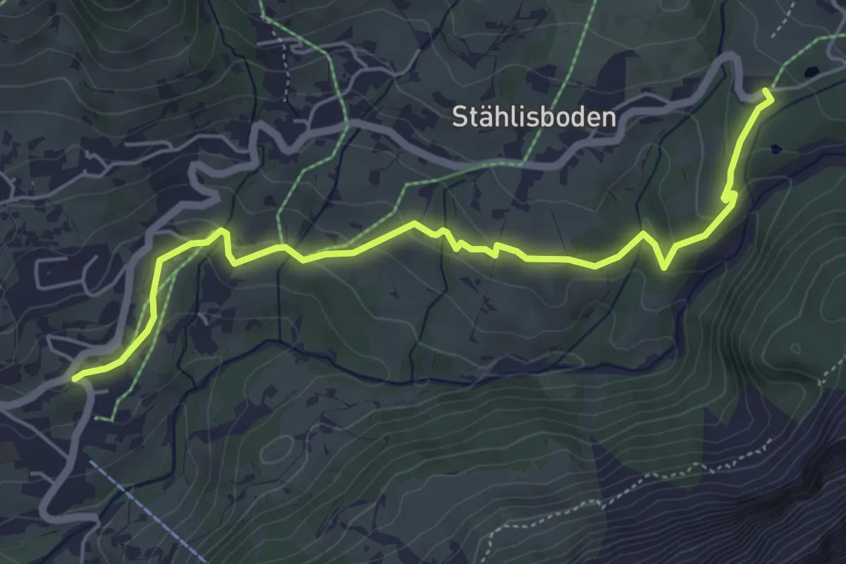
Easy · Trail
Beim obern Gletscher – Grindelwald
5.6 km · ↑ 215 m · 1 h 47 min
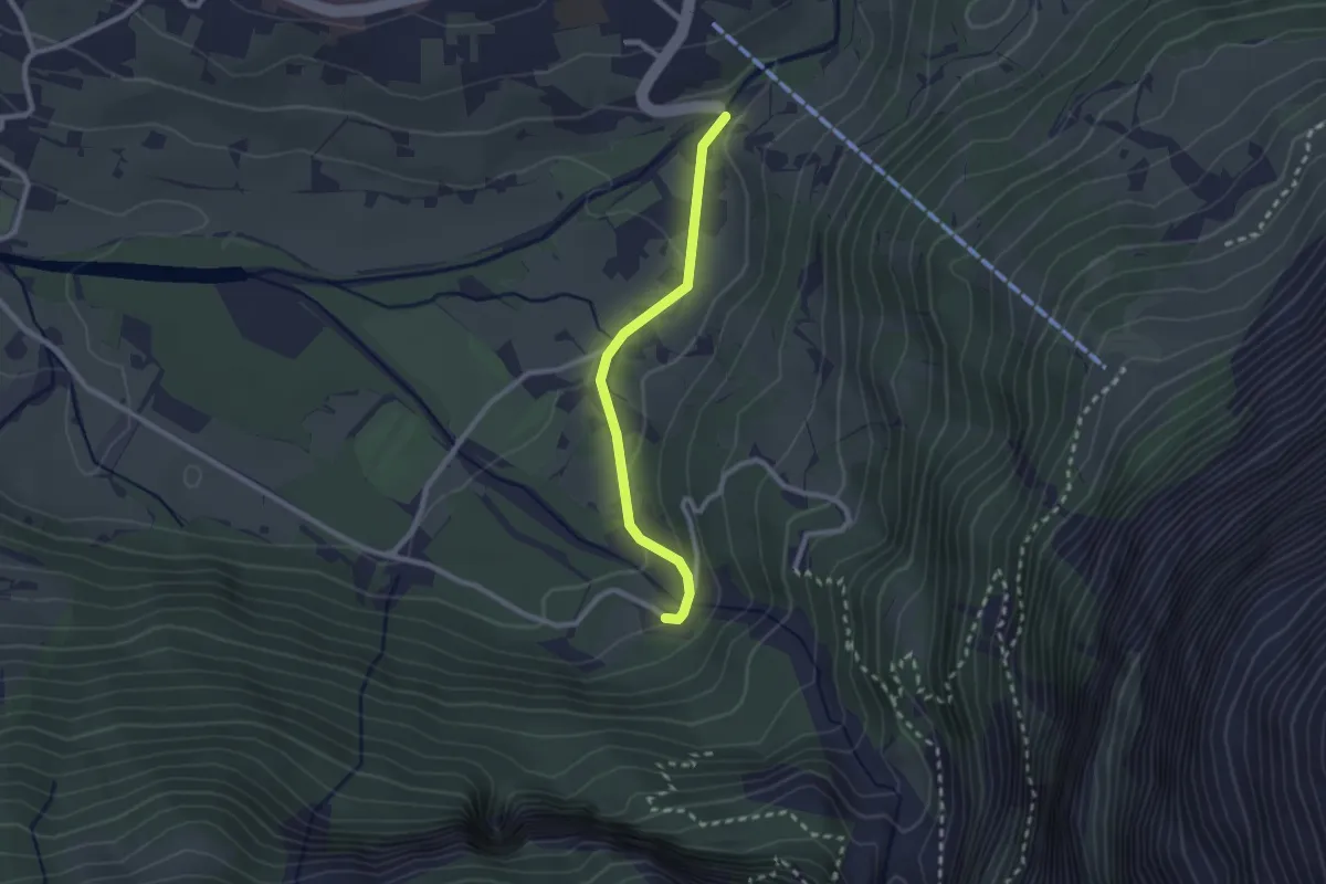
Easy · Trail
Mättenbergbrücke – Gletscherschlucht
2.2 km · ↑ 56 m · 38 min
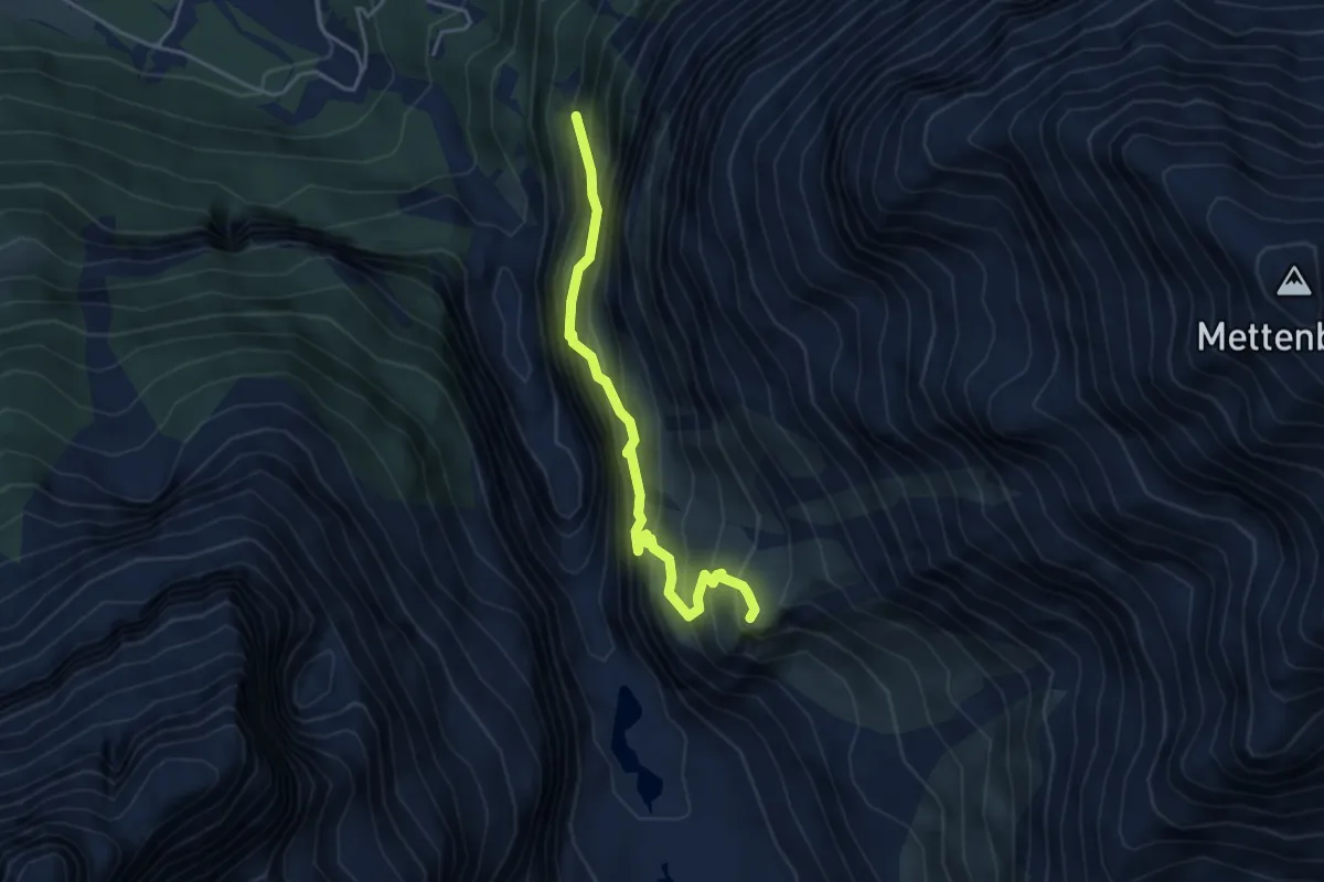
Medium · Cabin
Wyssefluh – Bäregg
4.0 km · ↑ 661 m · 2 h 23 min
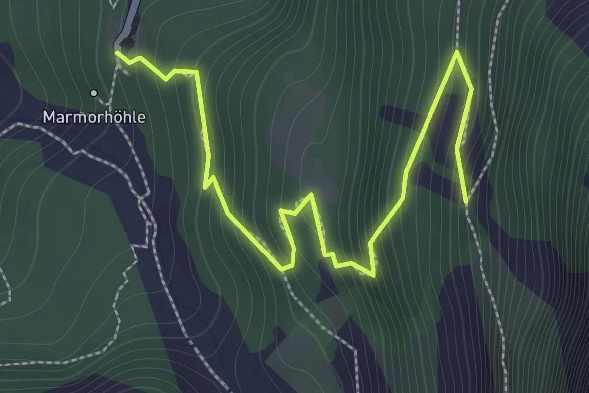
Medium · Trail
Marmorbruch – Wyssefluh
2.1 km · ↑ 294 m · 1 h 8 min
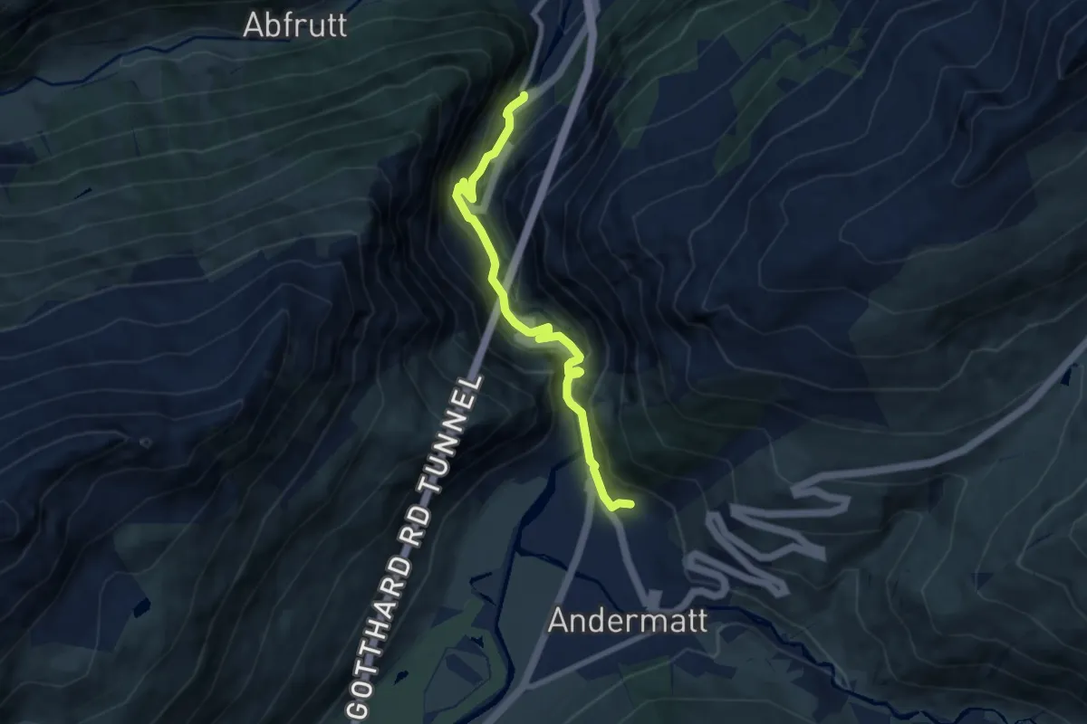
Medium · Trail
Andermatt – Ferchencher
7.4 km · ↑ 382 m · 2 h 35 min
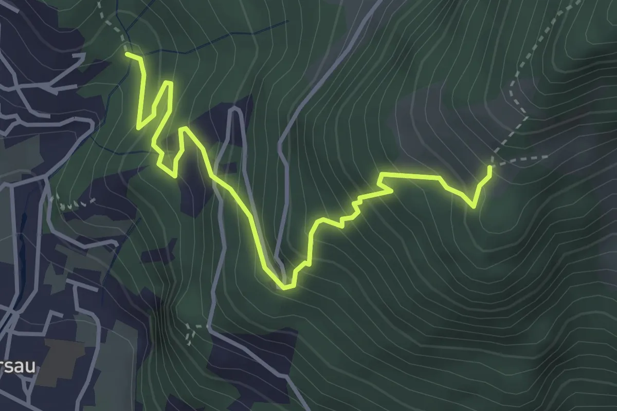
Demanding · Trail
Nielenbrugg – Ochsenalp
4.0 km · ↑ 464 m · 1 h 57 min
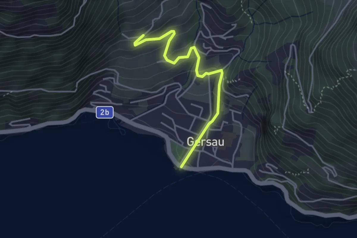
Easy · Trail
Gersau – Platten
3.5 km · ↑ 193 m · 1 h 15 min
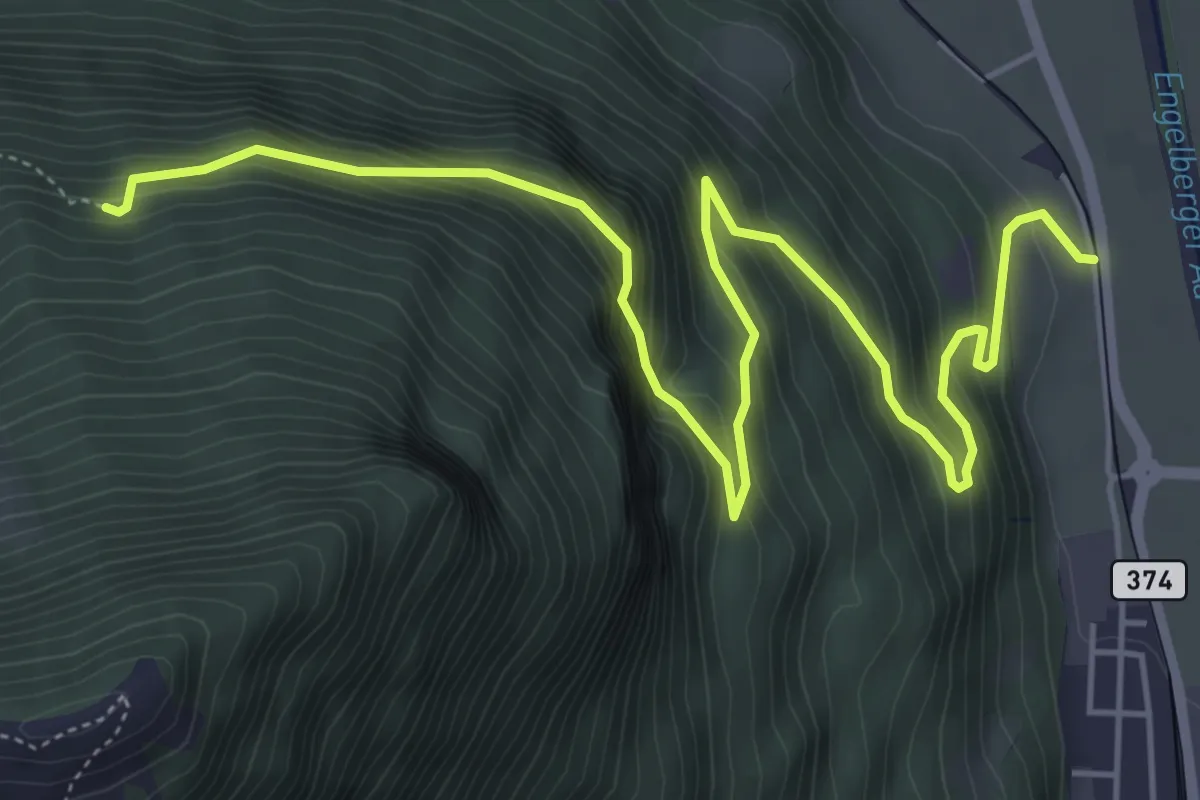
Demanding · Trail
Luegeren – Ägertli
7.1 km · ↑ 809 m · 3 h 25 min
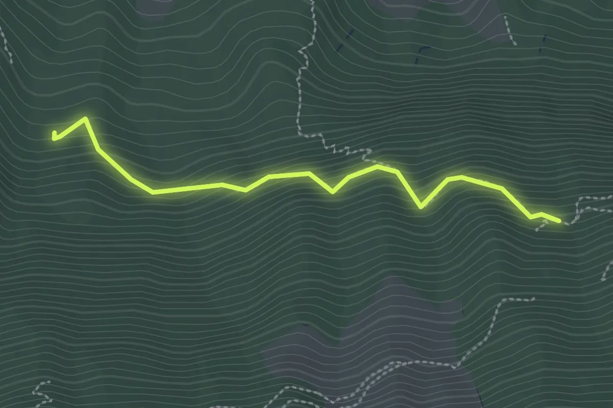
Easy · Trail
Luegeren – Cholplätzli
2.6 km · ↑ 317 m · 1 h 17 min
Easy · Trail
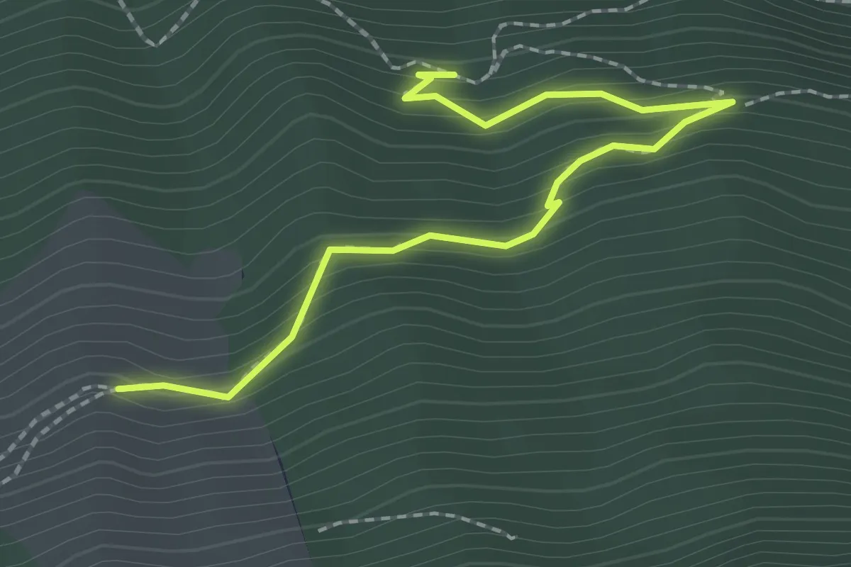
Luegeren – Chalcherli
2.3 km · ↑ 186 m · 56 min
Medium · Trail
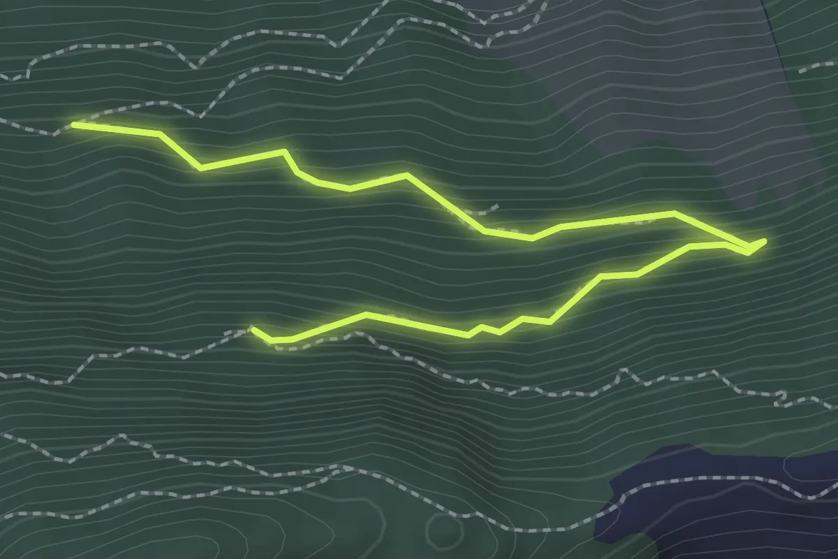
Lang Zug – Ahornhütte
2.8 km · ↑ 255 m · 1 h 13 min
Easy · Trail
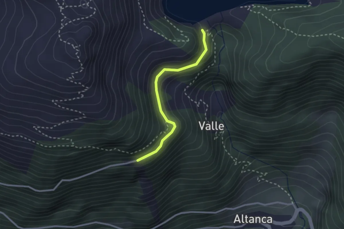
Diga Ritom Parcheggio – Piora / Staz. FPR
2.2 km · ↑ 171 m · 53 min
Medium · Trail
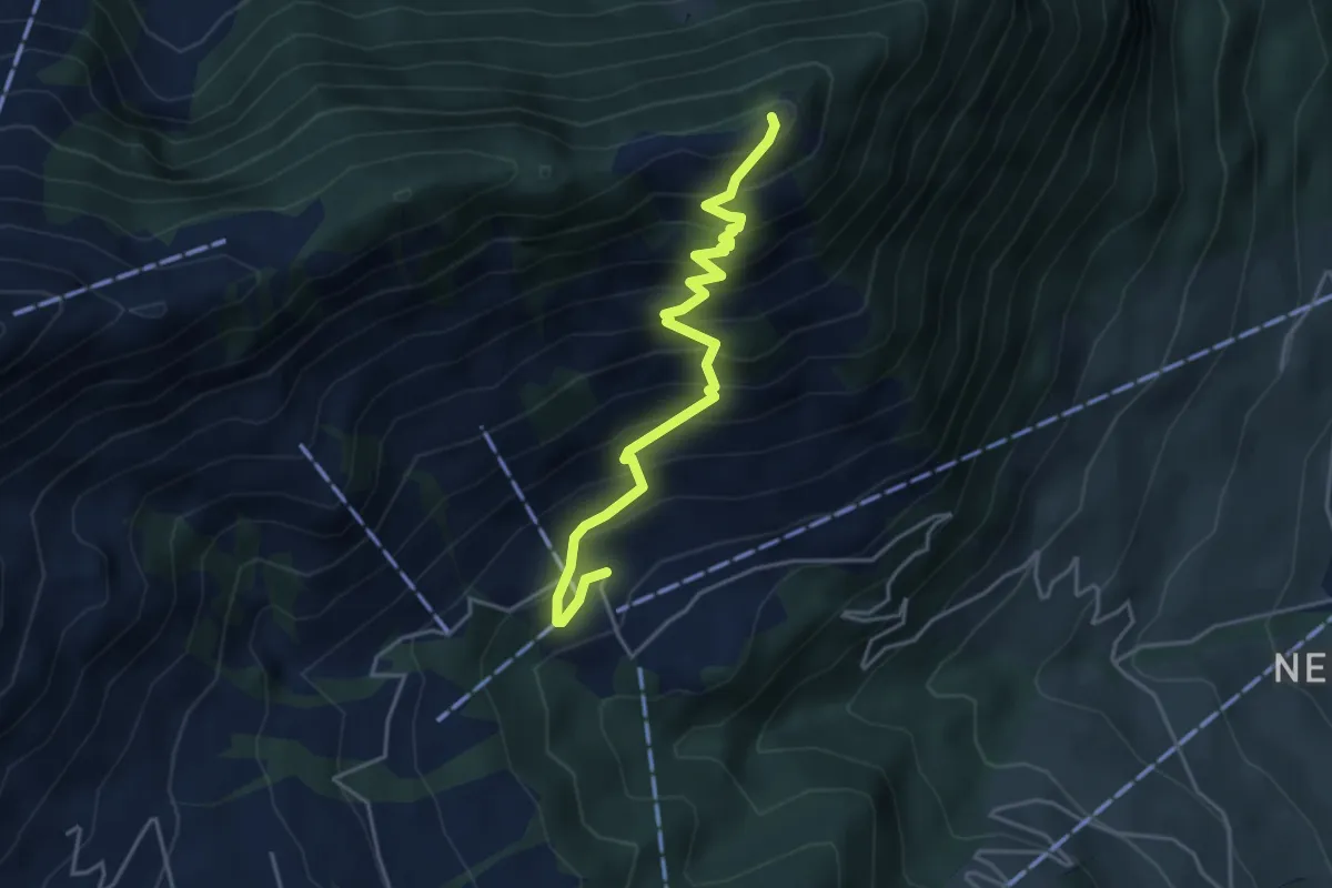
Blatti – Wiesenberg
4.3 km · ↑ 533 m · 2 h 10 min
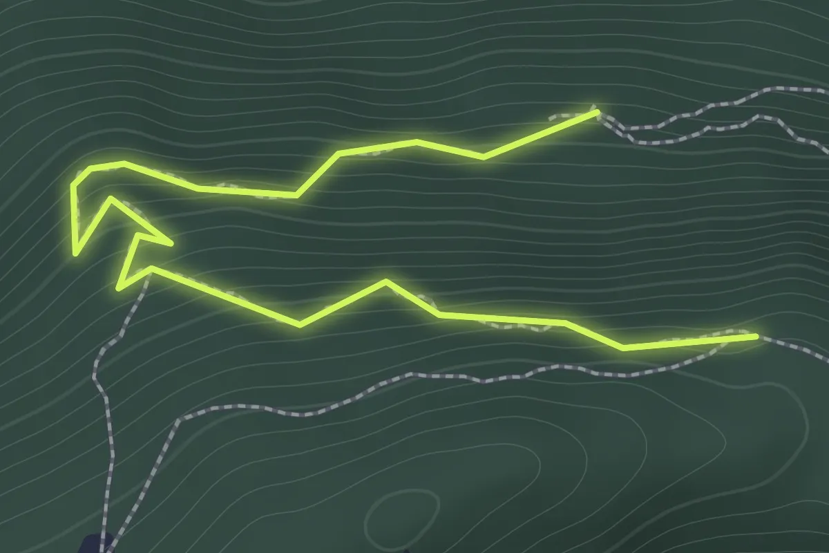
Easy · Trail
Ahornhütte – Muetergotteswald
2.1 km · ↑ 293 m · 1 h 7 min
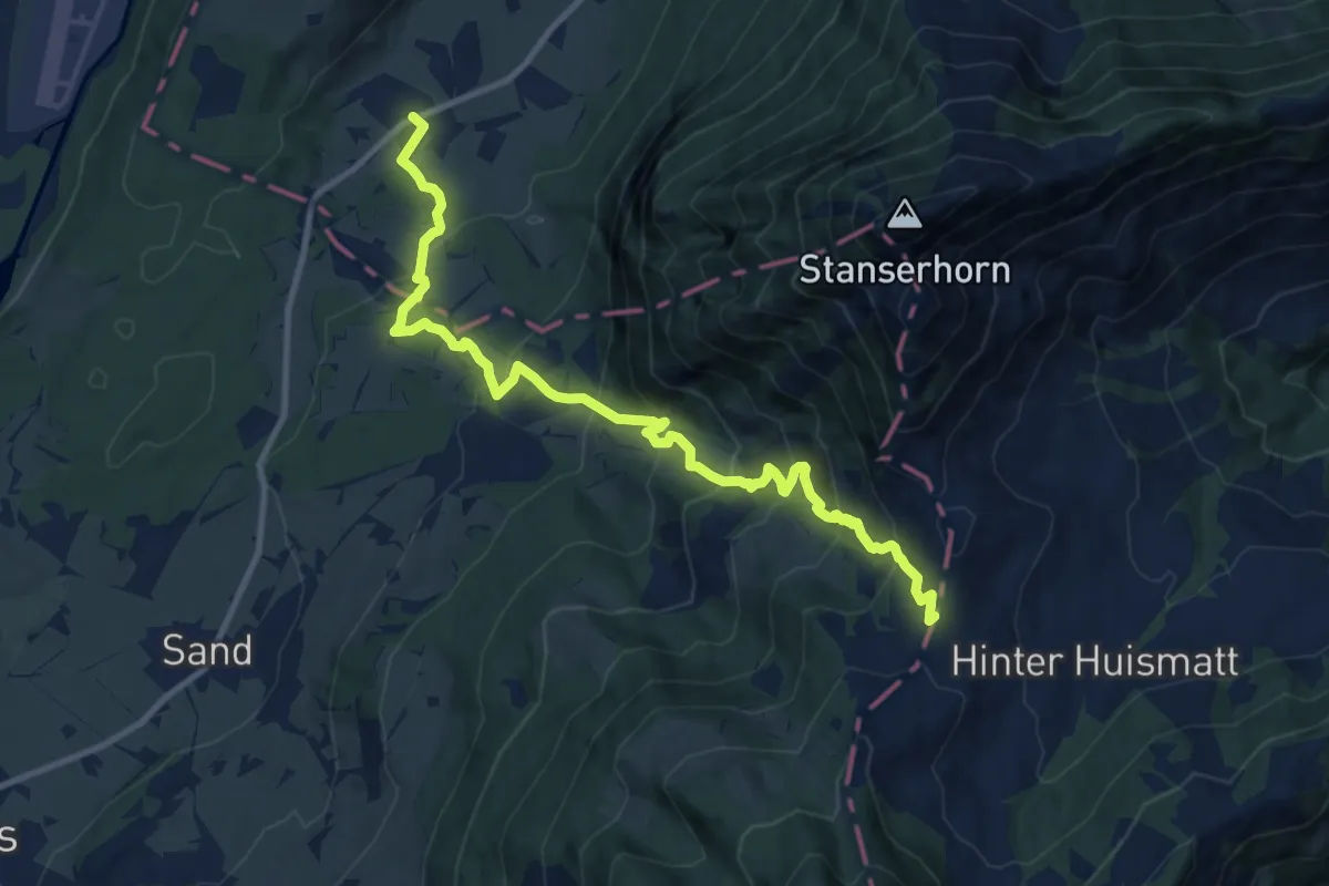
Demanding · Trail
St Jakob – Chliächerli
12.0 km · ↑ 913 m · 4 h 49 min
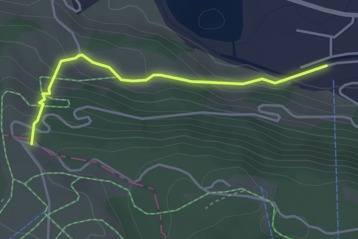
Easy · Trail
Trüeberboden – Titlisbahn Talstation
2.9 km · ↑ 198 m · 1 h 6 min
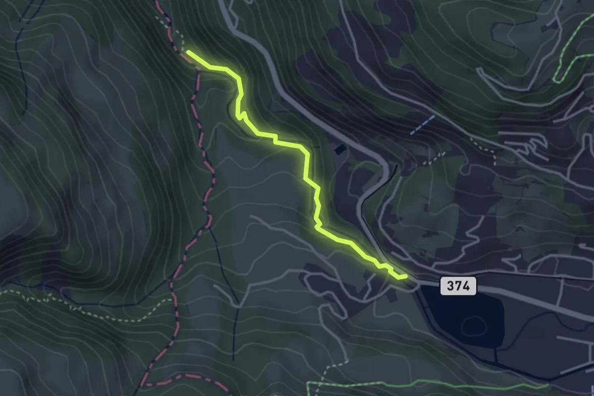
Easy · Trail
Eugenisee – Aaschlucht
2.9 km · ↑ 168 m · 1 h 4 min
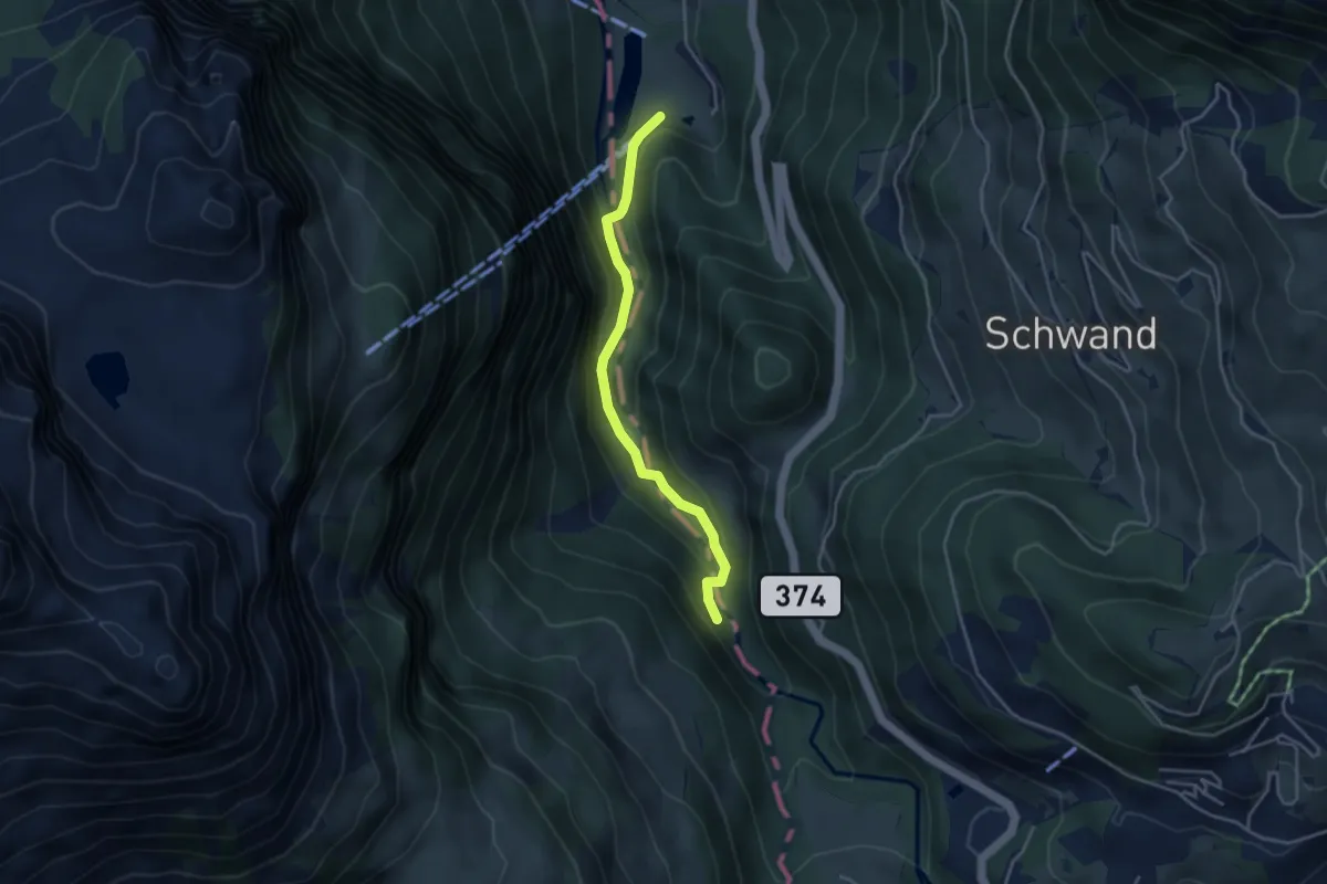
Easy · Trail
Schwändliloch – Obermatt
3.6 km · ↑ 167 m · 1 h 13 min
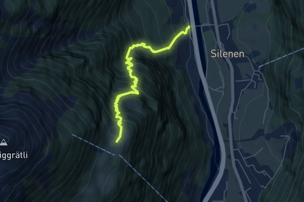
Demanding · Trail
Oppli – Vorder Arni
5.4 km · ↑ 869 m · 3 h 9 min
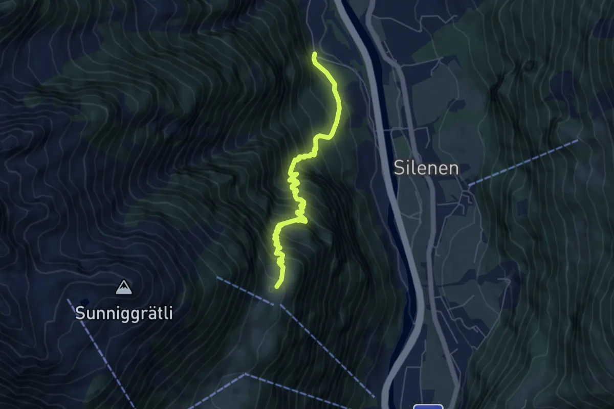
Demanding · Trail
Vorder Arni – Bruust
6.0 km · ↑ 844 m · 3 h 15 min
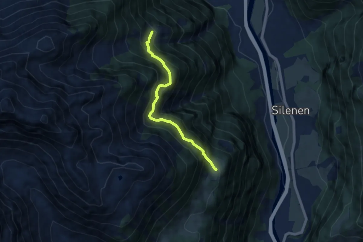
Medium · Trail
Vorder Arni – Riedberg
6.1 km · ↑ 753 m · 3 h 5 min
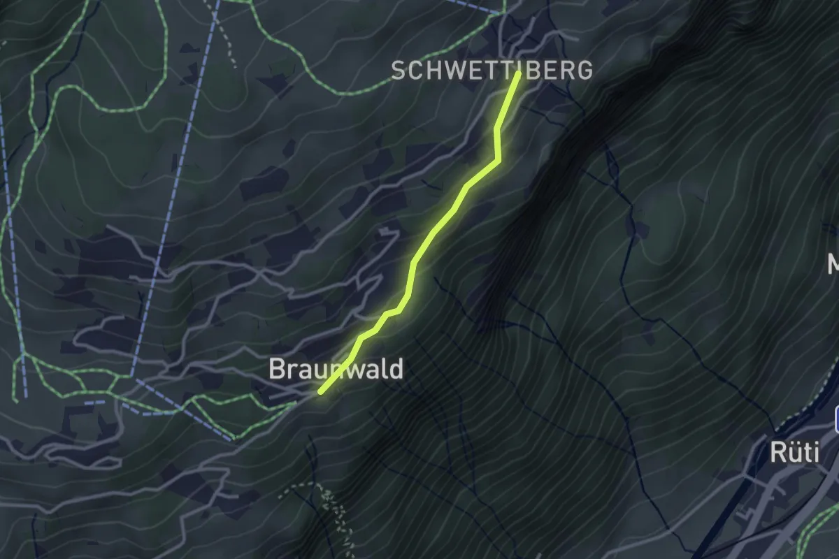
Easy · Trail
Braunwald – Schwettiberg
2.2 km · ↑ 125 m · 48 min
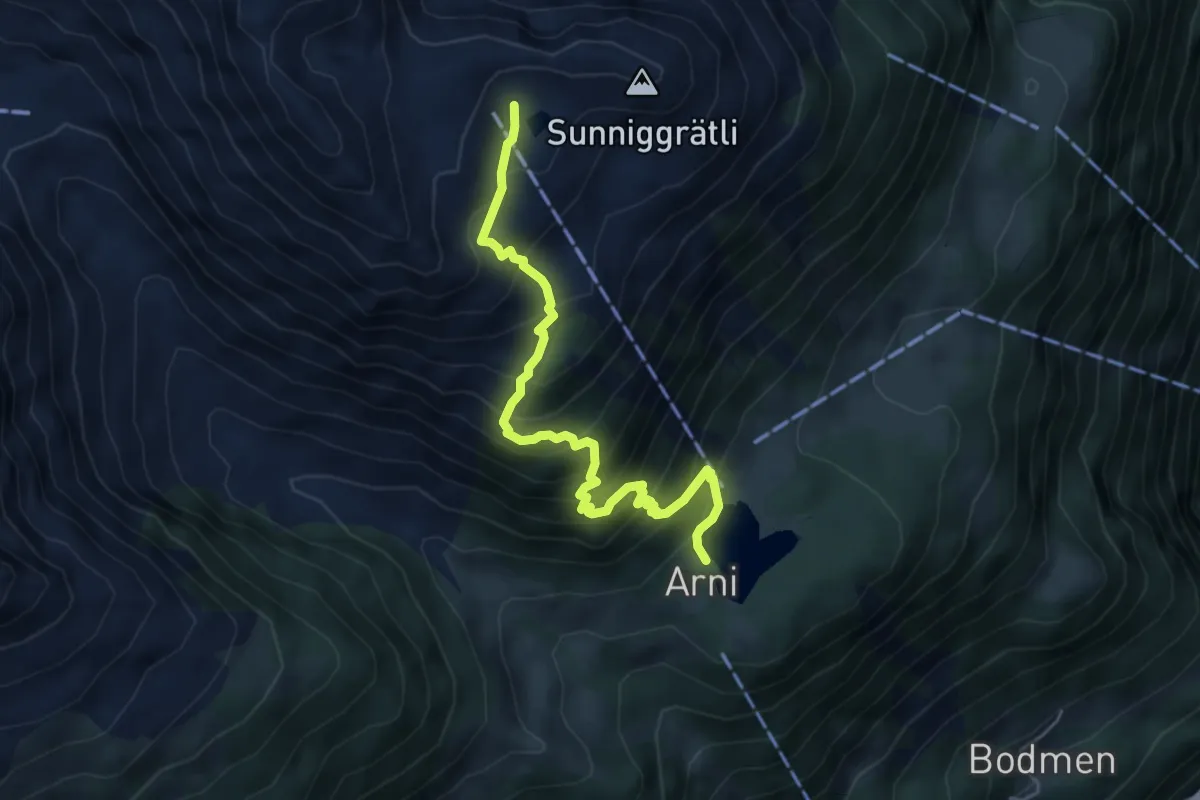
Medium · Cabin
Arnisee – Sunniggrätli Hütte
5.3 km · ↑ 608 m · 2 h 34 min
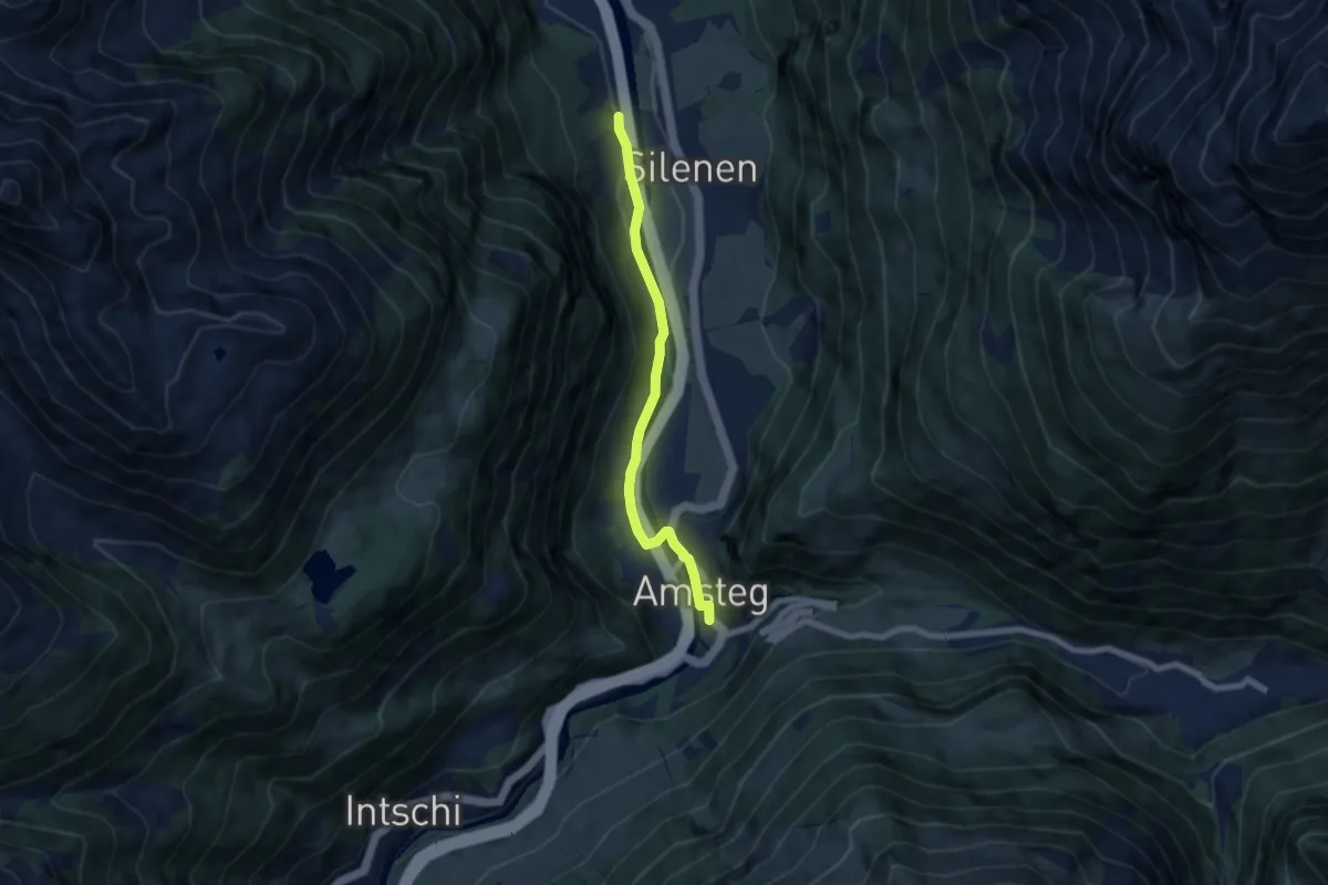
Easy · Trail
Oppli – Amsteg
6.4 km · ↑ 86 m · 1 h 42 min
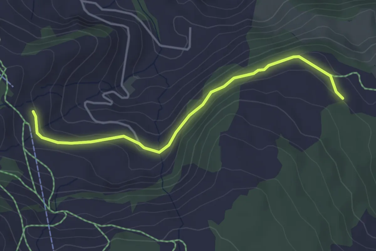
Easy · Trail
Brunnerboden – Rinderchruteren
3.8 km · ↑ 114 m · 1 h 9 min
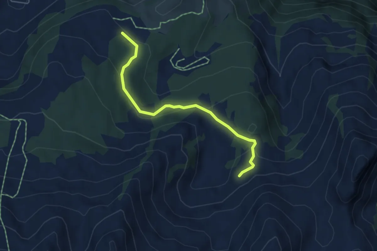
Easy · Trail
Rinderchruteren – Geissbüten
4.3 km · ↑ 165 m · 1 h 23 min
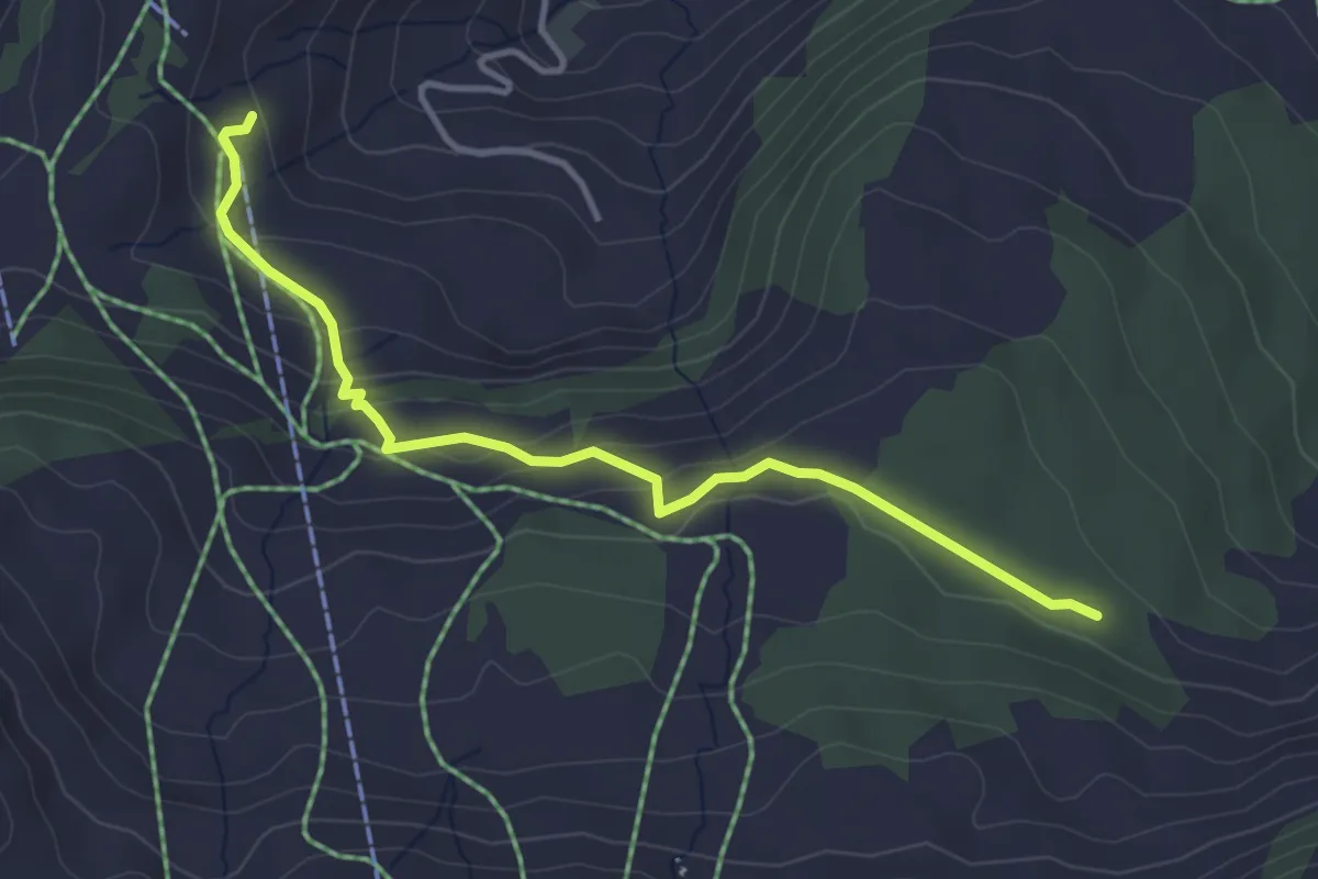
Easy · Trail
Loch – Brunnerboden
3.8 km · ↑ 158 m · 1 h 14 min
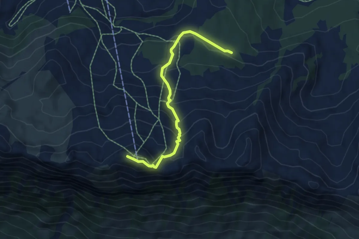
Medium · Summit
Loch – Klingenstock
5.2 km · ↑ 436 m · 2 h 10 min
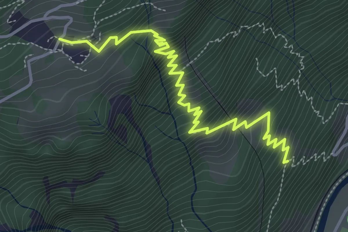
Medium · Trail
Grüt – Höhenklinik
3.9 km · ↑ 438 m · 1 h 52 min
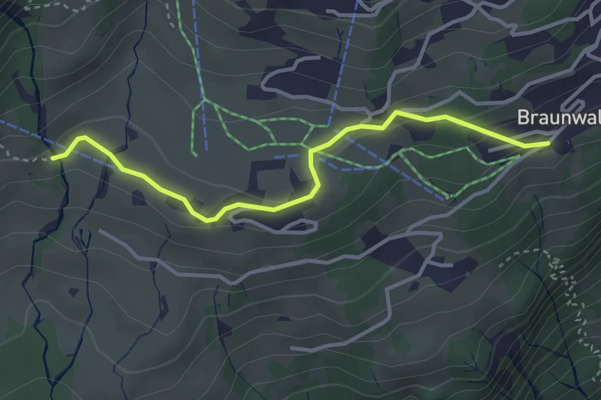
Easy · Trail
Hüttenberg – Guflen
3.0 km · ↑ 103 m · 56 min
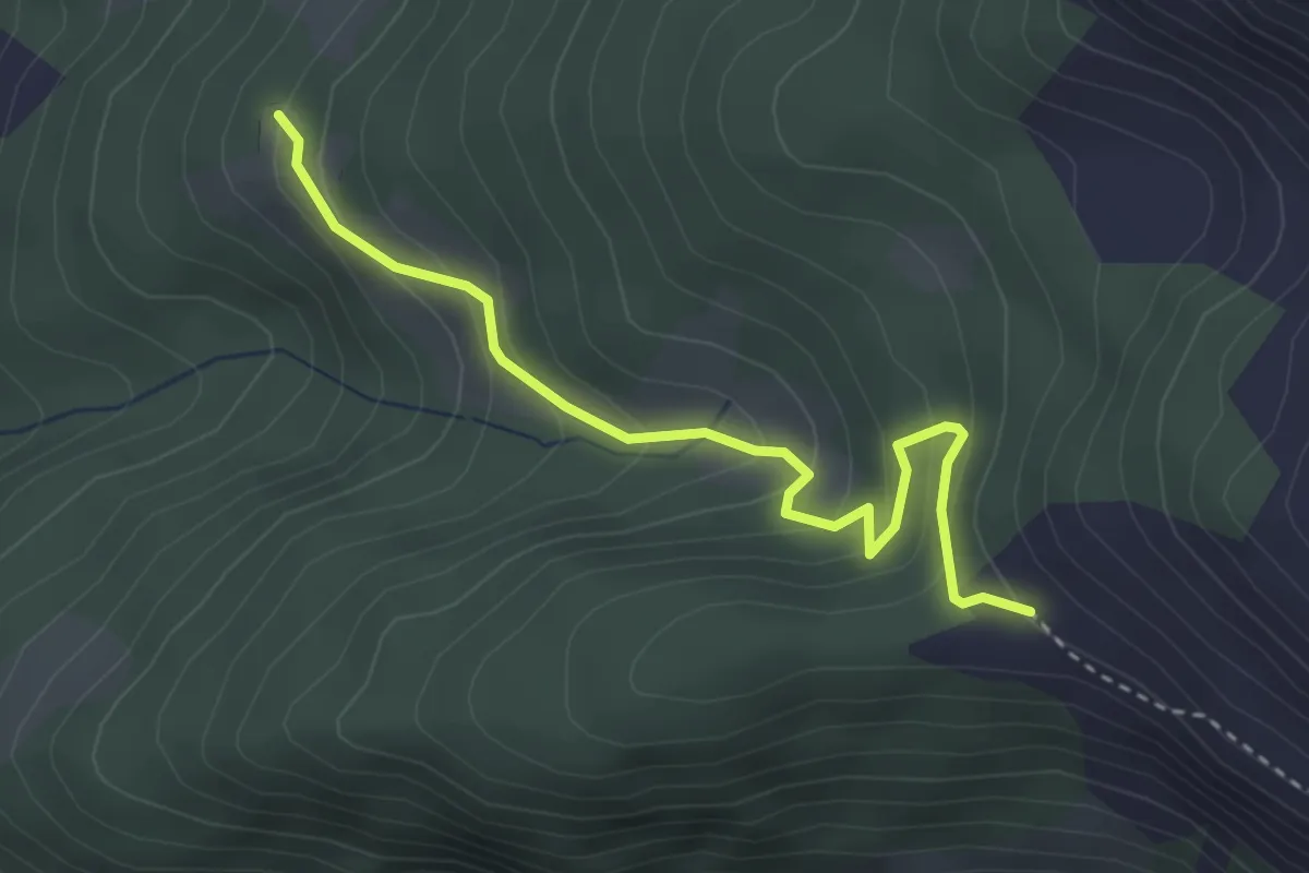
Medium · Trail
Buco di Ce – Pian Töi
3.3 km · ↑ 246 m · 1 h 19 min
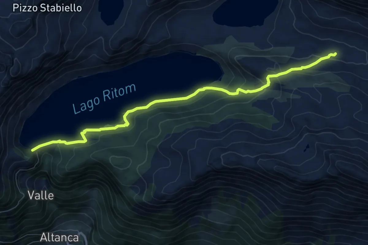
Medium · Trail
Capanna Cadagno – Piora Lago Ritom
9.2 km · ↑ 451 m · 3 h 9 min
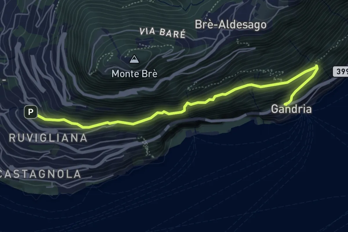
Medium · Trail
Gandria – Ruvigliana
5.5 km · ↑ 558 m · 2 h 31 min