Trails in Switzerland
15,055 hiking trails, each with its route, climb, walking time and grade.
All trails, page 198 of 314
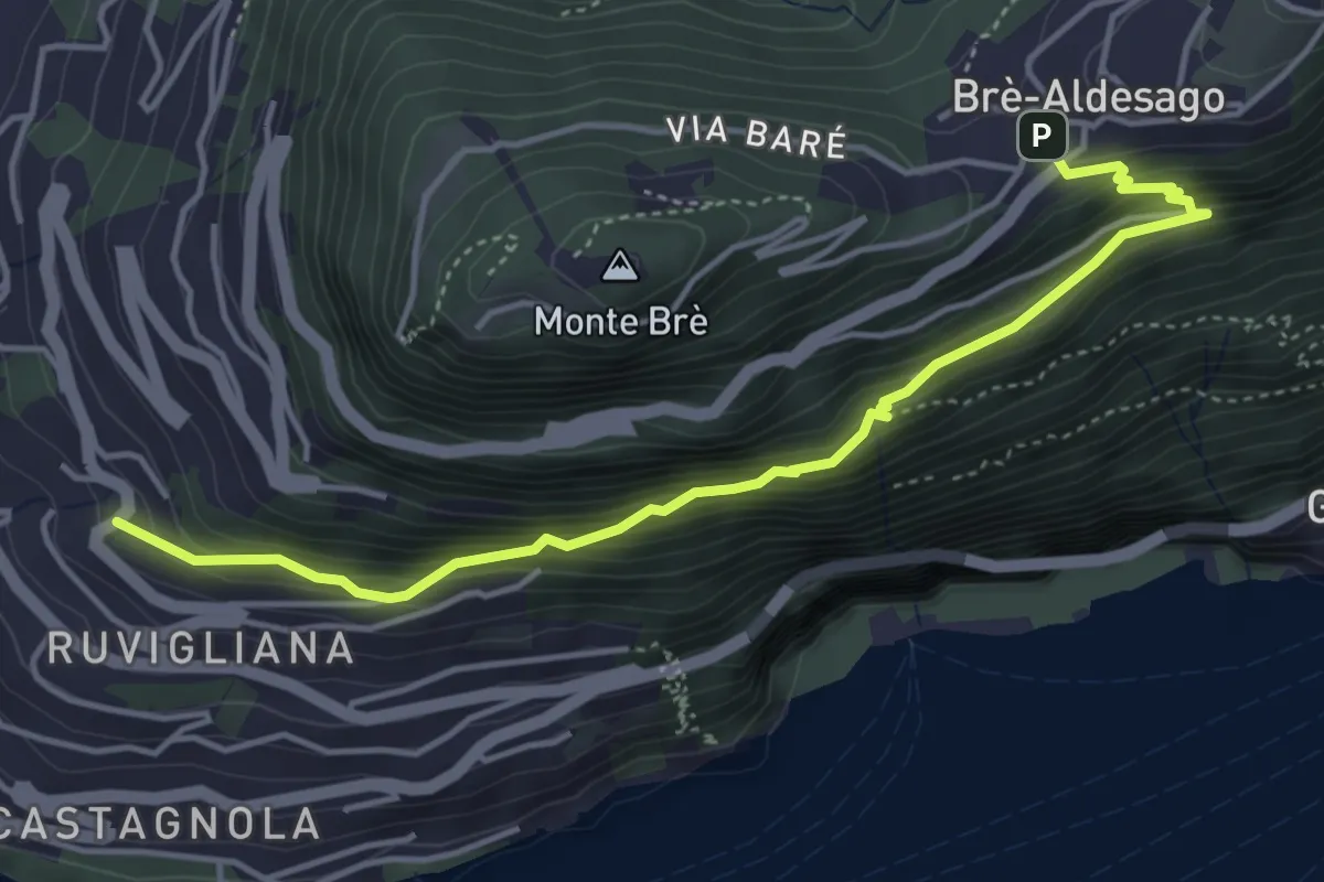
Medium · Trail
Brè – Ruvigliana
4.7 km · ↑ 478 m · 2 h 9 min
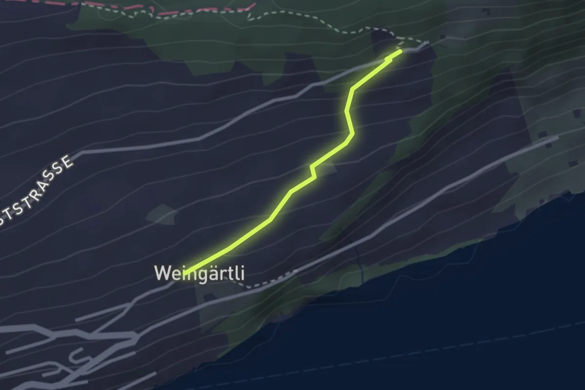
Easy · Trail
Wigärtli – St. Jost
2.0 km · ↑ 148 m · 48 min
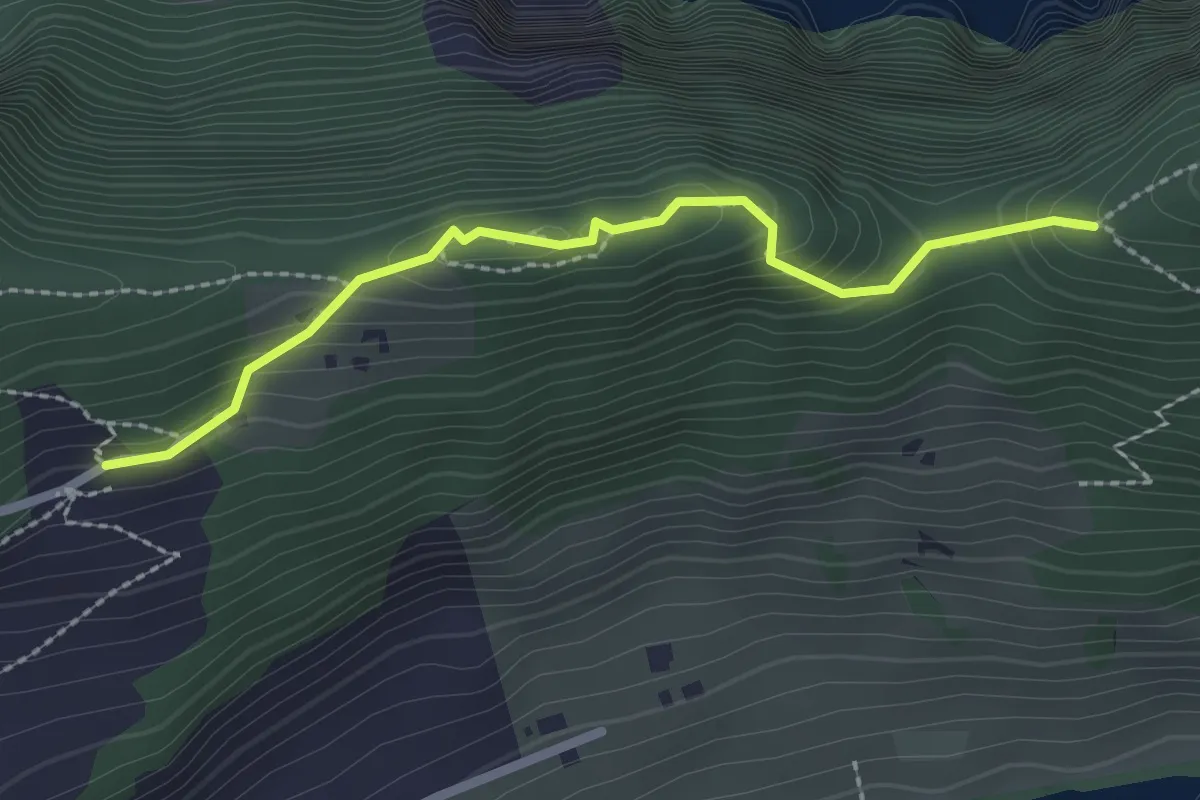
Medium · Trail
St. Jost – Schartigrat
2.3 km · ↑ 177 m · 55 min
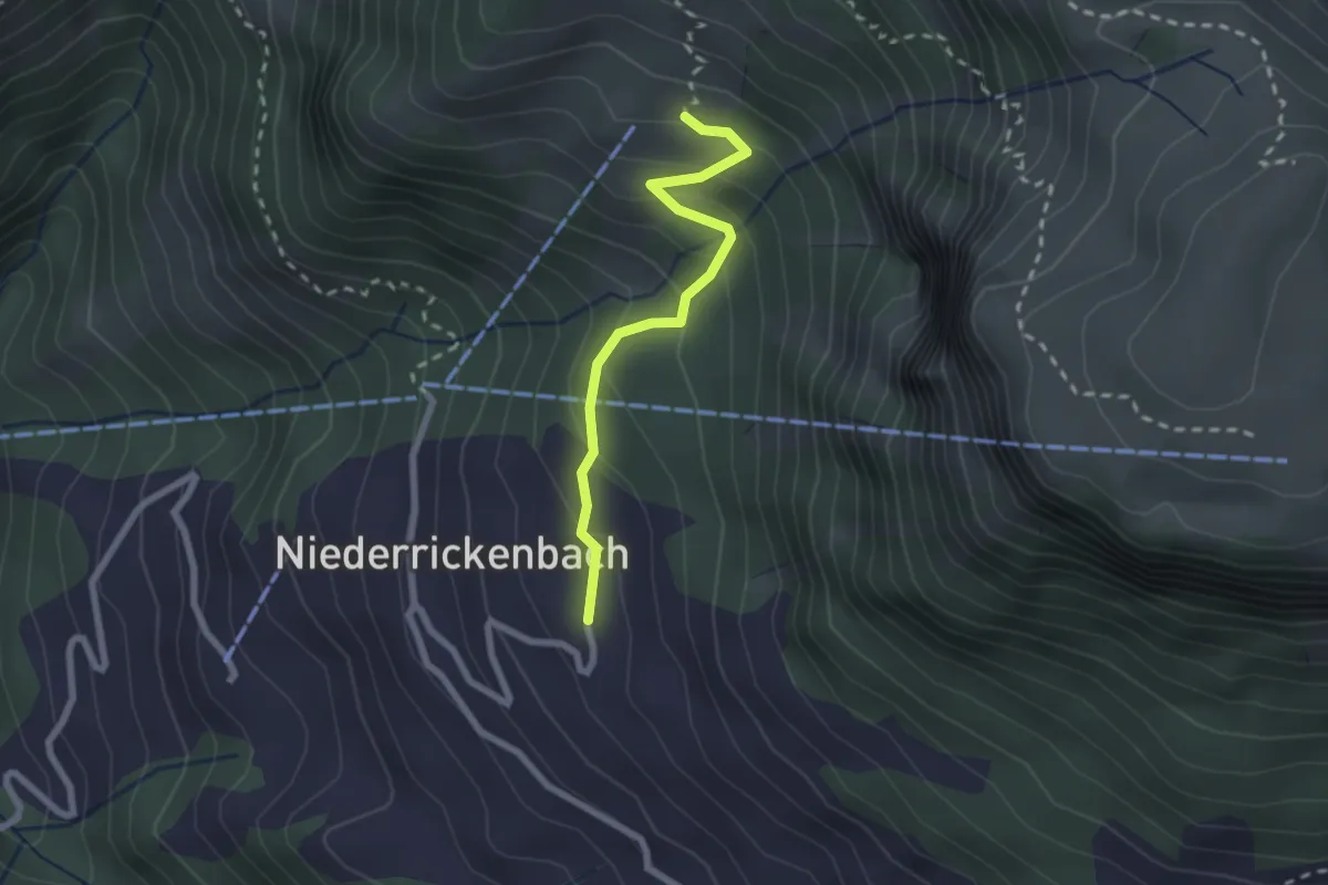
Easy · Trail
Steinrüti – Bleiki
2.1 km · ↑ 154 m · 50 min
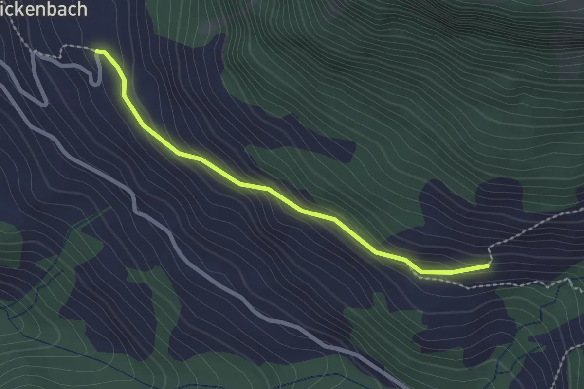
Easy · Trail
Steinrüti – Ahorn
2.1 km · ↑ 118 m · 45 min
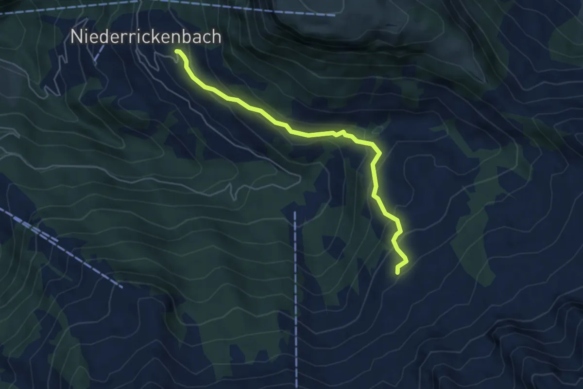
Easy · Trail
Steinrüti – Chrüzhütte
4.9 km · ↑ 306 m · 1 h 49 min
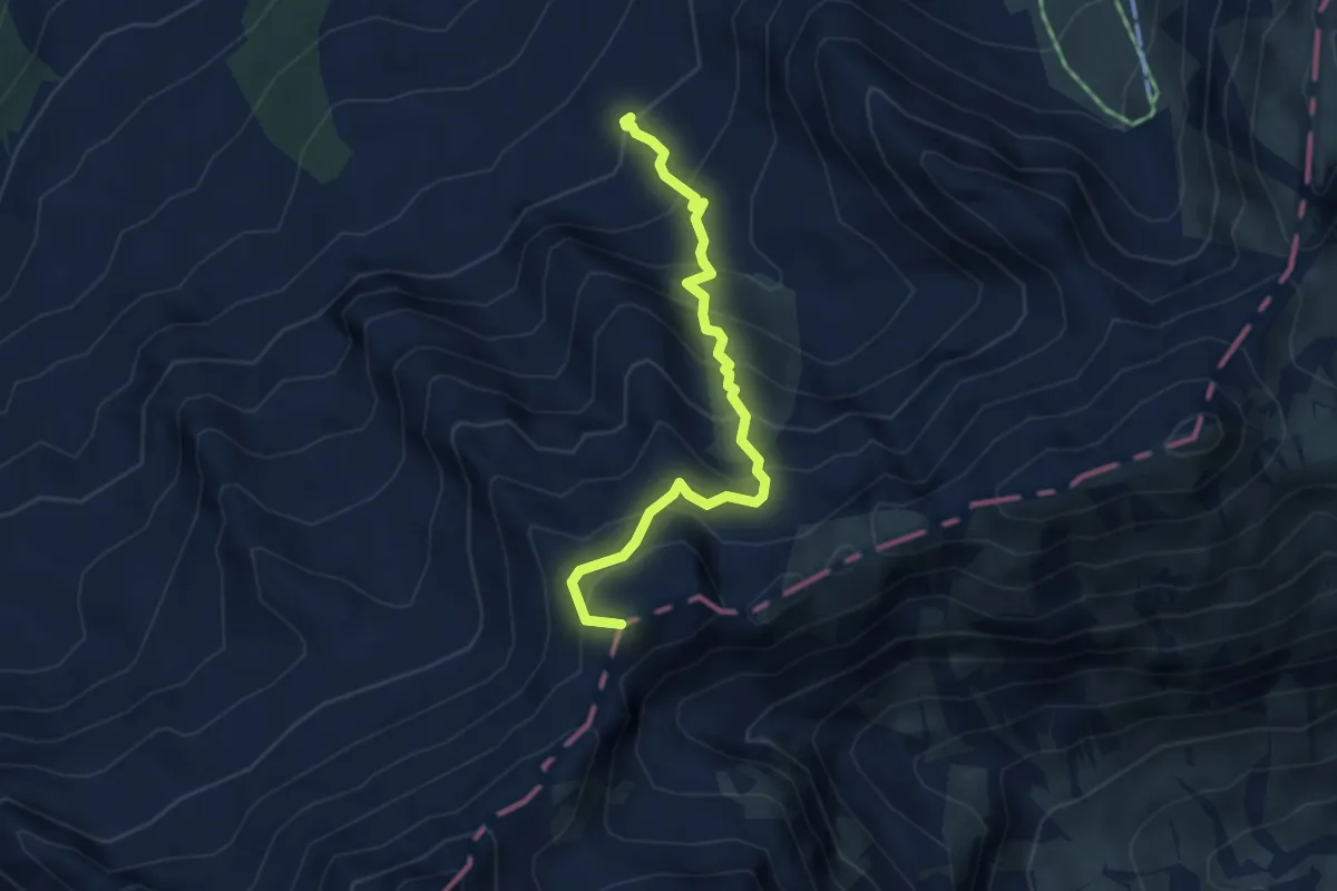
Medium · Summit
Brisenhaus – Steinalper Jochli
3.8 km · ↑ 477 m · 1 h 56 min
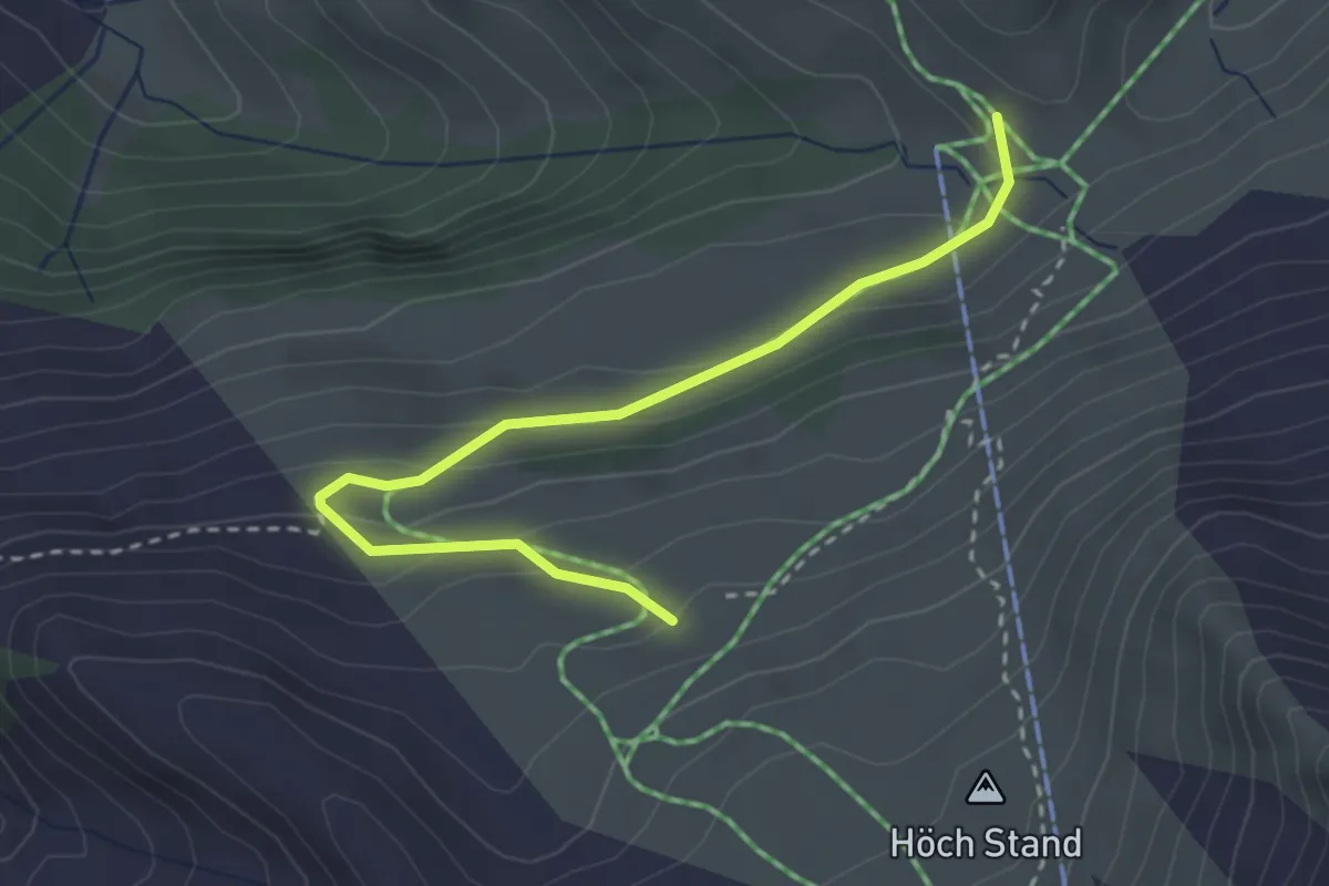
Easy · Trail
Büel – Stafel
3.1 km · ↑ 126 m · 1 h
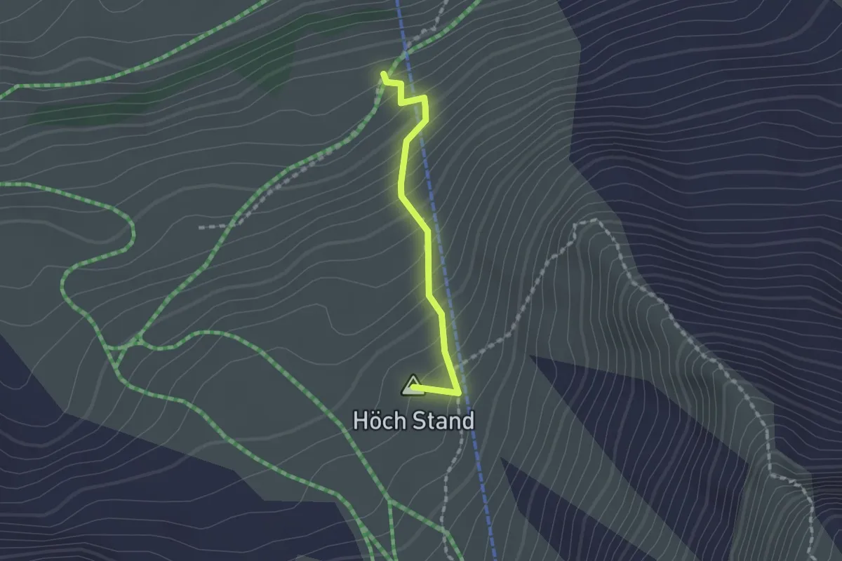
Medium · Summit
Melchgädeli – Hinterjochli
1.3 km · ↑ 168 m · 40 min
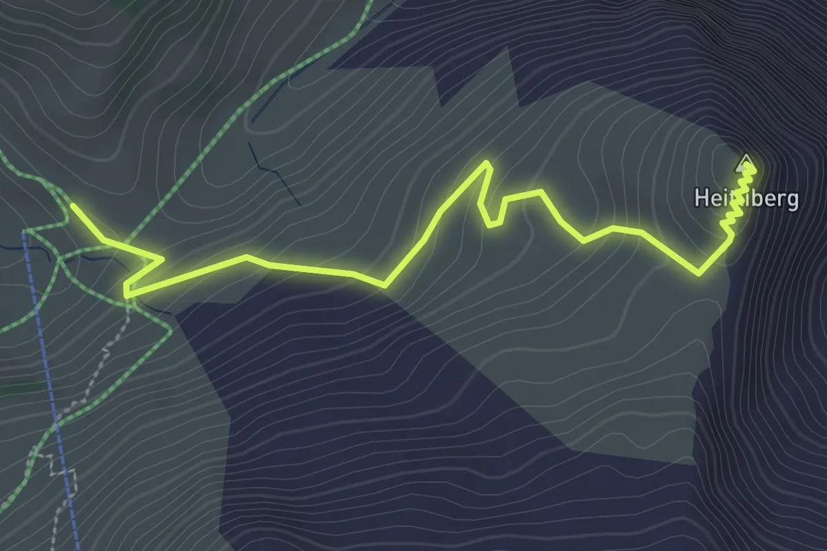
Easy · Summit
Stafel – Heitliberg
3.3 km · ↑ 198 m · 1 h 13 min
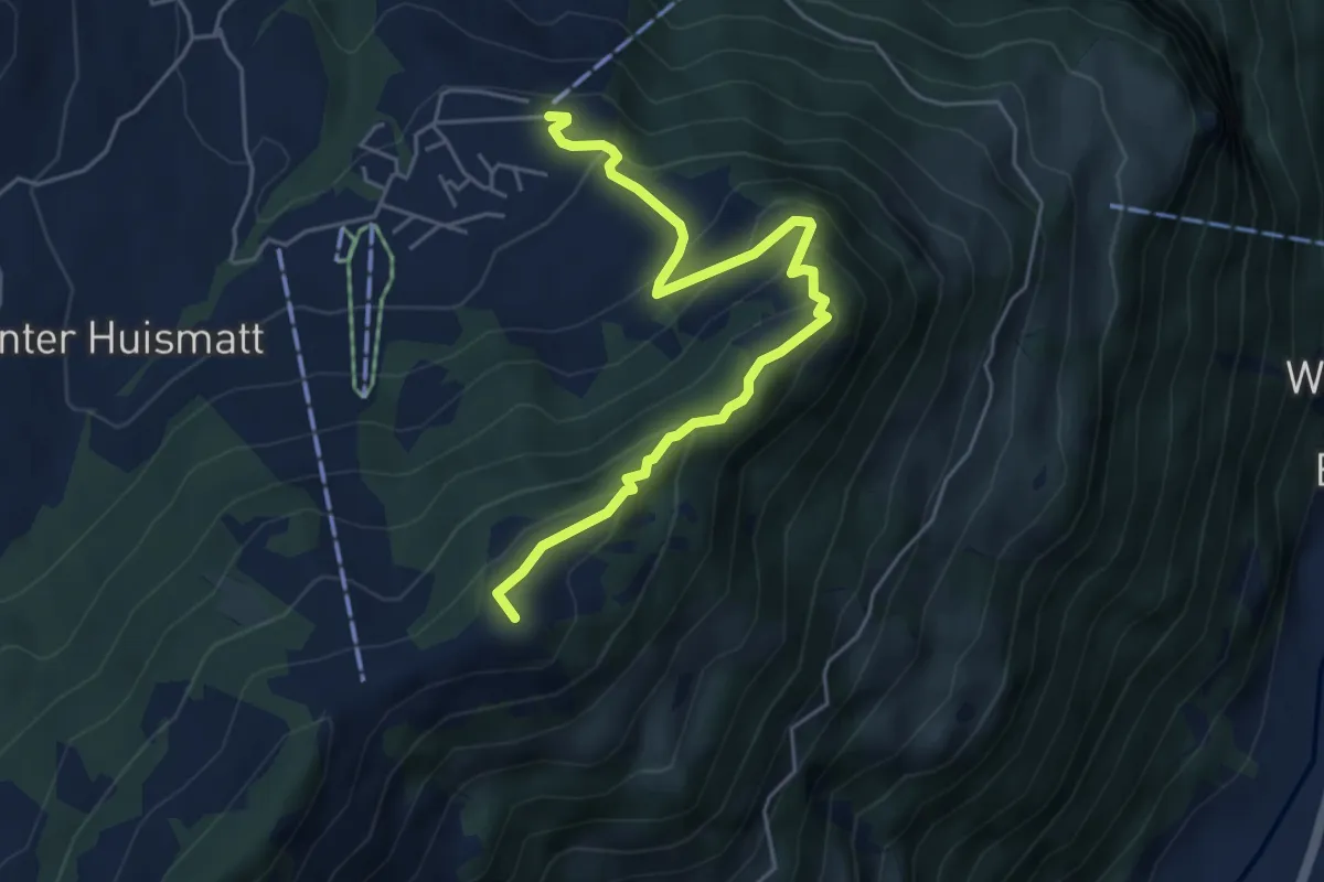
Medium · Summit
Wirzweli – Gummenalp
5.3 km · ↑ 372 m · 2 h 3 min
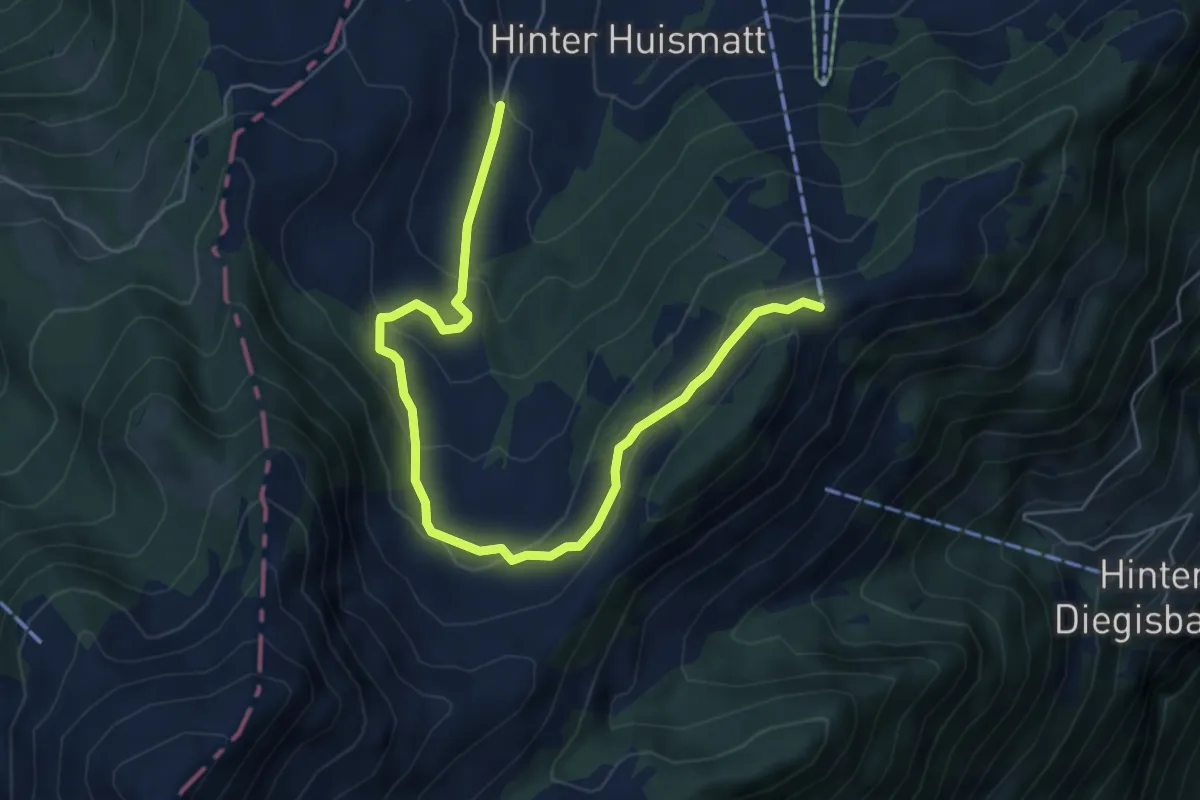
Easy · Trail
Dürrenboden – Gummenalp
6.8 km · ↑ 301 m · 2 h 16 min
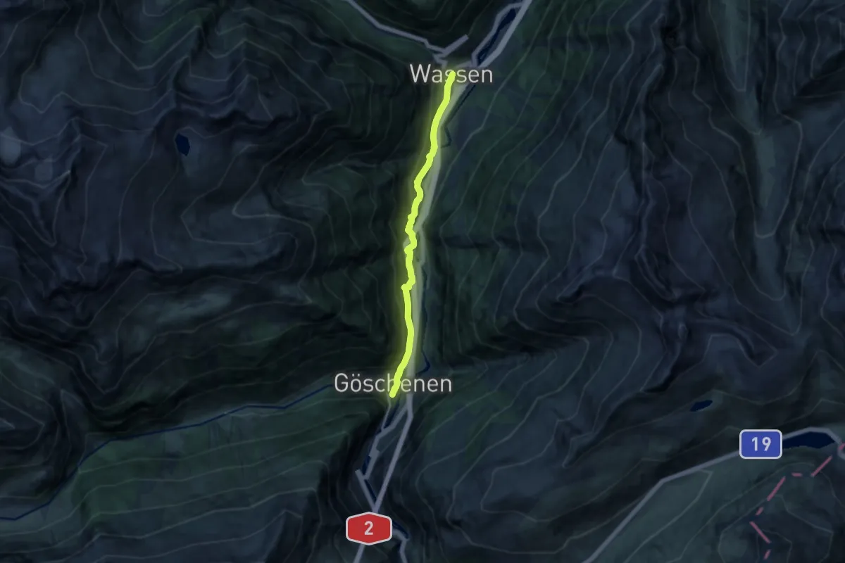
Medium · Trail
Wassen – Göschenen
10.2 km · ↑ 487 m · 3 h 27 min
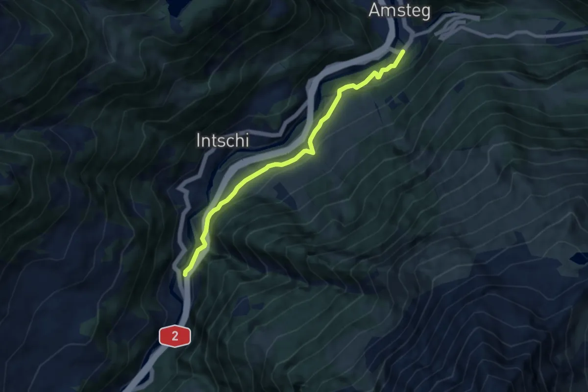
Easy · Trail
Meitschligen – Amsteg Kraftwerk
6.6 km · ↑ 315 m · 2 h 14 min
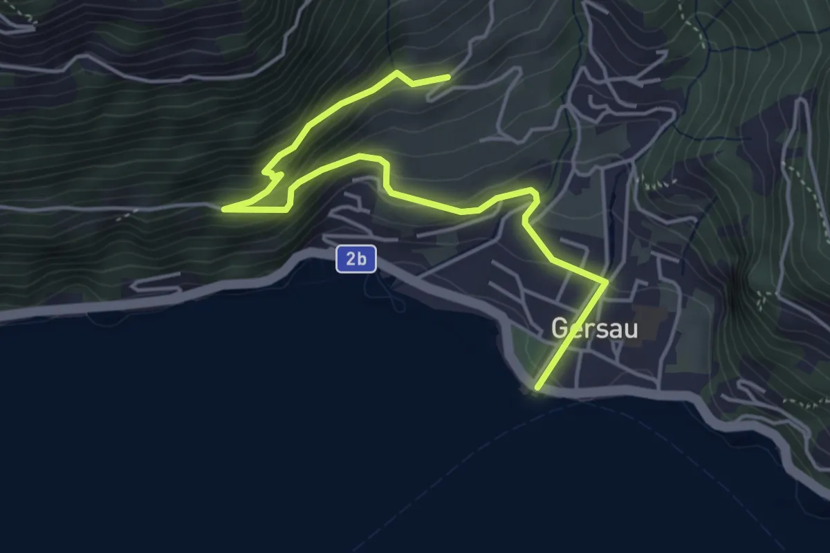
Medium · Trail
Platten – Gersau
4.9 km · ↑ 348 m · 1 h 55 min
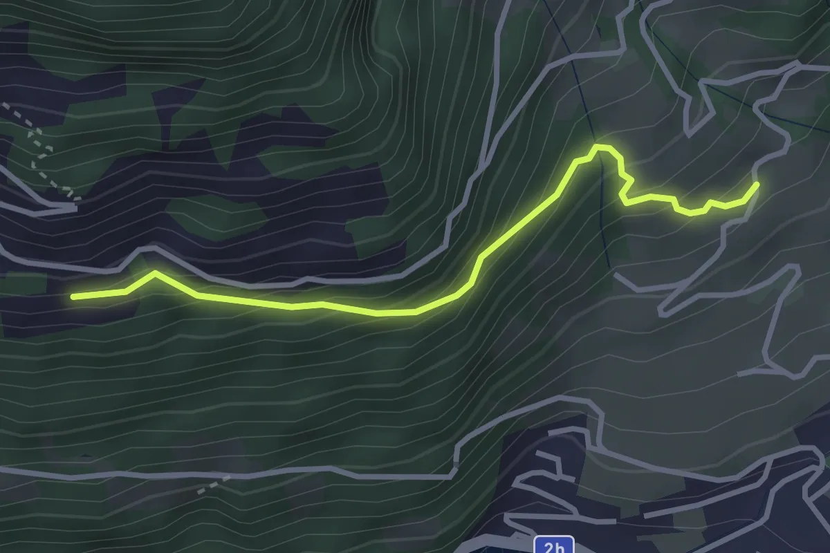
Easy · Trail
Oberried – Nider Urmi
2.9 km · ↑ 260 m · 1 h 16 min
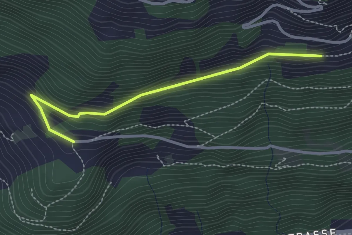
Easy · Trail
Nider Urmi – Ober Rängg
2.4 km · ↑ 153 m · 54 min
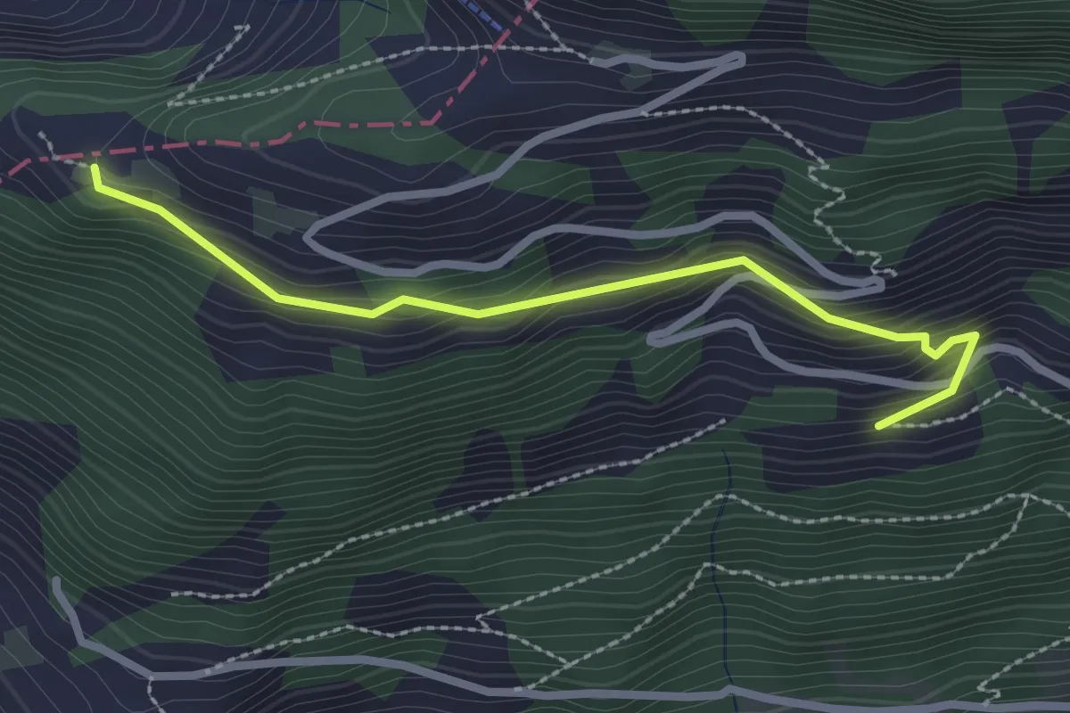
Easy · Trail
Nider Urmi – Usser Urmi
2.5 km · ↑ 203 m · 1 h 2 min
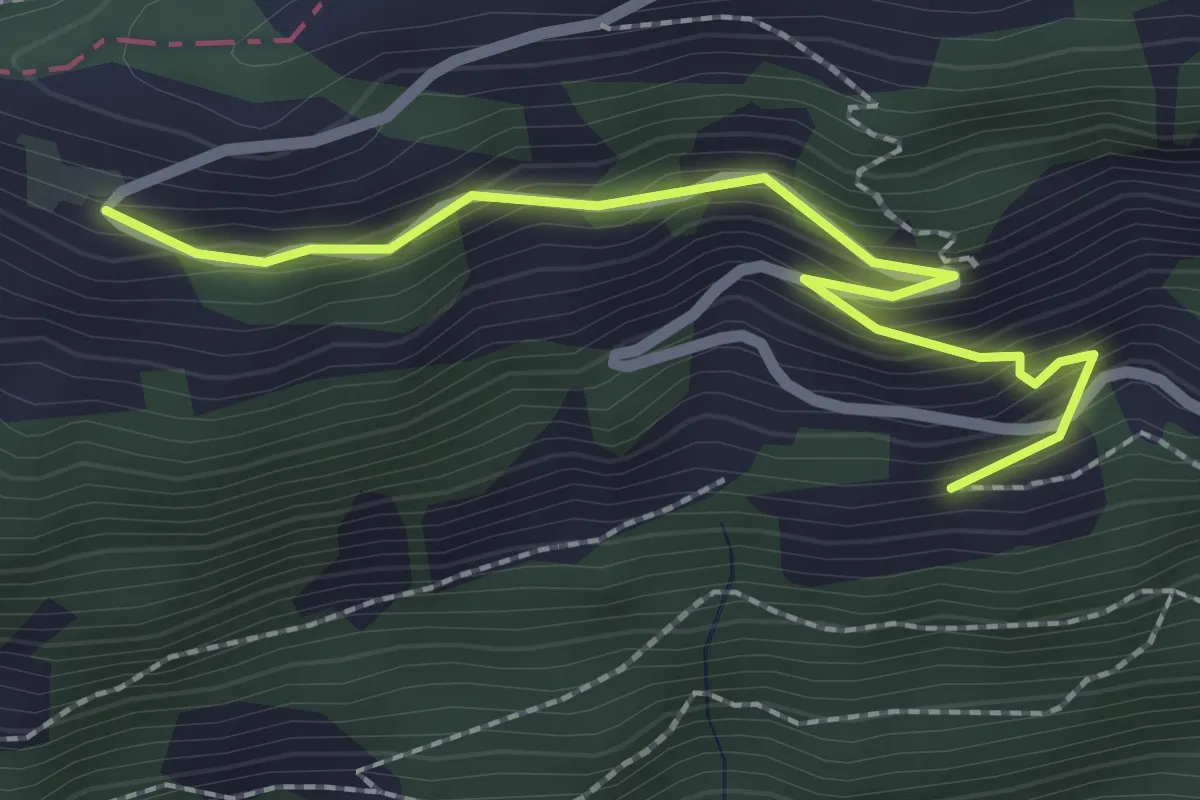
Easy · Trail
Nieder Urmi – Mittler Urmi
2.4 km · ↑ 231 m · 1 h 4 min
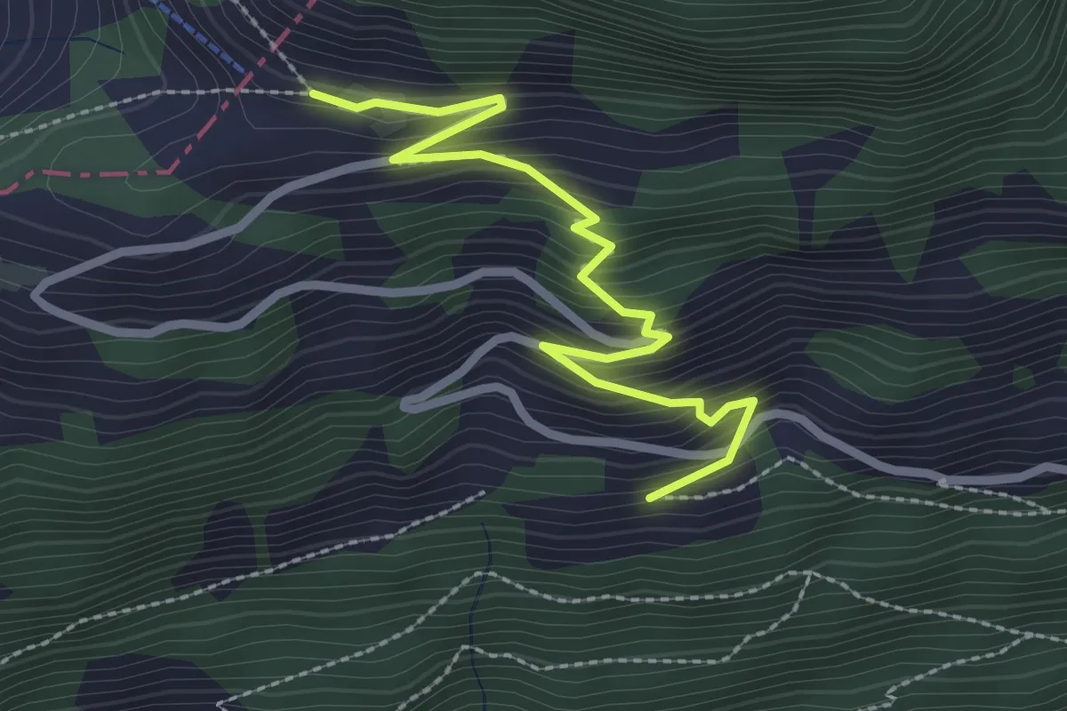
Medium · Trail
Nieder Urmi – Ober Urmi
2.7 km · ↑ 318 m · 1 h 19 min
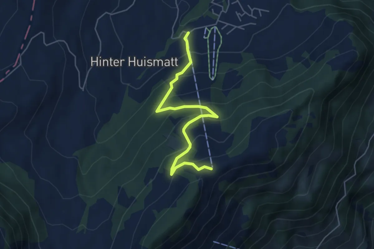
Medium · Trail
Gummenalp – Gummenbahn
4.7 km · ↑ 357 m · 1 h 52 min
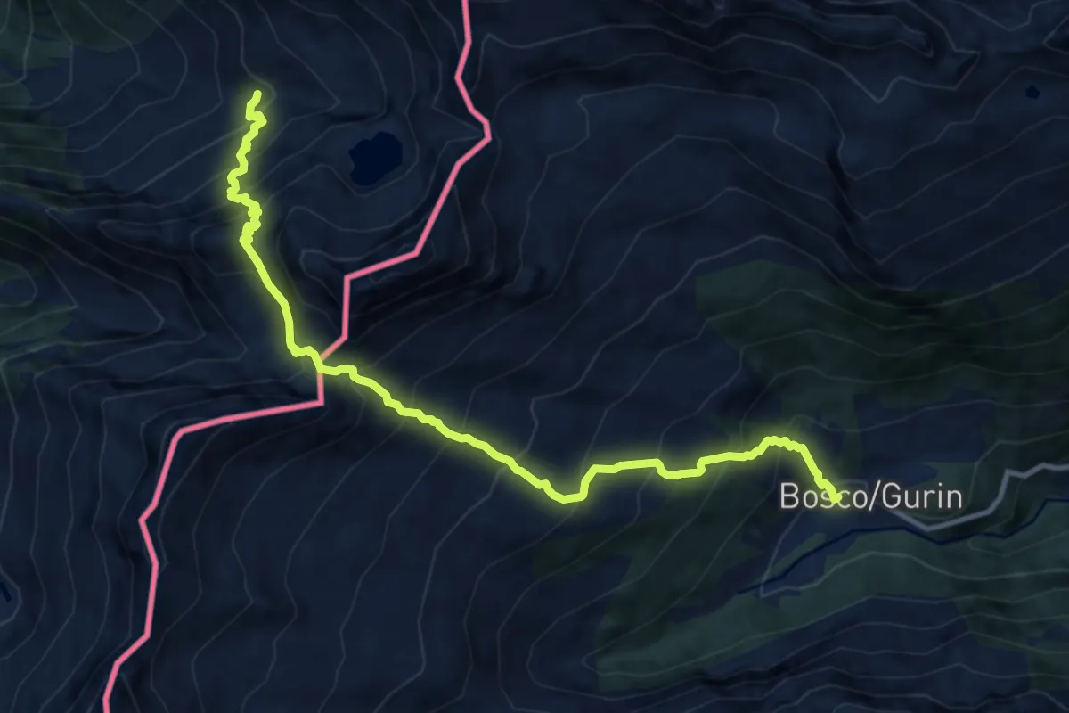
Demanding · Trail
Formazza – Bosco Gurin
11.5 km · ↑ 1403 m · 5 h 45 min
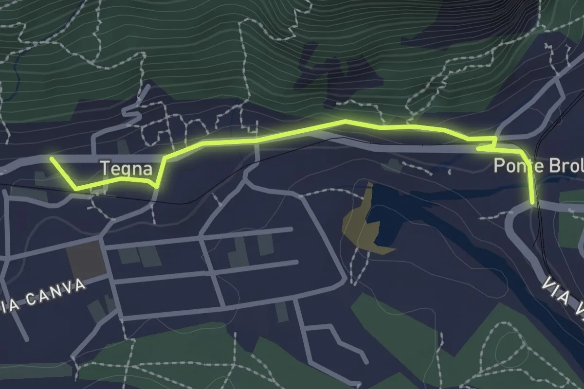
Easy · Trail
Ponte Brolla – Tegna
2.3 km · ↑ 71 m · 42 min
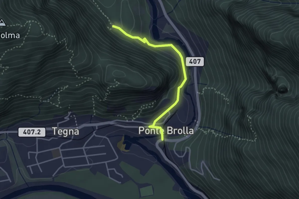
Medium · Trail
Gropp – Ponte Brolla
3.1 km · ↑ 140 m · 1 h 2 min
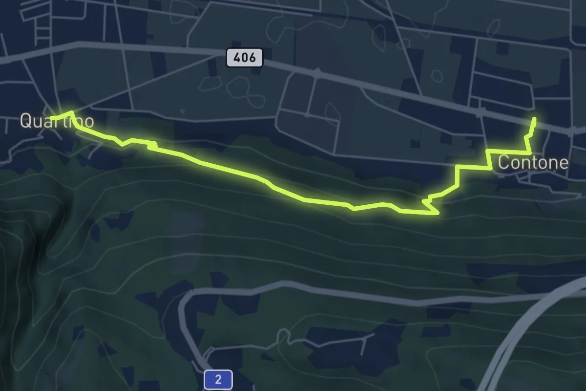
Easy · Trail
Contone – Quartino
6.1 km · ↑ 247 m · 1 h 59 min
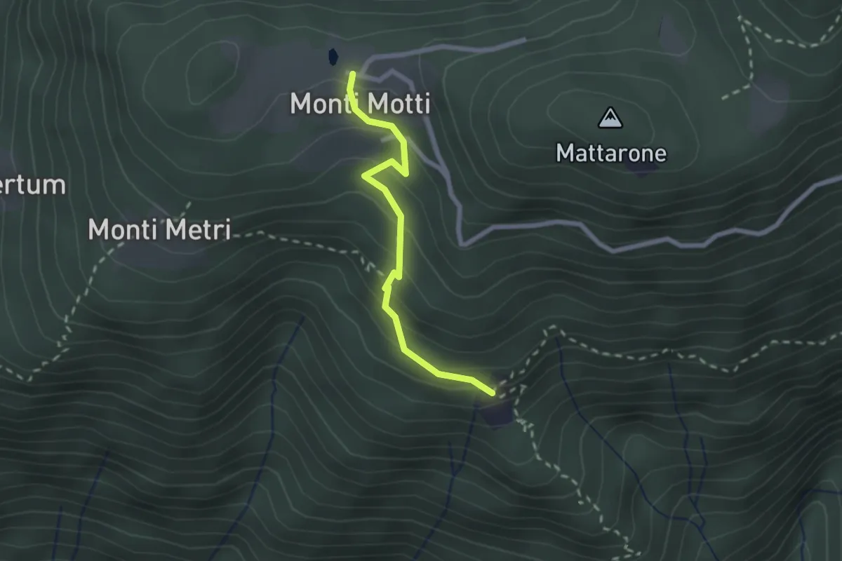
Medium · Trail
Monti di Motti – Bazzadee
2.0 km · ↑ 170 m · 51 min
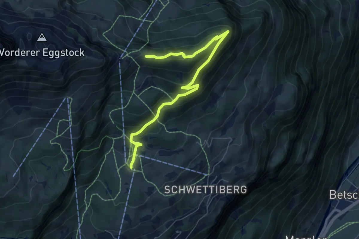
Medium · Trail
Grotzenbüel – Seeblengrat
7.1 km · ↑ 470 m · 2 h 41 min
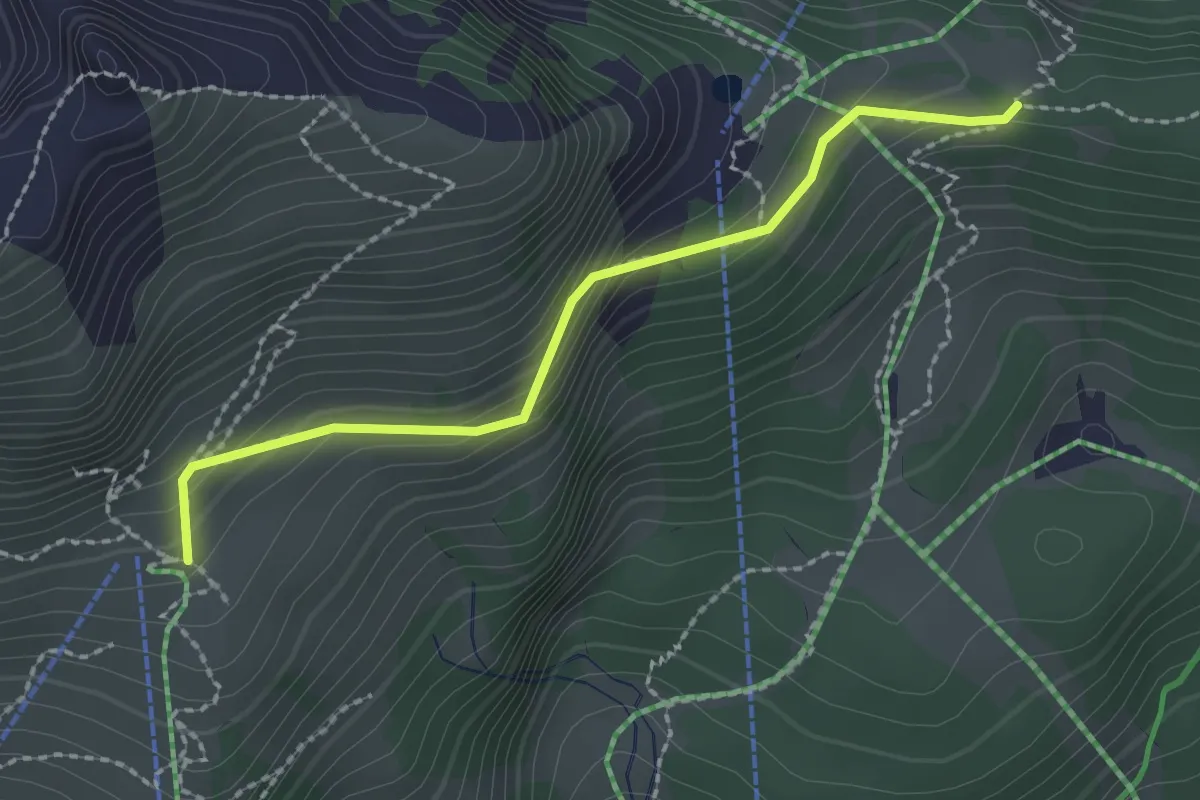
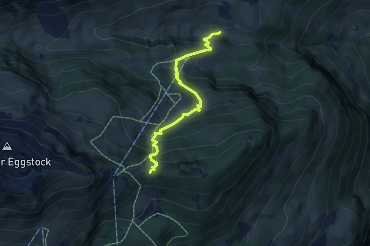
Easy · Cabin
Gumen – Seeblengrat
2.1 km · ↑ 198 m · 56 min
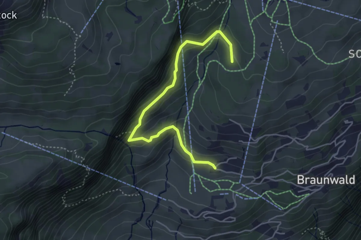
Medium · Cabin
Bösbächi Mittler Stafel – Seeblengrat
4.2 km · ↑ 435 m · 1 h 56 min
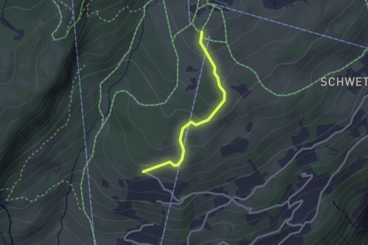
Medium · Trail
Läriberg – Plätz
4.2 km · ↑ 301 m · 1 h 38 min
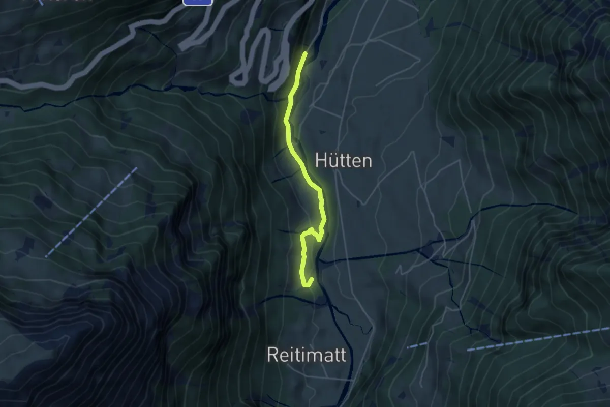
Easy · Trail
Schindlerbergegg – Grotzenbüel
2.0 km · ↑ 101 m · 42 min
Easy · Trail
Bogglaui – Bänzenäuli
3.9 km · ↑ 130 m · 1 h 12 min
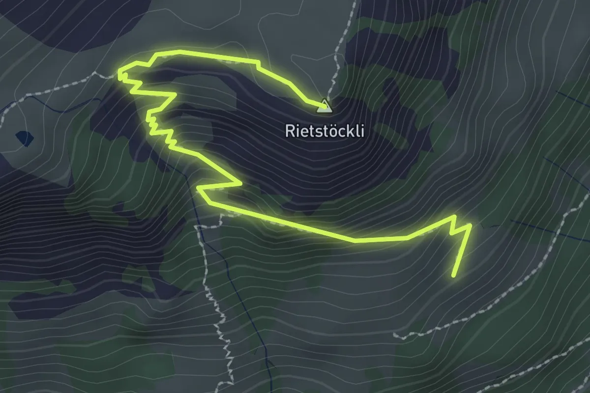
Medium · Summit
Rietstöckli – Usseralp
3.0 km · ↑ 259 m · 1 h 16 min
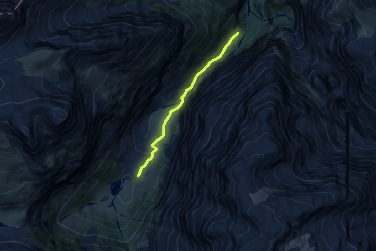
Easy · Trail
Sandwald – Hinter-Sand
5.7 km · ↑ 302 m · 1 h 59 min
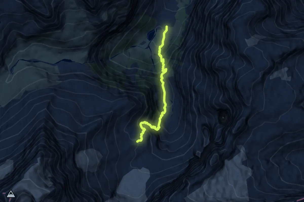
Demanding · Cabin
Hinter-Sand – Fridolinshütte SAC
7.8 km · ↑ 824 m · 3 h 38 min
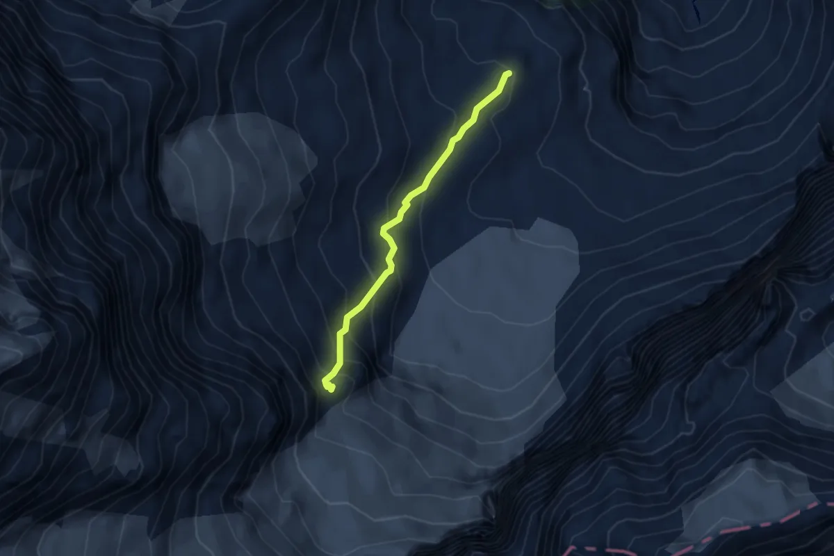
Medium · Cabin
Fridolinshütte SAC – Grünhornhütte
3.2 km · ↑ 337 m · 1 h 29 min
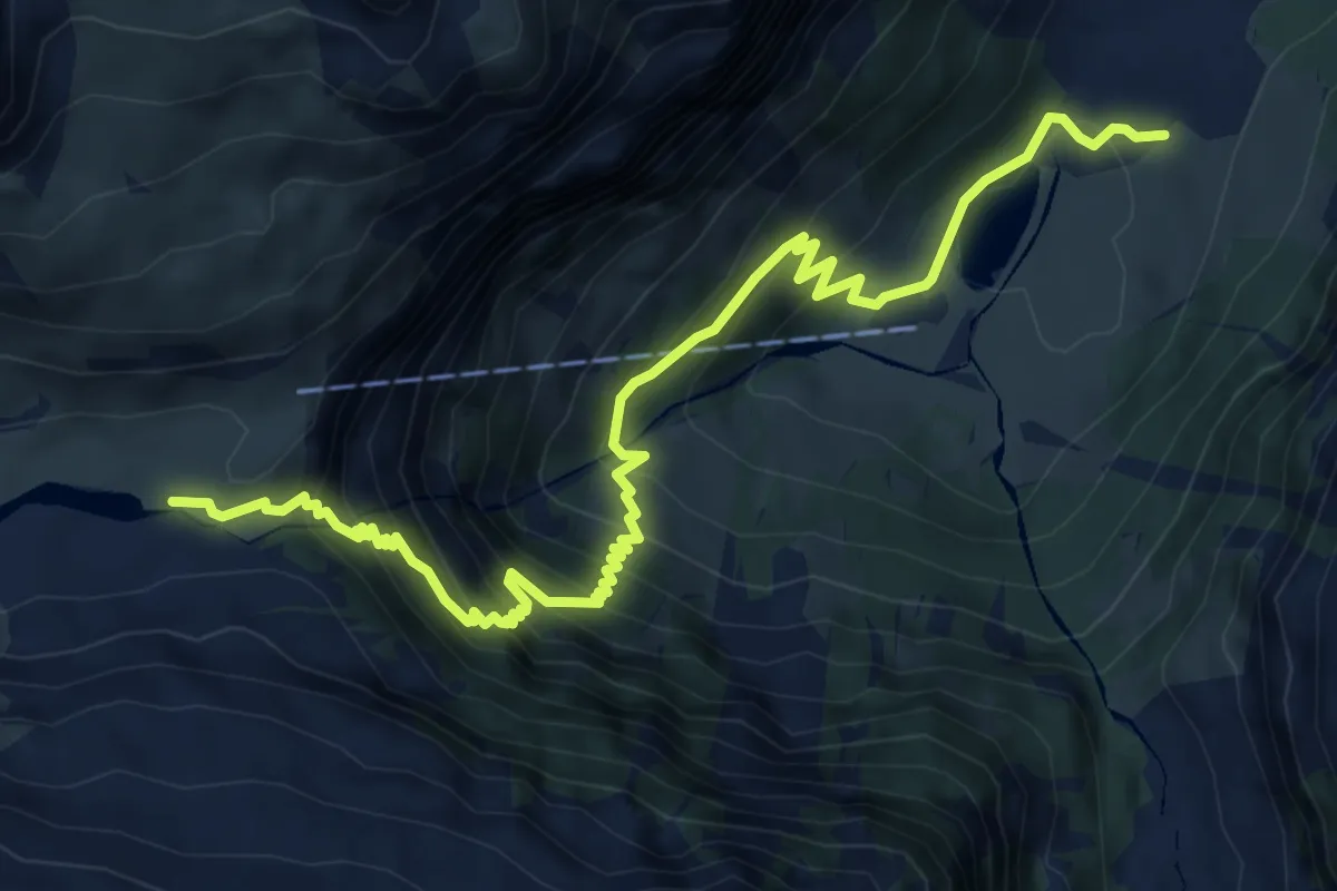
Medium · Trail
Hinter-Sand – Obersand
7.6 km · ↑ 755 m · 3 h 26 min
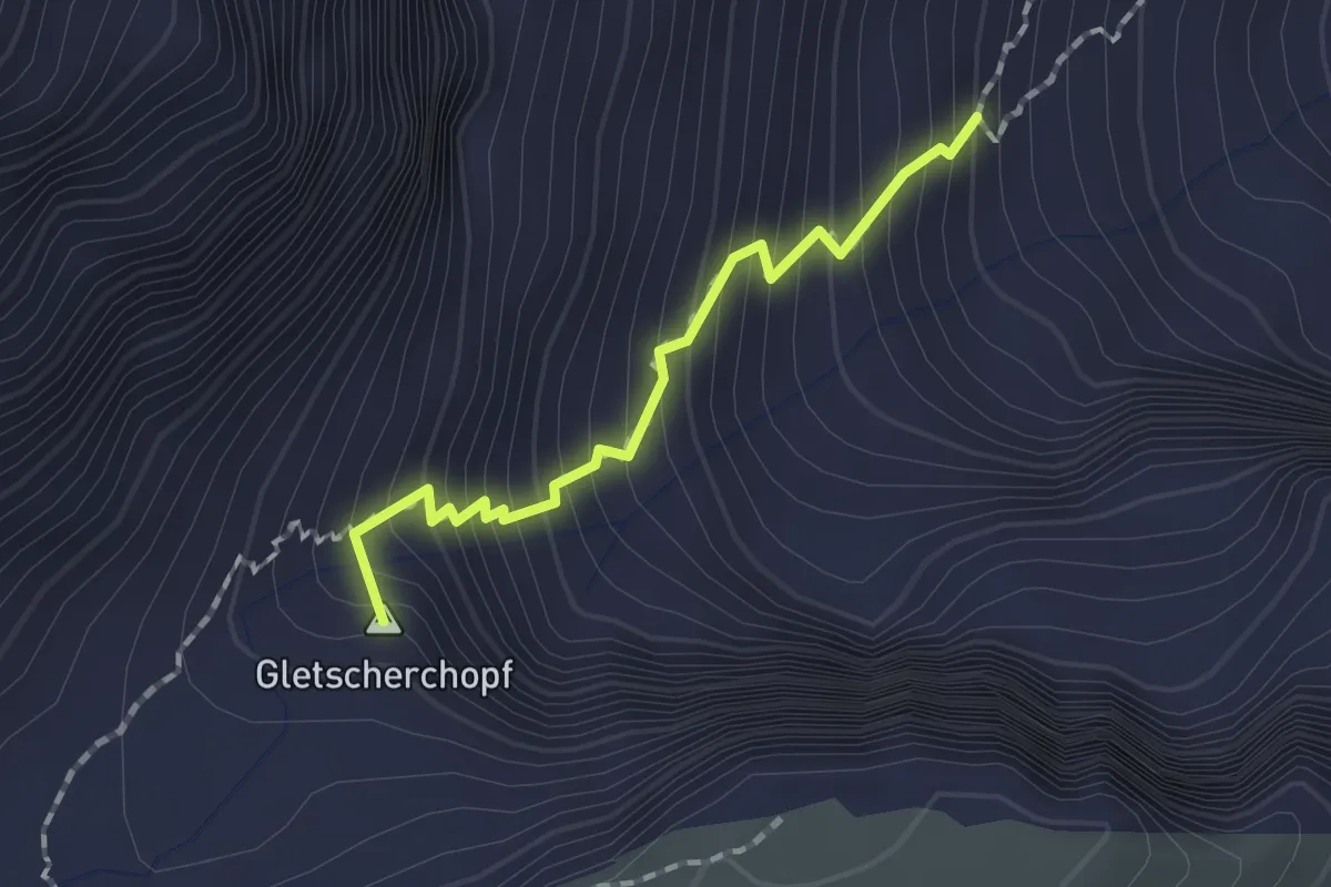
Medium · Summit
Geissstein – Claridenhütte SAC
1.4 km · ↑ 216 m · 48 min
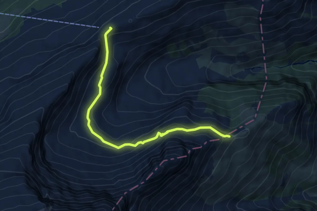
Medium · Trail
Fisetenpass – Matt
6.5 km · ↑ 329 m · 2 h 14 min
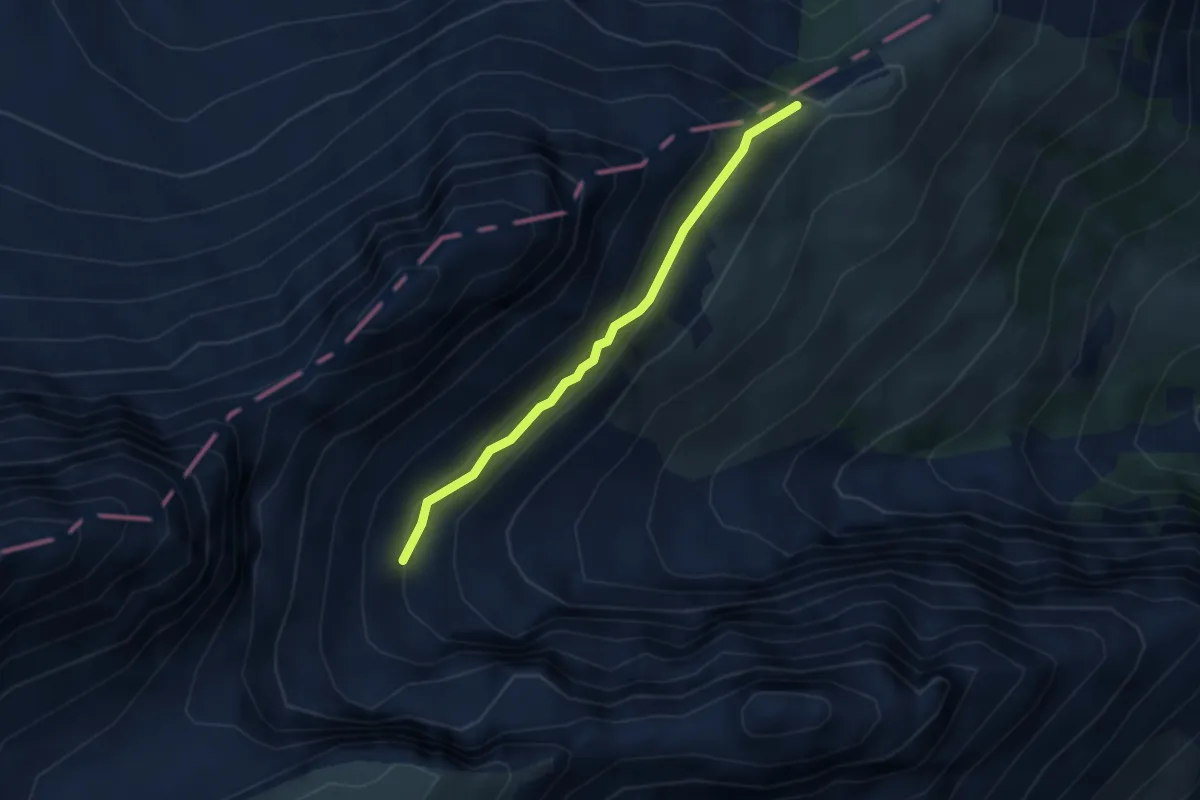
Medium · Trail
Geissstein – Matt
2.7 km · ↑ 152 m · 58 min
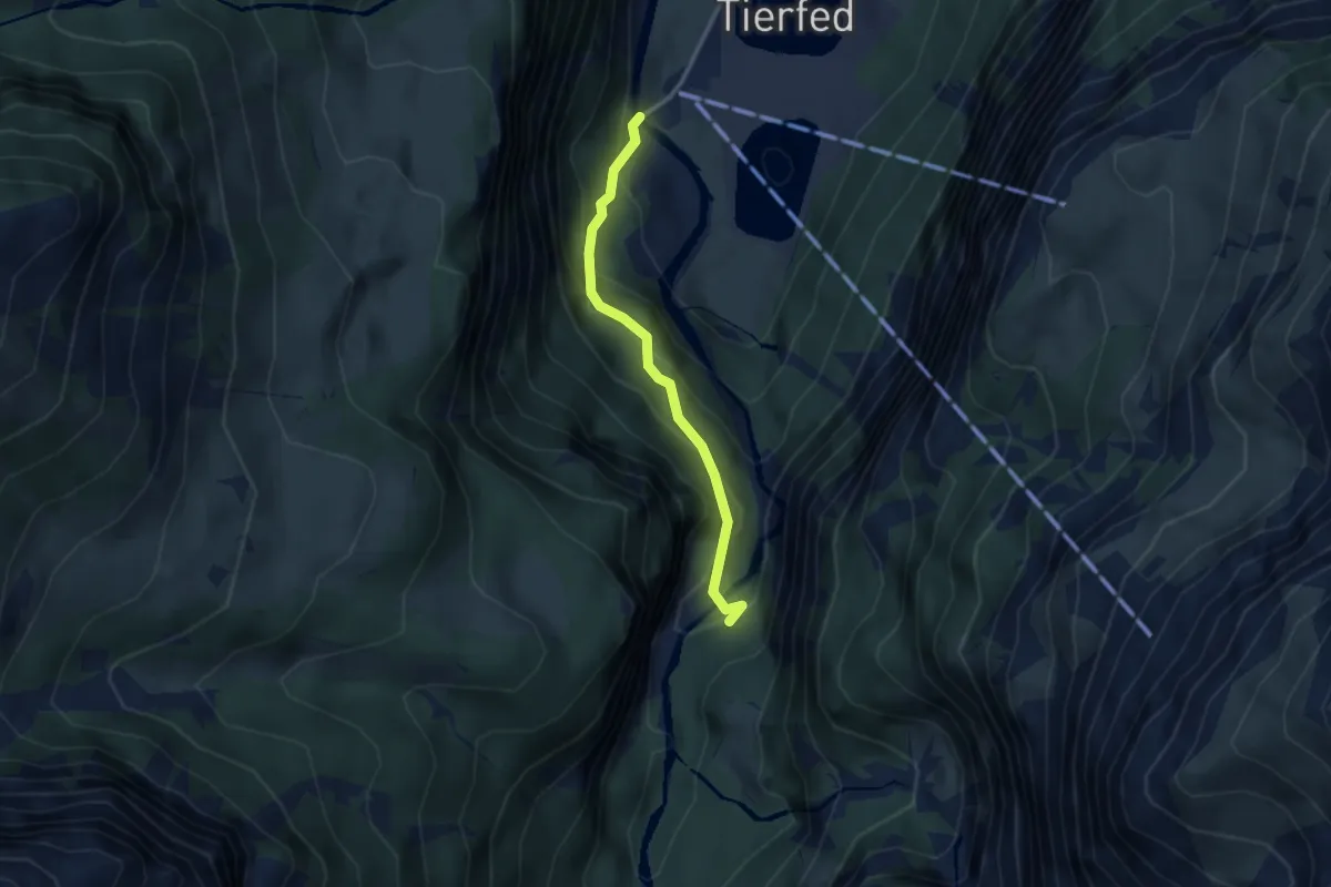
Easy · Trail
Tierfehd – Pantenbrugg Süd
2.8 km · ↑ 224 m · 1 h 9 min
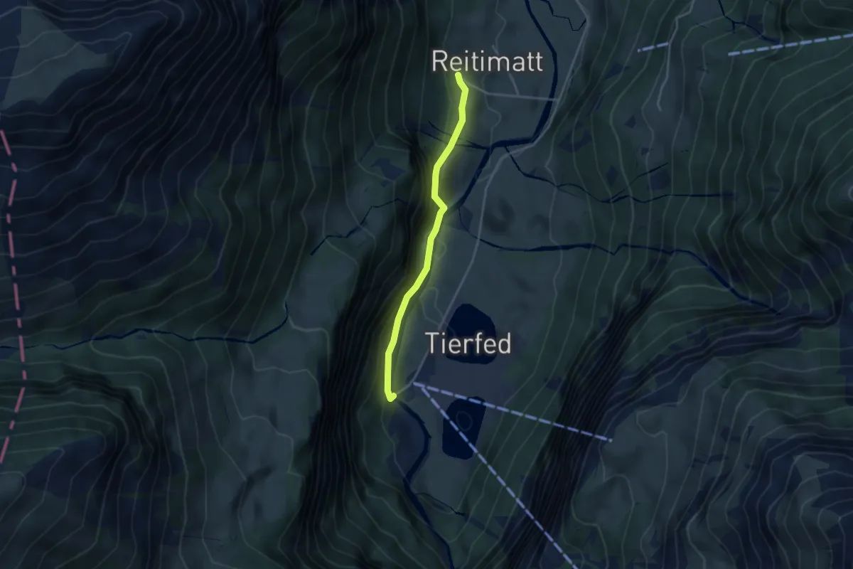
Medium · Trail
Reitimatt – Tierfehd
3.2 km · ↑ 408 m · 1 h 38 min
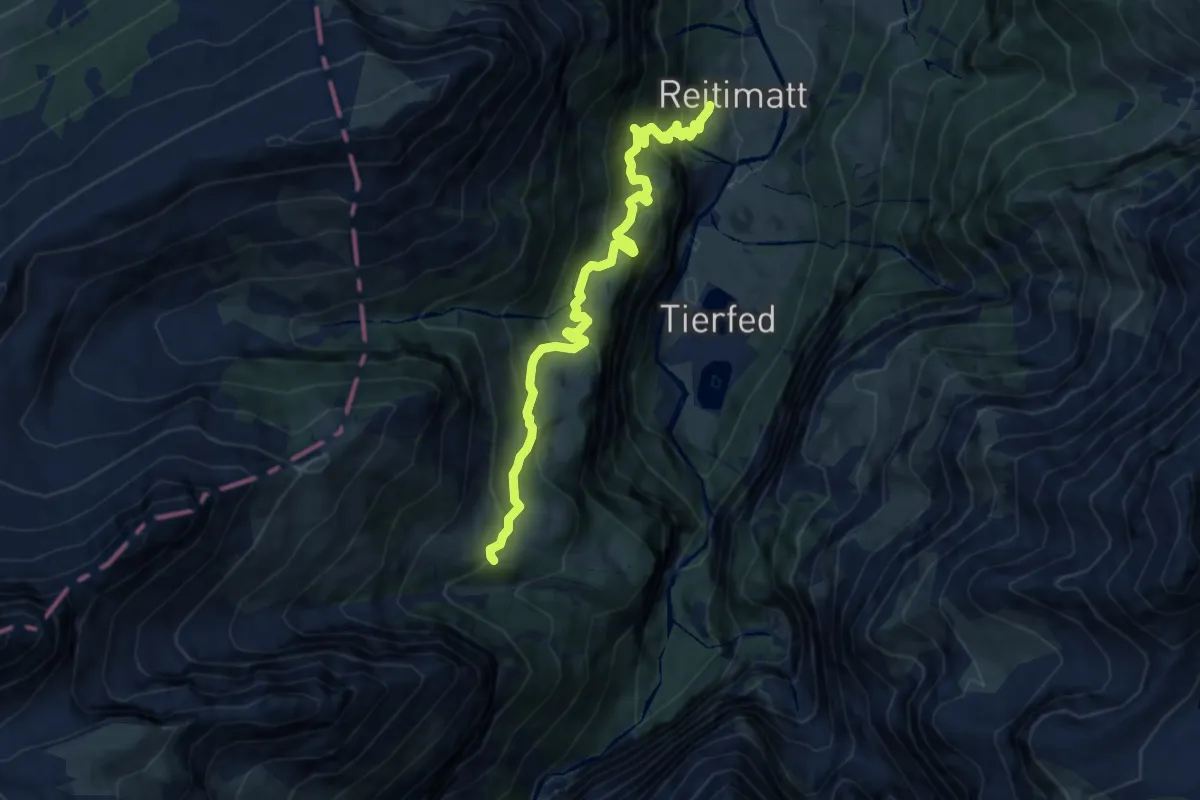
Medium · Trail
Reitimatt – Wangen
9.2 km · ↑ 734 m · 3 h 46 min
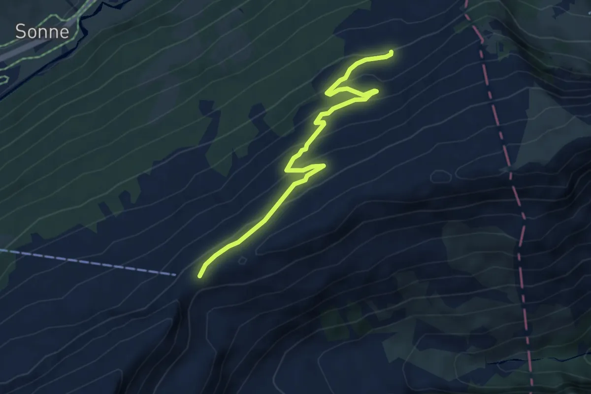
Easy · Trail
Fisetenpass – Wängi
5.4 km · ↑ 288 m · 1 h 54 min
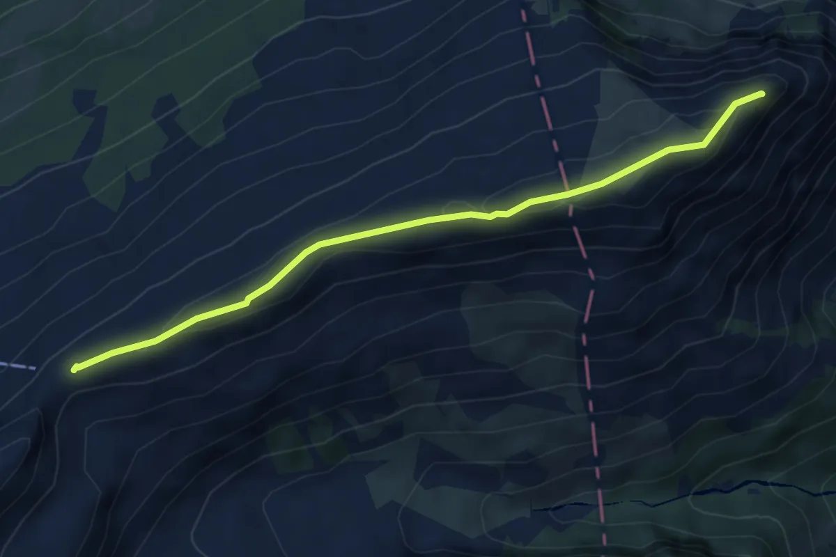
Medium · Summit
Fisetenpass – Chamerstock
5.4 km · ↑ 228 m · 1 h 45 min
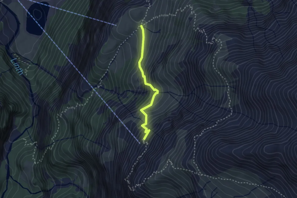
Medium · Trail
Chalchtrittli – Alp Baumgarten
2.5 km · ↑ 291 m · 1 h 13 min
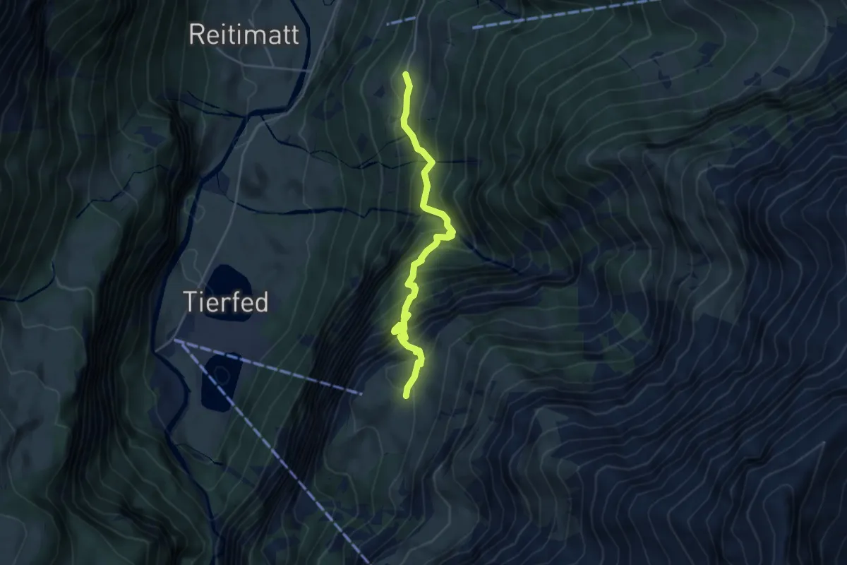
Demanding · Trail
Obbort – Alp Baumgarten
4.3 km · ↑ 683 m · 2 h 29 min
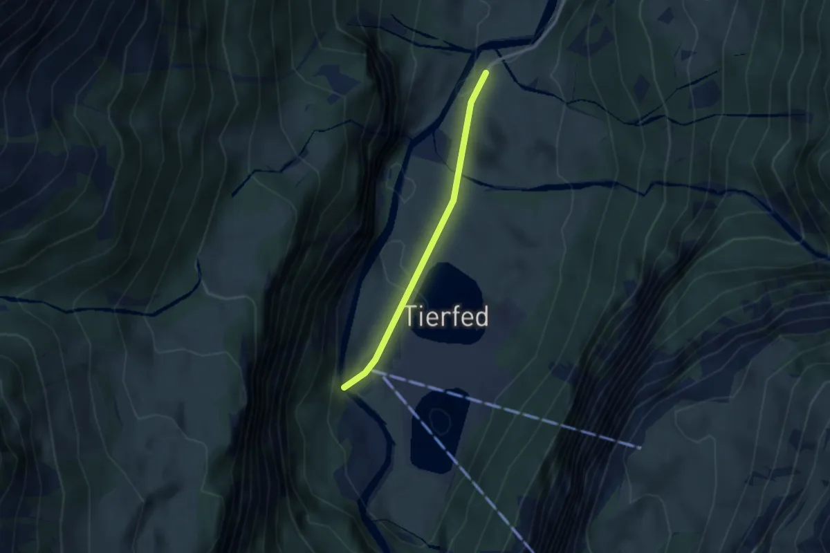
Easy · Trail
Tierfehd – Oberreiti
2.3 km · ↑ 42 m · 38 min