Trails in Switzerland
15,055 hiking trails, each with its route, climb, walking time and grade.
All trails, page 199 of 314
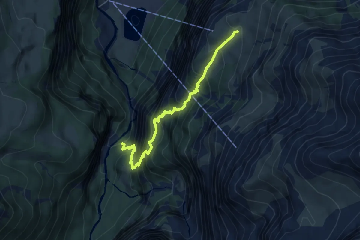
Medium · Trail
Pantenbrugg Süd – Alp Baumgarten
4.5 km · ↑ 622 m · 2 h 25 min
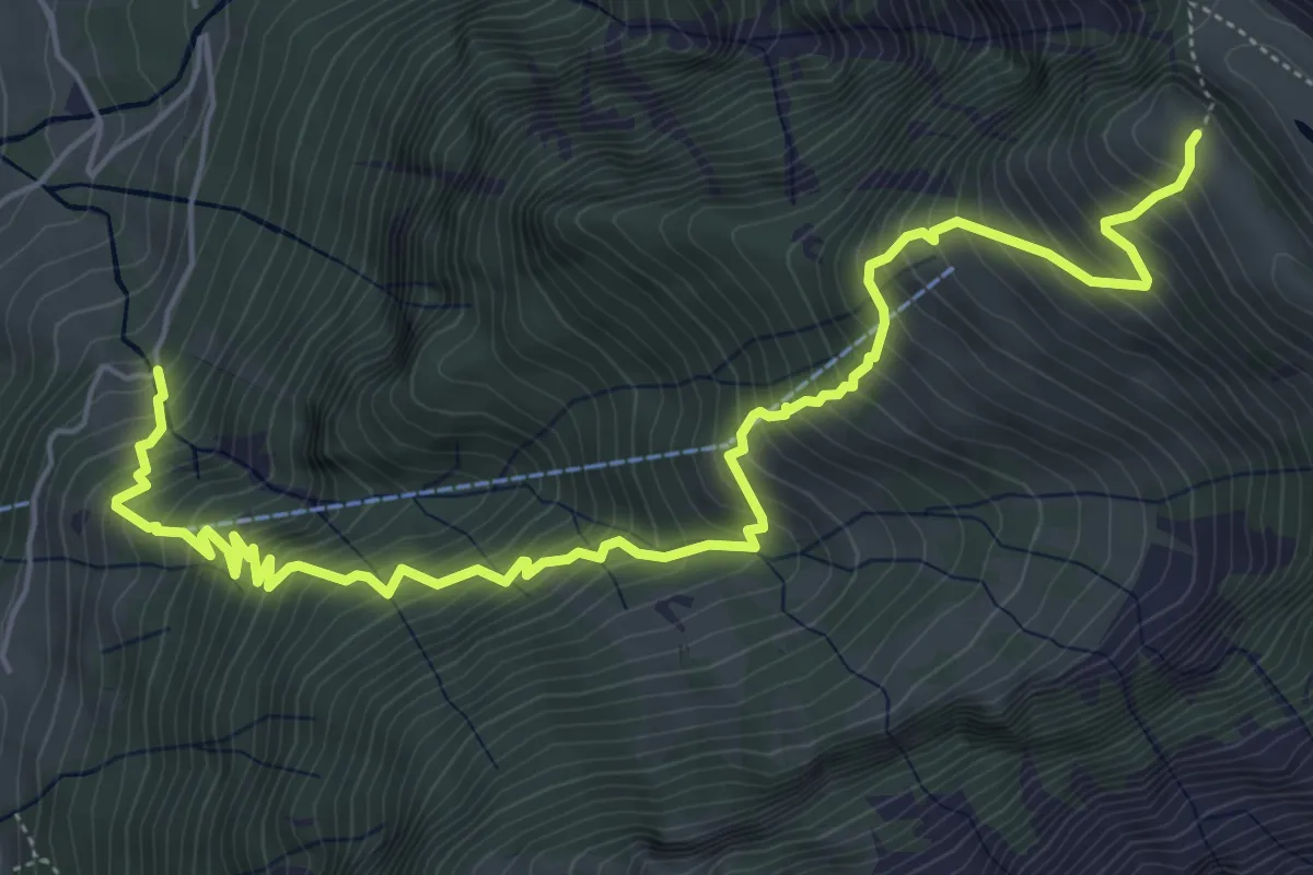
Demanding · Trail
Bächichamm – Oberzaun
7.3 km · ↑ 1064 m · 4 h 2 min
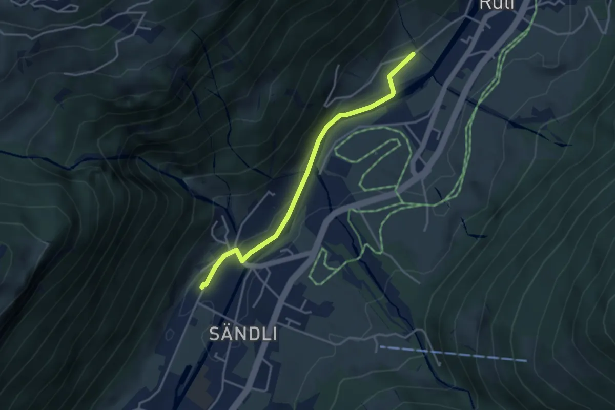
Easy · Trail
Linthal – Tschingelguet
3.3 km · ↑ 44 m · 52 min
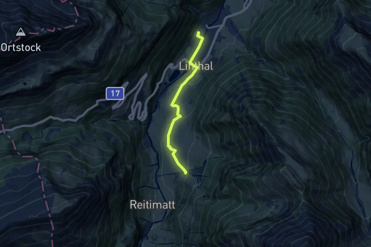
Easy · Trail
Linthal – Bodenberg
7.7 km · ↑ 239 m · 2 h 21 min
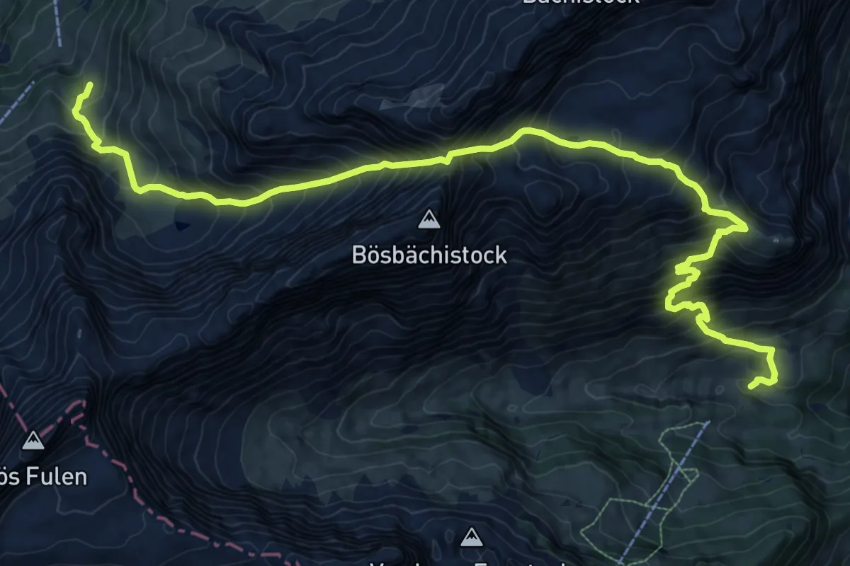
Expert · Cabin
Bösbächi Mittler Stafel – Bi dr alte Hütte
14.6 km · ↑ 1842 m · 7 h 26 min
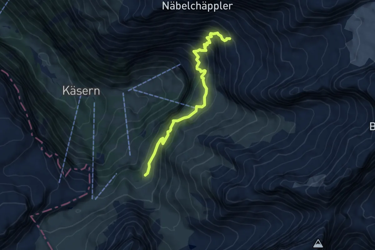
Demanding · Cabin
Bi dr alte Hütte – Glärnischhütte SAC
6.0 km · ↑ 585 m · 2 h 41 min
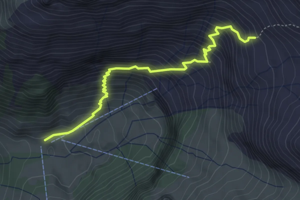
Demanding · Cabin
Wärben – Glärnischhütte SAC
4.3 km · ↑ 588 m · 2 h 17 min
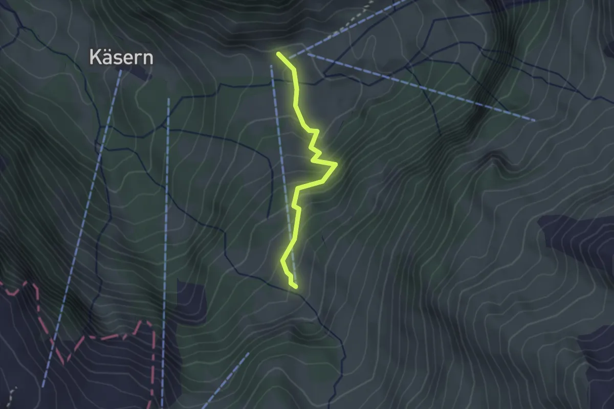
Easy · Trail
Wärben – Zeinenstafel
2.1 km · ↑ 216 m · 58 min
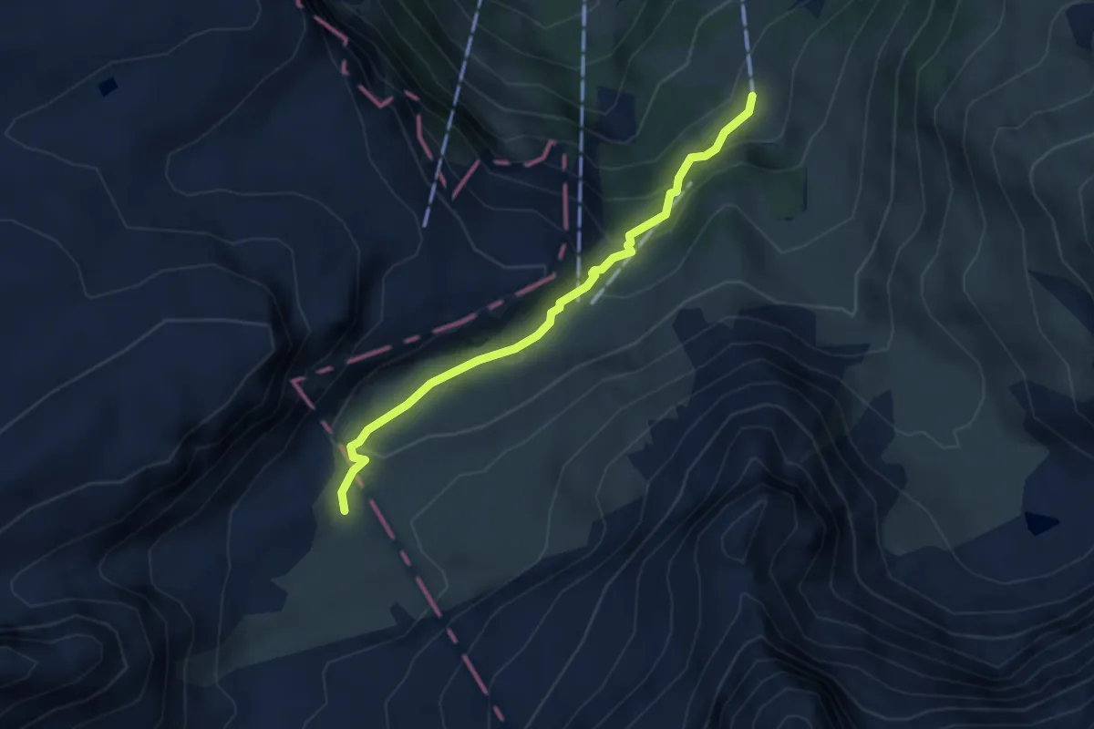
Medium · Trail
Dräckloch – Zeinenstafel
3.4 km · ↑ 252 m · 1 h 21 min
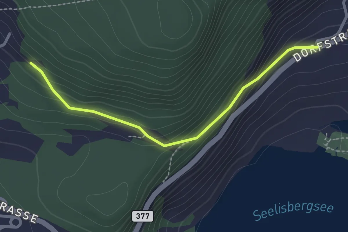
Easy · Trail
Geissweg – Oberschwand
2.2 km · ↑ 121 m · 47 min
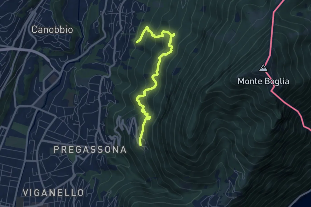
Medium · Trail
Soragno – Cureggia
6.6 km · ↑ 583 m · 2 h 50 min
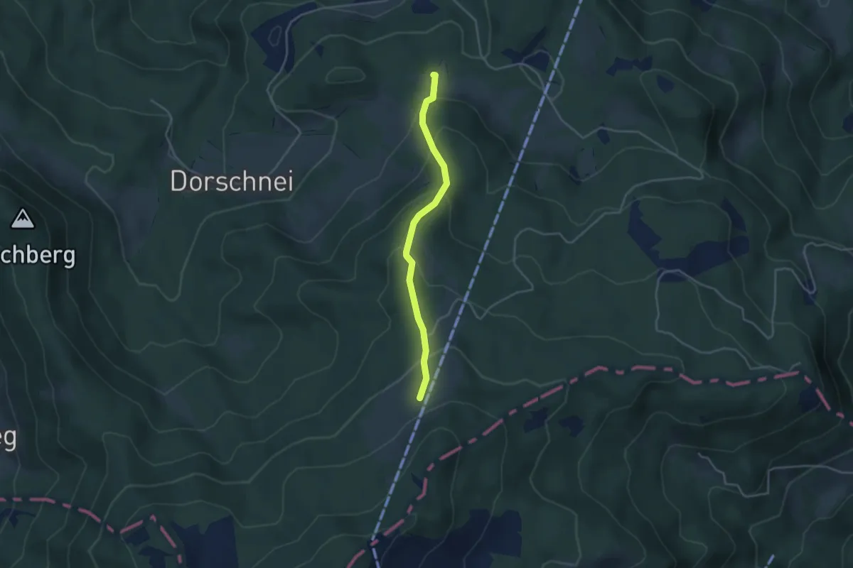
Easy · Trail
Ricketschwändi – Mühlemäss
3.4 km · ↑ 257 m · 1 h 21 min
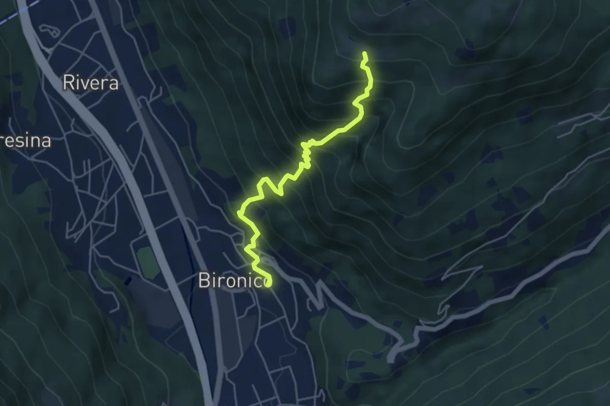
Medium · Trail
Bironico – Troggiano
4.5 km · ↑ 612 m · 2 h 23 min
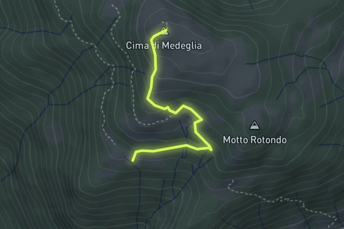
Medium · Summit
Troggiano – Cima di Medeglia
2.9 km · ↑ 169 m · 1 h 3 min
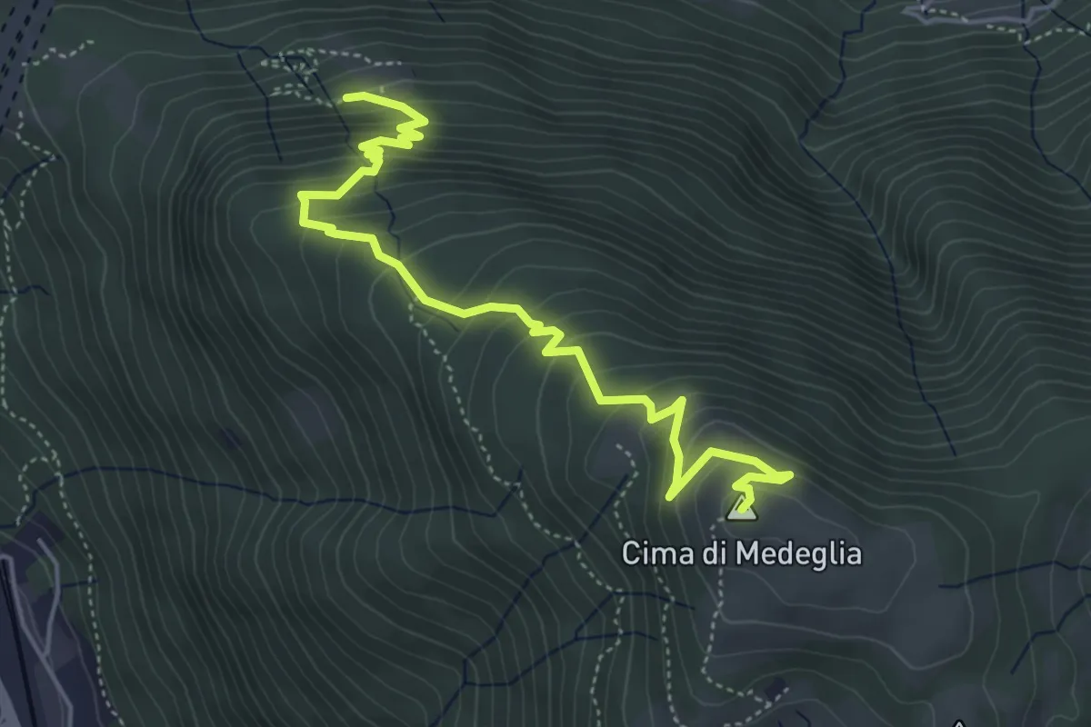
Medium · Summit
Cima di Medeglia – Prato Grasso
5.5 km · ↑ 454 m · 2 h 17 min
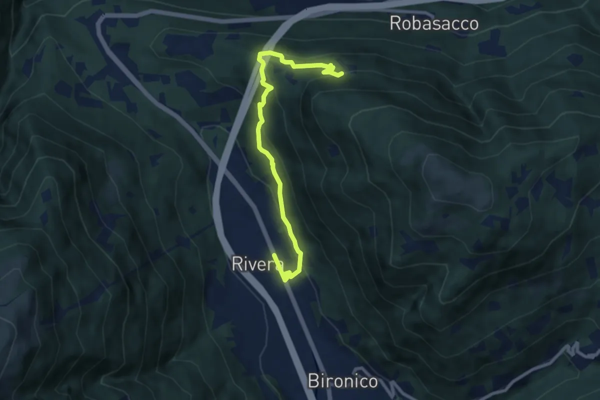
Medium · Trail
Prato Grasso – Rivera St.ne
7.5 km · ↑ 405 m · 2 h 38 min
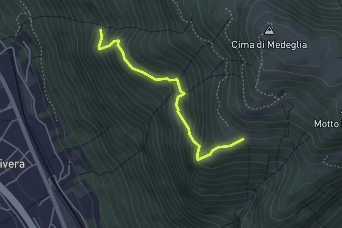
Medium · Trail
Troggiano – Revera St.ne (via Predlè)?
3.3 km · ↑ 368 m · 1 h 35 min
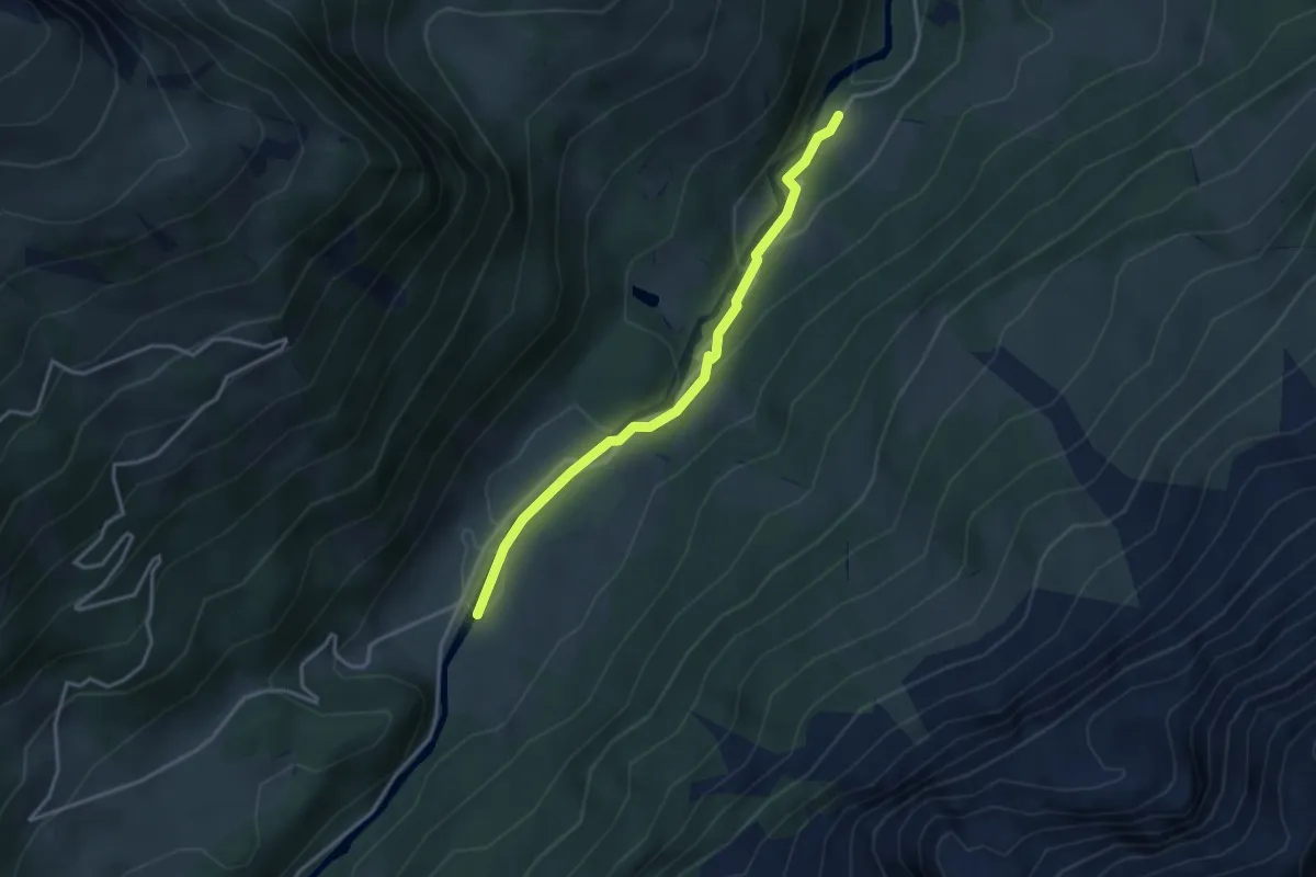
Easy · Trail
Kaltenbrunnen/Säge – Gschwantenmad
3.3 km · ↑ 109 m · 1 h 1 min
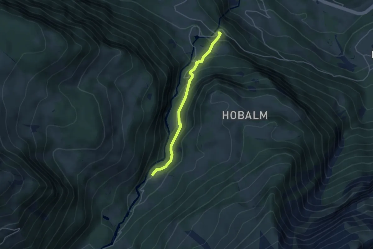
Easy · Trail
Zwirgi – Kaltenbrunnen/Säge
3.6 km · ↑ 245 m · 1 h 22 min
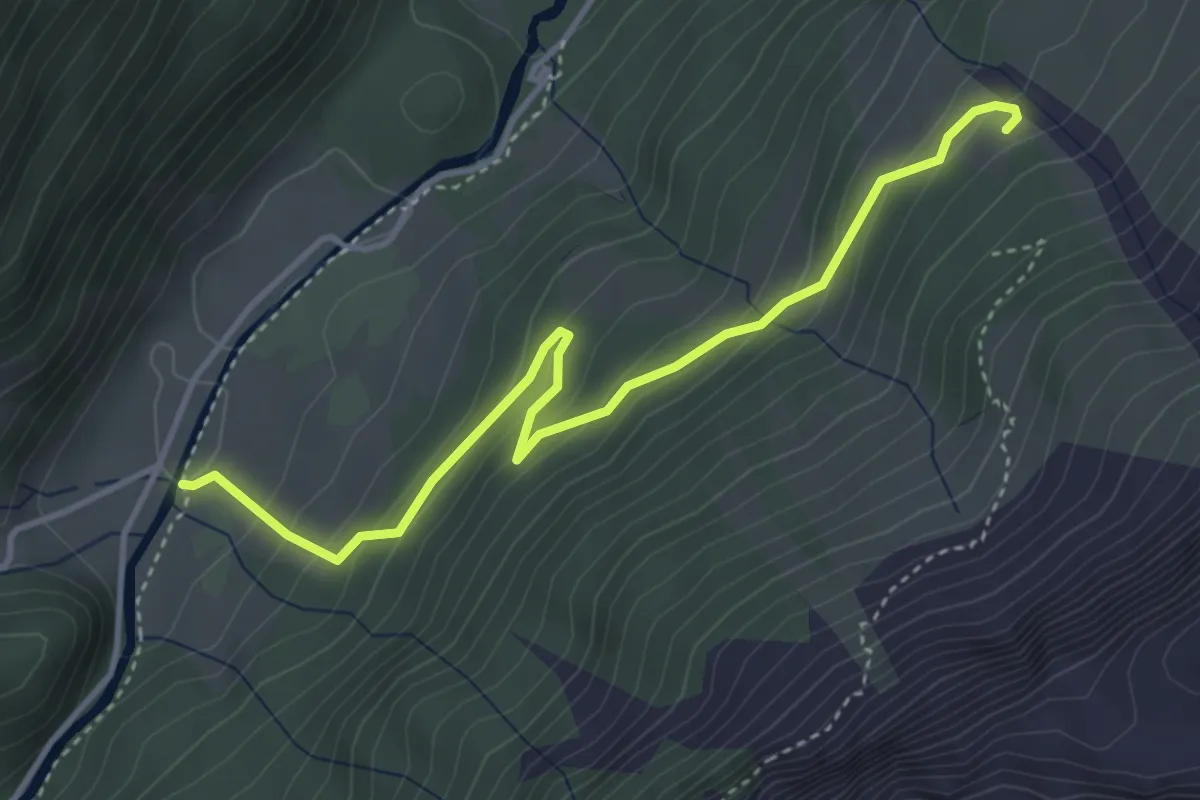
Easy · Trail
Gschwantenmad – Gross Rychenbach
4.2 km · ↑ 269 m · 1 h 34 min
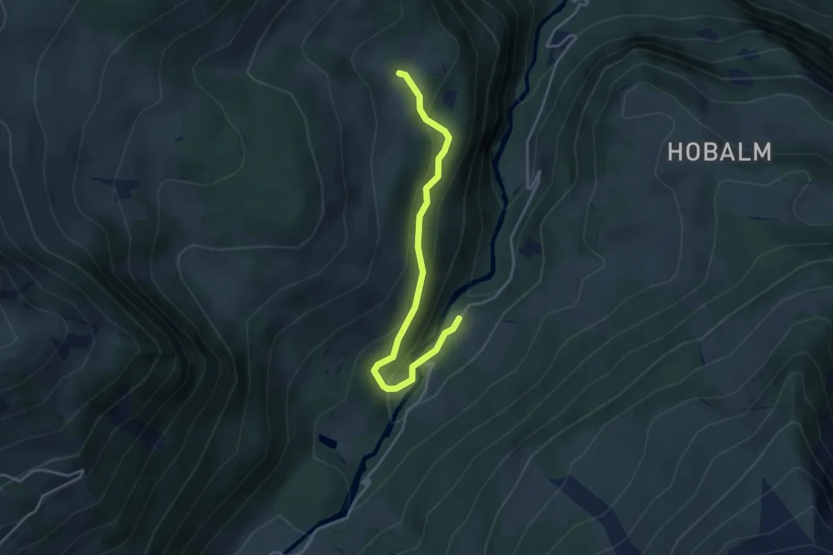
Easy · Trail
Kaltenbrunnen/Säge – Seilialp
3.5 km · ↑ 212 m · 1 h 17 min
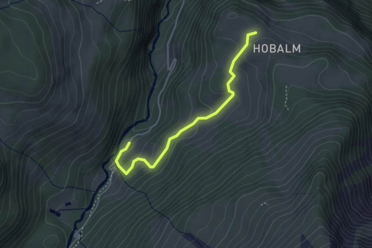
Easy · Trail
Kaltenbrunnen/Säge – Hobalm
3.5 km · ↑ 140 m · 1 h 7 min
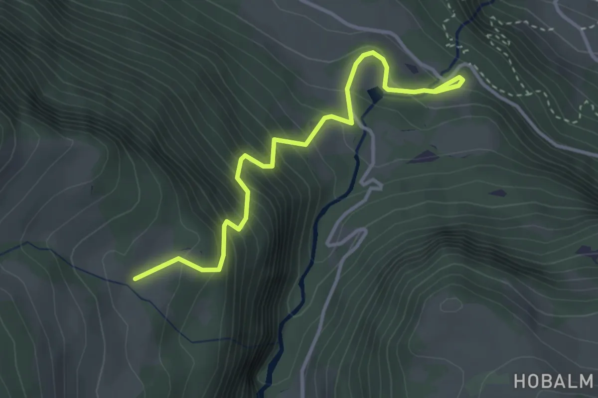
Medium · Trail
Zwirgi – Seilialp
3.5 km · ↑ 445 m · 1 h 48 min
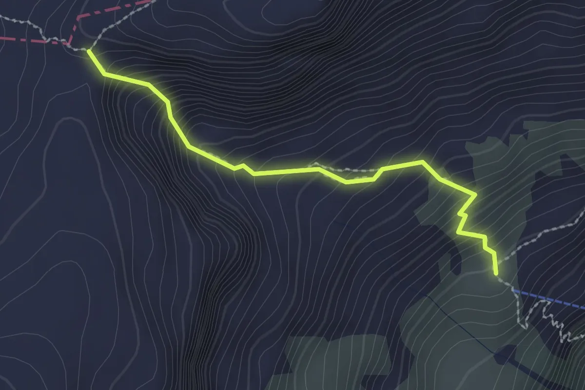
Demanding · Trail
Firnen – Firner Loch
2.2 km · ↑ 339 m · 1 h 15 min
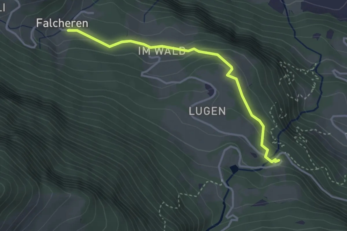
Easy · Trail
Zwirgi – Falcheren
3.1 km · ↑ 160 m · 1 h 5 min
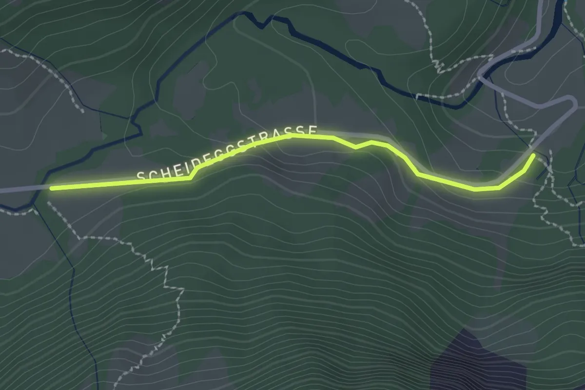
Easy · Trail
Gletscherschlucht – Broch
2.1 km · ↑ 76 m · 40 min
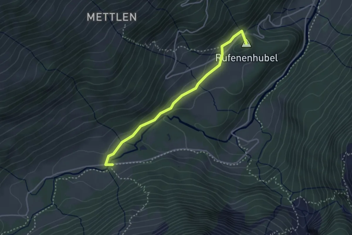
Easy · Summit
Broch – Rufenen
3.2 km · ↑ 54 m · 52 min
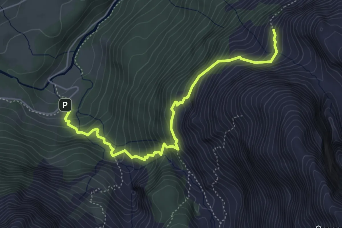
Medium · Cabin
Gletscherschlucht – Engelhornhütte
5.2 km · ↑ 665 m · 2 h 40 min
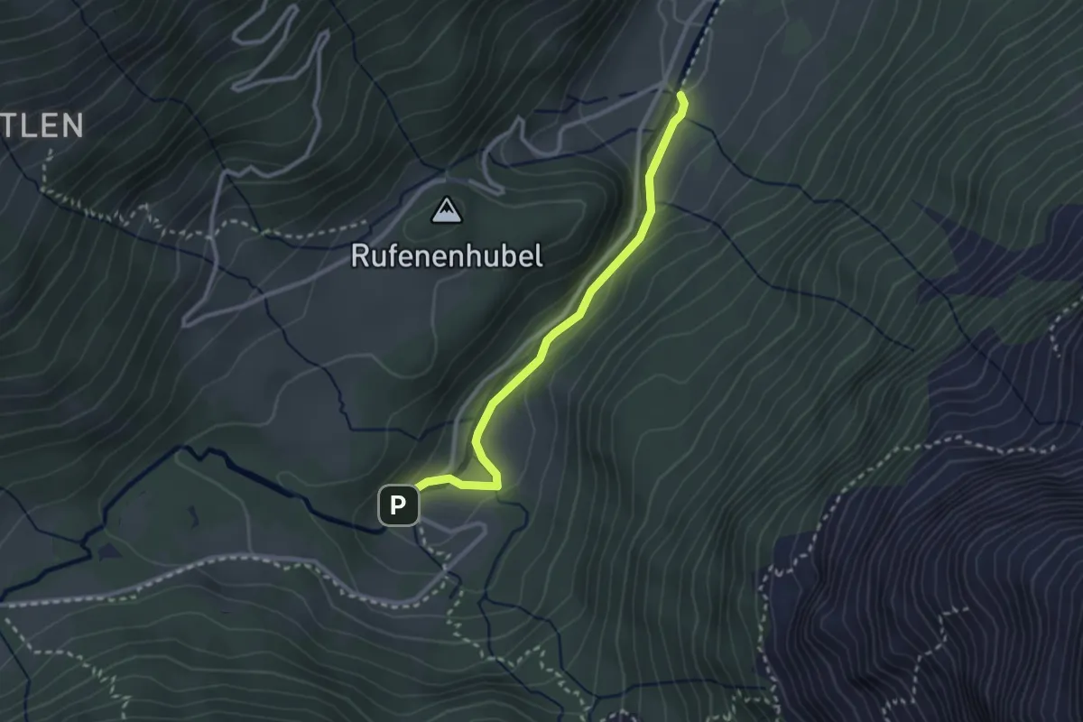
Easy · Trail
Gschwantenmad – Rosenlaui
2.6 km · ↑ 57 m · 44 min
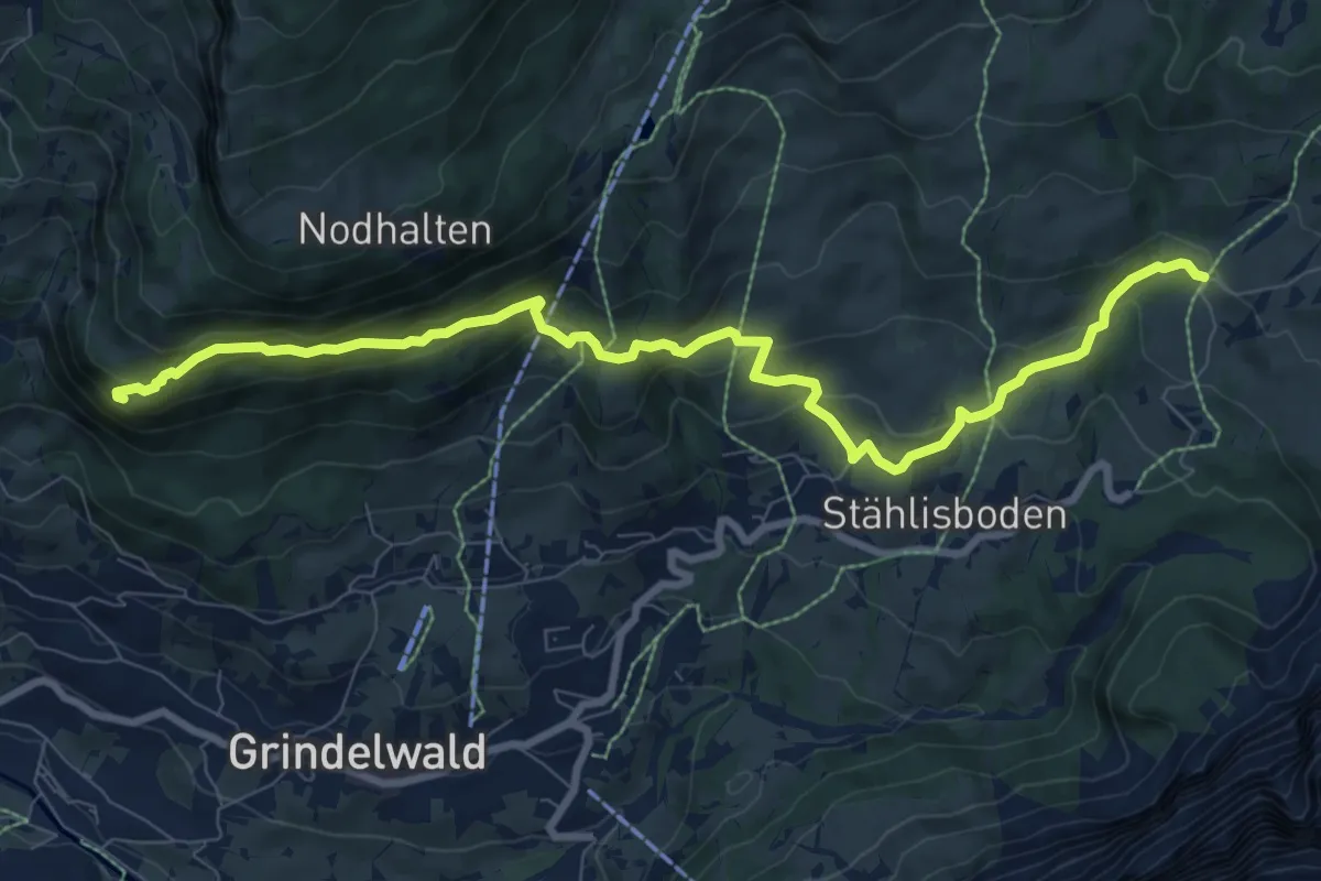
Demanding · Trail
7. Schürli – Aellfluh
9.8 km · ↑ 520 m · 3 h 26 min
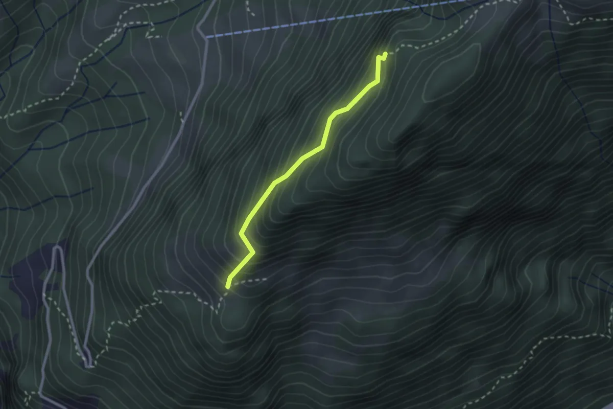
Demanding · Trail
Ochsenalp – Grathüttli
2.1 km · ↑ 292 m · 1 h 8 min
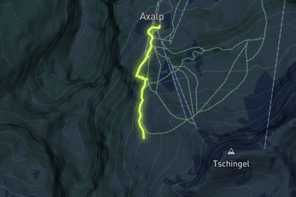
Demanding · Trail
Axalp – Chüemad
3.1 km · ↑ 279 m · 1 h 21 min
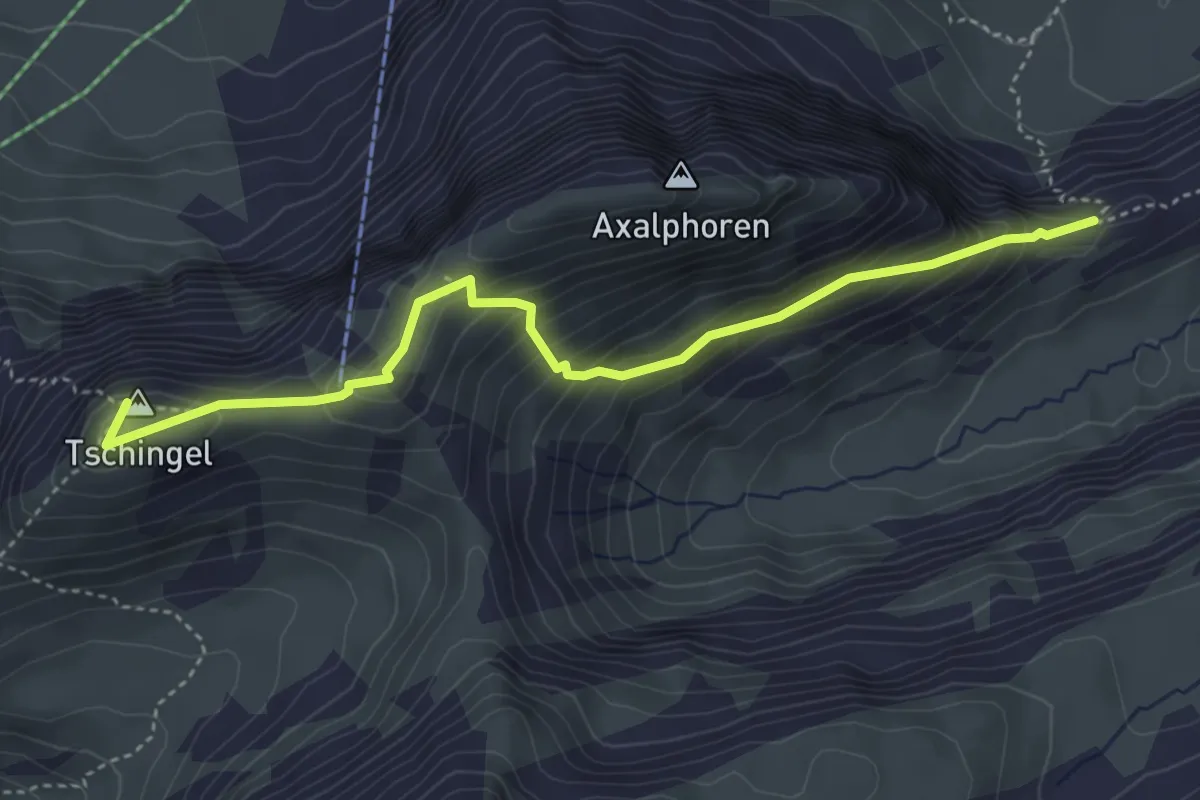
Demanding · Summit
Chüemad – Axalphorn/Grat?
4.4 km · ↑ 399 m · 1 h 54 min
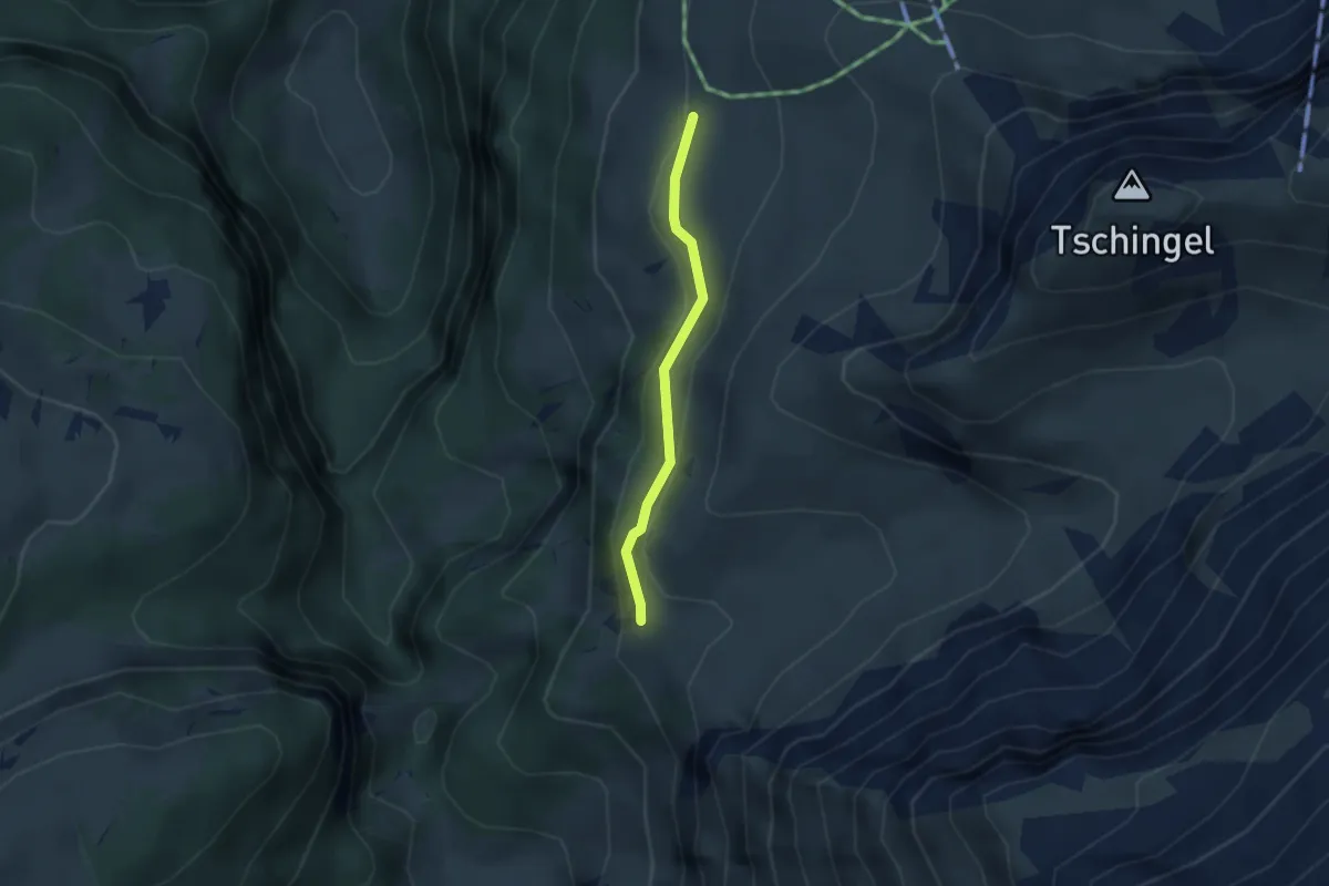
Easy · Trail
Chüemad – Lütschentälti
2.3 km · ↑ 126 m · 49 min
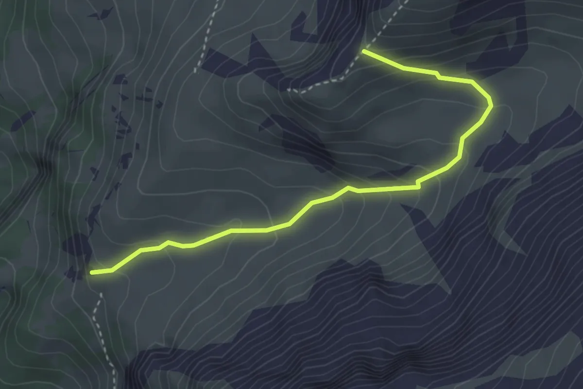
Demanding · Trail
Lütschentälti – Ob Brau
3.6 km · ↑ 282 m · 1 h 28 min
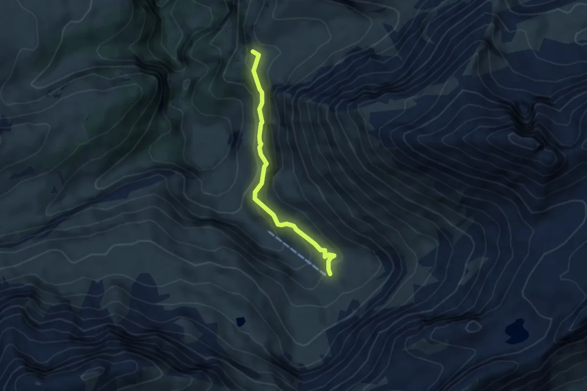
Medium · Cabin
Lütschentälti – Oberberg
4.1 km · ↑ 293 m · 1 h 36 min
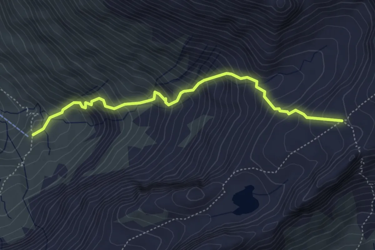
Demanding · Cabin
Oberberg – Hinterbirg
4.9 km · ↑ 695 m · 2 h 39 min
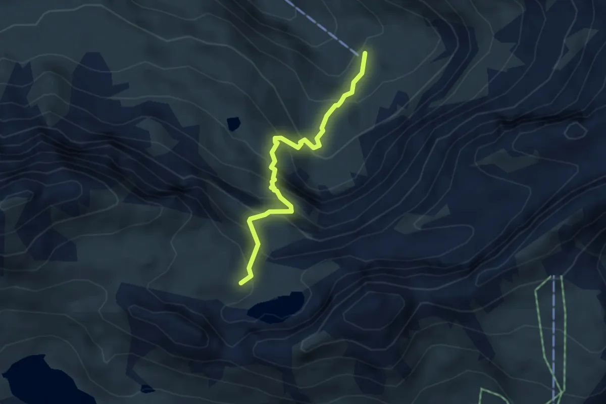
Demanding · Cabin
Oberberg – Hagelseeli
3.6 km · ↑ 452 m · 1 h 50 min
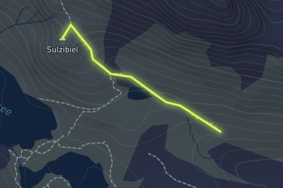
Medium · Summit
Hagelseeli – Pkt 2276
1.2 km · ↑ 83 m · 28 min
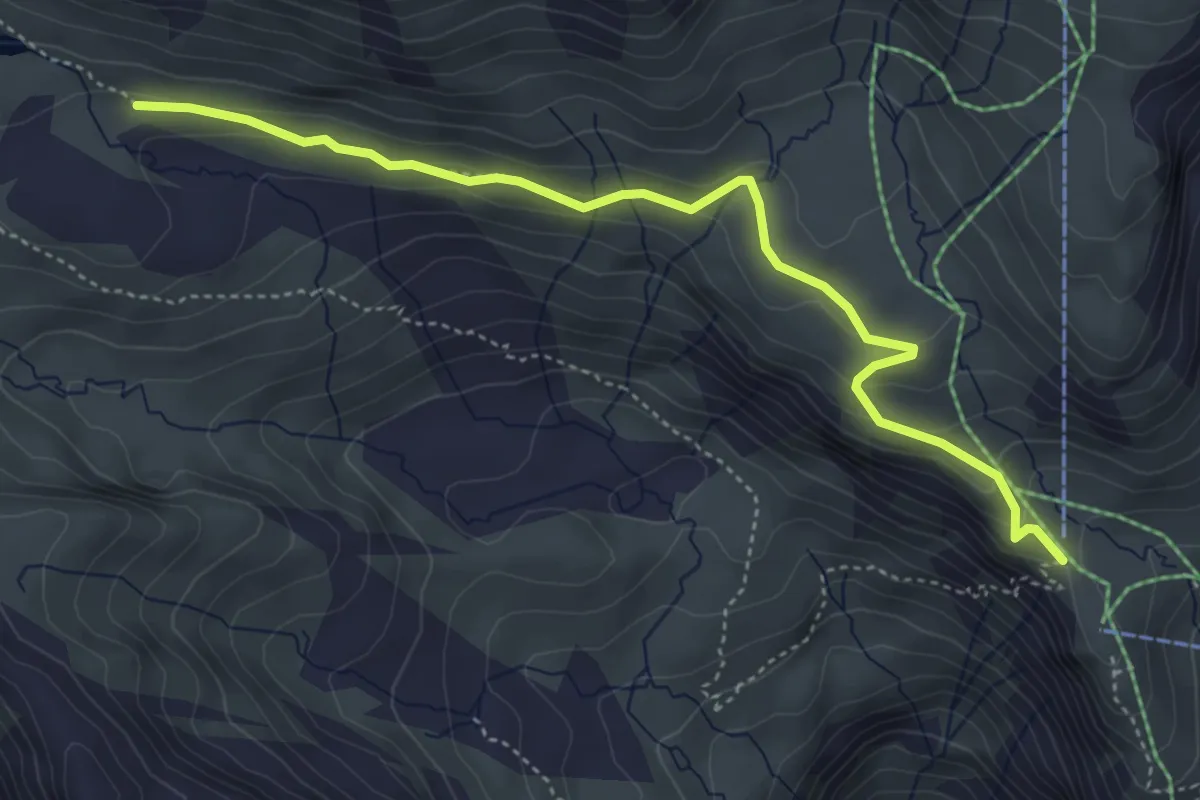
Medium · Trail
Pkt 2276 – First
4.7 km · ↑ 204 m · 1 h 34 min
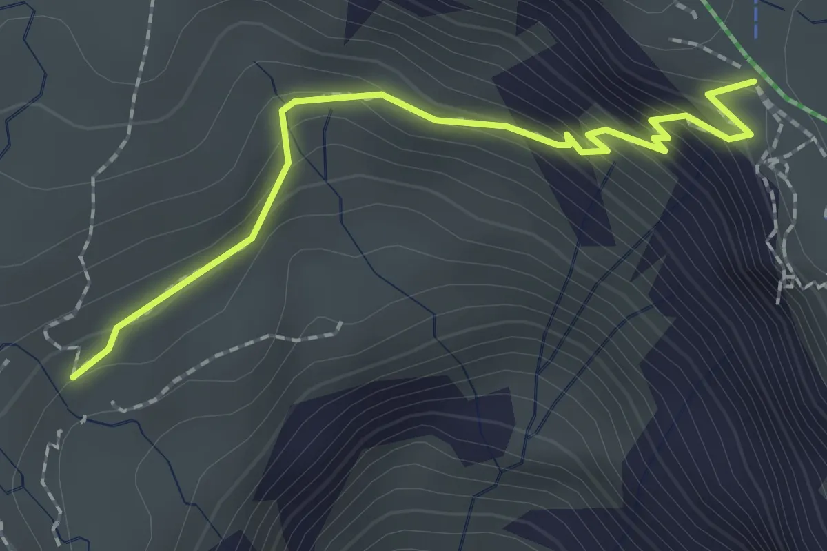
Medium · Trail
First – Bachläger
2.1 km · ↑ 164 m · 51 min
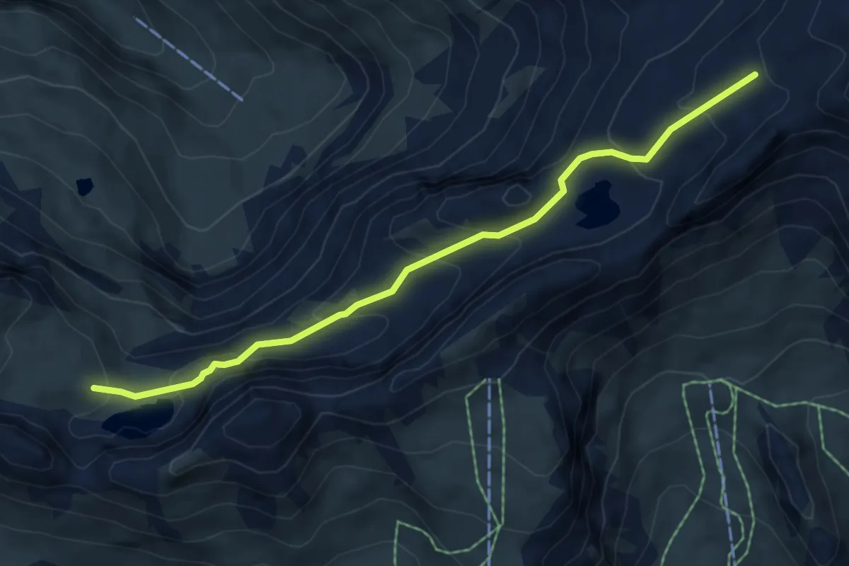
Medium · Trail
Hagelseeli – Hinterbirg
5.9 km · ↑ 405 m · 2 h 17 min
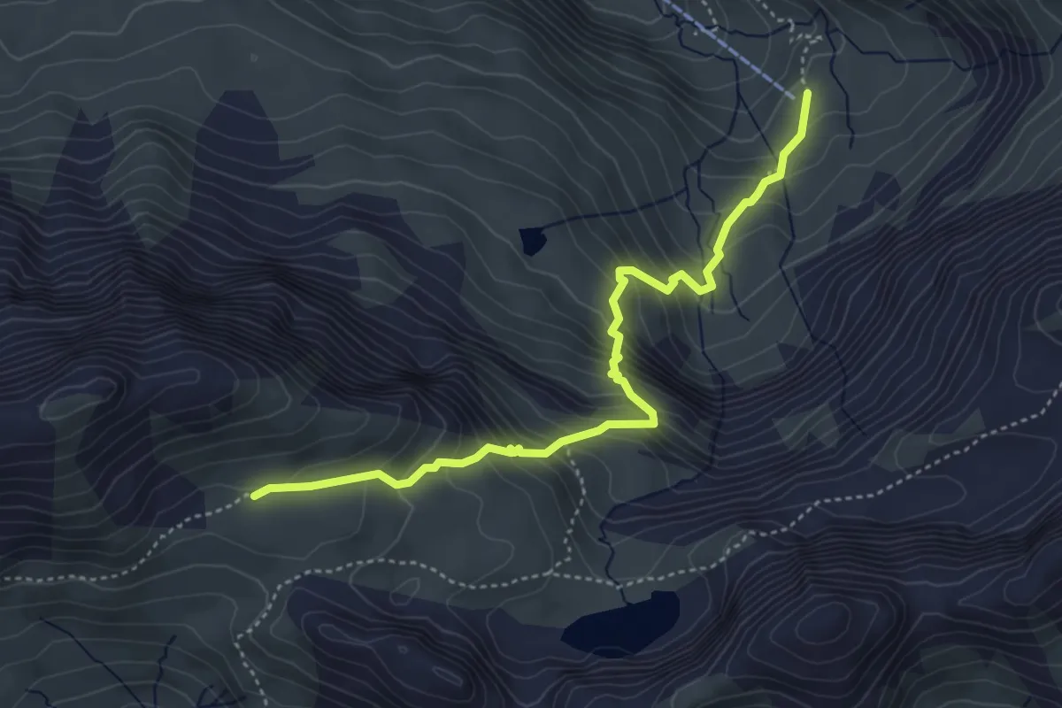
Demanding · Cabin
Oberberg – Tierwang
4.5 km · ↑ 540 m · 2 h 14 min
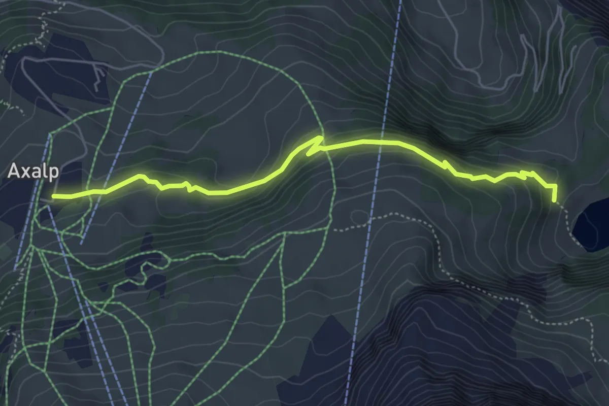
Easy · Trail
Kurhaus / Axalp – Hinterburgseeli
5.1 km · ↑ 231 m · 1 h 43 min
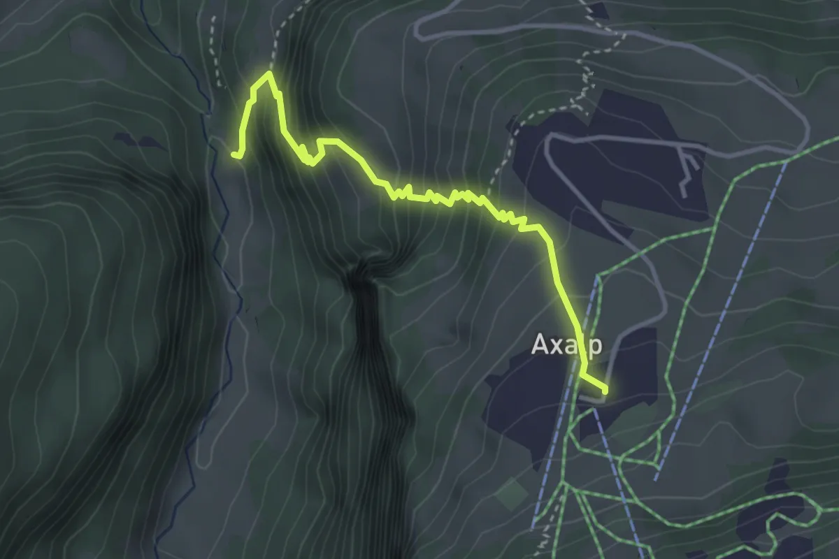
Demanding · Trail
Kurhaus / Axalp – Giessbachtal
3.6 km · ↑ 429 m · 1 h 46 min
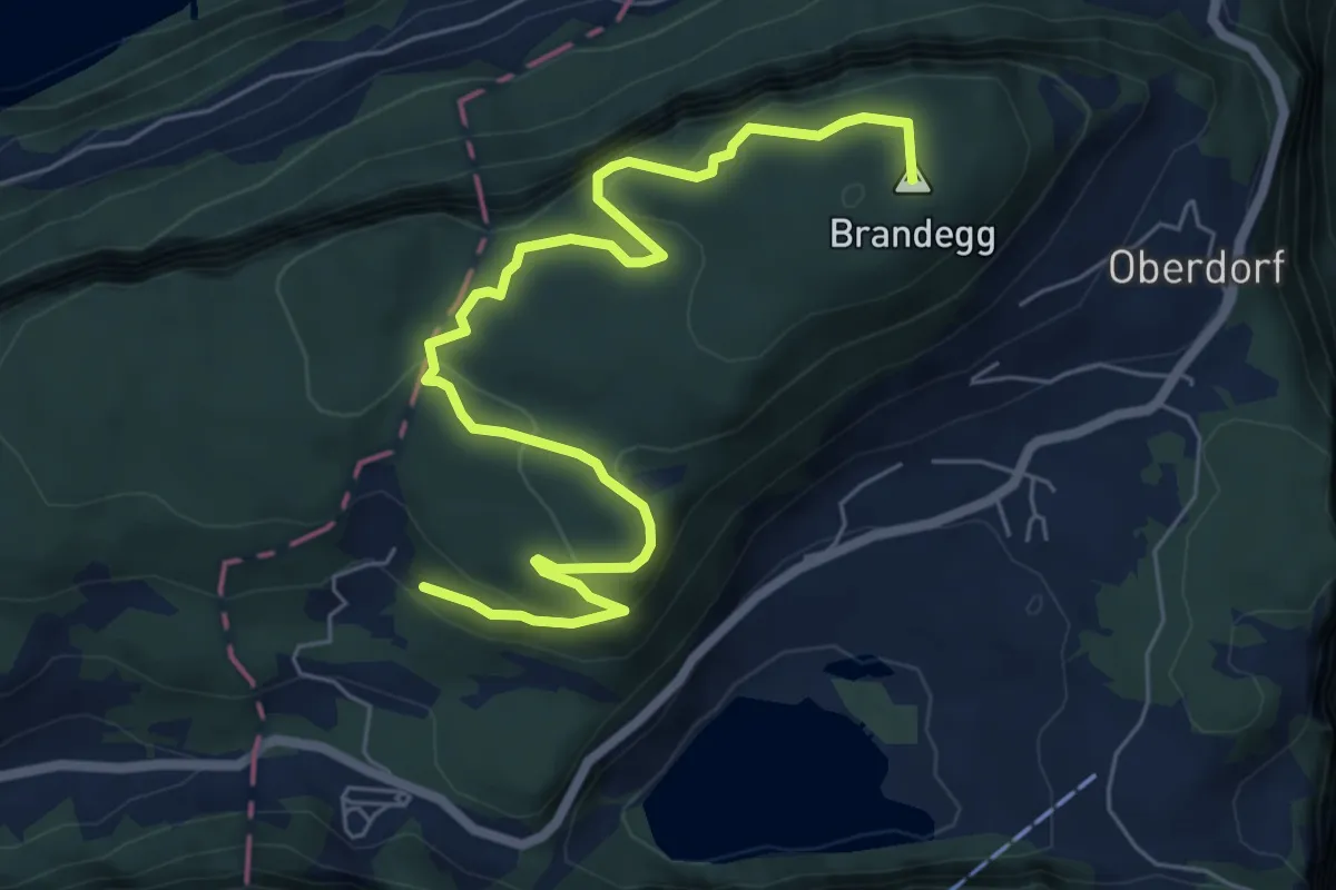
Medium · Summit
Oberschwand – Kapelle
7.5 km · ↑ 499 m · 2 h 52 min
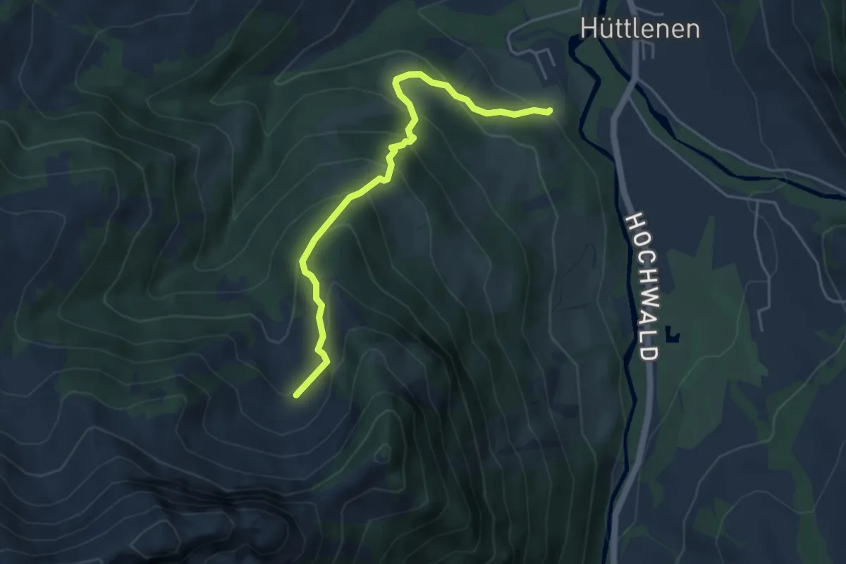
Medium · Trail
Hinter Torbach – Ämmental
4.5 km · ↑ 370 m · 1 h 52 min
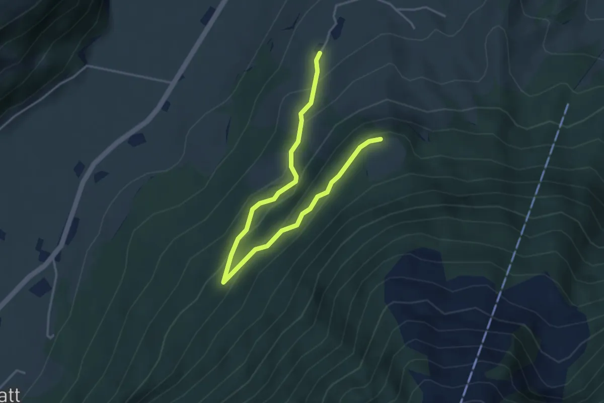
Easy · Trail
Brunnisboden – Äbnetboden
4.5 km · ↑ 272 m · 1 h 39 min