Trails in Switzerland
15,055 hiking trails, each with its route, climb, walking time and grade.
All trails, page 200 of 314
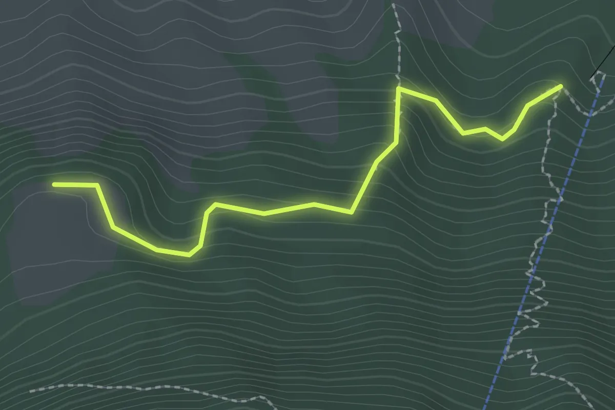
Easy · Trail
Äbnetboden – Wasserplatten
2.2 km · ↑ 189 m · 56 min
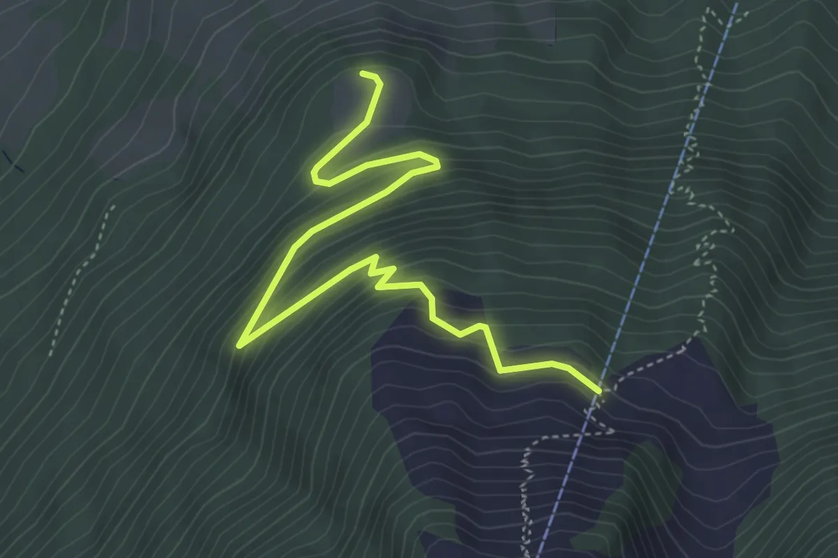
Medium · Trail
Äbnetboden – Bluematt
4.9 km · ↑ 390 m · 2 h 1 min
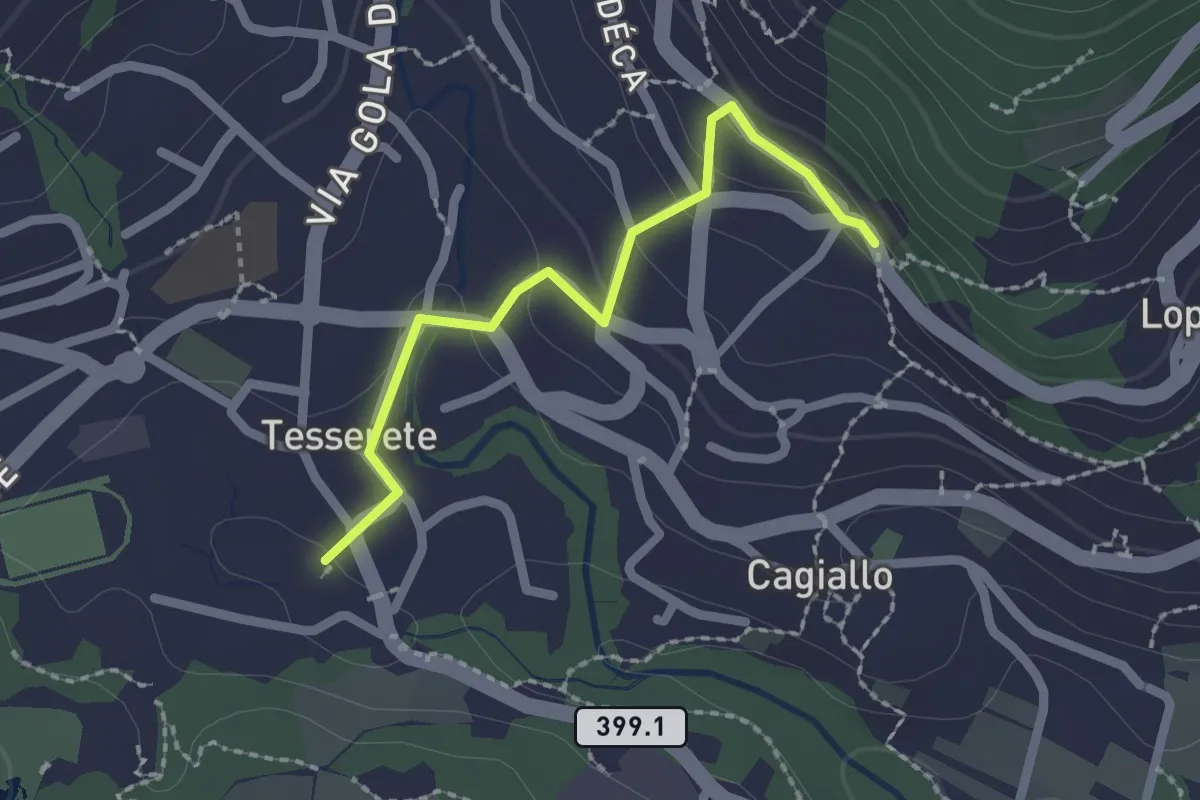
Easy · Trail
Tesserete – Campestro
2.0 km · ↑ 80 m · 39 min
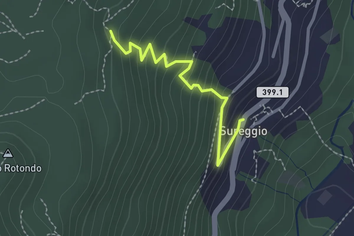
Easy · Trail
Mondra – Surregio
2.1 km · ↑ 167 m · 51 min
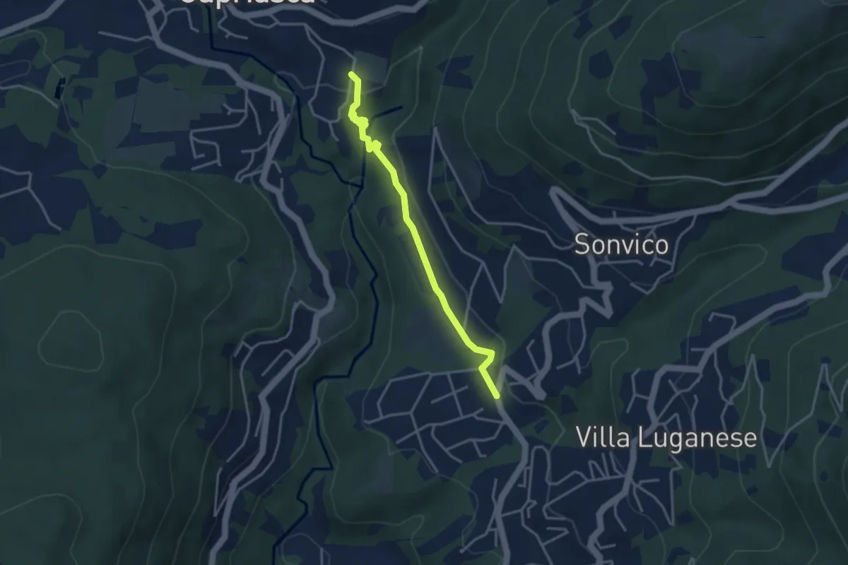
Medium · Trail
Dino – Sarone
3.4 km · ↑ 94 m · 1 h
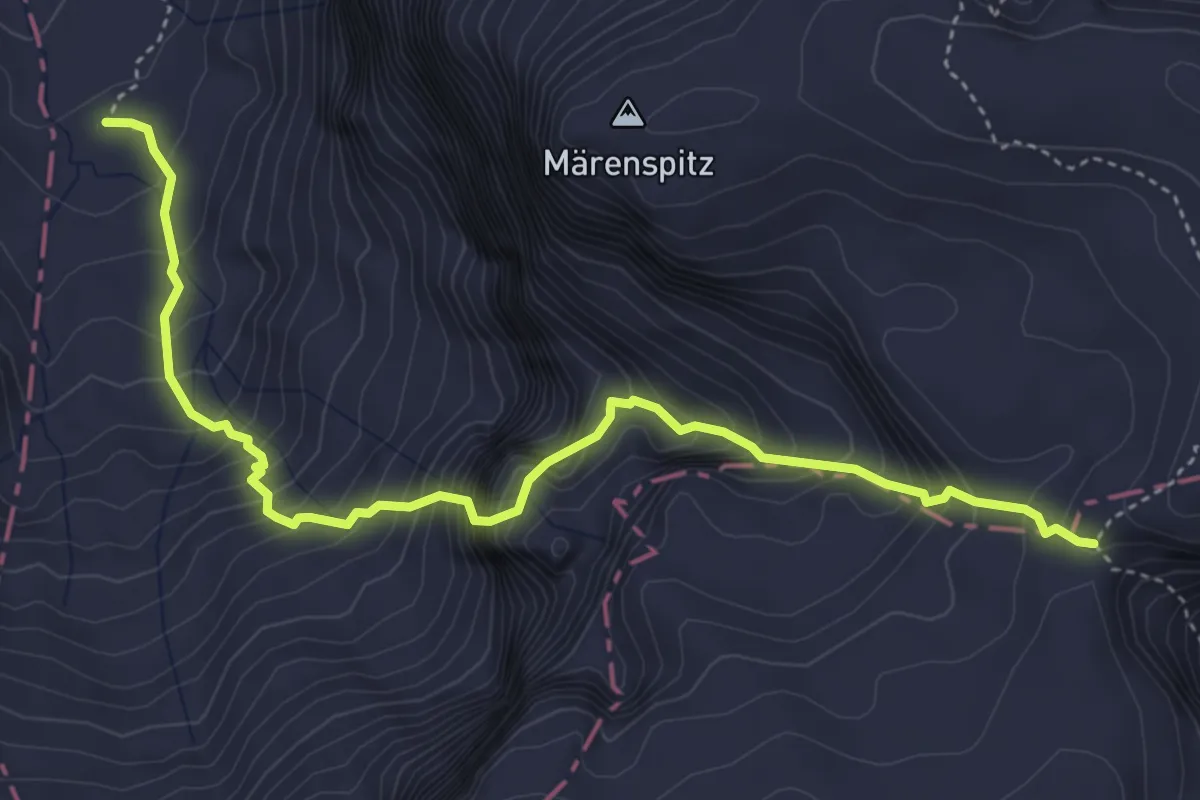
Expert · Trail
Gwalpeten – Firner Loch
4.9 km · ↑ 795 m · 2 h 53 min
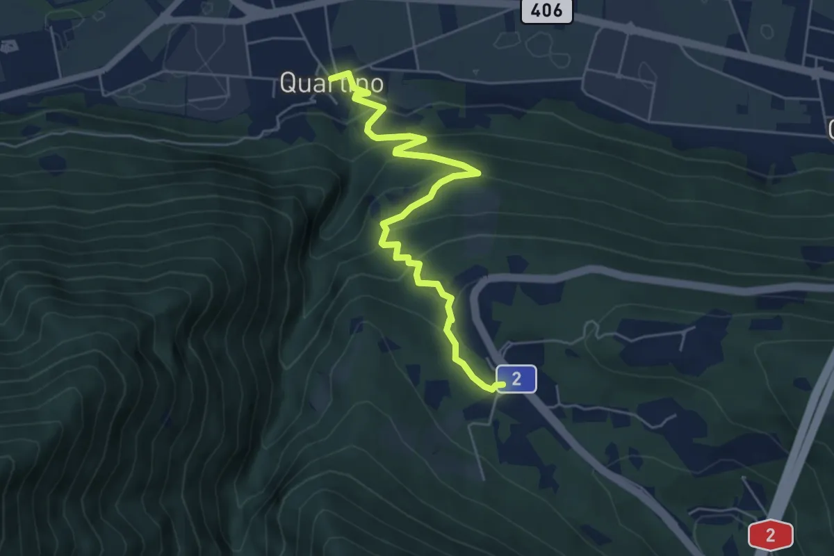
Medium · Trail
Quartino – Monte Ceneri
5.7 km · ↑ 343 m · 2 h 5 min
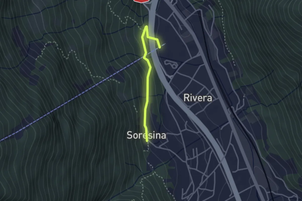
Easy · Trail
Soresina – Rivera funivia
2.4 km · ↑ 88 m · 46 min
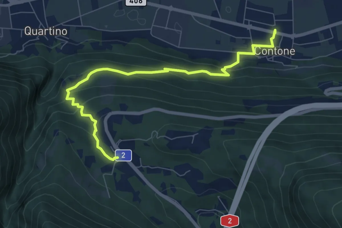
Medium · Trail
Monte Ceneri – Contone
7.8 km · ↑ 391 m · 2 h 41 min
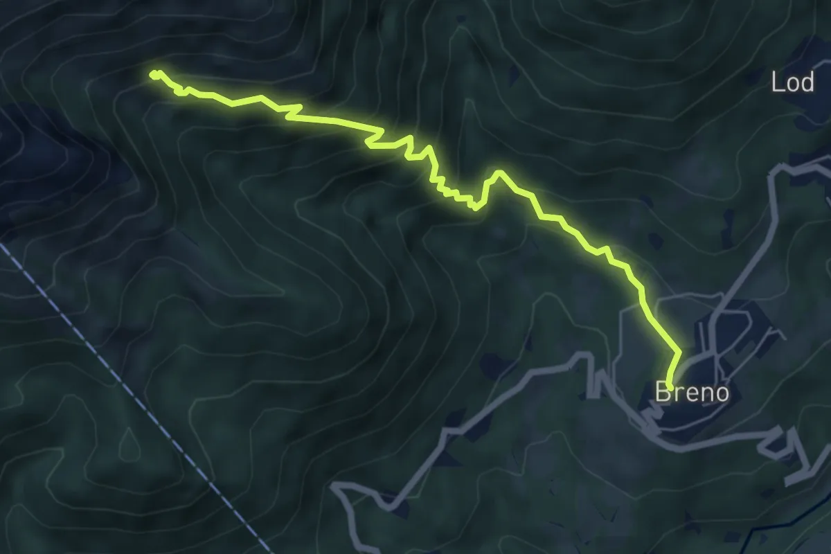
Medium · Trail
Breno – Alpe Tramboschino
6.1 km · ↑ 572 m · 2 h 41 min
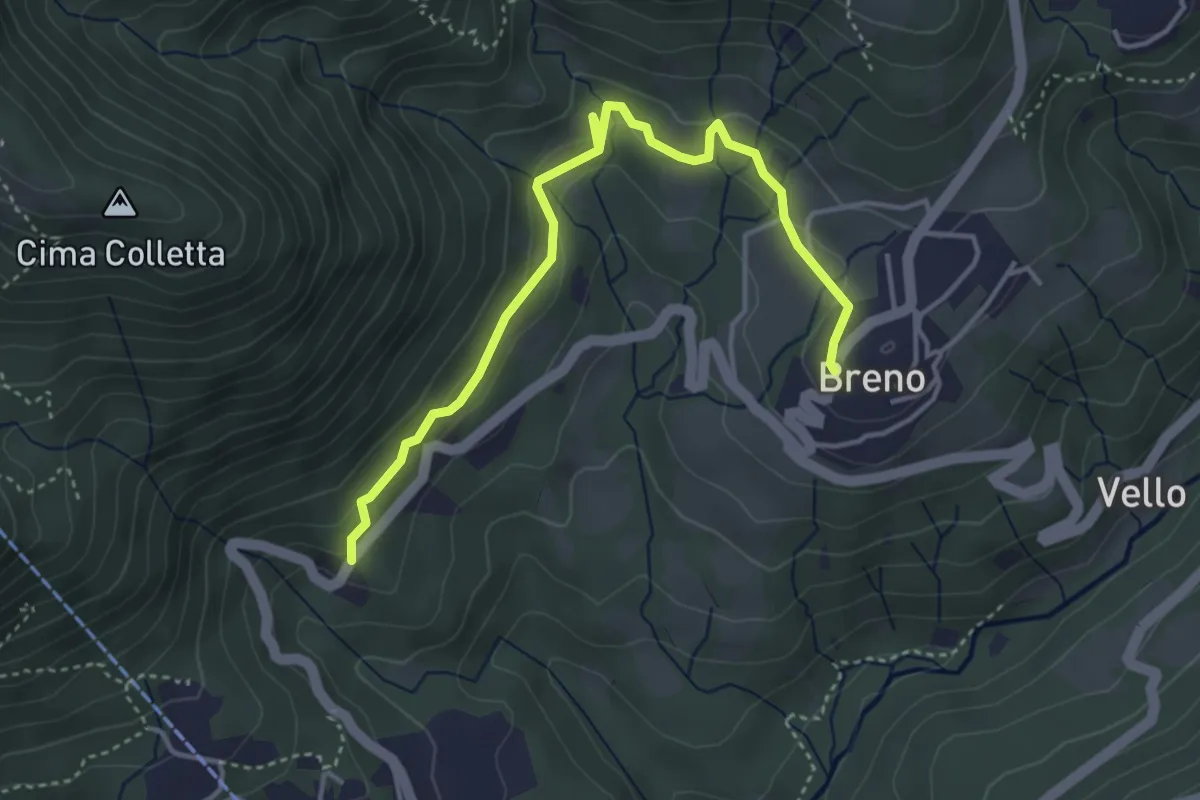
Easy · Trail
Breno – Tortoglio
4.4 km · ↑ 161 m · 1 h 23 min
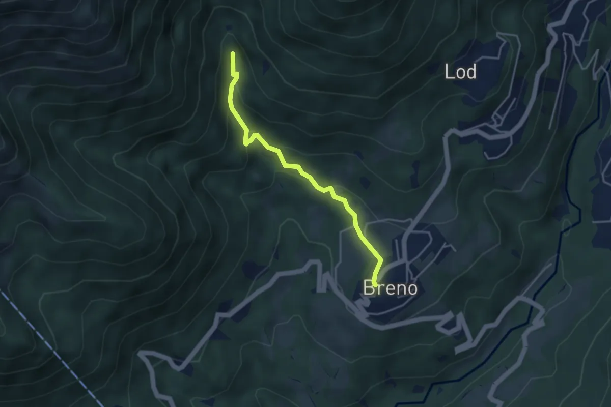
Medium · Trail
Breno – Fescoggia?
3.4 km · ↑ 176 m · 1 h 11 min
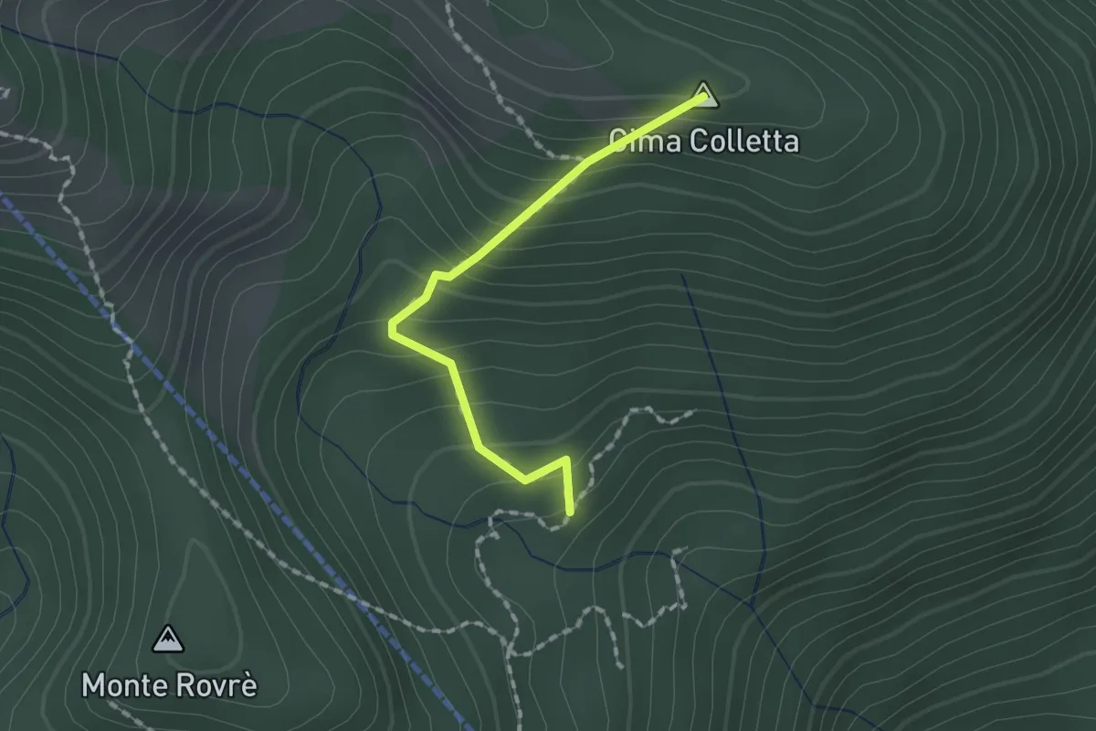
Medium · Summit
Alpe Tramboschino – Miglieglia via Cima Colletta?
1.5 km · ↑ 165 m · 42 min
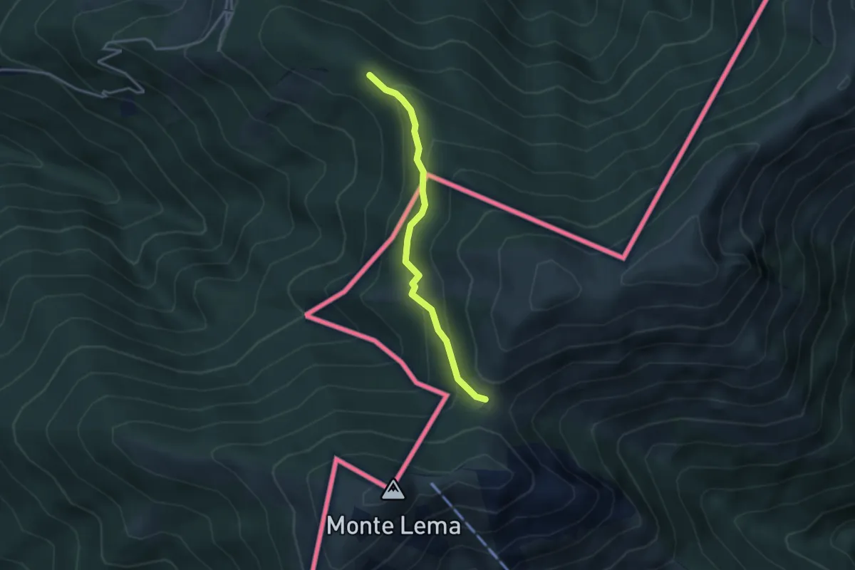
Easy · Trail
Forc. d'Arasio – Alpe Arasio
3.0 km · ↑ 186 m · 1 h 7 min
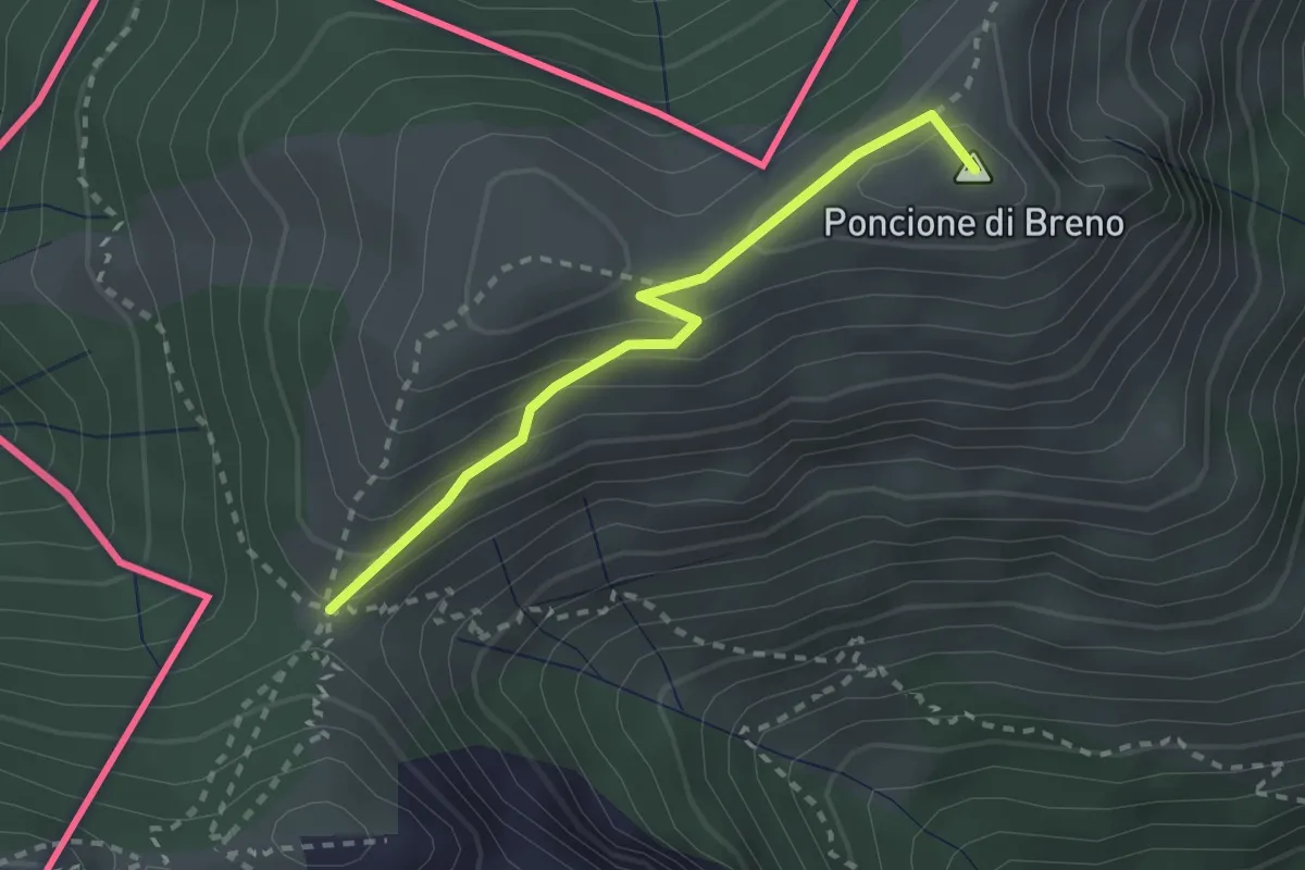
Medium · Summit
Forc. d'Arasio – Zottone
2.3 km · ↑ 204 m · 1 h
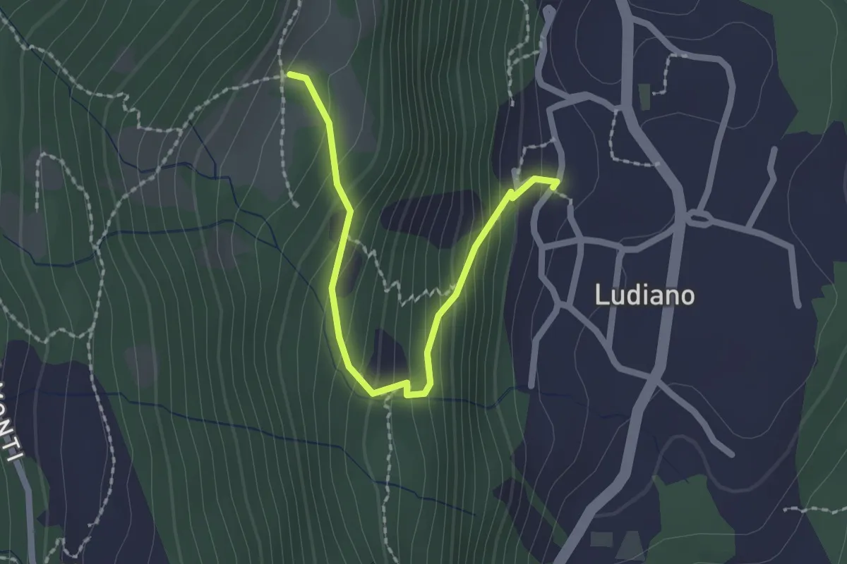
Medium · Trail
Sülapiène – Ludiano
2.0 km · ↑ 197 m · 55 min
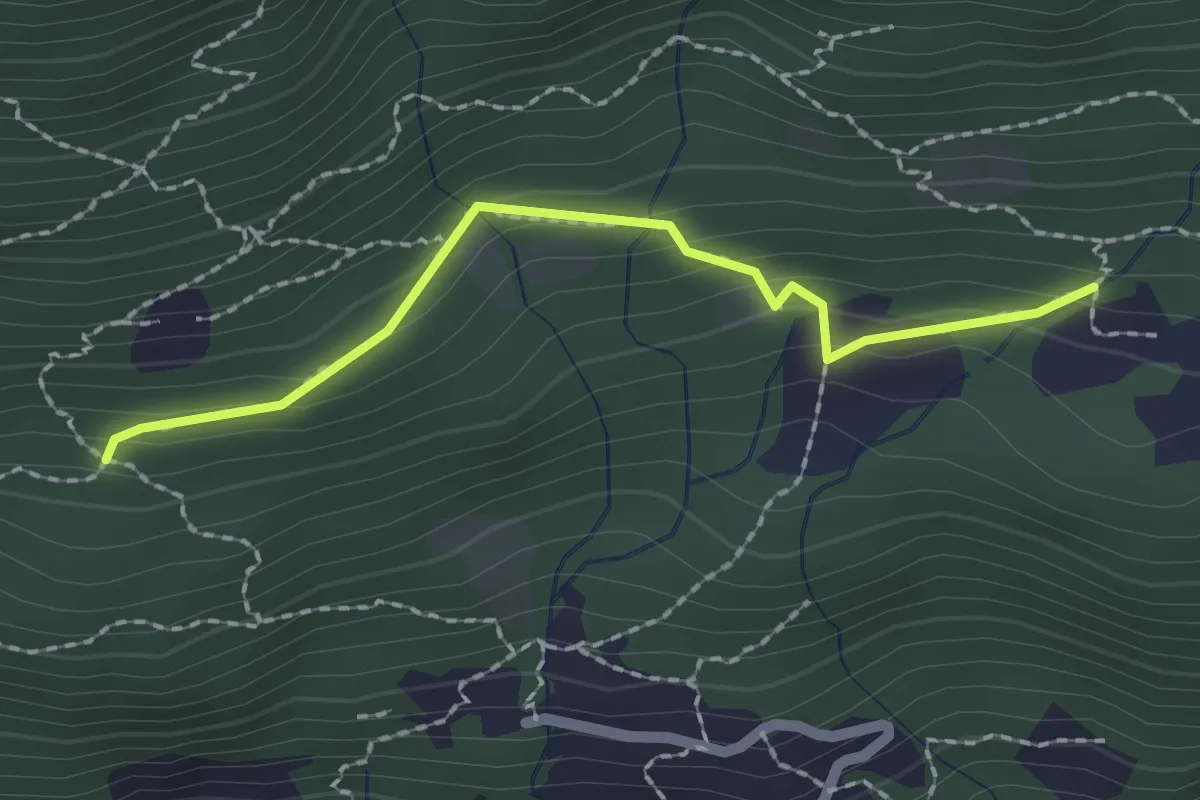
Medium · Trail
Pian Palerm – Redonda
2.0 km · ↑ 135 m · 45 min
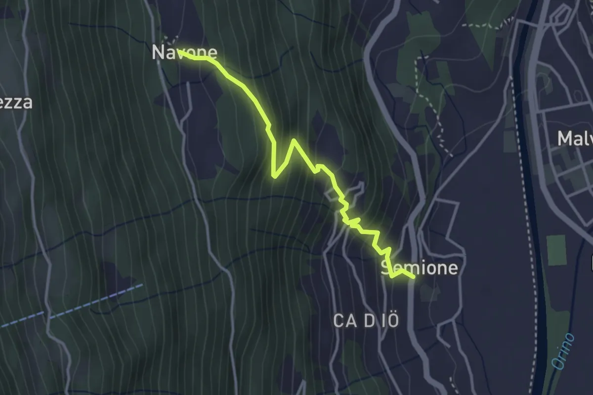
Medium · Trail
Navone – Semione
3.3 km · ↑ 373 m · 1 h 36 min
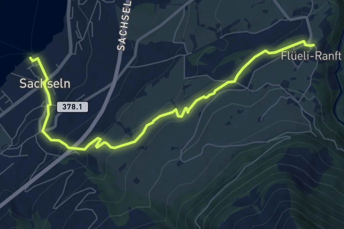
Easy · Trail
Flüeli Ranft – Sachseln
7.7 km · ↑ 306 m · 2 h 29 min
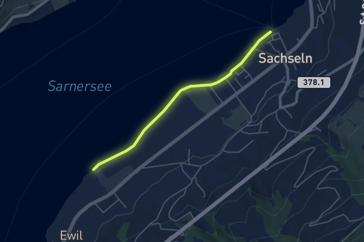
Easy · Trail
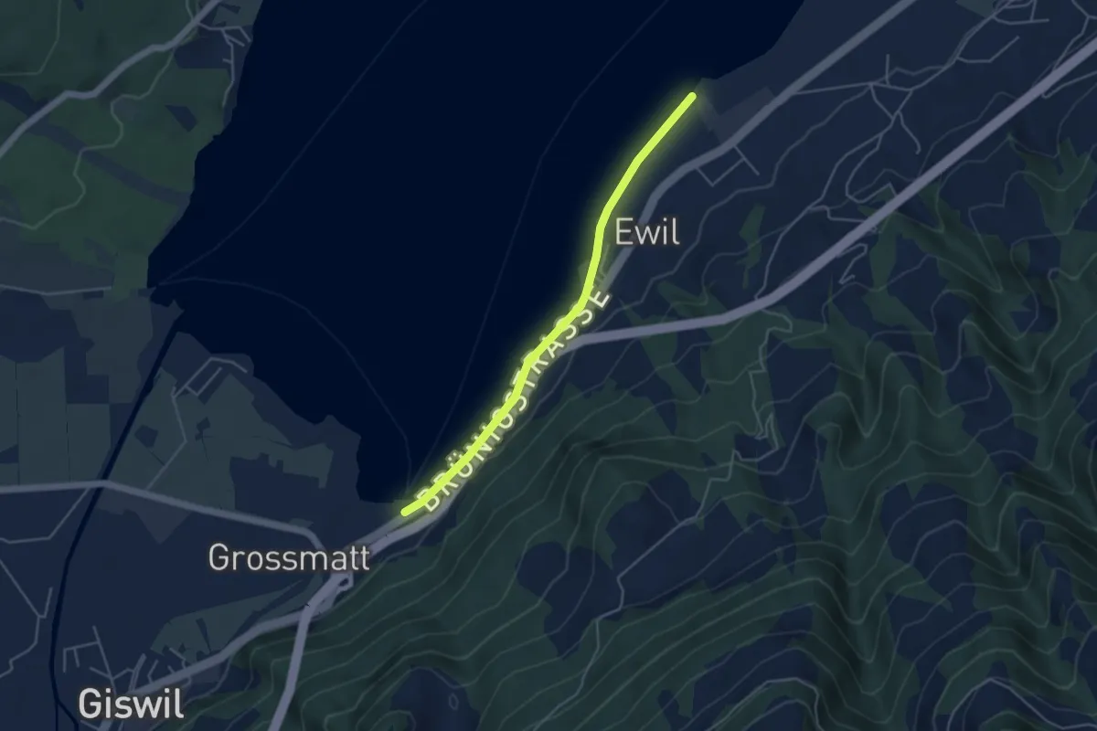
Sachseln – Ewil Maxon
3.9 km · ↑ 8 m · 56 min
Easy · Trail
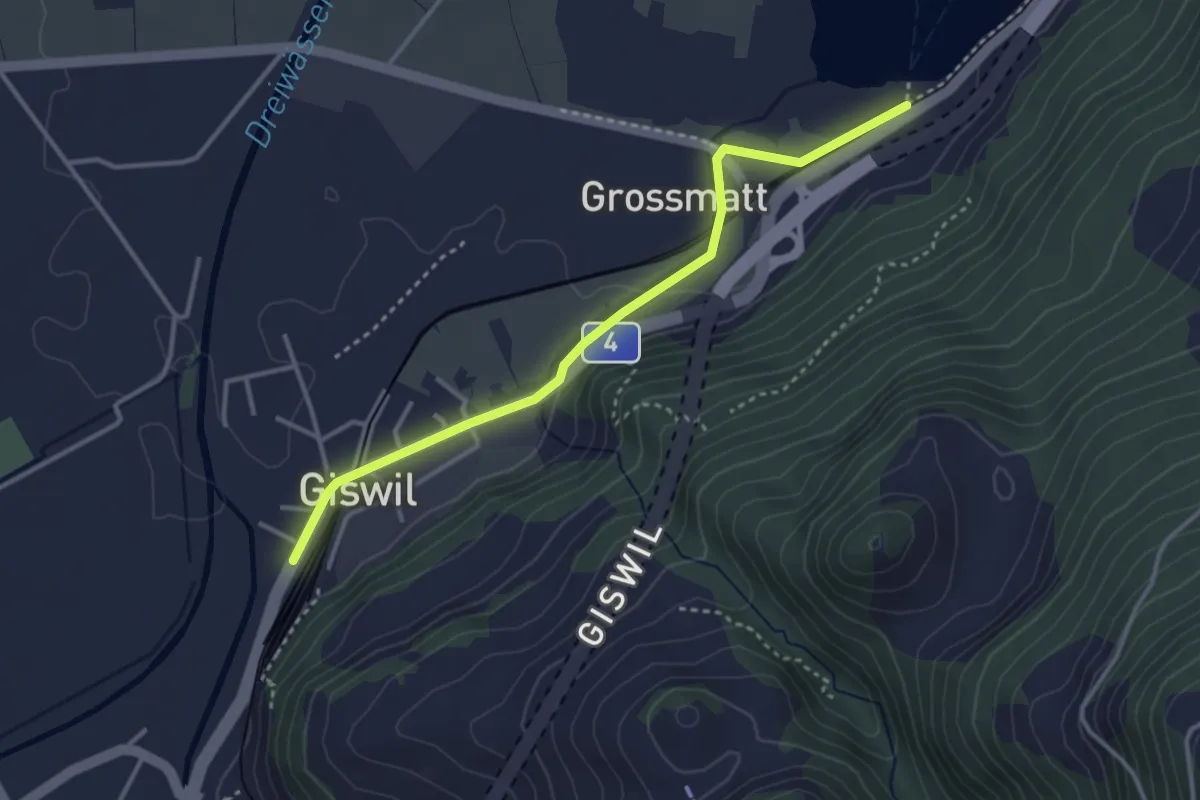
Ewil Maxon – Zollhaus
4.2 km · ↑ 4 m · 1 h
Medium · Trail
Zollhaus – Giswil
3.4 km · ↑ 33 m · 53 min
Easy · Trail
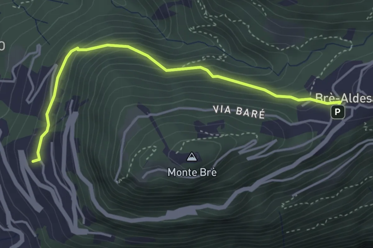
Brè – Aldesago
3.8 km · ↑ 273 m · 1 h 30 min
Easy · Trail
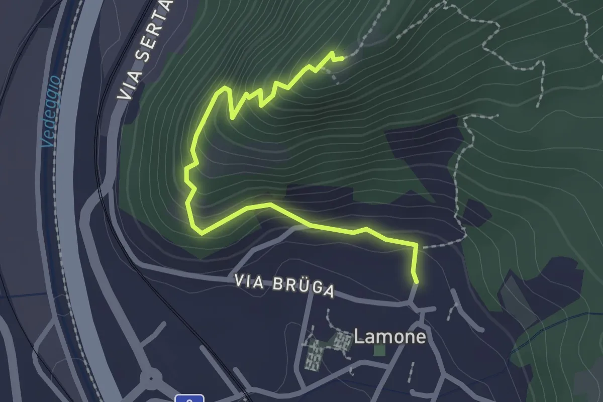
Lamone – S. Zenone
2.4 km · ↑ 230 m · 1 h 4 min
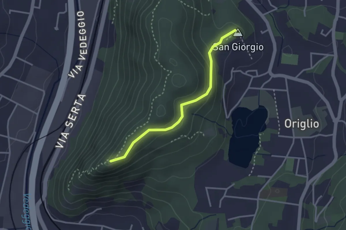
Easy · Summit
S. Zenone – S. Giorgio
2.6 km · ↑ 109 m · 52 min
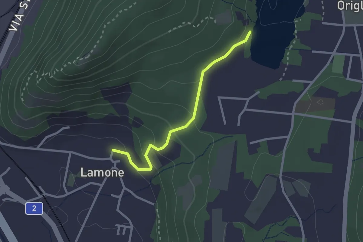
Easy · Trail
Lago di Origlio – Lamone
2.2 km · ↑ 112 m · 45 min
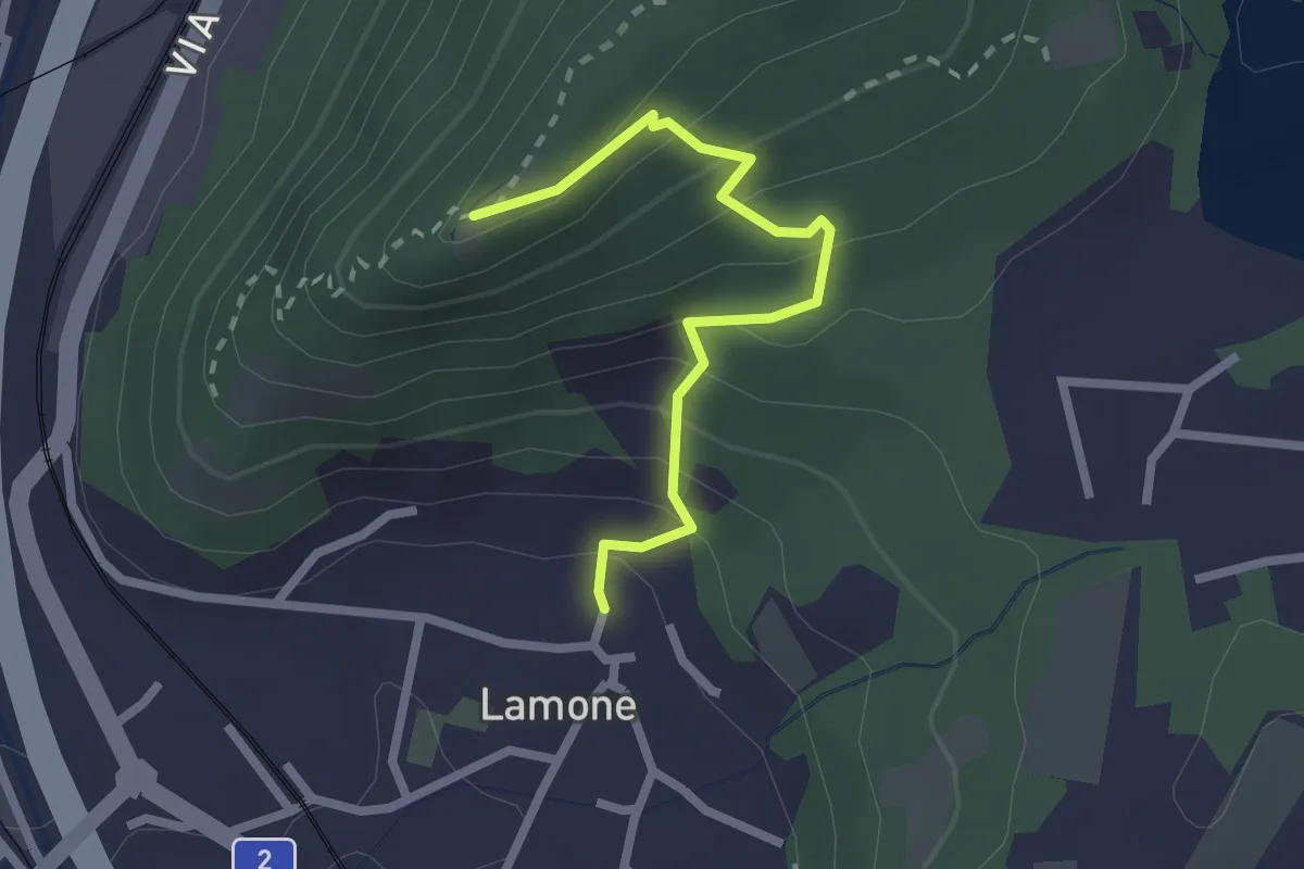
Easy · Trail
S. Zeno – Lamone
2.3 km · ↑ 209 m · 59 min
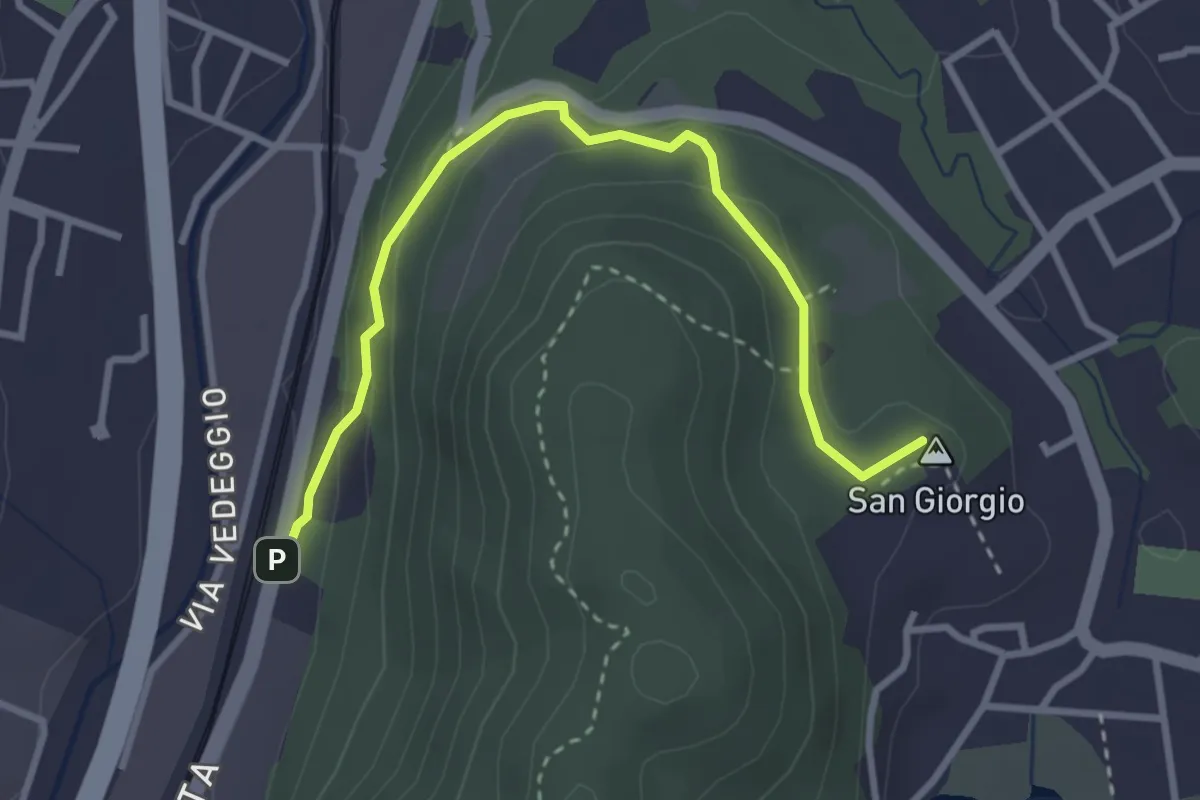
Easy · Summit
S. Giorgio – Taverne St.ne
3.4 km · ↑ 170 m · 1 h 10 min
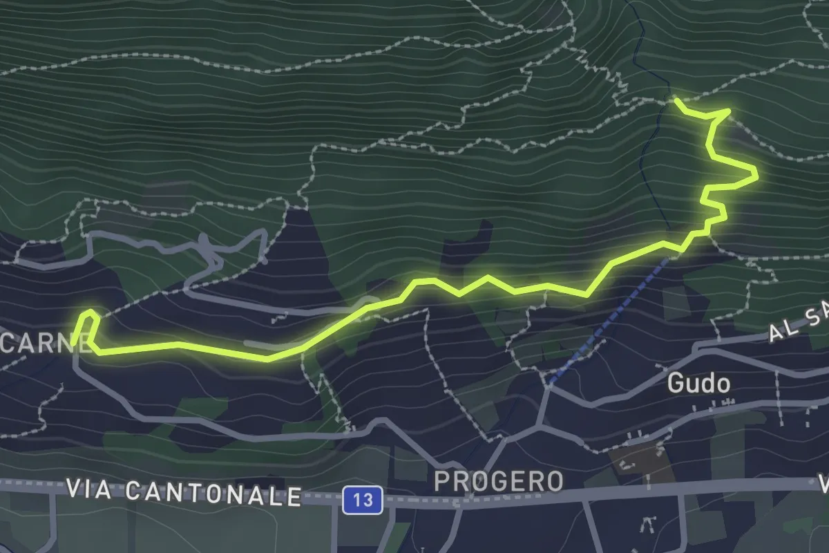
Medium · Trail
Malacarne – Rastrello
3.1 km · ↑ 264 m · 1 h 19 min
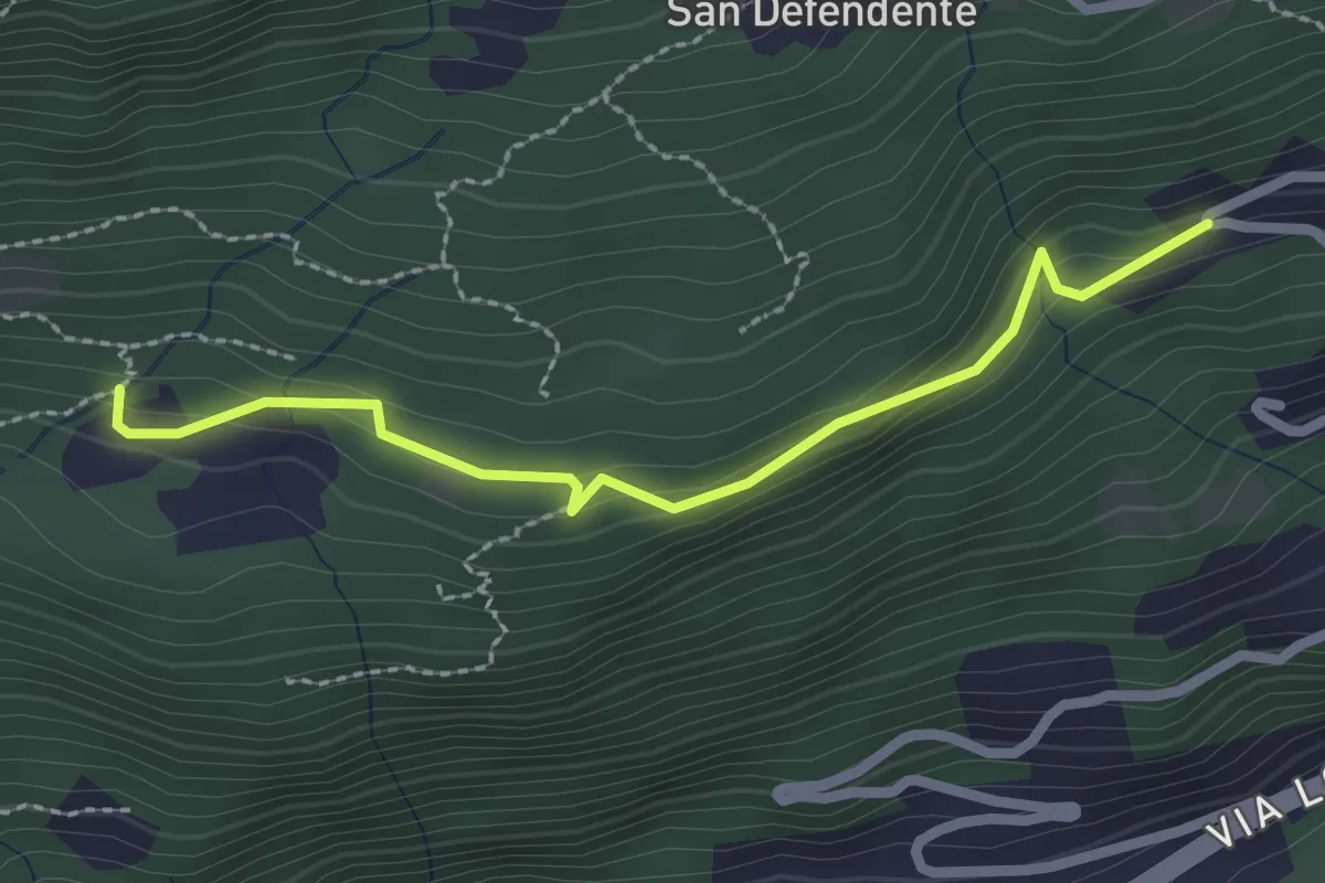
Easy · Trail
Redonda – Piancalardo
2.4 km · ↑ 143 m · 53 min
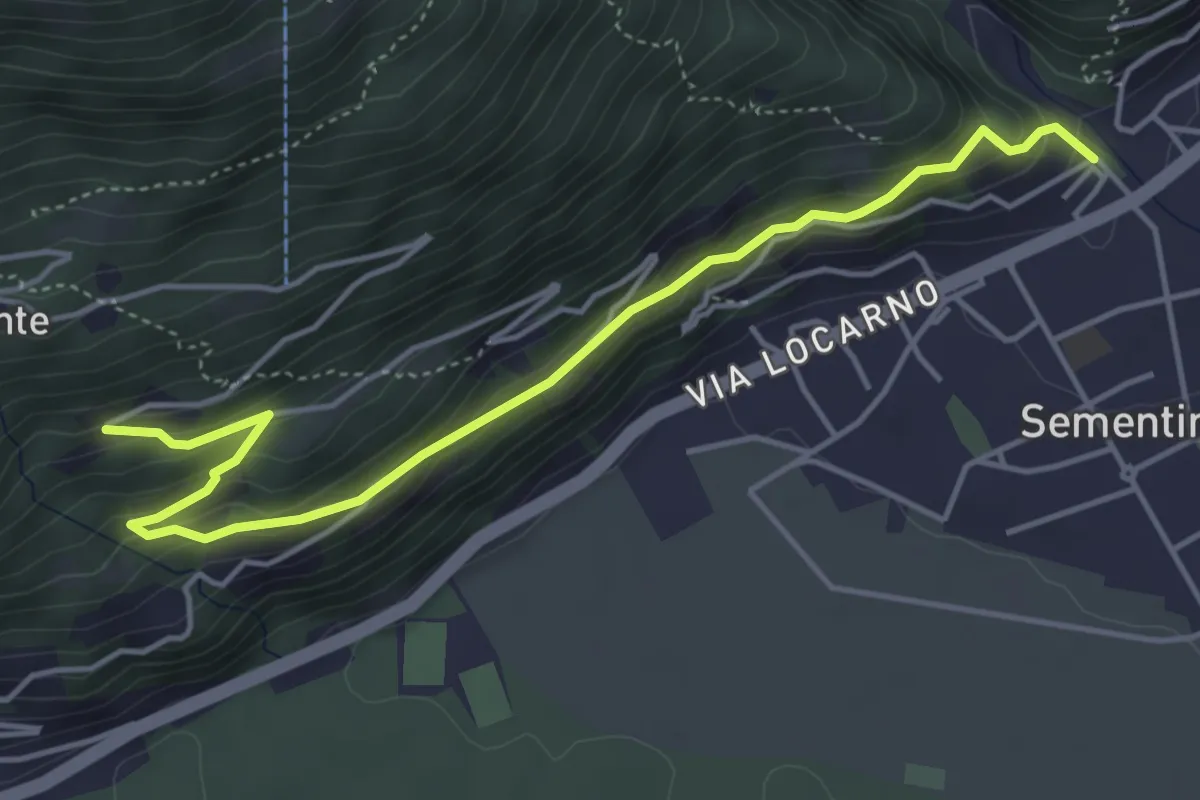
Medium · Trail
Piancalardo – Sementina
5.1 km · ↑ 272 m · 1 h 47 min
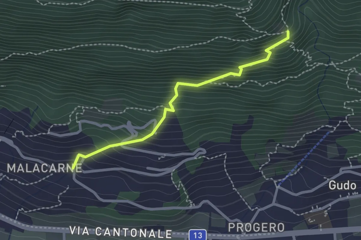
Easy · Trail
Malacarne – Orlo Valle
2.1 km · ↑ 264 m · 1 h 4 min
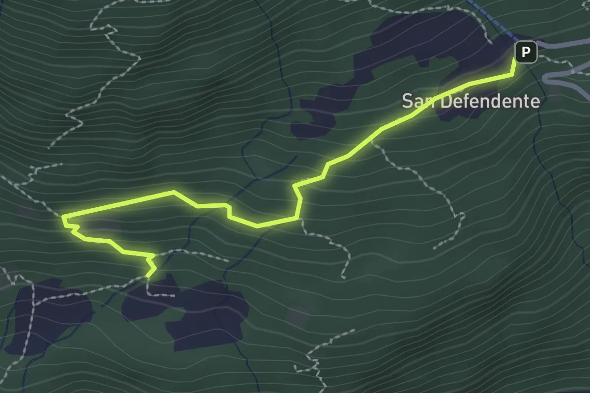
Easy · Trail
Redonda – S. Defendente
2.7 km · ↑ 157 m · 58 min
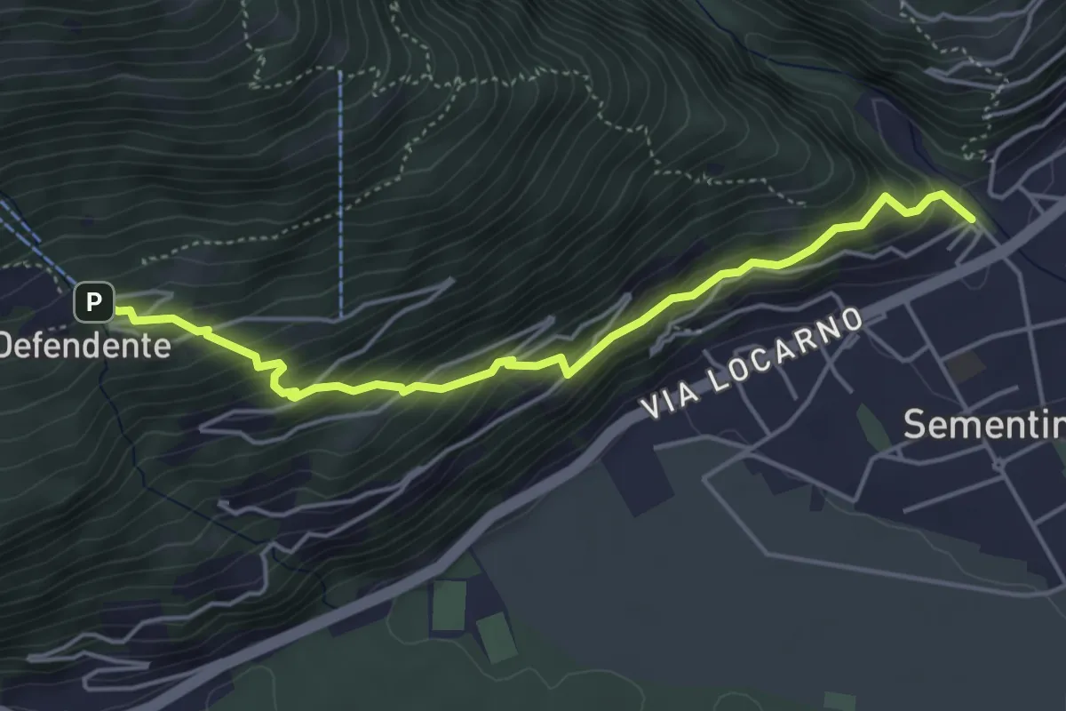
Medium · Trail
Sementina – S. Defendente
4.7 km · ↑ 421 m · 2 h 2 min
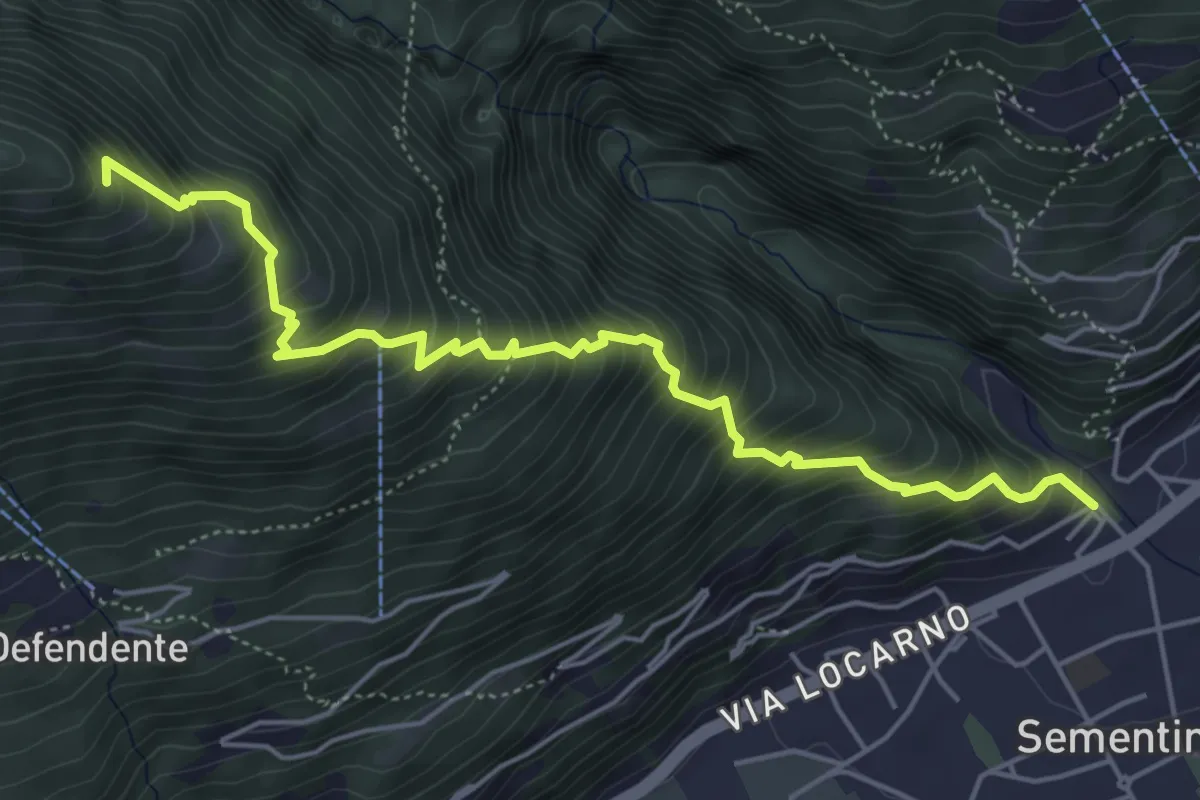
Medium · Trail
Sementina – Monti della Costa?
5.7 km · ↑ 799 m · 3 h 4 min
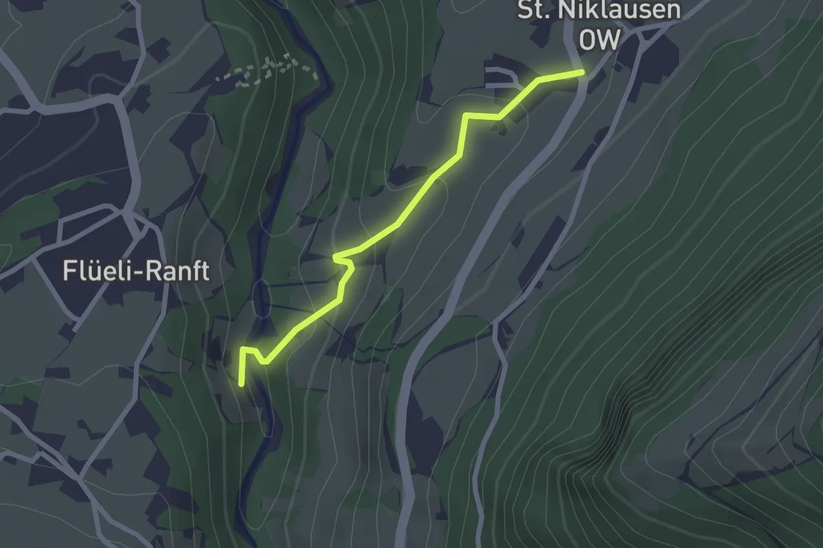
Easy · Trail
Ranft – St. Niklausen
2.1 km · ↑ 120 m · 46 min
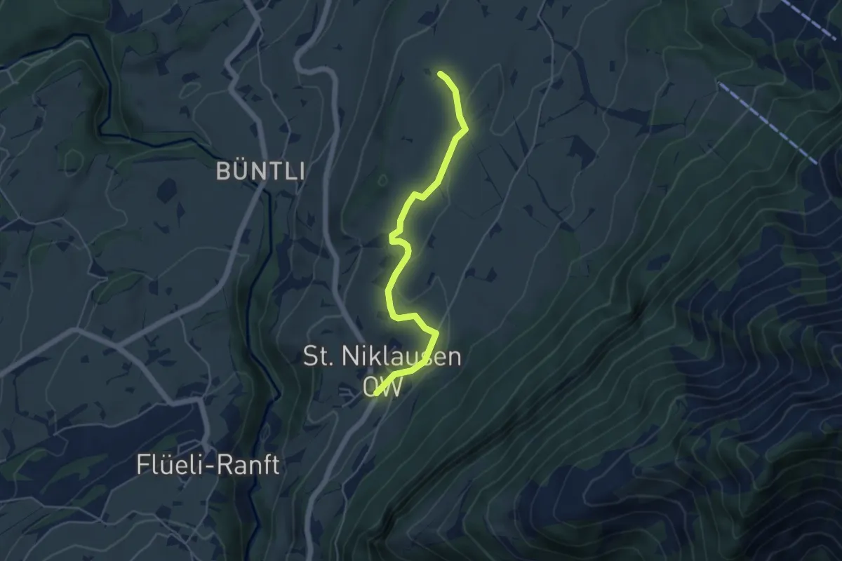
Easy · Trail
St. Niklausen – Eggli
4.5 km · ↑ 63 m · 1 h 12 min
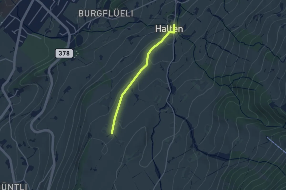
Easy · Trail
Eggli – St. Anton
2.4 km · ↑ 70 m · 43 min
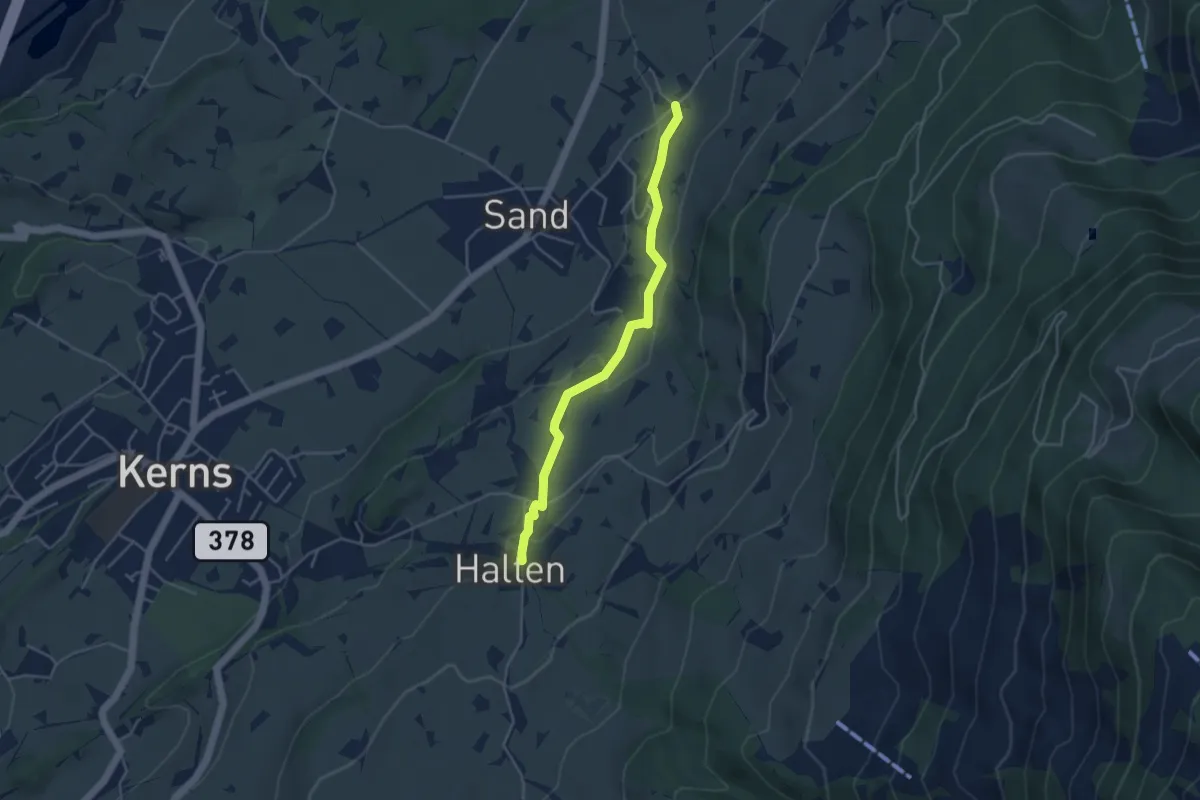
Easy · Trail
St. Anton – Wisserlen Hostatt
4.0 km · ↑ 115 m · 1 h 12 min
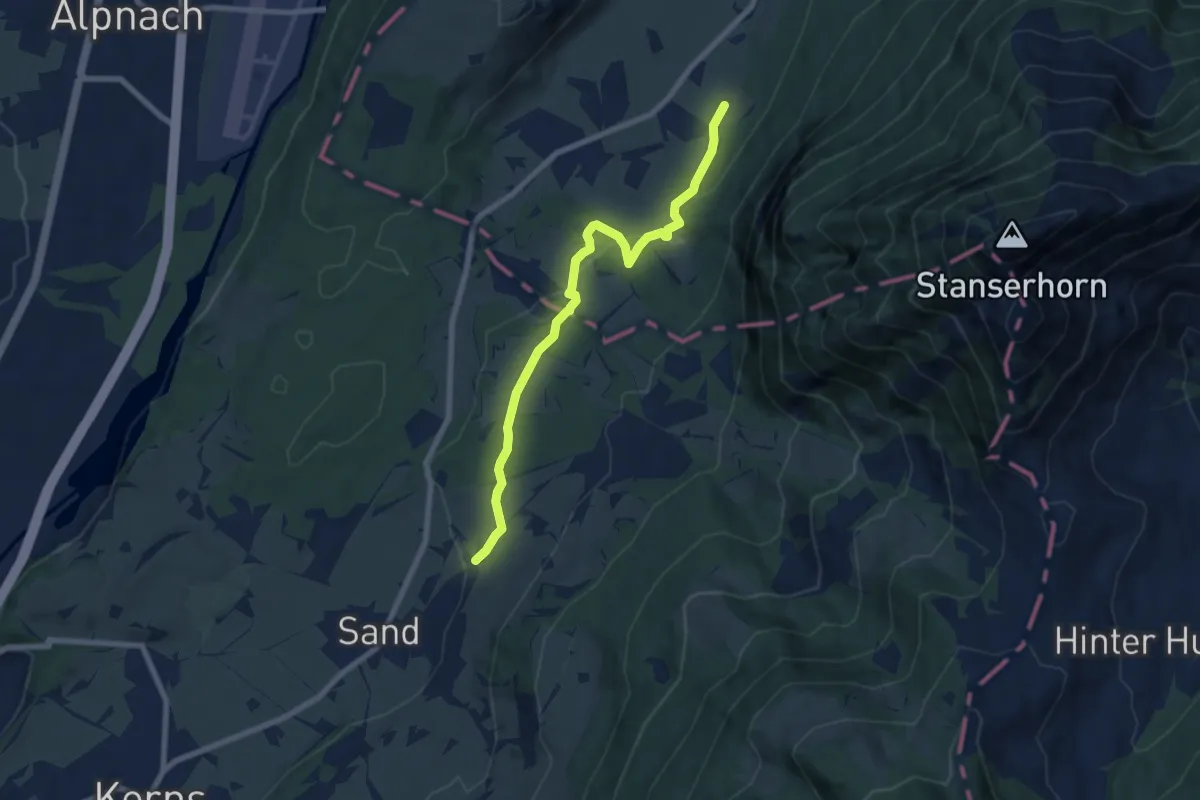
Easy · Trail
Wisserlen Hostatt – Halten (NW)
7.5 km · ↑ 227 m · 2 h 16 min
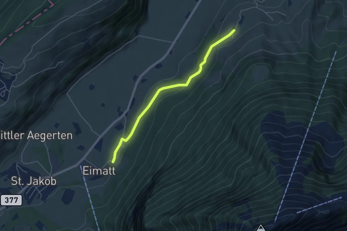
Easy · Trail
Halten – Brunnisboden
4.3 km · ↑ 131 m · 1 h 18 min
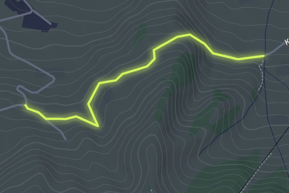
Easy · Trail
Murmatt – Christenmatt
2.8 km · ↑ 137 m · 57 min
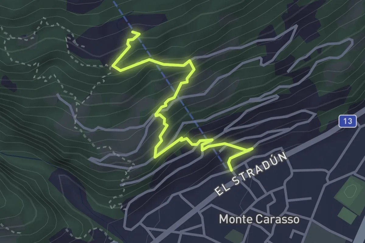
Medium · Trail
Monte Carasso Teleferica – Corte di Sotto Curzútt
3.5 km · ↑ 357 m · 1 h 36 min
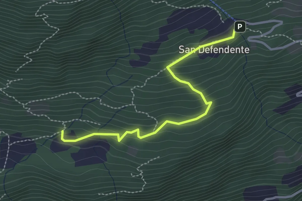
Easy · Trail
S. Defendete – Redonda
2.7 km · ↑ 205 m · 1 h 5 min
Easy · Trail
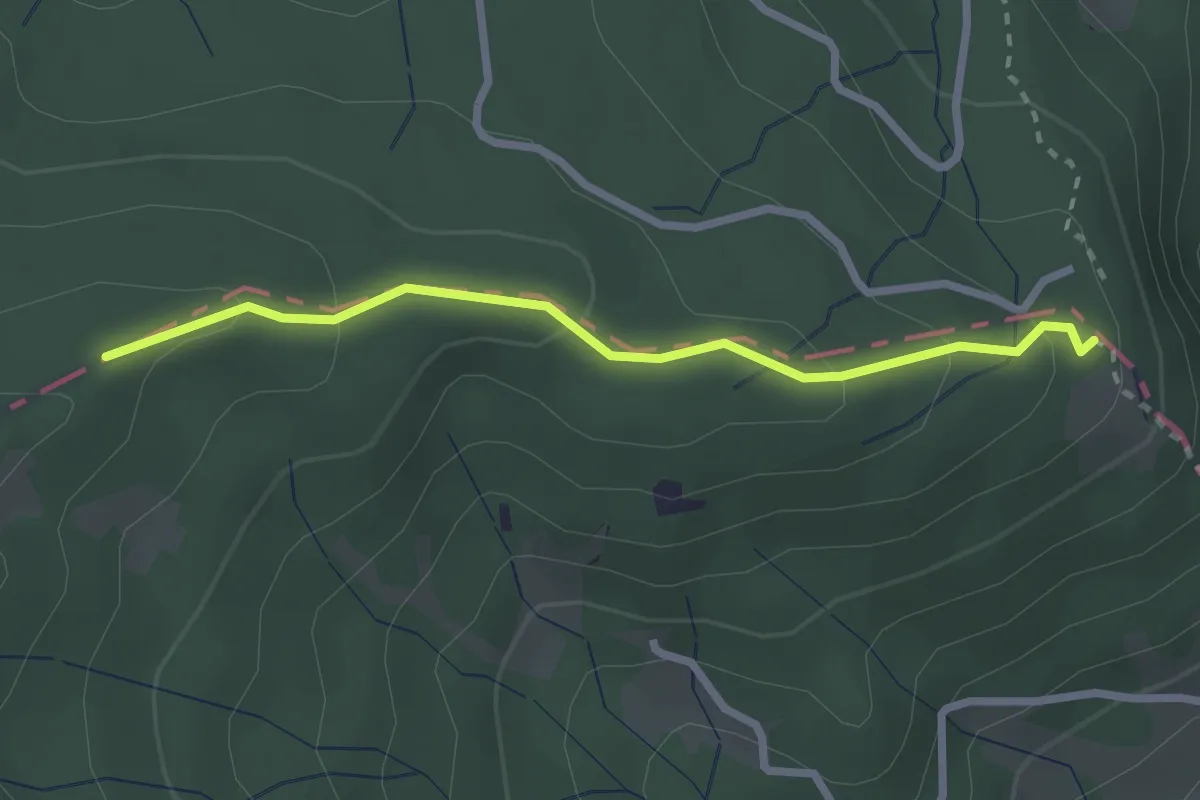
Schönenboden – Moosblüemliboden
2.5 km · ↑ 123 m · 51 min
Easy · Trail
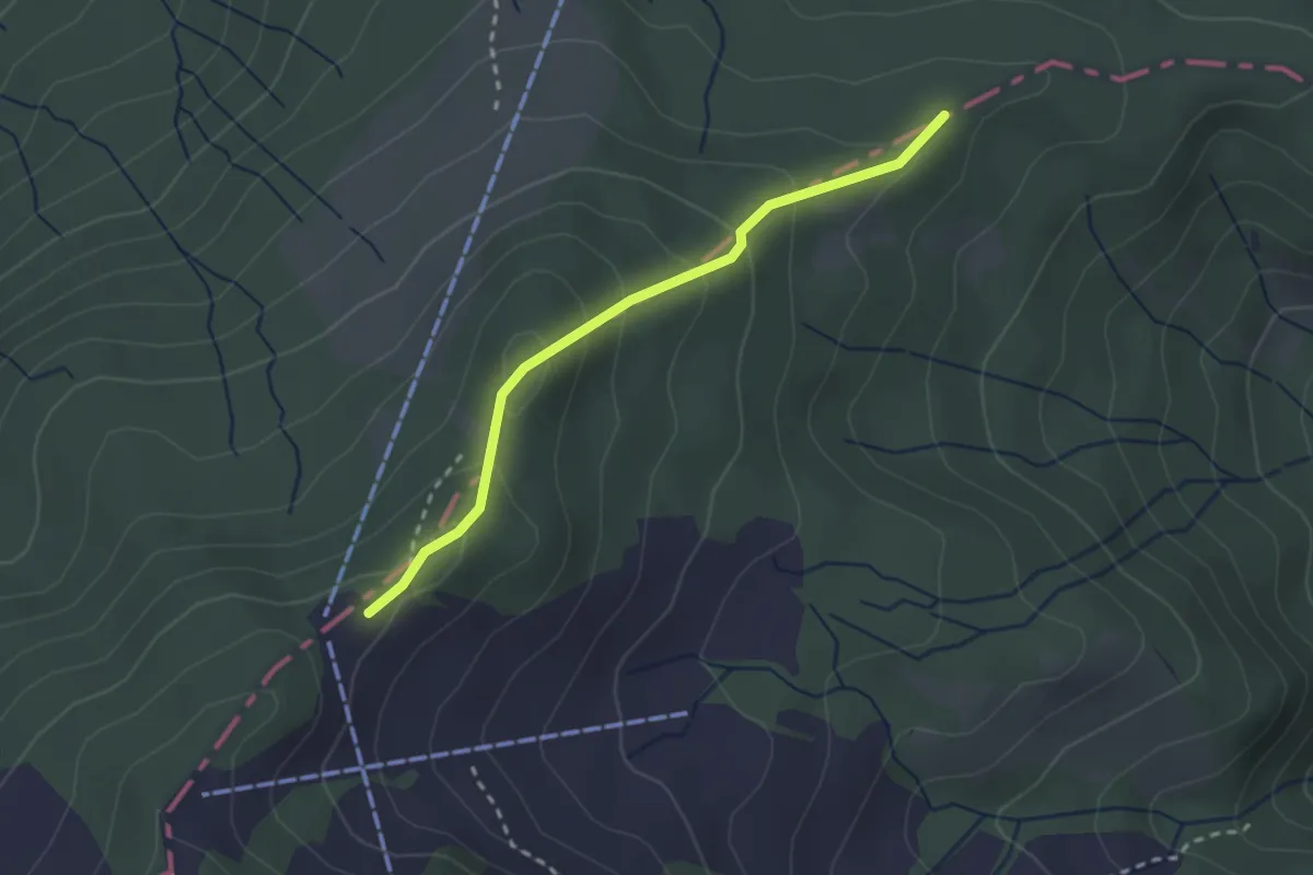
Moosblüemliboden – Fräkmüntegg
2.4 km · ↑ 160 m · 55 min
Easy · Trail
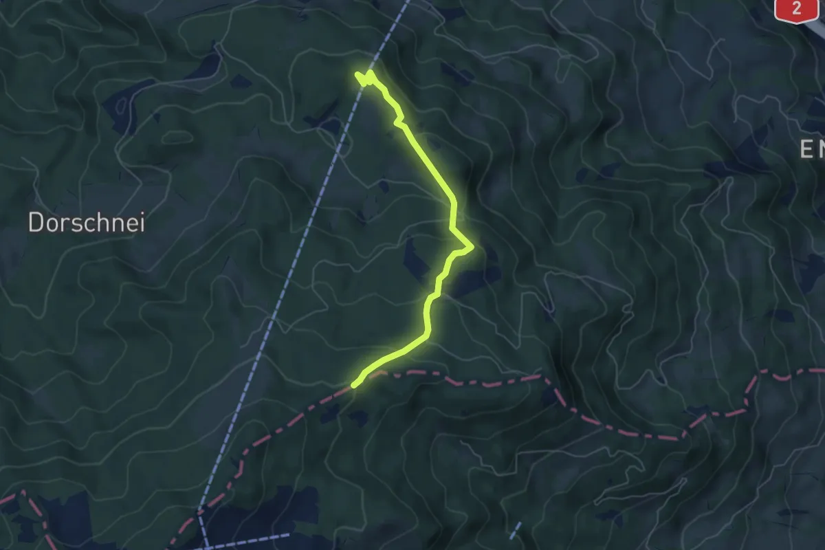
Moosblüemliboden – Krienseregg
5.3 km · ↑ 229 m · 1 h 45 min
Easy · Trail
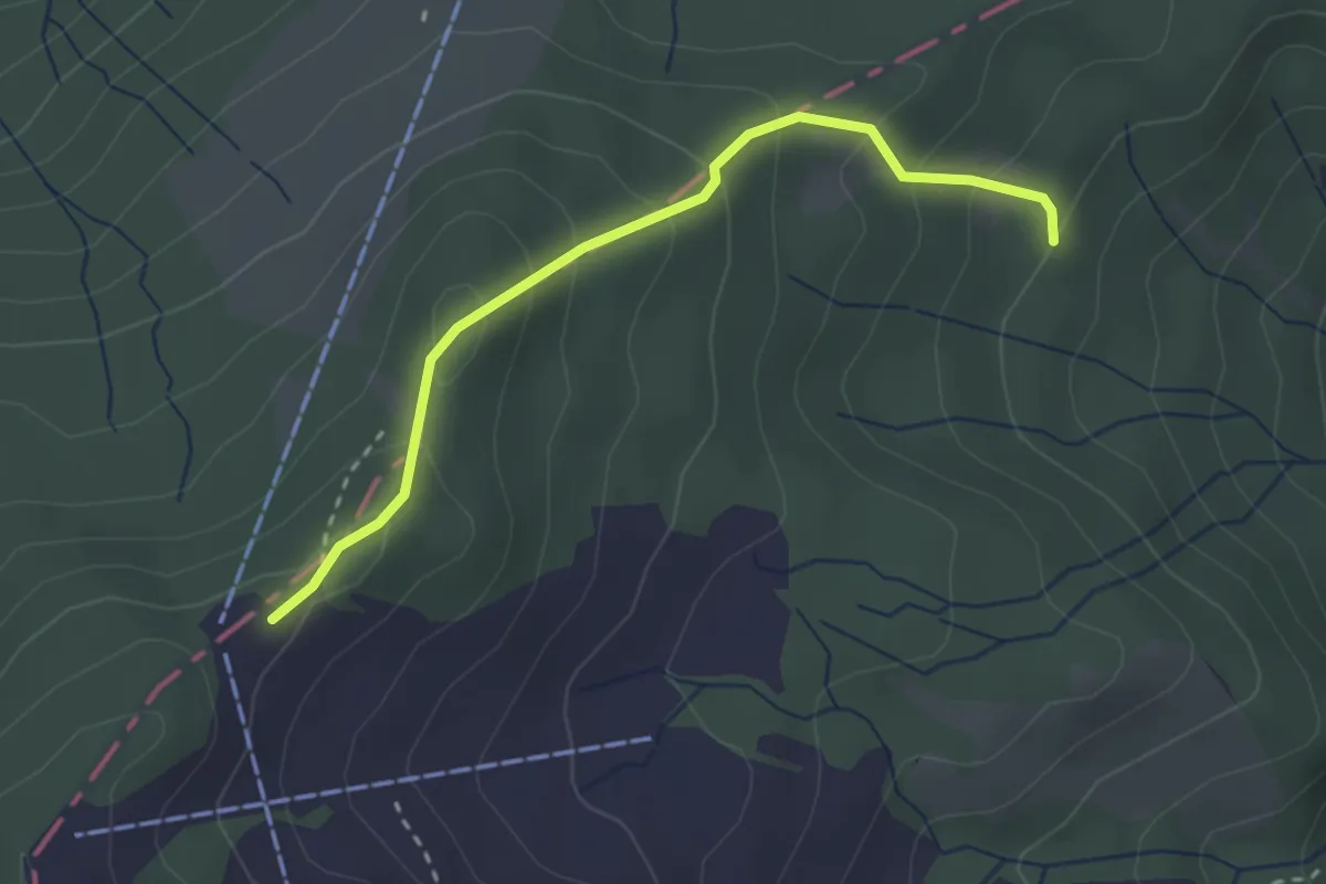
Fräkmüntegg – Riedboden
2.7 km · ↑ 207 m · 1 h 5 min