Trails in Switzerland
15,055 hiking trails, each with its route, climb, walking time and grade.
All trails, page 201 of 314
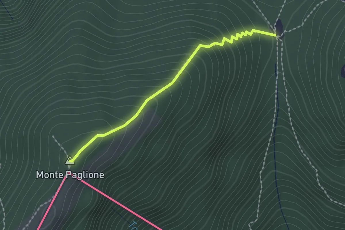
Medium · Summit
Monterecchio – Sant'Anna (CH)
1.8 km · ↑ 190 m · 50 min
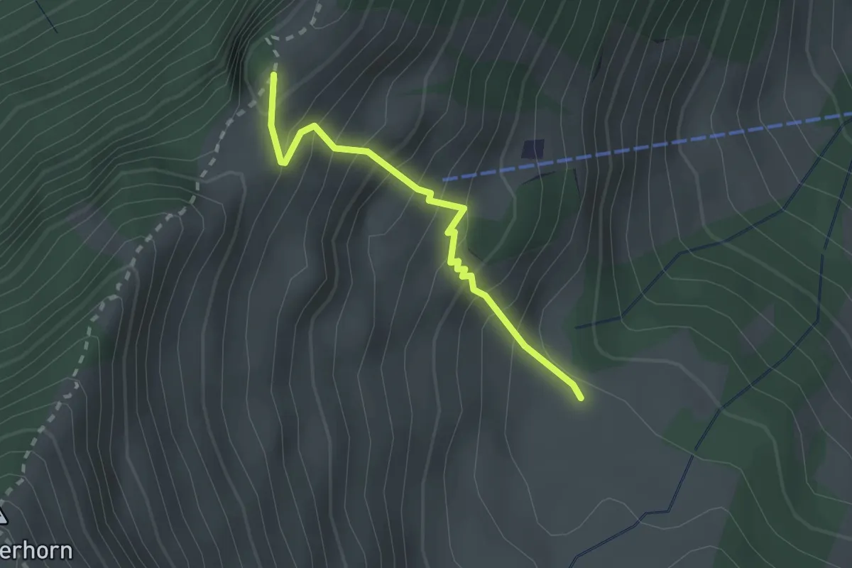
Expert · Trail
Unter Spis – Guberengrätli
2.0 km · ↑ 275 m · 1 h 4 min
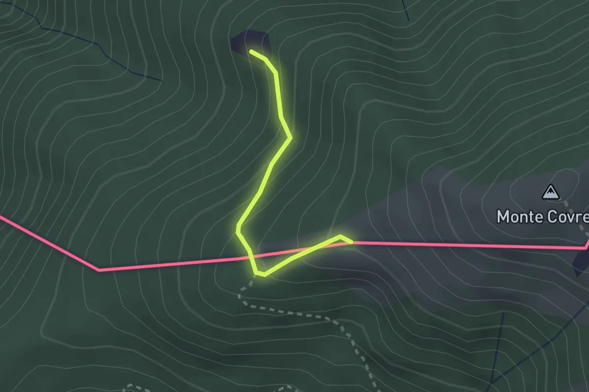
Medium · Summit
Monterecchio – Rifugio Alpetto (CH)
1.9 km · ↑ 168 m · 49 min
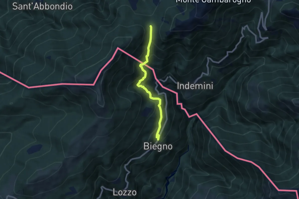
Medium · Cabin
Biegno – Sant'Anna (CH)
5.9 km · ↑ 547 m · 2 h 34 min
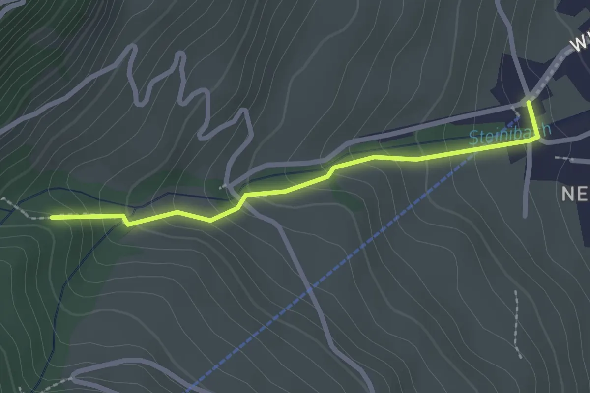
Easy · Trail
Talstation Wirzwelibahn – Heinziwald
2.1 km · ↑ 168 m · 51 min
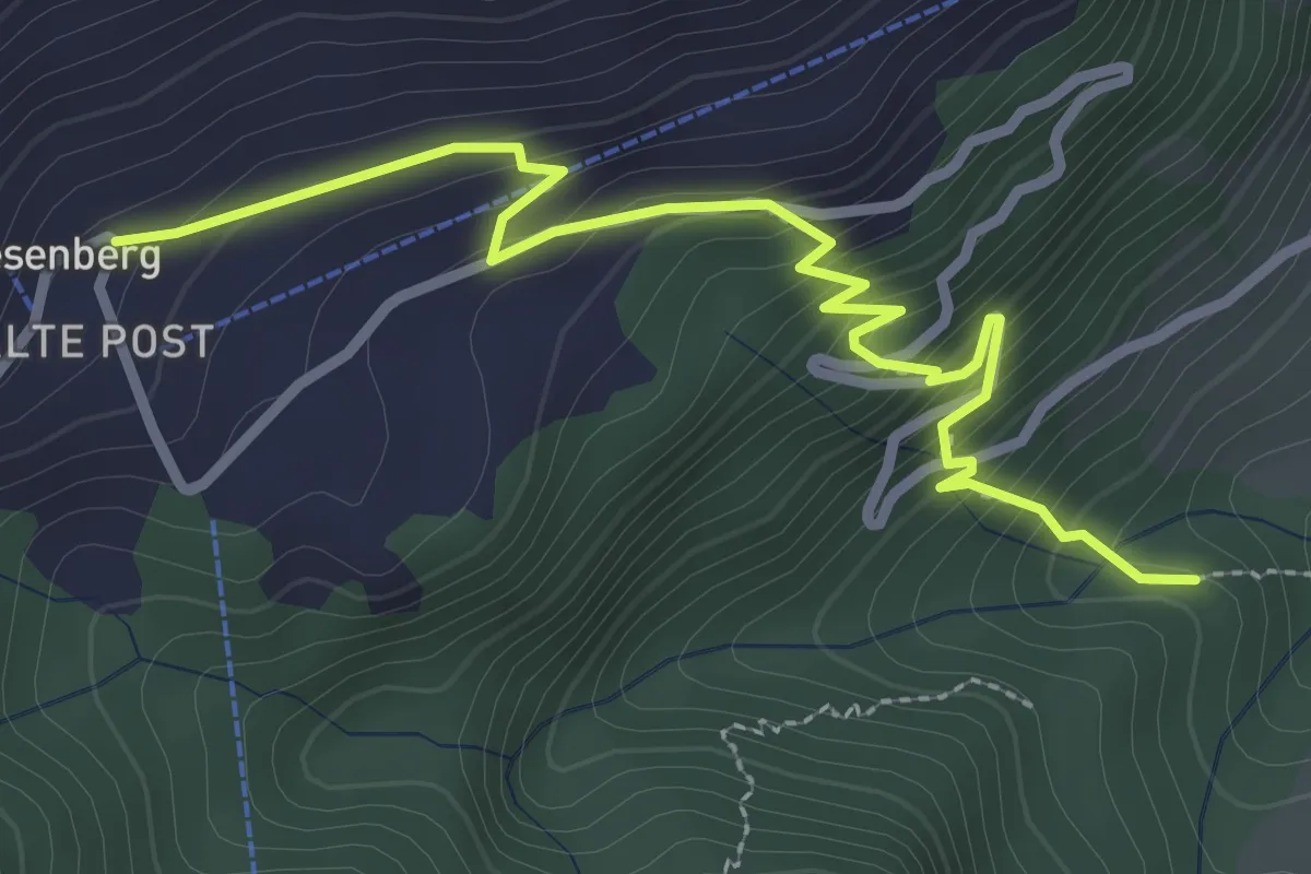
Easy · Trail
Heinziwald – Wiesenberg
3.2 km · ↑ 309 m · 1 h 25 min
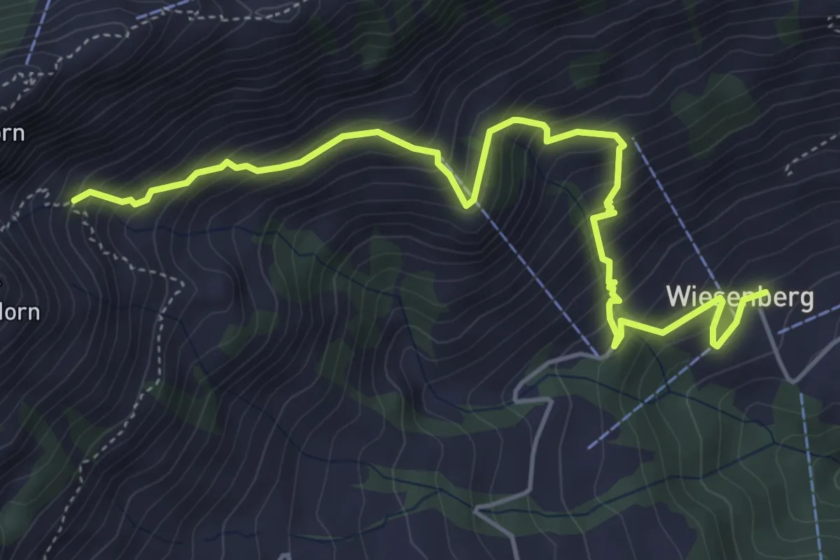
Medium · Trail
Wiesenberg – Chrinnen
5.5 km · ↑ 639 m · 2 h 41 min
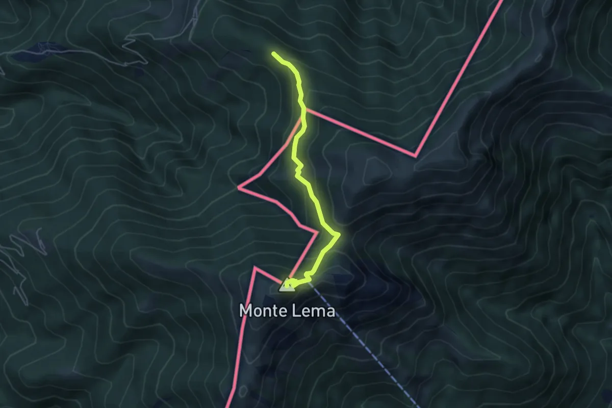
Medium · Summit
Alpone – Monte Lema (CH)
4.3 km · ↑ 318 m · 1 h 42 min
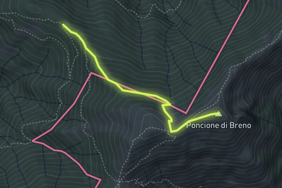
Medium · Summit
Alpone – Poncione di Breno (CH)
3.7 km · ↑ 319 m · 1 h 34 min
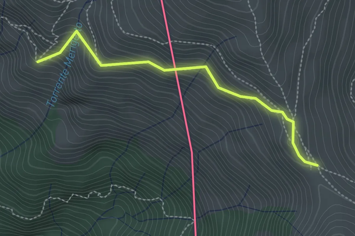
Medium · Cabin
Monteviasco – Passo Agario (CH)
2.5 km · ↑ 213 m · 1 h 3 min
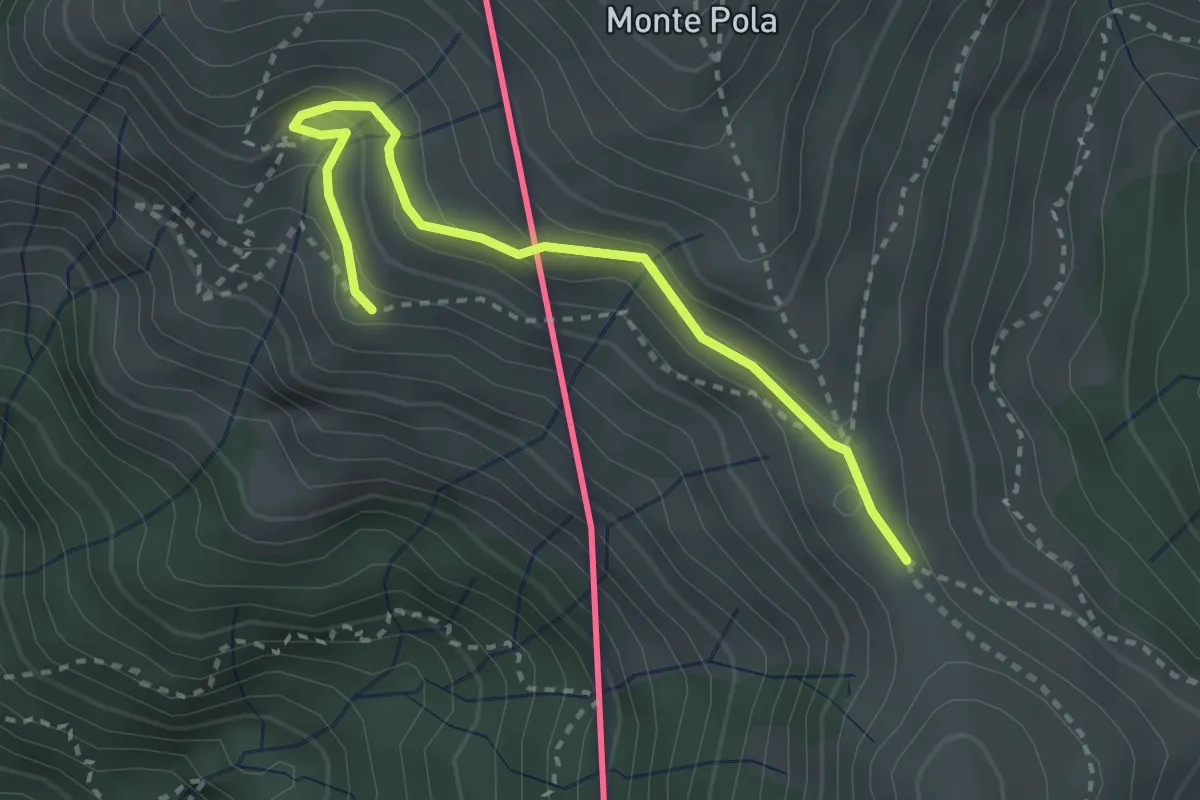
Medium · Cabin
Torre del Merigetto – Passo Agario (CH)
3.0 km · ↑ 191 m · 1 h 7 min
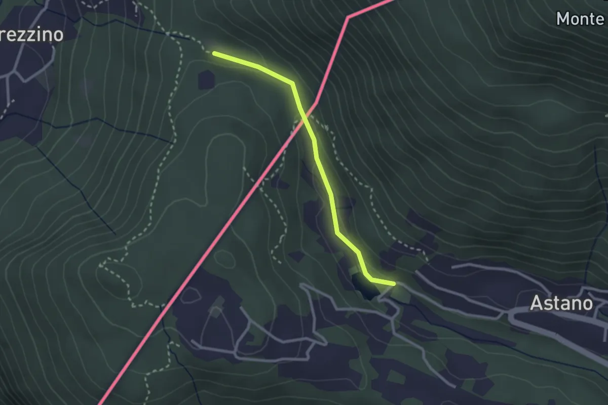
Easy · Trail
Dumenza – Laghetto di Astano (CH)
2.3 km · ↑ 70 m · 42 min
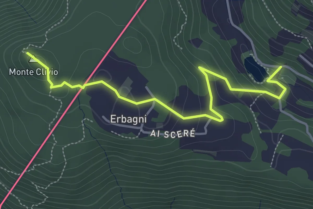
Easy · Trail
Trezzino – Monte Clivio-Laghetto di Astano
3.6 km · ↑ 131 m · 1 h 8 min
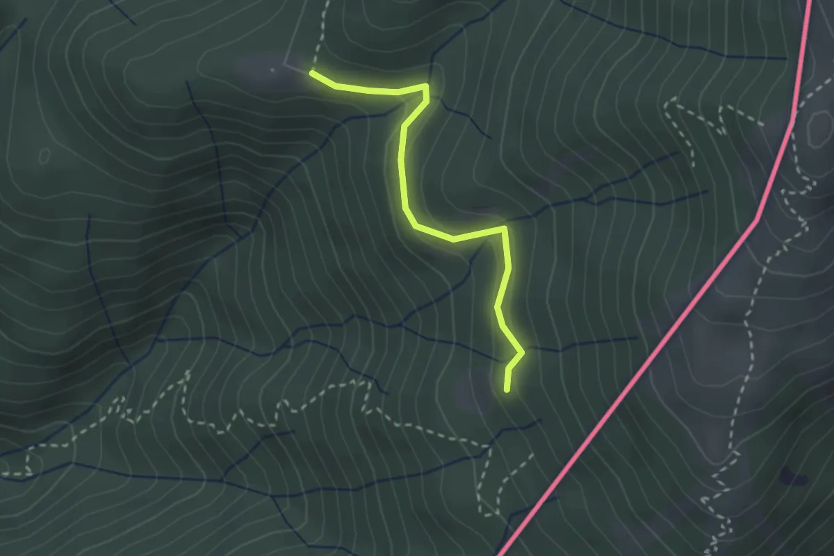
Medium · Trail
Alpe Roccolo – Alpe Fontana
2.3 km · ↑ 127 m · 49 min
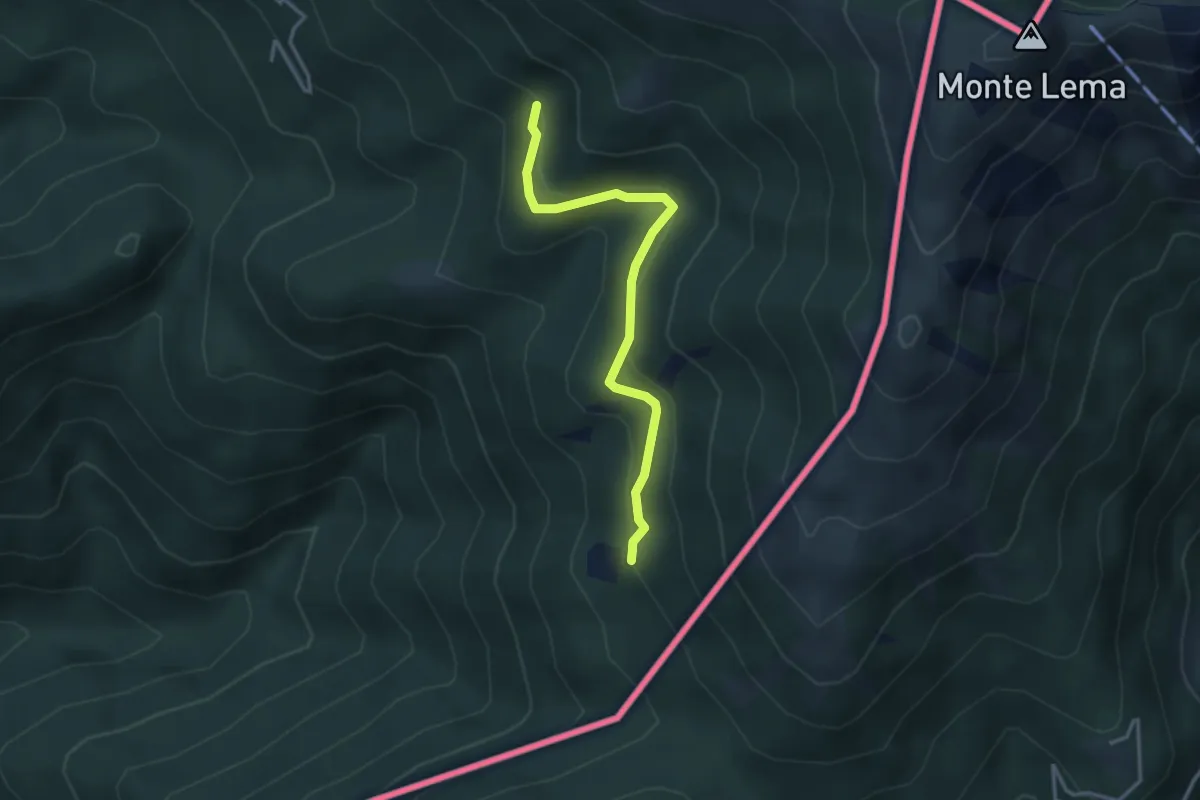
Medium · Trail
Pradecolo – Alpe Fontana
3.3 km · ↑ 159 m · 1 h 7 min
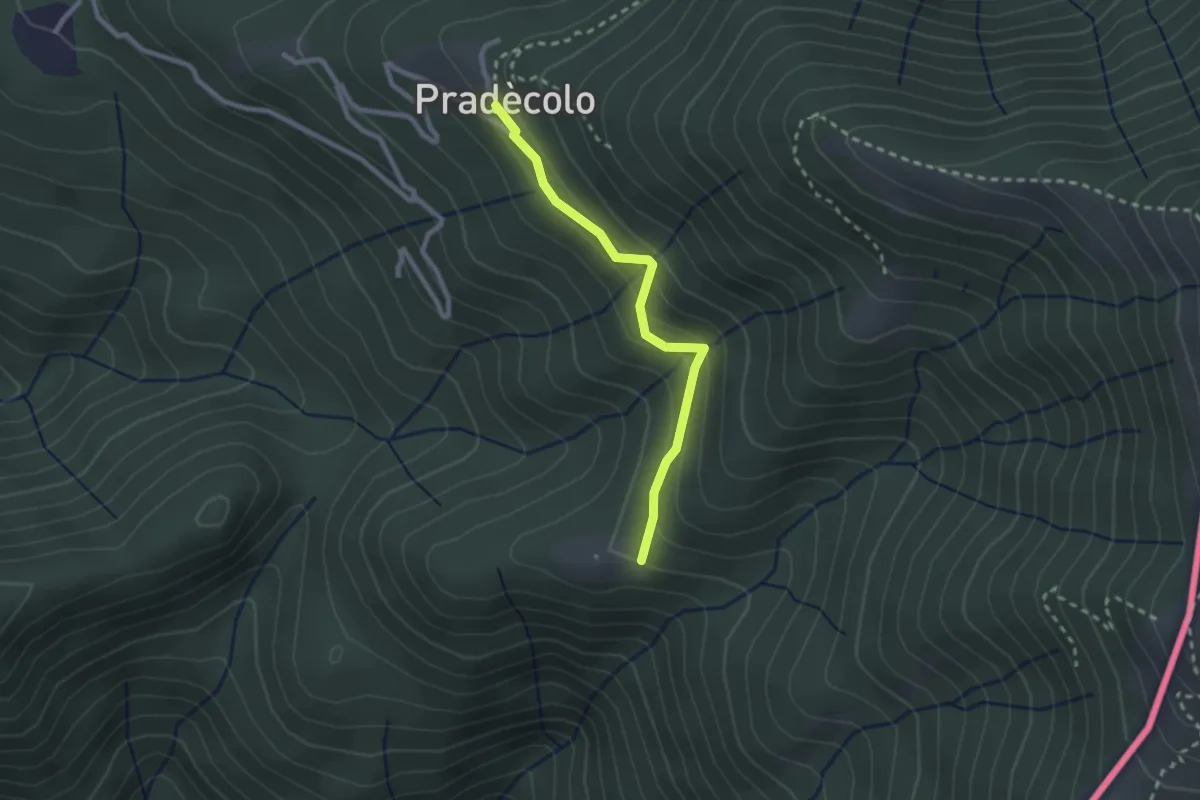
Medium · Cabin
Pradecolo – Prà Bernardo
2.3 km · ↑ 165 m · 54 min
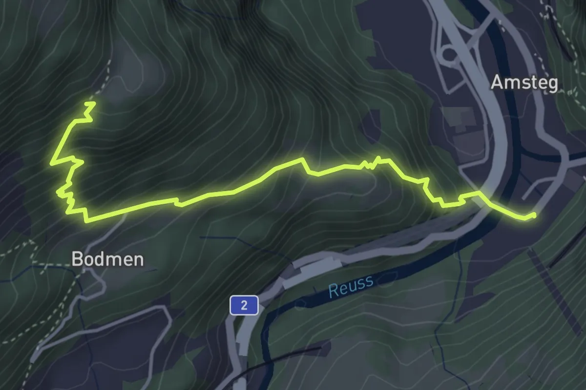
Medium · Trail
Amsteg Kraftwerk – Unter Axeli
4.5 km · ↑ 567 m · 2 h 18 min
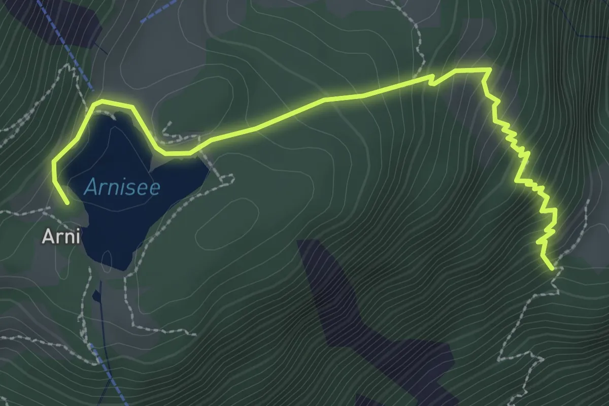
Medium · Trail
Unter Axeli – Arnisee
3.4 km · ↑ 328 m · 1 h 30 min
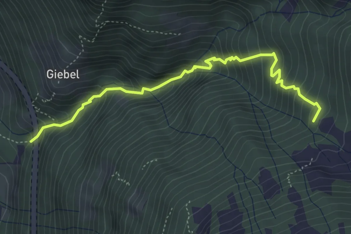
Medium · Trail
Ruozig – Gruonbergli
4.7 km · ↑ 623 m · 2 h 28 min
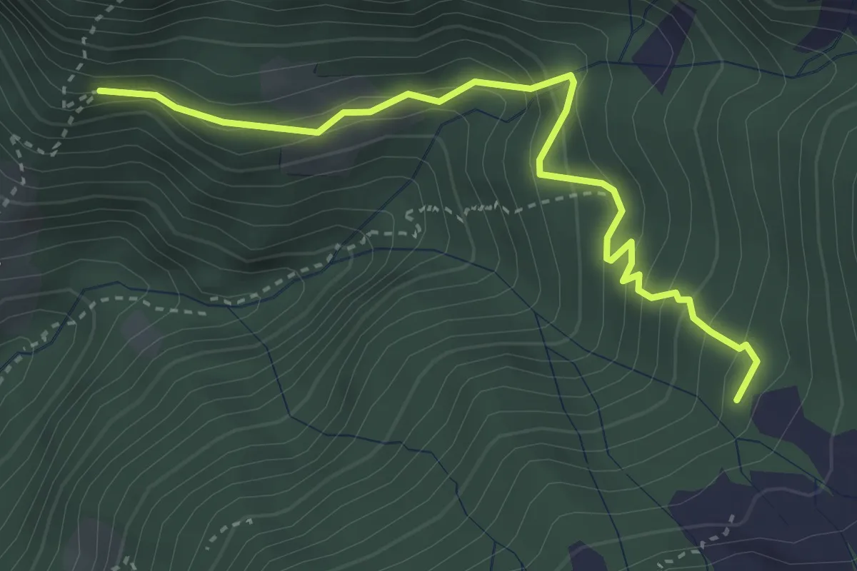
Medium · Trail
Gruonbergli – ?
3.7 km · ↑ 323 m · 1 h 34 min
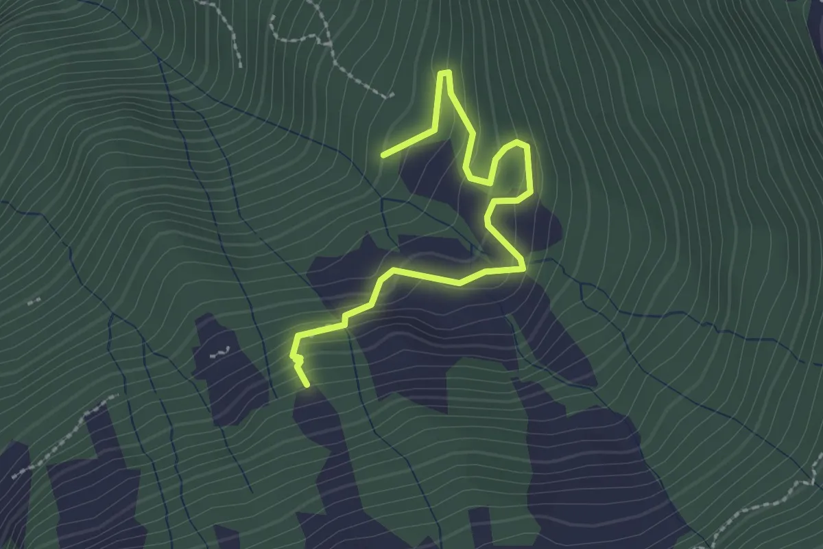
Demanding · Trail
Gruonbergli – Eggeli
2.5 km · ↑ 198 m · 1 h 1 min
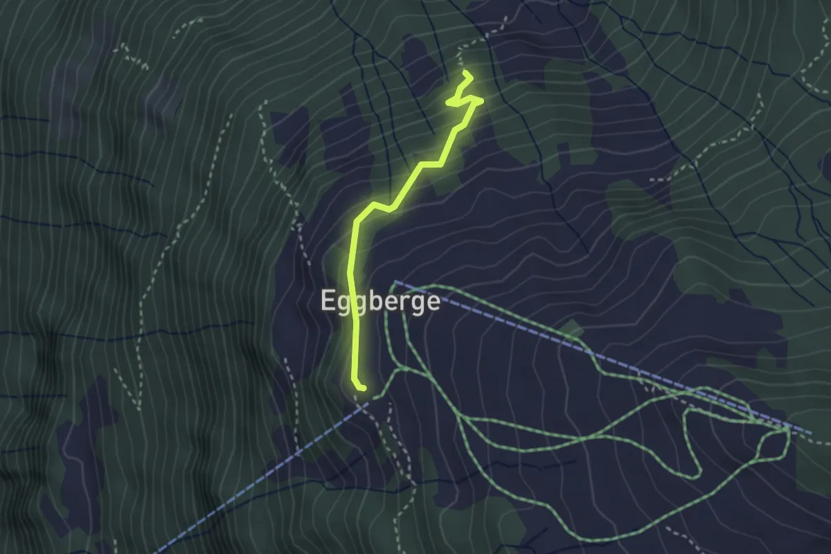
Easy · Trail
Eggeli – Eggberge
2.4 km · ↑ 231 m · 1 h 4 min
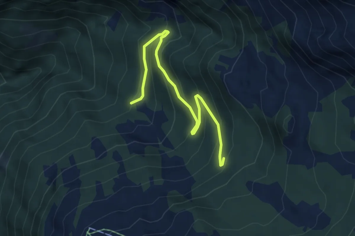
Medium · Trail
Gruonbergli – Chaltebrunne
5.1 km · ↑ 324 m · 1 h 54 min
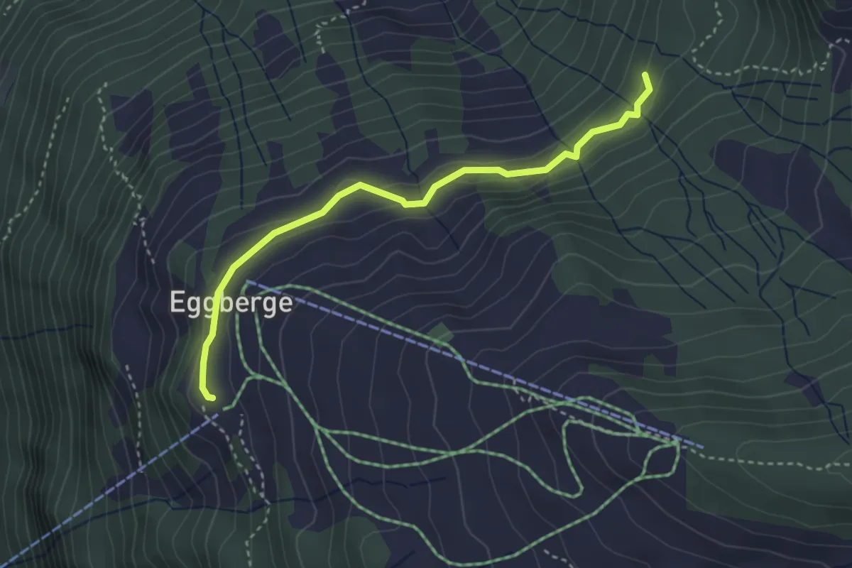
Medium · Trail
Eggberge – Chaltebrunne
3.3 km · ↑ 137 m · 1 h 5 min
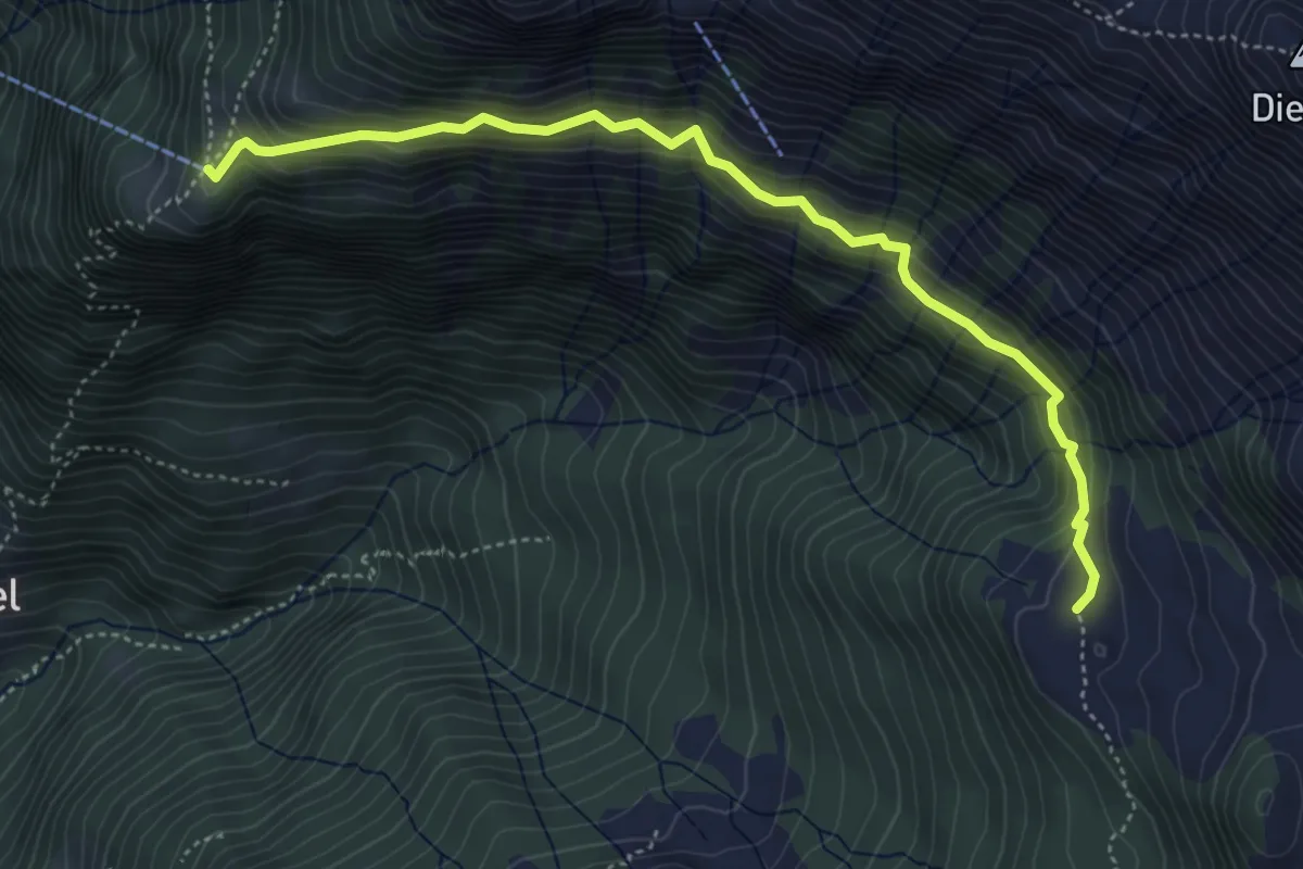
Medium · Trail
Unter Hüttenboden – Franzen
4.9 km · ↑ 469 m · 2 h 10 min
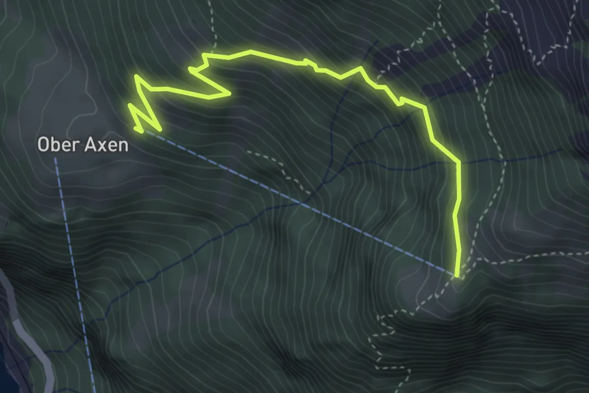
Medium · Trail
Franzen – Ober Axen
4.3 km · ↑ 465 m · 2 h 1 min
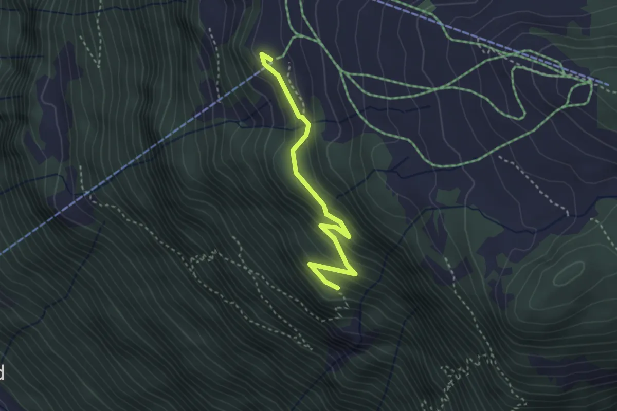
Medium · Trail
Bergstation – Rot Flue
3.0 km · ↑ 190 m · 1 h 7 min
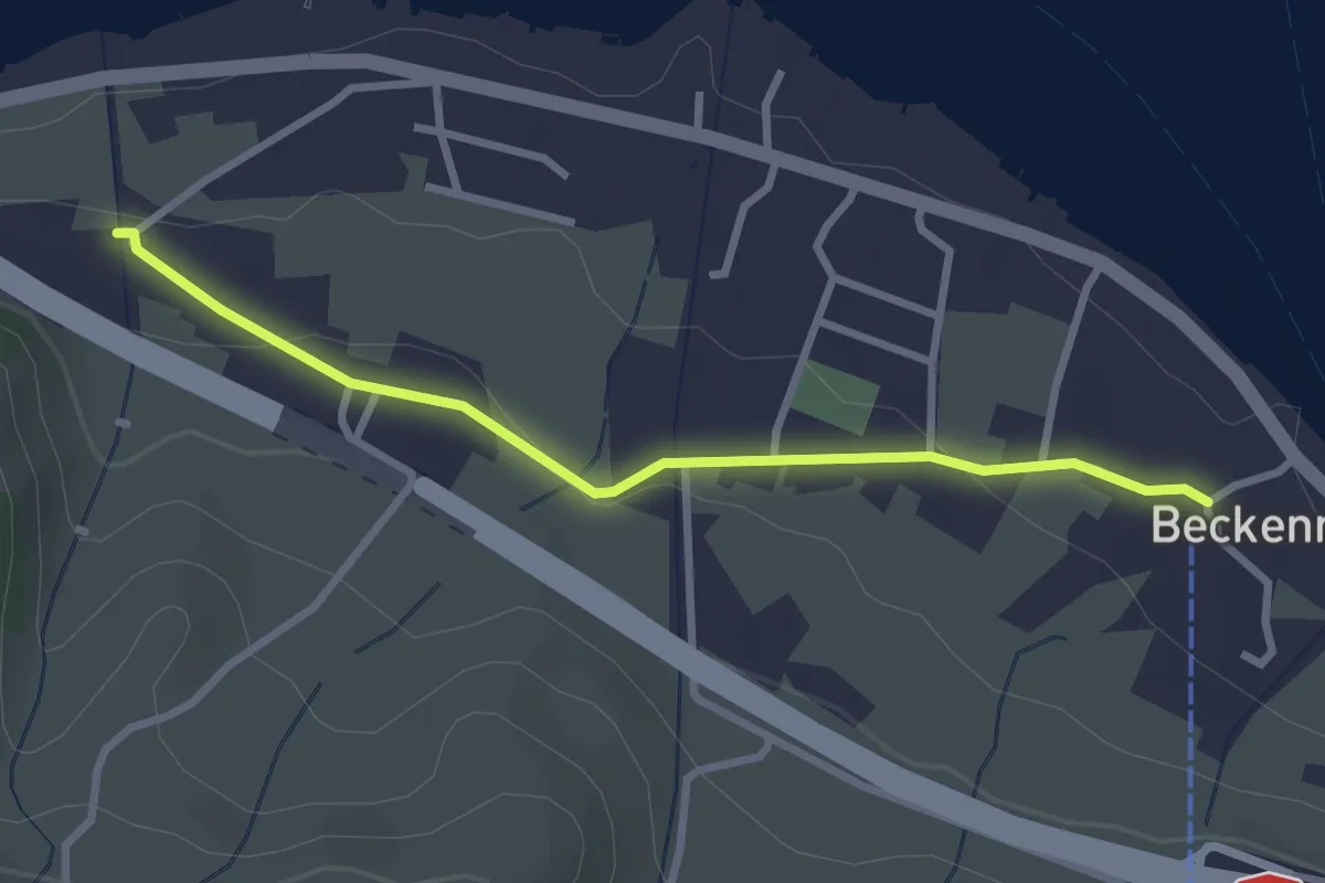
Easy · Trail
Talstation Klewenbahn – Ridli
2.8 km · ↑ 73 m · 49 min
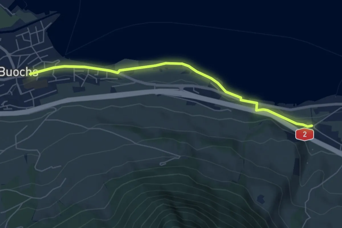
Easy · Trail
Ridli – Buochs
5.7 km · ↑ 43 m · 1 h 27 min
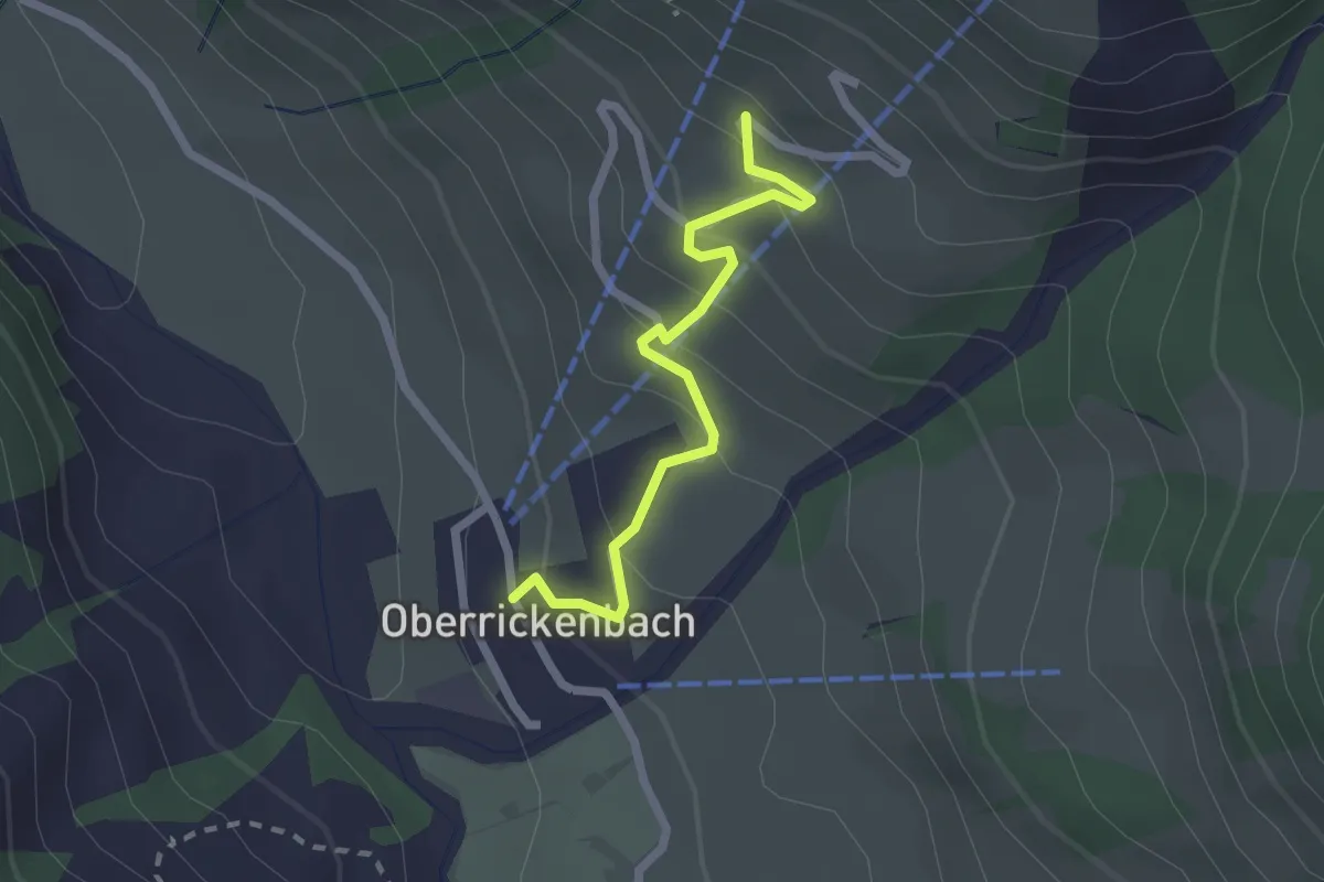
Easy · Trail
Oberrickenbach – Schiltli
2.1 km · ↑ 174 m · 52 min
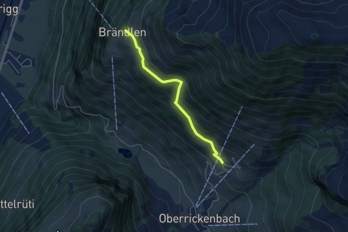
Medium · Trail
Schiltli – Brändlen
3.7 km · ↑ 296 m · 1 h 31 min
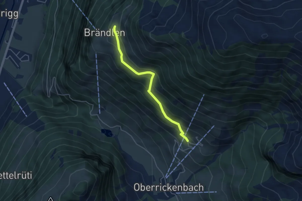
Medium · Trail
Brändlen Startplatz – Schiltli
3.7 km · ↑ 291 m · 1 h 31 min
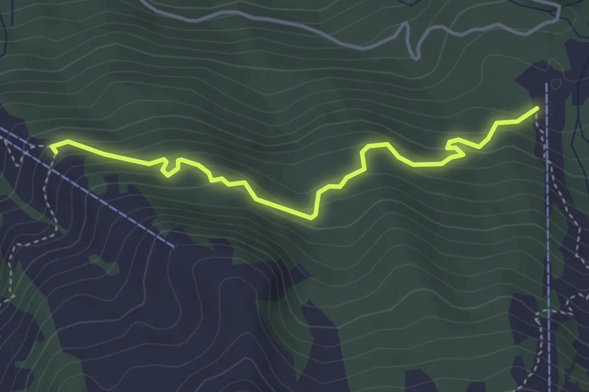
Medium · Trail
Alpboden – Mittlist Hütti
3.8 km · ↑ 339 m · 1 h 38 min
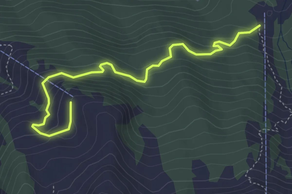
Medium · Trail
Alpboden – Oberist Hütti
4.8 km · ↑ 423 m · 2 h 2 min
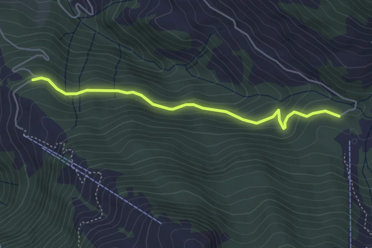
Easy · Trail
Alpboden – Waseneggli
4.0 km · ↑ 230 m · 1 h 27 min
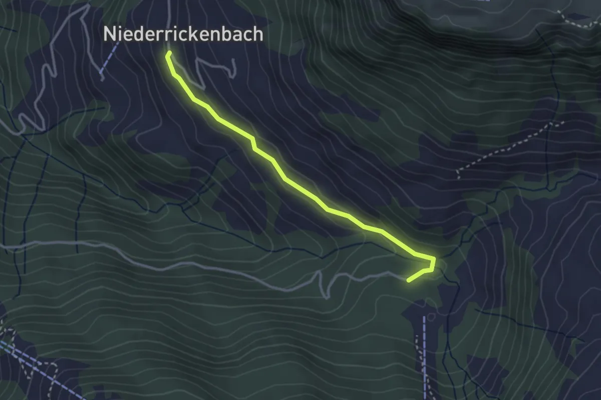
Easy · Trail
Alpboden – Pilgerhaus
3.0 km · ↑ 73 m · 52 min
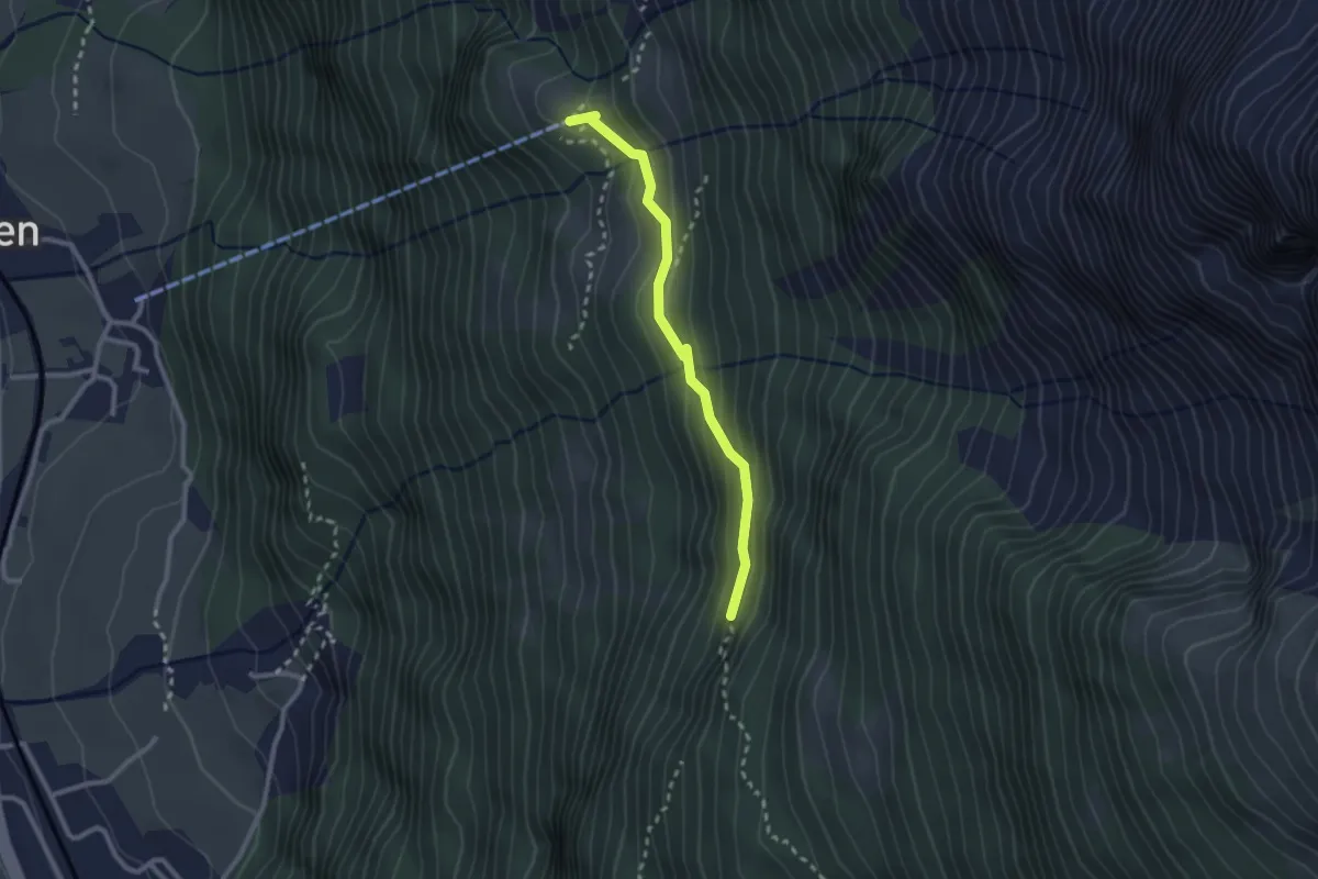
Medium · Trail
Chilcherbergen Bergstation – Geissnossen
2.3 km · ↑ 133 m · 50 min
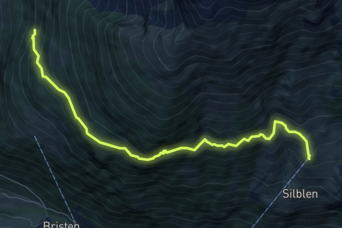
Medium · Trail
Geissnossen – Golzeren Bergstation
7.7 km · ↑ 748 m · 3 h 26 min
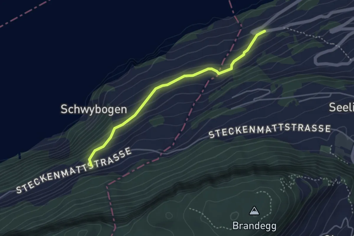
Easy · Trail
Triglis – Volligen
3.4 km · ↑ 216 m · 1 h 17 min
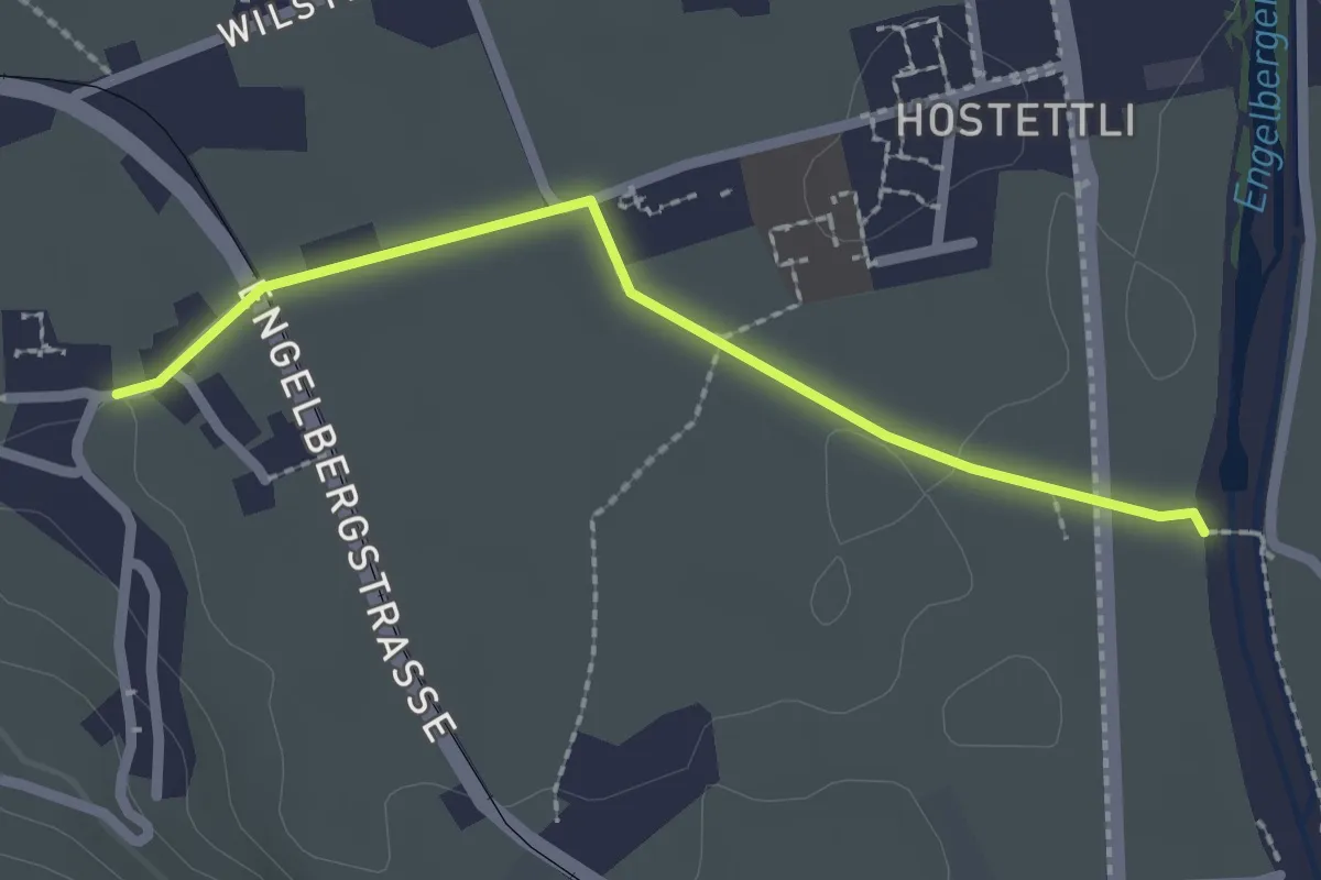
Easy · Trail
Hostettenstäg – St. Heinrich
2.2 km · ↑ 8 m · 32 min
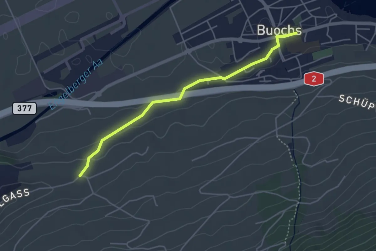
Easy · Trail
Buochs – Ännerberg
3.8 km · ↑ 68 m · 1 h 3 min
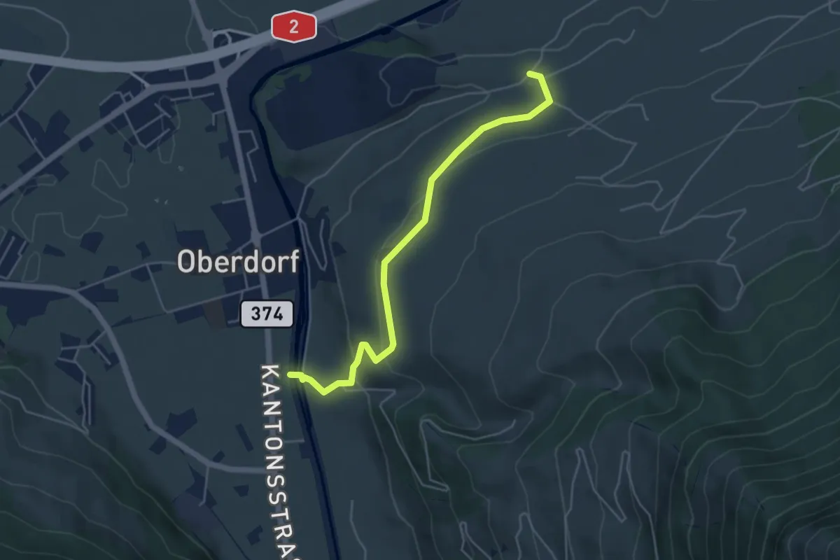
Easy · Trail
Ännerberg – Hostettenstäg
4.7 km · ↑ 158 m · 1 h 27 min
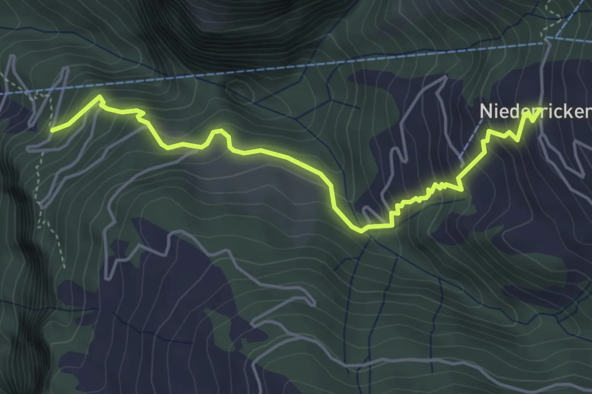
Medium · Trail
Wandfluhwald – Niederrickenbach Kloster
4.7 km · ↑ 461 m · 2 h 7 min
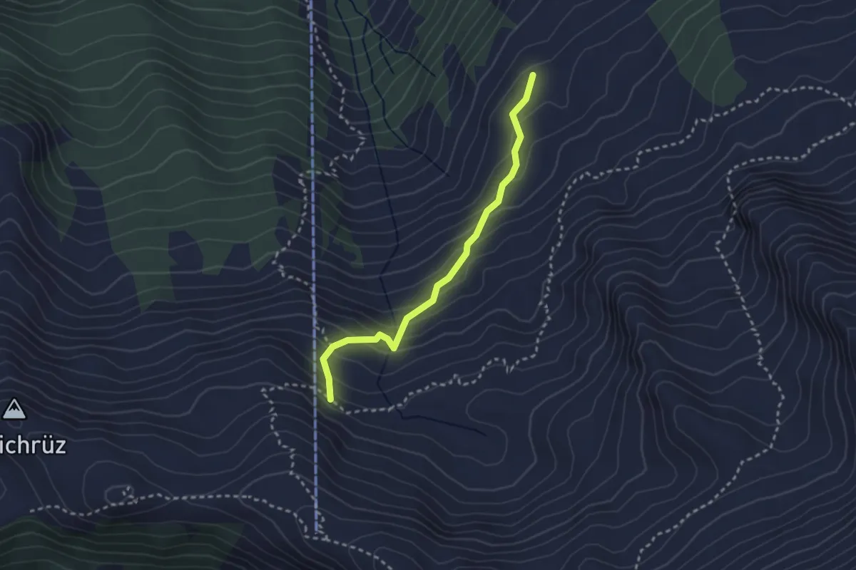
Medium · Trail
Chrüzhütte – Chäserstad
2.6 km · ↑ 248 m · 1 h 9 min
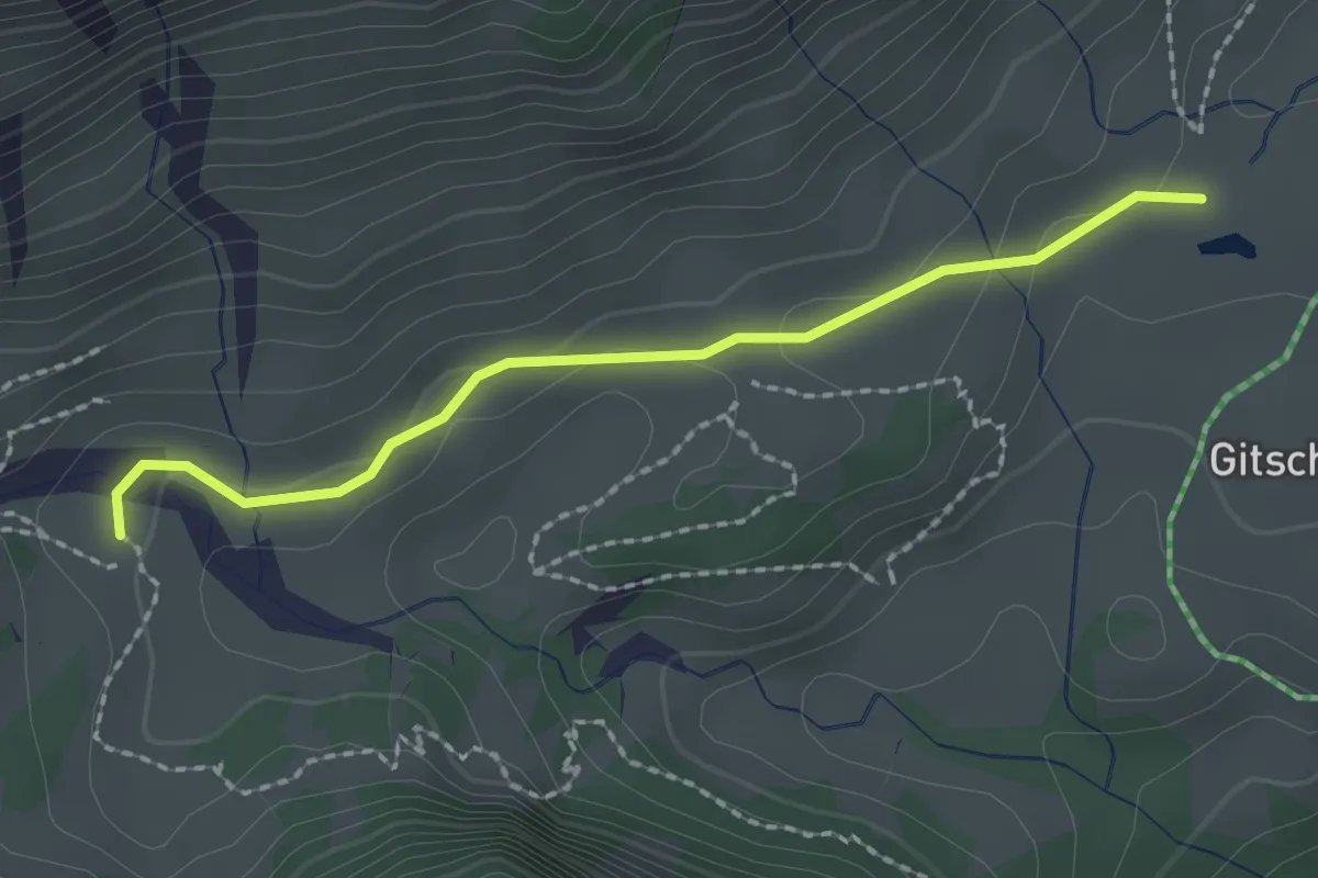
Easy · Trail
Chneuwies – Geissboden
2.0 km · ↑ 51 m · 35 min
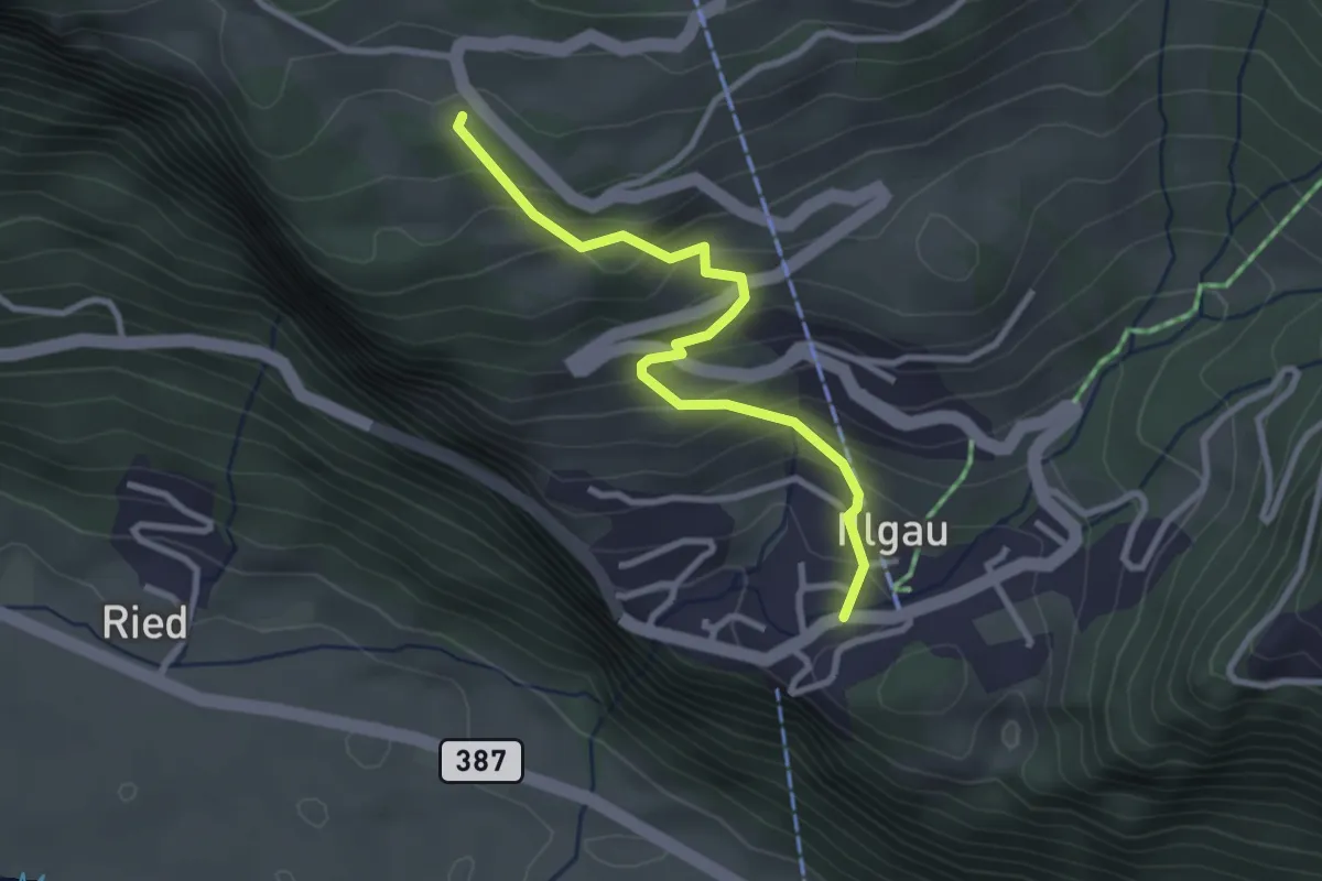
Easy · Trail
Illgau – Wart
2.8 km · ↑ 243 m · 1 h 11 min
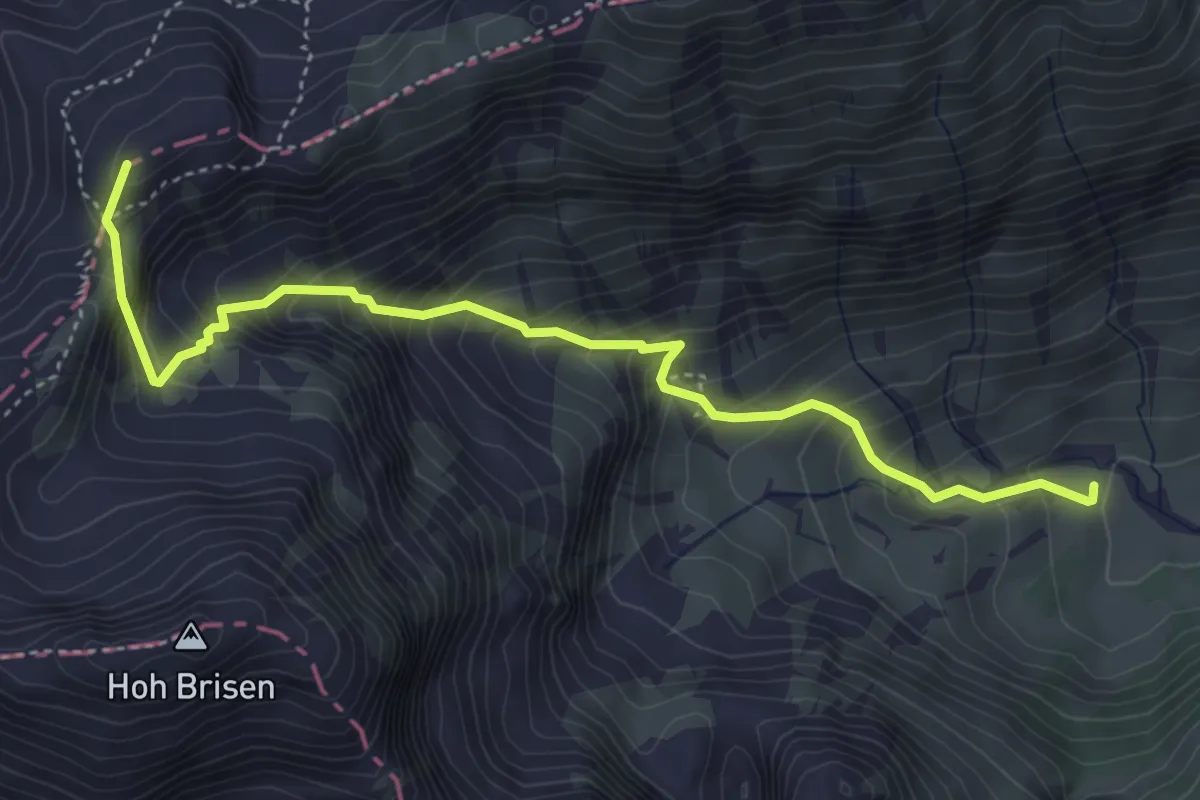
Demanding · Summit
Geissboden – Steinalper Jochli
4.7 km · ↑ 580 m · 2 h 23 min
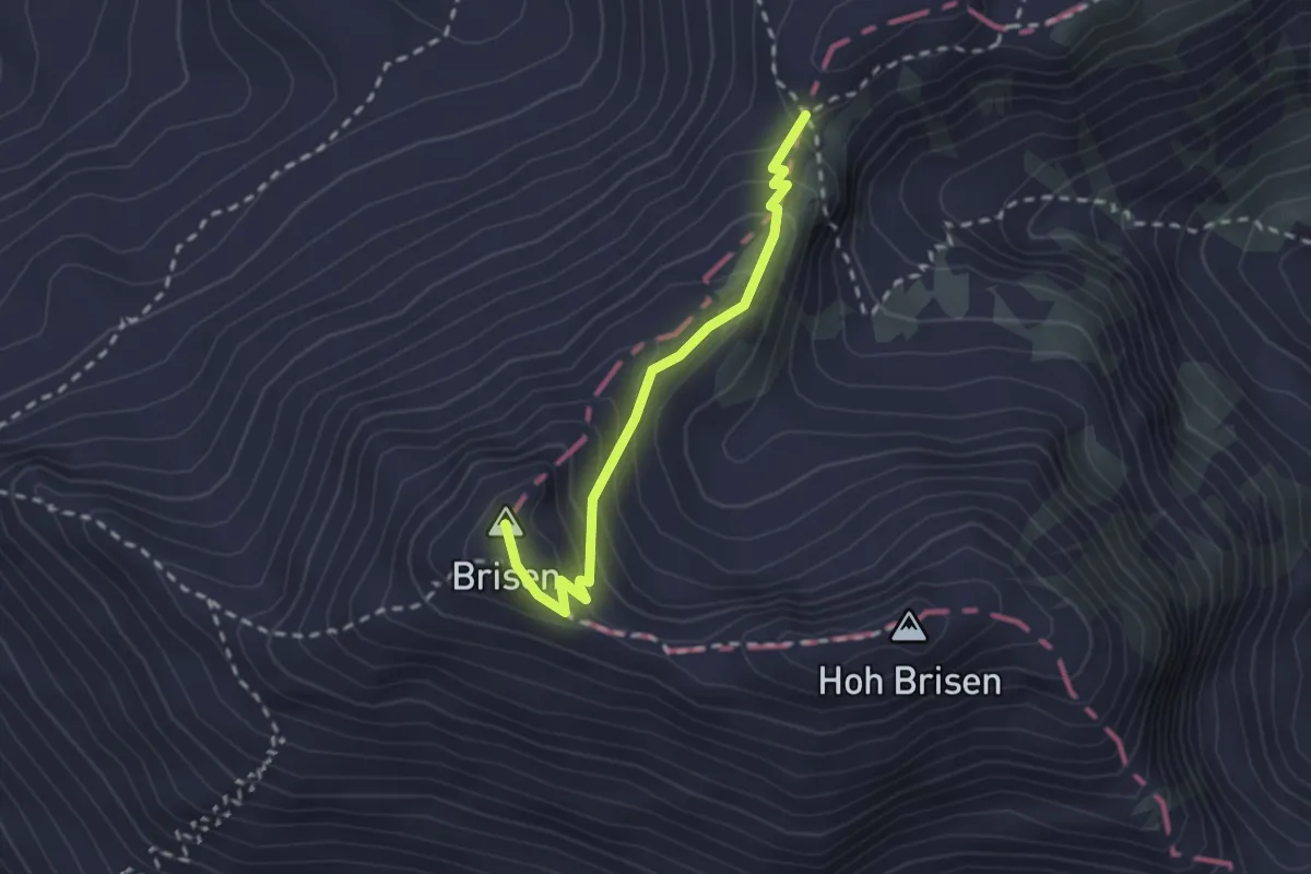
Demanding · Summit
Brisen – Steinalper Jochli
2.2 km · ↑ 205 m · 58 min