Trails in Switzerland
15,055 hiking trails, each with its route, climb, walking time and grade.
All trails, page 202 of 314
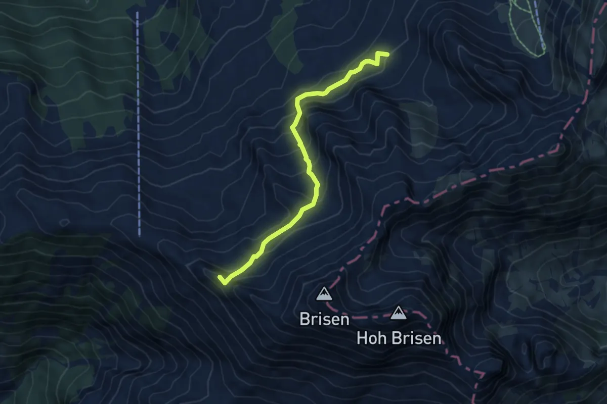
Demanding · Summit
Peterslücke – Brisenhaus
5.5 km · ↑ 479 m · 2 h 20 min
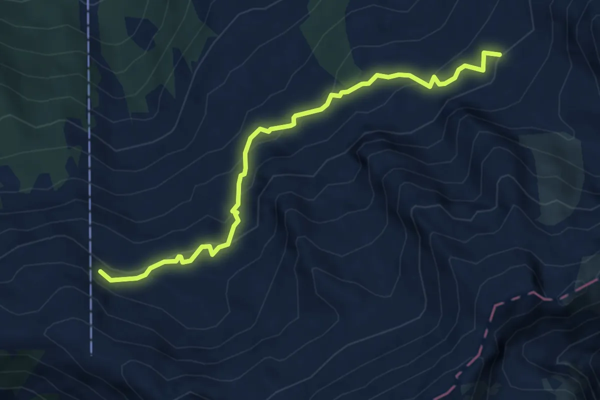
Demanding · Cabin
Chäserstad – Brisenhaus
5.4 km · ↑ 338 m · 2 h 1 min
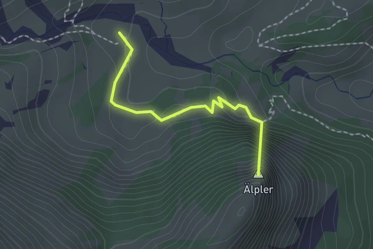
Easy · Summit
Geissboden – Alpeler Wald
1.6 km · ↑ 115 m · 37 min
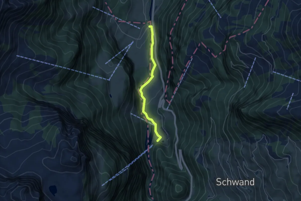
Easy · Trail
Mettlenbrücke – Obermatt
4.2 km · ↑ 111 m · 1 h 14 min
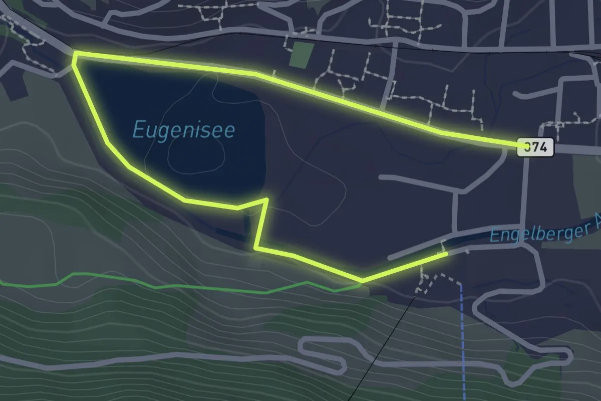
Easy · Trail
Eugenisee – Titlisbahn Talstation
3.4 km · ↑ 42 m · 54 min
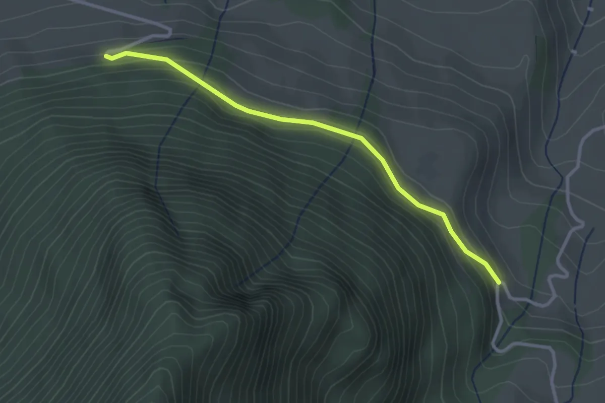
Easy · Trail
Halten – Schüpferi
2.8 km · ↑ 112 m · 55 min
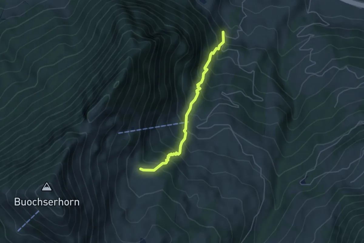
Medium · Trail
Halten – Unter Spis
4.2 km · ↑ 536 m · 2 h 9 min
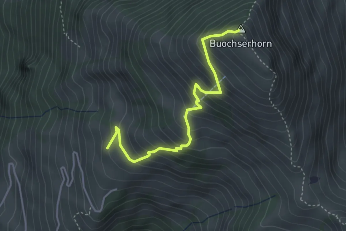
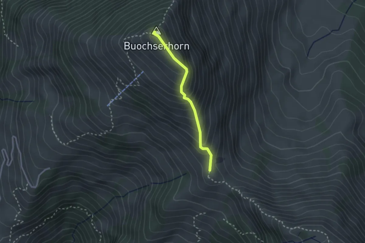
Medium · Summit
Buochserhorn – Arhölzli
3.6 km · ↑ 407 m · 1 h 43 min
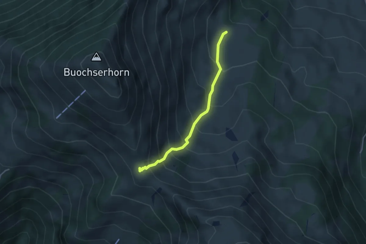
Medium · Summit
Buochserhorn – Bleikigrat
2.1 km · ↑ 213 m · 57 min
Medium · Trail
Unter Spis – Bleikigrat
2.9 km · ↑ 342 m · 1 h 25 min
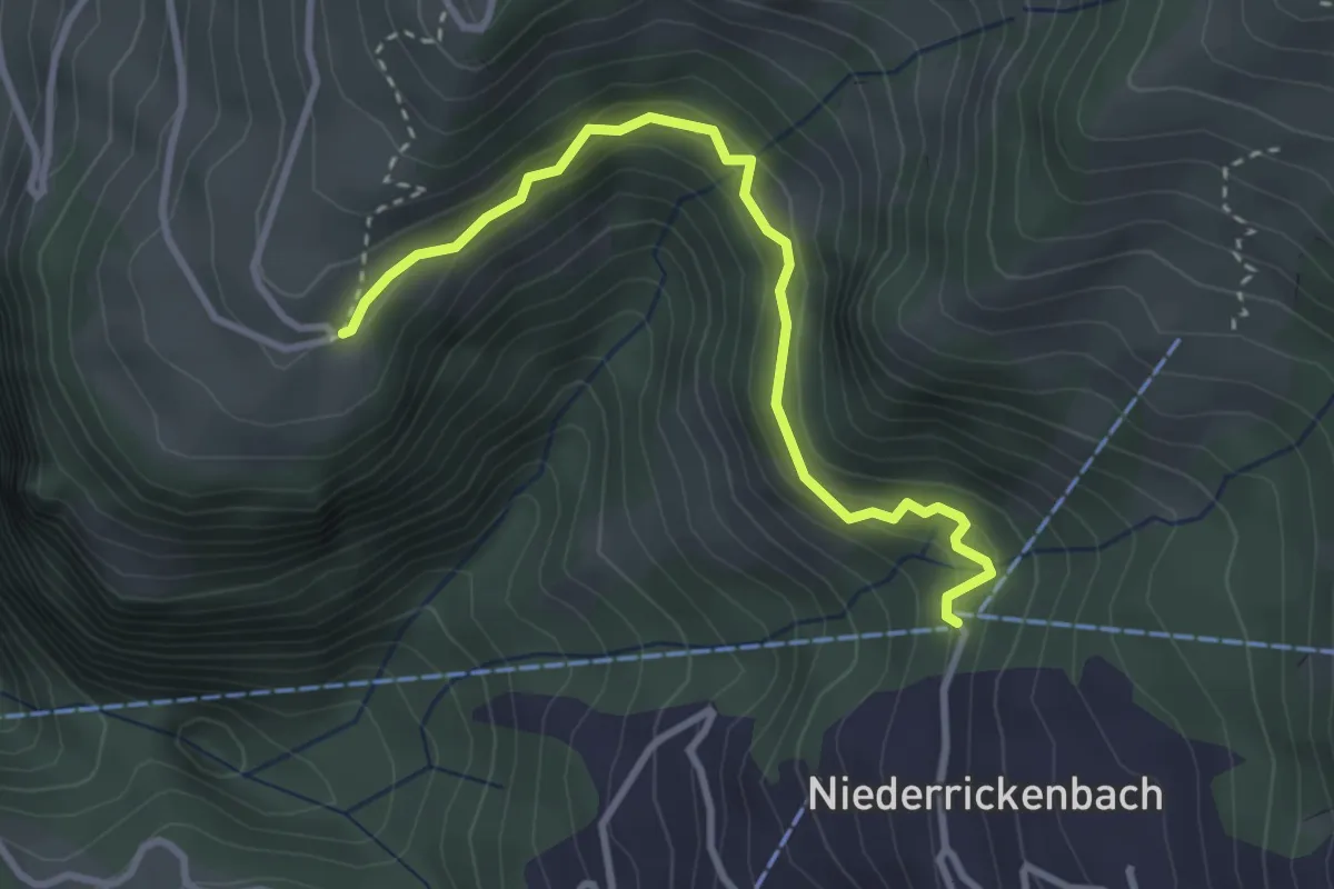
Easy · Trail
Niederrickenbach – Gibel
3.2 km · ↑ 229 m · 1 h 15 min
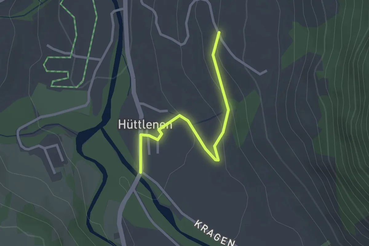
Easy · Trail
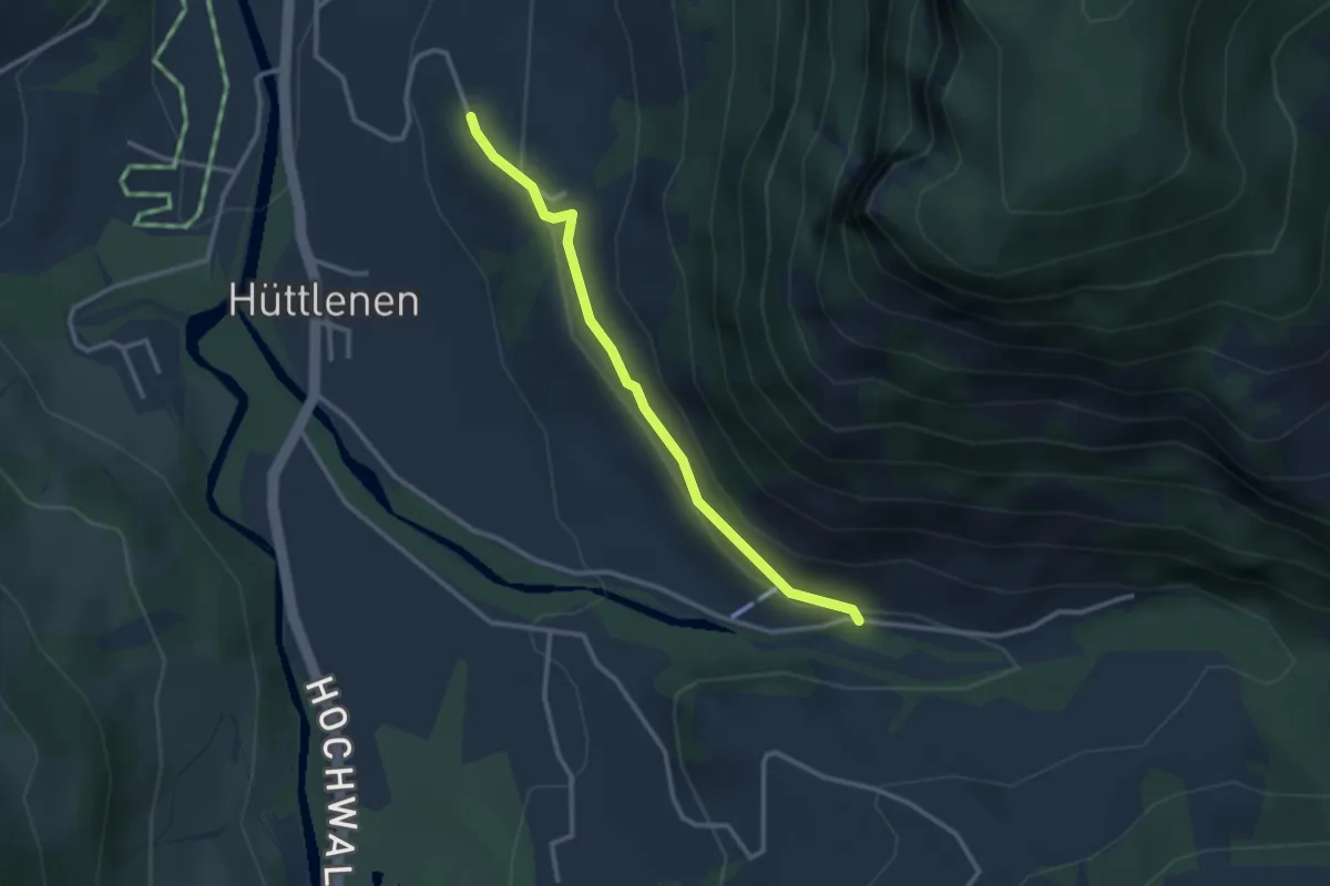
Schwandalp – Hüttlenen
2.3 km · ↑ 72 m · 42 min
Easy · Trail
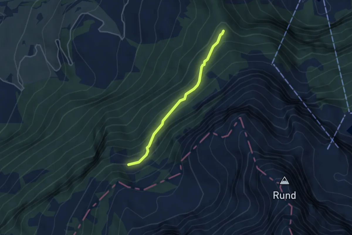
Chrage – Schwandalp
2.7 km · ↑ 68 m · 48 min
Medium · Trail
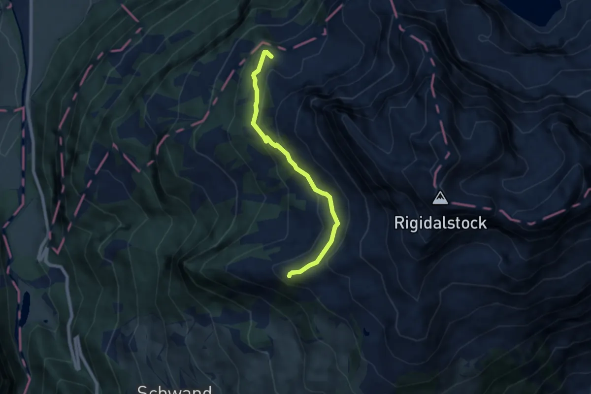
Mieschwald – Schwarzwald
3.1 km · ↑ 260 m · 1 h 17 min
Medium · Trail
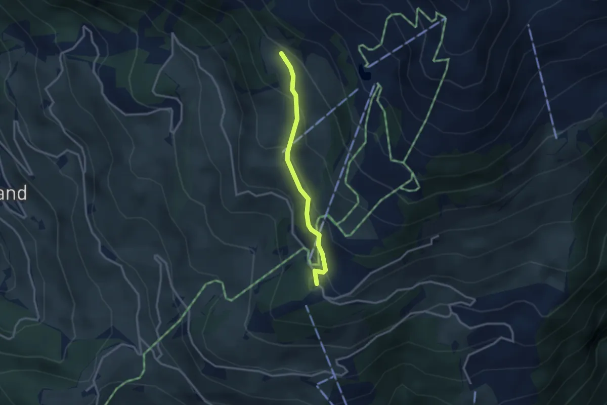
Walenalp – Sädelegg
5.4 km · ↑ 305 m · 1 h 57 min
Medium · Trail
Rinderbüel – Ristis
2.3 km · ↑ 158 m · 54 min
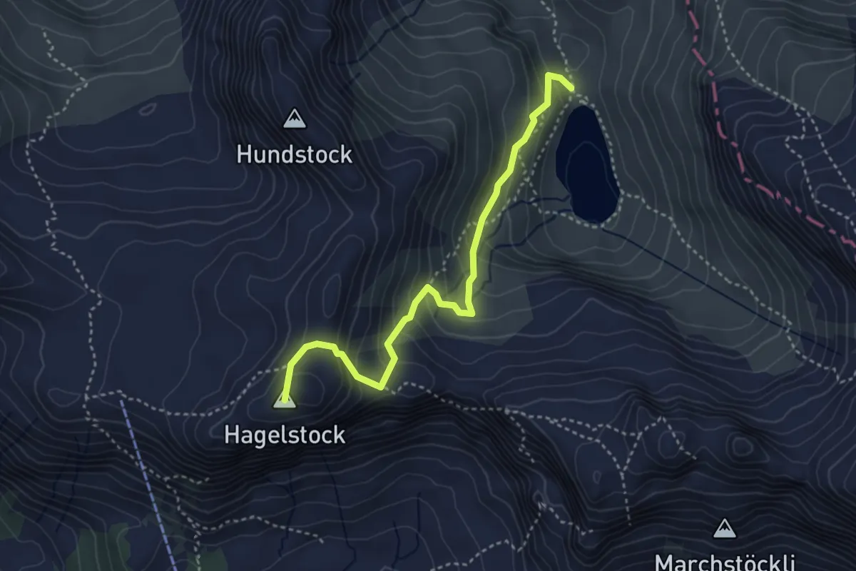
Medium · Summit
Schön Chulm – Spilauersee
3.7 km · ↑ 285 m · 1 h 29 min
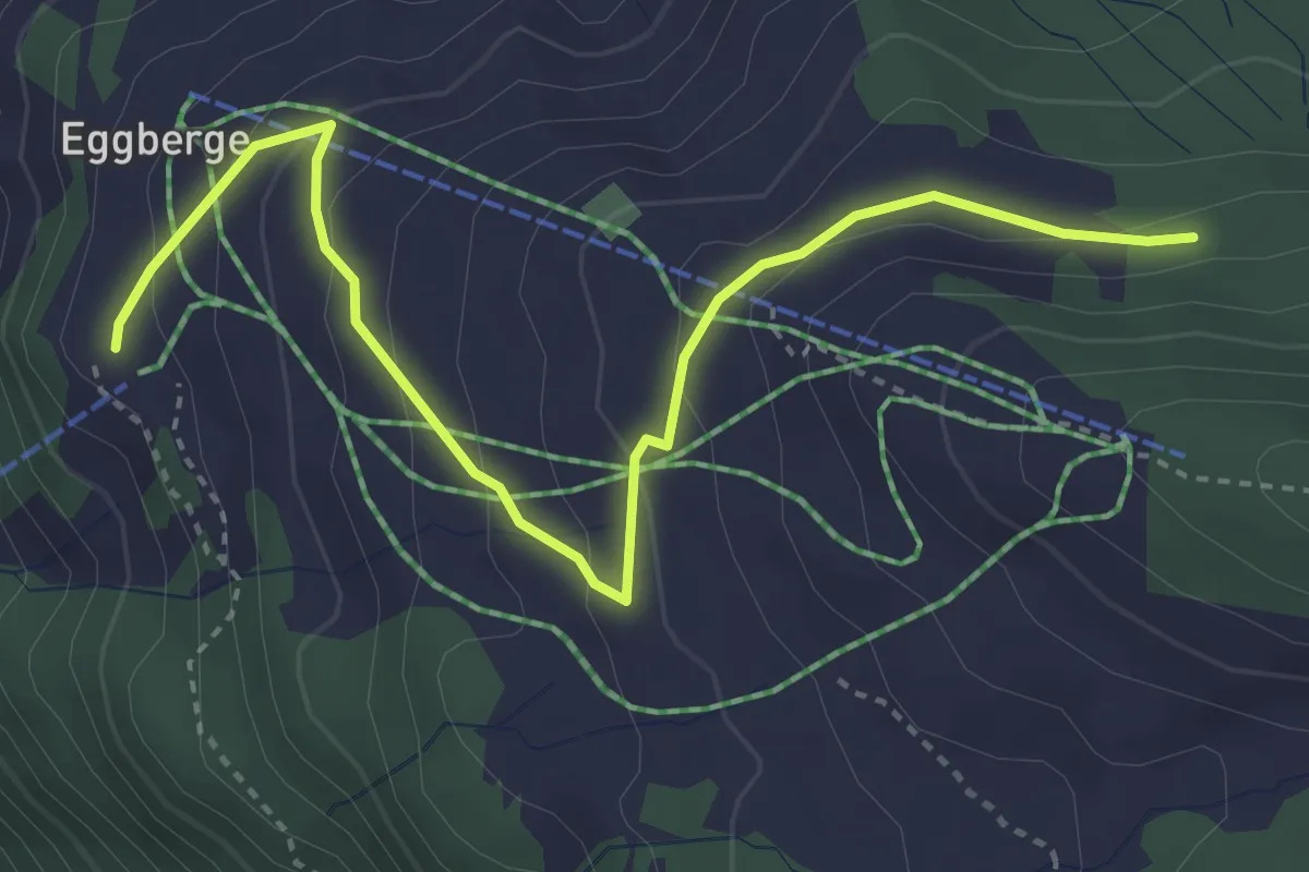
Easy · Trail
Eggberge – Angelingen
4.1 km · ↑ 186 m · 1 h 22 min
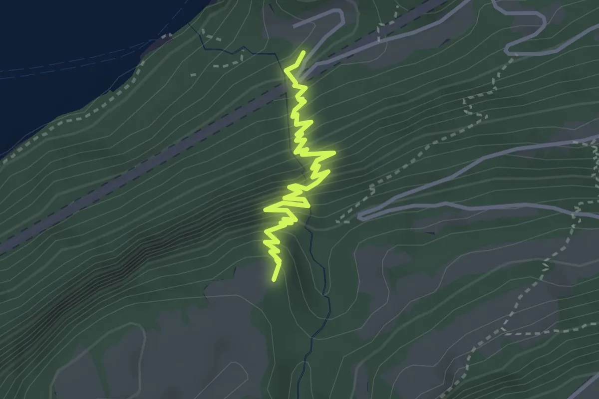
Medium · Trail
Giessbach – Schweibenalp
3.2 km · ↑ 445 m · 1 h 43 min
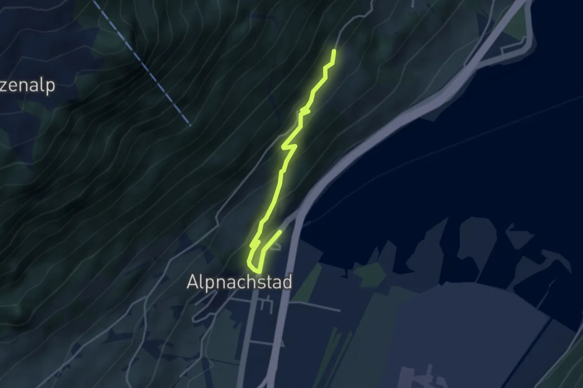
Easy · Trail
Alpnachstad – Grossrüti
3.4 km · ↑ 235 m · 1 h 18 min
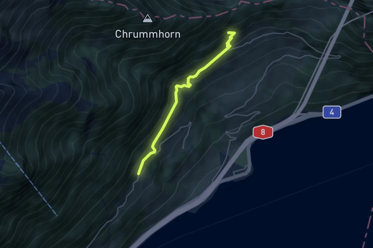
Medium · Trail
Grossrüti – Renggwald
3.6 km · ↑ 339 m · 1 h 36 min
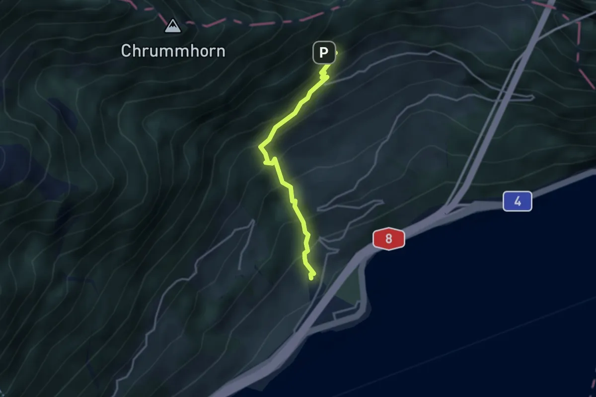
Medium · Trail
Renggwald – Bachmattli
3.0 km · ↑ 375 m · 1 h 32 min
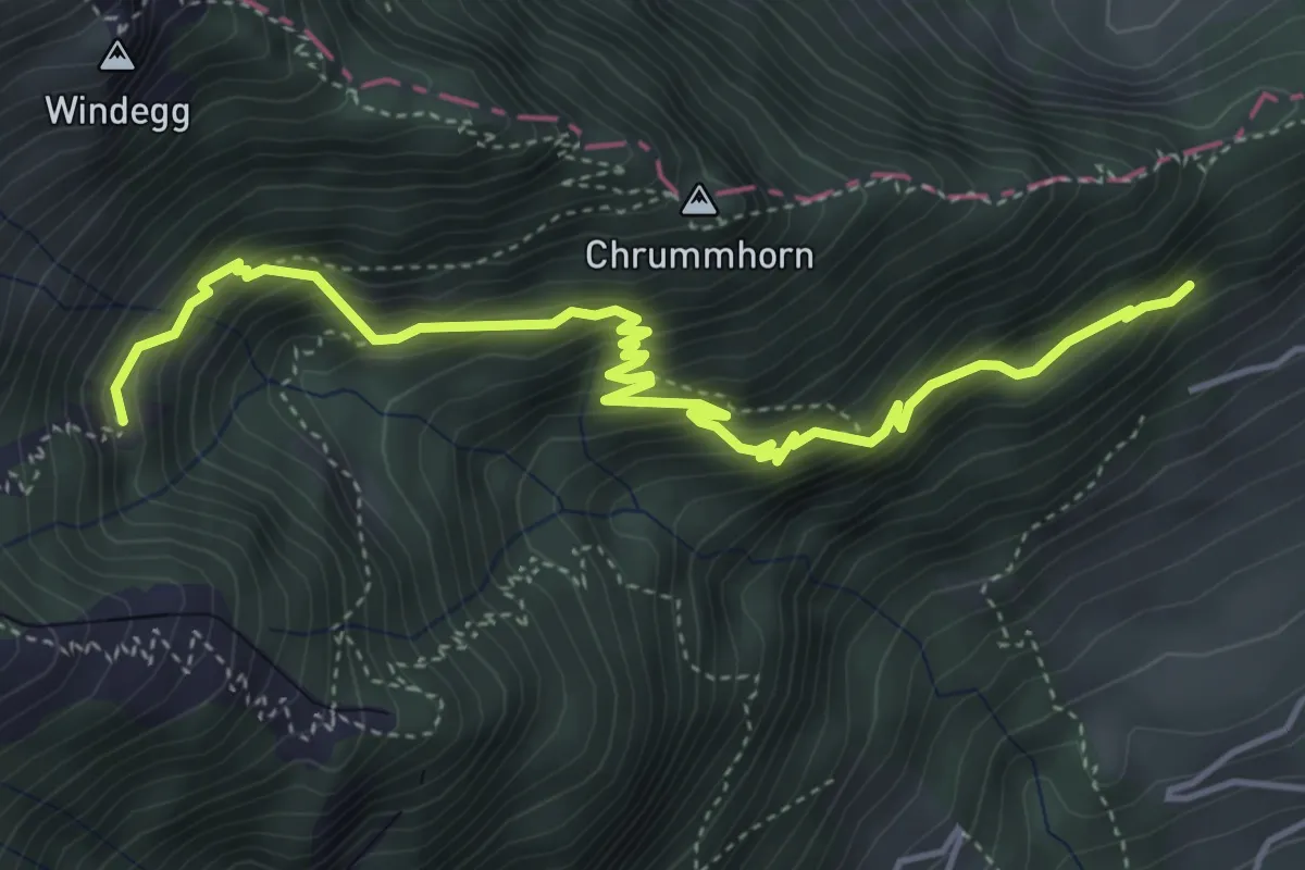
Demanding · Trail
Renggwald – Unter Steigli
5.2 km · ↑ 613 m · 2 h 33 min
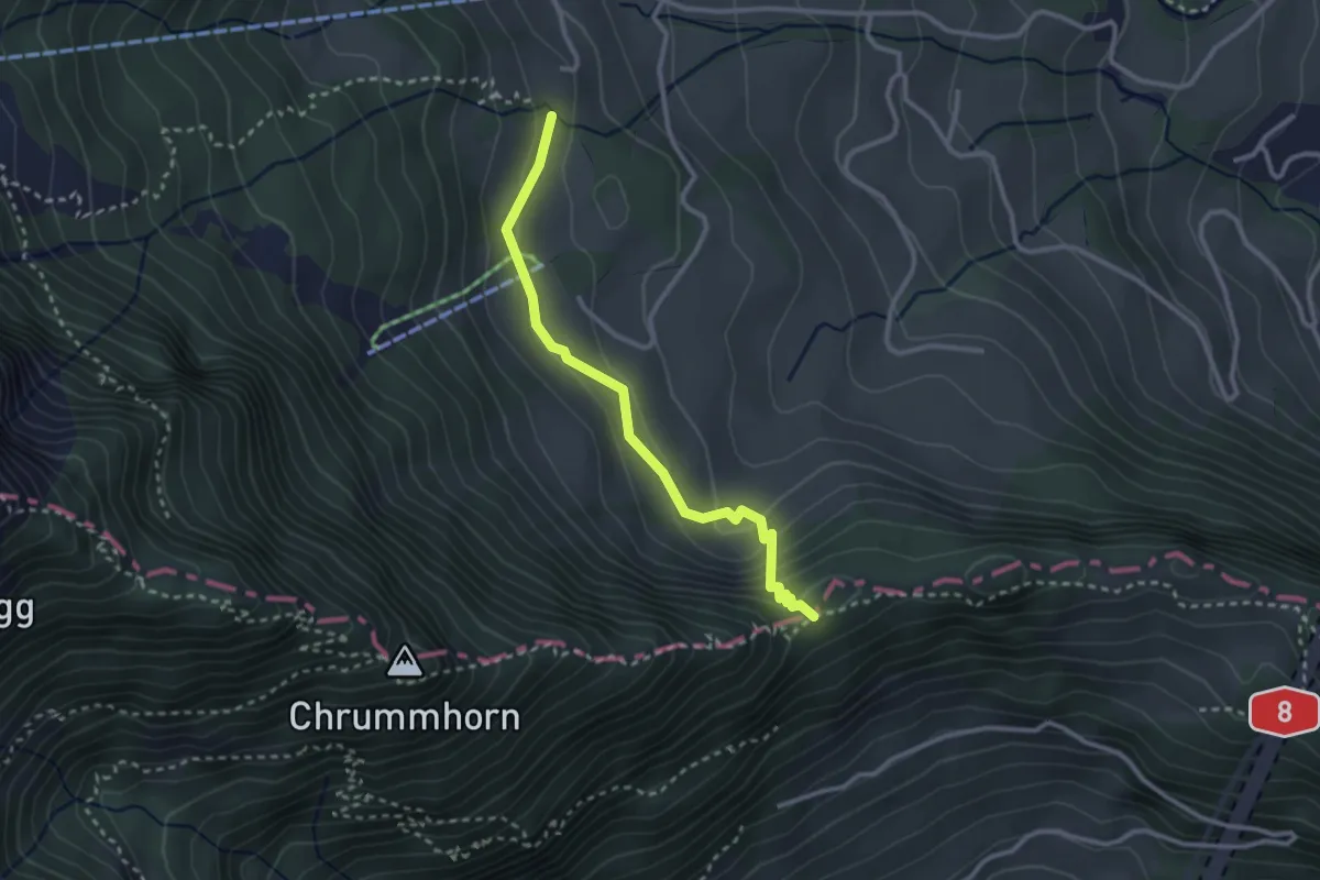
Easy · Trail
Renggpass – Ränggeli
2.7 km · ↑ 175 m · 1 h 2 min
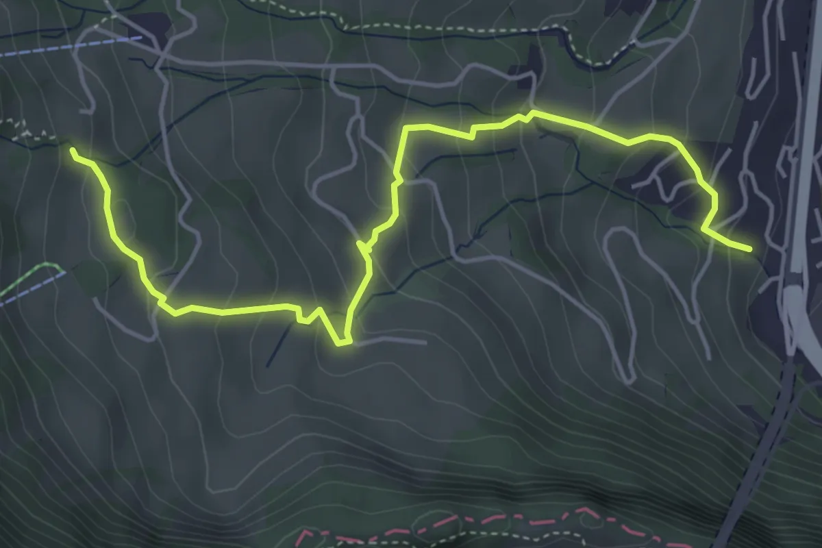
Medium · Trail
Ränggeli – Büel
5.2 km · ↑ 339 m · 1 h 58 min
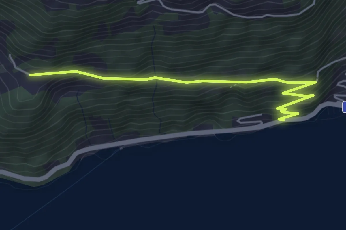
Easy · Trail
Strandbad – Ober Rängg
4.6 km · ↑ 305 m · 1 h 44 min
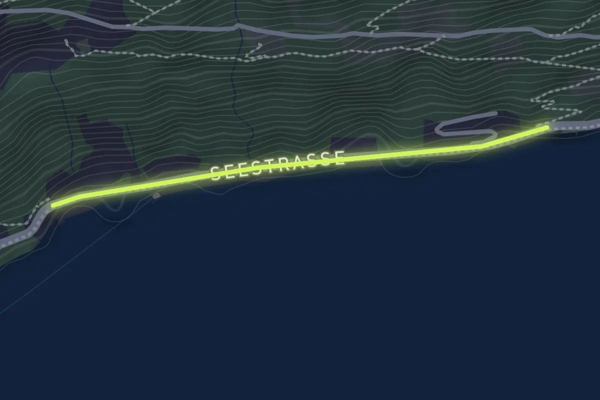
Easy · Trail
Strandbad – Forst
2.1 km · ↑ 26 m · 34 min
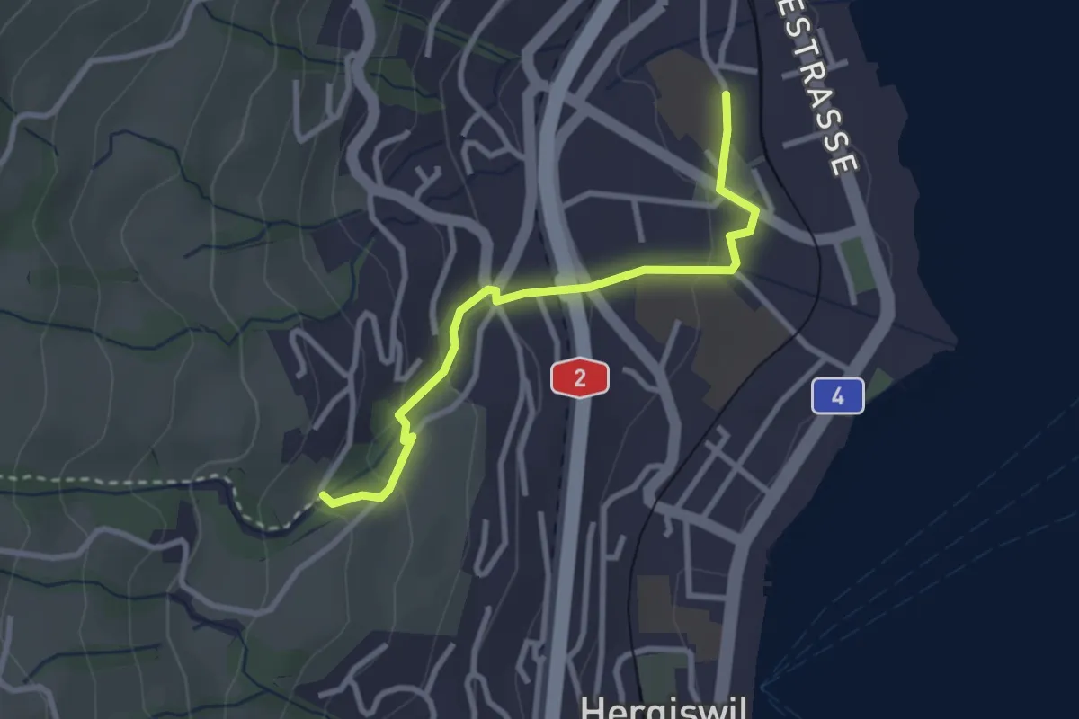
Easy · Trail
Hergiswil Matt – Unter Chellen
2.7 km · ↑ 123 m · 55 min
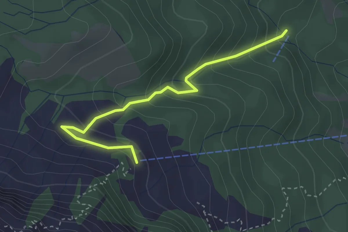
Medium · Cabin
Riedboden – Alpgschwänd
2.9 km · ↑ 222 m · 1 h 10 min
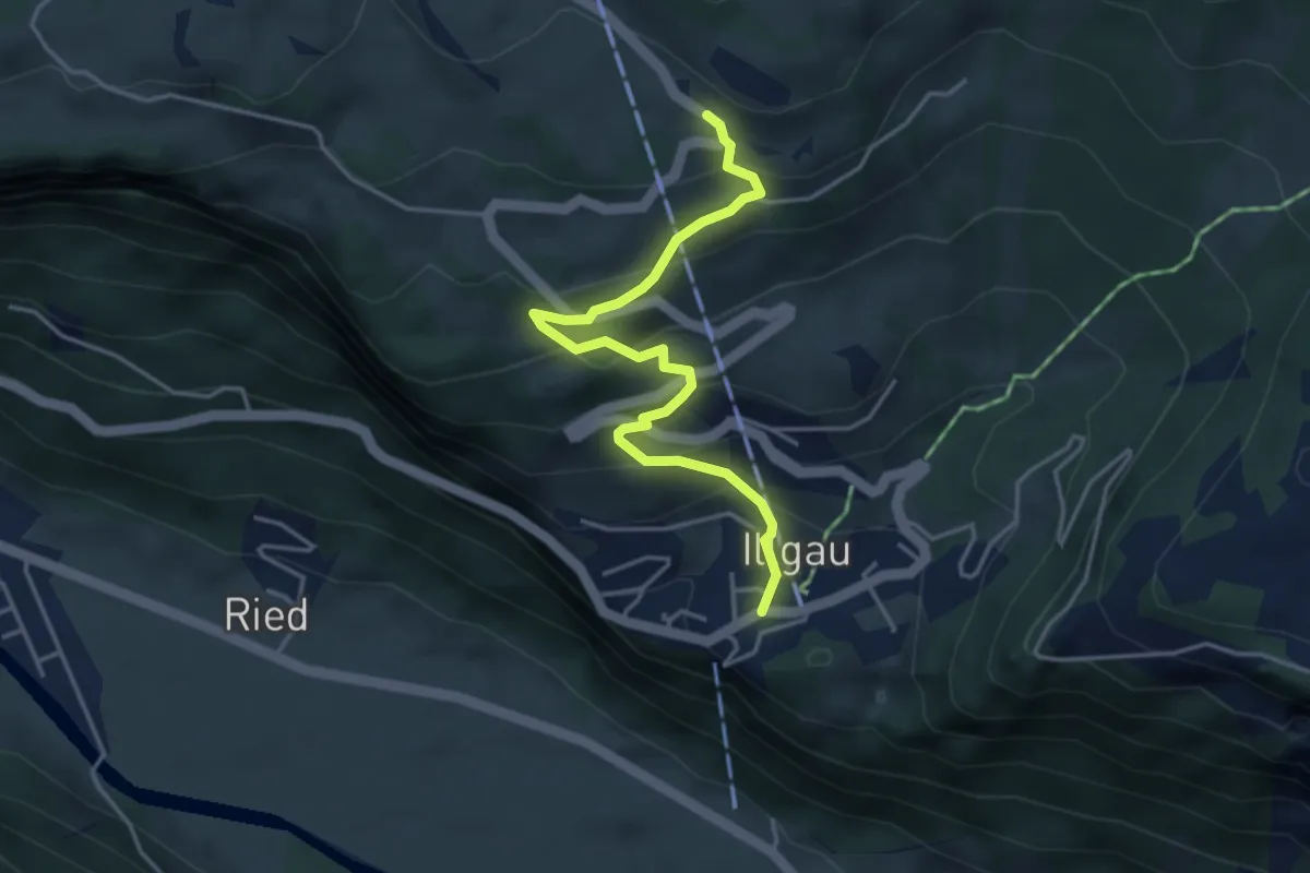
Easy · Trail
Zimmerstalden – Illgau
4.1 km · ↑ 316 m · 1 h 39 min
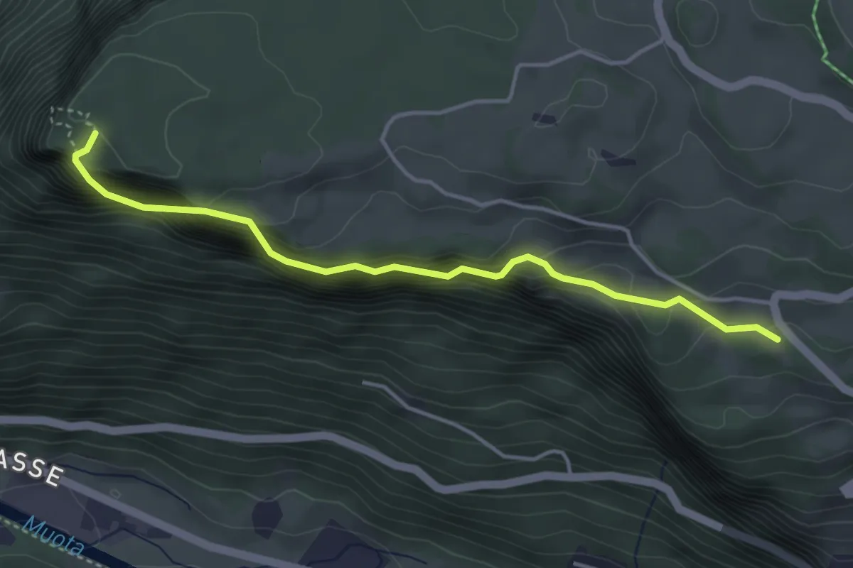
Medium · Trail
Wart – Fallenflue
4.0 km · ↑ 385 m · 1 h 46 min
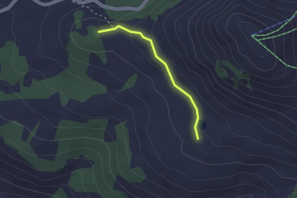
Medium · Summit
Glaubenbielen – Jänzimatt
1.6 km · ↑ 54 m · 30 min
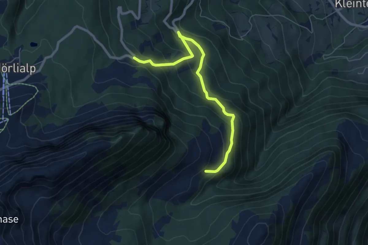
Medium · Trail
Sandbodenrank – Pörterwald
5.9 km · ↑ 502 m · 2 h 28 min
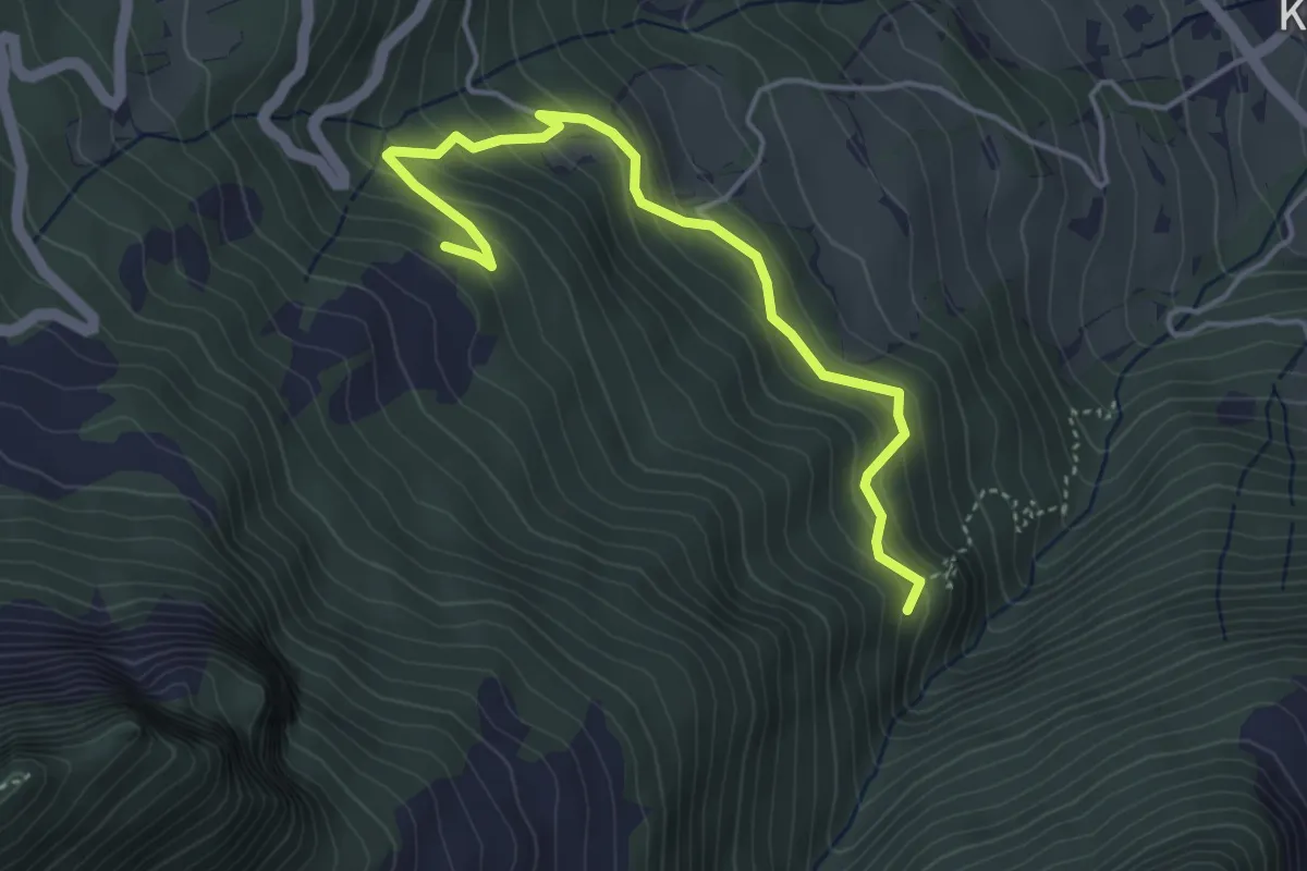
Medium · Trail
Pörterwald – Zopfwald
4.4 km · ↑ 324 m · 1 h 44 min
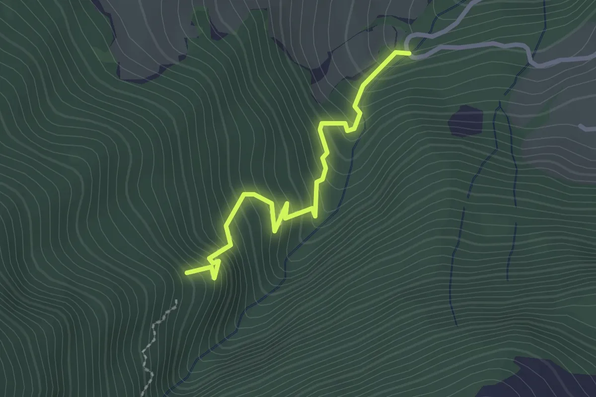
Medium · Trail
Zopfwald – Altibach
2.2 km · ↑ 259 m · 1 h 5 min
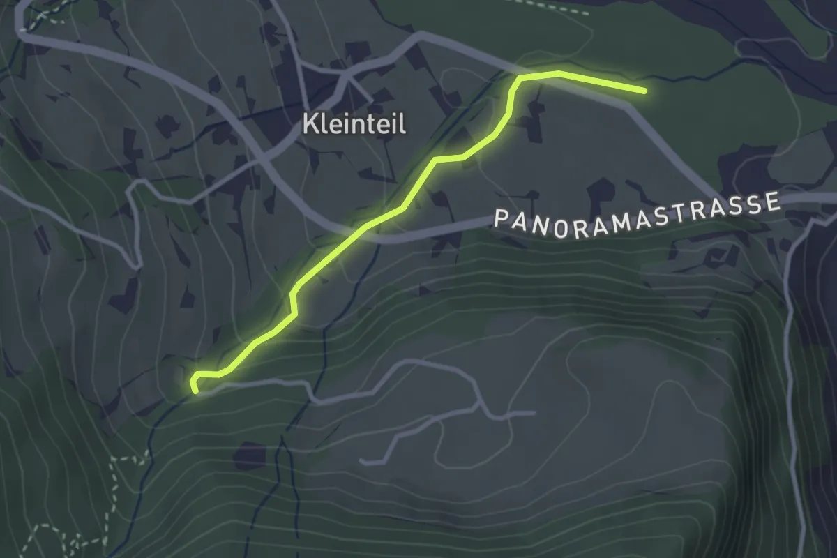
Easy · Trail
Altibach – Alte Chilche
2.7 km · ↑ 116 m · 53 min
Easy · Trail
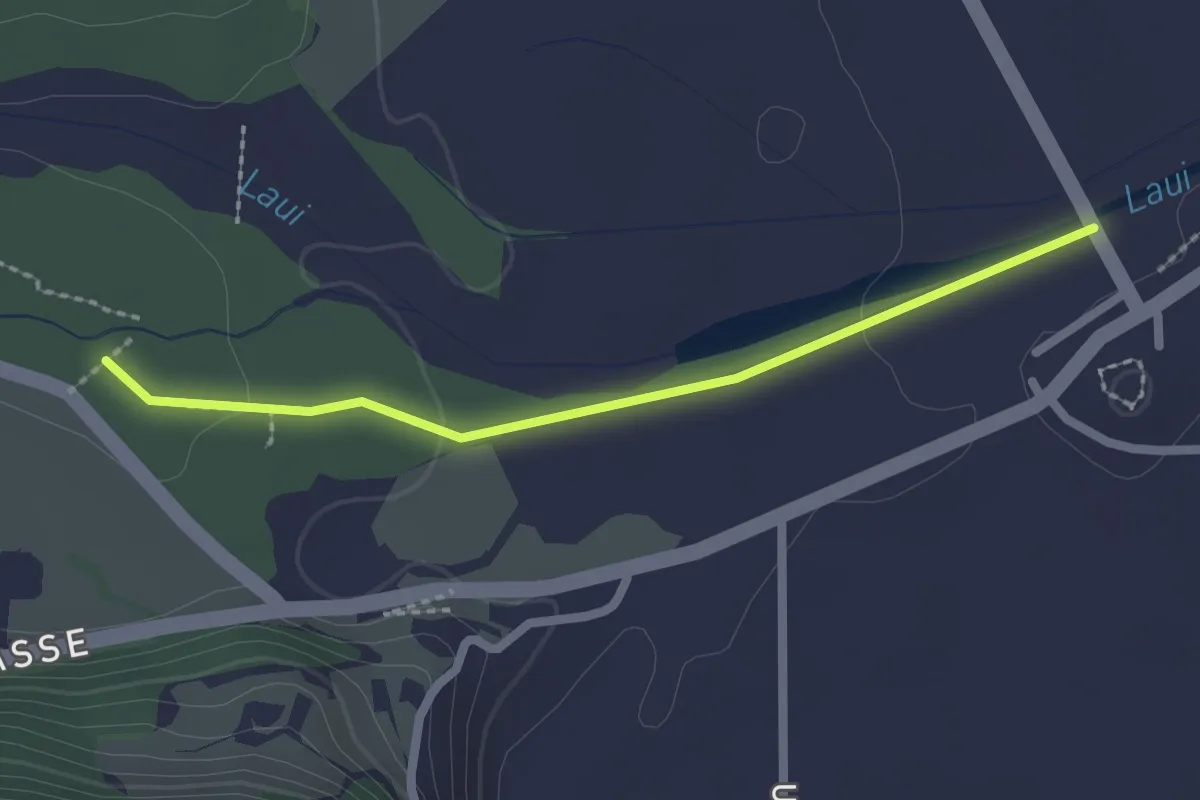
Alte Chilche – Mühlemattli
2.1 km · ↑ 22 m · 33 min
Medium · Trail
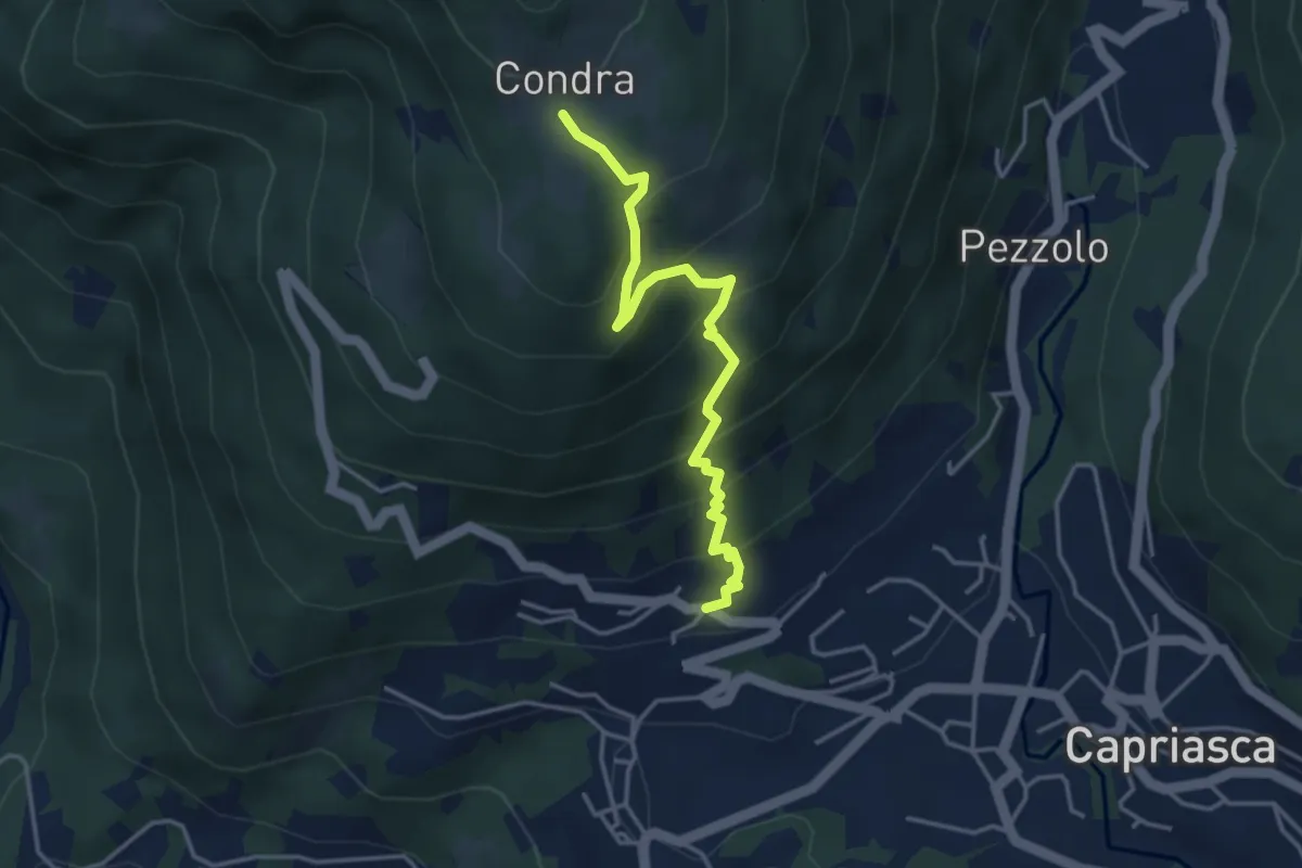
Bigorio – Condra
3.9 km · ↑ 375 m · 1 h 45 min
Medium · Trail
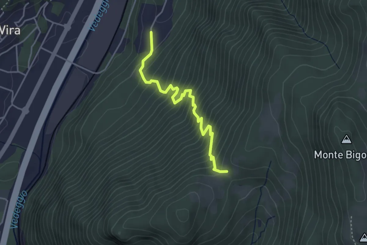
Monti di Brena – Piazzeno
3.6 km · ↑ 435 m · 1 h 47 min
Medium · Trail
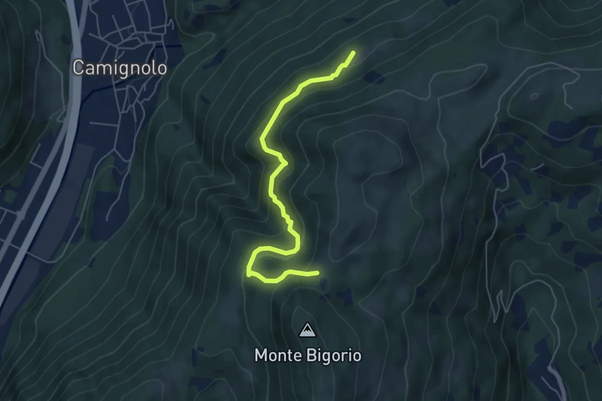
Stinchè – Busio
5.2 km · ↑ 466 m · 2 h 15 min
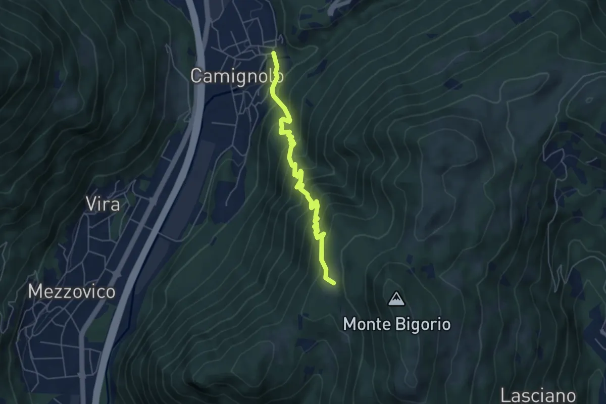
Medium · Trail
Monti Soldini – Camignolo
5.1 km · ↑ 547 m · 2 h 24 min
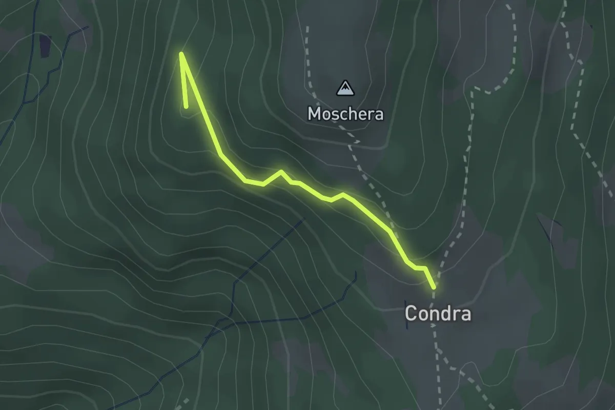
Easy · Summit
Monti Soldini – Condra
2.0 km · ↑ 127 m · 45 min
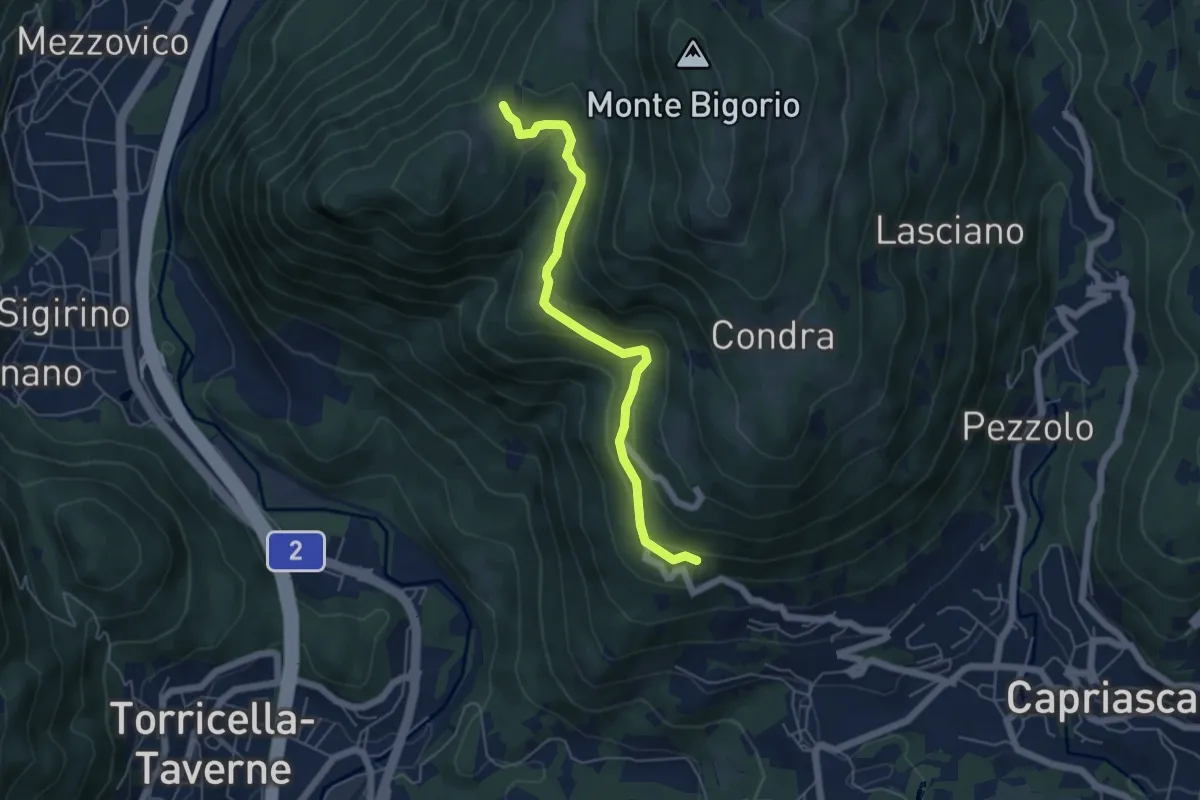
Easy · Trail
Monti di Brena – Convento Santa Maria
5.3 km · ↑ 252 m · 1 h 48 min
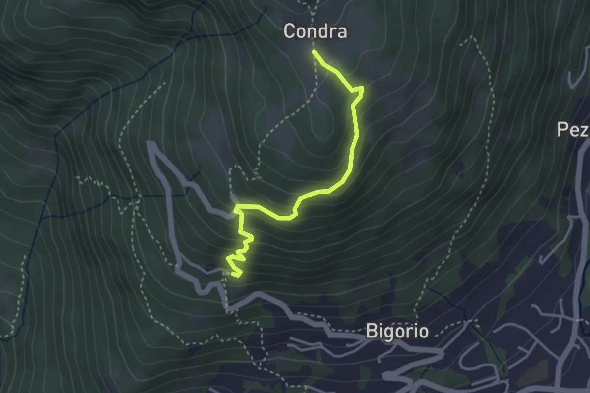
Easy · Trail
Condra – Convento Santa Maria
3.1 km · ↑ 253 m · 1 h 17 min
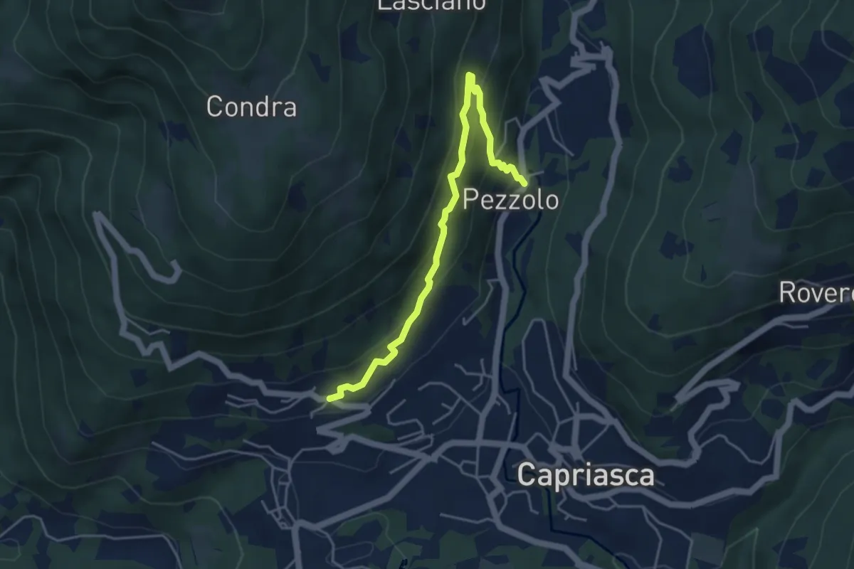
Medium · Trail
Bigorio – Pezzolo
4.4 km · ↑ 330 m · 1 h 46 min
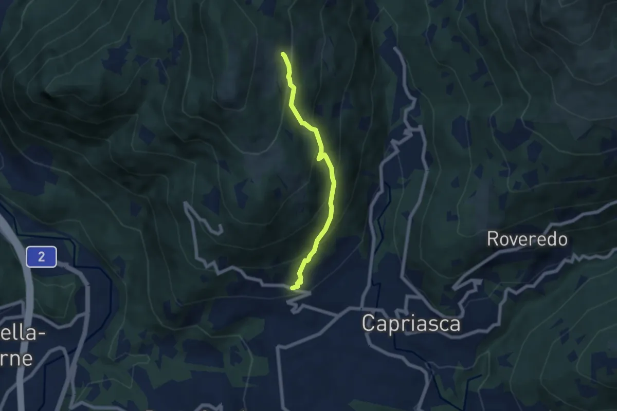
Medium · Trail
Bigorio – Monti di Cima
4.9 km · ↑ 399 m · 2 h 1 min
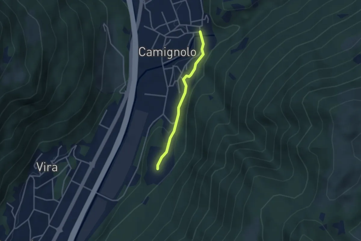
Easy · Trail
Piazzeno – Camignolo
2.5 km · ↑ 60 m · 44 min
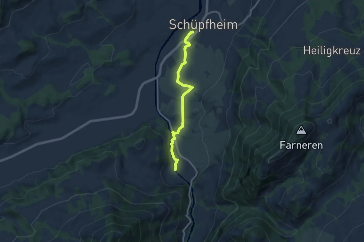
Easy · Trail
Schüpfheim – fixme
6.6 km · ↑ 84 m · 1 h 44 min