Trails in Switzerland
15,055 hiking trails, each with its route, climb, walking time and grade.
All trails, page 203 of 314
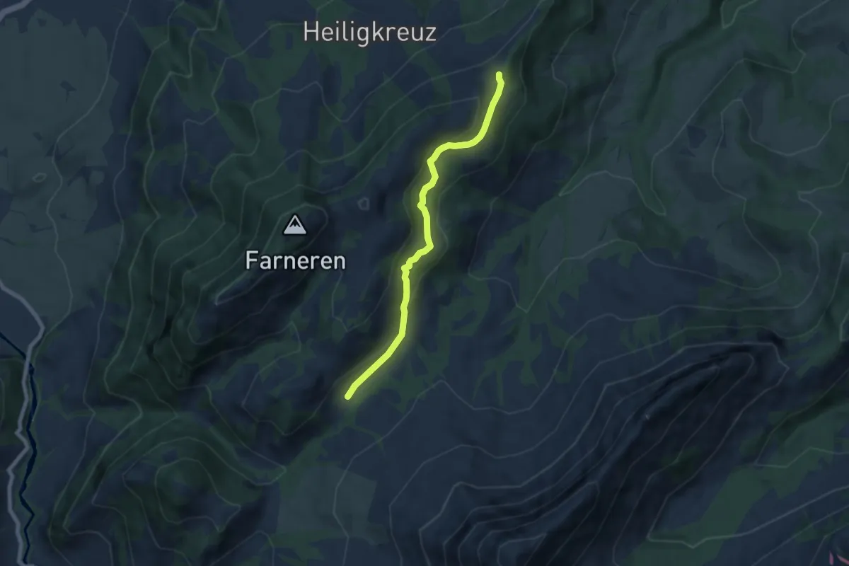
Easy · Trail
First – Finishütte
6.2 km · ↑ 223 m · 1 h 56 min
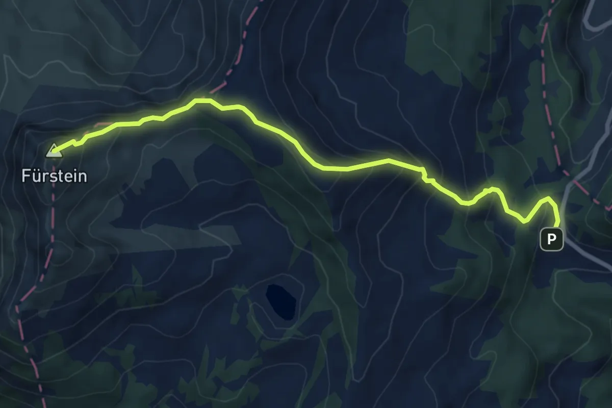
Medium · Summit
Glaubenbergpass – Fürstein
7.2 km · ↑ 570 m · 2 h 56 min
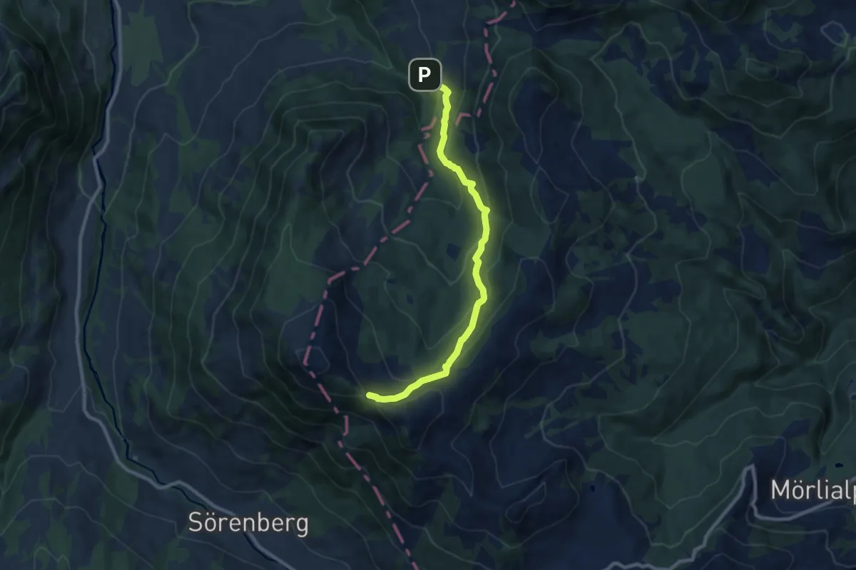
Medium · Trail
Sattel-Schlucht – Teufimannsattel
8.8 km · ↑ 568 m · 3 h 19 min
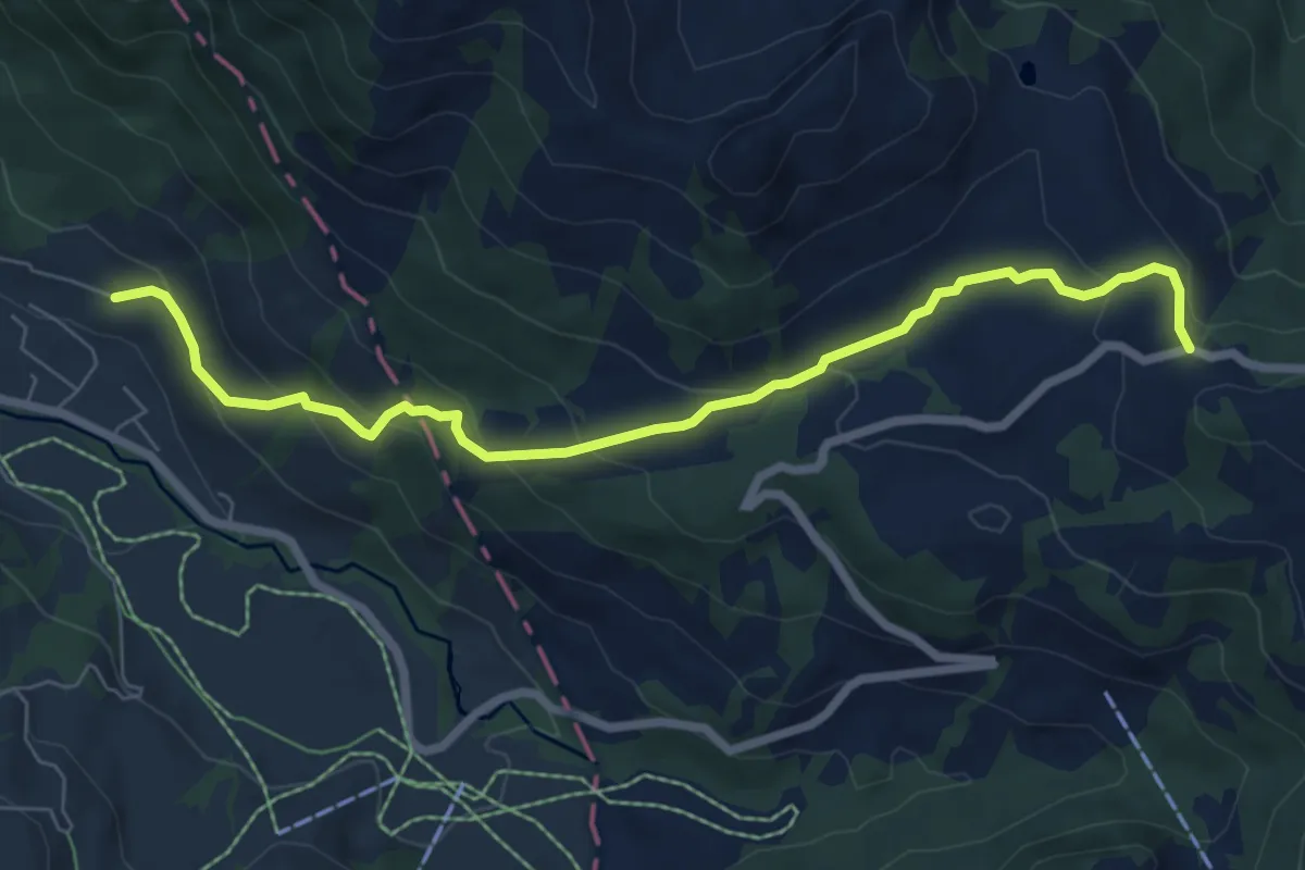
Medium · Trail
Flüehütten – Glaubenbielen
7.3 km · ↑ 355 m · 2 h 30 min
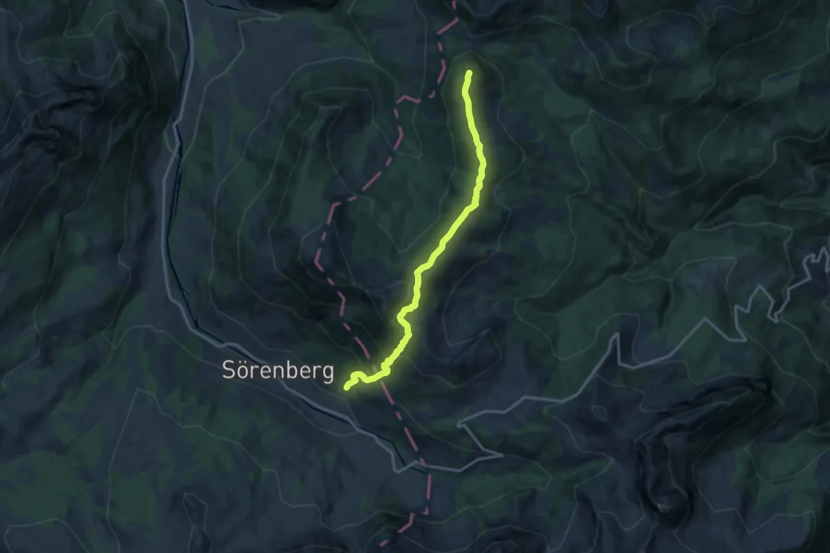
Demanding · Summit
Flüehütte – Sattelpass
12.4 km · ↑ 895 m · 4 h 53 min
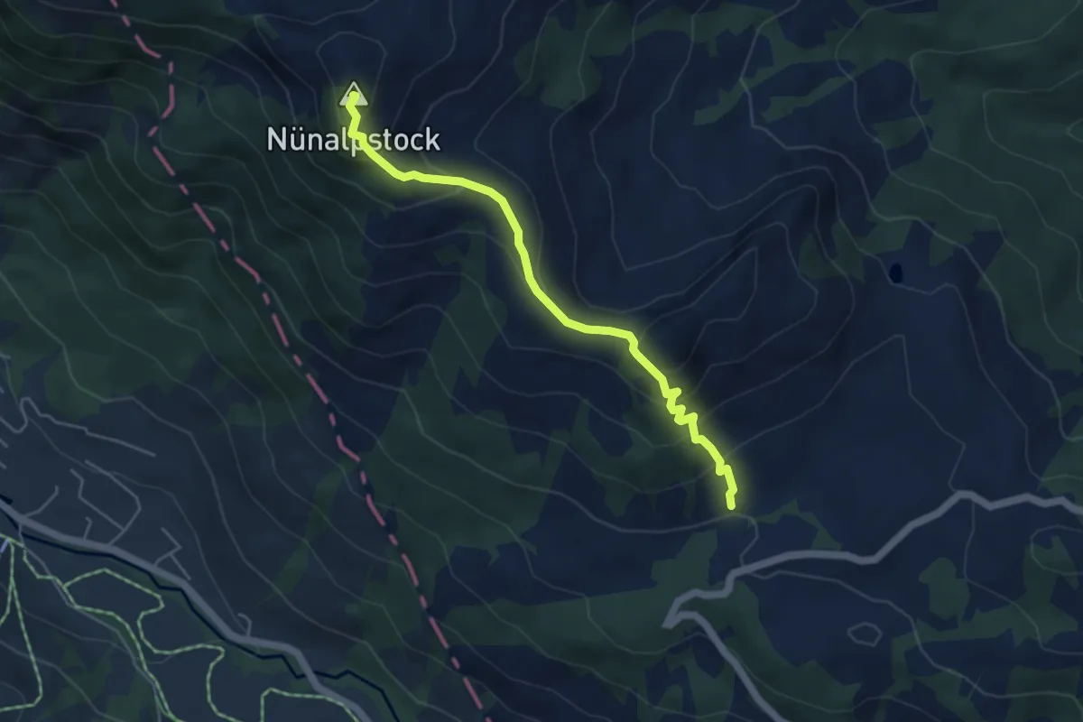
Medium · Summit
Teufimattsattel – Scheidbach
4.6 km · ↑ 380 m · 1 h 55 min
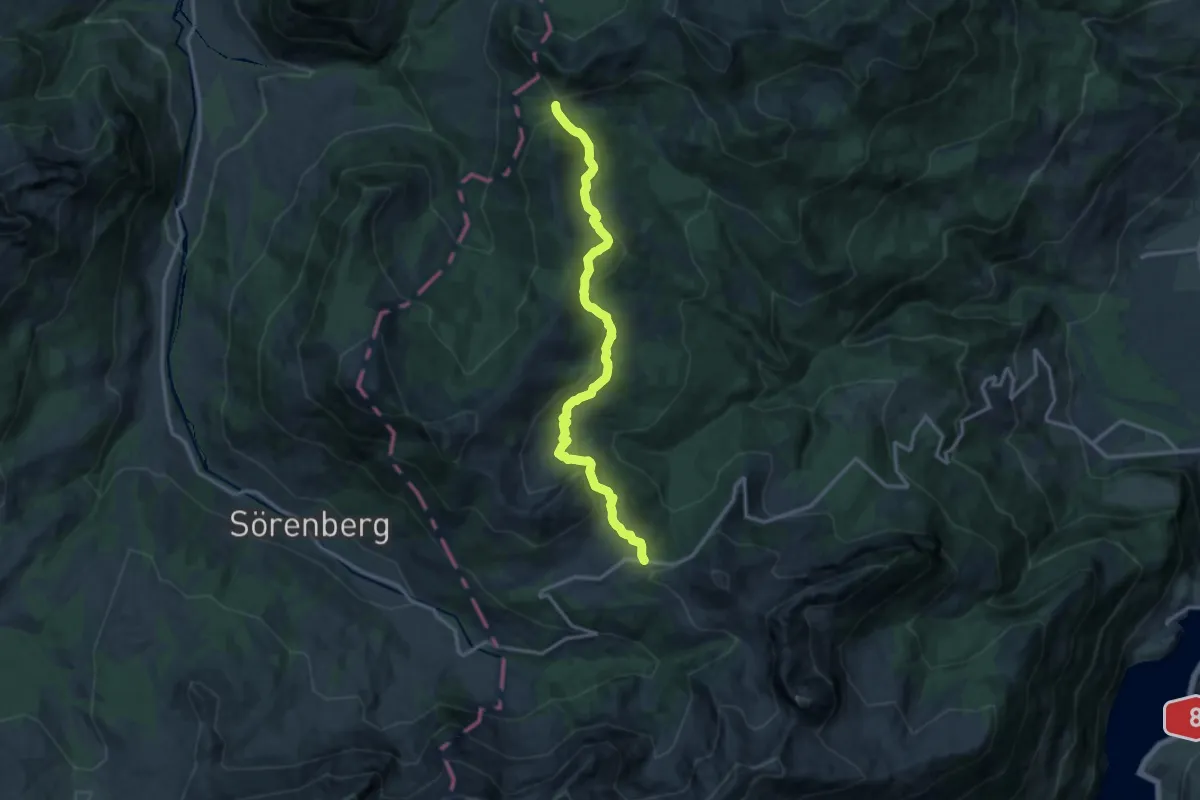
Medium · Trail
Glaubenbielen – Sattelpass
14.0 km · ↑ 511 m · 4 h 25 min
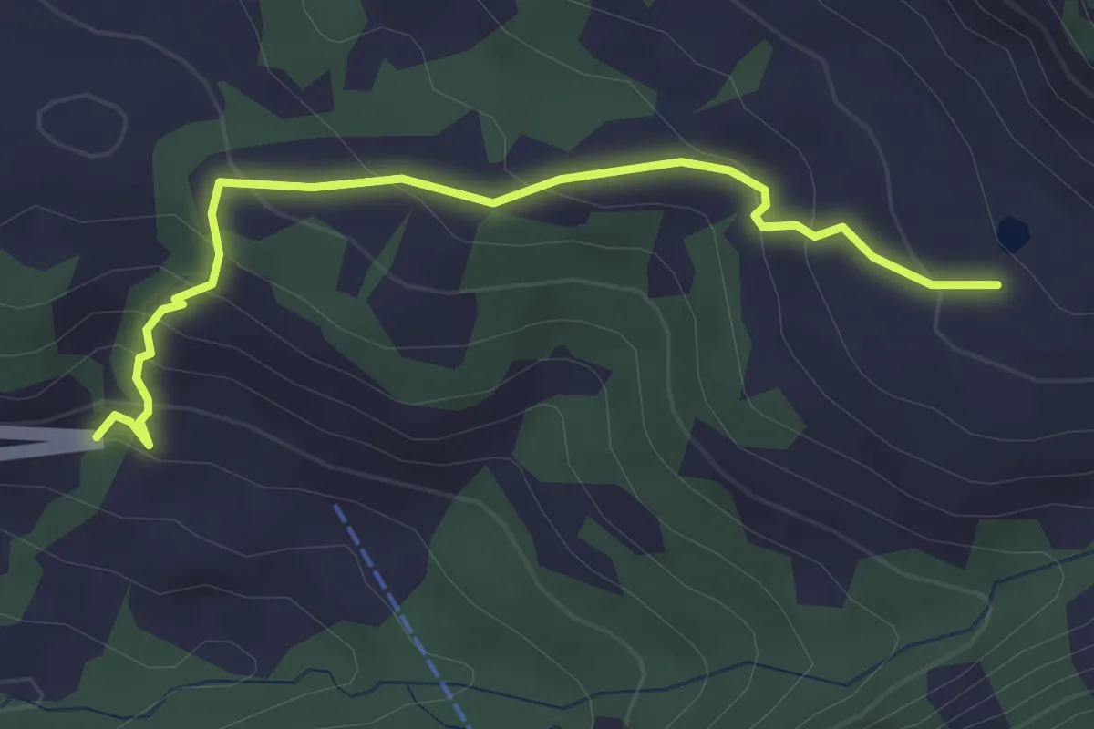
Easy · Trail
Jänzimatt – Emmenrank
3.2 km · ↑ 243 m · 1 h 17 min
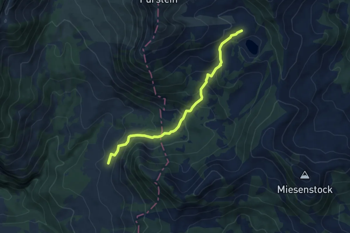
Medium · Trail
Ober Sewen – Stäldli
6.2 km · ↑ 364 m · 2 h 15 min
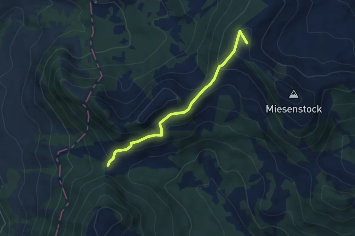
Medium · Summit
Sewenegg – Sattelpass
4.4 km · ↑ 234 m · 1 h 33 min
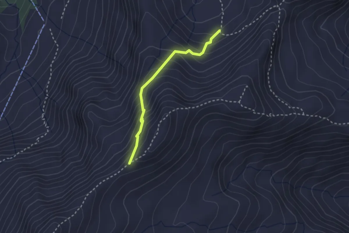
Medium · Trail
Heidenboden – Biet
2.2 km · ↑ 244 m · 1 h 3 min
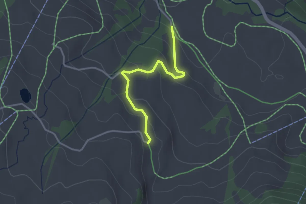
Easy · Trail
Witmoos – Schlacht
2.5 km · ↑ 129 m · 51 min
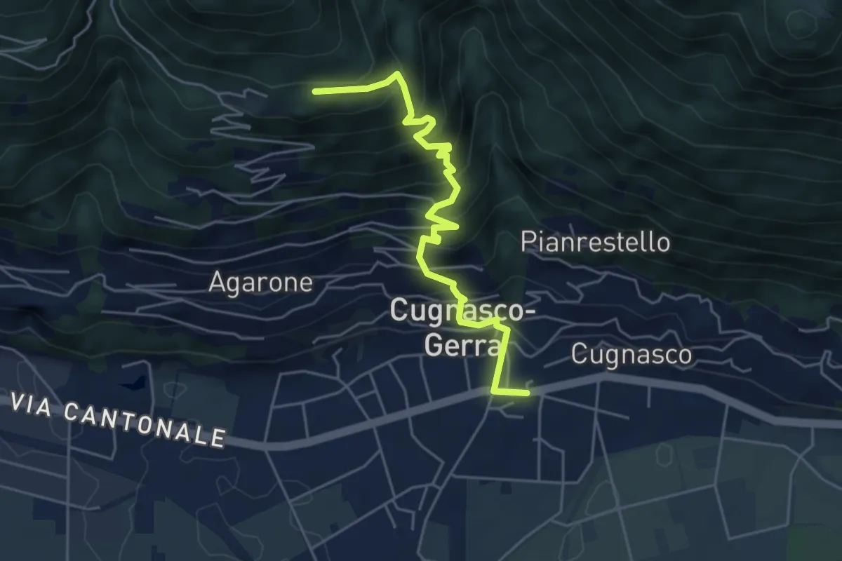
Medium · Trail
Cugnasco – Curogna
4.9 km · ↑ 553 m · 2 h 22 min
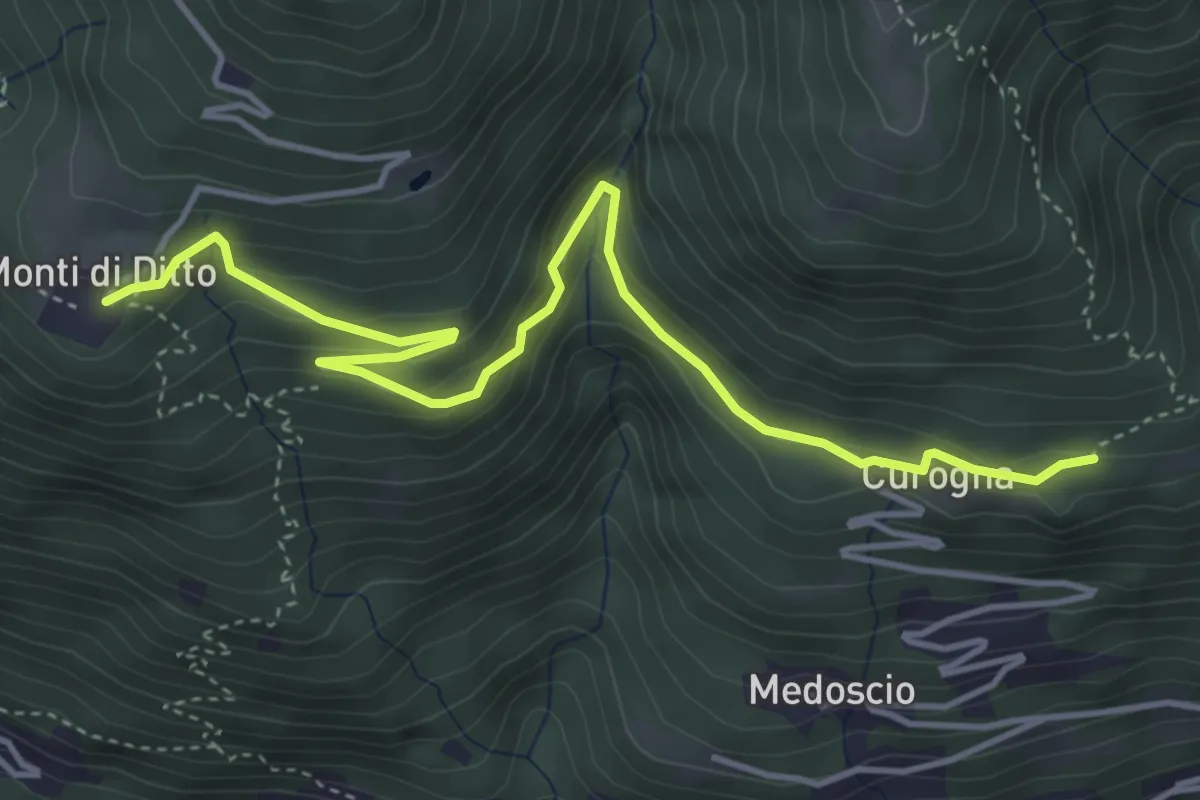
Easy · Trail
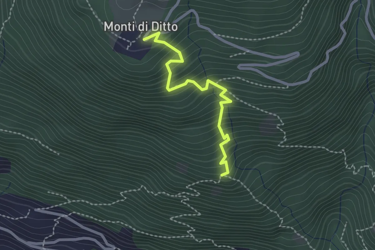
Curogna – Monti di Ditto
5.0 km · ↑ 255 m · 1 h 44 min
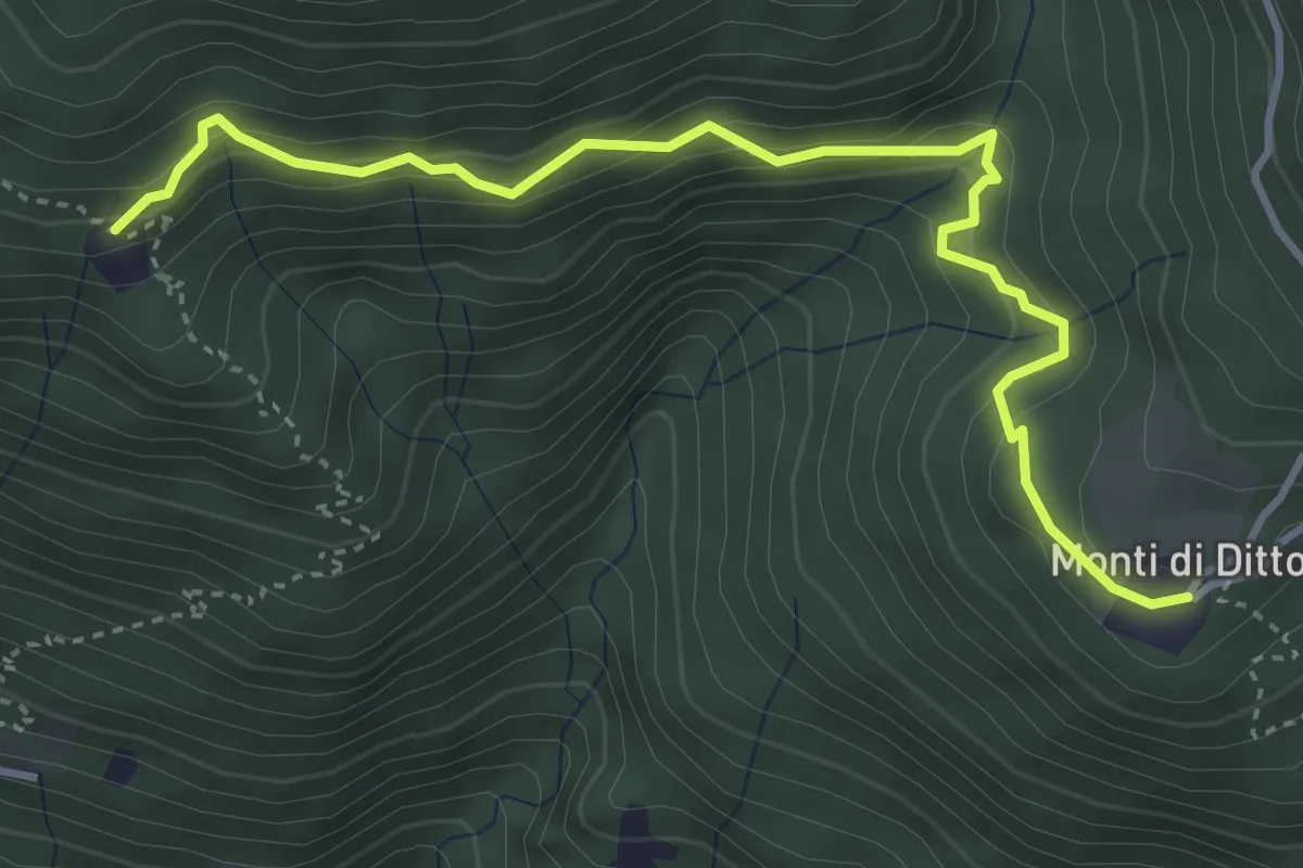
Demanding · Trail
Monti di Ditto – Bazzadee
4.3 km · ↑ 444 m · 1 h 59 min
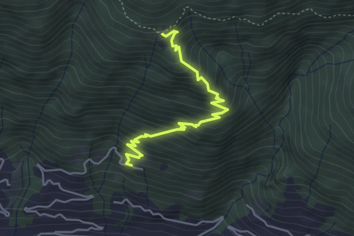
Medium · Trail
Bazzadee – Sotto Sassalto
3.8 km · ↑ 452 m · 1 h 52 min
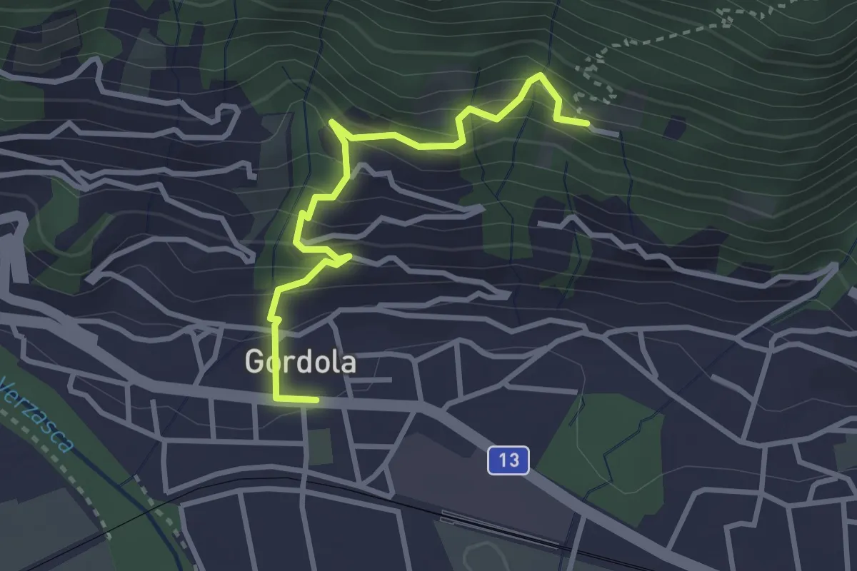
Easy · Trail
Sotto Sassalto – Gordola
3.0 km · ↑ 310 m · 1 h 22 min
Easy · Trail
Monti di Ditto – Peross
2.1 km · ↑ 253 m · 1 h 3 min
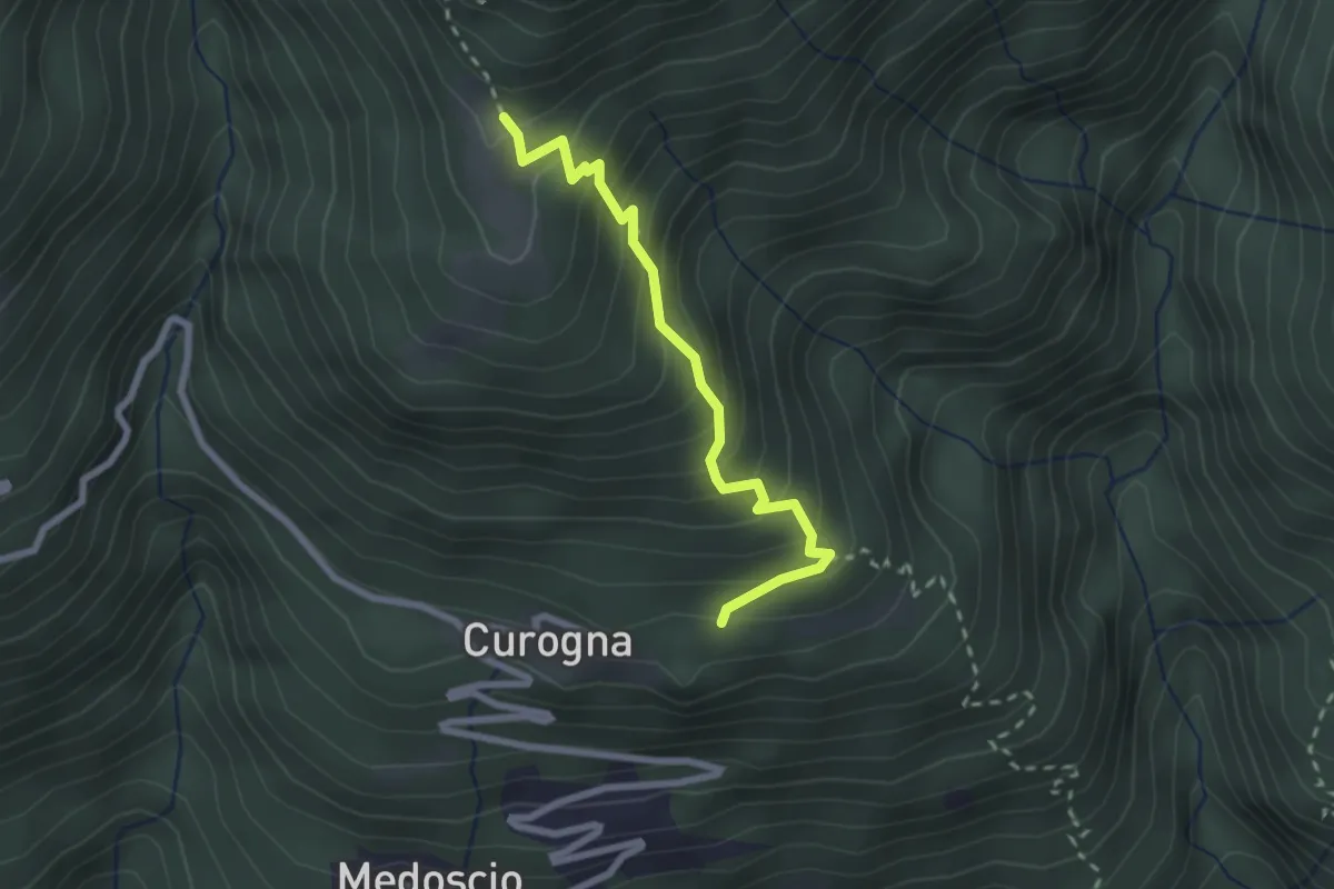
Medium · Trail
Curogna – Monti Velloni
2.4 km · ↑ 280 m · 1 h 10 min
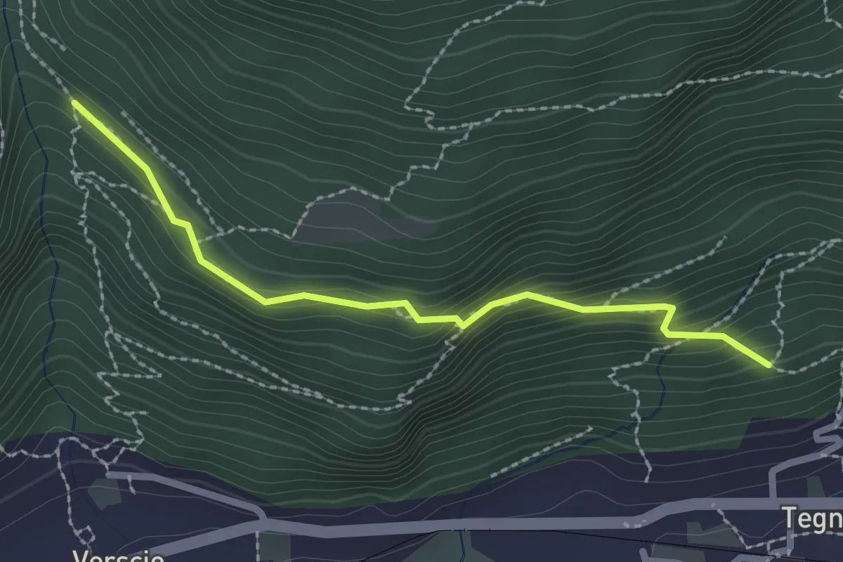
Easy · Trail
Monte Zucchero – Selvapiana
2.2 km · ↑ 180 m · 55 min
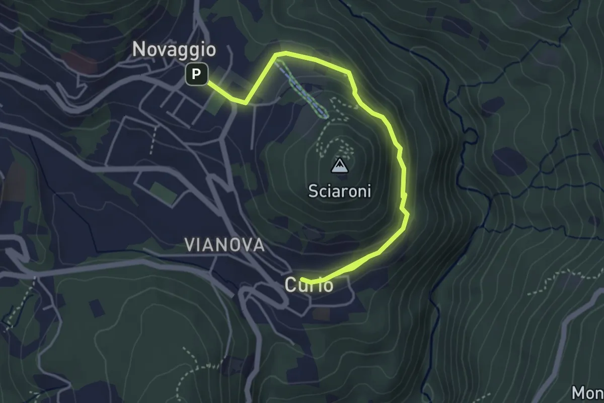
Easy · Trail
Curio – Novaggio
4.7 km · ↑ 150 m · 1 h 26 min
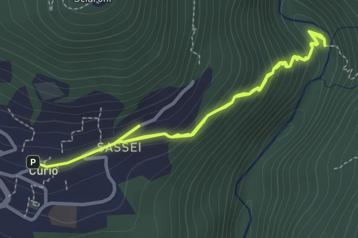
Easy · Trail
Curio – Iseo
4.0 km · ↑ 293 m · 1 h 35 min
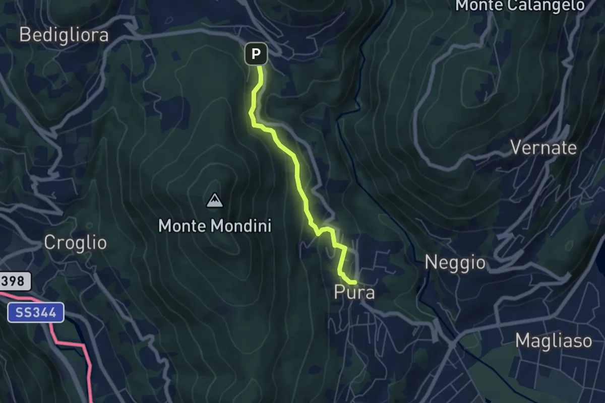
Easy · Trail
Curio-Molino – Pura
4.7 km · ↑ 232 m · 1 h 36 min
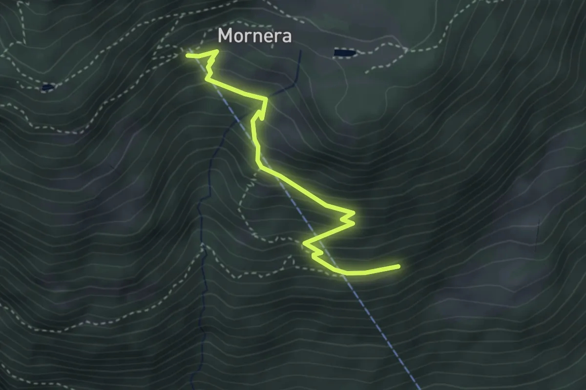
Easy · Trail
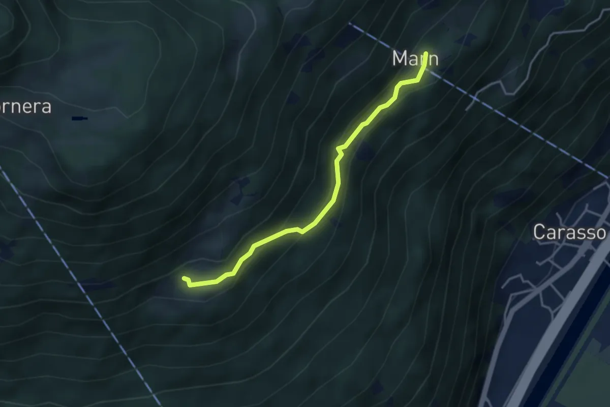
Mornera – Pientina 🚡
3.4 km · ↑ 299 m · 1 h 26 min
Easy · Trail
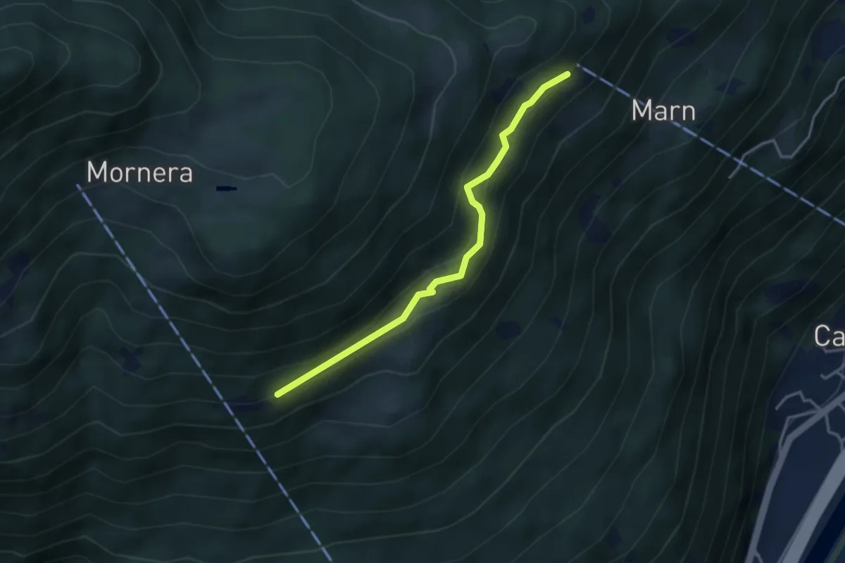
Pié Moretti – Marn
3.4 km · ↑ 247 m · 1 h 20 min
Easy · Trail
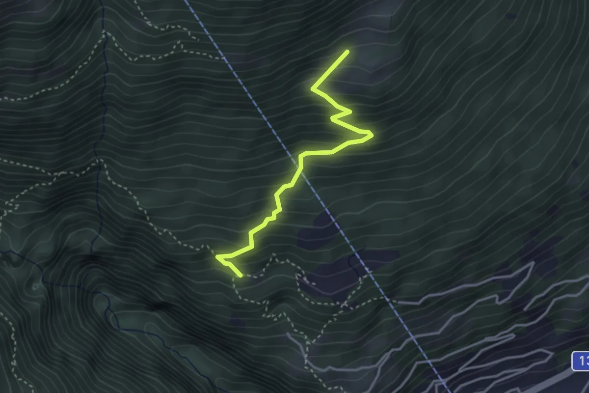
Pientina – Baltico
3.3 km · ↑ 204 m · 1 h 14 min
Medium · Trail
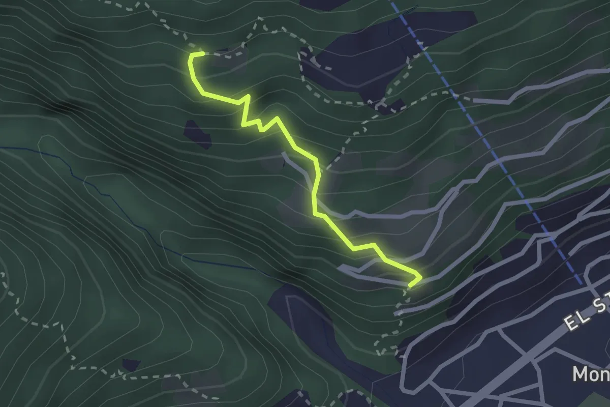
Pié Moretti – San Bernardo
3.2 km · ↑ 352 m · 1 h 31 min
Easy · Trail
S. Bernardo – Gaggio
1.9 km · ↑ 261 m · 1 h 1 min
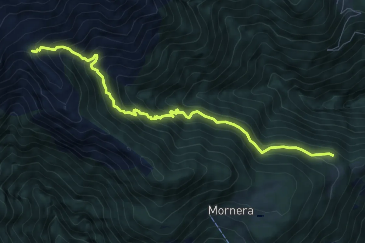
Demanding · Cabin
Monda bivio – A. Cassengo
8.5 km · ↑ 805 m · 3 h 45 min
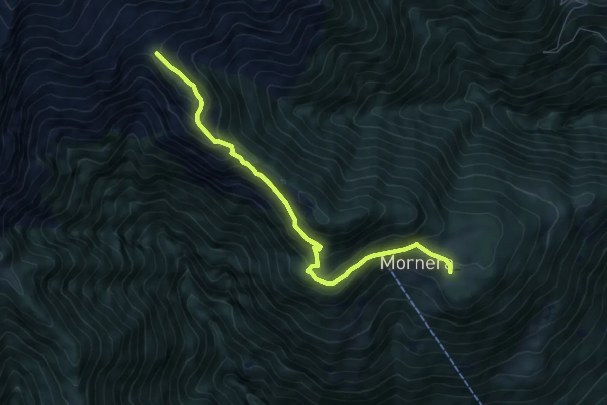
Demanding · Cabin
Mornera / Laghetto – Cap. Albagno UTOE
7.3 km · ↑ 507 m · 2 h 50 min
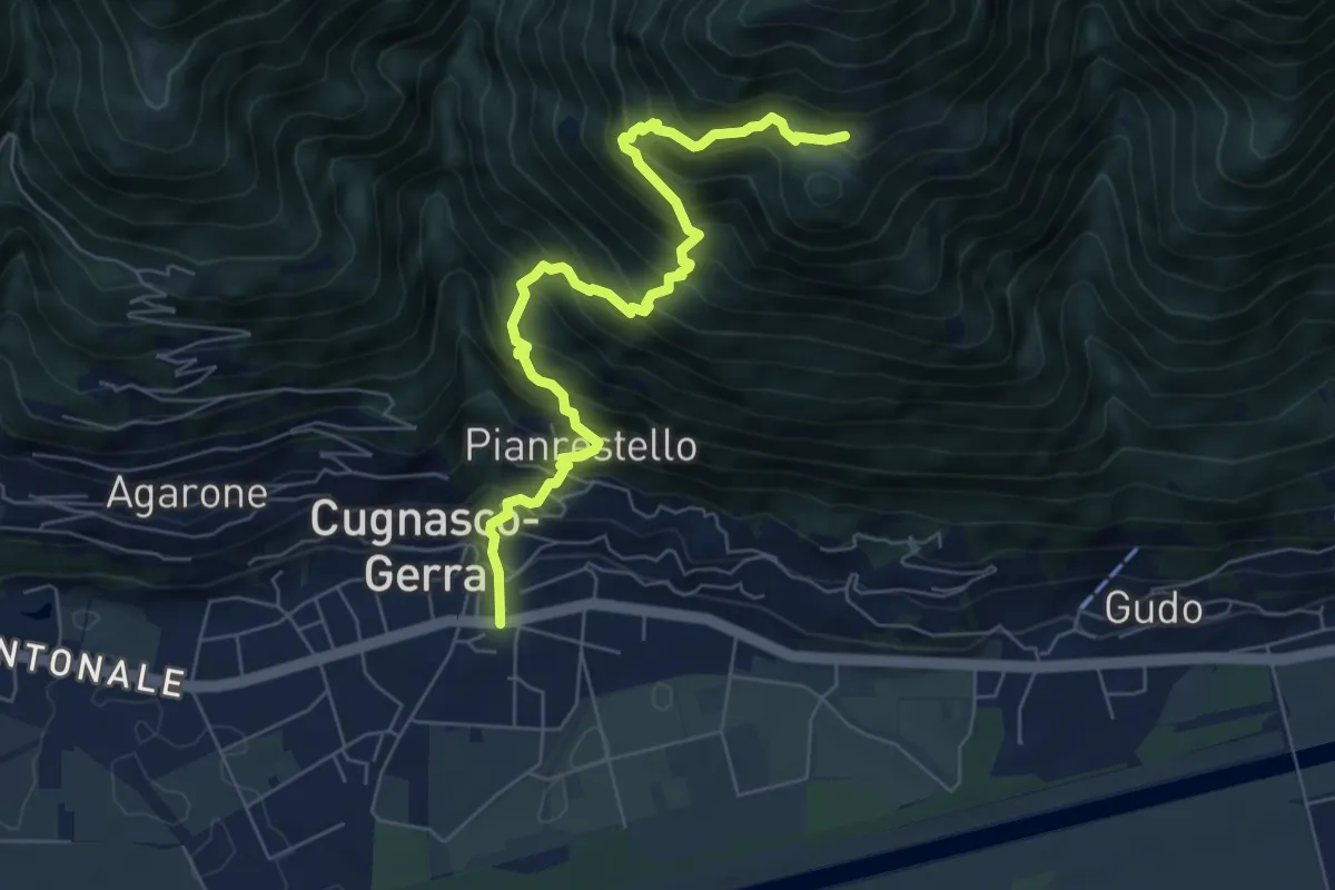
Demanding · Trail
Cugnasco – Monti del Laghetto
7.2 km · ↑ 953 m · 3 h 45 min
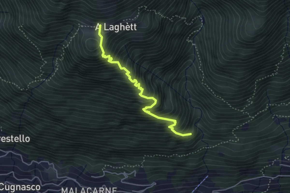
Medium · Trail
Monti del Laghetto – Orlo Valle
3.9 km · ↑ 573 m · 2 h 9 min
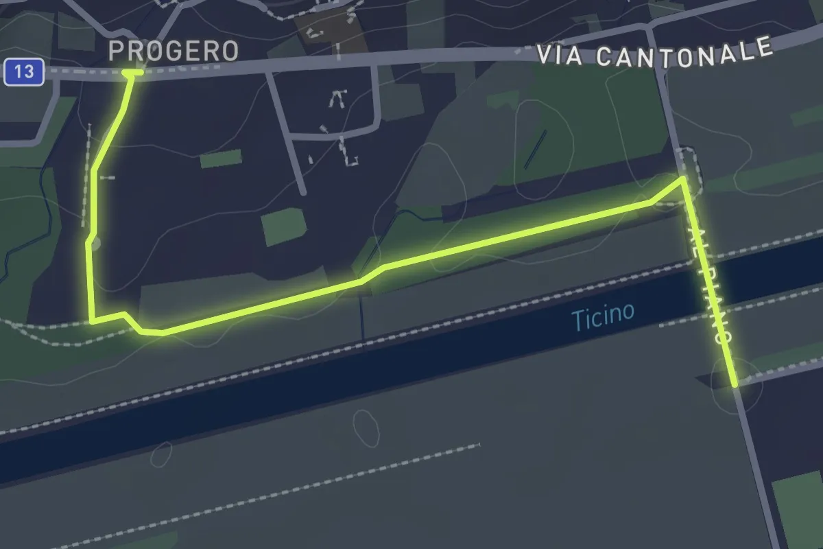
Easy · Trail
Gudo Progero – Ponte per Gudo
3.0 km · ↑ 31 m · 47 min
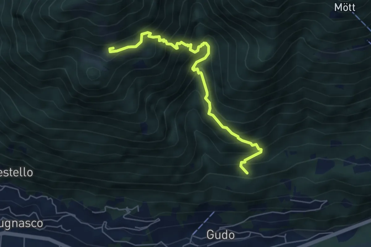
Medium · Trail
A Laghètt – Pian Palerm
5.5 km · ↑ 739 m · 2 h 54 min
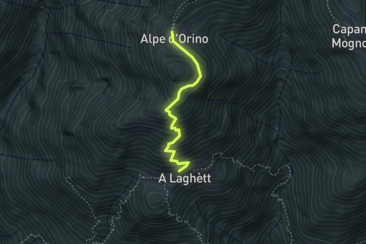
Medium · Cabin
A Laghètt – Cap. Alpe Orino
3.0 km · ↑ 359 m · 1 h 29 min
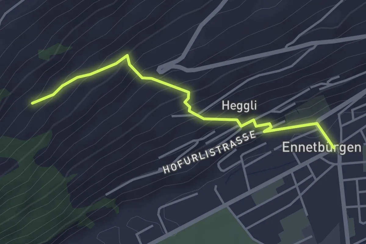
Medium · Trail
Ennetbürgen Post – Holzen
3.4 km · ↑ 321 m · 1 h 30 min
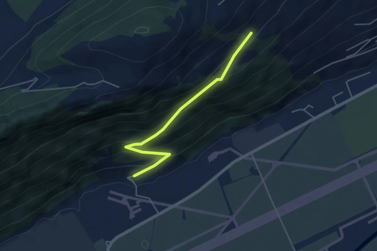
Easy · Trail
Ätschenried – Pilatuswerke
3.7 km · ↑ 296 m · 1 h 31 min
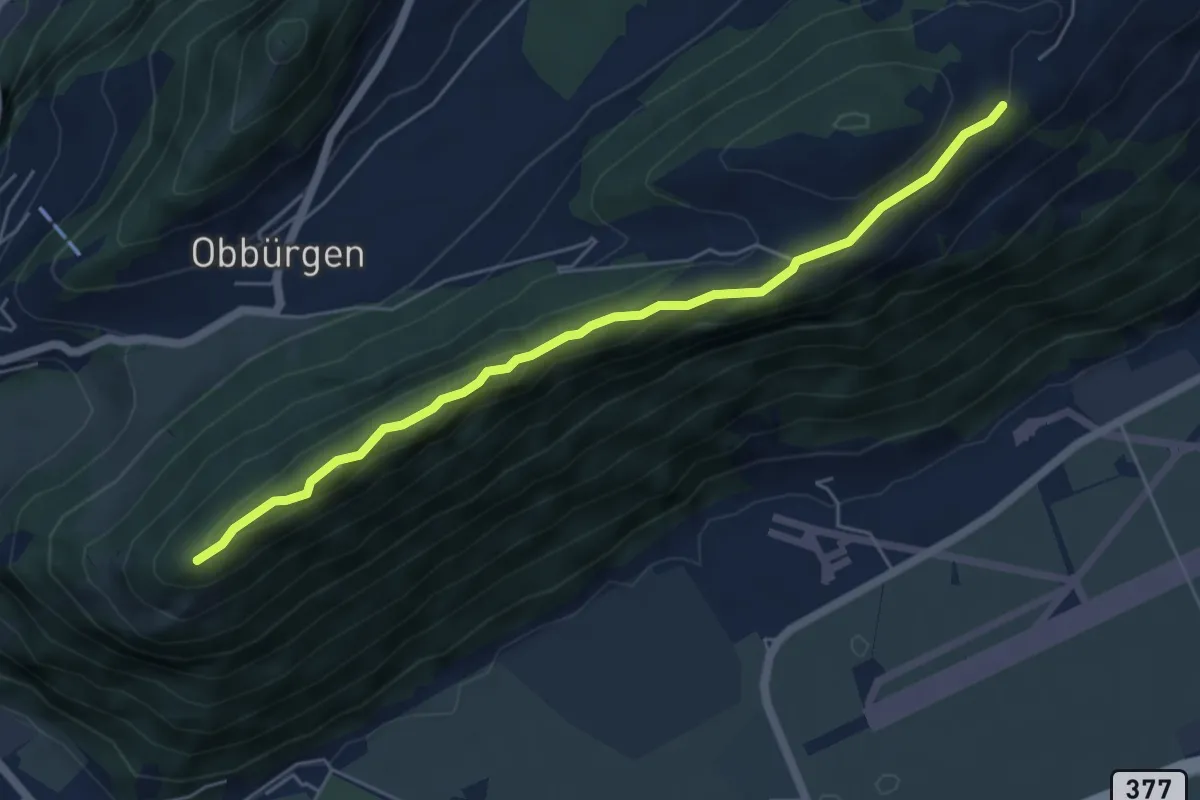
Easy · Trail
Ätschenried – Seewligrat
5.6 km · ↑ 217 m · 1 h 47 min
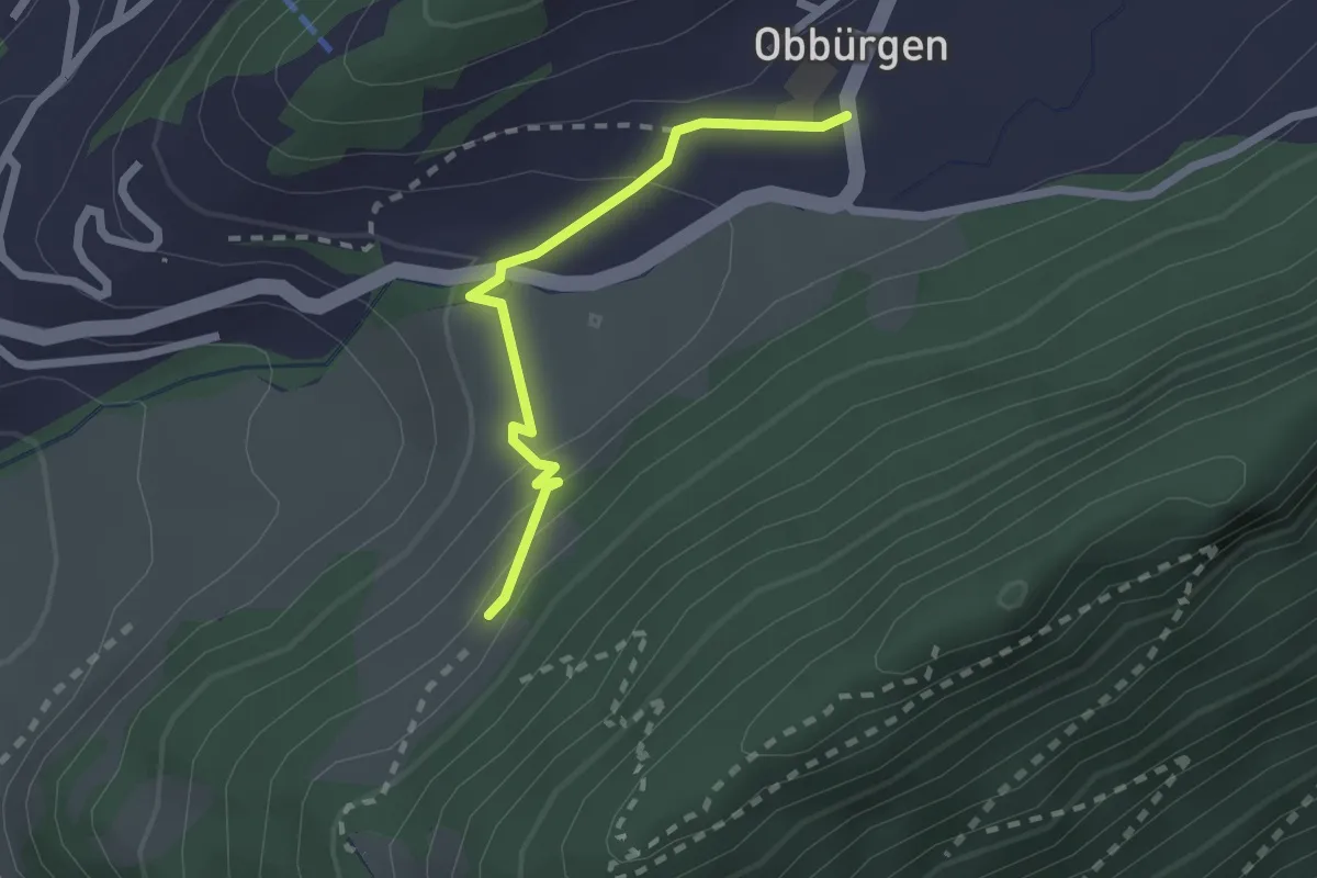
Easy · Trail
Seewliweid – Obbürgen
2.0 km · ↑ 89 m · 39 min
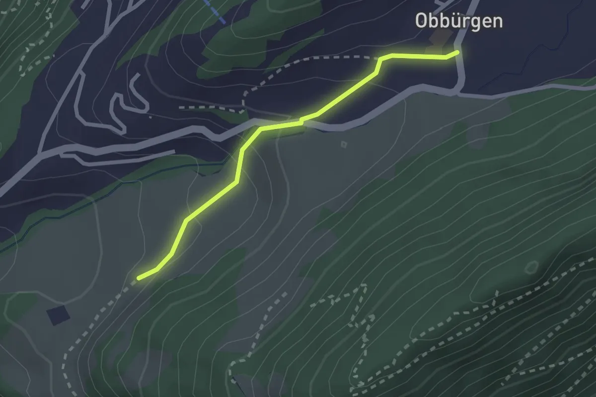
Easy · Trail
Ober Huis – Obbürgen
2.1 km · ↑ 118 m · 45 min
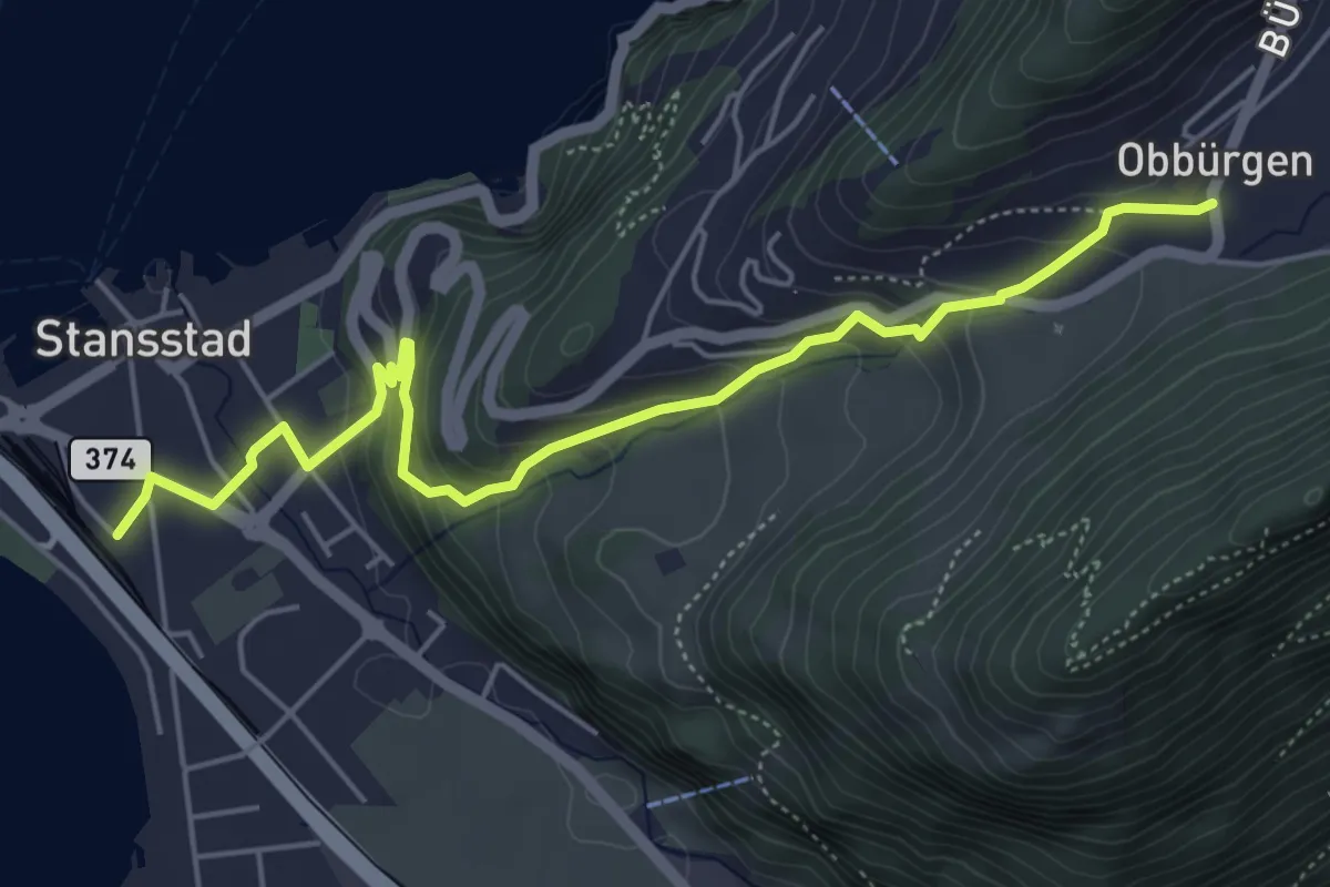
Medium · Trail
Obbürgen – Stansstad
5.7 km · ↑ 331 m · 2 h 4 min
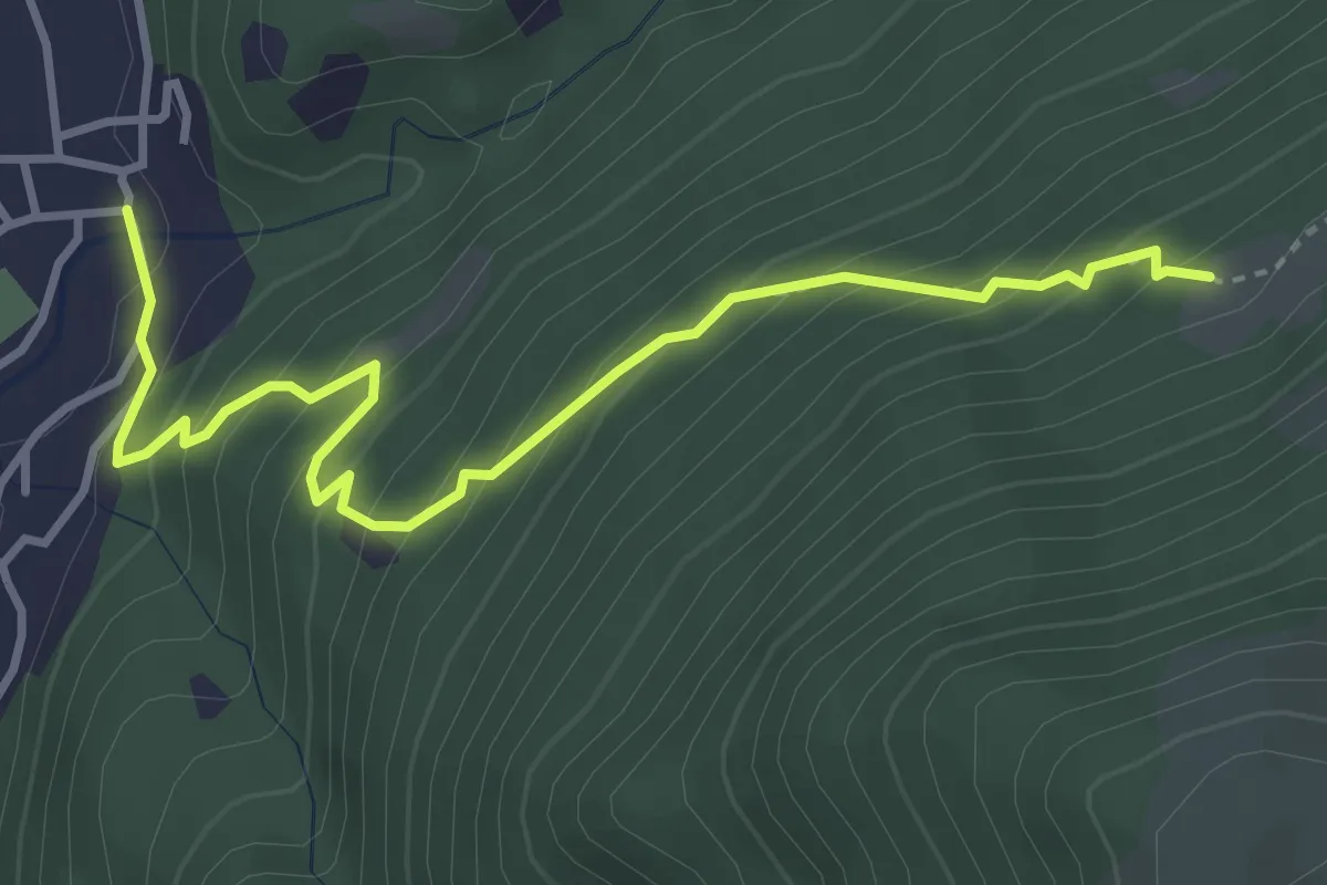
Medium · Trail
Busio – Camignolo
4.1 km · ↑ 368 m · 1 h 45 min
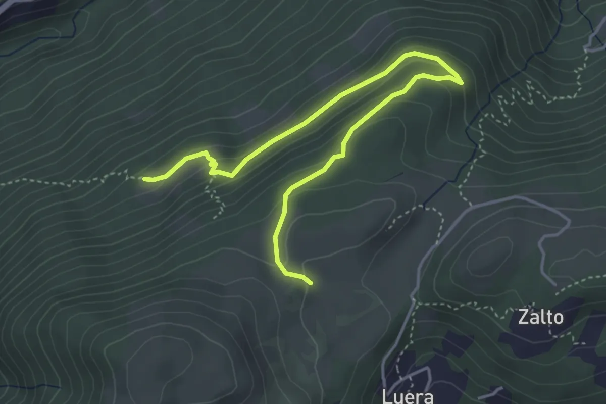
Medium · Trail
Alpe Santa Maria – Busio
4.9 km · ↑ 265 m · 1 h 44 min
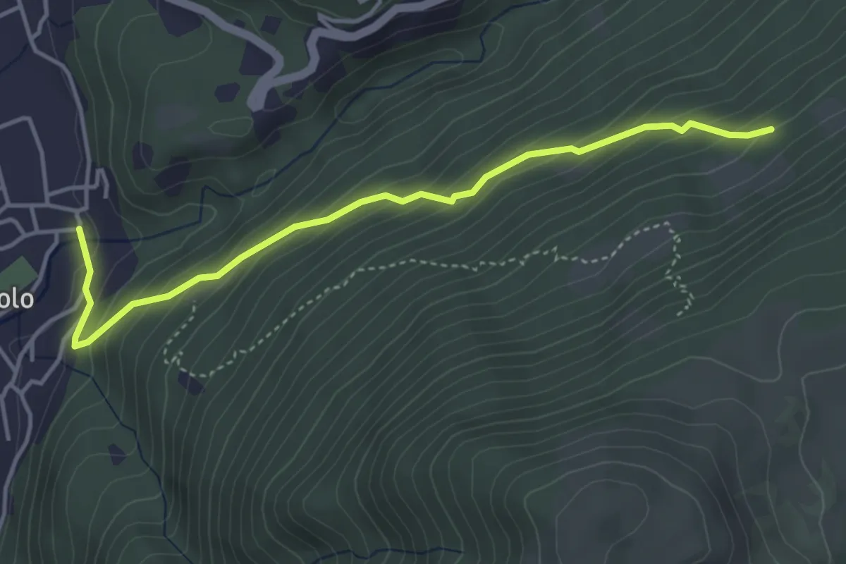
Medium · Trail
Camignolo – Monti di Camignolo
4.2 km · ↑ 335 m · 1 h 44 min
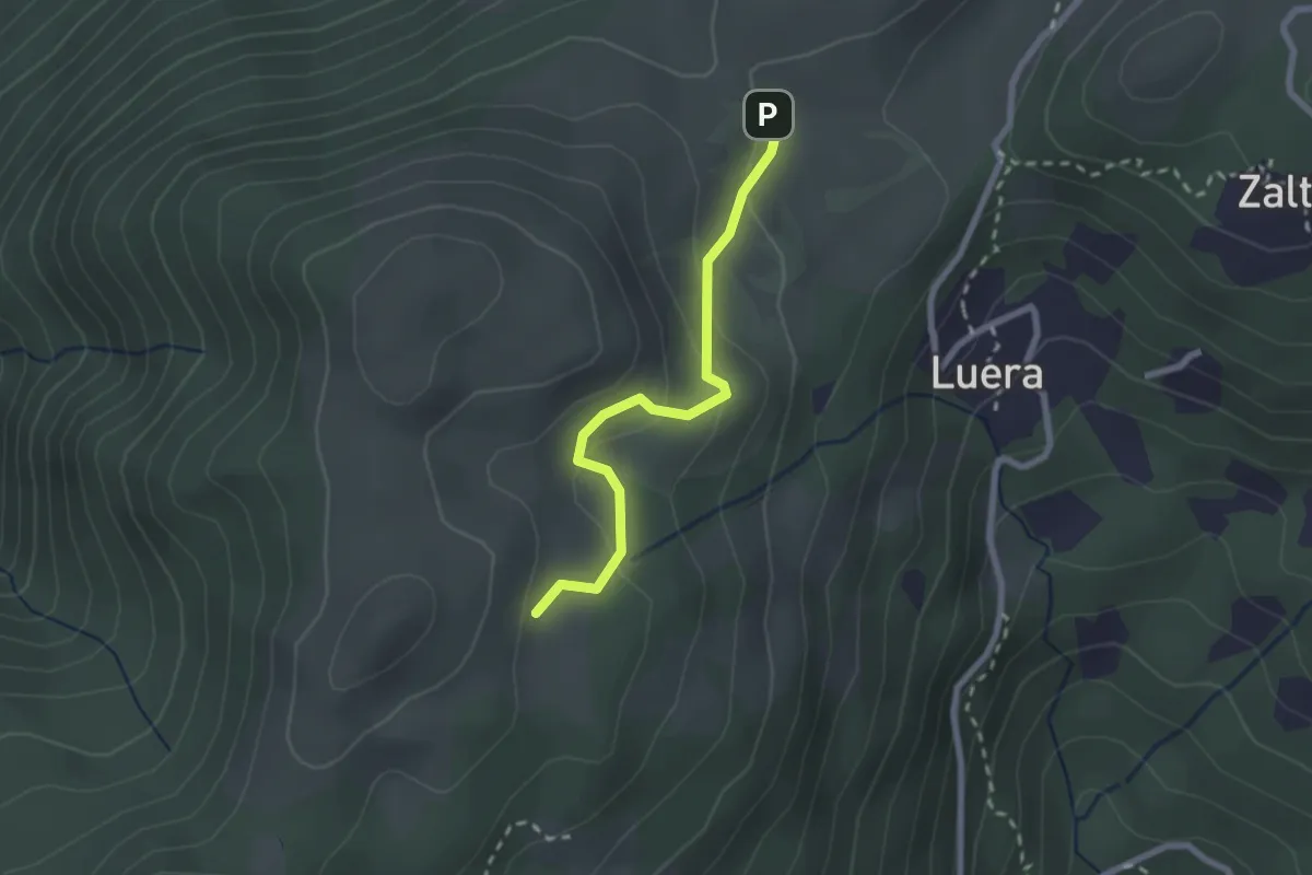
Easy · Trail
Alpe Santa Maria – Matro di Stinchè
2.2 km · ↑ 137 m · 49 min
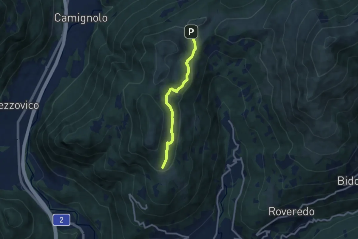
Easy · Trail
Alpe Santa Maria – Condra
6.0 km · ↑ 199 m · 1 h 51 min
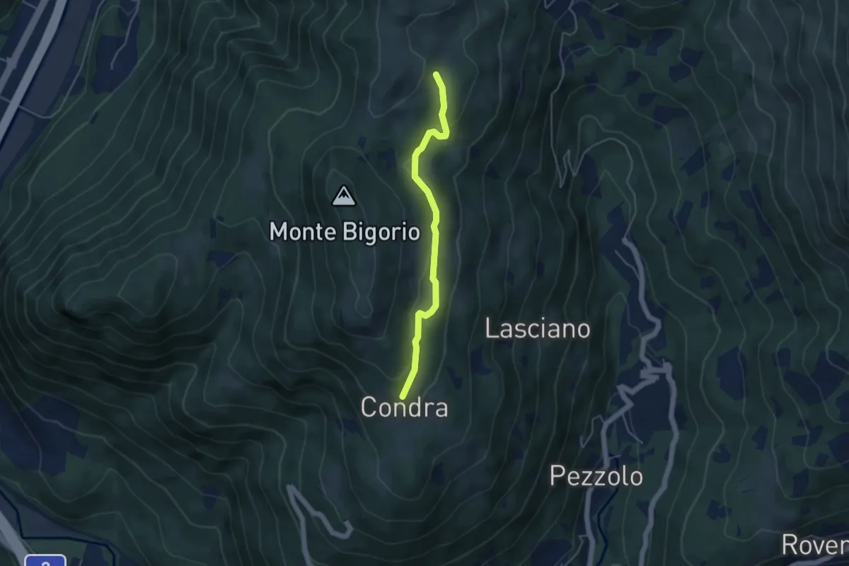
Easy · Trail
Matro di Stinchè – Condra
4.1 km · ↑ 147 m · 1 h 16 min
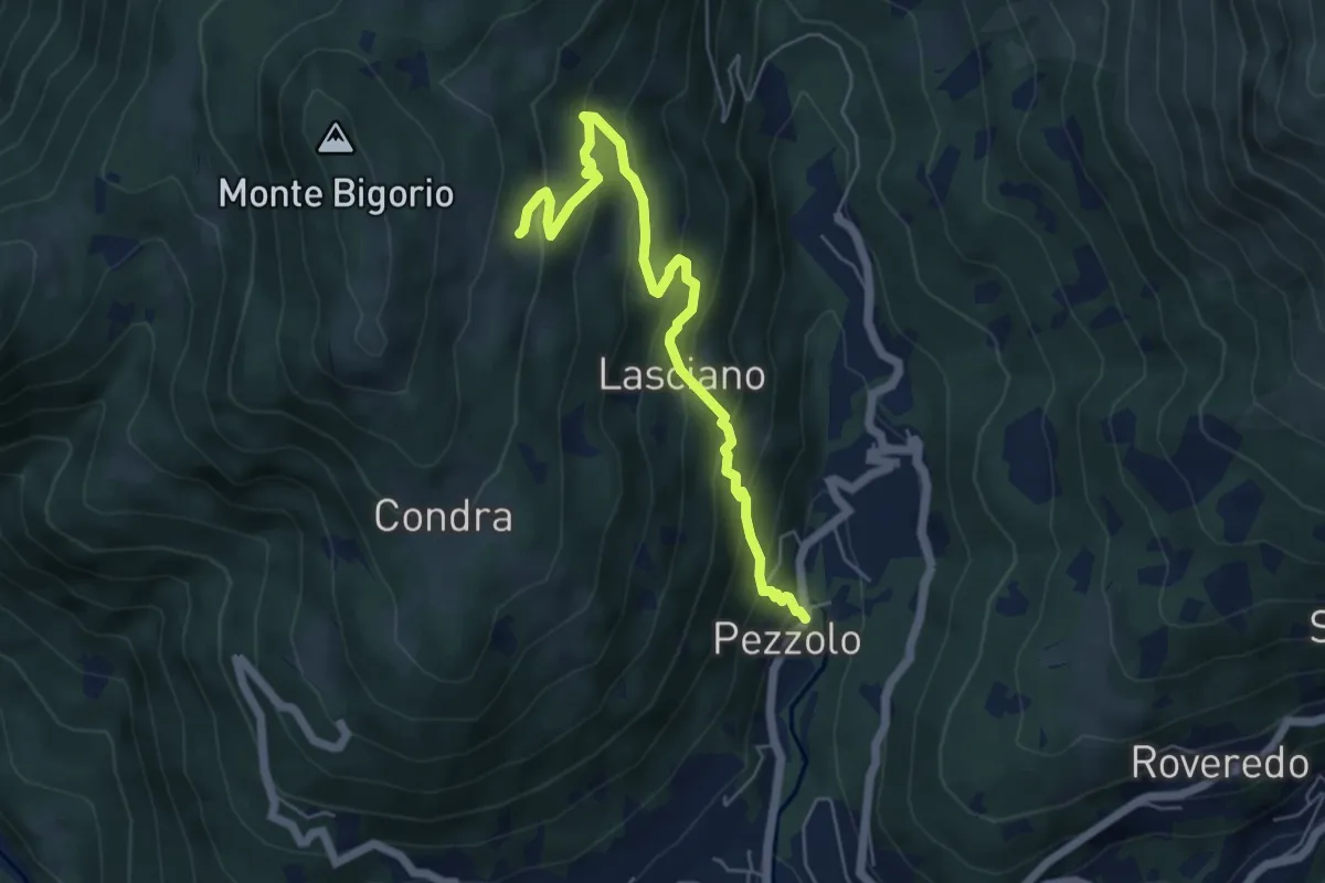
Medium · Trail
Pezzolo – Monti di Cima
5.8 km · ↑ 477 m · 2 h 25 min