Trails in Switzerland
15,055 hiking trails, each with its route, climb, walking time and grade.
All trails, page 204 of 314
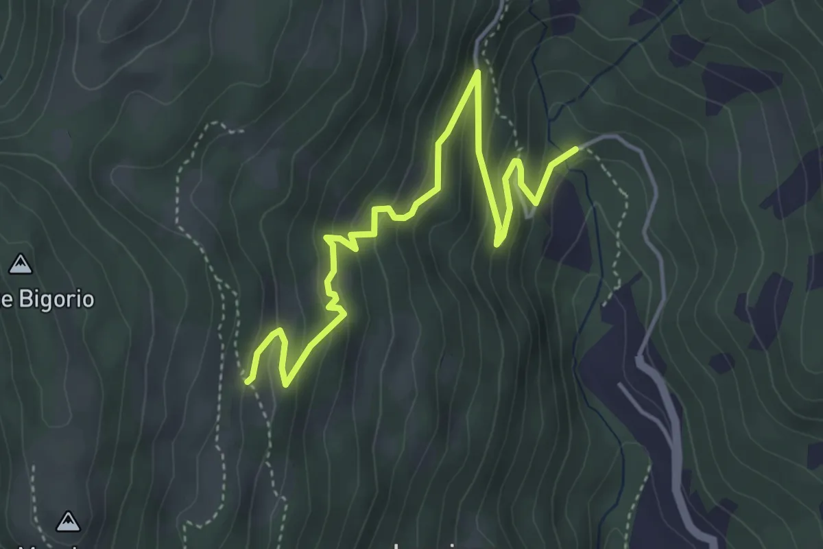
Medium · Trail
Monti di Cima – Marca
4.9 km · ↑ 348 m · 1 h 54 min
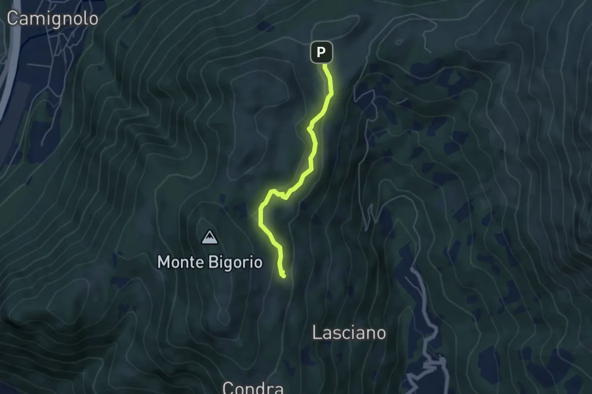
Medium · Trail
Monti di Cima – Alpe Santa Maria
4.3 km · ↑ 163 m · 1 h 22 min
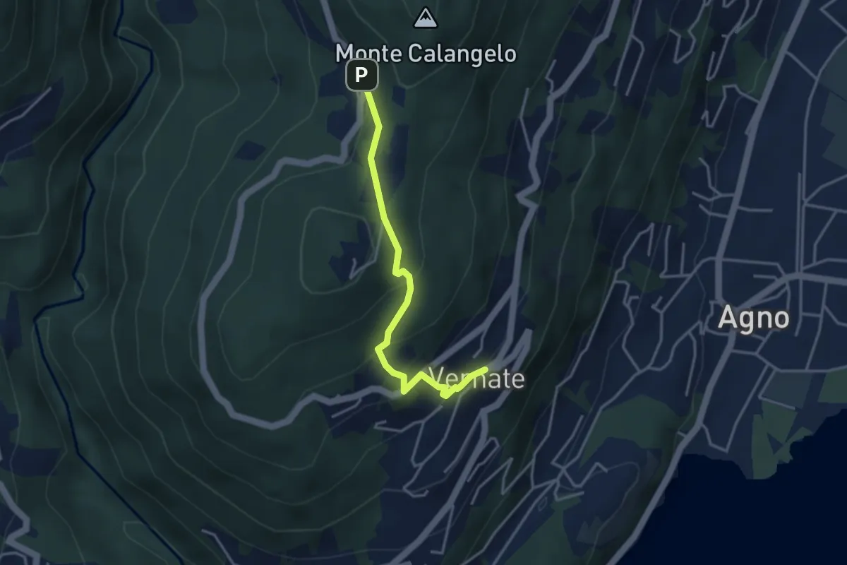
Easy · Trail
Vernate – Iseo
3.3 km · ↑ 216 m · 1 h 15 min
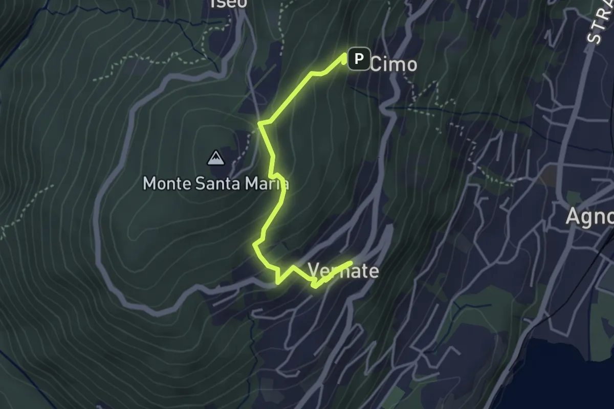
Easy · Trail
Vernate – Cimo
4.0 km · ↑ 289 m · 1 h 35 min
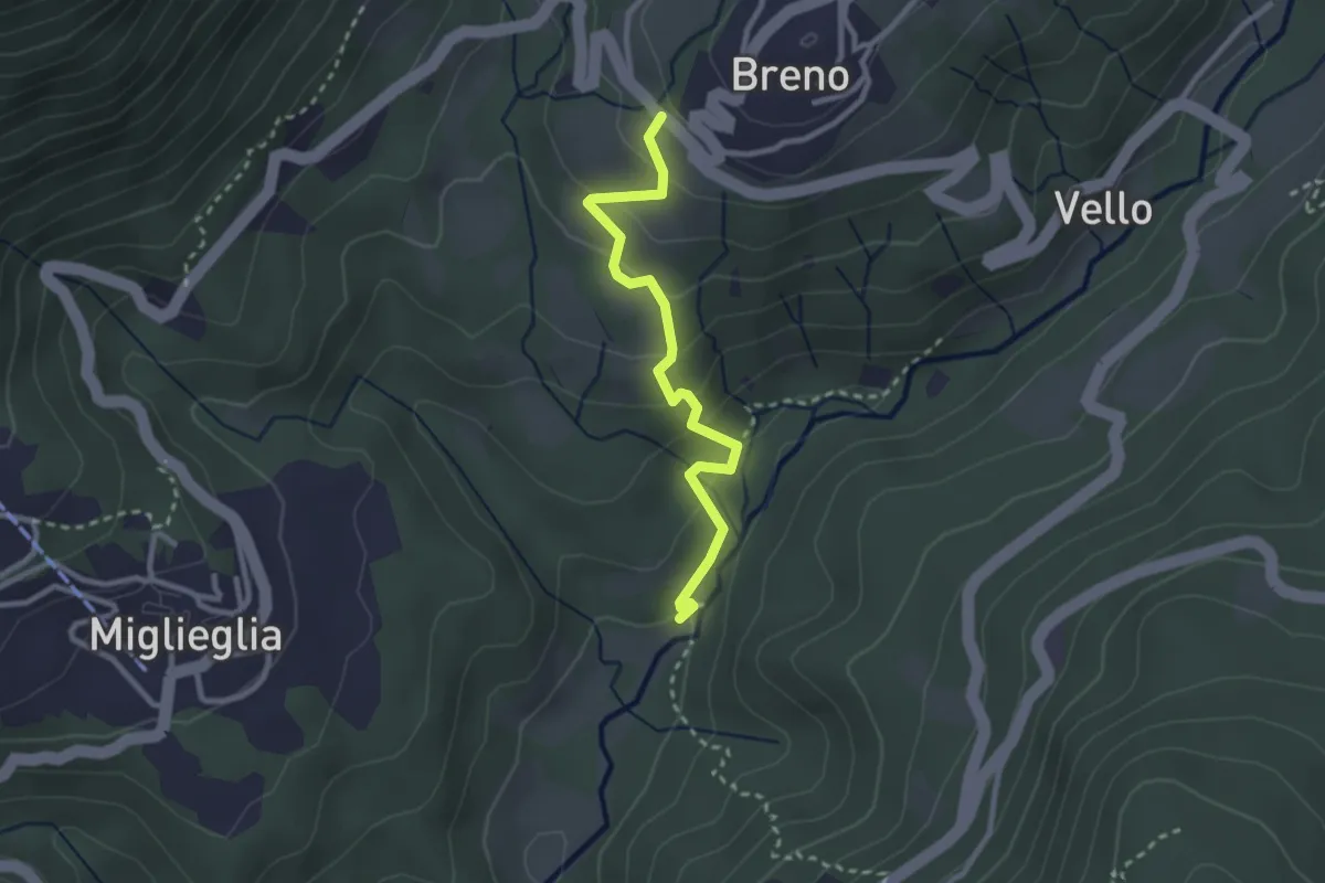
Easy · Trail
Maglio – Breno
2.7 km · ↑ 160 m · 58 min
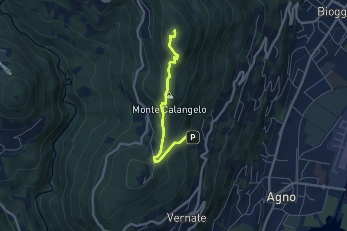
Easy · Summit
San Bernardo – Cimo
4.6 km · ↑ 283 m · 1 h 42 min
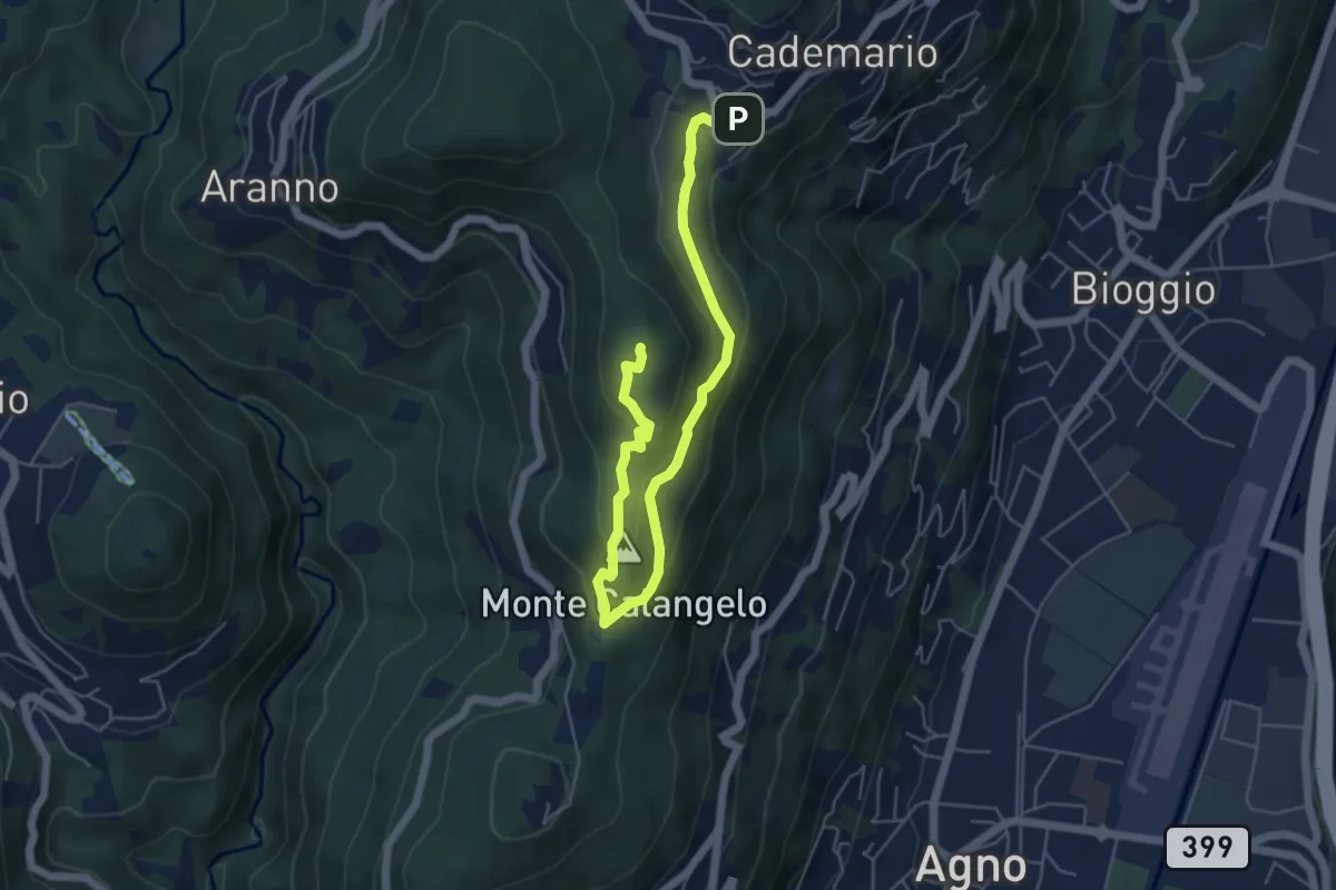
Easy · Summit
San Bernardo – Cademario
6.5 km · ↑ 289 m · 2 h 9 min
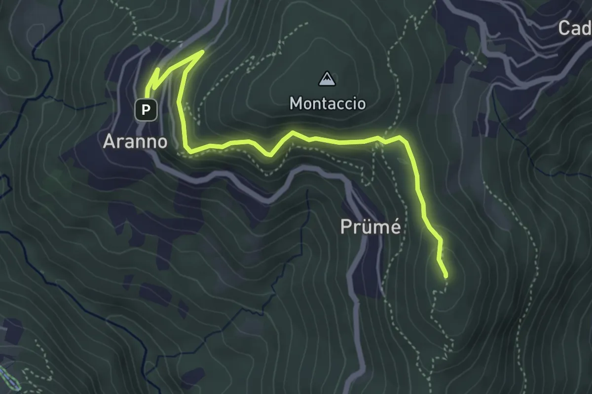
Easy · Summit
San Bernardo – Aranno
4.9 km · ↑ 283 m · 1 h 46 min
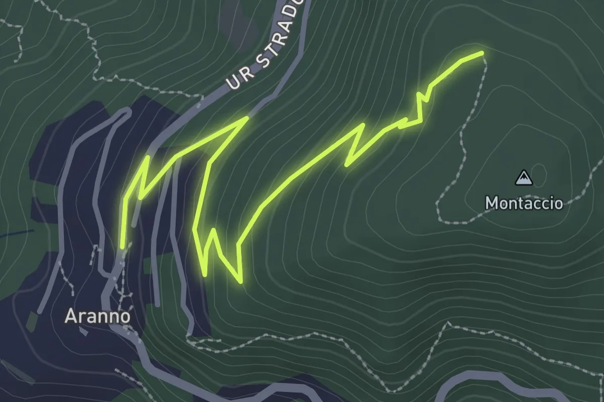
Easy · Trail
Aranno – Montaccio
3.7 km · ↑ 174 m · 1 h 14 min
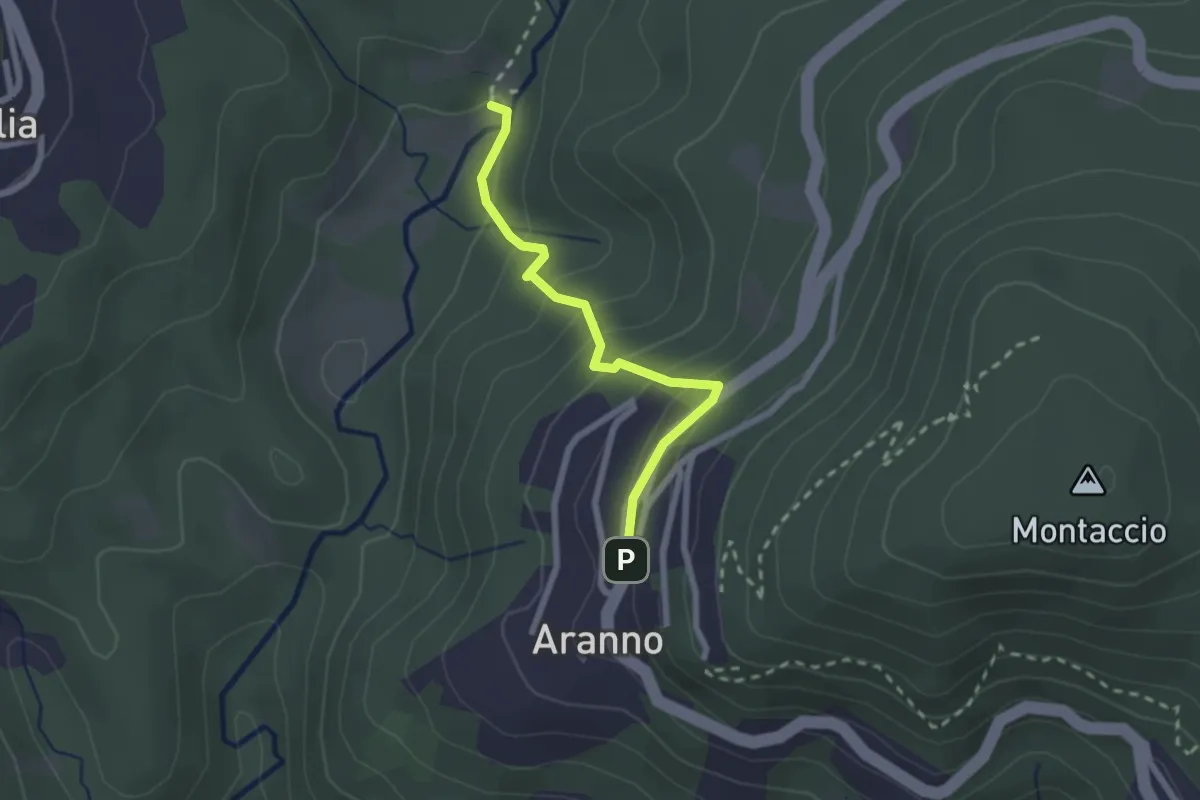
Medium · Trail
Aranno – Maglio
2.2 km · ↑ 162 m · 52 min
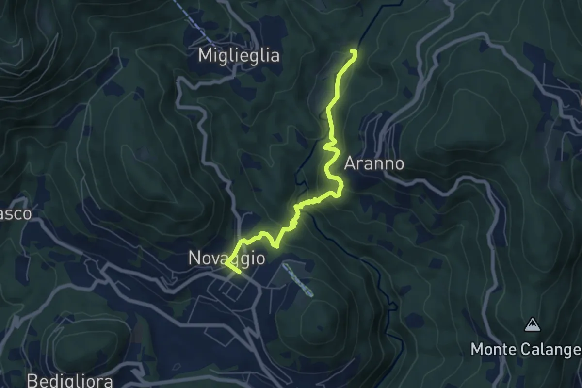
Medium · Trail
Maglio – Novaggio
5.8 km · ↑ 395 m · 2 h 14 min
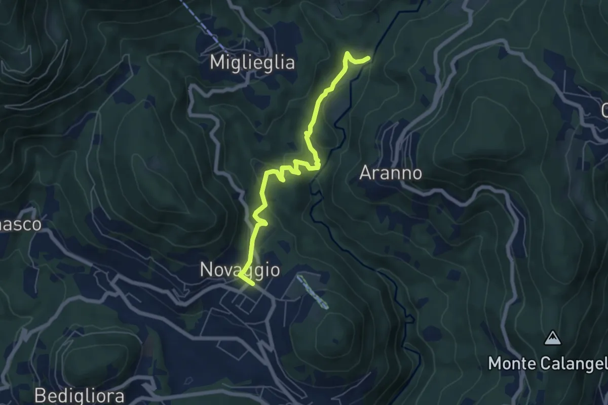
Easy · Trail
Maglio – Novaggio
5.7 km · ↑ 199 m · 1 h 47 min
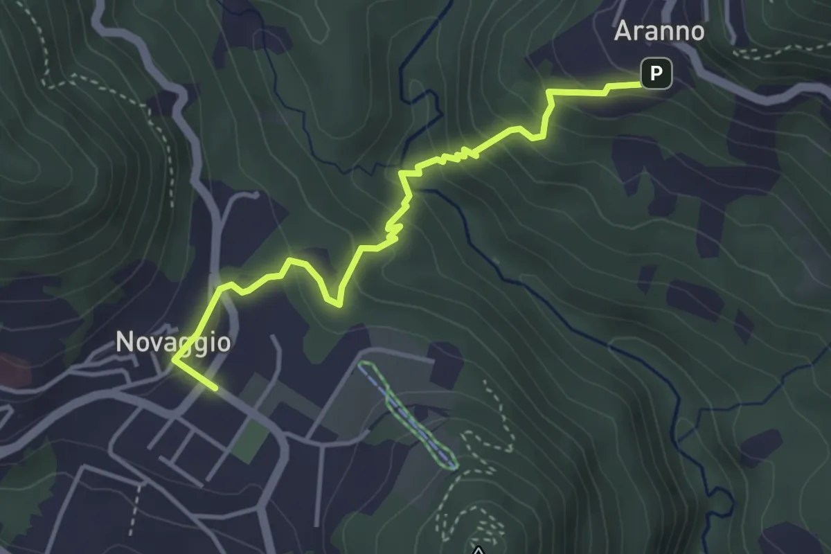
Easy · Trail
Novaggio – Aranno
3.8 km · ↑ 295 m · 1 h 32 min
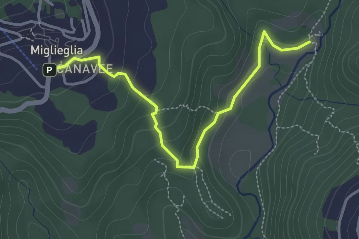
Easy · Trail
Maglio – Miglieglia
3.0 km · ↑ 141 m · 1 h
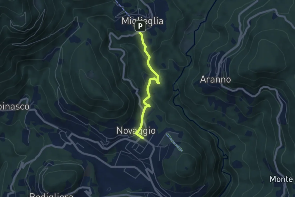
Easy · Trail
Novaggio – Miglieglia
4.1 km · ↑ 217 m · 1 h 27 min
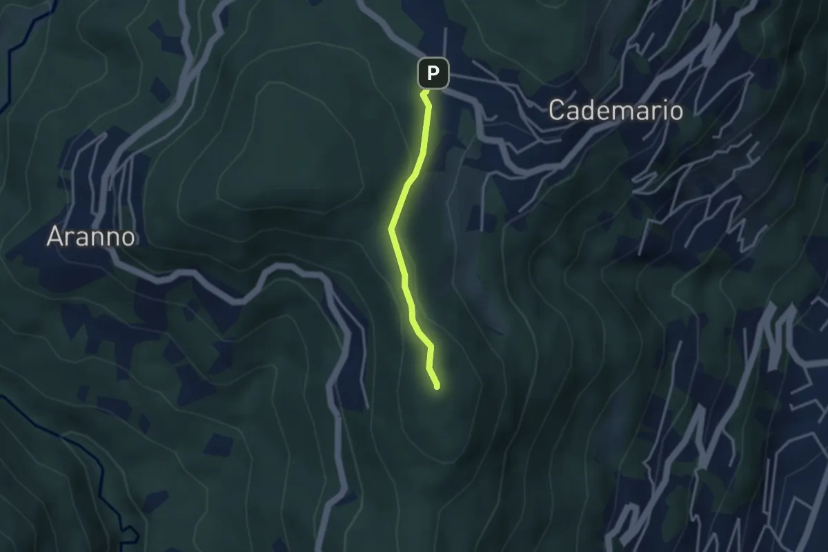
Easy · Summit
San Bernardo – Cademario - Lisone
2.4 km · ↑ 84 m · 45 min
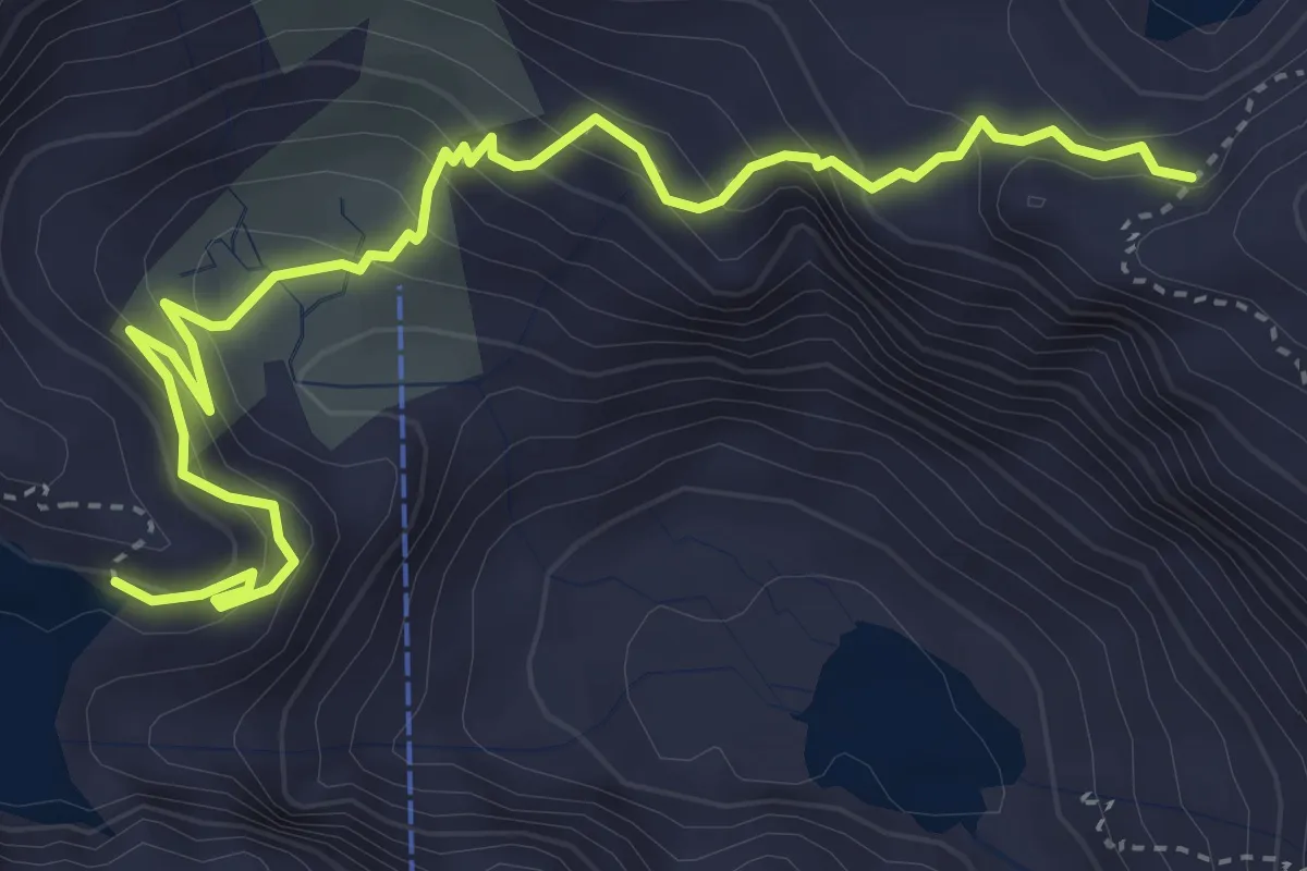
Medium · Trail
Lago Sfundau – Lago Cavagnöö
4.9 km · ↑ 378 m · 1 h 58 min
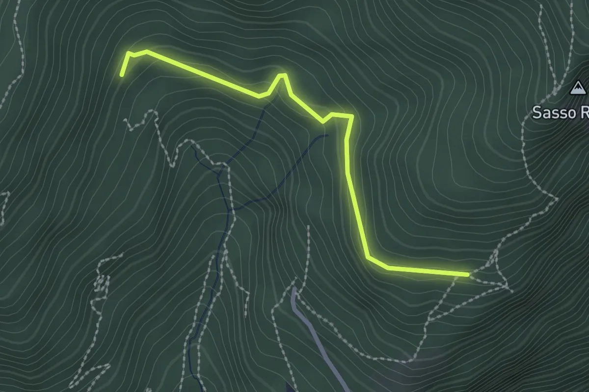
Easy · Trail
Crus – Carbonara
2.3 km · ↑ 125 m · 49 min
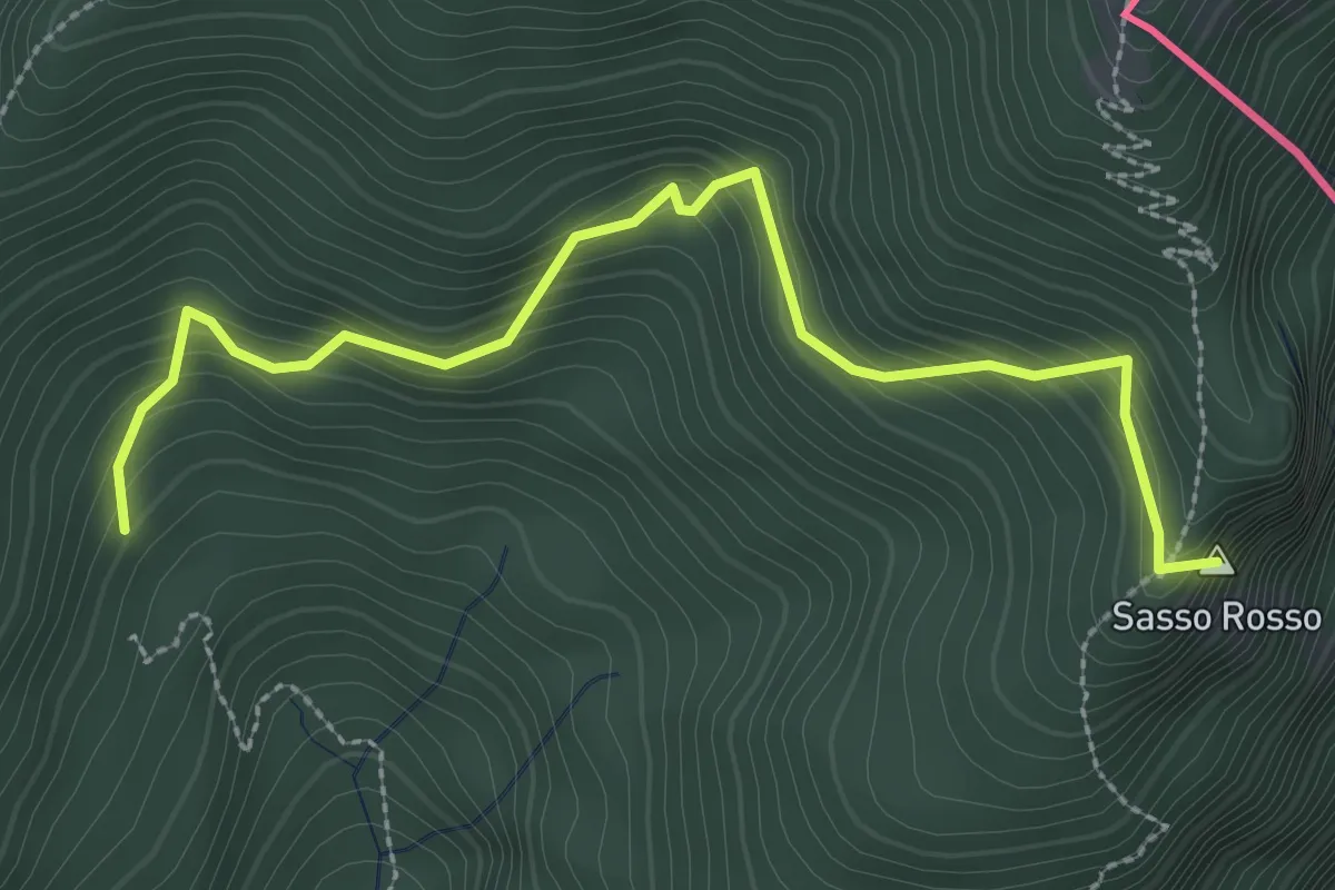
Medium · Summit
Carbonara – Sasso Rosso
3.1 km · ↑ 327 m · 1 h 27 min
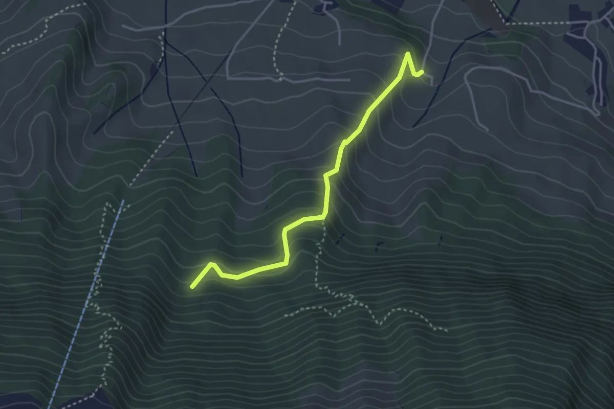
Easy · Trail
Chlostermatt – Cholplätzli
3.4 km · ↑ 313 m · 1 h 28 min
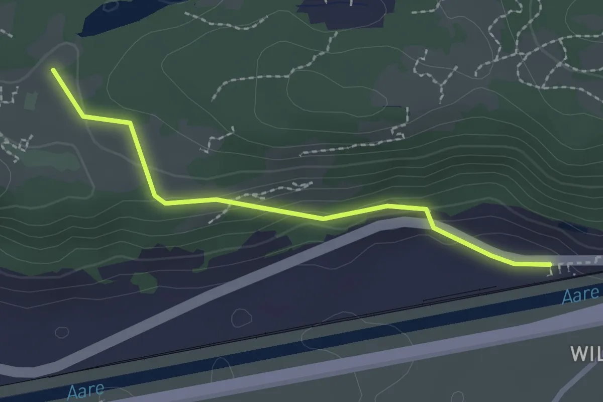
Easy · Trail
Ballenberg – Brienzwiler / Station
2.1 km · ↑ 72 m · 39 min
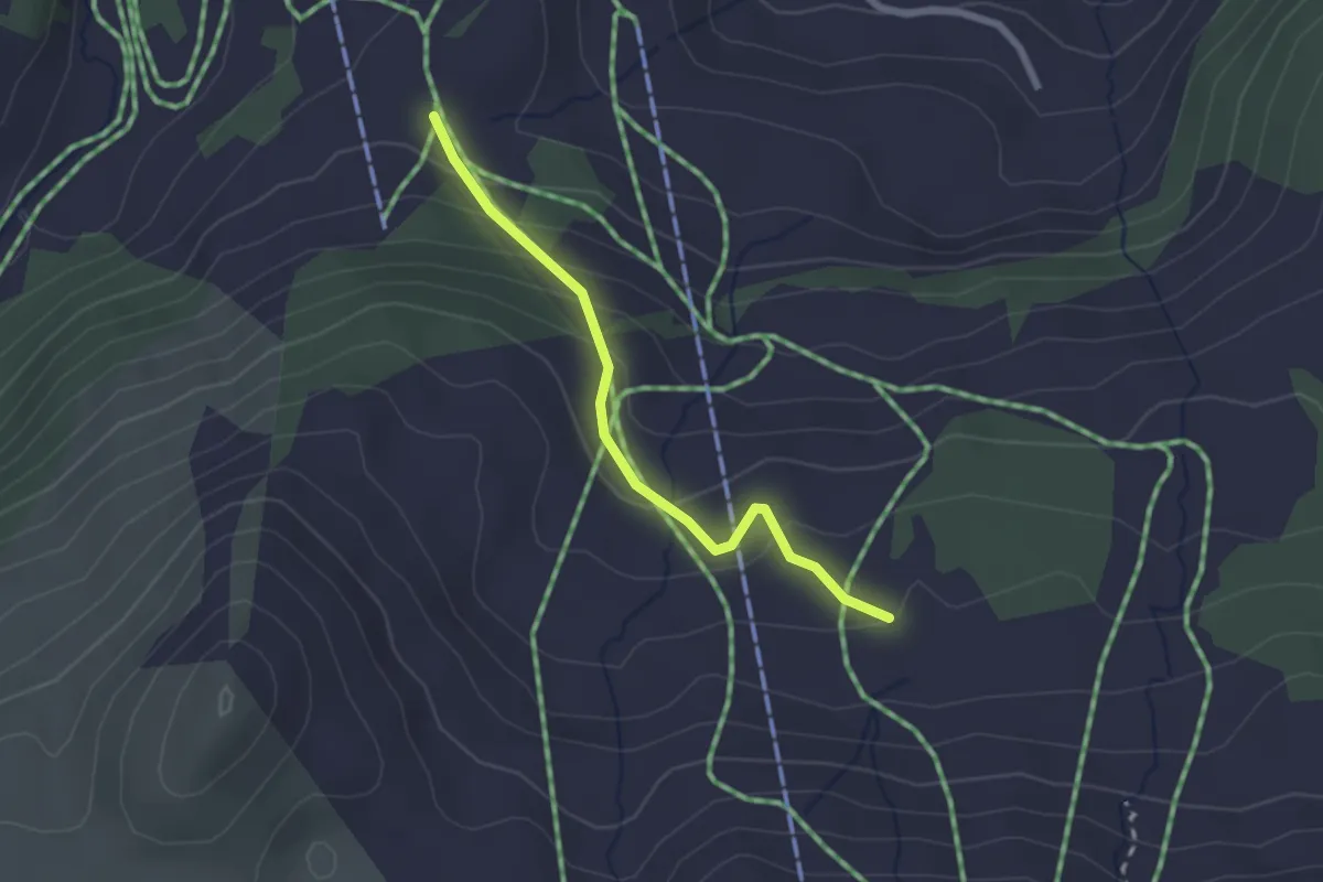
Easy · Cabin
Holiberig – Metzg
2.1 km · ↑ 146 m · 49 min
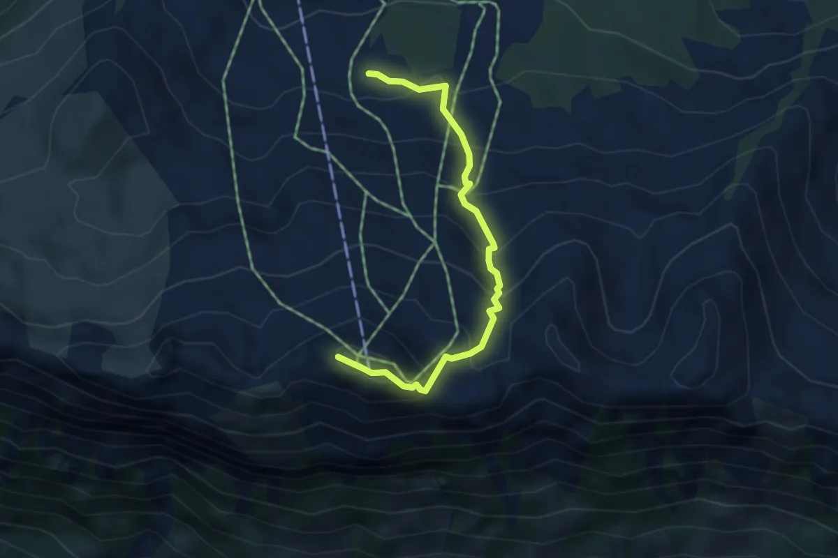
Medium · Summit
Metzg – Klingenstock
3.7 km · ↑ 379 m · 1 h 42 min
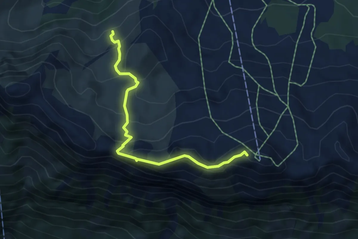
Medium · Summit
Klingenstock – Underbäch
4.8 km · ↑ 381 m · 1 h 57 min
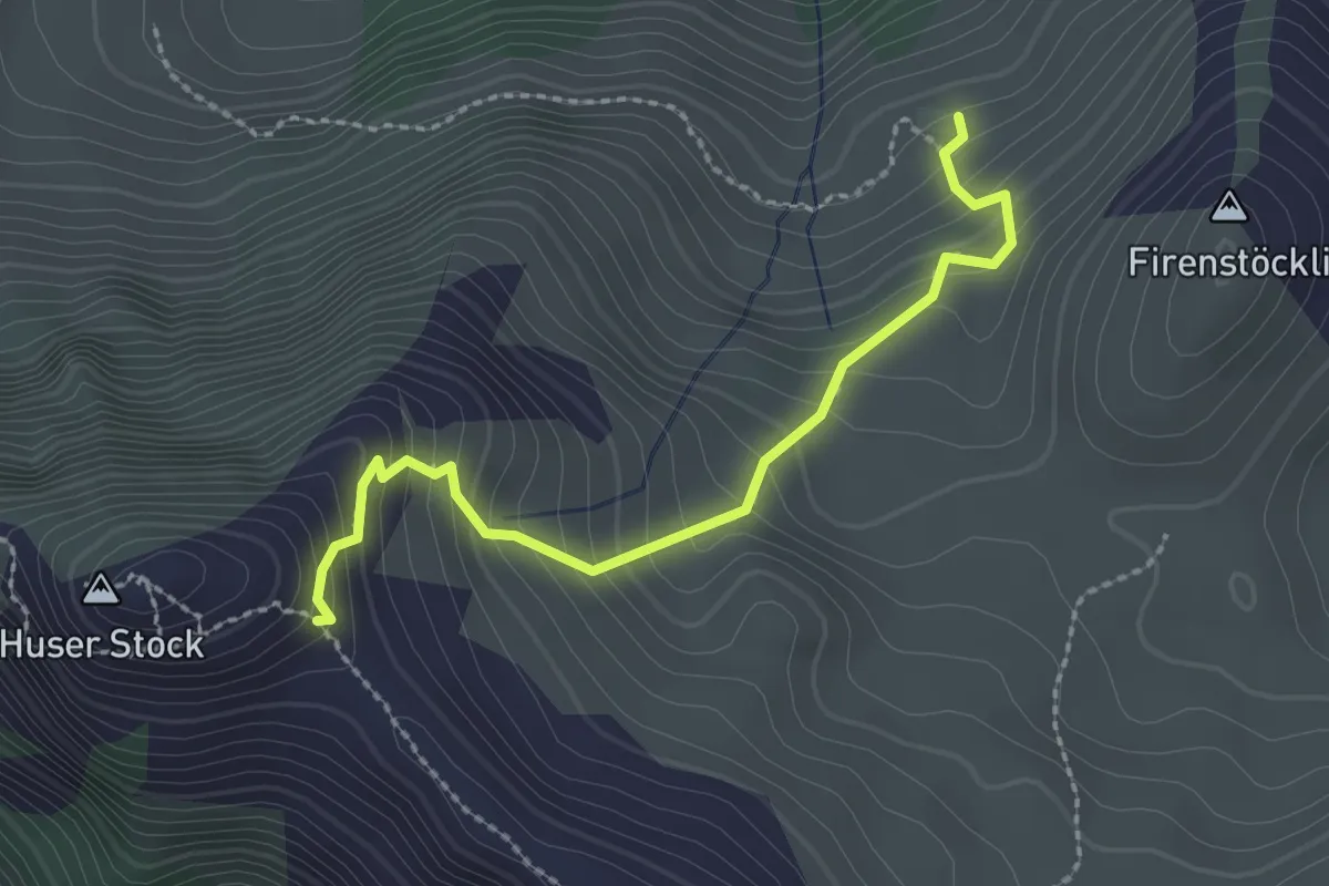
Easy · Trail
Underbäch – Huser Stock
2.4 km · ↑ 275 m · 1 h 9 min
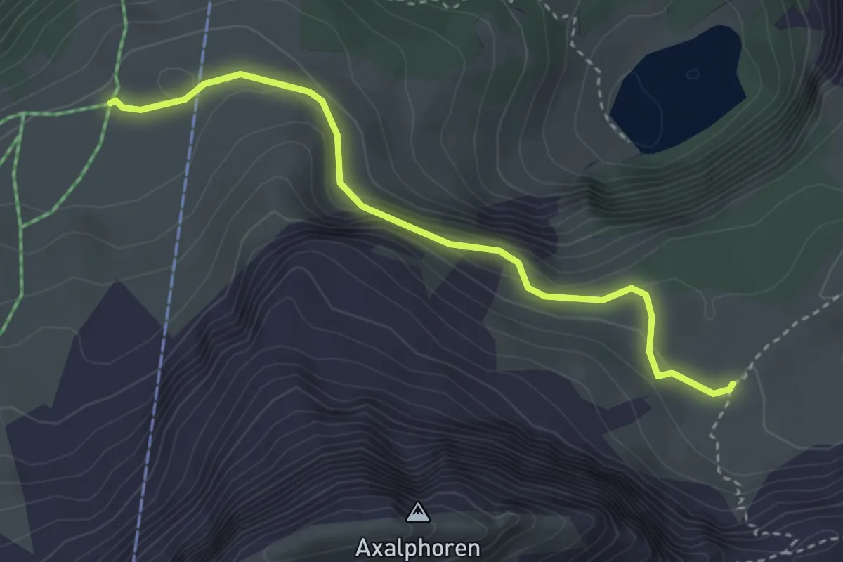
Medium · Trail
Chruttmettli – Urserli
3.4 km · ↑ 182 m · 1 h 11 min
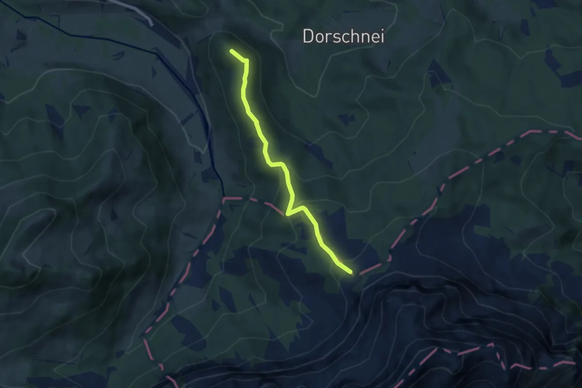
Medium · Summit
Chräigütsch – Lauelenegg
5.6 km · ↑ 287 m · 1 h 56 min
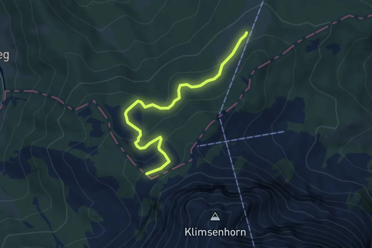
Medium · Trail
Lauelenegg – Mühlemäss
4.9 km · ↑ 198 m · 1 h 35 min
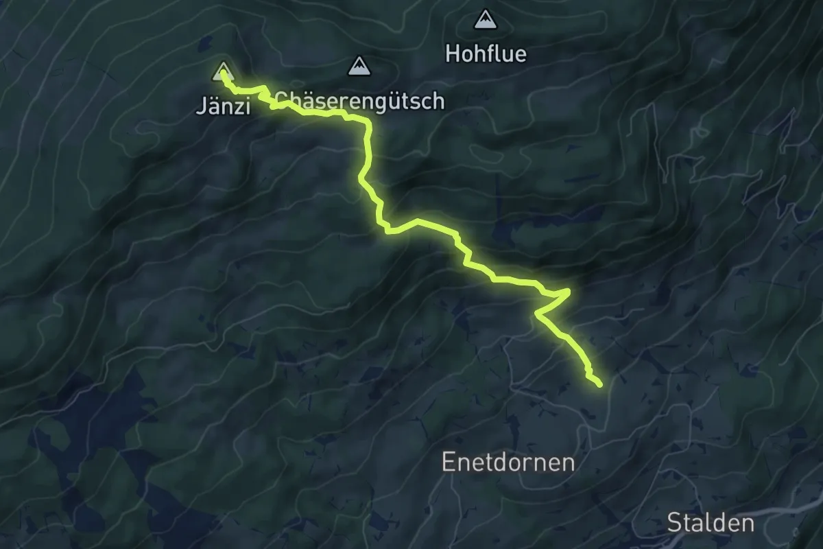
Medium · Summit
Jänzi – Rütimos
8.4 km · ↑ 721 m · 3 h 33 min
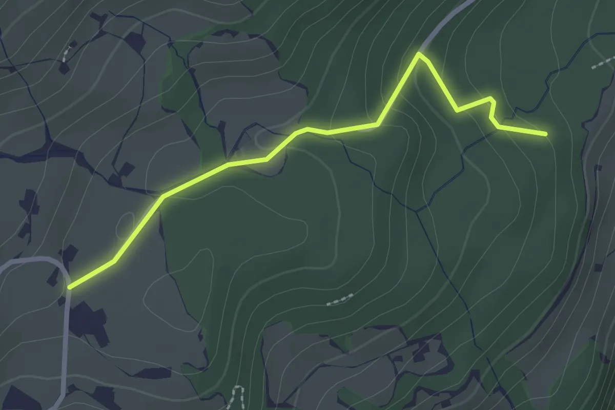
Easy · Trail
Mosacher – Rappenwald
2.4 km · ↑ 101 m · 47 min
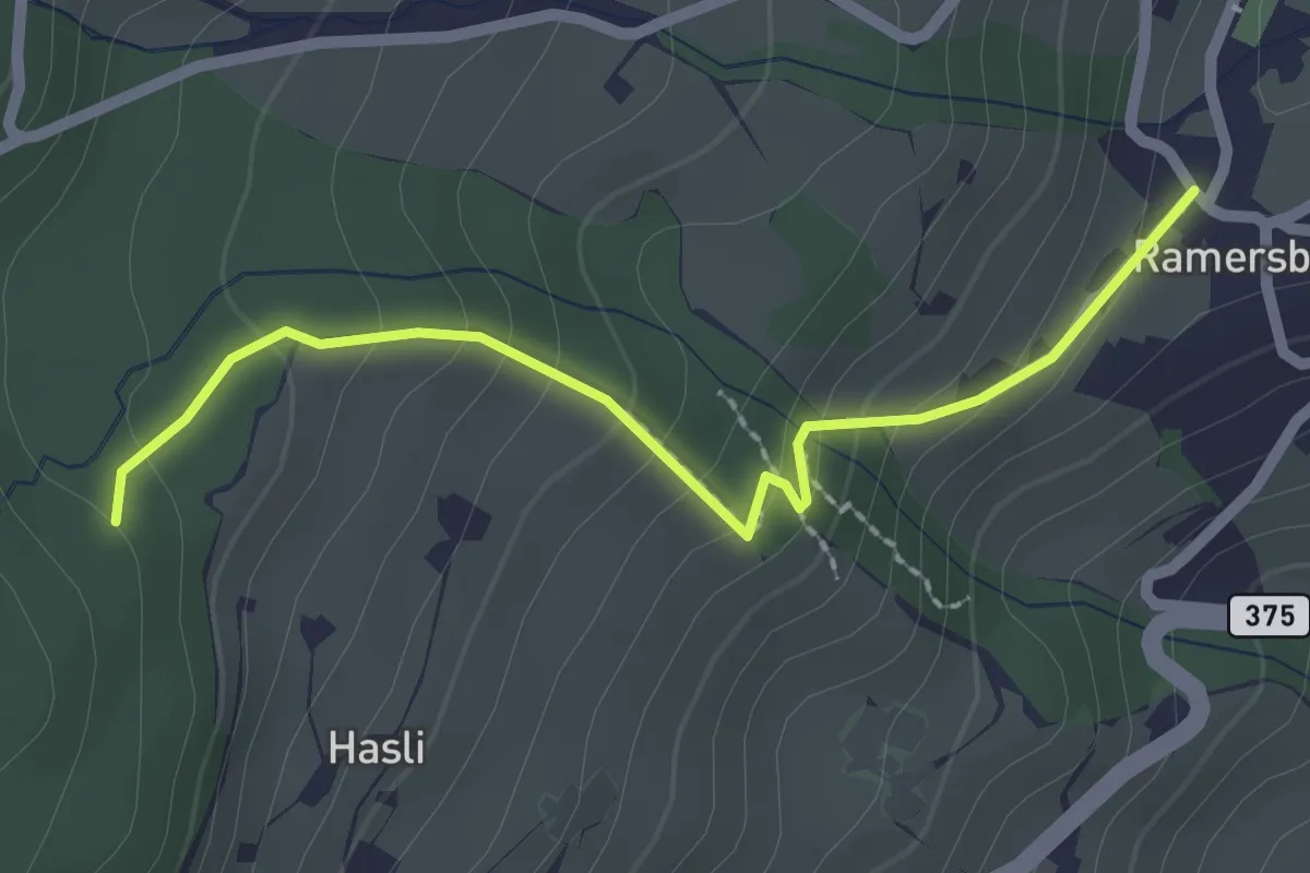
Easy · Trail
Rappenwald – Ramserberg
2.3 km · ↑ 165 m · 53 min
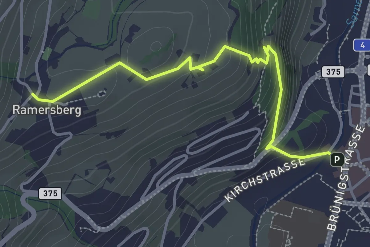
Easy · Trail
Ramserberg – Sarnen Dorfplatz
3.4 km · ↑ 192 m · 1 h 12 min
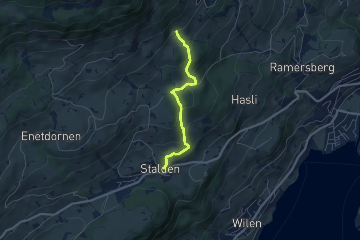
Easy · Trail
Stalden – Schalf
4.3 km · ↑ 246 m · 1 h 33 min
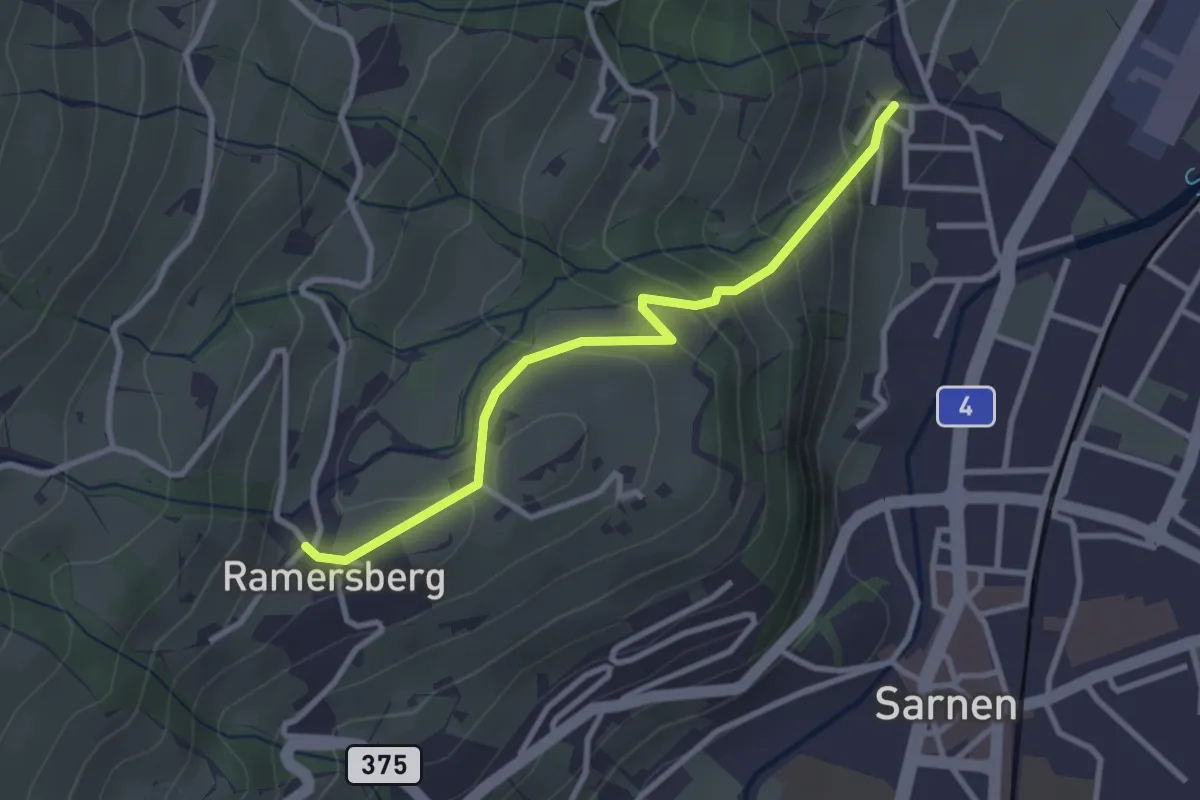
Easy · Trail
Ramserberg – Bitzighofen
2.9 km · ↑ 179 m · 1 h 5 min
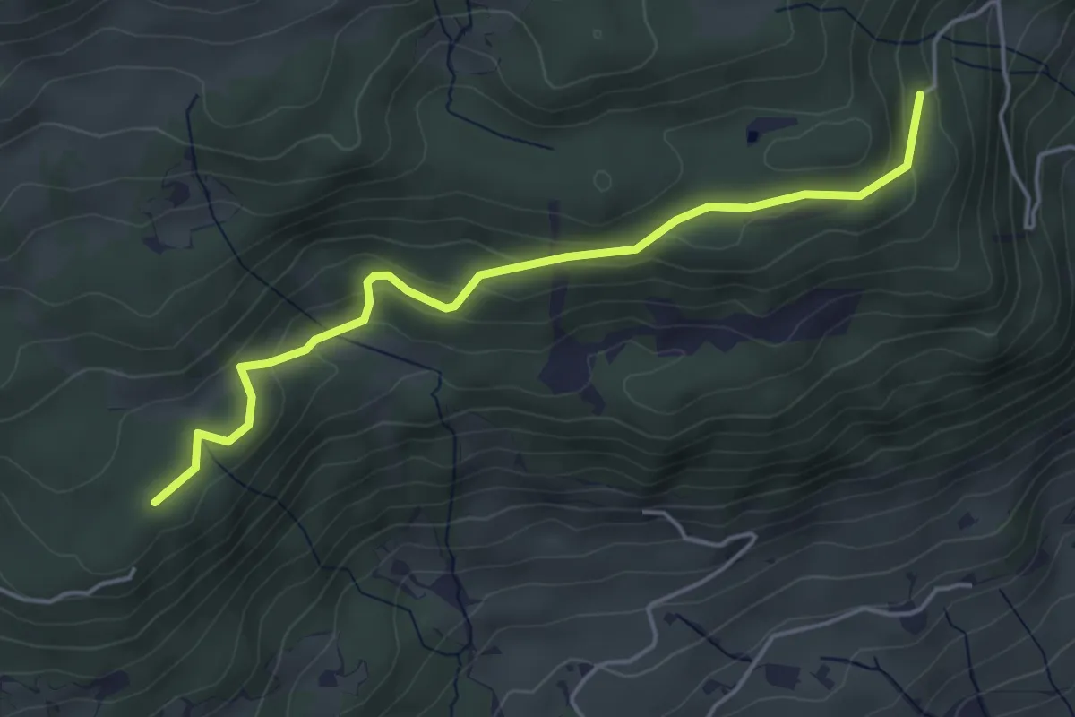
Easy · Trail
Stillenbach – Schnellengrat
4.6 km · ↑ 176 m · 1 h 28 min
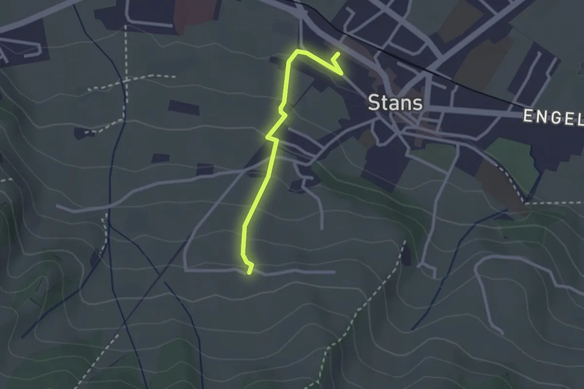
Easy · Trail
Stanserhornbahn – Unter Eggenburg
2.2 km · ↑ 128 m · 47 min
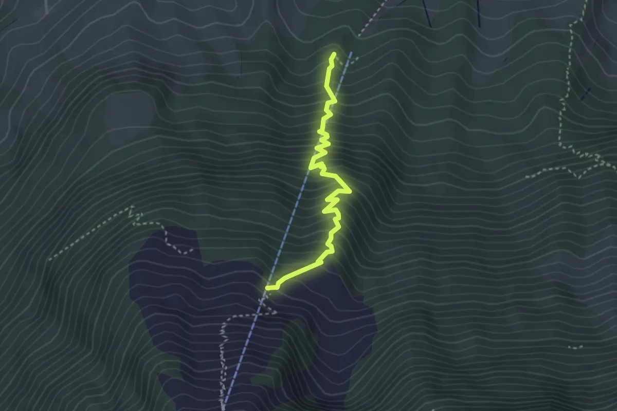
Medium · Trail
Wasserplatten – Bluematt
3.2 km · ↑ 498 m · 1 h 50 min
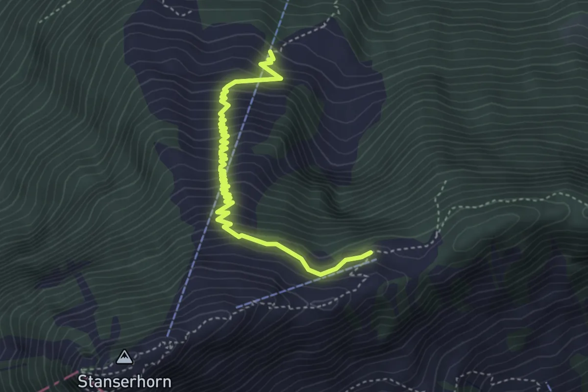
Medium · Trail
Bluematt – Rinderalp
4.3 km · ↑ 488 m · 2 h 4 min
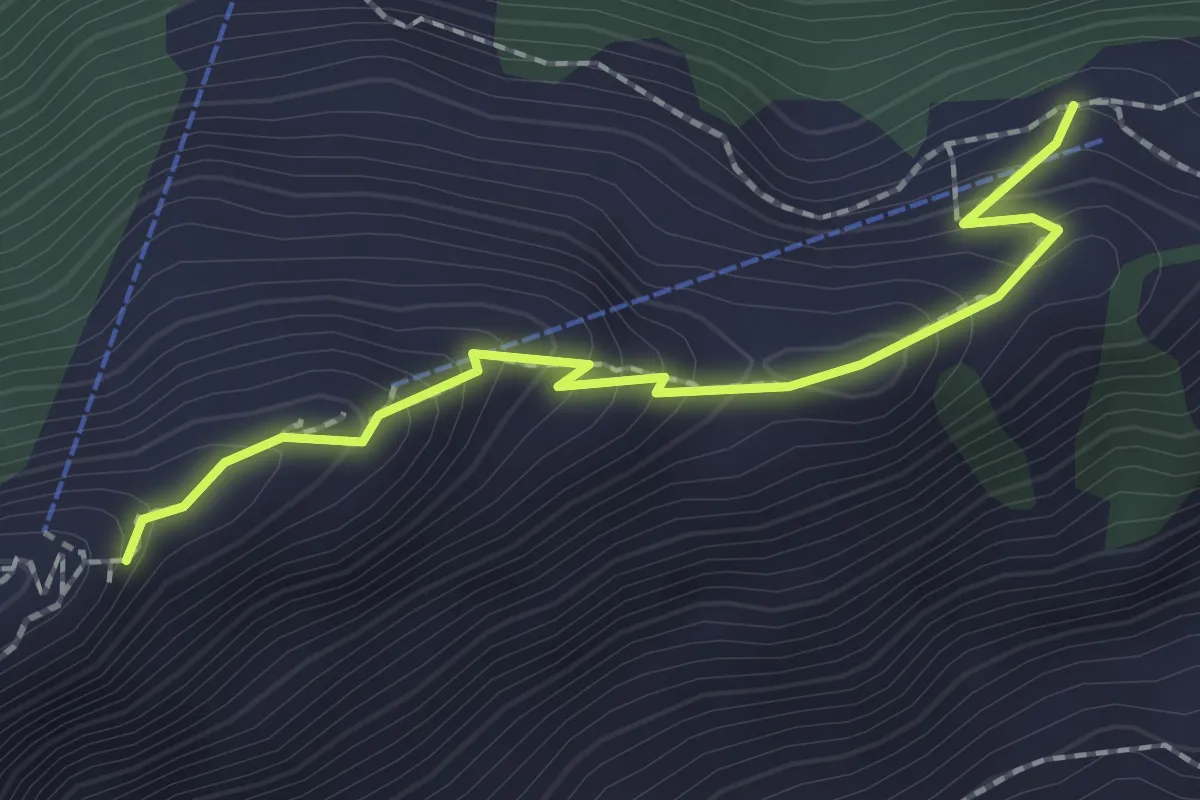
Medium · Trail
Rindermatt – Stanserhorn
2.0 km · ↑ 212 m · 56 min
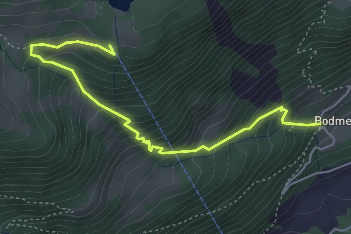
Medium · Trail
Arnisee Bergstation – Bodmen
4.1 km · ↑ 526 m · 2 h 7 min
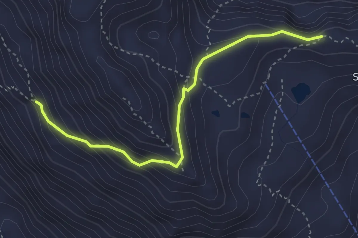
Medium · Trail
Sunnig Grat – Fürggi
3.1 km · ↑ 347 m · 1 h 29 min
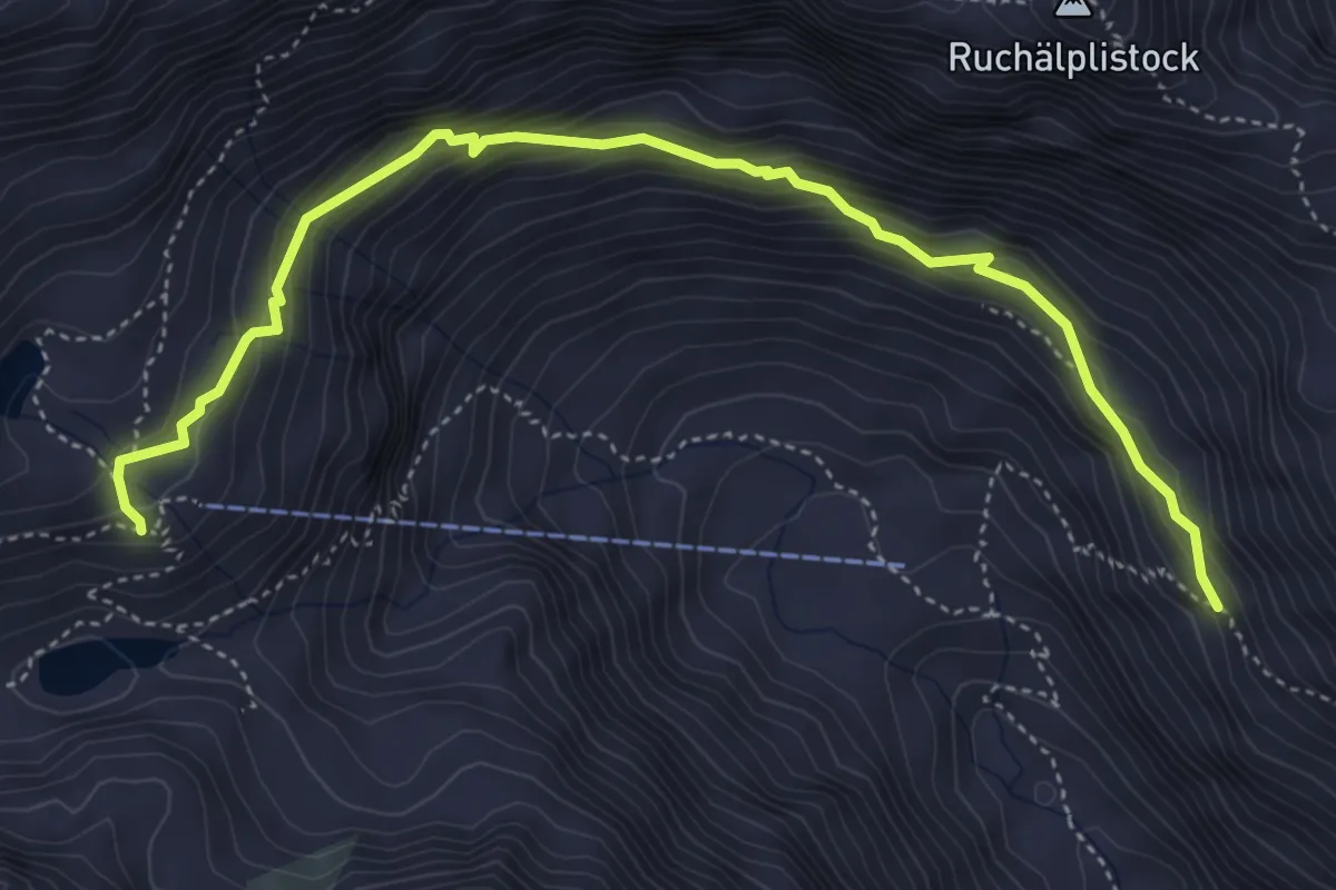
Demanding · Cabin
Fürggi – Leutschachhütte SAC
5.1 km · ↑ 418 m · 2 h 6 min
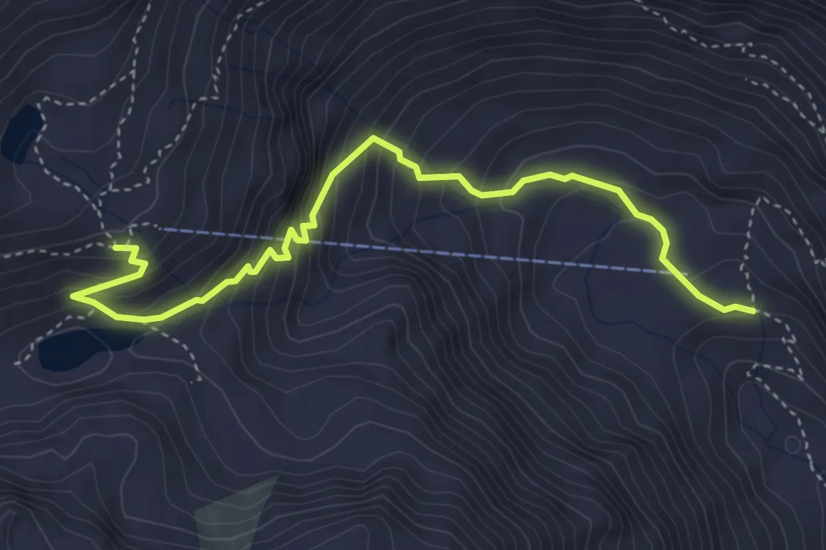
Expert · Cabin
Furt – Leutschachhütte SAC
4.3 km · ↑ 445 m · 1 h 59 min
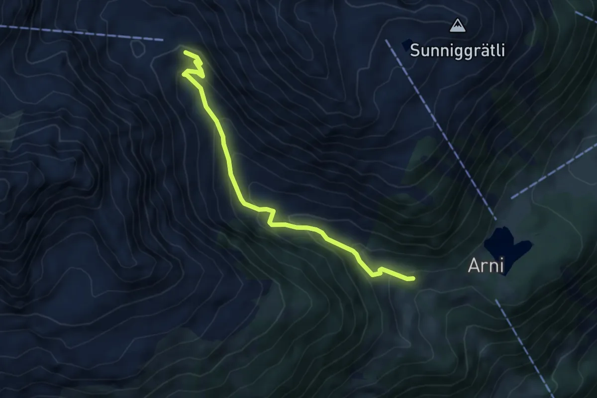
Medium · Trail
Furt – Schwändi
5.0 km · ↑ 368 m · 1 h 59 min
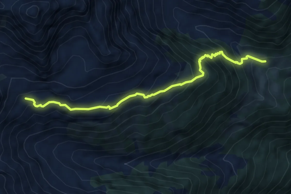
Medium · Trail
Schwändli – Schindlachtalhütte
6.7 km · ↑ 626 m · 2 h 56 min
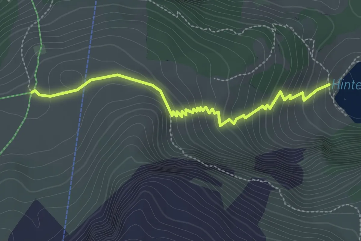
Easy · Trail
Hinterburgseeli – Chruttmettli
2.9 km · ↑ 202 m · 1 h 7 min
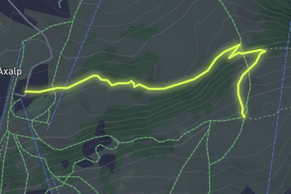
Easy · Trail
Chruttmettli – Kurhaus / Axalp
3.9 km · ↑ 208 m · 1 h 22 min
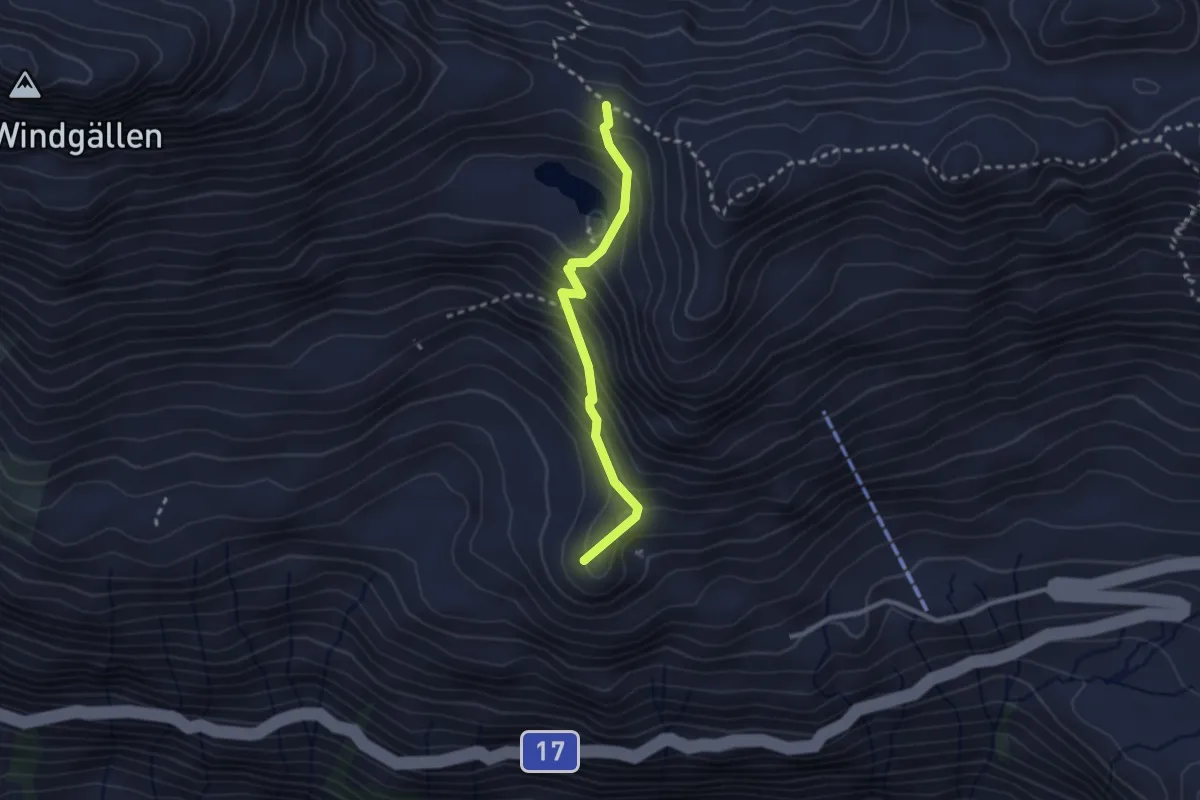
Easy · Summit
Vorderen Rustigen – Ruosalper Chulm
2.3 km · ↑ 250 m · 1 h 6 min