Trails in Switzerland
15,055 hiking trails, each with its route, climb, walking time and grade.
All trails, page 205 of 314
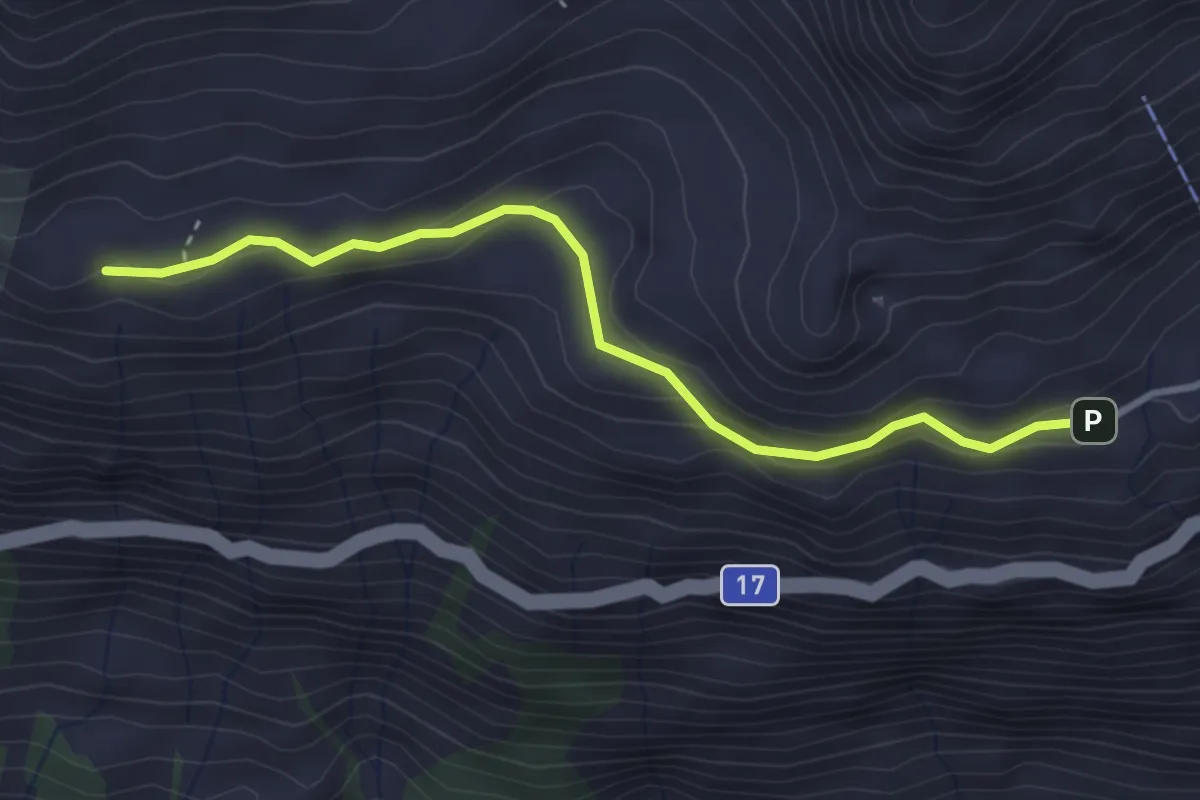
Easy · Trail
Vorderen Rustigen – Heidmannegg
3.3 km · ↑ 171 m · 1 h 9 min
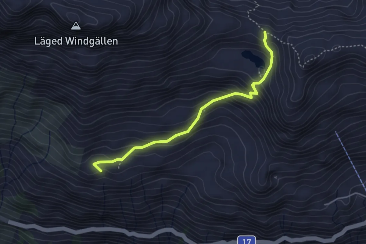
Easy · Trail
Heidmannegg – Ruosalper Chulm
3.6 km · ↑ 294 m · 1 h 29 min
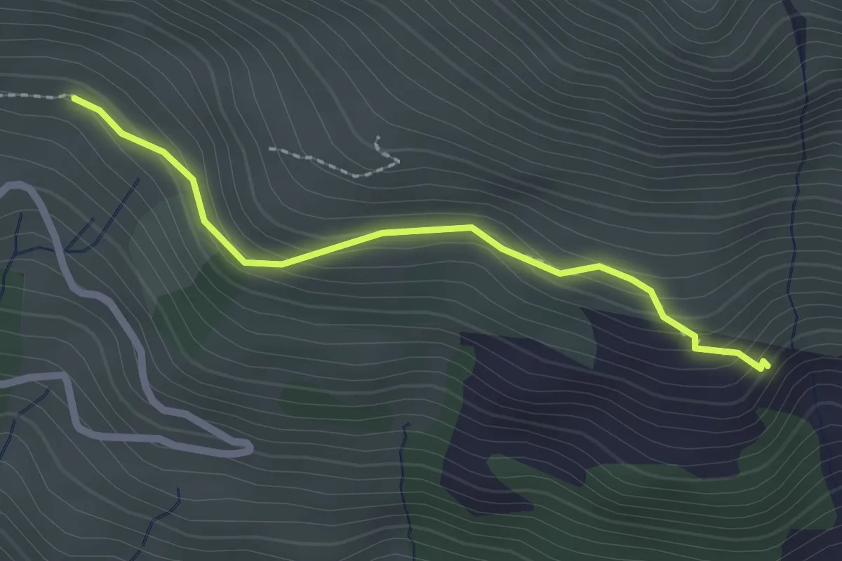
Medium · Trail
Alt Stafel – Mettenen
2.0 km · ↑ 143 m · 47 min
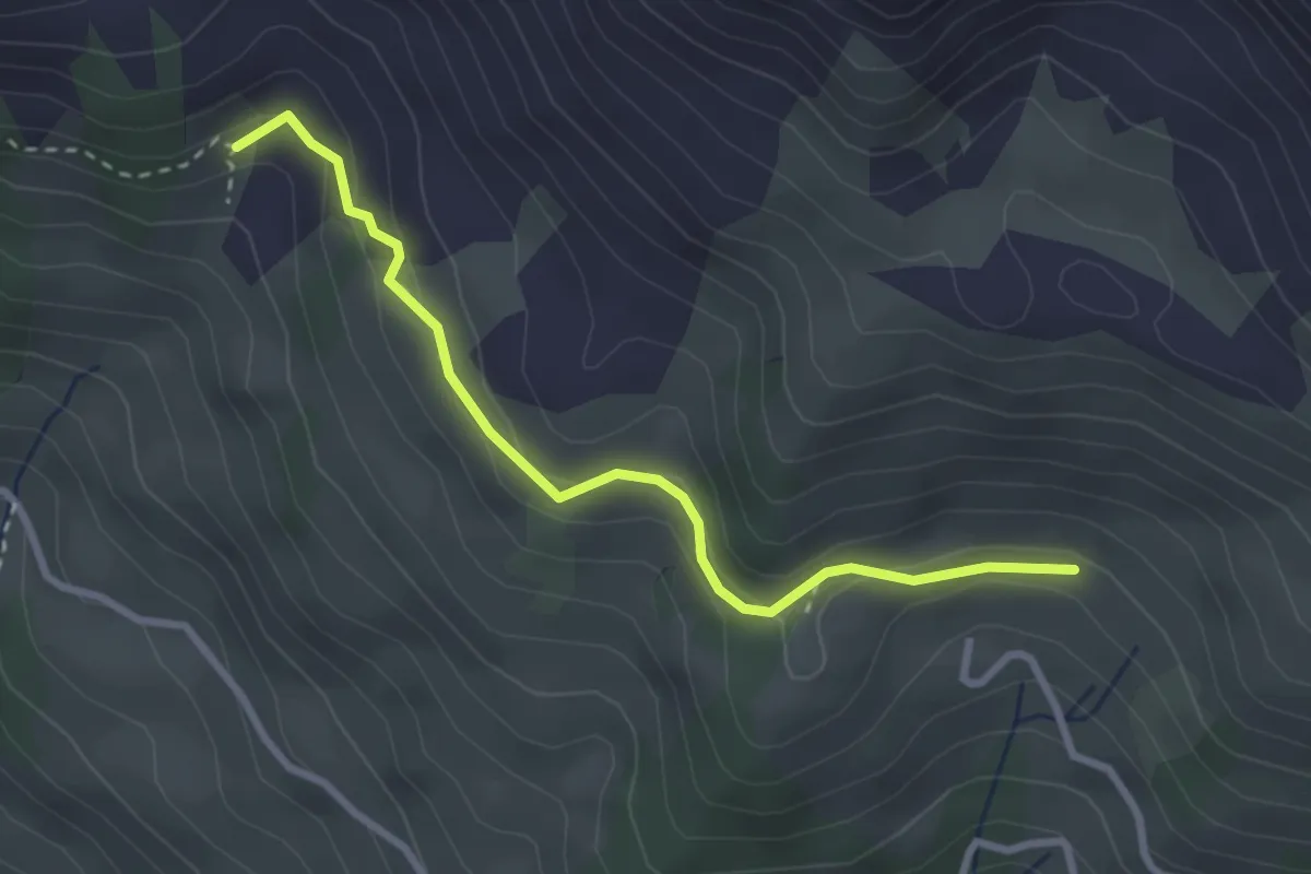
Medium · Trail
Mettenen – Hegerwald
2.9 km · ↑ 144 m · 1 h
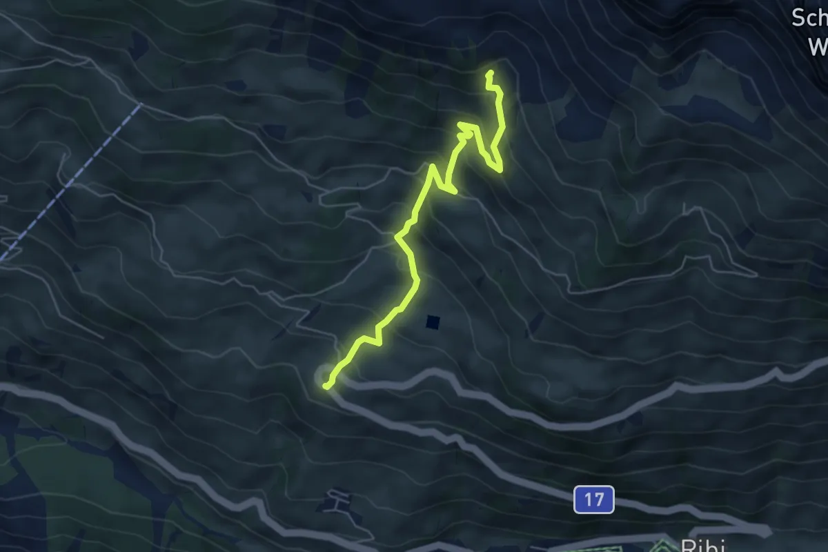
Medium · Trail
Hegerwald – Urigen
5.5 km · ↑ 508 m · 2 h 24 min
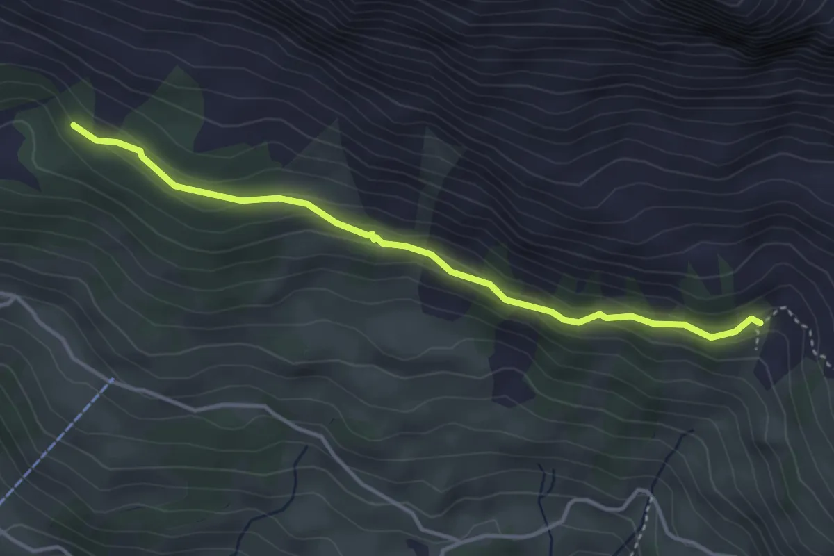
Demanding · Trail
Hegerwald – Äbneter Wald
3.8 km · ↑ 219 m · 1 h 22 min
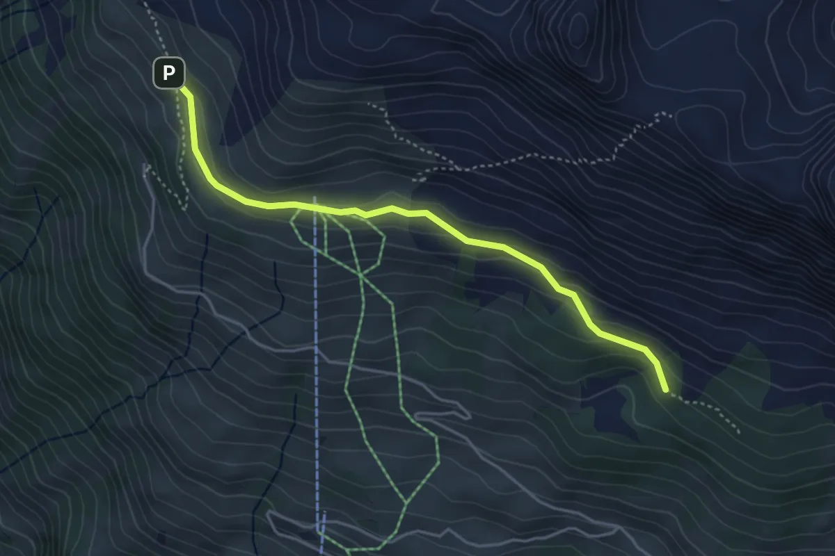
Easy · Trail
Äbneter Wald – Ober Gisleralp
4.1 km · ↑ 148 m · 1 h 17 min
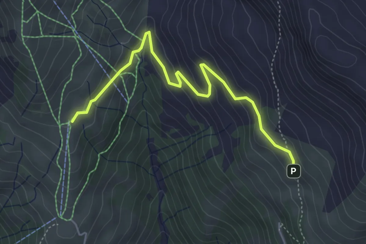
Easy · Trail
Ober Gisleralp – Vorder Wissenboden
4.7 km · ↑ 237 m · 1 h 38 min
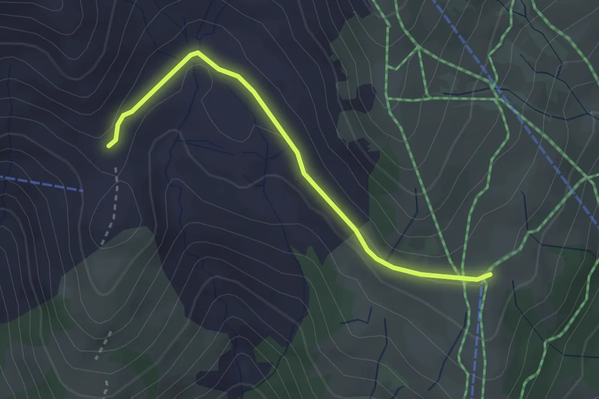
Easy · Trail
Vorder Wissenboden – Alafund
2.8 km · ↑ 35 m · 44 min
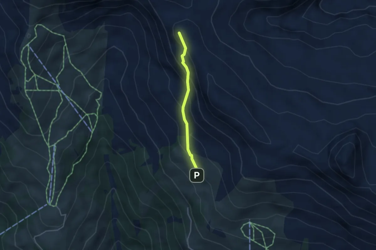
Easy · Summit
Ober Gisleralp – Chinzig Chulm
2.6 km · ↑ 229 m · 1 h 6 min
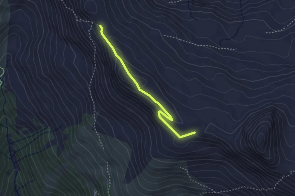
Easy · Summit
Ober Gisleralp – Chinzig Chulm
3.0 km · ↑ 130 m · 1 h
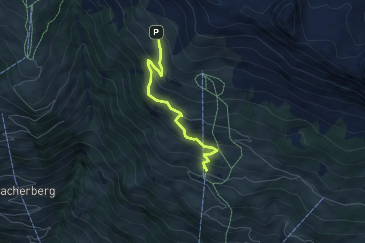
Medium · Trail
Ober Gisleralp – Ratzi
4.9 km · ↑ 333 m · 1 h 52 min
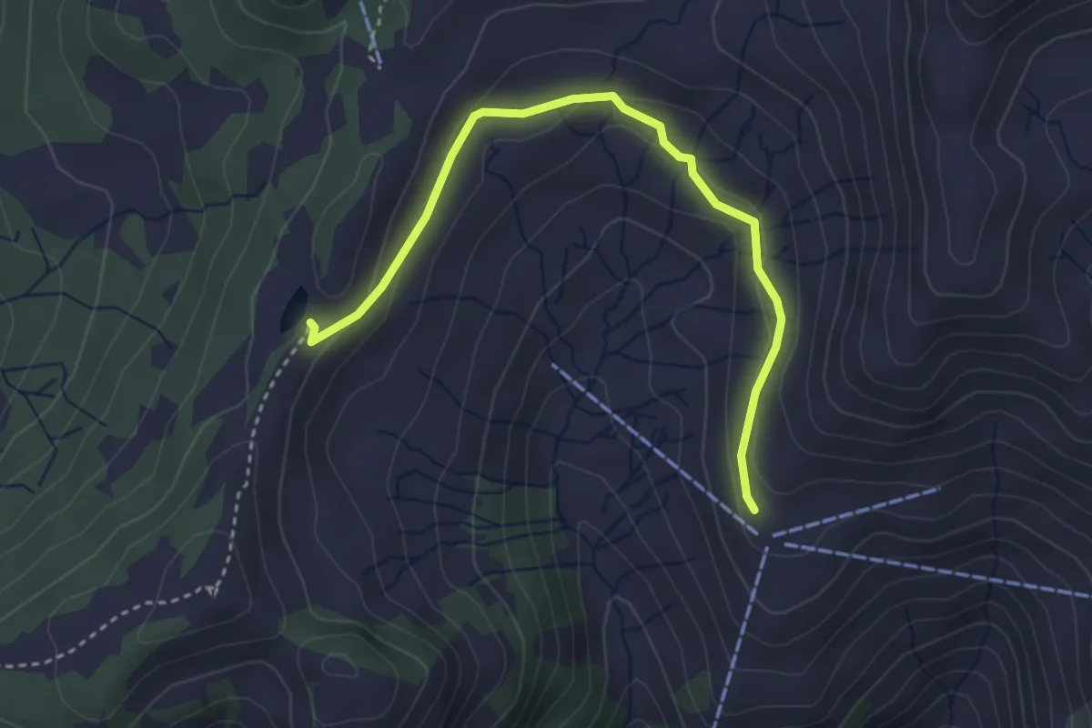
Easy · Trail
Ruegig – Fleschsee
3.6 km · ↑ 123 m · 1 h 7 min
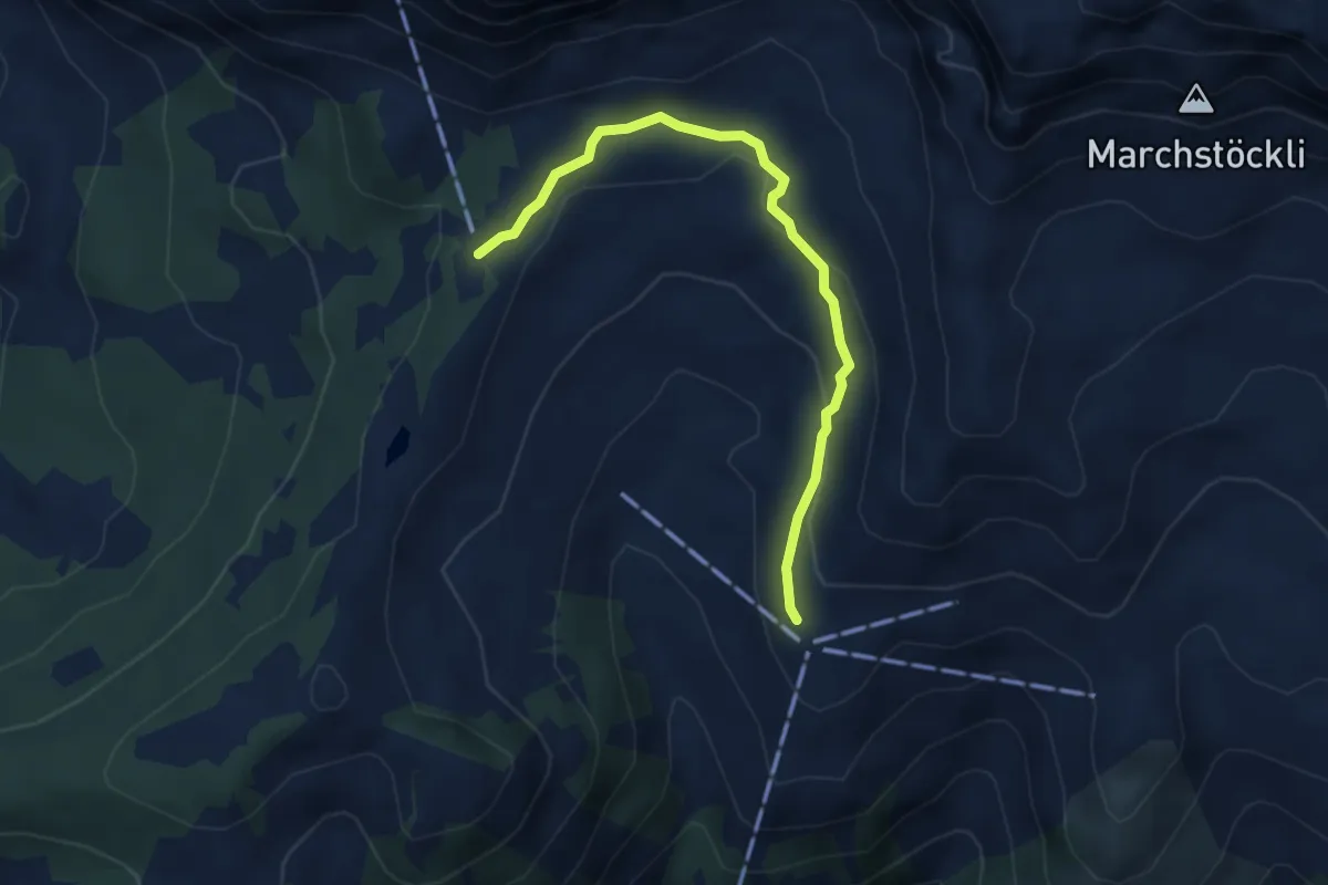
Medium · Trail
Ruegig – Chalberweid
3.8 km · ↑ 134 m · 1 h 12 min
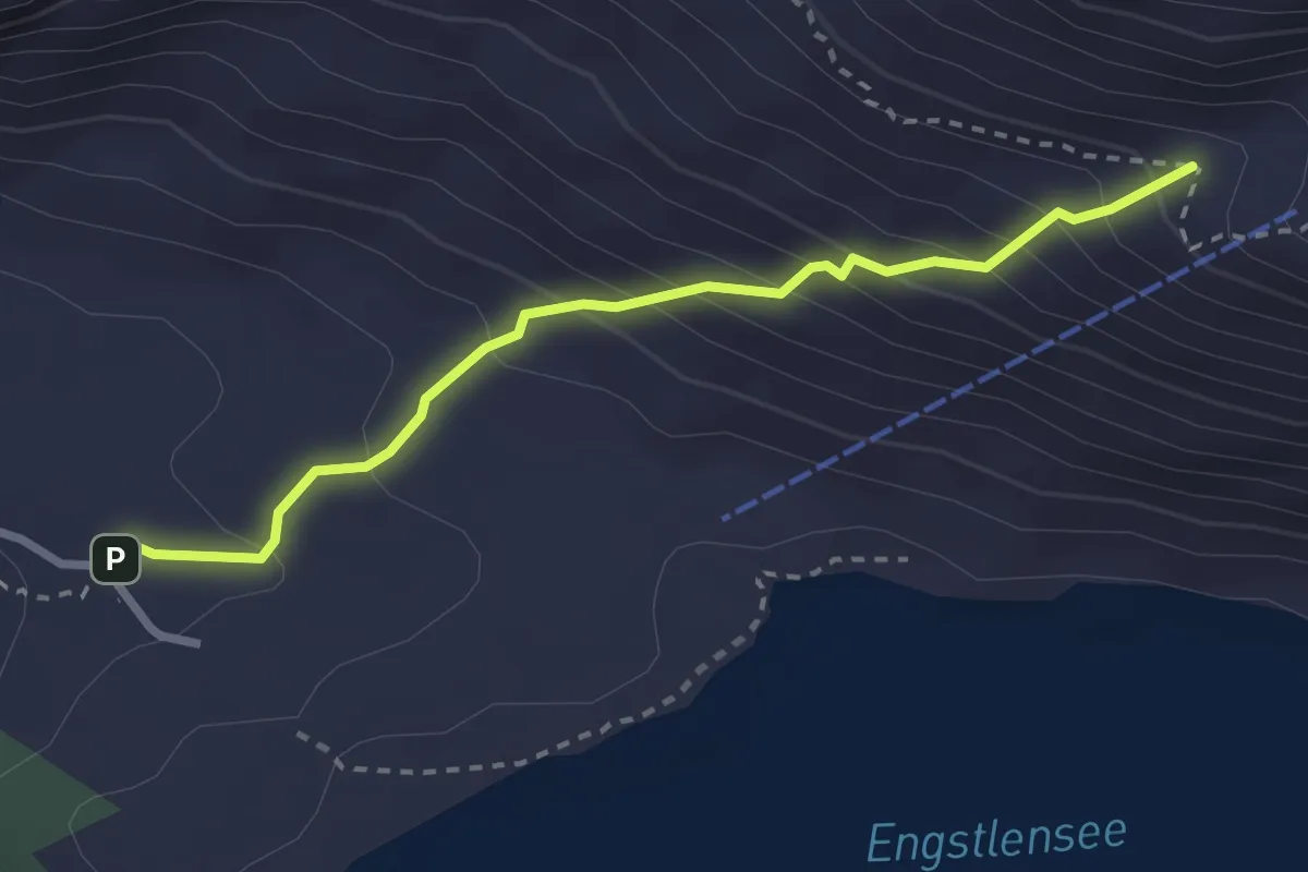
Easy · Trail
Schaftal – Engstlenalp
2.7 km · ↑ 280 m · 1 h 15 min
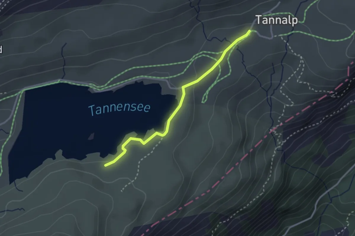
Medium · Trail
Tannalp – Tannensee
2.7 km · ↑ 28 m · 41 min
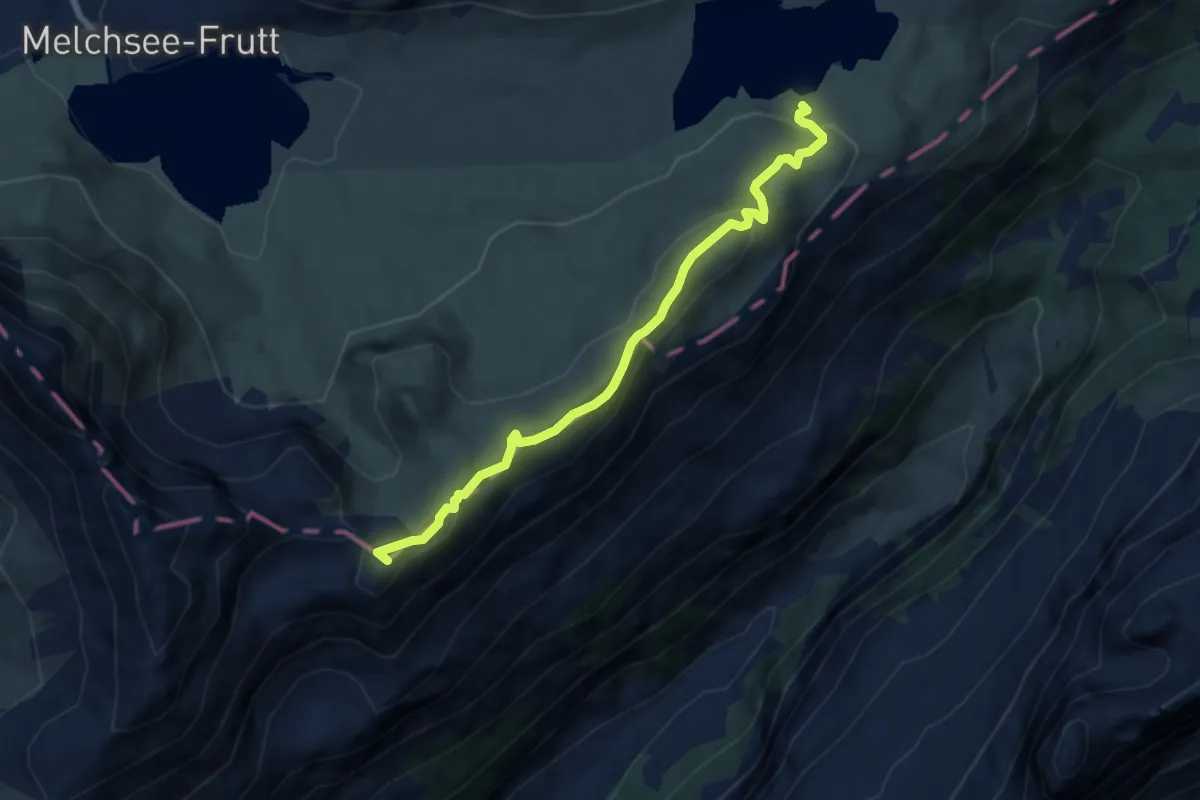
Medium · Summit
Tannensee – Balmeregghorn
7.0 km · ↑ 303 m · 2 h 18 min
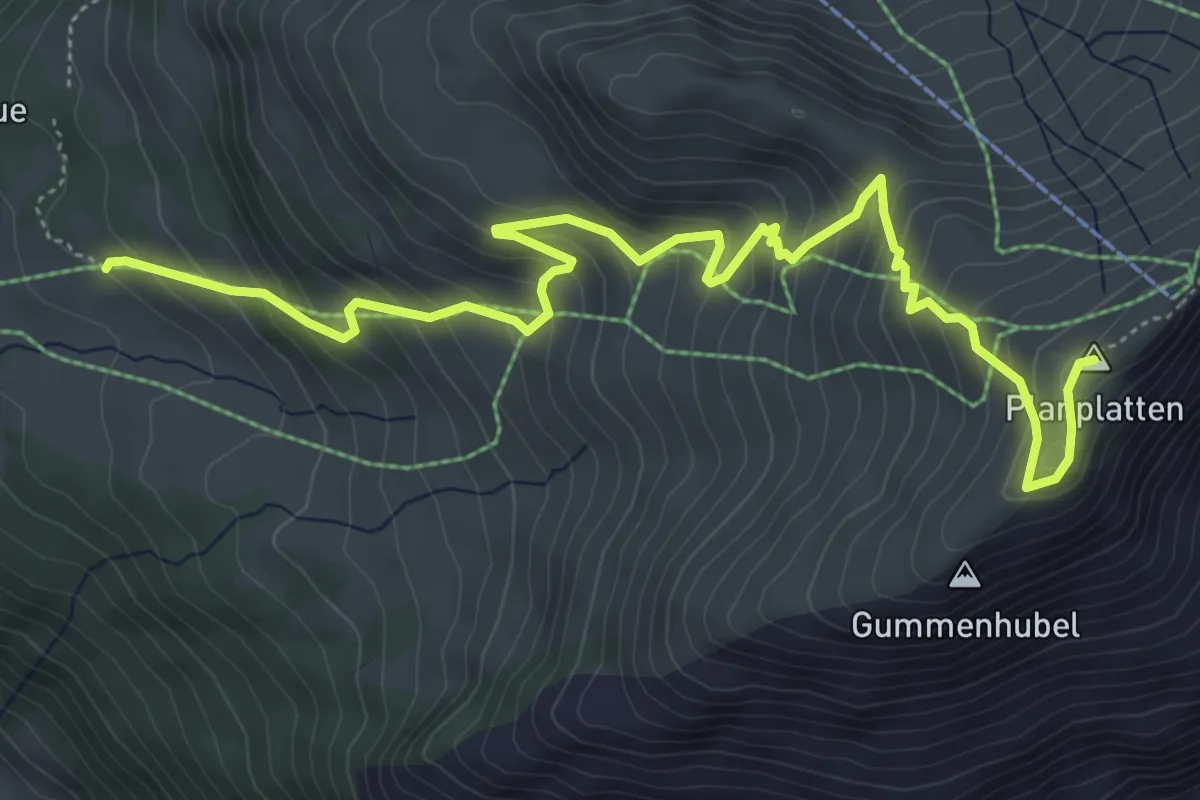
Medium · Summit
Planplatten – Gummen Renen
6.8 km · ↑ 560 m · 2 h 49 min
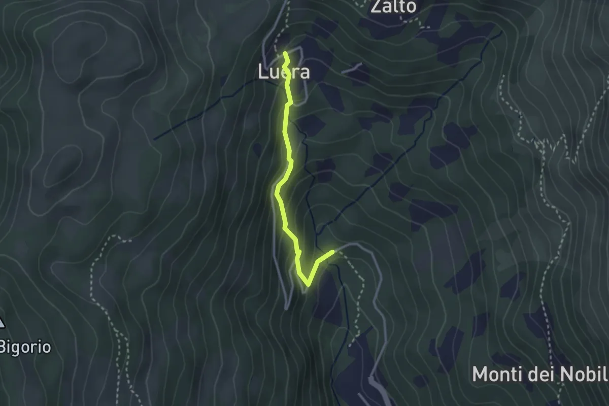
Medium · Trail
Luera – Marca
2.4 km · ↑ 207 m · 1 h 1 min
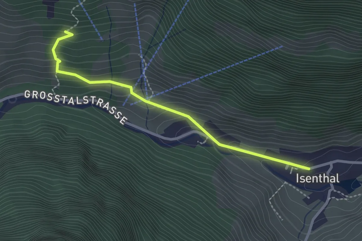
Demanding · Trail
Isenthal – Stalden
2.3 km · ↑ 166 m · 55 min
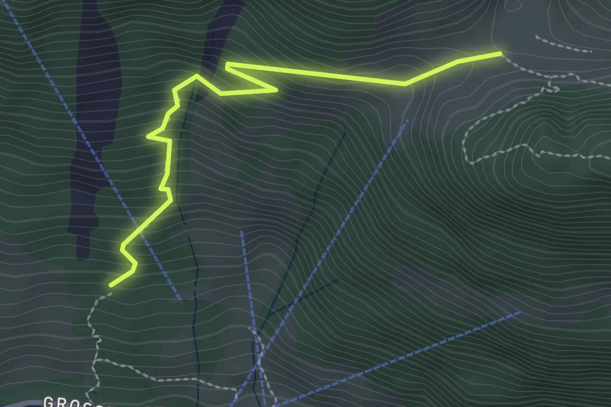
Demanding · Trail
Stalden – Furggelen
2.6 km · ↑ 312 m · 1 h 18 min
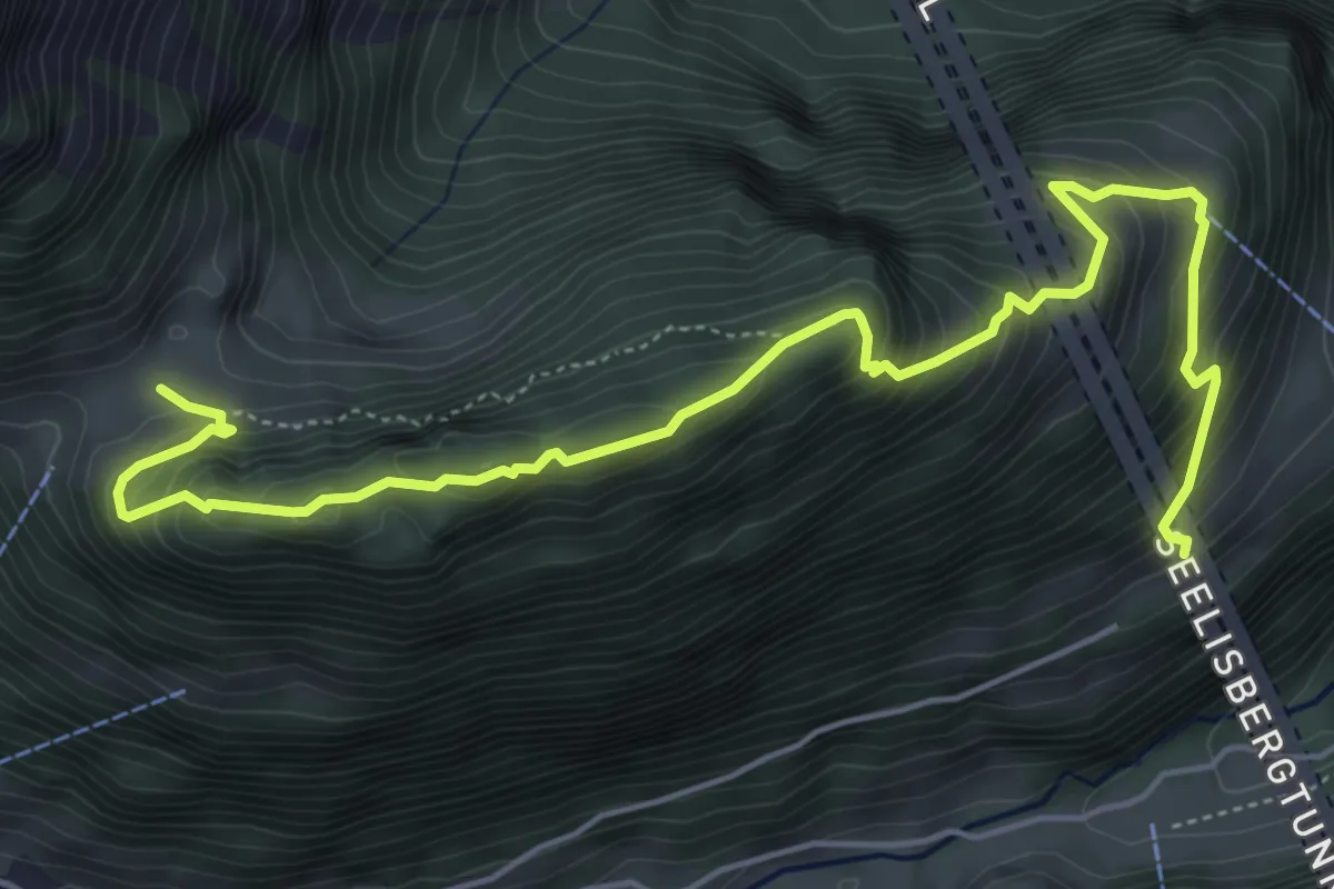
Demanding · Trail
Furggelen – Hinter Bächi
6.6 km · ↑ 653 m · 2 h 59 min
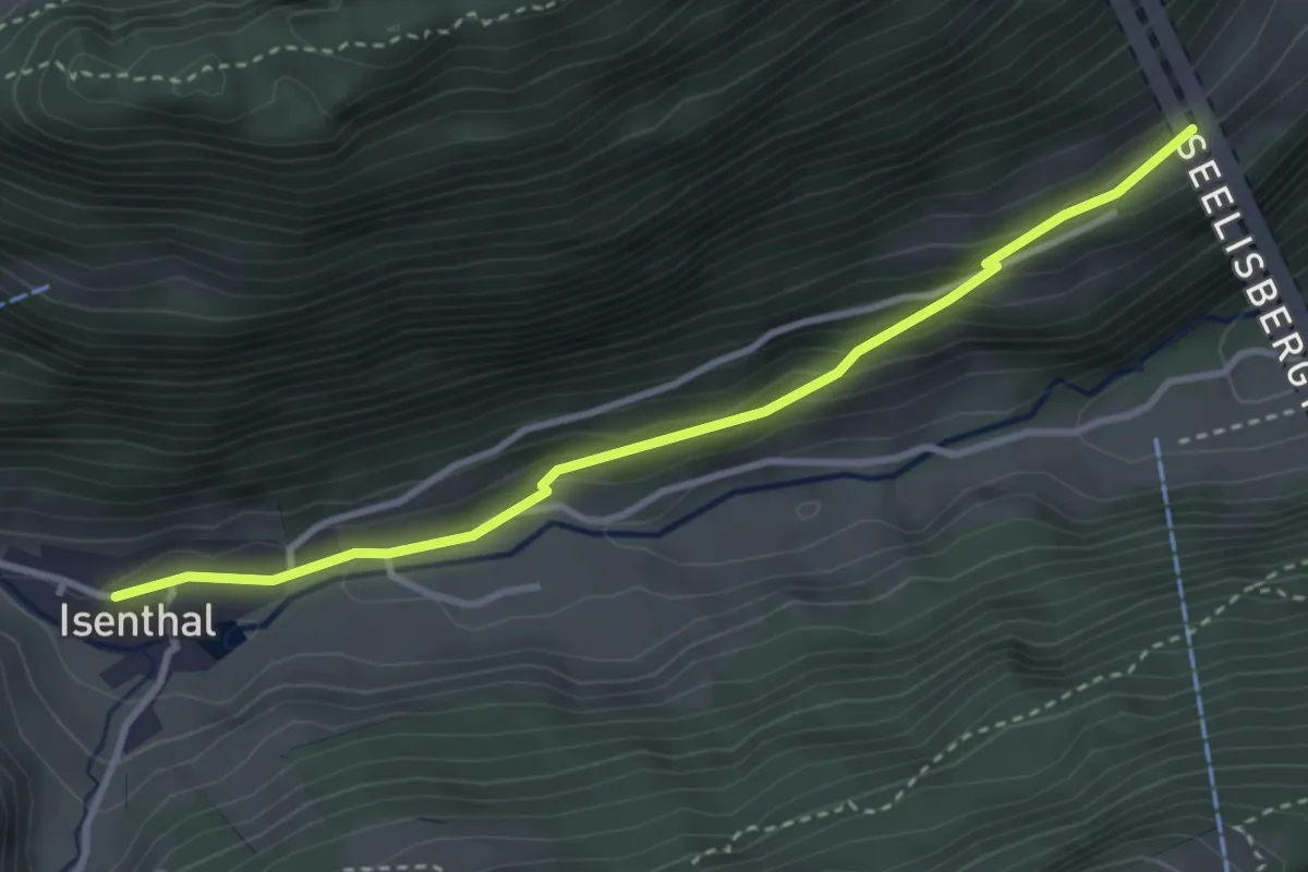
Easy · Trail
Hinter Bärchi – Isenthal
3.4 km · ↑ 149 m · 1 h 7 min
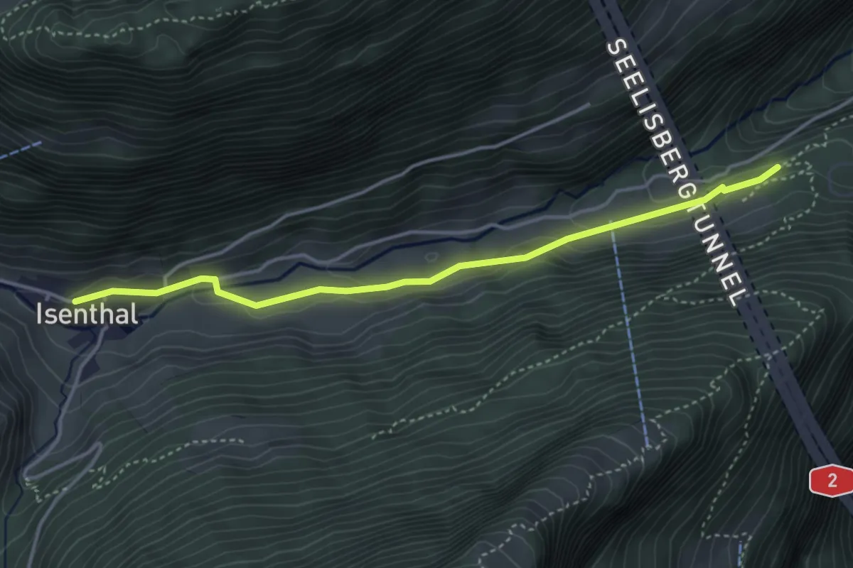
Medium · Trail
Isenthal – Saum
4.0 km · ↑ 123 m · 1 h 12 min
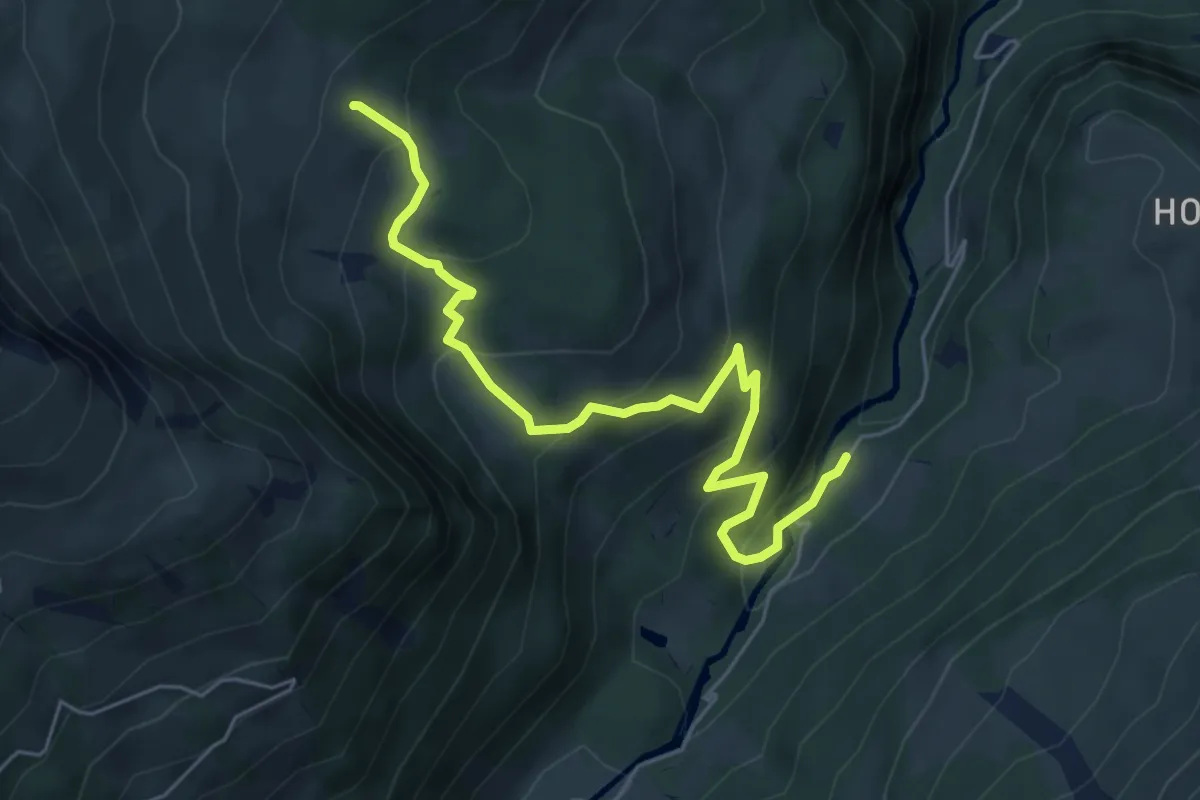
Medium · Trail
Kaltenbrunnen/Säge – Chaltenbrunnen ober Stafel
6.2 km · ↑ 434 m · 2 h 24 min
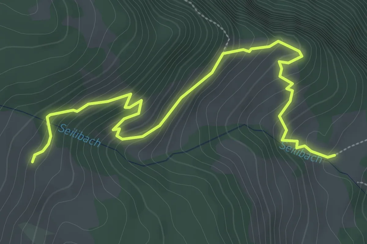
Medium · Trail
Chaltenbrunnen ober Staffel – Seilialp
4.3 km · ↑ 316 m · 1 h 42 min
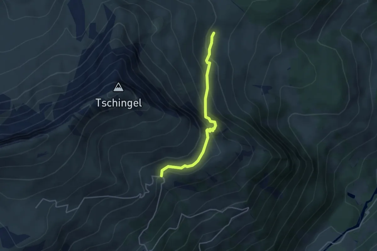
Easy · Trail
Chaltenbrunnen Ober Stafel – Grindelschärm
3.4 km · ↑ 312 m · 1 h 29 min
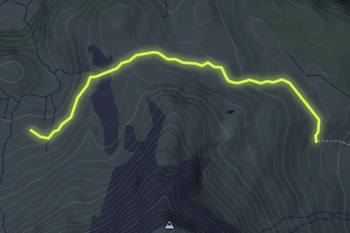
Easy · Trail
Chaltenbrunnen Ober Stafel – Wandelalp Im Obersten
4.4 km · ↑ 215 m · 1 h 30 min
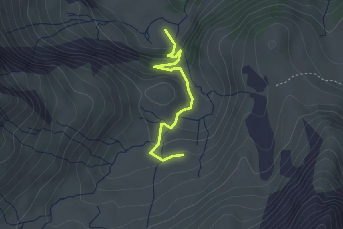
Easy · Trail
Wandelalp Im Obersten – Wandelalp Im Mittlesten
2.8 km · ↑ 193 m · 1 h 5 min
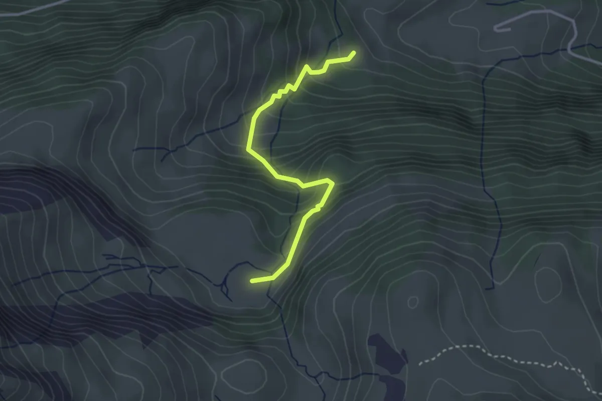
Easy · Trail
Wandelalp Im Mittlesten – Mettlen
3.0 km · ↑ 304 m · 1 h 21 min
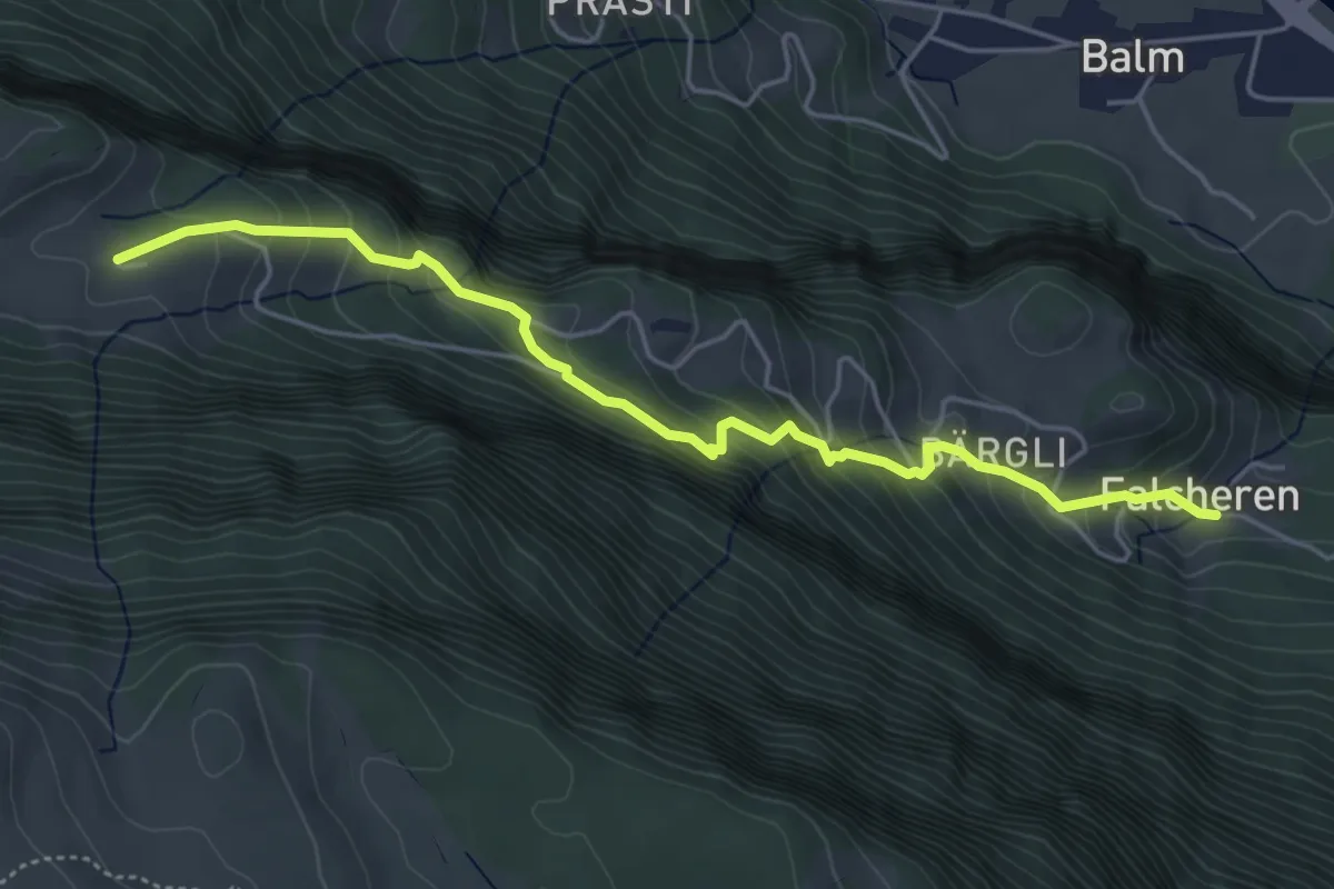
Medium · Trail
Isetwald – Falchern
5.1 km · ↑ 462 m · 2 h 12 min
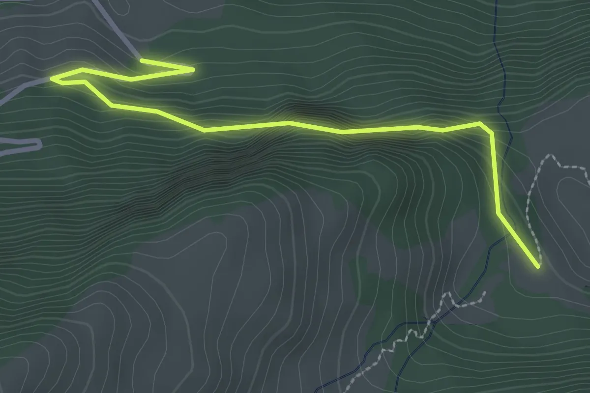
Easy · Trail
Mettlen – Lauenen
2.9 km · ↑ 189 m · 1 h 6 min
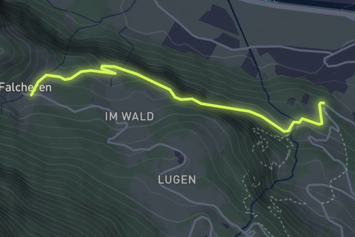
Medium · Trail
Falchern – Willigen
3.8 km · ↑ 324 m · 1 h 35 min
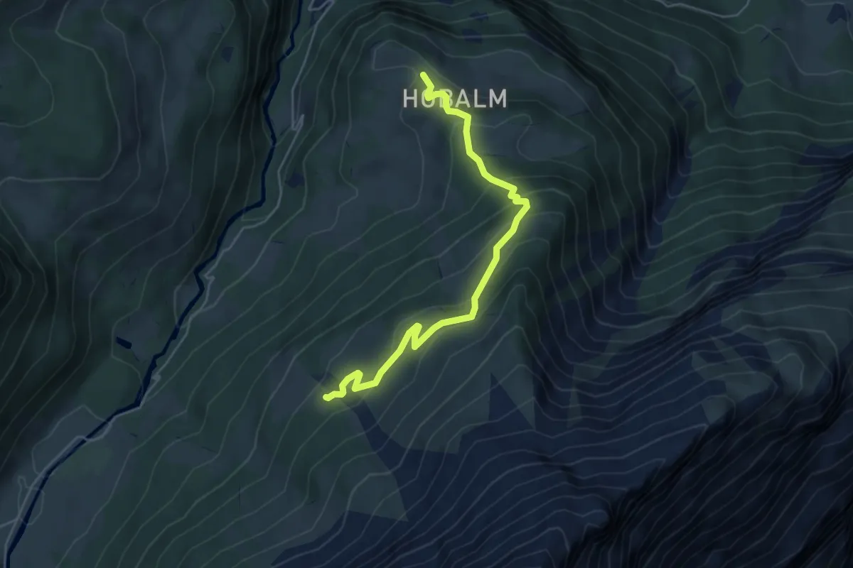
Medium · Trail
Hobalm – Gross Rychenbach
5.0 km · ↑ 370 m · 1 h 59 min
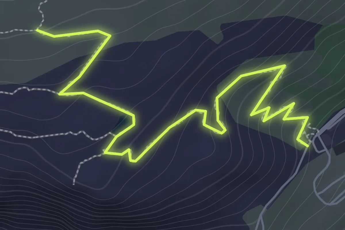
Medium · Trail
Göscheneralp – Berg
2.8 km · ↑ 184 m · 1 h 4 min
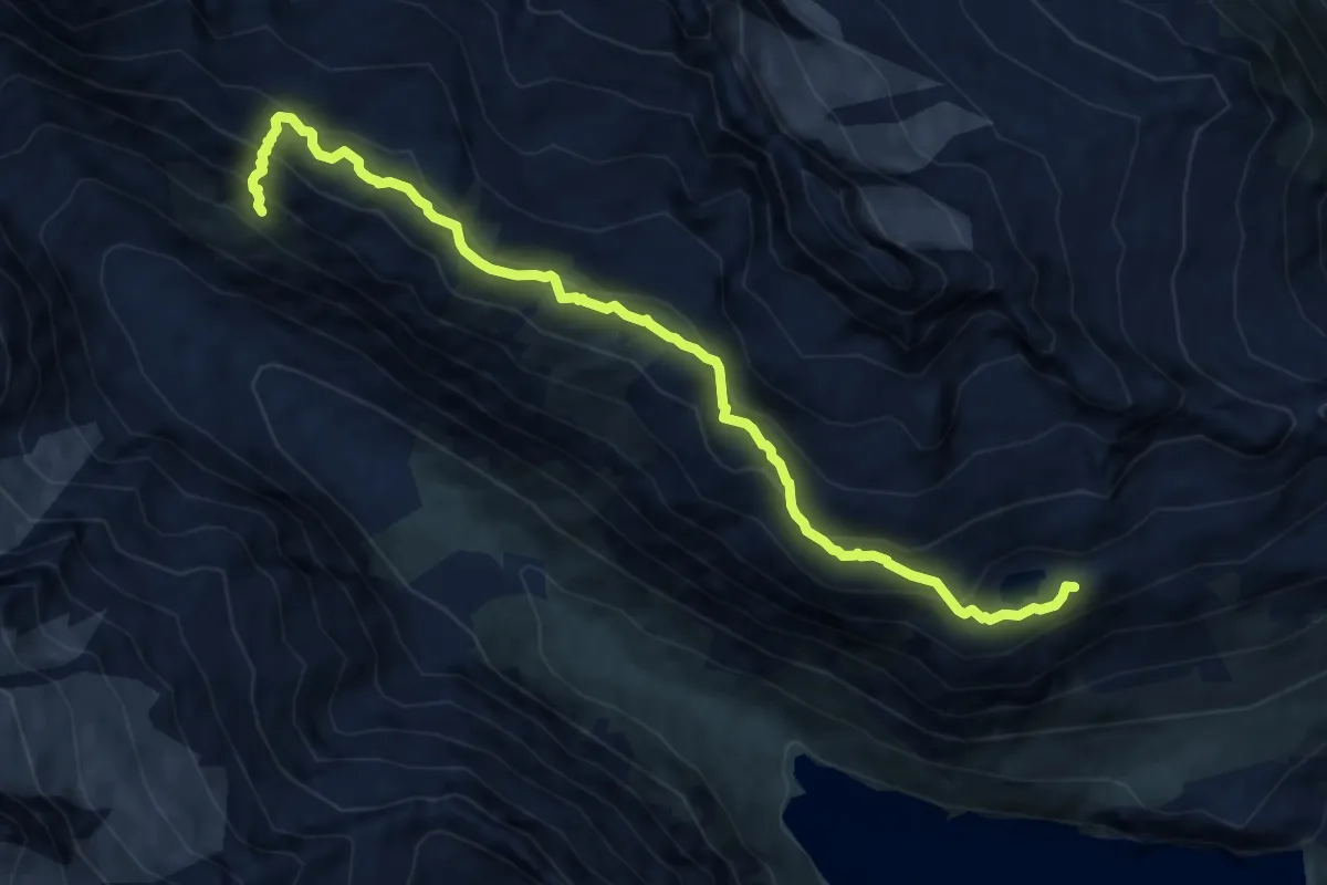
Expert · Cabin
Bergseehütte SAC – Chelenalphütte SAC
10.2 km · ↑ 824 m · 4 h 12 min
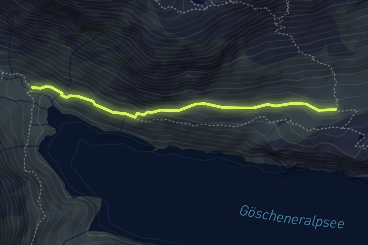
Medium · Trail
Berg – Vorder Röti
3.9 km · ↑ 229 m · 1 h 25 min
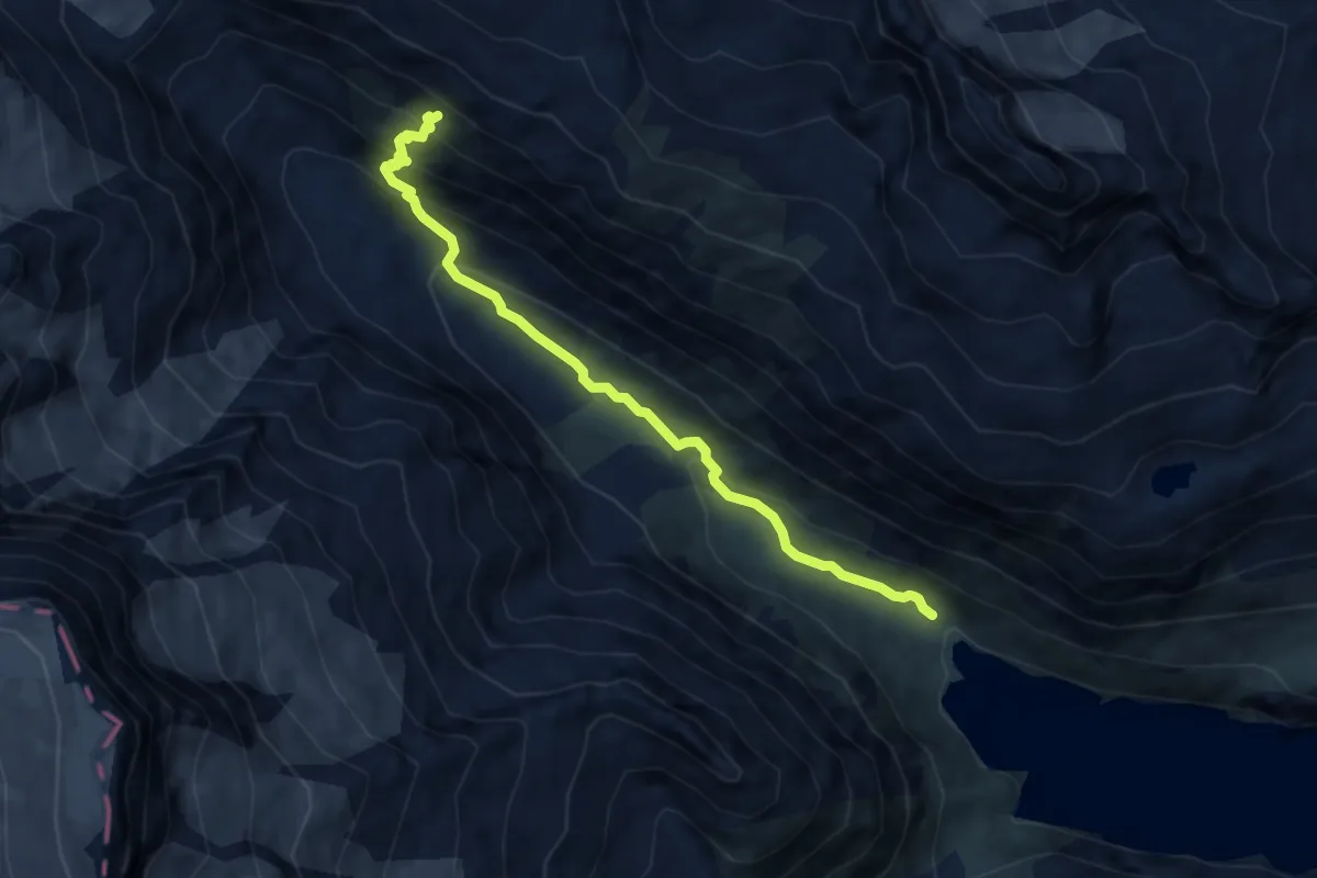
Expert · Cabin
Vorder Röti – Chelenalphütte SAC
8.0 km · ↑ 576 m · 3 h 8 min
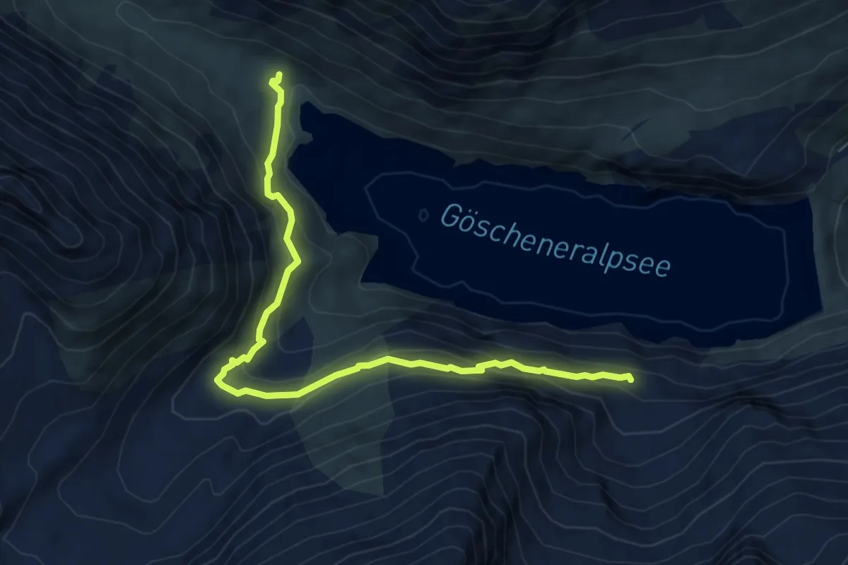
Medium · Trail
Vorder Röti – Älpergen
7.0 km · ↑ 440 m · 2 h 36 min
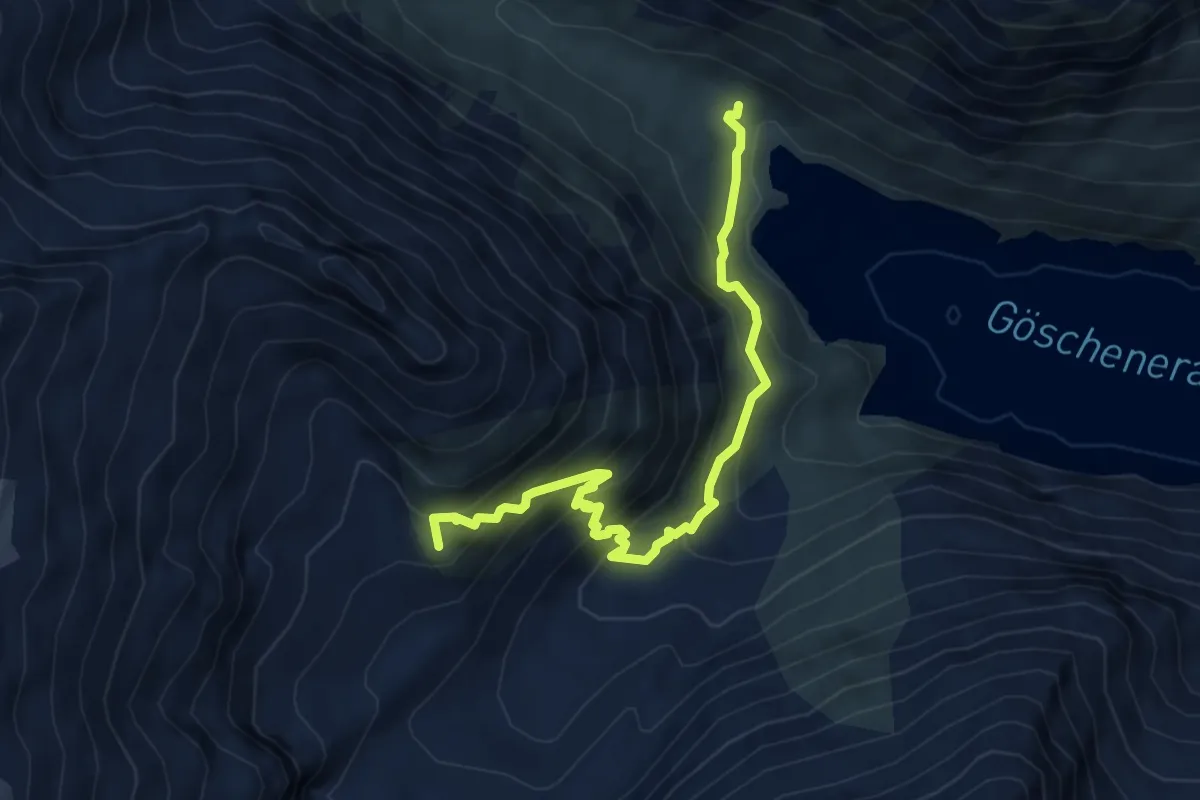
Medium · Summit
Vorder Röti – Dammhütte SAC
5.9 km · ↑ 614 m · 2 h 43 min
Medium · Trail
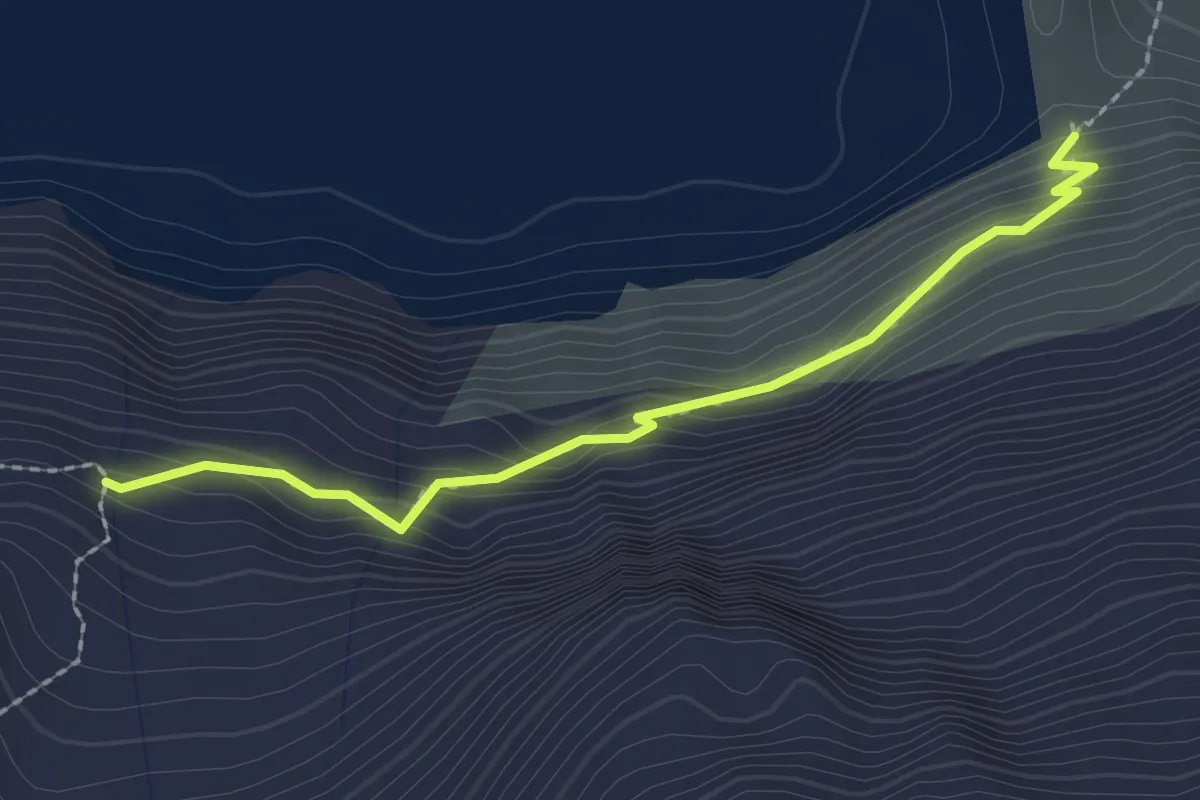
Älpergen – Staudamm
2.2 km · ↑ 143 m · 50 min
Expert · Trail
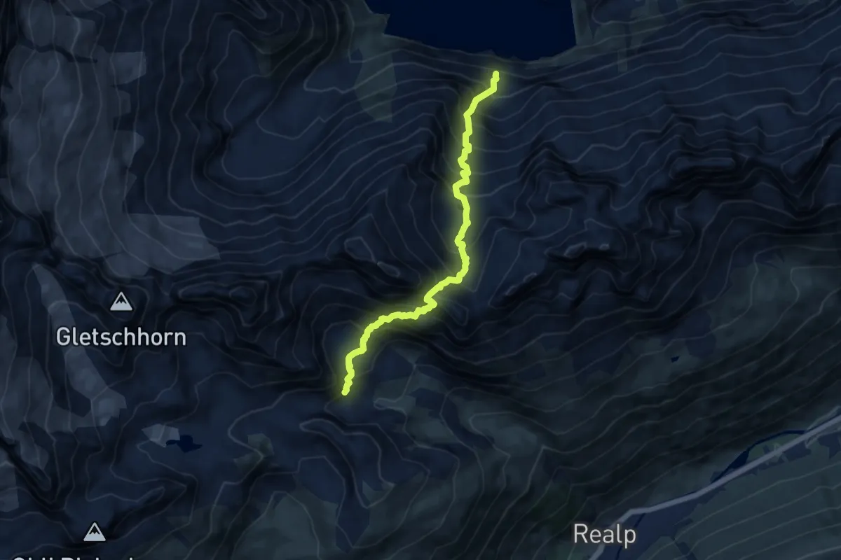
Älpergen – Lochberglücke
9.6 km · ↑ 1315 m · 5 h 7 min
Easy · Trail
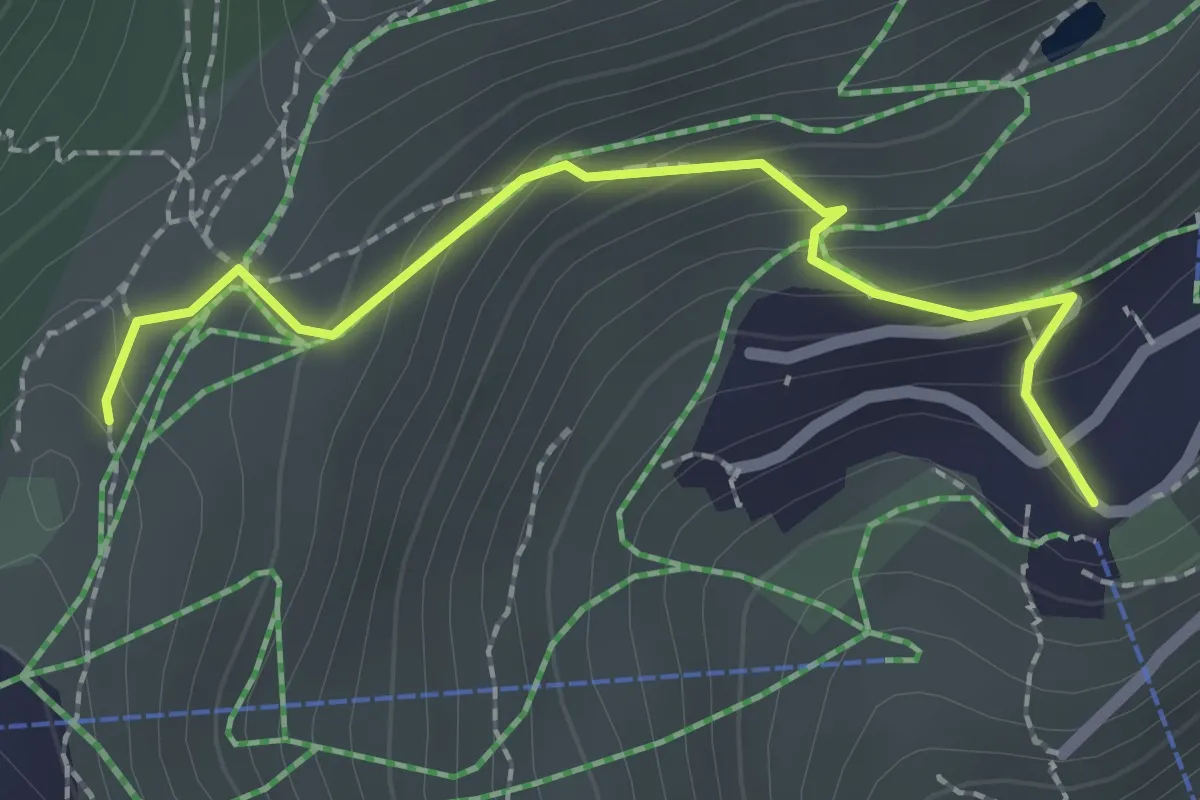
Riederalp West – Riederfurka
2.2 km · ↑ 160 m · 51 min
Easy · Trail
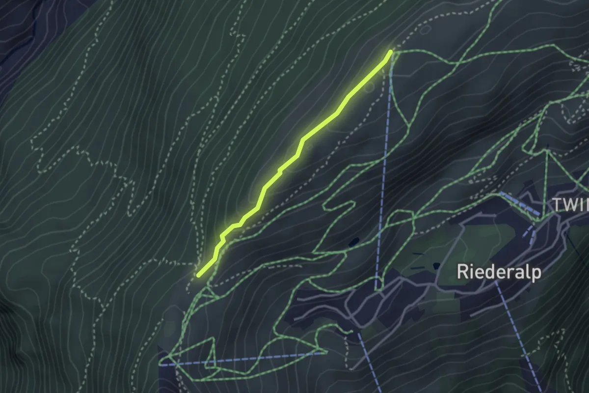
Riederfurka – Hohfluh
2.5 km · ↑ 136 m · 53 min
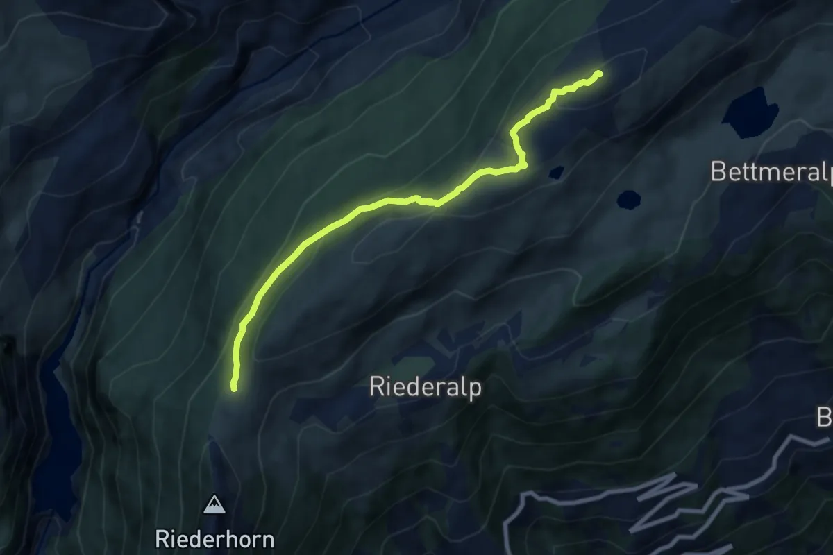
Medium · Trail
Riederfurka – Moosfluh
7.3 km · ↑ 345 m · 2 h 29 min
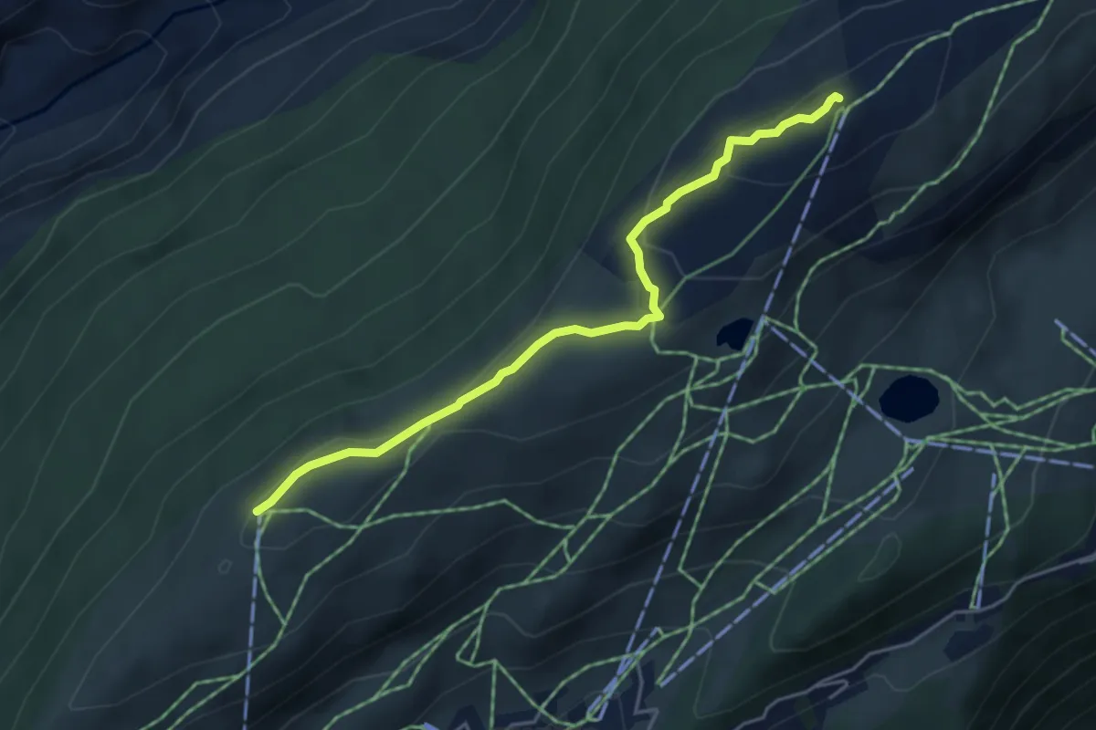
Easy · Trail
Moosfluh – Hohfluh
4.5 km · ↑ 170 m · 1 h 25 min
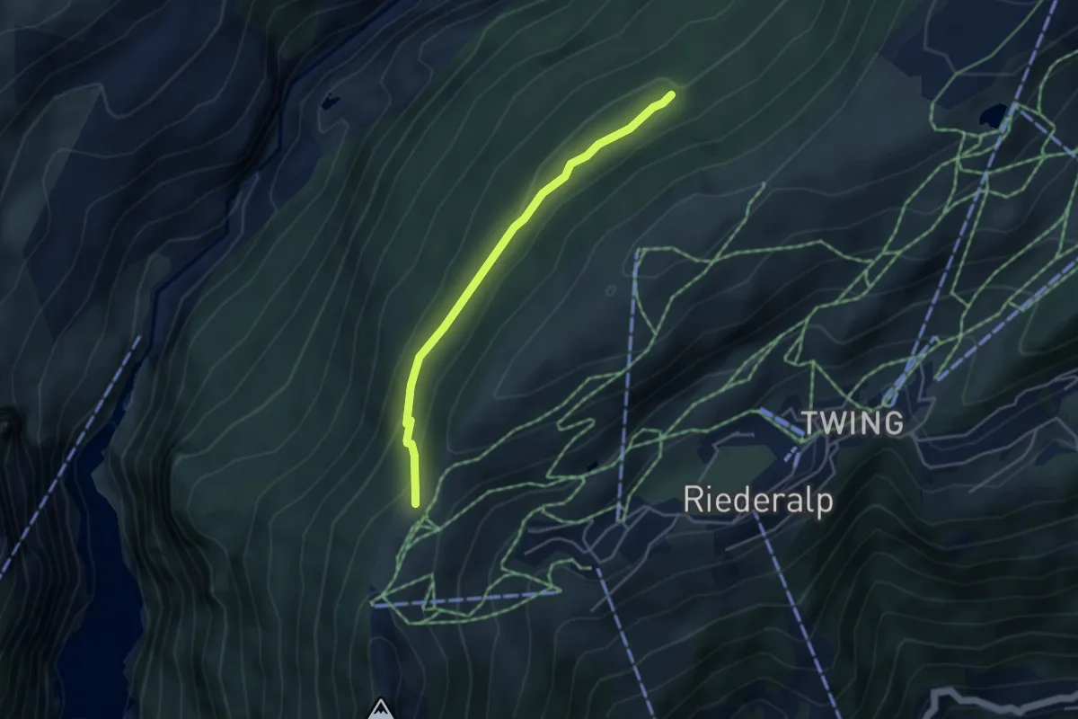
Medium · Trail
Riederfurka – Bischofssitz
3.8 km · ↑ 149 m · 1 h 13 min
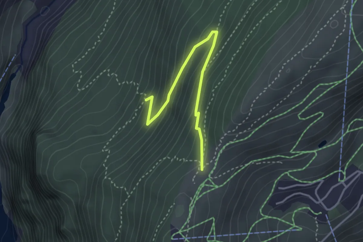
Medium · Trail
Riederfurka – Teife Wald
3.2 km · ↑ 214 m · 1 h 13 min