Trails in Switzerland
15,029 hiking trails, each with its route, climb, walking time and grade.
All trails, page 19 of 314
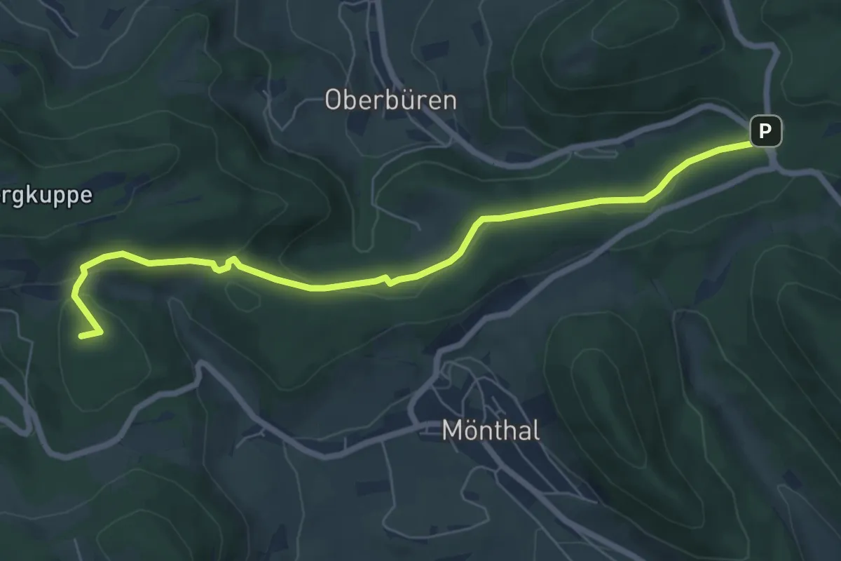
Easy · Summit
Bürersteig - Pt. 579
7.0 km · ↑ 192 m · 2 h 4 min
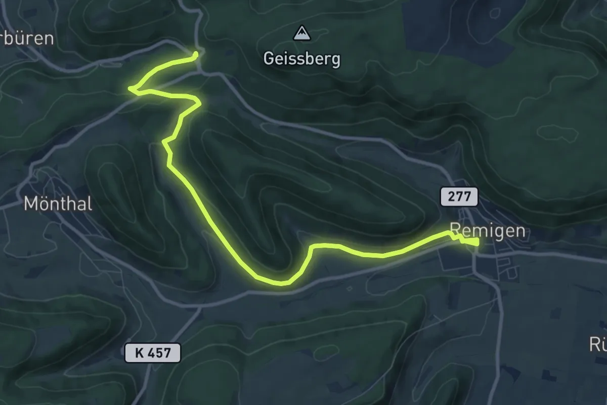
Medium · Trail
Bürersteig - Remigen
10.6 km · ↑ 223 m · 2 h 59 min
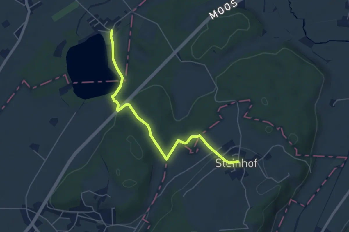
Medium · Trail
Burgäschi - Steinhof
5.1 km · ↑ 144 m · 1 h 31 min
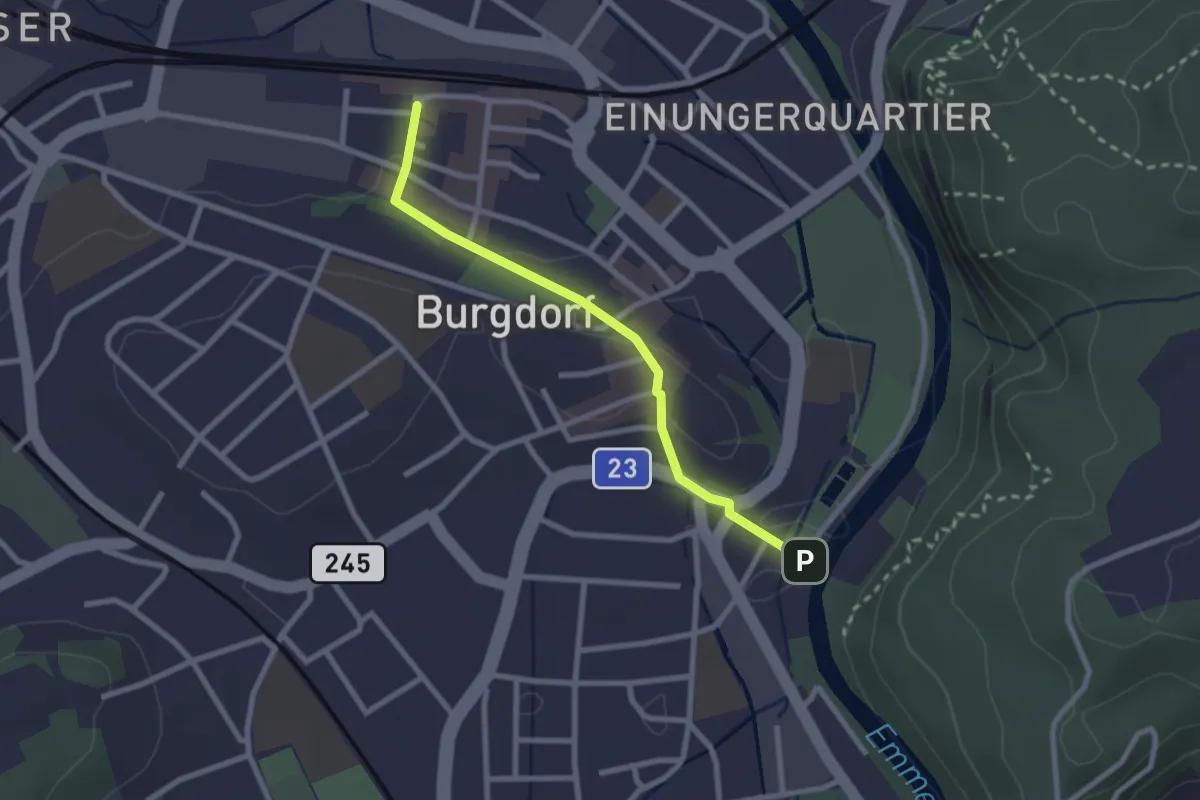
Easy · Trail
Burgdorf / Bahnhof - Waldeggbrügg
2.4 km · ↑ 43 m · 39 min
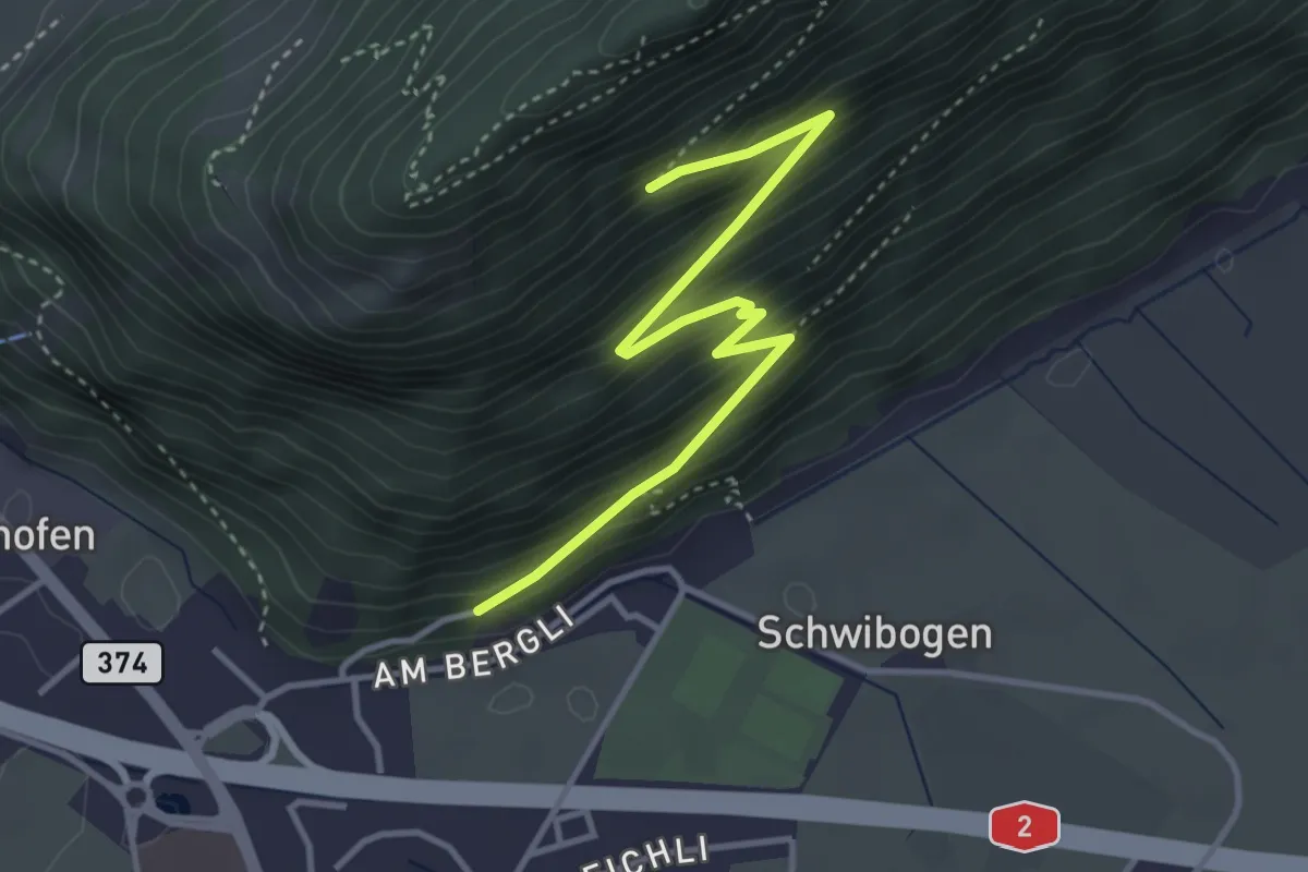
Medium · Trail
Bürgenberg - fixme
3.7 km · ↑ 351 m · 1 h 39 min
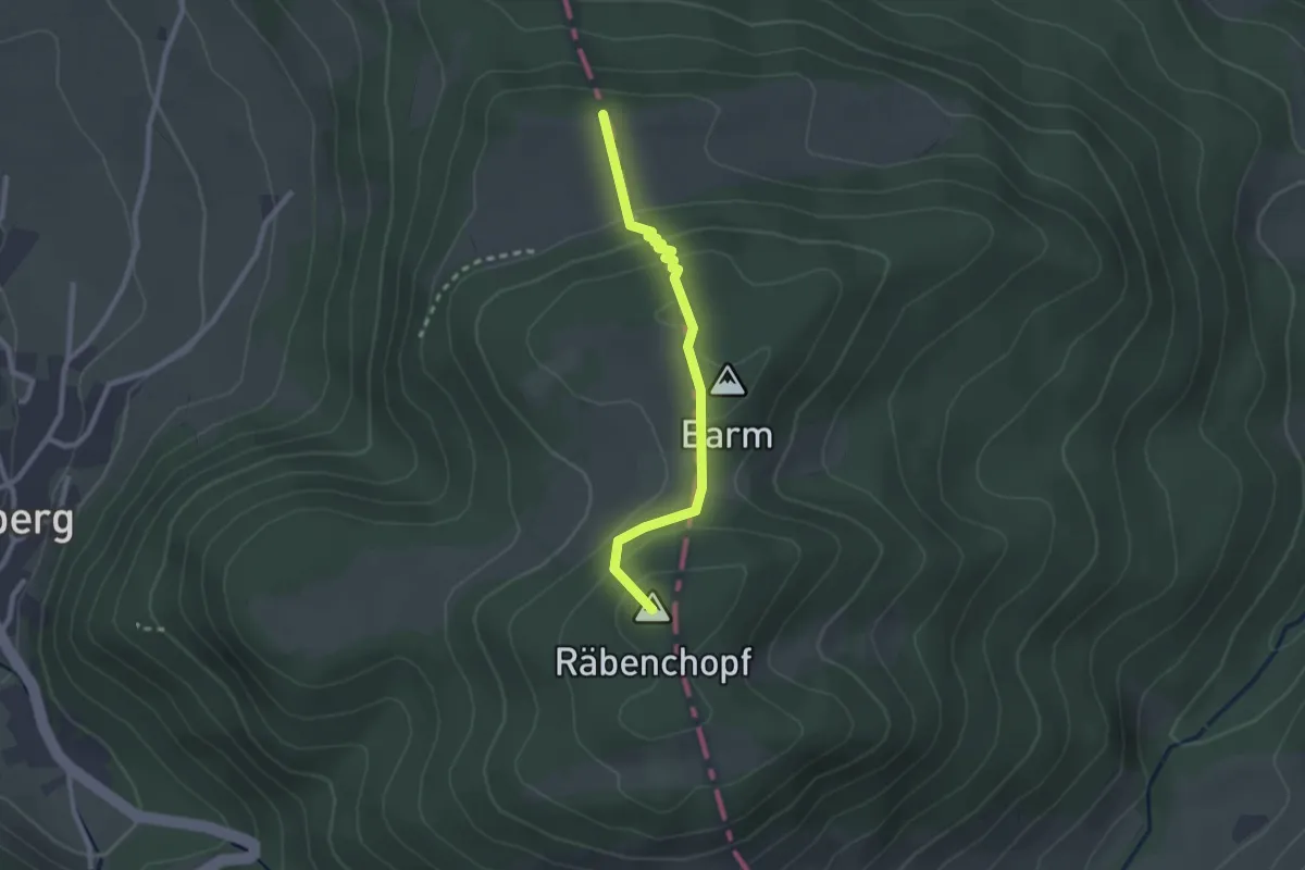
Easy · Summit
Burgflue - Saalhöhe
2.3 km · ↑ 107 m · 46 min
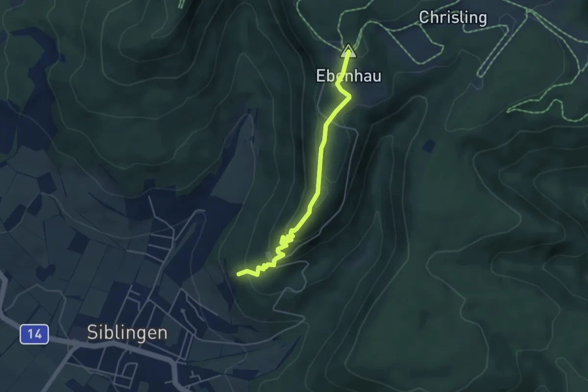
Easy · Summit
Burghalde - Randenhus
4.1 km · ↑ 207 m · 1 h 24 min
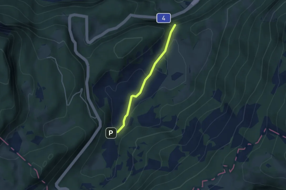
Easy · Trail
Burgkapelle - Cholhüttliwald
2.7 km · ↑ 81 m · 49 min
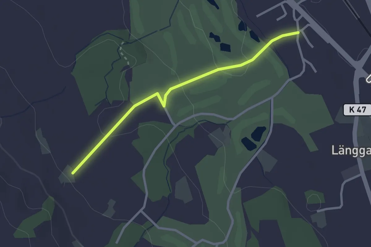
Easy · Trail
Burg - Liebergott
2.5 km · ↑ 61 m · 43 min
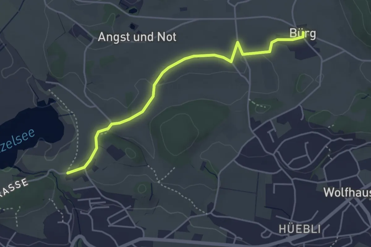
Easy · Trail
Bürg - Lützelsee
4.1 km · ↑ 36 m · 1 h 3 min
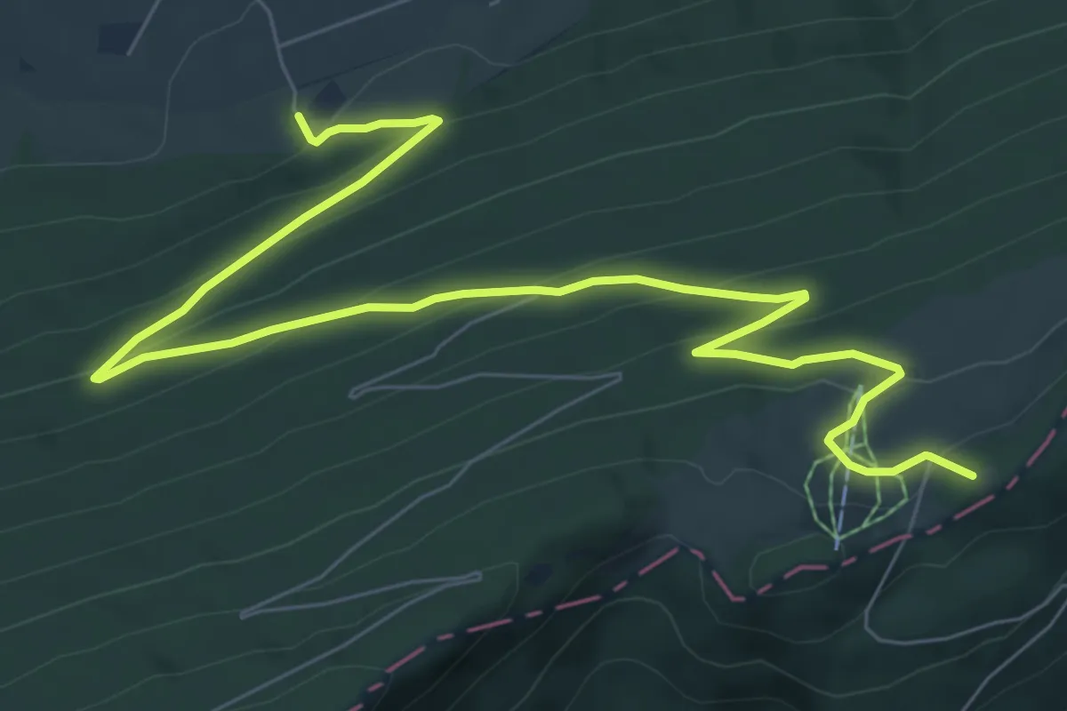
Medium · Summit
Burgmätteli - fixme
9.8 km · ↑ 490 m · 3 h 23 min
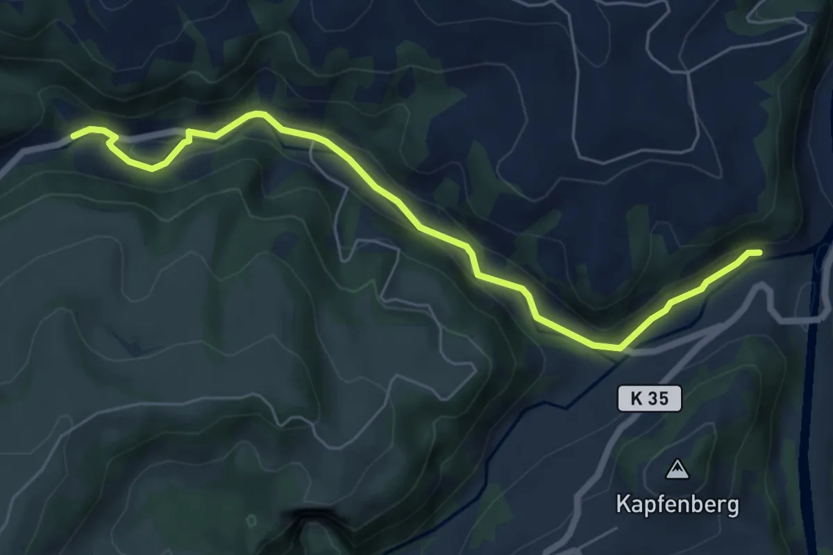
Easy · Trail
Burgmatt - Löchli
6.0 km · ↑ 92 m · 1 h 37 min
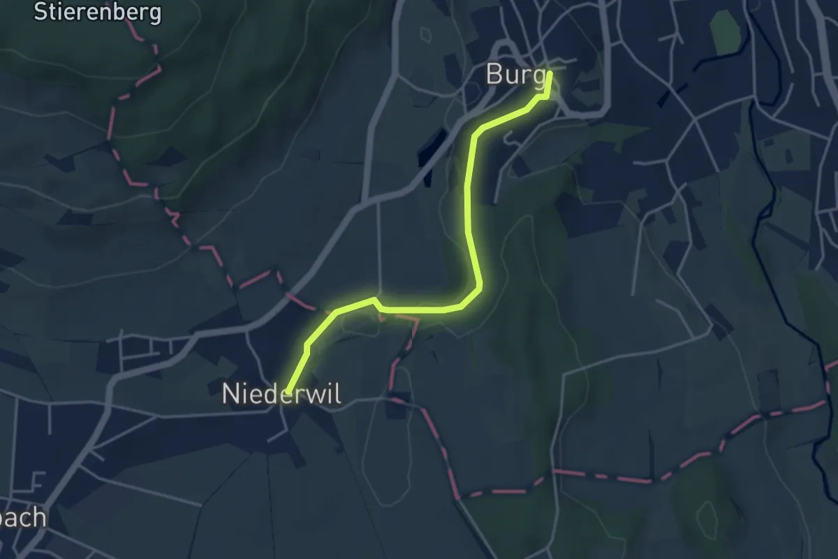
Easy · Trail
Burg - Niederwil
3.6 km · ↑ 55 m · 58 min
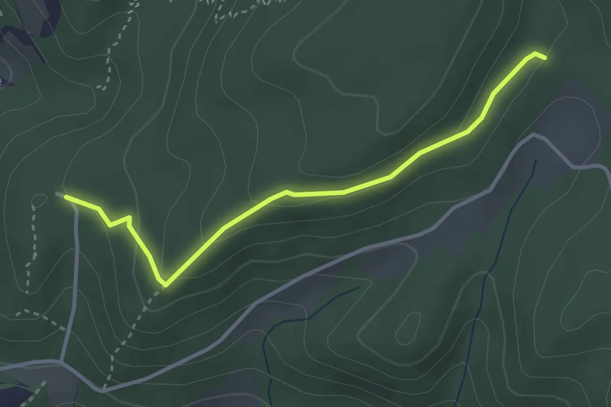
Easy · Trail
Burg Reichenstein - Gstüd Ränggersmatt
3.0 km · ↑ 107 m · 57 min
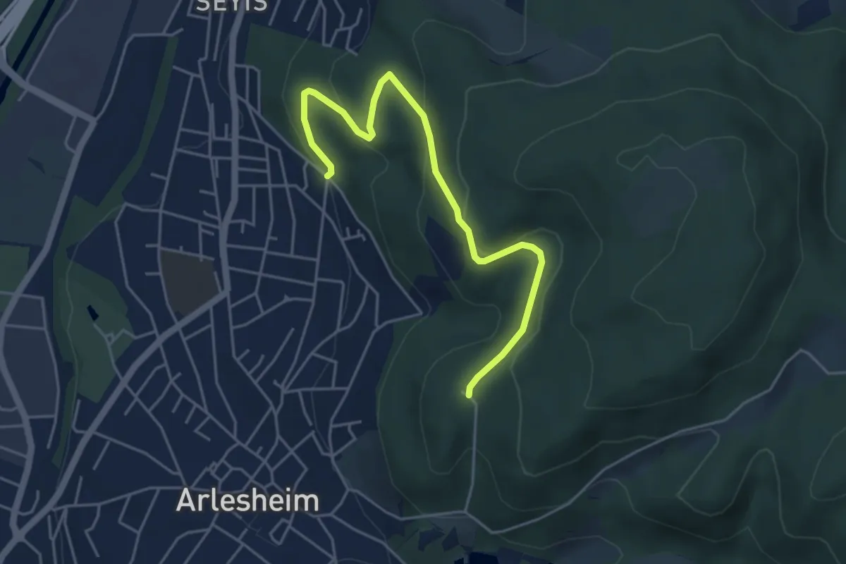
Easy · Trail
Burg Reichenstein - Spitalholz - fixme
4.8 km · ↑ 165 m · 1 h 29 min
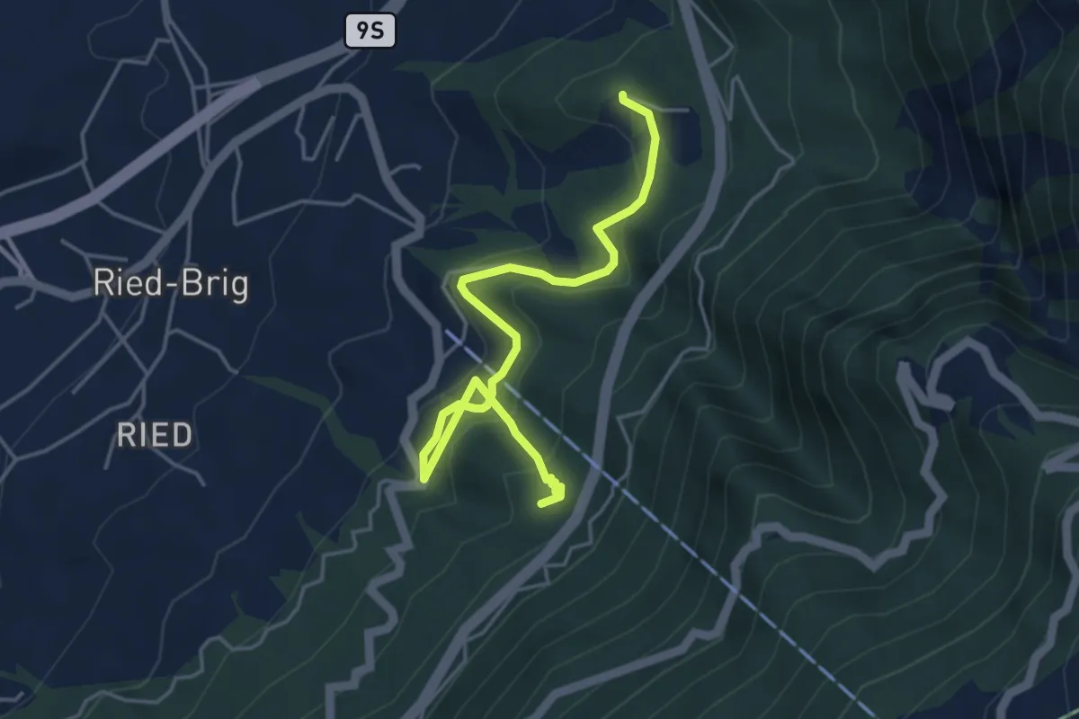
Easy · Trail
Burgspitz - Rosswald-Talstation
4.8 km · ↑ 288 m · 1 h 45 min
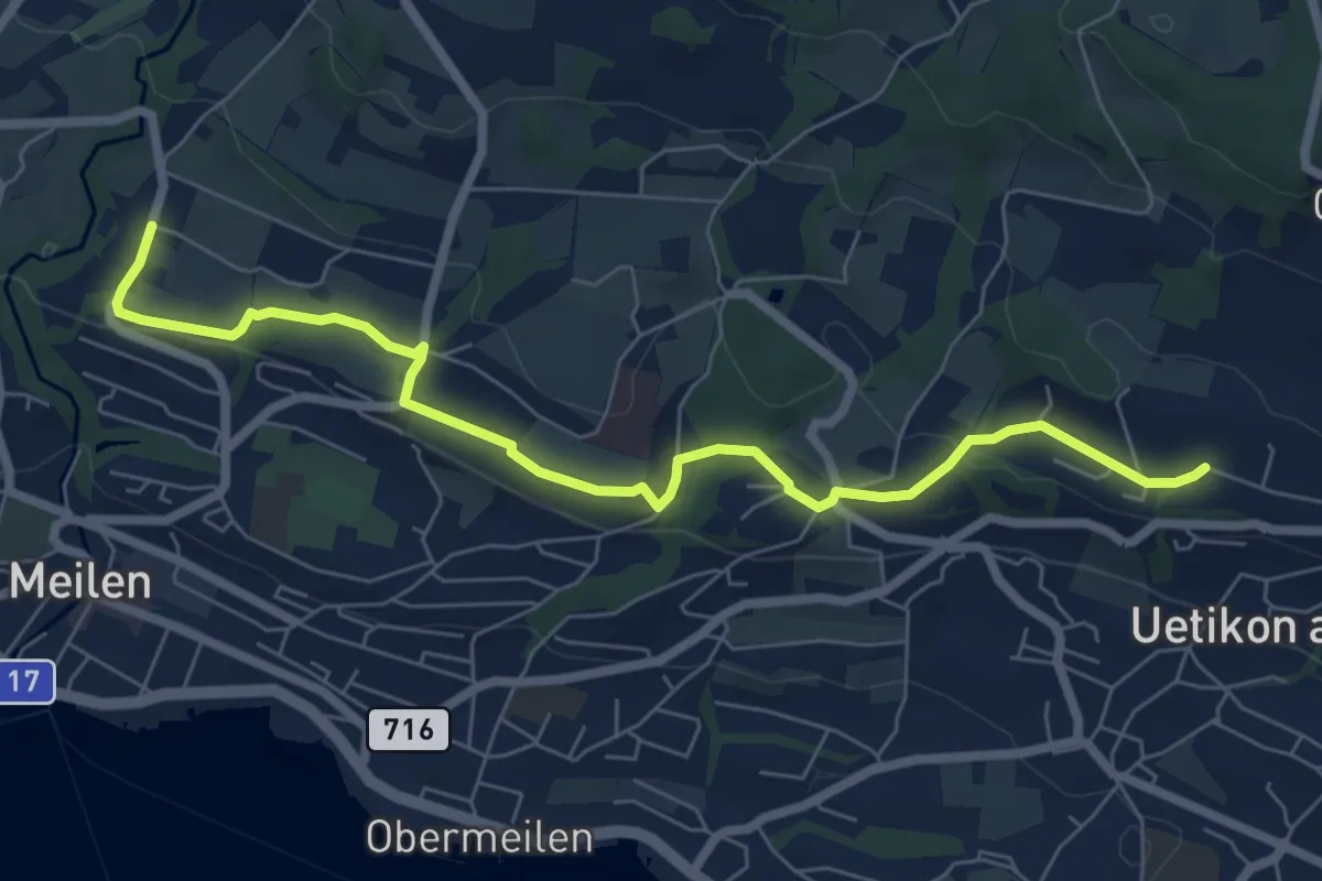
Easy · Trail
Burg - Uetikon Brand
7.5 km · ↑ 124 m · 2 h 2 min
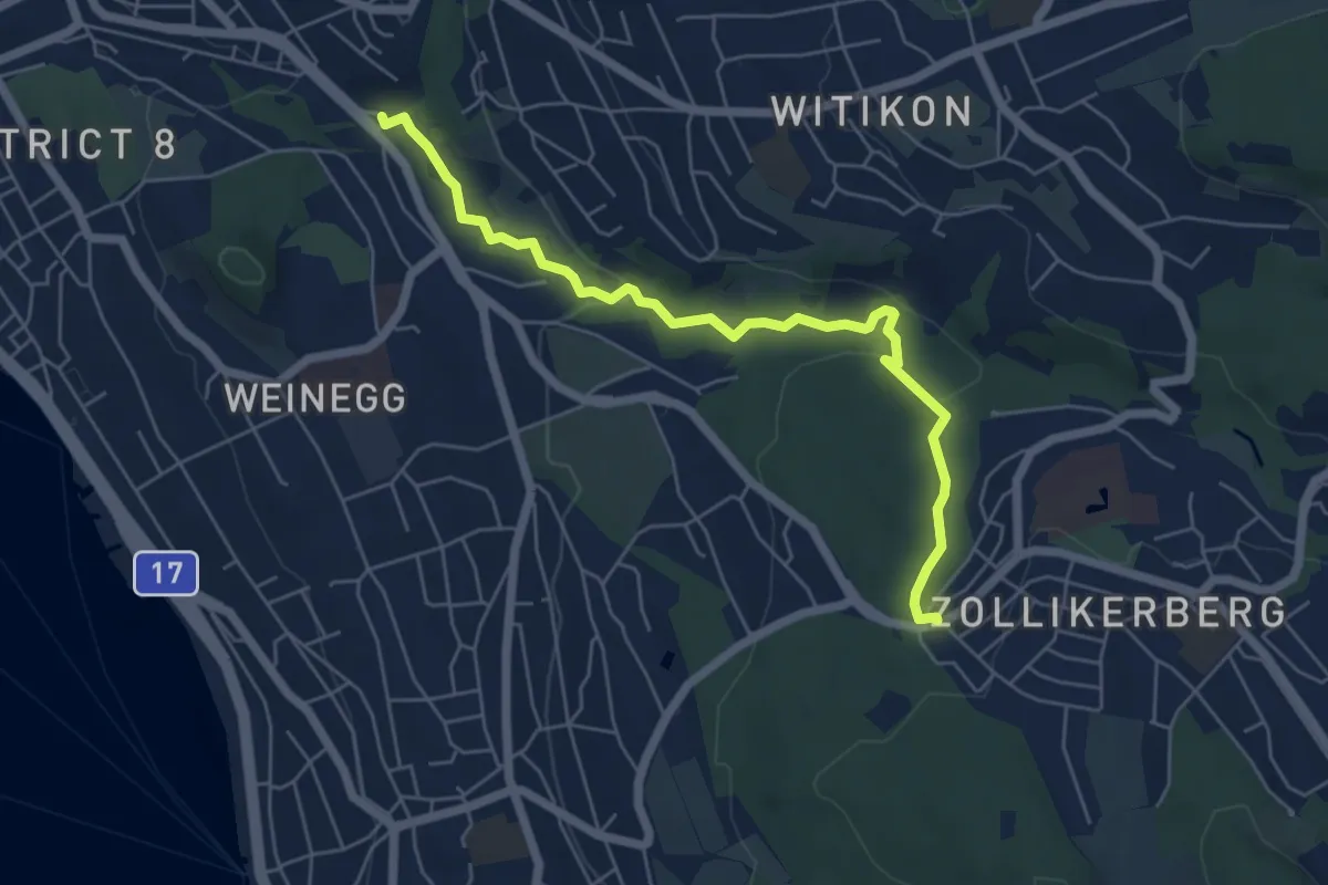
Easy · Trail
Burgwis - Waldburg
6.0 km · ↑ 128 m · 1 h 41 min
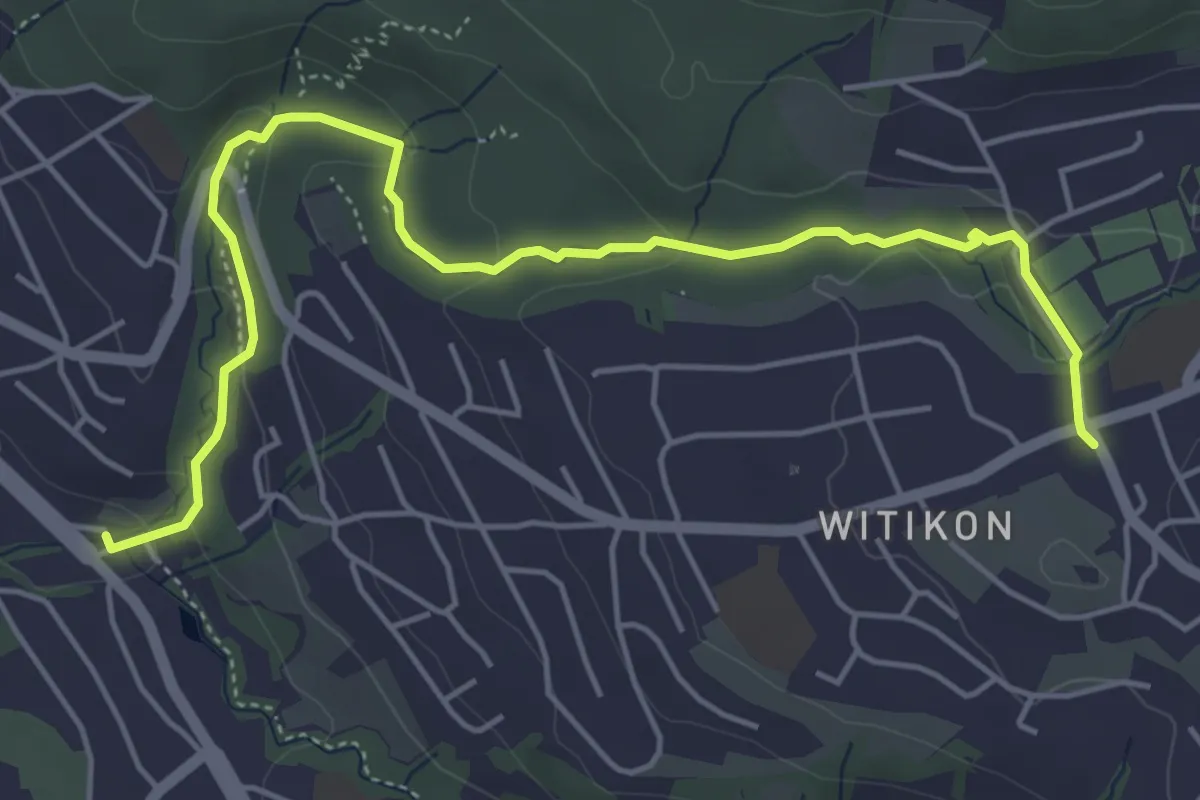
Easy · Trail
Burgwis - Witikon
5.8 km · ↑ 143 m · 1 h 40 min
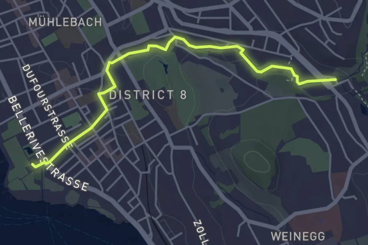
Easy · Trail
Burgwis - Zürichhorn
4.4 km · ↑ 49 m · 1 h 8 min
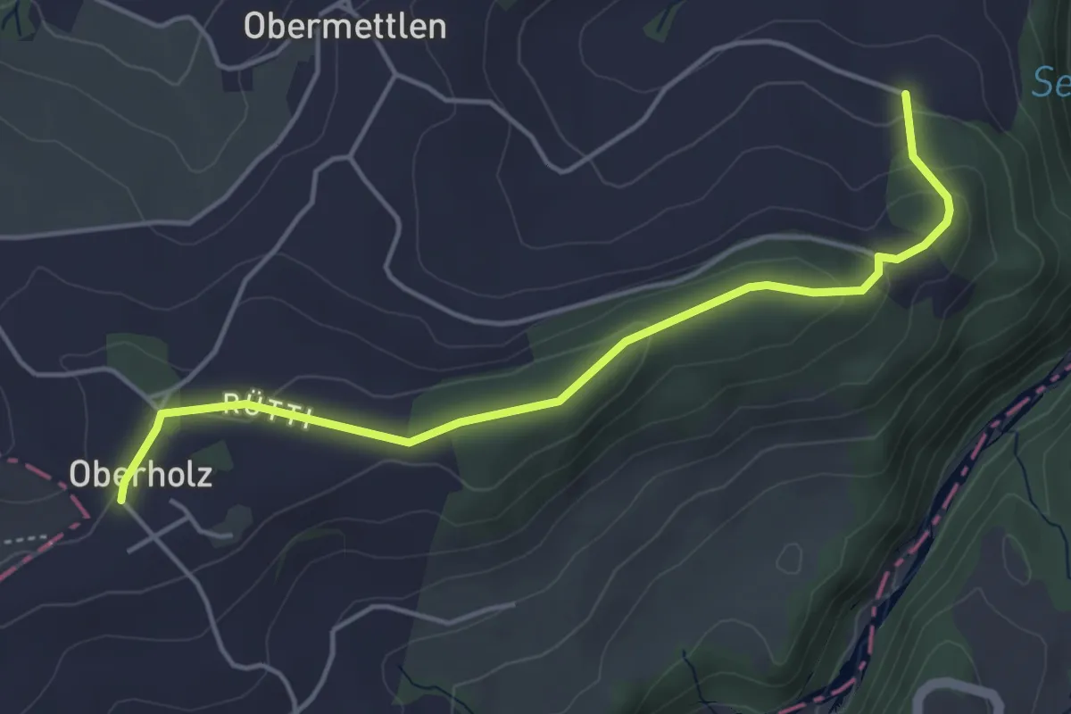
Easy · Trail
Burlingen - Summerauhöchi
4.6 km · ↑ 160 m · 1 h 26 min
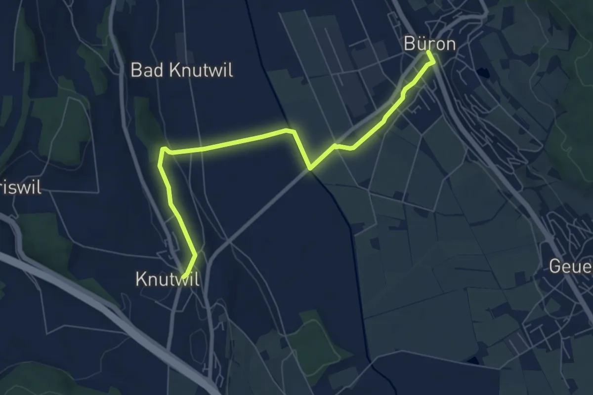
Easy · Trail
Büron - Knutwil
7.0 km · ↑ 89 m · 1 h 50 min
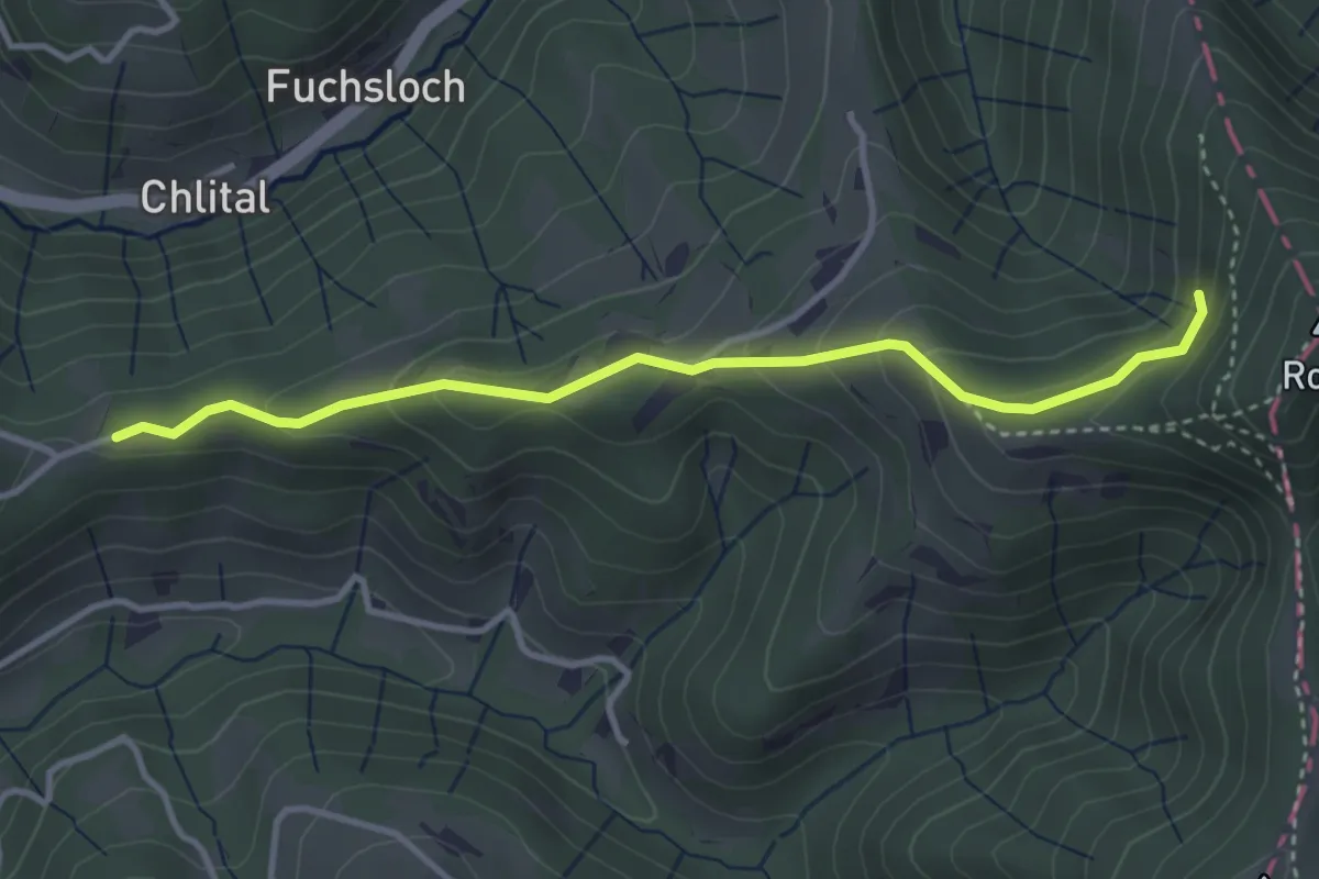
Easy · Trail
Burstel - Hulftegg - fixme
3.5 km · ↑ 203 m · 1 h 16 min
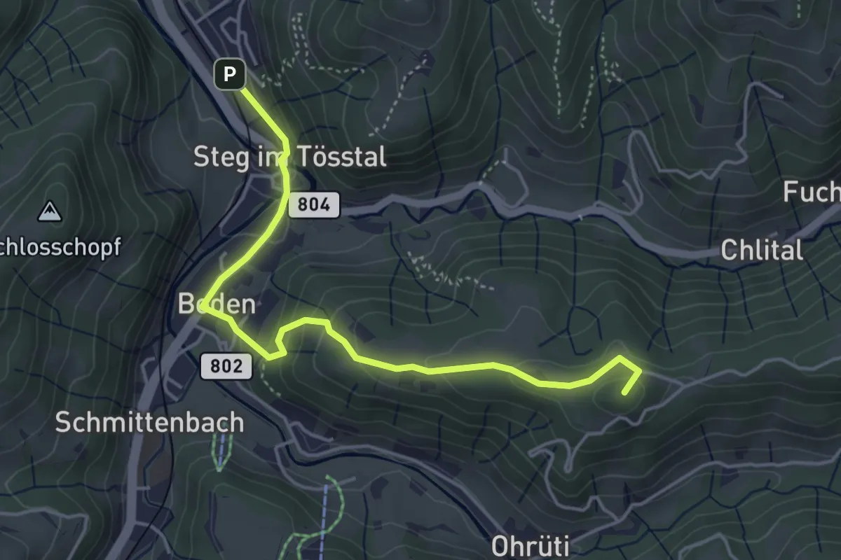
Easy · Summit
Burstel - Steg
4.6 km · ↑ 213 m · 1 h 34 min
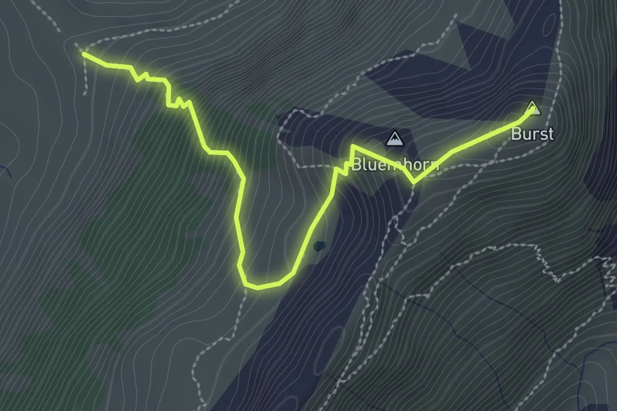
Demanding · Summit
Burst - fixme
3.2 km · ↑ 450 m · 1 h 44 min
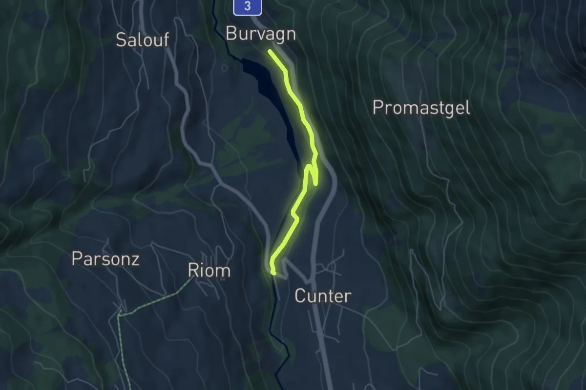
Easy · Trail
Burvagn - Gravas Punt
4.2 km · ↑ 82 m · 1 h 10 min
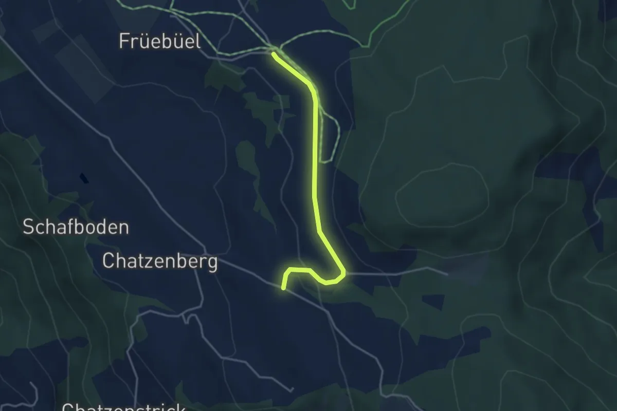
Easy · Trail
Buschenchappeli - Stafel
3.2 km · ↑ 78 m · 55 min
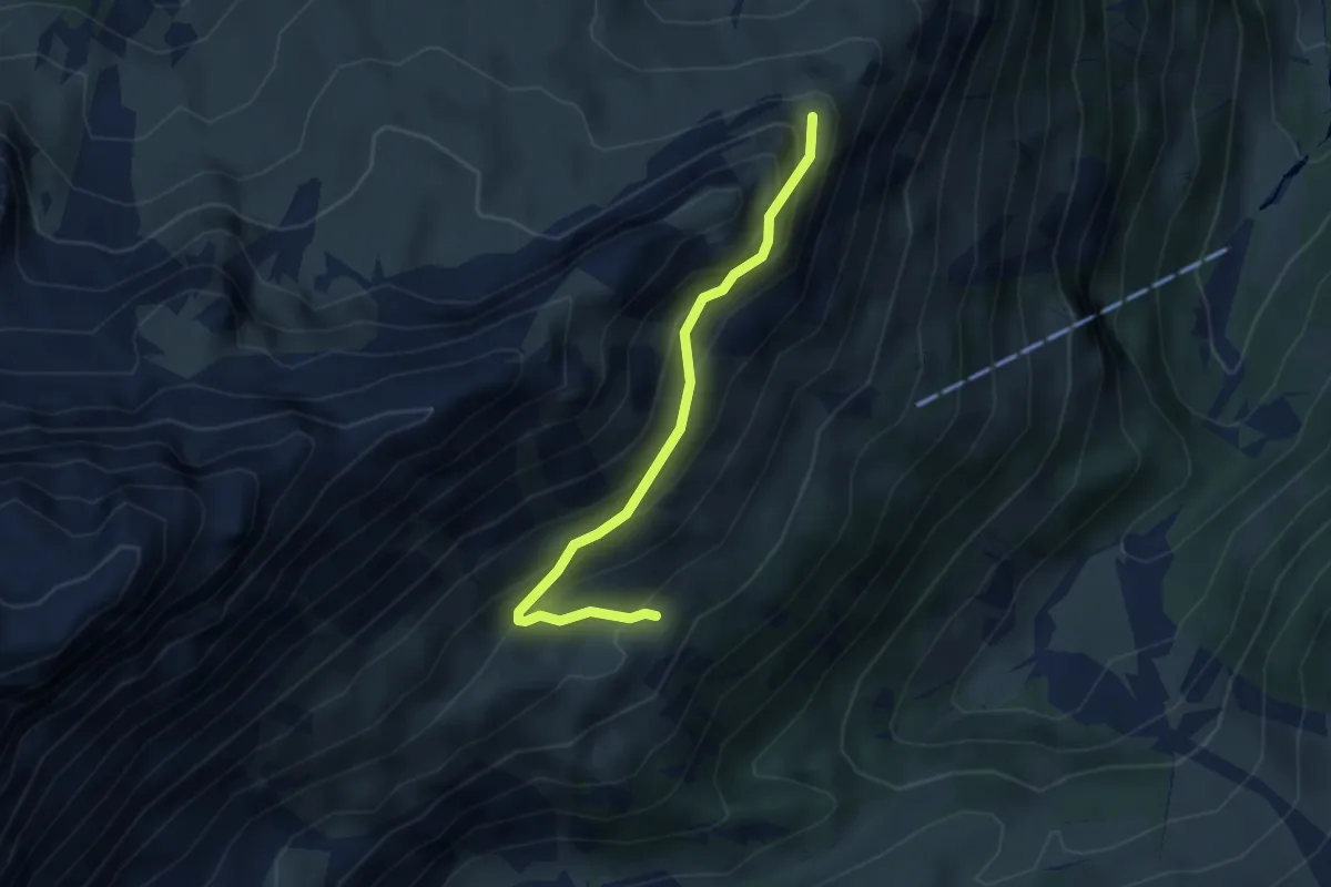
Medium · Cabin
Busengrat - Obersteinberg
3.4 km · ↑ 355 m · 1 h 34 min
Medium · Trail
Bussnang - Wetzikon
15.5 km · ↑ 268 m · 4 h 14 min
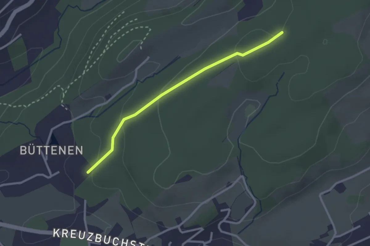
Easy · Trail
Büttenen - Meggerwald
2.4 km · ↑ 73 m · 43 min
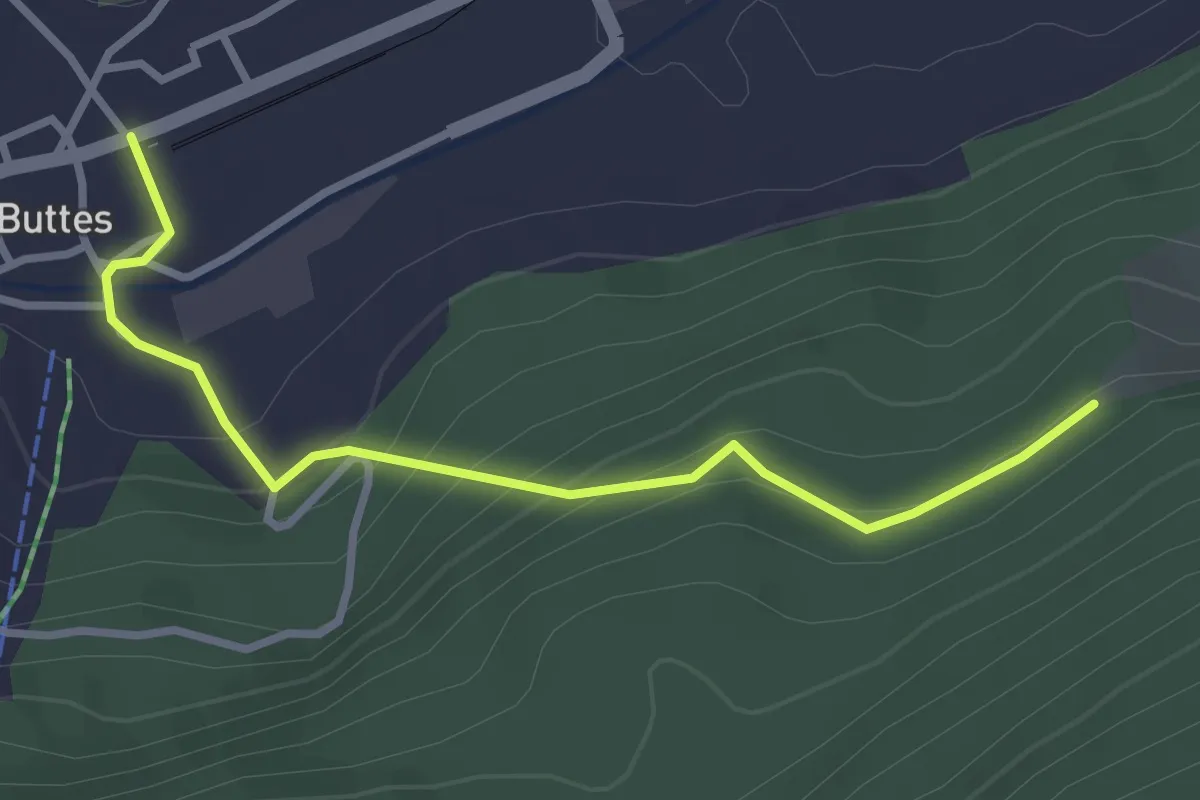
Easy · Trail
Buttes - fixme
3.1 km · ↑ 185 m · 1 h 8 min
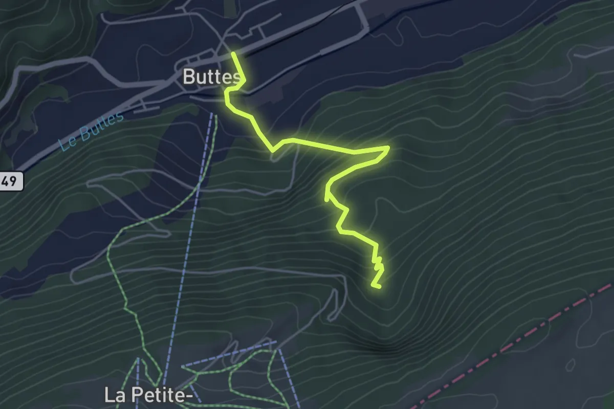
Easy · Trail
Buttes - Plan des Auges
4.1 km · ↑ 301 m · 1 h 37 min
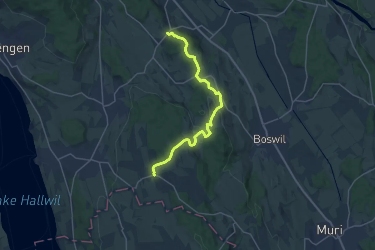
Medium · Trail
Büttikon - Bettwil
14.8 km · ↑ 422 m · 4 h 25 min
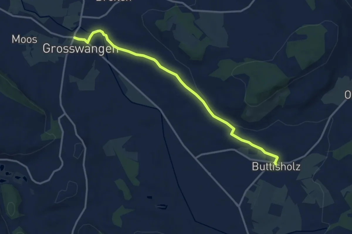
Medium · Trail
Buttisholz - Grosswangen
9.3 km · ↑ 100 m · 2 h 24 min
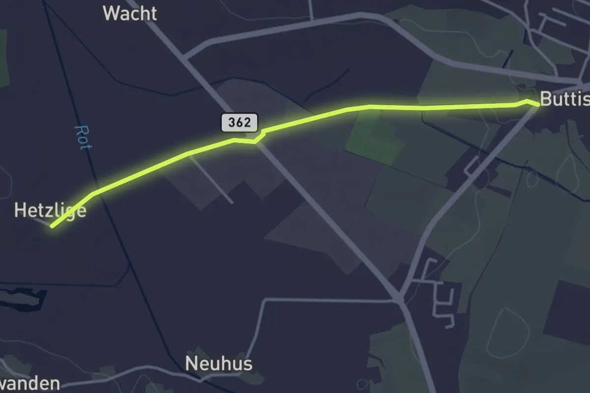
Easy · Trail
Buttisholz - Hetzligen
3.6 km · ↑ 17 m · 53 min
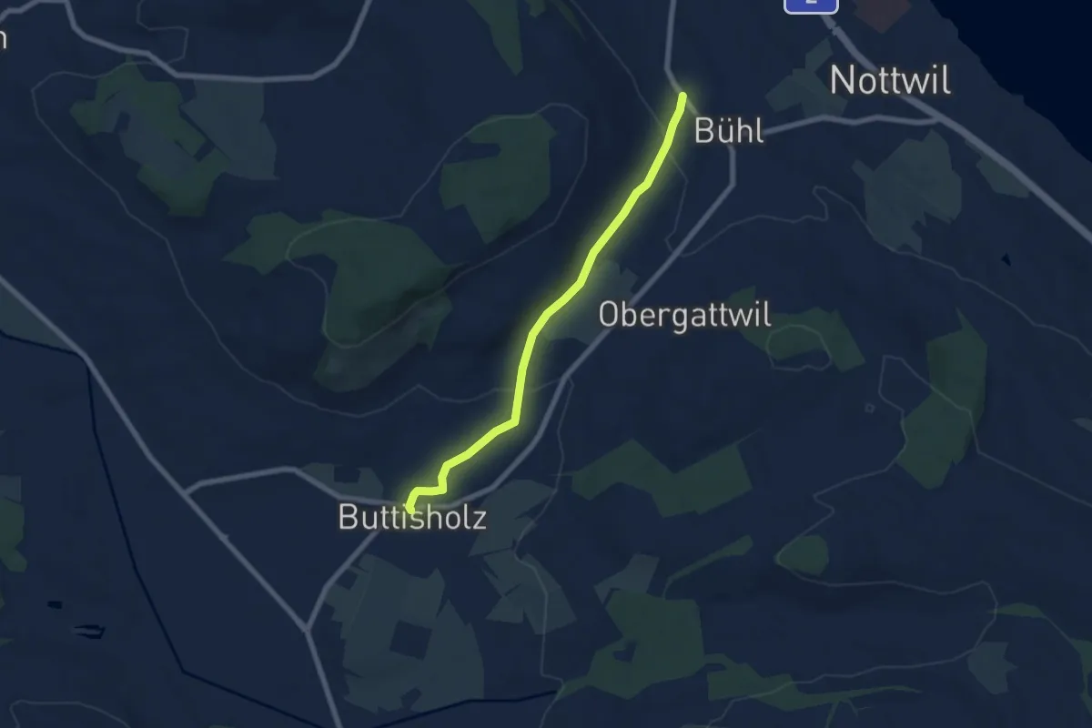
Easy · Trail
Buttisholz-Luternau-Bühl
6.4 km · ↑ 112 m · 1 h 46 min
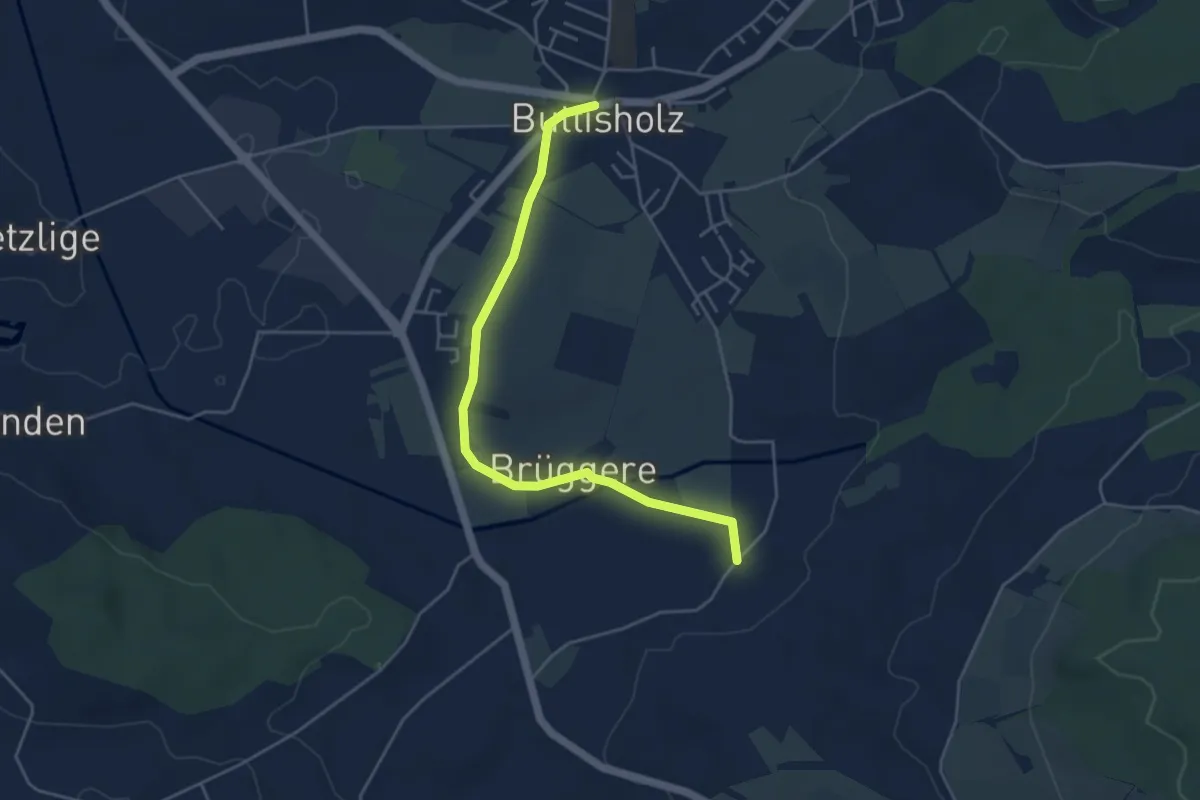
Easy · Trail
Buttisholz - St.Ottilien
4.7 km · ↑ 45 m · 1 h 13 min
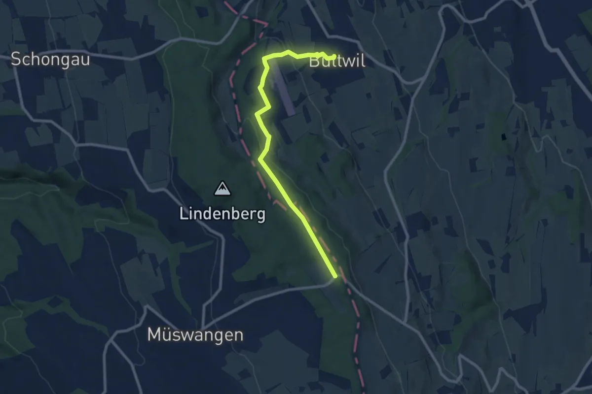
Easy · Trail
Buttwil - Schlatt
7.9 km · ↑ 216 m · 2 h 21 min
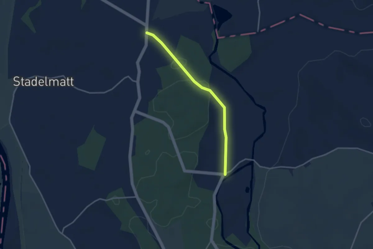
Easy · Trail
Bützen - Frauental
2.6 km · ↑ 27 m · 40 min
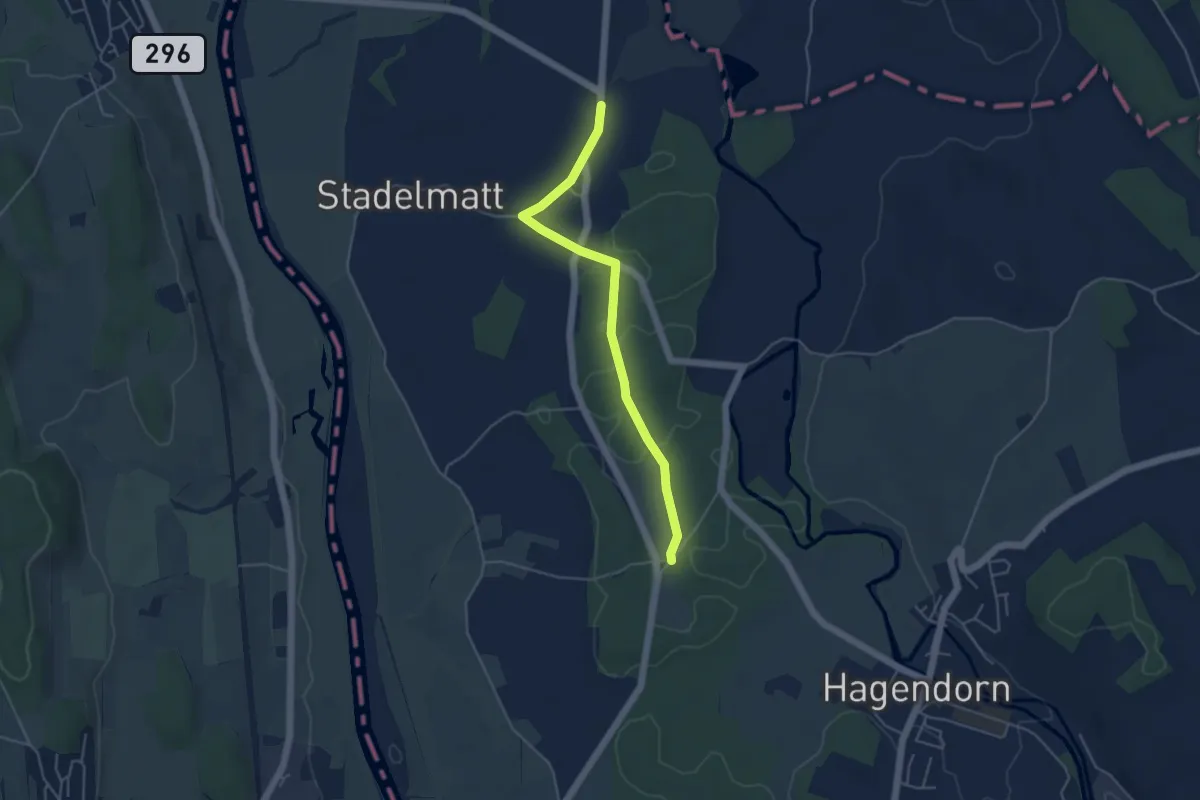
Easy · Trail
Bützen - Schachen Witi
4.5 km · ↑ 13 m · 1 h 5 min
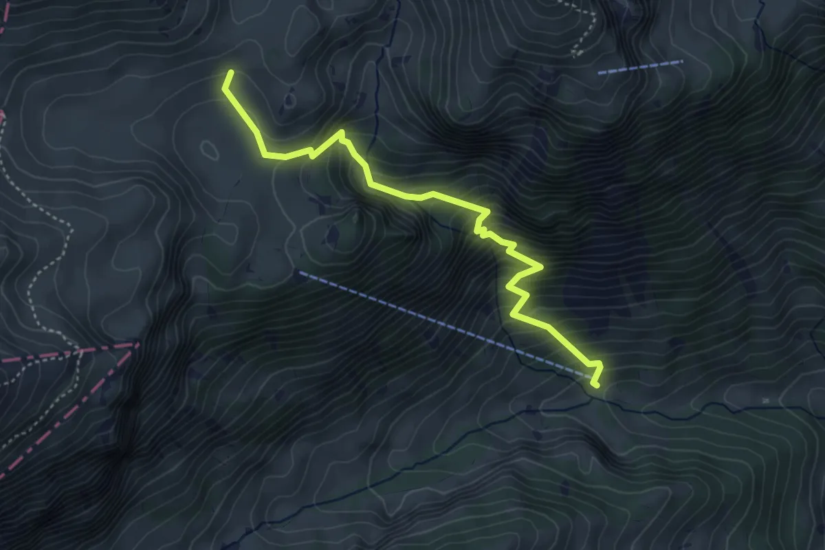
Medium · Trail
Buufal - Vorder Richisalp
4.4 km · ↑ 549 m · 2 h 13 min
Easy · Trail
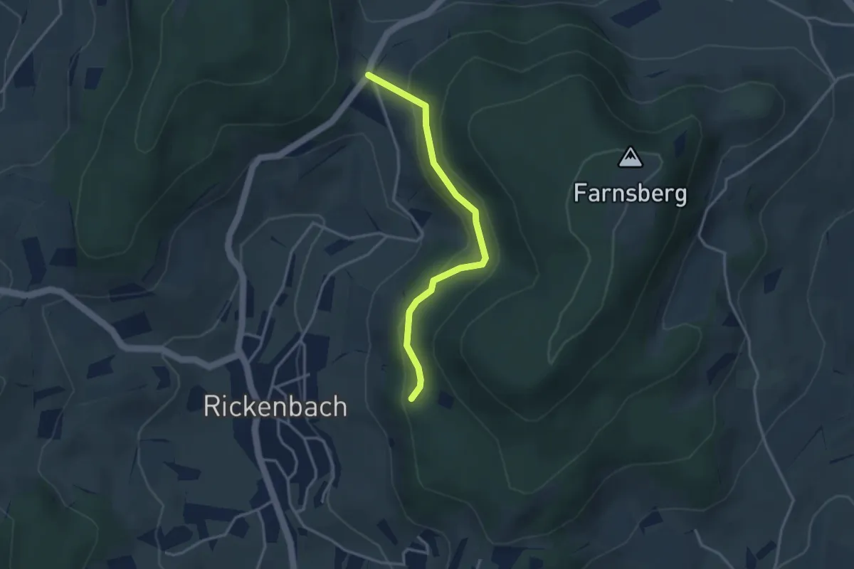
Buuseregg - Farnsberg
3.0 km · ↑ 169 m · 1 h 5 min
Expert · Cabin
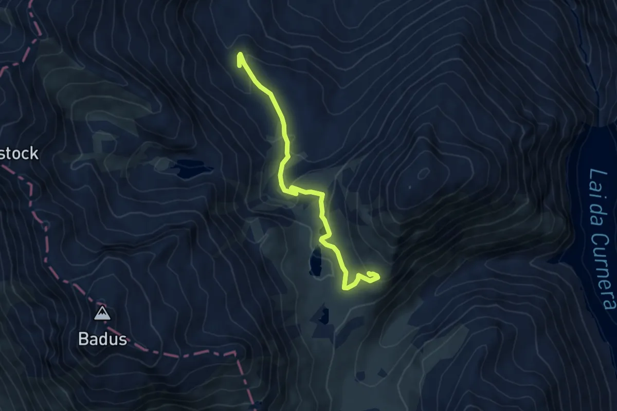
Cabana da Maighels CAS - fixme
5.8 km · ↑ 272 m · 1 h 58 min
Medium · Cabin
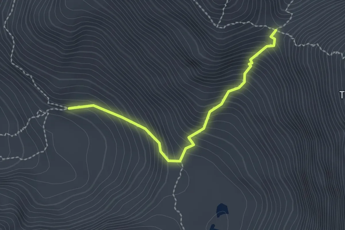
Cabane de Bounavaux - Col de Bounavaletta
2.2 km · ↑ 332 m · 1 h 14 min
Easy · Cabin
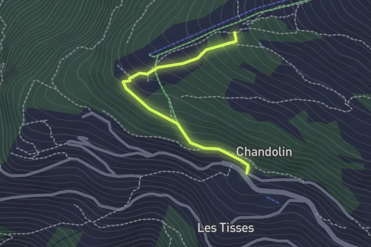
Cabane de l'Ilhorn-Chandolin
2.0 km · ↑ 152 m · 48 min
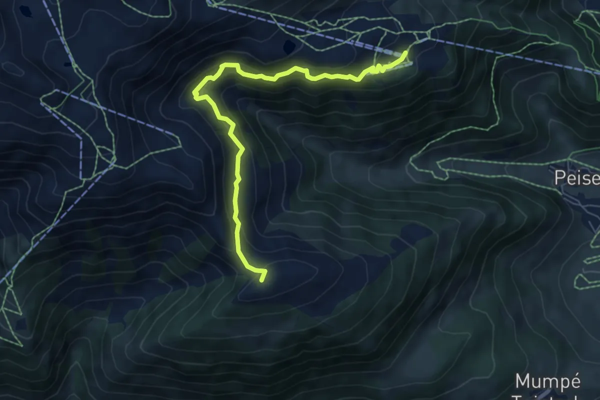
Medium · Summit
Caischavedra - Bostg
6.6 km · ↑ 551 m · 2 h 46 min
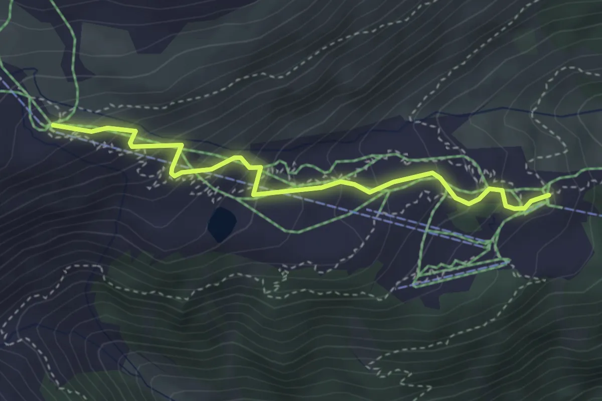
Easy · Trail
Caischavedra - Gendusas
3.6 km · ↑ 306 m · 1 h 31 min
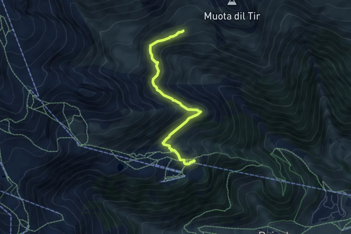
Medium · Trail
Caischavedra - Lag Serein
5.8 km · ↑ 318 m · 2 h 4 min