Trails in Switzerland
15,029 hiking trails, each with its route, climb, walking time and grade.
All trails, page 20 of 314
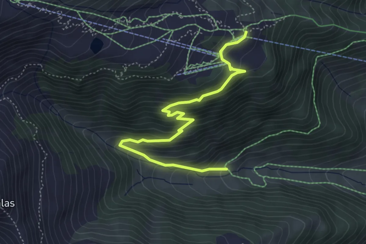
Medium · Trail
Caischavedra - Segnas
5.1 km · ↑ 416 m · 2 h 7 min
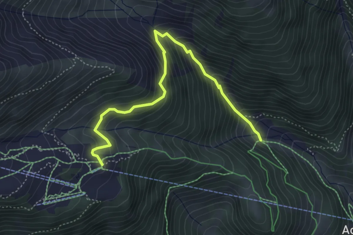
Medium · Trail
Caischavedra - Tiolas - Pardi
4.9 km · ↑ 524 m · 2 h 18 min
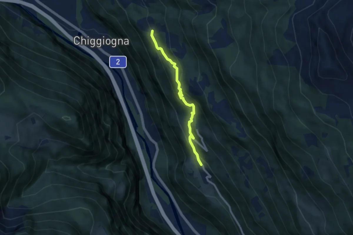
Medium · Trail
Calonico - Tengia
5.7 km · ↑ 374 m · 2 h 9 min
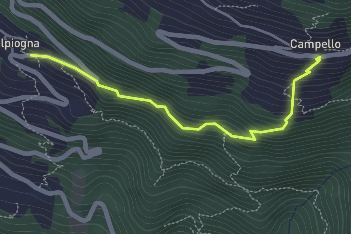
Easy · Trail
Calpiogna - Campello
2.8 km · ↑ 286 m · 1 h 16 min
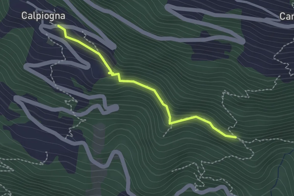
Medium · Trail
Calpiogna - Sopra Fontanè
2.0 km · ↑ 110 m · 43 min
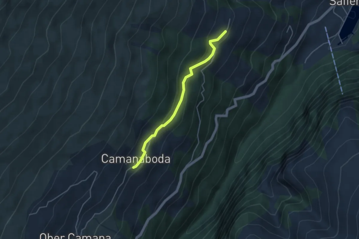
Easy · Trail
Camanaboda-Hof
3.5 km · ↑ 198 m · 1 h 16 min
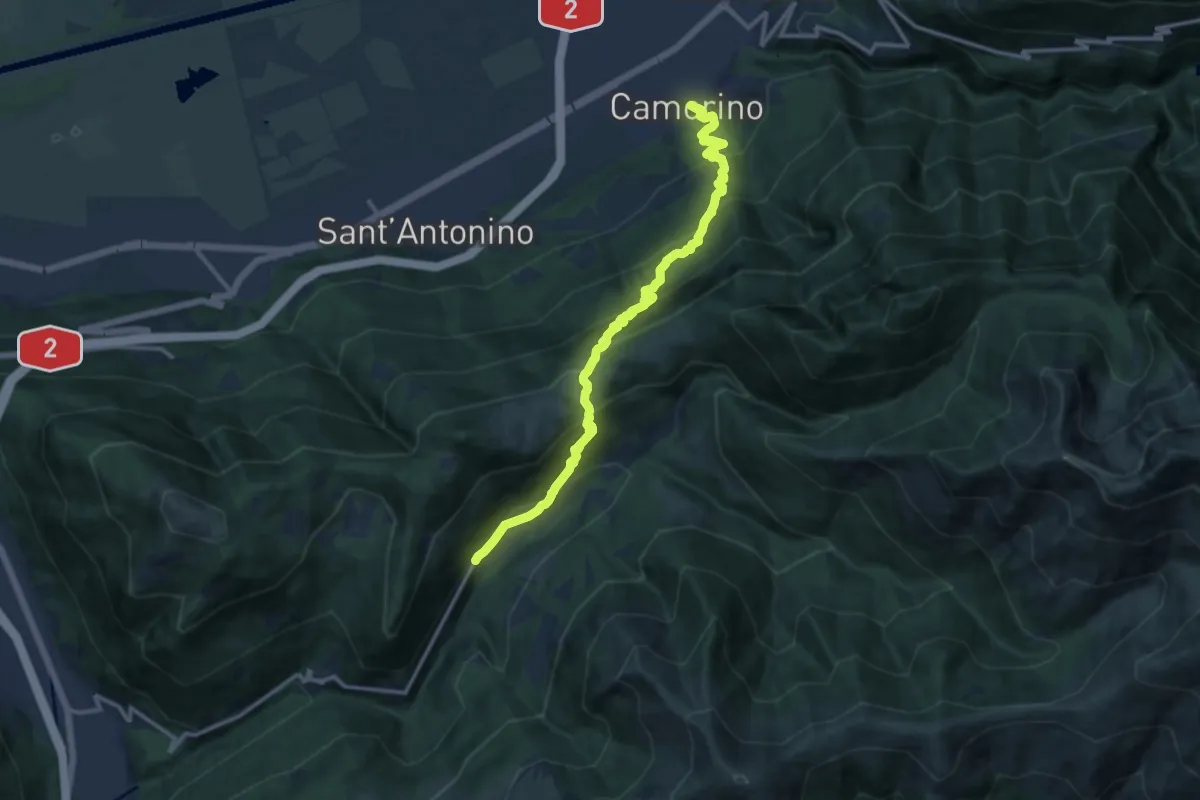
Demanding · Trail
Camerino-Isone
13.9 km · ↑ 1155 m · 5 h 47 min
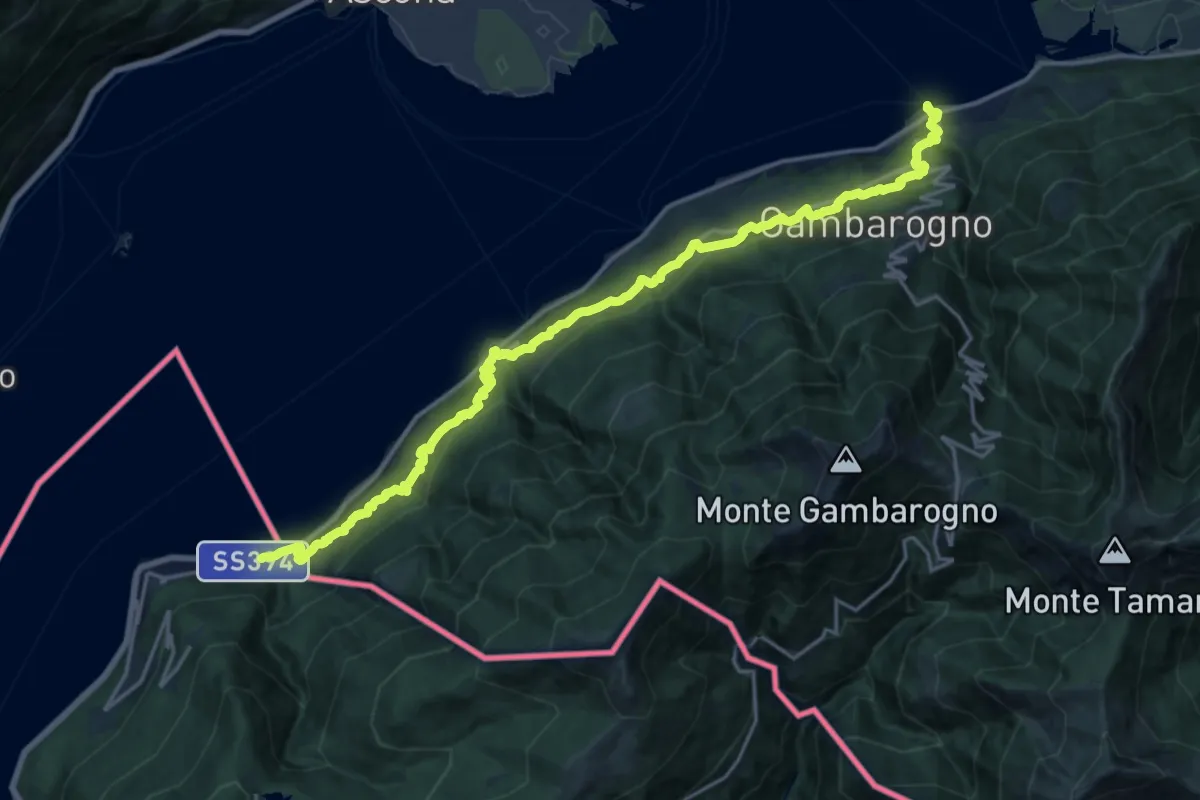
Medium · Trail
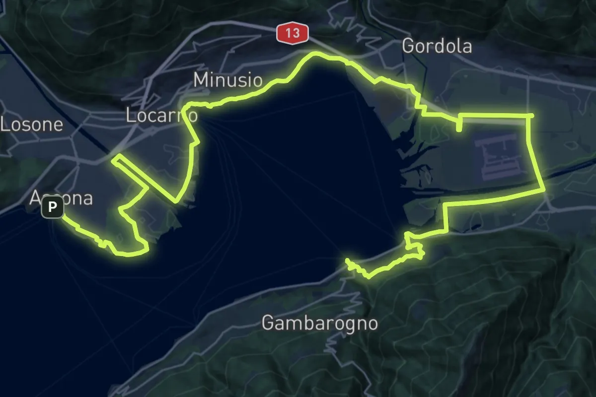
Cammino del Lago Maggiore
11.1 km · ↑ 633 m · 4 h 10 min
Demanding · Trail
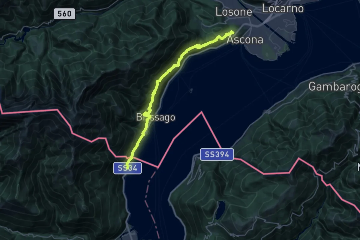
Cammino del Lago Maggiore
24.2 km · ↑ 207 m · 6 h 29 min
Demanding · Summit
Cammino del Lago Maggiore
23.7 km · ↑ 1505 m · 8 h 52 min
Demanding · Summit
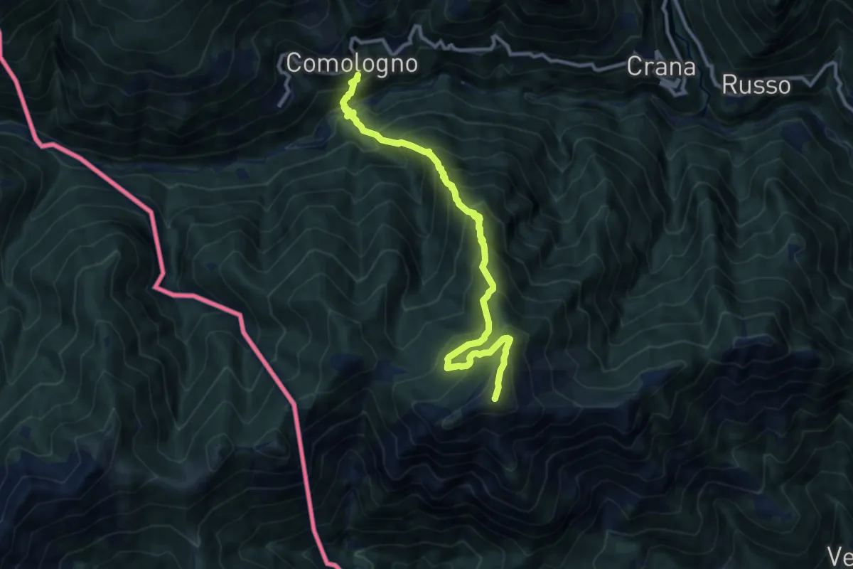
Camologno Pizzo Ruscade
10.2 km · ↑ 1278 m · 5 h 11 min
Demanding · Cabin
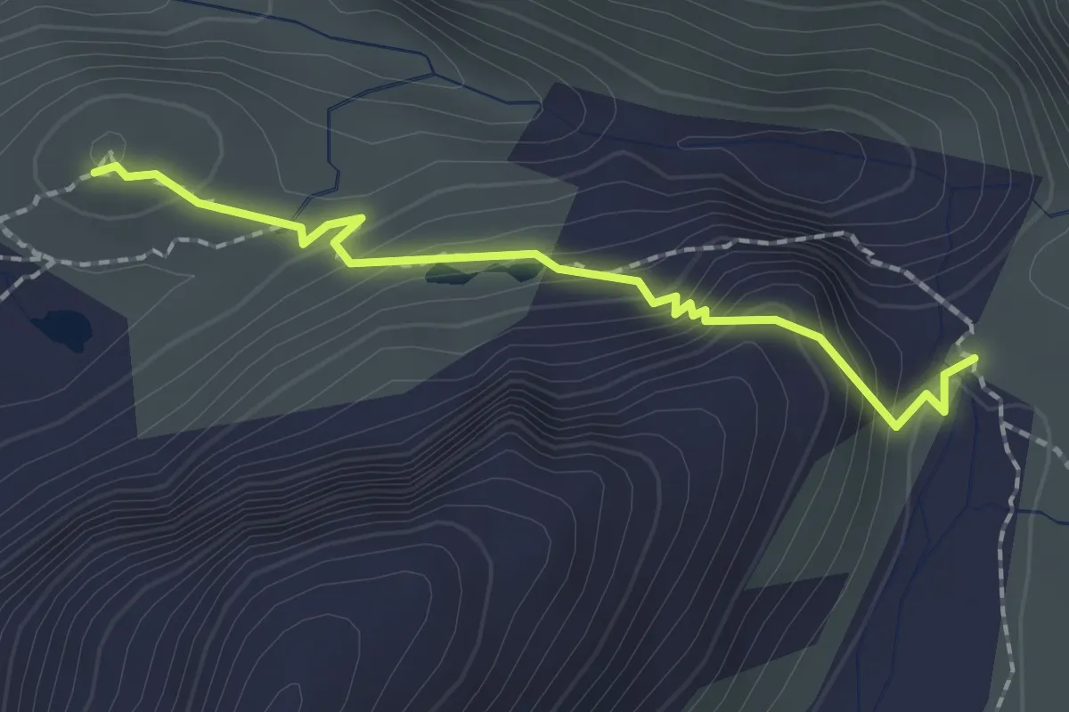
Camona-Camona dil Terri
1.9 km · ↑ 127 m · 43 min
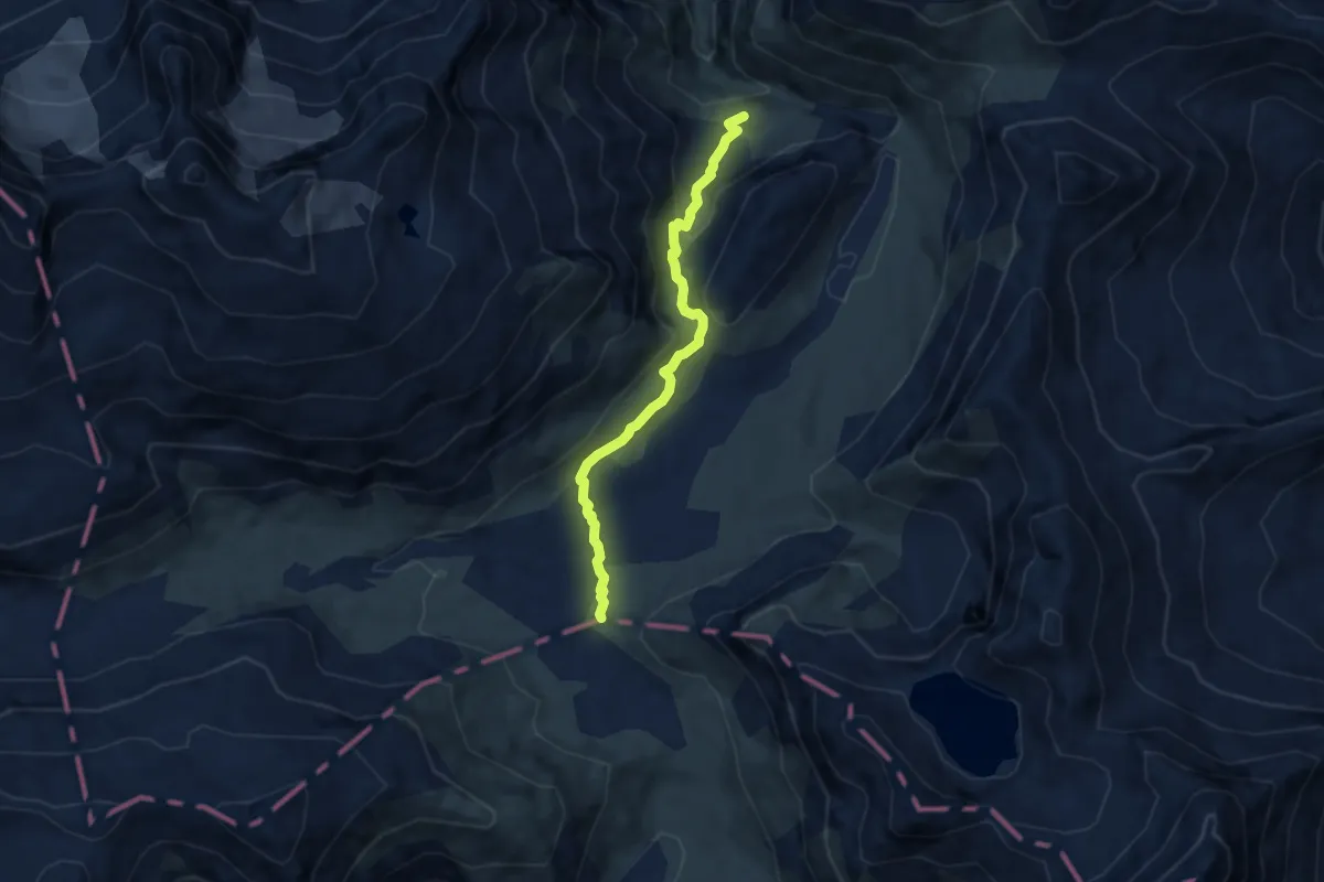
Demanding · Cabin
Camona dil Terri-Crap la Crusch
6.5 km · ↑ 234 m · 2 h 3 min
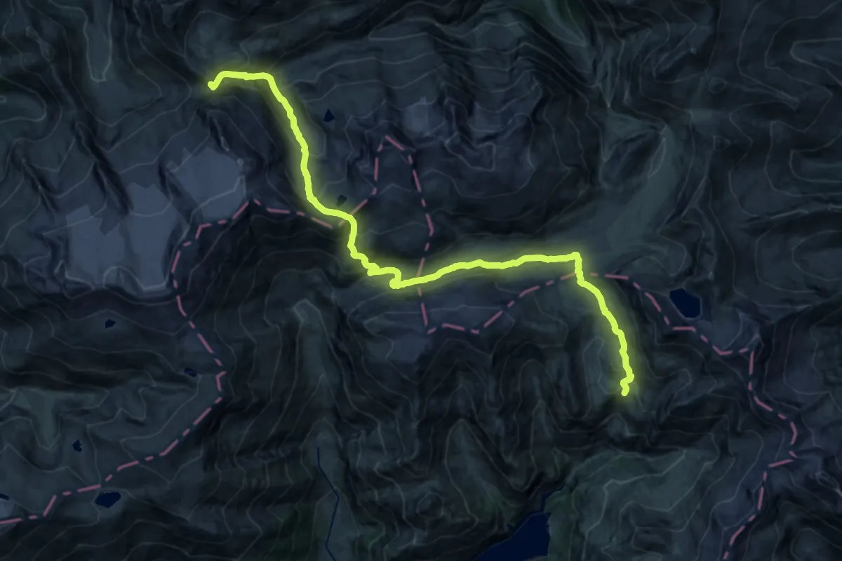
Expert · Cabin
Camona Medel - Capanna Motterascio
12.5 km · ↑ 597 m · 4 h 36 min
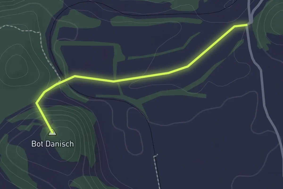
Easy · Summit
Campagna-Bonaduz (via Gurgs)
2.0 km · ↑ 66 m · 38 min
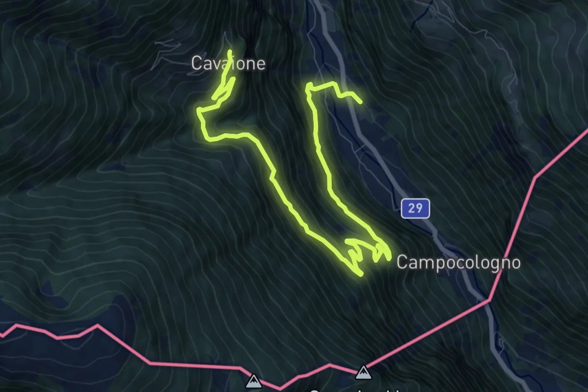
Demanding · Trail
Campascio - Scala - Cavaione
13.5 km · ↑ 1011 m · 5 h 22 min
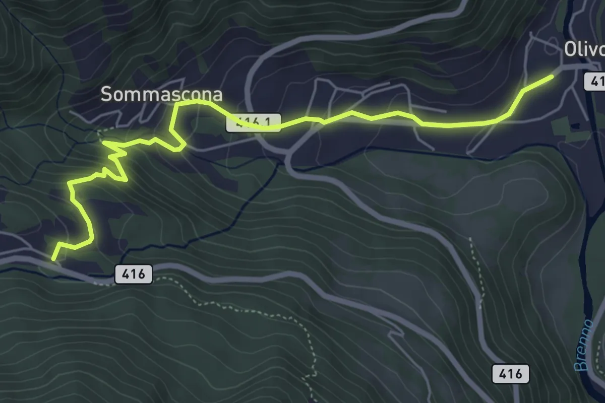
Medium · Trail
Camperio/Ospizio - Olivone
6.0 km · ↑ 359 m · 2 h 11 min
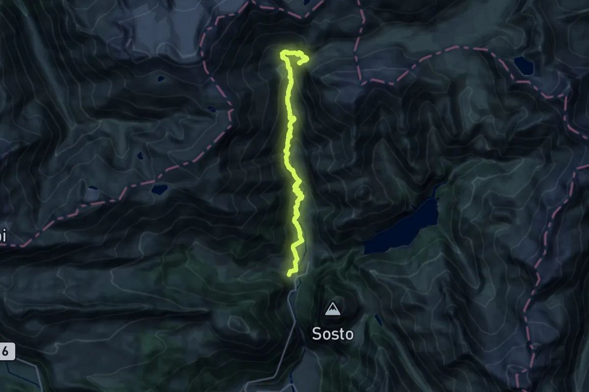
Demanding · Cabin
Campo Blenio - Capanna Scaletta
18.4 km · ↑ 1196 m · 6 h 56 min
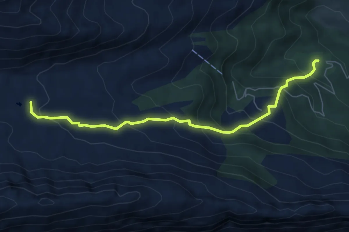
Medium · Trail
Campo Blenio - Passo del Lucomagno
5.8 km · ↑ 429 m · 2 h 17 min
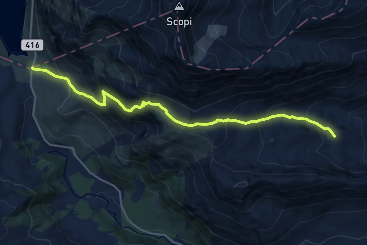
Demanding · Summit
Campo Blenio - Passo del Lucomagno
11.1 km · ↑ 849 m · 4 h 28 min
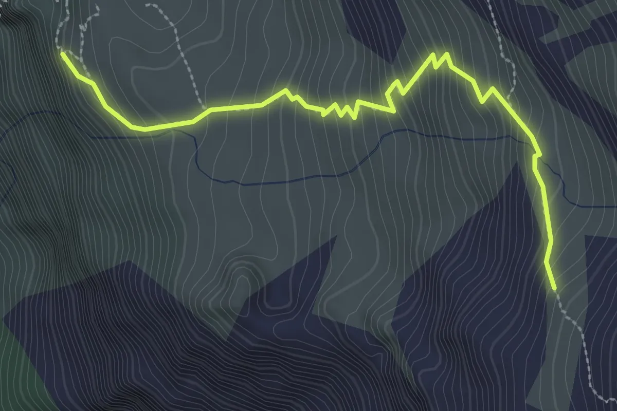
Medium · Cabin
Capanna Adula CAS - Capanna Adula UTOE
3.2 km · ↑ 393 m · 1 h 36 min
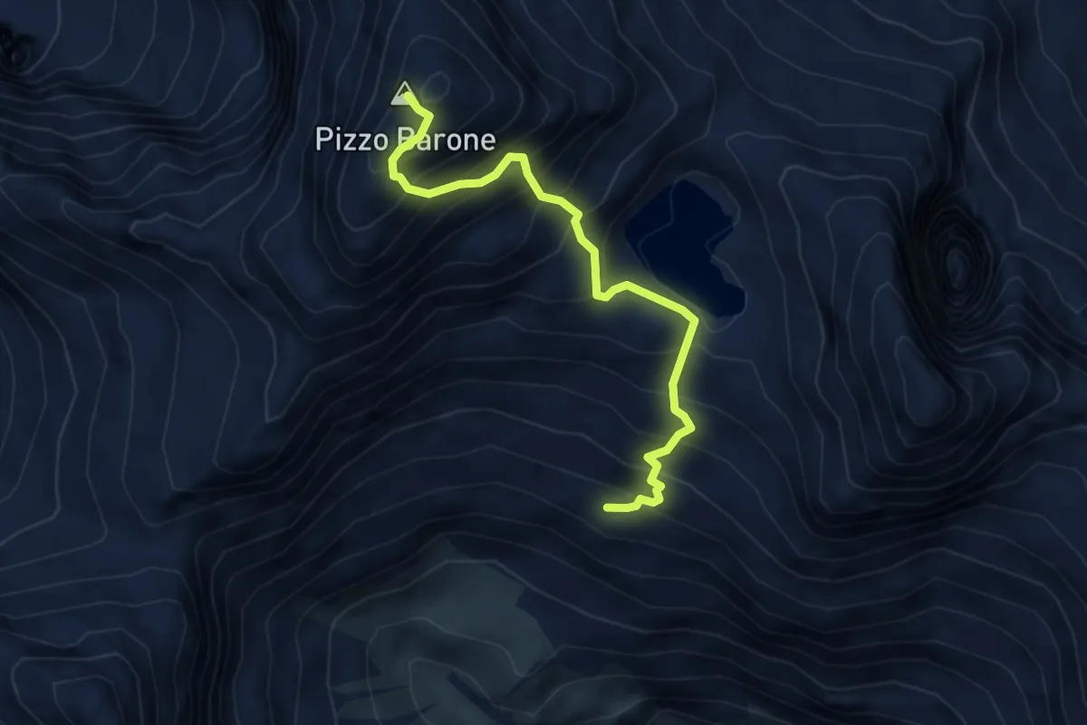
Demanding · Summit
Capanna Barone-Pizzo Barone
4.5 km · ↑ 688 m · 2 h 33 min
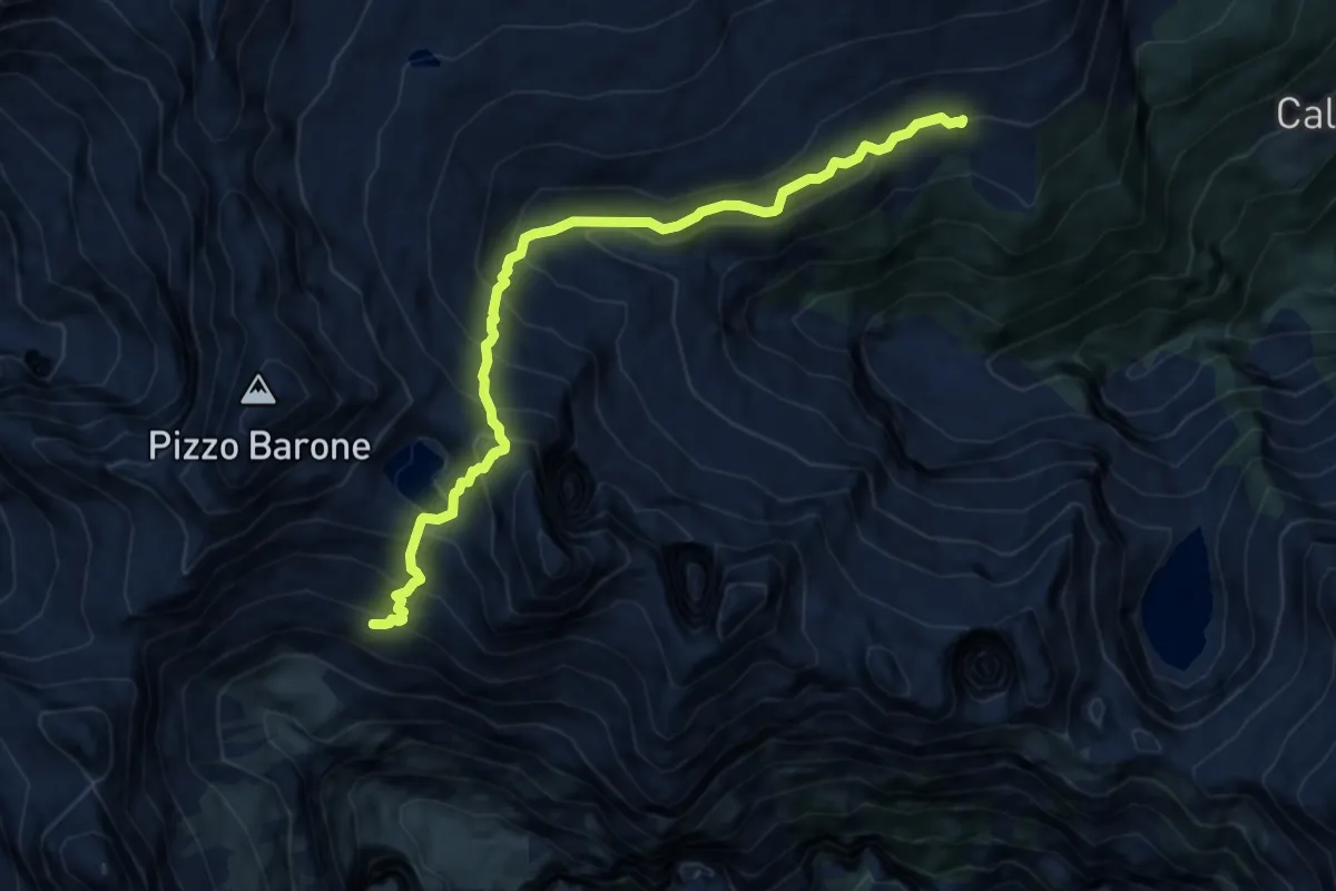
Expert · Cabin
Capanna Barone-Rifugio Alpe Sponda
9.9 km · ↑ 1133 m · 4 h 47 min
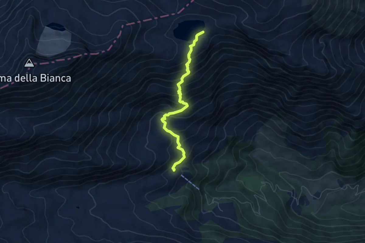
Medium · Cabin
Capanna Bovarina - Lago Retico
5.5 km · ↑ 540 m · 2 h 29 min
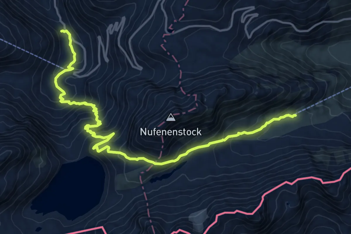
Demanding · Cabin
Capanna Corno Gries-Ladstafel
13.6 km · ↑ 924 m · 5 h 13 min
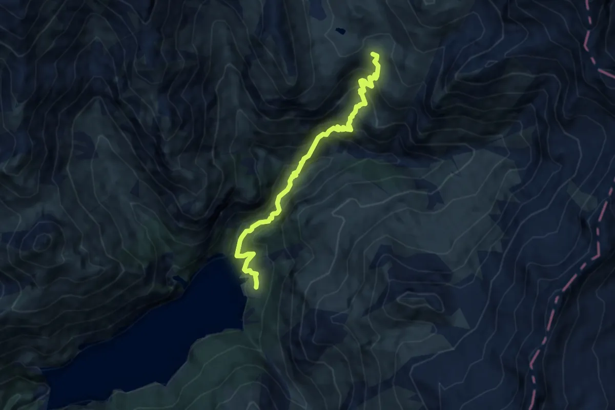
Demanding · Cabin
Capanna Motterascio - Garzott
8.3 km · ↑ 877 m · 3 h 51 min
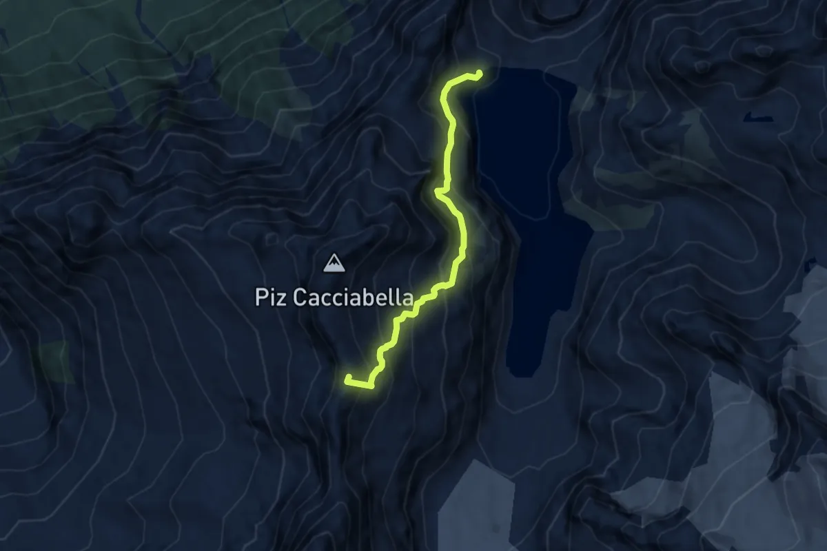
Expert · Summit
Capanna Sciora - Albigniastausee
6.6 km · ↑ 817 m · 3 h 20 min
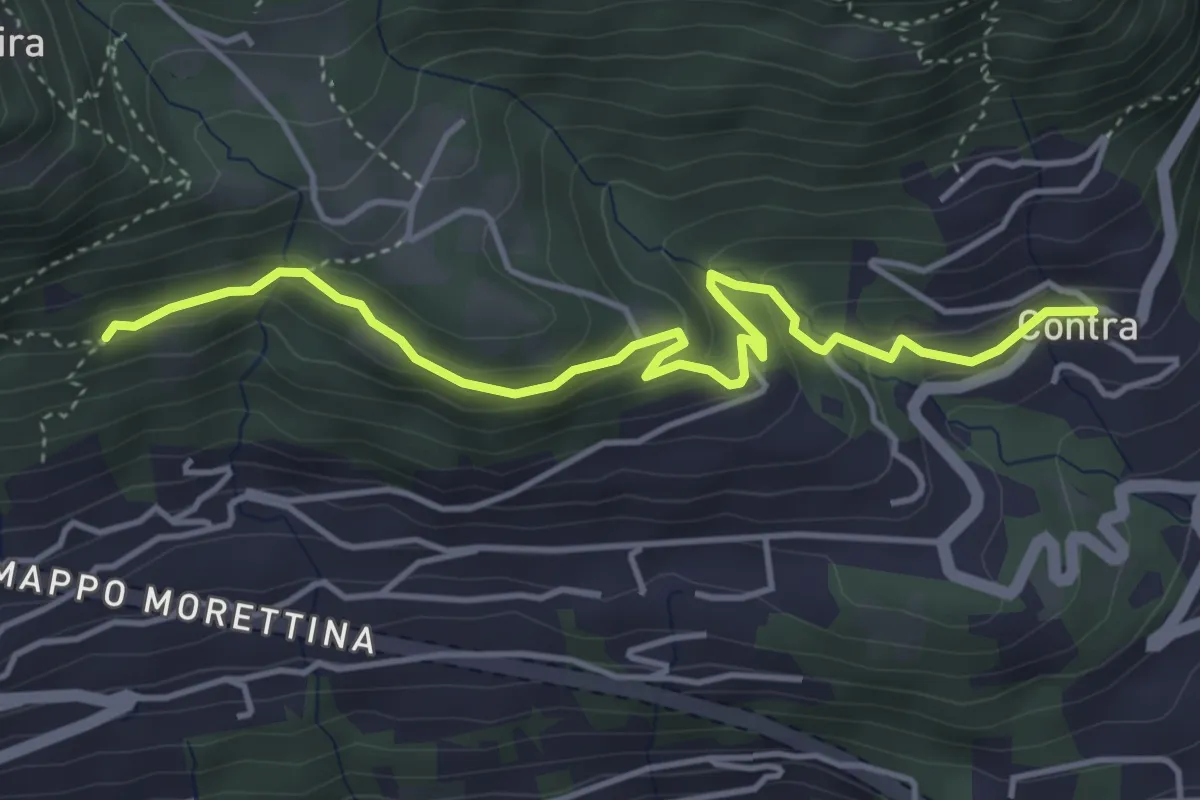
Easy · Trail
Capela rota - Contra
4.6 km · ↑ 256 m · 1 h 39 min
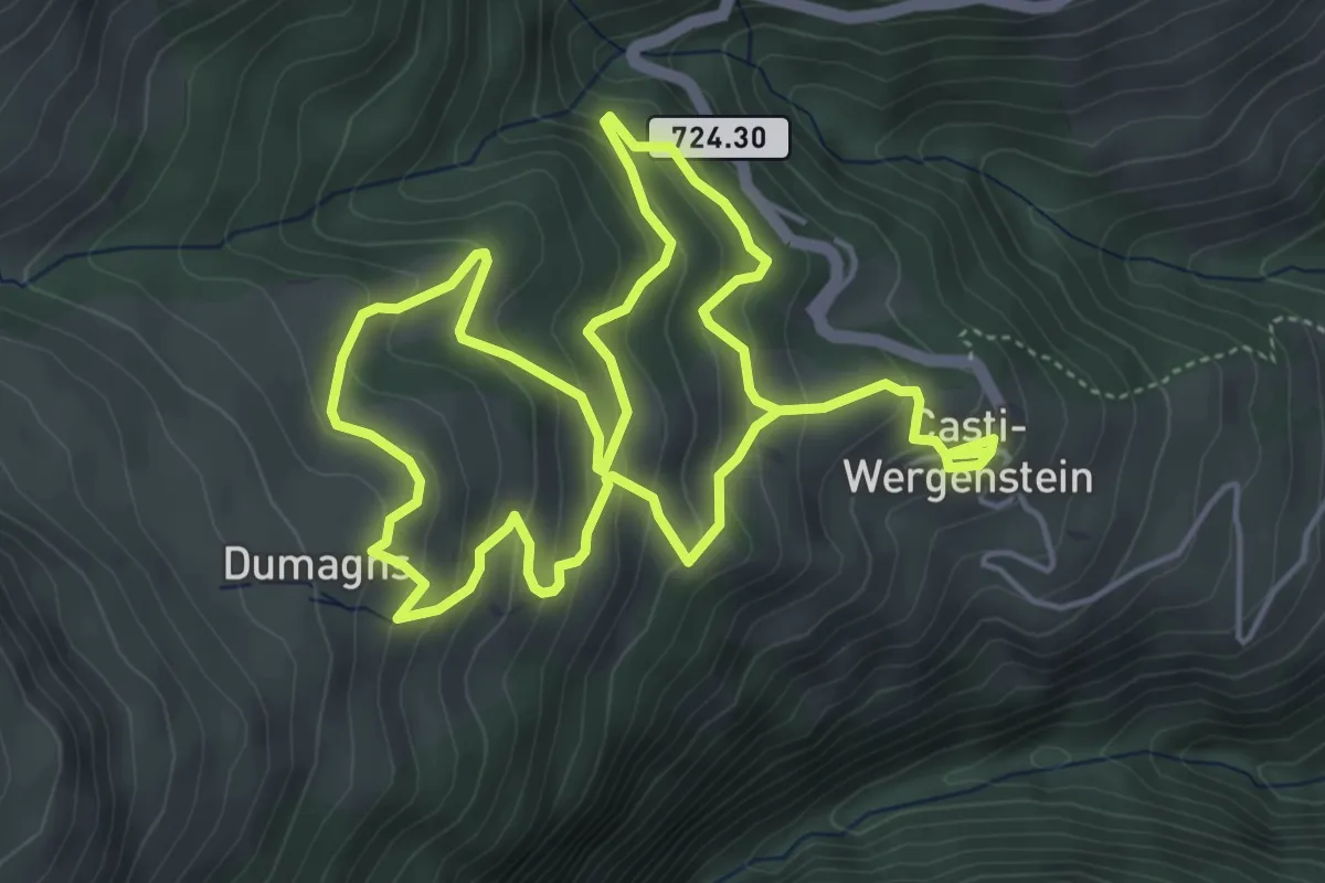
Medium · Trail
Capricorn Pirsch
9.5 km · ↑ 638 m · 3 h 37 min
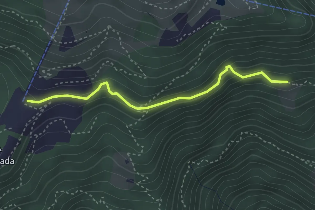
Easy · Trail
Cardada Colmanicchio - Chiodo
2.9 km · ↑ 210 m · 1 h 8 min
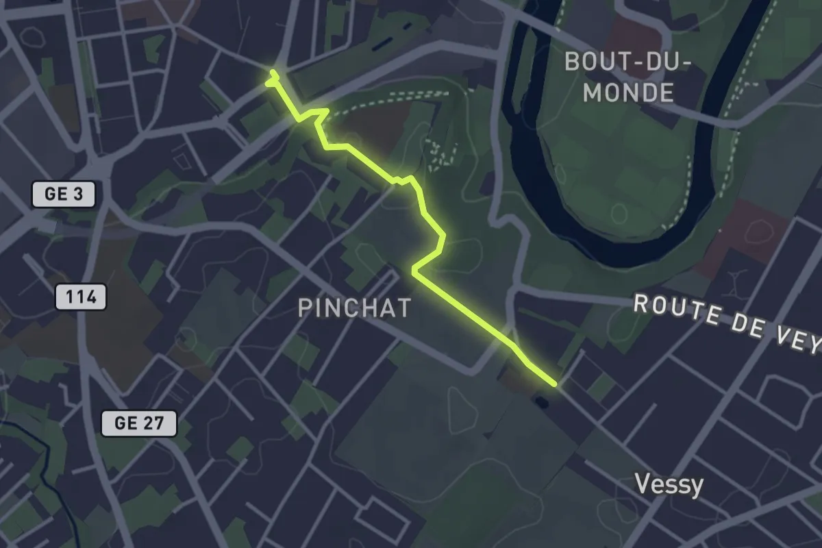
Easy · Trail
Carouge place Sigismond - Pinchat
2.9 km · ↑ 37 m · 45 min
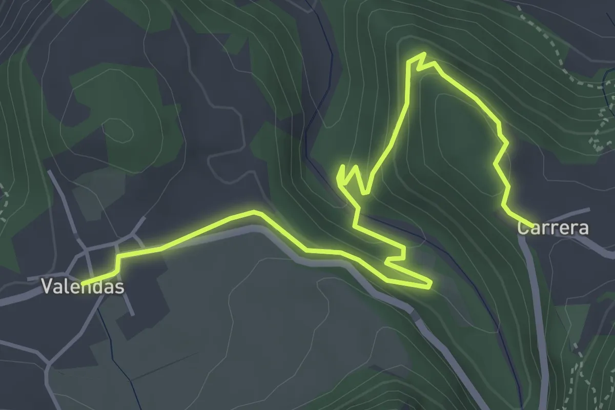
Easy · Trail
Carrera-Valendas
5.2 km · ↑ 286 m · 1 h 51 min
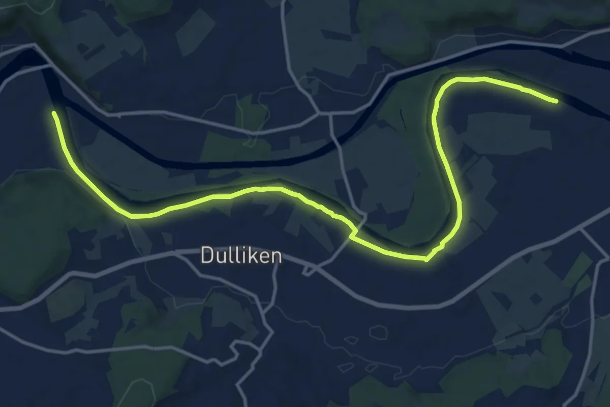
Medium · Trail
Cartaseta
13.2 km · ↑ 26 m · 3 h 10 min
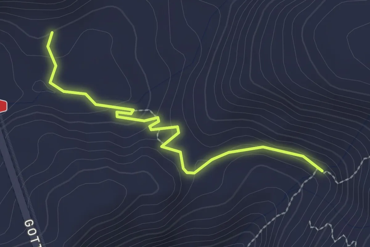
Easy · Trail
Cascina delle Bolla - fixme
2.5 km · ↑ 88 m · 47 min
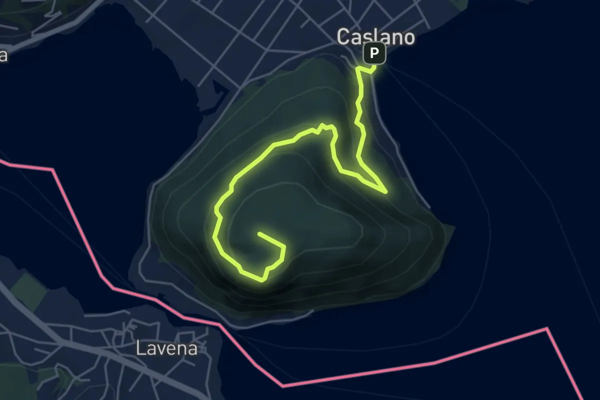
Medium · Summit
Caslano - Monte Caslano
5.4 km · ↑ 331 m · 1 h 59 min
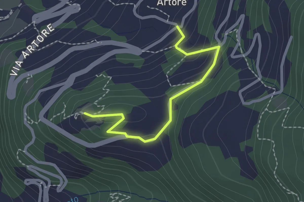
Easy · Trail
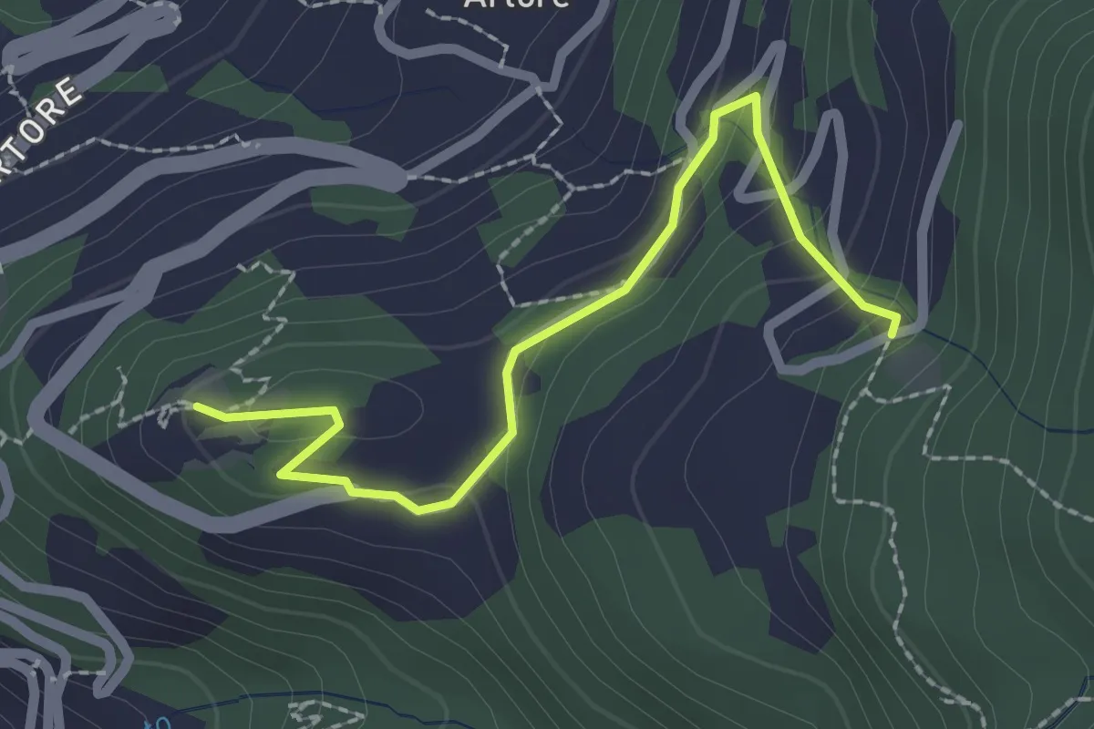
Castello Sasso Carbaro - Artore
2.0 km · ↑ 72 m · 38 min
Easy · Trail
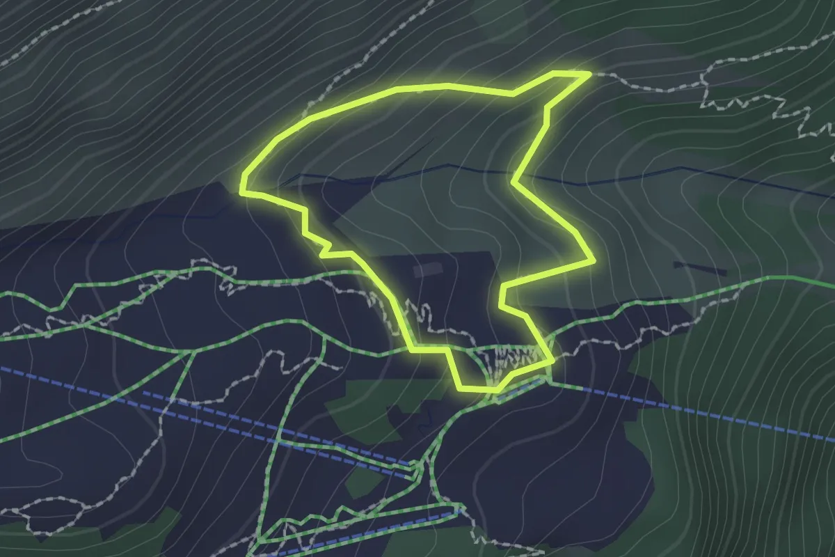
Castello Sasso Carbaro - Pian Laghetto
2.3 km · ↑ 99 m · 45 min
Medium · Trail
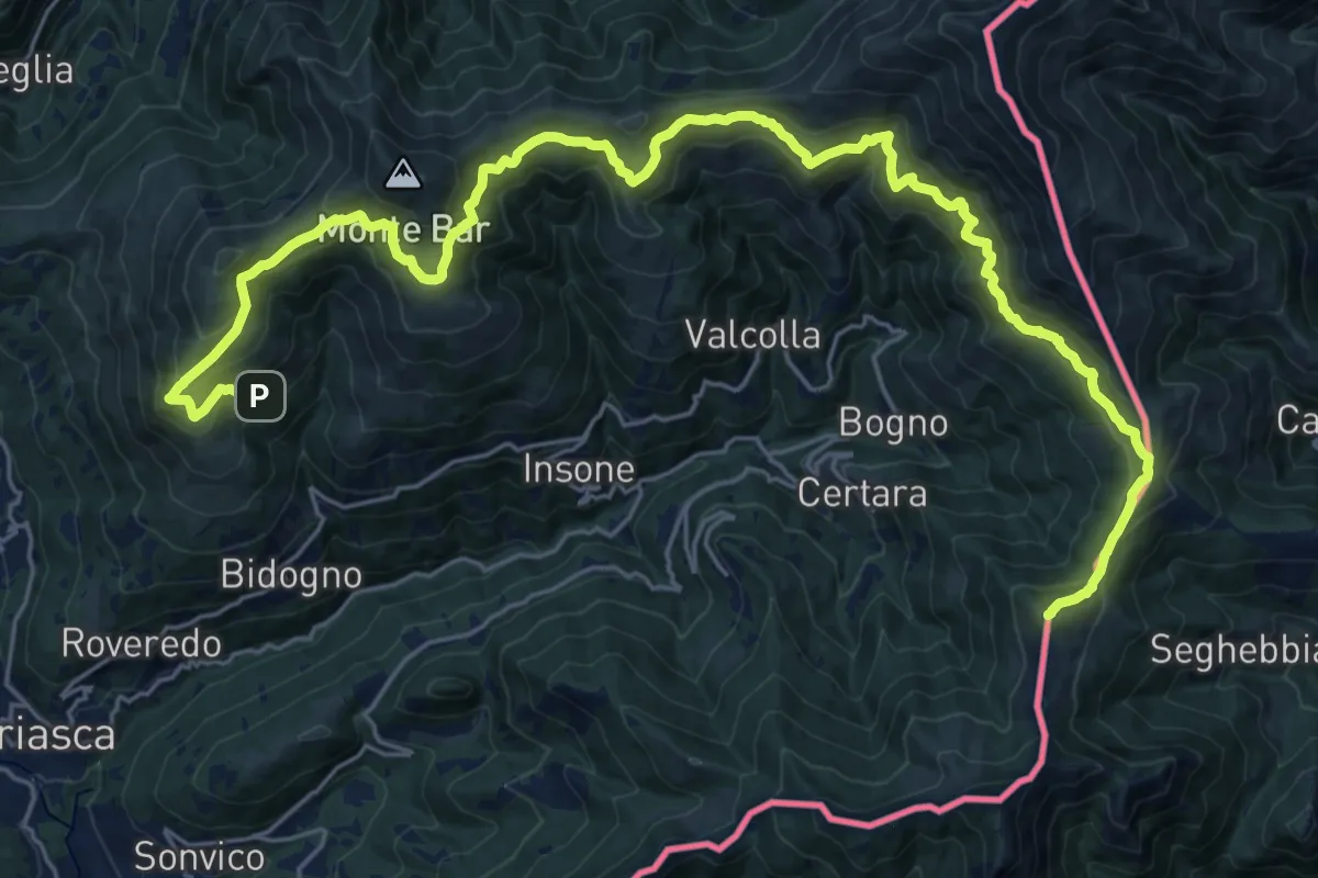
Catrina Kräuterweg
1.6 km · ↑ 95 m · 36 min
Demanding · Summit
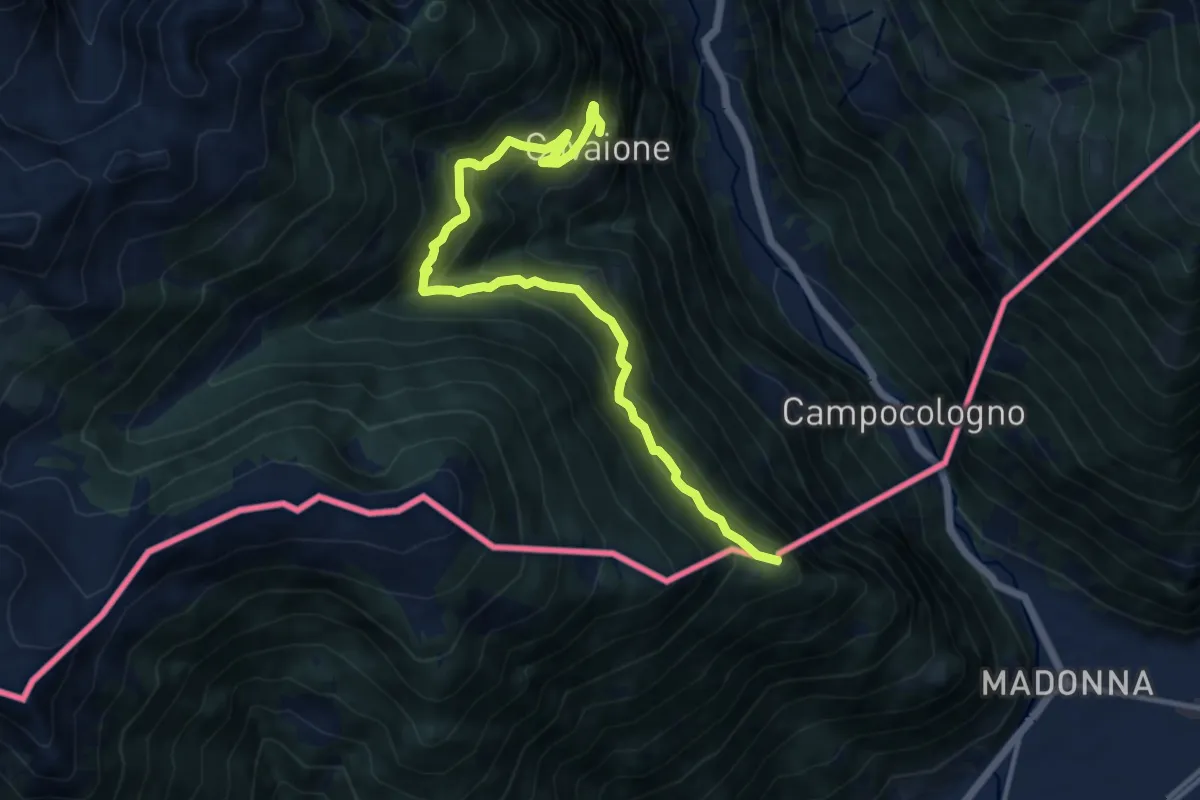
Cattle Trail
30.4 km · ↑ 1812 m · 11 h 6 min
Demanding · Summit
Cavaione - Rossat - Piana - Lughina
12.2 km · ↑ 1068 m · 5 h 11 min
Demanding · Cabin
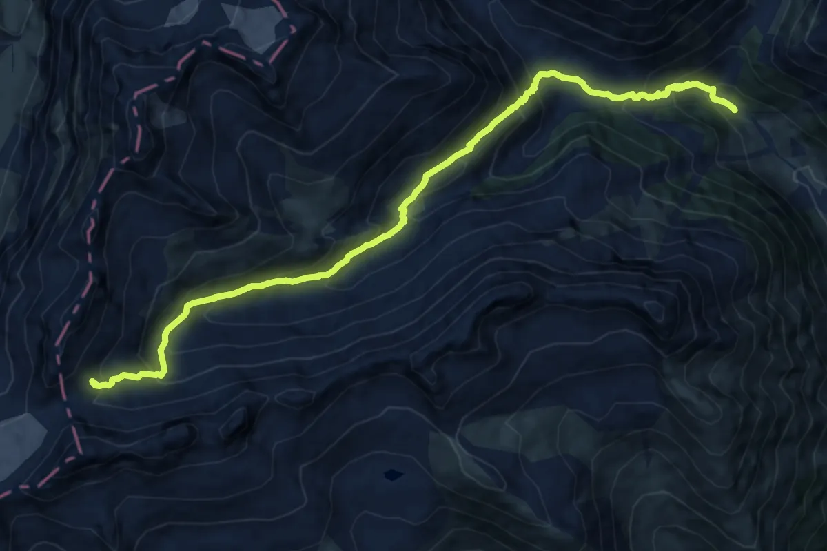
Cavardirashütte-Alp Cavrain Sut
13.6 km · ↑ 1127 m · 5 h 39 min
Easy · Trail
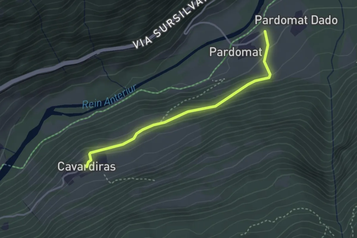
Cavardiras - Pardomat
3.1 km · ↑ 140 m · 1 h 2 min
Easy · Trail
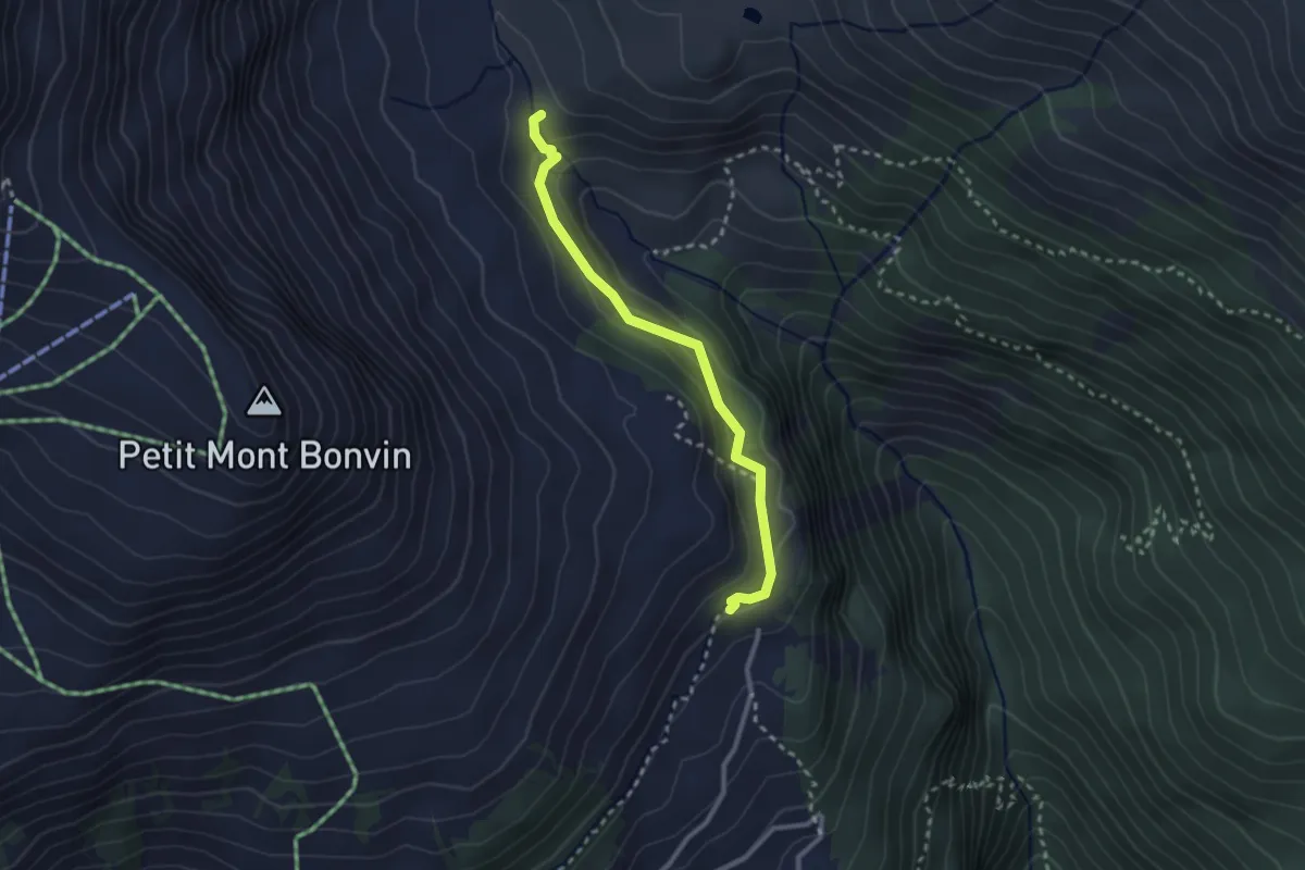
Cave du Sex - La Tièche
2.5 km · ↑ 123 m · 52 min
Easy · Trail
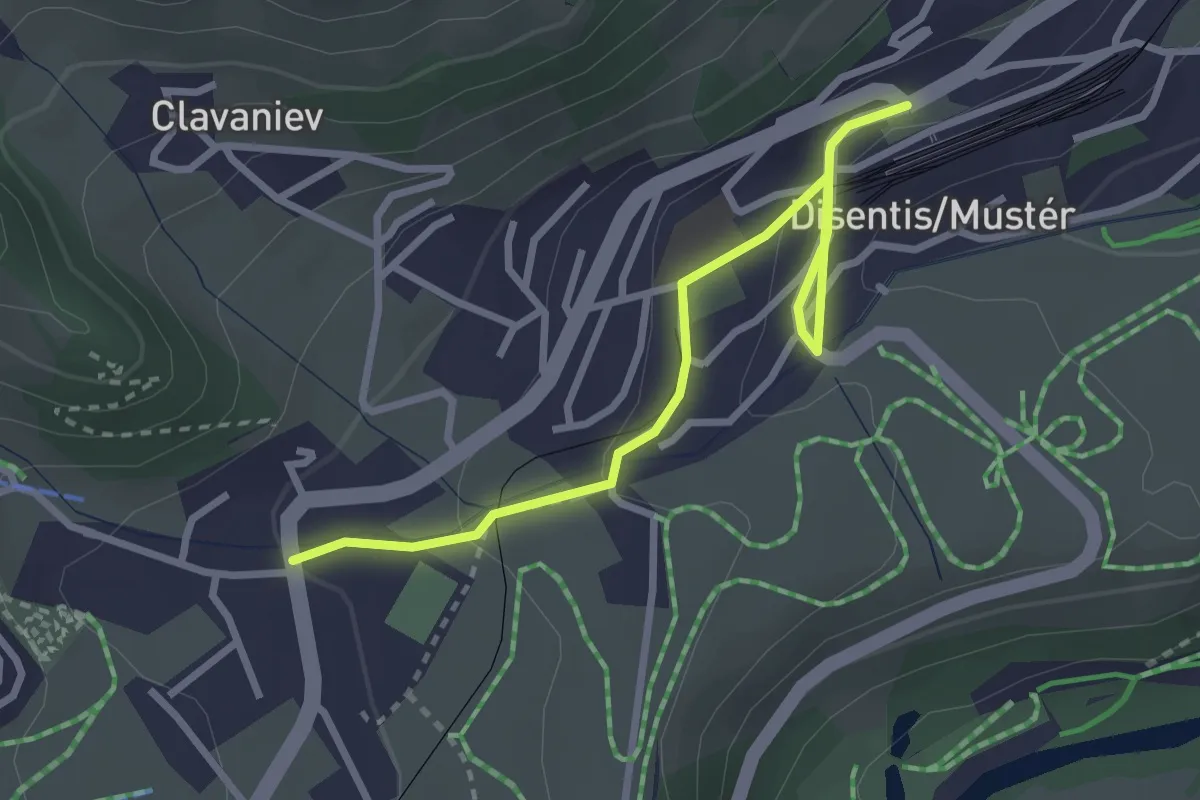
Centre de Sport - Staziun
3.1 km · ↑ 93 m · 56 min
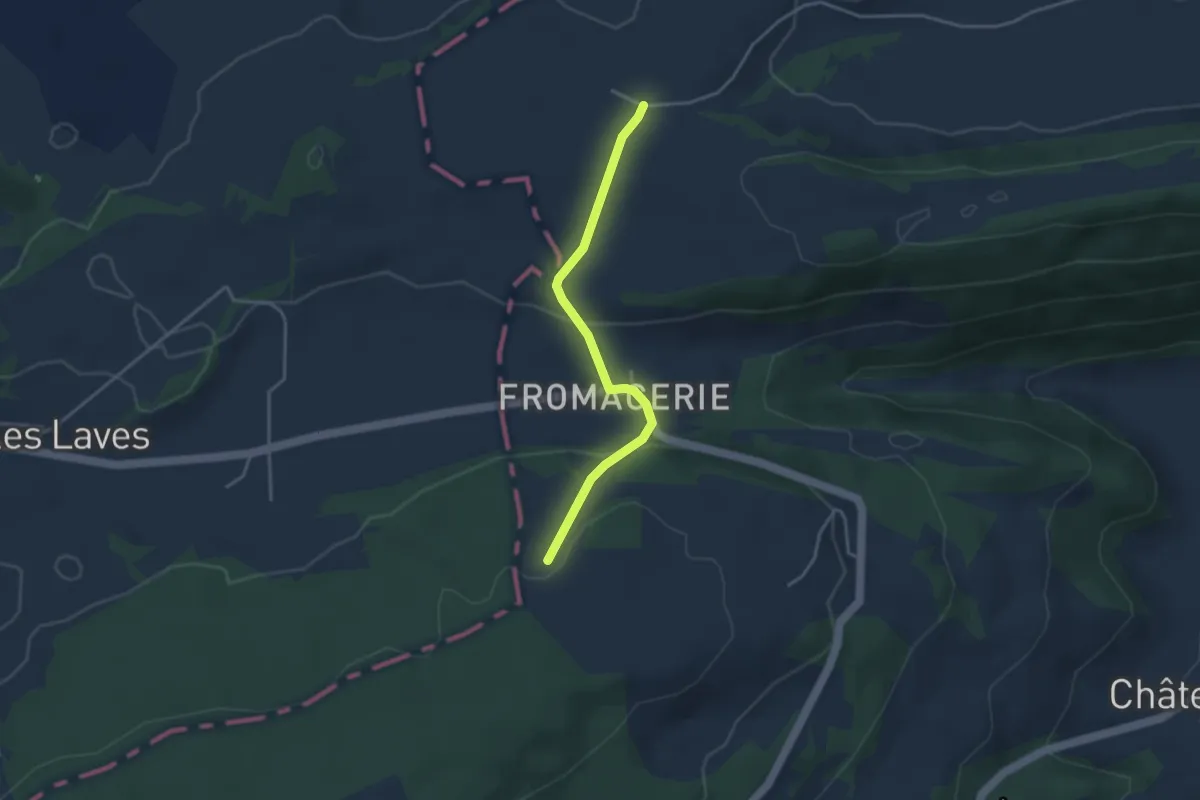
Easy · Trail
Cerniers de Rebévelier - fixme
3.3 km · ↑ 107 m · 1 h 1 min
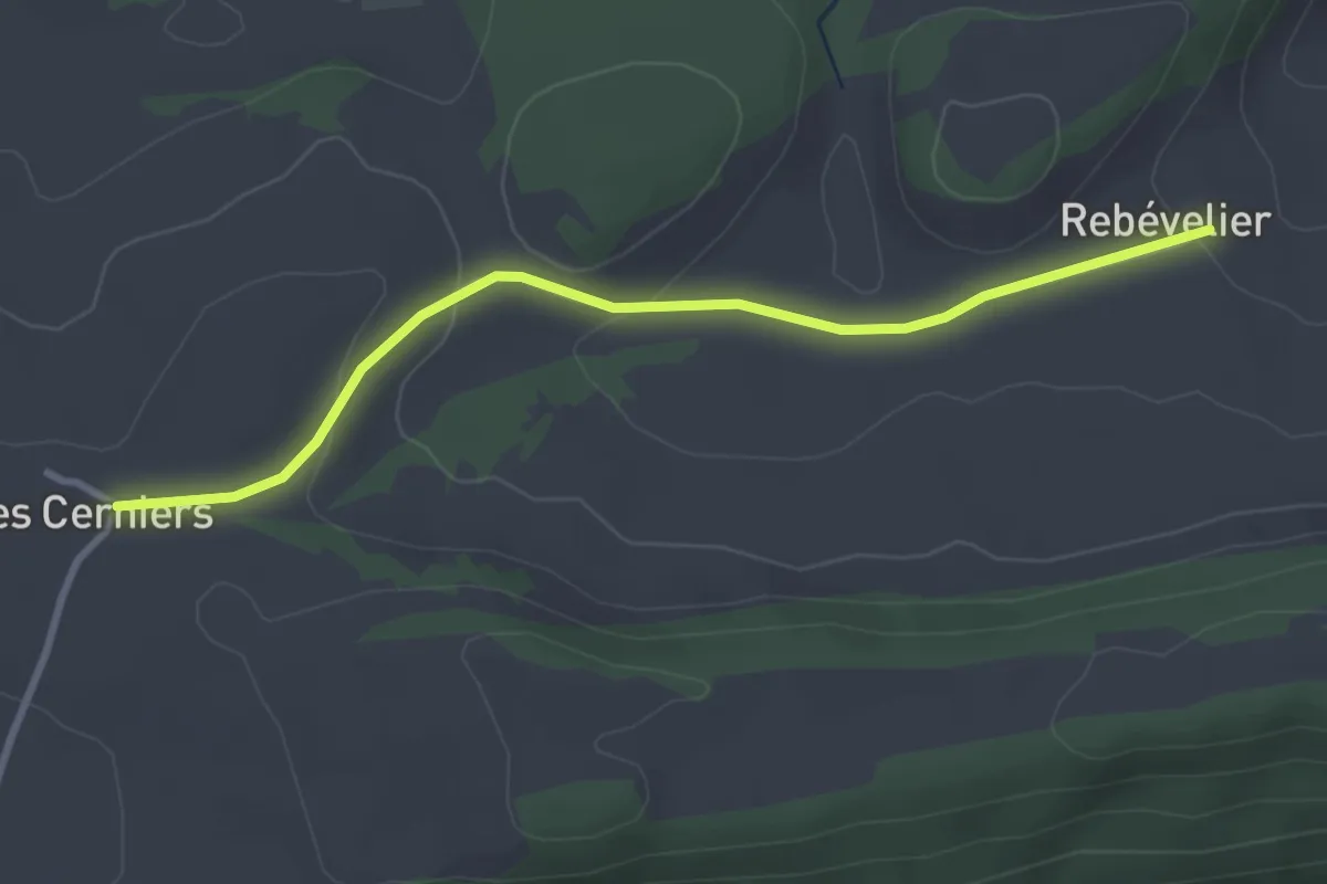
Easy · Trail
Cerniers de Rebévelier - Rebévelier
3.2 km · ↑ 94 m · 57 min
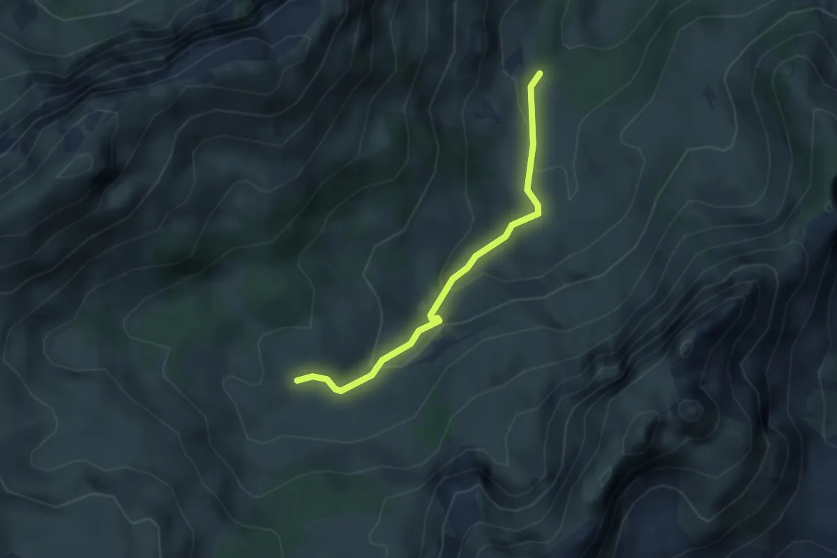
Easy · Cabin
Cerniets - Brecca
3.1 km · ↑ 165 m · 1 h 6 min
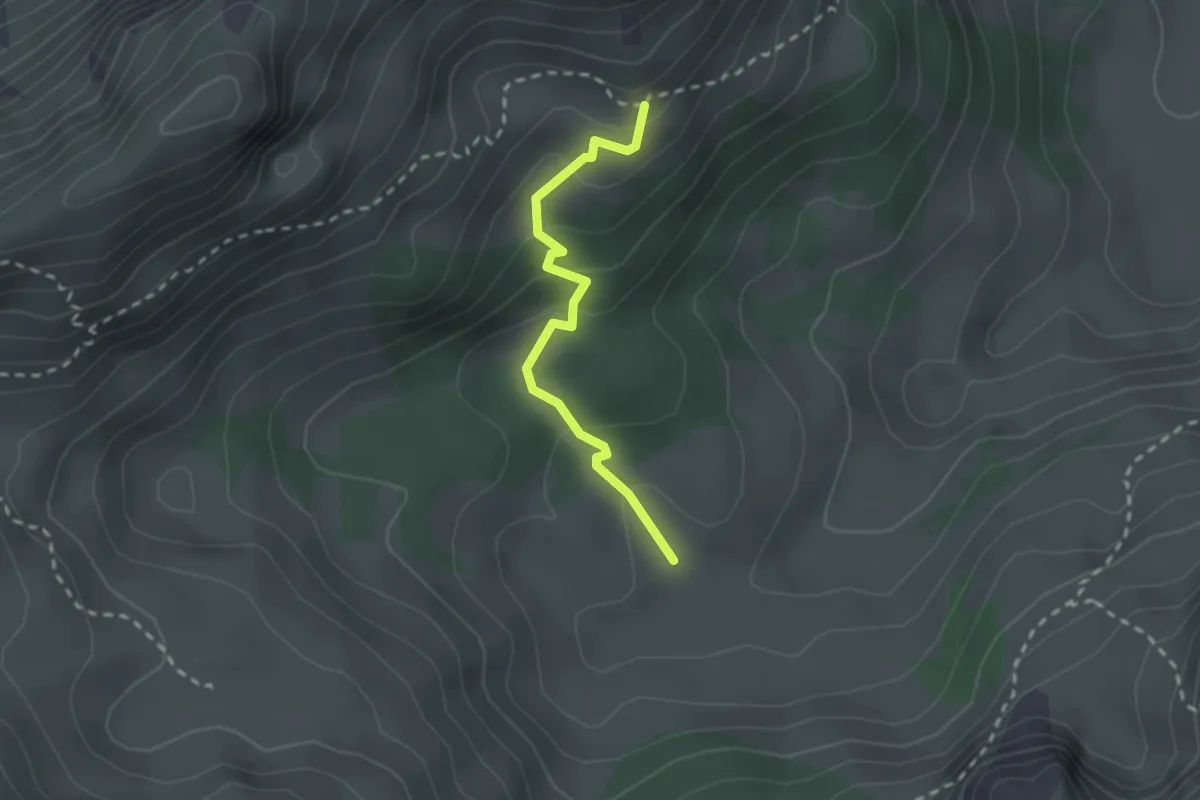
Easy · Cabin
Cerniets - fixme
2.1 km · ↑ 128 m · 47 min