Trails in Switzerland
15,029 hiking trails, each with its route, climb, walking time and grade.
All trails, page 21 of 314
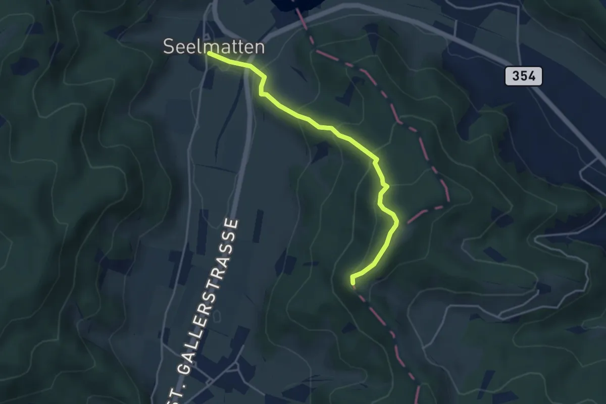
Easy · Trail
Chabishaupt - Seelmatten
3.6 km · ↑ 251 m · 1 h 24 min
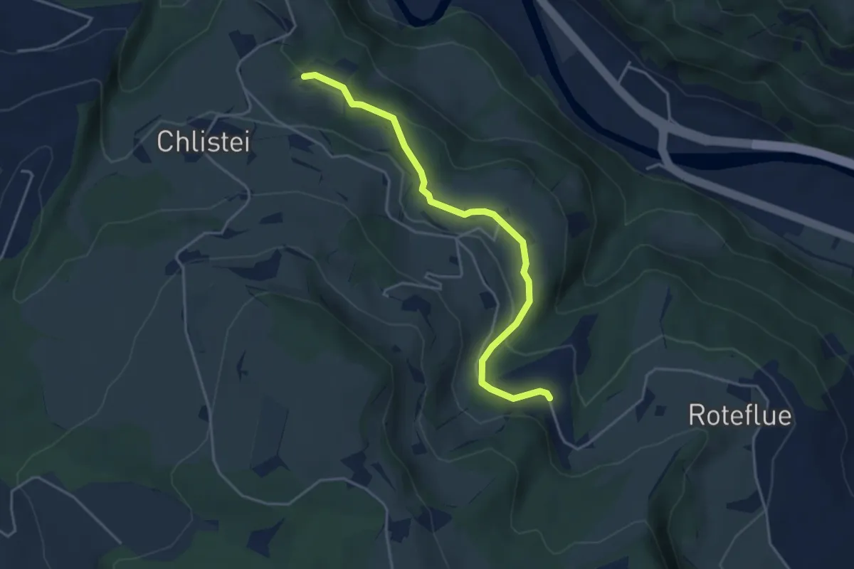
Easy · Trail
Chächebüel - Dünnhirs
4.0 km · ↑ 95 m · 1 h 9 min
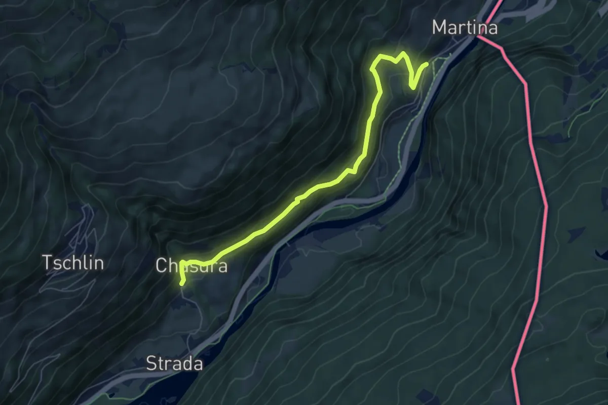
Medium · Trail
Chaflur - Martina
6.6 km · ↑ 331 m · 2 h 17 min
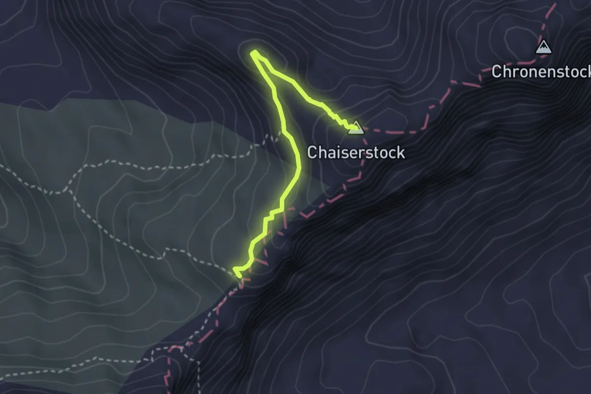
Expert · Summit
Chaiserstock blau
2.7 km · ↑ 208 m · 1 h 5 min
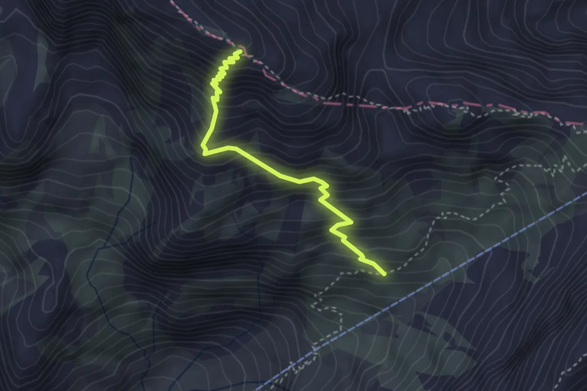
Demanding · Trail
Chalbersäntis
3.0 km · ↑ 534 m · 1 h 53 min
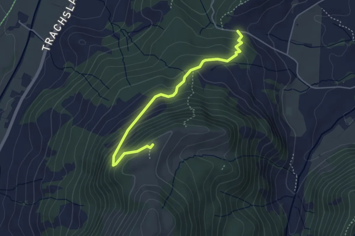
Medium · Summit
Chälen - Ufen Tritt
3.8 km · ↑ 288 m · 1 h 32 min
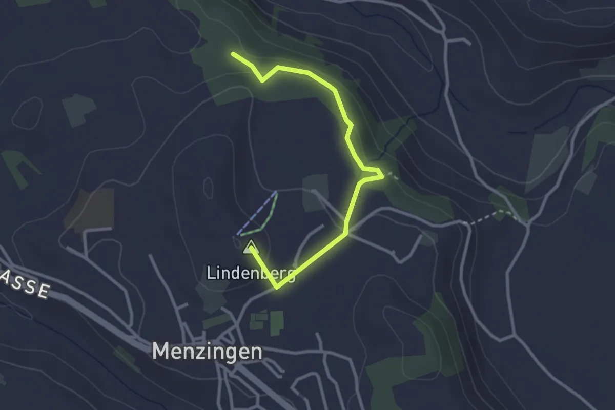
Easy · Summit
Chälenwald - Menzingen
2.8 km · ↑ 122 m · 55 min
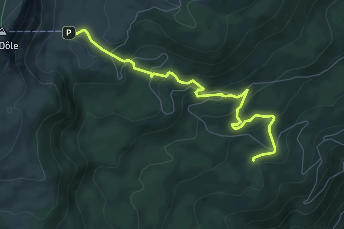
Easy · Trail
Chalet de la Dôle-Le Bauloz
6.8 km · ↑ 278 m · 2 h 12 min
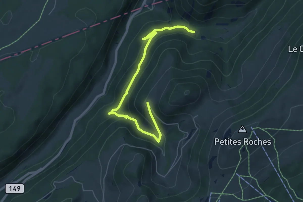
Medium · Trail
Chalet de la Maya - fixme
5.9 km · ↑ 385 m · 2 h 13 min
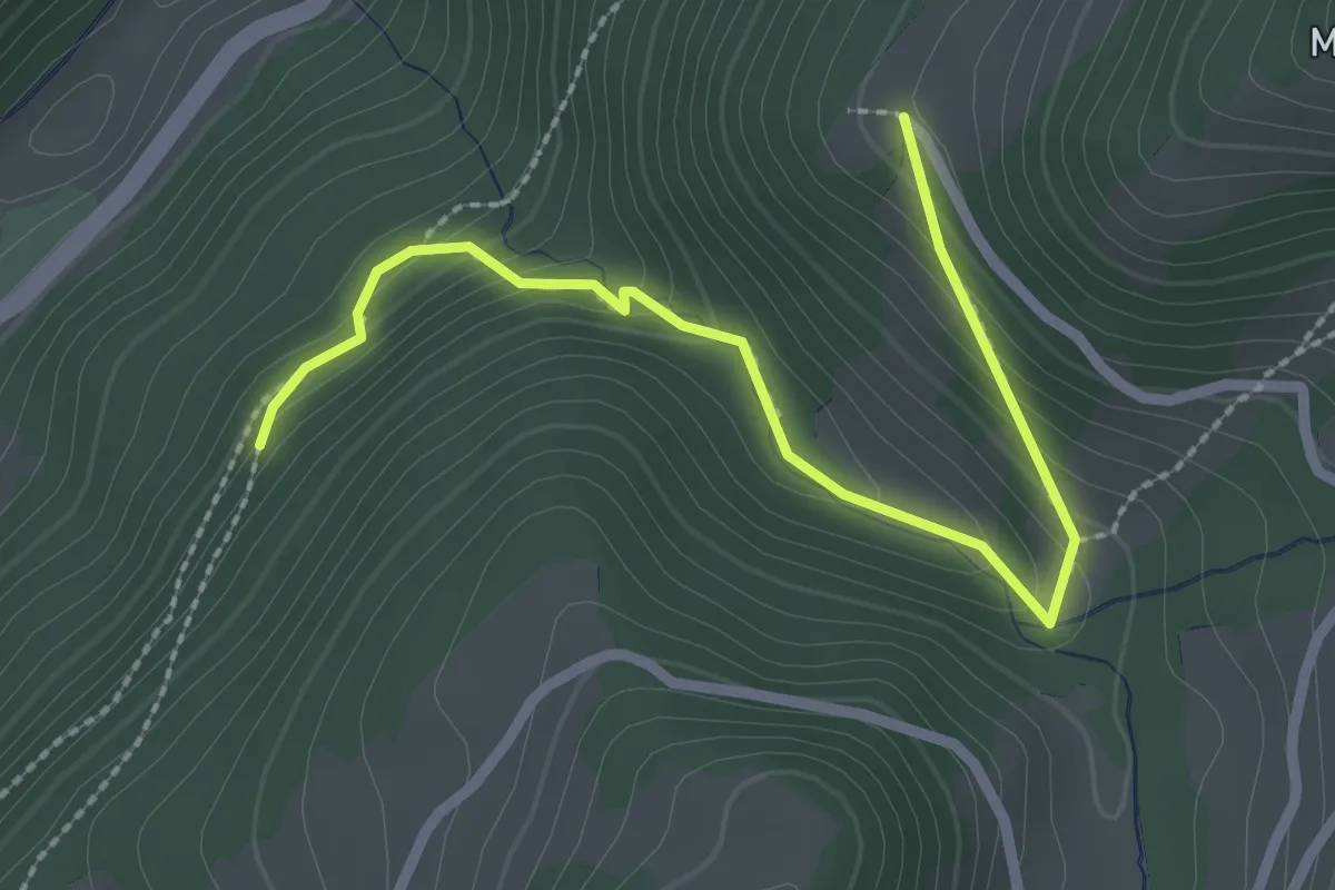
Easy · Trail
Chalet de la Maya - fixme
2.7 km · ↑ 191 m · 1 h 3 min
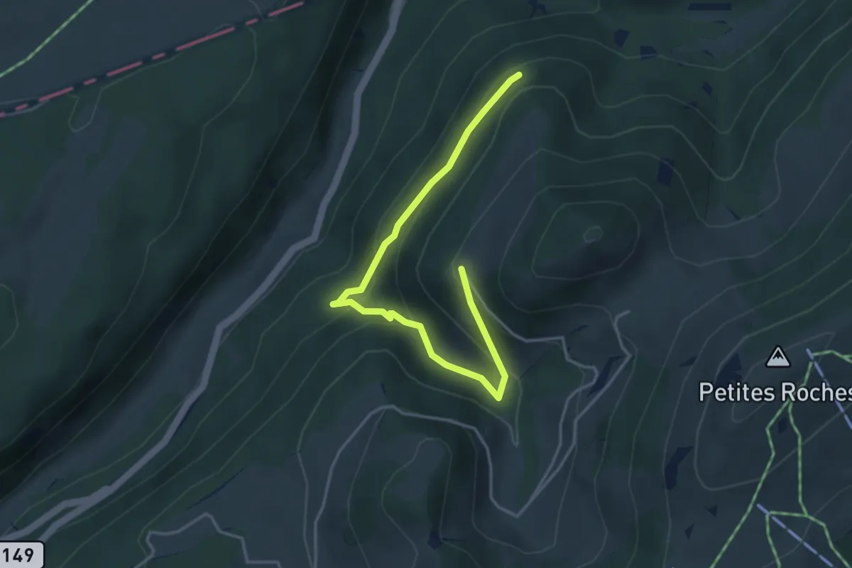
Easy · Trail
Chalet de la Maya - fixme
4.2 km · ↑ 284 m · 1 h 36 min
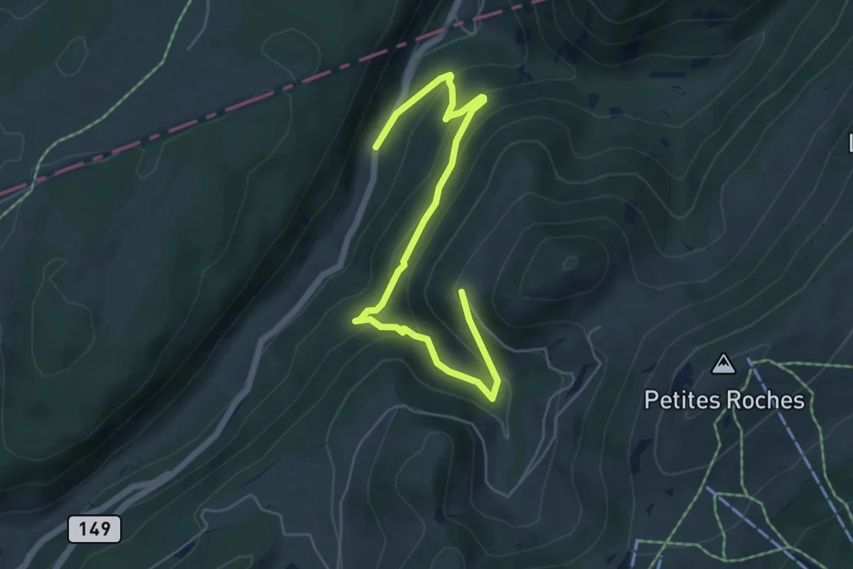
Medium · Trail
Chalet de la Maya - Noirvaux
5.9 km · ↑ 397 m · 2 h 15 min
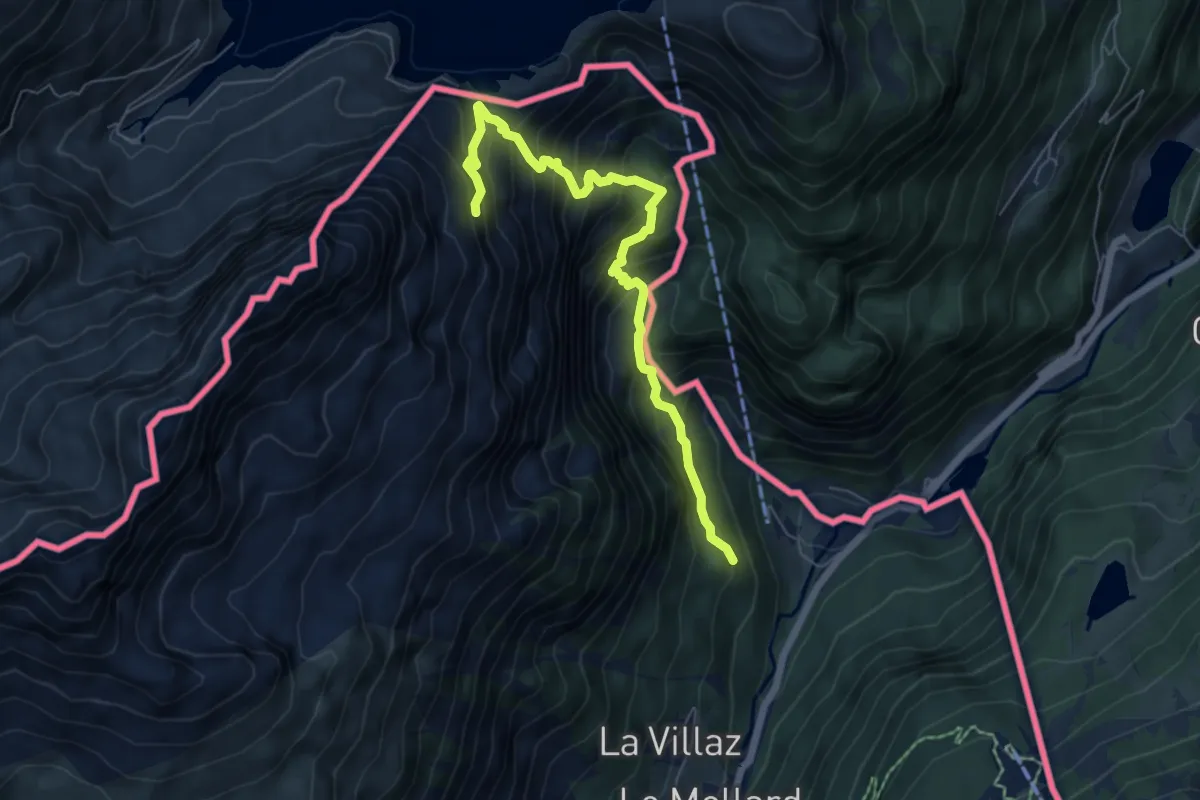
Demanding · Trail
Chalet de Loriaz
6.5 km · ↑ 845 m · 3 h 22 min
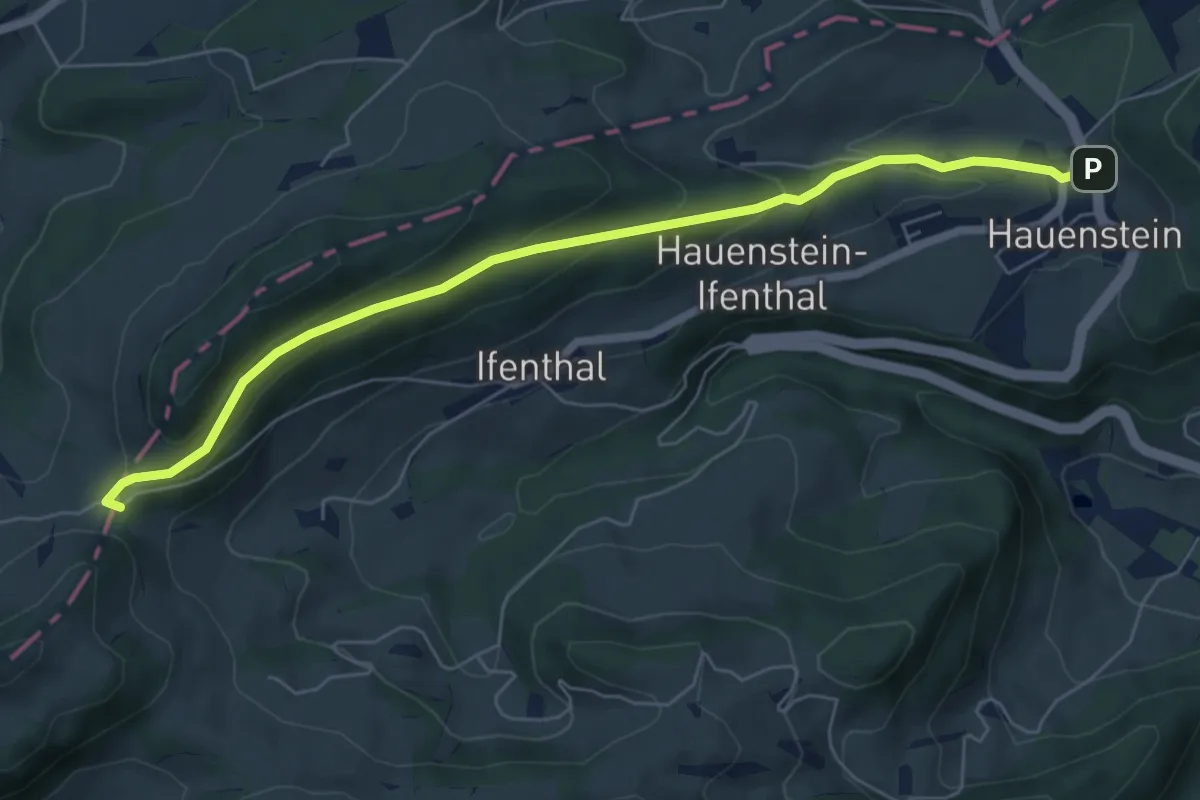
Easy · Trail
Challhöchi - Hauenstein
6.5 km · ↑ 263 m · 2 h 7 min
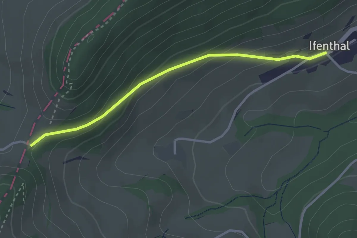
Easy · Trail
Challhöchi - Ifenthal
2.7 km · ↑ 147 m · 57 min
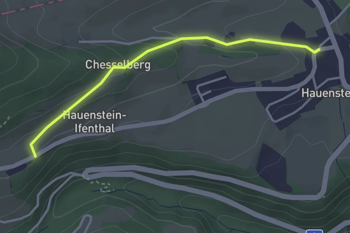
Easy · Trail
Challhöchi - Ifenthal Kirche
2.7 km · ↑ 104 m · 52 min
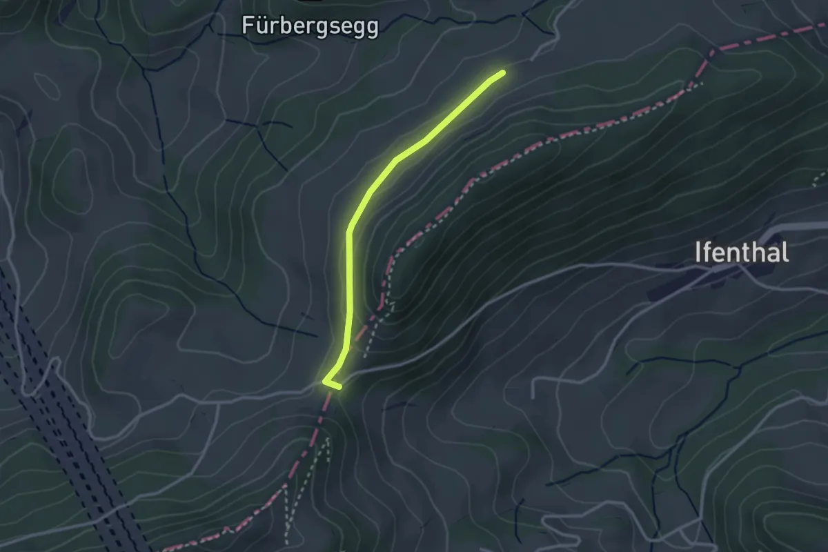
Easy · Trail
Challhöchi - Schmutzberg
2.4 km · ↑ 44 m · 40 min
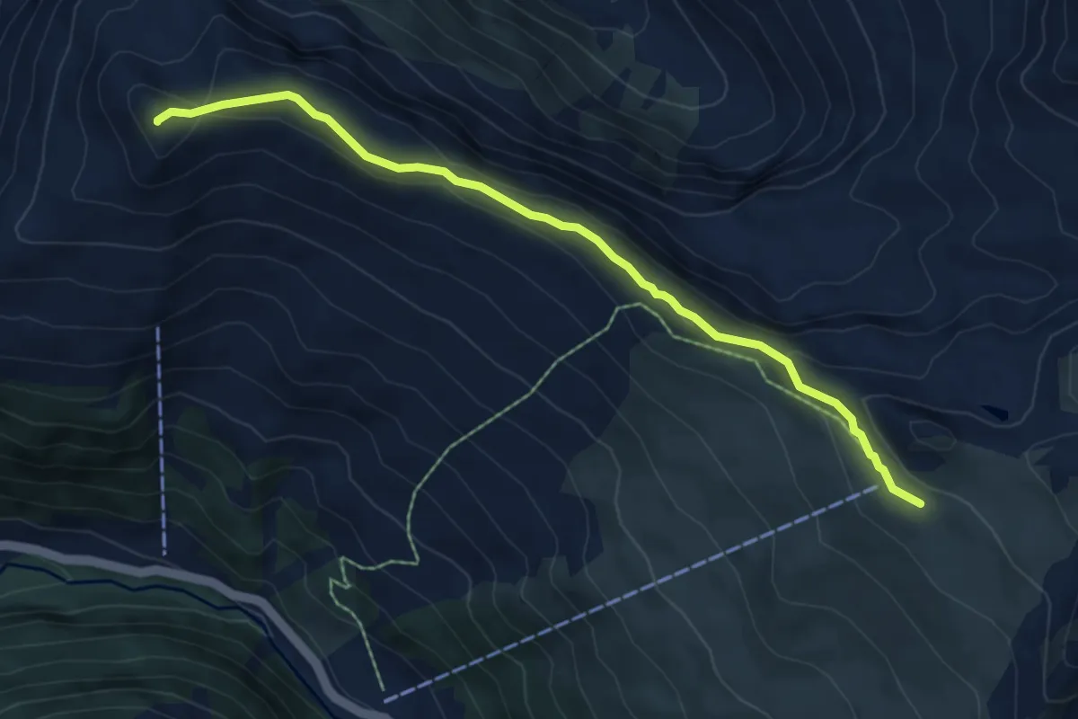
Easy · Summit
Chaltboden - Pischa
6.5 km · ↑ 191 m · 1 h 57 min
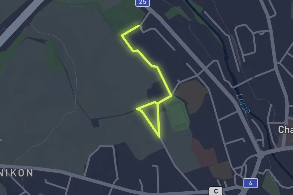
Easy · Trail
Cham Allmendhof - Röhrliberg
2.1 km · ↑ 0 m · 30 min
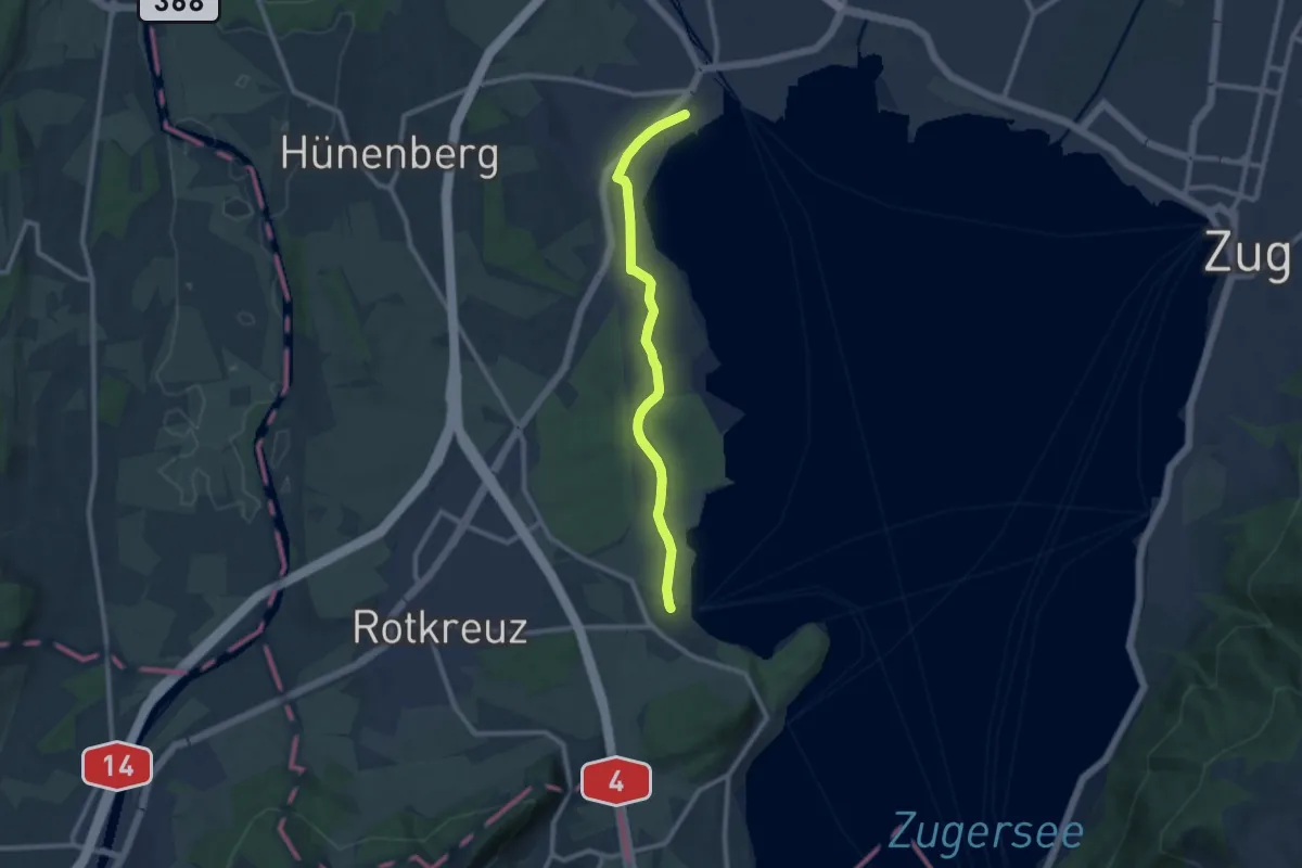
Medium · Trail
Cham-Buonas
9.1 km · ↑ 63 m · 2 h 17 min
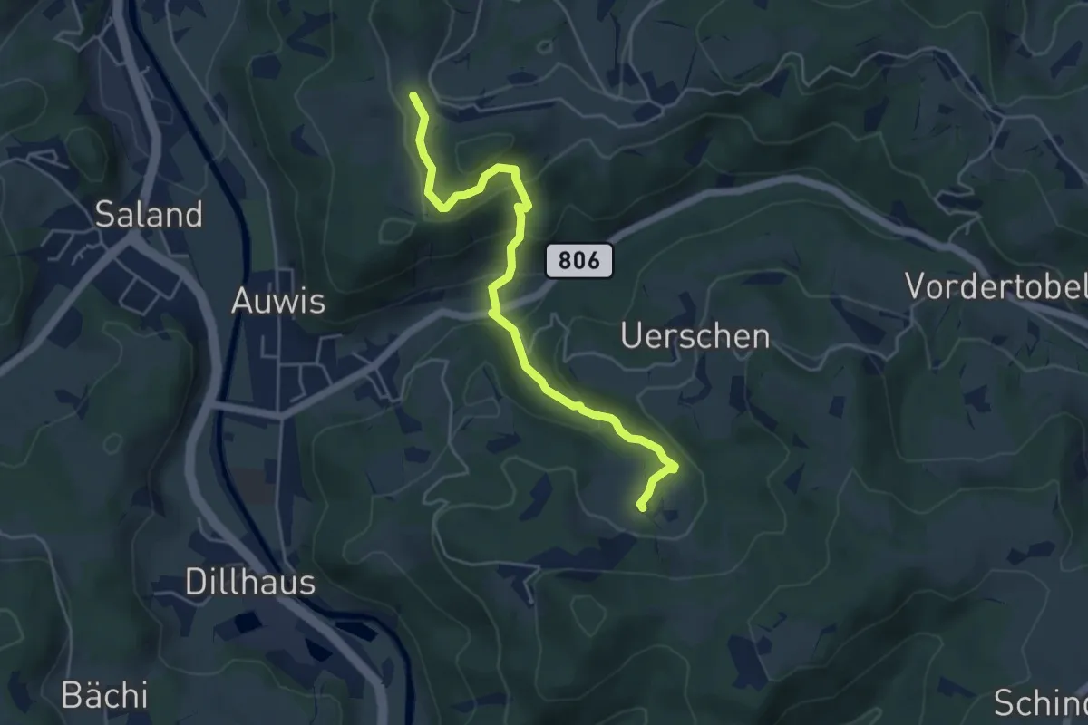
Easy · Trail
Chämmerli – Vordereich
4.7 km · ↑ 293 m · 1 h 45 min
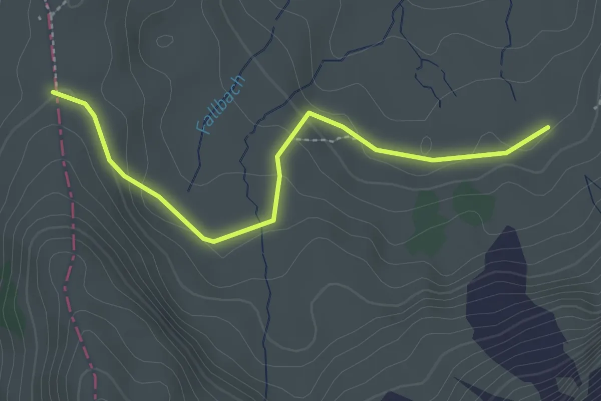
Easy · Trail
Chammhalde - Potersalp
2.5 km · ↑ 58 m · 42 min
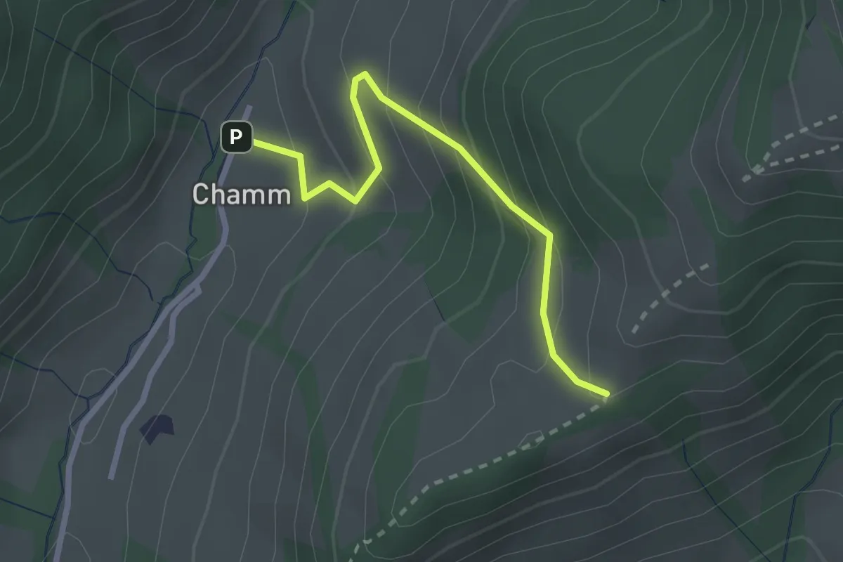
Easy · Trail
Chamm - Oberchamm
2.3 km · ↑ 216 m · 1 h 1 min
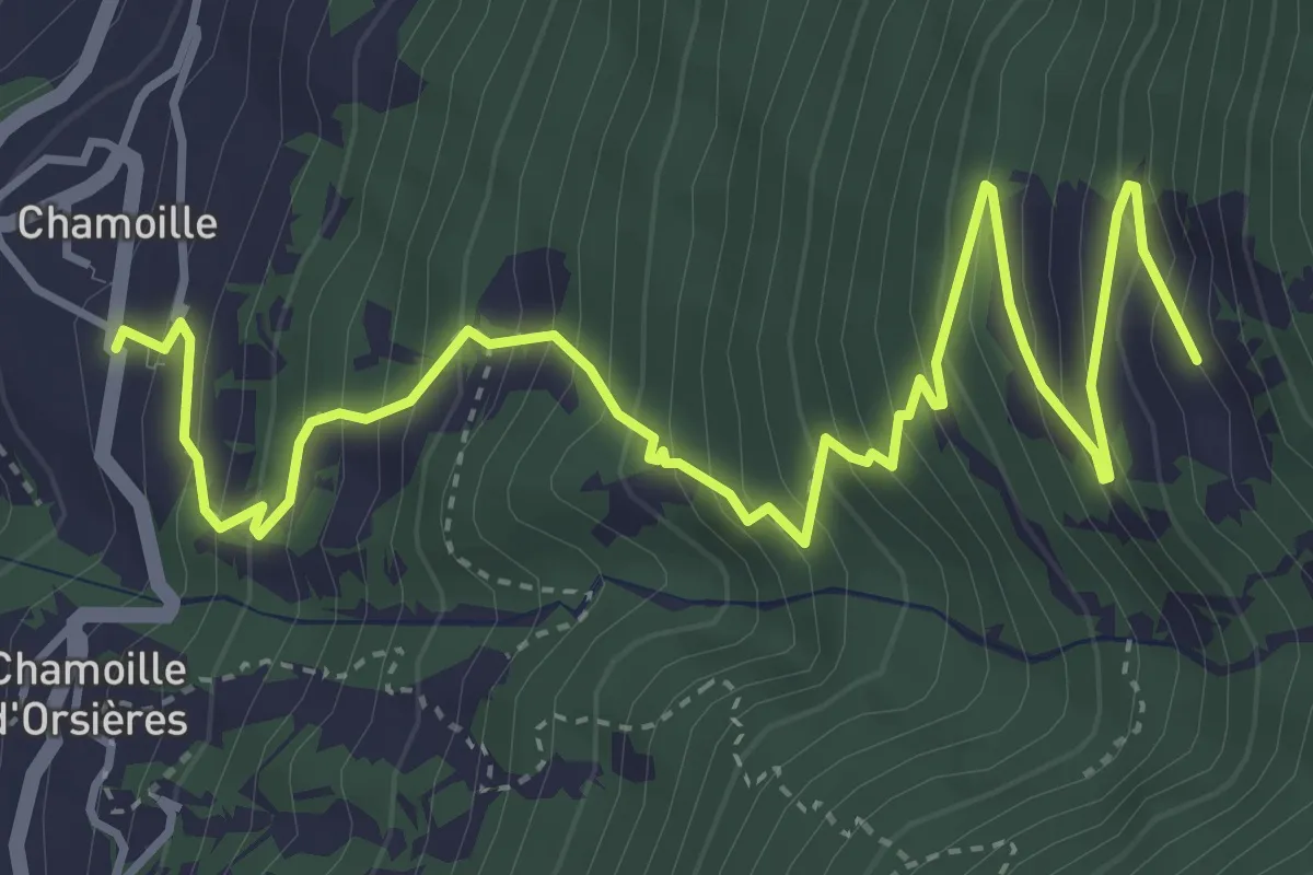
Medium · Trail
Chamoille d'en Haut > Chesal
5.7 km · ↑ 609 m · 2 h 40 min
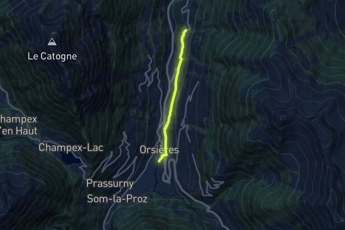
Easy · Trail
Chamoille > Orsières
7.2 km · ↑ 280 m · 2 h 18 min
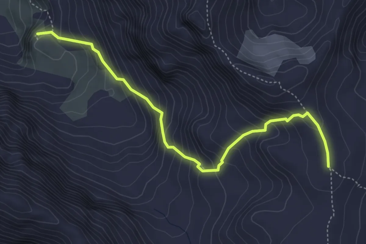
Demanding · Cabin
Chamonna Lischana - Rims
4.7 km · ↑ 504 m · 2 h 12 min
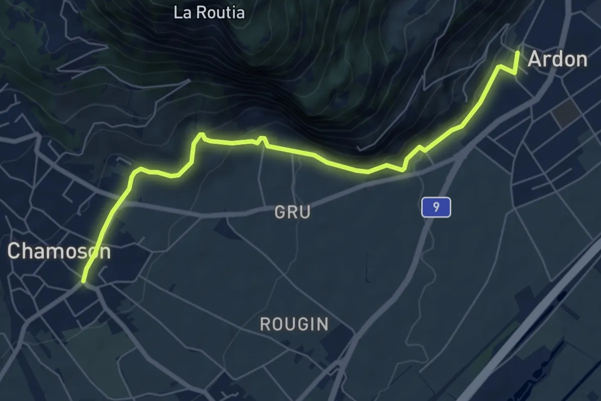
Easy · Trail
Chamoson - Ardon Centre
6.6 km · ↑ 268 m · 2 h 8 min
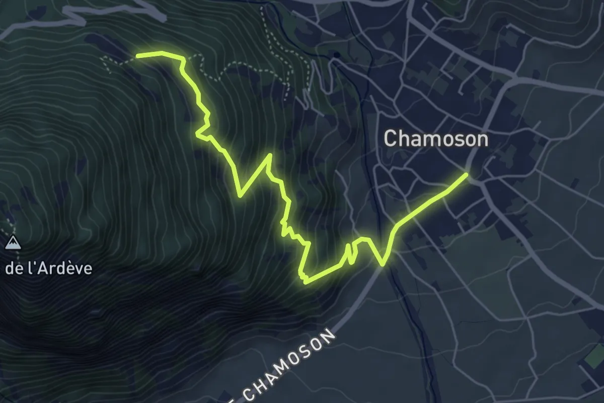
Medium · Trail
Chamoson - Mayens de l'Ardève
6.2 km · ↑ 487 m · 2 h 31 min
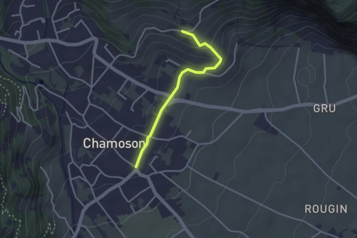
Easy · Trail
Chamoson - Némiaz
2.4 km · ↑ 104 m · 48 min
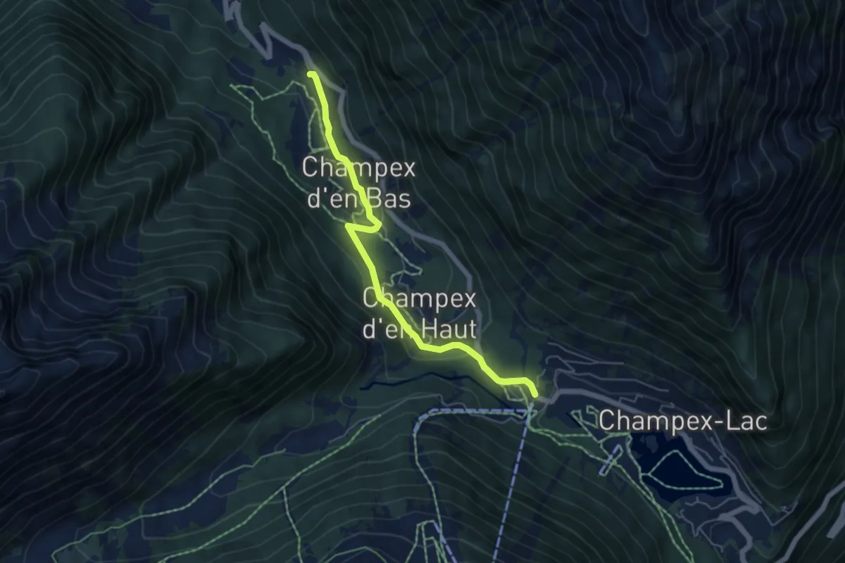
Medium · Trail
Champex d'en Bas > Champex
5.1 km · ↑ 169 m · 1 h 35 min
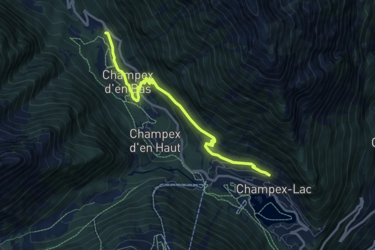
Medium · Trail
Champex d'en Bas > L'Adray
7.5 km · ↑ 395 m · 2 h 37 min
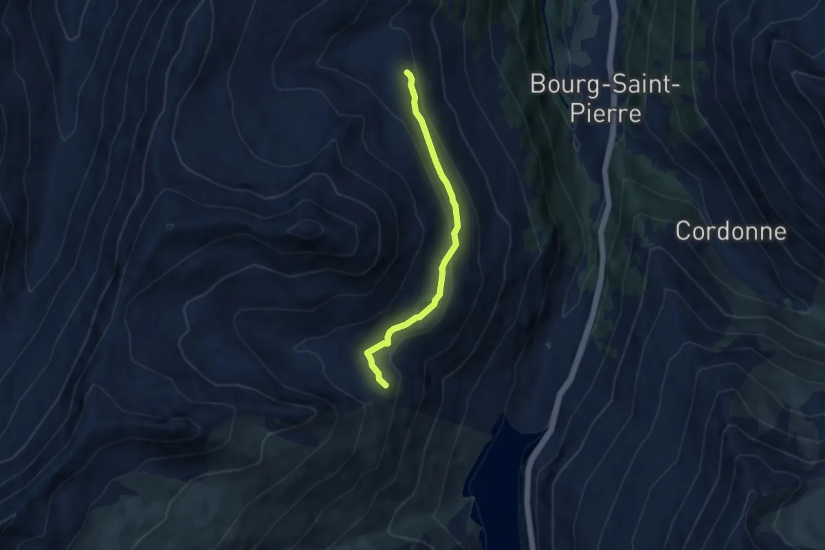
Medium · Trail
Champlong dessus > L'Emmena
5.7 km · ↑ 173 m · 1 h 43 min
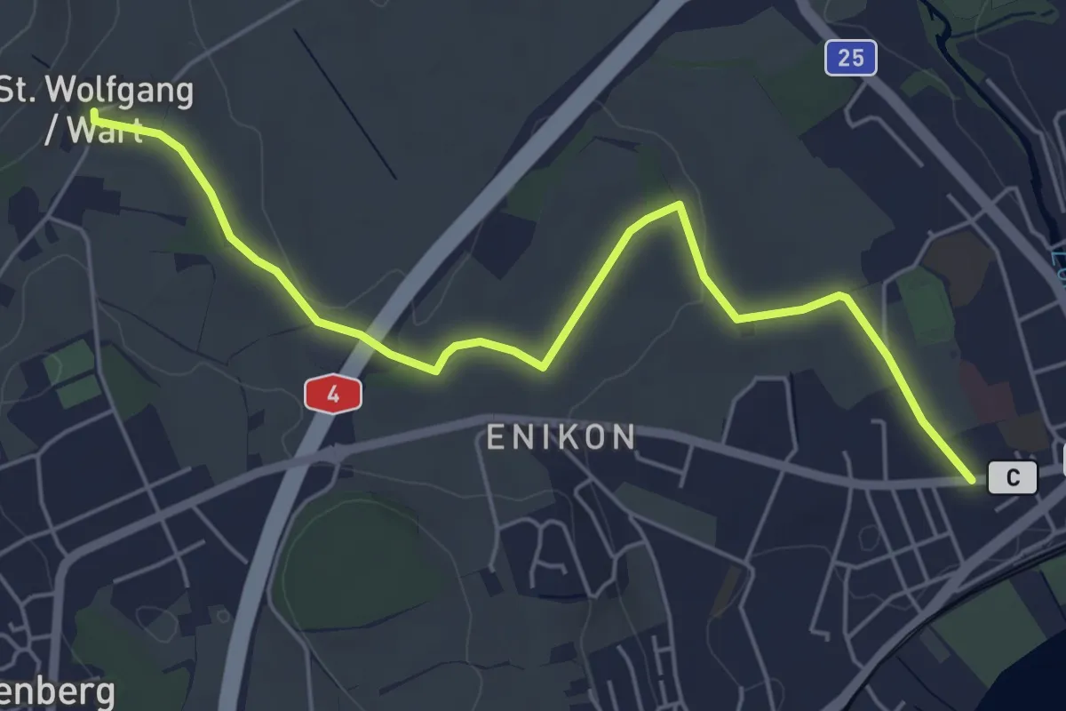
Easy · Trail
Cham - Sankt Wolfgang
5.8 km · ↑ 41 m · 1 h 27 min
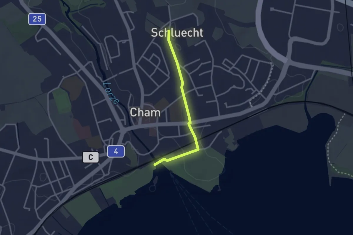
Easy · Trail
Cham - Schluecht
2.4 km · ↑ 28 m · 38 min
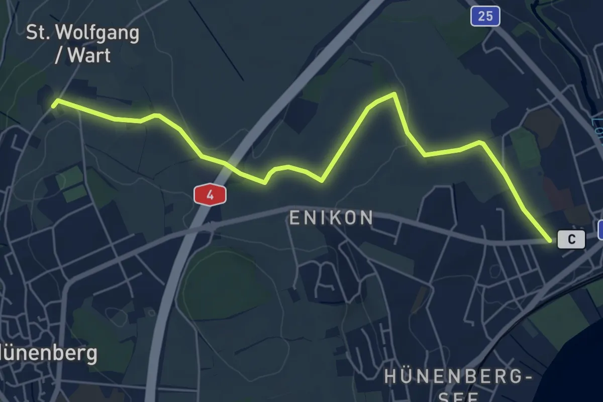
Easy · Trail
Cham - Wart
5.8 km · ↑ 50 m · 1 h 28 min
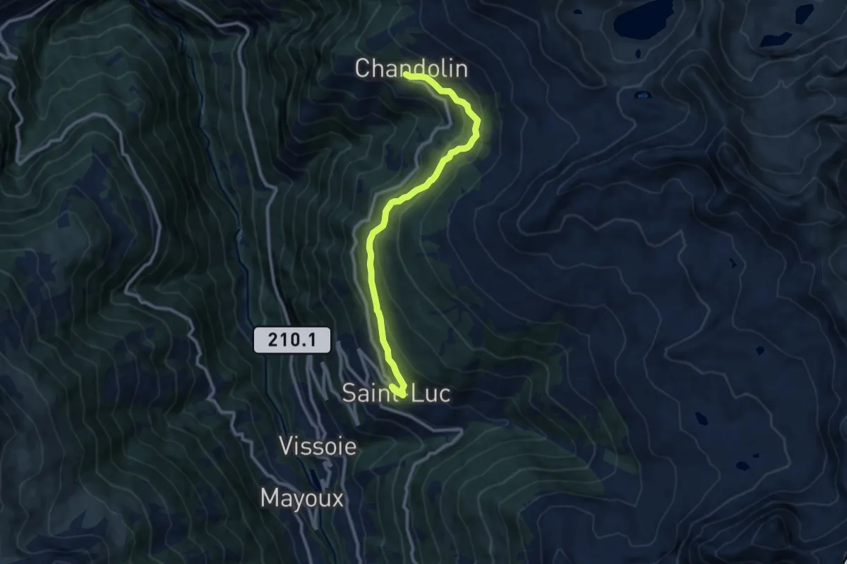
Medium · Trail
Chandolin-St Luc
10.0 km · ↑ 561 m · 3 h 34 min
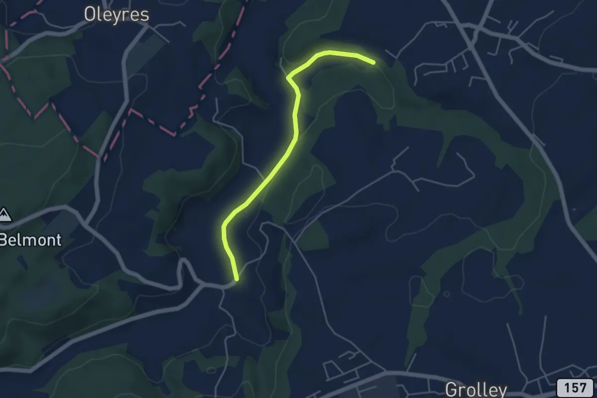
Easy · Trail
Chandon - Le Grabou Cne de Misery
4.0 km · ↑ 70 m · 1 h 5 min
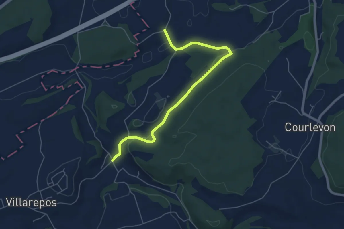
Easy · Trail
Chandossel - Clavaleyer
5.4 km · ↑ 180 m · 1 h 40 min
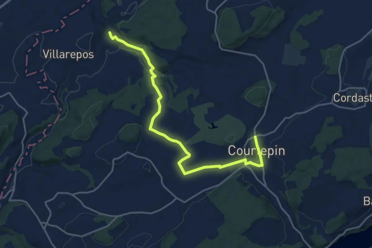
Medium · Trail
Chandossel - Courtepin Nord
13.2 km · ↑ 195 m · 3 h 32 min
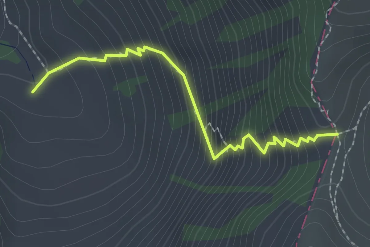
Demanding · Trail
Chänelpass - fixme
1.9 km · ↑ 284 m · 1 h 4 min
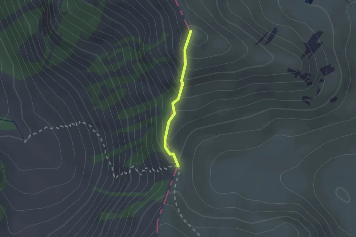
Easy · Summit
Chänelpass - Grat
1.2 km · ↑ 155 m · 37 min
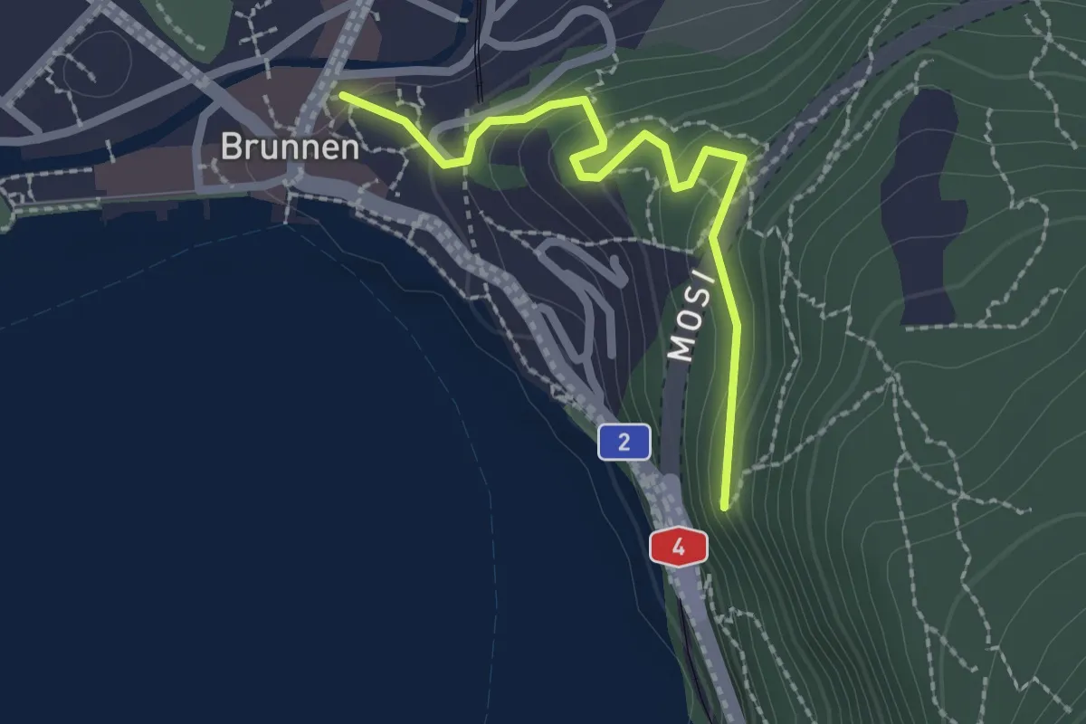
Easy · Trail
Chänzeli - Brunnen
2.1 km · ↑ 93 m · 41 min
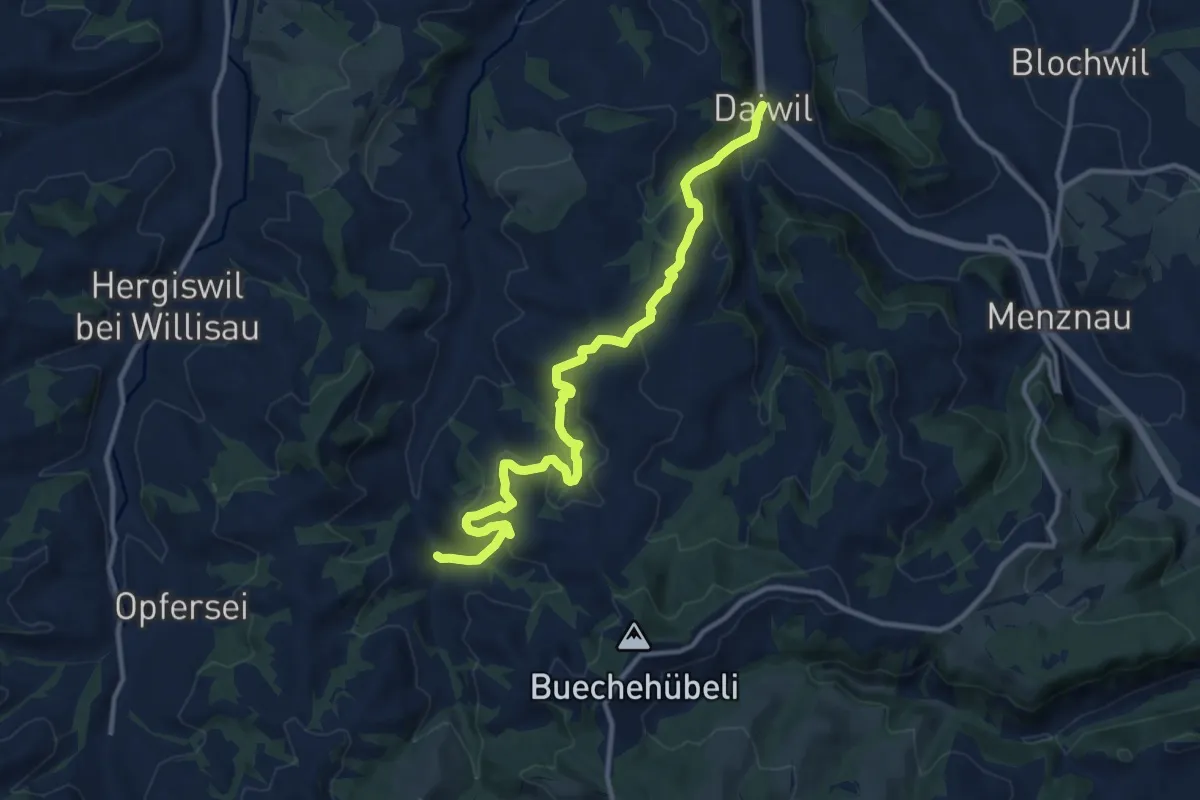
Medium · Trail
Chanzelsagen - Daiwil
12.3 km · ↑ 583 m · 4 h 11 min
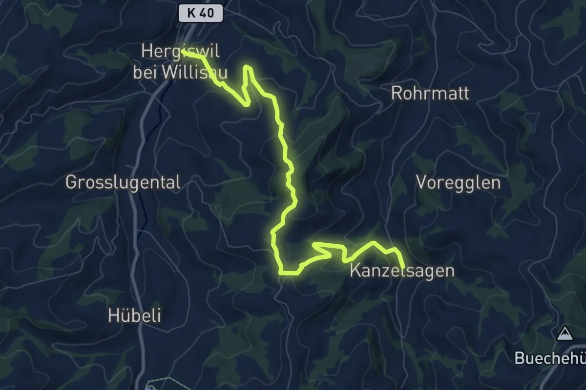
Medium · Trail
Chanzelsagen - Hergiswil
9.8 km · ↑ 419 m · 3 h 13 min
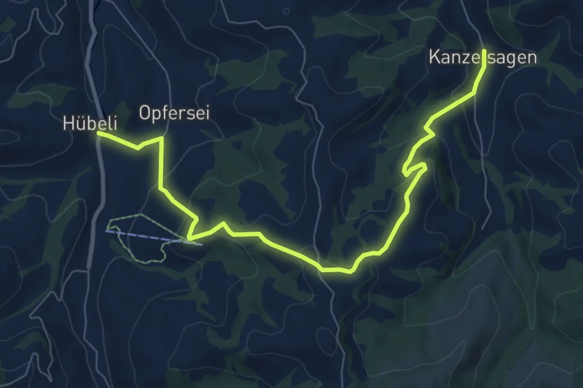
Medium · Trail
Chanzelsagen - Hübeli
8.1 km · ↑ 390 m · 2 h 45 min
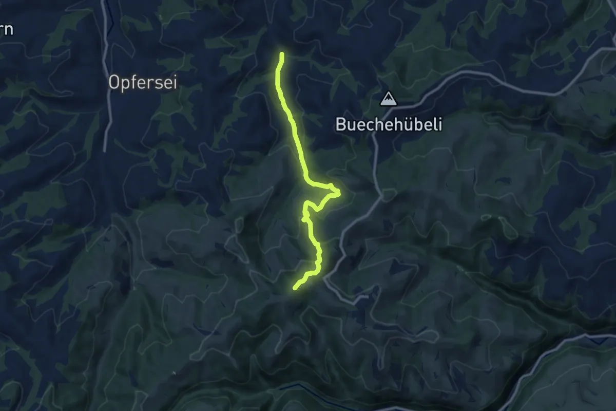
Medium · Summit
Chanzelsagen - Oberlehn
8.5 km · ↑ 415 m · 2 h 54 min
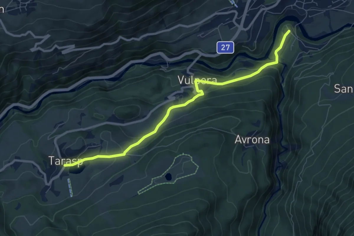
Easy · Trail
Chaposch - Gurlaina
7.6 km · ↑ 310 m · 2 h 29 min
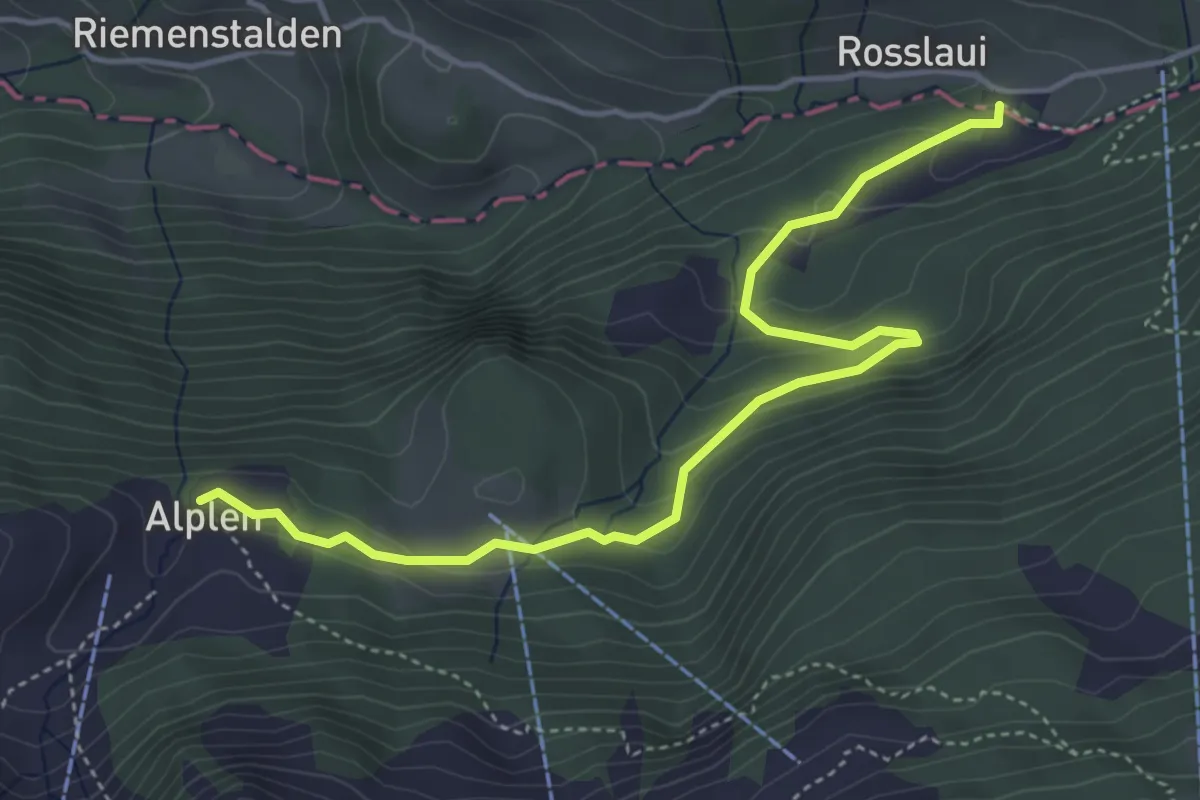
Easy · Trail
Chäppeliberg - Alplen
4.8 km · ↑ 211 m · 1 h 36 min