Trails in Switzerland
15,029 hiking trails, each with its route, climb, walking time and grade.
All trails, page 22 of 314
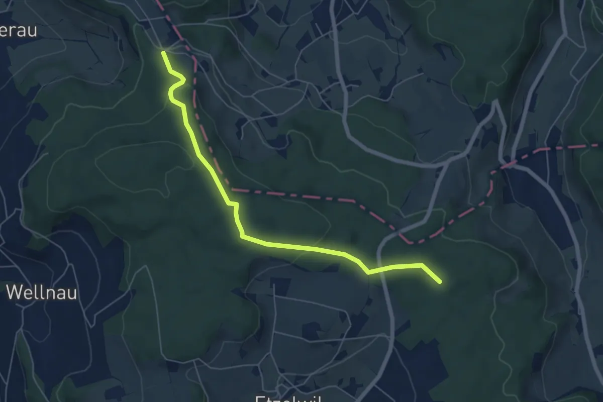
Easy · Trail
Charen - Grütwald
5.7 km · ↑ 154 m · 1 h 41 min
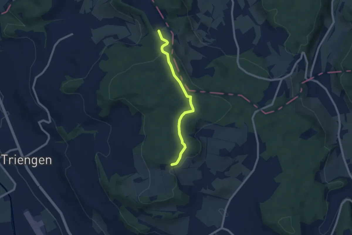
Easy · Trail
Charen - Gschweich
5.0 km · ↑ 113 m · 1 h 26 min
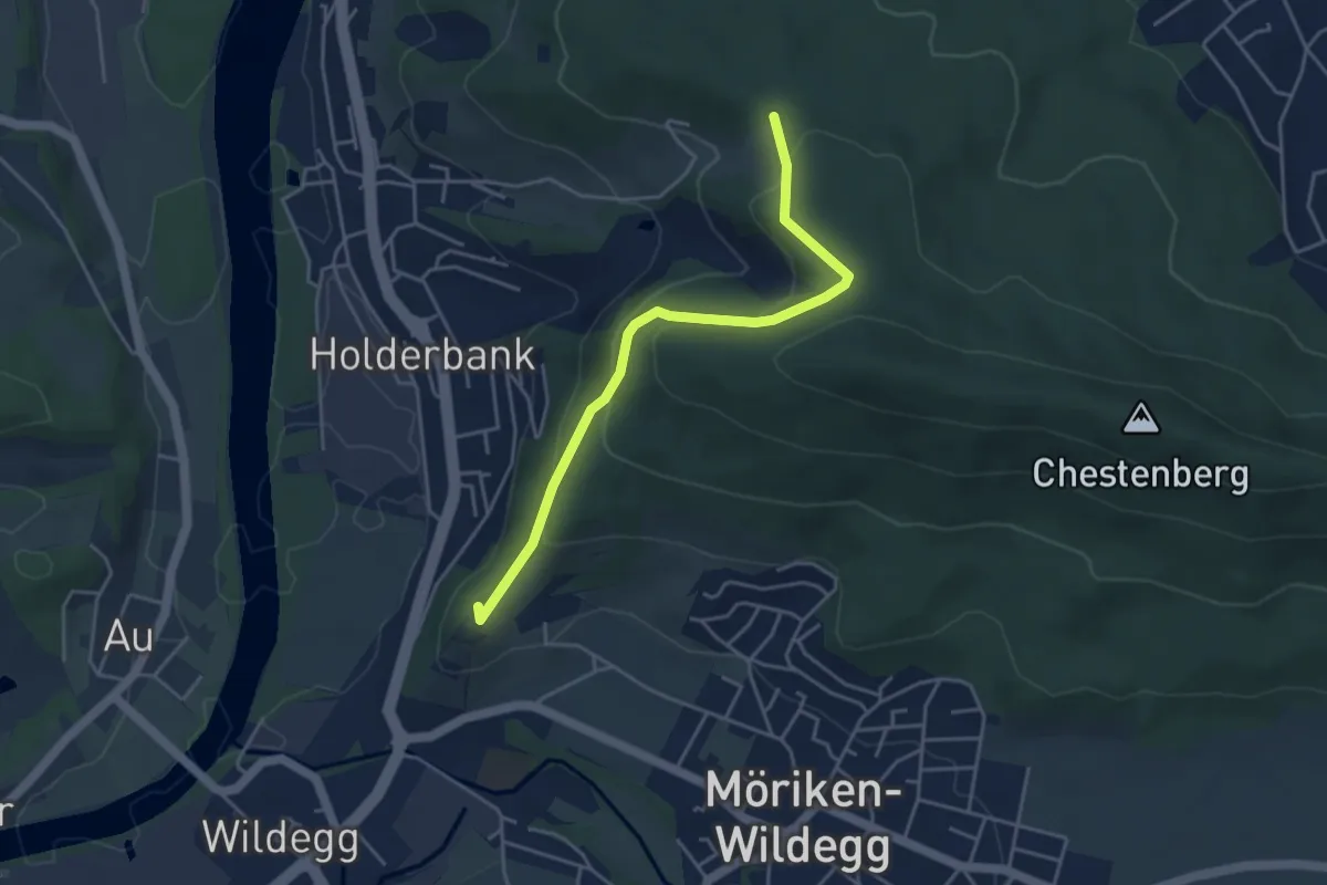
Easy · Summit
Chärnenberg - Schloss Wildegg
4.2 km · ↑ 190 m · 1 h 24 min
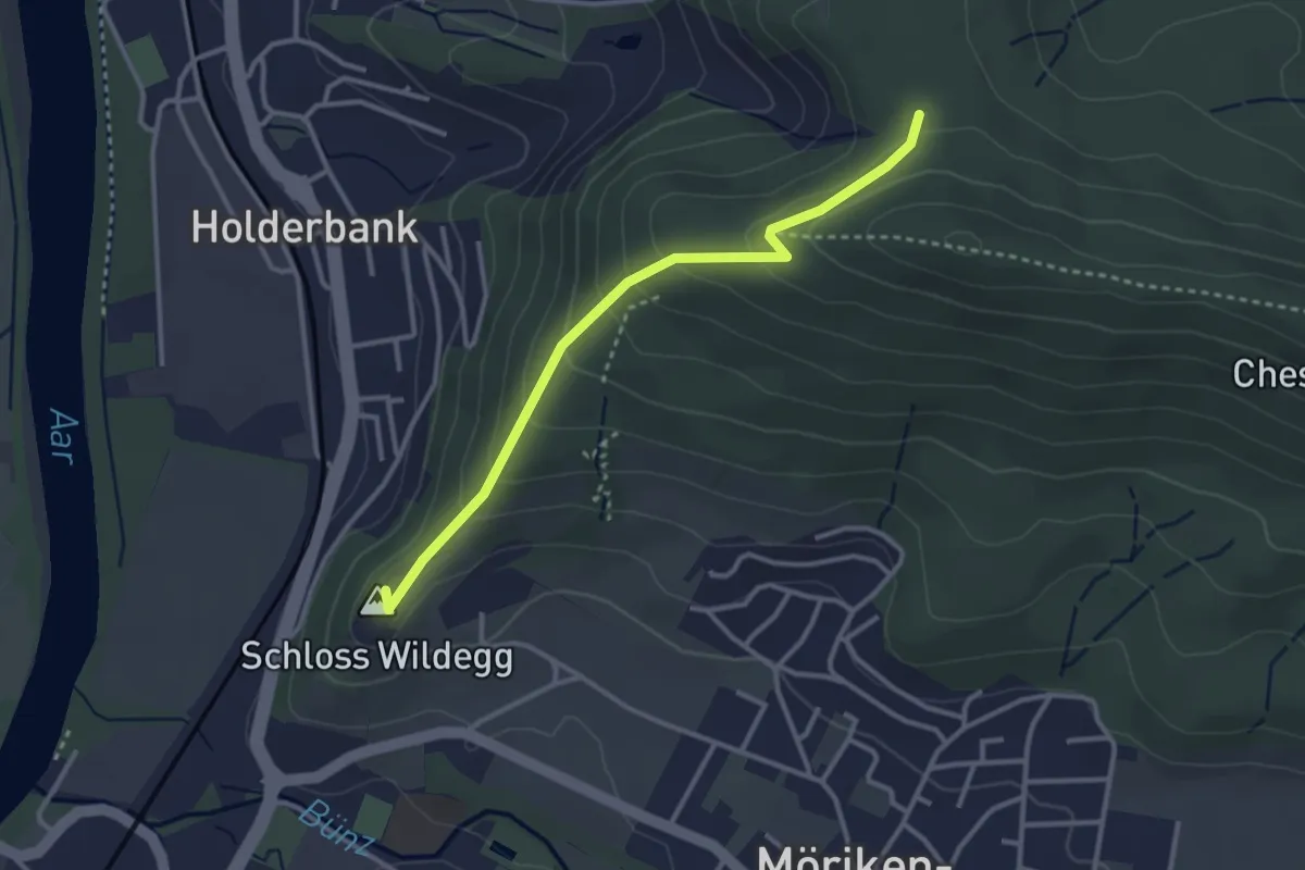
Easy · Summit
Chärnenberg - Schloss Wildegg
3.1 km · ↑ 182 m · 1 h 7 min
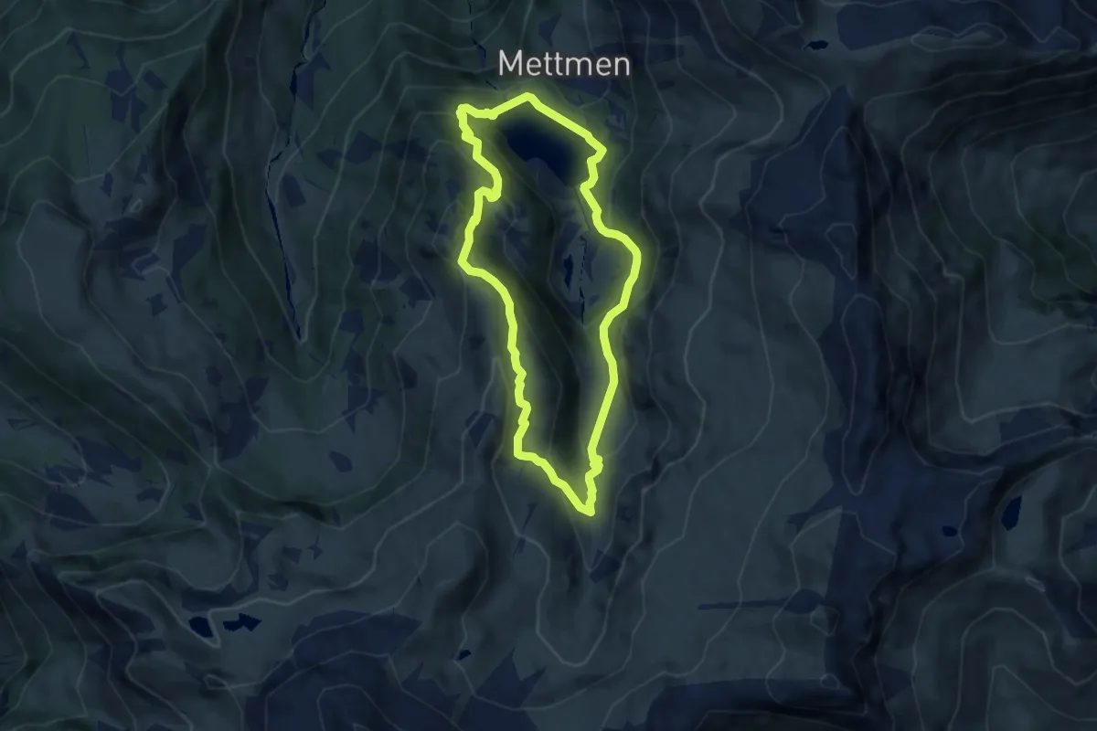
Medium · Summit
Chärpfbrugg Rundweg
6.5 km · ↑ 462 m · 2 h 38 min
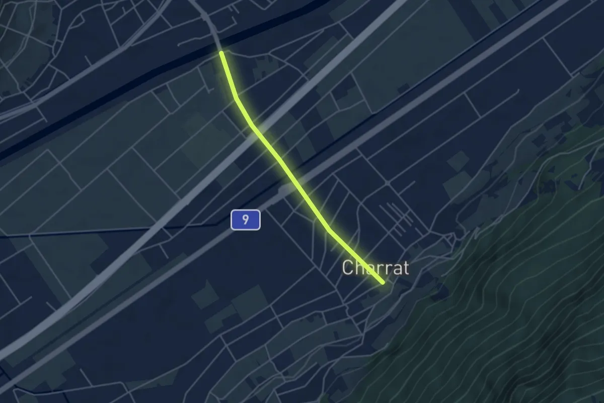
Easy · Trail
Charrat - Pont de Fully
3.7 km · ↑ 12 m · 54 min
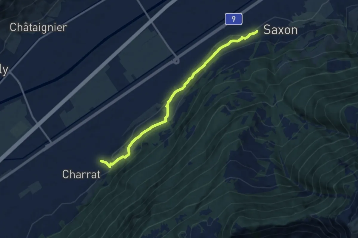
Medium · Trail
Charrat Vision - Saxon
8.2 km · ↑ 346 m · 2 h 41 min
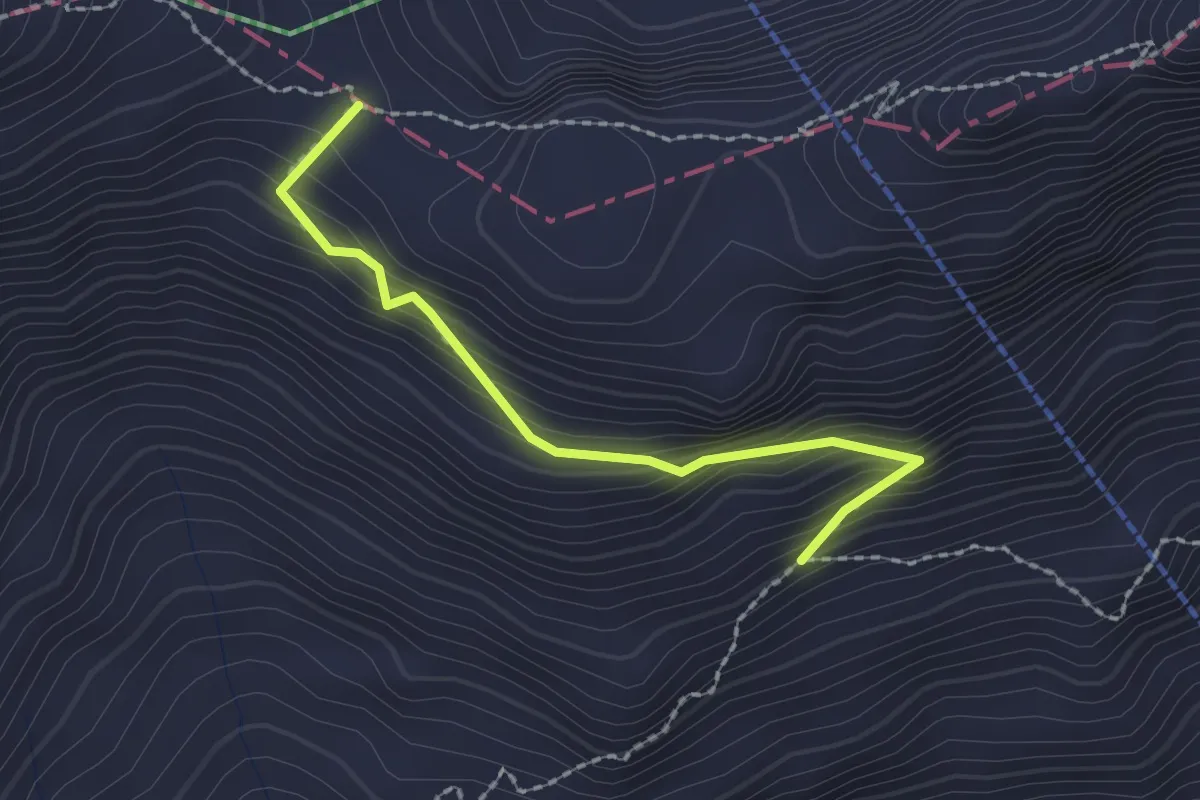
Medium · Trail
Chäseren - Eiseesattel
2.0 km · ↑ 177 m · 51 min
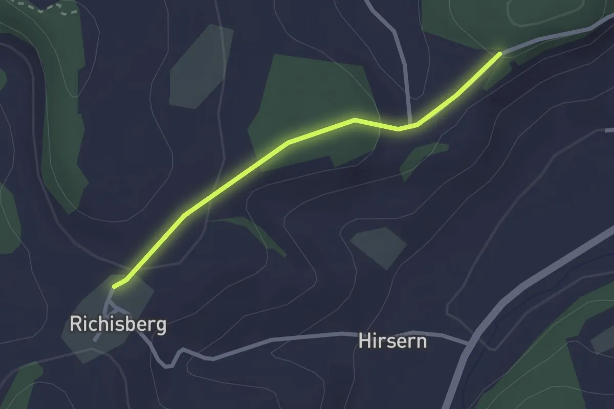
Easy · Trail
Chaserentürli-Ryschberg
2.2 km · ↑ 75 m · 40 min
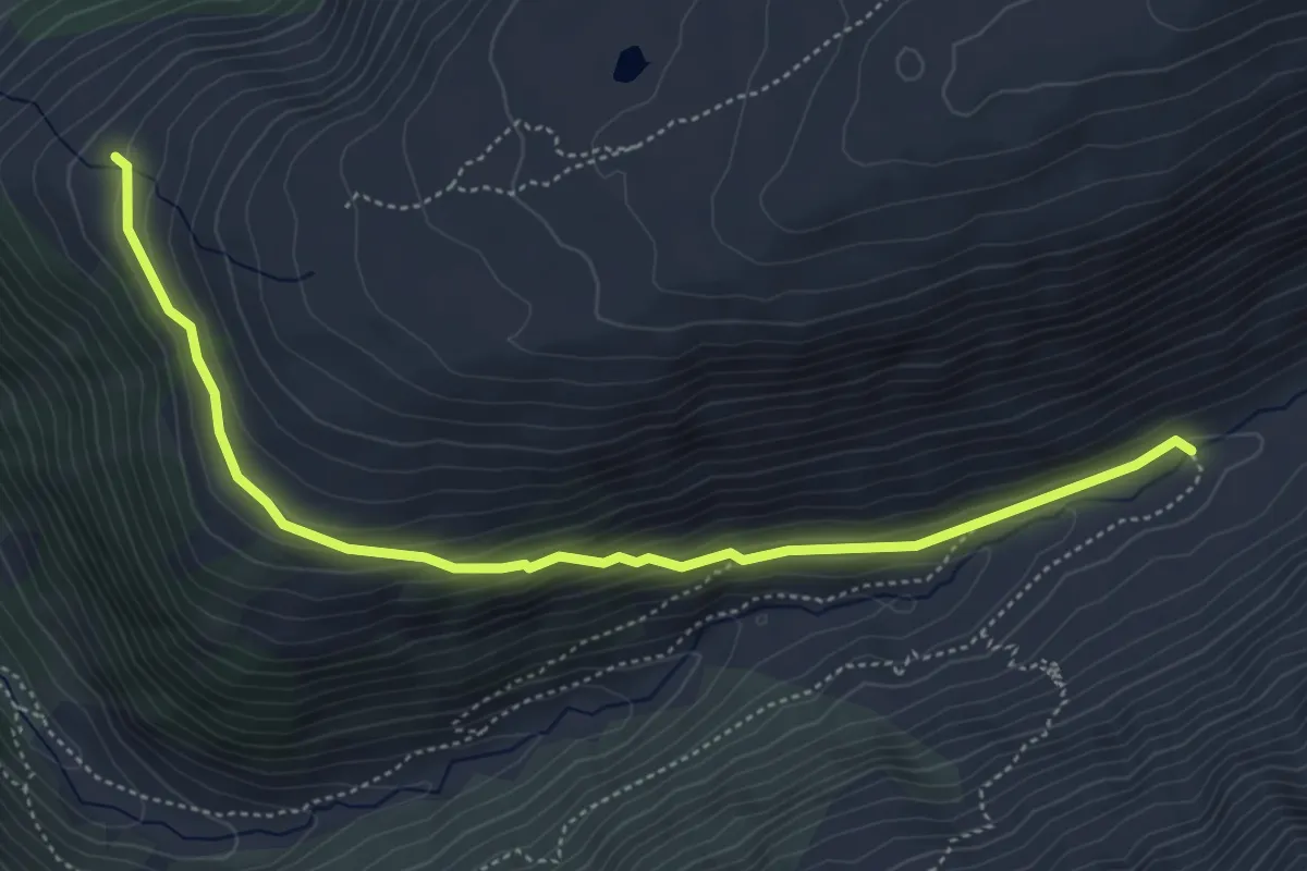
Medium · Trail
Chäserstatt - Z'Mübach
5.4 km · ↑ 238 m · 1 h 47 min
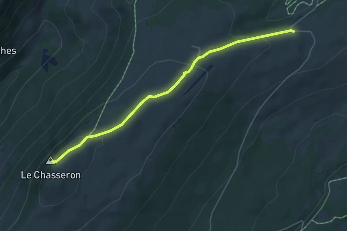
Medium · Summit
Chasseron-Les Illars
4.3 km · ↑ 160 m · 1 h 22 min
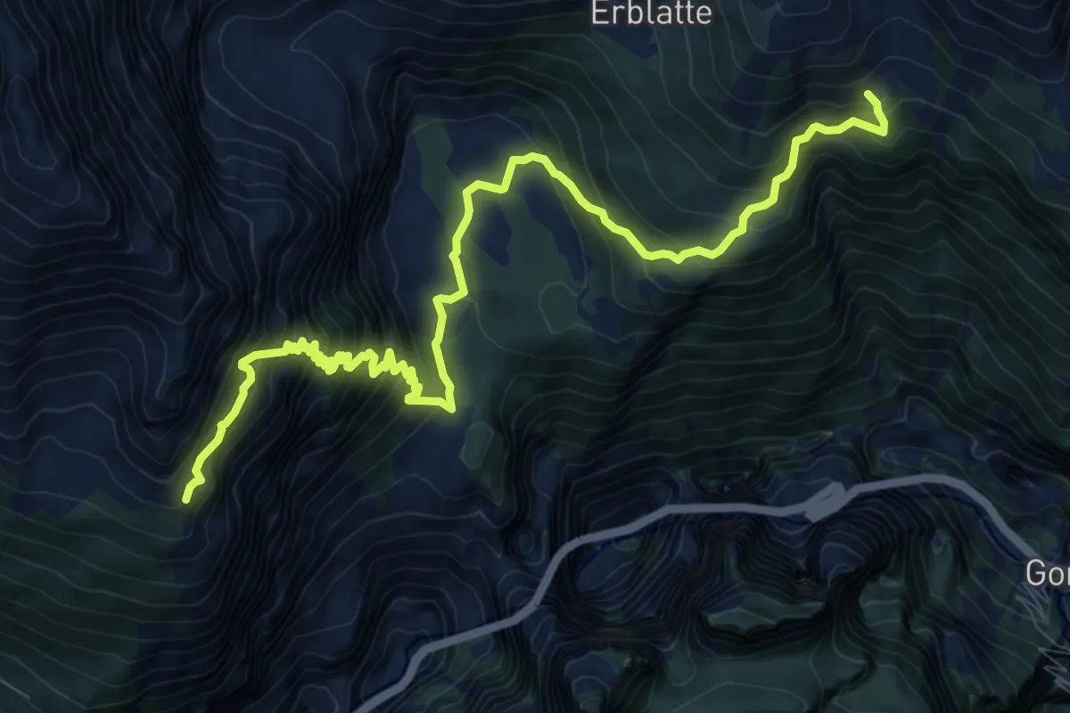
Demanding · Trail
Chastelbergpass - Erblatte
12.1 km · ↑ 1304 m · 5 h 41 min
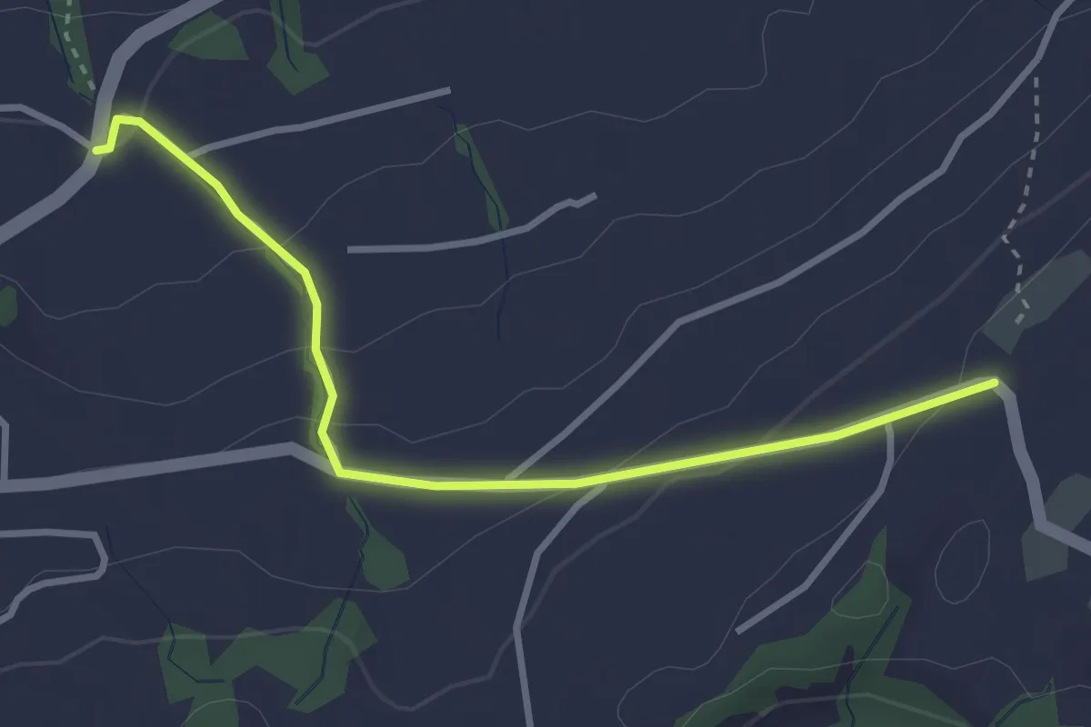
Easy · Trail
Chastenegg - Peterschwändi
3.1 km · ↑ 125 m · 1 h 1 min
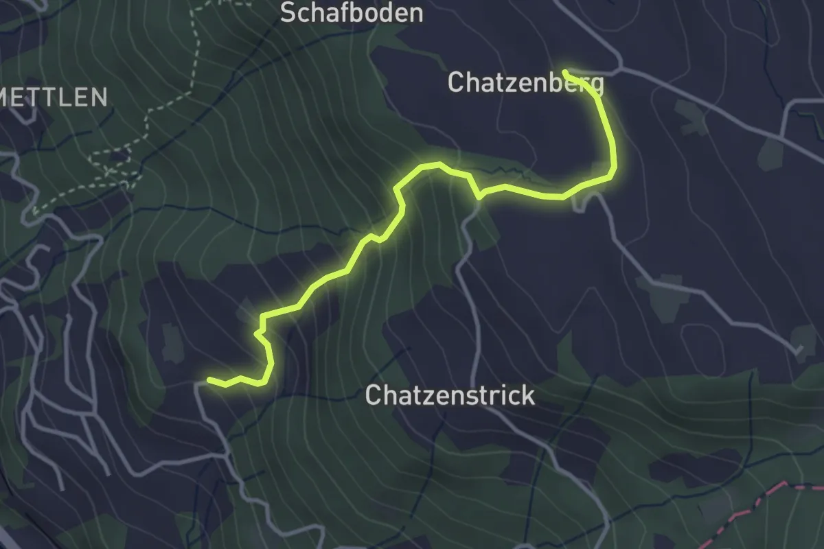
Easy · Trail
Chatzenboden - Utenberg
3.4 km · ↑ 305 m · 1 h 27 min
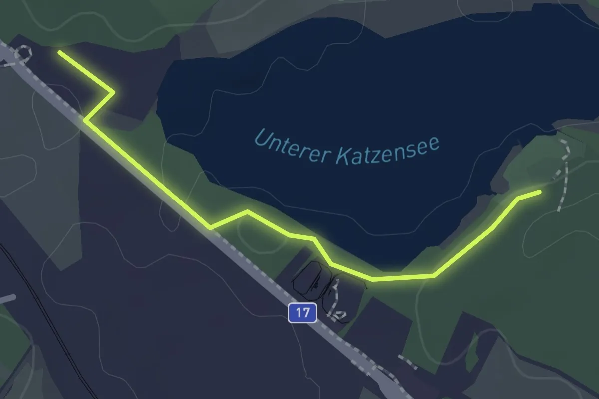
Easy · Trail
Chatzensee Strandbad - Gut Katzensee
2.0 km · ↑ 9 m · 29 min
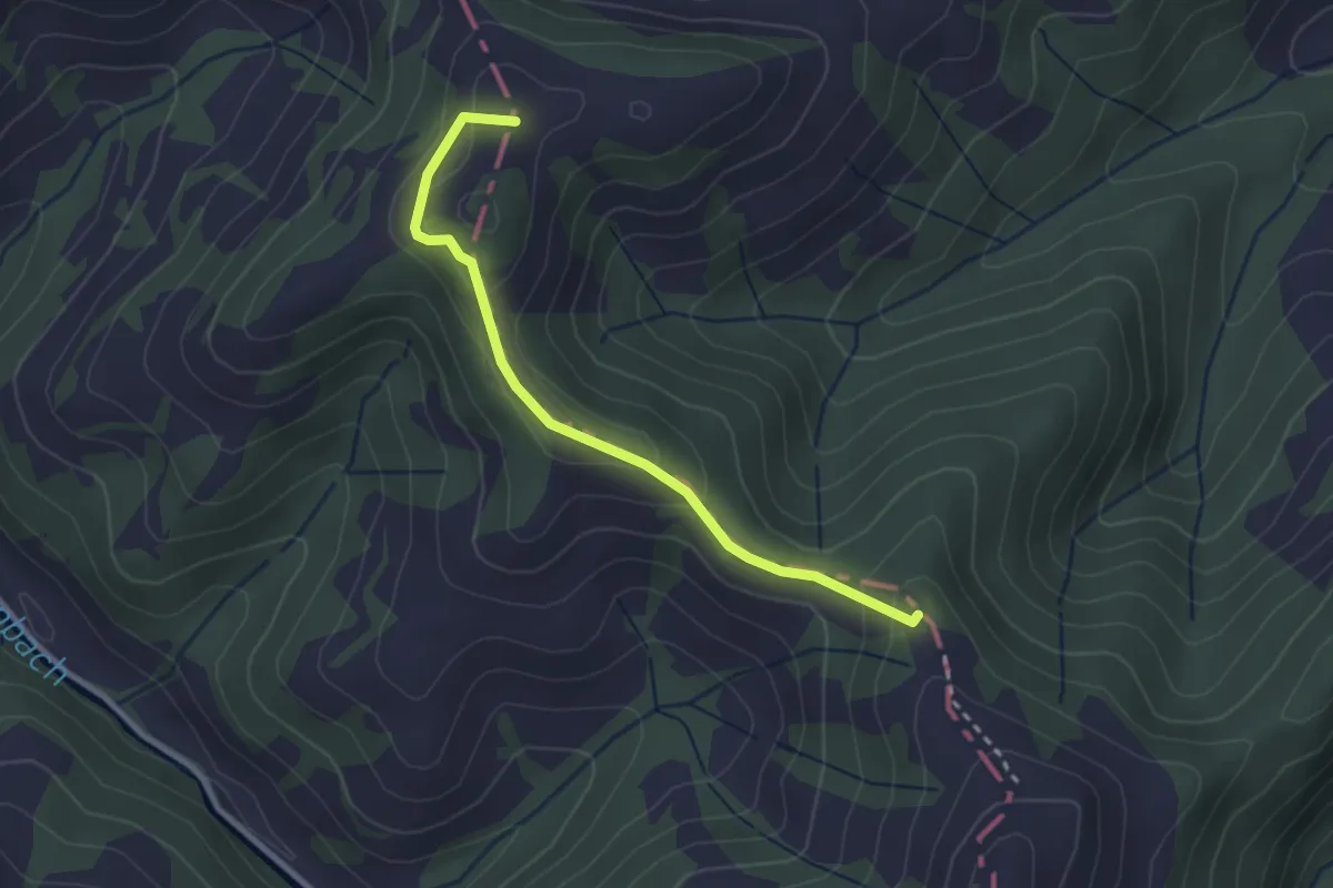
Demanding · Summit
Chatzerschwand - Aemmital Naturfreundehaus
2.7 km · ↑ 140 m · 56 min
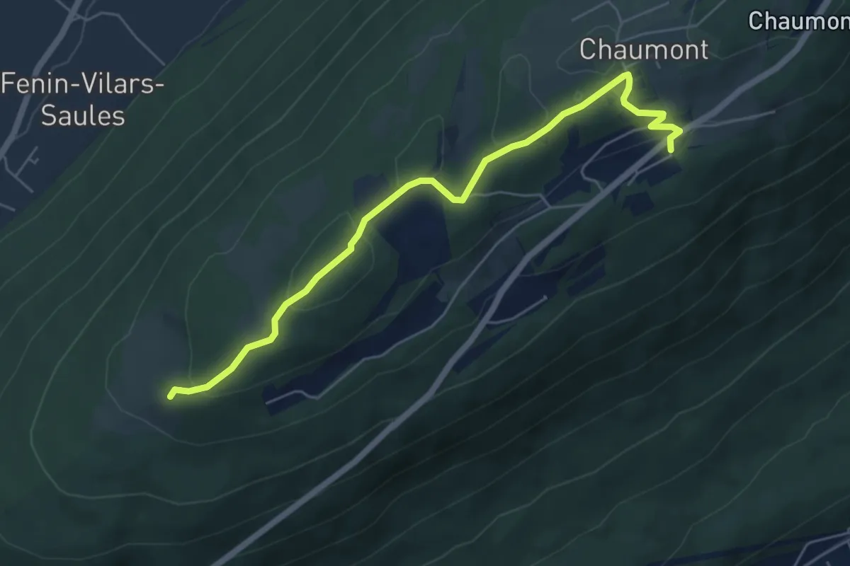
Easy · Trail
Chaumont Funiculaire - Pré Louiset par le haut
5.8 km · ↑ 165 m · 1 h 44 min
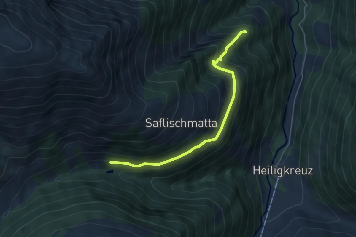
Medium · Trail
Chelliwald-Schmalegga
4.4 km · ↑ 417 m · 1 h 57 min
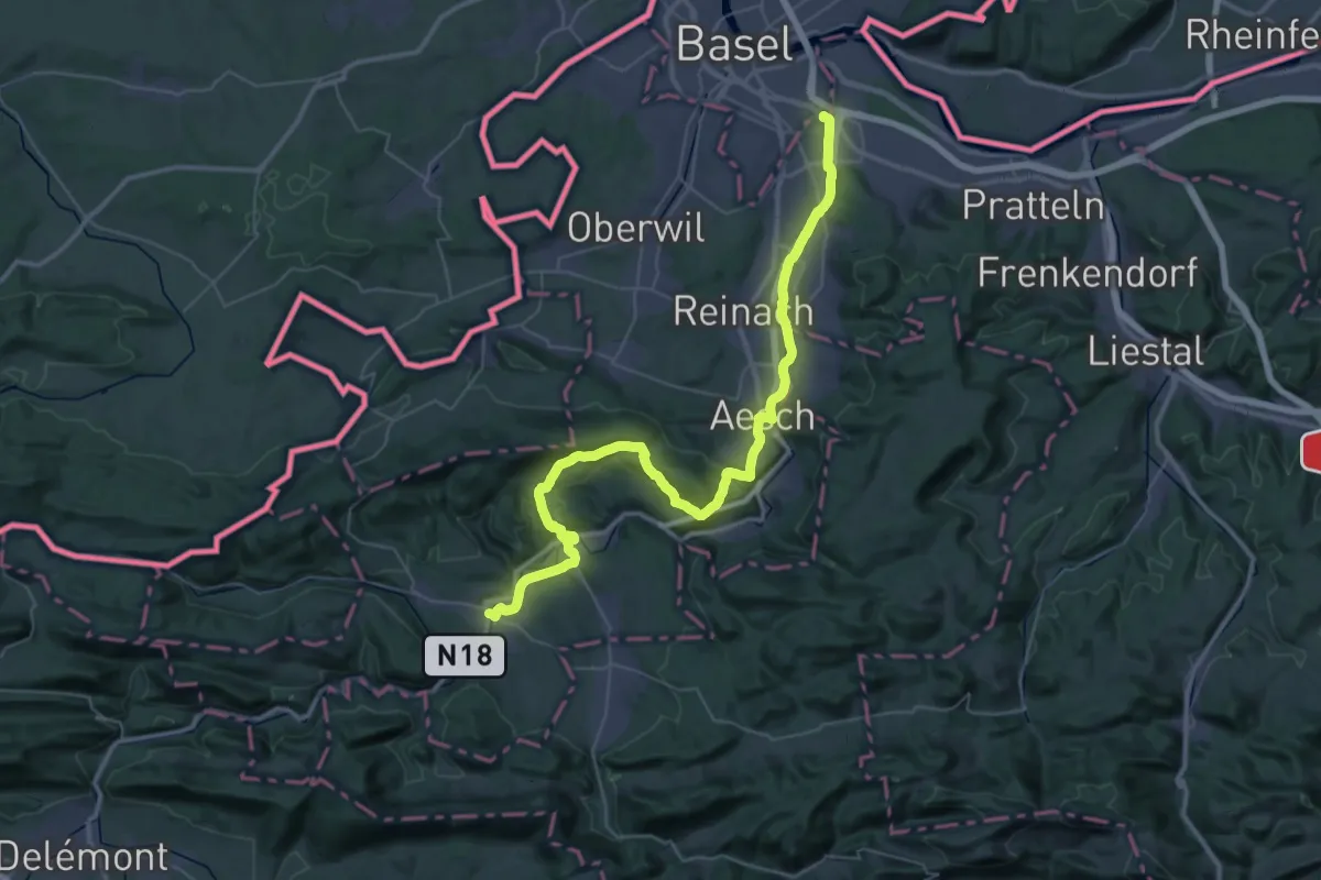
Demanding · Pilgrim path
Chemin de Compostelle, Basel -Laufen
25.1 km · ↑ 573 m · 7 h 29 min
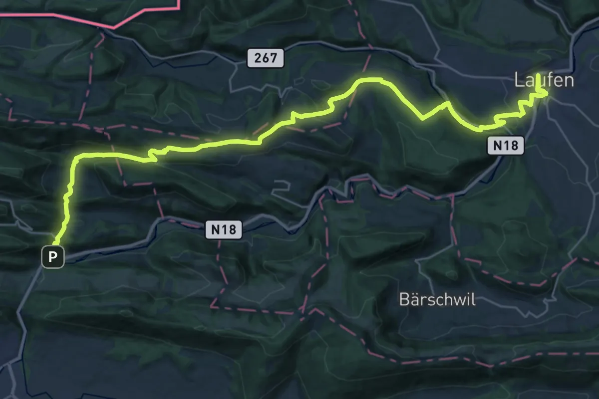
Medium · Trail
Chemin de Compostelle, Laufen - Soyhières
15.8 km · ↑ 395 m · 4 h 49 min
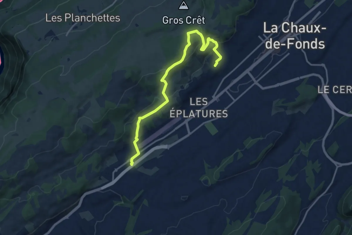
Medium · Trail
Chemin de l'abeille bleu
11.3 km · ↑ 413 m · 3 h 34 min
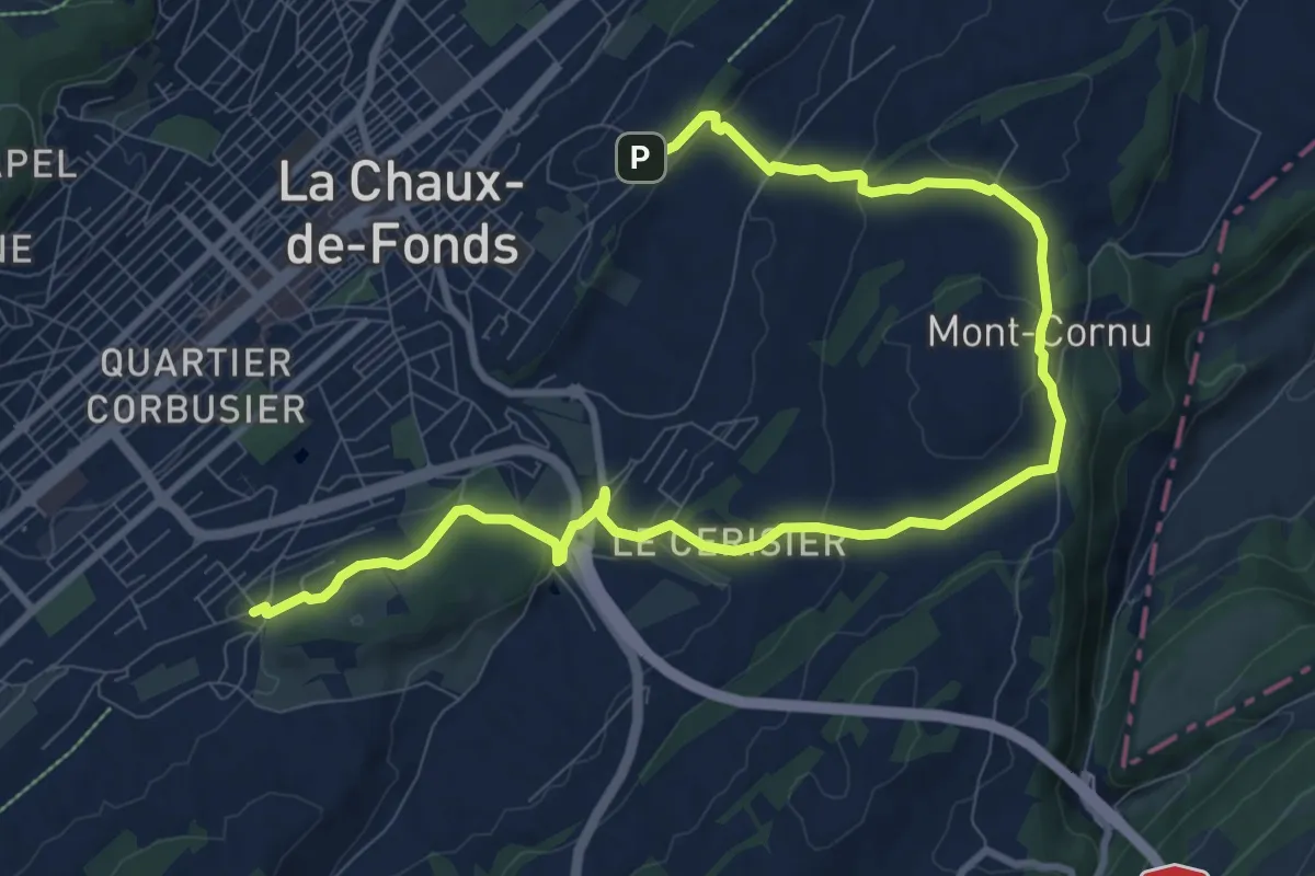
Medium · Trail
Chemin de l'abeille marron
12.5 km · ↑ 347 m · 3 h 42 min
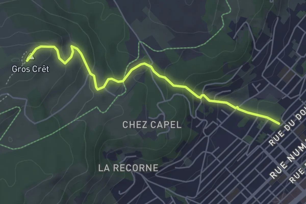
Easy · Summit
Chemin de l'abeille orange
4.9 km · ↑ 246 m · 1 h 42 min
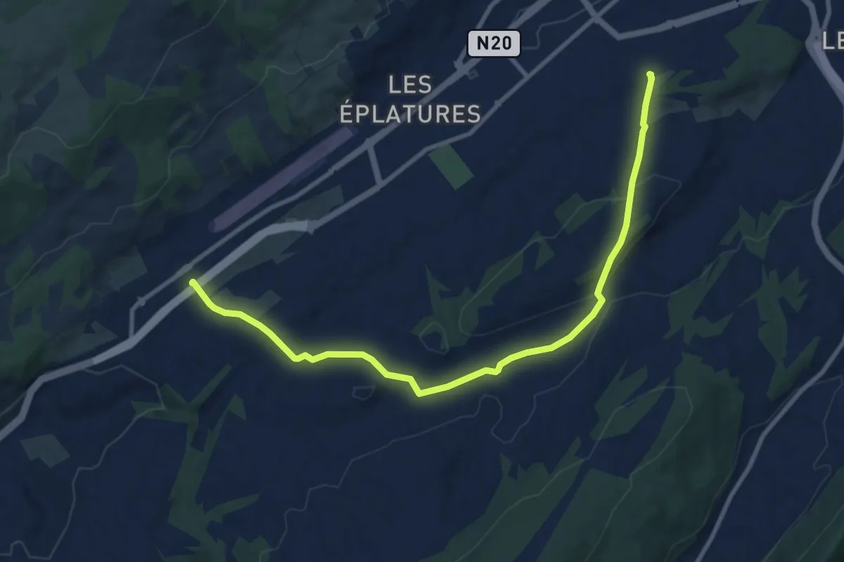
Medium · Trail
Chemin de l'abeille rose
9.9 km · ↑ 215 m · 2 h 49 min
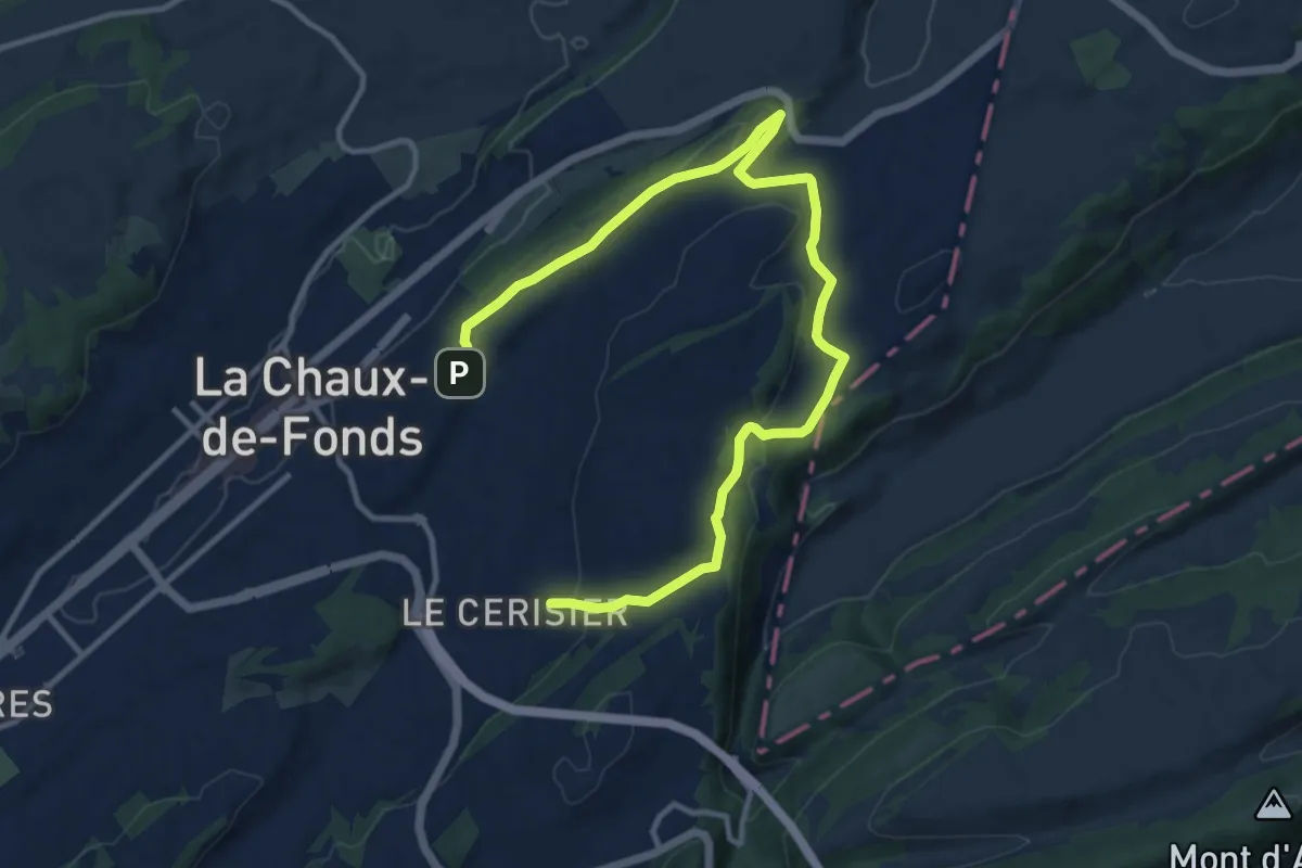
Medium · Trail
Chemin de l'abeille rouge
14.7 km · ↑ 246 m · 4 h
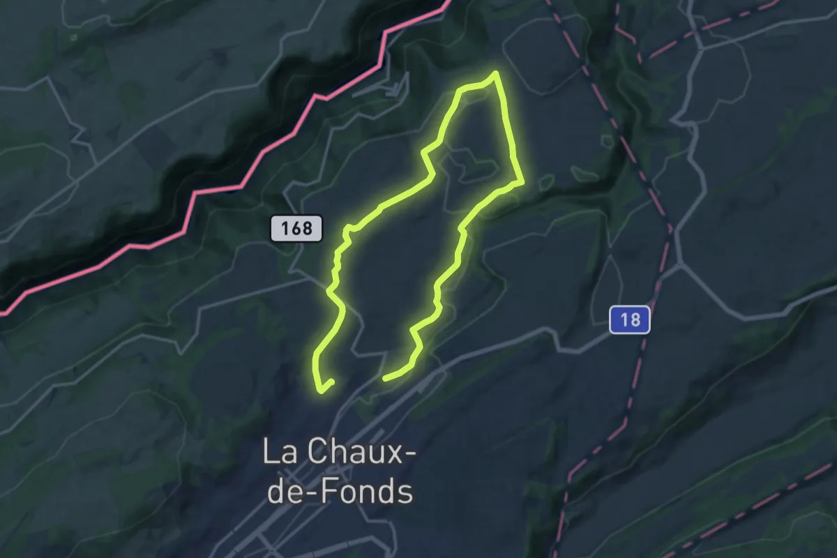
Demanding · Trail
Chemin de l'abeille verte
21.3 km · ↑ 269 m · 5 h 37 min
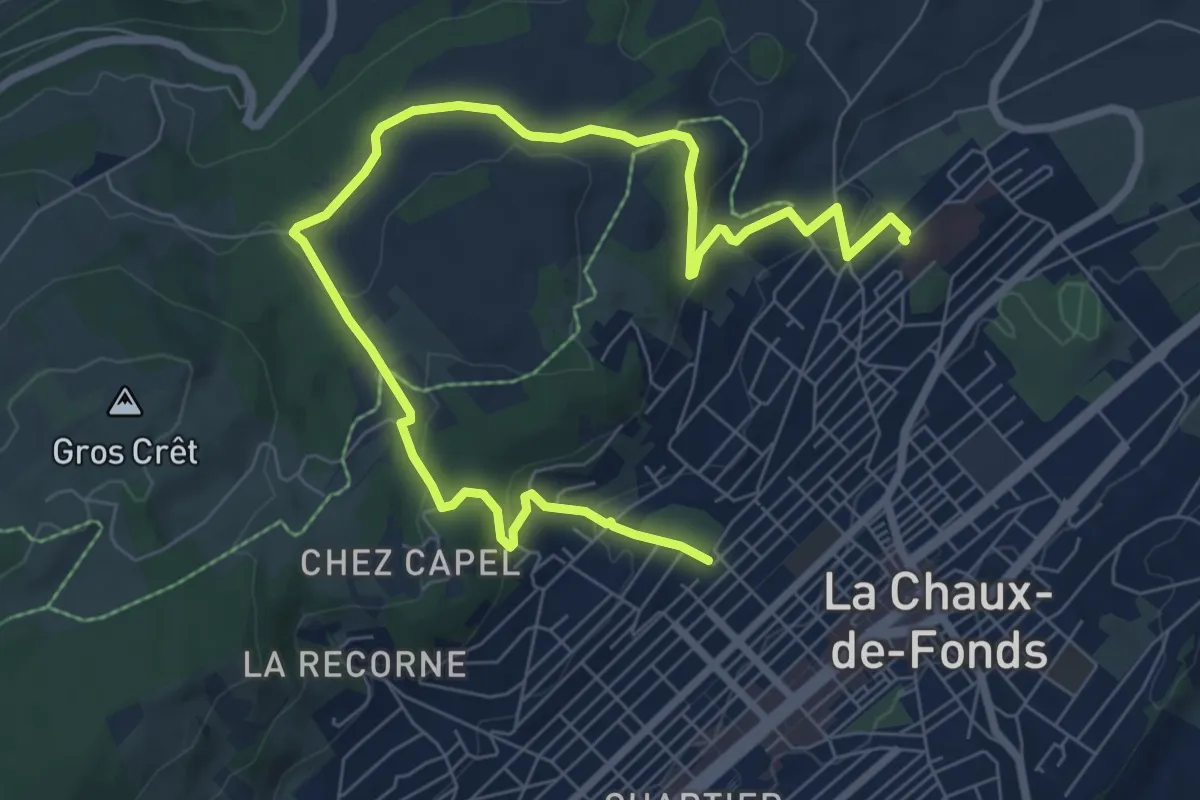
Medium · Trail
Chemin de l'abeille violette
10.0 km · ↑ 269 m · 2 h 57 min
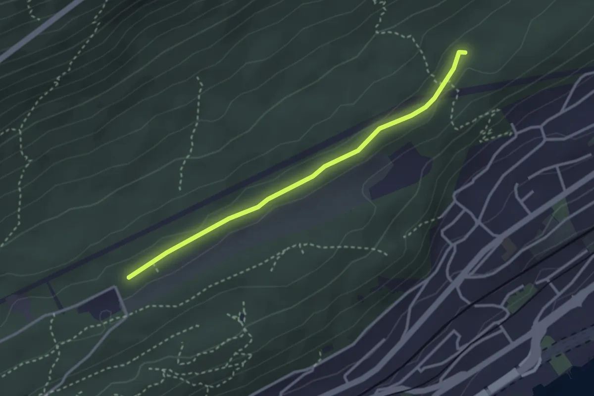
Easy · Trail
Chemin de la Châtelainie - fixme
3.0 km · ↑ 35 m · 47 min
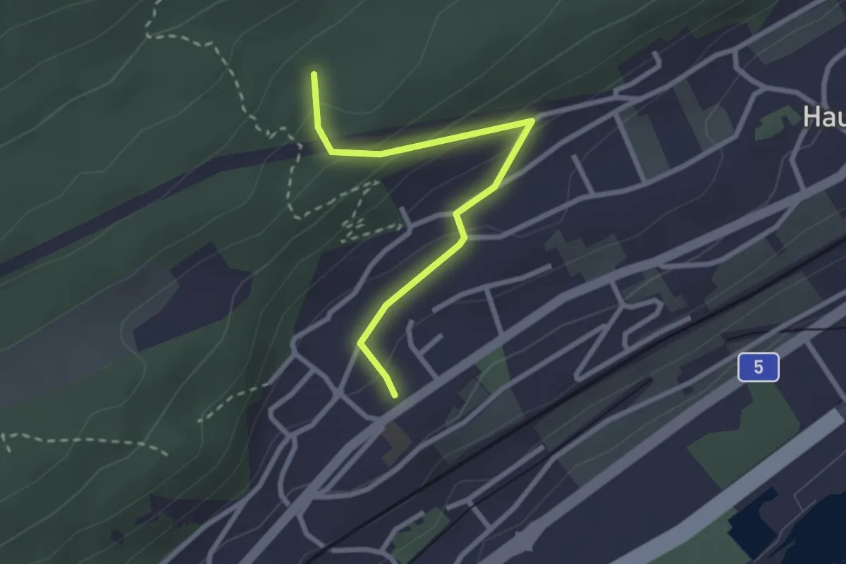
Easy · Trail
Chemin de la Châtelainie - Neuchâtel La Coudre
2.5 km · ↑ 138 m · 53 min
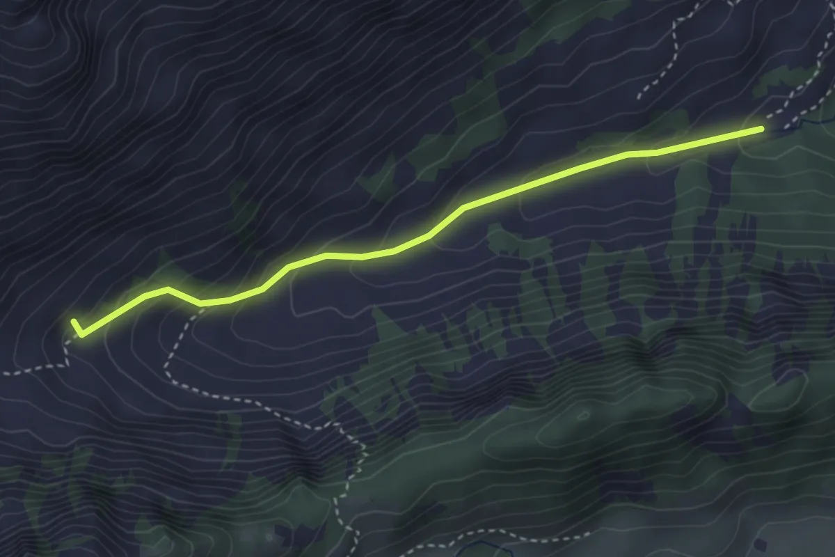
Easy · Trail
Chemin de la Crossette
3.4 km · ↑ 229 m · 1 h 18 min
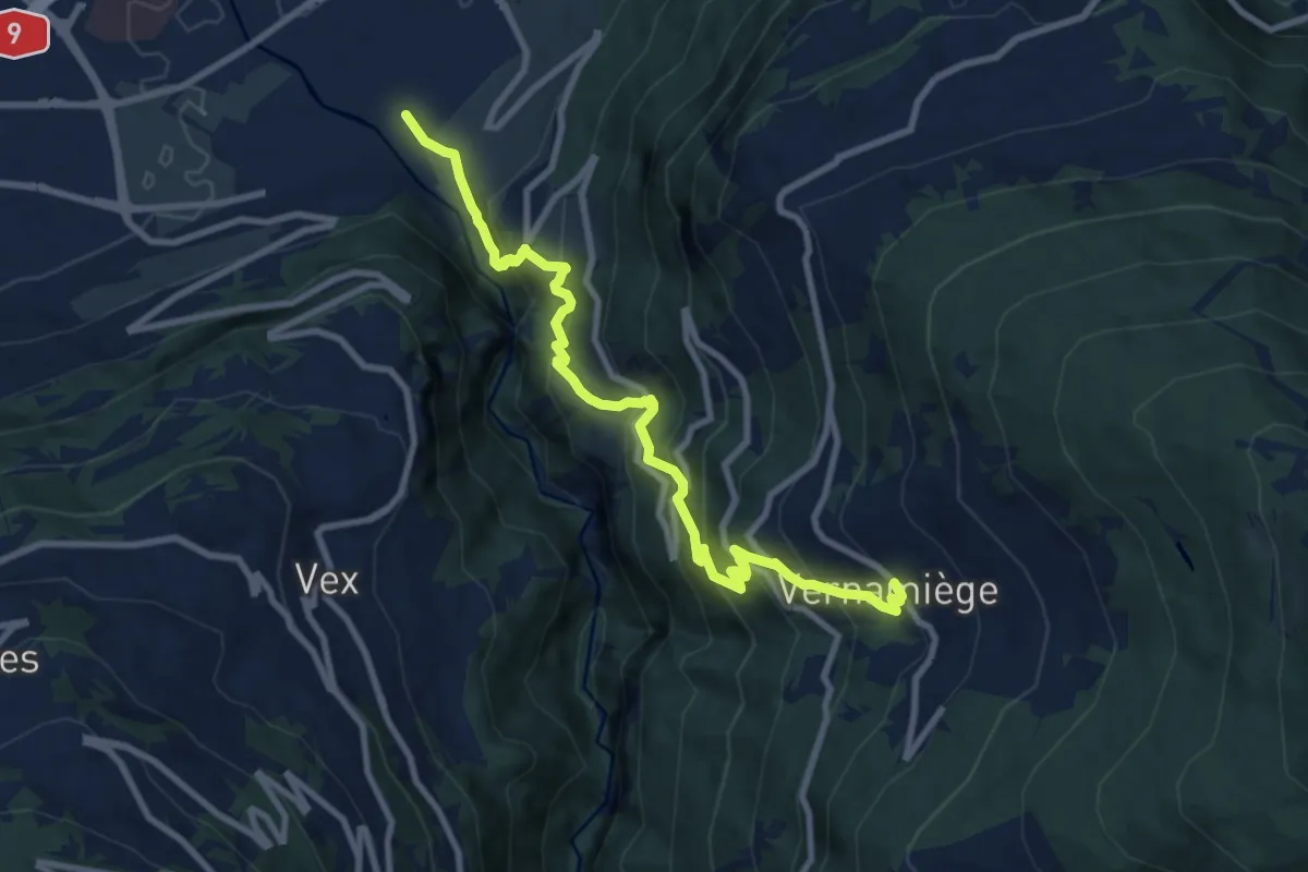
Demanding · Trail
Chemin de la Foire
10.1 km · ↑ 1003 m · 4 h 33 min
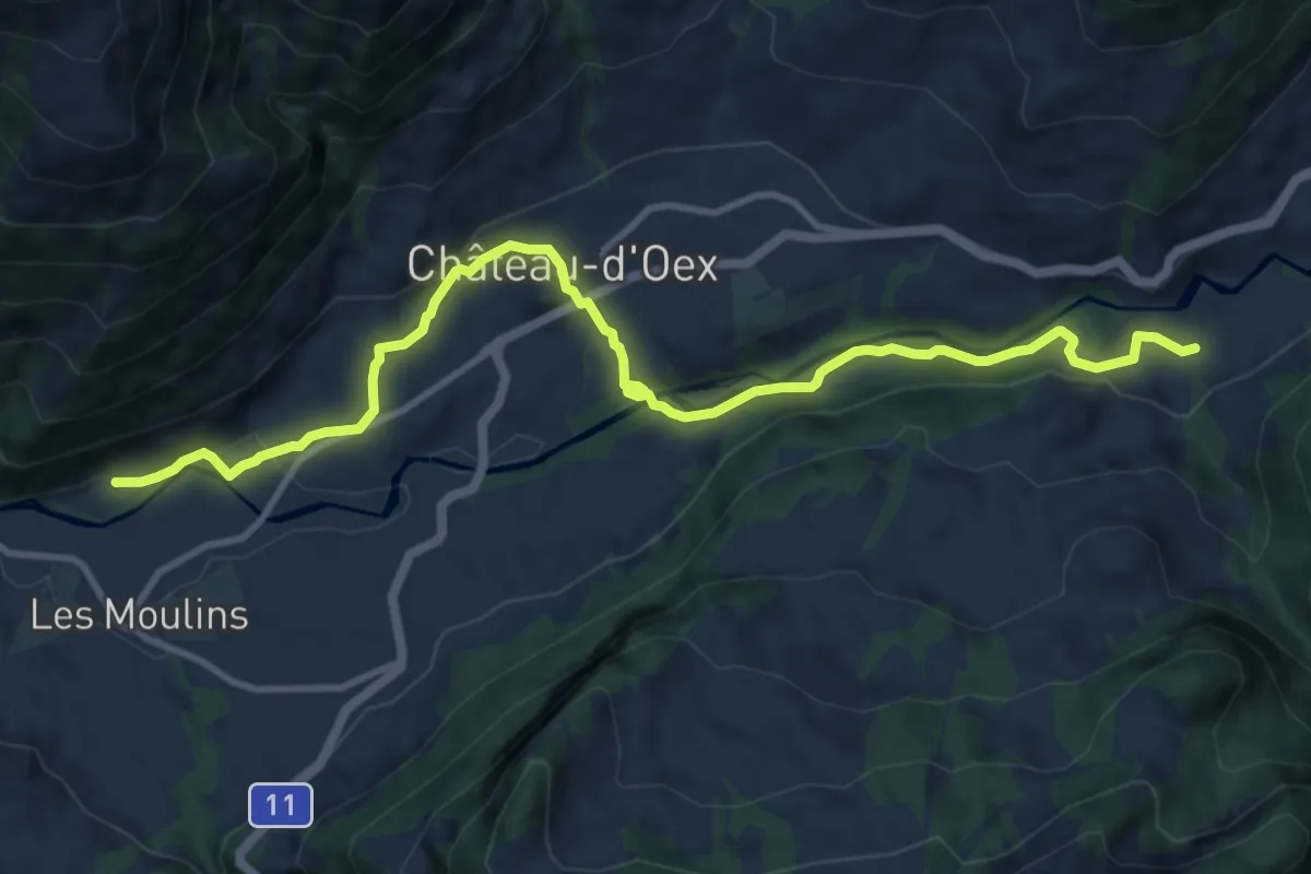
Medium · Trail
Chemin de la Sarine au Pays-d'Enhaut
12.2 km · ↑ 290 m · 3 h 30 min
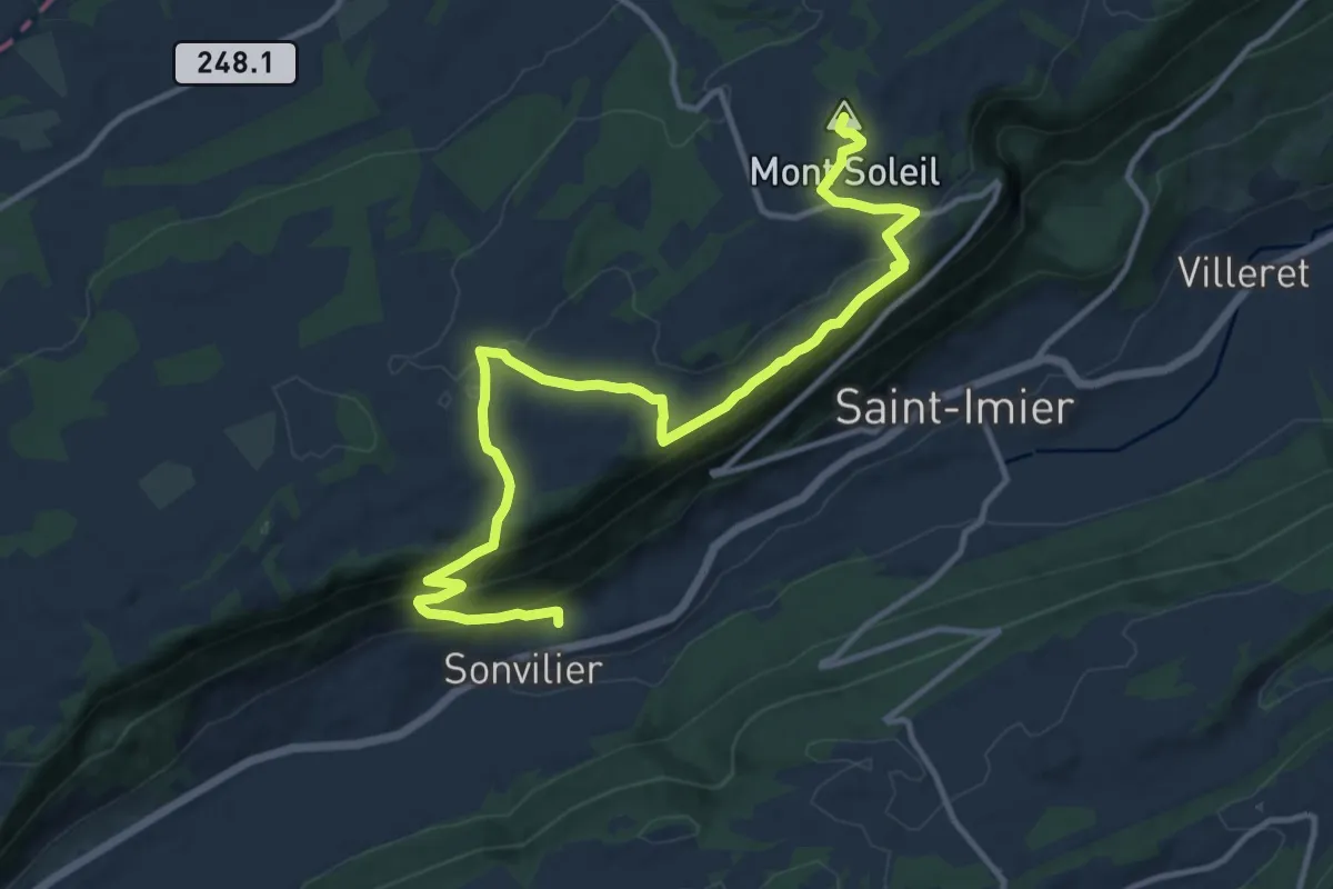
Medium · Summit
Chemin de Mont-Soleil
14.6 km · ↑ 579 m · 4 h 42 min
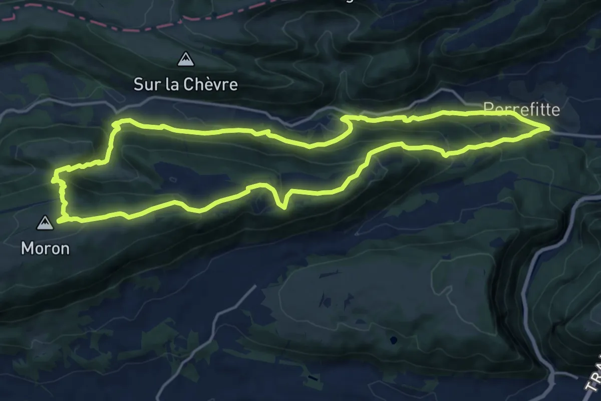
Demanding · Summit
Chemin de Moron
15.4 km · ↑ 839 m · 5 h 40 min
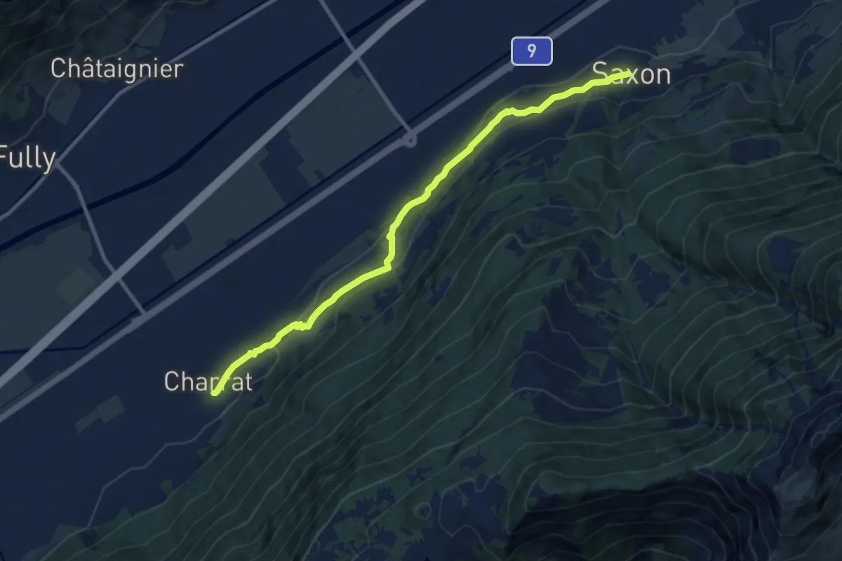
Medium · Trail
Chemin des Adonis
9.7 km · ↑ 376 m · 3 h 6 min
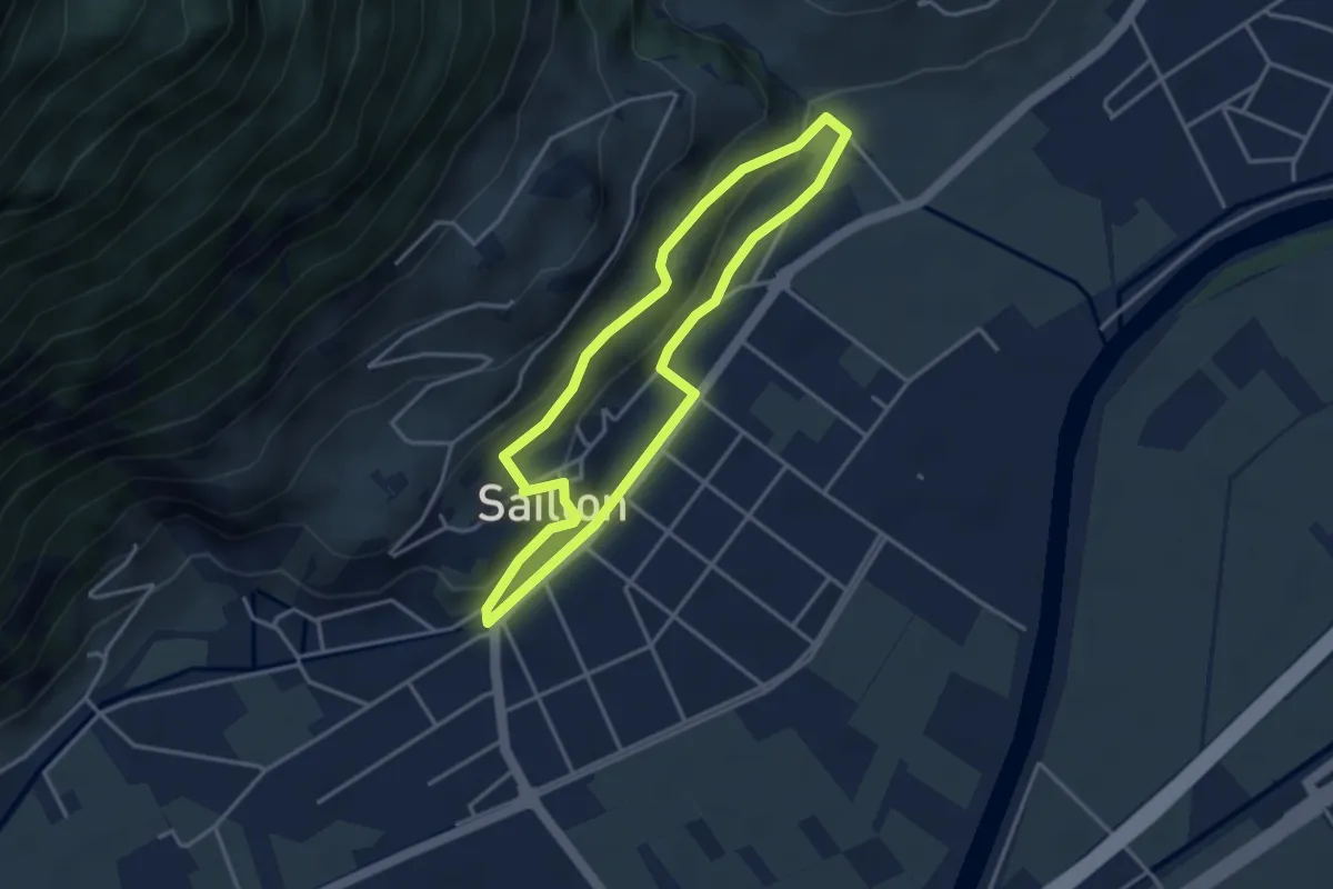
Easy · Trail
Chemin des amandiers
3.4 km · ↑ 128 m · 1 h 7 min
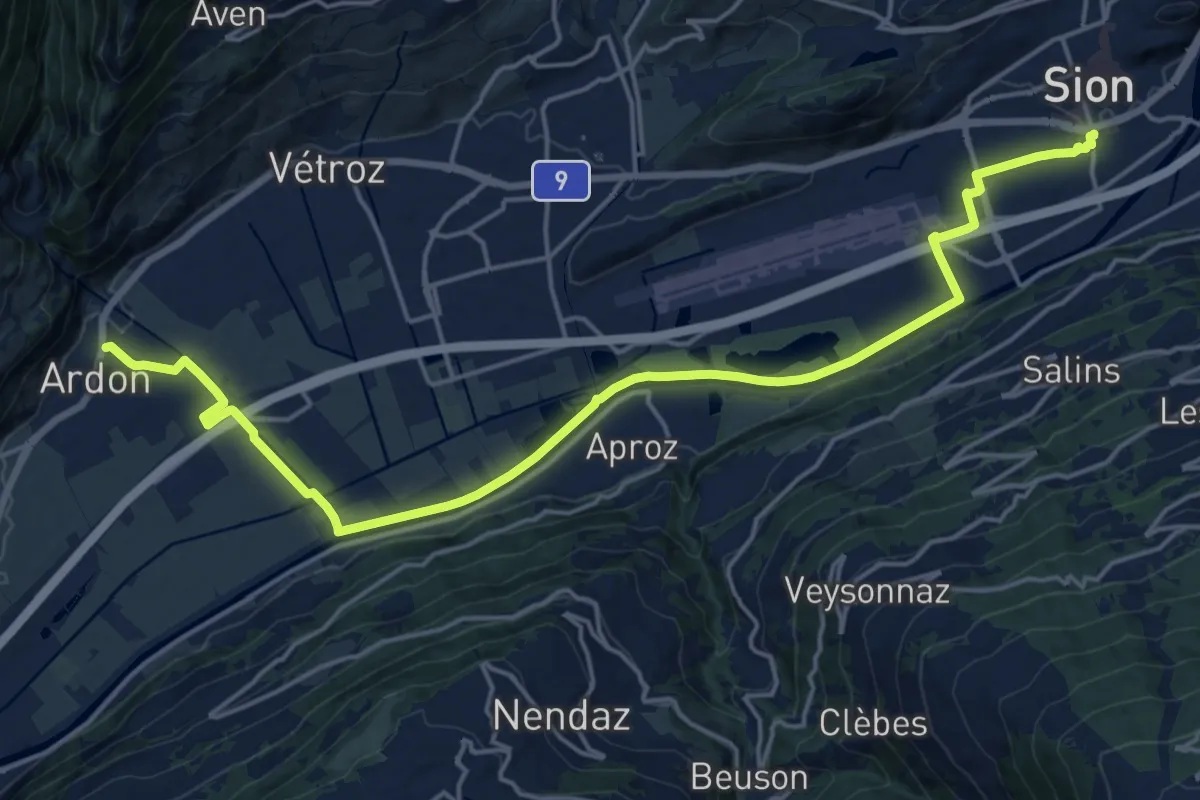
Demanding · Trail
Chemin des berges du Rhône
21.7 km · ↑ 35 m · 5 h 12 min
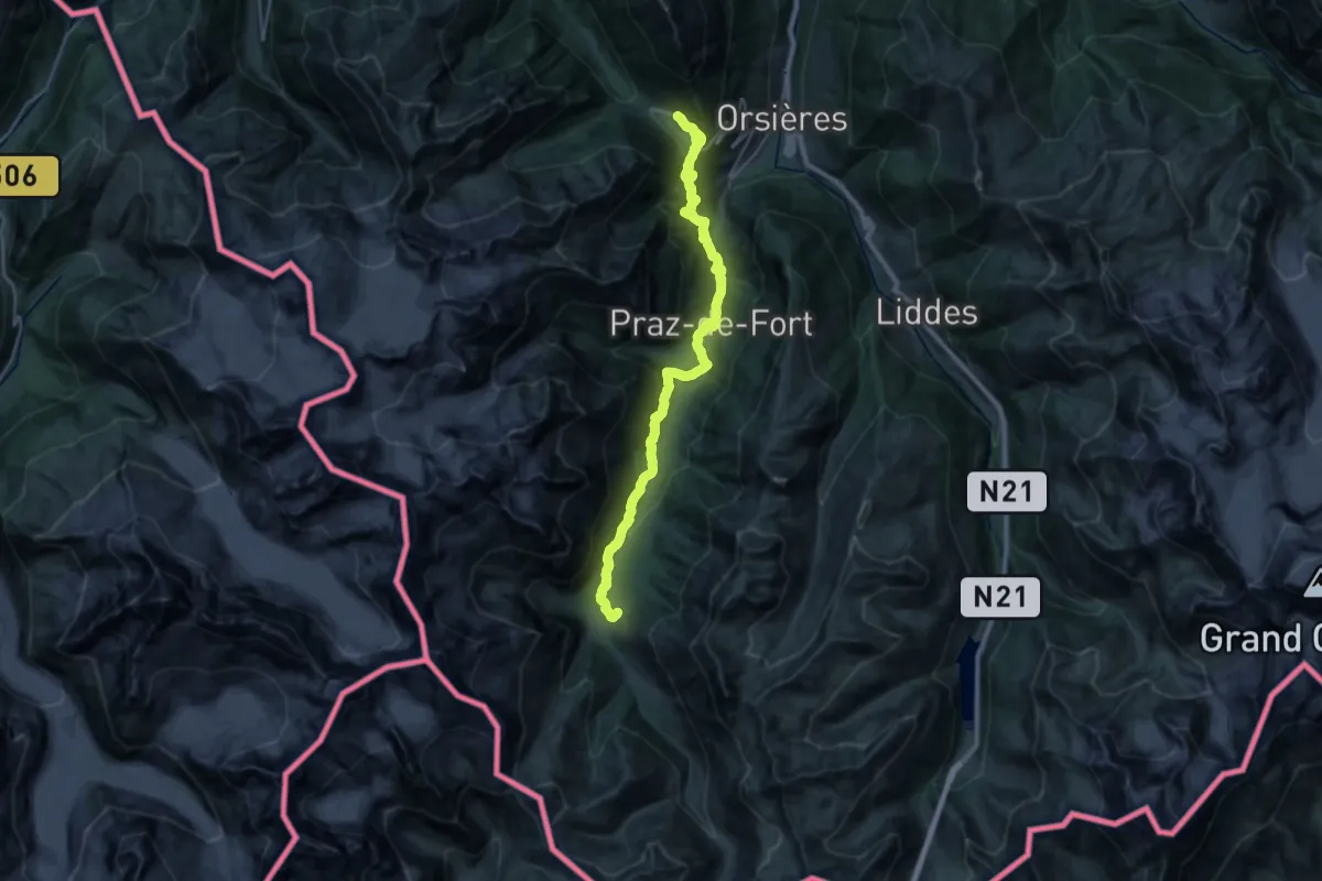
Medium · Trail
Chemin des cols alpins
15.1 km · ↑ 734 m · 5 h 25 min
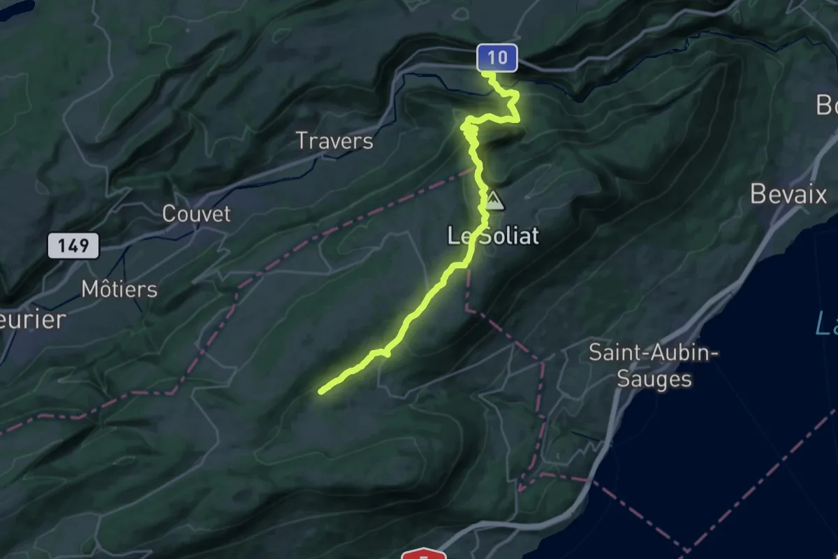
Medium · Trail
Chemin des Crêtes du Jura
12.9 km · ↑ 418 m · 4 h 21 min
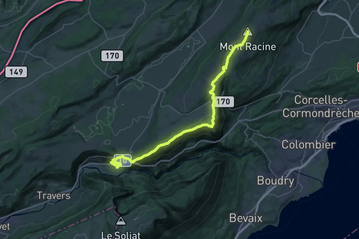
Demanding · Summit
Chemin des Crêtes du Jura
29.0 km · ↑ 1223 m · 9 h 30 min
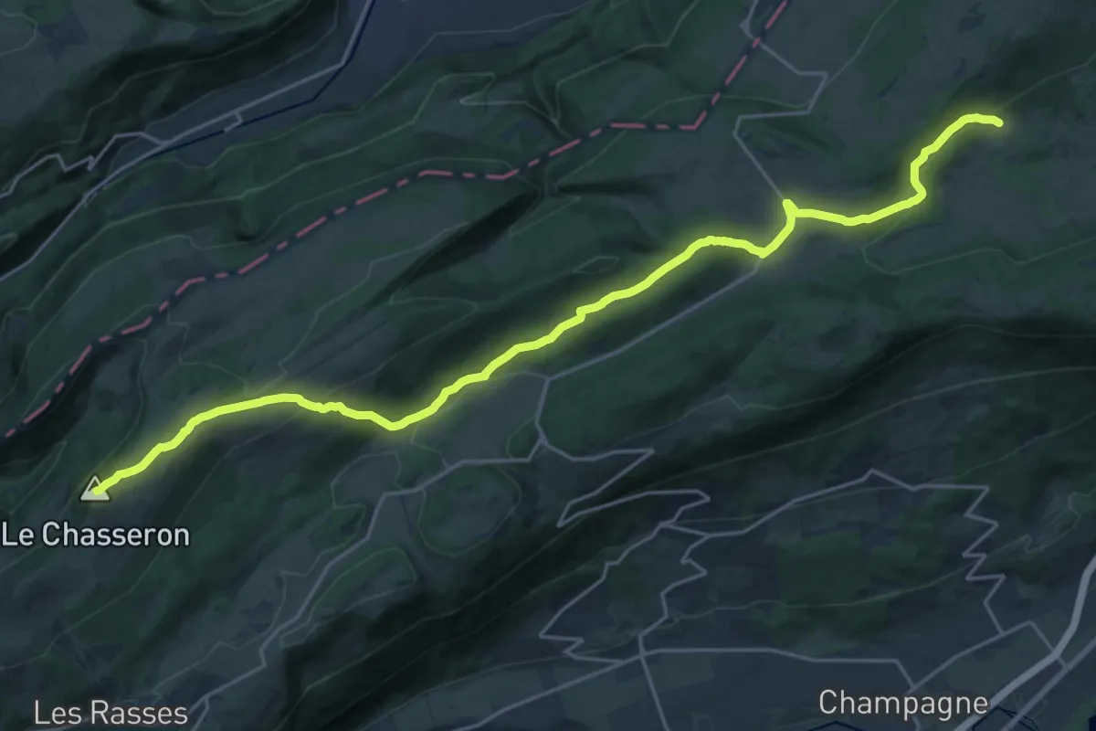
Demanding · Summit
Chemin des Crêtes du Jura
25.5 km · ↑ 846 m · 7 h 51 min
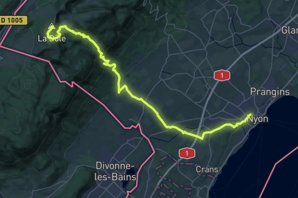
Demanding · Summit
Chemin des Crêtes du Jura
35.6 km · ↑ 1382 m · 11 h 24 min
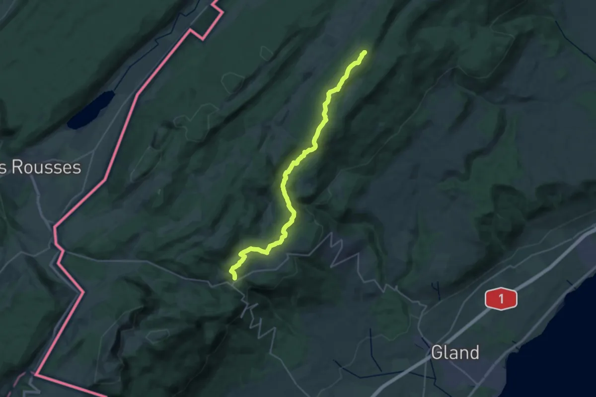
Demanding · Summit
Chemin des Crêtes du Jura
24.2 km · ↑ 762 m · 7 h 22 min
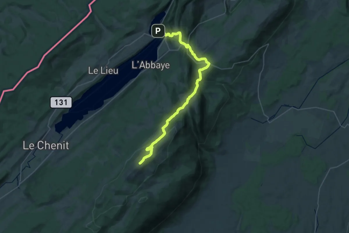
Demanding · Summit
Chemin des Crêtes du Jura
28.1 km · ↑ 861 m · 8 h 30 min
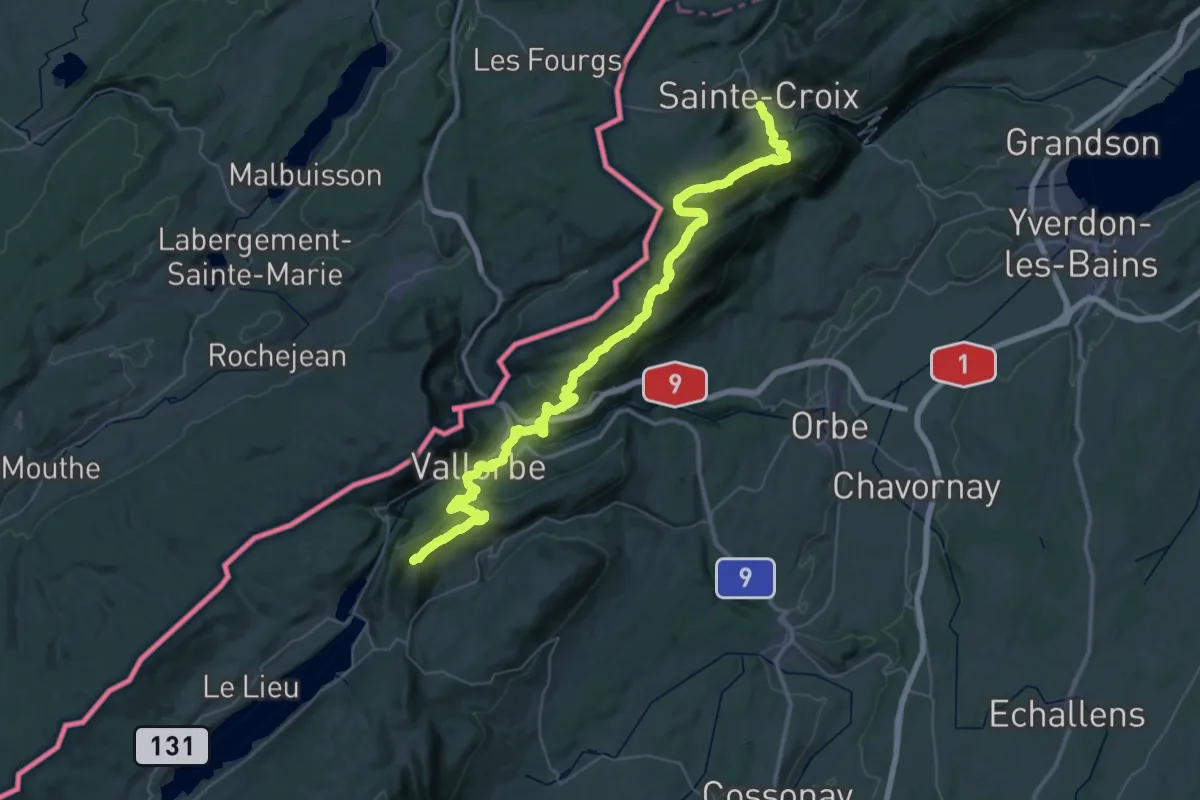
Demanding · Summit
Chemin des Crêtes du Jura
59.5 km · ↑ 2848 m · 20 h 13 min
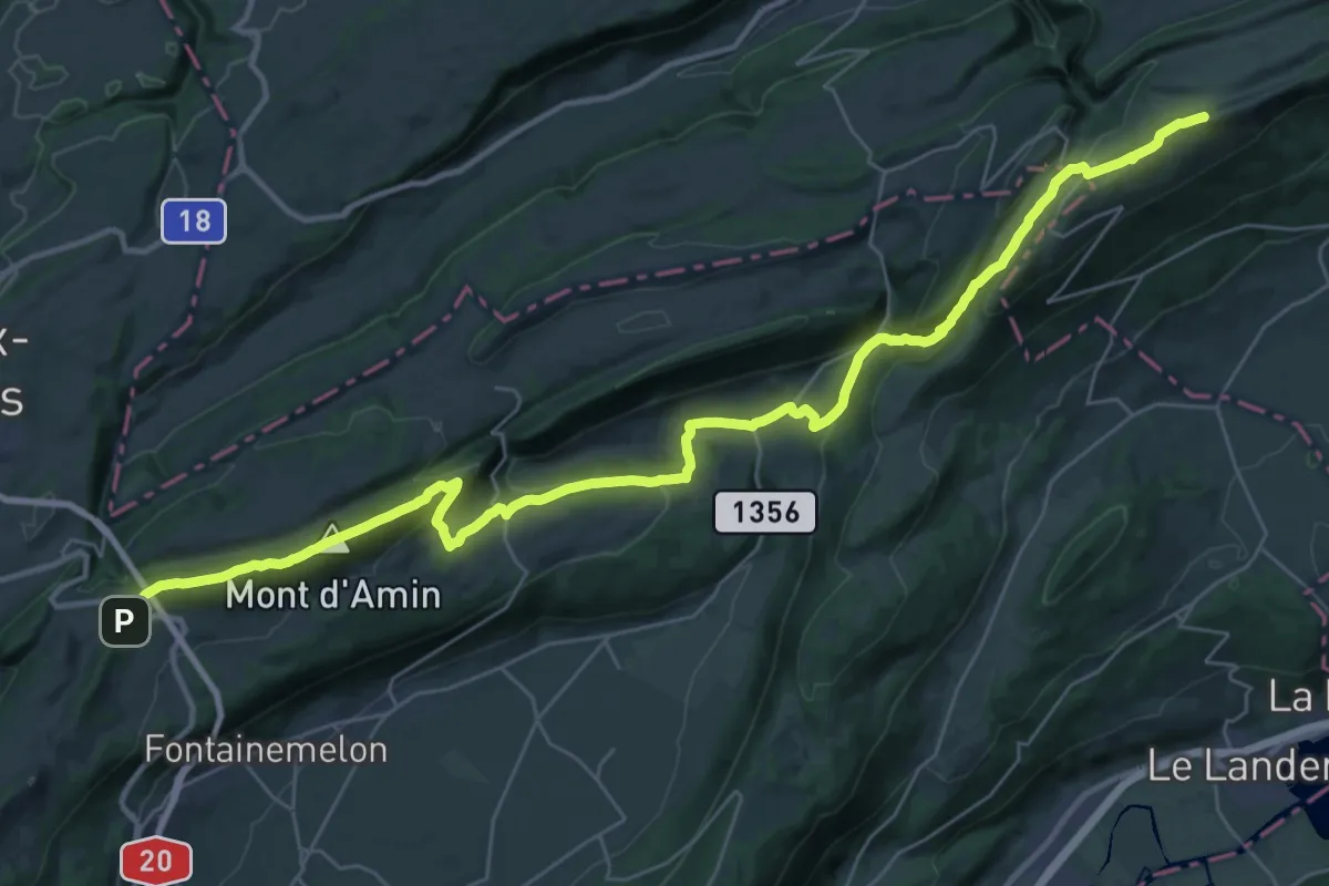
Demanding · Summit
Chemin des Crêtes du Jura
39.4 km · ↑ 1569 m · 12 h 42 min
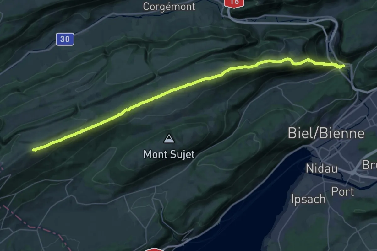
Demanding · Summit
Chemin des Crêtes du Jura
33.6 km · ↑ 1339 m · 10 h 50 min
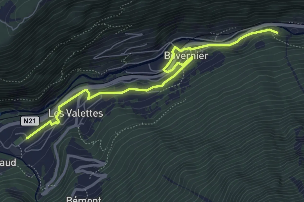
Easy · Trail
Chemin des Fontaines
6.4 km · ↑ 112 m · 1 h 46 min