Trails in Switzerland
15,029 hiking trails, each with its route, climb, walking time and grade.
All trails, page 23 of 314
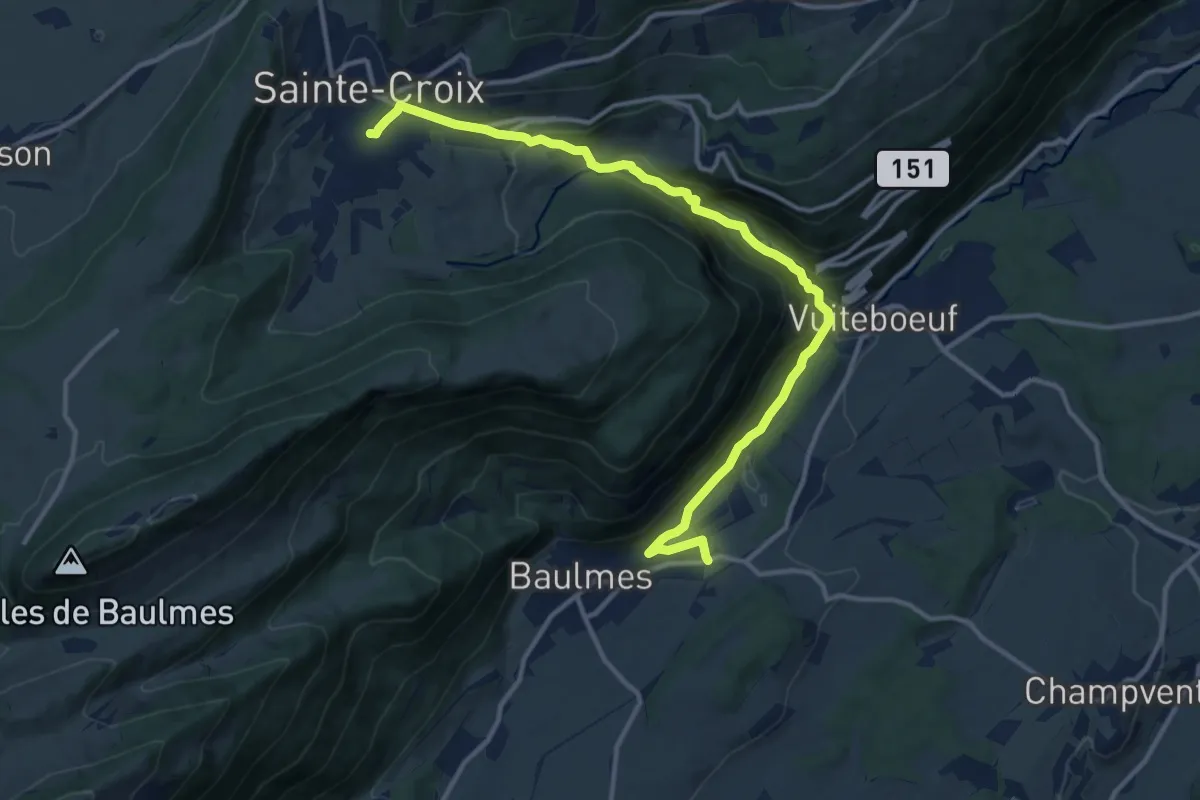
Medium · Trail
Chemin des Gorges de Covatannaz
13.9 km · ↑ 564 m · 4 h 31 min
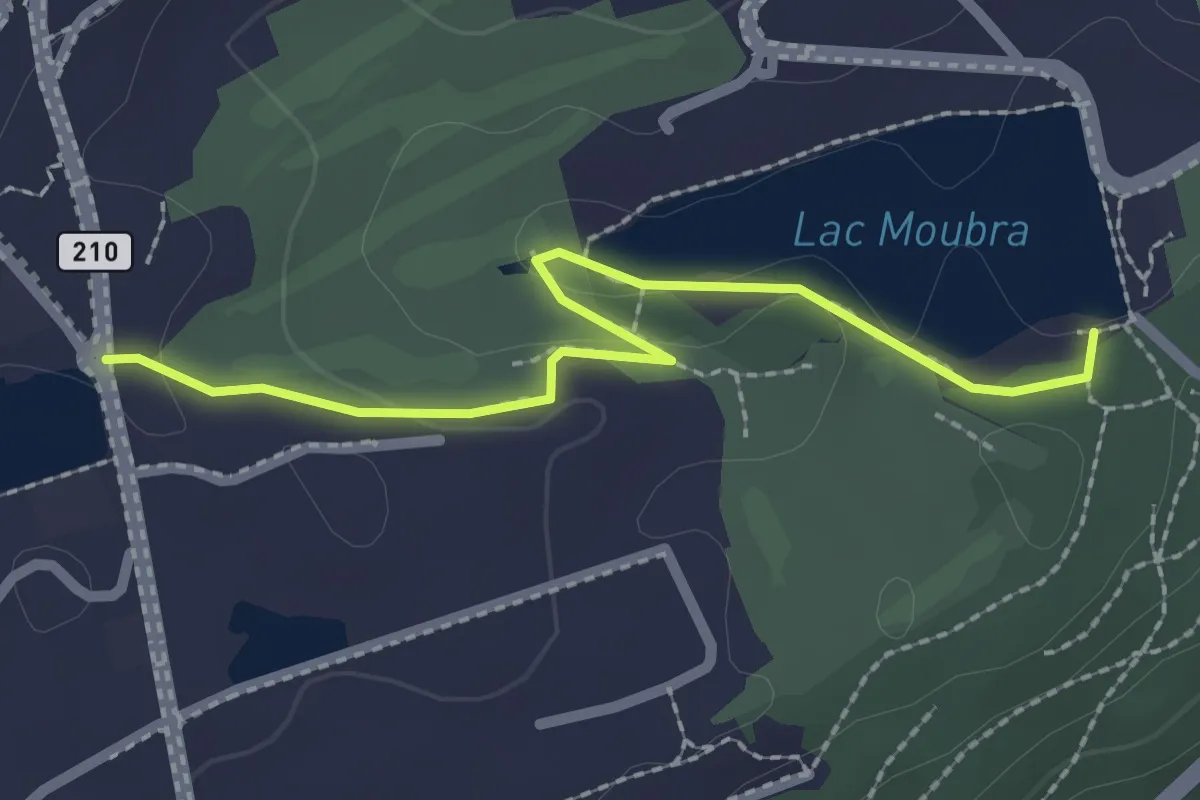
Easy · Trail
Chemin des Lanternes
2.3 km · ↑ 29 m · 37 min
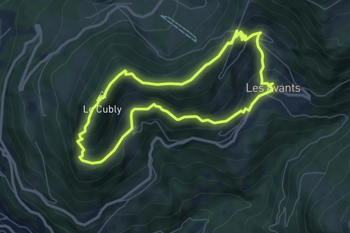
Medium · Summit
Chemin des Narcisses
5.5 km · ↑ 363 m · 2 h 10 min
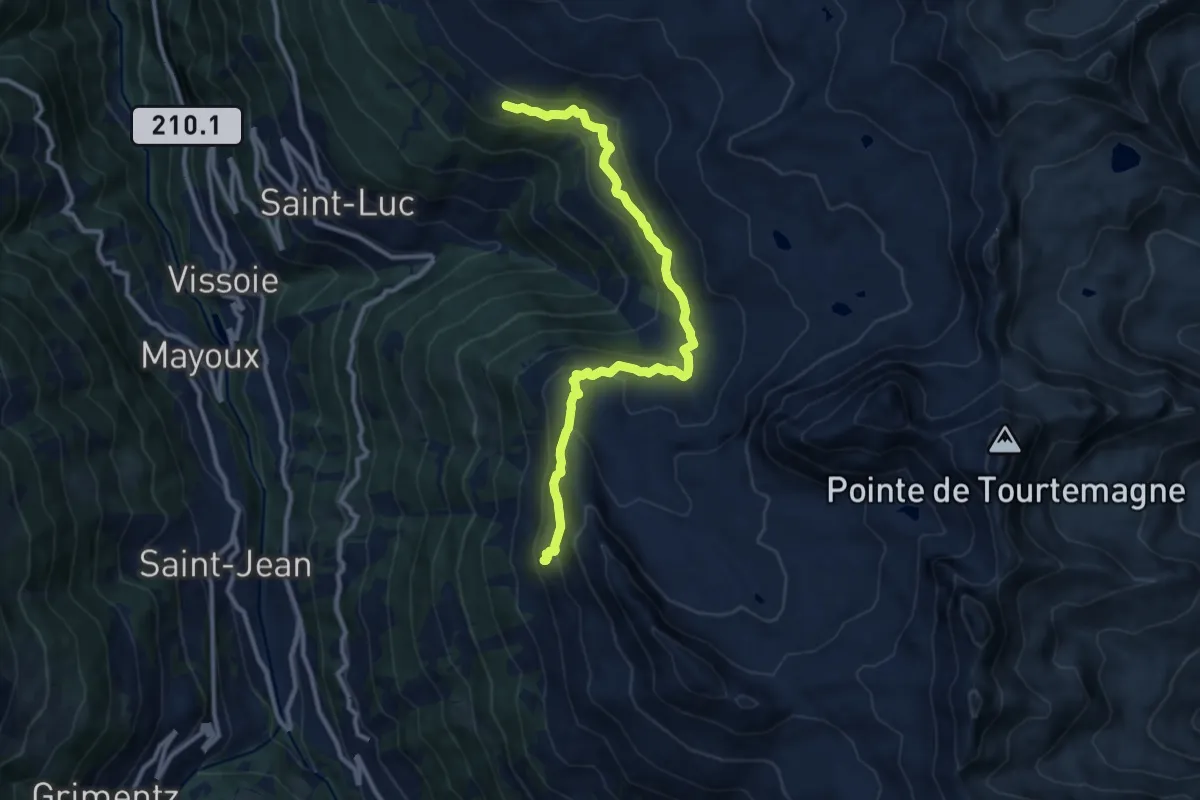
Demanding · Trail
Chemin des Planètes
11.2 km · ↑ 530 m · 3 h 48 min
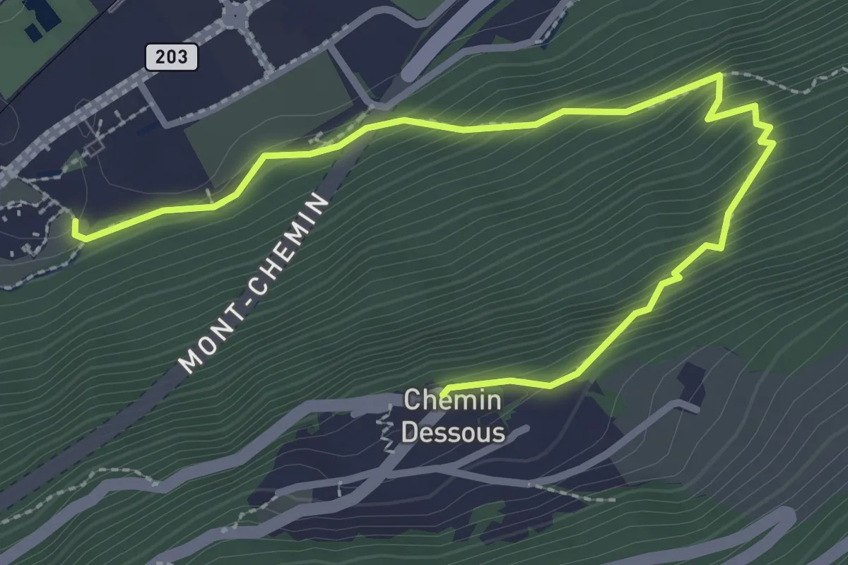
Medium · Trail
Chemin-Dessous > Amphithéâtre
3.3 km · ↑ 323 m · 1 h 29 min
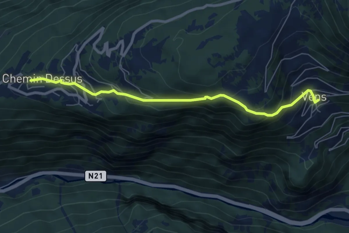
Medium · Trail
Chemin Dessus - Vens
5.7 km · ↑ 468 m · 2 h 21 min
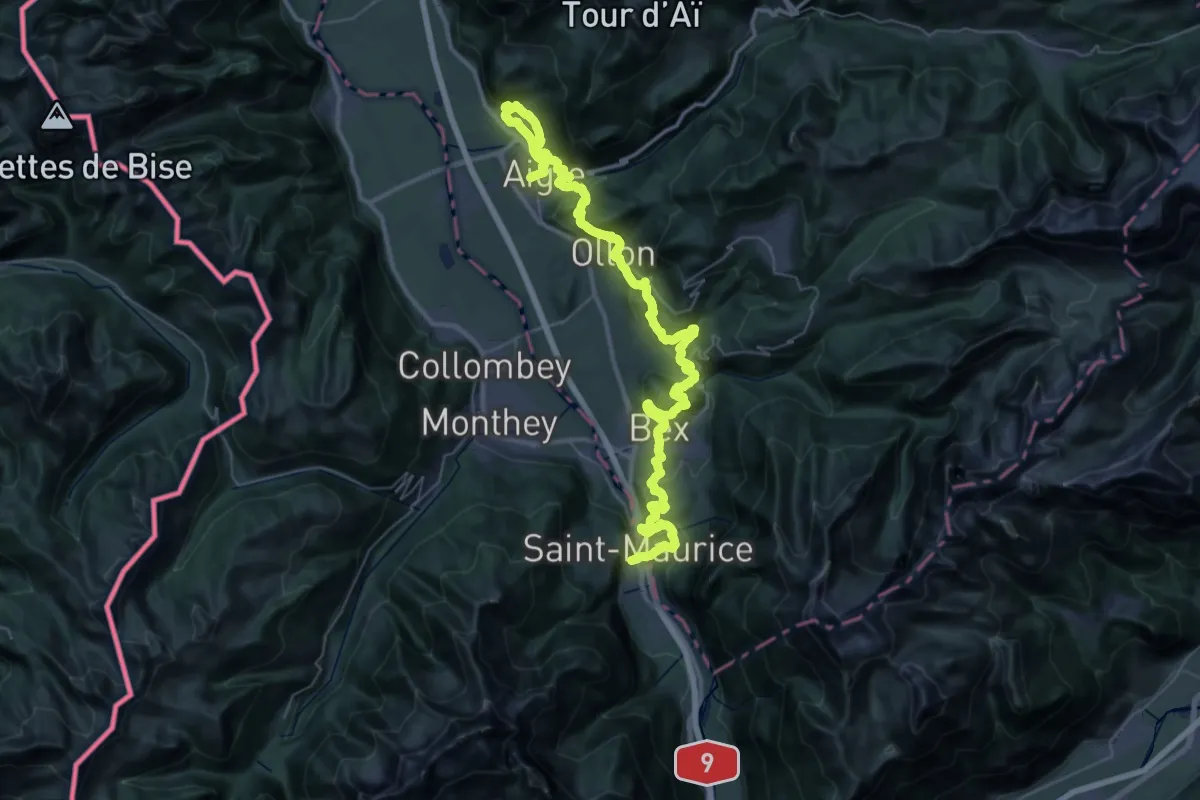
Demanding · Trail
Chemin des Vignes
30.9 km · ↑ 1120 m · 10 h 9 min
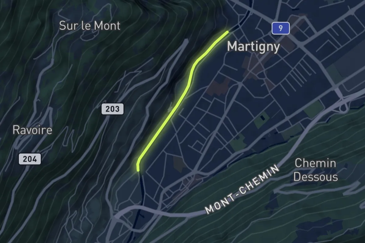
Easy · Trail
Chemin des vignes en terrasses
1.6 km · ↑ 27 m · 28 min
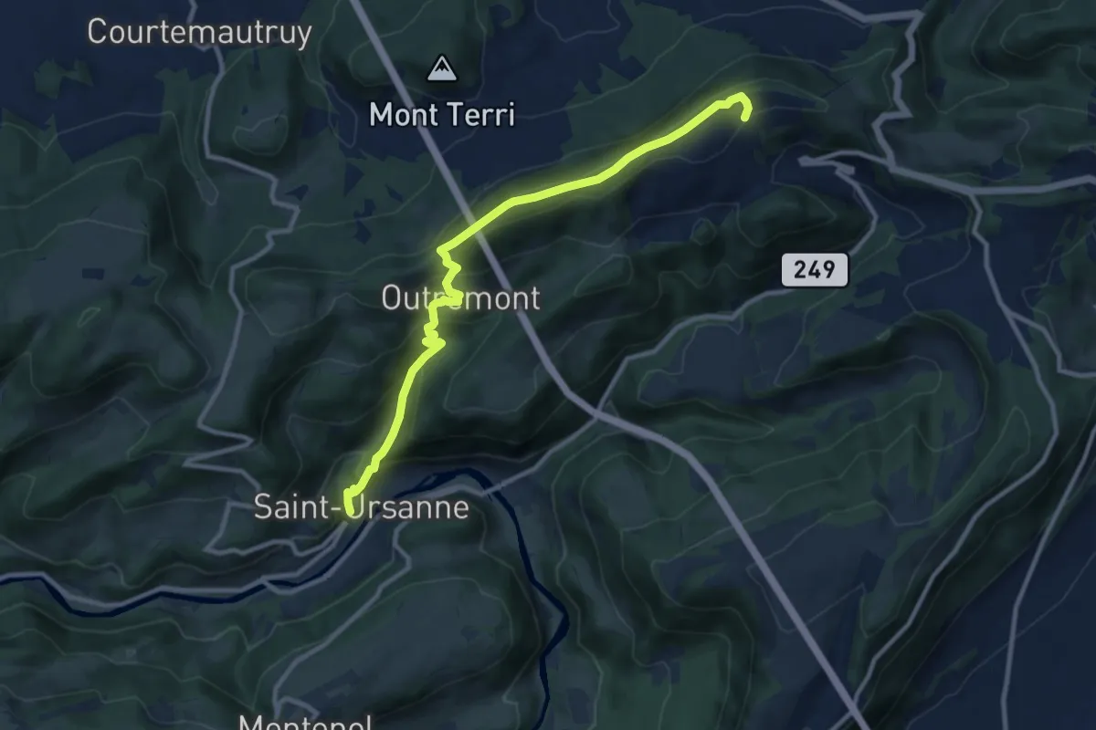
Medium · Trail
Chemin du 100e du CAS JURA
10.2 km · ↑ 606 m · 3 h 44 min
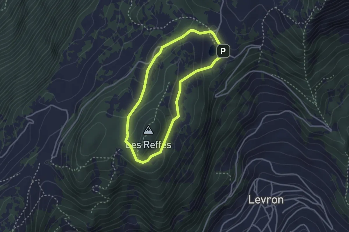
Demanding · Summit
Chemin du Bicentenaire
2.5 km · ↑ 100 m · 51 min
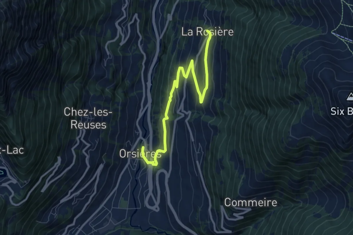
Medium · Pilgrim path
Chemin du Bienheureux Maurice Tornay
4.3 km · ↑ 43 m · 1 h 19 min
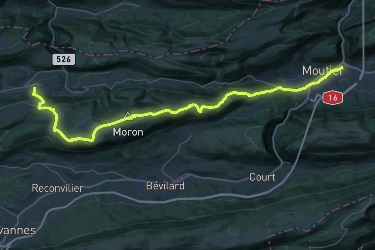
Medium · Trail
Chemin du Jura bernois - Etappe 1
16.9 km · ↑ 502 m · 5 h 29 min
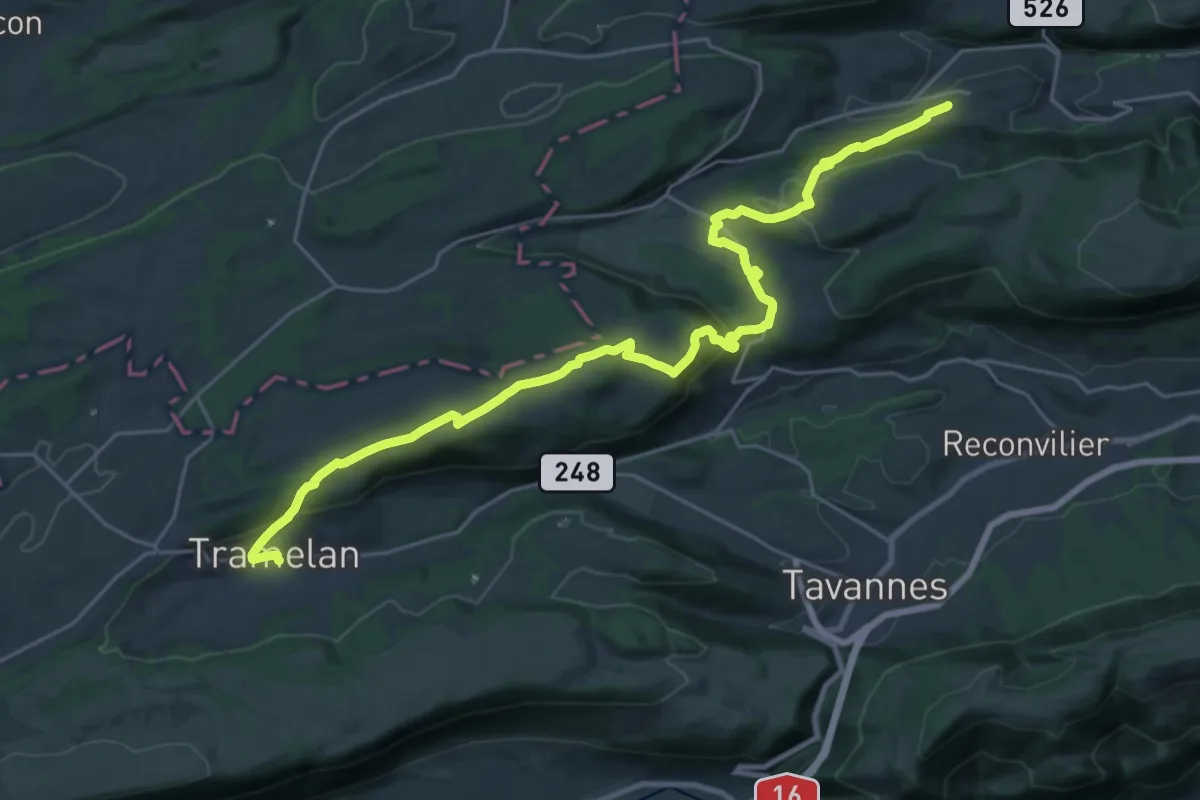
Medium · Trail
Chemin du Jura bernois - Etappe 2
14.5 km · ↑ 420 m · 4 h 33 min
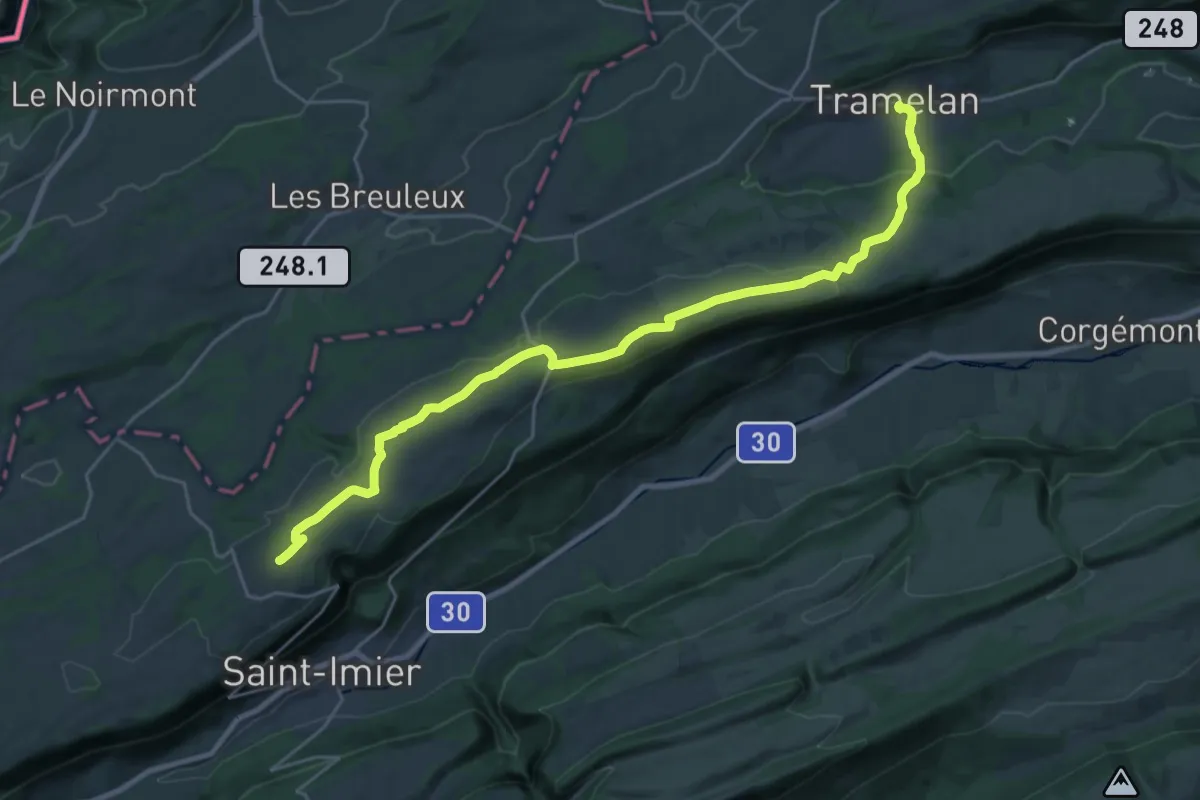
Demanding · Summit
Chemin du Jura Bernois - Etappe 3
26.8 km · ↑ 612 m · 7 h 39 min
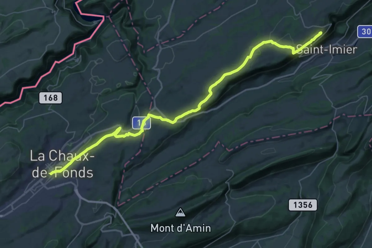
Medium · Trail
Chemin du Jura bernois - Etappe 4
17.7 km · ↑ 201 m · 4 h 57 min
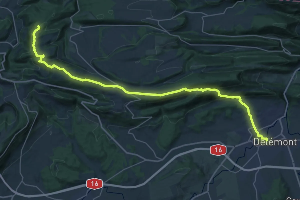
Demanding · Summit
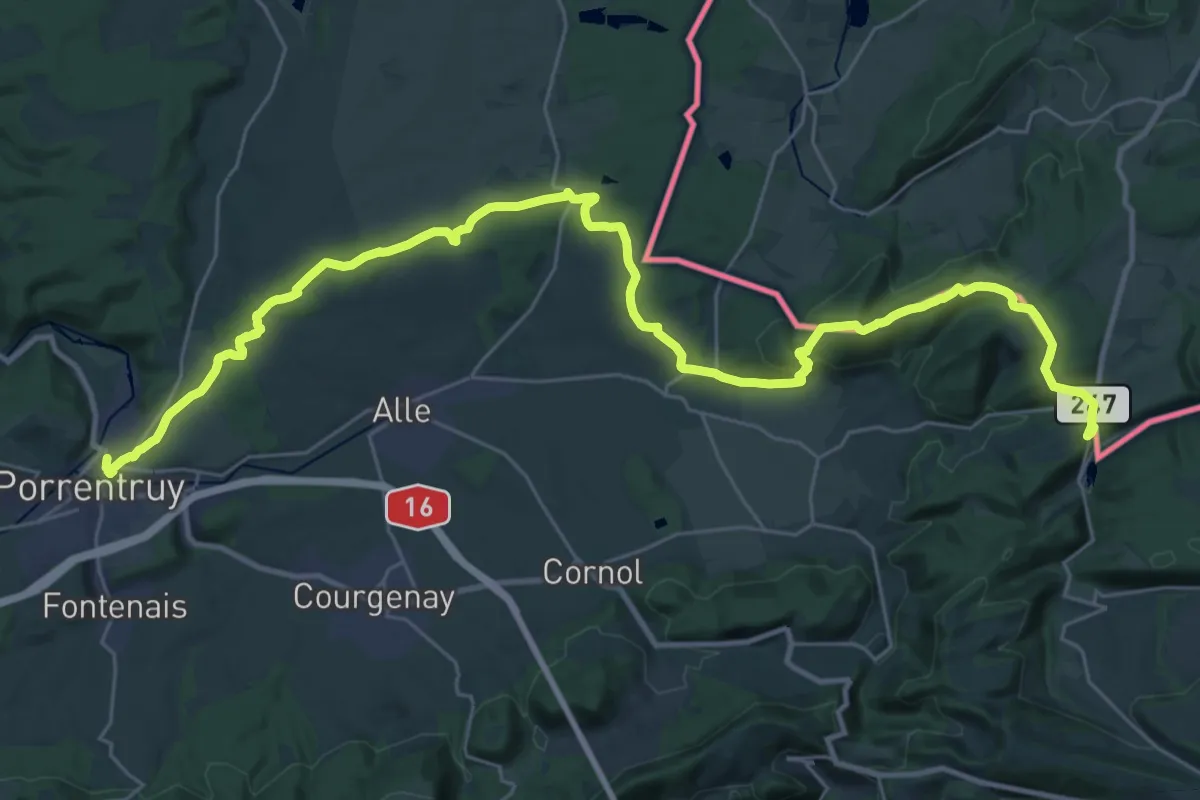
Chemin du Jura - Etappe 1
27.6 km · ↑ 961 m · 8 h 36 min
Demanding · Trail
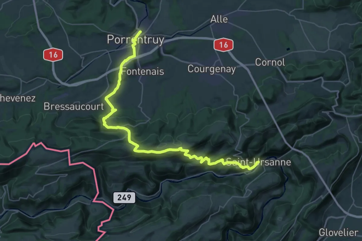
Chemin du Jura - Etappe 2
19.3 km · ↑ 585 m · 5 h 59 min
Medium · Trail
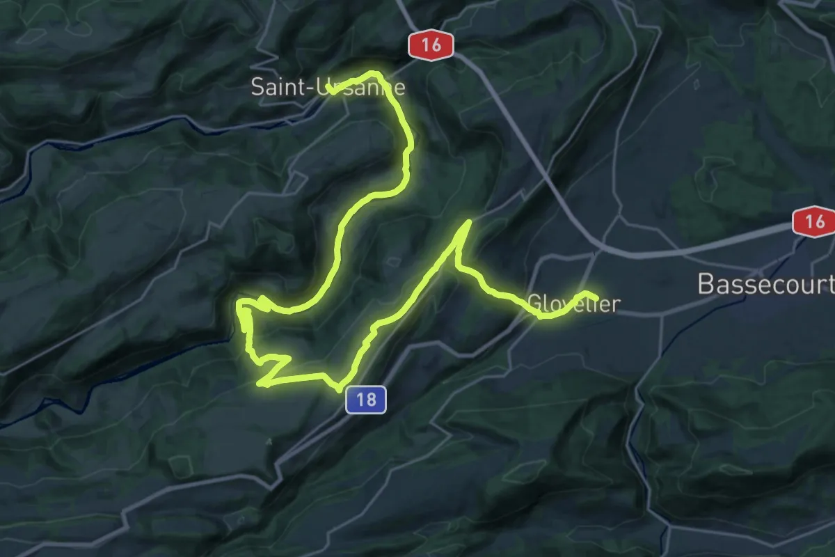
Chemin du Jura - Etappe 3
16.2 km · ↑ 587 m · 5 h 18 min
Medium · Trail
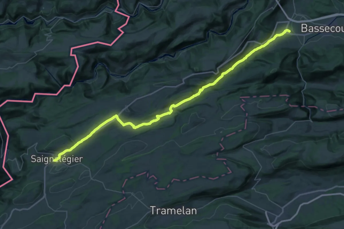
Chemin du Jura - Etappe 4
18.0 km · ↑ 705 m · 5 h 59 min
Demanding · Trail
Chemin du Jura - Etappe 5
21.2 km · ↑ 661 m · 6 h 29 min
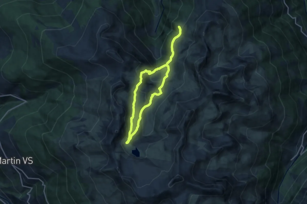
Medium · Trail
Chemin du Vallon de Réchy
10.5 km · ↑ 503 m · 3 h 43 min
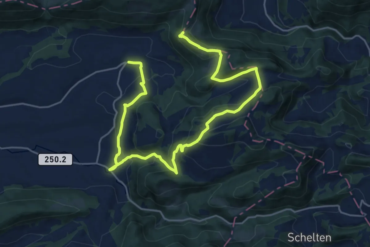
Medium · Summit
Chemin du Val Terbi
9.8 km · ↑ 643 m · 3 h 43 min
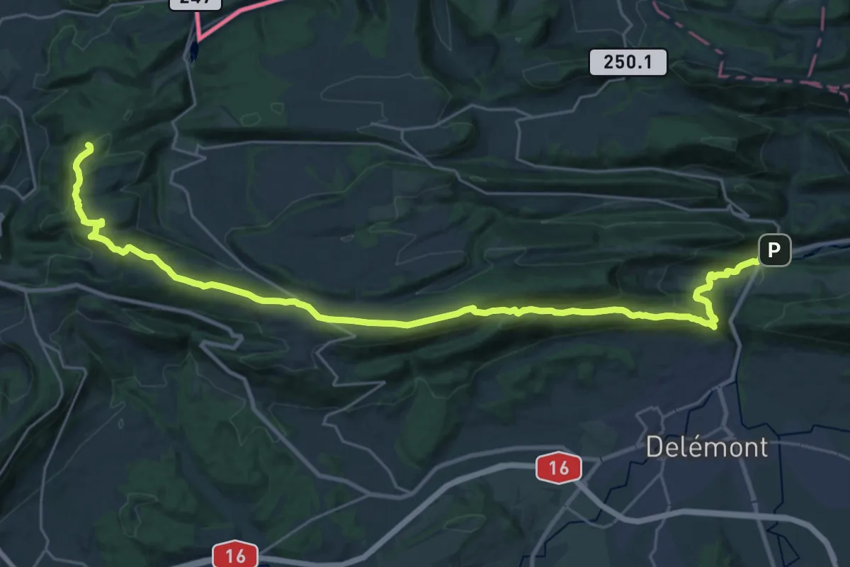
Demanding · Summit
Chemin Jurassien vers Compostelle, Soyhières -Lucelle
30.6 km · ↑ 1122 m · 9 h 40 min
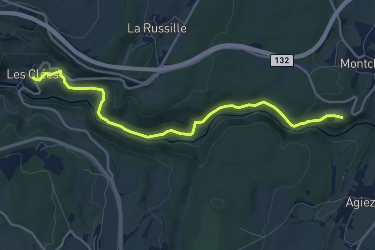
Medium · Trail
Chemin nature pour tous
8.2 km · ↑ 207 m · 2 h 23 min
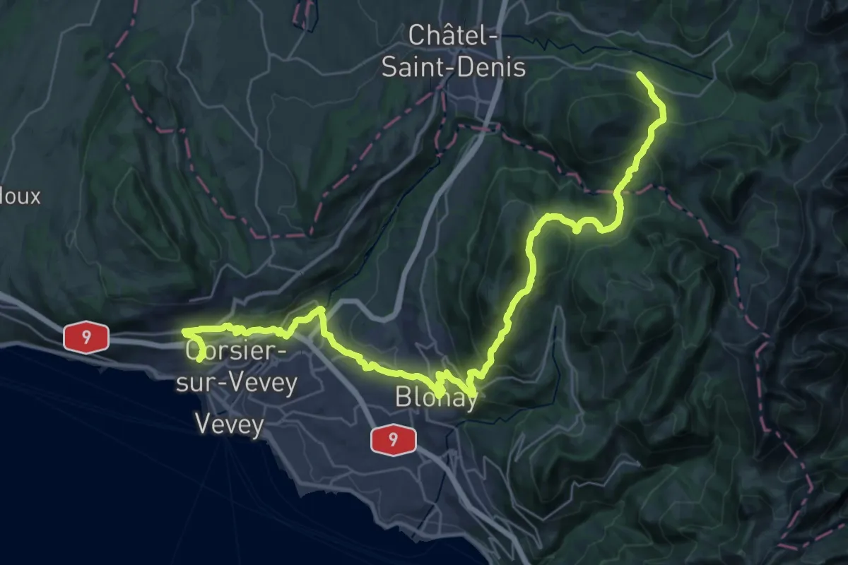
Demanding · Trail
Chemin panorama alpin
19.2 km · ↑ 1179 m · 7 h 3 min
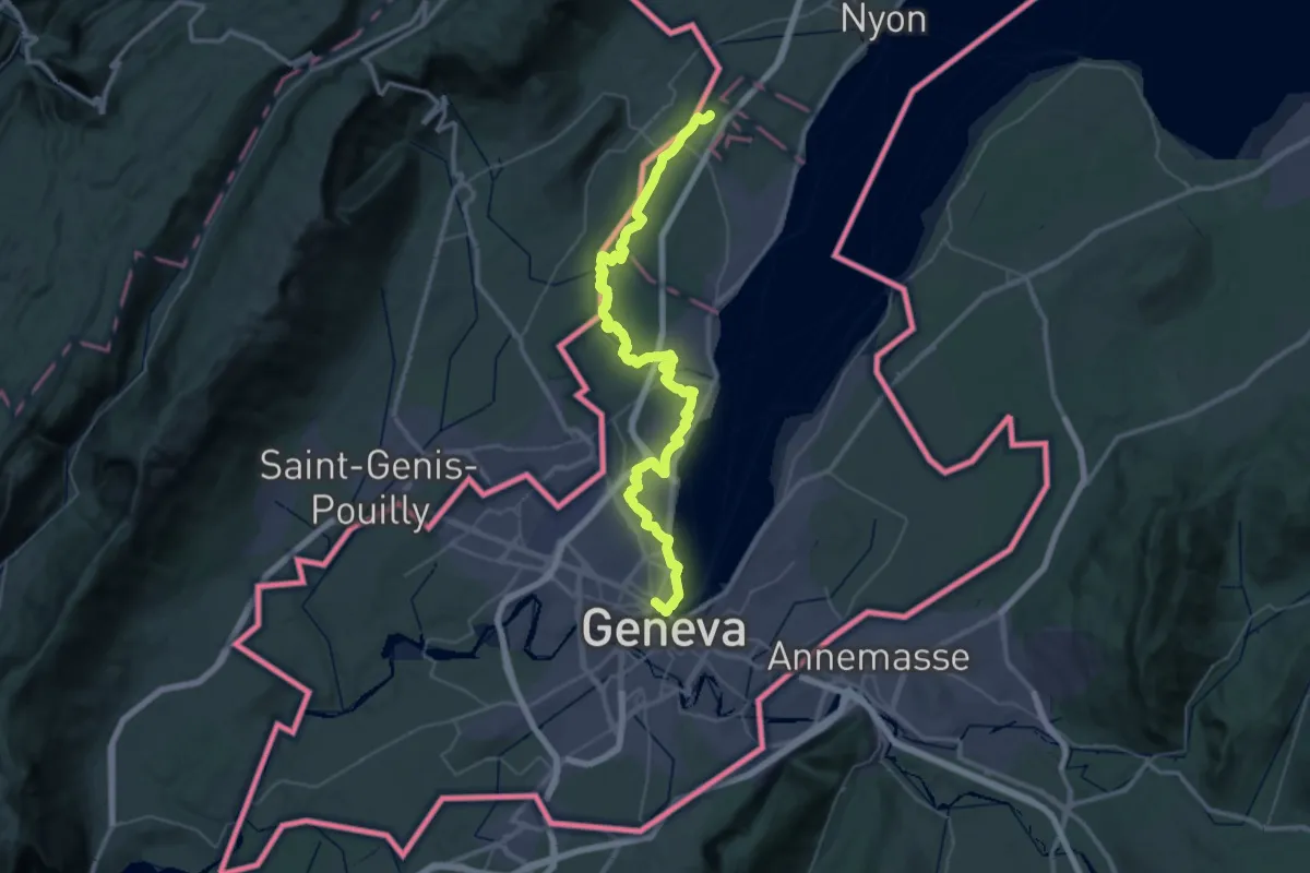
Demanding · Trail
Chemin panorama alpin
27.4 km · ↑ 205 m · 7 h 20 min
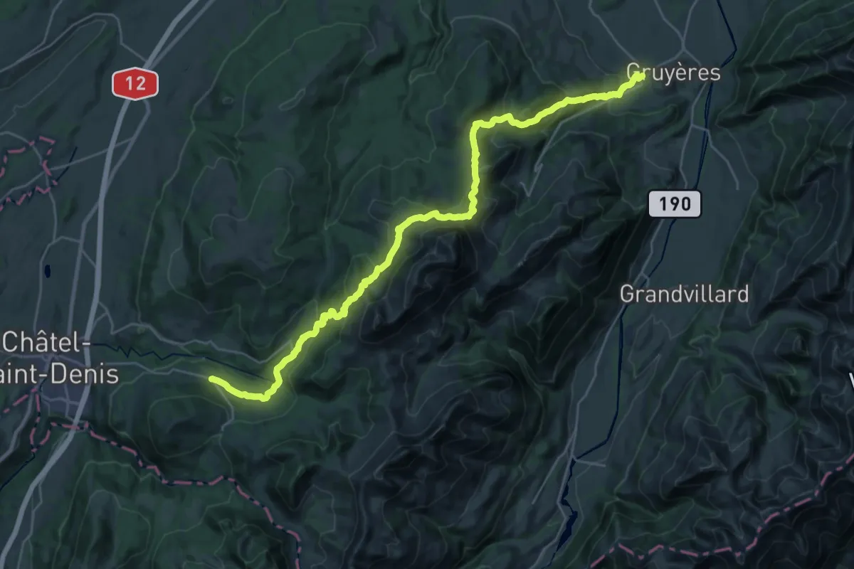
Medium · Trail
Chemin panorama alpin
15.7 km · ↑ 580 m · 5 h 21 min
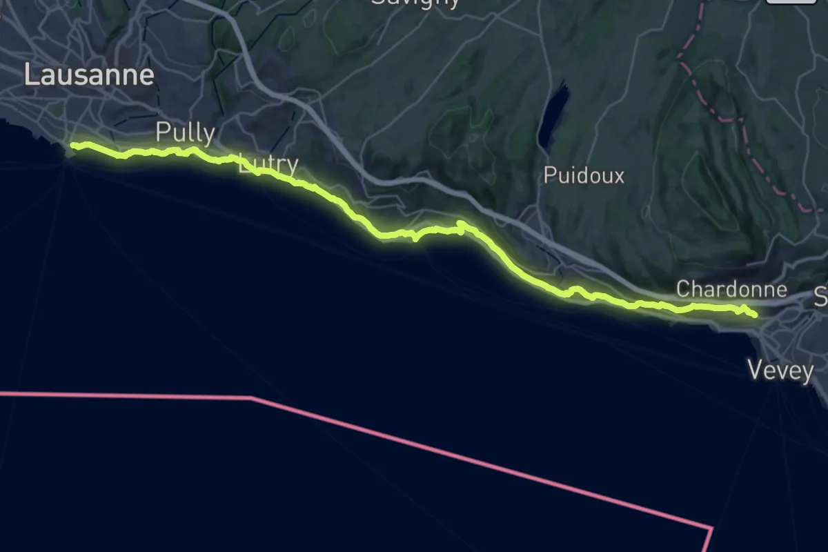
Demanding · Trail
Chemin panorama alpin
18.8 km · ↑ 305 m · 5 h 23 min
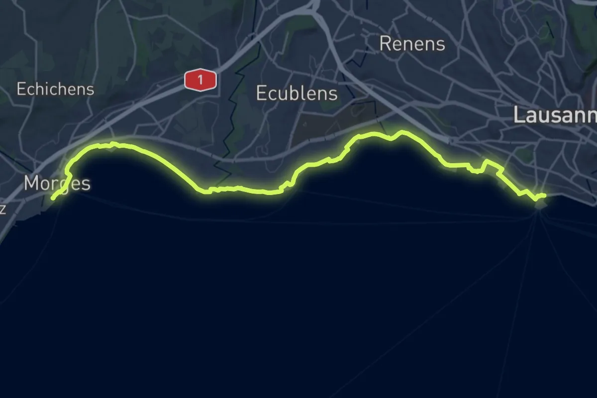
Demanding · Trail
Chemin panorama alpin
25.7 km · ↑ 95 m · 6 h 17 min
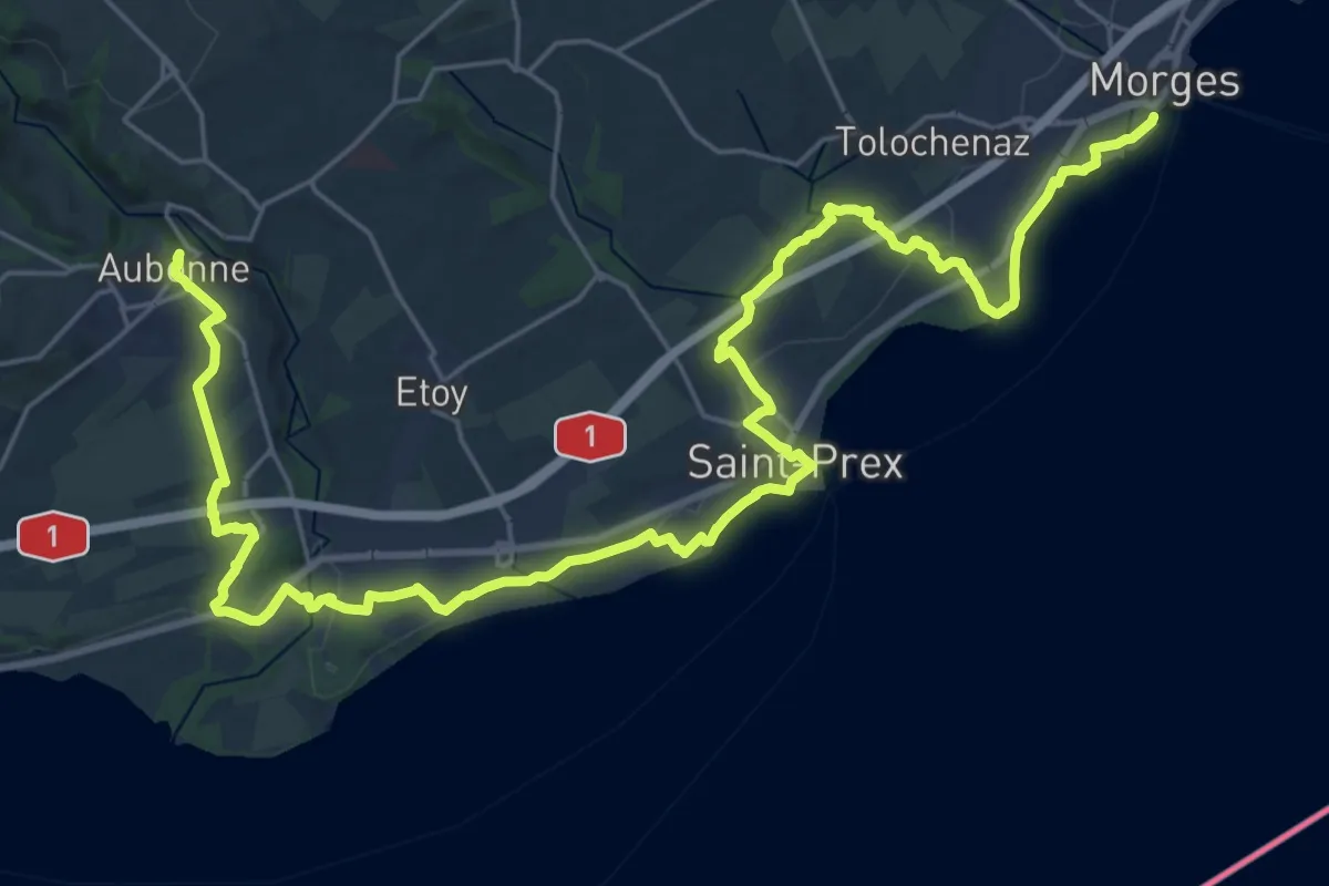
Demanding · Trail
Chemin panorama alpin
18.1 km · ↑ 243 m · 4 h 58 min
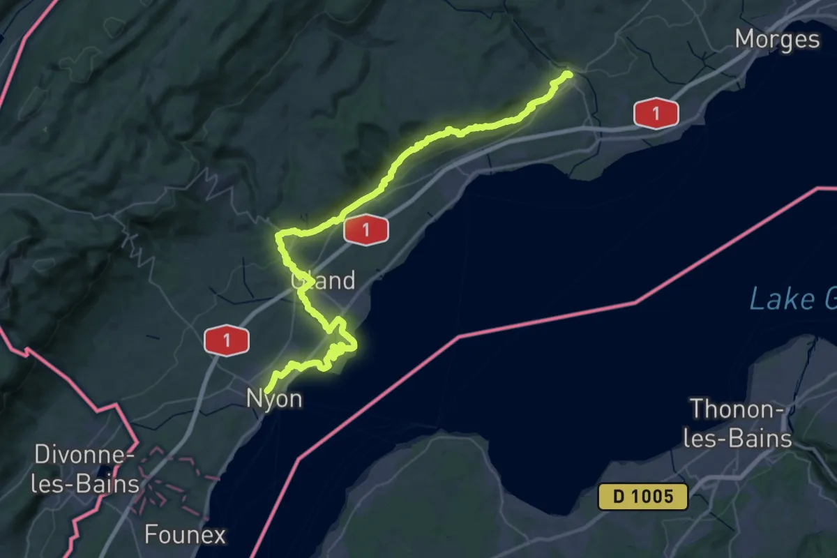
Demanding · Trail
Chemin panorama alpin
29.6 km · ↑ 515 m · 8 h 27 min
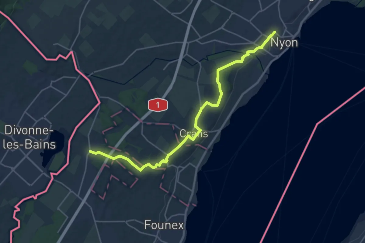
Medium · Trail
Chemin panorama alpin
17.9 km · ↑ 122 m · 4 h 29 min
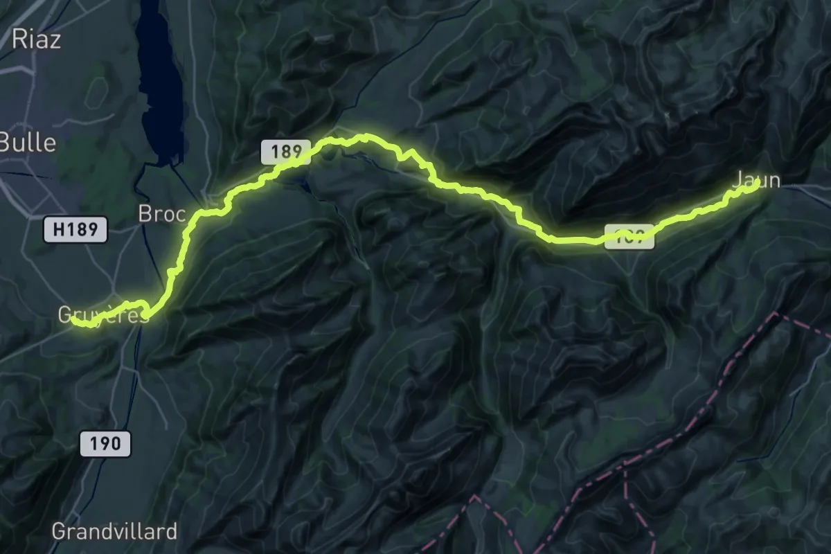
Demanding · Trail
Chemin panorama alpin
21.9 km · ↑ 811 m · 7 h 6 min
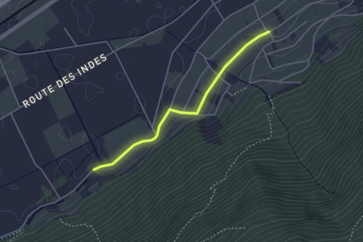
Easy · Trail
Chemin pédestre, commune de Charrat
3.1 km · ↑ 43 m · 49 min
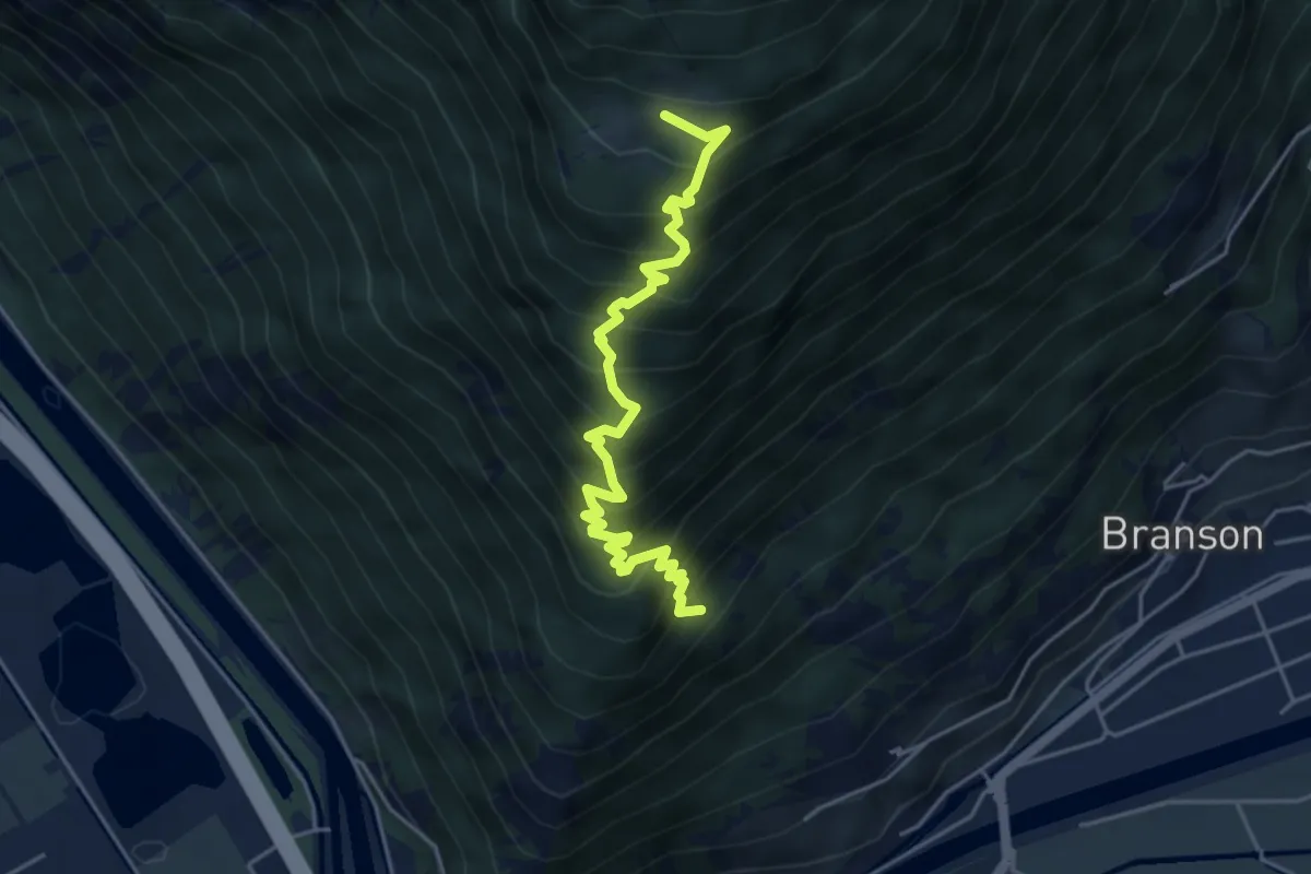
Demanding · Trail
Chemin pédestre, région Fully
4.9 km · ↑ 671 m · 2 h 37 min
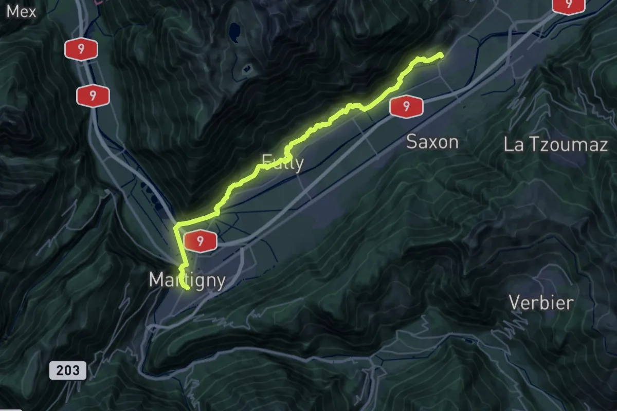
Demanding · Pilgrim path
Chemin Rhin-Reuss-Rhône
15.7 km · ↑ 384 m · 4 h 44 min
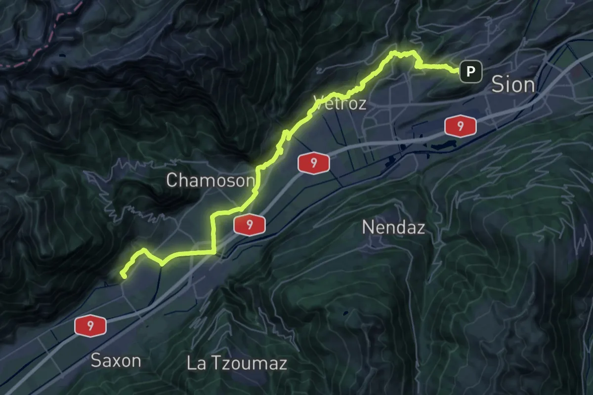
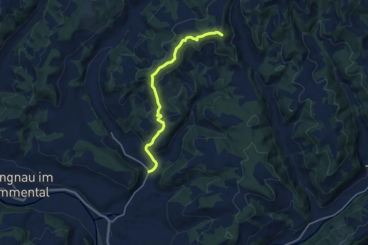
Demanding · Pilgrim path
Chemin Rhin-Reuss-Rhône
20.0 km · ↑ 568 m · 6 h 19 min
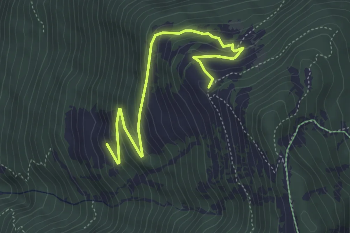
Medium · Summit
Chemmershus - Imperech
8.4 km · ↑ 407 m · 2 h 52 min
Medium · Trail
Chesal > Le Larzay
4.9 km · ↑ 343 m · 1 h 54 min
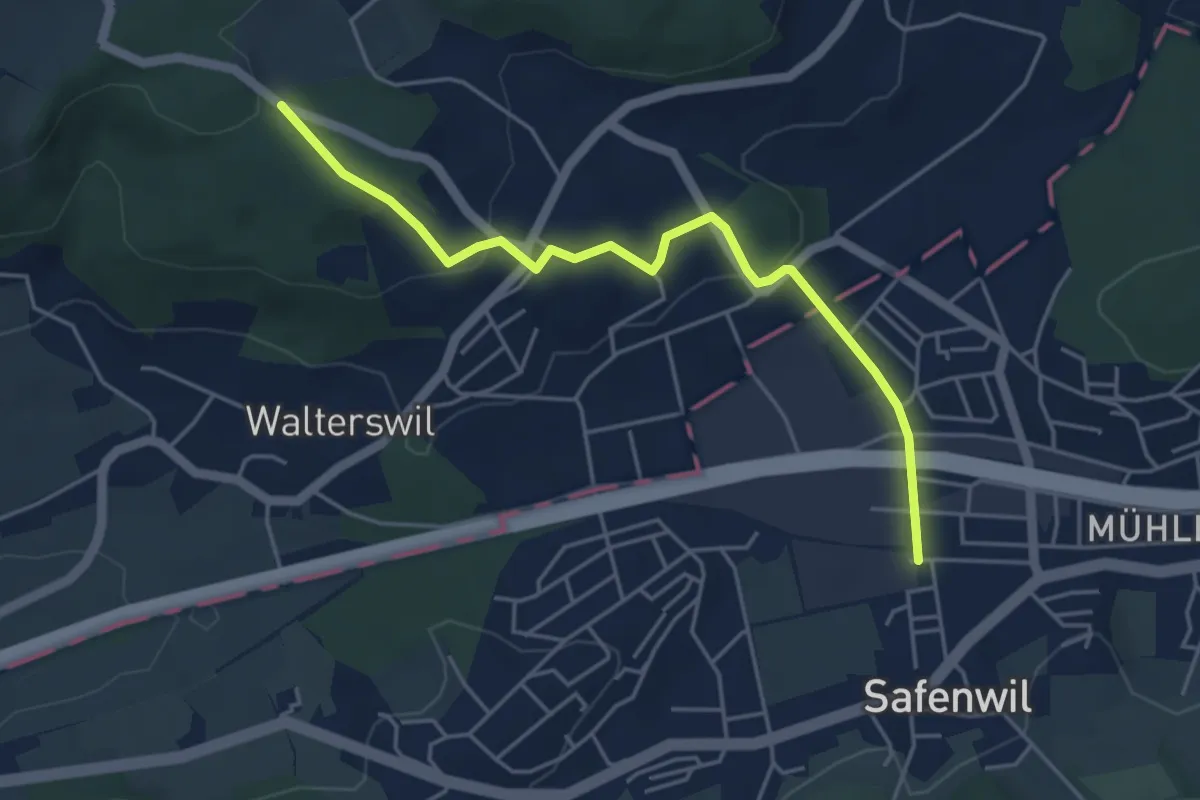
Easy · Trail
Chessel - Safenwil
4.7 km · ↑ 130 m · 1 h 24 min
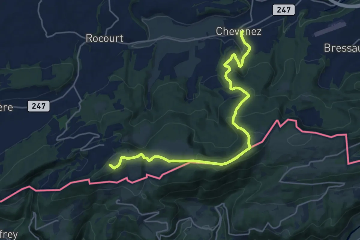
Medium · Trail
Chevenez - Tour de Faux d'Enson
16.6 km · ↑ 608 m · 5 h 14 min
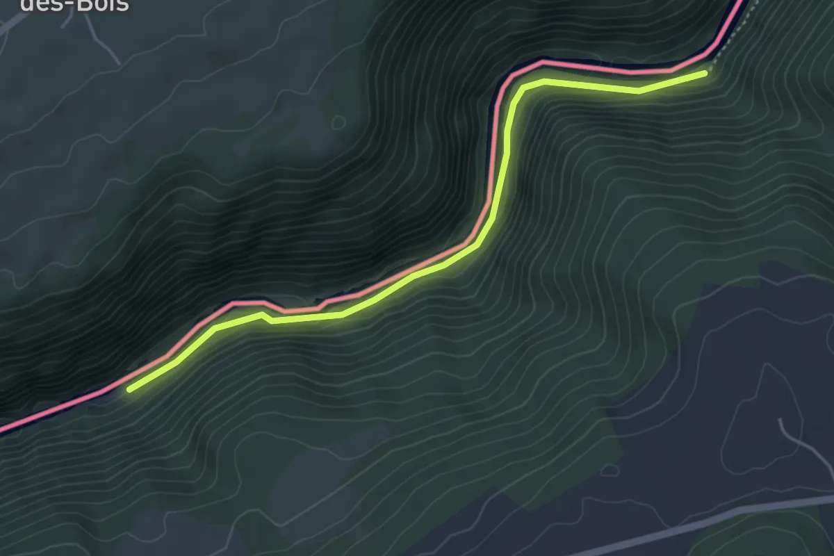
Easy · Trail
Chez Bonaparte - Les Graviers
4.4 km · ↑ 49 m · 1 h 9 min
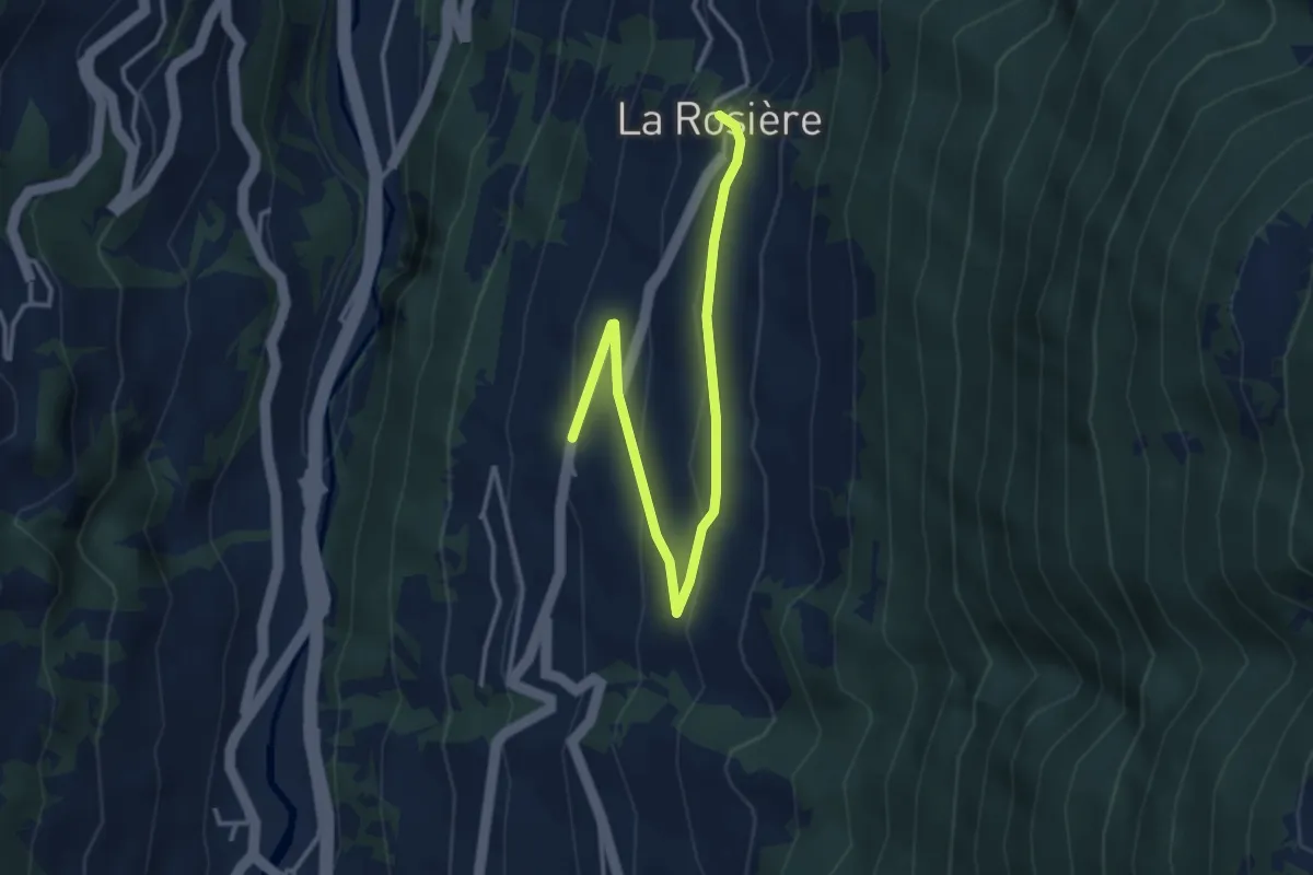
Easy · Trail
Chez les Addy > La Rosière
3.9 km · ↑ 152 m · 1 h 15 min
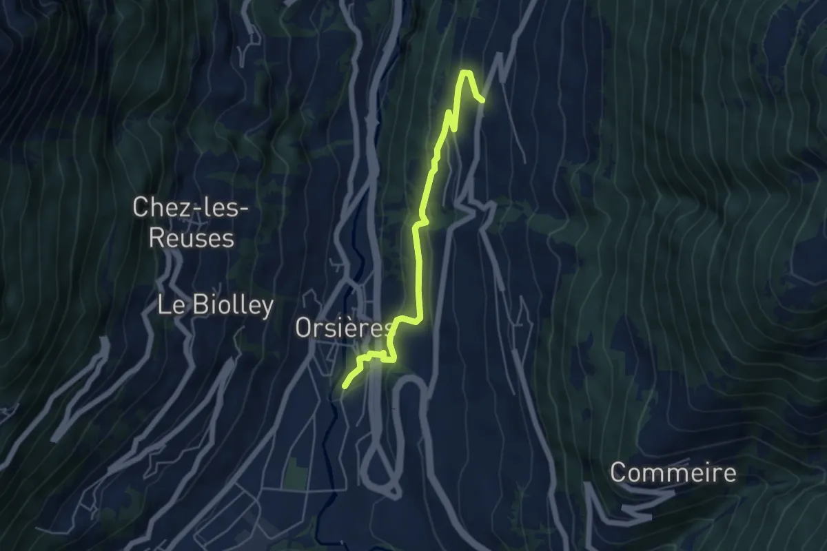
Medium · Trail
Chez les Addy > Orsières
4.7 km · ↑ 224 m · 1 h 35 min
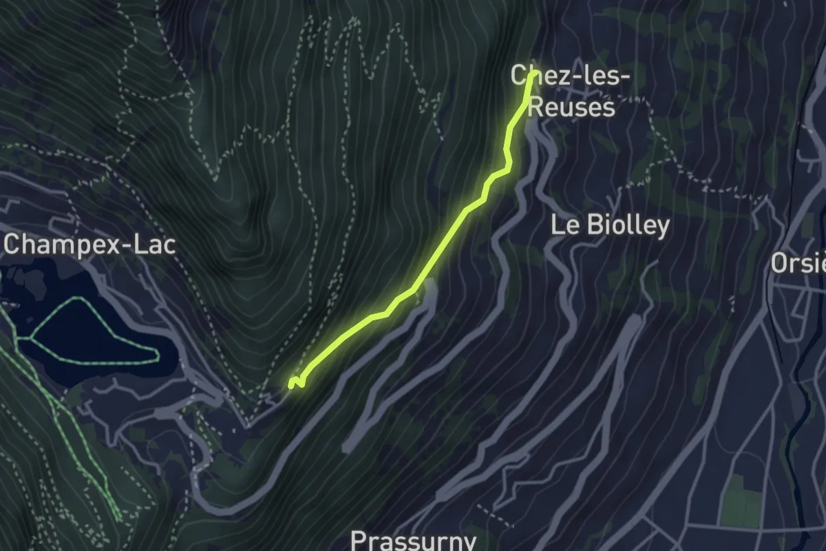
Medium · Trail
Chez les Reuses > Le Signal
2.6 km · ↑ 294 m · 1 h 15 min
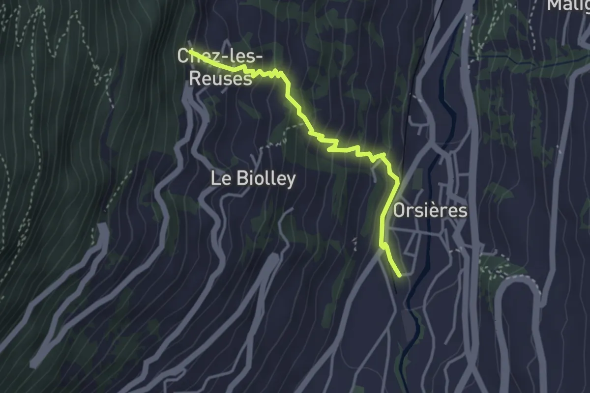
Medium · Trail
Chez les Reuses > Orsières - Gare
3.2 km · ↑ 320 m · 1 h 27 min
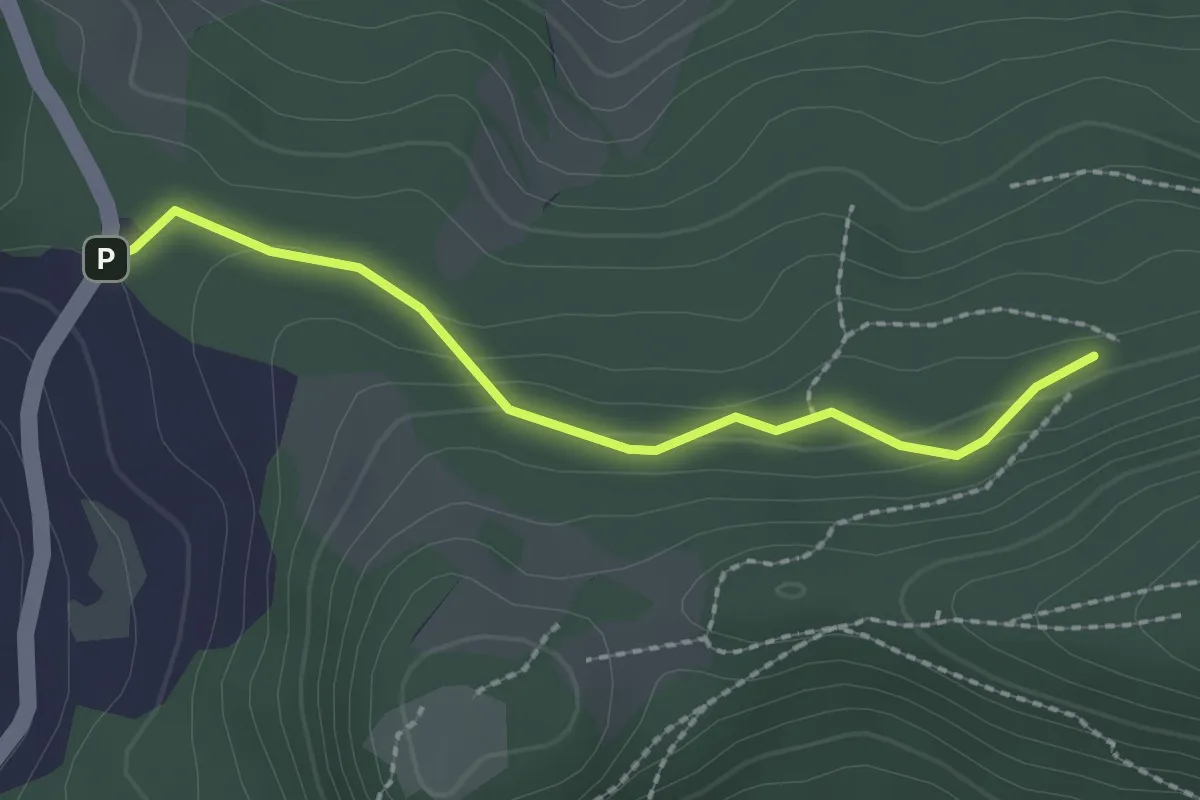
Easy · Trail
Chienberg - Wintersingerhöchi
2.0 km · ↑ 80 m · 39 min
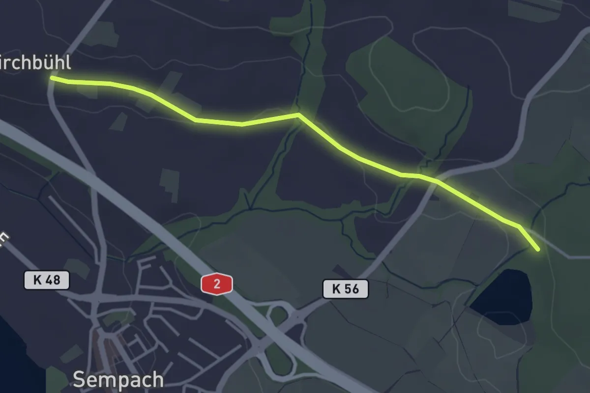
Easy · Trail
Chilchbüel - Steinibüel
3.6 km · ↑ 22 m · 54 min