Trails in Switzerland
15,029 hiking trails, each with its route, climb, walking time and grade.
All trails, page 24 of 314
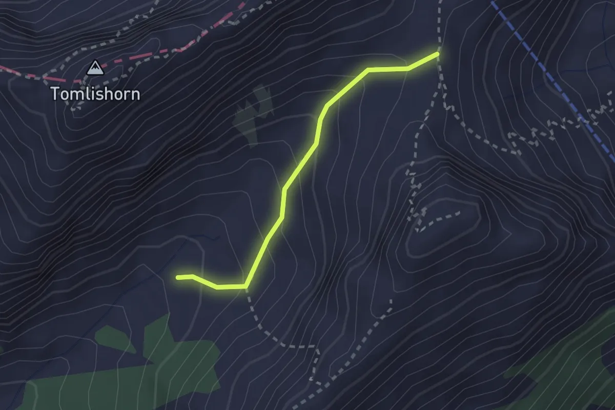
Medium · Trail
Chilchsteine - Laub
2.0 km · ↑ 154 m · 48 min
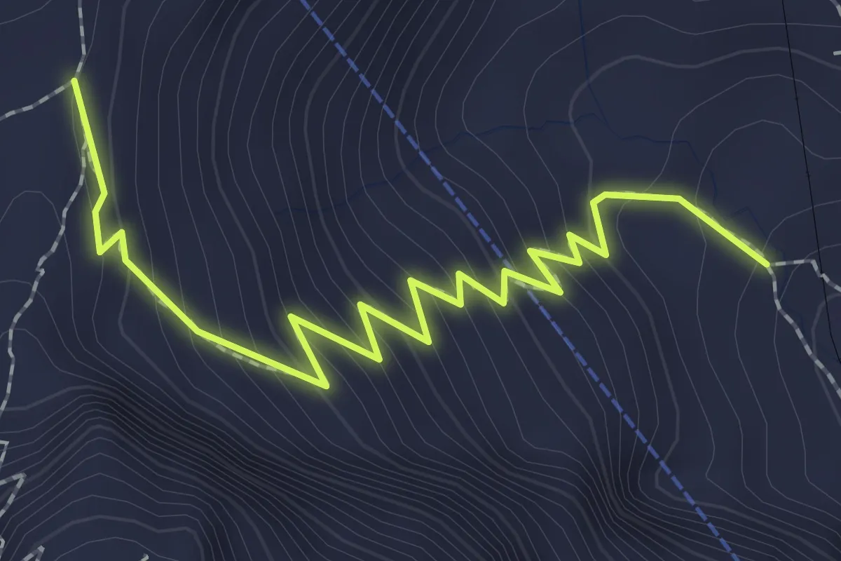
Medium · Trail
Chilchsteine - Mattalp
2.5 km · ↑ 265 m · 1 h 10 min
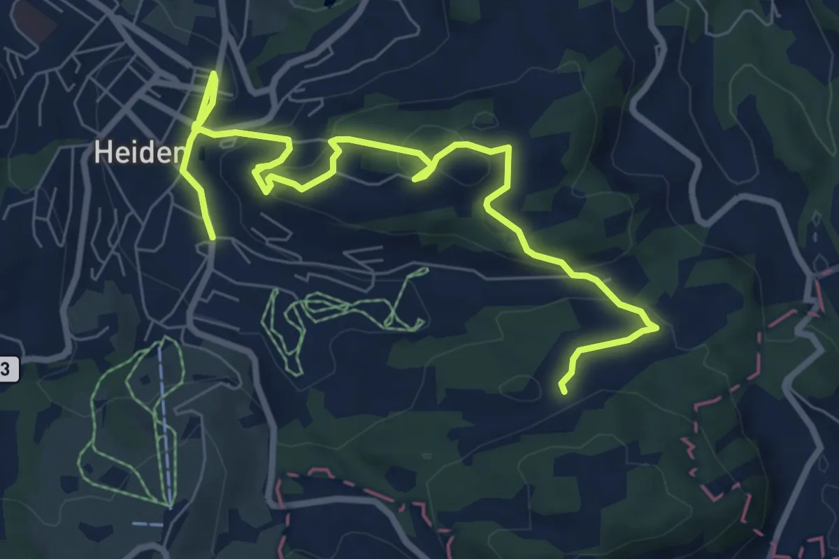
Medium · Trail
Chindlistei Weg
8.7 km · ↑ 288 m · 2 h 41 min
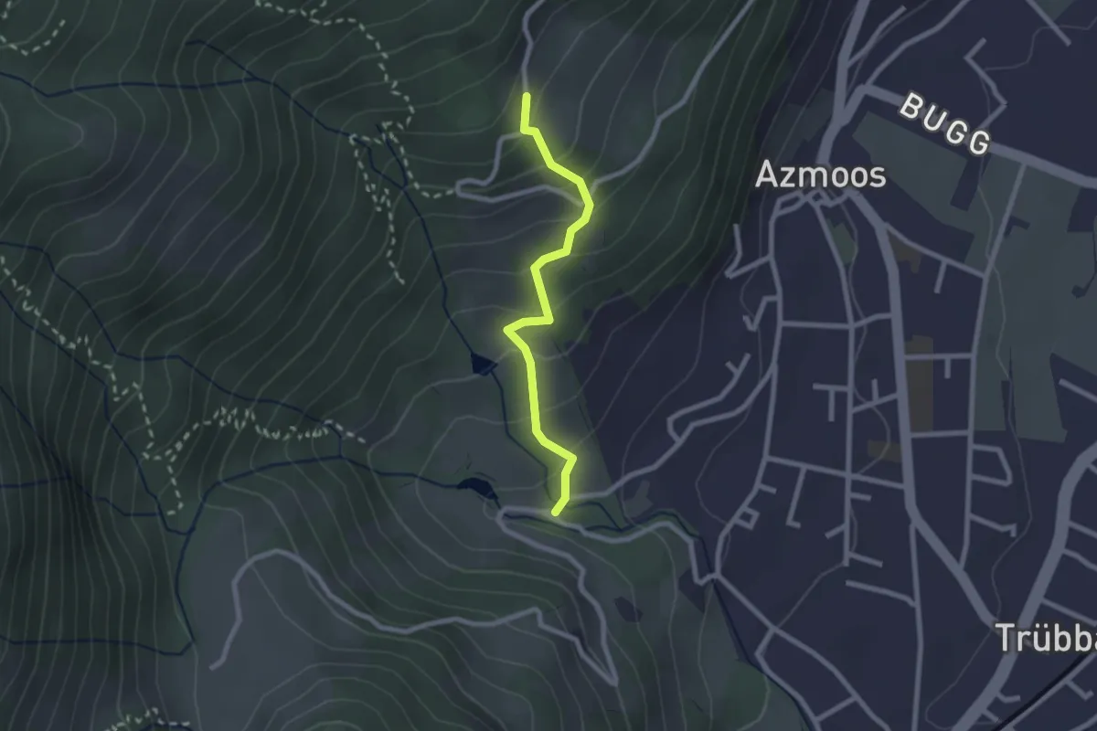
Easy · Trail
Chlefibünt - Böschen
2.1 km · ↑ 173 m · 52 min
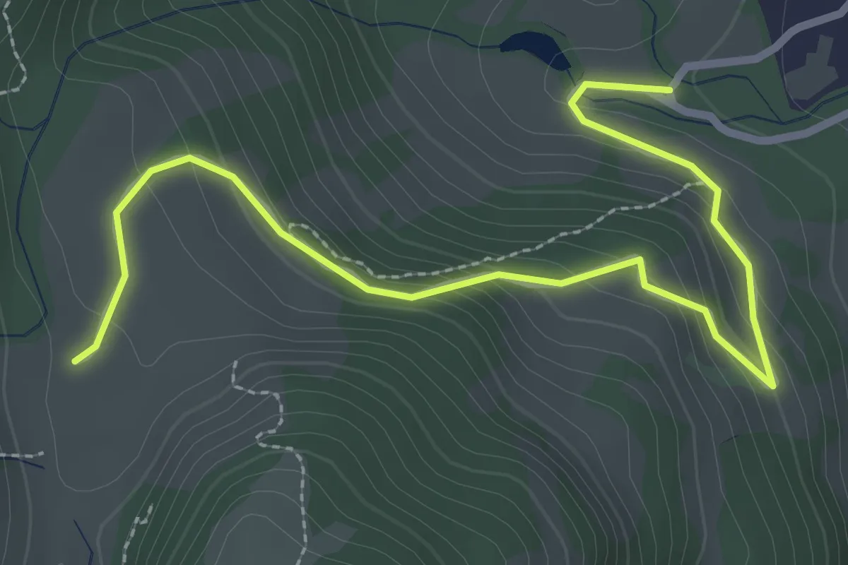
Easy · Trail
Chlefibünt - Matug
3.2 km · ↑ 182 m · 1 h 10 min
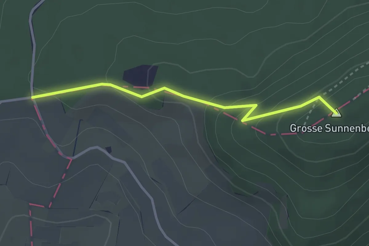
Easy · Summit
Chlei Sunnenberg - Sunnenberg
2.6 km · ↑ 170 m · 59 min
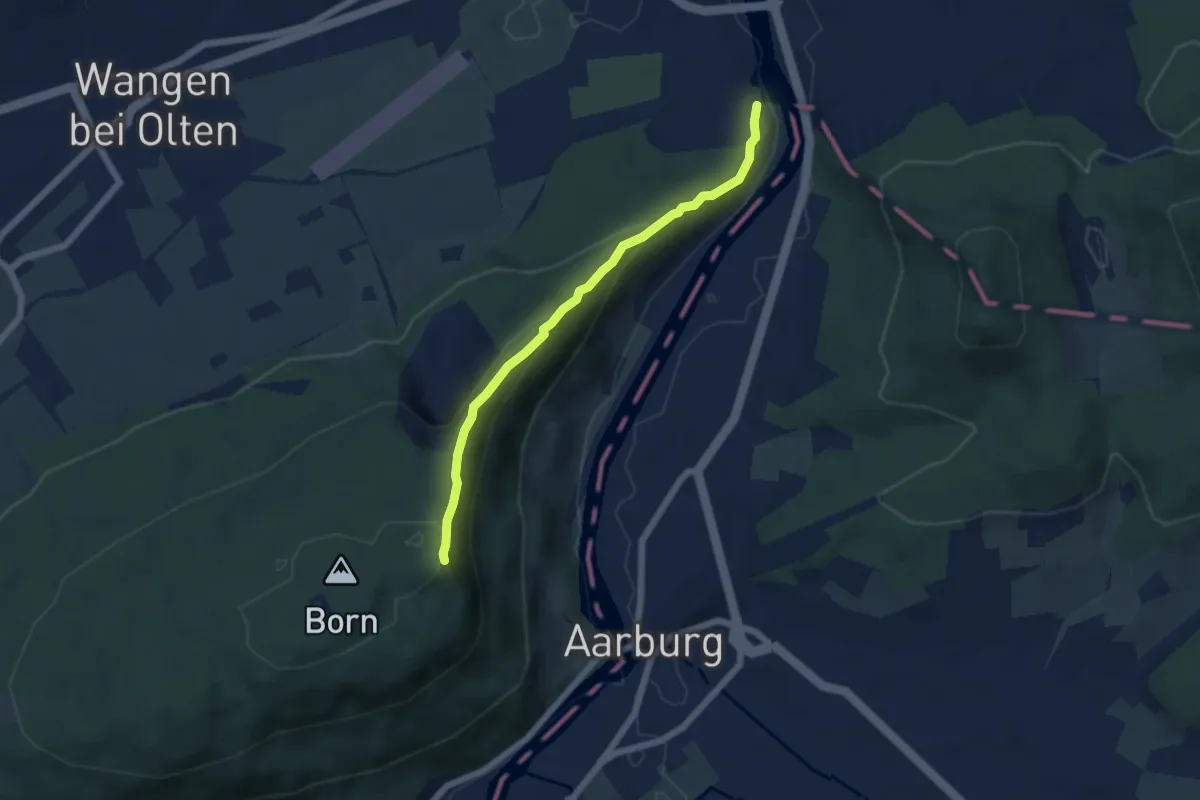
Easy · Trail
Chliholz - Born
5.2 km · ↑ 287 m · 1 h 52 min
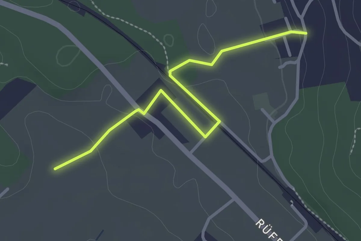
Easy · Trail
Chli Hüenliwald-Murmösli
2.7 km · ↑ 39 m · 43 min
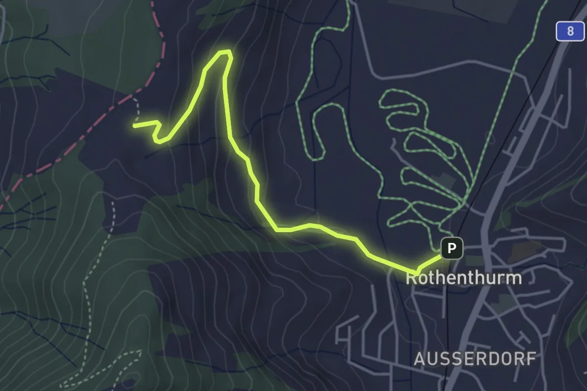
Easy · Trail
Chli Morgarten - Rotenthurm Bahnhof
4.1 km · ↑ 147 m · 1 h 17 min
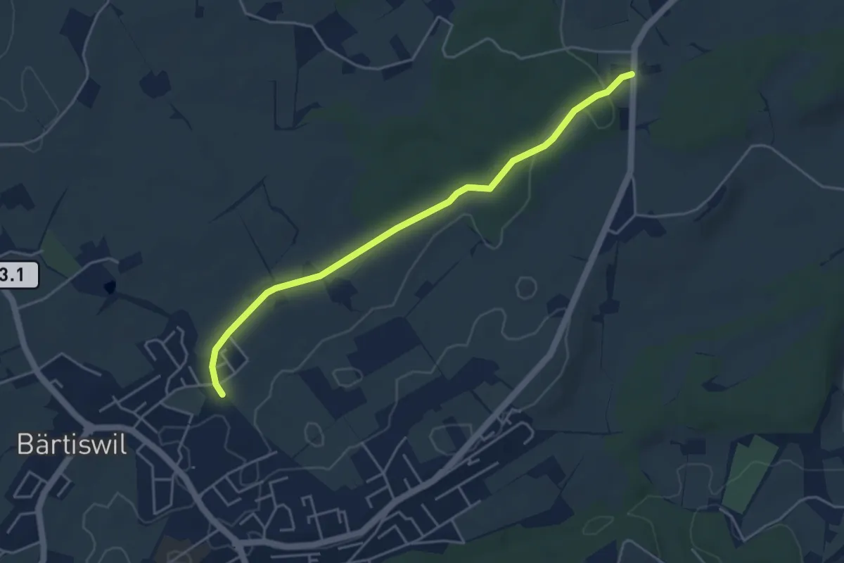
Easy · Trail
Chlöpfen - Chärns
4.3 km · ↑ 43 m · 1 h 7 min
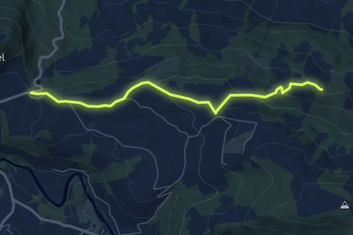
Easy · Trail
Chlos - St. Meinrad
6.2 km · ↑ 236 m · 1 h 58 min
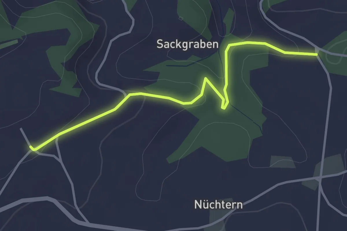
Easy · Trail
Chloster - Junkholz
3.4 km · ↑ 126 m · 1 h 4 min
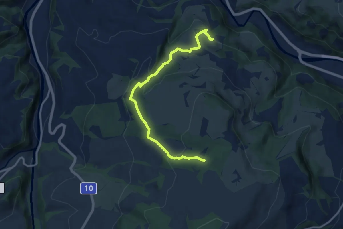
Easy · Trail
Chlosterwald - Chächebüel
7.7 km · ↑ 240 m · 2 h 20 min
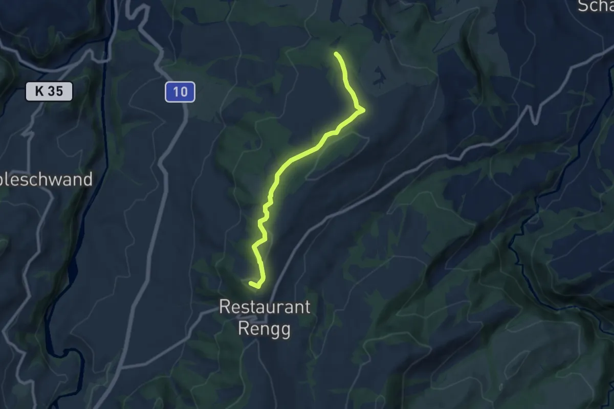
Easy · Summit
Chlosterwald - Rengg
7.1 km · ↑ 191 m · 2 h 6 min
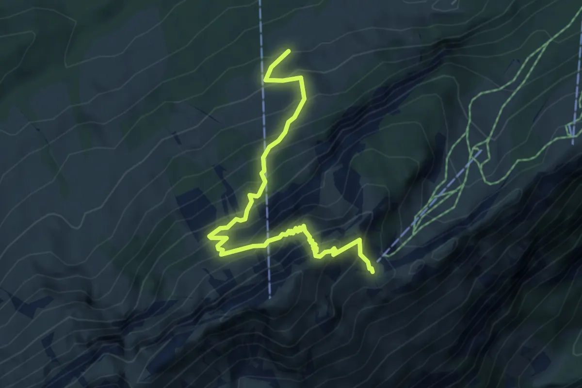
Medium · Trail
Chlus - ?
5.7 km · ↑ 720 m · 2 h 54 min
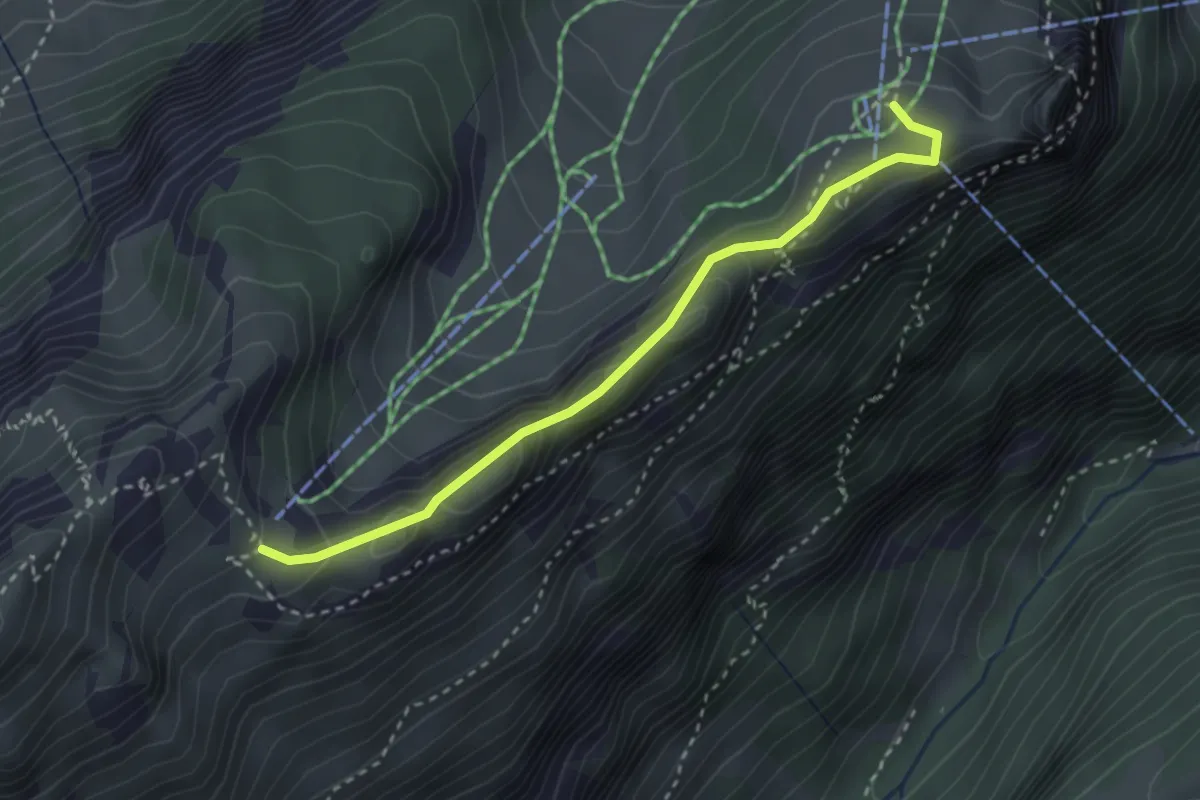
Medium · Cabin
Chlus - Ebenalp
2.9 km · ↑ 191 m · 1 h 5 min
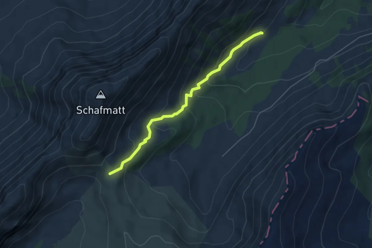
Medium · Trail
Chlusmättili - Wasserfallenegg
4.3 km · ↑ 278 m · 1 h 38 min
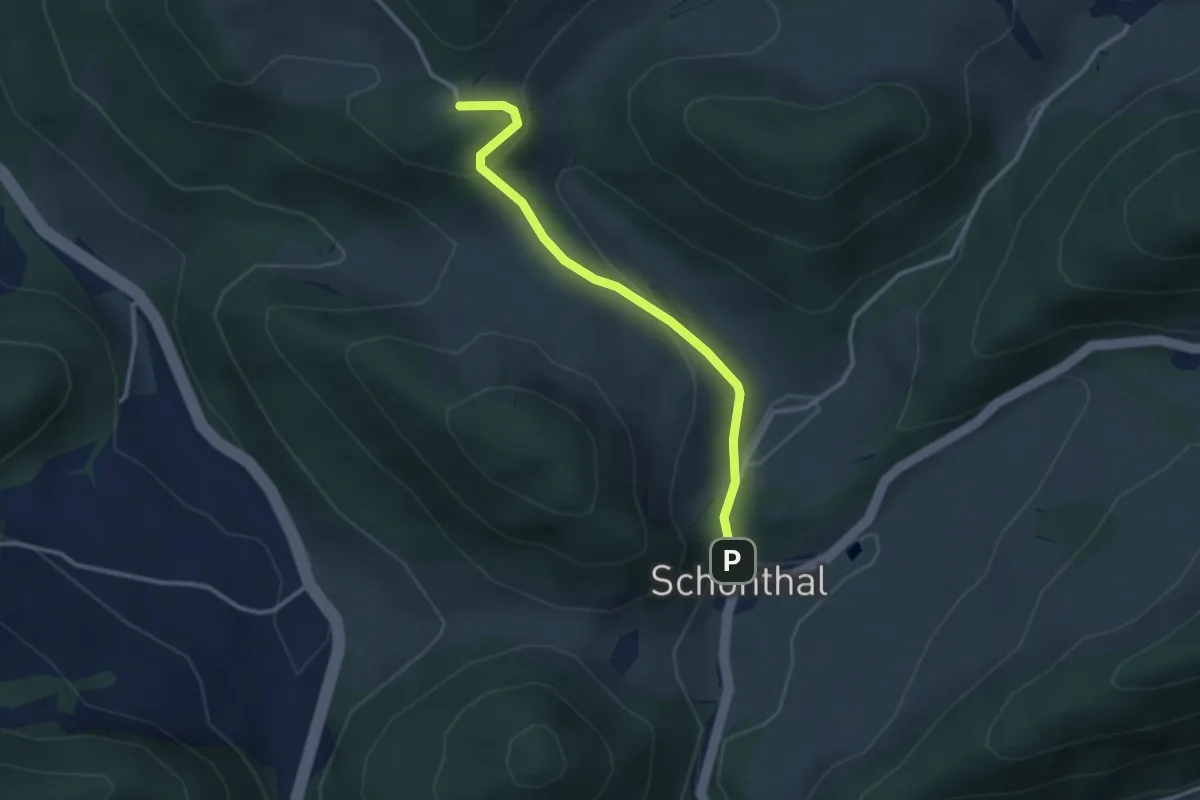
Easy · Trail
Chlusweid - Schöntal
2.8 km · ↑ 139 m · 58 min
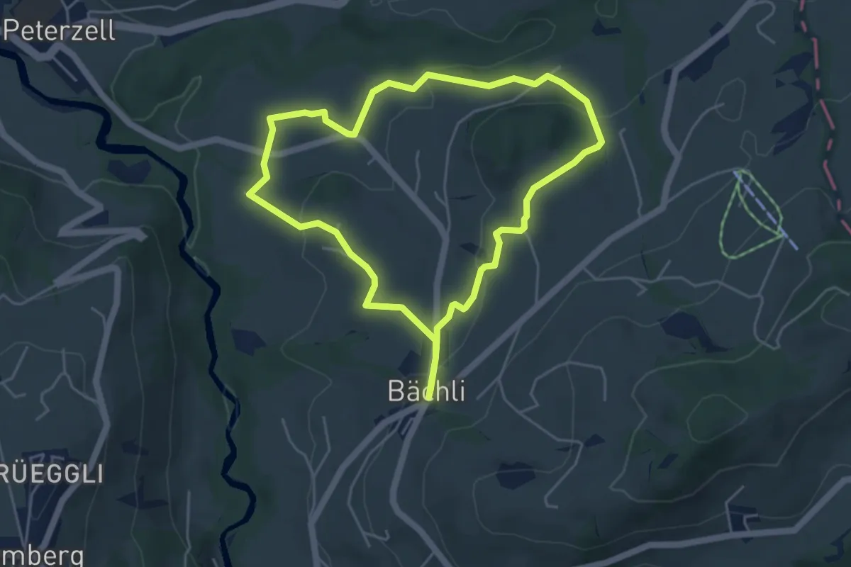
Easy · Trail
Chnobelweg
4.4 km · ↑ 124 m · 1 h 21 min
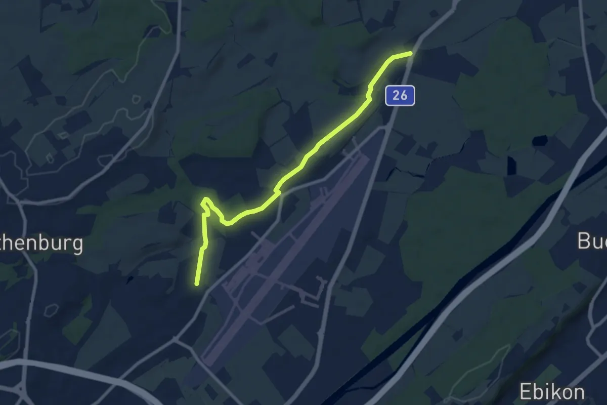
Easy · Trail
Cholbe - Waldibrugg
7.5 km · ↑ 86 m · 1 h 58 min
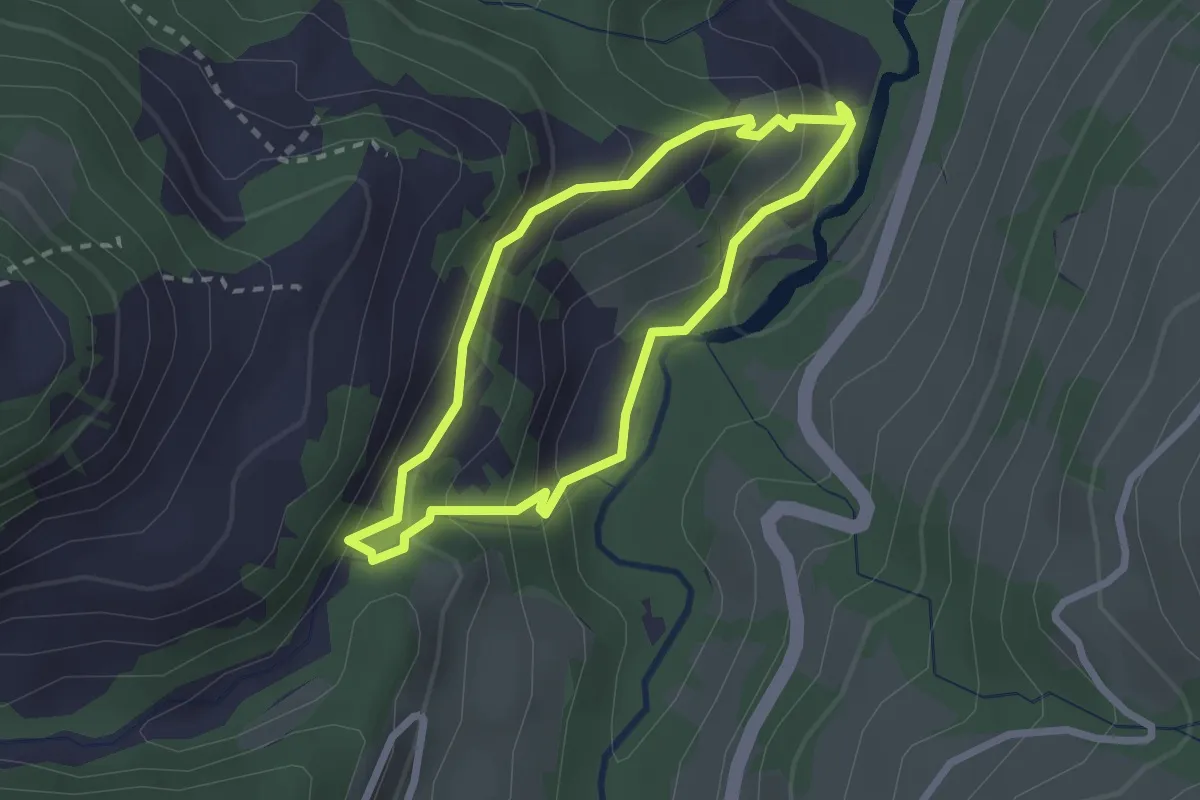
Easy · Trail
Cholerenschlucht Rundweg
2.1 km · ↑ 145 m · 50 min
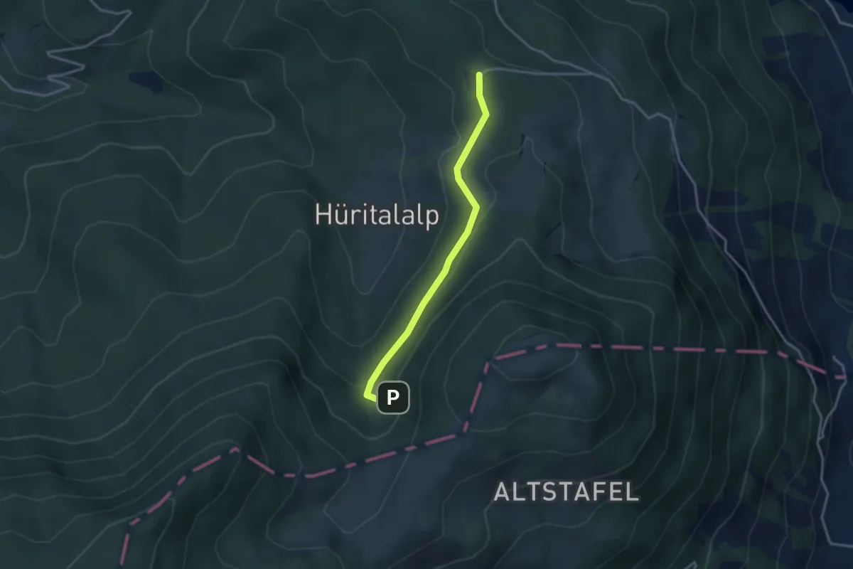
Easy · Trail
Cholerhütte - Geissfaren
2.9 km · ↑ 105 m · 55 min
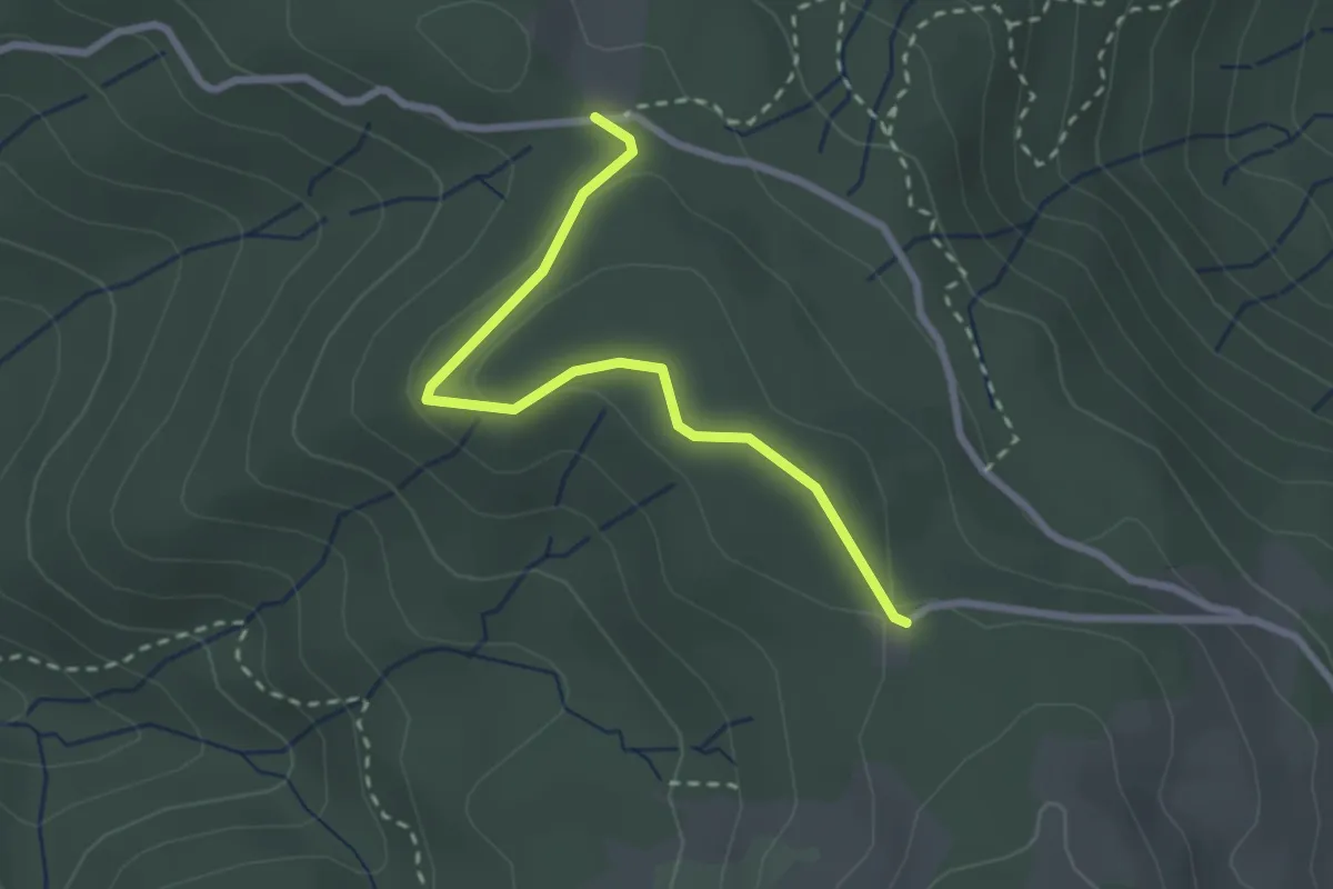
Easy · Trail
Cholerhütte - Rossallmig
2.5 km · ↑ 52 m · 43 min
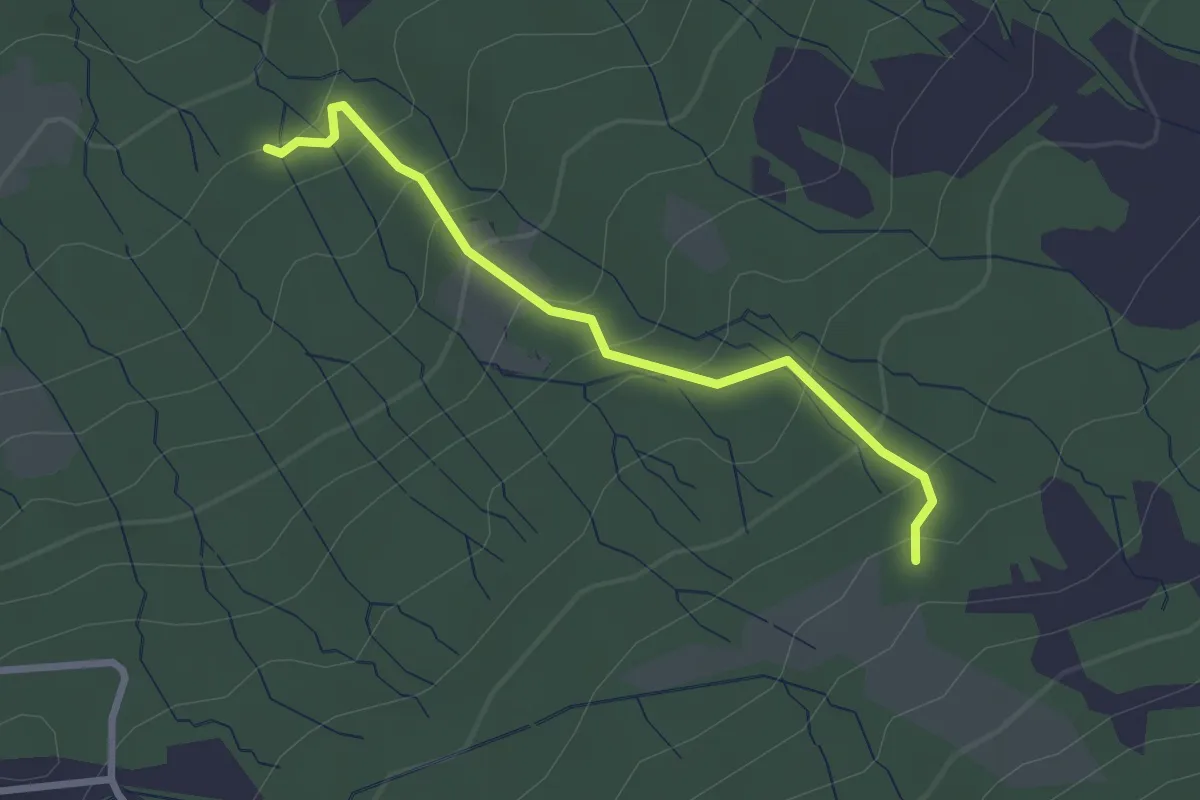
Easy · Trail
Cholertoni - Ob. Stosslegi
2.5 km · ↑ 219 m · 1 h 3 min
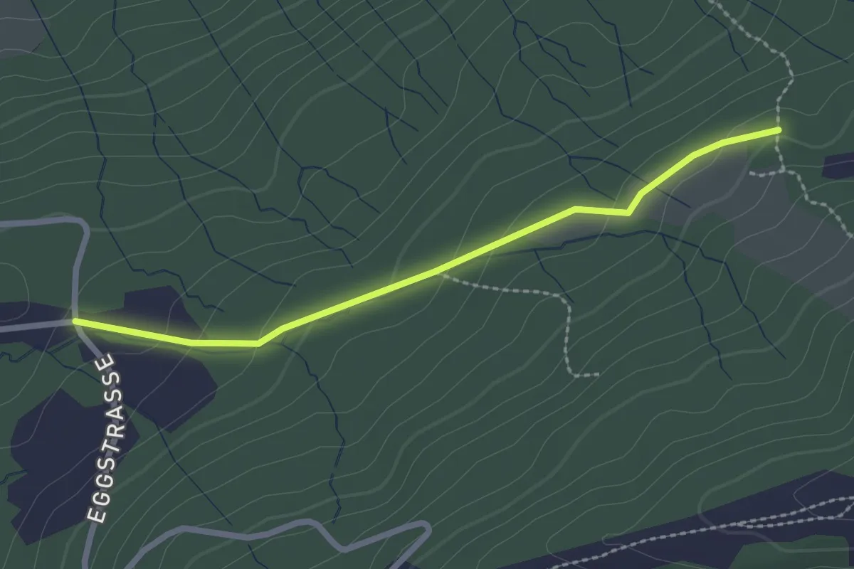
Easy · Trail
Cholertoni - Rittmarren? / Gommiswald? - fixme
2.3 km · ↑ 75 m · 42 min
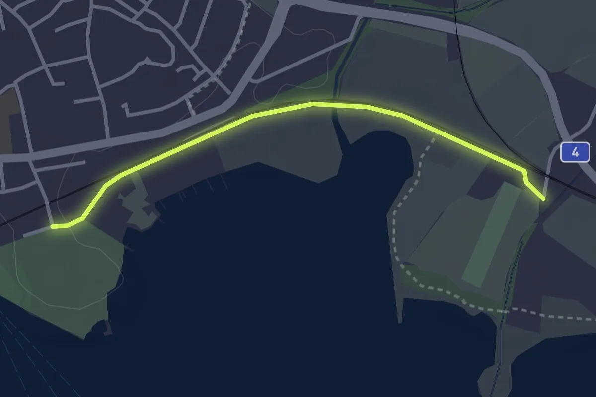
Easy · Trail
Chollermühli - Cham
2.9 km · ↑ 12 m · 43 min
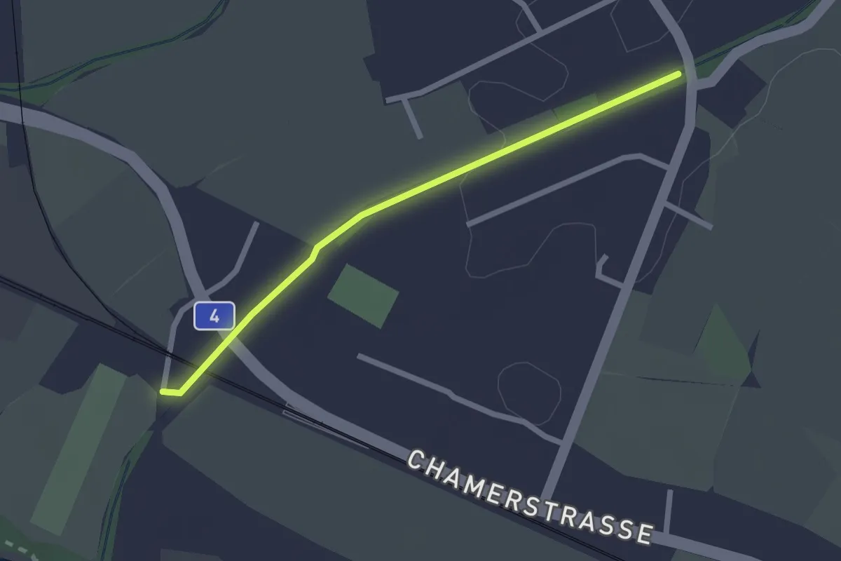
Easy · Trail
Chollermülli - Steinhauserbrücke
2.0 km · ↑ 5 m · 29 min
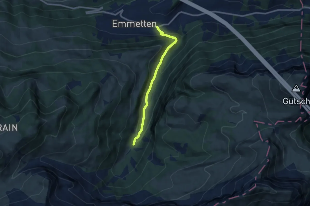
Medium · Trail
Cholstrasse - Emmetten
5.7 km · ↑ 371 m · 2 h 9 min
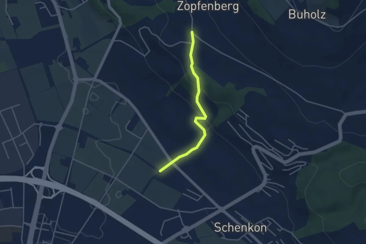
Easy · Trail
Chommlibach - Zopfenberg
3.0 km · ↑ 113 m · 57 min
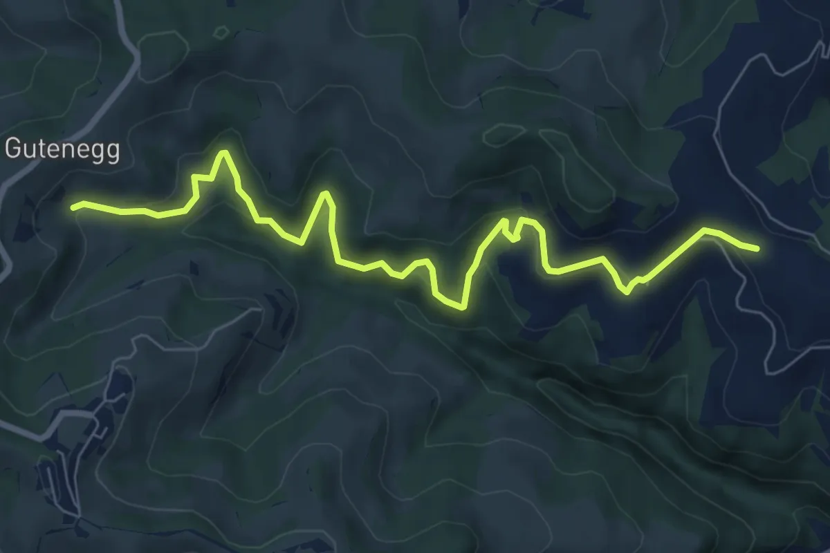
Medium · Trail
Chorb -923
8.0 km · ↑ 445 m · 2 h 51 min
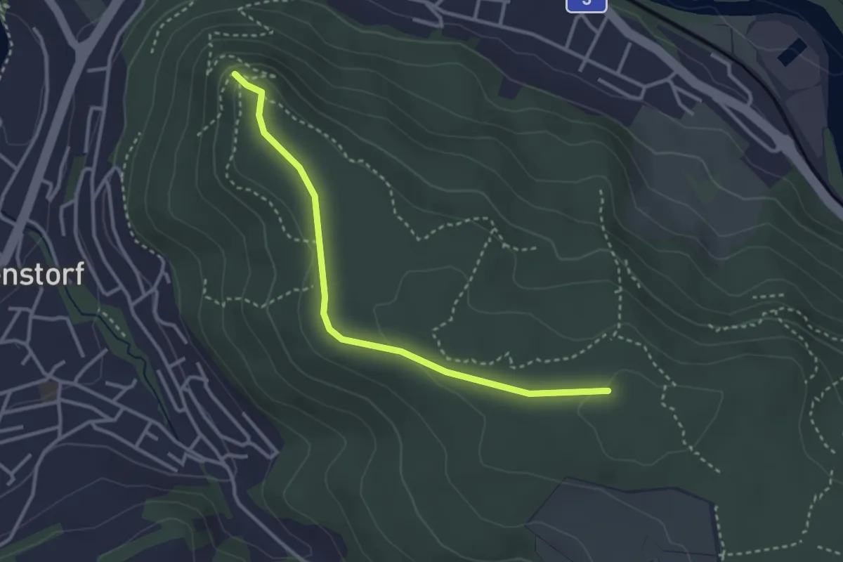
Easy · Trail
Chörnlisberg-Gebenstorfer Horn
3.1 km · ↑ 79 m · 54 min
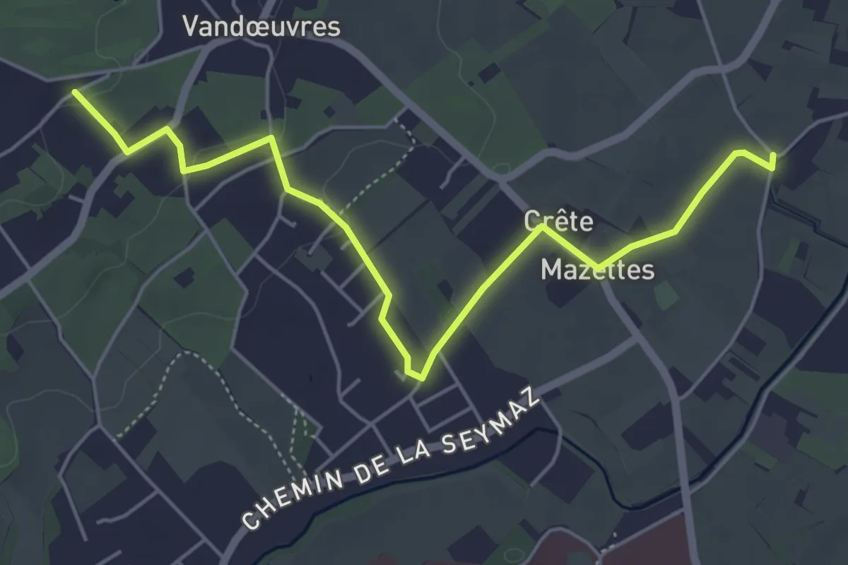
Easy · Trail
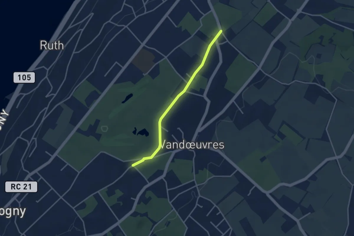
Chougny - Chevrier
5.7 km · ↑ 54 m · 1 h 28 min
Easy · Trail
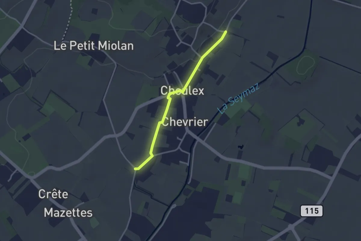
Chougny - Pressy
2.9 km · ↑ 21 m · 43 min
Easy · Trail
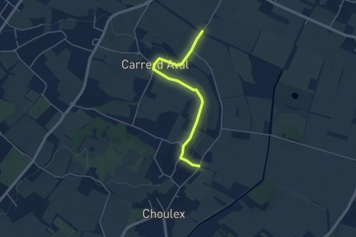
Choulex - Chevrier
2.5 km · ↑ 9 m · 36 min
Easy · Trail
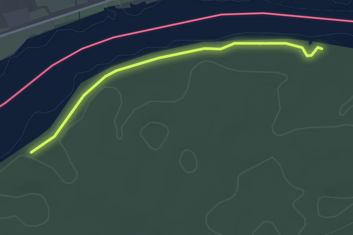
Choulex - Pré de la Donnaz
3.7 km · ↑ 66 m · 1 h 1 min
Easy · Trail
Chräbis - Rappertshüseren
2.8 km · ↑ 14 m · 41 min
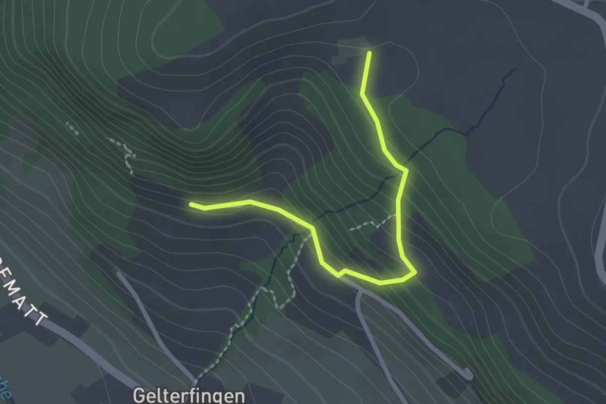
Easy · Trail
Chramburg - Schlatt
2.1 km · ↑ 133 m · 47 min
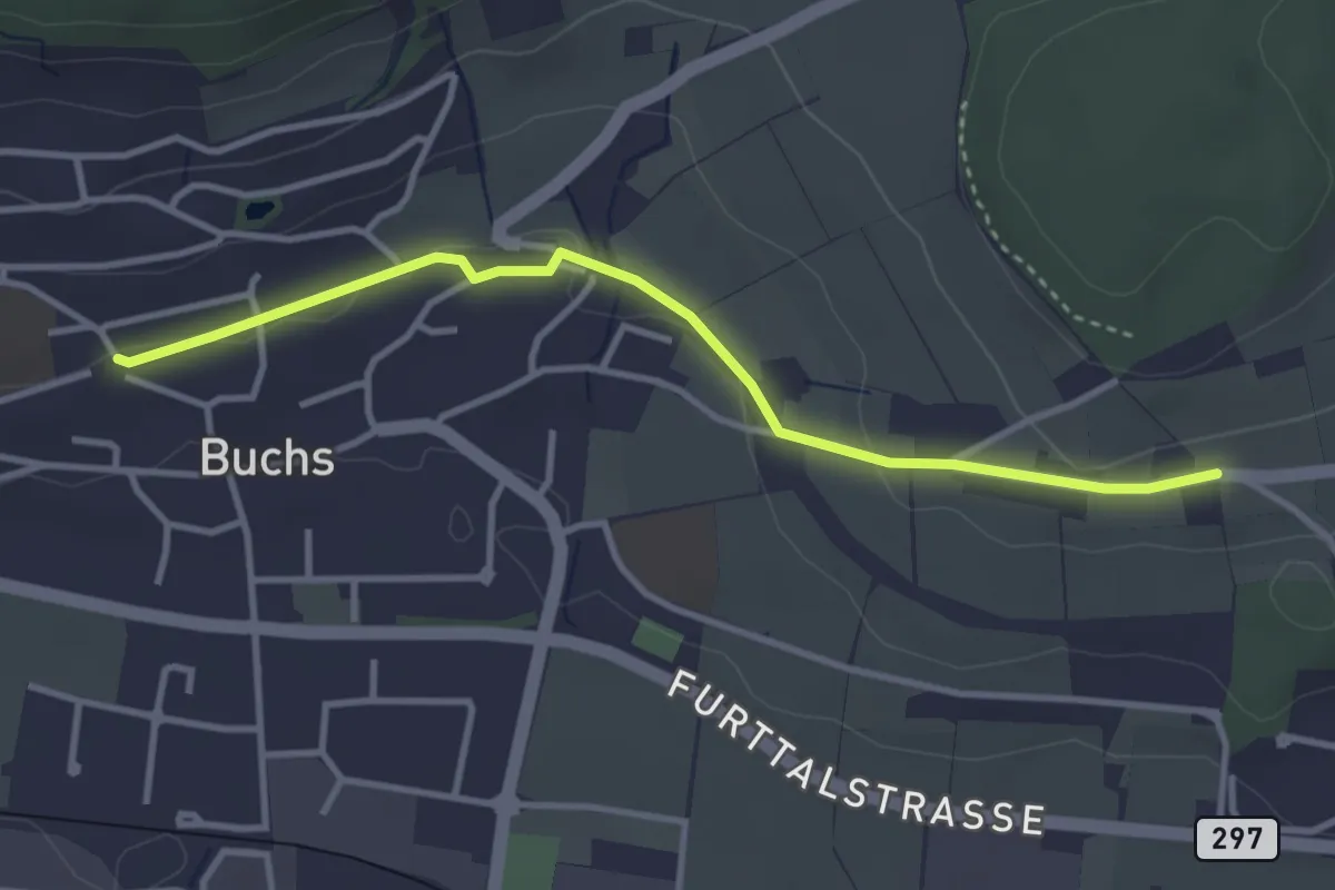
Easy · Trail
Chrästel
3.5 km · ↑ 50 m · 56 min
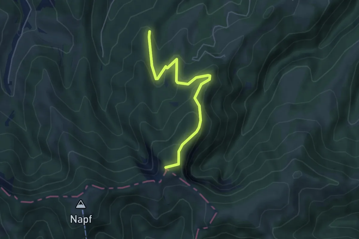
Easy · Summit
Chrotthütten - Stächelegg
4.6 km · ↑ 315 m · 1 h 47 min
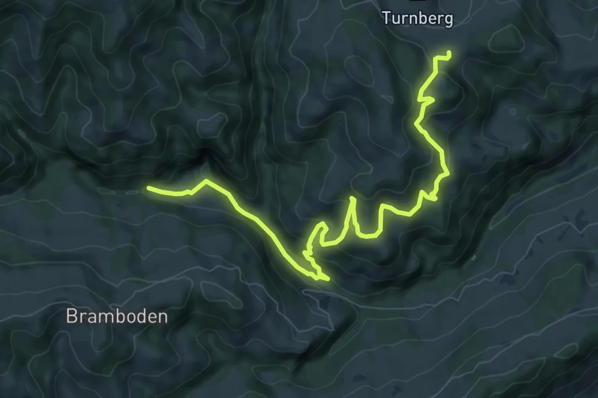
Medium · Trail
Chrummatt - Drachslis
10.2 km · ↑ 630 m · 3 h 46 min
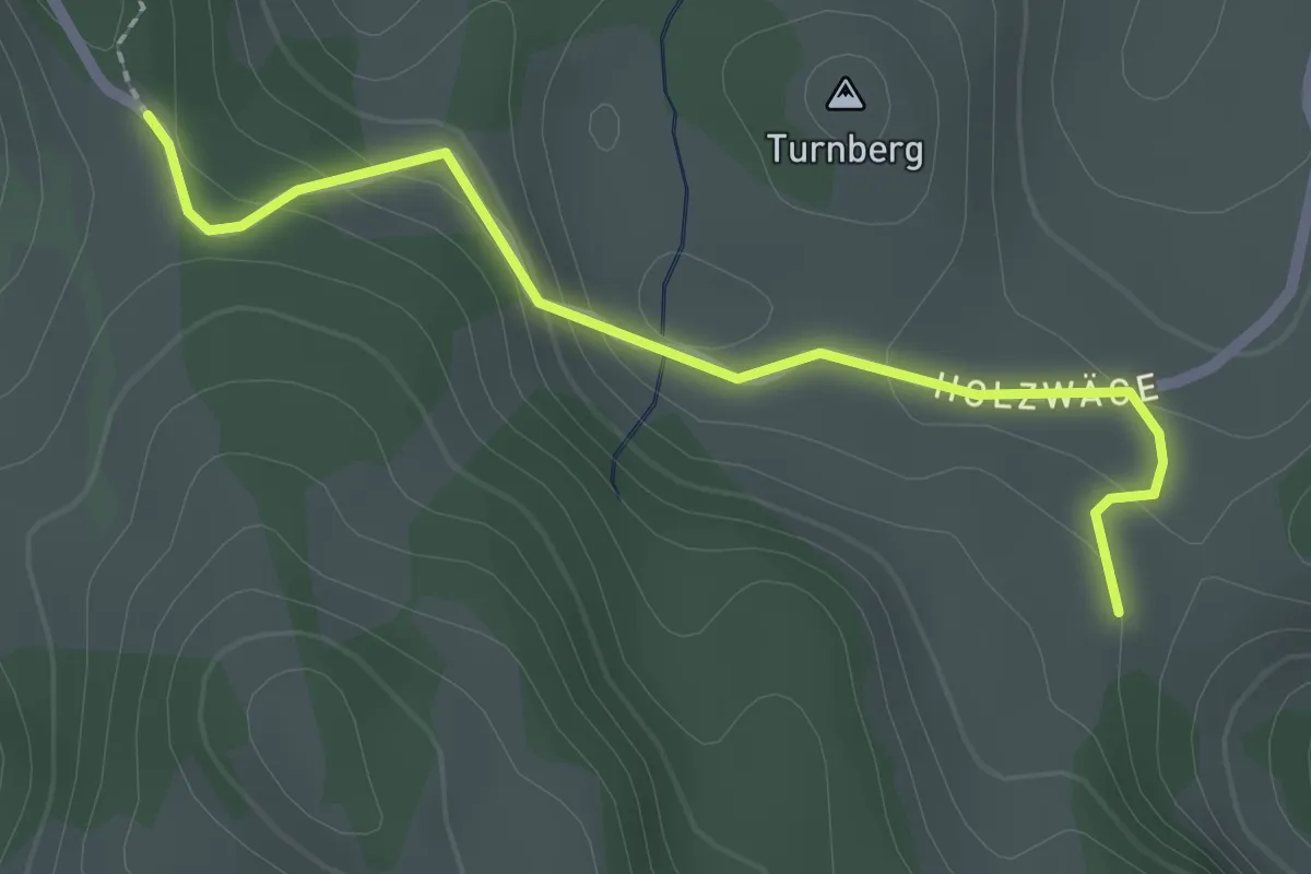
Easy · Trail
Chrummatt - Schwändi
2.2 km · ↑ 92 m · 44 min
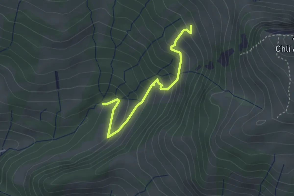
Easy · Trail
Chrummflüeli - Bärlaui
3.0 km · ↑ 268 m · 1 h 17 min
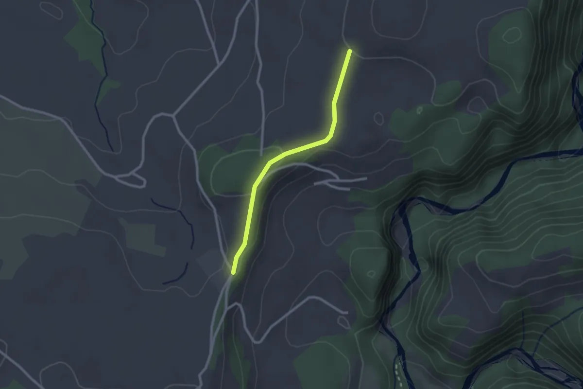
Easy · Trail
Chrummoos - Ried
2.1 km · ↑ 47 m · 36 min
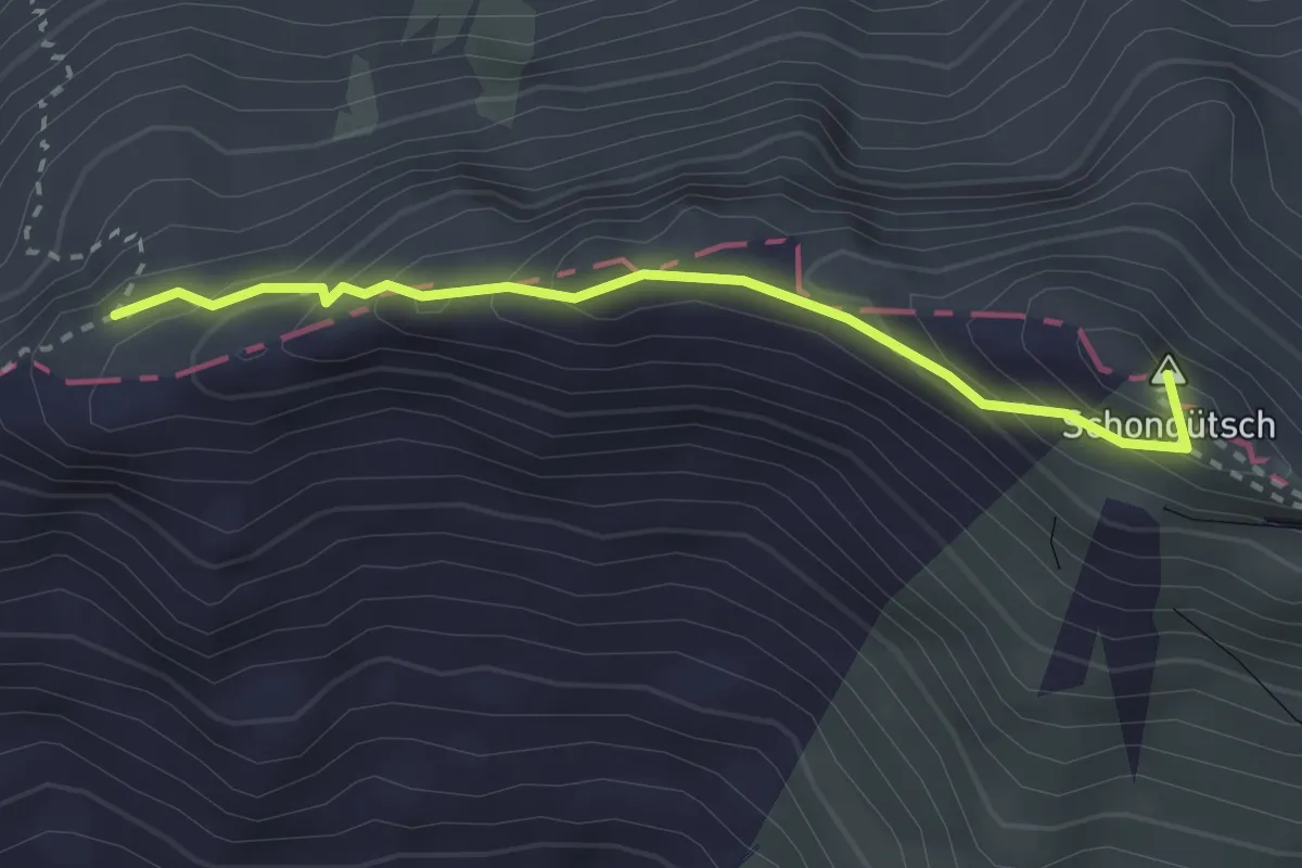
Demanding · Summit
Chruterenboden - Rothorn
2.6 km · ↑ 218 m · 1 h 5 min
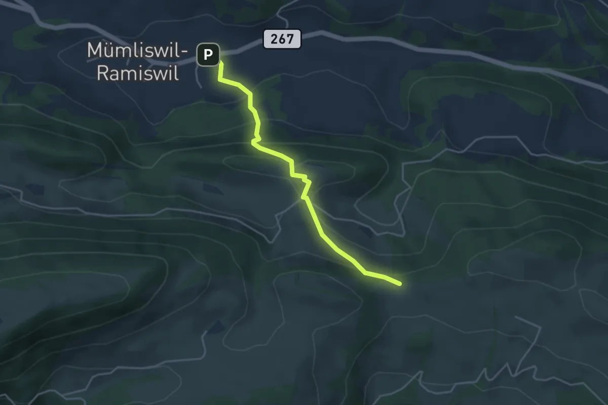
Easy · Trail
Chrützlimatt - Lourdweg Brüggli
3.7 km · ↑ 233 m · 1 h 23 min
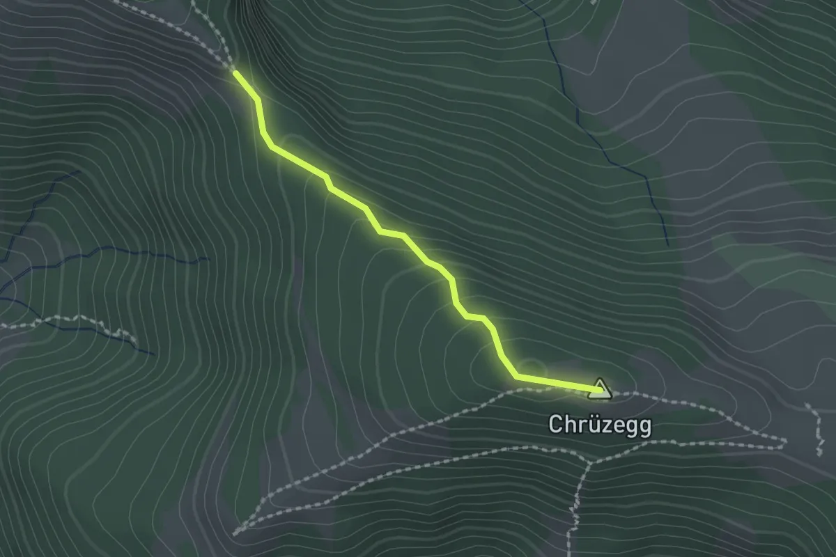
Easy · Summit
Chrüzegg-Habrüti Sattel
1.6 km · ↑ 109 m · 37 min
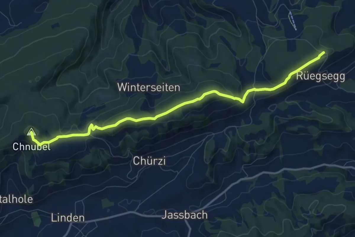
Medium · Summit
Chuderhüsi-Oberdiessbach
10.2 km · ↑ 321 m · 3 h 7 min
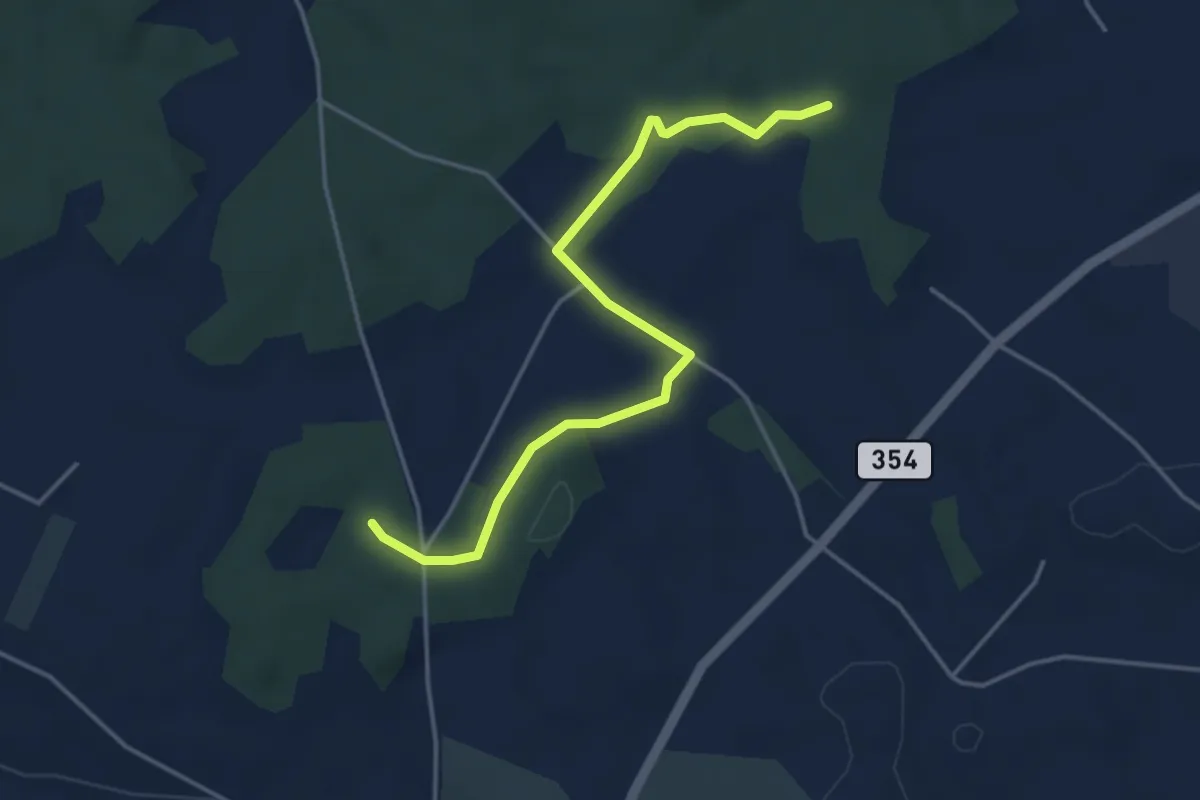
Easy · Trail
Chueweid - Anet
4.2 km · ↑ 37 m · 1 h 4 min