Trails in Switzerland
15,029 hiking trails, each with its route, climb, walking time and grade.
All trails, page 25 of 314
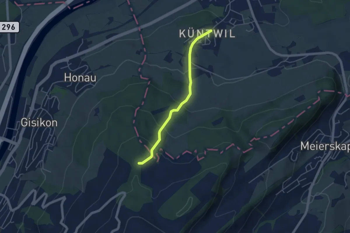
Easy · Trail
Chünten - Mittler Sonderi
3.7 km · ↑ 221 m · 1 h 21 min
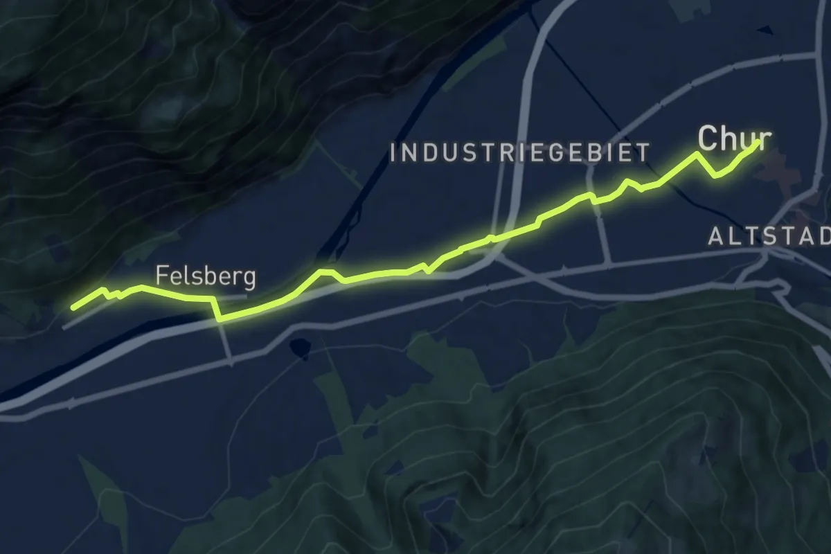
Medium · Trail
Chur-Felsberg
11.3 km · ↑ 53 m · 2 h 47 min
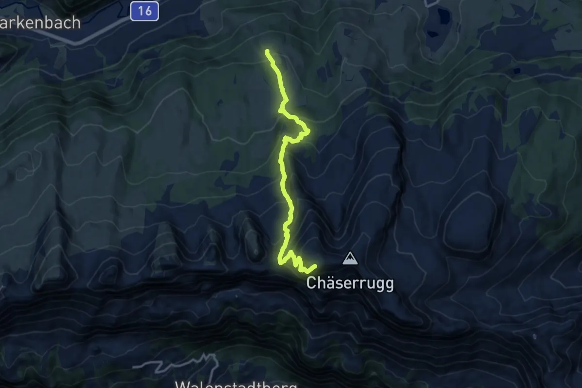
Demanding · Summit
Churfirsten-Weg
10.5 km · ↑ 1087 m · 4 h 49 min
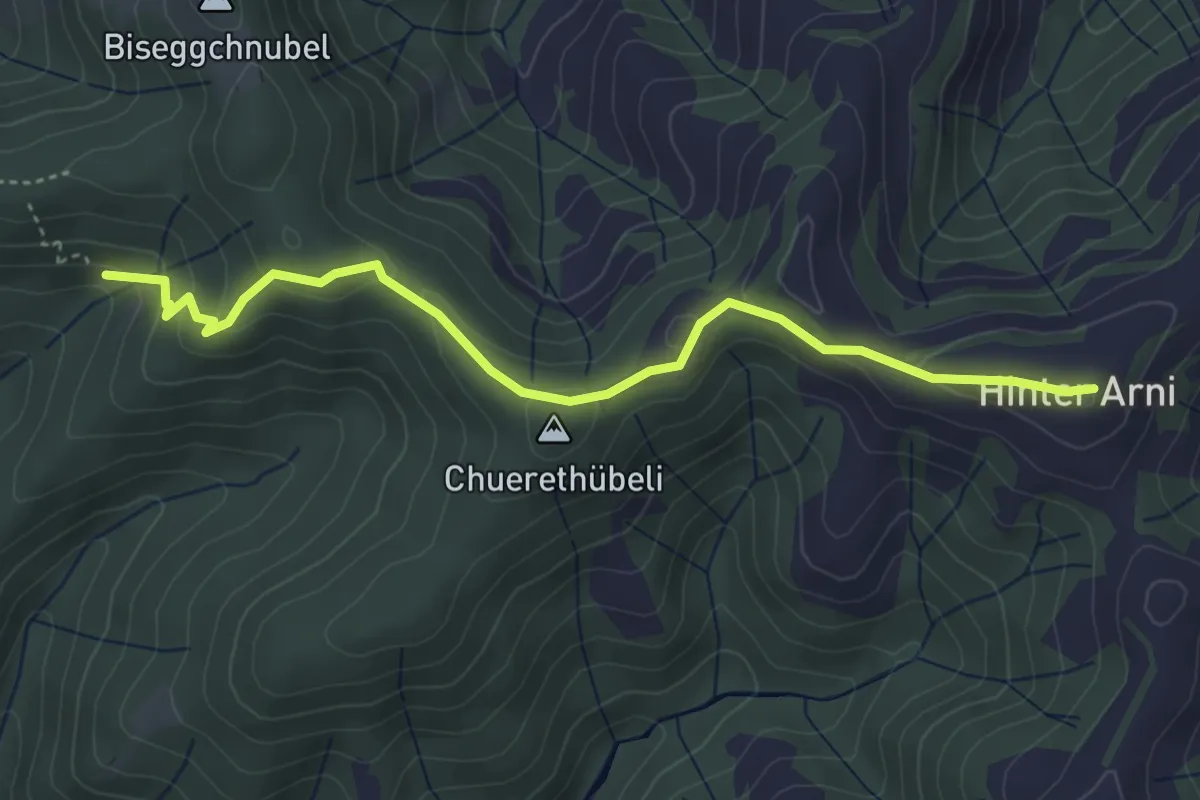
Easy · Summit
Chuttelbad - Hinter Arni
4.4 km · ↑ 172 m · 1 h 25 min
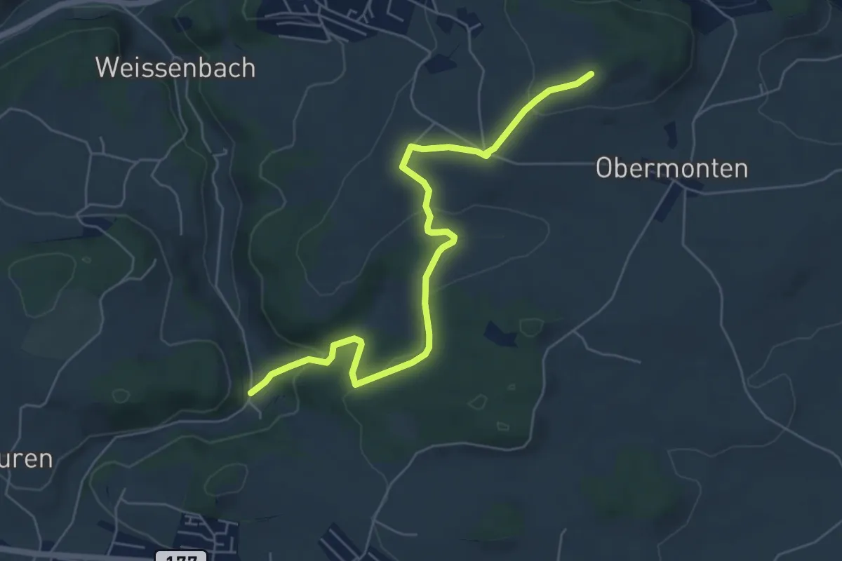
Easy · Trail
Chutz - Seligraben
6.2 km · ↑ 186 m · 1 h 52 min
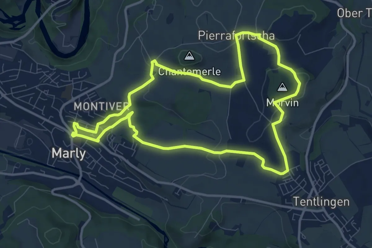
Medium · Trail
Circuit 3 Marly - Villars-sur-Marly - Pierrafortscha
8.9 km · ↑ 172 m · 2 h 36 min
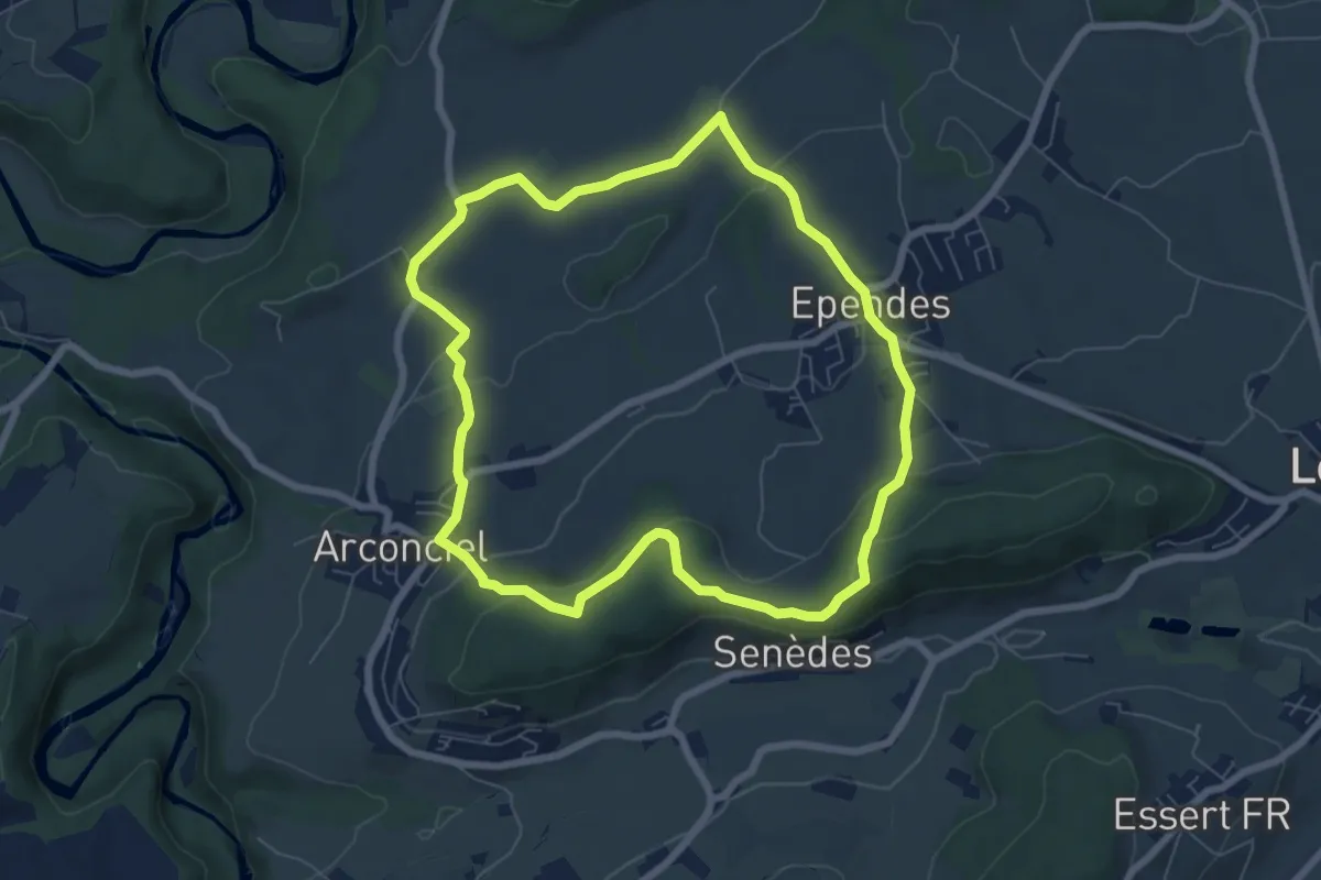
Easy · Trail
Circuit Arconciel - Ependes - Petit-Ependes
6.8 km · ↑ 201 m · 2 h 8 min
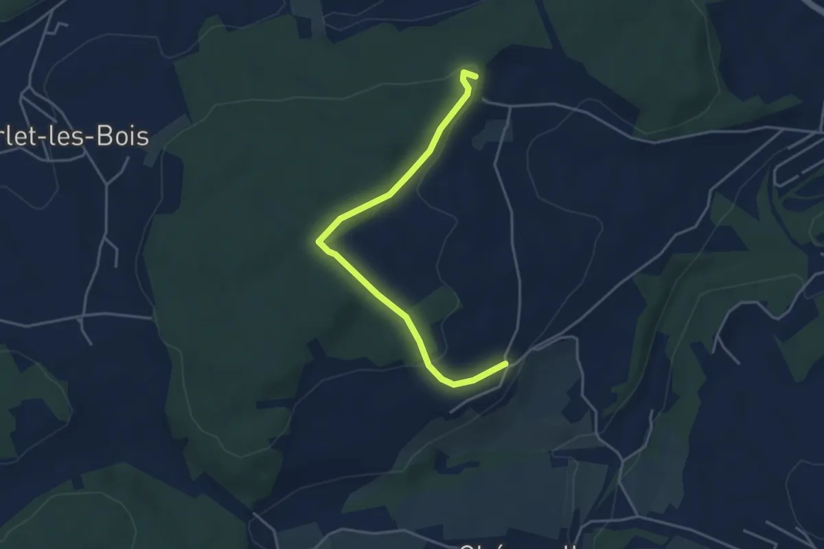
Easy · Trail
Circuit de Belfaux
3.9 km · ↑ 107 m · 1 h 10 min
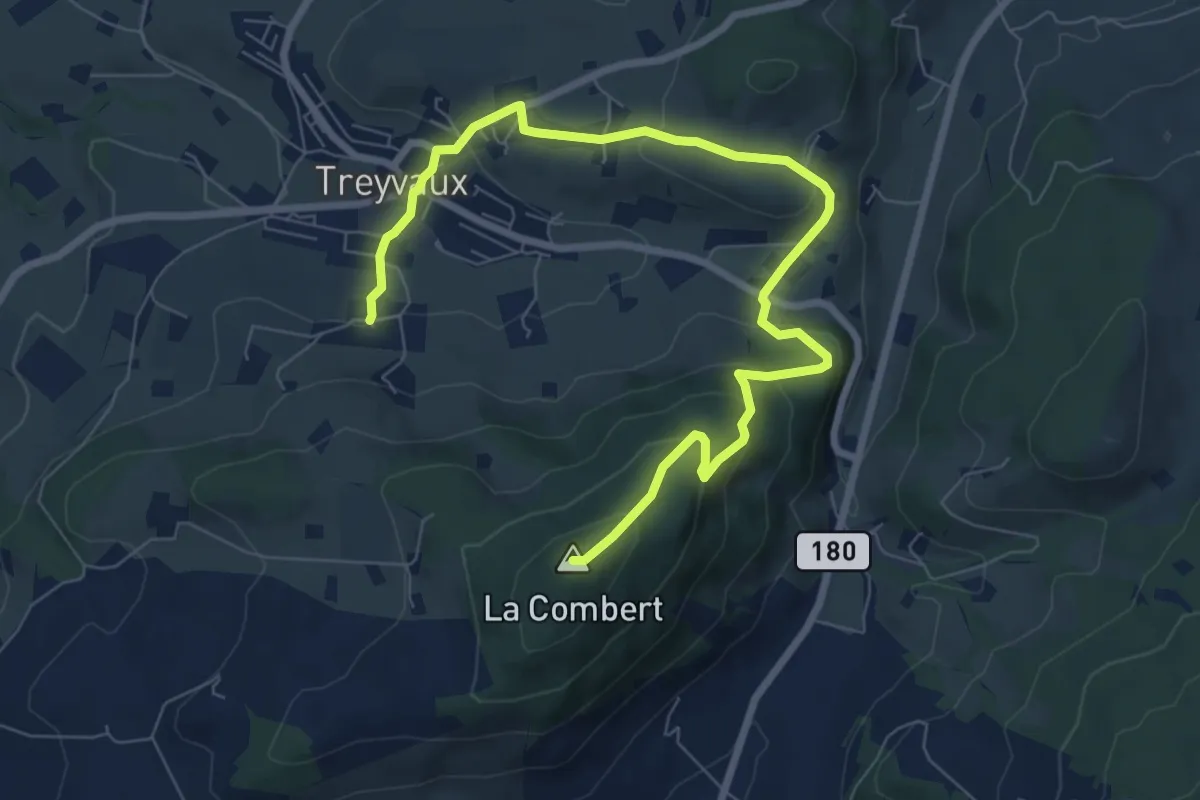
Medium · Summit
Circuit de la Combert par le sommet
9.4 km · ↑ 427 m · 3 h 8 min
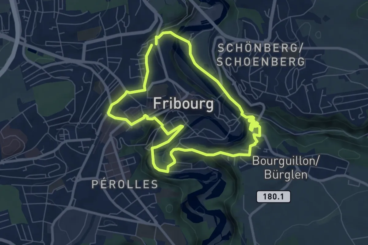
Easy · Trail
Circuit des fortifications
6.3 km · ↑ 286 m · 2 h 11 min
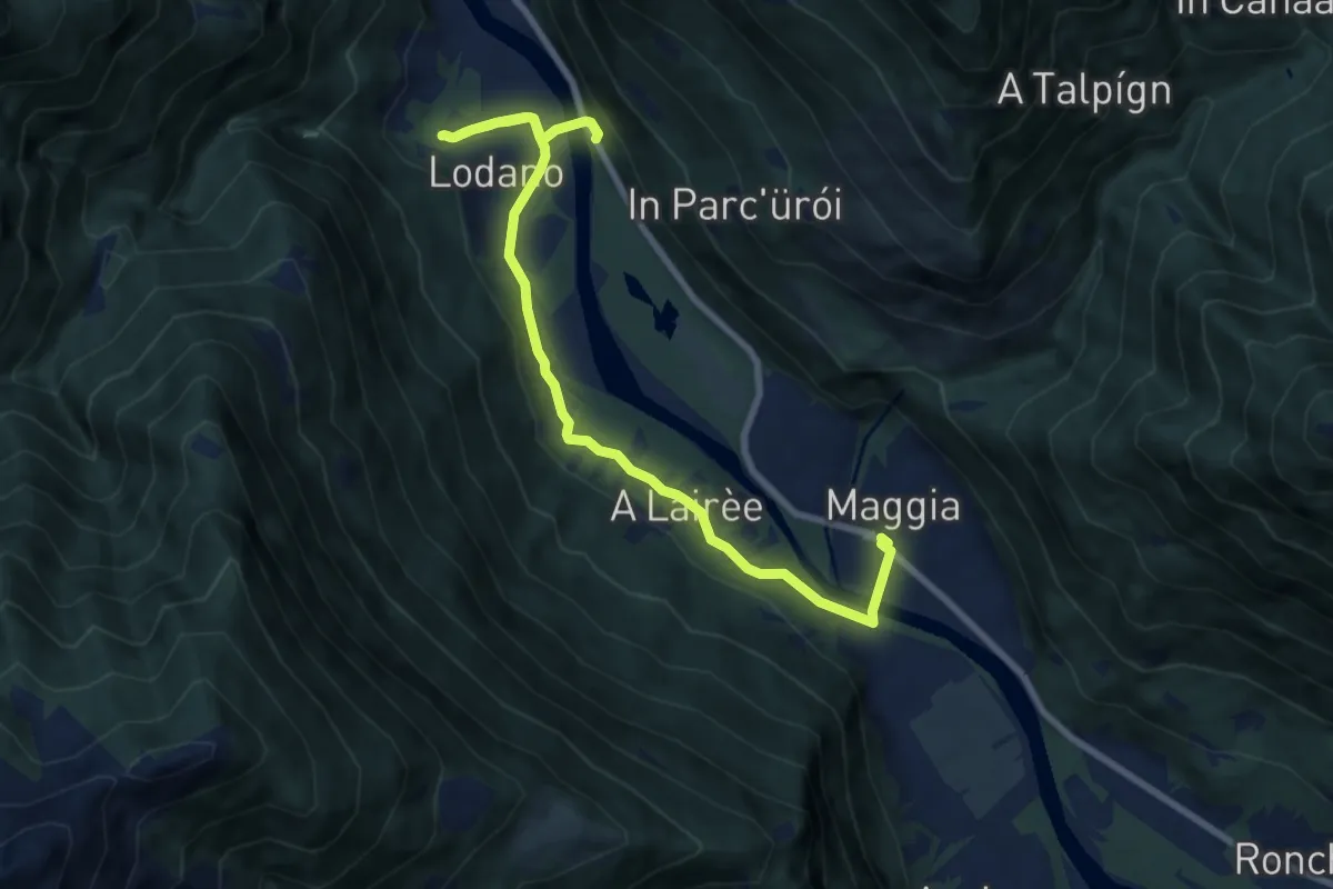
Easy · Trail
Circuito di Lodano
4.7 km · ↑ 93 m · 1 h 23 min
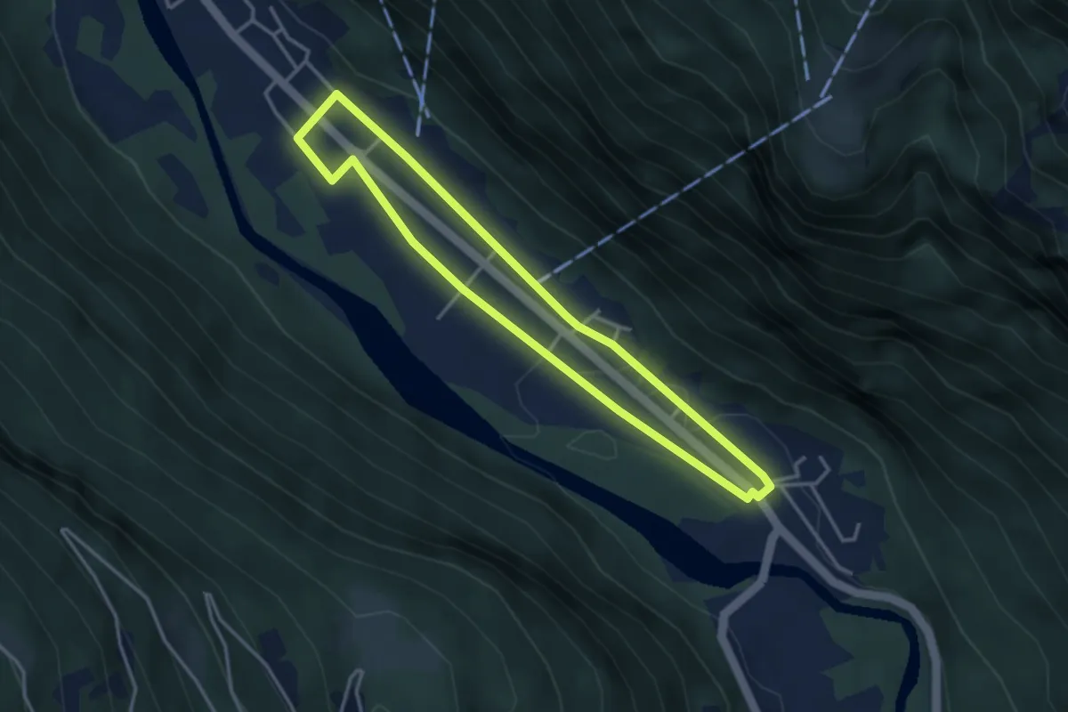
Easy · Trail
Circuito Dongio-Motto
3.3 km · ↑ 29 m · 53 min
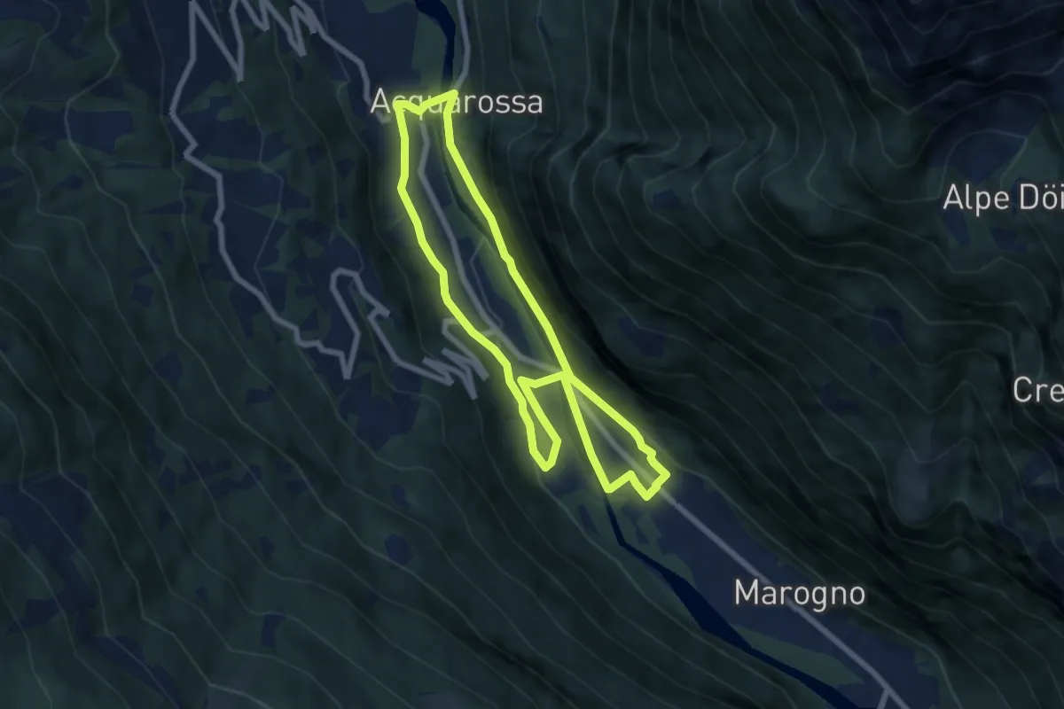
Easy · Trail
Circuito Dongio-Satro
6.5 km · ↑ 113 m · 1 h 53 min
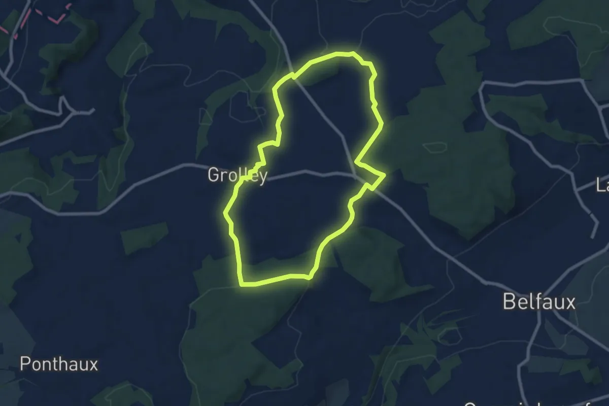
Easy · Trail
Circuit pédestre 2 de Grolley
7.1 km · ↑ 165 m · 2 h 9 min
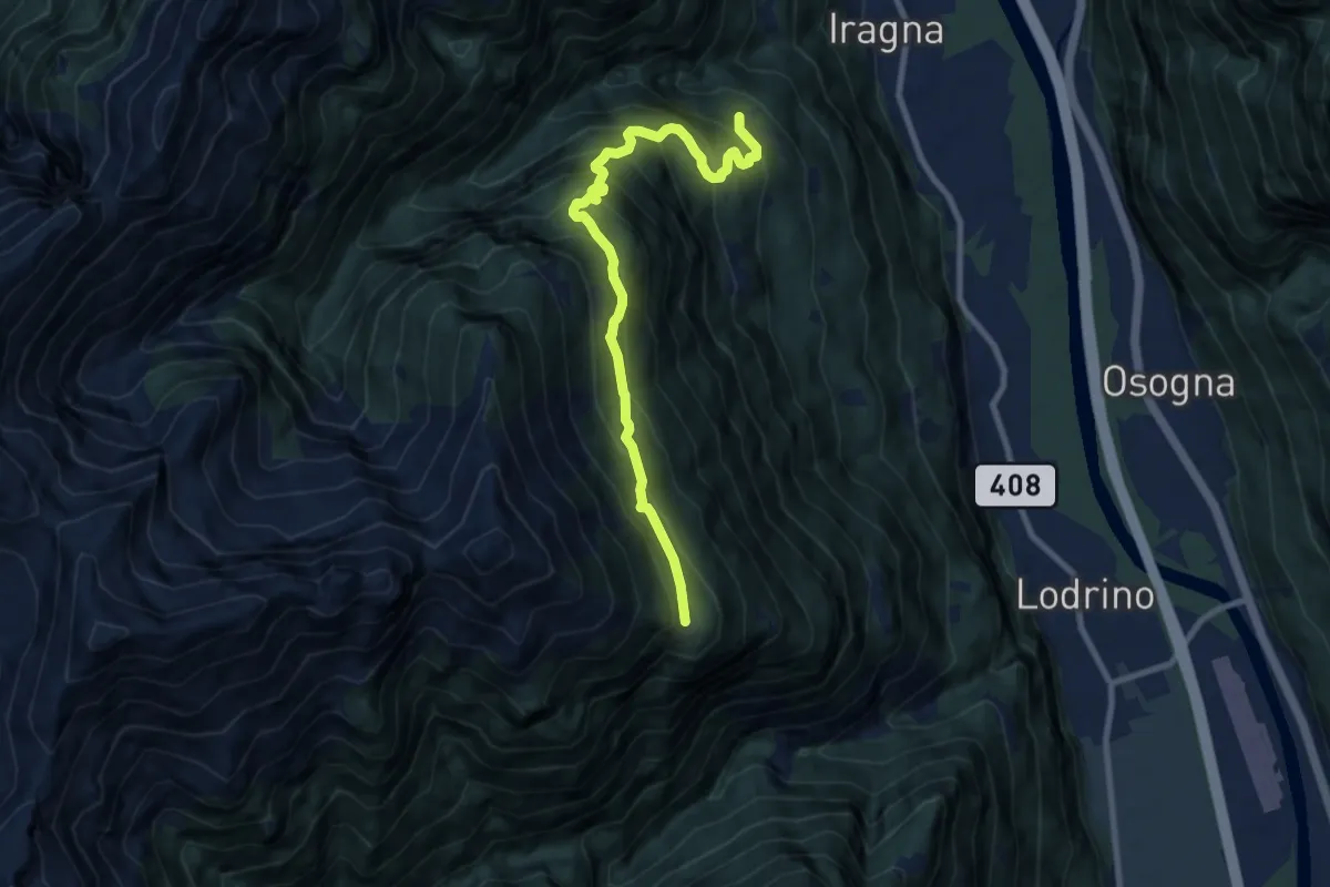
Demanding · Cabin
Citto-Alpe d,Alva
9.1 km · ↑ 987 m · 4 h 18 min
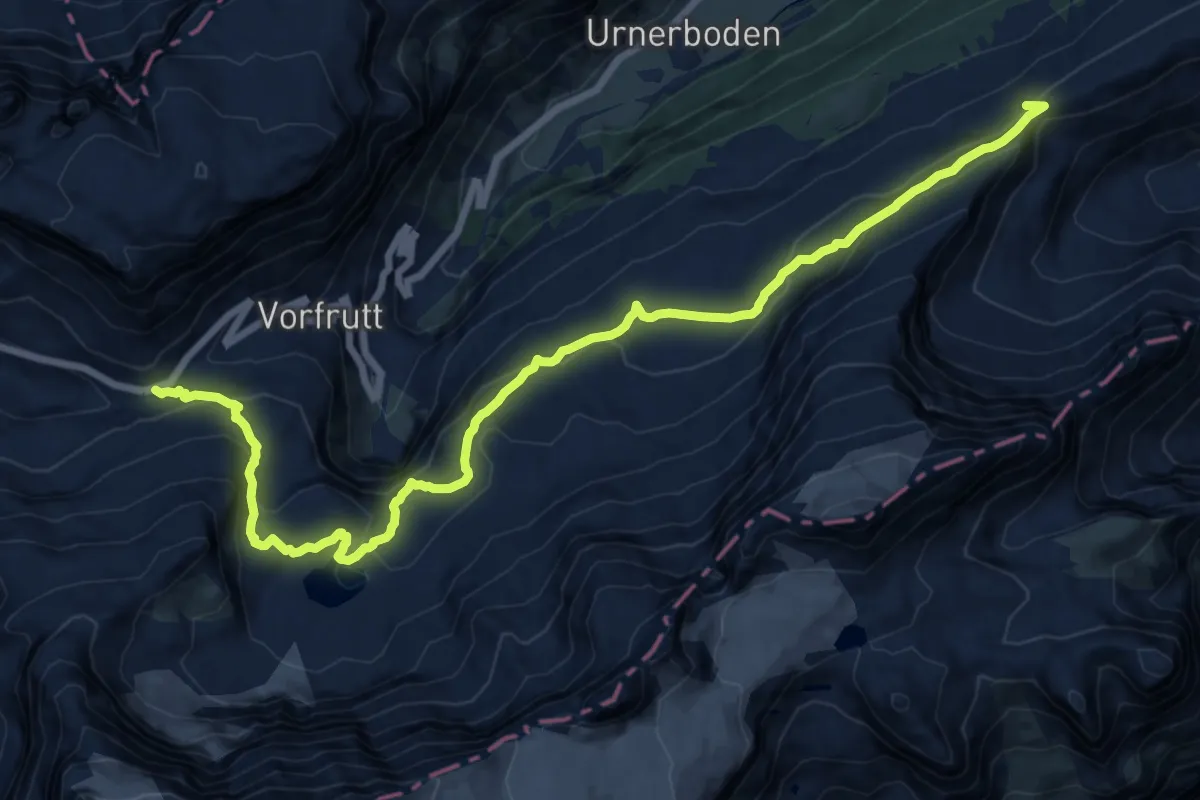
Demanding · Trail
Clariden Höhenweg
18.0 km · ↑ 866 m · 6 h 8 min
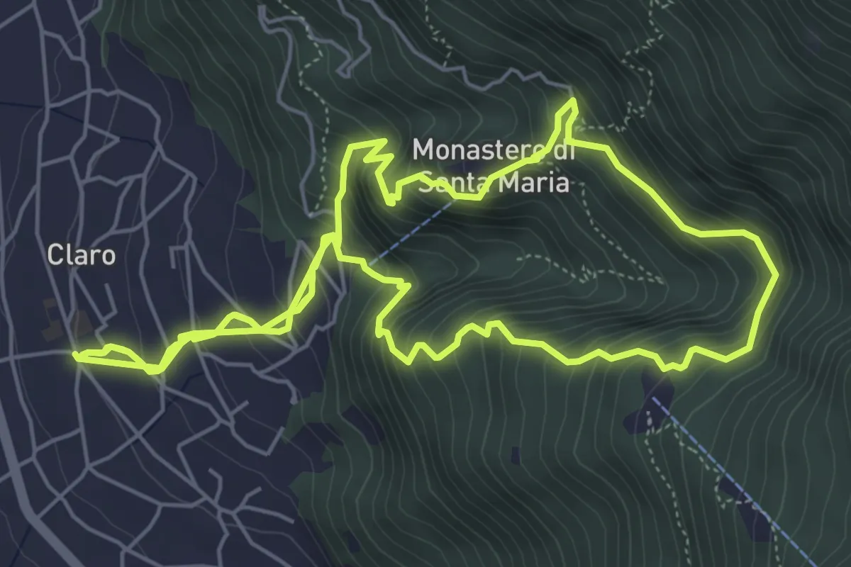
Medium · Trail
Claro e il suo Monastero
6.6 km · ↑ 521 m · 2 h 50 min
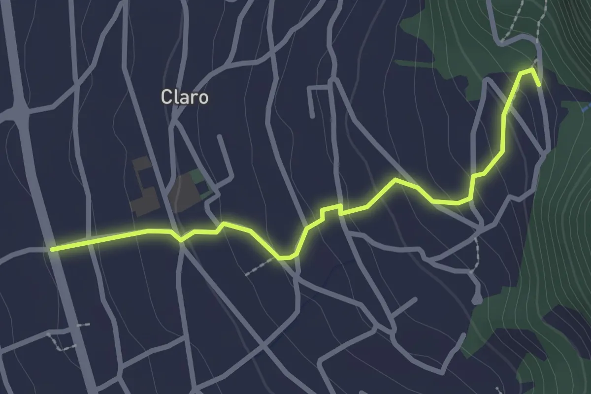
Easy · Trail
Claro S.Ambrogio
2.4 km · ↑ 151 m · 54 min
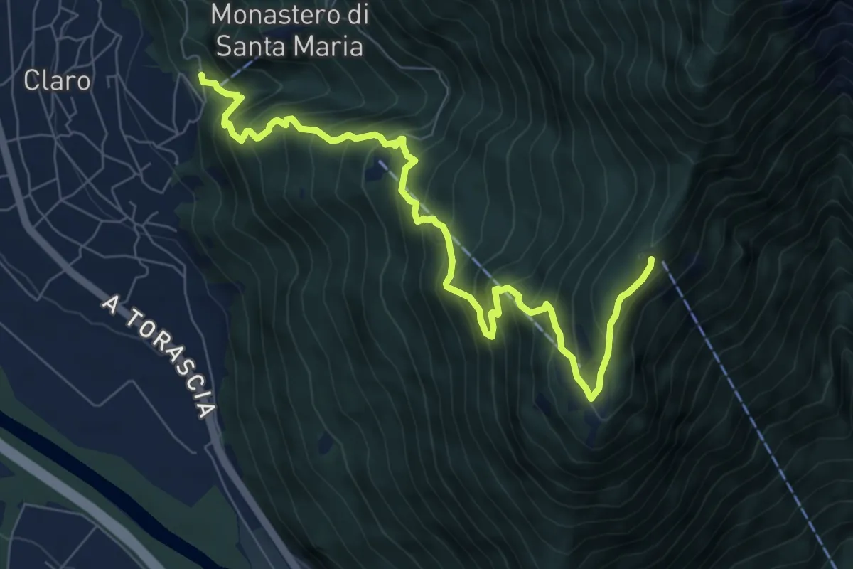
Demanding · Trail
Claro Saurù
8.7 km · ↑ 980 m · 4 h 10 min
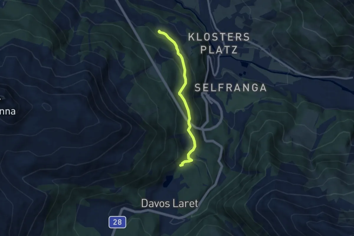
Easy · Trail
Clavadürli - Davos Laret
6.1 km · ↑ 295 m · 2 h 5 min
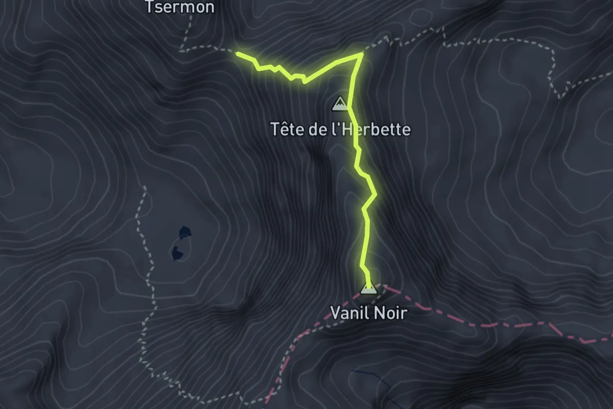
Expert · Summit
Col de Bounavaletta - Vanil Noir
2.7 km · ↑ 347 m · 1 h 23 min
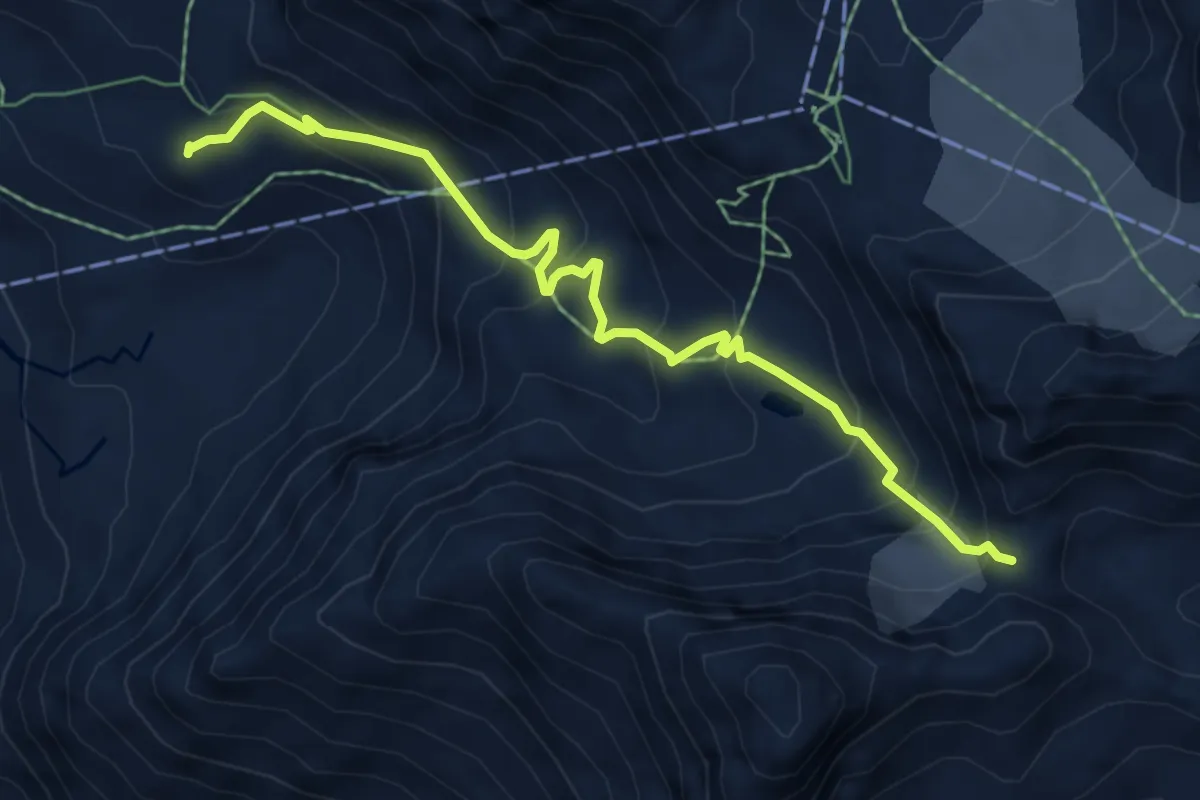
Expert · Cabin
Col de la Chaux - Cabane Mont-Fort
6.2 km · ↑ 479 m · 2 h 30 min
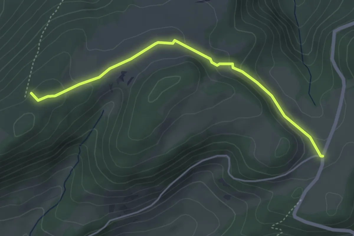
Easy · Trail
Col de la Croix - fixme
4.2 km · ↑ 132 m · 1 h 17 min
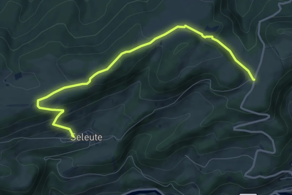
Medium · Trail
Col de la Croix - Seleute
8.5 km · ↑ 375 m · 2 h 50 min
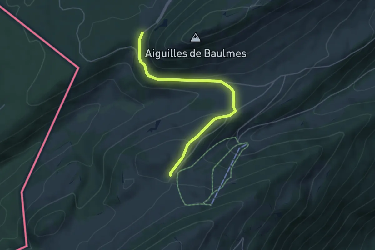
Easy · Trail
Col de l'Aiguillon-Grange Neuve
4.6 km · ↑ 181 m · 1 h 28 min
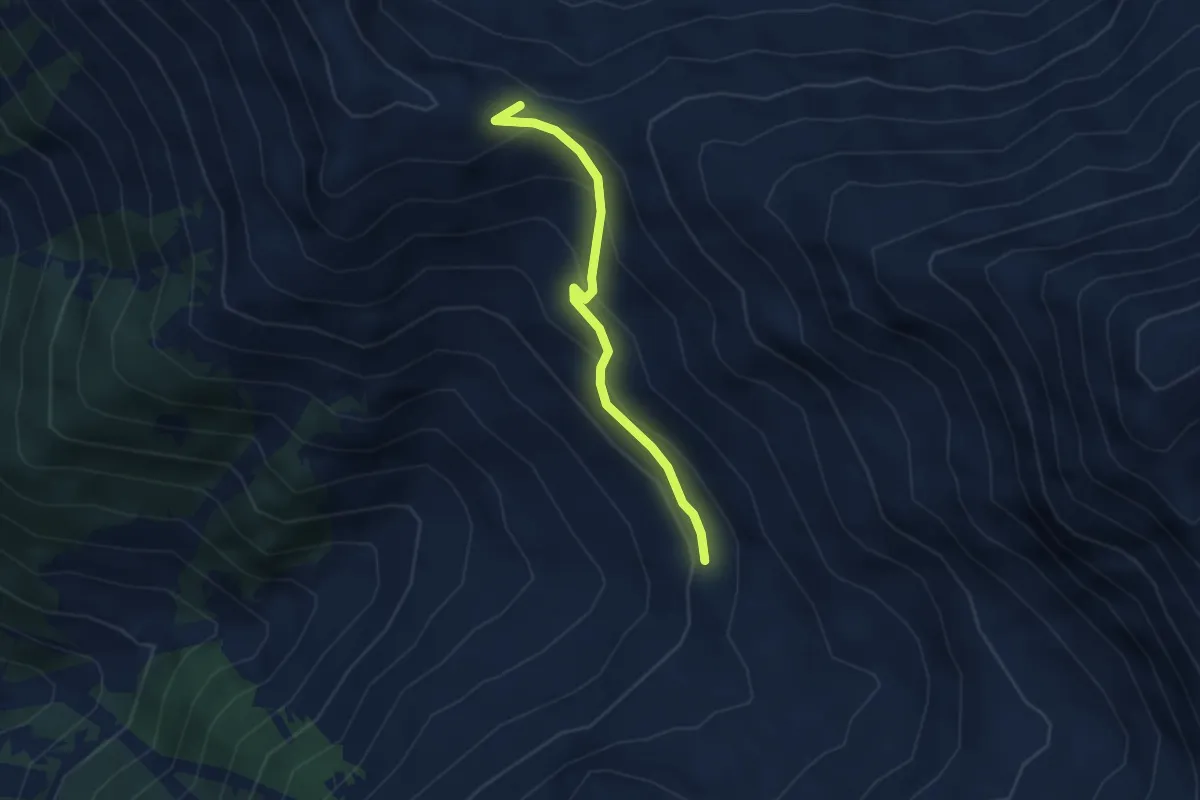
Medium · Cabin
Col de Mille-Erra d'en Haut
2.9 km · ↑ 217 m · 1 h 9 min
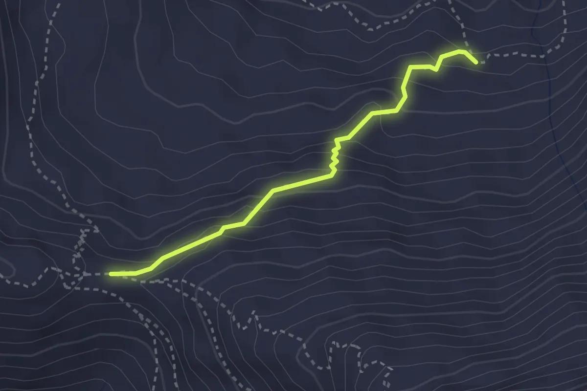
Medium · Cabin
Col de Mille-vers Servay
2.7 km · ↑ 213 m · 1 h 6 min
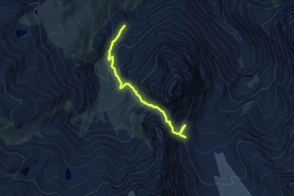
Medium · Trail
Col des Avouillons - Sery
6.0 km · ↑ 712 m · 2 h 58 min
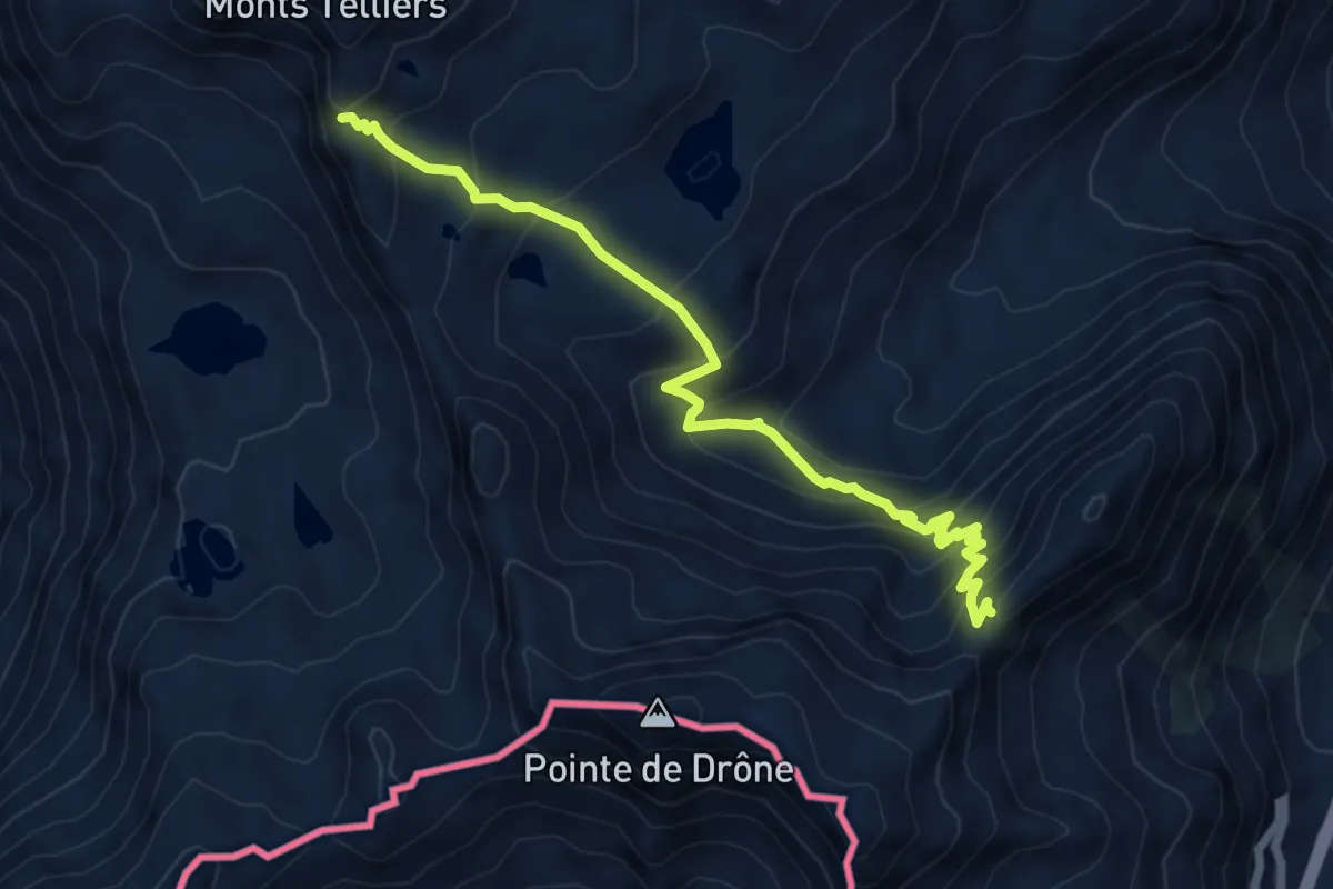
Demanding · Trail
Col des Chevaux > Col du Bastillon
6.9 km · ↑ 629 m · 3 h
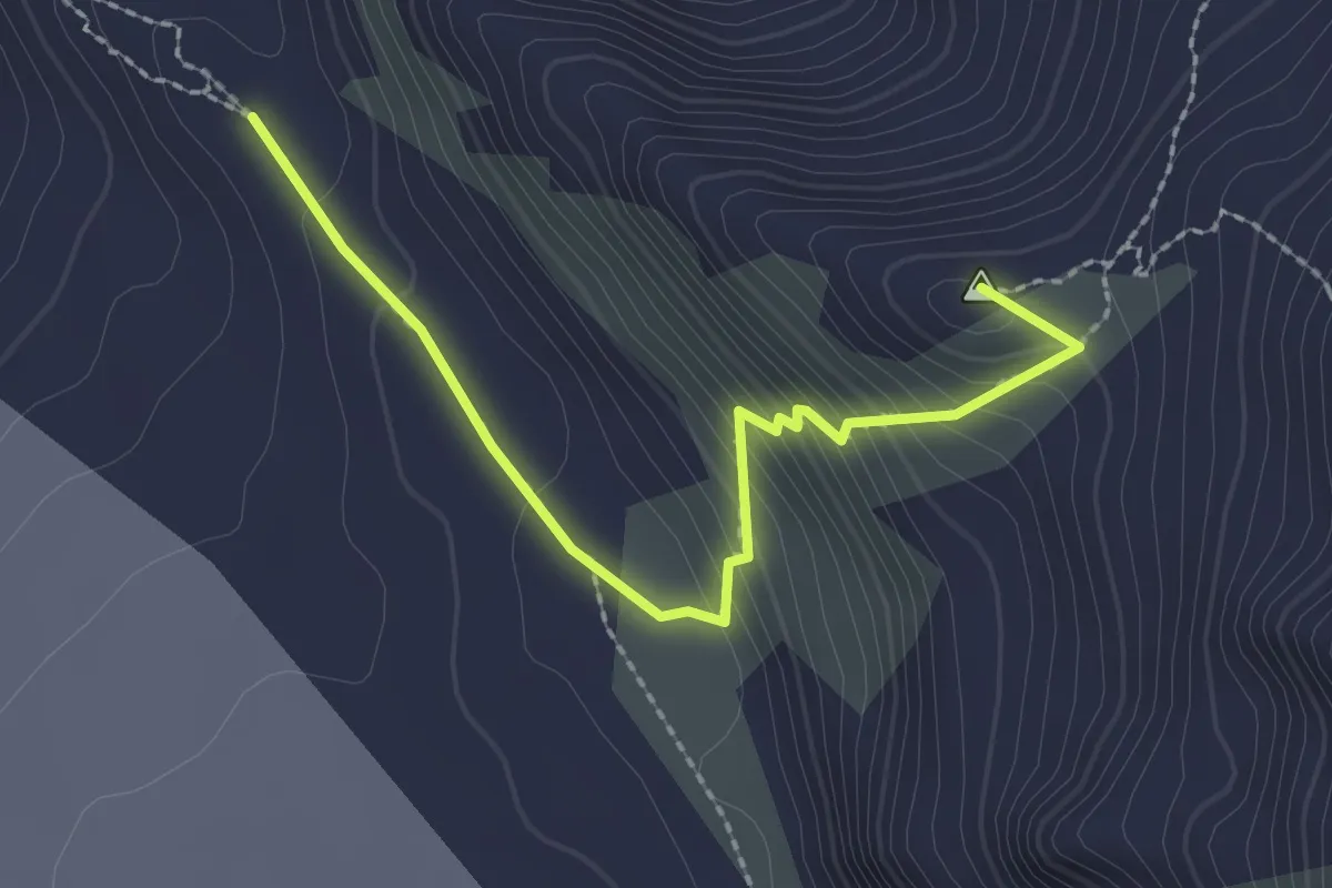
Medium · Summit
Col des Otanes-Panossière
2.4 km · ↑ 228 m · 1 h 4 min
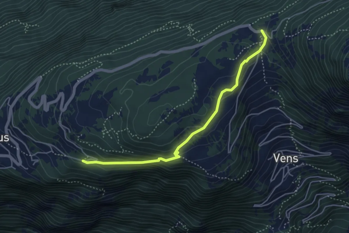
Medium · Trail
Col des Planches > Chemin ?
4.2 km · ↑ 185 m · 1 h 23 min
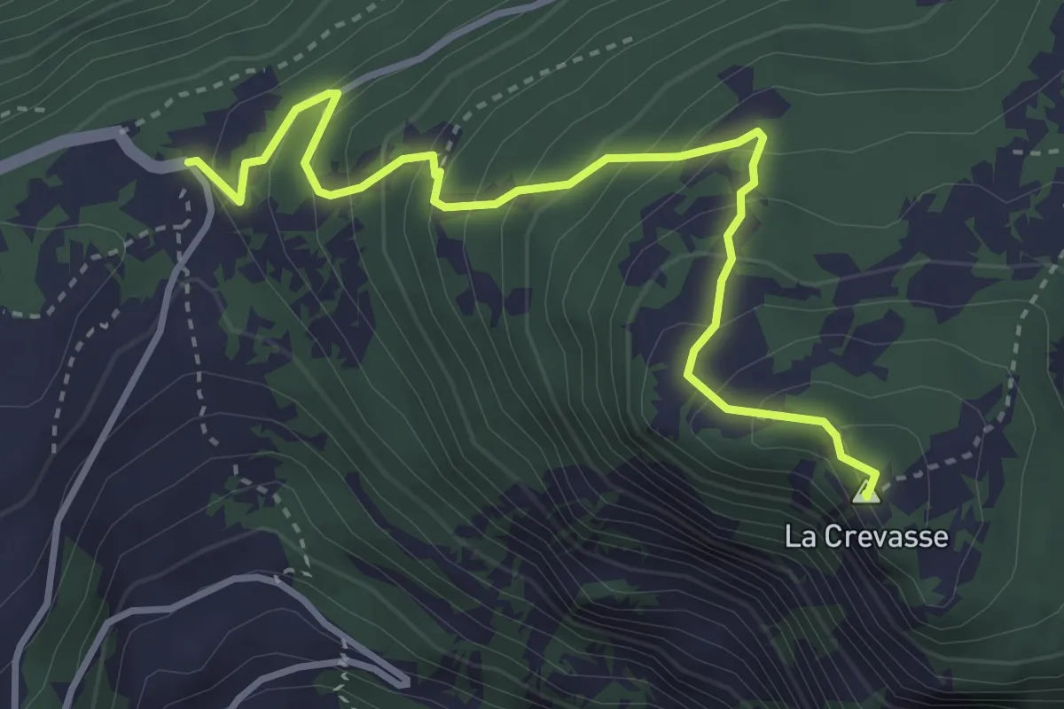
Medium · Summit
Col des Planches > La Crevasse
3.9 km · ↑ 384 m · 1 h 45 min
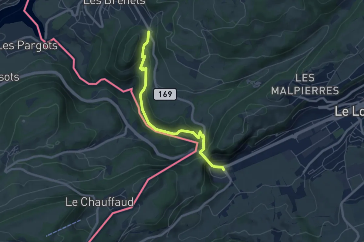
Medium · Trail
Col des Roches - fixme
5.6 km · ↑ 374 m · 2 h 8 min
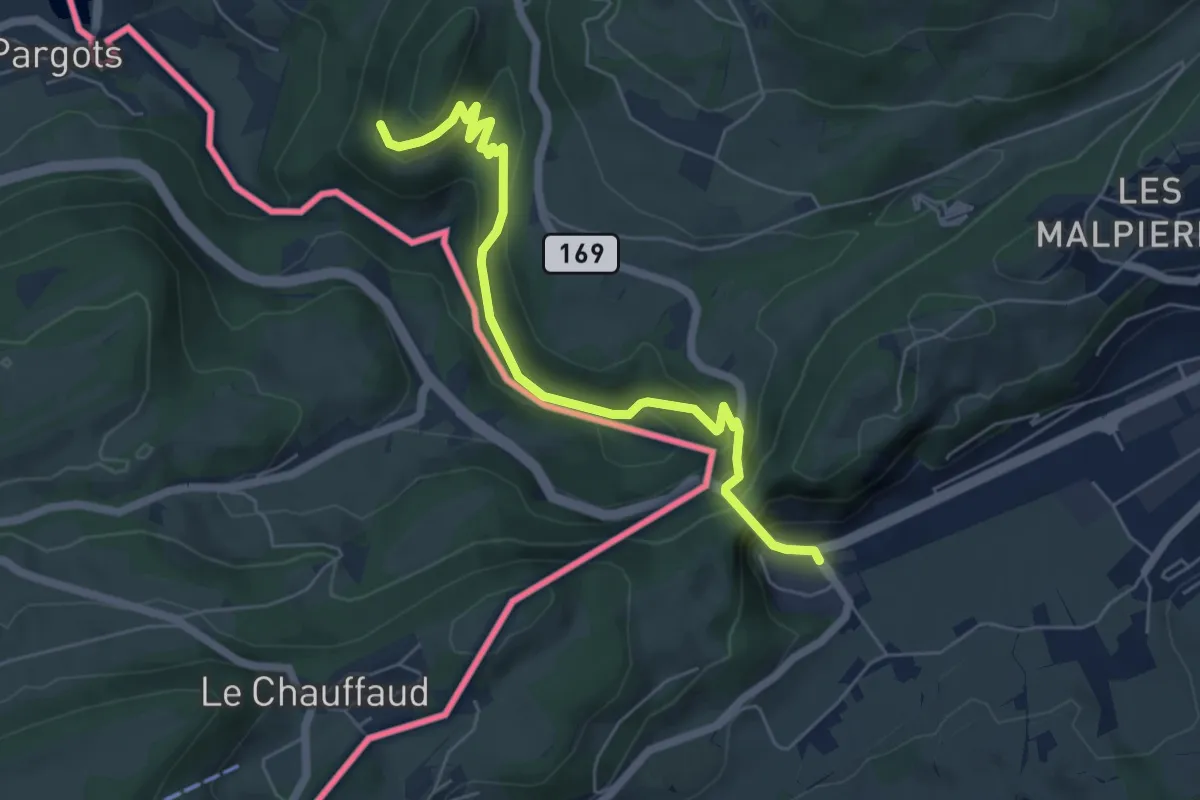
Medium · Trail
Col des Roches - La Caroline
5.9 km · ↑ 397 m · 2 h 16 min
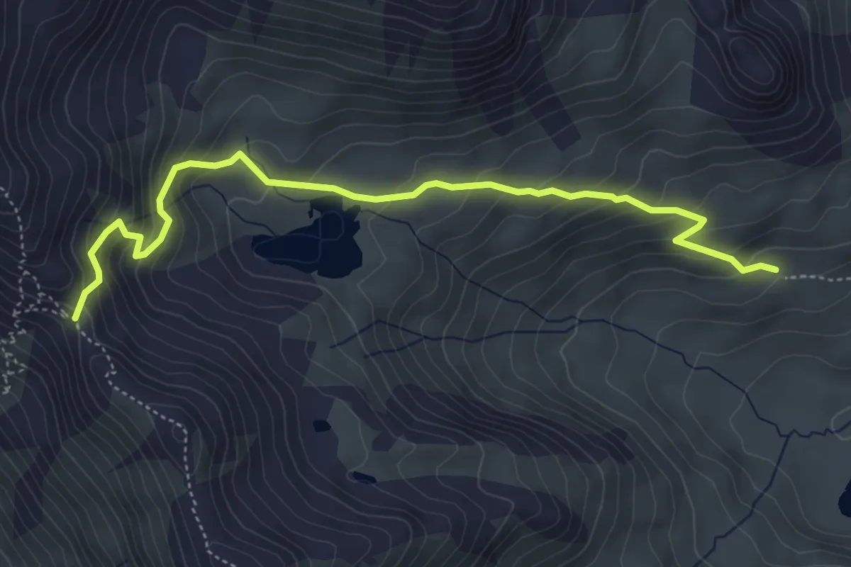
Medium · Trail
Col de Torrent-Alpage de Torrent
5.4 km · ↑ 439 m · 2 h 14 min
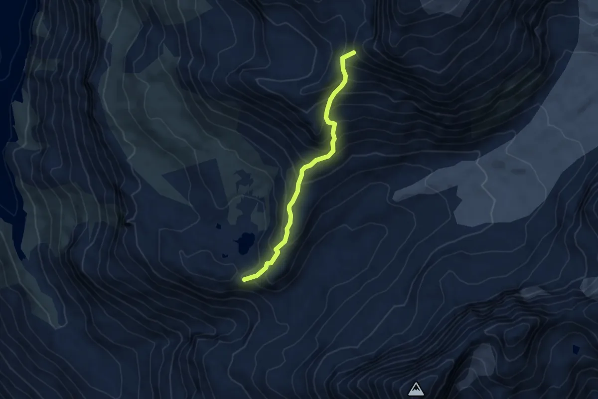
Demanding · Trail
Col de Tsofeiret - Col de la lire rose
4.6 km · ↑ 554 m · 2 h 18 min
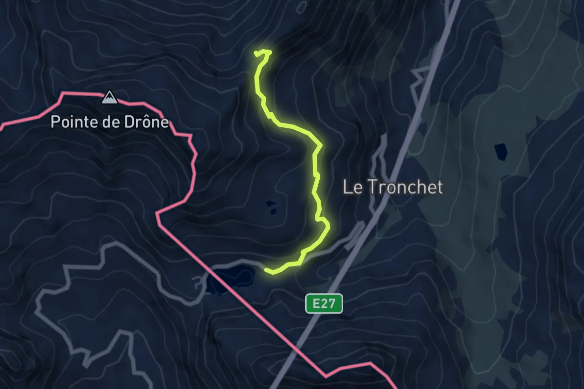
Medium · Cabin
Col du Grand-St-Bernard > Col des Chevaux
4.3 km · ↑ 298 m · 1 h 40 min
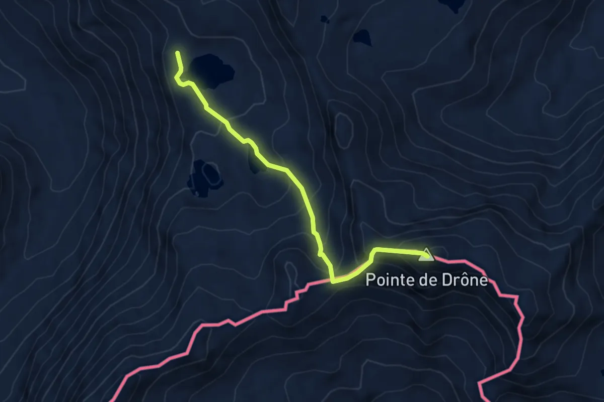
Expert · Summit
Col du Grand-St-Bernard > Lacs de Fenêtre
4.8 km · ↑ 446 m · 2 h 7 min
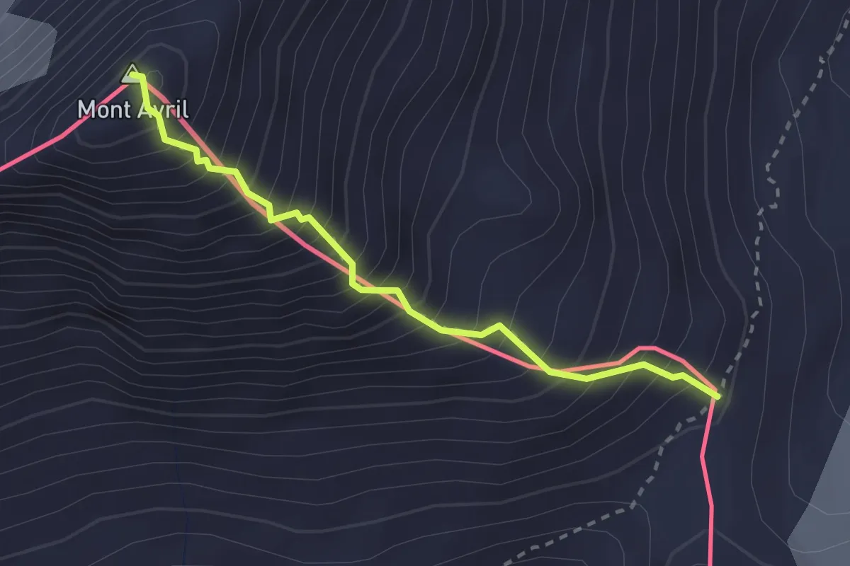
Demanding · Summit
Col Fenêtre - Mont Avril
2.5 km · ↑ 510 m · 1 h 42 min
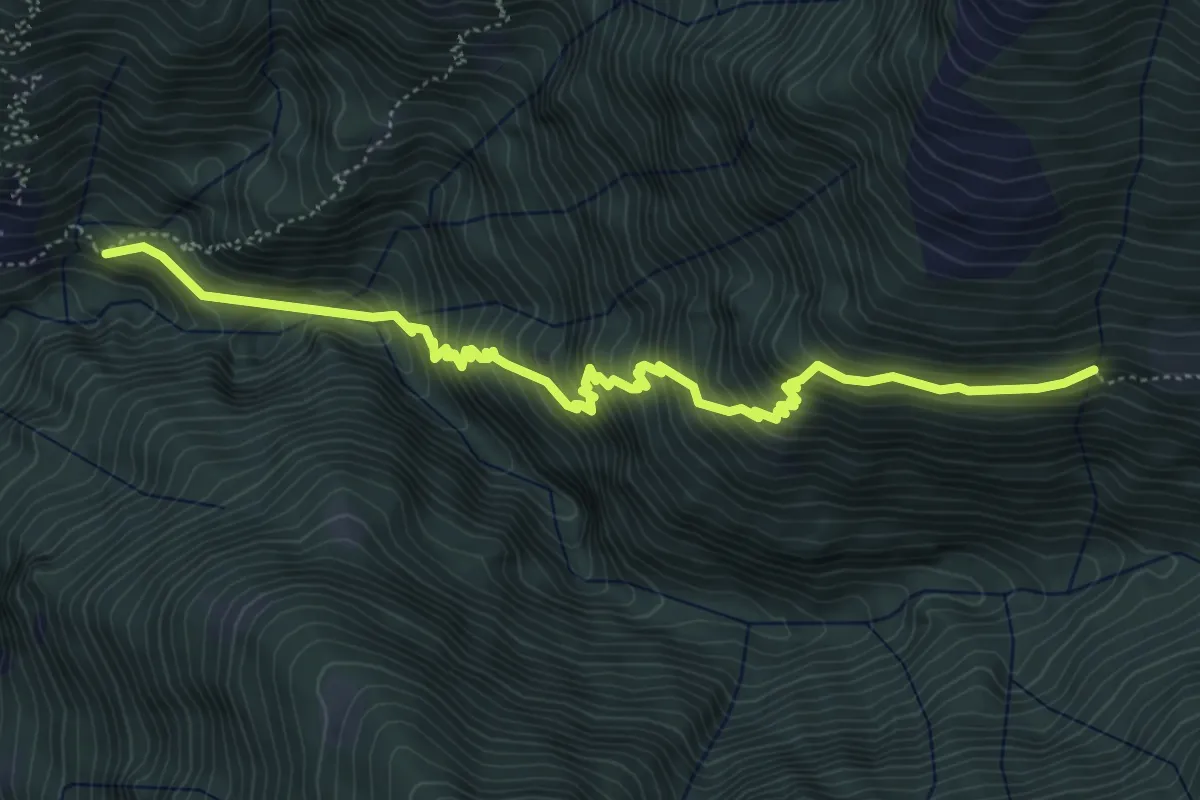
Medium · Trail
Colleta - ?
6.0 km · ↑ 755 m · 3 h 4 min
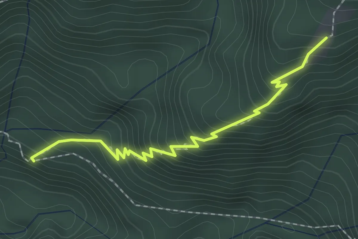
Medium · Trail
Colletta - Stavello
2.0 km · ↑ 286 m · 1 h 6 min
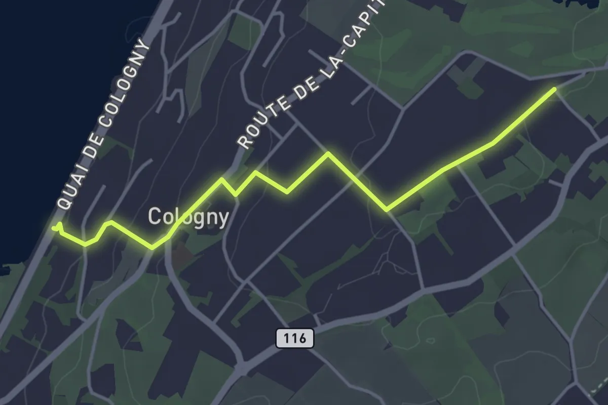
Easy · Trail
Cologny - Chougny
4.0 km · ↑ 110 m · 1 h 10 min
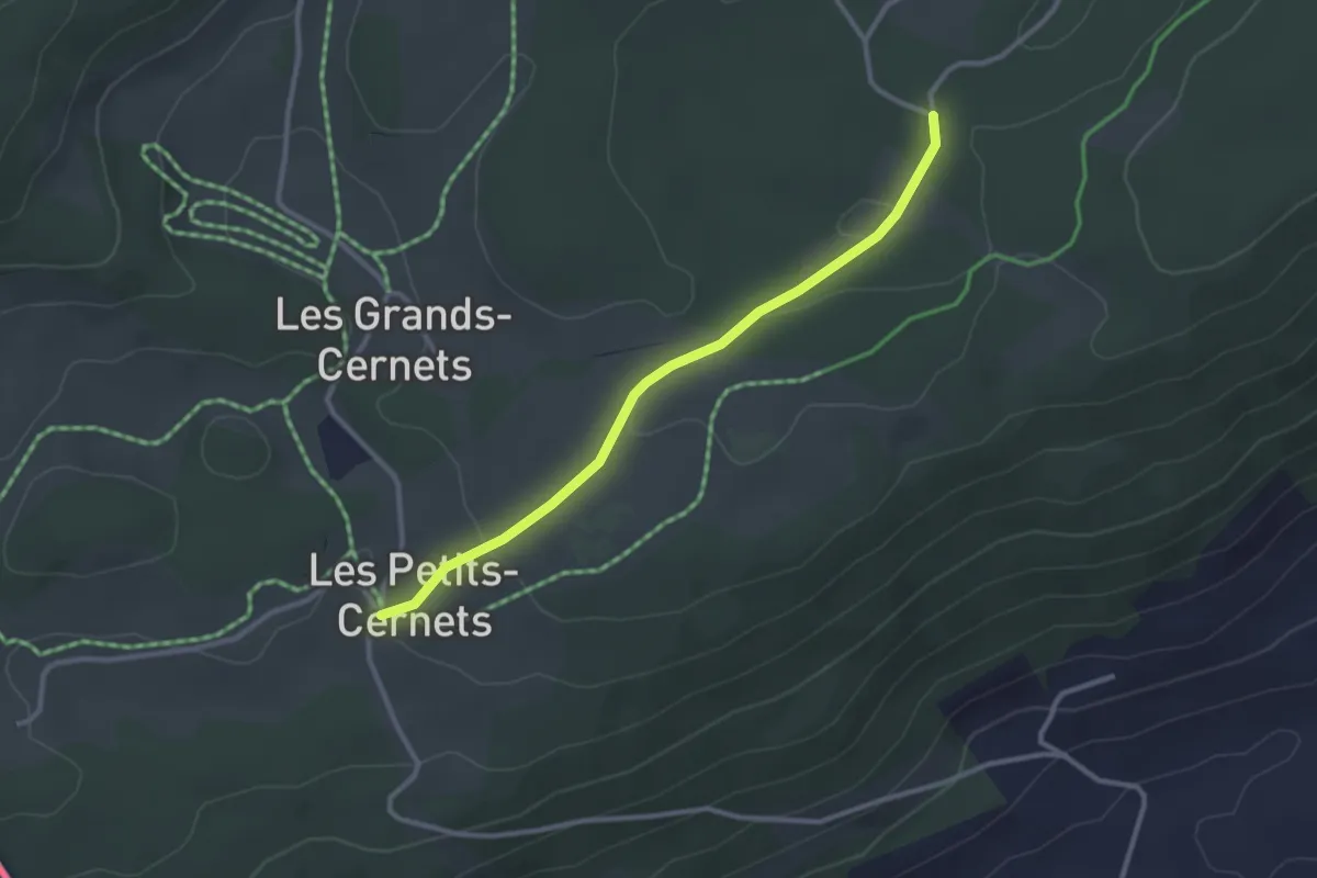
Easy · Trail
Combasson-Petit Cernets
2.8 km · ↑ 55 m · 47 min
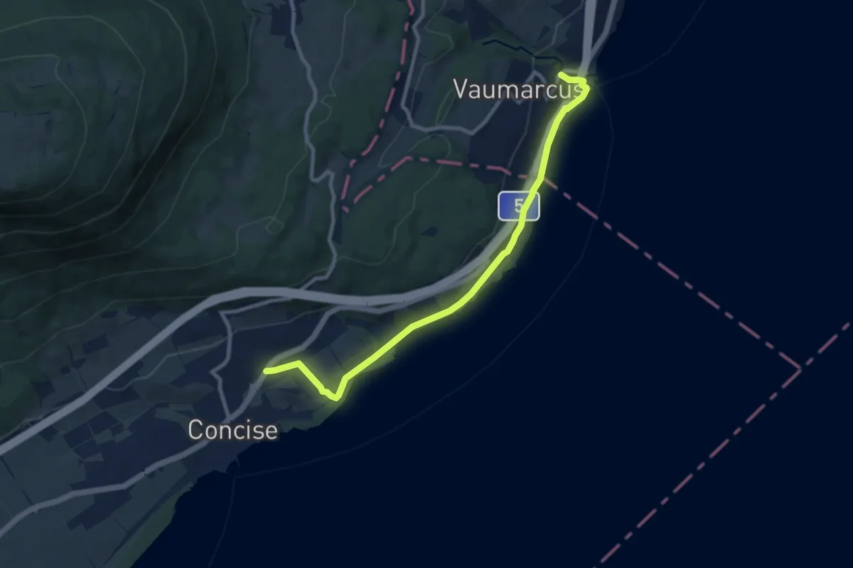
Medium · Trail
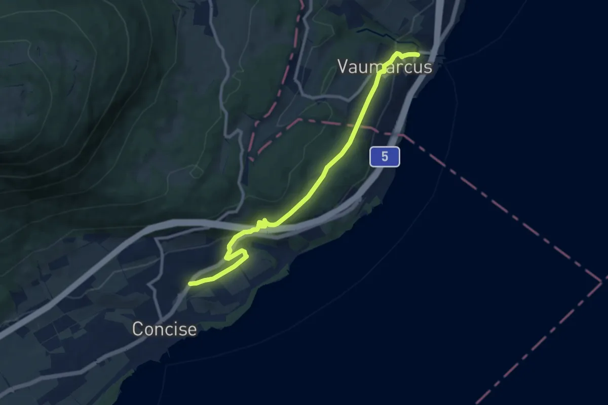
Concise - Vaumarcus (par La Raisse)
9.1 km · ↑ 94 m · 2 h 22 min
Medium · Trail
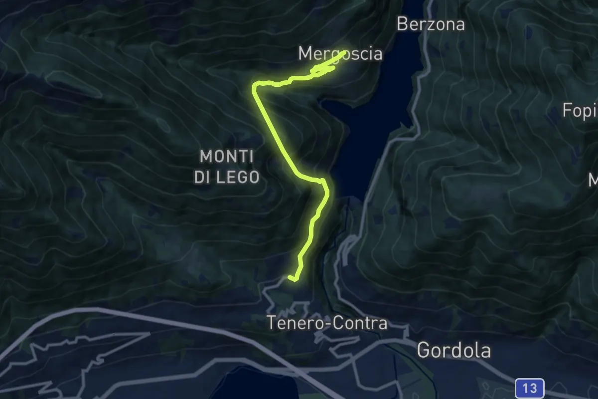
Concise - Vaumarcus (par Le Camp de Vaumarcus)
9.1 km · ↑ 283 m · 2 h 46 min
Demanding · Trail
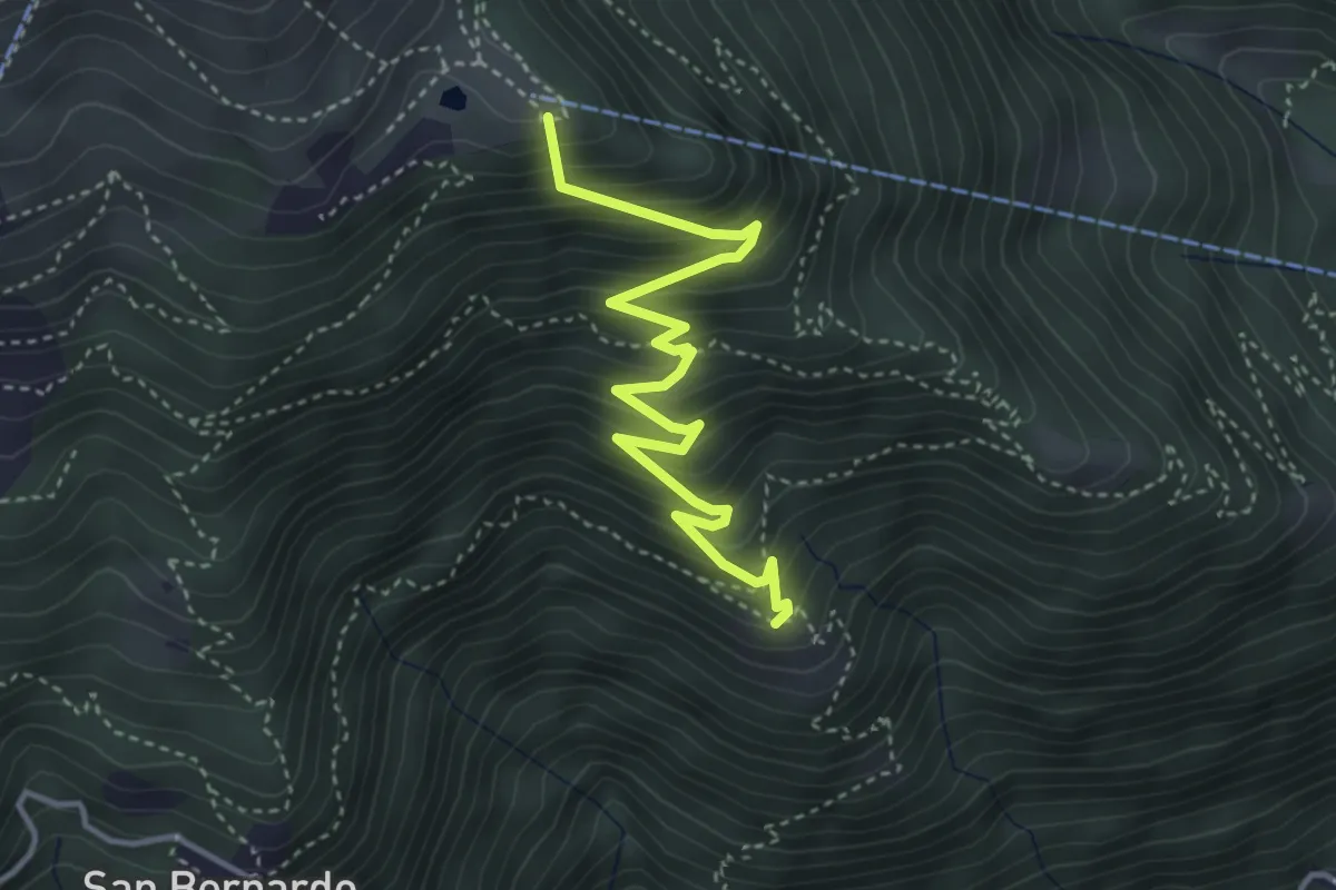
Contra
8.5 km · ↑ 1027 m · 4 h 14 min
Medium · Summit
Cordonico-Alpe Cardada
4.1 km · ↑ 462 m · 1 h 58 min
Medium · Trail
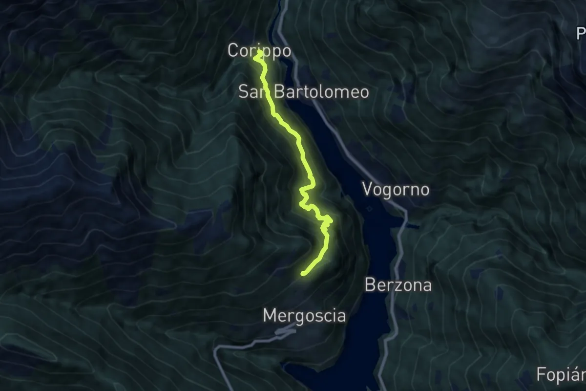
Corippo - Perbioi
6.8 km · ↑ 738 m · 3 h 13 min