Trails in Switzerland
15,029 hiking trails, each with its route, climb, walking time and grade.
All trails, page 26 of 314
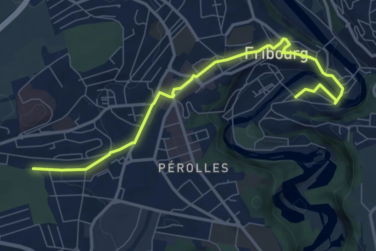
Easy · Trail
Cormanon - Planche Sup.
7.2 km · ↑ 166 m · 2 h 3 min
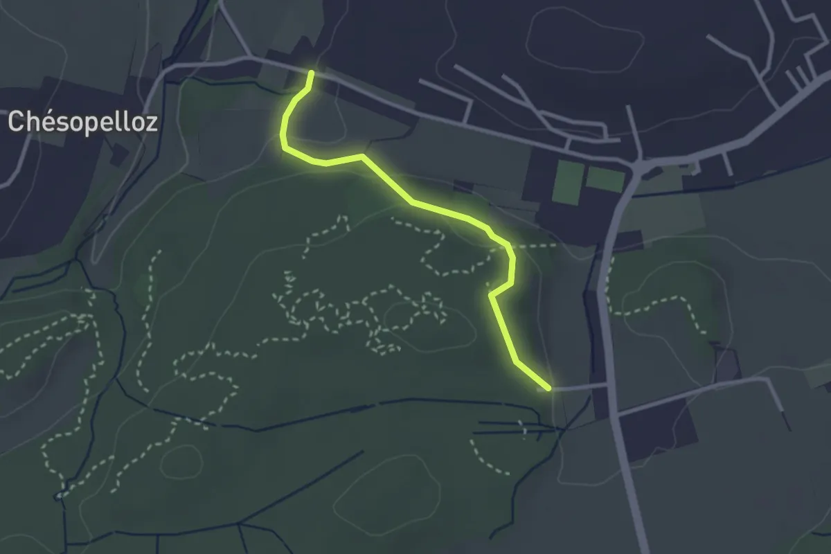
Easy · Trail
Corminboeuf Village Suisse - Chésopelloz
2.5 km · ↑ 69 m · 44 min
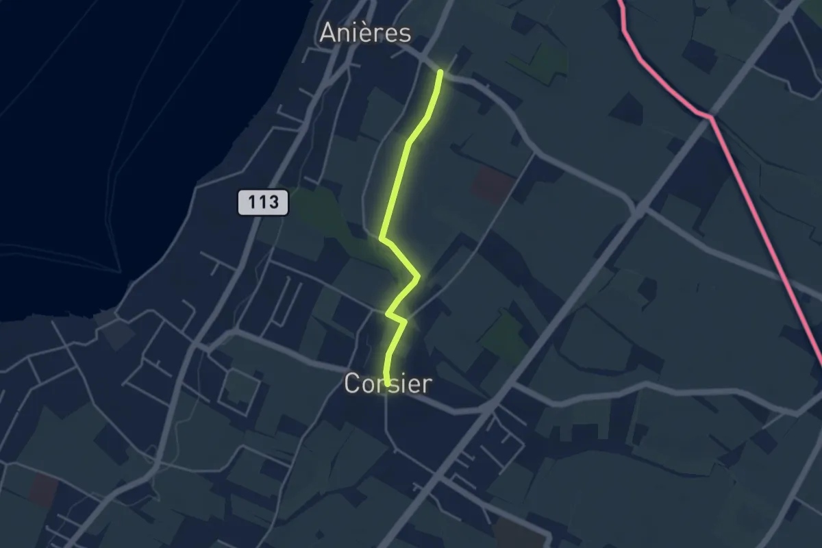
Easy · Trail
Corsier - Anières
3.1 km · ↑ 9 m · 45 min
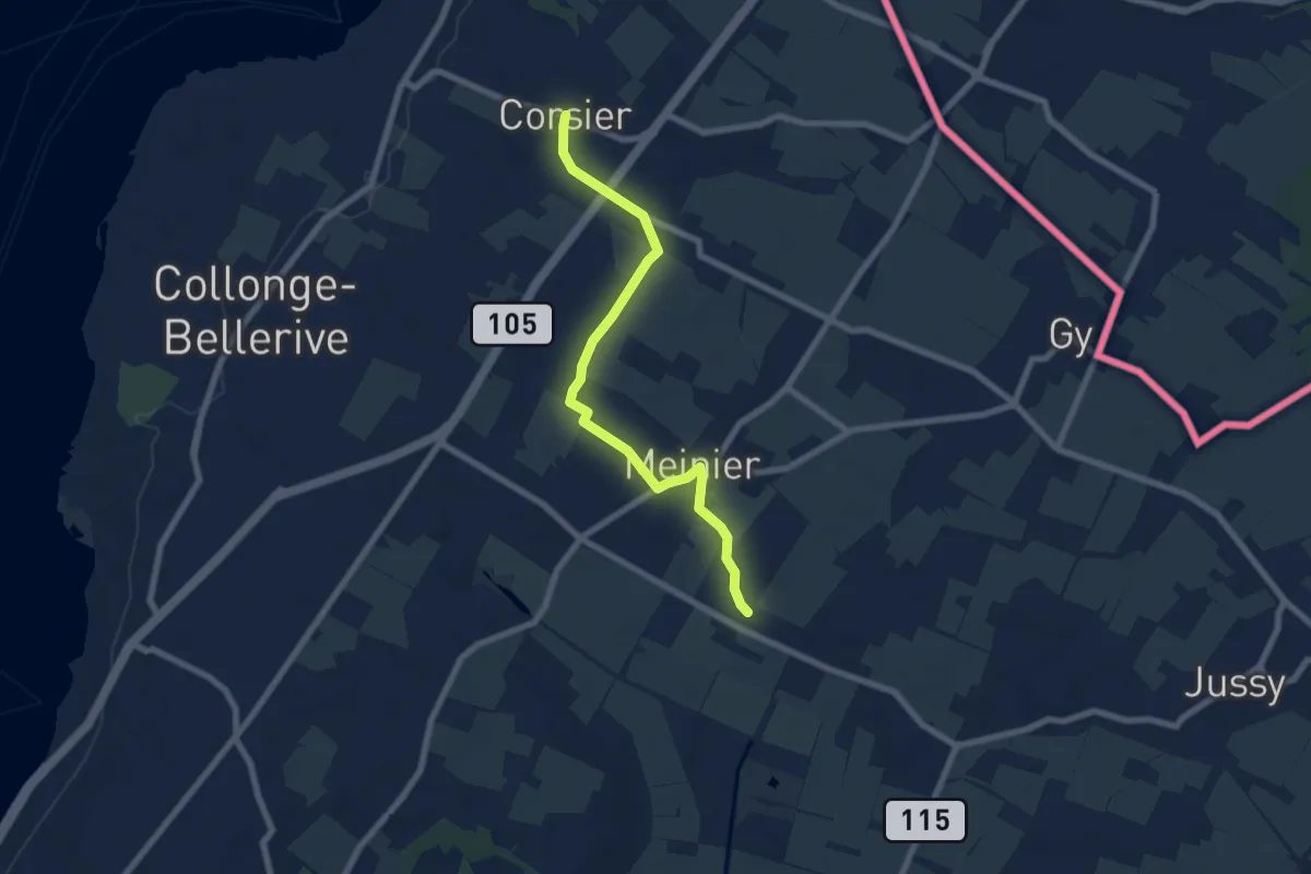
Easy · Trail
Corsier - Compois
7.1 km · ↑ 31 m · 1 h 45 min
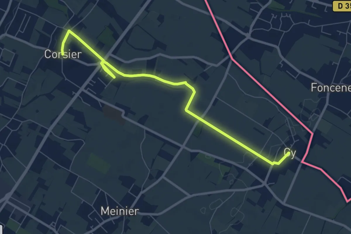
Medium · Trail
Corsier - Gy
8.1 km · ↑ 40 m · 2 h
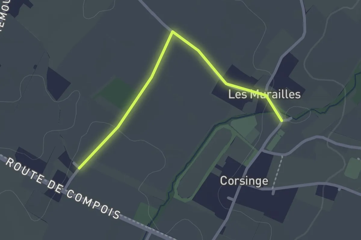
Easy · Trail
Corsinge - Compois
2.1 km · ↑ 8 m · 31 min
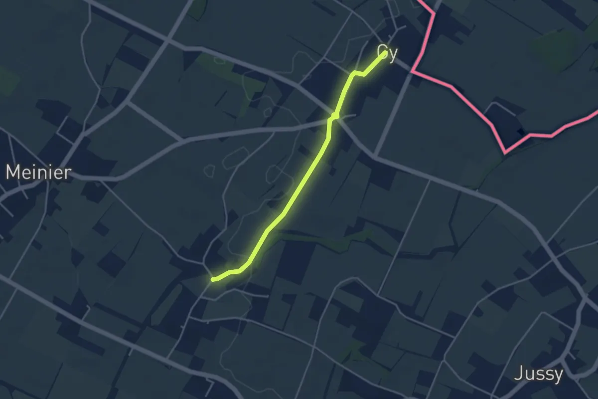
Easy · Trail
Corsinge - Gy
3.5 km · ↑ 14 m · 51 min
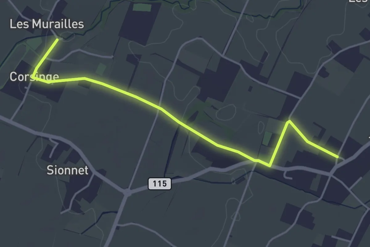
Easy · Trail
Corsinge - Jussy
4.5 km · ↑ 42 m · 1 h 10 min
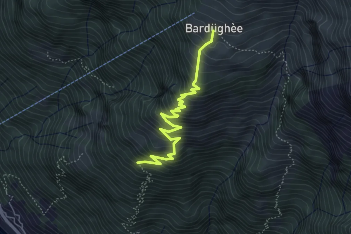
Medium · Cabin
Corte Nuovo - Alpe Bardughè
4.7 km · ↑ 530 m · 2 h 15 min
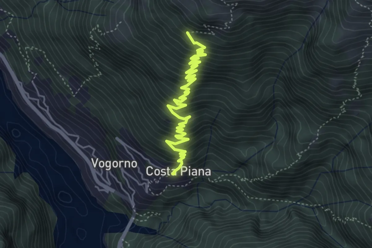
Medium · Trail
Costapiana - Corte Nuovo
5.4 km · ↑ 557 m · 2 h 28 min
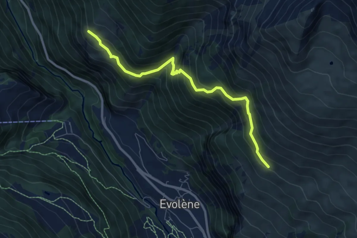
Medium · Trail
Cotter - Volvovron
7.0 km · ↑ 703 m · 3 h 11 min
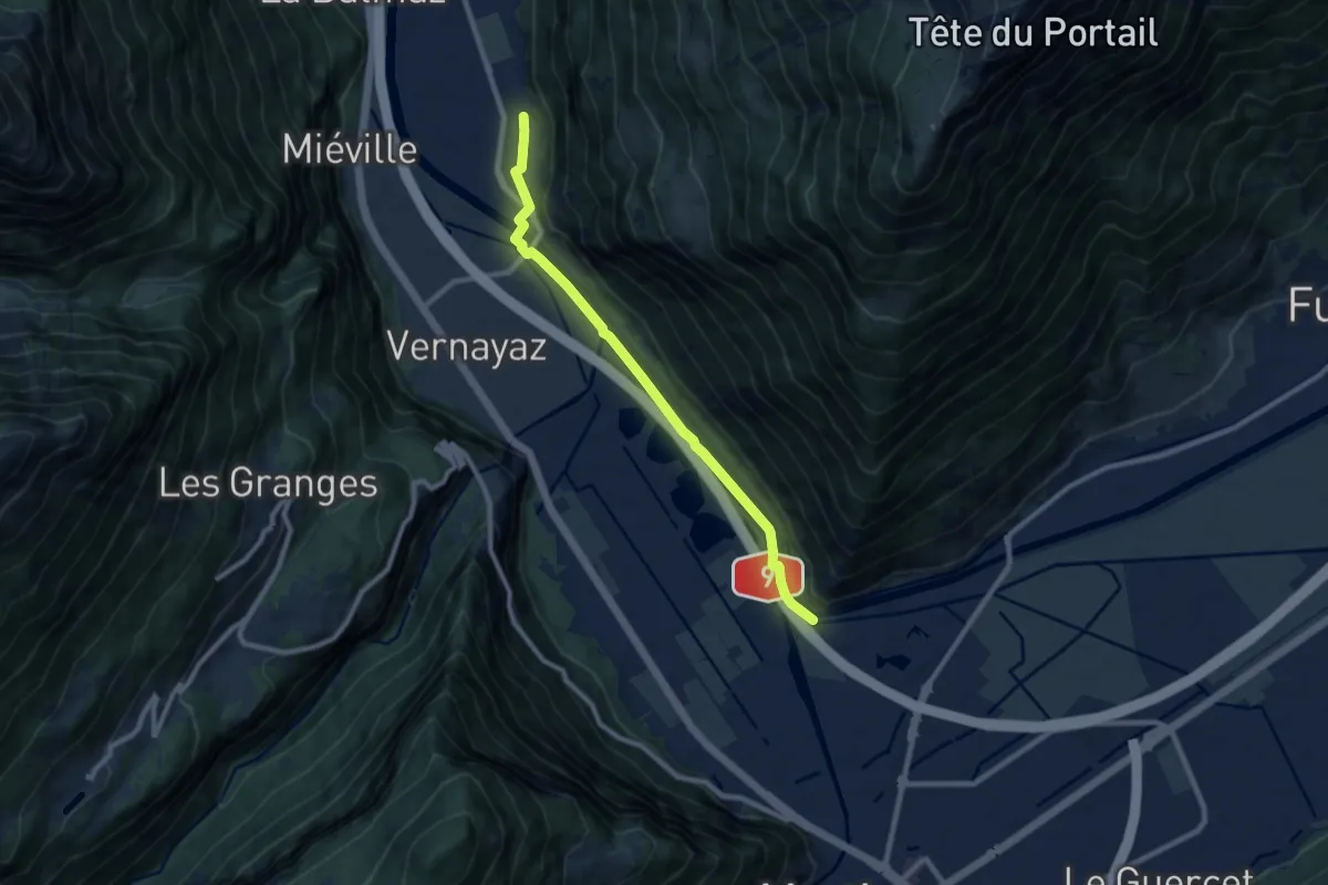
Medium · Trail
Coude du Rhône - Dorénaz
8.6 km · ↑ 35 m · 2 h 6 min
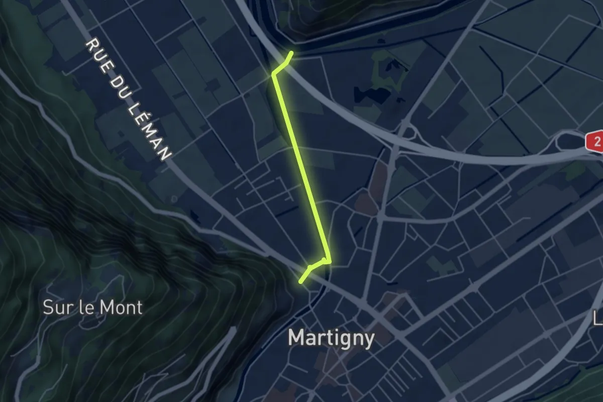
Easy · Trail
Coude du Rhône - La Bâtiaz
3.6 km · ↑ 14 m · 52 min
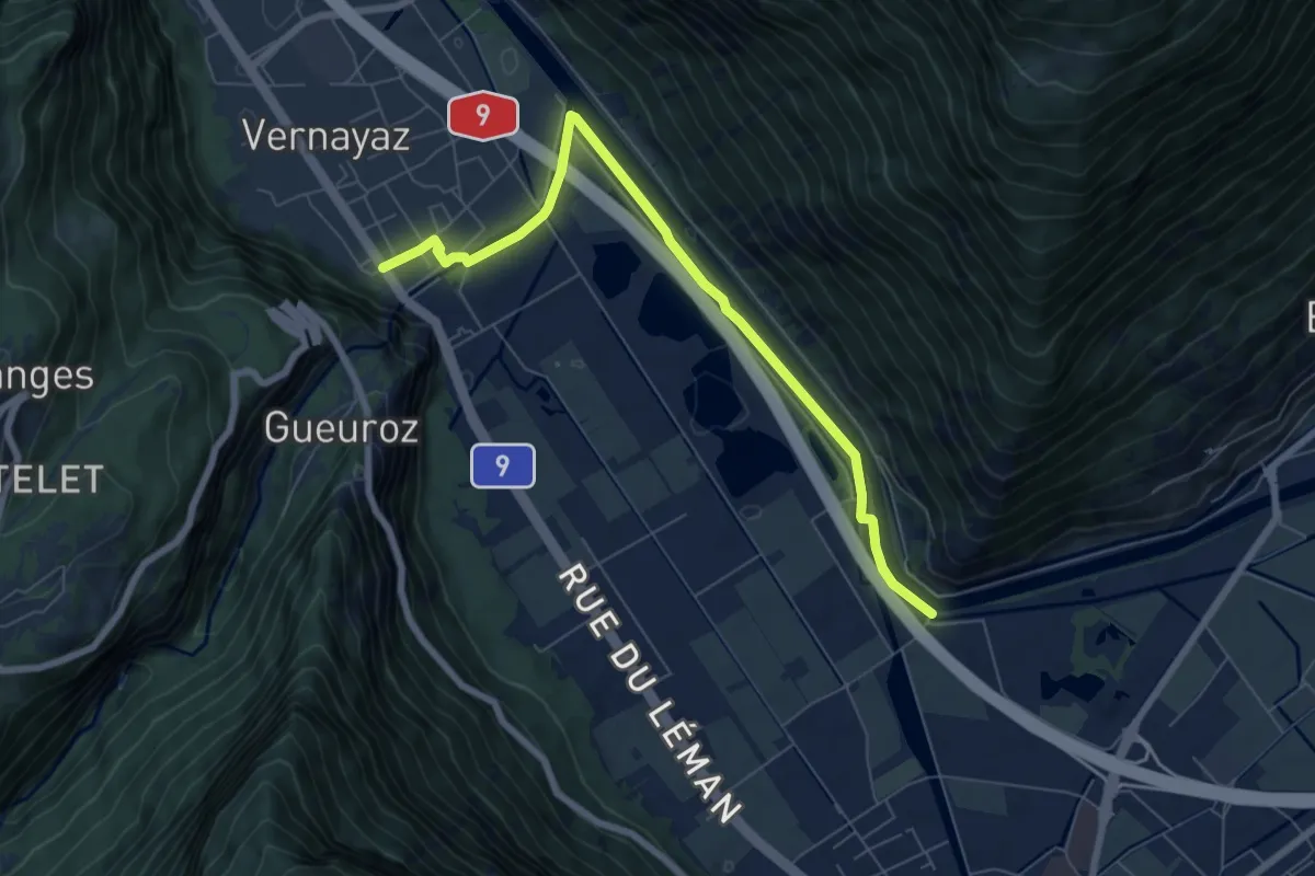
Easy · Trail
Coude du Rhône - Vernayaz
7.2 km · ↑ 26 m · 1 h 46 min
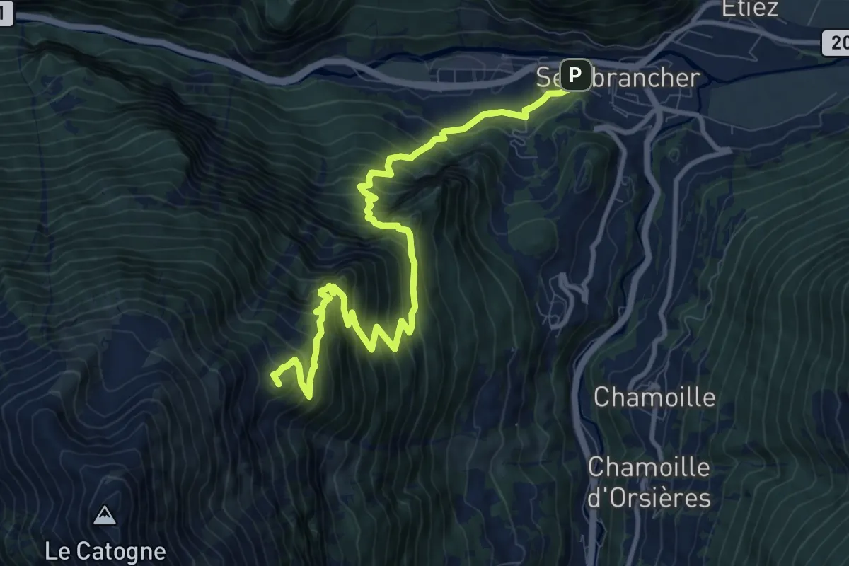
Demanding · Summit
Course annuelle - Sembracher -> Catogne Alpage
11.2 km · ↑ 1294 m · 5 h 27 min
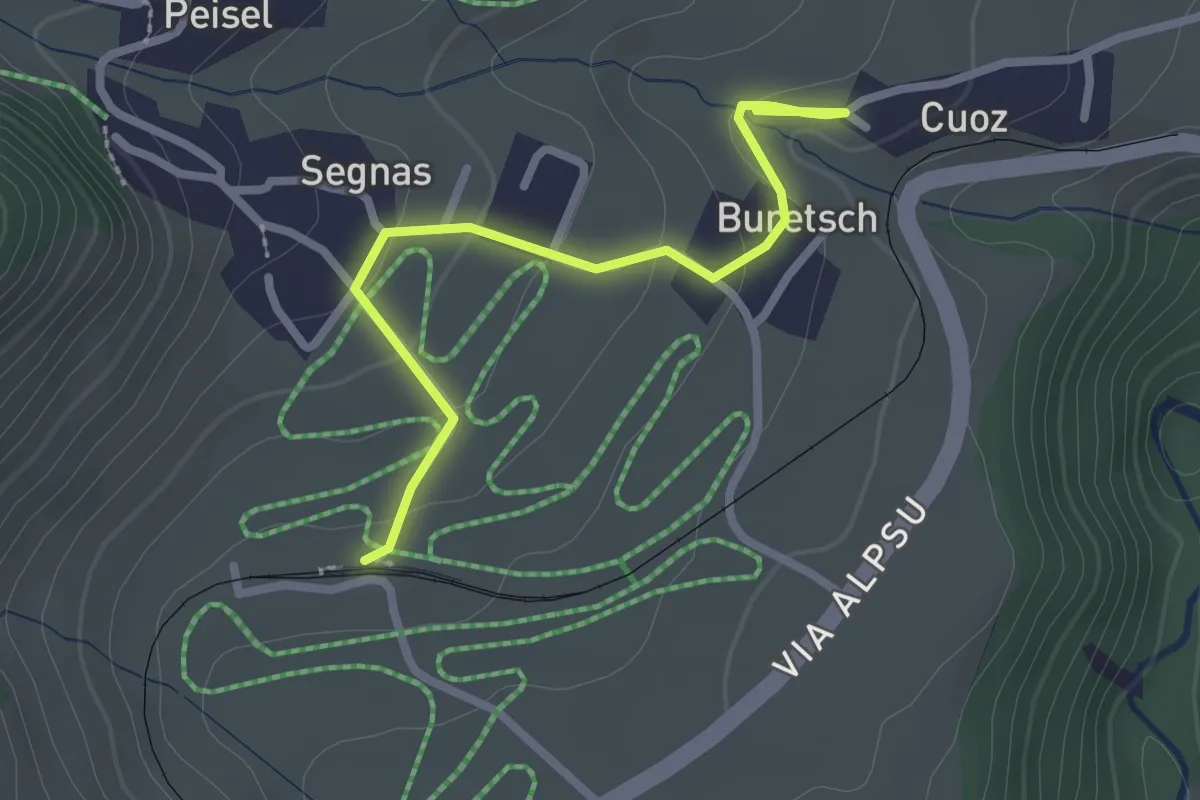
Easy · Trail
Couz - Segnas
2.5 km · ↑ 85 m · 46 min
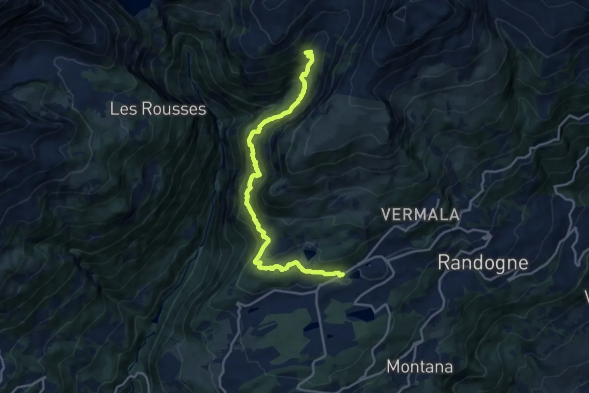
Demanding · Trail
Cran - Er de Chermignon (Ancien bisse du Ro)
12.2 km · ↑ 949 m · 4 h 56 min
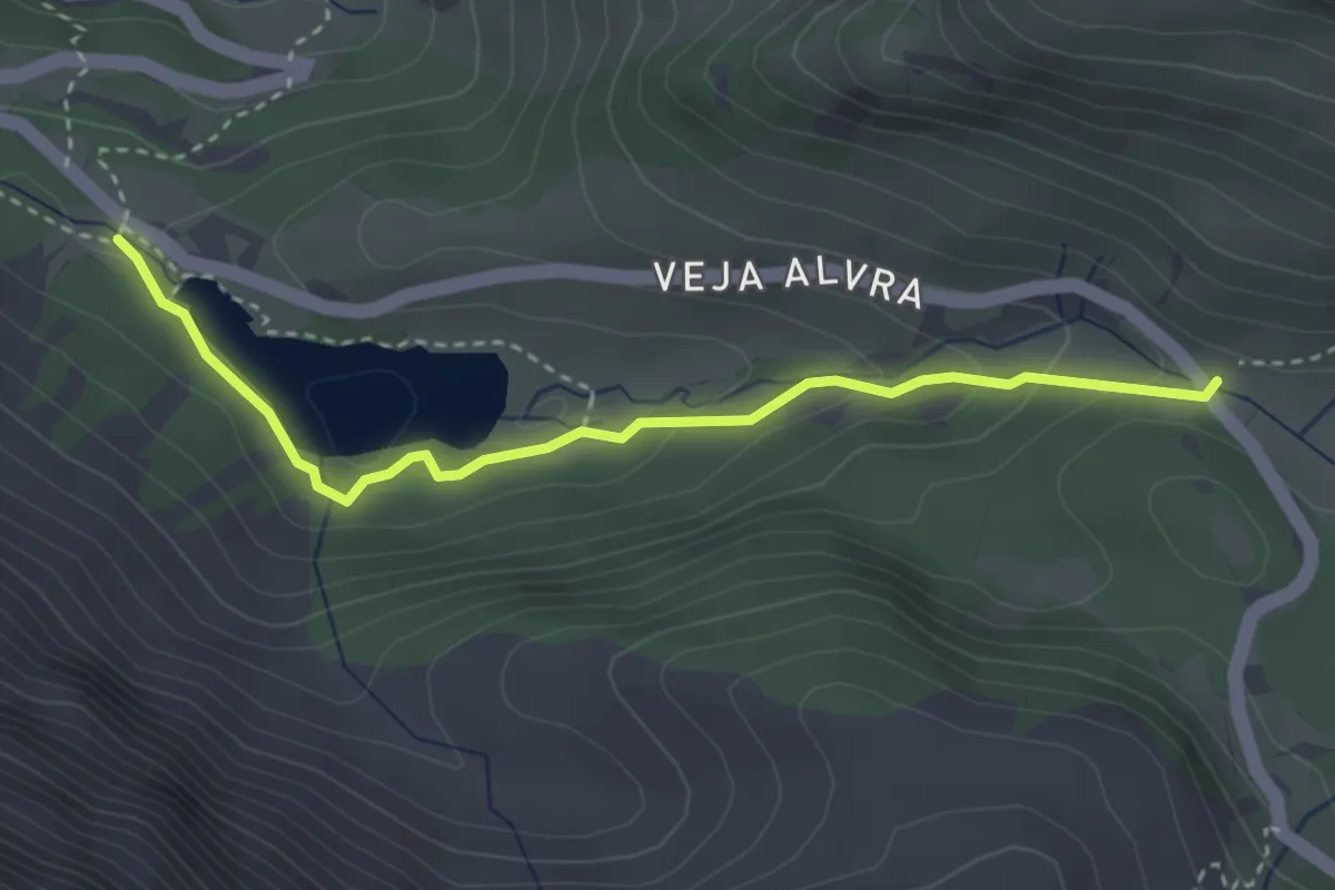
Easy · Trail
Crap Alv-Lai da Palpuoga
3.3 km · ↑ 120 m · 1 h 3 min
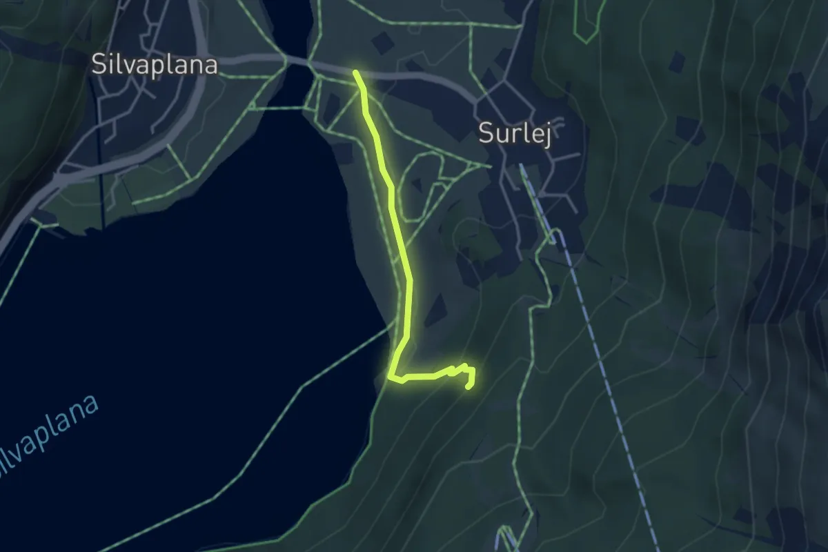
Easy · Trail
Crap da Sass - Ova dal Sagl (Wasserfall)
2.9 km · ↑ 122 m · 57 min
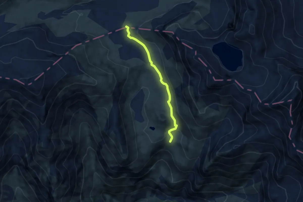
Demanding · Cabin
Crap la Crusch - Capanna Motterascio
5.1 km · ↑ 127 m · 1 h 29 min
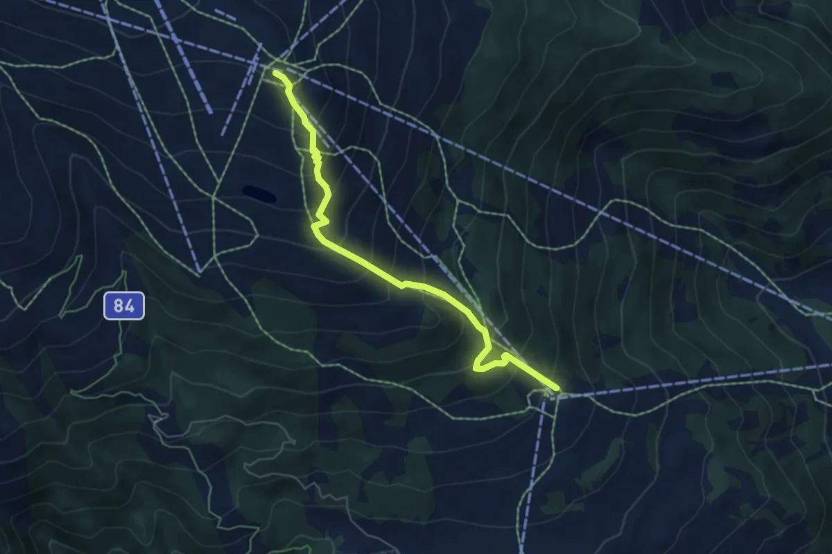
Medium · Trail
Crap Sogn Gion - Curnius
5.4 km · ↑ 567 m · 2 h 30 min
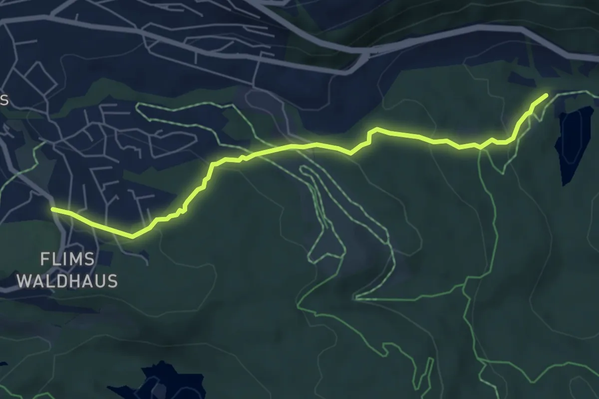
Easy · Trail
Cresta See - Flims Waldhaus
5.7 km · ↑ 233 m · 1 h 51 min
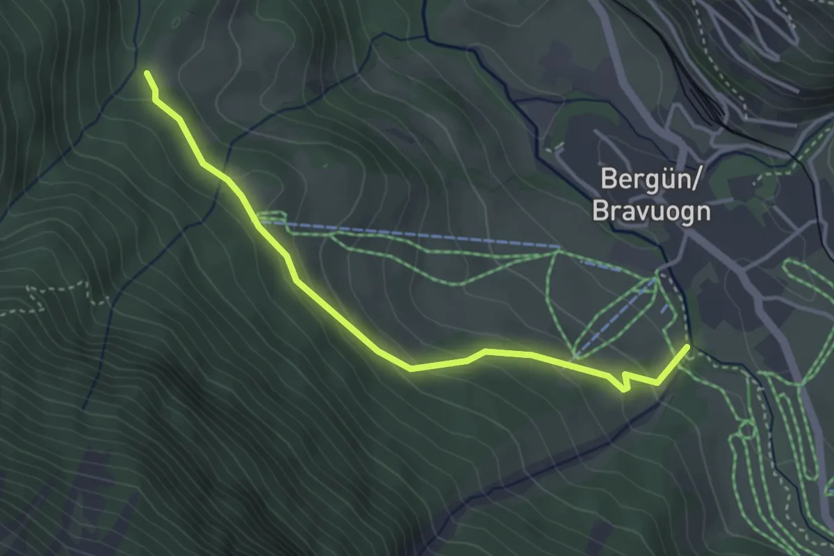
Easy · Trail
Crestota - Orta
3.6 km · ↑ 199 m · 1 h 17 min
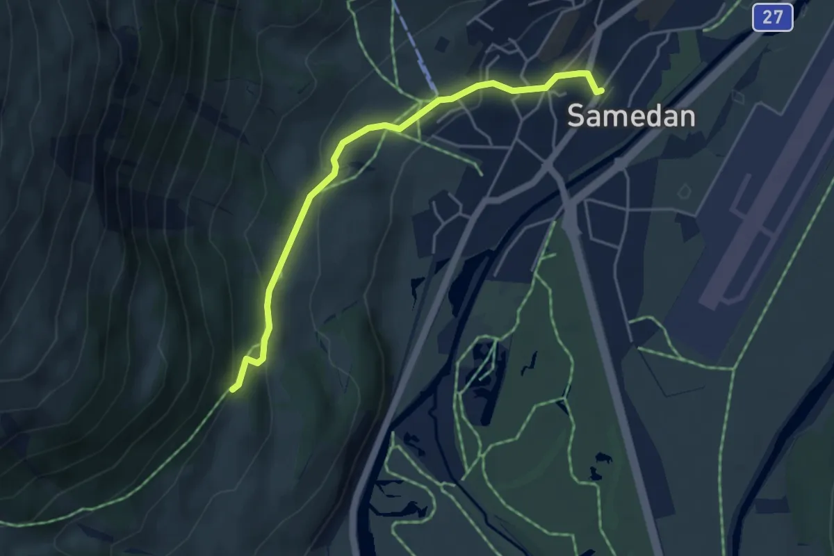
Easy · Trail
Cristolais - Samedan
4.2 km · ↑ 187 m · 1 h 24 min
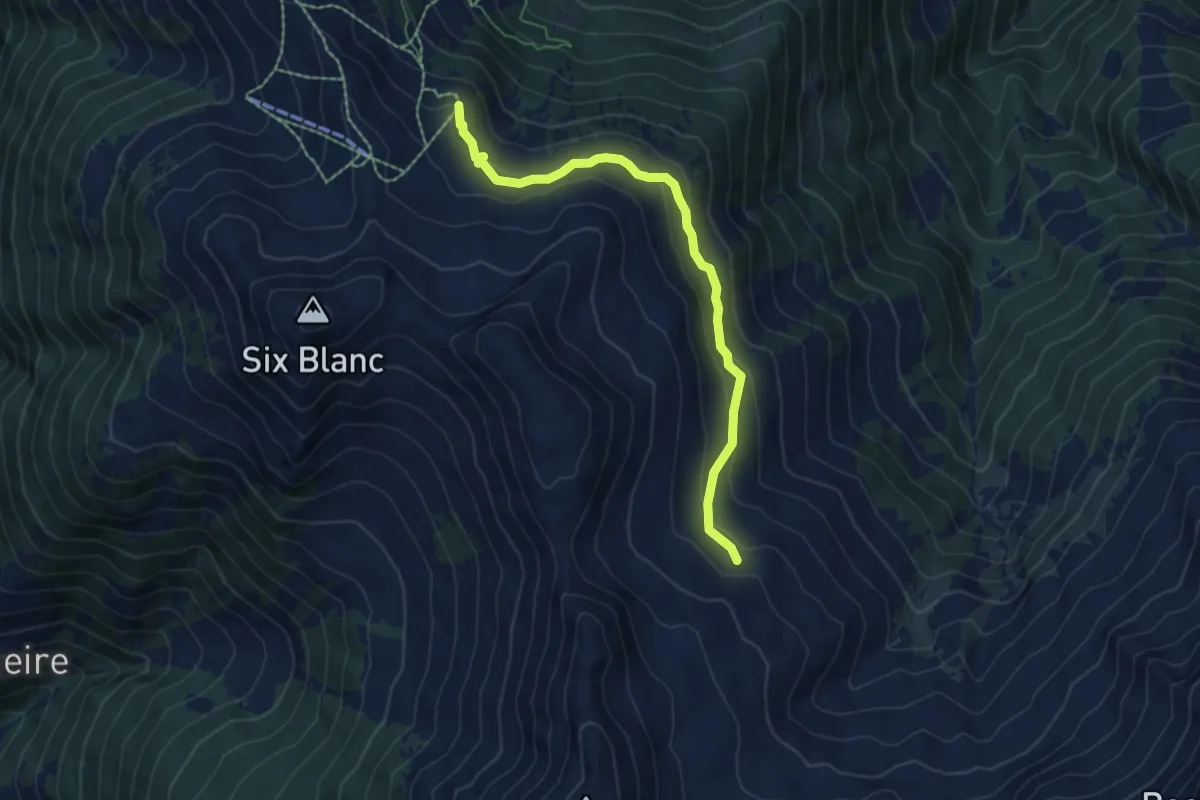
Medium · Trail
Croix du Six-Blanc > Ecuries de Mille
6.2 km · ↑ 346 m · 2 h 13 min
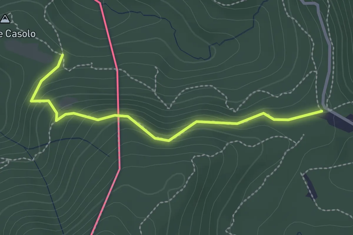
Medium · Trail
Crossifico - Monte Casolo (I) ? / Porto Ceresio (I) ? - fixme
2.5 km · ↑ 122 m · 51 min
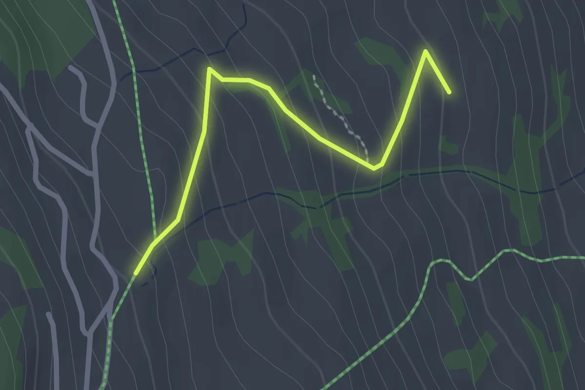
Easy · Trail
Crousch Pitschna - Fops
2.1 km · ↑ 147 m · 49 min
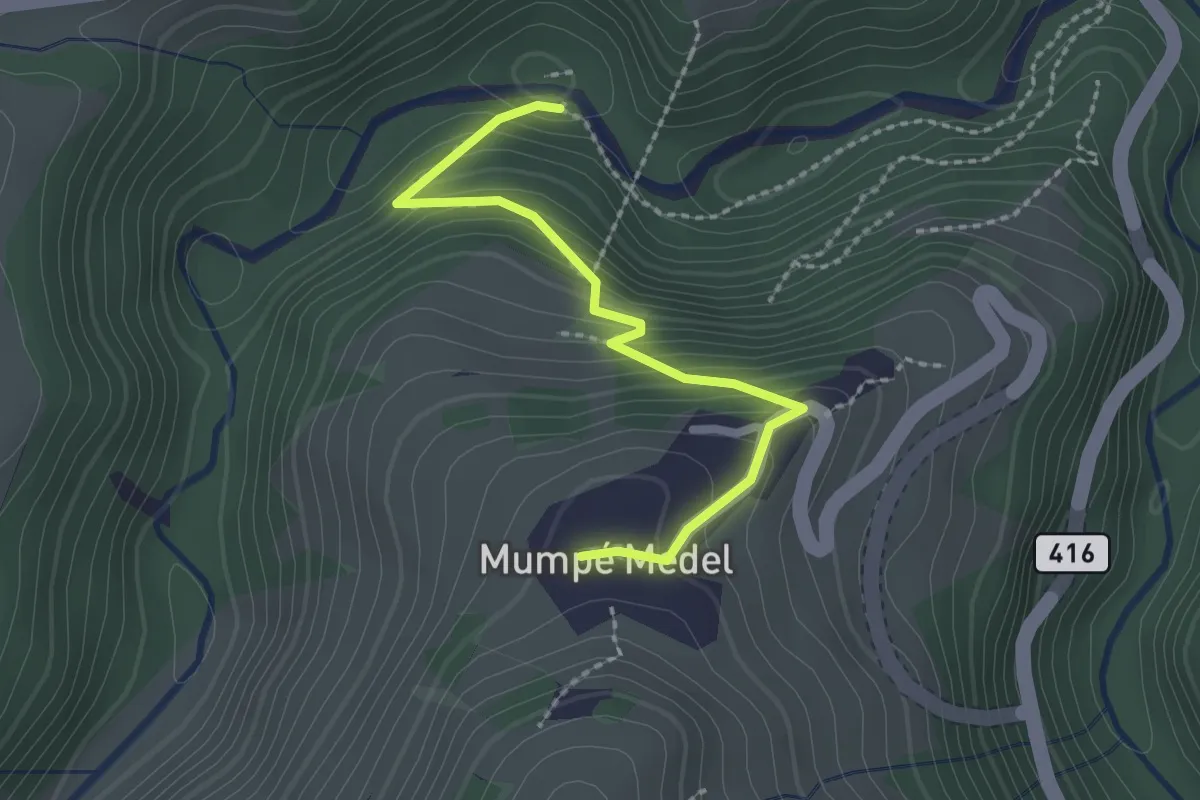
Easy · Trail
Cuflons - Medel
2.3 km · ↑ 183 m · 56 min
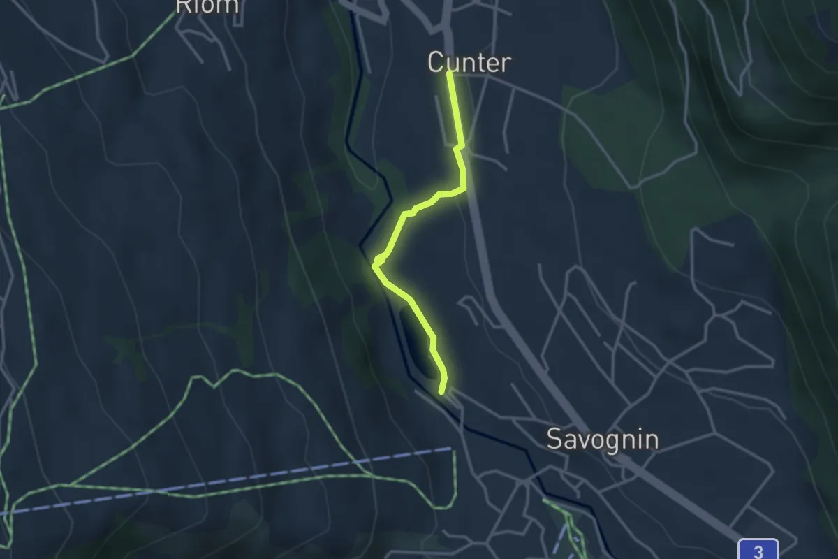
Easy · Trail
Cunter - Lai Barnagn
2.6 km · ↑ 59 m · 44 min
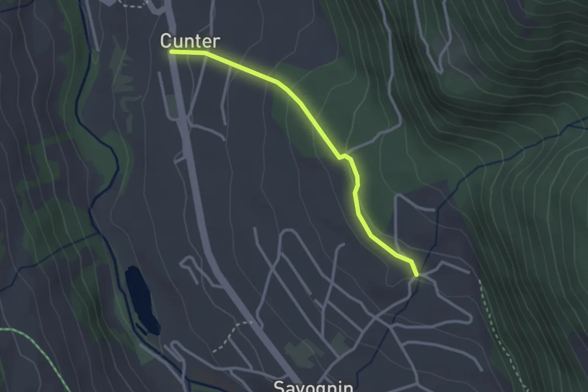
Easy · Trail
Cunter - Savognin Soras
2.5 km · ↑ 134 m · 53 min
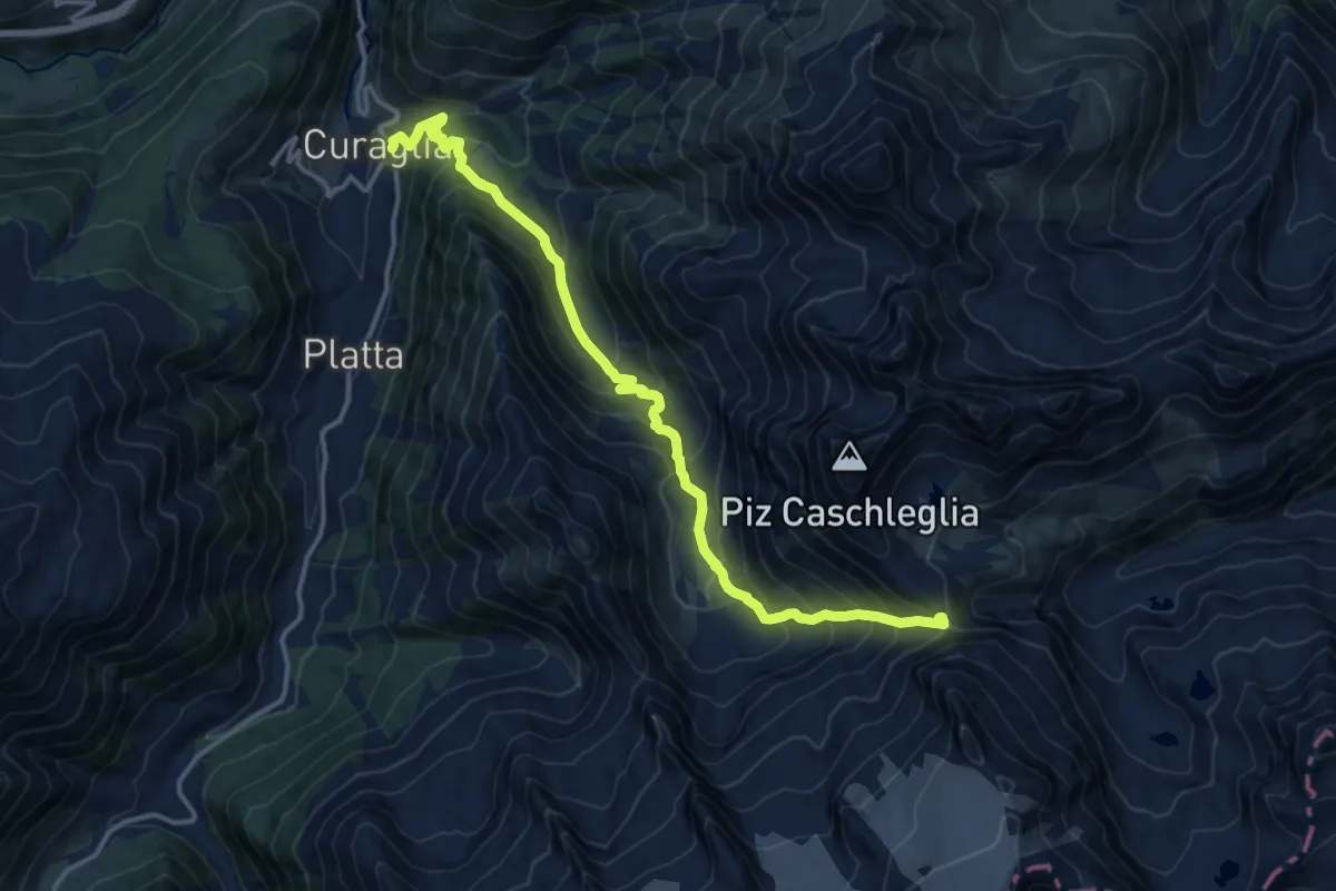
Demanding · Cabin
Curaglia Camona da Medel
15.4 km · ↑ 1220 m · 6 h 17 min
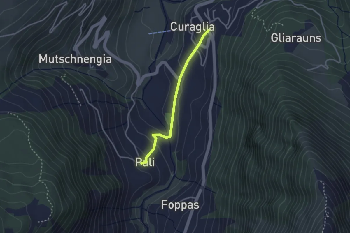
Easy · Trail
Curaglia - Pali
2.4 km · ↑ 89 m · 45 min
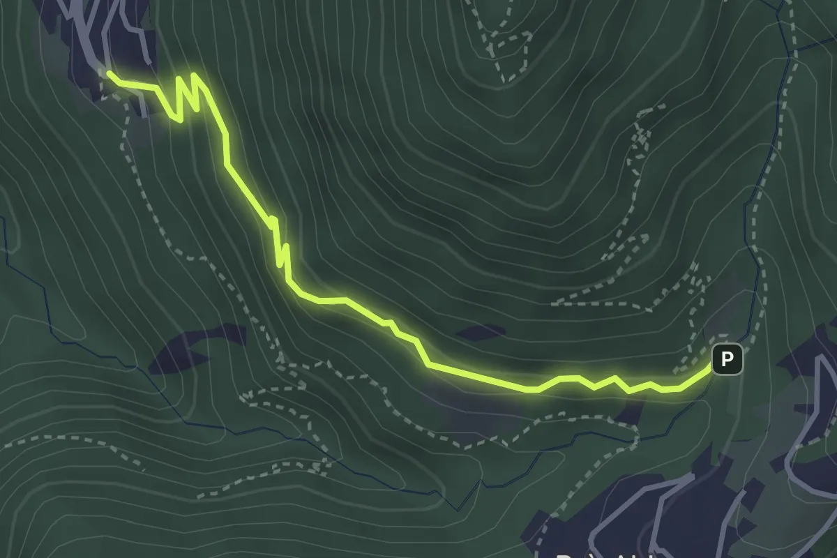
Medium · Trail
Cureggia - Bré
3.7 km · ↑ 254 m · 1 h 25 min
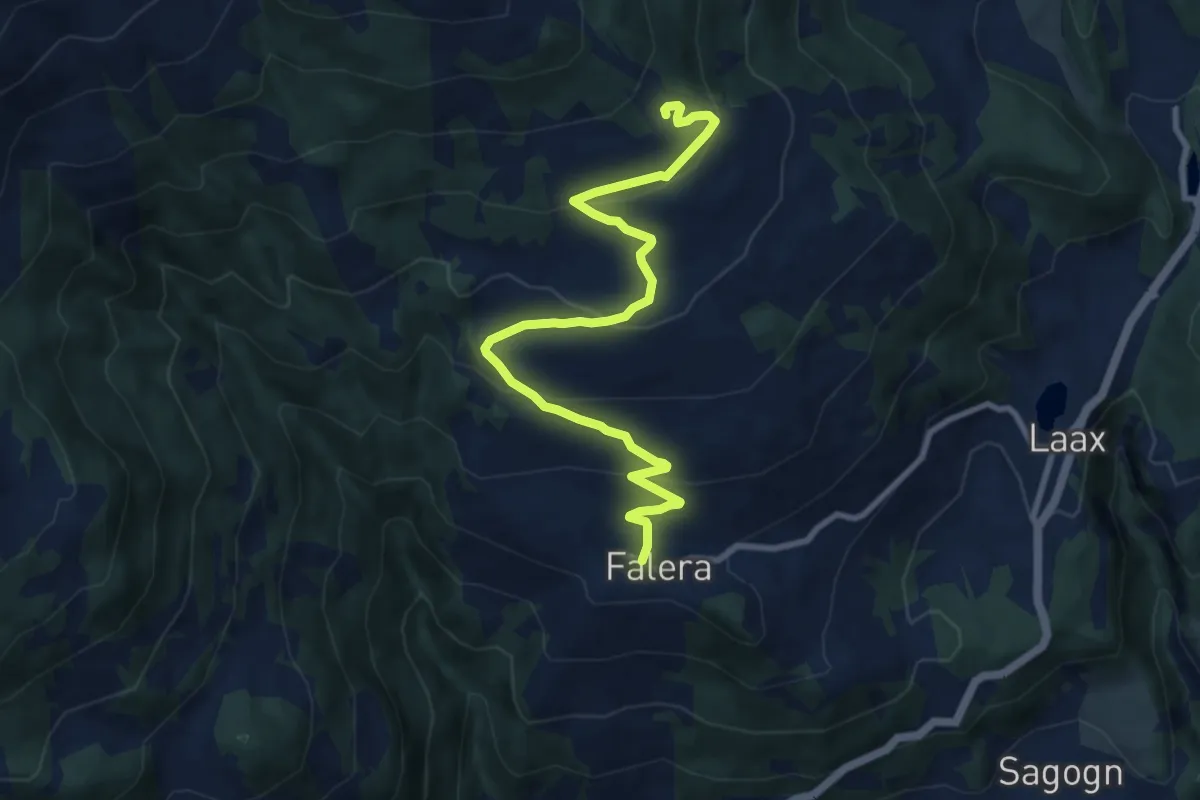
Medium · Trail
Curnius - Falera
9.9 km · ↑ 456 m · 3 h 19 min
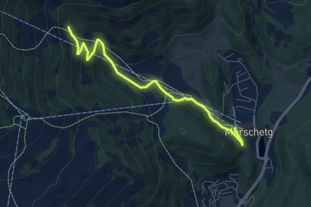
Medium · Trail
Curnius - Laax
6.4 km · ↑ 355 m · 2 h 17 min
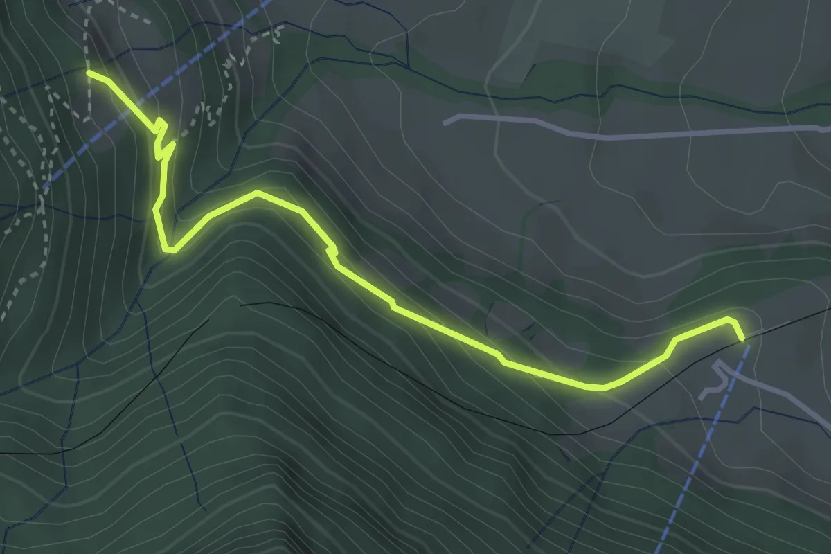
Medium · Trail
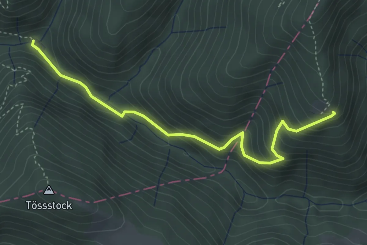
Dächli-Kräbel
3.5 km · ↑ 246 m · 1 h 22 min
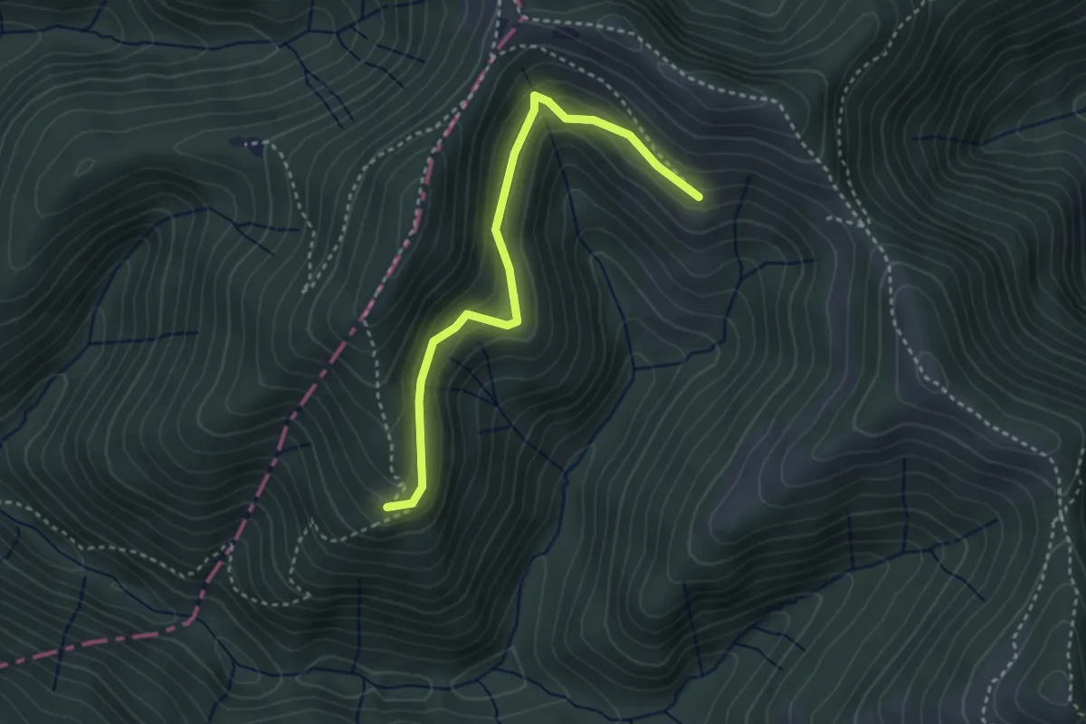
Medium · Trail
Dägelsberger Wiesli - Bachscheidi
3.9 km · ↑ 361 m · 1 h 42 min
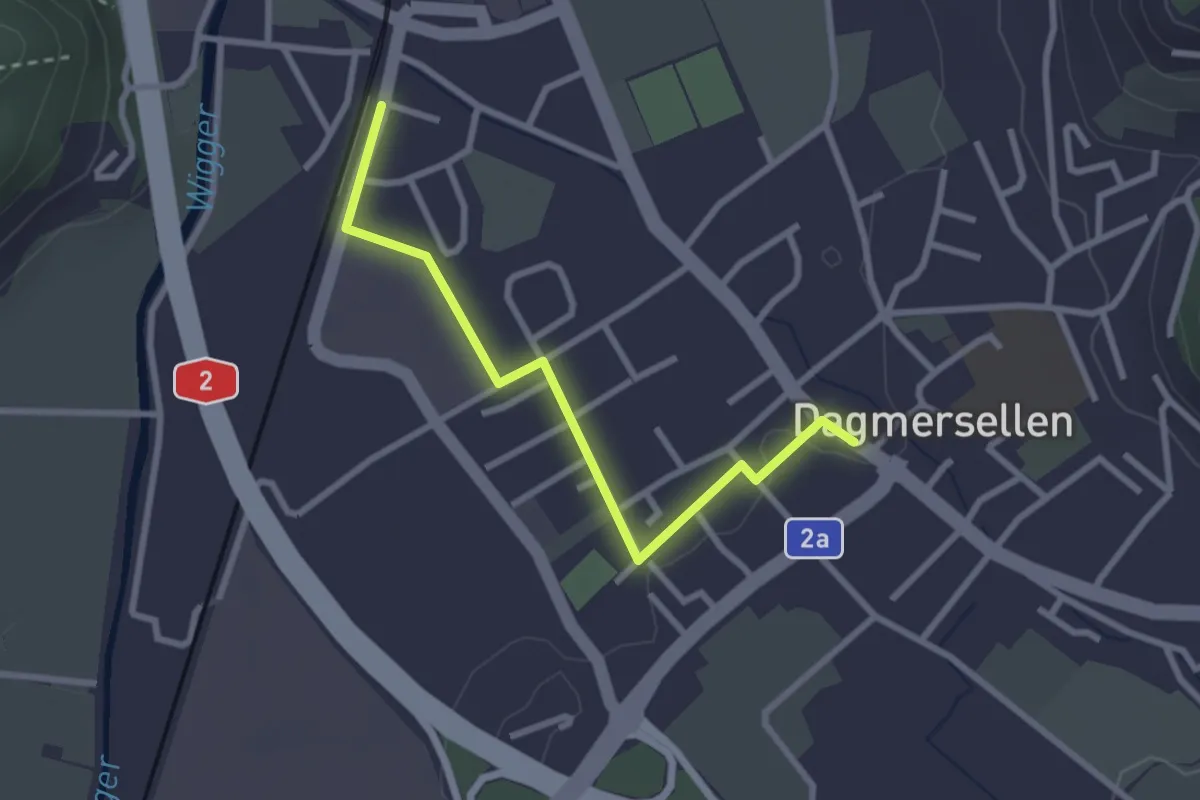
Easy · Trail
Dägelsberger Wiesli - Schindelberg West
3.3 km · ↑ 195 m · 1 h 12 min
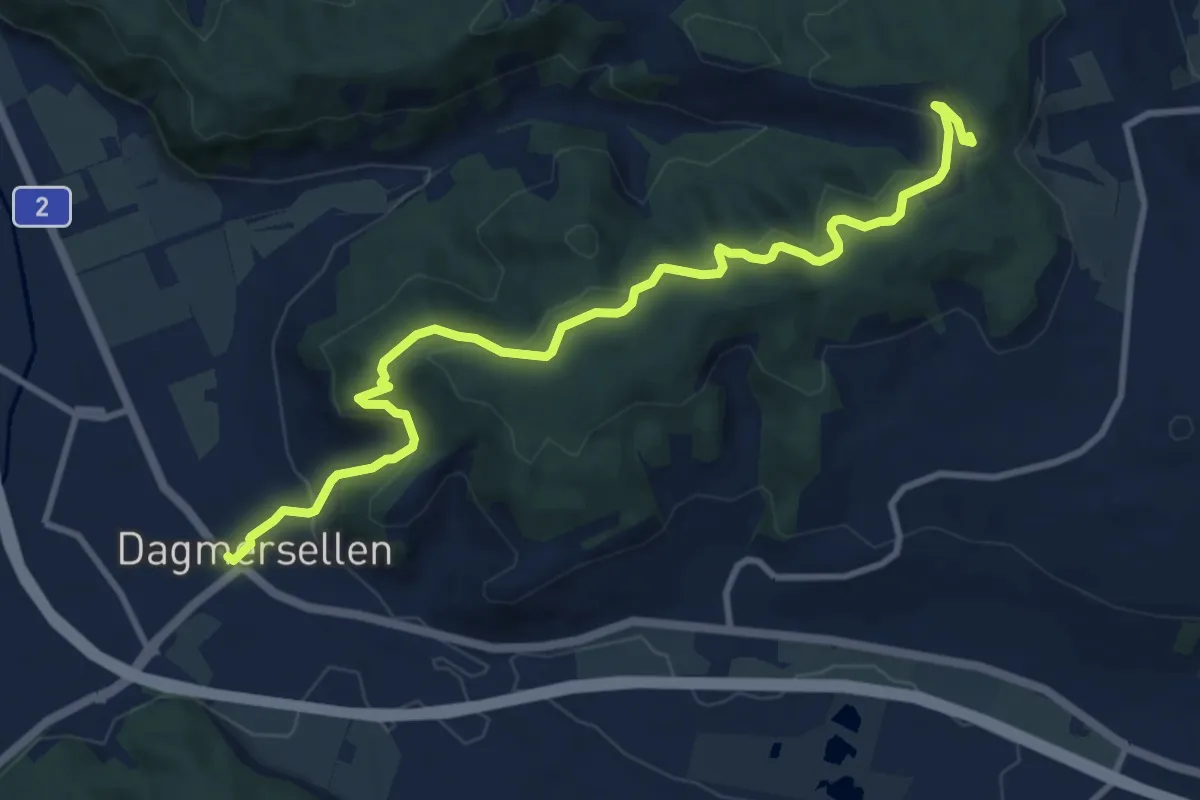
Easy · Trail
Dagmersellen Bahnhof - Dagmersellen
2.7 km · ↑ 9 m · 40 min
Medium · Trail
Dagmersellen - Lätten
11.0 km · ↑ 475 m · 3 h 37 min
Easy · Trail
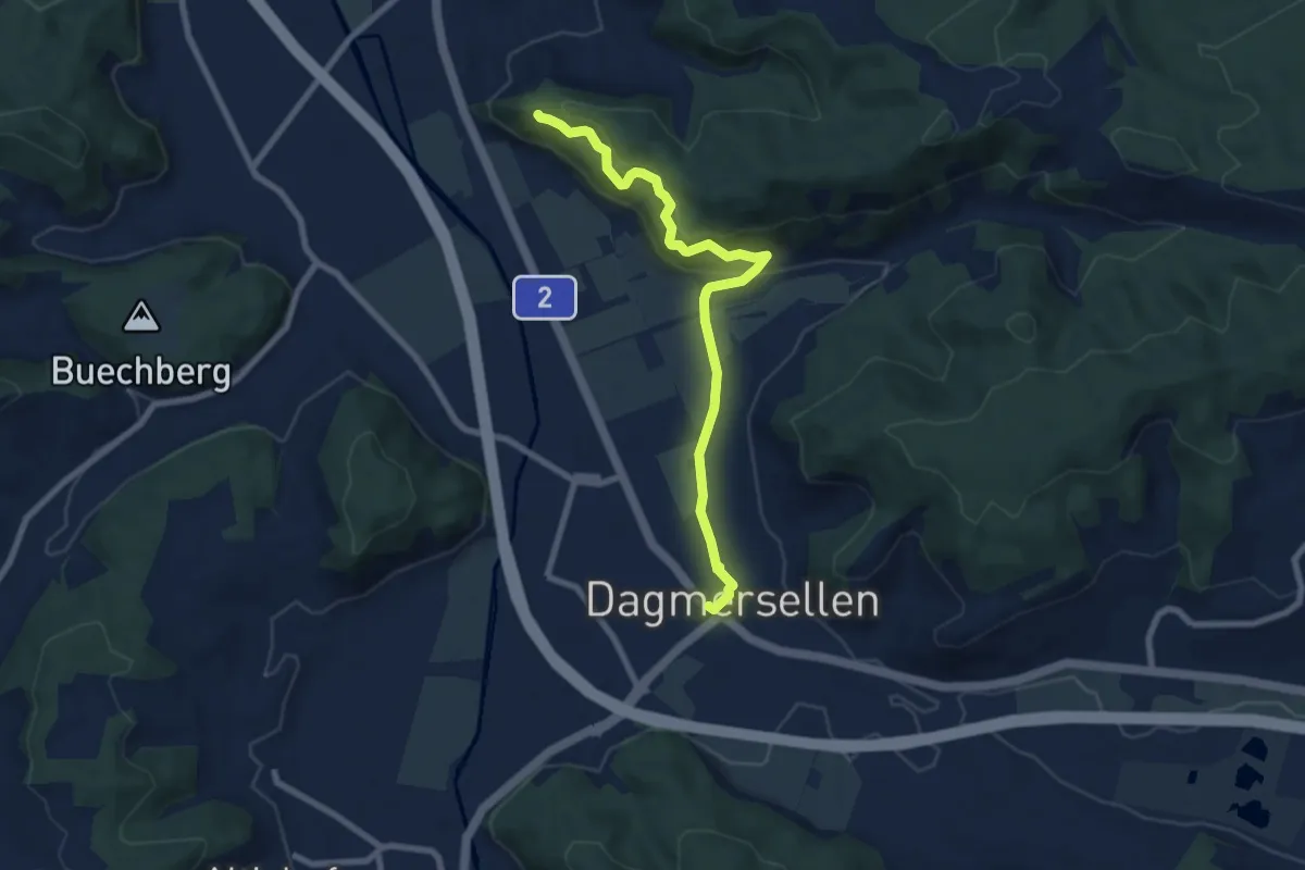
Dagmersellen (Löwen) - Höchflue
7.7 km · ↑ 317 m · 2 h 30 min
Easy · Trail
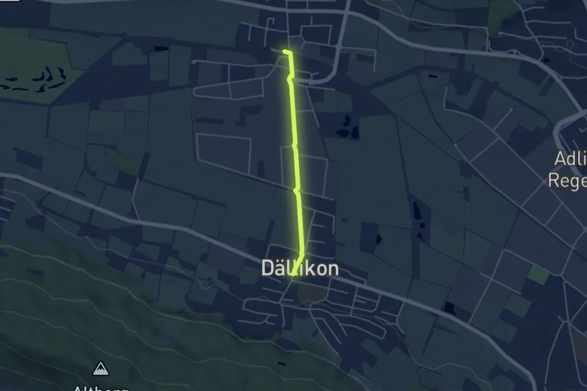
Dällikon - Buchs-Dällikon Bahnhof
3.2 km · ↑ 12 m · 47 min
Easy · Trail
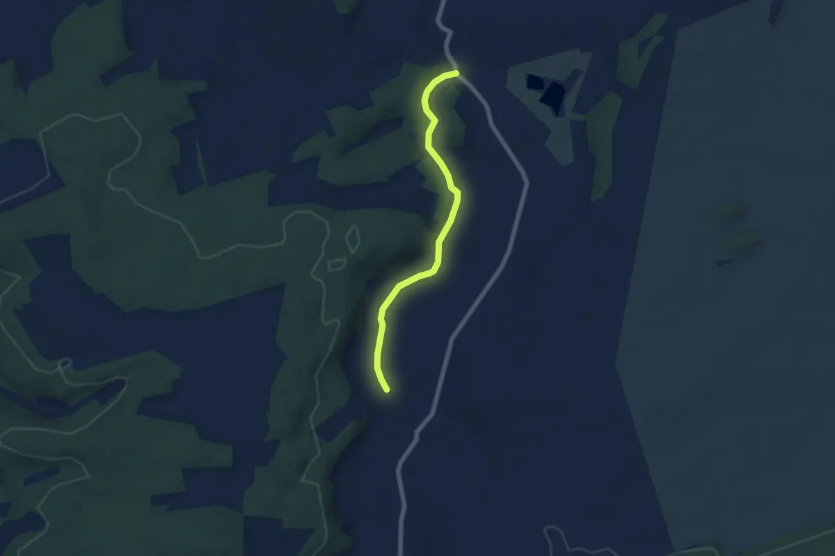
Damphreux-Coeuvre
5.1 km · ↑ 76 m · 1 h 22 min
Demanding · Cabin
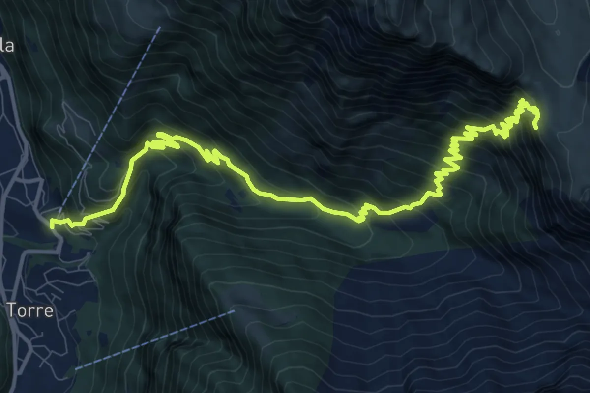
Dangio - Capanna Adula CAS
13.3 km · ↑ 1323 m · 6 h 1 min
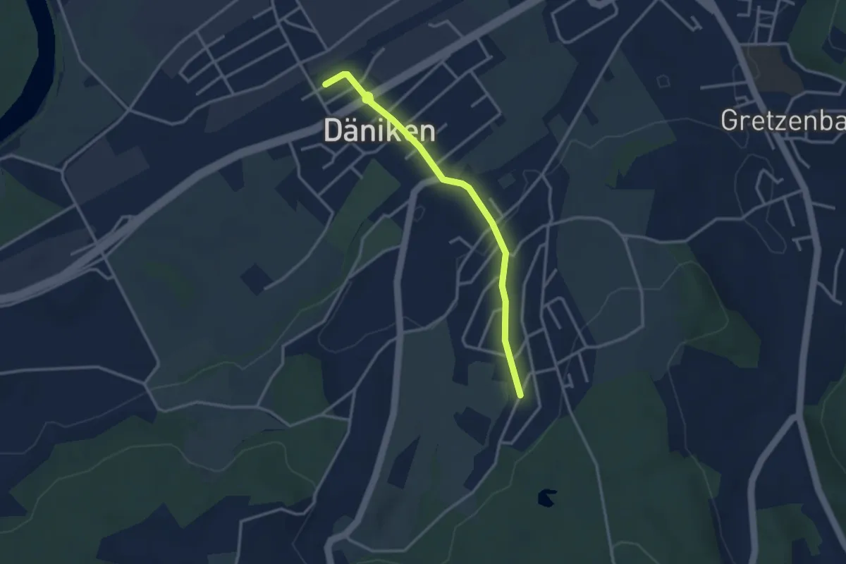
Easy · Trail
Däniken - Eich
2.9 km · ↑ 50 m · 48 min
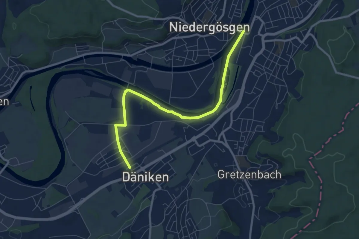
Easy · Trail
Däniken - Schönenwerd
7.4 km · ↑ 13 m · 1 h 47 min
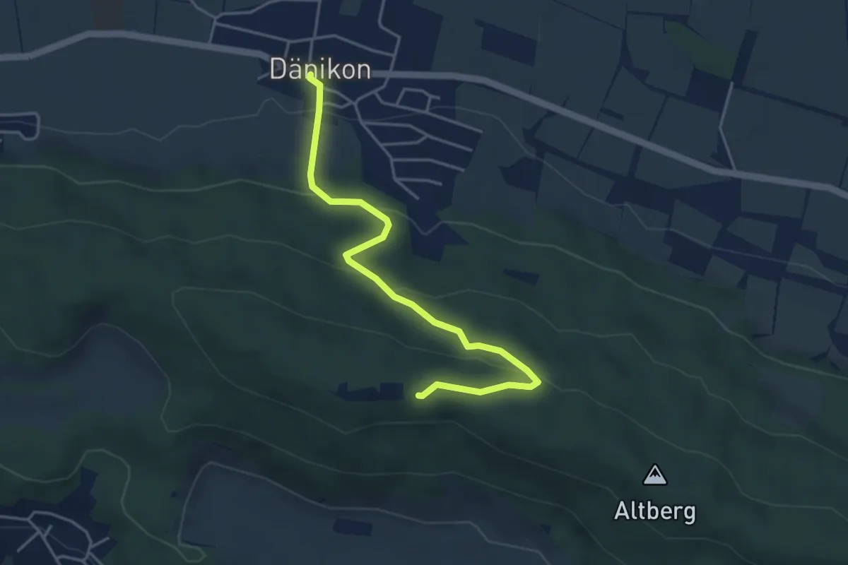
Easy · Cabin
Dänikon - Altberg
4.2 km · ↑ 195 m · 1 h 25 min
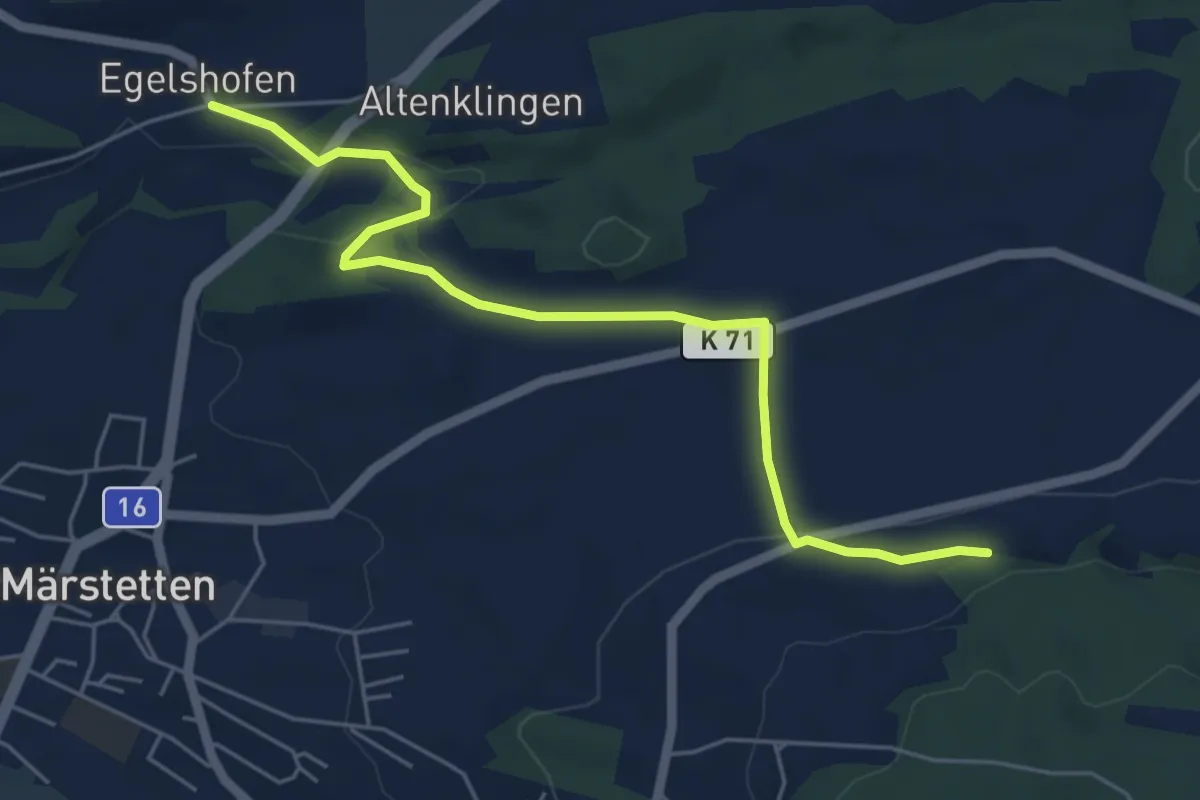
Easy · Trail
Dattenhueb - Egelschhofen
5.7 km · ↑ 96 m · 1 h 34 min