Trails in Switzerland
15,029 hiking trails, each with its route, climb, walking time and grade.
All trails, page 27 of 314
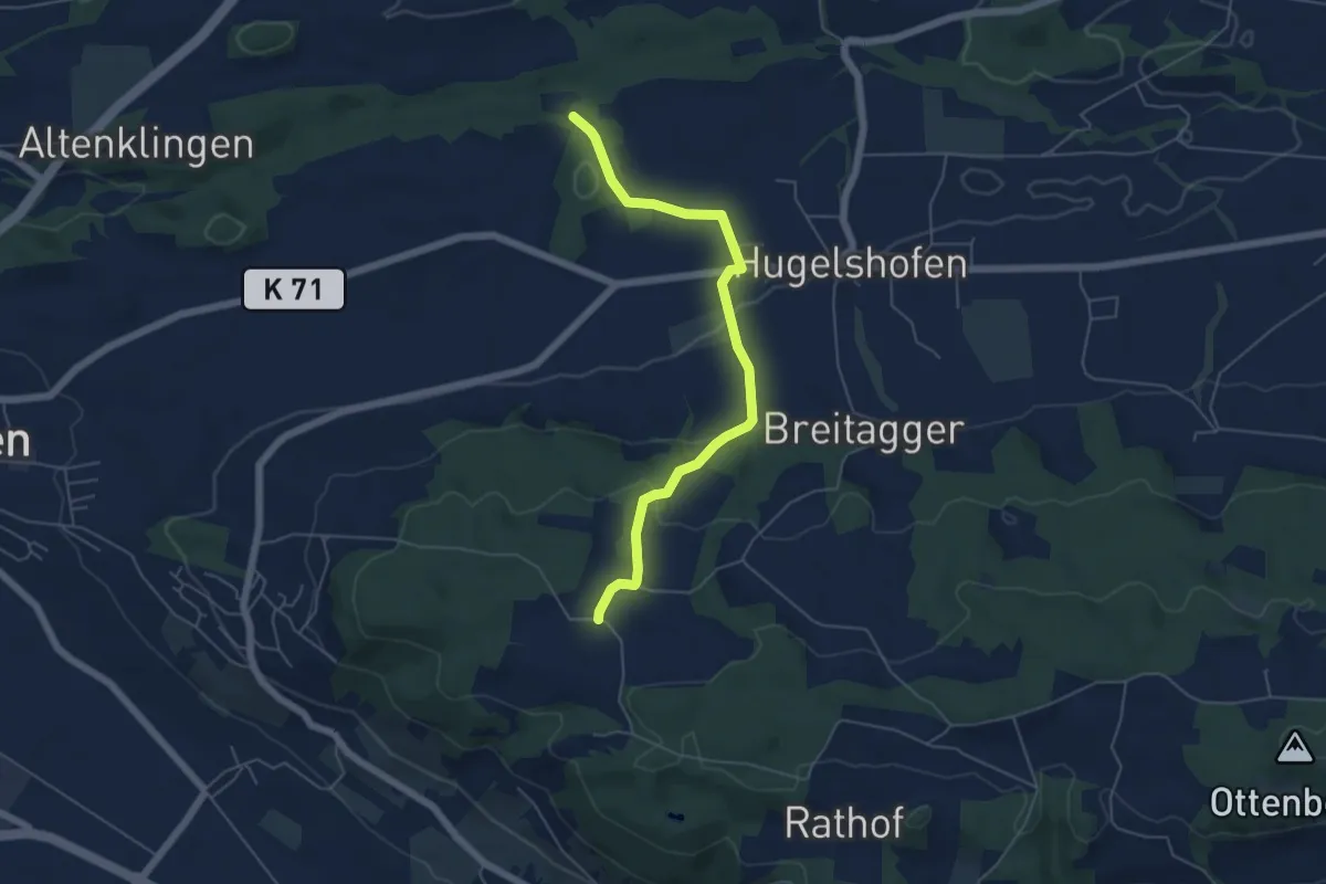
Easy · Trail
Dattenhueb - Hugelshofen
5.4 km · ↑ 158 m · 1 h 37 min
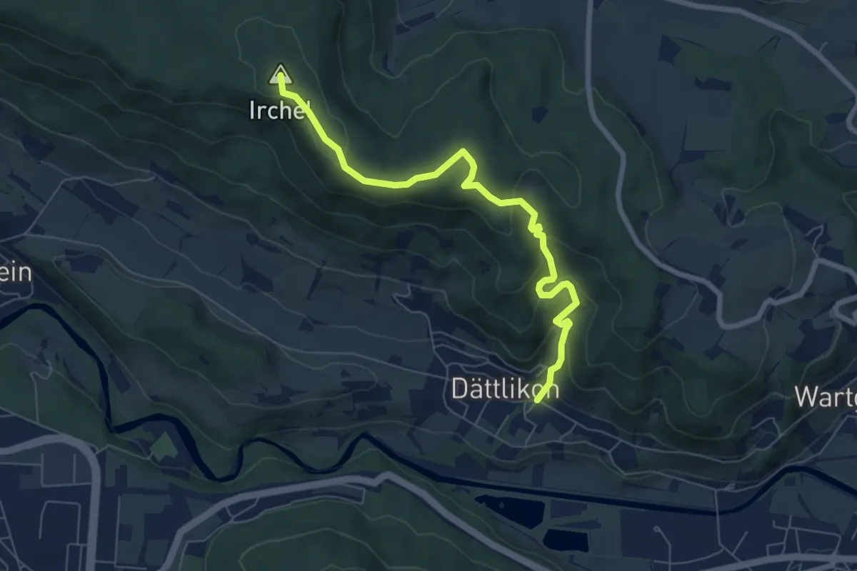
Medium · Summit
Dättlikon - Schartenflue
6.9 km · ↑ 334 m · 2 h 22 min
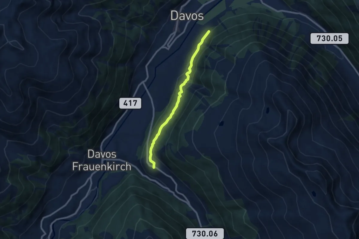
Easy · Trail
Davos - Clavadel
6.7 km · ↑ 305 m · 2 h 15 min
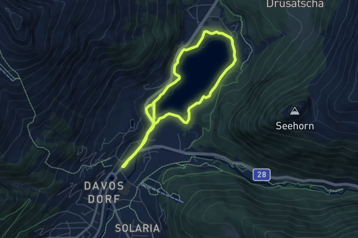
Easy · Trail
Davosersee Rundweg
6.1 km · ↑ 151 m · 1 h 52 min
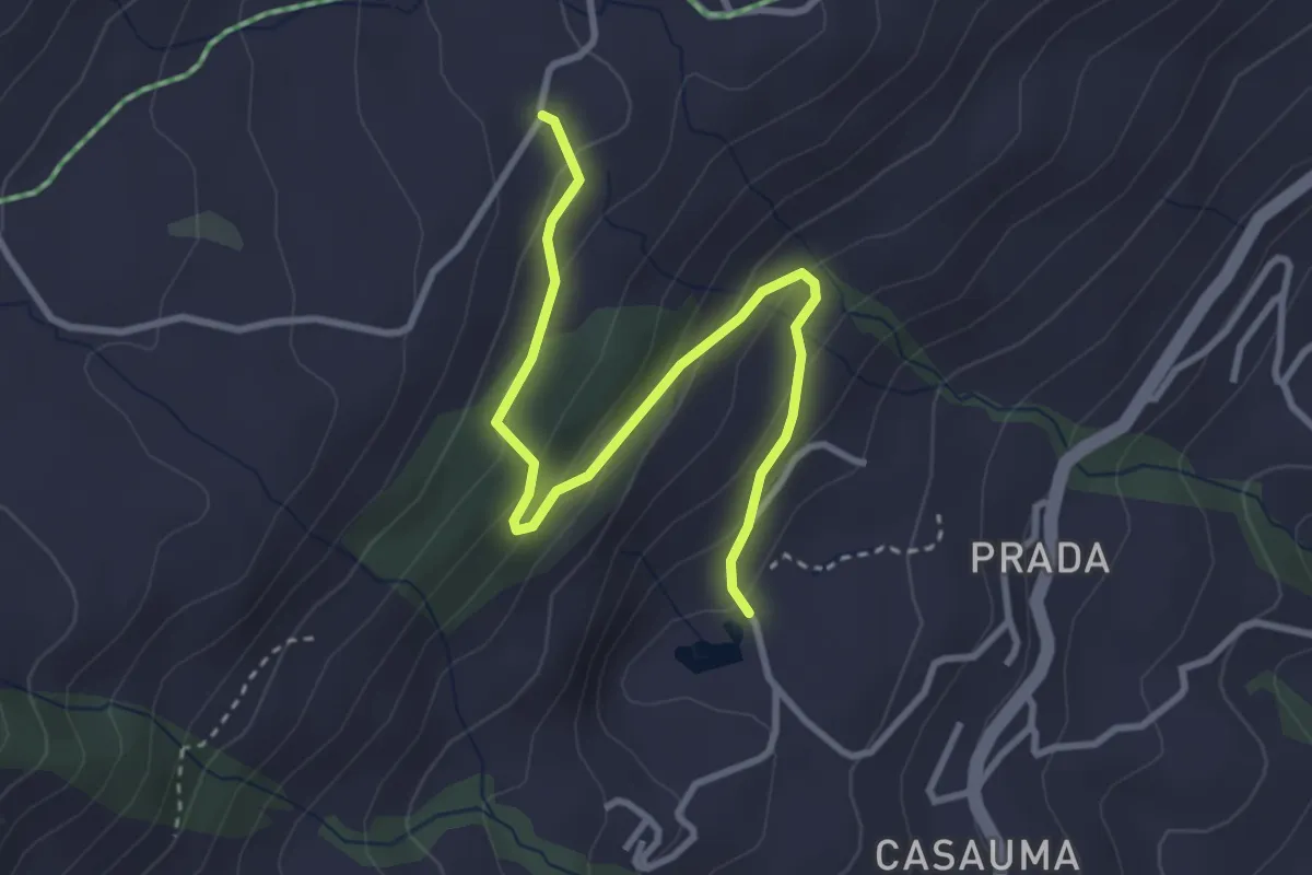
Easy · Trail
Davos Munt Alp Sezner
3.5 km · ↑ 188 m · 1 h 14 min
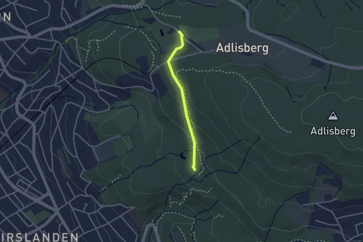
Easy · Trail
Degenried - Dolder
2.1 km · ↑ 69 m · 39 min
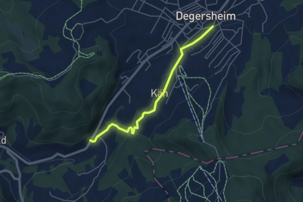
Easy · Trail
Degersheim-Ziegelhütte
3.8 km · ↑ 72 m · 1 h 3 min
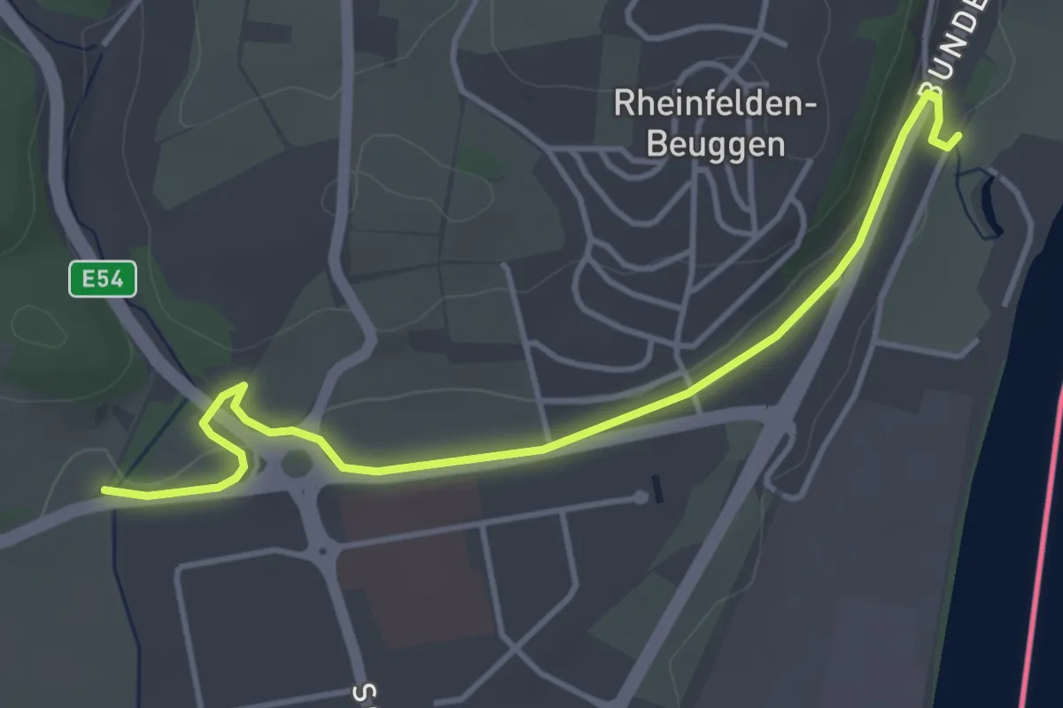
Easy · Trail
Degussabrücke - Schloss Beuggen
4.3 km · ↑ 55 m · 1 h 7 min
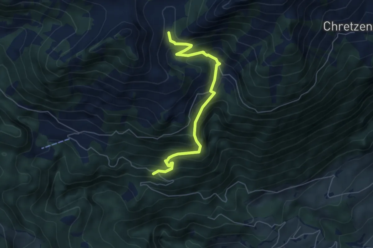
Medium · Trail
Deneten- Skiaufstieg
5.3 km · ↑ 527 m · 2 h 23 min
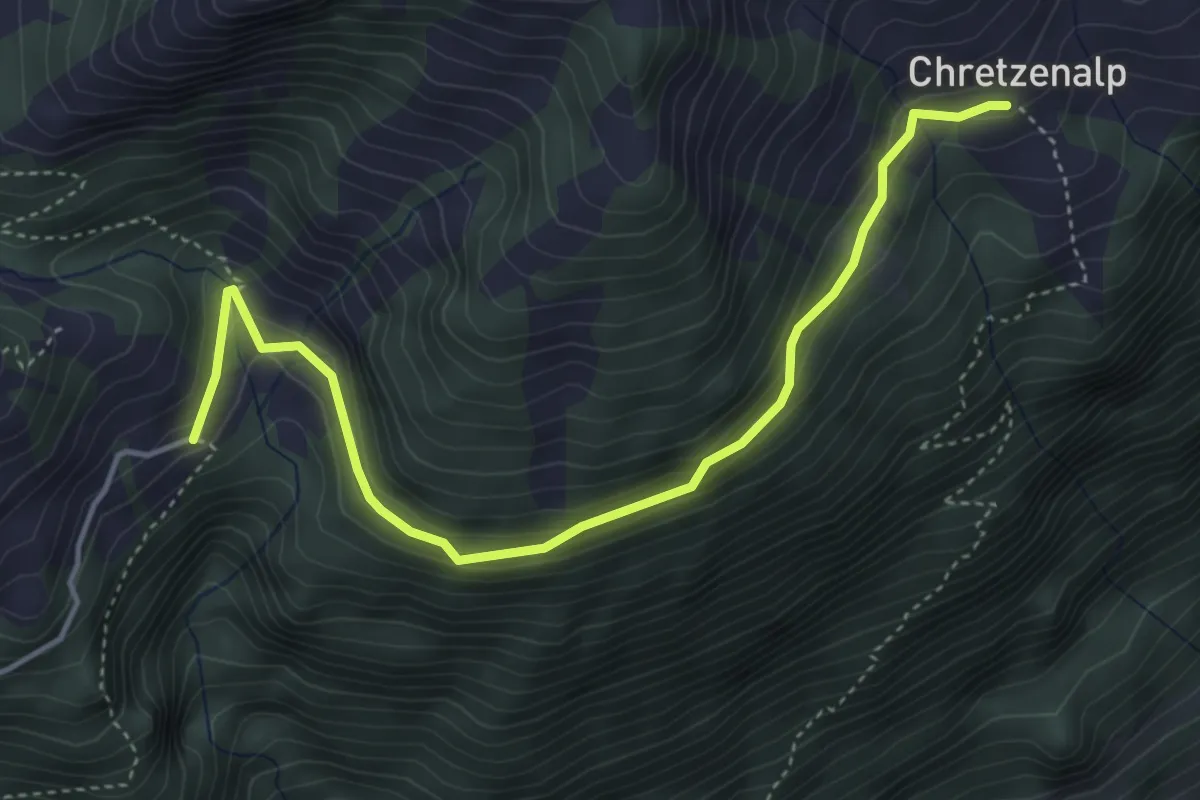
Easy · Trail
Deneten - Under Chretzen
4.6 km · ↑ 245 m · 1 h 37 min
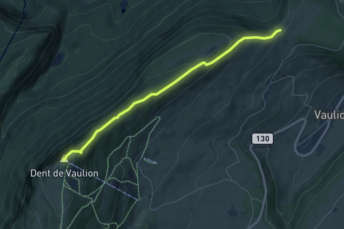
Medium · Summit
Dent de Vaulion-Sur le Voué
5.8 km · ↑ 314 m · 2 h 4 min
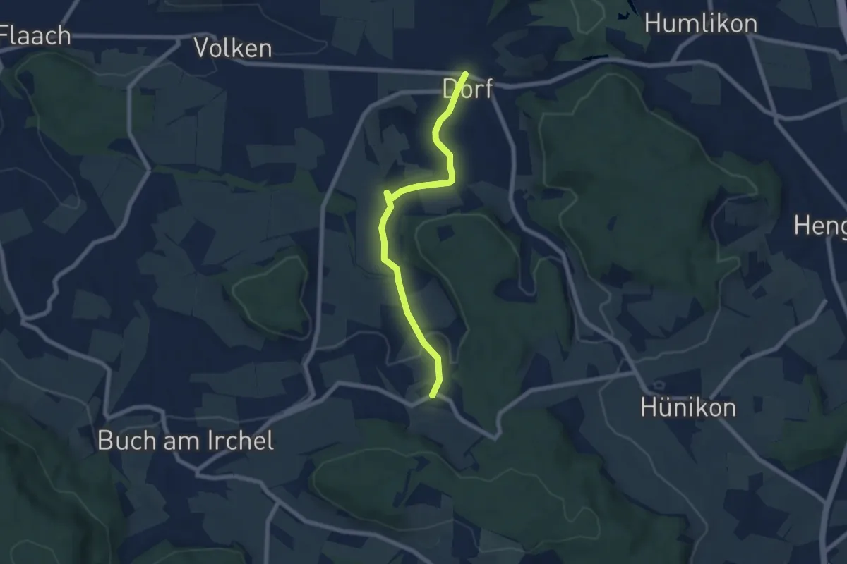
Easy · Trail
Desibach - Dorf
5.9 km · ↑ 155 m · 1 h 44 min
Easy · Trail
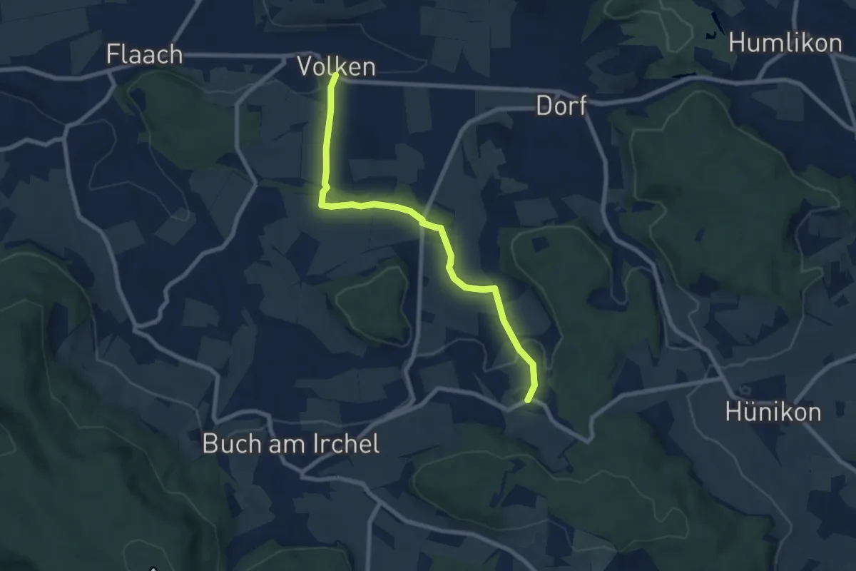
Desibach - Volken
7.2 km · ↑ 133 m · 1 h 59 min
Easy · Trail
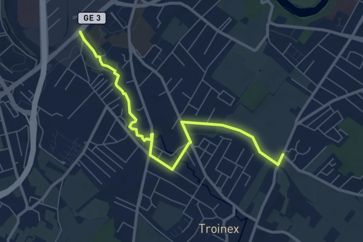
De Staël - Place Verte
6.4 km · ↑ 32 m · 1 h 35 min
Easy · Trail
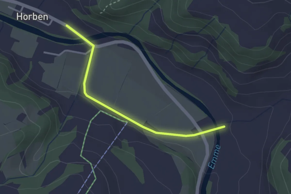
Dieboldswil - Horben
2.6 km · ↑ 9 m · 38 min
Medium · Trail
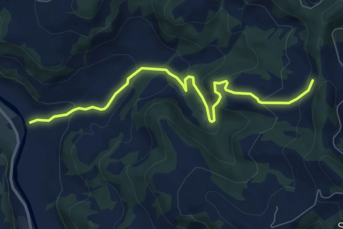
Dieboldswil - Vordere Girsgrat
6.6 km · ↑ 365 m · 2 h 22 min
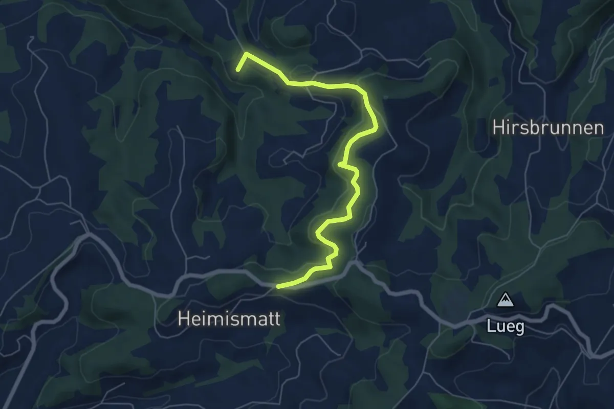
Easy · Summit
Diebstu - Schwande
5.9 km · ↑ 266 m · 1 h 58 min
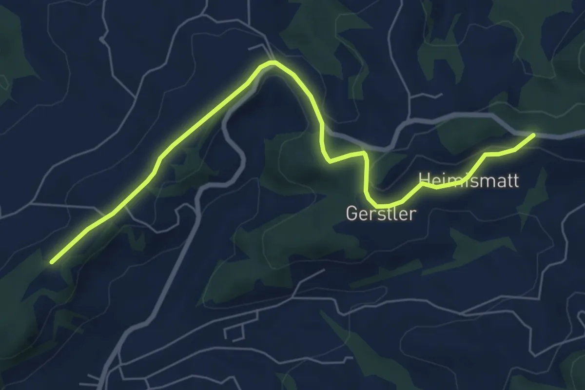
Easy · Trail
Diebstu - Weid
6.5 km · ↑ 138 m · 1 h 50 min
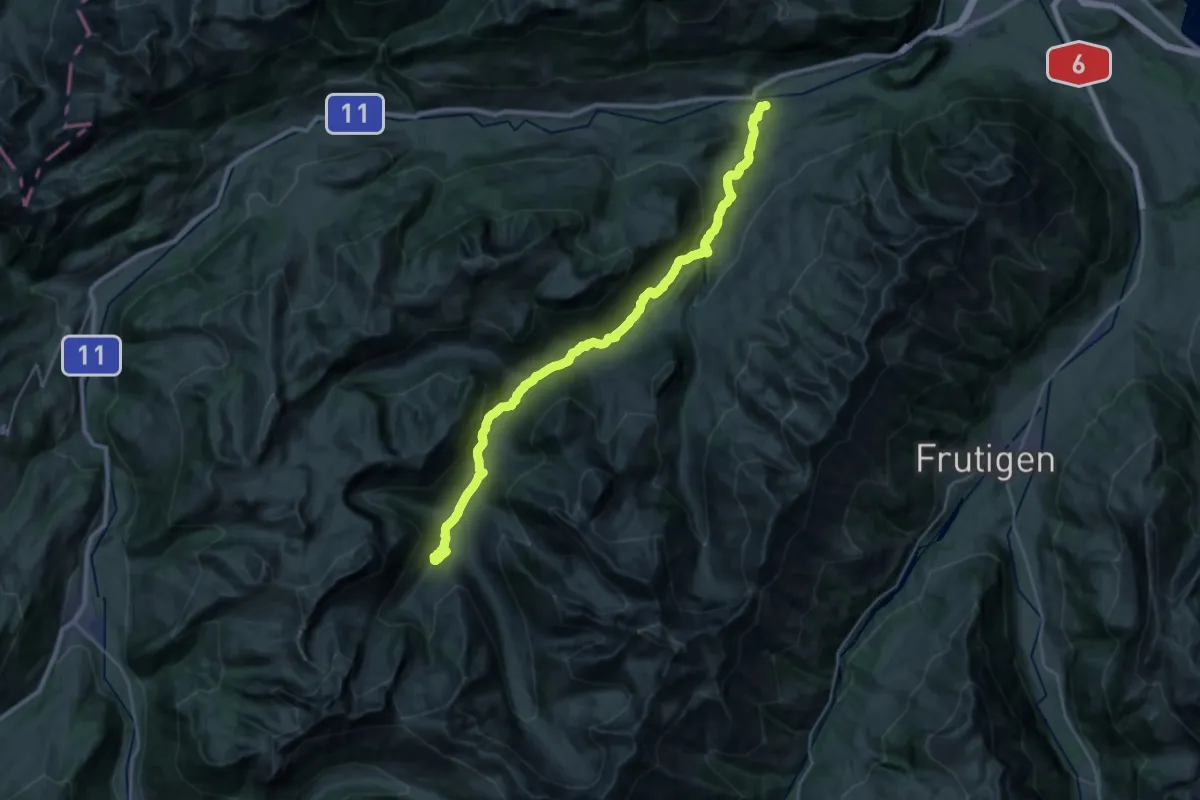
Medium · Trail
Diemtigtaler Talwanderweg
15.5 km · ↑ 752 m · 5 h 13 min
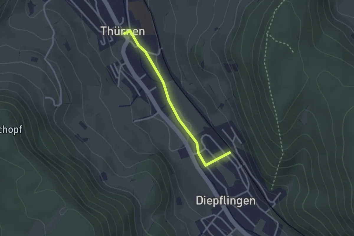
Easy · Trail
Diepflingen - Thürnen
2.3 km · ↑ 25 m · 36 min
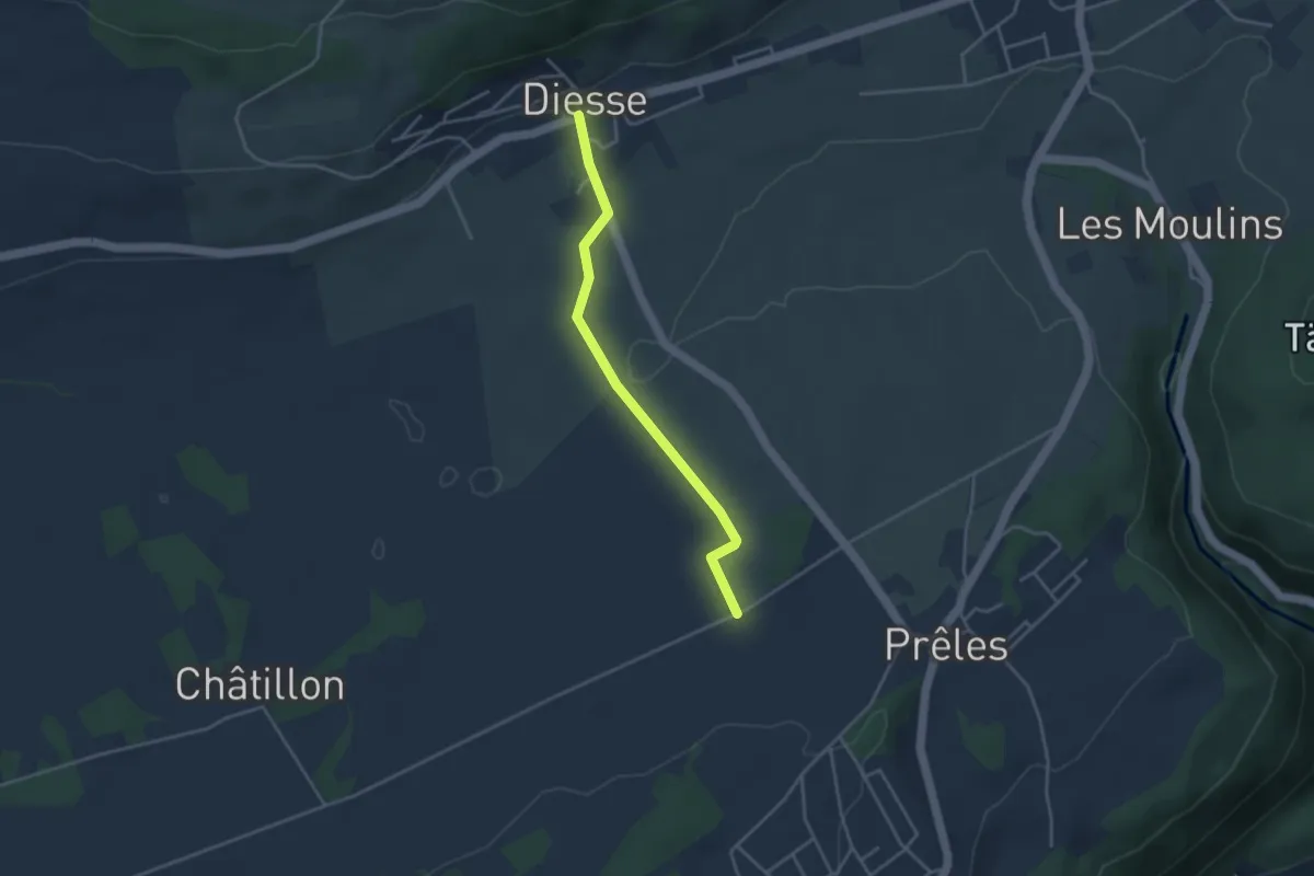
Easy · Trail
Diesse - fixme
3.5 km · ↑ 65 m · 58 min
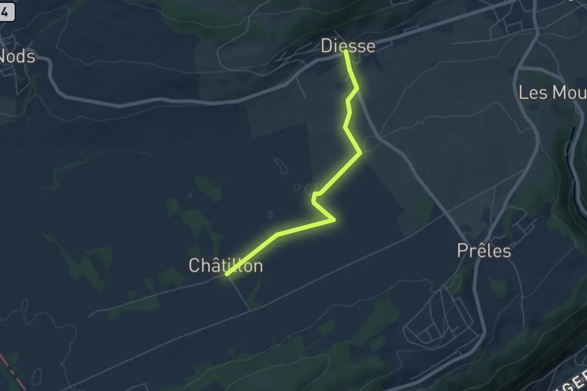
Easy · Trail
Diesse - Montagne Diesse/Châtillon
5.2 km · ↑ 46 m · 1 h 20 min
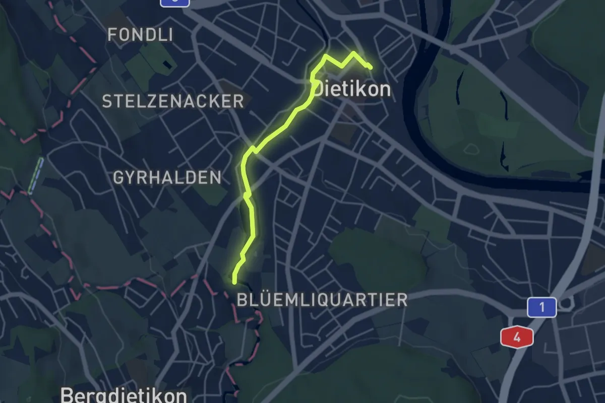
Easy · Trail
Dietikon - Basi
3.8 km · ↑ 22 m · 57 min
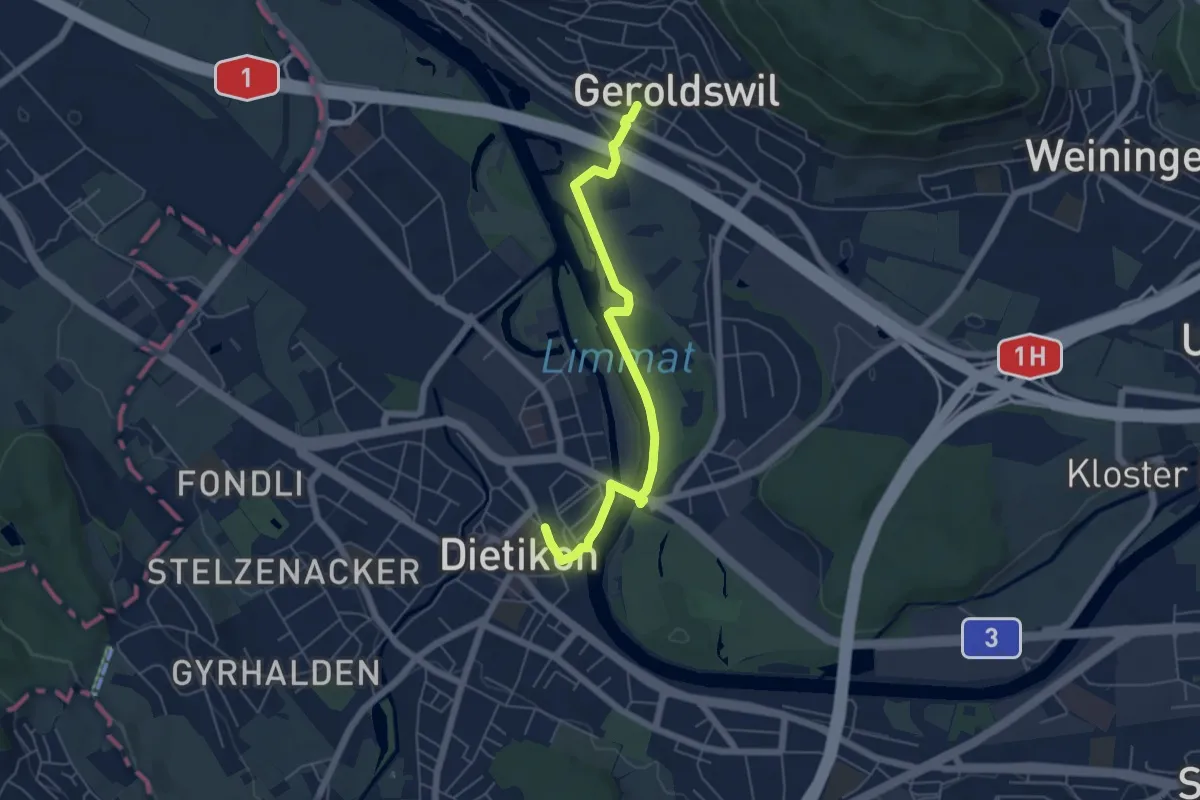
Easy · Trail
Dietikon - Geroldswil
5.5 km · ↑ 29 m · 1 h 22 min
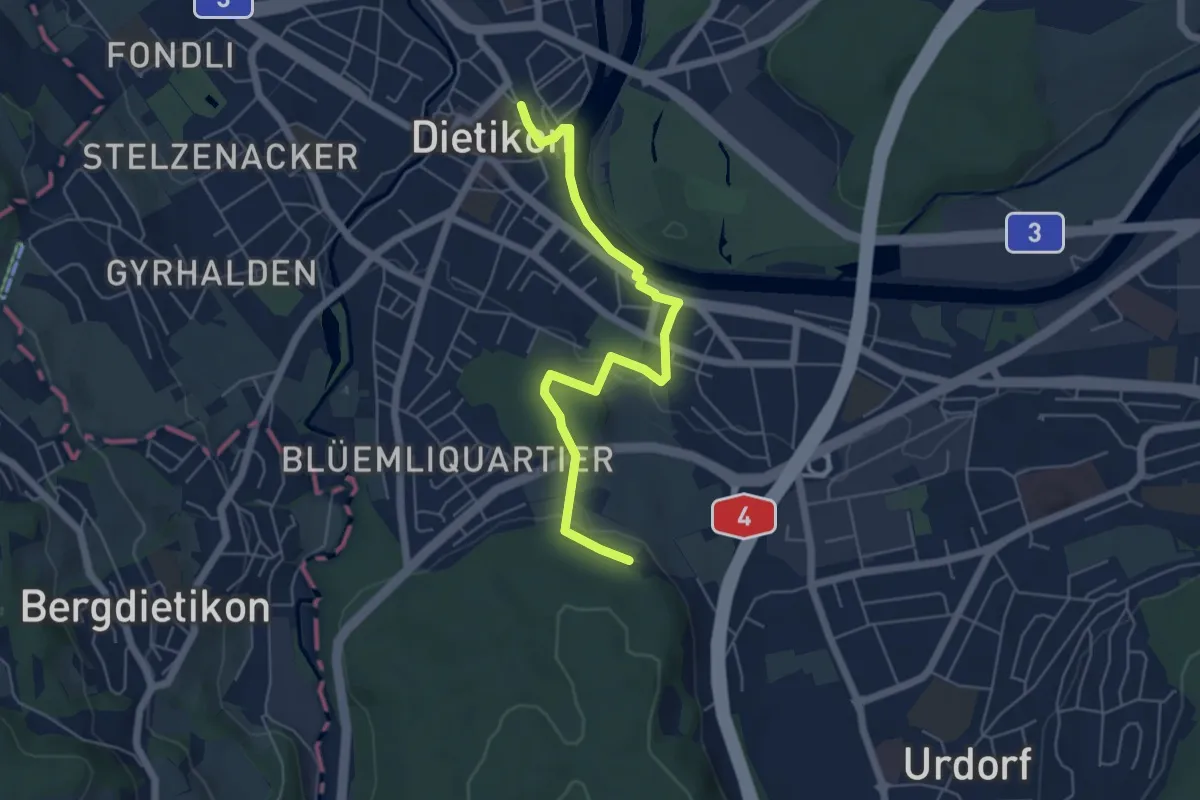
Easy · Trail
Dietikon - Lindenbüel
5.6 km · ↑ 84 m · 1 h 30 min
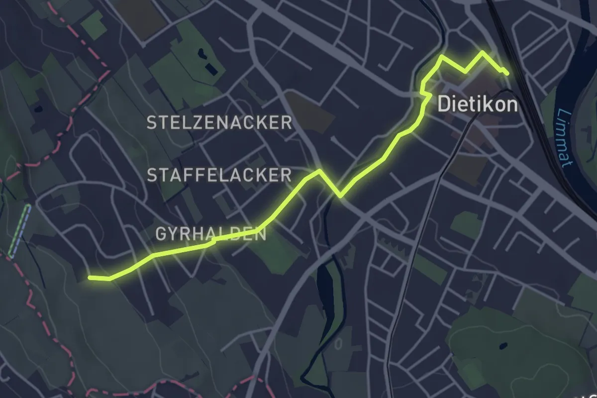
Easy · Trail
Dietikon - Rüteren
4.3 km · ↑ 80 m · 1 h 12 min
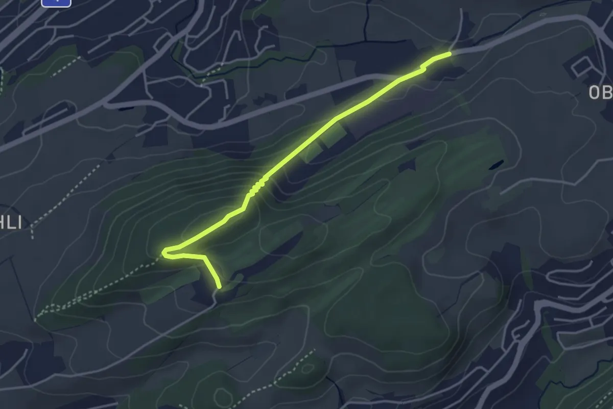
Easy · Trail
Dietschiberg - Stube
3.7 km · ↑ 184 m · 1 h 16 min
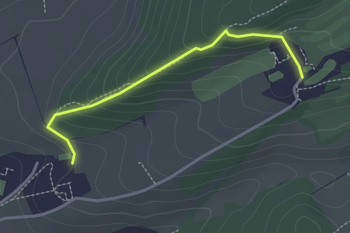
Easy · Trail
Dietschiberg - Utenberg
2.2 km · ↑ 144 m · 49 min
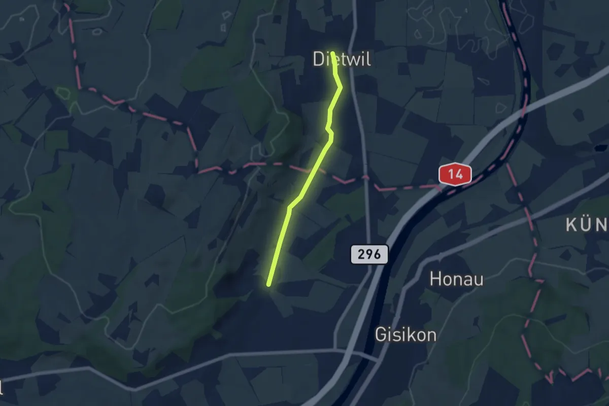
Easy · Trail
Dietwil - Pfaffwil
4.5 km · ↑ 44 m · 1 h 9 min
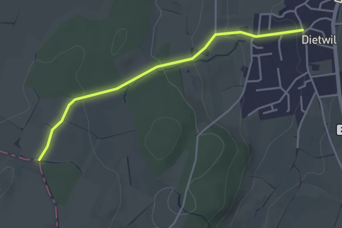
Easy · Trail
Dietwil - Sulzberg
3.1 km · ↑ 96 m · 57 min
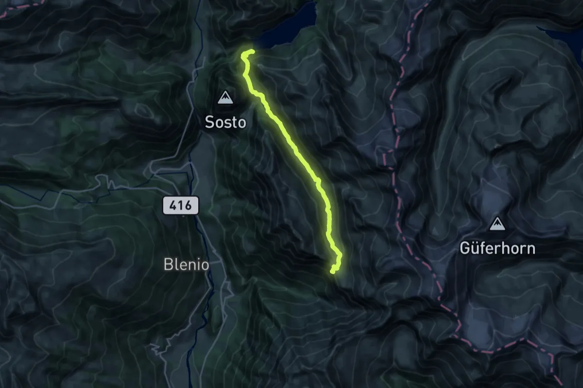
Demanding · Cabin
Diga di Luzzone - Capanna Adula CAS
18.1 km · ↑ 906 m · 6 h 13 min
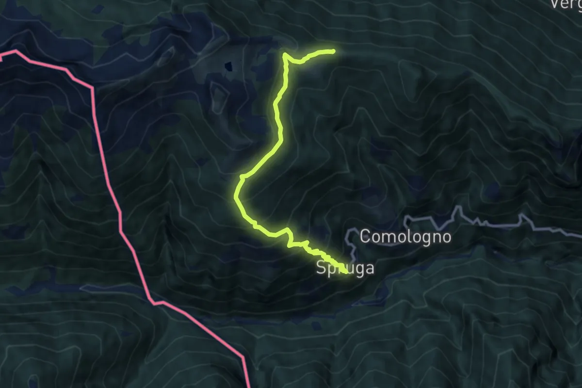
Demanding · Trail
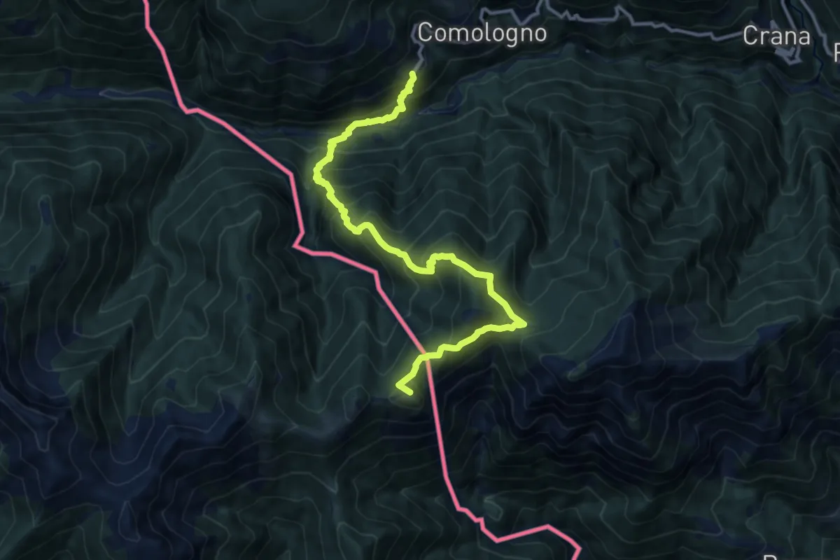
Di Monte in Monte - Tappa 1
8.9 km · ↑ 820 m · 3 h 52 min
Demanding · Summit
Di Monte in Monte - Tappa 2
12.7 km · ↑ 1235 m · 5 h 40 min
Easy · Trail
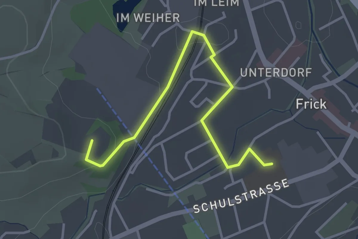
Dino-Lehrpfad
3.3 km · ↑ 48 m · 52 min
Easy · Trail
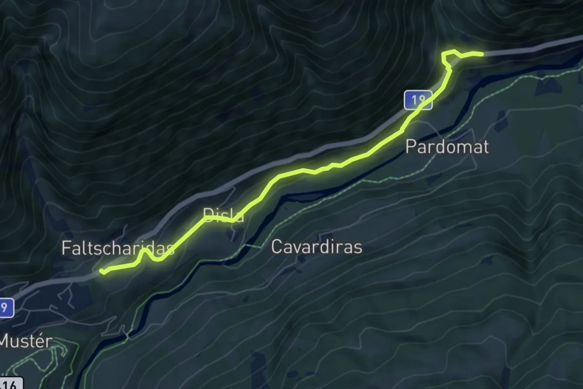
Disla-Punt Russein
6.8 km · ↑ 313 m · 2 h 17 min
Easy · Summit
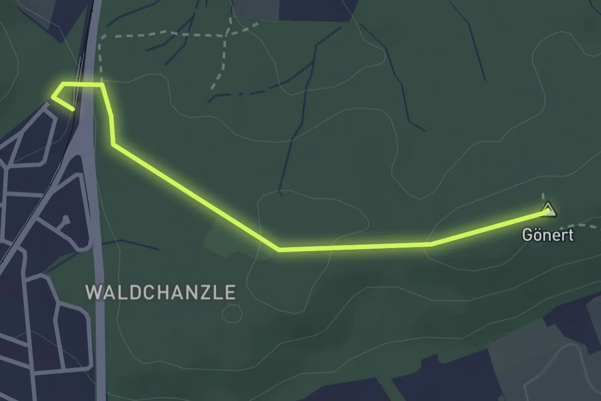
Distelberg - Gönert
2.6 km · ↑ 43 m · 43 min
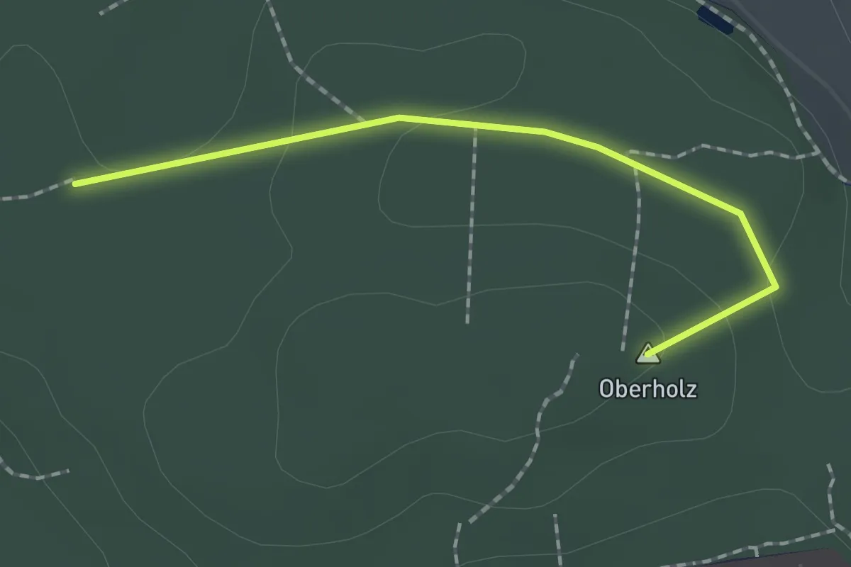
Easy · Summit
Distelberg - Oberholz
1.7 km · ↑ 31 m · 28 min
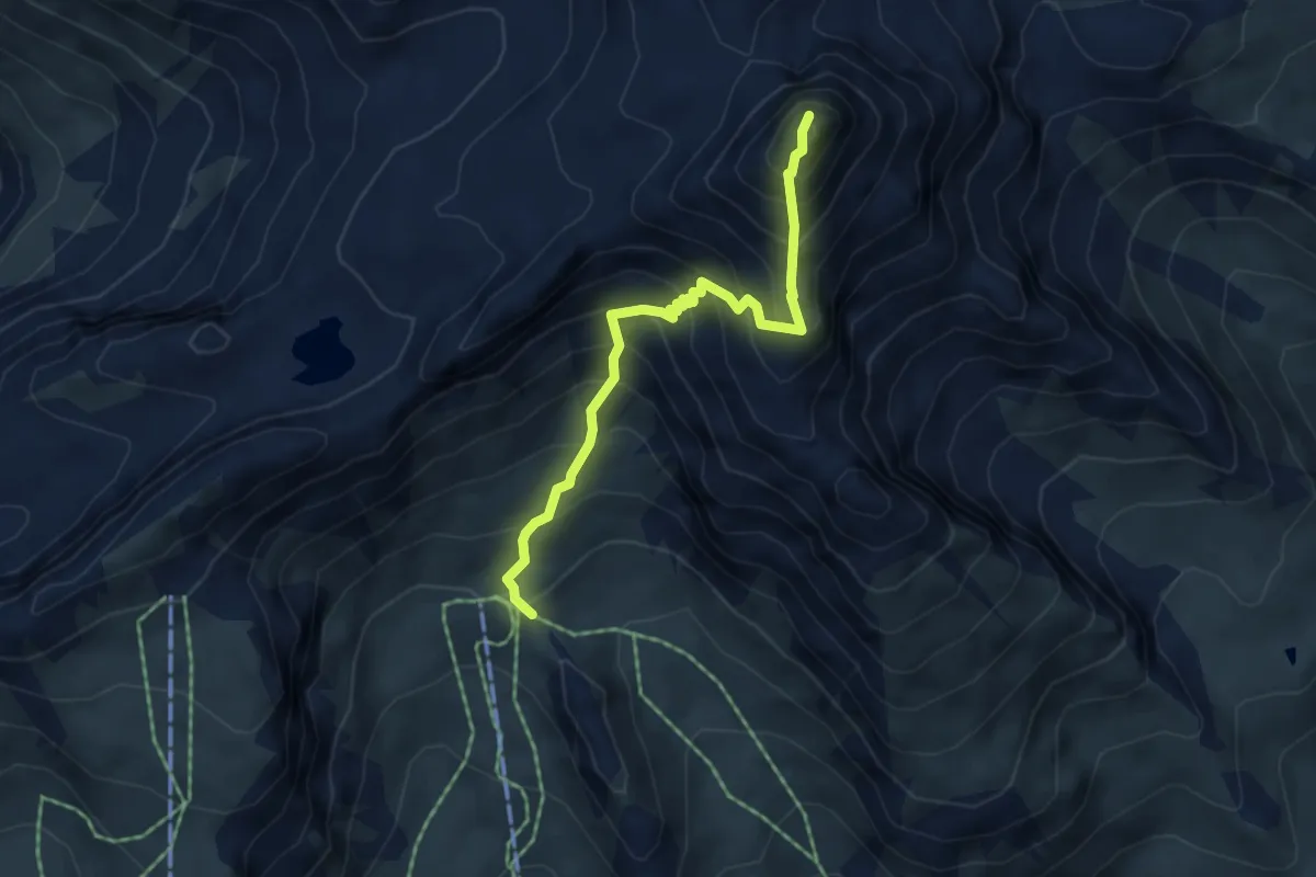
Expert · Summit
Distelboden–Schwarzhorn
4.7 km · ↑ 665 m · 2 h 32 min
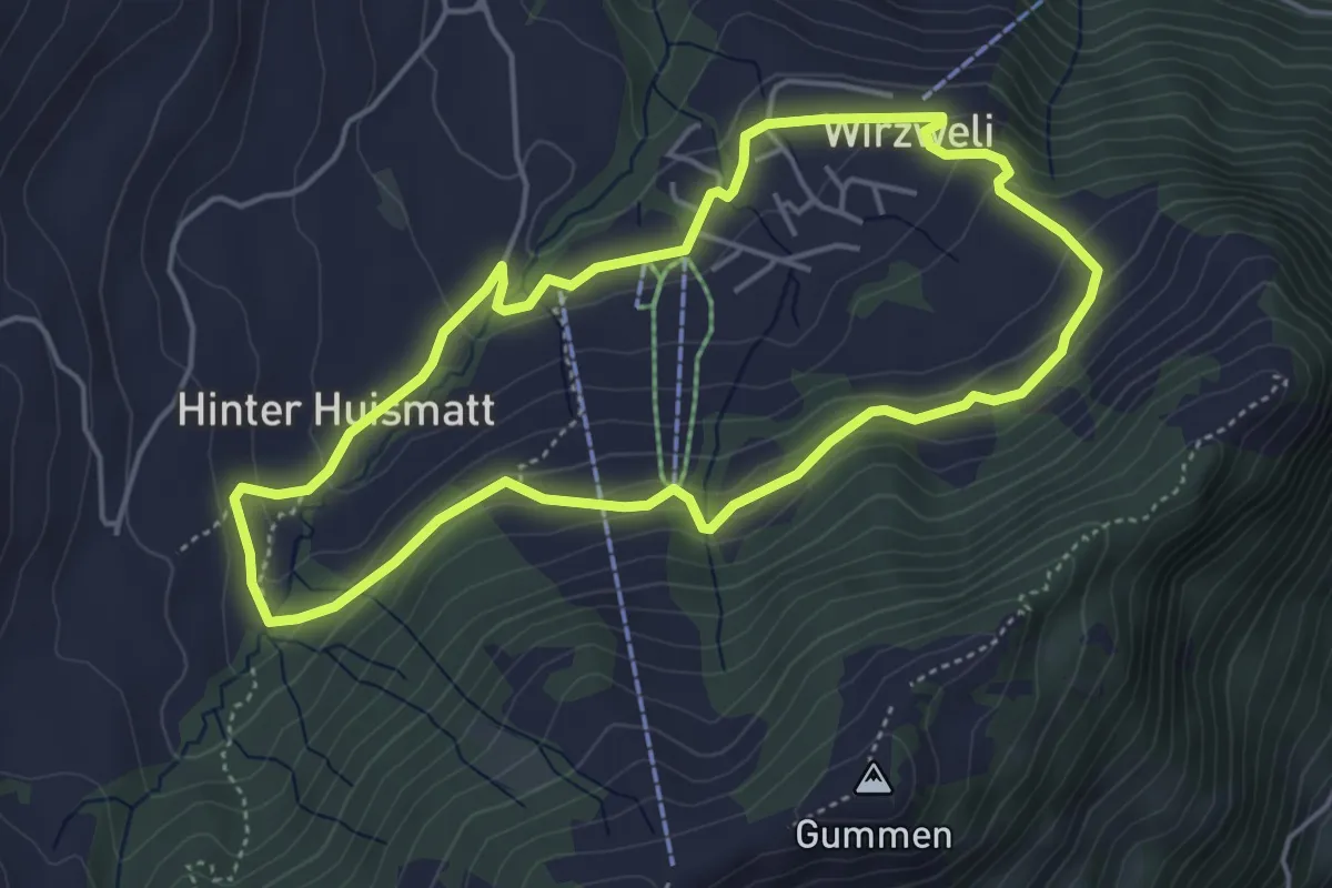
Easy · Trail
Dominikpfad
4.4 km · ↑ 173 m · 1 h 28 min
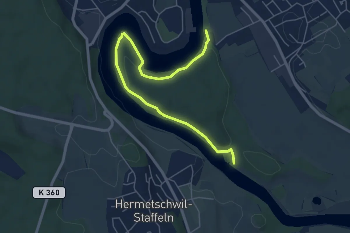
Easy · Trail
Dominolochsteg - Kraftwerk Bremgarten-Zufikon
5.3 km · ↑ 128 m · 1 h 32 min
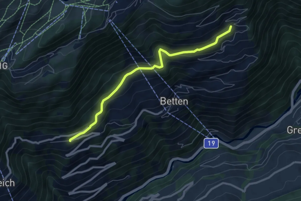
Medium · Trail
Domo - Goppisberg
6.2 km · ↑ 374 m · 2 h 16 min
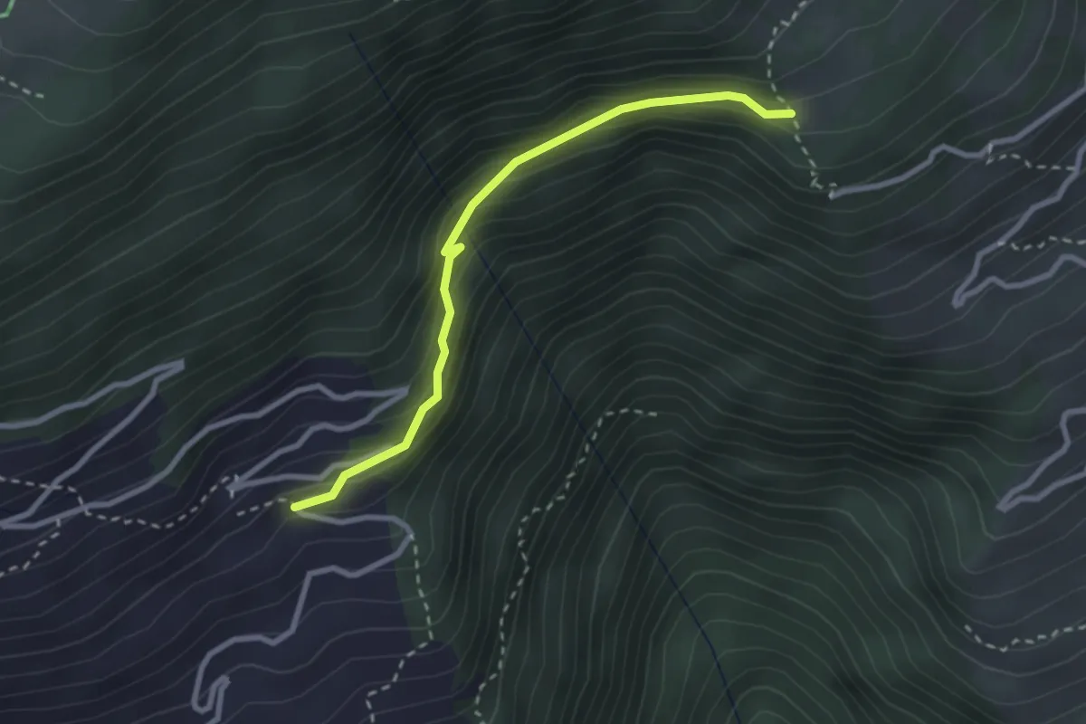
Easy · Trail
Domo - Martisberg
2.7 km · ↑ 157 m · 58 min
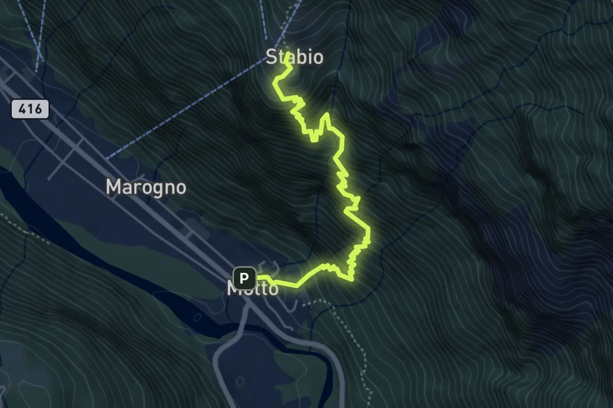
Demanding · Cabin
Dongio - Stabio
5.1 km · ↑ 914 m · 3 h 11 min
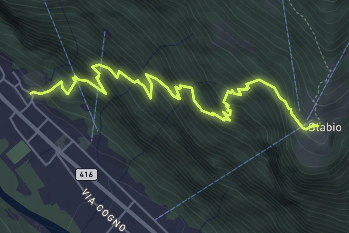
Medium · Cabin
Dongio - Stabio
5.5 km · ↑ 732 m · 2 h 53 min
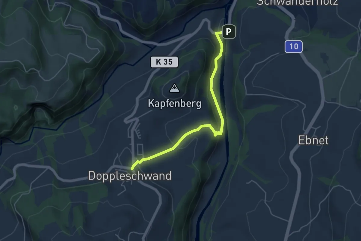
Easy · Trail
Doppelschwand -Chappelbodenbrücke
4.4 km · ↑ 181 m · 1 h 26 min
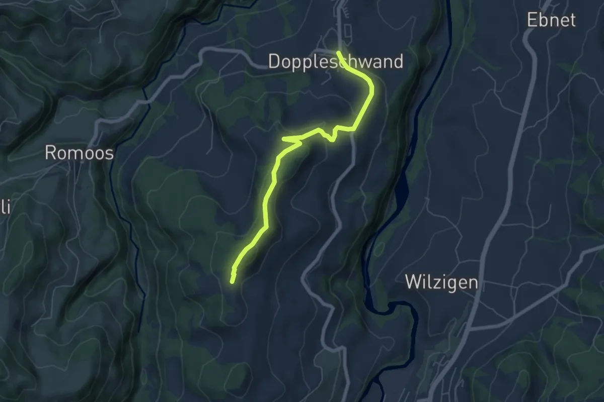
Easy · Trail
Doppelschwand - Oberhüseren
5.8 km · ↑ 216 m · 1 h 50 min
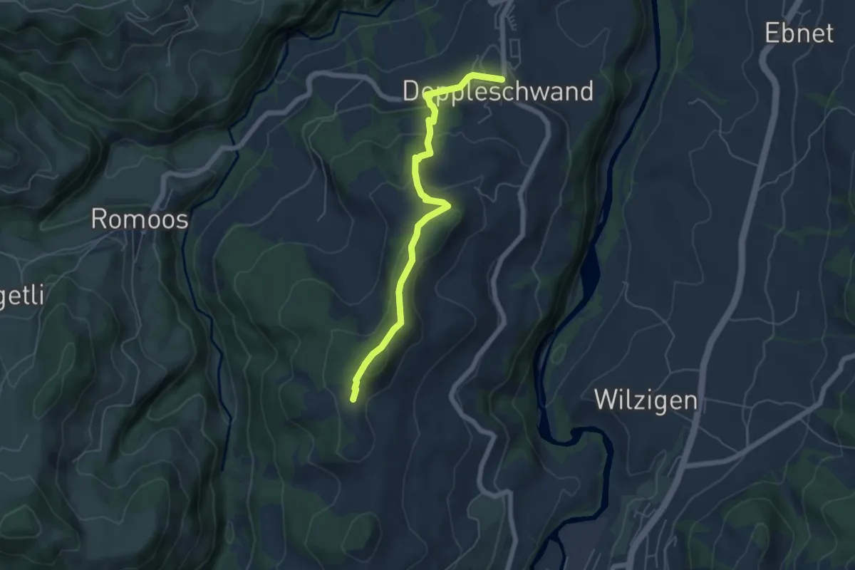
Easy · Trail
Doppelschwand - Oberhüseren
5.4 km · ↑ 261 m · 1 h 50 min
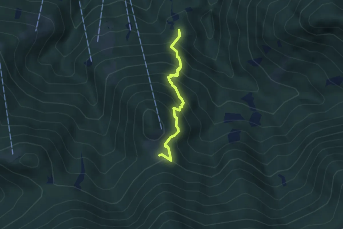
Medium · Trail
Dorca - Maia
3.2 km · ↑ 399 m · 1 h 37 min