Trails in Switzerland
15,029 hiking trails, each with its route, climb, walking time and grade.
All trails, page 28 of 314
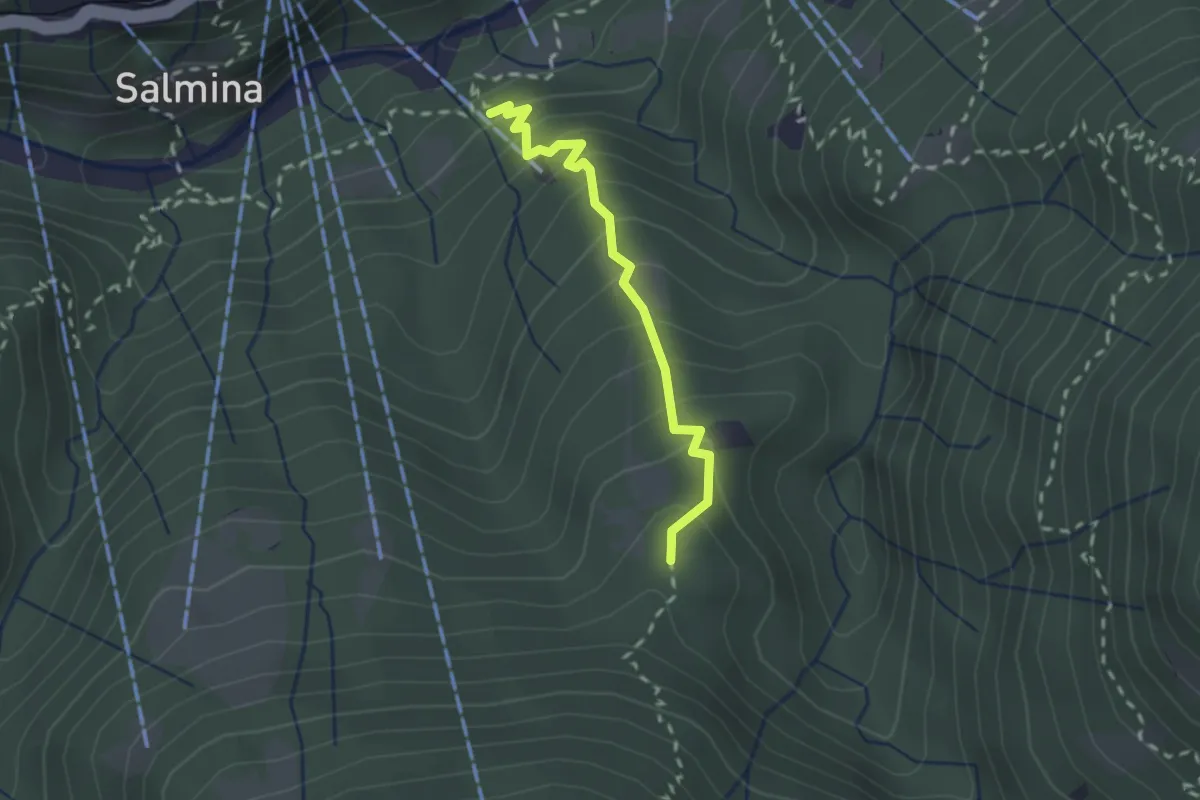
Easy · Trail
Dorca - Remagliaseo
2.0 km · ↑ 241 m · 59 min
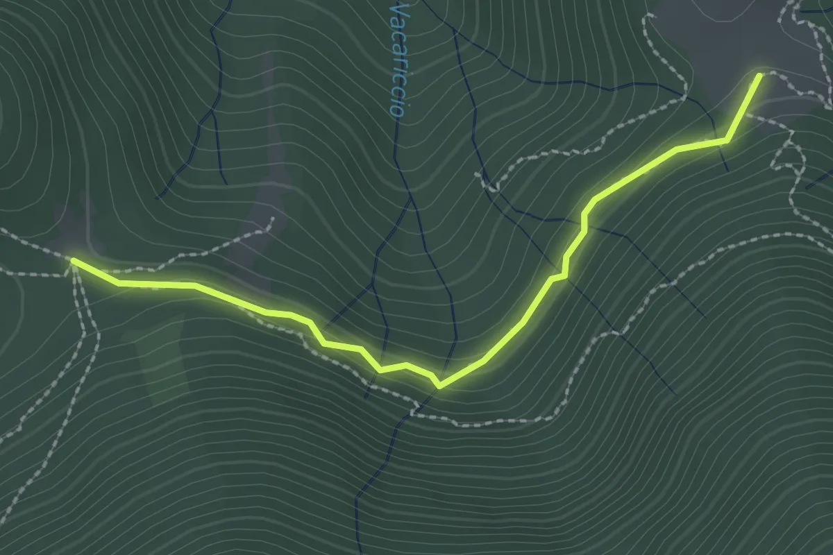
Medium · Trail
Dorca - Termine
2.3 km · ↑ 71 m · 42 min
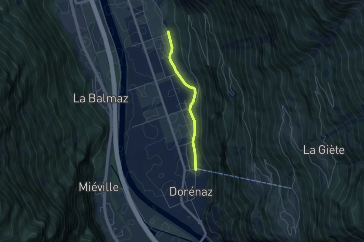
Easy · Trail
Dorénaz - Les Martenaux
3.6 km · ↑ 14 m · 53 min
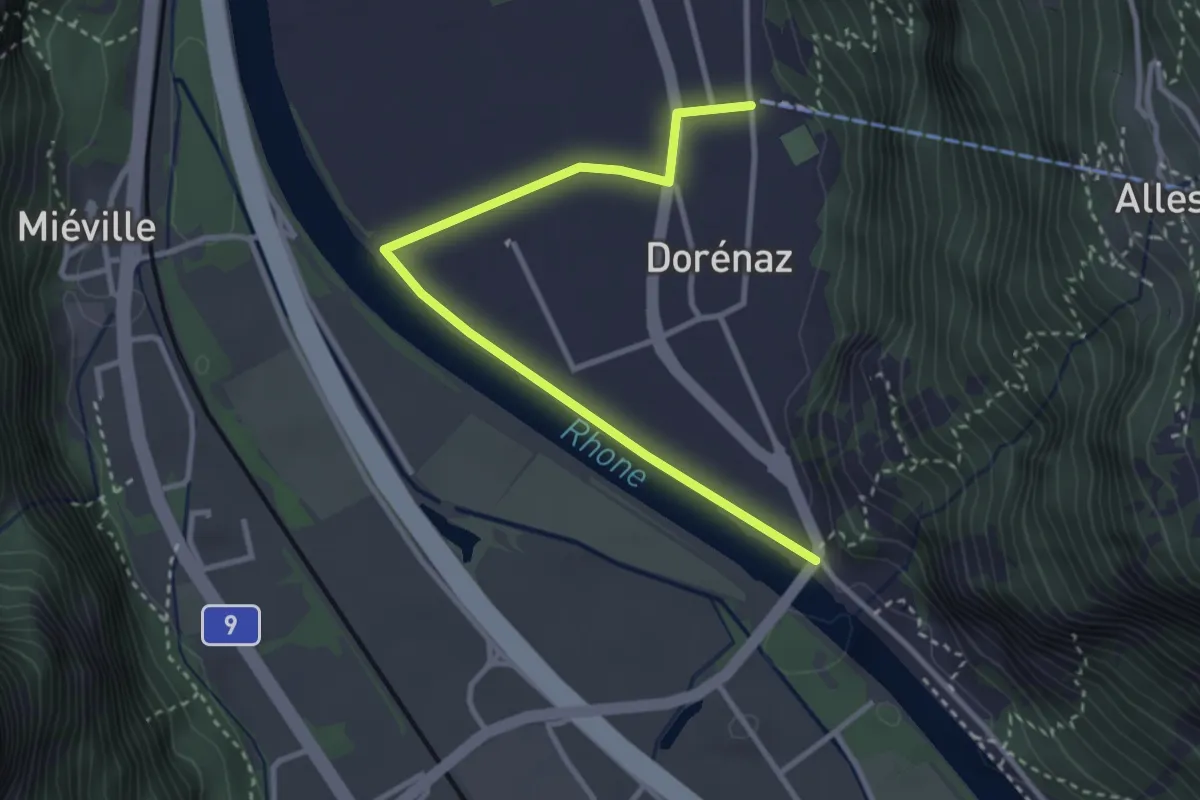
Easy · Trail
Dorénaz - Pont de Dorénaz
3.4 km · ↑ 9 m · 50 min
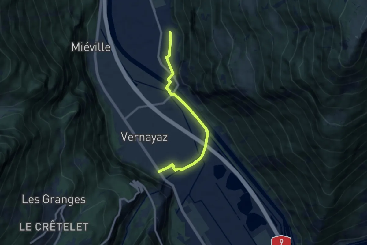
Easy · Trail
Dorénaz - Vernayaz
6.0 km · ↑ 36 m · 1 h 30 min
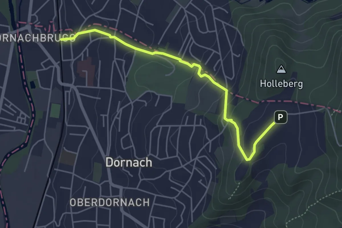
Easy · Trail
Dornach Bahnhof - Schlosshof
4.6 km · ↑ 194 m · 1 h 31 min
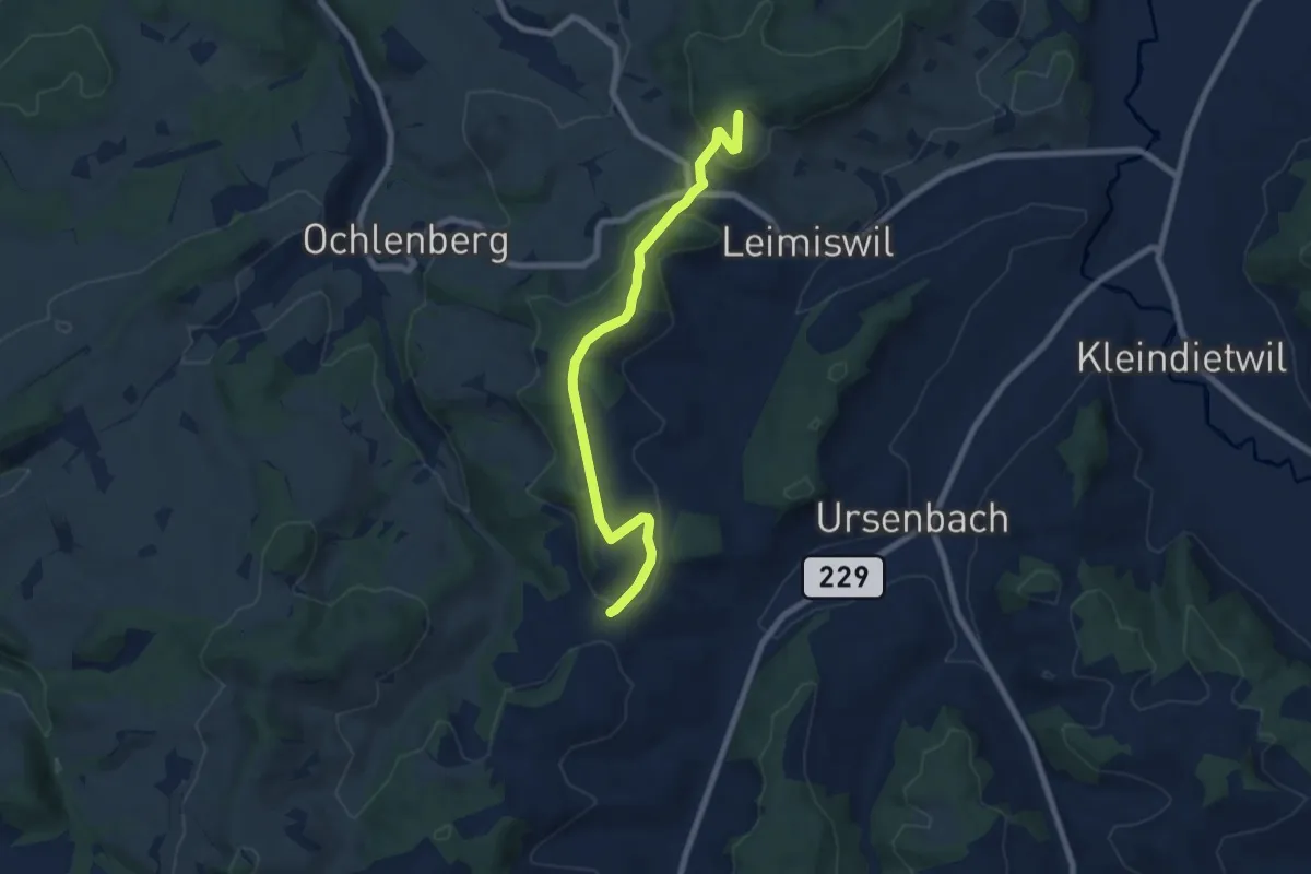
Easy · Trail
Dornegg Gütsch - Linden - Ryschberg
7.3 km · ↑ 225 m · 2 h 13 min
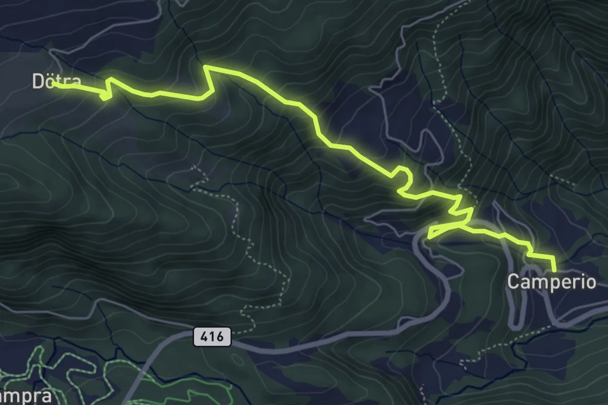
Medium · Cabin
Dötra - Camperio
6.8 km · ↑ 615 m · 2 h 56 min
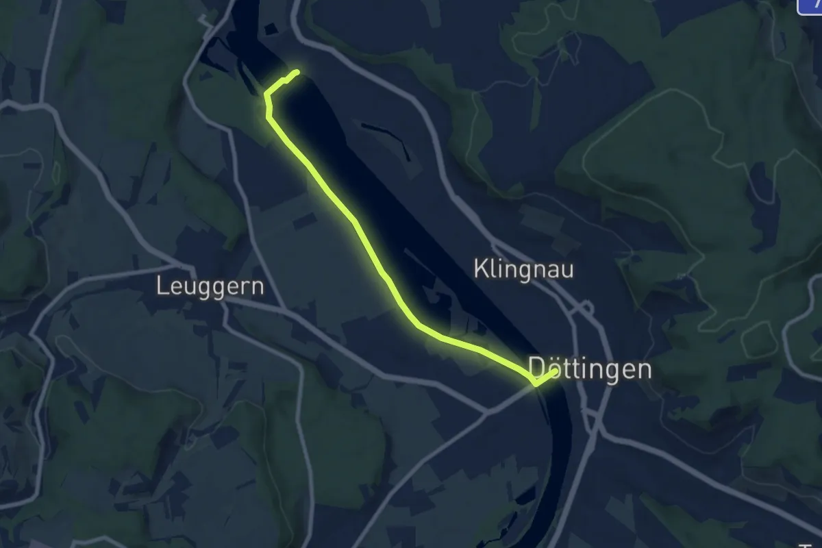
Easy · Trail
Döttingen Brücke
7.5 km · ↑ 21 m · 1 h 48 min
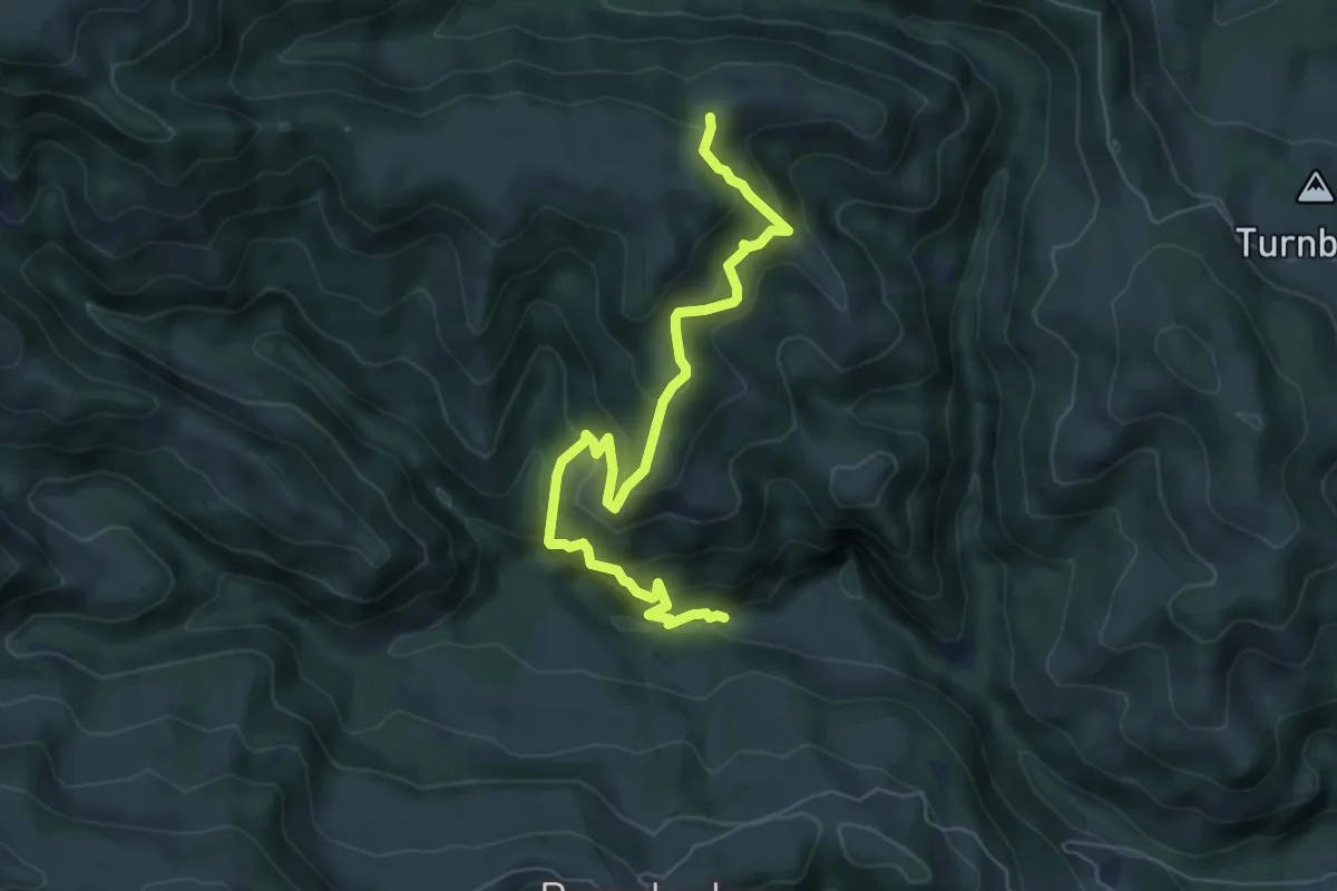
Medium · Trail
Drachslis - Ober Länggrat
6.6 km · ↑ 578 m · 2 h 48 min
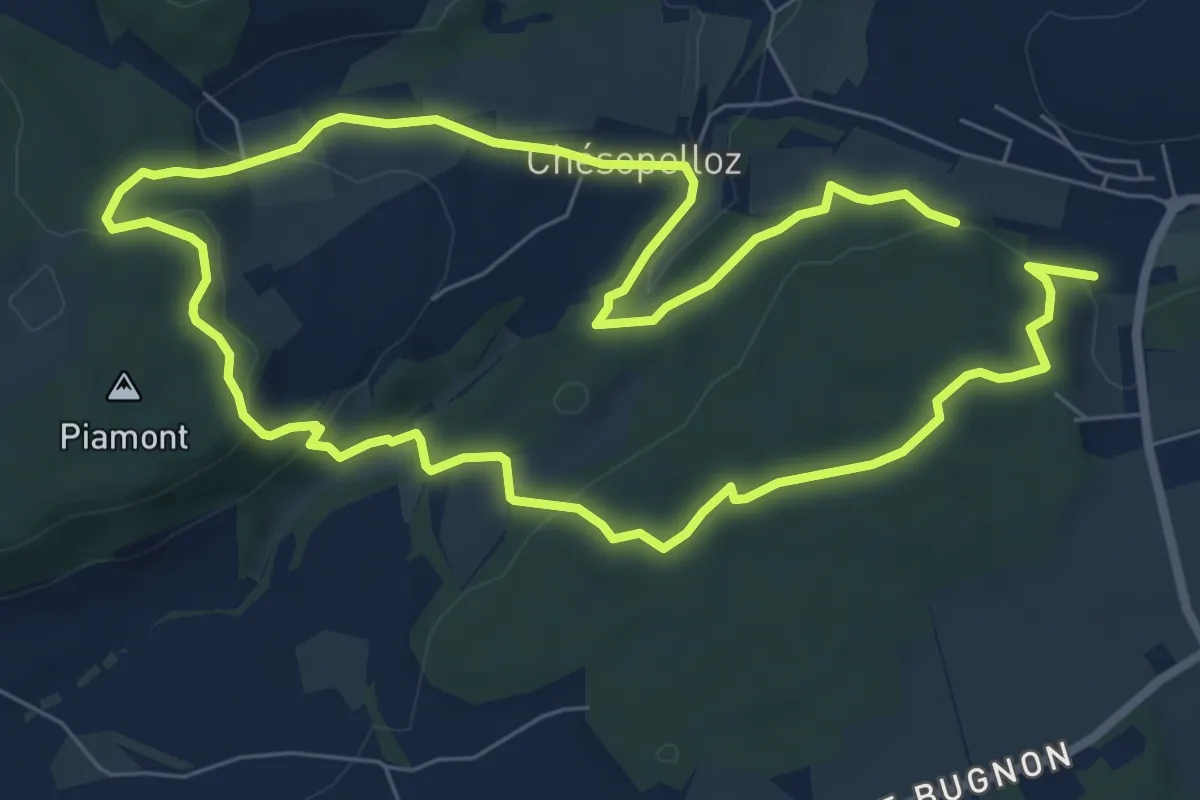
Easy · Trail
Dragon bleu 🐉 - Au fil de l'eau (1h10m ou 2h) - Corminboeuf
7.0 km · ↑ 191 m · 2 h 9 min
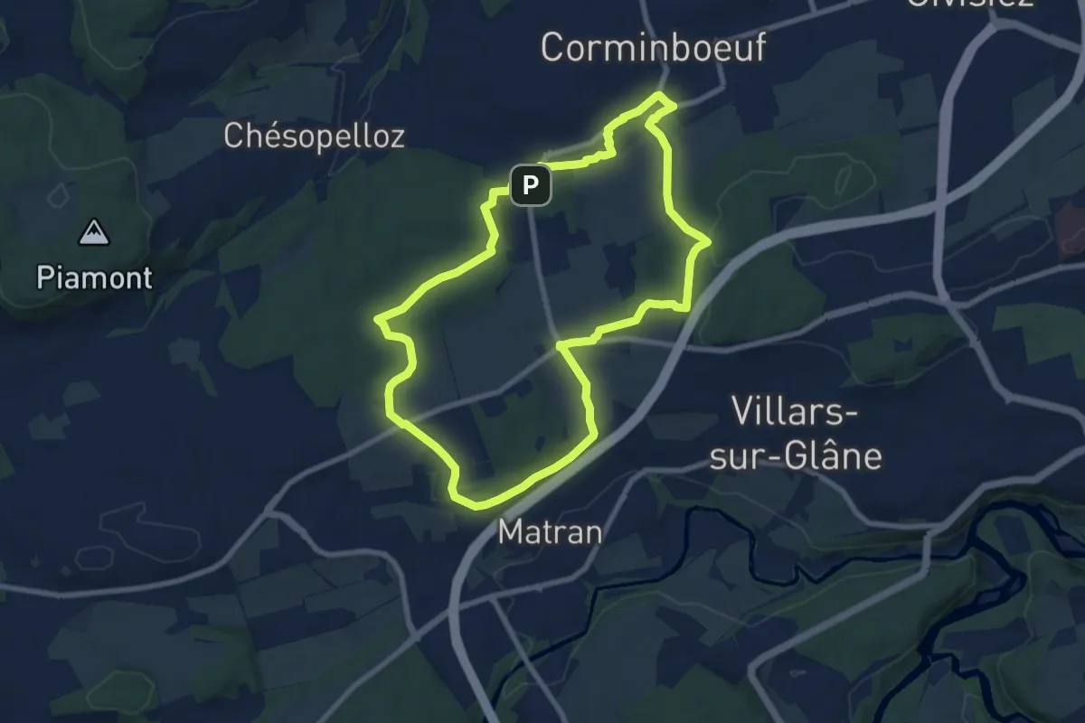
Easy · Trail
Dragon gris 🐉 - Histoire et de patrimoine (1h40m) - Corminboeuf
7.9 km · ↑ 131 m · 2 h 16 min
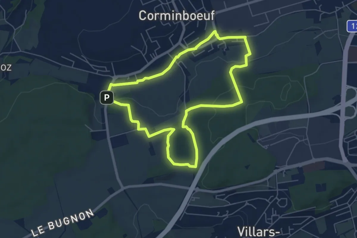
Easy · Trail
Dragon rouge 🐉 - Faune et flore (1h10m) - Corminboeuf
5.4 km · ↑ 109 m · 1 h 35 min
Easy · Trail
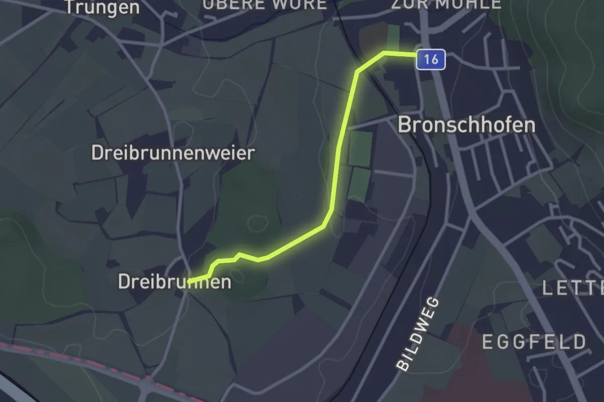
Dreibrunnen - Bronschhofen
2.3 km · ↑ 26 m · 36 min
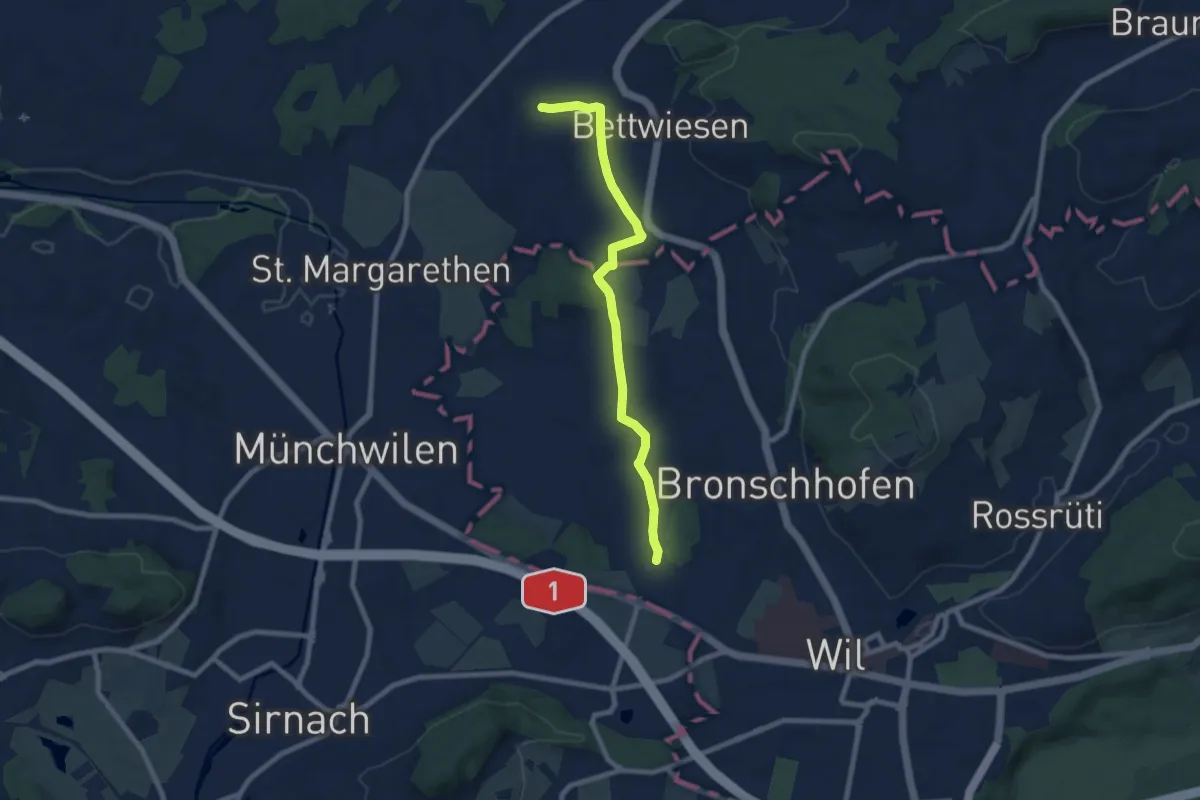
Easy · Trail
Dreibrunnen - Trungen - Bettwiesen
7.7 km · ↑ 64 m · 1 h 58 min
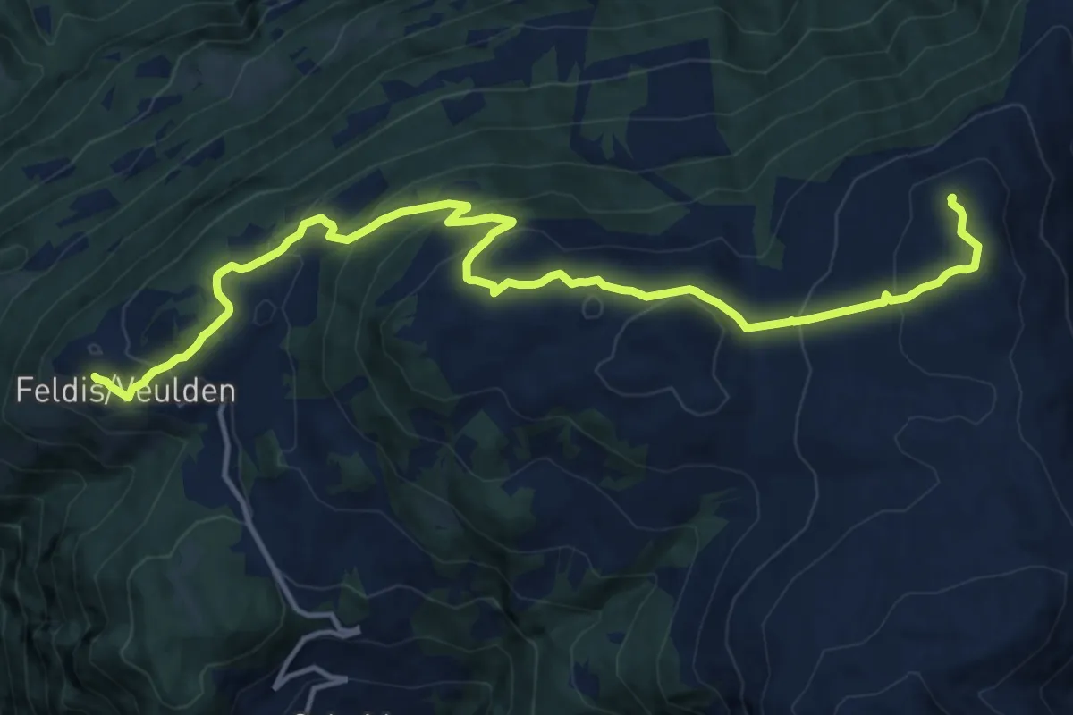
Demanding · Summit
Dreibündenstein Panoramaweg
15.6 km · ↑ 839 m · 5 h 30 min
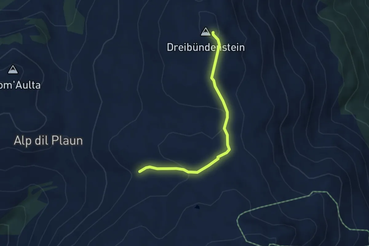
Easy · Summit
Dreibündenstein - Windegga? / Filbergegg? - fixme
3.9 km · ↑ 116 m · 1 h 10 min
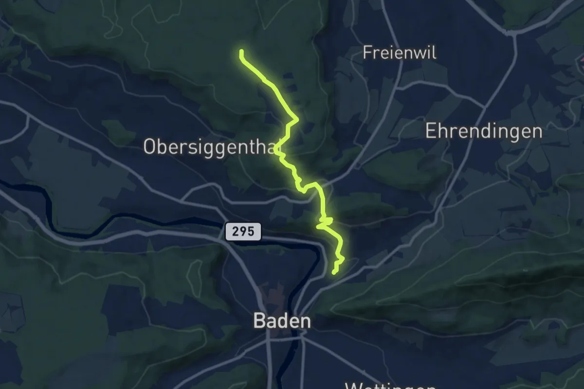
Medium · Trail
Dreiländerweg
8.5 km · ↑ 342 m · 2 h 44 min
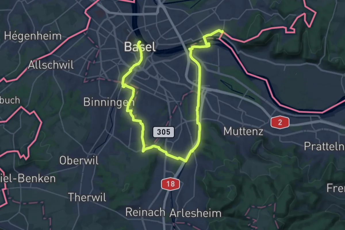
Medium · Trail
Dreiland-Wanderweg - Etappe 1
16.2 km · ↑ 131 m · 4 h 20 min
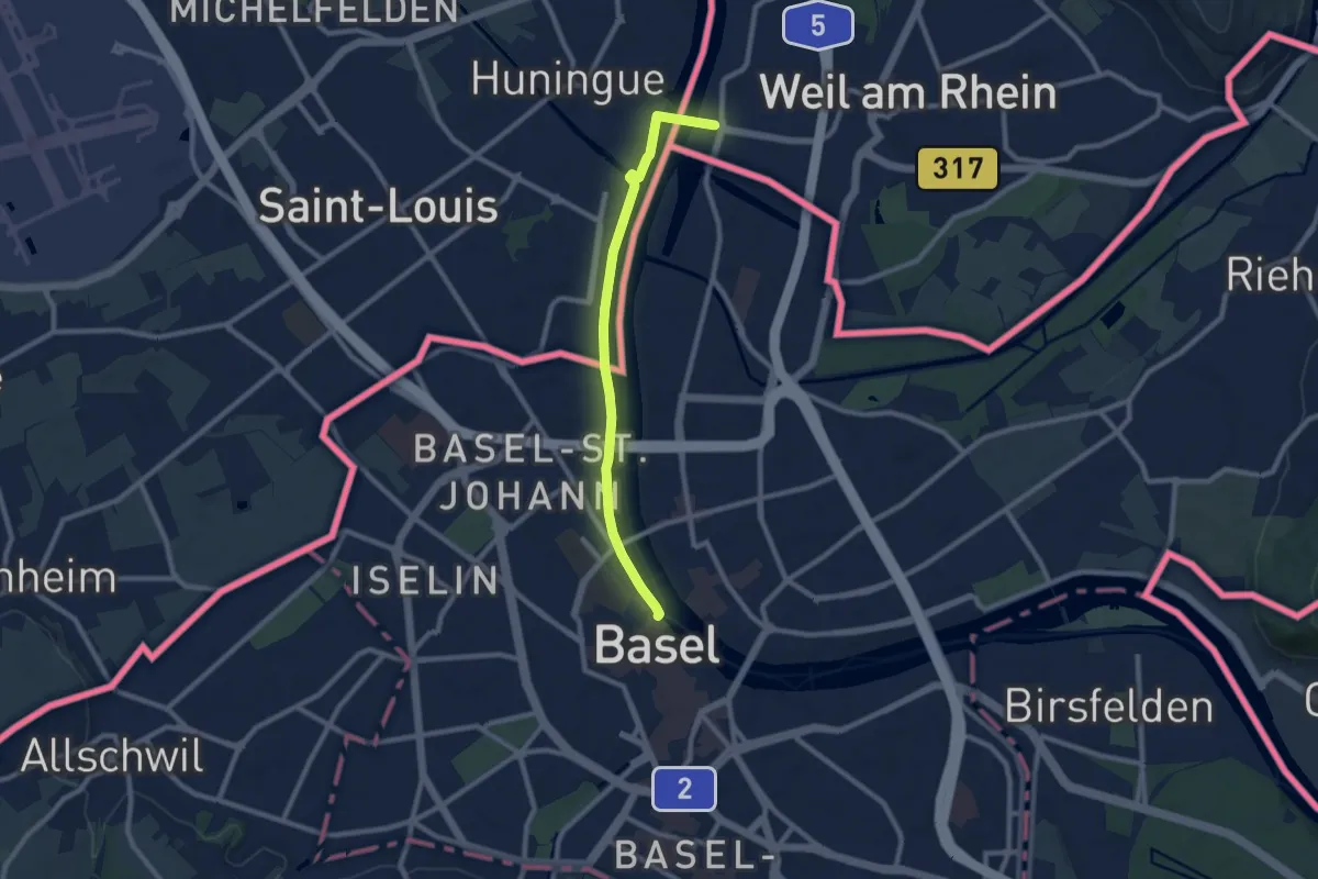
Medium · Trail
Dreiland-Wanderweg - Etappe 3
8.4 km · ↑ 29 m · 2 h 3 min
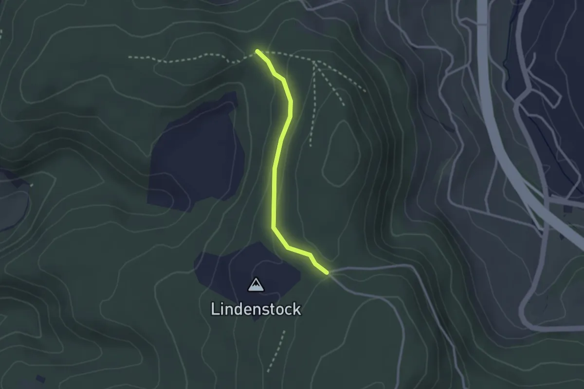
Easy · Trail
Dreilauf-Buche - Chapf
2.1 km · ↑ 79 m · 41 min
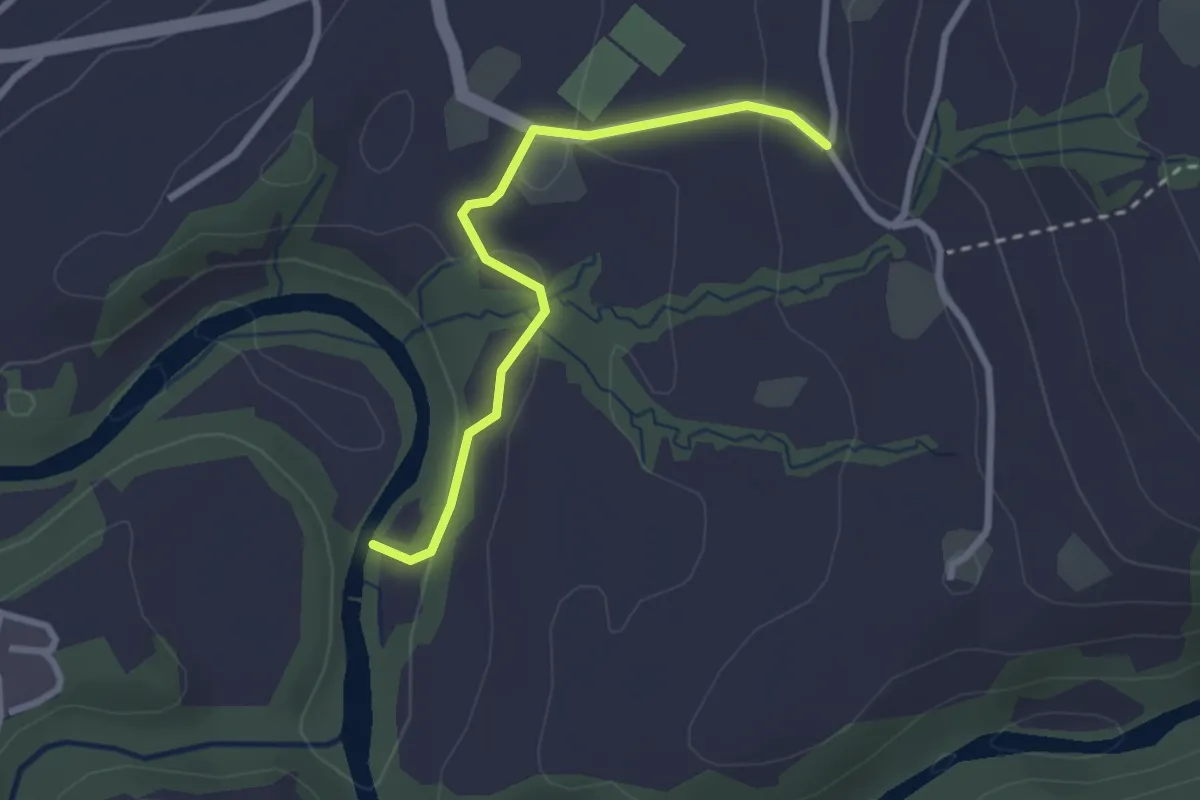
Easy · Trail
Dreiwässeren - Büel
2.5 km · ↑ 84 m · 46 min
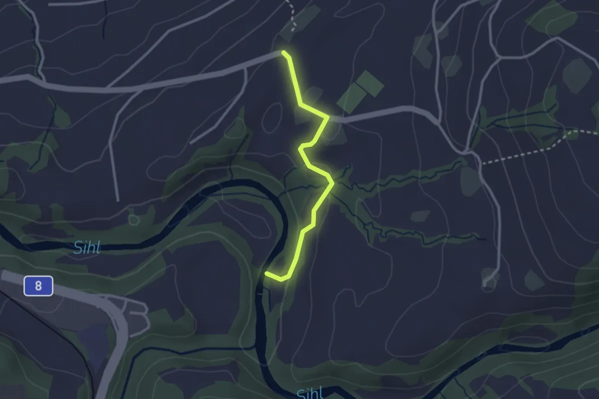
Easy · Trail
Dreiwässeren - Chastenegg
2.3 km · ↑ 57 m · 40 min
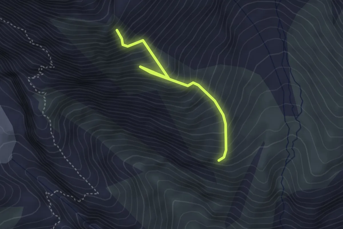
Medium · Trail
Driesthütte - Fusshorn-Biwak
3.3 km · ↑ 614 m · 2 h 6 min
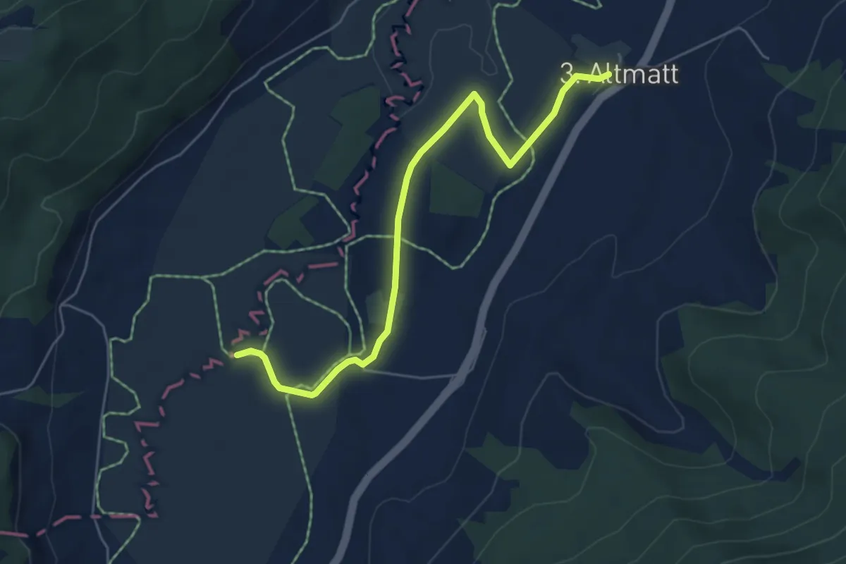
Easy · Trail
Dritte Altmatt - Bubrugg
5.6 km · ↑ 37 m · 1 h 24 min
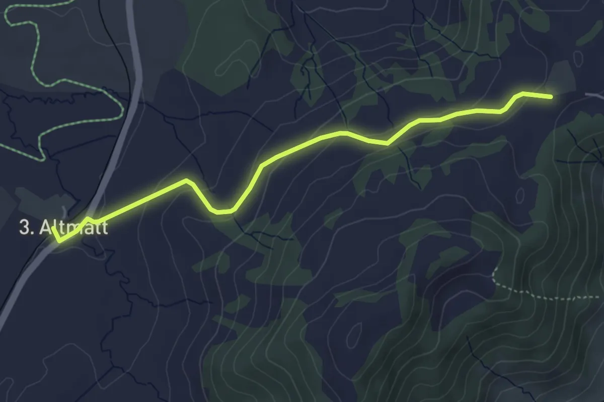
Easy · Trail
Dritte Altmatt - Chatzenstrick
4.6 km · ↑ 141 m · 1 h 24 min
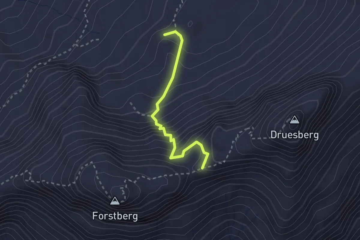
Expert · Summit
Druesberghütte - Druesberglücke
2.0 km · ↑ 301 m · 1 h 8 min
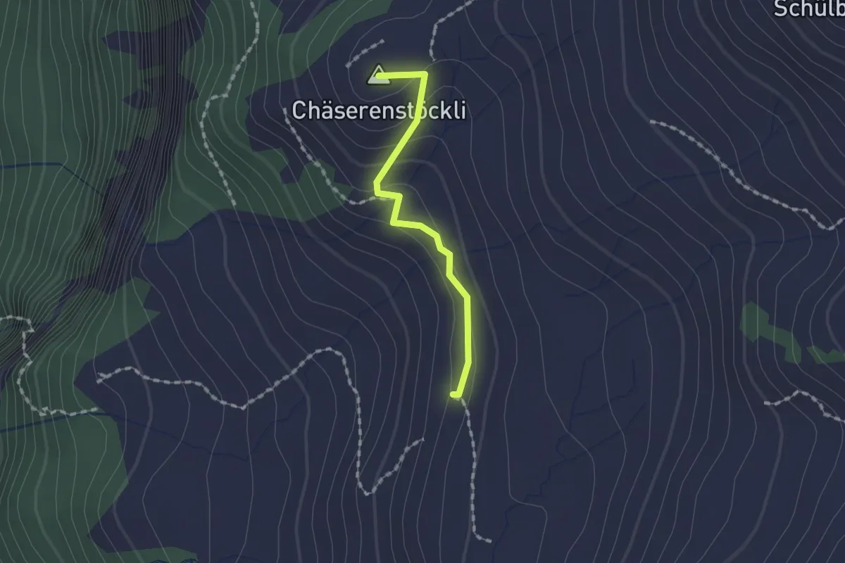
Easy · Summit
Druesberghütte - Hinterofen
1.3 km · ↑ 54 m · 25 min
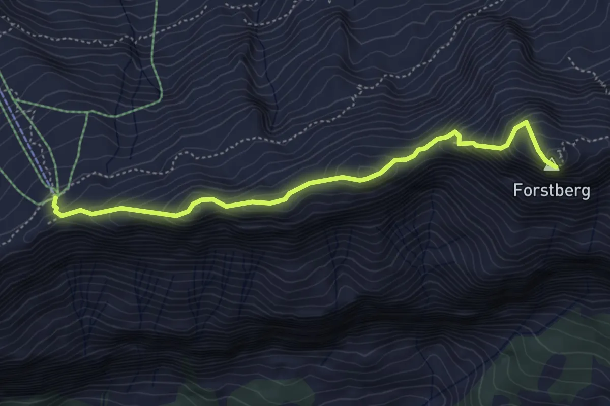
Expert · Summit
Druesberglücke - Klein Sternen
4.7 km · ↑ 458 m · 2 h 6 min
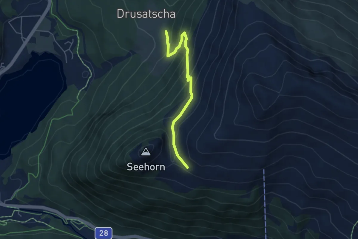
Medium · Trail
Drusatscha - Chaltboden
4.3 km · ↑ 341 m · 1 h 45 min
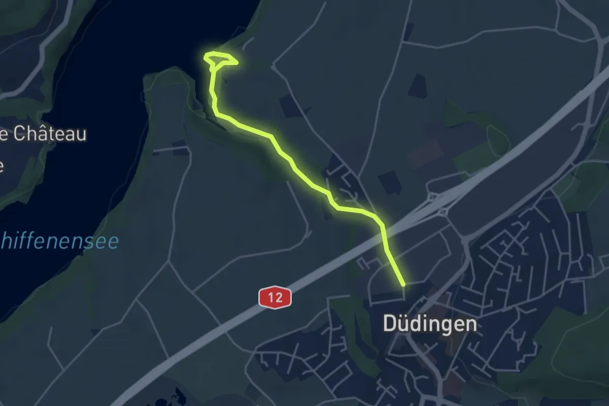
Easy · Trail
Düdingen - Felliwil
3.9 km · ↑ 90 m · 1 h 8 min
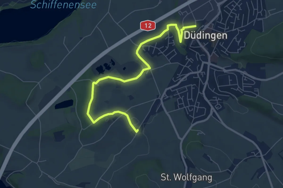
Easy · Trail
Düdingen - Garmiswil
7.6 km · ↑ 83 m · 1 h 58 min
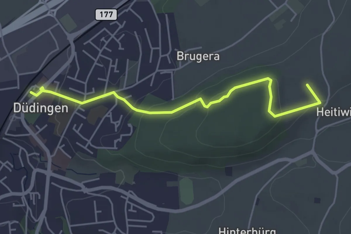
Easy · Summit
Düdingen Station - Heitiwil
4.5 km · ↑ 118 m · 1 h 19 min
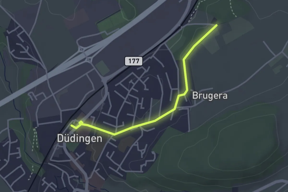
Easy · Trail
Düdingen Station - Schüracher
3.1 km · ↑ 23 m · 48 min
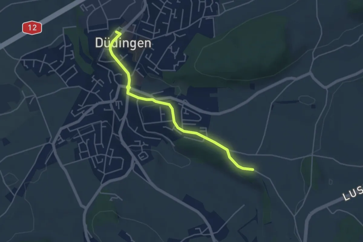
Easy · Trail
Düdingen Station - Zelgli
4.1 km · ↑ 69 m · 1 h 6 min
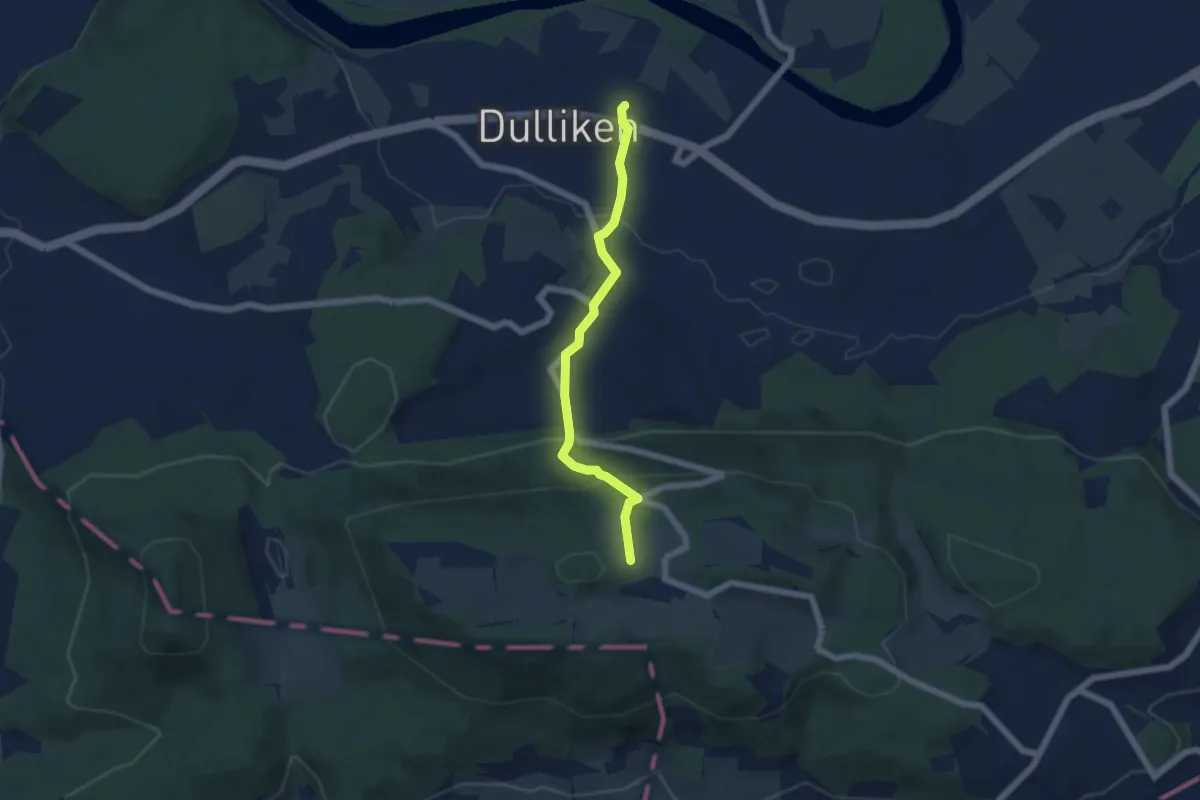
Easy · Trail
Dulliken - Engelberg
5.0 km · ↑ 292 m · 1 h 48 min
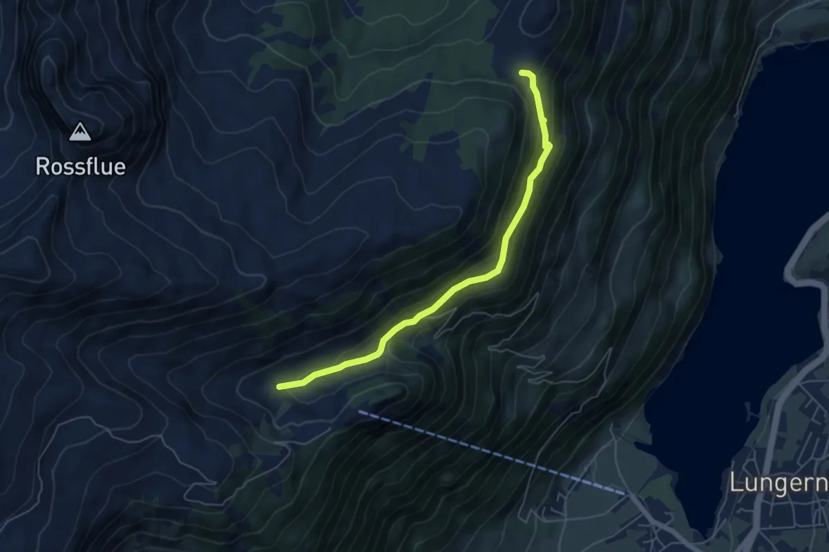
Easy · Trail
Dundelalp - Feldmoos
5.4 km · ↑ 231 m · 1 h 47 min
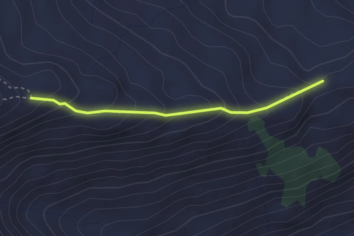
Medium · Trail
Dundelegg - Rückenegg
2.3 km · ↑ 220 m · 1 h 1 min
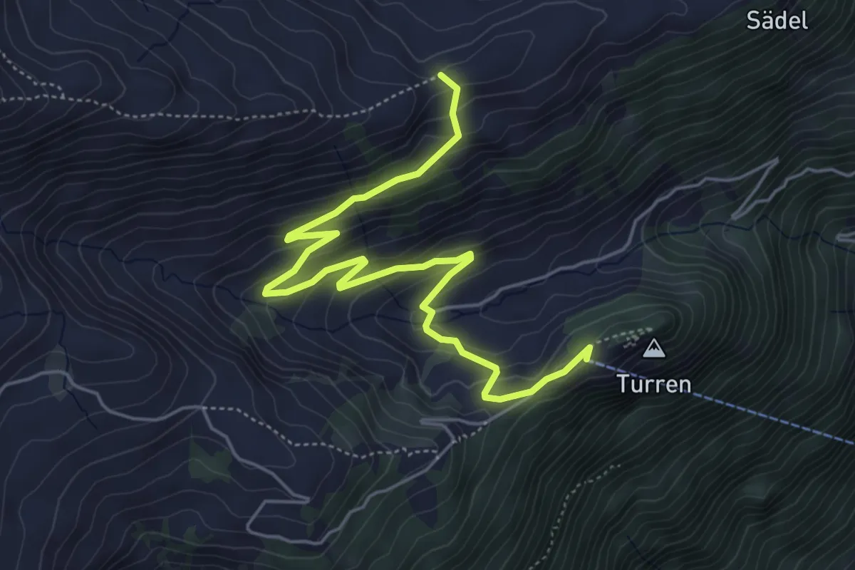
Easy · Trail
Dundelegg - Turren
6.1 km · ↑ 310 m · 2 h 6 min
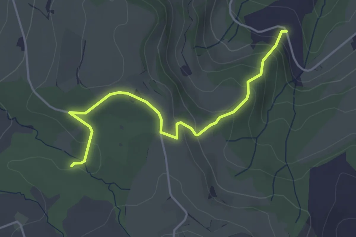
Easy · Trail
Dünnhirs - Chlosterwald
3.9 km · ↑ 177 m · 1 h 18 min
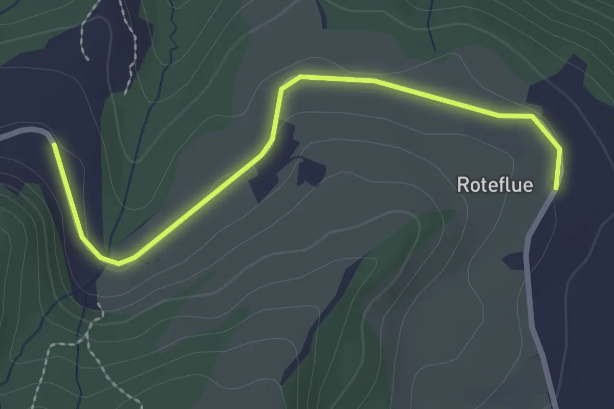
Easy · Trail
Dünnhirs - Rotenflue
2.3 km · ↑ 18 m · 36 min
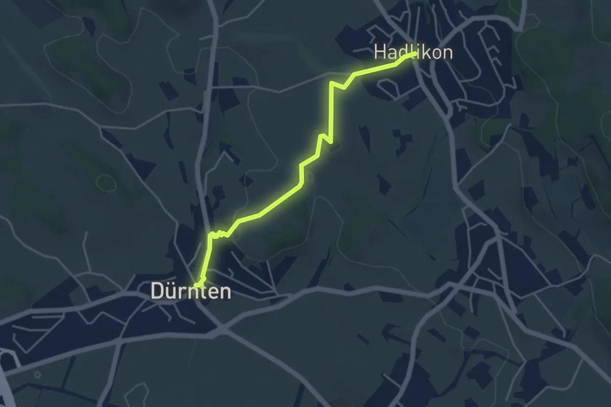
Easy · Trail
Dürnten - Hadlikon
3.8 km · ↑ 64 m · 1 h 2 min
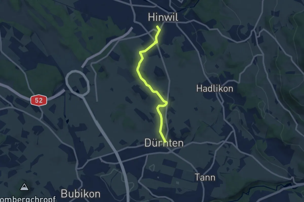
Easy · Trail
Dürnten - Hinwil
6.3 km · ↑ 59 m · 1 h 37 min
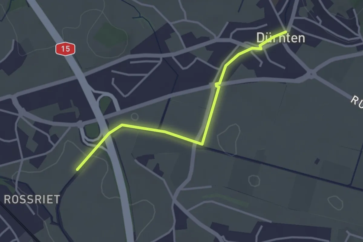
Easy · Trail
Dürnten - Lettenmoos
3.1 km · ↑ 13 m · 45 min
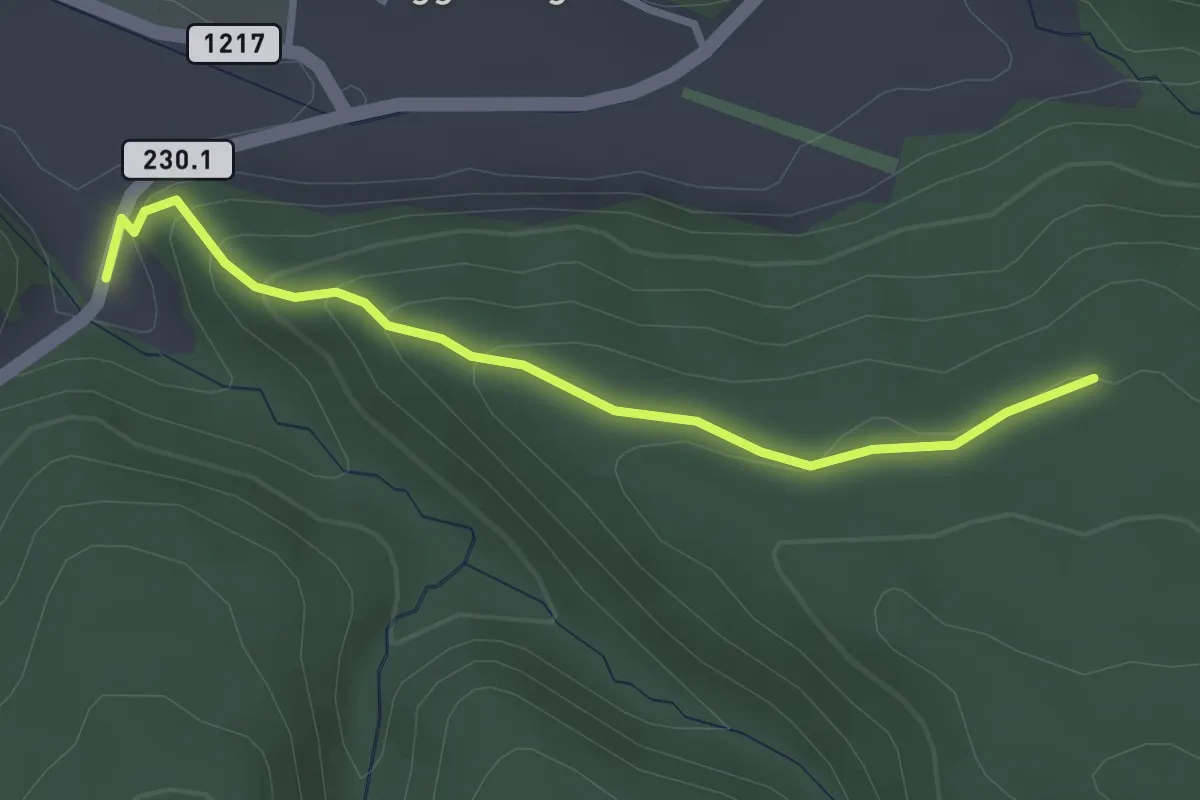
Easy · Trail
Dürrbach - Schönenbodenwald
2.9 km · ↑ 169 m · 1 h 3 min
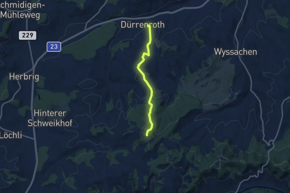
Easy · Trail
Dürrenroth - Guggli
7.4 km · ↑ 276 m · 2 h 21 min
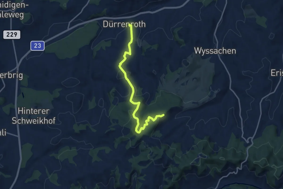
Medium · Trail
Dürrenroth - Oberwald
10.3 km · ↑ 431 m · 3 h 23 min
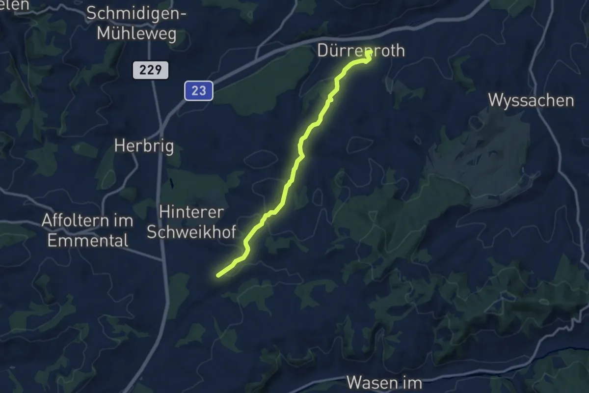
Medium · Trail
Dürrenroth - Unter Tannen
9.3 km · ↑ 192 m · 2 h 37 min