Trails in Switzerland
15,029 hiking trails, each with its route, climb, walking time and grade.
All trails, page 29 of 314
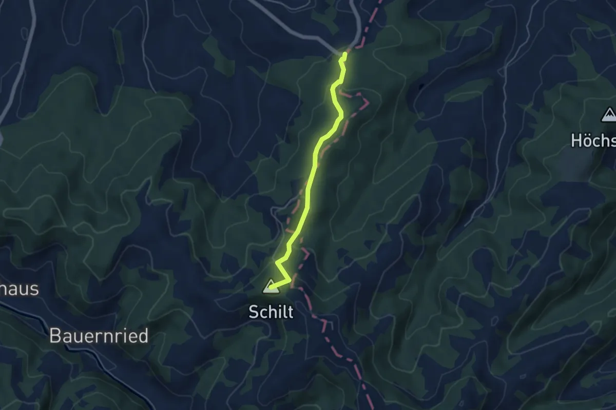
Easy · Summit
Dürschwändiwald - Ahorn
4.1 km · ↑ 196 m · 1 h 24 min
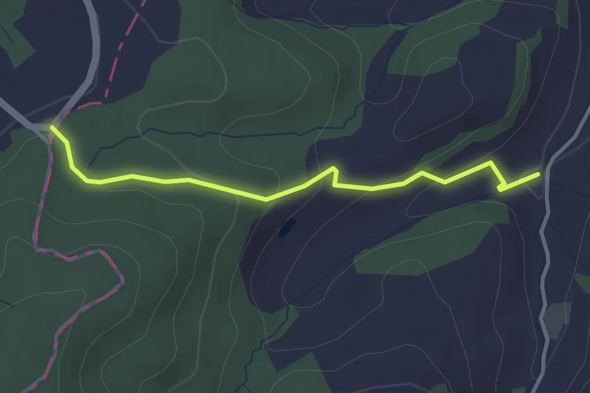
Easy · Trail
Dürschwändiwald - Under Schluck
2.8 km · ↑ 125 m · 56 min
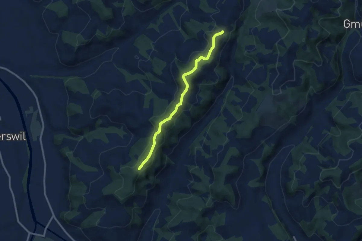
Easy · Trail
Dürsrütiwald - Hullereschür
6.5 km · ↑ 171 m · 1 h 54 min
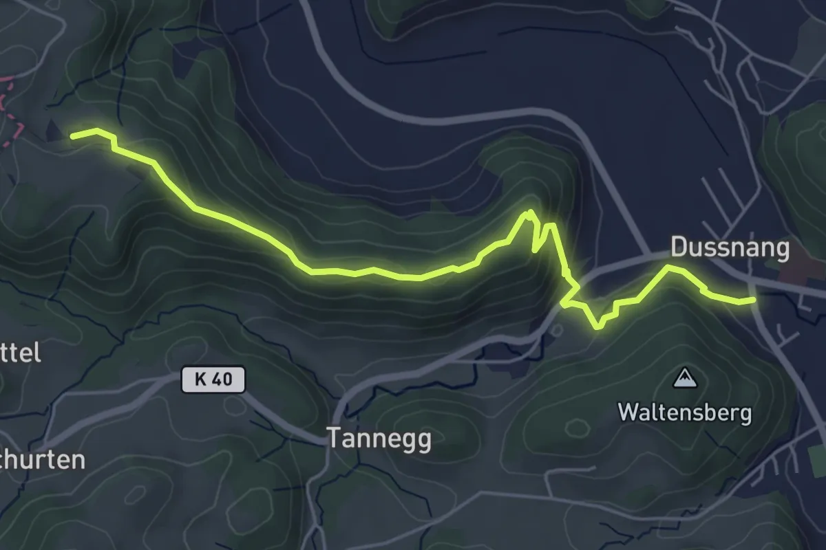
Medium · Trail
Dussnang - Niederwies
5.7 km · ↑ 217 m · 1 h 50 min
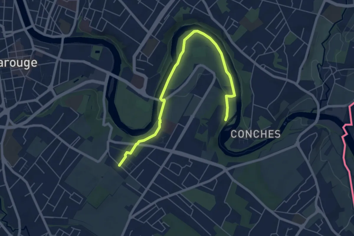
Easy · Trail
Eaux d'Arve - Pinchat
6.2 km · ↑ 57 m · 1 h 35 min
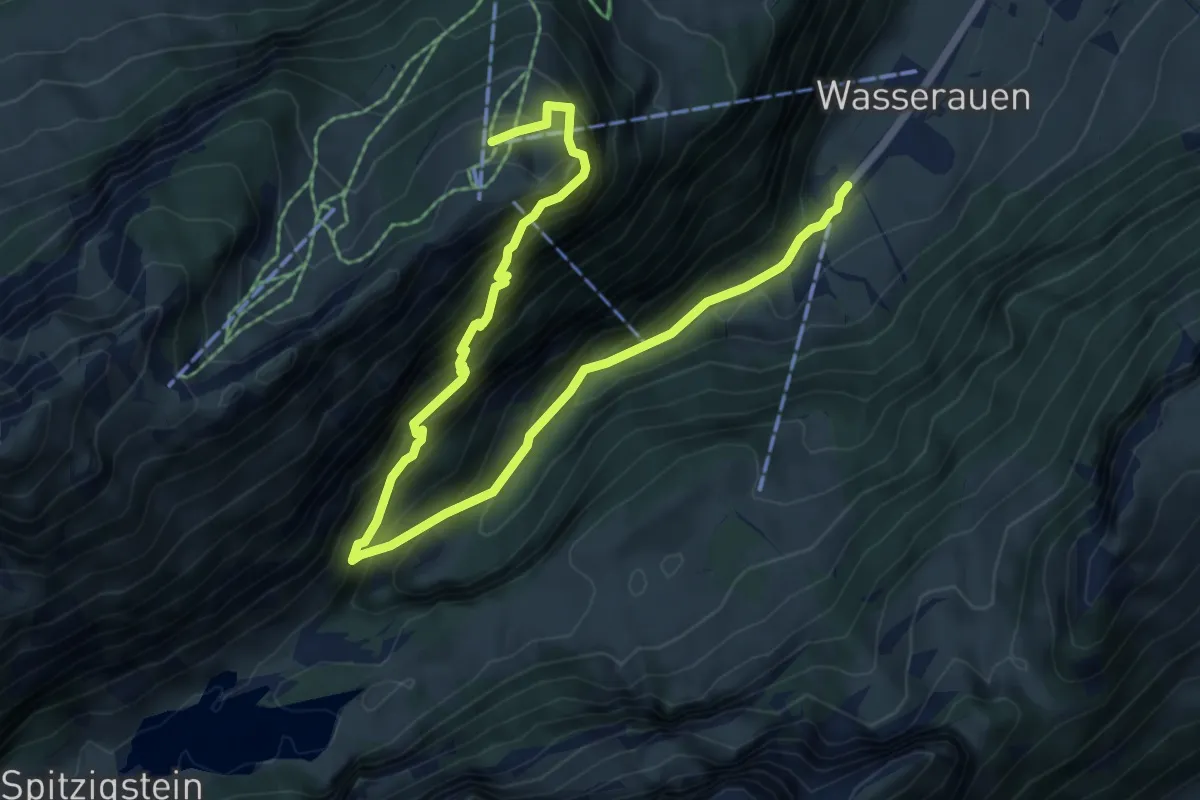
Demanding · Trail
Ebenalp - Aescher - Wasserauen
8.4 km · ↑ 1004 m · 4 h 9 min
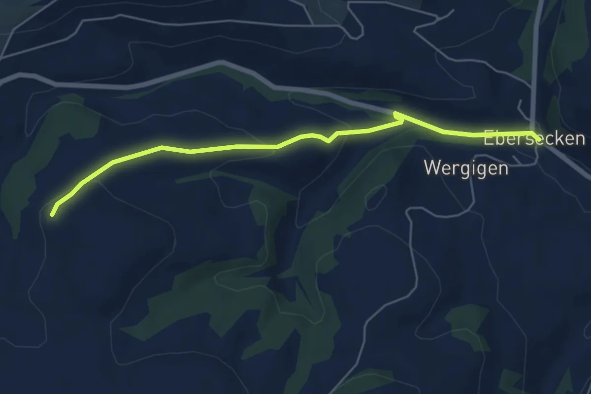
Easy · Trail
Eberscken - Hasenacher
4.9 km · ↑ 148 m · 1 h 29 min
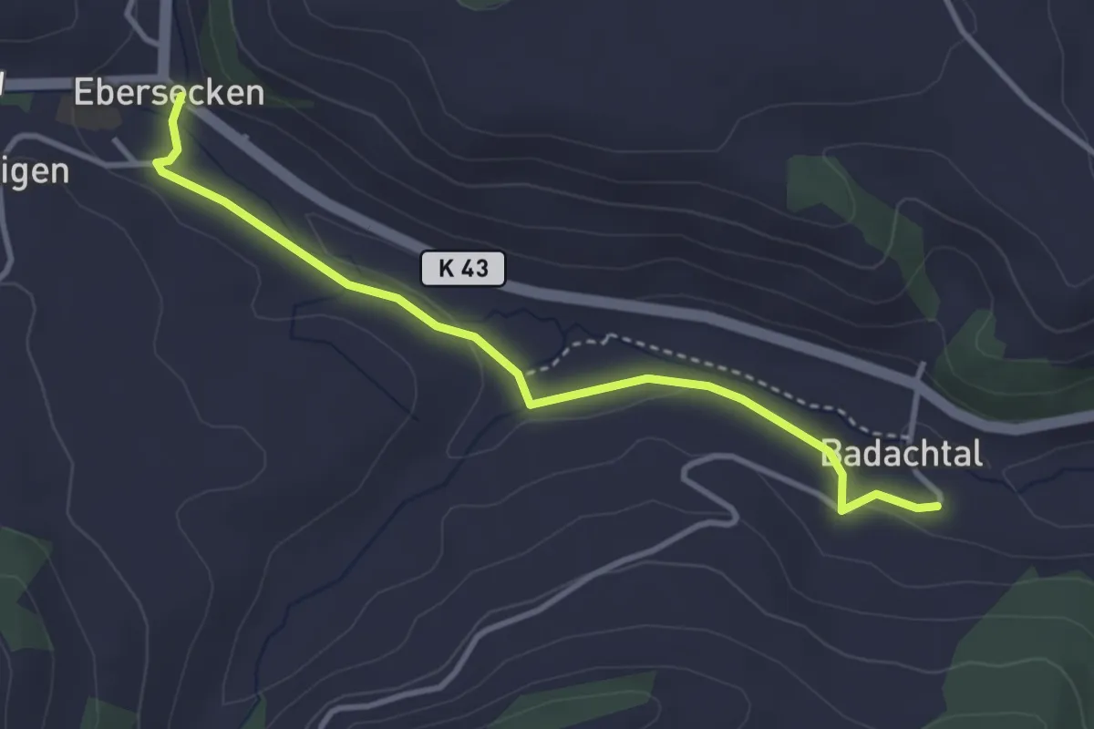
Easy · Trail
Ebersecken - Badachthal
3.5 km · ↑ 49 m · 56 min
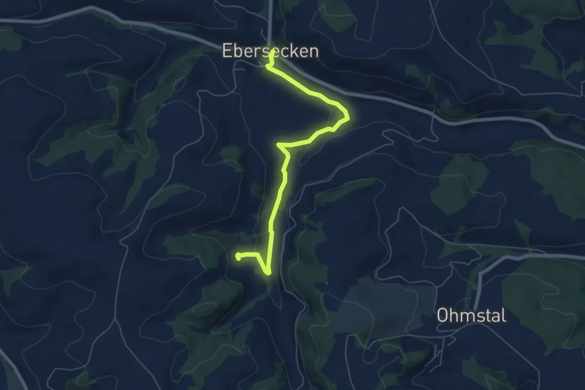
Easy · Trail
Ebersecken - Kället
6.0 km · ↑ 134 m · 1 h 42 min
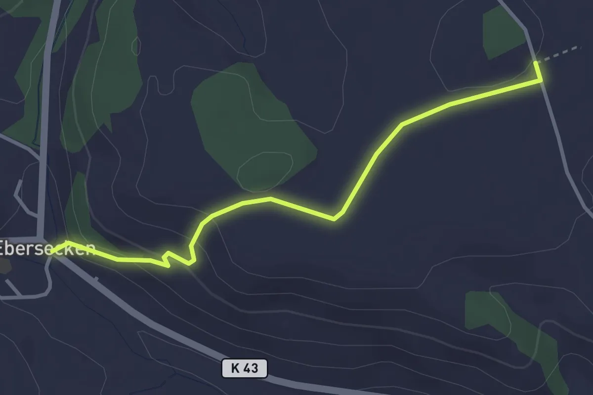
Easy · Trail
Ebersecken - Uf em Äasch
3.2 km · ↑ 116 m · 1 h
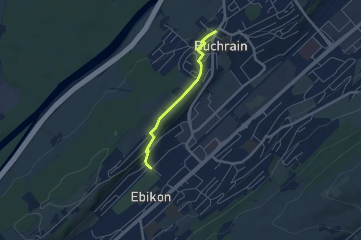
Easy · Trail
Ebikon - Buchrain
3.5 km · ↑ 74 m · 59 min
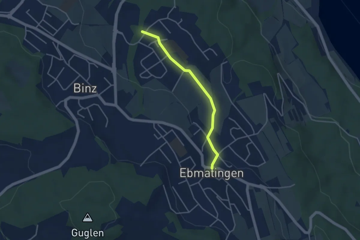
Easy · Trail
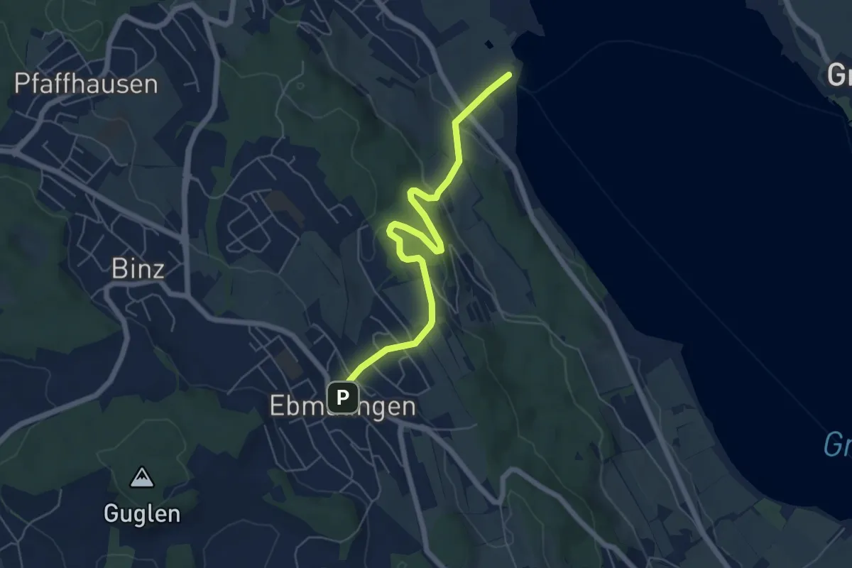
Ebmatingen - Benglen
2.9 km · ↑ 33 m · 46 min
Easy · Trail
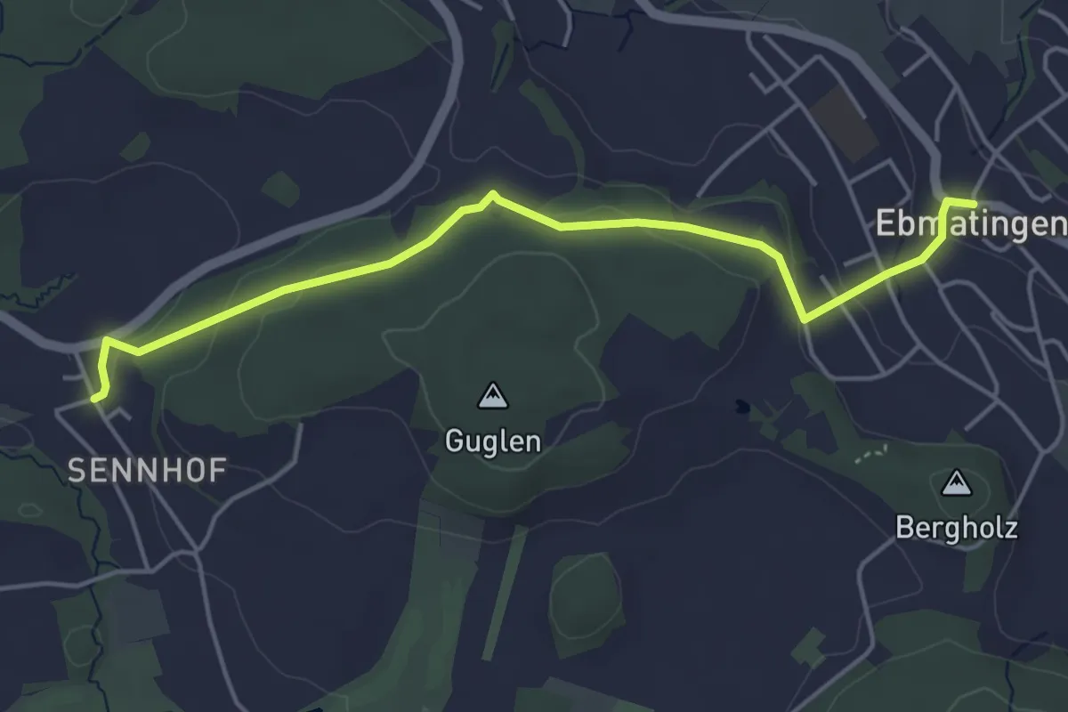
Ebmatingen - Fällanden Rohr
5.7 km · ↑ 204 m · 1 h 47 min
Easy · Trail
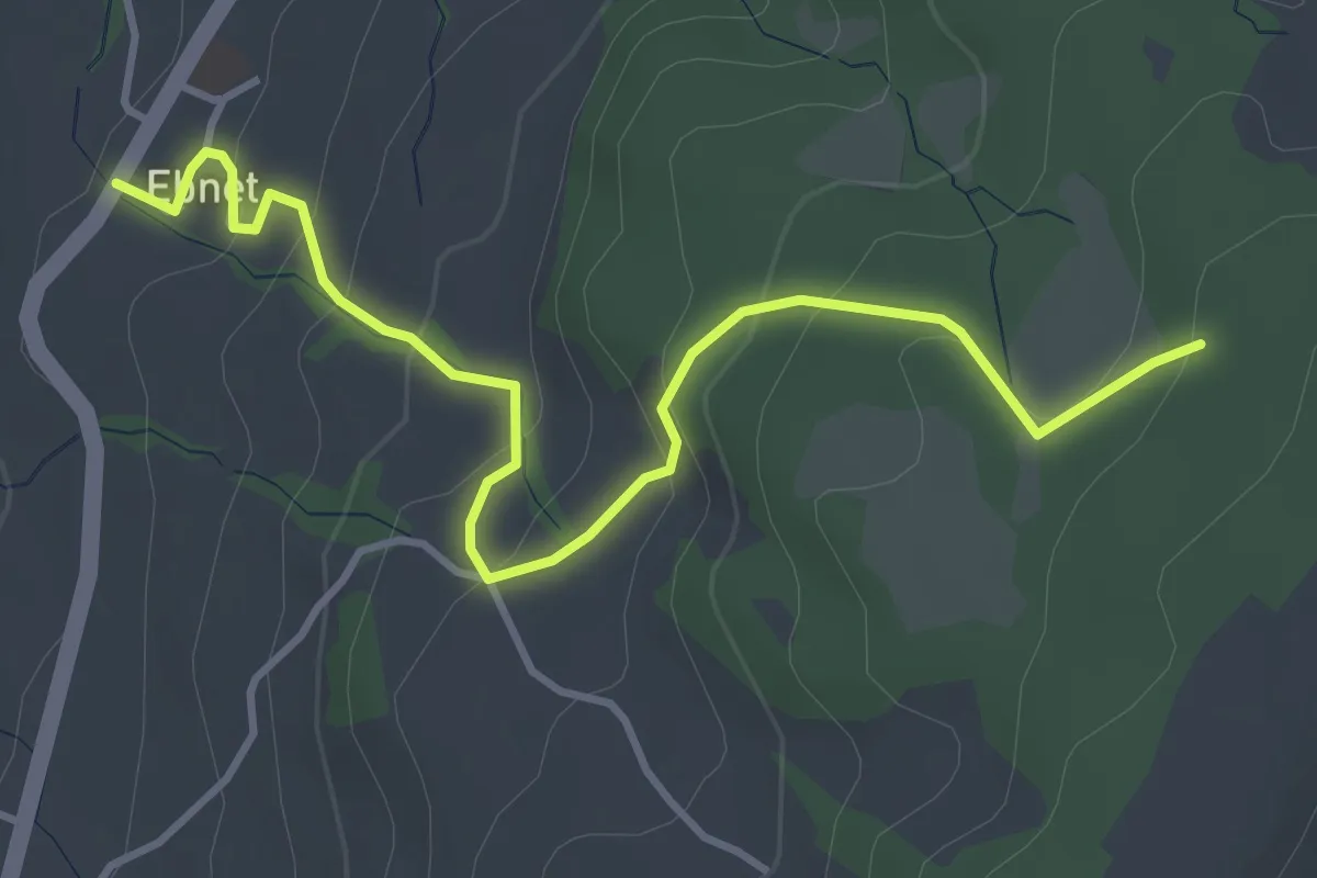
Ebmatingen - Sennhof
4.7 km · ↑ 130 m · 1 h 23 min
Easy · Trail
Ebnet - Brameggwald
4.3 km · ↑ 231 m · 1 h 31 min
Medium · Trail
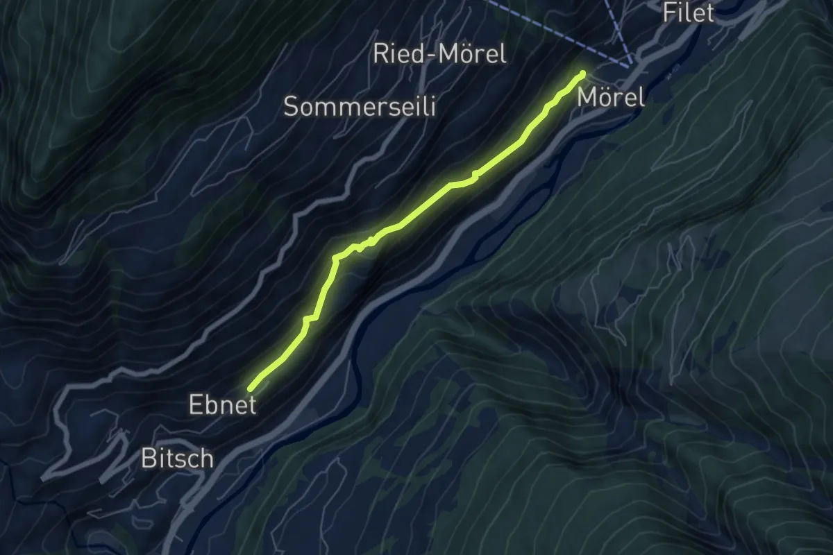
Ebnet - Mörel
5.4 km · ↑ 381 m · 2 h 7 min
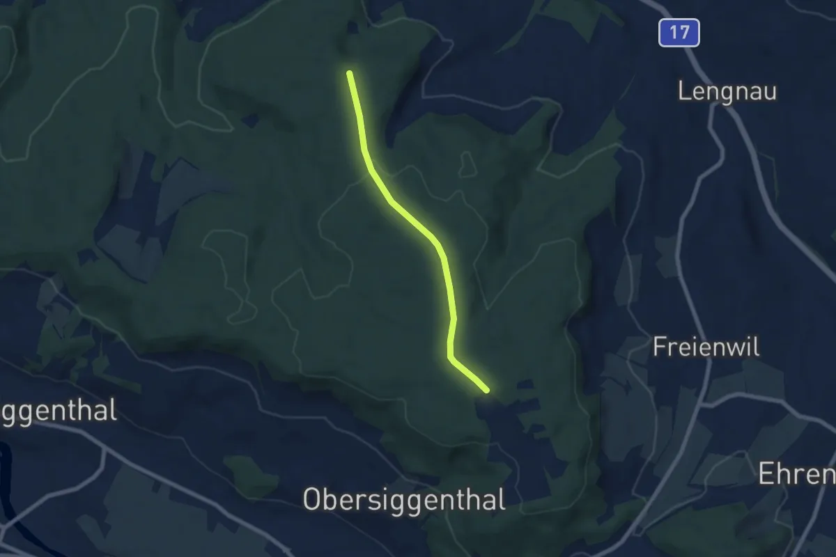
Easy · Trail
Ebnihof Badweg Pt. 616 m - fixme
5.5 km · ↑ 79 m · 1 h 29 min
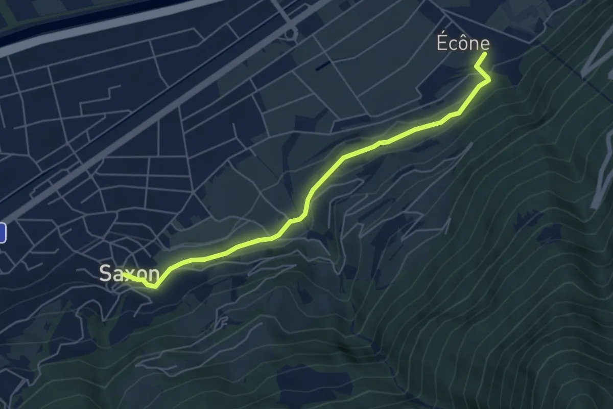
Easy · Trail
Ecône - Saxon village
5.4 km · ↑ 153 m · 1 h 36 min
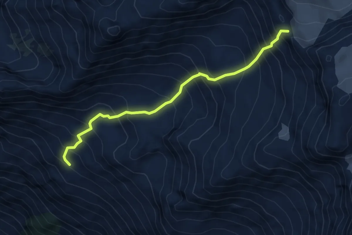
Expert · Trail
Ecurie du Crêt - Plan des Lires
5.7 km · ↑ 826 m · 3 h 8 min
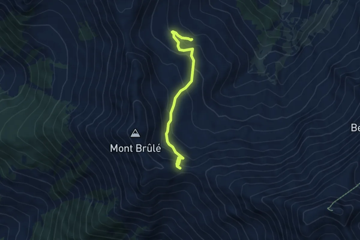
Medium · Cabin
Ecuries de Mille > Col de Mille
4.9 km · ↑ 291 m · 1 h 48 min
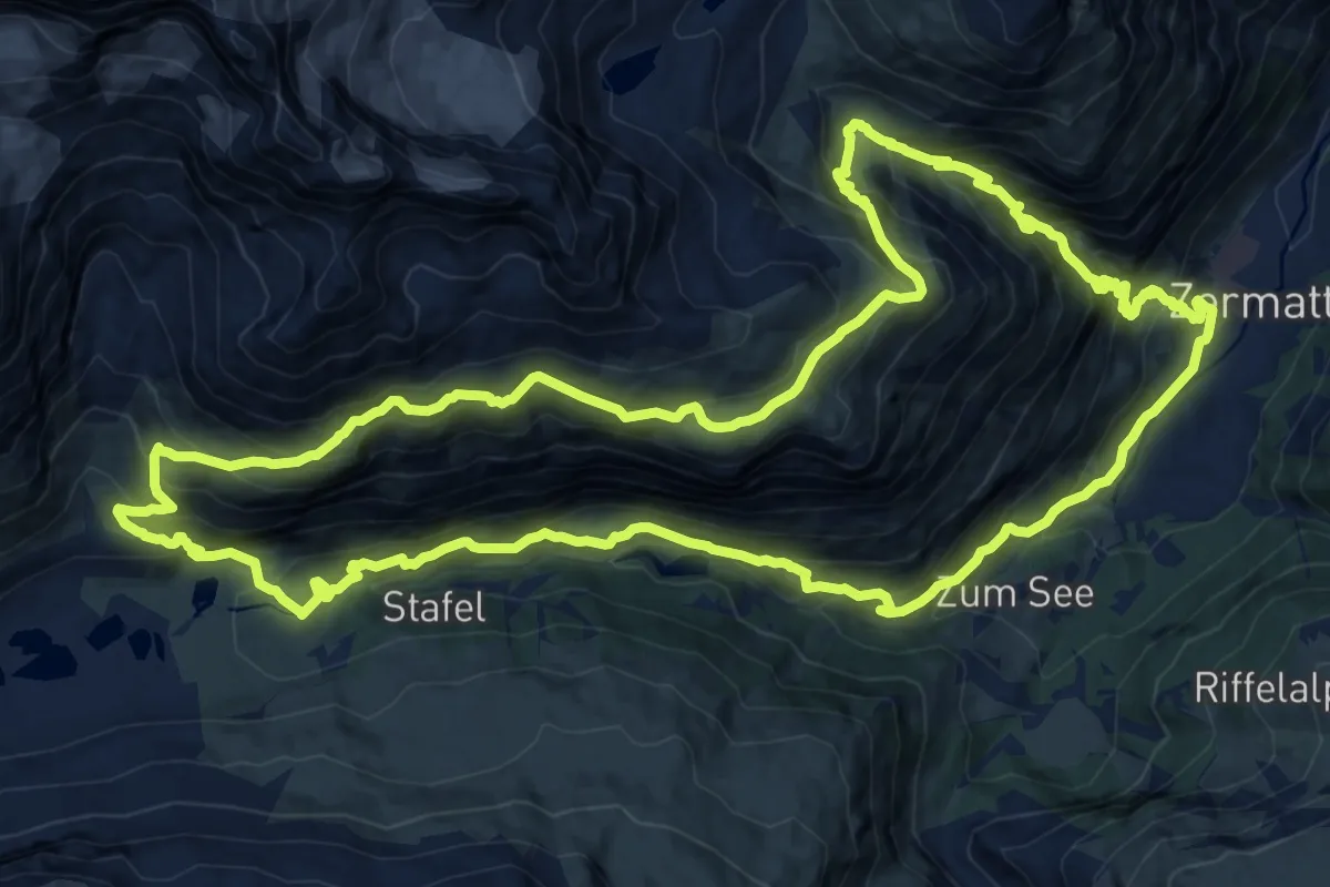
Demanding · Trail
Edelweissweg
19.0 km · ↑ 1358 m · 7 h 42 min
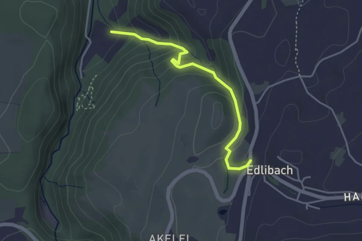
Easy · Trail
Edlibach - Höll
3.2 km · ↑ 254 m · 1 h 19 min
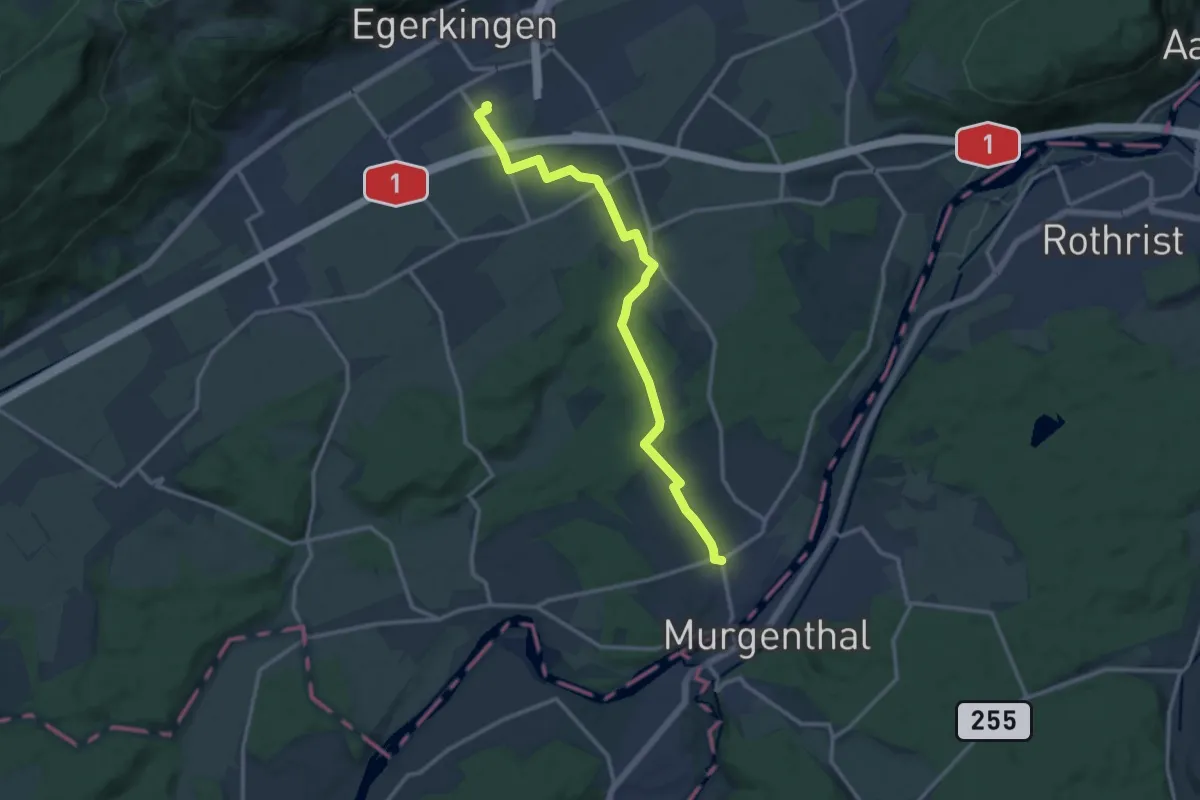
Medium · Trail
Egerkingen Bahnhof - Fulenbach
13.2 km · ↑ 48 m · 3 h 13 min
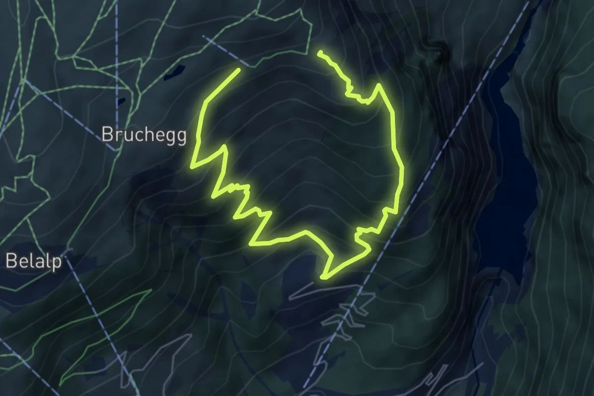
Demanding · Trail
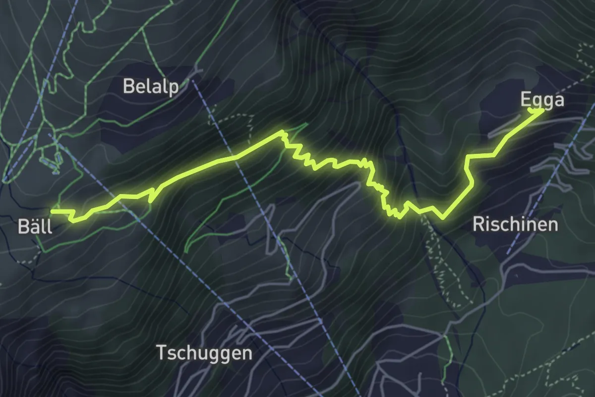
Egga - Aletschbord
8.5 km · ↑ 986 m · 4 h 9 min
Medium · Trail
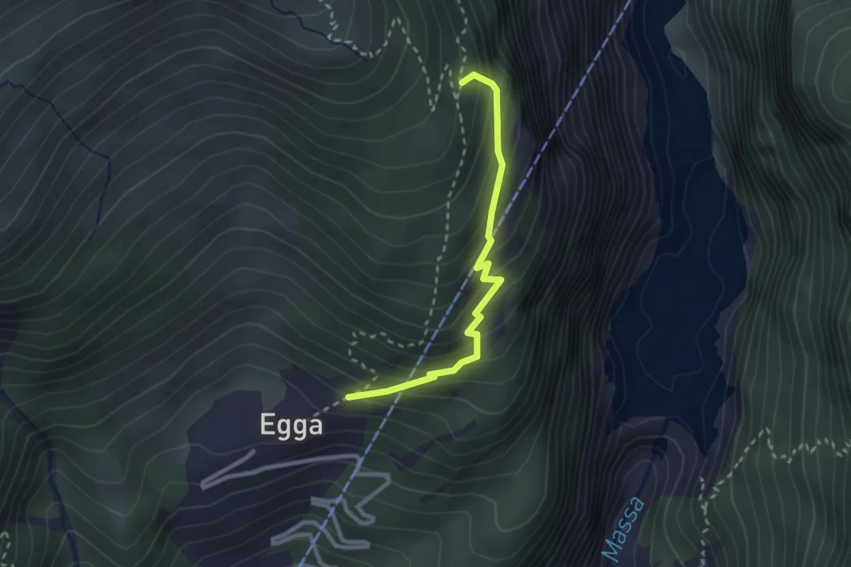
Egga - Belalp
5.9 km · ↑ 624 m · 2 h 44 min
Demanding · Trail
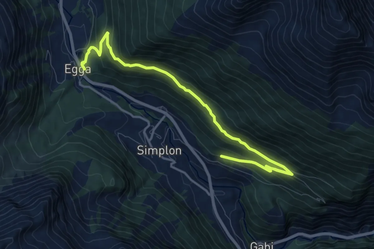
Egga - Oberaletsch
2.3 km · ↑ 275 m · 1 h 9 min
Medium · Trail
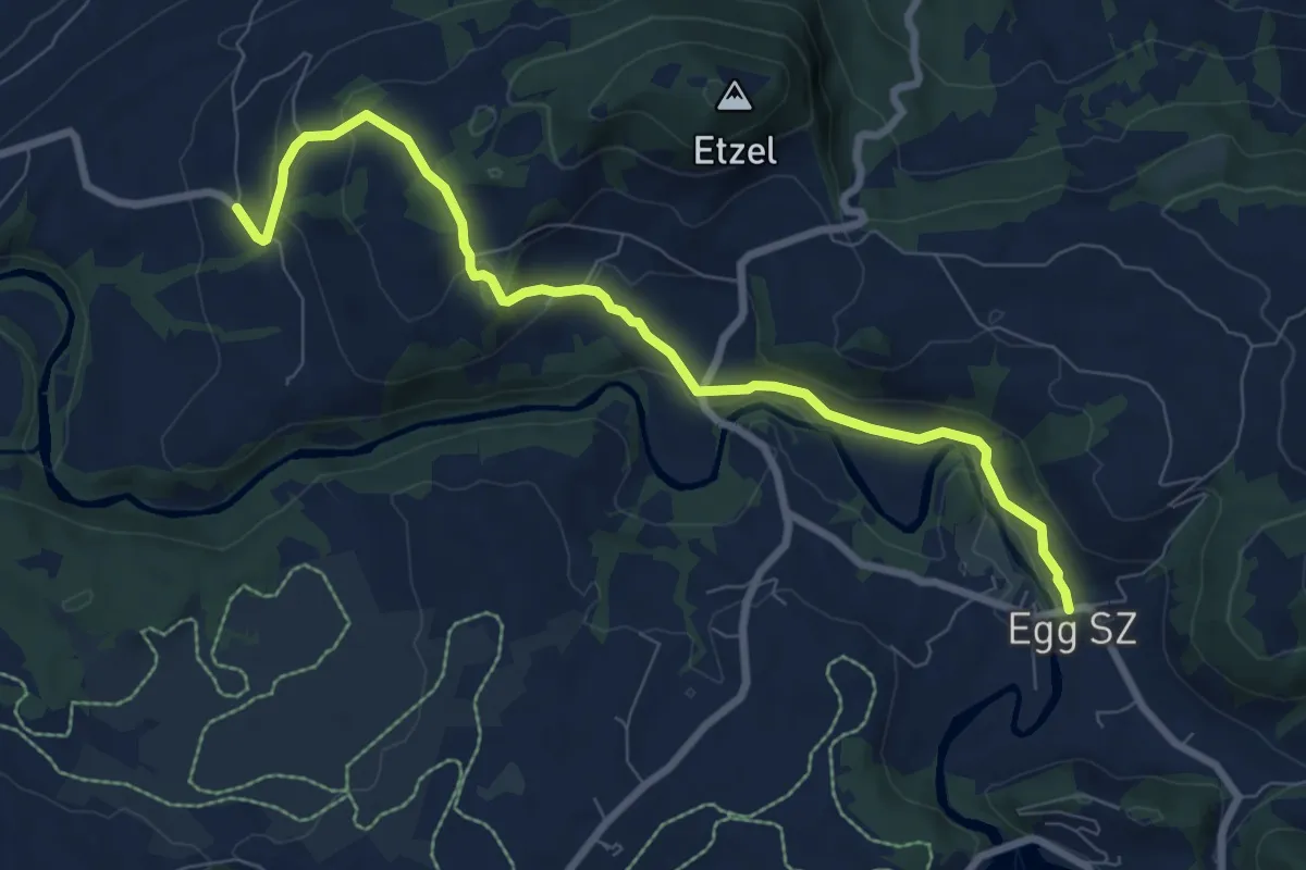
Egga - Üssers Täl
11.3 km · ↑ 552 m · 3 h 51 min
Medium · Trail
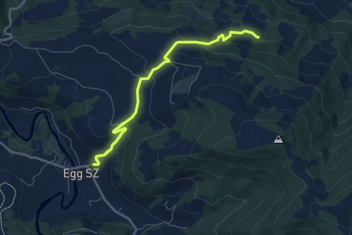
Egg - Büel
8.3 km · ↑ 294 m · 2 h 36 min
Medium · Trail
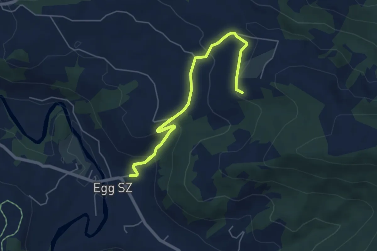
Egg - Chlos
7.7 km · ↑ 452 m · 2 h 48 min
Medium · Trail
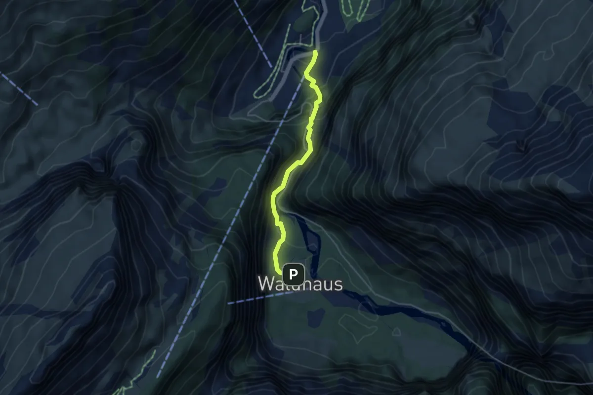
Egg - Chörnlisegg
6.3 km · ↑ 323 m · 2 h 11 min
Easy · Trail
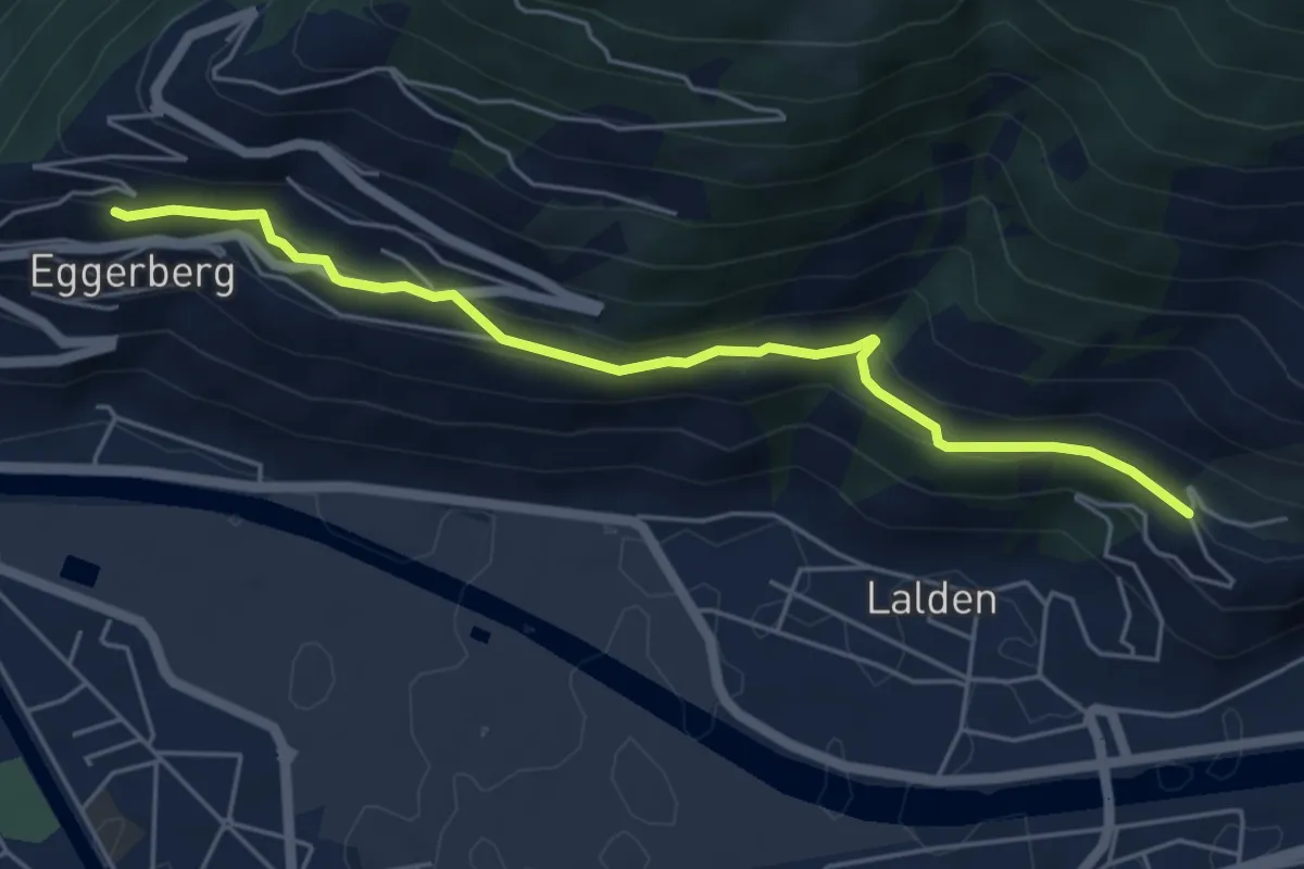
Eggenschwand - Gastern/Waldhaus
3.7 km · ↑ 259 m · 1 h 26 min
Medium · Trail
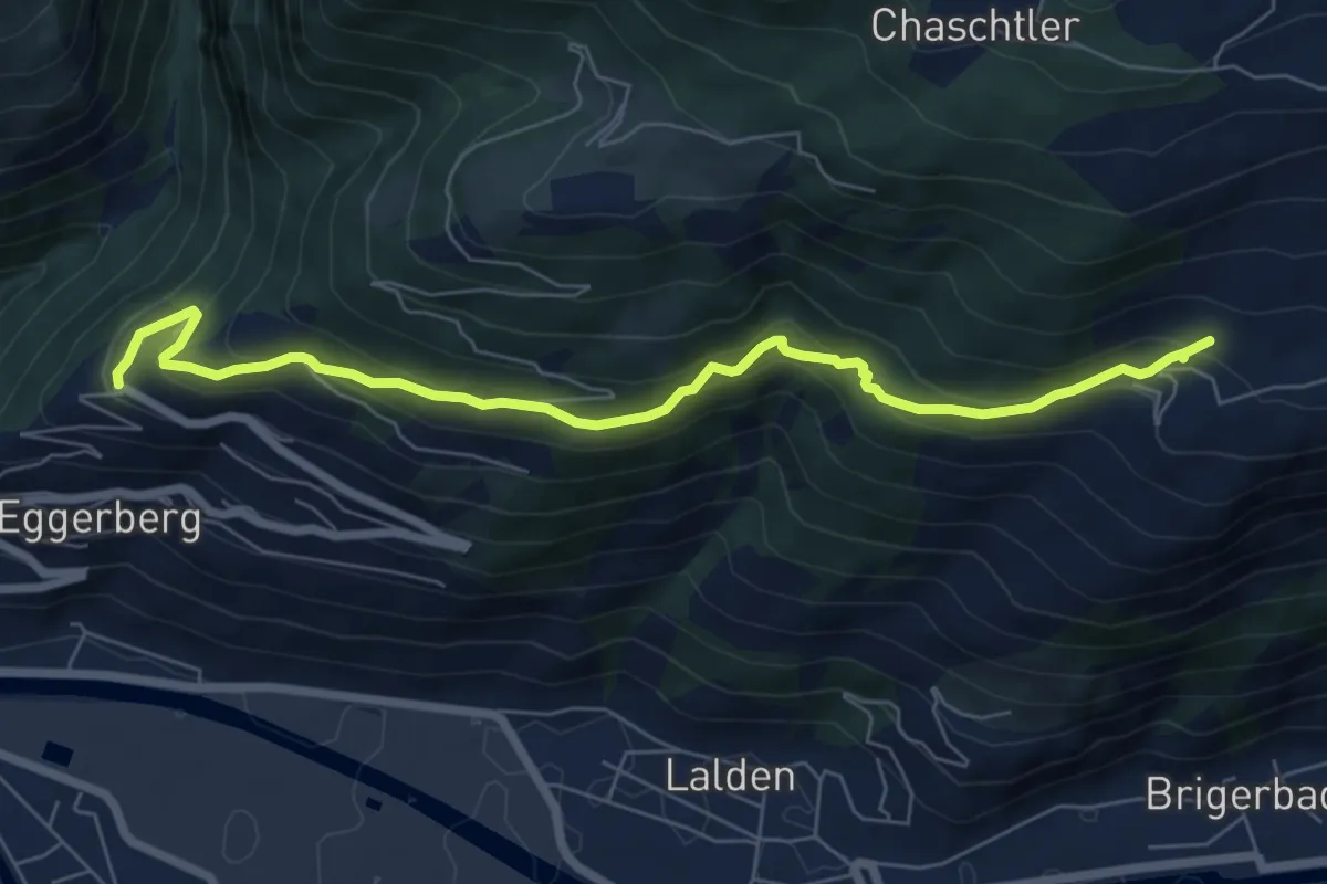
Eggerberg - Brigerbad
5.3 km · ↑ 227 m · 1 h 45 min
Medium · Trail
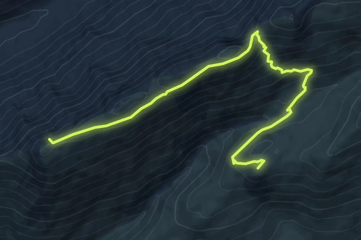
Eggerberg - Oberi Brich
7.3 km · ↑ 477 m · 2 h 45 min
Demanding · Summit
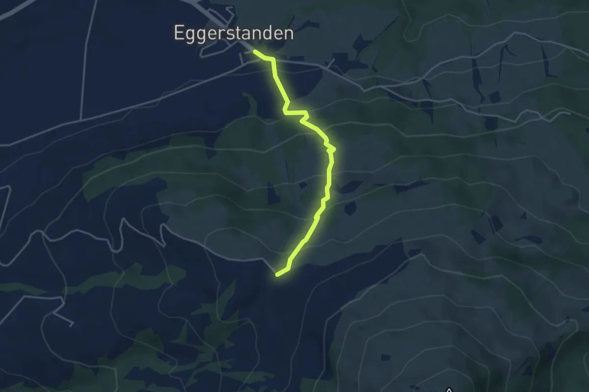
Eggerhorn - Gandhorn
9.1 km · ↑ 570 m · 3 h 23 min
Easy · Trail
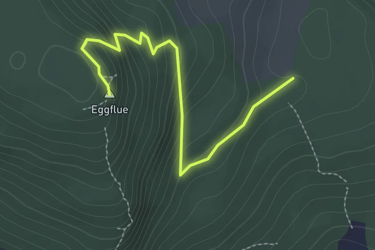
Eggerstanden - Eggli
3.4 km · ↑ 273 m · 1 h 24 min
Easy · Summit
Eggflue - Grossi Weid
2.5 km · ↑ 148 m · 55 min
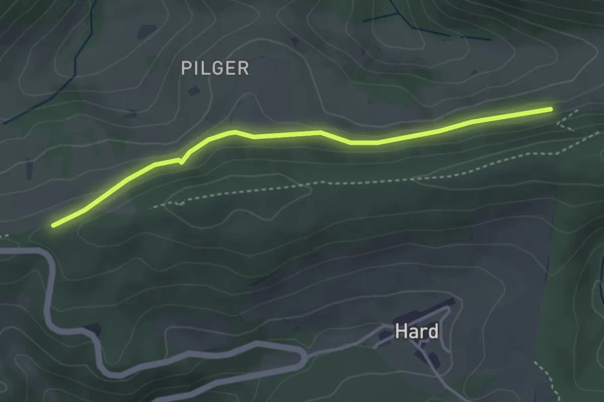
Easy · Trail
Egghalden - Cholwald
3.5 km · ↑ 98 m · 1 h 2 min
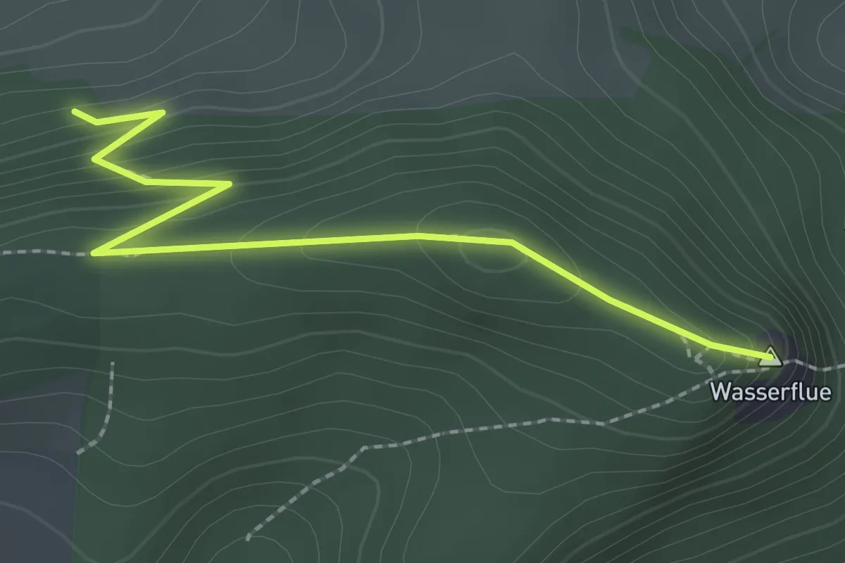
Easy · Summit
Egghalden-Wasserflue
2.4 km · ↑ 135 m · 52 min
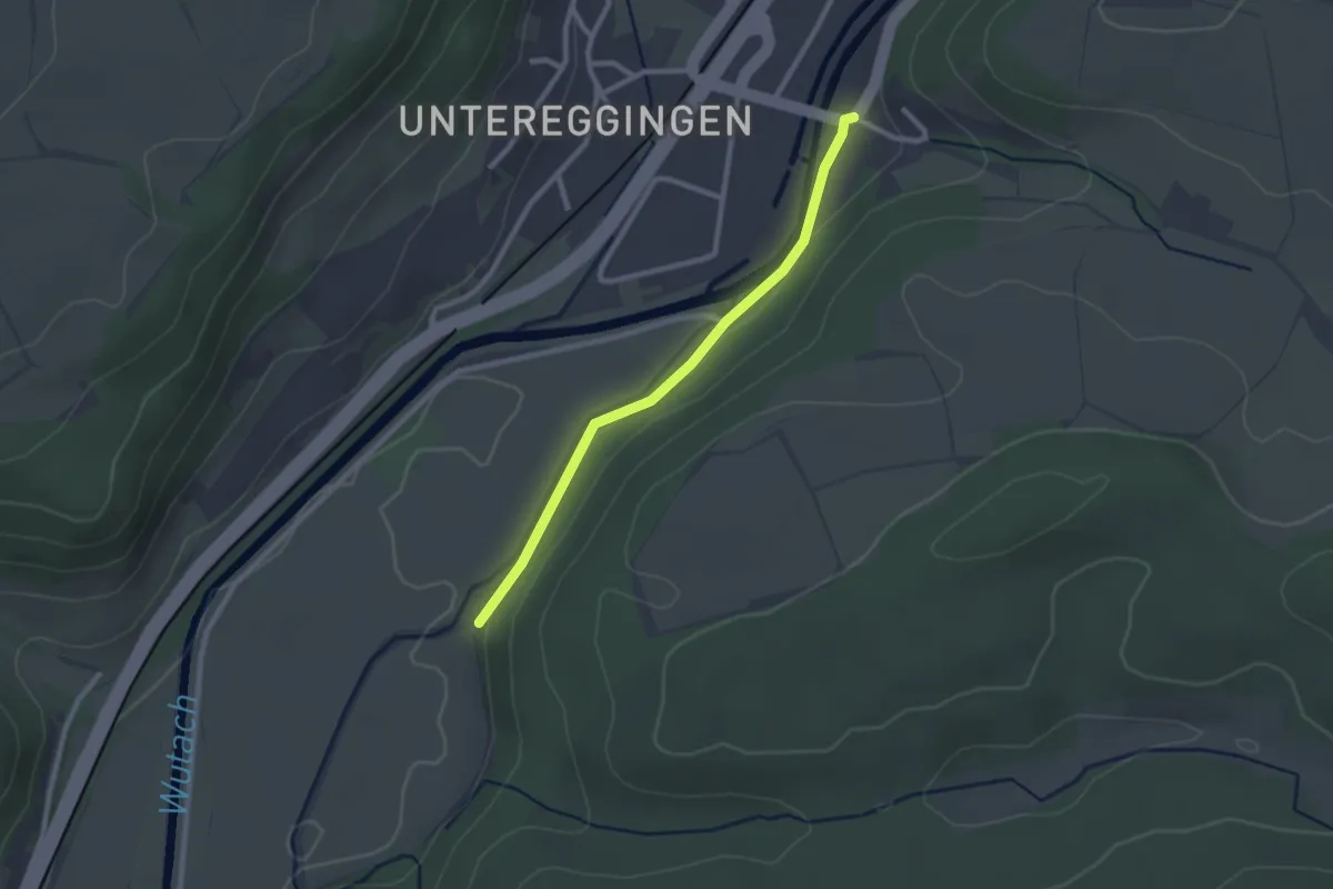
Easy · Trail
Egginger Zoll - fixme
2.3 km · ↑ 28 m · 36 min
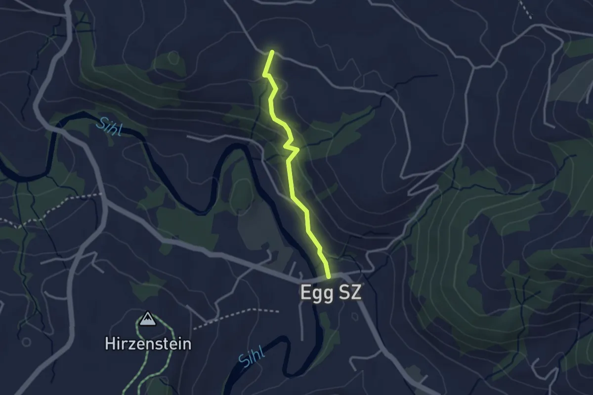
Easy · Trail
Egg - Jureten
2.3 km · ↑ 113 m · 47 min
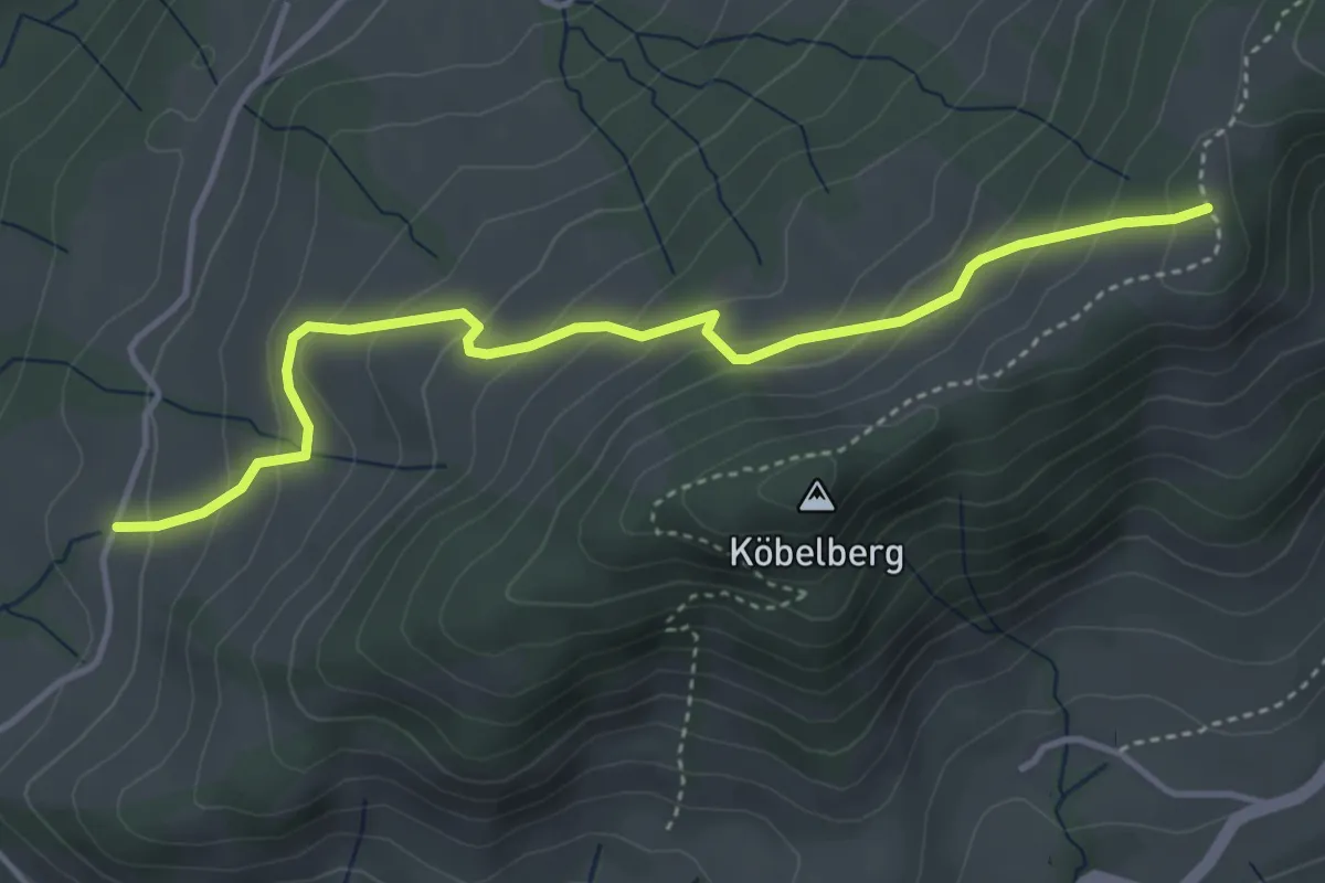
Easy · Trail
Eggli - Freudental
4.2 km · ↑ 288 m · 1 h 37 min
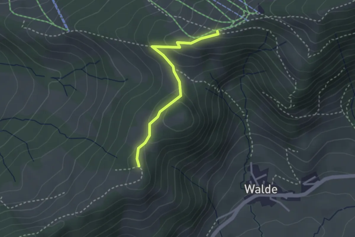
Medium · Trail
Eggli - Obere Amännig
2.5 km · ↑ 110 m · 50 min
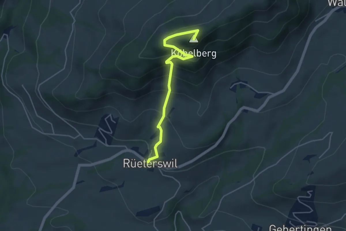
Medium · Summit
Eggli - Rüeterswil Kapelle
3.8 km · ↑ 354 m · 1 h 40 min
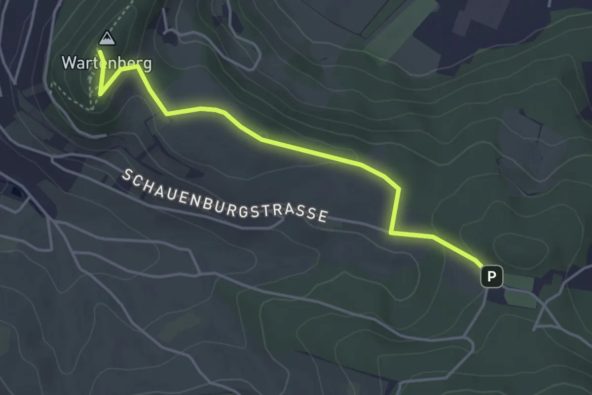
Medium · Summit
Egglisgraben - Ruine Wartenberg
3.9 km · ↑ 100 m · 1 h 9 min
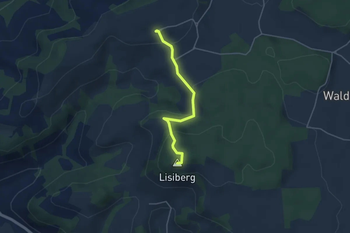
Easy · Summit
Egg - Lisiberg
3.2 km · ↑ 149 m · 1 h 4 min
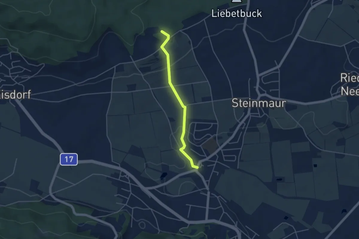
Easy · Trail
Egg - Nieder-Steinmaur
3.6 km · ↑ 97 m · 1 h 4 min
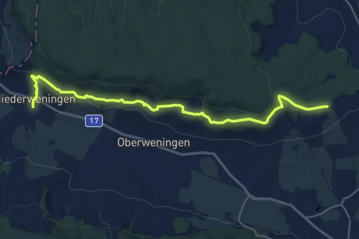
Medium · Trail
Egg - Niederweningen Dorf
12.6 km · ↑ 395 m · 3 h 50 min
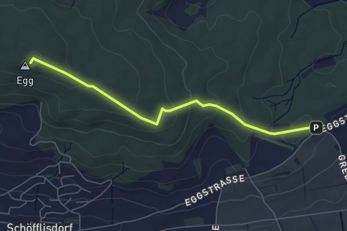
Easy · Summit
Egg - Schliniker Platten
4.8 km · ↑ 151 m · 1 h 27 min