Trails in Switzerland
15,029 hiking trails, each with its route, climb, walking time and grade.
All trails, page 30 of 314
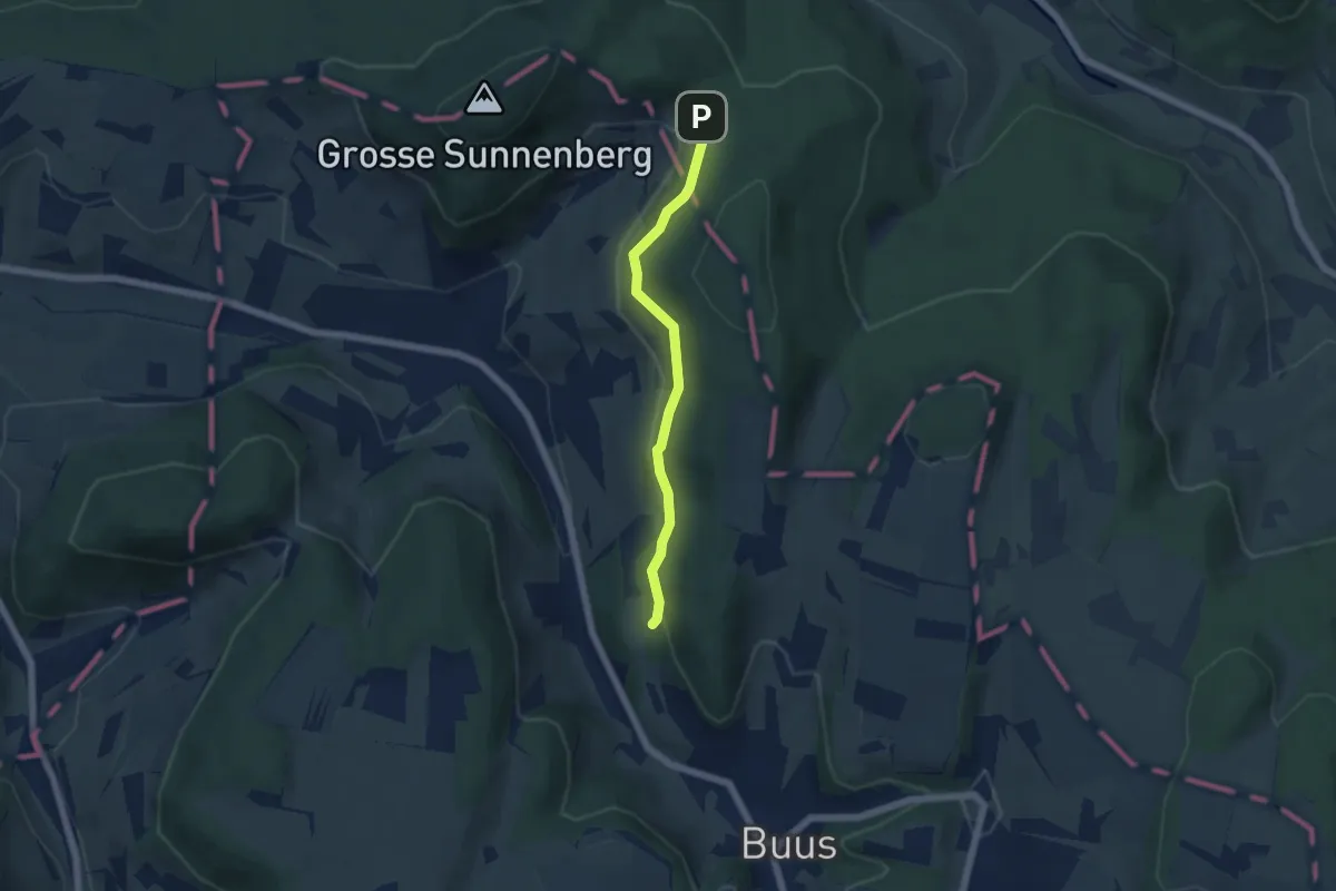
Easy · Trail
Egg - Schönenberg
4.7 km · ↑ 136 m · 1 h 24 min
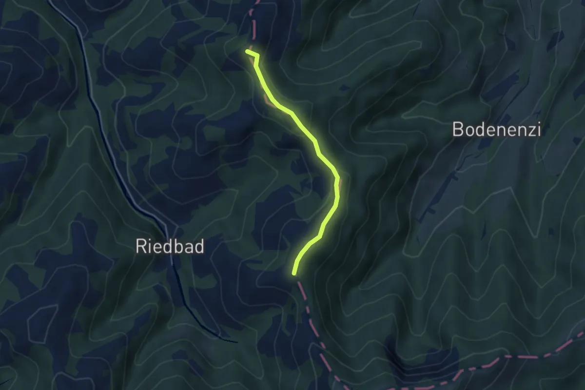
Demanding · Summit
Eggstall - Ober Scheidegg
3.2 km · ↑ 156 m · 1 h 6 min
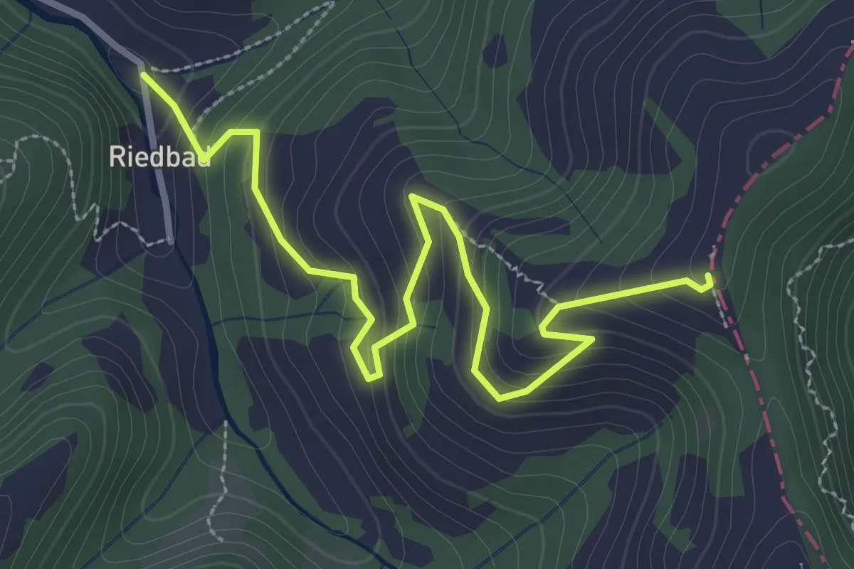
Easy · Trail
Eggstall - Riedbad
3.5 km · ↑ 289 m · 1 h 28 min
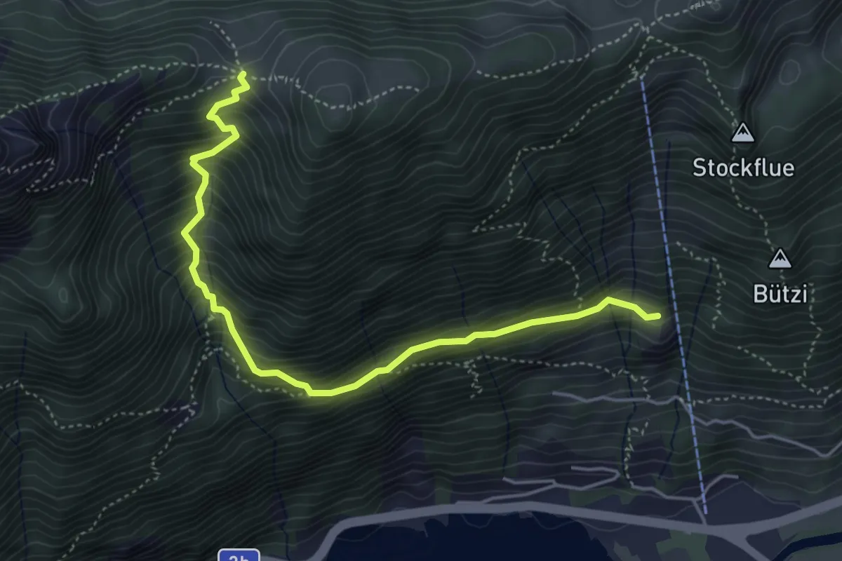
Medium · Trail
Egg - Stöck
4.9 km · ↑ 627 m · 2 h 30 min
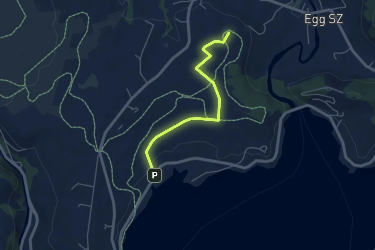
Easy · Summit
Egg - Strandbad Einsiedeln
3.9 km · ↑ 28 m · 58 min
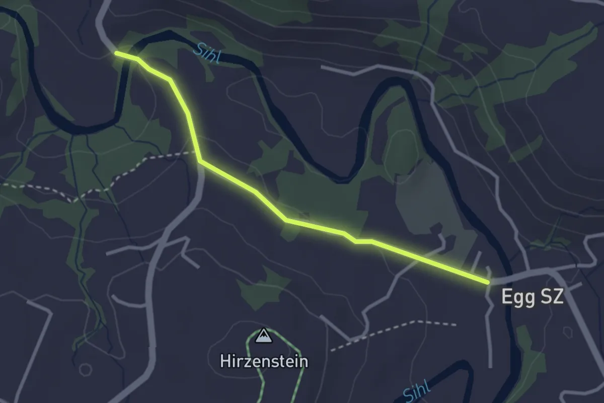
Easy · Trail
Egg - Tüfelsbrugg
2.7 km · ↑ 33 m · 43 min
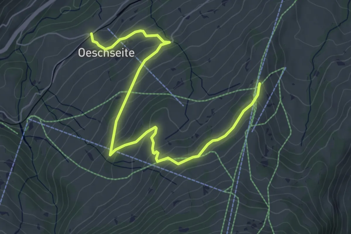
Medium · Trail
Eggweid Mittelstation - Oeschseite
6.6 km · ↑ 347 m · 2 h 18 min
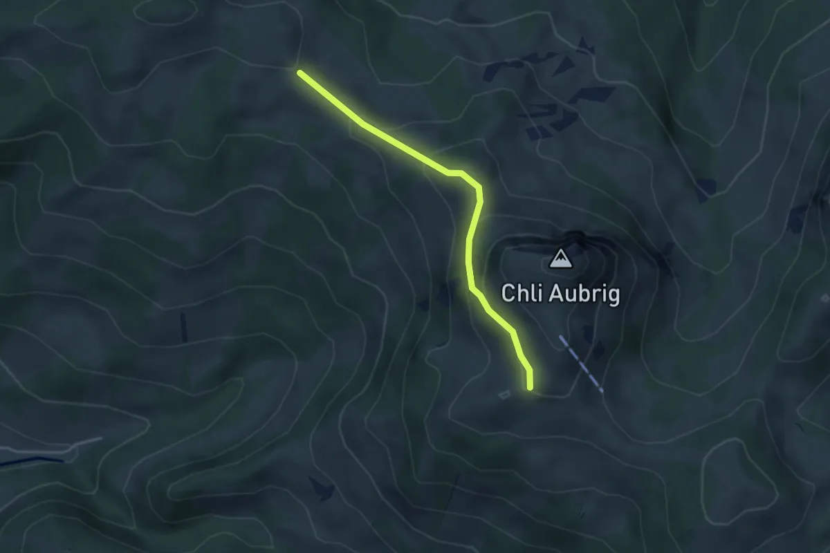
Easy · Trail
Egg - Wildegg
3.4 km · ↑ 199 m · 1 h 14 min
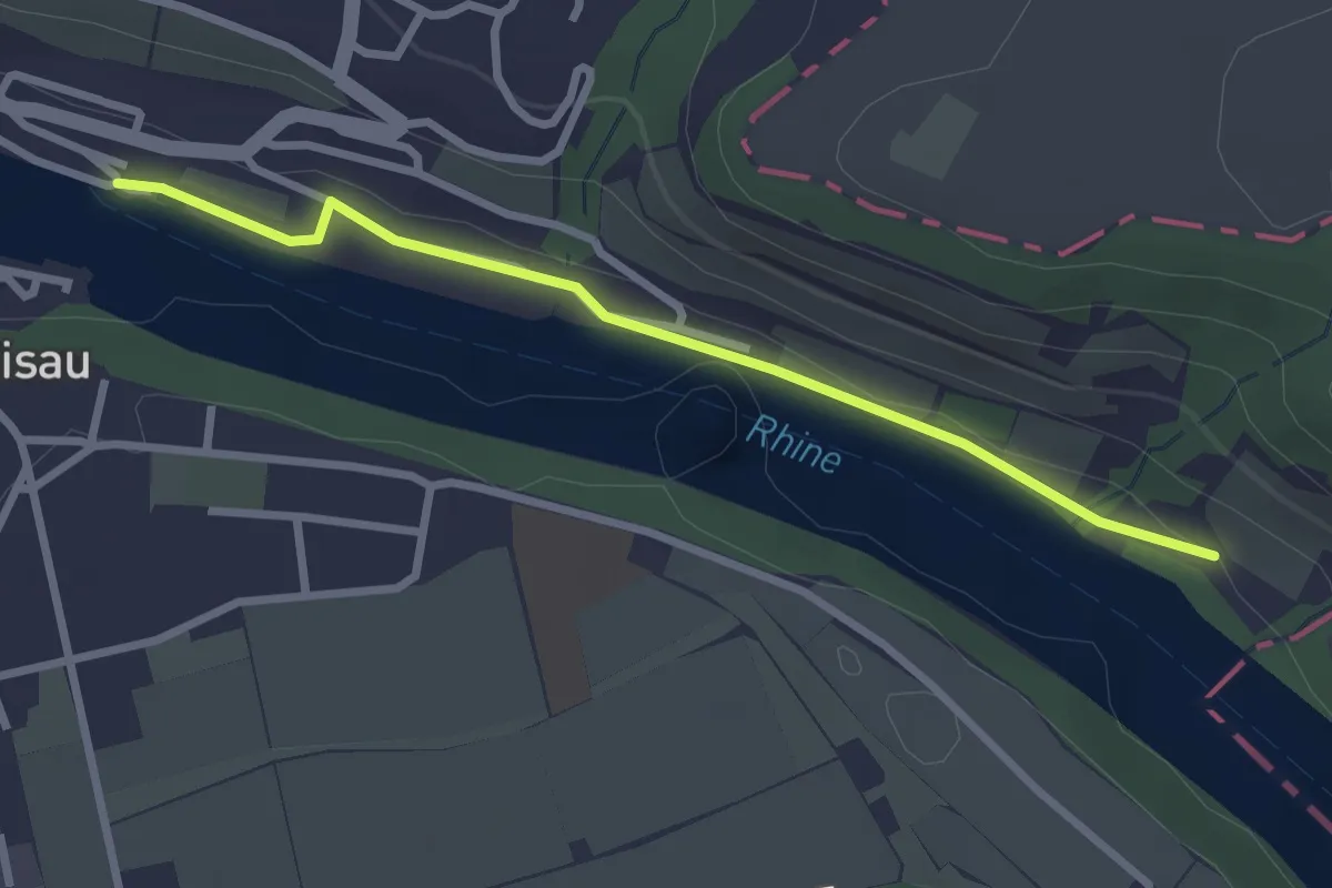
Easy · Trail
Eglisau Schifflände - Oberriet
2.7 km · ↑ 34 m · 42 min
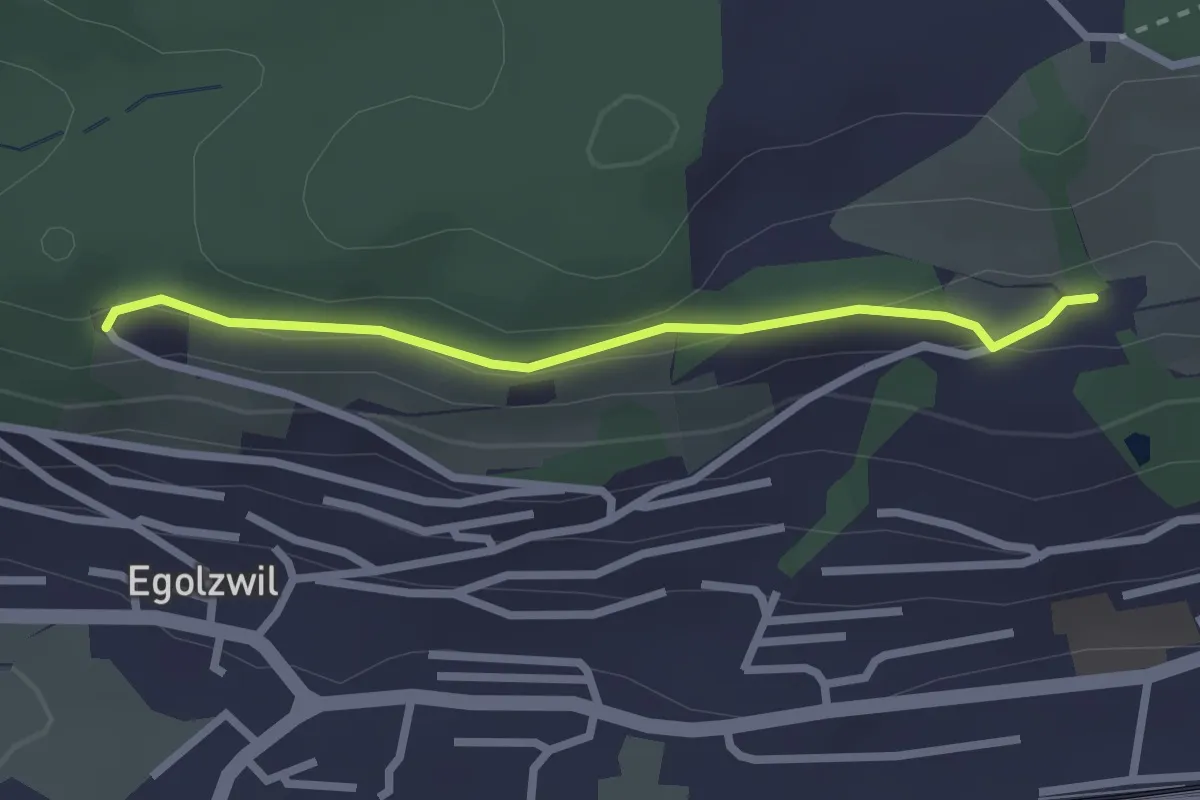
Easy · Trail
Egolzwilerberg - Ängelberg
2.3 km · ↑ 60 m · 40 min
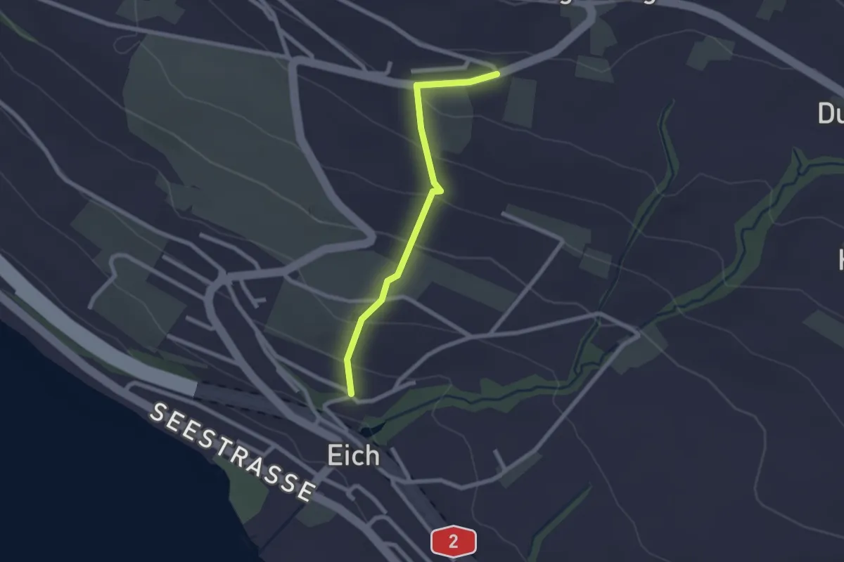
Easy · Trail
Eichberg - Eich
2.0 km · ↑ 122 m · 45 min
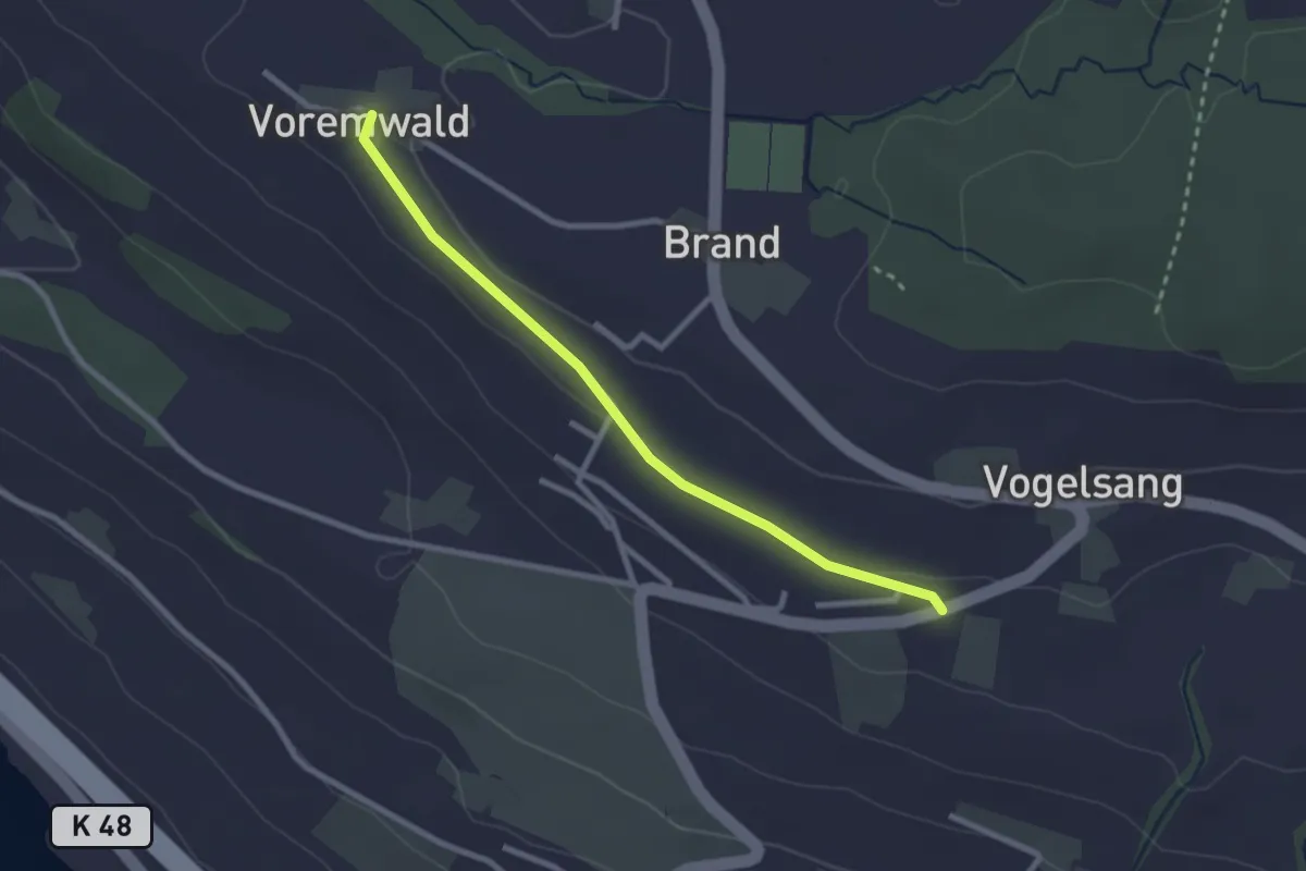
Easy · Trail
Eichberg - Voremwald
2.6 km · ↑ 26 m · 40 min
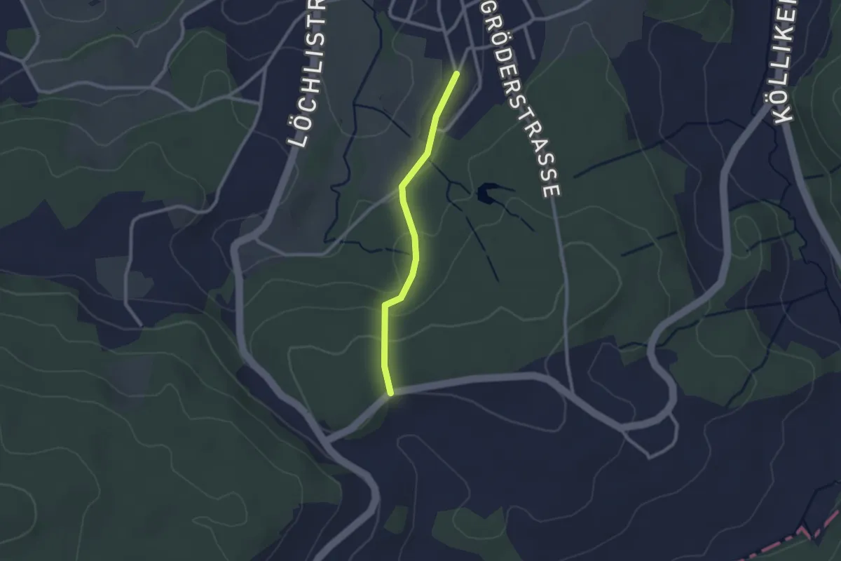
Easy · Trail
Eich - Höli
2.0 km · ↑ 83 m · 39 min
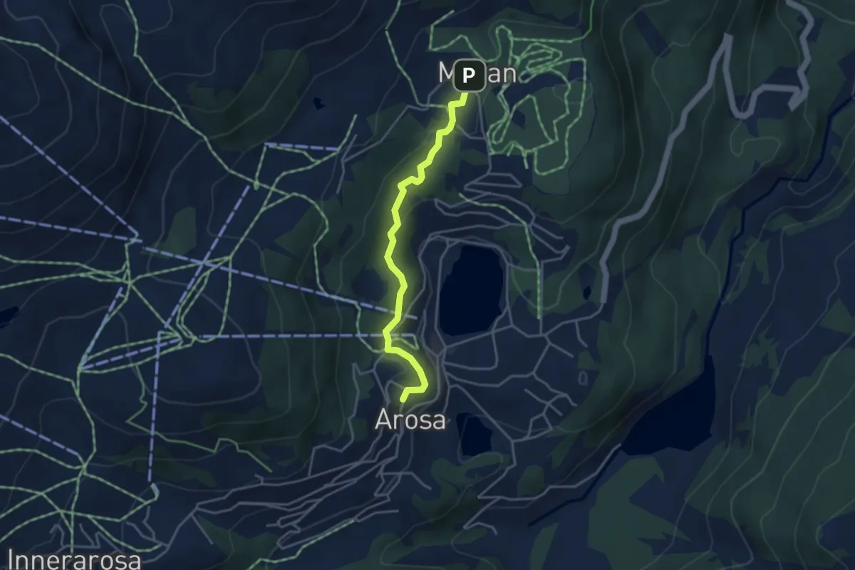
Easy · Trail
Eichhörnliweg
3.6 km · ↑ 144 m · 1 h 9 min
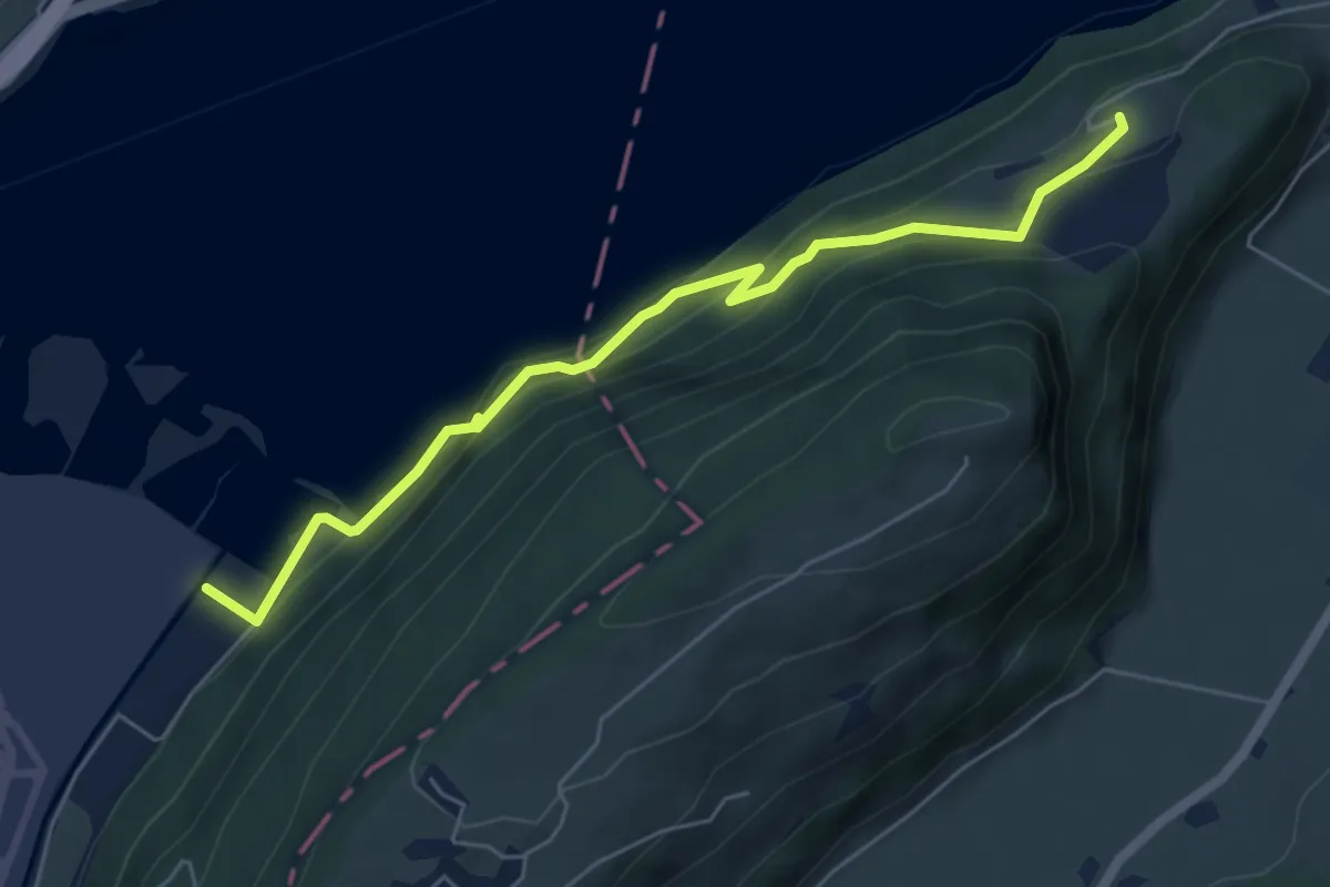
Medium · Trail
Eichiried - Oberrüti
5.9 km · ↑ 437 m · 2 h 21 min
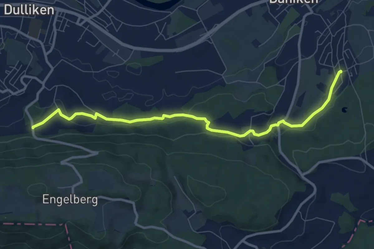
Medium · Trail
Eich - Rüti
8.4 km · ↑ 204 m · 2 h 26 min
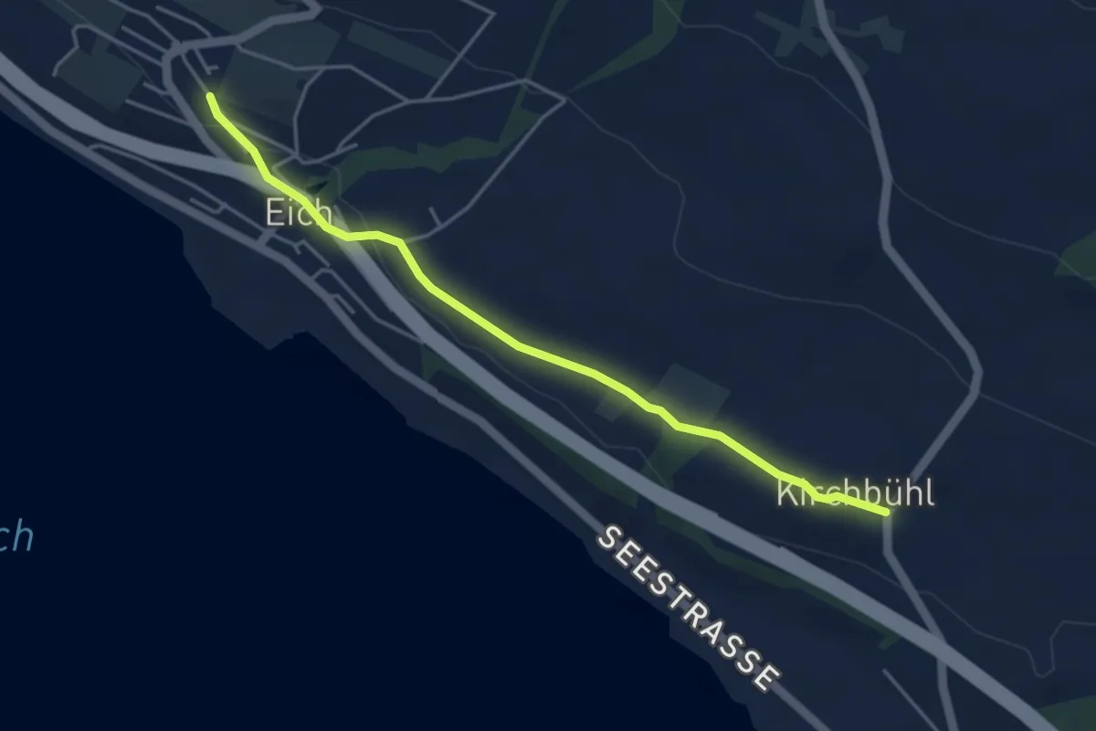
Easy · Trail
Eich (Schulhaus) - Kirchbühl
4.2 km · ↑ 59 m · 1 h 8 min
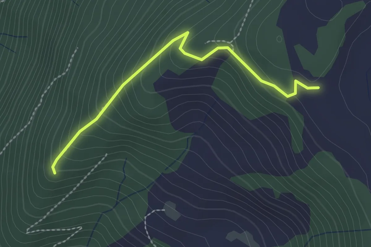
Easy · Trail
Eielenwald-Hütte - Lienisberg-Höhe
2.3 km · ↑ 184 m · 57 min
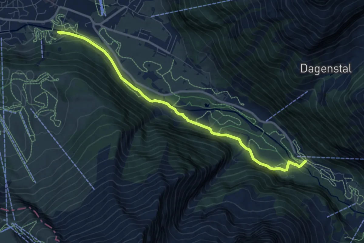
Medium · Trail
Eienwäldli - Herrenrütiboden
8.6 km · ↑ 198 m · 2 h 27 min
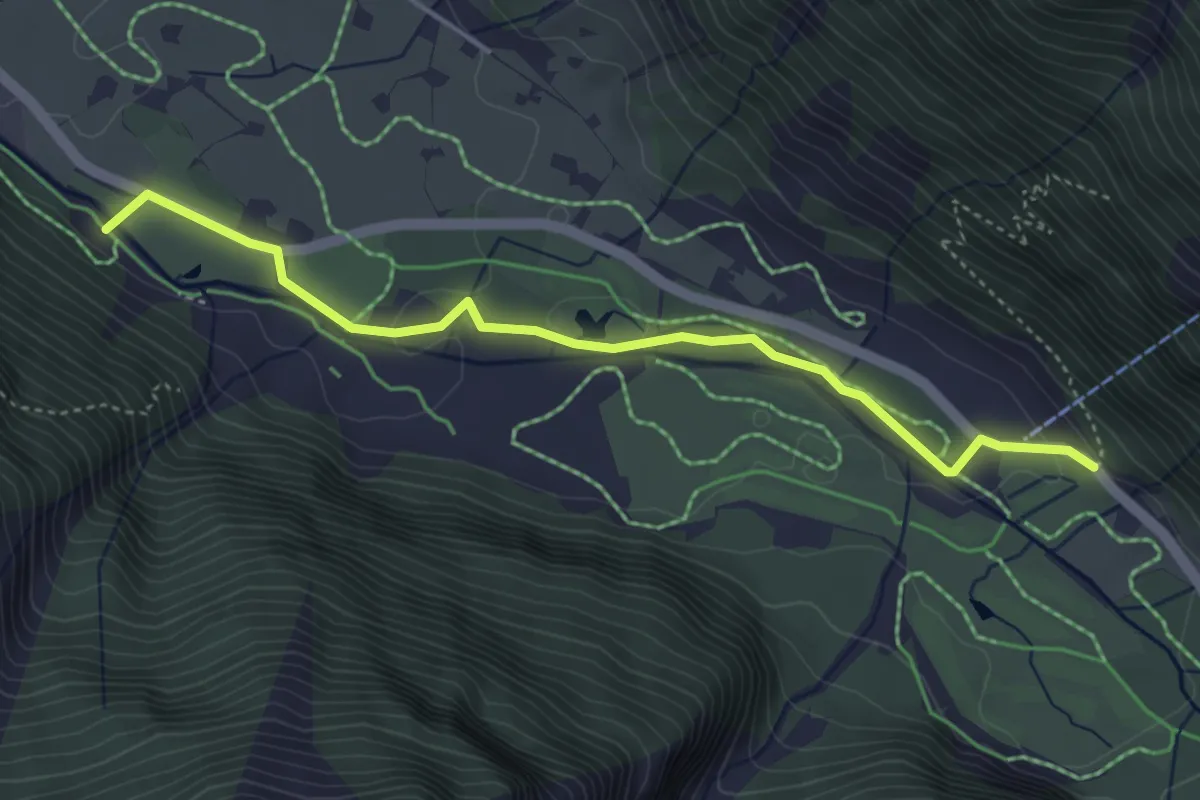
Easy · Trail
Eienwäldli - Wasserfall
4.3 km · ↑ 58 m · 1 h 8 min
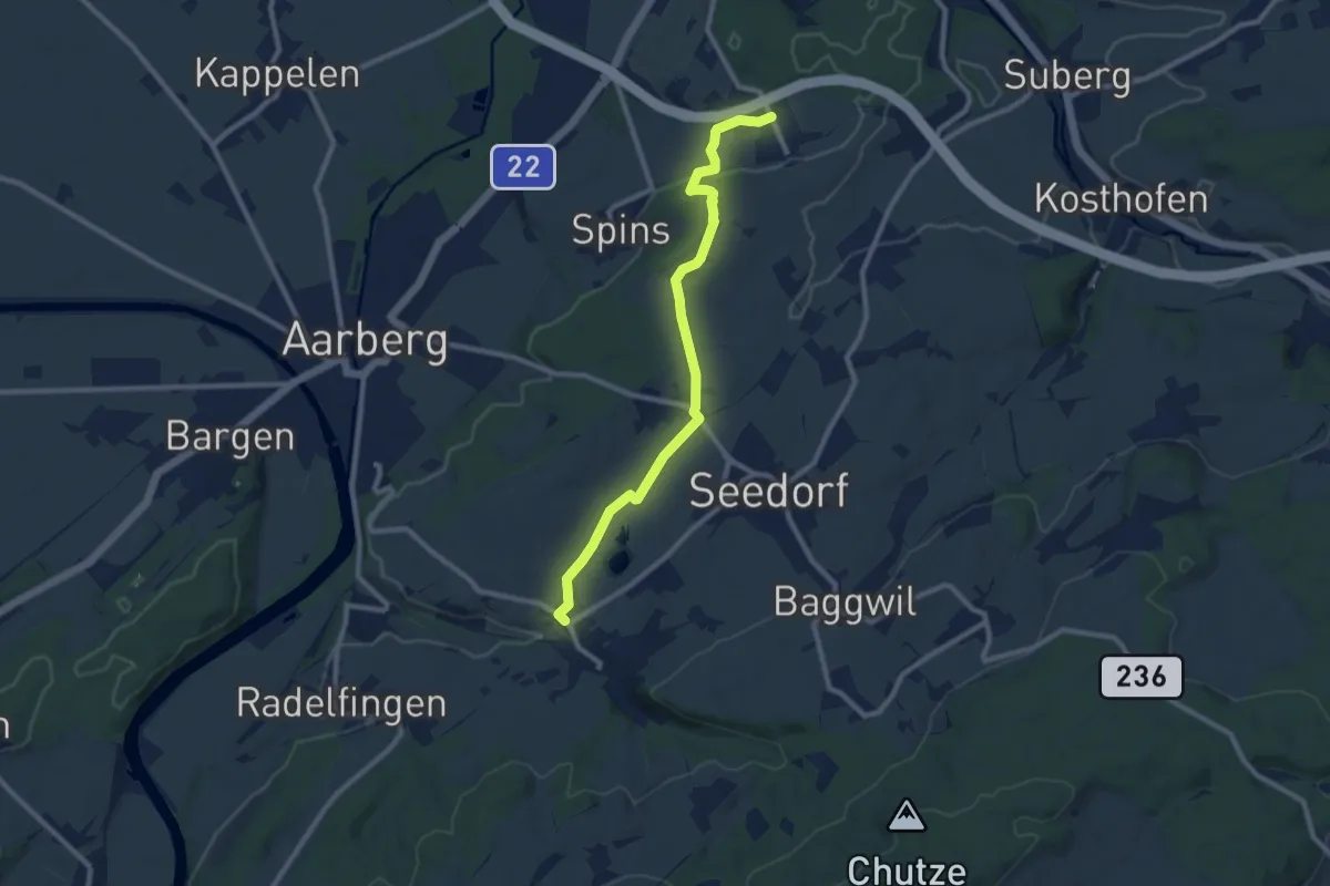
Medium · Trail
Eigenacher - Lobsigen
9.2 km · ↑ 102 m · 2 h 24 min
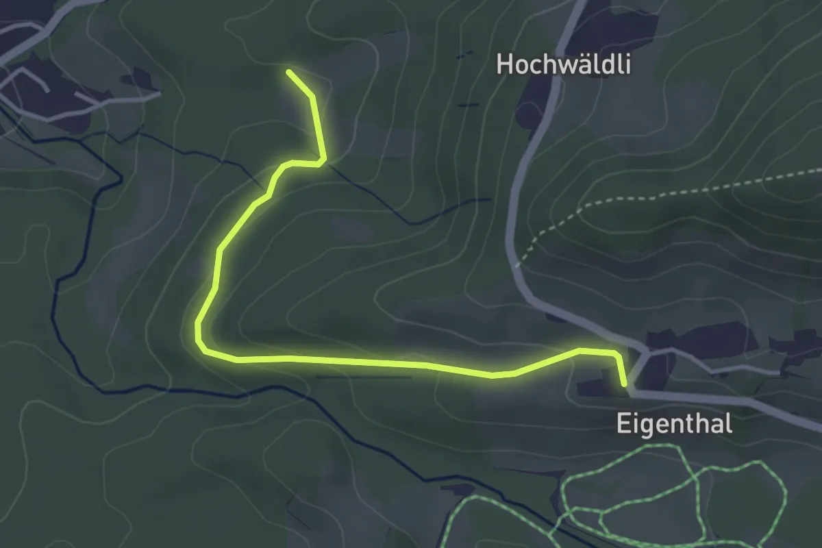
Easy · Trail
Eigenthal - Chräje
3.7 km · ↑ 132 m · 1 h 9 min
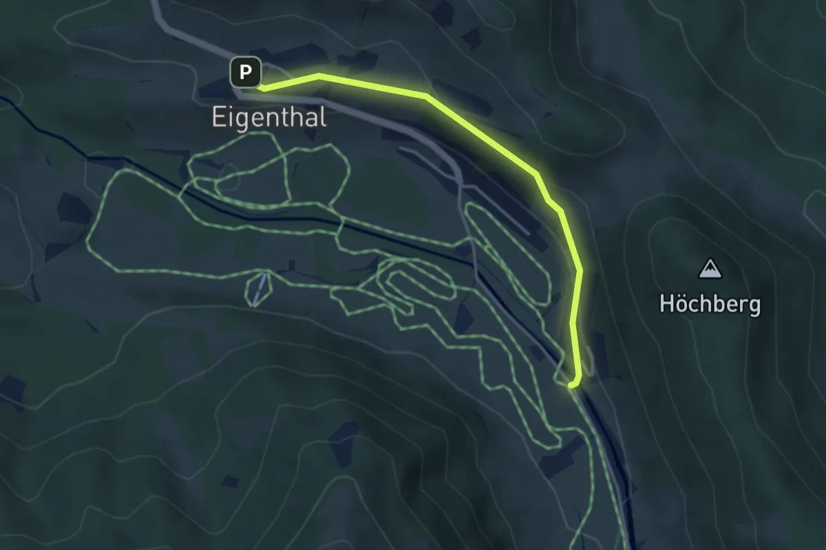
Easy · Trail
Eigenthal - Gantersei
3.5 km · ↑ 102 m · 1 h 3 min
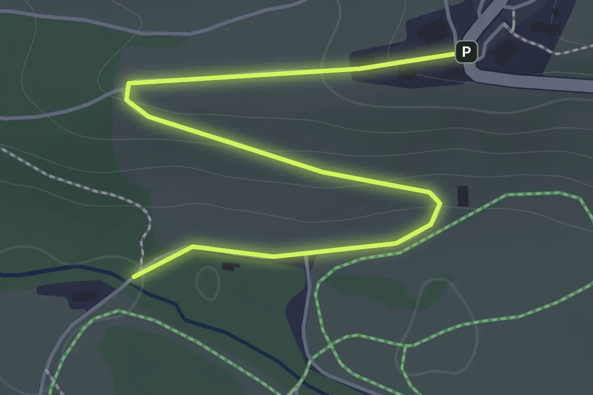
Easy · Trail
Eigenthal - Meienstoss
2.0 km · ↑ 64 m · 37 min
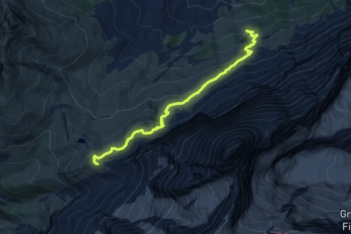
Demanding · Trail
Eigertrail
11.1 km · ↑ 881 m · 4 h 32 min
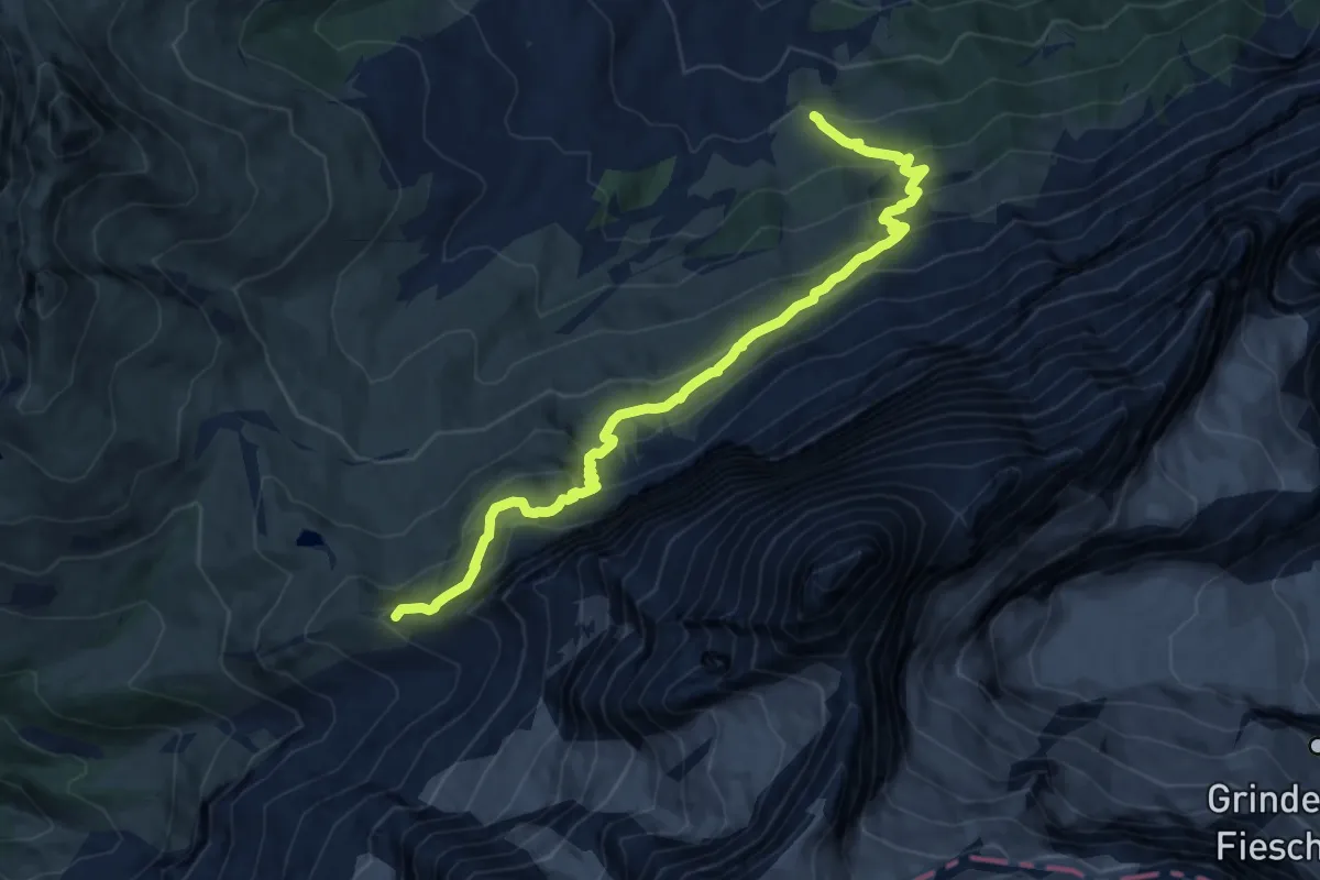
Demanding · Trail
Eiger Trail
11.5 km · ↑ 894 m · 4 h 39 min
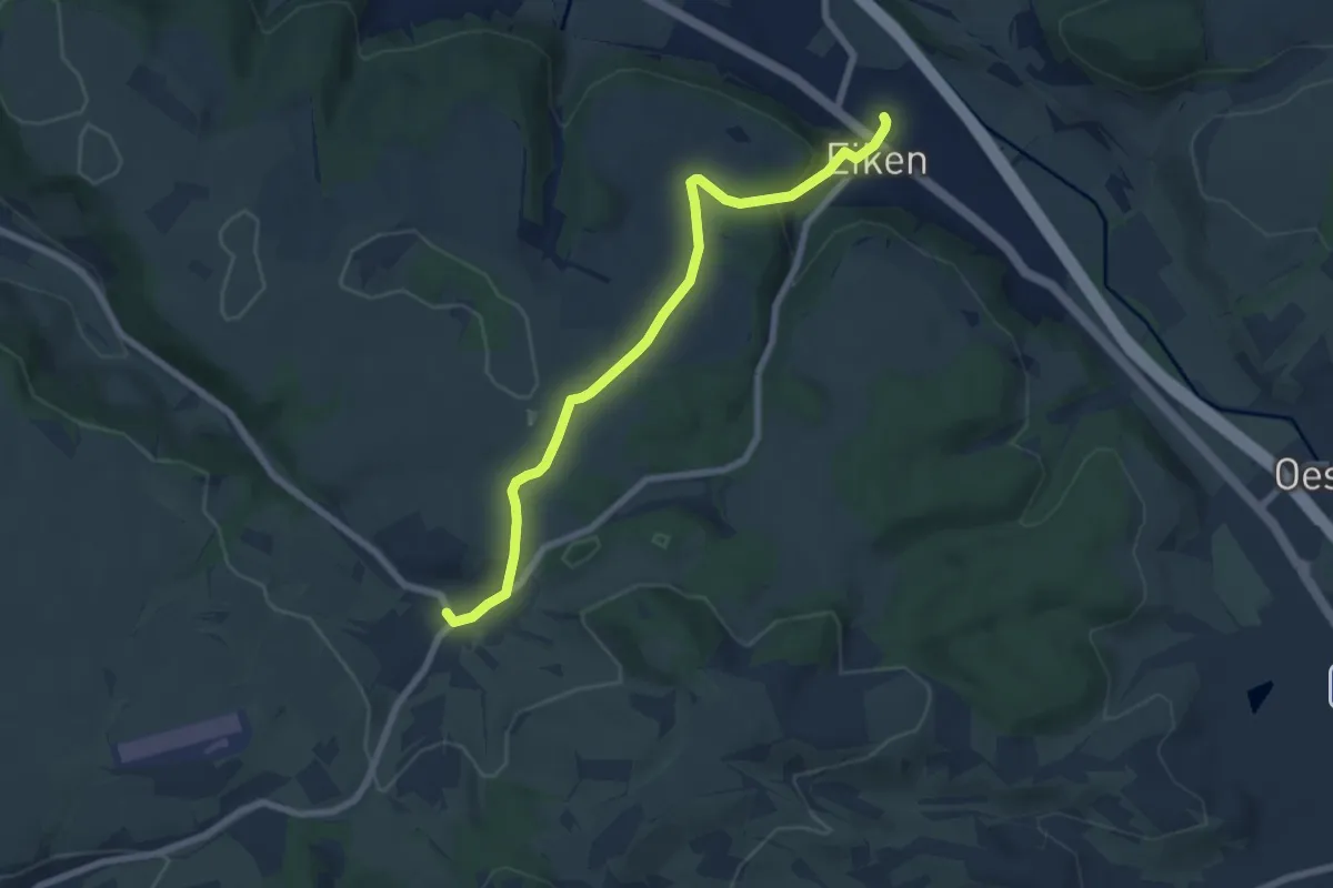
Easy · Trail
Eiken - Schupfart
6.9 km · ↑ 203 m · 2 h 4 min
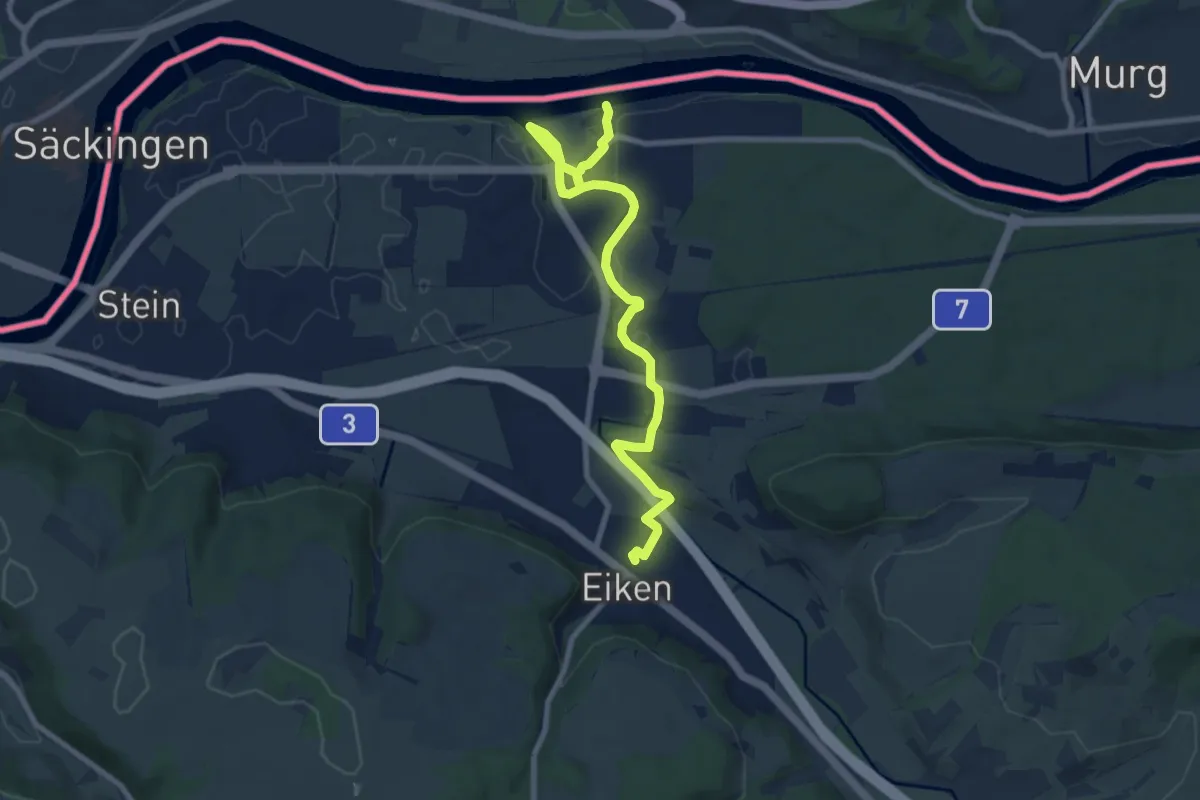
Medium · Trail
Eiken - Sisseln
9.4 km · ↑ 84 m · 2 h 24 min
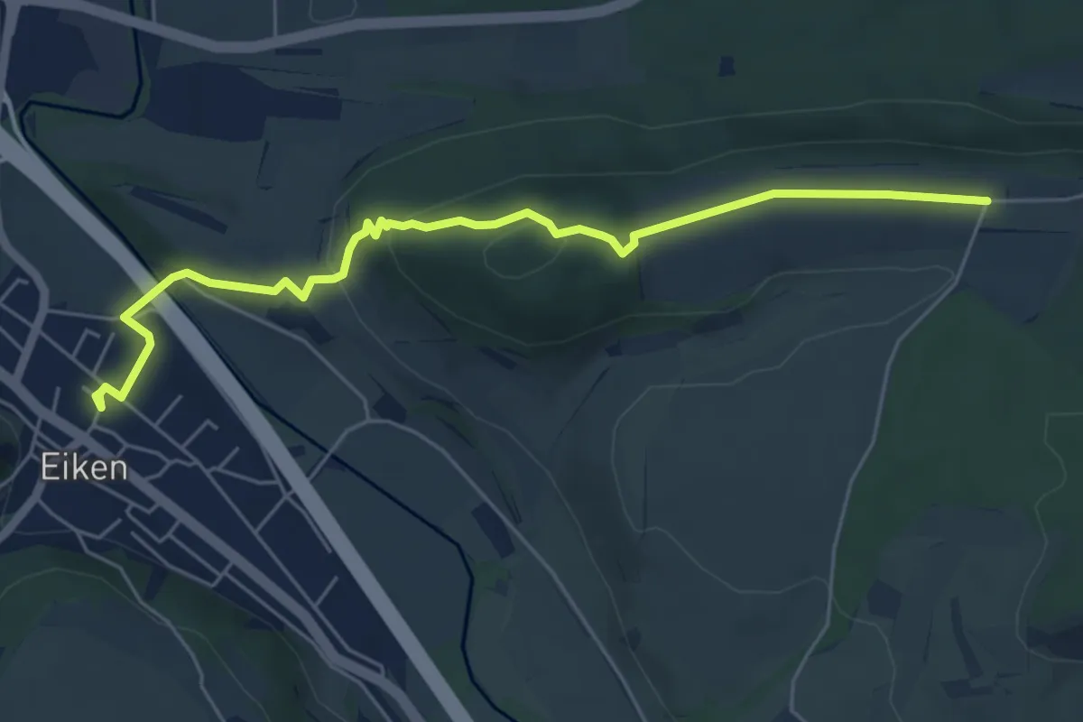
Easy · Trail
Eiken - Warthöf
5.9 km · ↑ 181 m · 1 h 47 min
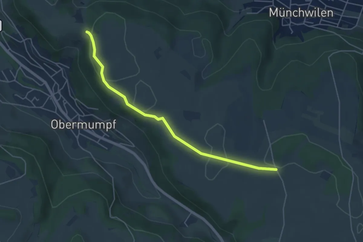
Easy · Trail
Eikerberg - Chatzenflue
4.4 km · ↑ 39 m · 1 h 8 min
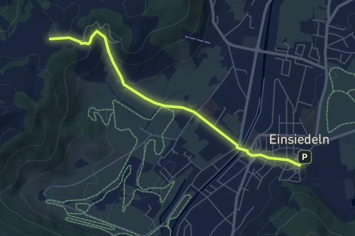
Easy · Trail
Einsiedeln - Chatzenstrick
5.6 km · ↑ 209 m · 1 h 47 min
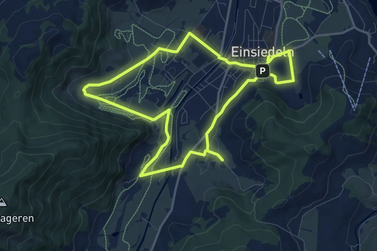
Medium · Trail
Einsiedler Herbschtfäscht
8.9 km · ↑ 81 m · 2 h 24 min
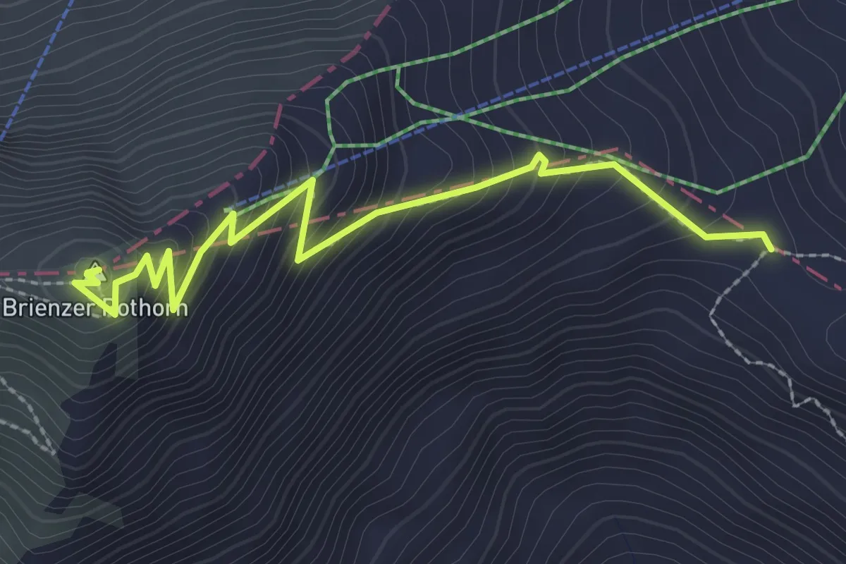
Medium · Summit
Eiseesattel - Rothorn / Gipfel
2.9 km · ↑ 263 m · 1 h 15 min
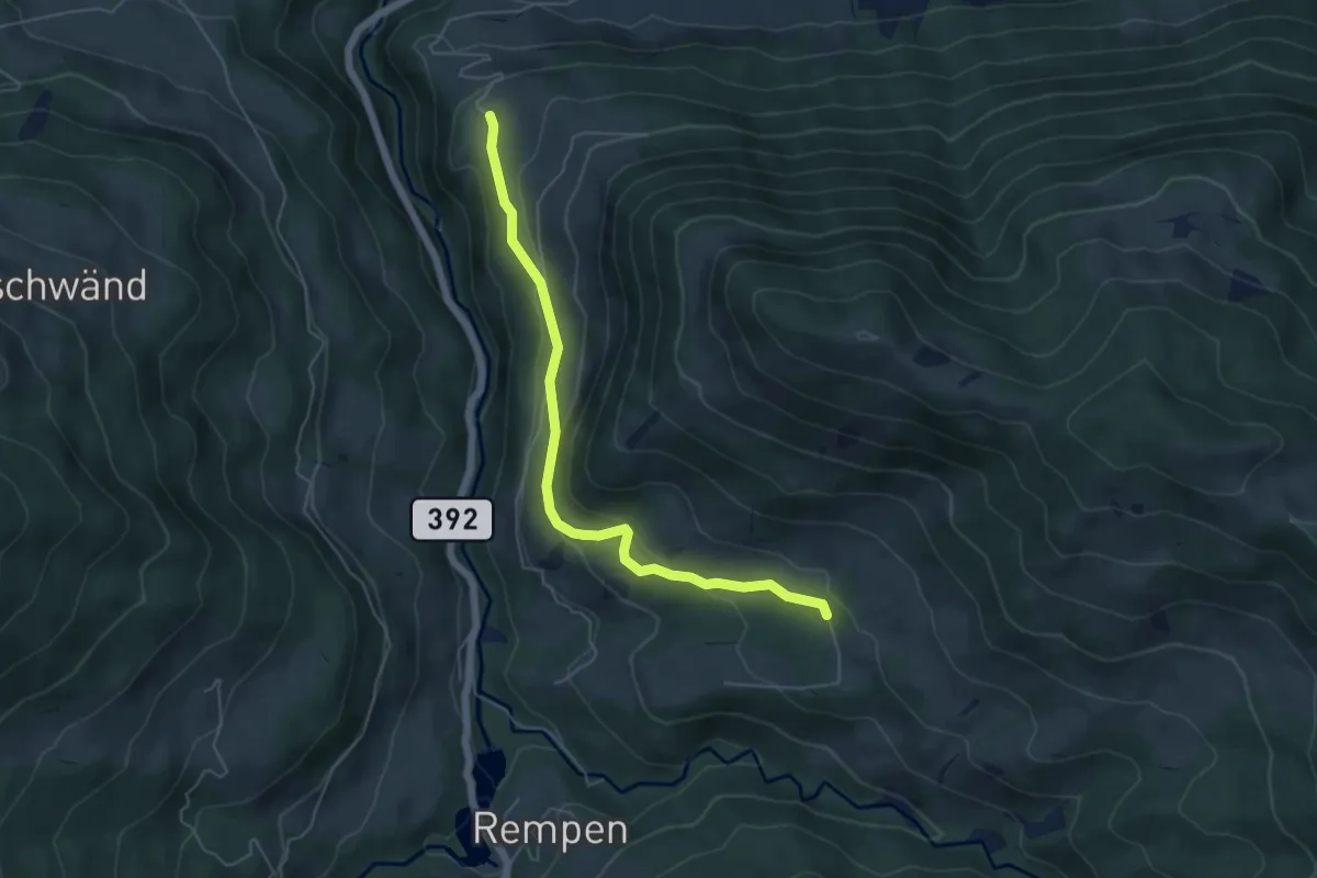
Easy · Trail
Eisenburg - Schwändelen
5.4 km · ↑ 259 m · 1 h 50 min
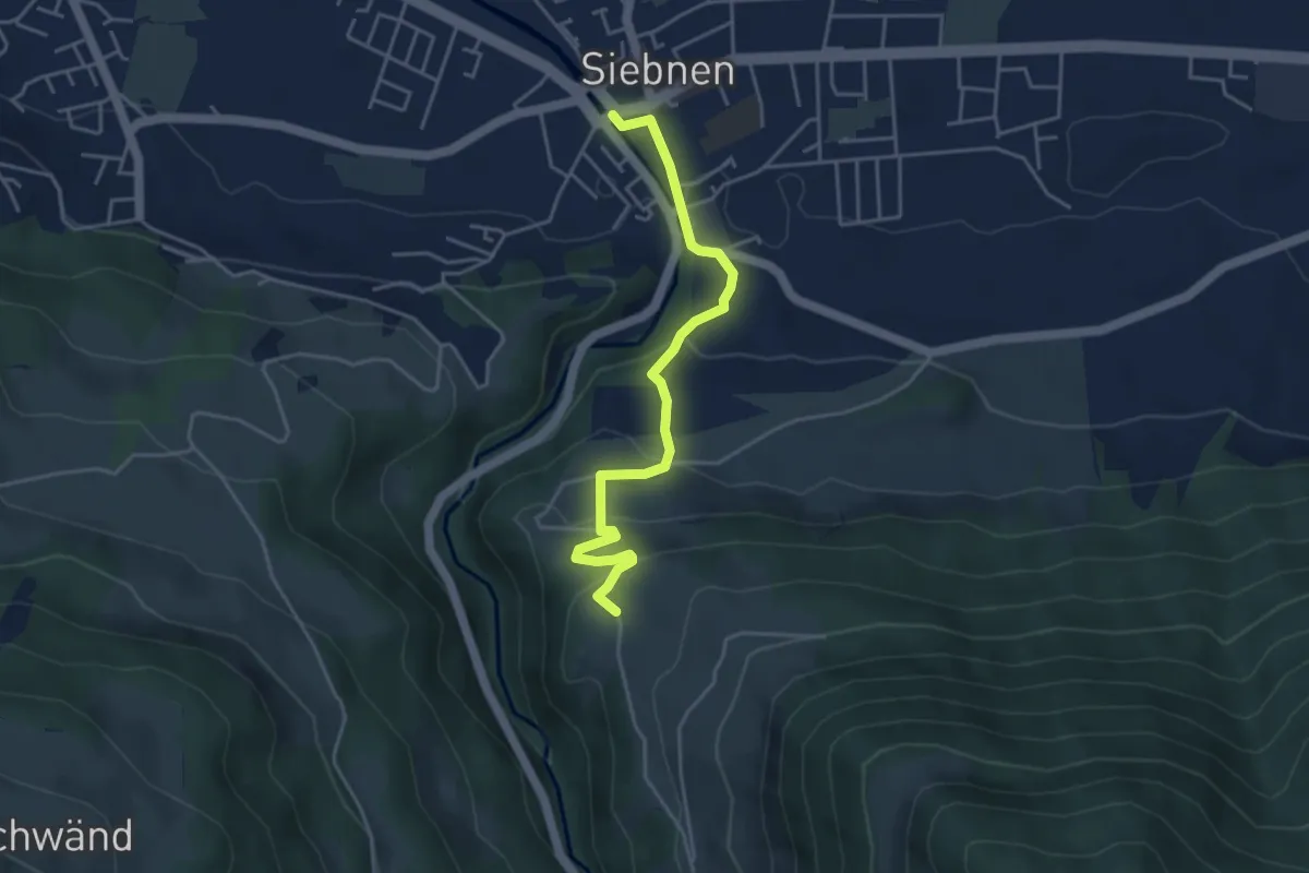
Easy · Trail
Eisenburg - Siebnen
4.2 km · ↑ 215 m · 1 h 28 min
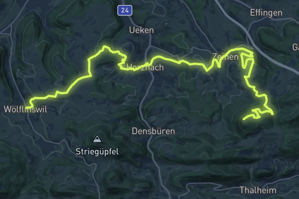
Demanding · Summit
Eisenweg
34.5 km · ↑ 992 m · 10 h 18 min
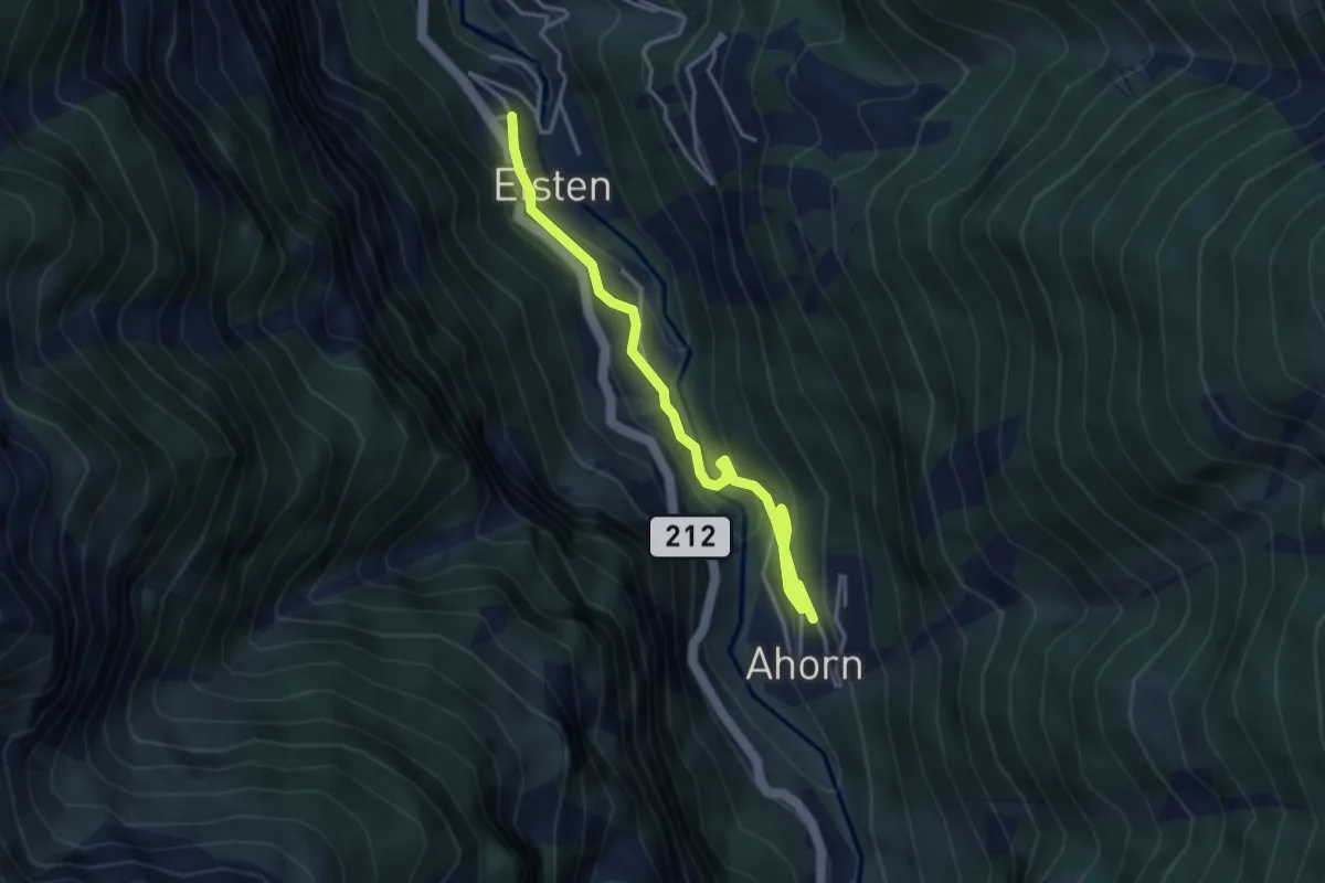
Easy · Trail
Eisten - Ahorn
4.6 km · ↑ 258 m · 1 h 39 min
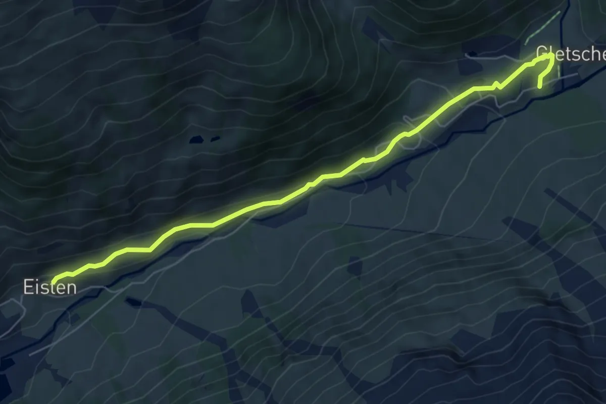
Medium · Trail
Eisten Favleralp
6.6 km · ↑ 220 m · 2 h 2 min
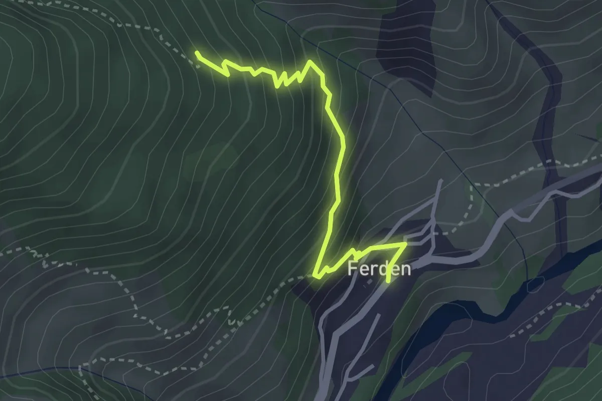
Medium · Trail
Eistlin - Ferden
3.0 km · ↑ 352 m · 1 h 29 min
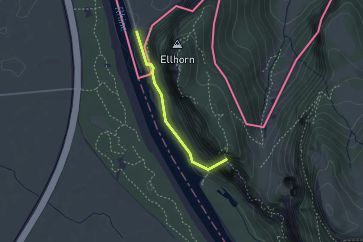
Medium · Summit
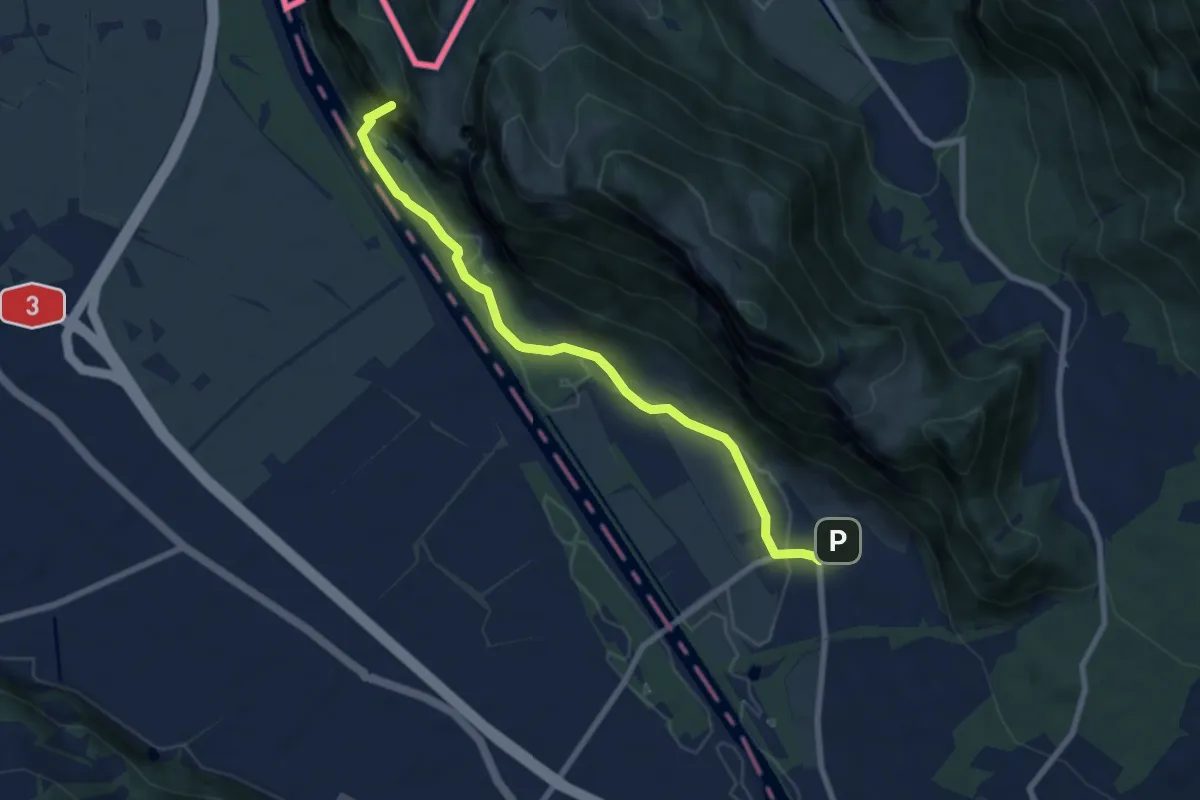
Ellhorn - Fläsch
2.2 km · ↑ 222 m · 1 h 1 min
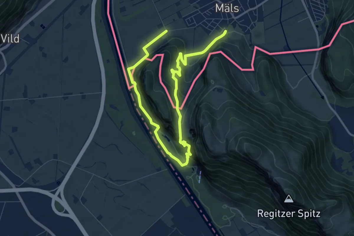
Medium · Summit
Ellhorn - Fläsch
7.7 km · ↑ 197 m · 2 h 14 min
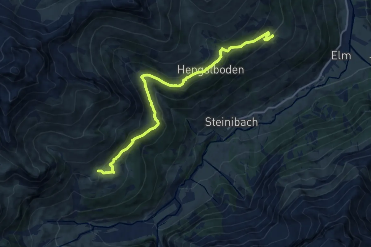
Medium · Summit
Ellhorn Rundweg
6.8 km · ↑ 374 m · 2 h 30 min
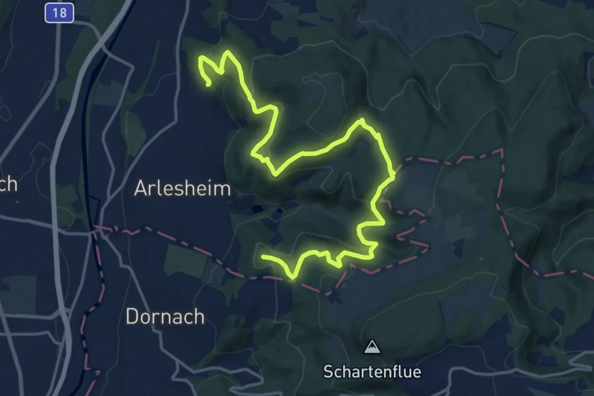
Medium · Cabin
Elm Höhenweg
11.8 km · ↑ 523 m · 3 h 55 min
Medium · Summit
Elsa - Heierli - Weg
15.5 km · ↑ 712 m · 5 h 12 min
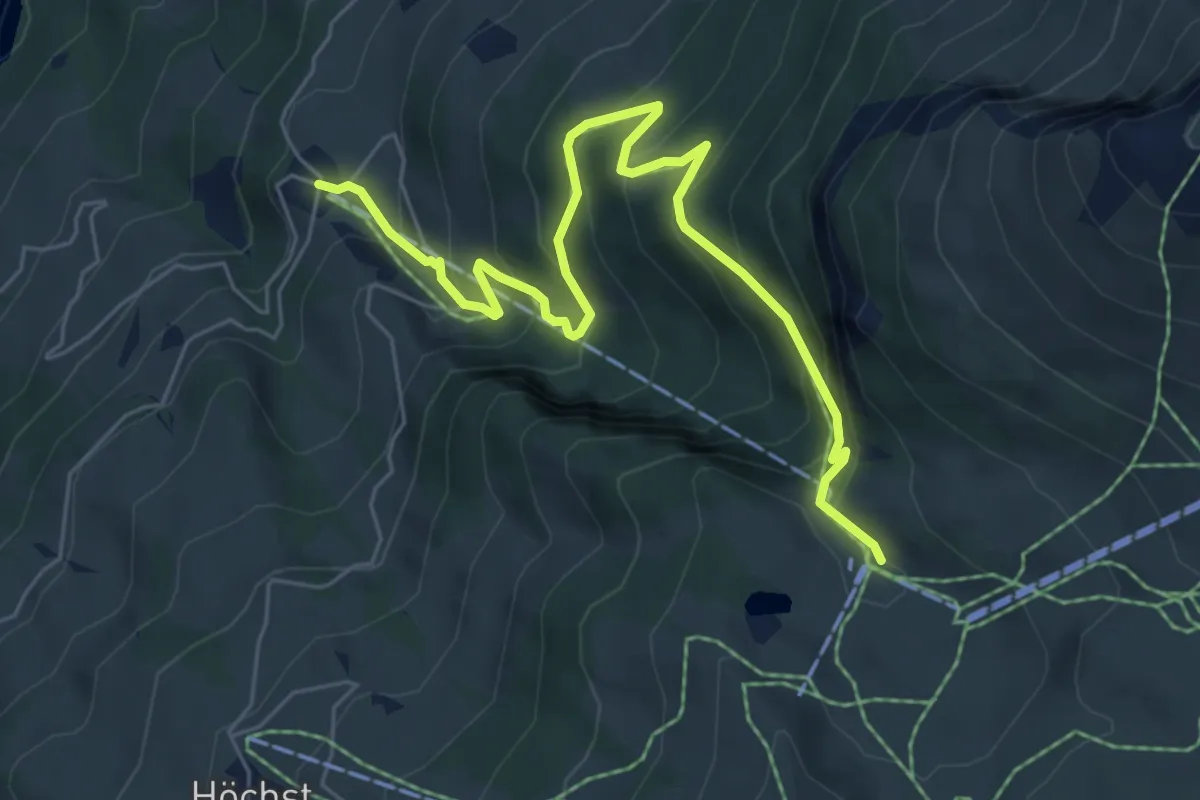
Medium · Trail
Elsigbach - Elsigenalp
7.1 km · ↑ 490 m · 2 h 45 min
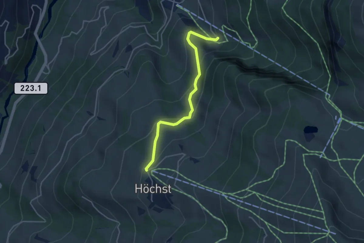
Easy · Trail
Elsigbach - Höchst
3.3 km · ↑ 184 m · 1 h 11 min
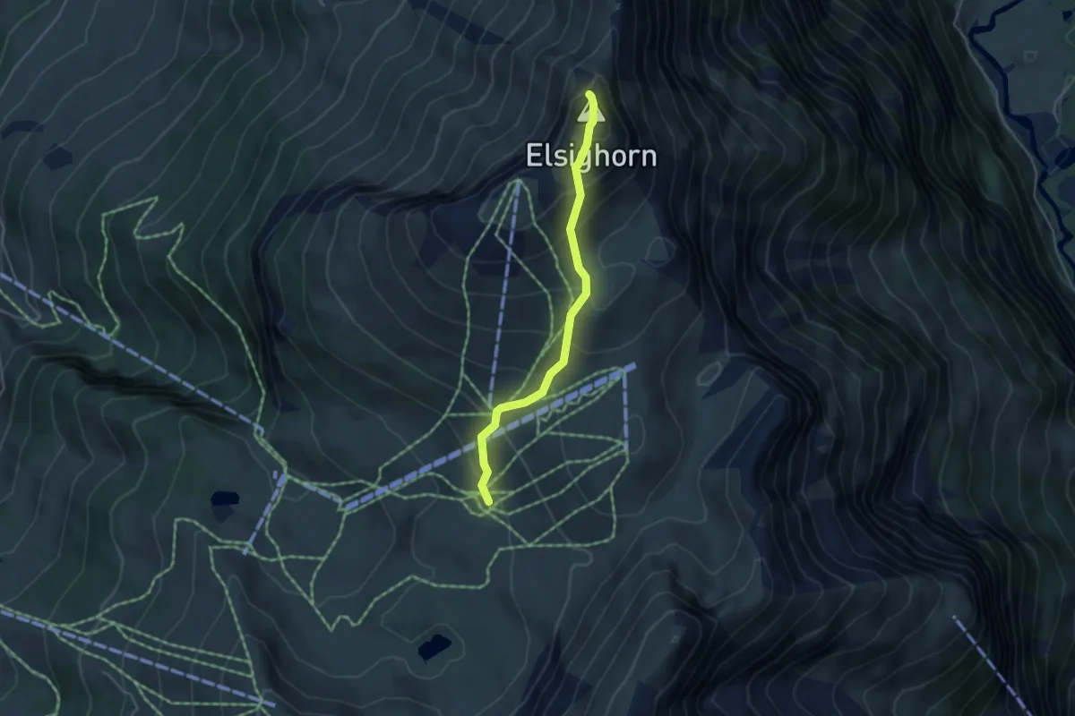
Medium · Summit
Elsighütte - Elsighorn
3.8 km · ↑ 377 m · 1 h 43 min
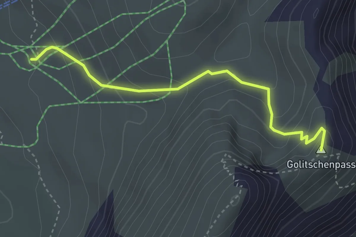
Medium · Trail
Elsighütte - Golitschenpass
3.1 km · ↑ 234 m · 1 h 14 min