Trails in Switzerland
15,029 hiking trails, each with its route, climb, walking time and grade.
All trails, page 31 of 314
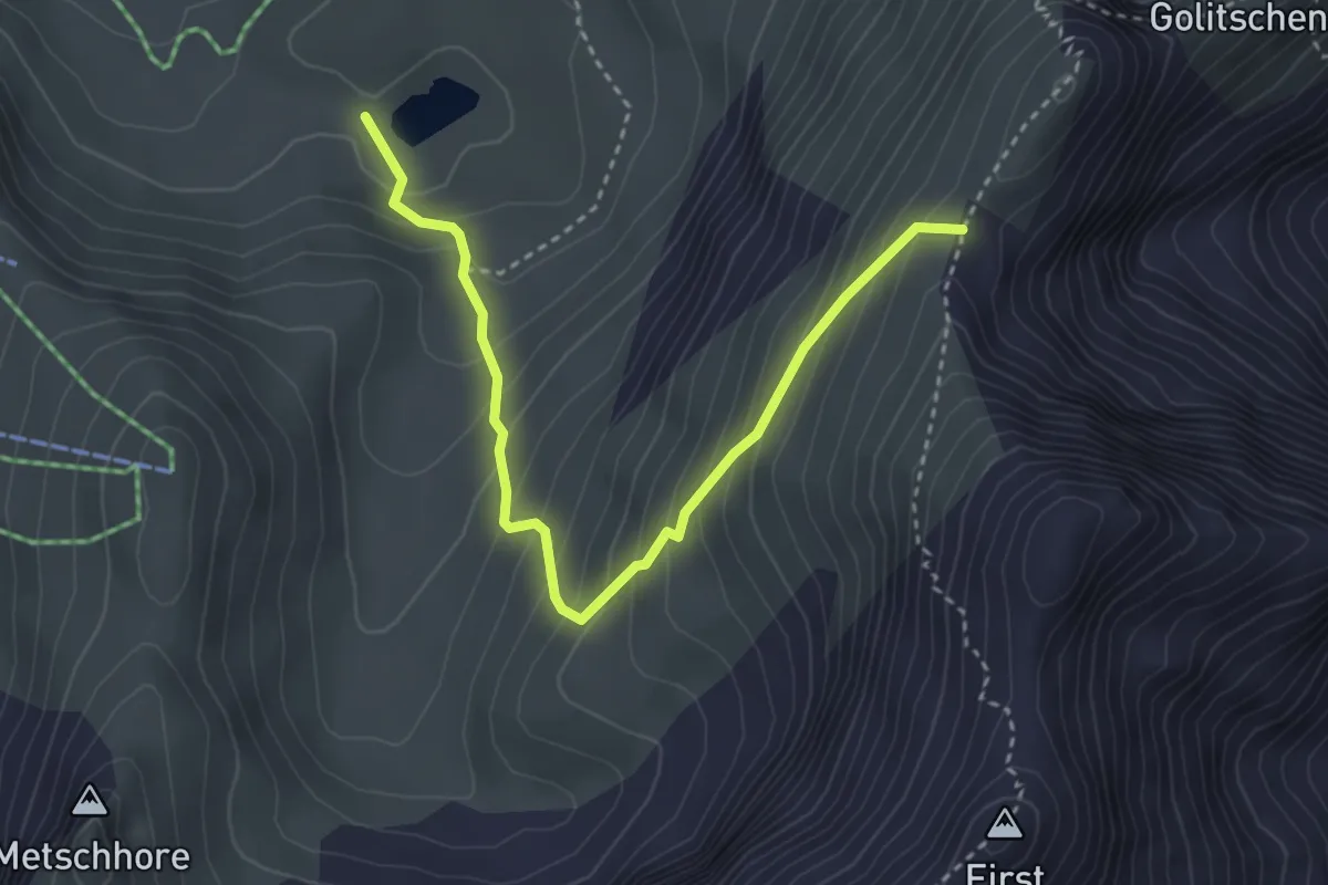
Medium · Trail
Elsigsee - Stand
3.7 km · ↑ 362 m · 1 h 40 min
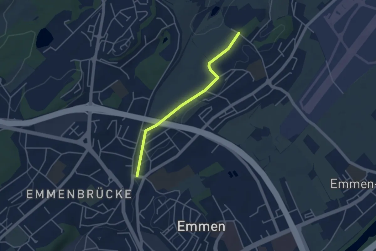
Easy · Trail
Emmenbrücke Gersag - Neu Adlige
3.2 km · ↑ 18 m · 47 min
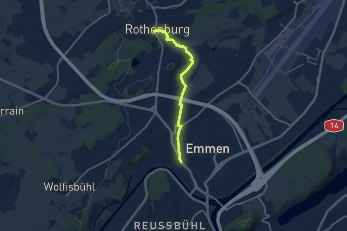
Easy · Trail
Emmenbrücke-Rotenburg
6.2 km · ↑ 91 m · 1 h 39 min
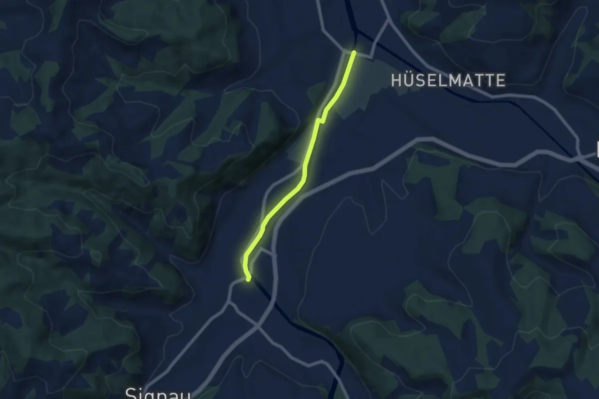
Easy · Trail
Emmenmatt - Ramseisteg
5.1 km · ↑ 56 m · 1 h 19 min
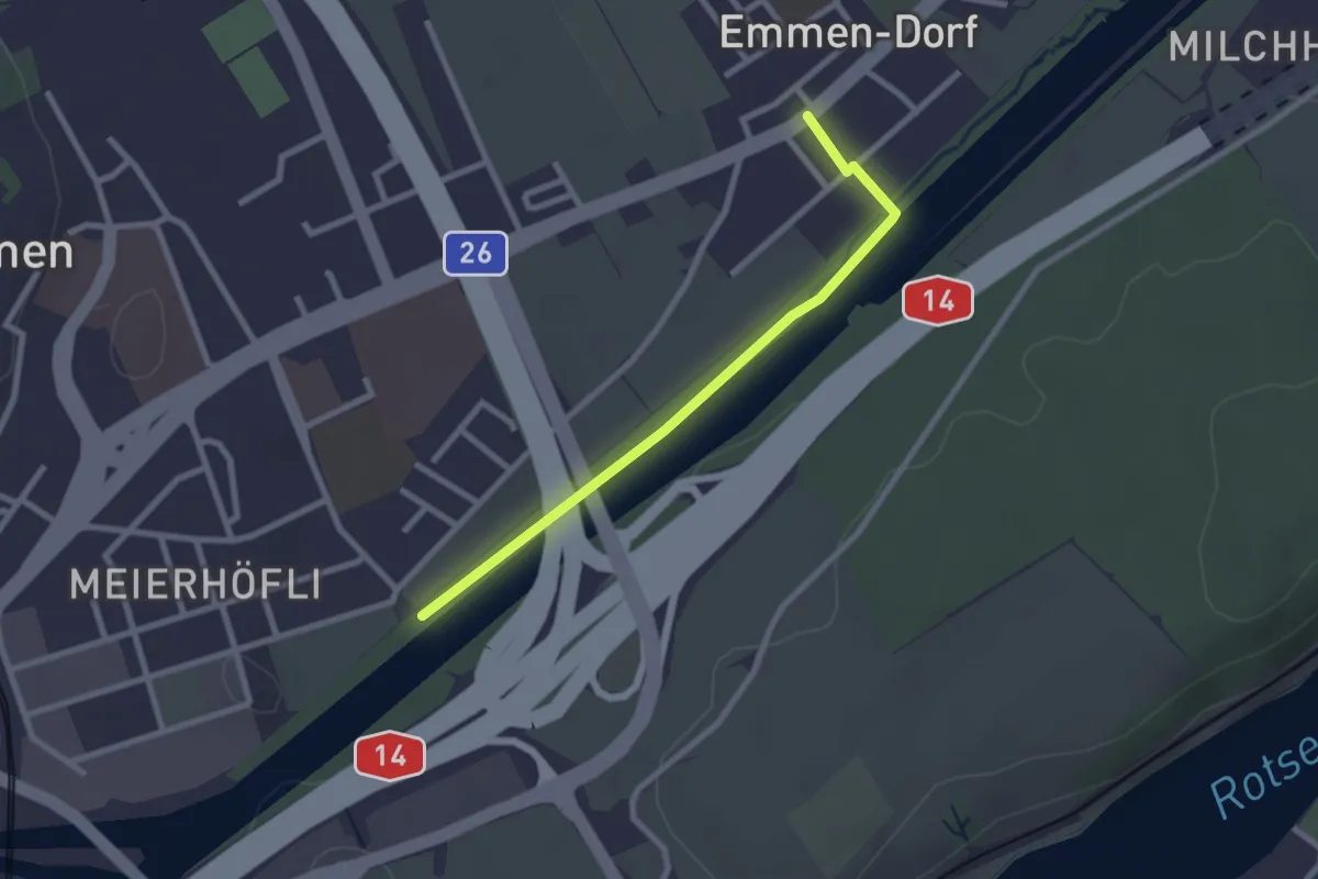
Easy · Trail
Emmen - Sädelbrücke
2.4 km · ↑ 0 m · 34 min
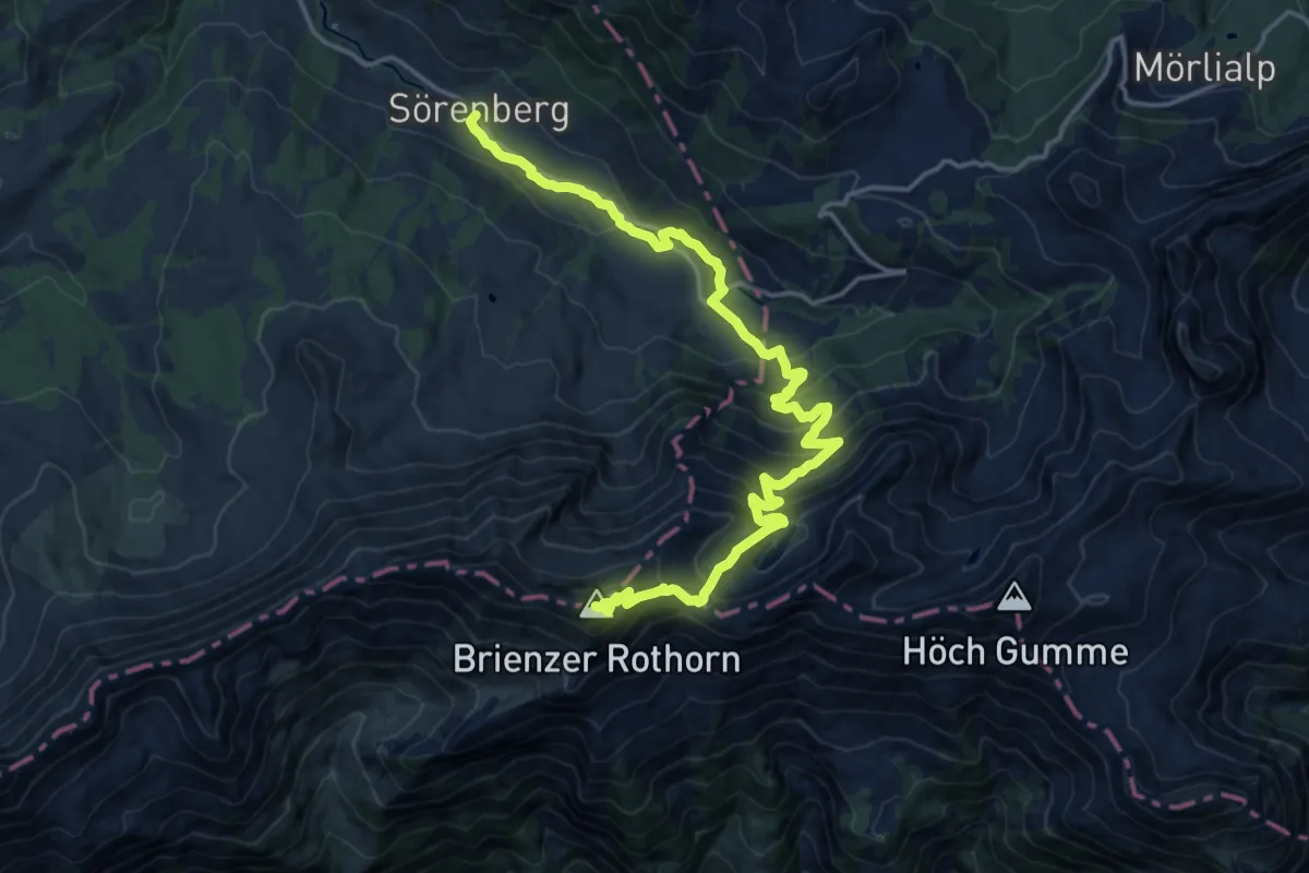
Demanding · Summit
Emmenuferweg - Etappe 1
19.0 km · ↑ 1214 m · 7 h 7 min
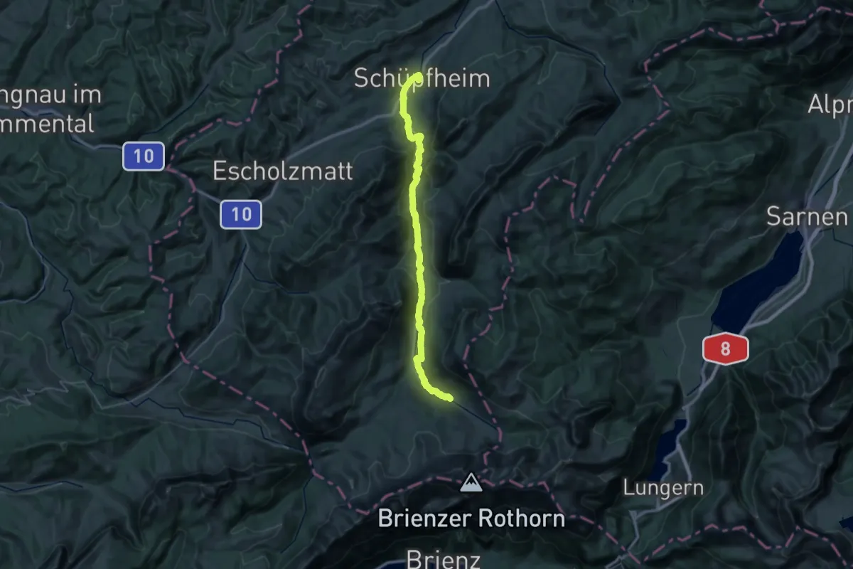
Demanding · Trail
Emmenuferweg - Etappe 2
18.4 km · ↑ 141 m · 5 h 7 min
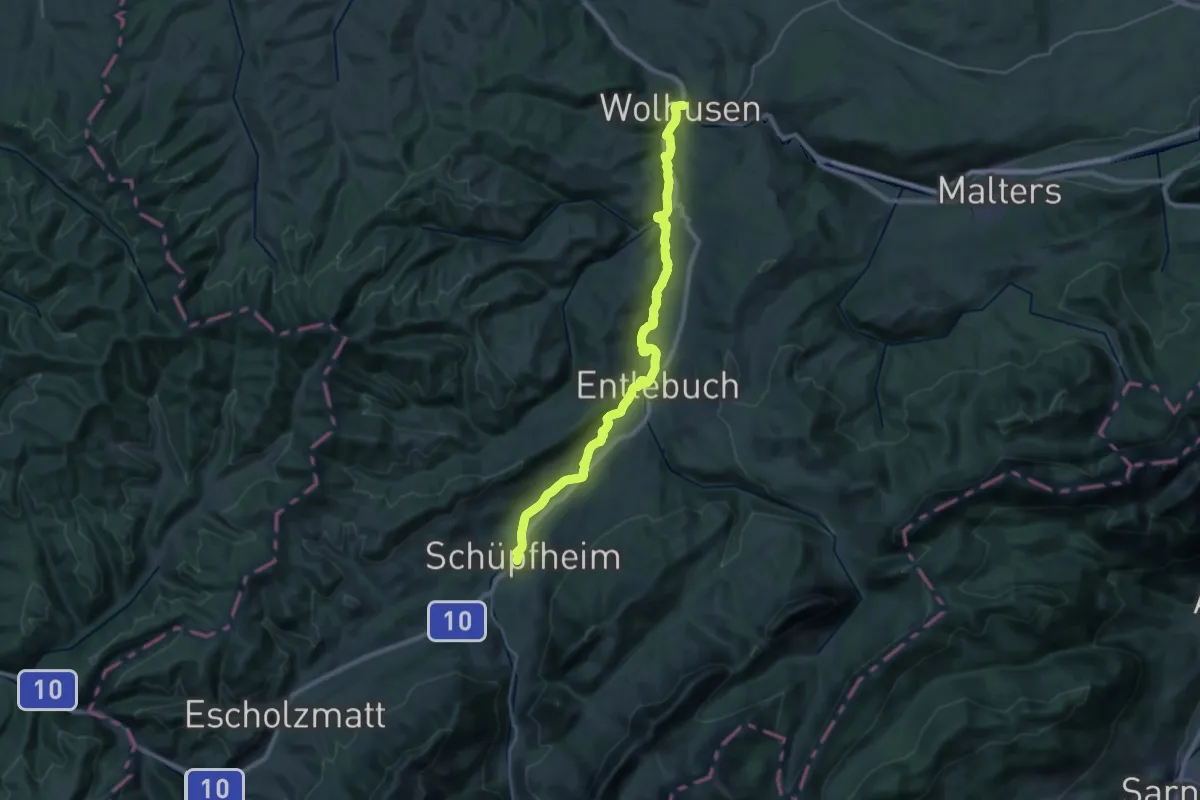
Medium · Trail
Emmenuferweg - Etappe 3
15.9 km · ↑ 282 m · 4 h 30 min
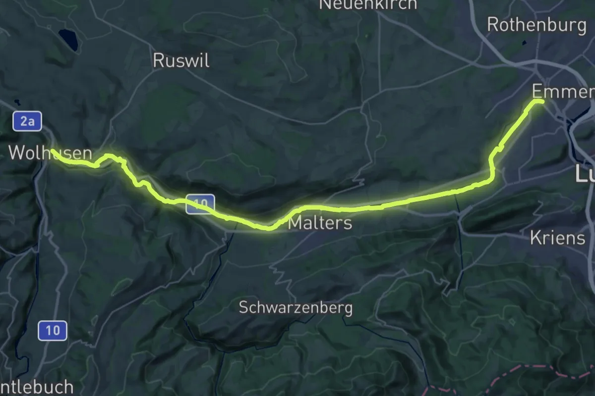
Demanding · Trail
Emmenuferweg - Etappe 4
19.0 km · ↑ 103 m · 5 h 2 min
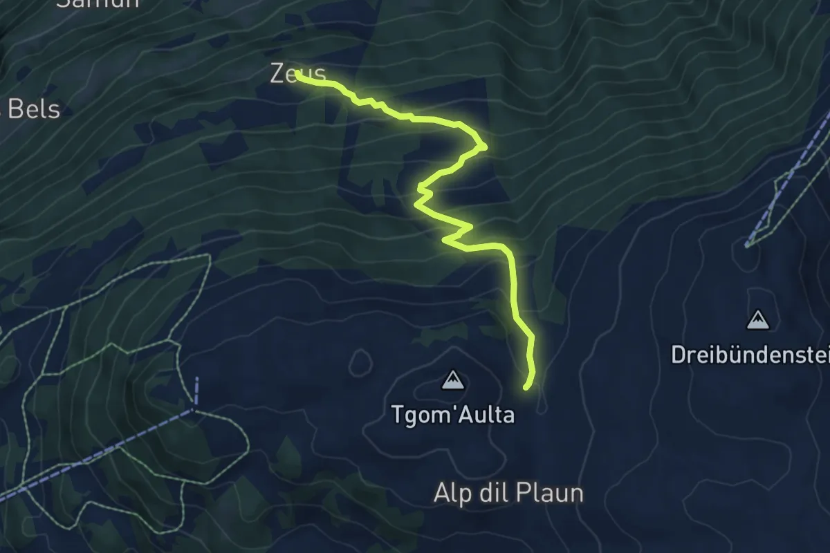
Medium · Cabin
Emser Skihütte - Alp Urtgicla? / Zeus? - fixme
6.8 km · ↑ 540 m · 2 h 47 min
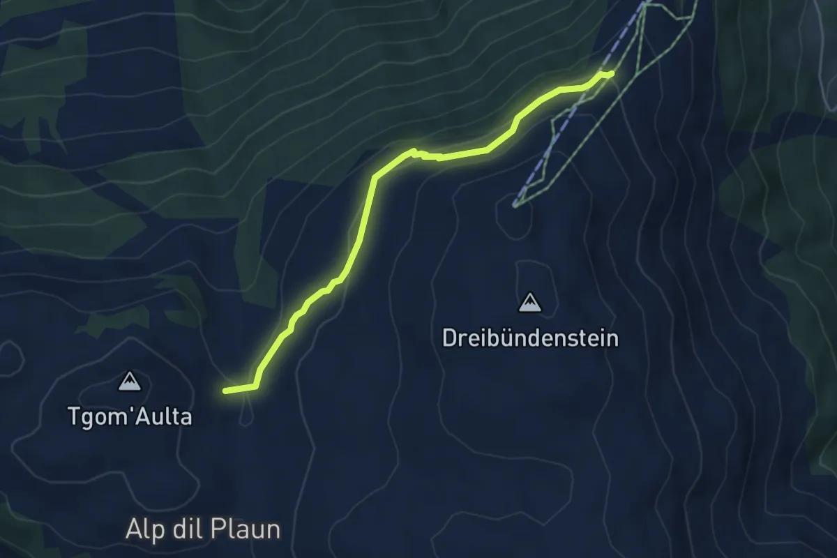
Easy · Cabin
Emser Skihütte - Aschira? / Hühnerköpfe? / Term Bel? / Brambrüsch? - fixme
4.7 km · ↑ 197 m · 1 h 33 min
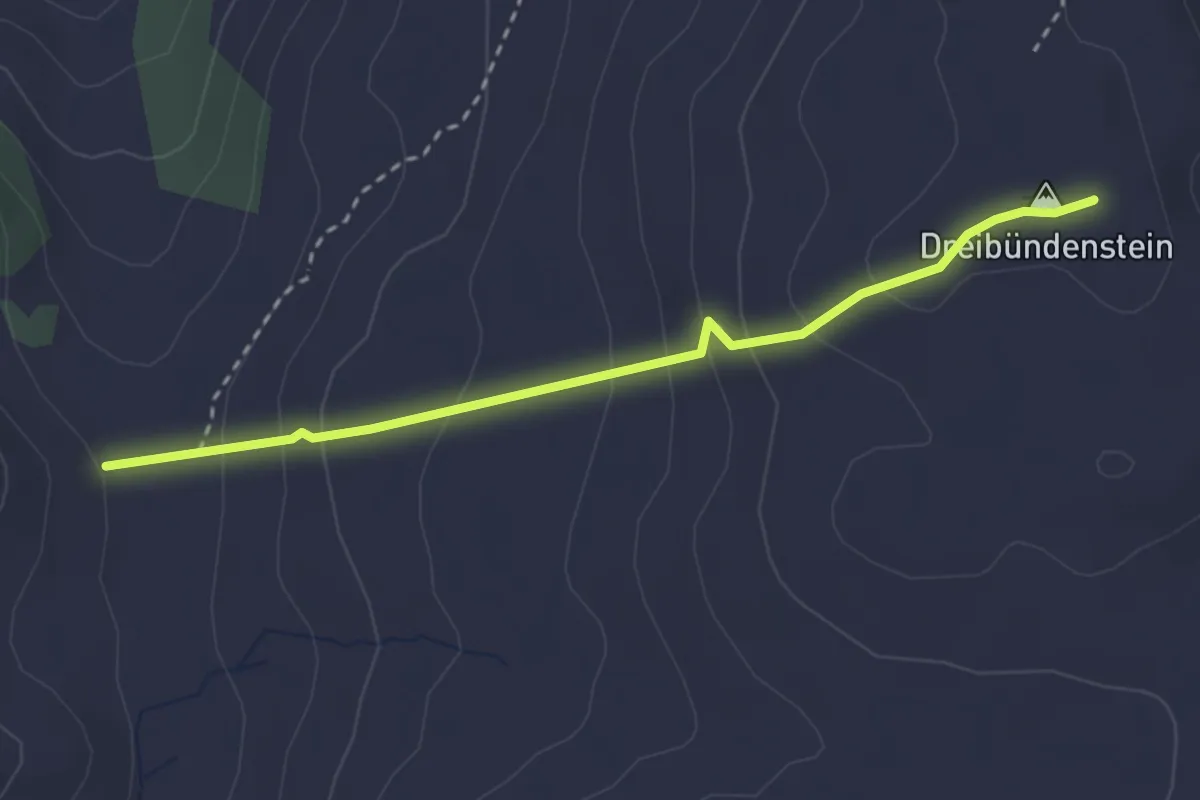
Medium · Summit
Emser Skihütte - Dreibündenstein
2.9 km · ↑ 201 m · 1 h 7 min
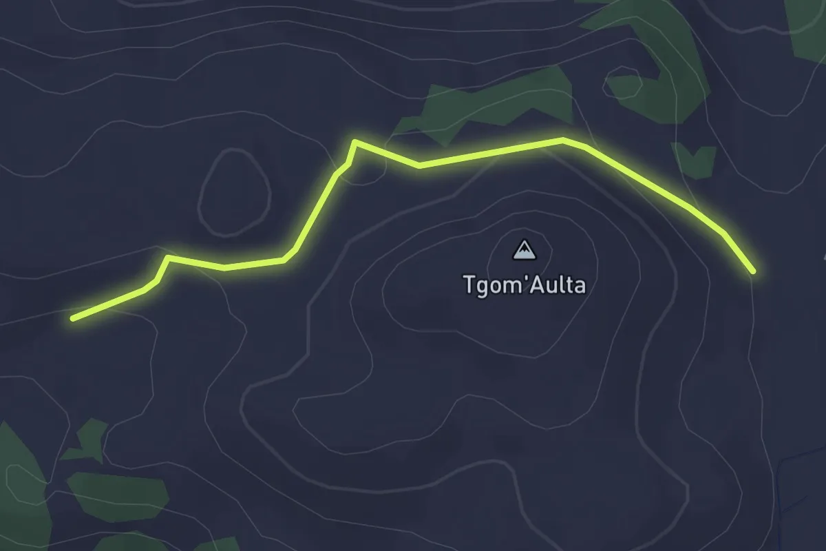
Easy · Cabin
Emser Skihütte - Skihütte Feldis
2.9 km · ↑ 100 m · 54 min
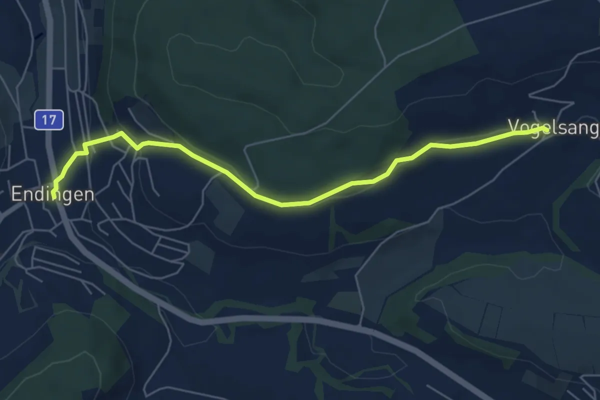
Easy · Trail
Endingen - Vogelsang
5.5 km · ↑ 149 m · 1 h 38 min
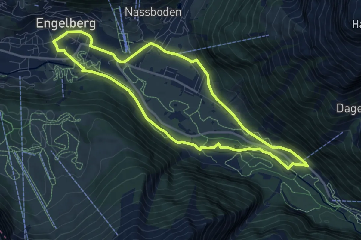
Medium · Trail
Engelberger Rundweg
8.4 km · ↑ 95 m · 2 h 18 min
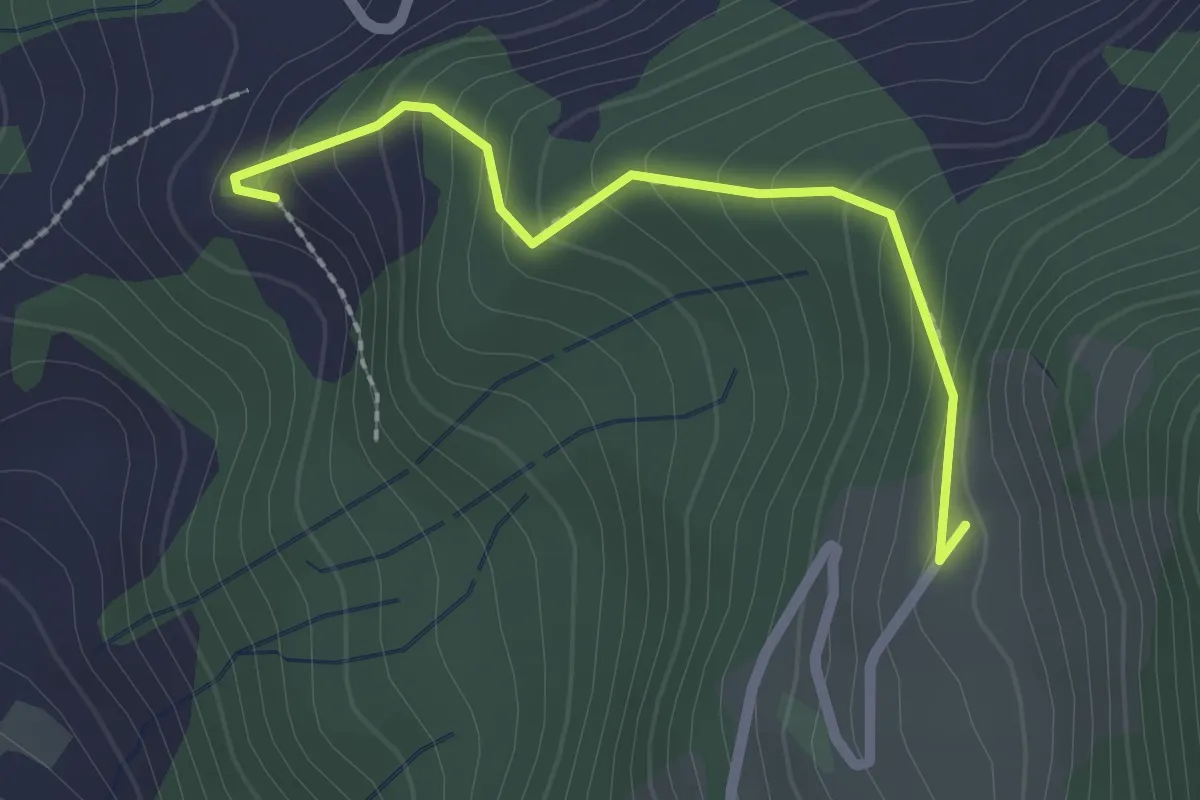
Medium · Trail
Engelstockweid - Spiegelberg
2.0 km · ↑ 183 m · 52 min
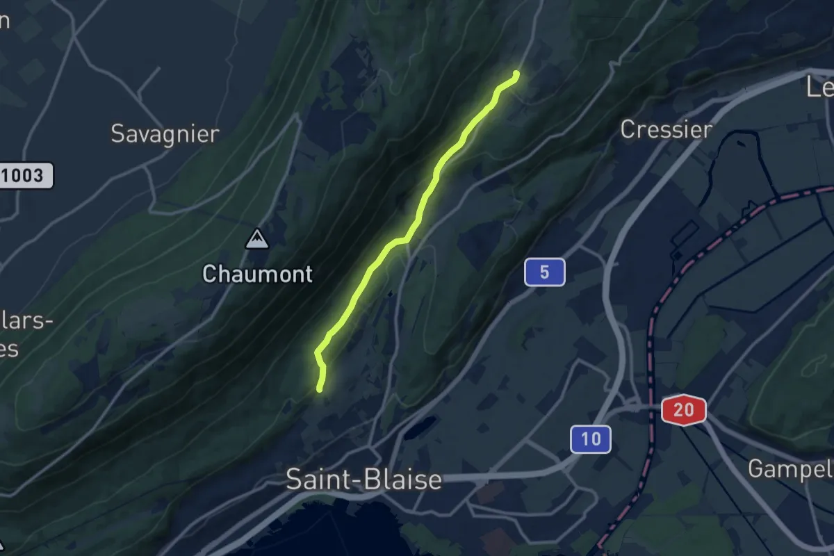
Medium · Trail
Enges - fixme
9.4 km · ↑ 280 m · 2 h 50 min
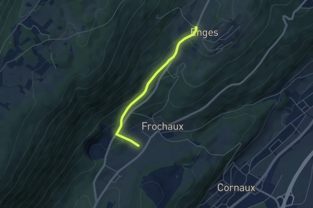
Easy · Trail
Enges - fixme
4.2 km · ↑ 202 m · 1 h 26 min
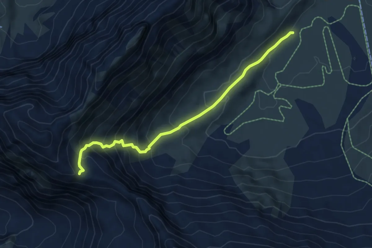
Medium · Trail
Engstligenalp - Ammertepass
6.1 km · ↑ 482 m · 2 h 29 min
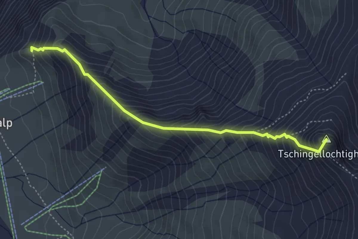
Demanding · Summit
Engstligenalp - Engstligengrat
4.3 km · ↑ 612 m · 2 h 21 min
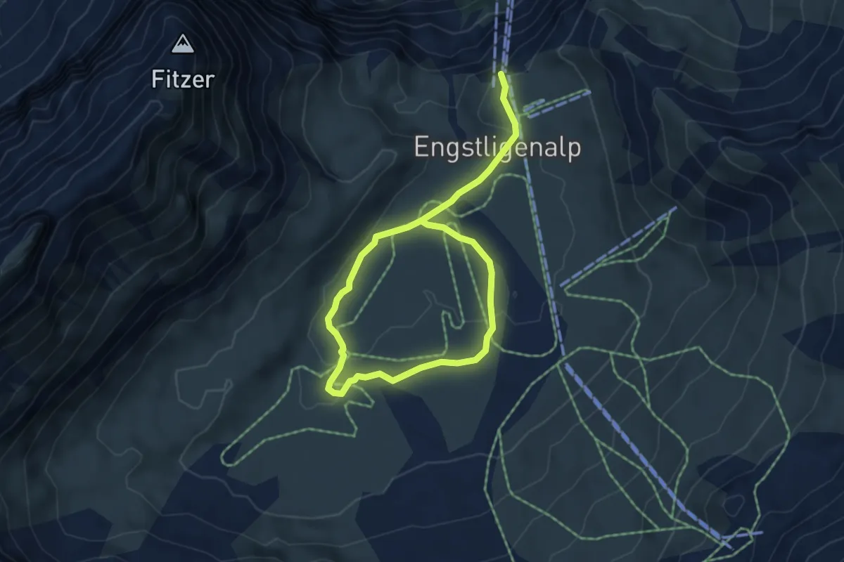
Easy · Trail
Engstligenalp Rundwanderweg
6.9 km · ↑ 112 m · 1 h 52 min
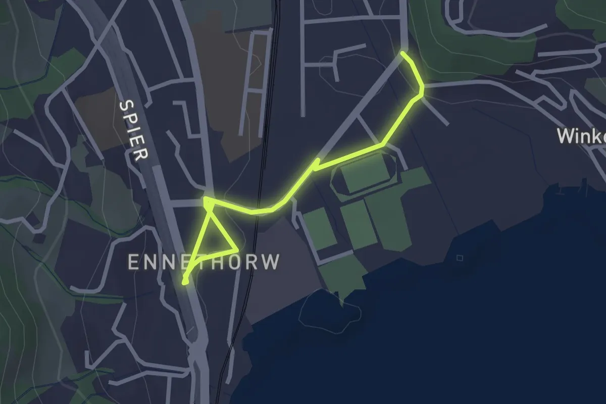
Easy · Trail
Ennethorw - Rank
2.6 km · ↑ 19 m · 39 min
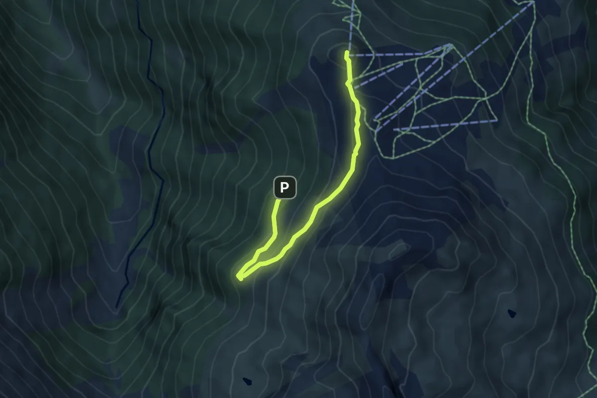
Easy · Summit
... en passant par le Vallon
2.7 km · ↑ 217 m · 1 h 3 min
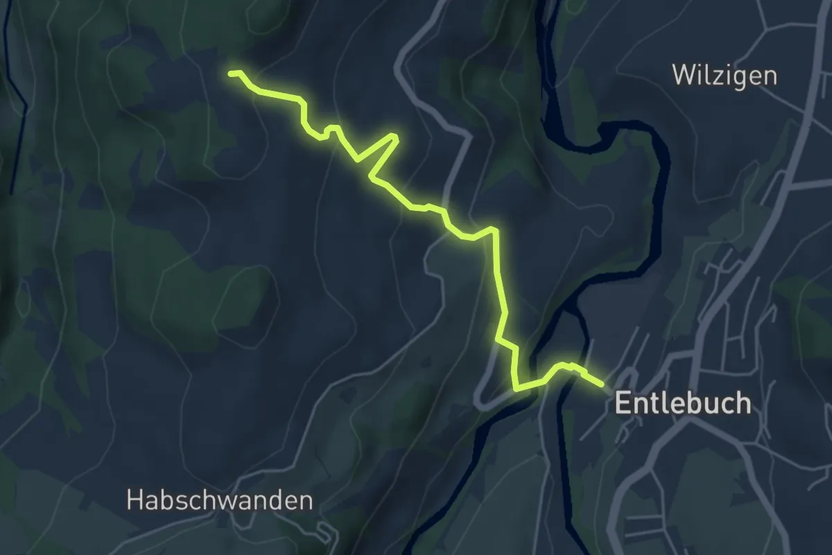
Easy · Trail
Entlebuch - Oberhüseren
4.8 km · ↑ 242 m · 1 h 39 min
Medium · Trail
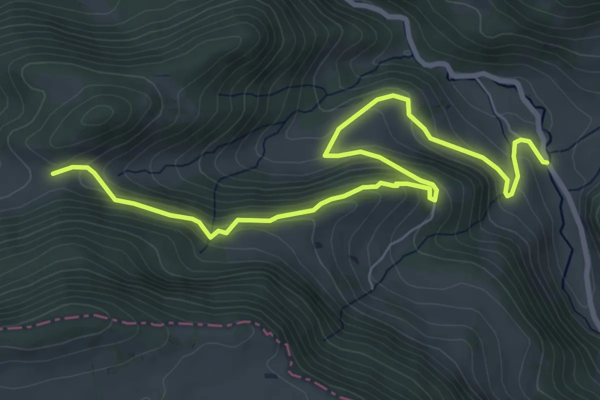
Envelier - fixme
7.5 km · ↑ 470 m · 2 h 47 min
Easy · Trail
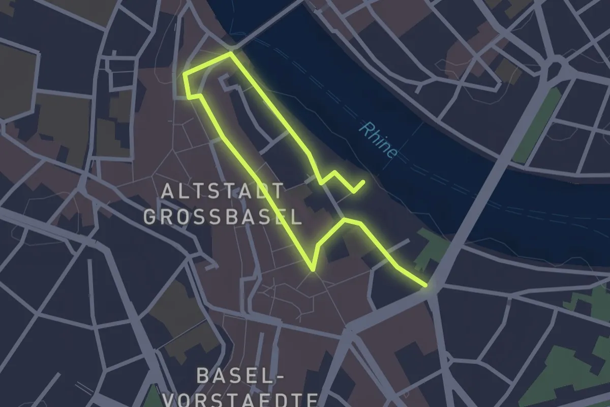
Erasmus Rundgang
3.1 km · ↑ 49 m · 50 min
Demanding · Trail
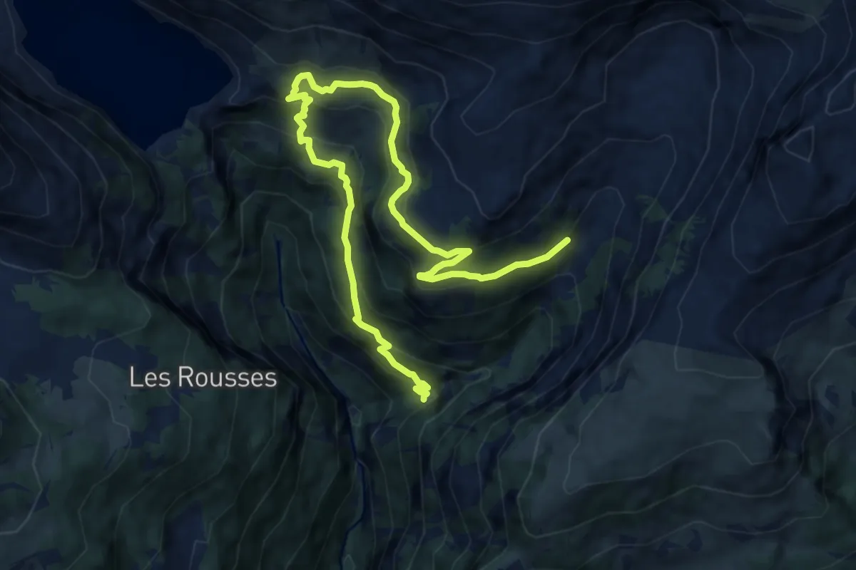
Er de Chermignon-Pra du Taillour
12.7 km · ↑ 893 m · 4 h 56 min
Easy · Trail
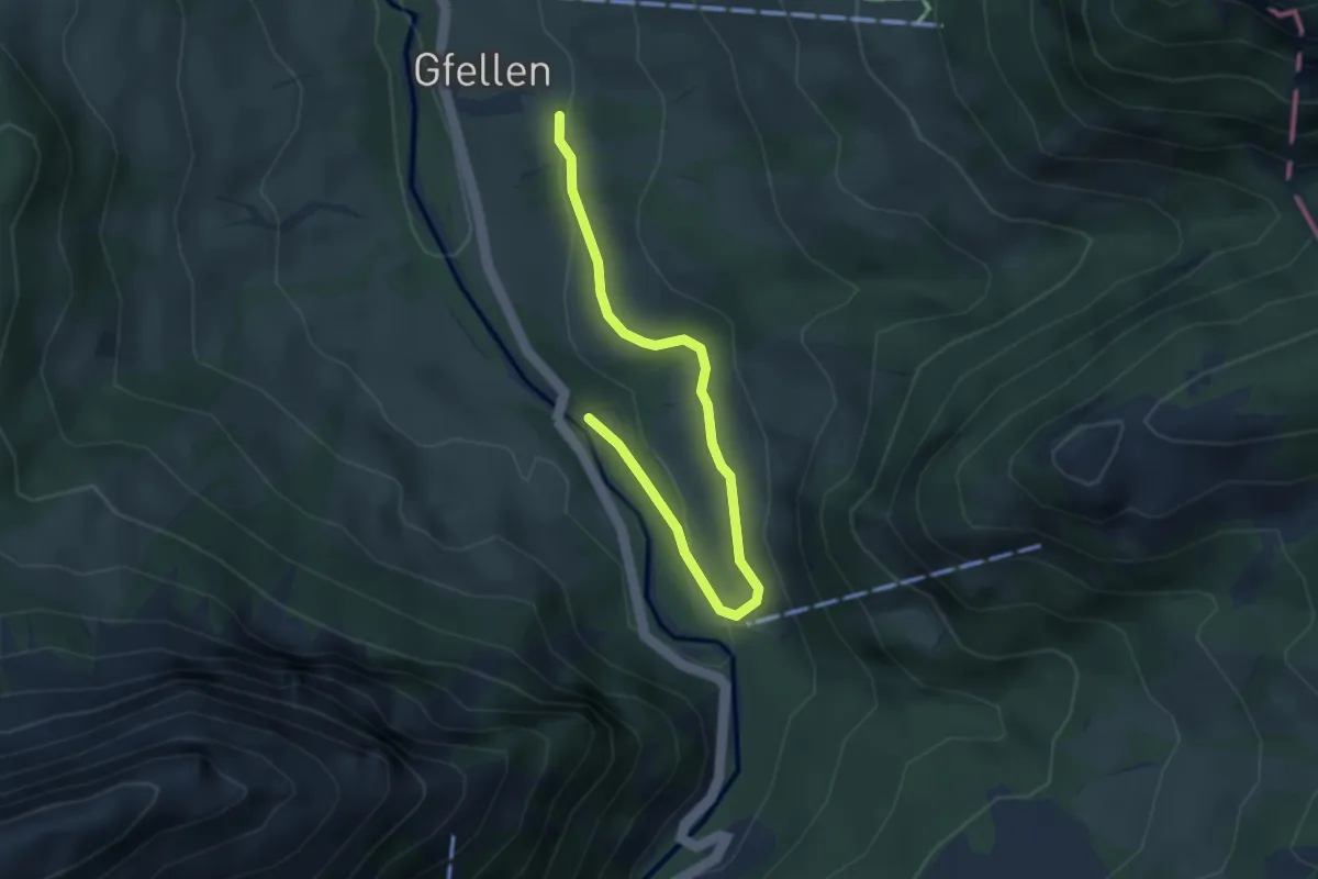
Eremitenweg
3.7 km · ↑ 85 m · 1 h 4 min
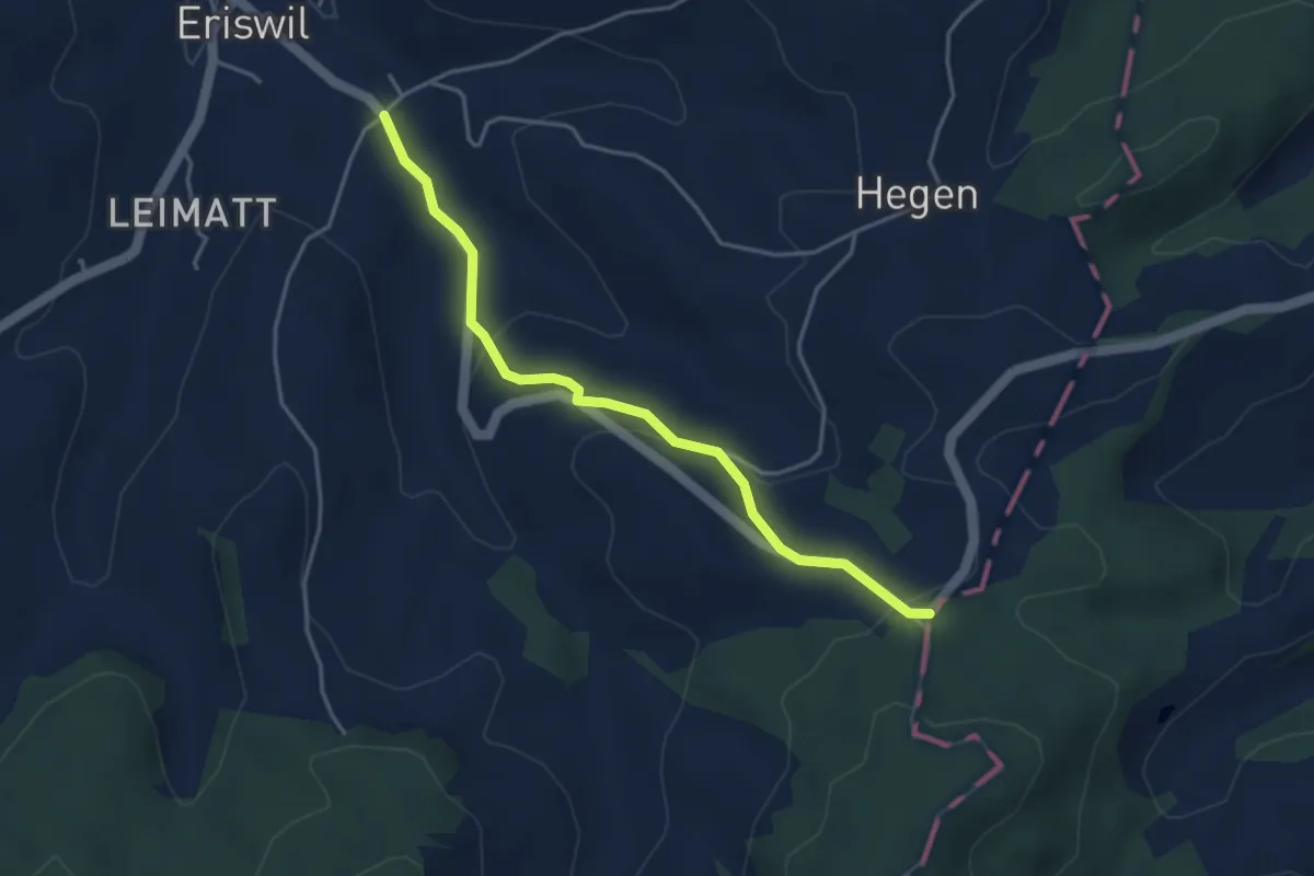
Easy · Trail
Eriswil Hinterdorf - Dürschwändiwald
3.9 km · ↑ 142 m · 1 h 14 min
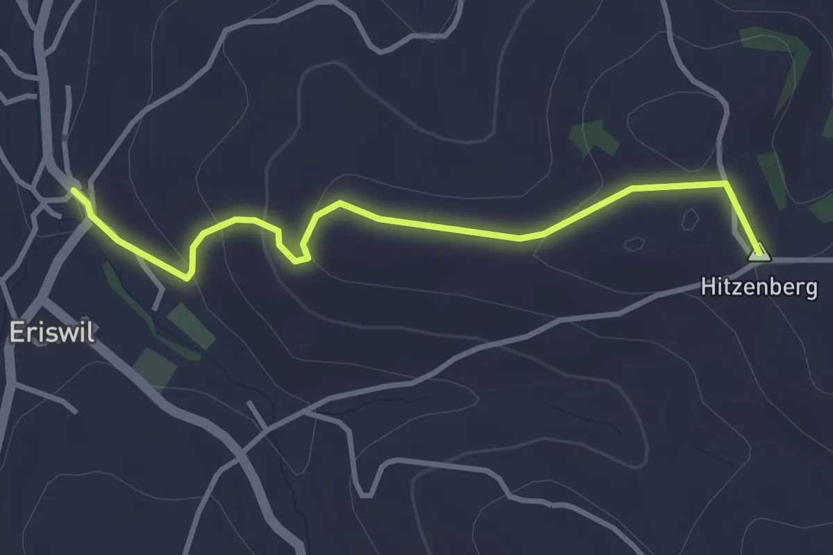
Easy · Summit
Eriswil - Hitzenberg
3.1 km · ↑ 114 m · 59 min
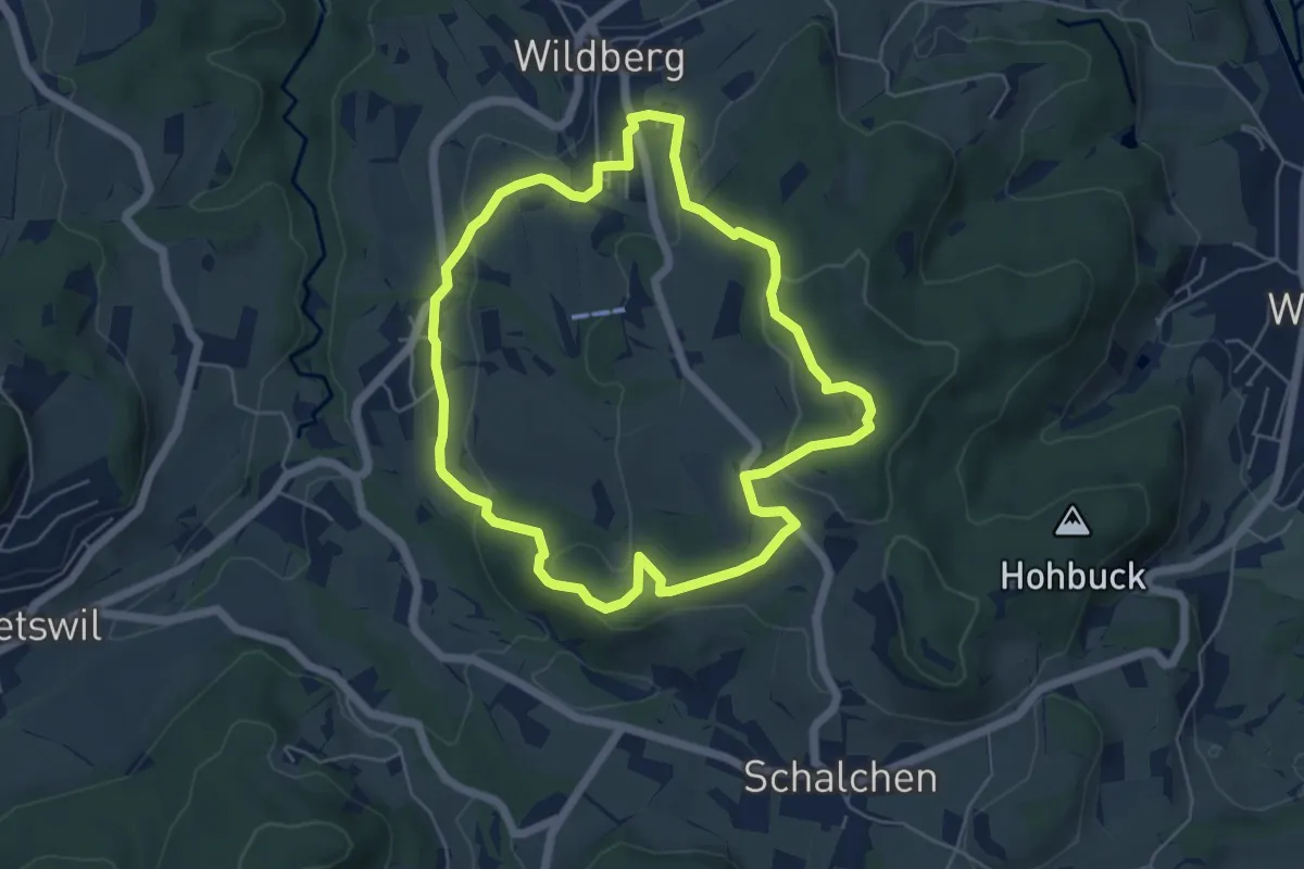
Easy · Trail
Erlebnisweg Freddy Fratzel
5.3 km · ↑ 133 m · 1 h 37 min
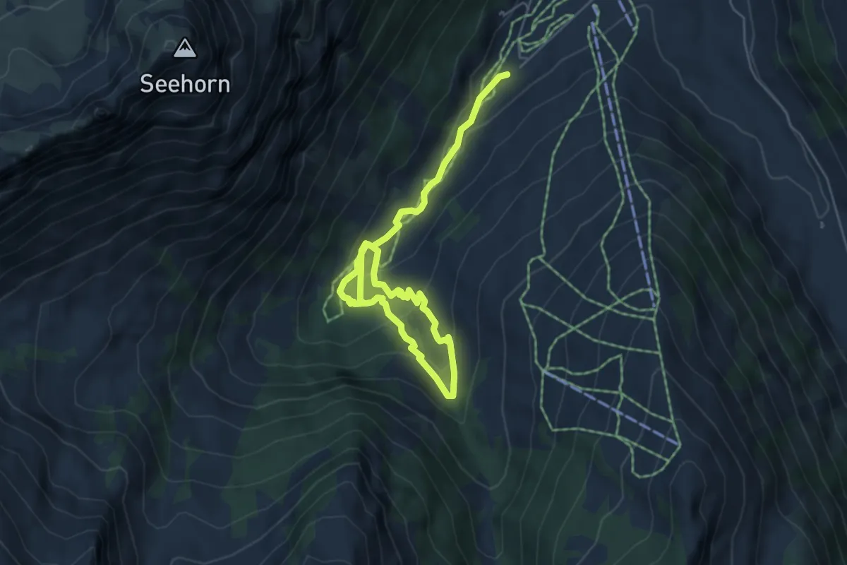
Medium · Trail
Erlebnisweg Grimmimutz
6.9 km · ↑ 355 m · 2 h 24 min
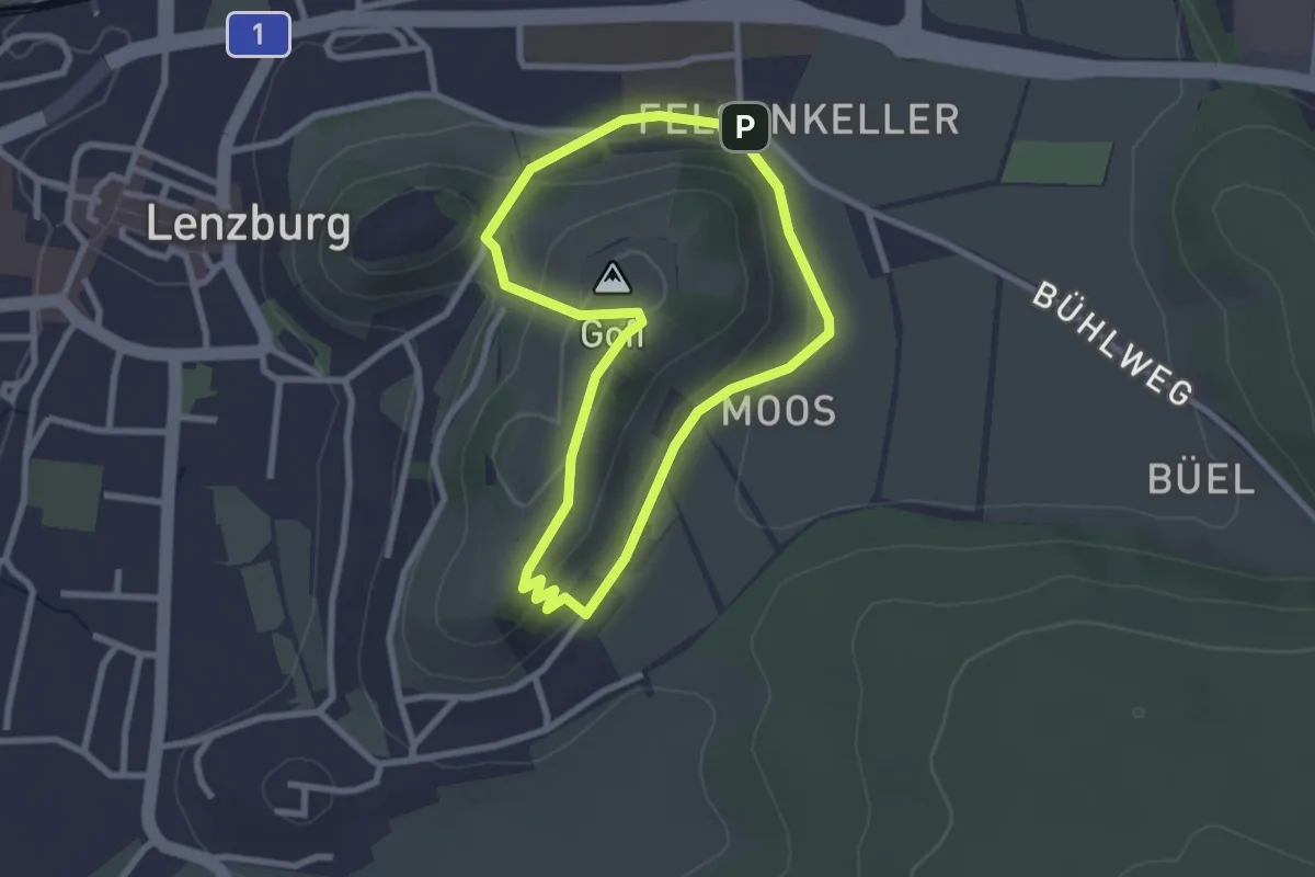
Easy · Summit
Erlebnisweg - Lenzburg
2.3 km · ↑ 65 m · 44 min
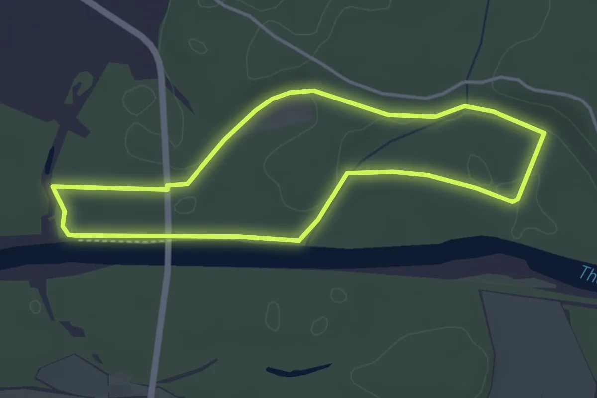
Easy · Trail
Erlebnisweg Thurauen
3.5 km · ↑ 35 m · 57 min
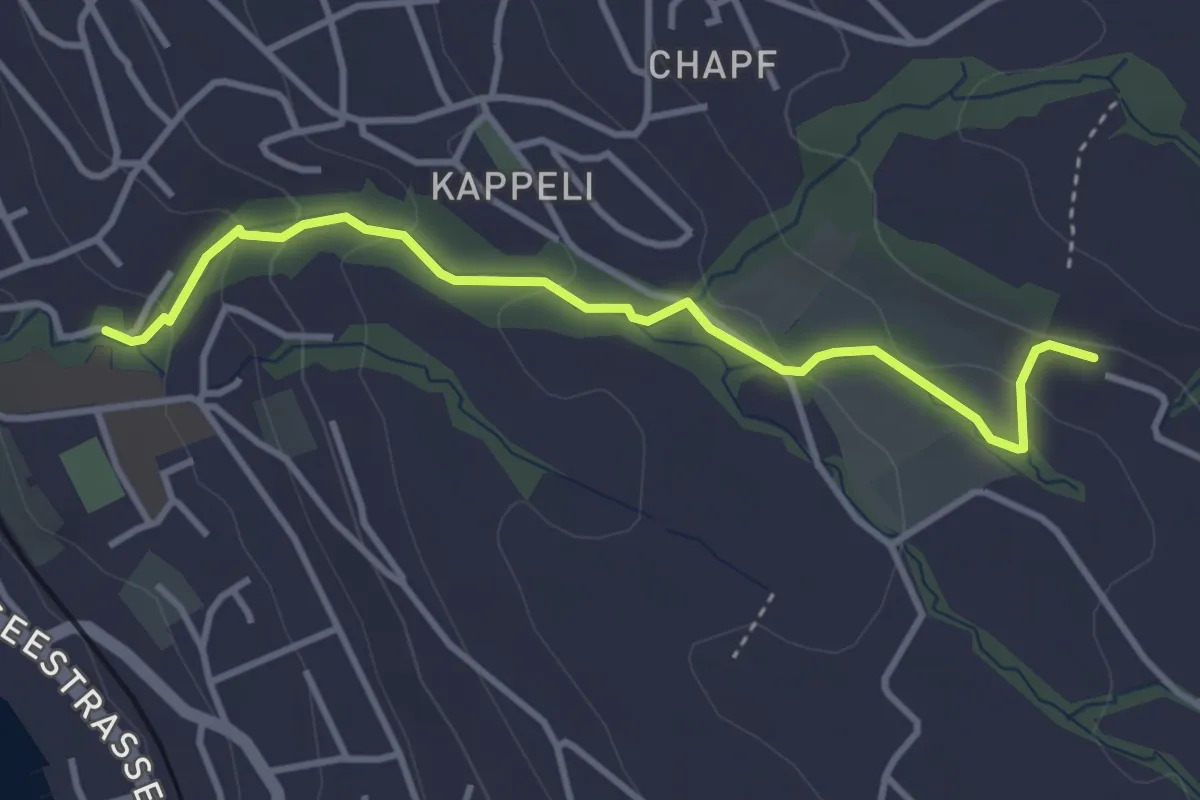
Easy · Trail
Erlenbach Dorfbach - Blüemlisalp
3.6 km · ↑ 147 m · 1 h 10 min
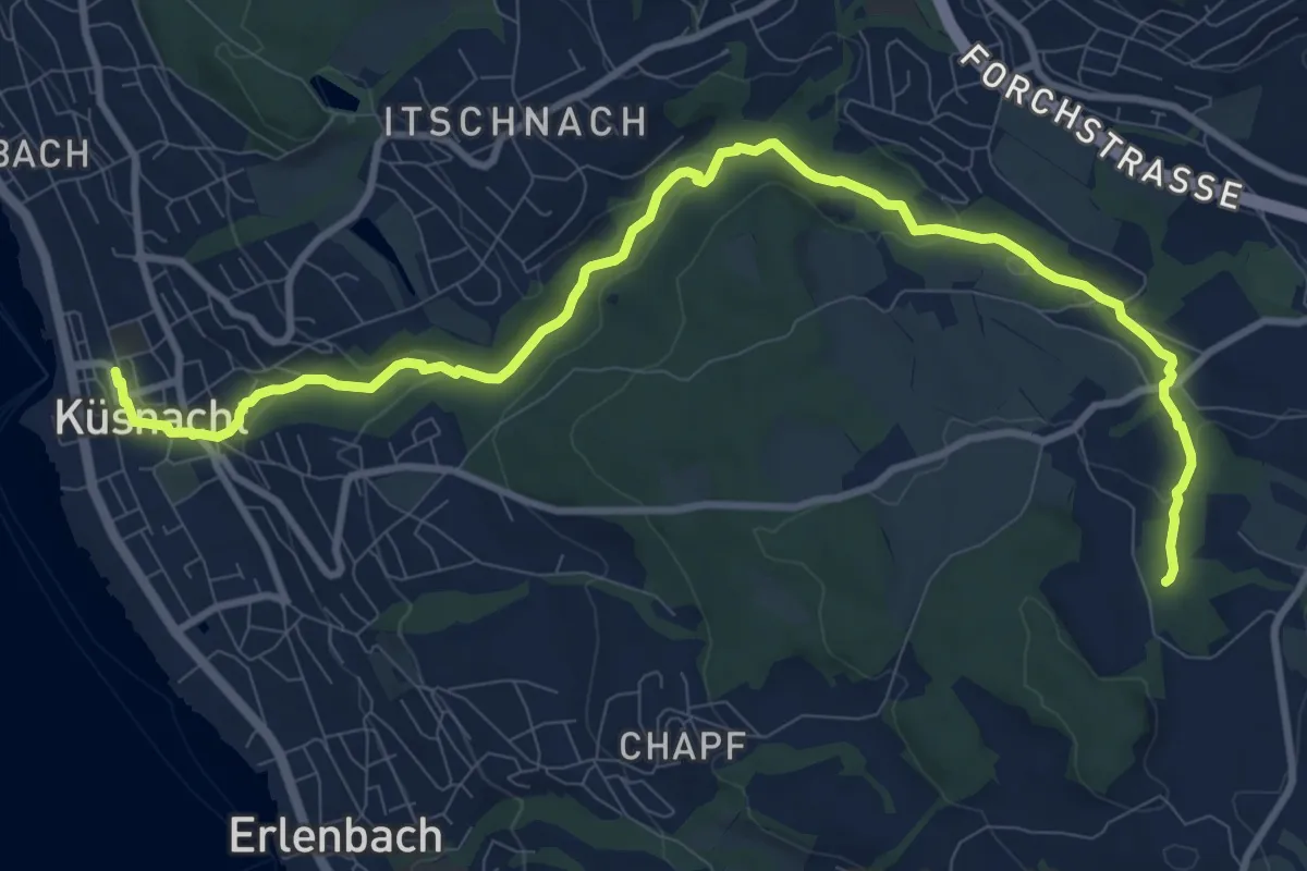
Medium · Trail
Erlenbach Küsnacht Tobelweg
11.9 km · ↑ 300 m · 3 h 27 min
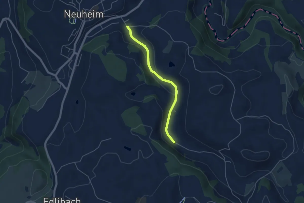
Easy · Trail
Erlenbach - Sarbach
3.8 km · ↑ 84 m · 1 h 5 min
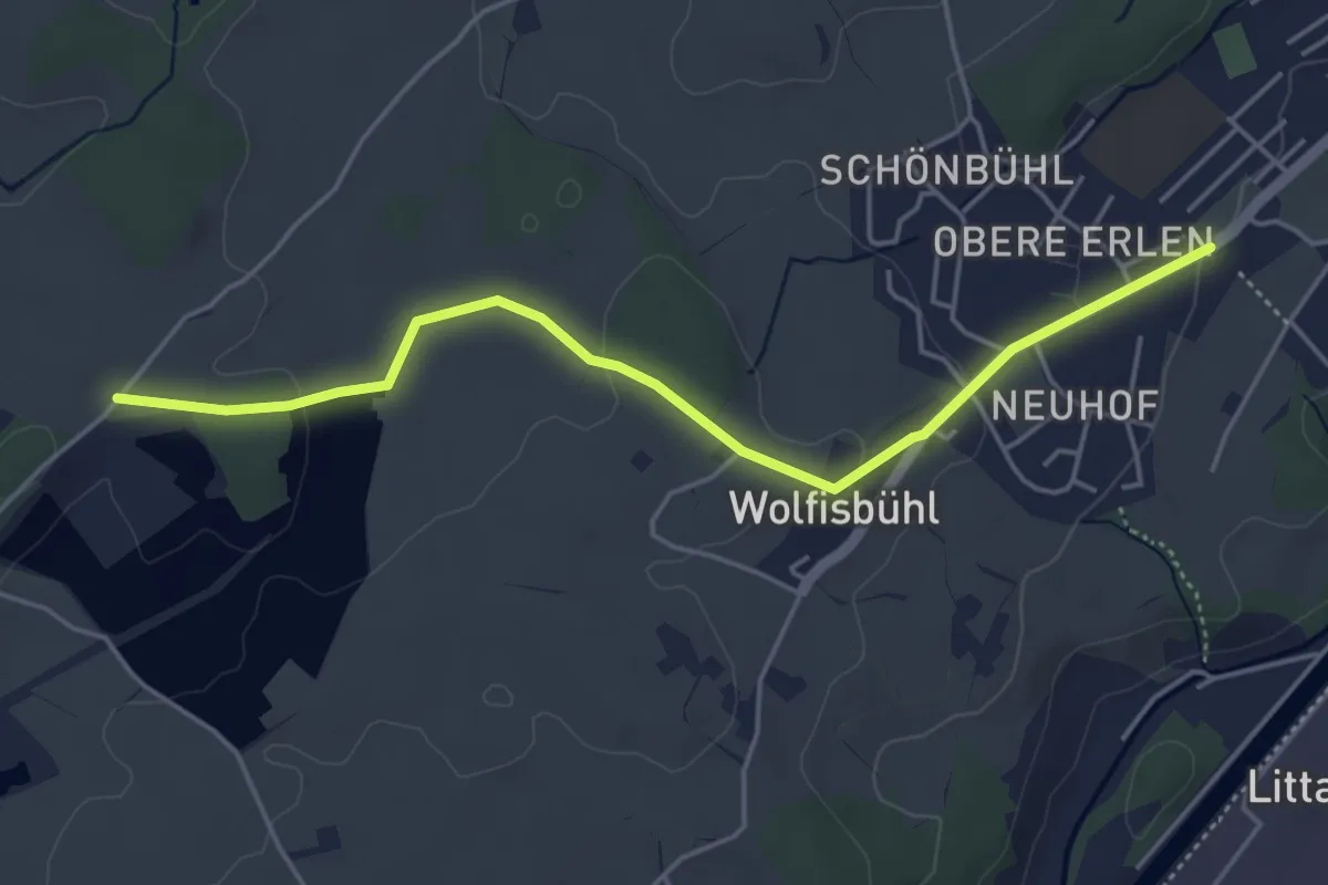
Easy · Trail
Erlen - Bühl
4.8 km · ↑ 85 m · 1 h 19 min
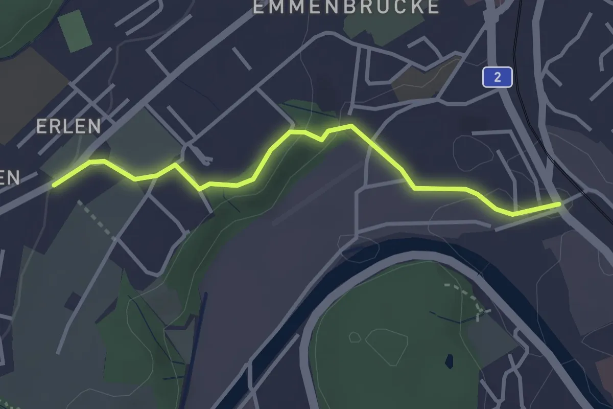
Easy · Trail
Erlen - Emmenbrücke
2.9 km · ↑ 58 m · 49 min
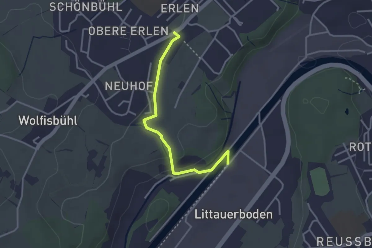
Easy · Trail
Erlen - Emmenweid
2.8 km · ↑ 56 m · 47 min
Easy · Trail
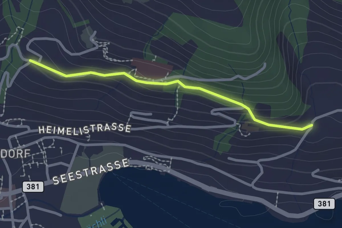
Erliberg - Heimhusen
2.1 km · ↑ 82 m · 41 min
Easy · Trail
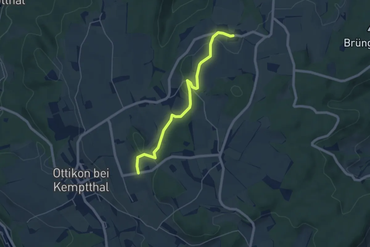
Erli - Ettenhusen
4.7 km · ↑ 102 m · 1 h 19 min
Easy · Trail
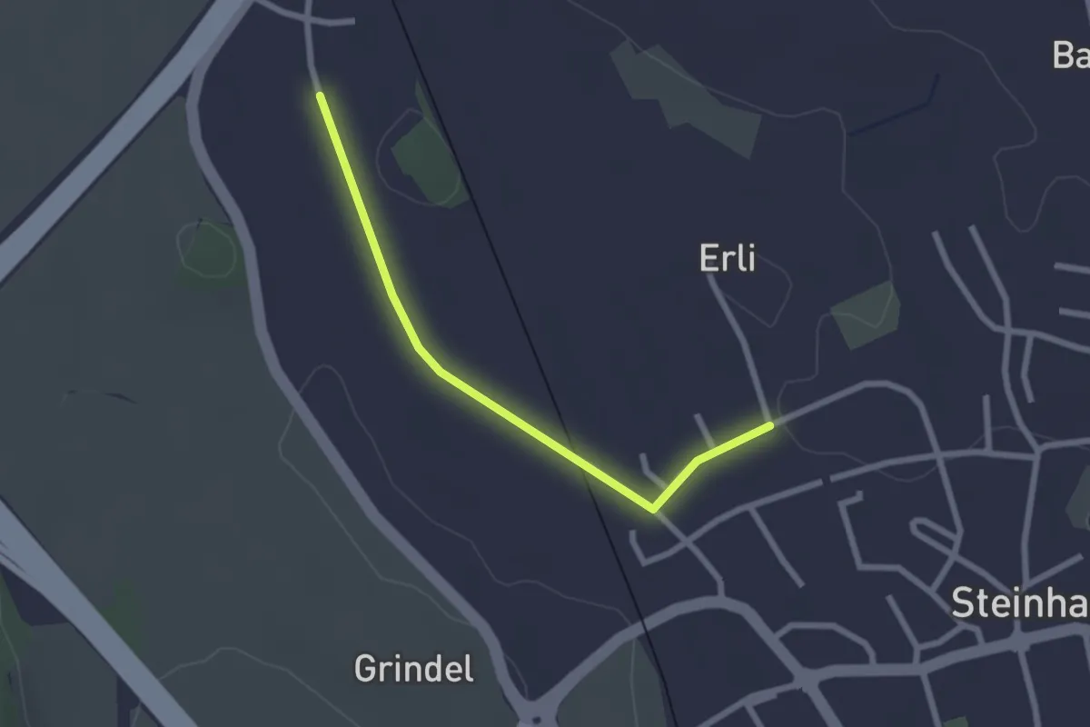
Erligütsch - Bibersee
2.2 km · ↑ 13 m · 33 min
Easy · Trail
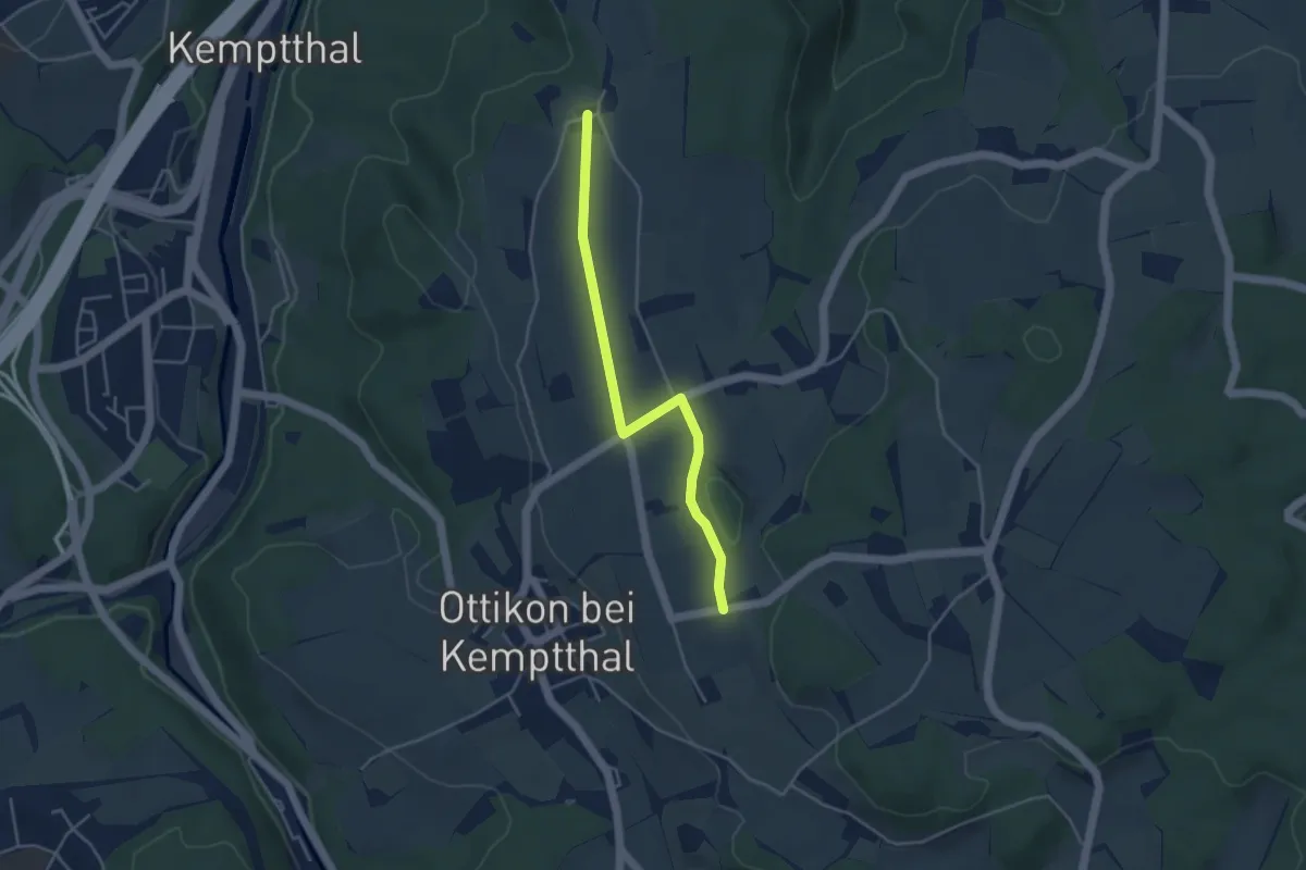
Erli - Kemleten
3.9 km · ↑ 36 m · 1 h
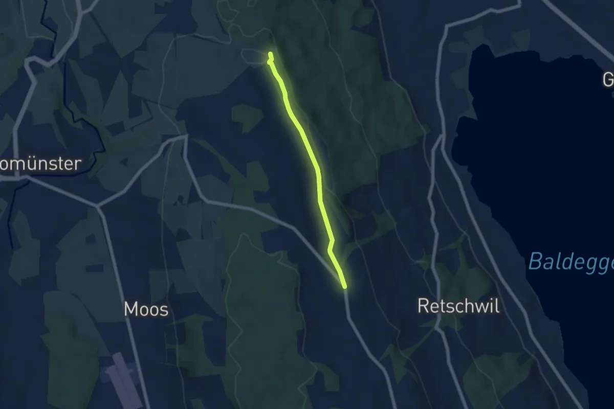
Easy · Trail
Erlosen - Herlisberg
4.5 km · ↑ 42 m · 1 h 9 min
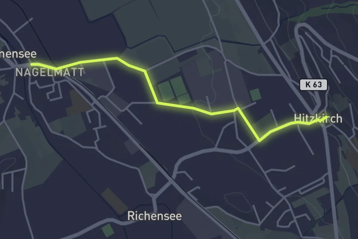
Easy · Trail
Ermensee - Hitzkirch
3.8 km · ↑ 43 m · 59 min
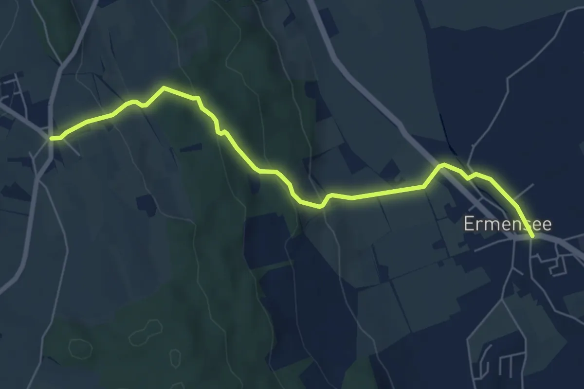
Easy · Trail
Ermensee - Schwarzenbach
5.9 km · ↑ 206 m · 1 h 51 min
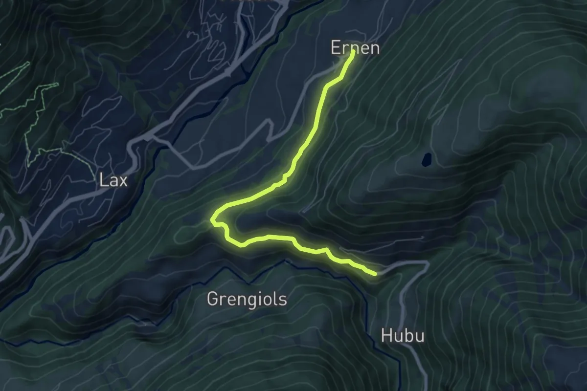
Easy · Trail
Ernen - Ausserbinn
7.2 km · ↑ 216 m · 2 h 10 min