Trails in Switzerland
15,029 hiking trails, each with its route, climb, walking time and grade.
All trails, page 32 of 314
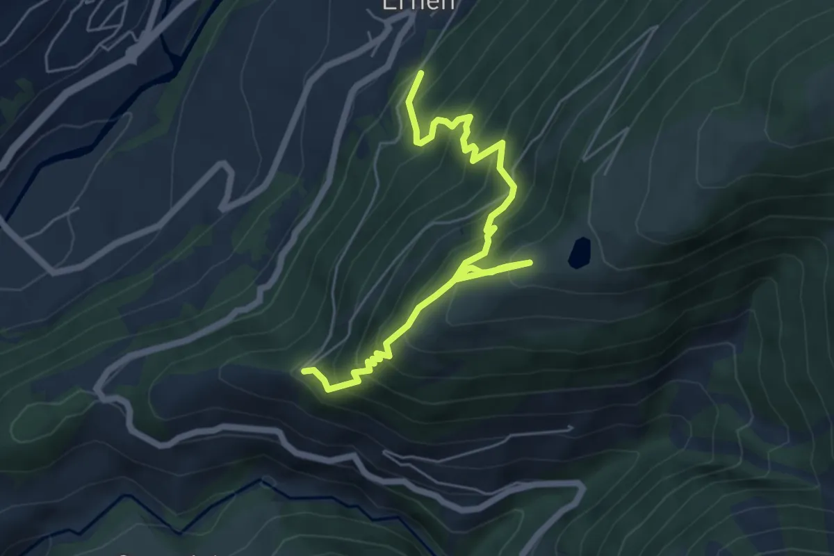
Medium · Trail
Ernen - Kalkofen
6.1 km · ↑ 786 m · 3 h 9 min
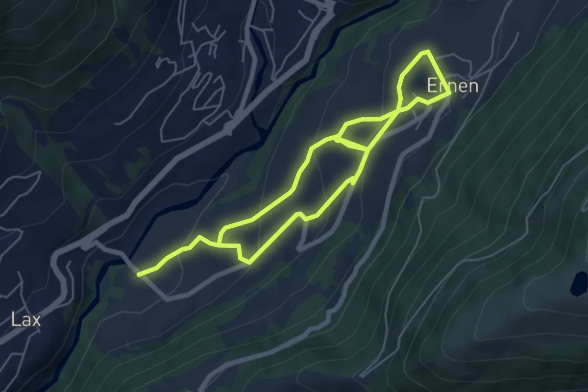
Medium · Trail
Ernen - Lax
8.2 km · ↑ 468 m · 2 h 57 min
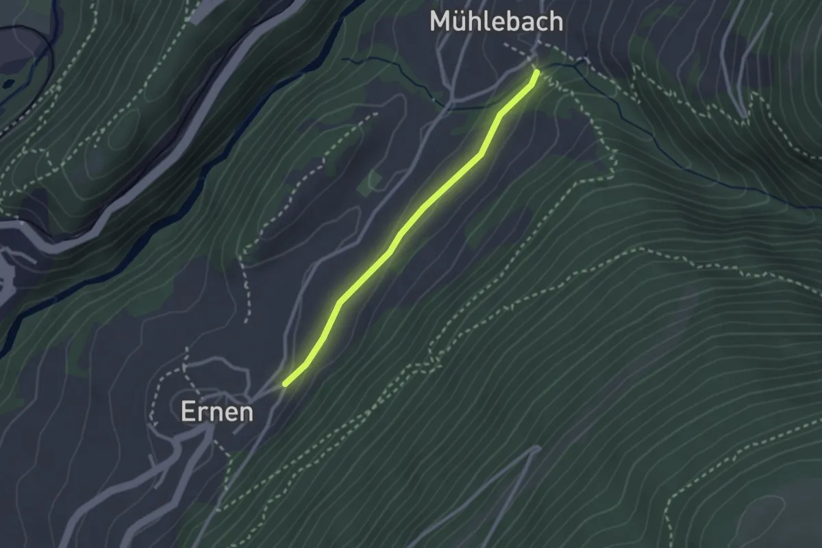
Easy · Trail
Ernen-Mühlebach
2.3 km · ↑ 34 m · 36 min
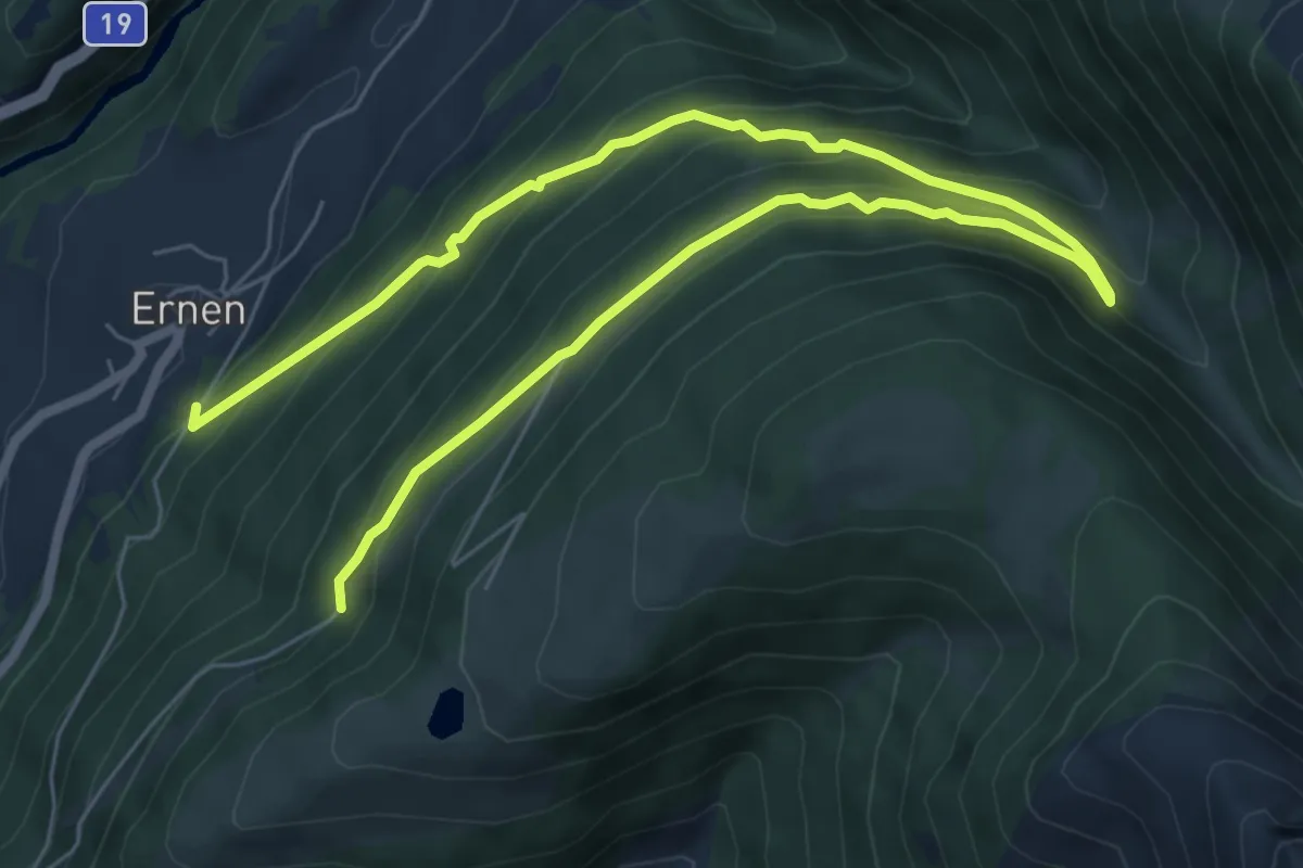
Medium · Trail
Ernen - Rappental
9.9 km · ↑ 783 m · 4 h 1 min
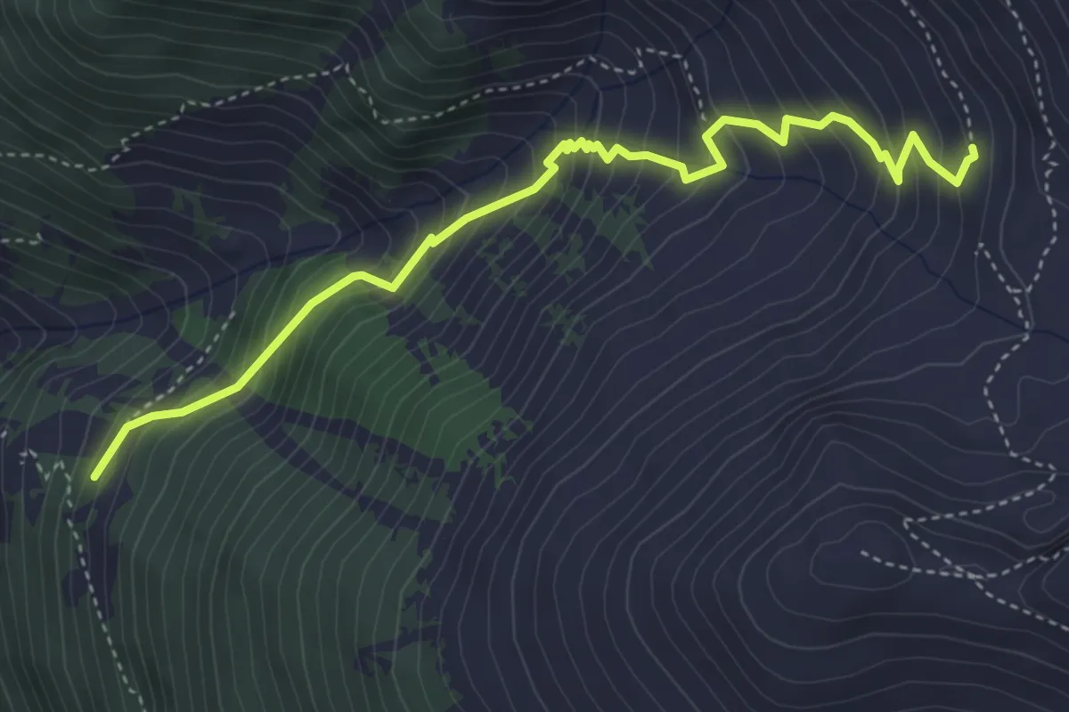
Medium · Trail
Erra d'en Haut-Le Clou
4.7 km · ↑ 558 m · 2 h 19 min
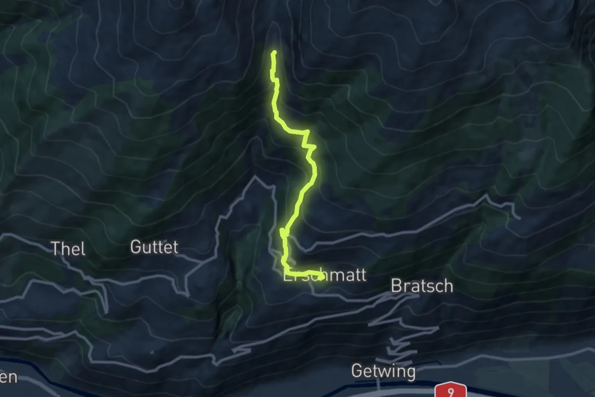
Medium · Trail
Erschmatt Bachalpe
8.0 km · ↑ 669 m · 3 h 21 min
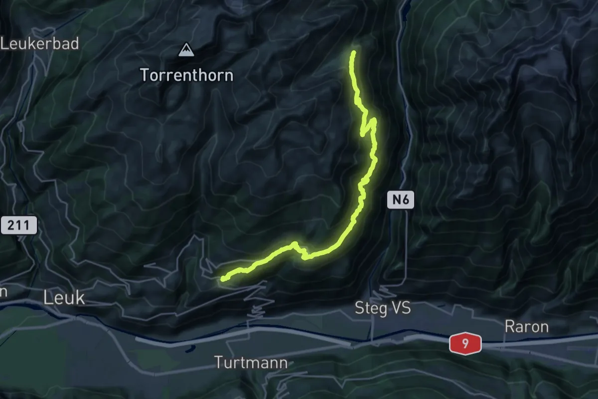
Demanding · Trail
Erschmatt Faldumalp
11.7 km · ↑ 1275 m · 5 h 16 min
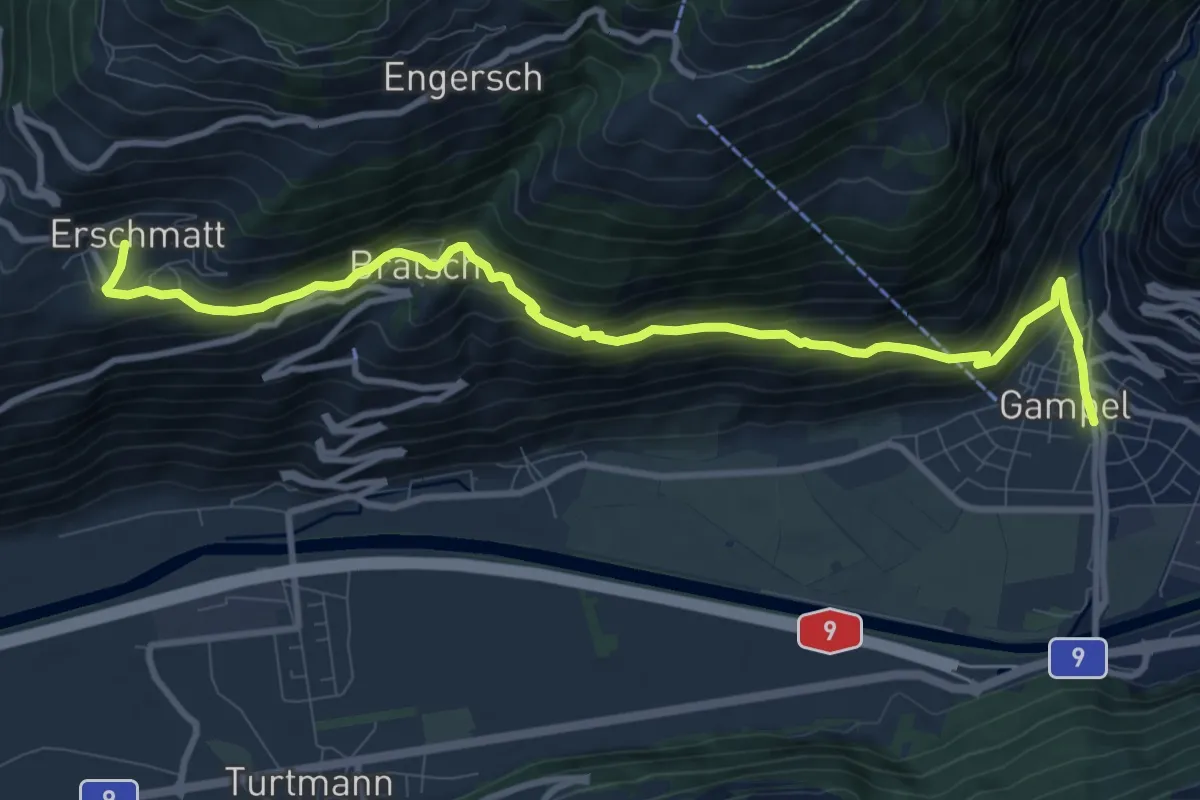
Medium · Trail
Erschmatt Gampel
11.1 km · ↑ 697 m · 4 h 8 min
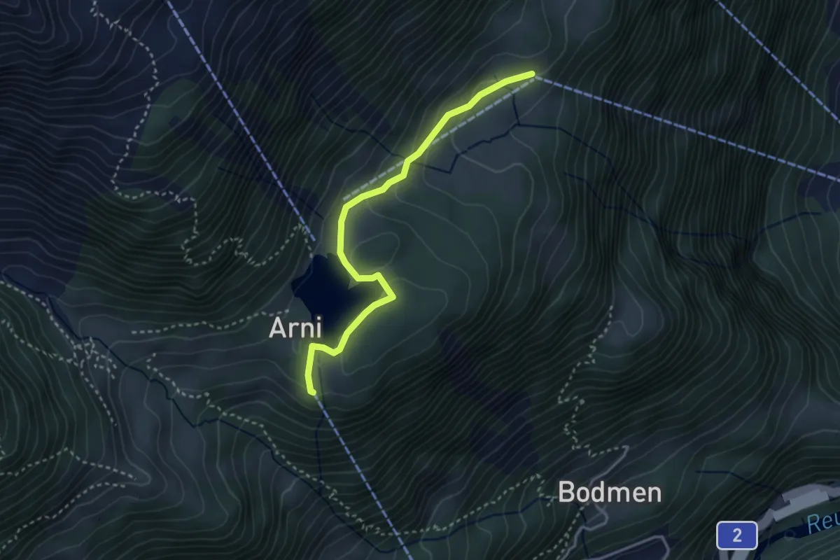
Easy · Trail
Erstfeld Arnisee
3.2 km · ↑ 115 m · 1 h 1 min
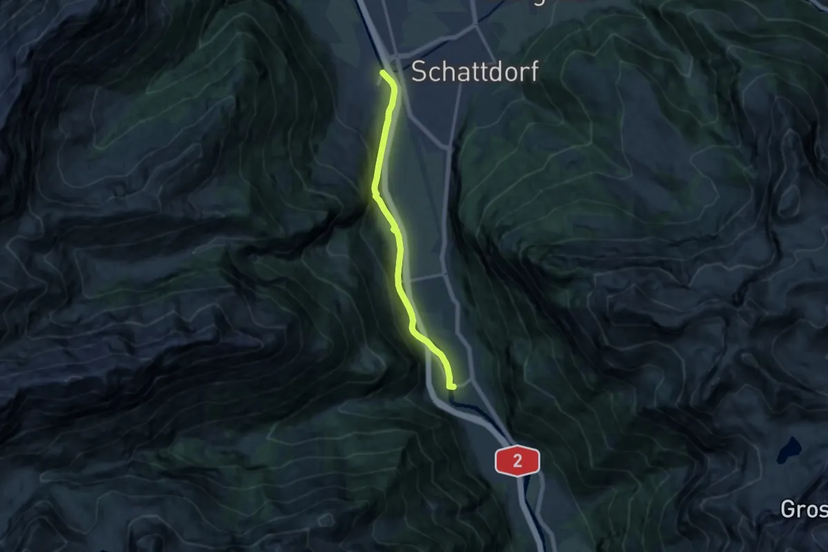
Medium · Trail
Erstfeld-Attighauser Brücke
10.9 km · ↑ 222 m · 3 h 4 min
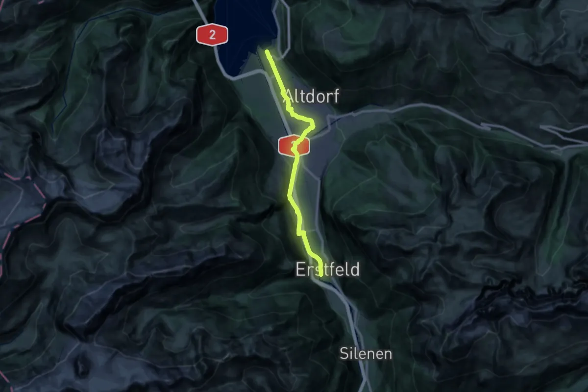
Demanding · Trail
Erstfeld-Flüelen
21.7 km · ↑ 249 m · 5 h 40 min
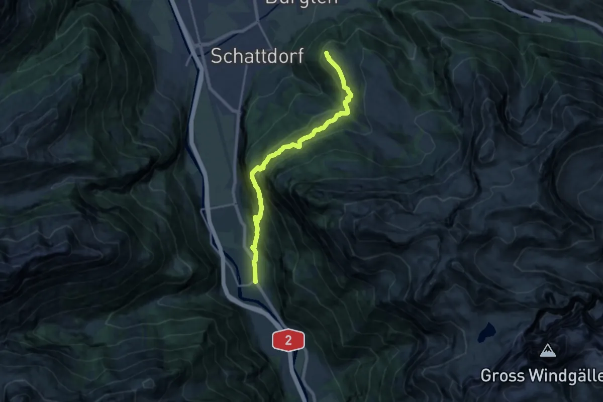
Expert · Trail
Erstfeld-Haldi
14.2 km · ↑ 1112 m · 5 h 45 min
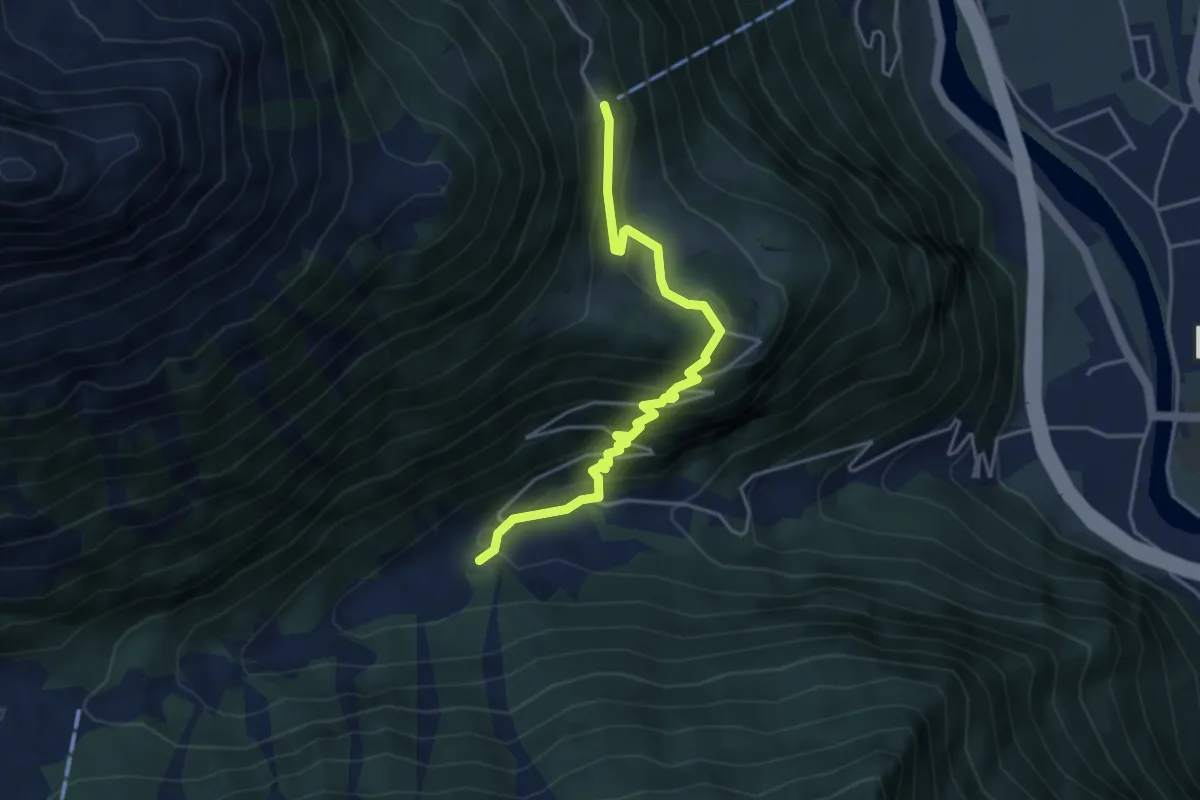
Medium · Trail
Erstfeld Wilerli
4.2 km · ↑ 344 m · 1 h 44 min
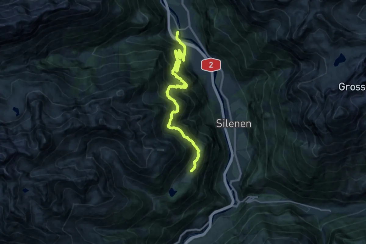
Demanding · Trail
Erstfleld Arnisee
8.8 km · ↑ 521 m · 3 h 44 min
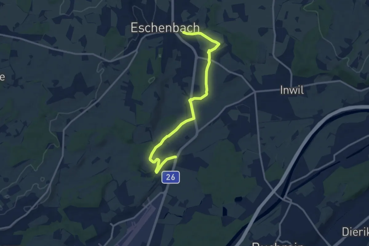
Medium · Trail
Eschenbach - Höndle - Waldibrugg
9.7 km · ↑ 110 m · 2 h 32 min
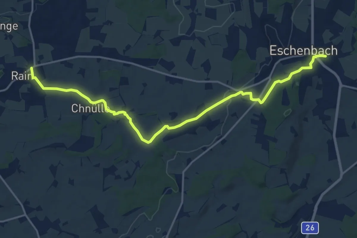
Medium · Trail
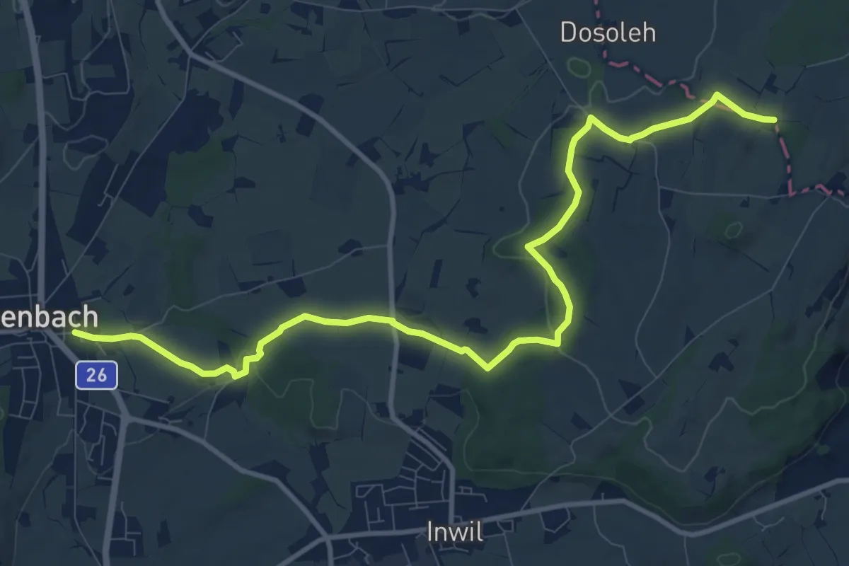
Eschenbach - Rain
12.9 km · ↑ 203 m · 3 h 30 min
Medium · Trail
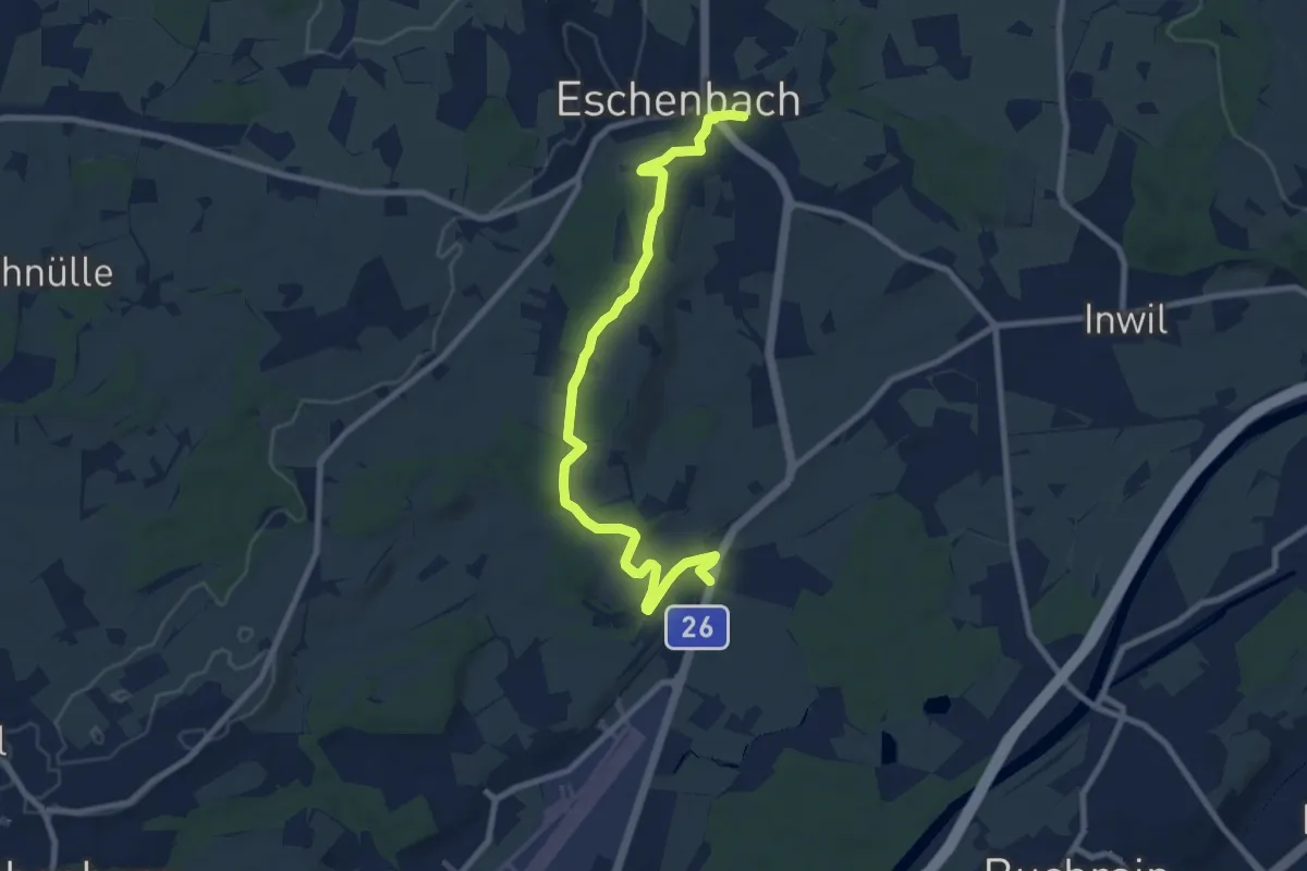
Eschenbach - Sulzberg
11.9 km · ↑ 153 m · 3 h 9 min
Medium · Trail
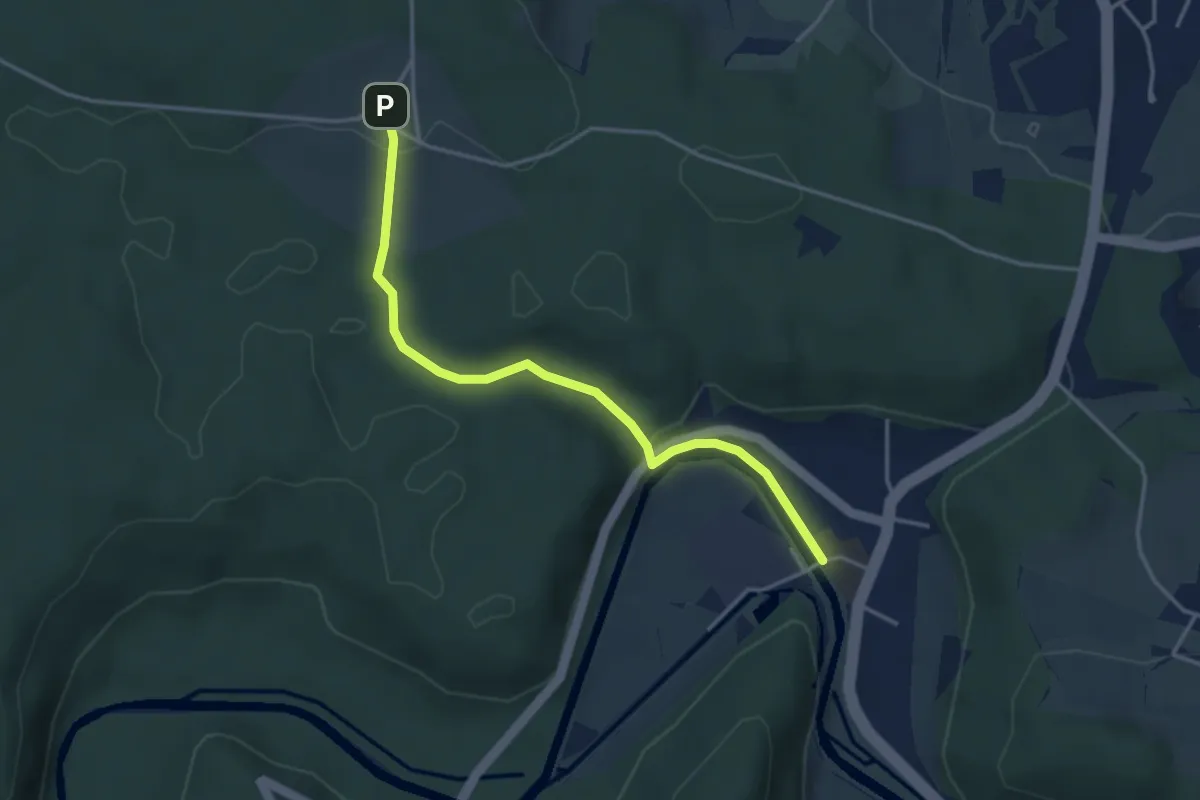
Eschenbach - Waldibrugg
9.5 km · ↑ 102 m · 2 h 28 min
Easy · Trail
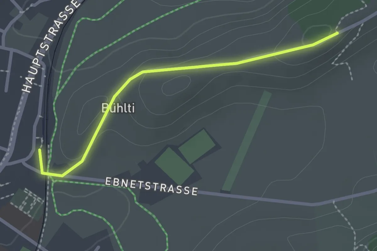
Eschenberg Sternwarte - Sennhof
3.7 km · ↑ 95 m · 1 h 4 min
Easy · Trail
Escholzmatt- Büelwald
2.1 km · ↑ 39 m · 35 min
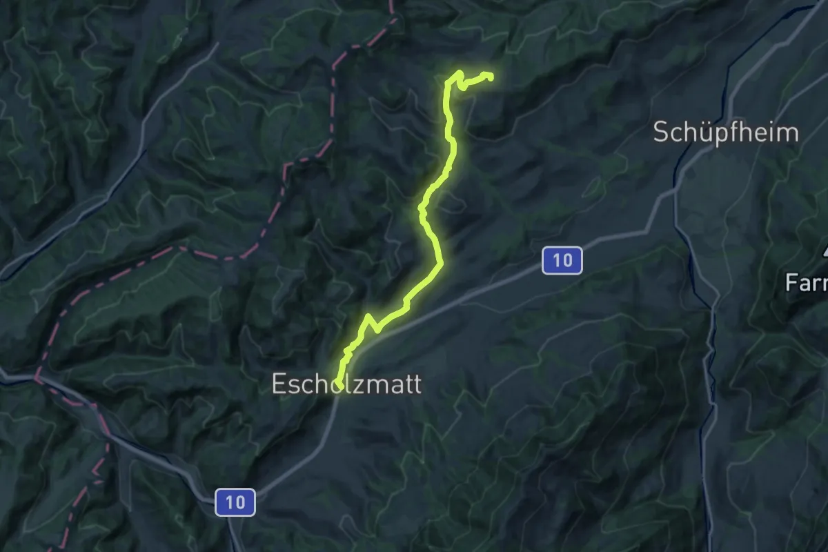
Medium · Trail
Escholzmatt - Gmeinwerch
15.7 km · ↑ 399 m · 4 h 35 min
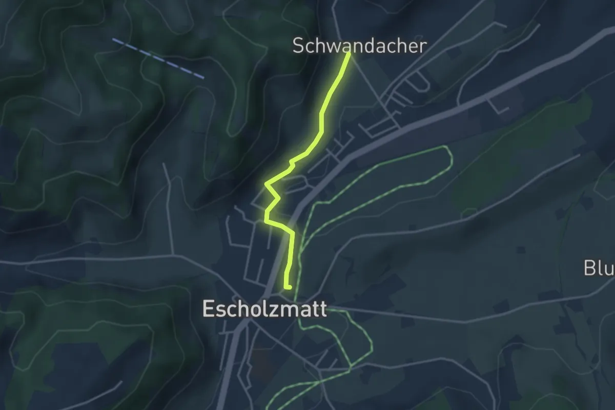
Easy · Trail
Escholzmatt - Schwandacher
2.6 km · ↑ 31 m · 41 min
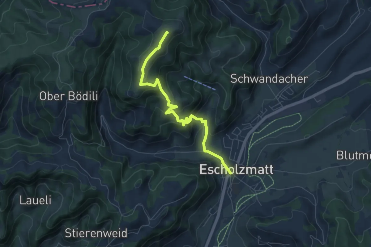
Medium · Summit
Escholzmatt - Turner
6.8 km · ↑ 410 m · 2 h 29 min
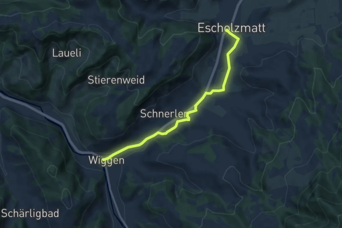
Easy · Trail
Escholzmatt - Wiggen
7.0 km · ↑ 67 m · 1 h 48 min
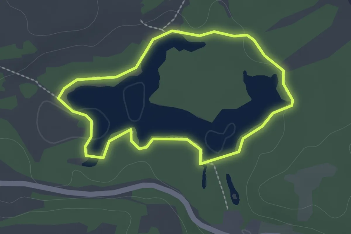
Easy · Trail
Étang de la Gruère
2.0 km · ↑ 10 m · 31 min
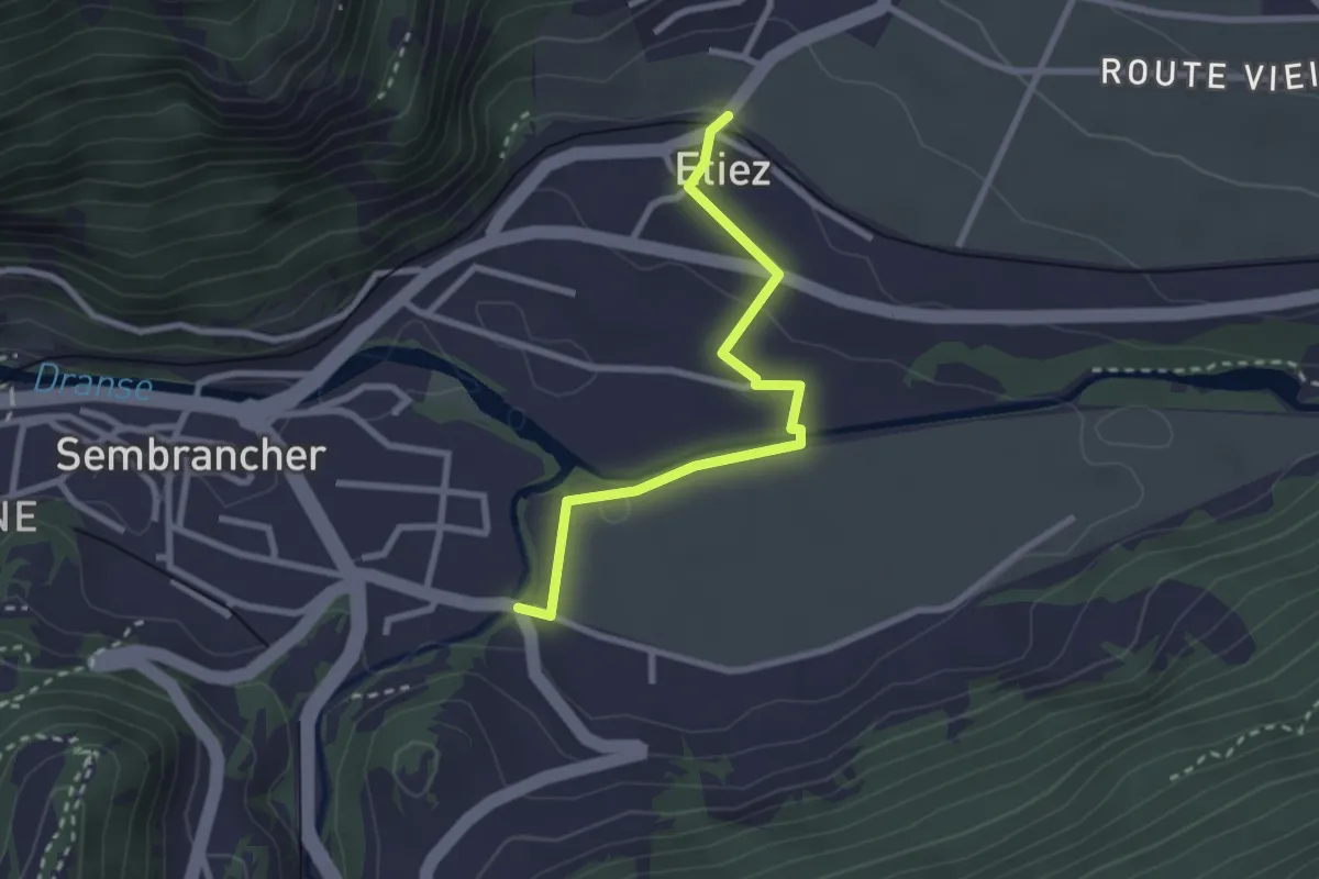
Easy · Trail
Etiez > Les Moulins
2.6 km · ↑ 50 m · 44 min
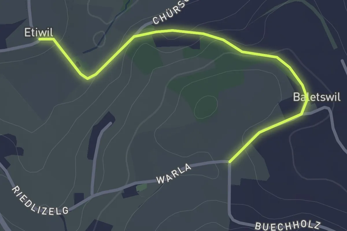
Easy · Trail
Etiwil - Baletswil
2.7 km · ↑ 57 m · 45 min
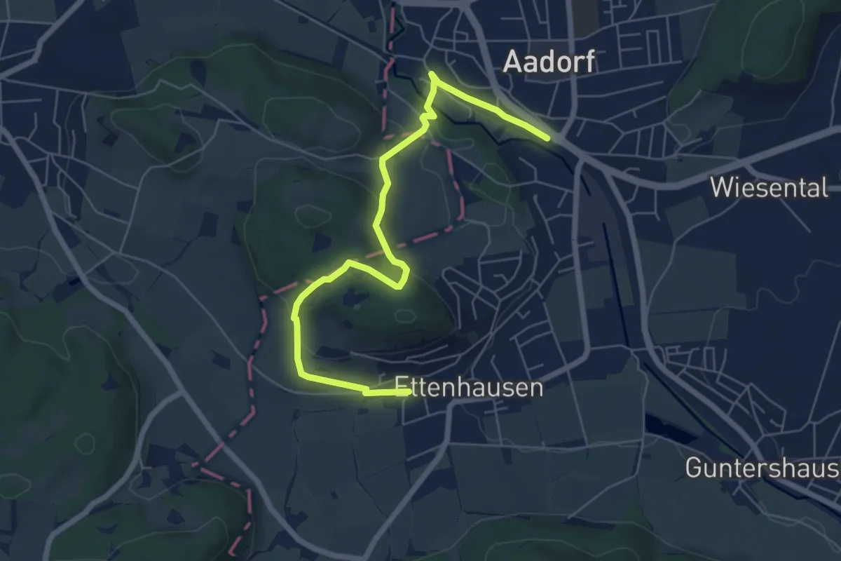
Easy · Trail
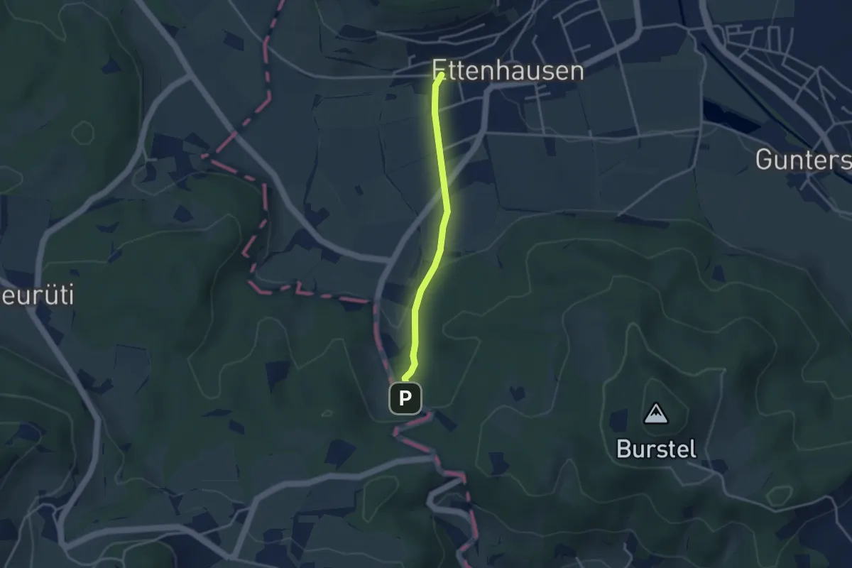
Ettenhausen - Aadorf
6.6 km · ↑ 239 m · 2 h 4 min
Easy · Trail
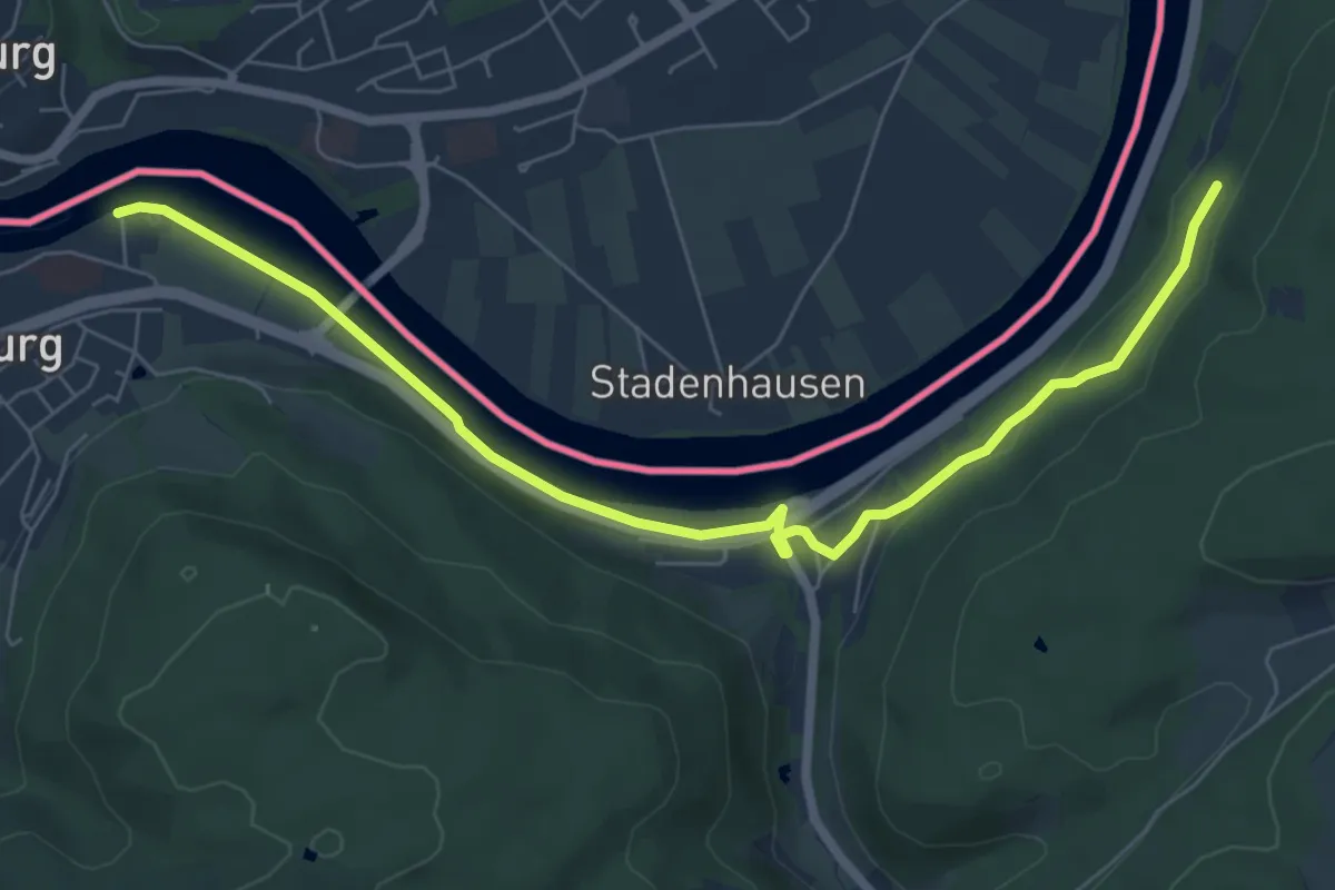
Ettenhausen - Rüetschberg - fixme
2.8 km · ↑ 81 m · 50 min
Easy · Trail
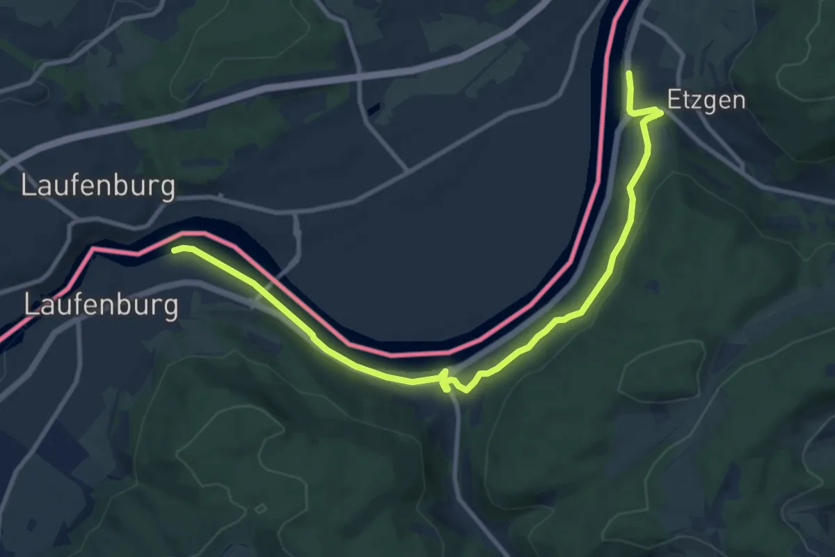
Etzgen Dorf - Rheinsulz
7.6 km · ↑ 108 m · 2 h 1 min
Medium · Trail
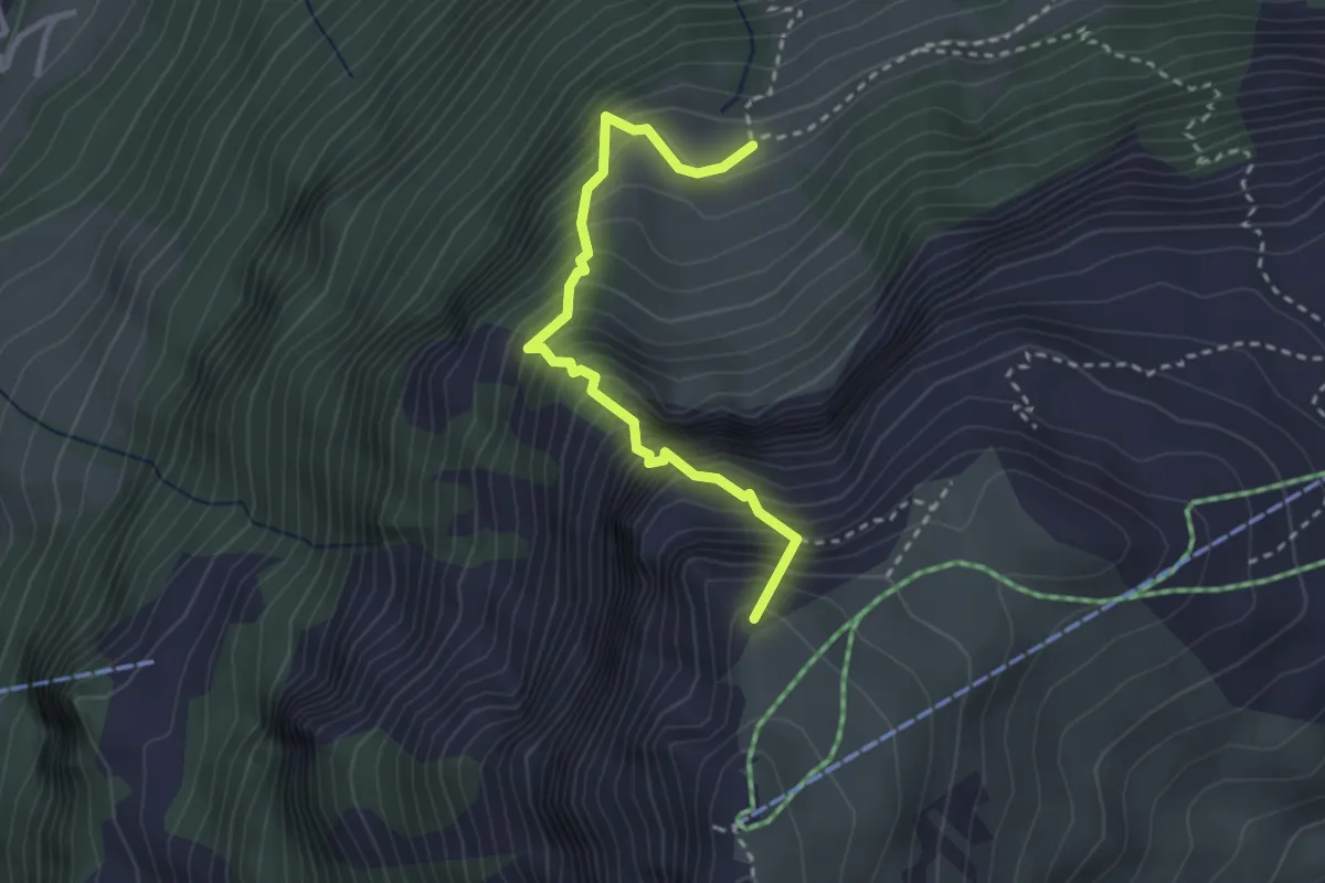
Etzgen Postauto - Rheinsulz
10.3 km · ↑ 176 m · 2 h 48 min
Expert · Summit
Eu - Charenstöckli
2.8 km · ↑ 682 m · 2 h 9 min
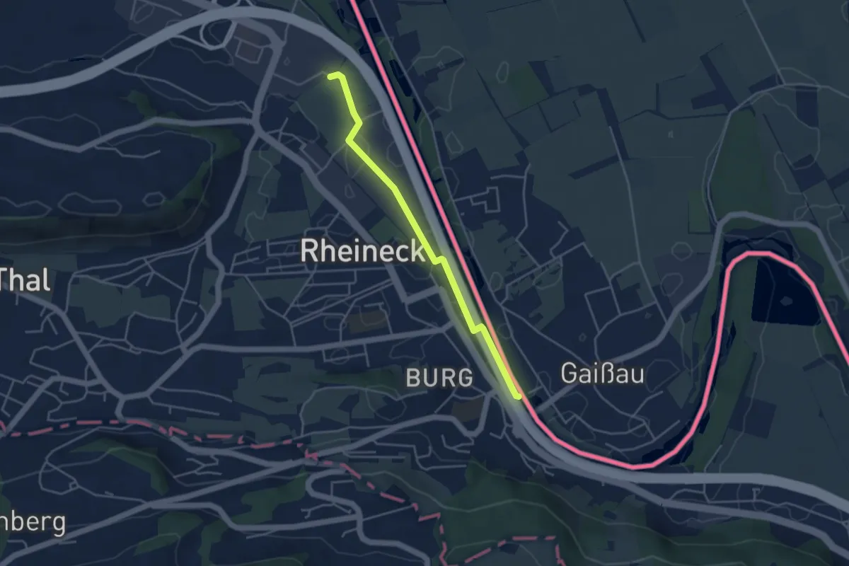
Easy · Trail
Europäischer Fernwanderweg E5, Schweiz
3.8 km · ↑ 0 m · 53 min
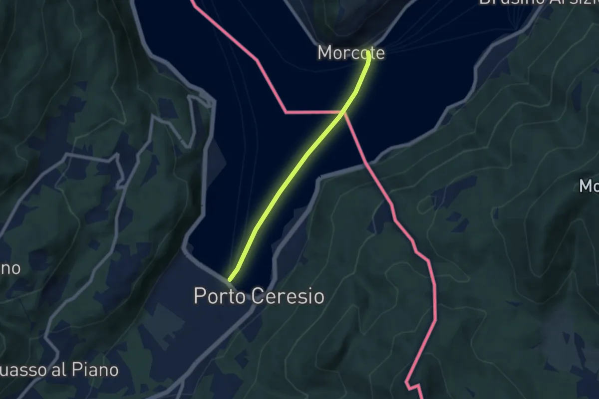
Easy · Trail
European Long distance path E1 - part Switzerland
4.9 km · ↑ 0 m · 1 h 9 min
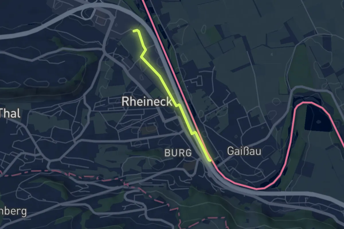
Easy · Trail
European long distance path E4 - part Switzerland
3.8 km · ↑ 0 m · 53 min
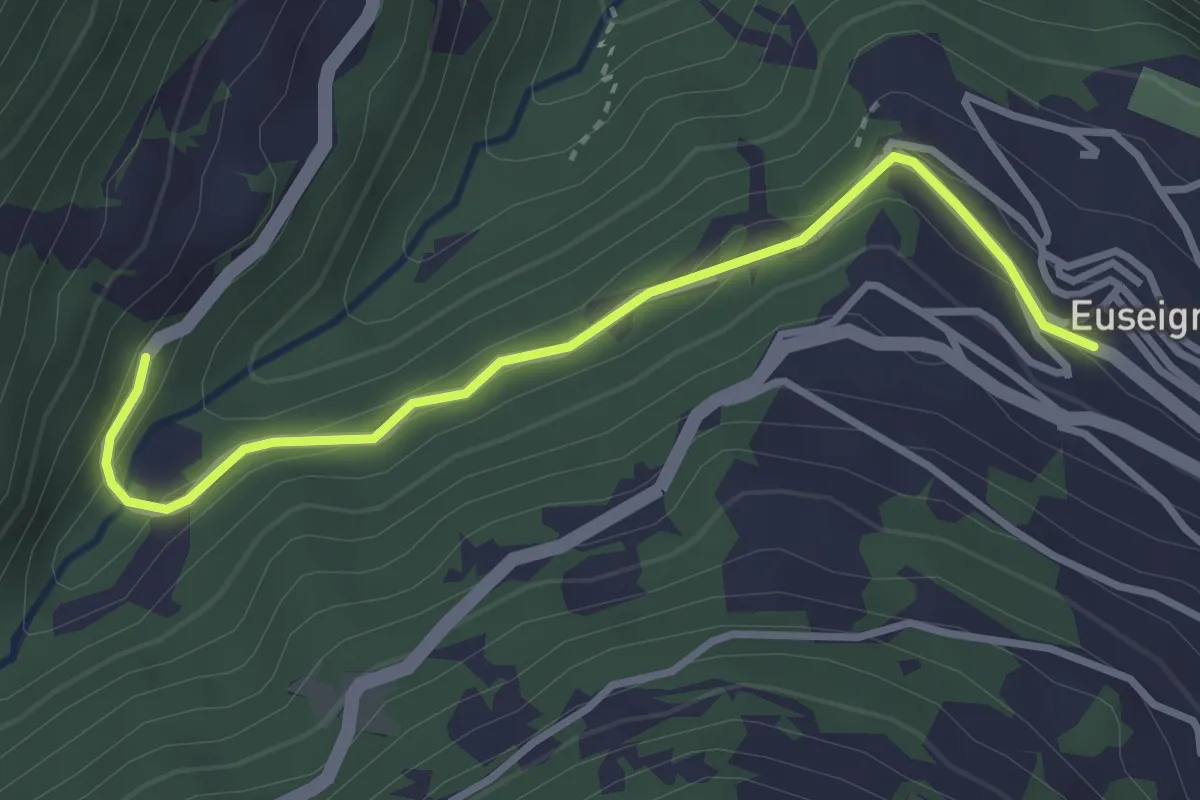
Easy · Trail
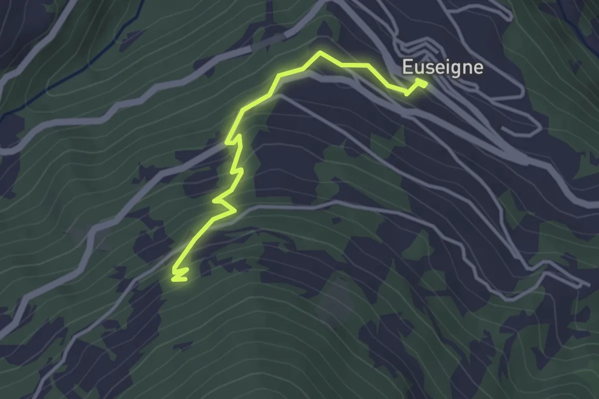
Euseigne - fixme
3.3 km · ↑ 125 m · 1 h 3 min
Easy · Trail
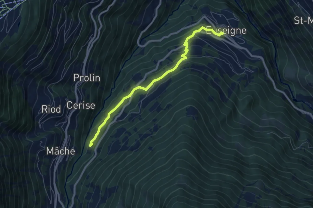
Euseigne - fixme
3.1 km · ↑ 243 m · 1 h 15 min
Medium · Trail
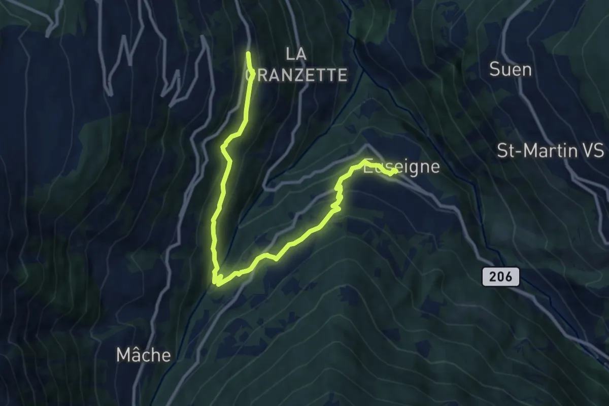
Euseigne - fixme
6.6 km · ↑ 364 m · 2 h 20 min
Medium · Trail
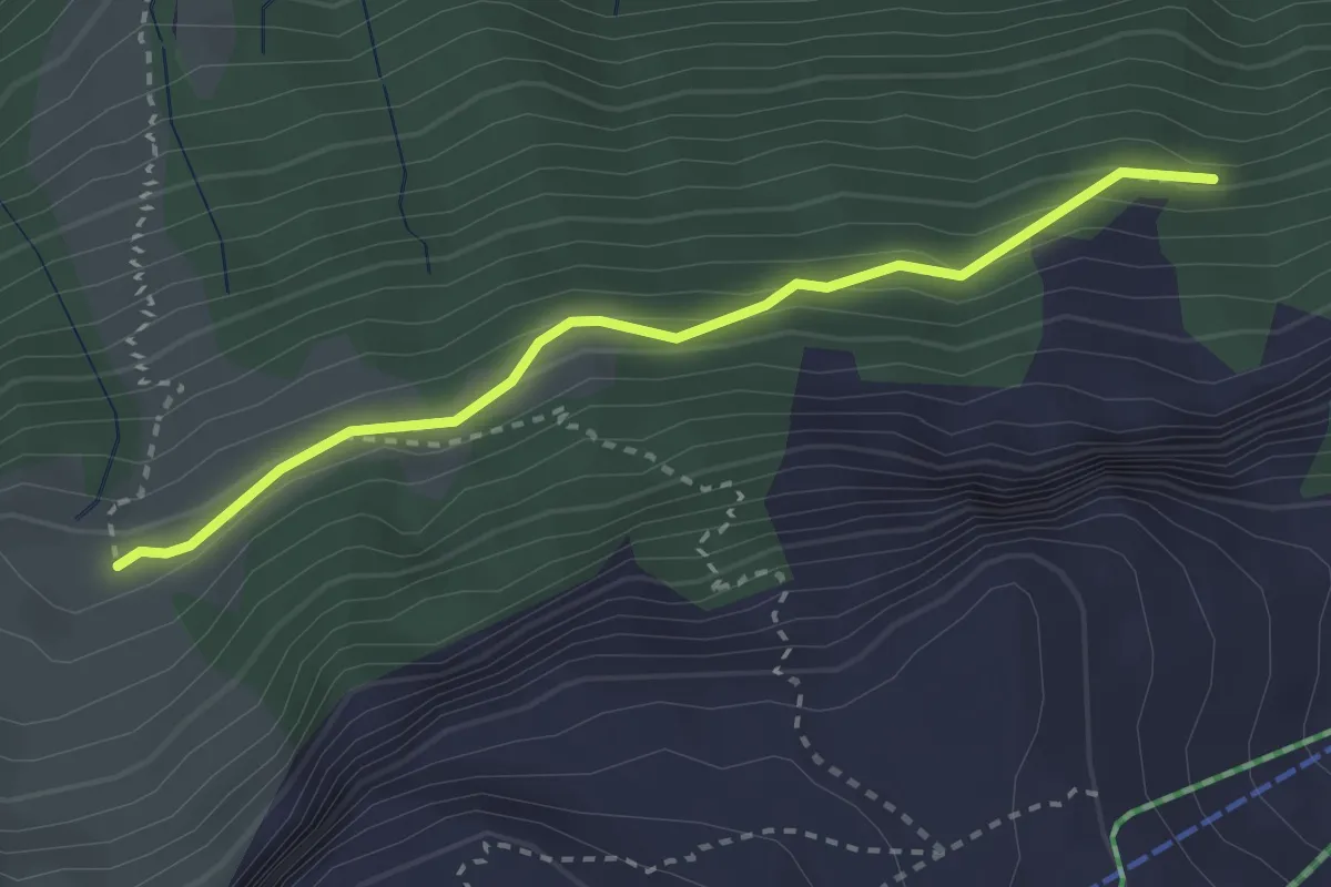
Euseigne - Hérémence
10.3 km · ↑ 556 m · 3 h 39 min
Medium · Trail
Eu - Stosswald
2.8 km · ↑ 162 m · 1 h 1 min
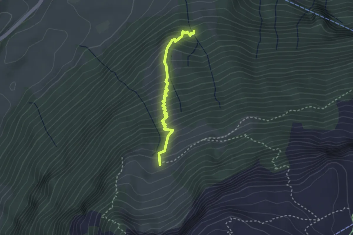
Medium · Trail
Eu -Strasse
2.4 km · ↑ 383 m · 1 h 23 min
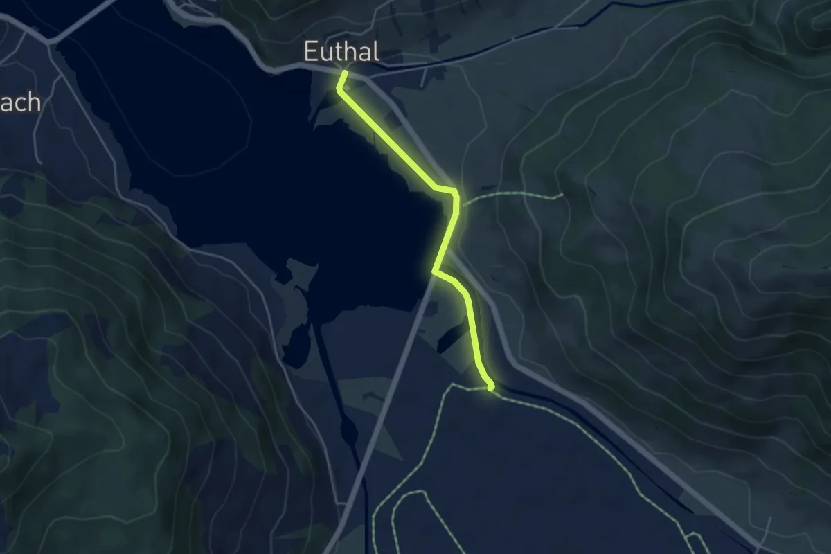
Easy · Trail
Euthal - Breitried
3.8 km · ↑ 32 m · 57 min
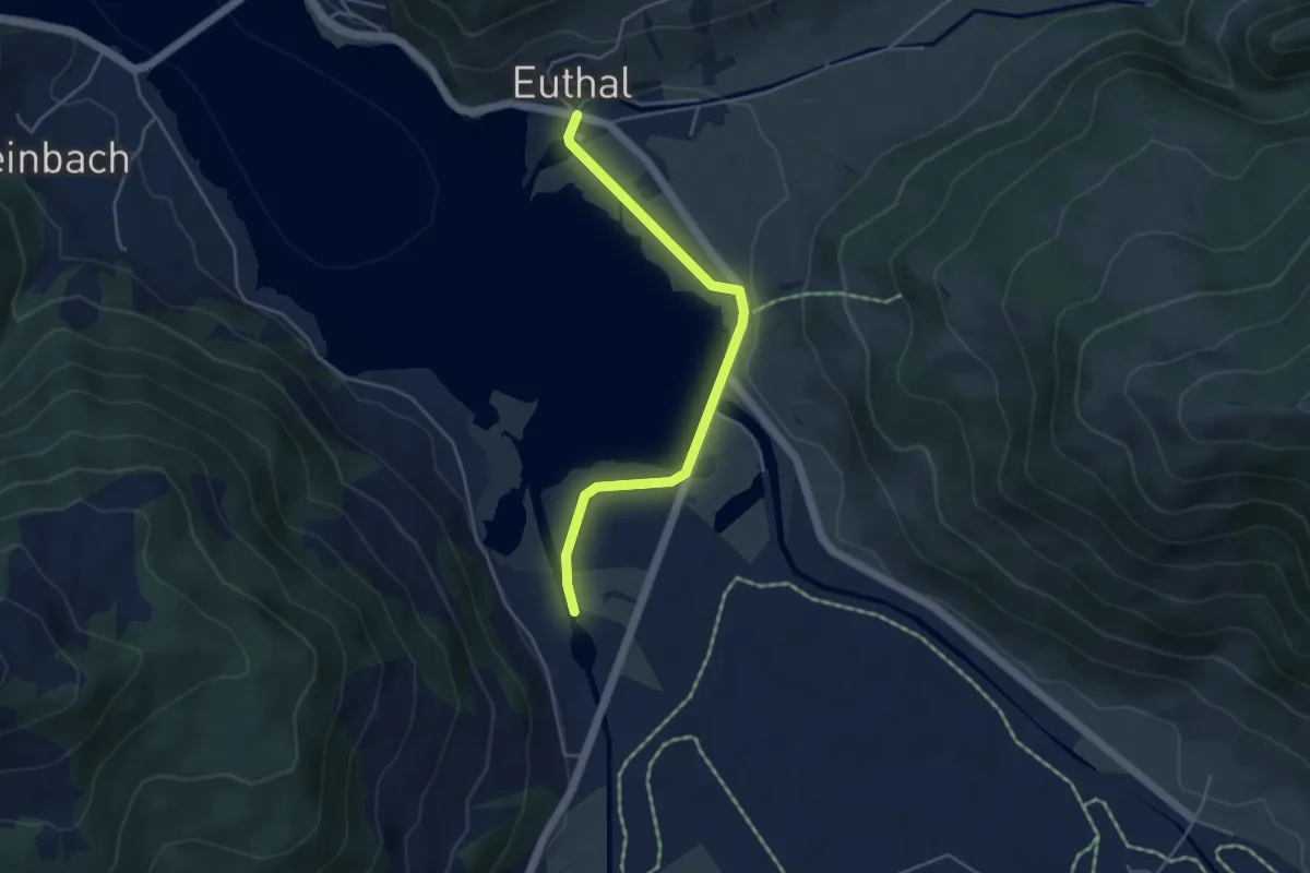
Easy · Trail
Euthal - Minsterbrücke
4.3 km · ↑ 23 m · 1 h 4 min
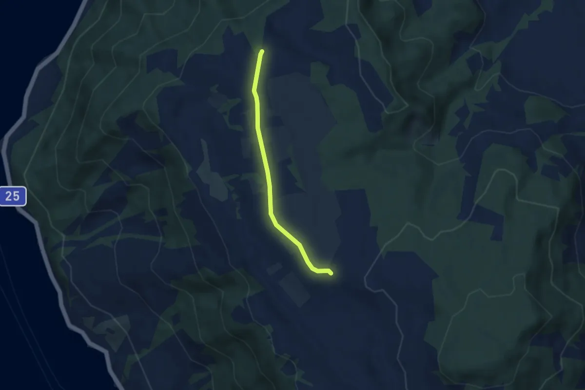
Easy · Trail
Ewigstafel - Früebüel
4.8 km · ↑ 19 m · 1 h 10 min
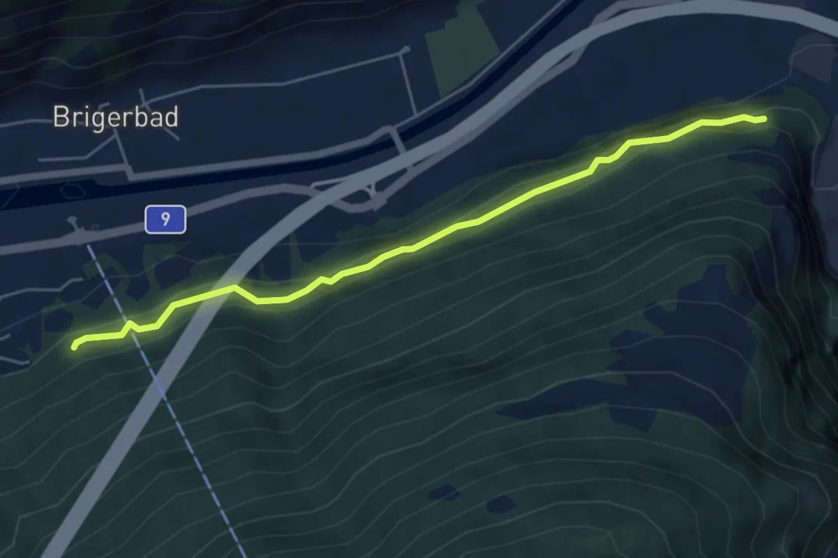
Medium · Trail
Eyholz - Gamsen
5.1 km · ↑ 309 m · 1 h 53 min
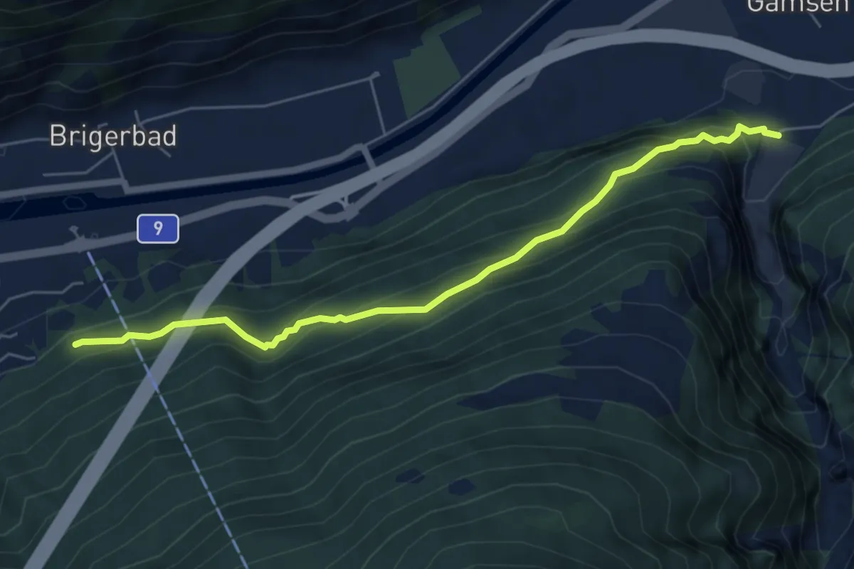
Medium · Trail
Eyholz - Gamsen
5.9 km · ↑ 570 m · 2 h 38 min
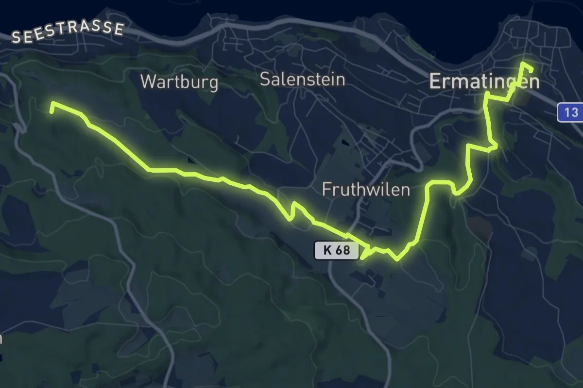
Medium · Trail
Fabelweg
13.6 km · ↑ 261 m · 3 h 46 min
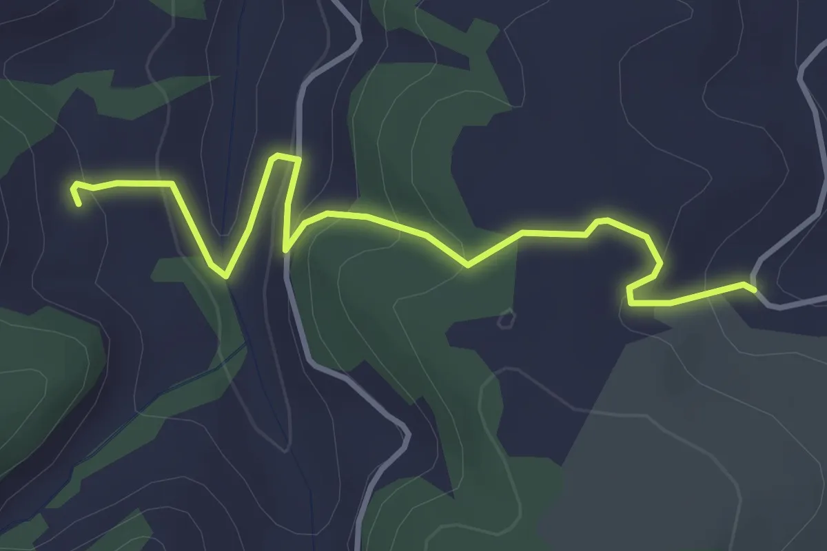
Easy · Trail
Fadenhof - Kället
3.5 km · ↑ 180 m · 1 h 13 min