Trails in Switzerland
15,029 hiking trails, each with its route, climb, walking time and grade.
All trails, page 33 of 314
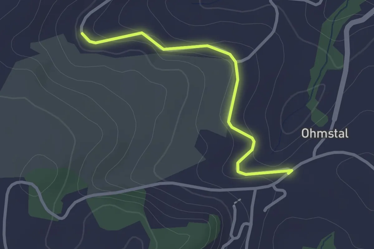
Easy · Trail
Fadenhof - Ohmstal
2.2 km · ↑ 41 m · 37 min
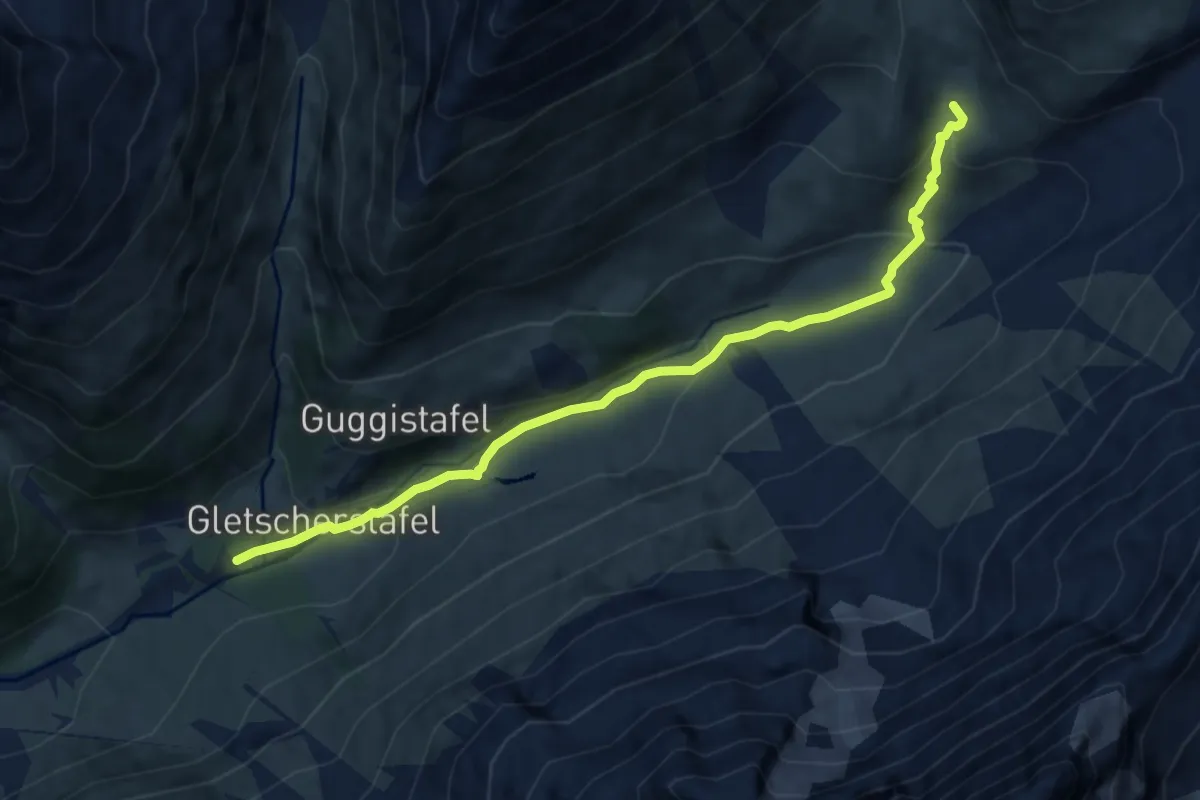
Medium · Trail
Fafleralp Anenhütte
8.7 km · ↑ 351 m · 2 h 48 min
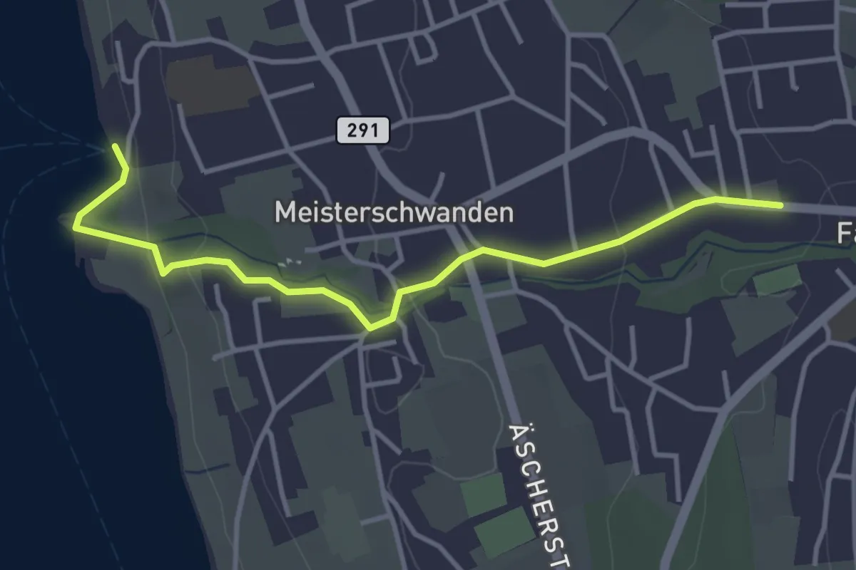
Easy · Trail
Fahrwangen - Meisterschwanden - Delphin
3.6 km · ↑ 96 m · 1 h 3 min
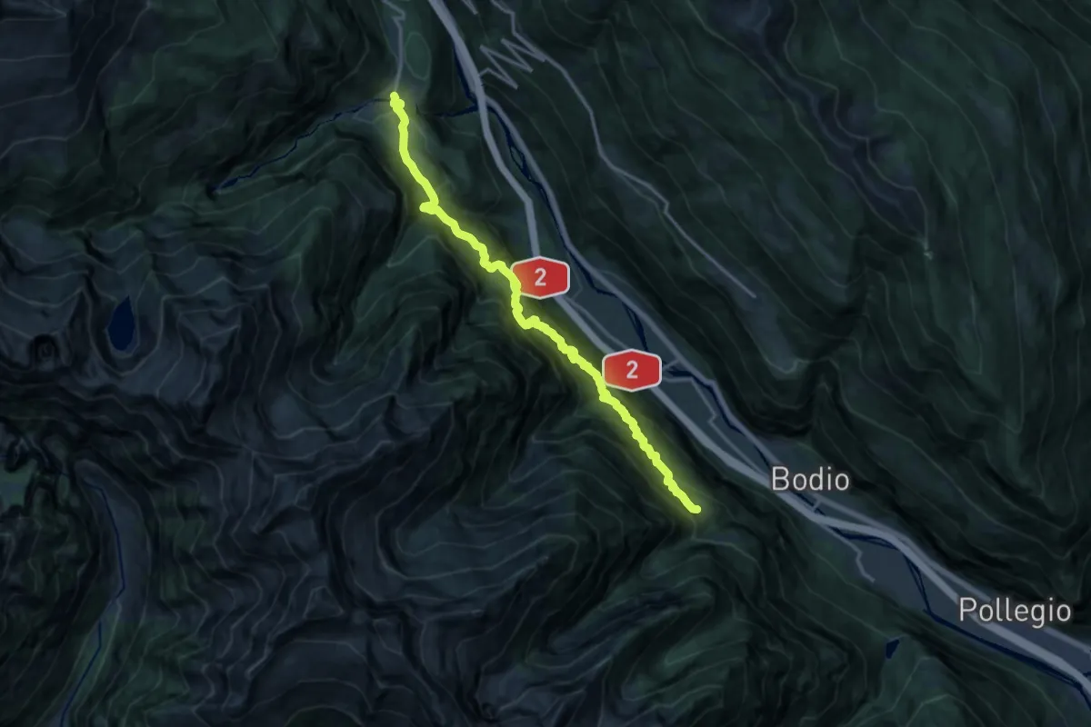
Demanding · Trail
Faidàl-Chironico
16.3 km · ↑ 1412 m · 6 h 55 min
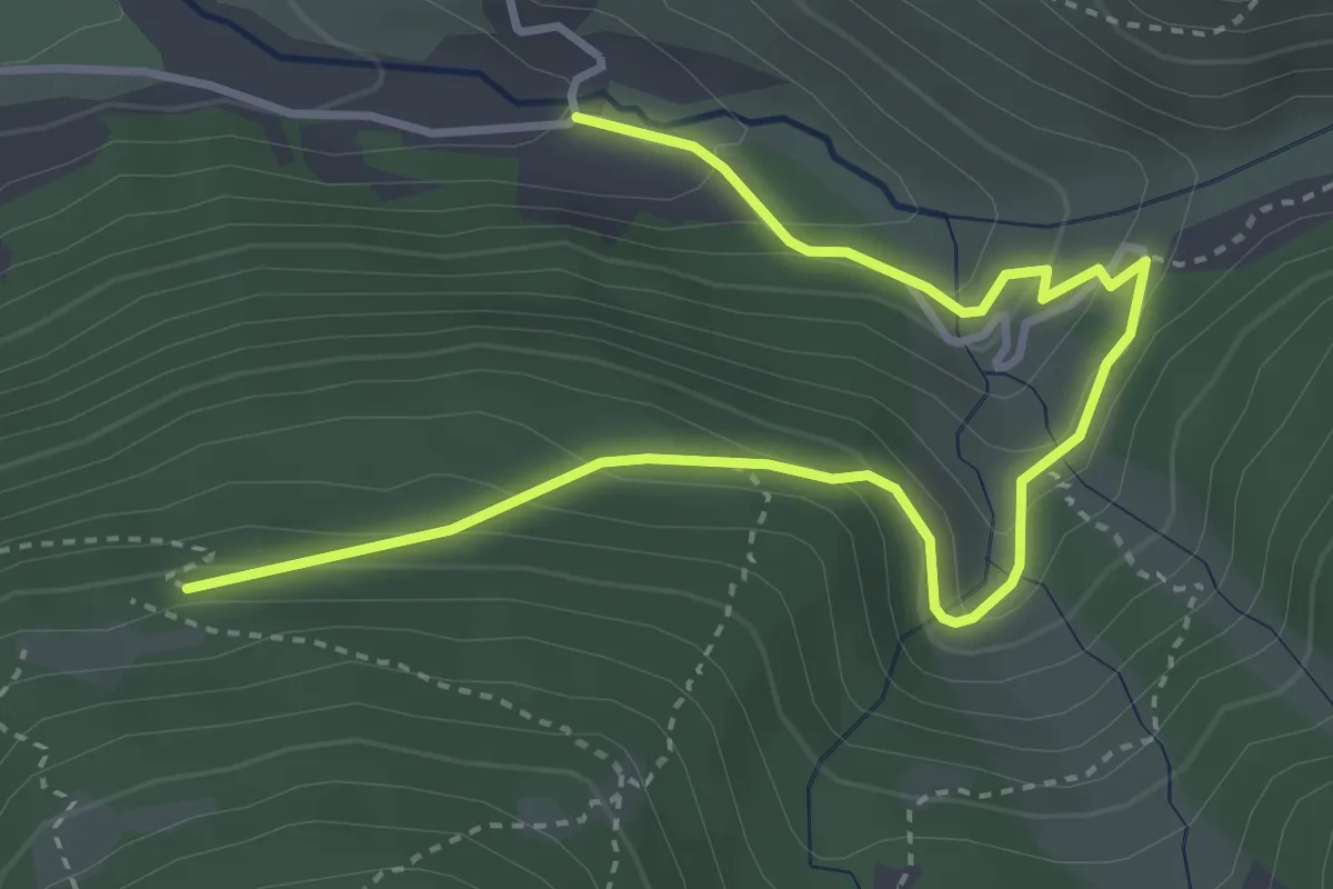
Medium · Trail
Fäld - Grossi Twära
4.6 km · ↑ 298 m · 1 h 44 min
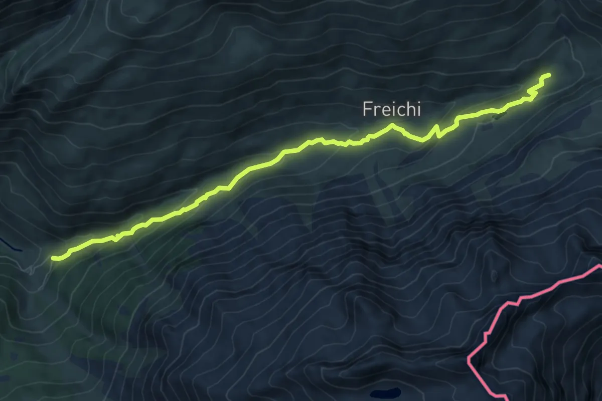
Medium · Trail
Fäld - Turbewasser
8.9 km · ↑ 441 m · 3 h 3 min
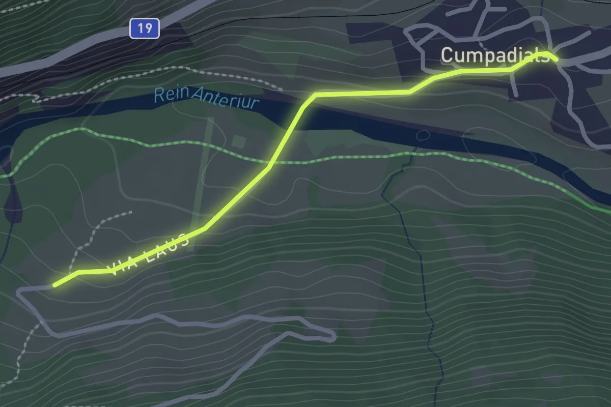
Easy · Trail
Falens - Cumpadials
2.5 km · ↑ 85 m · 46 min
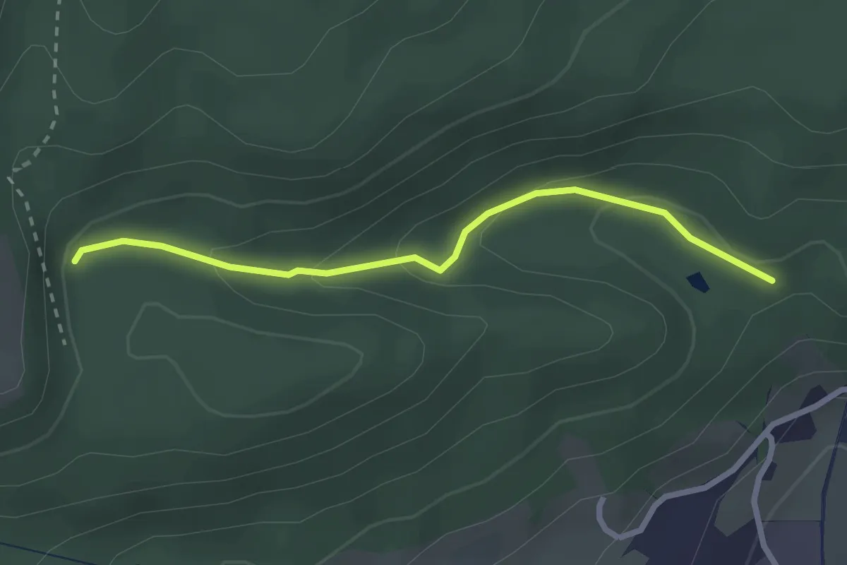
Easy · Trail
Falkenstein Weiher - Chuchi
2.4 km · ↑ 112 m · 48 min
Easy · Trail
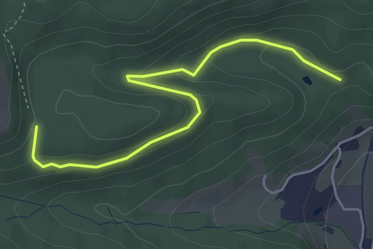
Falkenstein Weiher - Hutzlenbödeli
3.8 km · ↑ 154 m · 1 h 14 min
Easy · Trail
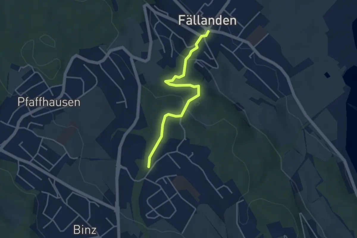
Fällanden - Benglen
3.3 km · ↑ 117 m · 1 h 1 min
Easy · Trail
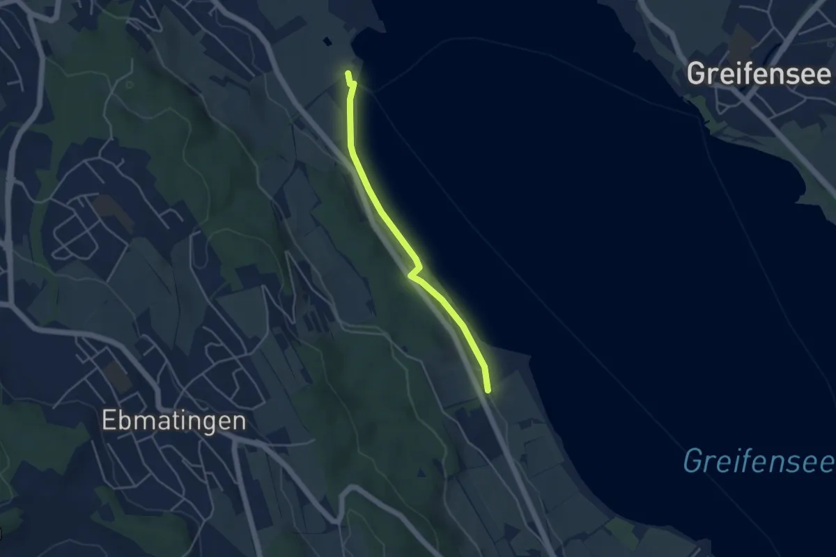
Fällanden Rohr - Aschbach
3.6 km · ↑ 42 m · 57 min
Medium · Trail
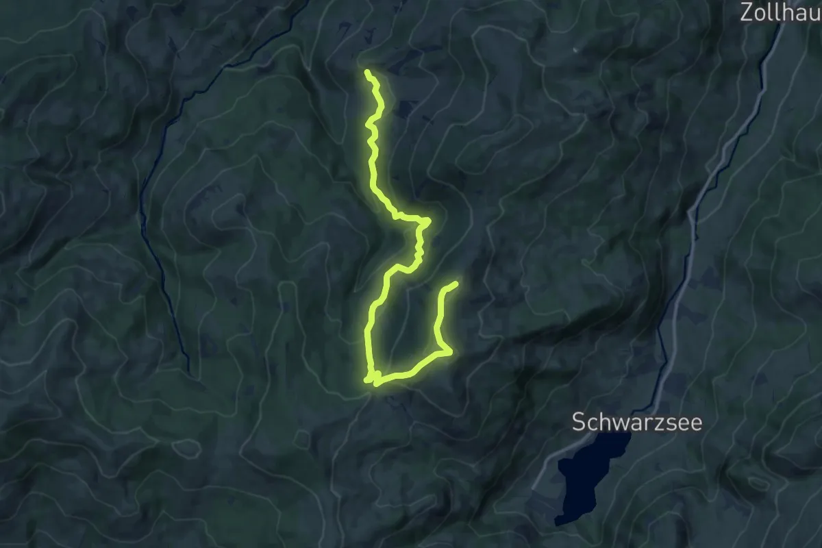
Falli-Hölli - Fuchses Schwyberg
13.5 km · ↑ 640 m · 4 h 34 min
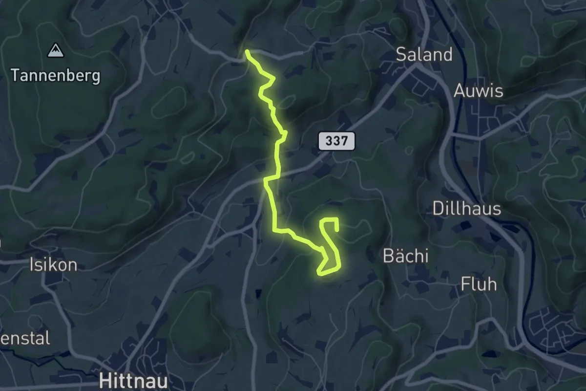
Easy · Summit
Fälmis - Ravensbüel
6.5 km · ↑ 245 m · 2 h 3 min
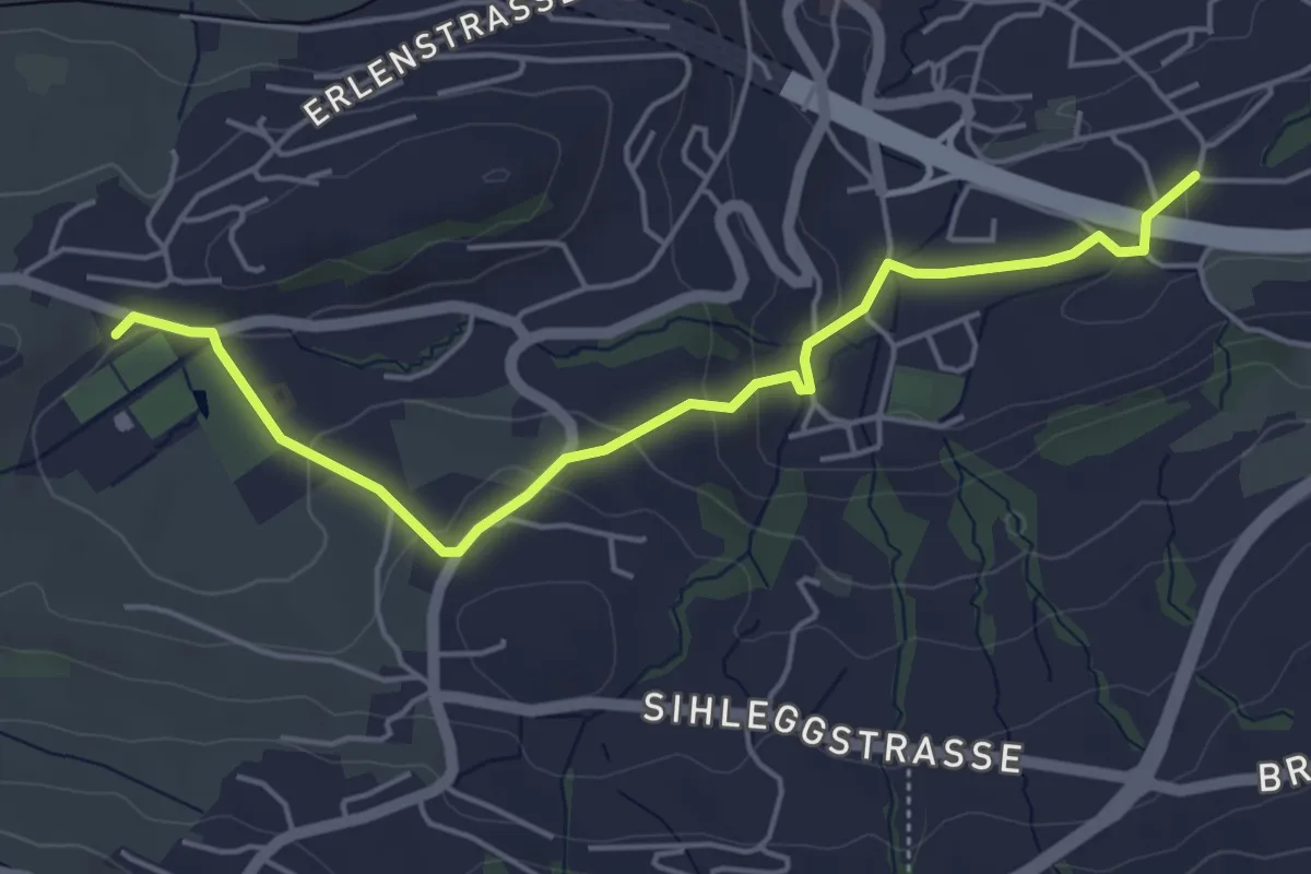
Easy · Trail
Fälmis - Sportplatz Erlen
5.1 km · ↑ 122 m · 1 h 27 min
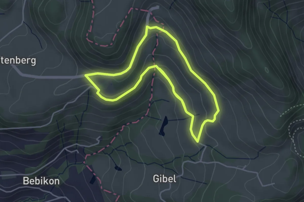
Easy · Trail
Faltigberg - Rundwanderweg
4.0 km · ↑ 98 m · 1 h 13 min
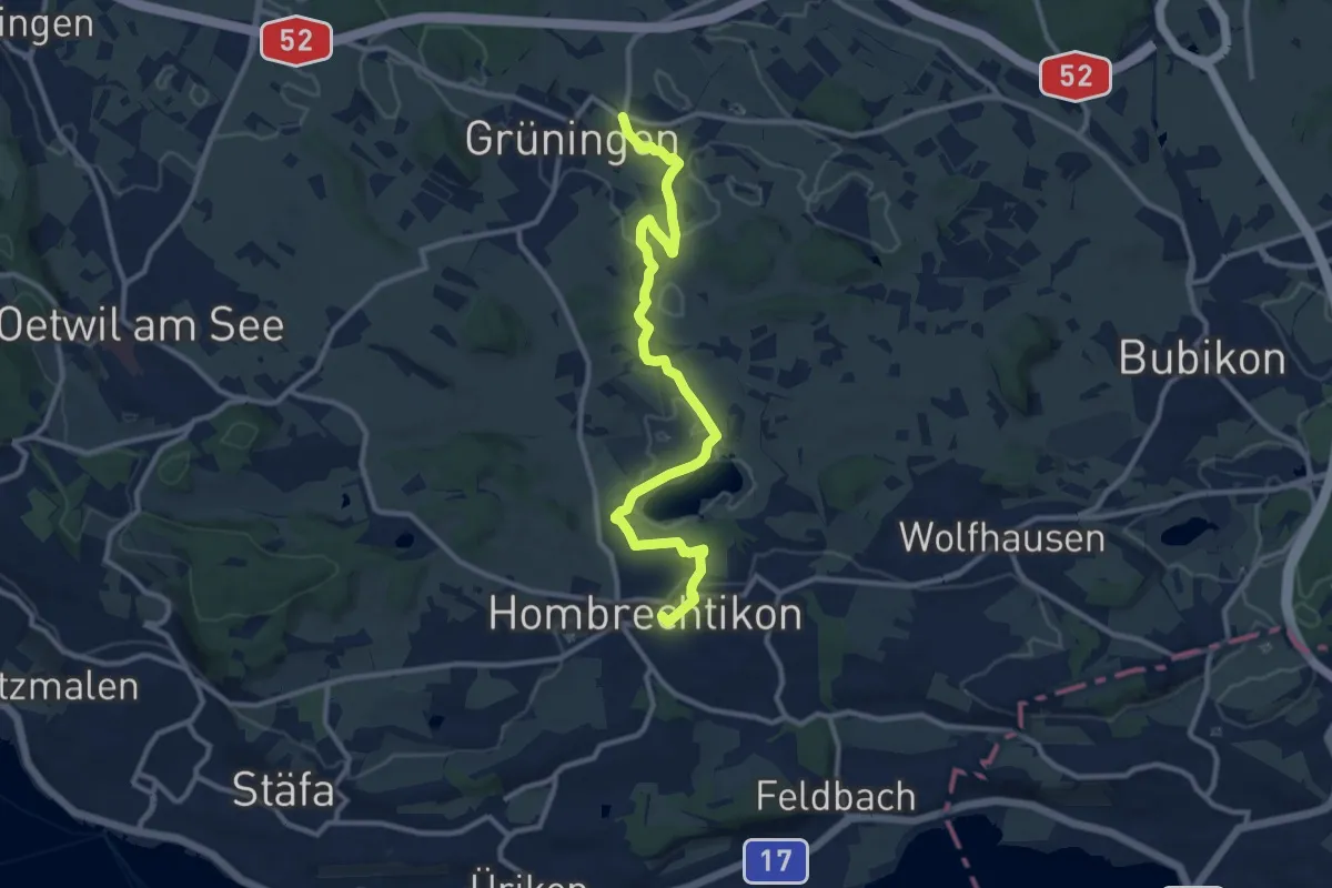
Medium · Trail
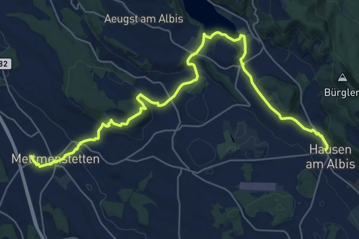
Familien-Wanderweg Hombrechtikon Post - Grüningen Haufland
11.6 km · ↑ 154 m · 3 h 4 min
Demanding · Trail
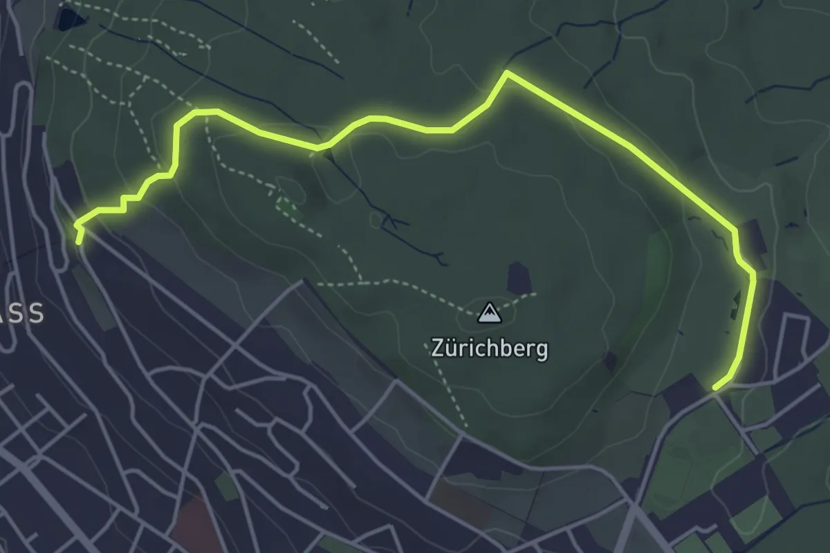
Familien-Wanderweg - Orientierung
20.4 km · ↑ 596 m · 6 h 6 min
Easy · Trail
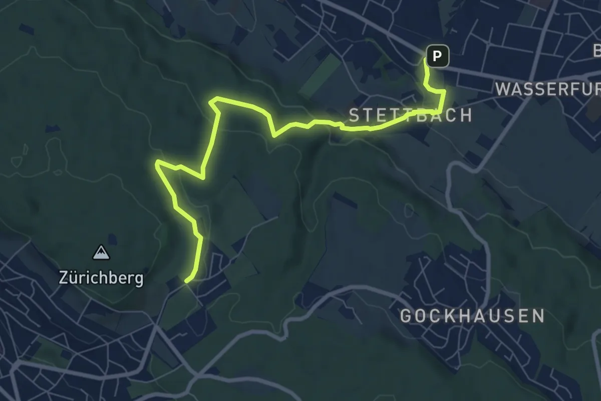
Familien-Wanderweg Rigiblick - Zoo
5.0 km · ↑ 133 m · 1 h 28 min
Easy · Trail
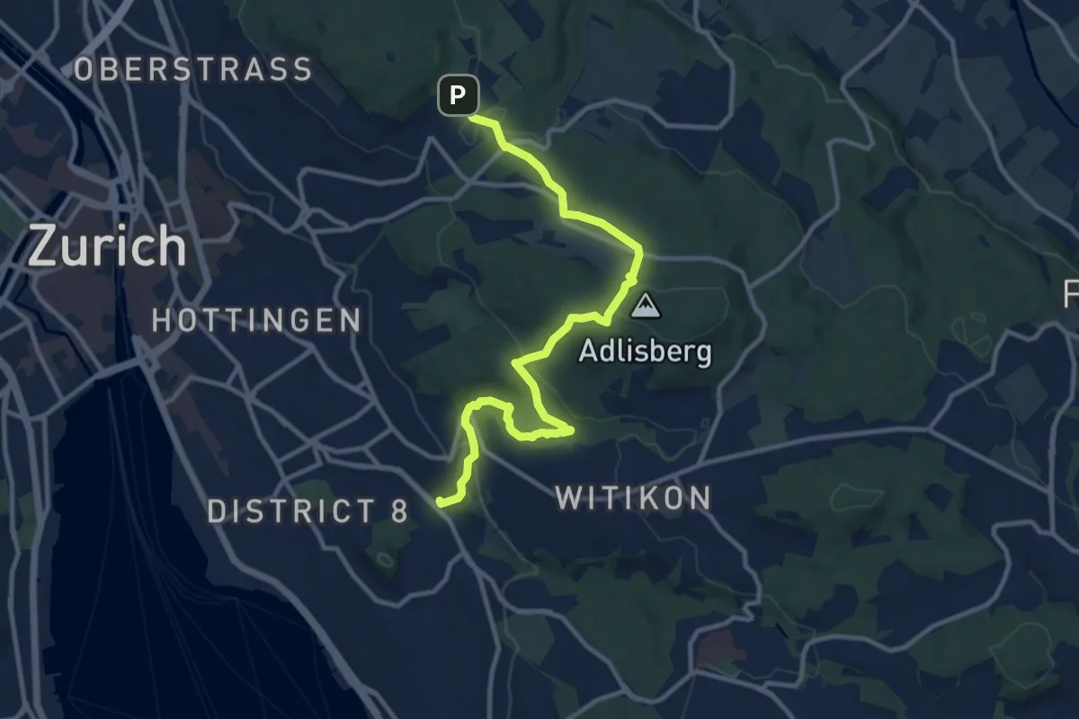
Familien-Wanderweg Settbach - Zoo
7.9 km · ↑ 232 m · 2 h 23 min
Medium · Trail
Familien-Wanderweg Zoo - Burgwies
11.5 km · ↑ 337 m · 3 h 27 min
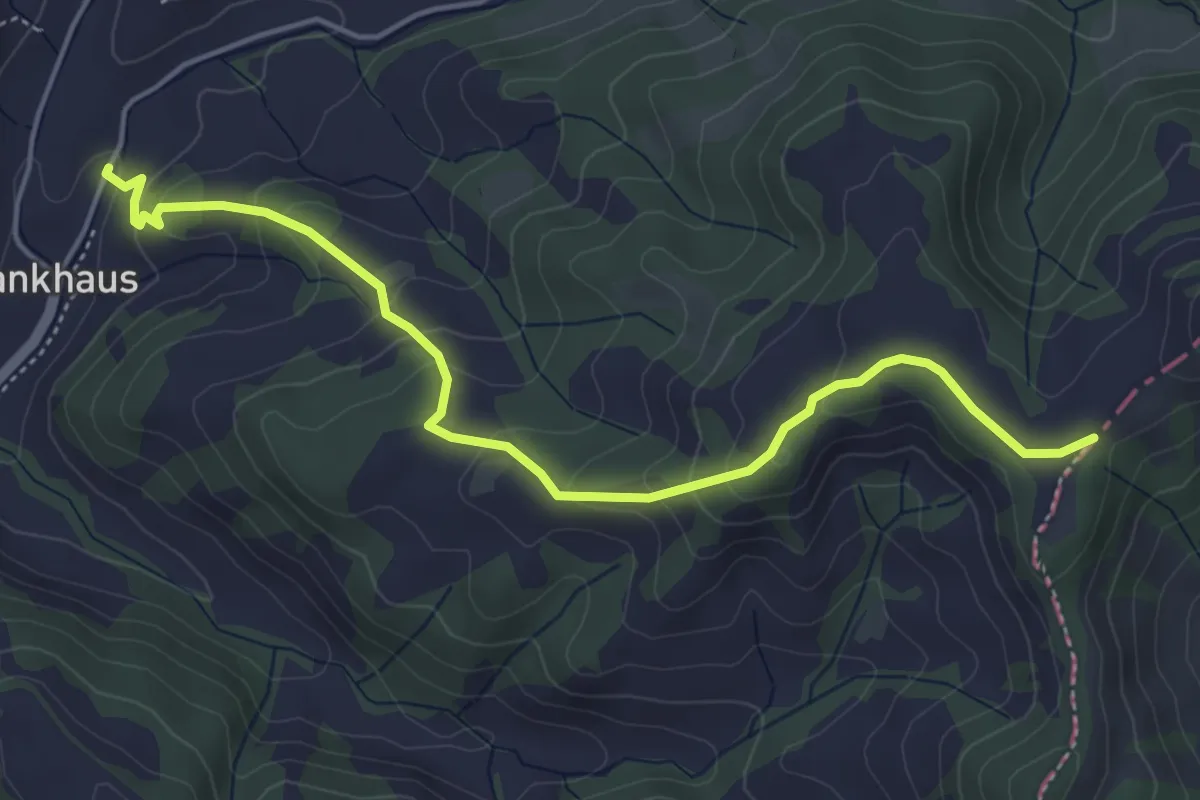
Easy · Trail
Fankhus - Chrüzboden
5.1 km · ↑ 291 m · 1 h 50 min
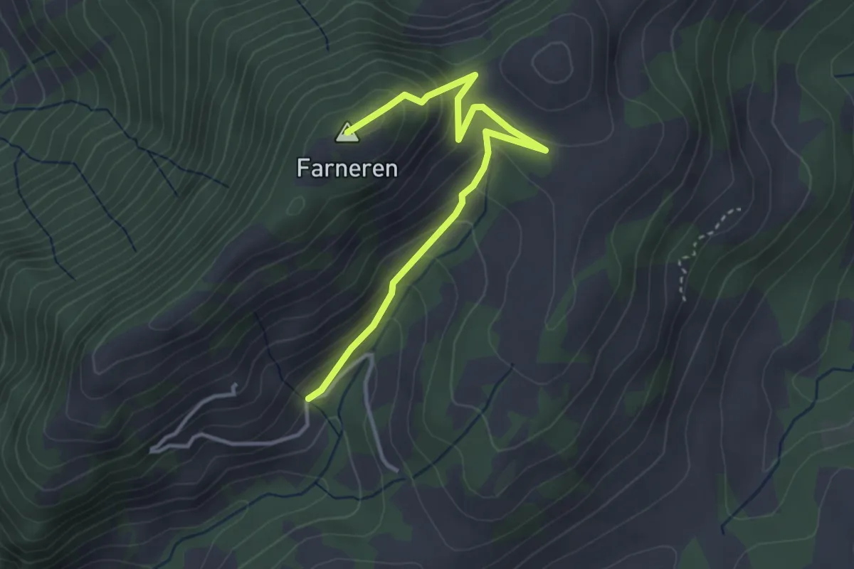
Easy · Summit
Farneren - Unter Farneren
3.6 km · ↑ 256 m · 1 h 25 min
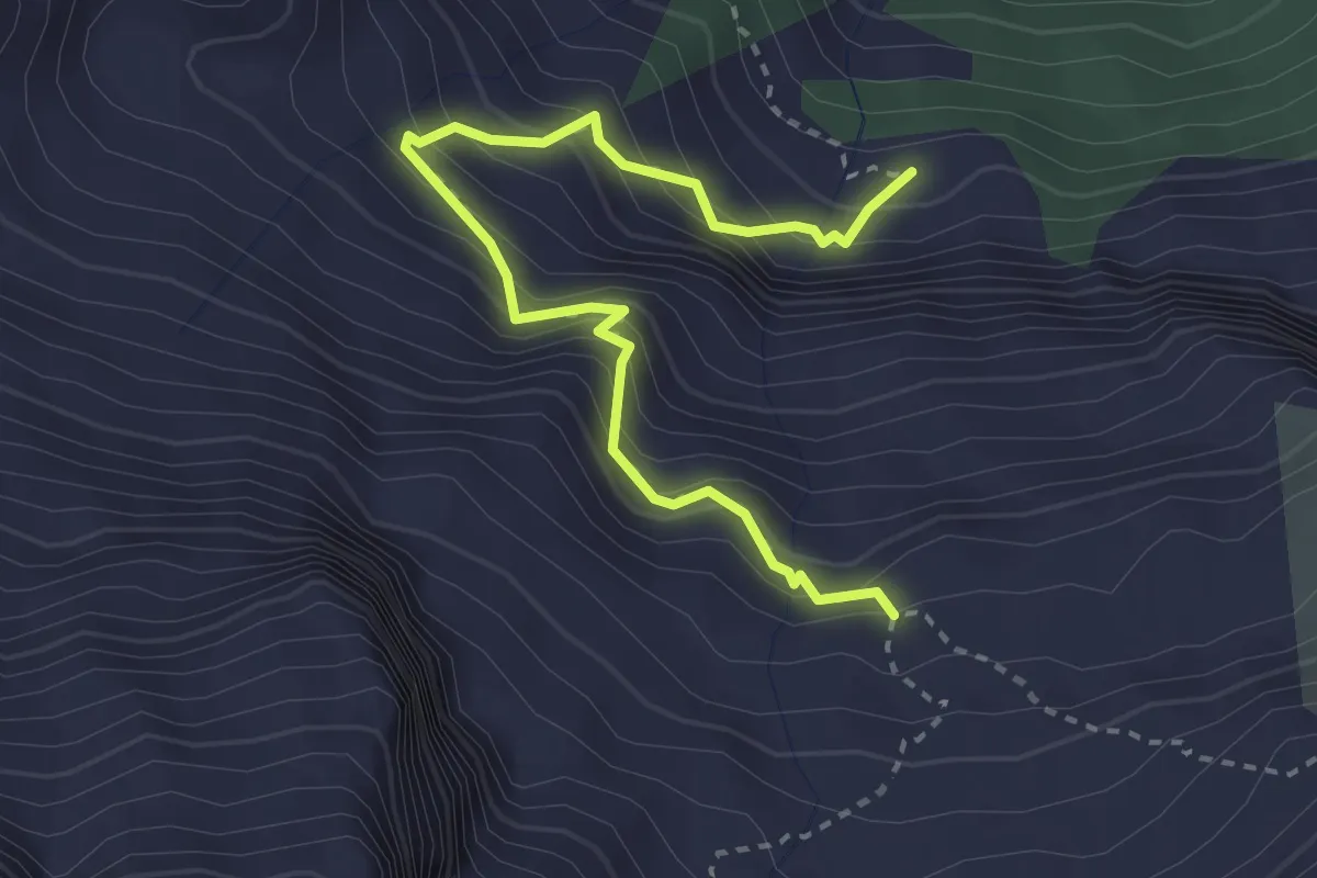
Demanding · Trail
Färnital - Wandeli
3.4 km · ↑ 484 m · 1 h 50 min
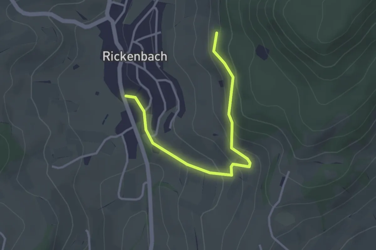
Easy · Trail
Farnsberg - Rickenbach
3.1 km · ↑ 130 m · 1 h 1 min
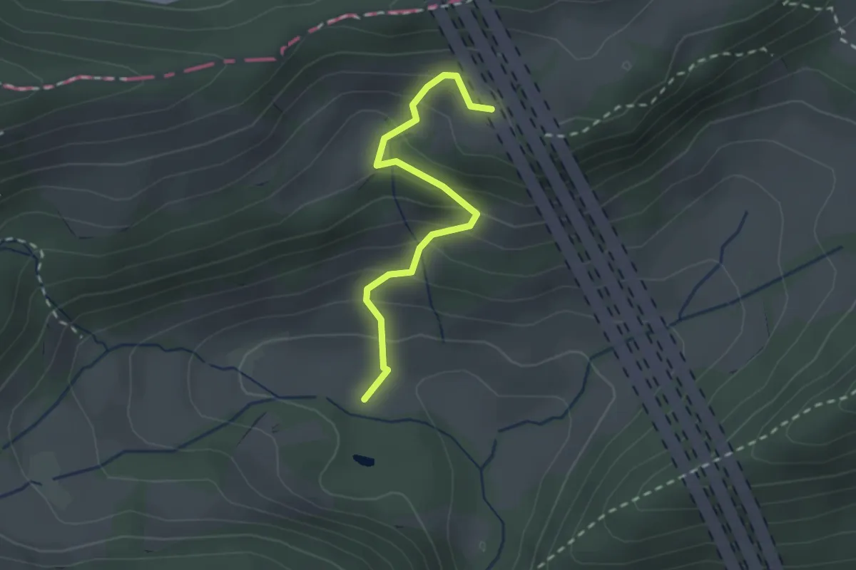
Easy · Trail
Fasiswald - Chambersberg
2.2 km · ↑ 208 m · 58 min
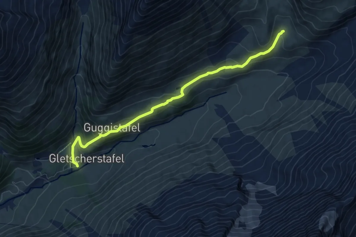
Medium · Trail
Favleralp Anenhütte
8.4 km · ↑ 351 m · 2 h 45 min
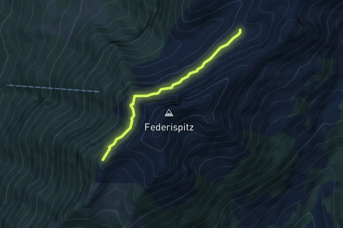
Demanding · Summit
Federigrat - Trüebsiten
4.2 km · ↑ 304 m · 1 h 39 min
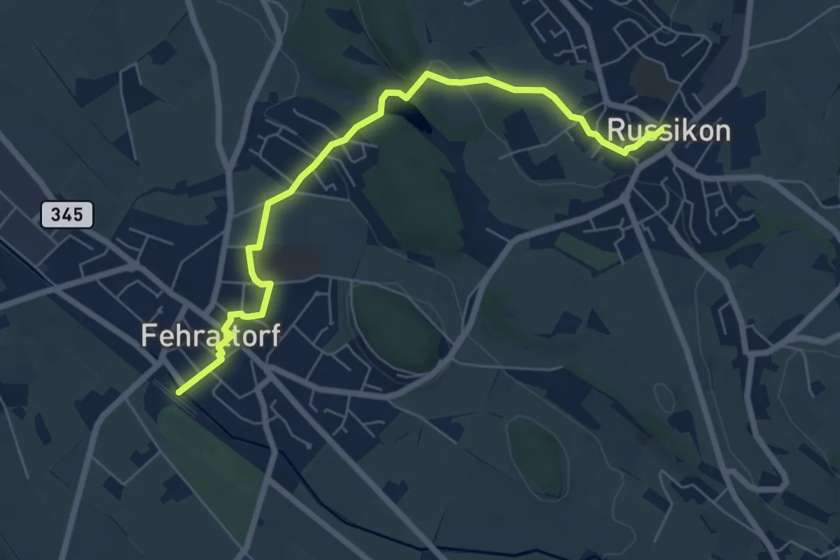
Easy · Trail
Fehraltorf - Russikon
6.3 km · ↑ 97 m · 1 h 42 min
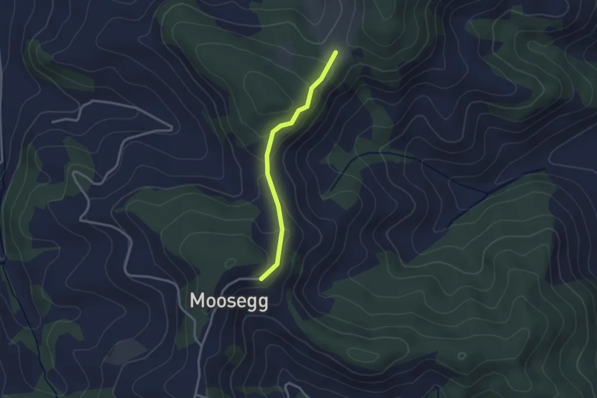
Easy · Trail
Felbach - Hinter Längholz
2.2 km · ↑ 81 m · 42 min
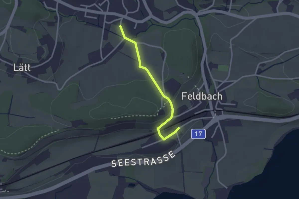
Easy · Trail
Feldbach - Langenriet
2.2 km · ↑ 56 m · 38 min
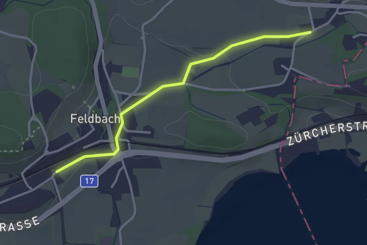
Easy · Trail
Feldbach Station - ?
2.6 km · ↑ 28 m · 41 min
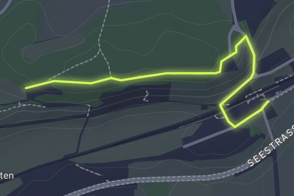
Easy · Trail
Feldbach - Trüllisberg - Langgass
2.4 km · ↑ 54 m · 41 min
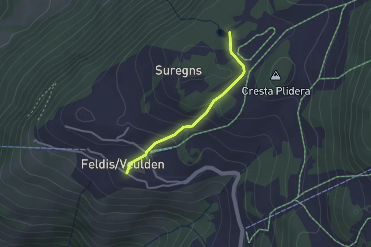
Easy · Trail
Feldis Platz - Plaun Graund
2.1 km · ↑ 104 m · 43 min
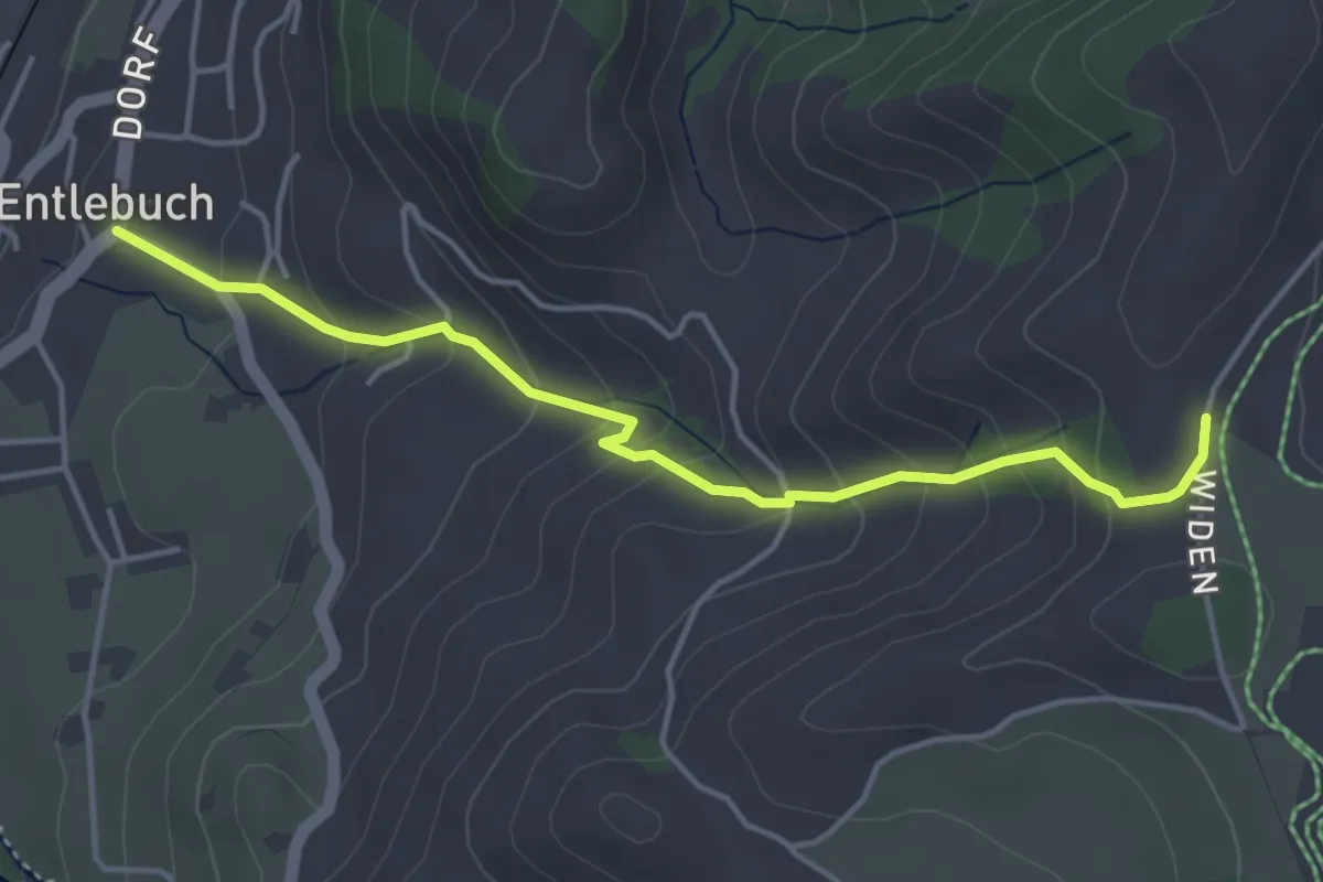
Easy · Trail
Feldmoos - Entlebuch
4.3 km · ↑ 292 m · 1 h 38 min
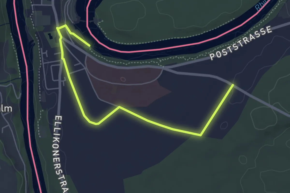
Easy · Trail
Feldweg
2.7 km · ↑ 36 m · 44 min
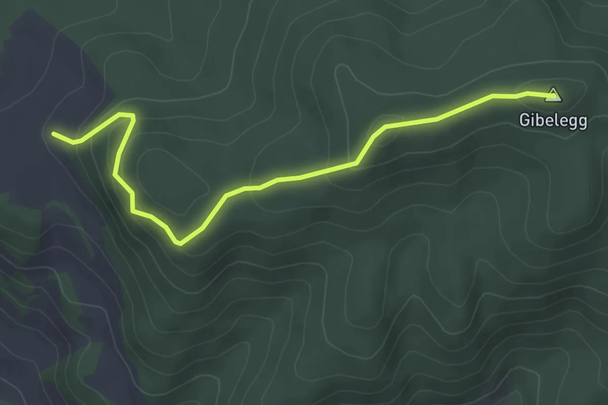
Easy · Summit
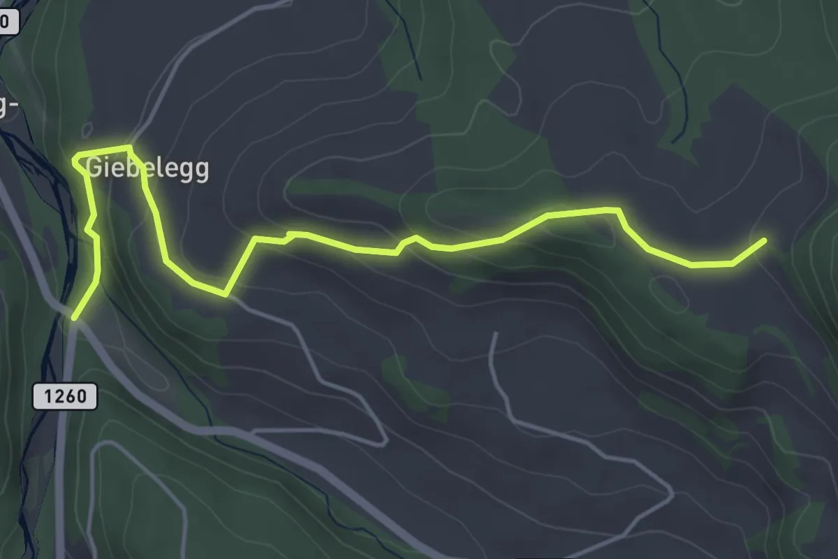
Feli - Gibelegg
4.0 km · ↑ 206 m · 1 h 24 min
Easy · Trail
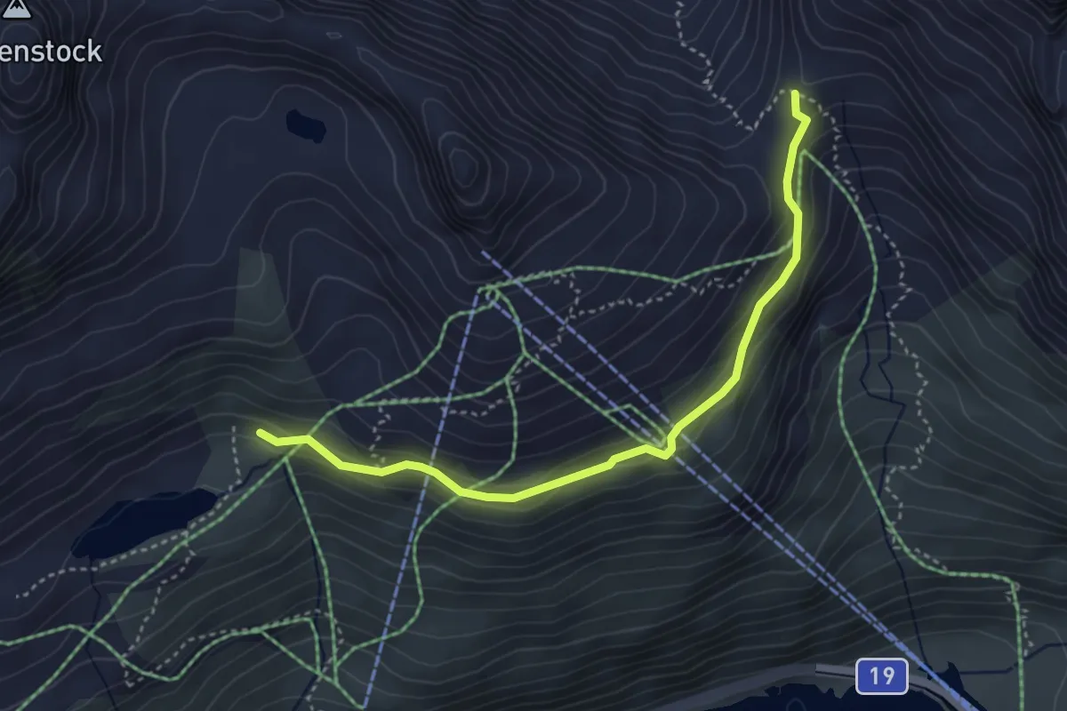
Feli - Rüschegg / Rütiplötsch
5.0 km · ↑ 212 m · 1 h 38 min
Medium · Trail
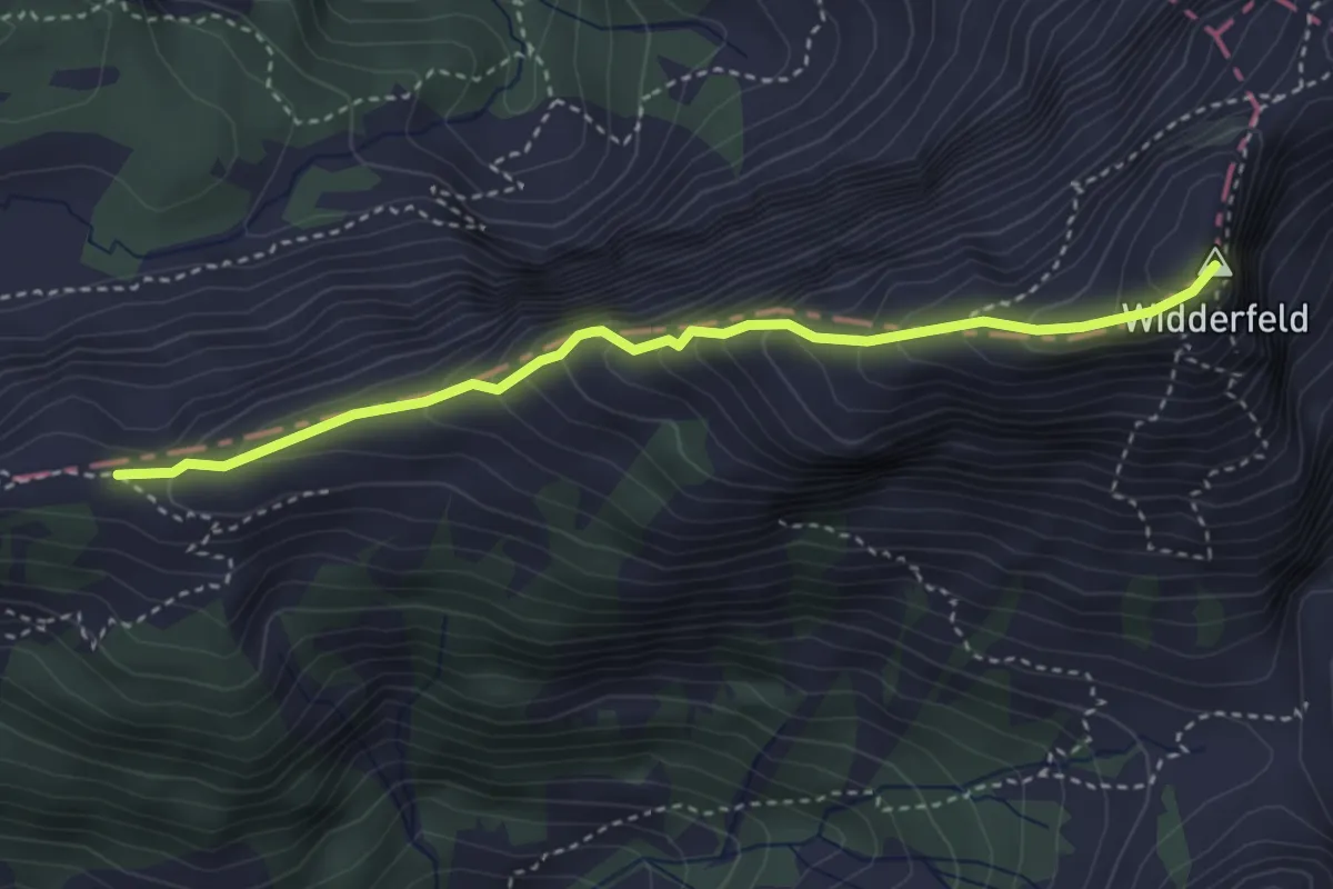
Fellilücke - Lutersee
3.9 km · ↑ 181 m · 1 h 19 min
Demanding · Summit
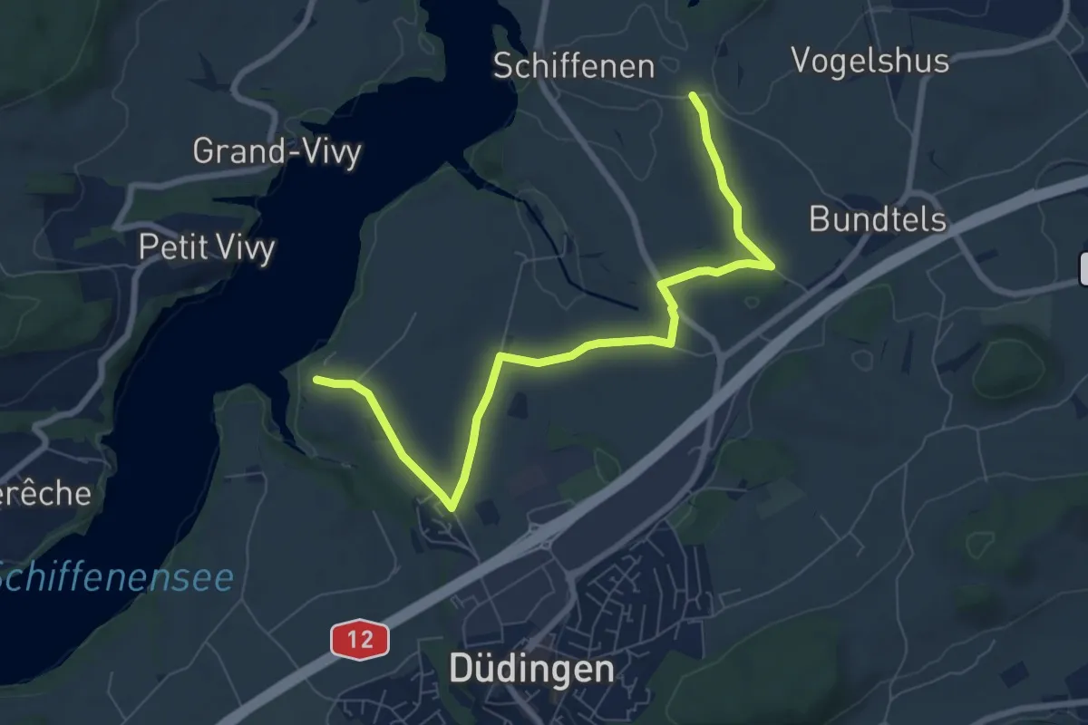
Felli - Widderfeld
3.5 km · ↑ 401 m · 1 h 42 min
Medium · Trail
Felliwil - Schlattli
8.1 km · ↑ 82 m · 2 h 6 min
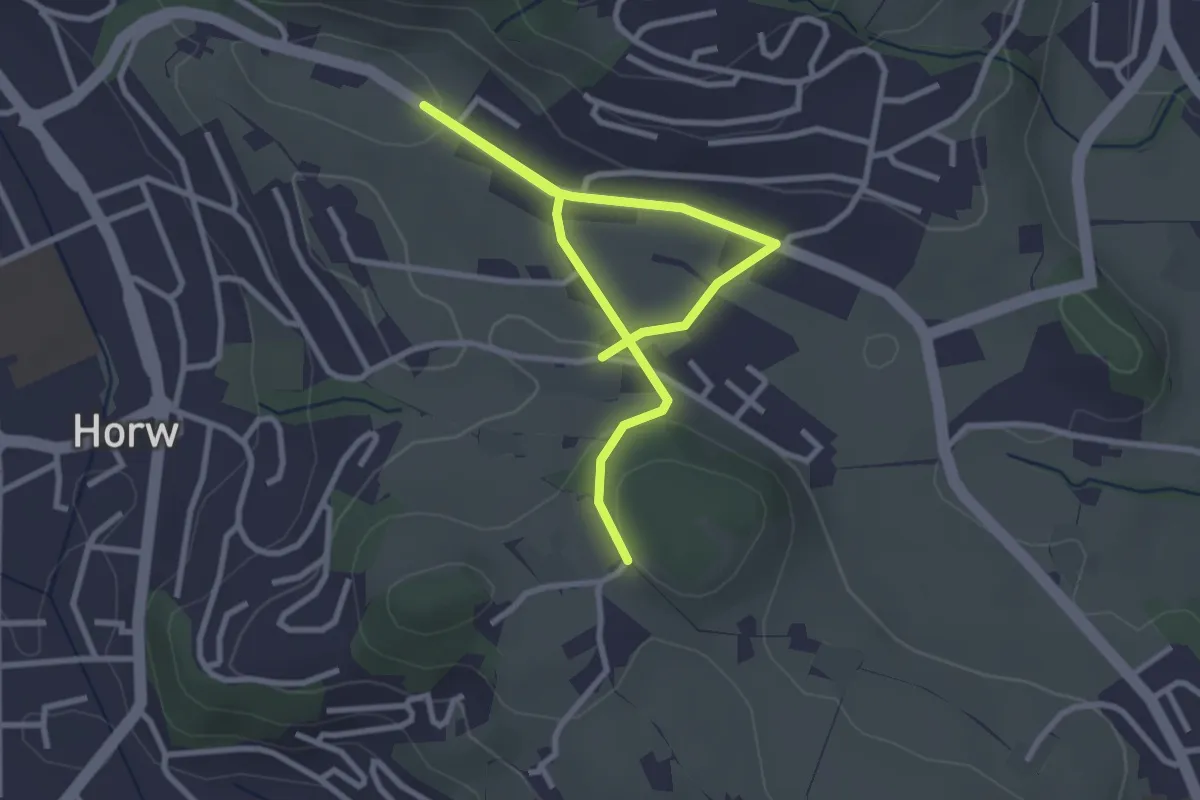
Easy · Trail
Felmis - Längacher
4.0 km · ↑ 80 m · 1 h 7 min
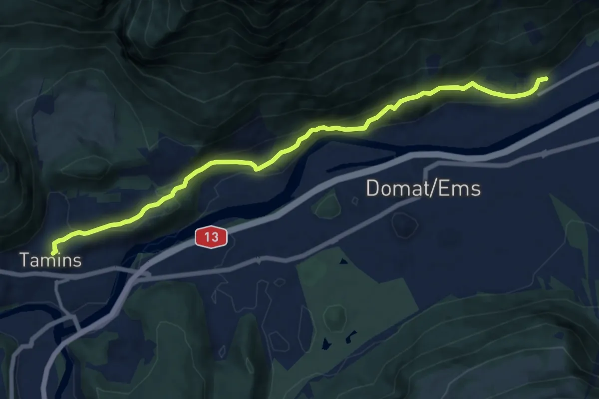
Medium · Trail
Felsberg-Tamins
10.5 km · ↑ 531 m · 3 h 38 min
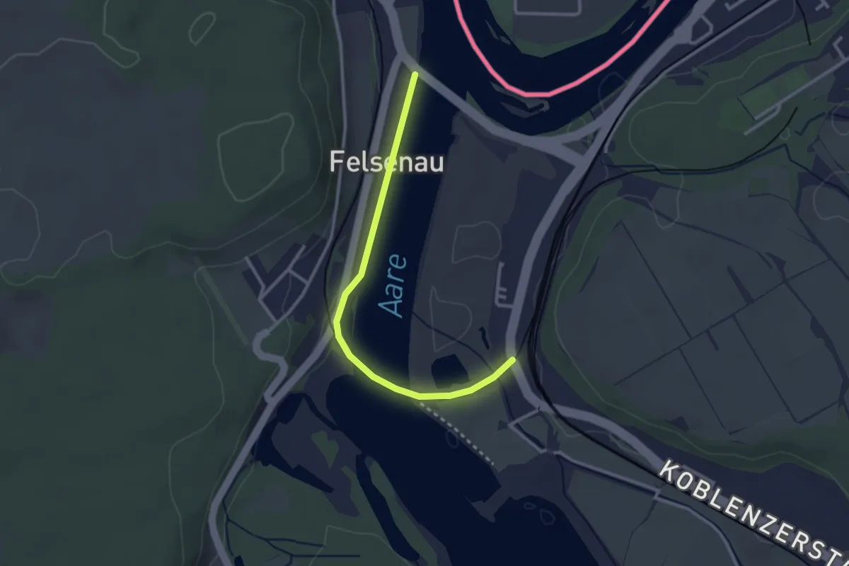
Easy · Trail
Felsenau - fixme
2.8 km · ↑ 14 m · 41 min
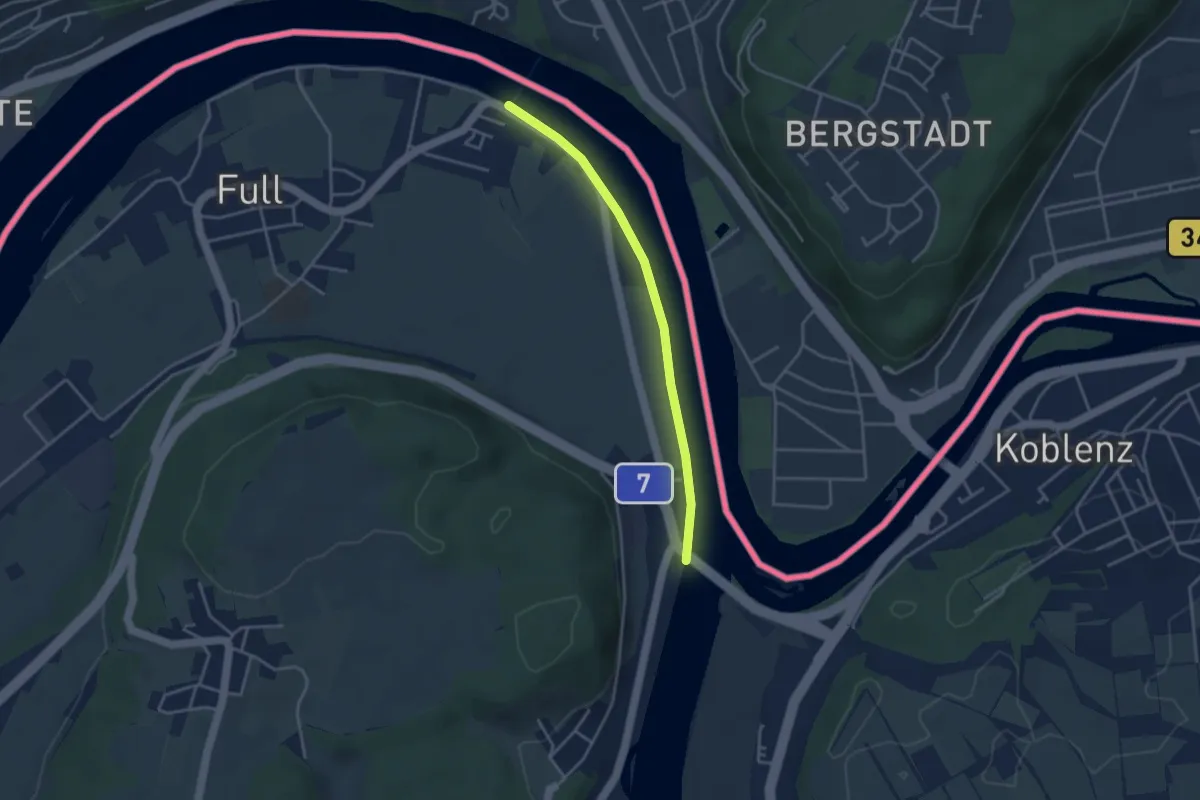
Easy · Trail
Felsenau - Full Fähre
3.4 km · ↑ 8 m · 49 min
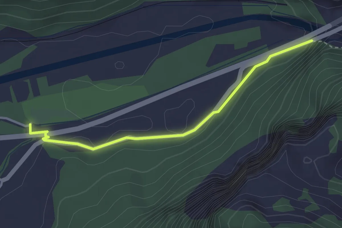
Easy · Trail
Felsenbach - Ganda
2.8 km · ↑ 80 m · 51 min
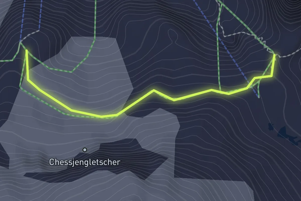
Expert · Trail
Felskinnweg
2.0 km · ↑ 137 m · 47 min
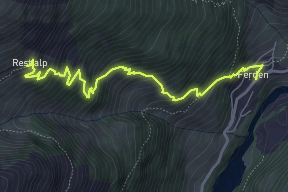
Medium · Trail
Ferden Restialp
6.3 km · ↑ 757 m · 3 h 8 min
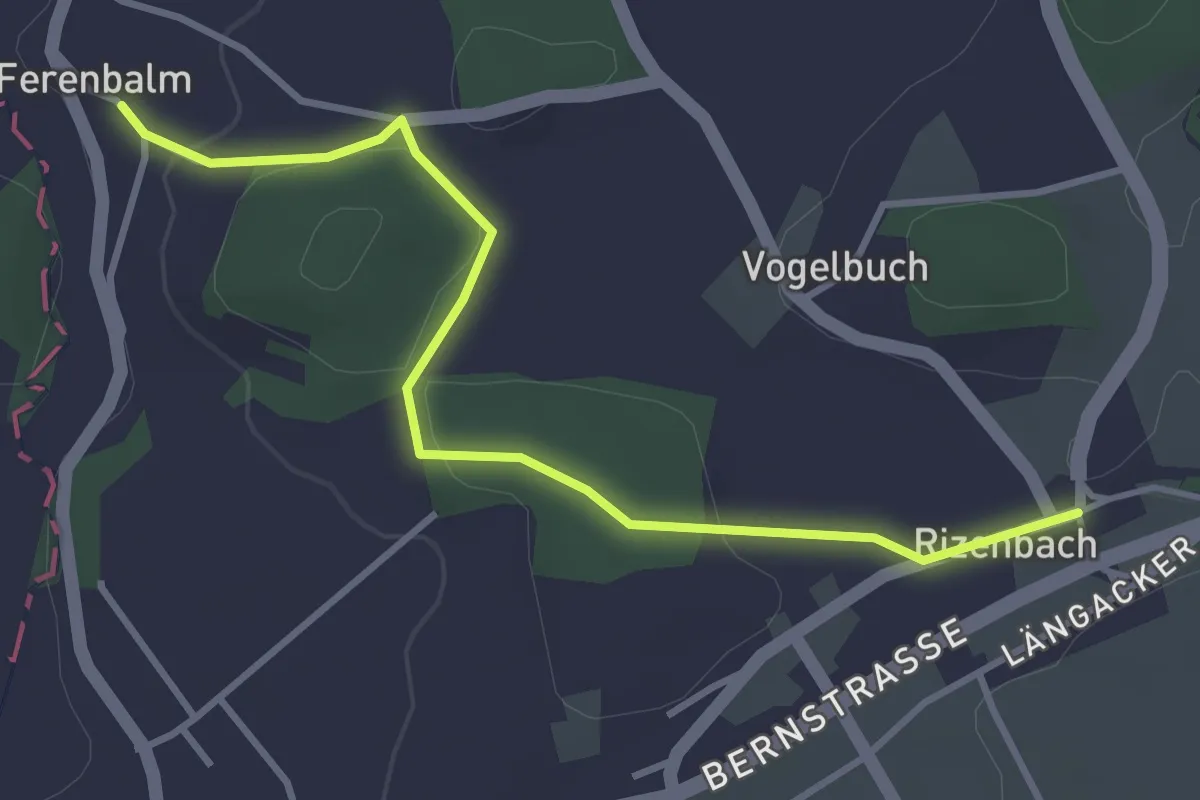
Easy · Trail
Ferenbalm Kirche - Rizenbach
3.7 km · ↑ 88 m · 1 h 4 min