Trails in Switzerland
15,029 hiking trails, each with its route, climb, walking time and grade.
All trails, page 34 of 314
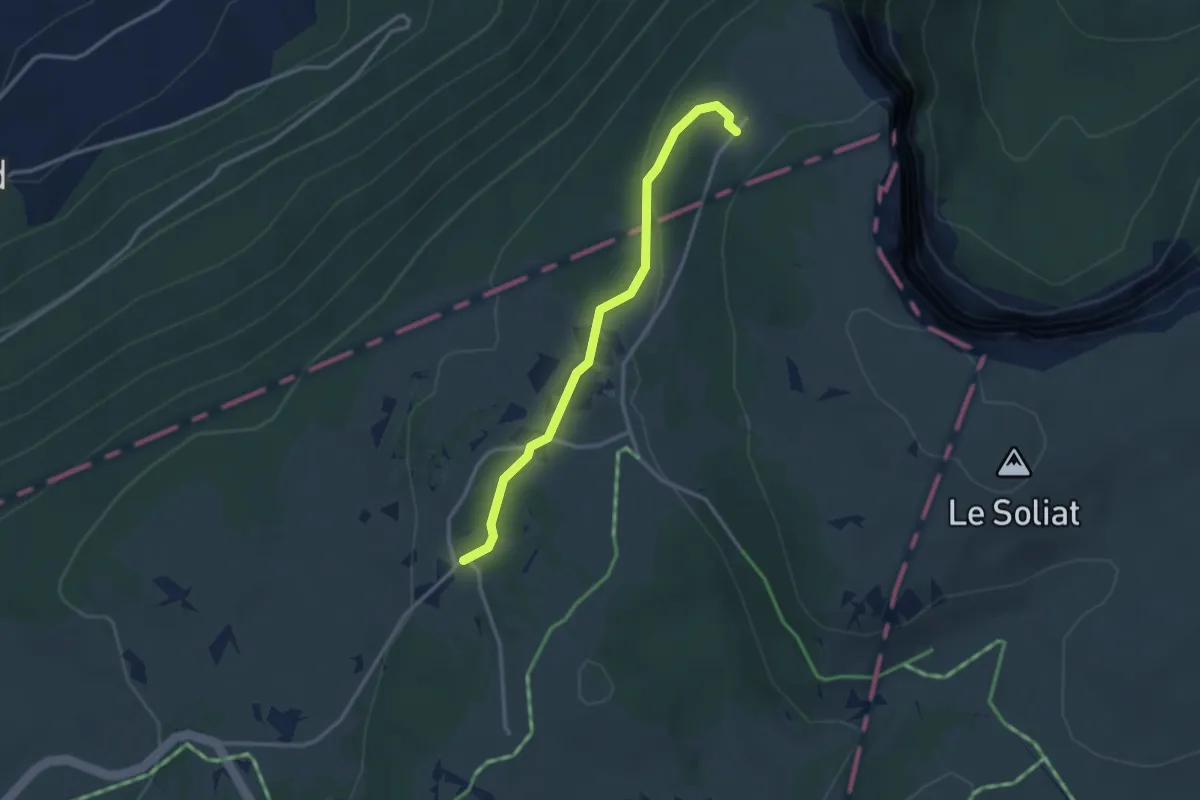
Easy · Trail
Ferme de Soliat - Chez les Favre? - fixme
3.0 km · ↑ 59 m · 50 min
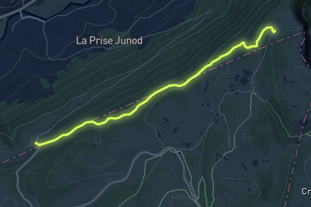
Medium · Trail
Ferme du Soliat - La Banderette
7.6 km · ↑ 338 m · 2 h 31 min
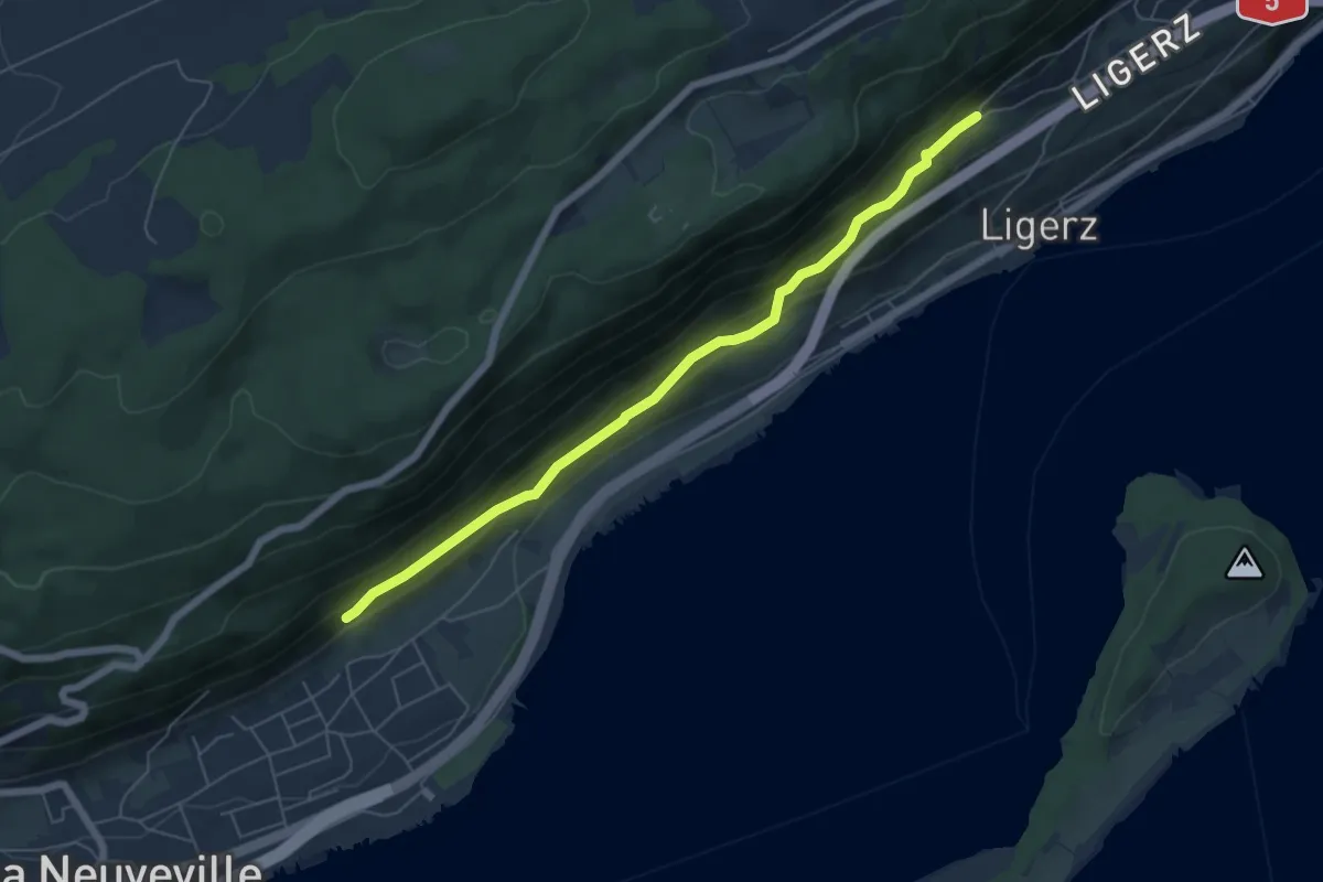
Medium · Trail
Festi - fixme
5.9 km · ↑ 325 m · 2 h 6 min
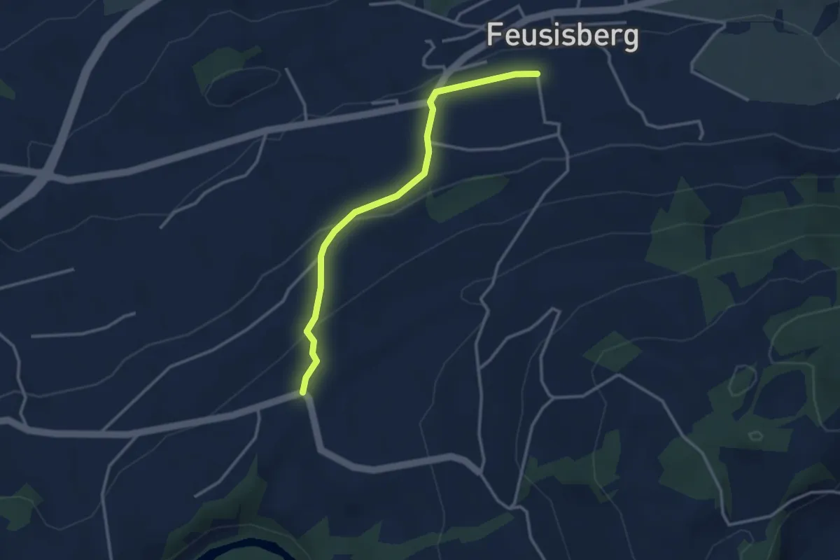
Easy · Trail
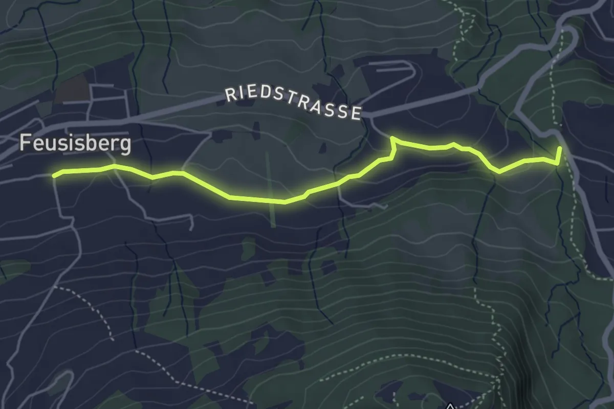
Feusisberg (Moos) - Chastenegg
3.0 km · ↑ 132 m · 1 h
Easy · Trail
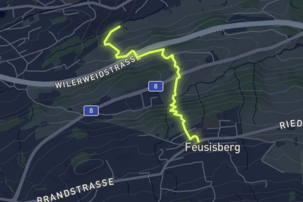
Feusisberg (Moos) - Schnäggenburg
4.4 km · ↑ 137 m · 1 h 20 min
Easy · Trail
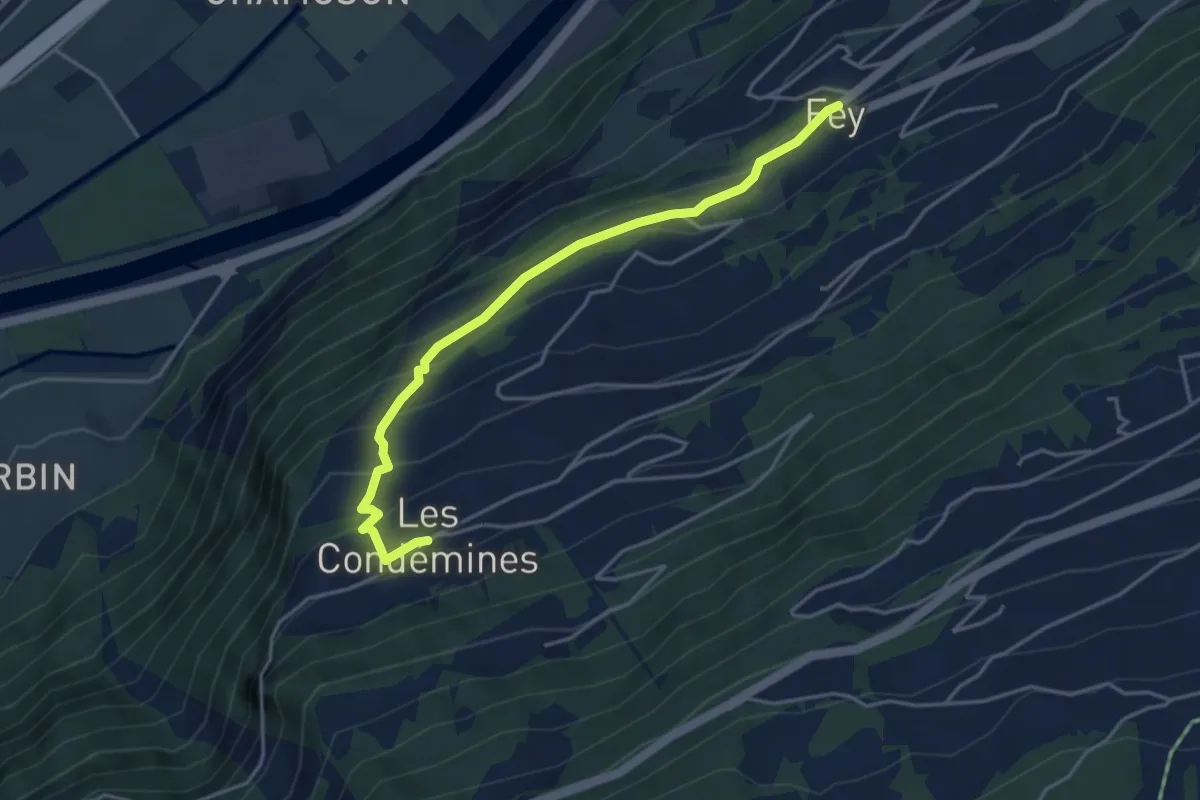
Feusisberg - Obereulen
4.1 km · ↑ 224 m · 1 h 27 min
Easy · Trail
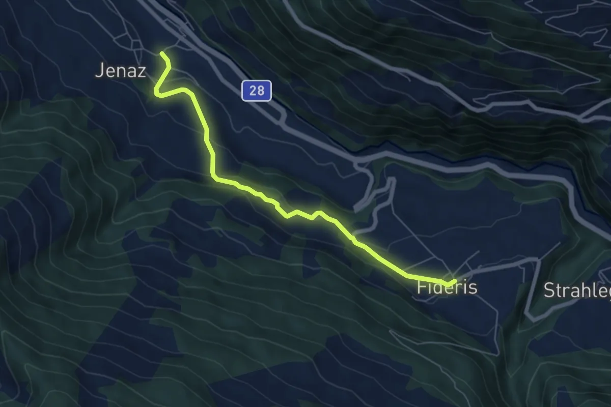
Fey - Les Condémines
4.3 km · ↑ 310 m · 1 h 41 min
Easy · Trail
Fideris - Jenaz
6.0 km · ↑ 268 m · 1 h 59 min
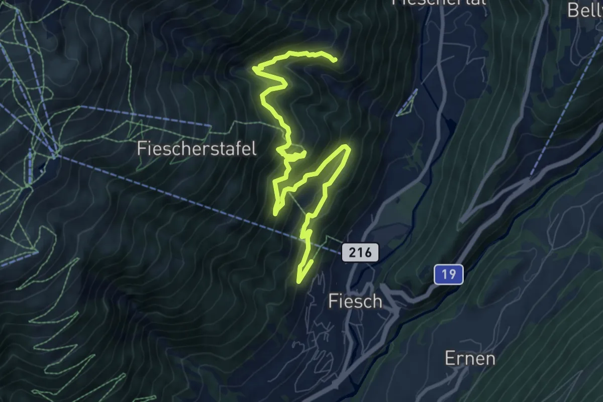
Medium · Trail
Fiesch - Bärg
10.4 km · ↑ 758 m · 4 h 6 min
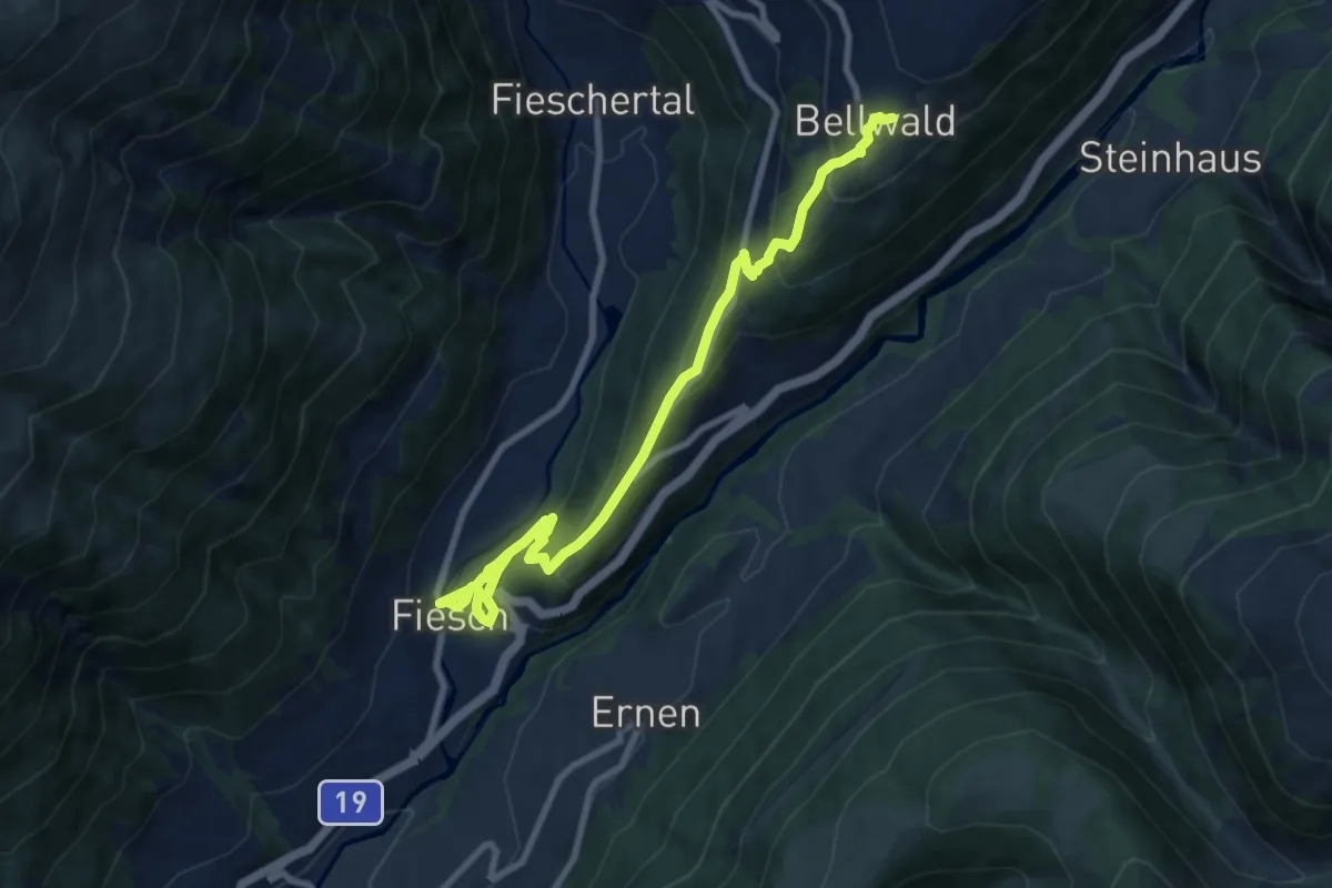
Medium · Trail
Fiesch - Bellwald
9.8 km · ↑ 548 m · 3 h 30 min
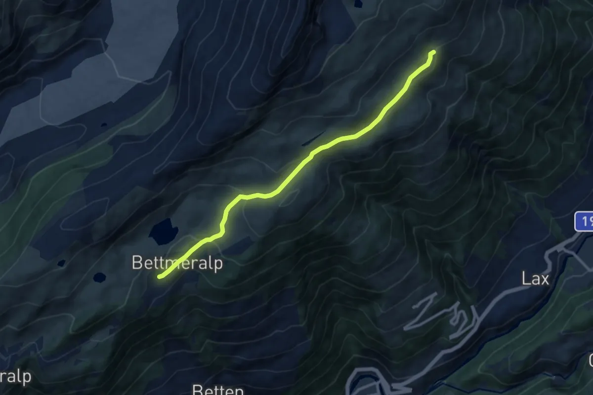
Medium · Trail
Fiescheralp - Bettmeralp
9.2 km · ↑ 317 m · 2 h 51 min
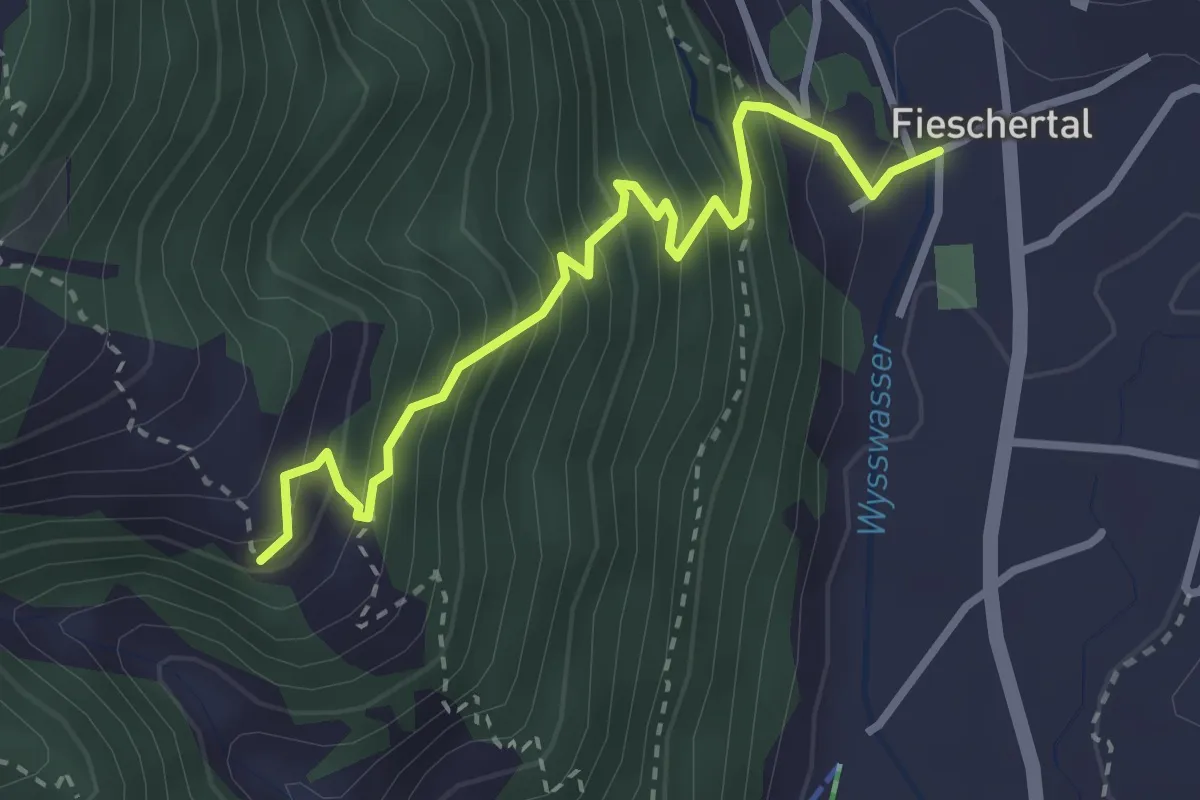
Medium · Trail
Fieschertal - Bärg
3.0 km · ↑ 423 m · 1 h 37 min
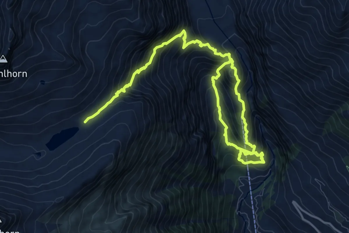
Demanding · Cabin
Fieschertal - Burghütte - Märjele
15.8 km · ↑ 1603 m · 7 h 12 min
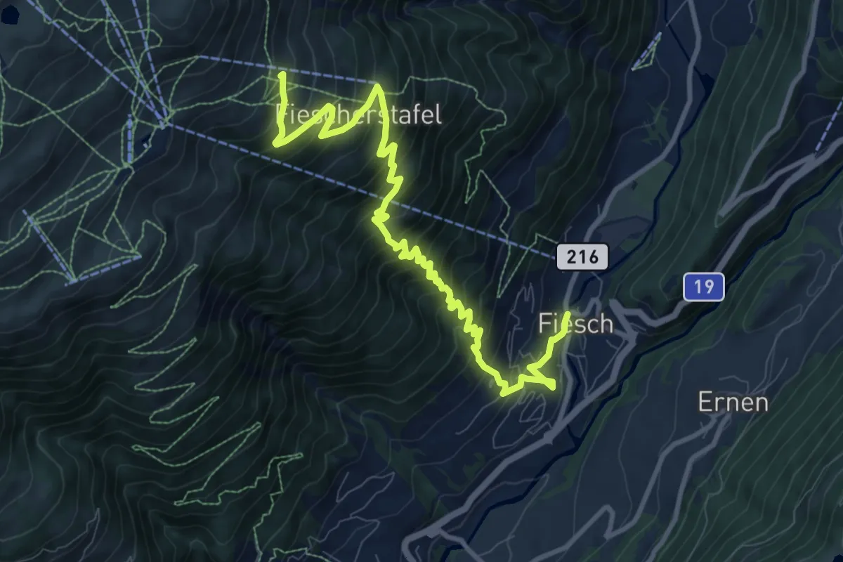
Demanding · Trail
Fiesch - Fiescheralp
11.2 km · ↑ 1061 m · 4 h 57 min
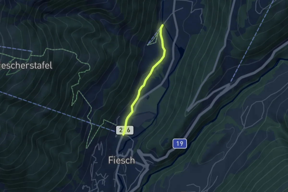
Easy · Trail
Fiesch - Fieschertal
3.1 km · ↑ 55 m · 52 min
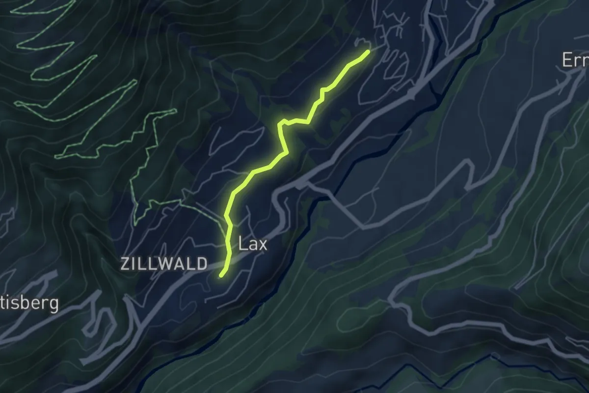
Easy · Trail
Fiesch - Lax
3.8 km · ↑ 141 m · 1 h 12 min
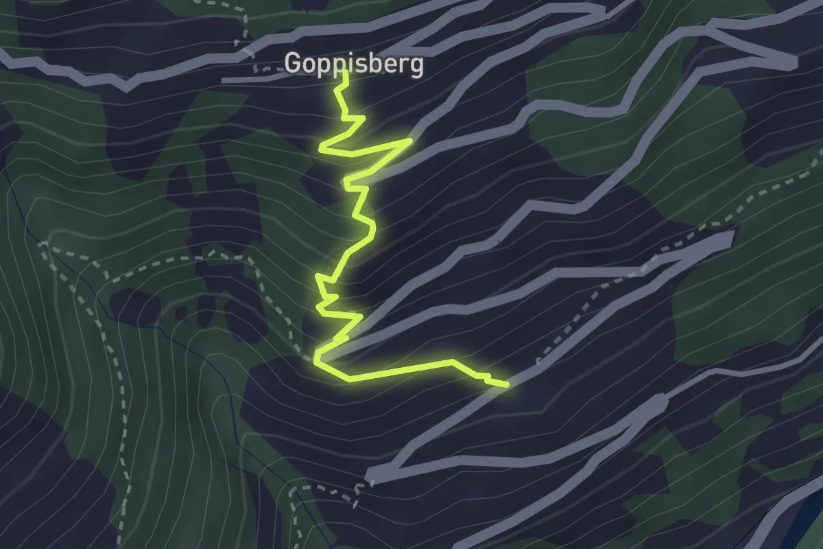
Medium · Trail
Filet - Goppisberg
2.9 km · ↑ 328 m · 1 h 24 min
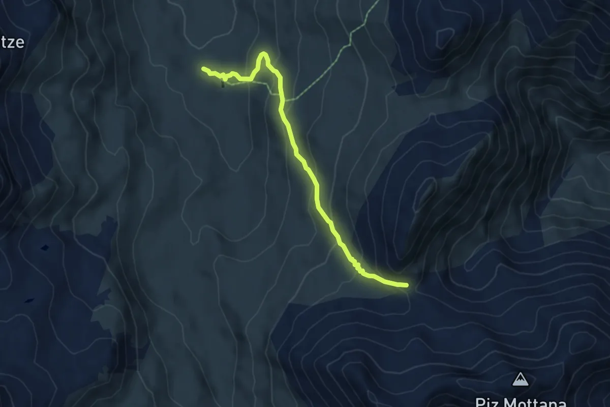
Medium · Cabin
Fimberpass - Heidelberger Huette
5.5 km · ↑ 354 m · 2 h 4 min
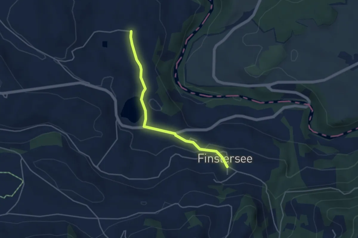
Easy · Trail
Finstersee - Hintercher
3.5 km · ↑ 79 m · 1 h
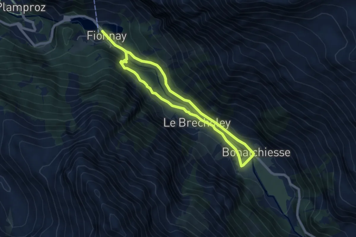
Medium · Trail
Fionnay-Bonatchiesse
8.8 km · ↑ 314 m · 2 h 46 min
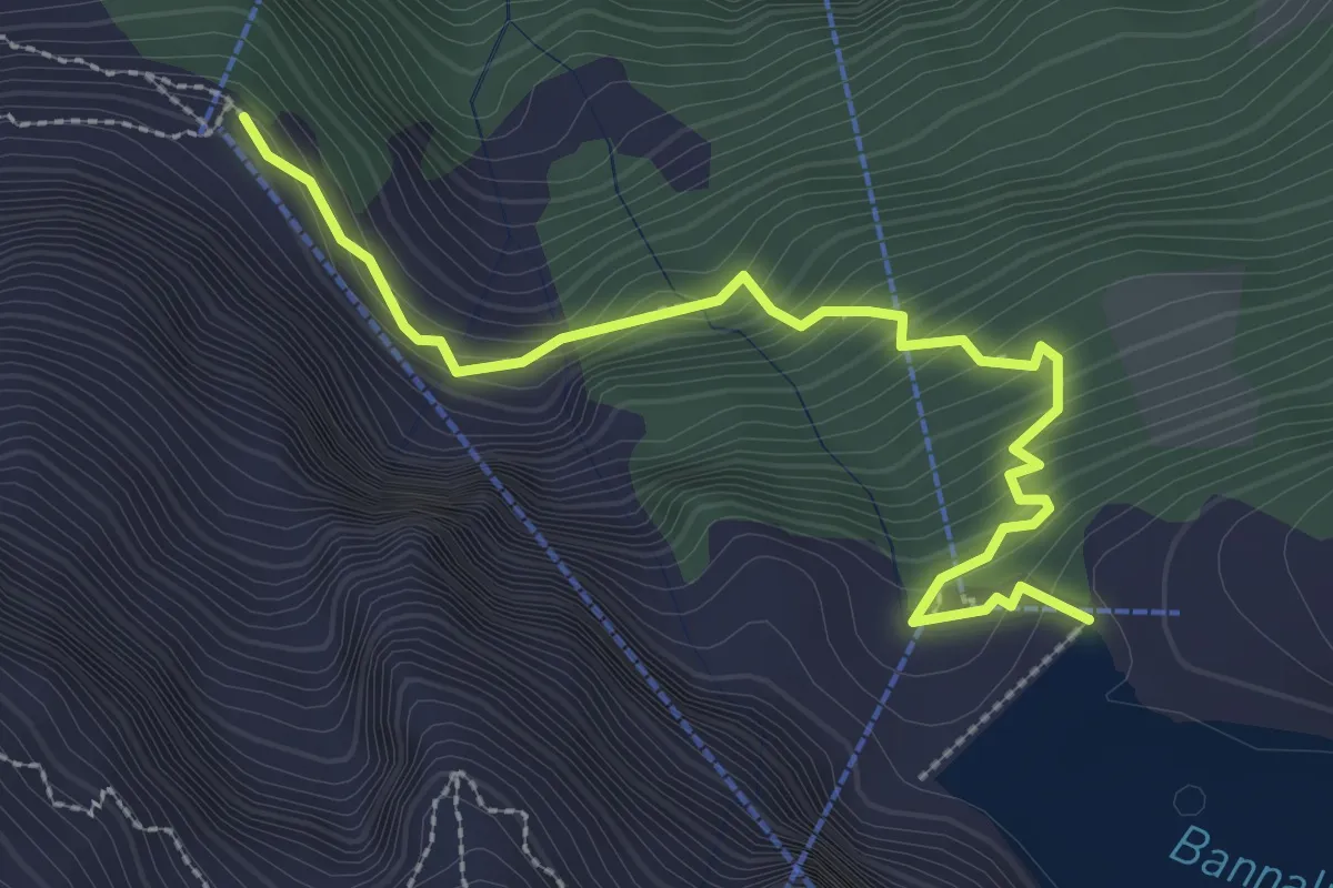
Medium · Cabin
Firnhütte - Bannalpsee
3.0 km · ↑ 276 m · 1 h 19 min
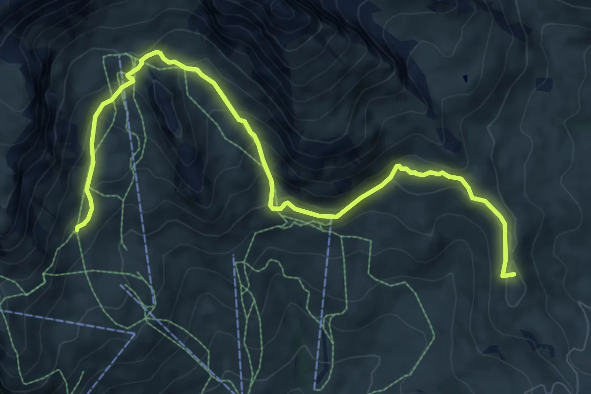
Medium · Summit
First - Grosse Scheidegg (Höhenweg 2400)
9.9 km · ↑ 593 m · 3 h 38 min
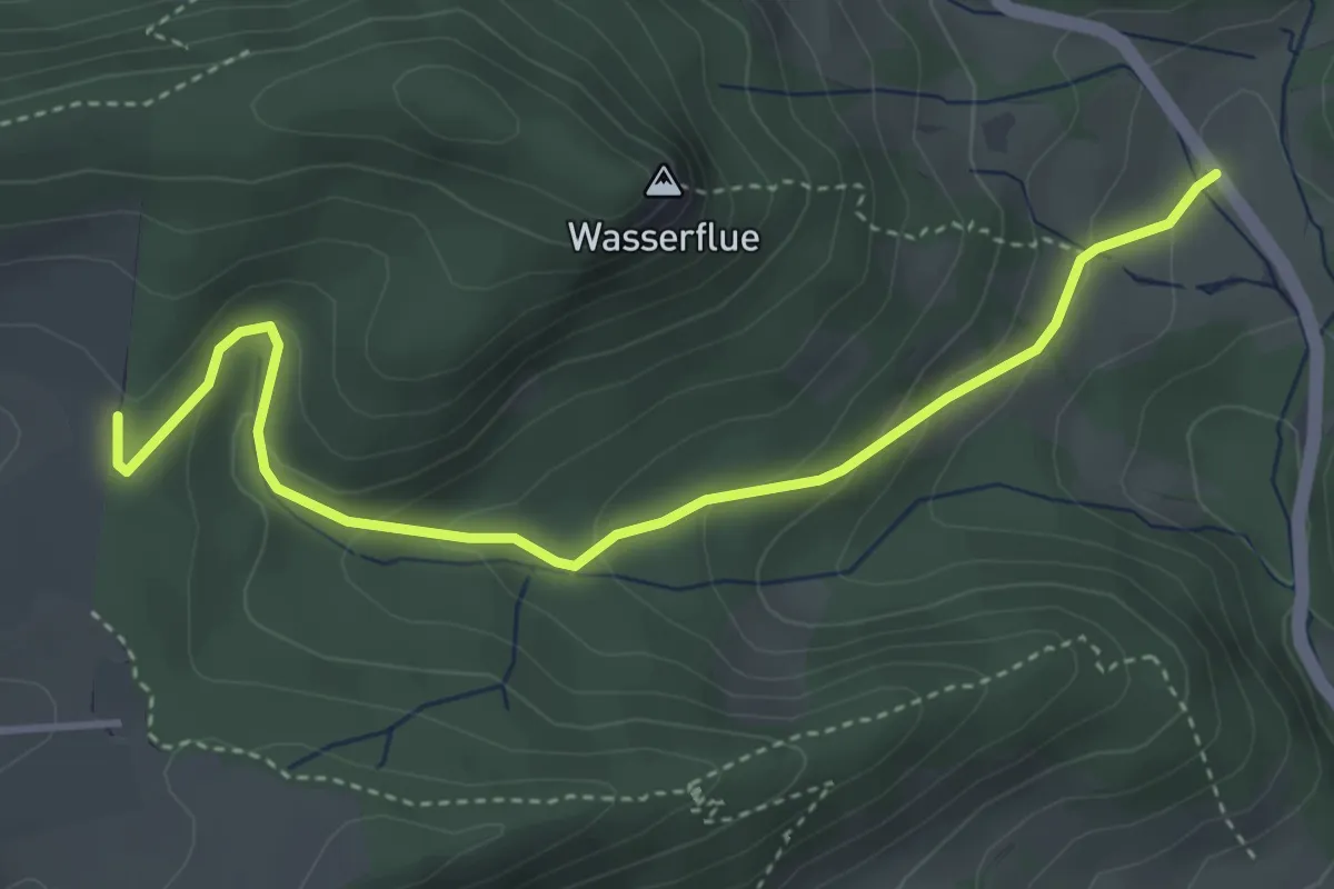
Easy · Trail
Fischbach - Hinterfeld
4.1 km · ↑ 195 m · 1 h 24 min
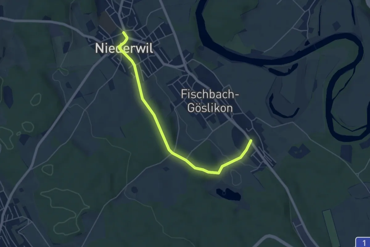
Easy · Trail
Fischbach - Niederwil
5.2 km · ↑ 104 m · 1 h 27 min
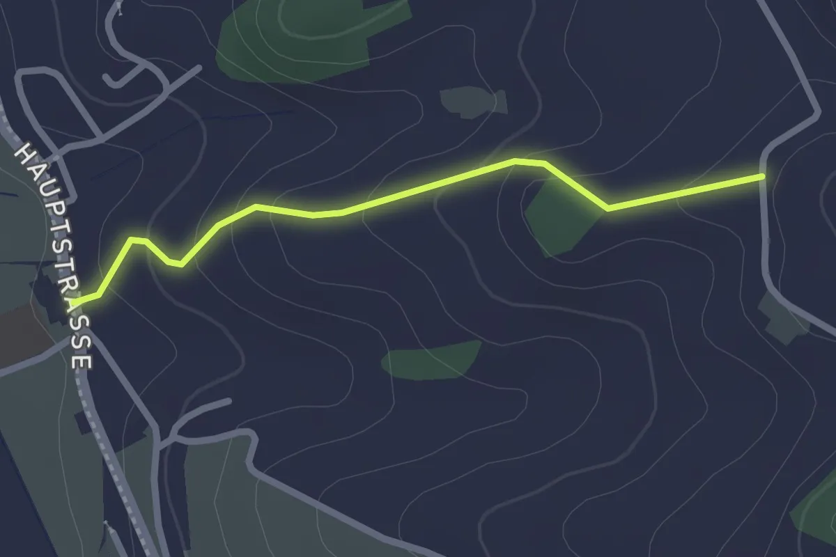
Easy · Trail
Fischbach - Ober Schlämpen
2.0 km · ↑ 100 m · 42 min
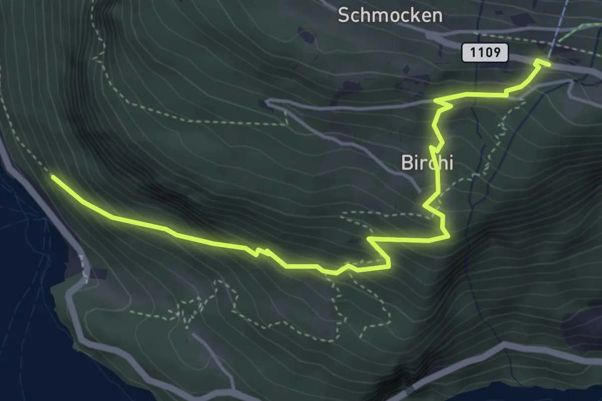
Medium · Trail
Fischbalme - Beatenberg
4.9 km · ↑ 503 m · 2 h 14 min
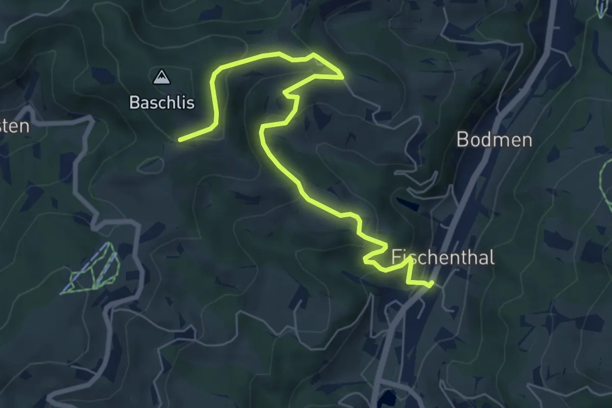
Medium · Trail
Fischenthal - Ghöchweid
6.5 km · ↑ 340 m · 2 h 16 min
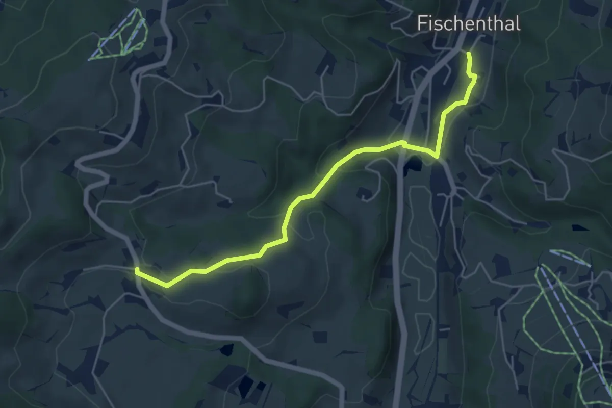
Easy · Trail
Fischenthal - Kleinbäretswil
4.8 km · ↑ 164 m · 1 h 29 min
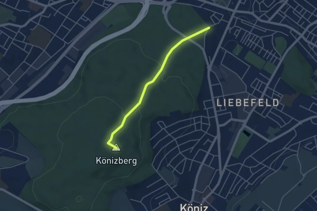
Easy · Summit
Fischermätteli - Könizberg/Stärn
3.5 km · ↑ 126 m · 1 h 7 min
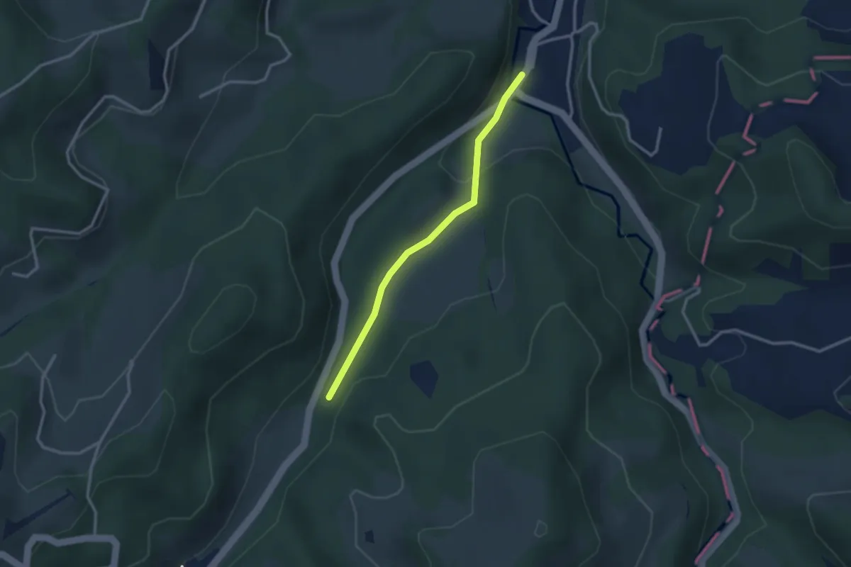
Easy · Trail
Fischingen Kloster - Au - fixme
2.4 km · ↑ 48 m · 41 min
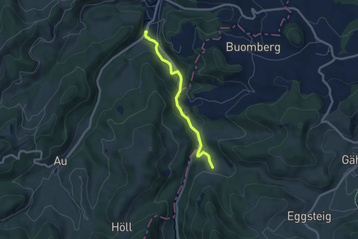
Easy · Trail
Fischingen Kloster - Hüttenstetten
4.5 km · ↑ 124 m · 1 h 19 min
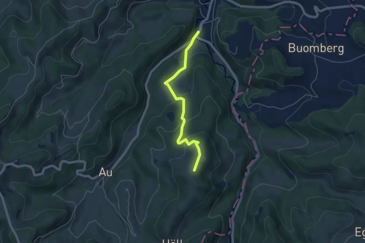
Easy · Trail
Fischingen Kloster - Ottenegg
4.3 km · ↑ 211 m · 1 h 29 min
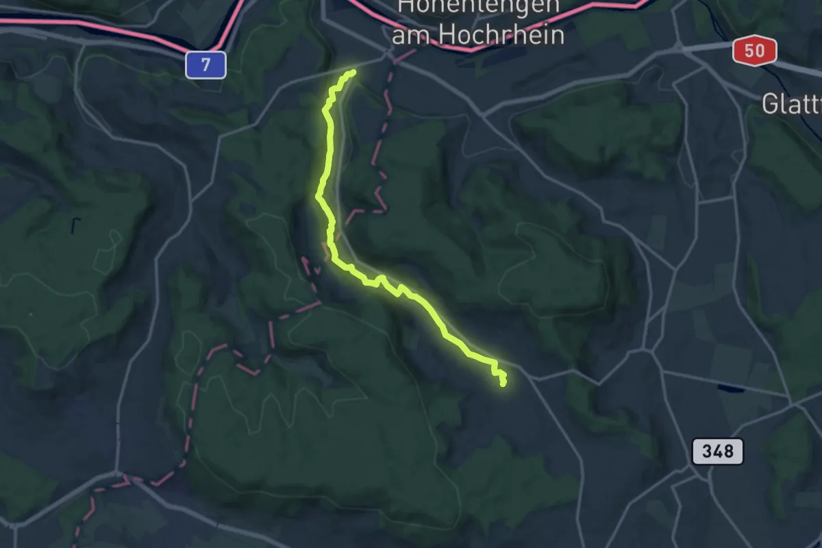
Medium · Trail
Fisibach- Bachs
13.2 km · ↑ 277 m · 3 h 43 min
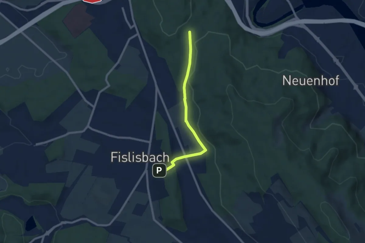
Easy · Trail
Fislisbach - Spittelau
5.2 km · ↑ 87 m · 1 h 25 min
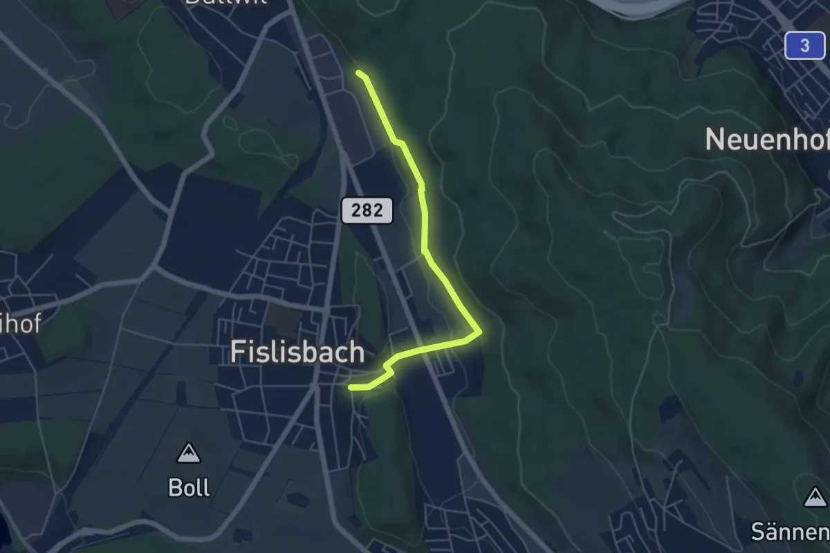
Easy · Trail
Fislisbach - Täferen
4.7 km · ↑ 70 m · 1 h 16 min
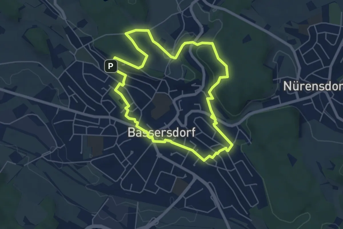
Easy · Trail
fitnessrundgang
4.8 km · ↑ 94 m · 1 h 25 min
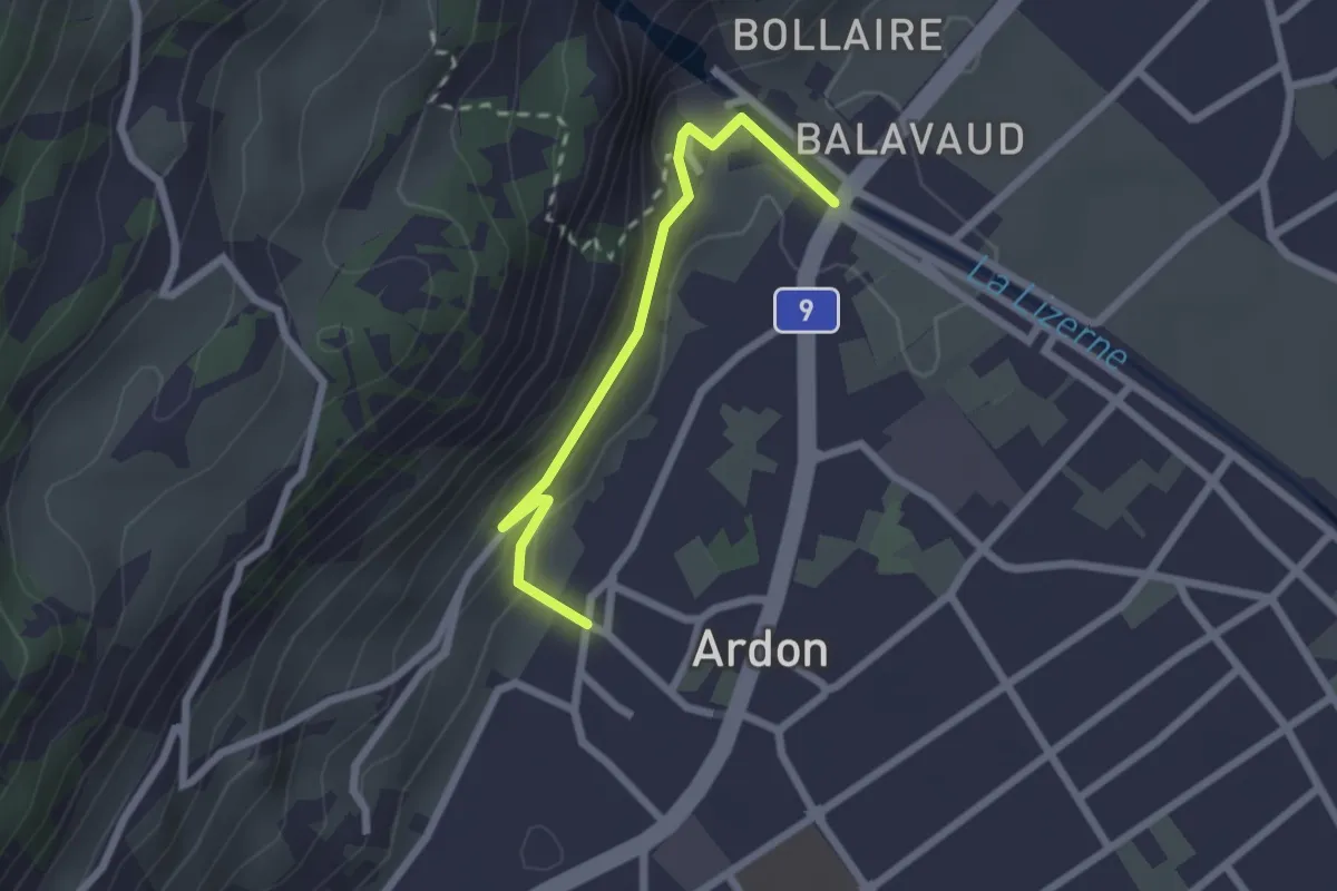
Easy · Trail
fixme - Ardon Centre
2.2 km · ↑ 131 m · 48 min
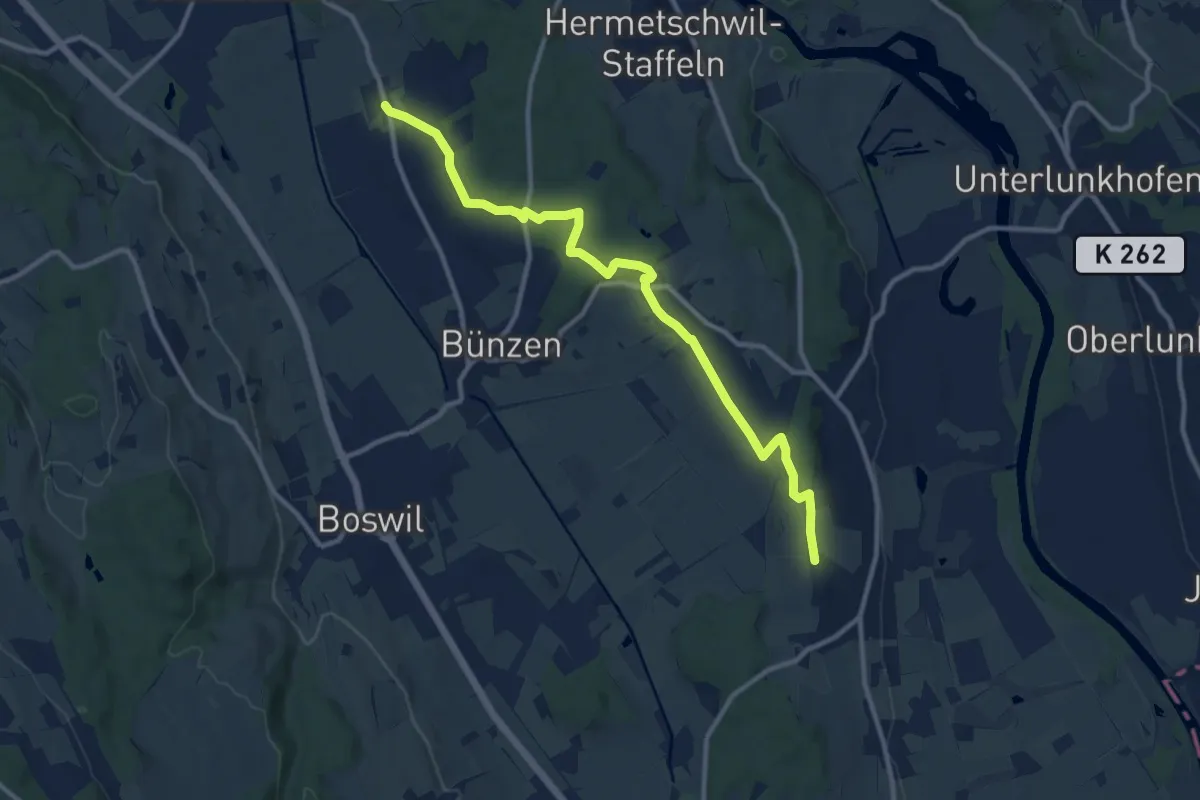
Medium · Trail
fixme - Chapf
11.4 km · ↑ 151 m · 3 h 2 min
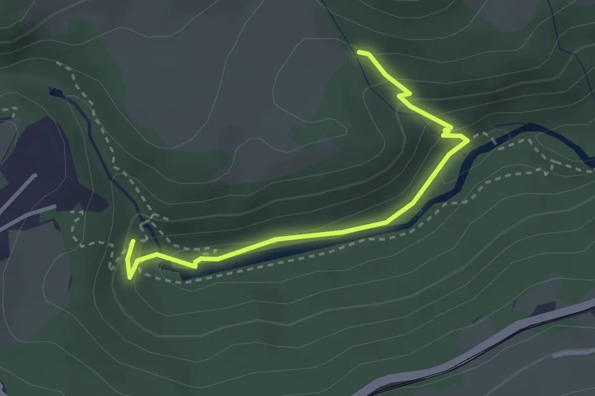
Easy · Trail
fixme - fixme
2.9 km · ↑ 138 m · 59 min
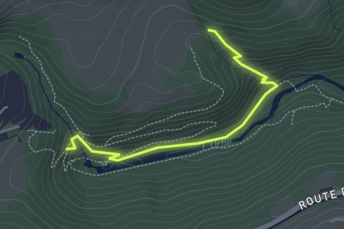
Easy · Trail
fixme - fixme
2.9 km · ↑ 172 m · 1 h 4 min
Easy · Trail
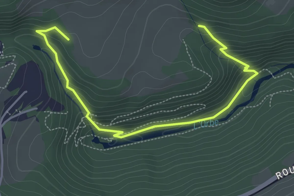
fixme - fixme
4.0 km · ↑ 219 m · 1 h 25 min
Medium · Trail
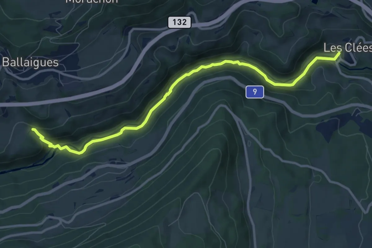
fixme - fixme
9.2 km · ↑ 321 m · 2 h 52 min
Easy · Trail
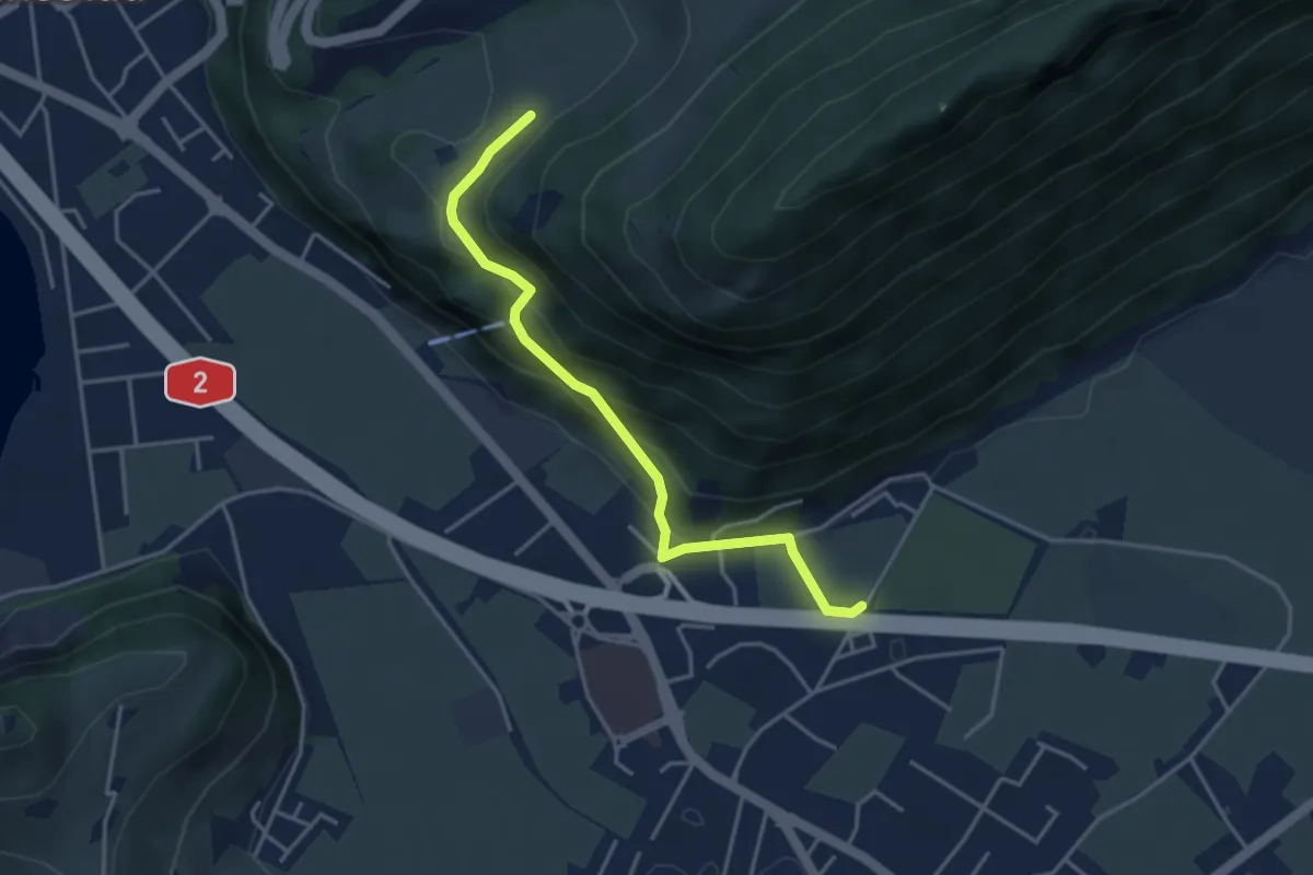
fixme - fixme
3.8 km · ↑ 220 m · 1 h 23 min
Easy · Trail
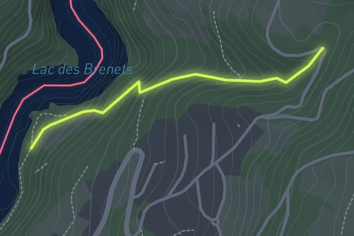
fixme - fixme
2.1 km · ↑ 188 m · 55 min
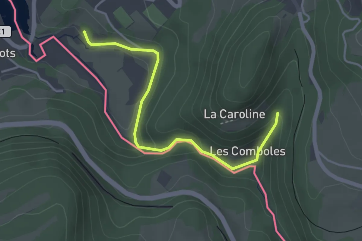
Easy · Trail
fixme - fixme
3.5 km · ↑ 211 m · 1 h 17 min
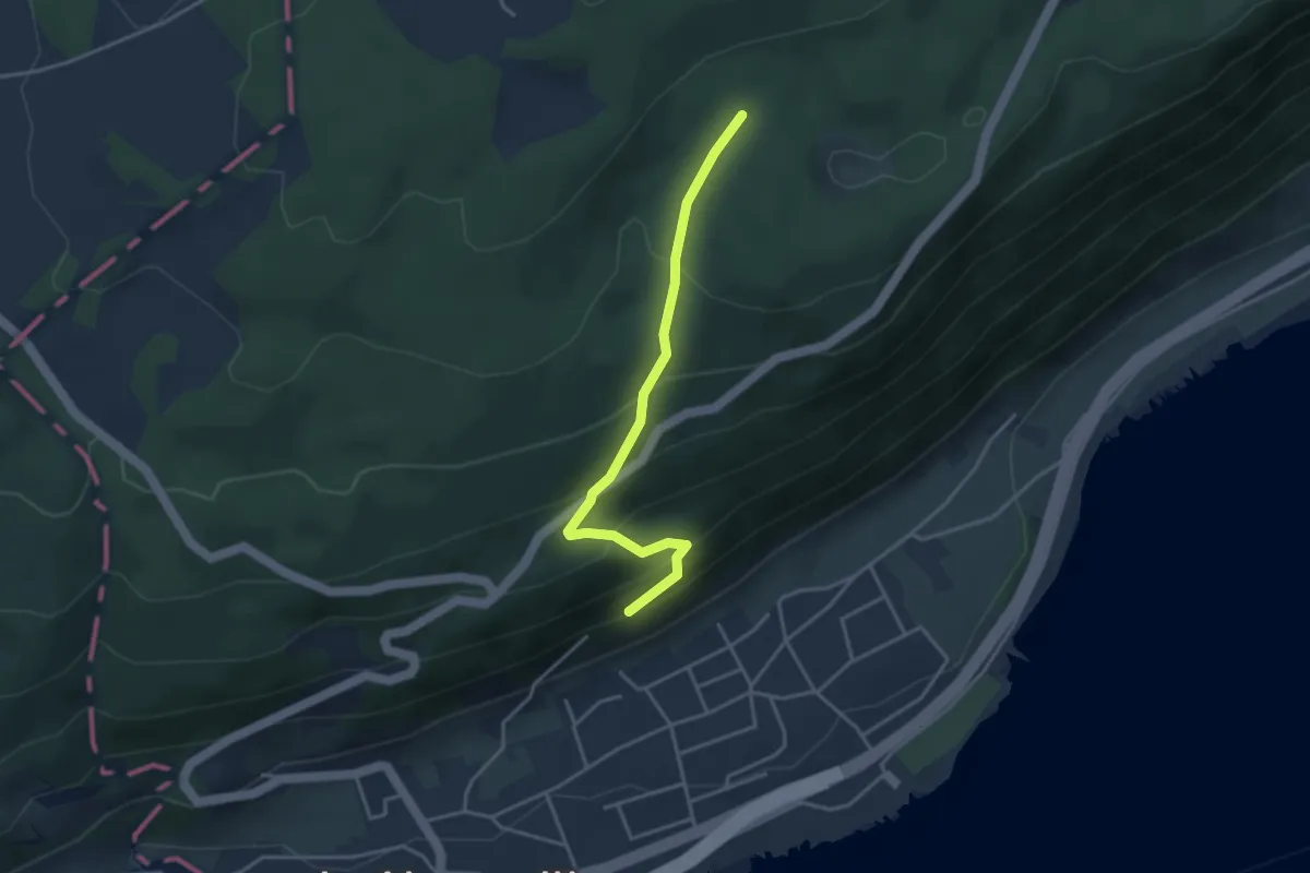
Easy · Trail
fixme - fixme
3.5 km · ↑ 256 m · 1 h 23 min
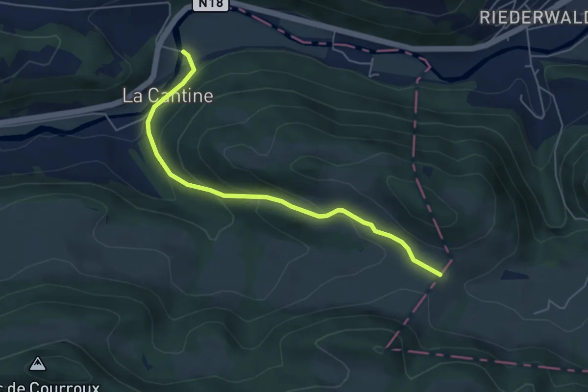
Easy · Trail
fixme - fixme
4.8 km · ↑ 242 m · 1 h 39 min
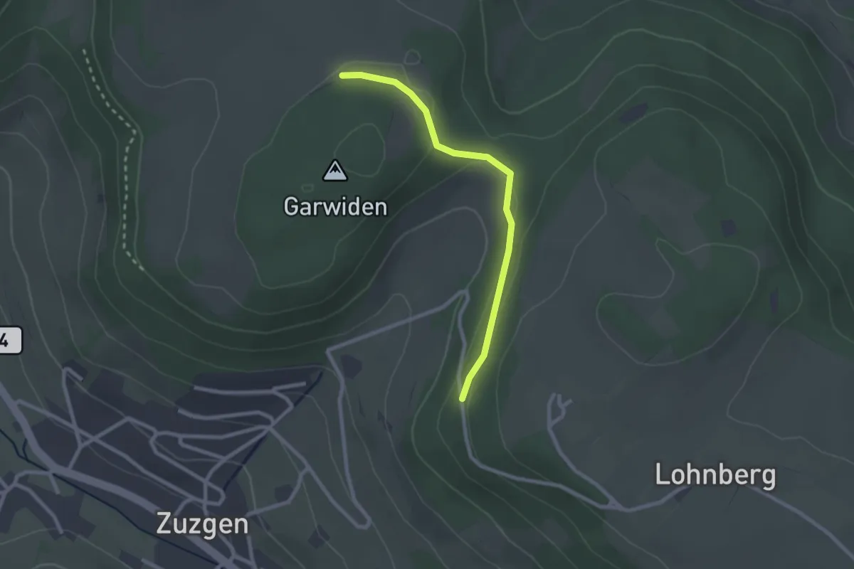
Easy · Trail
fixme - fixme
2.3 km · ↑ 50 m · 39 min