Trails in Switzerland
15,029 hiking trails, each with its route, climb, walking time and grade.
All trails, page 35 of 314
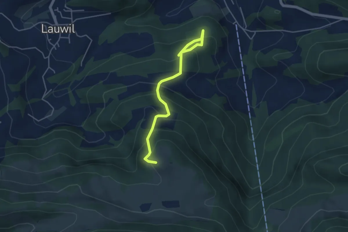
Medium · Trail
fixme - fixme
3.9 km · ↑ 398 m · 1 h 47 min
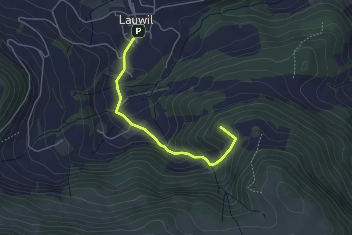
Easy · Summit
fixme - fixme
3.5 km · ↑ 250 m · 1 h 22 min
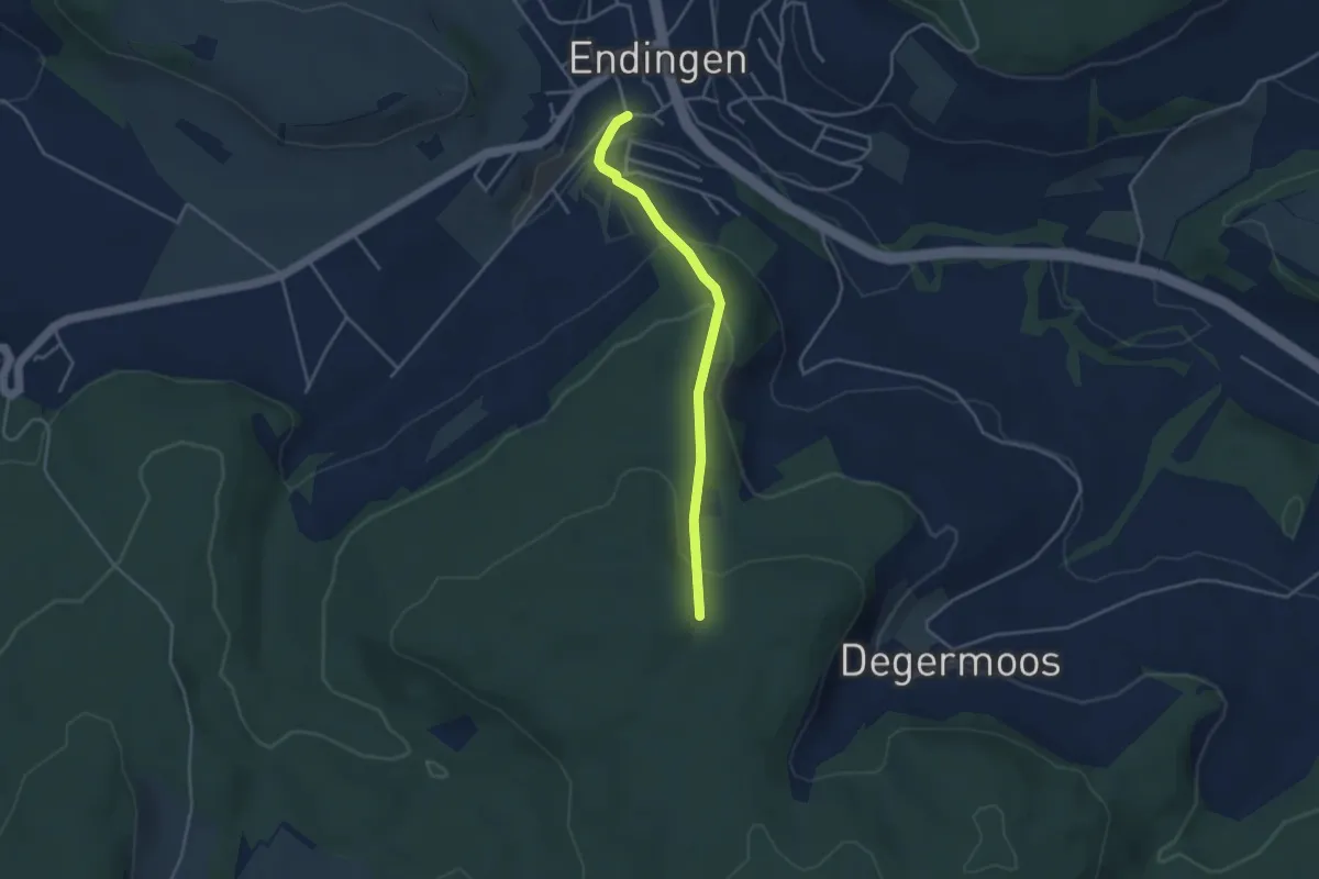
Easy · Trail
fixme - fixme
3.5 km · ↑ 176 m · 1 h 12 min
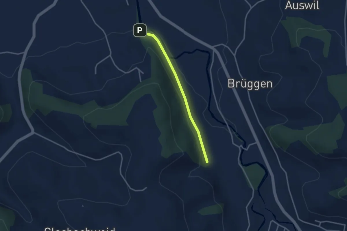
Easy · Trail
fixme-fixme
2.3 km · ↑ 44 m · 38 min
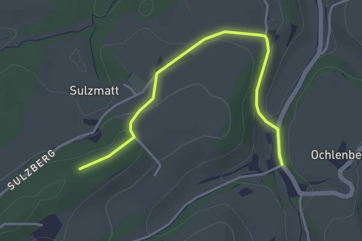
Easy · Trail
fixme - Stauffenbach
3.1 km · ↑ 83 m · 55 min
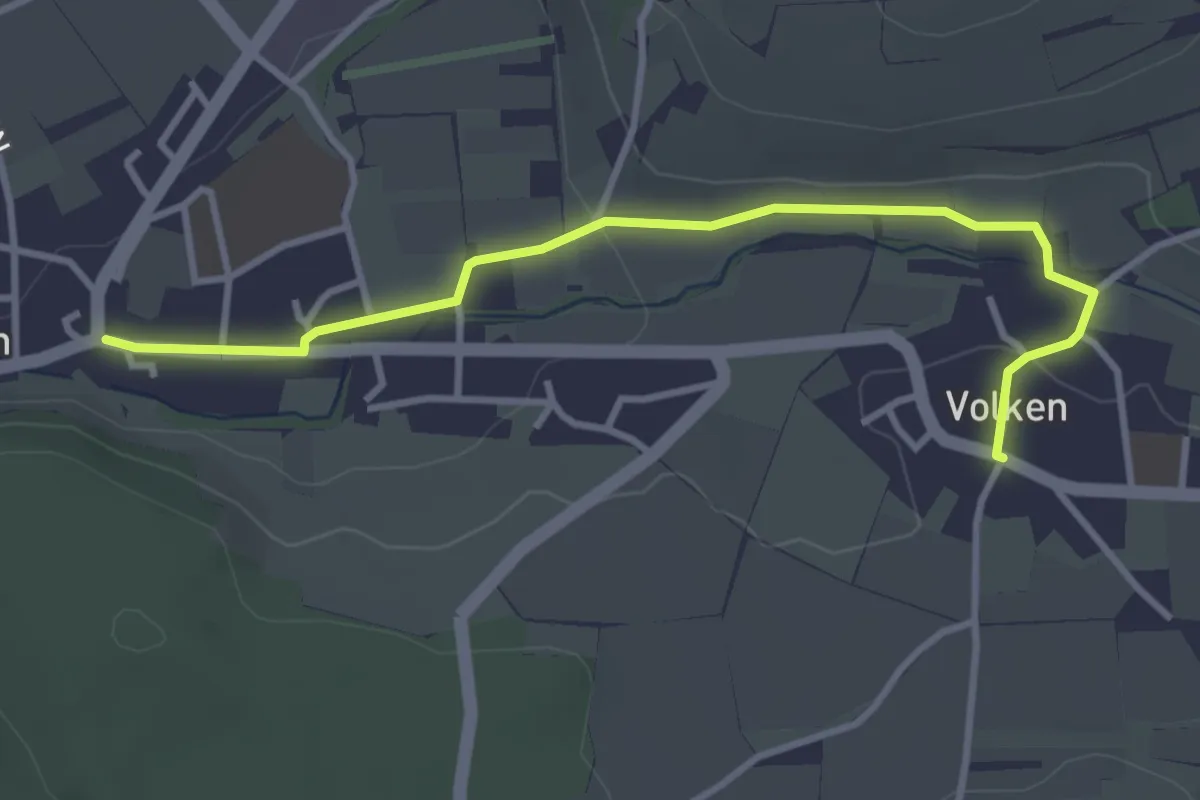
Easy · Trail
Flaach - Volken
3.5 km · ↑ 36 m · 55 min
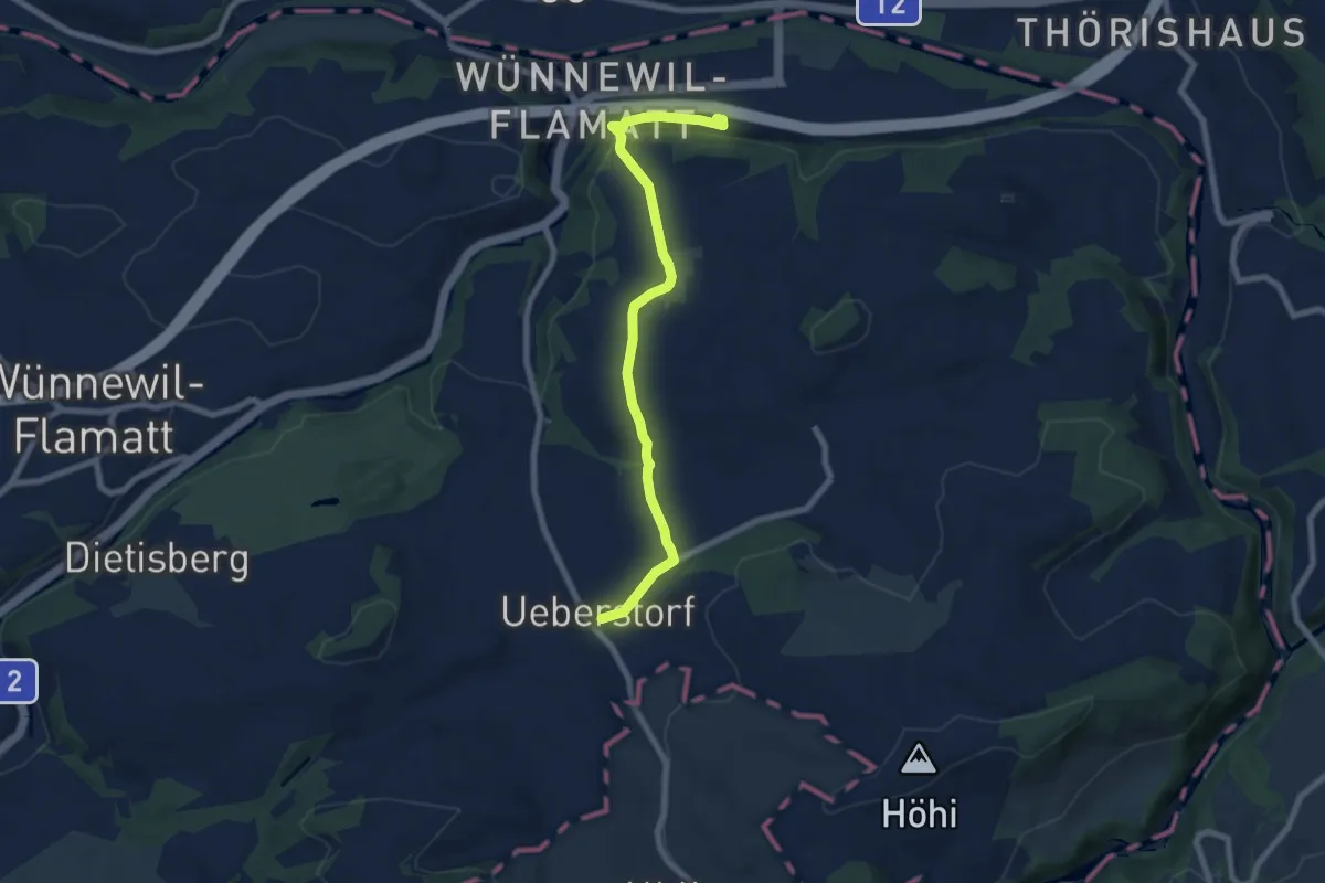
Easy · Trail
Flamatt / Station - Ueberstorf
7.5 km · ↑ 195 m · 2 h 11 min
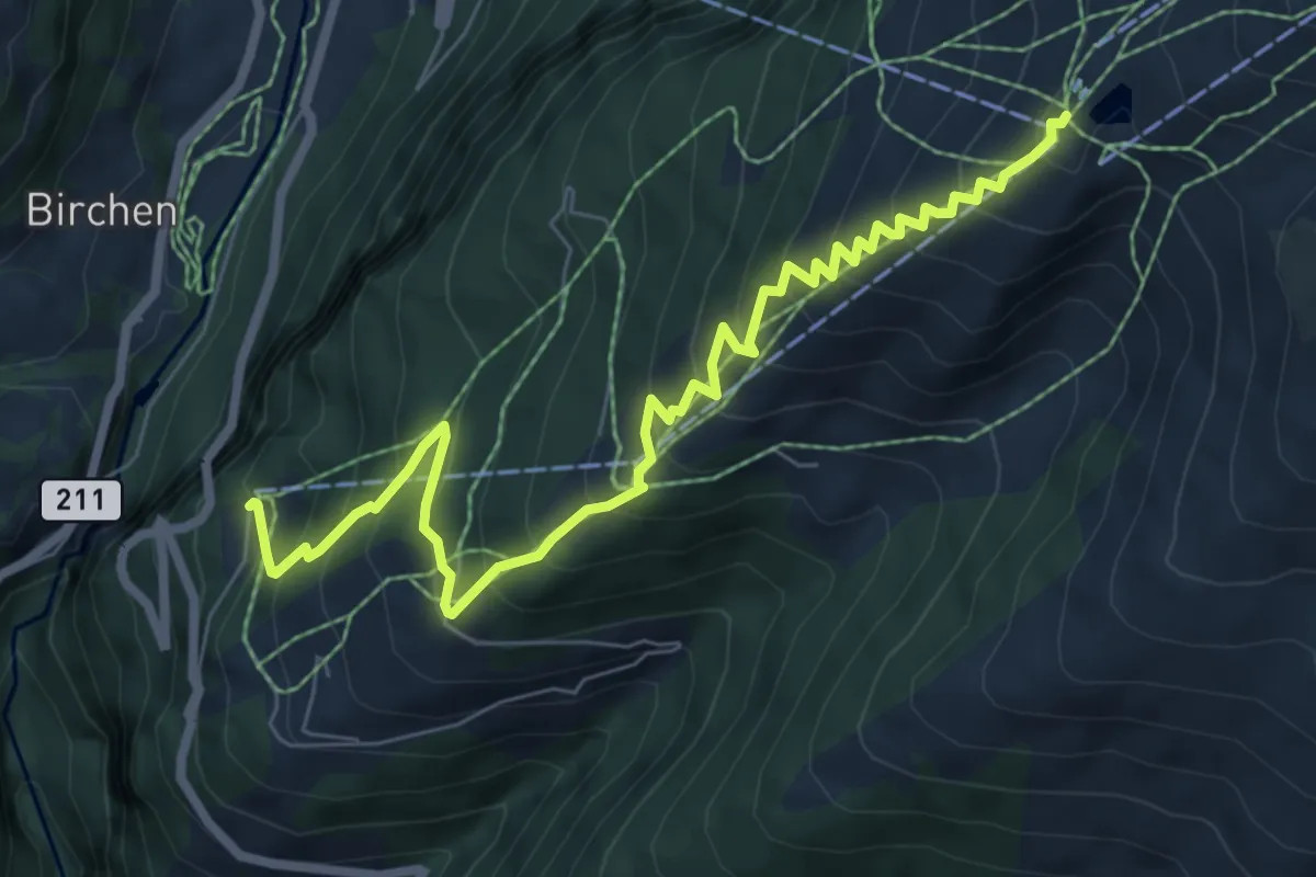
Demanding · Trail
Flaschen - Rinderhütte
8.2 km · ↑ 804 m · 3 h 41 min
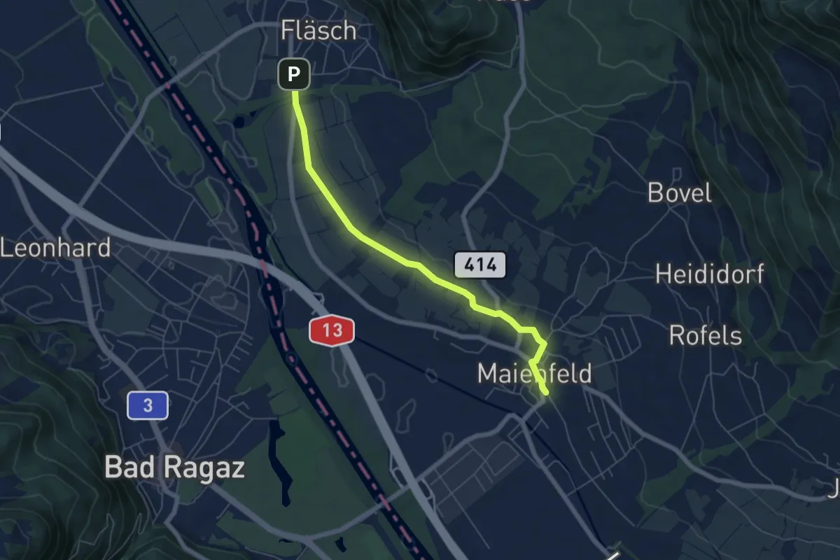
Easy · Trail
Fläsch - Meienfeld
5.7 km · ↑ 57 m · 1 h 28 min
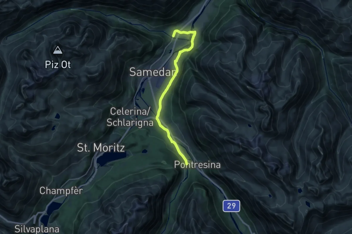
Demanding · Trail
Flaz Uferweg
19.2 km · ↑ 162 m · 4 h 54 min
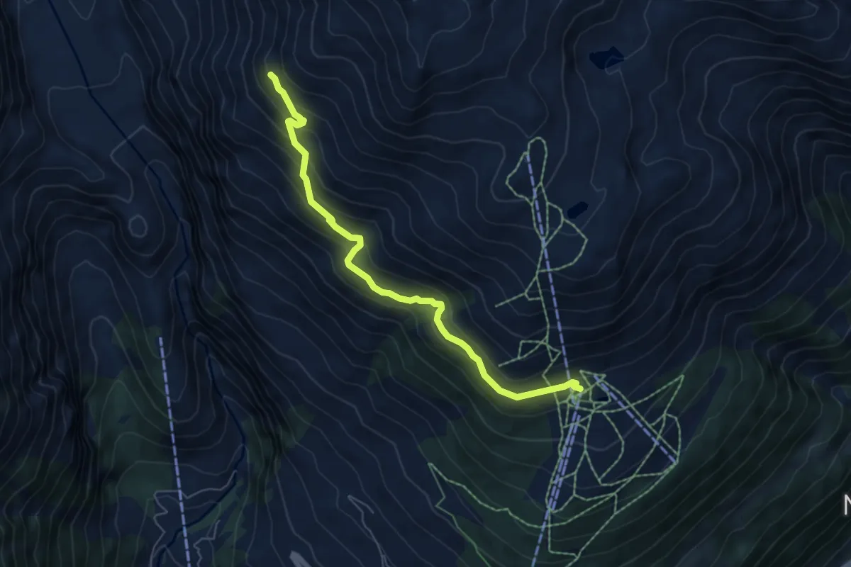
Medium · Trail
Flesche - Gletscherblick
6.2 km · ↑ 517 m · 2 h 35 min
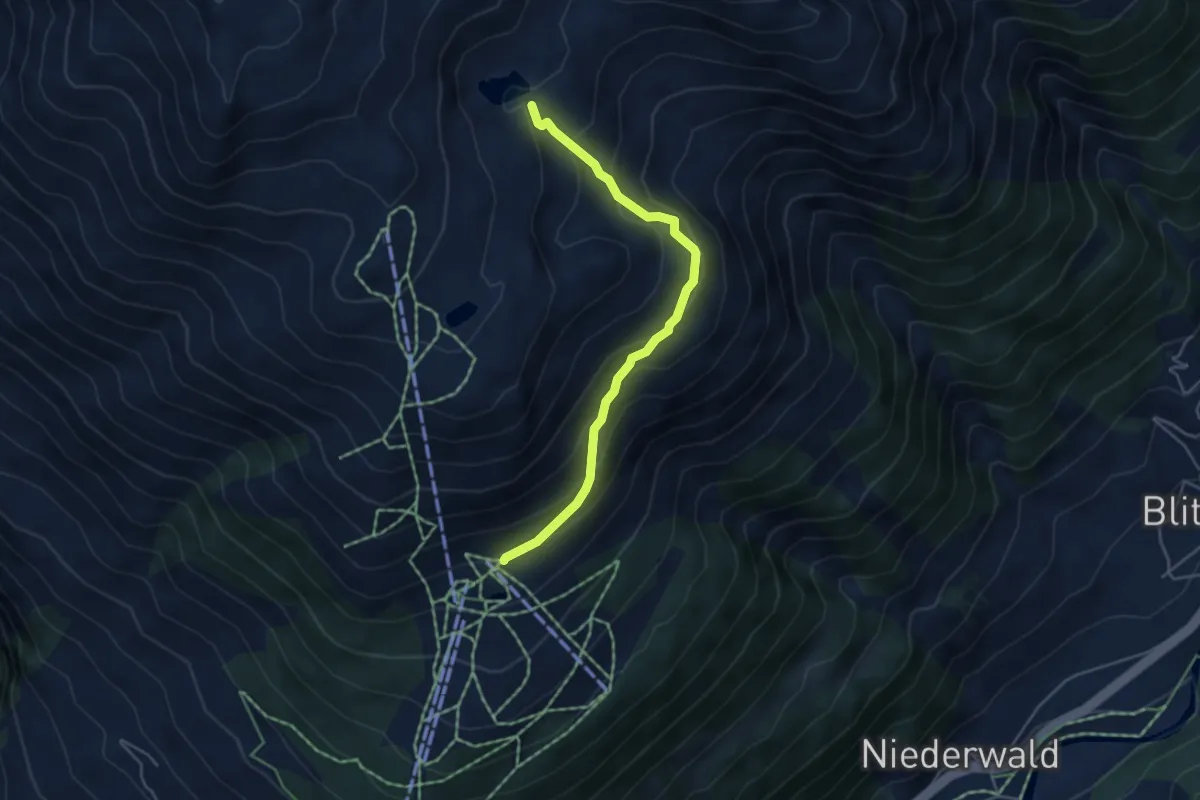
Medium · Trail
Flesche - Spilsee
4.5 km · ↑ 330 m · 1 h 46 min
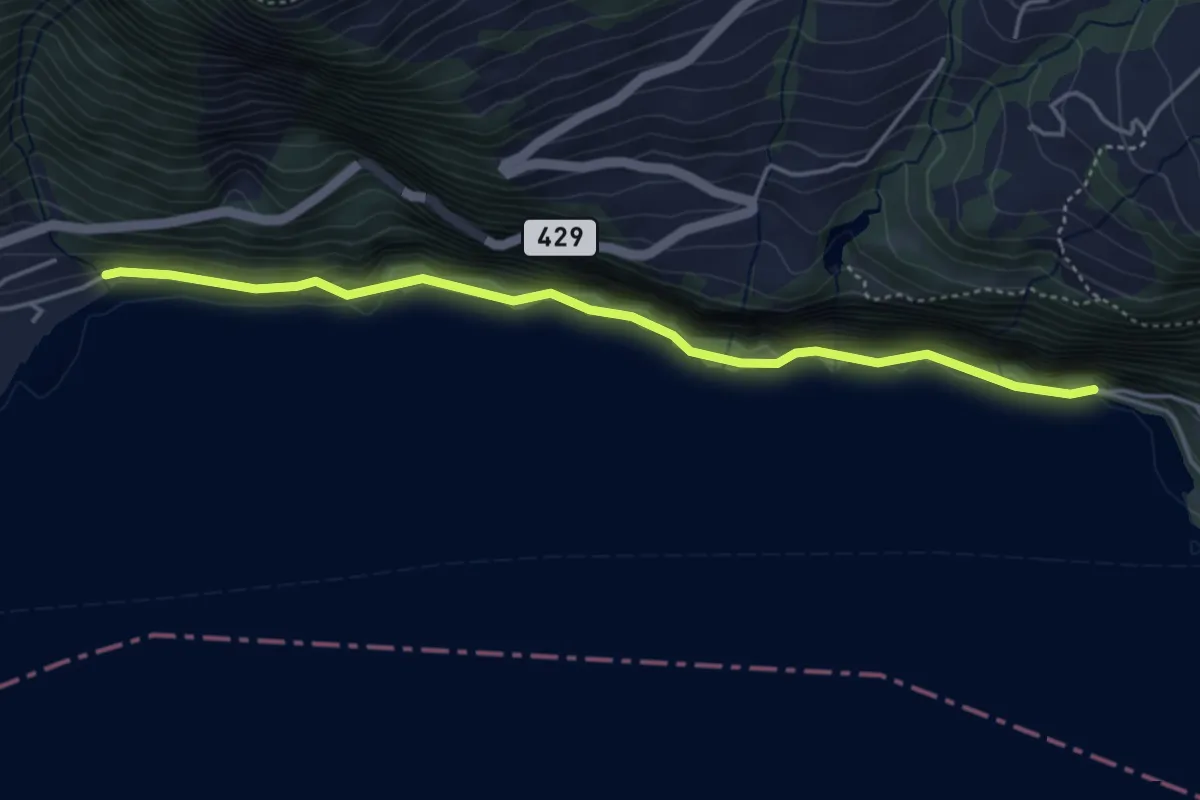
Medium · Trail
Flihof - Talegg
4.4 km · ↑ 748 m · 2 h 39 min
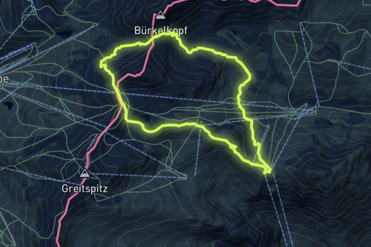
Demanding · Trail
Flimspitz Rundweg
7.8 km · ↑ 586 m · 3 h 13 min
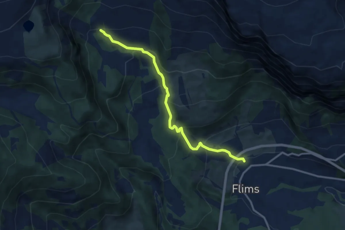
Medium · Trail
Flims - Startgels
7.9 km · ↑ 491 m · 2 h 56 min
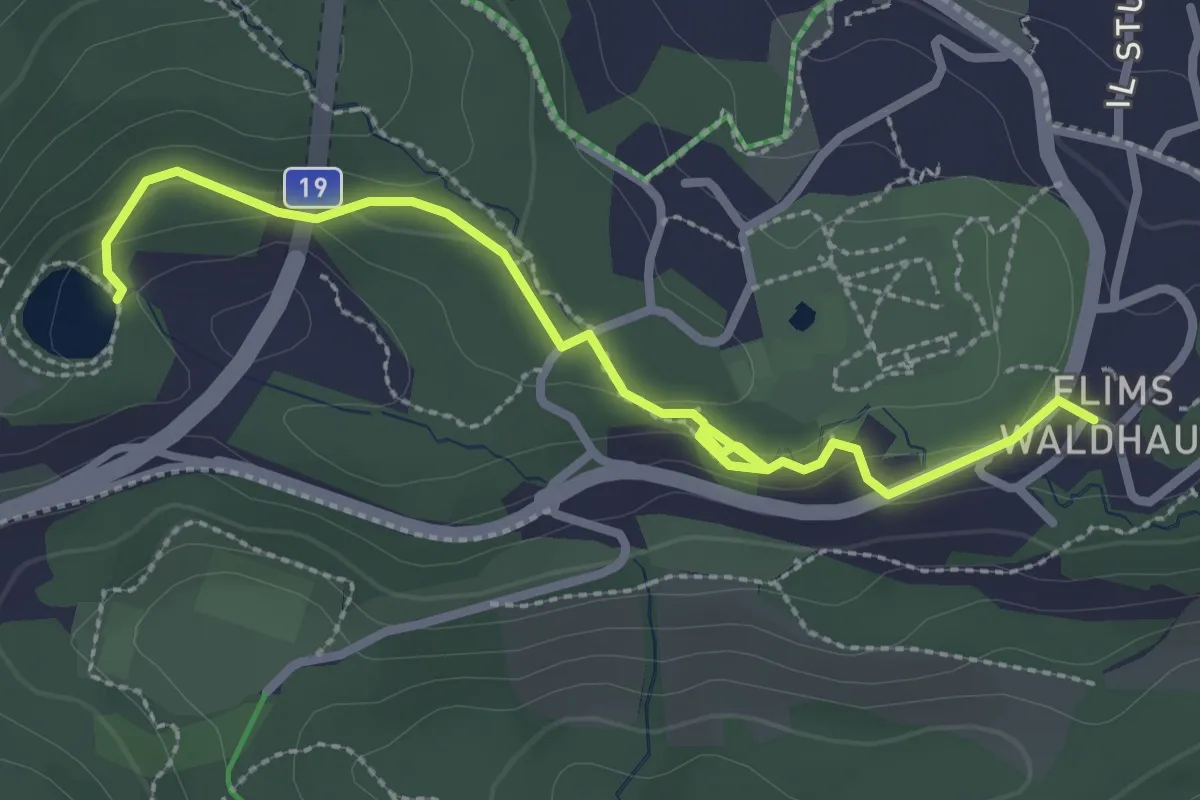
Easy · Trail
Flims Waldhaus - Lag Prau Pulté
3.0 km · ↑ 86 m · 54 min
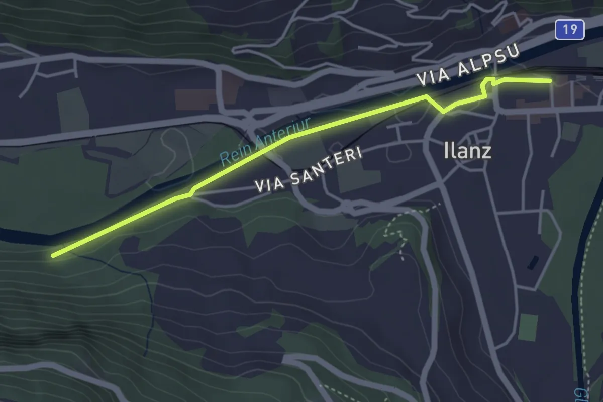
Easy · Trail
Flond Ilanz
3.8 km · ↑ 21 m · 57 min
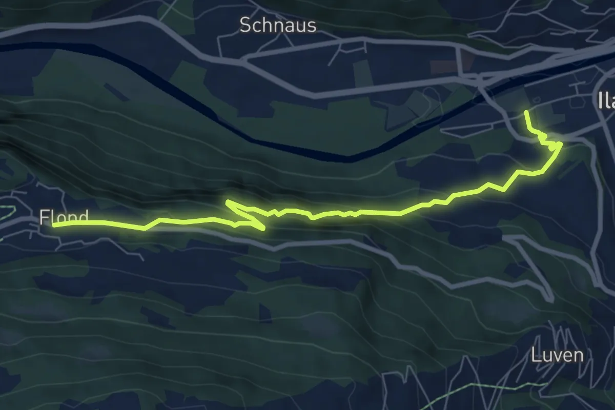
Medium · Trail
Flond Ilanz
7.5 km · ↑ 453 m · 2 h 45 min
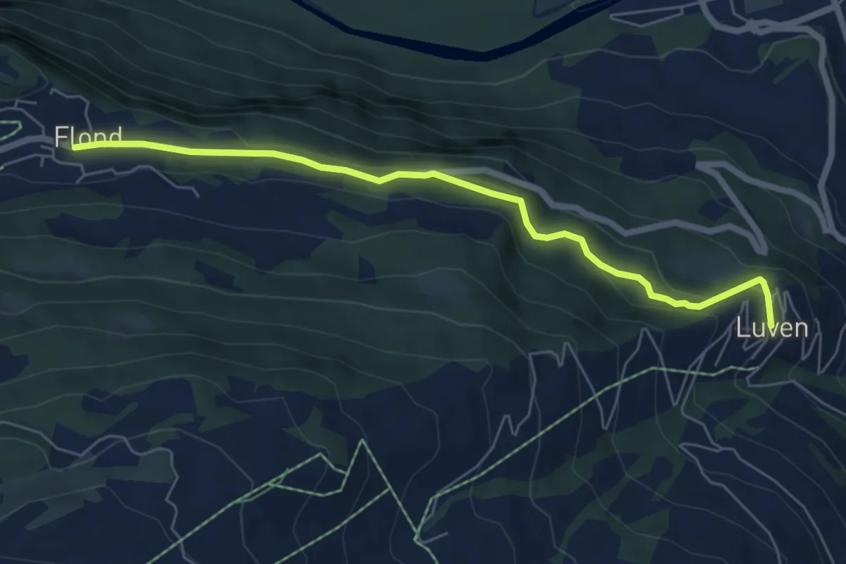
Easy · Trail
Flond Luven
6.0 km · ↑ 317 m · 2 h 7 min
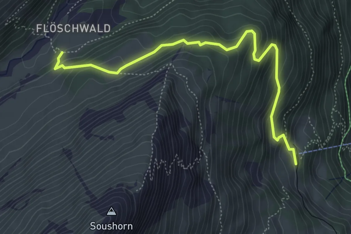
Medium · Trail
Floschwald/Sausmatten - Grütschalp
5.7 km · ↑ 411 m · 2 h 14 min
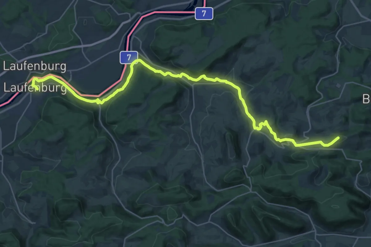
Demanding · Summit
Flösserweg
29.7 km · ↑ 802 m · 8 h 44 min
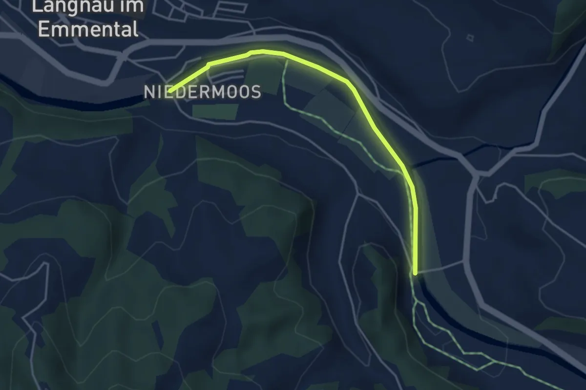
Easy · Trail
Flüeacherbrücke - Moosbrücke
3.6 km · ↑ 25 m · 55 min
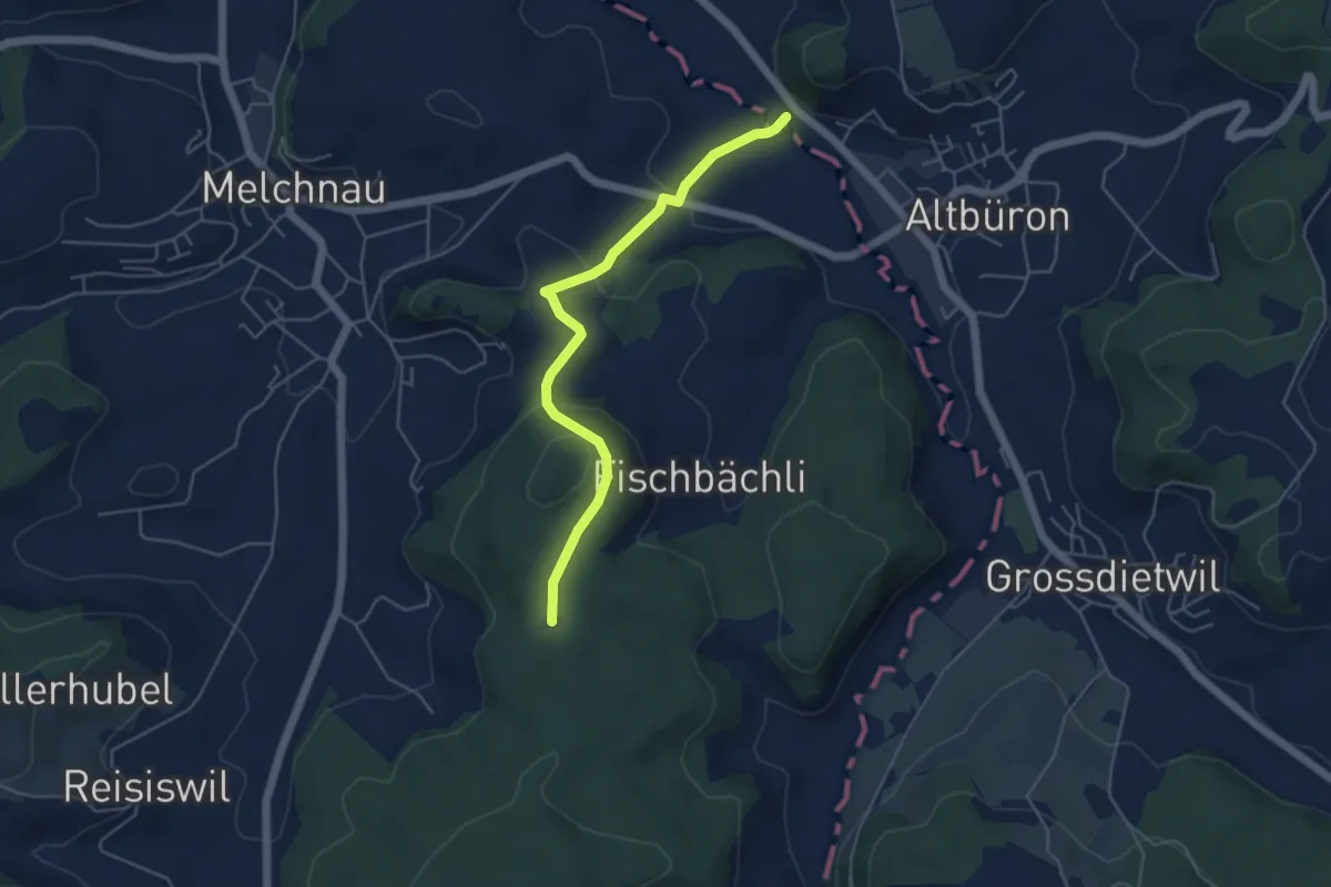
Easy · Trail
Flüe - Babeliplatz
4.8 km · ↑ 178 m · 1 h 31 min
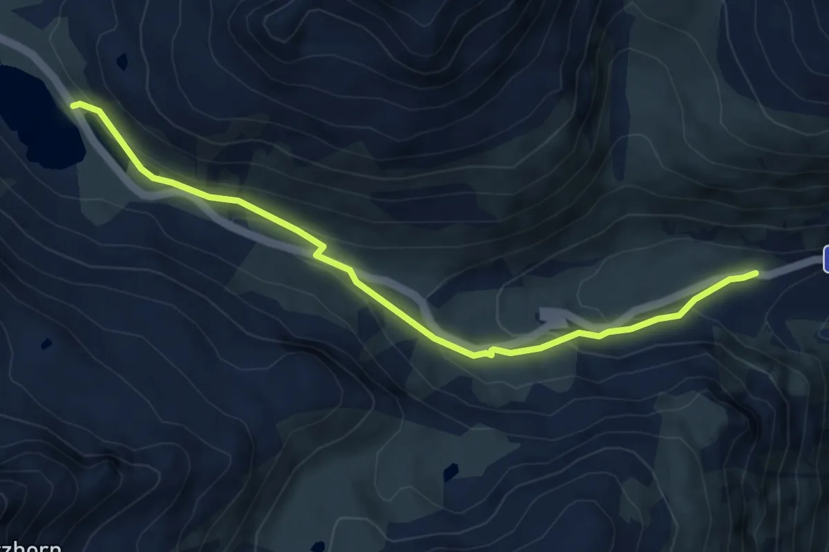
Medium · Trail
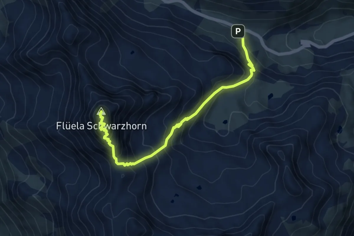
Flüela-Chant Sura
6.2 km · ↑ 221 m · 1 h 57 min
Medium · Summit
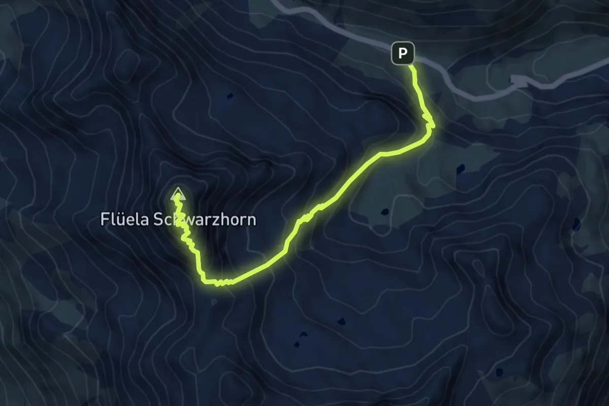
Flüela-Schwarzhorn
7.3 km · ↑ 748 m · 3 h 21 min
Medium · Summit
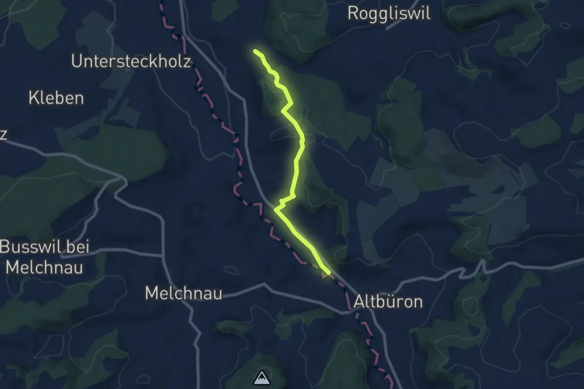
Flüela-Schwarzhorn-Weg
3.7 km · ↑ 743 m · 2 h 10 min
Easy · Trail
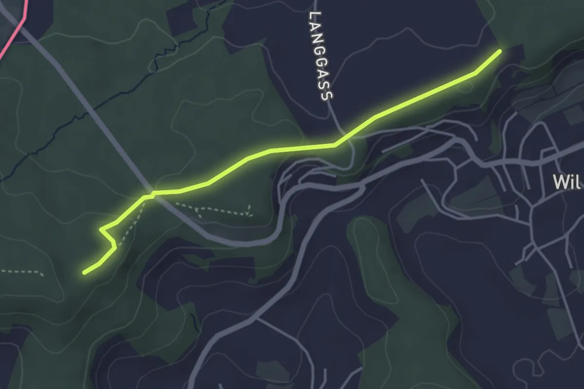
Flüe - Ober Berghof
6.4 km · ↑ 141 m · 1 h 49 min
Easy · Trail
Flüestig - Forsthütte
3.8 km · ↑ 60 m · 1 h 1 min
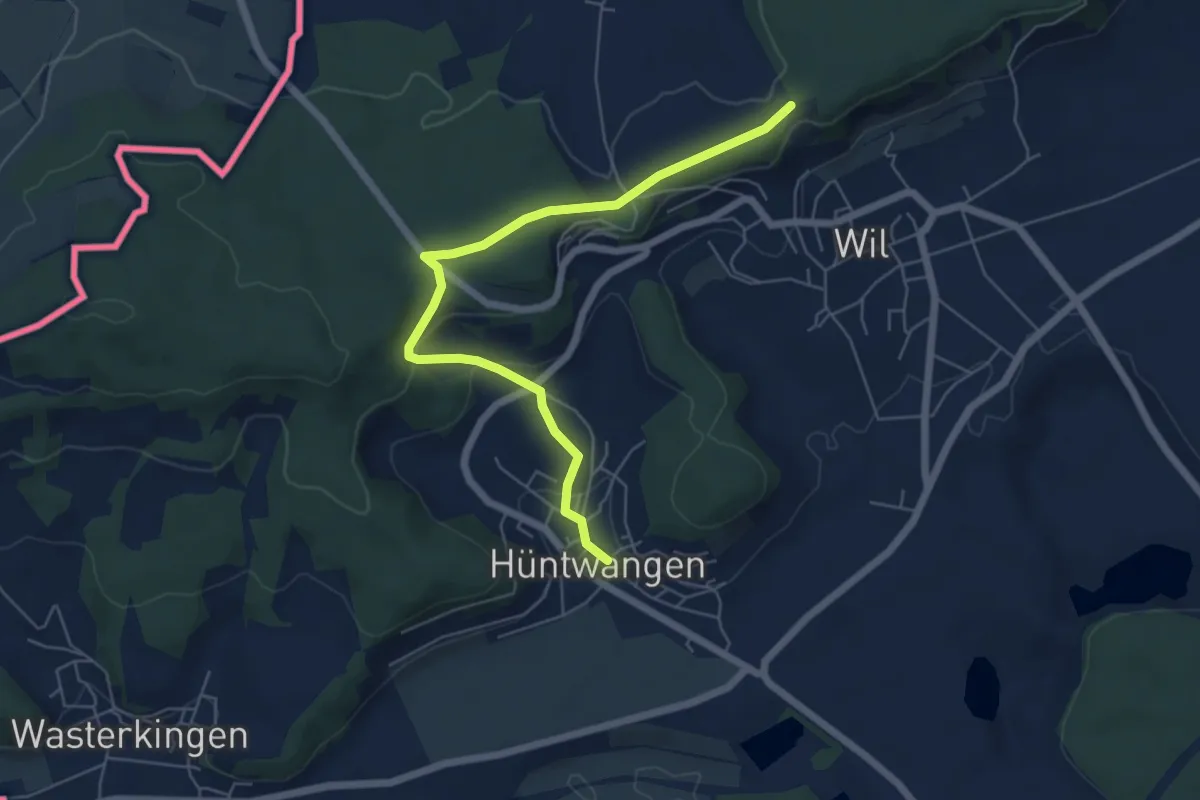
Easy · Trail
Flüestig - Hüntwangen
6.1 km · ↑ 163 m · 1 h 47 min
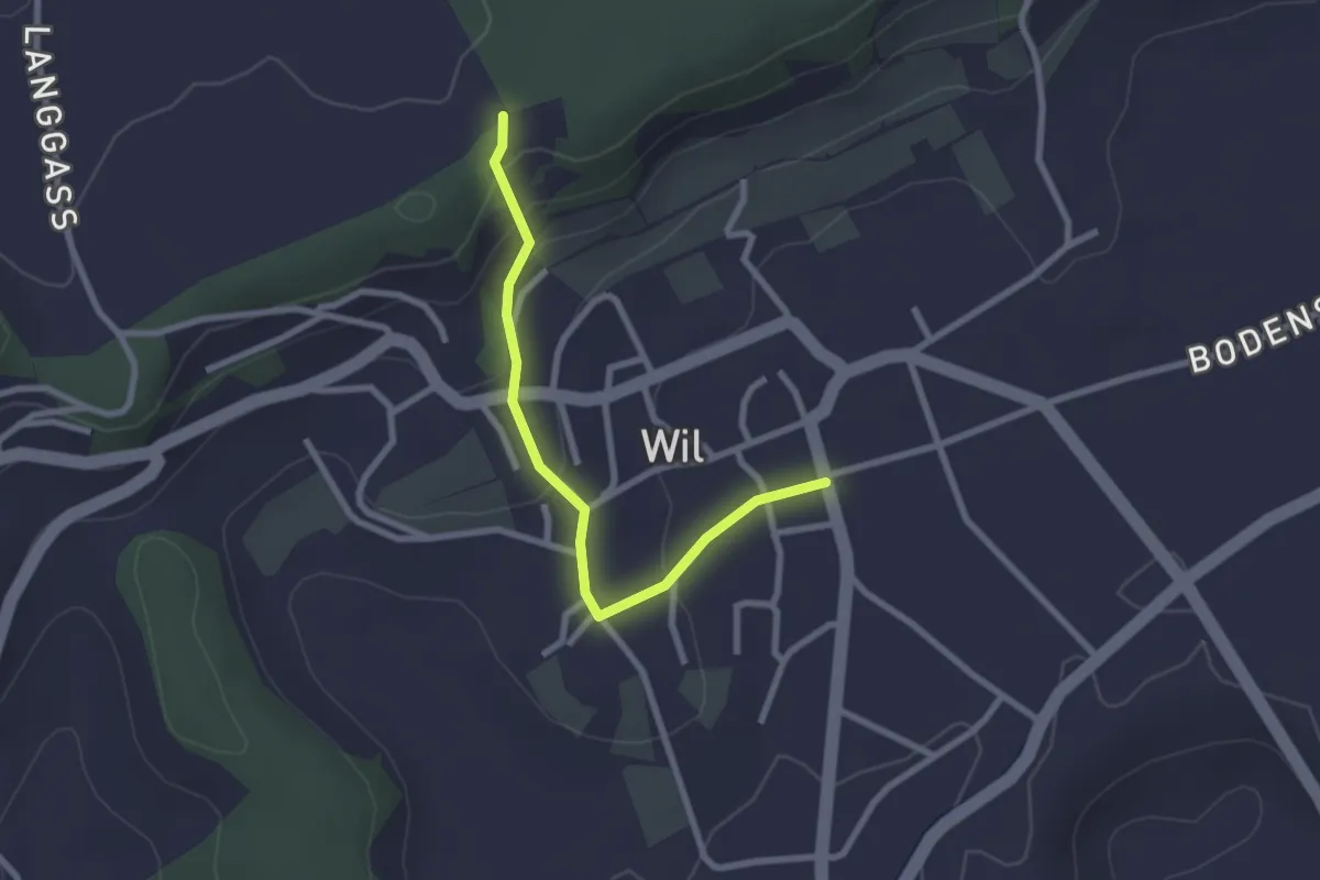
Easy · Trail
Flüestig - Wil
2.4 km · ↑ 100 m · 47 min
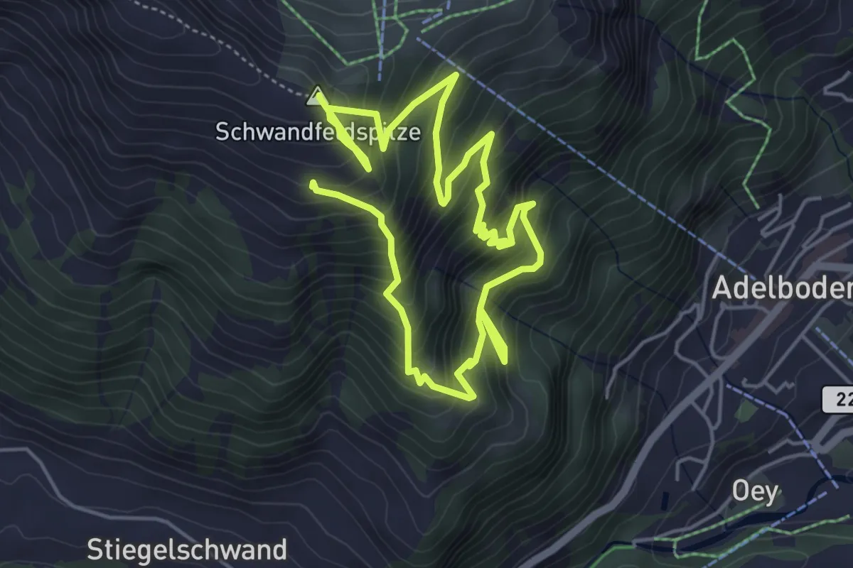
Demanding · Summit
Flueweid - Schwandfeldspitze
8.3 km · ↑ 932 m · 3 h 58 min
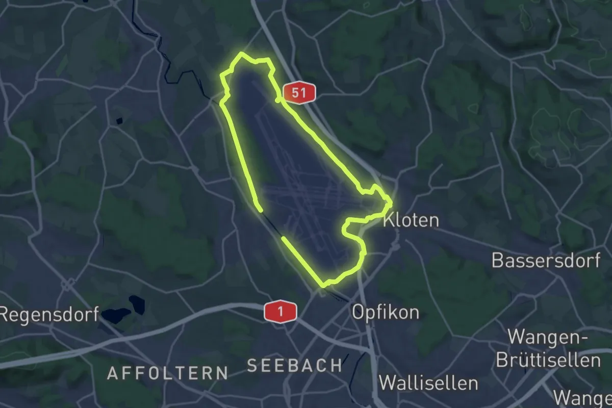
Medium · Trail
Flughafen-Rundweg
15.8 km · ↑ 75 m · 4 h 7 min
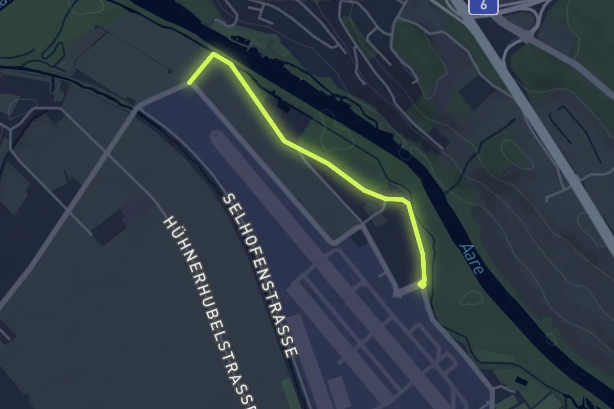
Easy · Trail
Flugplatz Bern Belp - Kehrsatz - fixme
3.2 km · ↑ 5 m · 46 min
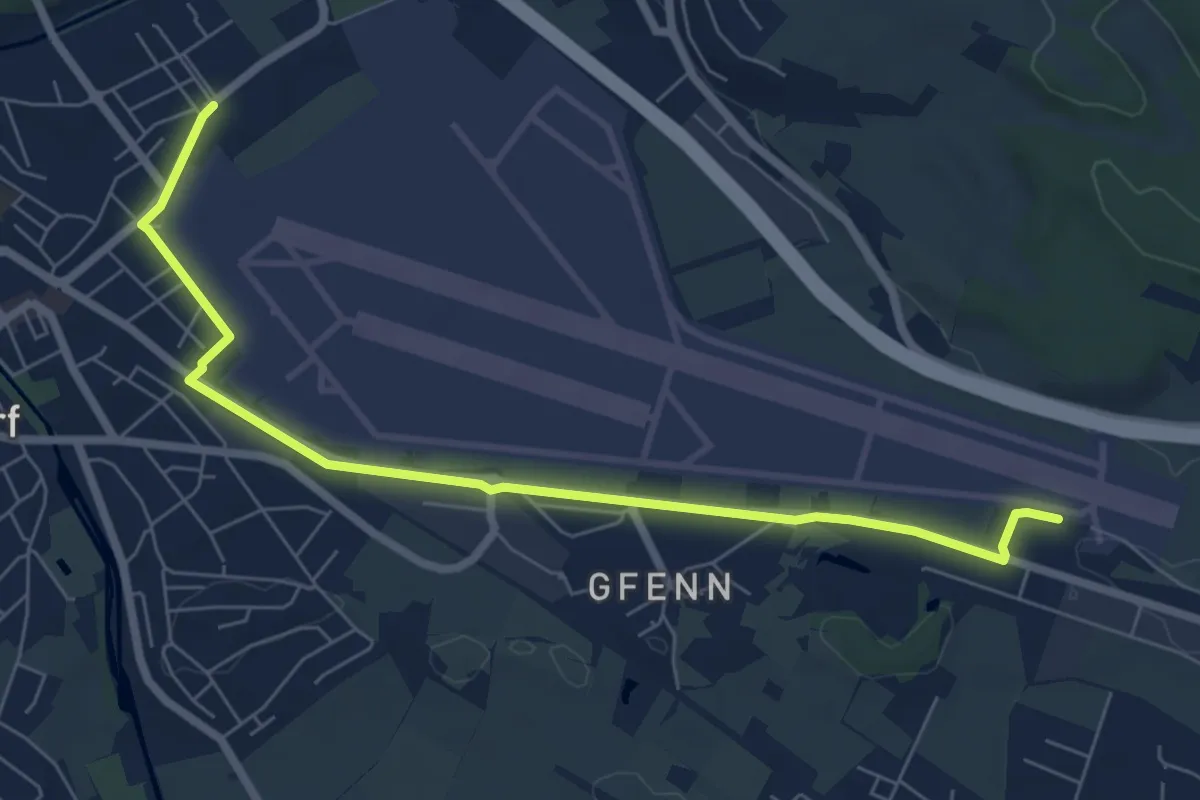
Easy · Trail
Flugweg
3.7 km · ↑ 12 m · 56 min
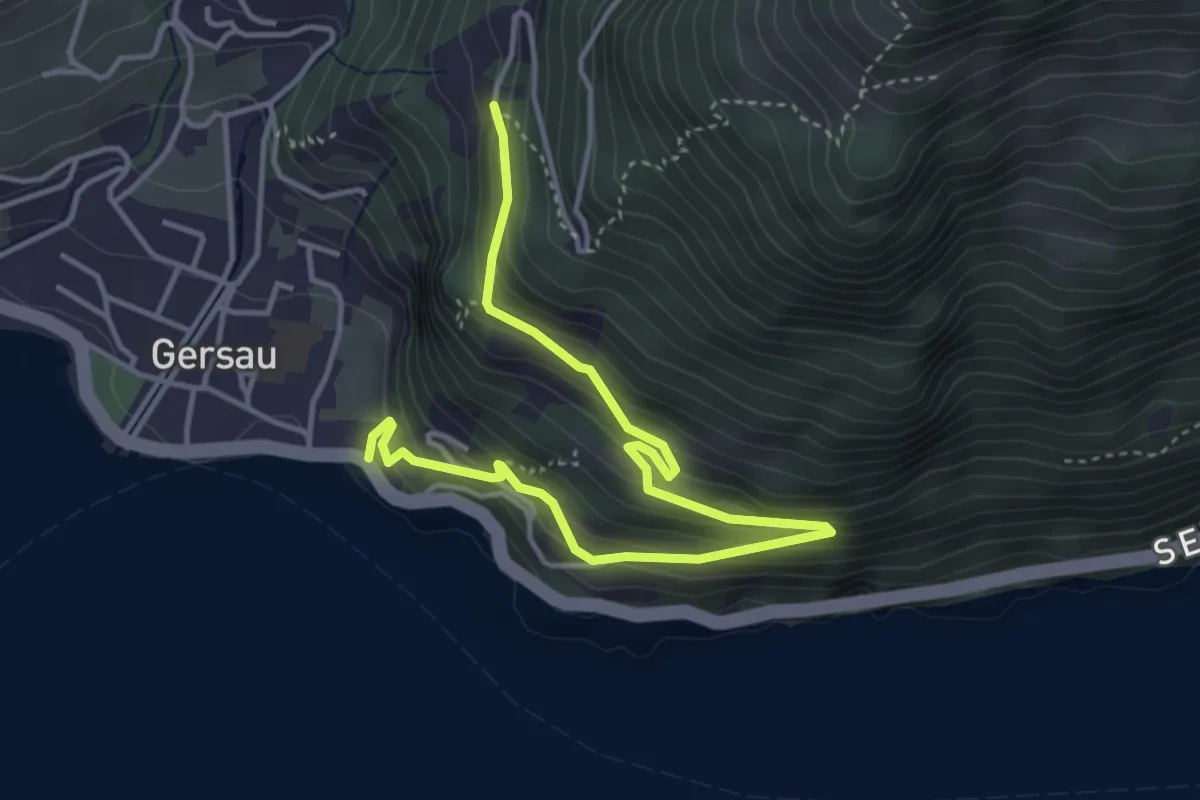
Medium · Trail
Fluhegg - Mettlen
4.8 km · ↑ 393 m · 1 h 59 min
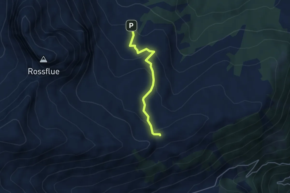
Easy · Trail
Fluonalp - Dundelegg
3.0 km · ↑ 169 m · 1 h 5 min
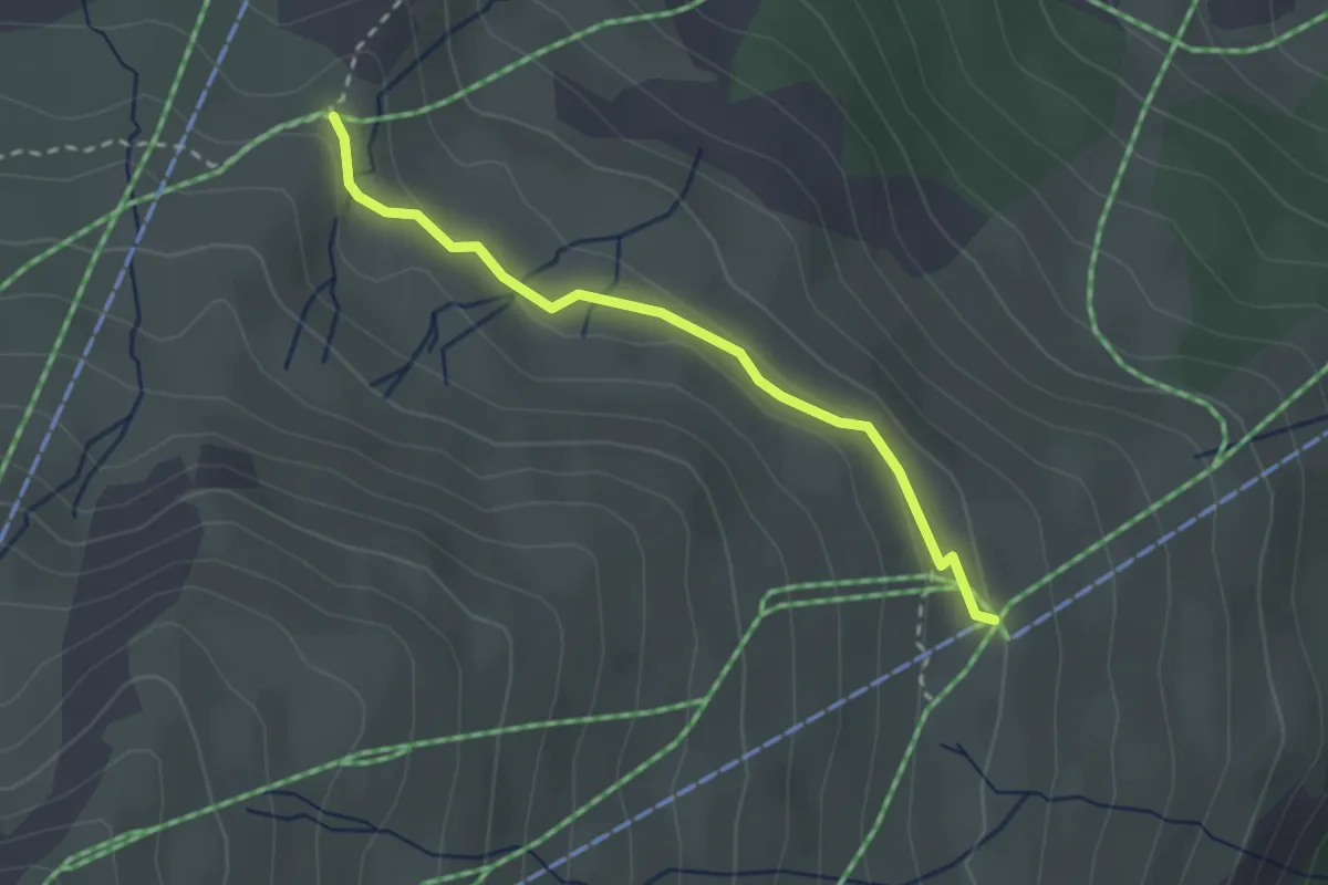
Easy · Trail
Flurin's Sommerzauber
2.5 km · ↑ 63 m · 43 min
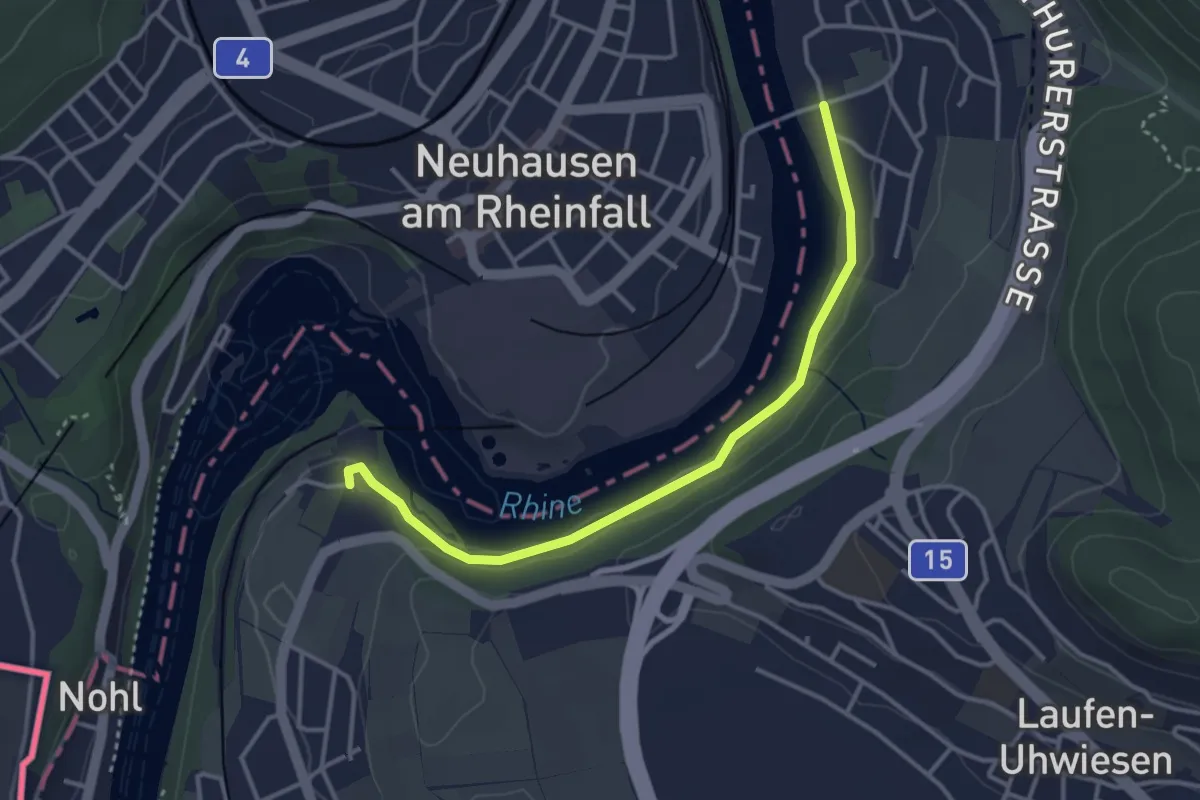
Easy · Trail
Flurlingen - Laufen Rheinfall
3.5 km · ↑ 57 m · 57 min
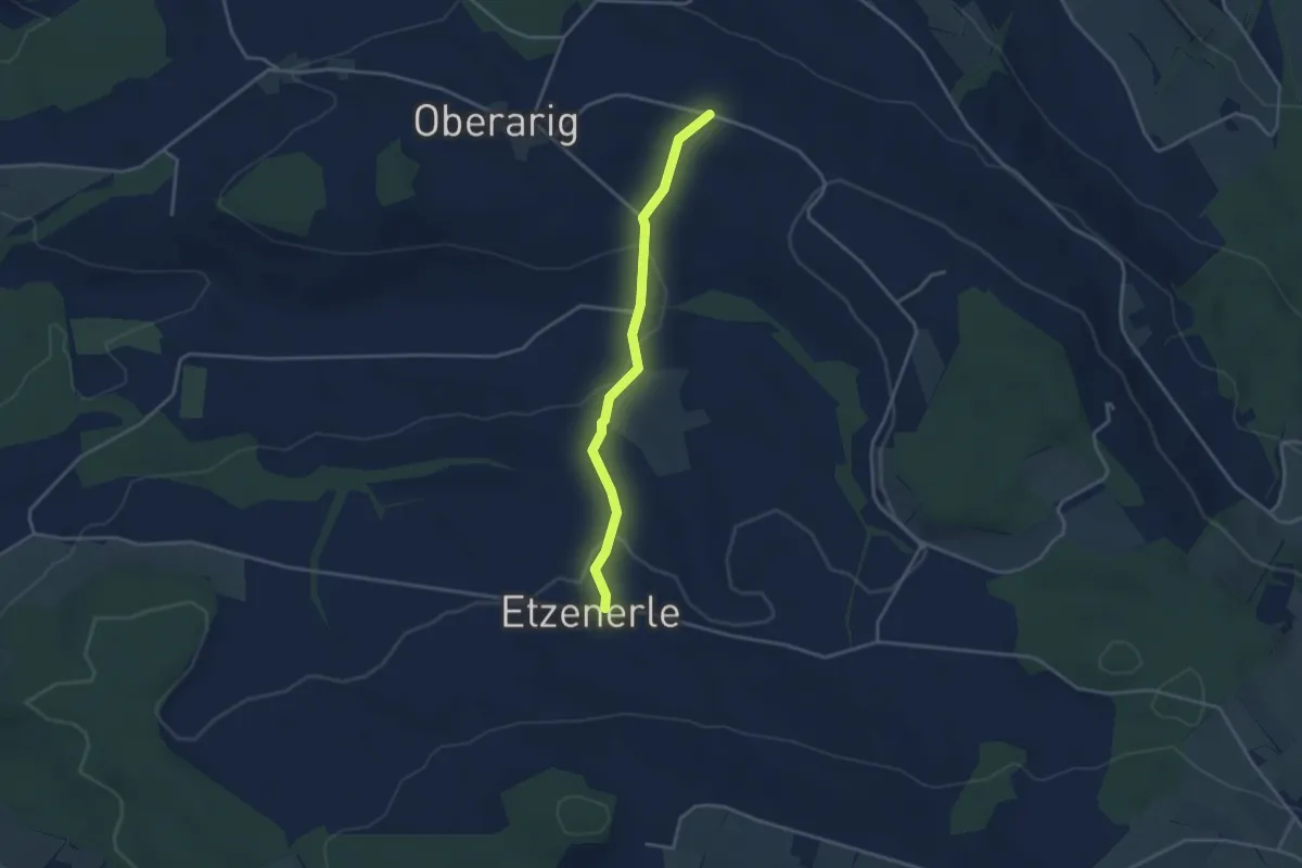
Easy · Trail
Flüss - Etzenerlen
3.3 km · ↑ 98 m · 59 min
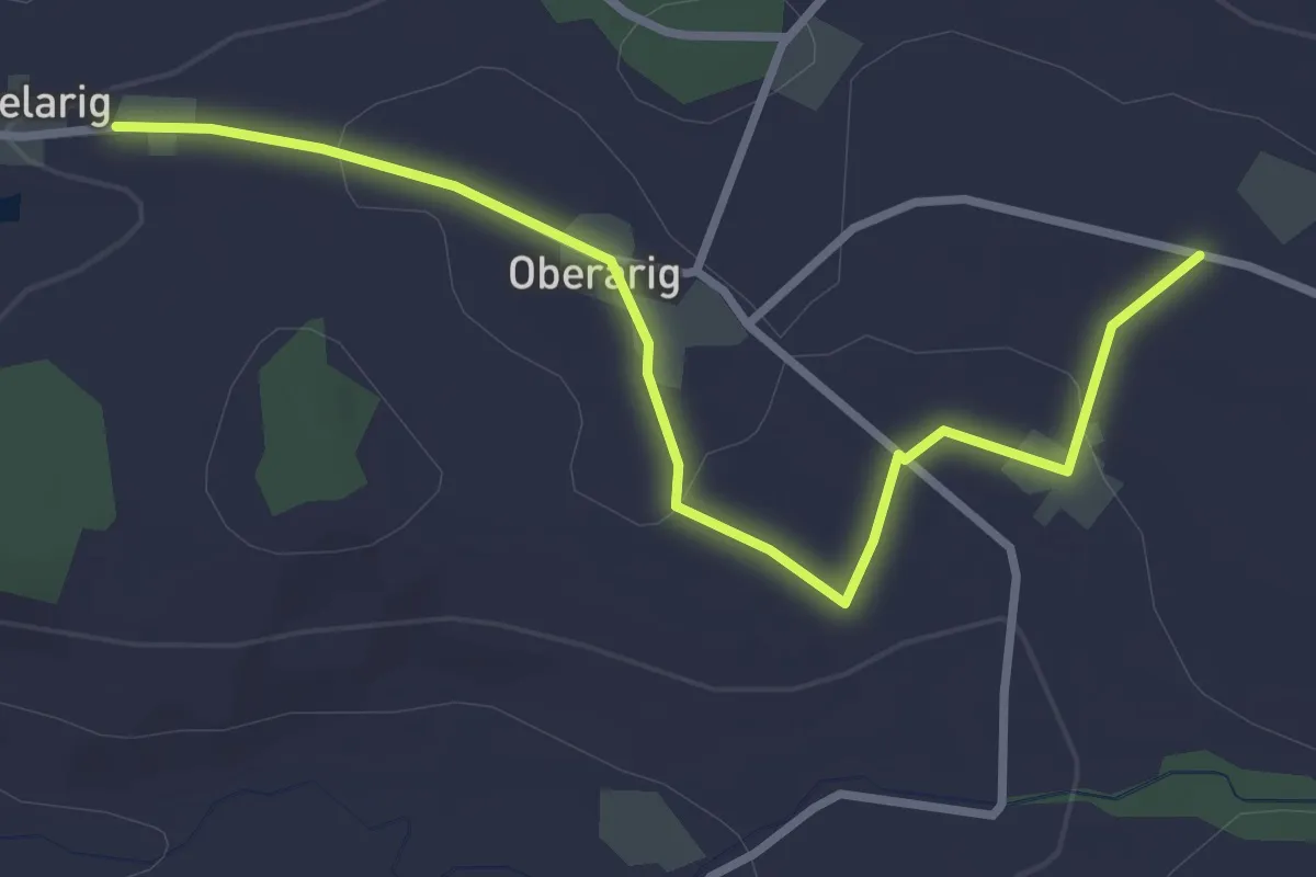
Easy · Trail
Flüss - Mittelarig
3.4 km · ↑ 54 m · 55 min
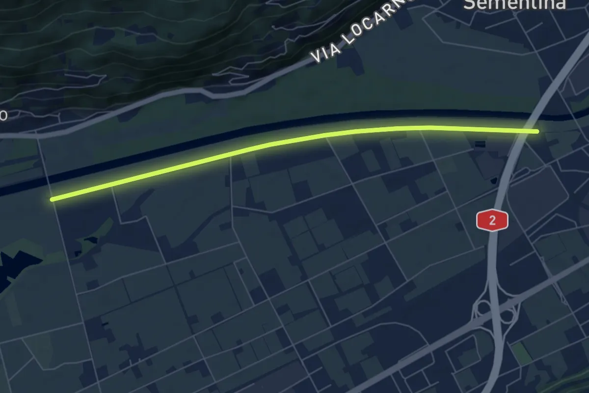
Easy · Trail
F. Morobbia - Ponte per Gudo
6.9 km · ↑ 9 m · 1 h 39 min
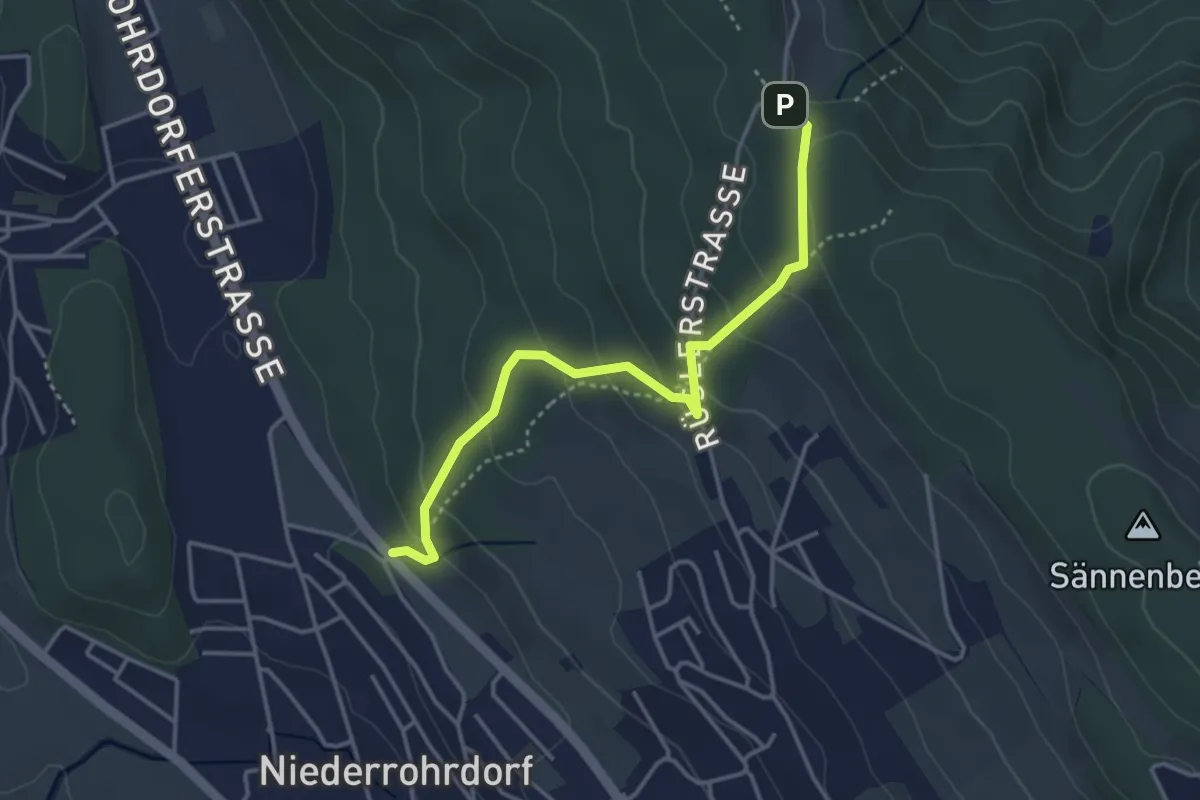
Easy · Trail
Fohrhölzli - Rüsler
3.7 km · ↑ 203 m · 1 h 19 min
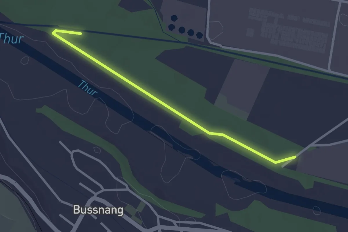
Easy · Trail
Foleweid
2.5 km · ↑ 0 m · 35 min
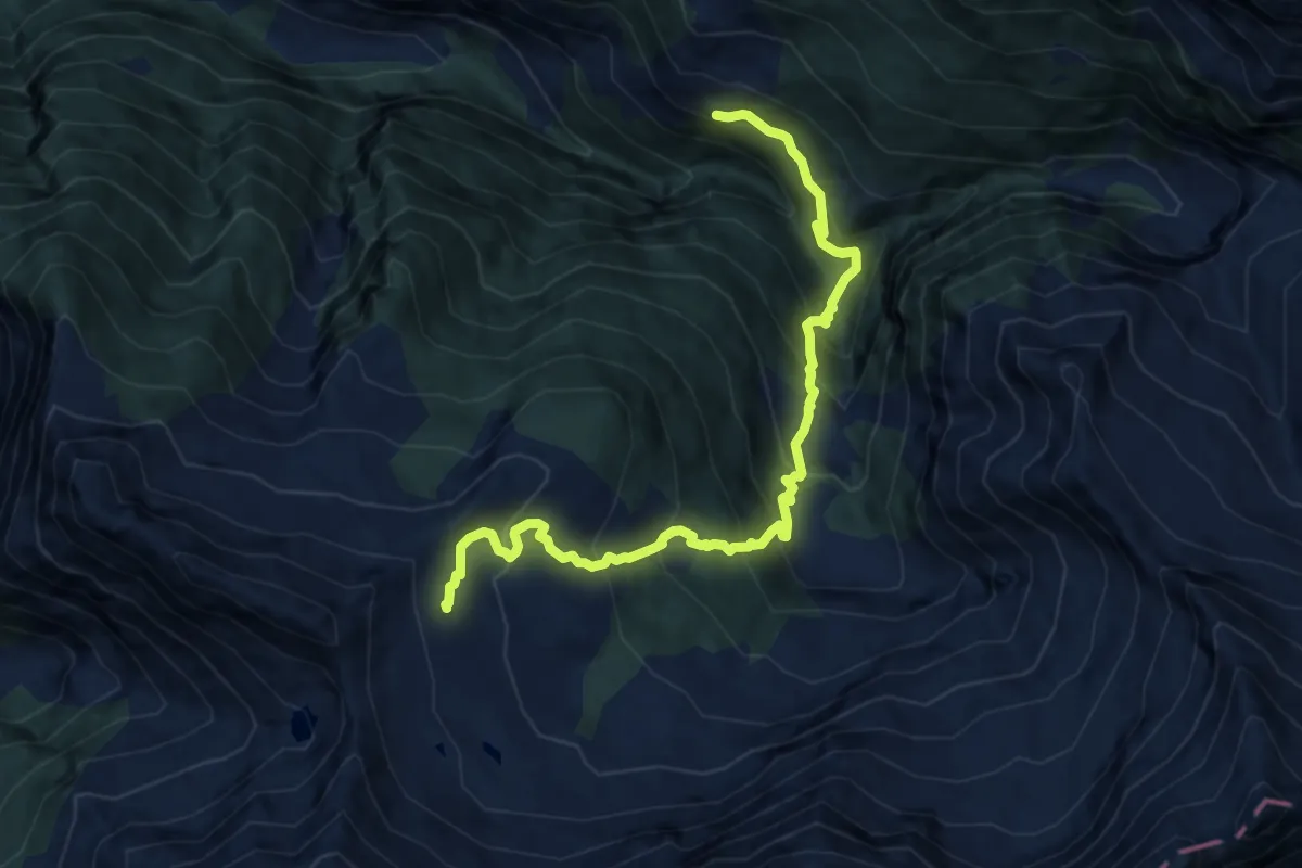
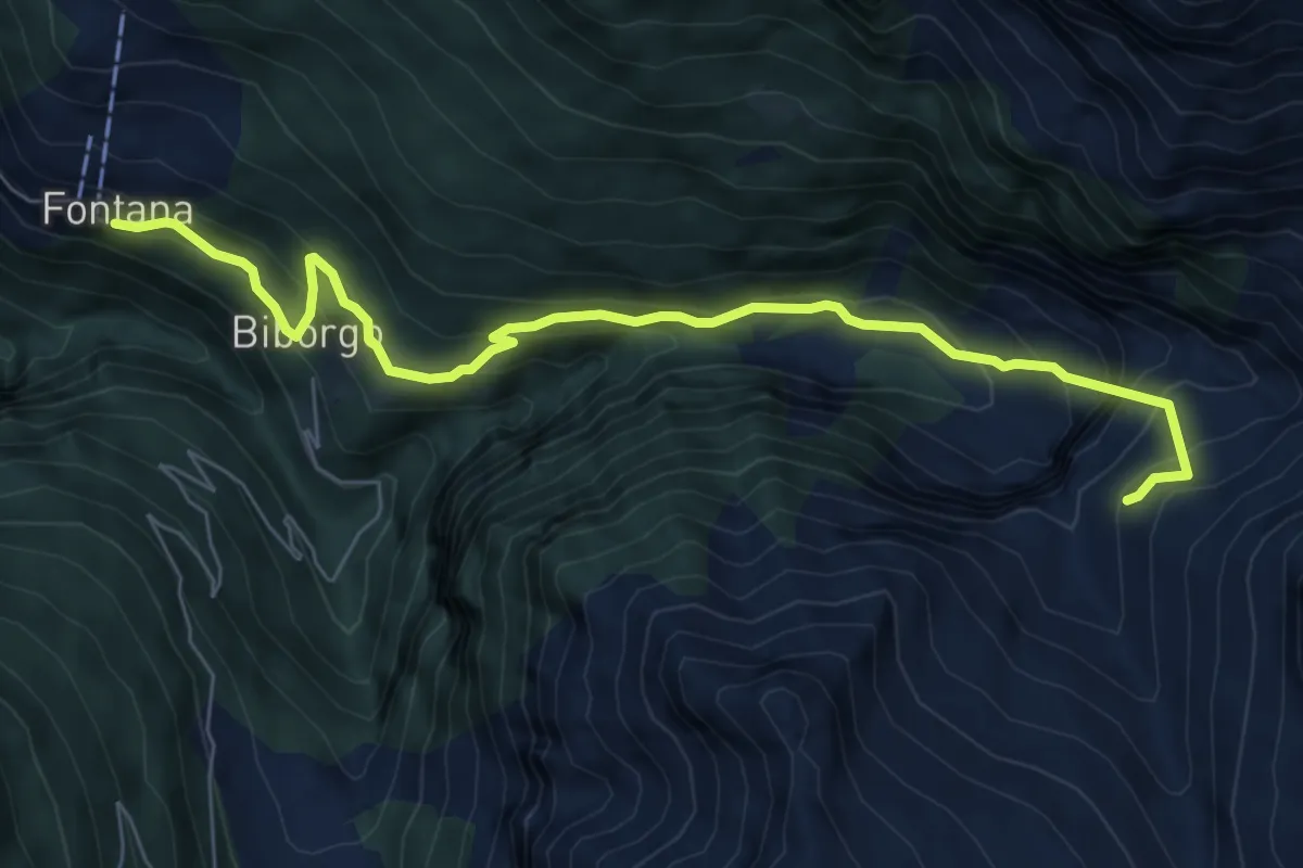
Demanding · Cabin
Fontana - Capanna Cava
11.0 km · ↑ 987 m · 4 h 44 min
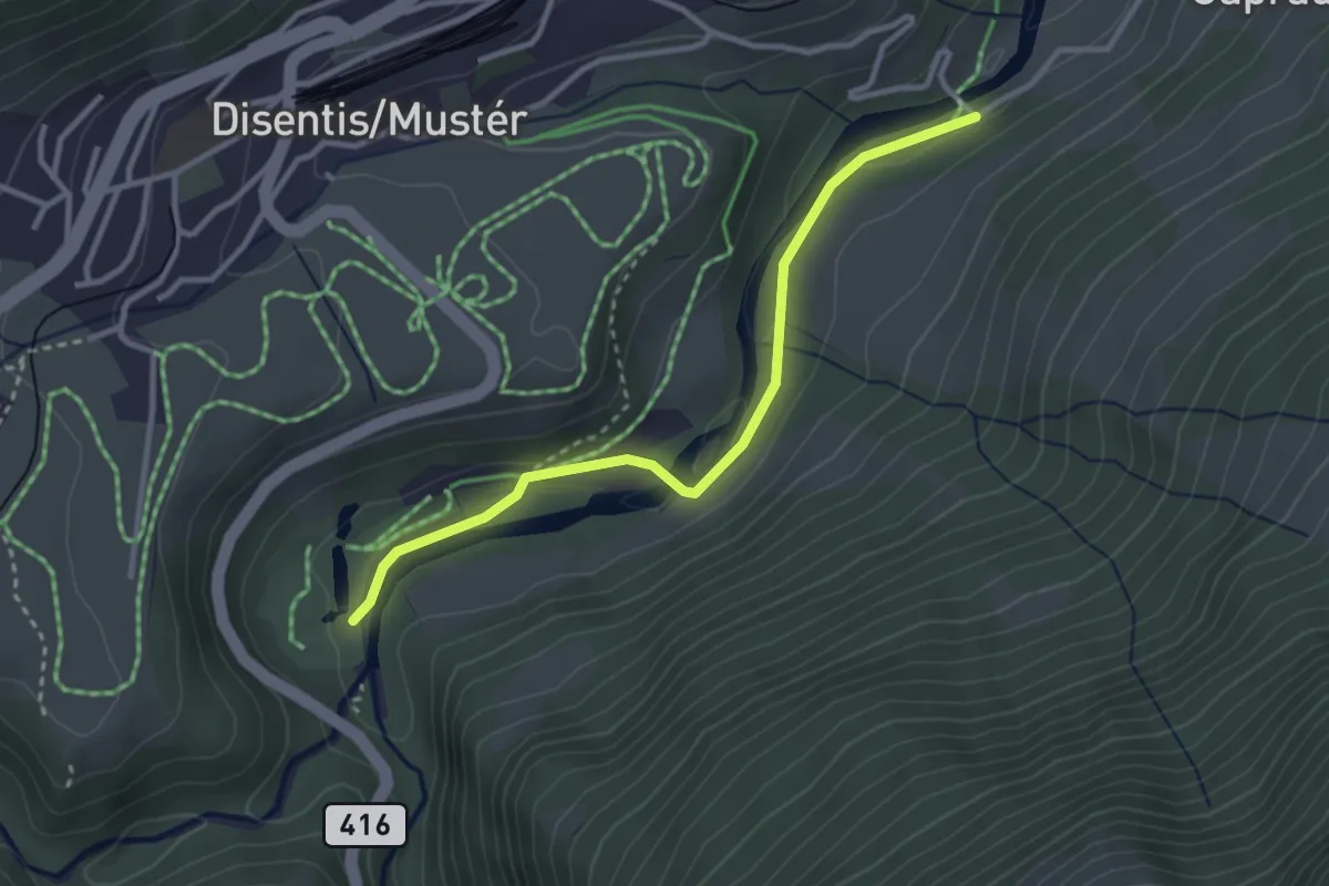
Medium · Cabin
Fontana - Rifiugio Giumella
7.5 km · ↑ 673 m · 3 h 14 min
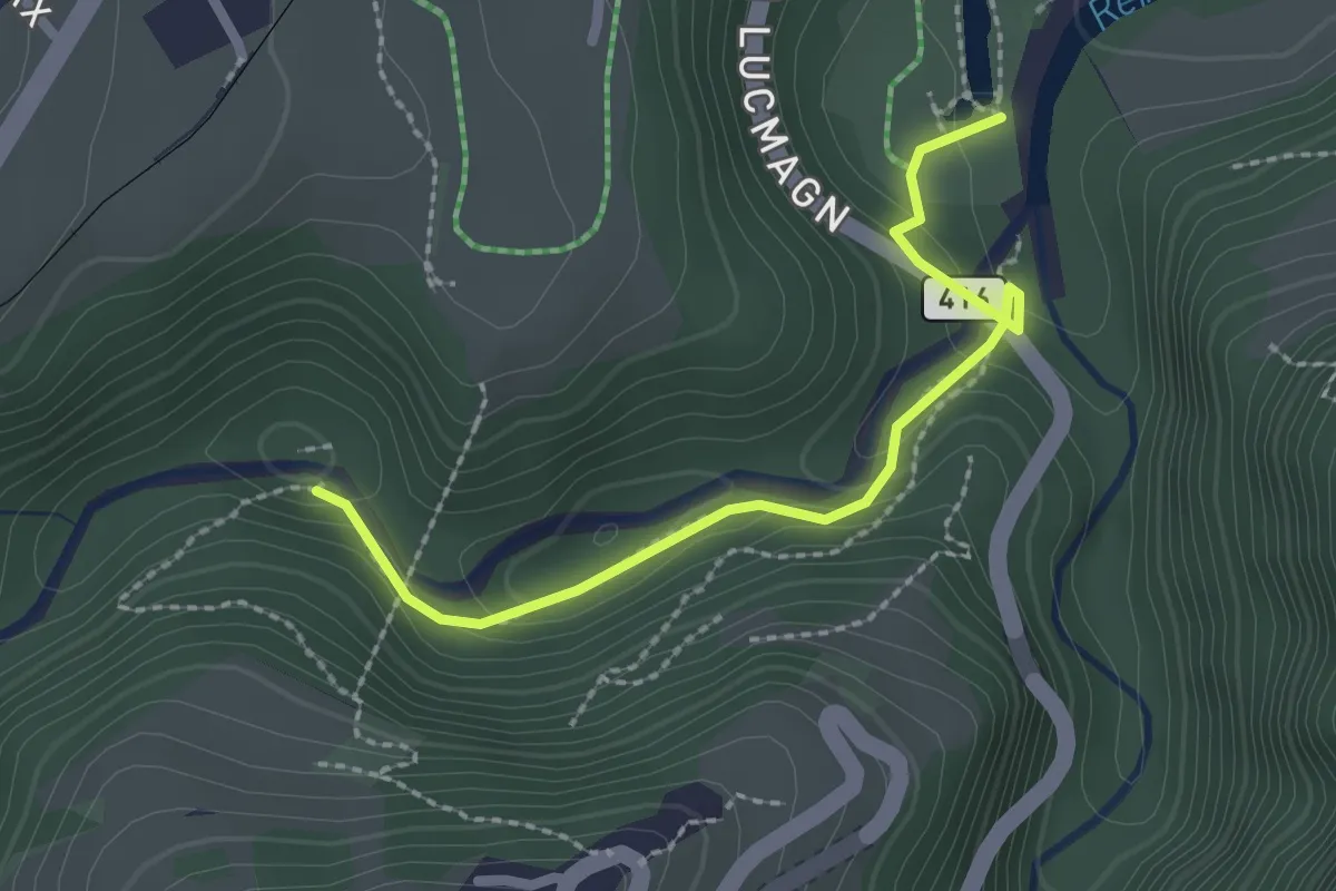
Easy · Trail
Fontanivas - Brulf
3.0 km · ↑ 60 m · 51 min
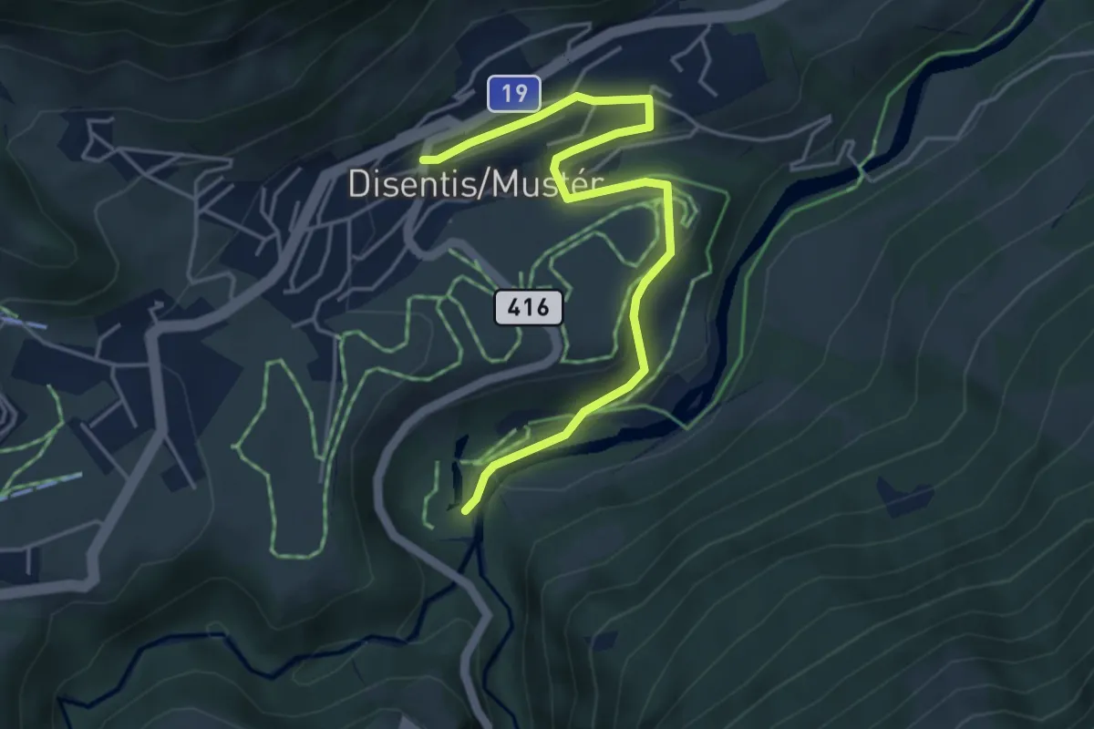
Easy · Trail
Fontanivas - Cuflons
2.3 km · ↑ 197 m · 58 min
Easy · Trail
Fontanivas - Disentis
4.7 km · ↑ 139 m · 1 h 25 min