Trails in Switzerland
15,055 hiking trails, each with its route, climb, walking time and grade.
All trails, page 207 of 314
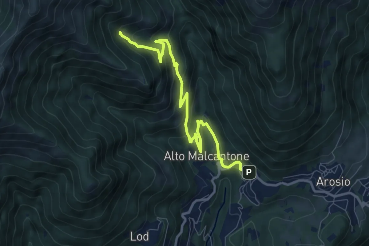
Medium · Trail
Alpe di Coransù – Mugena
8.2 km · ↑ 465 m · 2 h 56 min
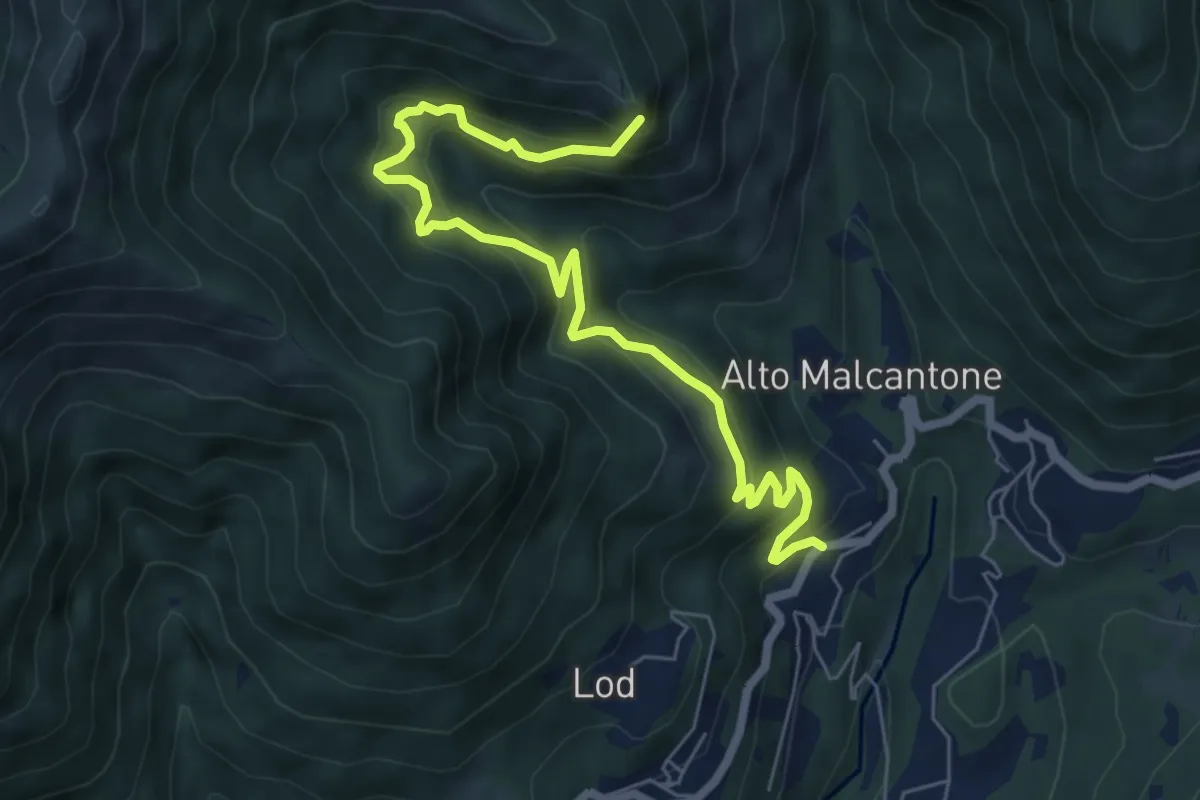
Demanding · Summit
Alpe di Coransù – Vezio
7.3 km · ↑ 592 m · 3 h 1 min
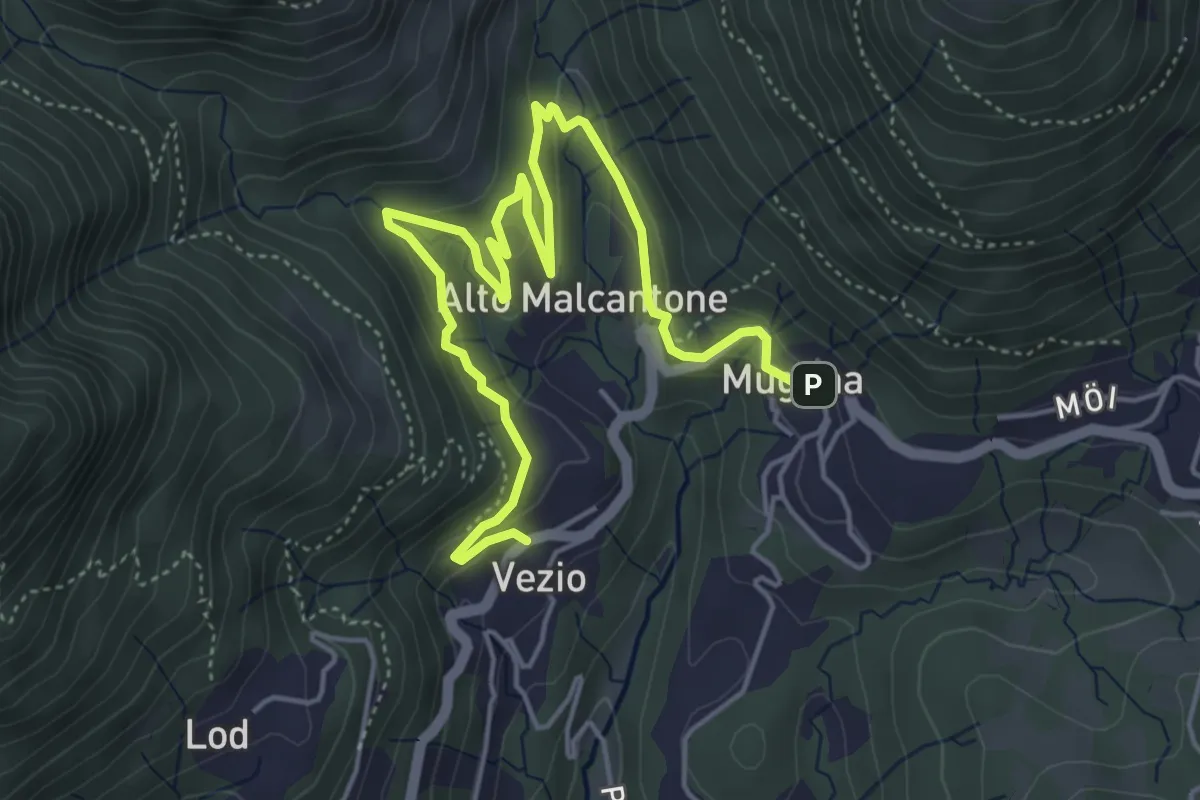
Medium · Trail
Mugena – Vezio
6.3 km · ↑ 320 m · 2 h 12 min
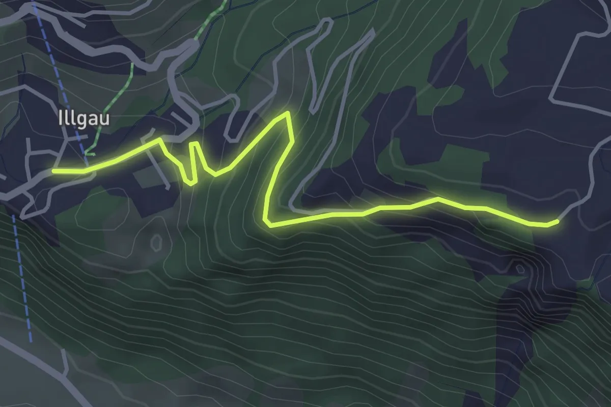
Easy · Trail
Tauisberg – Illgau
3.7 km · ↑ 277 m · 1 h 28 min
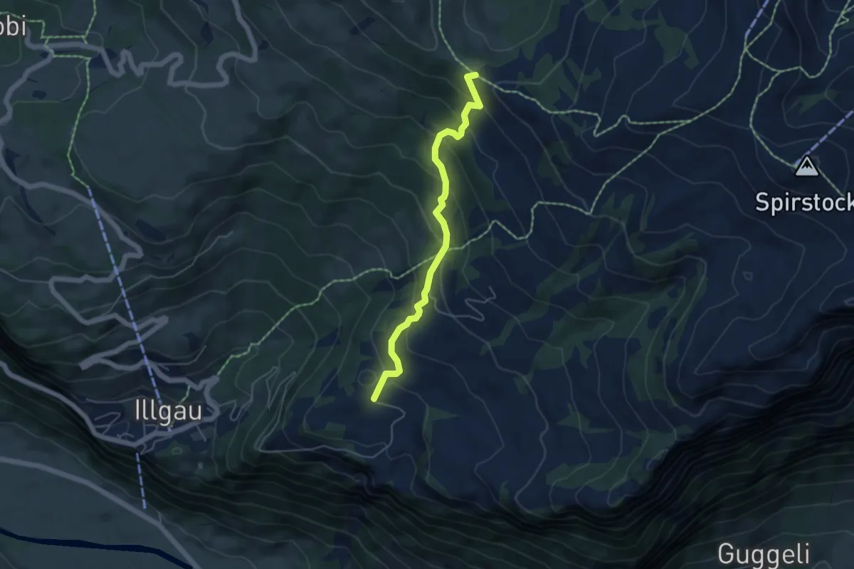
Medium · Cabin
Zingelberg – Sternenegg
4.7 km · ↑ 343 m · 1 h 51 min
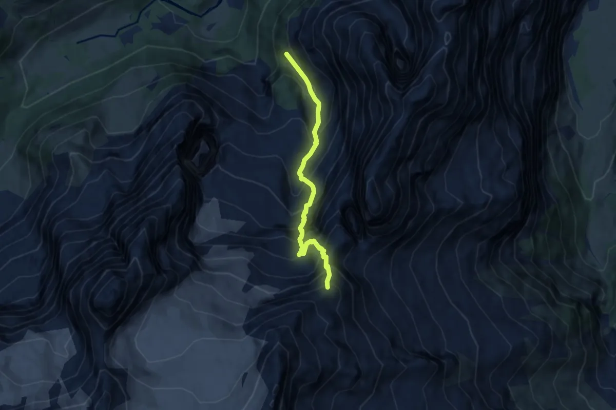
Expert · Cabin
Gletscherhubel – Dossenhütte
6.4 km · ↑ 1022 m · 3 h 44 min
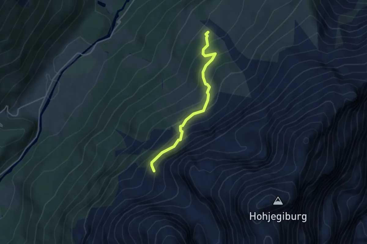
Demanding · Cabin
Gross Rychenbach – Engelhornhütte
3.2 km · ↑ 325 m · 1 h 27 min
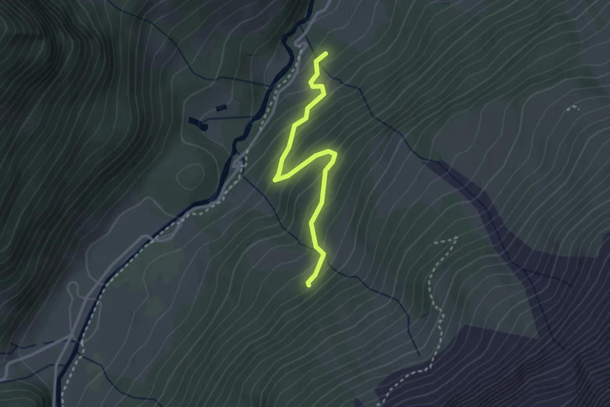
Easy · Trail
Kaltenbrunnen/Säge – Gross Rychenbach
2.7 km · ↑ 221 m · 1 h 7 min
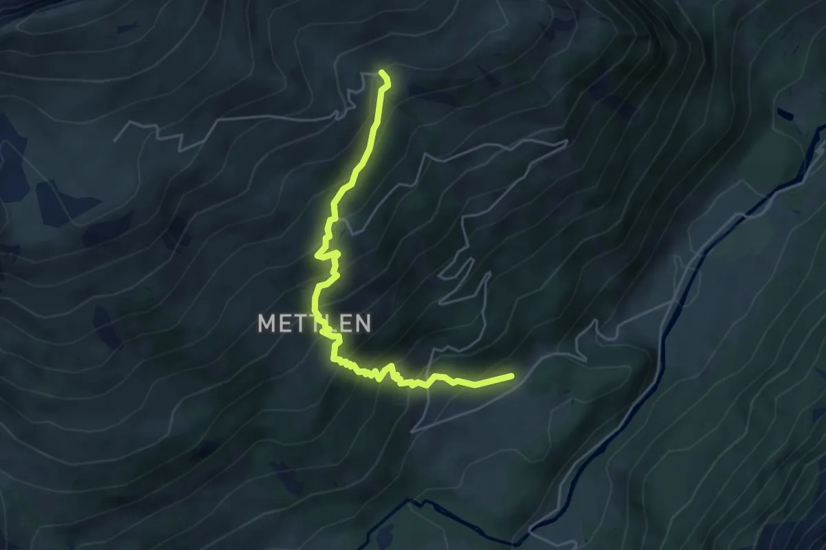
Medium · Trail
Grindelschärm – Rufenen
5.0 km · ↑ 536 m · 2 h 21 min
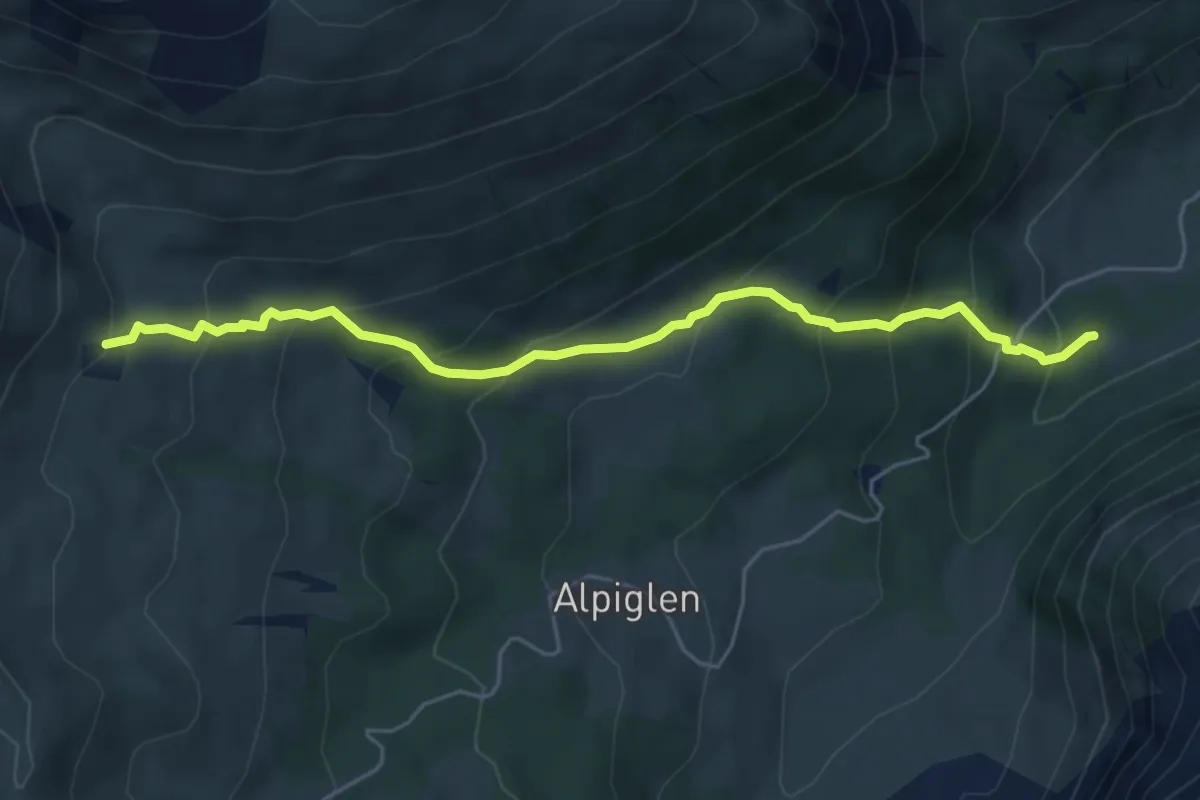
Medium · Trail
Scheidegg / Oberläger – Schwarzwaldalp
5.5 km · ↑ 471 m · 2 h 20 min
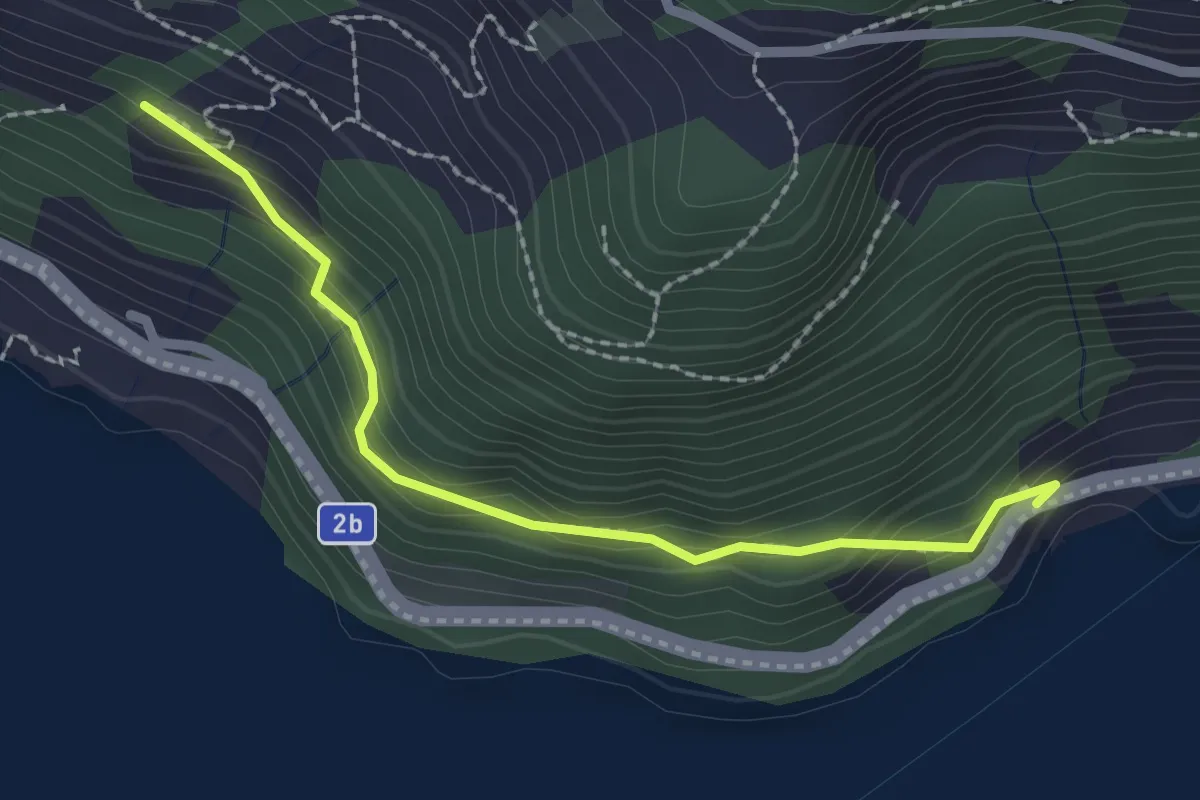
Easy · Trail
Forst – Furt
2.2 km · ↑ 219 m · 59 min
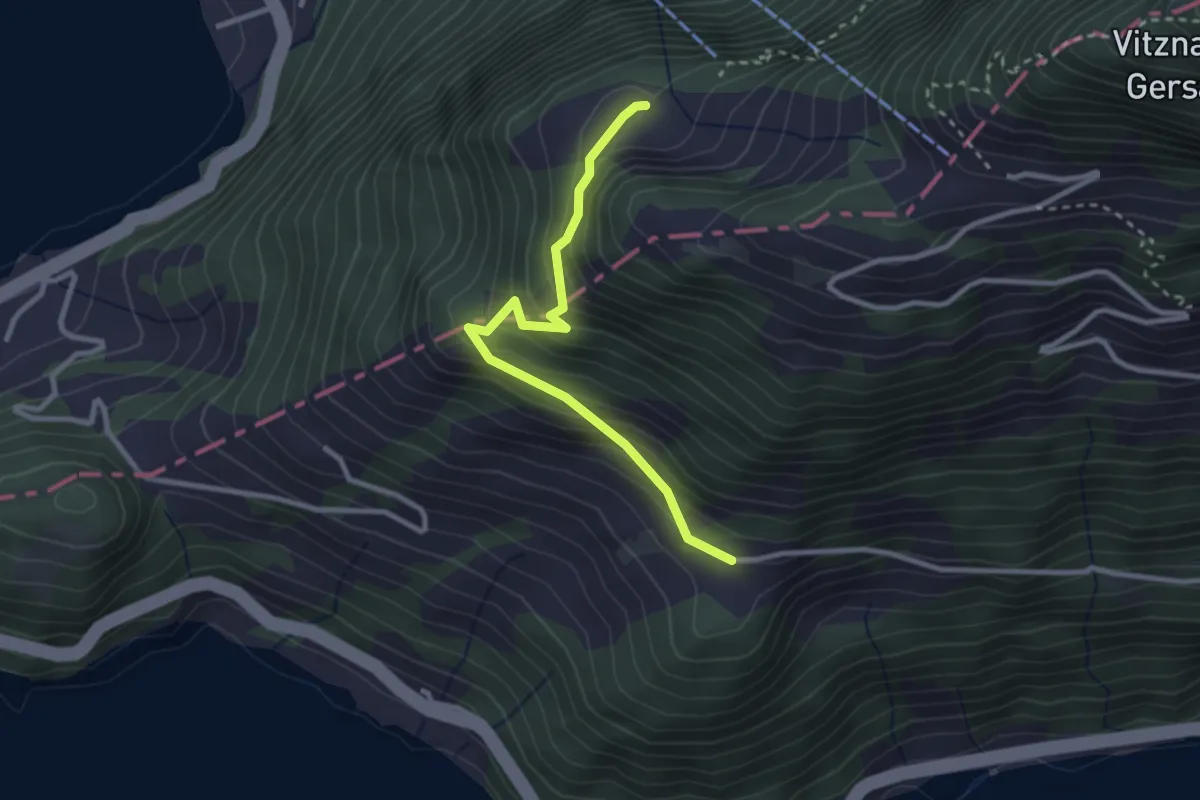
Easy · Trail
Ober Rängg – Wissifluh
2.7 km · ↑ 230 m · 1 h 9 min
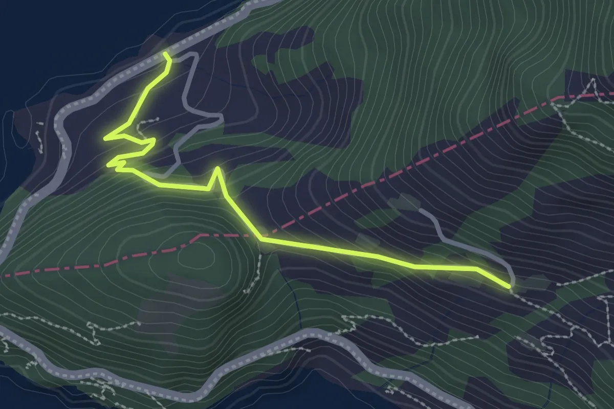
Easy · Trail
Äbnet – Bürglen
2.8 km · ↑ 228 m · 1 h 9 min
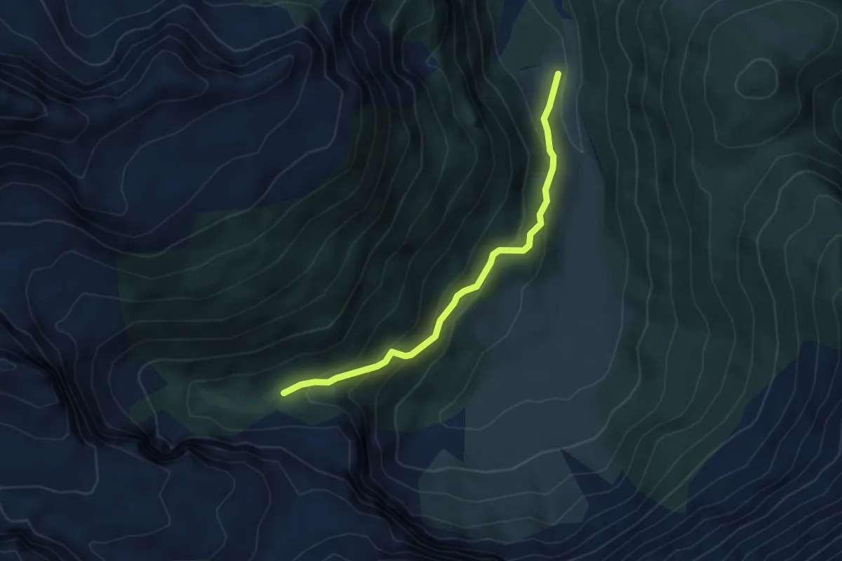
Medium · Trail
Piumogna – Sgnòi
4.4 km · ↑ 279 m · 1 h 39 min
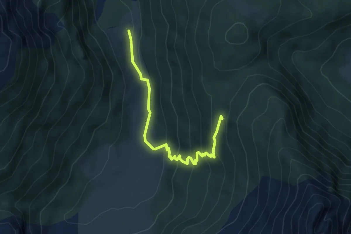
Easy · Trail
Piumogna – Alpe Piòta
4.8 km · ↑ 285 m · 1 h 45 min
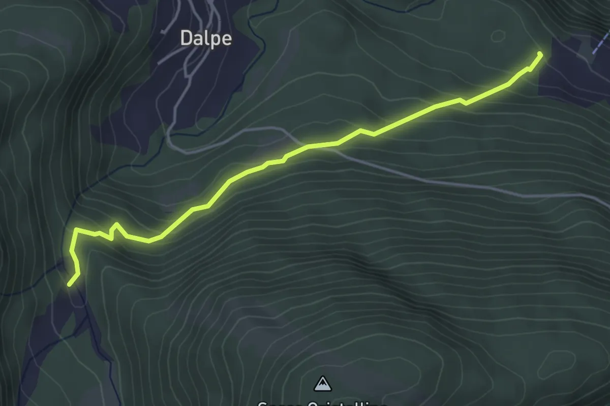
Easy · Trail
Vallascia – Polpiano
4.3 km · ↑ 265 m · 1 h 36 min
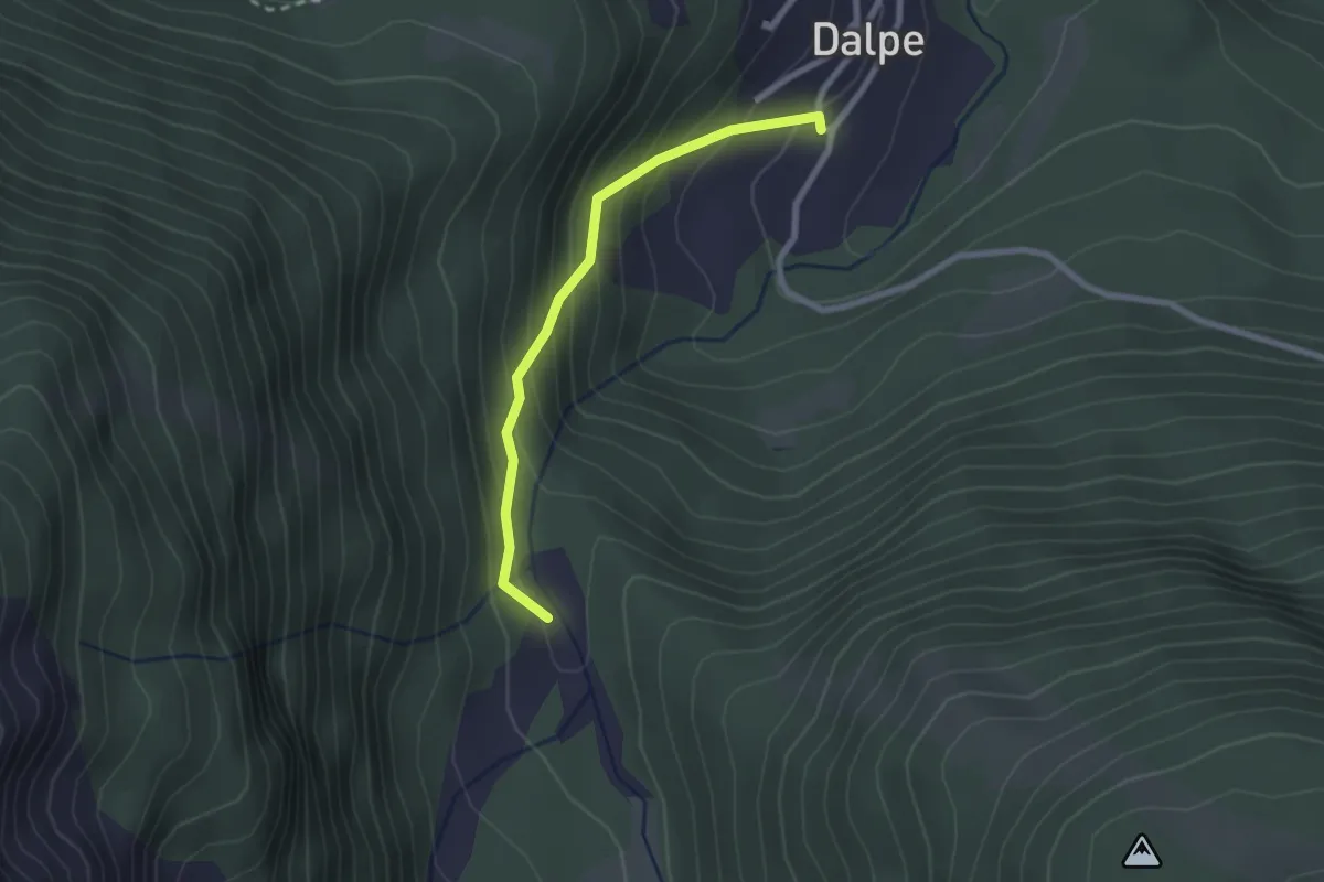
Easy · Trail
Polpiano – Dalpe 🏠
2.2 km · ↑ 194 m · 57 min
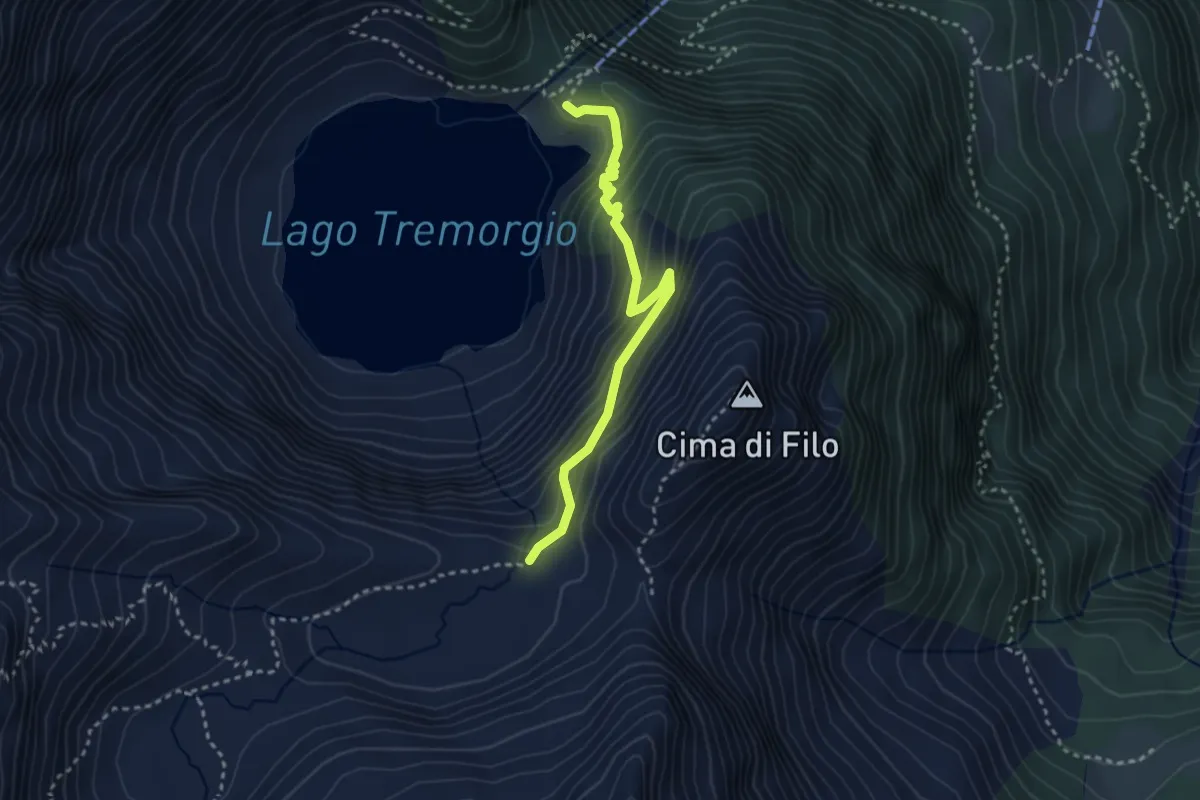
Medium · Cabin
Capanna Tremorgio – Alpe Campolungo
3.1 km · ↑ 303 m · 1 h 23 min
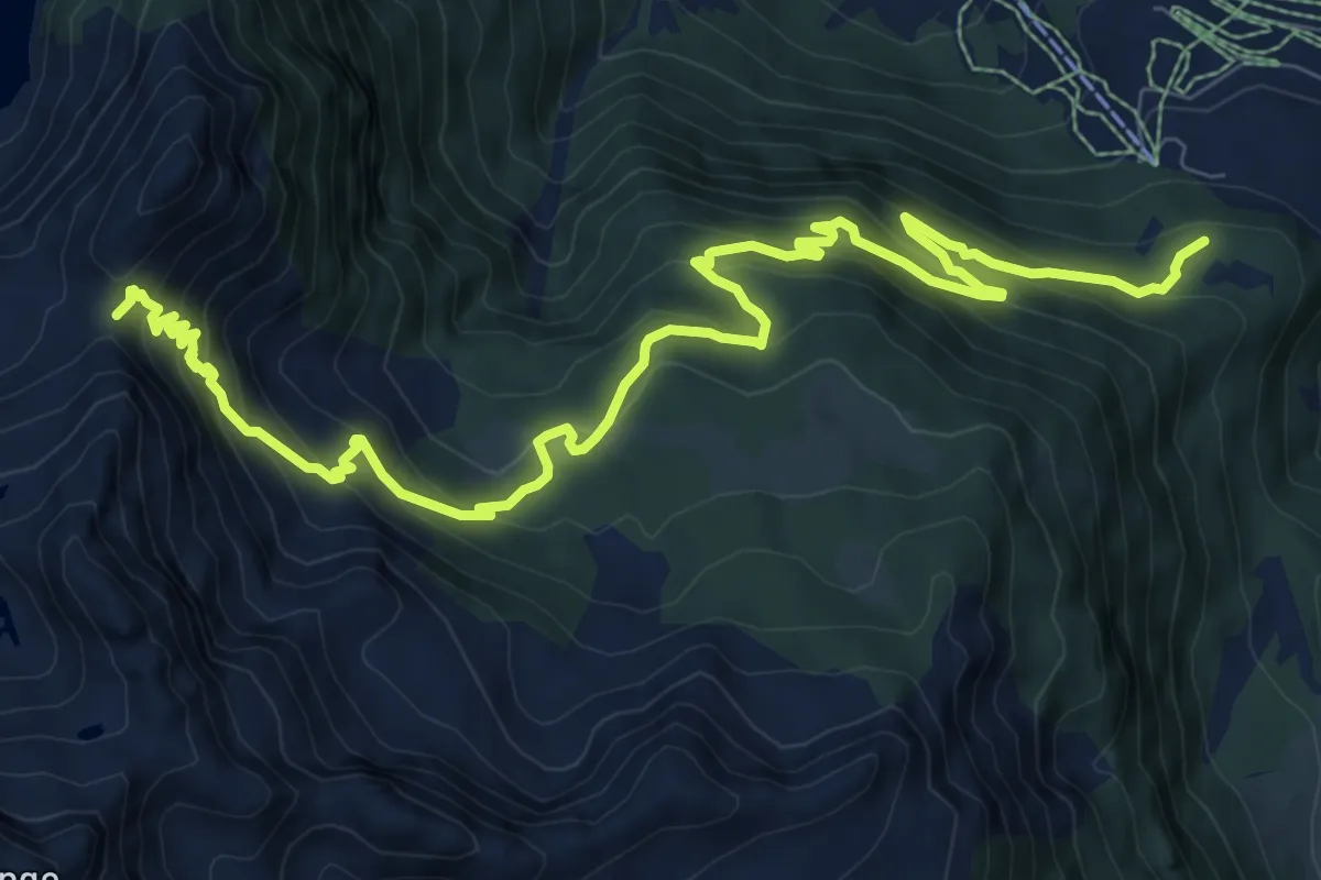
Demanding · Trail
Passo Venett – Boscobello
11.9 km · ↑ 971 m · 4 h 55 min
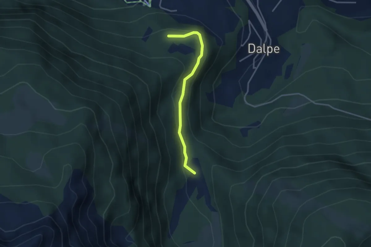
Easy · Trail
Boscobello – Polpiano
2.6 km · ↑ 132 m · 54 min
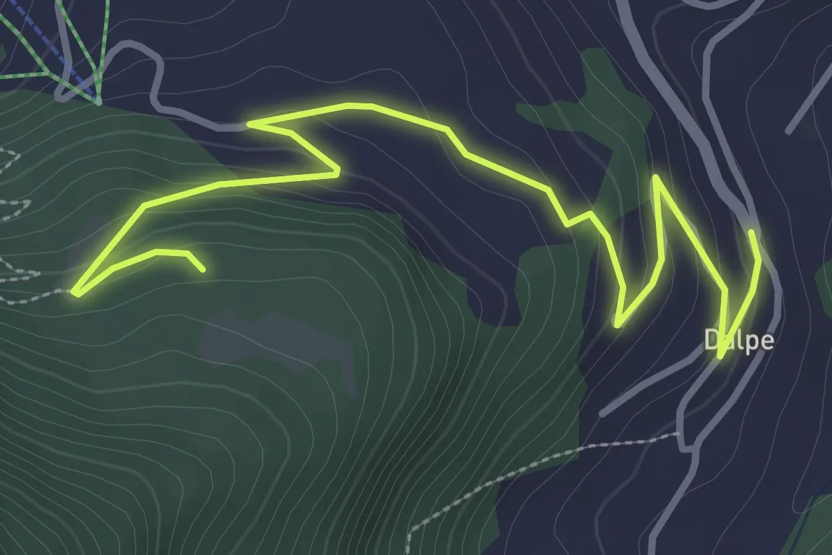
Easy · Trail
Boscobello – Dalpe
3.9 km · ↑ 182 m · 1 h 19 min
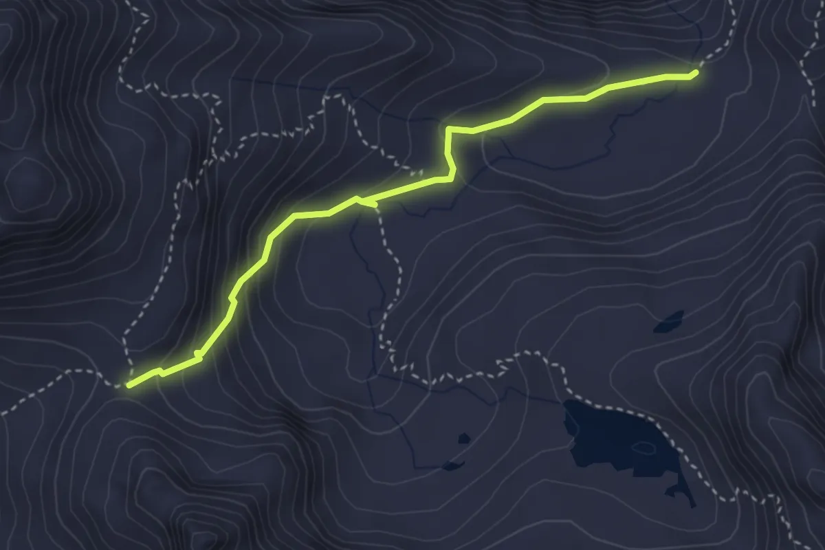
Demanding · Trail
Alpe Campolungo – Passo Campolungo
3.5 km · ↑ 243 m · 1 h 21 min
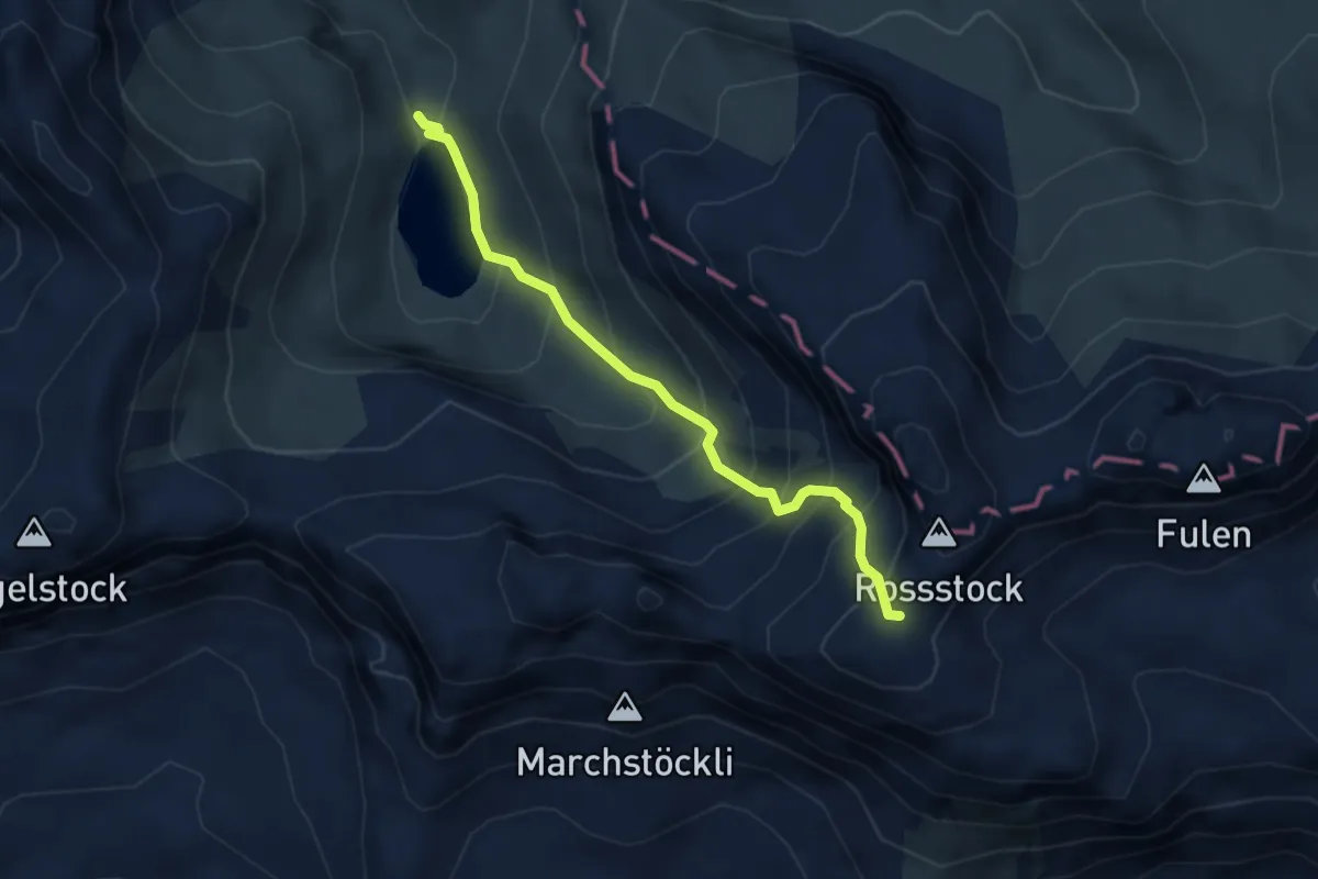
Medium · Trail
Spilauersee – Spilauer Grätli
3.6 km · ↑ 437 m · 1 h 48 min
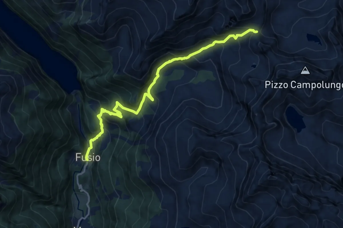
Demanding · Trail
Passo Campolungo – Fusio
12.7 km · ↑ 1127 m · 5 h 27 min
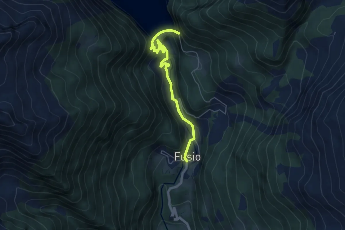
Medium · Trail
Fusio – Lago Sambuco
5.0 km · ↑ 378 m · 2 h
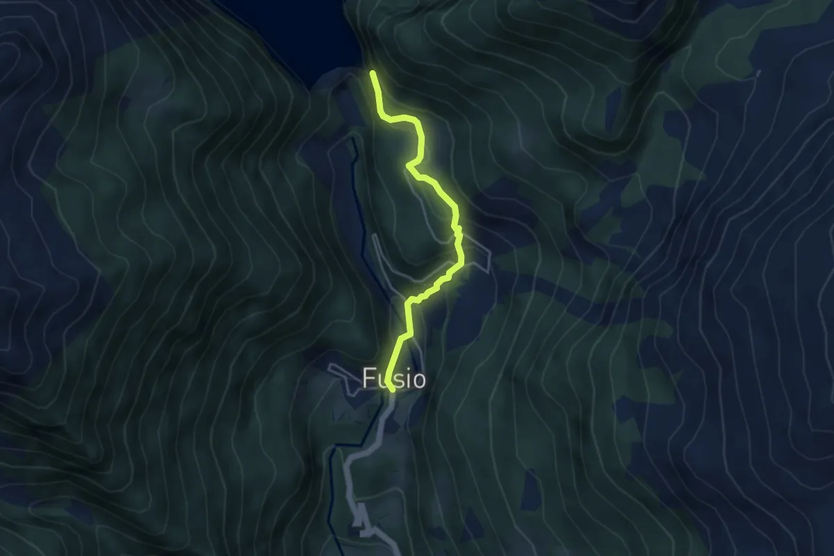
Medium · Trail
Lago Sambuco – Fusio
3.7 km · ↑ 337 m · 1 h 36 min
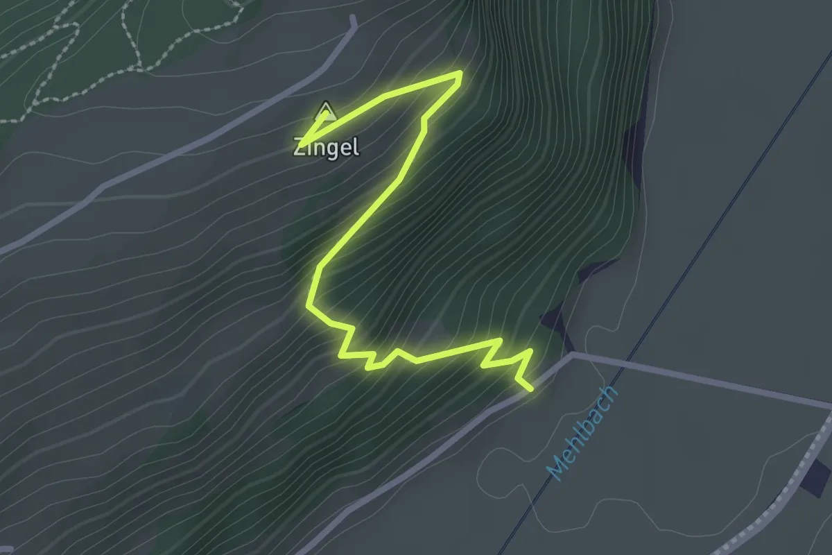
Easy · Summit
Drachenried – Neumatt
2.6 km · ↑ 285 m · 1 h 15 min
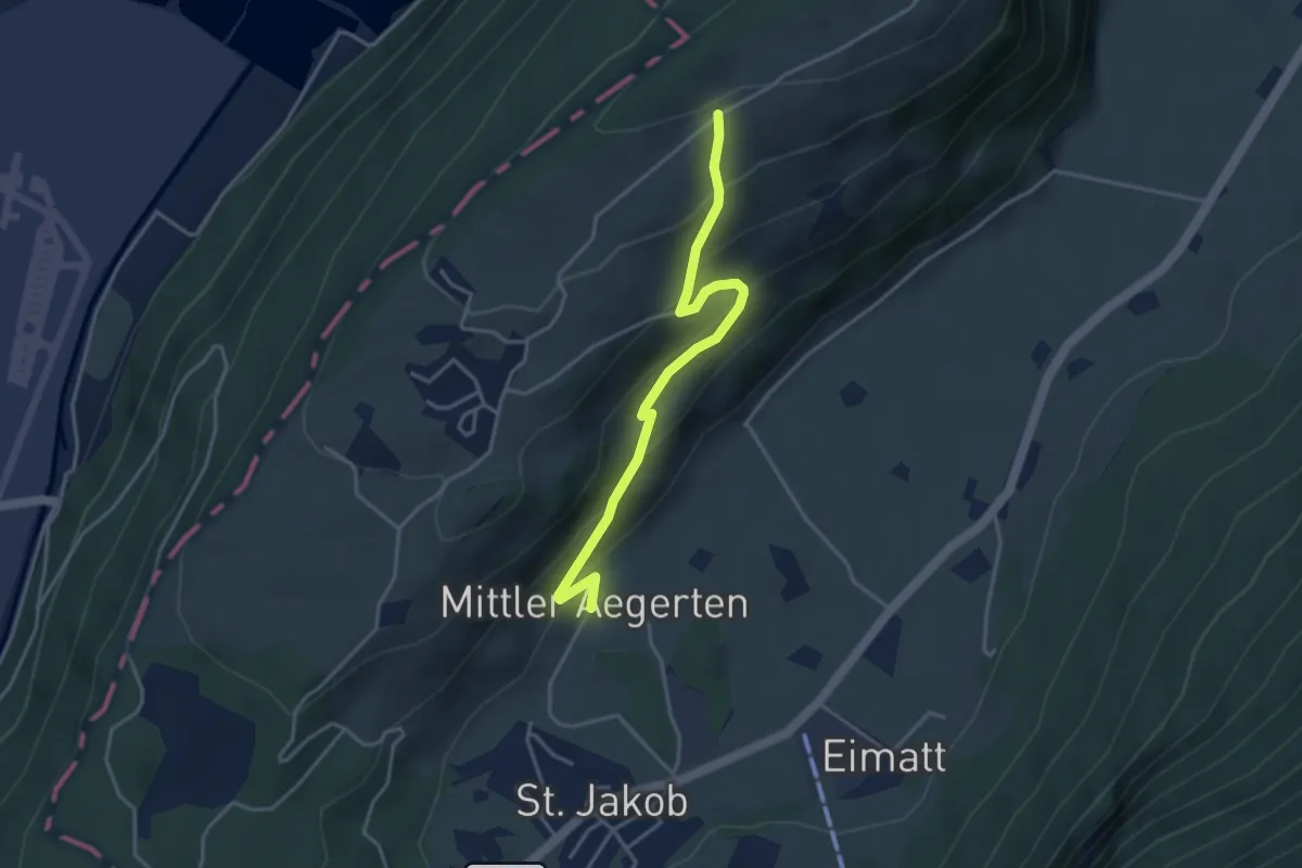
Easy · Trail
Grossitz – Mittelägerten
3.8 km · ↑ 263 m · 1 h 28 min
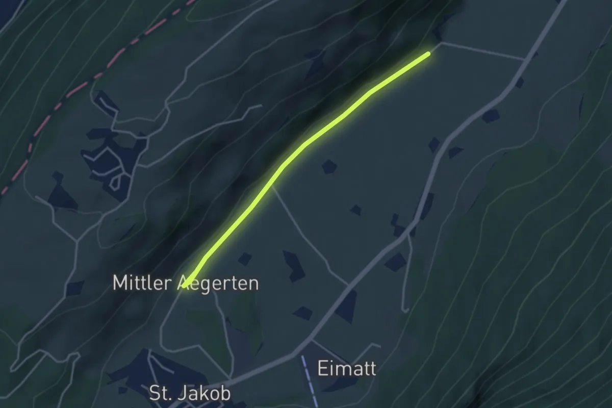
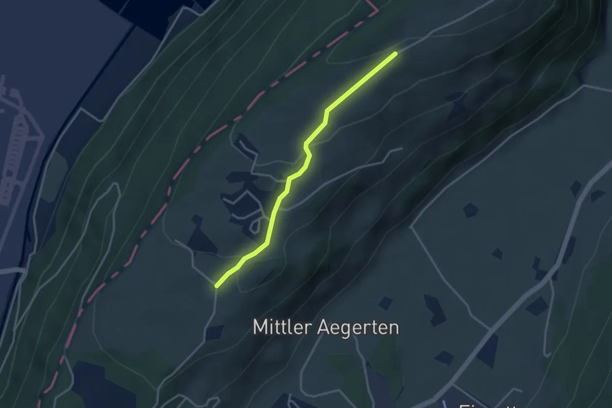
Easy · Trail
Drachenried – Mittelägerten
3.3 km · ↑ 46 m · 53 min
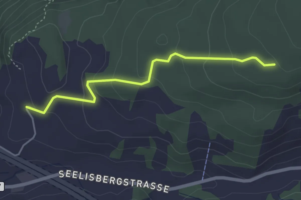
Easy · Trail
Grossitz – Gruebli
2.8 km · ↑ 109 m · 55 min
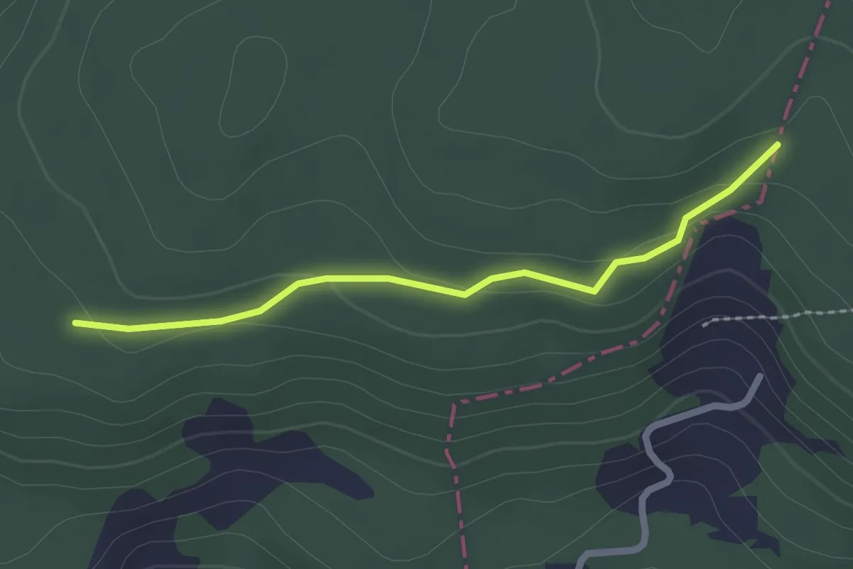
Easy · Trail
Sunnwil – Brennwald
3.5 km · ↑ 173 m · 1 h 12 min
Easy · Trail
Brennwald – Plattenzug
2.0 km · ↑ 56 m · 36 min
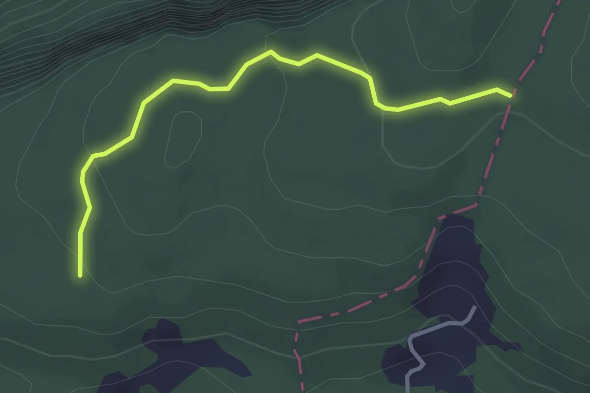
Easy · Trail
Brennwald – Plattenzug
2.9 km · ↑ 182 m · 1 h 4 min
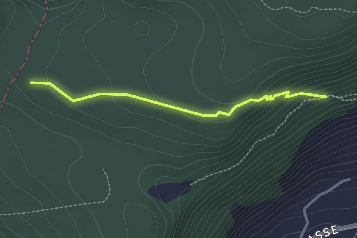
Easy · Trail
Plattenzug – Fällmätteli
2.1 km · ↑ 84 m · 41 min
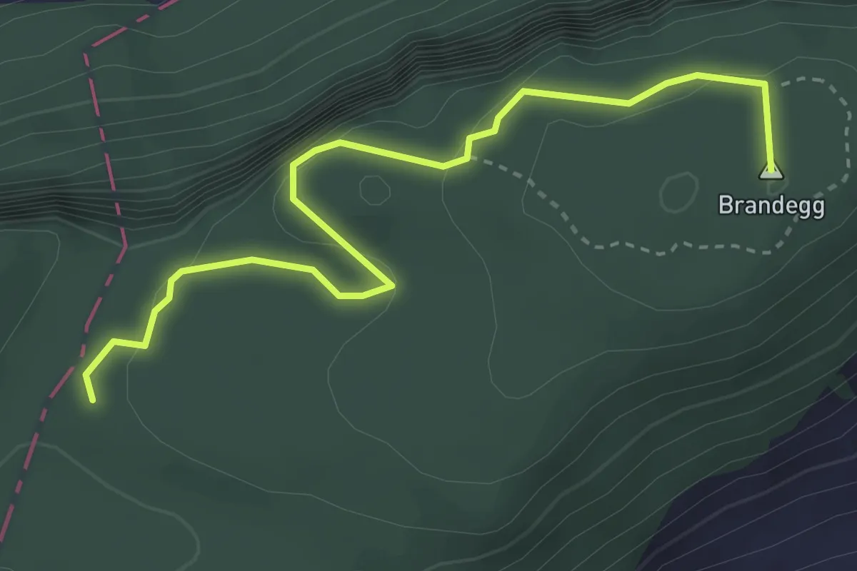
Medium · Summit
Plattenzug – Höch Flue
3.7 km · ↑ 351 m · 1 h 38 min
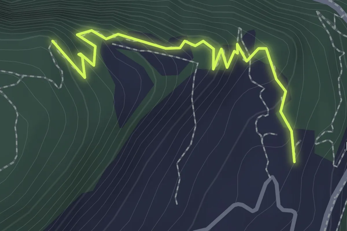
Medium · Trail
Höch Flue – Frutt
2.3 km · ↑ 158 m · 53 min
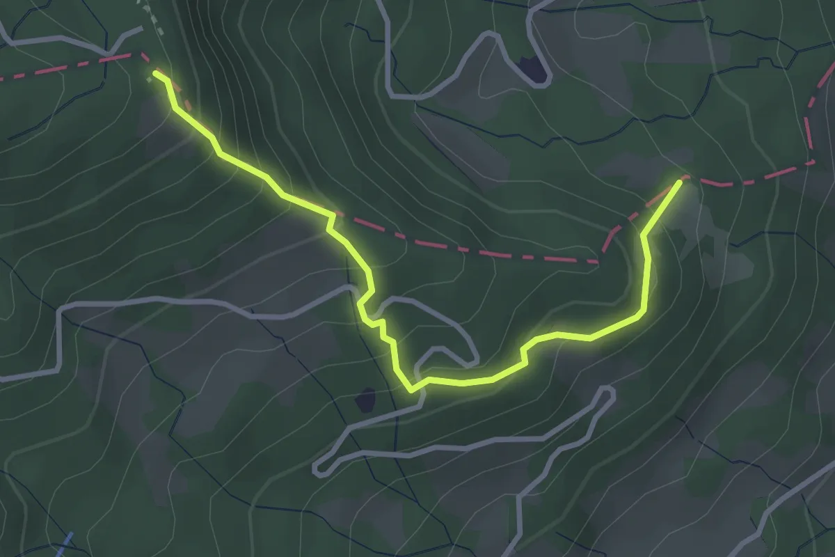
Easy · Trail
Hohrüti – Schönenboden
3.1 km · ↑ 277 m · 1 h 20 min
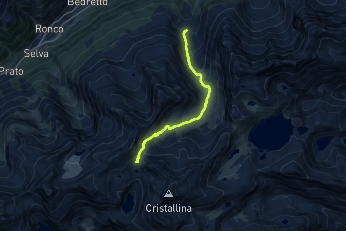
Medium · Cabin
Alpe di Cristallina – Passo Cristallina
9.6 km · ↑ 774 m · 3 h 57 min
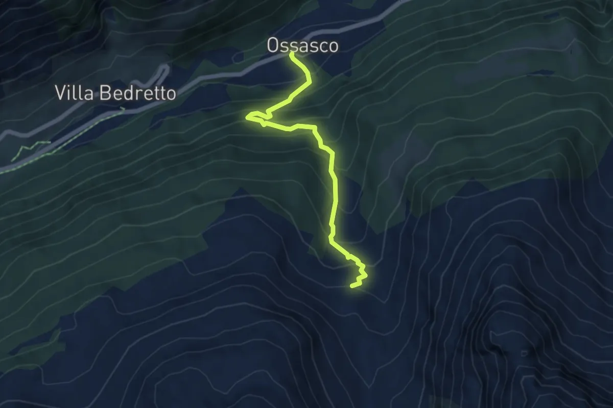
Medium · Trail
Ossasco – Alpe di Cristallina
4.6 km · ↑ 511 m · 2 h 12 min
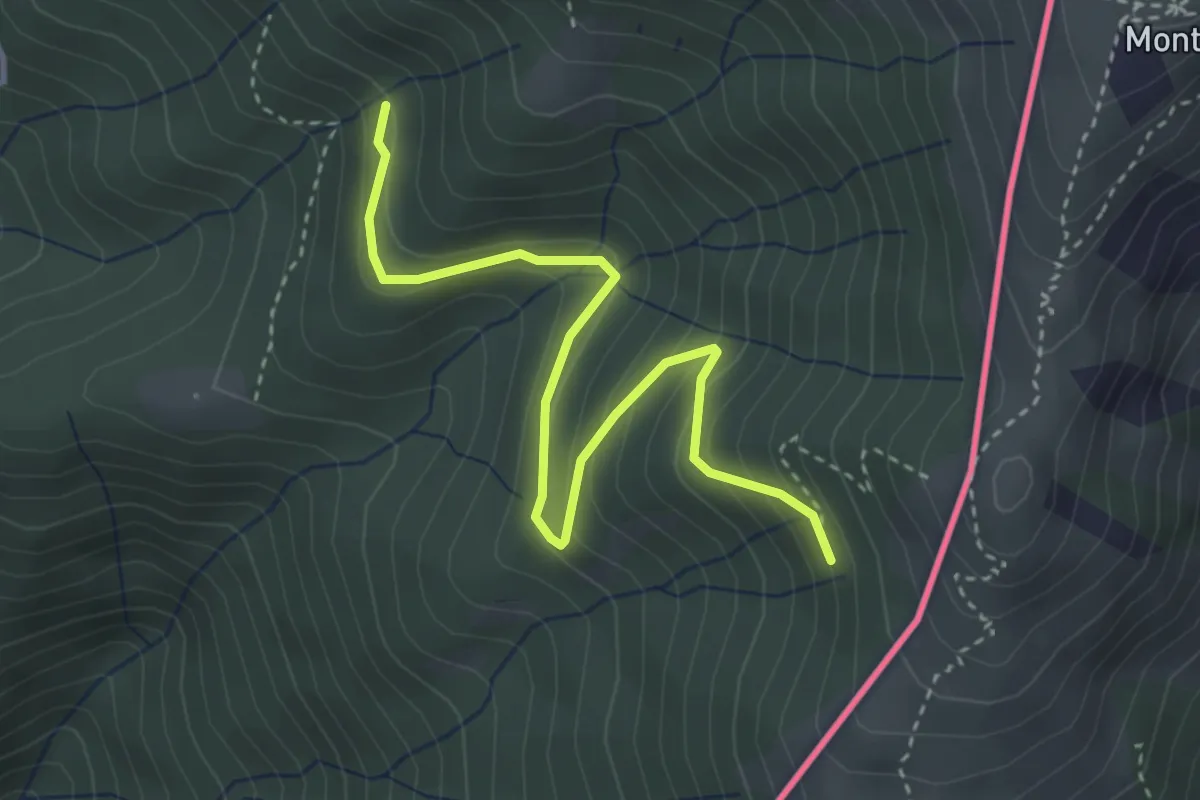
Easy · Trail
Pradecolo – Alpe di Dumenza
3.8 km · ↑ 244 m · 1 h 25 min
Easy · Trail
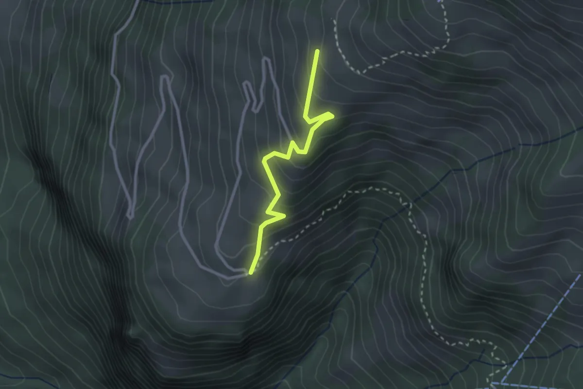
Arhölzli – Gibel
2.4 km · ↑ 214 m · 1 h 1 min
Medium · Trail
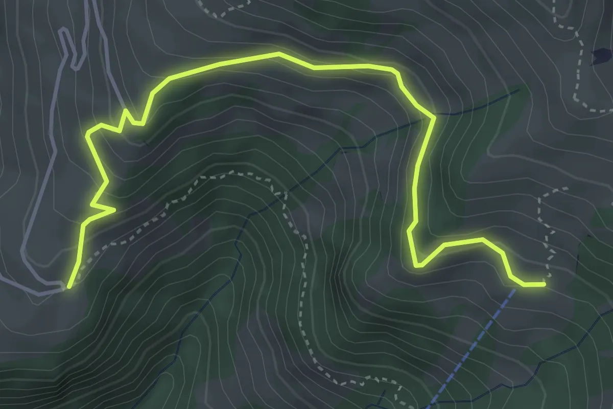
Gibel – Bleiki
4.7 km · ↑ 370 m · 1 h 54 min
Medium · Trail
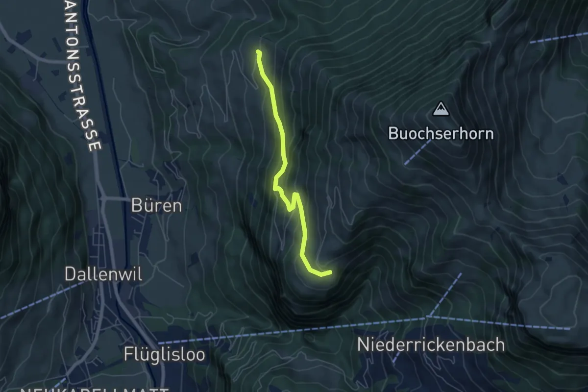
Gibel – Gross Schwanden
5.0 km · ↑ 375 m · 1 h 59 min
Medium · Trail
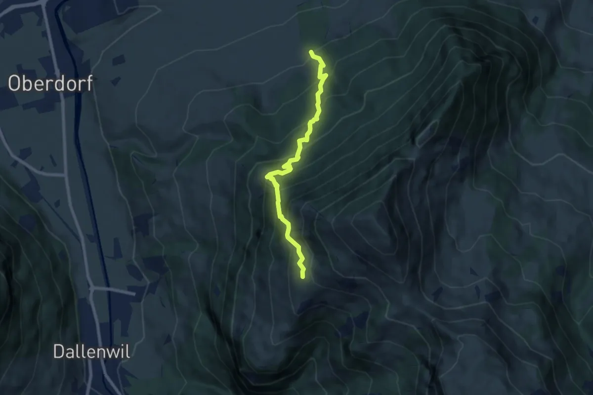
Arhölzli – Buggenried
6.4 km · ↑ 746 m · 3 h 8 min
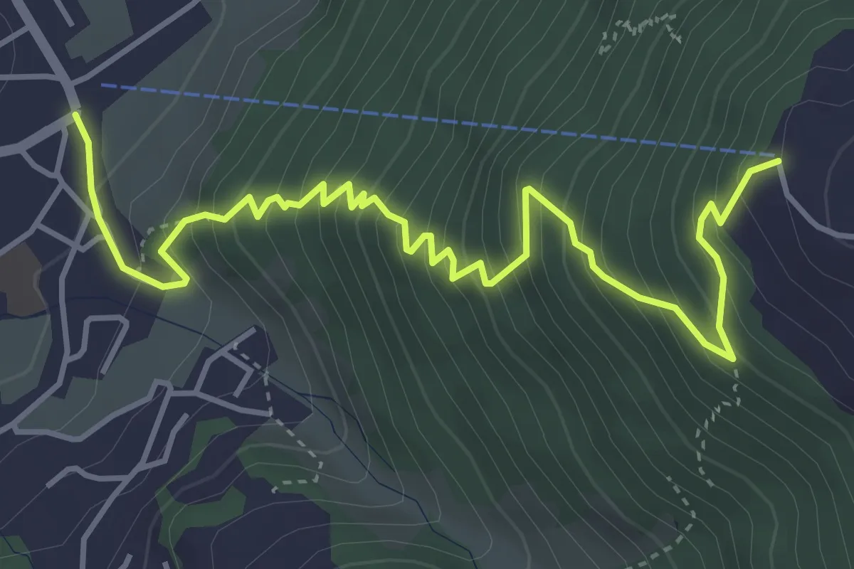
Medium · Trail
Schattdorf Talstation – Haldi Bergstation
5.0 km · ↑ 621 m · 2 h 31 min
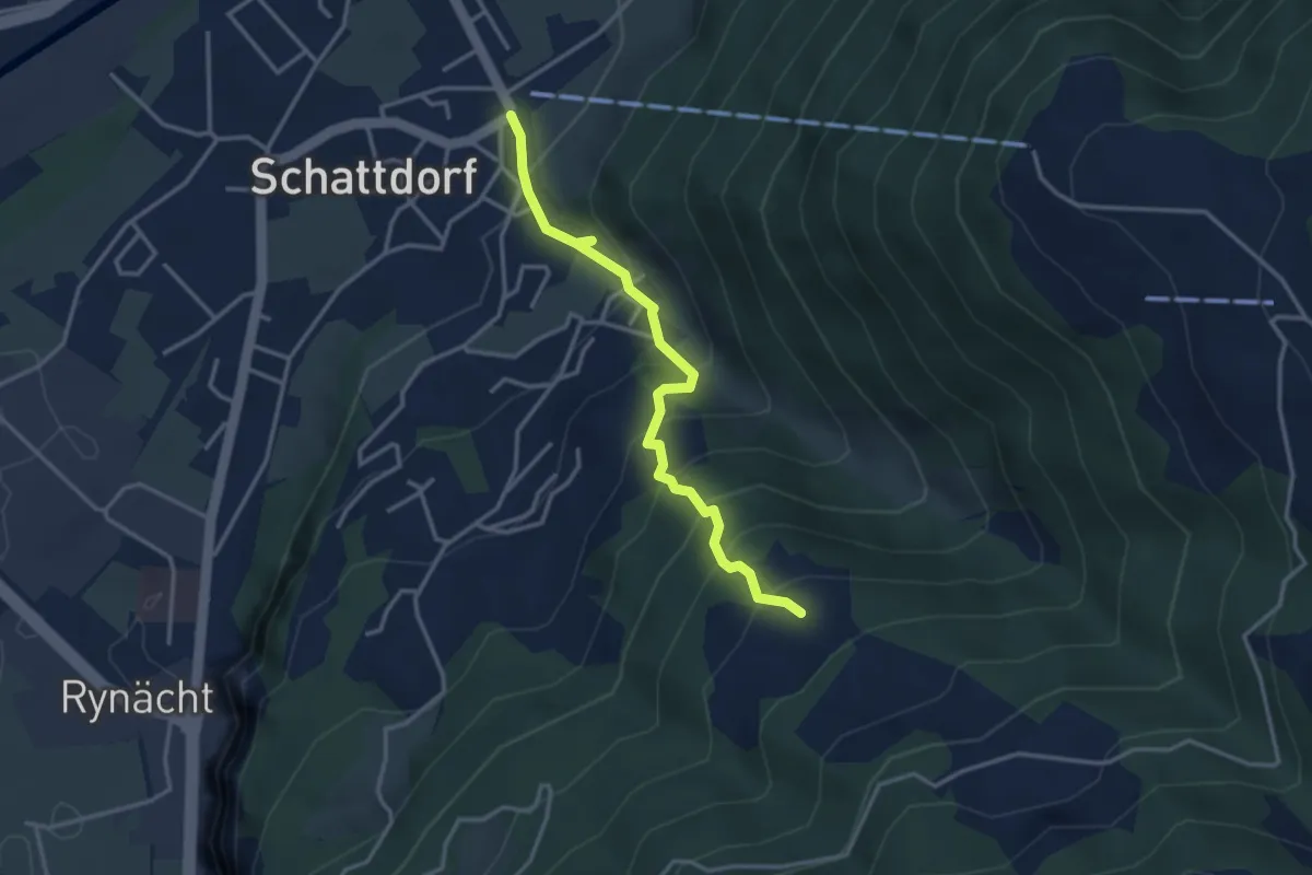
Medium · Trail
Schattdorf – Lehn
3.3 km · ↑ 395 m · 1 h 38 min
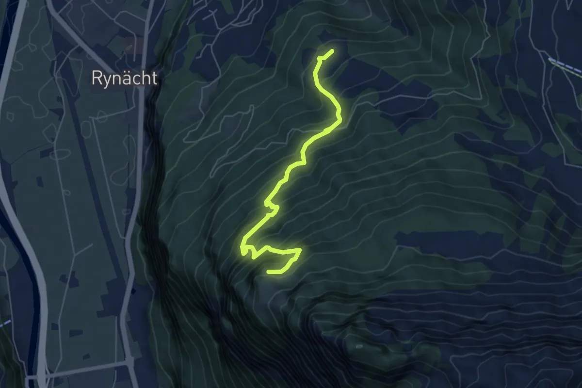
Medium · Trail
Lehn – Schilt
5.8 km · ↑ 618 m · 2 h 43 min
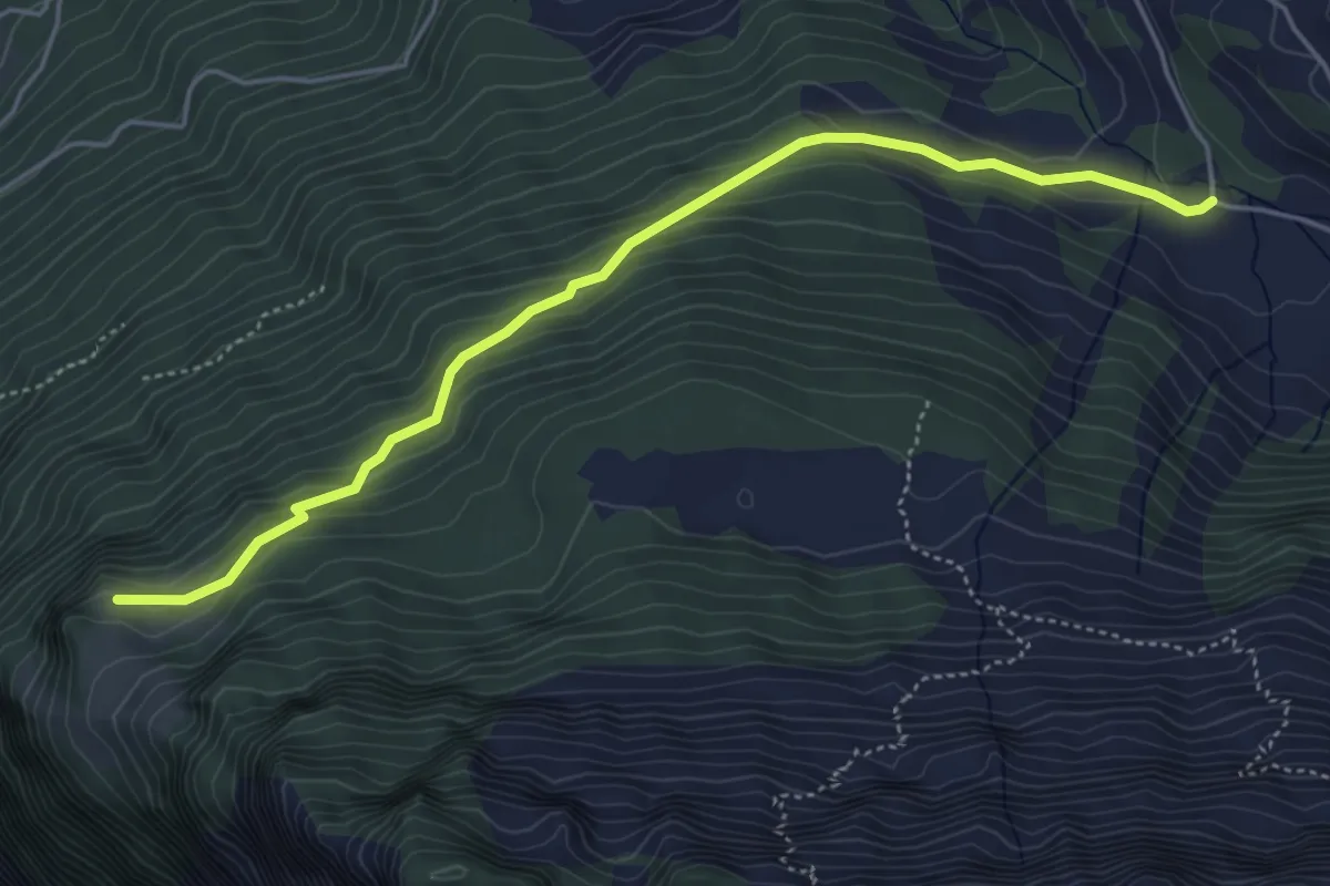
Easy · Trail
Schilt – Süessberg
5.0 km · ↑ 279 m · 1 h 47 min