Trails in Switzerland
15,055 hiking trails, each with its route, climb, walking time and grade.
All trails, page 208 of 314
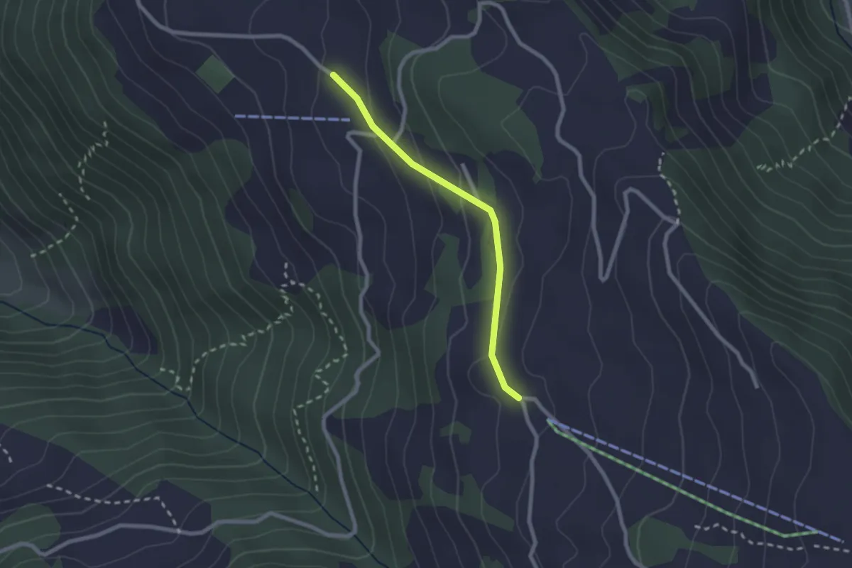
Easy · Trail
Schwandiberg – Haldi
2.0 km · ↑ 87 m · 40 min
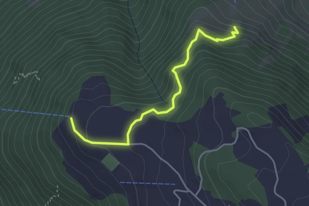
Medium · Trail
Haldi – Gammerschwand
3.0 km · ↑ 241 m · 1 h 14 min
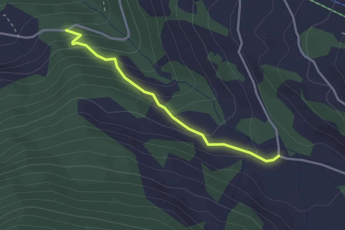
Easy · Trail
Süessberg – Figstuel
2.2 km · ↑ 174 m · 54 min
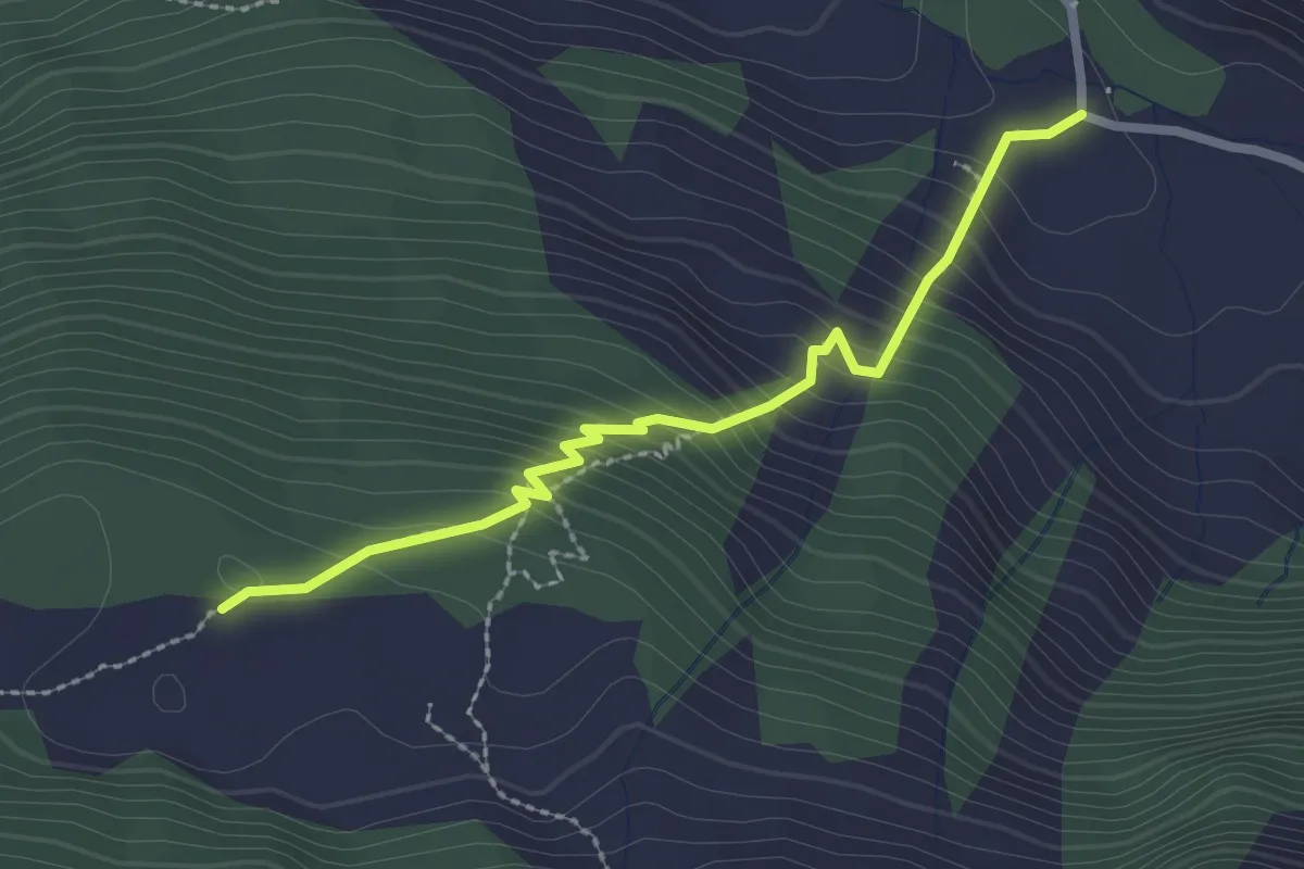
Easy · Trail
Süessberg – Gampelen
2.5 km · ↑ 253 m · 1 h 8 min
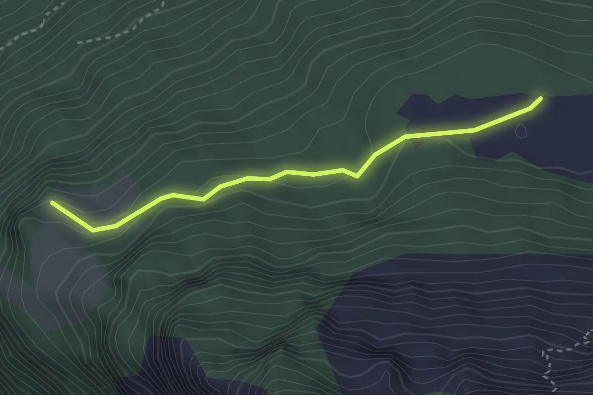
Easy · Trail
Schilt – Gampelen
2.8 km · ↑ 158 m · 1 h
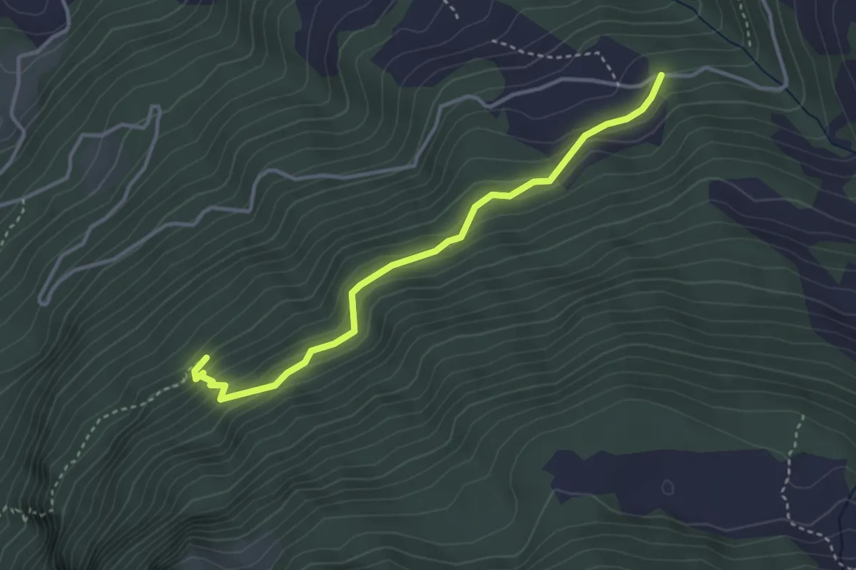
Medium · Trail
Figstuel – Plätteli
3.5 km · ↑ 279 m · 1 h 26 min
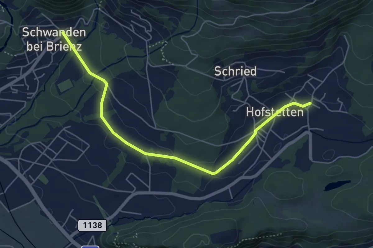
Easy · Trail
Hofstetten Säge – Unter Schwanden
5.0 km · ↑ 59 m · 1 h 19 min
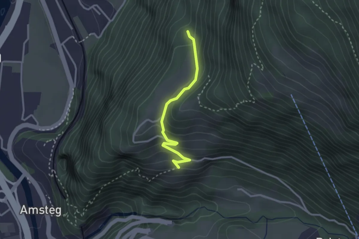
Easy · Trail
Schiferzug – Frentschenberg
2.3 km · ↑ 158 m · 54 min
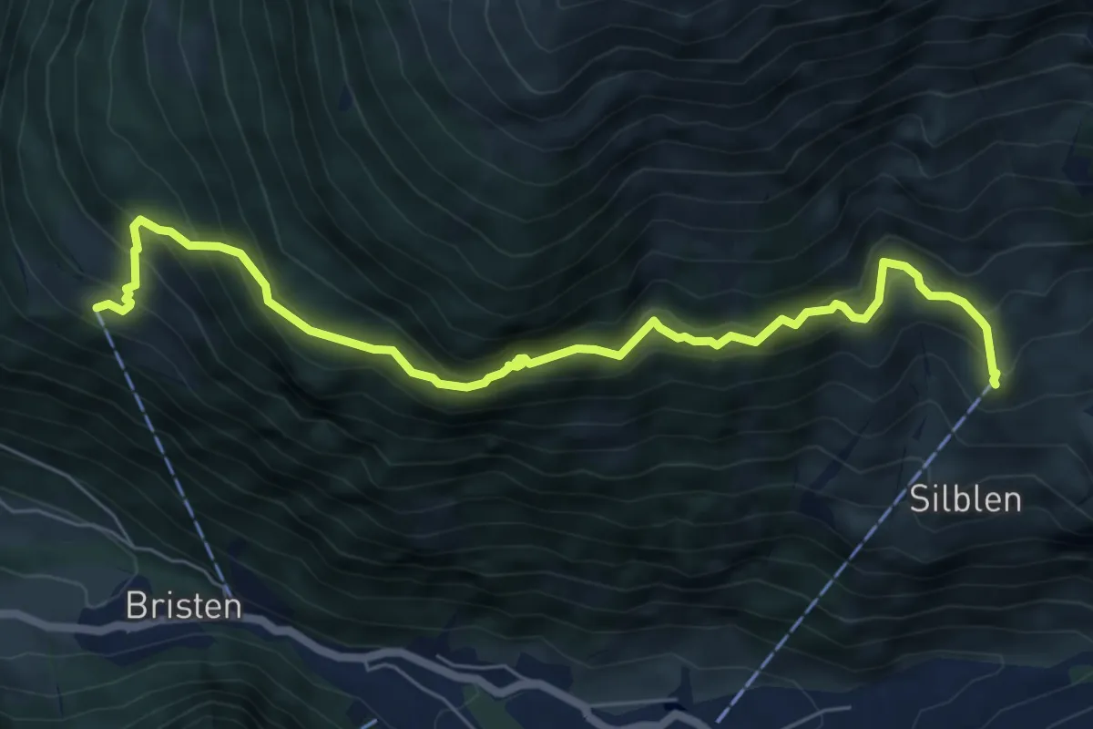
Medium · Trail
Golzeren Bergstation – Waldiberg
7.1 km · ↑ 777 m · 3 h 21 min
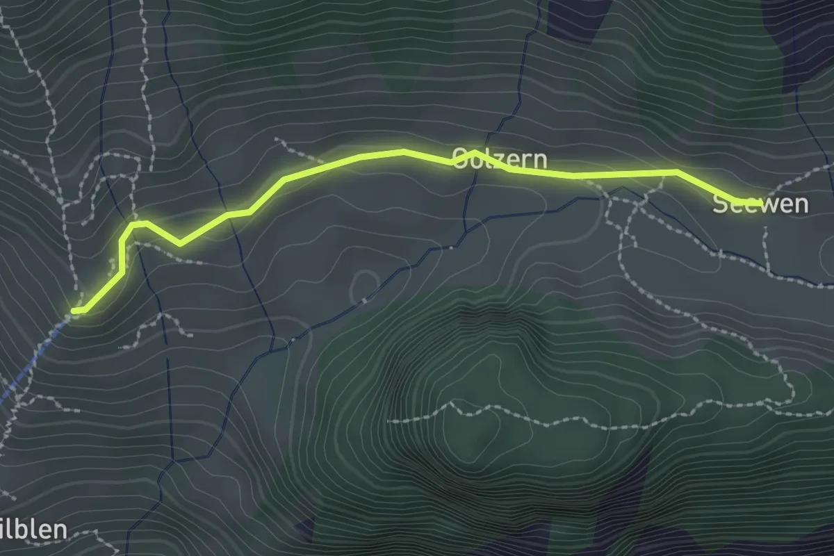
Easy · Trail
Golzeren Bergstation – Seewen
2.3 km · ↑ 78 m · 43 min
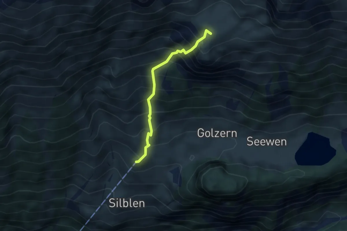
Demanding · Summit
Golzeren Bergstation – Oberchäseren
2.9 km · ↑ 548 m · 1 h 53 min
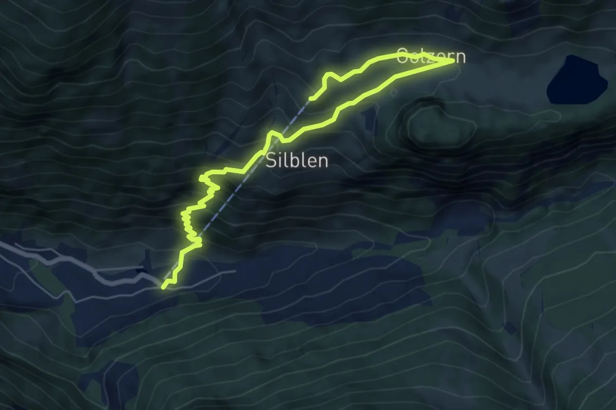
Medium · Trail
Golzeren Bergstation – Golzeren Talstation
7.3 km · ↑ 657 m · 3 h 8 min
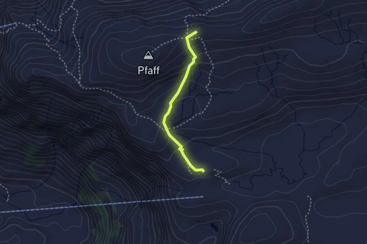
Medium · Summit
Charetalp – Glattalp
2.4 km · ↑ 166 m · 55 min
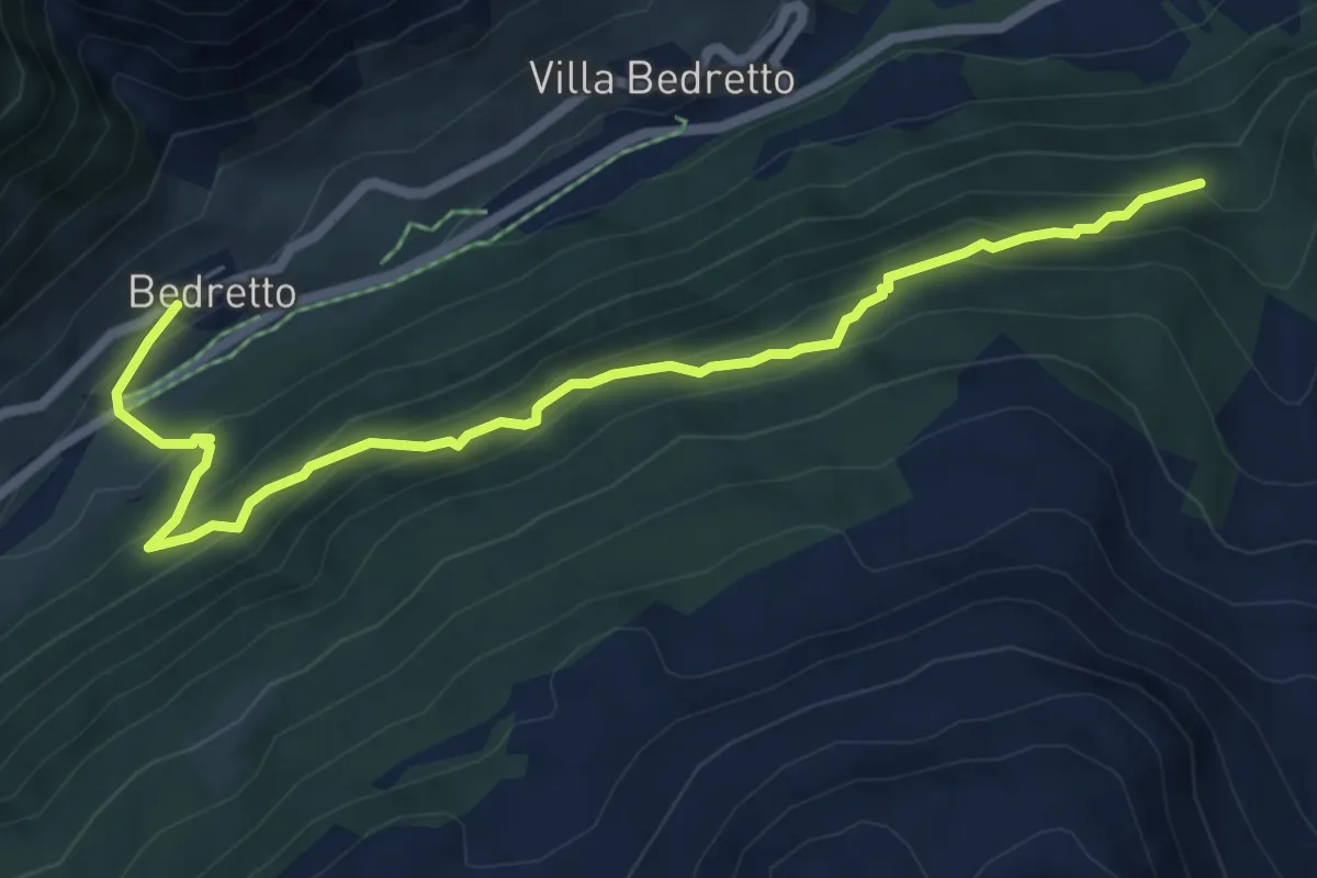
Medium · Trail
Alpe Christalina – Bedretto (Osasco)
6.9 km · ↑ 559 m · 2 h 50 min
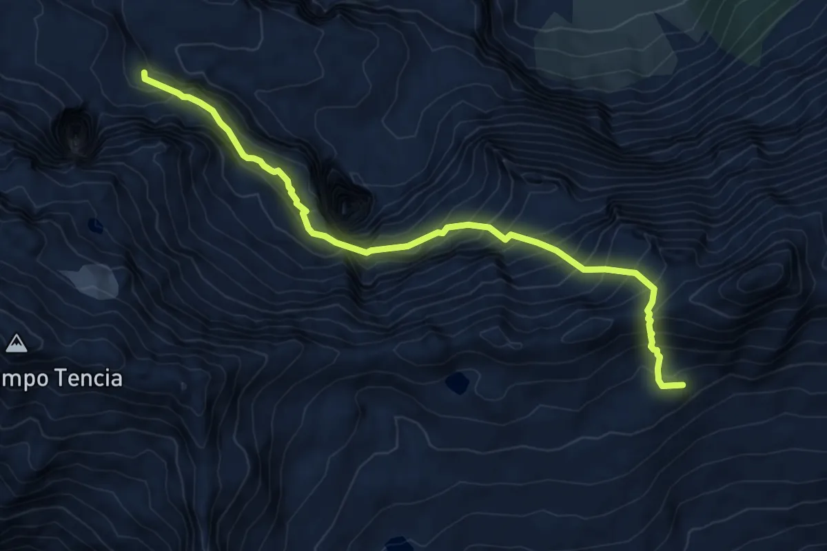
Expert · Summit
Capanna Alpe Sponda – Capanna Campo Tencia
8.0 km · ↑ 1054 m · 4 h 10 min
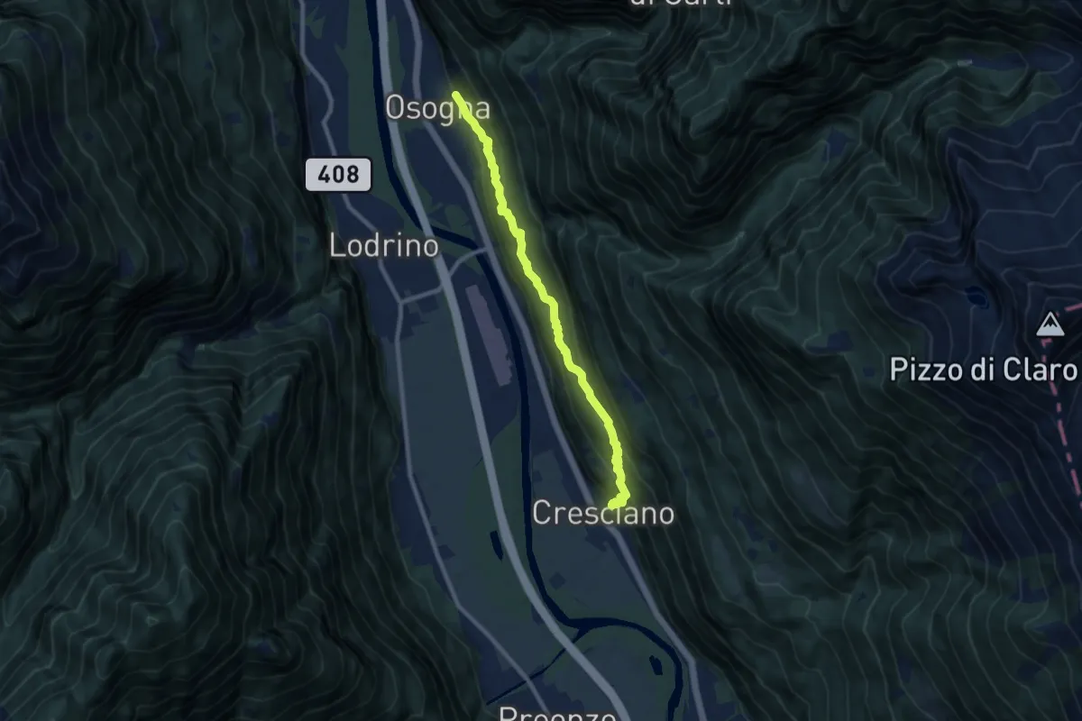
Medium · Trail
Osogna – Cresciano
8.7 km · ↑ 667 m · 3 h 30 min
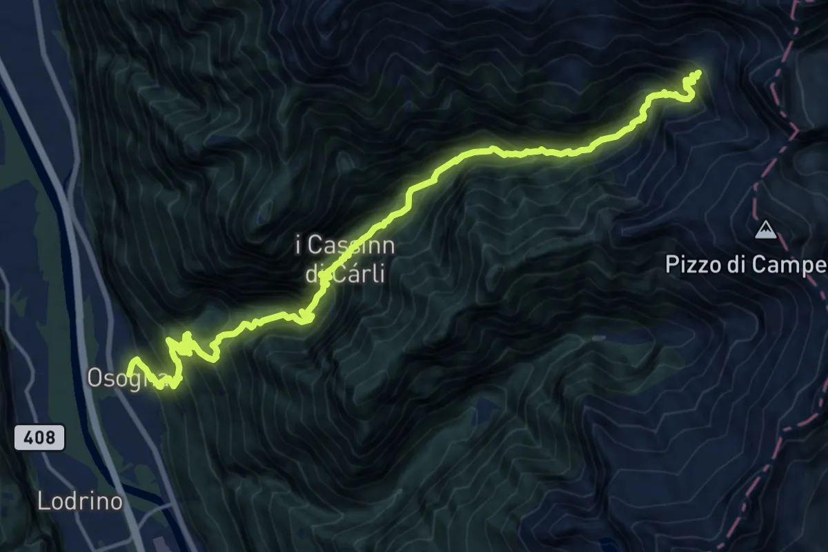
Demanding · Cabin
Osogna – Alpe Dörz Rifiugo
9.5 km · ↑ 1921 m · 5 h 39 min
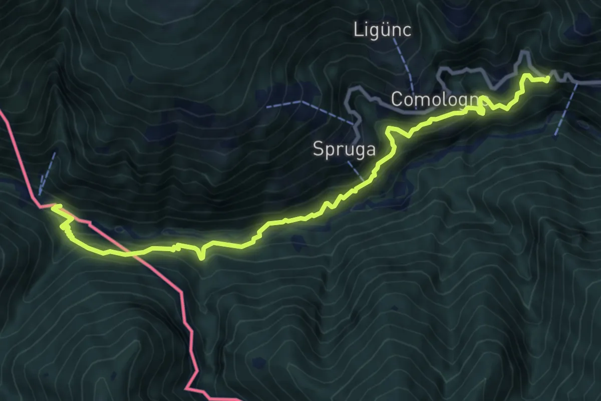
Demanding · Trail
Vocaglia (Dazio fermata dell`autobus) – Bagni di Craveggia
10.0 km · ↑ 903 m · 4 h 18 min
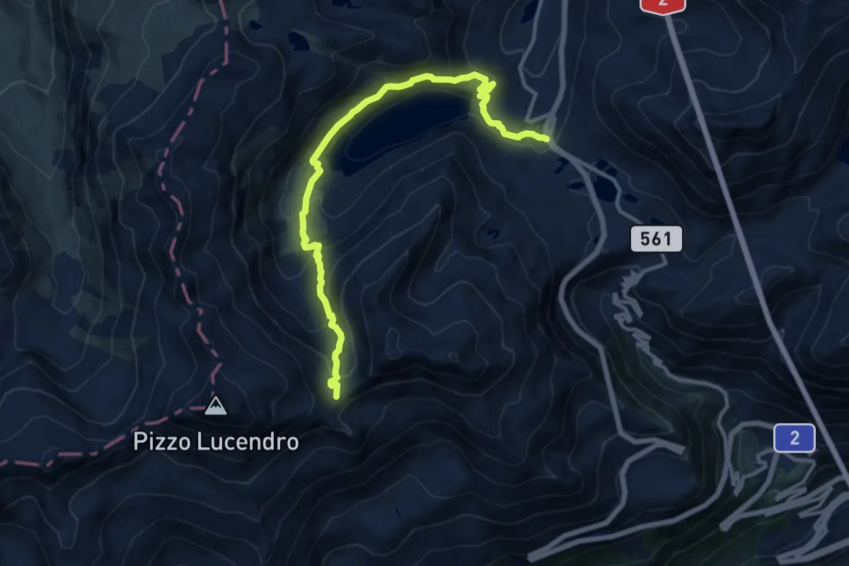
Demanding · Trail
Passo del S. Gottardo – Passo Lucendro
11.8 km · ↑ 678 m · 4 h 15 min
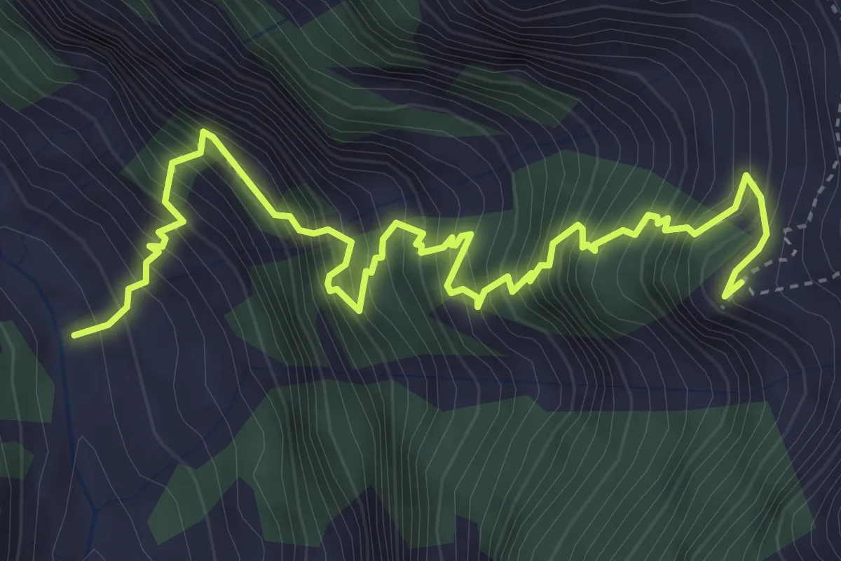
Demanding · Cabin
Cabioi – Capanna Cognora
5.2 km · ↑ 1049 m · 3 h 30 min
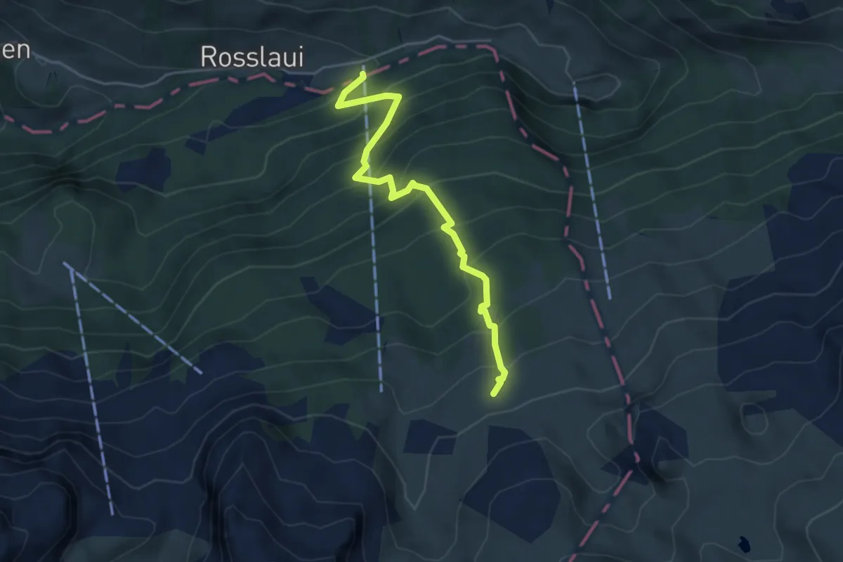
Medium · Cabin
Chäppeliberg – Lidernenhütte SAC
4.4 km · ↑ 529 m · 2 h 11 min
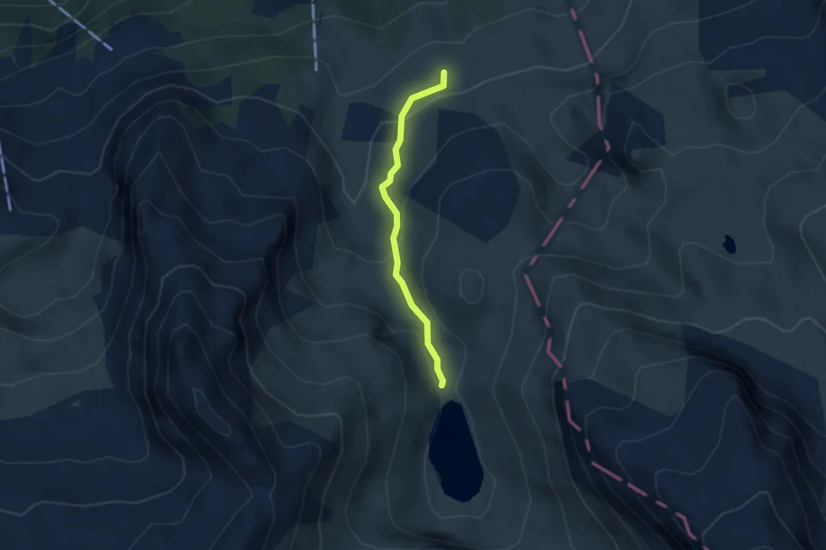
Medium · Cabin
Lidernenhütte SAC – Spilauersee
2.5 km · ↑ 138 m · 53 min
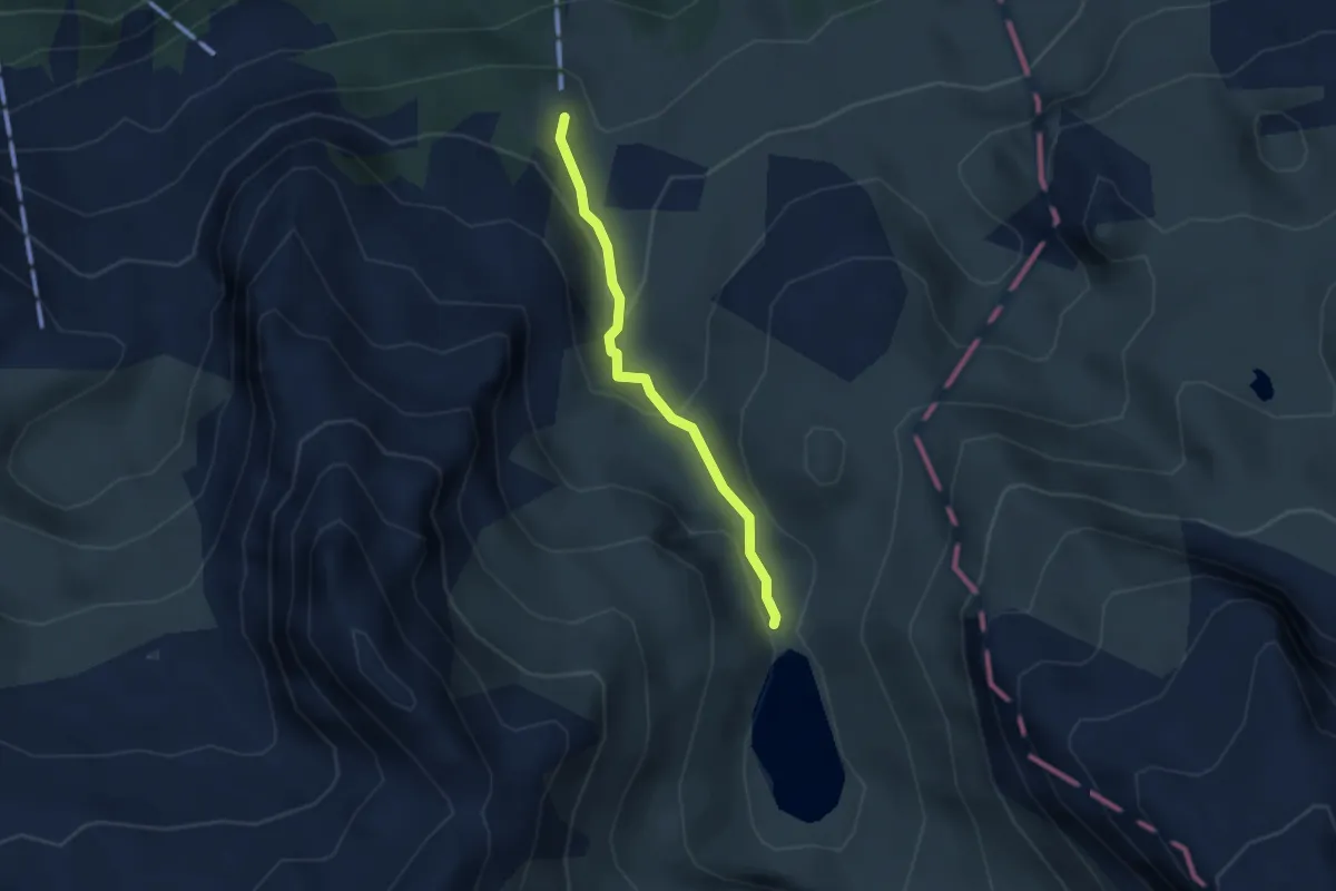
Medium · Trail
Spilauersee – Gitschen Bergstation
2.4 km · ↑ 142 m · 53 min
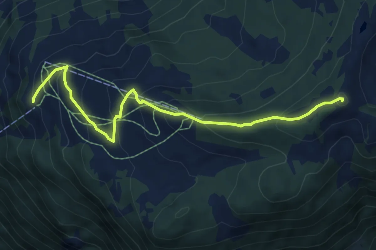
Medium · Summit
Hüenderegg – Eggberge
6.4 km · ↑ 396 m · 2 h 23 min
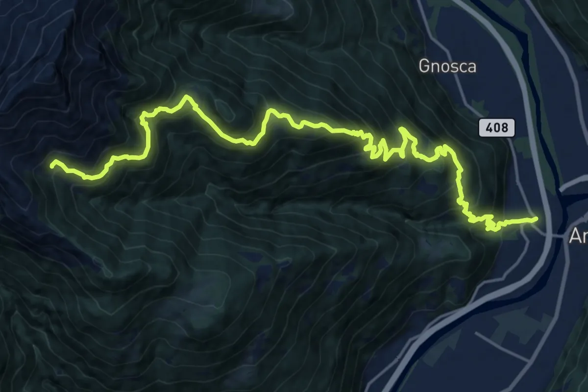
Demanding · Trail
Gorduno – Cabanna Albagna
10.1 km · ↑ 1565 m · 5 h 13 min
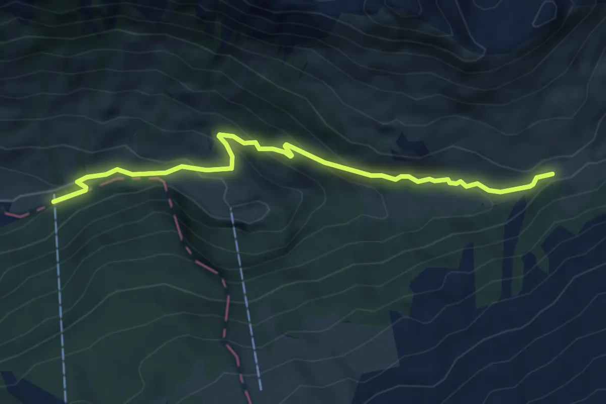
Easy · Trail
Chäppeliberg – Höchi
5.8 km · ↑ 309 m · 2 h 2 min
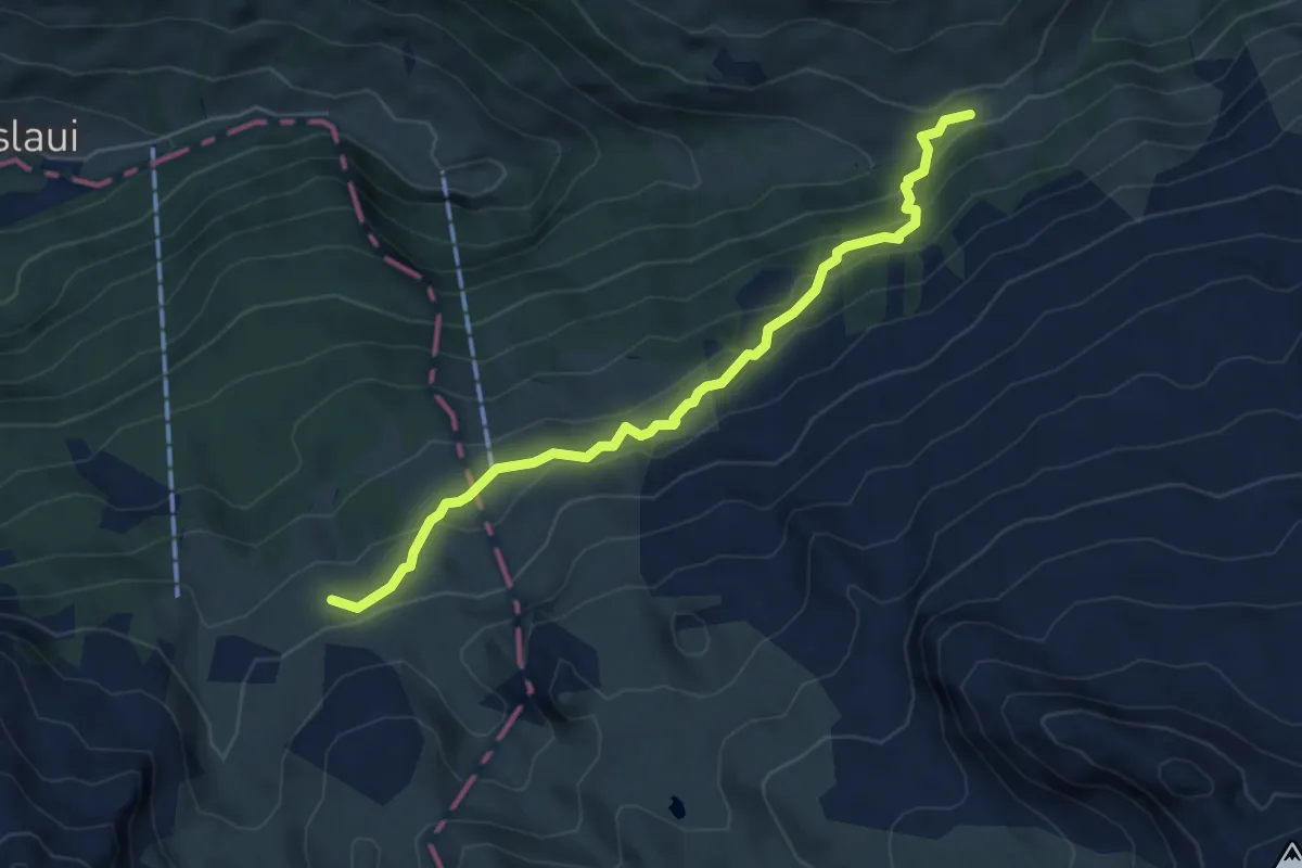
Medium · Cabin
Lidernenhütte SAC – Höchi
5.3 km · ↑ 324 m · 1 h 58 min
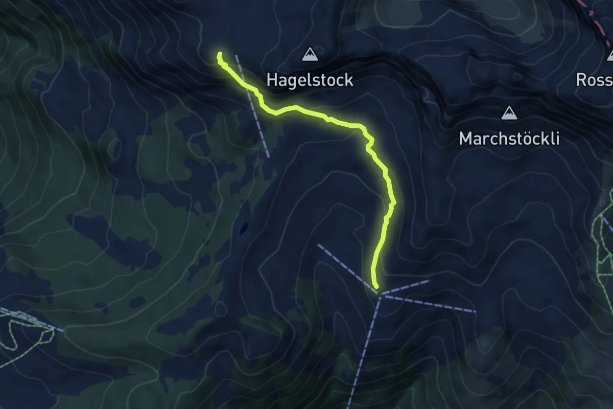
Medium · Trail
Schön Chulm – Ruegig
4.7 km · ↑ 330 m · 1 h 50 min
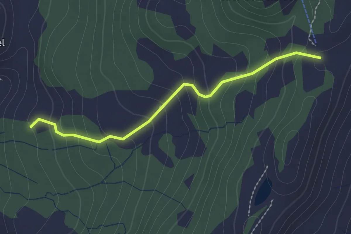
Easy · Trail
Chalberweid – Nätschegg
2.1 km · ↑ 169 m · 52 min
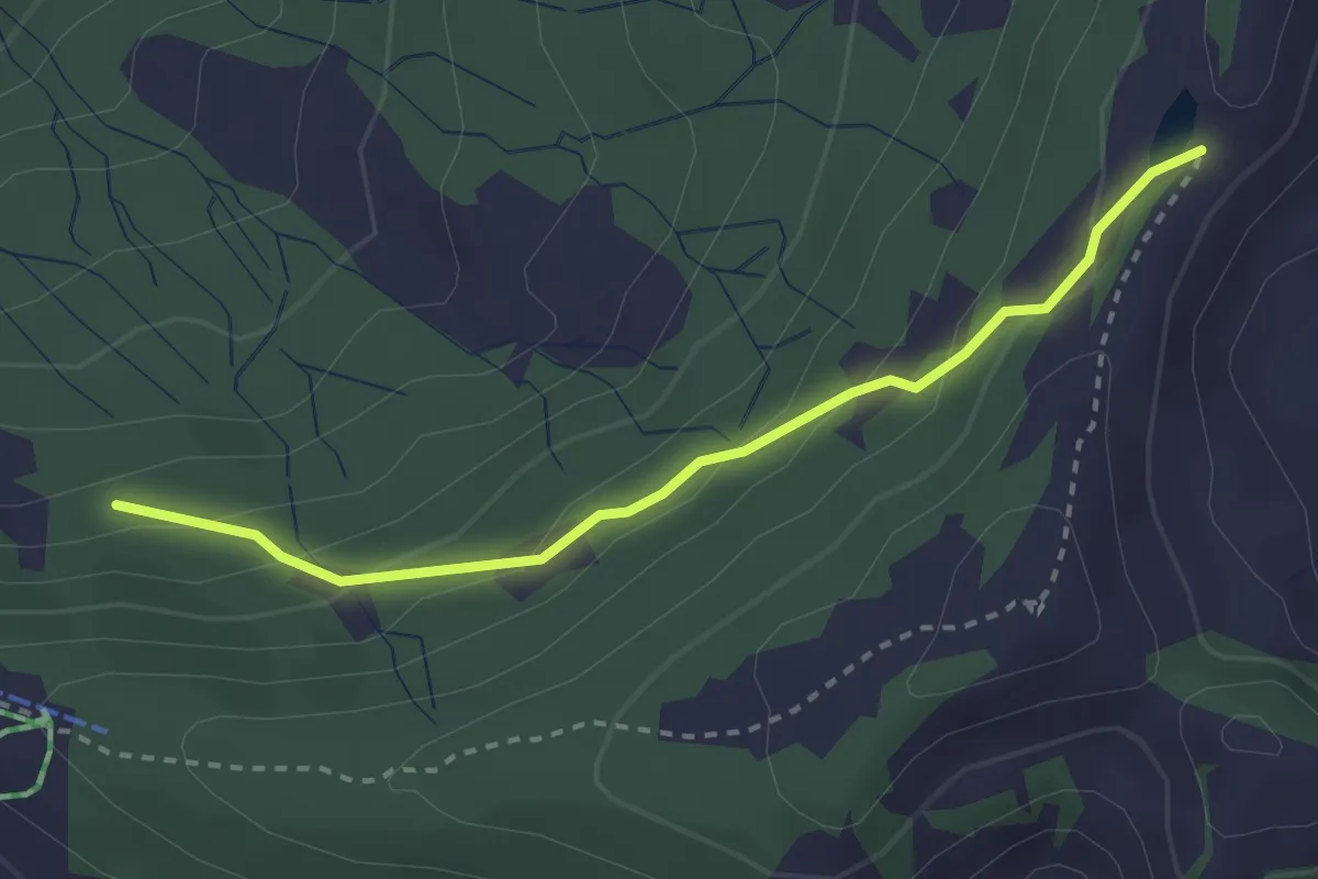
Easy · Trail
Fleschsee – Angelingen
2.8 km · ↑ 165 m · 1 h 1 min
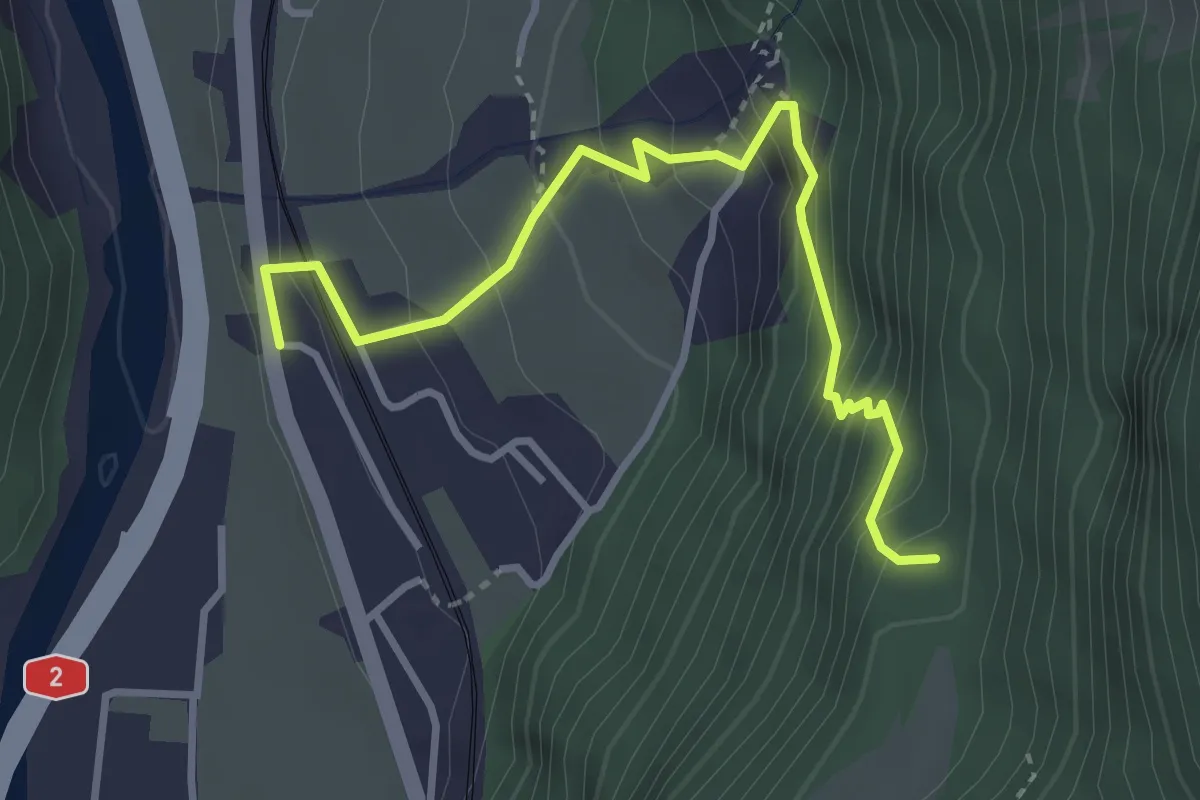
Medium · Trail
Silenen – Schiferzug
3.6 km · ↑ 399 m · 1 h 43 min
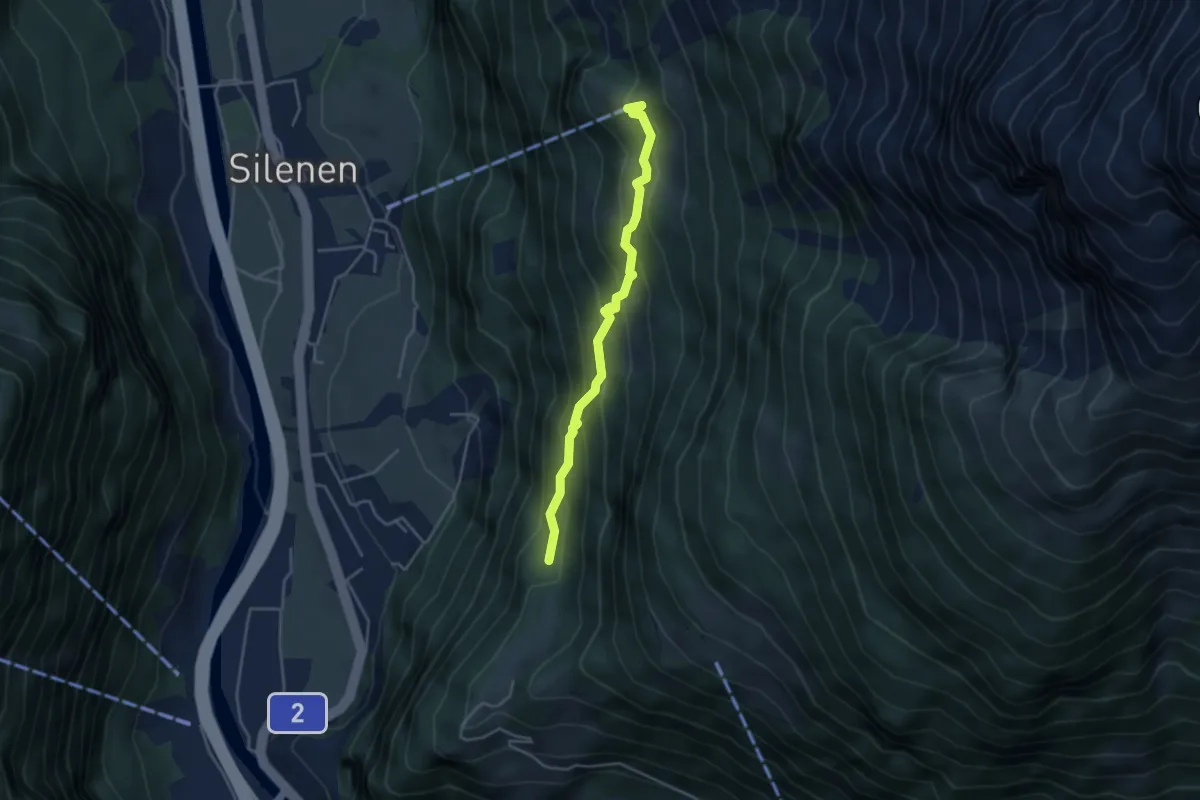
Medium · Trail
Schiferzug – Chilcherbergen Bergstation
3.8 km · ↑ 343 m · 1 h 38 min
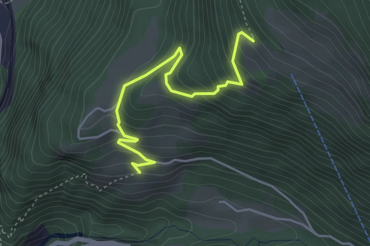
Demanding · Trail
Waldiberg – Frentschenberg
3.6 km · ↑ 378 m · 1 h 40 min
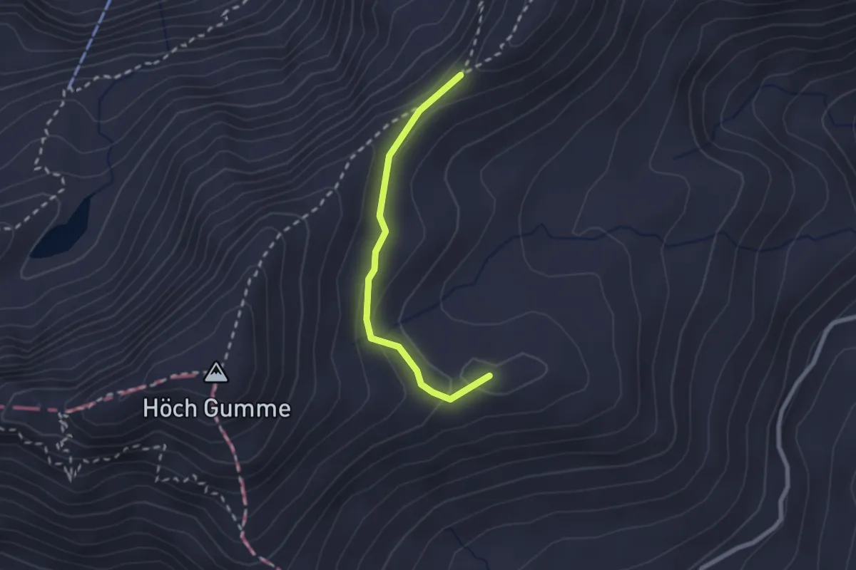
Demanding · Trail
Biet – Schönbüel
2.0 km · ↑ 56 m · 36 min
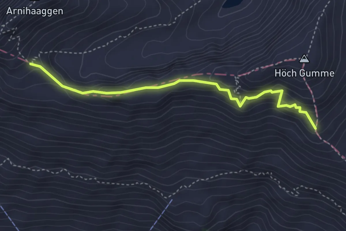
Medium · Trail
Gibel – Zwischenegg
3.6 km · ↑ 264 m · 1 h 25 min
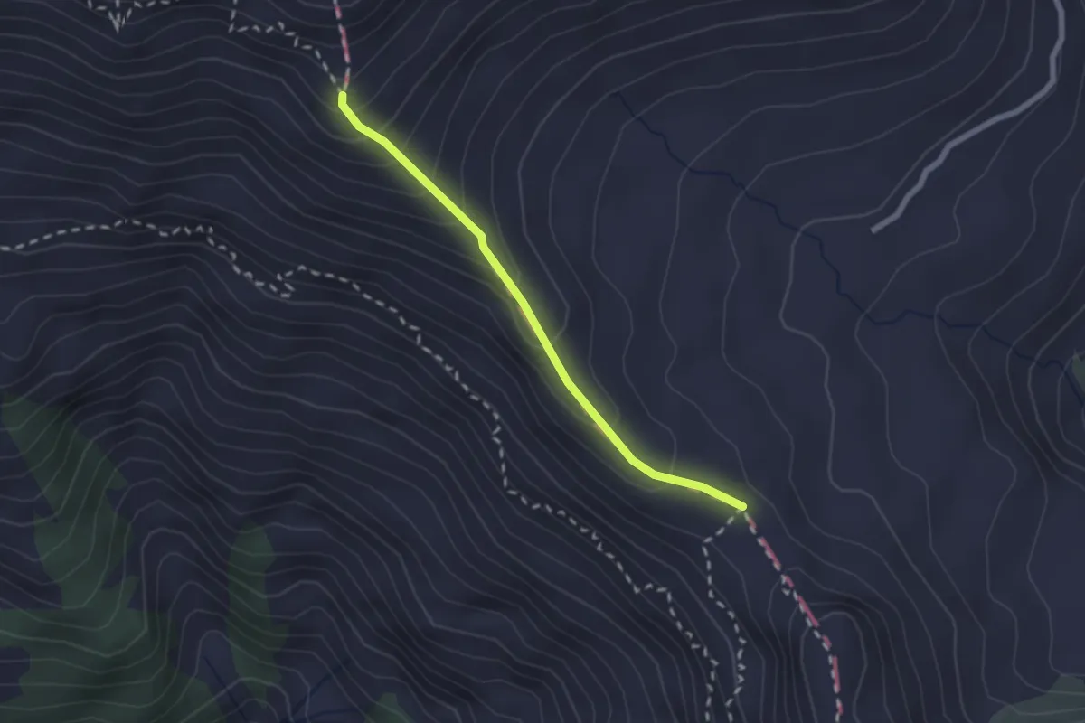
Medium · Trail
Gibel – Tüfengrat
2.0 km · ↑ 179 m · 52 min
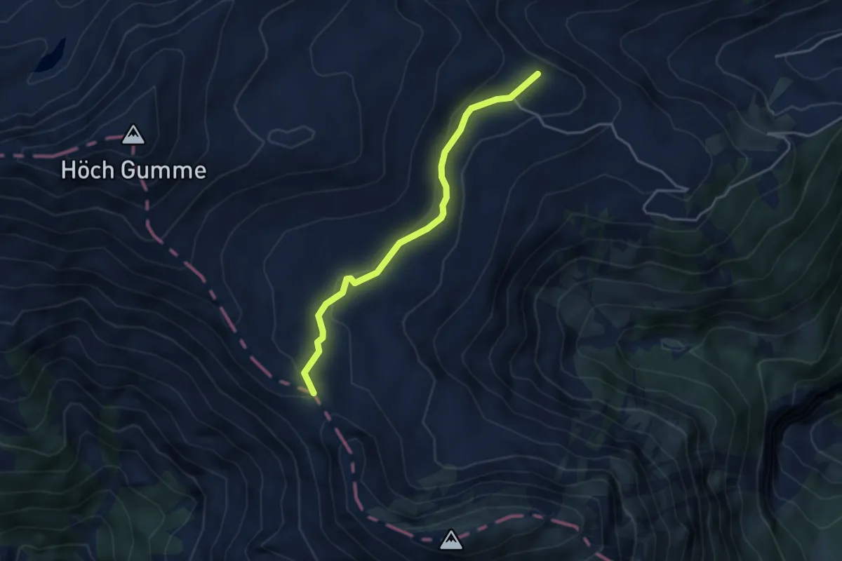
Easy · Summit
Tüfengrat – Breitenfeld
3.7 km · ↑ 102 m · 1 h 5 min
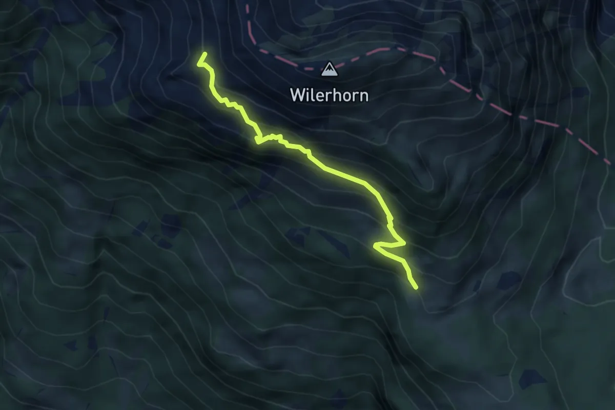
Medium · Trail
Salewang – Wilervorsass
4.2 km · ↑ 457 m · 1 h 59 min
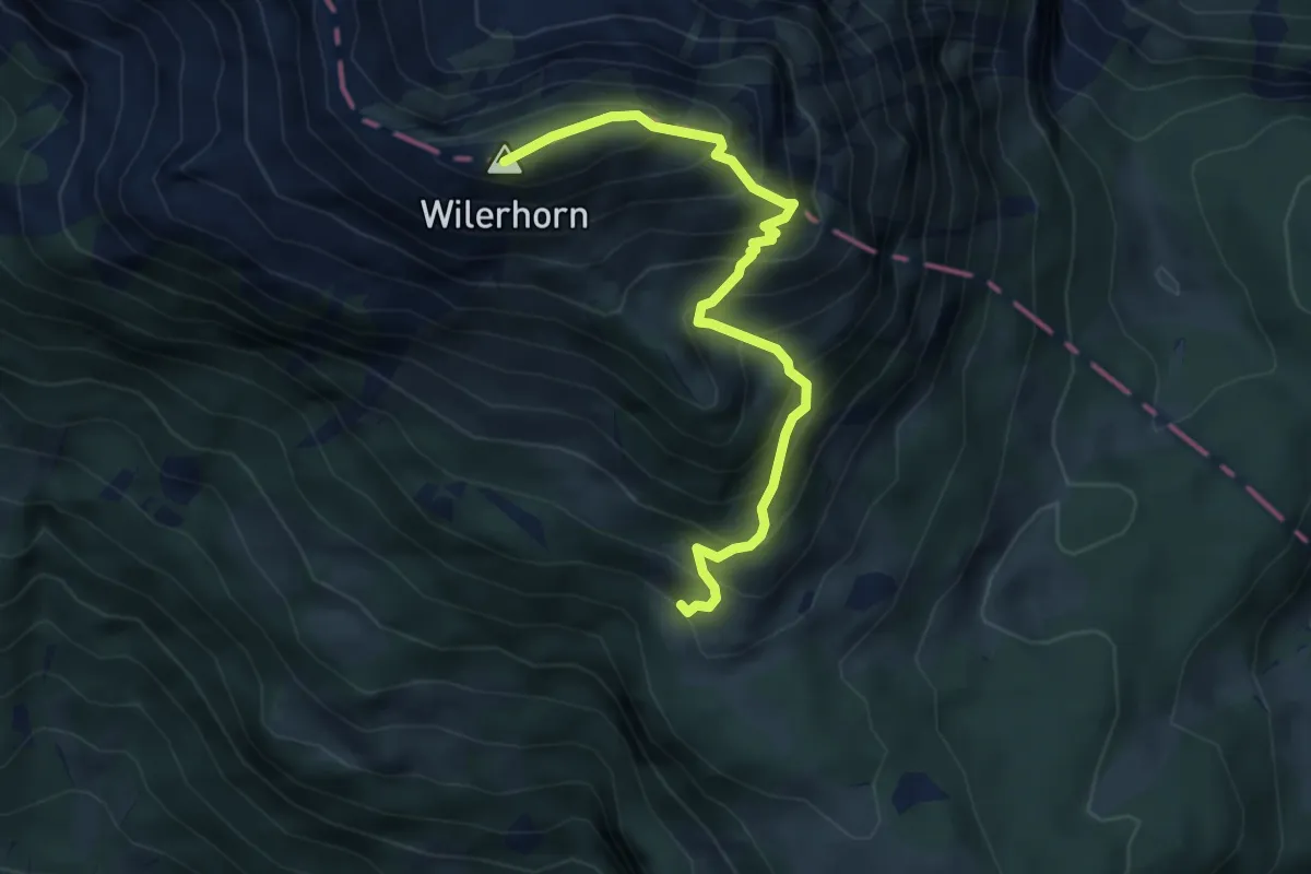
Medium · Summit
Wilerhorn – Wilervorsass
4.8 km · ↑ 576 m · 2 h 22 min
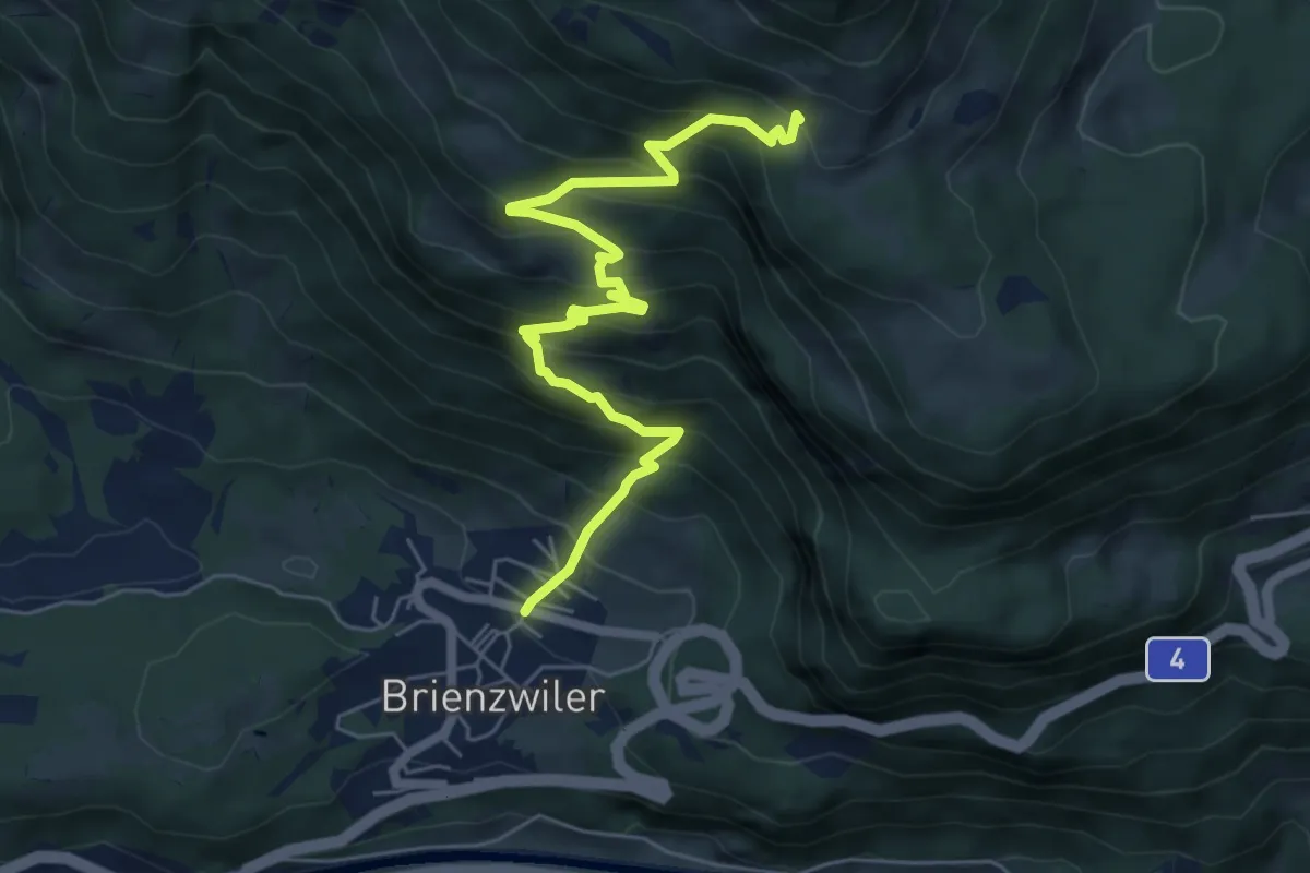
Medium · Trail
Wilervorsass – Brienzwiler
6.7 km · ↑ 701 m · 3 h 6 min
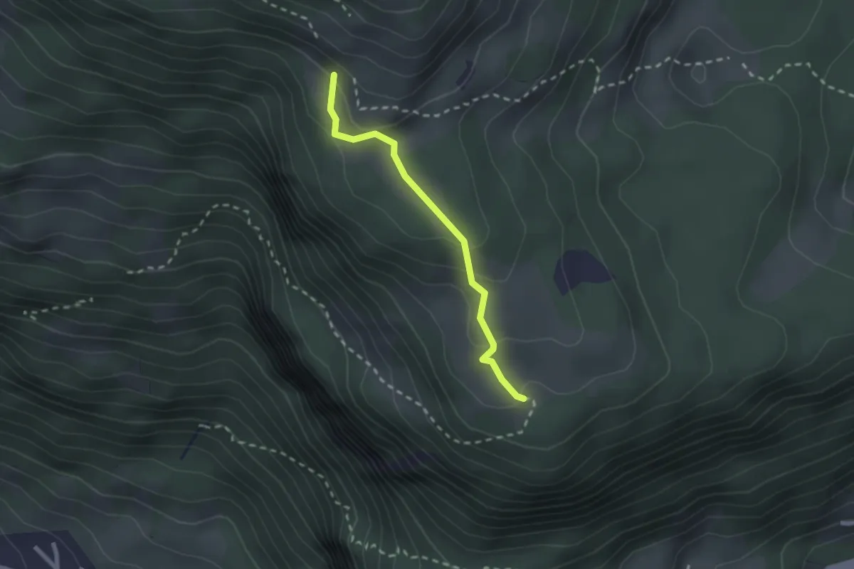
Easy · Trail
Wilervorsass – Totzweg
2.0 km · ↑ 95 m · 41 min
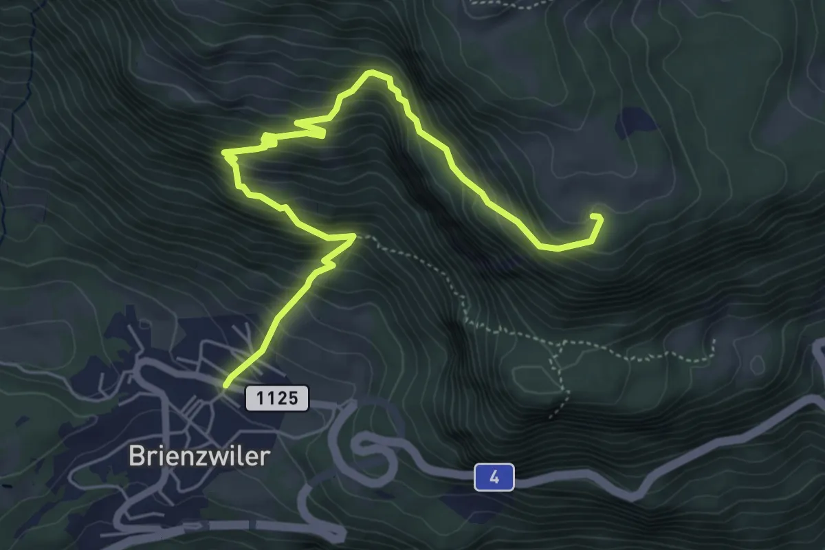
Medium · Trail
Totzweg – Brienzwiler
6.2 km · ↑ 650 m · 2 h 52 min
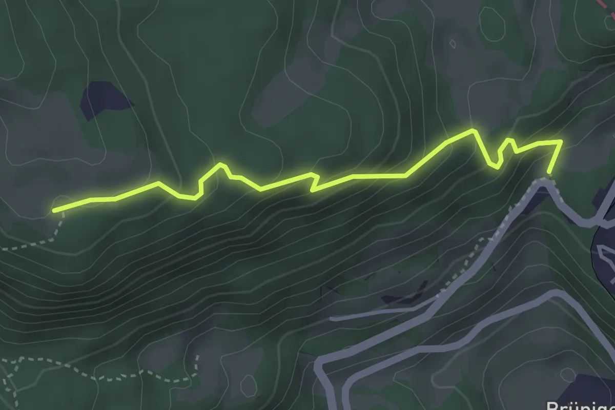
Easy · Trail
Totzweg – Brünig Kulm
3.5 km · ↑ 293 m · 1 h 27 min
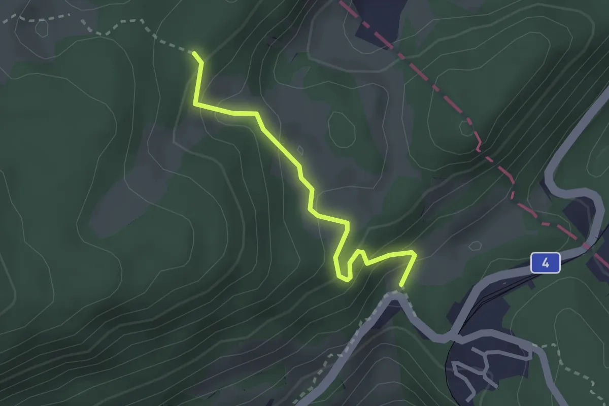
Easy · Trail
Brünig Kulm – Schäri
2.3 km · ↑ 186 m · 57 min
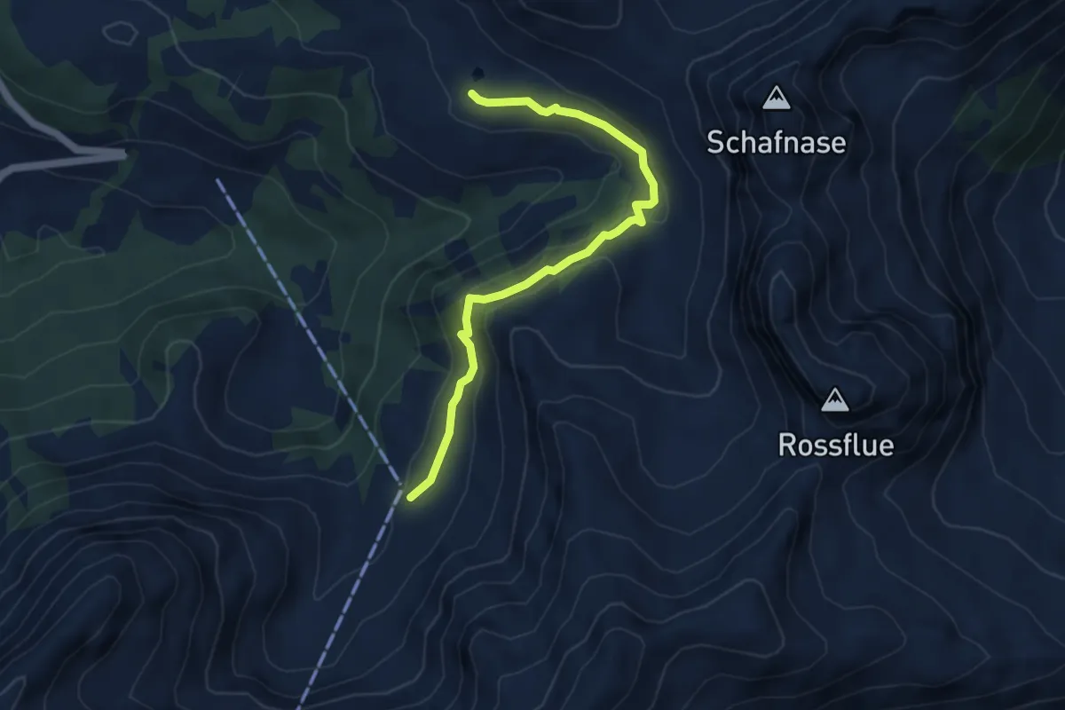
Medium · Trail
Mittlist Arni – Jänzimatt
4.7 km · ↑ 201 m · 1 h 32 min
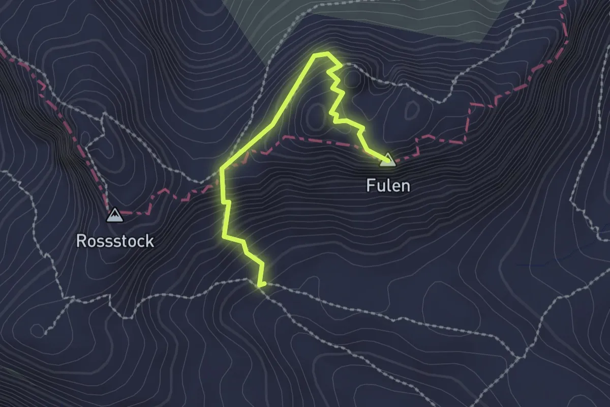
Expert · Summit
P2140 – Fulen
2.1 km · ↑ 245 m · 1 h 2 min
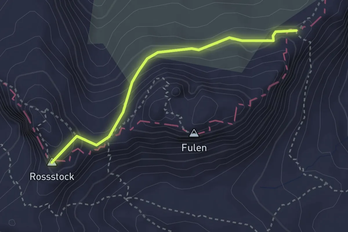
Medium · Summit
Rosstock – P2190
2.6 km · ↑ 165 m · 59 min
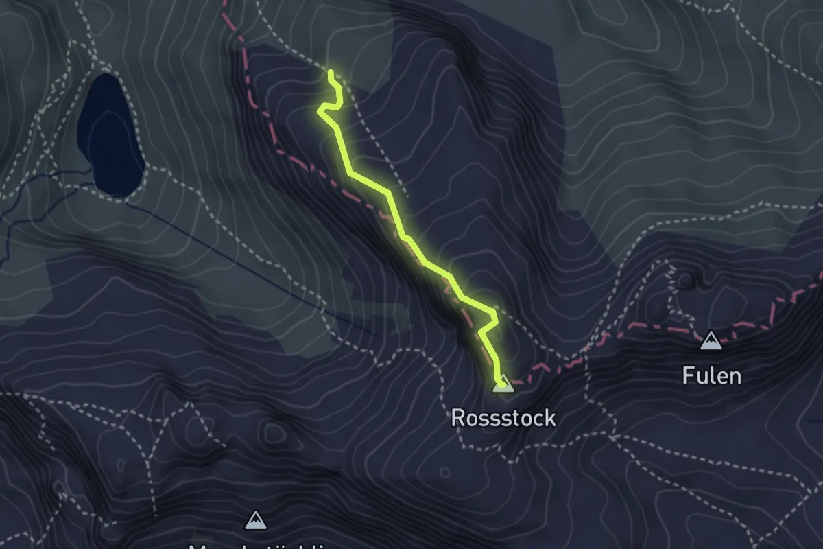
Medium · Summit
P2190 – Rosstock
2.4 km · ↑ 283 m · 1 h 11 min