Trails in Switzerland
15,055 hiking trails, each with its route, climb, walking time and grade.
All trails, page 209 of 314
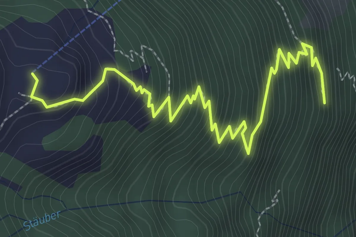
Medium · Trail
Gitschenberg – Unter Müllerberg
3.6 km · ↑ 422 m · 1 h 46 min
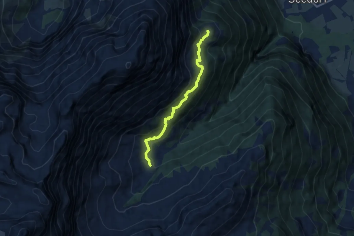
Medium · Trail
Gitschenberg – Gitschitaler Boden
6.2 km · ↑ 418 m · 2 h 22 min
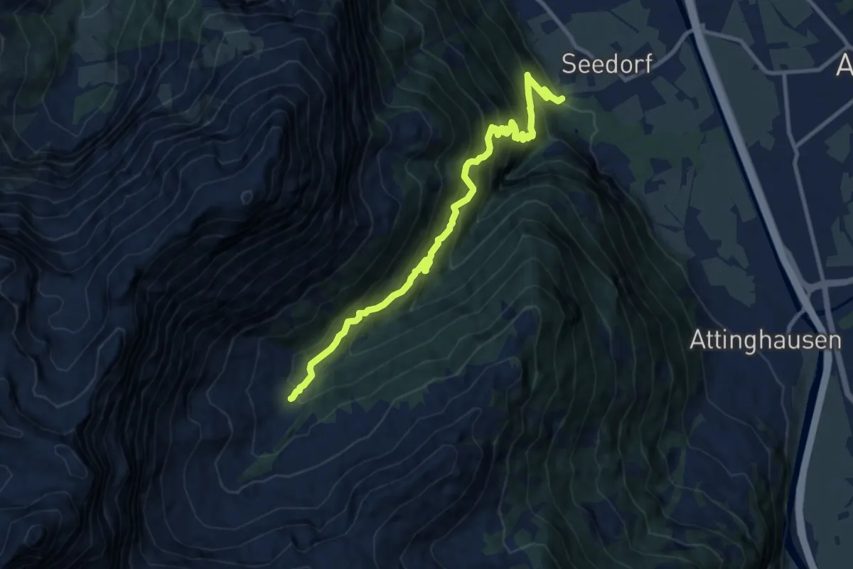
Demanding · Trail
Gitschitaler Boden – Im Bodenwald
10.4 km · ↑ 1203 m · 5 h 4 min
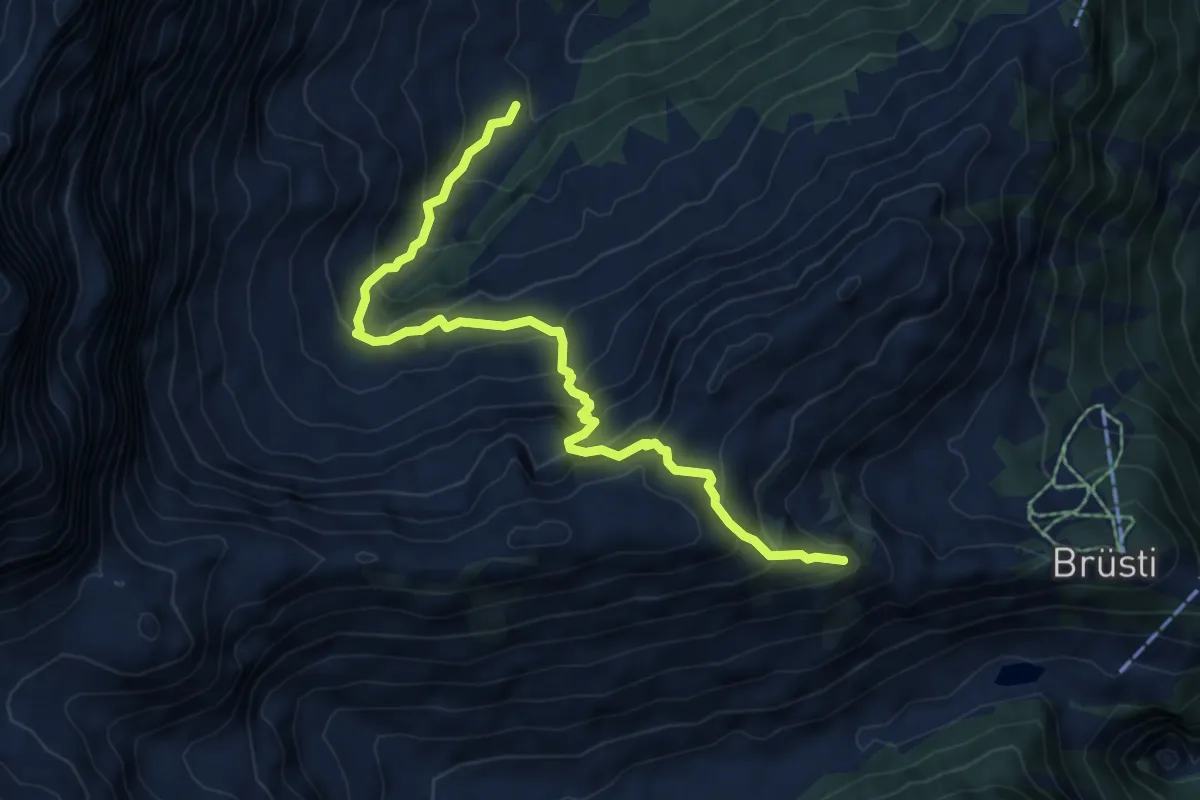
Medium · Trail
Gitschitaler Boden – Chraienhöreli
6.9 km · ↑ 665 m · 3 h 5 min
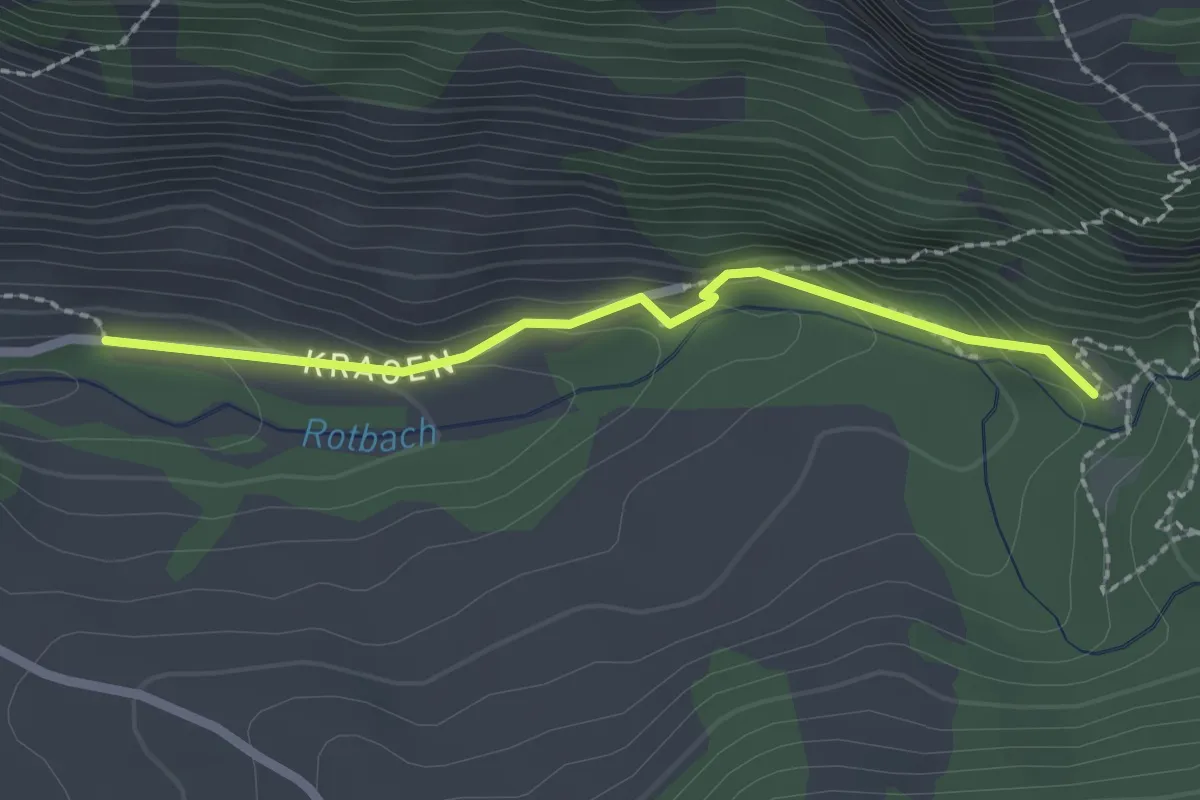
Easy · Trail
Chragen – Chessimätteli
2.1 km · ↑ 76 m · 39 min
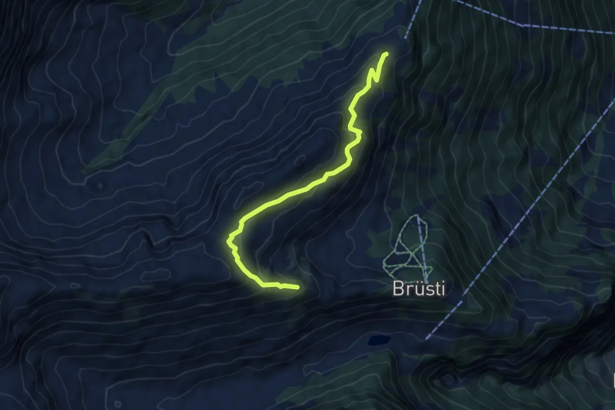
Medium · Trail
Chraienhöreli – Seewli
5.7 km · ↑ 383 m · 2 h 11 min
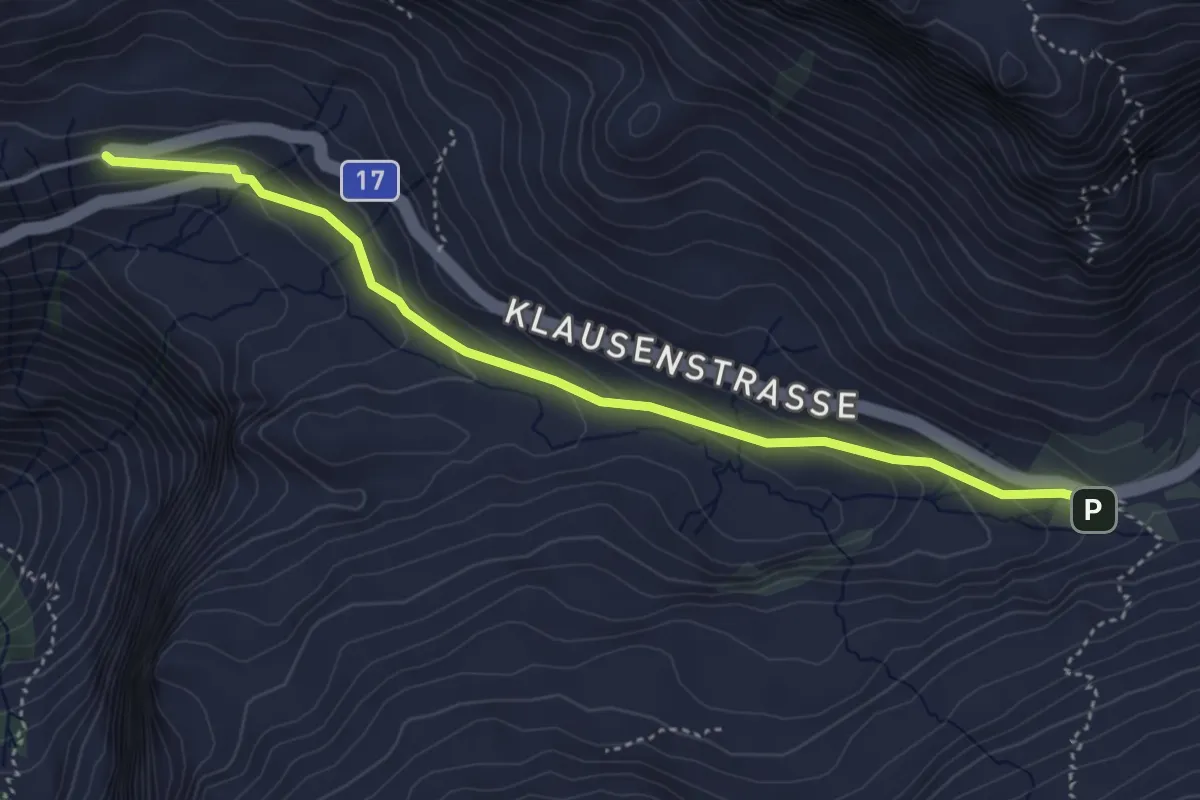
Medium · Trail
Klausenpass – Unterbalm
4.5 km · ↑ 185 m · 1 h 27 min
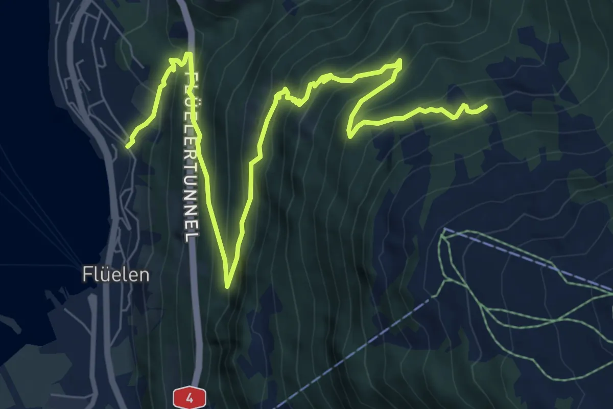
Demanding · Trail
Eggli – Flülen
10.4 km · ↑ 904 m · 4 h 24 min
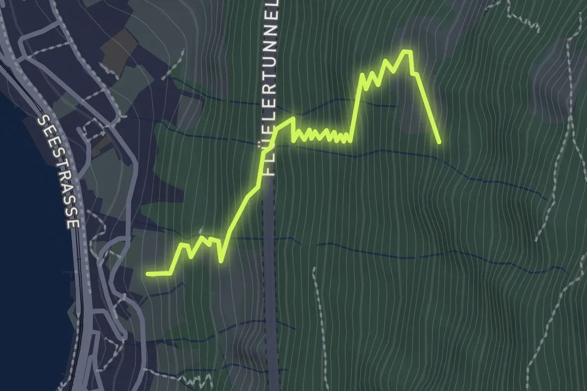
Medium · Trail
Urmis – Flülen
2.8 km · ↑ 381 m · 1 h 29 min
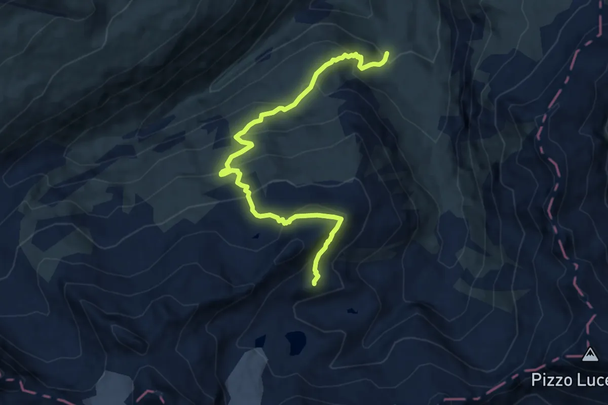
Expert · Cabin
Rotondohütte – Oberchäseren
10.2 km · ↑ 742 m · 4 h 1 min
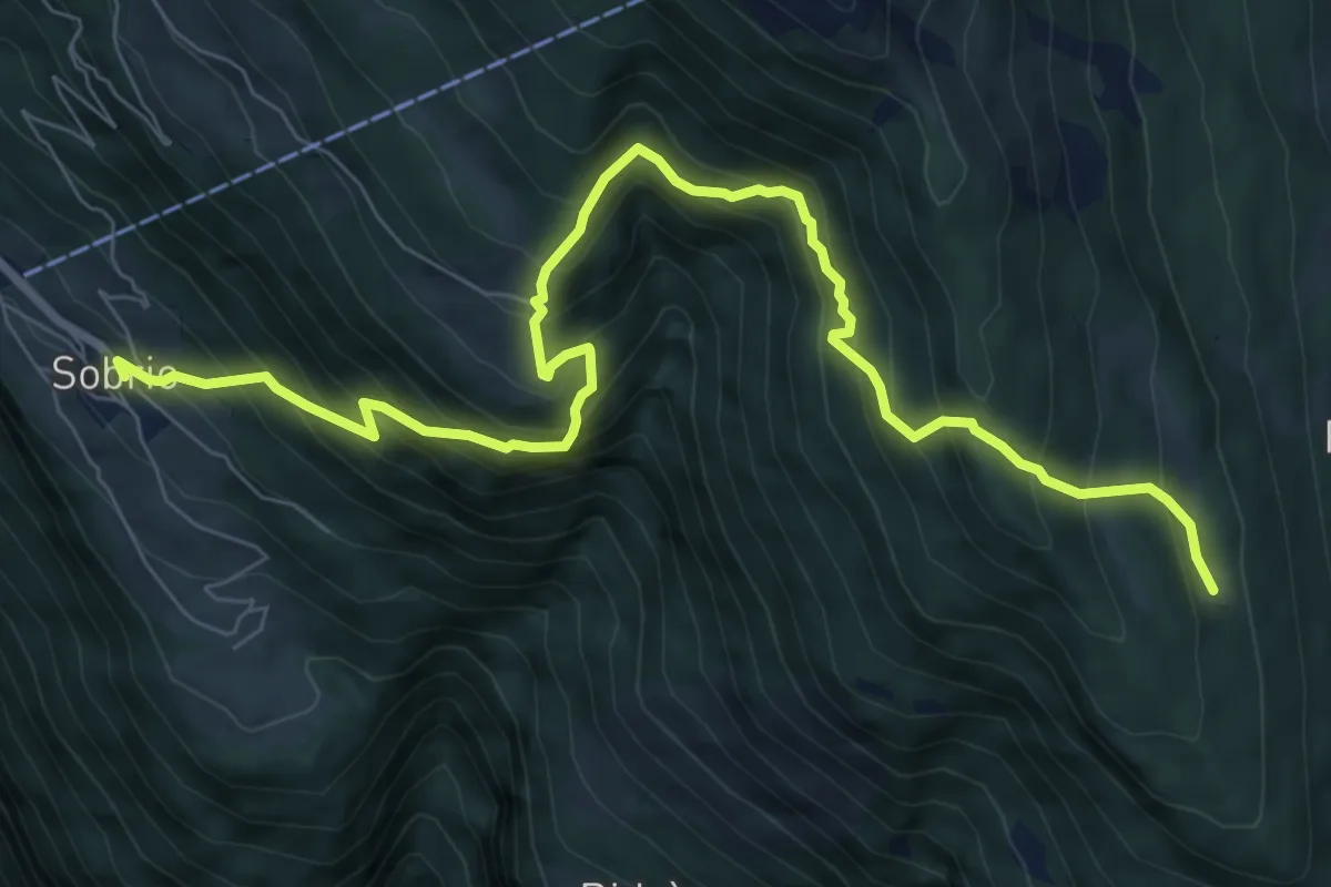
Demanding · Cabin
Sobrio – Capanna Pian d'Alpe
9.7 km · ↑ 1114 m · 4 h 42 min
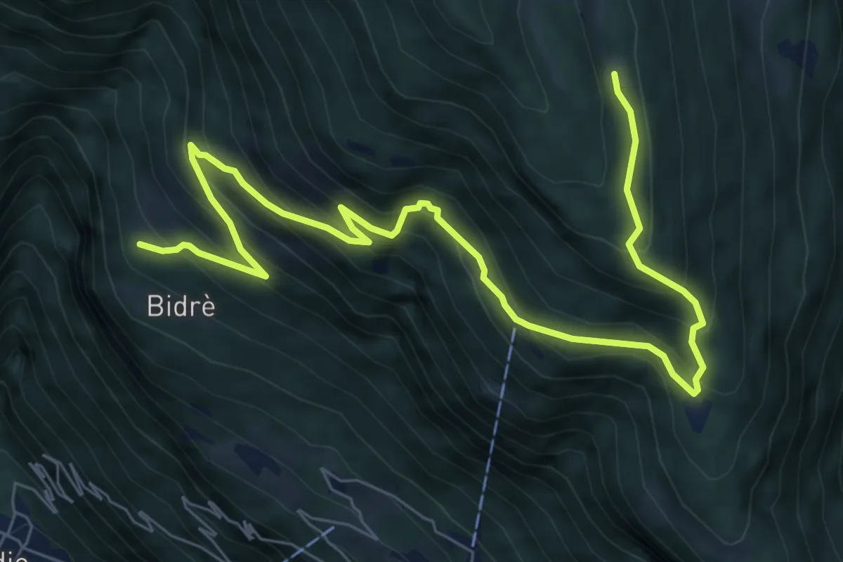
Medium · Cabin
Capanna Pian d'Alpe – Sobrio
9.7 km · ↑ 786 m · 3 h 59 min
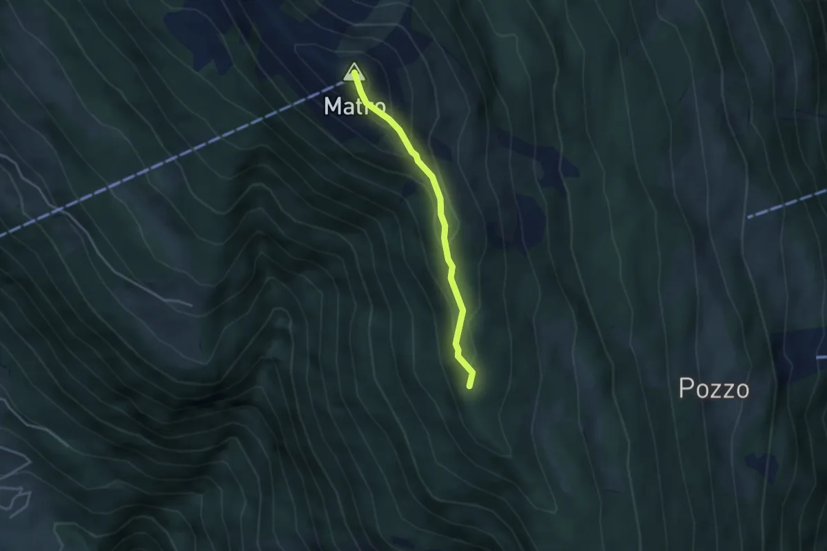
Easy · Summit
Bassa dei Cantói – Matro
3.0 km · ↑ 215 m · 1 h 11 min
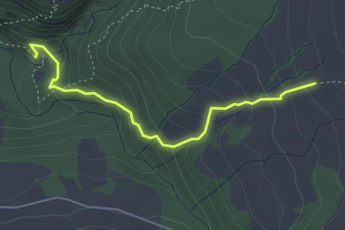
Medium · Trail
Chessimättili – Holzhack
3.4 km · ↑ 297 m · 1 h 26 min
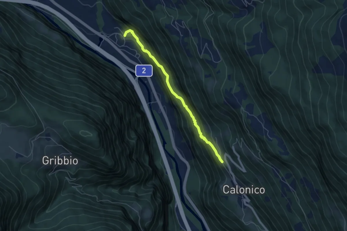
Medium · Trail
Calonico – Chiggiognia
5.1 km · ↑ 430 m · 2 h 8 min
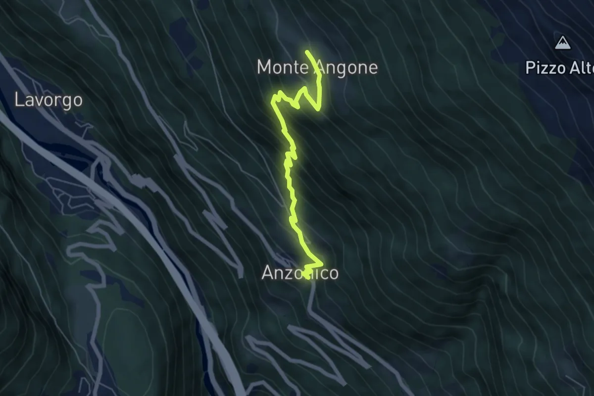
Medium · Trail
Anzonico – Monte Angone
5.4 km · ↑ 557 m · 2 h 29 min
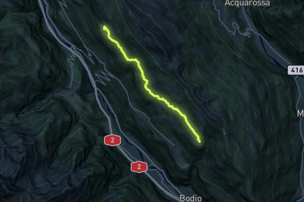
Medium · Trail
Monte Angone – Cassine
14.8 km · ↑ 689 m · 5 h
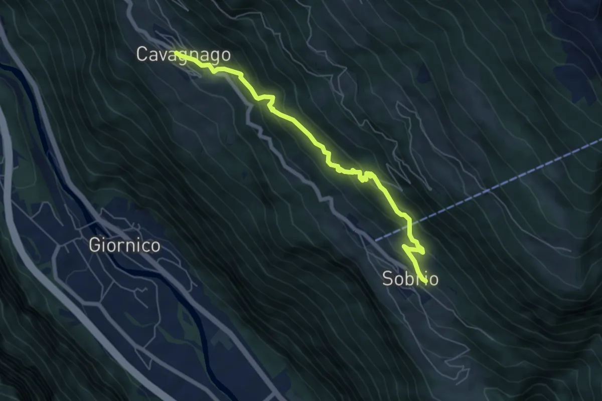
Medium · Trail
Cavagnago – Sobrio
6.1 km · ↑ 492 m · 2 h 30 min
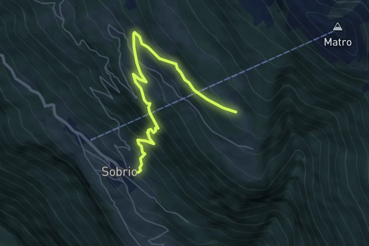
Medium · Trail
Cassine – Sobrio
5.7 km · ↑ 513 m · 2 h 27 min
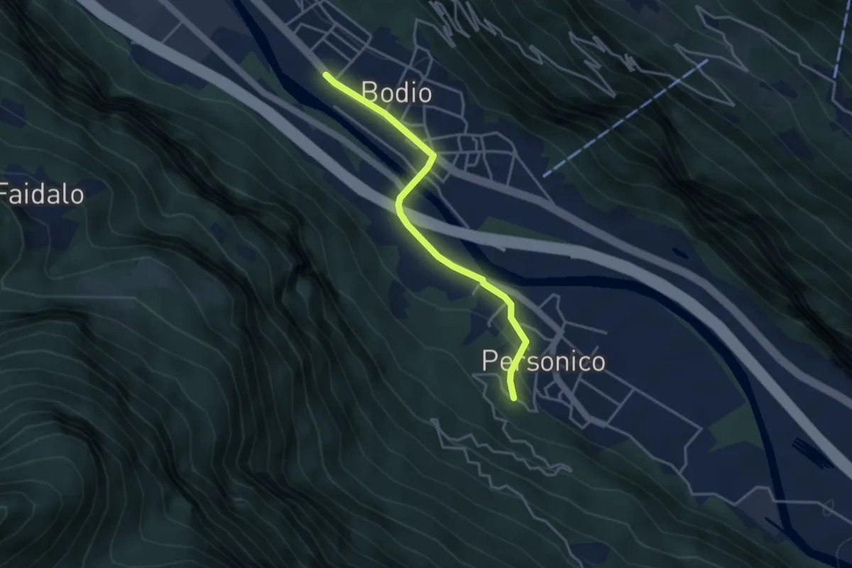
Easy · Trail
Bodio – Personico
3.4 km · ↑ 67 m · 58 min
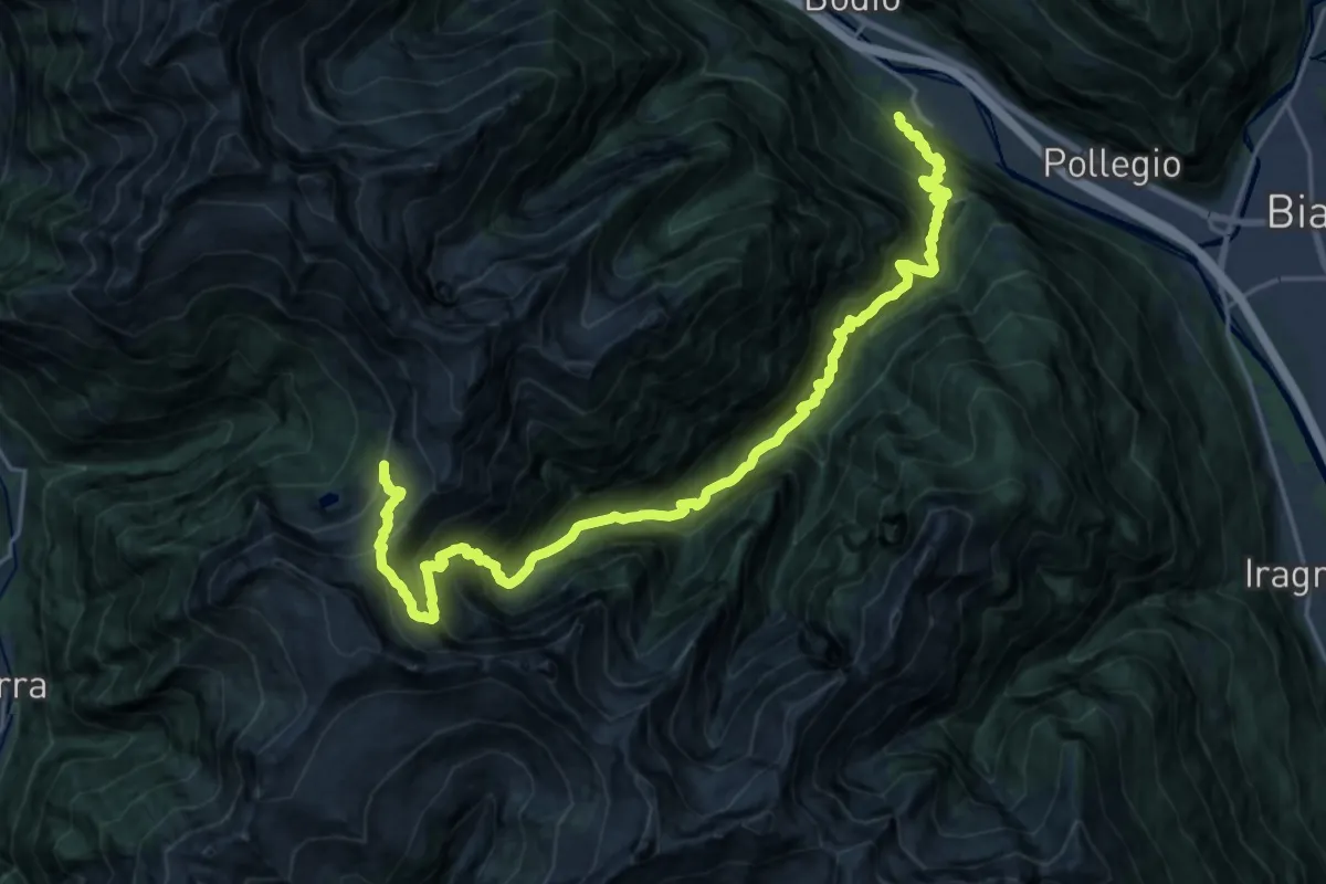
Demanding · Cabin
Bodio – Cabanna d'Efra
12.7 km · ↑ 2185 m · 7 h 5 min
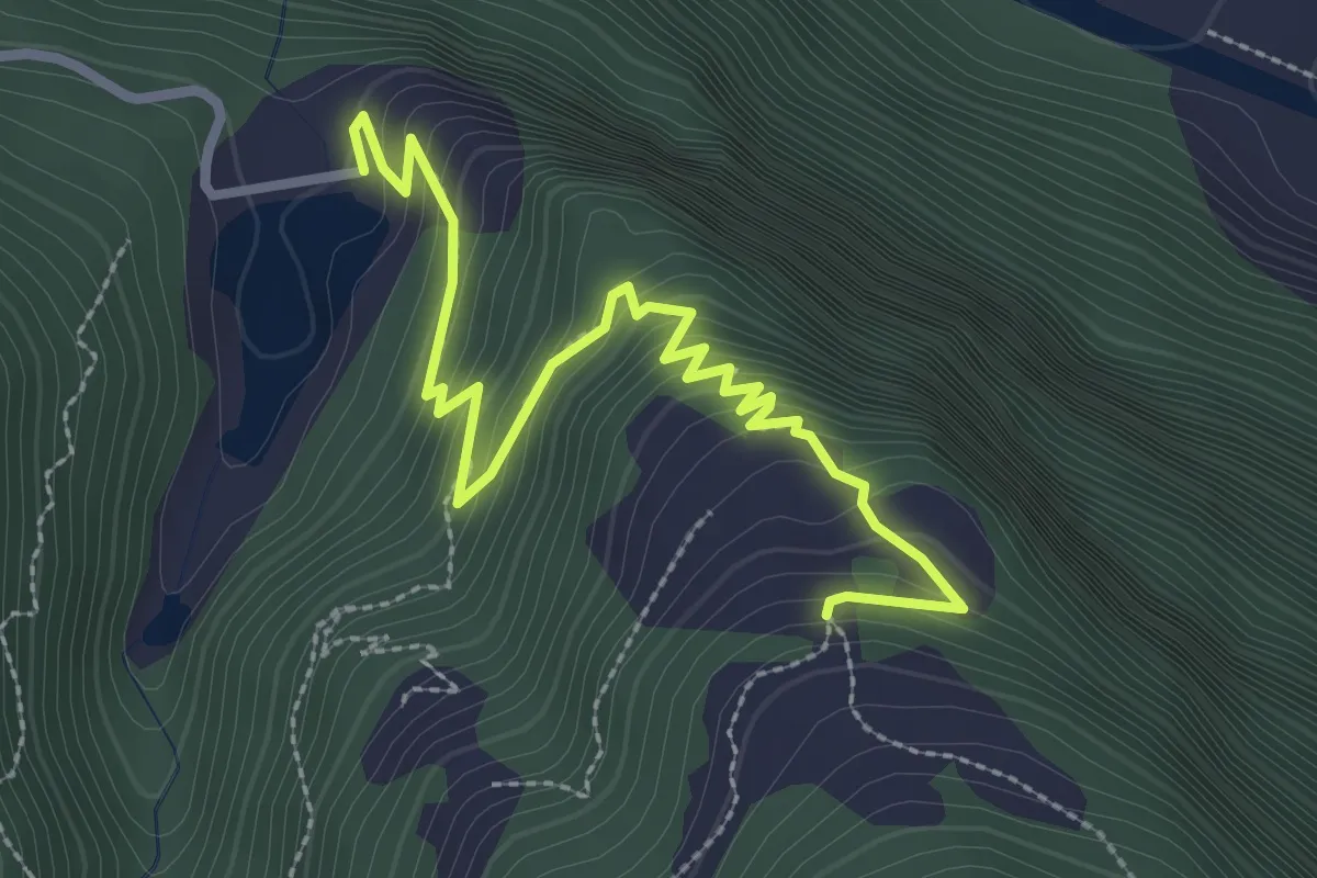
Medium · Trail
Lago d'Ambra – Monda
3.3 km · ↑ 441 m · 1 h 44 min
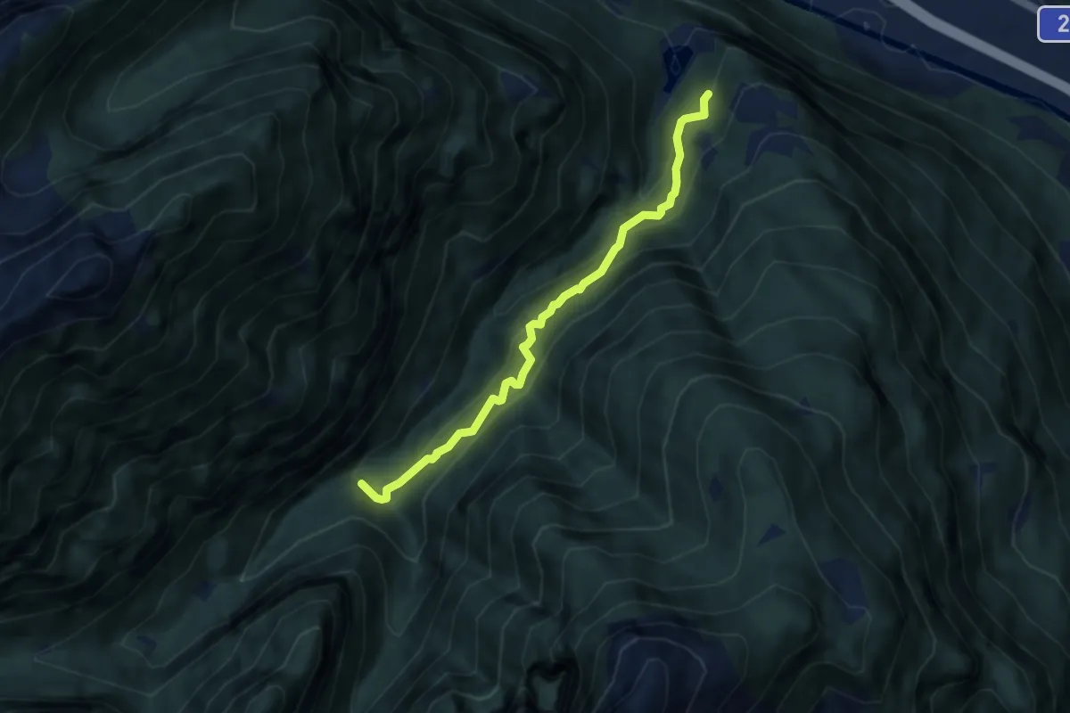
Medium · Trail
Lago D'Ambra – Cassinon
6.3 km · ↑ 517 m · 2 h 37 min
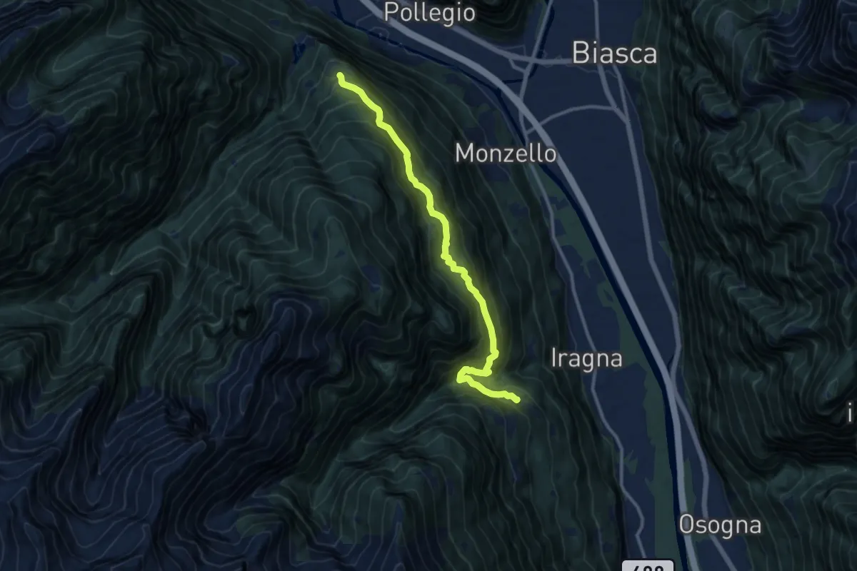
Expert · Trail
Monda – Citto
11.1 km · ↑ 1046 m · 4 h 54 min
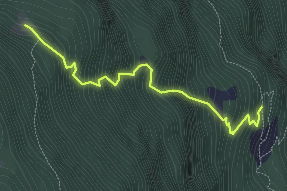
Medium · Trail
Pozzo – Rifugio Ai Tör
3.5 km · ↑ 534 m · 1 h 59 min
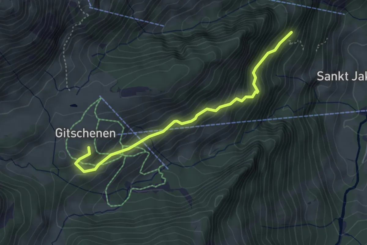
Medium · Trail
Kapelle Gitschenen – Staldeli
4.0 km · ↑ 333 m · 1 h 40 min
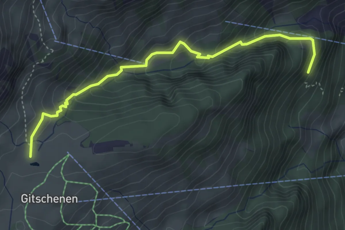
Medium · Trail
Chneuwies – Staldeli
4.2 km · ↑ 321 m · 1 h 41 min
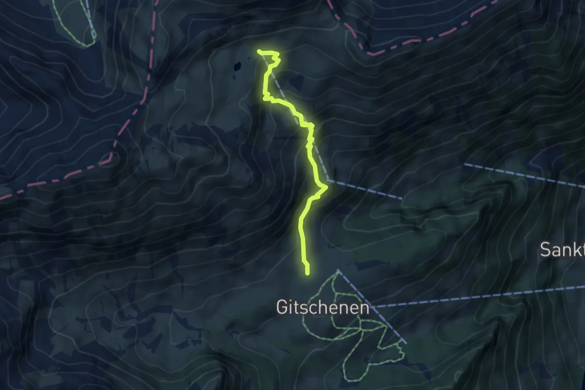
Medium · Trail
Chneuwies – Bi den Seelen
4.0 km · ↑ 405 m · 1 h 49 min
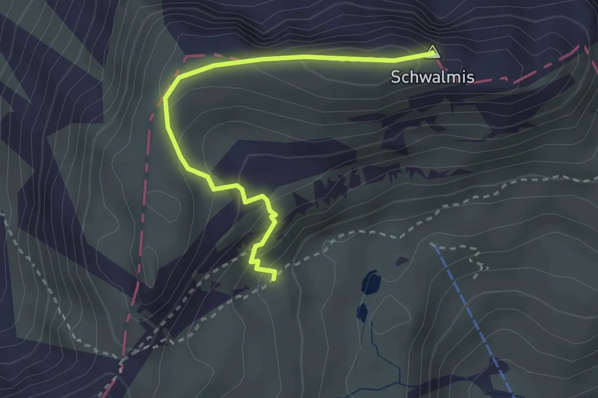
Demanding · Summit
Schwalmisgaden – Schwalmis
2.7 km · ↑ 283 m · 1 h 15 min
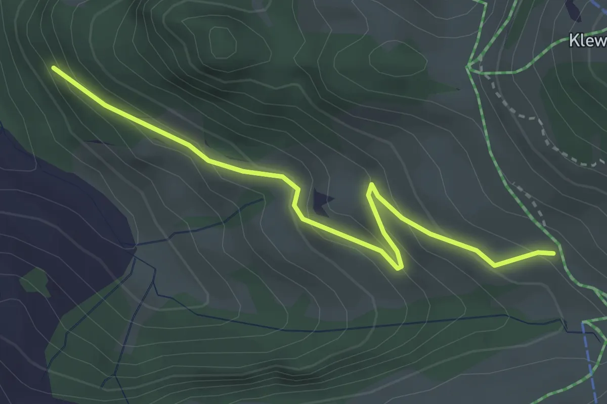
Easy · Trail
Tannibüel – Unter Bachscheiti
3.3 km · ↑ 230 m · 1 h 17 min
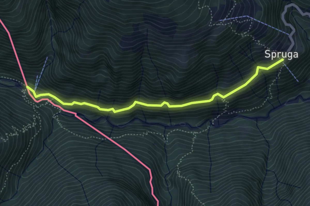
Medium · Trail
Spruga – Bagni di Caveggia
4.9 km · ↑ 343 m · 1 h 55 min
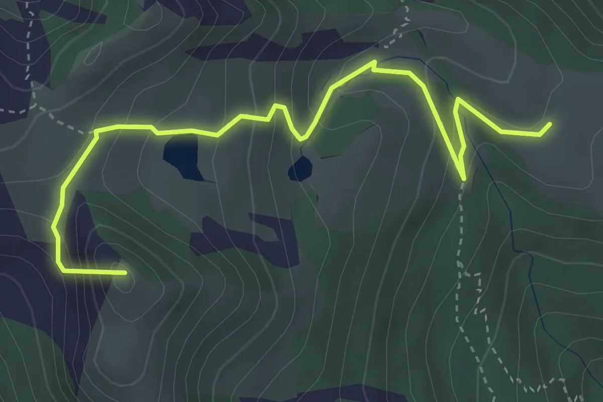
Medium · Summit
Alpe Pesced – Salei
4.1 km · ↑ 340 m · 1 h 42 min
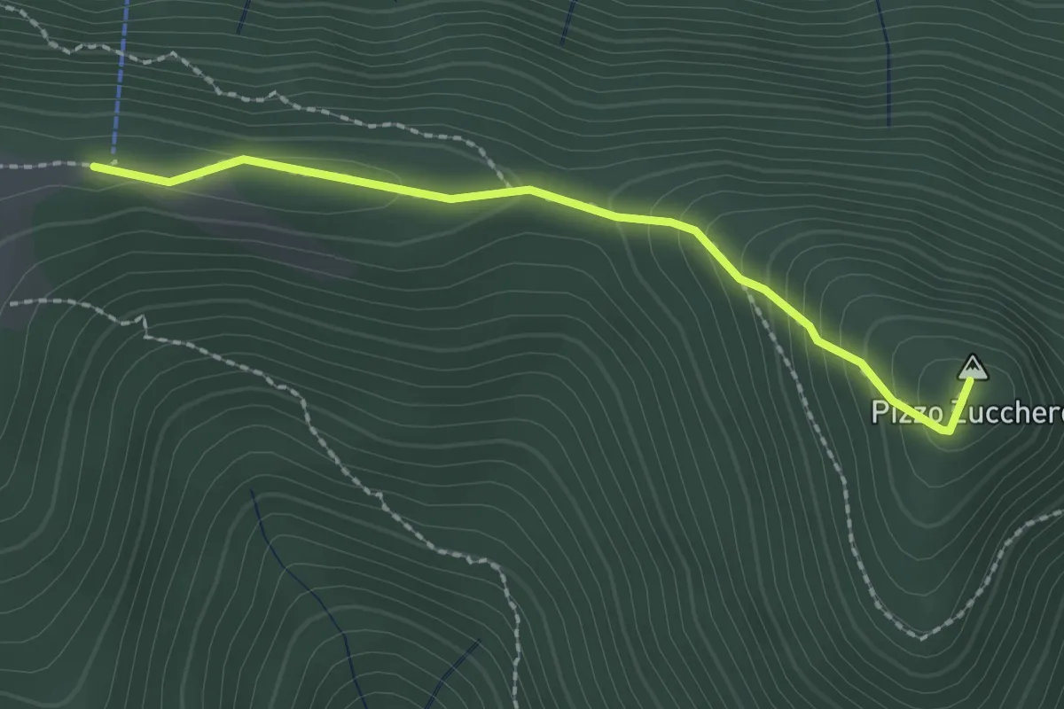
Easy · Summit
Funivia Salei – Pizzo Zucchero
2.1 km · ↑ 167 m · 52 min
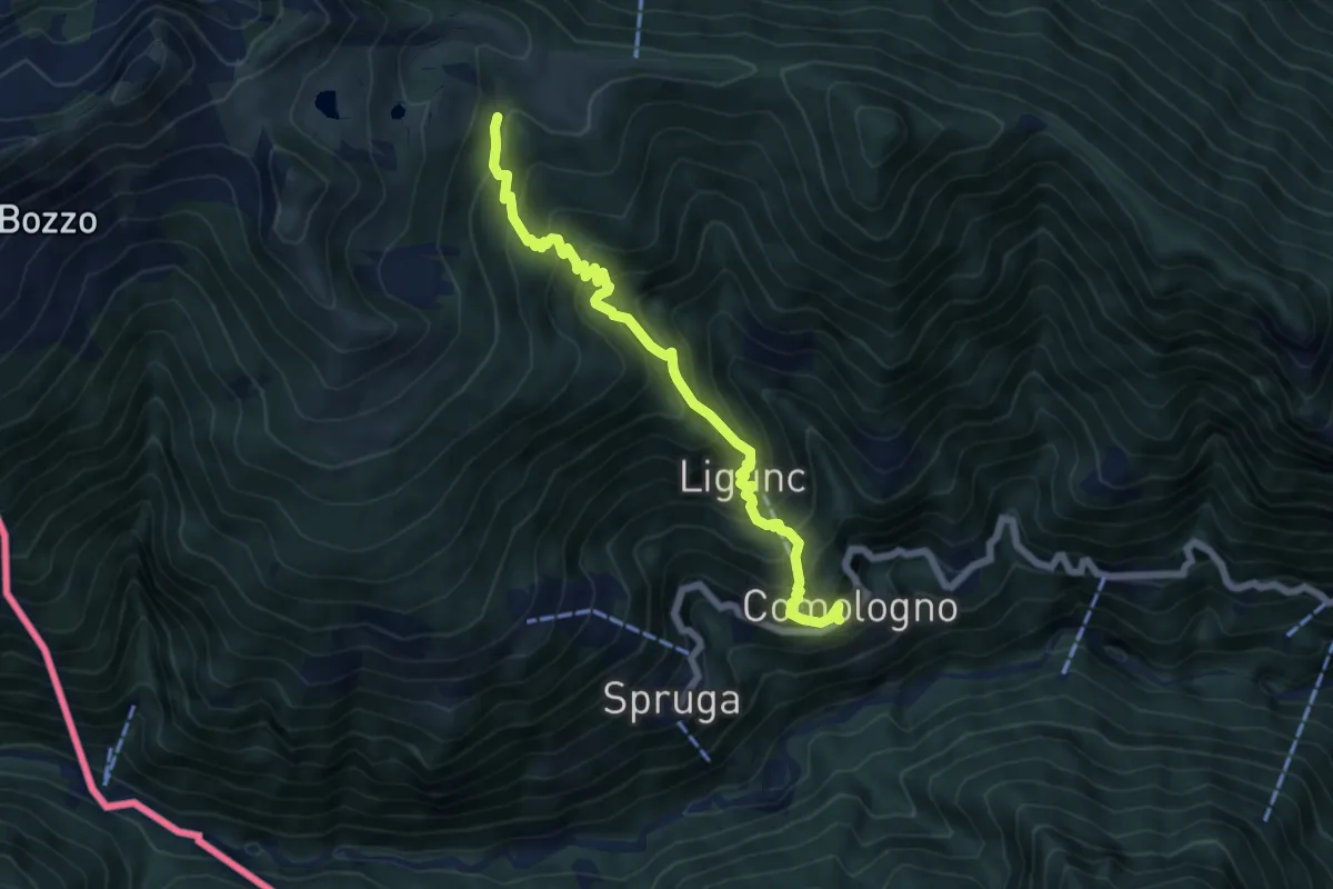
Medium · Trail
Comologno – Salei
6.4 km · ↑ 708 m · 3 h 2 min
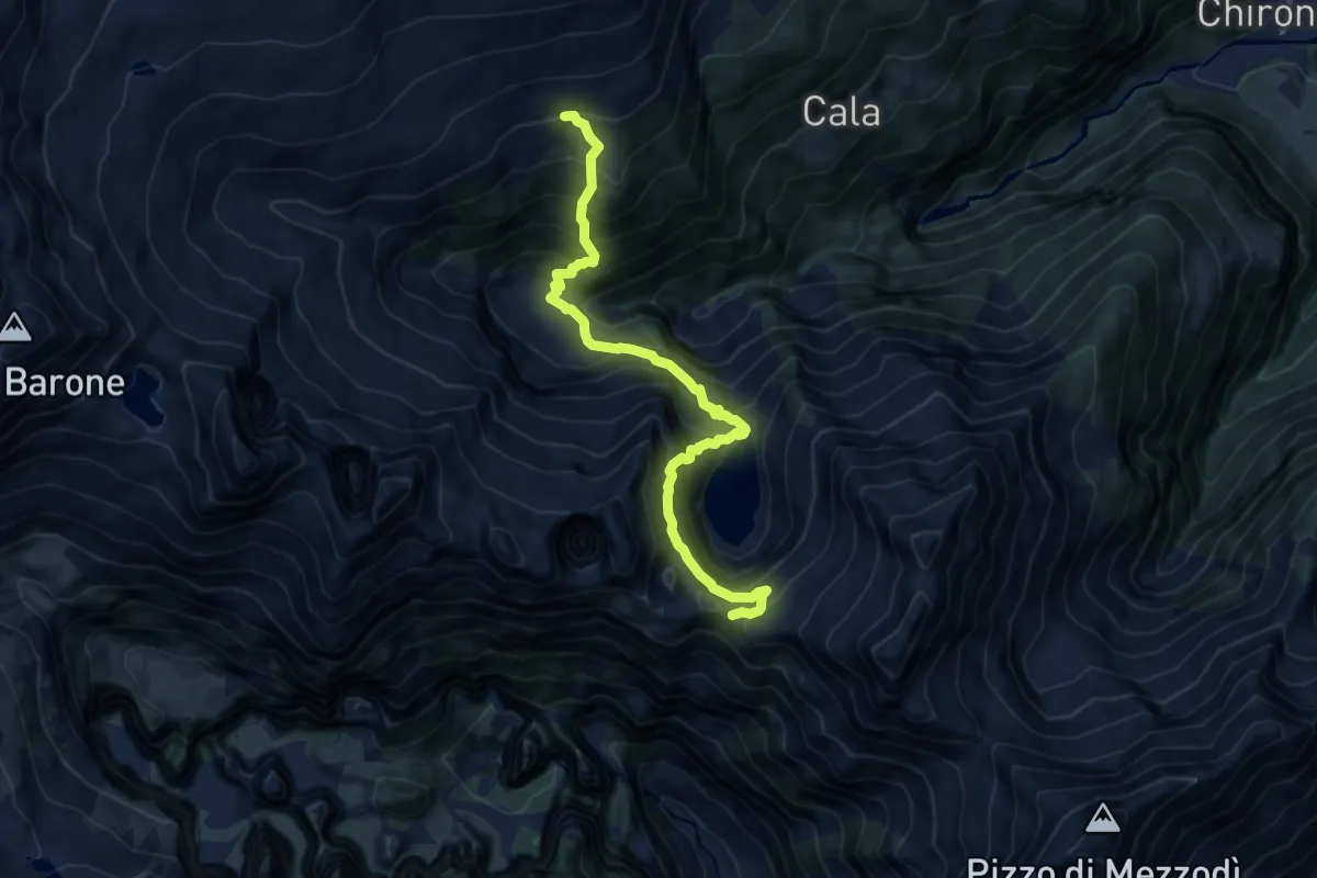
Demanding · Cabin
Passo di Piatto – Cabanna Alpe Sponda
10.7 km · ↑ 1300 m · 5 h 20 min
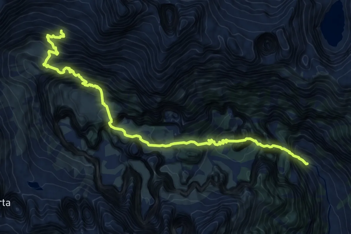
Demanding · Cabin
Cabioi – Capanna Barone
13.0 km · ↑ 1253 m · 5 h 47 min
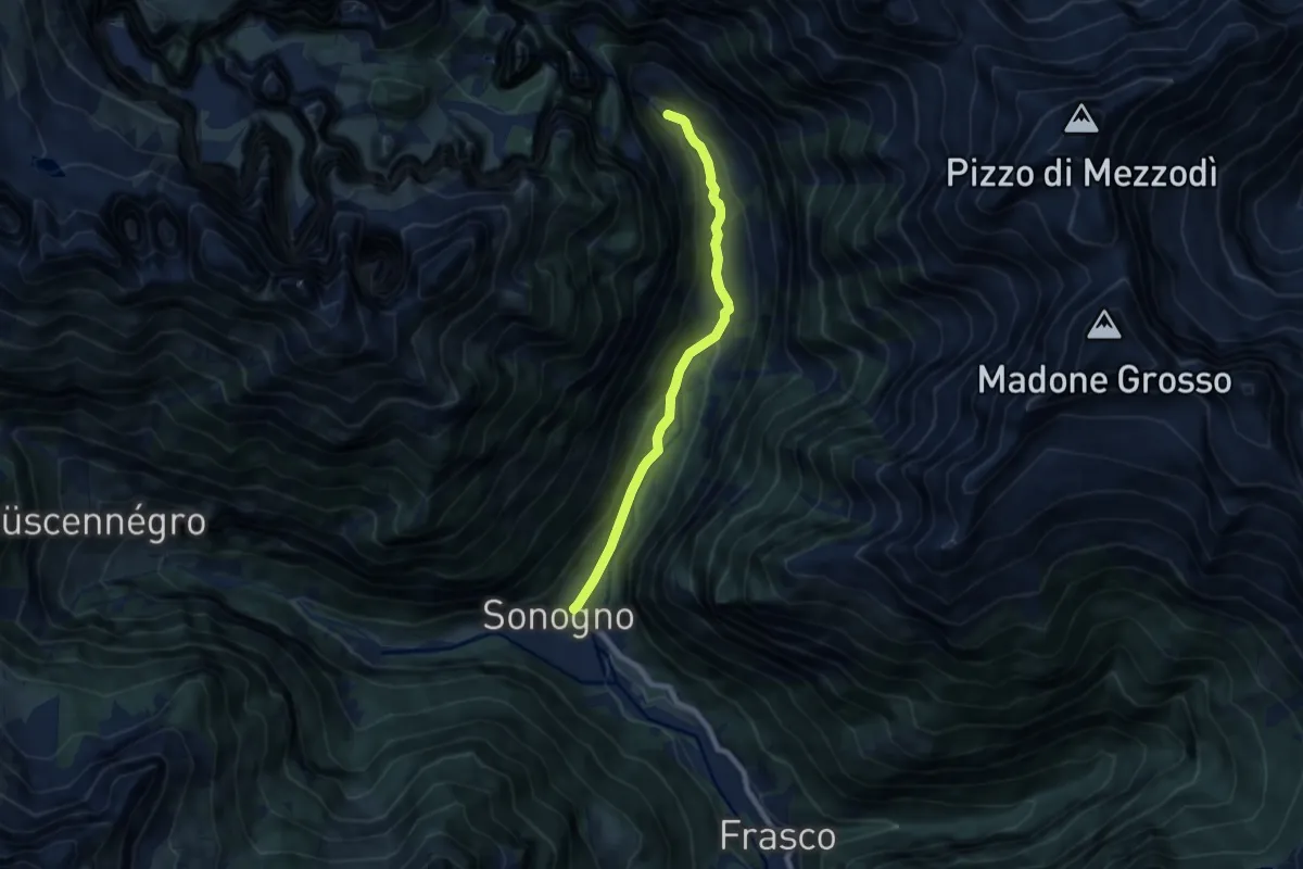
Easy · Trail
Sonogno – Cabioi
7.2 km · ↑ 225 m · 2 h 11 min
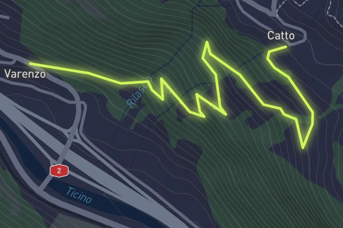
Easy · Trail
Varenzo – Catto
3.9 km · ↑ 255 m · 1 h 29 min
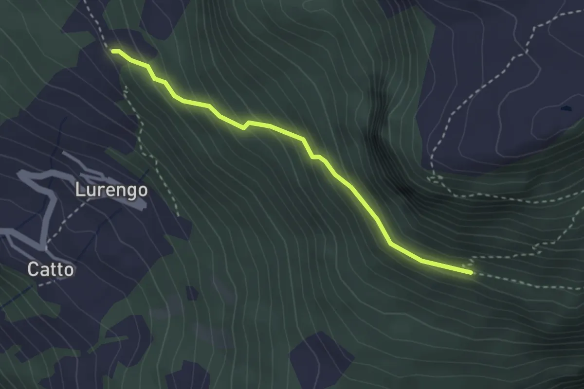
Medium · Trail
Cassine di Catto – Boscaiöu
2.7 km · ↑ 295 m · 1 h 17 min
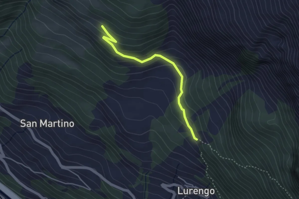
Easy · Trail
Cassine di Catto – Cassine di Deggio
3.3 km · ↑ 157 m · 1 h 7 min
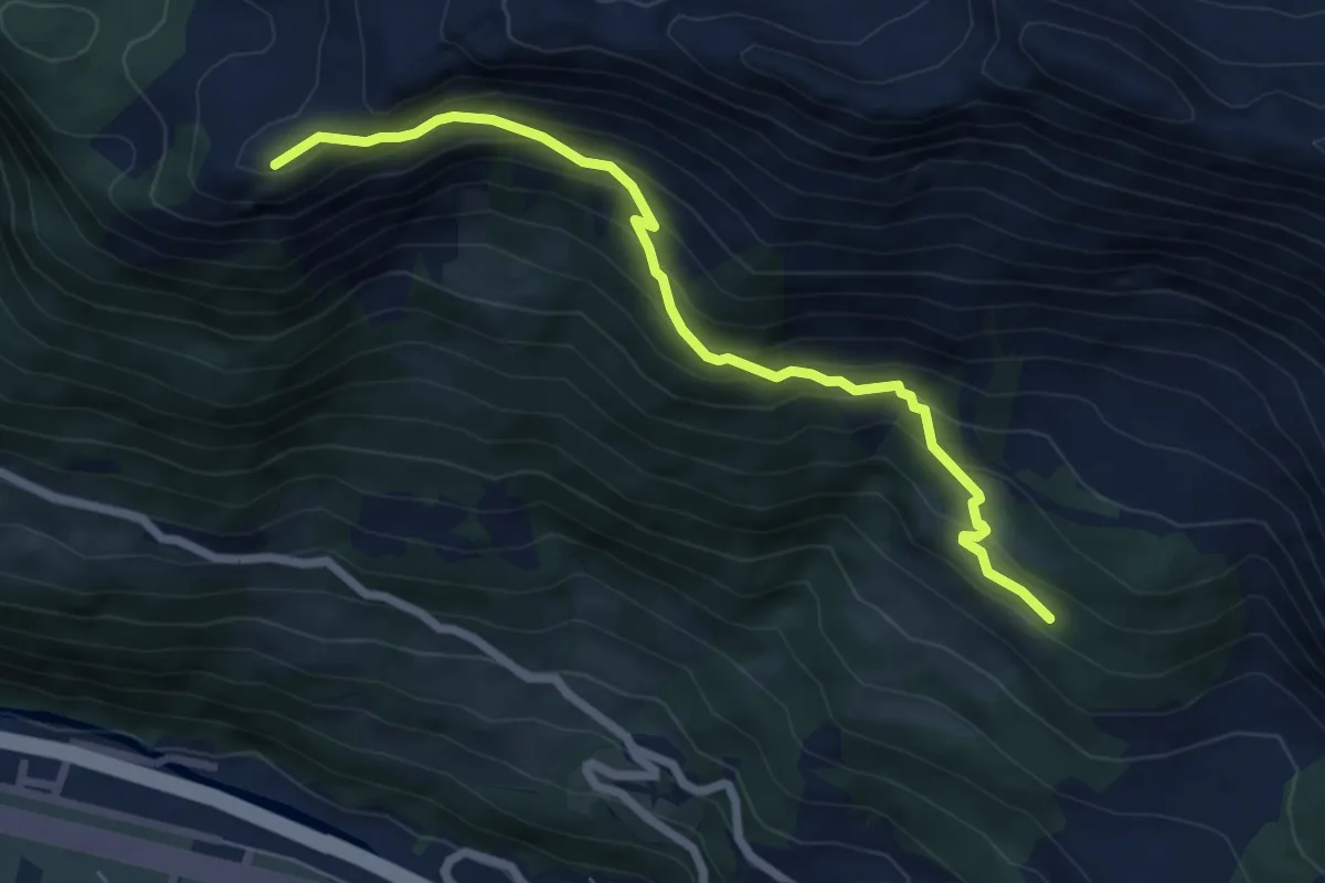
Demanding · Summit
Cassine di Deggio – Pinett
6.4 km · ↑ 560 m · 2 h 44 min
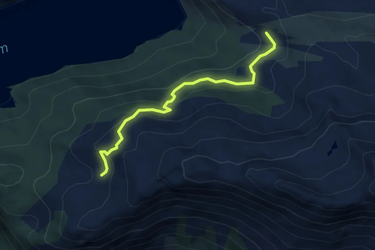
Medium · Trail
Pinett – Alpe di Piora
4.4 km · ↑ 232 m · 1 h 32 min
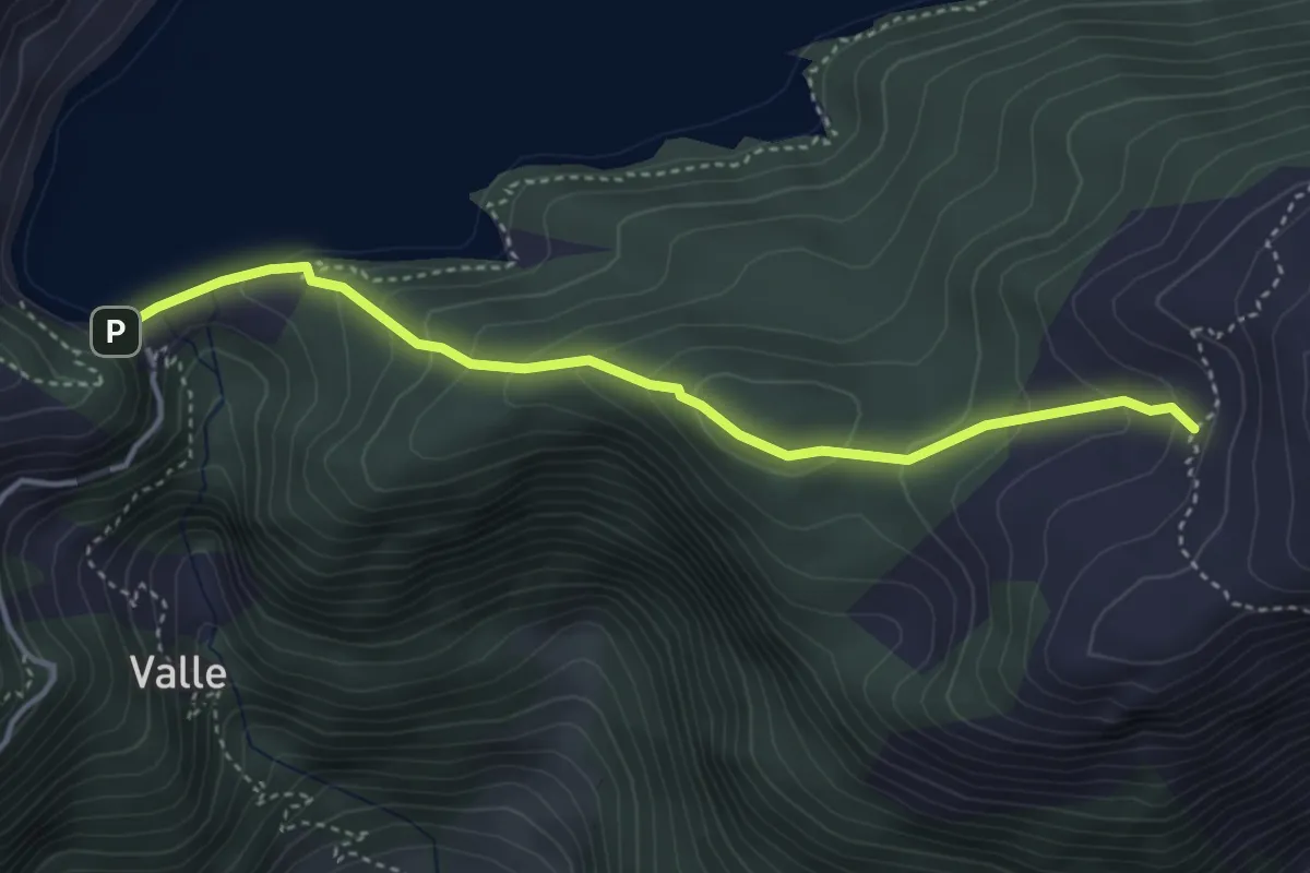
Medium · Trail
Pinett – Piora Lago Ritom
3.9 km · ↑ 238 m · 1 h 26 min
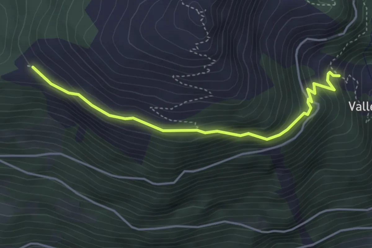
Medium · Trail
Valle – Pian Töi
3.9 km · ↑ 274 m · 1 h 31 min
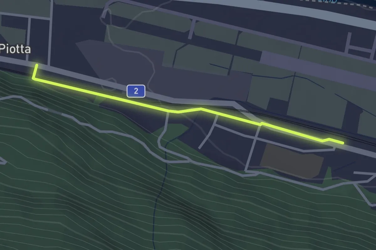
Easy · Trail
Piotta – Ambri-Piotta
2.6 km · ↑ 58 m · 44 min
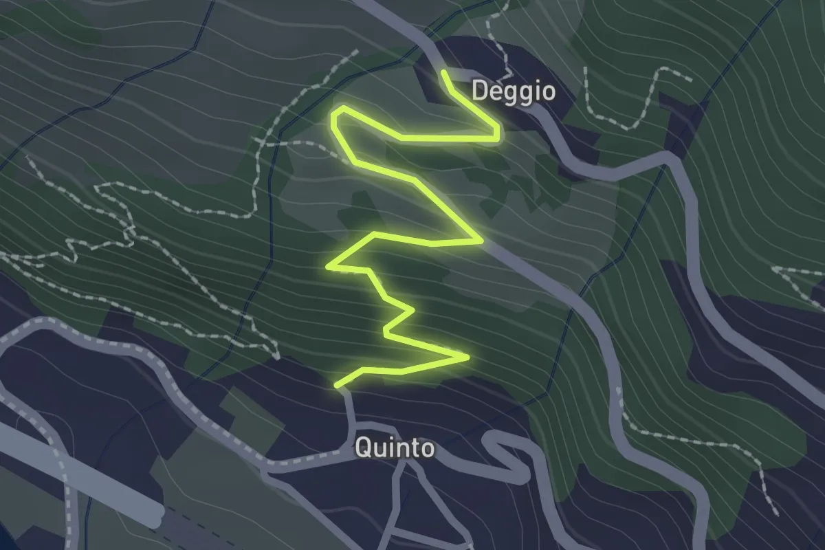
Easy · Trail
Quinto/Fiera – Deggio
2.3 km · ↑ 172 m · 55 min
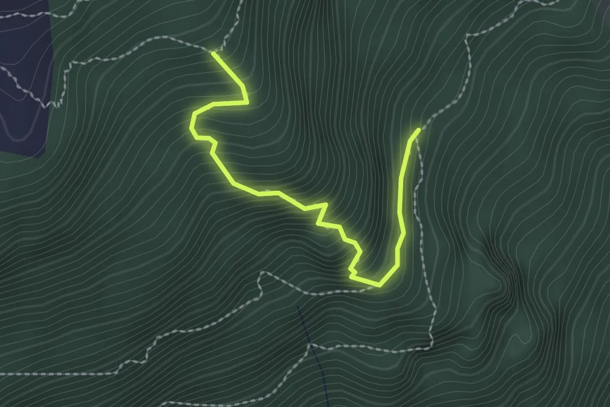
Medium · Trail
Faura di Cala Sud – Faura di Cala Ovest
2.3 km · ↑ 357 m · 1 h 19 min
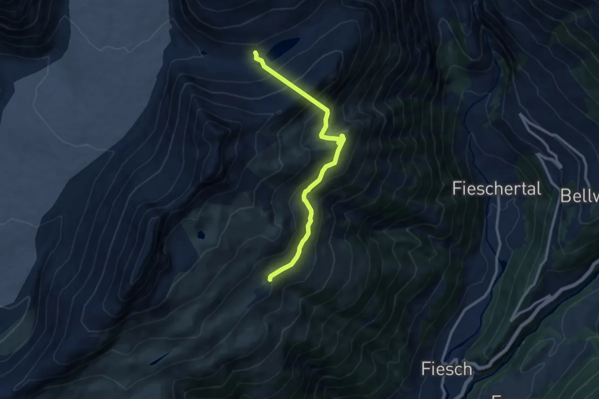
Medium · Cabin
Märjela Gletscherstube – Fiescheralp
8.9 km · ↑ 730 m · 3 h 40 min