Trails in Switzerland
15,055 hiking trails, each with its route, climb, walking time and grade.
All trails, page 210 of 314
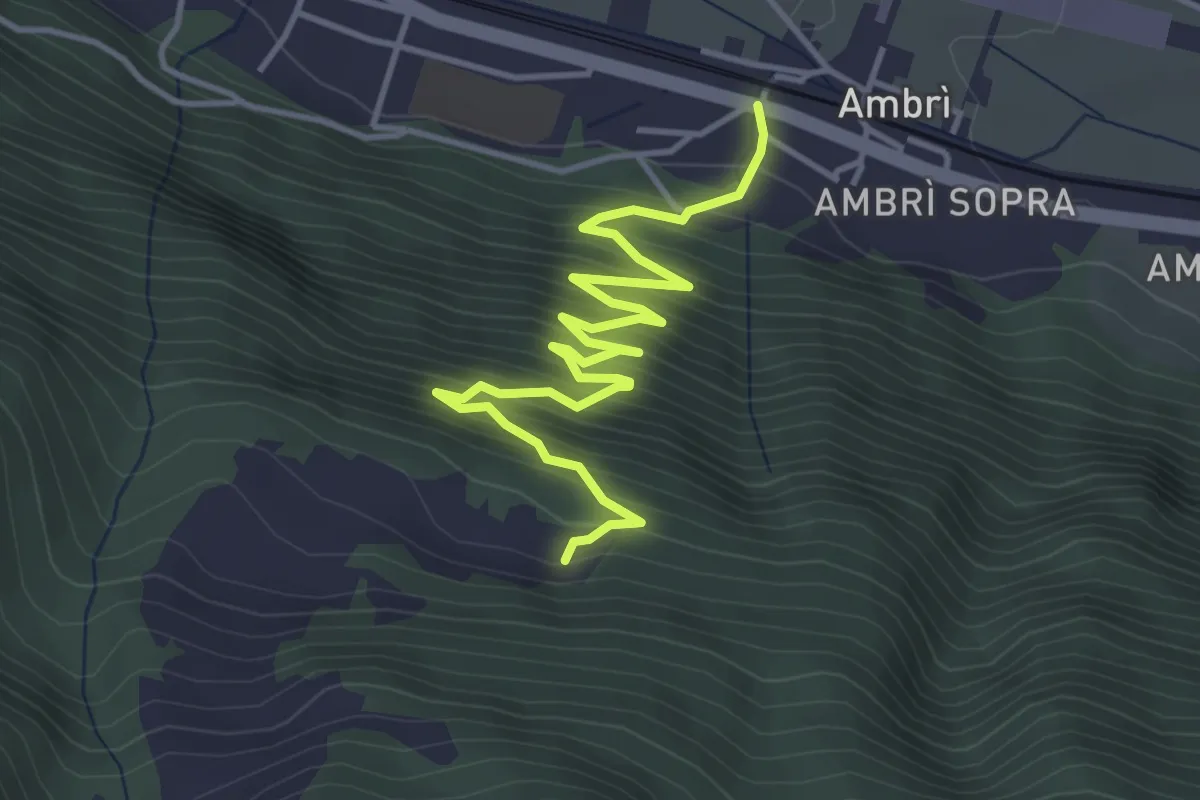
Medium · Trail
Gioett – Ambri
4.9 km · ↑ 448 m · 2 h 8 min
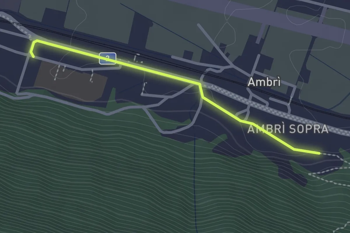
Easy · Trail
Ambri – Piotta
2.2 km · ↑ 19 m · 34 min
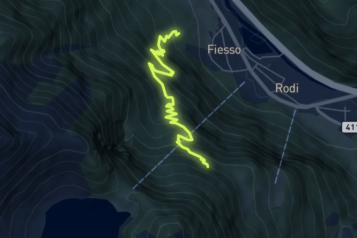
Demanding · Trail
Lago di Tremorgio – Fiesso
5.4 km · ↑ 603 m · 2 h 35 min
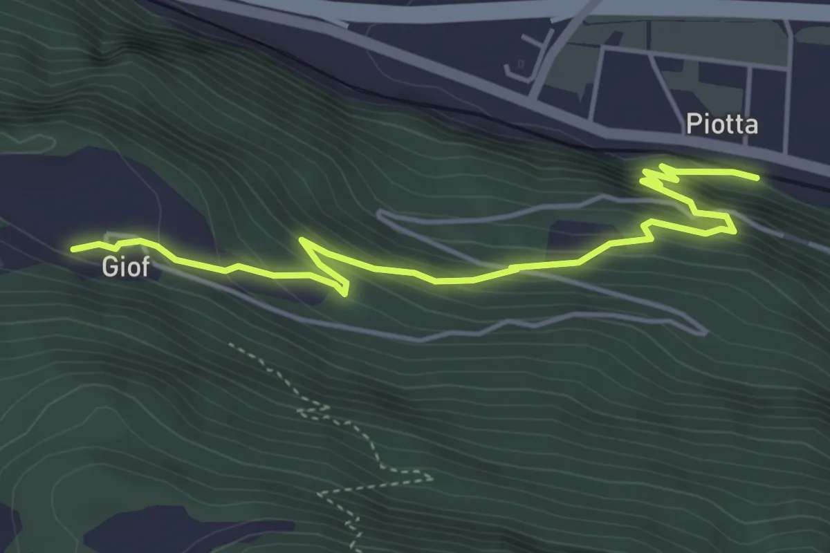
Medium · Trail
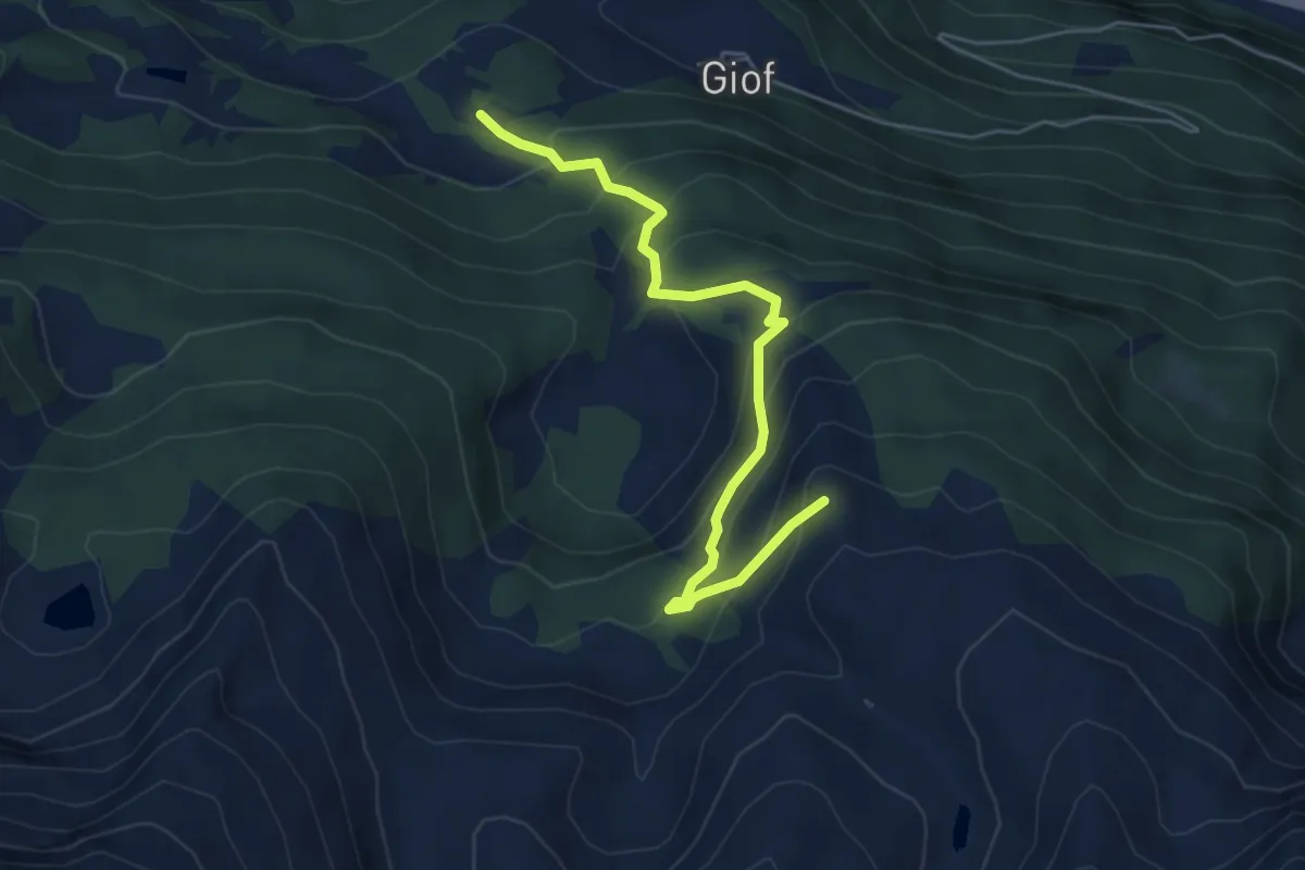
Giof – Piotta
4.9 km · ↑ 399 m · 2 h 1 min
Medium · Summit
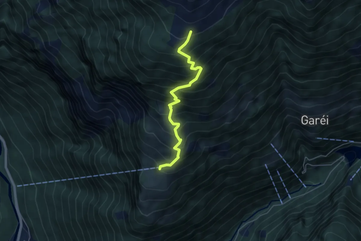
Alpe Nuova – Rifugio Garzonera
5.4 km · ↑ 485 m · 2 h 20 min
Medium · Cabin
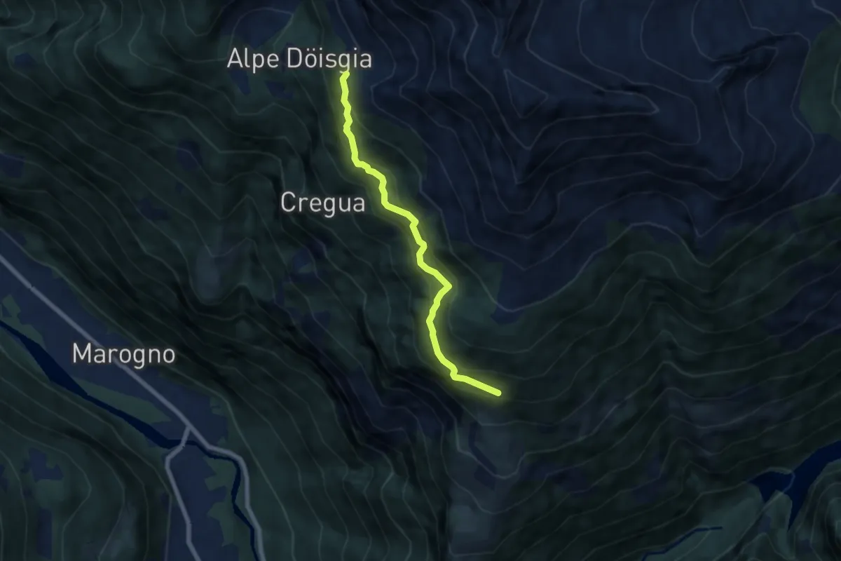
Dagro – Alpe di Prou
4.6 km · ↑ 616 m · 2 h 25 min
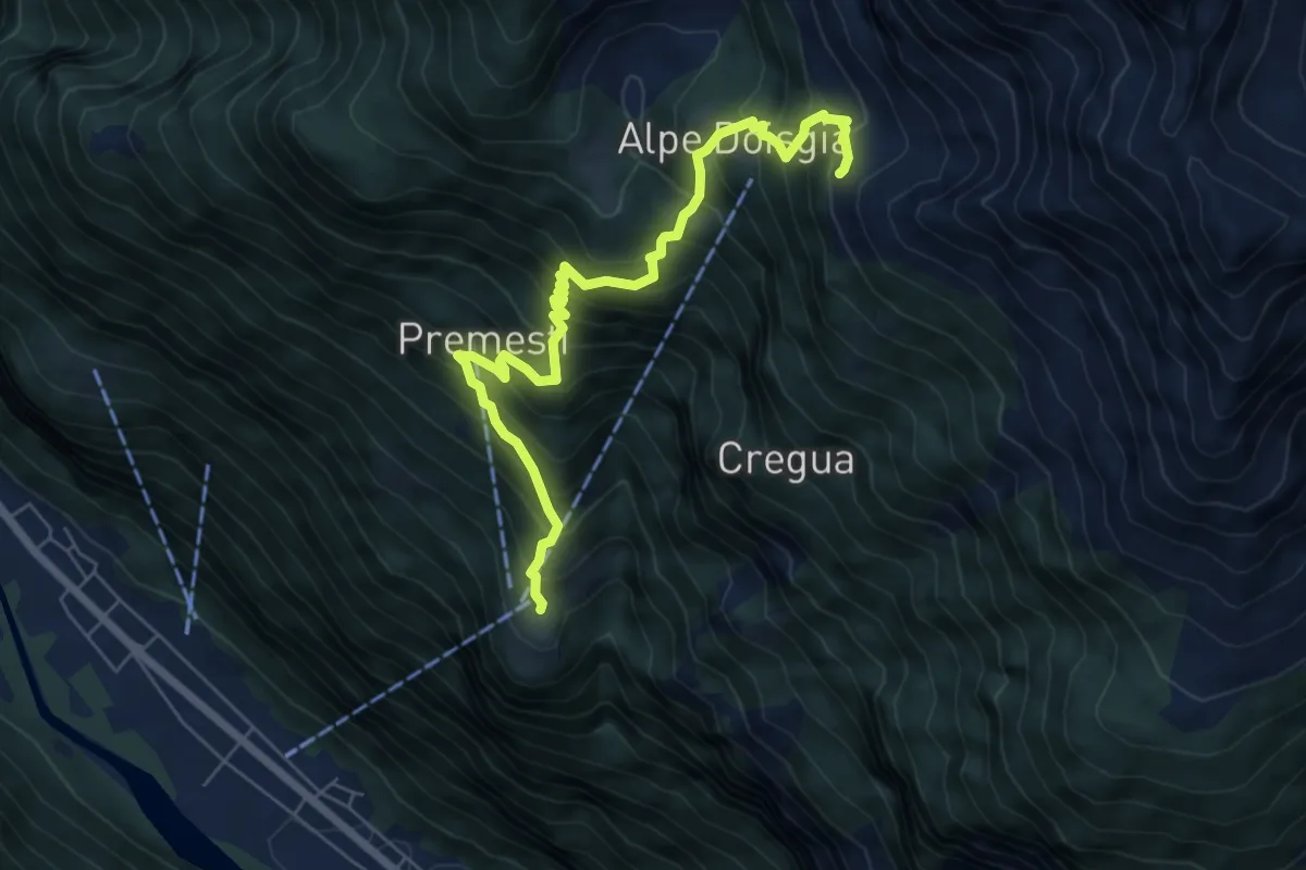
Medium · Cabin
P1710 – Lavill
5.8 km · ↑ 600 m · 2 h 41 min
Demanding · Cabin
Lavill – Stabio
7.0 km · ↑ 867 m · 3 h 32 min
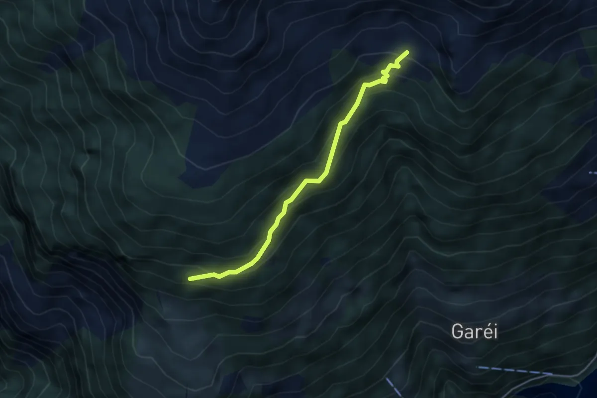
Medium · Trail
P1710 – Alpe di Cióu
3.7 km · ↑ 339 m · 1 h 37 min
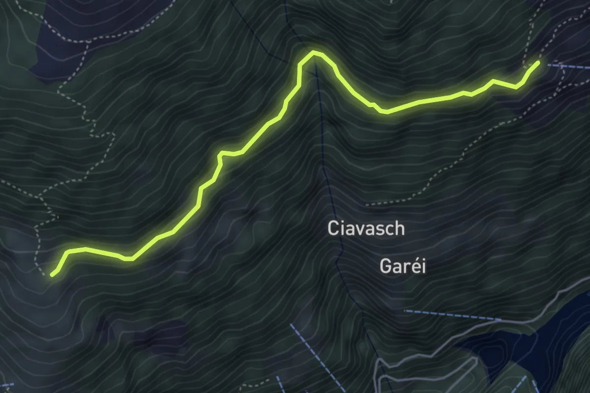
Medium · Trail
Gordone – Monda
5.4 km · ↑ 318 m · 1 h 57 min
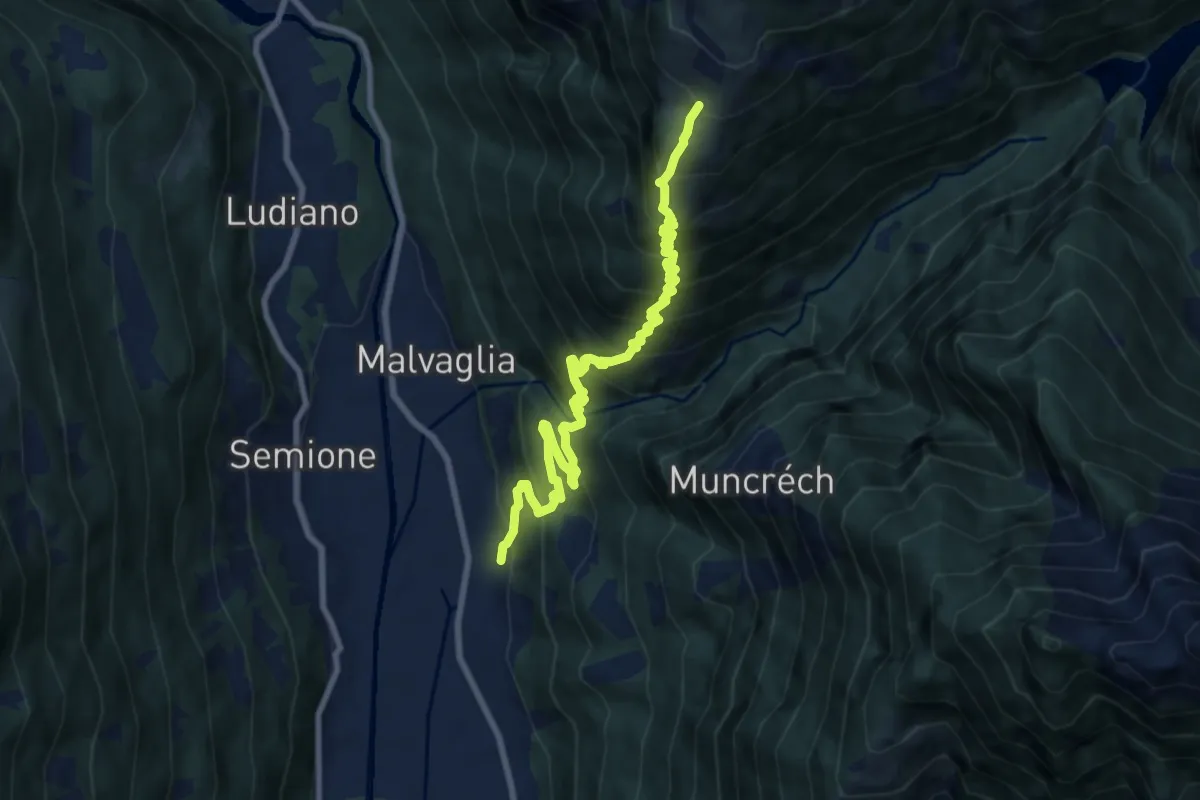
Demanding · Trail
Dagro – Malvaglia
9.6 km · ↑ 1084 m · 4 h 36 min
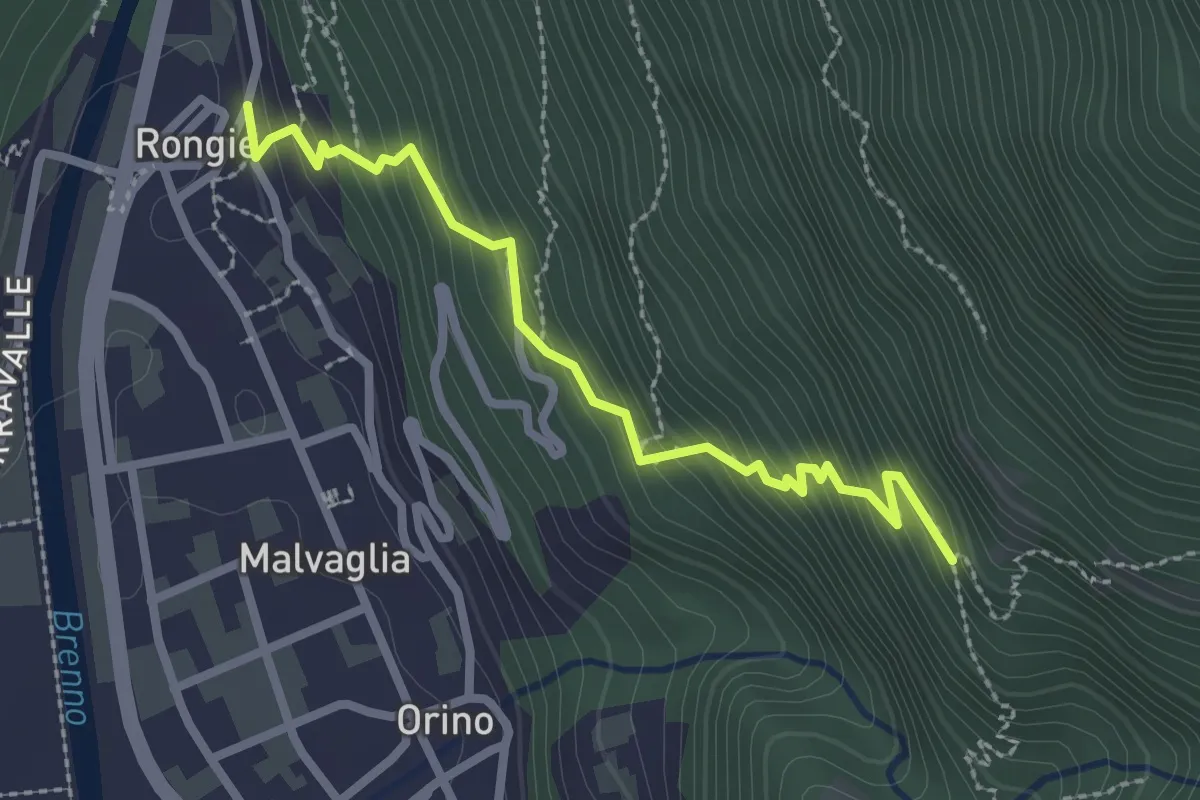
Easy · Trail
P.681m – Malvaglia Rongie
2.5 km · ↑ 295 m · 1 h 14 min
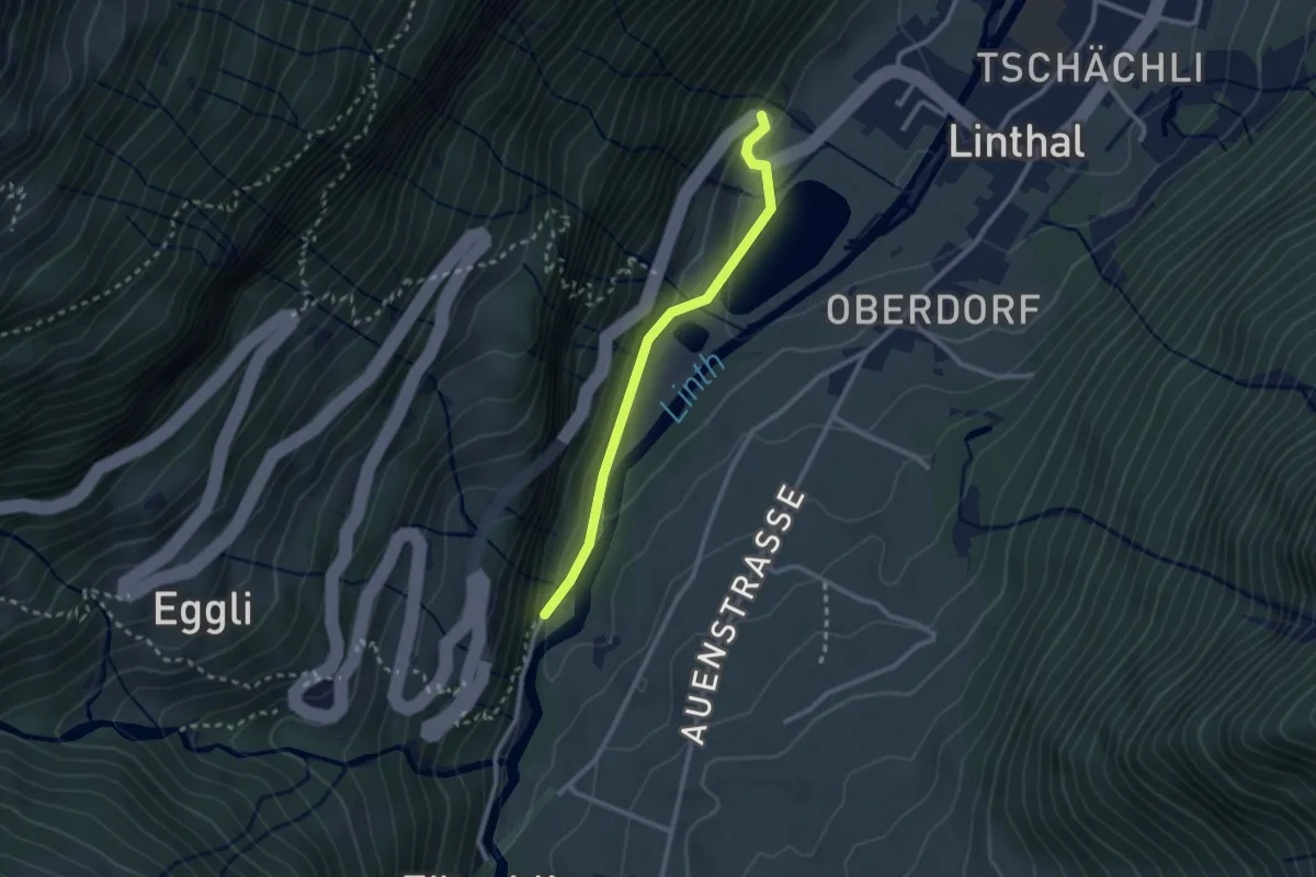
Easy · Trail
Bänzenäuli – Klausenstrasse
2.4 km · ↑ 101 m · 47 min
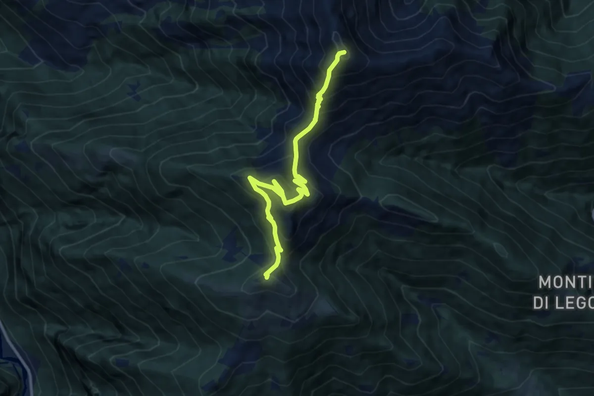
Demanding · Summit
Cimetta – Alpe Nimi r
9.4 km · ↑ 945 m · 4 h 16 min
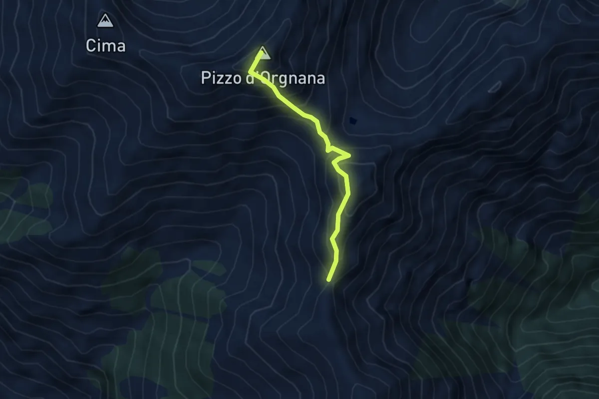
Expert · Summit
Cimetta – Capanna Nimi b
3.5 km · ↑ 457 m · 1 h 50 min
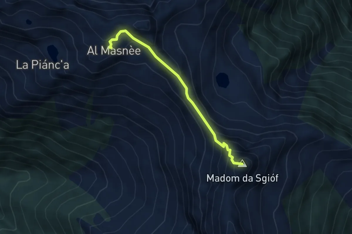
Expert · Summit
Madom – Alpe Masnee
3.6 km · ↑ 406 m · 1 h 44 min
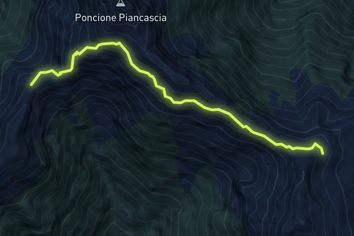
Expert · Summit
P2040 – Capanna Alpe Spluga
6.5 km · ↑ 622 m · 2 h 53 min
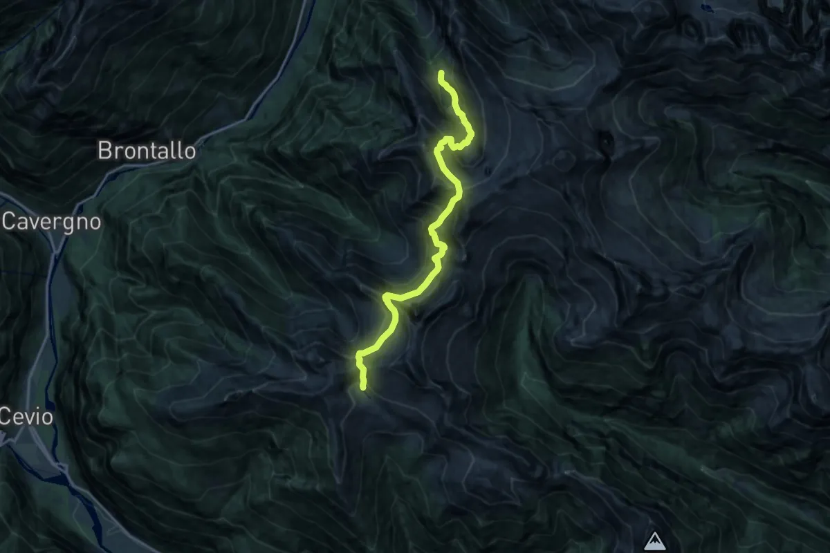
Expert · Cabin
Capanna Alpe Spluga – Capanna Tomeo
14.8 km · ↑ 1719 m · 7 h 13 min
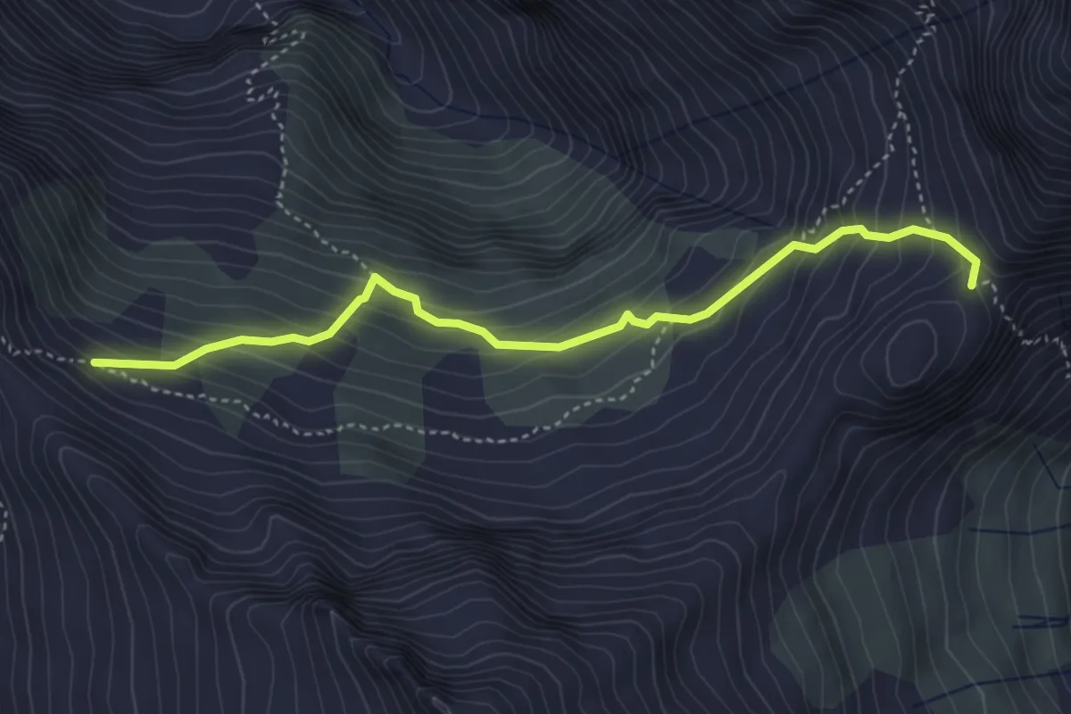
Medium · Trail
Bassa di Partus – Passo di Redorta
4.2 km · ↑ 468 m · 2 h 1 min
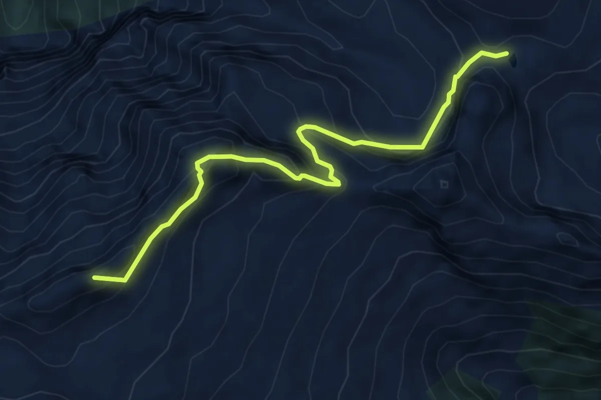
Medium · Summit
P2040 – Bocchettta di Cansgei
6.3 km · ↑ 681 m · 2 h 57 min
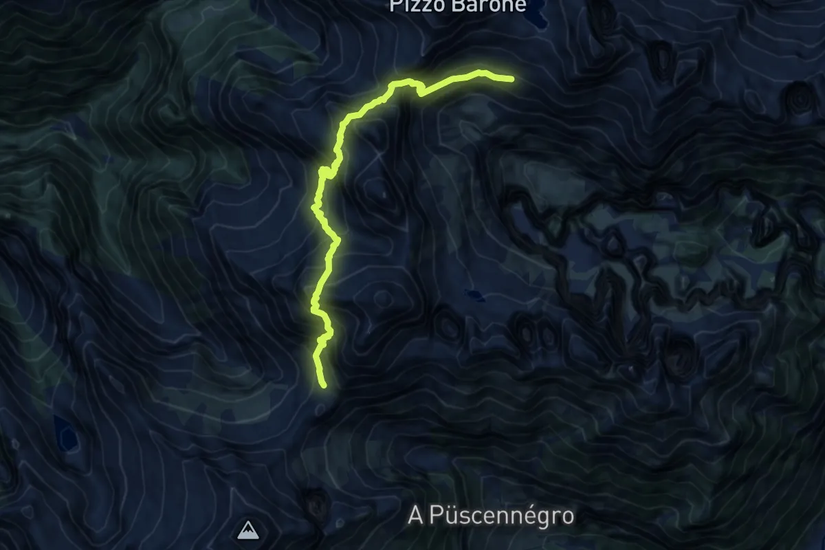
Expert · Cabin
Passo di Redorta – Capanna Barone
11.5 km · ↑ 1617 m · 6 h 14 min
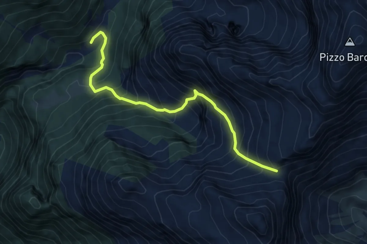
Expert · Cabin
Bocchetta della Campala – ex. Cap. Soveltra
6.1 km · ↑ 828 m · 3 h 14 min
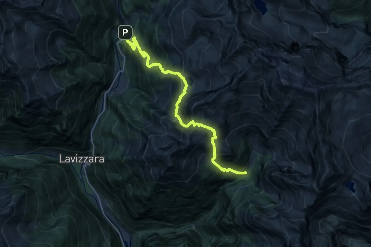
Demanding · Cabin
ex. Cap. Soveltra – Fusio
8.9 km · ↑ 1080 m · 4 h 26 min
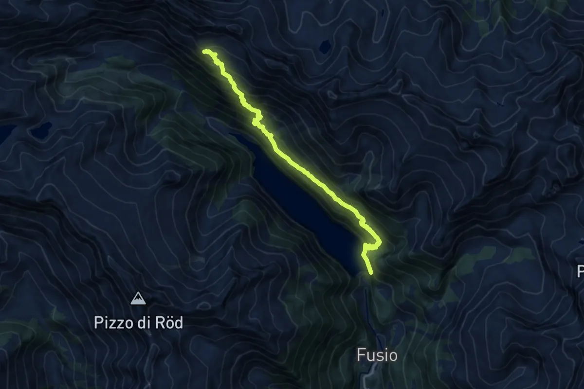
Demanding · Trail
Lago Sambuco – Piatto
11.9 km · ↑ 1250 m · 5 h 32 min
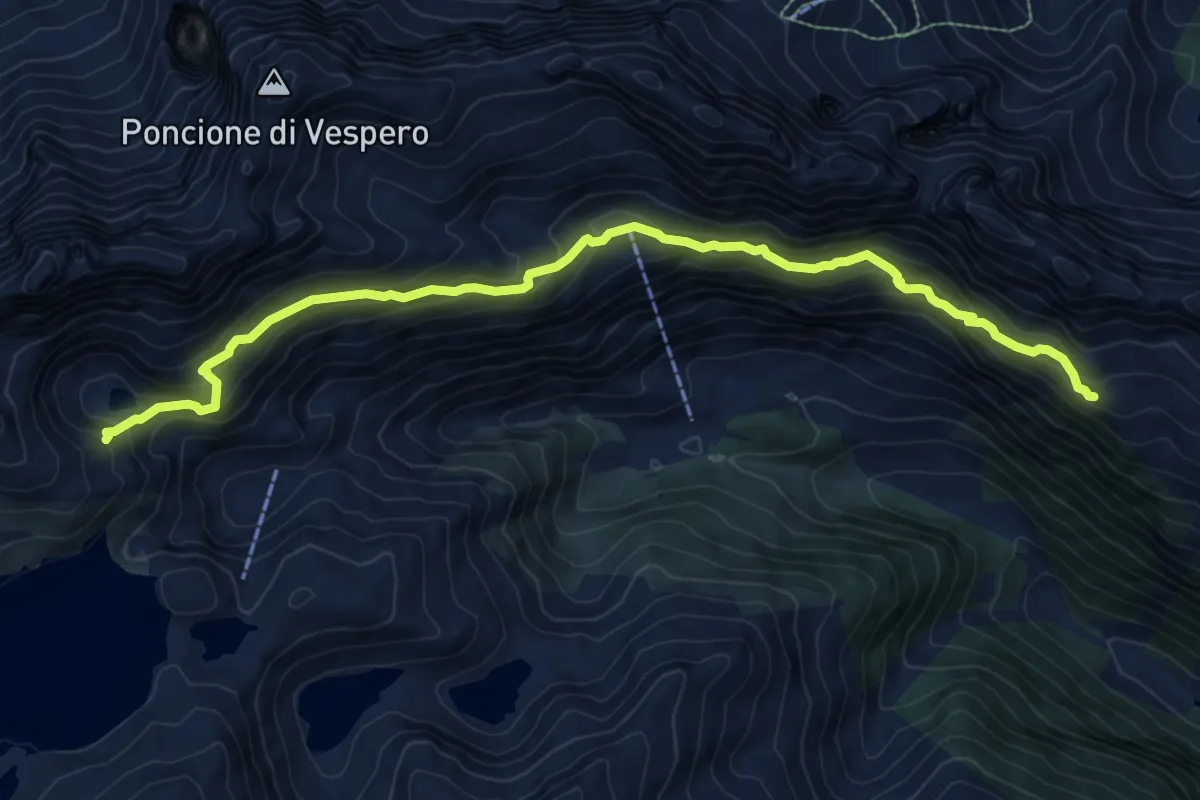
Expert · Trail
Piatto – Lago di Forna
10.3 km · ↑ 726 m · 4 h 1 min
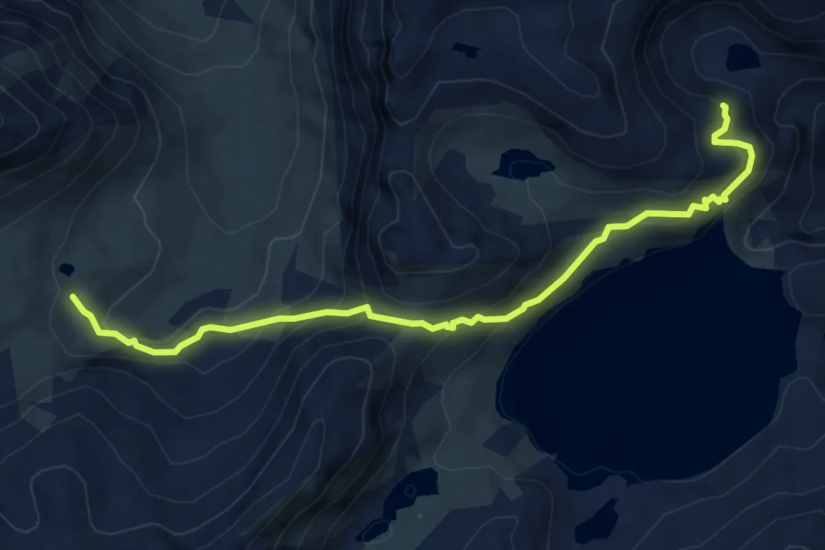
Demanding · Trail
Lago di Forna – Direct. Christallina
6.5 km · ↑ 498 m · 2 h 37 min
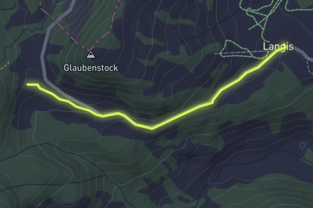
Easy · Trail
Glaubenberg – Langis
3.4 km · ↑ 117 m · 1 h 3 min
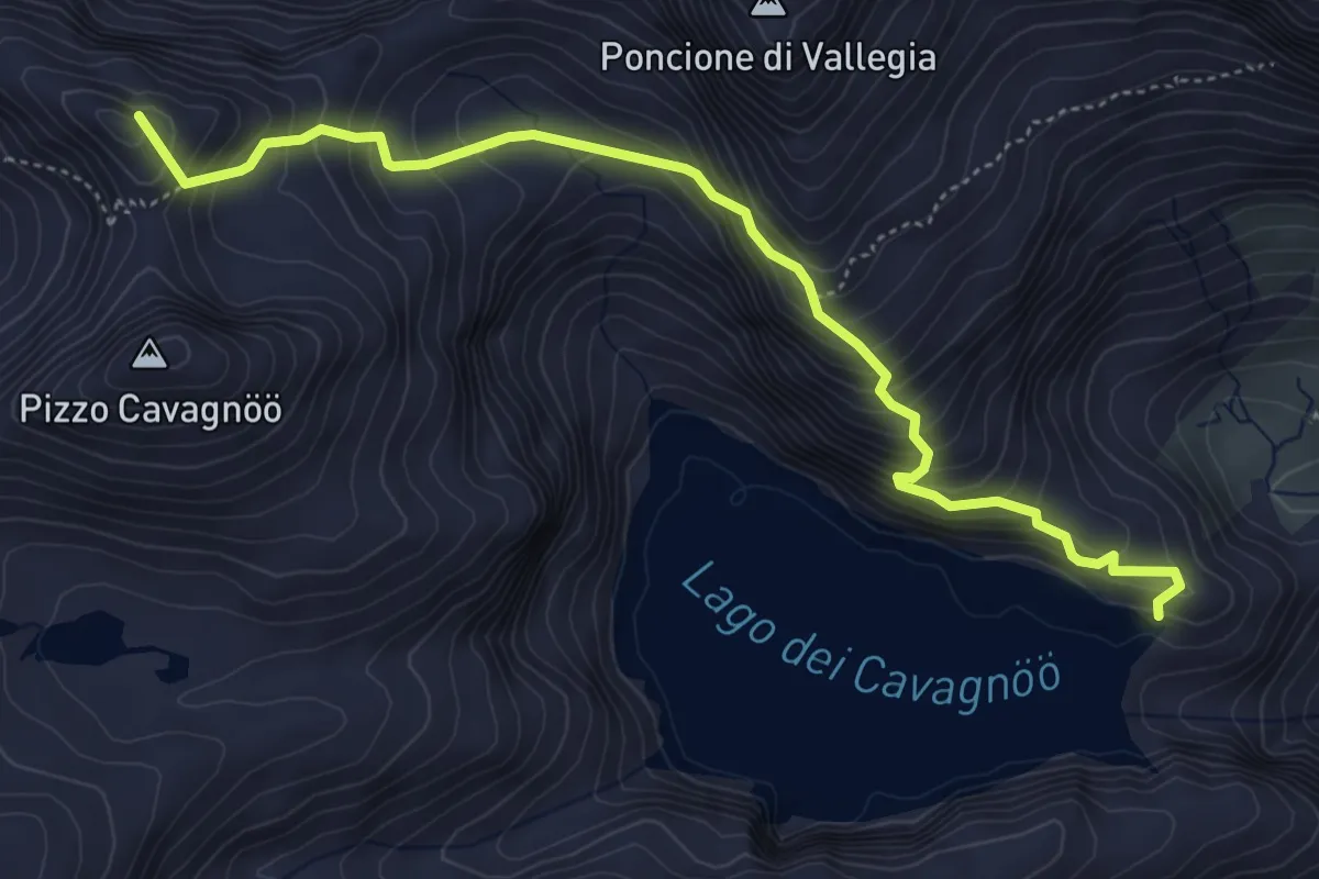
Expert · Summit
Lago Cavagnöö – San Giacomo
5.3 km · ↑ 547 m · 2 h 26 min
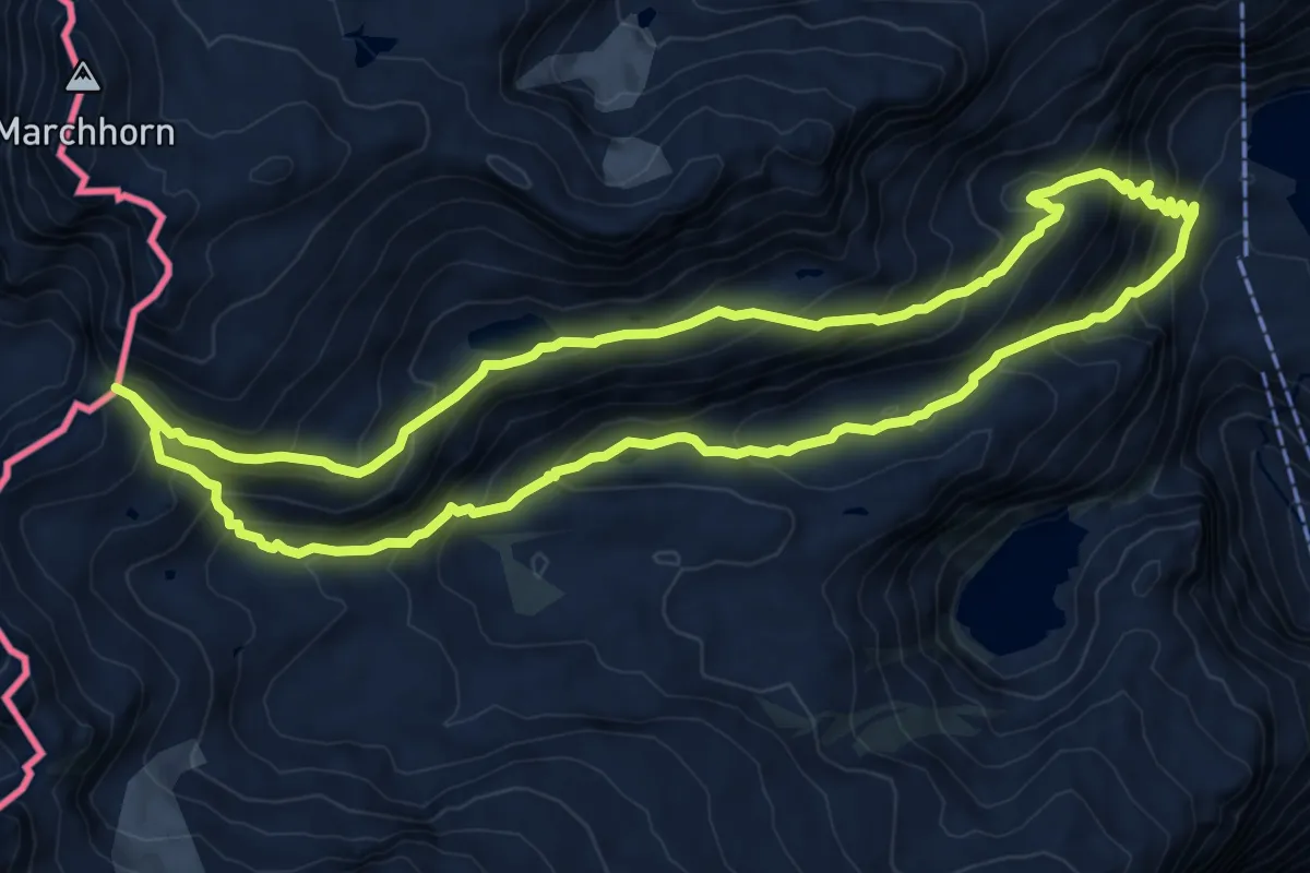
Demanding · Trail
Robiei – Bocchetta di Val Maggia
9.0 km · ↑ 731 m · 3 h 51 min
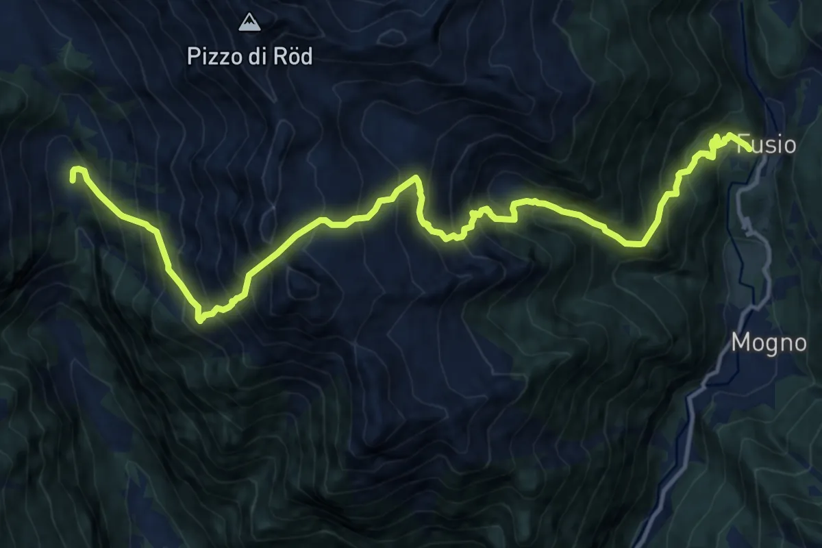
Demanding · Trail
Fusio – Sassello
7.8 km · ↑ 1197 m · 4 h 25 min
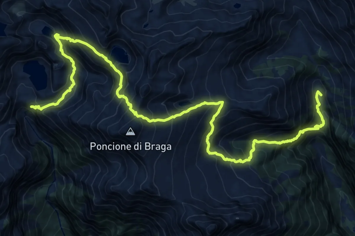
Demanding · Cabin
Sassello – Robiei
13.5 km · ↑ 1575 m · 6 h 38 min
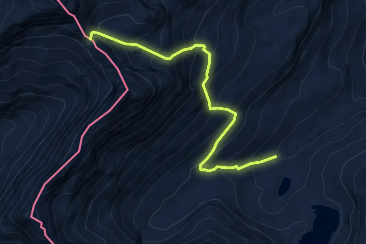
Demanding · Cabin
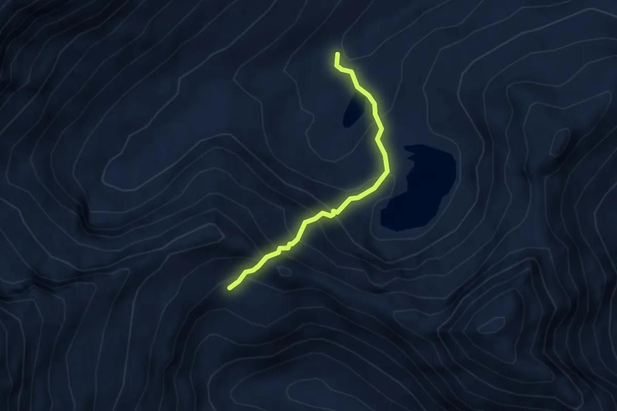
Taminapass – Capanna Piano delle Creste
6.5 km · ↑ 689 m · 3 h 2 min
Demanding · Cabin
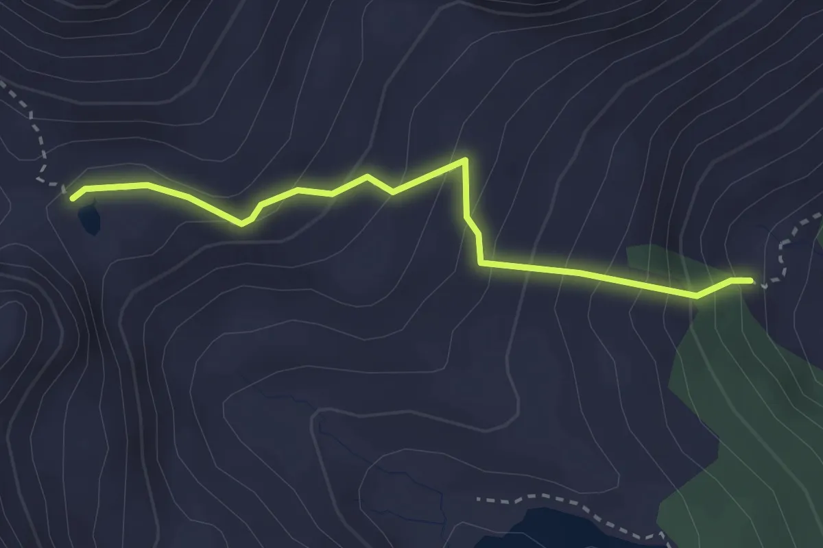
Capanna Piano delle Creste – Boccettaa della Crosa
3.1 km · ↑ 366 m · 1 h 32 min
Medium · Cabin
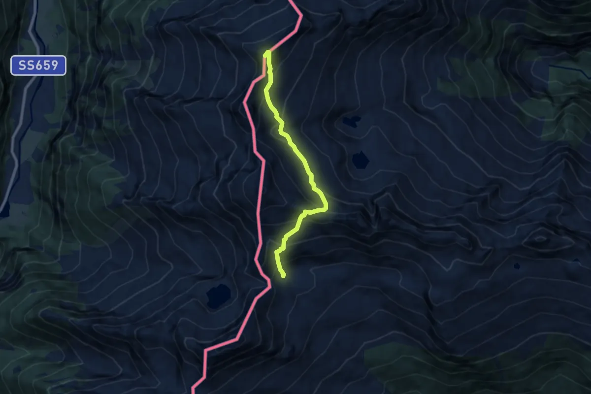
Bocchetta di Cansgei – Capanna Alzasca
2.8 km · ↑ 293 m · 1 h 18 min
Expert · Summit
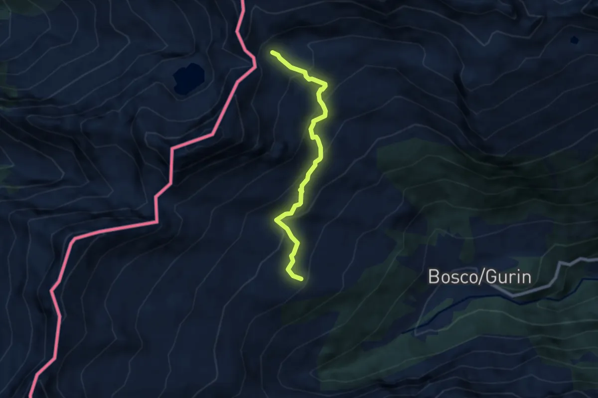
Bochetta della Crosa – Bocchetta di Bosco
6.7 km · ↑ 766 m · 3 h 15 min
Expert · Cabin
Passo di Bosco – Capanna Grossalp
5.8 km · ↑ 483 m · 2 h 25 min
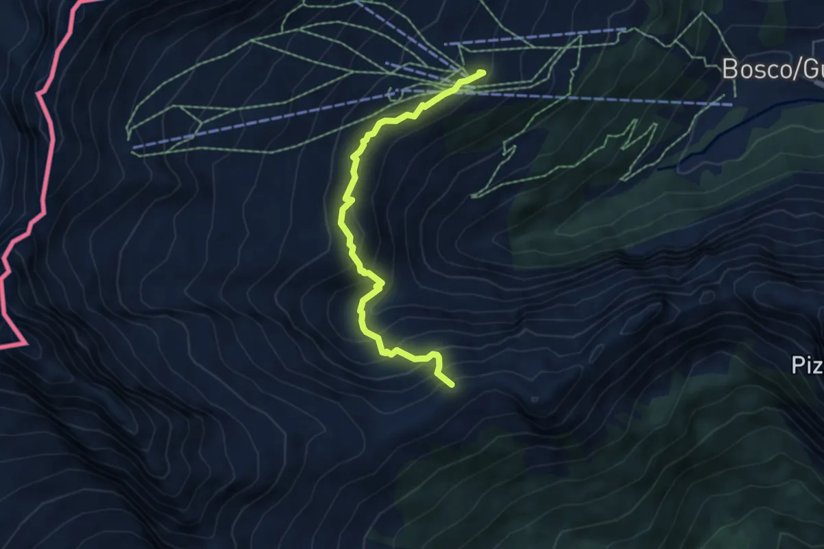
Medium · Summit
Capanna Grossalp – Cimalmotto
5.4 km · ↑ 528 m · 2 h 25 min
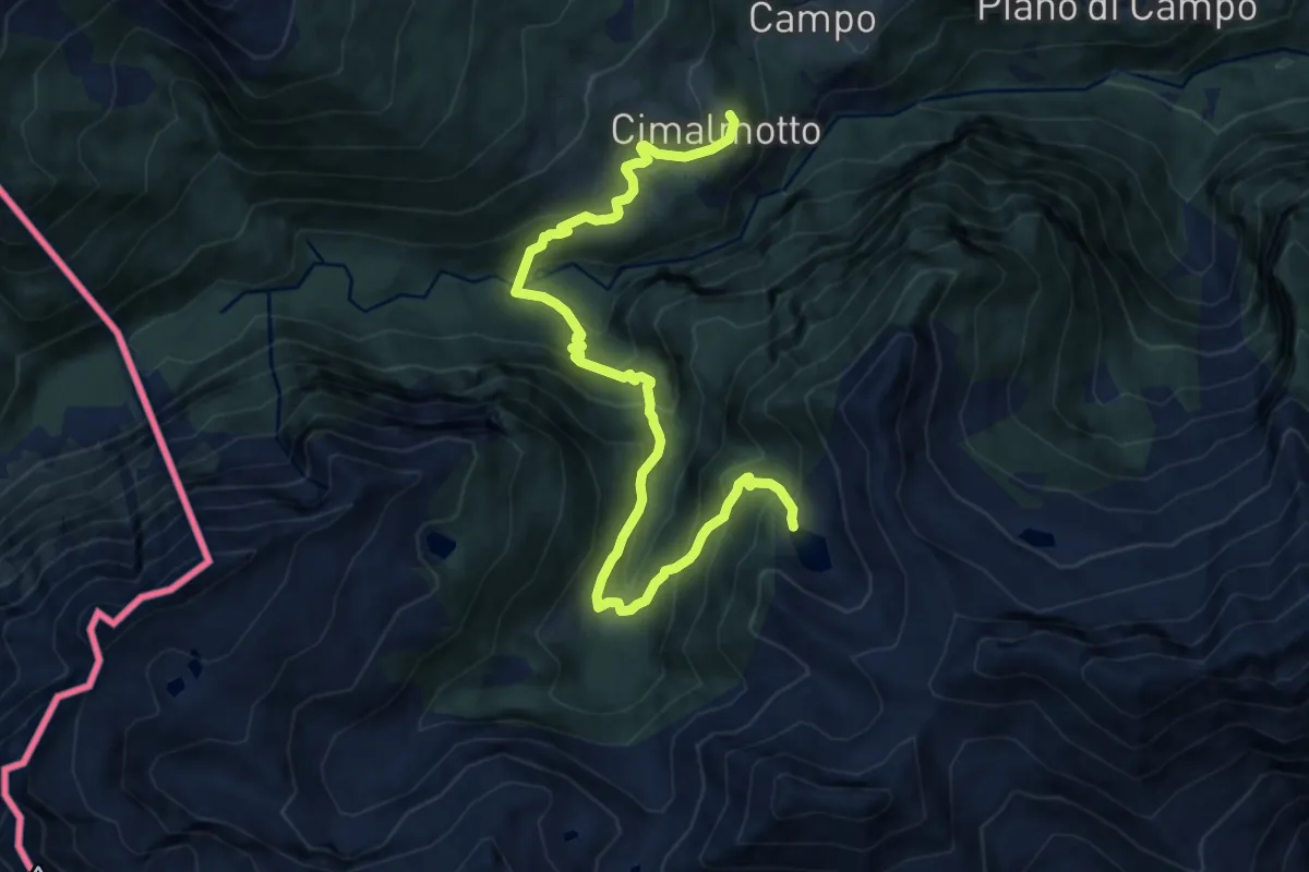
Demanding · Trail
Cimalmotto – Lago Sfii
11.8 km · ↑ 899 m · 4 h 44 min
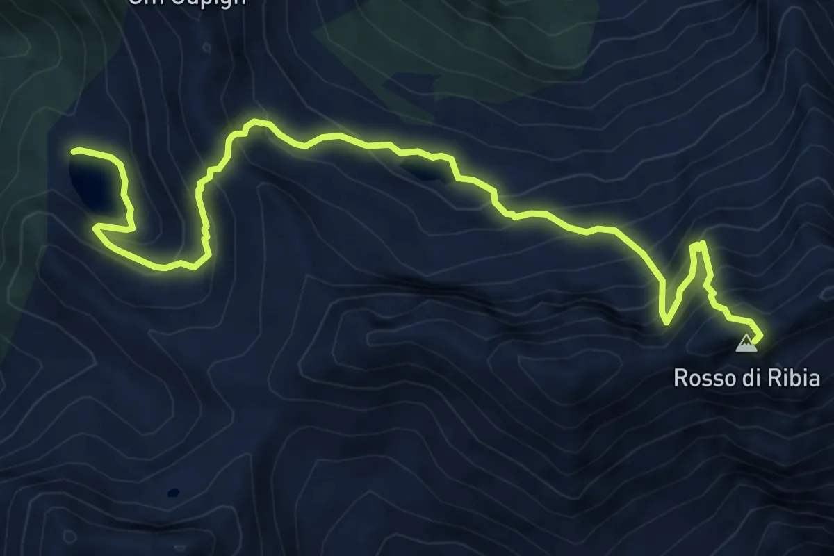
Demanding · Summit
Lago Sfii – Capanna Ribia
8.6 km · ↑ 1027 m · 4 h 16 min
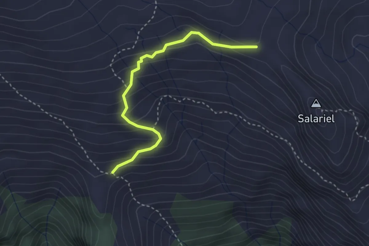
Easy · Cabin
Capanna Ribia – P2040
2.9 km · ↑ 235 m · 1 h 12 min
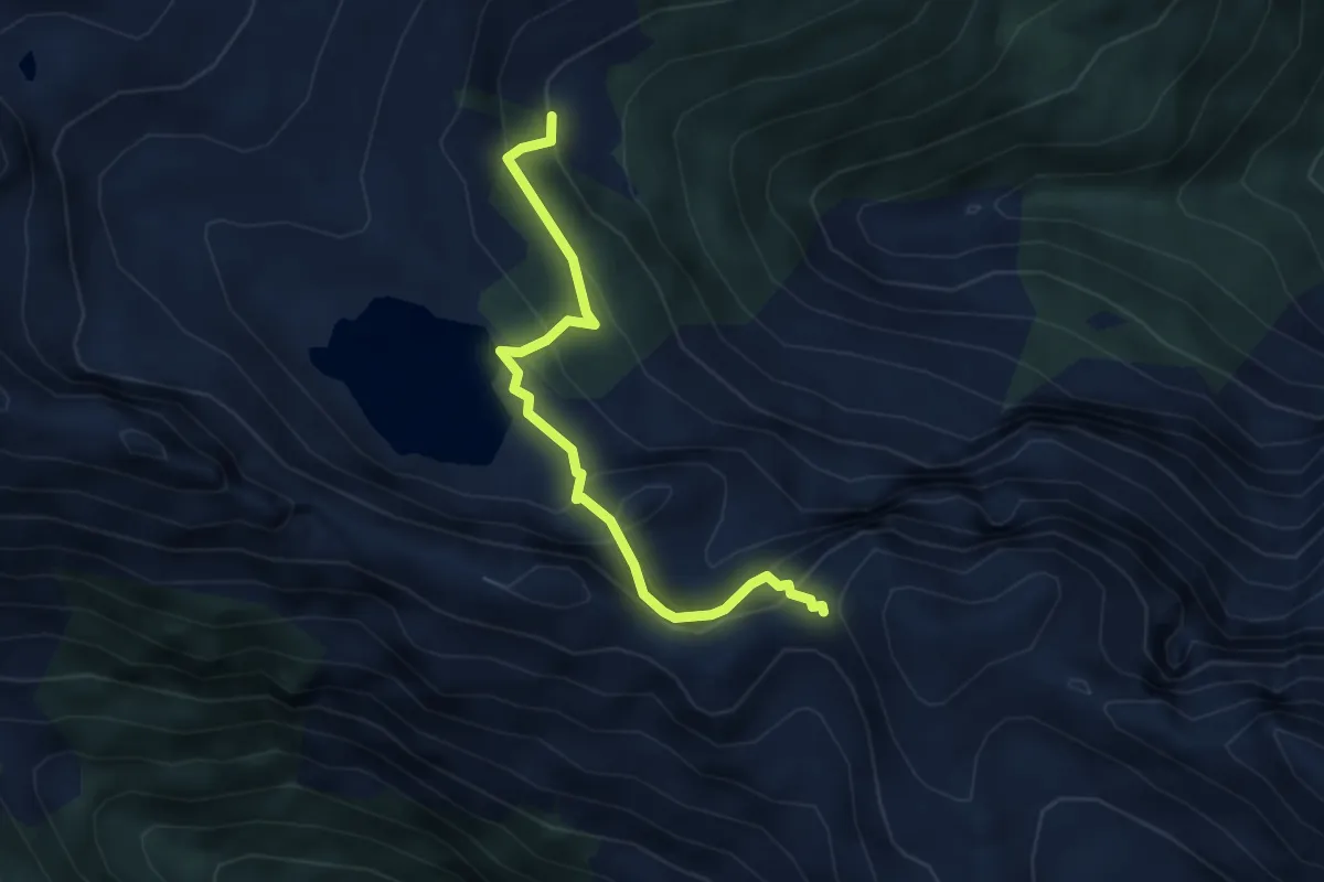
Medium · Cabin
Capanna Alzasca – Bocheta da Doia
4.0 km · ↑ 331 m · 1 h 39 min
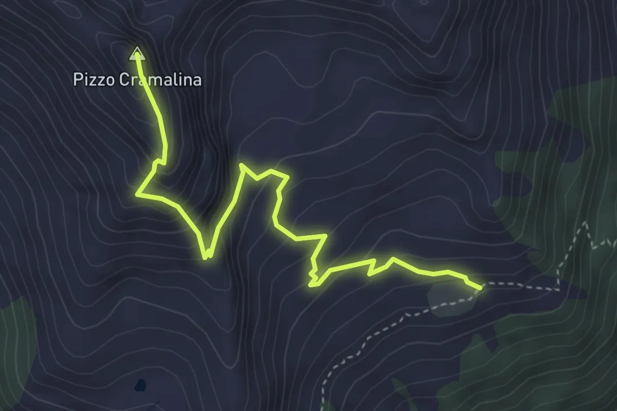
Expert · Summit
Bocheta da Doia – P2081
4.2 km · ↑ 429 m · 1 h 56 min
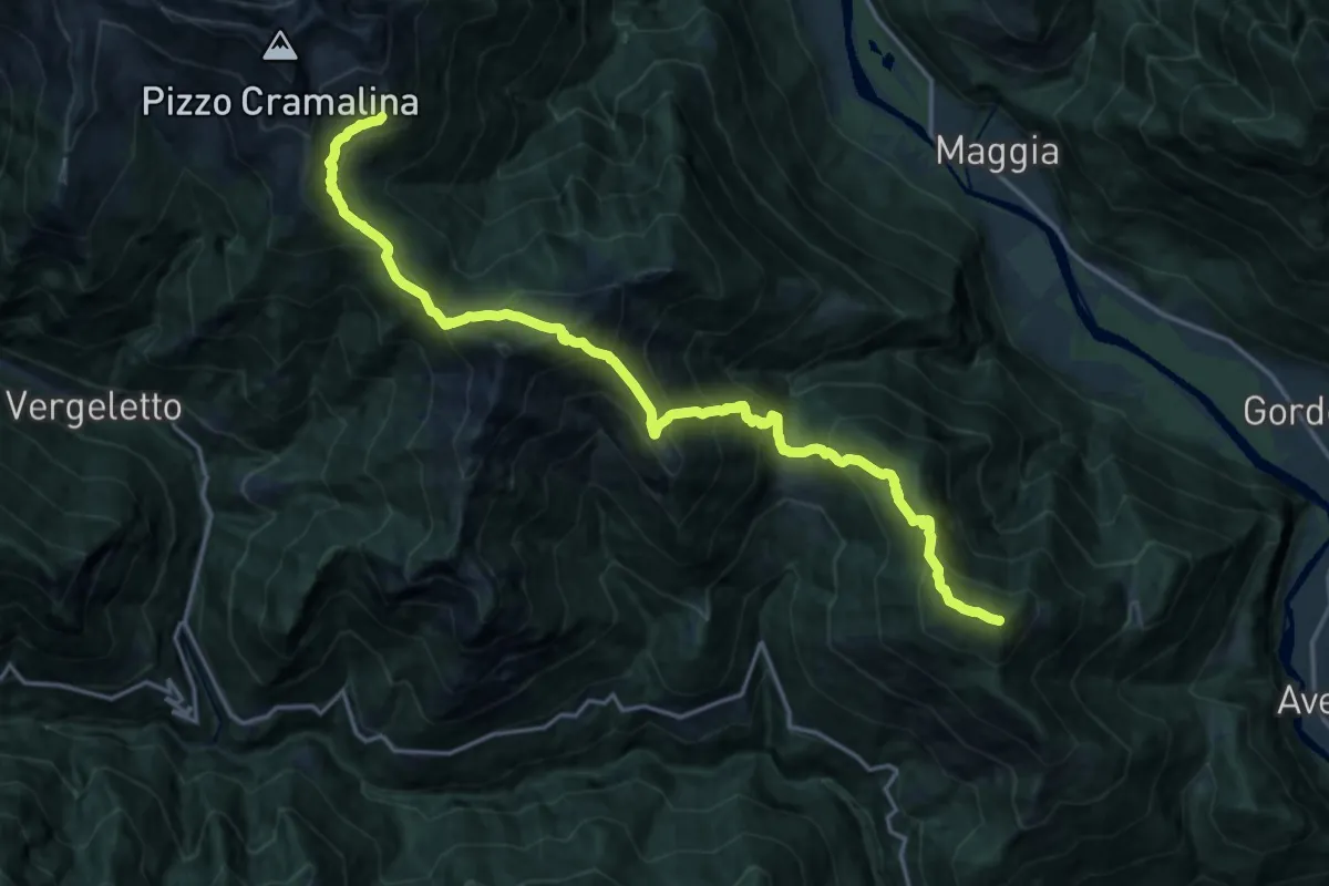
Demanding · Summit
Alpe di Canaa – Salmone
19.9 km · ↑ 1940 m · 8 h 54 min
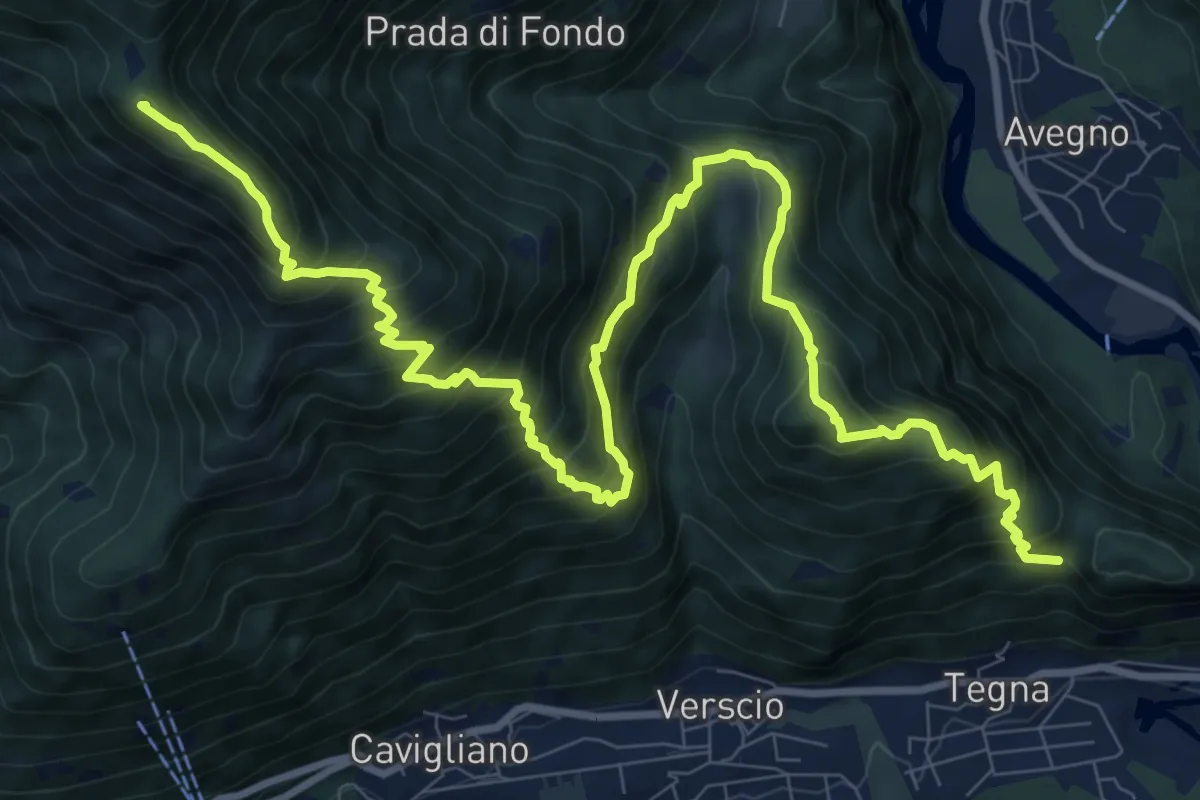
Demanding · Summit
Salmone – Forcola
13.7 km · ↑ 1469 m · 6 h 25 min
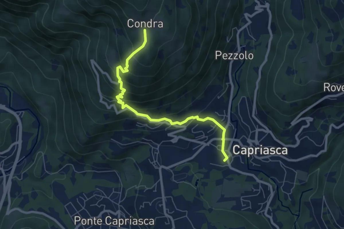
Medium · Trail
Condra – Tesserete
6.5 km · ↑ 479 m · 2 h 34 min
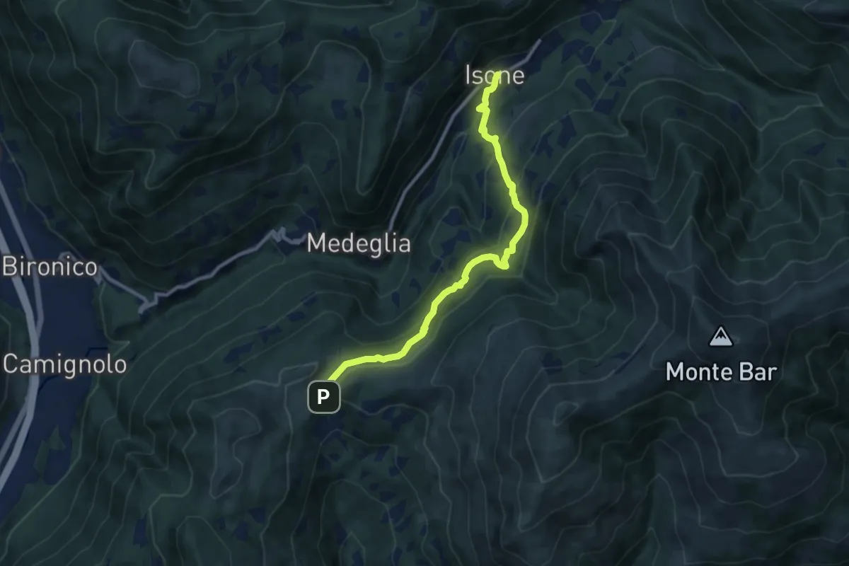
Medium · Trail
Isone – Gola di Lago
9.2 km · ↑ 475 m · 3 h 12 min
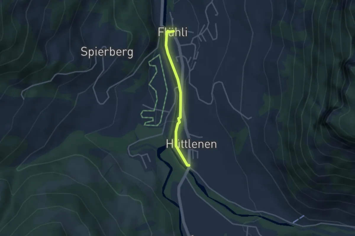
Easy · Trail
Hüttlenen – Flühli
2.4 km · ↑ 27 m · 38 min
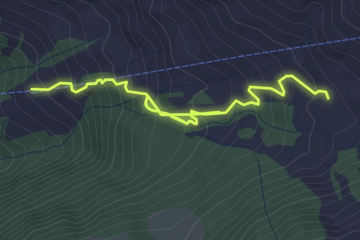
Medium · Cabin
Haghütte – Ober Spis
5.1 km · ↑ 451 m · 2 h 11 min