Trails in Switzerland
15,055 hiking trails, each with its route, climb, walking time and grade.
All trails, page 211 of 314
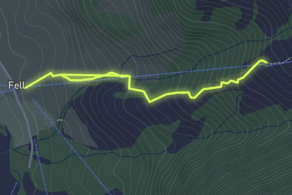
Medium · Trail
Ober Spis – Fell
3.4 km · ↑ 410 m · 1 h 42 min
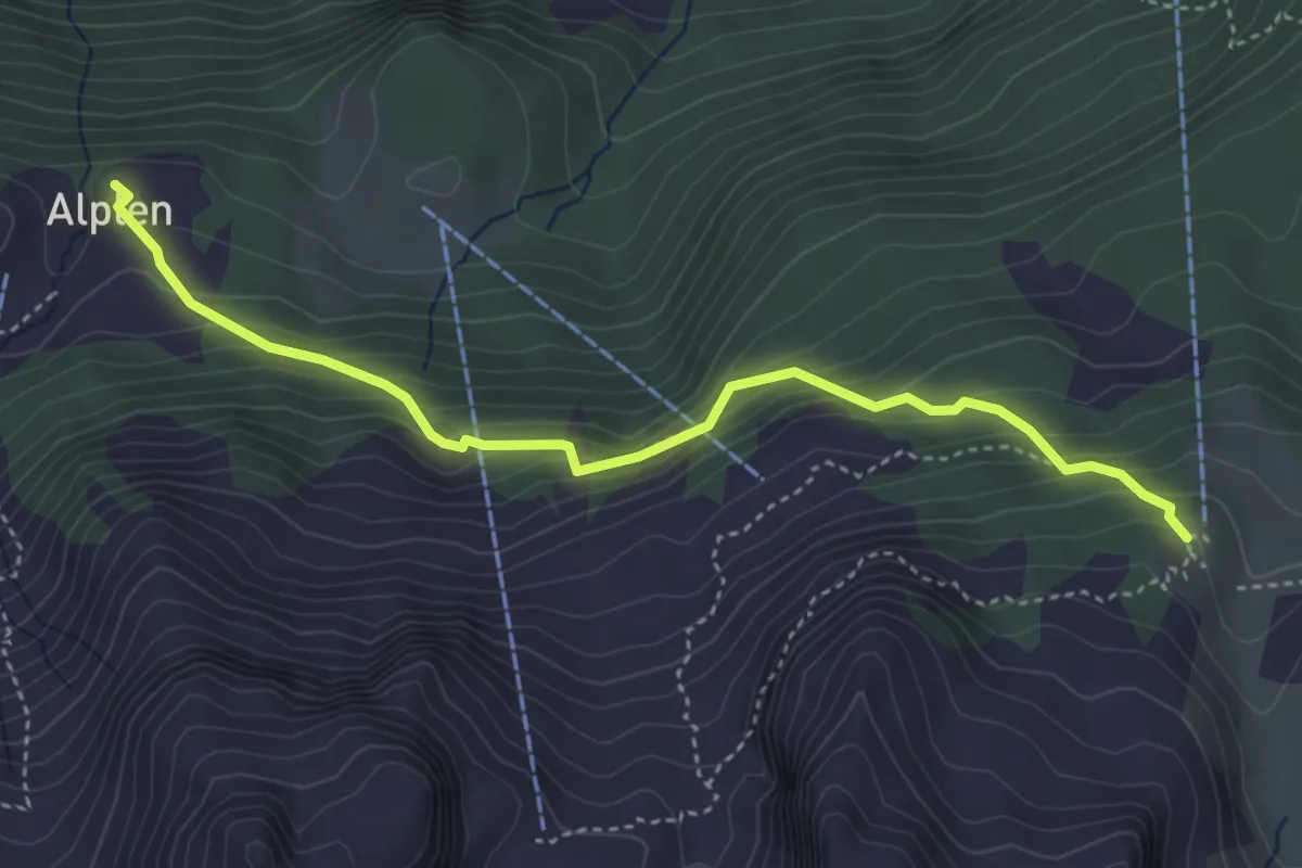
Medium · Trail
Alplen – Gitschen Bergstation
4.2 km · ↑ 369 m · 1 h 47 min
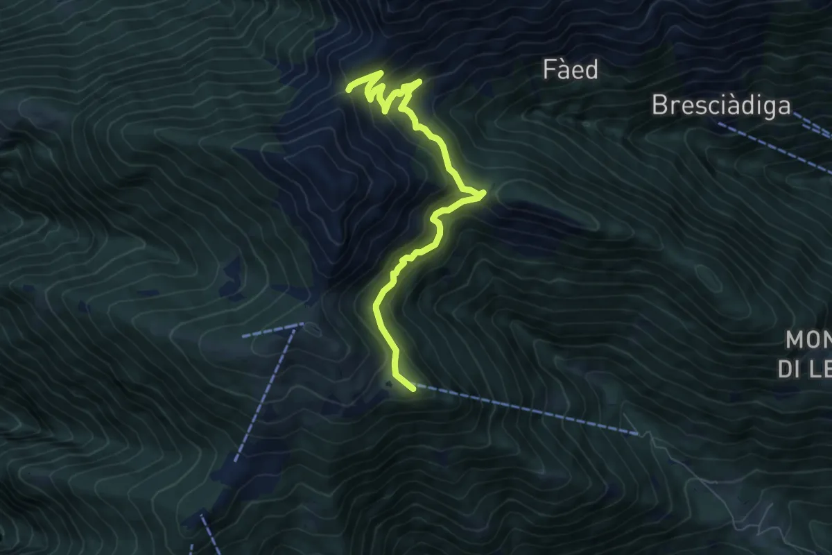
Medium · Summit
Alpe Cardada – P1656
7.5 km · ↑ 463 m · 2 h 46 min
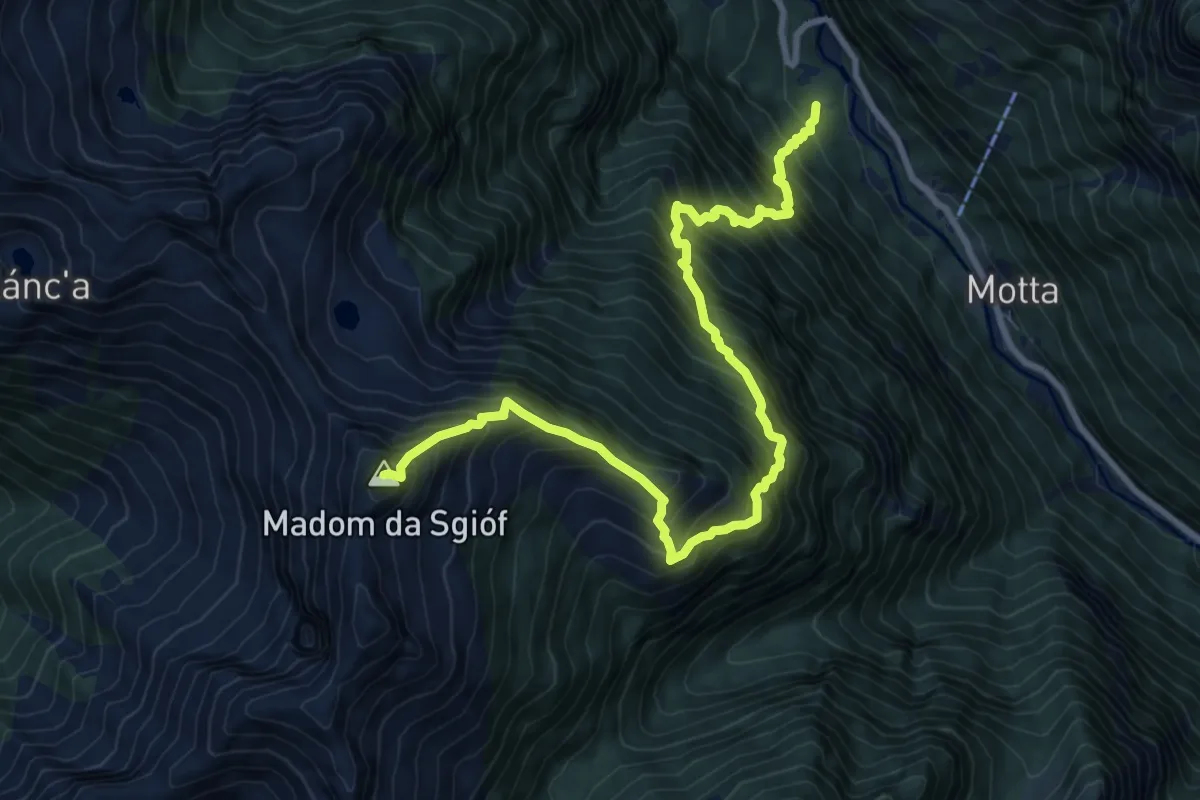
Expert · Summit
Ganne – Madom di Sgiof
10.3 km · ↑ 1729 m · 6 h 10 min
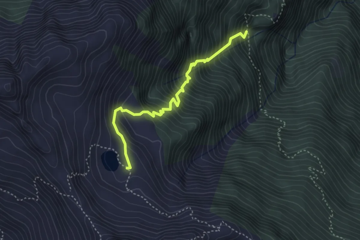
Demanding · Cabin
Cabanna Starlaresc – P1270
3.6 km · ↑ 610 m · 2 h 10 min
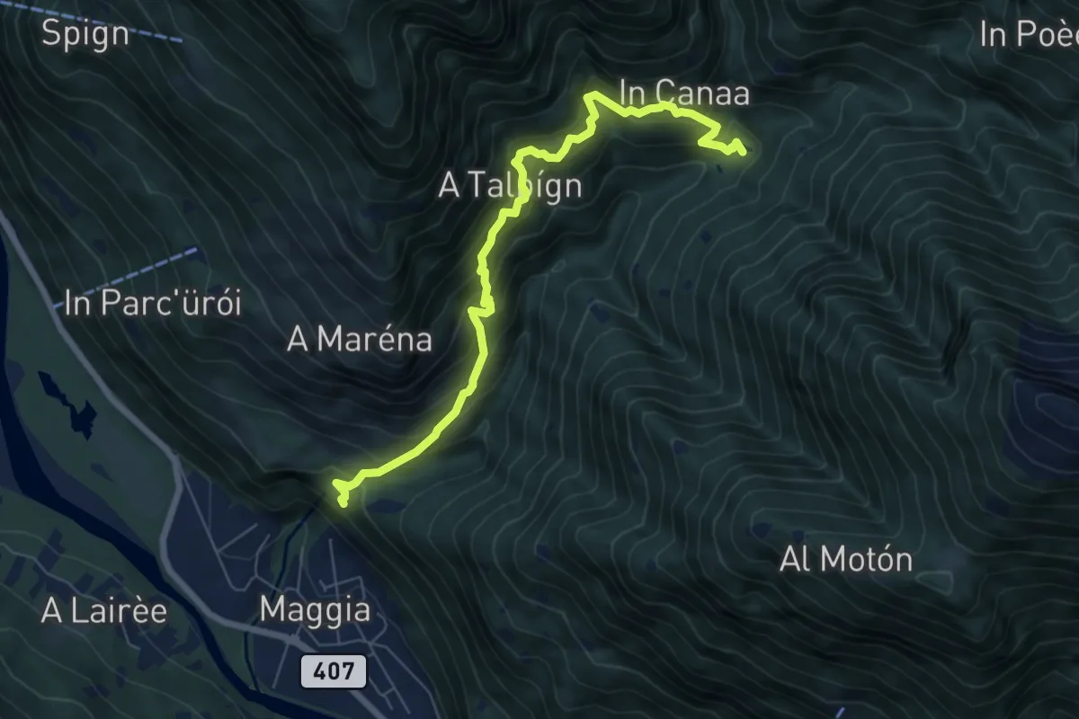
Demanding · Trail
Lago Presa – Santa Marai della Pioda
7.2 km · ↑ 886 m · 3 h 37 min
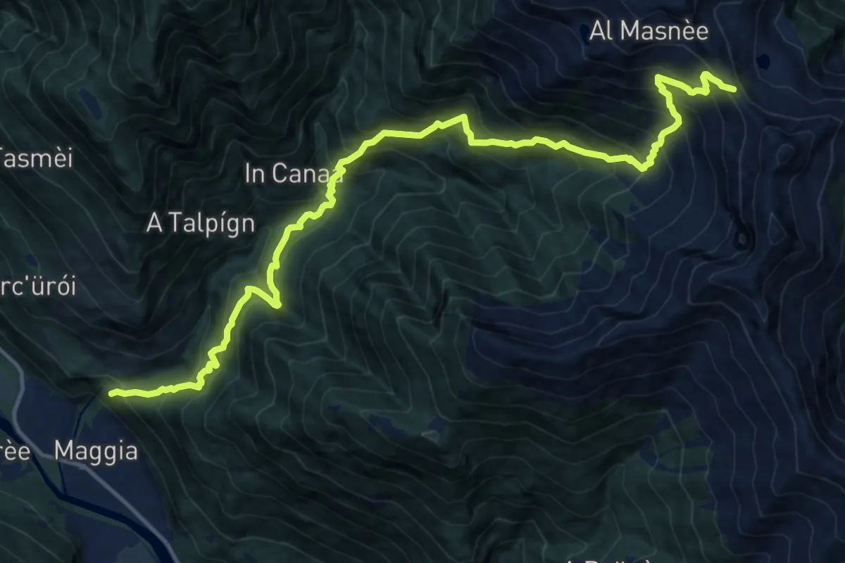
Demanding · Trail
Passso Deva – Maggia
8.1 km · ↑ 301 m · 3 h 27 min
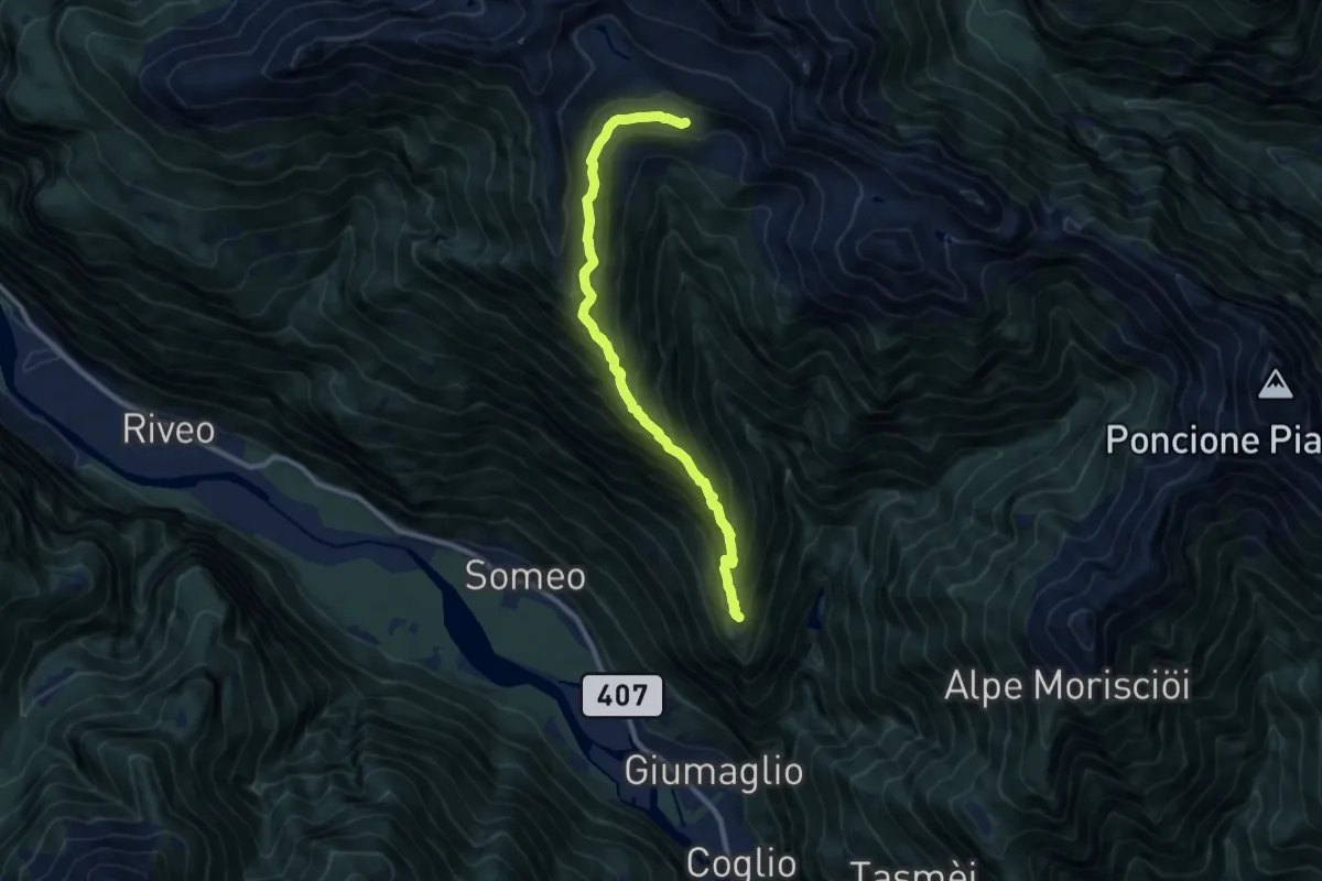
Demanding · Cabin
Gumaglio – Alpe Spluga
9.6 km · ↑ 1006 m · 4 h 27 min
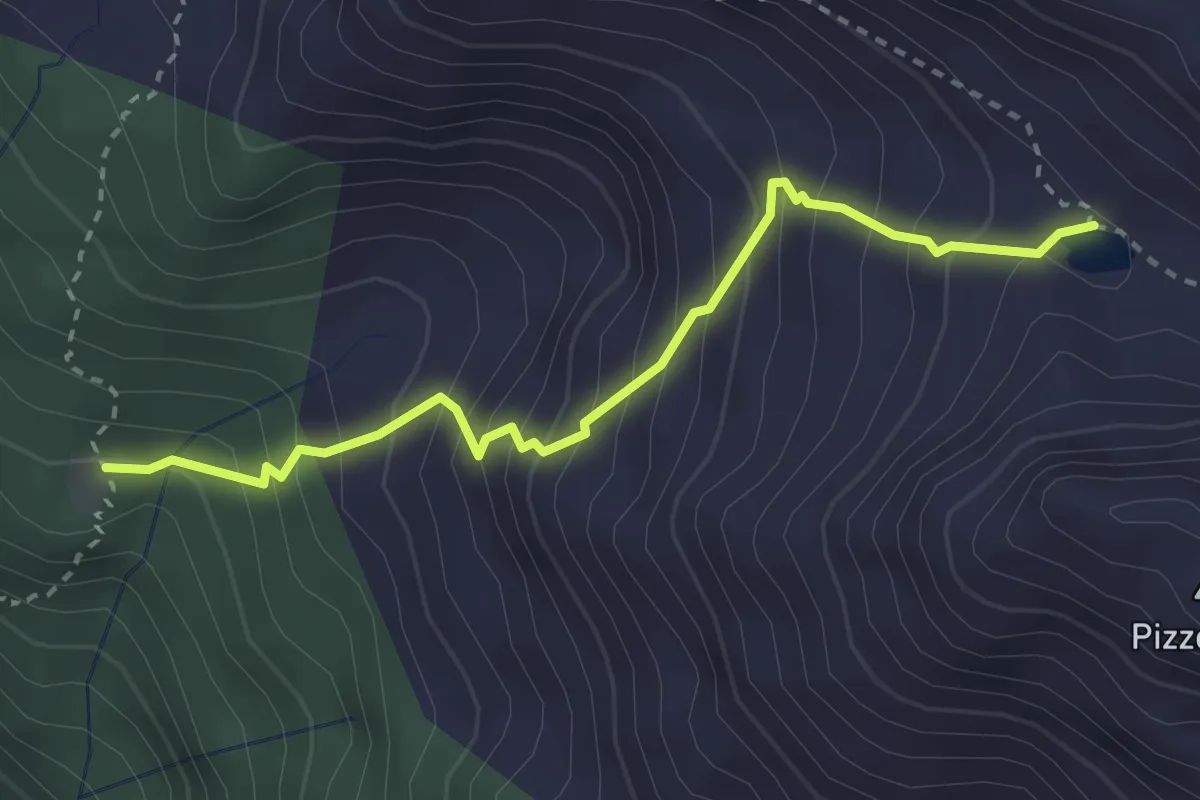
Medium · Trail
Cartone – Alpe di Sopra
3.0 km · ↑ 413 m · 1 h 36 min
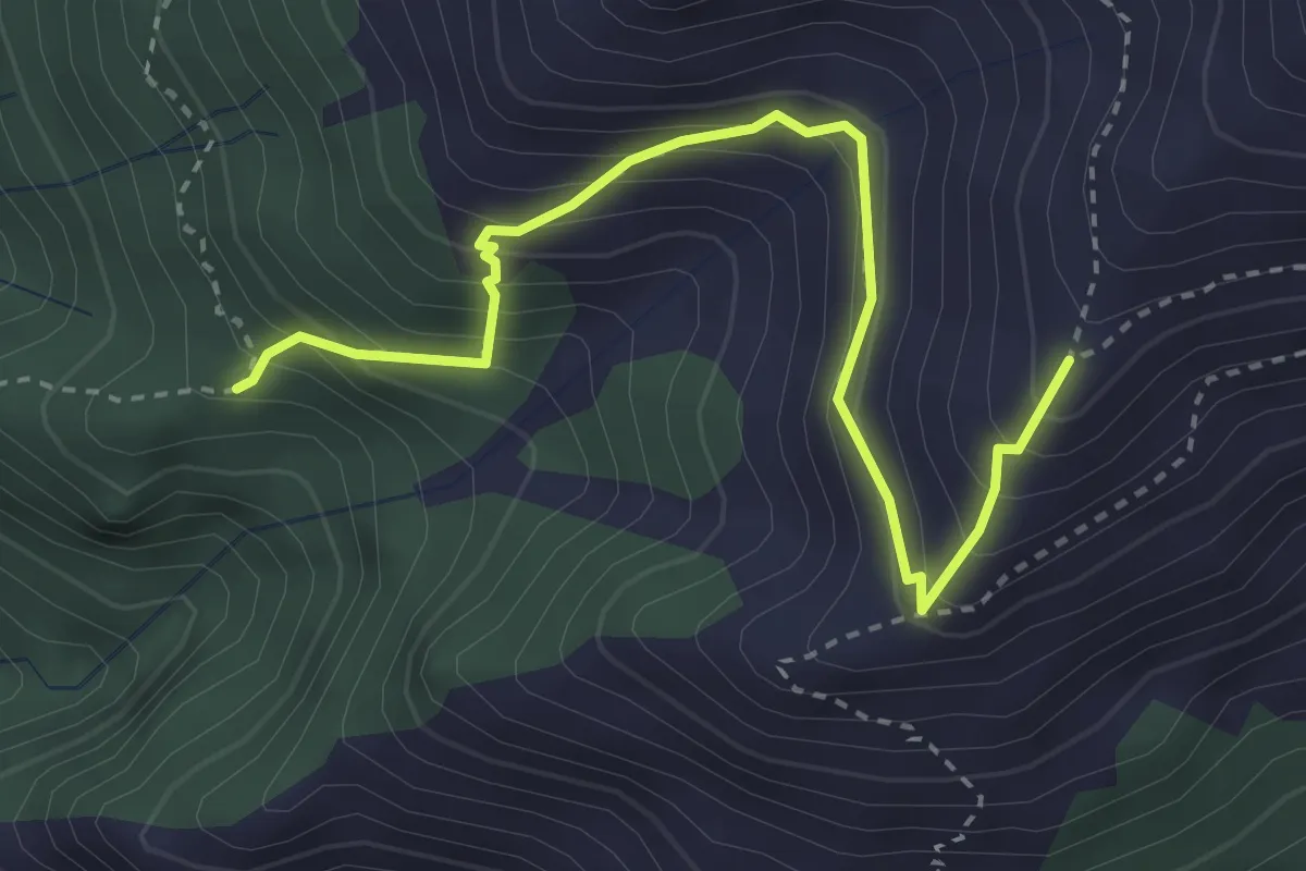
Medium · Trail
Brünèg – Alpe di Pizzit
3.5 km · ↑ 405 m · 1 h 43 min
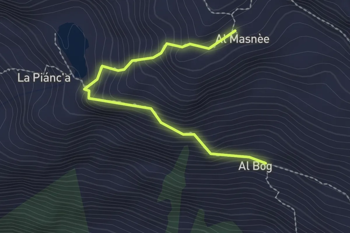
Easy · Cabin
al Bög – Alpe Masnèe
2.3 km · ↑ 275 m · 1 h 8 min
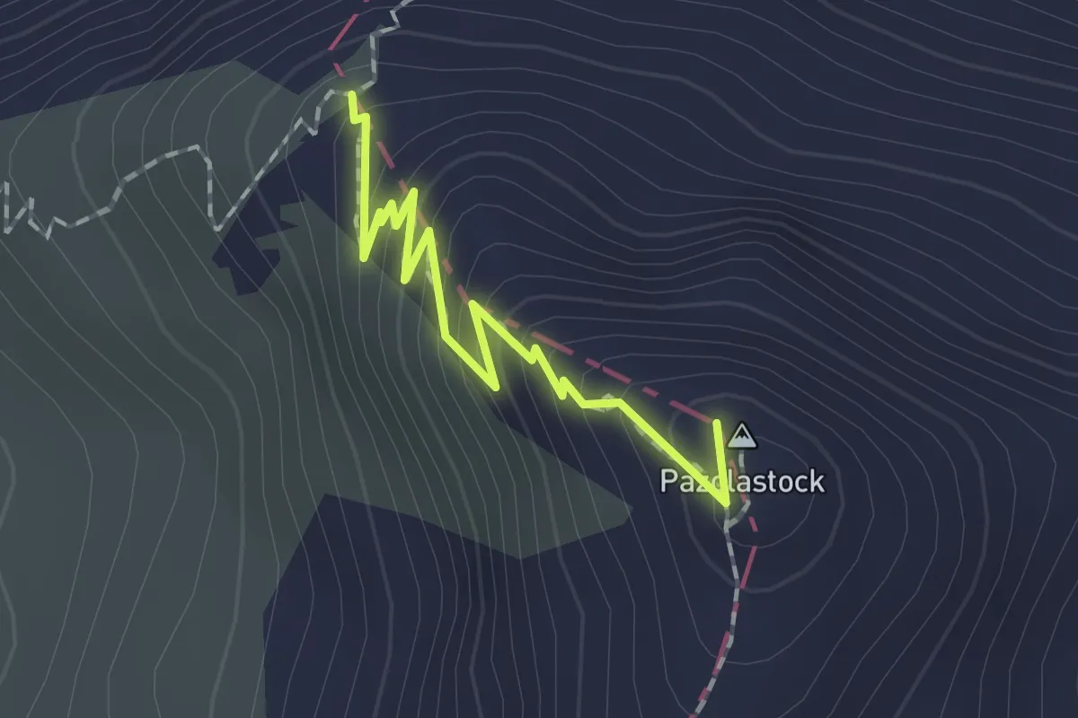
Expert · Summit
Badhushütte – Pazolalücke
1.6 km · ↑ 200 m · 48 min
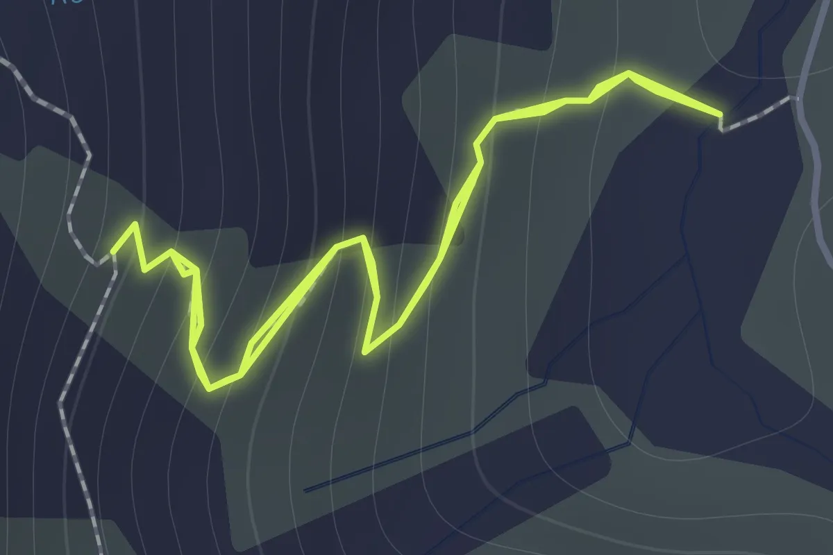
Medium · Trail
Lai Tuma – Via Maigehls
1.1 km · ↑ 132 m · 34 min
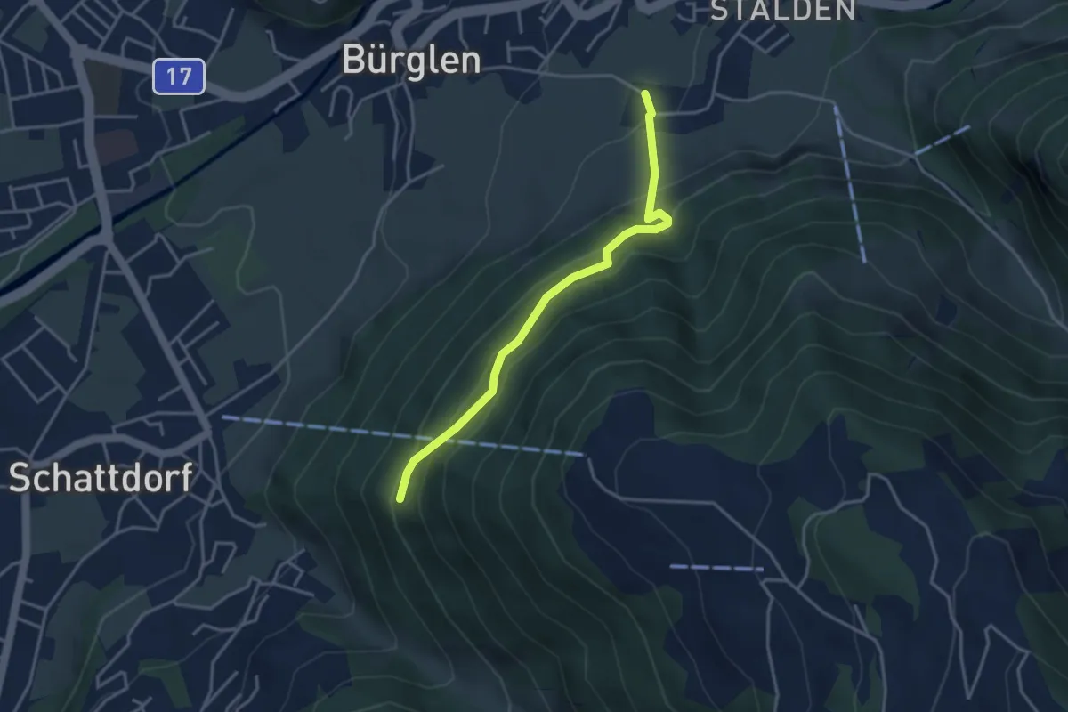
Easy · Trail
Bürglen – Äbnet
3.4 km · ↑ 312 m · 1 h 29 min
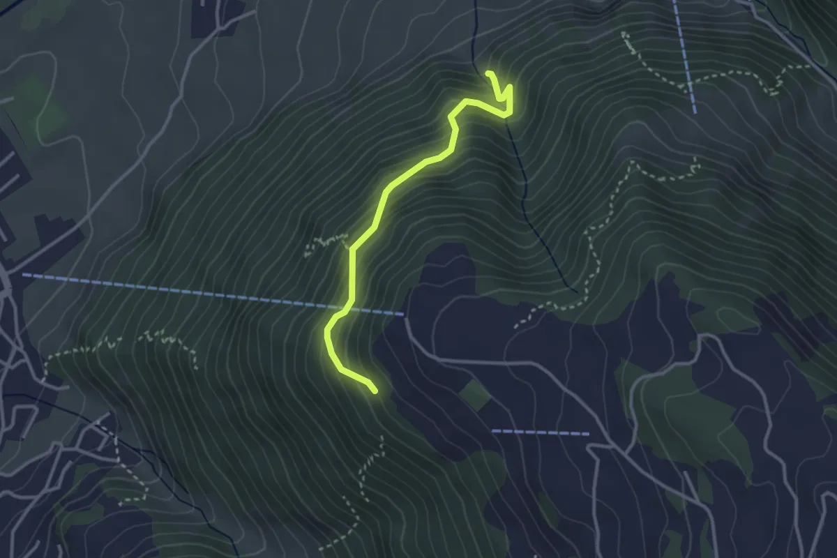
Medium · Trail
Bürglen – Bergstation Haldi
2.9 km · ↑ 396 m · 1 h 32 min
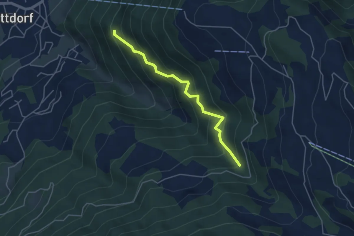
Medium · Trail
Äbnet – Figstuhl
3.6 km · ↑ 453 m · 1 h 50 min
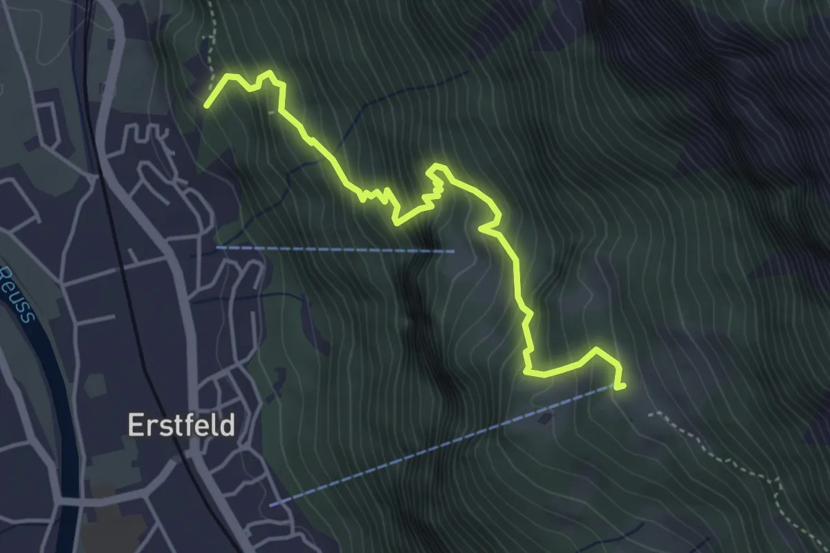
Medium · Trail
Plätteli – Ober Schwandi
4.5 km · ↑ 636 m · 2 h 26 min
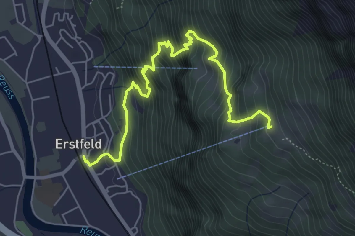
Medium · Trail
Erstfeld – Ober Schwandi
5.9 km · ↑ 712 m · 2 h 57 min
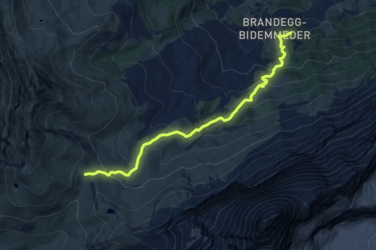
Medium · Trail
Kleine Scheidegg – Brandegg
12.0 km · ↑ 784 m · 4 h 32 min
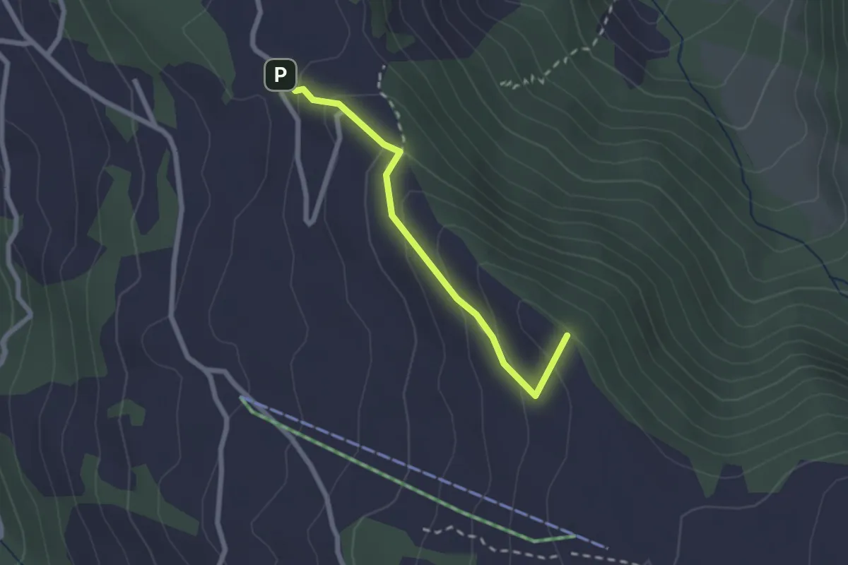
Easy · Summit
Pfaffenwald – Suntigsboden
2.0 km · ↑ 121 m · 45 min
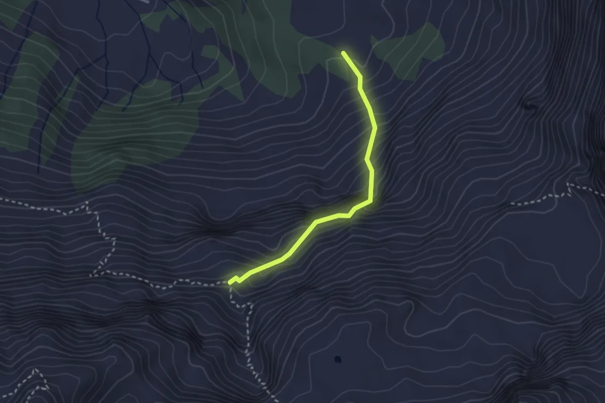
Demanding · Trail
Oberfeld – Butzenstein
2.5 km · ↑ 433 m · 1 h 31 min
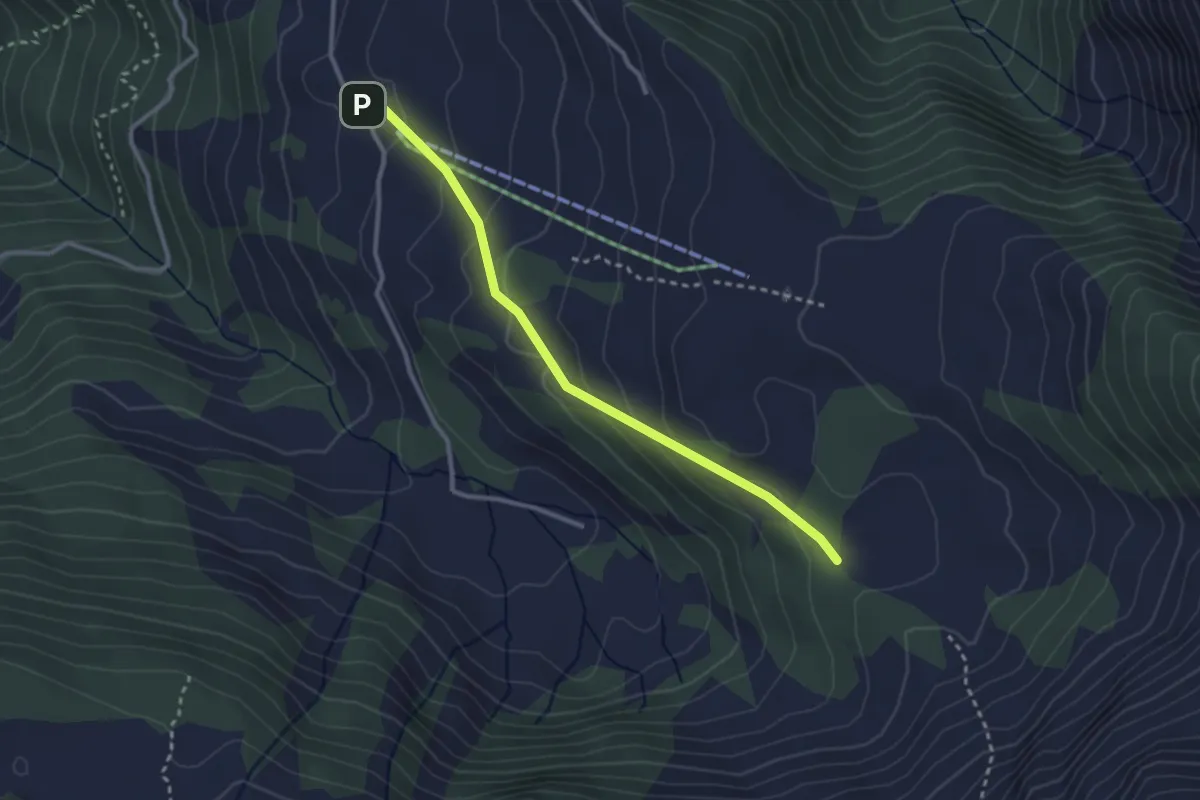
Easy · Trail
Schwandiberg – Oberfeld
2.8 km · ↑ 143 m · 59 min
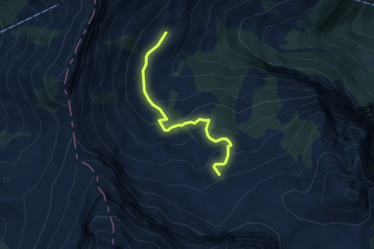
Easy · Trail
Rossboden – Hüethütte
3.7 km · ↑ 205 m · 1 h 19 min
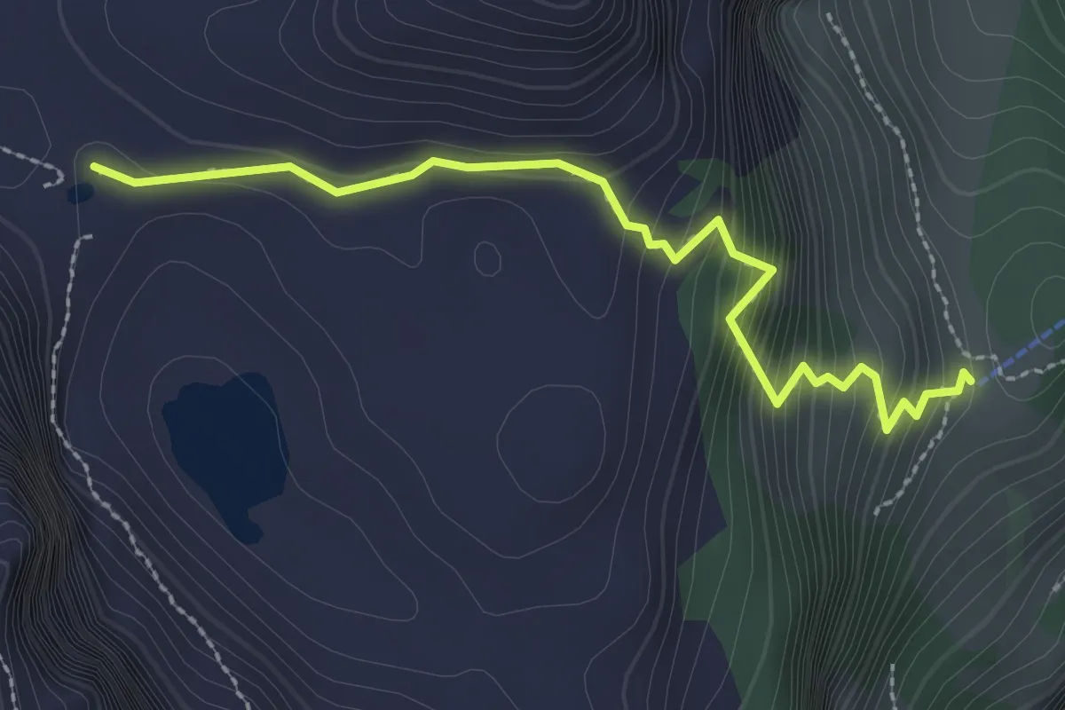
Easy · Cabin
Lutersee – Zingel
2.6 km · ↑ 316 m · 1 h 18 min
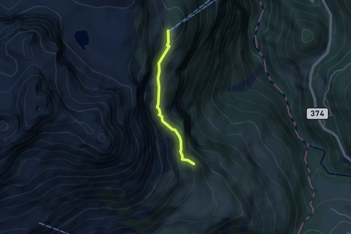
Easy · Cabin
Zingel – Stalden
2.8 km · ↑ 262 m · 1 h 13 min
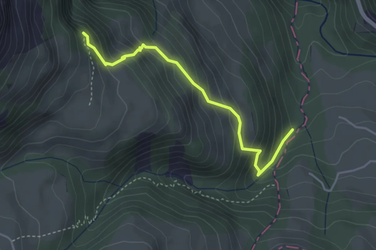
Medium · Trail
Stalden – Arnibach
3.3 km · ↑ 352 m · 1 h 33 min
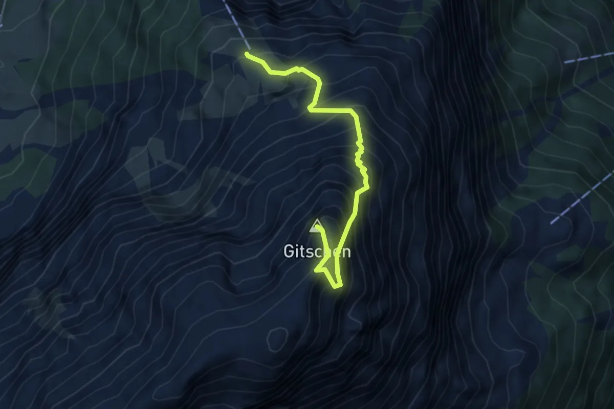
Expert · Summit
Ober Berg Bergstation – Musenalp Bergstation
4.3 km · ↑ 735 m · 2 h 37 min
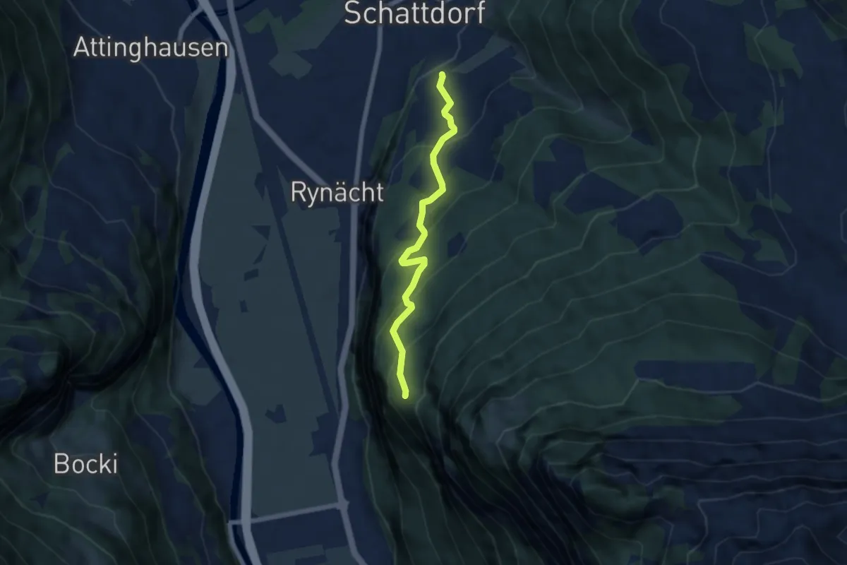
Medium · Trail
Erstfeld – Schattdorf
5.2 km · ↑ 443 m · 2 h 11 min
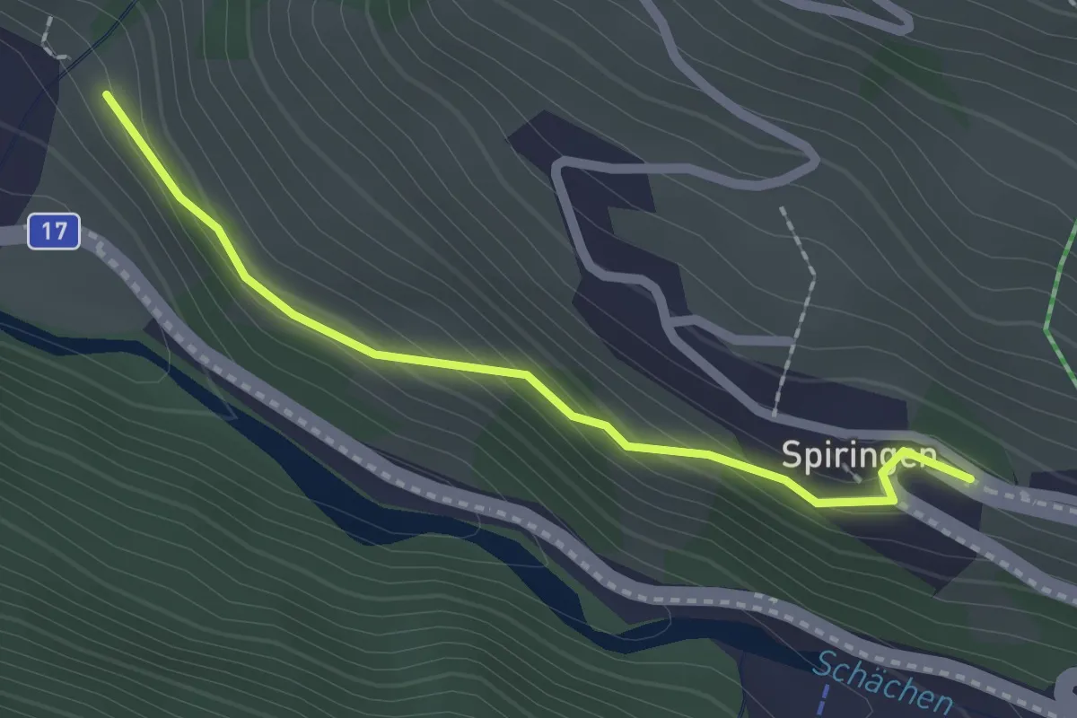
Easy · Trail
Spiringen – ?
2.0 km · ↑ 129 m · 45 min
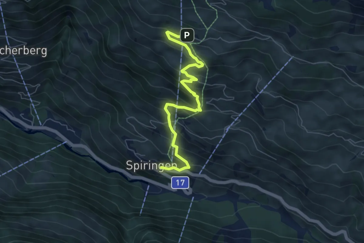
Medium · Trail
Spiringen – Ratzi
6.6 km · ↑ 566 m · 2 h 47 min
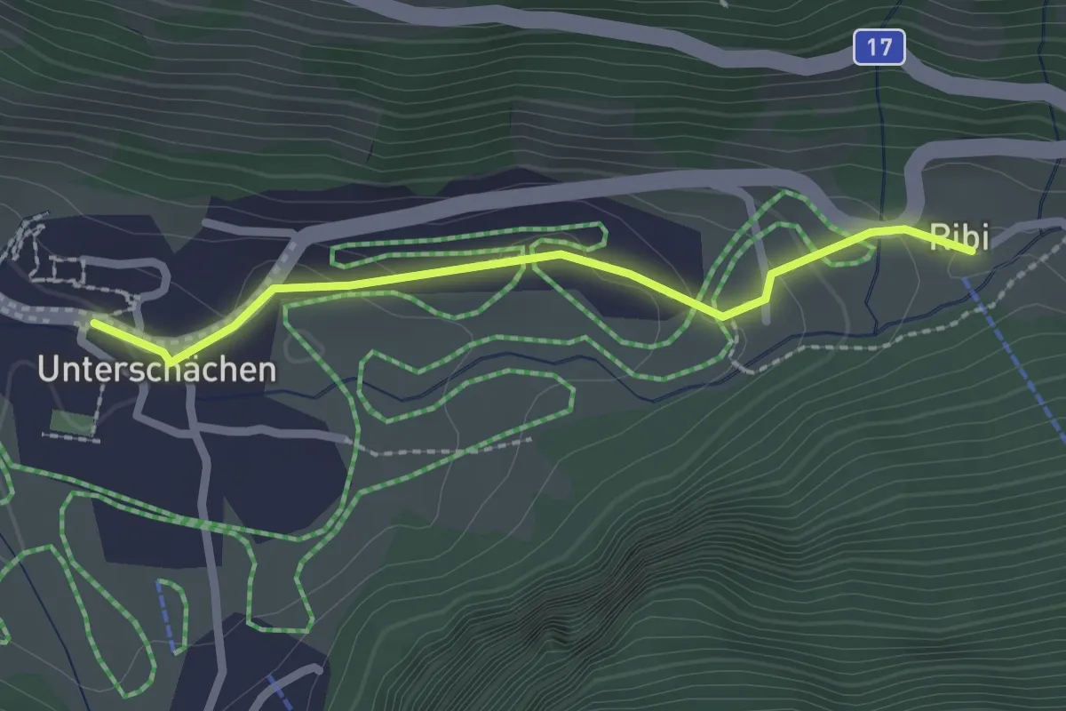
Easy · Trail
Ribi – Unterschächen
2.1 km · ↑ 62 m · 37 min
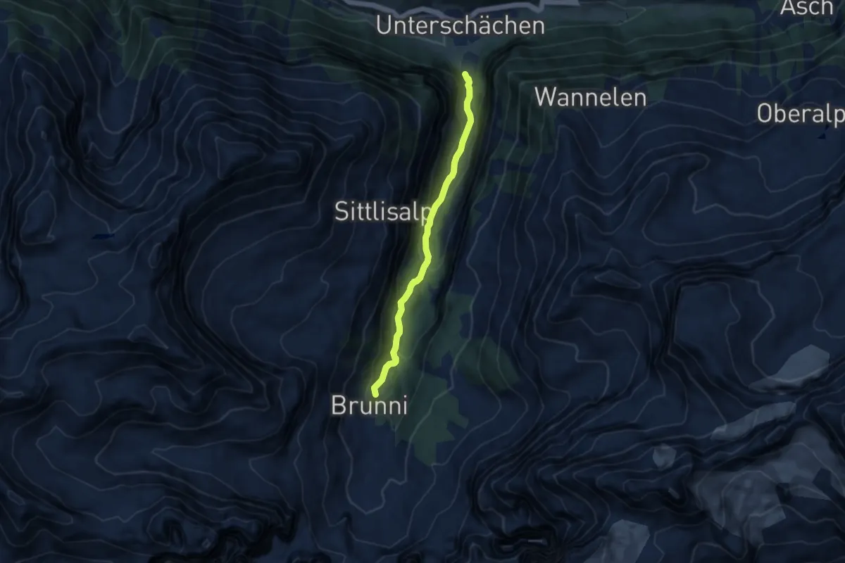
Medium · Trail
Unterschächen – Brunni
7.2 km · ↑ 458 m · 2 h 41 min
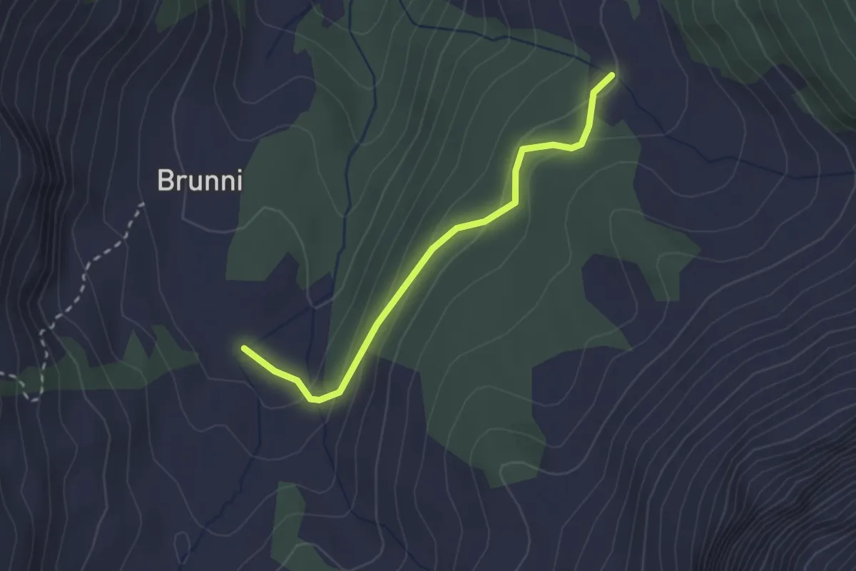
Easy · Trail
Niderlammerbach – Brunni
2.3 km · ↑ 125 m · 49 min
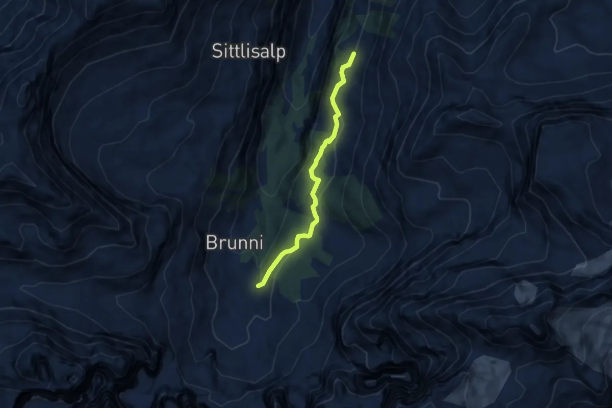
Easy · Trail
Trogenalp – Niderlammerbach
6.0 km · ↑ 250 m · 1 h 57 min
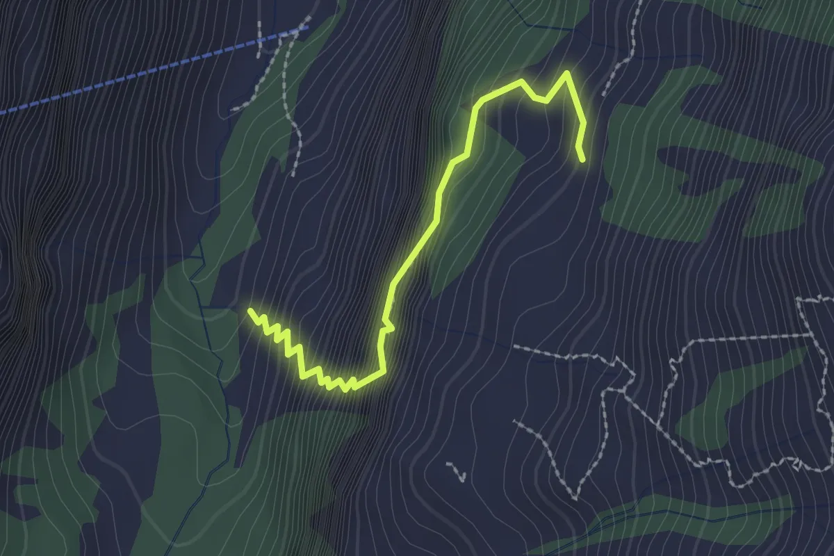
Medium · Trail
Trogenalp – Sittlisalp
2.3 km · ↑ 442 m · 1 h 30 min
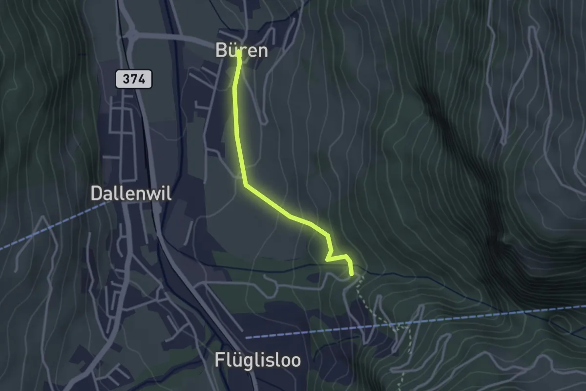
Easy · Trail
Geissteg – Büren
2.4 km · ↑ 118 m · 49 min
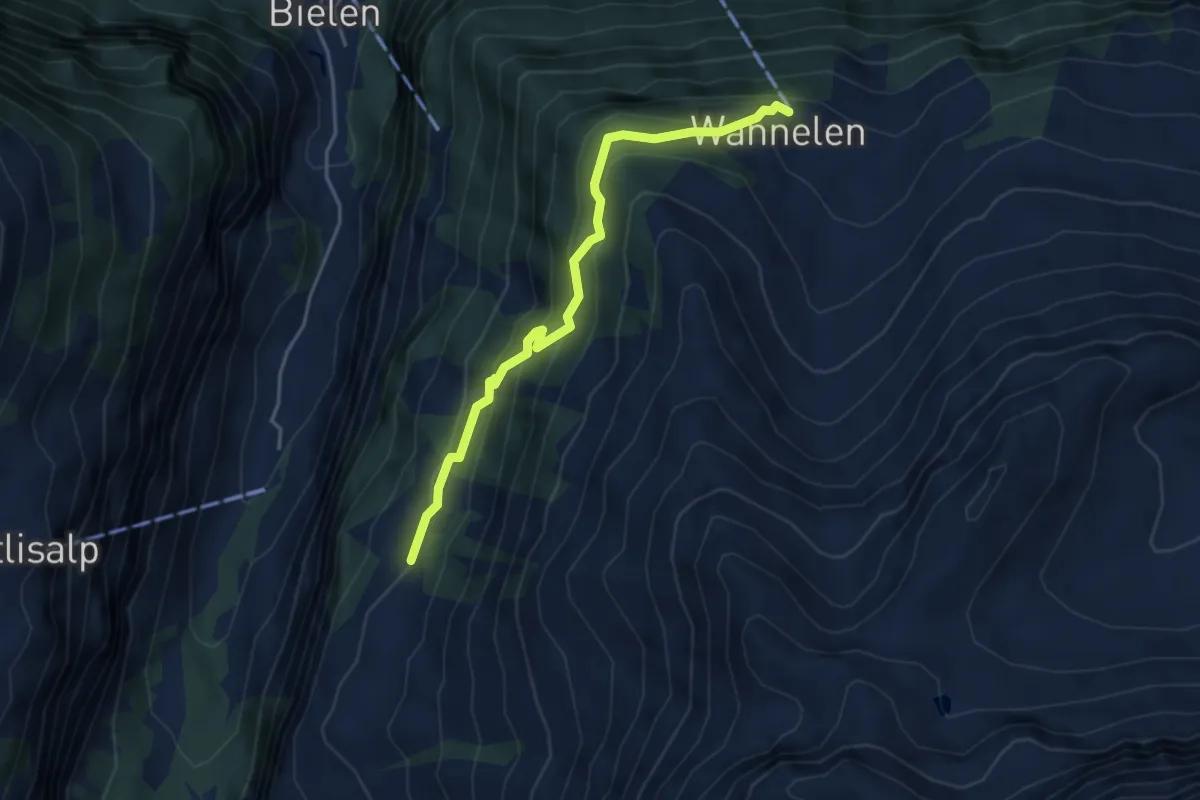
Easy · Trail
Wannelen Bergstation – Trogenalp
4.2 km · ↑ 302 m · 1 h 38 min
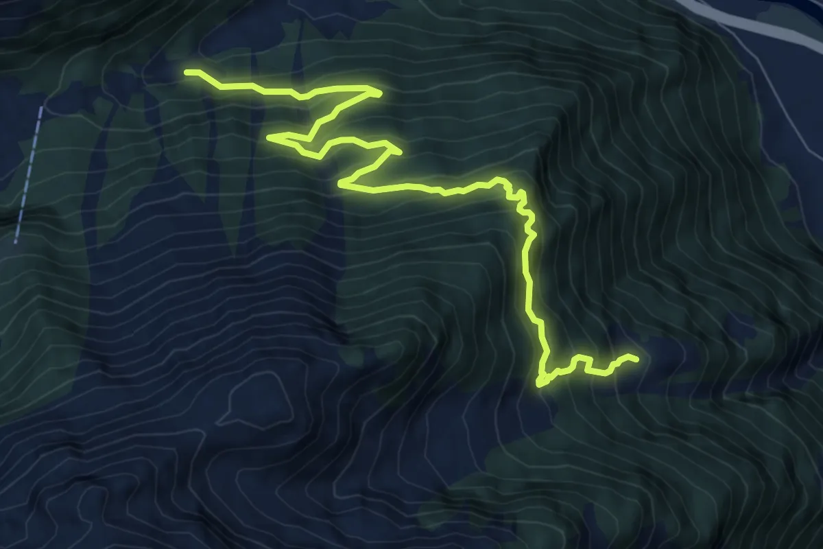
Expert · Trail
Restiberg – Riedberg
9.6 km · ↑ 1020 m · 4 h 29 min
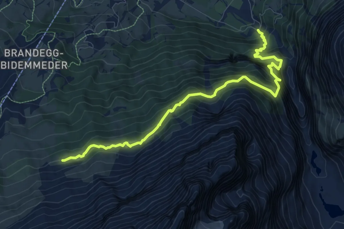
Demanding · Trail
Gletscherschlucht – Eiger Trail
10.8 km · ↑ 1187 m · 5 h 7 min
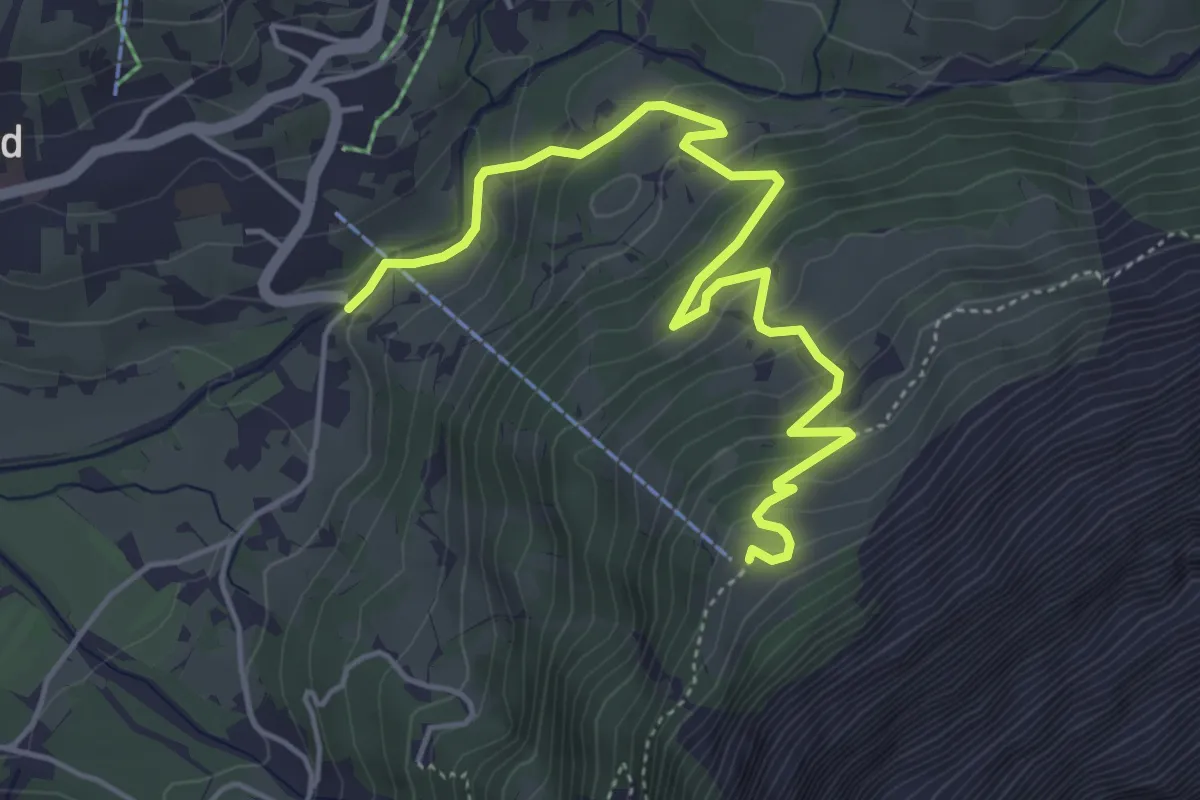
Medium · Trail
Mettenbergbrücke – Pfingstegg
5.4 km · ↑ 387 m · 2 h 7 min
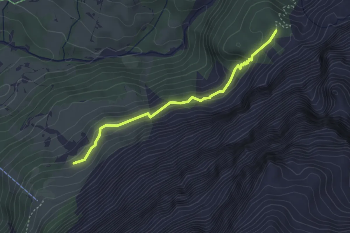
Medium · Trail
Pfingstegg – Milchbach
3.4 km · ↑ 210 m · 1 h 15 min
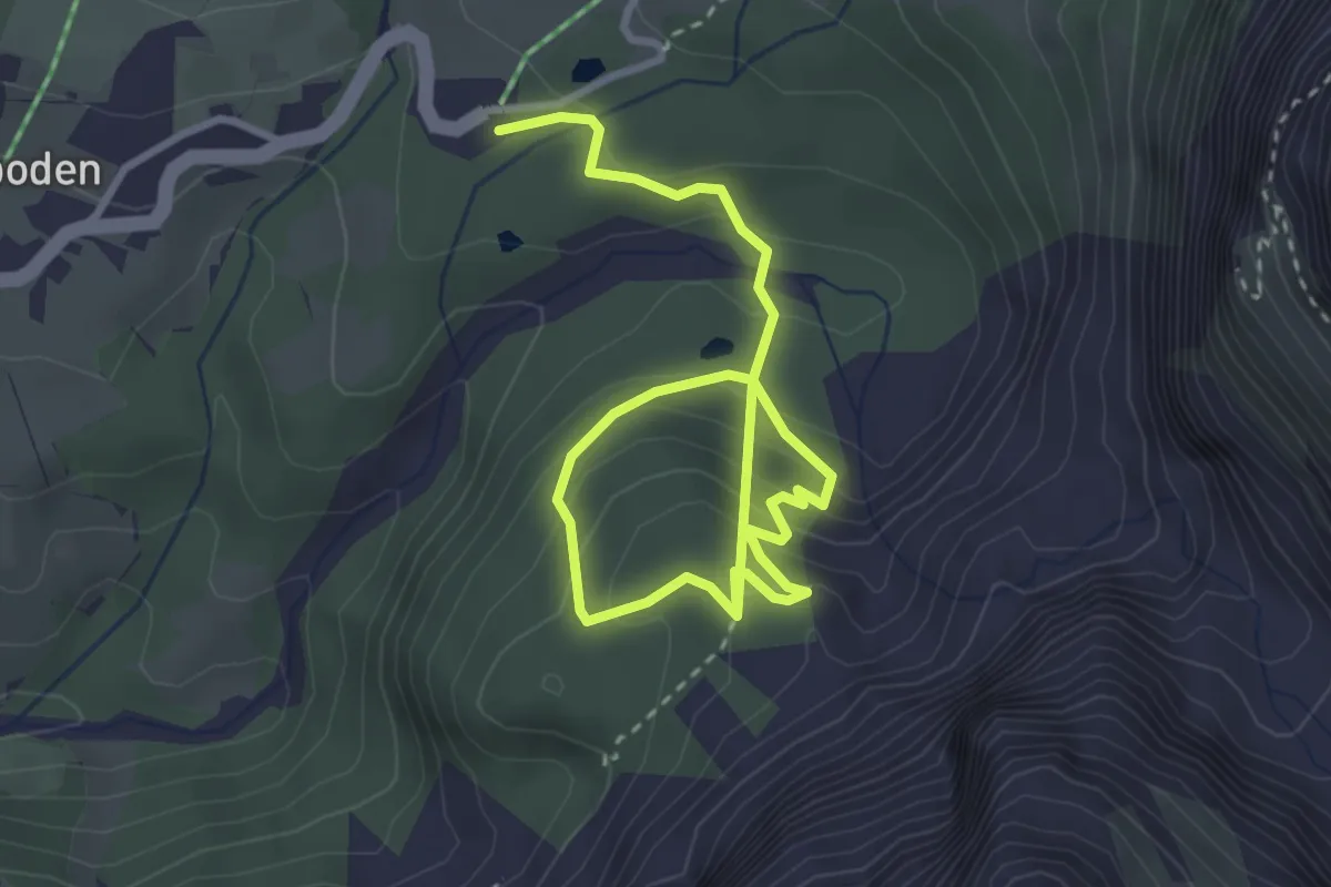
Medium · Trail
Hotel Wetterhorn – Milchbach
4.5 km · ↑ 310 m · 1 h 44 min
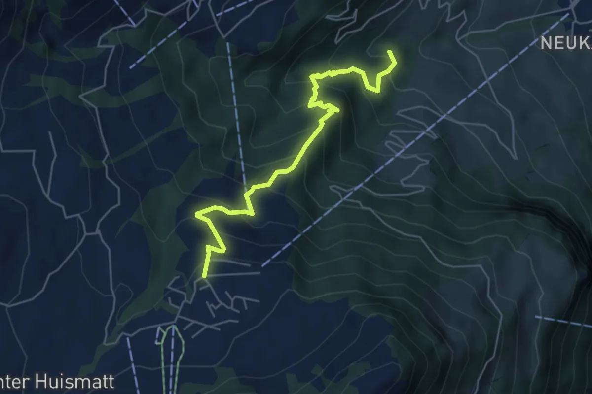
Medium · Trail
Wirzweli – Heinziwald
5.1 km · ↑ 516 m · 2 h 19 min
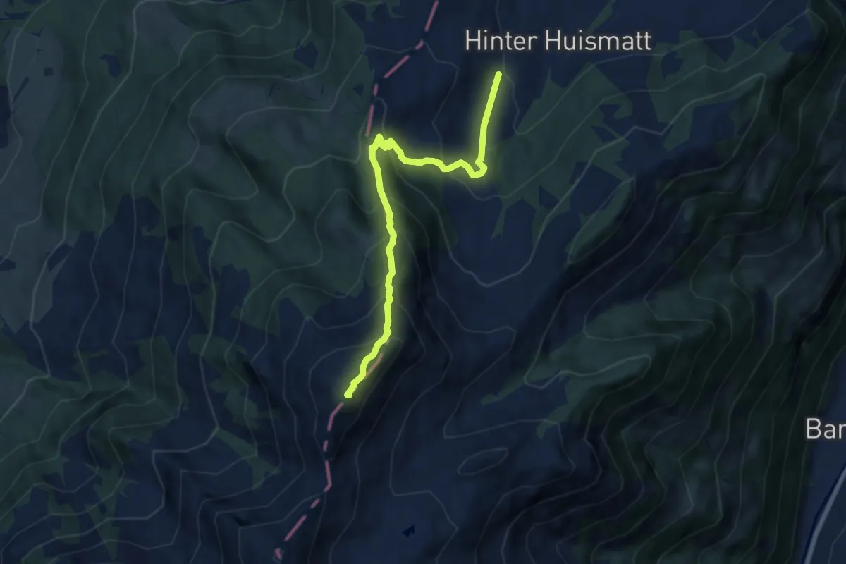
Demanding · Summit
Dürrenboden – Arvigrat
7.3 km · ↑ 662 m · 3 h 9 min
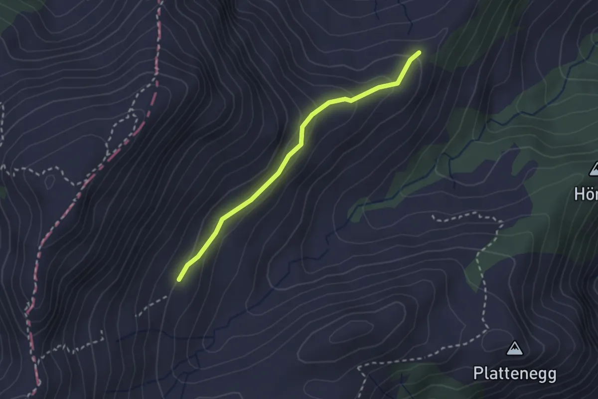
Easy · Trail
Schellenfluehütte – Miserengrat
2.3 km · ↑ 131 m · 49 min
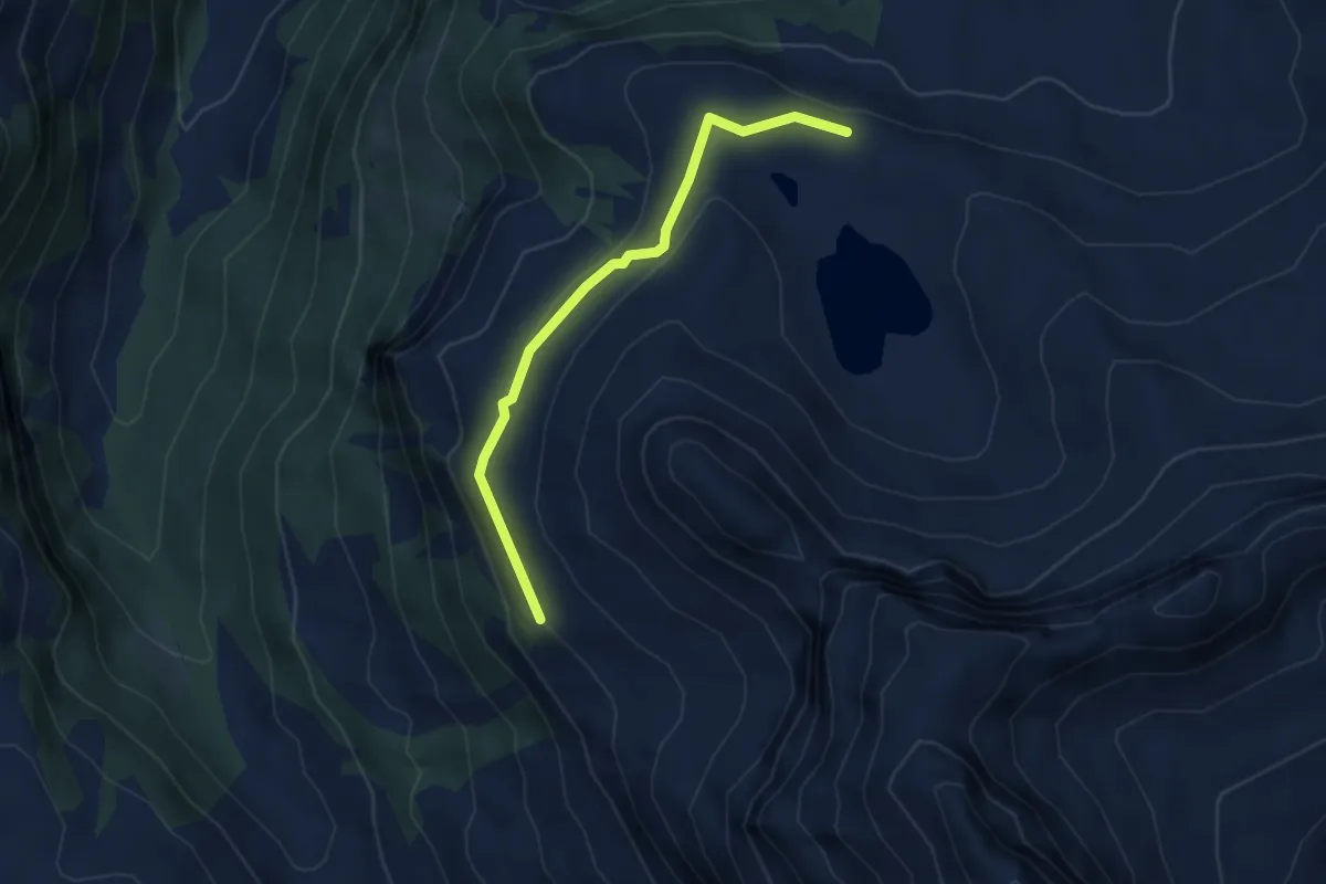
Medium · Trail
Lungerer Seefeld – Sachsler Seefeld
3.7 km · ↑ 118 m · 1 h 8 min
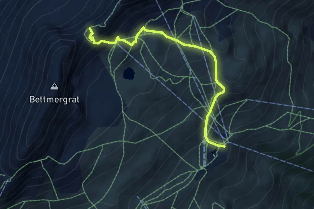
Medium · Trail
Fiescheralp – Elselicka
5.2 km · ↑ 506 m · 2 h 19 min
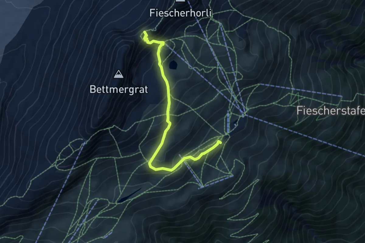
Medium · Trail
Laxeralp – Elselicka
6.4 km · ↑ 502 m · 2 h 35 min