Trails in Switzerland
15,055 hiking trails, each with its route, climb, walking time and grade.
All trails, page 212 of 314
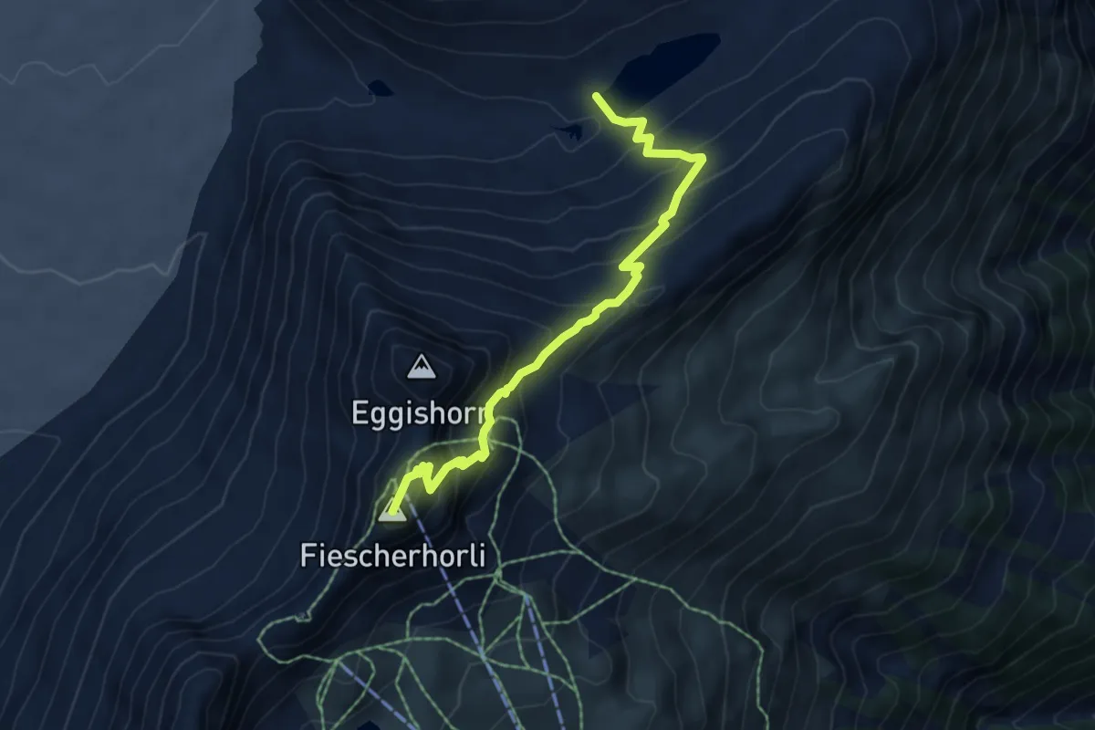
Demanding · Summit
Märjela – Eggishorn
5.8 km · ↑ 534 m · 2 h 32 min
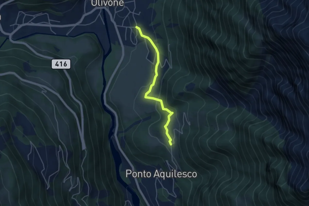
Medium · Trail
Olivone – Pinaderio
3.7 km · ↑ 175 m · 1 h 16 min
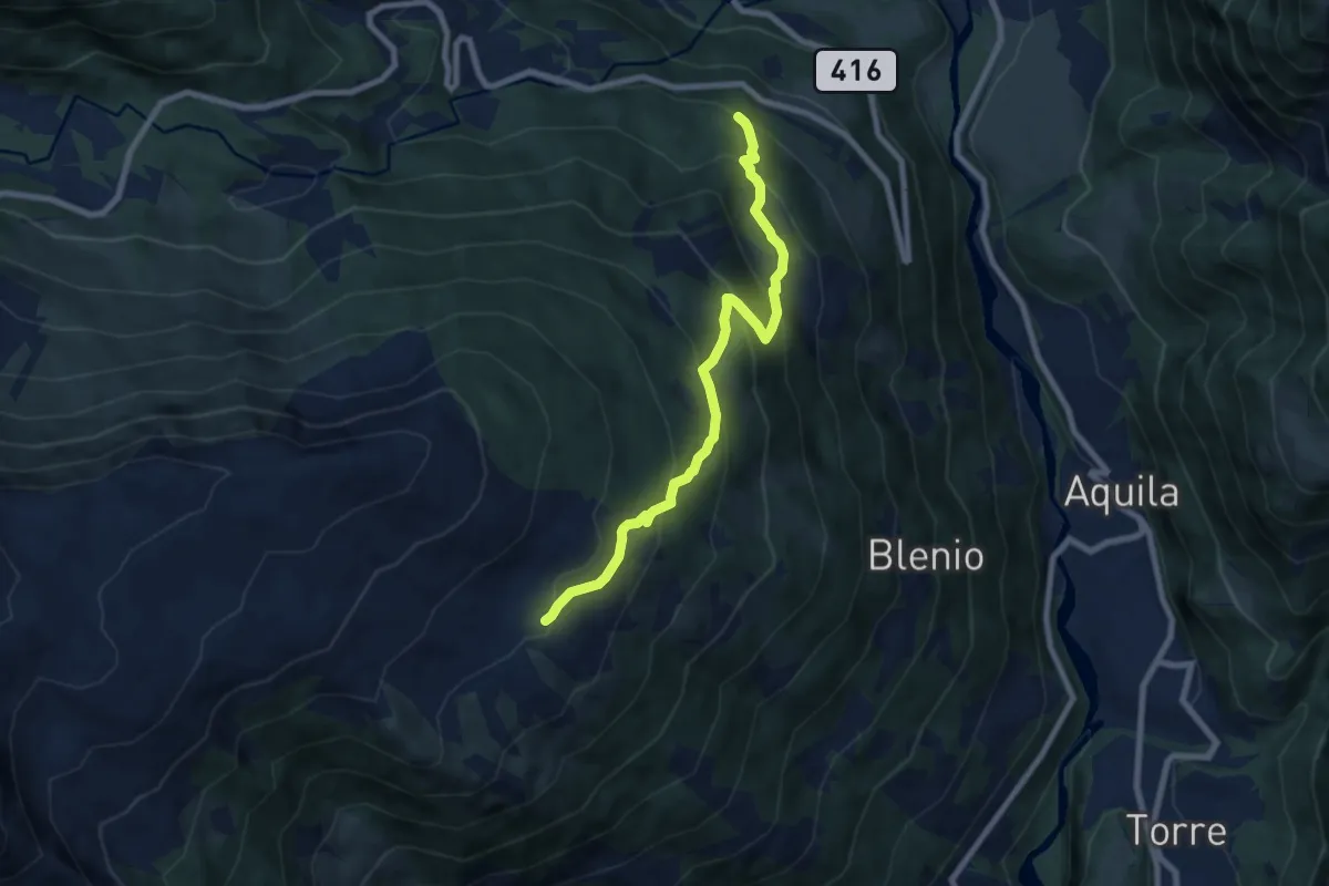
Medium · Cabin
Camperio – Capanna Gorda
7.6 km · ↑ 597 m · 3 h 5 min
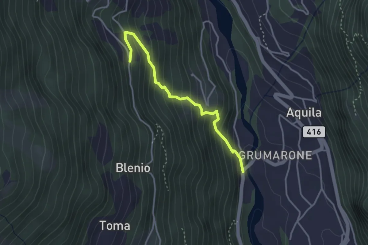
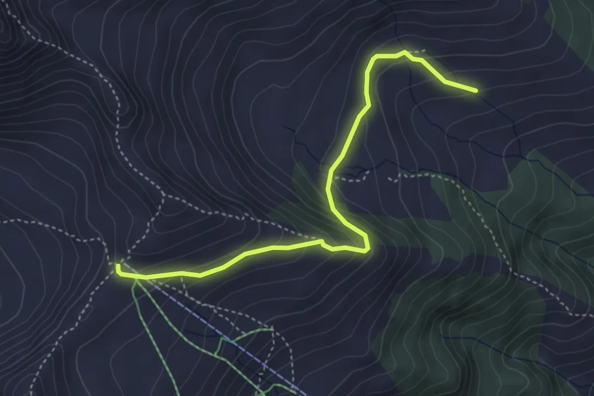
Medium · Trail
Ponte Romano – Gambanett
2.9 km · ↑ 330 m · 1 h 24 min
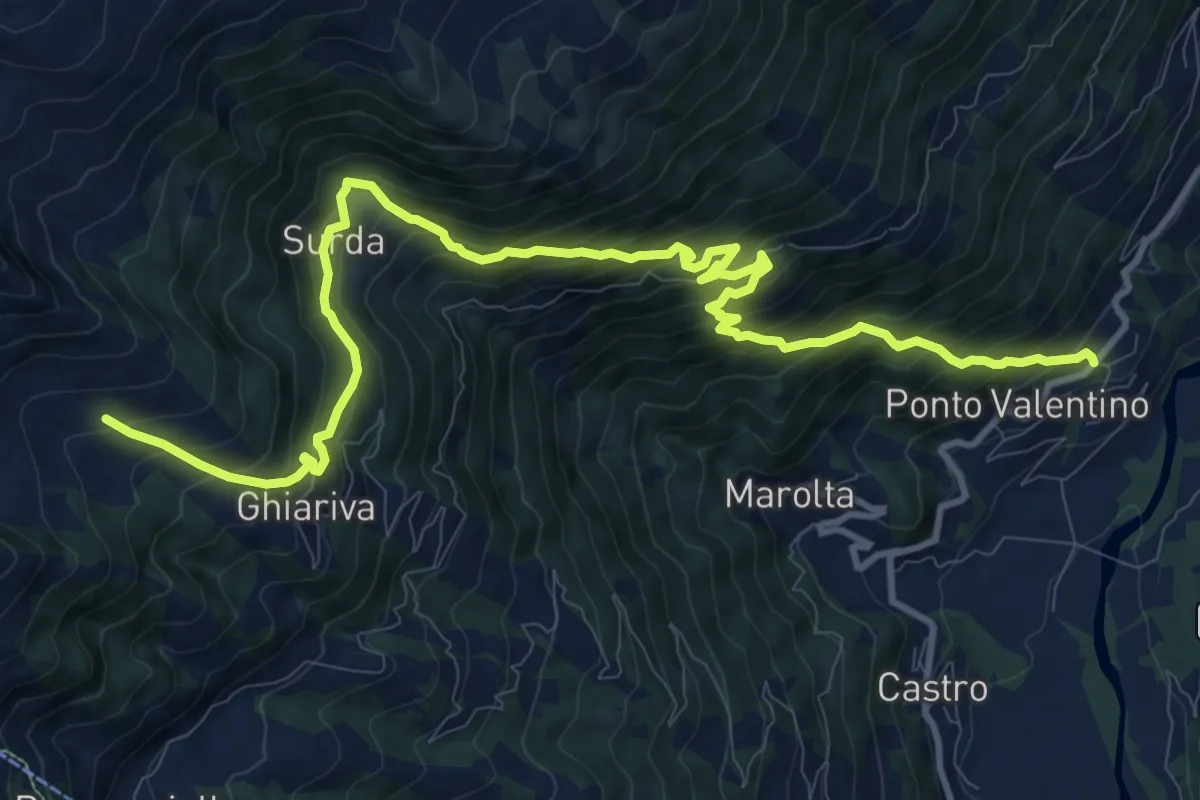
Medium · Cabin
Capanna Piandios – Bassa di Nara
4.2 km · ↑ 273 m · 1 h 35 min
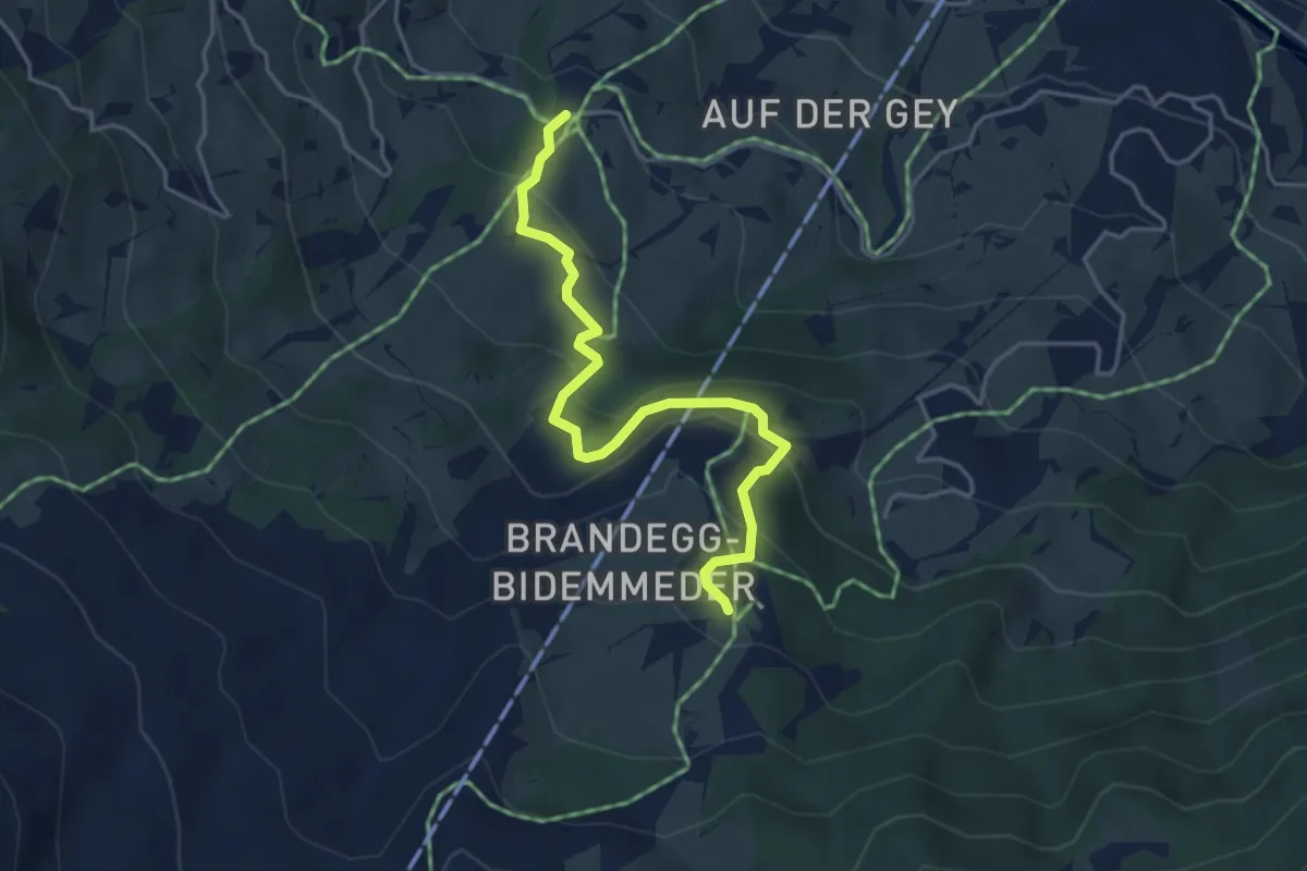
Demanding · Cabin
Ponto Valentino – Capanna Piandios
13.9 km · ↑ 1387 m · 6 h 18 min
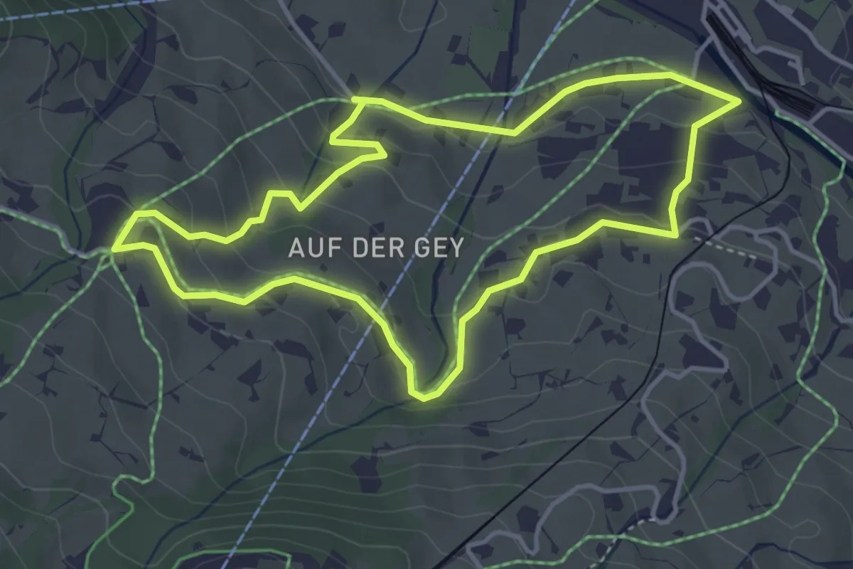
Easy · Trail
Aspen – Brandegg
4.2 km · ↑ 282 m · 1 h 37 min
Easy · Trail
Grindelwald Grund – Aspen
3.9 km · ↑ 162 m · 1 h 19 min
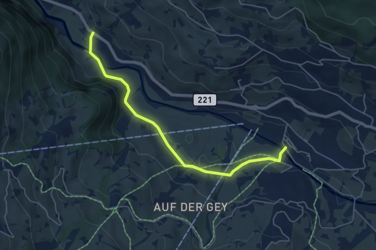
Easy · Trail
Grindelwald Grund – Schwendi
4.5 km · ↑ 67 m · 1 h 13 min
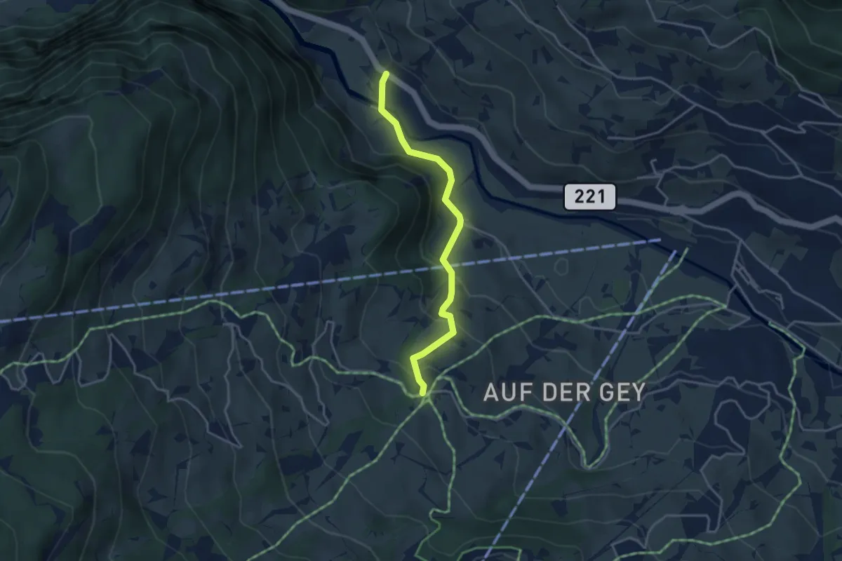
Easy · Trail
Schwendi – Aspen
3.4 km · ↑ 189 m · 1 h 13 min
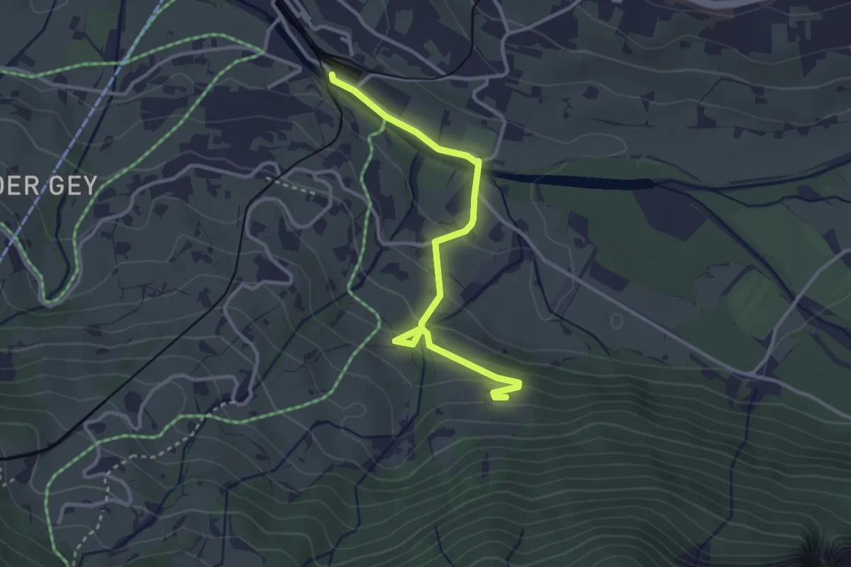
Easy · Trail
Grindelwald Grund – Tryschlegg
3.2 km · ↑ 131 m · 1 h 3 min
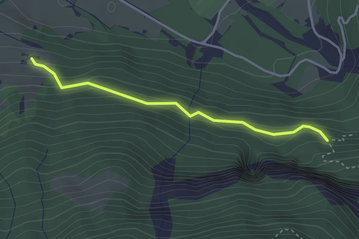
Easy · Trail
Tryschlegg – Coca-Cola Hüttli
2.6 km · ↑ 252 m · 1 h 10 min
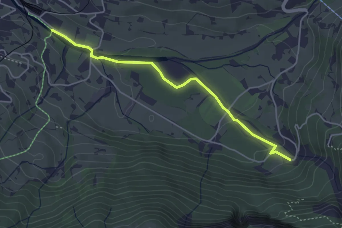
Easy · Trail
Grindelwald Grund – Gasthaus Gletscherschlucht
3.8 km · ↑ 69 m · 1 h 3 min
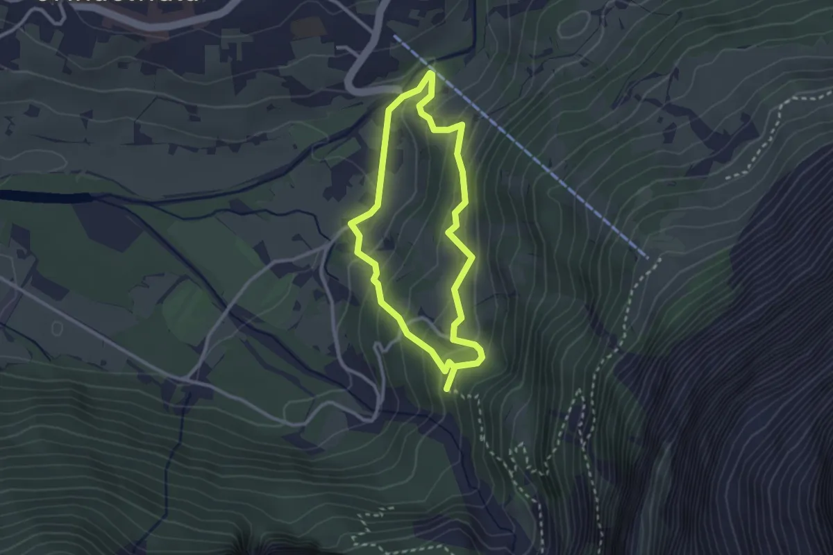
Easy · Trail
Grindelwald, Mettenbergbrücke – Berggasthaus Marmorbruch
2.3 km · ↑ 138 m · 53 min
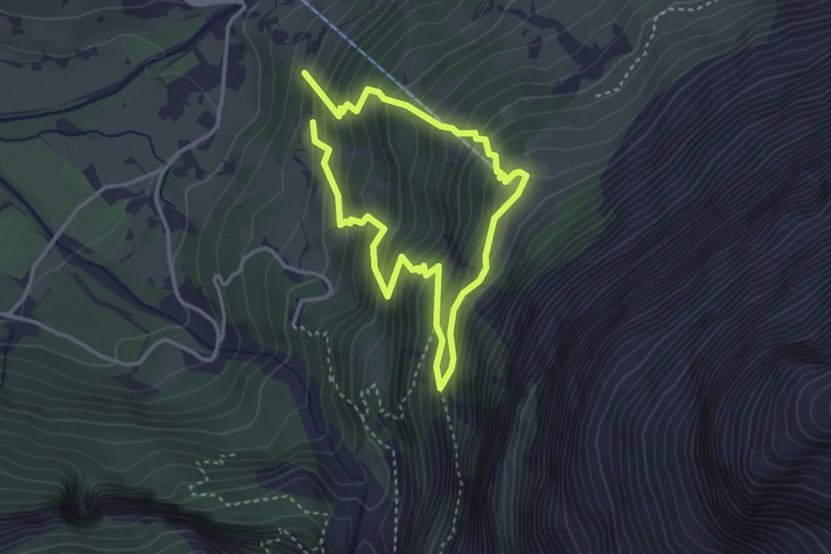
Medium · Trail
Grindelwald, Mettenbergbrücke – Pfingstegg
2.7 km · ↑ 363 m · 1 h 29 min
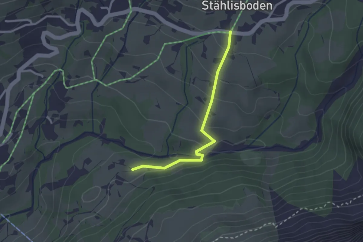
Easy · Trail
Grindelwald, Stählisboden – Grindelwald, Sulzwald
2.2 km · ↑ 98 m · 44 min
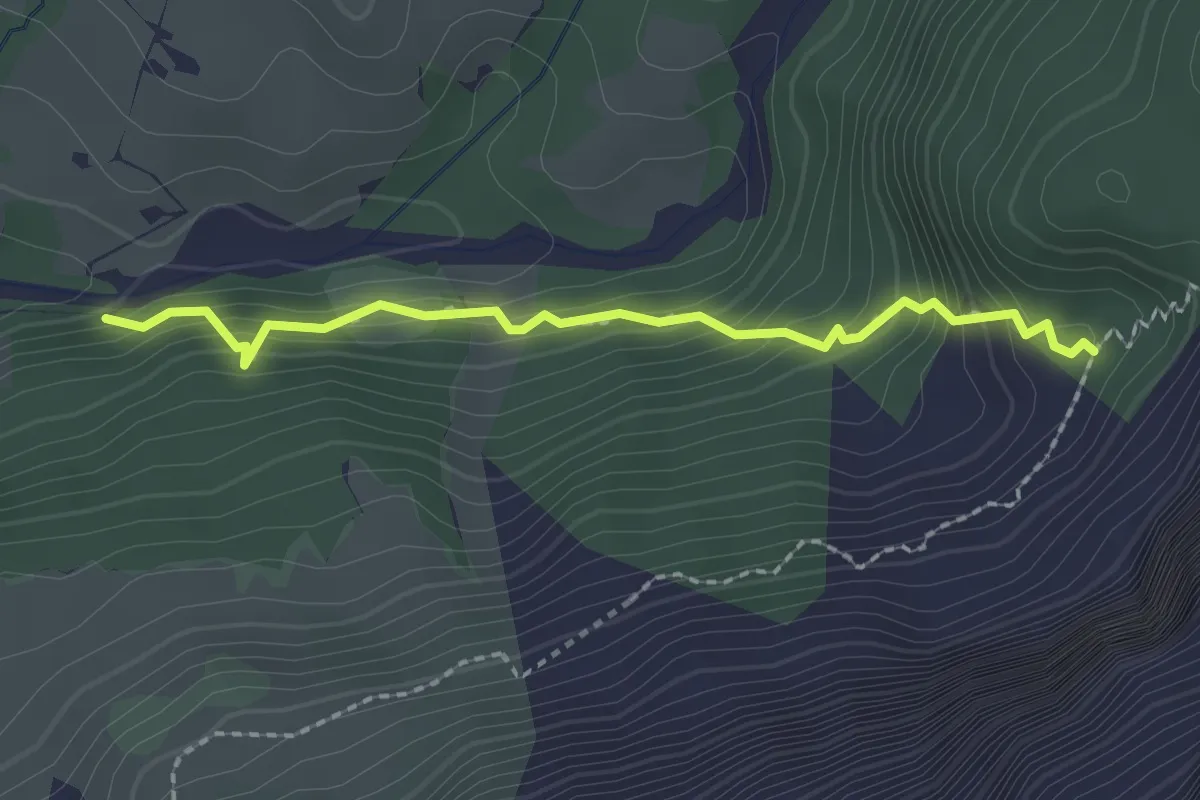
Easy · Trail
Sulzwald – Milchbach
2.1 km · ↑ 179 m · 53 min
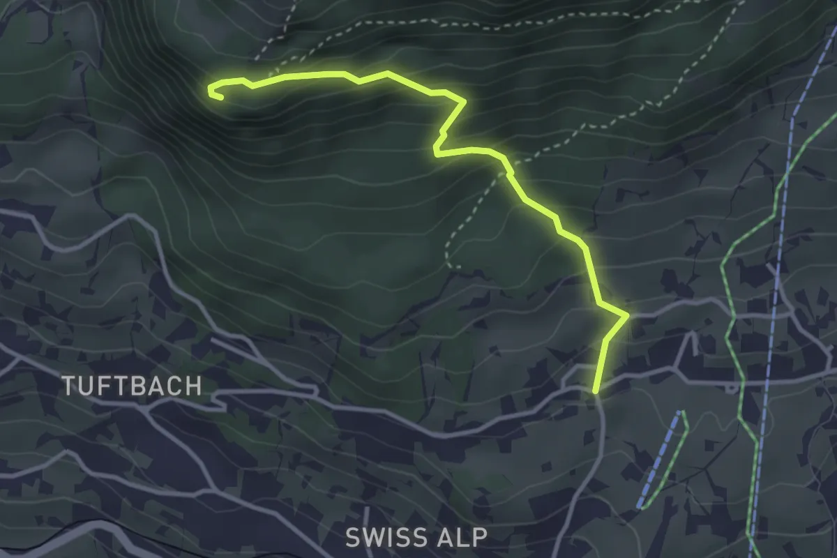
Medium · Trail
Grindelwald, Kreuzweg – Aellfluh
3.2 km · ↑ 363 m · 1 h 32 min
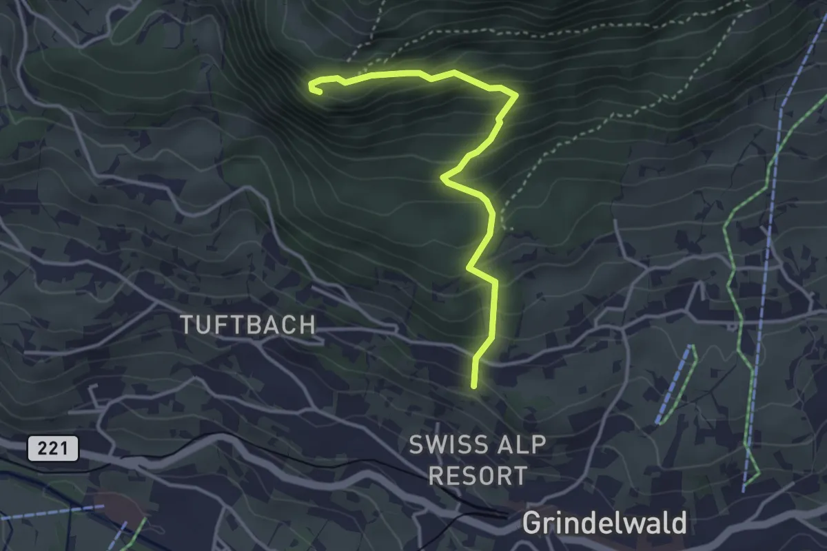
Medium · Trail
Naturfreundehaus – Aellfluh
3.4 km · ↑ 390 m · 1 h 38 min
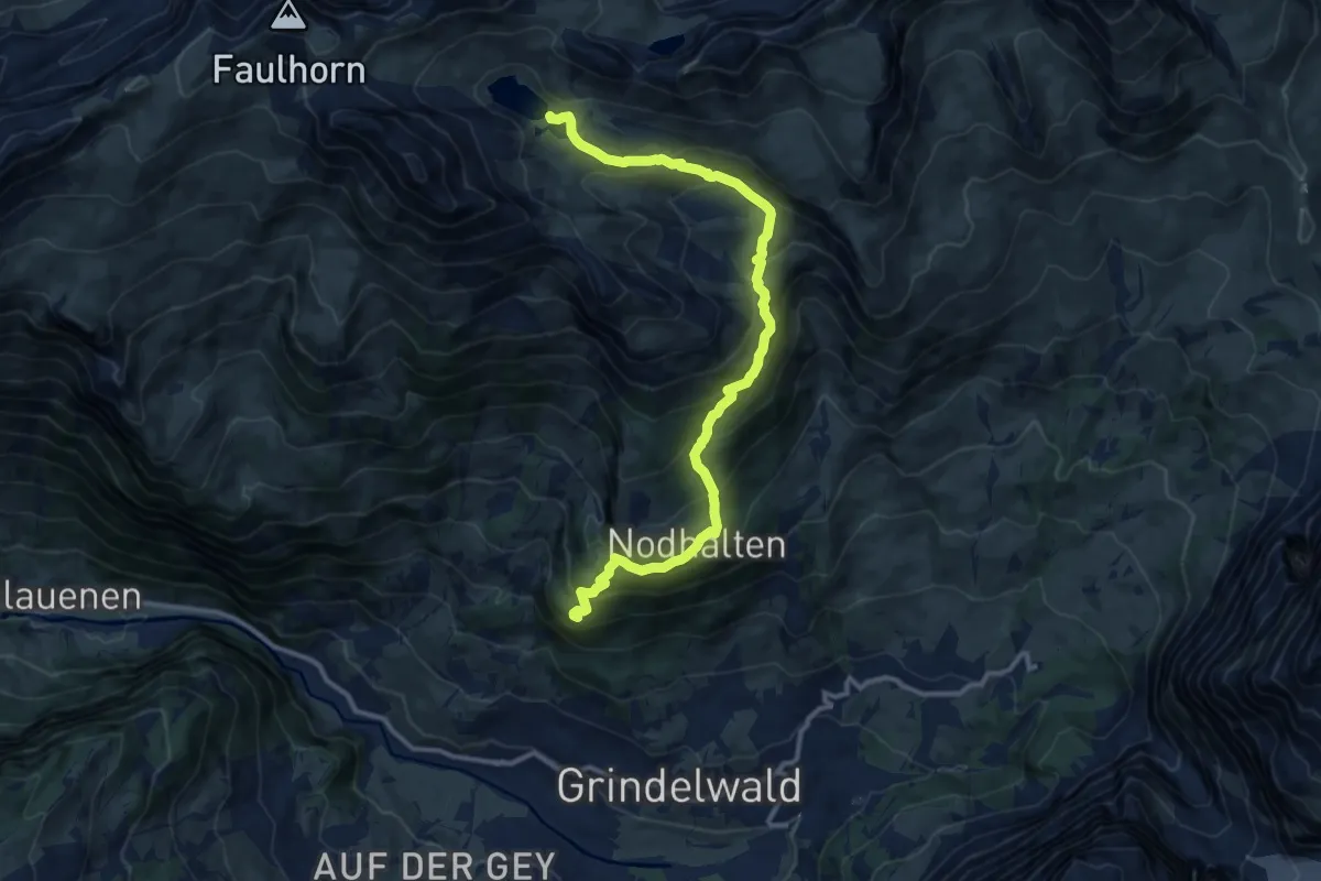
Demanding · Trail
Aellfluh – Bachalpsee
12.8 km · ↑ 887 m · 4 h 56 min
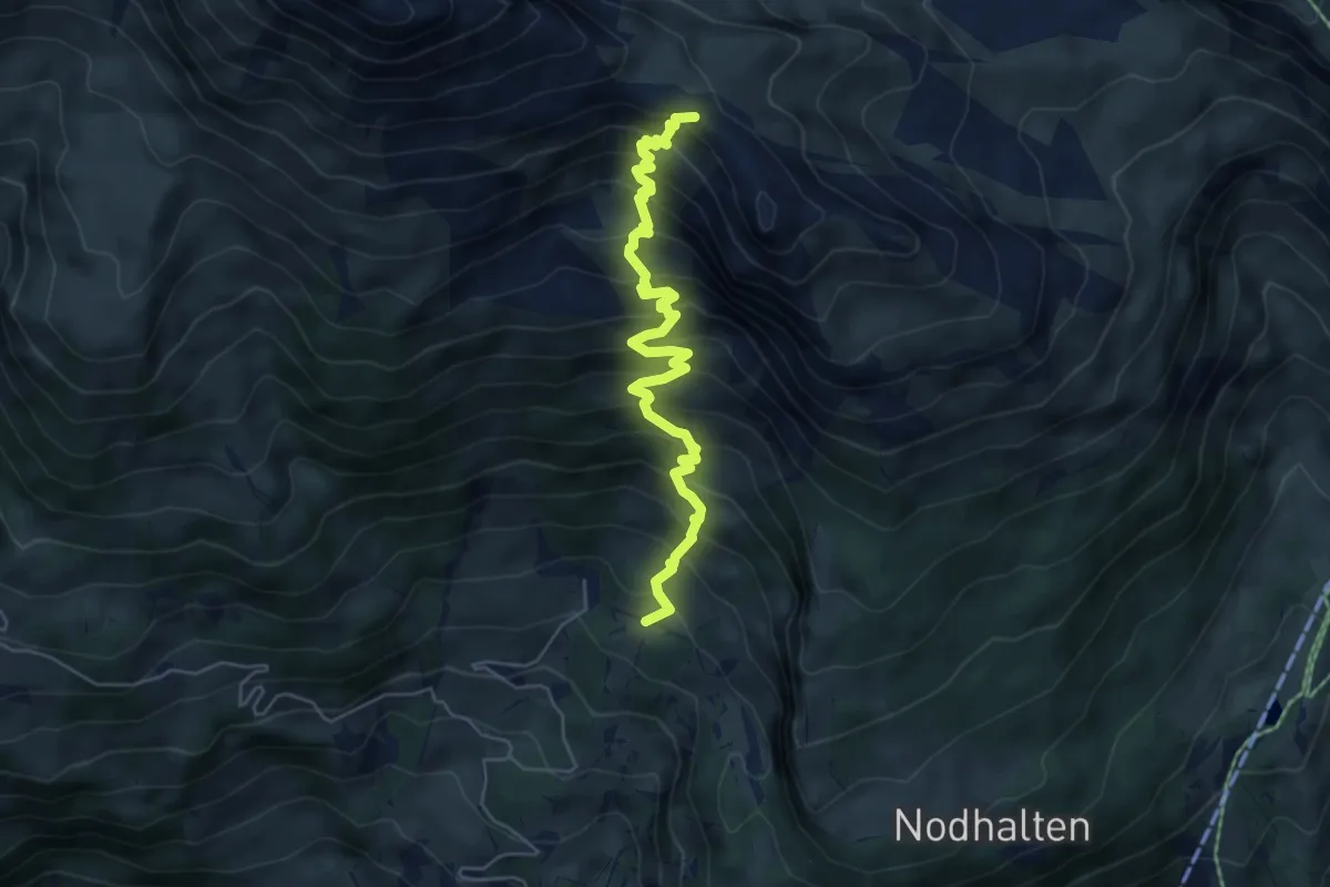
Medium · Summit
Hollenweg – Bachsee
5.8 km · ↑ 715 m · 2 h 55 min
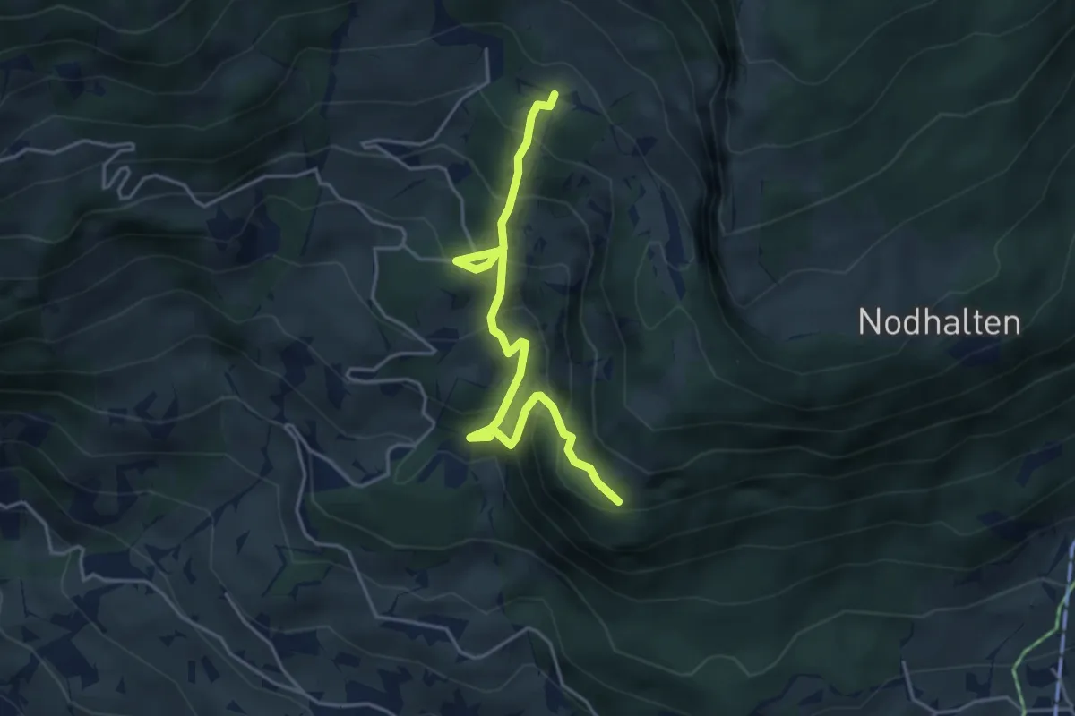
Medium · Trail
Holewang – Allfluh
4.3 km · ↑ 466 m · 2 h 1 min
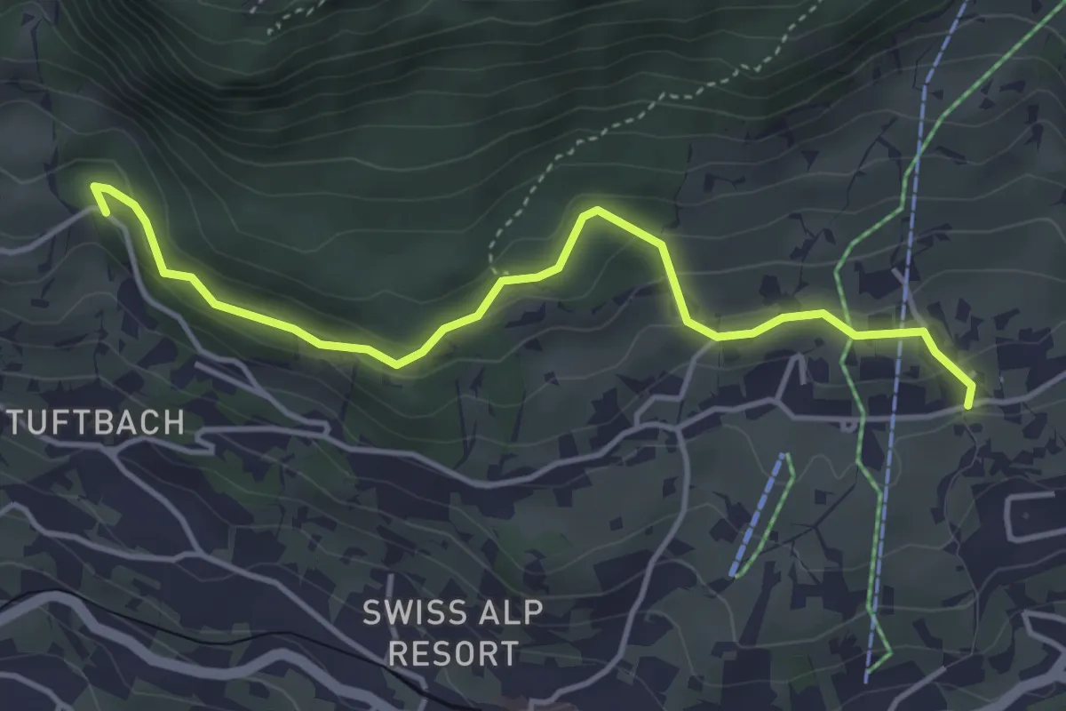
Easy · Trail
Grindelwald, Steinbillen – Steessi-Brünneli
4.2 km · ↑ 213 m · 1 h 27 min
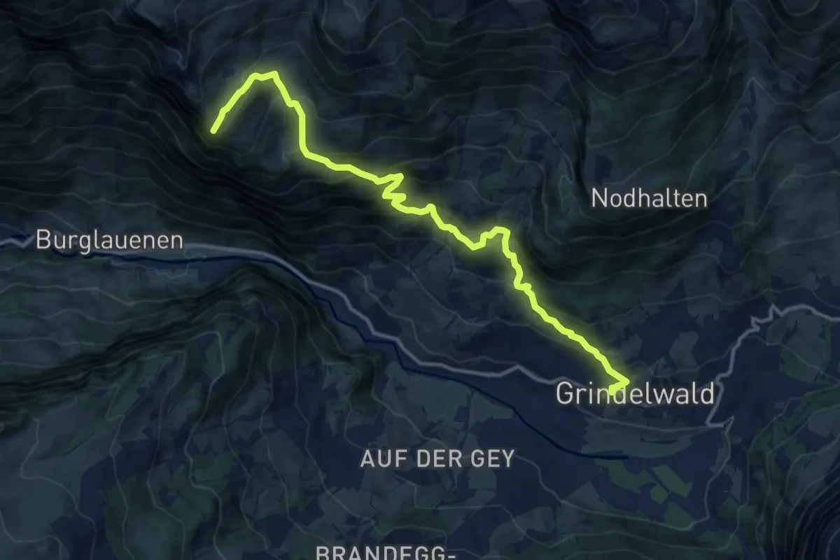
Demanding · Trail
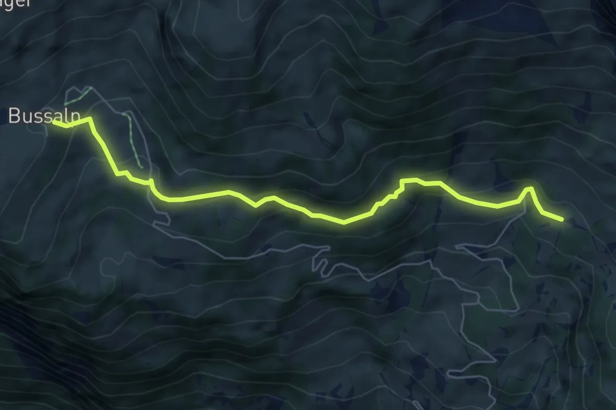
Grindelwald – Bussalp
13.3 km · ↑ 988 m · 5 h 17 min
Medium · Trail
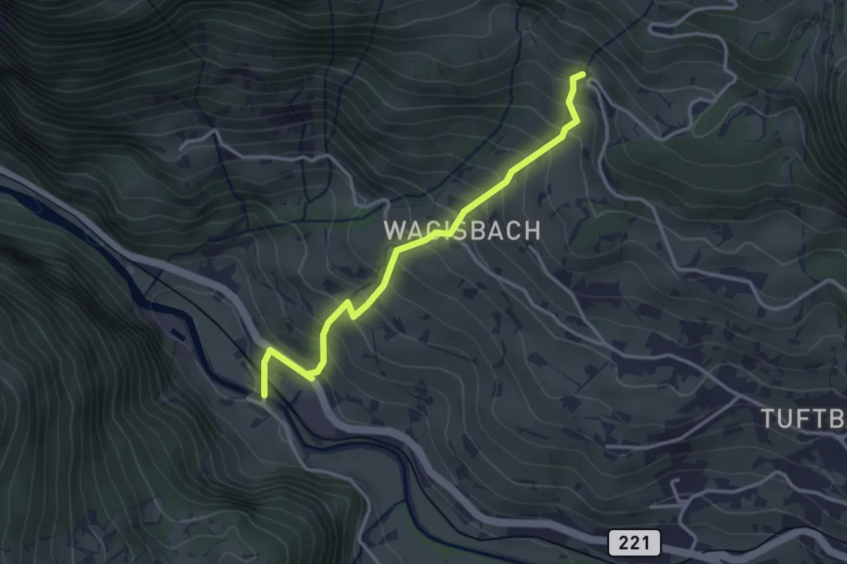
Holewang – Bussalp
6.2 km · ↑ 368 m · 2 h 15 min
Medium · Trail
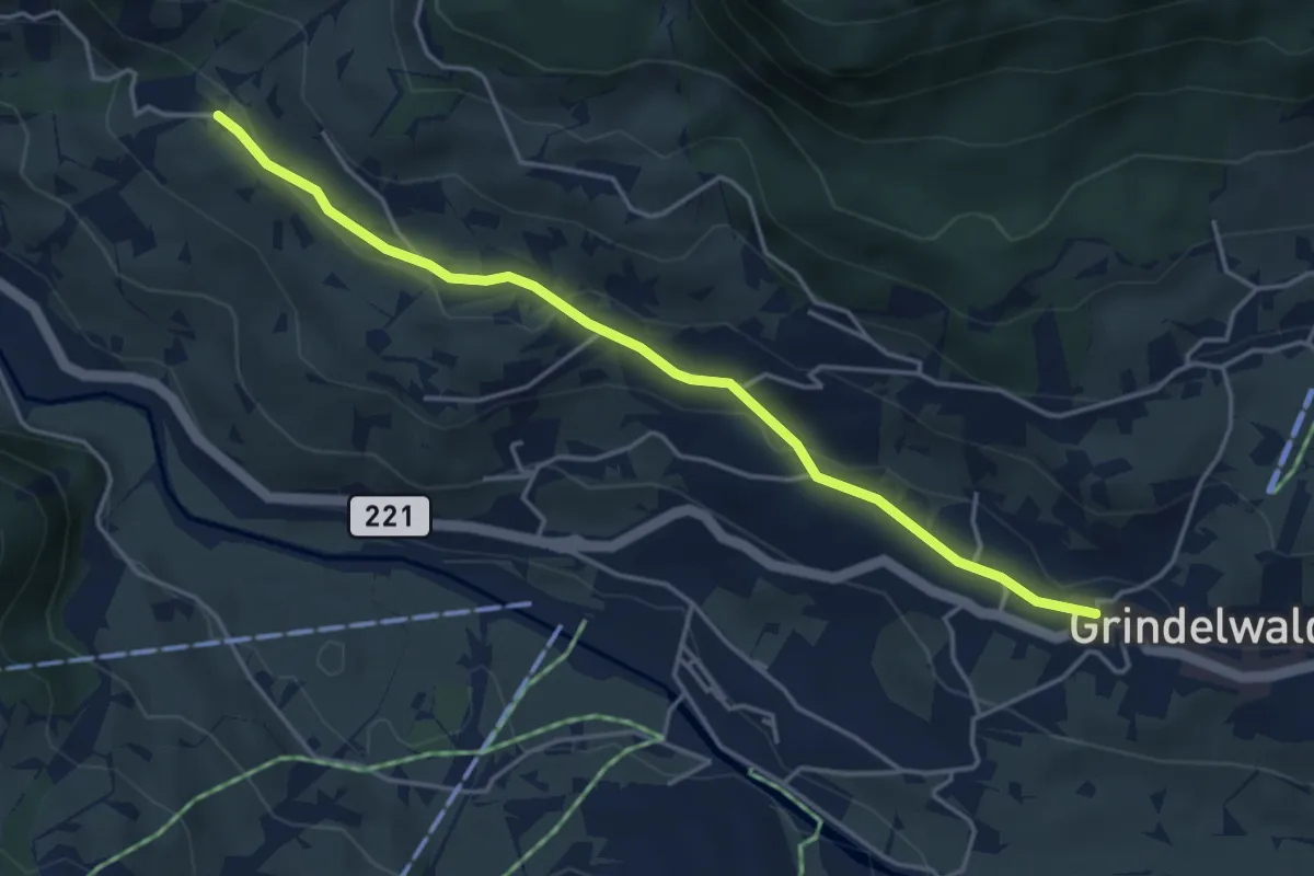
Schwendi – Weidli
3.2 km · ↑ 334 m · 1 h 28 min
Easy · Trail
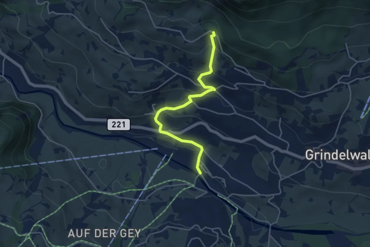
Grindelwald – Wagisbach
4.3 km · ↑ 103 m · 1 h 15 min
Easy · Trail
Grindelwald Grund – Steessi-Brünneli
3.6 km · ↑ 240 m · 1 h 22 min
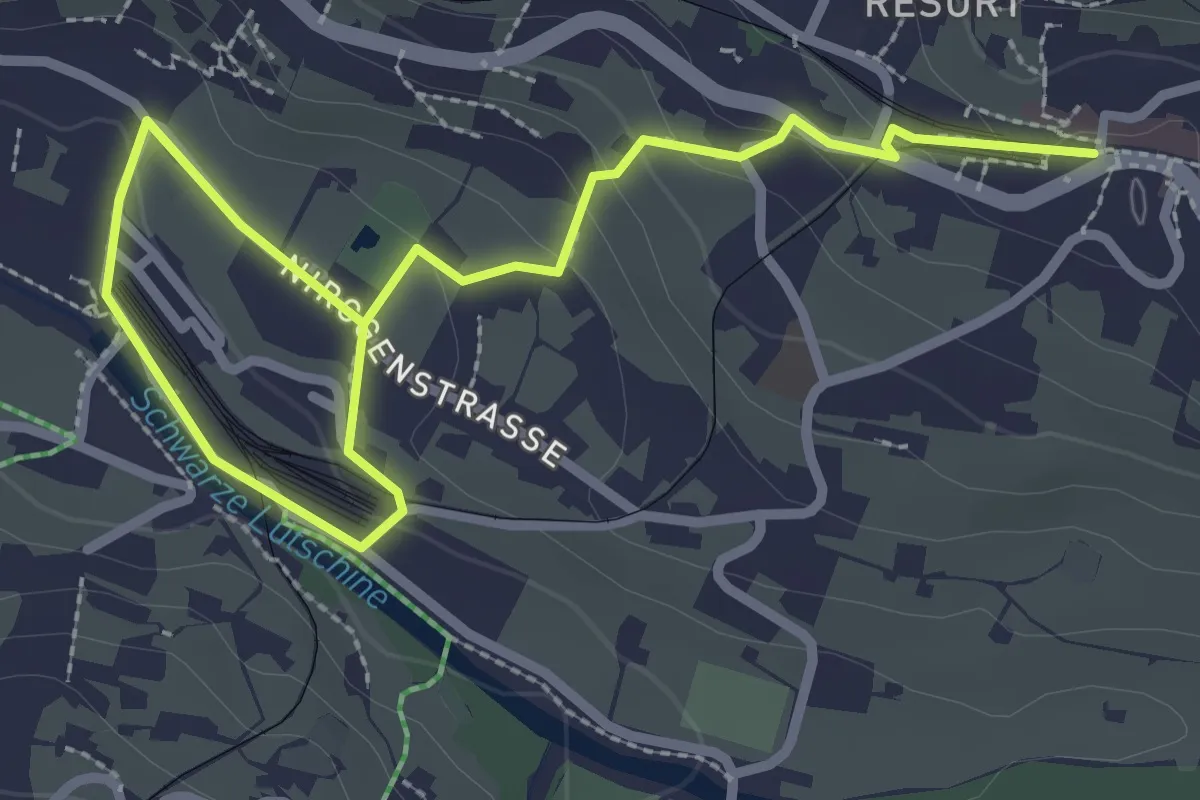
Easy · Trail
Grindelwald Grund – Grindelwald Station
3.6 km · ↑ 107 m · 1 h 5 min
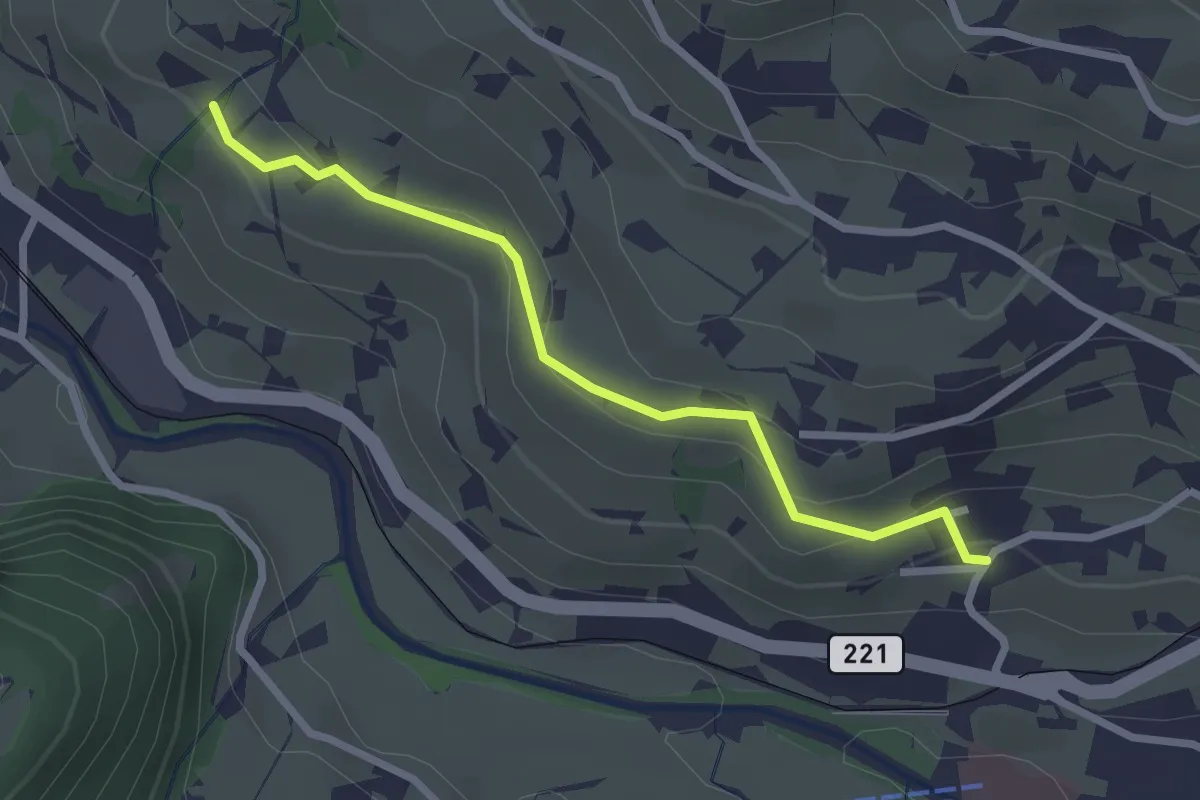
Easy · Trail
Wychel – Bachsbort
2.5 km · ↑ 110 m · 50 min
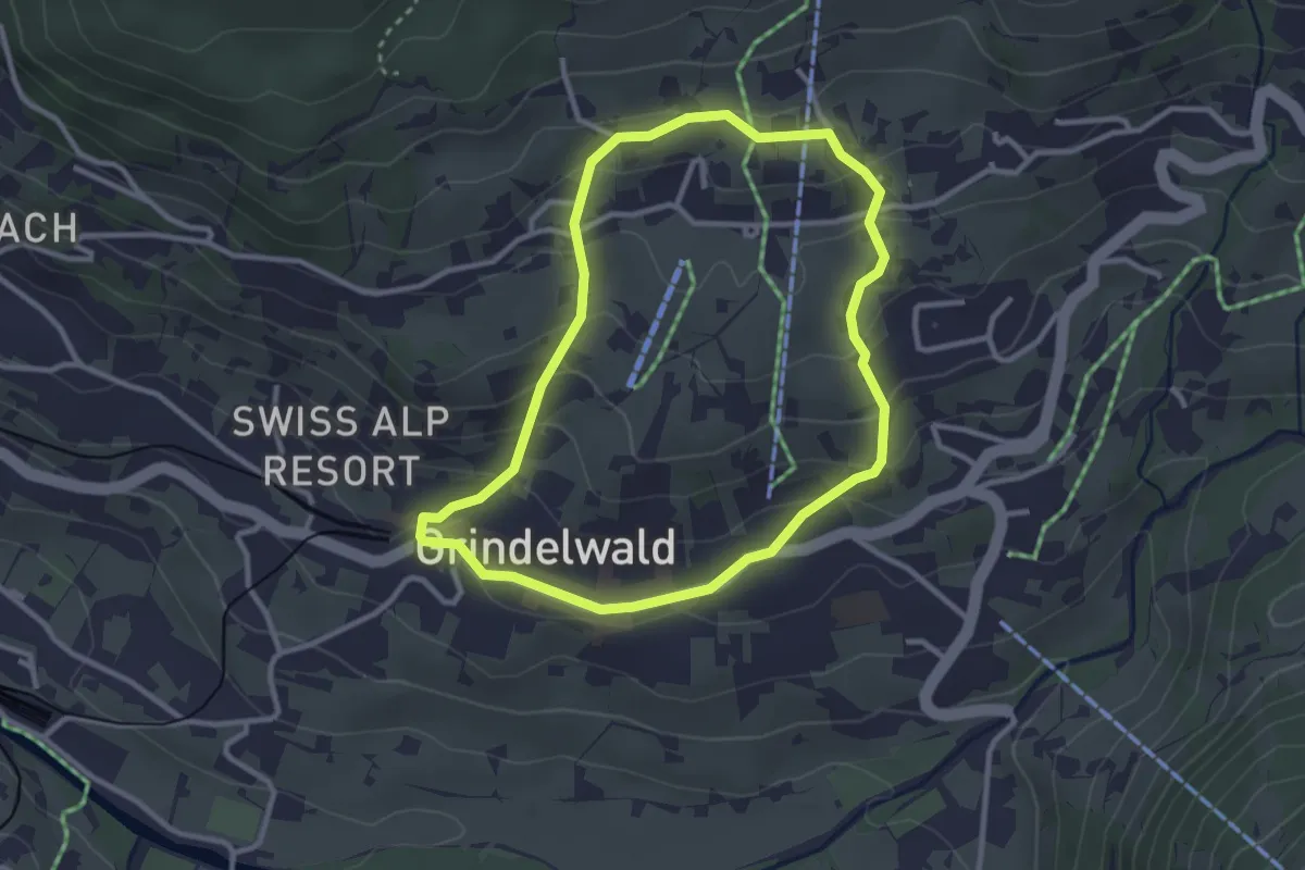
Easy · Trail
Grindelwald Station – Schonegg
2.8 km · ↑ 137 m · 1 h
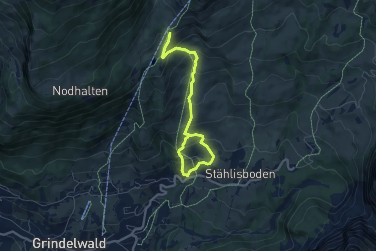
Medium · Trail
Mühlebach – Bort
6.5 km · ↑ 505 m · 2 h 38 min
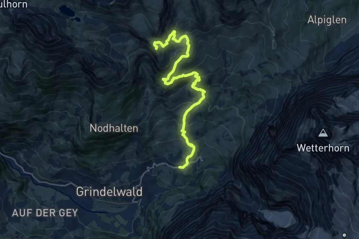
Demanding · Trail
Grindelwald, Stählisboden – Grindelwald, First
17.1 km · ↑ 1056 m · 6 h 20 min
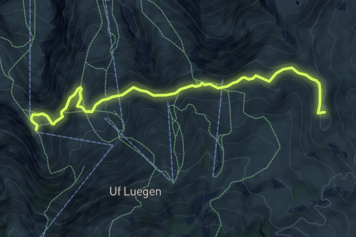
Medium · Summit
Grindelwald, First – Grindelwald, Grosse Scheidegg
9.6 km · ↑ 357 m · 3 h 2 min
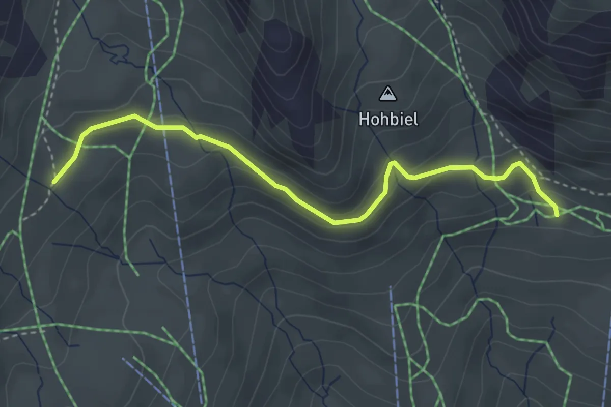
Medium · Trail
Distelboden – Grindel-Oberlaeger
3.5 km · ↑ 197 m · 1 h 15 min
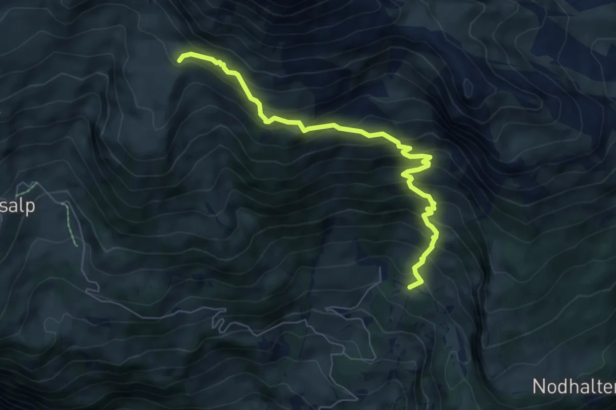
Medium · Trail
Holewang – Feld
6.8 km · ↑ 706 m · 3 h 8 min
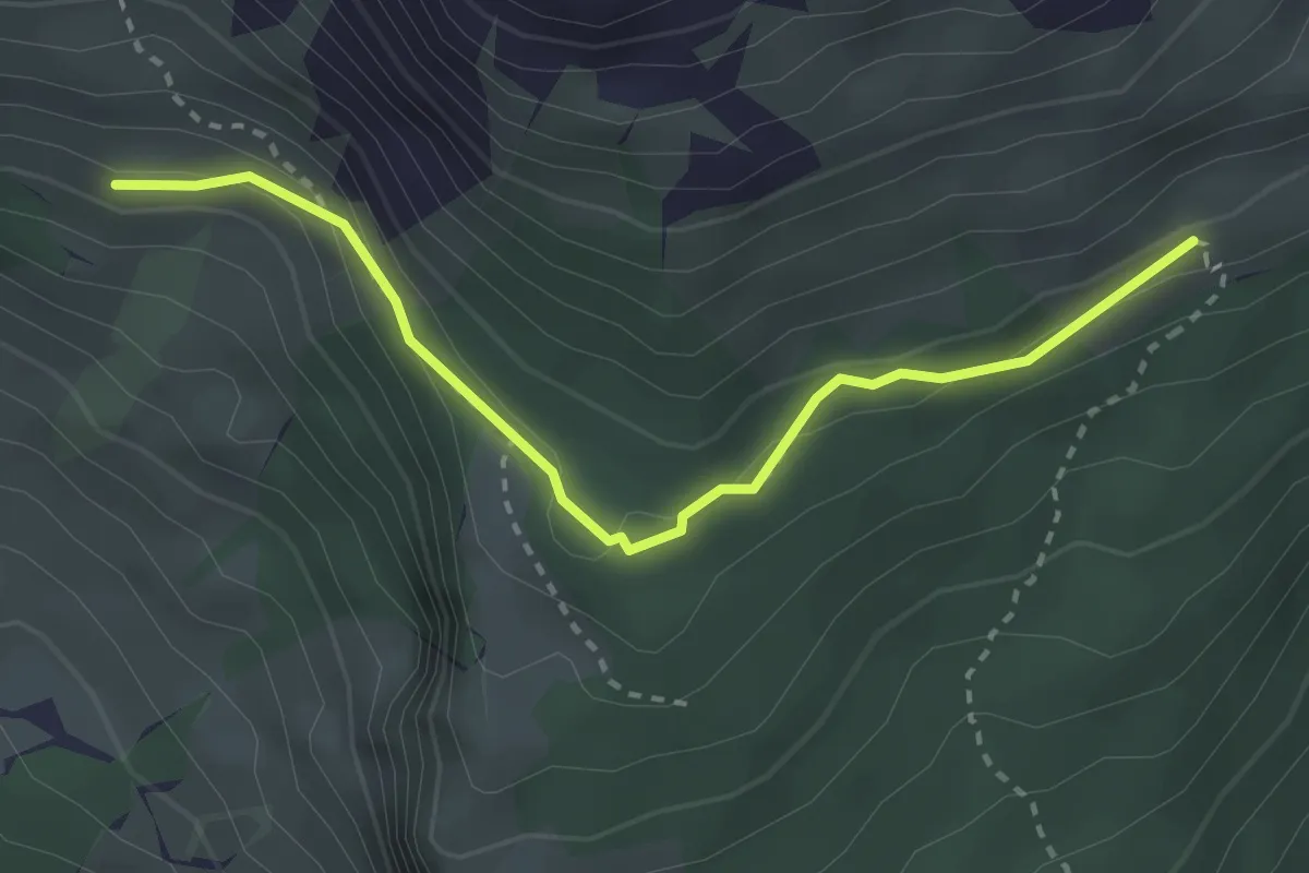
Medium · Trail
Spillmatten – Waldspitz
2.9 km · ↑ 108 m · 56 min
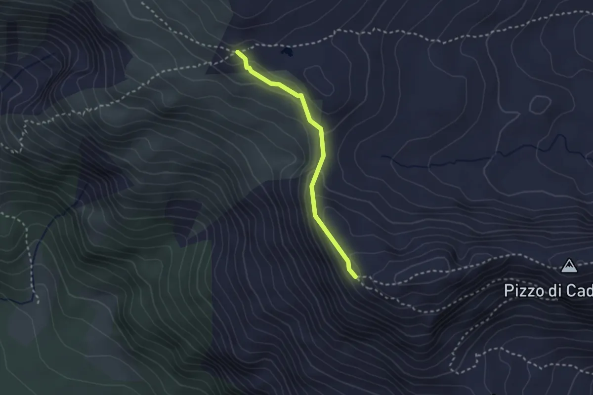
Medium · Trail
P.2516m – Passo di Gana Negra
2.3 km · ↑ 125 m · 48 min
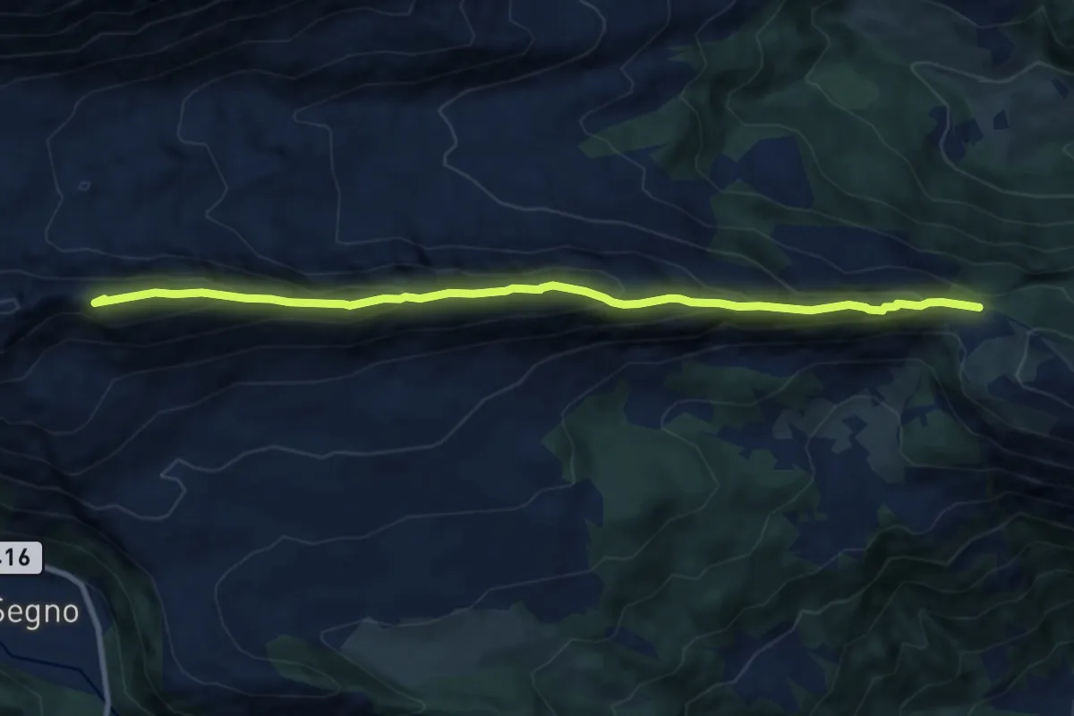
Expert · Summit
Cantonill – P.2516m
10.0 km · ↑ 705 m · 3 h 53 min
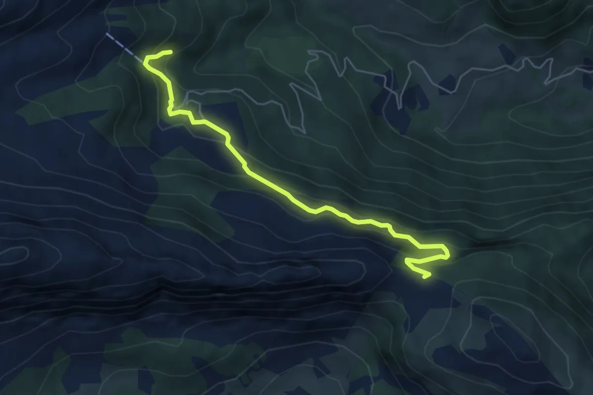
Demanding · Trail
Capanna Bovarina – Cantonill
5.5 km · ↑ 368 m · 2 h 6 min
Medium · Trail
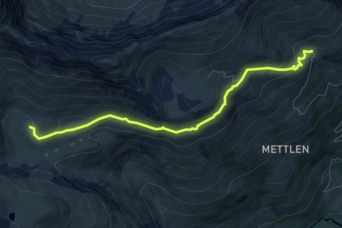
Im obersten Breitenboden – Grindelschärm/Oberi Mettlen
7.5 km · ↑ 376 m · 2 h 34 min
Demanding · Summit
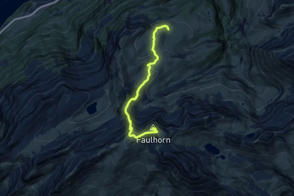
Gstepf – Faulhorn
11.0 km · ↑ 836 m · 4 h 25 min
Medium · Summit
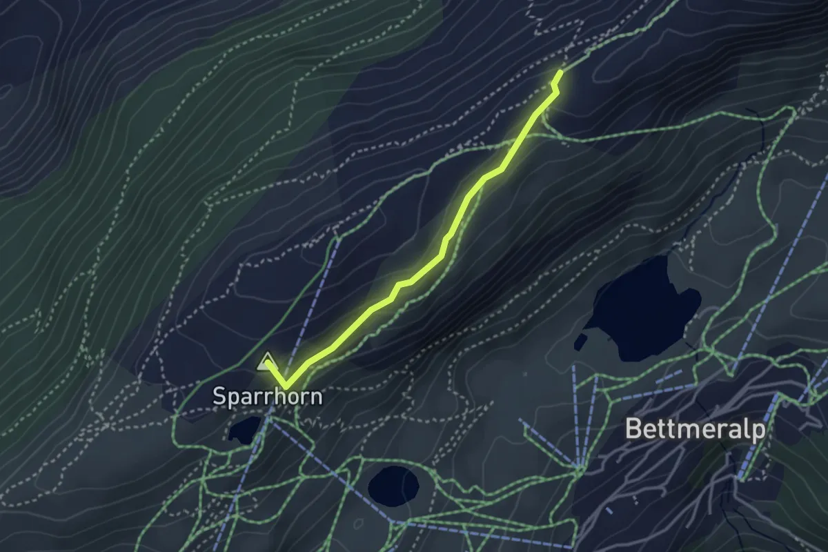
Blausee – 2285m
2.9 km · ↑ 98 m · 54 min
Easy · Trail
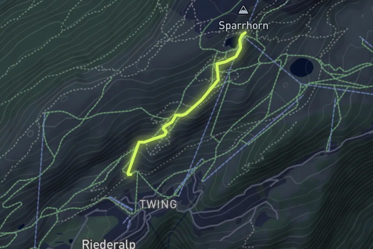
Blausee – Riederalp
2.9 km · ↑ 250 m · 1 h 13 min
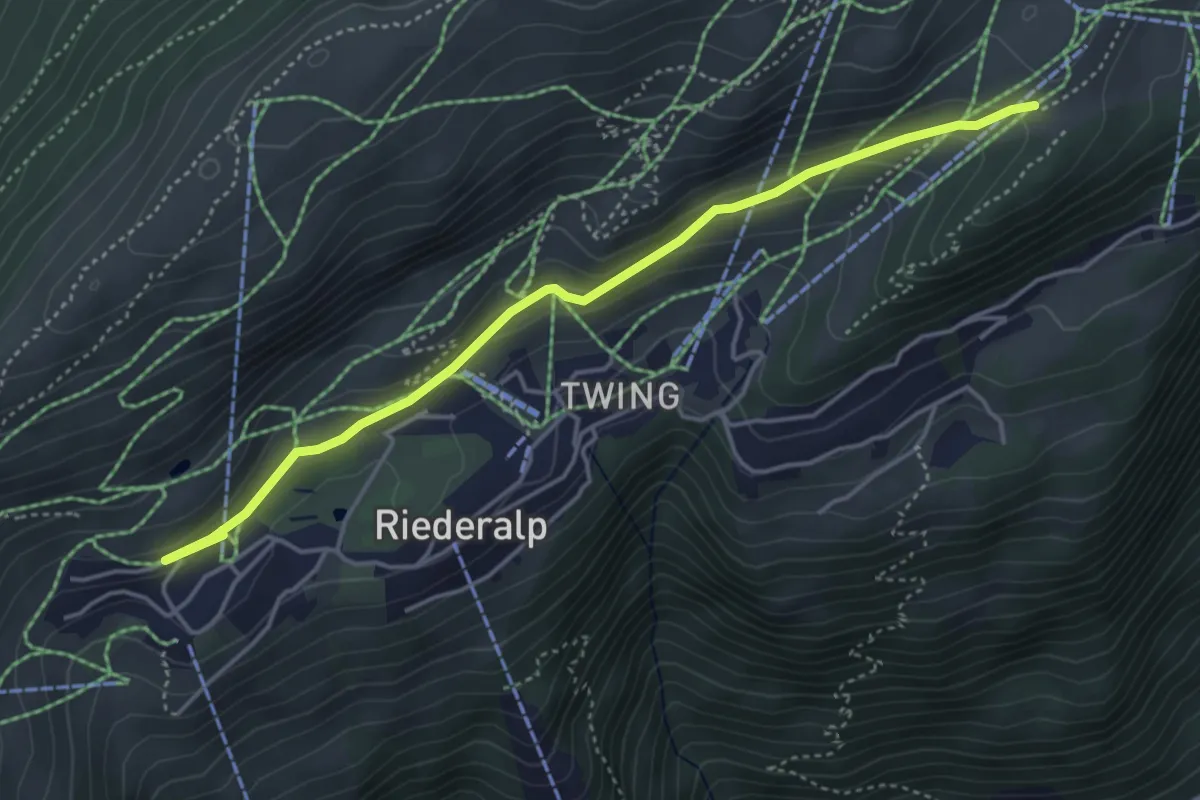
Easy · Trail
Rieder Furka – Bettmeralp
4.7 km · ↑ 150 m · 1 h 26 min
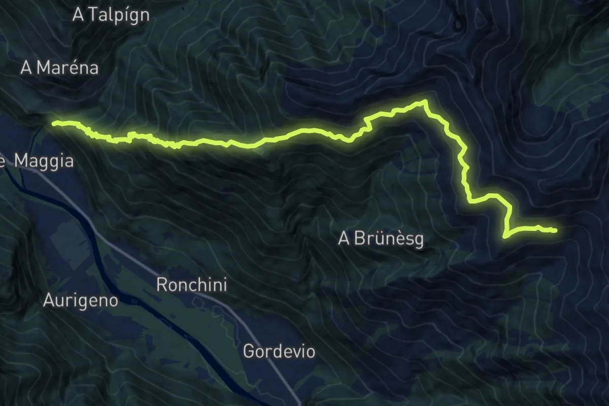
Medium · Trail
Sta Maria della Pioda – Aiarlo
8.9 km · ↑ 288 m · 3 h 31 min
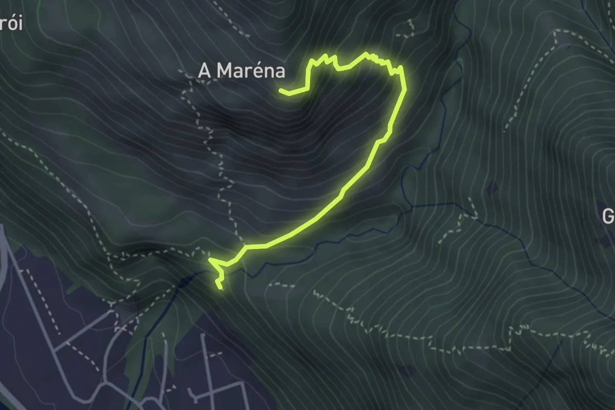
Medium · Trail
Sta Maria della Pioda – A Maréna
3.4 km · ↑ 417 m · 1 h 42 min
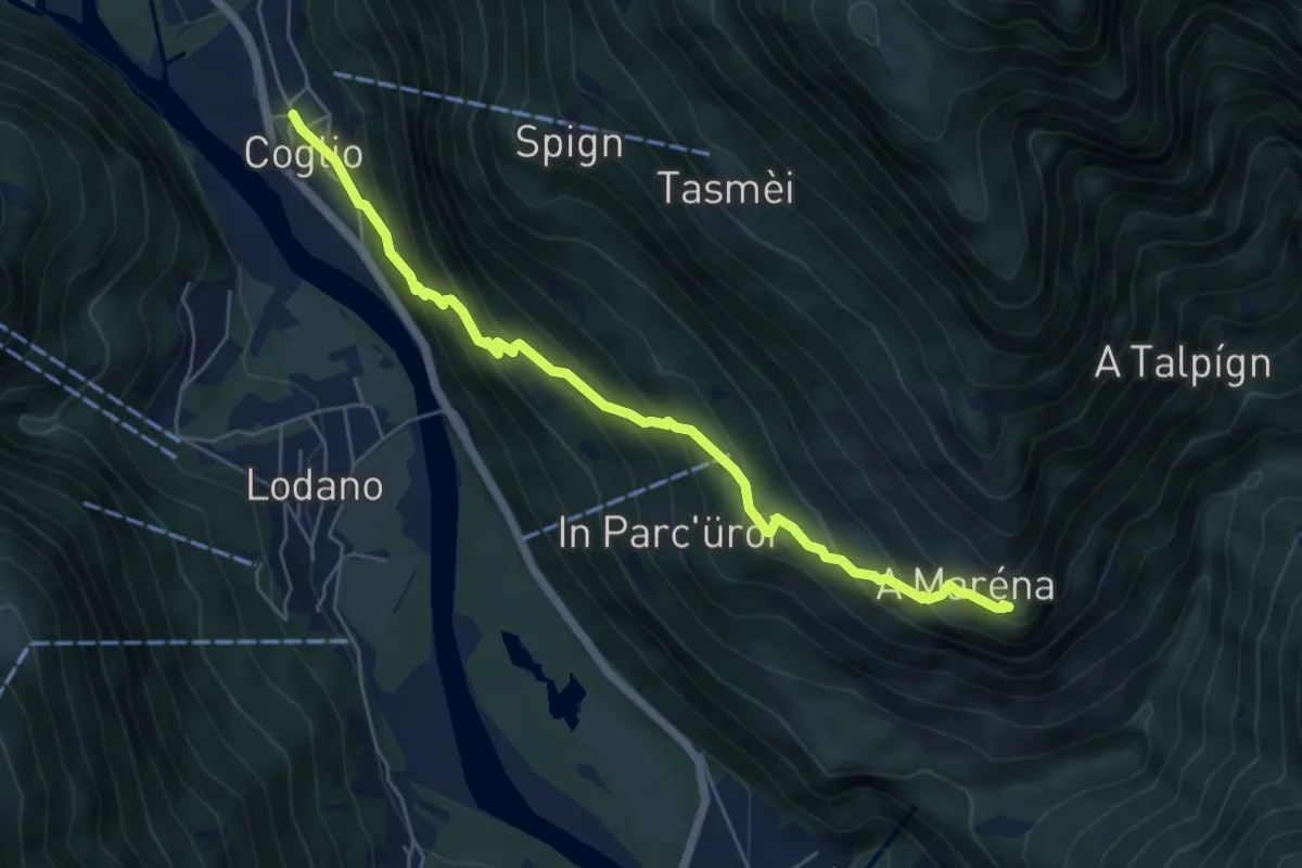
Medium · Trail
A Maréna – Coglio
5.9 km · ↑ 522 m · 2 h 31 min