Trails in Switzerland
15,055 hiking trails, each with its route, climb, walking time and grade.
All trails, page 213 of 314
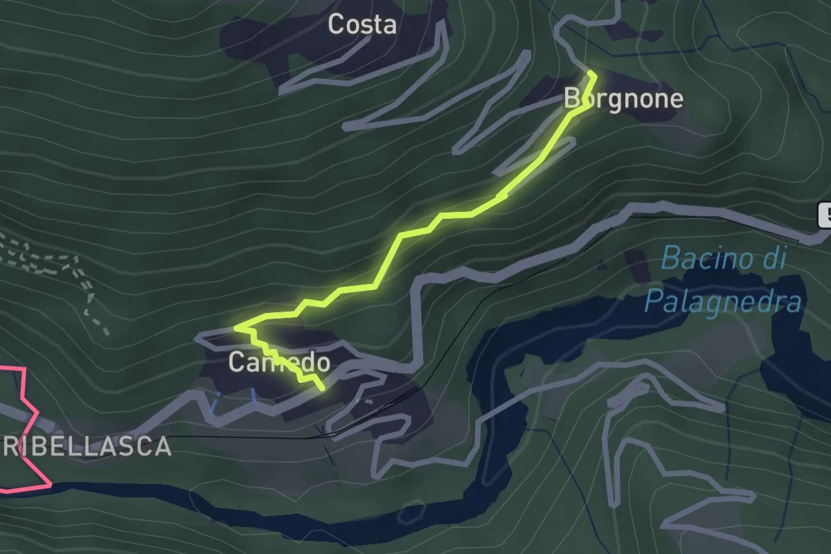
Easy · Trail
Camedo – Borgnone
2.2 km · ↑ 126 m · 47 min
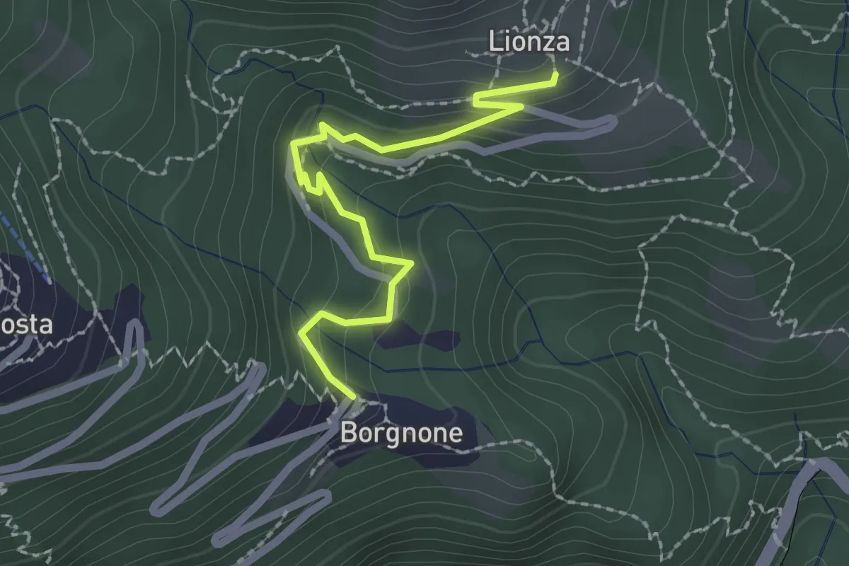
Medium · Trail
Borgnone – Lionza
2.1 km · ↑ 144 m · 48 min
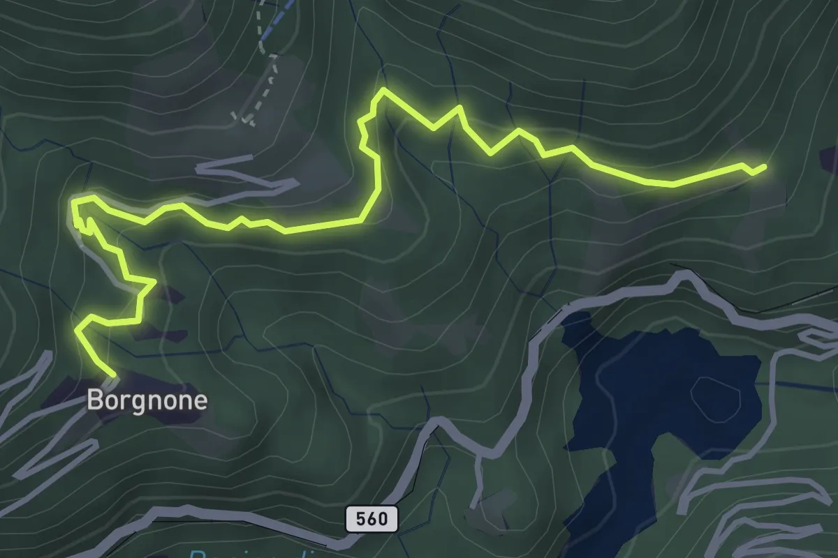
Medium · Trail
Borgnone – Piazz
4.2 km · ↑ 297 m · 1 h 39 min
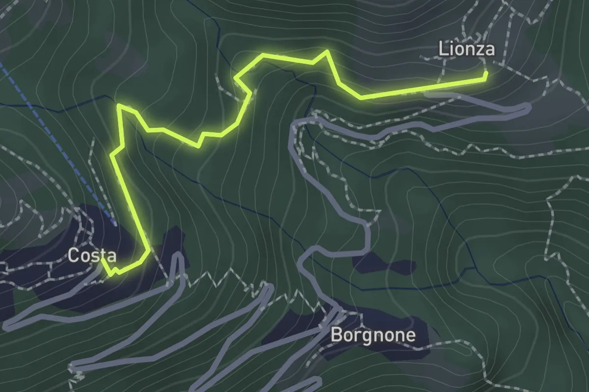
Medium · Trail
Lionza – Costa
2.3 km · ↑ 147 m · 52 min
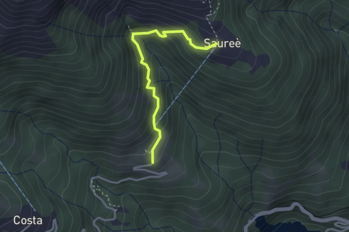
Medium · Trail
Lionza – Saorèe
2.6 km · ↑ 233 m · 1 h 7 min
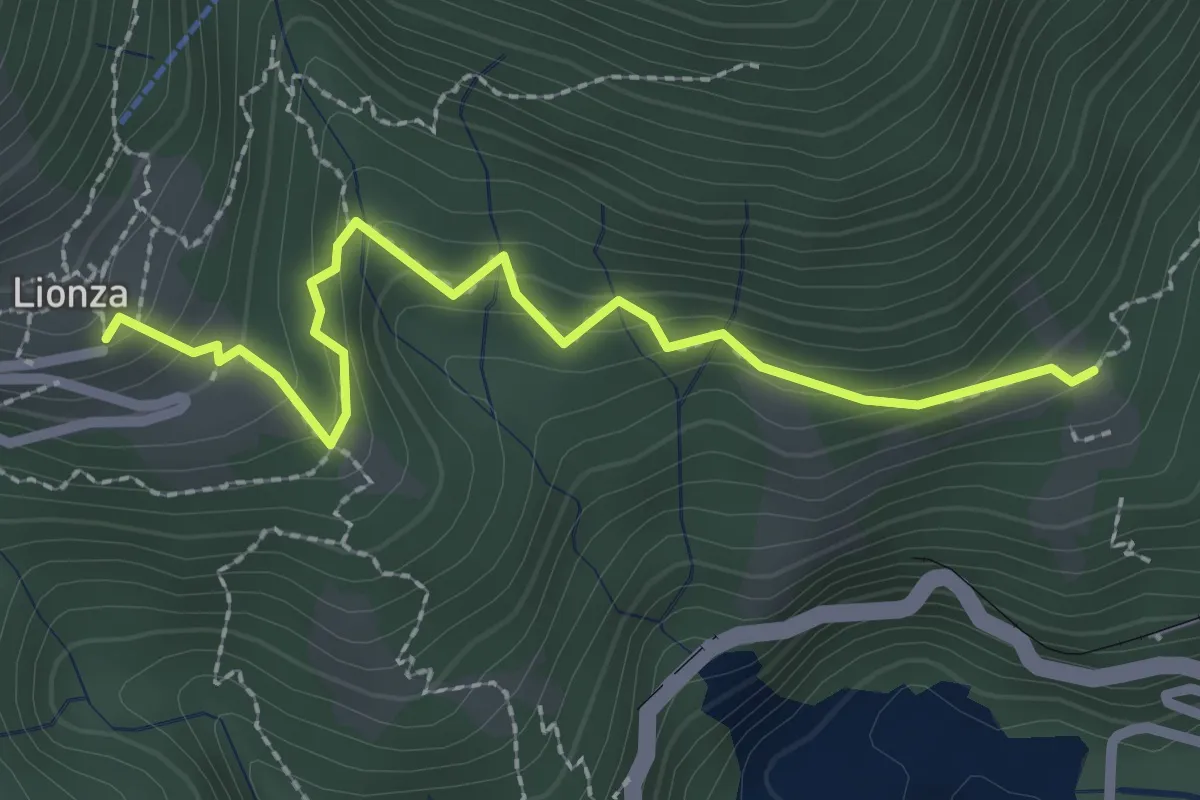
Easy · Trail
Lionza – Piazz
2.6 km · ↑ 194 m · 1 h 1 min
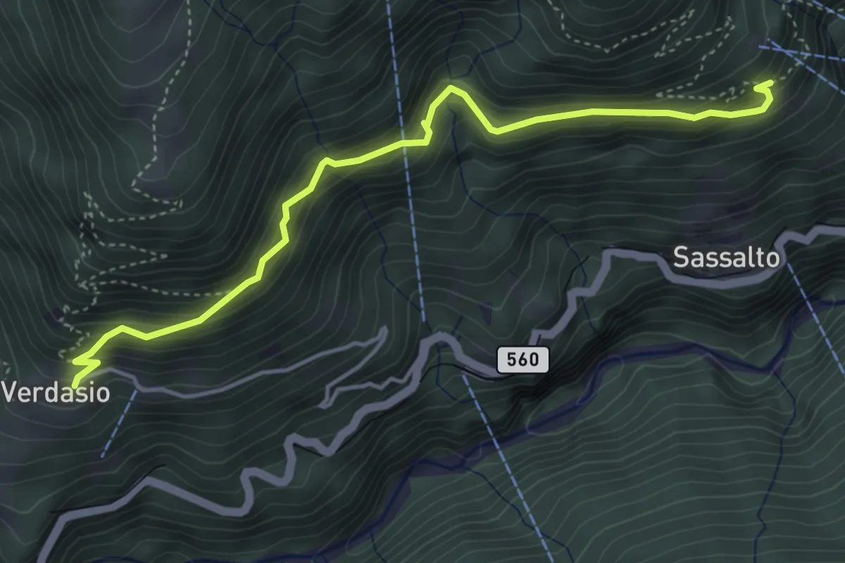
Medium · Trail
Verdasio – Slögna
4.6 km · ↑ 505 m · 2 h 11 min
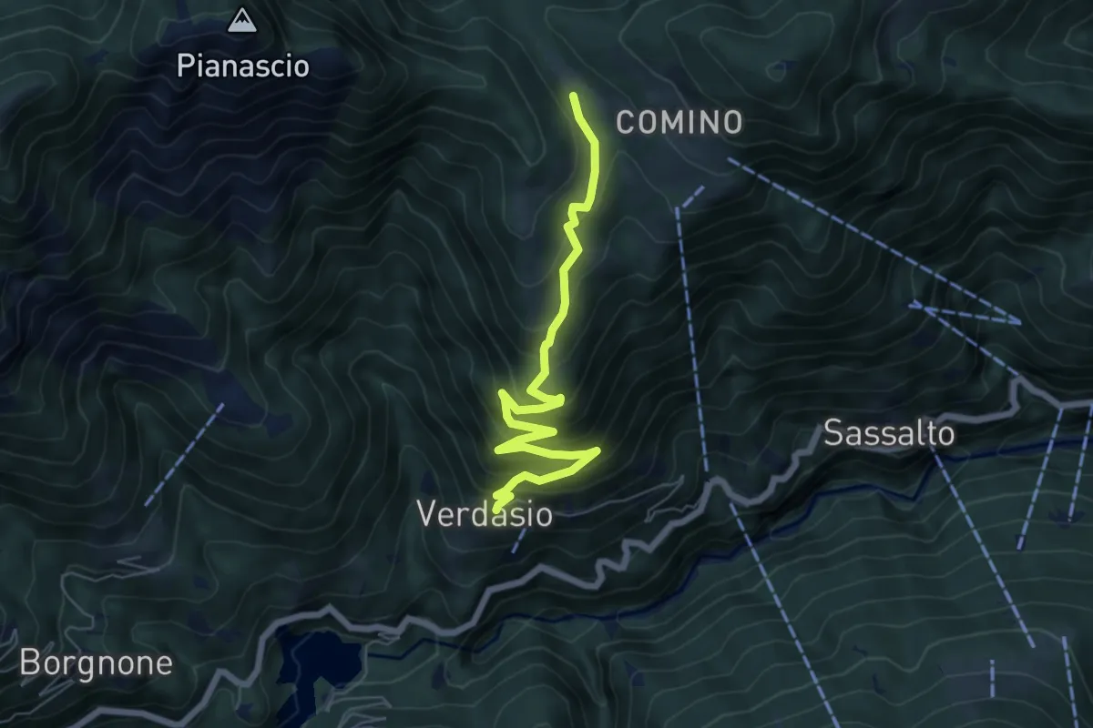
Medium · Trail
Verdasio – Madonna della Segna
6.5 km · ↑ 614 m · 2 h 51 min
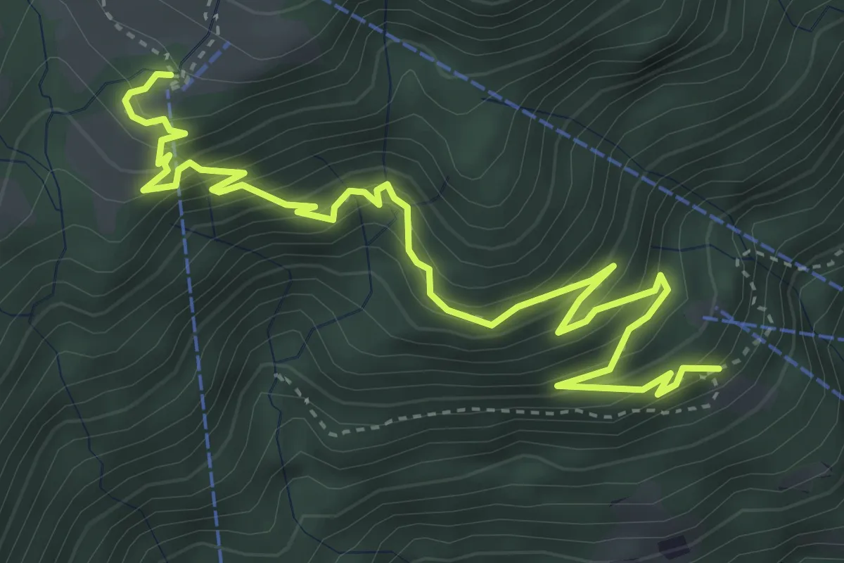
Medium · Trail
Slögna – Monte Comino
5.4 km · ↑ 568 m · 2 h 30 min
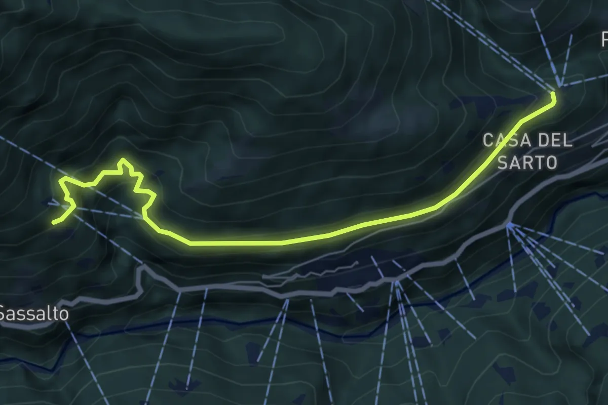
Medium · Trail
Slögna – Costa
6.3 km · ↑ 395 m · 2 h 21 min
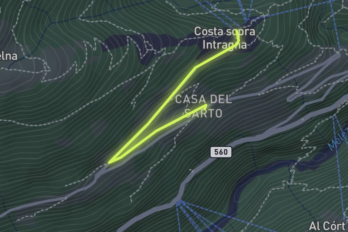
Easy · Trail
Costa – Calezzo
2.1 km · ↑ 106 m · 44 min
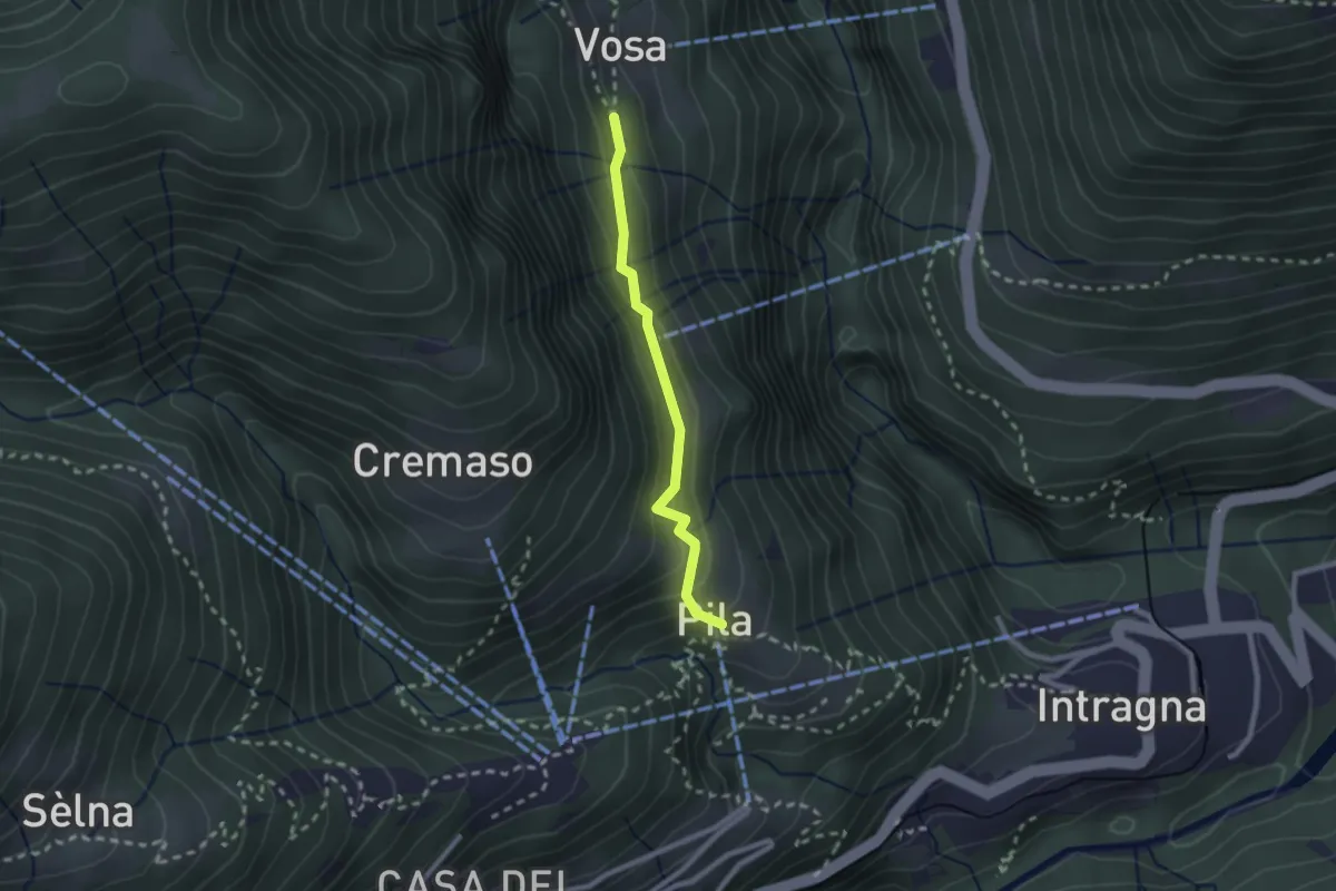
Easy · Trail
Pila – Vosa
2.0 km · ↑ 170 m · 51 min
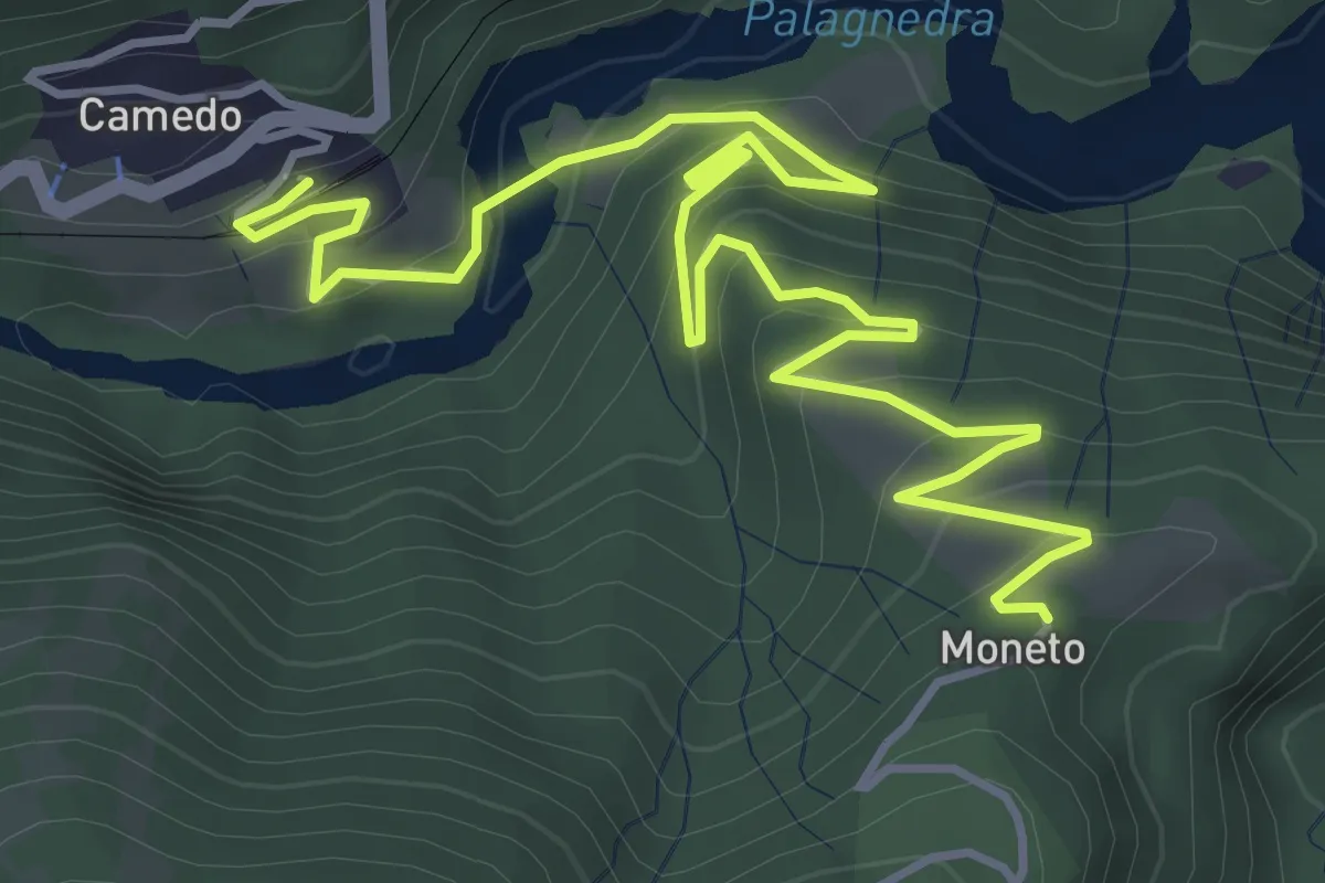
Medium · Trail
Camedo FART – Moneto
6.1 km · ↑ 447 m · 2 h 25 min
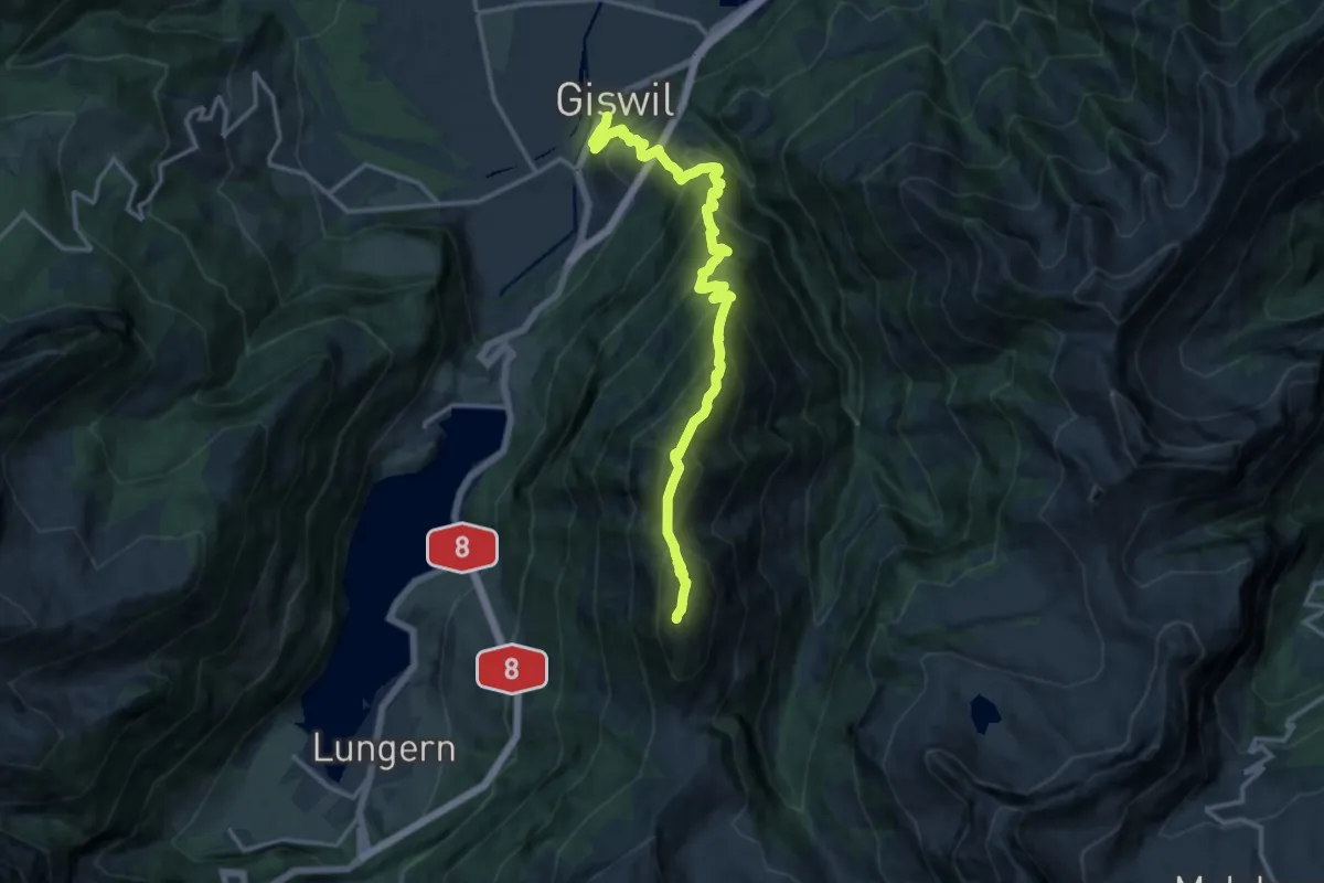
Demanding · Summit
Käserstatt – Giswil
15.1 km · ↑ 1756 m · 7 h 22 min
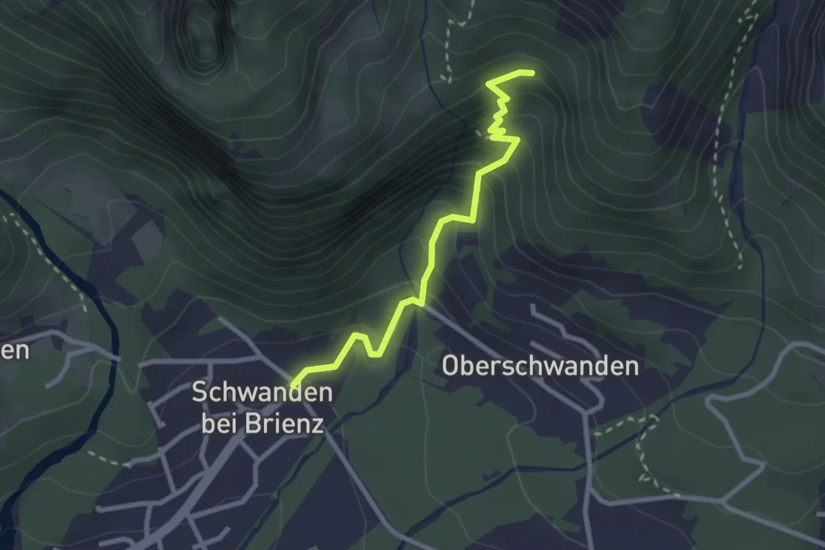
Medium · Trail
Unter Schwanden – Irtschelen
2.3 km · ↑ 259 m · 1 h 7 min
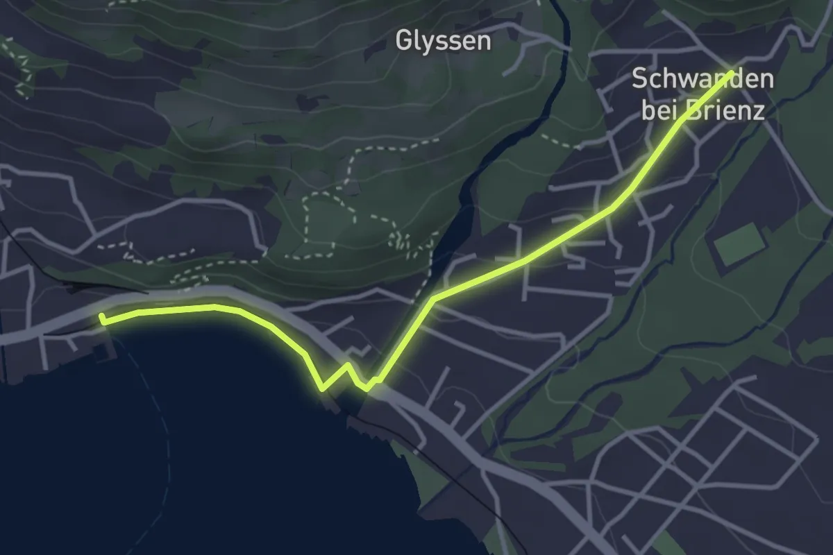
Easy · Trail
Unter Schwanden – Brienz
3.6 km · ↑ 103 m · 1 h 4 min
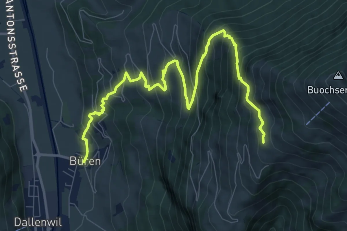
Demanding · Trail
Büren – Arhölzli
9.8 km · ↑ 898 m · 4 h 15 min
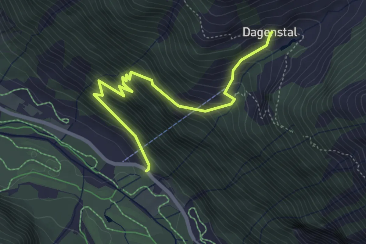
Medium · Trail
Wasserfall – Tagenstal
4.7 km · ↑ 537 m · 2 h 17 min
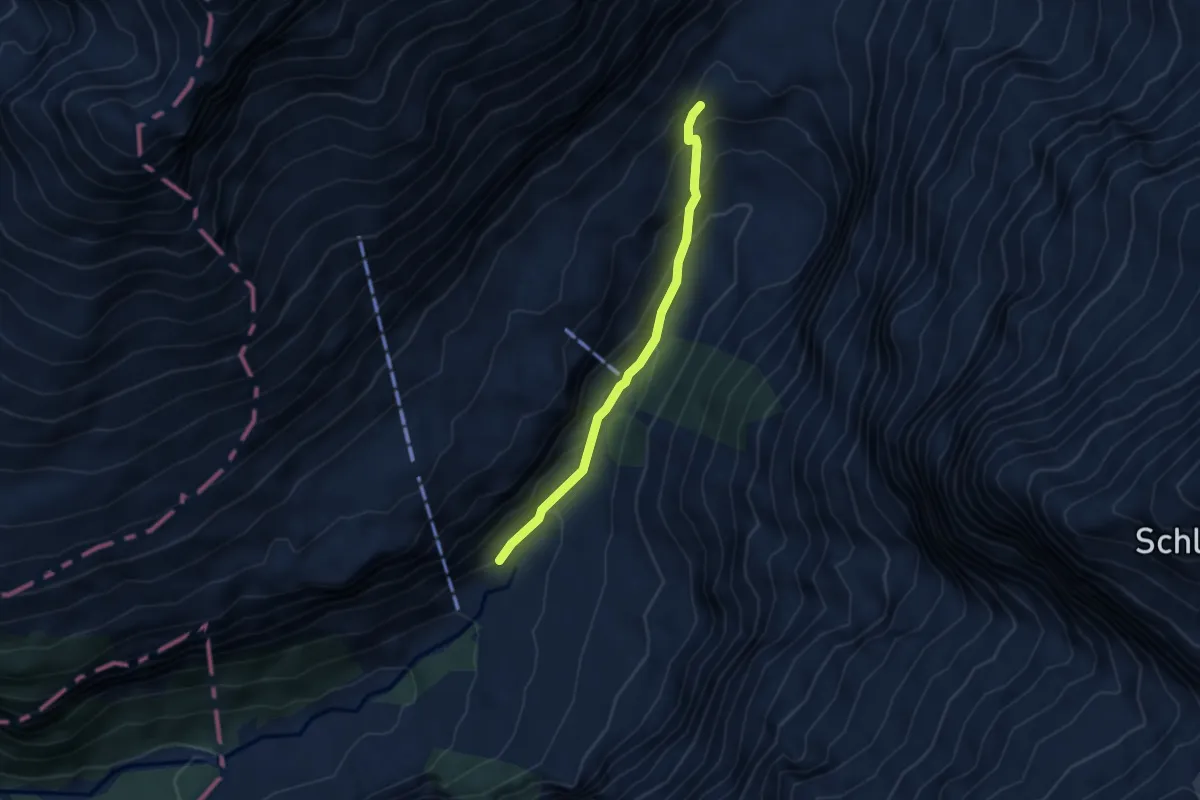
Medium · Trail
Stäfeli – Stäuber
3.6 km · ↑ 231 m · 1 h 21 min
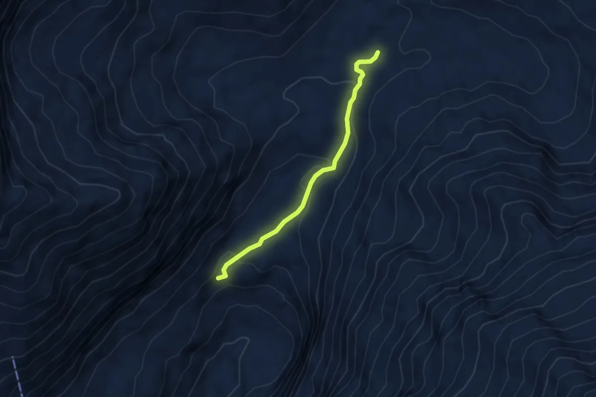
Easy · Trail
Blackenalp – Stäuber
3.5 km · ↑ 156 m · 1 h 10 min
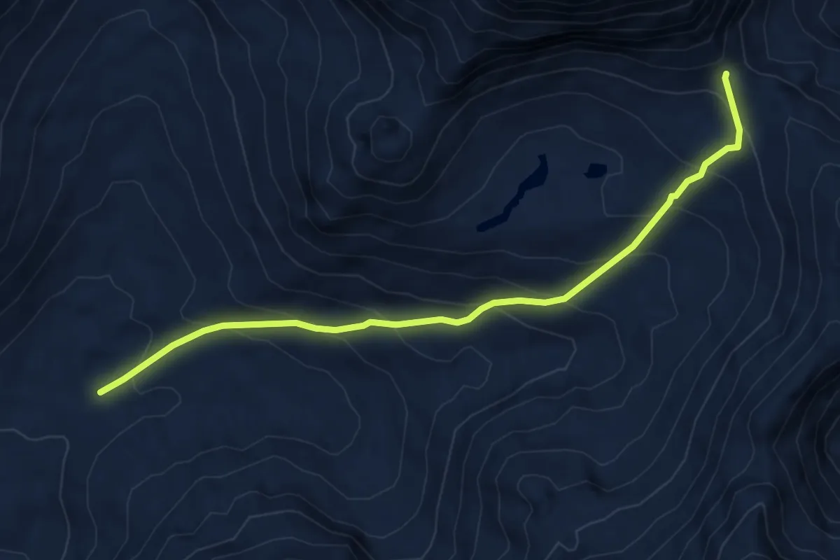
Medium · Trail
Surenenpass – Blackenalp
6.0 km · ↑ 492 m · 2 h 29 min
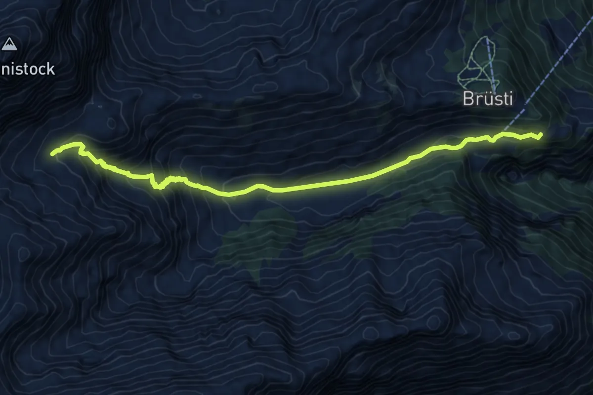
Medium · Trail
Langschnee – Höchiberg
9.7 km · ↑ 719 m · 3 h 51 min
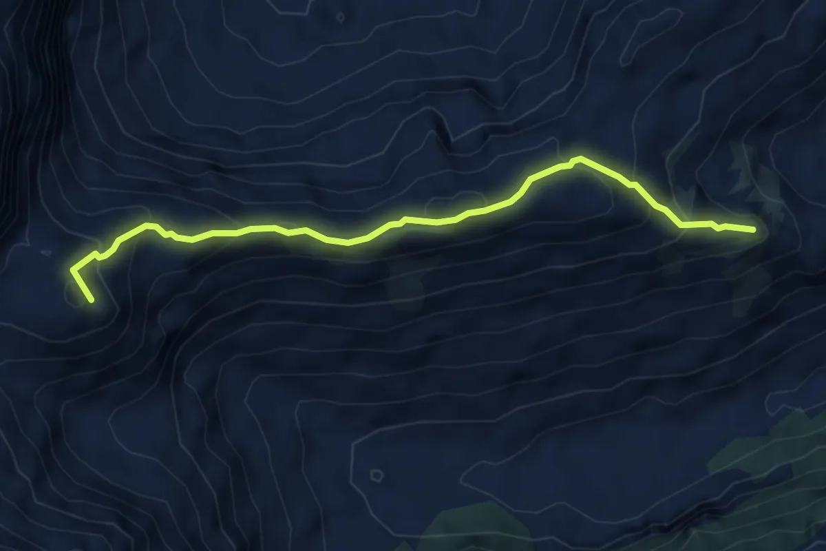
Medium · Summit
Angistock – Chraienhöreli
5.4 km · ↑ 368 m · 2 h 4 min
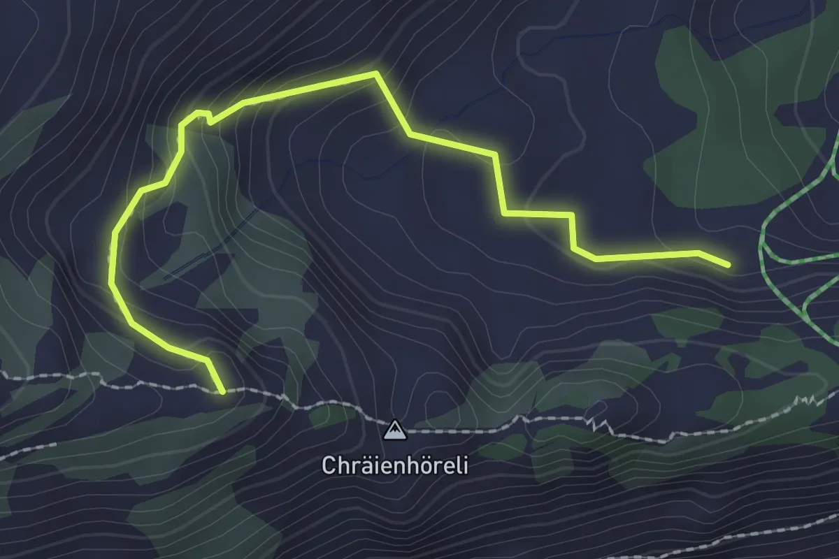
Medium · Trail
Chraienhöreli – Chäserli
2.4 km · ↑ 159 m · 54 min
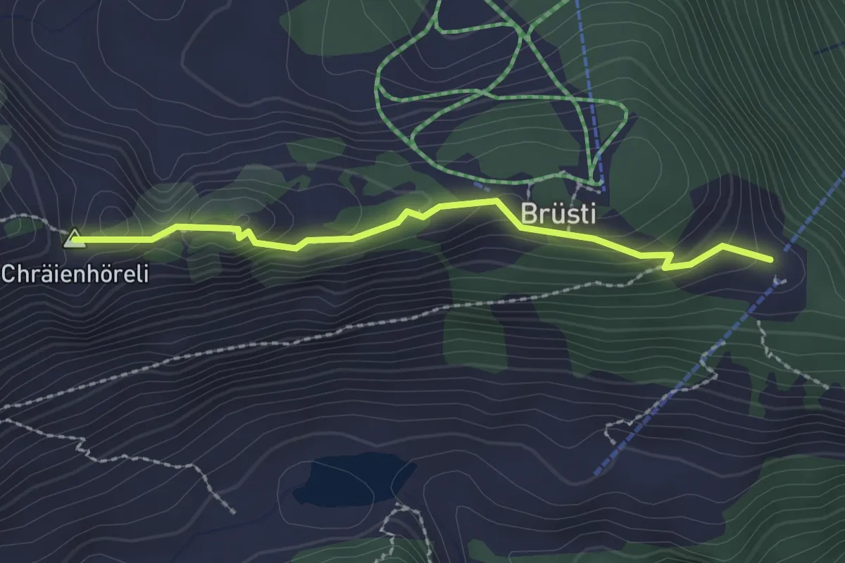
Medium · Summit
Chraienhöreli – Brüsti
2.1 km · ↑ 144 m · 49 min
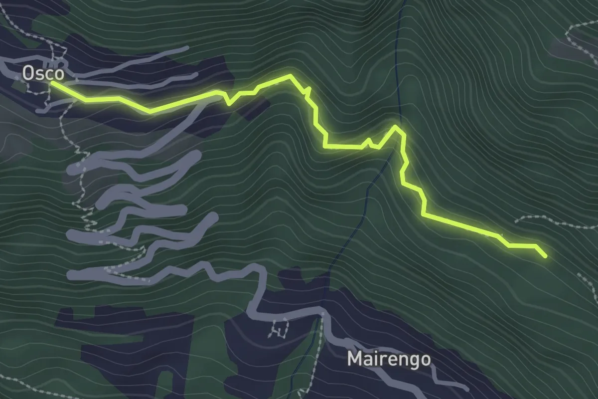
Medium · Trail
Osco – Targnett
2.9 km · ↑ 190 m · 1 h 6 min
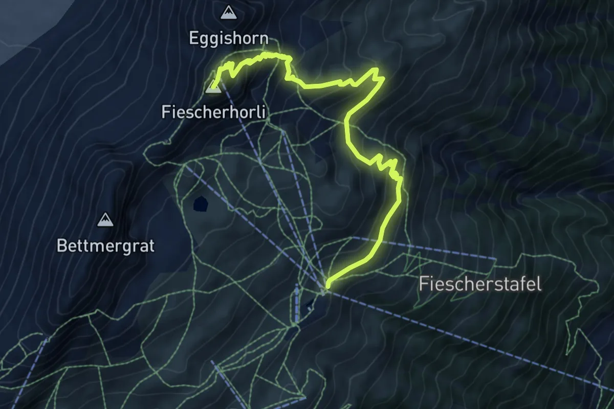
Demanding · Summit
Fiescheralp Kühboden – Eggishorn Bergstation
8.9 km · ↑ 748 m · 3 h 44 min
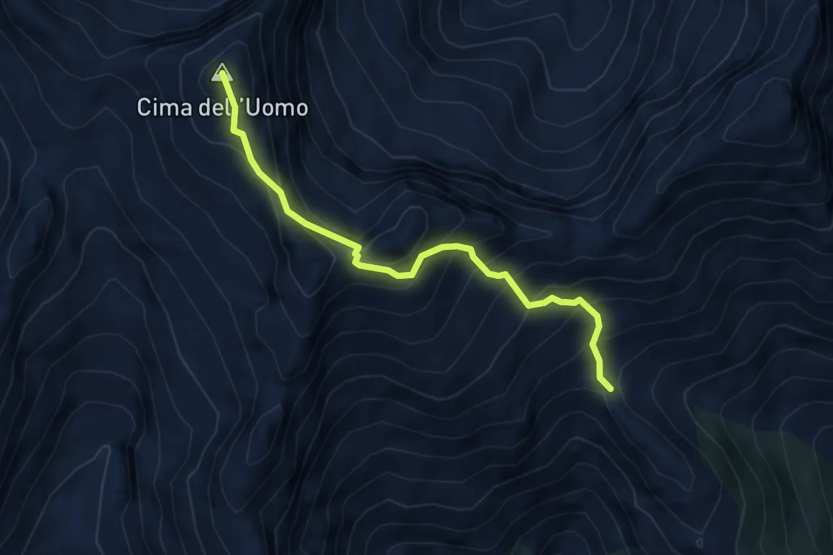
Expert · Summit
Capanna Borgna – Capanna Albagno
4.6 km · ↑ 591 m · 2 h 22 min
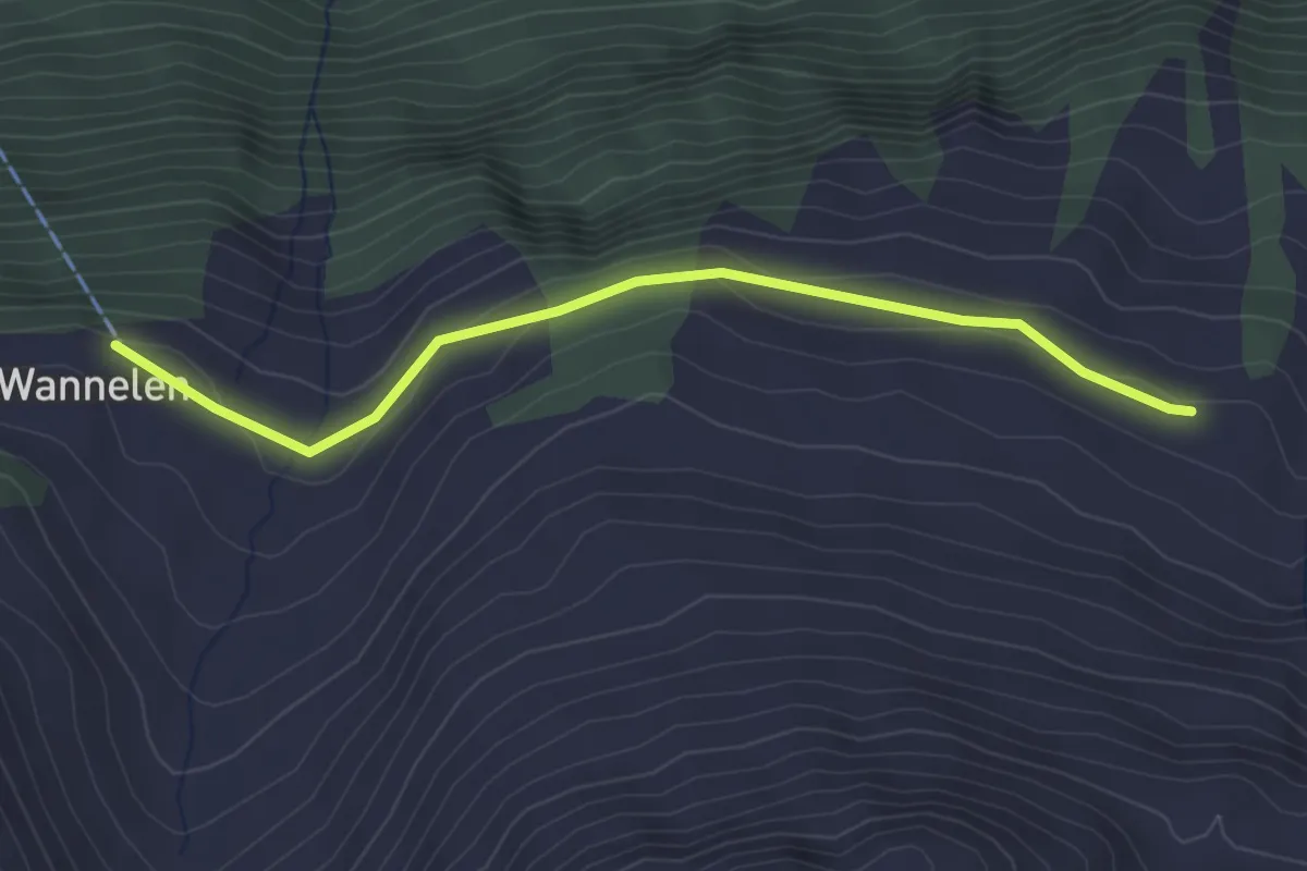
Easy · Trail
Nideralp – Wannelen Bergstation
3.0 km · ↑ 60 m · 51 min
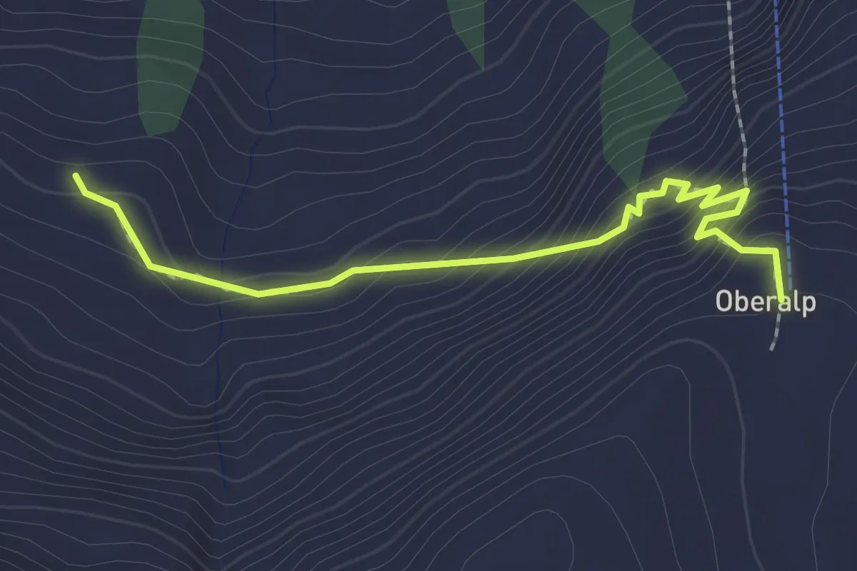
Easy · Trail
Oberalp Bergstation – Nideralp
2.2 km · ↑ 227 m · 1 h
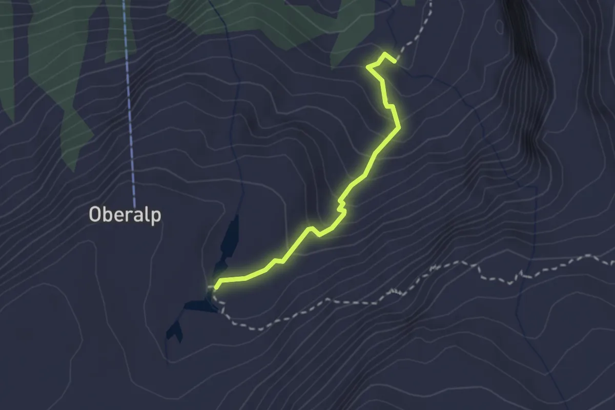
Medium · Trail
Oberalp – Äsch
2.0 km · ↑ 197 m · 54 min
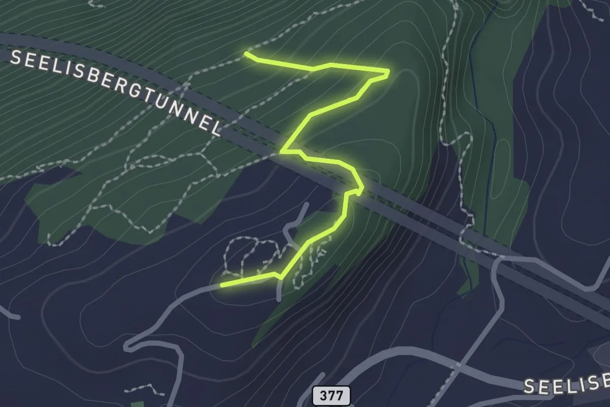
Easy · Trail
Seeblick – Bleiki
2.1 km · ↑ 127 m · 46 min
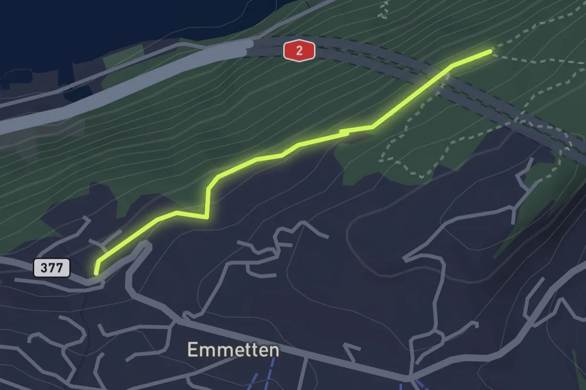
Easy · Trail
Schönegg – Bleiki
2.5 km · ↑ 116 m · 51 min
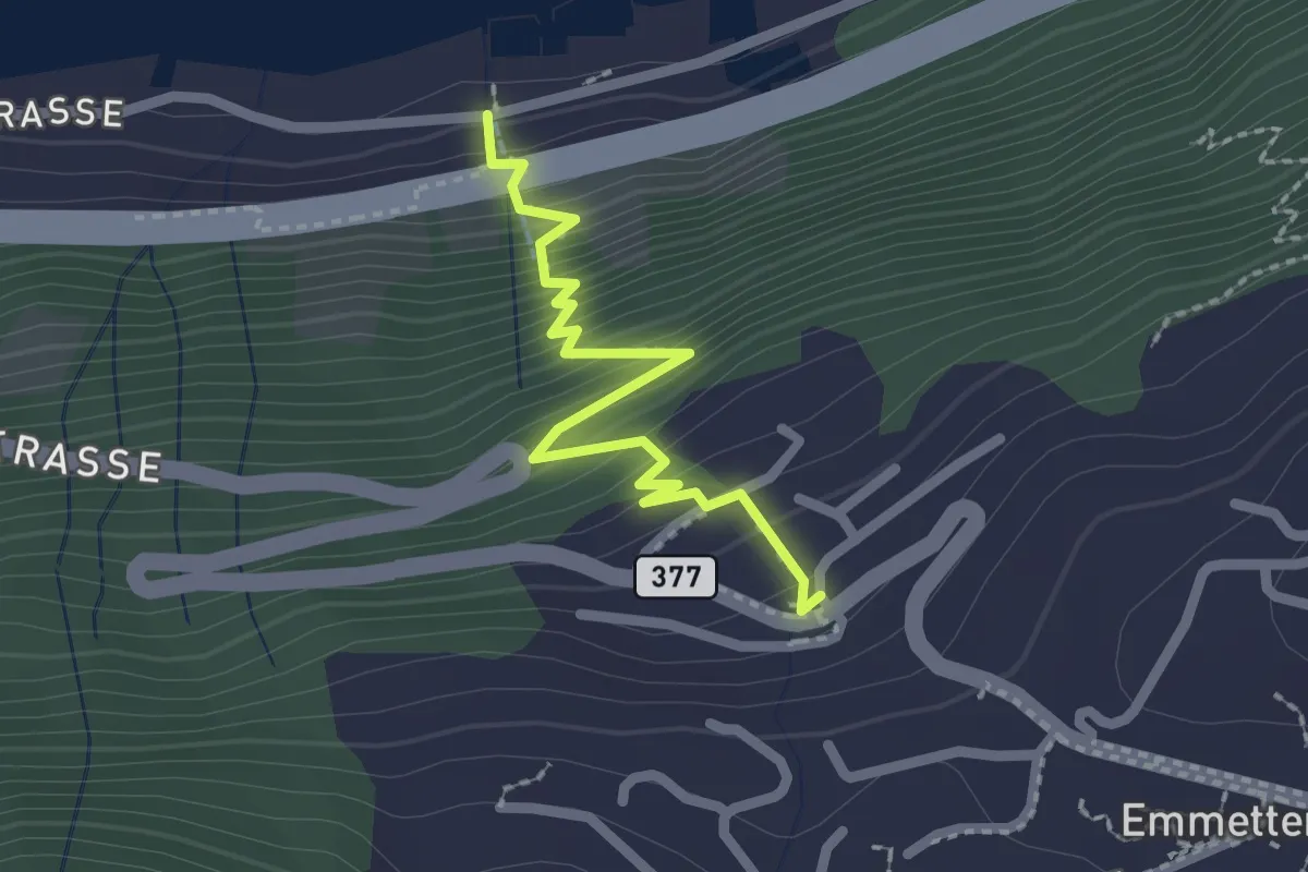
Easy · Trail
Schönegg – Rütenen
2.2 km · ↑ 268 m · 1 h 6 min
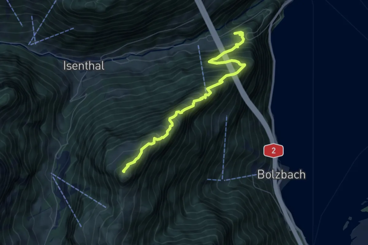
Demanding · Summit
Saum – Schartihöreli
7.3 km · ↑ 1173 m · 4 h 16 min
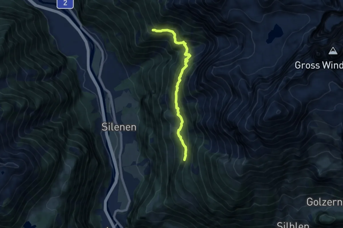
Demanding · Trail
Geissnossen – Strängmatt
8.5 km · ↑ 765 m · 3 h 40 min
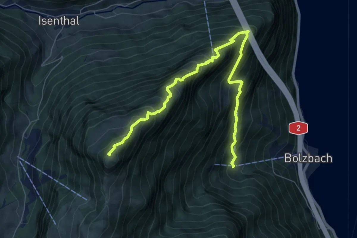
Demanding · Summit
Schartihöreli – Bodmi
7.6 km · ↑ 995 m · 3 h 57 min
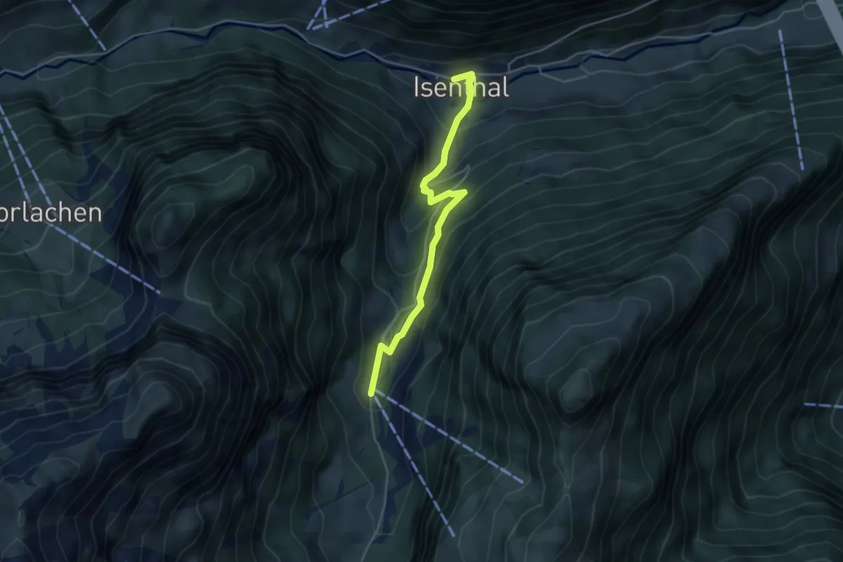
Easy · Trail
Gietisflue Talstation – Isenthal
3.9 km · ↑ 269 m · 1 h 31 min
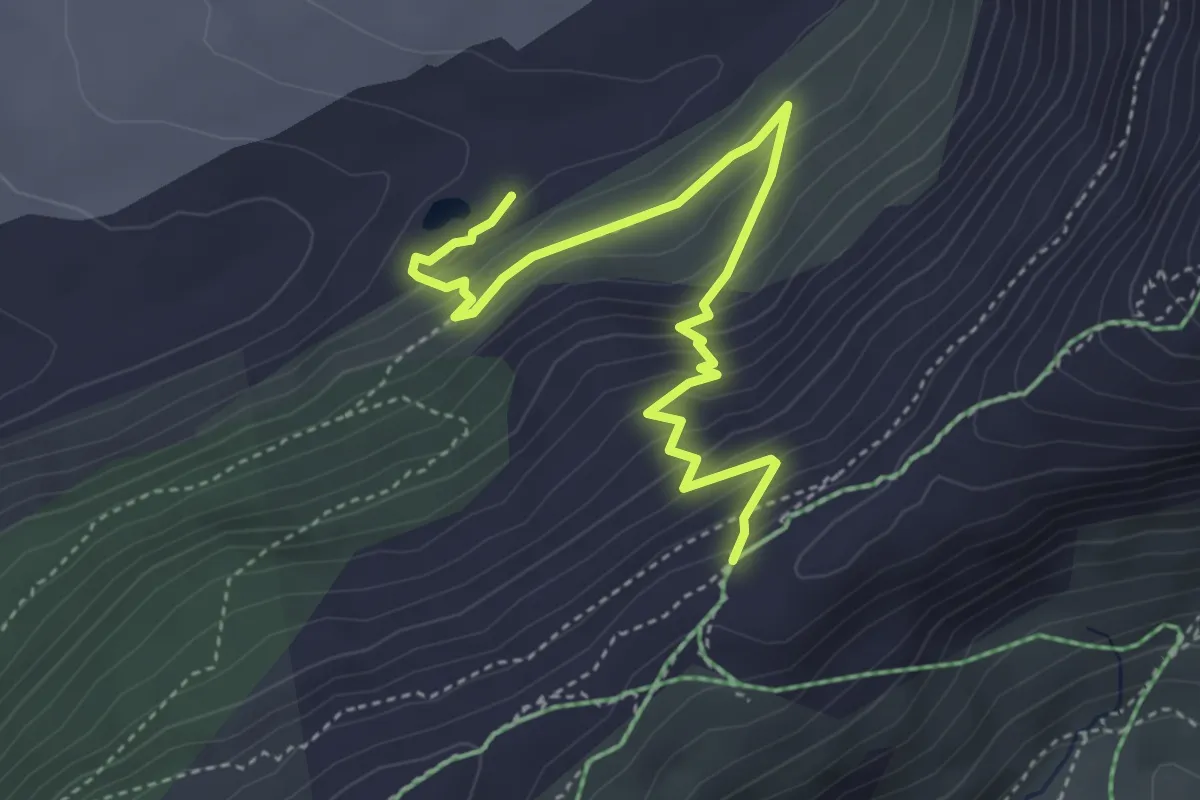
Medium · Trail
2285m – Gletscherrand
4.6 km · ↑ 355 m · 1 h 52 min
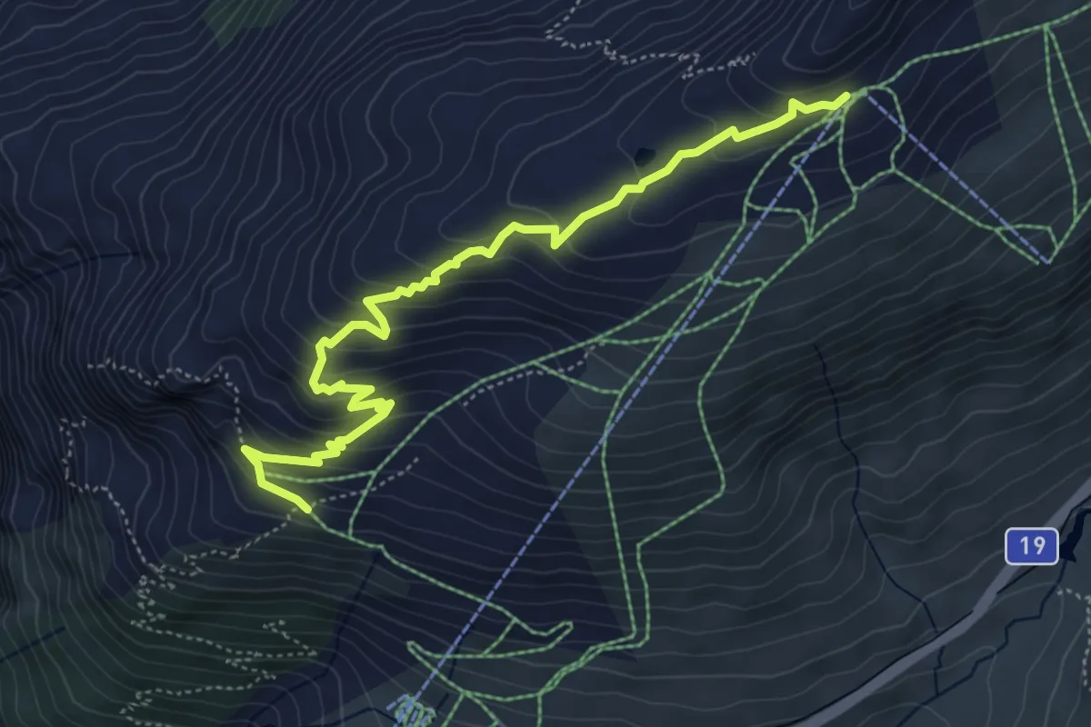
Medium · Trail
Gütsch Bergstation – Nätschen
5.8 km · ↑ 368 m · 2 h 10 min
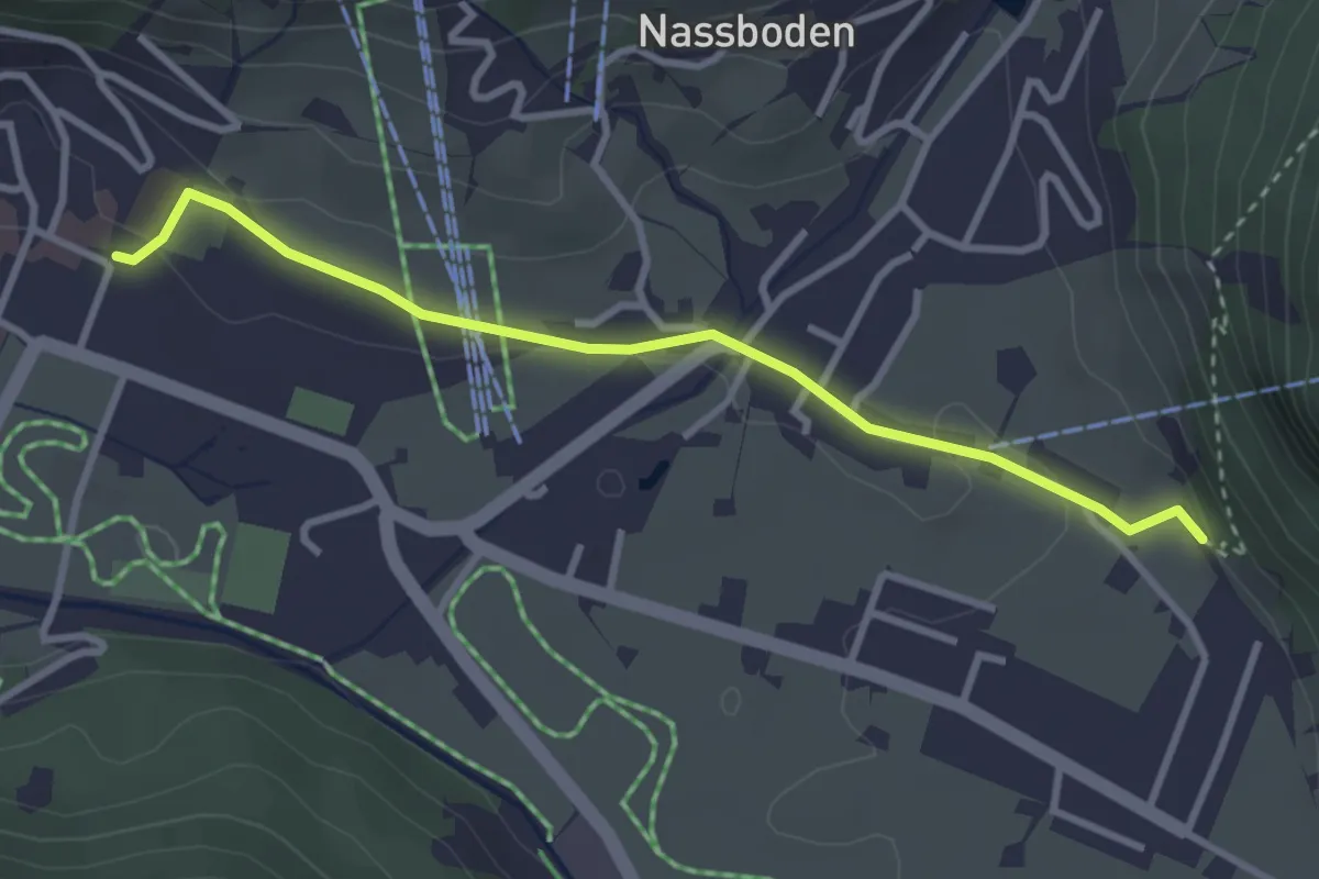
Easy · Trail
Kloster – Holzkapelle
3.2 km · ↑ 34 m · 49 min
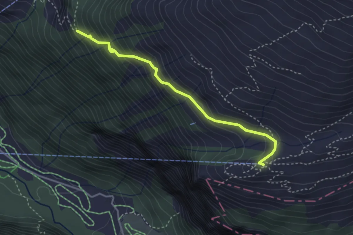
Medium · Trail
Widderen – Fürenalp Bergstation
3.1 km · ↑ 285 m · 1 h 22 min
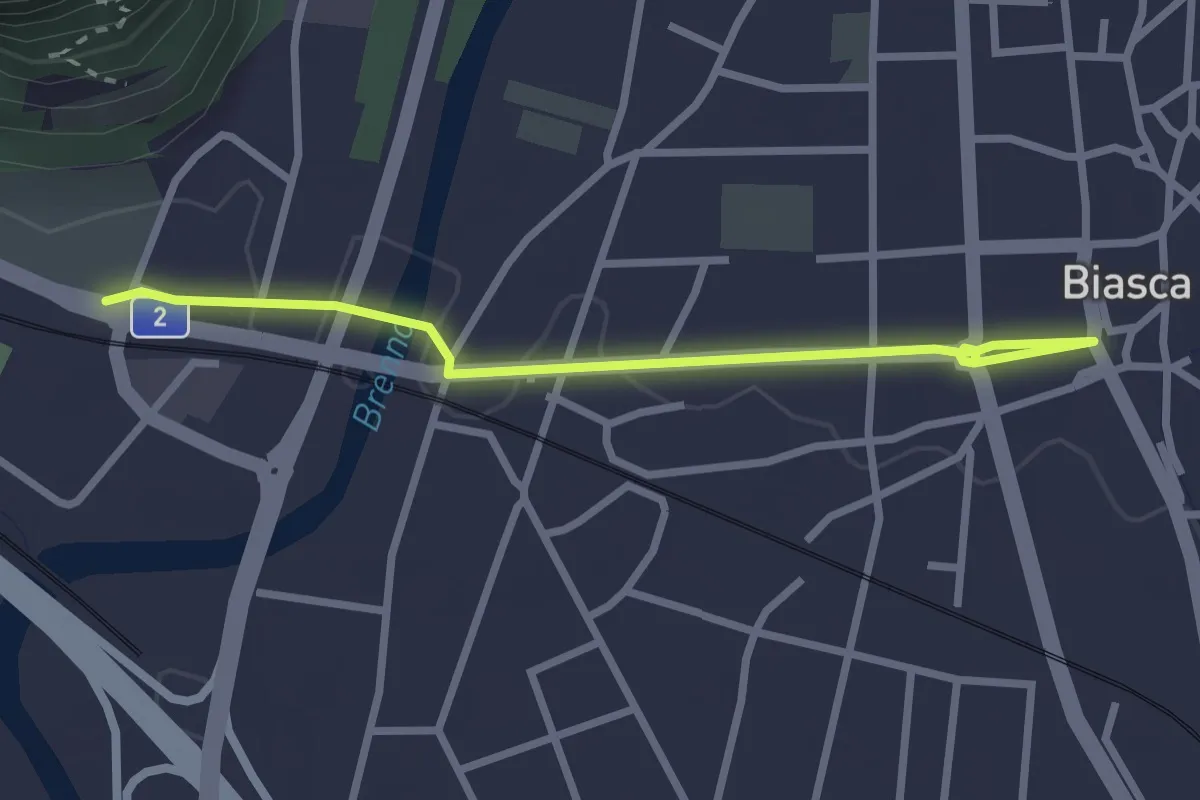
Easy · Trail
Pasquerio – Biasca Borgo
2.8 km · ↑ 8 m · 41 min
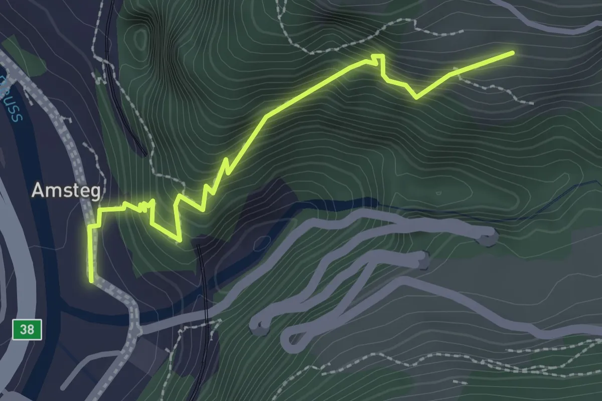
Demanding · Trail
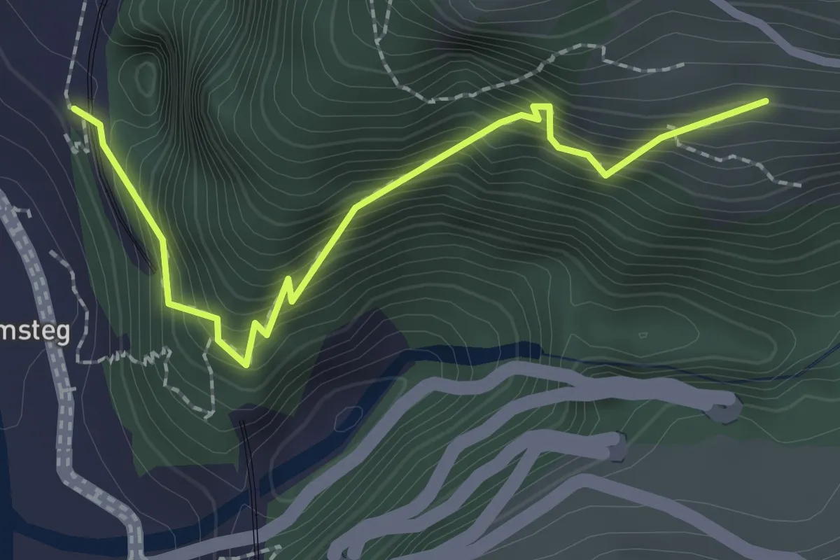
Amsteg – Frentschenberg
2.6 km · ↑ 387 m · 1 h 27 min
Demanding · Trail
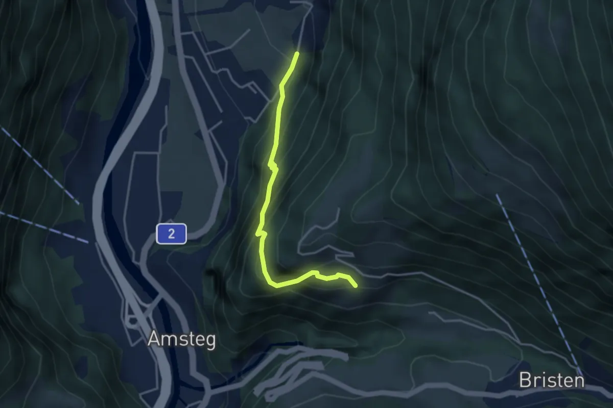
Ruine Zwing Uri – Frentschenberg
2.3 km · ↑ 386 m · 1 h 23 min
Medium · Trail
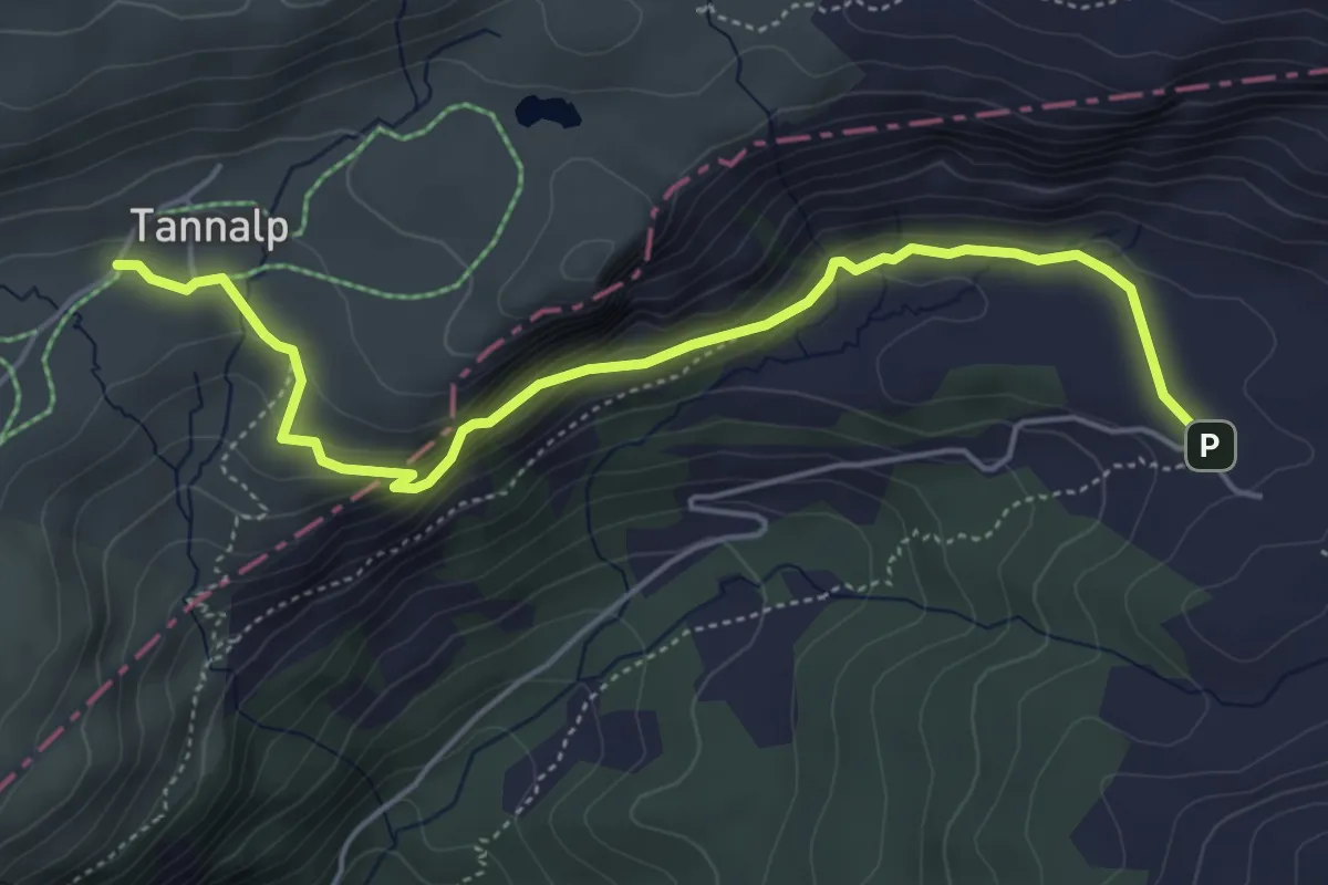
Frentschenberg – Ledi
3.2 km · ↑ 388 m · 1 h 36 min
Medium · Trail
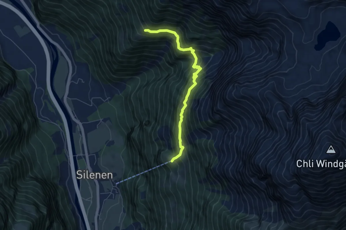
Tannenalp – Engstlenalp
5.3 km · ↑ 304 m · 1 h 54 min
Demanding · Trail
Chilcherbergen Bergstation – Strängmatt
6.4 km · ↑ 664 m · 2 h 57 min