Trails in Switzerland
15,055 hiking trails, each with its route, climb, walking time and grade.
All trails, page 214 of 314
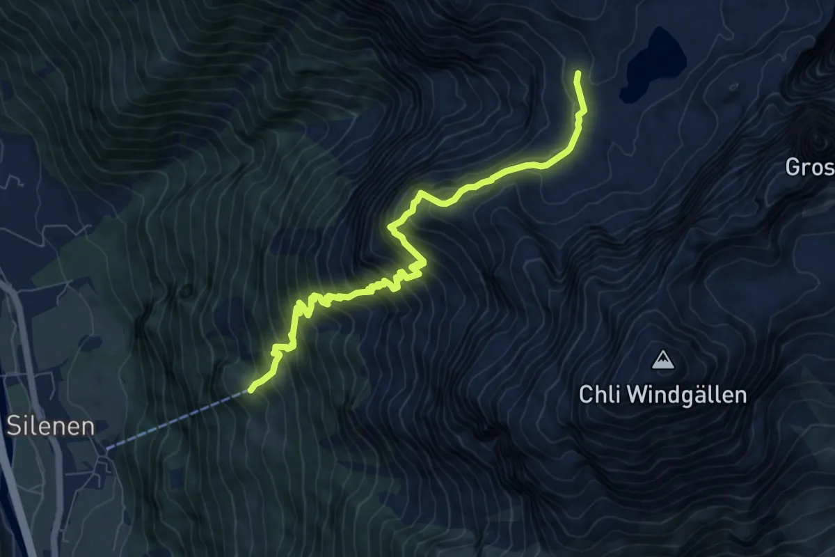
Demanding · Trail
Chilcherbergen Bergstation – Seewli
8.4 km · ↑ 1187 m · 4 h 34 min
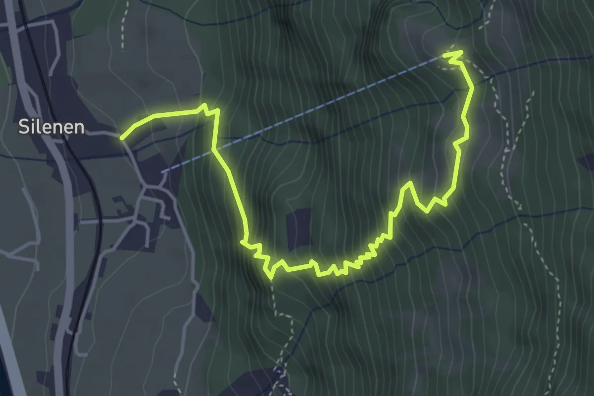
Medium · Trail
Dägerlohn – Chilcherbergen Bergstation
5.0 km · ↑ 721 m · 2 h 45 min
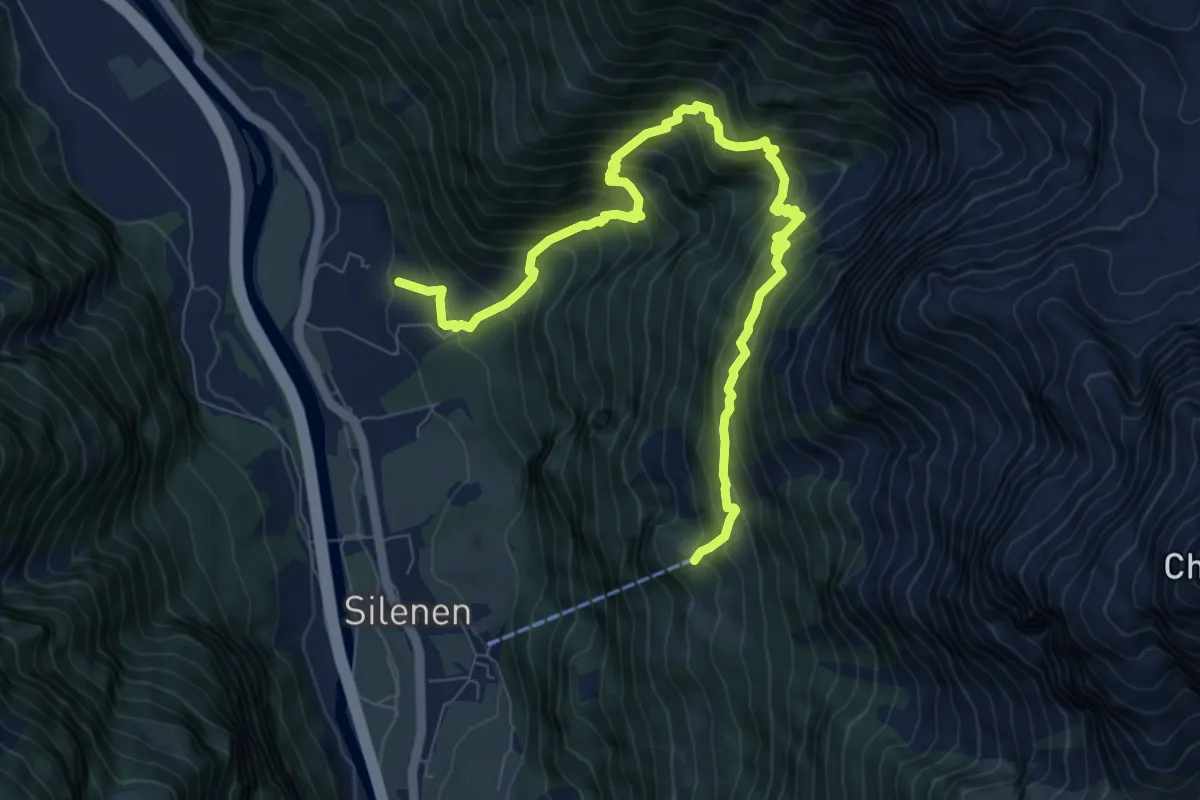
Demanding · Trail
Chilcherbergen Bergstation – Buechholz
9.9 km · ↑ 1237 m · 5 h 1 min
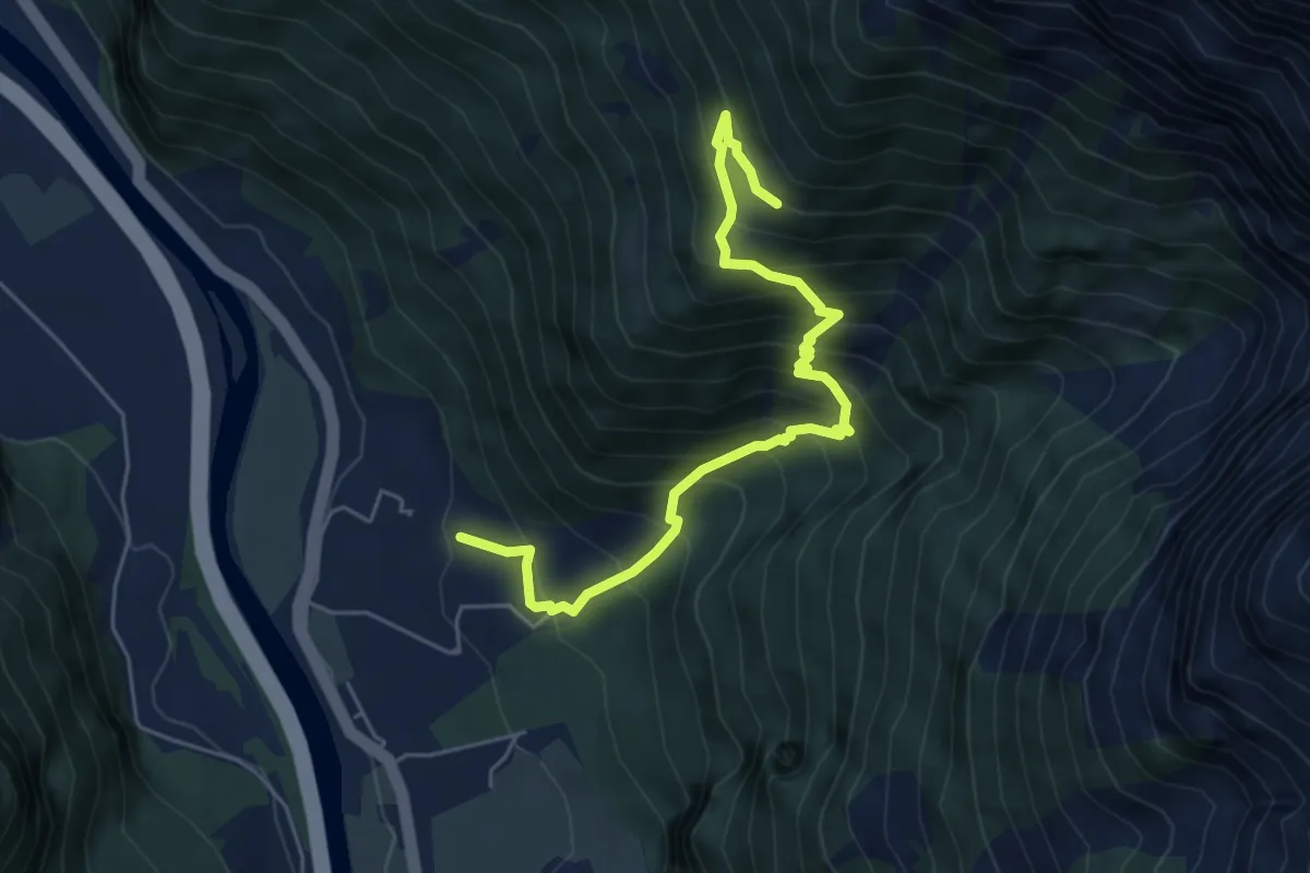
Medium · Trail
Buechholz – Strängmatt
5.8 km · ↑ 724 m · 2 h 57 min
Medium · Trail
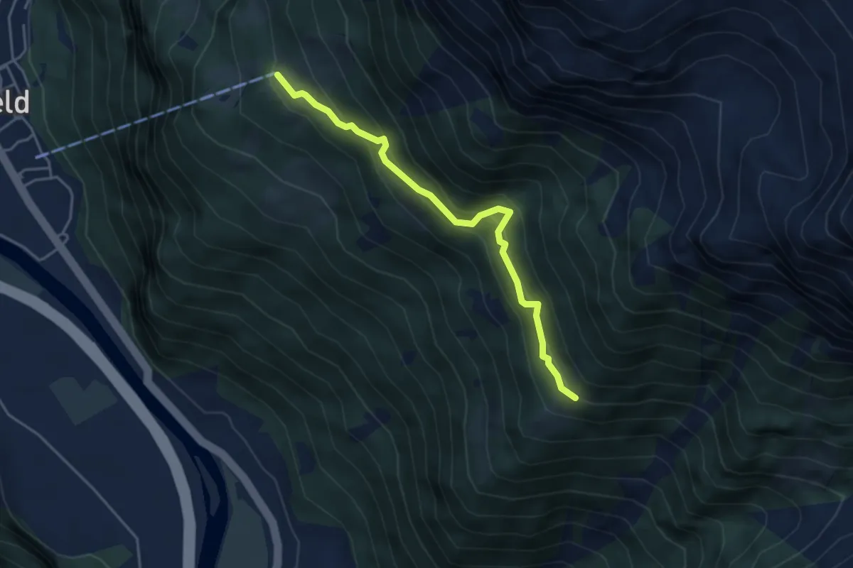
Strängmatt – Ober Schwandi
4.0 km · ↑ 353 m · 1 h 43 min
Demanding · Trail
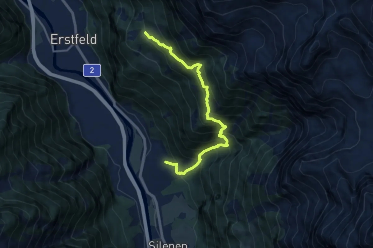
Buecholz – Ober Schwandi
8.8 km · ↑ 1034 m · 4 h 18 min
Medium · Trail
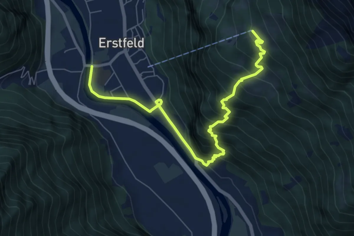
Ober Schwandi – Erstfeld
7.4 km · ↑ 697 m · 3 h 15 min
Demanding · Trail
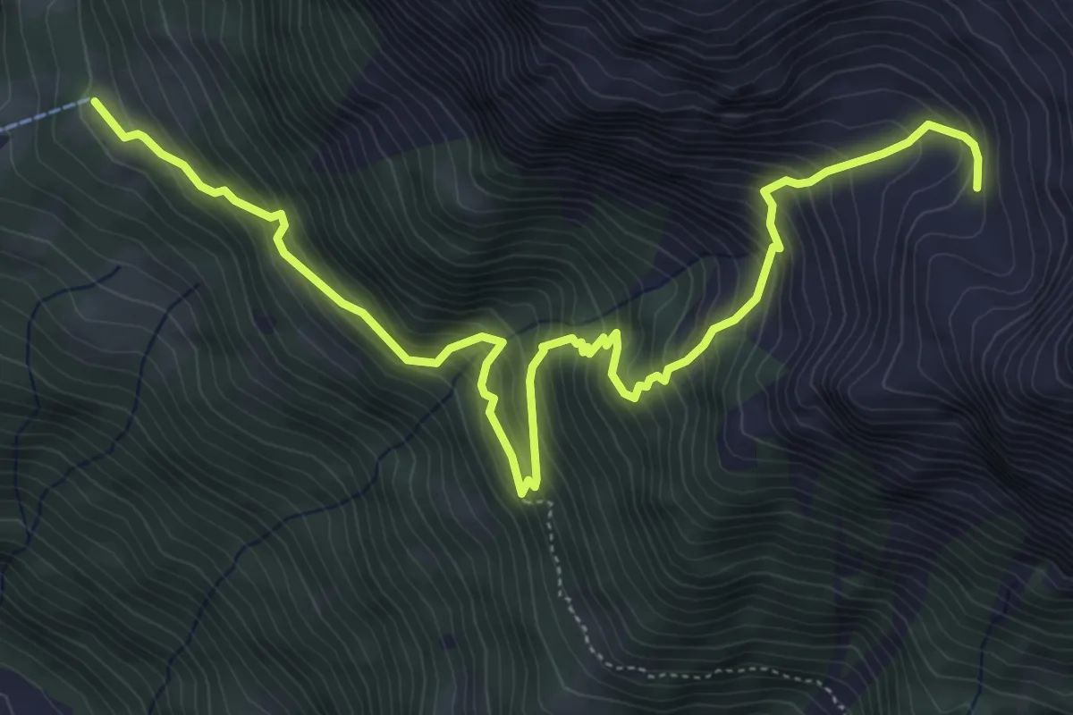
Ober Schwandi – Bödmer
7.0 km · ↑ 861 m · 3 h 31 min
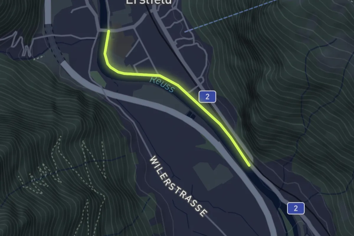
Easy · Trail
Erstfeld – Bruust
2.7 km · ↑ 15 m · 41 min
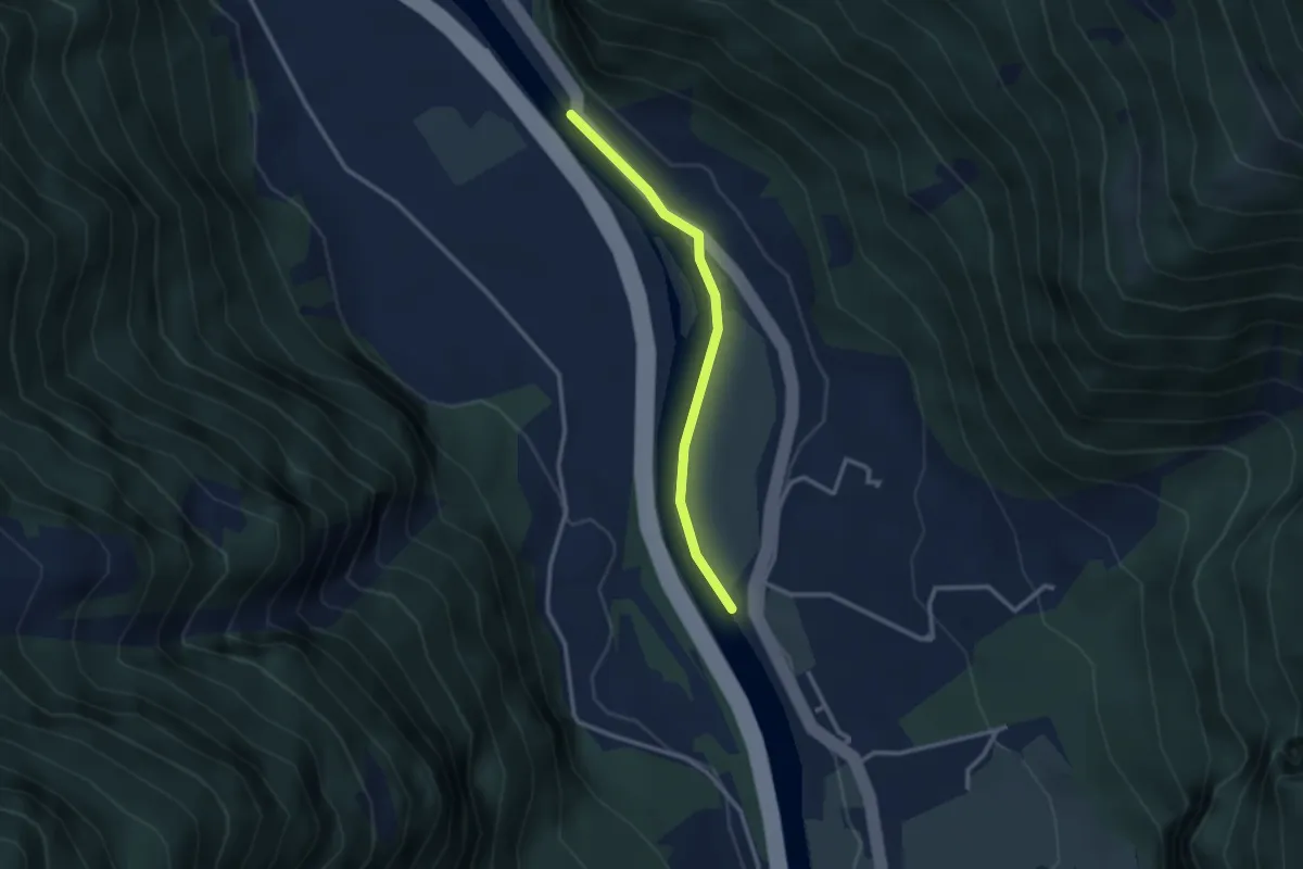
Easy · Trail
Bruust – Ellbogen
2.6 km · ↑ 17 m · 39 min
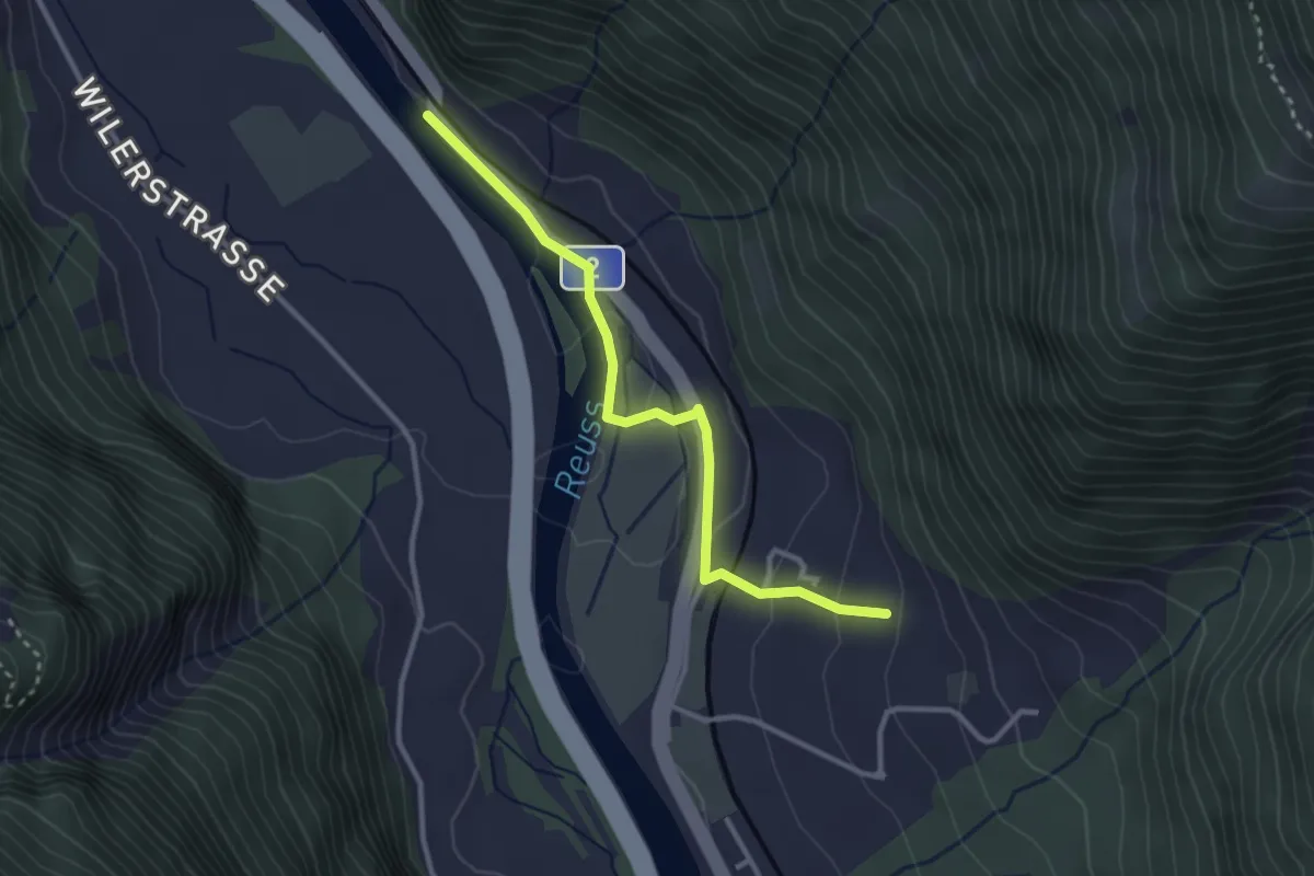
Medium · Trail
Bruust – Buecholz
3.0 km · ↑ 94 m · 55 min
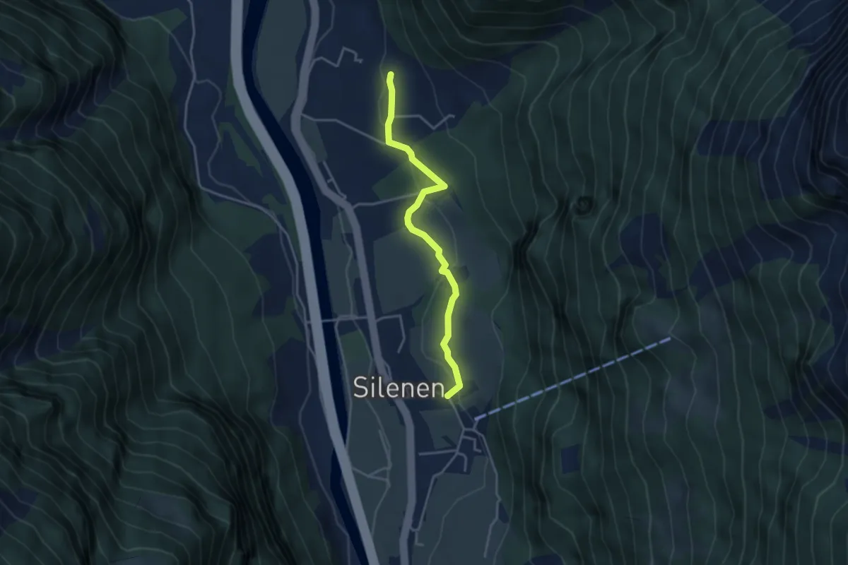
Easy · Trail
Buechholz – Dägerlohn
3.5 km · ↑ 102 m · 1 h 3 min
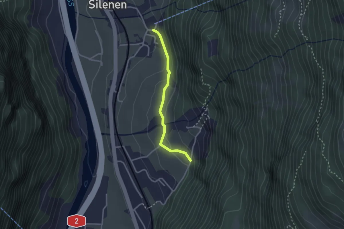
Easy · Trail
Chilcherbergen Talstation – Ledi
2.2 km · ↑ 98 m · 44 min
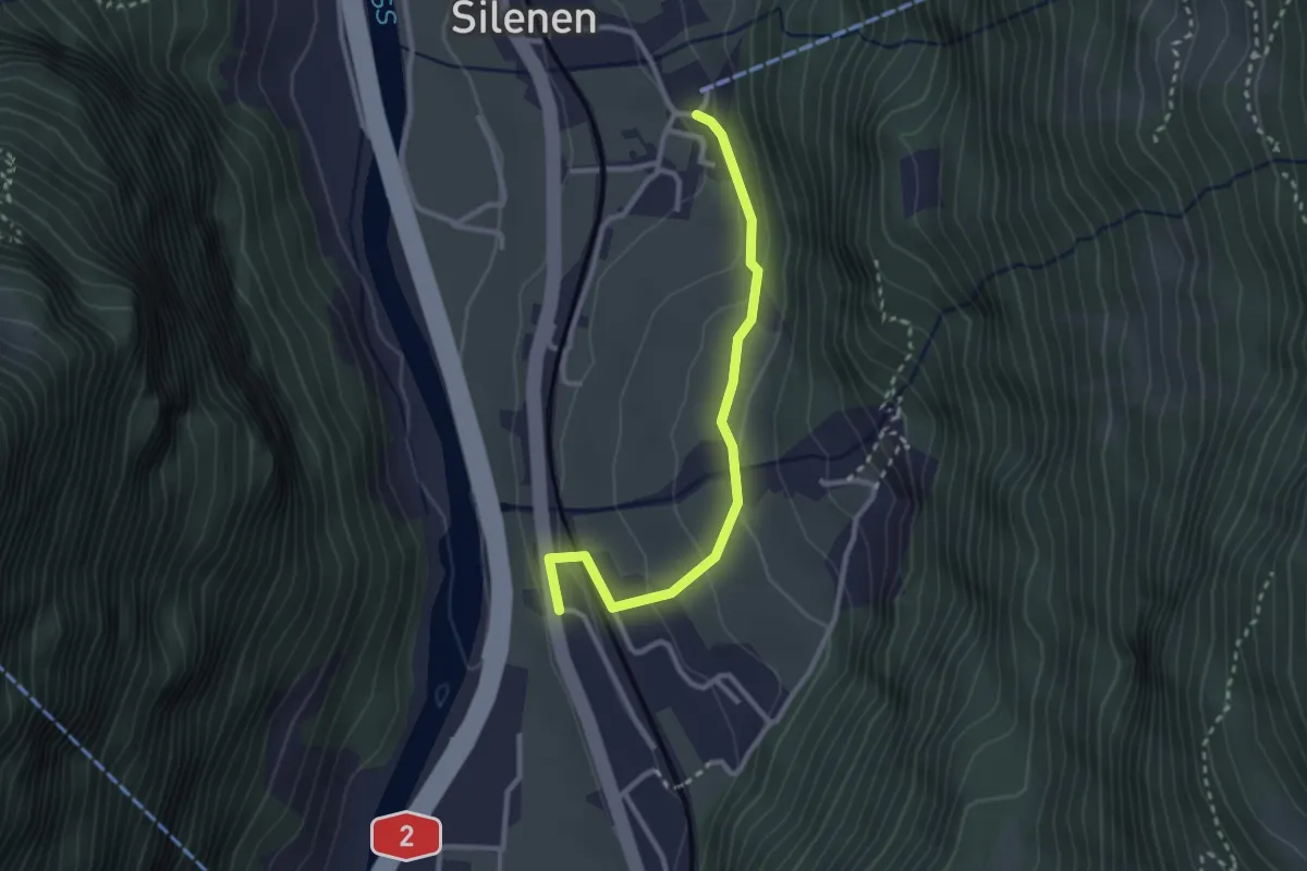
Easy · Trail
Silenen – Chilcherbergen Talstation
2.7 km · ↑ 121 m · 54 min
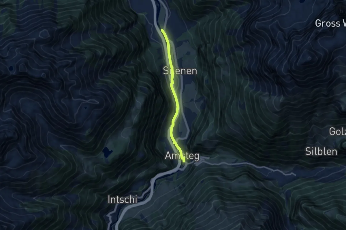
Easy · Trail
Ellbogen – Amsteg
7.8 km · ↑ 51 m · 1 h 57 min
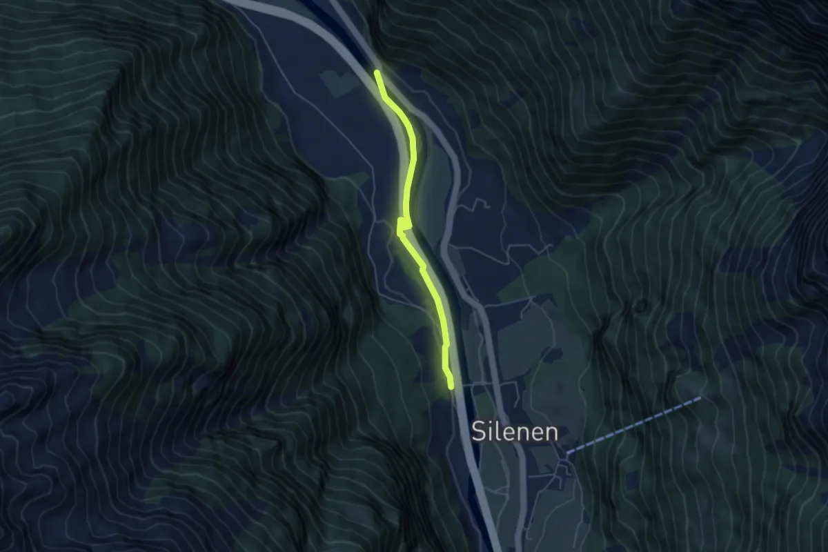
Easy · Trail
Bruust – Oppli
4.5 km · ↑ 26 m · 1 h 7 min
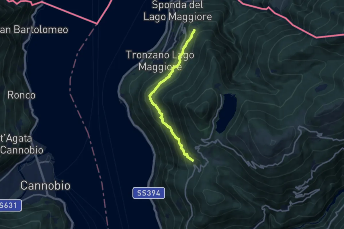
Medium · Trail
Bassano – Musignano
8.4 km · ↑ 476 m · 3 h 1 min
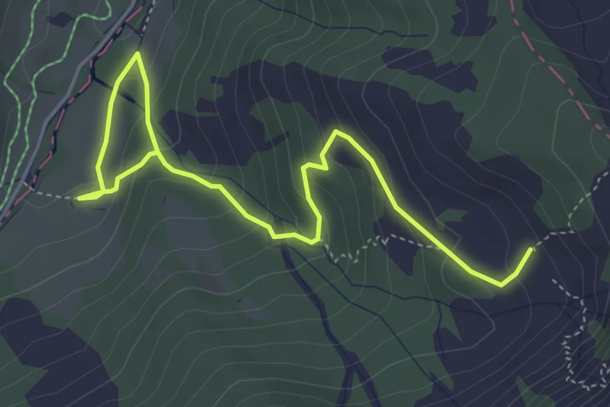
Medium · Trail
Oberlauwelen – Unterlauwelen
5.2 km · ↑ 322 m · 1 h 55 min
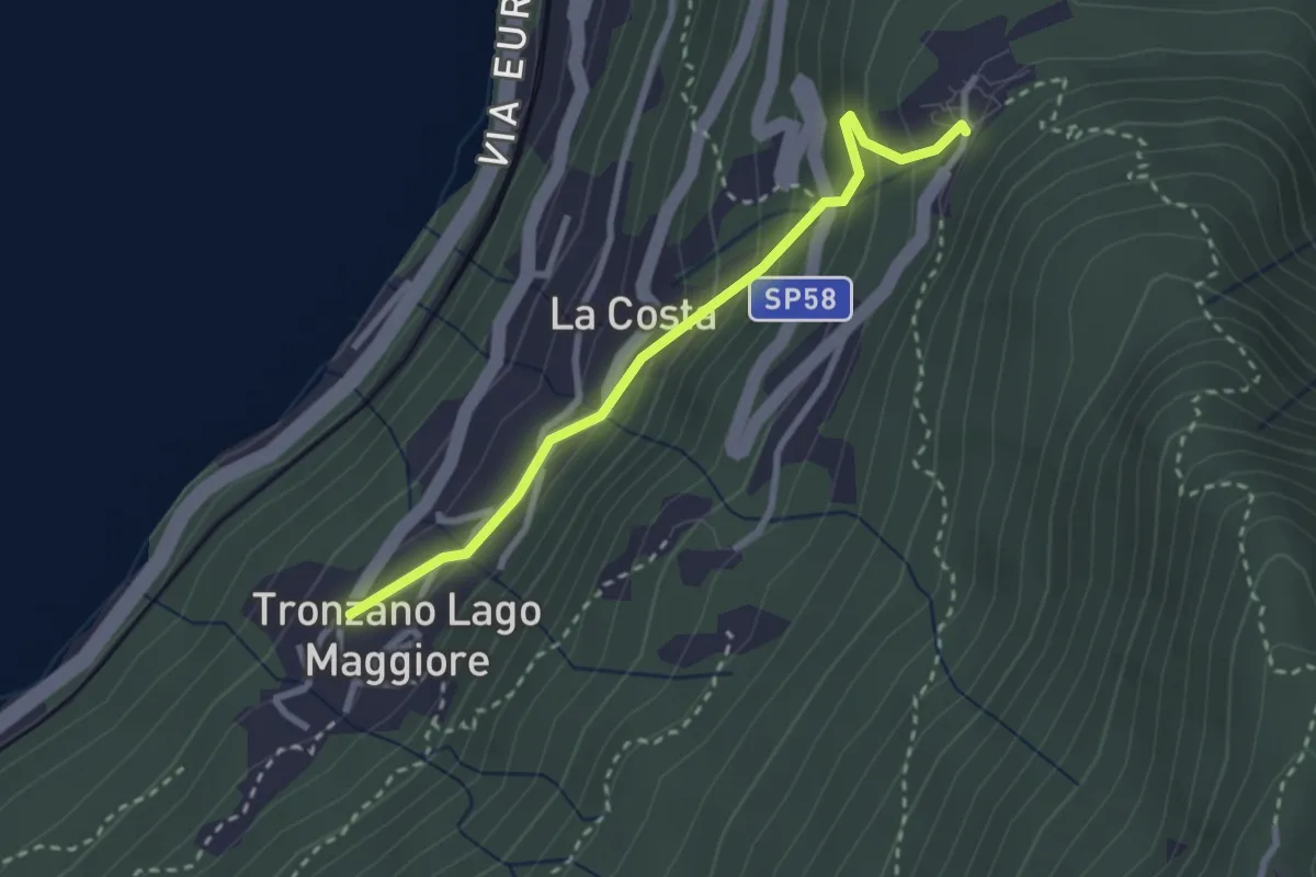
Easy · Trail
Bassano – Tronzano
2.7 km · ↑ 233 m · 1 h 8 min
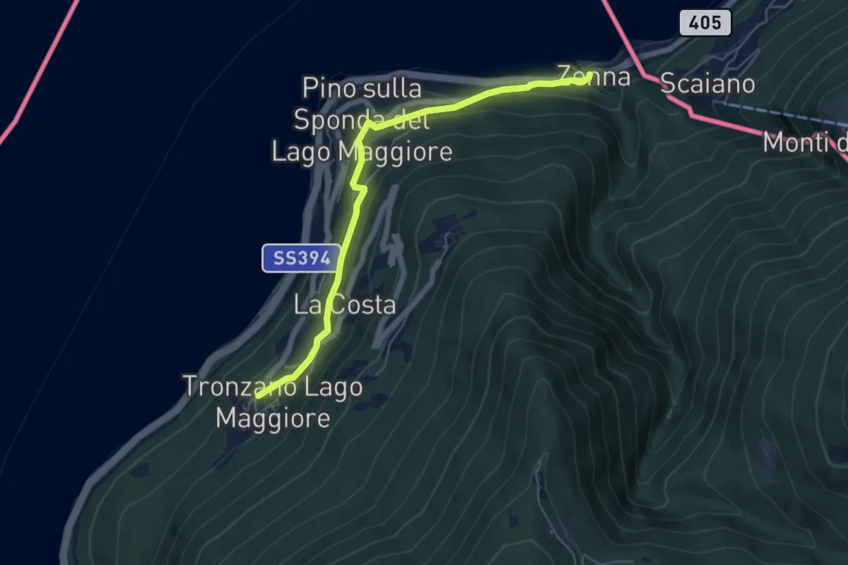
Easy · Trail
Zenna – Tronzano
5.4 km · ↑ 235 m · 1 h 47 min
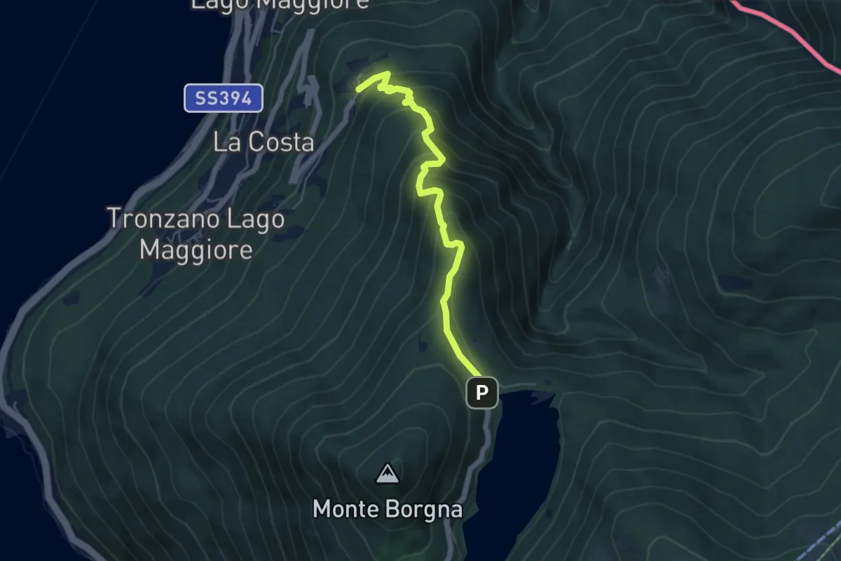
Medium · Trail
Bassano – Monti di Bassano
5.0 km · ↑ 436 m · 2 h 8 min
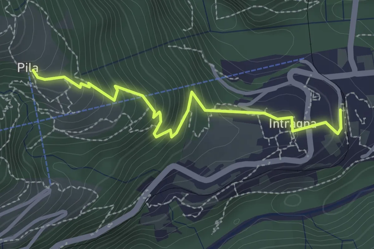
Easy · Trail
Intragna – Pila
2.6 km · ↑ 226 m · 1 h 6 min
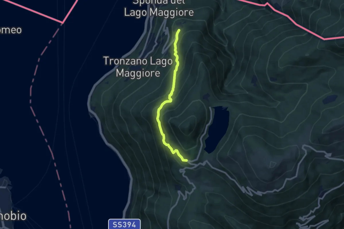
Medium · Trail
Bassano – Ristoro Lago Delio
6.6 km · ↑ 526 m · 2 h 42 min
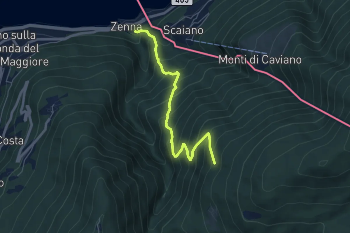
Medium · Trail
Zenna – Forcora
5.1 km · ↑ 634 m · 2 h 35 min
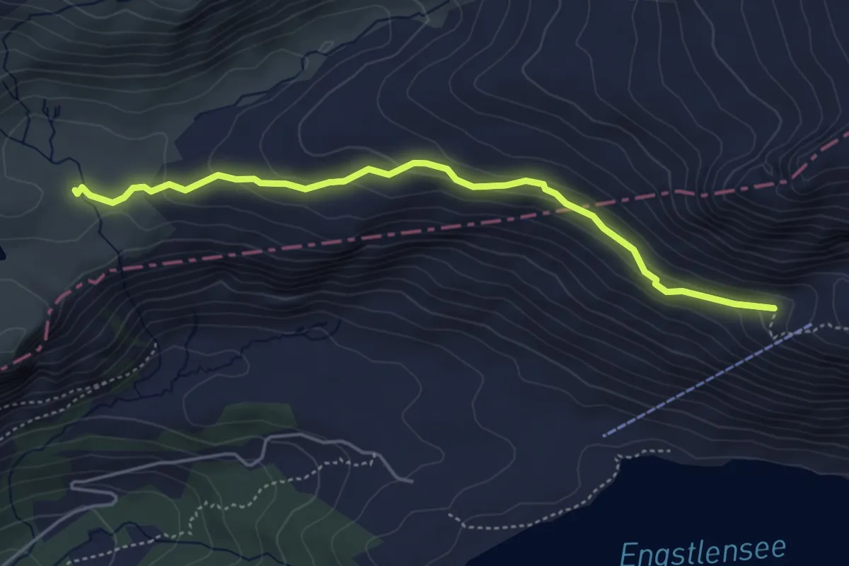
Medium · Trail
Hengliboden – Schaftal
4.6 km · ↑ 177 m · 1 h 29 min
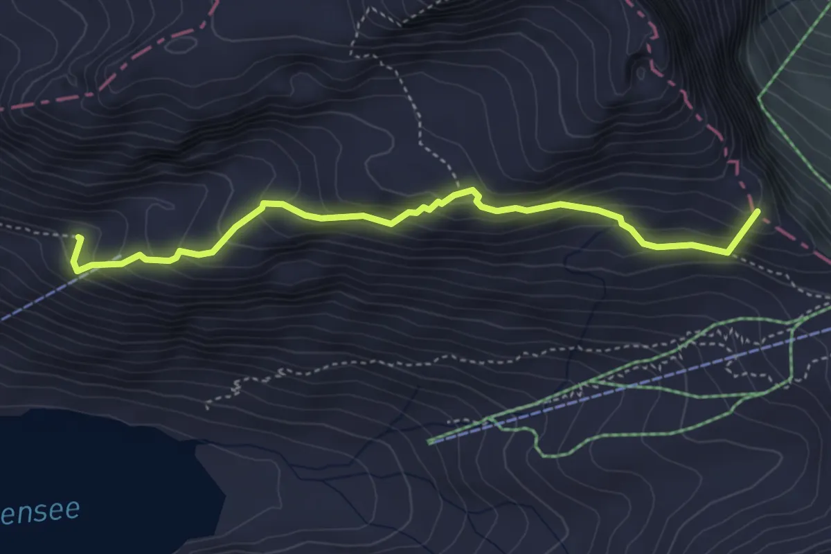
Medium · Summit
Schaftal – Jochpass
4.2 km · ↑ 374 m · 1 h 49 min
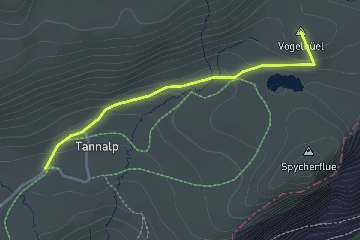
Easy · Summit
Tannalp – Hengliboden
2.1 km · ↑ 65 m · 39 min
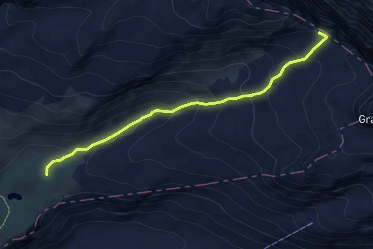
Medium · Trail
Hengliboden – Follenseeli
5.5 km · ↑ 372 m · 2 h 7 min
Medium · Trail
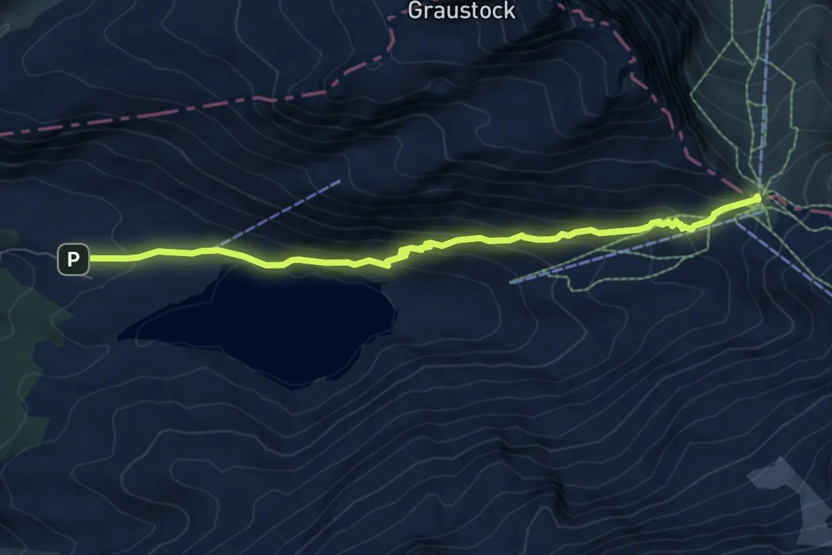
Jochpass – Engstlenalp
7.3 km · ↑ 408 m · 2 h 36 min
Medium · Trail
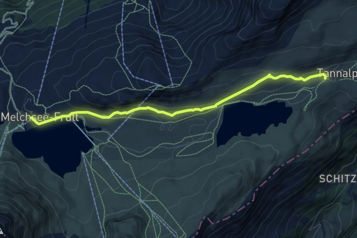
Melchsee-Frutt – Tannenalp
8.5 km · ↑ 257 m · 2 h 35 min
Medium · Trail
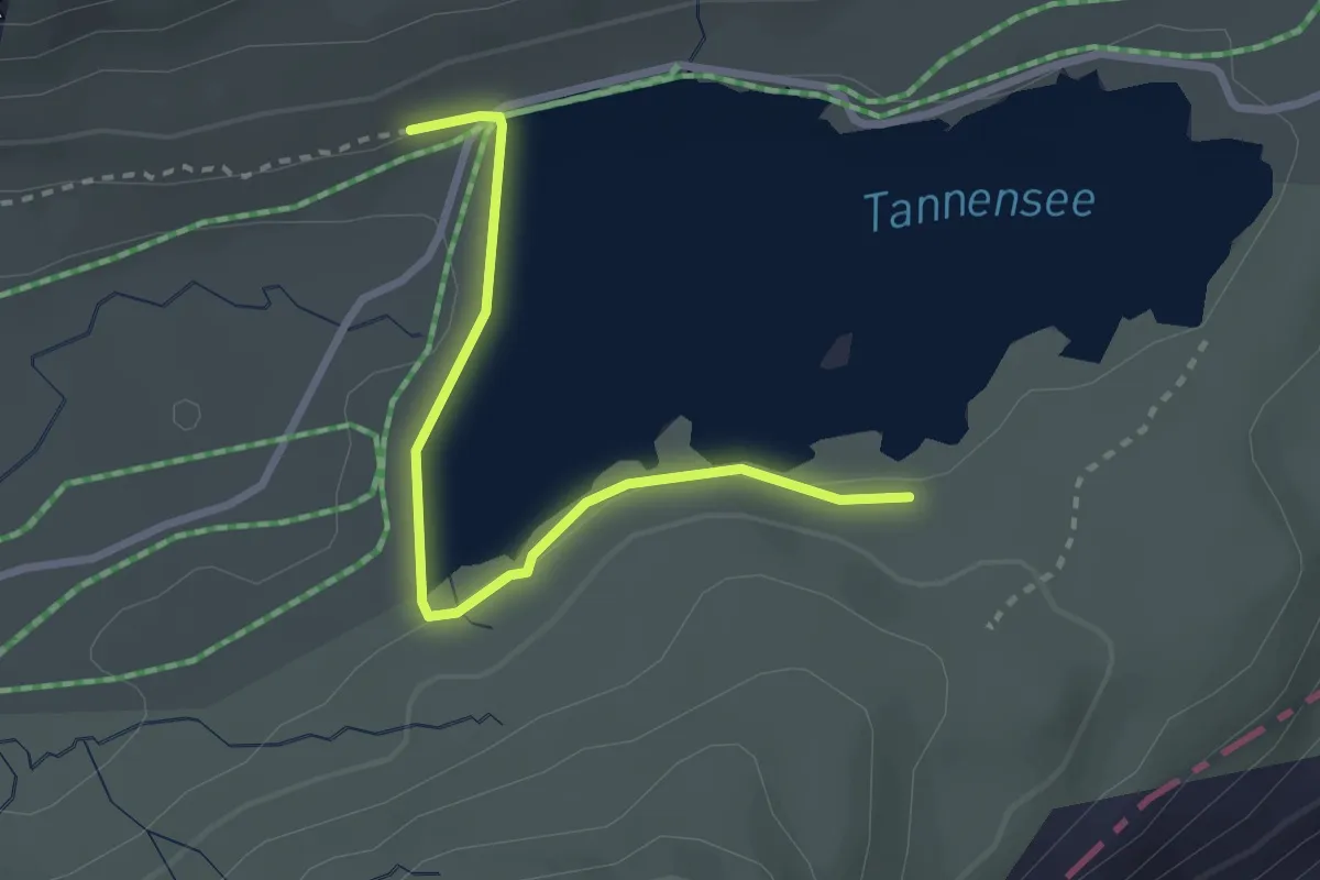
Tannensee Damm – Tannensee
2.7 km · ↑ 25 m · 42 min
Medium · Trail
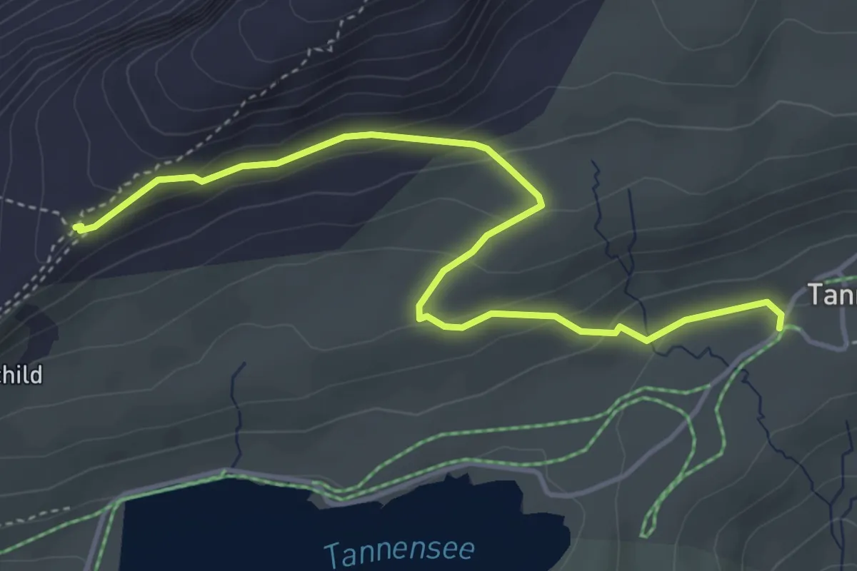
Tannenalp – Bonistock-Bahn
4.5 km · ↑ 185 m · 1 h 28 min
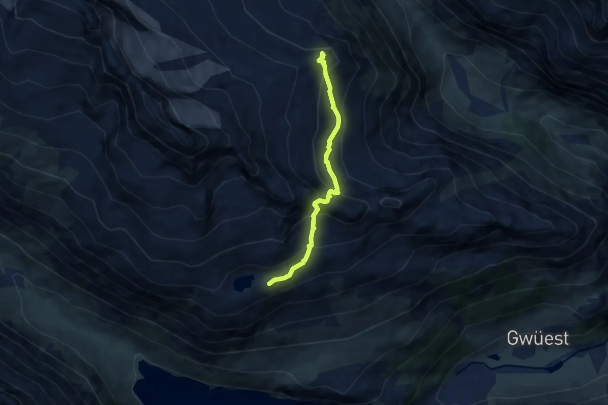
Expert · Summit
Voralphütte – Bergseehütte SAC
5.6 km · ↑ 531 m · 2 h 28 min
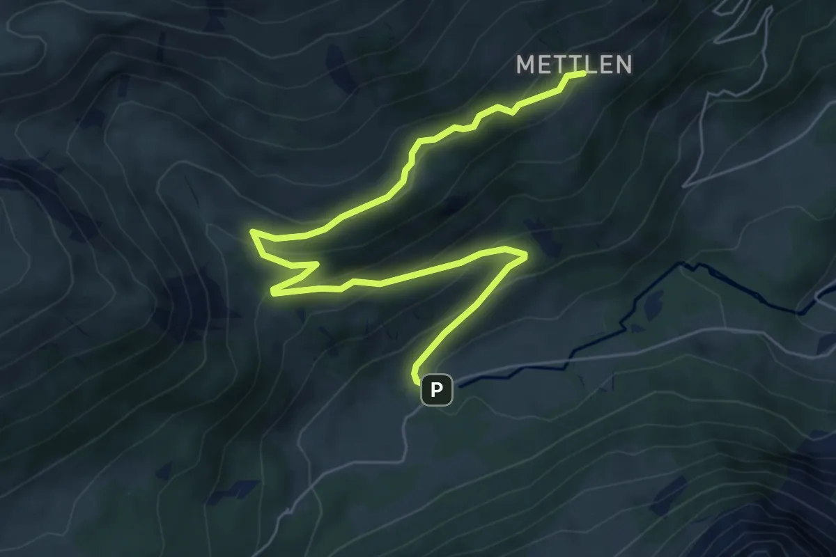
Medium · Trail
Broch – Mettlen
7.2 km · ↑ 416 m · 2 h 36 min
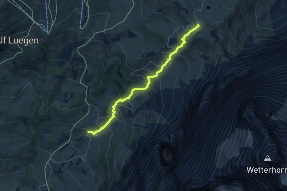
Medium · Trail
Grosse Scheidegg – unterer Lauchbühl
5.3 km · ↑ 499 m · 2 h 20 min
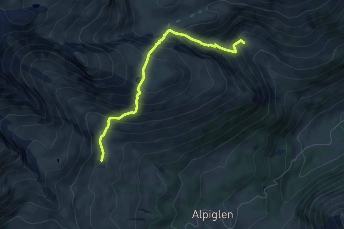
Medium · Trail
Pfanni – Scheidegg / Oberläger
6.2 km · ↑ 576 m · 2 h 42 min
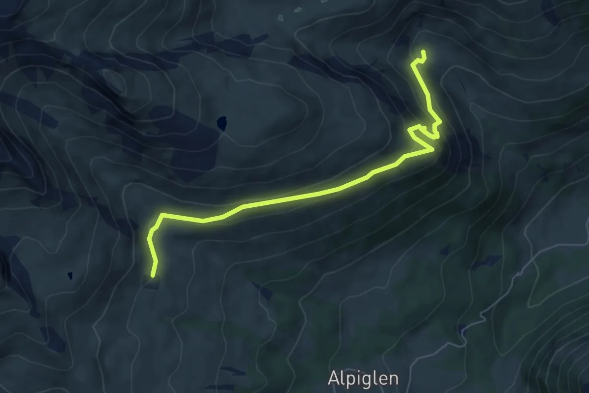
Easy · Trail
Pfanni – Scheidegg / Oberläger
6.4 km · ↑ 315 m · 2 h 12 min
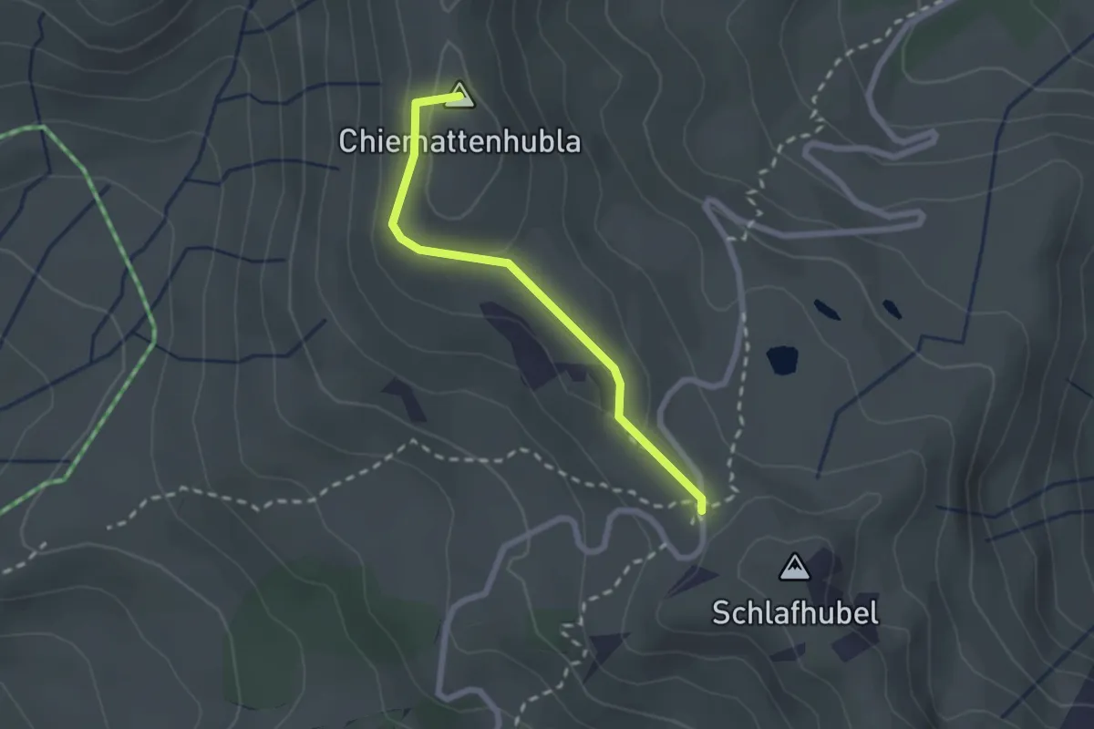
Easy · Summit
Grosse Scheidegg – Scheidegg / Oberläger
2.1 km · ↑ 91 m · 41 min
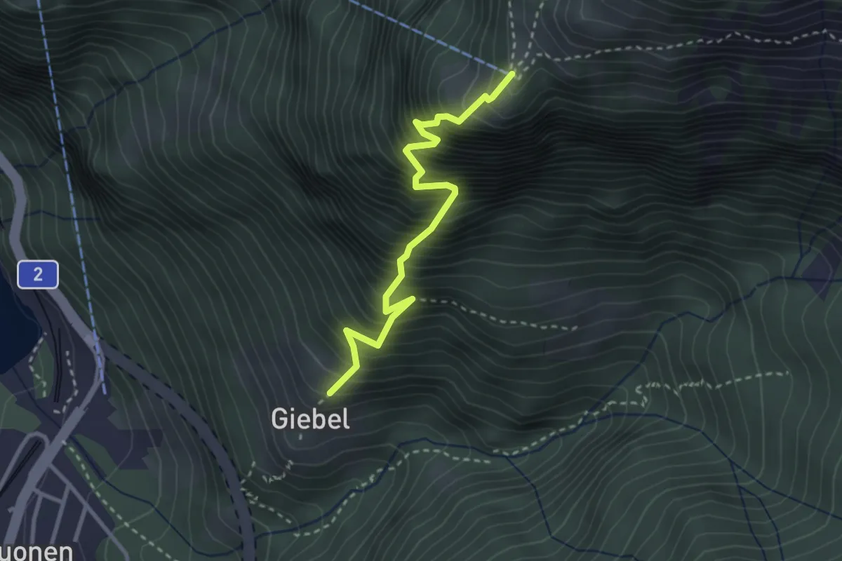
Expert · Trail
Gibel – Franzen
2.9 km · ↑ 687 m · 2 h 11 min
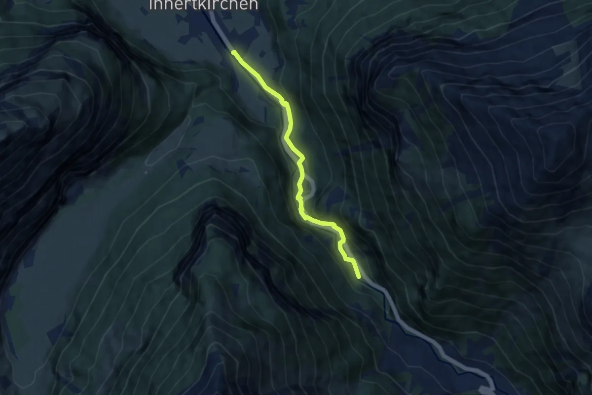
Easy · Trail
Innertkirchen (KWO) – Innere Urweid
6.6 km · ↑ 258 m · 2 h 6 min
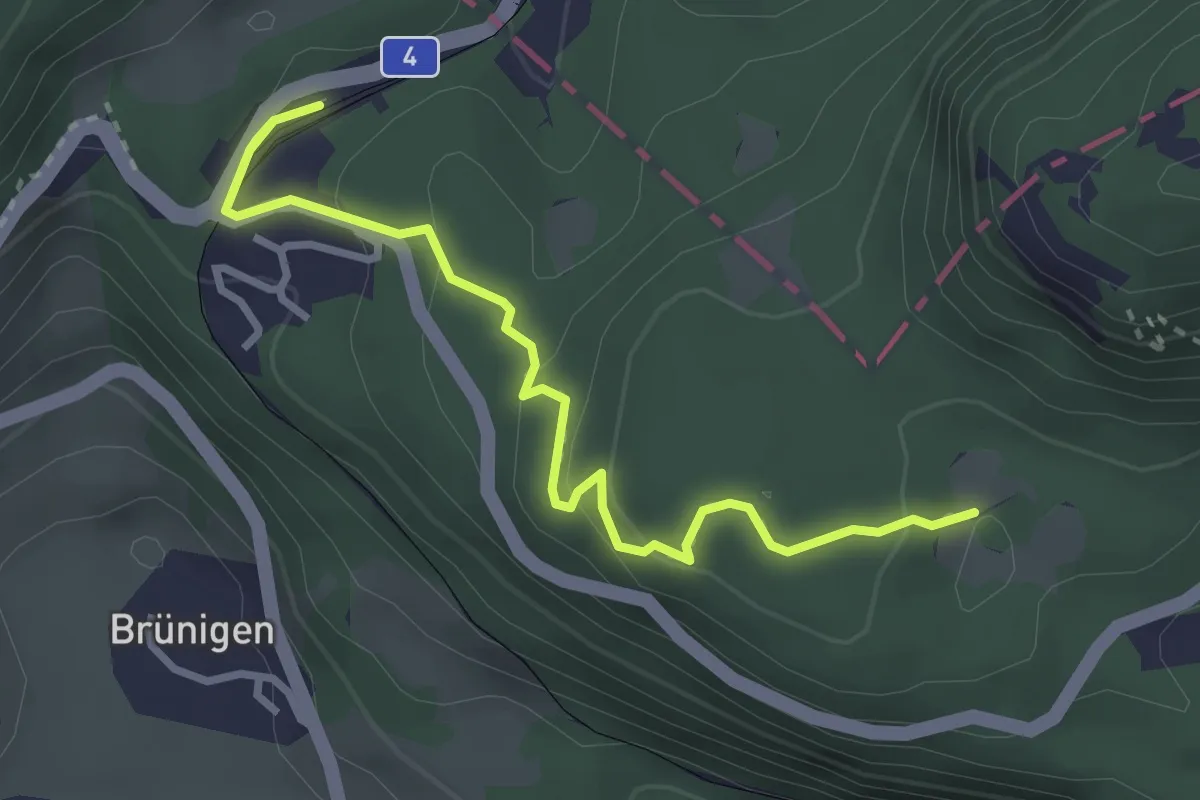
Easy · Trail
Brünig-Hasliberg – Gallenplatten
3.3 km · ↑ 141 m · 1 h 5 min
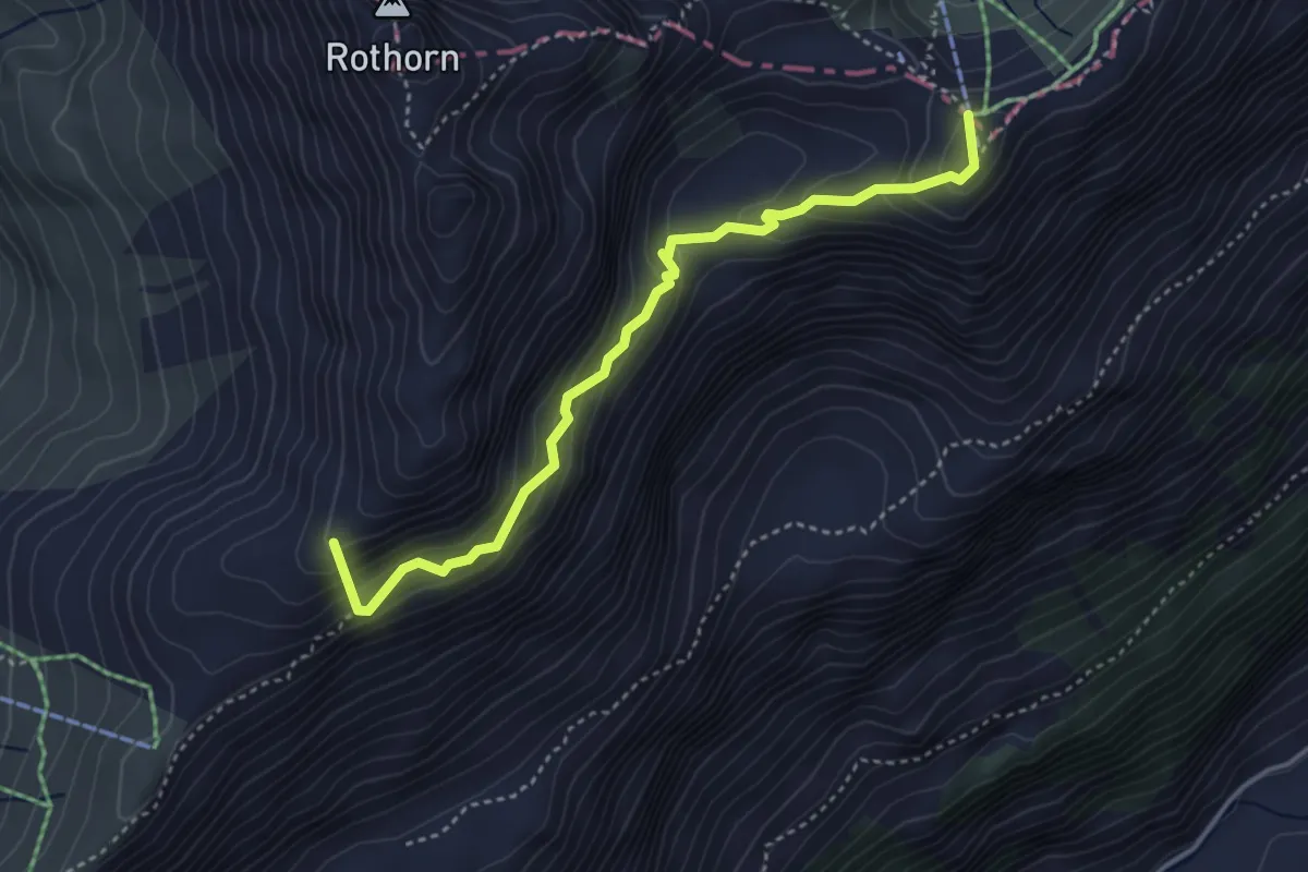
Medium · Summit
Planplatten – Balmeregghorn
3.9 km · ↑ 327 m · 1 h 38 min
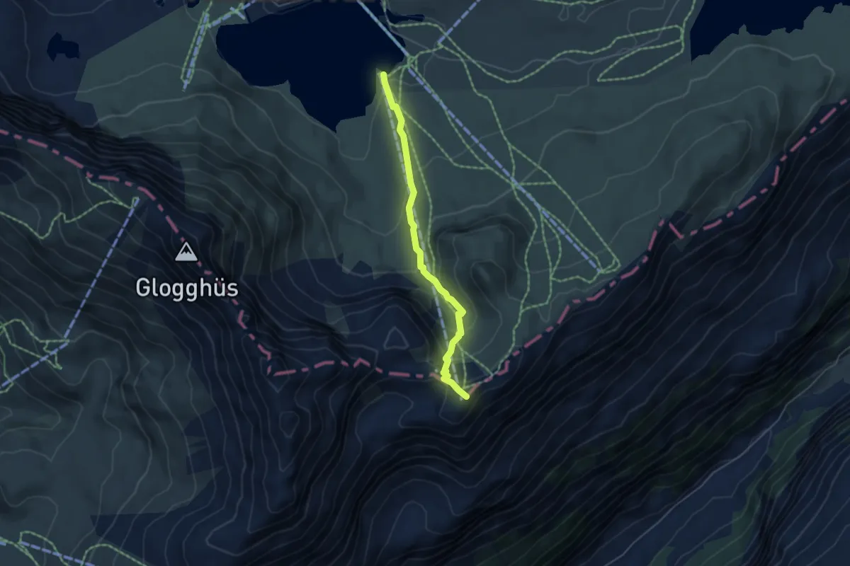
Medium · Summit
Balmeregghorn – Melchsee
4.4 km · ↑ 328 m · 1 h 44 min
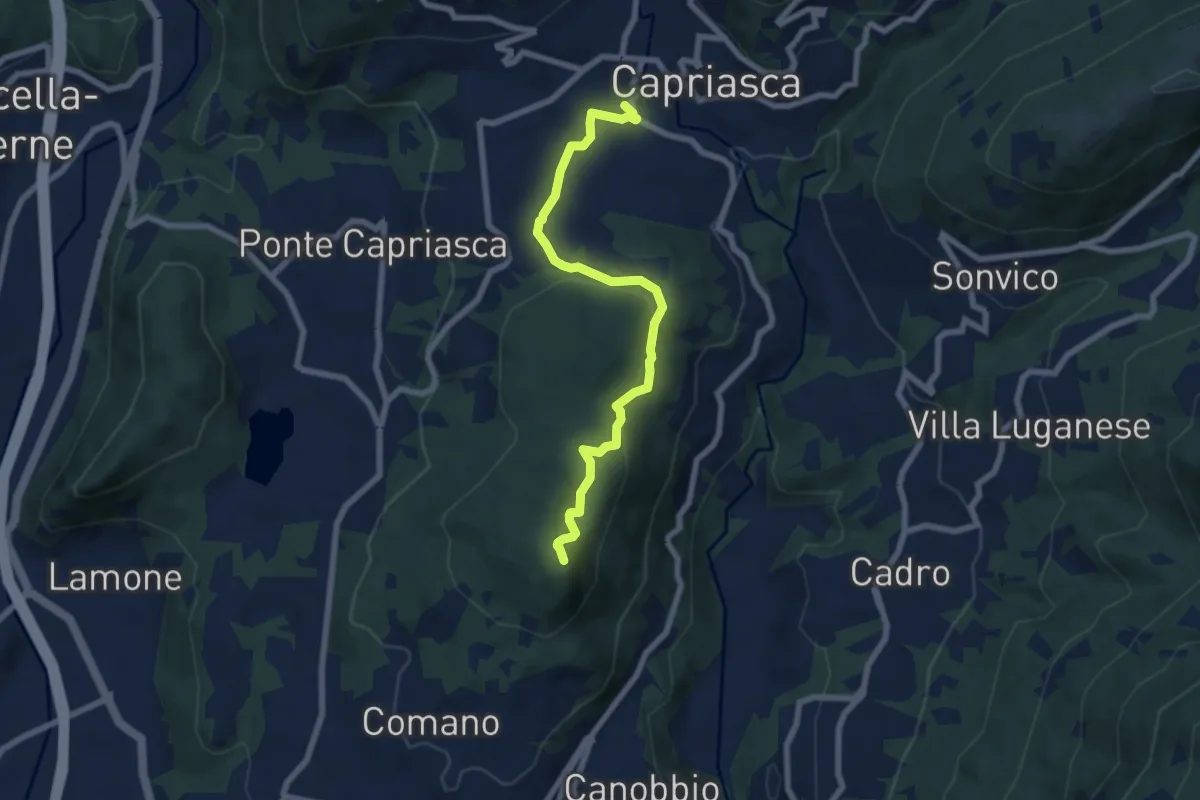
Medium · Summit
Tesserete – Comano
7.2 km · ↑ 224 m · 2 h 11 min
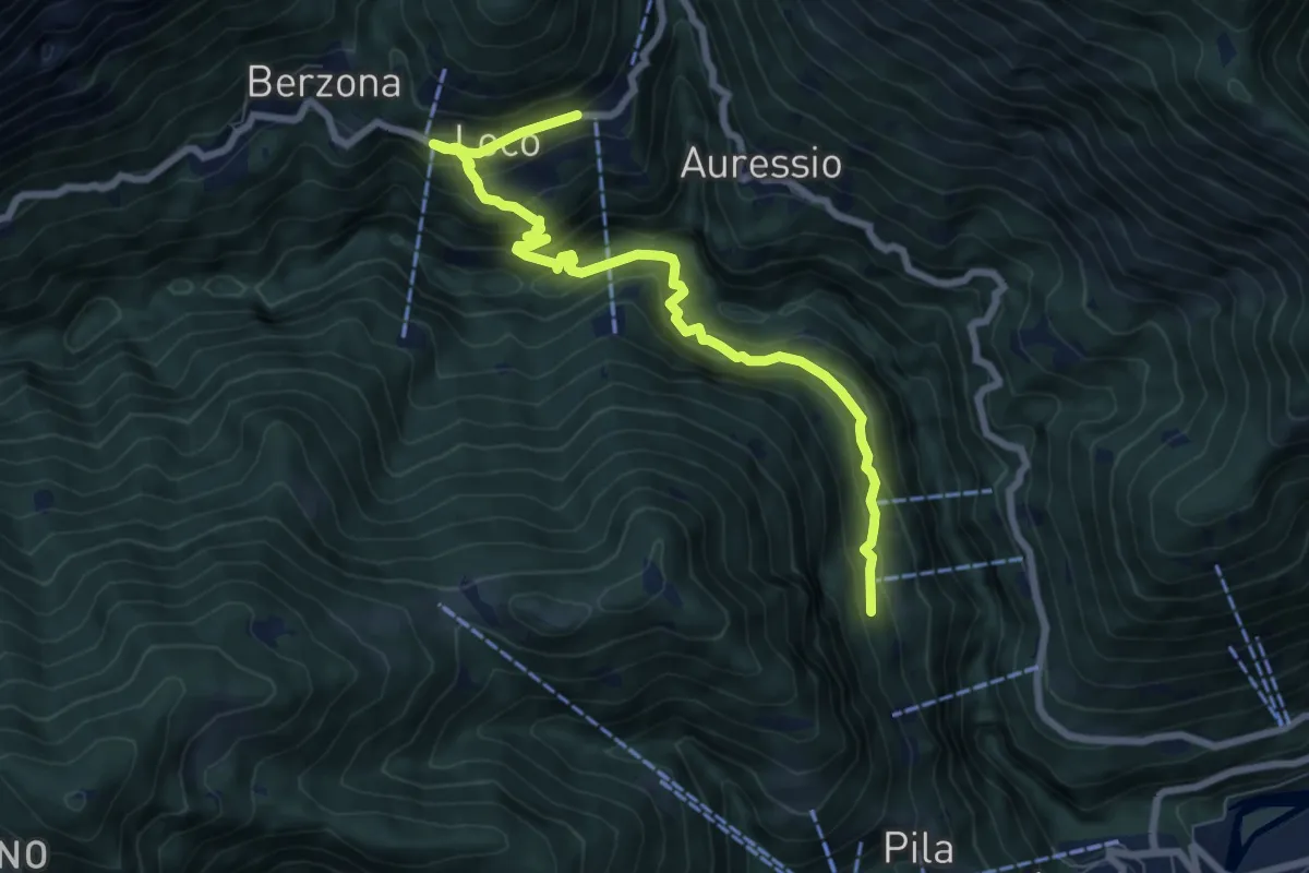
Medium · Trail
Loco – Vosa
8.1 km · ↑ 599 m · 3 h 13 min
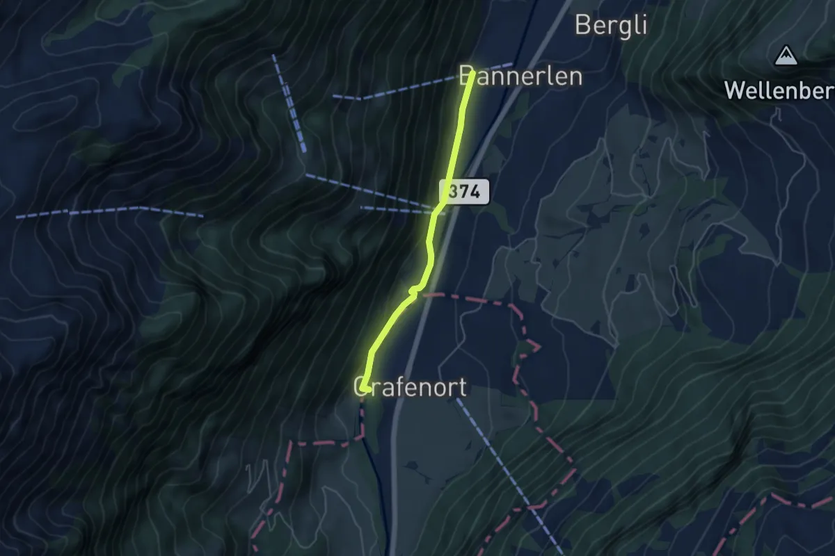
Easy · Trail
Chlifallenbach – Grafenort
3.9 km · ↑ 116 m · 1 h 10 min
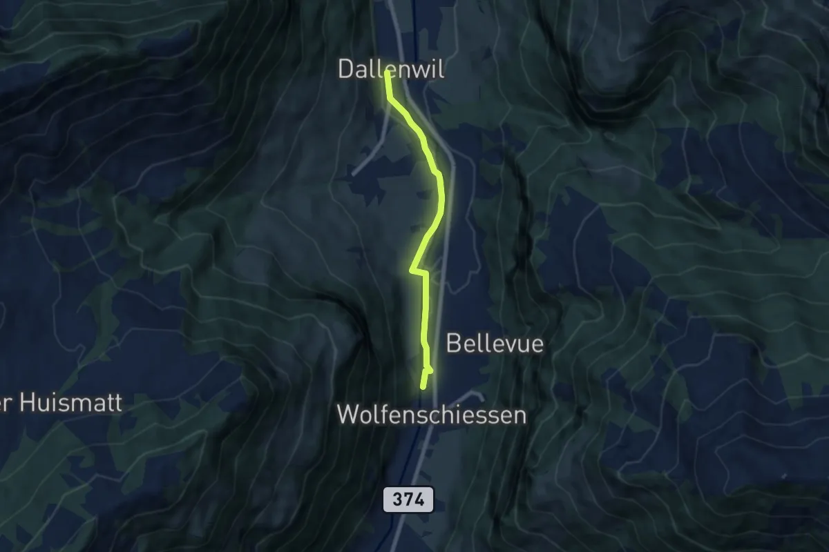
Easy · Trail
Dallenwil – Wolfenschiessen
5.7 km · ↑ 28 m · 1 h 25 min
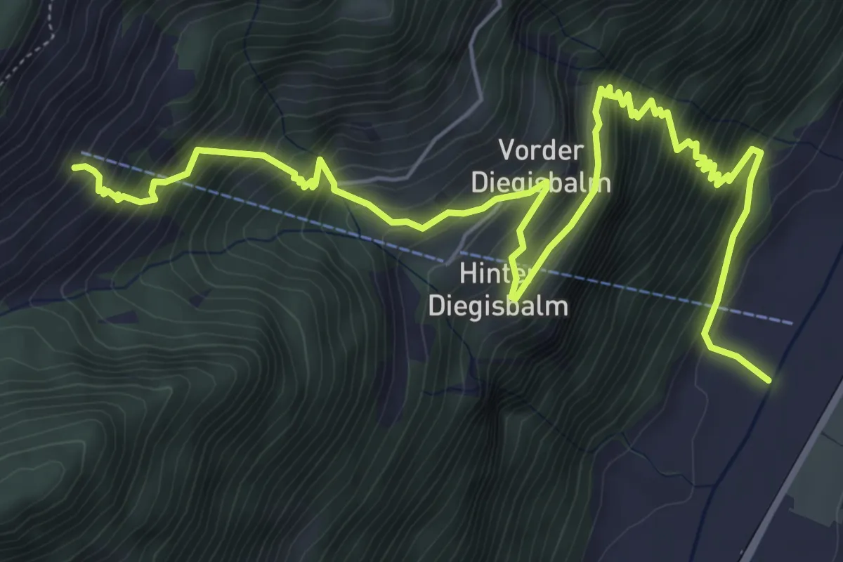
Demanding · Trail
Oberalp – Nechimatt
8.2 km · ↑ 1002 m · 4 h 6 min