Trails in Switzerland
15,055 hiking trails, each with its route, climb, walking time and grade.
All trails, page 215 of 314
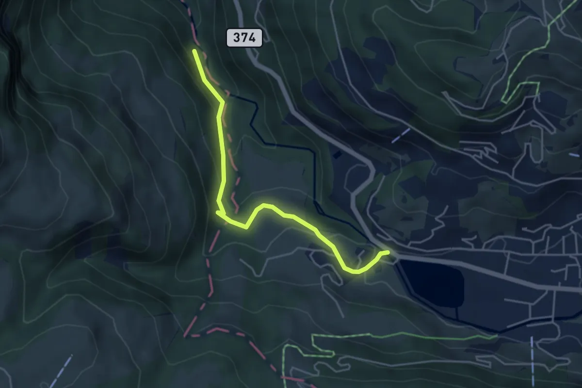
Easy · Trail
Eugenisee – Schwändliloch
4.0 km · ↑ 219 m · 1 h 25 min
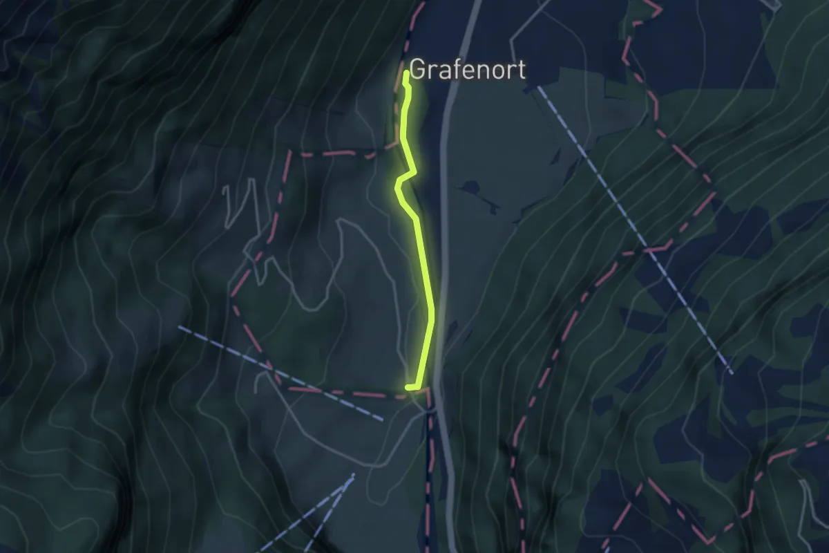
Easy · Trail
Grafenort – Hasenmatt
2.5 km · ↑ 29 m · 39 min
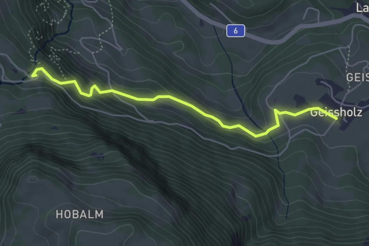
Medium · Trail
Zwirgi – Geissholz
4.6 km · ↑ 306 m · 1 h 44 min
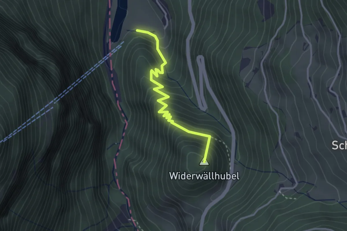
Medium · Summit
Grünenwald – Obermatt
3.0 km · ↑ 376 m · 1 h 32 min
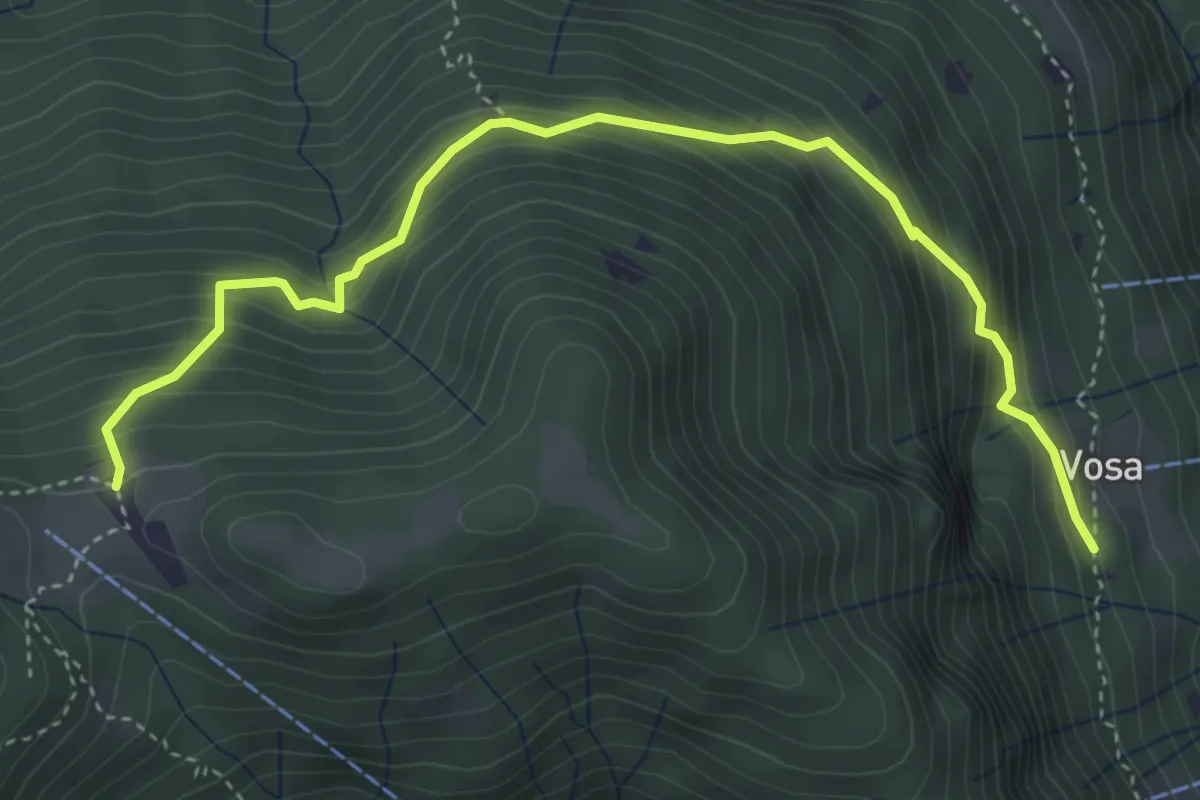
Medium · Trail
Calascio – Vosa
4.6 km · ↑ 481 m · 2 h 8 min
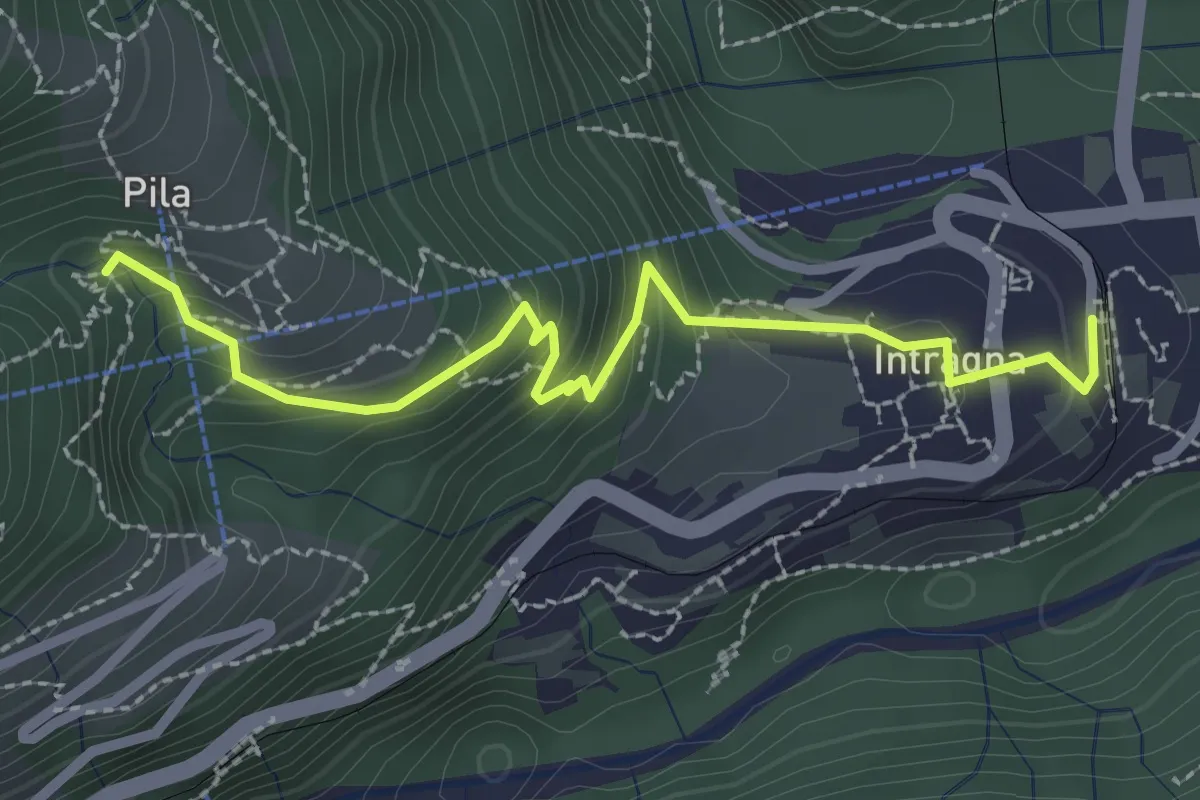
Easy · Trail
Intragna – Mulino
2.7 km · ↑ 218 m · 1 h 6 min
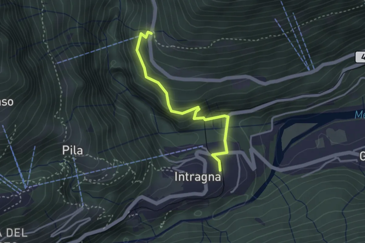
Medium · Trail
Auressio – Intragna
2.9 km · ↑ 239 m · 1 h 12 min
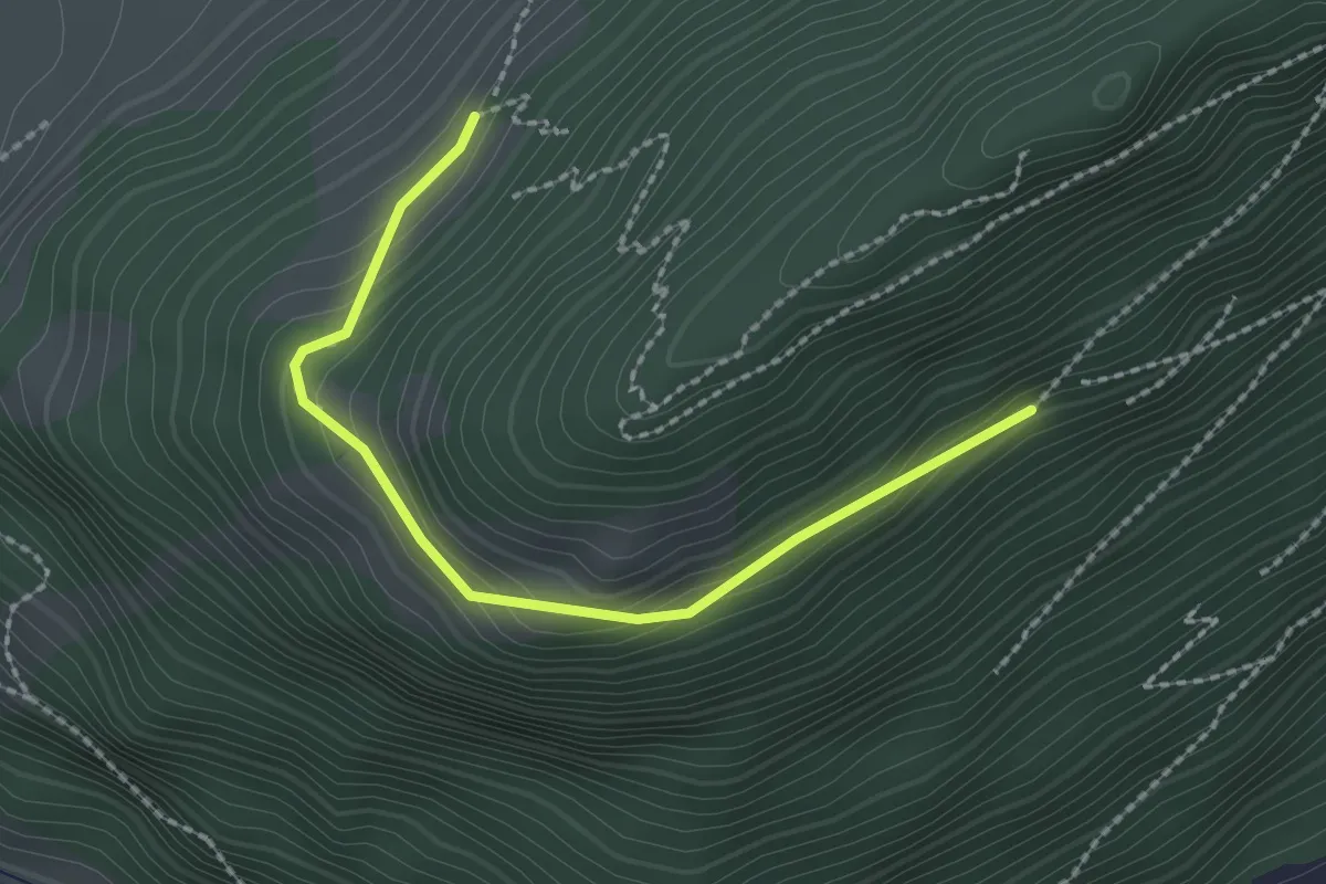
Easy · Trail
Bürgenberg – Seewliweid
2.2 km · ↑ 120 m · 47 min
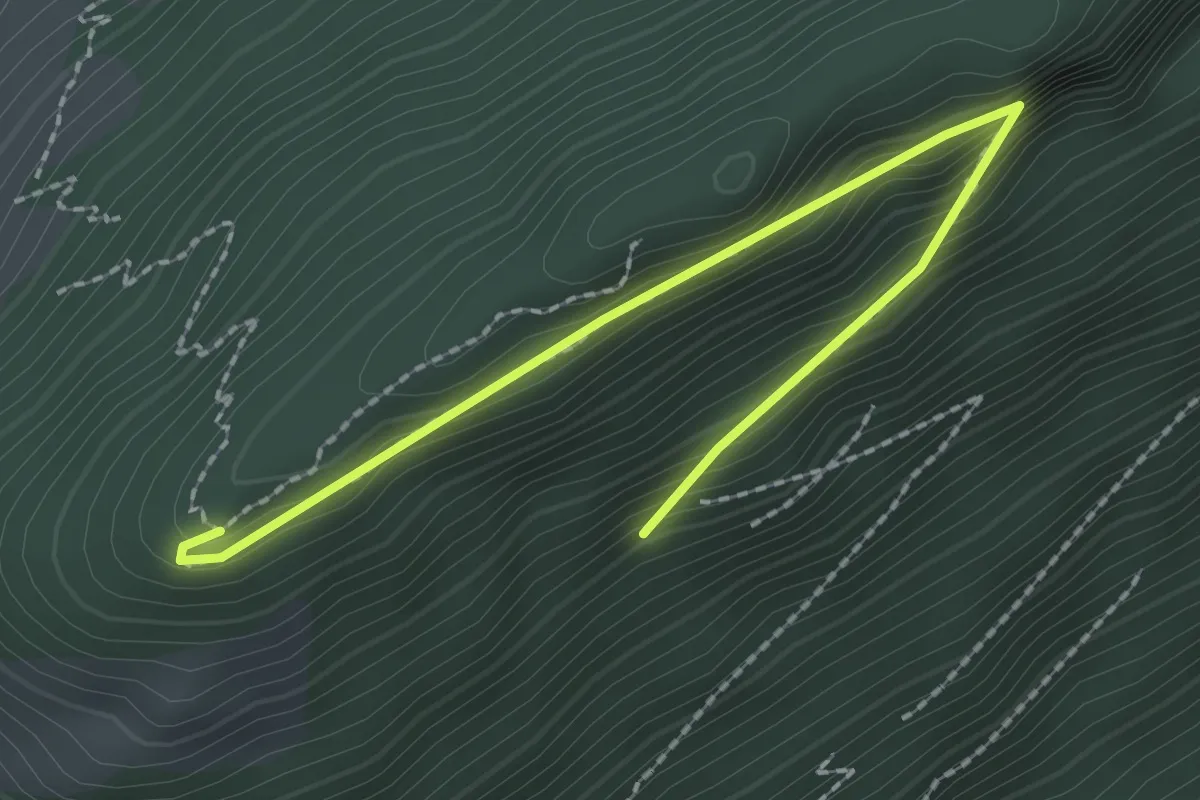
Easy · Trail
Bürgenberg – Seewligrat
2.5 km · ↑ 128 m · 52 min
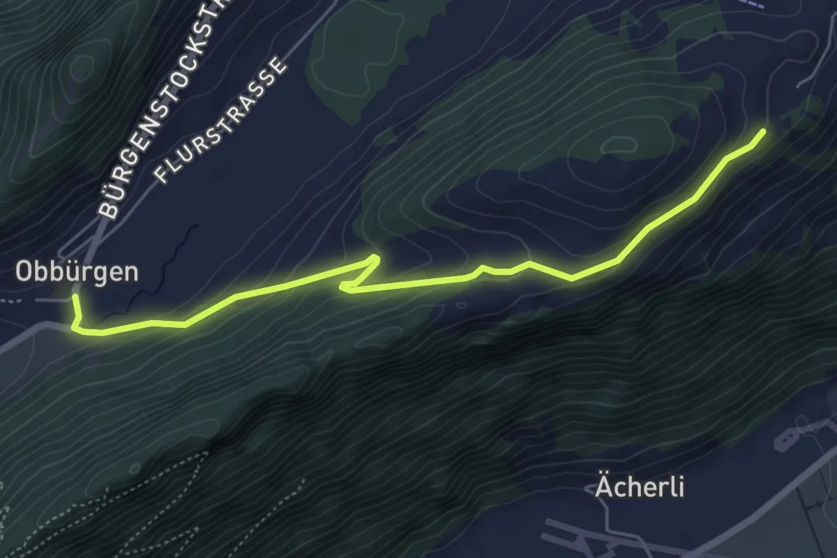
Easy · Trail
Obbürgen – Ätschenried
5.4 km · ↑ 211 m · 1 h 44 min
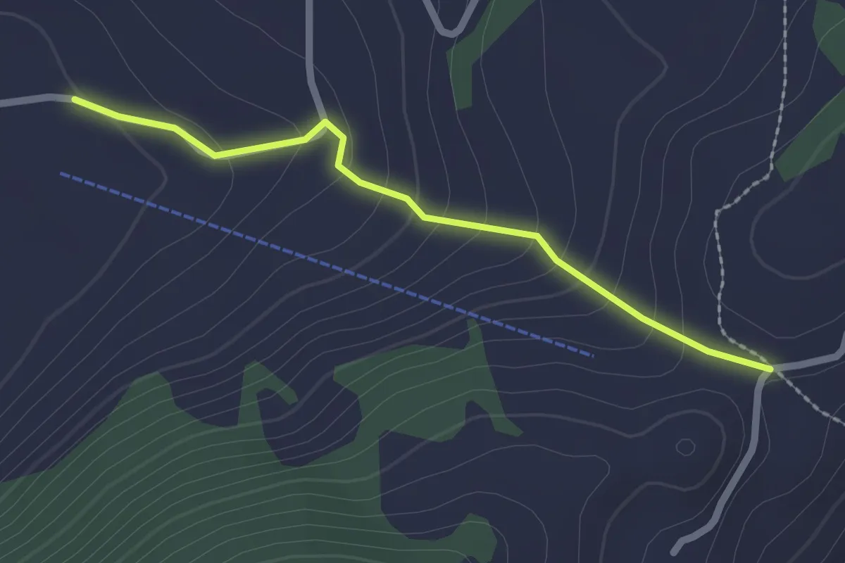
Easy · Trail
Vorderegg – Boden
2.0 km · ↑ 132 m · 46 min
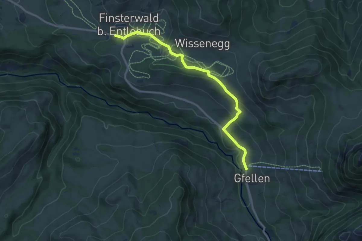
Medium · Trail
Gfellen – Finsterwald
6.9 km · ↑ 153 m · 1 h 58 min
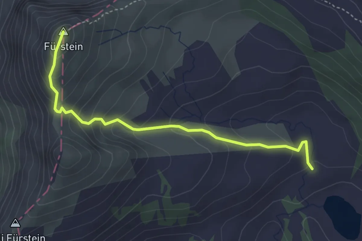
Medium · Summit
Ober Sewen – Fürstein
3.6 km · ↑ 272 m · 1 h 26 min
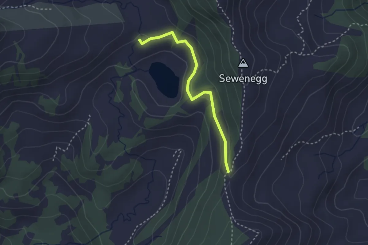
Easy · Trail
Seewenegg – Ober Sewen
2.5 km · ↑ 109 m · 50 min
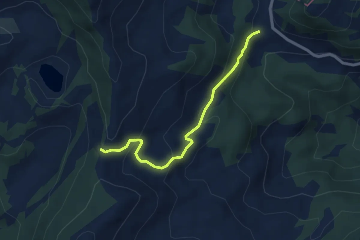
Easy · Trail
Glaubenberg – Seewenegg
4.0 km · ↑ 221 m · 1 h 26 min
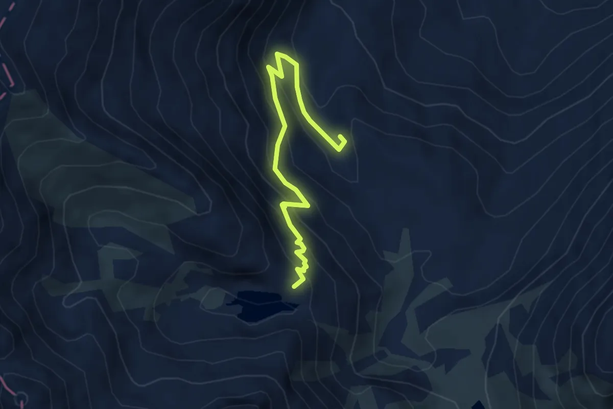
Medium · Trail
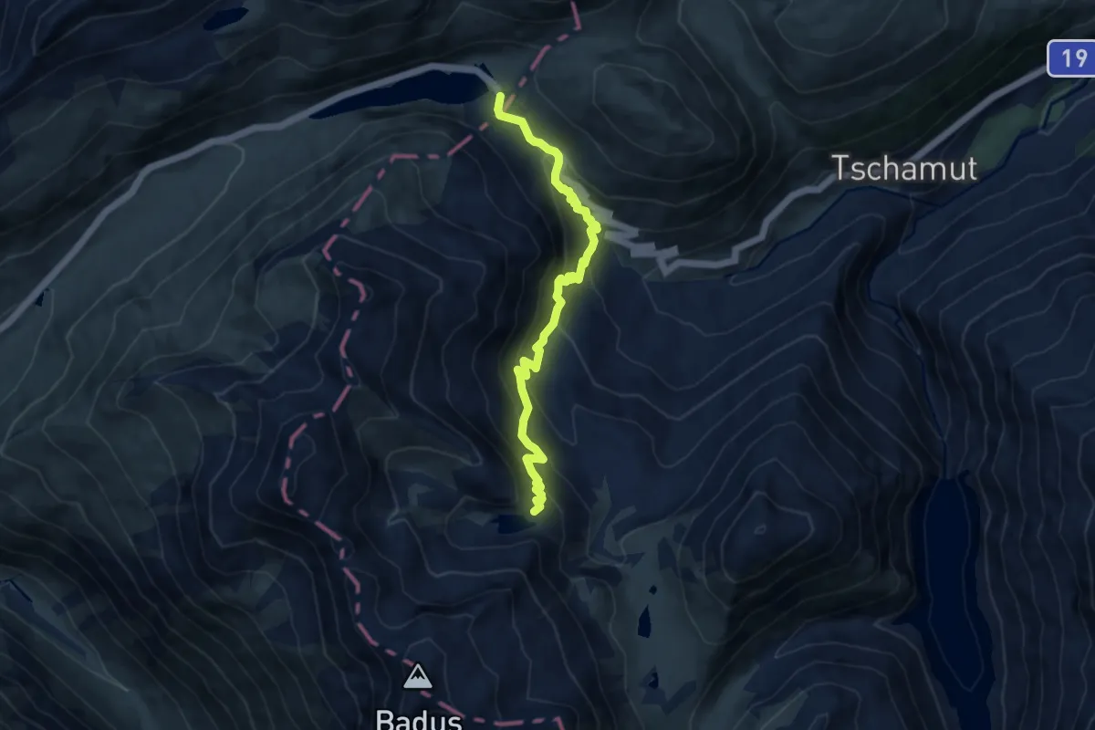
Lai da Tuma – Tschamut
4.4 km · ↑ 350 m · 1 h 48 min
Medium · Trail
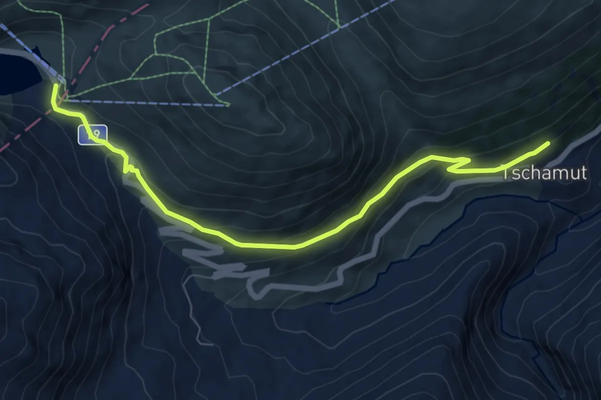
Lai da Tuma – Oberalppass
9.2 km · ↑ 710 m · 3 h 42 min
Medium · Trail
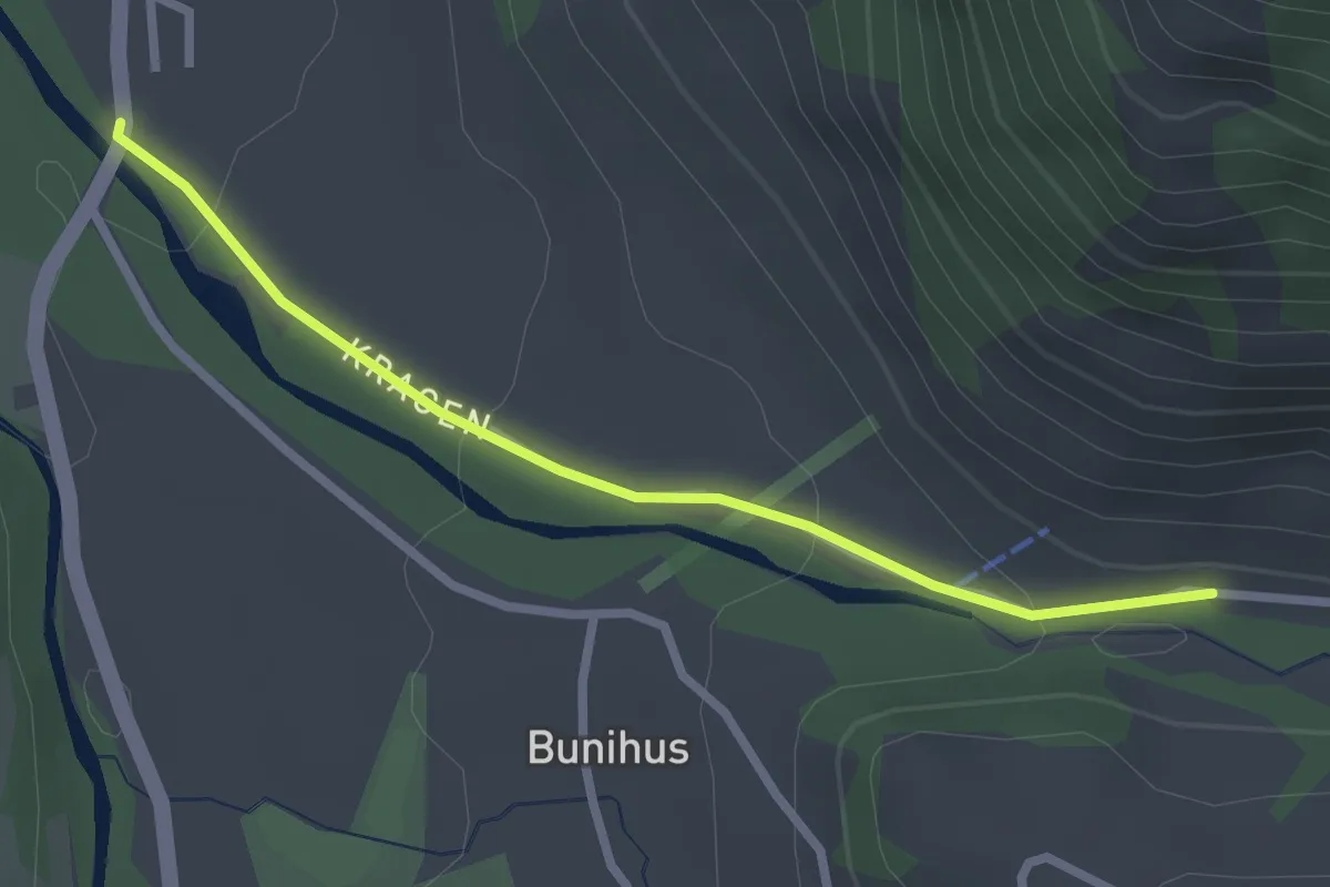
Oberalppass – Tschamut
7.8 km · ↑ 404 m · 2 h 44 min
Easy · Trail
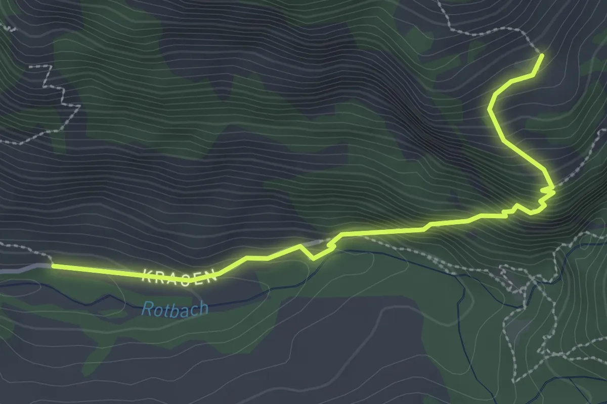
Chragen – Hüttlenen
2.5 km · ↑ 76 m · 45 min
Medium · Trail
Vorder Rüchi – Chragen
3.2 km · ↑ 371 m · 1 h 33 min
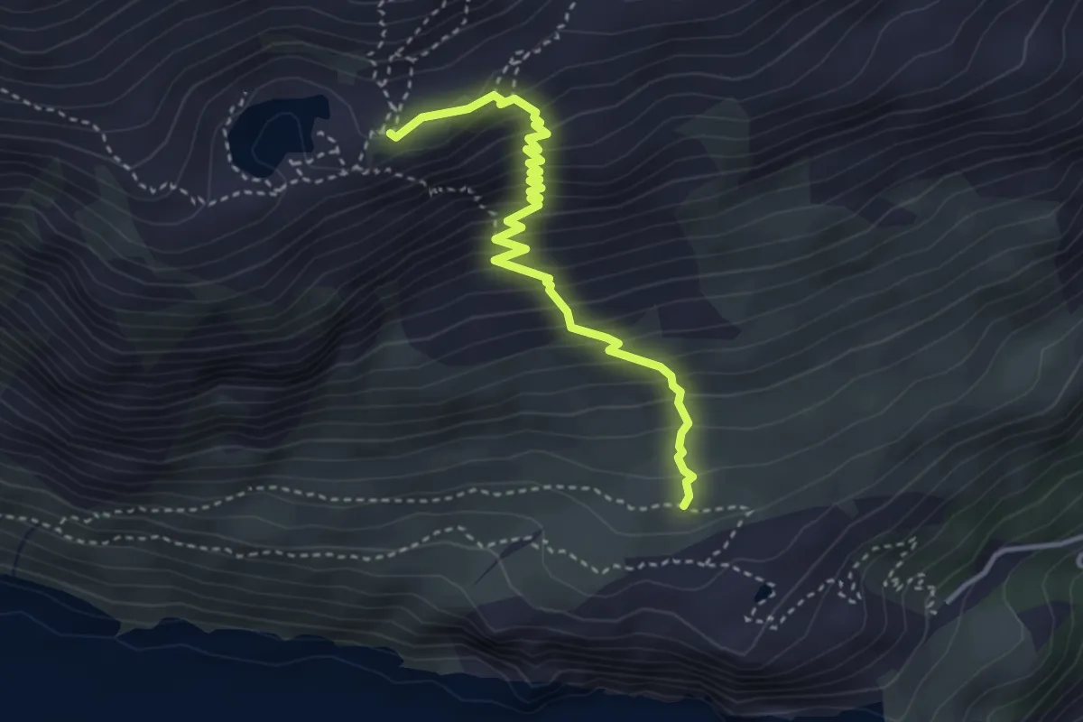
Medium · Cabin
Berg – Bergseehütte SAC
3.6 km · ↑ 422 m · 1 h 46 min
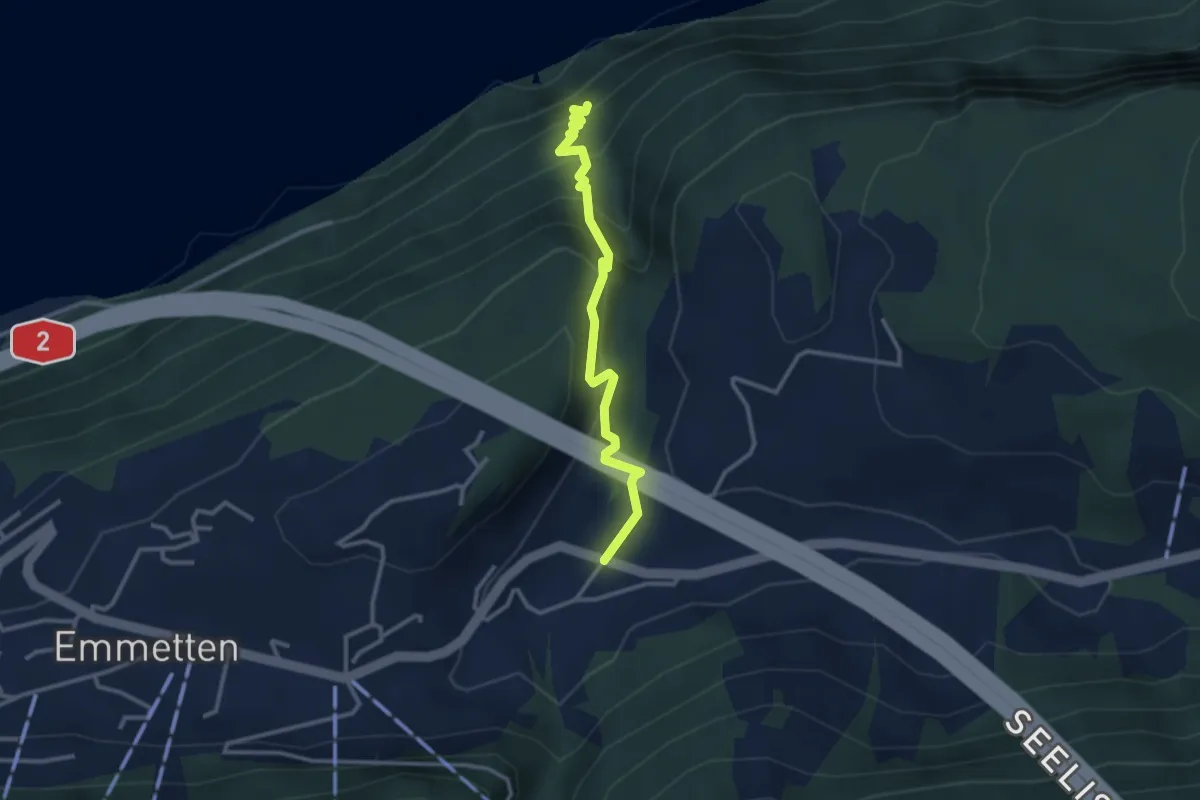
Medium · Trail
Sagendorf – Risleten
2.9 km · ↑ 330 m · 1 h 24 min
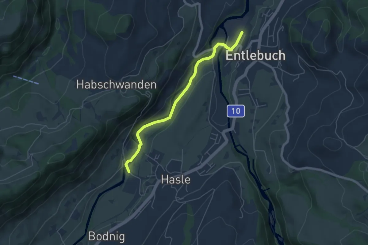
Easy · Trail
Entlebuch – Hasle
4.8 km · ↑ 47 m · 1 h 14 min
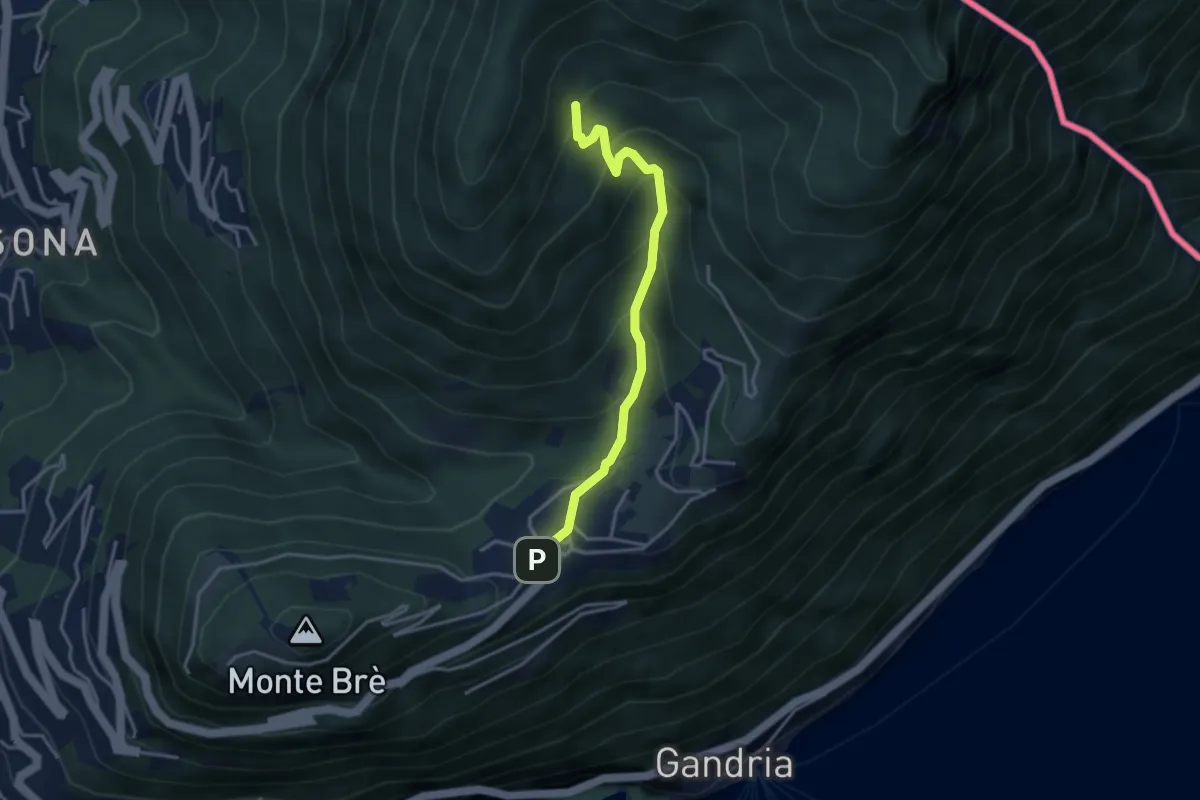
Medium · Trail
Bre – Carbonera
3.5 km · ↑ 290 m · 1 h 27 min
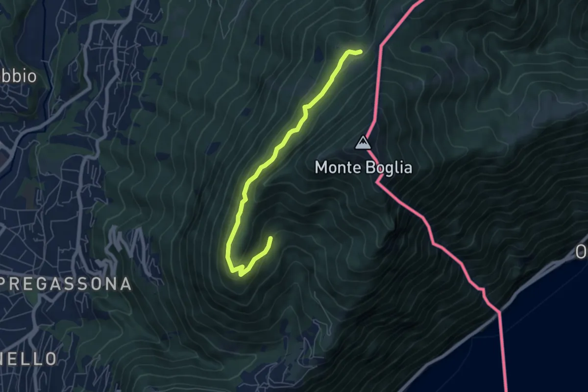
Medium · Cabin
Carbonera – Alpe Bolla
5.9 km · ↑ 238 m · 1 h 54 min
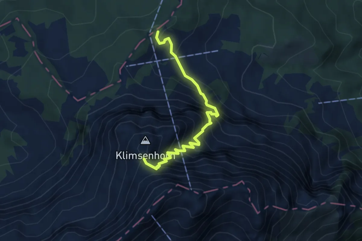
Demanding · Trail
Fräkmüntegg – Klimsen
4.4 km · ↑ 658 m · 2 h 28 min
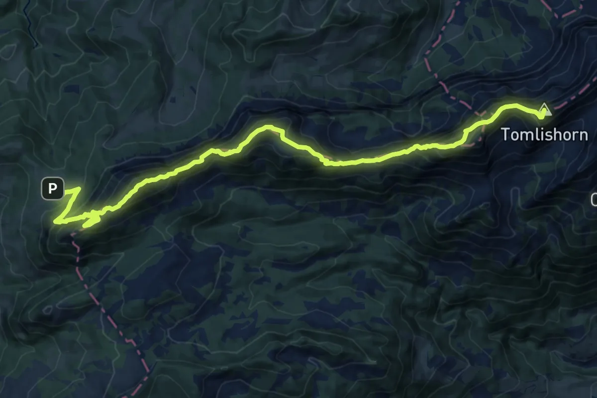
Demanding · Summit
PIlatus Kulm – Risete
20.8 km · ↑ 2055 m · 9 h 22 min
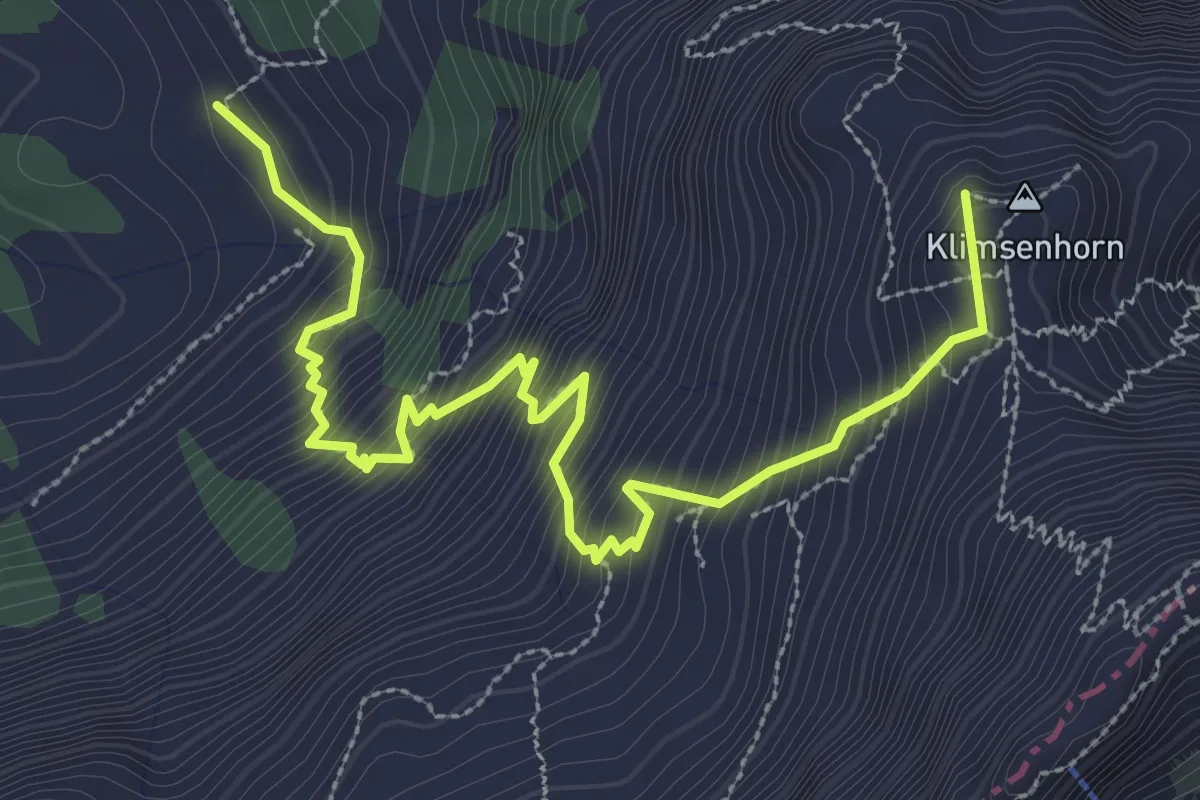
Demanding · Summit
Ober Lauelen – Chlimsenhorn
3.9 km · ↑ 640 m · 2 h 18 min
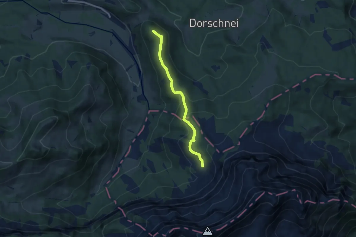
Medium · Summit
Chraigütsch – Ober Lauelen
5.8 km · ↑ 267 m · 1 h 57 min
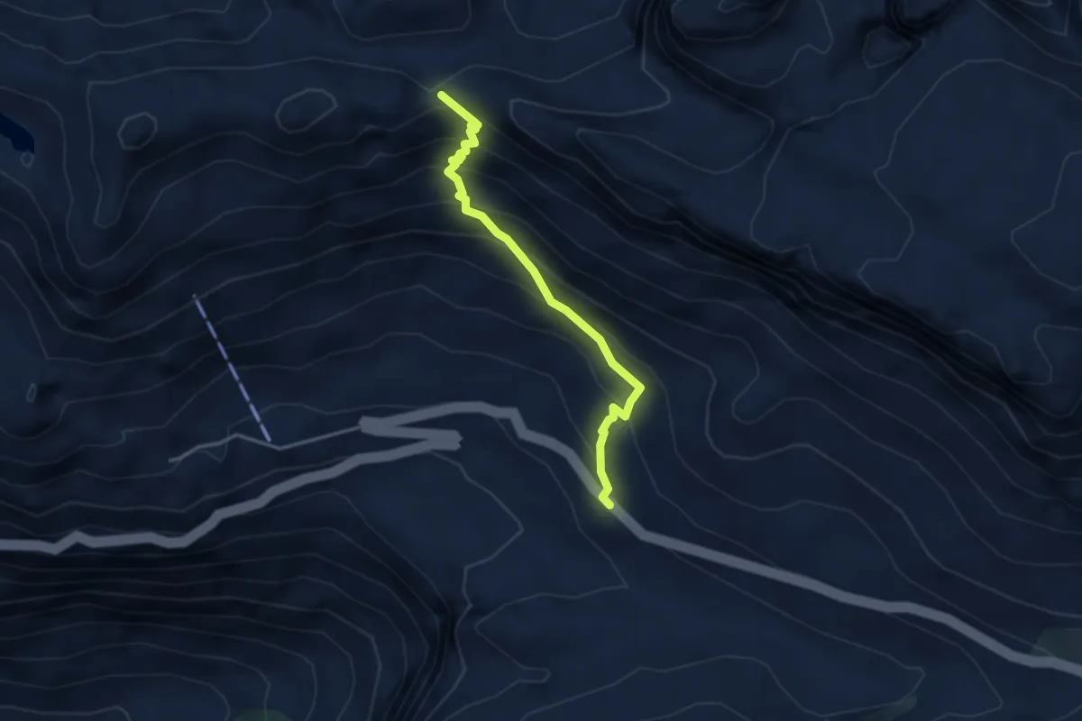
Medium · Trail
Hotel Klausenpass – Balmer Grätli
3.4 km · ↑ 372 m · 1 h 36 min
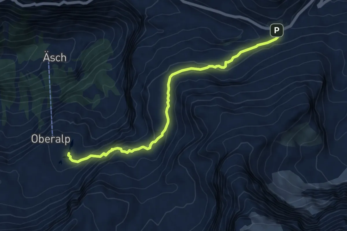
Medium · Trail
Klausenpass – Oberalp
8.3 km · ↑ 423 m · 2 h 52 min
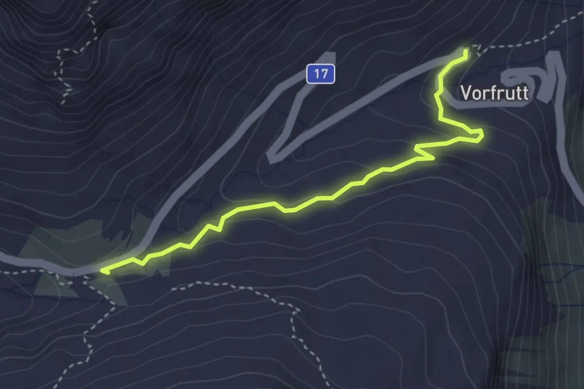
Easy · Trail
Klausenpass – Vorfrutt
3.4 km · ↑ 145 m · 1 h 7 min
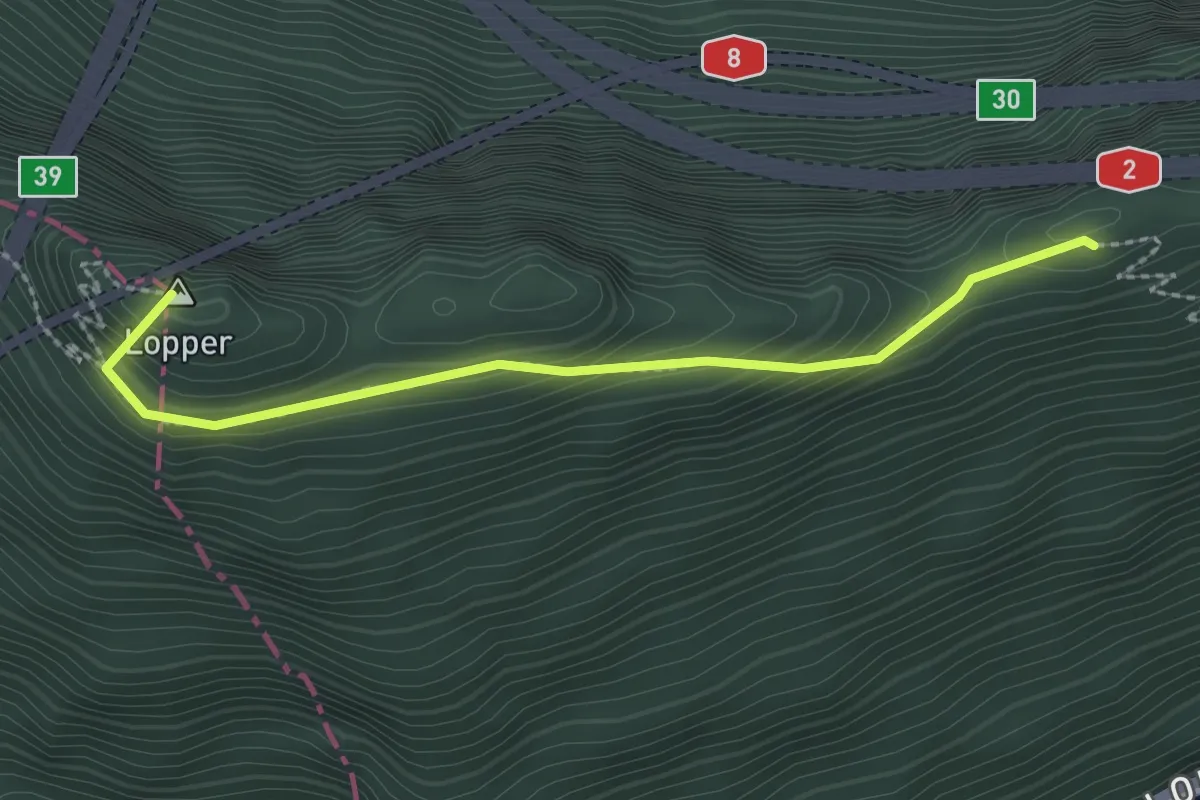
Medium · Summit
Renggpass – Lopperberg
2.4 km · ↑ 296 m · 1 h 12 min
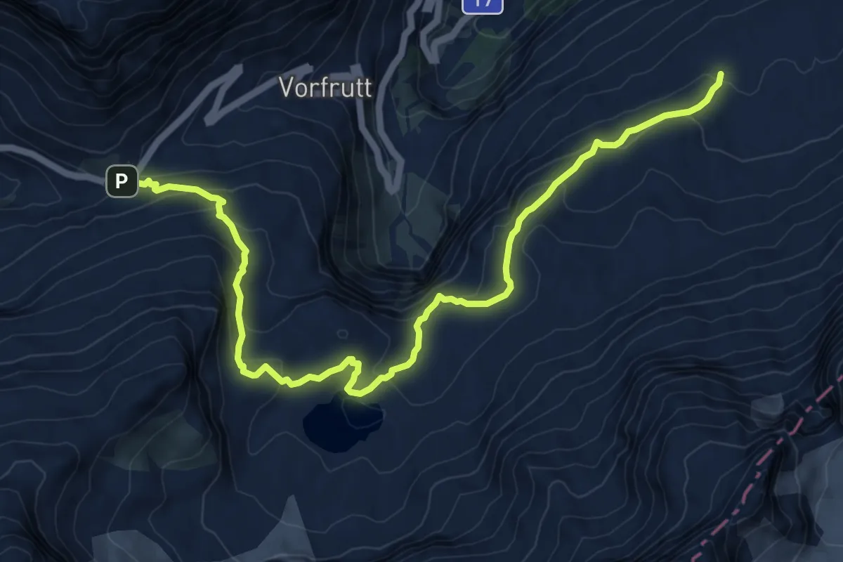
Medium · Trail
Klausenpass – Gämsfairenhüttli
11.2 km · ↑ 566 m · 3 h 52 min
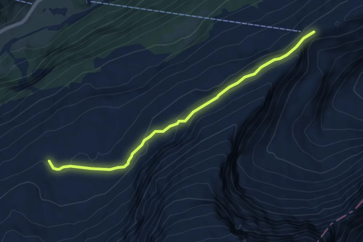
Medium · Trail
Gämsfairenhüttli – Fisetenpass
6.6 km · ↑ 271 m · 2 h 8 min
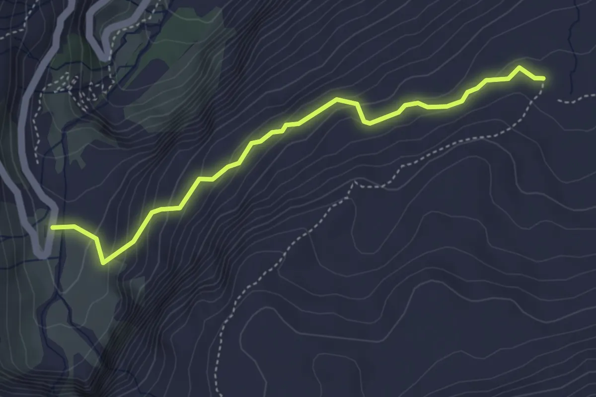
Easy · Trail
Vorder Chlus – Gämsfairenhüttli
4.3 km · ↑ 289 m · 1 h 39 min
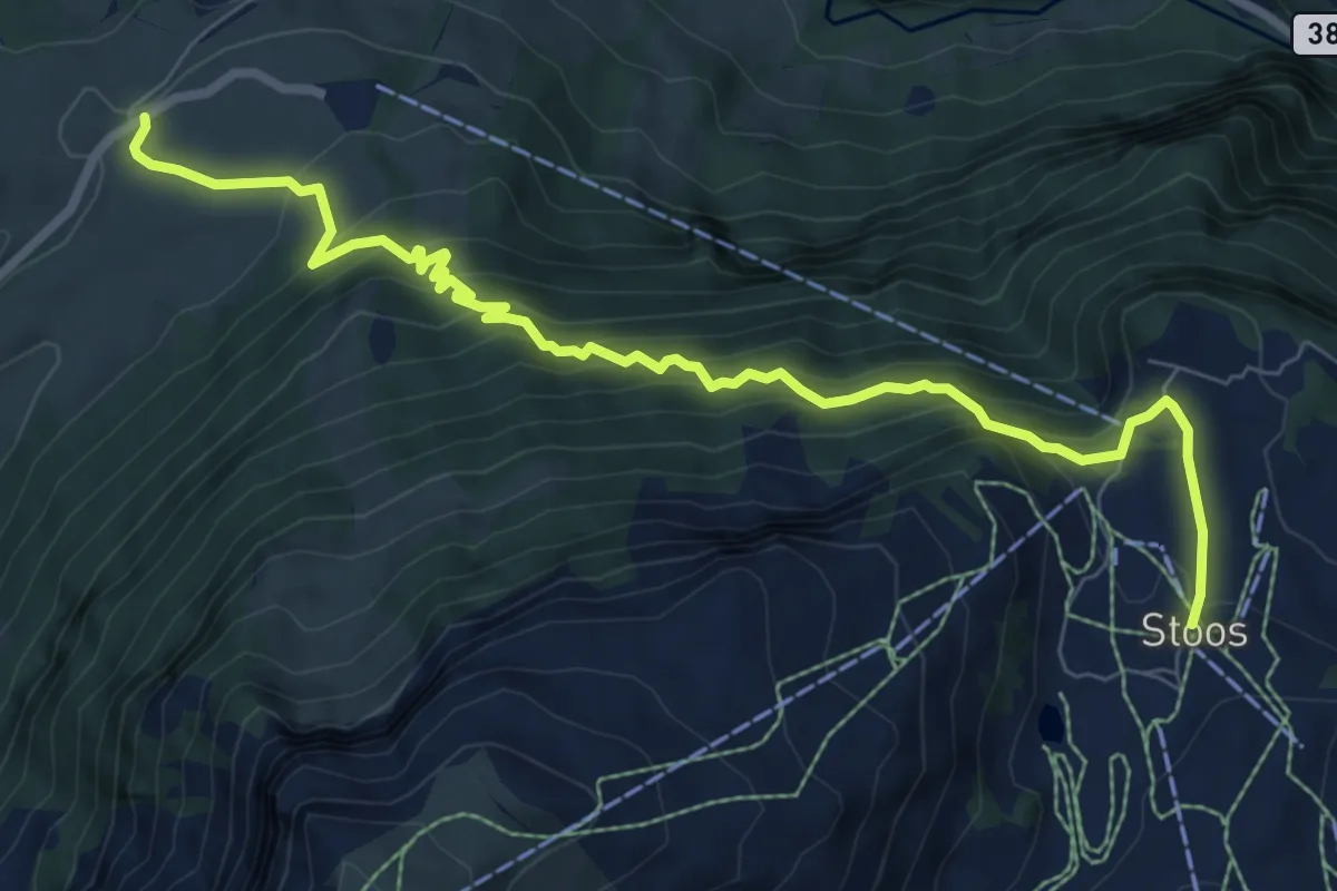
Demanding · Trail
Schwyzerhöchi – Stoos
8.9 km · ↑ 831 m · 3 h 55 min
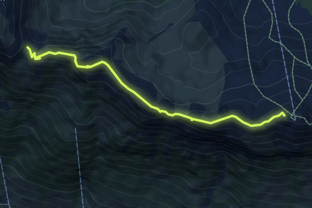
Medium · Summit
Furgeli – Klingenstock
6.0 km · ↑ 403 m · 2 h 18 min
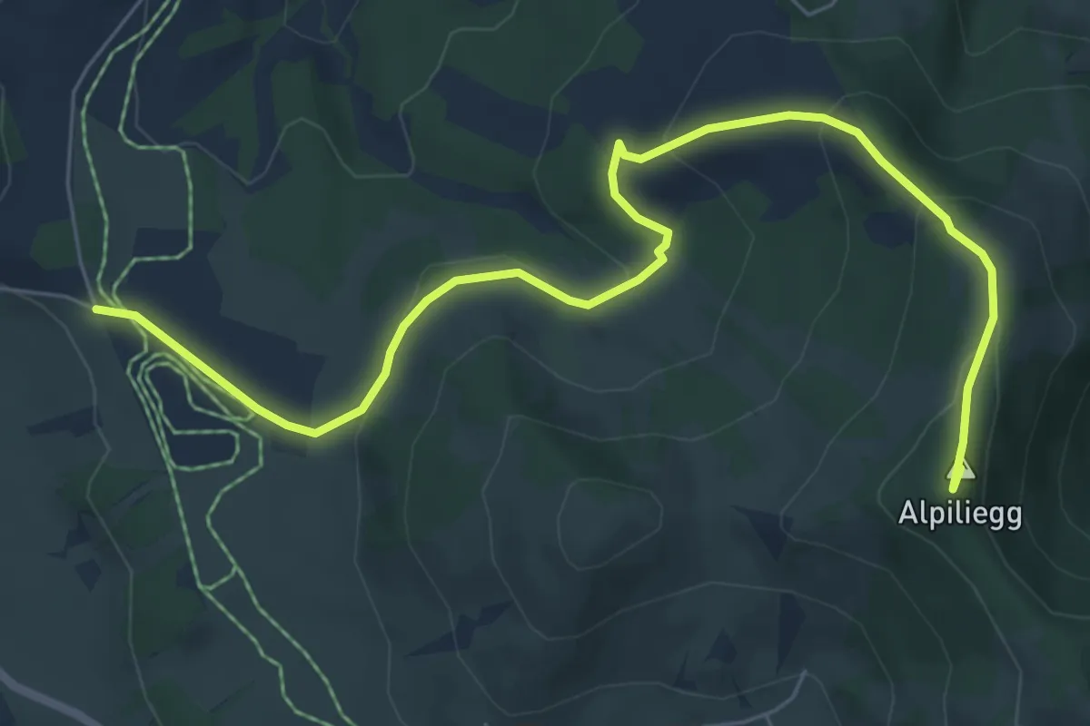
Easy · Summit
Mettilimoos – Alpiliegg
7.6 km · ↑ 260 m · 2 h 22 min
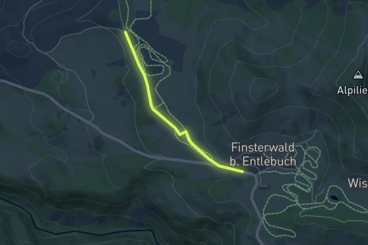
Easy · Trail
Finsterwald – Mettilimoos
3.6 km · ↑ 51 m · 58 min
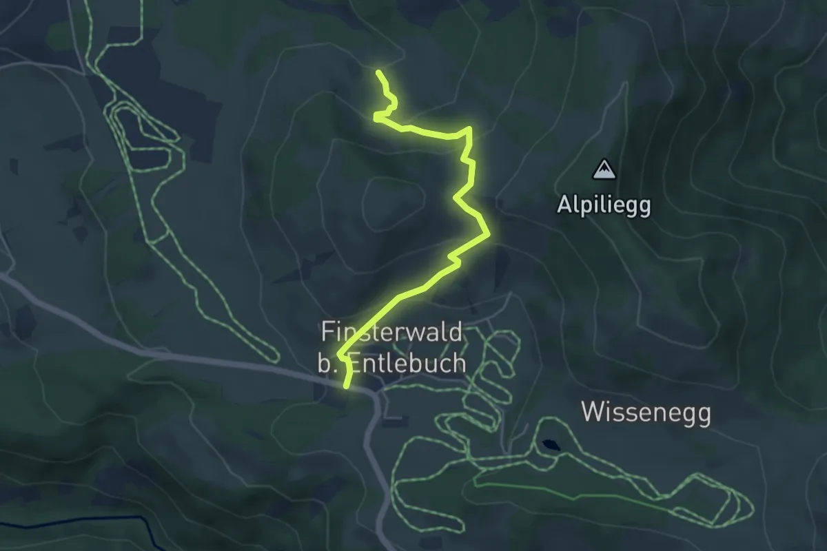
Easy · Trail
Finsterwald – Dietenwart Gräben
4.4 km · ↑ 235 m · 1 h 33 min
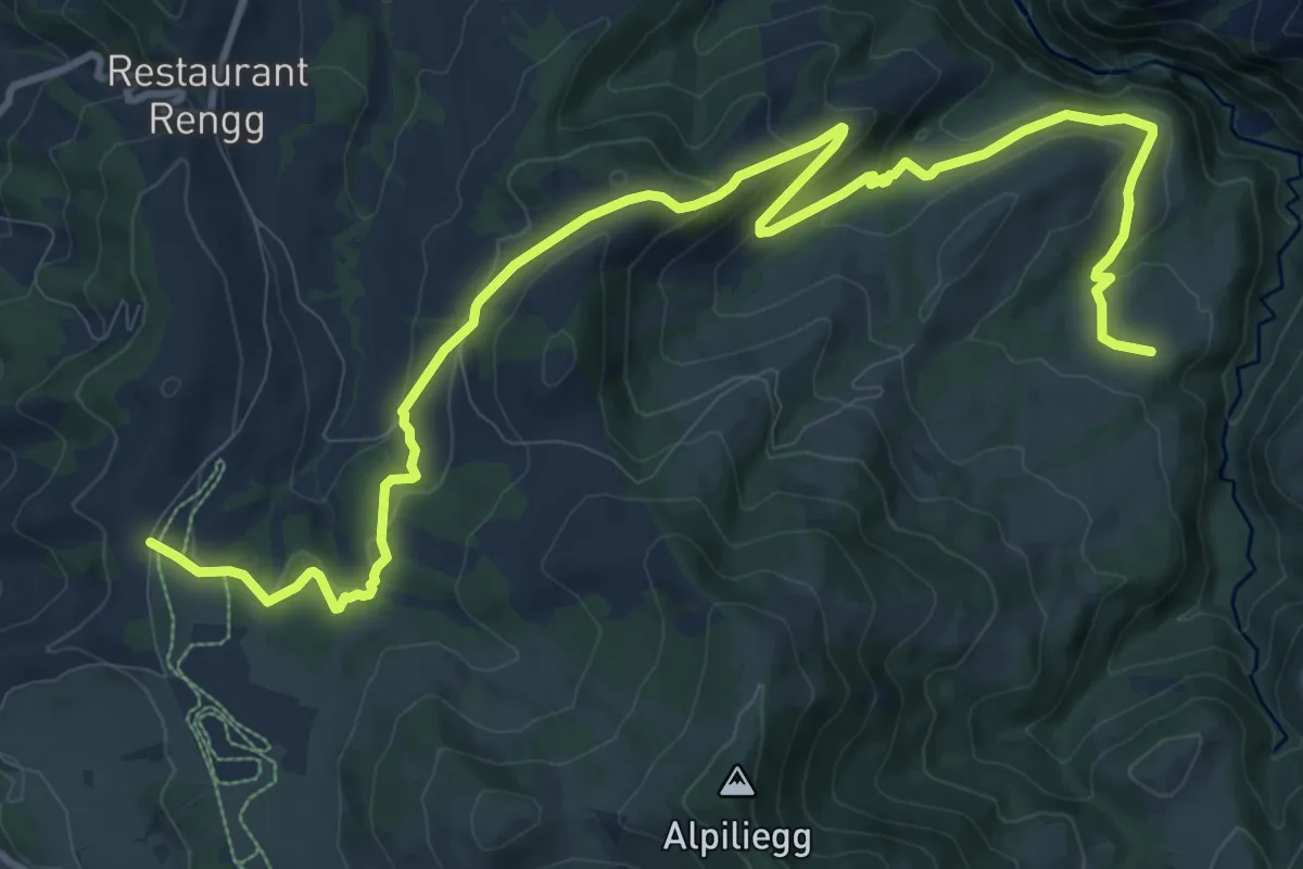
Medium · Trail
Unt. Rotmoos – Feldmoos
14.5 km · ↑ 507 m · 4 h 31 min
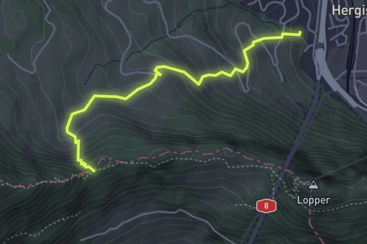
Medium · Trail
Renggpass – Büel
4.1 km · ↑ 406 m · 1 h 50 min
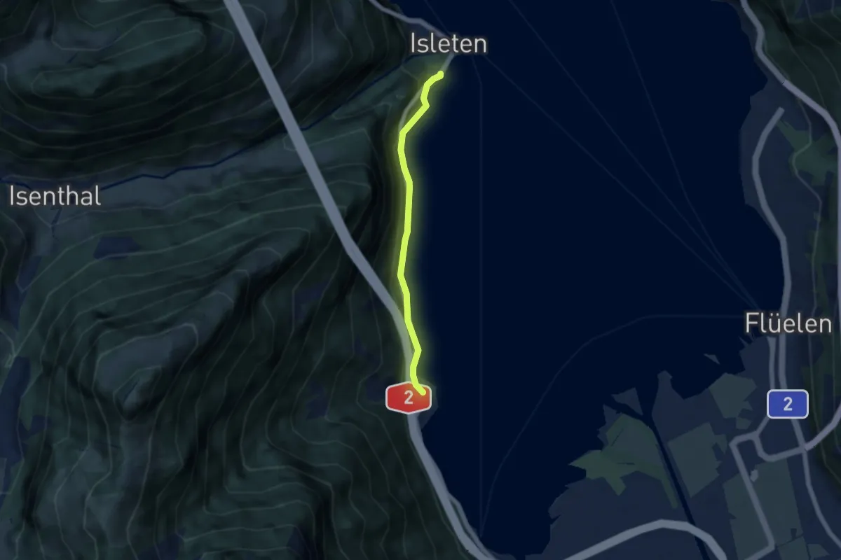
Easy · Trail
Bolzbach – Isleten
4.5 km · ↑ 105 m · 1 h 18 min
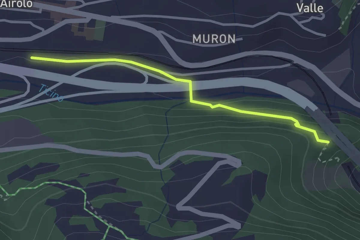
Easy · Trail
Airolo Stazione – Torre Pagani
2.6 km · ↑ 90 m · 49 min
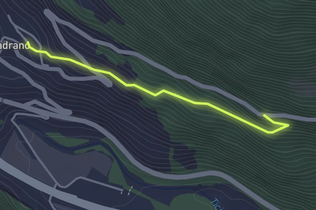
Easy · Trail
Madrano – Strada dei Morti
2.6 km · ↑ 152 m · 56 min
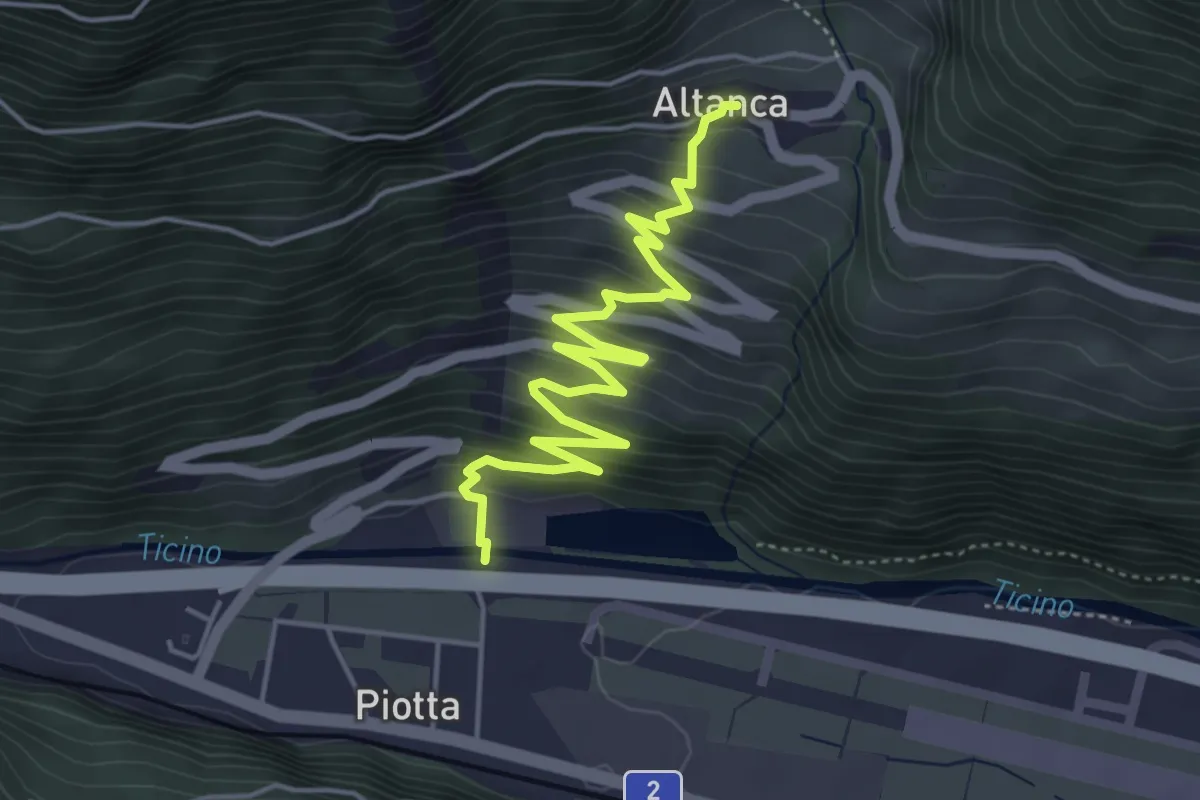
Medium · Trail
Altanca – Piotta / Centrale Ritom
5.5 km · ↑ 389 m · 2 h 8 min
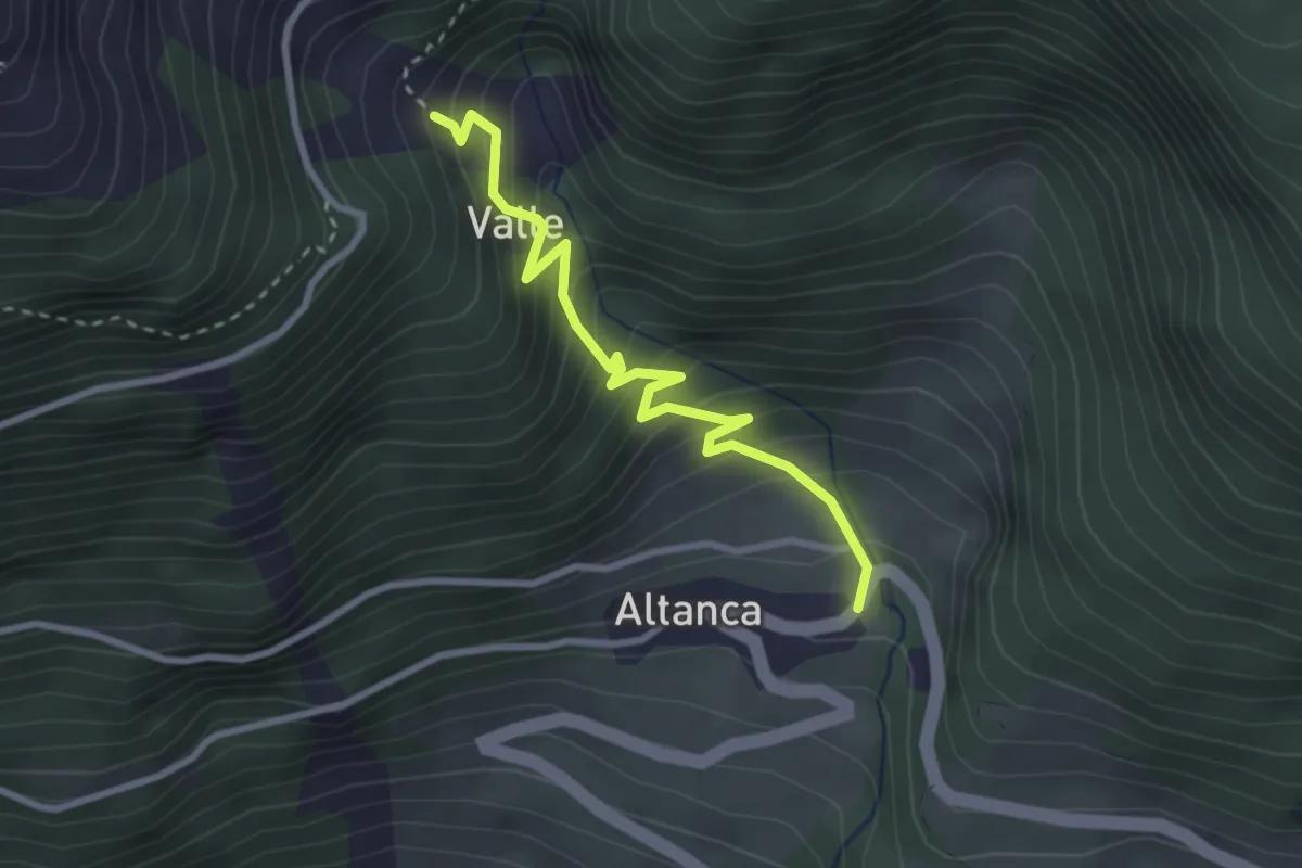
Medium · Trail
Altanca / Foss – Valle
2.9 km · ↑ 310 m · 1 h 22 min