Trails in Switzerland
15,055 hiking trails, each with its route, climb, walking time and grade.
All trails, page 216 of 314
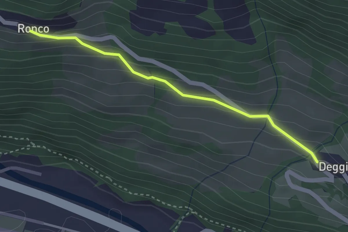
Medium · Trail
Ronco – Deggio
2.8 km · ↑ 166 m · 1 h 1 min
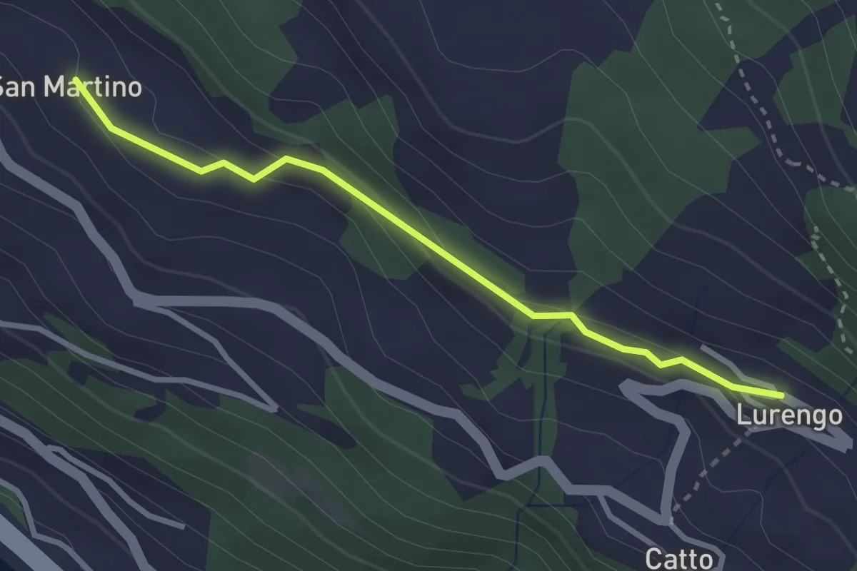
Easy · Trail
San Martino – Lurengo
2.8 km · ↑ 108 m · 53 min
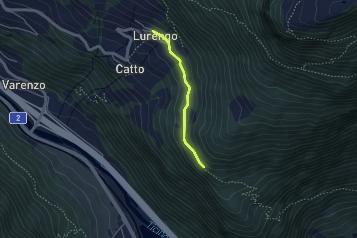
Easy · Trail
Lurengo – Bosco d'Öss
2.3 km · ↑ 68 m · 42 min
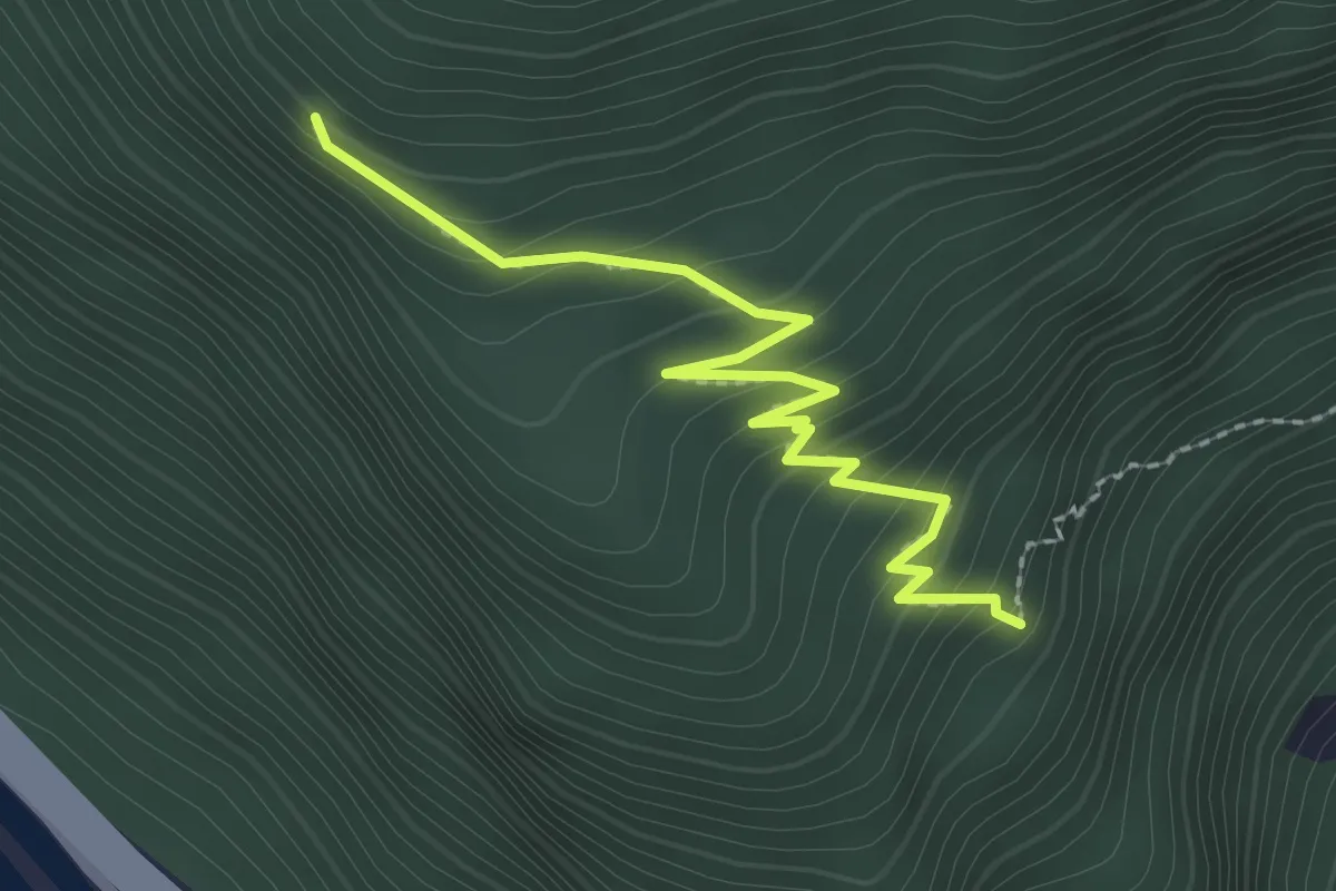
Medium · Trail
Bosco d'Öss – Bosco d'Öss
2.5 km · ↑ 225 m · 1 h 5 min
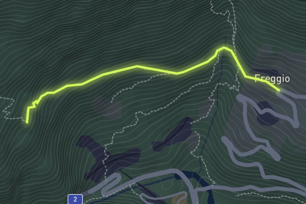
Medium · Trail
Bosco d'Öss – Freggio
2.6 km · ↑ 208 m · 1 h 5 min
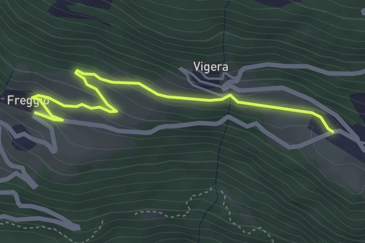
Easy · Trail
Freggio – Modrengo
3.9 km · ↑ 176 m · 1 h 18 min
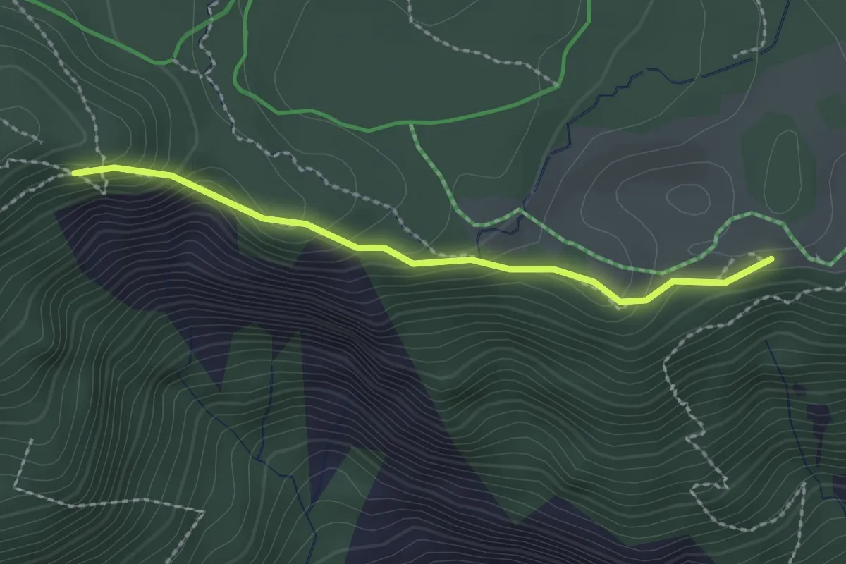
Medium · Trail
Conn – Mutta
2.1 km · ↑ 123 m · 45 min
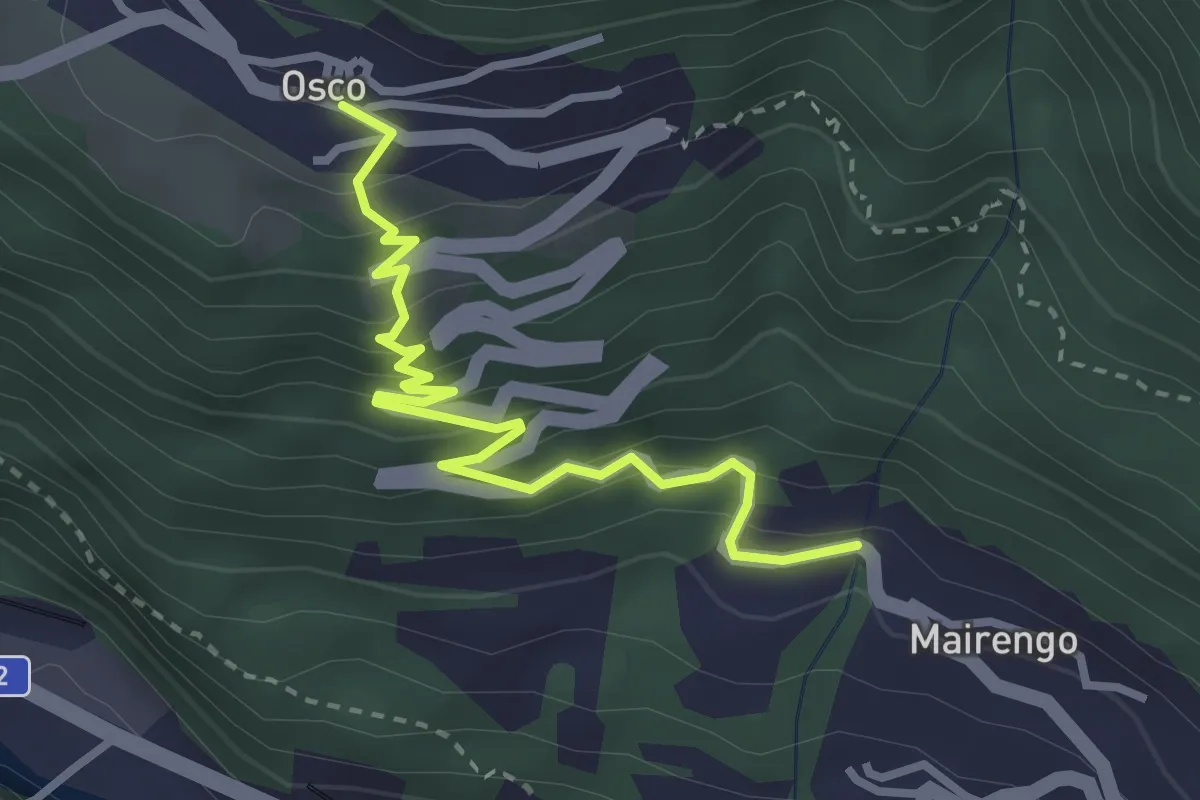
Easy · Trail
Osco – Mairengo
3.2 km · ↑ 270 m · 1 h 21 min
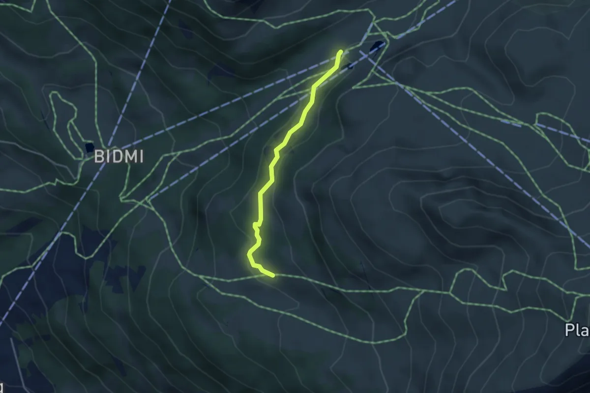
Easy · Trail
Mägisalp – Gummen
3.0 km · ↑ 104 m · 57 min
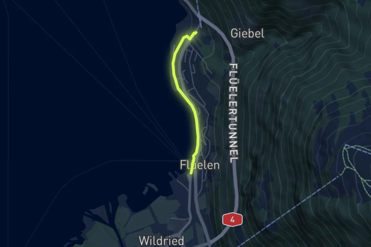
Easy · Trail
Flüelen – Flüelen Gruonbach
3.4 km · ↑ 55 m · 56 min
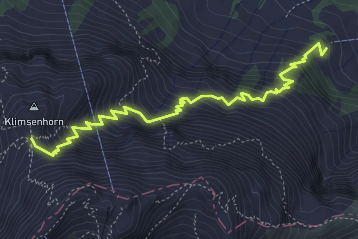
Medium · Cabin
Chlimsenhorn – Alpgschwänd
4.9 km · ↑ 774 m · 2 h 50 min
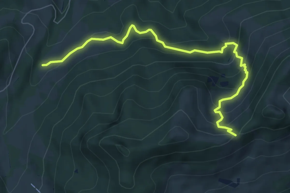
Medium · Trail
Mülimoos Sattel (Pt 1508) – Grünenwald (Pt 1077)
7.1 km · ↑ 485 m · 2 h 43 min
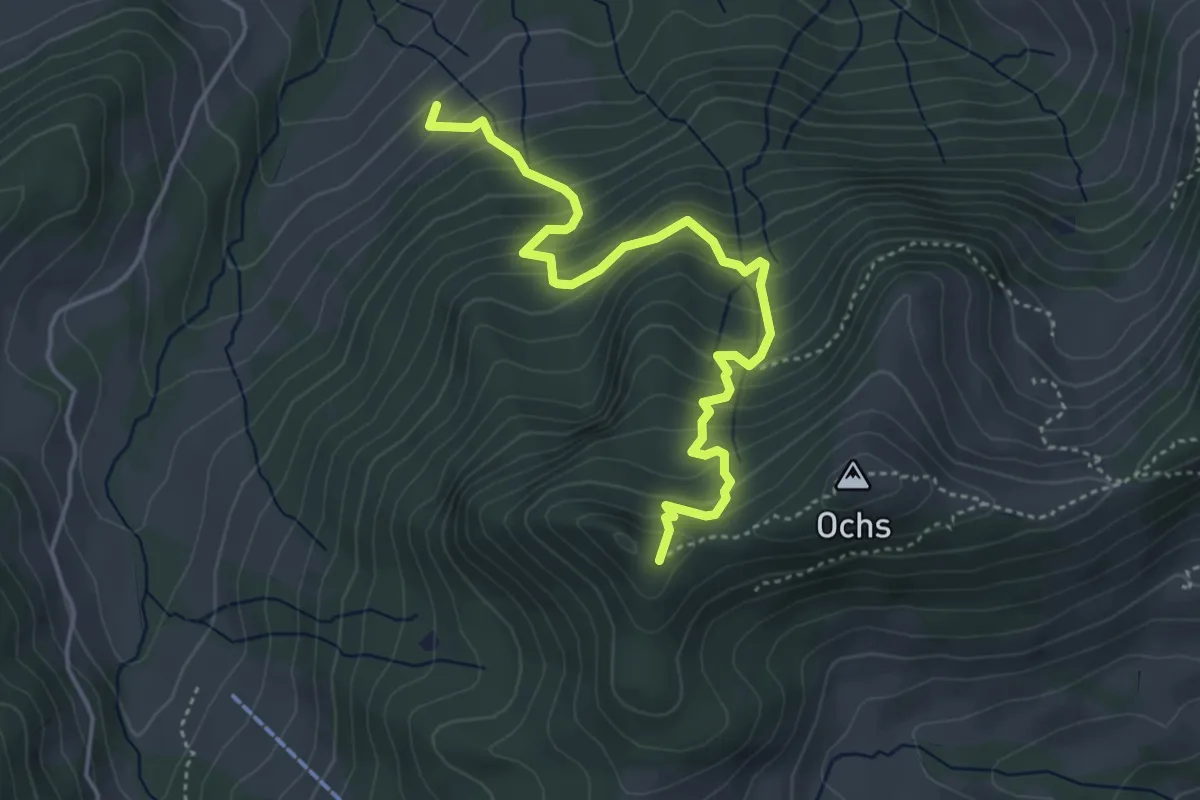
Medium · Trail
Grünenwald – Hüenerhubel
4.6 km · ↑ 464 m · 2 h 6 min
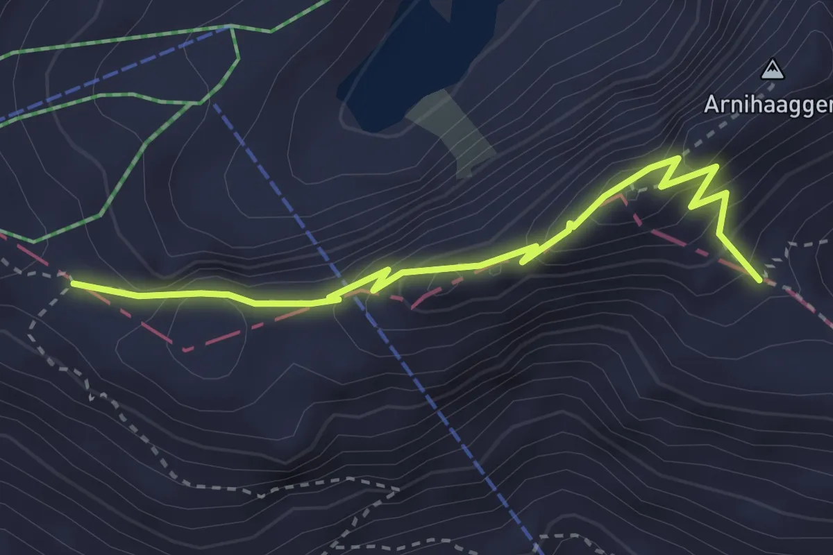
Medium · Trail
Eiseesattel – Zwischenegg
3.3 km · ↑ 247 m · 1 h 19 min
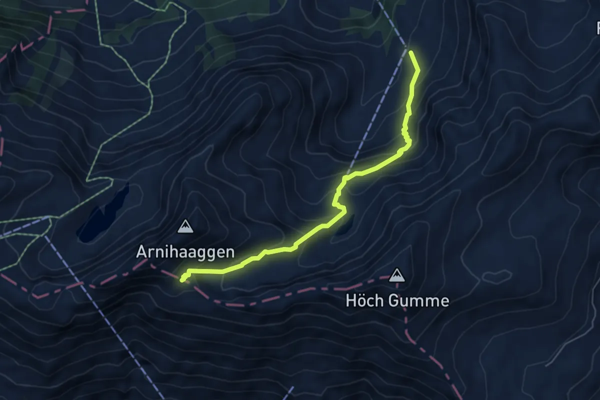
Medium · Trail
Mittlist Arni – Zwischenegg
5.4 km · ↑ 481 m · 2 h 19 min
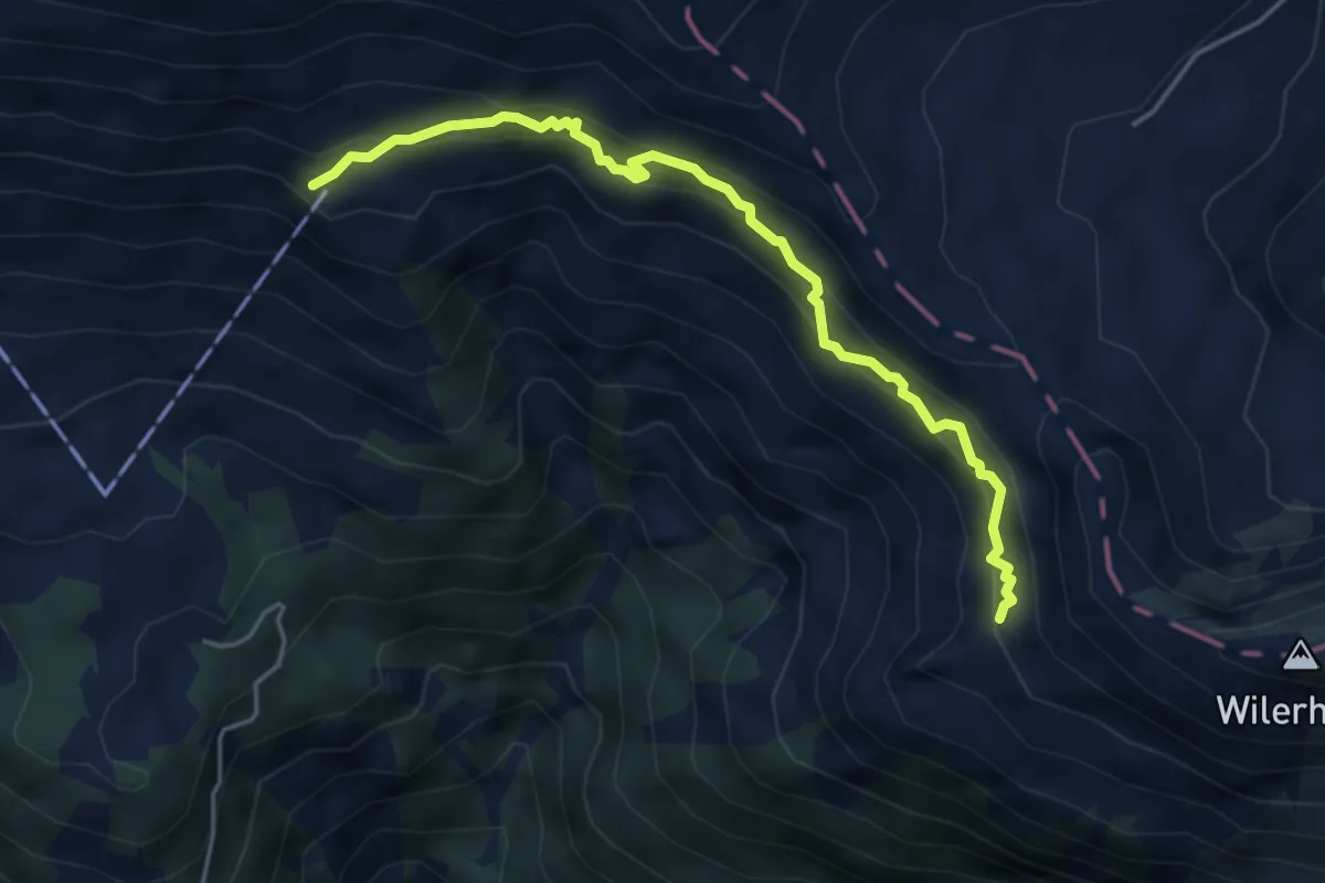
Medium · Trail
Salewang – Chäseren
4.6 km · ↑ 429 m · 2 h 1 min
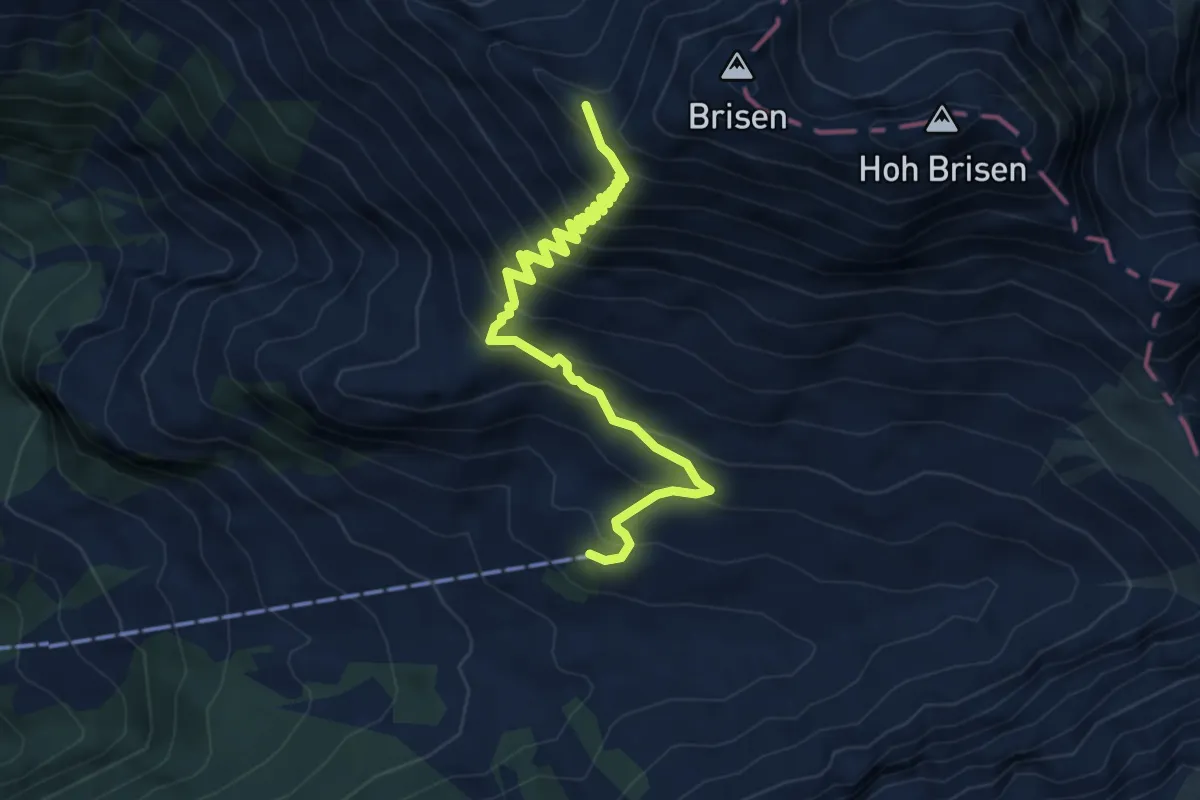
Demanding · Trail
Widderen – Windegg
5.6 km · ↑ 546 m · 2 h 30 min
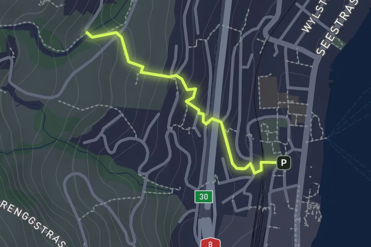
Easy · Trail
Hergiswil – Unter Chellen
2.0 km · ↑ 113 m · 44 min
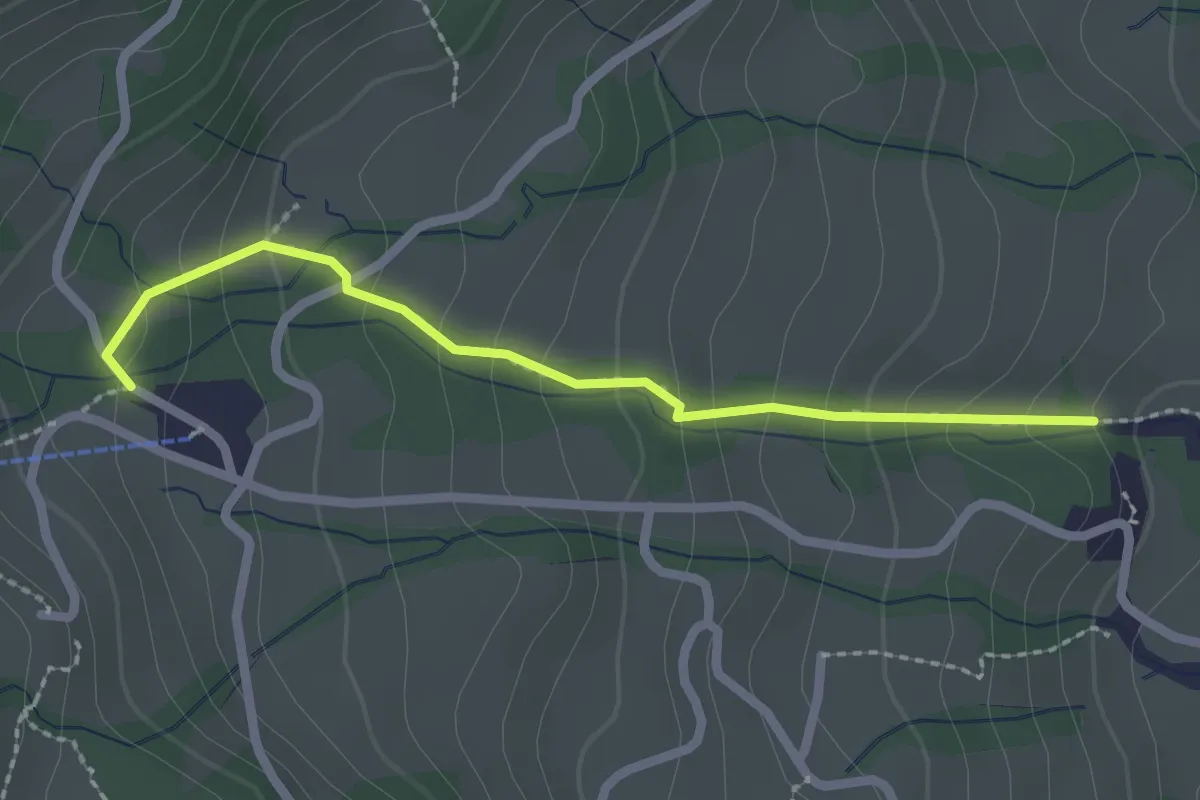
Medium · Trail
Ober Chellen – Schwandi
2.2 km · ↑ 173 m · 54 min
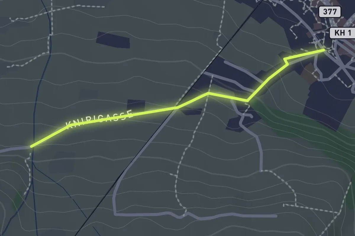
Easy · Trail
Stans Dorfplatz – Christenmatt
2.0 km · ↑ 76 m · 39 min
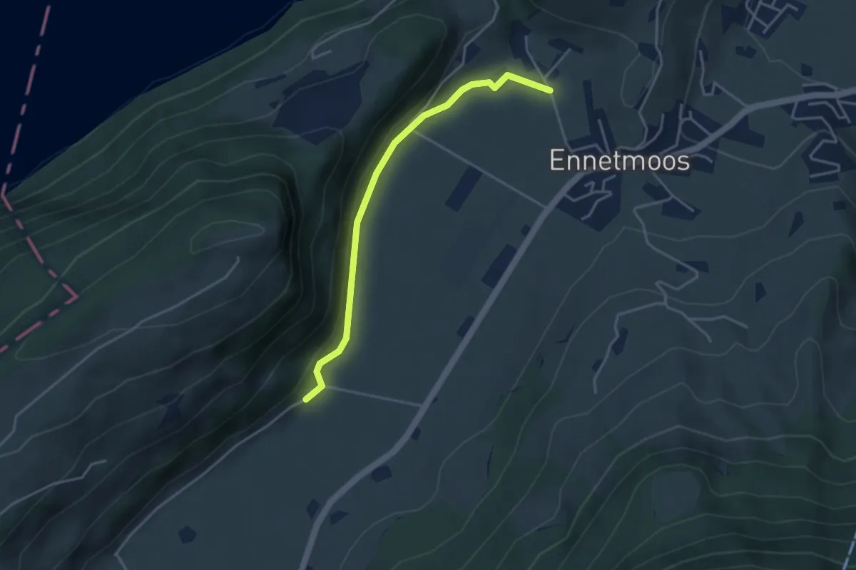
Easy · Trail
Betti – Drachenried
3.6 km · ↑ 76 m · 1 h 1 min
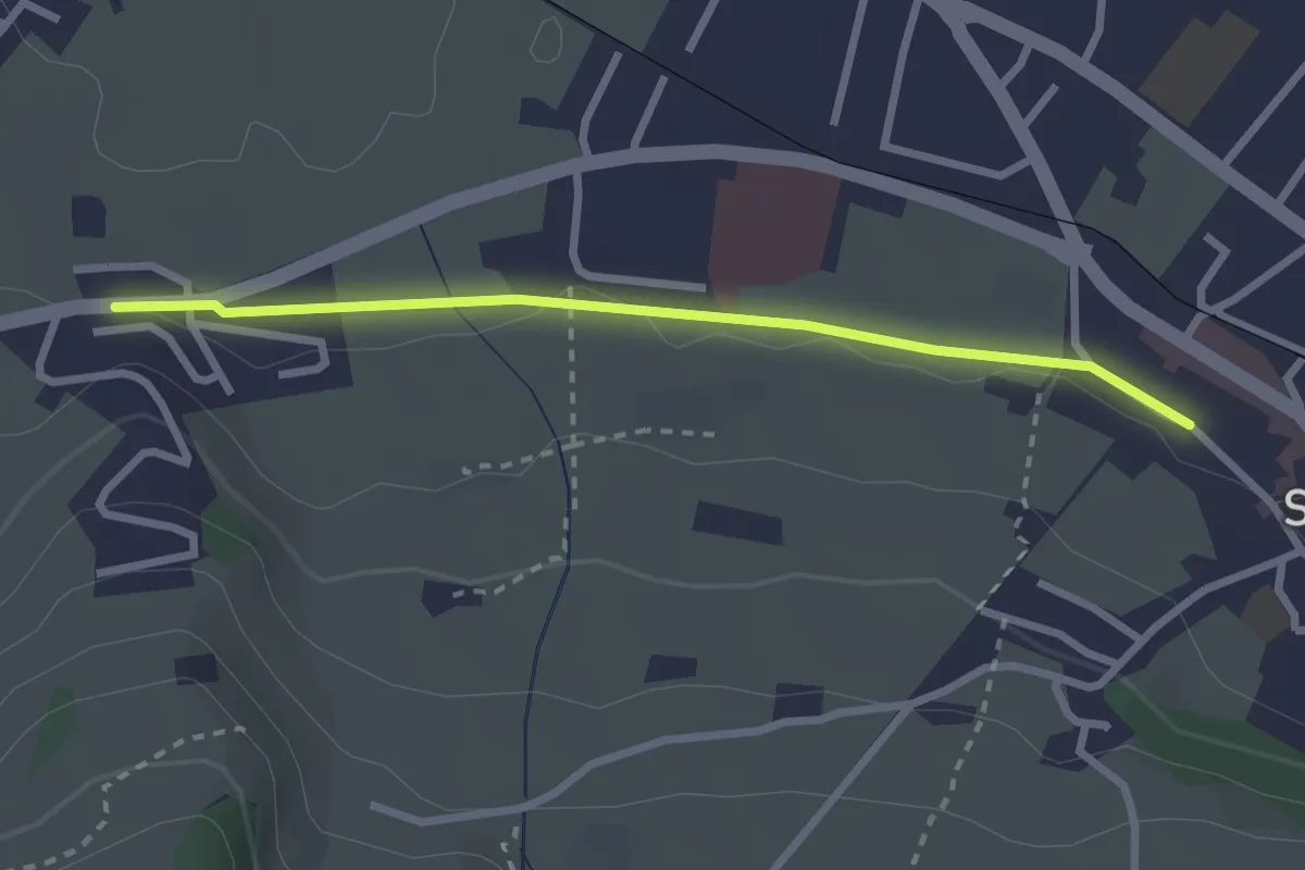
Easy · Trail
Stans Bahnhof – Lewengrueben
2.5 km · ↑ 12 m · 38 min
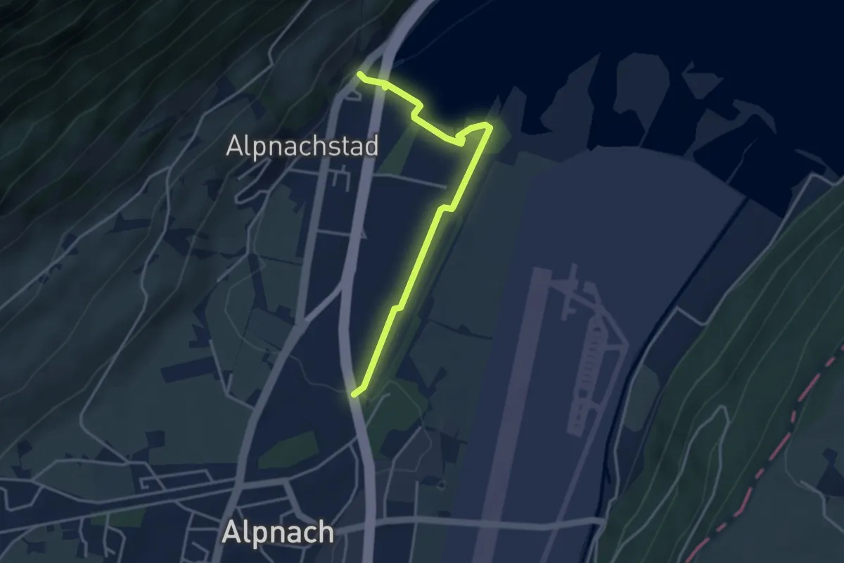
Easy · Trail
Alpnachstad – Alpnach
3.5 km · ↑ 41 m · 54 min
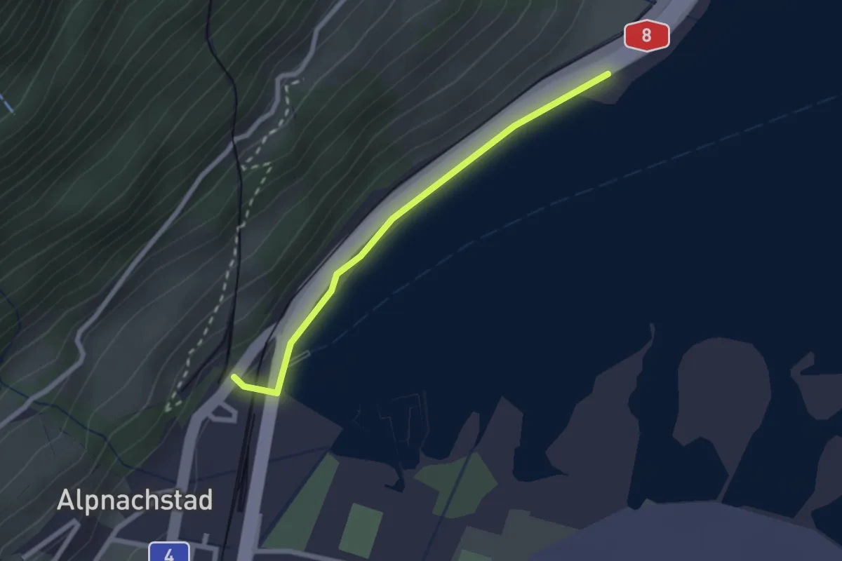
Easy · Trail
Alpnachstad – Niederstad
2.1 km · ↑ 28 m · 33 min
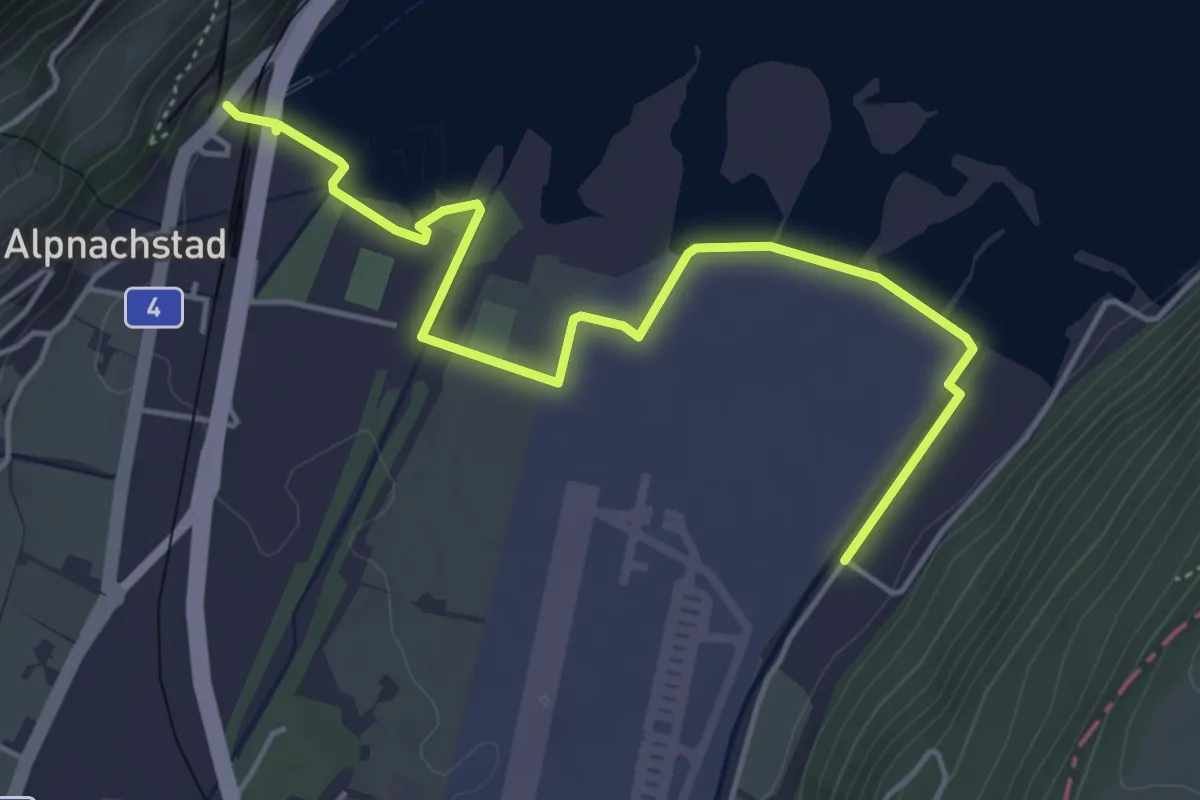
Easy · Trail
Alpnachstad – Wichelsee
5.2 km · ↑ 23 m · 1 h 17 min
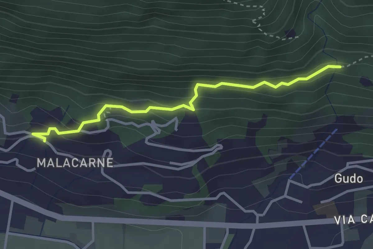
Easy · Trail
Rastrello – Al Bosco
2.9 km · ↑ 203 m · 1 h 7 min
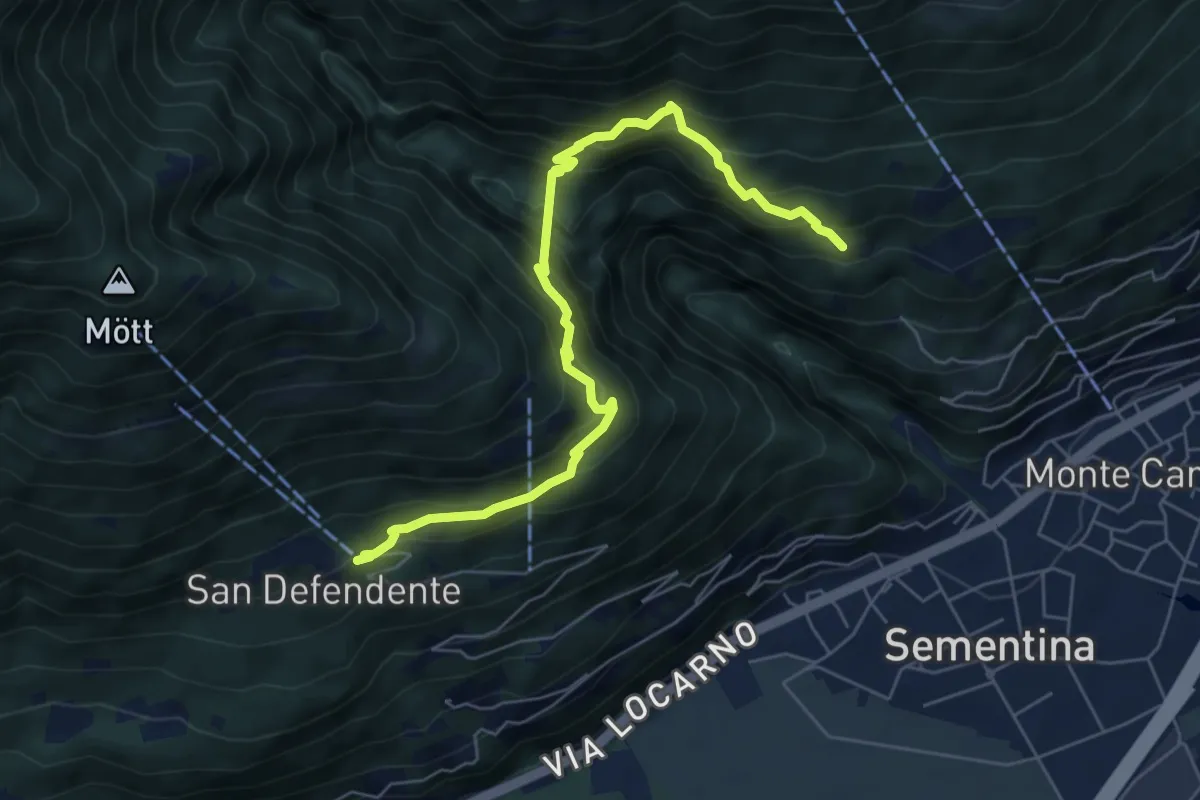
Medium · Trail
S. Bernardo – S. Defendente
6.9 km · ↑ 688 m · 3 h 7 min
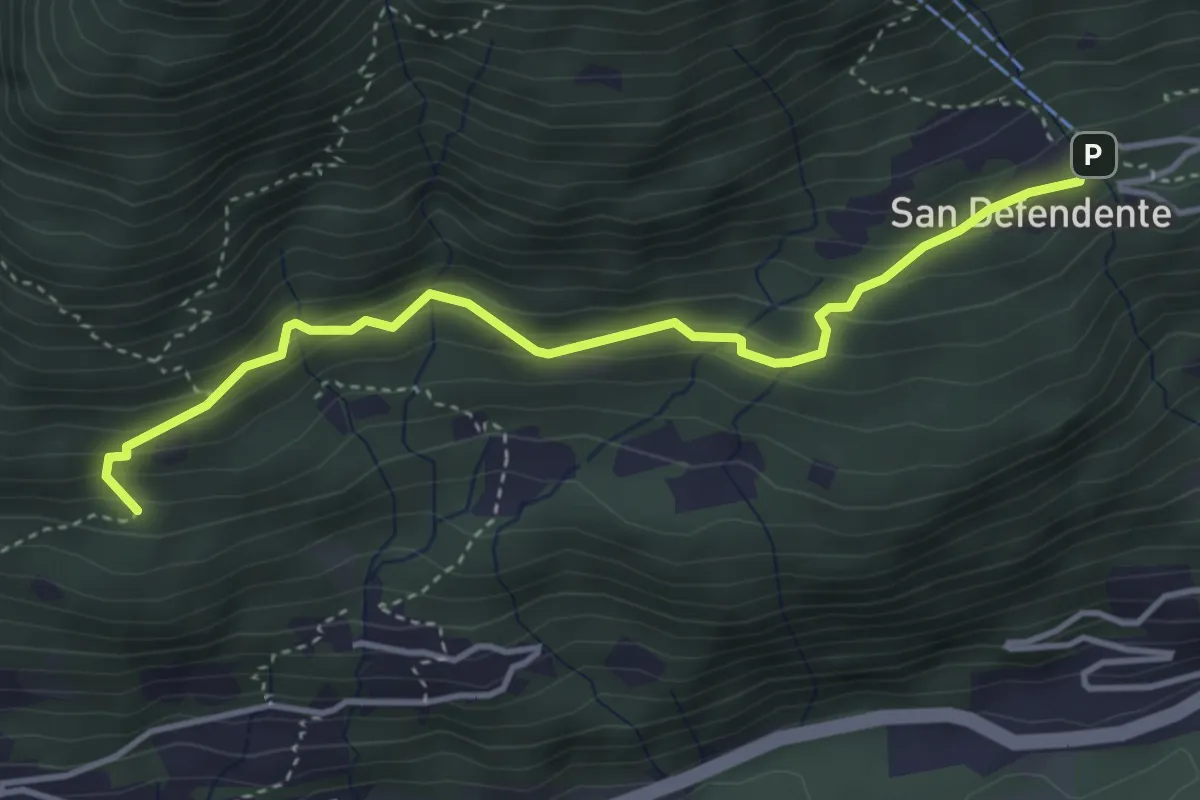
Easy · Trail
San Defendente – Pian Palerm
4.0 km · ↑ 317 m · 1 h 38 min
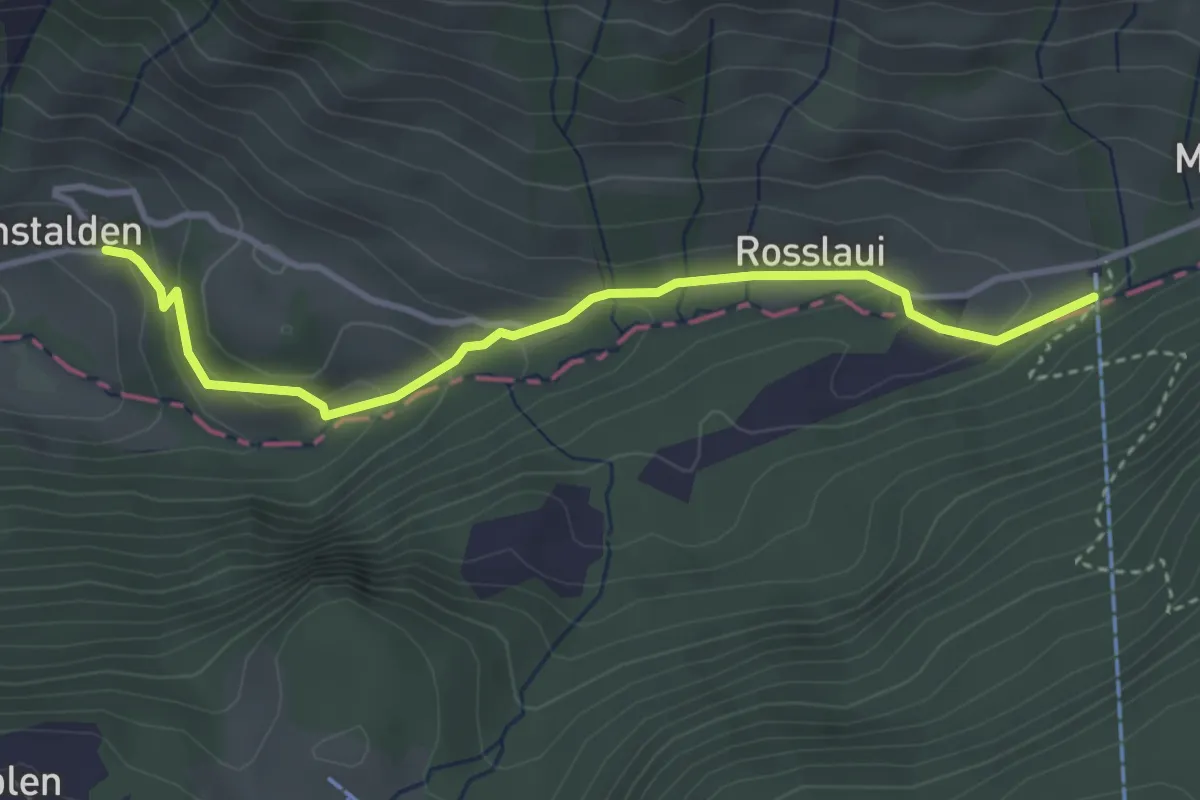
Easy · Trail
Chäppeliberg – Riemenstalden
3.6 km · ↑ 168 m · 1 h 12 min
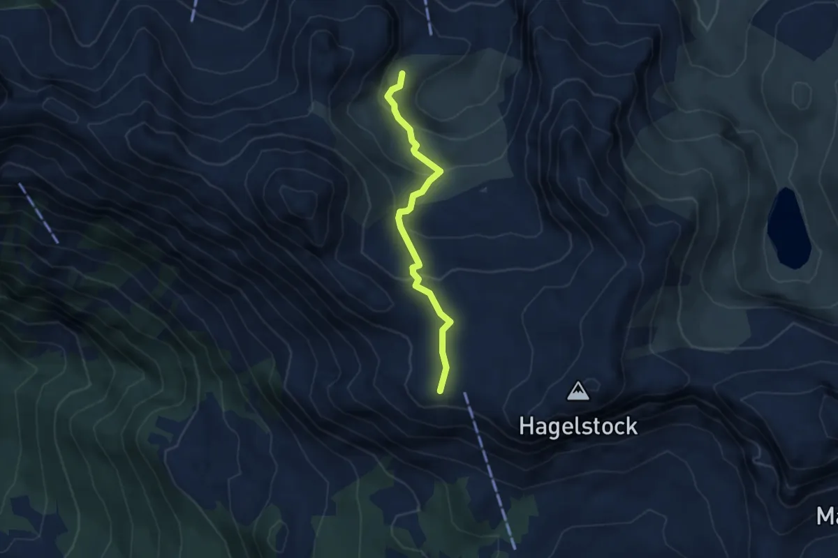
Medium · Trail
Rotenbalm – Schön Chulm
3.4 km · ↑ 202 m · 1 h 15 min
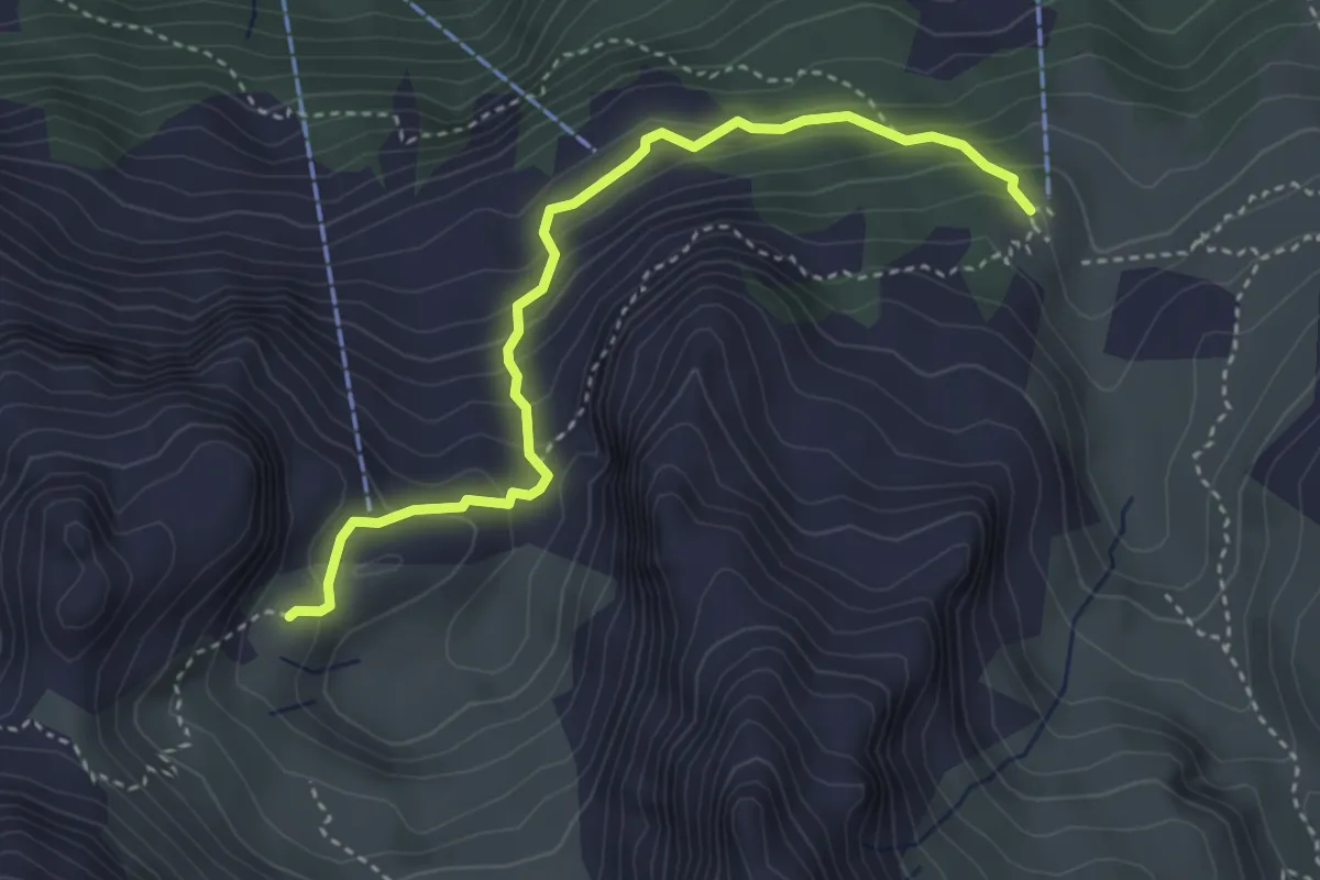
Medium · Trail
Rotenbalm – Gitschen Bergstation
3.7 km · ↑ 307 m · 1 h 33 min
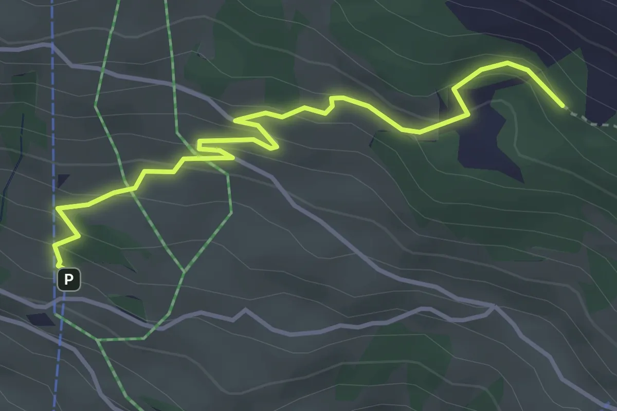
Easy · Trail
Ratzi – Äbneter Wald
3.8 km · ↑ 221 m · 1 h 22 min
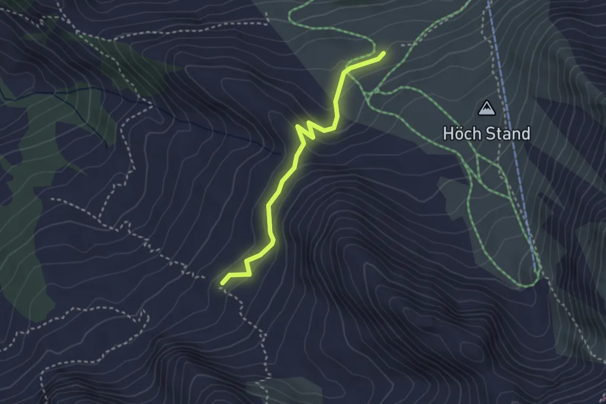
Easy · Cabin
Büel – Brisenhaus
2.8 km · ↑ 153 m · 59 min
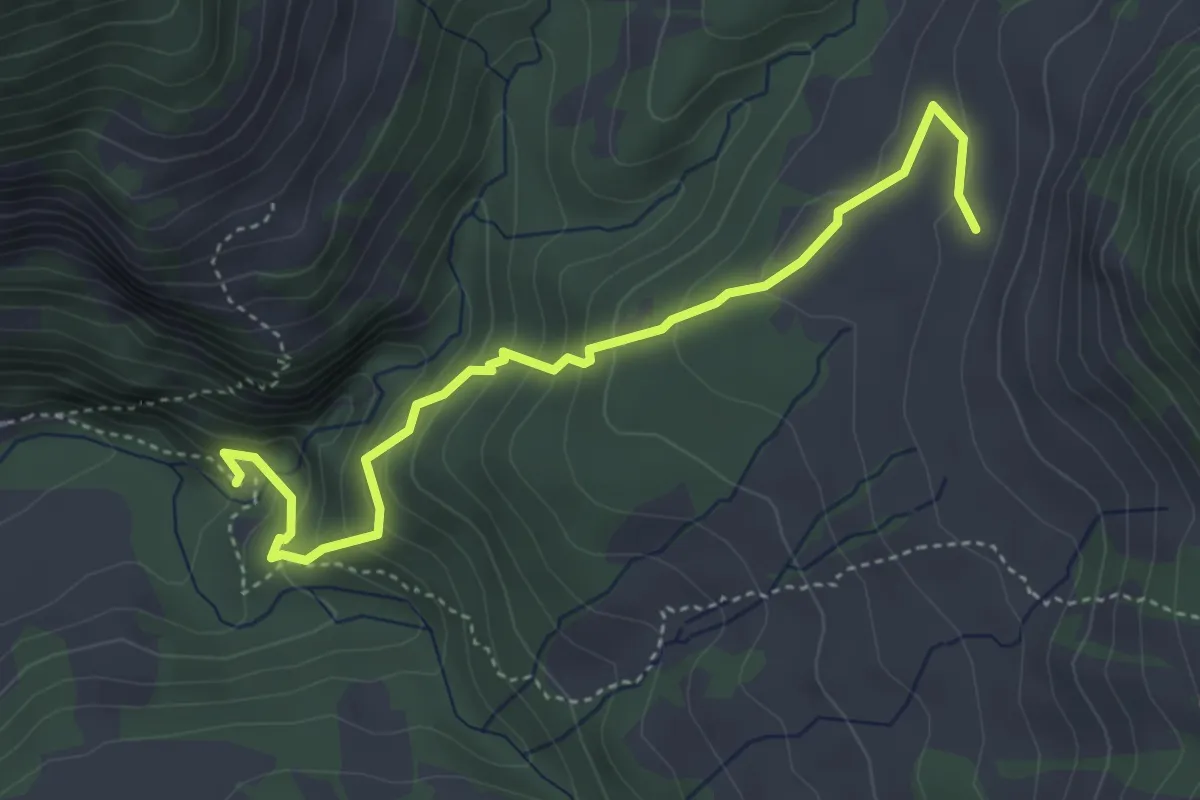
Medium · Trail
Chessimättili – Stäldili
4.4 km · ↑ 347 m · 1 h 47 min
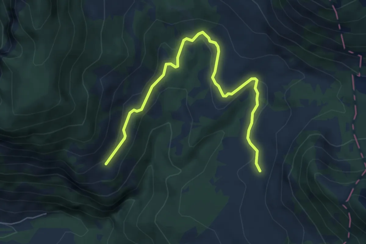
Easy · Trail
Stäldili – Vorder Rüchi
6.2 km · ↑ 222 m · 1 h 57 min
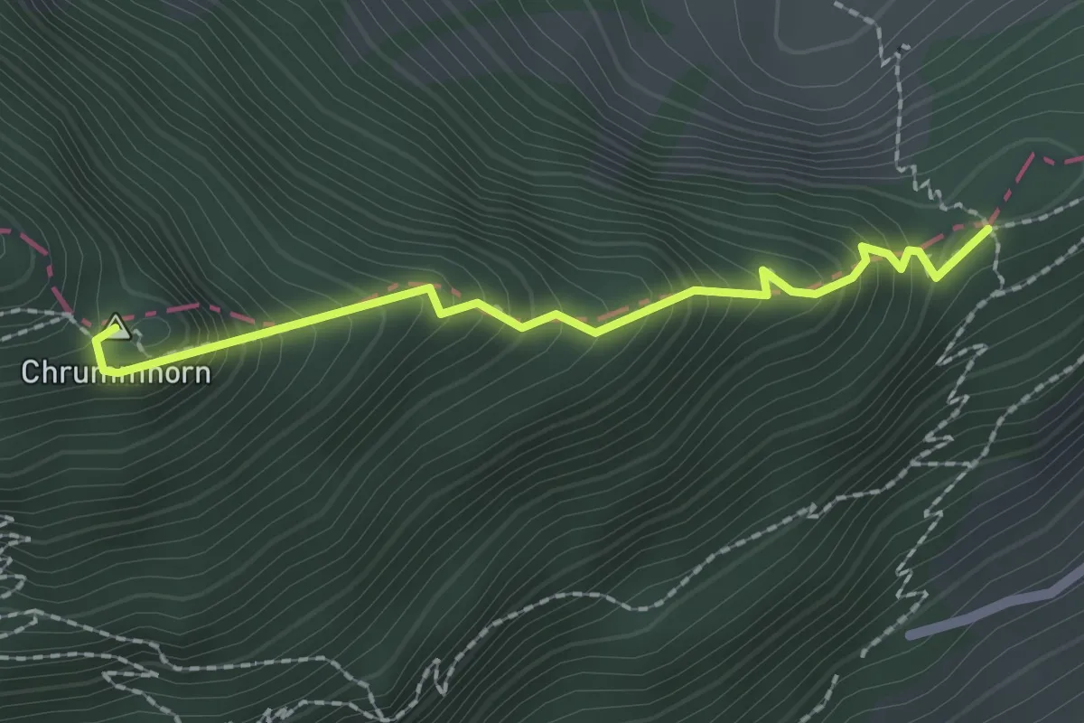
Demanding · Summit
Chrummhorn – Renggpass
2.0 km · ↑ 335 m · 1 h 12 min
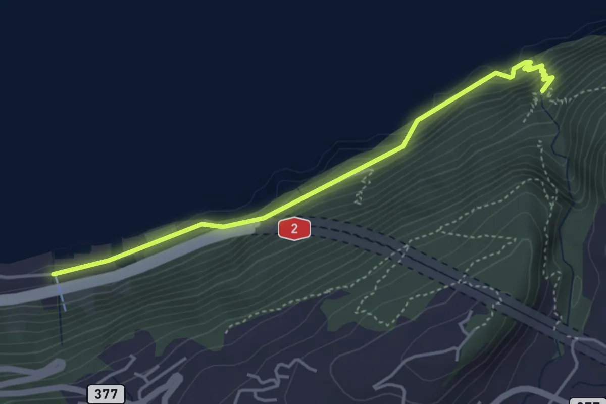
Medium · Trail
Risleten – Rütenen
4.2 km · ↑ 223 m · 1 h 28 min
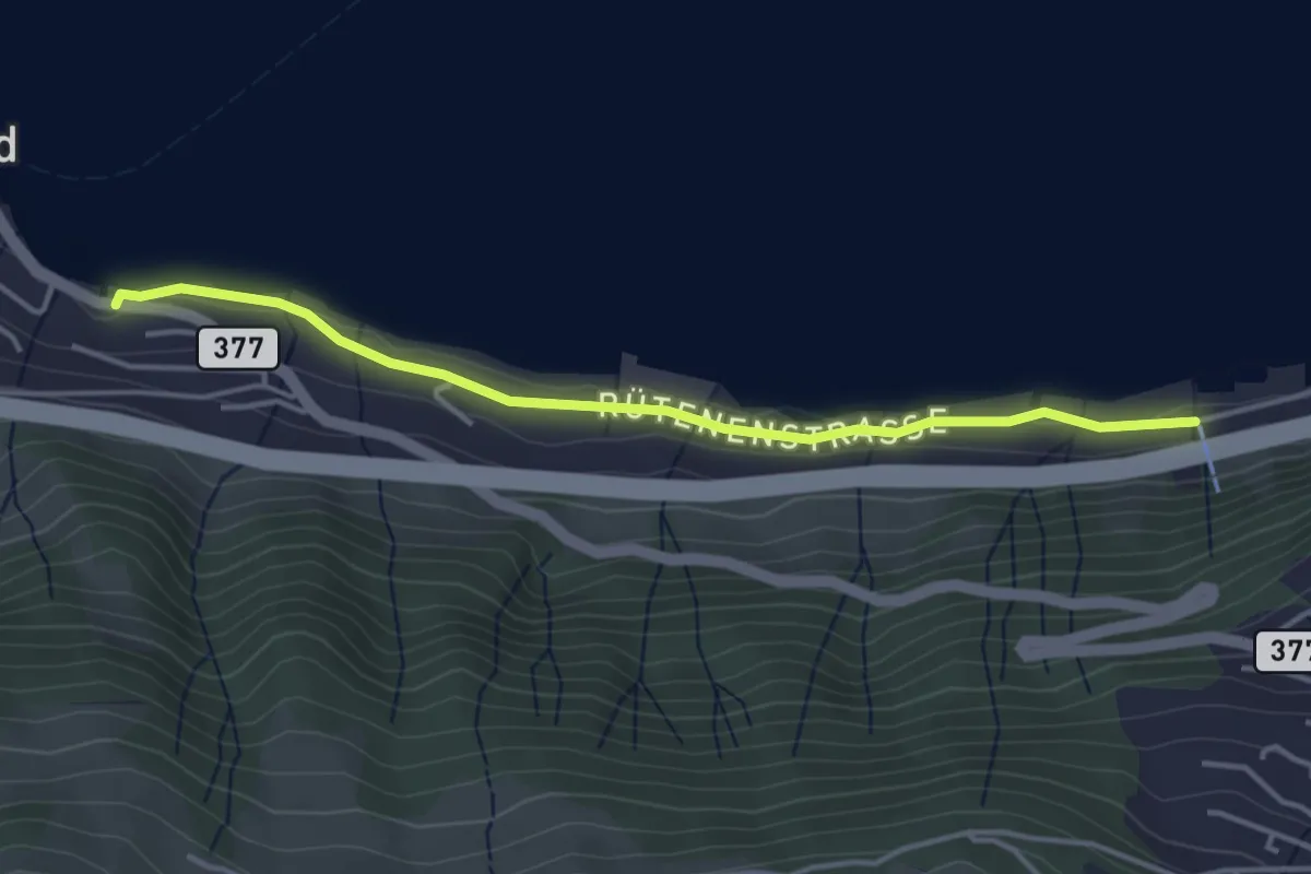
Easy · Trail
Rütenen – Boden
3.9 km · ↑ 28 m · 59 min
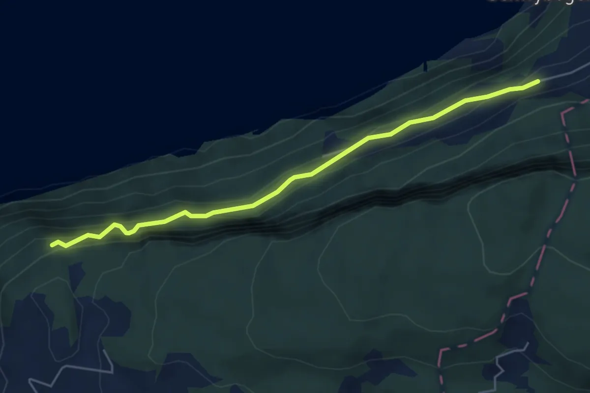
Medium · Trail
Triglis – Haselholz
4.9 km · ↑ 389 m · 2 h
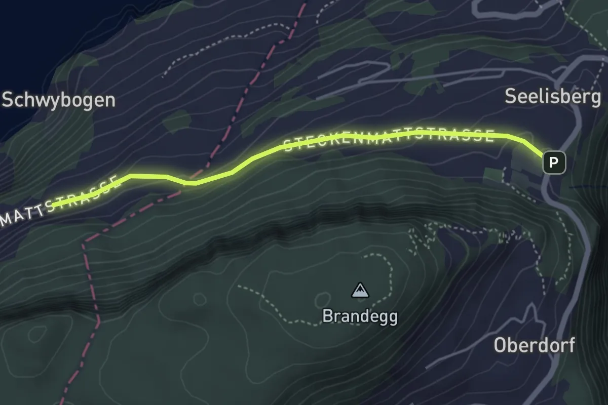
Easy · Trail
Chilendorf – Triglis
4.0 km · ↑ 154 m · 1 h 17 min
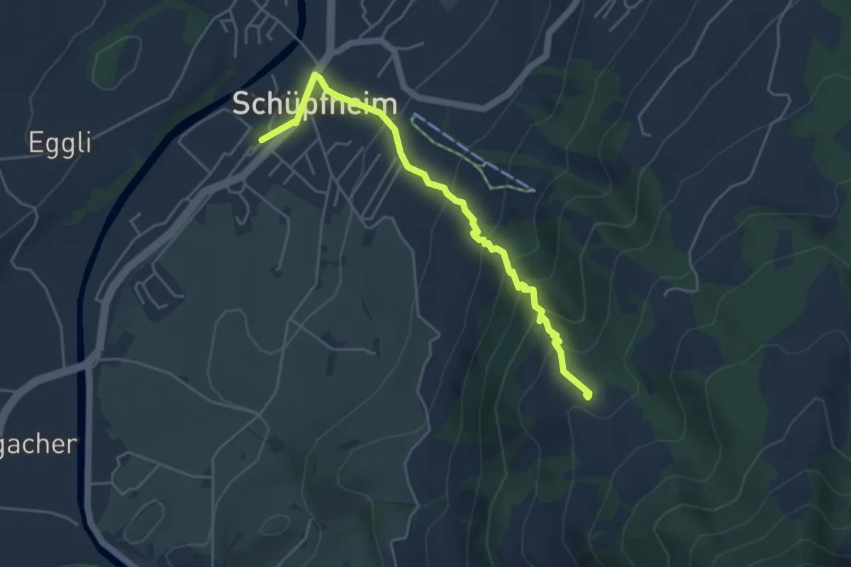
Medium · Trail
Schüpfheim – Stolen
4.4 km · ↑ 369 m · 1 h 50 min
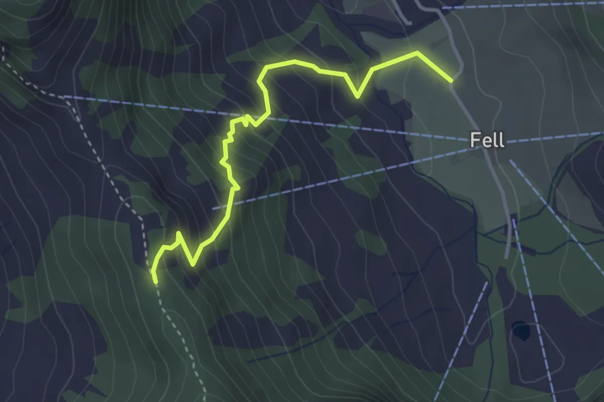
Medium · Trail
Gerenmattli – Eggeligrat
3.3 km · ↑ 352 m · 1 h 32 min
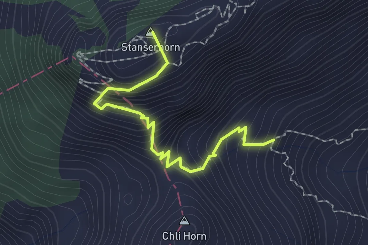
Medium · Summit
Stanserhorn – Chrinnen
1.9 km · ↑ 282 m · 1 h 3 min
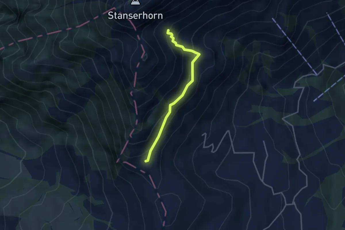
Medium · Trail
Chrinnen – Ober Holzwang
2.7 km · ↑ 245 m · 1 h 10 min
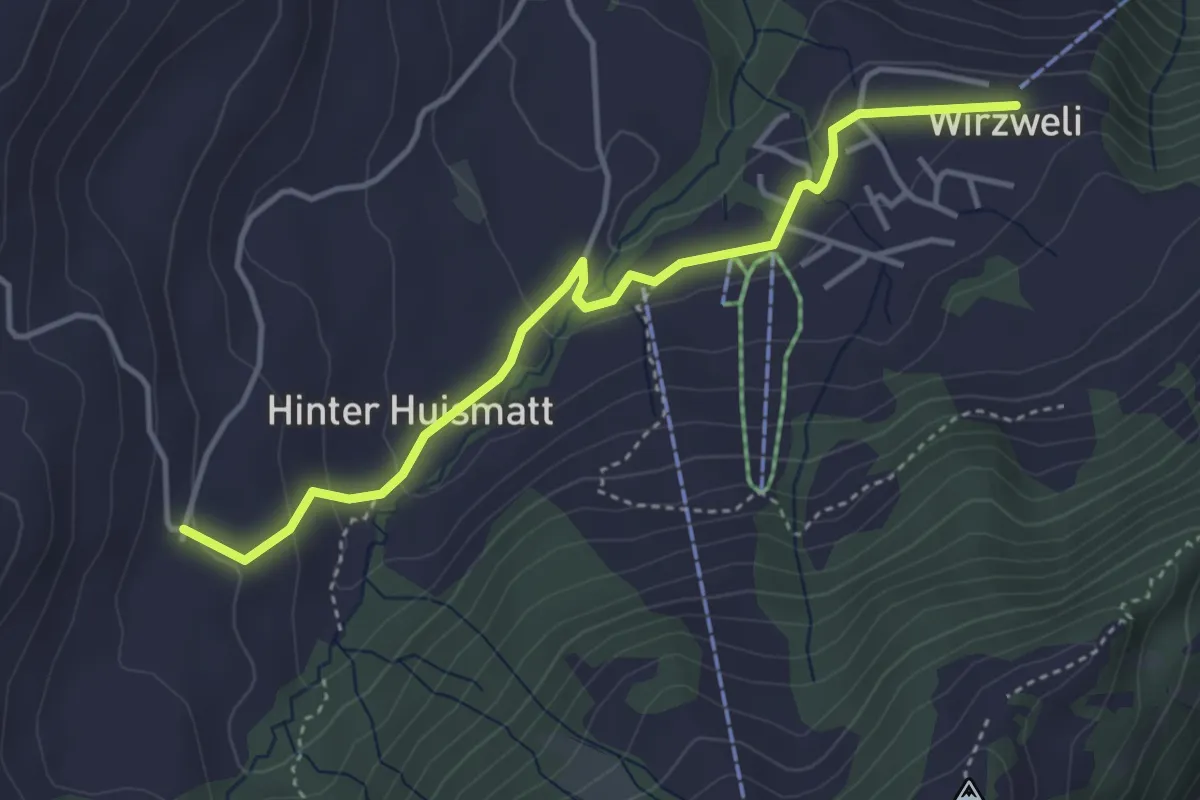
Easy · Trail
Dürrenboden – Wirzweli
4.0 km · ↑ 121 m · 1 h 12 min
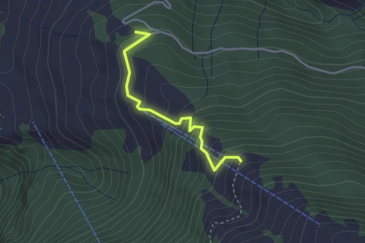
Medium · Trail
Wasenegg – Mittlist Hütti
2.4 km · ↑ 237 m · 1 h 5 min
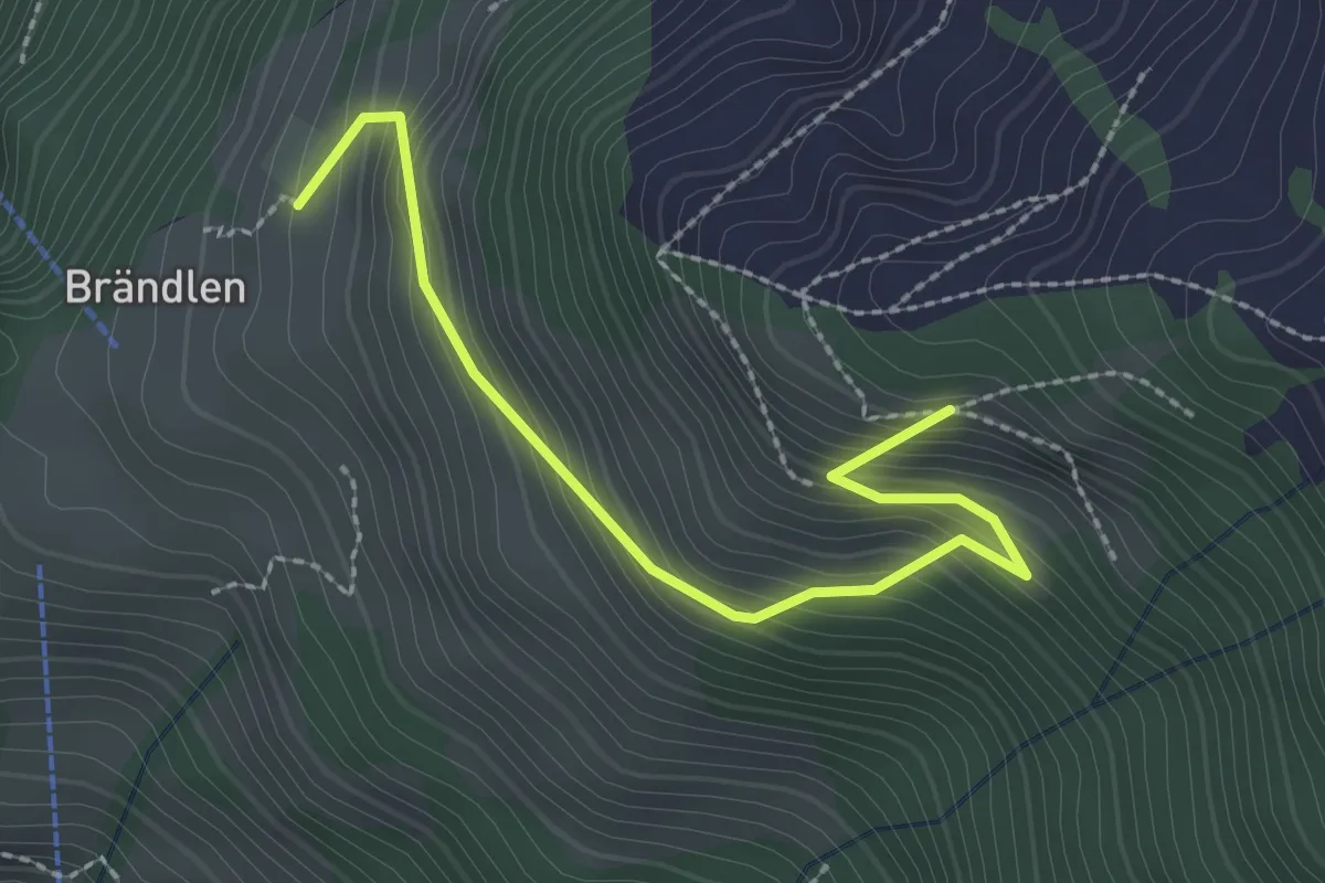
Medium · Trail
Brändeln Startplatz – Luthensak
2.5 km · ↑ 289 m · 1 h 13 min
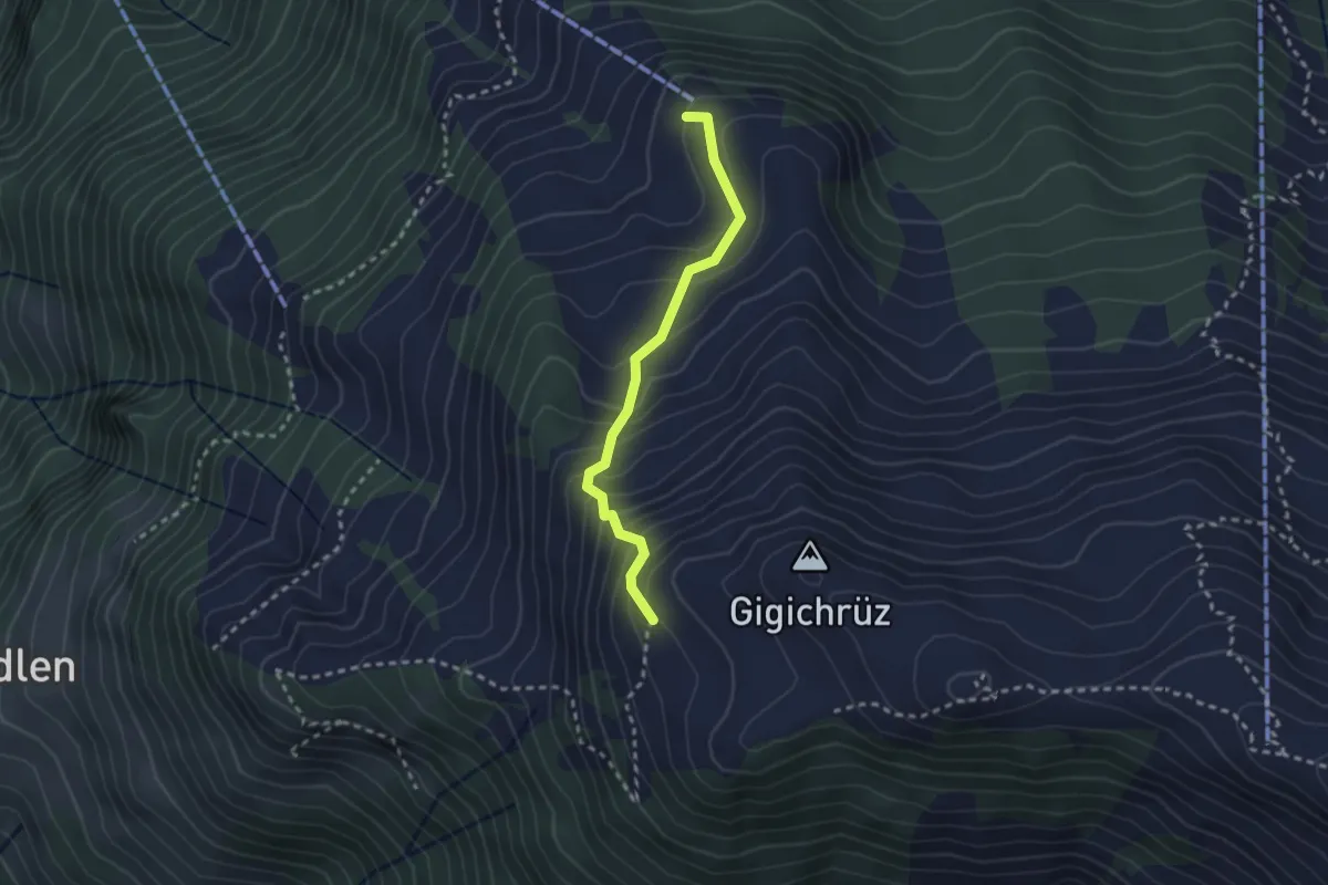
Medium · Trail
Gigi – Obrist Hüttli
2.4 km · ↑ 258 m · 1 h 8 min