Trails in Switzerland
15,055 hiking trails, each with its route, climb, walking time and grade.
All trails, page 217 of 314
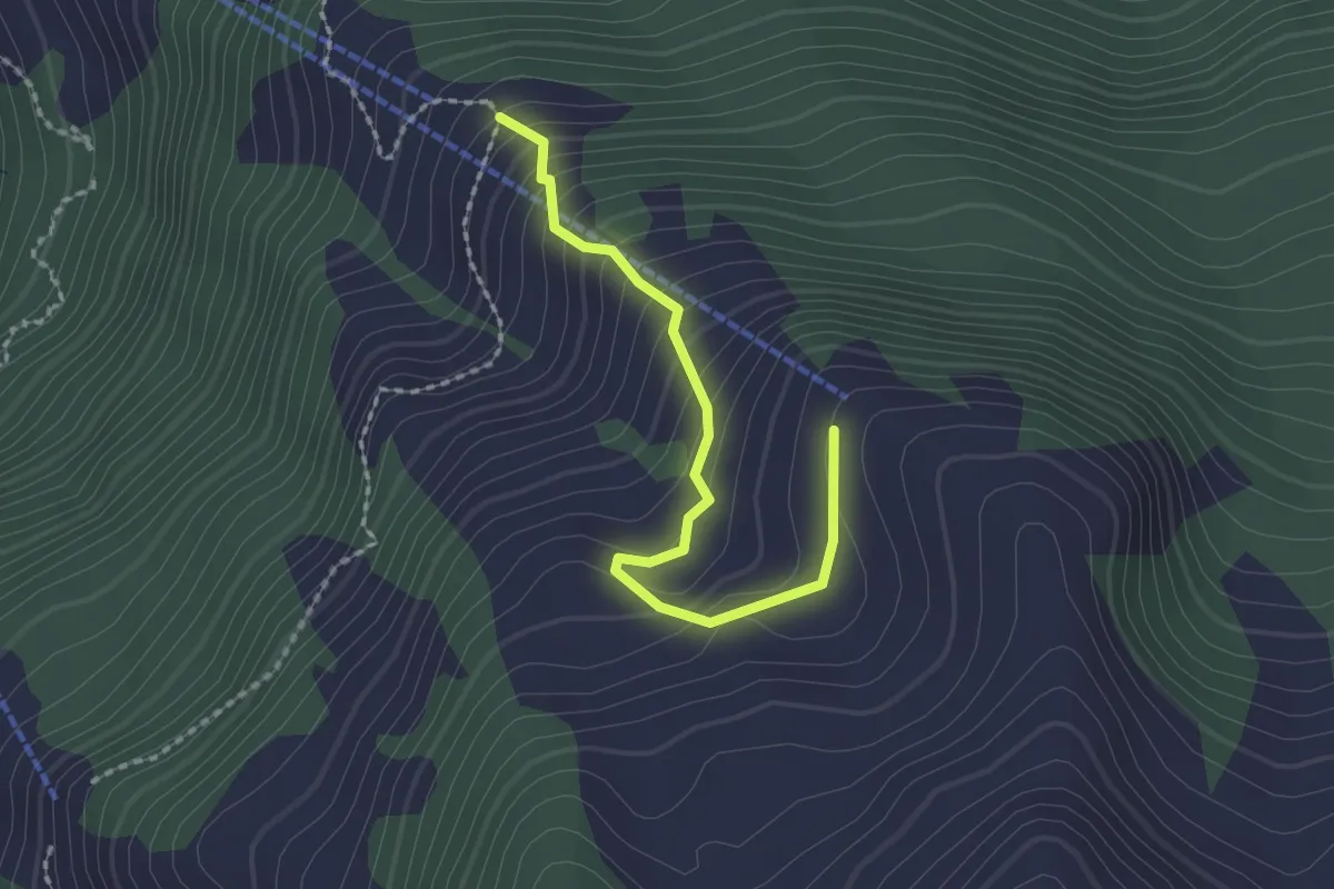
Easy · Trail
Obrist Hüttli – Mittlist Hüttli
2.0 km · ↑ 188 m · 53 min
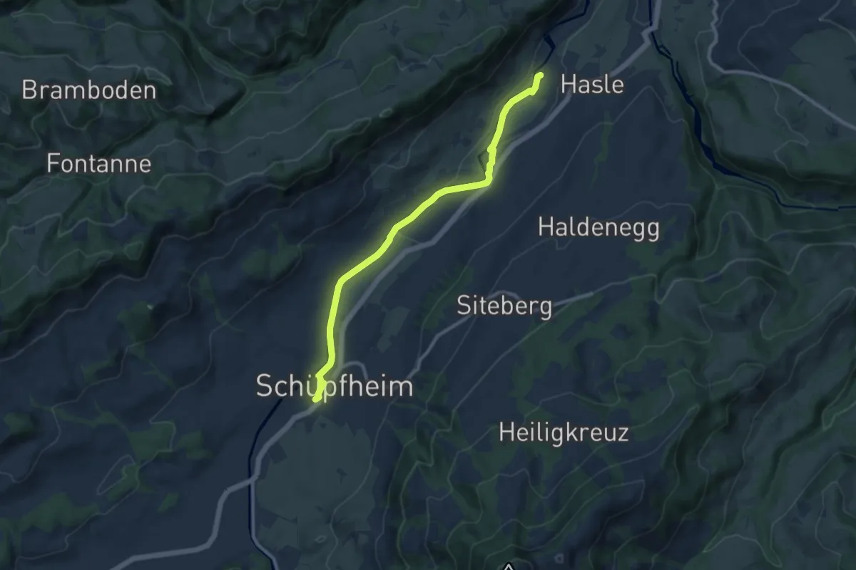
Medium · Trail
Hasle – Schüpfheim
9.2 km · ↑ 42 m · 2 h 15 min
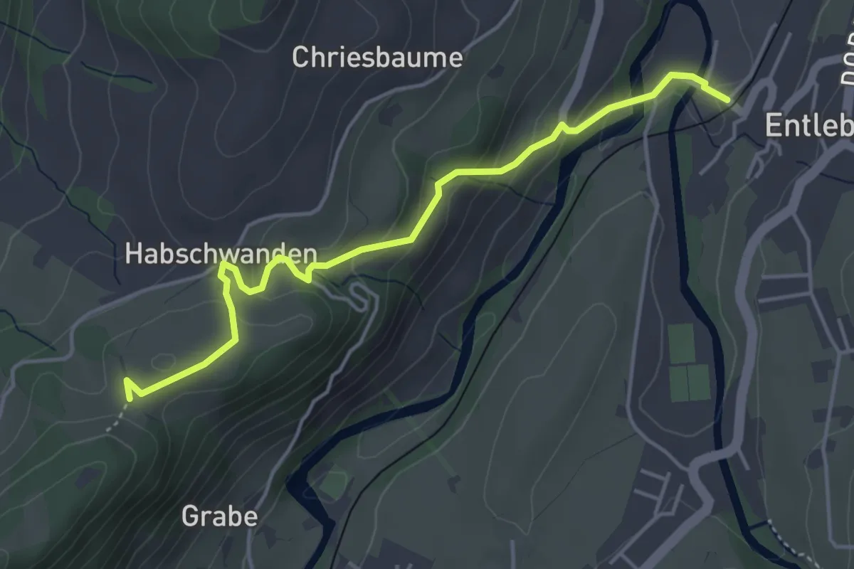
Easy · Trail
Entlebuch – Bergli
4.5 km · ↑ 200 m · 1 h 30 min
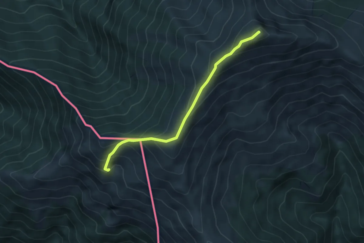
Medium · Summit
Monteviasco – Monte Gradiccioli (CH)
4.1 km · ↑ 403 m · 1 h 51 min
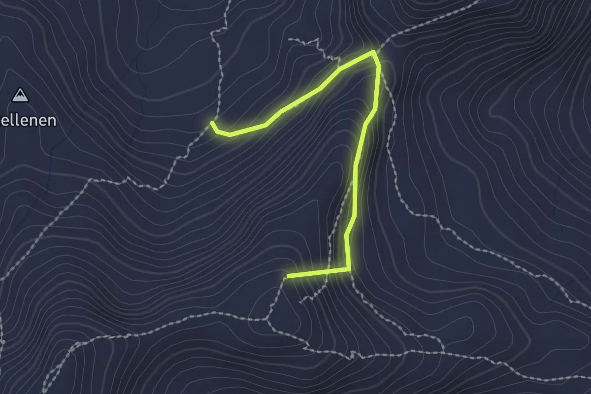
Medium · Summit
Rückenegg – Heidenboden
2.0 km · ↑ 196 m · 53 min
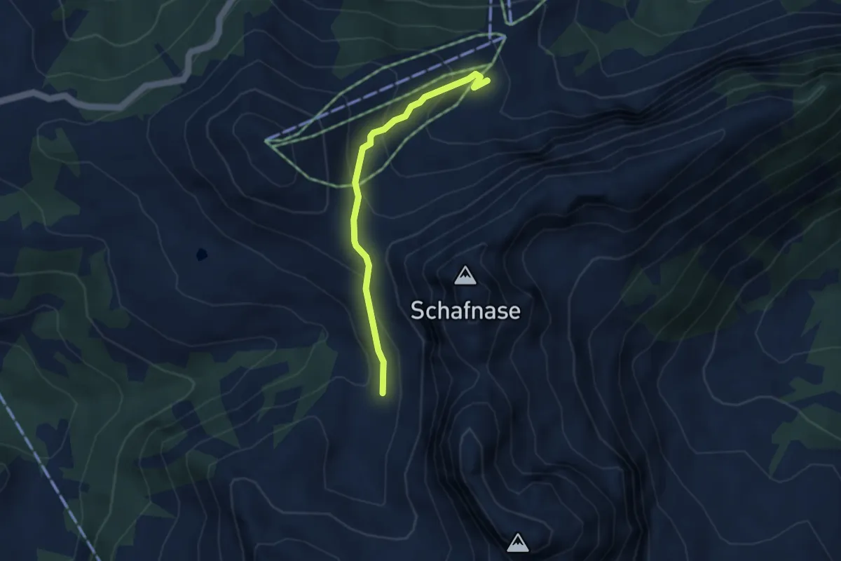
Medium · Trail
Fontanen – Alpoglen
3.2 km · ↑ 217 m · 1 h 13 min
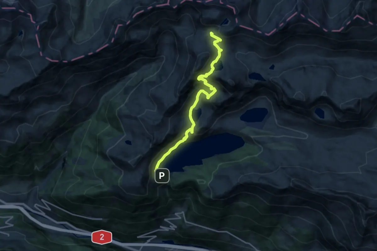
Demanding · Cabin
Piora Lago Ritom – Capanna Cadlimo
14.3 km · ↑ 886 m · 5 h 18 min
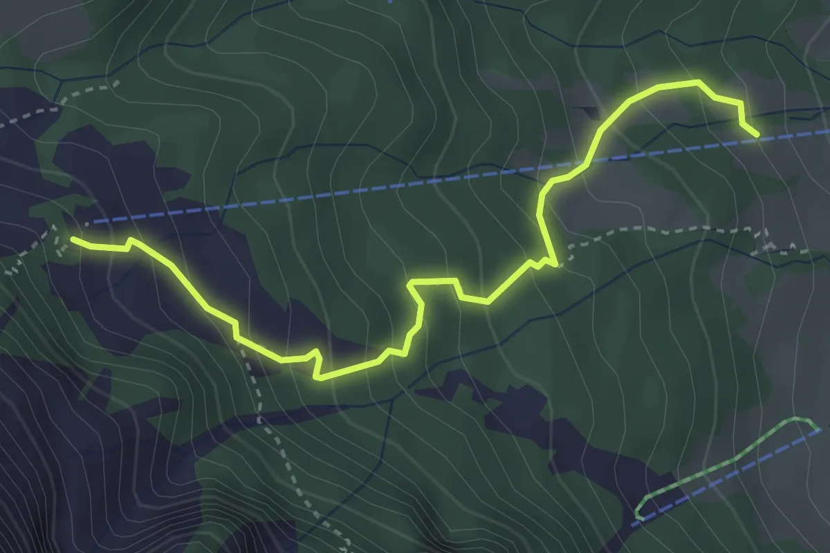
Medium · Cabin
Sören – Alpgschwänd
3.7 km · ↑ 359 m · 1 h 39 min
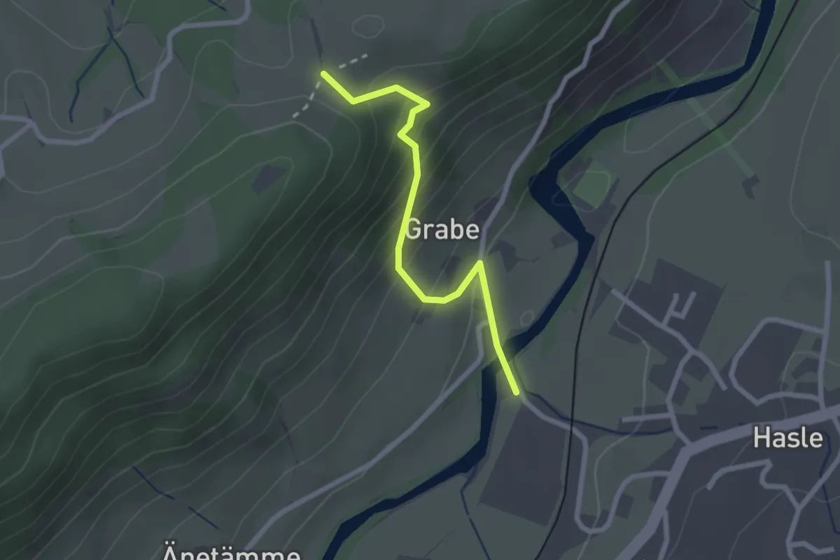
Easy · Trail
Hasle – Bergli
2.2 km · ↑ 185 m · 55 min
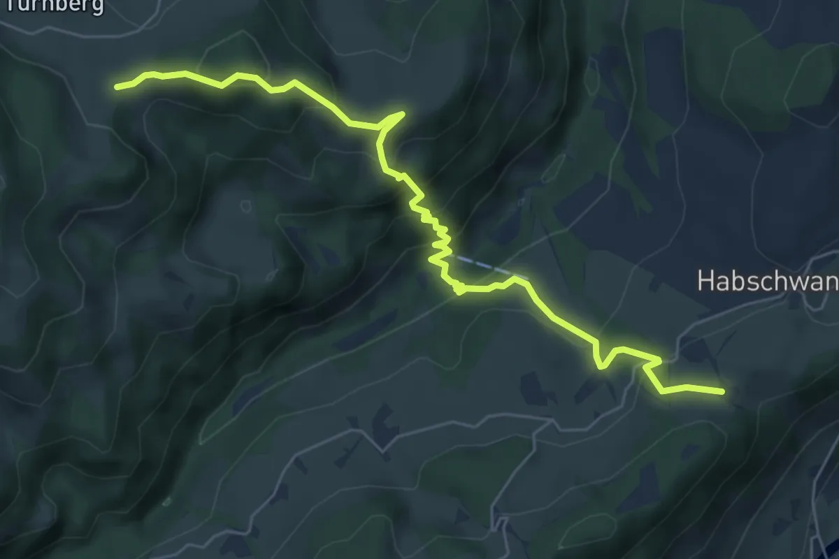
Medium · Trail
Chrummatt – Bergli
6.7 km · ↑ 476 m · 2 h 36 min
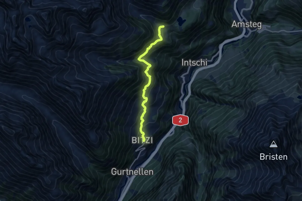
Medium · Trail
Schwändli – Gurtnellen
9.9 km · ↑ 702 m · 3 h 51 min
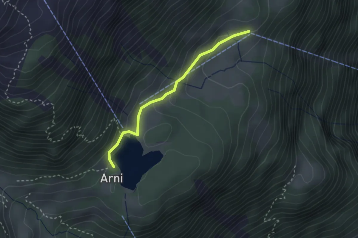
Easy · Trail
Mittelarni – Arnisee
2.4 km · ↑ 112 m · 48 min
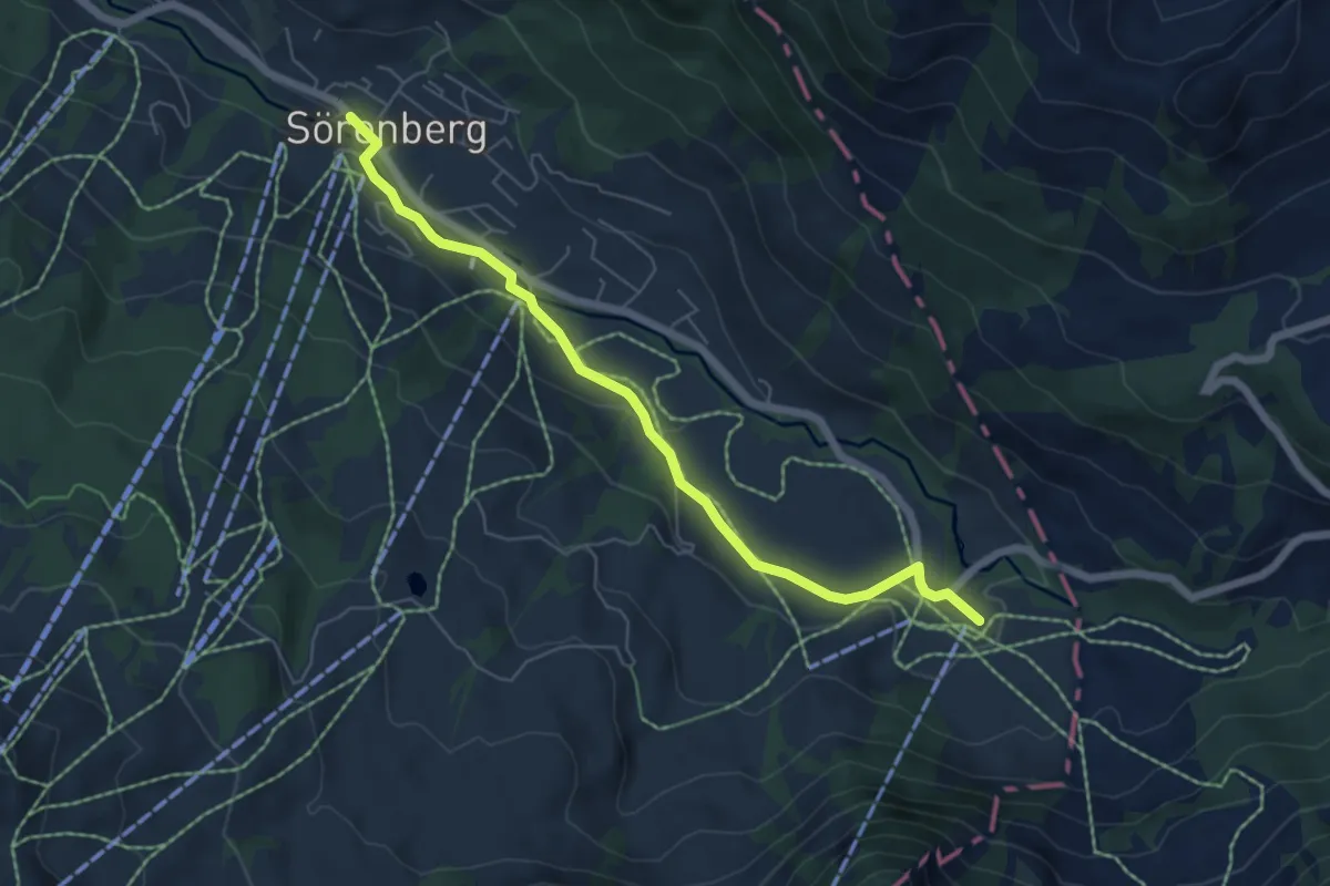
Easy · Trail
Sörenberg – Schönenboden
6.0 km · ↑ 97 m · 1 h 37 min
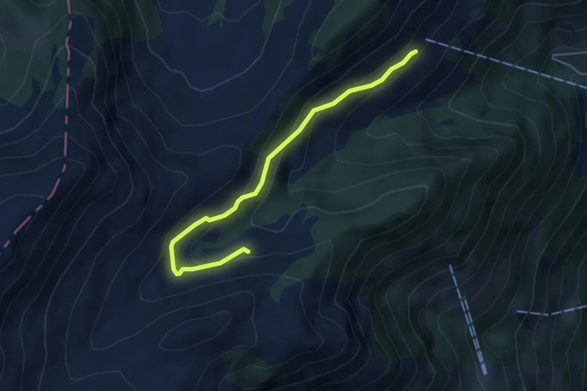
Easy · Trail
Oberalp – Staffel
4.3 km · ↑ 222 m · 1 h 29 min
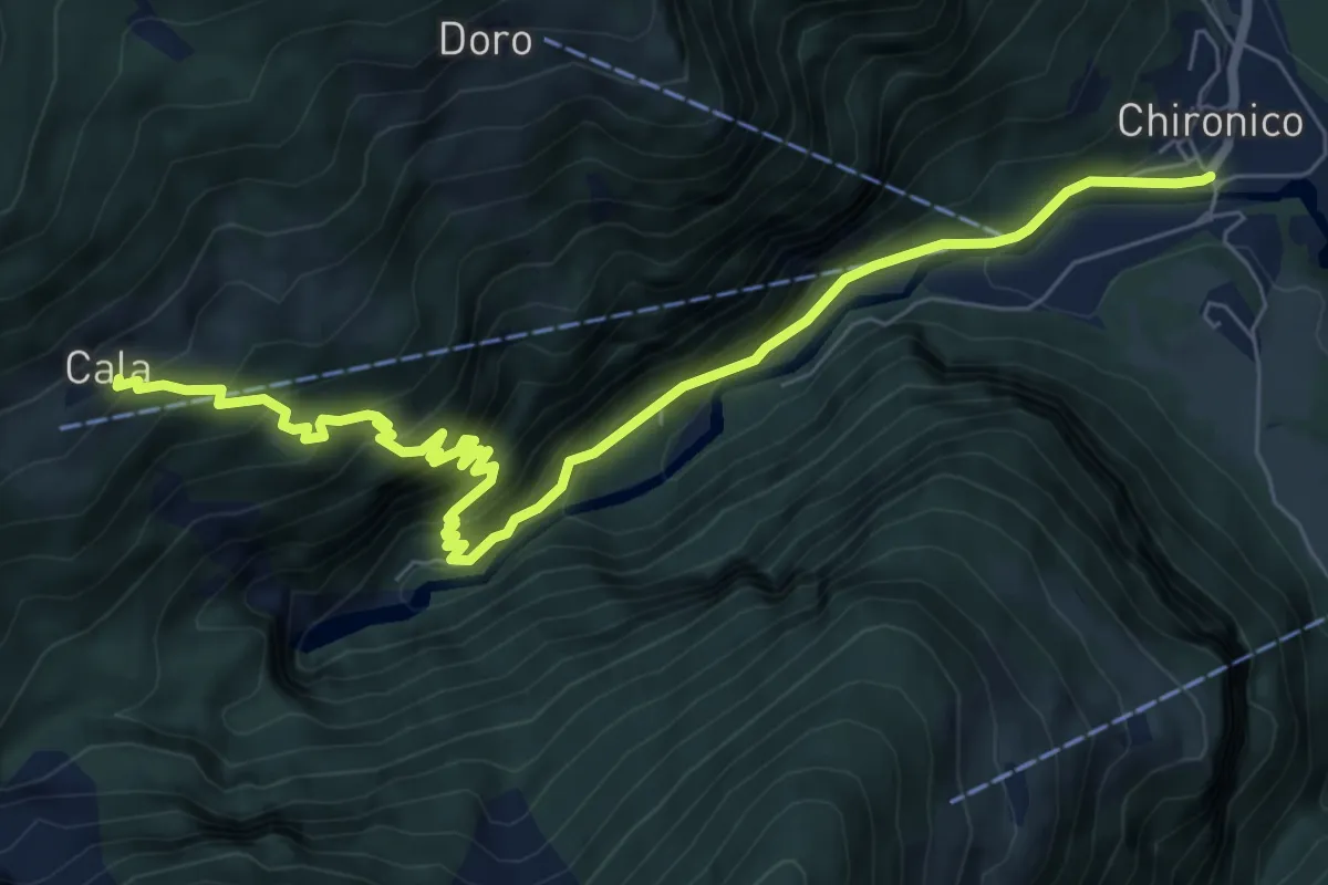
Medium · Trail
Chironico – Cala
8.7 km · ↑ 789 m · 3 h 47 min
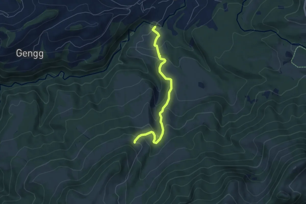
Medium · Trail
Bömmerenbrücke – Gustihütten
5.5 km · ↑ 343 m · 2 h 3 min
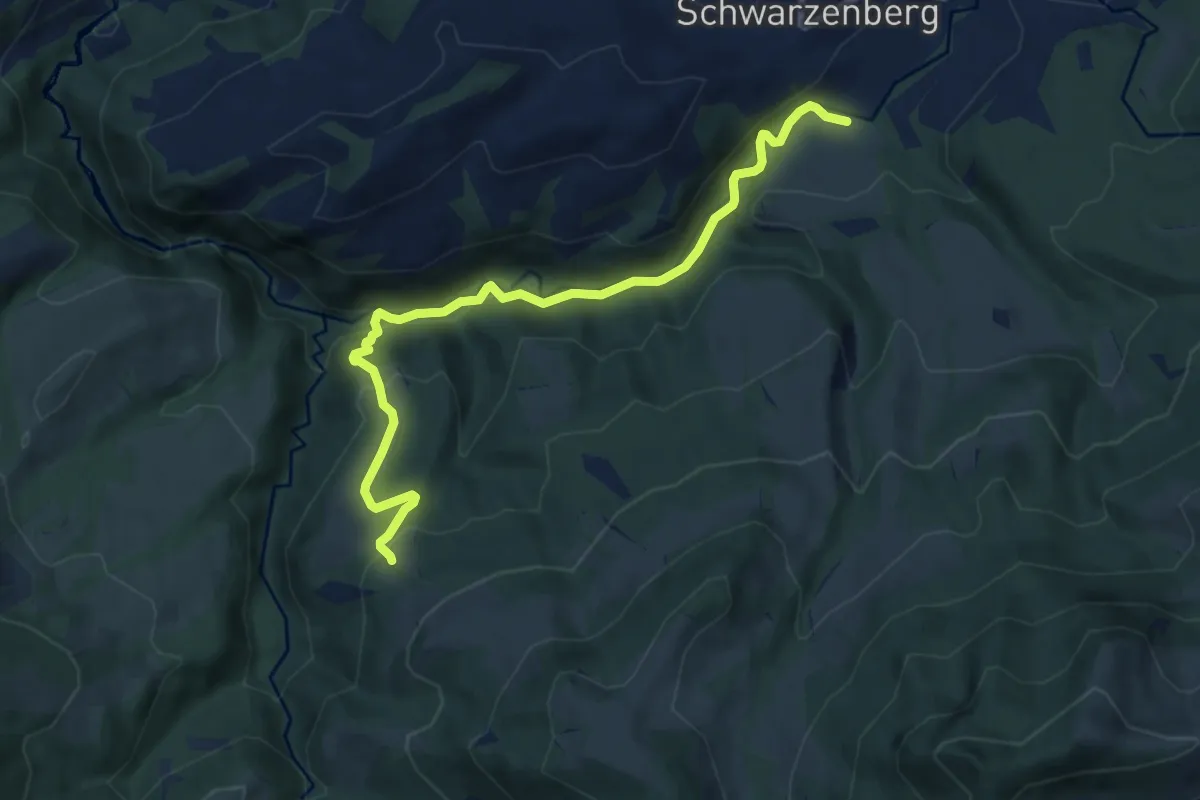
Demanding · Trail
Tristboden – Bömmerenbrücke
9.0 km · ↑ 357 m · 2 h 54 min
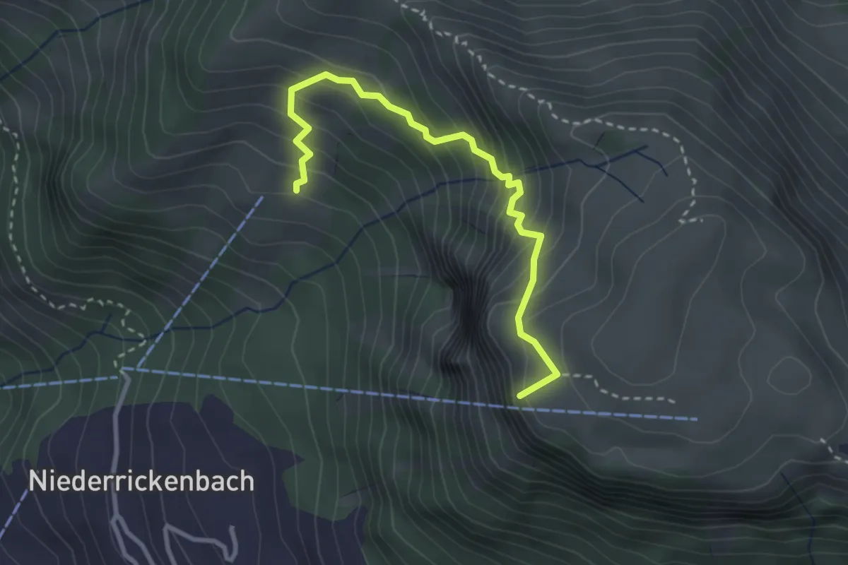
Medium · Summit
Musenalp – Bleiki
3.0 km · ↑ 374 m · 1 h 31 min
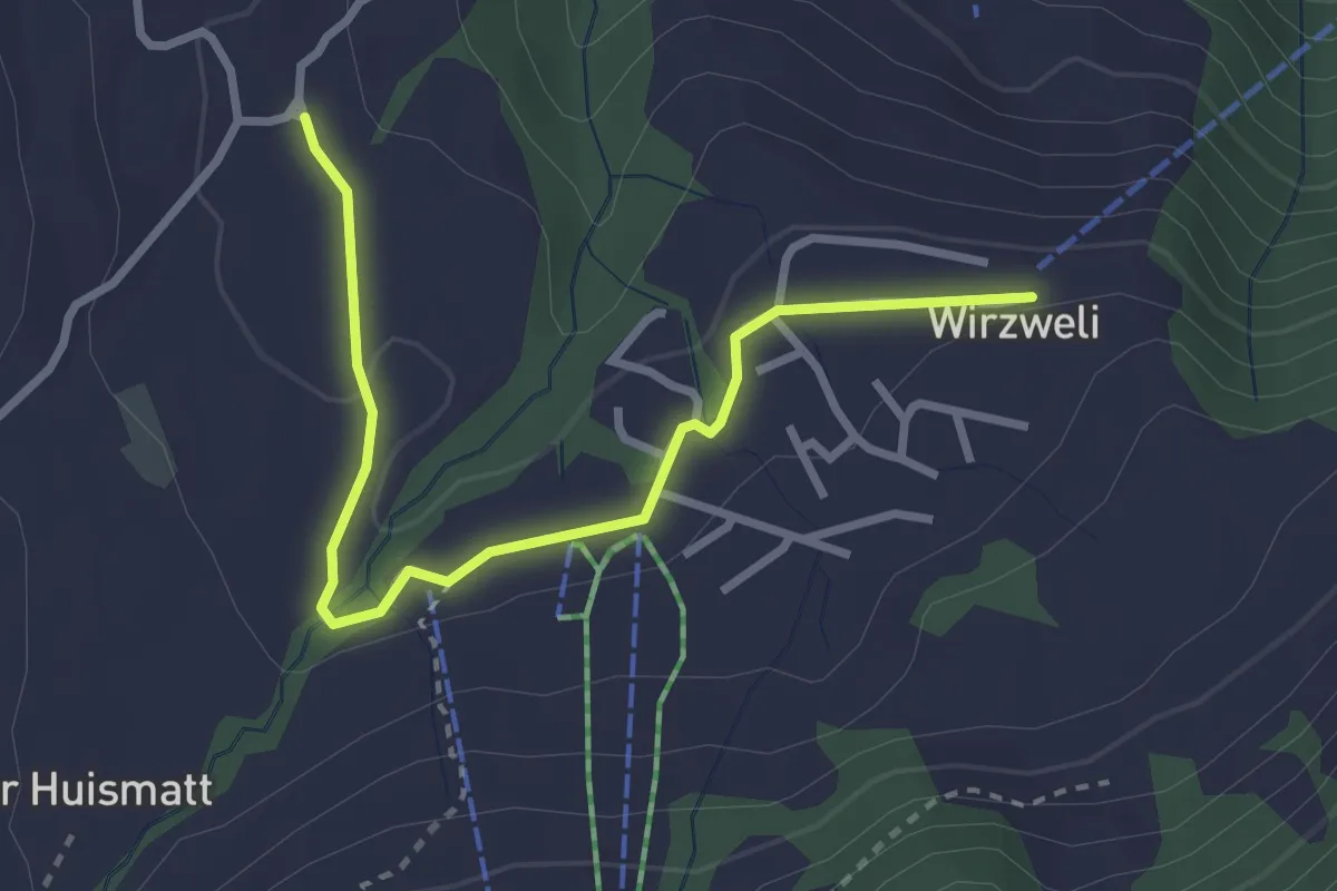
Easy · Trail
Stanglisbüel – Wirzweli
3.1 km · ↑ 47 m · 49 min
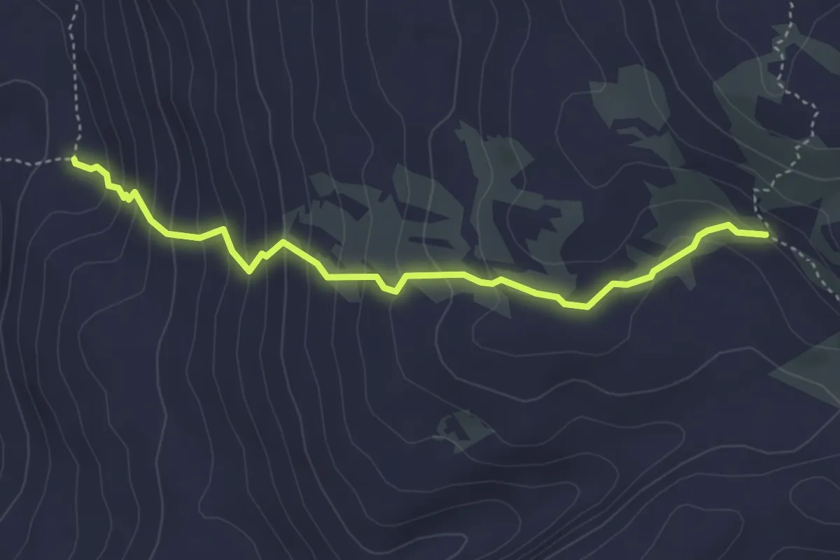
Medium · Trail
Punkt 2136 – Charental
4.1 km · ↑ 347 m · 1 h 43 min
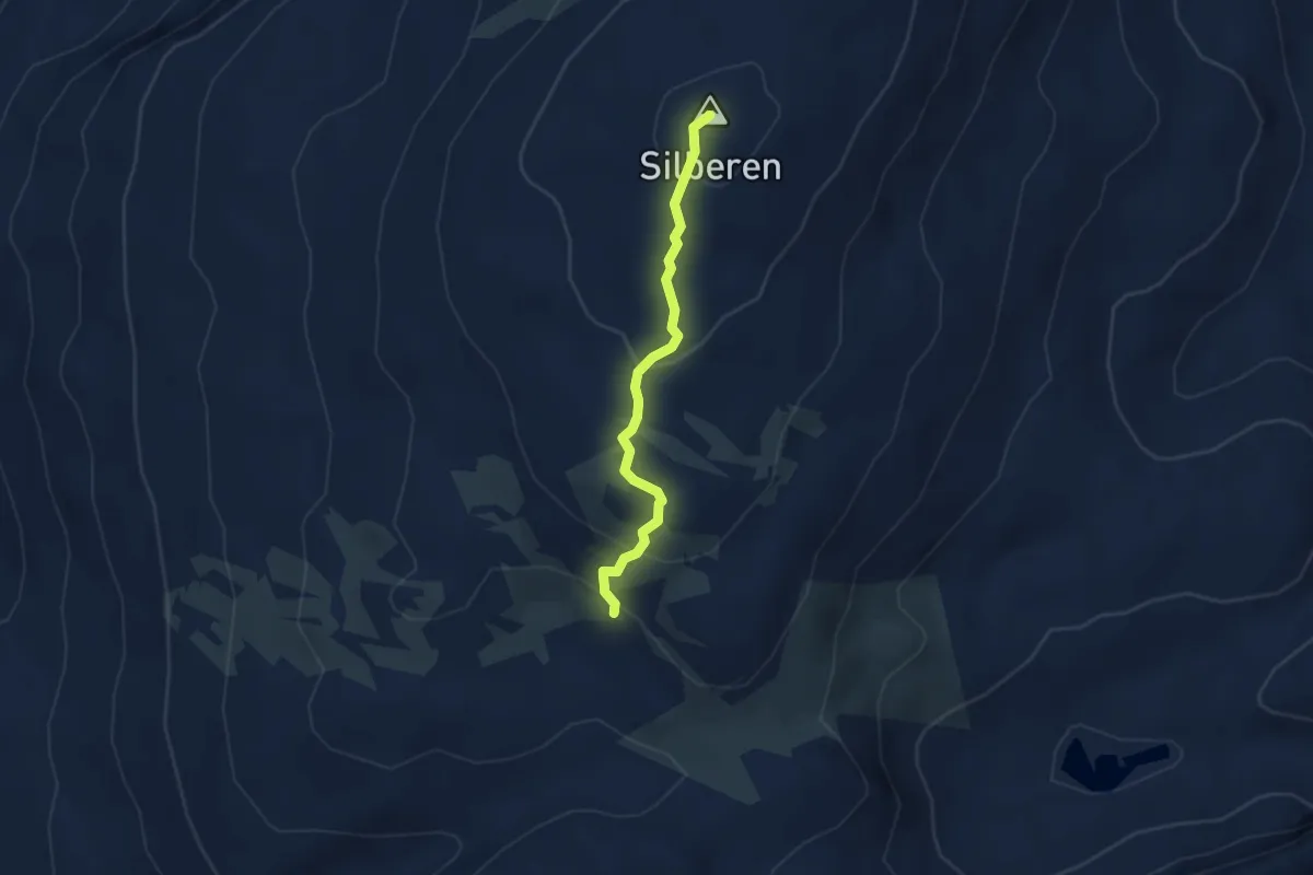
Medium · Summit
Punkt 2136 – Silberen
3.2 km · ↑ 169 m · 1 h 7 min
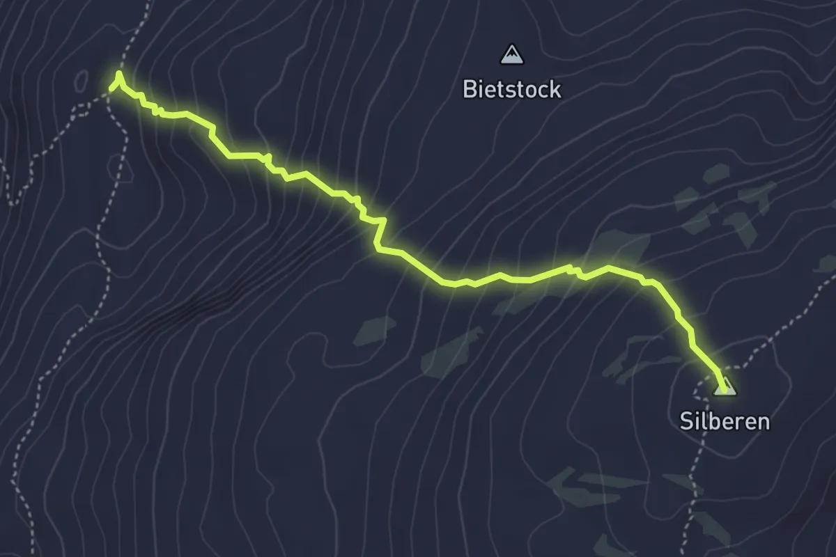
Medium · Summit
Butzen – Silberen
4.5 km · ↑ 517 m · 2 h 11 min
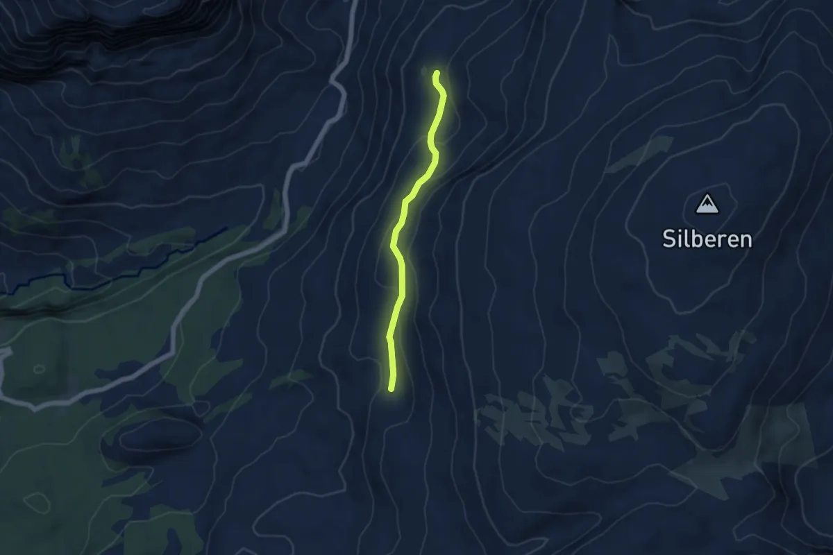
Easy · Trail
Charental – Butzen
4.1 km · ↑ 188 m · 1 h 23 min
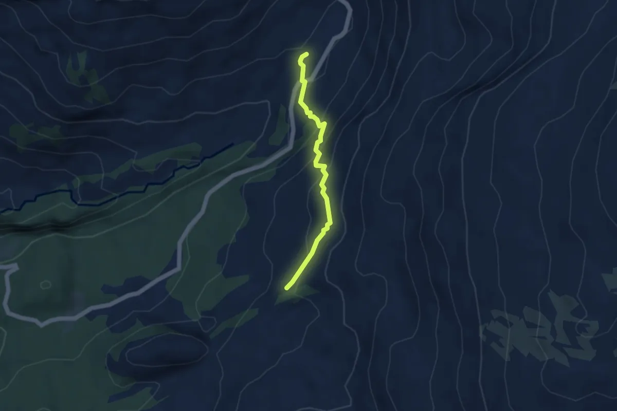
Demanding · Trail
Pragelpass – Zingel
3.5 km · ↑ 225 m · 1 h 19 min
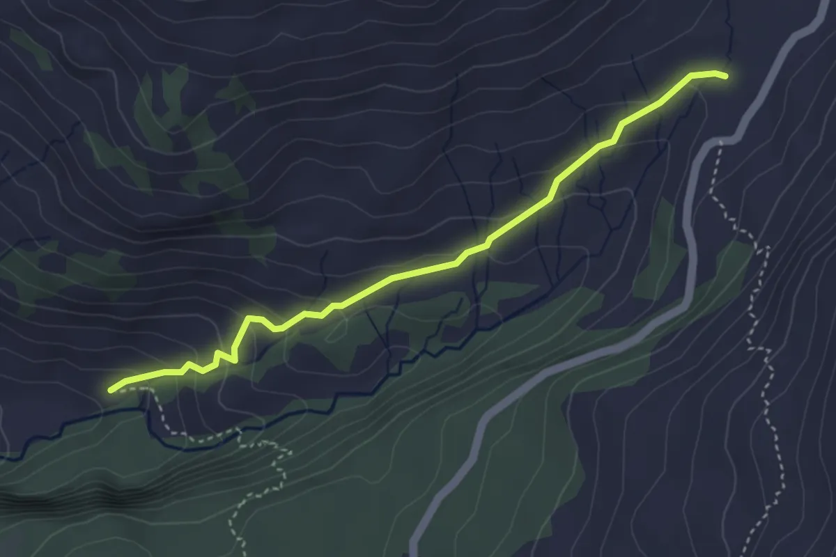
Easy · Trail
Pragelpass – Guetentalboden
3.8 km · ↑ 213 m · 1 h 21 min
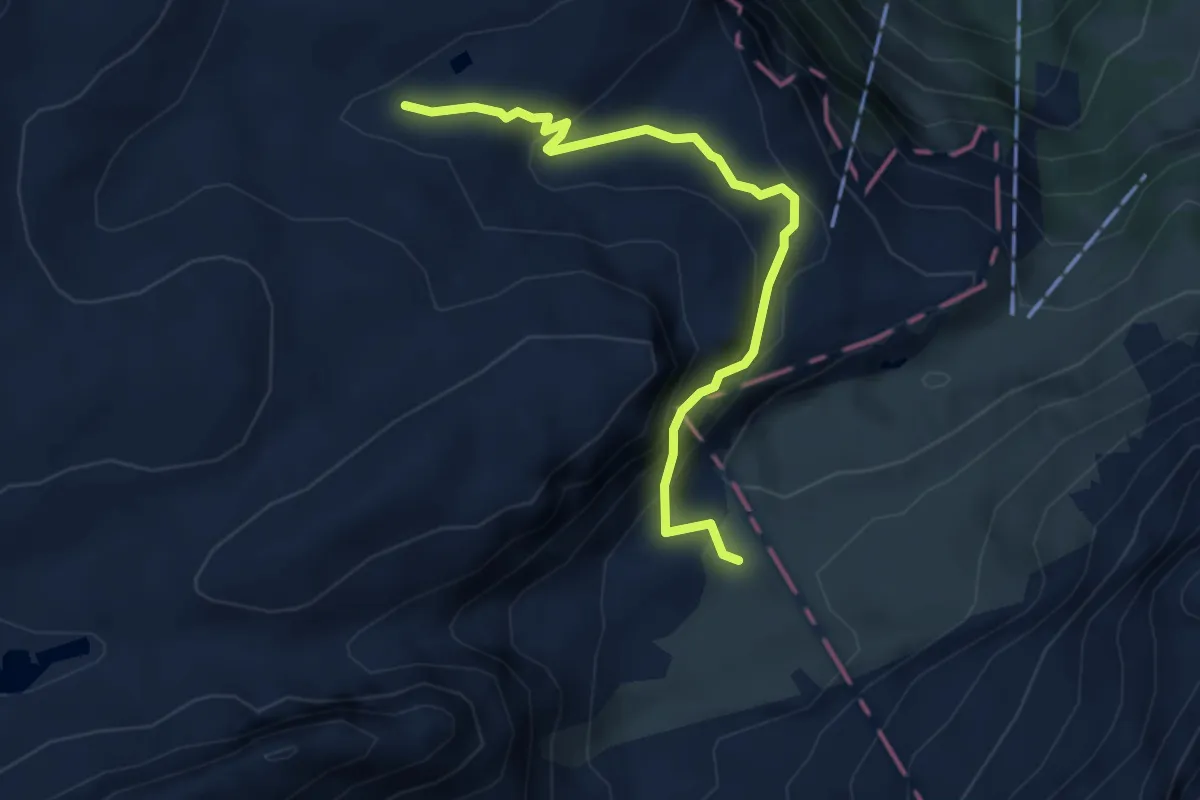
Medium · Trail
Schattgaden – Dräckloch
4.3 km · ↑ 313 m · 1 h 42 min
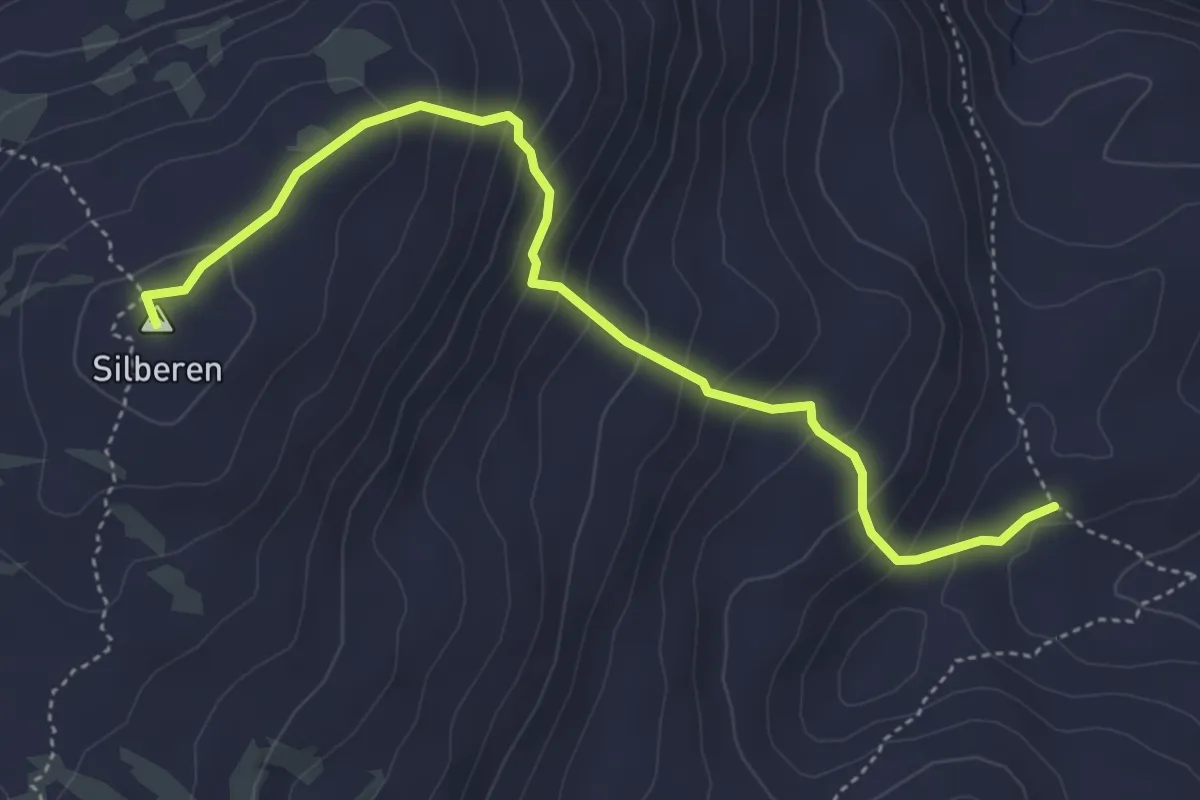
Medium · Summit
Silberenalp – Silberen
4.8 km · ↑ 382 m · 1 h 58 min
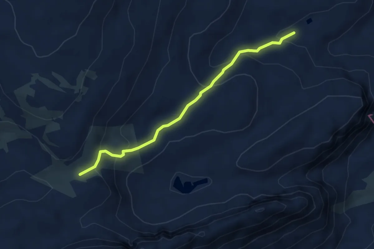
Easy · Trail
Schwarz Nossen – Schattgaden
4.5 km · ↑ 240 m · 1 h 36 min
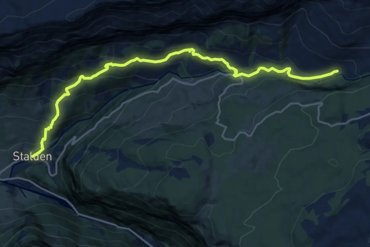
Medium · Trail
Guetentalboden – Stalden (Hölloch)
13.4 km · ↑ 748 m · 4 h 47 min
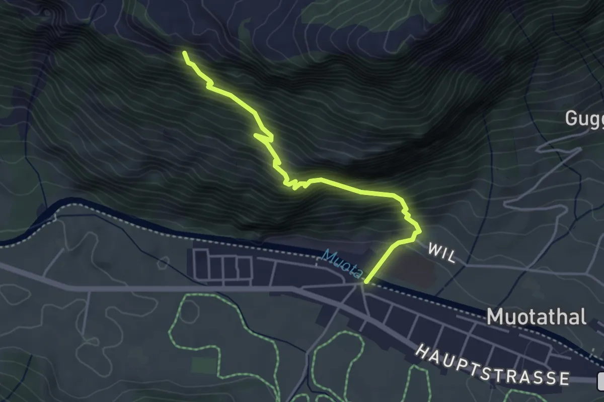
Demanding · Trail
Muotathal – Tritt
3.8 km · ↑ 548 m · 2 h 5 min
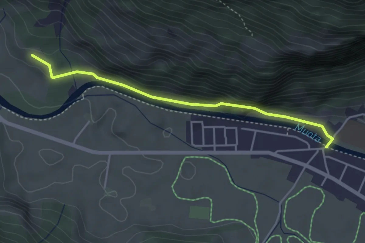
Easy · Trail
Muotathal – Tristel
3.5 km · ↑ 94 m · 1 h 2 min
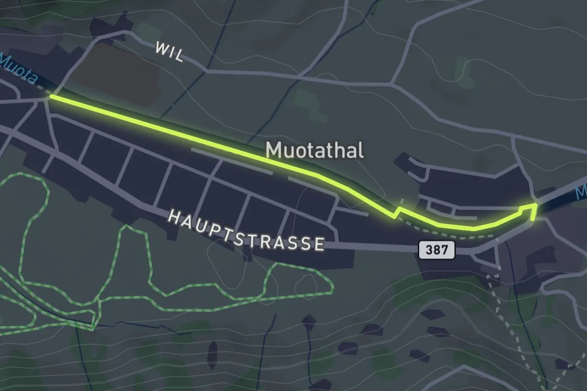
Easy · Trail
Muotathal Hinterthal – Muotathal
2.8 km · ↑ 17 m · 42 min
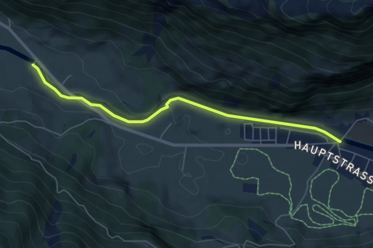
Easy · Trail
Vordere Brügg – Muotathal
5.0 km · ↑ 45 m · 1 h 17 min
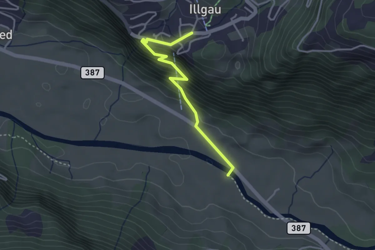
Easy · Trail
Vordere Brügg – Illgau
2.9 km · ↑ 295 m · 1 h 20 min
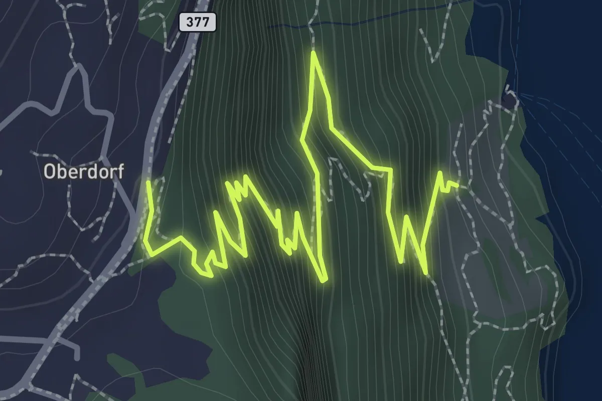
Medium · Trail
Rütlihaus – Seelisberg
4.3 km · ↑ 434 m · 1 h 58 min
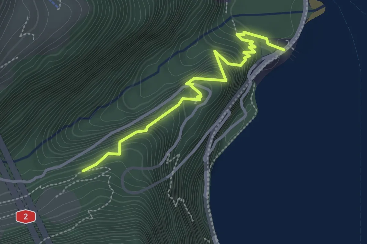
Medium · Trail
Isleten – Saum
2.9 km · ↑ 288 m · 1 h 18 min
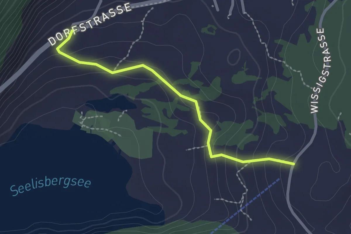
Easy · Trail
Brunni – Geissweg
2.2 km · ↑ 126 m · 47 min
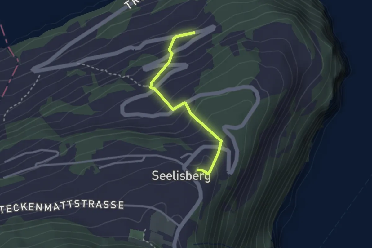
Medium · Trail
Seelisberg Bahnhof – Treibbort
2.3 km · ↑ 212 m · 1 h
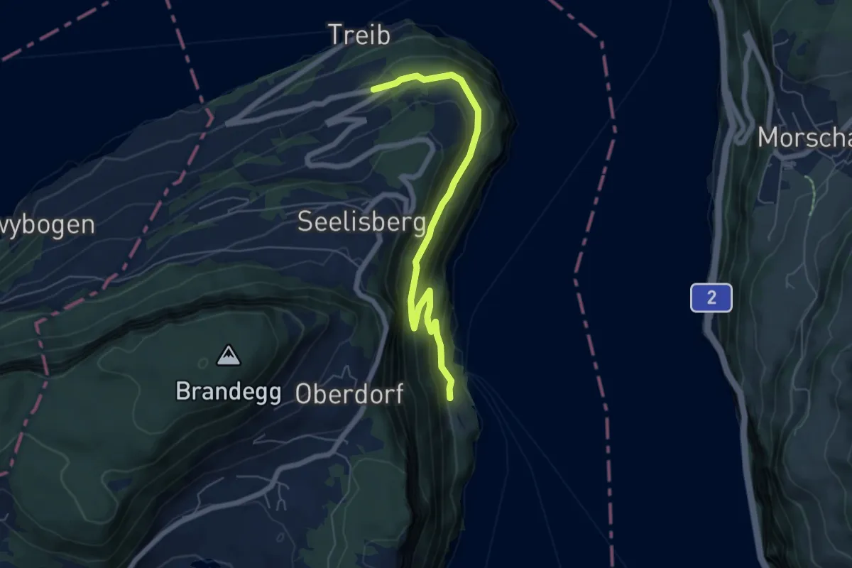
Medium · Trail
Rütlihaus – Treibport
5.9 km · ↑ 379 m · 2 h 12 min
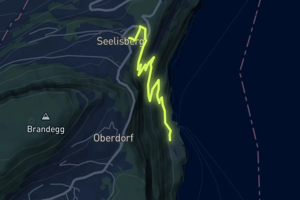
Medium · Trail
Rütlihaus – Seelisberg Bahnhof
5.1 km · ↑ 335 m · 1 h 56 min
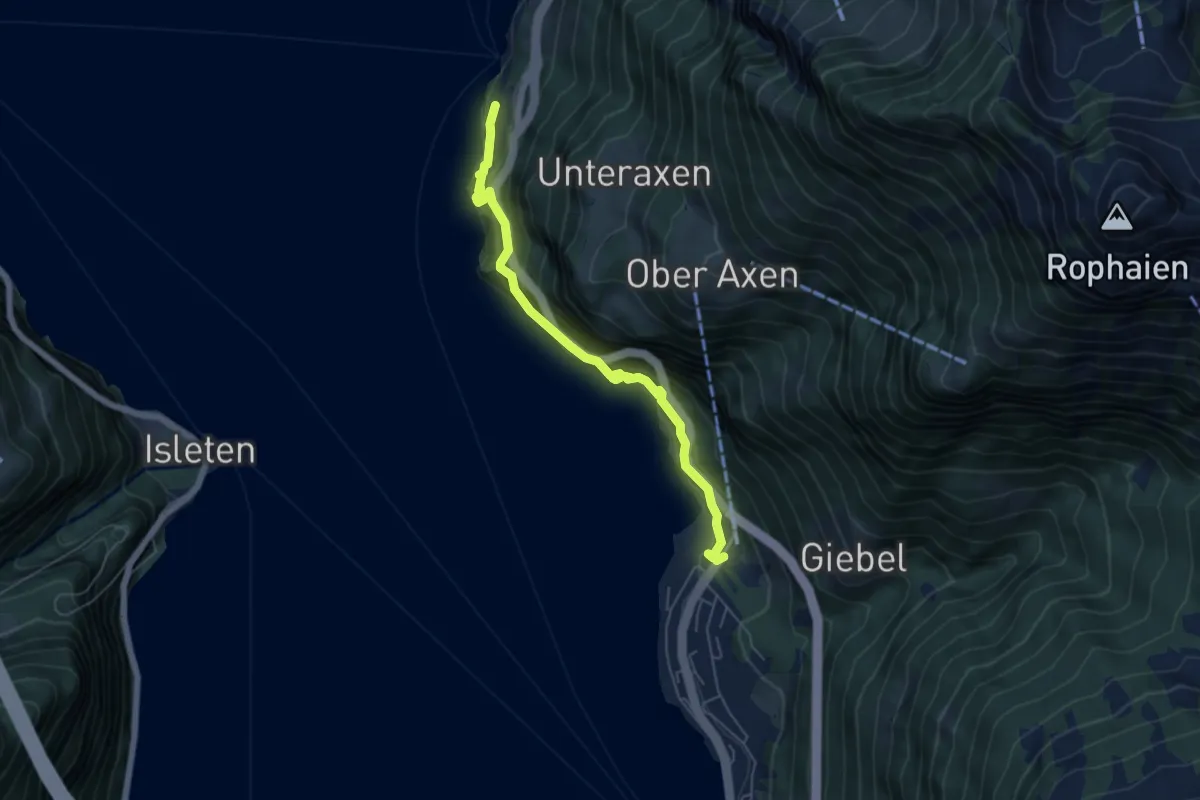
Demanding · Trail
Tellskapelle – Flüelen Gruonbach
5.7 km · ↑ 911 m · 3 h 20 min
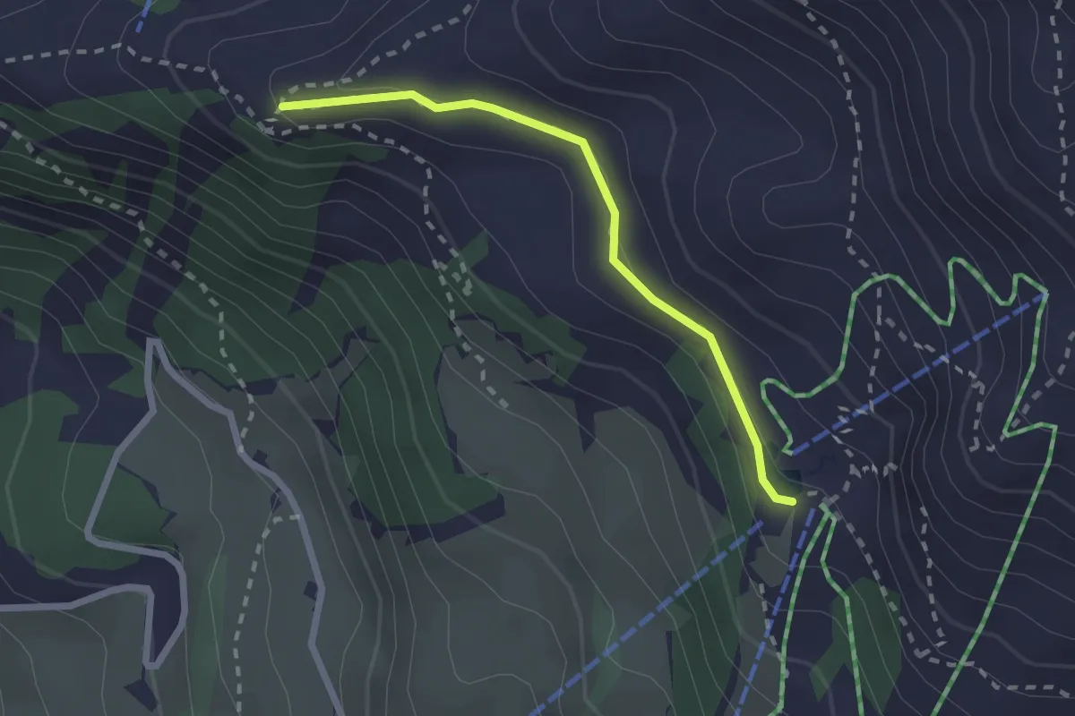
Medium · Cabin
Sädelegg – Brunnihütte
2.1 km · ↑ 44 m · 35 min
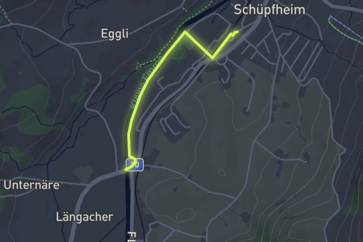
Easy · Trail
Schüpfheim – Landbrügg
2.9 km · ↑ 10 m · 43 min
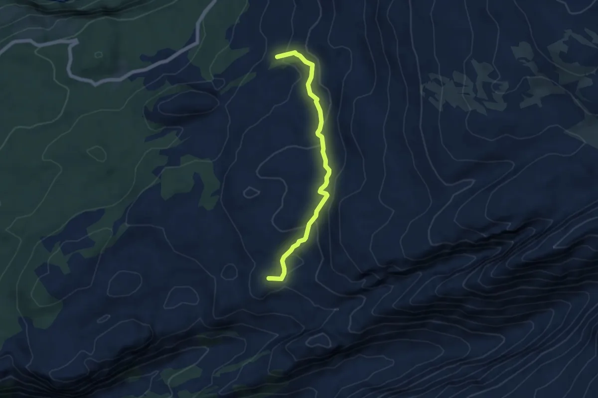
Easy · Summit
Zingel – Tor
5.0 km · ↑ 268 m · 1 h 45 min
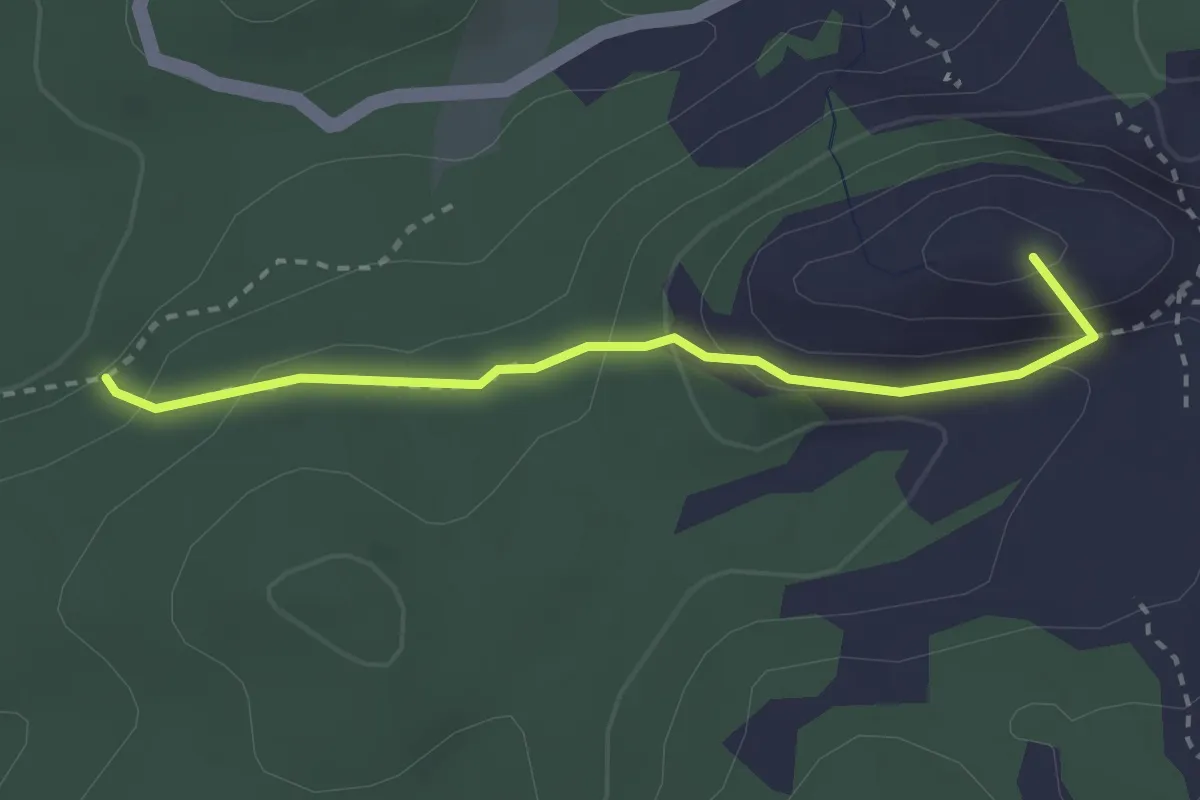
Medium · Summit
Bödmeren – Stägen
2.6 km · ↑ 155 m · 57 min
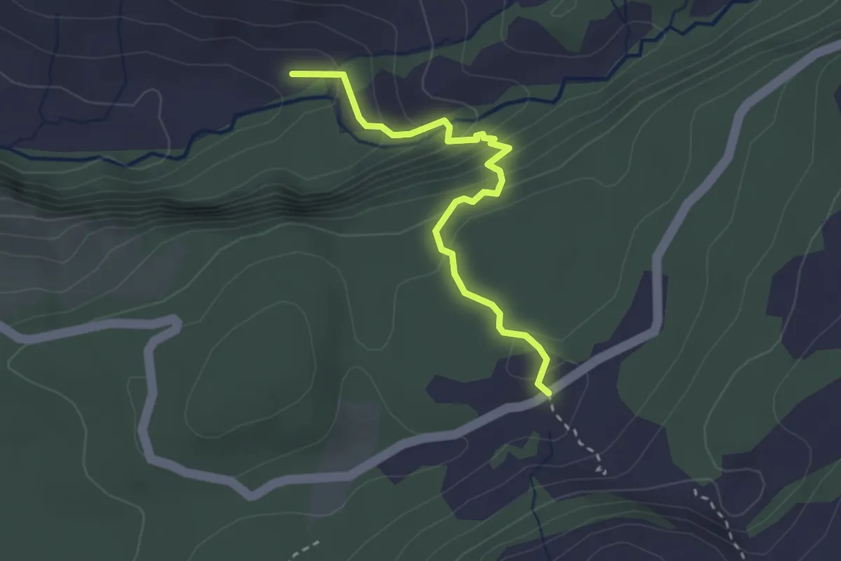
Medium · Cabin
Unter Roggenloch – Guetentalboden
2.7 km · ↑ 221 m · 1 h 8 min
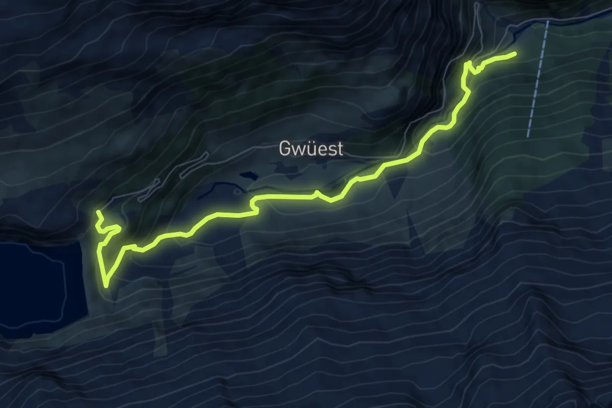
Medium · Trail
Göscheneralp – Bonen
9.0 km · ↑ 543 m · 3 h 18 min
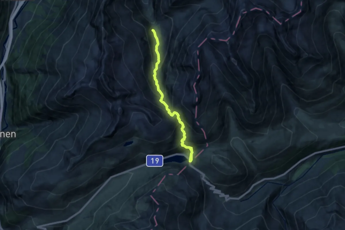
Demanding · Trail
Oberalppass – Fellilücke
11.5 km · ↑ 1086 m · 5 h 4 min