Trails in Switzerland
15,055 hiking trails, each with its route, climb, walking time and grade.
All trails, page 218 of 314
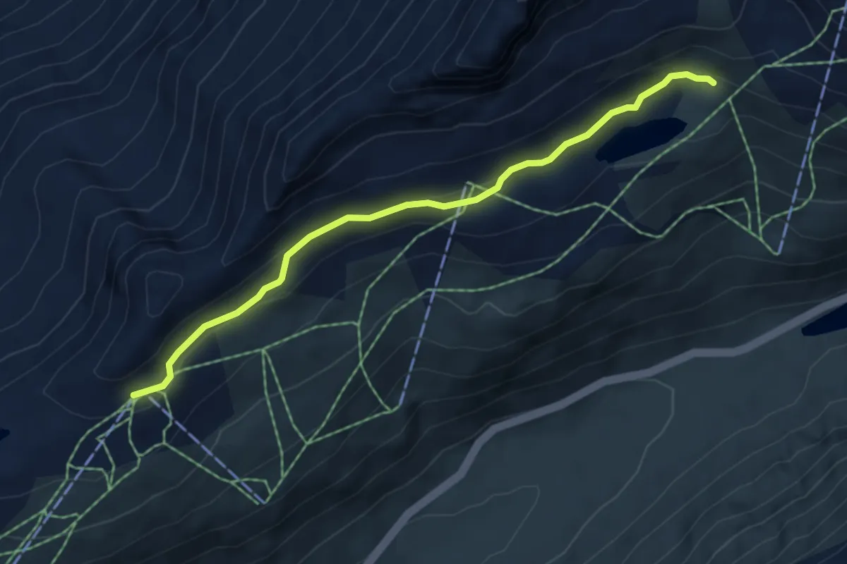
Easy · Trail
Lutersee – Gütsch Bergstation
5.2 km · ↑ 183 m · 1 h 38 min
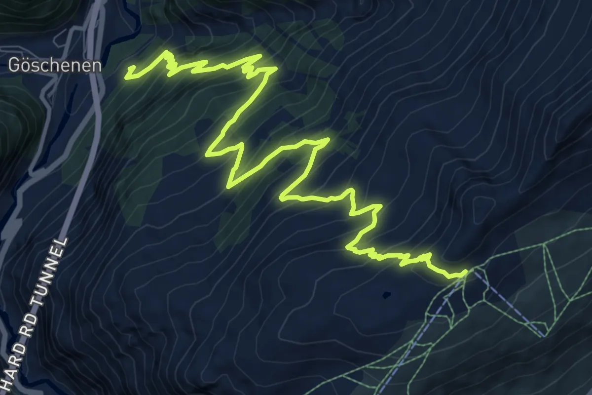
Demanding · Trail
Gütsch Bergstation – Steglaui Riental
13.4 km · ↑ 1258 m · 5 h 53 min
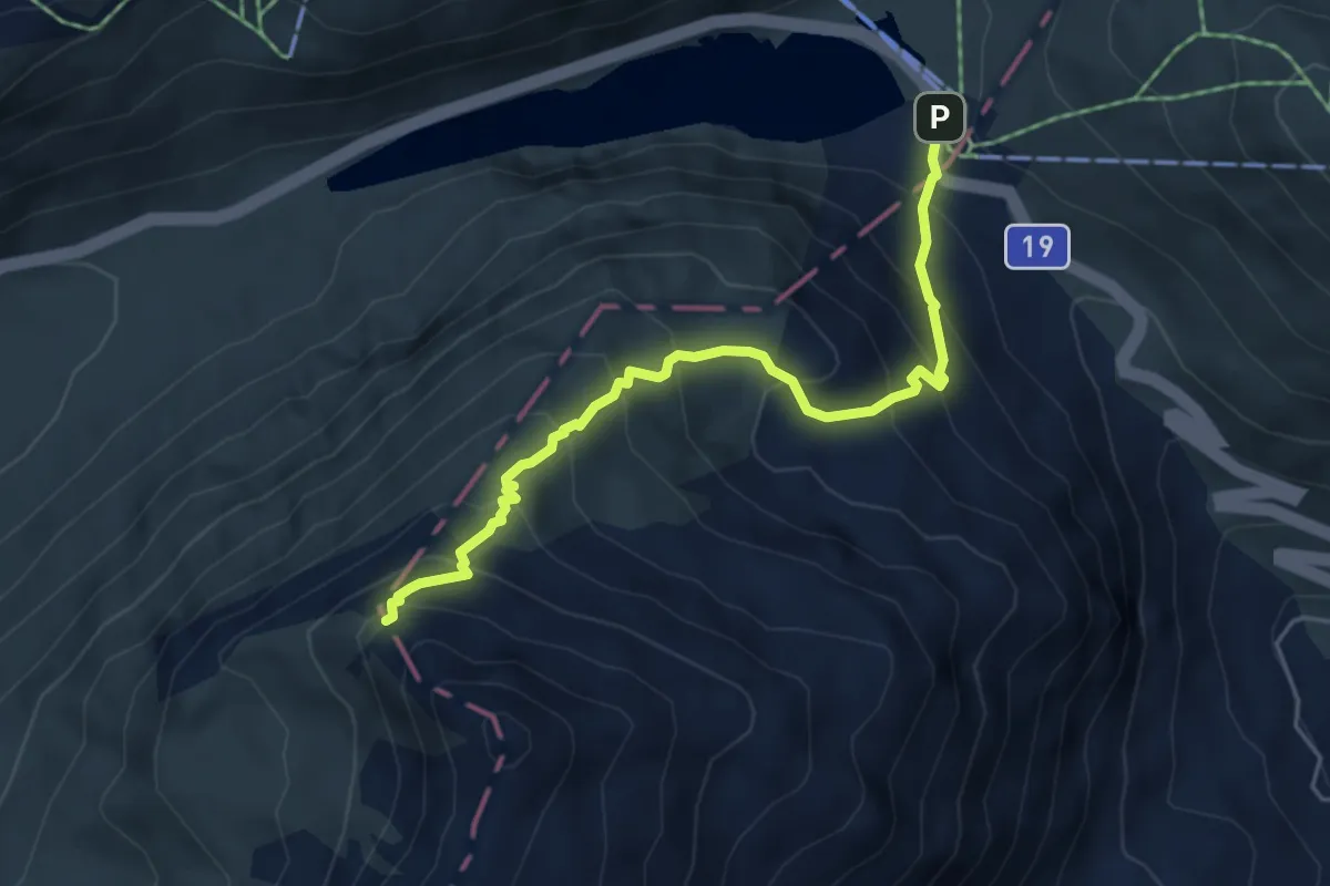
Medium · Trail
Pazolalücke – Oberalppass
5.0 km · ↑ 502 m · 2 h 16 min
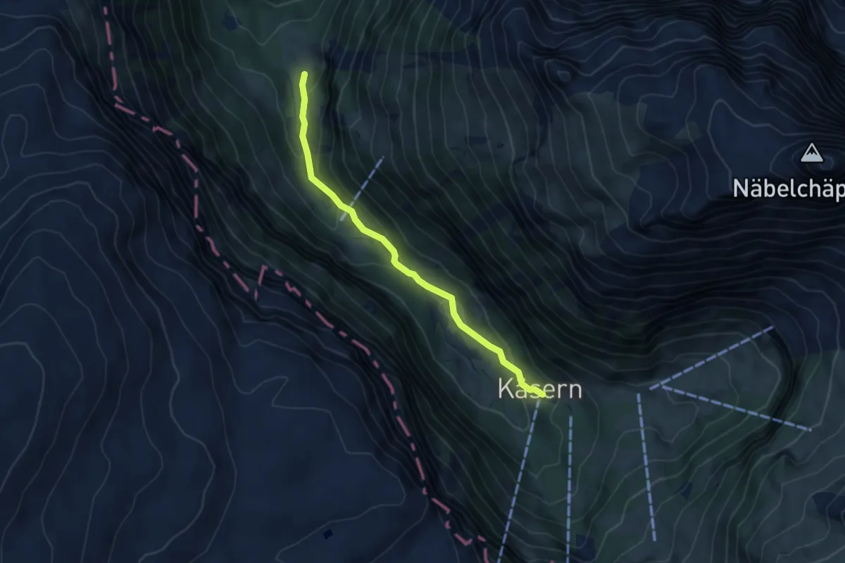
Medium · Trail
Chlüstalden – Chäseren
4.5 km · ↑ 240 m · 1 h 35 min
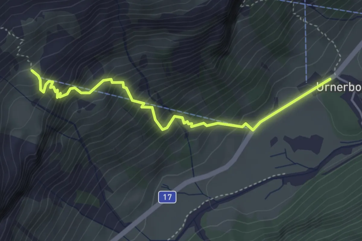
Demanding · Trail
Urnerboden – Firnen
4.2 km · ↑ 551 m · 2 h 10 min
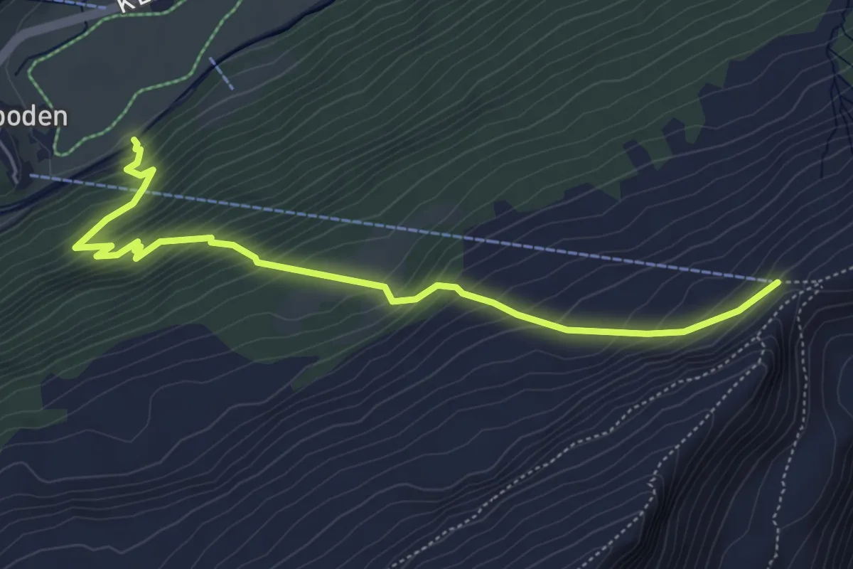
Medium · Trail
Underm Port – Fisetenpass Bergstation
5.8 km · ↑ 627 m · 2 h 44 min
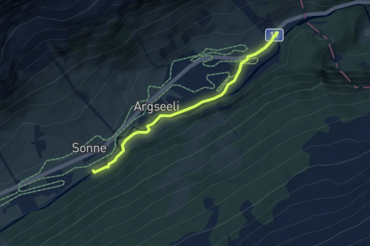
Easy · Trail
Gubel – Sunne Brücke
3.9 km · ↑ 63 m · 1 h 3 min
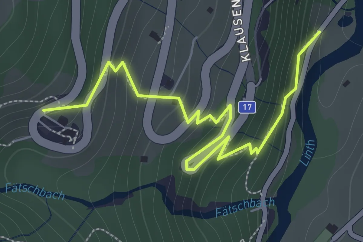
Medium · Trail
Bänzenäuli – Bergli
2.3 km · ↑ 237 m · 1 h 3 min
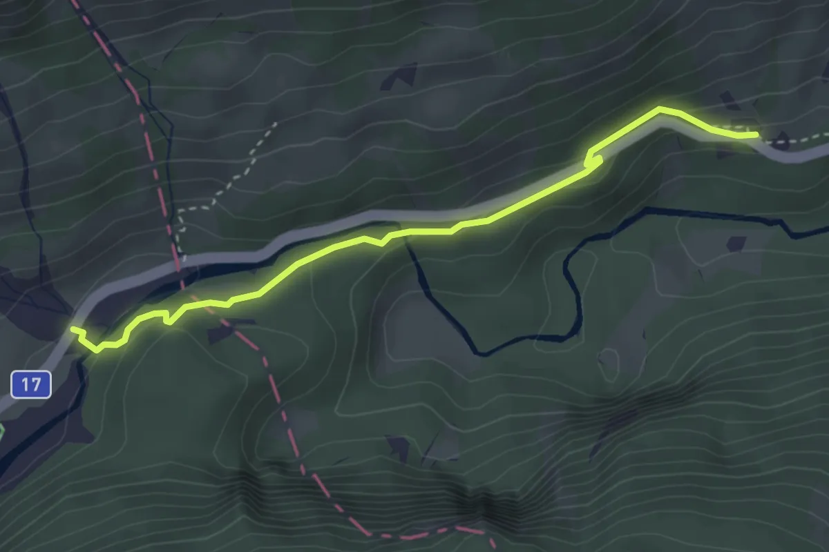
Medium · Trail
Gubel – Brulaui
3.4 km · ↑ 90 m · 1 h
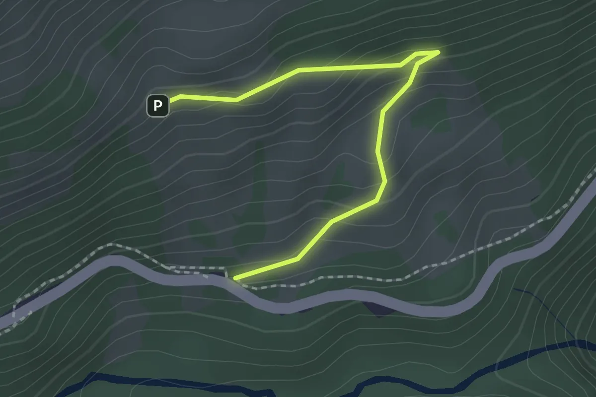
Easy · Trail
Vorder Stafel – Brulaui
2.0 km · ↑ 133 m · 45 min
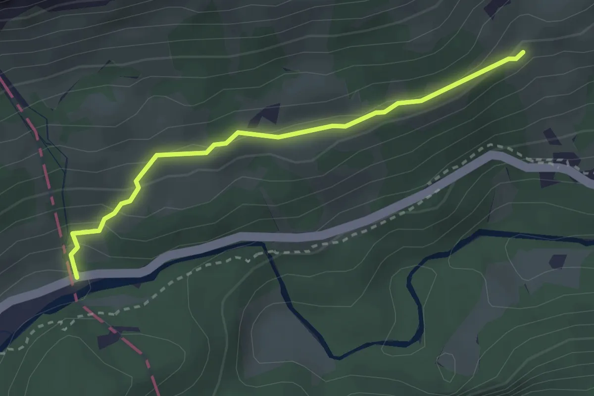
Medium · Trail
Urnerboden Grenzstein – Vorder Stafel
2.7 km · ↑ 145 m · 57 min
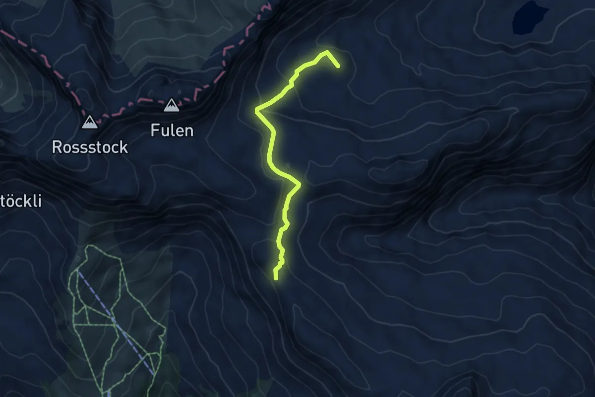
Easy · Summit
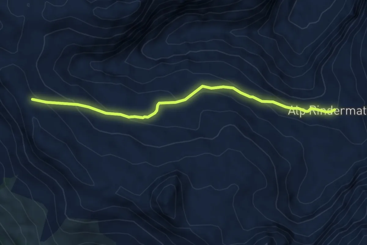
Chinzig Chulm – Alt Stäfeli
4.5 km · ↑ 192 m · 1 h 29 min
Medium · Cabin
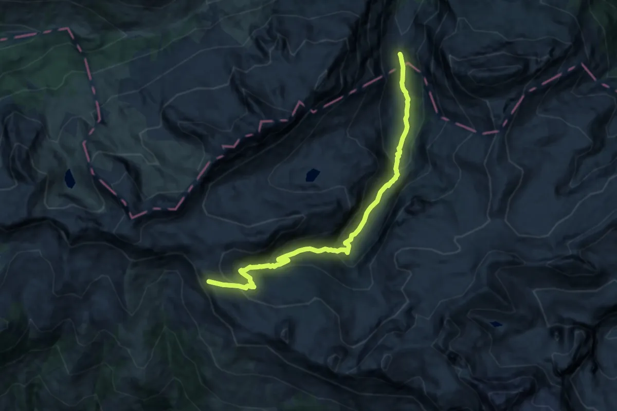
Chinzig Chulm – fixme
5.7 km · ↑ 304 m · 2 h 1 min
Demanding · Cabin
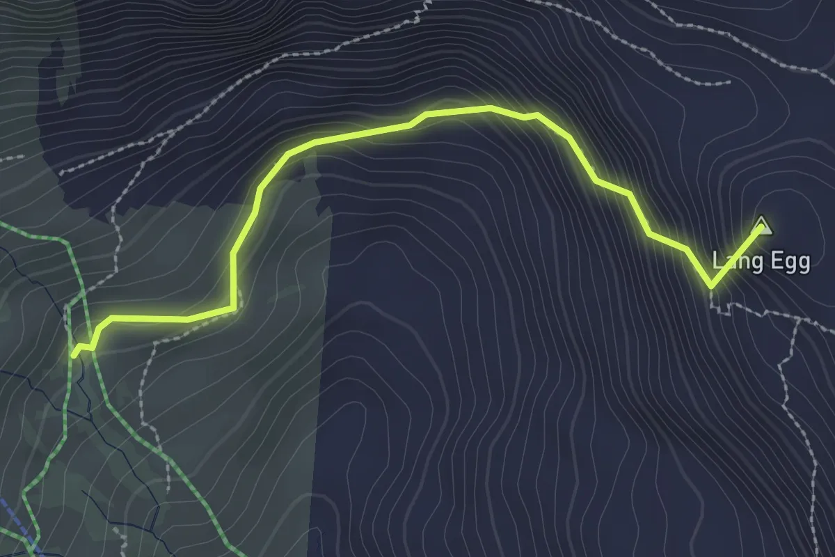
Chinzig Chulm – Alt Stäfeli
15.2 km · ↑ 853 m · 5 h 27 min
Medium · Summit
Stelli – Chinzig Chulm
2.7 km · ↑ 274 m · 1 h 14 min
Easy · Summit
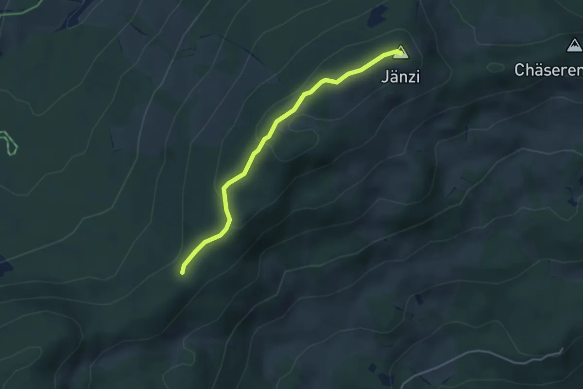
Egg – Jänzi
3.3 km · ↑ 136 m · 1 h 5 min
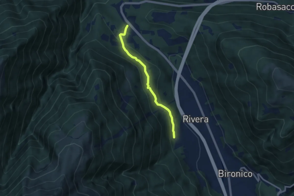
Easy · Trail
Monte Ceneri – Soresina
5.4 km · ↑ 241 m · 1 h 48 min
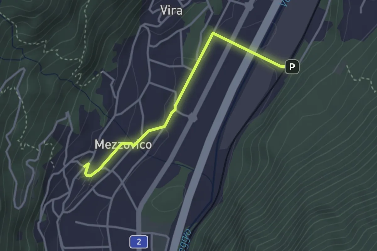
Easy · Trail
Mezzovico – Mezzovico Stazione
3.0 km · ↑ 66 m · 51 min
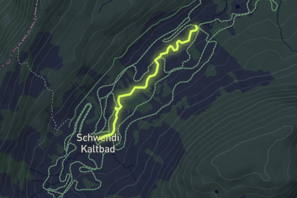
Easy · Trail
Schwendi Kaltbad – Oberschlierental
3.1 km · ↑ 31 m · 48 min
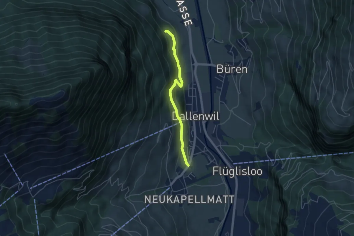
Easy · Trail
Hof – Zelgersrank
4.0 km · ↑ 191 m · 1 h 21 min
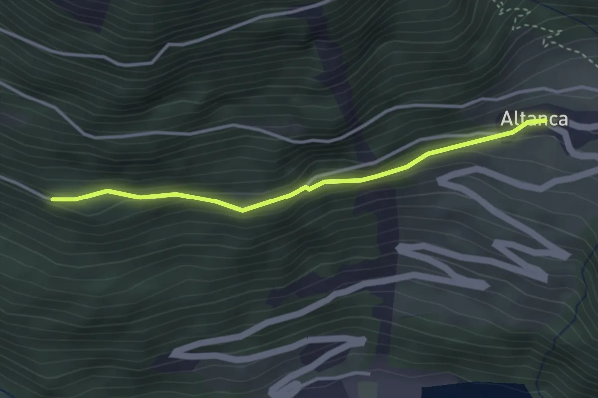
Easy · Trail
Gane – Altanca
3.0 km · ↑ 107 m · 57 min
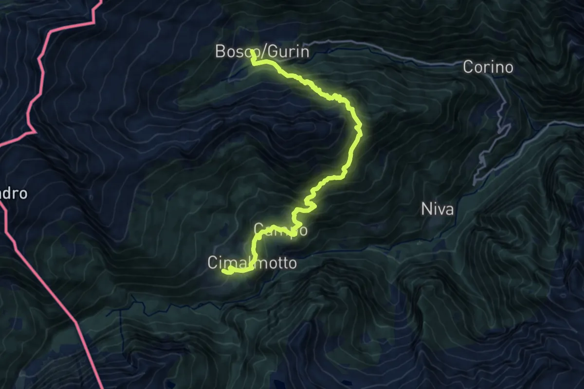
Demanding · Trail
Bosco Gurin – Cimalotto - Località Munt la Reita
17.3 km · ↑ 1468 m · 7 h 15 min
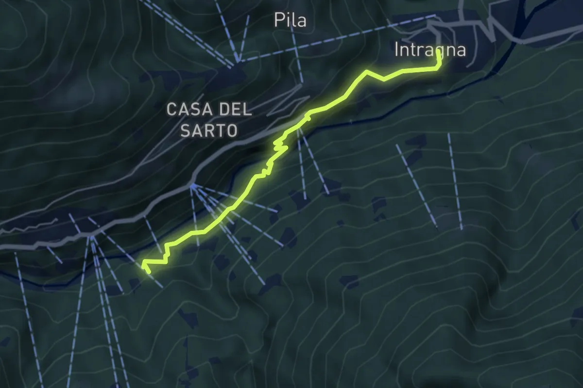
Easy · Trail
Intragna – Remagliaseo
4.7 km · ↑ 301 m · 1 h 46 min
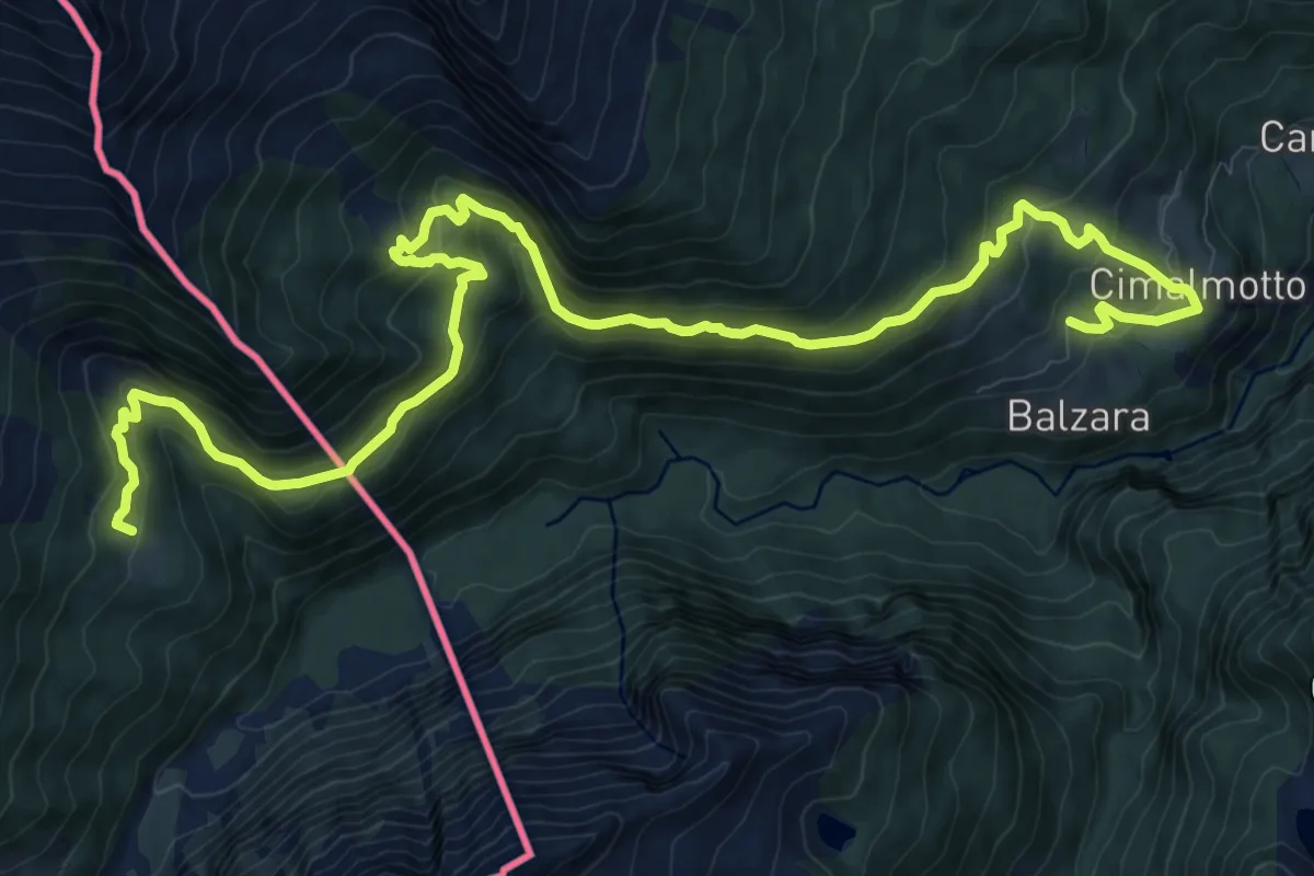
Demanding · Trail
Cimalmotto - Loc. Munt la Reita – Alpe Lago (Bivacco Sironi)
16.1 km · ↑ 935 m · 5 h 50 min
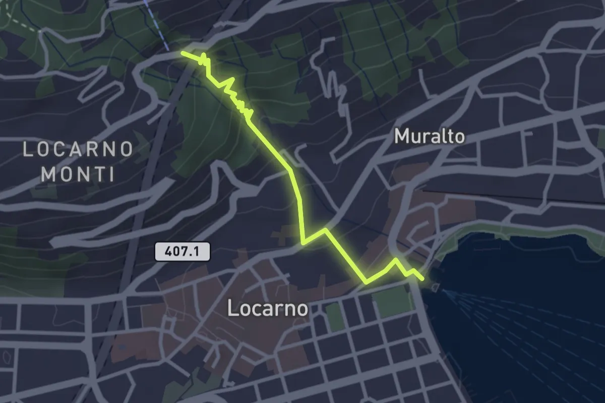
Easy · Trail
Locarno debarcadero – Orselina
2.6 km · ↑ 193 m · 1 h 2 min
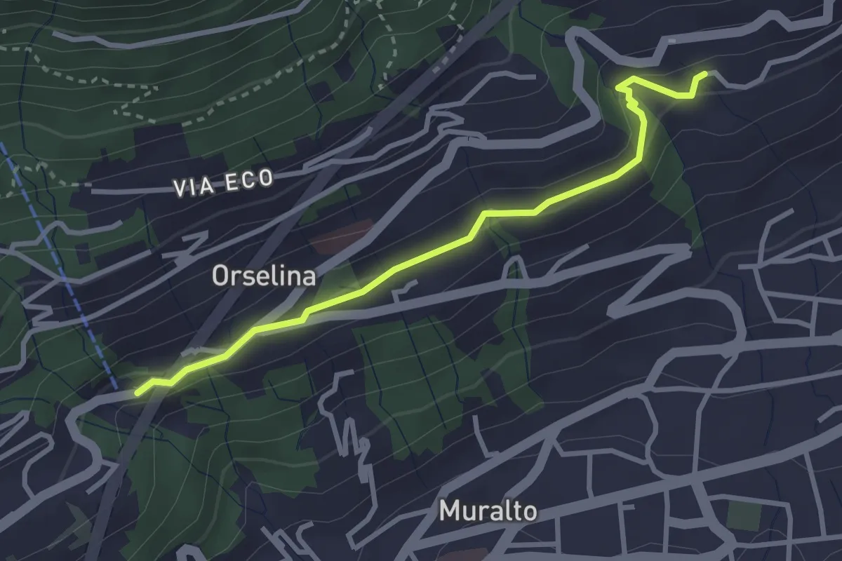
Easy · Trail
Orselina – ?
3.0 km · ↑ 102 m · 55 min
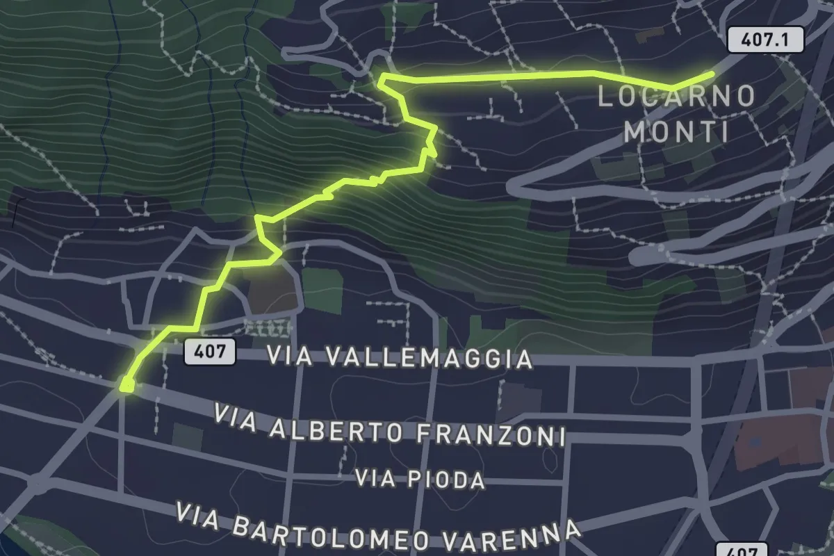
Medium · Trail
Monti della Trinità – Solduno
3.0 km · ↑ 213 m · 1 h 11 min
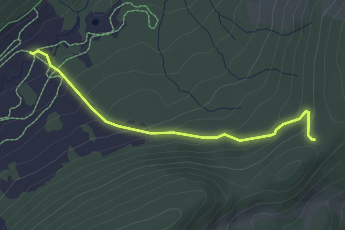
Easy · Cabin
Oberschlierental – Egg
3.6 km · ↑ 197 m · 1 h 17 min
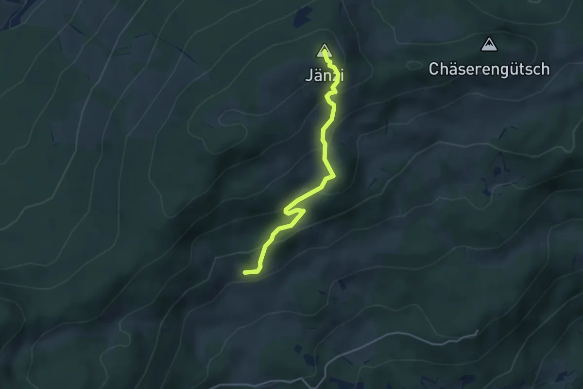
Medium · Summit
Jänzi – Wolfetsmatt
3.3 km · ↑ 249 m · 1 h 19 min
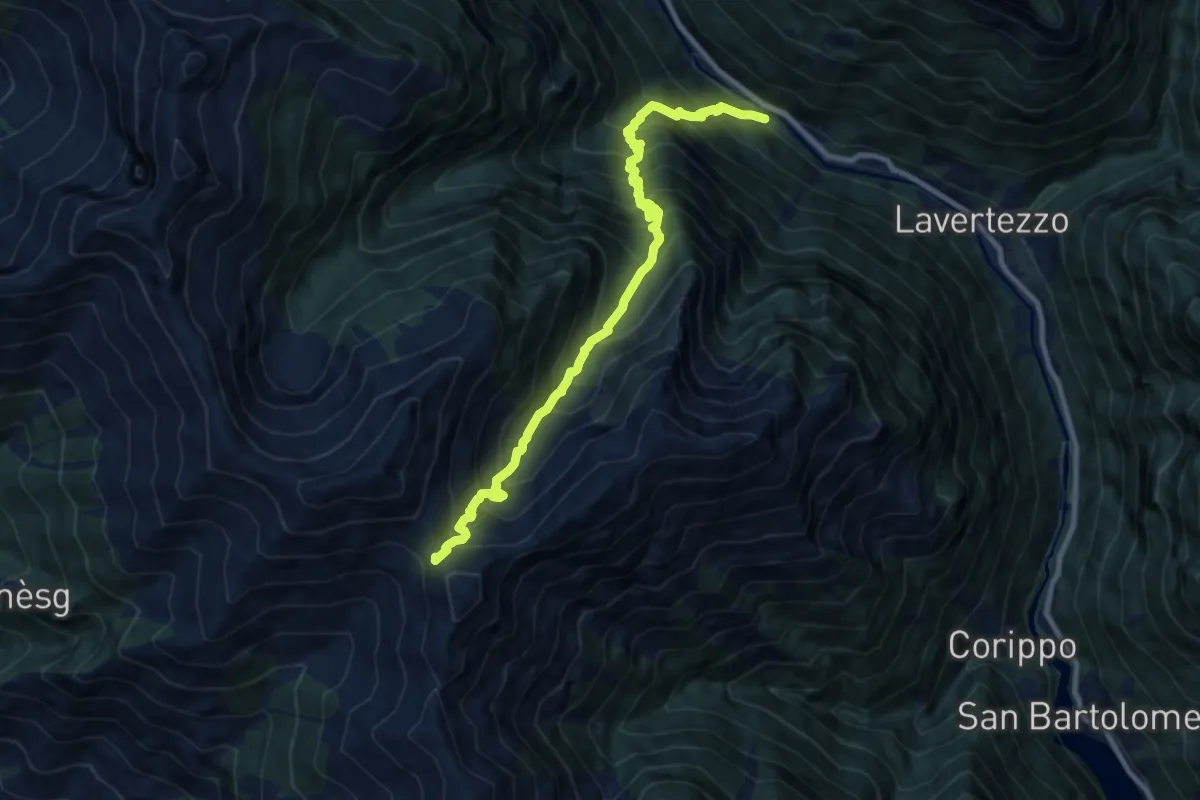
Demanding · Trail
Piano – Bocchetta d'Orgnana
10.2 km · ↑ 1378 m · 5 h 23 min
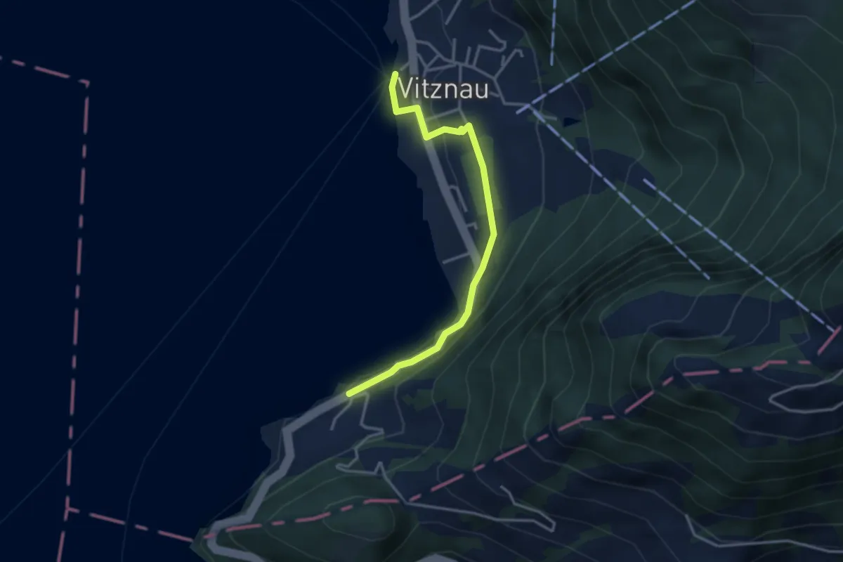
Easy · Trail
Bürglen – Vitznau
3.2 km · ↑ 114 m · 1 h 1 min
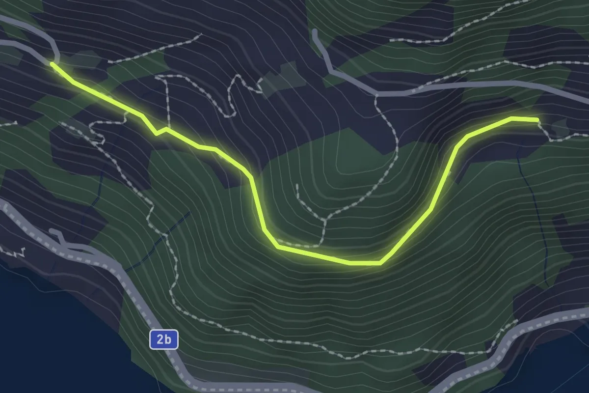
Easy · Trail
Unter Rängg – Äbnet
2.2 km · ↑ 123 m · 47 min
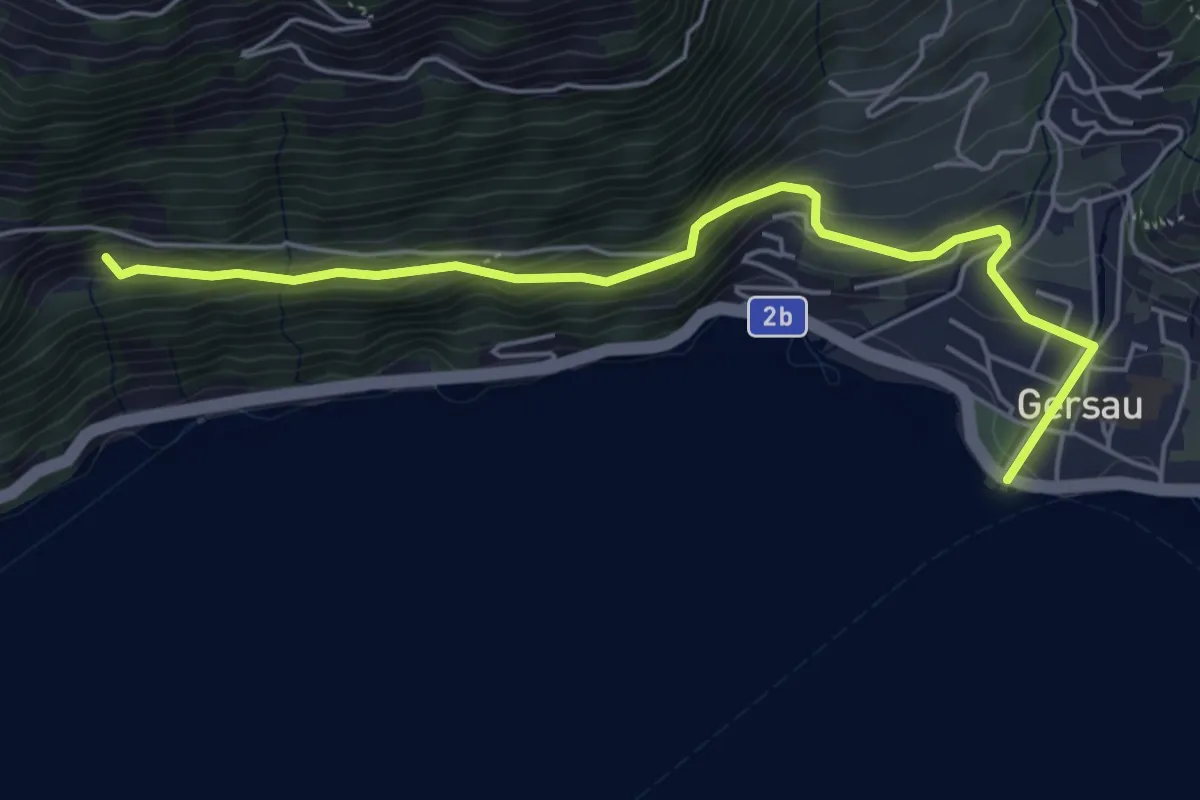
Medium · Trail
Gersau – Unter Rängg
5.4 km · ↑ 331 m · 2 h
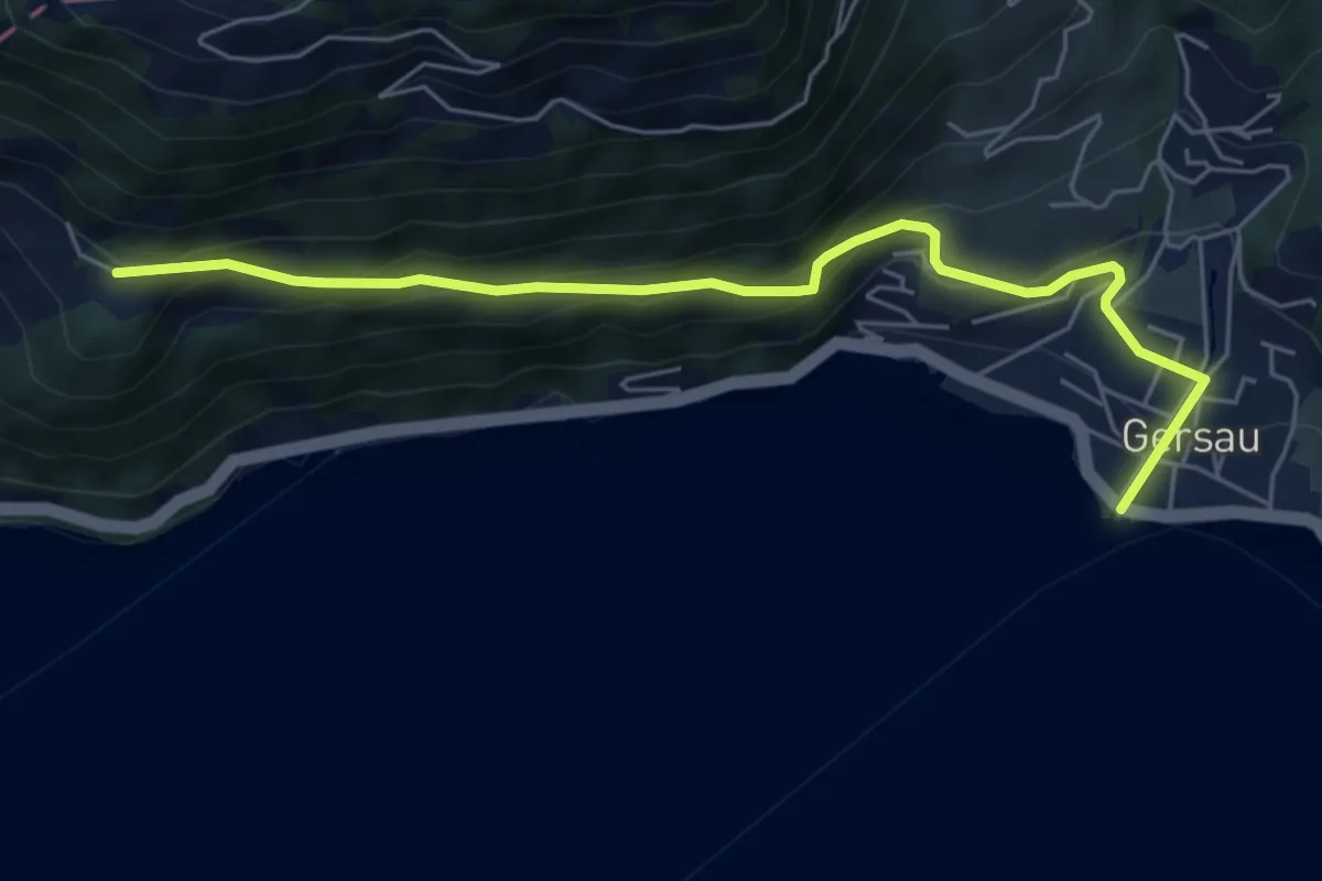
Medium · Trail
Gersau – Ober Rängg
5.9 km · ↑ 362 m · 2 h 11 min
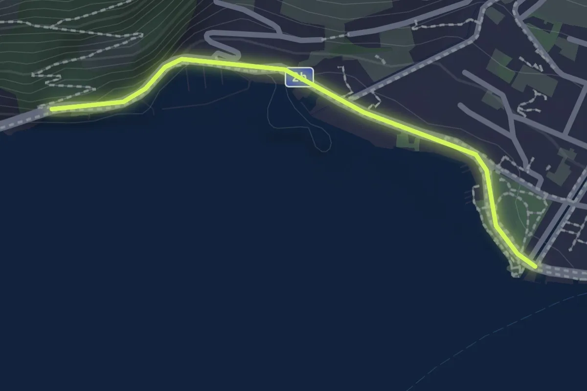
Easy · Trail
Gersau – Strandbad
2.0 km · ↑ 36 m · 33 min
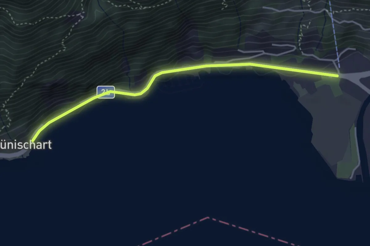
Easy · Trail
LSB Urmiberg Brunnen – Brünischart
3.8 km · ↑ 49 m · 1 h
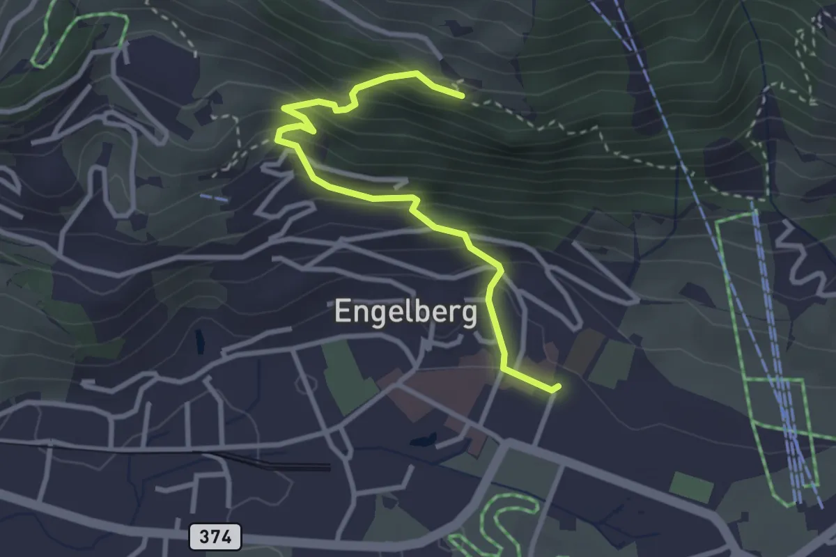
Easy · Trail
Engelberg Dorf – Flüematt
2.9 km · ↑ 297 m · 1 h 20 min
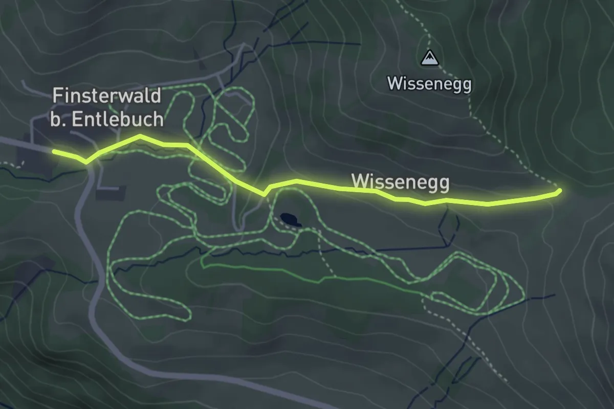
Easy · Trail
Finsterwald – Wissenegg
3.8 km · ↑ 103 m · 1 h 8 min
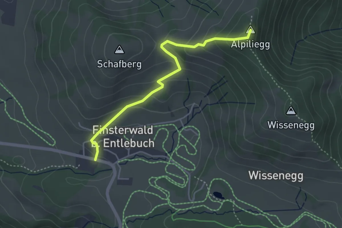
Medium · Summit
Finsterwald – Alpiliegg
3.8 km · ↑ 215 m · 1 h 21 min
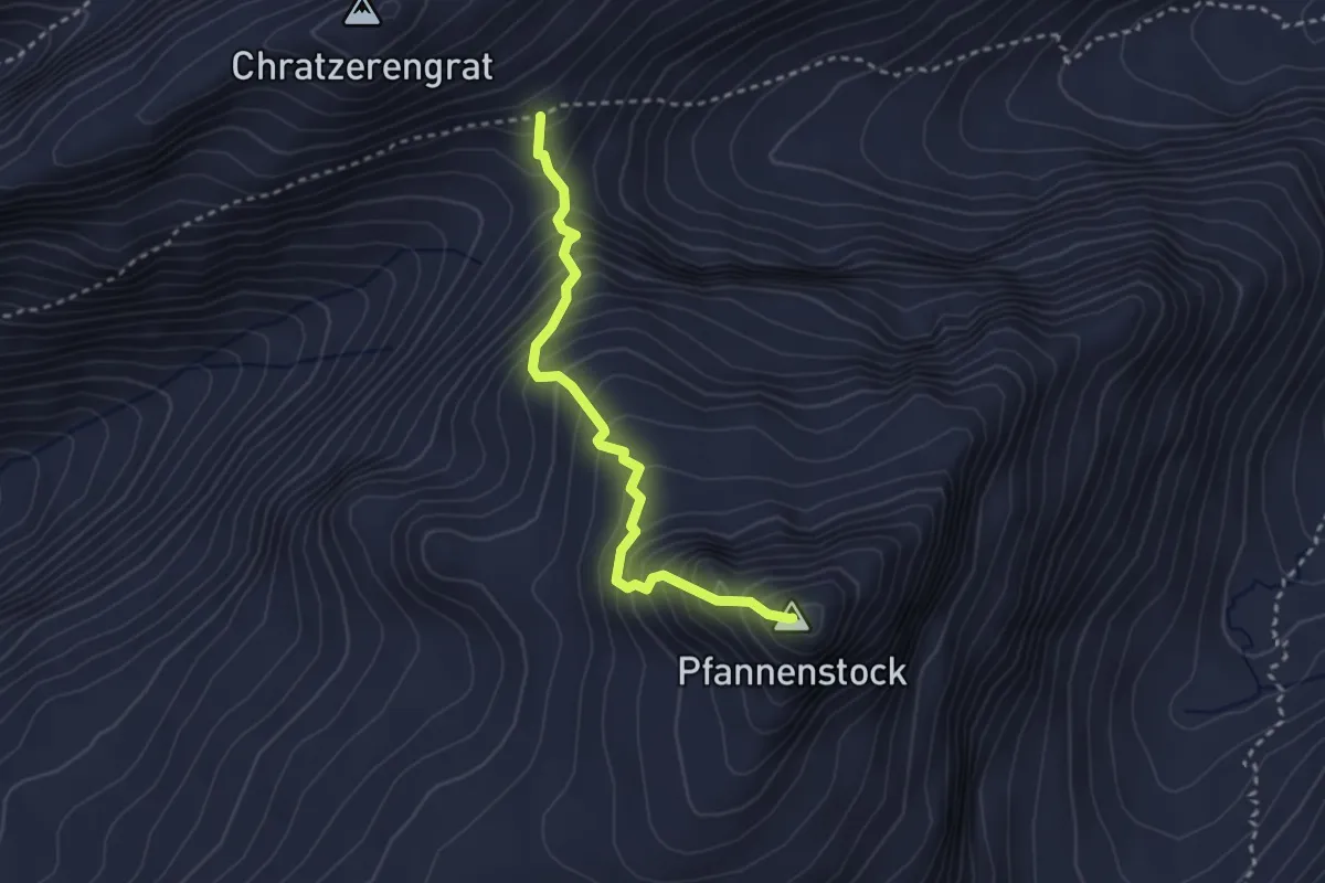
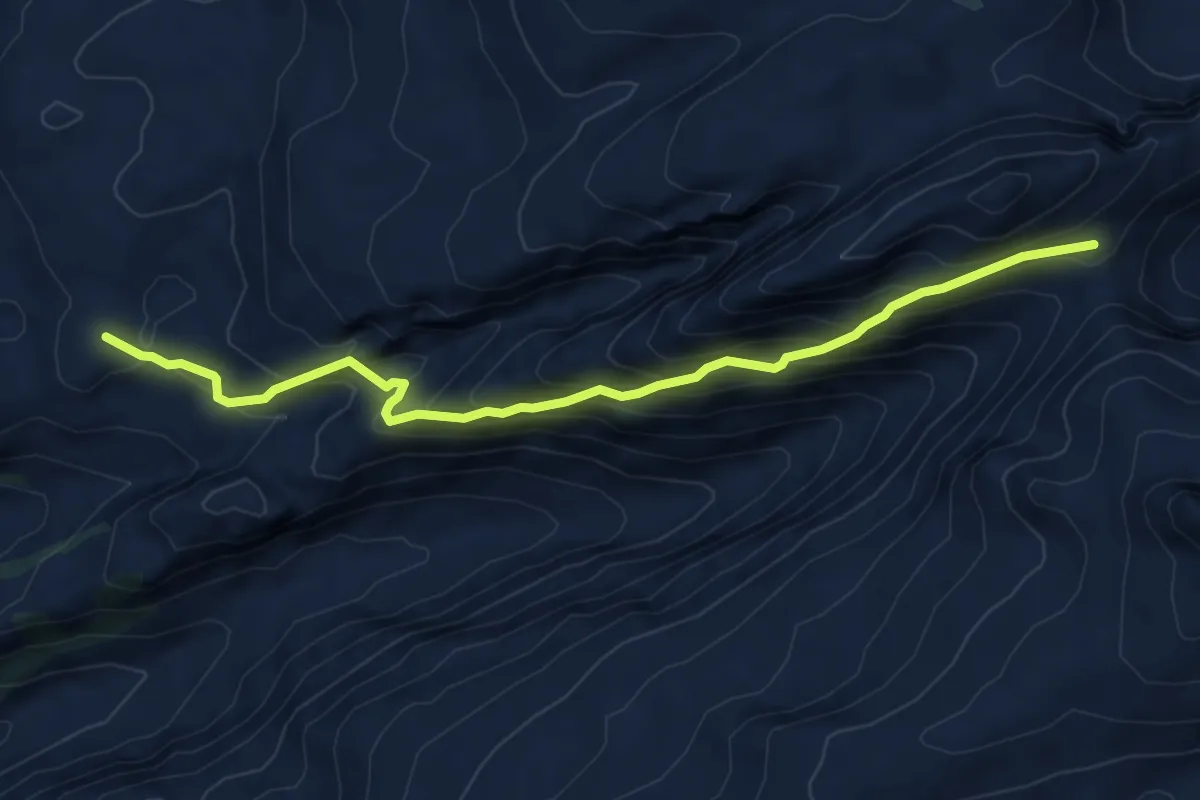
Expert · Summit
Chratzerenfurggeli – Pfannenstock
2.8 km · ↑ 426 m · 1 h 36 min
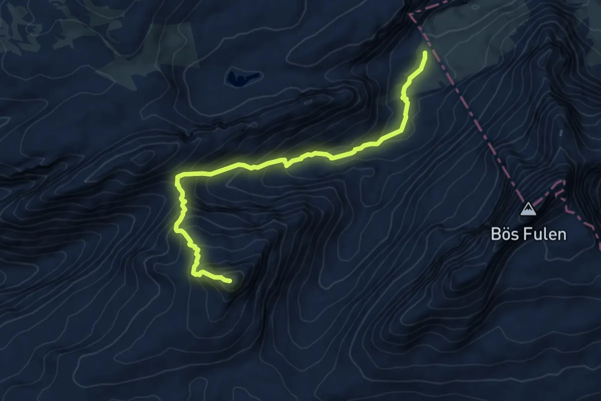
Demanding · Summit
Tor – Chratzerenfurggeli
7.2 km · ↑ 609 m · 3 h 2 min
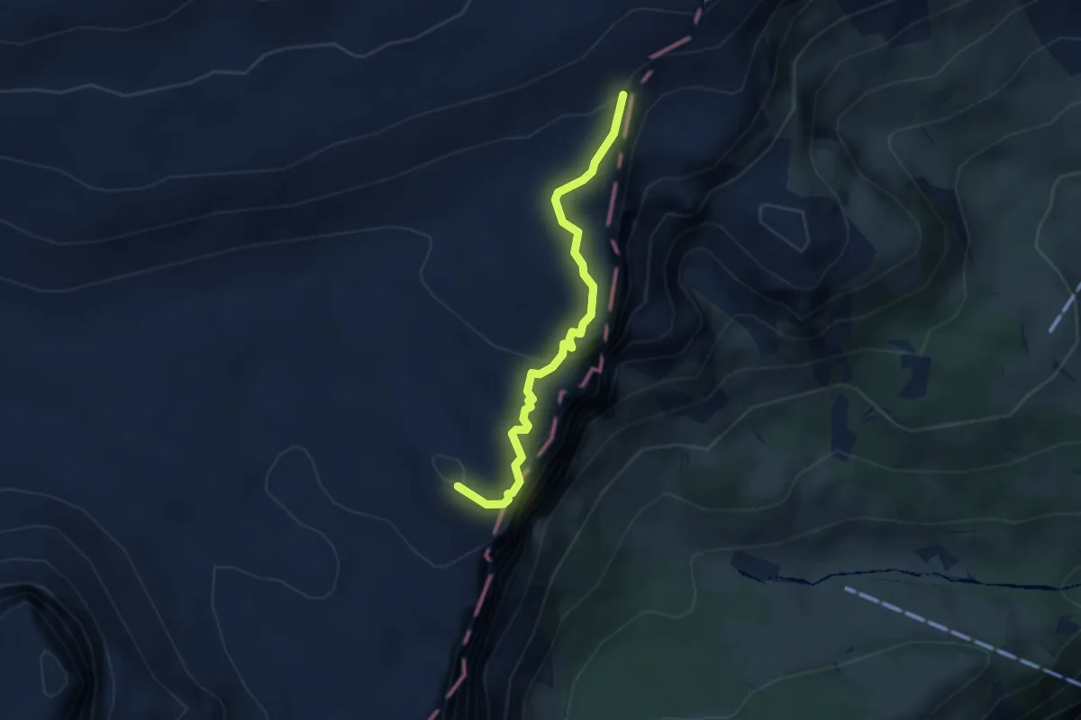
Expert · Summit
Chratzerenfurggeli – Dräckloch
8.7 km · ↑ 825 m · 3 h 50 min
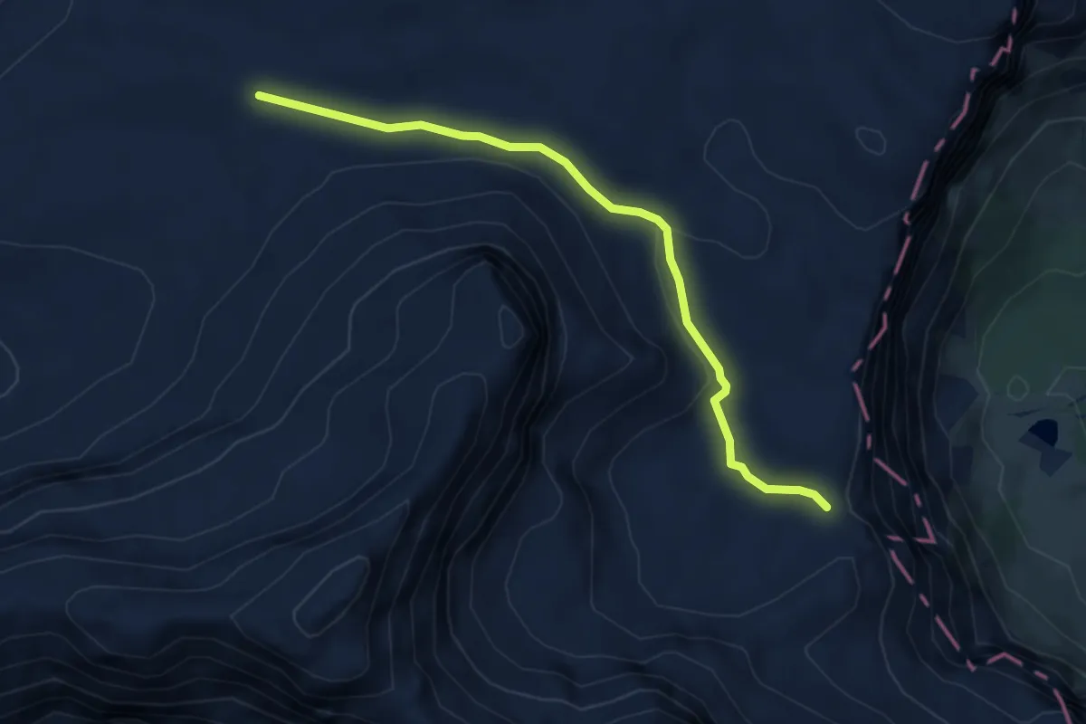
Demanding · Summit
Bützi – Bärentritt
3.1 km · ↑ 164 m · 1 h 5 min
Demanding · Trail
Erigsmatt – Bärentritt
4.7 km · ↑ 99 m · 1 h 19 min
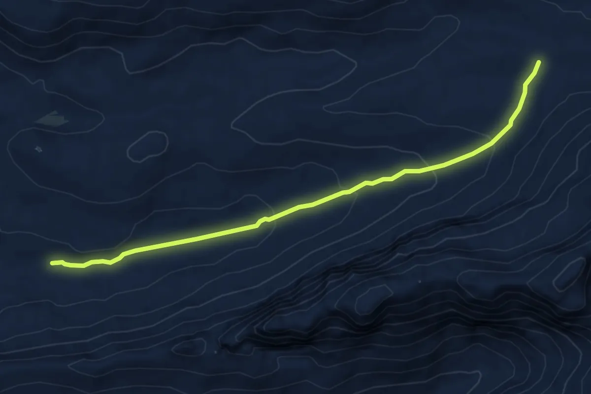
Medium · Trail
Erigsmatt – Charetalp
7.6 km · ↑ 251 m · 2 h 21 min
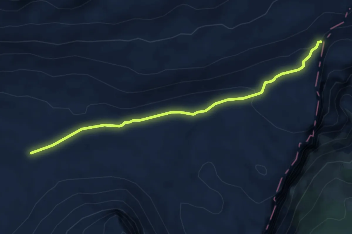
Medium · Trail
Erigsmatt – Bützi
5.0 km · ↑ 111 m · 1 h 26 min
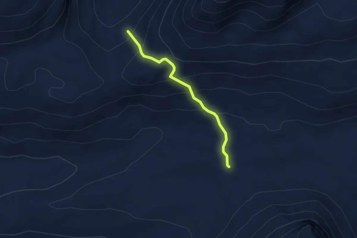
Medium · Trail
nördlich Brunalpelhöchi – Erigsmatt
3.2 km · ↑ 279 m · 1 h 21 min
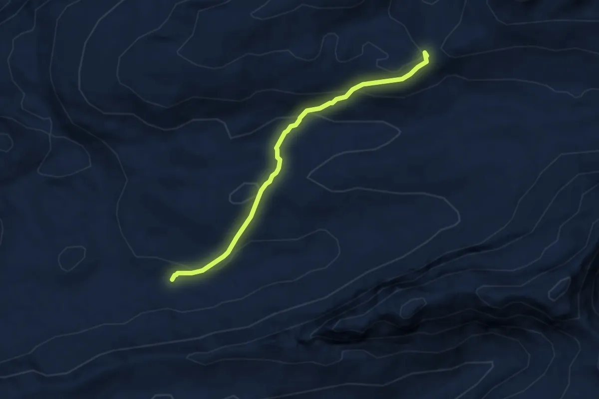
Medium · Summit
nördlich Brunalpelhöchi – Charetalp
7.0 km · ↑ 418 m · 2 h 33 min