Trails in Switzerland
15,055 hiking trails, each with its route, climb, walking time and grade.
All trails, page 219 of 314
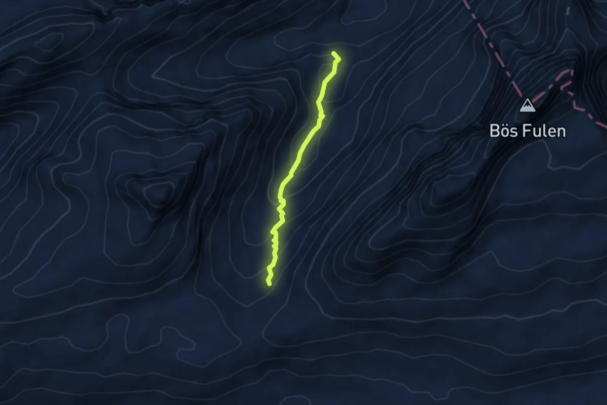
Medium · Summit
Dräckloch – nördlich Brunalpelhöchi
3.8 km · ↑ 271 m · 1 h 30 min
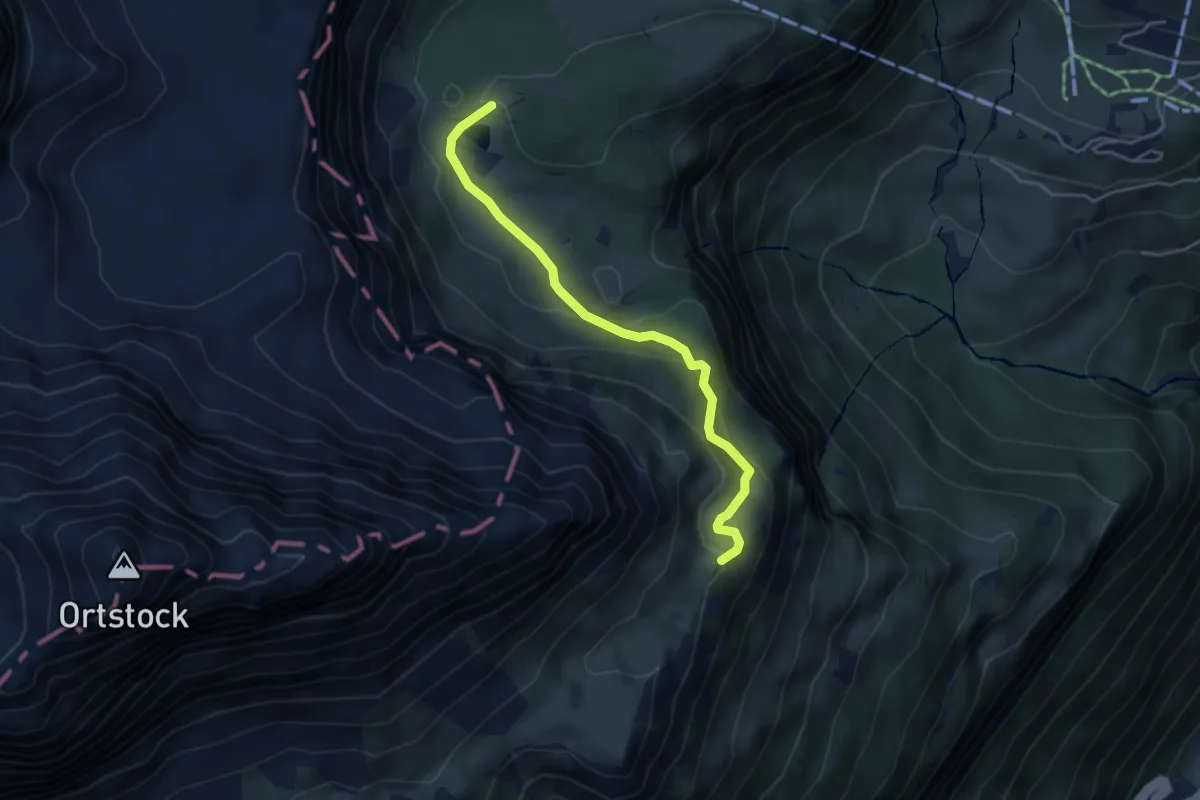
Medium · Trail
Rieter Ort – Bergetenseeli
4.1 km · ↑ 274 m · 1 h 34 min
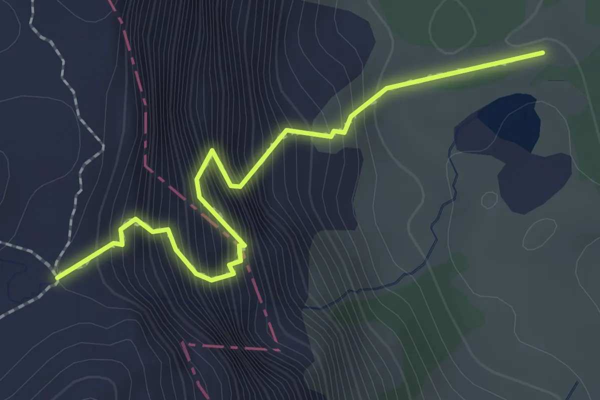
Demanding · Trail
Bärentritt – Bergetenseeli
2.2 km · ↑ 479 m · 1 h 34 min
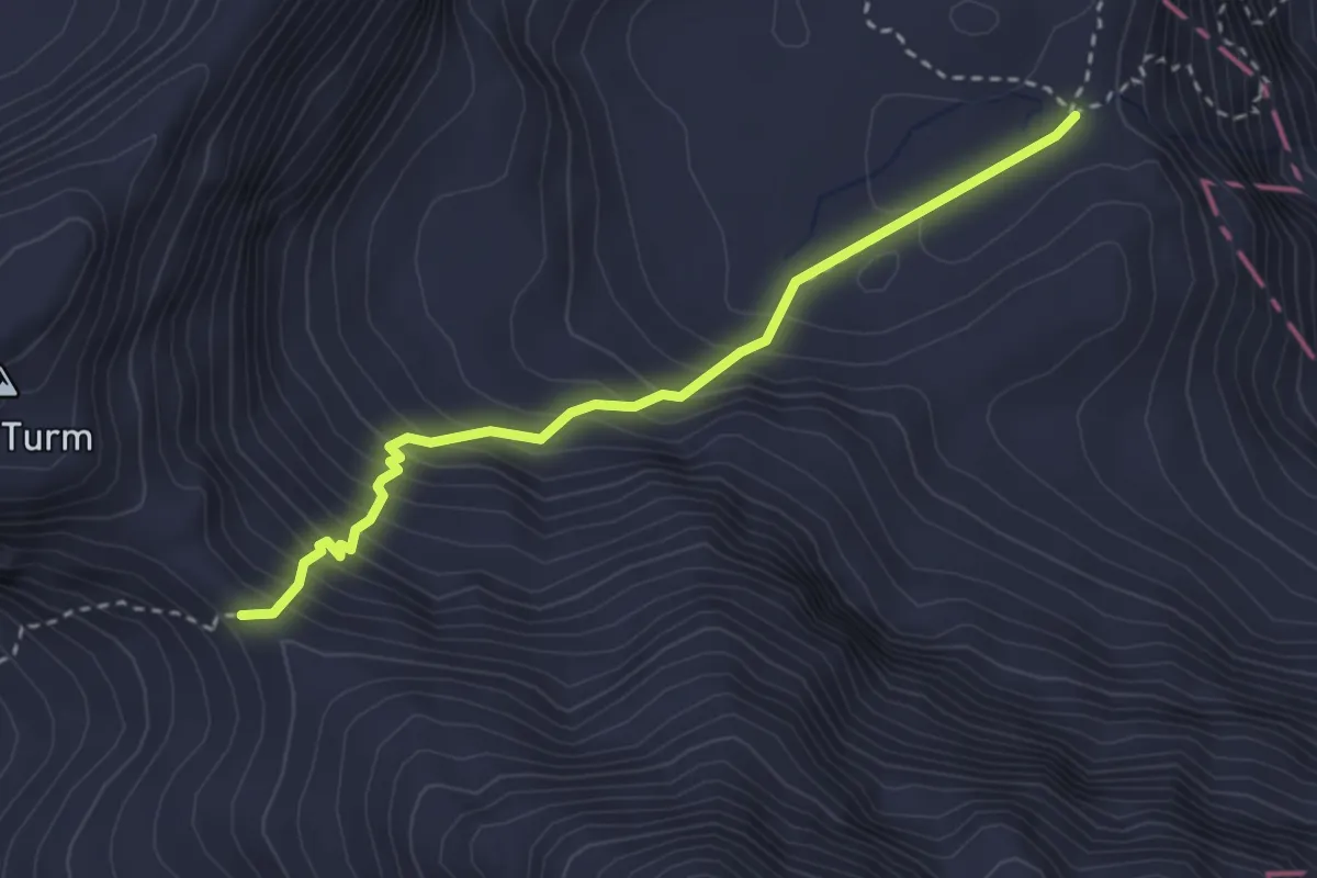
Expert · Trail
Bärentritt – Furggele
3.0 km · ↑ 369 m · 1 h 30 min
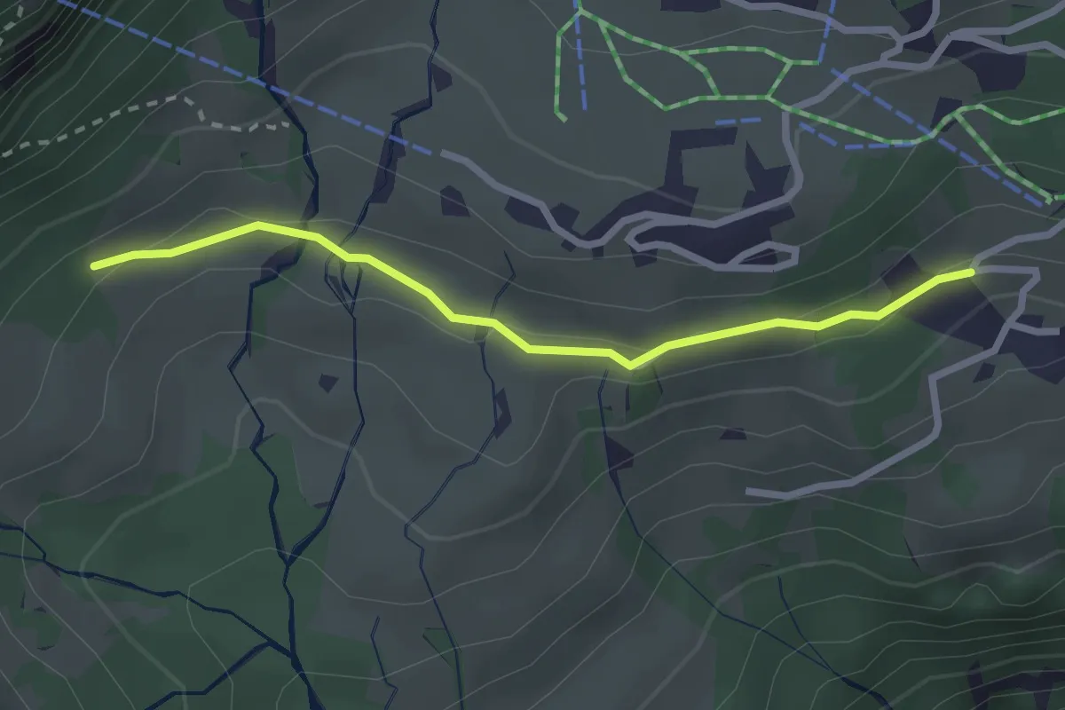
Easy · Trail
Bräch Unterstafel – Niderschlacht
2.4 km · ↑ 71 m · 43 min
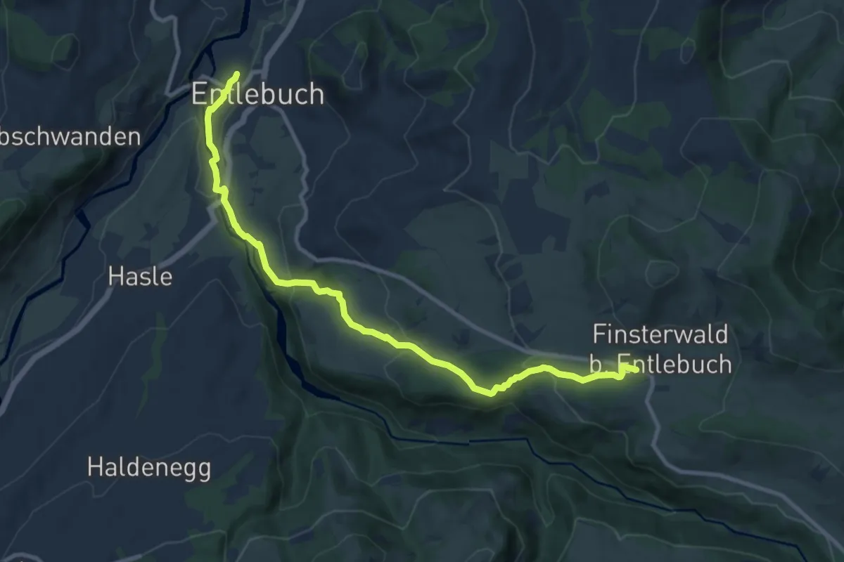
Medium · Trail
Entlebuch – Finsterwald
10.6 km · ↑ 379 m · 3 h 20 min
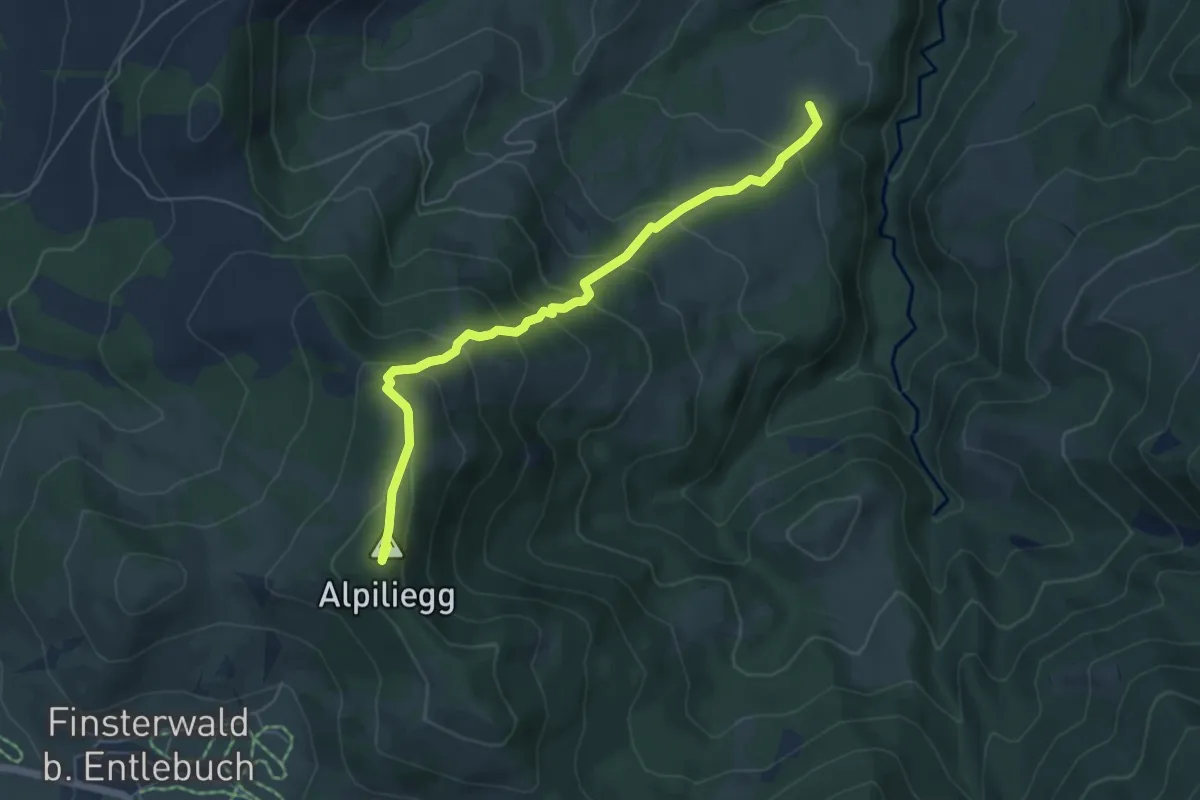
Medium · Summit
Alpiliegg – Unt. Rootmoos
5.7 km · ↑ 448 m · 2 h 19 min
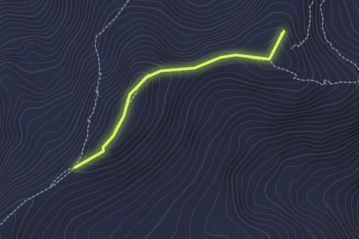
Demanding · Summit
Rückenegg – Biet
1.8 km · ↑ 111 m · 40 min
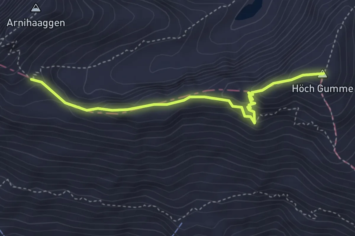
Demanding · Summit
Biet – Zwischenegg
3.7 km · ↑ 236 m · 1 h 23 min
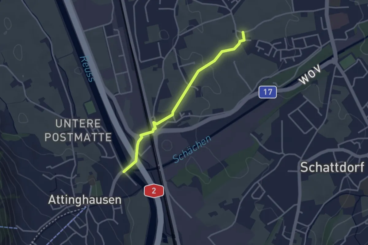
Easy · Trail
Ringli – Attinghauser Brücke
2.8 km · ↑ 17 m · 42 min
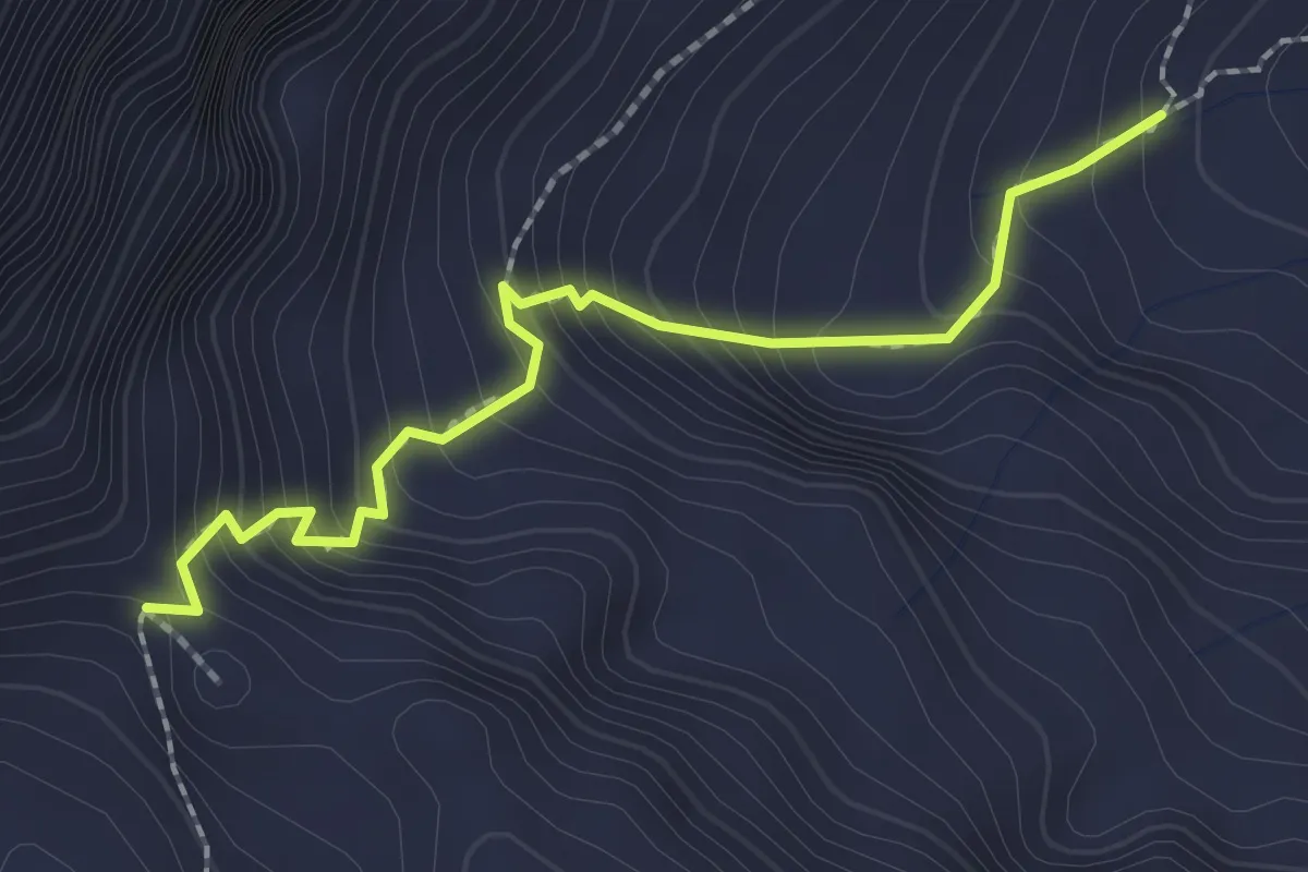
Medium · Trail
Langschnee – Surenenpass
2.2 km · ↑ 268 m · 1 h 5 min
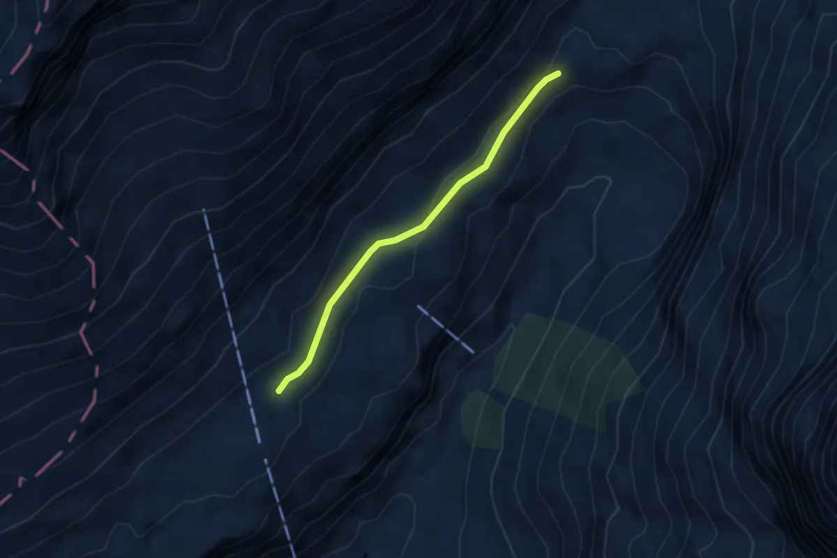
Medium · Trail
Stäuber – Usser Äbnet
2.9 km · ↑ 69 m · 50 min
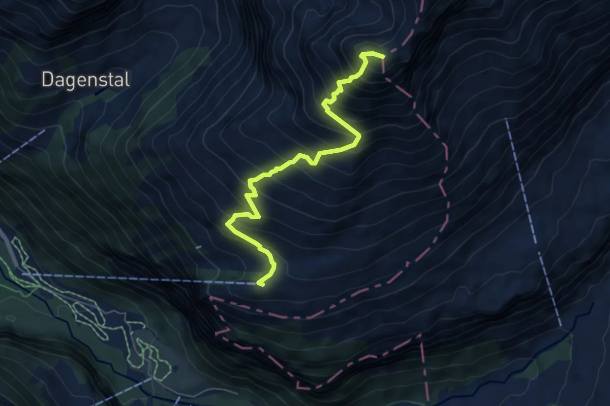
Expert · Summit
Fürenalp Bergstation – Wissberg
5.7 km · ↑ 771 m · 3 h 1 min
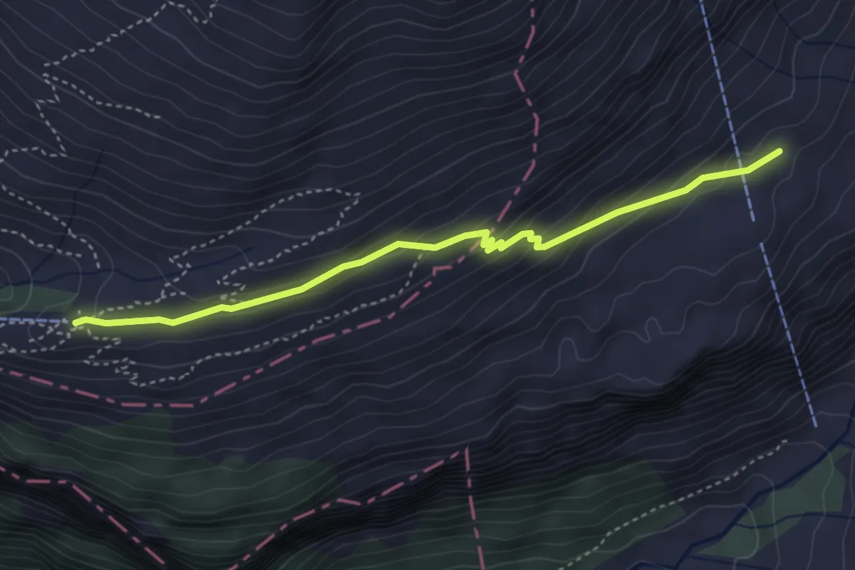
Medium · Trail
Usser Äbnet – Fürenalp Bergstation
4.0 km · ↑ 210 m · 1 h 24 min
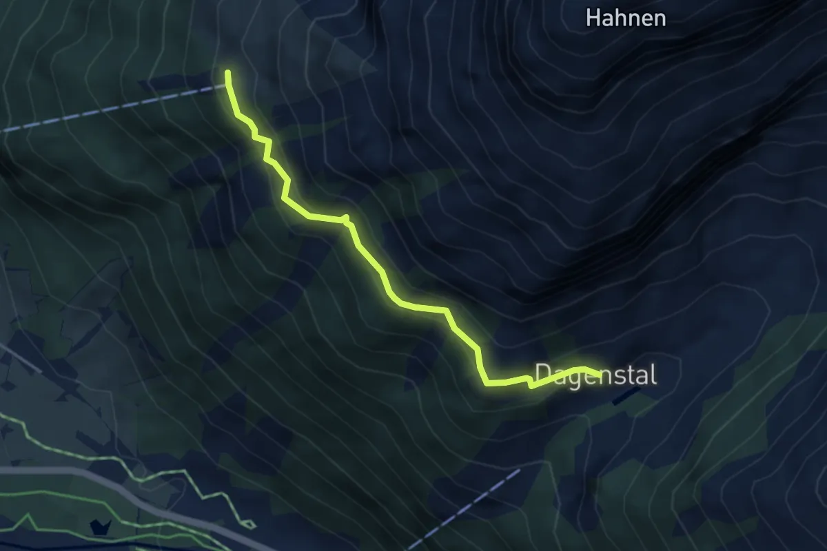
Medium · Trail
Tagenstal – Ober Zieblen
3.8 km · ↑ 289 m · 1 h 31 min
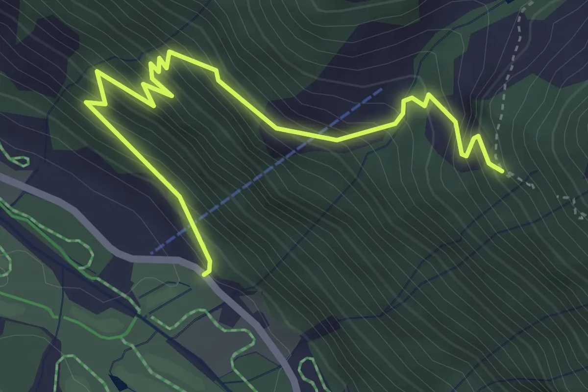
Medium · Trail
Widderen – Wasserfall
4.7 km · ↑ 526 m · 2 h 14 min
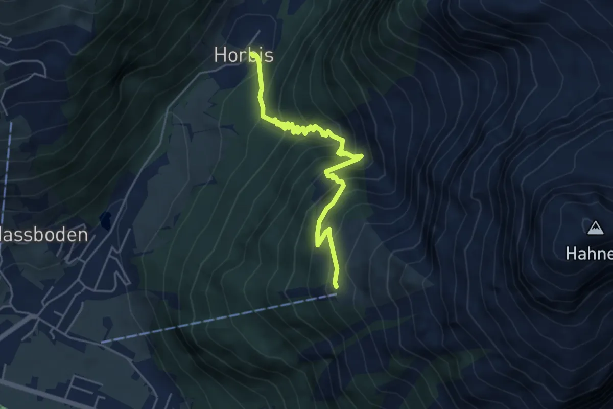
Demanding · Trail
Horbis – Ober Zieblen
4.7 km · ↑ 499 m · 2 h 11 min
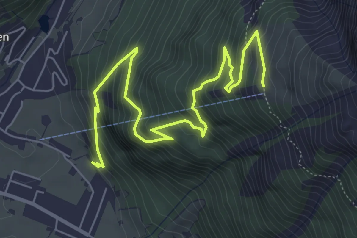
Medium · Trail
Holzkapelle – Ober Zieblen
7.1 km · ↑ 707 m · 3 h 12 min
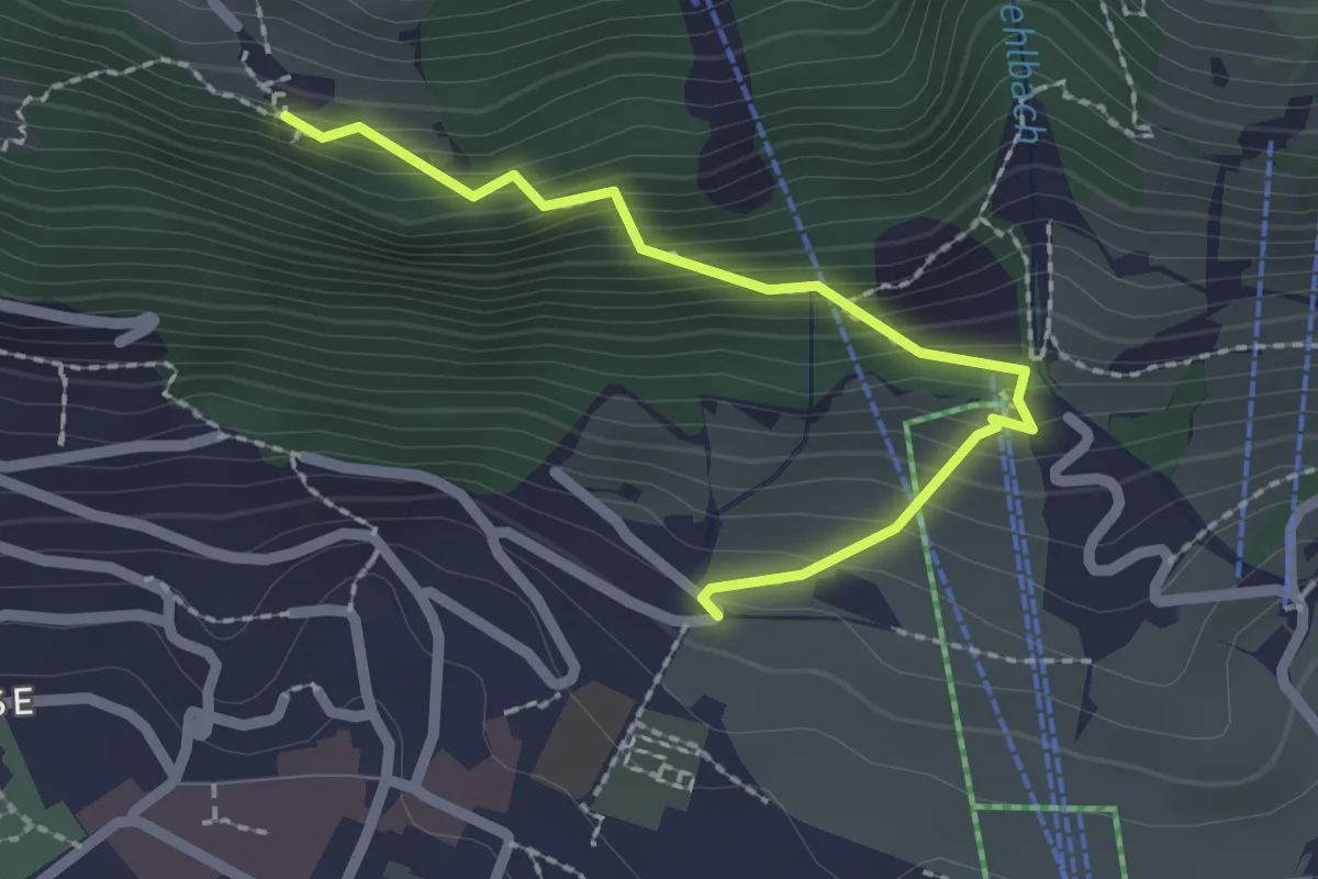
Medium · Trail
Flüematt – Buechli
2.2 km · ↑ 242 m · 1 h 2 min
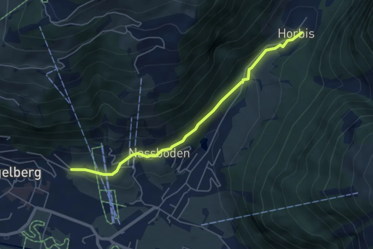
Easy · Trail
Horbis – Buechli
4.4 km · ↑ 126 m · 1 h 19 min
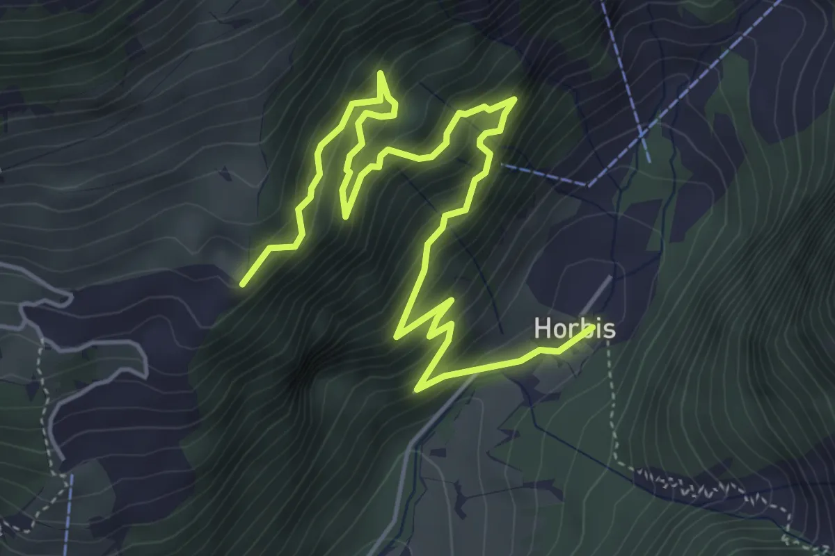
Medium · Trail
Horbis – Schletteren
6.5 km · ↑ 624 m · 2 h 54 min
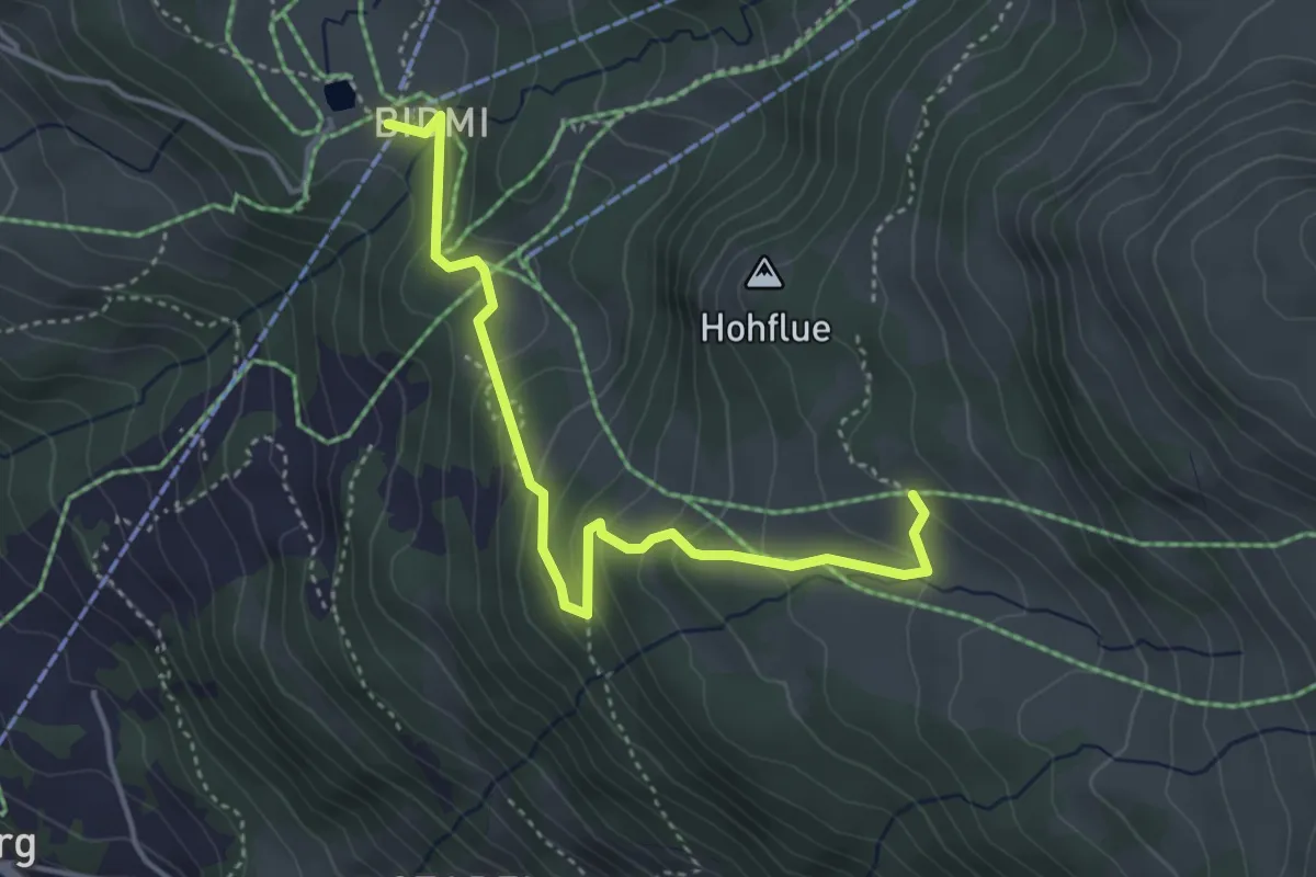
Easy · Trail
Gummen Renen – Bidmi
4.2 km · ↑ 235 m · 1 h 29 min
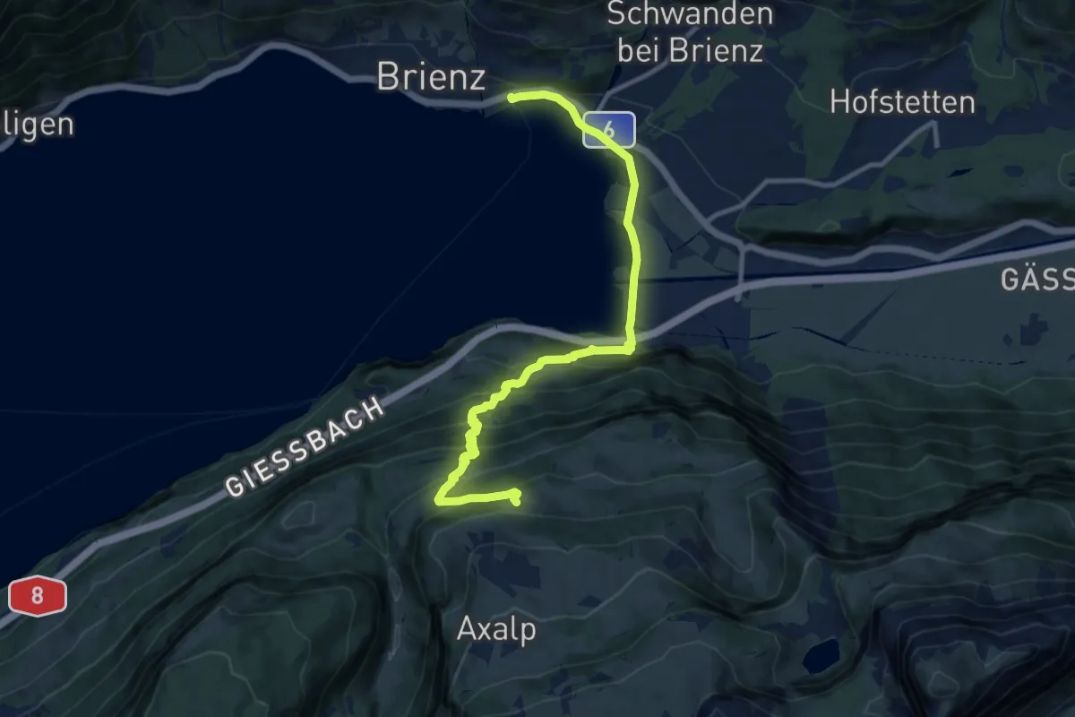
Demanding · Trail
? – ?
11.7 km · ↑ 737 m · 4 h 22 min
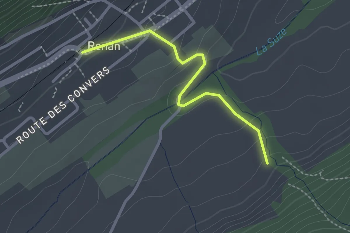
Easy · Trail
Renan Le Plan – Renan
2.1 km · ↑ 81 m · 40 min
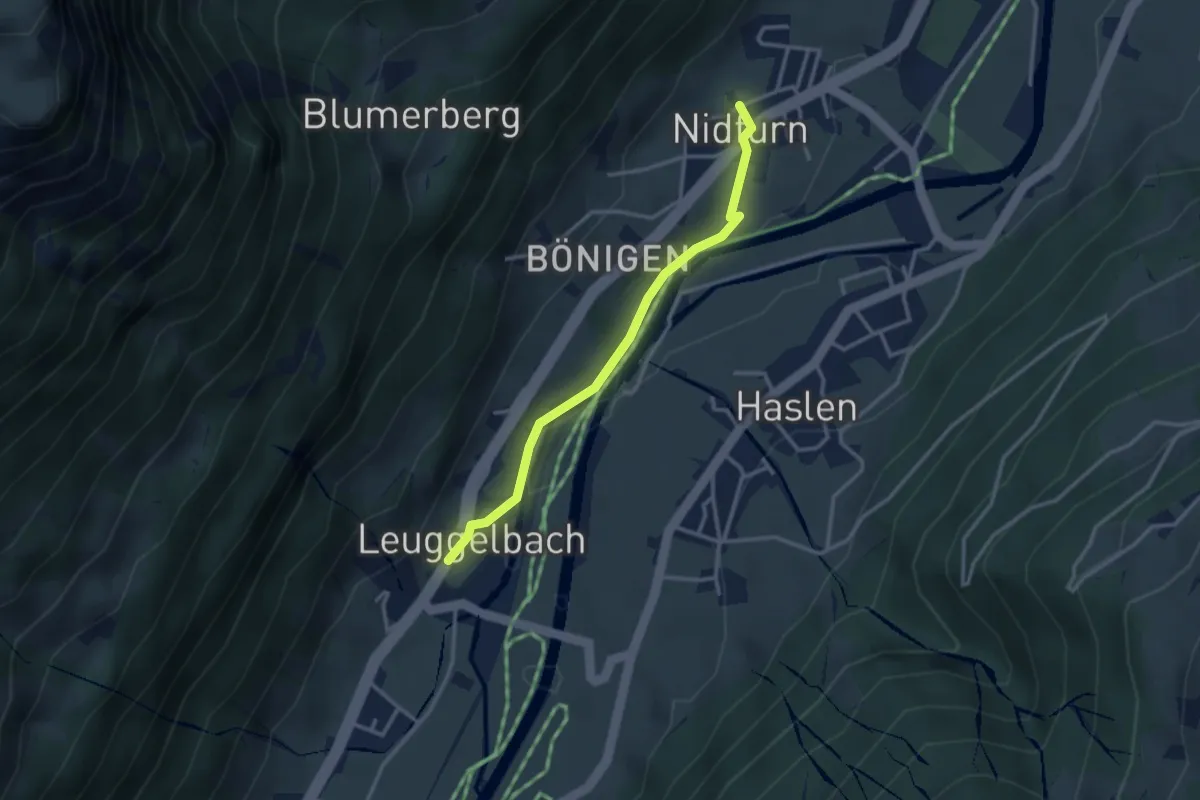
Easy · Trail
Leuggelbach – Nidfurn
2.9 km · ↑ 36 m · 46 min
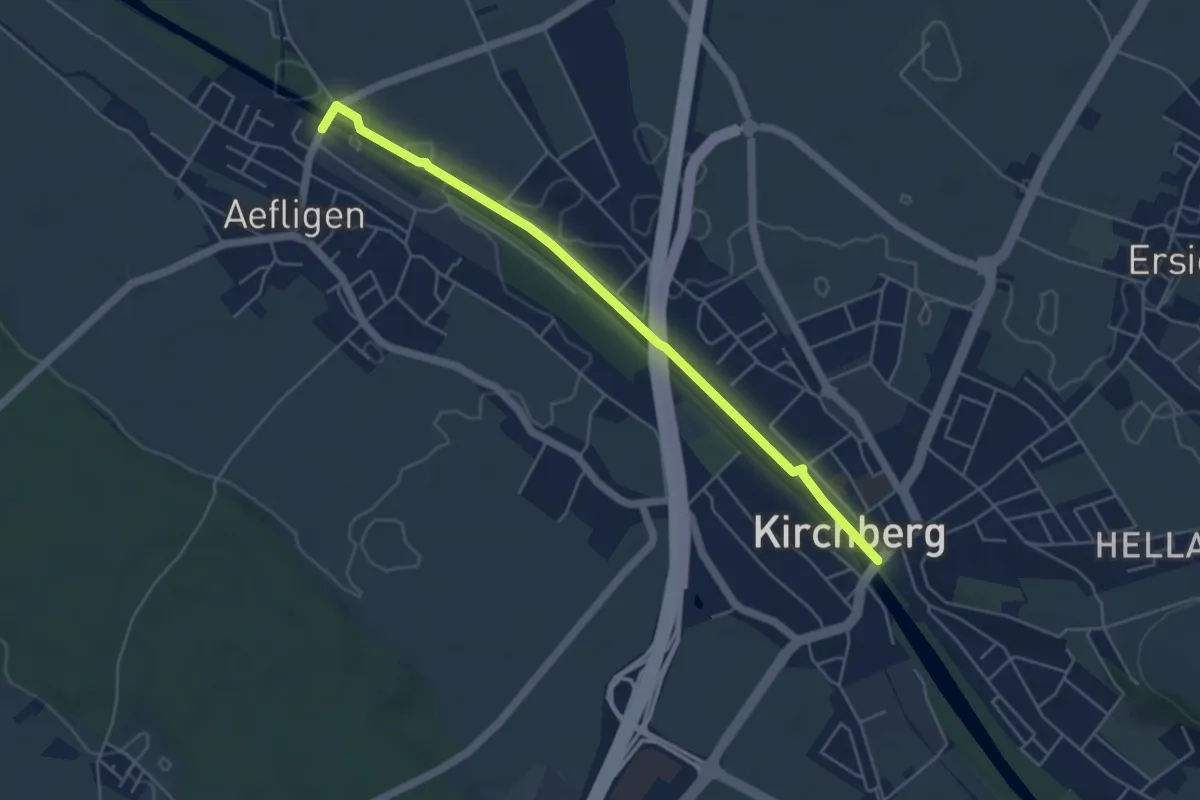
Easy · Trail
Aefligen – Kirchberg
5.0 km · ↑ 9 m · 1 h 12 min
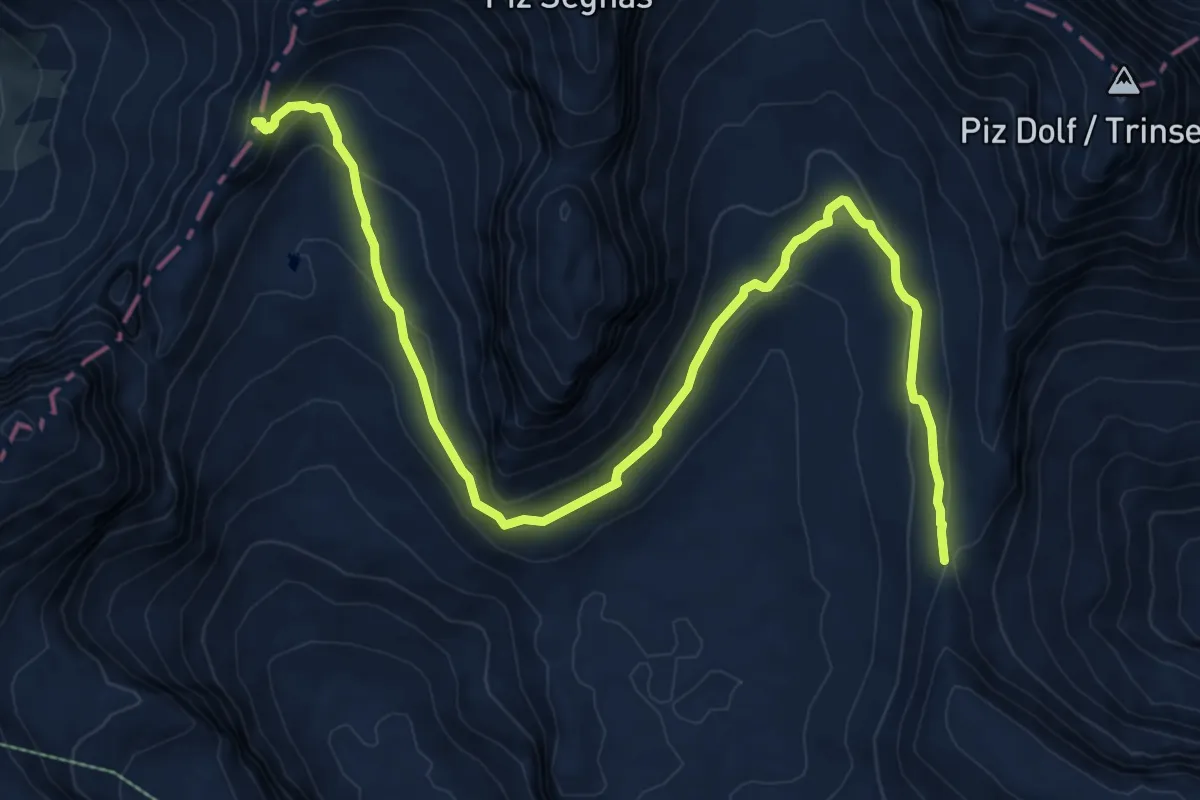
Demanding · Cabin
Pass dil Segnas – Fuorcla Raschaglius
10.9 km · ↑ 374 m · 3 h 23 min
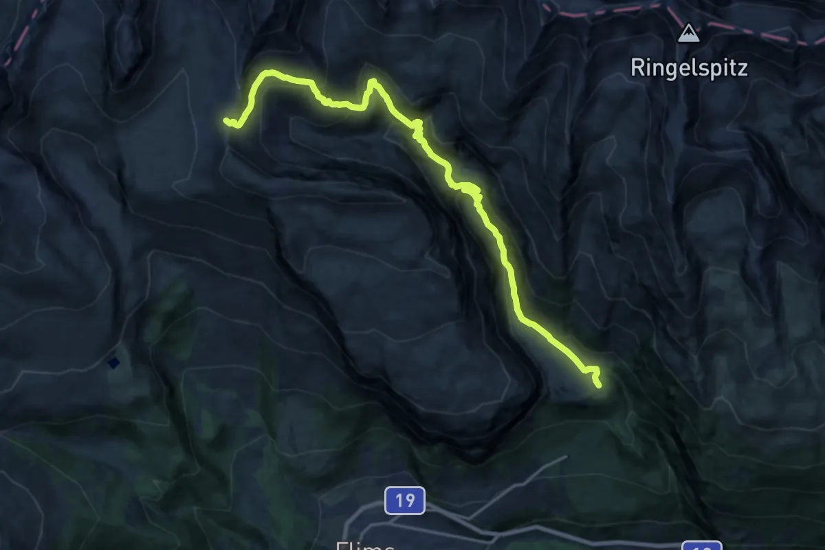
Demanding · Cabin
Bargis – Fuorcla Raschaglius
19.4 km · ↑ 1113 m · 7 h
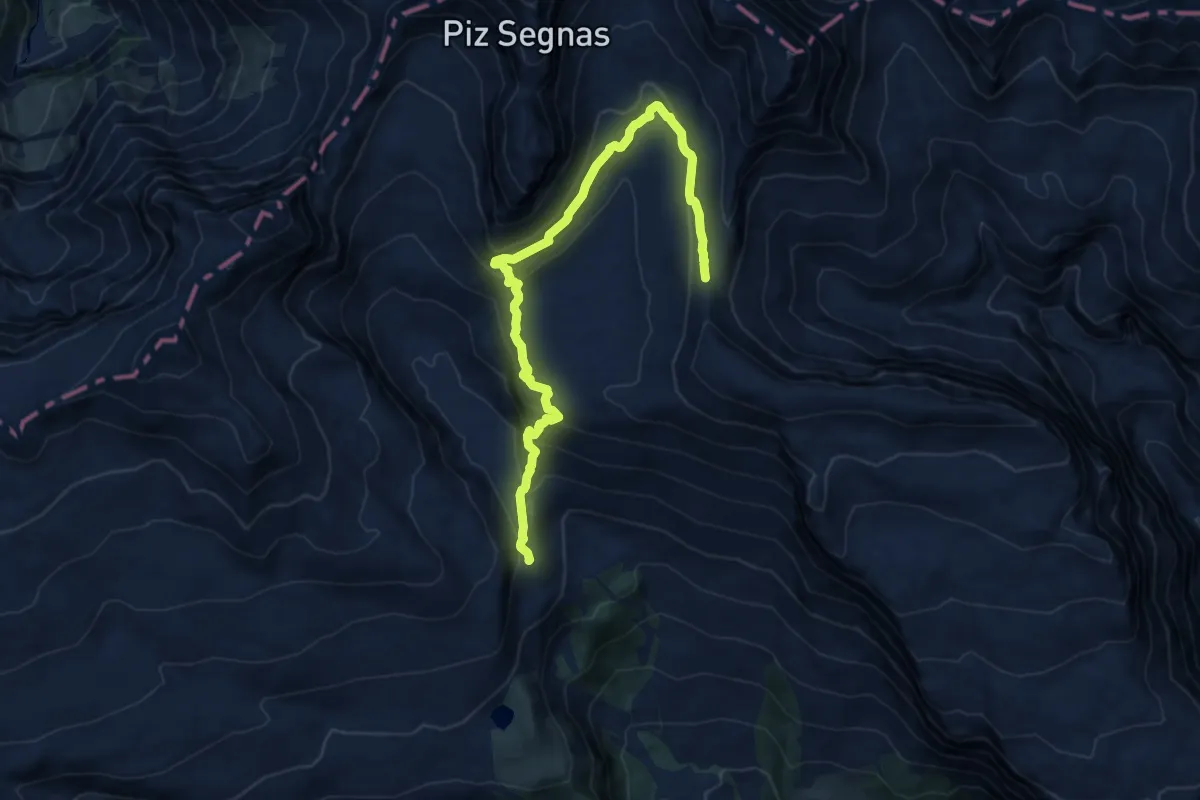
Medium · Cabin
Fuorcla Raschaglius – Segneshütte
12.9 km · ↑ 565 m · 4 h 16 min
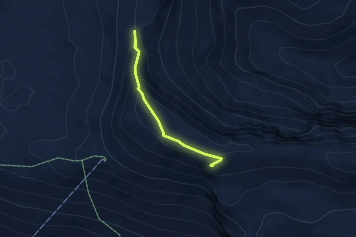
Medium · Trail
Fuorcla Raschaglius – Fil de Cassons
2.9 km · ↑ 151 m · 1 h 1 min
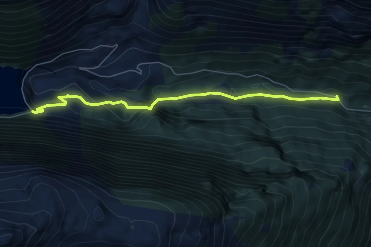
Medium · Trail
Rot Herd "Isig Brugg" – Staumauer Gigerwald
5.4 km · ↑ 334 m · 2 h
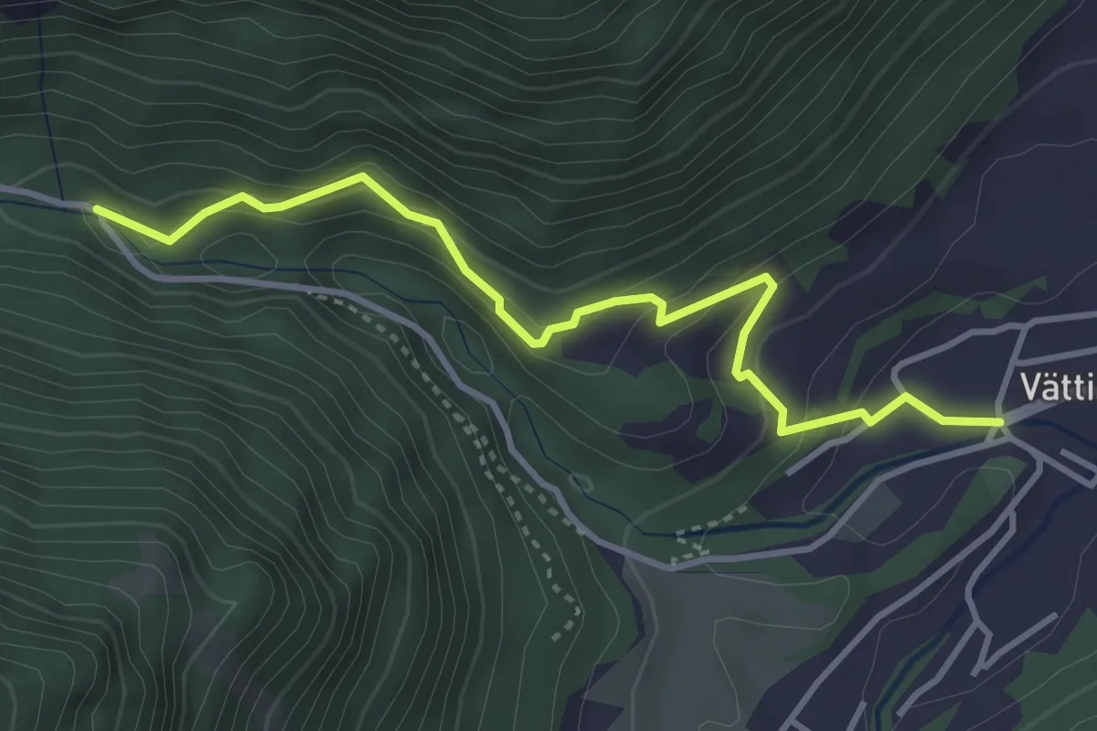
Medium · Trail
Vättis – Rot Herd "Isig Brugg"
3.7 km · ↑ 265 m · 1 h 27 min
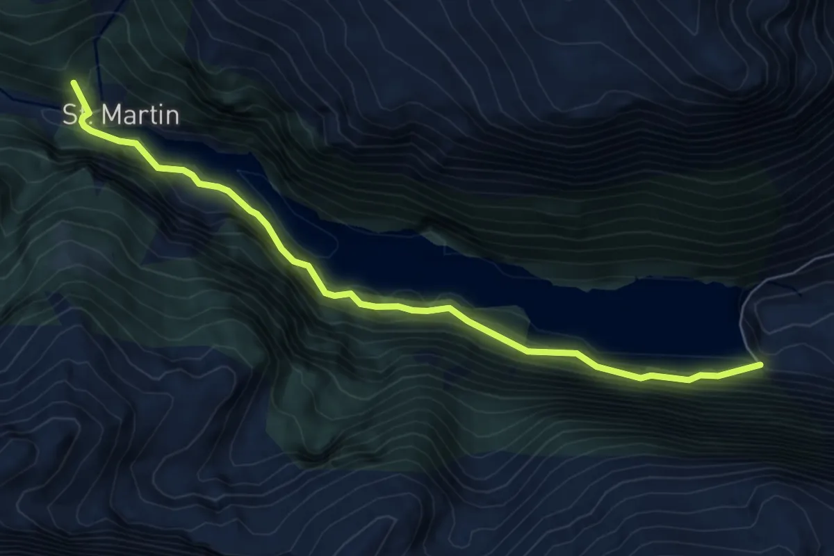
Demanding · Summit
Staumauer Gigerwald – St.Martin
6.9 km · ↑ 974 m · 3 h 44 min
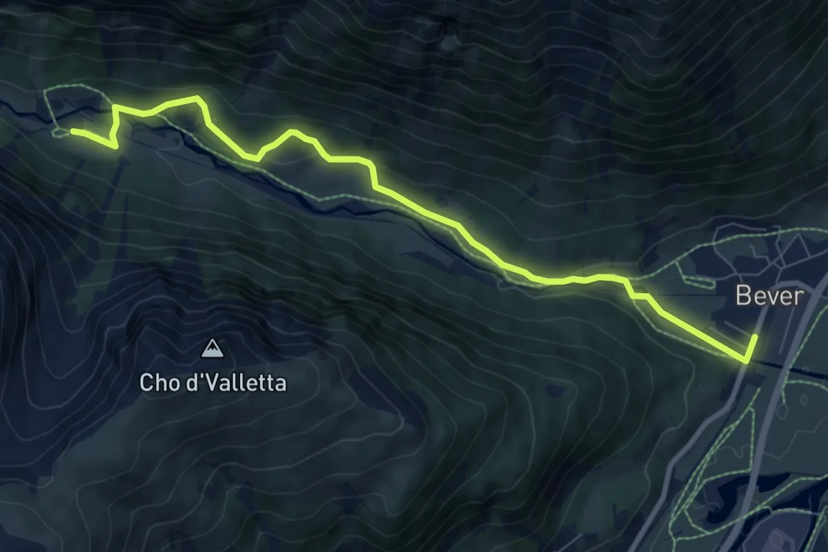
Medium · Trail
Bever – Spinas
8.5 km · ↑ 209 m · 2 h 28 min
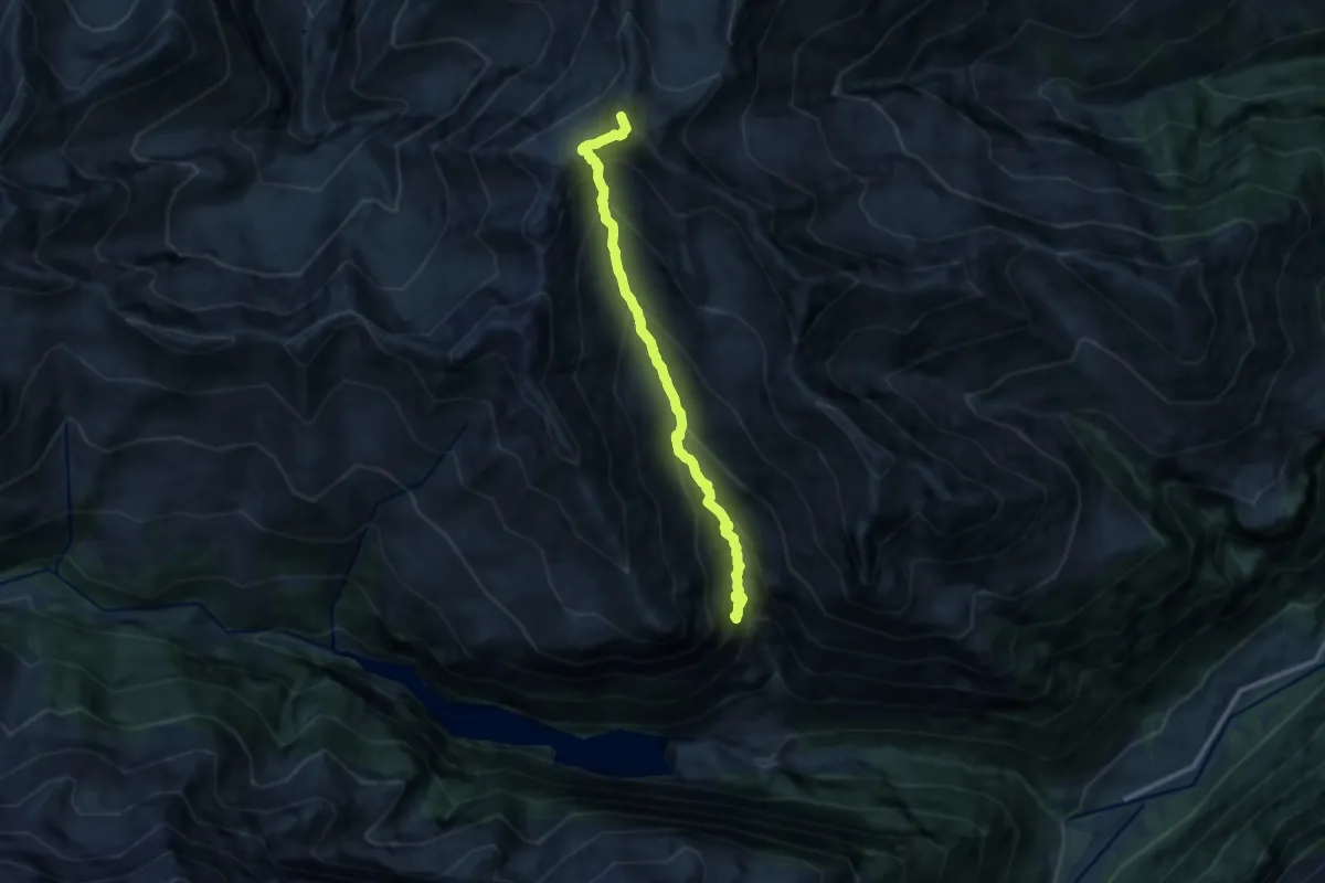
Expert · Summit
Gigerwald – Pizolsattel
10.3 km · ↑ 1205 m · 5 h 2 min
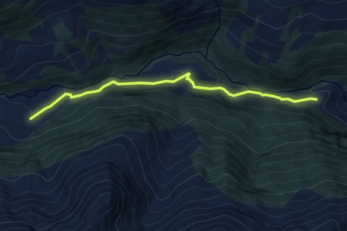
Medium · Trail
Tüfwald – Hintere Ebni
5.8 km · ↑ 270 m · 1 h 57 min
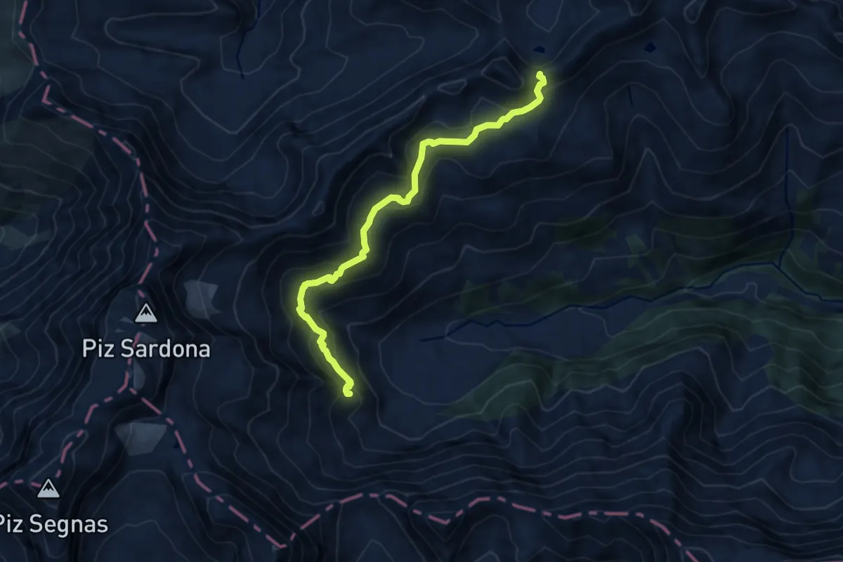
Medium · Cabin
Sardonahütte – Heubützlipass
9.8 km · ↑ 649 m · 3 h 43 min
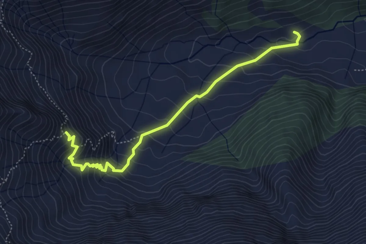
Medium · Cabin
Sardonaalp – Sardonahütte
5.2 km · ↑ 393 m · 2 h 5 min
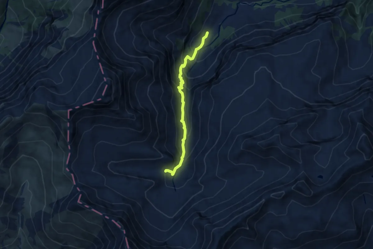
Medium · Trail
Alp Foo – Walabütz Untersäss
6.9 km · ↑ 694 m · 3 h 8 min
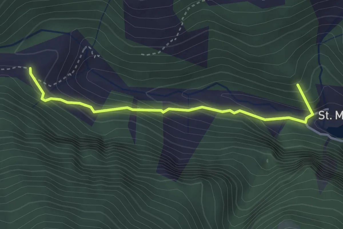
Medium · Summit
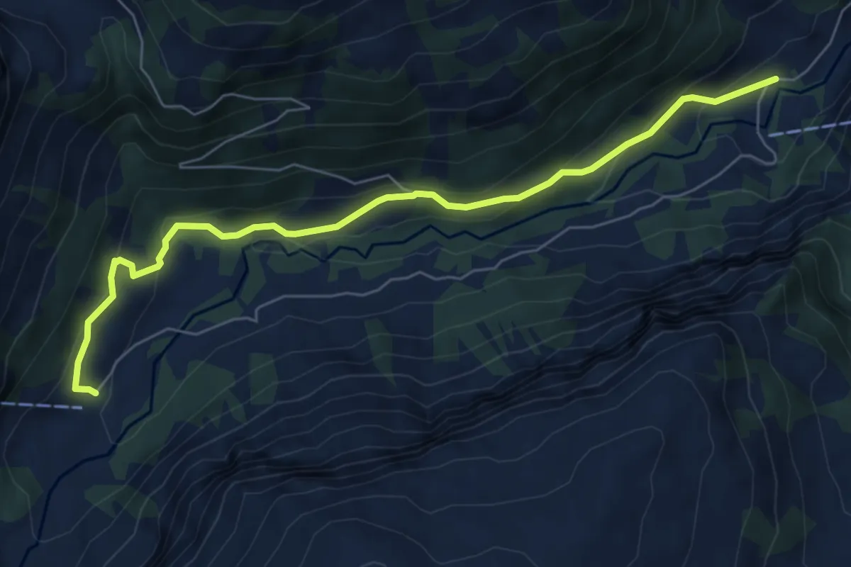
St. Martin – Tüfwald
3.1 km · ↑ 251 m · 1 h 16 min
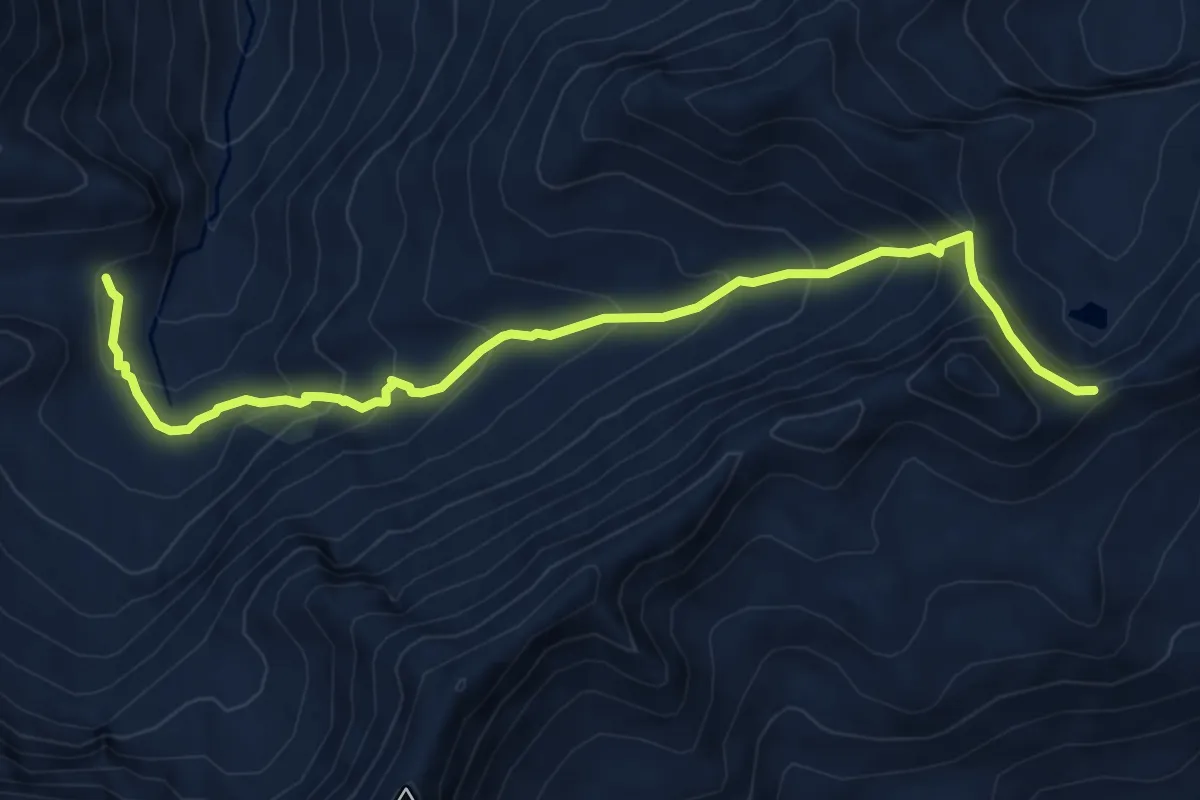
Medium · Trail
Walabütz Untersäss – Vorsiez
6.8 km · ↑ 325 m · 2 h 18 min
Medium · Trail
Heubützlipass – Fooalp
7.5 km · ↑ 588 m · 3 h 3 min
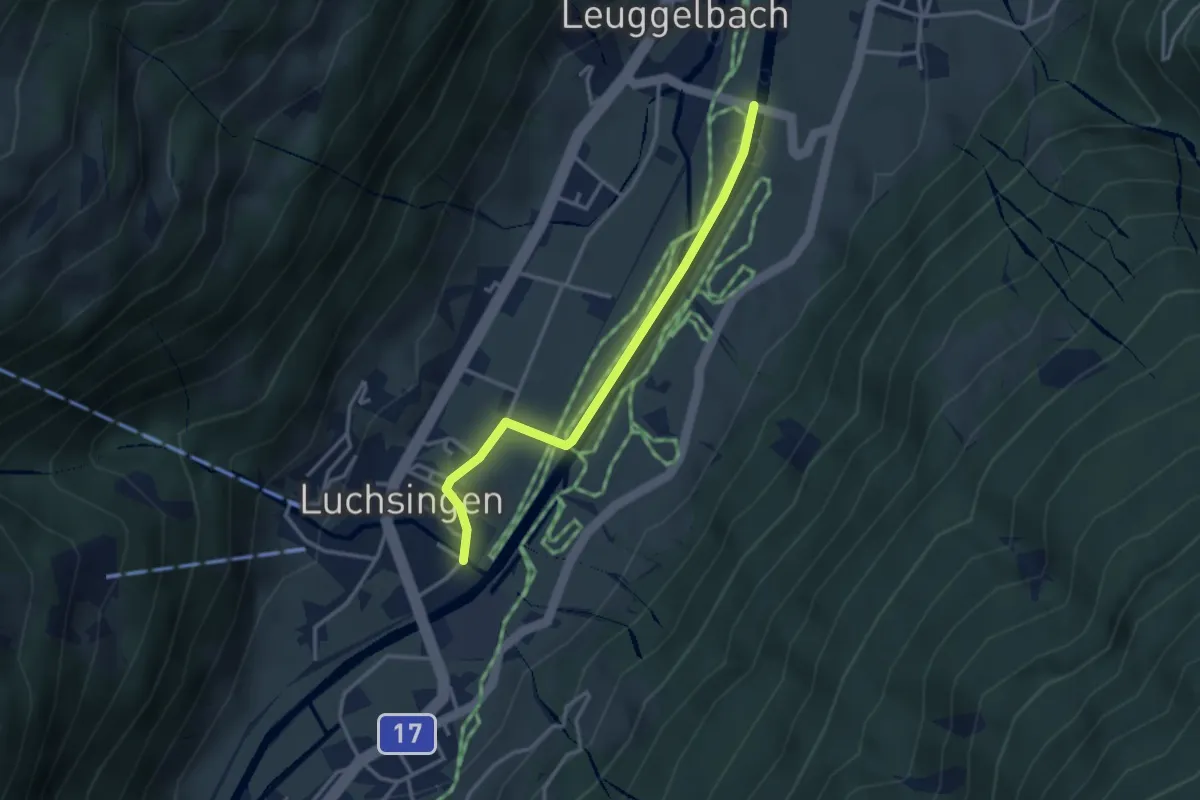
Easy · Trail
Luchsingen – Leuggelbach Linthbrücke
3.1 km · ↑ 17 m · 45 min
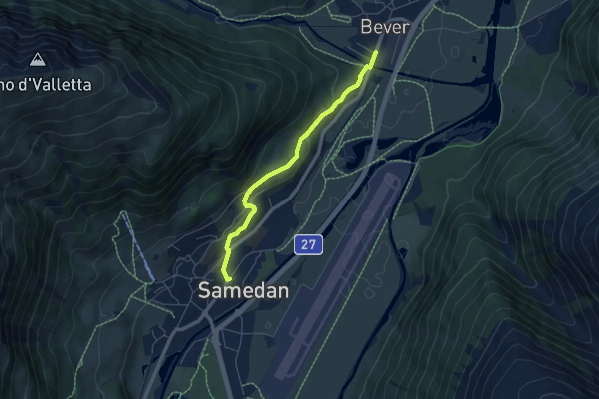
Easy · Trail
Bever – Spinas
4.9 km · ↑ 133 m · 1 h 27 min
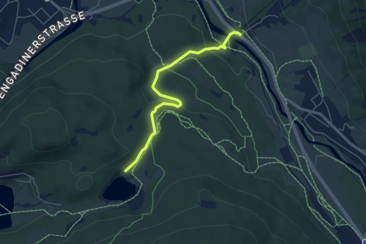
Easy · Trail
Punt Muragl – Laj da Staz
4.5 km · ↑ 125 m · 1 h 20 min
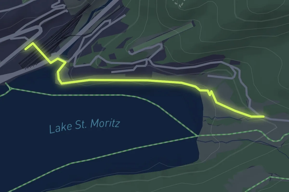
Easy · Trail
St. Moritz Bahnhof – Meierei Acla Dimlej
2.8 km · ↑ 46 m · 45 min
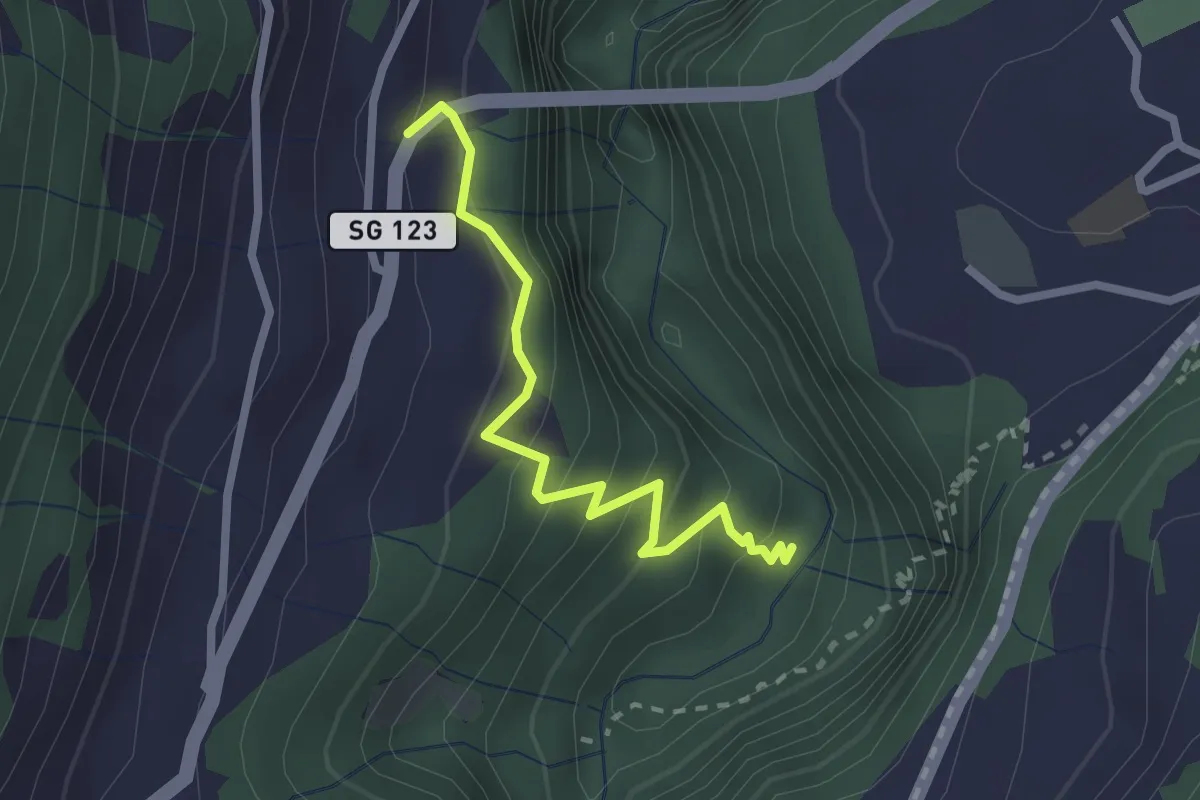
Easy · Trail
Badtobel – 6.339
2.3 km · ↑ 244 m · 1 h 4 min
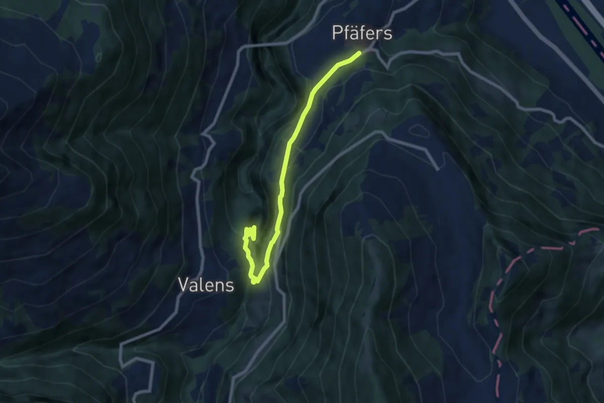
Medium · Trail
Bad Pfäfers – Pfäfers
6.9 km · ↑ 383 m · 2 h 28 min