Trails in Switzerland
15,055 hiking trails, each with its route, climb, walking time and grade.
All trails, page 220 of 314
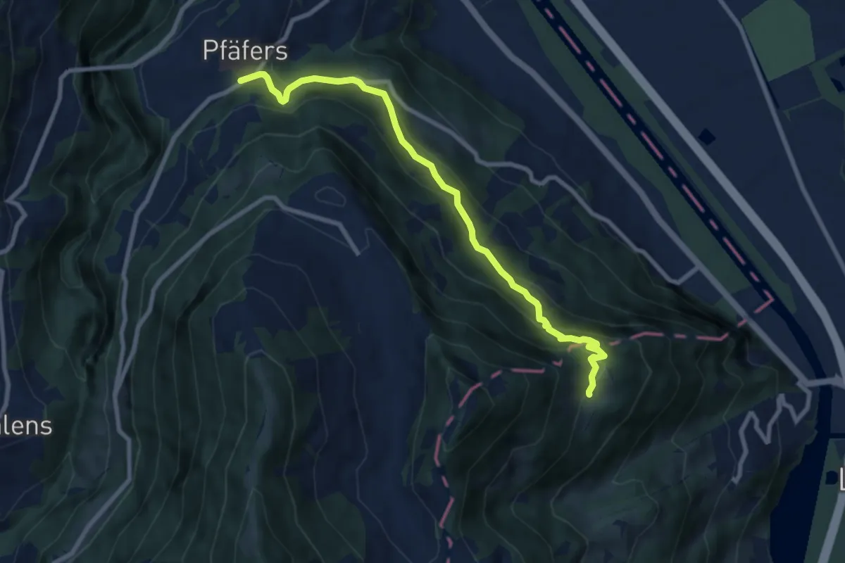
Medium · Trail
Pfäfers – Spig
7.9 km · ↑ 550 m · 3 h 3 min
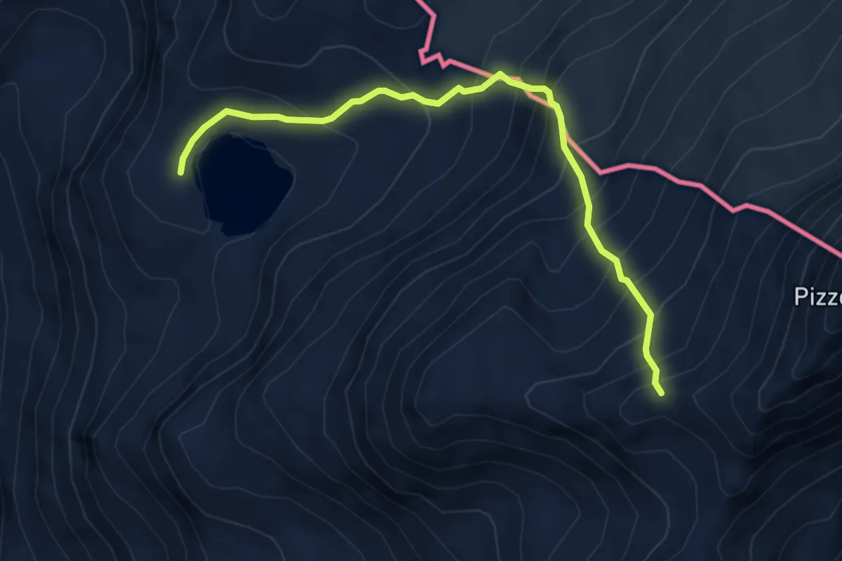
Demanding · Trail
Macolino – Passo Sterla Nord
5.3 km · ↑ 705 m · 2 h 46 min
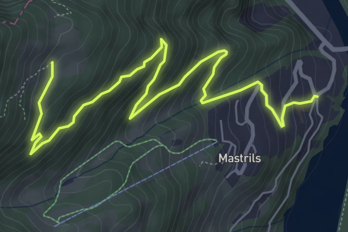
Medium · Trail
Mastrils Rösli – Spig
7.4 km · ↑ 576 m · 3 h
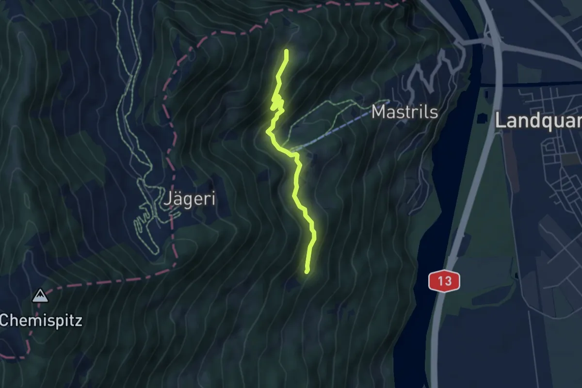
Easy · Trail
Spig – Chäppeli? / Untervaz? - fixme
4.6 km · ↑ 226 m · 1 h 35 min
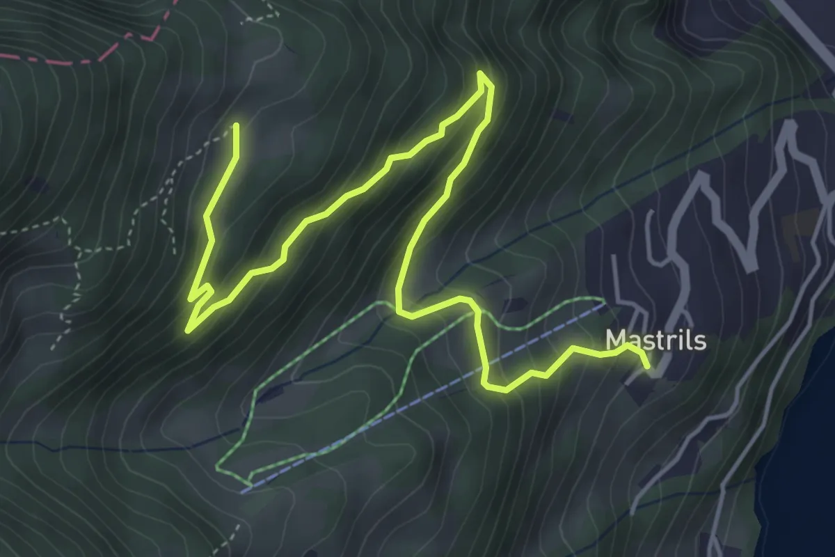
Medium · Trail
Mastrils Trätsch – Spig
5.8 km · ↑ 420 m · 2 h 17 min
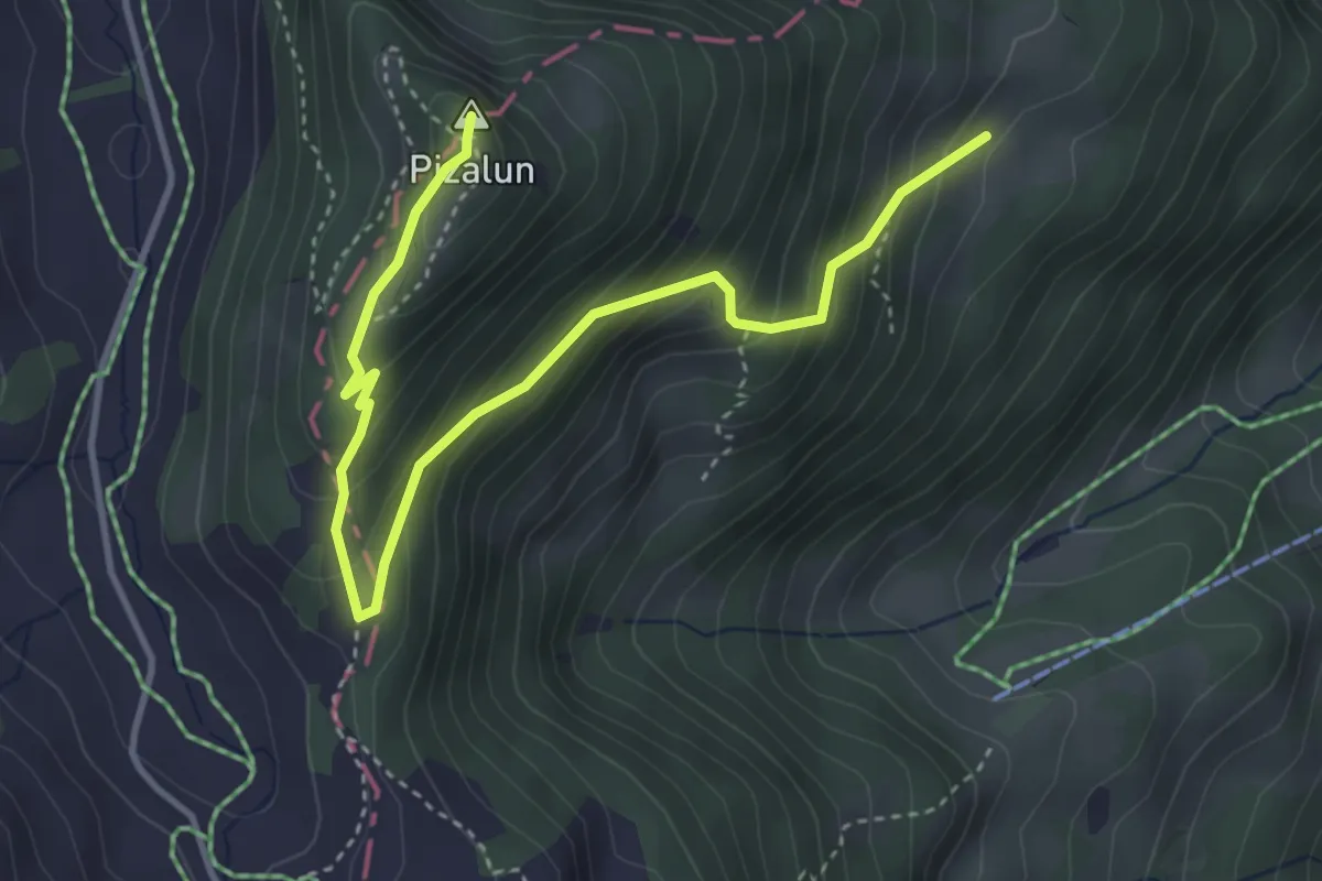
Medium · Summit
Spig – Pizalun
4.5 km · ↑ 370 m · 1 h 52 min
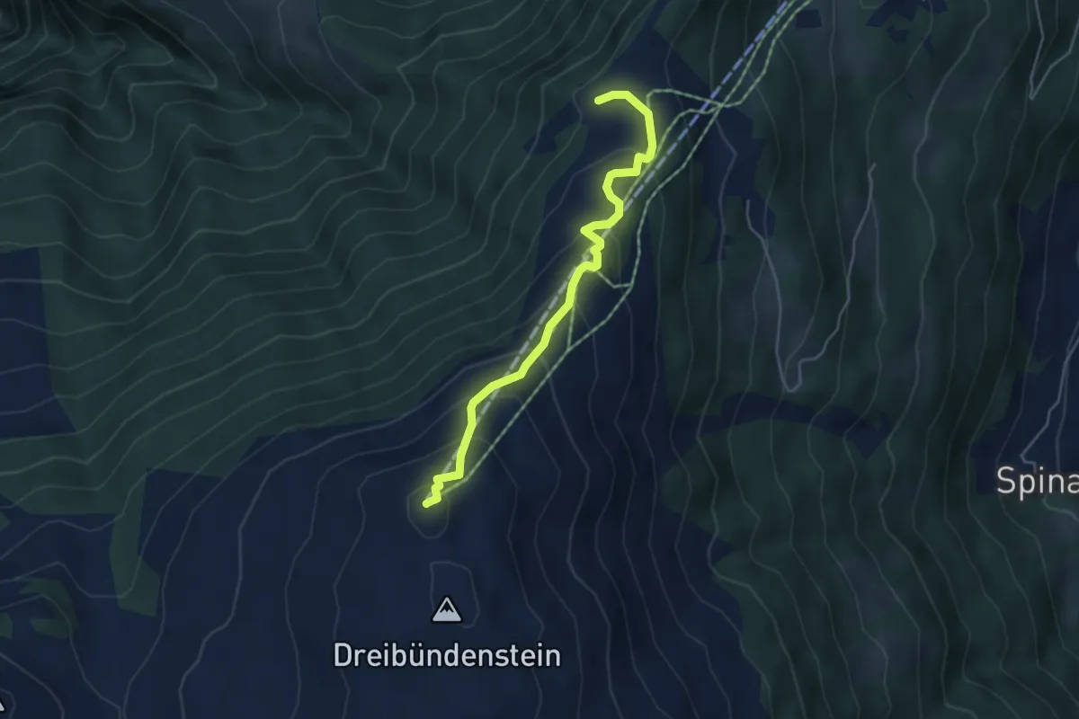
Medium · Summit
Dreibündenstein – Spundisköpf See
4.5 km · ↑ 349 m · 1 h 49 min
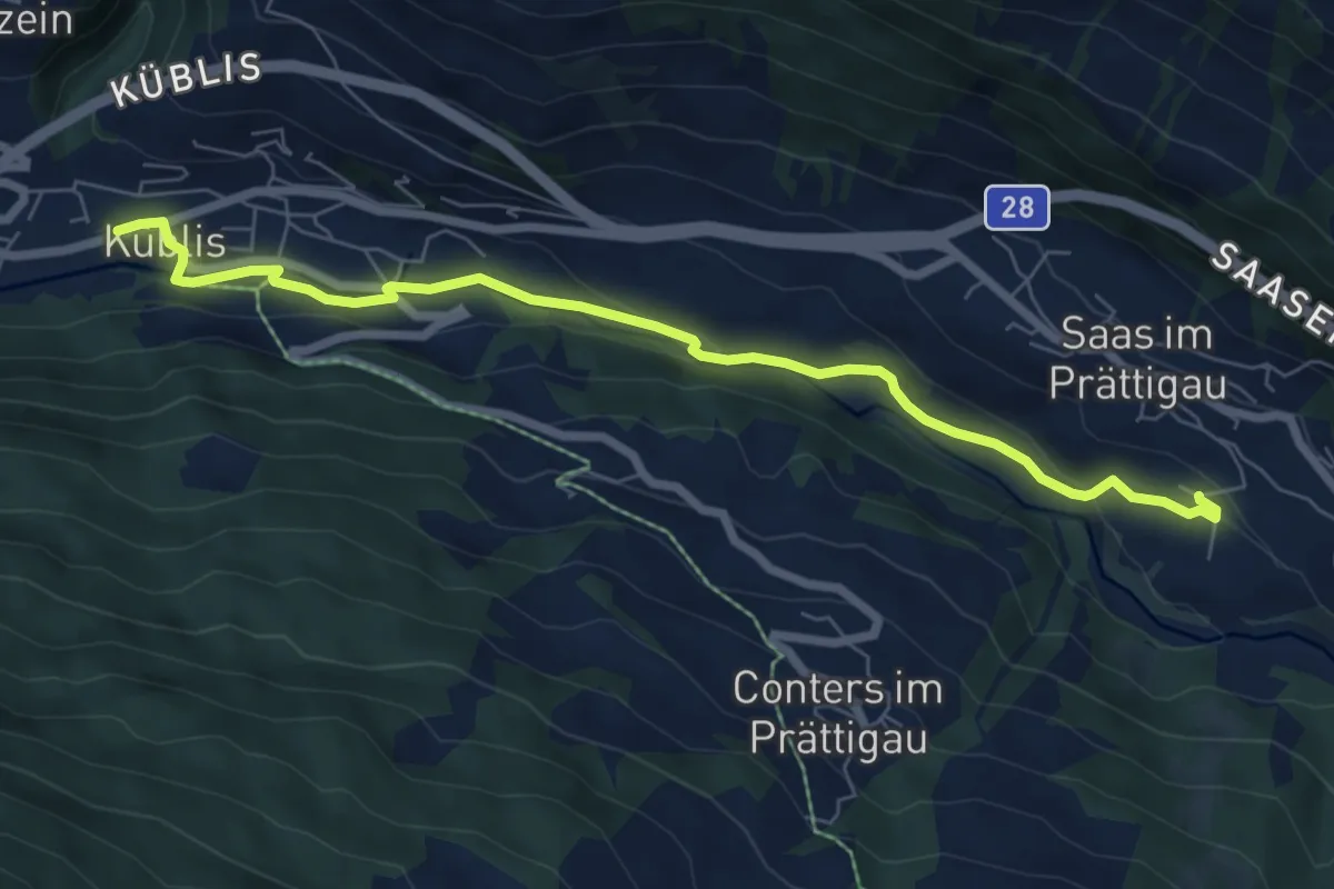
Easy · Trail
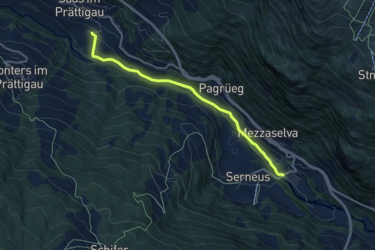
Saas Station – Küblis
7.3 km · ↑ 157 m · 2 h 4 min
Easy · Trail
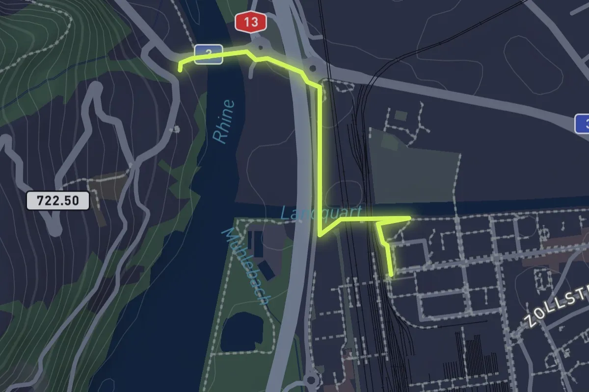
Walki – Saas Station
7.2 km · ↑ 152 m · 2 h 2 min
Easy · Trail
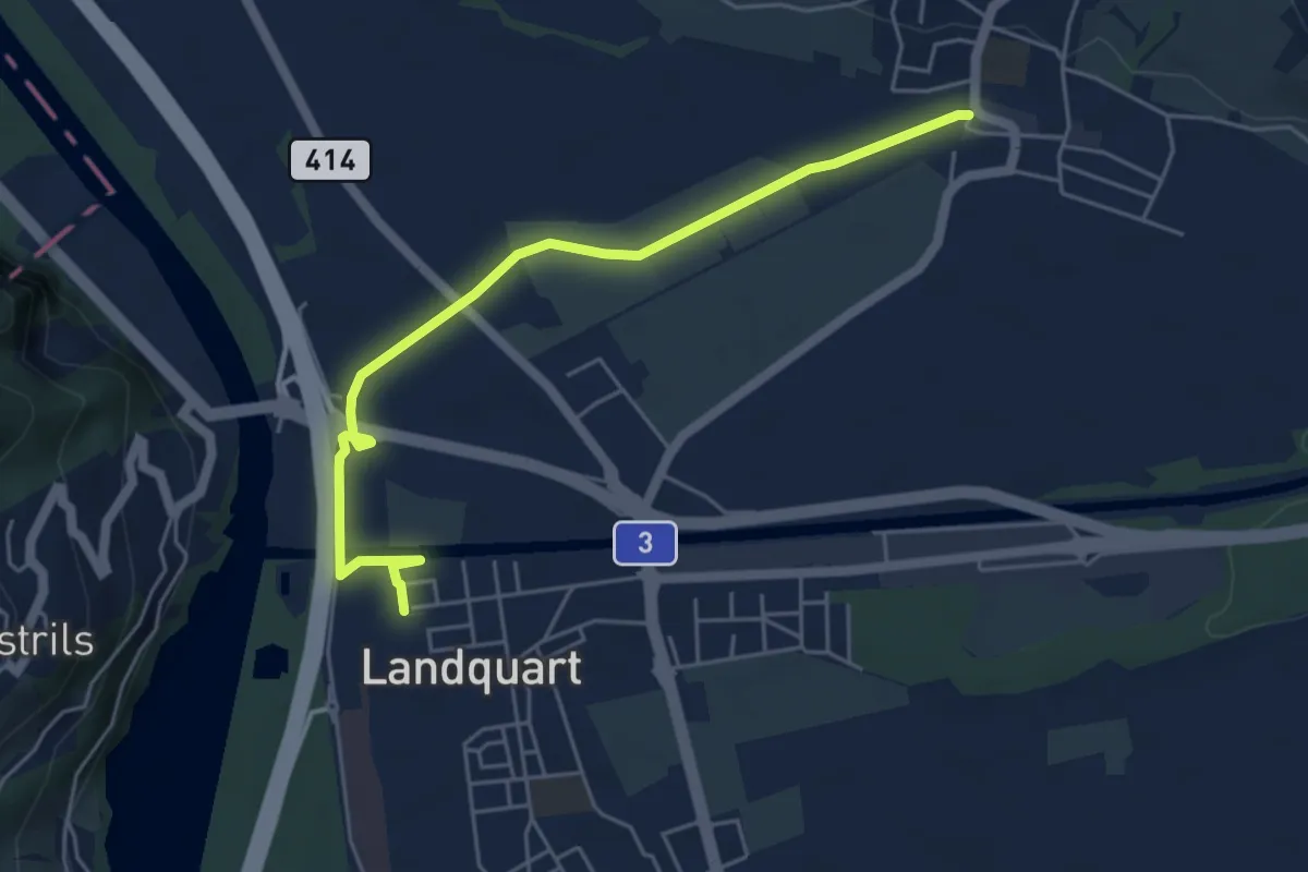
Landquart – Tardisbrugg
2.1 km · ↑ 34 m · 34 min
Easy · Trail
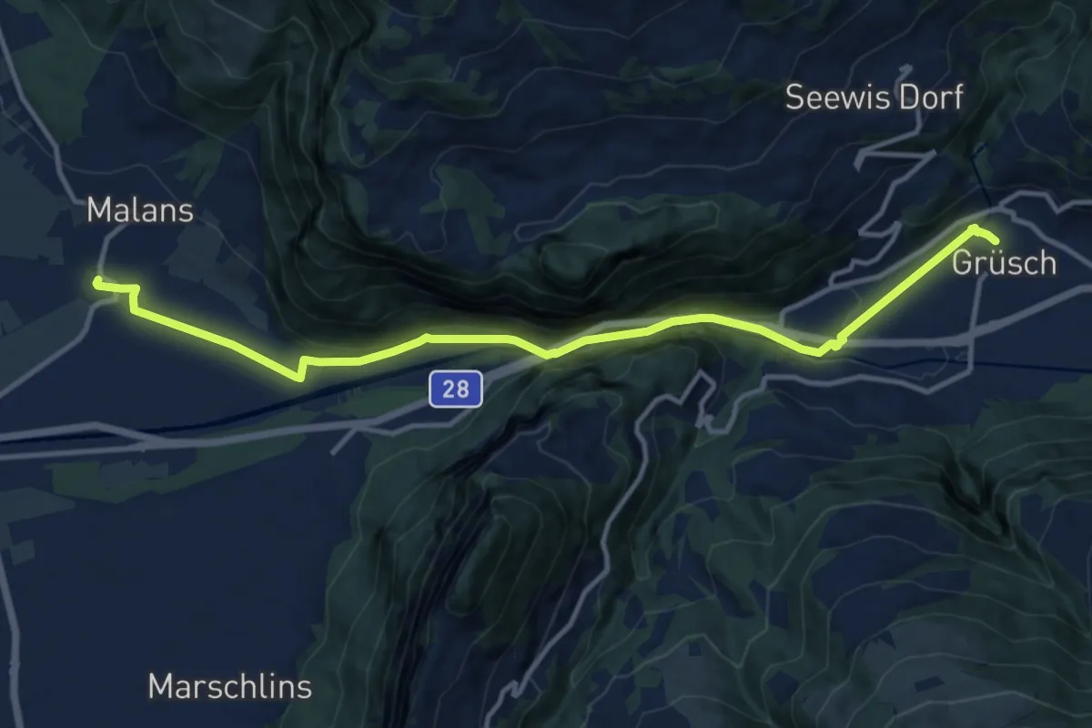
Malans – Landquart
5.3 km · ↑ 21 m · 1 h 18 min
Medium · Trail
Grüsch – Malans
13.1 km · ↑ 481 m · 4 h 8 min
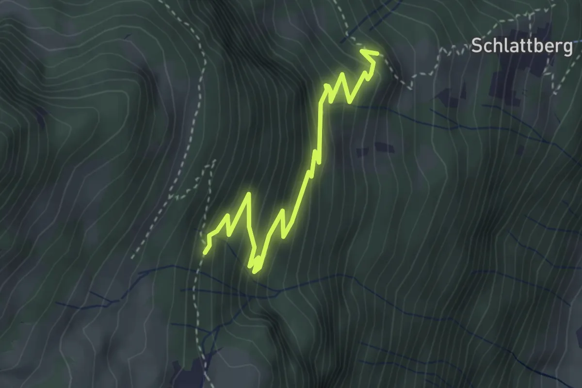
Medium · Trail
Boden – Orenwald
3.7 km · ↑ 350 m · 1 h 38 min
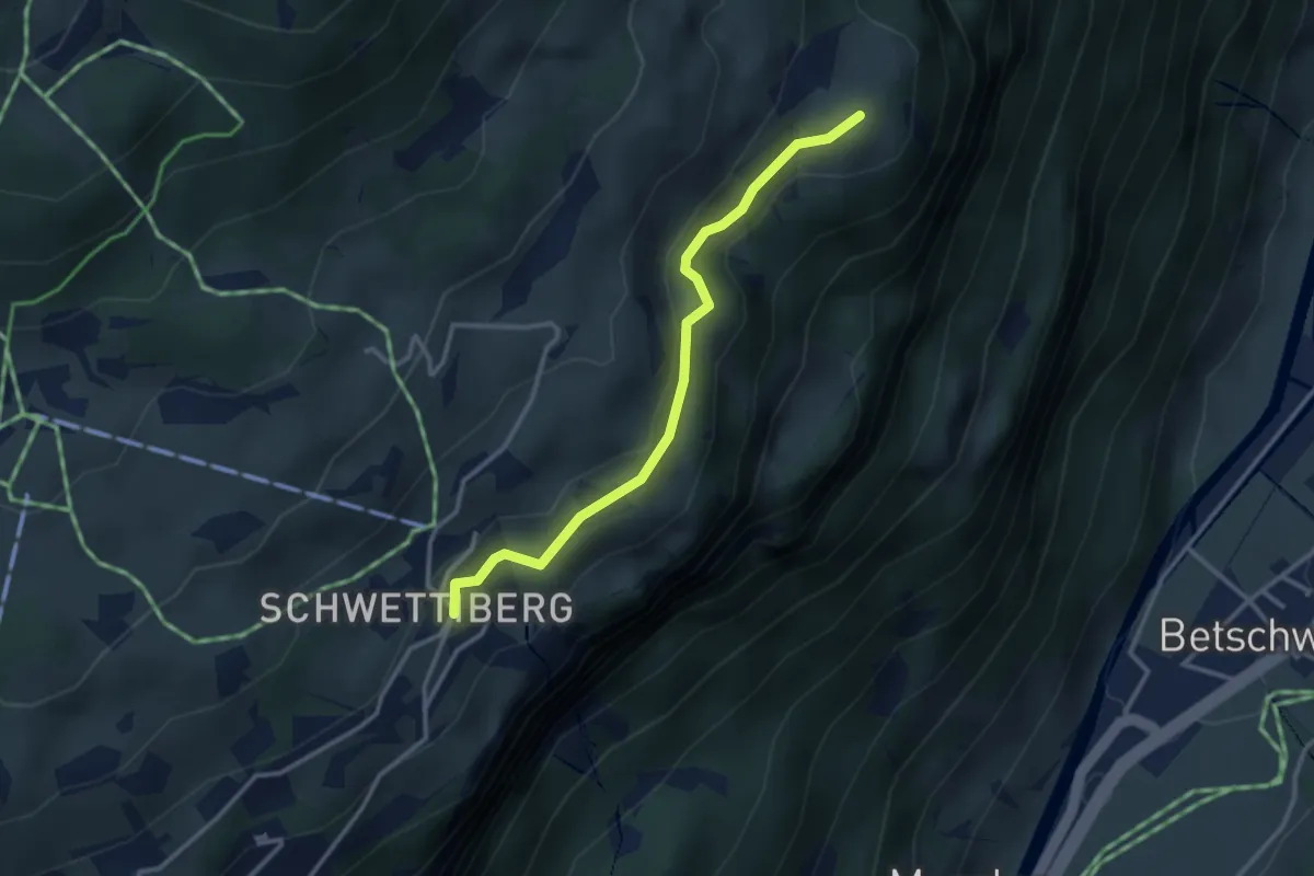
Medium · Trail
Schwettiberg – Orenplatte
3.0 km · ↑ 97 m · 55 min
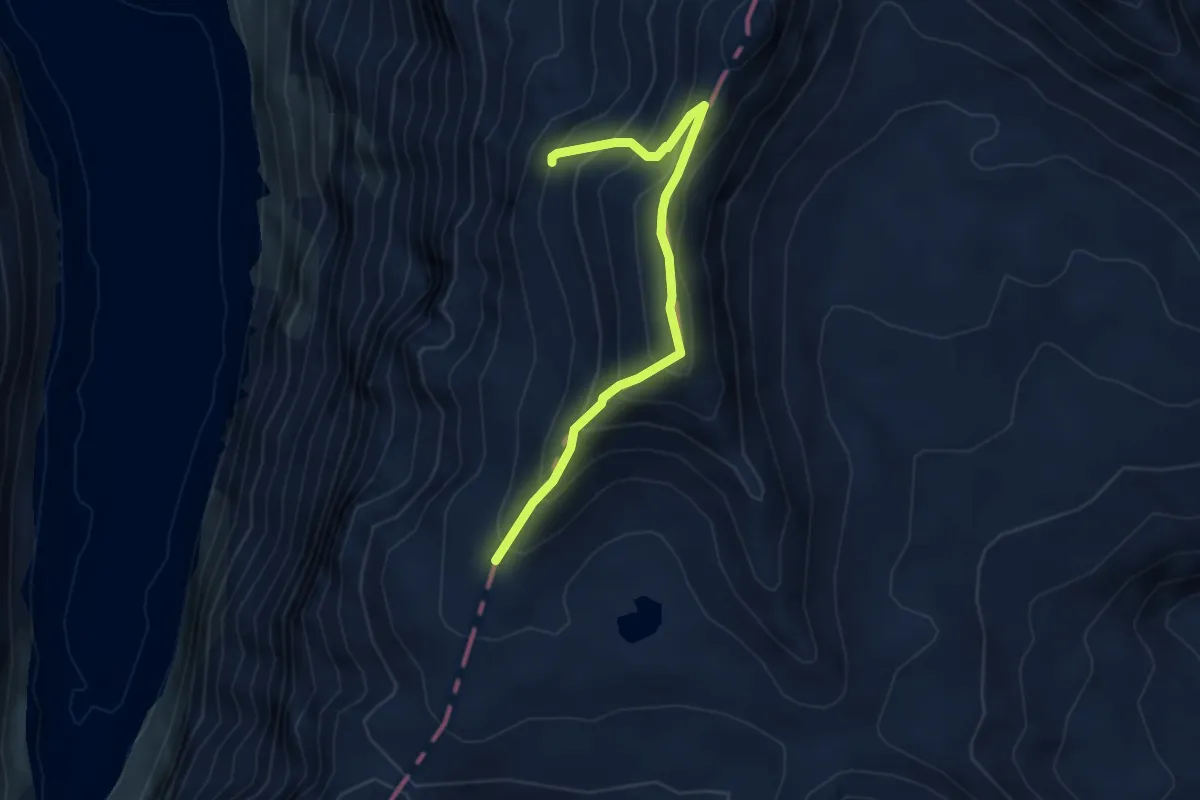
Expert · Cabin
Punkt 2729 – Kistenpass
4.2 km · ↑ 436 m · 1 h 57 min
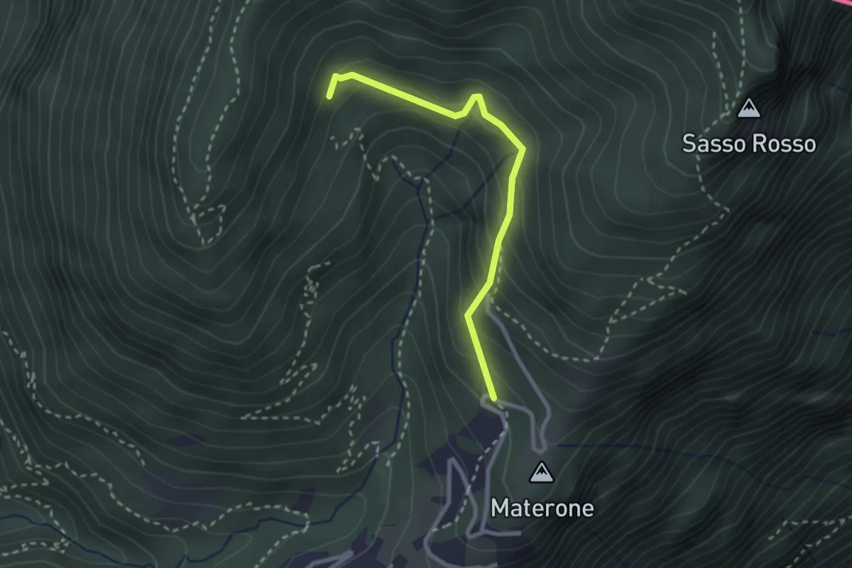
Easy · Trail
Carbonera – Materone
2.4 km · ↑ 216 m · 1 h 3 min
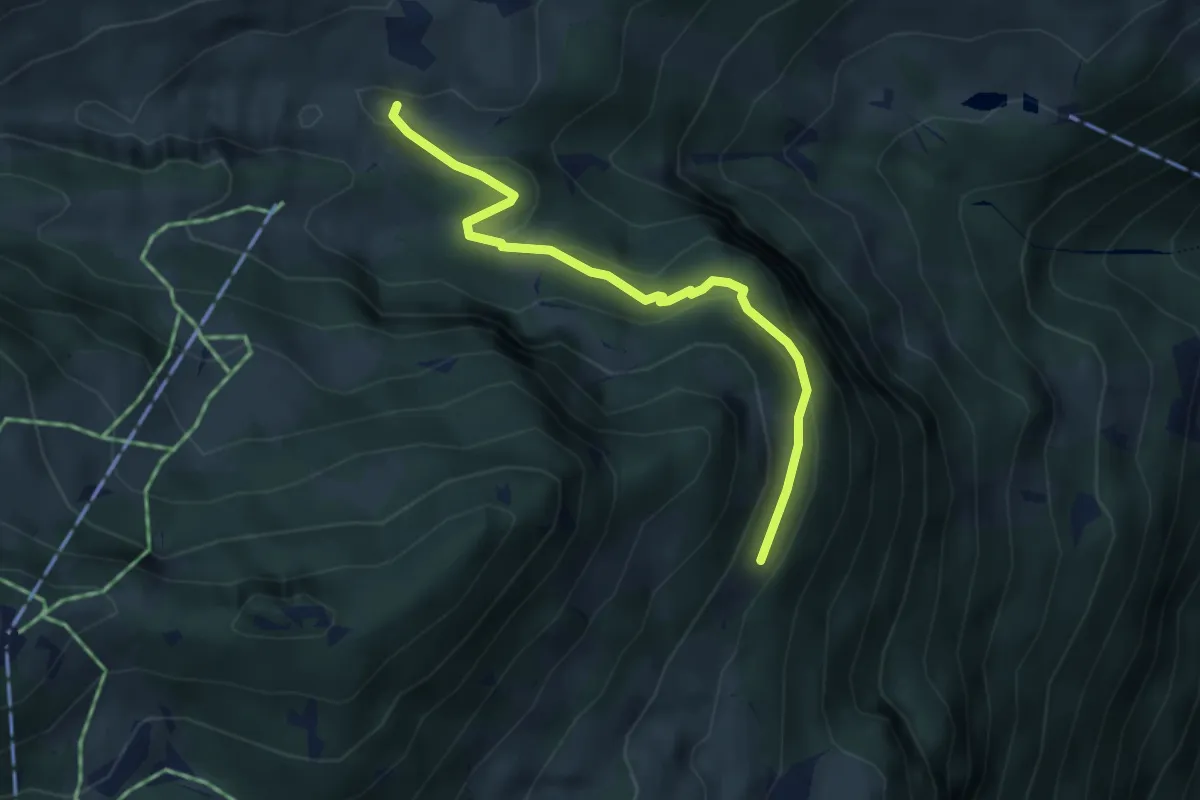
Easy · Cabin
Bösbächi Mittler Stafel – Altstafel
3.7 km · ↑ 151 m · 1 h 12 min
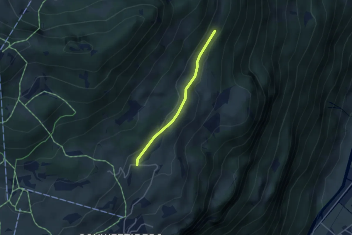
Easy · Trail
Bruwaldalp Unter Stafel – Altstafel
2.4 km · ↑ 68 m · 43 min
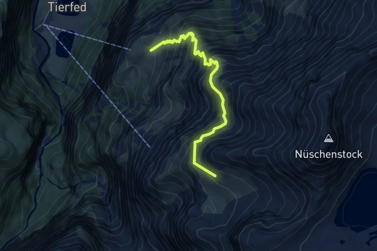
Medium · Trail
Nüschenegg – Alp Baumgarten
5.9 km · ↑ 787 m · 3 h 5 min
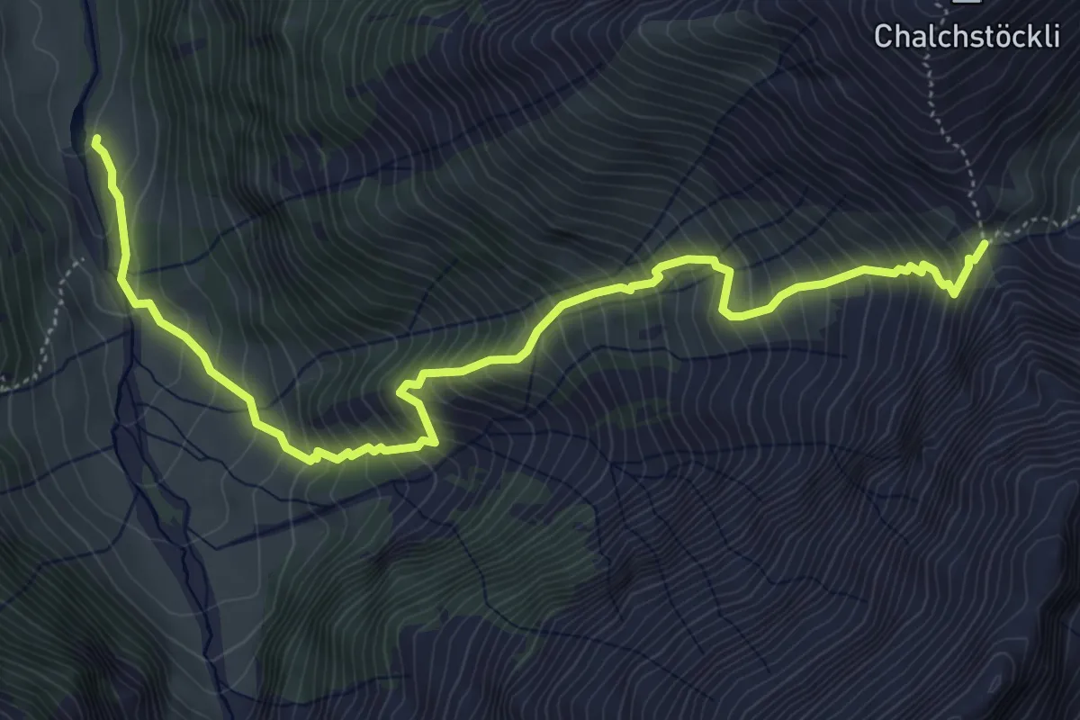
Demanding · Trail
Richetlipass – Hinter Durnachtal
6.4 km · ↑ 900 m · 3 h 27 min
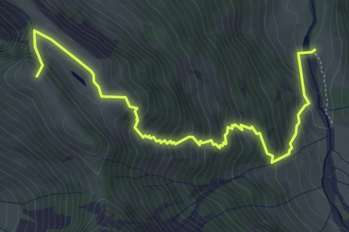
Medium · Trail
Bächichamm – Hinter Durnachtal
6.0 km · ↑ 687 m · 2 h 54 min
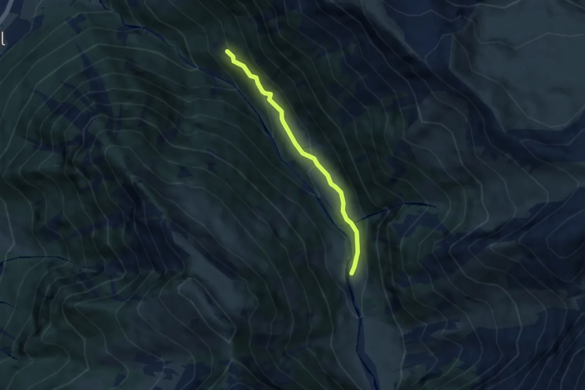
Easy · Trail
Stalden – Hinter Durnachtal
5.0 km · ↑ 269 m · 1 h 46 min
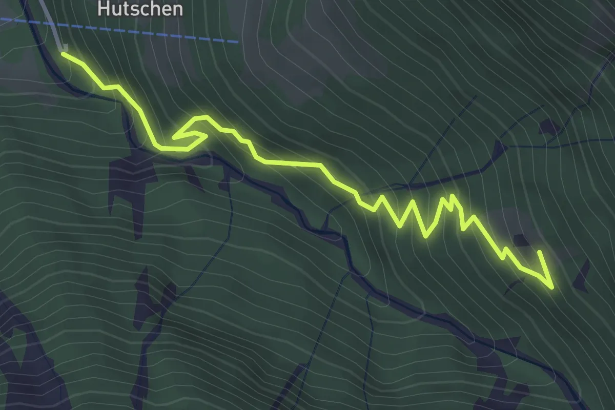
Medium · Trail
Durnachtal – Stalden
4.0 km · ↑ 456 m · 1 h 55 min
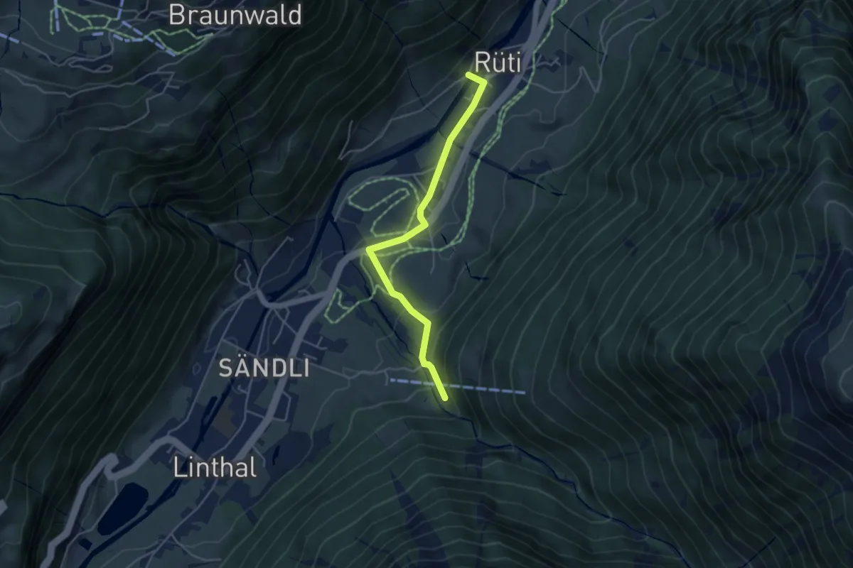
Easy · Trail
Hohlgand – Durnachtal
4.2 km · ↑ 173 m · 1 h 22 min
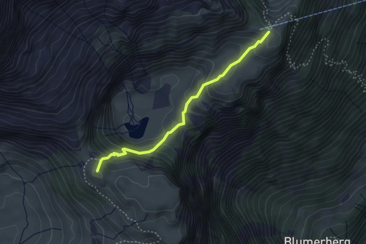
Medium · Summit
Oberblegisee – Guppen Oberstafel
3.3 km · ↑ 260 m · 1 h 20 min
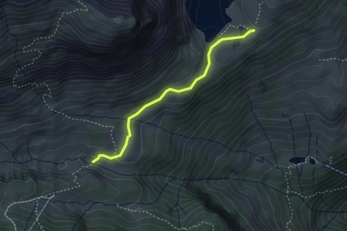
Easy · Cabin
Bösbächi Mittler Stafel – Oberblegisee
3.0 km · ↑ 117 m · 58 min
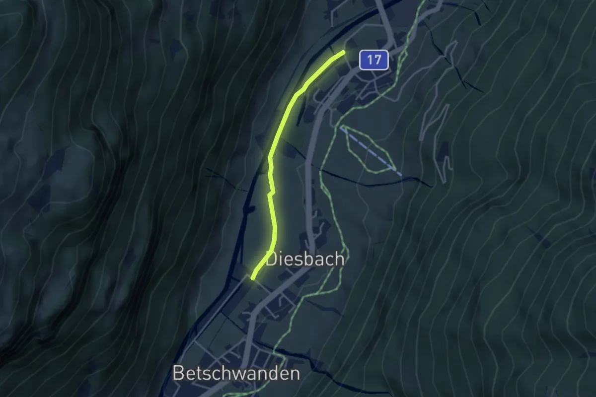
Easy · Trail
Diesbach – Kanalstrasse
2.8 km · ↑ 13 m · 41 min
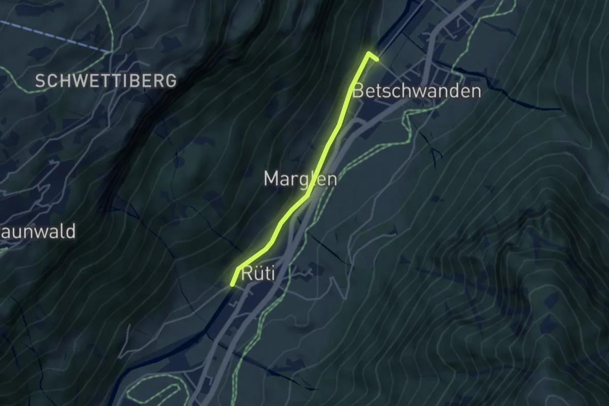
Easy · Trail
Hohlgand – Unterallmeind
3.2 km · ↑ 48 m · 52 min
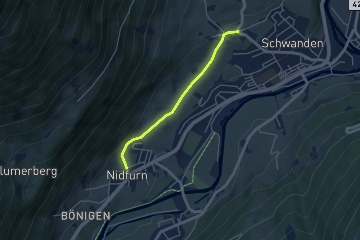
Easy · Trail
Nidfurn – Thon
3.0 km · ↑ 84 m · 53 min
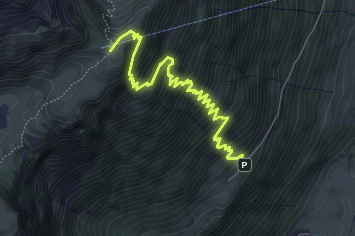
Medium · Cabin
Leuggelen – Guppen Oberstafel
6.4 km · ↑ 728 m · 3 h 5 min
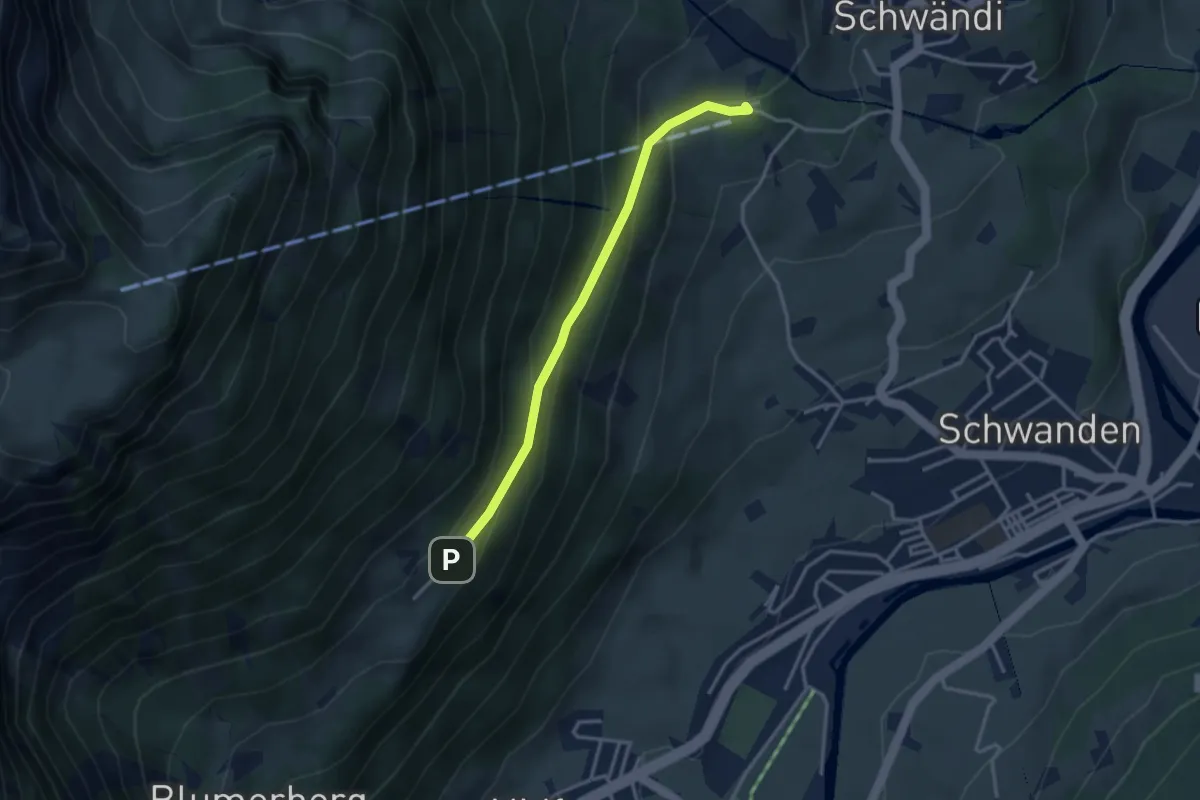
Easy · Trail
Leuggelen – Enneteggen
3.1 km · ↑ 181 m · 1 h 8 min
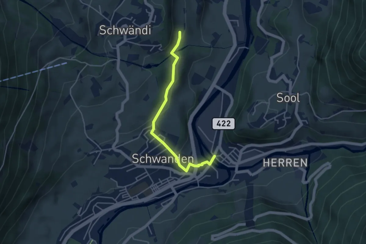
Easy · Trail
Kronenplatz – Schlatt
3.5 km · ↑ 129 m · 1 h 7 min
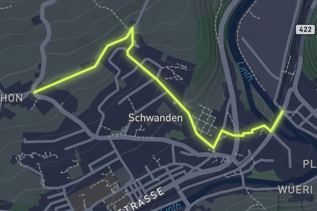
Easy · Trail
Kronenplatz – Thon
2.6 km · ↑ 81 m · 48 min
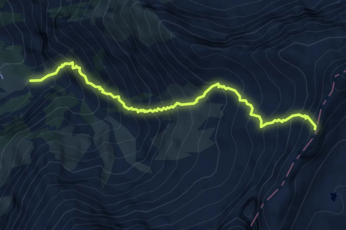
Demanding · Cabin
Stafel – Pass dil Segnas
6.0 km · ↑ 1049 m · 3 h 42 min
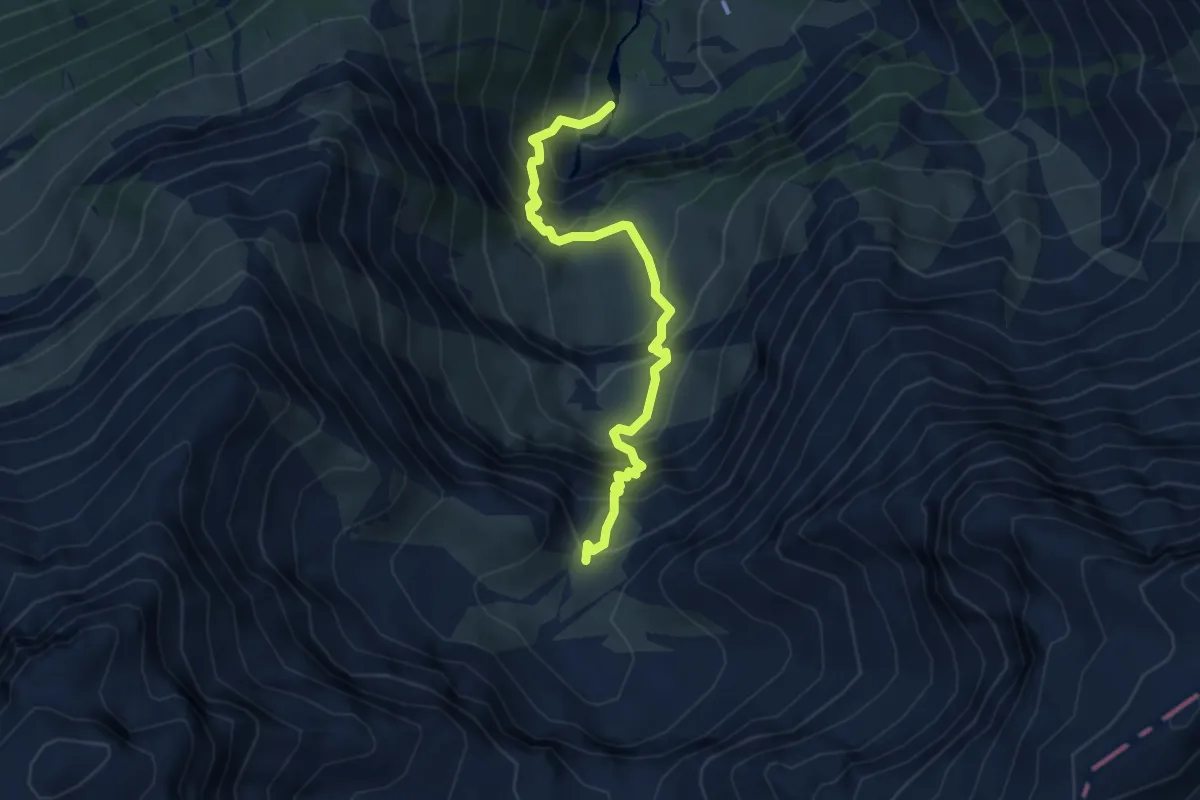
Demanding · Cabin
Bachplanggen – Martinsmad Hütte SAC
4.2 km · ↑ 550 m · 2 h 11 min
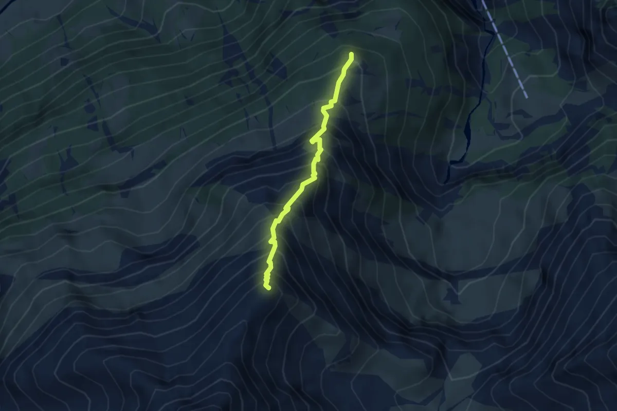
Expert · Summit
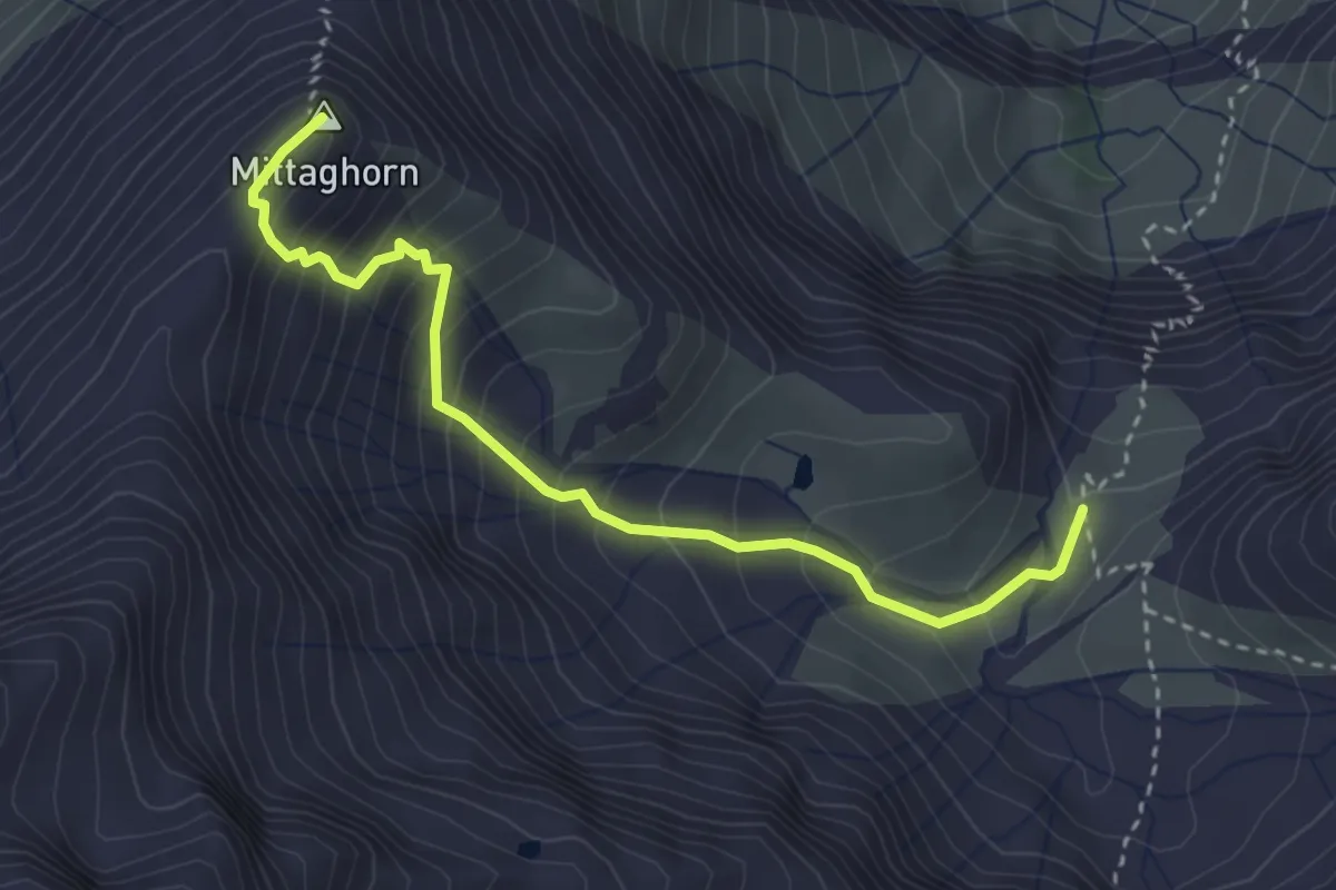
Firstboden – Mittaghorn
3.2 km · ↑ 626 m · 2 h 7 min
Expert · Summit
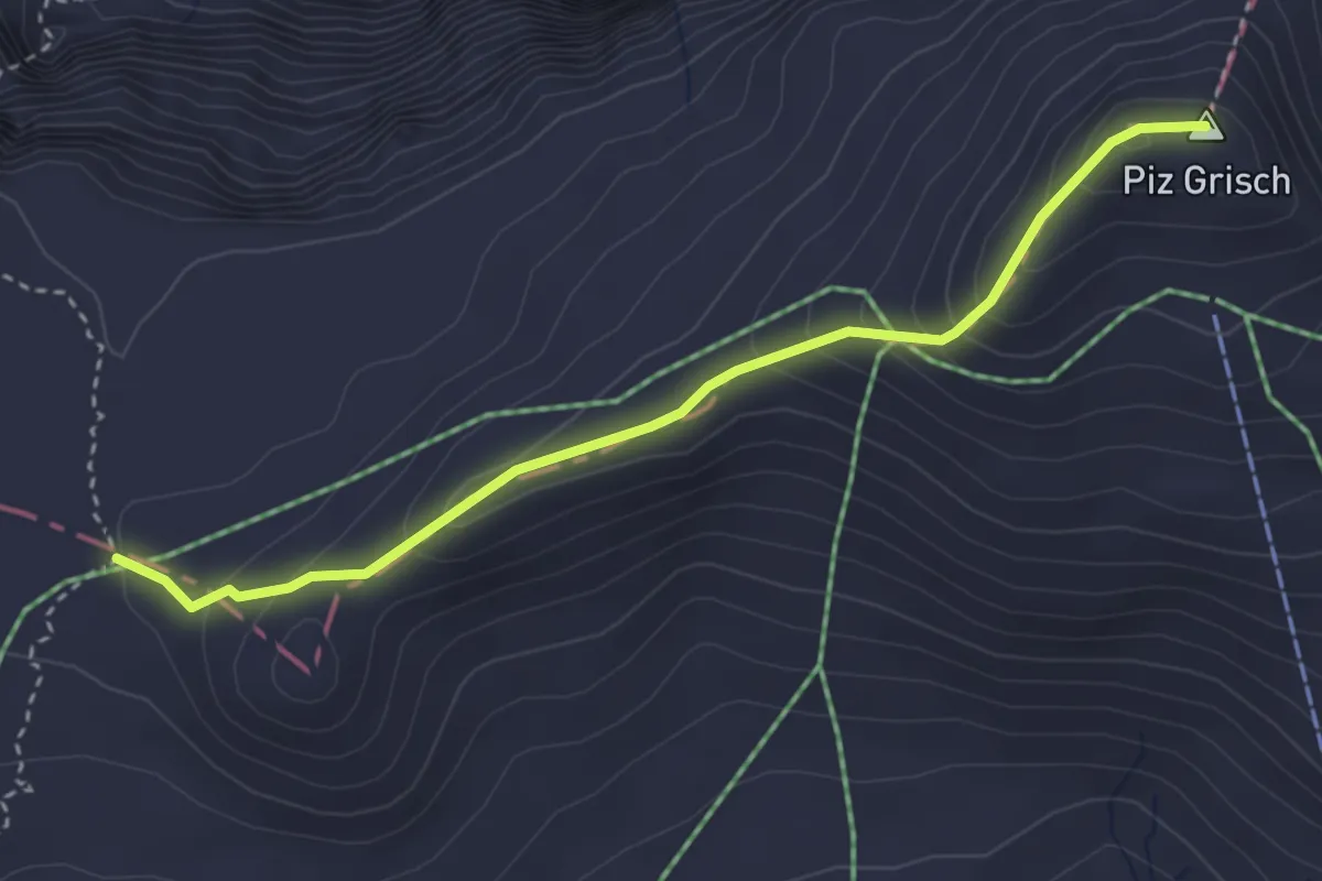
Martinsmad Hütte SAC – Mittaghorn
3.3 km · ↑ 430 m · 1 h 43 min
Expert · Summit
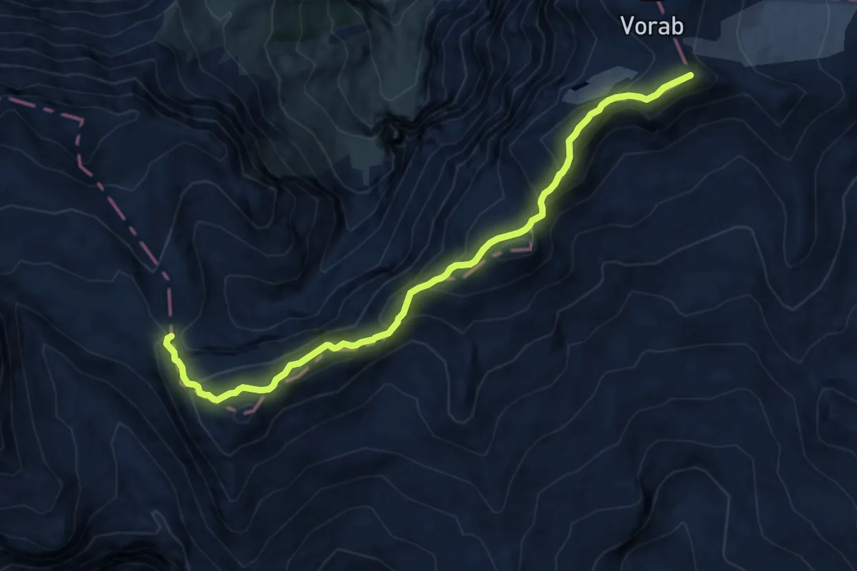
Grischsattel – Punkt 2620
3.5 km · ↑ 250 m · 1 h 21 min
Expert · Summit
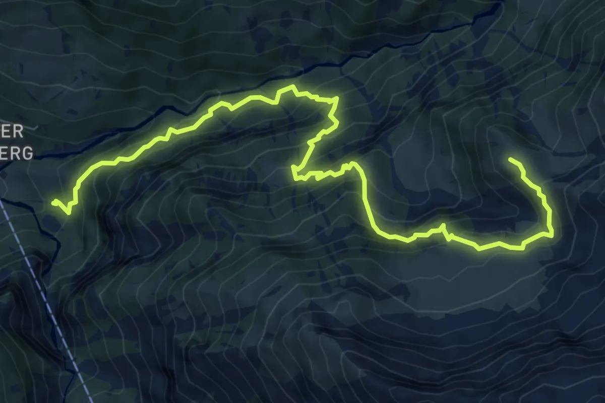
Panixerpass – Bündner Vorab
11.3 km · ↑ 881 m · 4 h 35 min
Demanding · Trail
Lauiboden – Falzüber Horen
9.7 km · ↑ 1072 m · 4 h 37 min
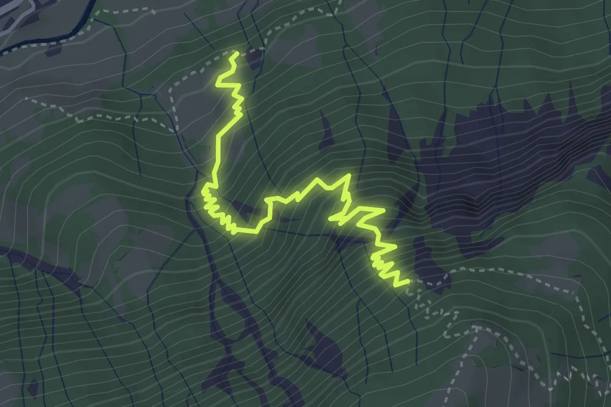
Medium · Trail
Gschwänd – Märchtliplanggen
4.3 km · ↑ 544 m · 2 h 11 min
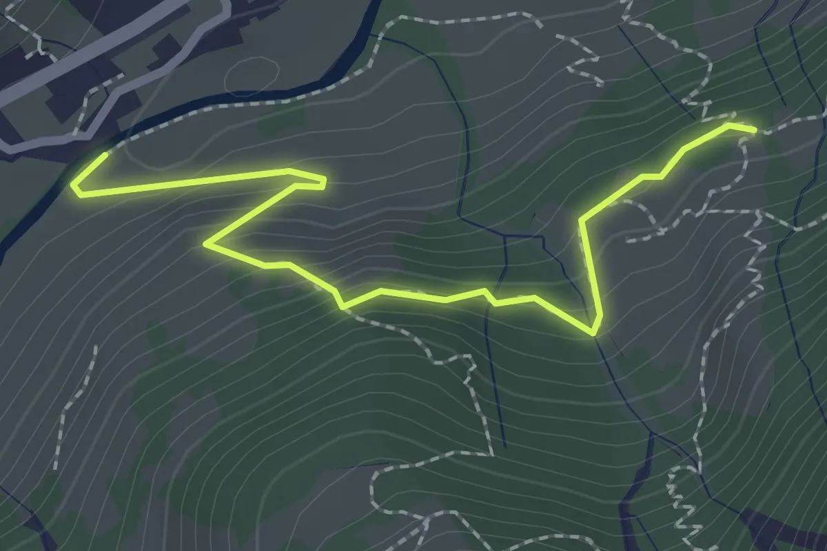
Easy · Trail
Nüen – Gschwänd
2.3 km · ↑ 154 m · 53 min
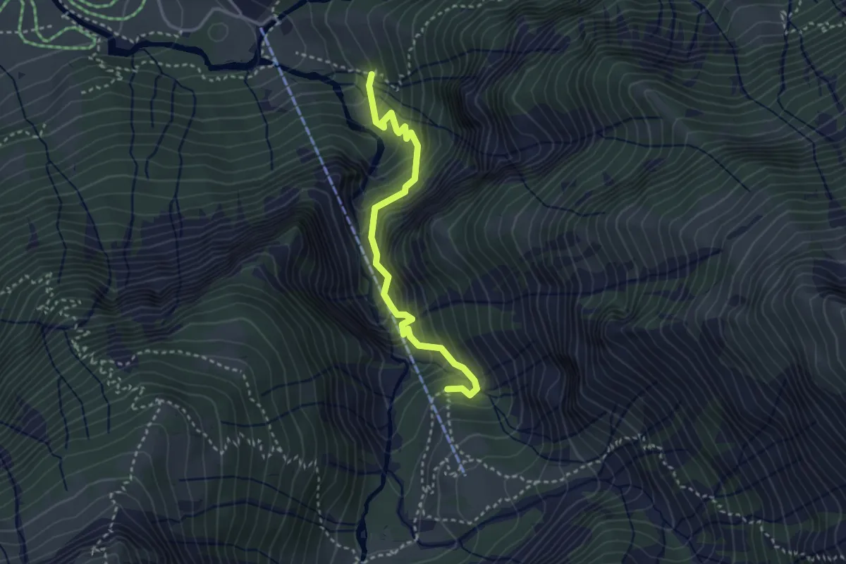
Medium · Trail
Lauiboden – Schwammegg
3.1 km · ↑ 443 m · 1 h 42 min
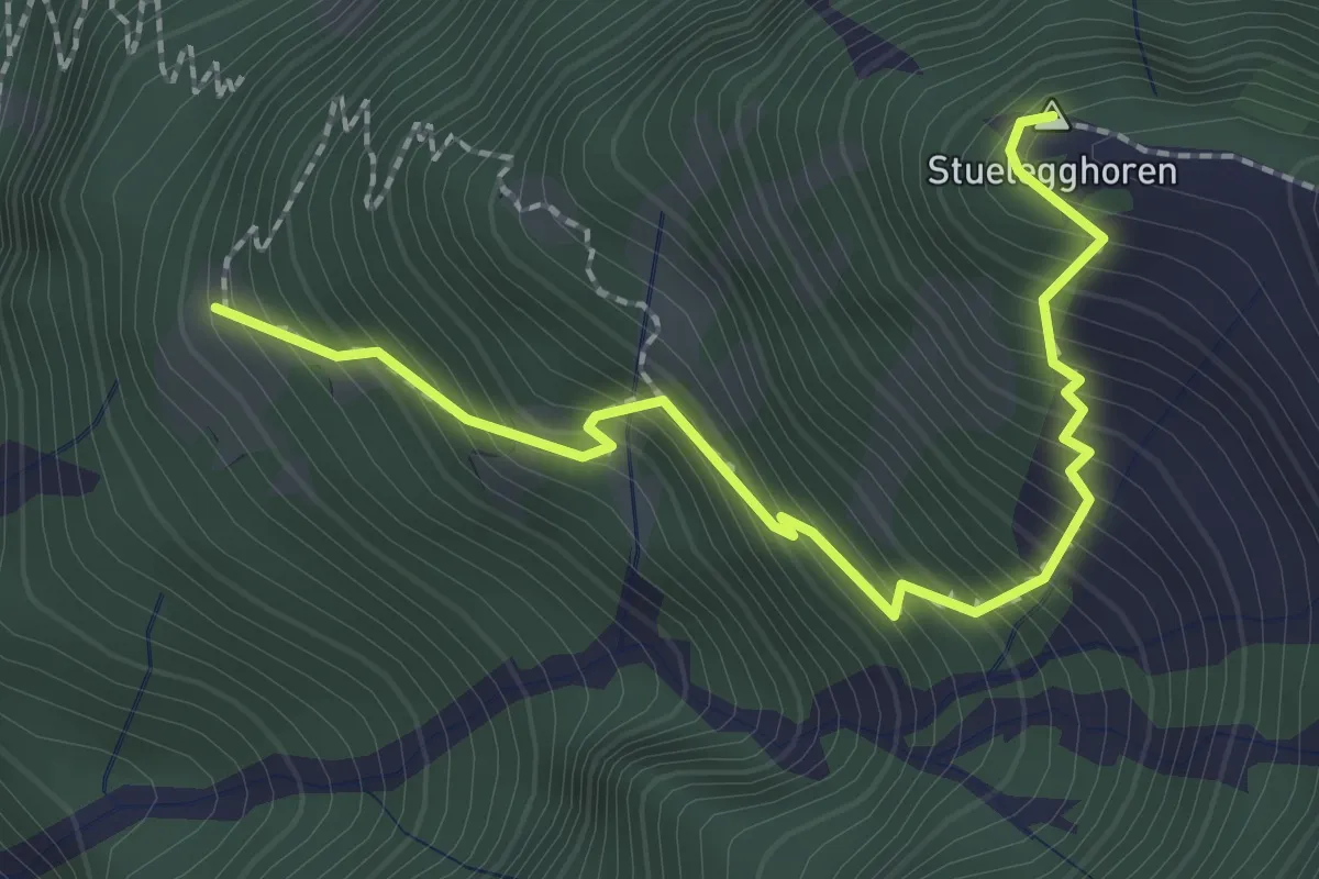
Medium · Summit
Geissstafel – Stuelegghoren
2.5 km · ↑ 375 m · 1 h 23 min
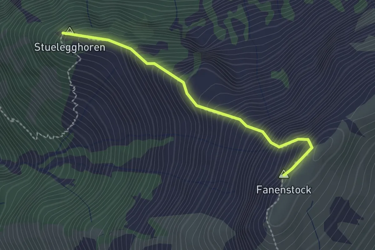
Expert · Summit
Fanenstock – Stuelegghoren
2.2 km · ↑ 377 m · 1 h 20 min
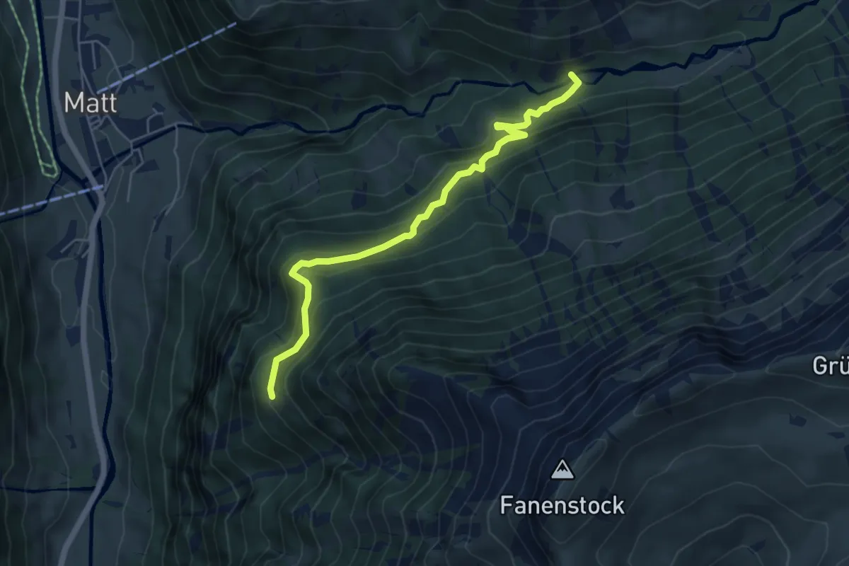
Medium · Trail
Geissteg – Geissstafel
5.3 km · ↑ 435 m · 2 h 12 min
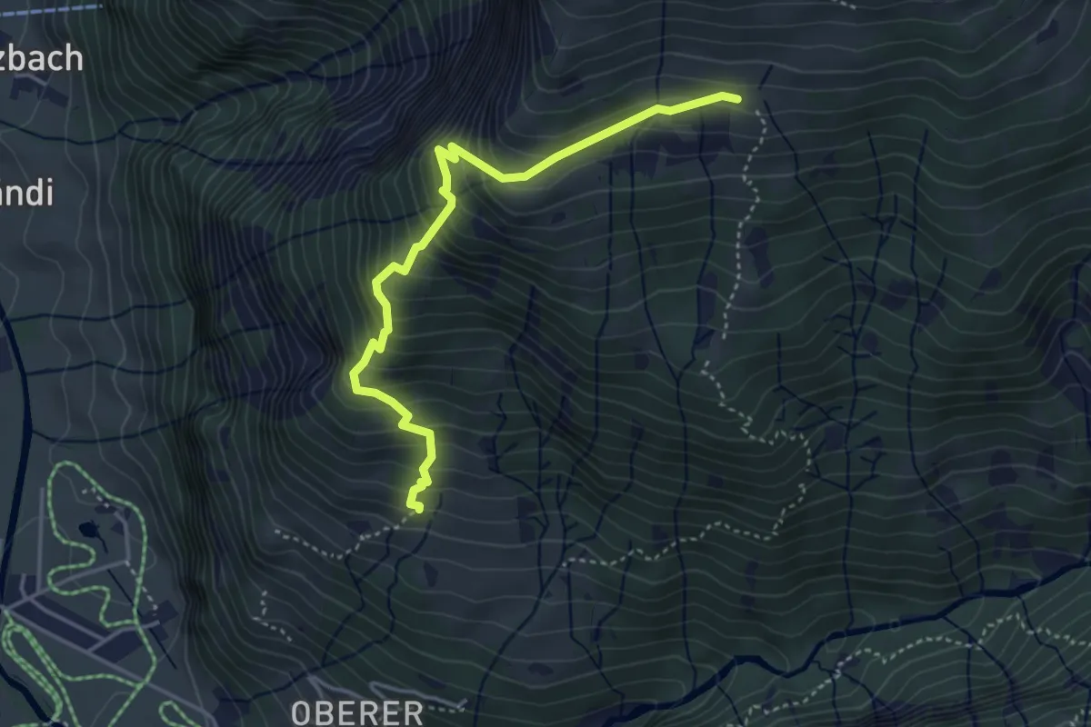
Medium · Trail
Gamperduner Stäfeli – Gamperduner Mittler Stafel
4.1 km · ↑ 475 m · 1 h 59 min
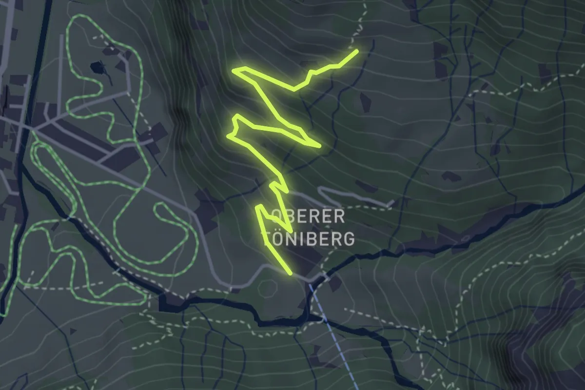
Easy · Trail
Zündli – Gamperduner Stäfeli
3.9 km · ↑ 298 m · 1 h 34 min