Trails in Switzerland
15,055 hiking trails, each with its route, climb, walking time and grade.
All trails, page 221 of 314
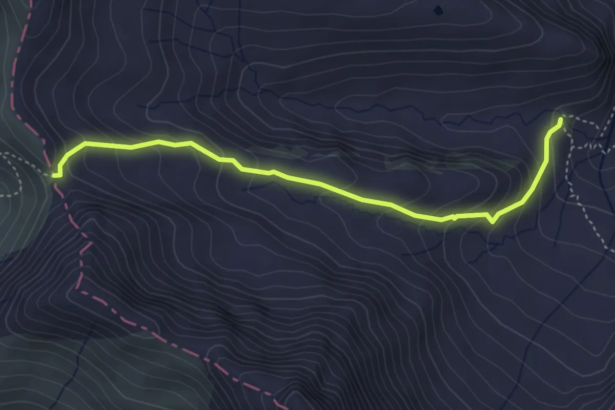
Medium · Trail
Alp Foo – Foopass
4.1 km · ↑ 290 m · 1 h 35 min
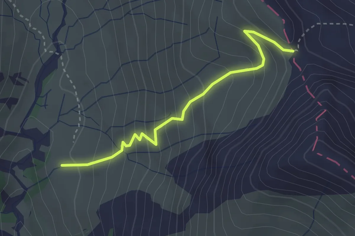
Medium · Cabin
Raminer Matt – Foopass
2.8 km · ↑ 302 m · 1 h 19 min
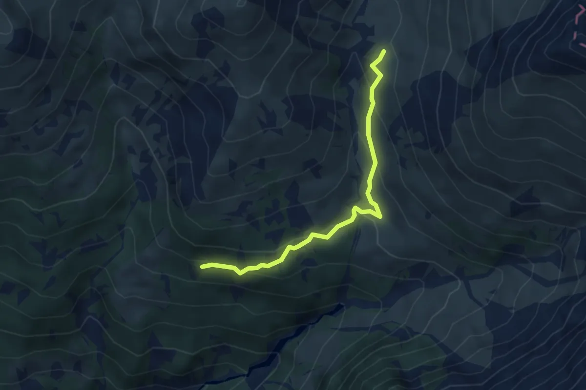
Easy · Cabin
Gmeinmad – Raminer Matt
4.0 km · ↑ 206 m · 1 h 23 min
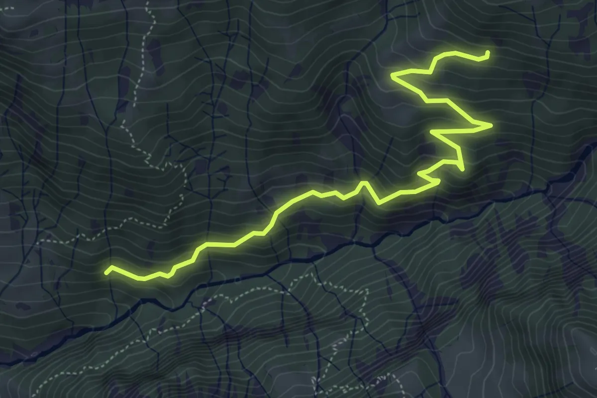
Medium · Trail
Stäfeliegg – Gmeinmad
6.3 km · ↑ 479 m · 2 h 31 min
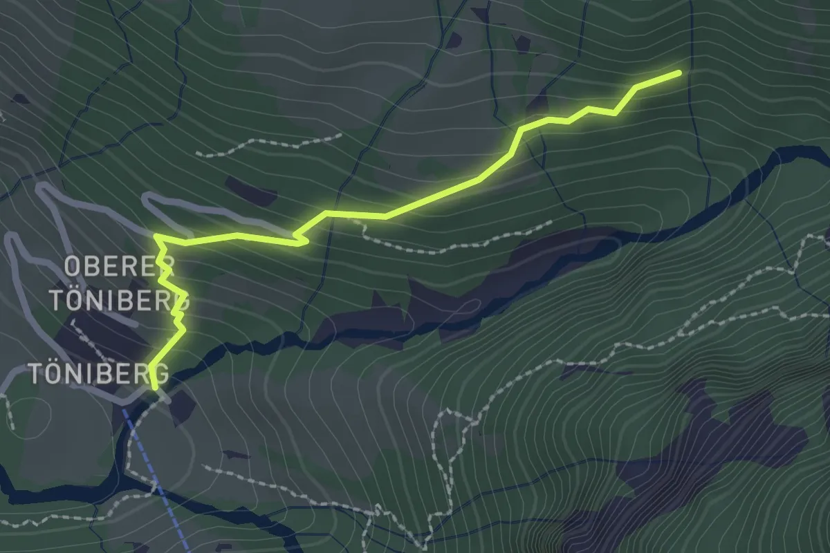
Easy · Trail
Zündli – Stäfeliegg
2.2 km · ↑ 204 m · 57 min
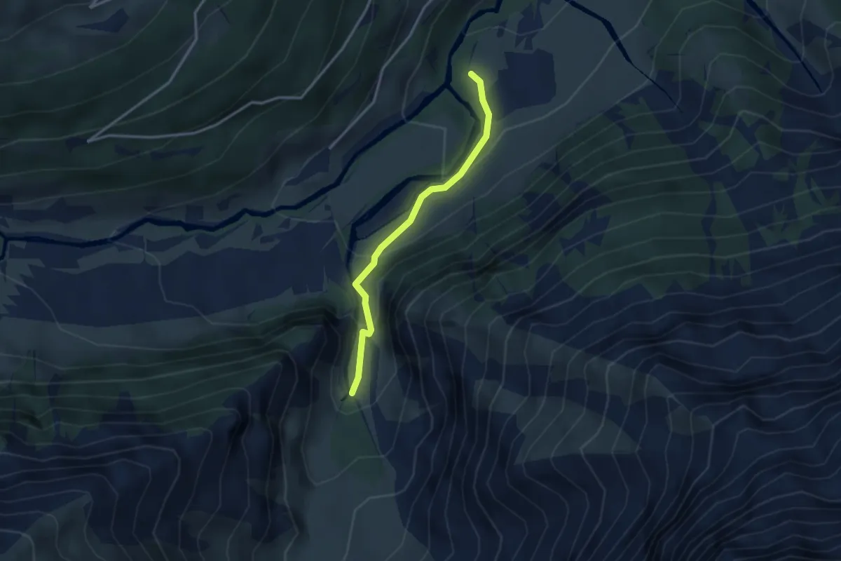
Medium · Trail
Unter Jetz – Jetzloch
2.7 km · ↑ 211 m · 1 h 5 min
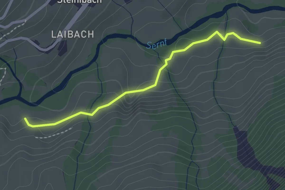
Easy · Trail
Chüelaui – Stäfeli
2.0 km · ↑ 55 m · 35 min
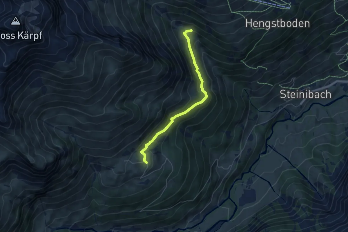
Easy · Trail
Bischof – Ober Erbs
4.9 km · ↑ 215 m · 1 h 38 min
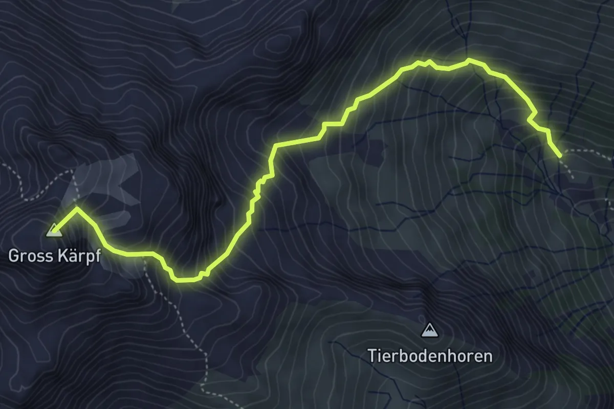
Expert · Summit
Leglerhütte SAC – Eggen
5.7 km · ↑ 918 m · 3 h 20 min
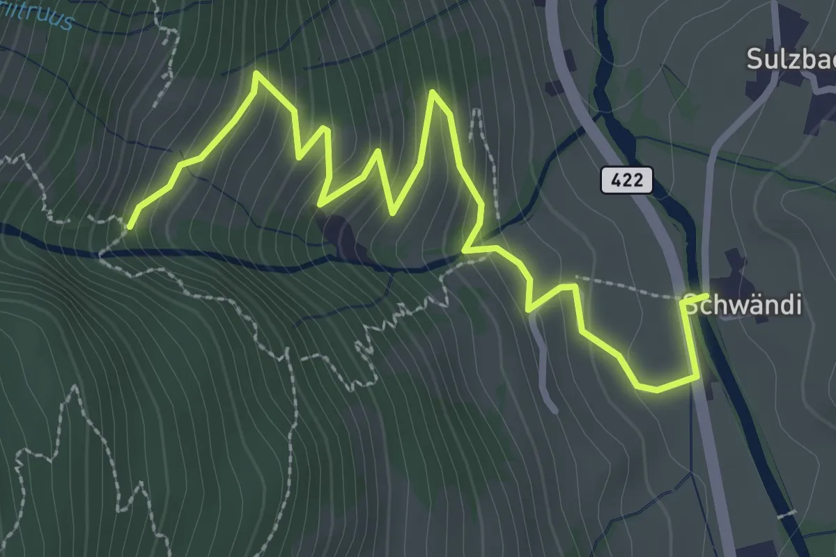
Easy · Trail
Schwändi – Bränden
3.4 km · ↑ 264 m · 1 h 23 min
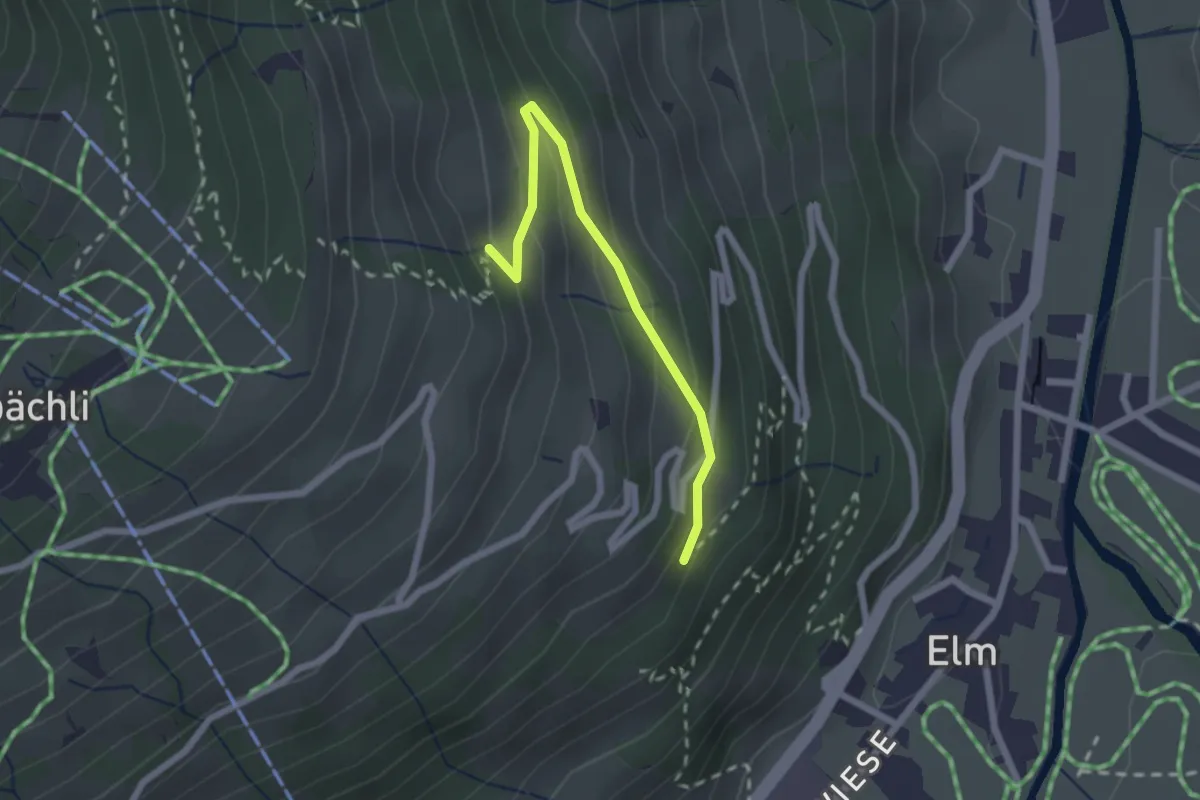
Easy · Trail
Güetli – Gerstboden
2.0 km · ↑ 136 m · 47 min
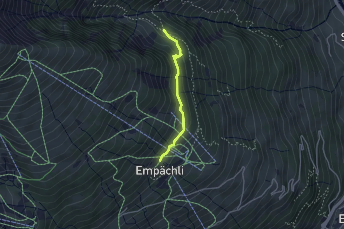
Medium · Trail
Chuenz – Älpli
2.3 km · ↑ 108 m · 47 min
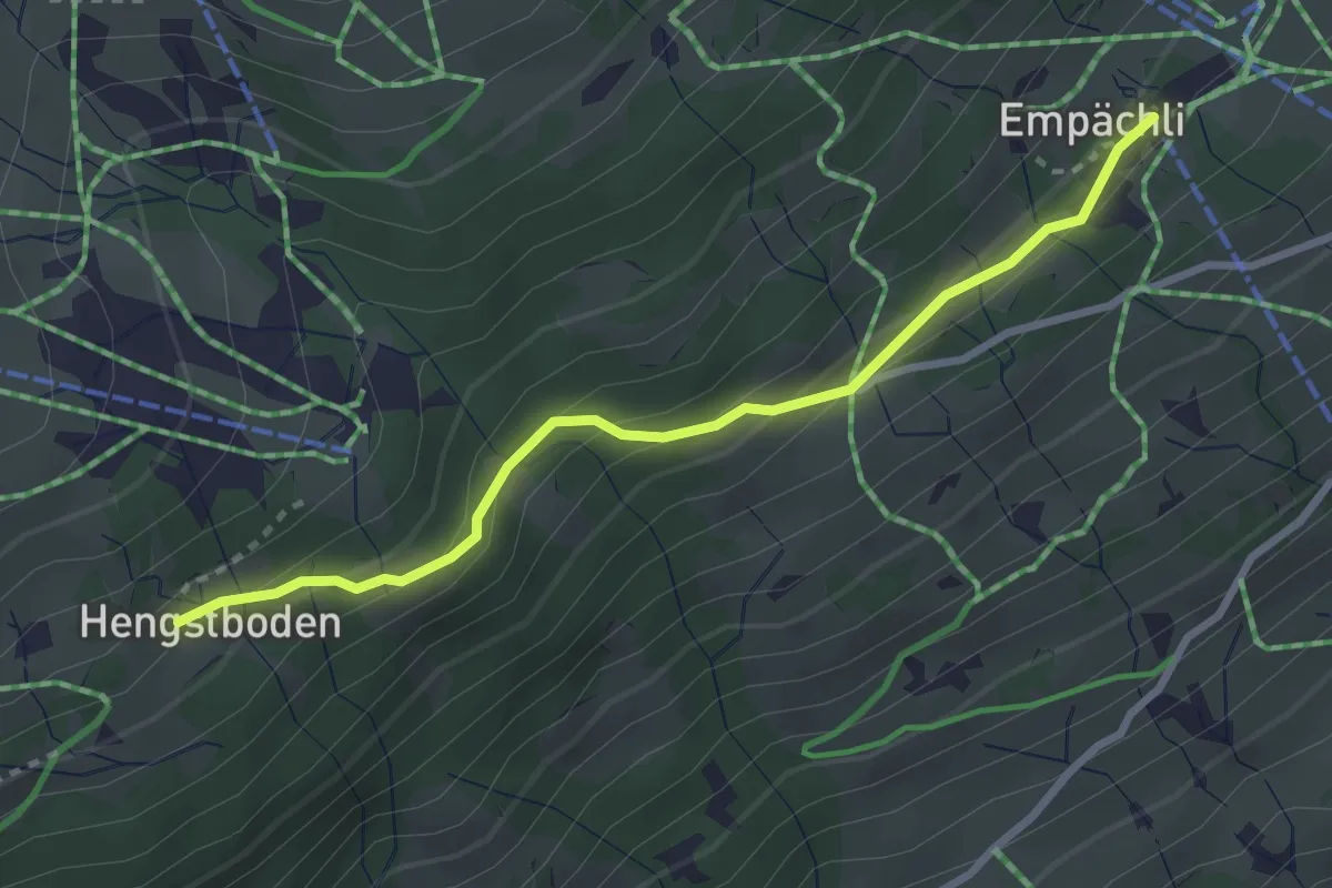
Easy · Trail
Bergstation Sesselbahn – Hengstboden
2.9 km · ↑ 164 m · 1 h 2 min
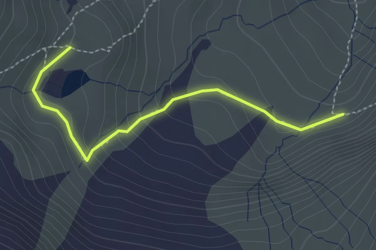
Medium · Trail
Hübschbodensee – Schwarz Chöpf
2.2 km · ↑ 124 m · 47 min
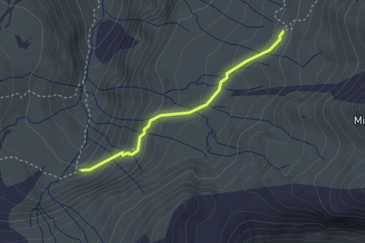
Medium · Trail
Hinter Matt – Schwarz Chöpf
2.4 km · ↑ 159 m · 55 min
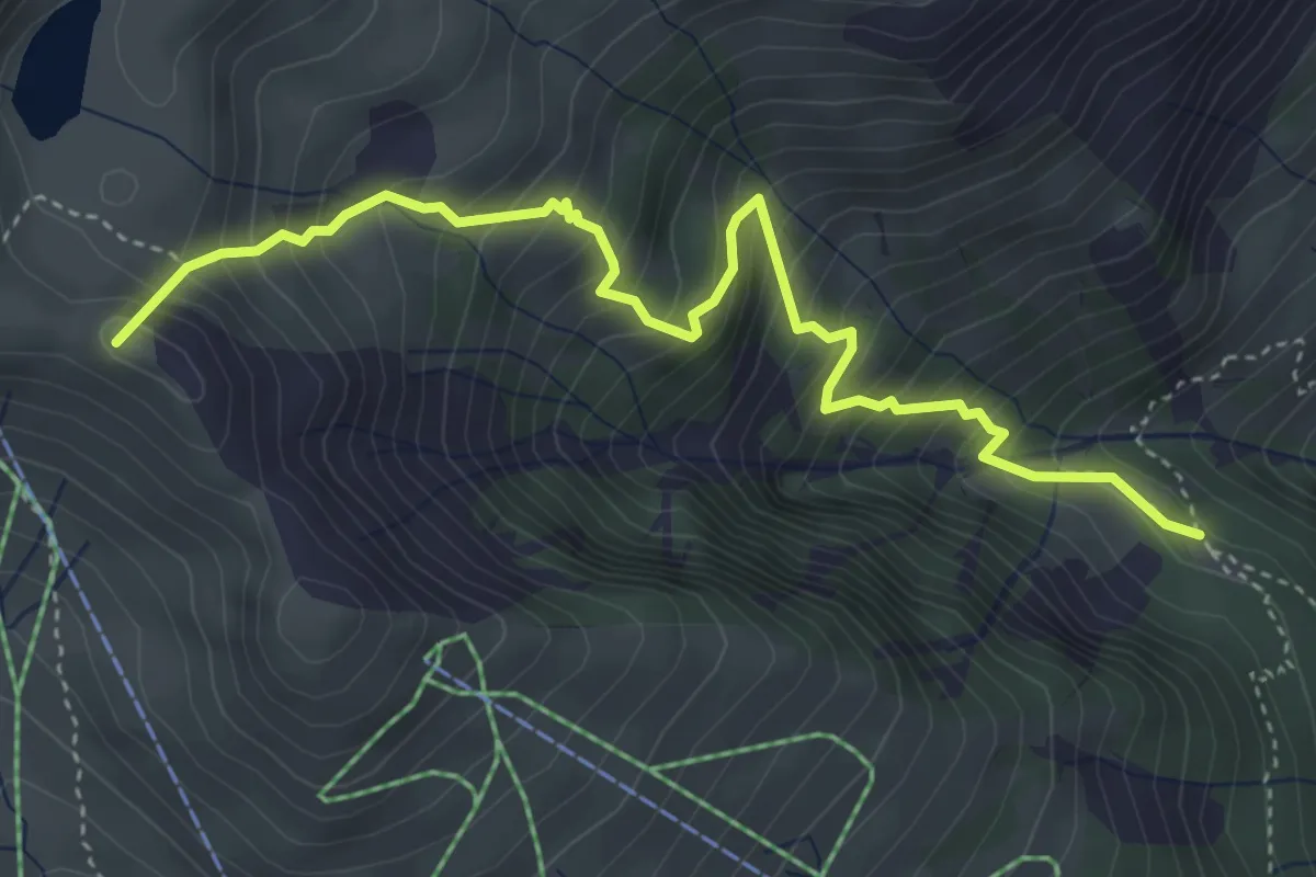
Medium · Summit
Chuenz – Chüebodensee
4.5 km · ↑ 656 m · 2 h 29 min
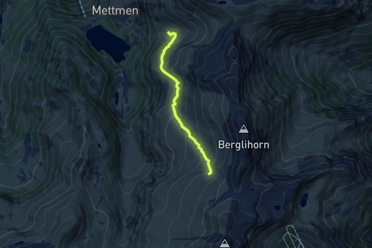
Medium · Trail
Widerstein – Vorder Matt
4.9 km · ↑ 379 m · 1 h 59 min
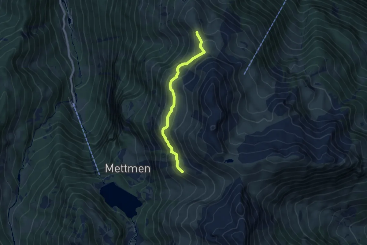
Expert · Trail
Chrämer – Chängel
5.0 km · ↑ 304 m · 1 h 51 min
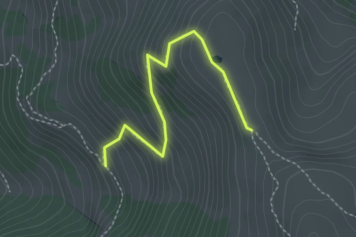
Medium · Trail
Mittlist – Chrämer
2.0 km · ↑ 220 m · 57 min
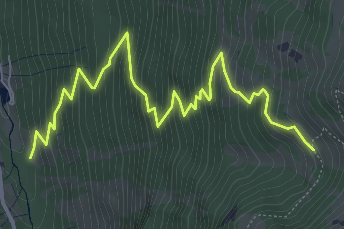
Medium · Trail
Nüenhütten – Mittlist
6.6 km · ↑ 775 m · 3 h 14 min
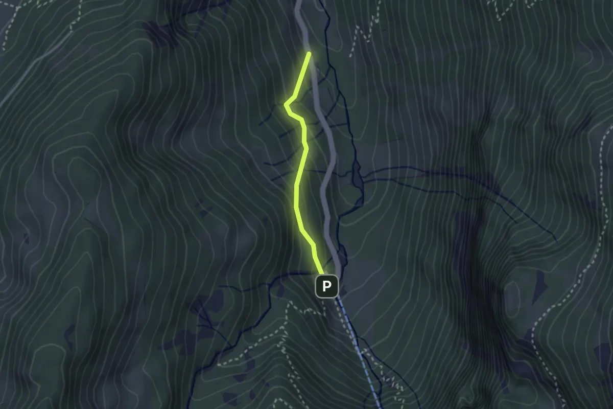
Easy · Trail
Restaurant Fryberg – Kies
2.0 km · ↑ 180 m · 52 min
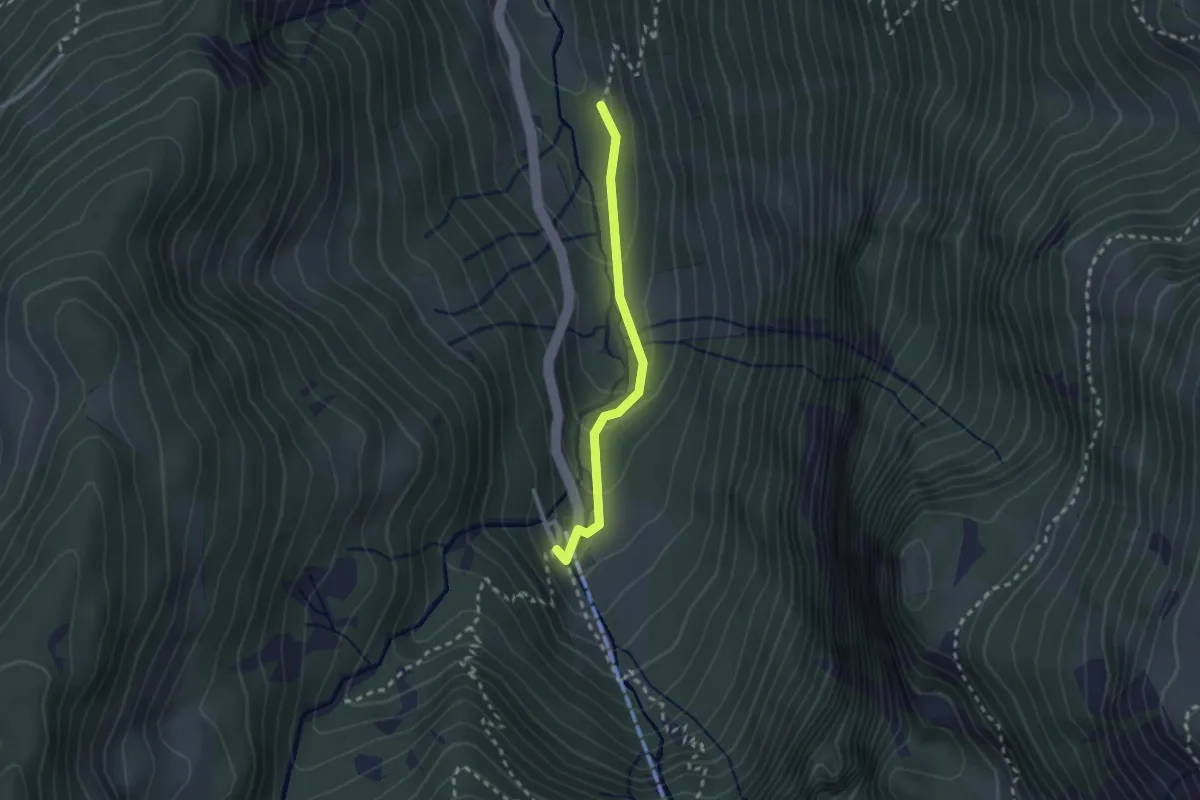
Easy · Trail
Nüenhütten – Kies
2.1 km · ↑ 127 m · 47 min
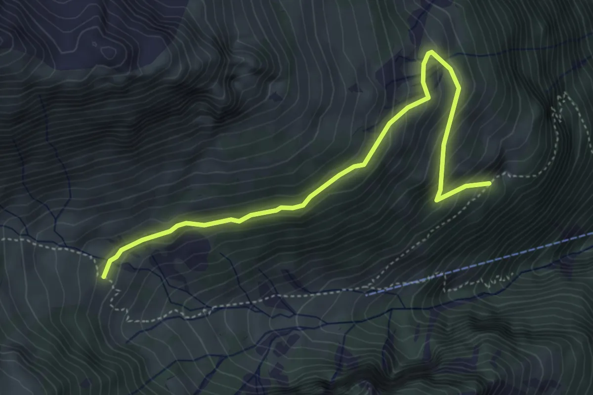
Medium · Trail
Loch – Bergli Ober Stafel
5.0 km · ↑ 345 m · 1 h 55 min
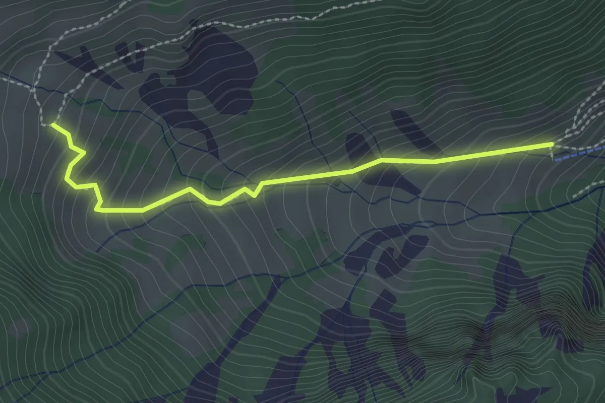
Medium · Cabin
Bergli Unter Stafel – Bergli Ober Stafel
2.4 km · ↑ 239 m · 1 h 5 min
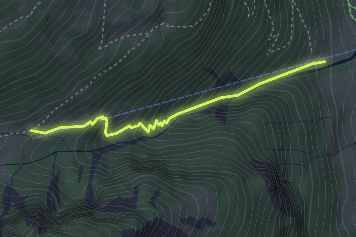
Medium · Cabin
Chnü – Bergli Unter Stafel
2.9 km · ↑ 450 m · 1 h 39 min
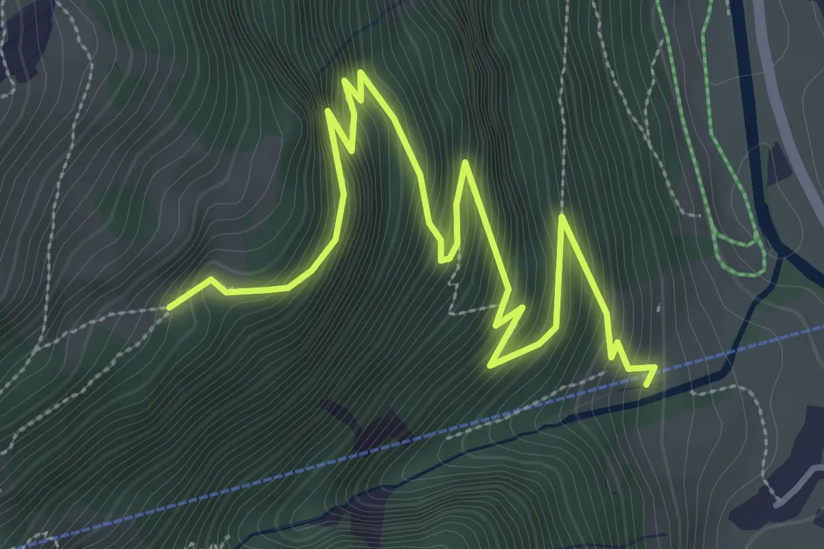
Medium · Trail
Chnü – Loch
4.5 km · ↑ 486 m · 2 h 7 min
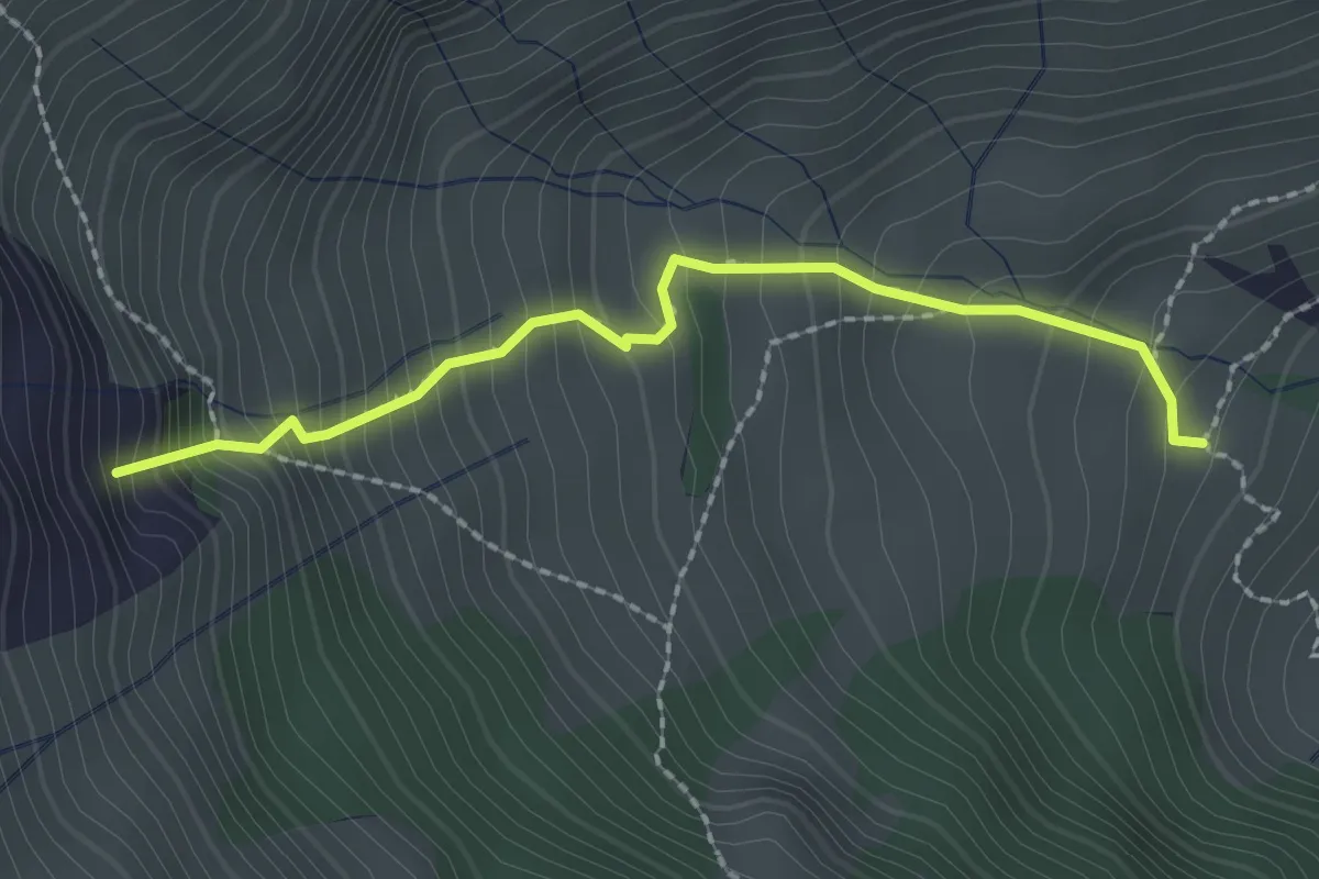
Medium · Summit
Bergli Ober Stafel – Berglimattsee
2.1 km · ↑ 347 m · 1 h 15 min
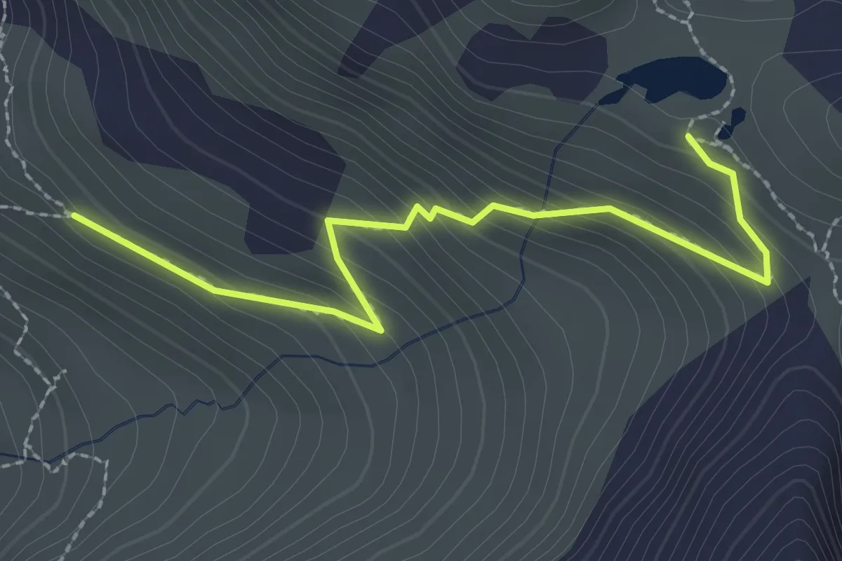
Medium · Trail
Chängel – Berglimattsee
2.5 km · ↑ 218 m · 1 h 4 min
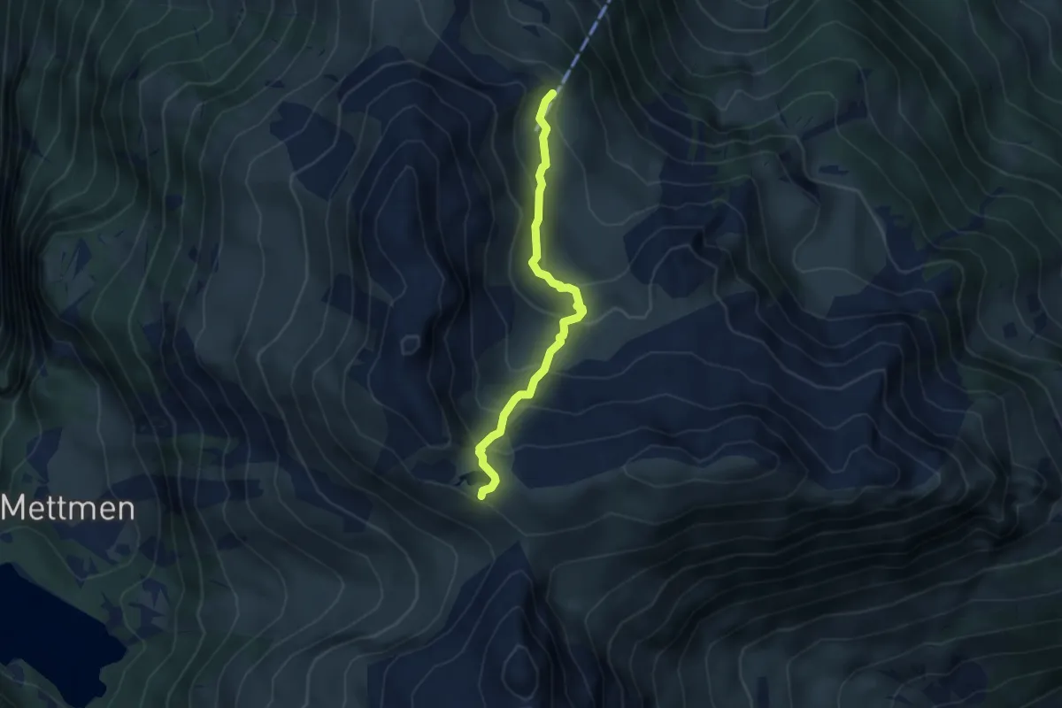
Medium · Trail
Gandtiefi – Berglimattsee
3.7 km · ↑ 277 m · 1 h 28 min
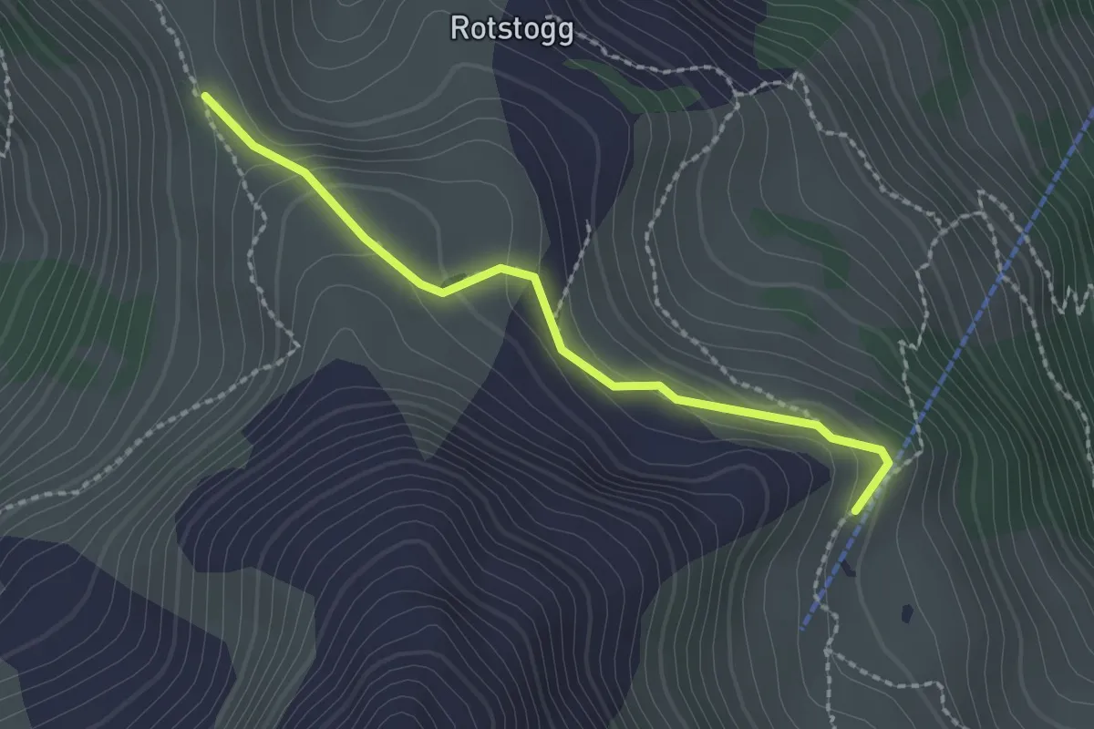
Medium · Trail
Gandtiefi – Chrämer
2.0 km · ↑ 124 m · 45 min
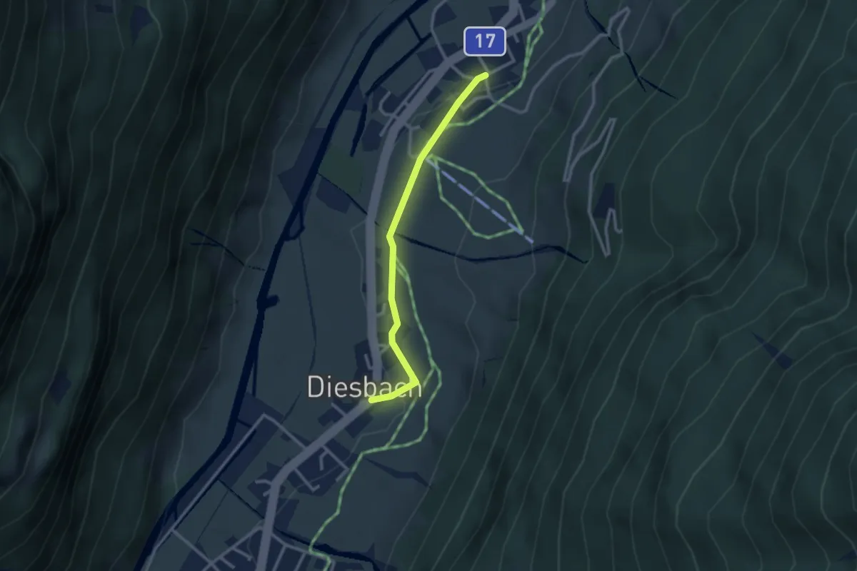
Easy · Trail
Oberdorf – Diesbach
2.4 km · ↑ 33 m · 39 min
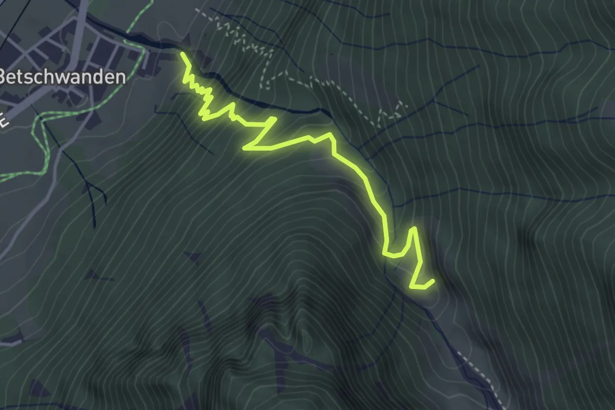
Medium · Trail
Müli – Alpeli
3.9 km · ↑ 422 m · 1 h 50 min
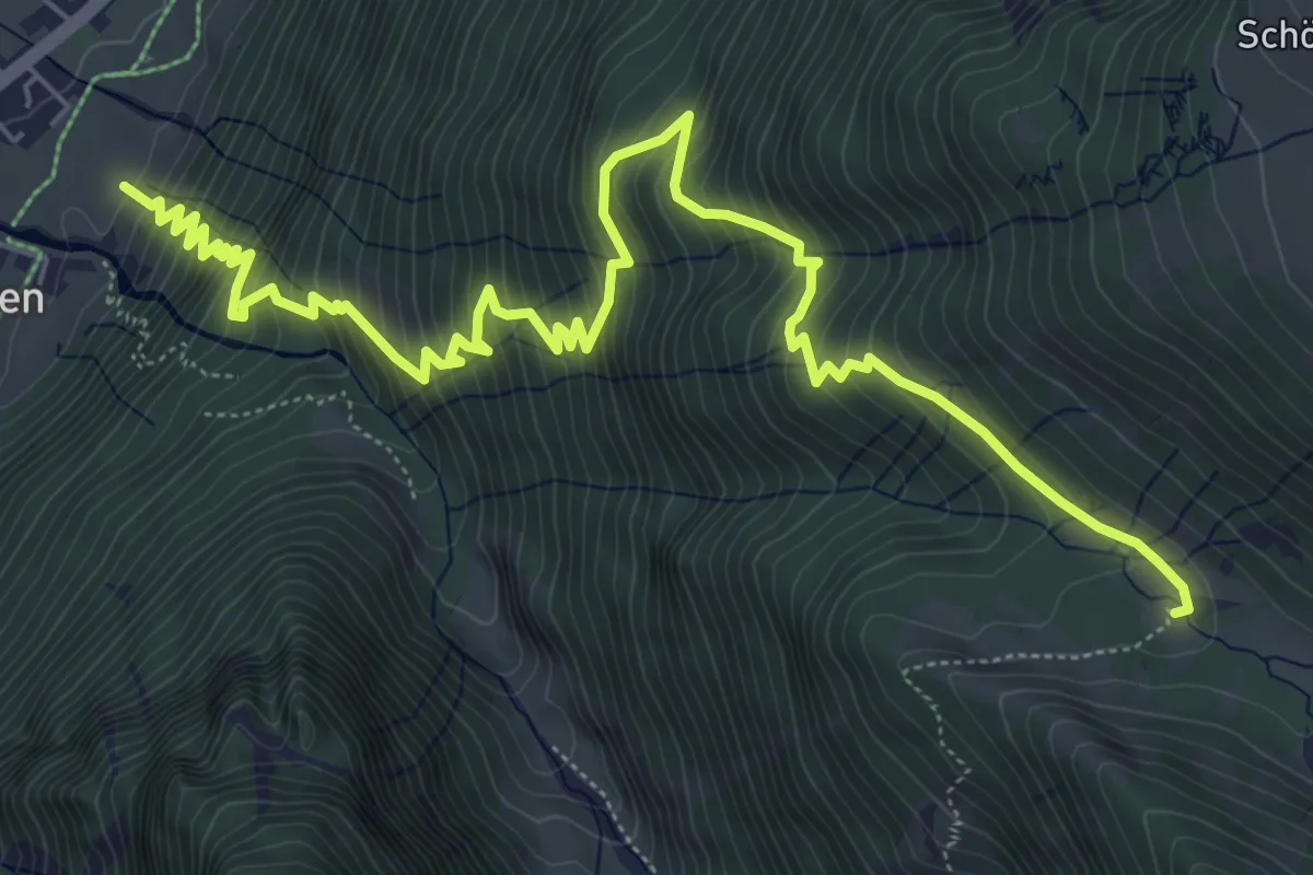
Demanding · Trail
Stäuben – Diestalstafel
8.7 km · ↑ 964 m · 4 h 8 min
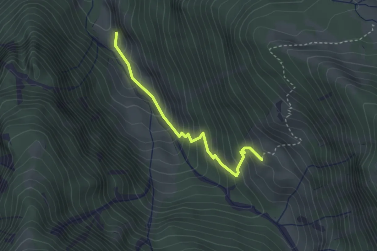
Medium · Trail
Alpeli – Bodmerberg
2.7 km · ↑ 330 m · 1 h 21 min
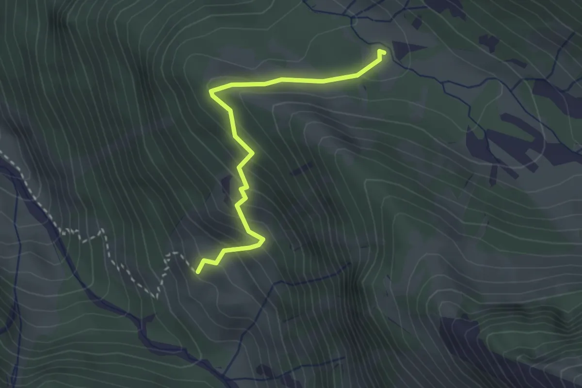
Medium · Trail
Bodmerberg – Diestalstafel
2.7 km · ↑ 214 m · 1 h 7 min
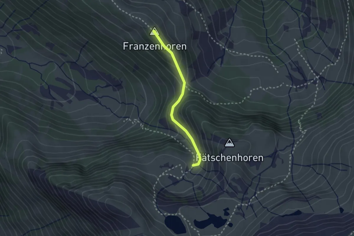
Medium · Summit
Rietmatt – Ängi
2.1 km · ↑ 145 m · 49 min
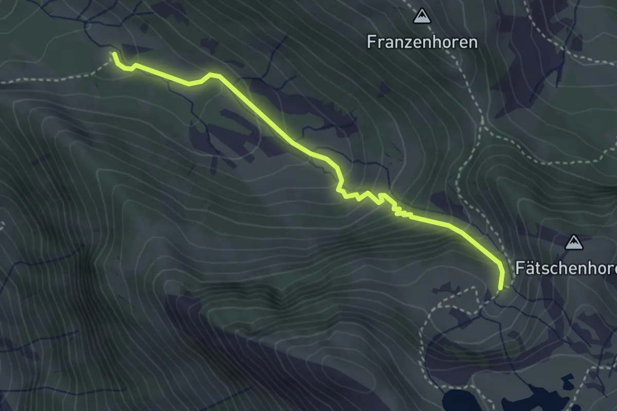
Medium · Trail
Diestalstafel – Ängi
3.5 km · ↑ 321 m · 1 h 31 min
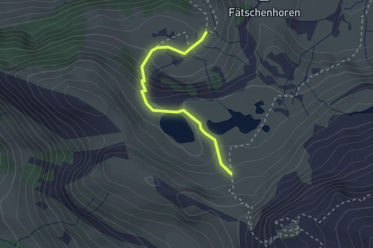
Medium · Trail
Ängi – Ober Ängi
2.1 km · ↑ 168 m · 51 min
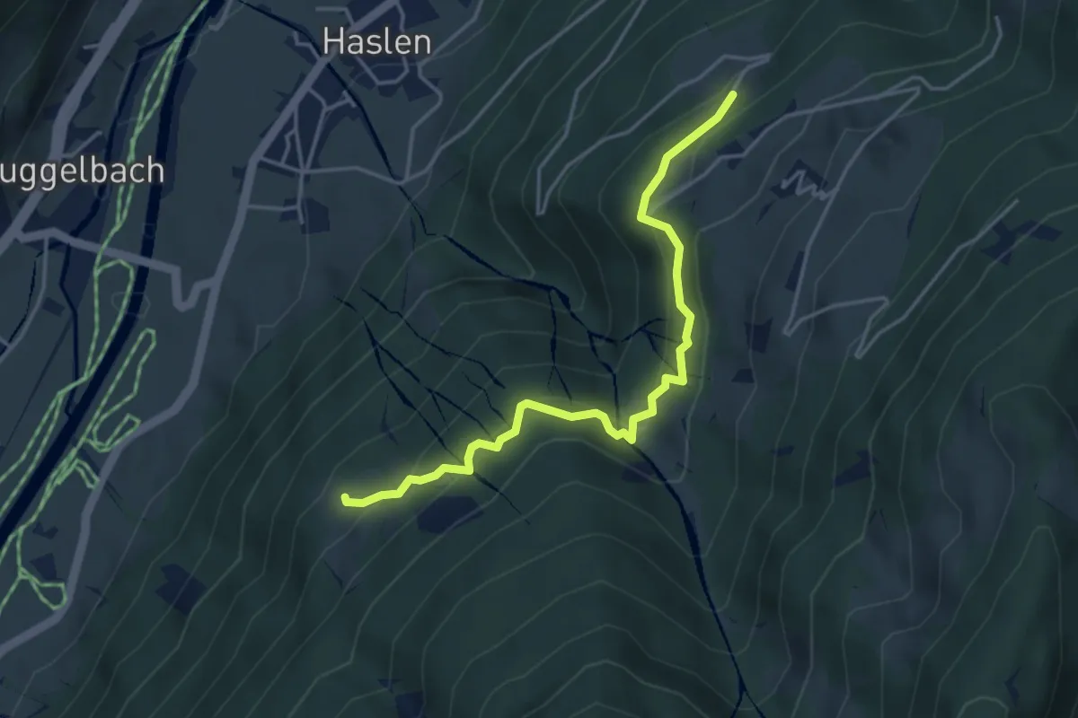
Medium · Trail
Tannenberg – Hüttenberg
4.1 km · ↑ 340 m · 1 h 43 min
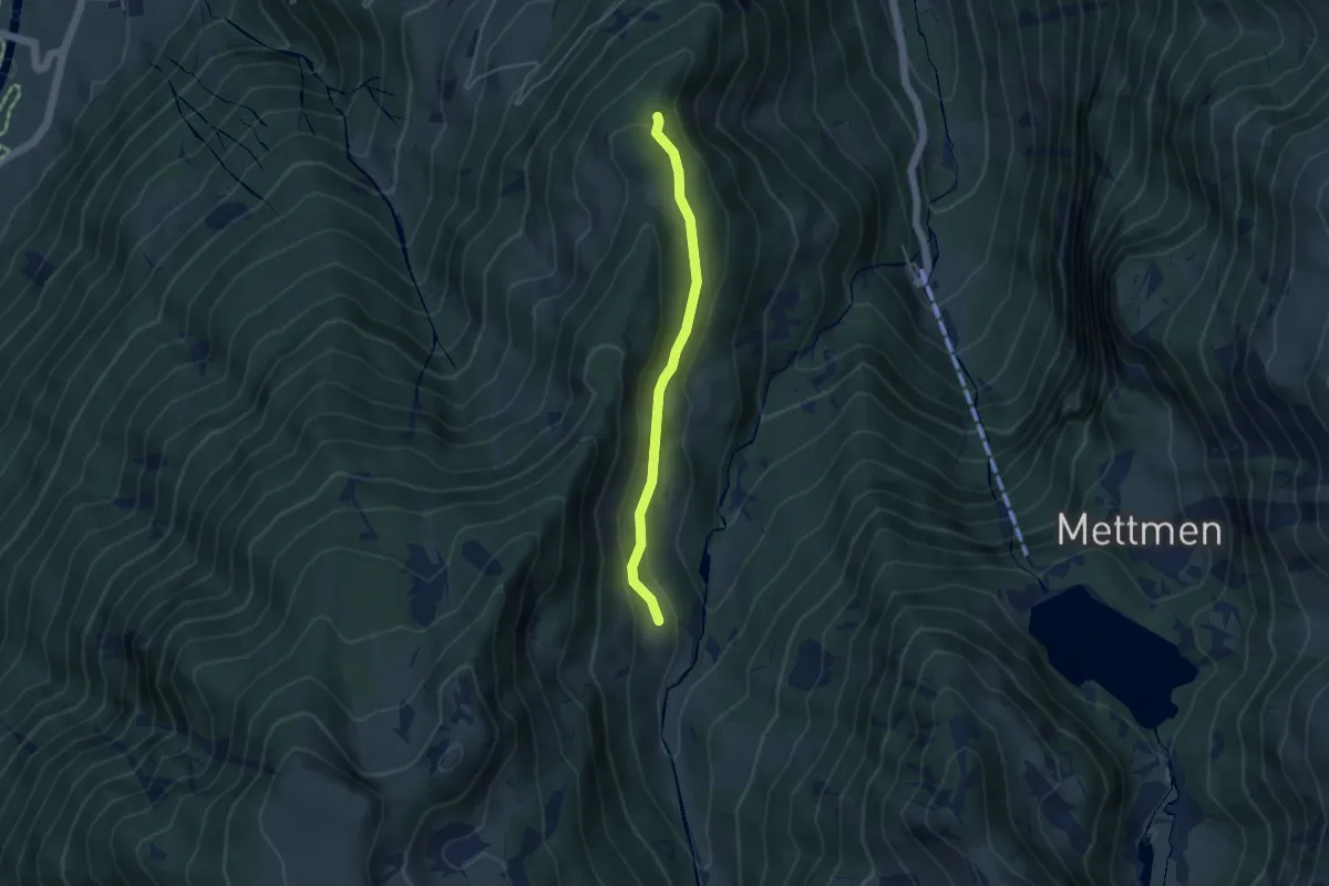
Easy · Trail
Salenteuffi – Aueren
3.8 km · ↑ 90 m · 1 h 5 min
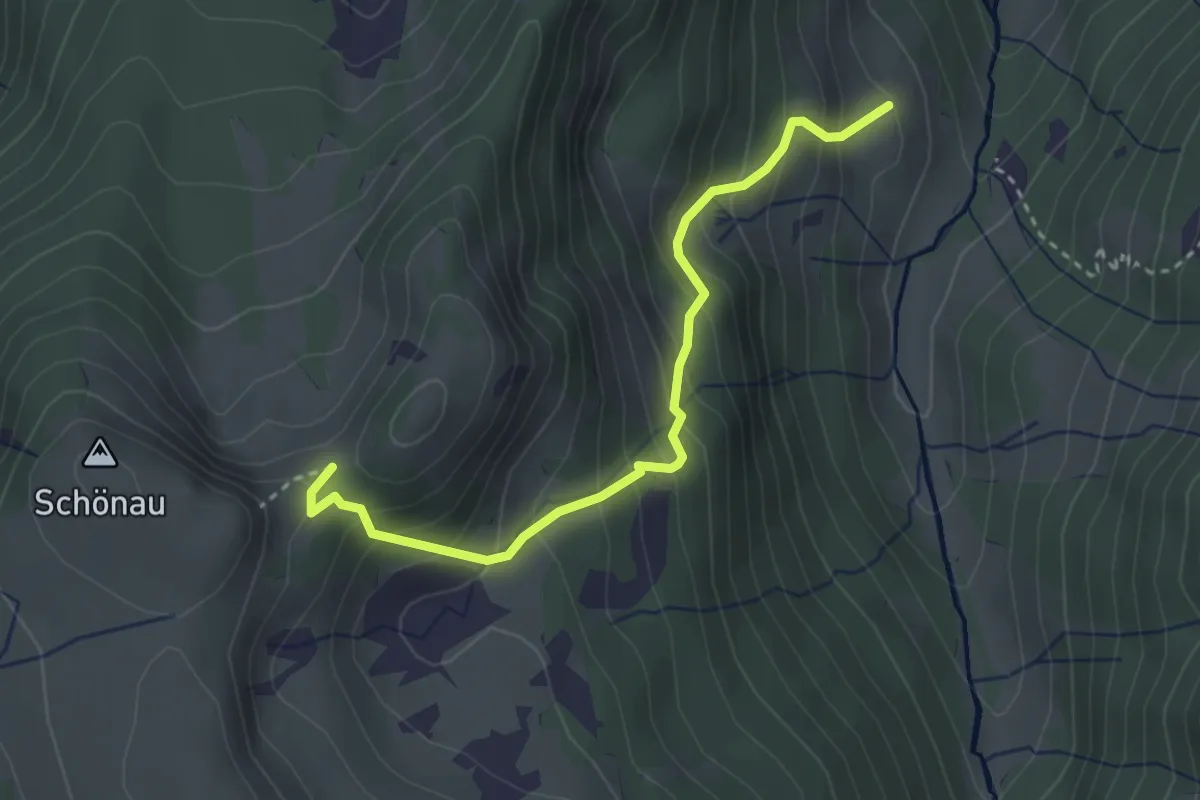
Medium · Trail
Aueren – Schönaufurggeli
3.2 km · ↑ 383 m · 1 h 35 min
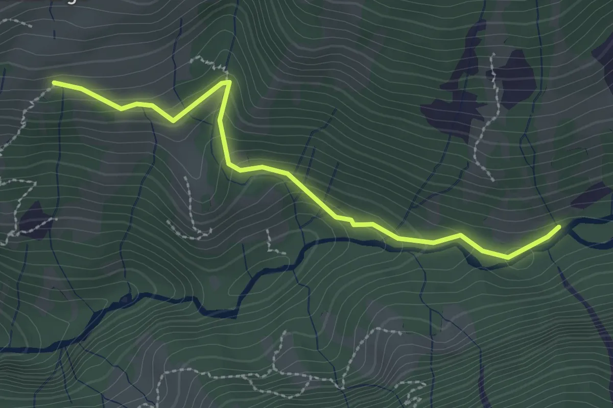
Easy · Trail
Fuchsenberg – Geissteg
2.7 km · ↑ 236 m · 1 h 9 min
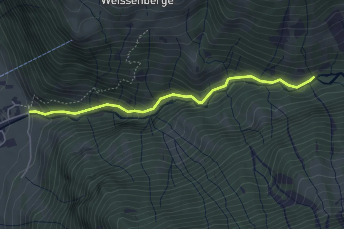
Easy · Trail
Geissberg – Geissteg
3.9 km · ↑ 291 m · 1 h 33 min
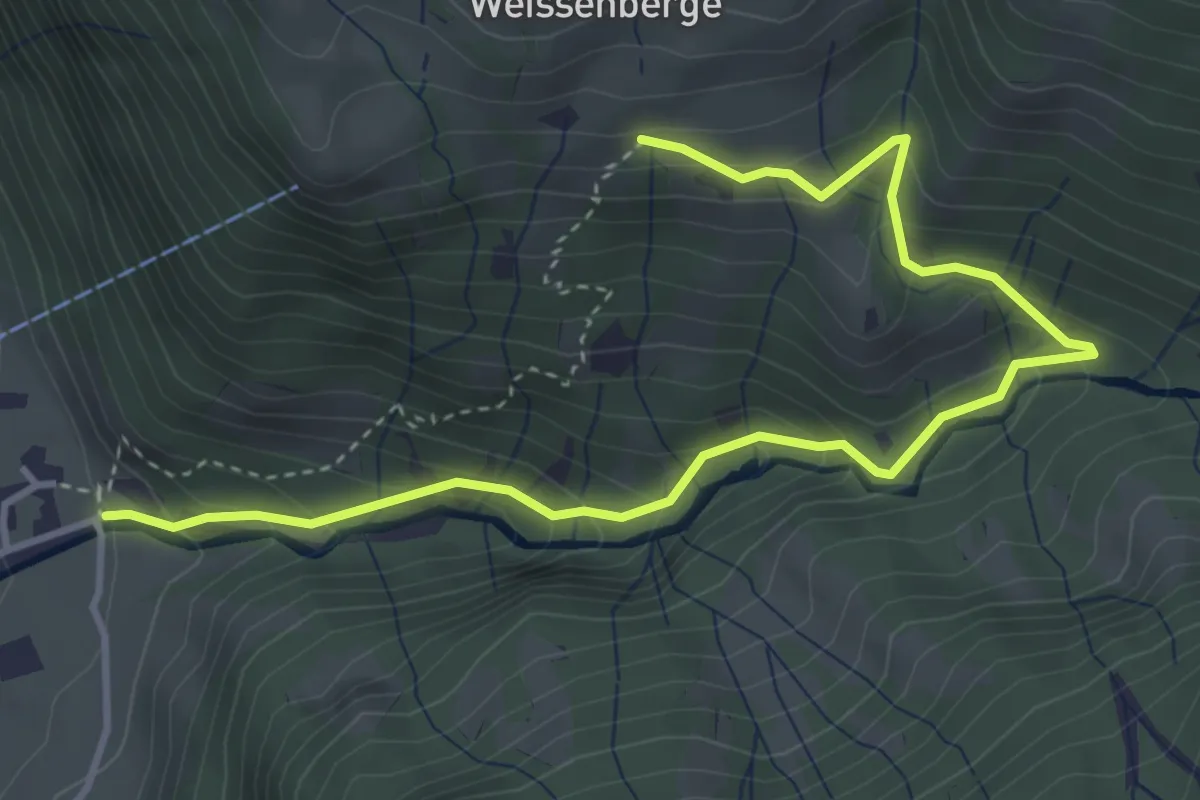
Medium · Trail
Geissberg – Fuchsenberg
4.7 km · ↑ 415 m · 2 h 1 min
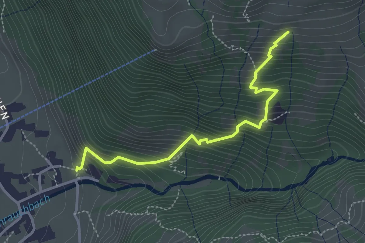
Medium · Trail
Chrauch – Fuchsenberg
2.7 km · ↑ 400 m · 1 h 30 min
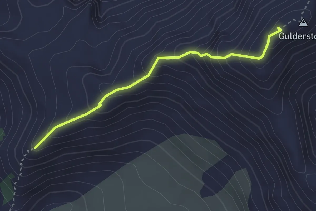
Expert · Summit
Sunnenhöreli – Gulderstock
2.5 km · ↑ 344 m · 1 h 21 min
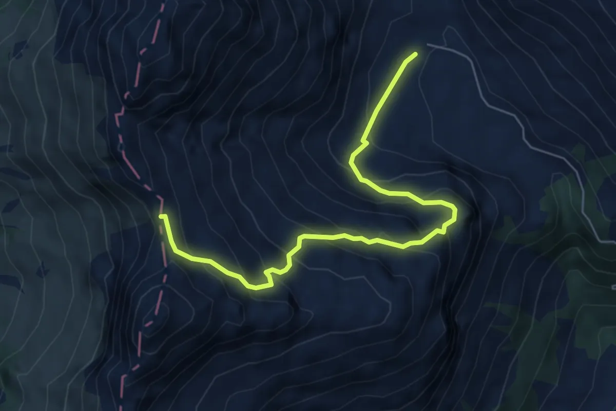
Medium · Trail
Obersiezsäss – Risetenpass
6.2 km · ↑ 508 m · 2 h 34 min
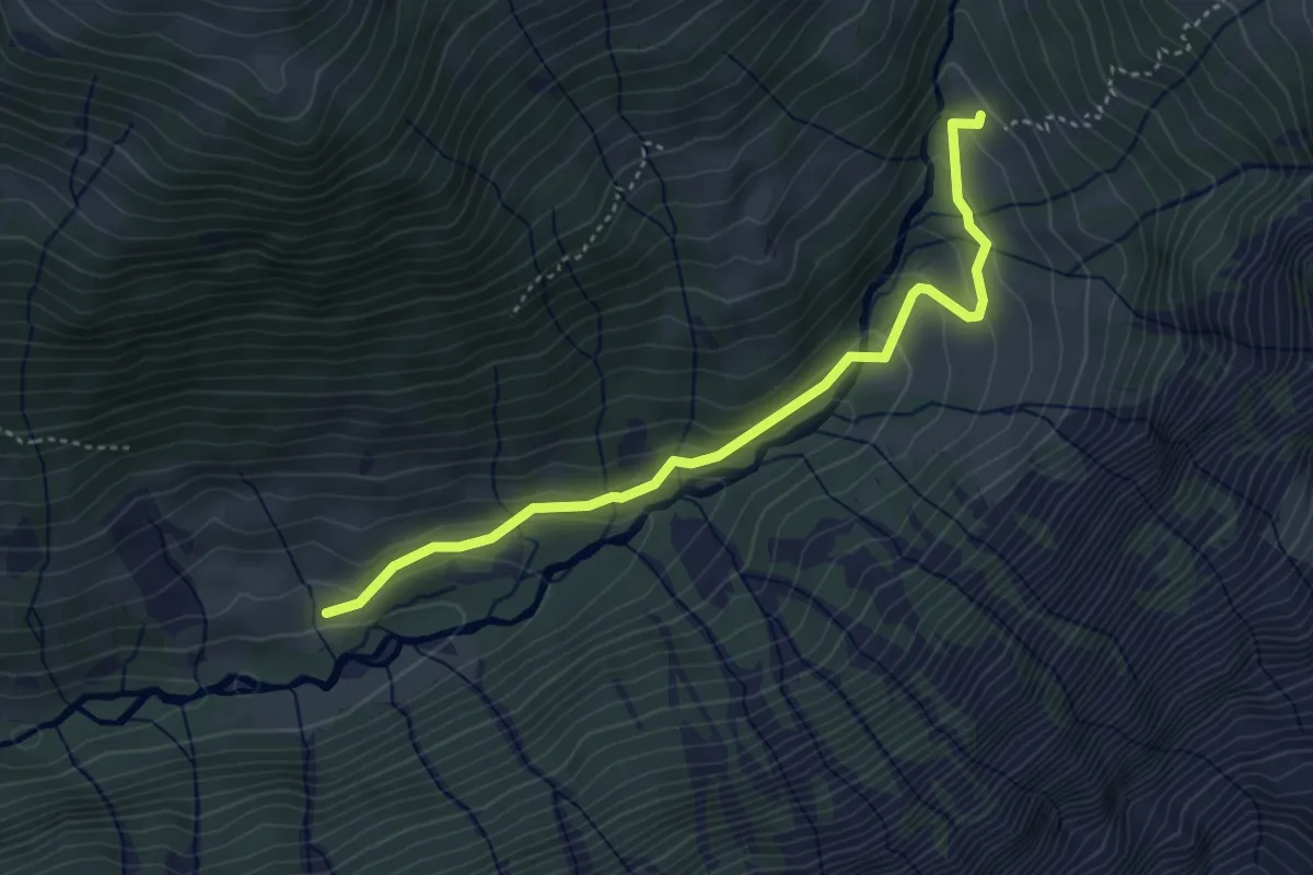
Easy · Trail
Bruch – Riseten Unter Stafel
4.0 km · ↑ 191 m · 1 h 22 min