Trails in Switzerland
15,055 hiking trails, each with its route, climb, walking time and grade.
All trails, page 222 of 314
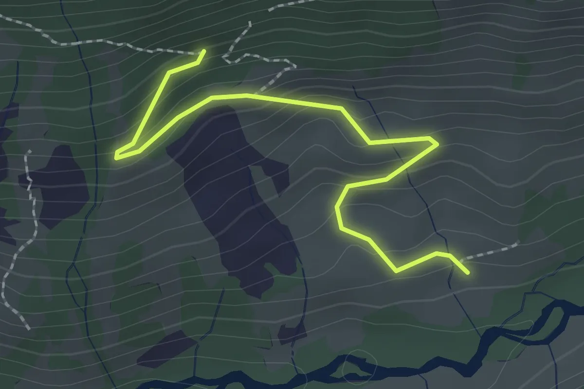
Easy · Trail
Bruch – Bruch
2.3 km · ↑ 151 m · 53 min
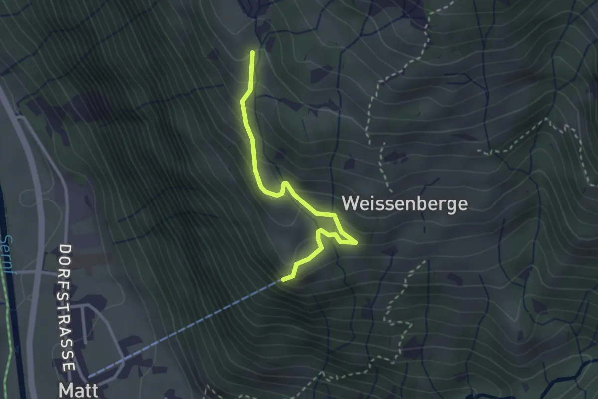
Easy · Trail
Bergstation Luftseilbahn – Ängisboden
2.5 km · ↑ 194 m · 1 h 1 min
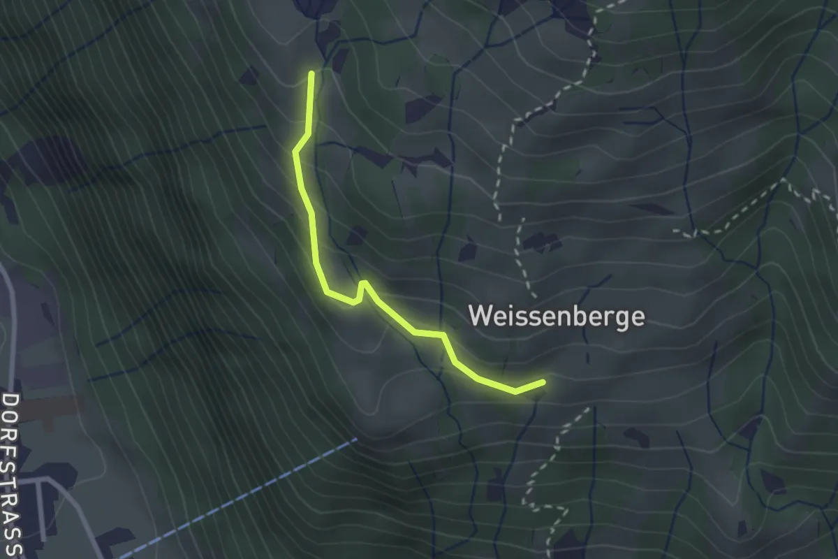
Easy · Trail
Weissenberg – Ängisboden
2.0 km · ↑ 176 m · 52 min
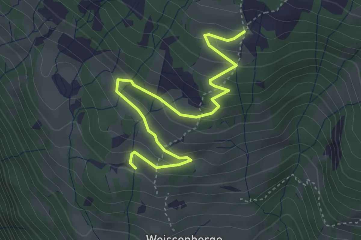
Easy · Trail
Schiben – Weiden
4.1 km · ↑ 232 m · 1 h 28 min
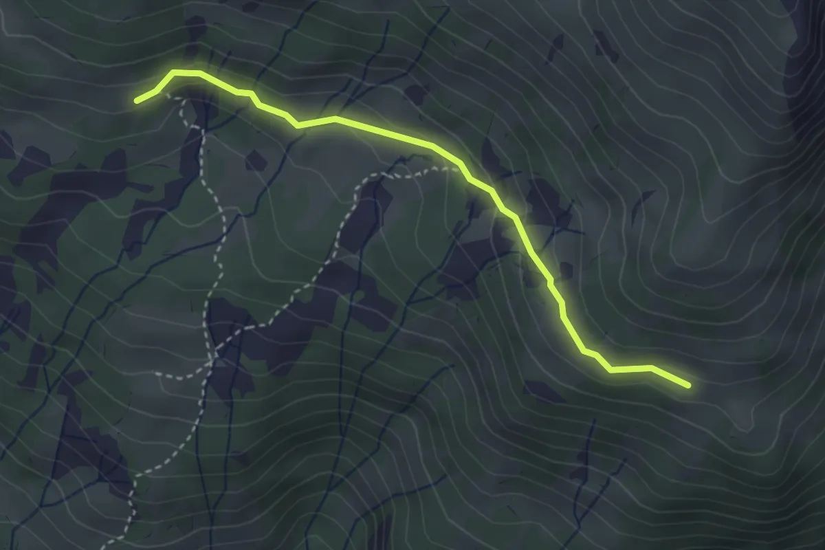
Easy · Cabin
Fitterenstäfeli Skihaus – Vorderegg Oberstafel
3.3 km · ↑ 111 m · 1 h 1 min
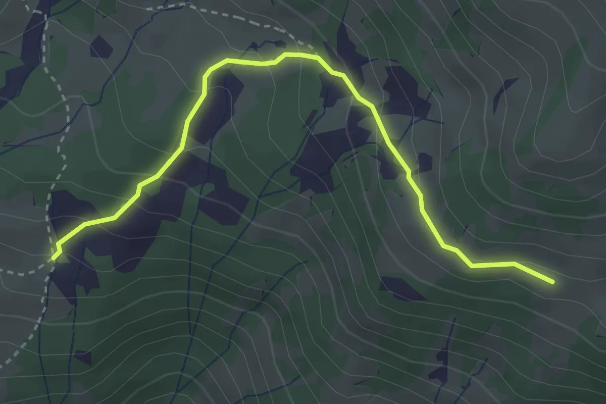
Easy · Trail
Weiden – Vorderegg Oberstafel
3.3 km · ↑ 201 m · 1 h 12 min
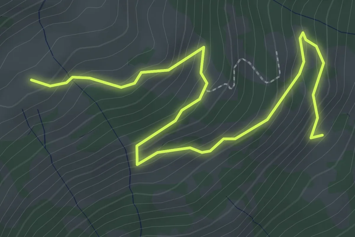
Easy · Trail
Hinteregg Mittler Stafel – Hinteregg Oberstafel
3.4 km · ↑ 223 m · 1 h 17 min
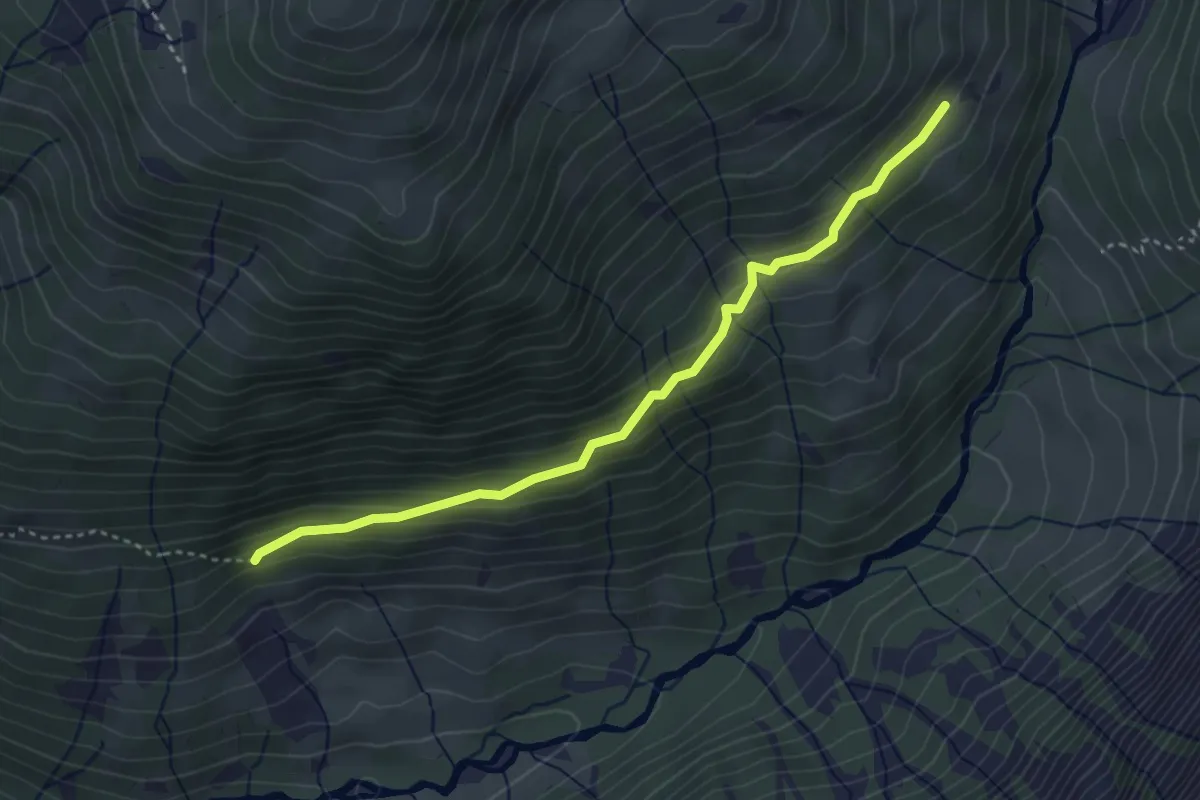
Easy · Trail
Bruch – Hinteregg Mittler Stafel
3.7 km · ↑ 192 m · 1 h 17 min
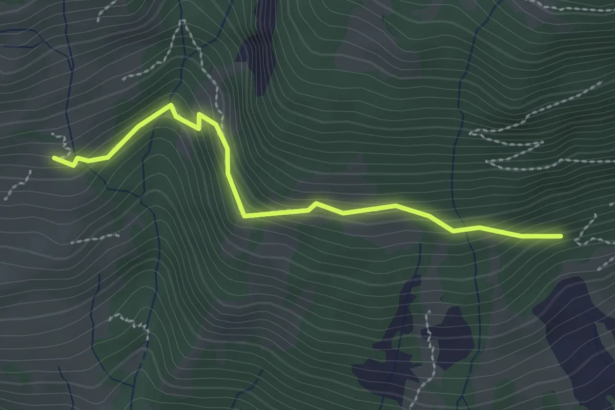
Easy · Trail
Stigenberg – Bruch
2.5 km · ↑ 184 m · 59 min
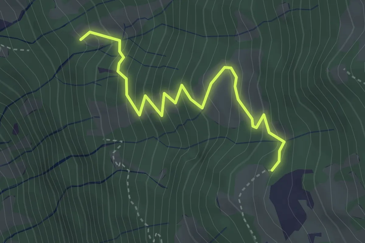
Medium · Trail
Altstafelrus – Ochsenbüel
3.4 km · ↑ 377 m · 1 h 38 min
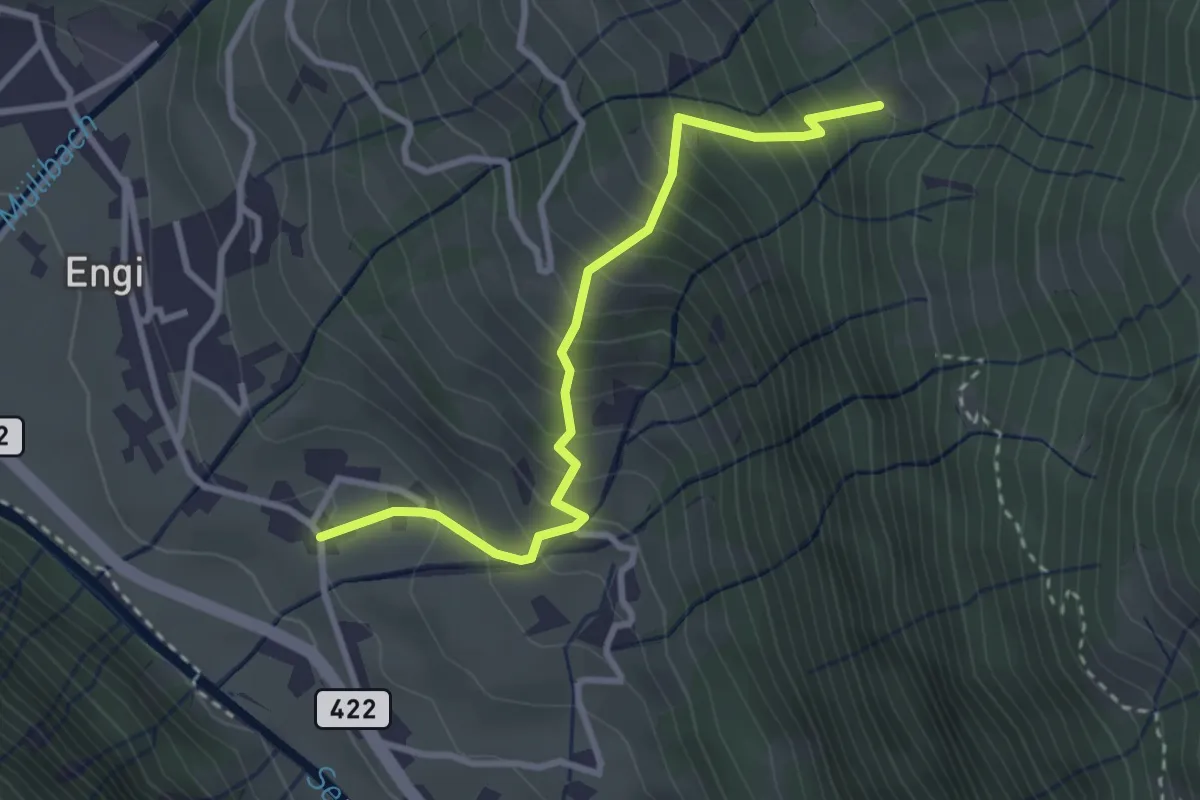
Medium · Trail
Grund – Altstafelrus
3.0 km · ↑ 446 m · 1 h 40 min
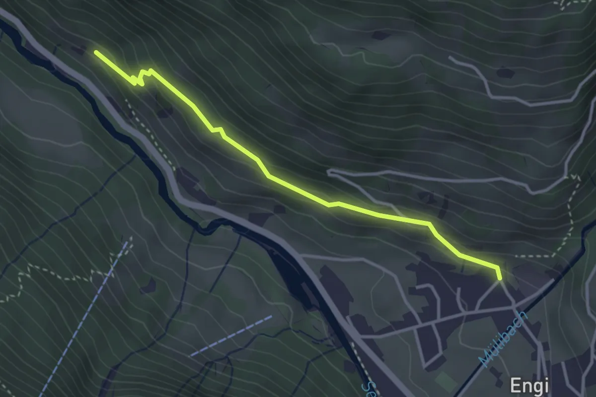
Easy · Trail
Usserhöfli – Bergen
3.3 km · ↑ 136 m · 1 h 4 min
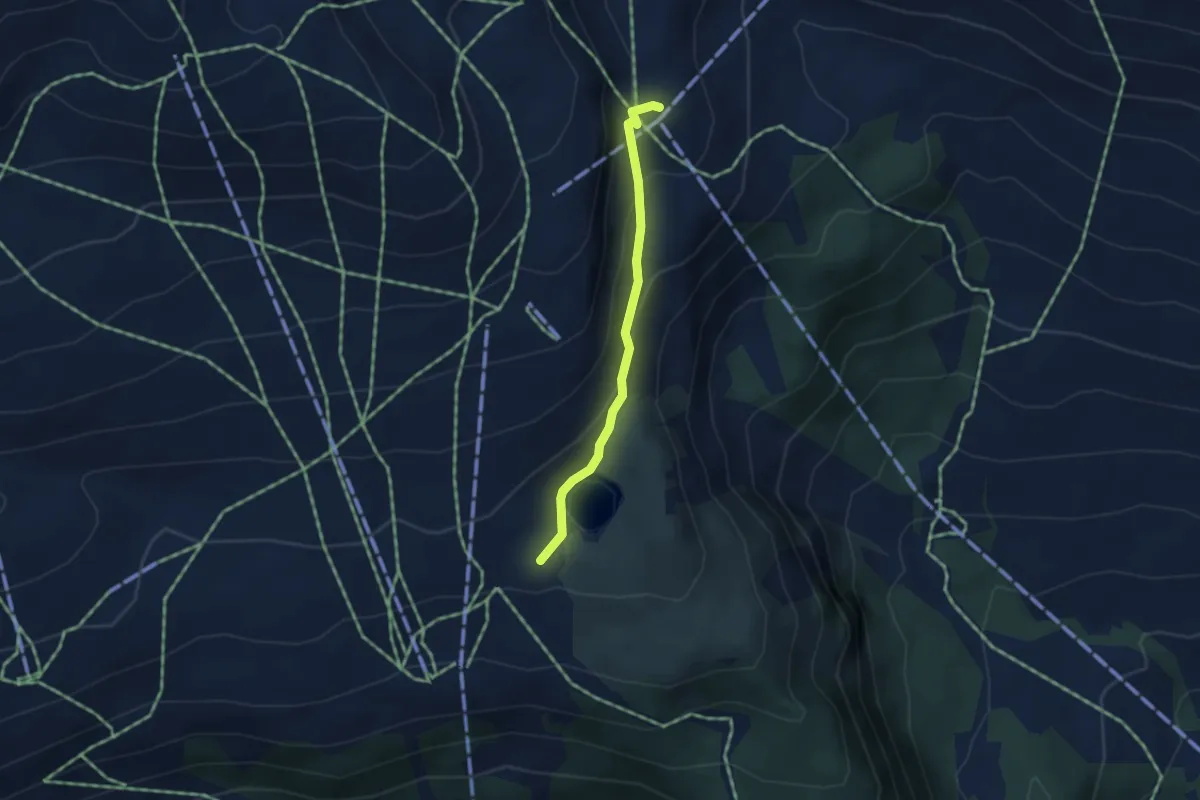
Easy · Cabin
Alp Nagens – Segneshütte
3.2 km · ↑ 159 m · 1 h 6 min
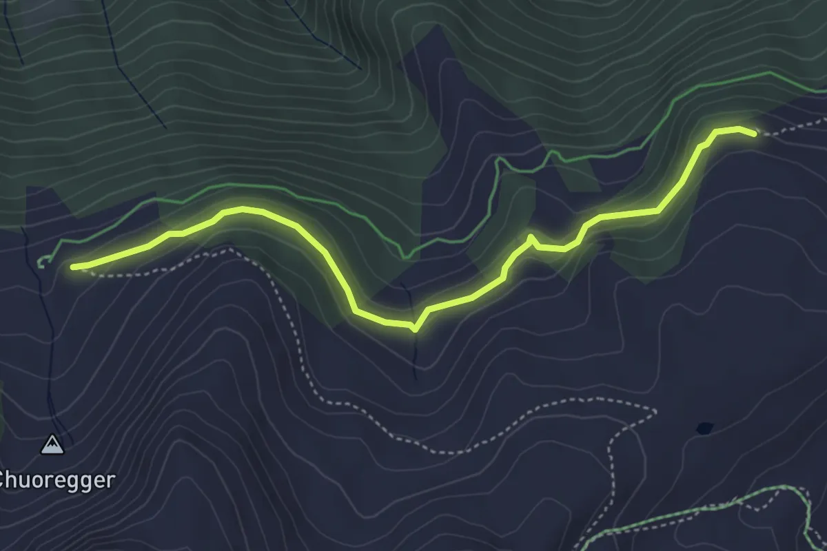
Easy · Trail
Rot Tritt – Ochsenalp
4.6 km · ↑ 204 m · 1 h 32 min
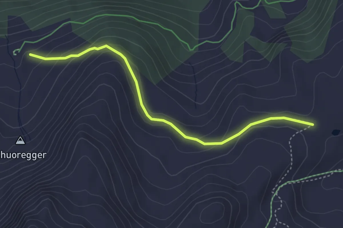
Easy · Trail
Scheidegg – Ochsenalp
3.9 km · ↑ 159 m · 1 h 16 min
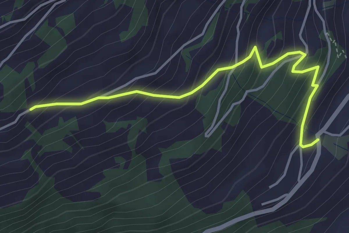
Medium · Trail
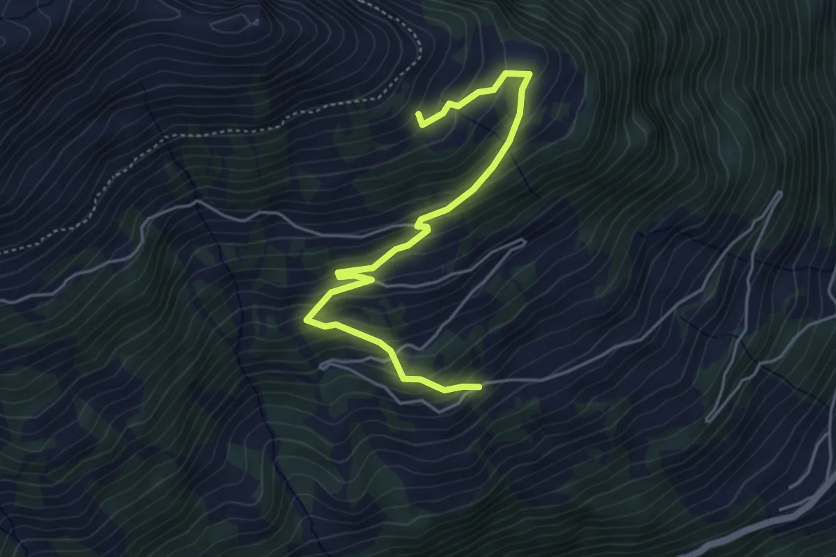
Valens – Rosser
3.8 km · ↑ 420 m · 1 h 48 min
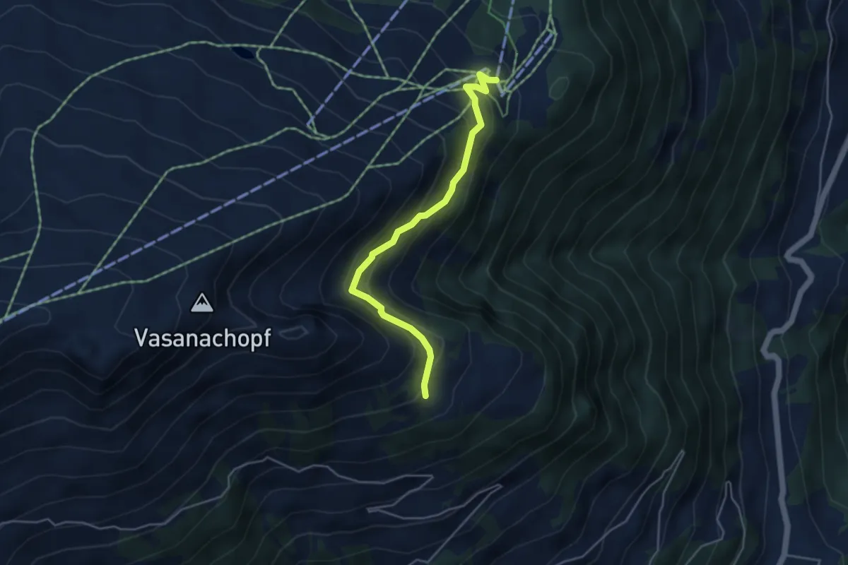
Medium · Trail
Rosser – Tristeli
4.8 km · ↑ 391 m · 1 h 59 min
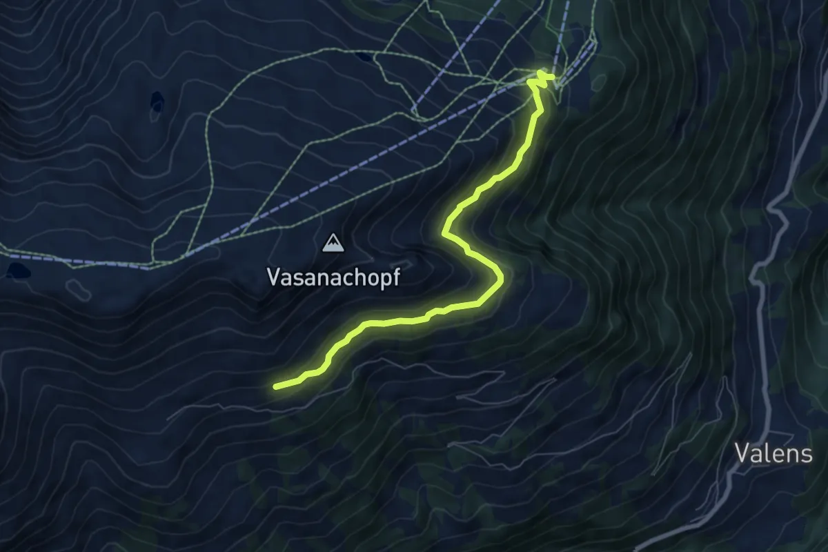
Easy · Trail
Tristeli – Pardiel
4.1 km · ↑ 277 m · 1 h 34 min
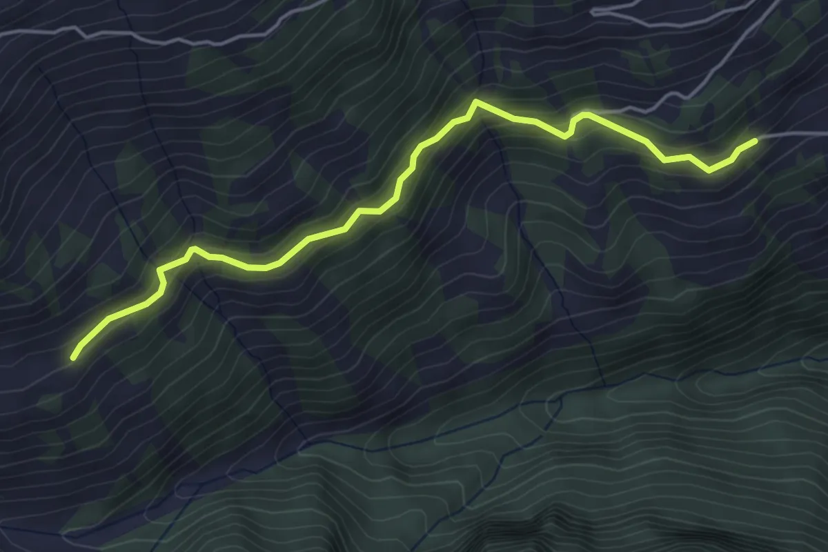
Medium · Trail
Pardiel – Lasa Obersäss? / Pizolhütte?
6.8 km · ↑ 393 m · 2 h 27 min
Medium · Trail
Rosser – Dreher Mittelsäss?
4.7 km · ↑ 333 m · 1 h 50 min
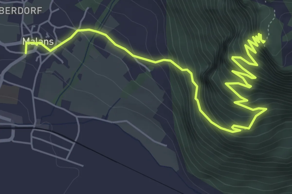
Demanding · Trail
Malans – Fadärastein
7.6 km · ↑ 918 m · 3 h 48 min
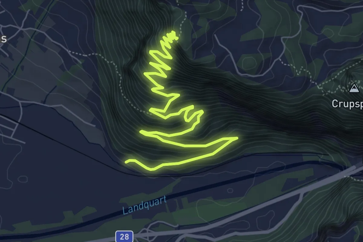
Demanding · Trail
Ganda? / Chlus? – Fadärastein
9.4 km · ↑ 941 m · 4 h 16 min
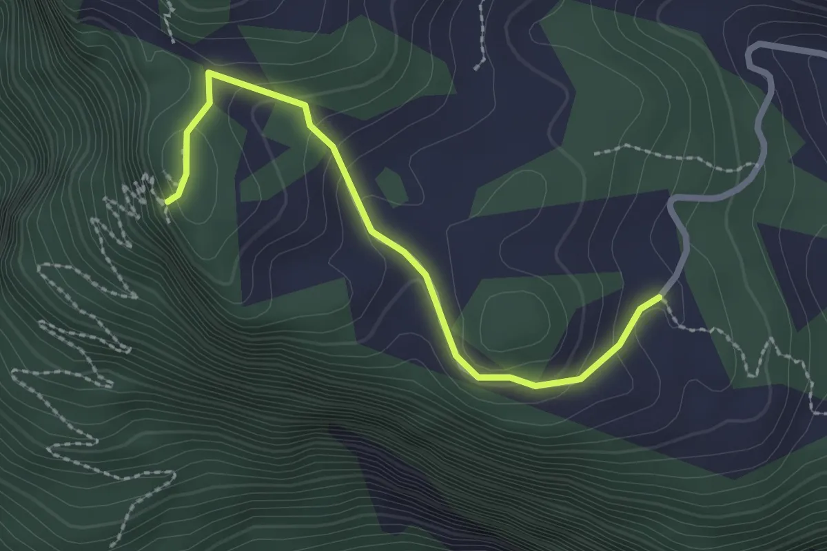
Easy · Trail
Fadärastein – Fadära
2.3 km · ↑ 152 m · 52 min
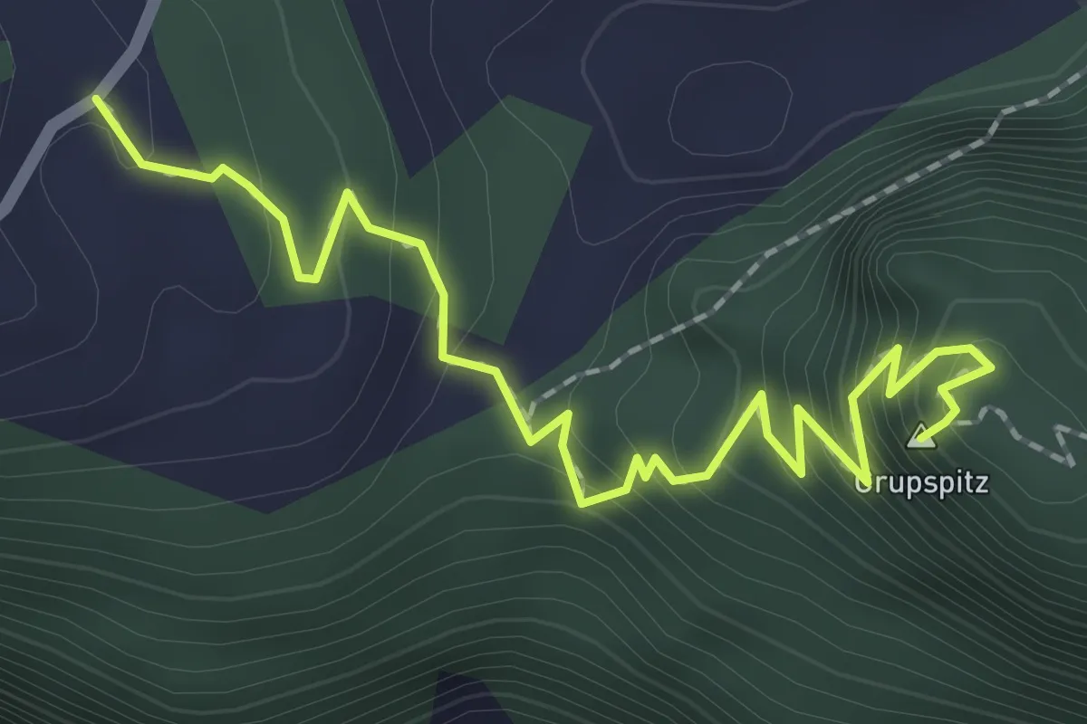
Medium · Summit
Fadära – Crupspitz
2.4 km · ↑ 239 m · 1 h 5 min
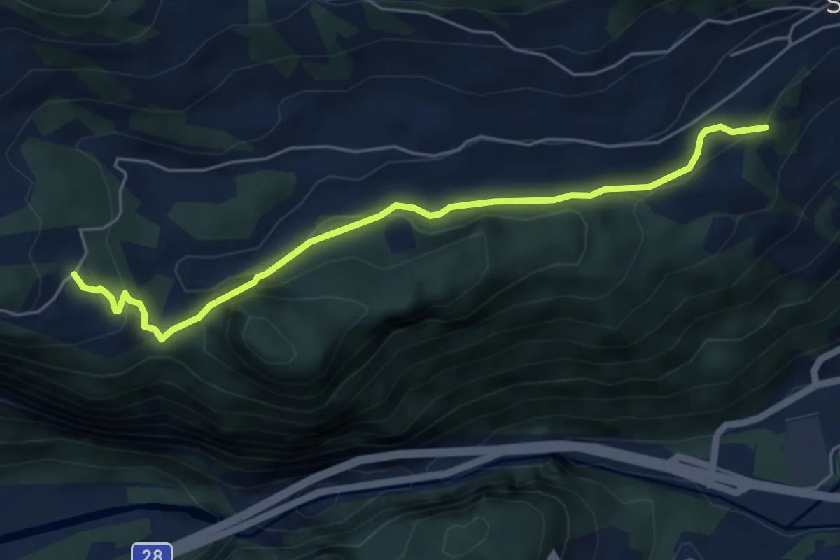
Easy · Trail
Fadära – Prättigaublick
5.2 km · ↑ 262 m · 1 h 47 min
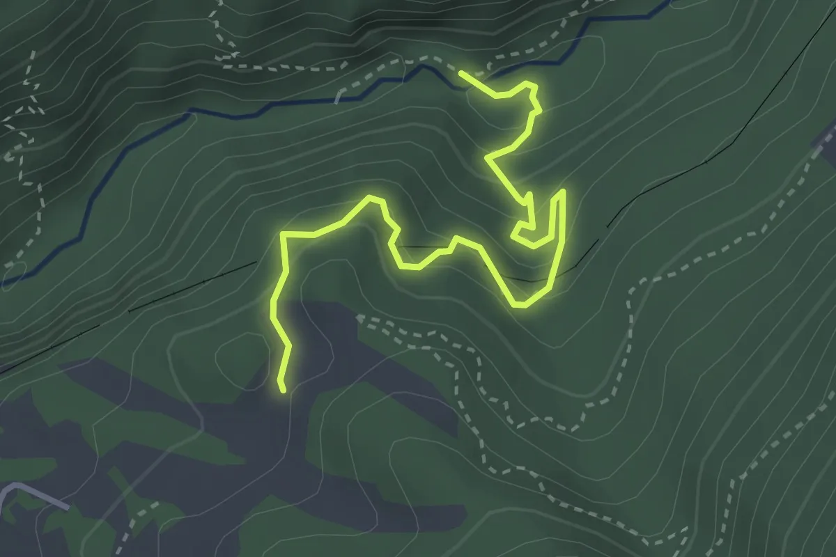
Medium · Trail
Leidboden – ...
3.5 km · ↑ 327 m · 1 h 32 min
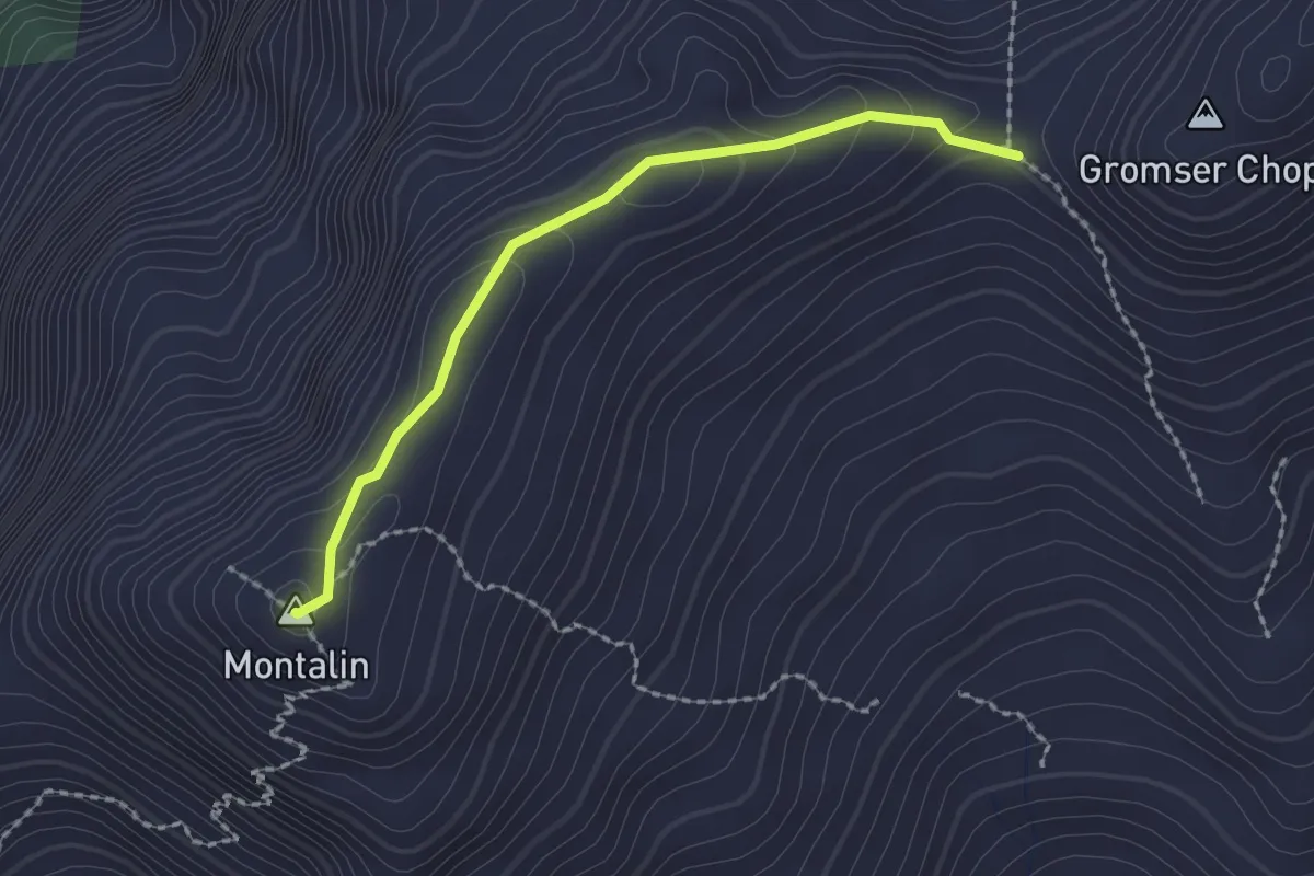
Easy · Summit
Furgga – Montalin
2.0 km · ↑ 82 m · 38 min
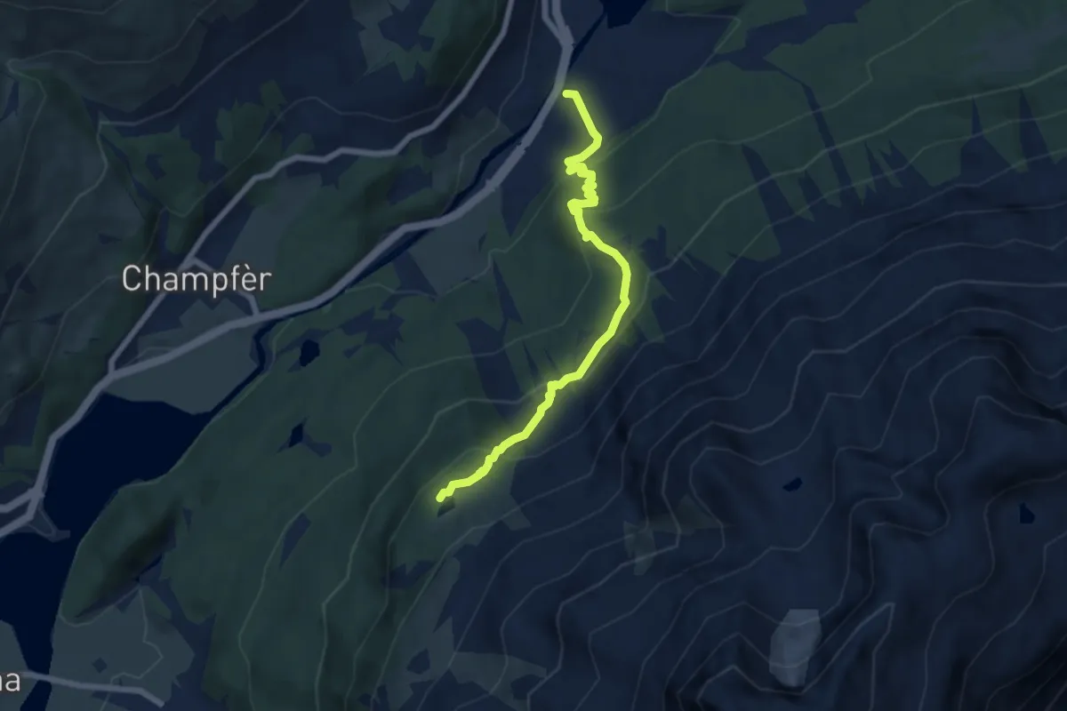
Medium · Trail
St. Moritz Bad 🚌 – Hahnensee / Lej dals chöds
6.4 km · ↑ 413 m · 2 h 24 min
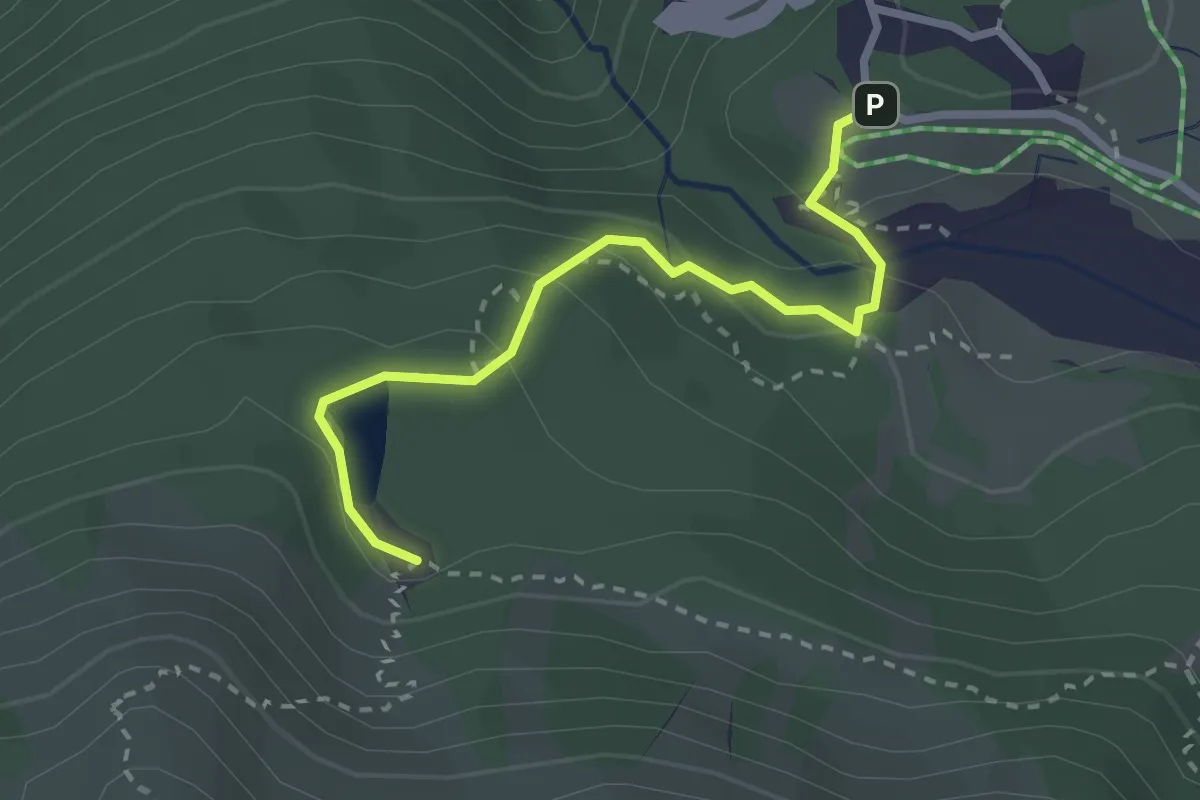
Medium · Trail
Orden / Diga – Lägh da Bitabergh
2.6 km · ↑ 105 m · 51 min
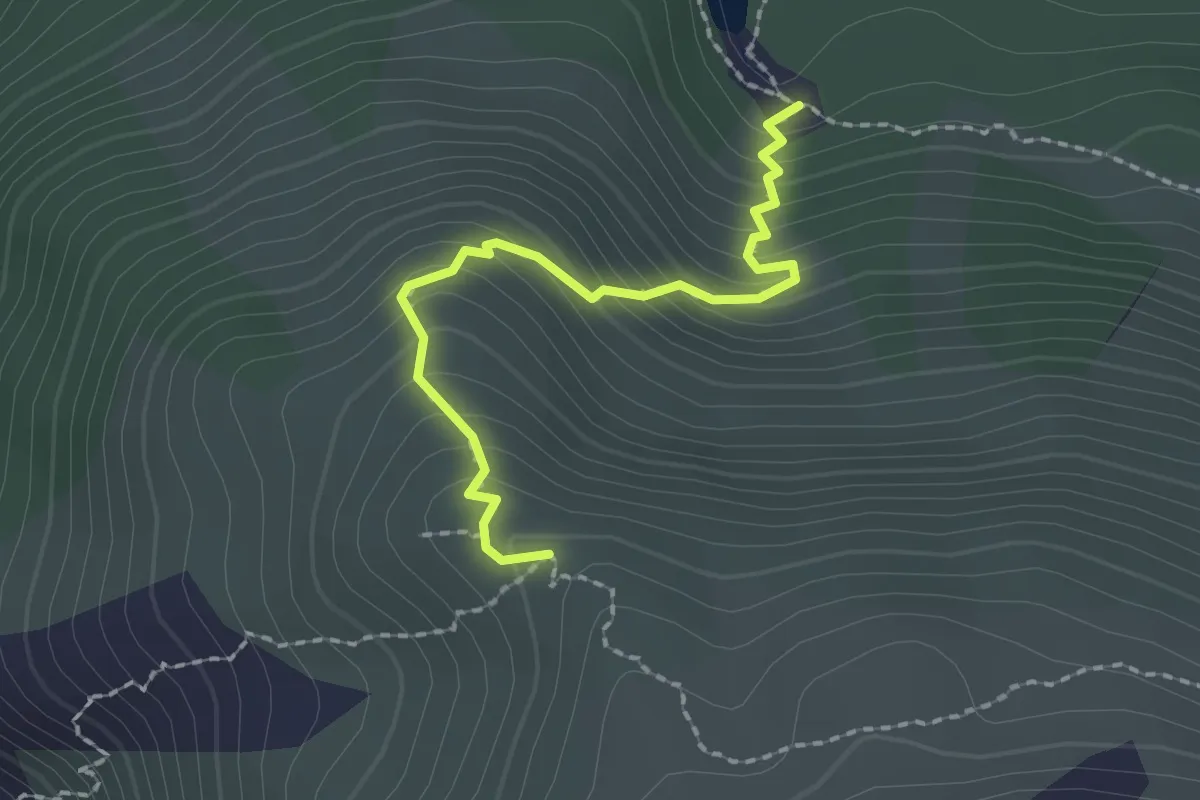
Medium · Trail
Lägh da Bitabergh – Motta Salacina
2.0 km · ↑ 220 m · 57 min
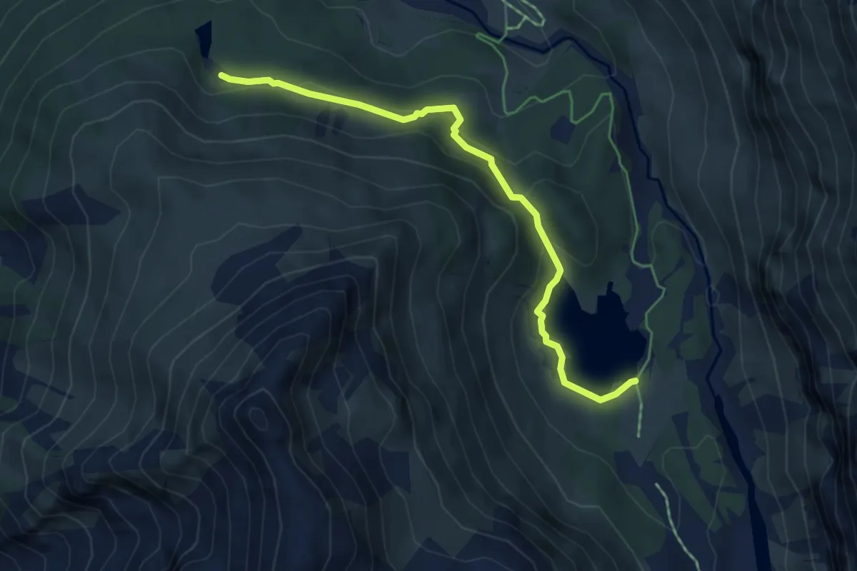
Medium · Trail
Lägh da Bitabergh – Lägh da Cavloc
5.1 km · ↑ 226 m · 1 h 41 min
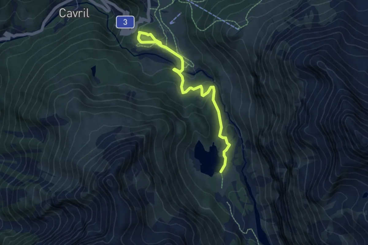
Easy · Trail
Orden / Diga – Lägh da Cavloc
7.0 km · ↑ 206 m · 2 h 7 min
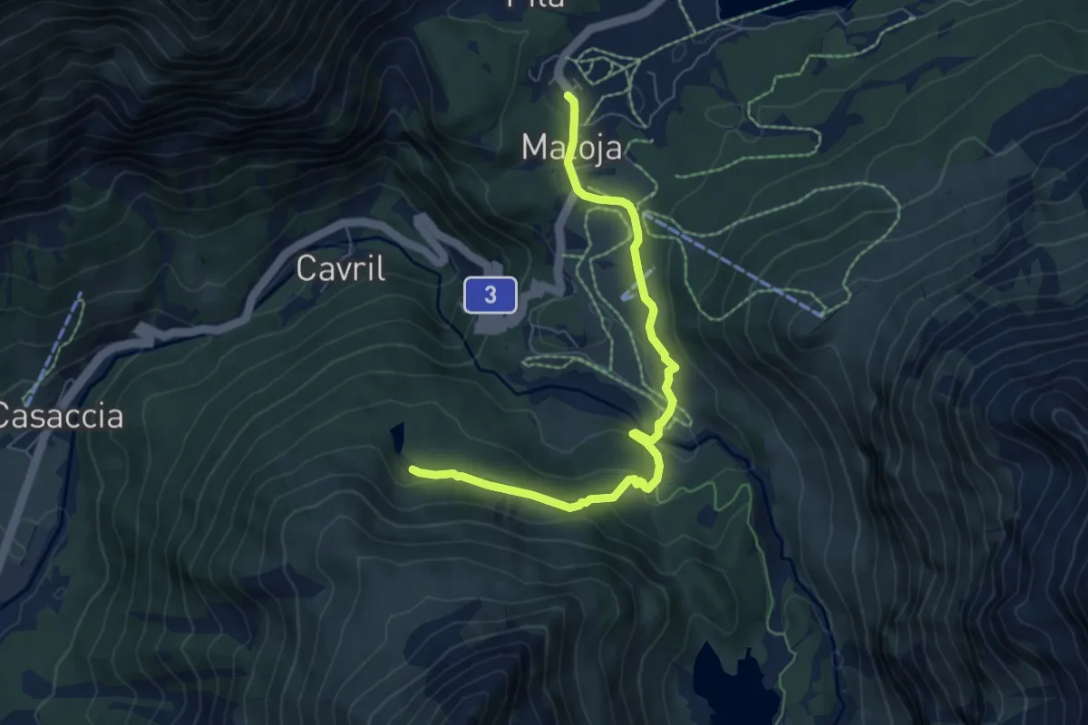
Medium · Trail
Maloja Posta – Lägh da Bitabergh
6.8 km · ↑ 229 m · 2 h 6 min
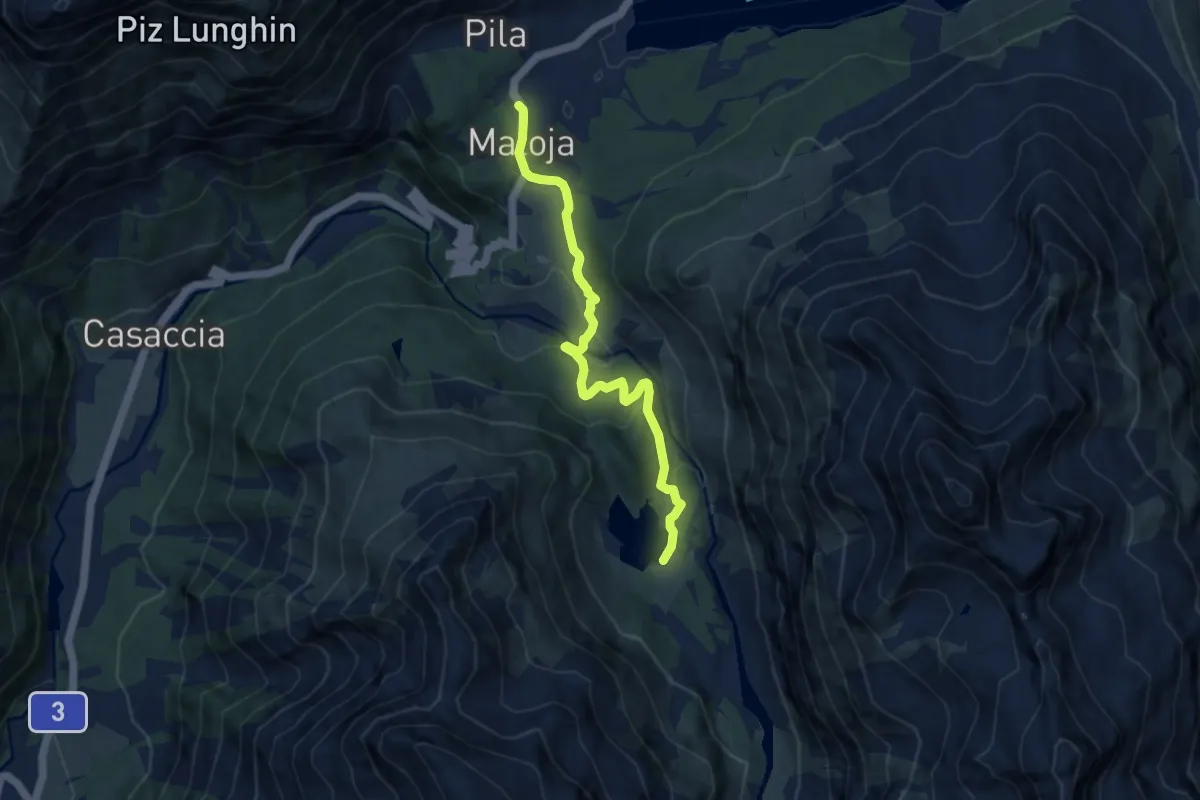
Medium · Trail
Maloja Posta – Lägh da Cavloc
8.2 km · ↑ 239 m · 2 h 27 min
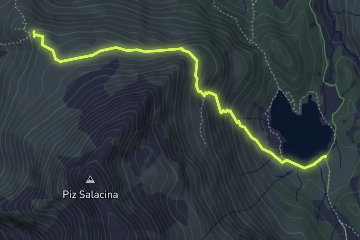
Medium · Trail
Lägh da Cavloc – Motta Salacina
5.0 km · ↑ 345 m · 1 h 55 min
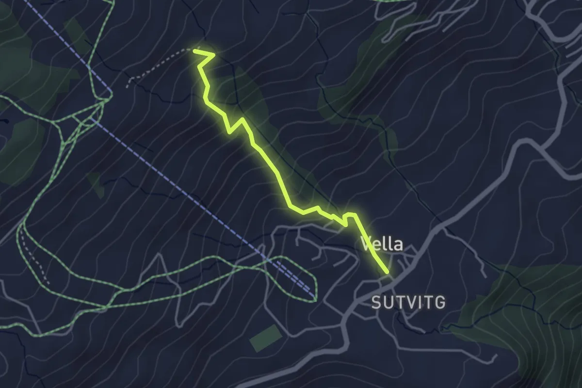
Medium · Trail
Triel – Vella
3.2 km · ↑ 308 m · 1 h 26 min
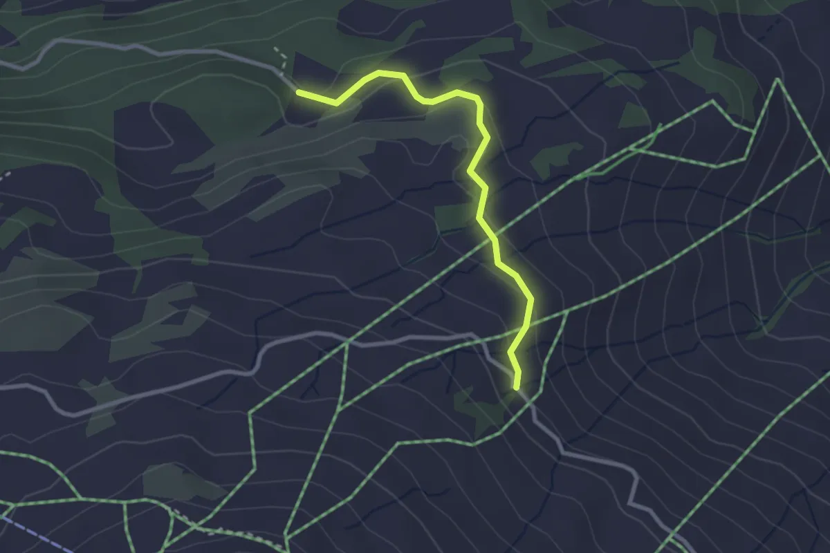
Easy · Trail
Valmata – Ruschneras
2.6 km · ↑ 112 m · 51 min
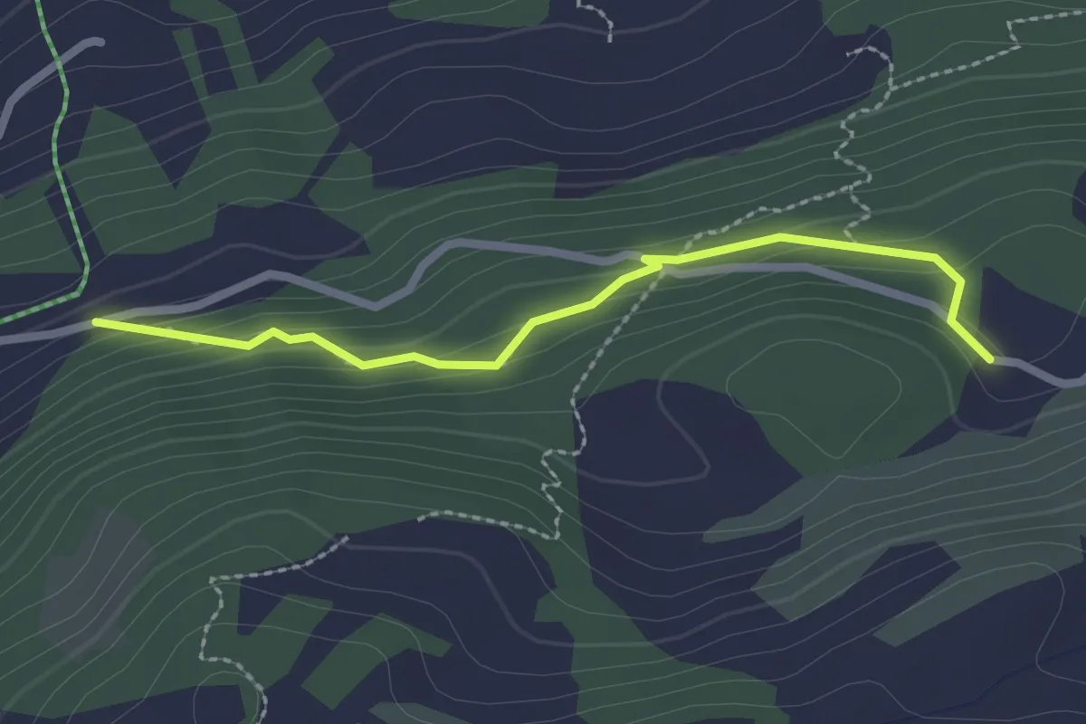
Medium · Trail
Waldegg – Valmata
2.3 km · ↑ 138 m · 50 min
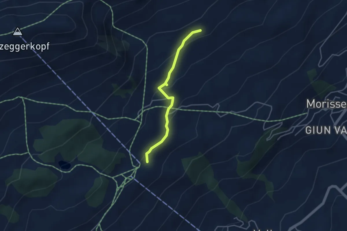
Easy · Trail
Alp Sogn Carli – Triel
3.1 km · ↑ 152 m · 1 h 4 min
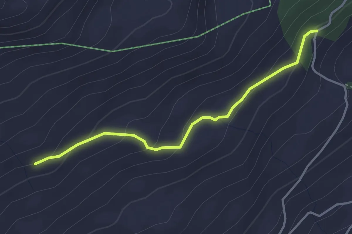
Easy · Trail
Sogn Carli – Alp Sogn Carli
3.1 km · ↑ 131 m · 1 h 1 min
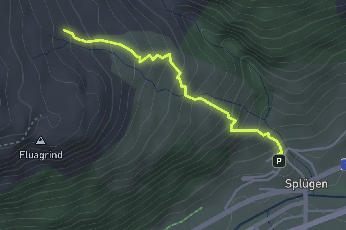
Medium · Trail
Splügen – Grossbärg
2.7 km · ↑ 338 m · 1 h 22 min
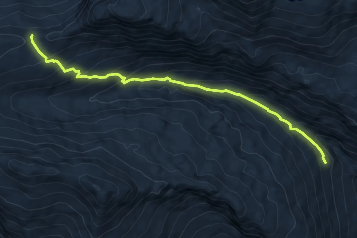
Medium · Trail
Stutzalp – Safienberg
7.5 km · ↑ 490 m · 2 h 50 min
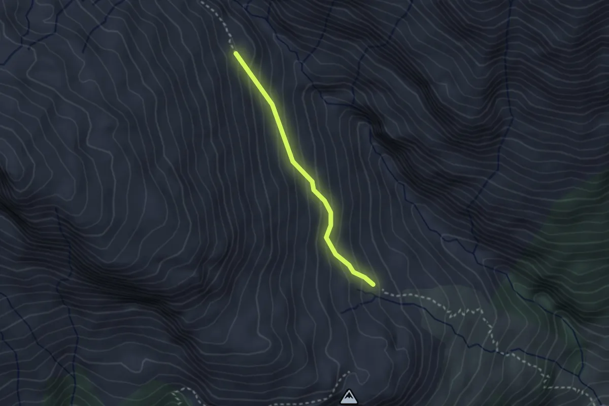
Medium · Trail
Grossbärg – Stutzalp
2.2 km · ↑ 192 m · 57 min
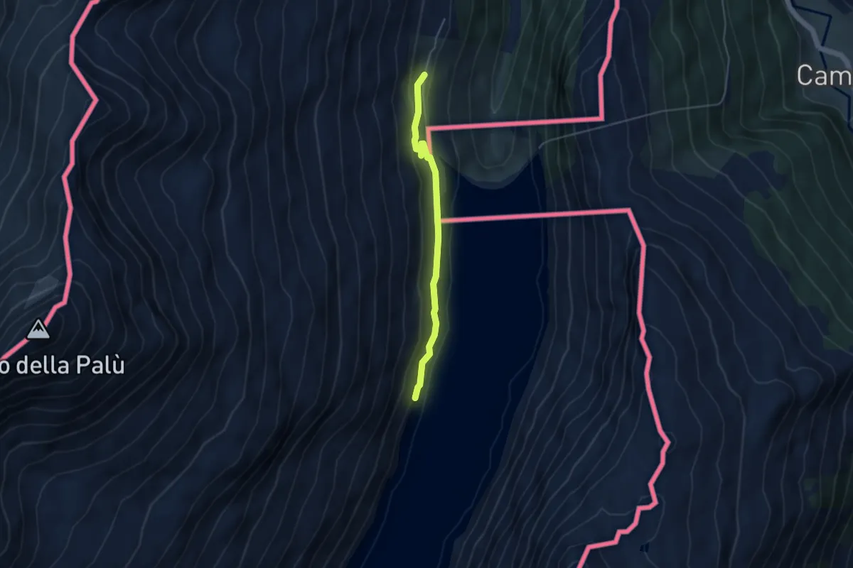
Easy · Trail
Borgonuovo – Confine
3.9 km · ↑ 178 m · 1 h 18 min
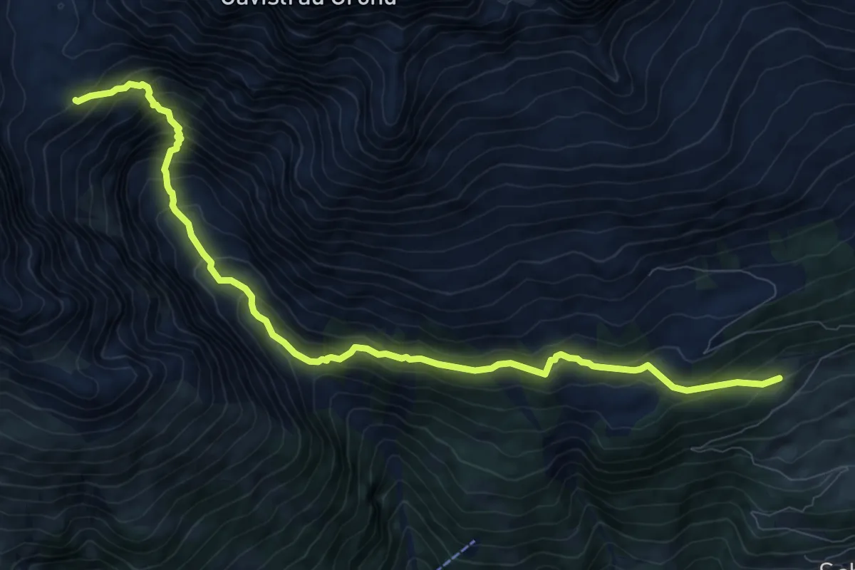
Demanding · Cabin
Alp da Schlans – Cna. da Punteglias CAS
10.9 km · ↑ 1018 m · 4 h 47 min
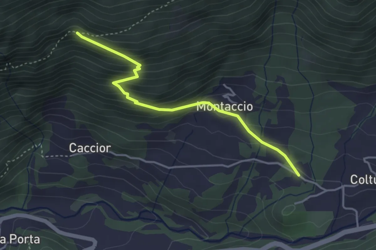
Medium · Trail
Stampa – Parlong
3.5 km · ↑ 297 m · 1 h 29 min
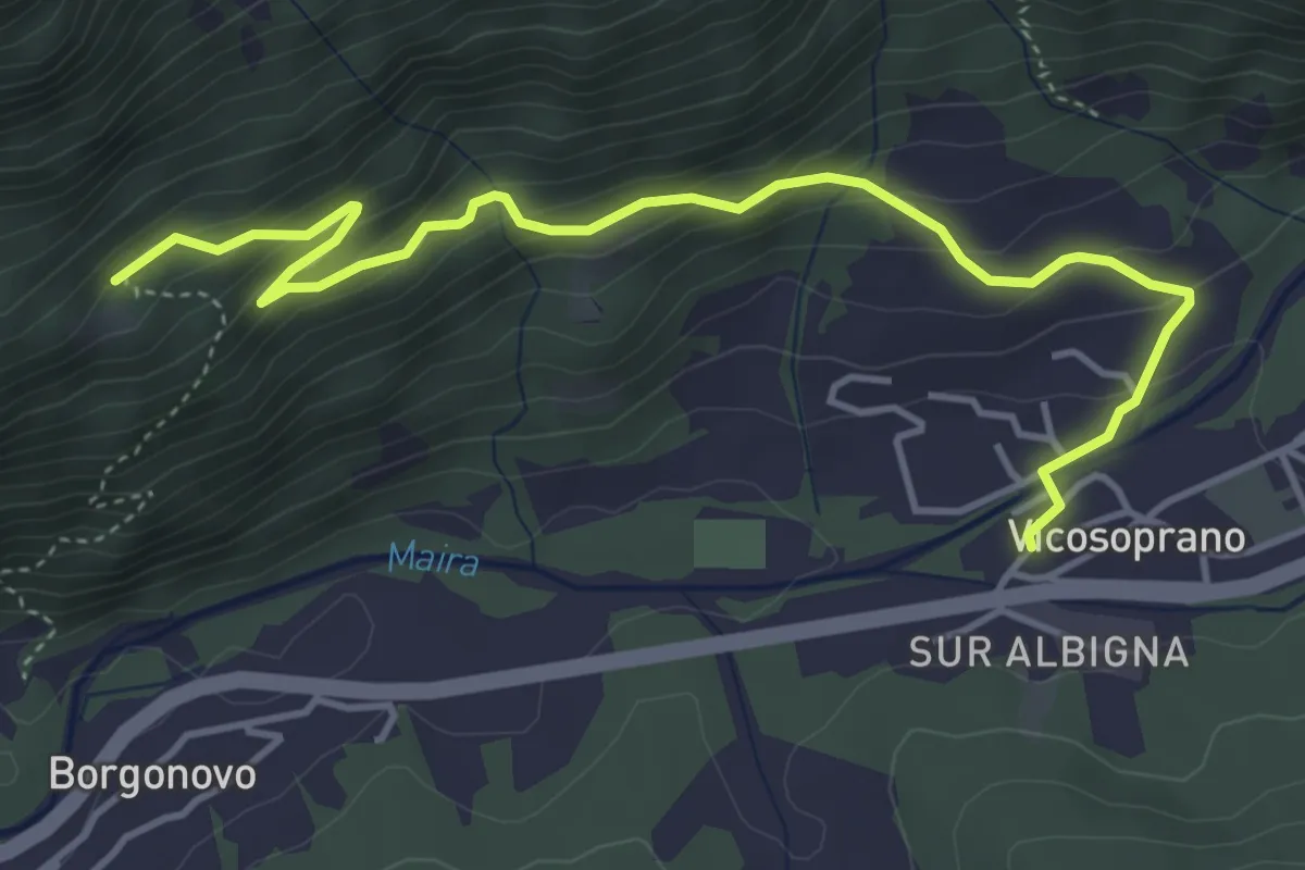
Medium · Trail
Vicosoprano – Brügnet
5.0 km · ↑ 361 m · 1 h 58 min
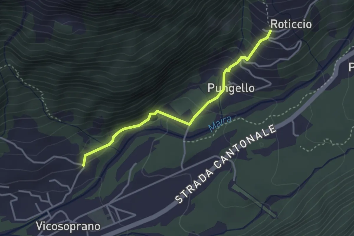
Easy · Trail
Vicosoprano – Roticcio
3.0 km · ↑ 220 m · 1 h 12 min