Trails in Switzerland
15,055 hiking trails, each with its route, climb, walking time and grade.
All trails, page 223 of 314
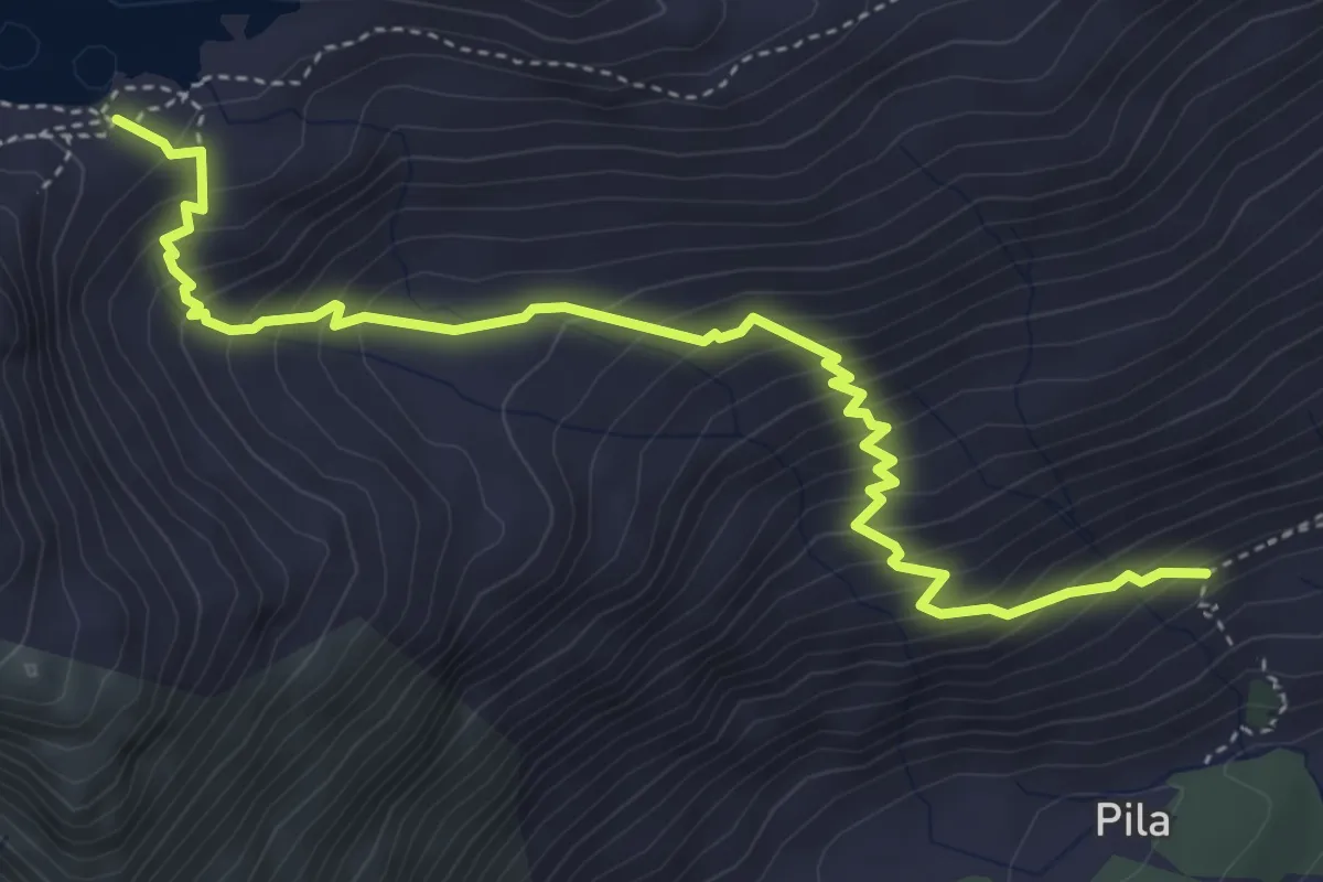
Medium · Trail
Plan Di Zoch – Lägh dal Lunghin
5.1 km · ↑ 525 m · 2 h 21 min
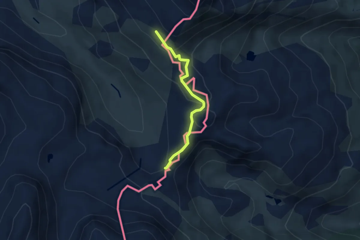
Medium · Trail
Innesto Sentiero 342 – Innesto Sentiero 301
3.0 km · ↑ 129 m · 59 min
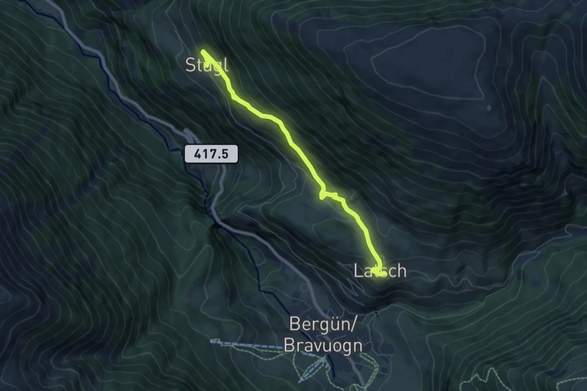
Medium · Trail
Stuls/Stugl – Latsch
6.1 km · ↑ 295 m · 2 h 6 min
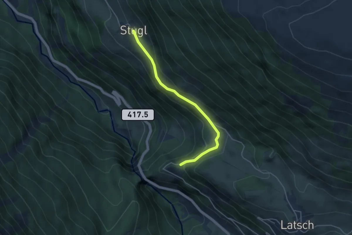
Easy · Trail
Pentsch – Stuls
3.6 km · ↑ 132 m · 1 h 8 min
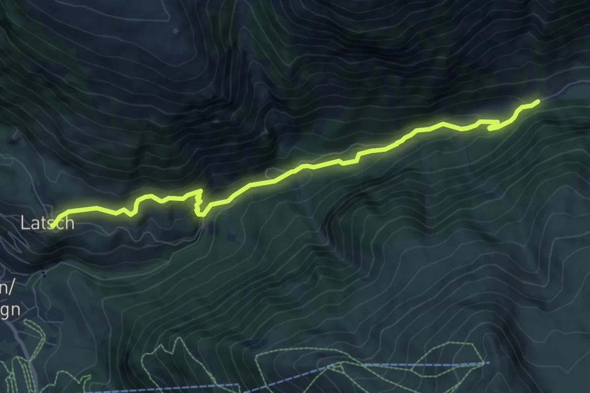
Medium · Trail
Latsch – Tuors Davant
9.1 km · ↑ 426 m · 3 h 5 min
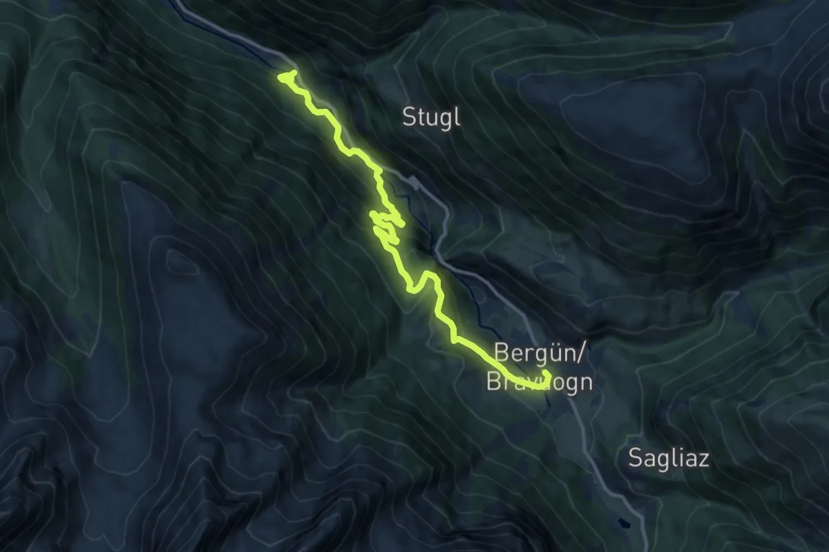
Medium · Trail
Bergün – Bellaluna
12.3 km · ↑ 680 m · 4 h 22 min
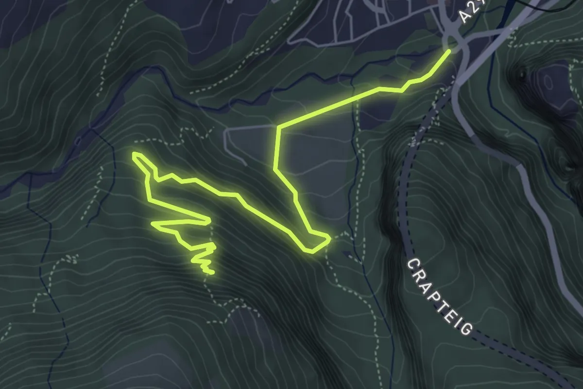
Demanding · Trail
Übernolla – Ruine Ober Tagstein
7.0 km · ↑ 522 m · 2 h 48 min
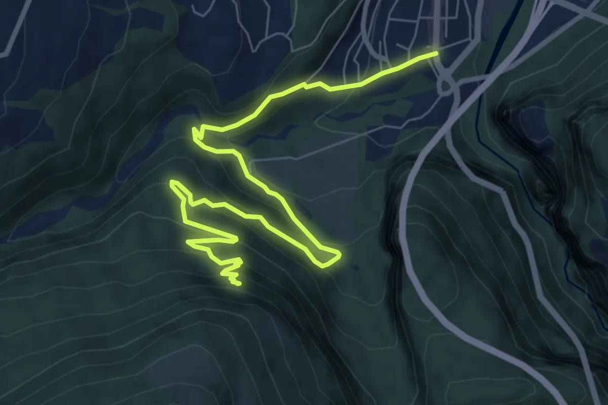
Demanding · Trail
Ruine Ober Tagstein – Thusis
8.9 km · ↑ 583 m · 3 h 22 min
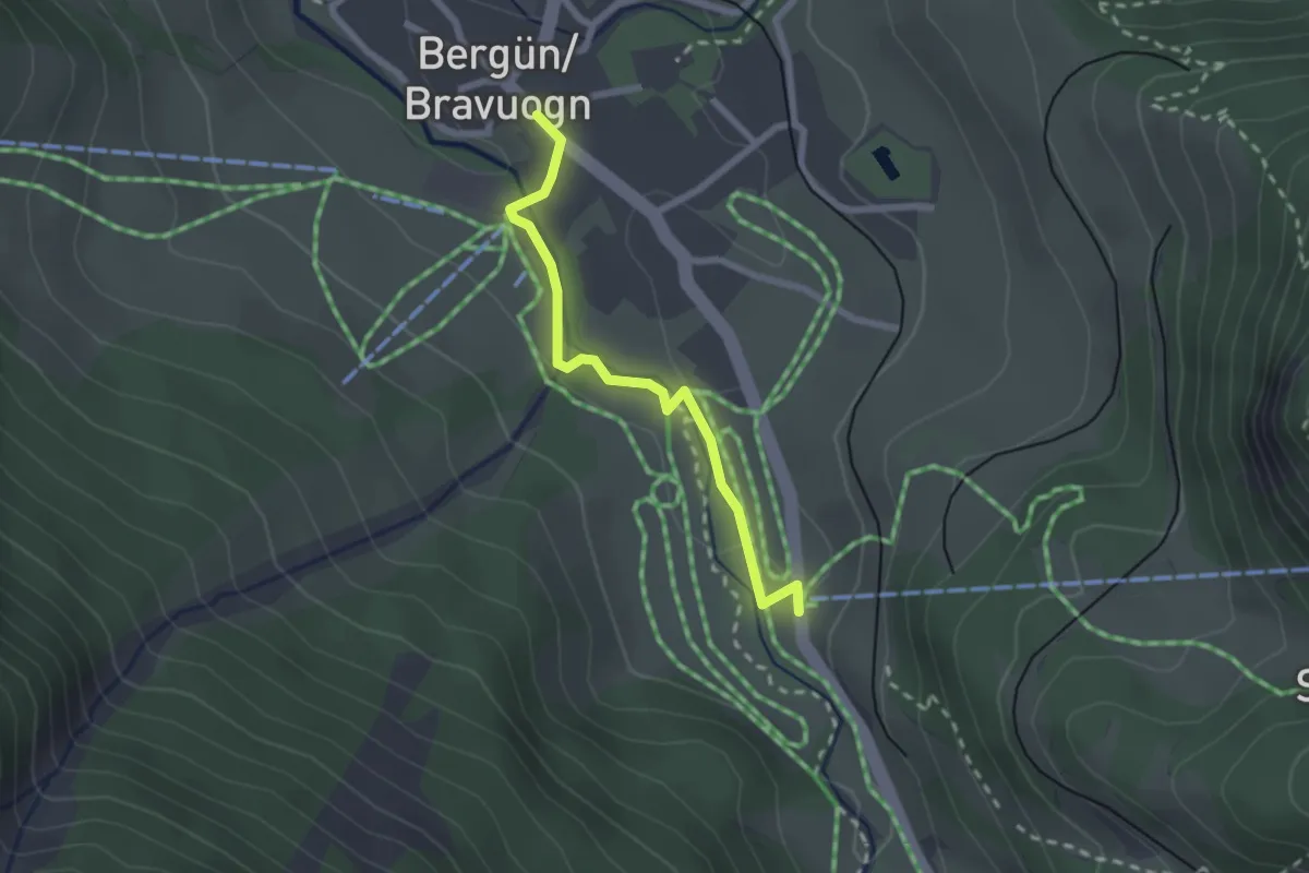
Medium · Trail
Bergün – Darlux Talstation
2.2 km · ↑ 18 m · 33 min
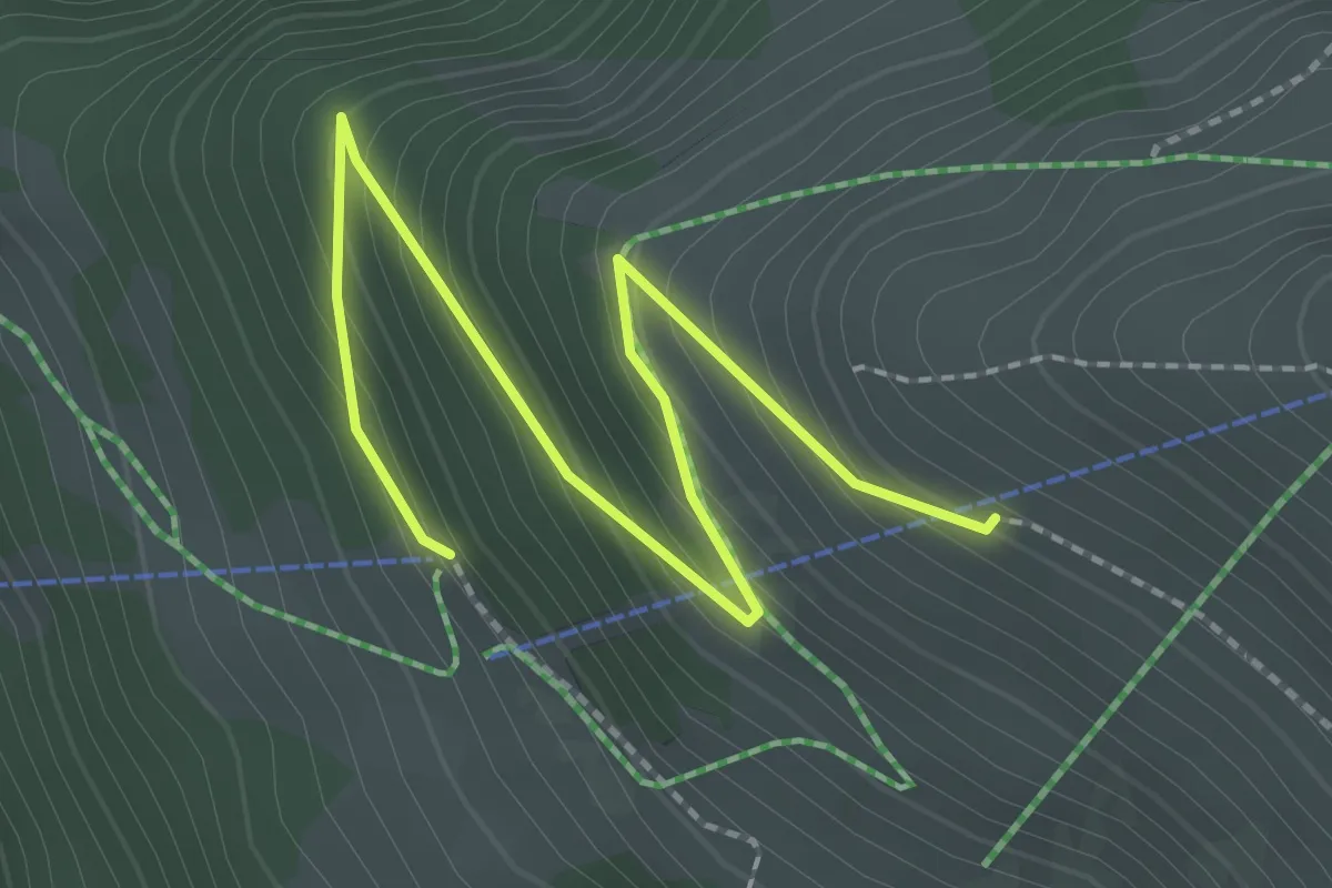
Easy · Trail
Darlux Bergstation – Alp Darlux
2.7 km · ↑ 195 m · 1 h 4 min
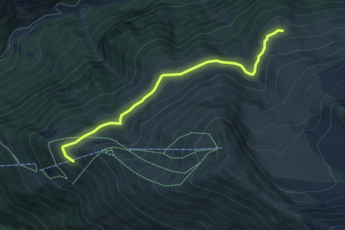
Medium · Trail
Alp Darlux – Alp Muotta Sur
6.2 km · ↑ 243 m · 1 h 59 min
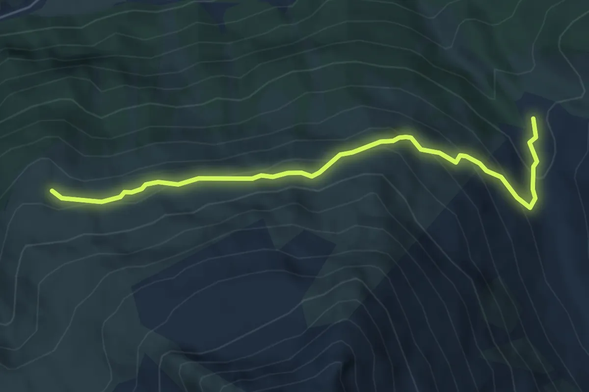
Medium · Trail
Alp Muotta Sur – Alp digl Chant
5.7 km · ↑ 352 m · 2 h 6 min
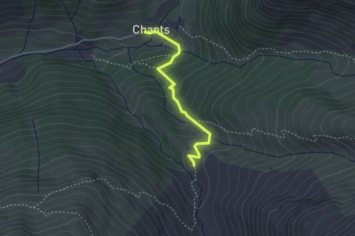
Medium · Trail
Alp digl Chant – Chants
2.8 km · ↑ 178 m · 1 h 3 min
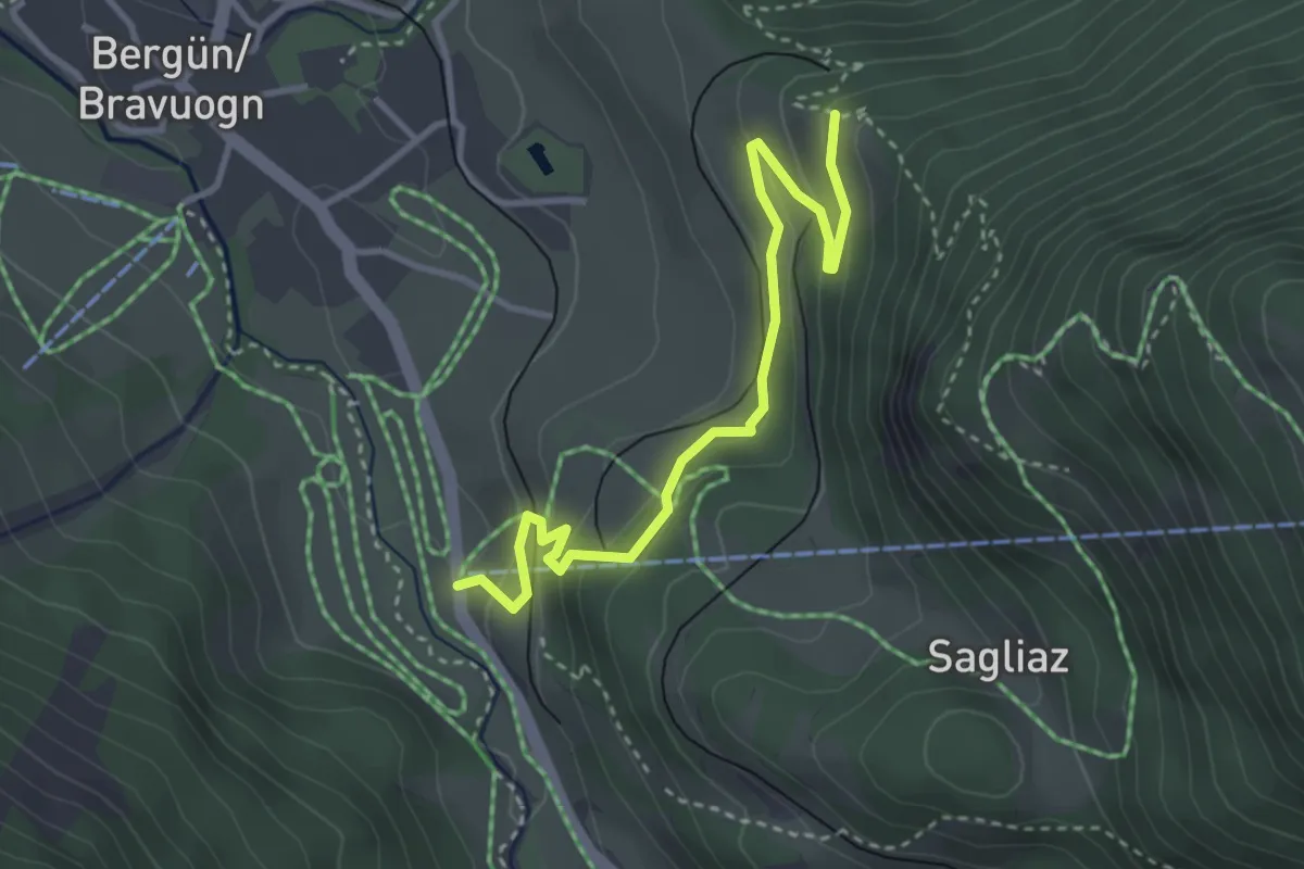
Easy · Trail
Bellavista – Darlux Talstation
3.5 km · ↑ 231 m · 1 h 20 min
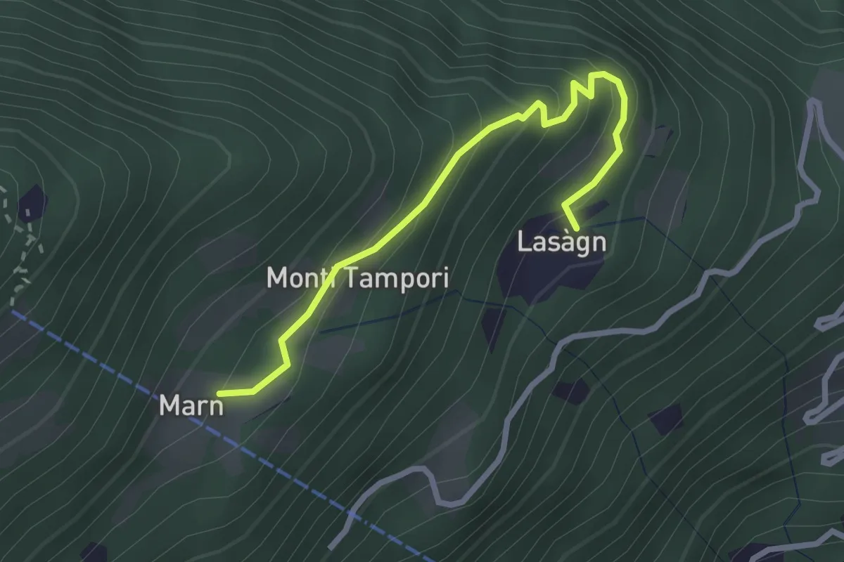
Easy · Trail
Lasagno – Marn
2.6 km · ↑ 256 m · 1 h 9 min
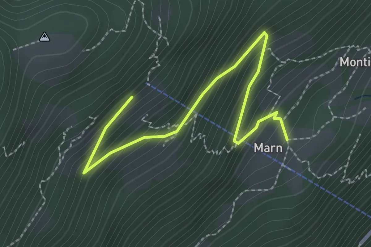
Easy · Trail
Marn – Baltico
2.6 km · ↑ 224 m · 1 h 5 min
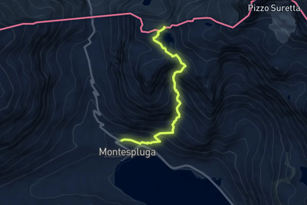
Demanding · Trail
SS 36 - Via Dogana (Montespluga) – Innesto Sentiero 599
5.8 km · ↑ 533 m · 2 h 31 min
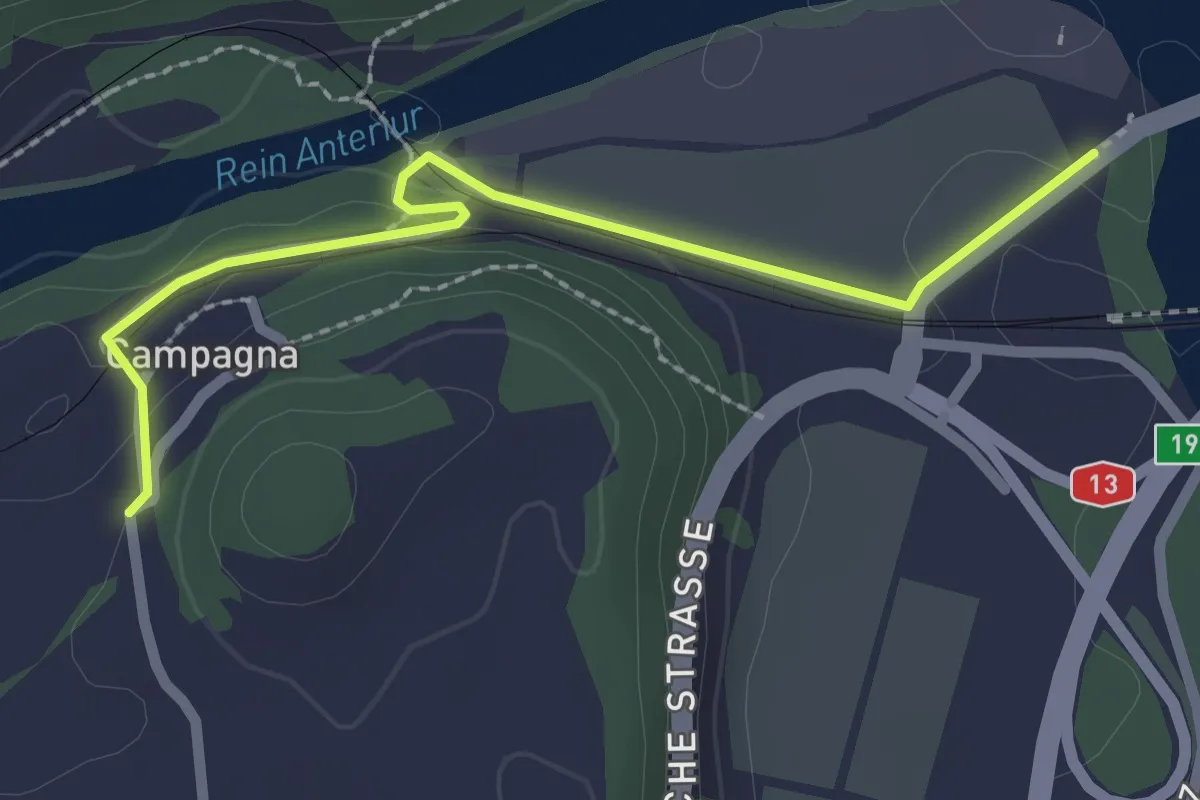
Easy · Trail
Farsch – Campagna
2.4 km · ↑ 60 m · 42 min
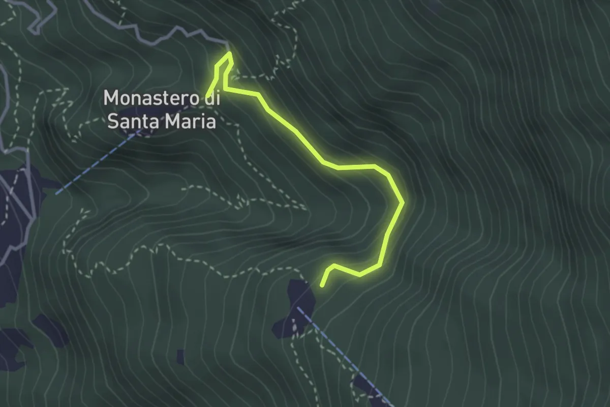
Easy · Trail
Cavri – Monastero S. Maria
2.6 km · ↑ 253 m · 1 h 10 min
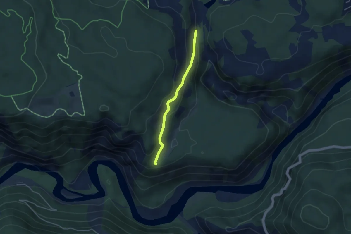
Easy · Trail
Pintrun – Ransun
2.8 km · ↑ 138 m · 58 min
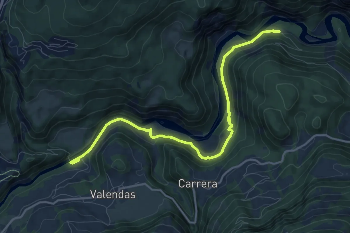
Medium · Trail
Station Versam-Safien – Station Valendas
10.2 km · ↑ 313 m · 3 h 4 min
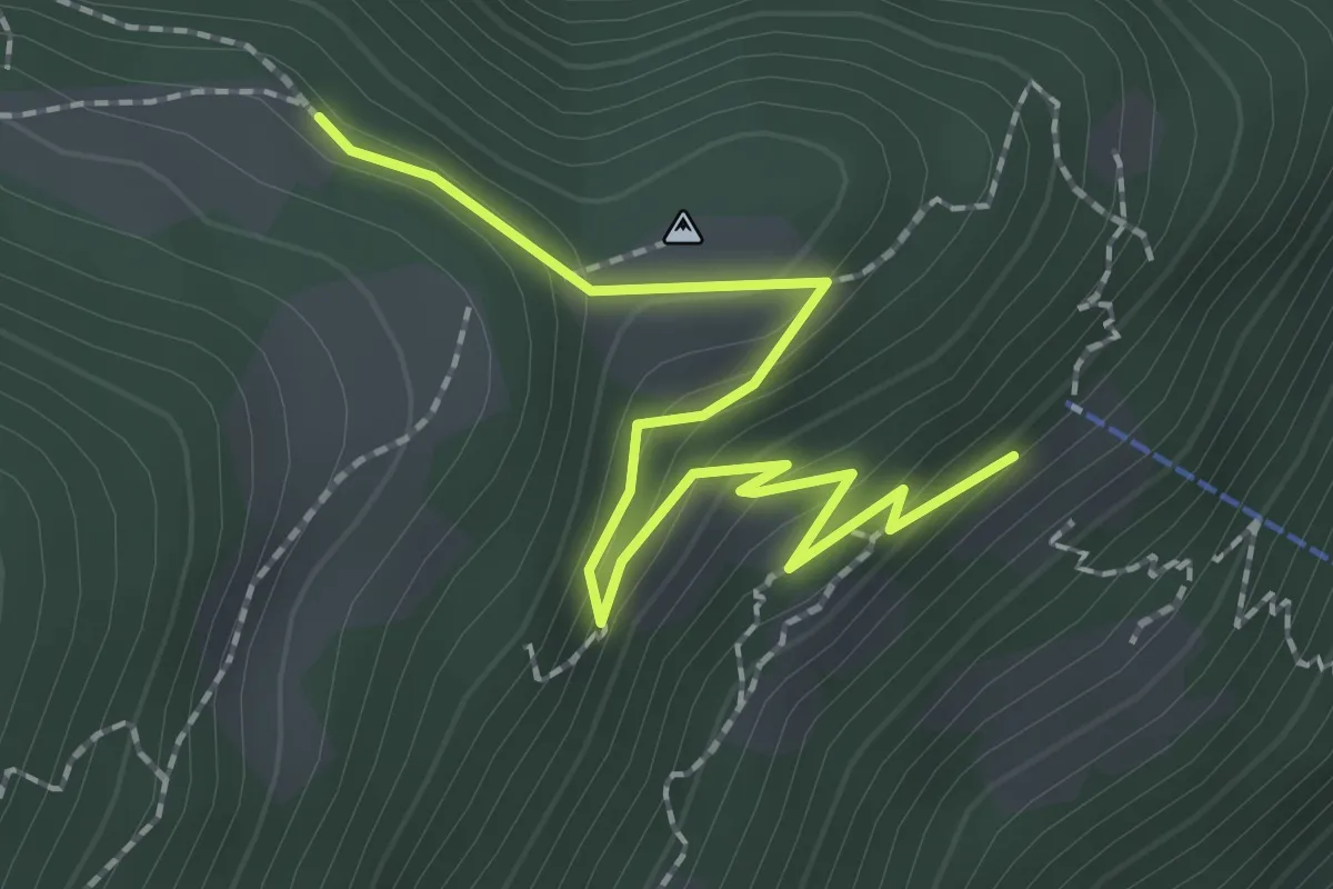
Easy · Trail
Baltico – Monda bivio
2.4 km · ↑ 130 m · 51 min
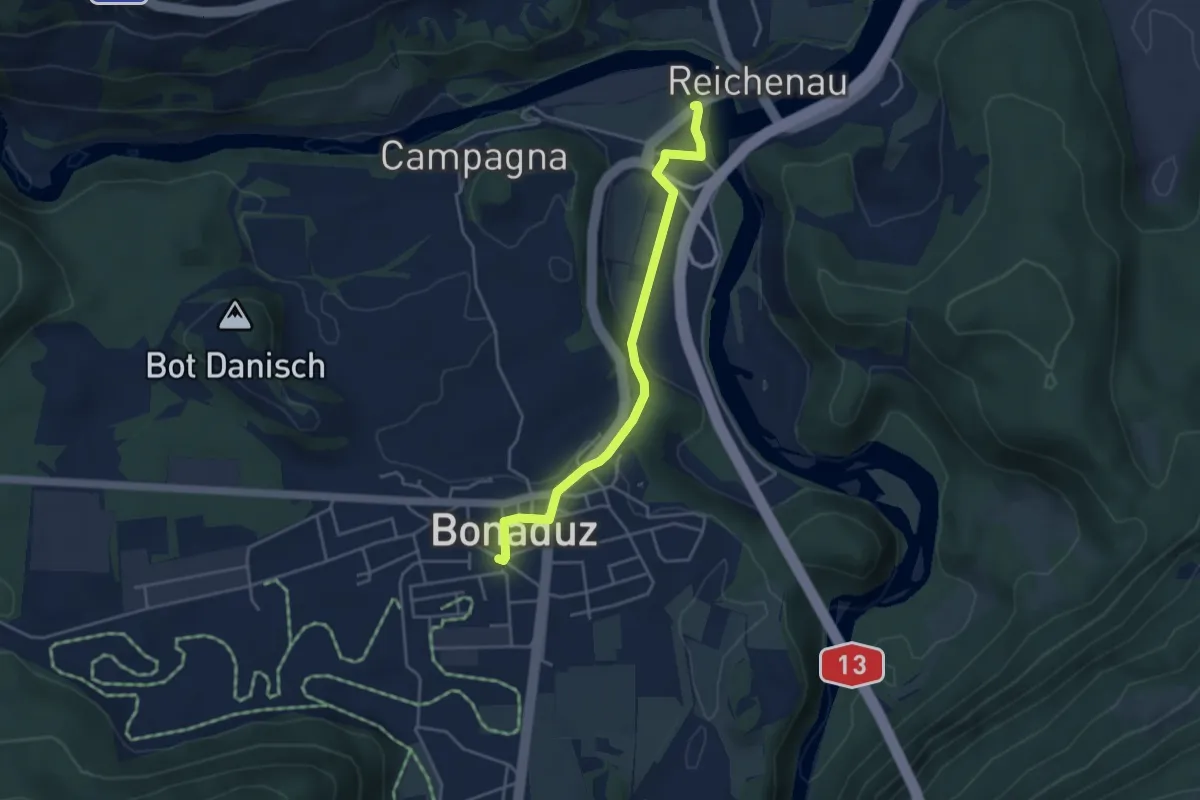
Easy · Trail
Farsch – Bonaduz
4.0 km · ↑ 73 m · 1 h 6 min
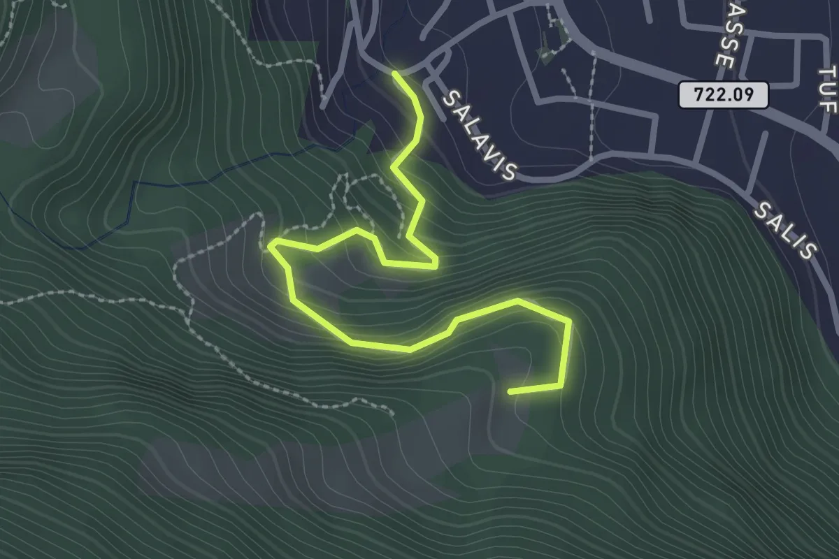
Easy · Trail
Büheli – Fallboden
2.7 km · ↑ 228 m · 1 h 7 min
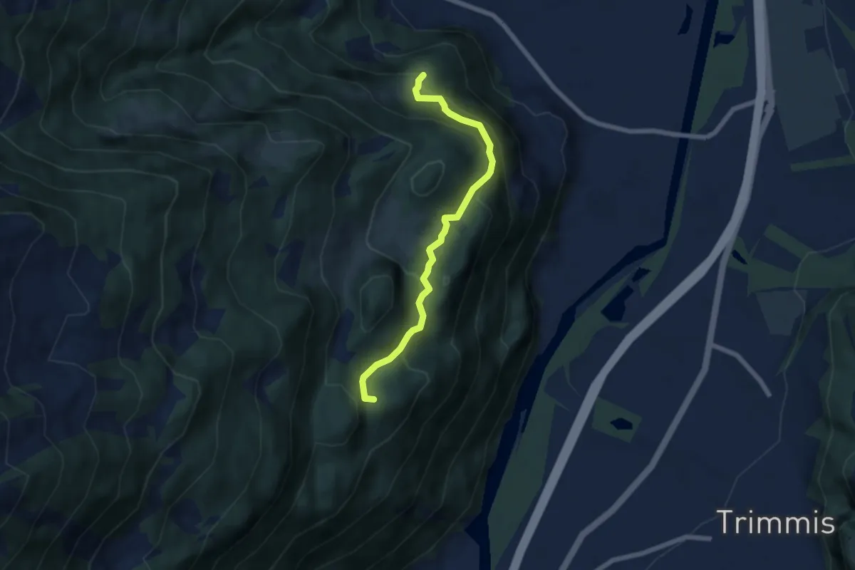
Medium · Summit
Fallboden – Bärenhag
5.7 km · ↑ 418 m · 2 h 15 min
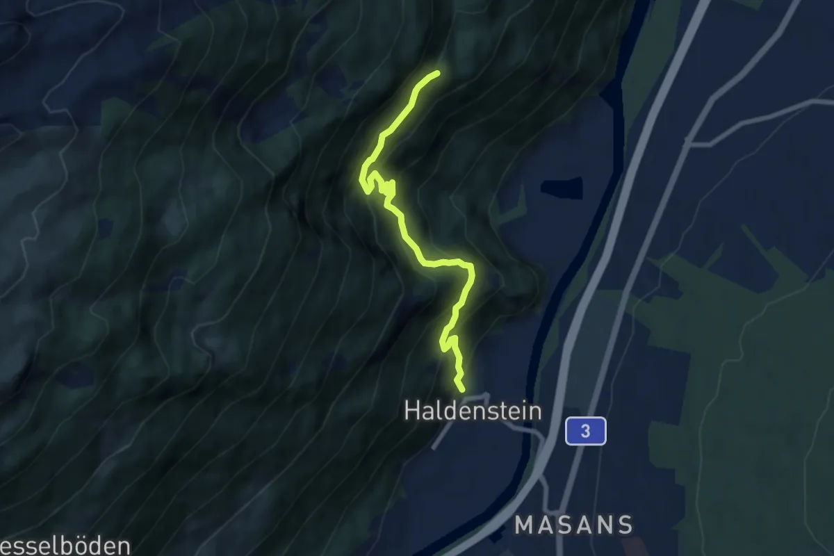
Medium · Trail
Bärenhag – Haldenstein
6.9 km · ↑ 660 m · 3 h 4 min
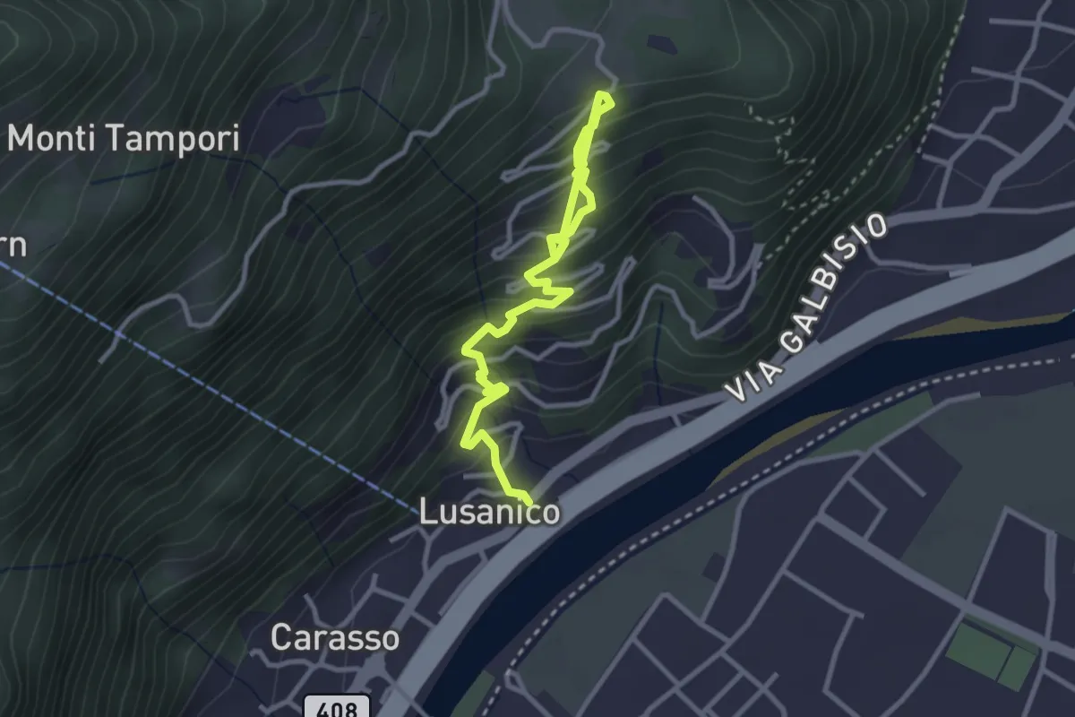
Medium · Trail
Lusanico – Gordola
3.7 km · ↑ 399 m · 1 h 44 min
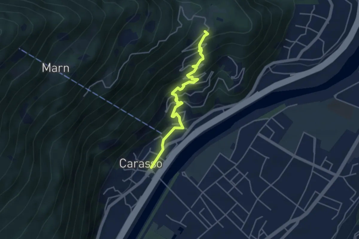
Easy · Trail
Carasso – Gordola
3.7 km · ↑ 310 m · 1 h 33 min
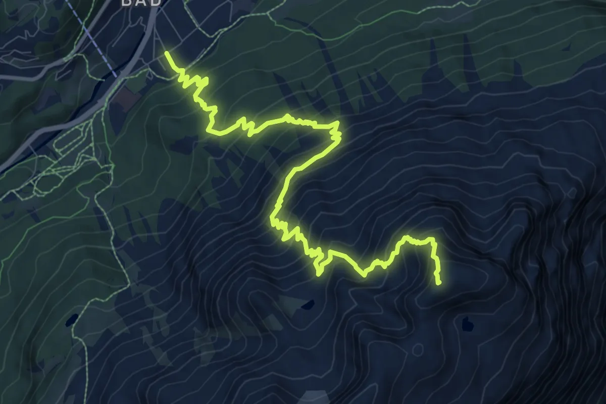
Demanding · Summit
St. Moritz Bad – Piz Mezdi
13.1 km · ↑ 1282 m · 5 h 52 min
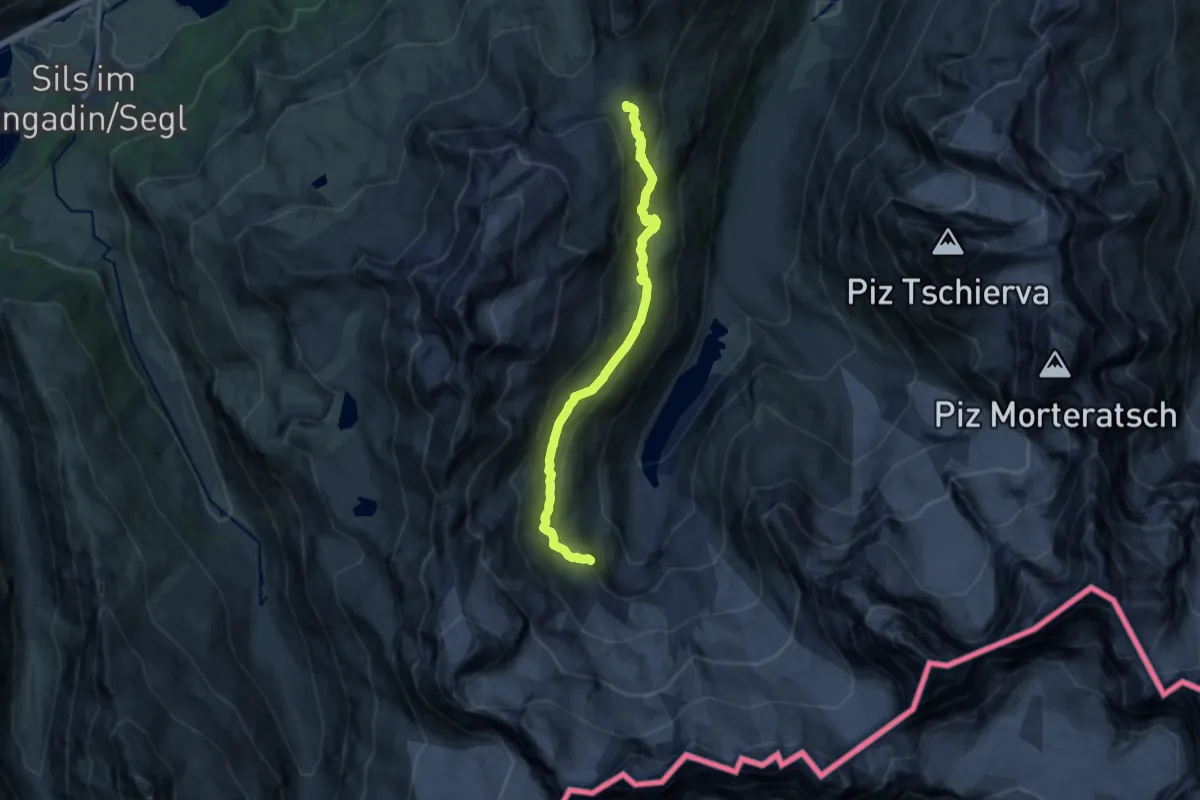
Medium · Cabin
Furoca Surlej – Chamana Coaz
12.6 km · ↑ 603 m · 4 h 17 min
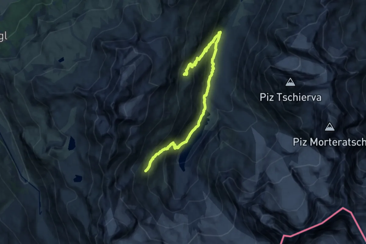
Demanding · Trail
Hotel Restaurant Roseg Gletcher – Plattas
16.2 km · ↑ 1184 m · 6 h 23 min
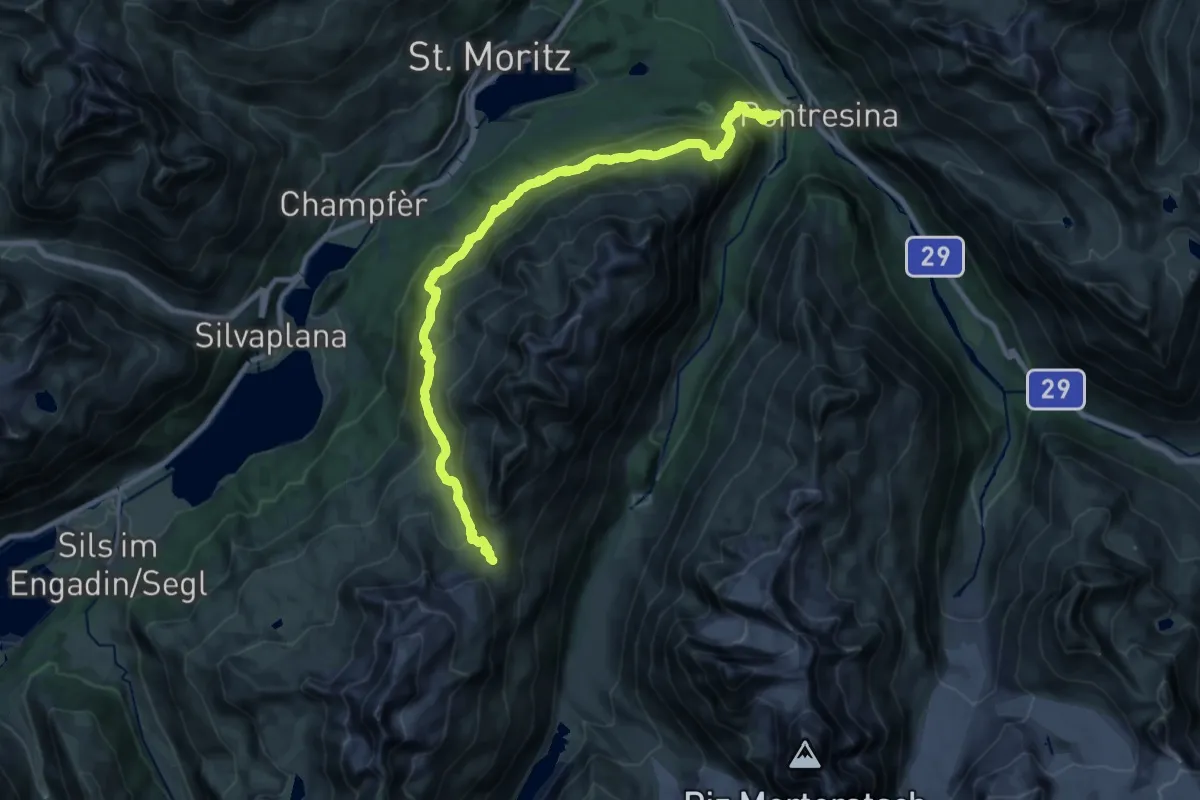
Demanding · Trail
Pontresina – Fuorcla Surlej
13.1 km · ↑ 1271 m · 5 h 34 min
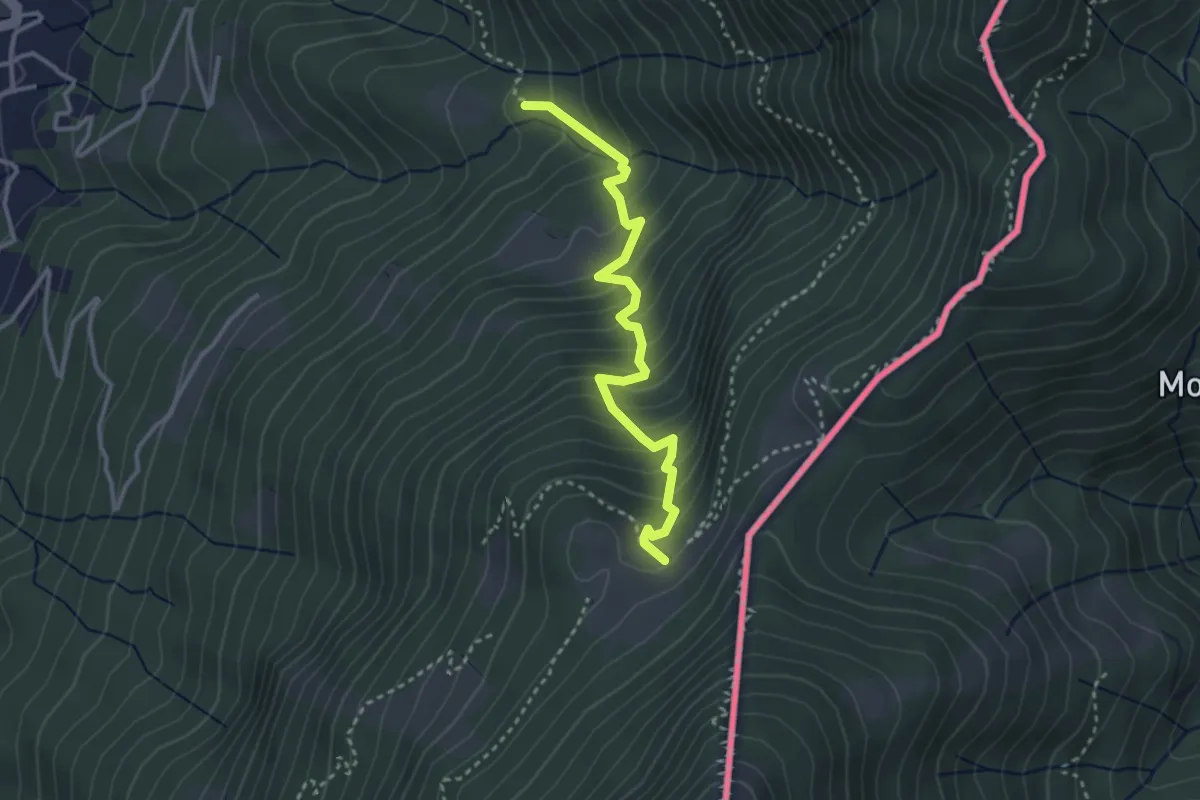
Medium · Cabin
Alpe Bolla – Stabbio
3.2 km · ↑ 370 m · 1 h 34 min
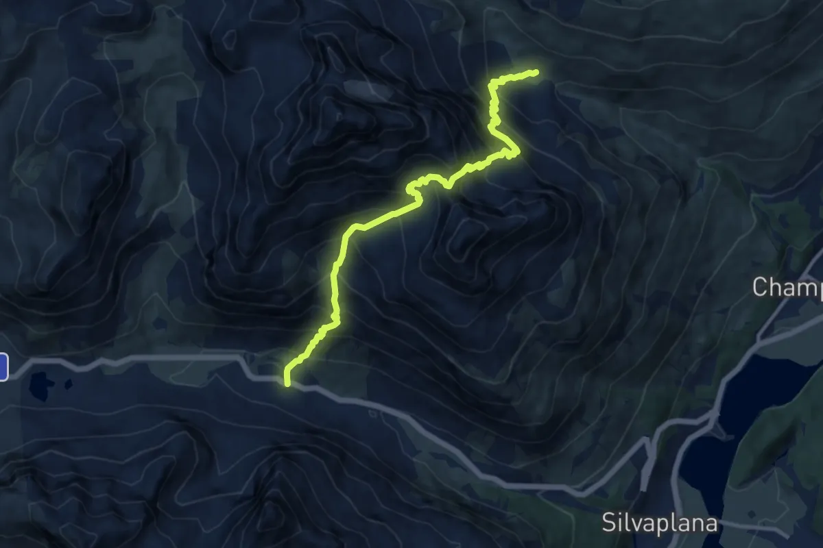
Expert · Trail
Chaschigna – Chamanna dal Stradin
10.6 km · ↑ 1274 m · 5 h 15 min
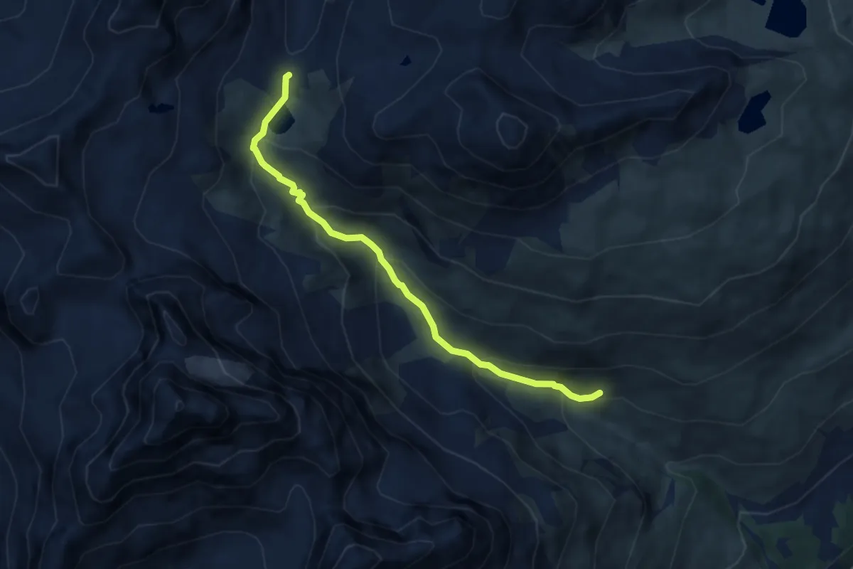
Medium · Cabin
Alp Suvretta – Pass Suvretta
6.9 km · ↑ 434 m · 2 h 34 min
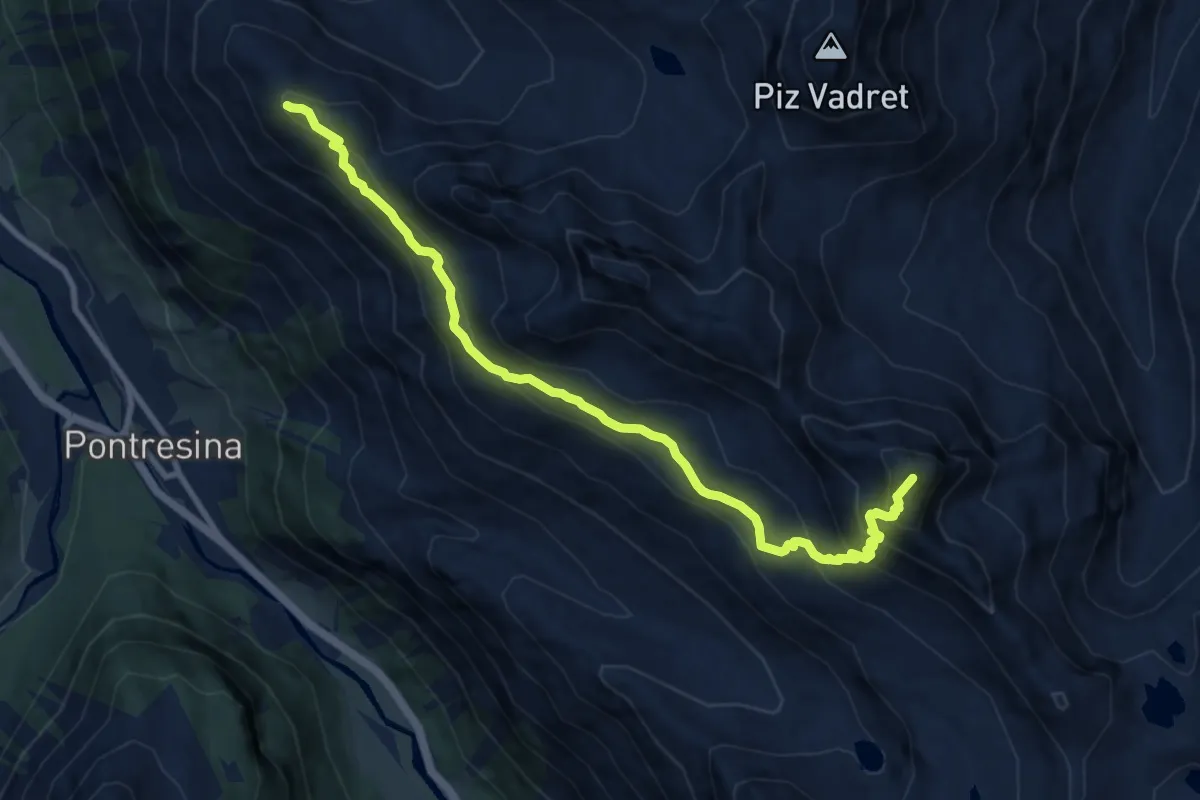
Demanding · Summit
Georgy's Hütte – Chamanna Sagantini
10.7 km · ↑ 811 m · 4 h 17 min
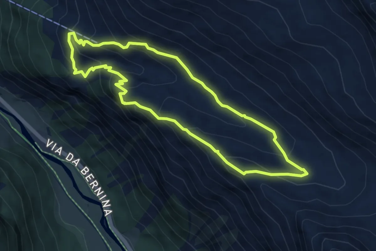
Medium · Trail
Alp Languard – Chamanna Paradis
5.5 km · ↑ 408 m · 2 h 15 min
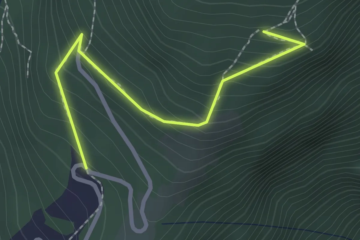
Medium · Trail
Materone – Crus
2.0 km · ↑ 187 m · 53 min
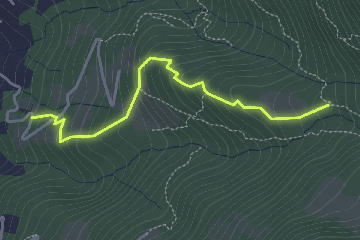
Easy · Trail
Stabbio – Cadro
2.7 km · ↑ 235 m · 1 h 8 min
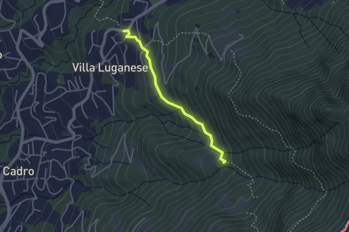
Medium · Trail
Stabbio – Villa Luganese
2.7 km · ↑ 182 m · 1 h 3 min
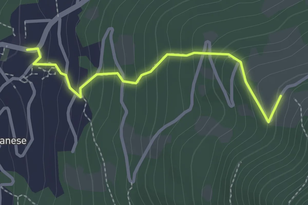
Medium · Trail
Villa Luganese – Creda-Car
2.2 km · ↑ 196 m · 57 min
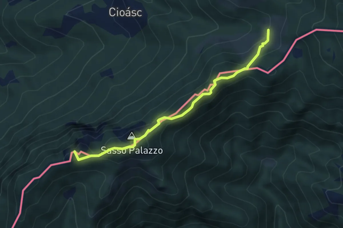
Medium · Summit
Pian di Scagn – Cap. Pairolo
4.7 km · ↑ 224 m · 1 h 36 min
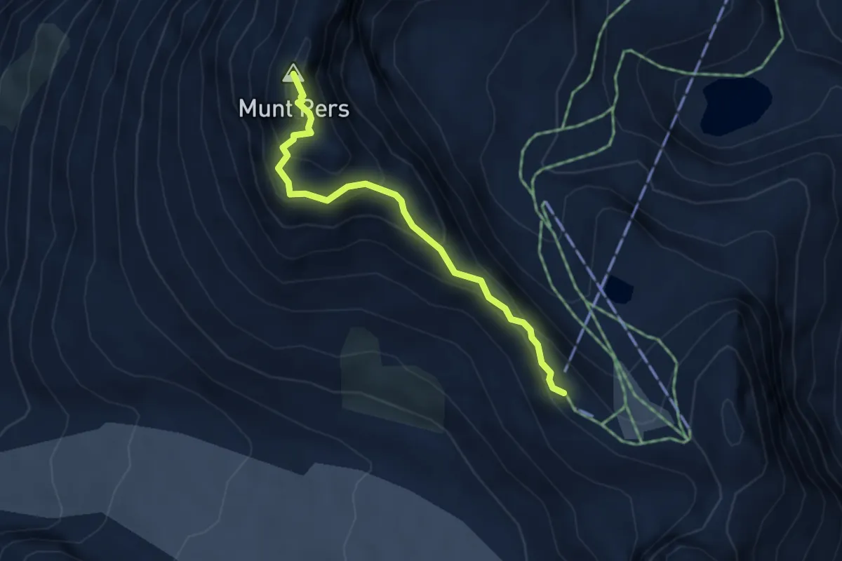
Medium · Summit
Diavolezza – Munt Pers
3.7 km · ↑ 262 m · 1 h 27 min
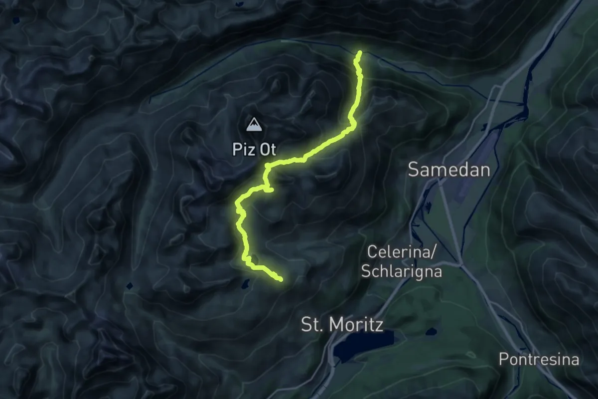
Demanding · Cabin
Spinas – Corviglia
10.2 km · ↑ 1101 m · 4 h 36 min
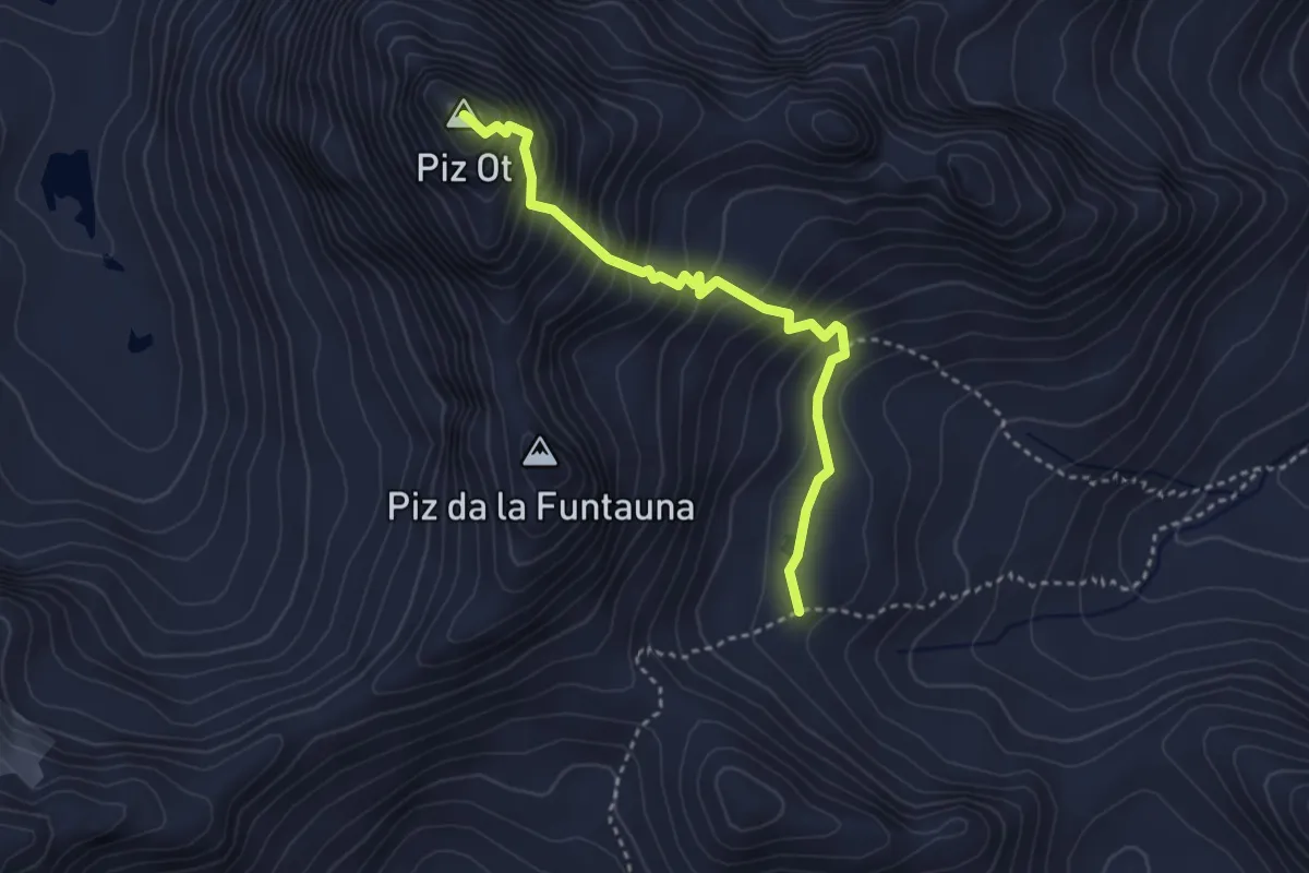
Expert · Summit
Valletta – Piz Ot
3.3 km · ↑ 414 m · 1 h 40 min
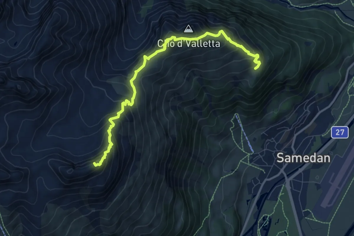
Demanding · Summit
Alp Muntatsch – Marguns
9.5 km · ↑ 845 m · 4 h 4 min
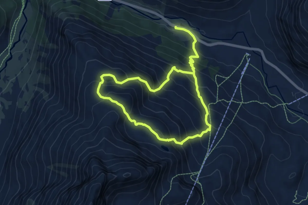
Medium · Trail
Bernina Suot, Bahnhof – Lej da las Collinas
6.1 km · ↑ 432 m · 2 h 32 min
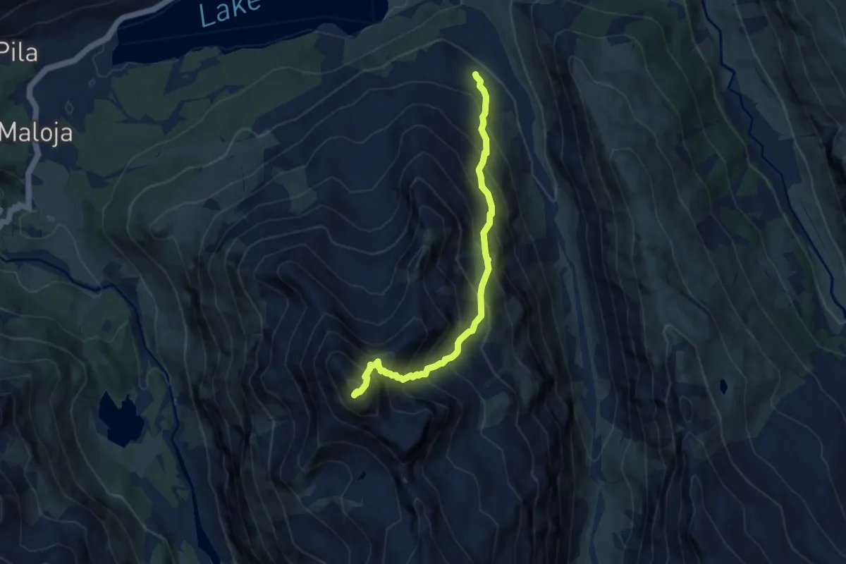
Expert · Summit
Ca d'Starnam – Piz da la Margna
7.7 km · ↑ 1102 m · 4 h 12 min