Trails in Switzerland
15,055 hiking trails, each with its route, climb, walking time and grade.
All trails, page 224 of 314
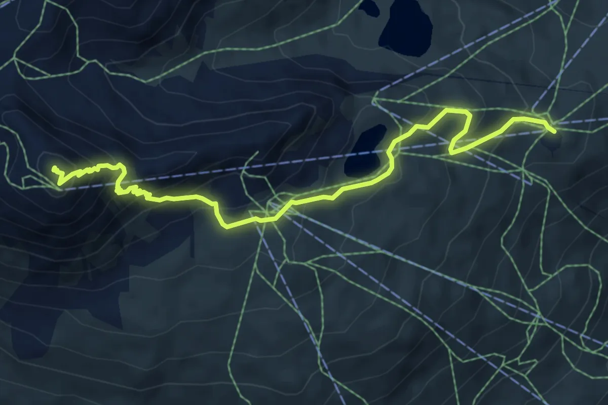
Medium · Summit
Covriglia – Piz Nair
7.4 km · ↑ 539 m · 2 h 55 min
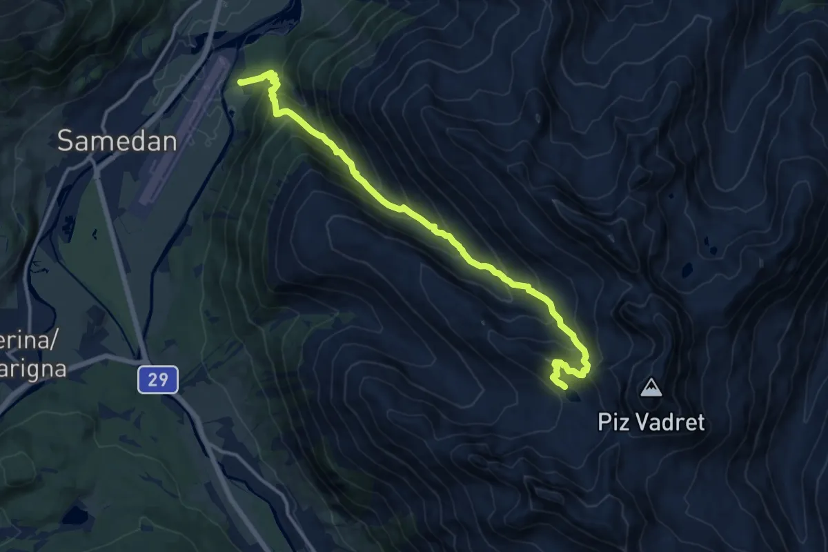
Demanding · Trail
Acla Chuoz – Lej Muragl
13.4 km · ↑ 1147 m · 5 h 39 min
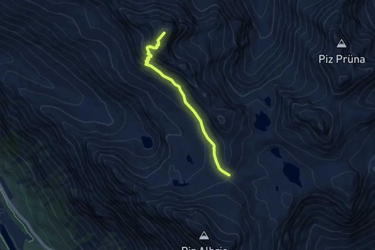
Demanding · Summit
Fuorcla Pischa – Georgy's Hütte
5.6 km · ↑ 425 m · 2 h 15 min
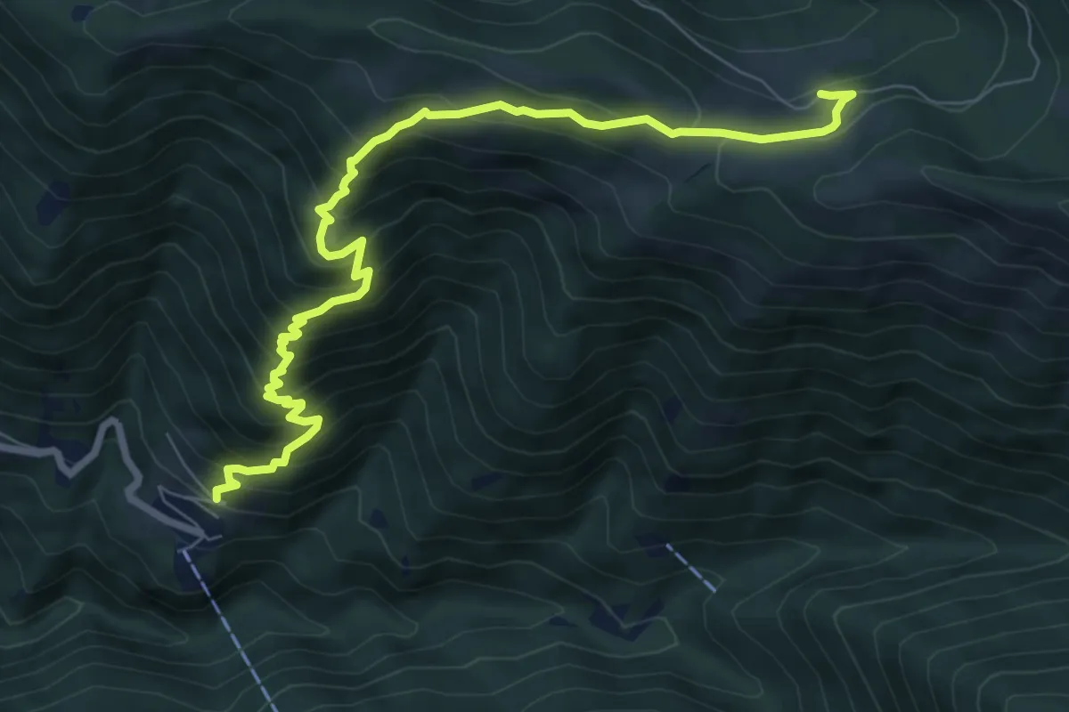
Demanding · Trail
Carena – Alpe di Gesero
8.6 km · ↑ 835 m · 3 h 51 min
Medium · Trail
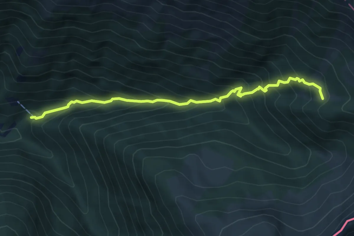
Carena – Giggio
6.3 km · ↑ 671 m · 2 h 56 min
Medium · Cabin
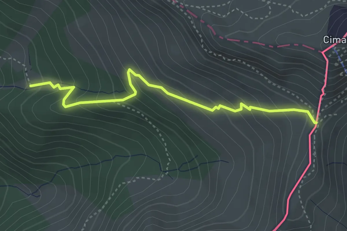
Giggio – Passo San Jorio
3.7 km · ↑ 327 m · 1 h 34 min
Medium · Trail
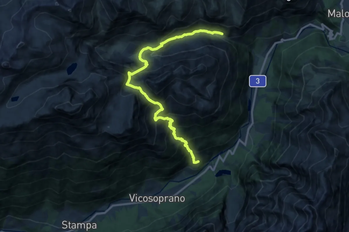
Maroz Dora – Roticcio
9.3 km · ↑ 594 m · 3 h 53 min
Demanding · Trail
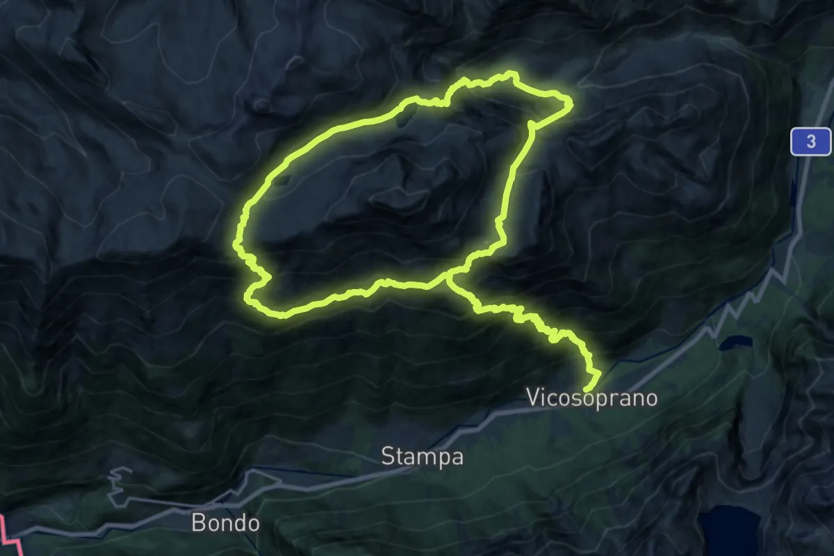
Vicosoprano – Lagh da la Duana
19.3 km · ↑ 2348 m · 9 h 19 min
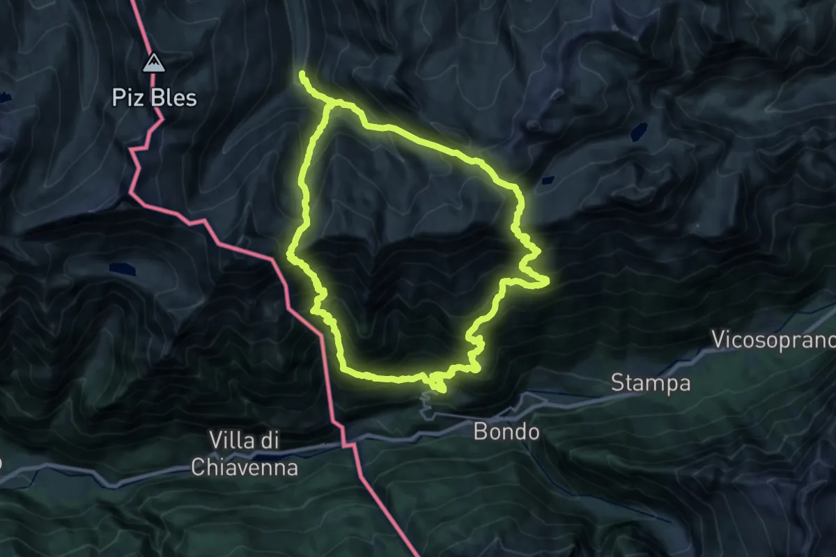
Demanding · Trail
Soglio – Soglio
22.6 km · ↑ 2528 m · 11 h 3 min
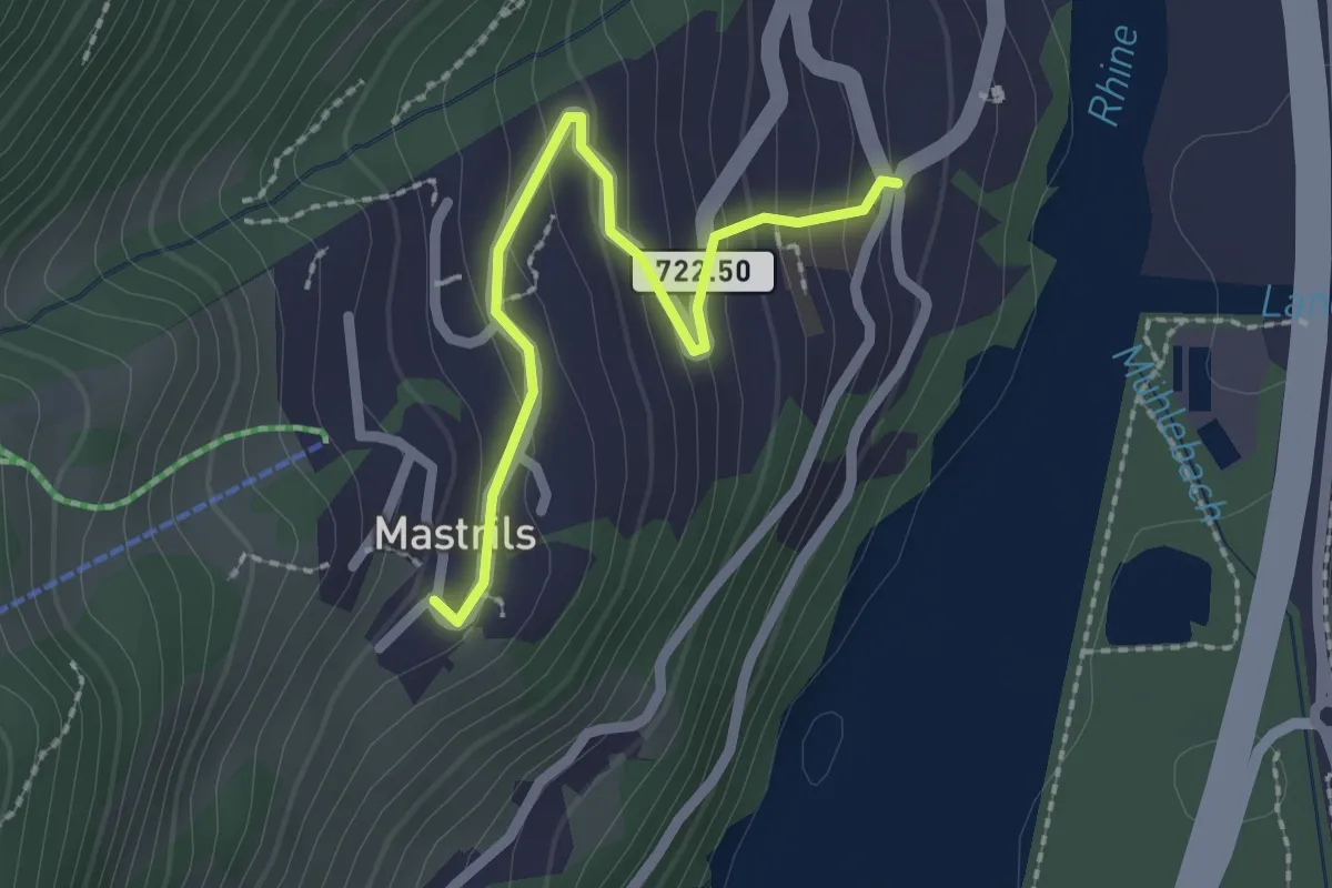
Easy · Trail
Mastrils Rösli – Mastrils Trätsch
2.1 km · ↑ 155 m · 50 min
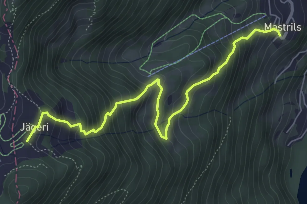
Medium · Trail
Mastril Trätsch – Jägeri
6.1 km · ↑ 632 m · 2 h 49 min
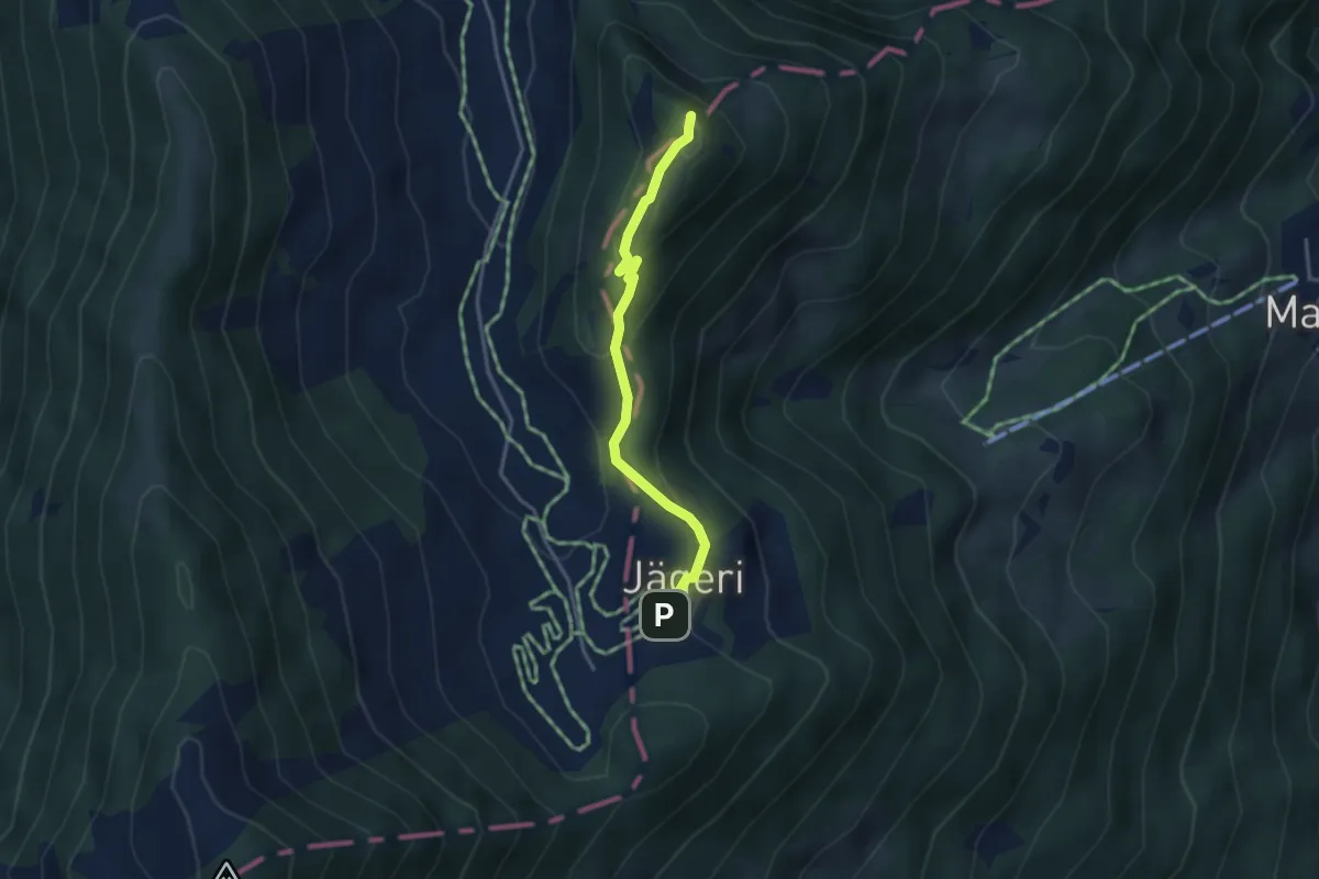
Easy · Summit
Jägeri – Fürggli
3.2 km · ↑ 174 m · 1 h 9 min
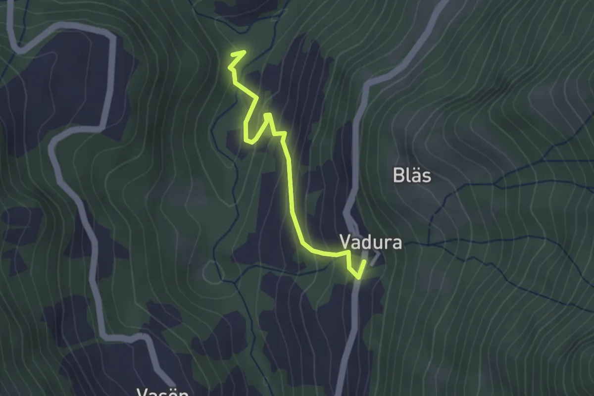
Easy · Trail
Vadura – Rüttenen
2.4 km · ↑ 201 m · 1 h 1 min
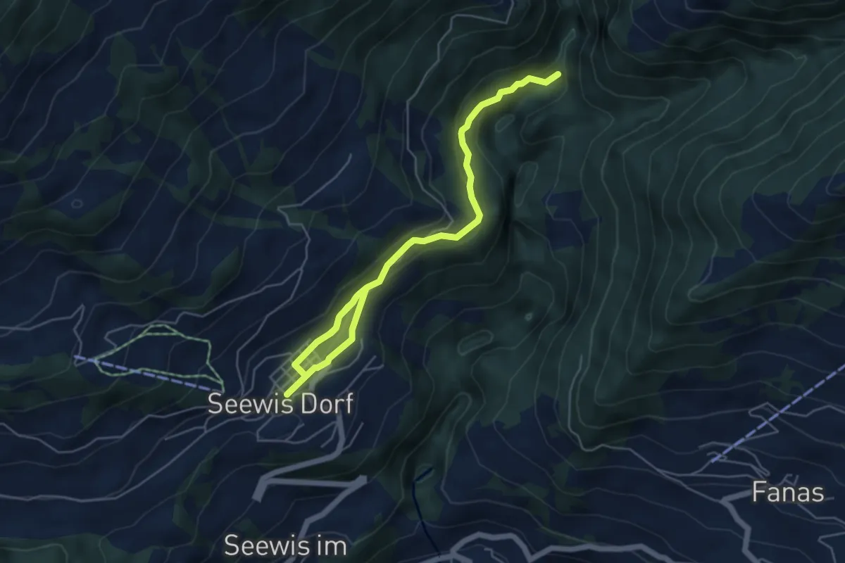
Easy · Trail
Cholplatz – Seewis
6.5 km · ↑ 241 m · 2 h 3 min
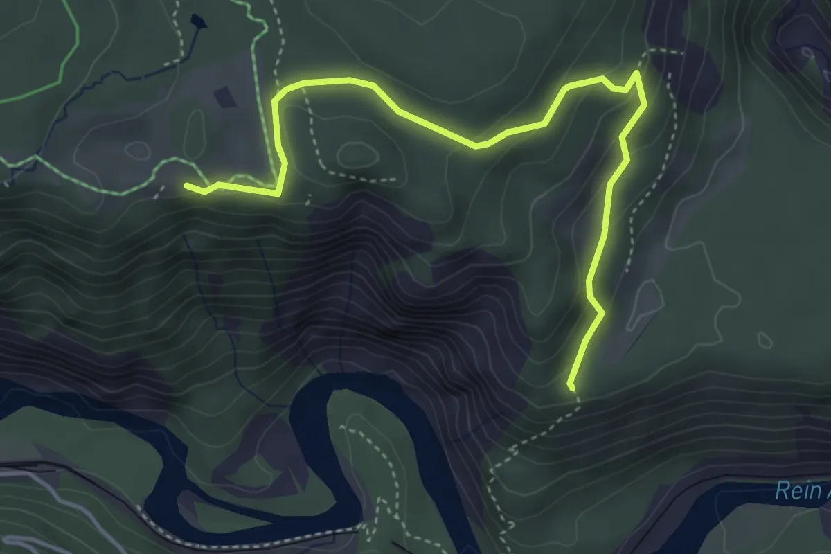
Easy · Trail
Ransun – Conn
4.5 km · ↑ 170 m · 1 h 26 min
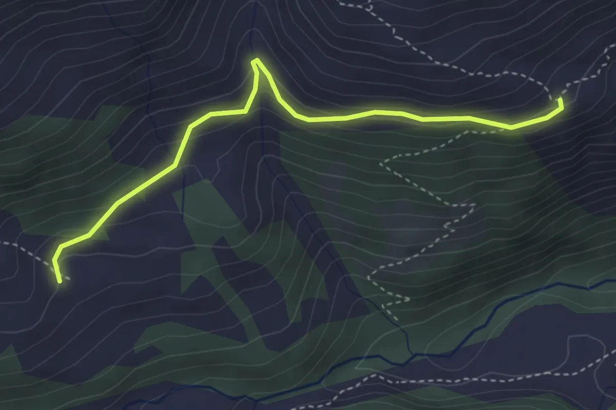
Easy · Trail
Obersäss – Untersäss
3.7 km · ↑ 233 m · 1 h 23 min
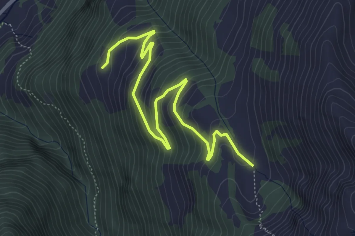
Medium · Trail
Unter Precht – Unter Gamidaur
6.2 km · ↑ 356 m · 2 h 14 min
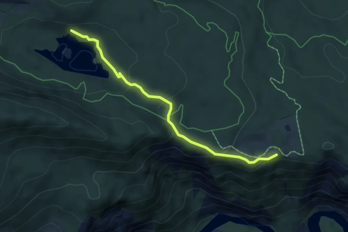
Easy · Trail
Conn – Caumasee
4.4 km · ↑ 159 m · 1 h 22 min
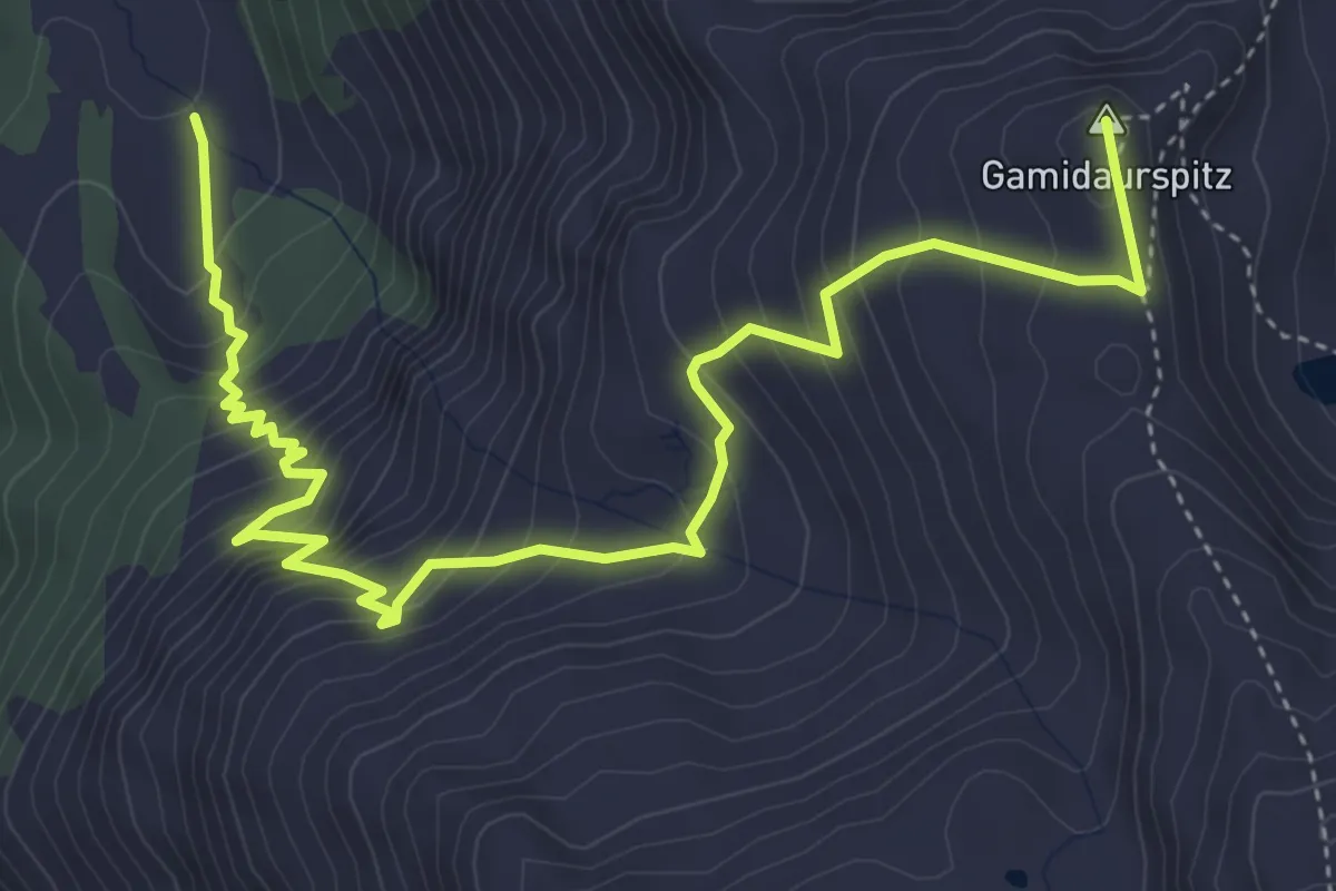
Medium · Summit
Unter Gamidaur – Gamidaurspitz
5.8 km · ↑ 624 m · 2 h 43 min
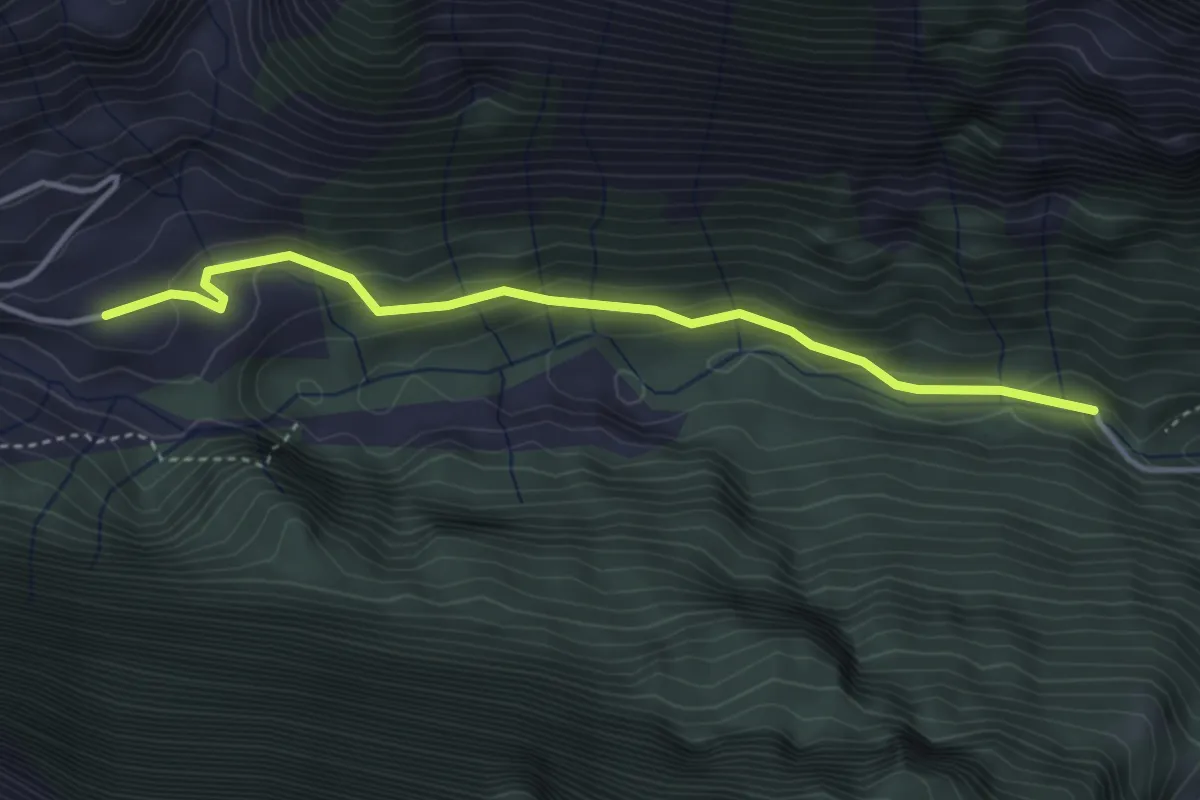
Easy · Trail
Gigerwald – Rot Herd "Isig Brugg"
3.8 km · ↑ 273 m · 1 h 29 min
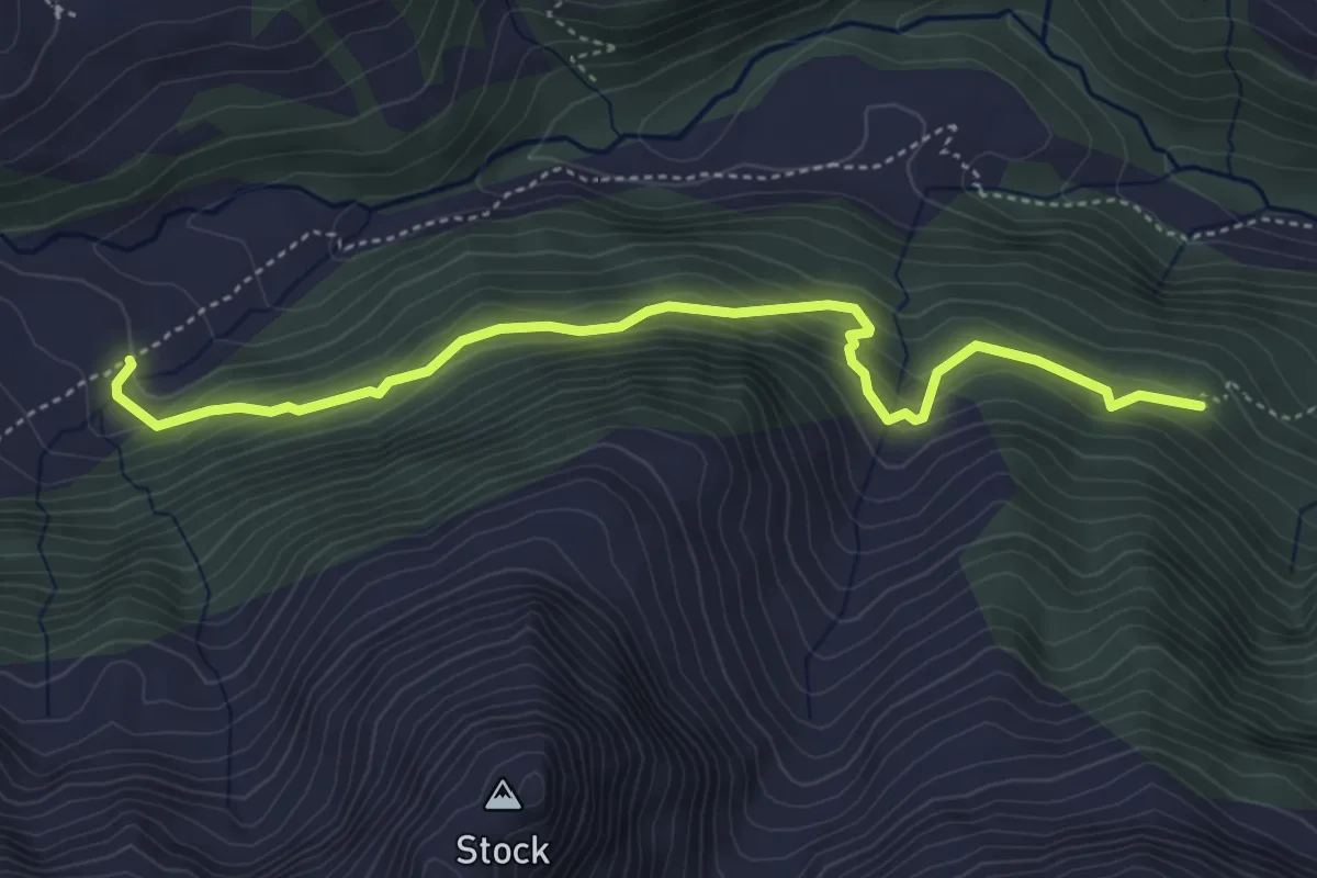
Medium · Cabin
Schräawisli SAC – Hintere Ebni
4.7 km · ↑ 353 m · 1 h 52 min
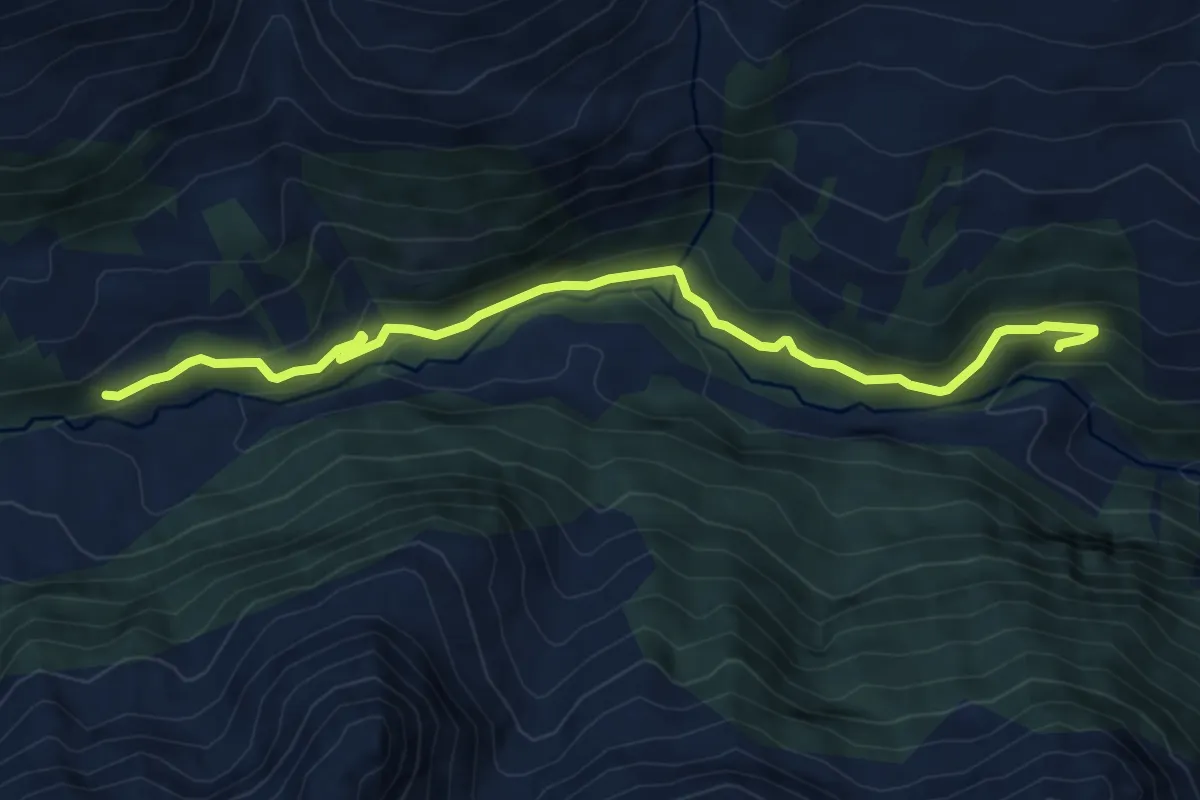
Medium · Trail
Stübliwald – Hochegg
7.3 km · ↑ 374 m · 2 h 31 min
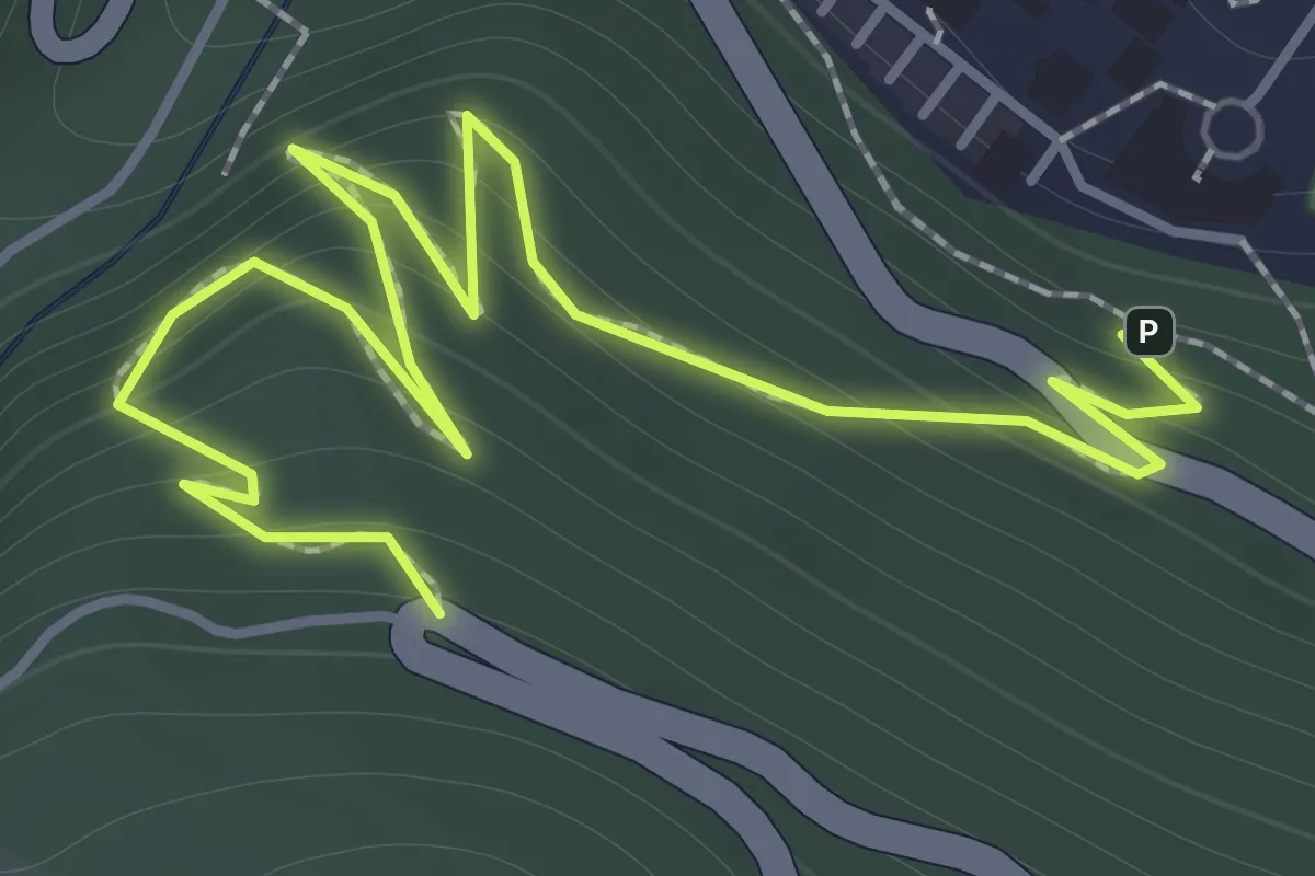
Easy · Trail
6.202 – 6.307
2.1 km · ↑ 282 m · 1 h 6 min
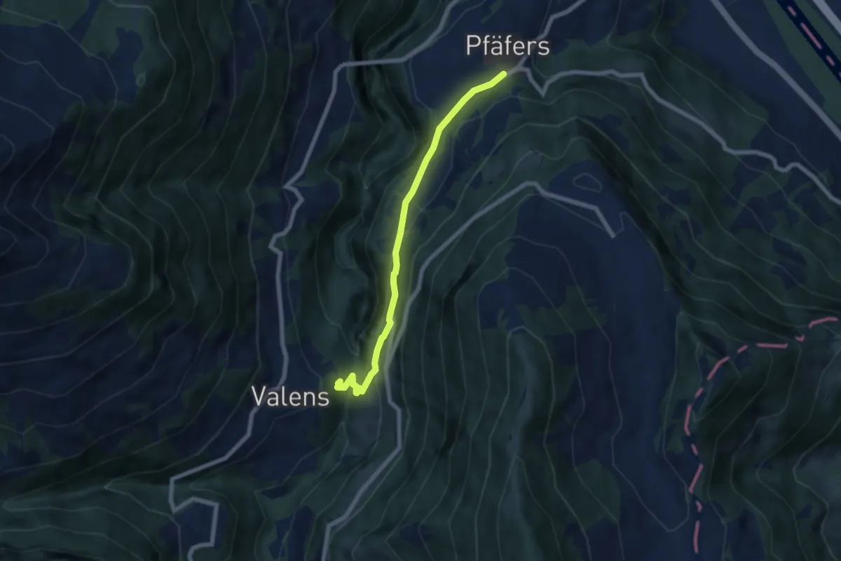
Easy · Trail
Pfäfers – Valens
5.9 km · ↑ 297 m · 2 h 2 min
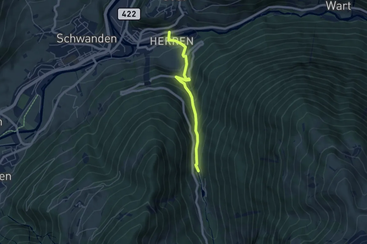
Medium · Trail
Au – Bergstegwijer
4.5 km · ↑ 396 m · 1 h 55 min
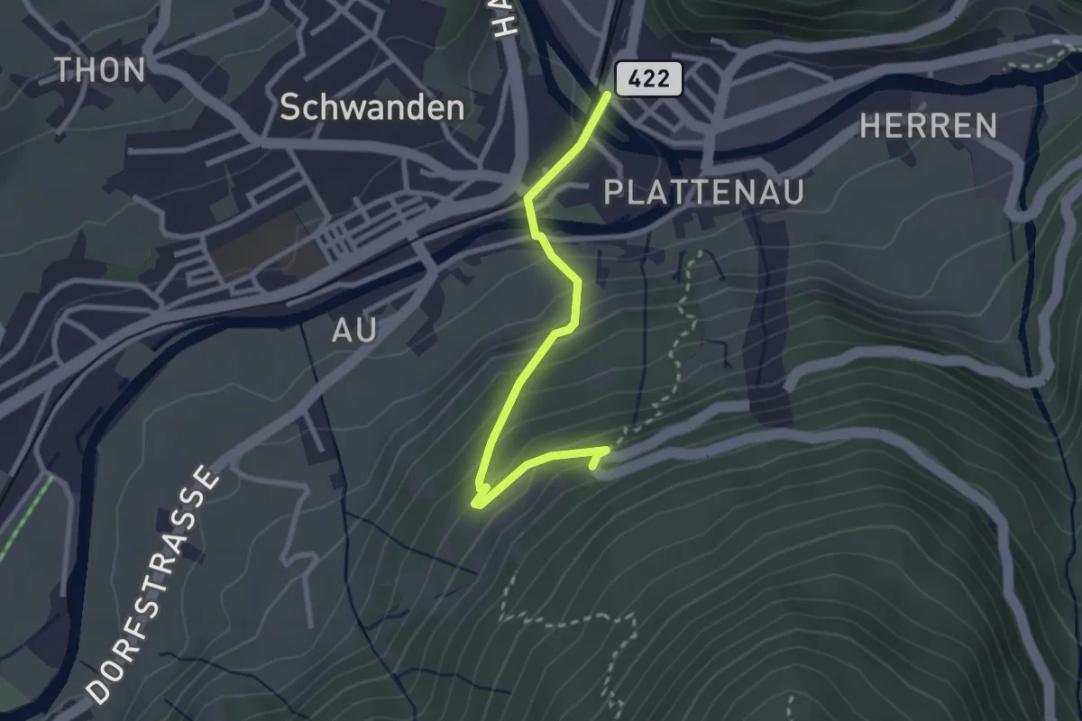
Easy · Trail
Kronenplatz – Schlattboden
2.5 km · ↑ 206 m · 1 h 3 min
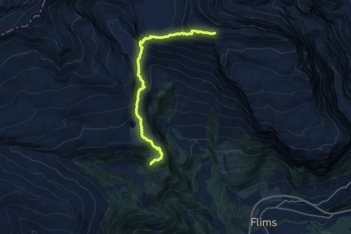
Demanding · Trail
Cassons – Runca
13.0 km · ↑ 968 m · 5 h 10 min
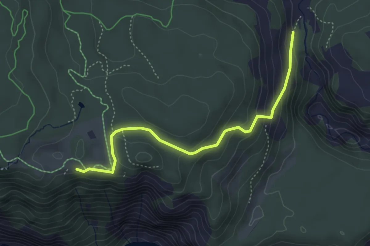
Easy · Trail
Conn – Pintrun
4.2 km · ↑ 180 m · 1 h 23 min
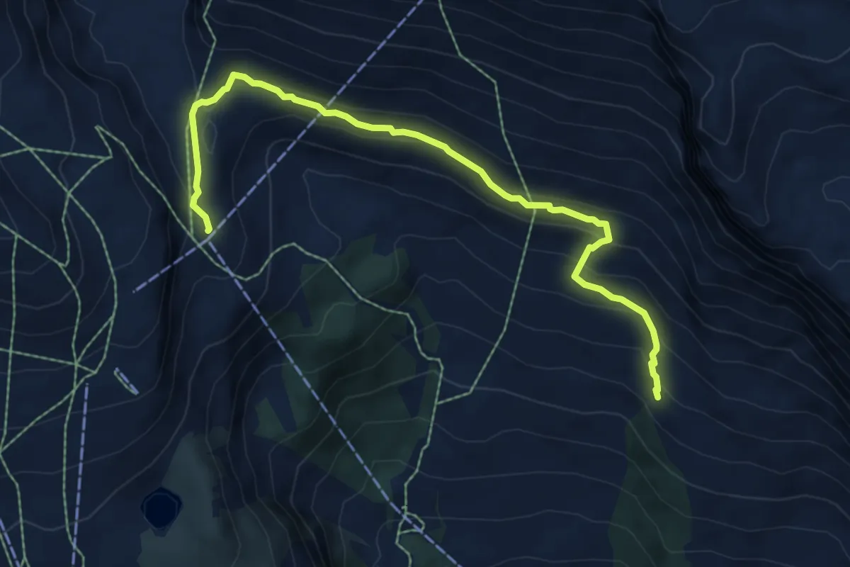
Medium · Cabin
Naraus – Segnes
7.4 km · ↑ 320 m · 2 h 27 min
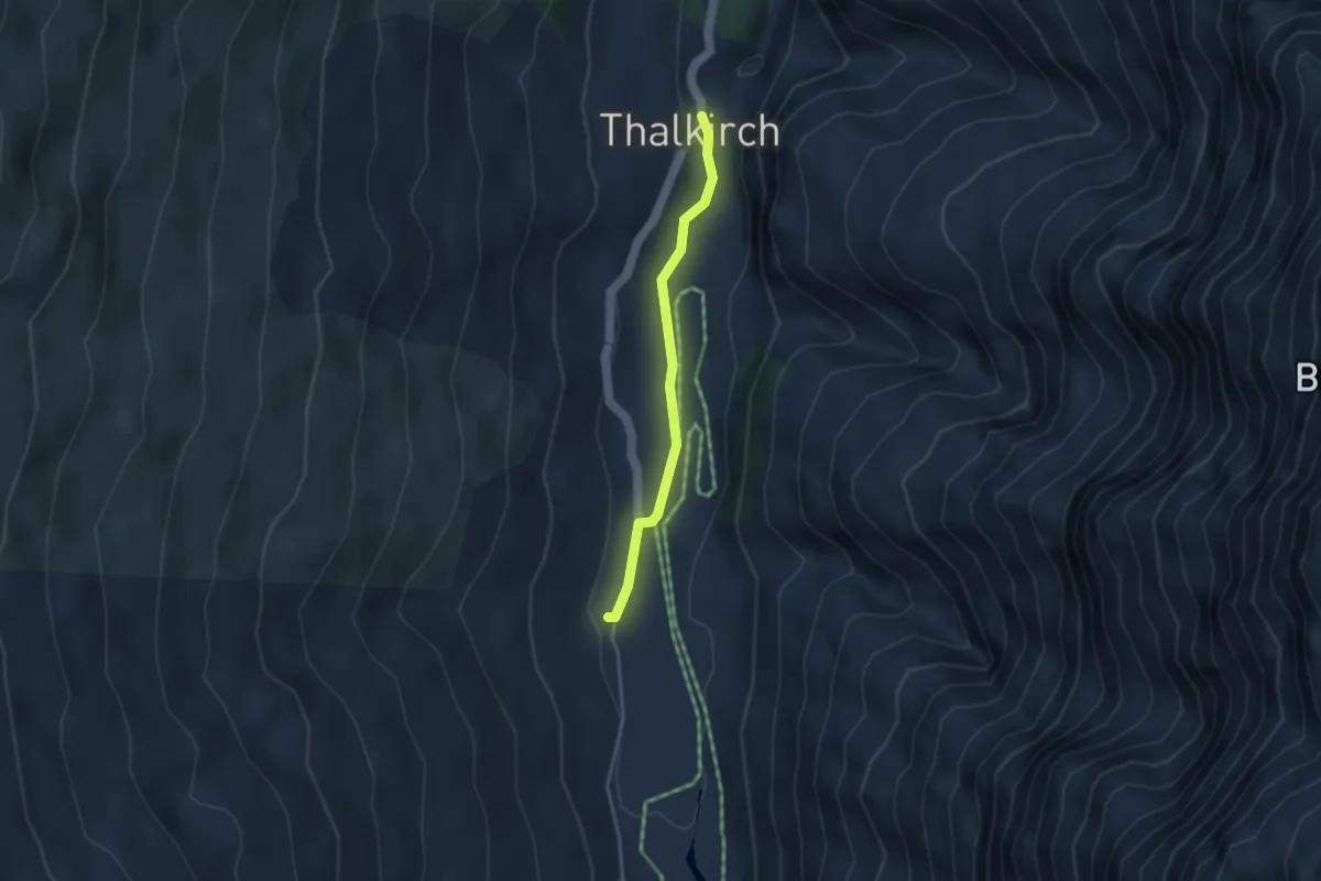
Medium · Cabin
Turrahus – Thalkirch
3.2 km · ↑ 37 m · 50 min
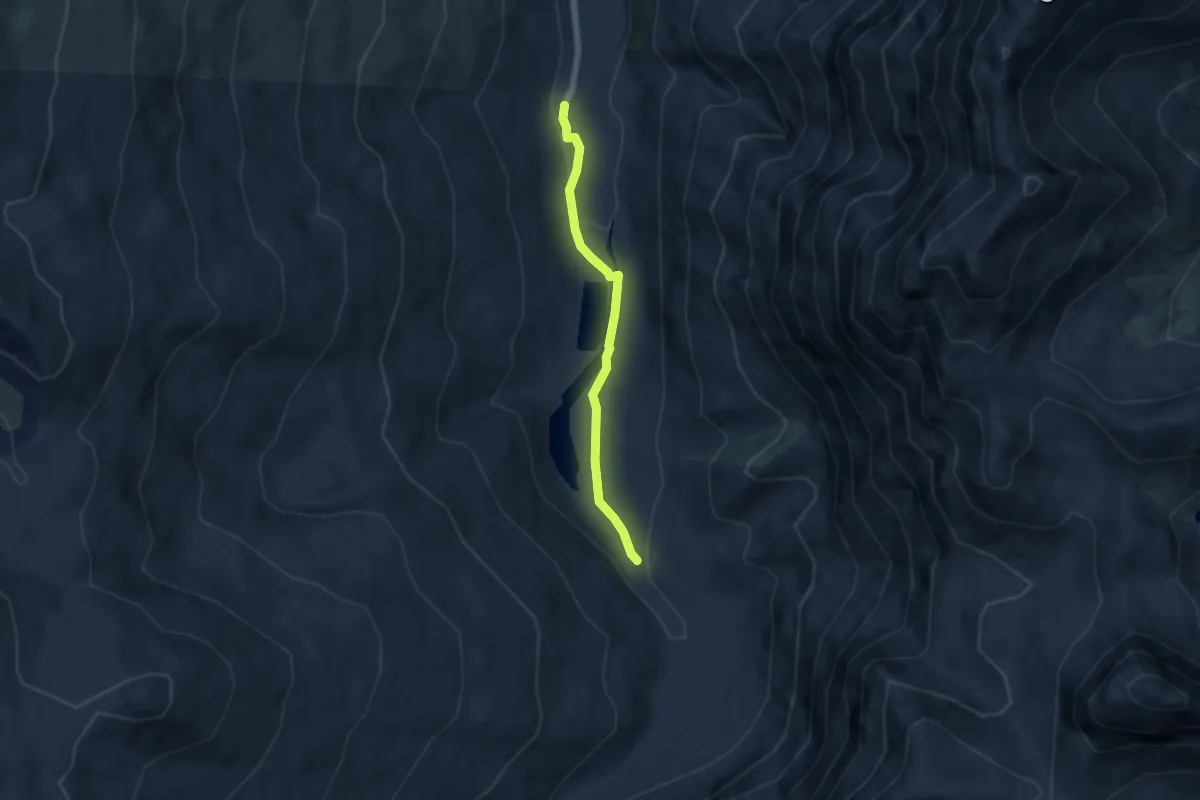
Easy · Cabin
Turrahus – Wegweiser Piggamatt
5.0 km · ↑ 109 m · 1 h 25 min
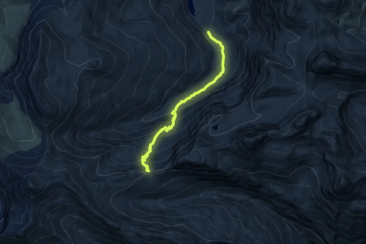
Medium · Trail
Wegweiser Piggamatt – Safierberg
9.5 km · ↑ 734 m · 3 h 50 min
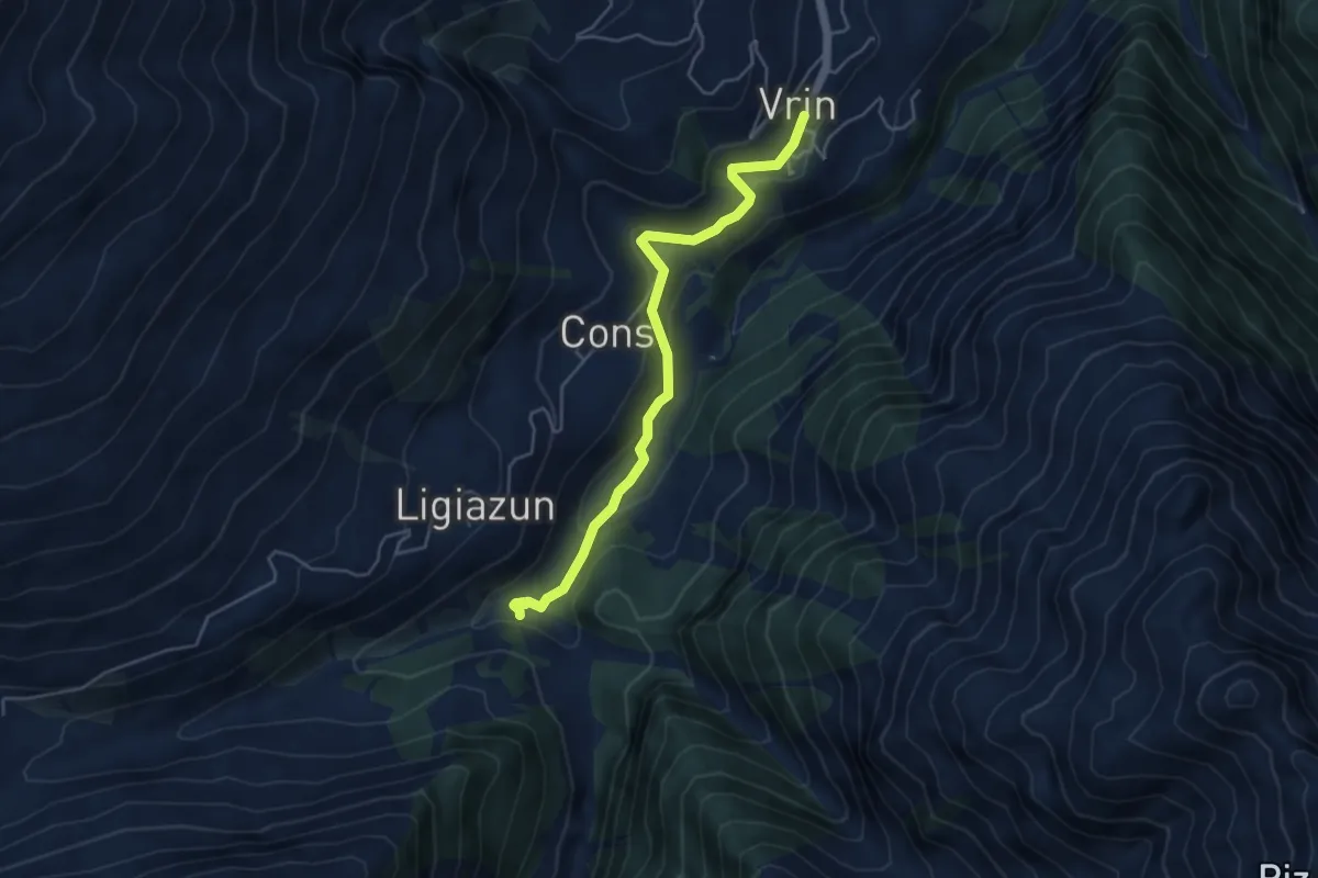
Easy · Trail
Vrin – Plaun Tgiern
4.7 km · ↑ 204 m · 1 h 33 min
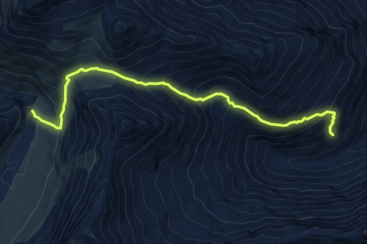
Demanding · Trail
Alp Diesrut – Camona
8.4 km · ↑ 774 m · 3 h 39 min
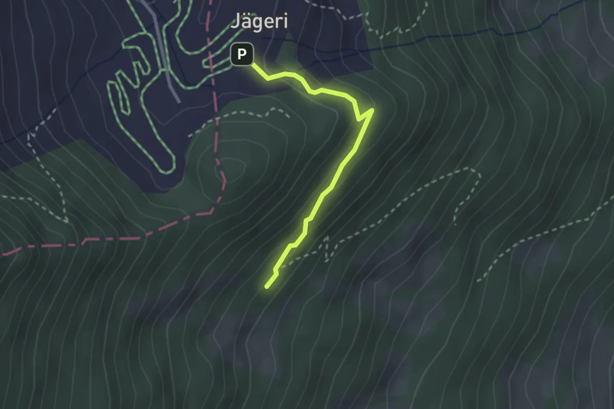
Easy · Trail
Jägeri – Vajuoza
2.2 km · ↑ 102 m · 44 min
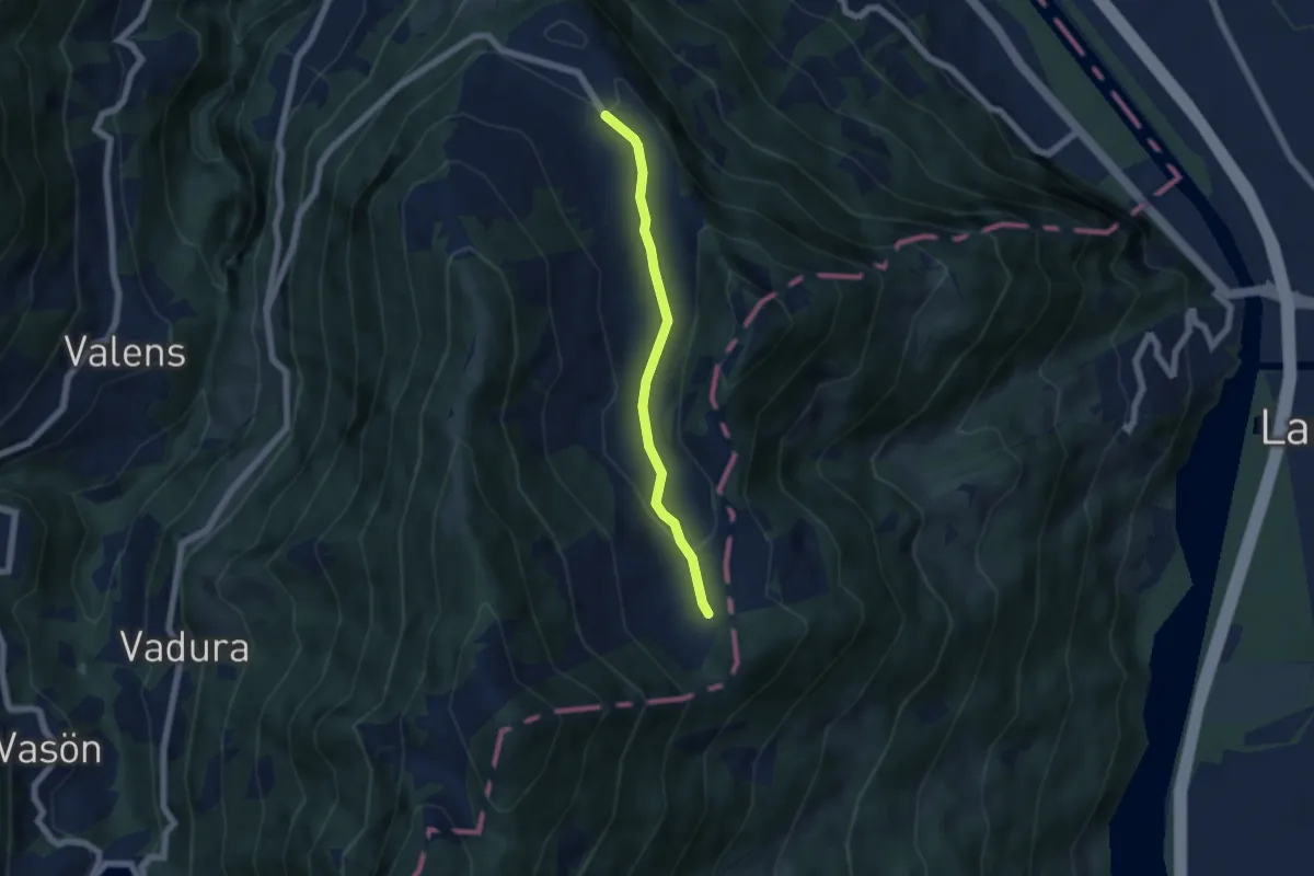
Easy · Trail
Fürggli – Furggels St. Margrethenberg
5.0 km · ↑ 114 m · 1 h 25 min
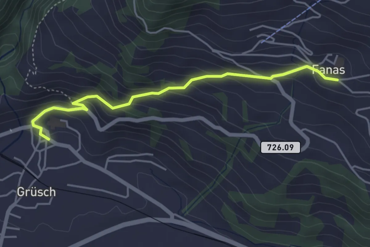
Easy · Trail
Grüsch – Fanas
4.0 km · ↑ 267 m · 1 h 32 min
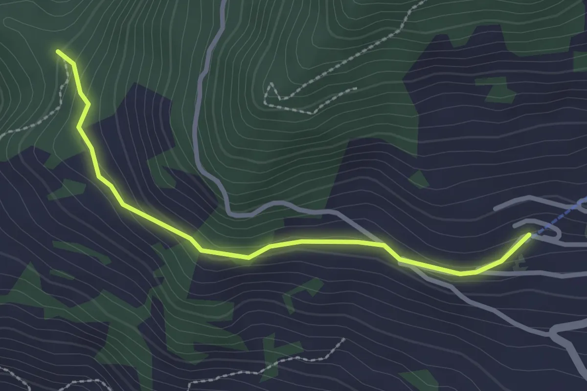
Easy · Trail
Valschinar – Fanas
2.5 km · ↑ 100 m · 48 min
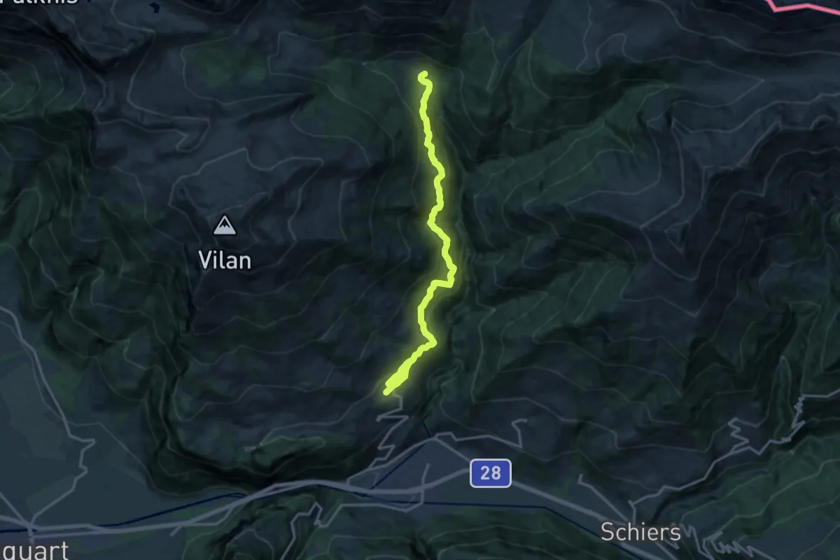
Medium · Trail
Seewis – Cani
15.5 km · ↑ 768 m · 5 h 19 min
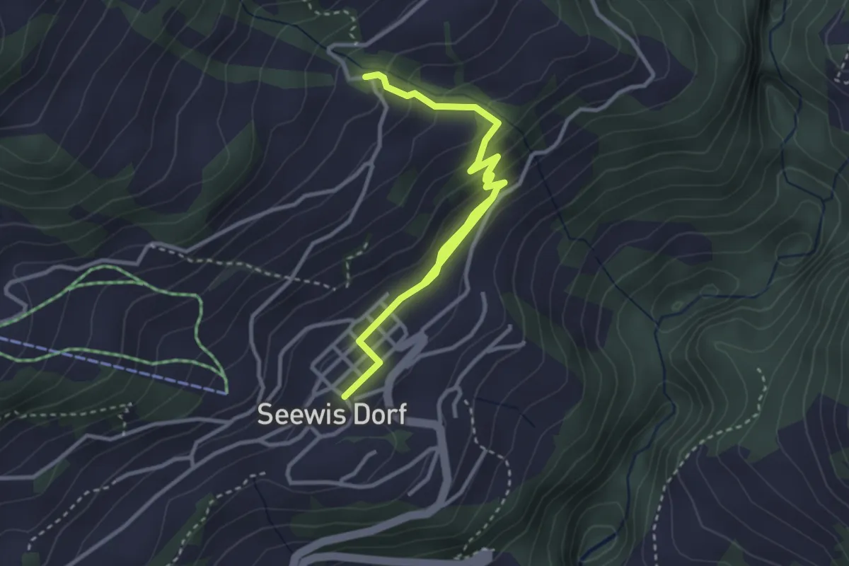
Easy · Trail
Seewis – Jerplan
4.1 km · ↑ 202 m · 1 h 24 min
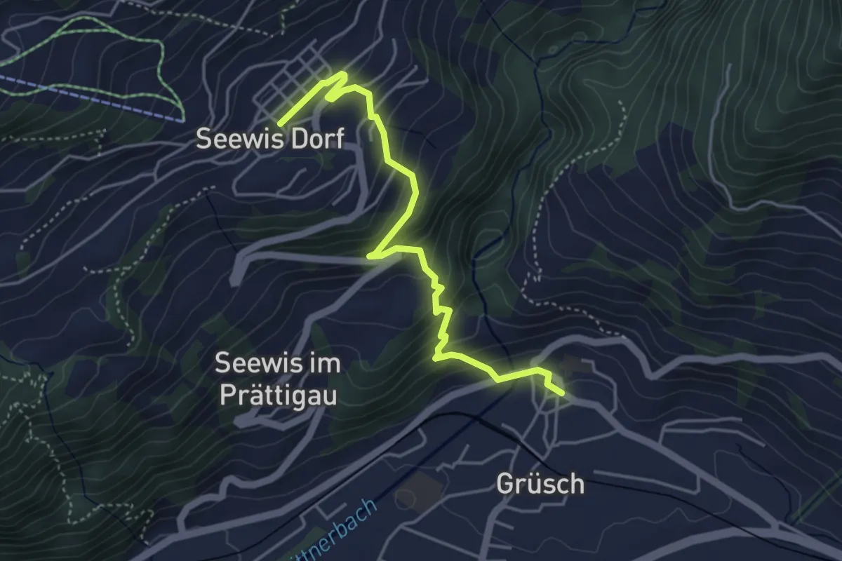
Easy · Trail
Seewis – Grüsch
4.2 km · ↑ 315 m · 1 h 41 min
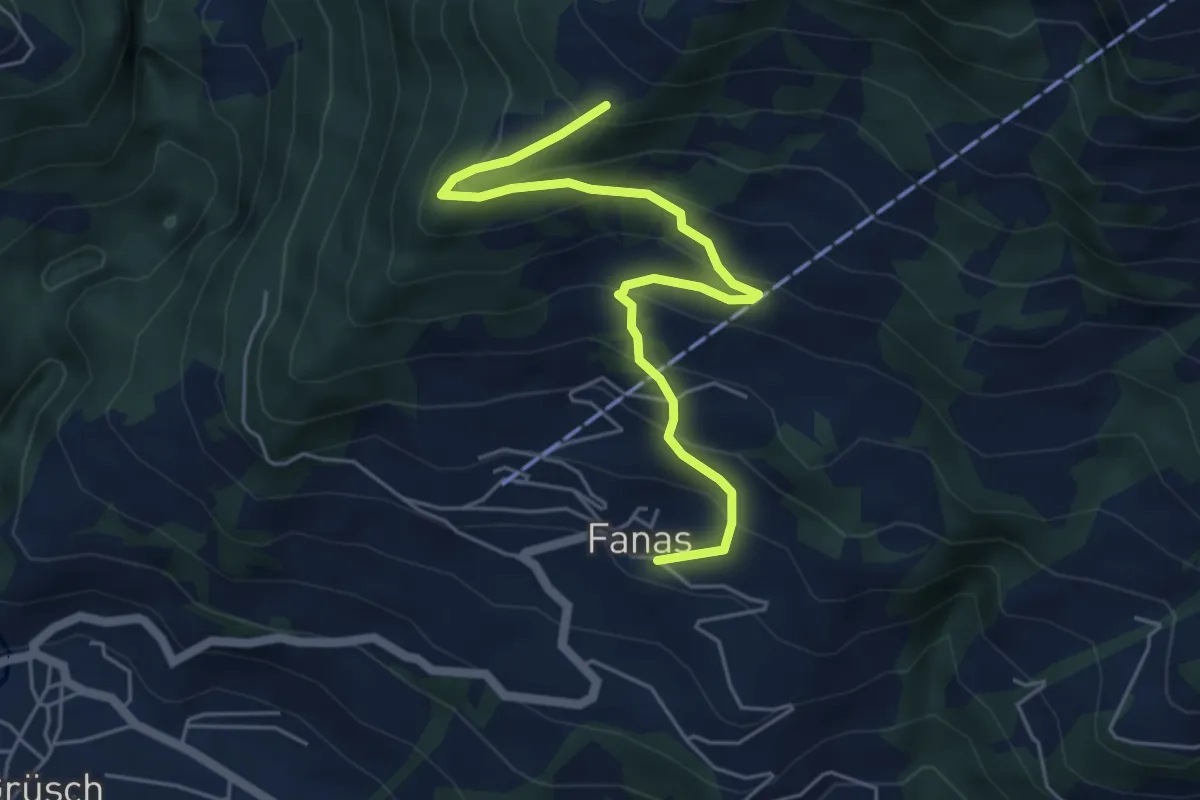
Medium · Trail
Fanas – Aldur
5.5 km · ↑ 441 m · 2 h 15 min
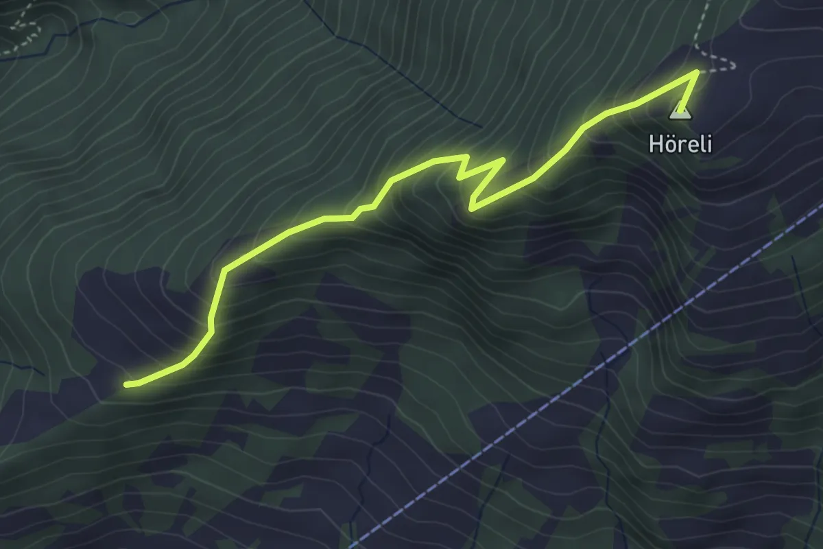
Medium · Summit
Aldur – Gruoba
4.2 km · ↑ 467 m · 1 h 59 min
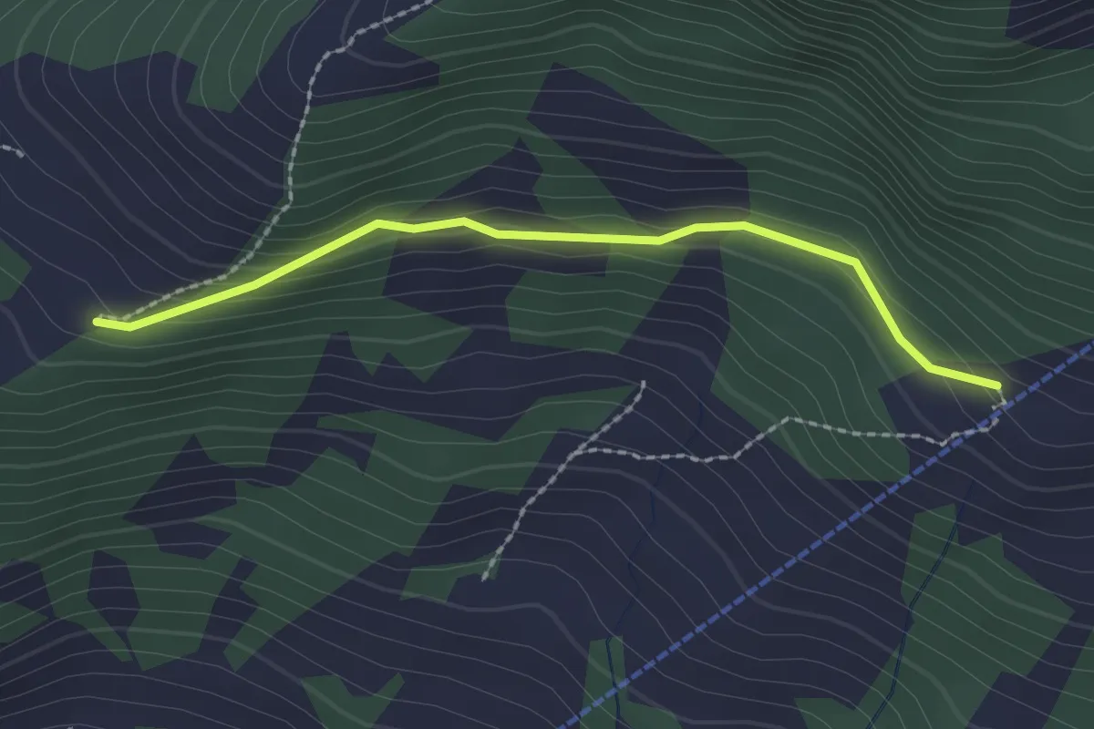
Easy · Trail
Aldur – Cania
2.0 km · ↑ 84 m · 40 min
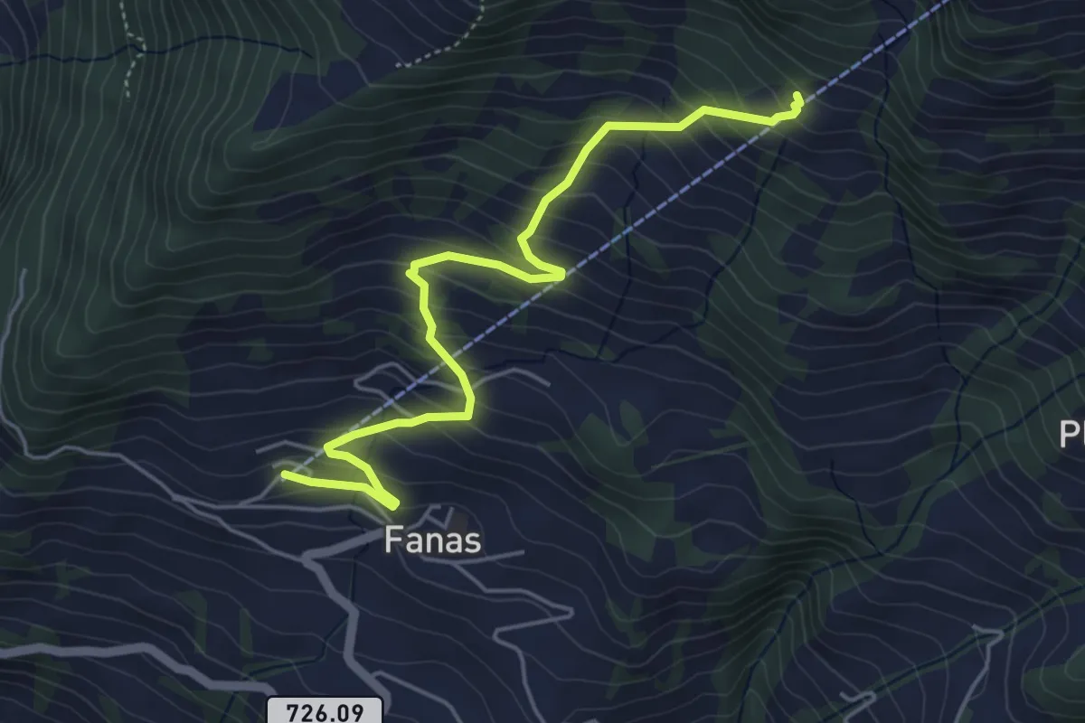
Medium · Trail
Fanas – Cania
5.1 km · ↑ 457 m · 2 h 12 min
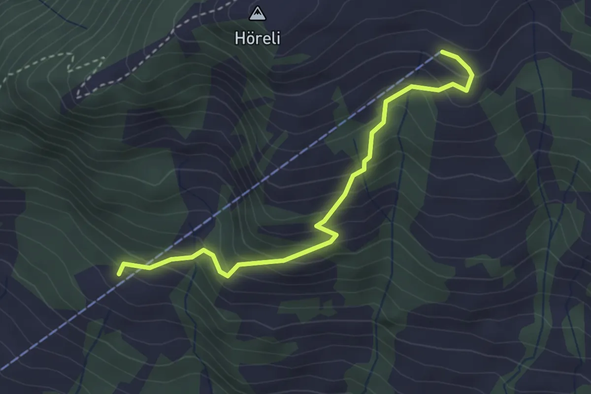
Medium · Trail
Cania – Eggli
3.1 km · ↑ 335 m · 1 h 28 min
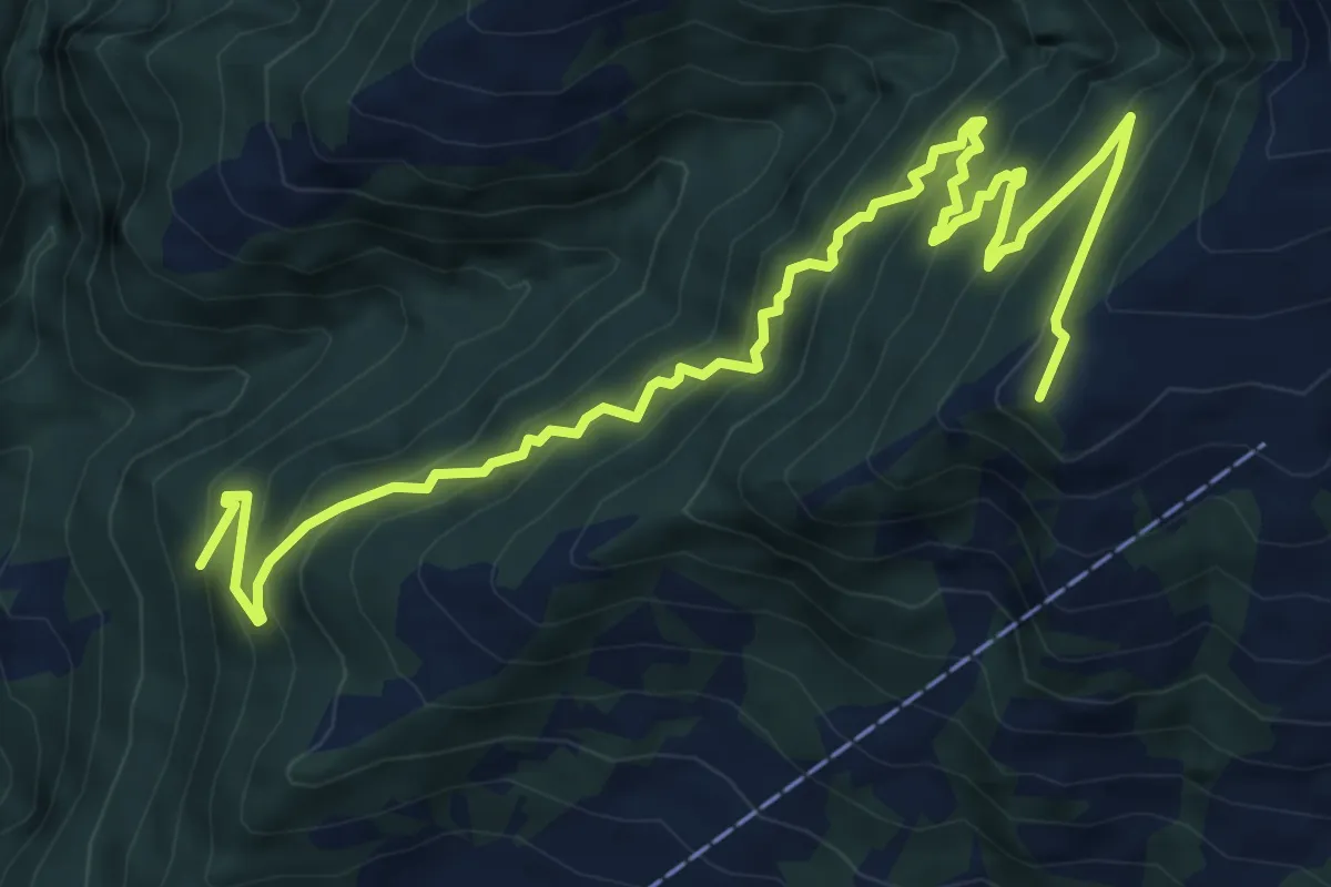
Demanding · Summit
Gruoba – Scaminieras
9.8 km · ↑ 864 m · 4 h 12 min
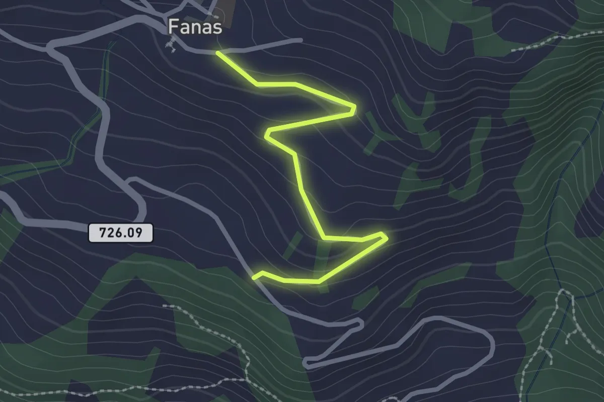
Easy · Trail
Fanas – Tersier
2.4 km · ↑ 91 m · 45 min