Trails in Switzerland
15,055 hiking trails, each with its route, climb, walking time and grade.
All trails, page 225 of 314
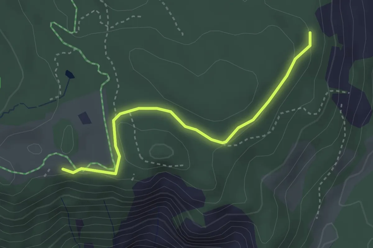
Easy · Trail
Conn – Trin Mulin
3.1 km · ↑ 56 m · 51 min
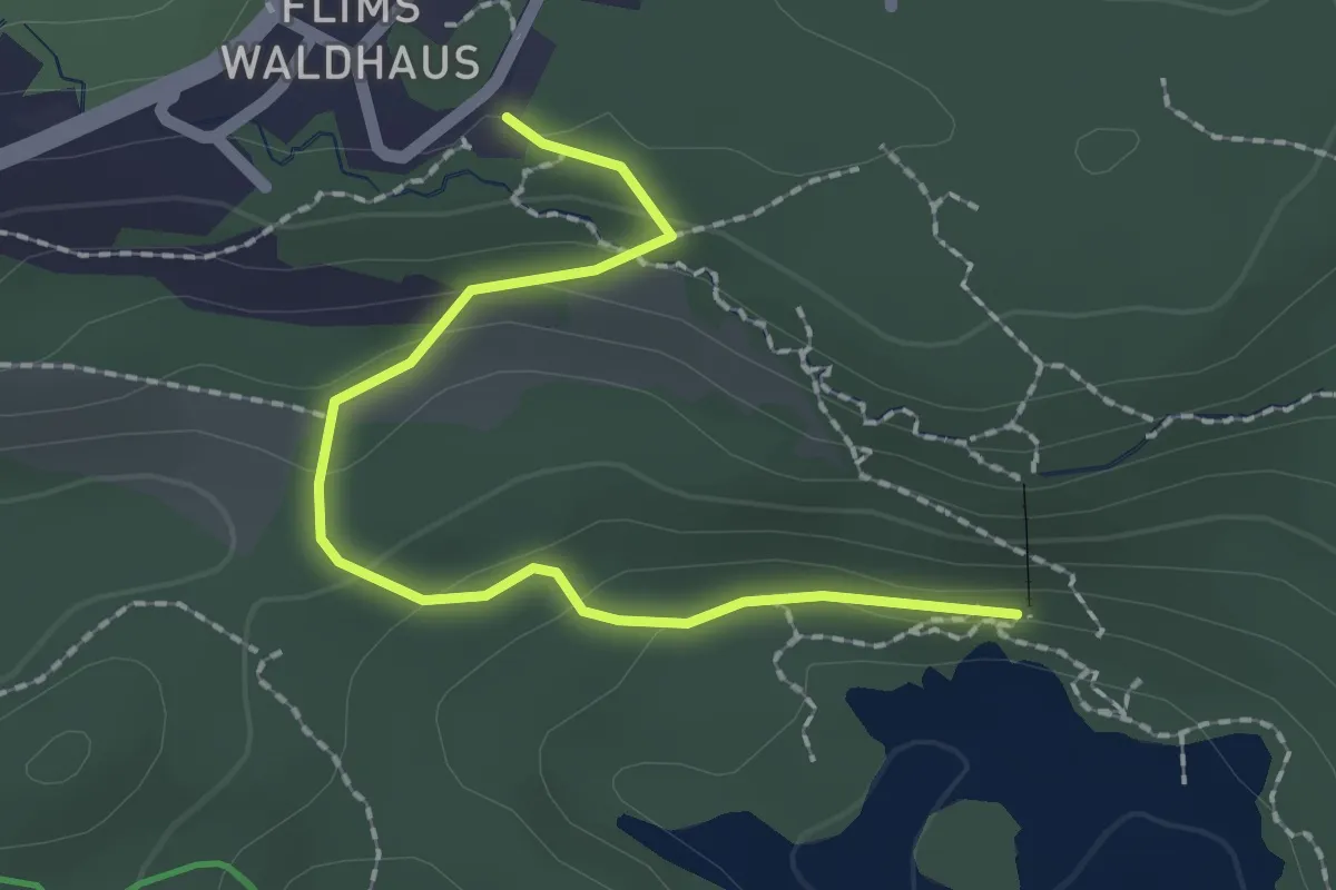
Easy · Trail
Parkplatz Caumasee – Caumasee
2.1 km · ↑ 86 m · 42 min
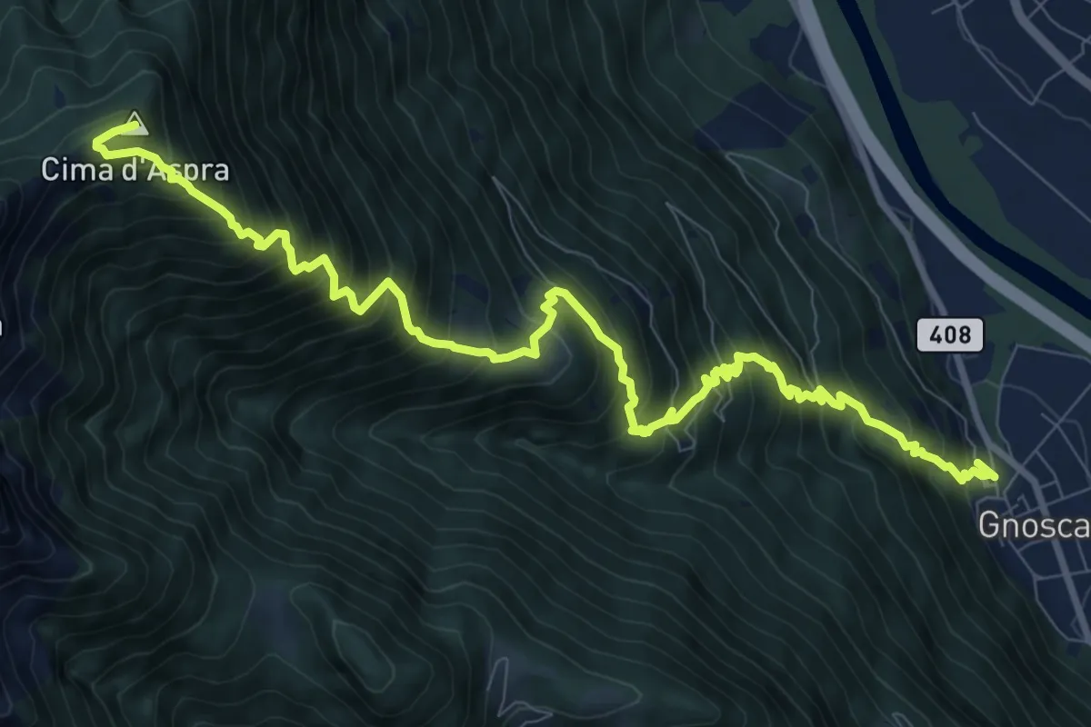
Demanding · Summit
Gnosca – Cima d Aspra
11.9 km · ↑ 1585 m · 6 h 14 min
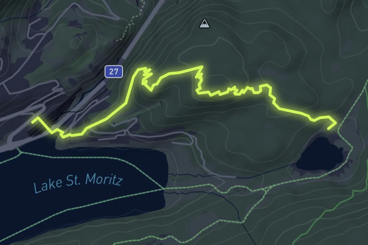
Medium · Trail
St. Moritz Bahnhof – Lej da Staz
6.4 km · ↑ 294 m · 2 h 9 min
Easy · Trail
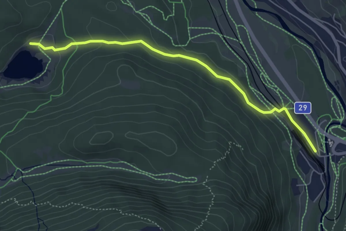
Lej da Staz – Puntraschigna Staziun
5.0 km · ↑ 125 m · 1 h 27 min
Demanding · Cabin
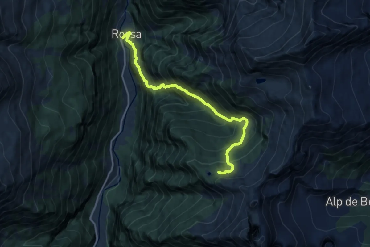
Capanna Buffalora – Rossa autobus
9.8 km · ↑ 1052 m · 4 h 36 min
Easy · Trail
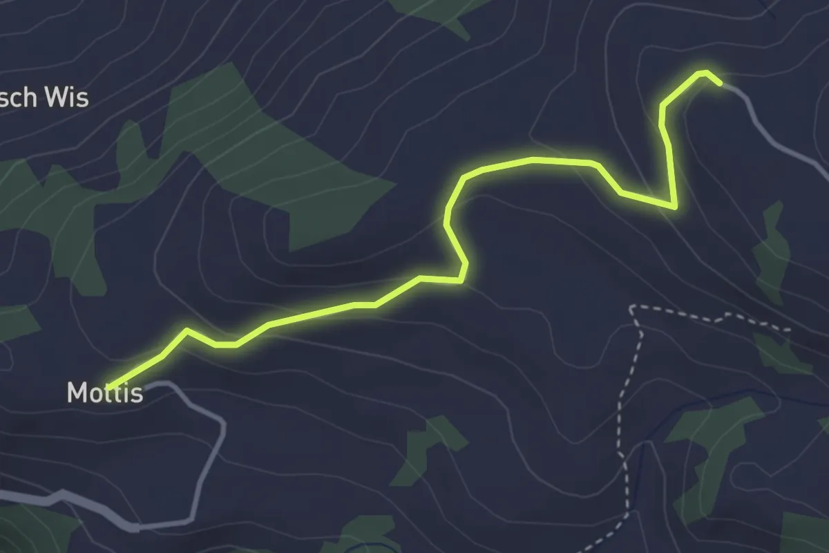
Mottis – Stelserberg
3.5 km · ↑ 166 m · 1 h 12 min
Easy · Trail
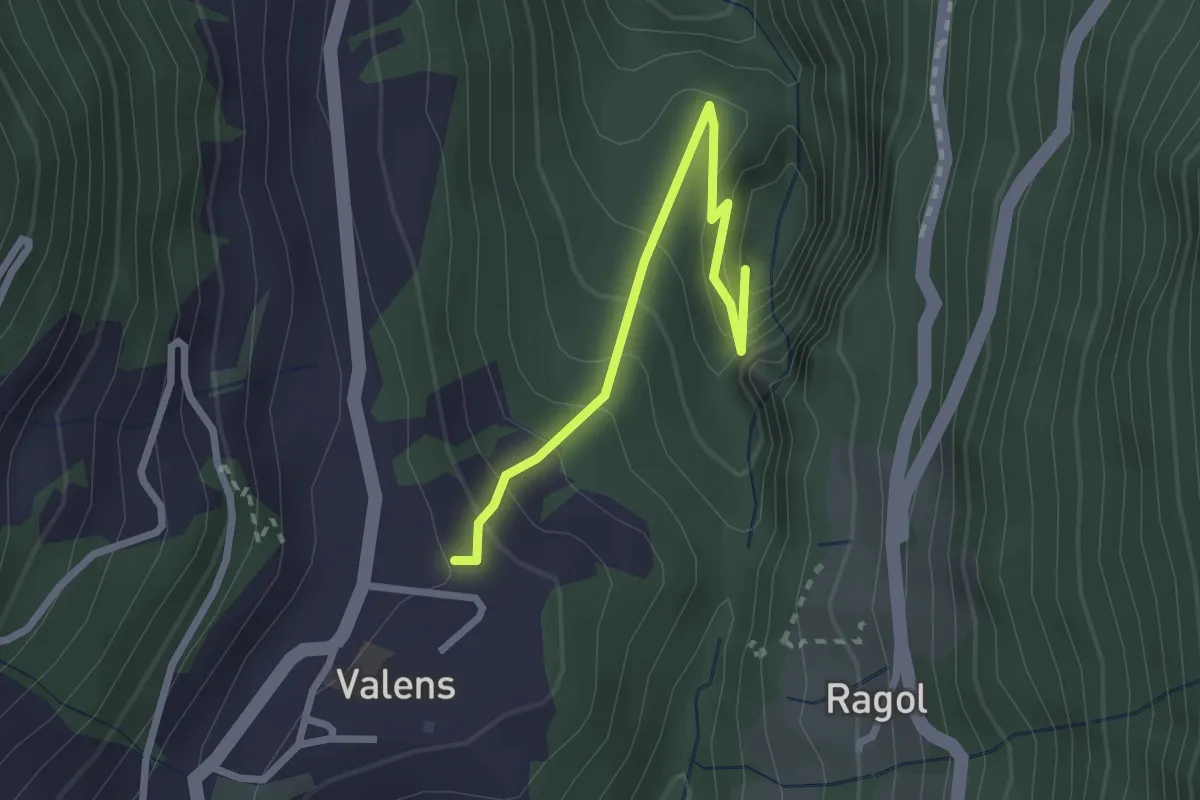
Bad Pfäfers – Valens
2.4 km · ↑ 241 m · 1 h 6 min
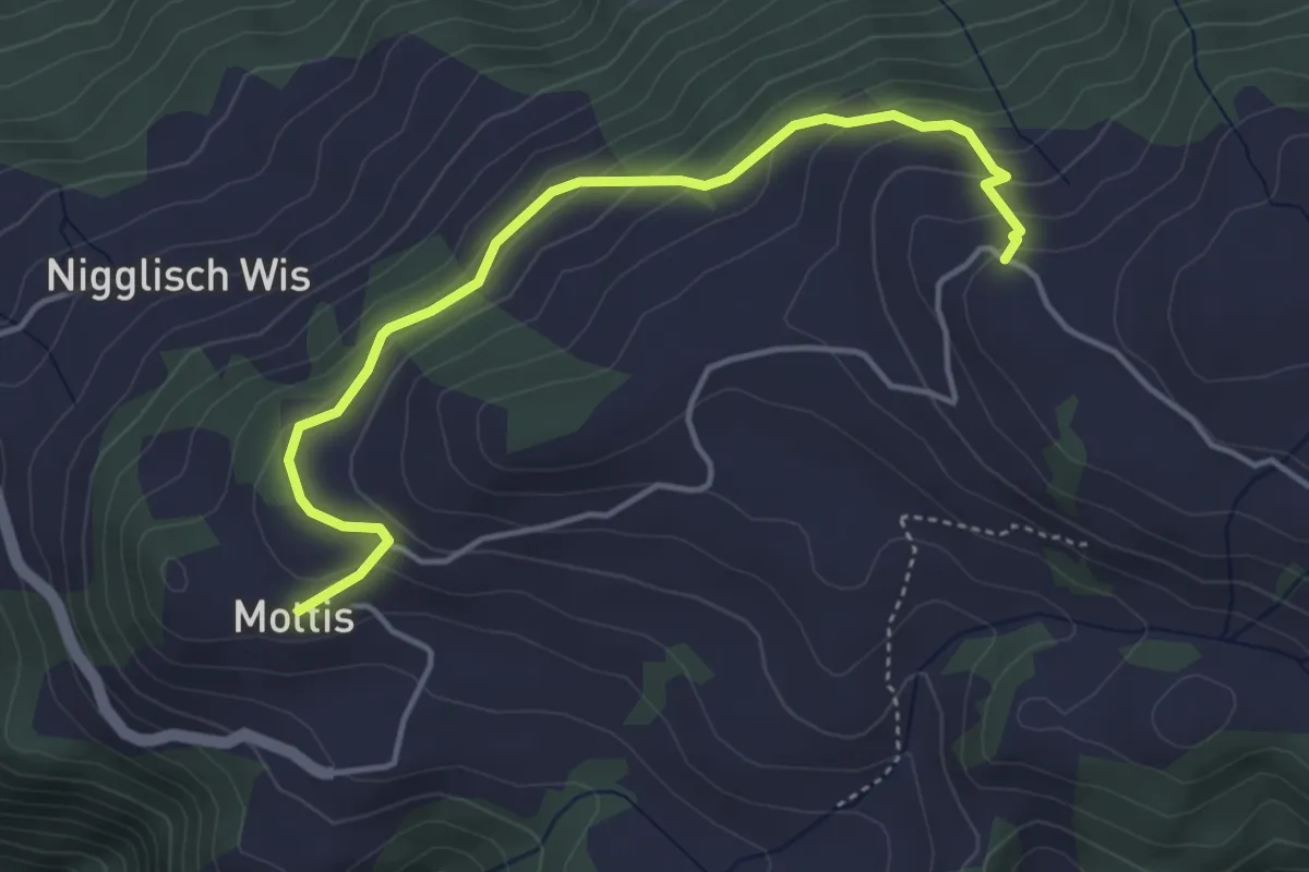
Easy · Trail
Mottis – Stelserberg
4.3 km · ↑ 257 m · 1 h 35 min
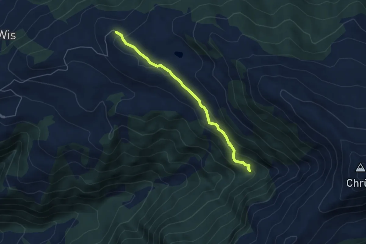
Easy · Trail
Stelserberg – Schaftobel
4.3 km · ↑ 184 m · 1 h 25 min
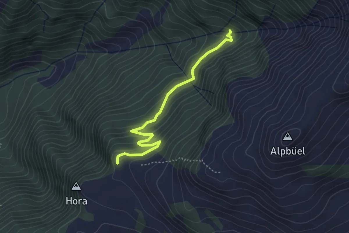
Easy · Trail
Schaftobel – Tratza
3.8 km · ↑ 206 m · 1 h 20 min
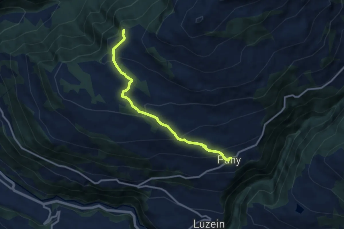
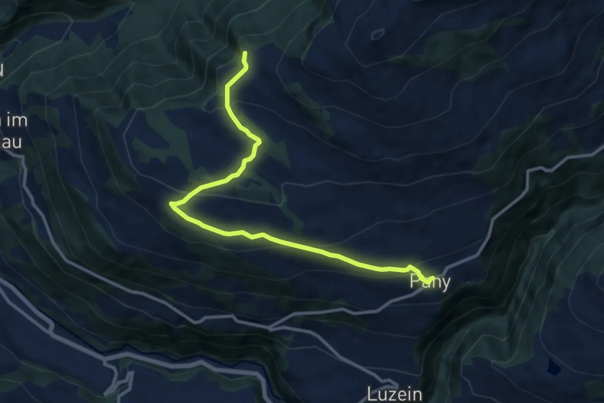
Medium · Trail
Tratza – Pany
6.9 km · ↑ 374 m · 2 h 27 min
Medium · Trail
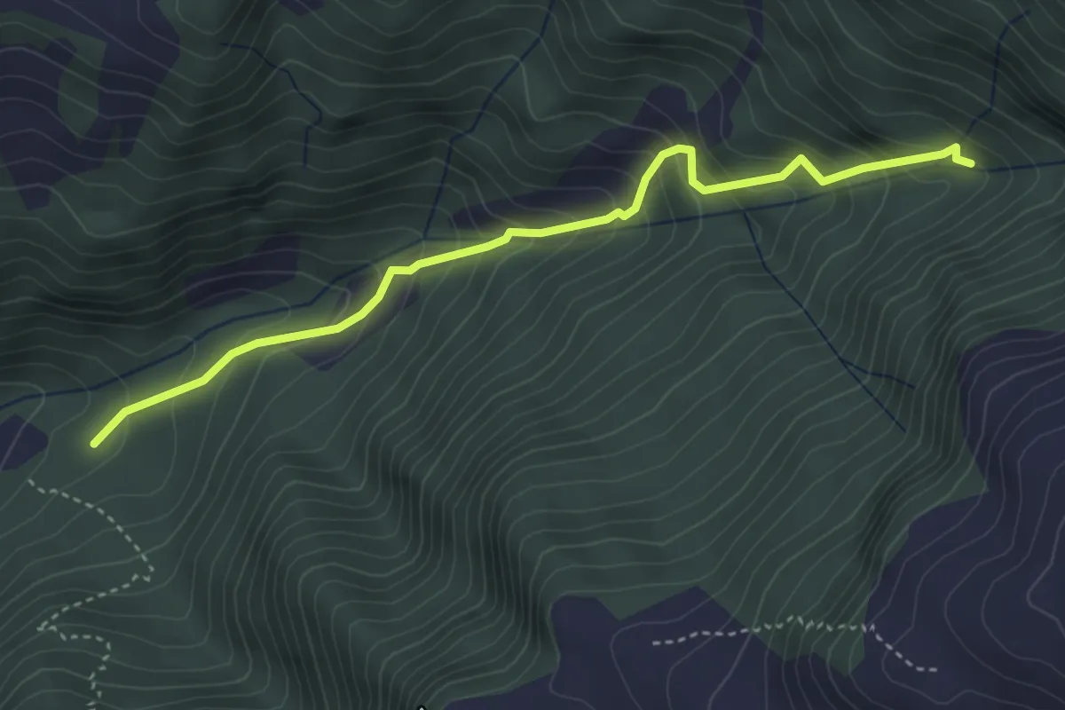
Pany – Tratza
9.2 km · ↑ 374 m · 2 h 59 min
Medium · Trail
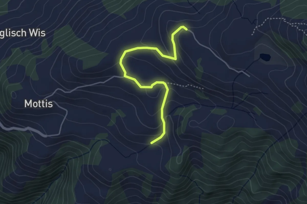
Schaftobel – Fajal
4.0 km · ↑ 453 m · 1 h 56 min
Easy · Trail
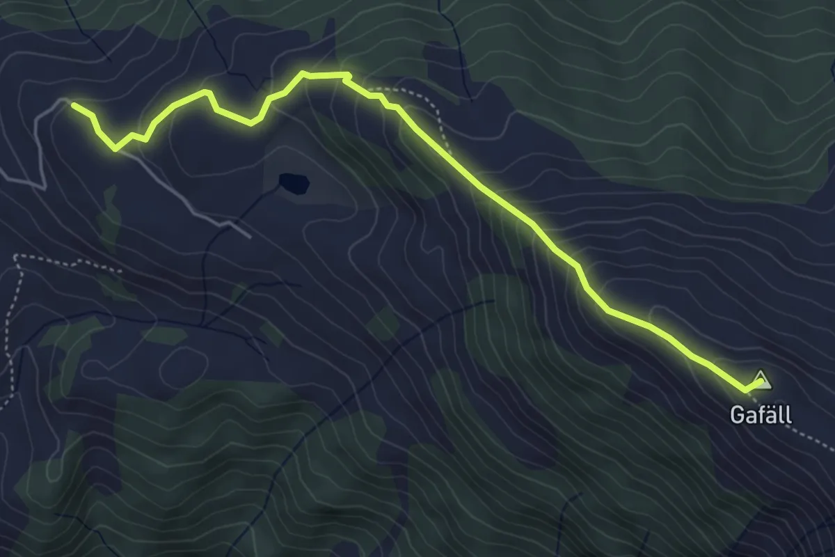
Stelserberg – Pardiela
3.9 km · ↑ 177 m · 1 h 18 min
Medium · Summit
Stelserberg – Gafäll
5.3 km · ↑ 392 m · 2 h 5 min
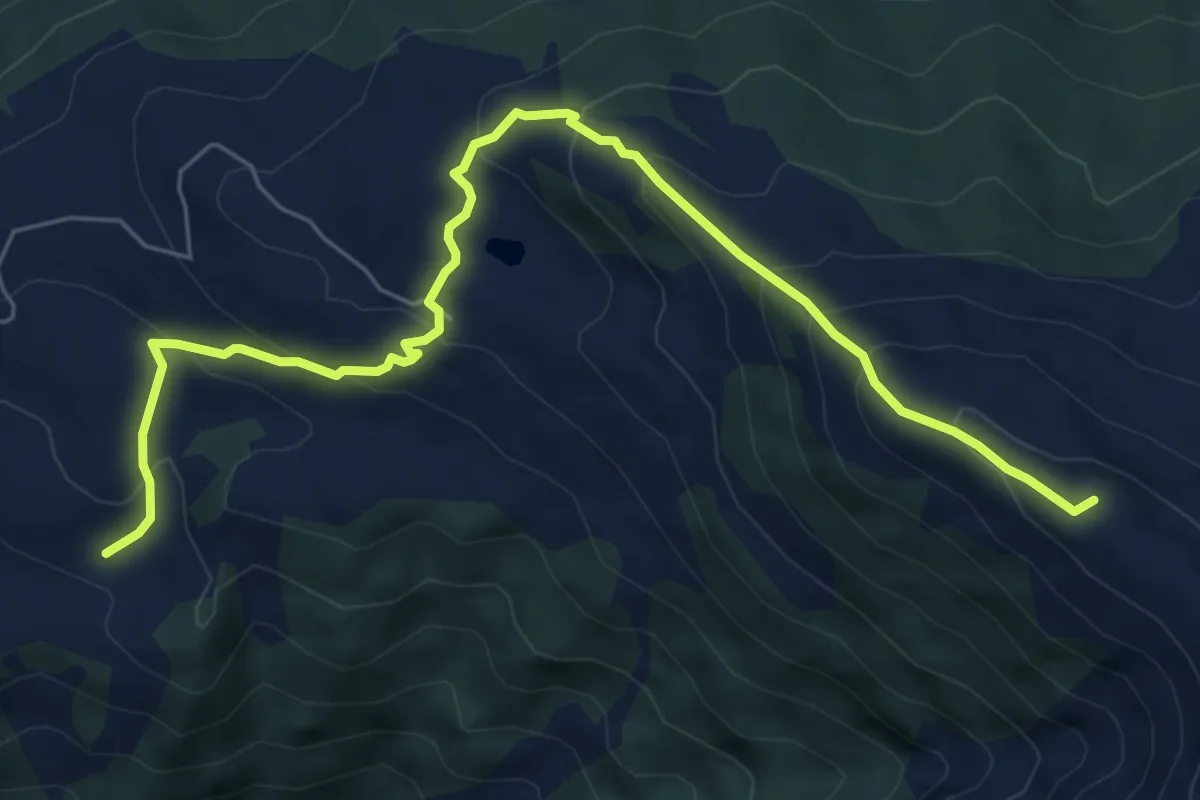
Medium · Summit
Pardiela – Gafäll
7.4 km · ↑ 560 m · 2 h 58 min
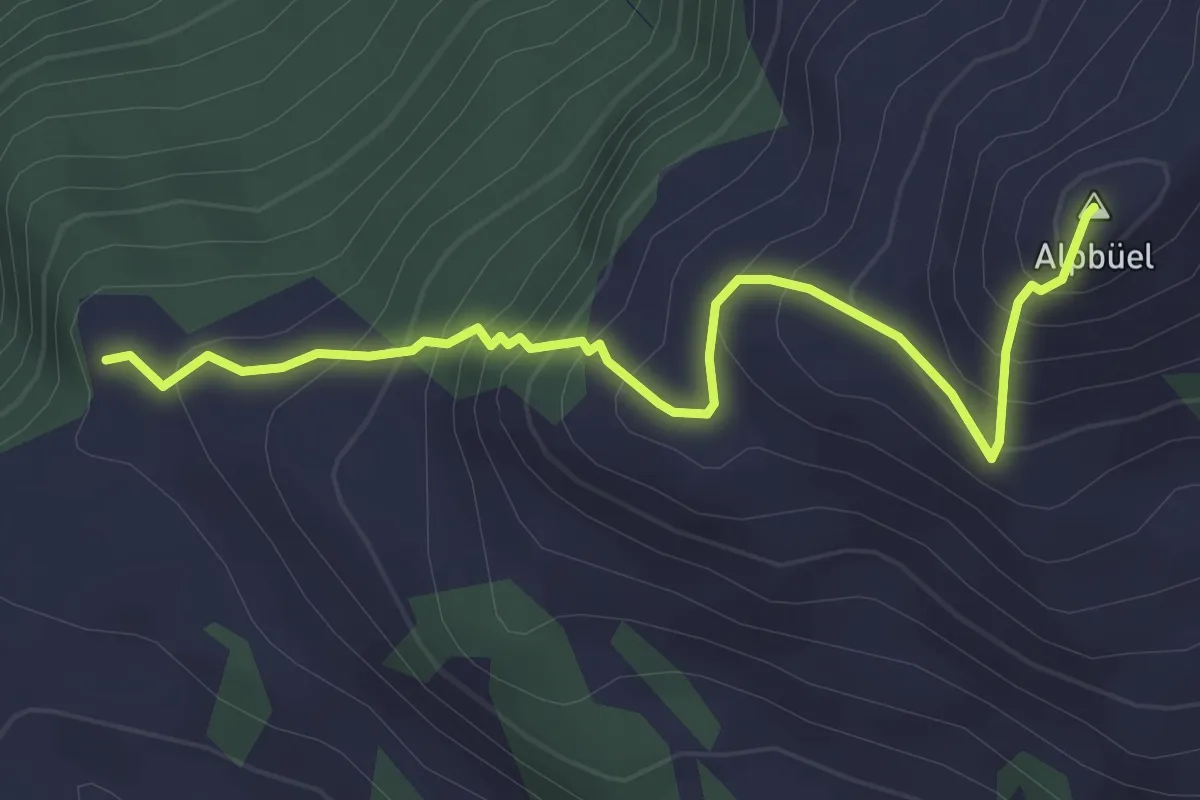
Demanding · Summit
Tratza – Alpbüel
3.4 km · ↑ 402 m · 1 h 41 min
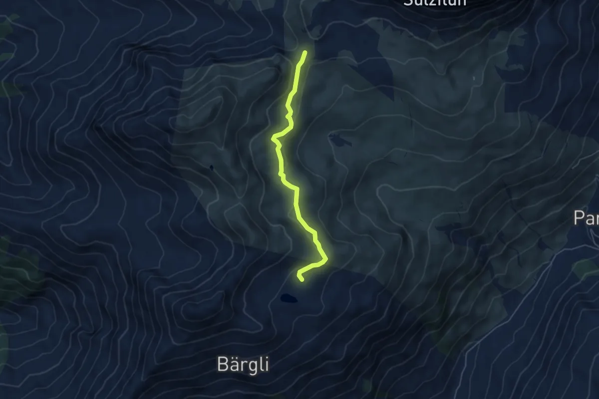
Easy · Cabin
Carschinasee – Carschinafurgga
4.6 km · ↑ 110 m · 1 h 19 min
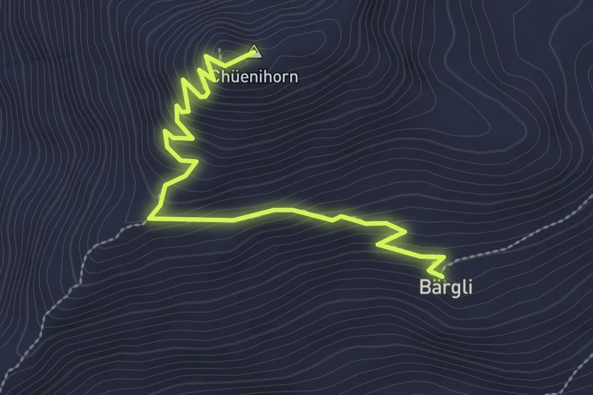
Easy · Summit
Bärgli – Chuenihorn
3.1 km · ↑ 240 m · 1 h 15 min
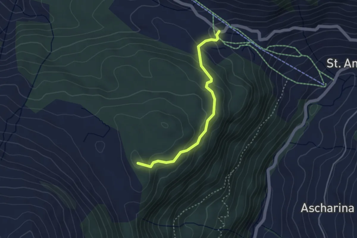
Easy · Summit
Aschüel – Capöllerbüel
3.0 km · ↑ 152 m · 1 h 3 min
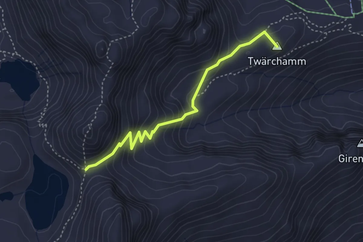
Medium · Summit
Pizolhütte – Wildseeluggen
3.5 km · ↑ 272 m · 1 h 25 min
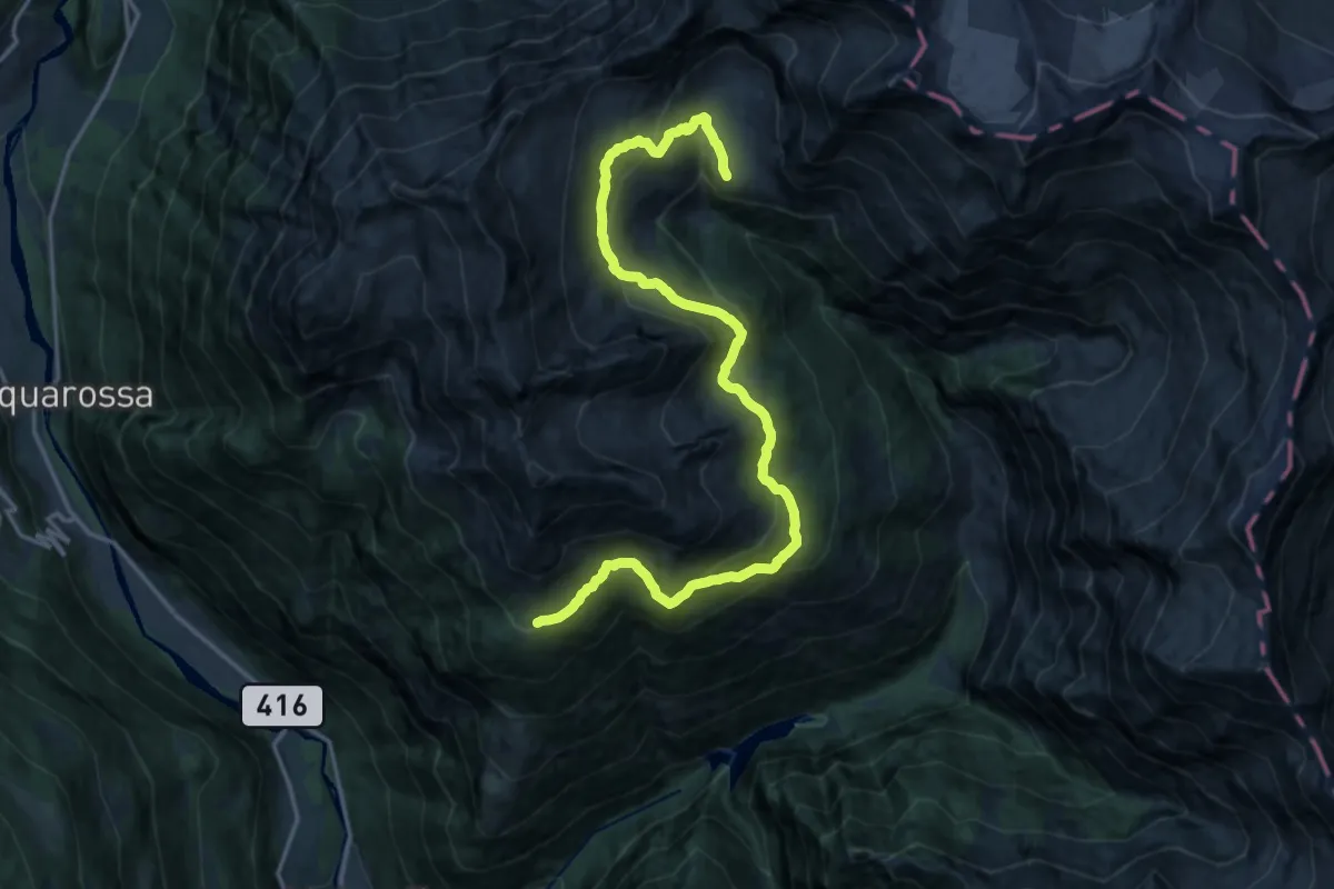
Demanding · Cabin
Alpe di Prou – Capanna Quarnei
19.6 km · ↑ 1082 m · 6 h 58 min
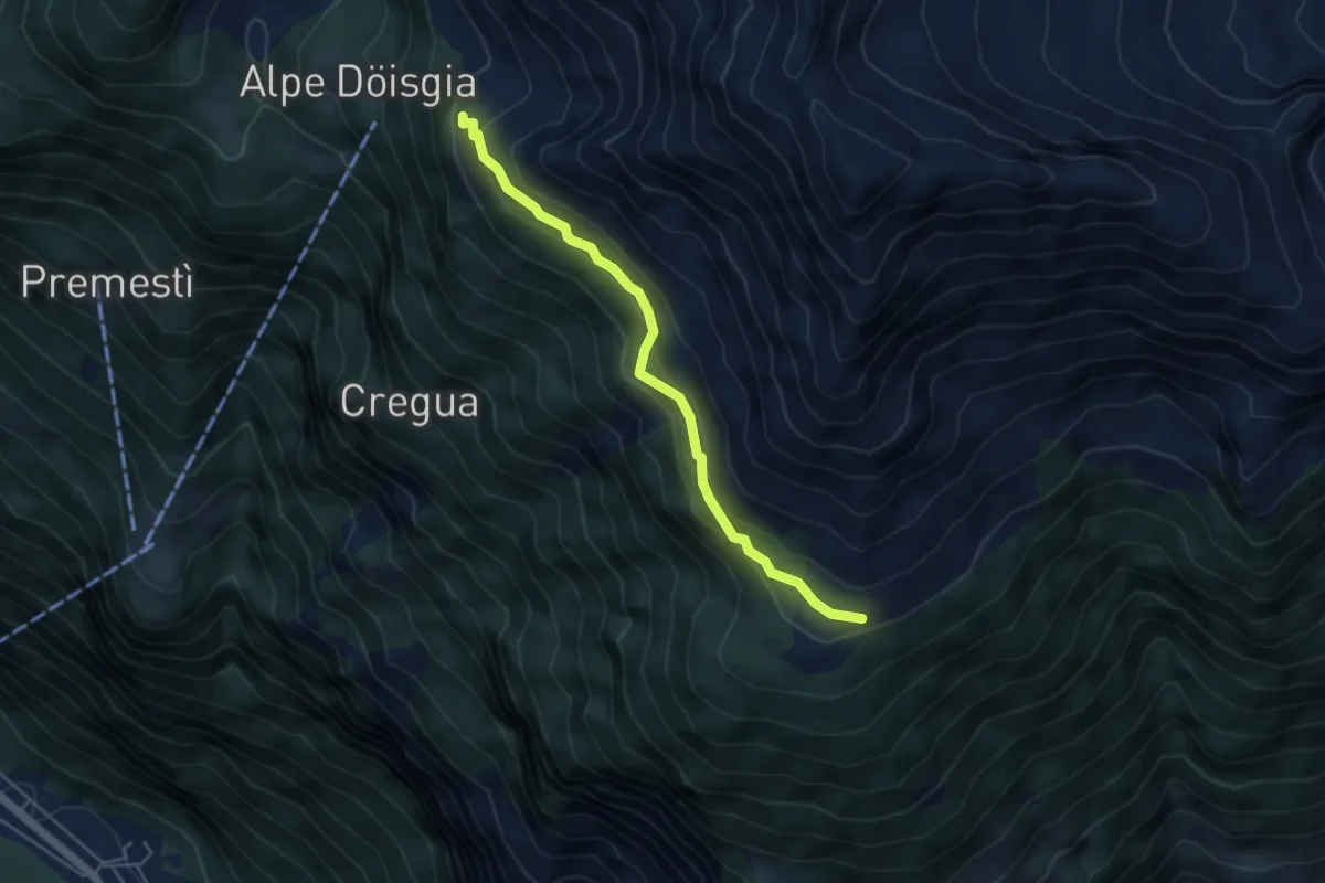
Medium · Cabin
Alpe di Prou – Lavill
4.4 km · ↑ 243 m · 1 h 34 min
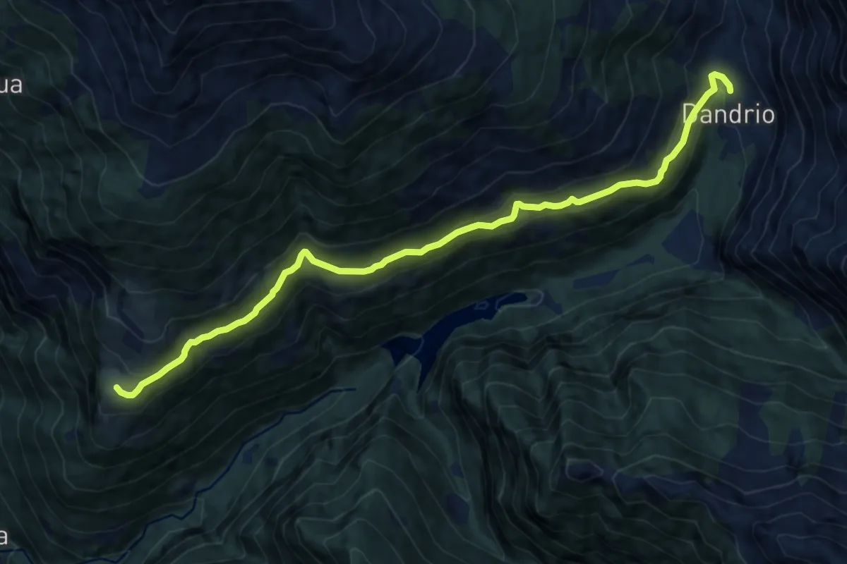
Medium · Trail
Dandrio – Dagro
11.6 km · ↑ 585 m · 4 h
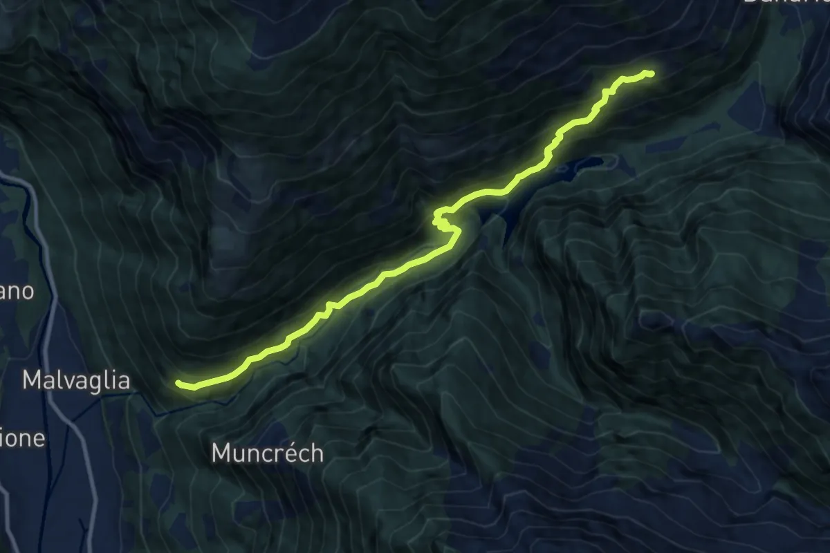
Medium · Trail
Pontéi di fuori – Anzano
11.1 km · ↑ 794 m · 4 h 20 min
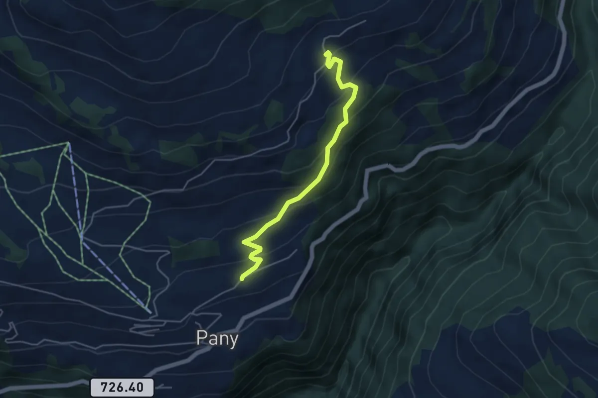
Easy · Trail
Haderegg – Bova
4.1 km · ↑ 283 m · 1 h 35 min
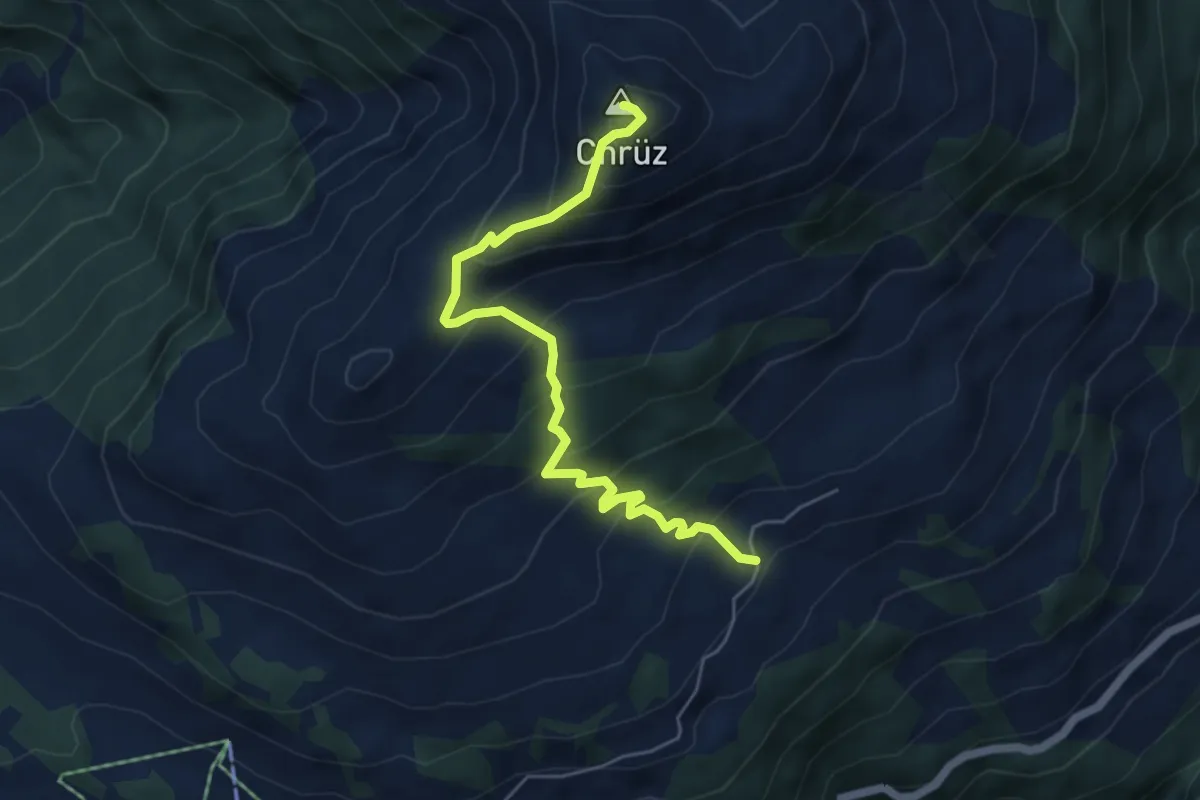
Medium · Summit
Bova – Chrüz
5.4 km · ↑ 563 m · 2 h 30 min
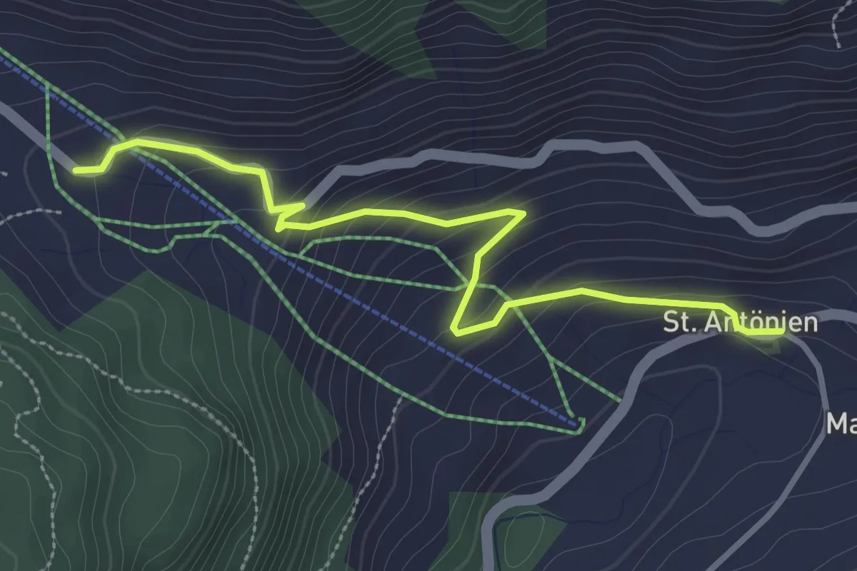
Easy · Trail
St. Antönien Platz – Aschüel
3.2 km · ↑ 176 m · 1 h 8 min
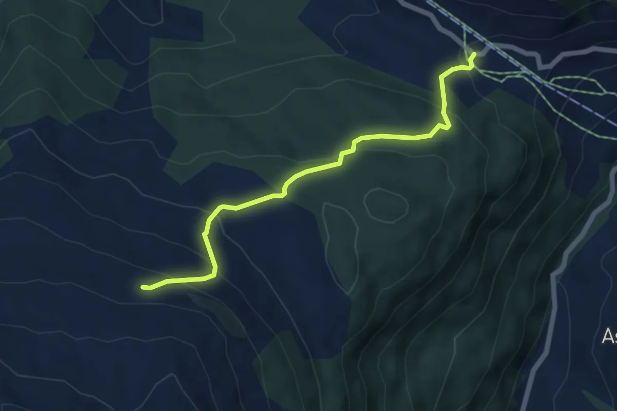
Easy · Trail
Aschüel – Valpun
4.6 km · ↑ 275 m · 1 h 41 min
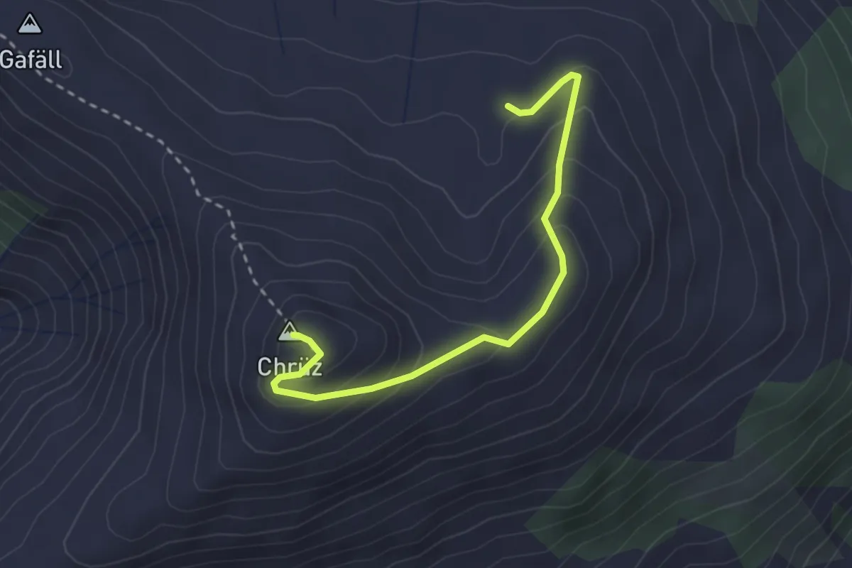
Medium · Summit
Obersäss – Chrüz
2.8 km · ↑ 231 m · 1 h 10 min
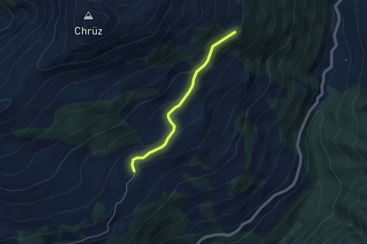
Easy · Trail
Bova – Capöllerbüel
3.2 km · ↑ 156 m · 1 h 6 min
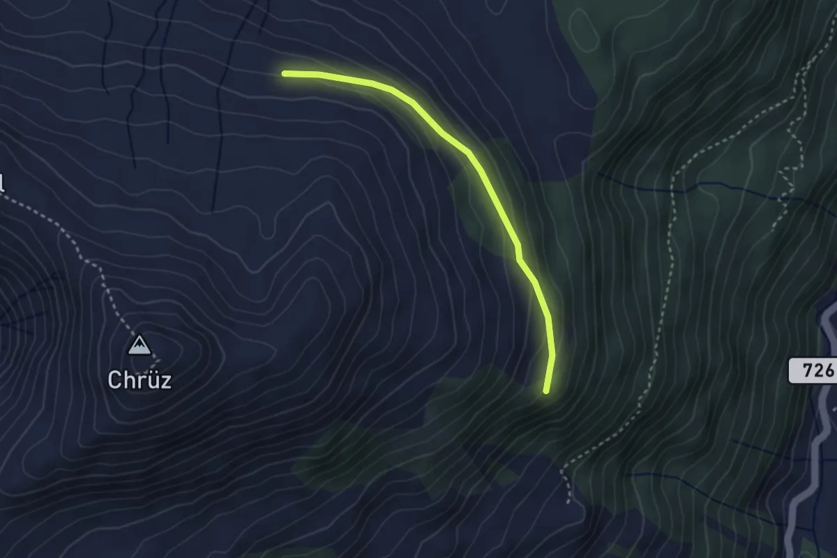
Easy · Trail
Capöllerbüel – Valpun
2.8 km · ↑ 109 m · 54 min
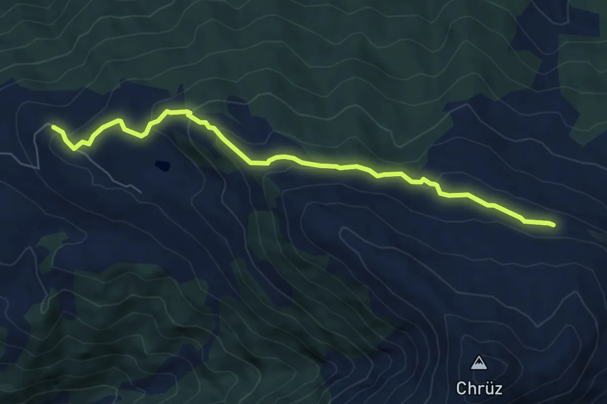
Easy · Trail
Valpun – Stelserberg
6.9 km · ↑ 280 m · 2 h 15 min
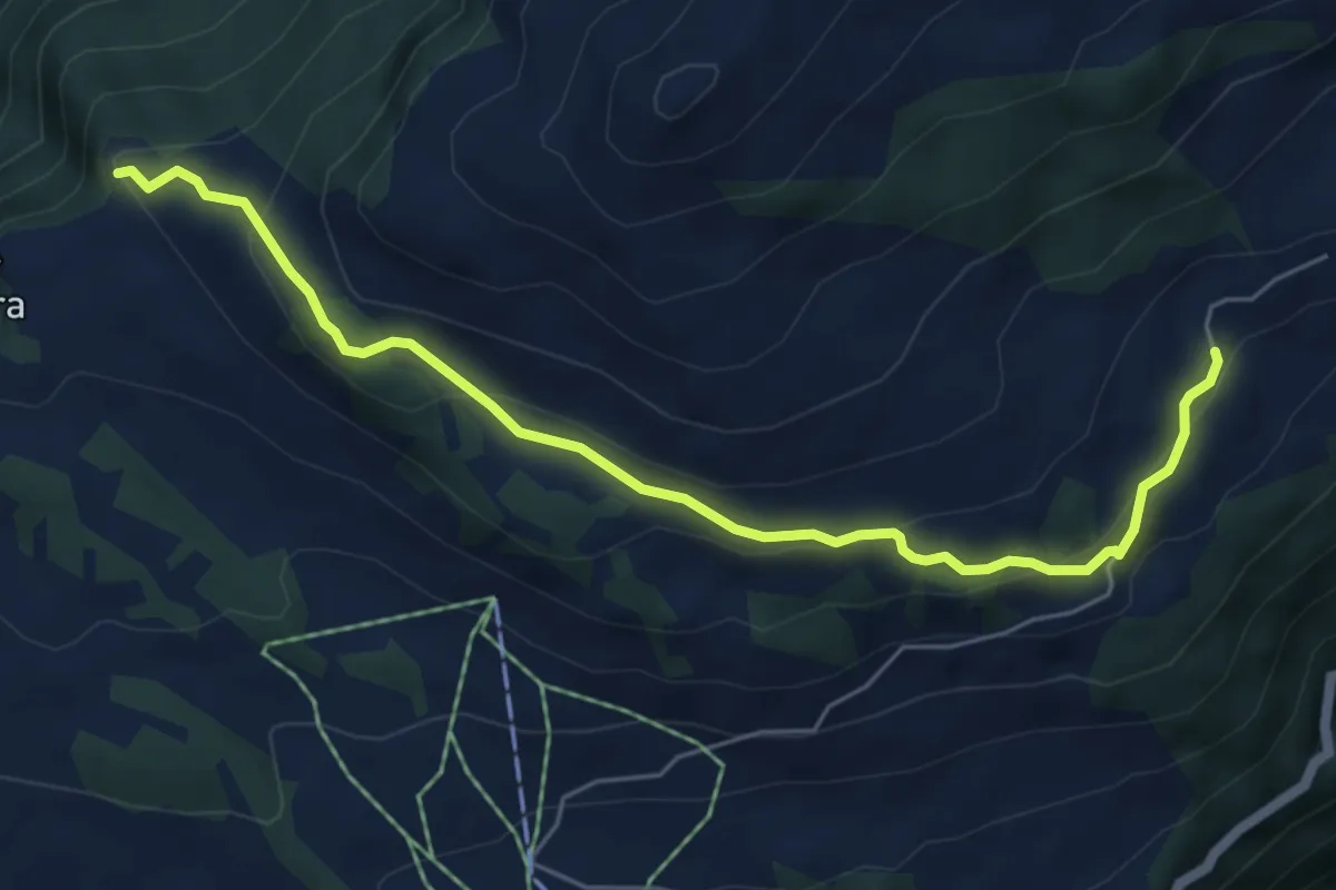
Easy · Trail
Bova – Tratza
6.0 km · ↑ 281 m · 2 h 1 min
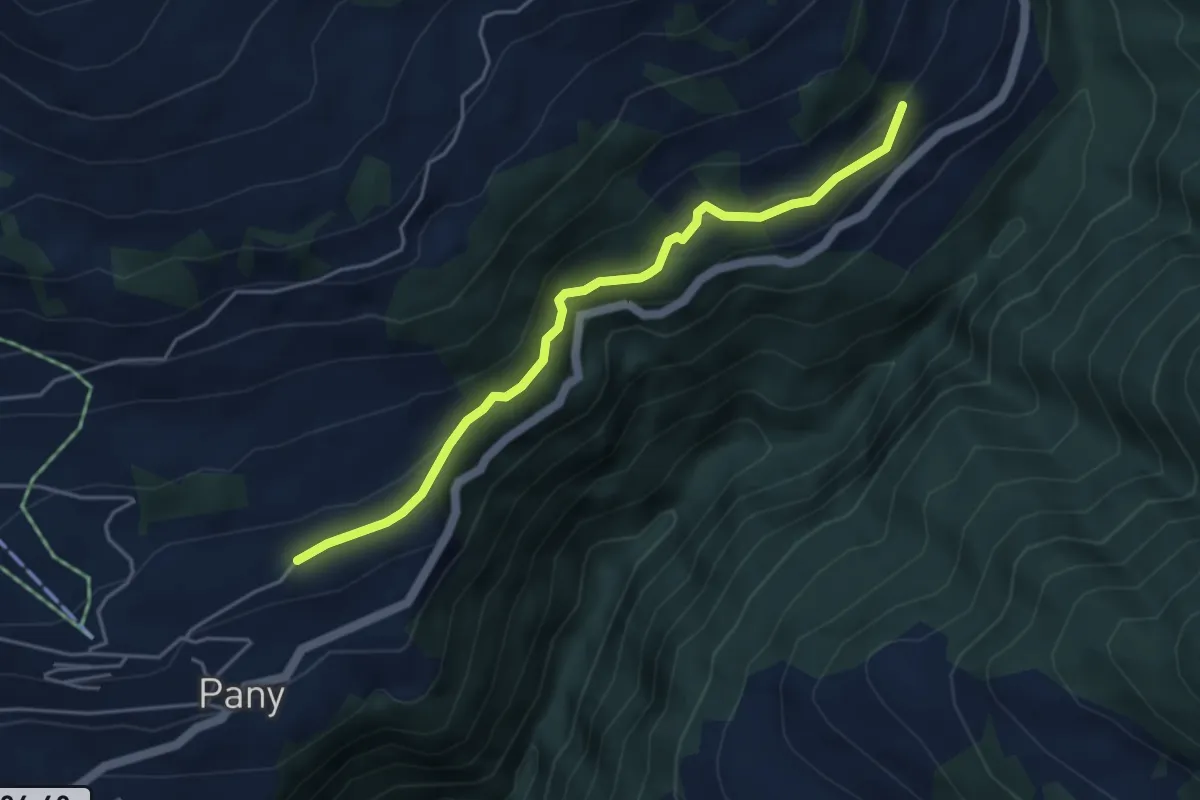
Easy · Trail
Haderegg – Gadenstätt
4.4 km · ↑ 181 m · 1 h 25 min
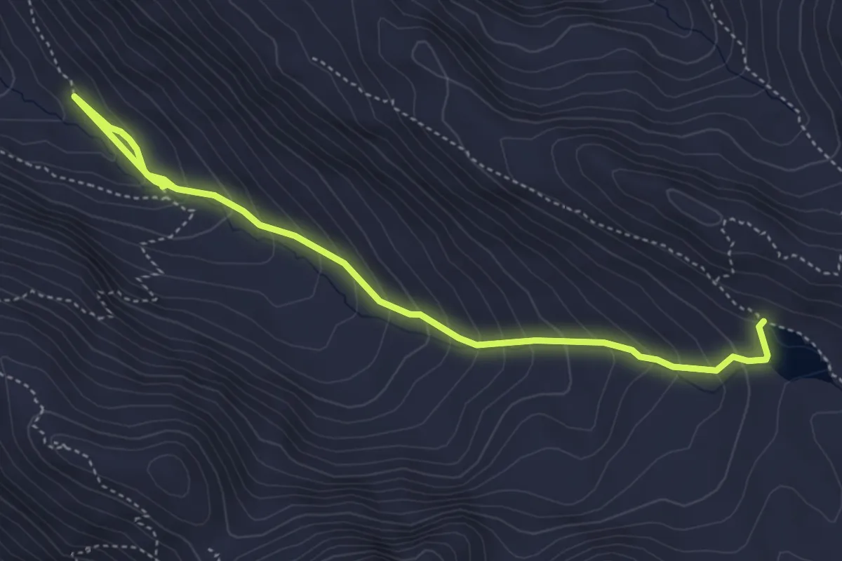
Medium · Trail
Margun – Lej Muragl
5.2 km · ↑ 416 m · 2 h 7 min
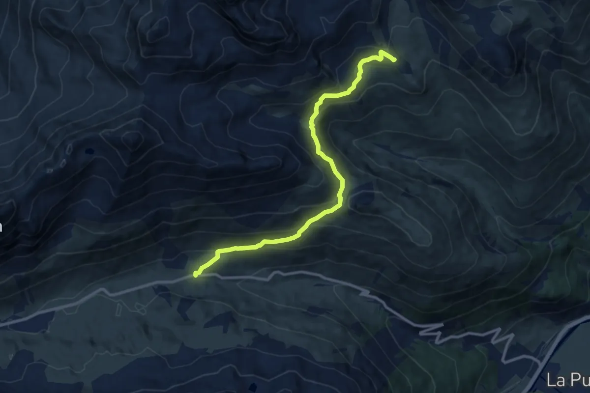
Medium · Cabin
La Punt, Parkplatz Es-cha – Chamanna d'Es-cha
9.5 km · ↑ 530 m · 3 h 23 min
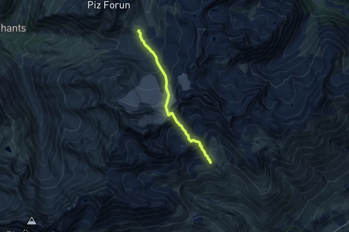
Expert · Cabin
Chamanna d'Es-cha – Chamanna digl Kesch
9.6 km · ↑ 840 m · 4 h 6 min
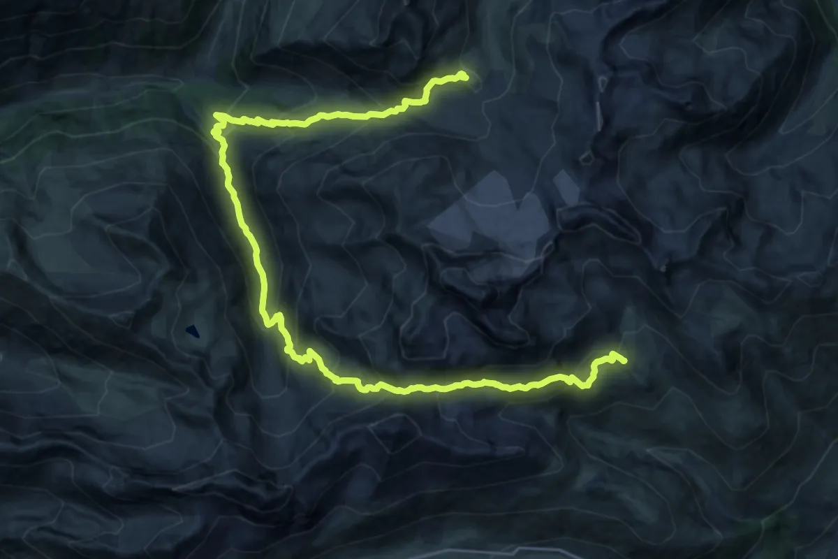
Demanding · Cabin
Chamanna d'Es-cha – Chamanna digl Kesch
13.8 km · ↑ 1057 m · 5 h 43 min
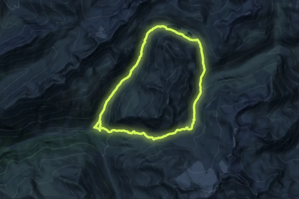
Demanding · Trail
Chants – Chants
15.2 km · ↑ 941 m · 5 h 49 min
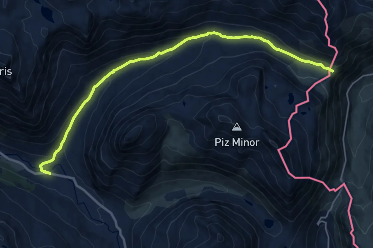
Medium · Trail
Bernina Diavolezza – Passo del Fieno
15.2 km · ↑ 416 m · 4 h 29 min
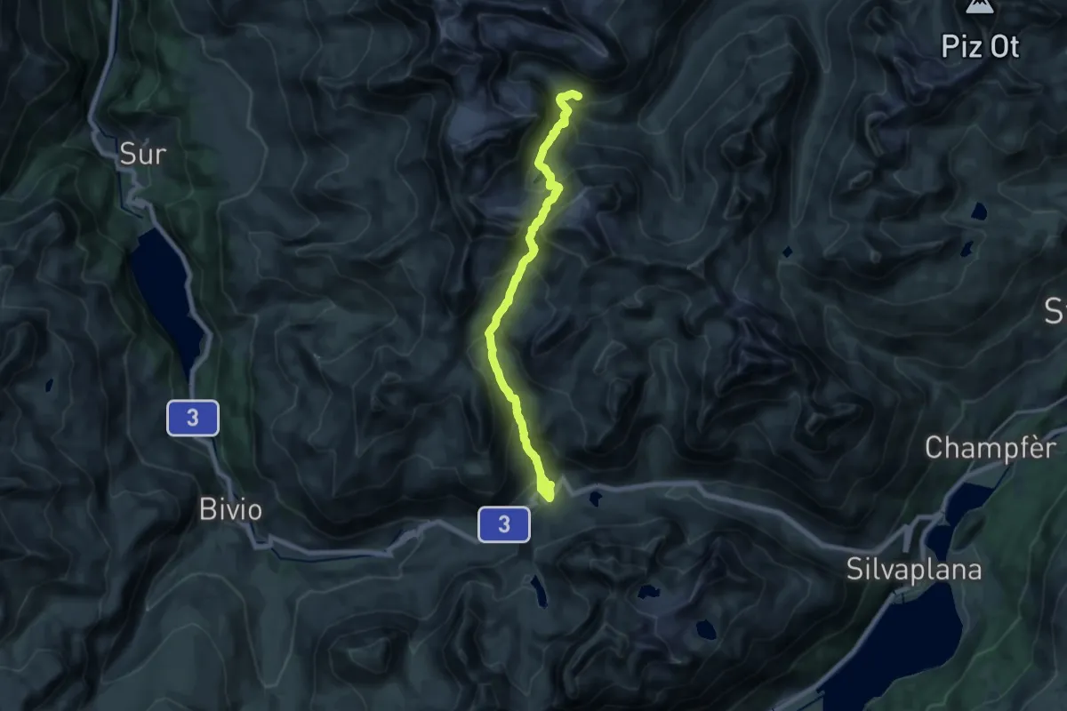
Demanding · Cabin
Ospizio La Vedutta – Chamanna Jenatsch SAC
17.6 km · ↑ 1321 m · 7 h 2 min
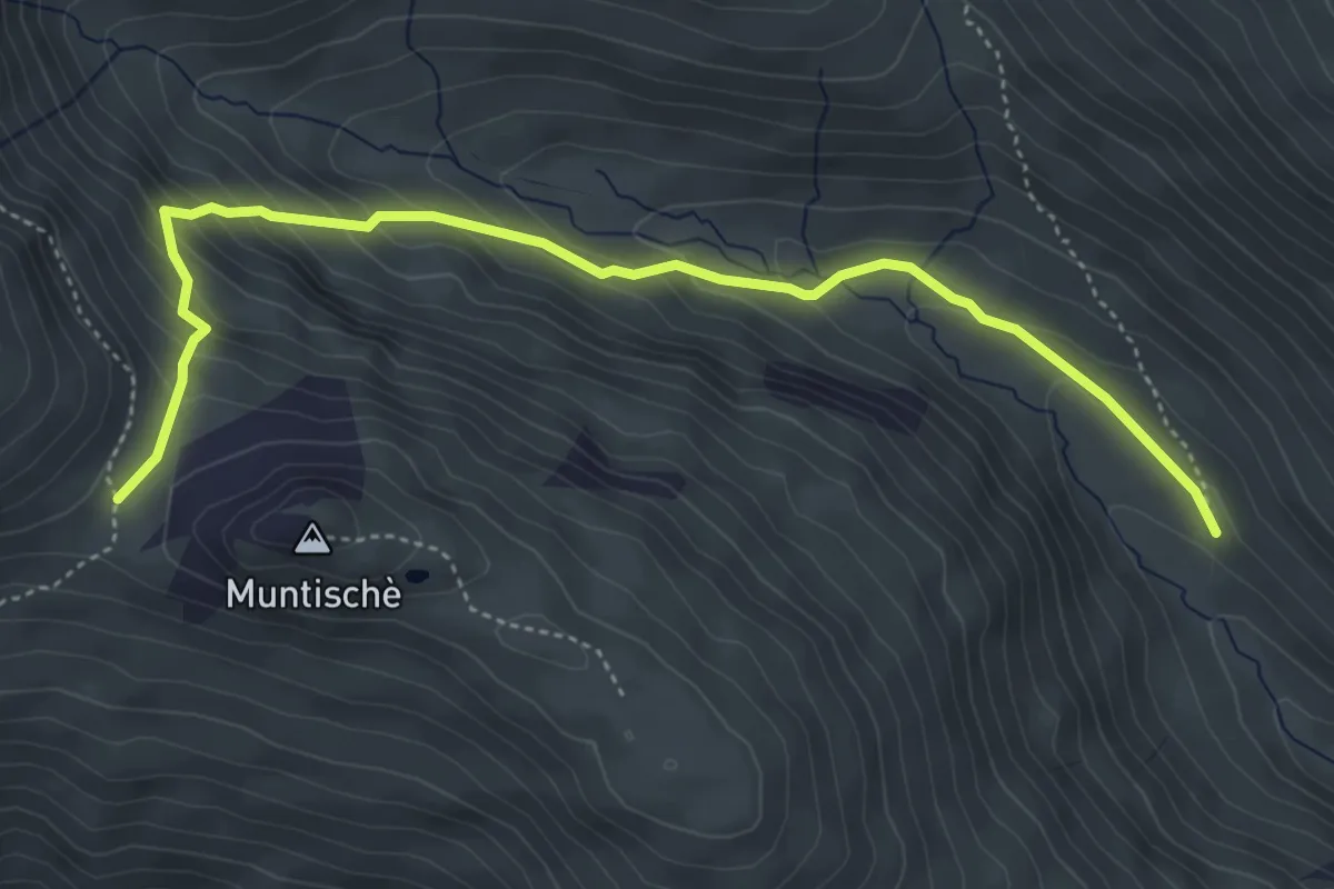
Medium · Trail
Alp Es-cha Dadour – Fuorcla Gualdauna
5.0 km · ↑ 368 m · 1 h 59 min
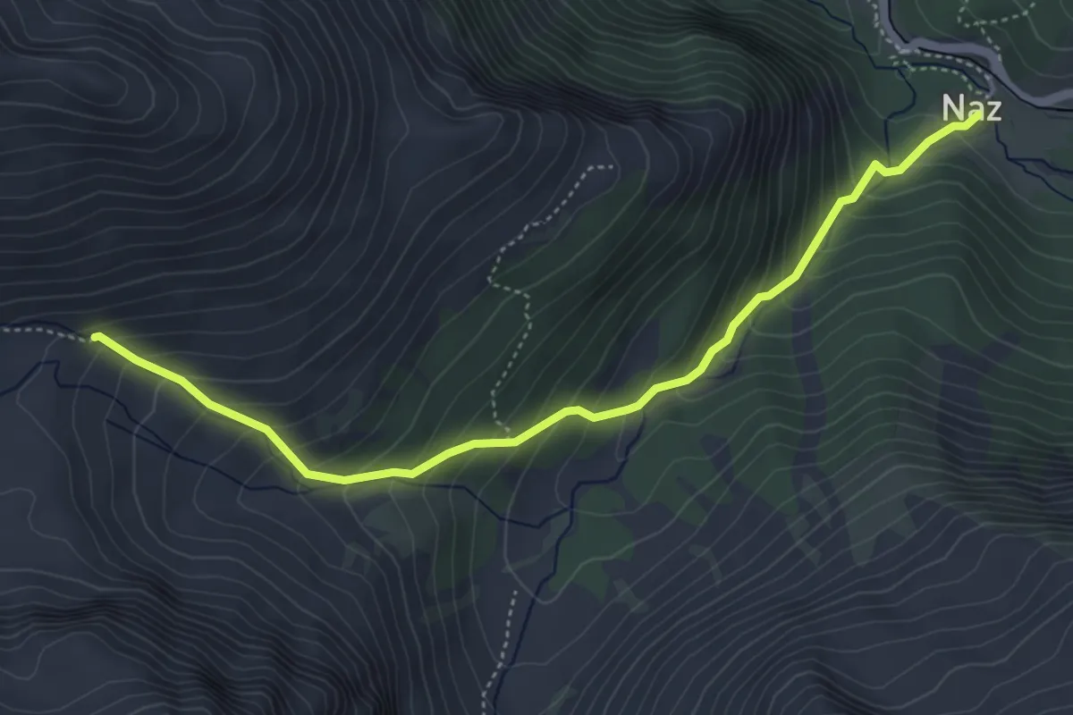
Medium · Trail
Naz – Fallo
5.0 km · ↑ 500 m · 2 h 15 min
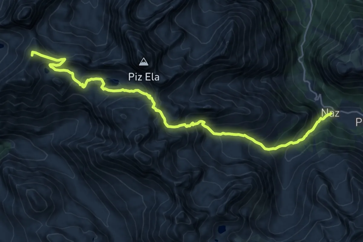
Demanding · Summit
Naz – Chamanna d'Ela CAS
19.7 km · ↑ 1551 m · 8 h 1 min
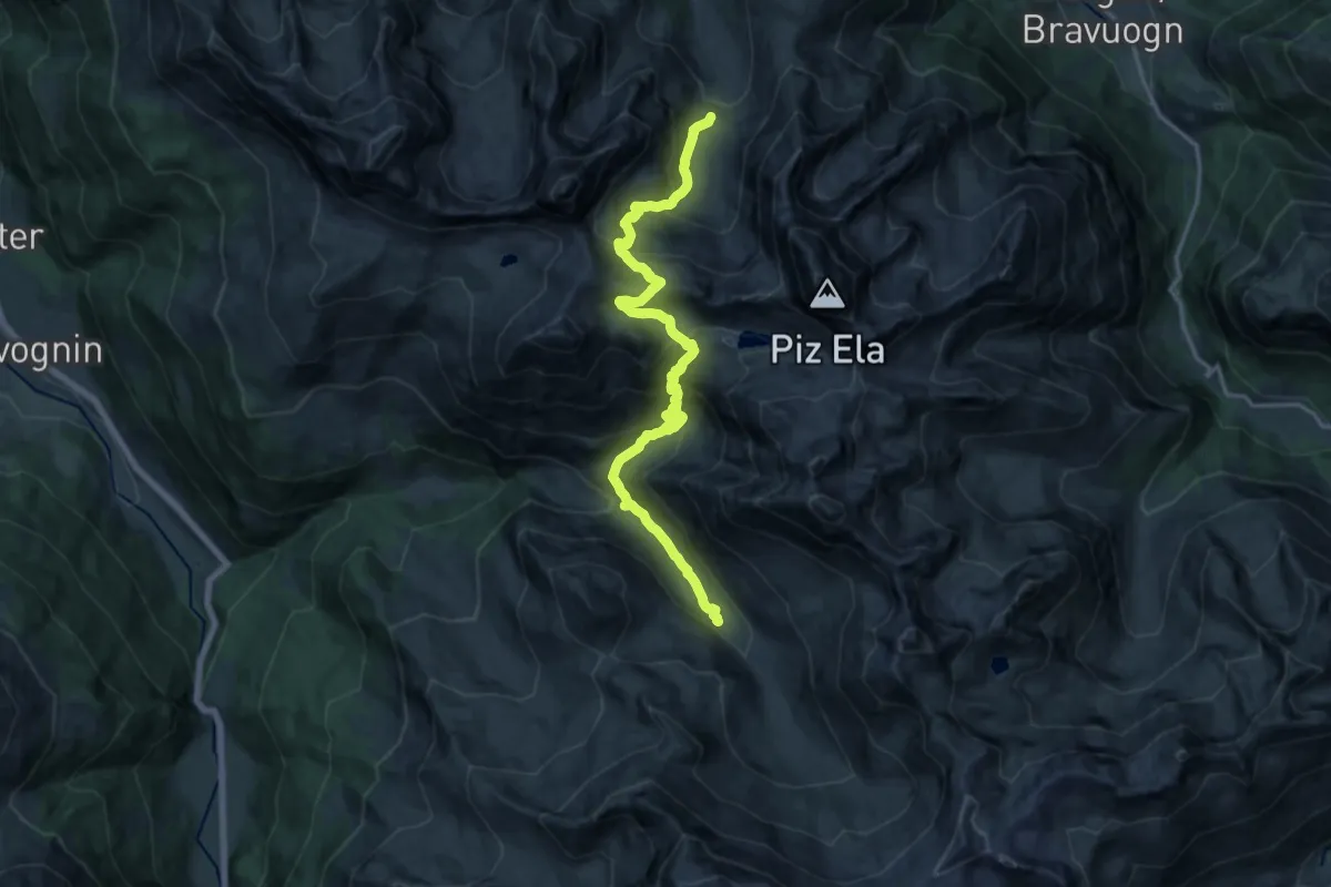
Demanding · Cabin
Chamonas d'Ela CAS – Alp d'Err
18.4 km · ↑ 1388 m · 7 h 21 min
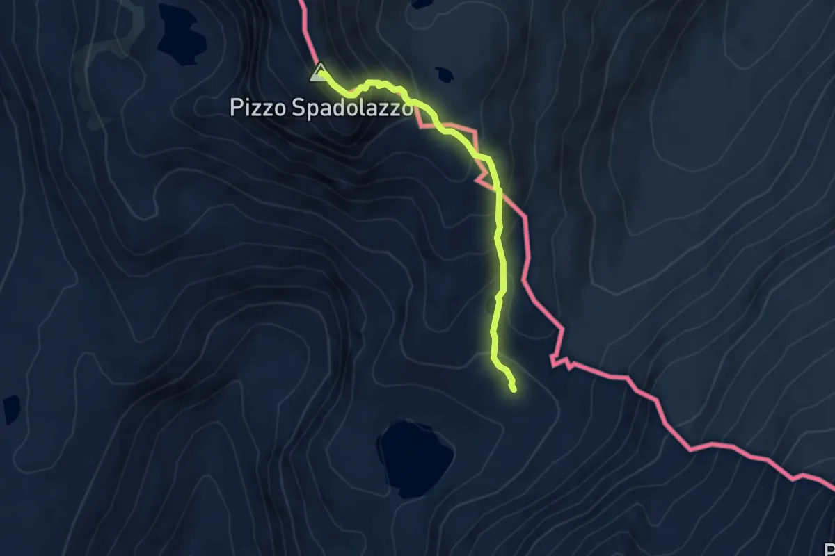
Demanding · Summit
Passo Niemet – Passo di Suretta
4.1 km · ↑ 451 m · 1 h 57 min