Trails in Switzerland
15,055 hiking trails, each with its route, climb, walking time and grade.
All trails, page 226 of 314
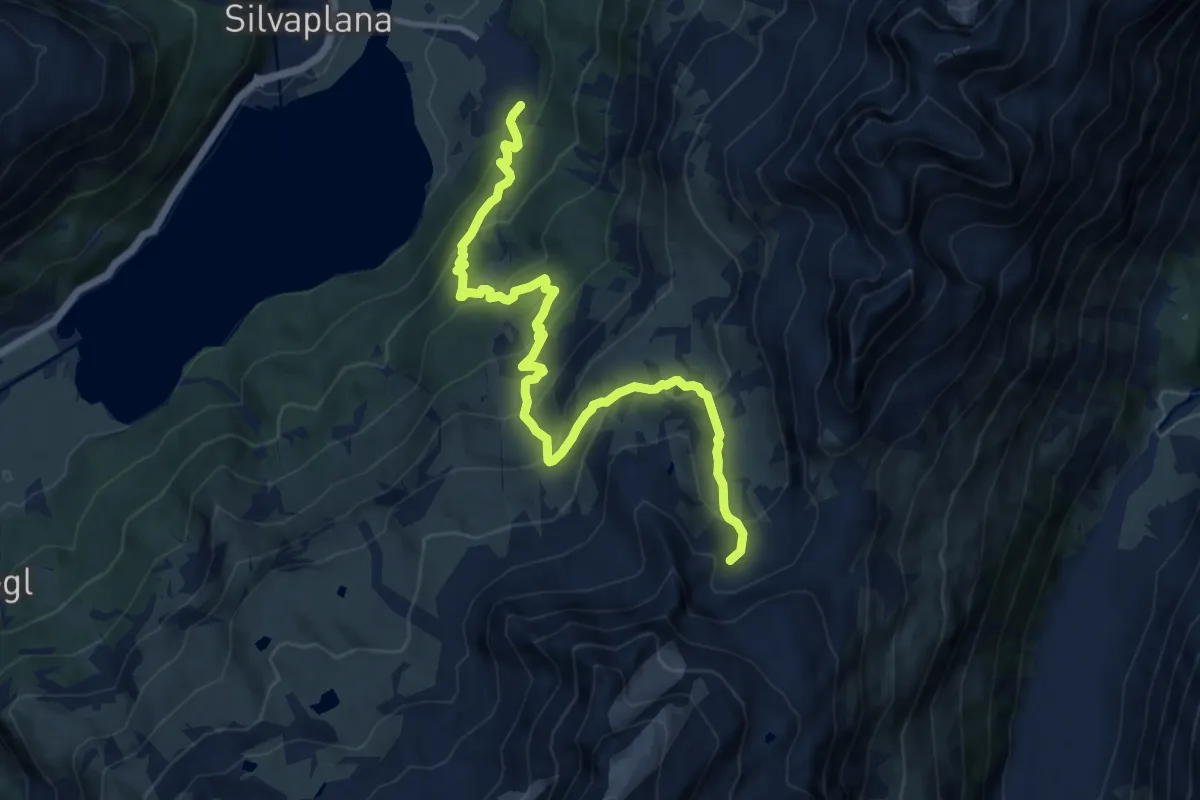
Demanding · Trail
Sylvaplana – Murtel
12.8 km · ↑ 828 m · 4 h 50 min
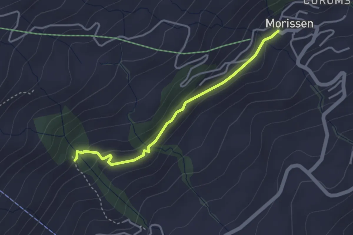
Easy · Trail
Triel – Morisson
3.0 km · ↑ 94 m · 55 min
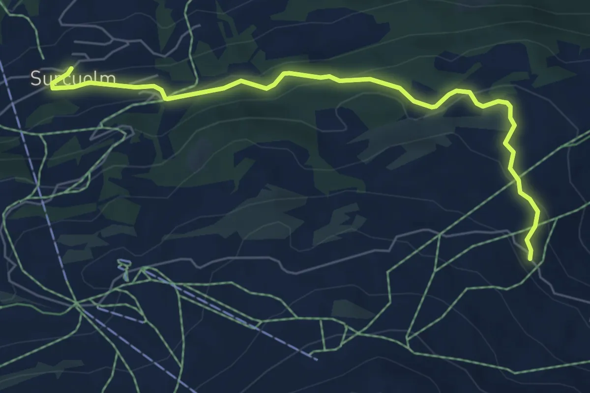
Easy · Trail
Surculm Bushaltestelle – Bündner Rigi
6.3 km · ↑ 271 m · 2 h 4 min
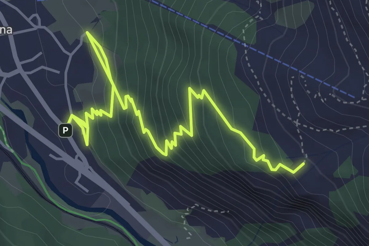
Medium · Trail
Alp Languard – Pontresina
5.5 km · ↑ 391 m · 2 h 9 min
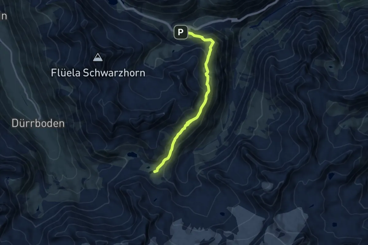
Demanding · Cabin
Fluellapass – Grialetsch Hutte
10.4 km · ↑ 597 m · 3 h 45 min
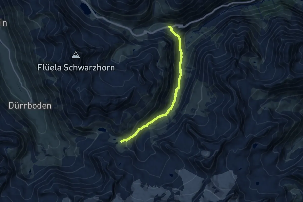
Medium · Cabin
Chantsura – Grialetsch Hutte
10.1 km · ↑ 653 m · 3 h 48 min
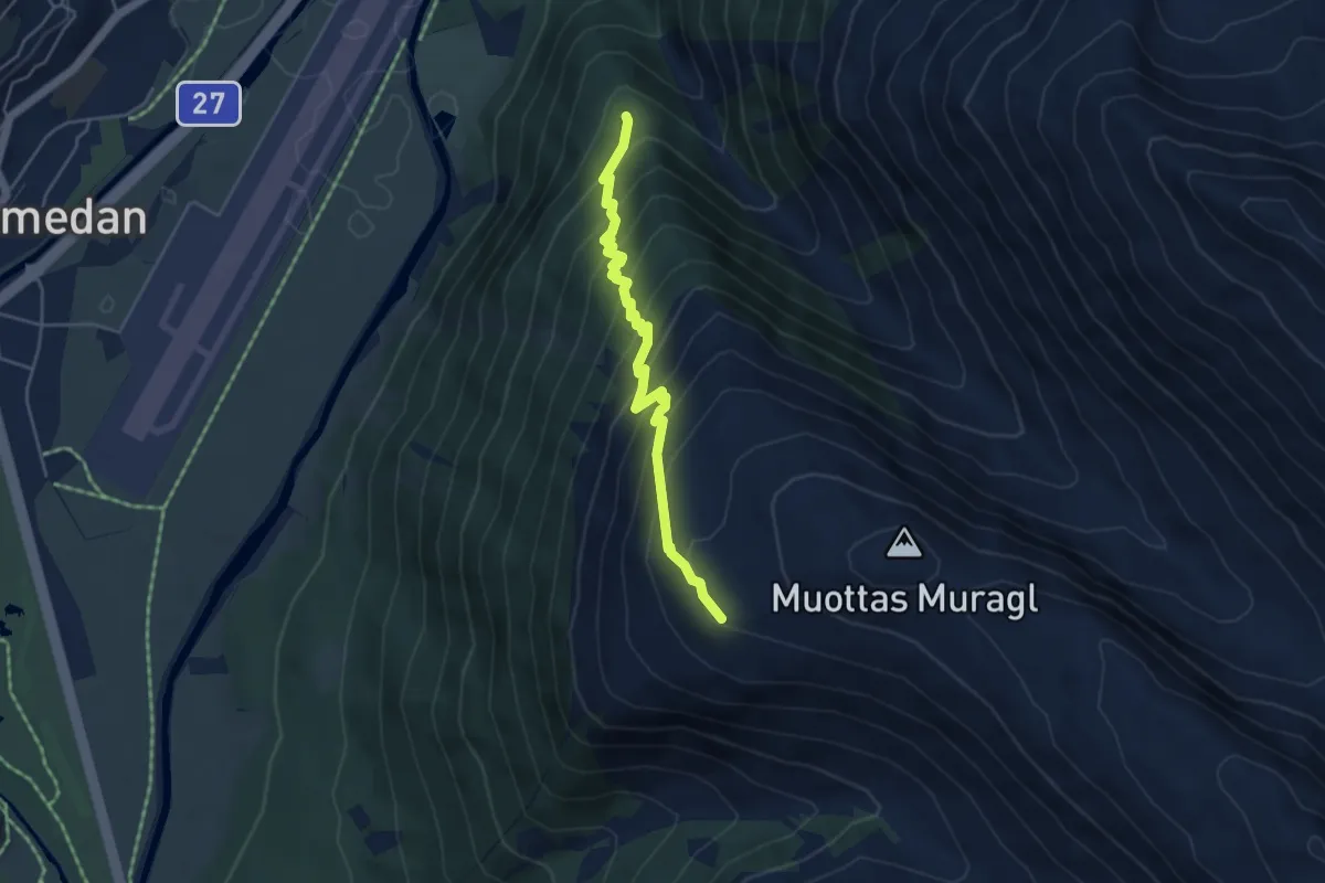
Demanding · Trail
Alp Chauntaluf – Muottas Muragl
4.5 km · ↑ 492 m · 2 h 8 min
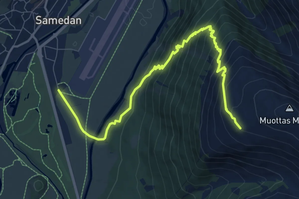
Medium · Trail
Samedan – Muottas Muragl
9.9 km · ↑ 771 m · 4 h 1 min
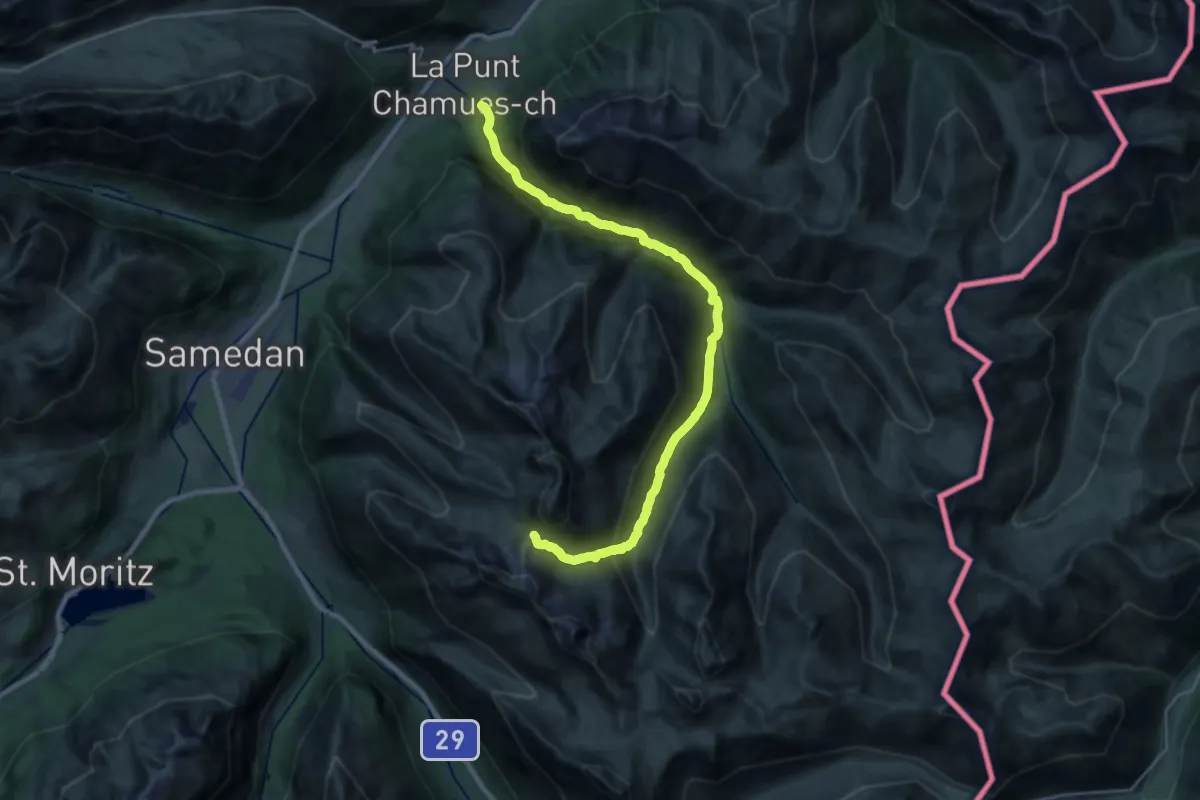
Demanding · Trail
Chamues-ch – Fuorcla Muragl
13.1 km · ↑ 1306 m · 5 h 31 min
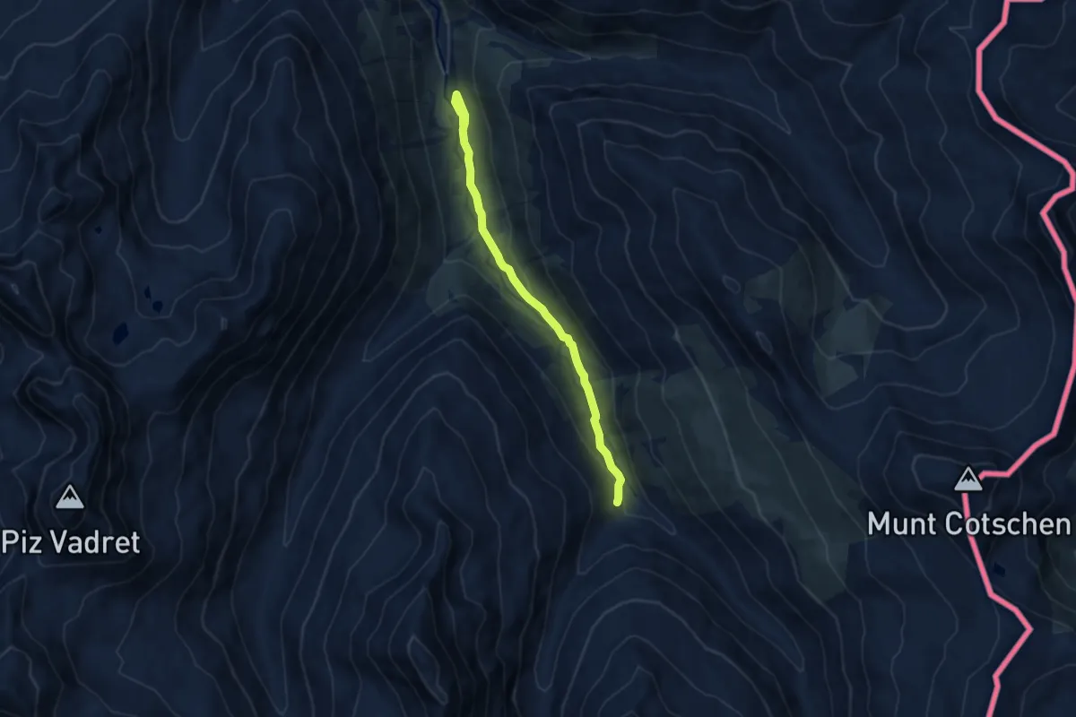
Easy · Trail
Serlas – Alp Pruenela
7.8 km · ↑ 225 m · 2 h 19 min
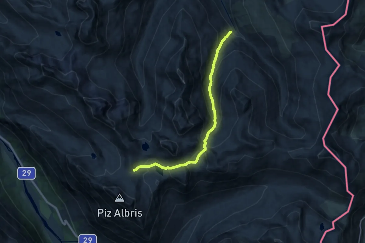
Demanding · Trail
Alp Pruenela – Fuorcla Pischa
12.7 km · ↑ 875 m · 4 h 54 min
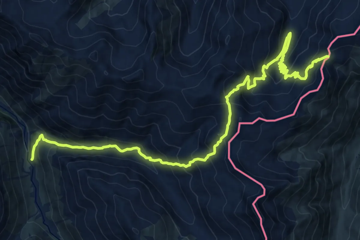
Demanding · Trail
Serlas – Pass Chaschauna
12.4 km · ↑ 1186 m · 5 h 21 min
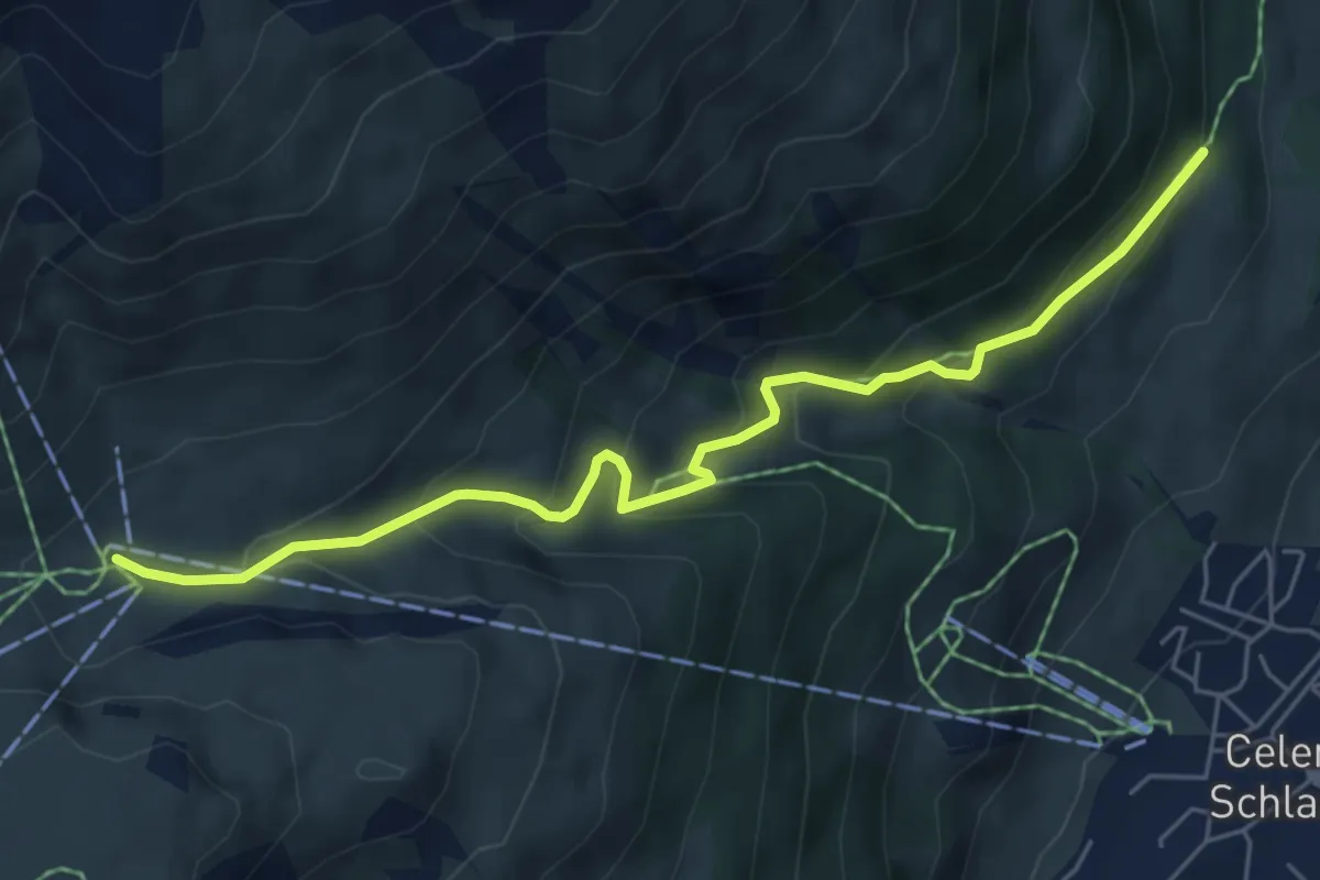
Medium · Trail
Cristolais – Marguns
6.1 km · ↑ 412 m · 2 h 20 min
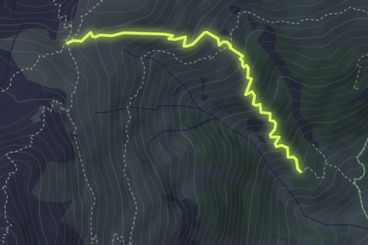
Medium · Trail
Peidra Grossa – Margunin
4.0 km · ↑ 459 m · 1 h 56 min
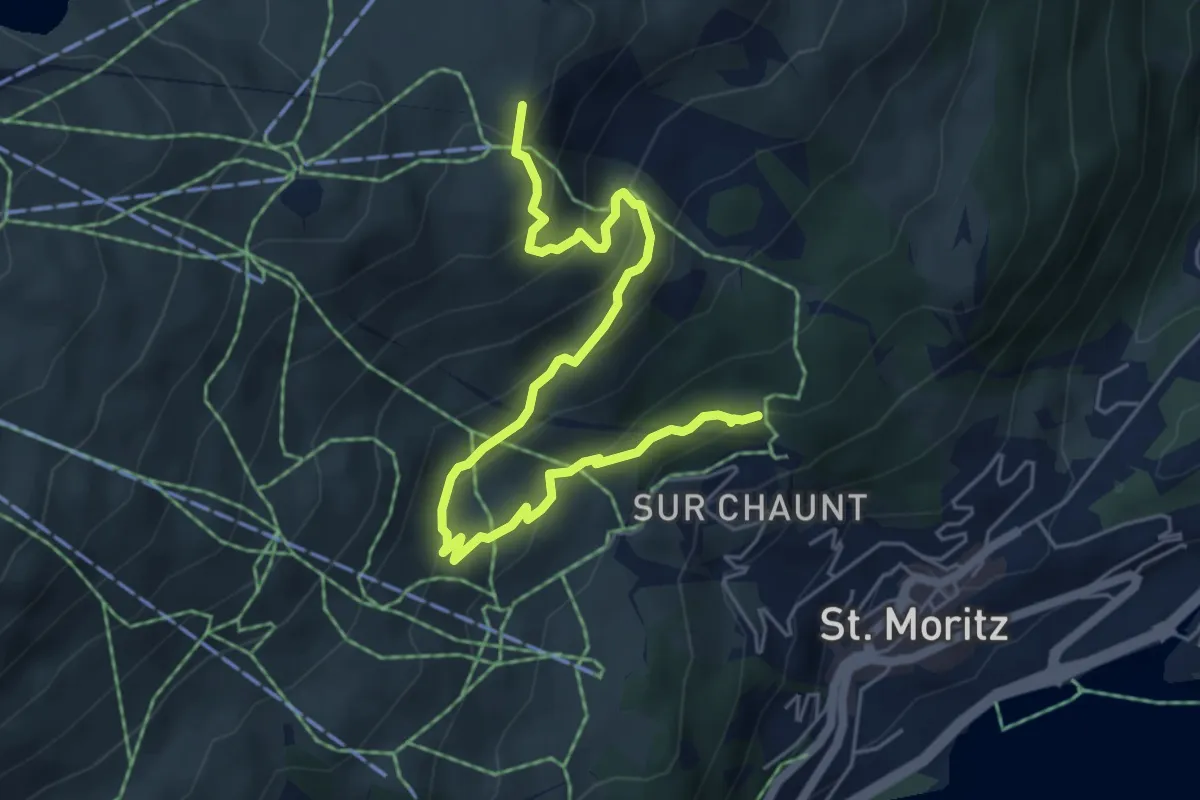
Medium · Summit
Chantarella – Corviglia
6.3 km · ↑ 384 m · 2 h 19 min
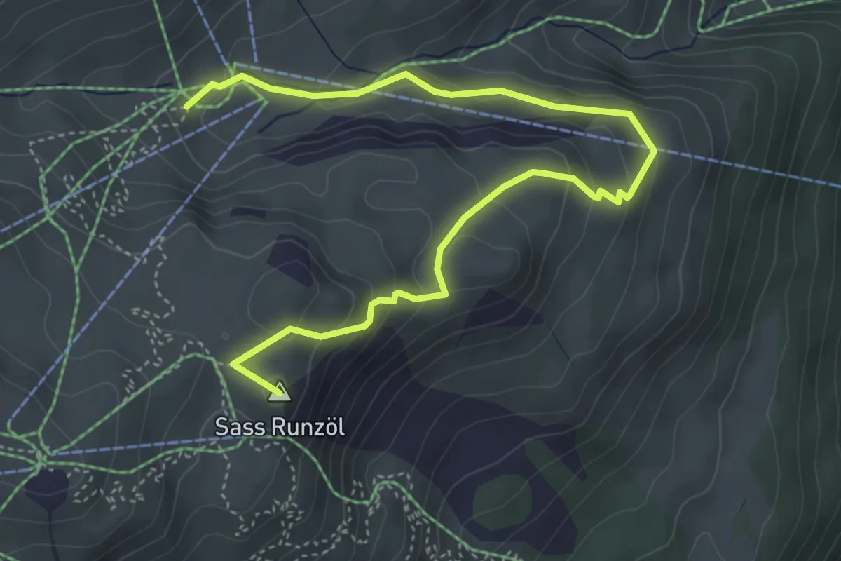
Medium · Summit
Corviglia – Marguns
5.6 km · ↑ 276 m · 1 h 55 min
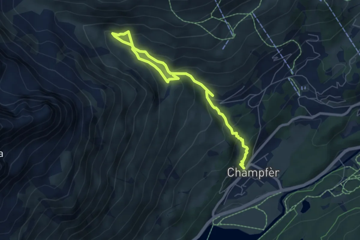
Medium · Trail
Champfer – Alp Suvretta
7.4 km · ↑ 523 m · 2 h 53 min
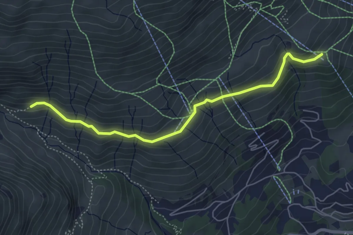
Easy · Cabin
Signalbahn – Alp Suvretta
5.0 km · ↑ 191 m · 1 h 36 min
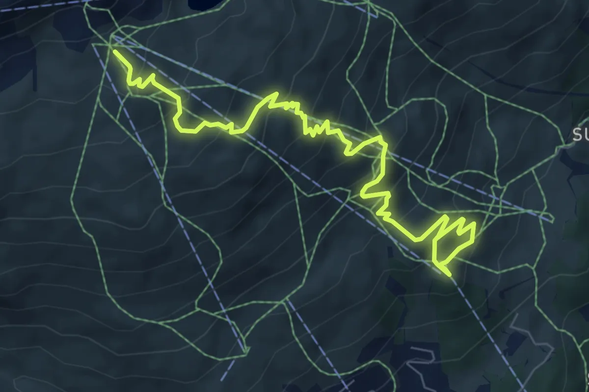
Medium · Cabin
Signalbahn – Munt da San Murezzan
8.9 km · ↑ 644 m · 3 h 30 min
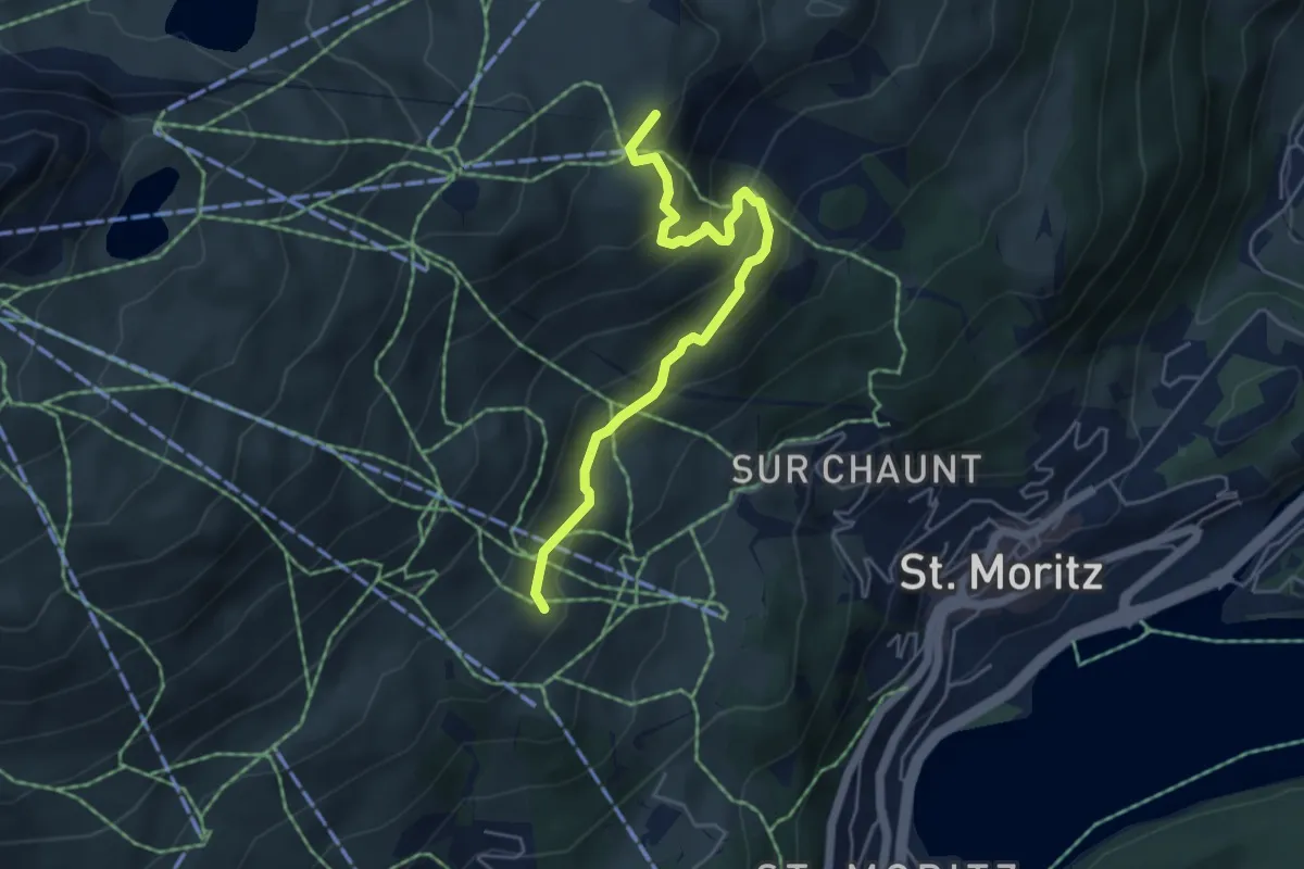
Medium · Summit
Alp Giop – Alp Nova
4.8 km · ↑ 298 m · 1 h 47 min
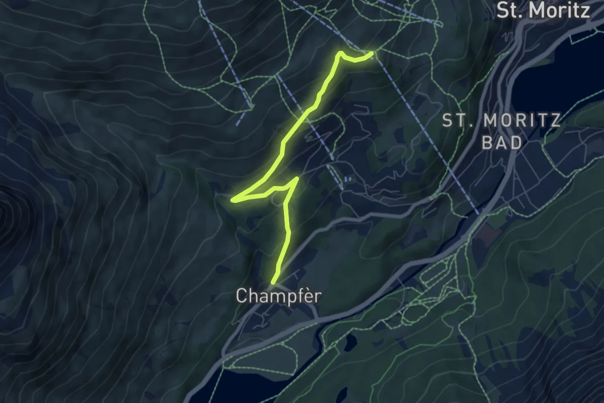
Medium · Trail
Champfer – Signalbahn
6.3 km · ↑ 338 m · 2 h 13 min
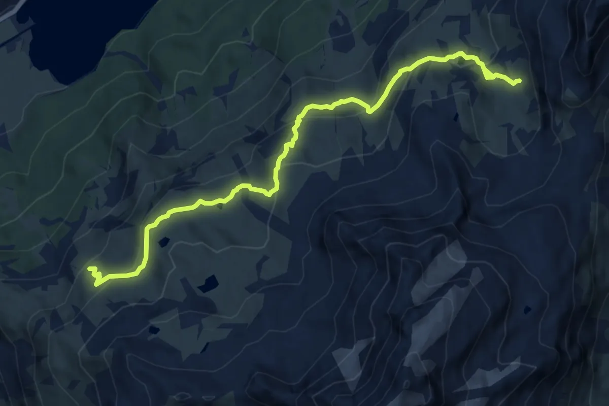
Medium · Trail
Furtschellas – Fuorcla Surlej
12.0 km · ↑ 648 m · 4 h 14 min
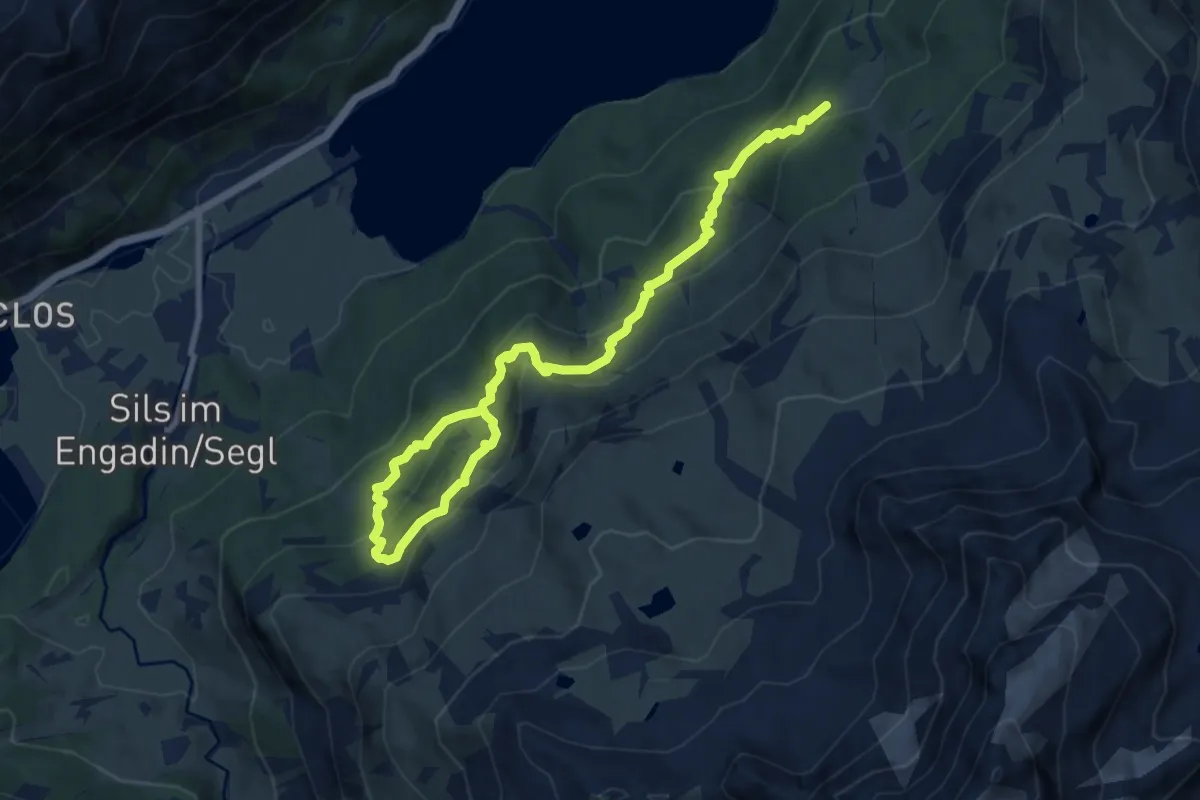
Medium · Trail
Alp Surlej – Furtschellas
11.2 km · ↑ 752 m · 4 h 16 min
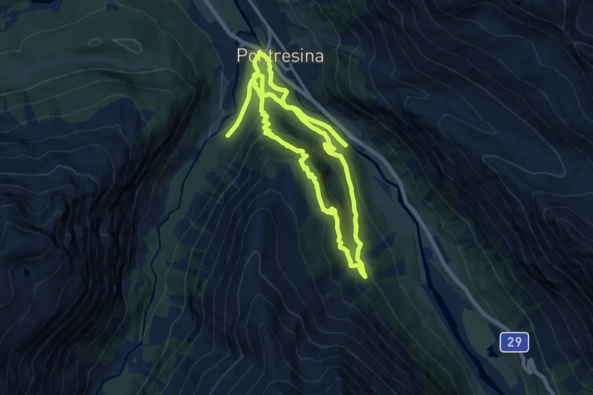
Medium · Trail
Pontresina – Pontresina
9.7 km · ↑ 604 m · 3 h 44 min
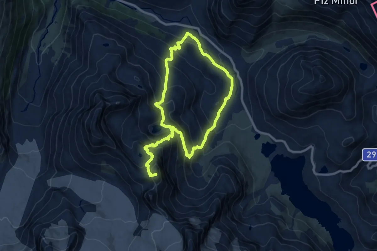
Demanding · Summit
Bernina Diavolezza – Diavolezza
20.6 km · ↑ 1571 m · 8 h 17 min
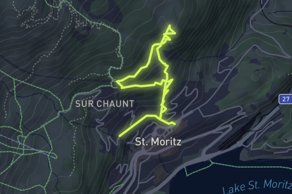
Medium · Trail
Chantarella – St. Moritz
6.1 km · ↑ 498 m · 2 h 31 min
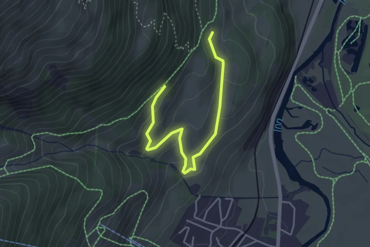
Easy · Trail
Celerina – Cristolais
3.7 km · ↑ 163 m · 1 h 14 min
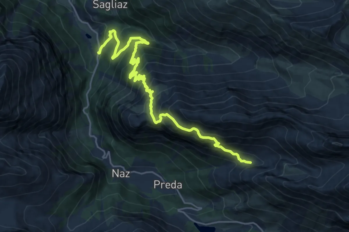
Demanding · Cabin
Berguns – Alp Zavretta
16.7 km · ↑ 1424 m · 7 h 1 min
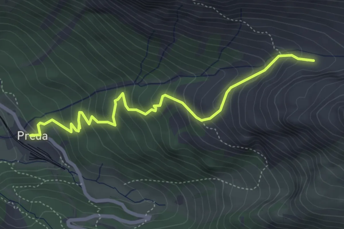
Medium · Cabin
Preda – Alp Zavretta
5.1 km · ↑ 477 m · 2 h 15 min
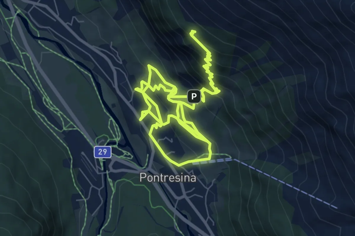
Demanding · Cabin
Pontresina – Unterer Schafberg
12.9 km · ↑ 944 m · 5 h 5 min
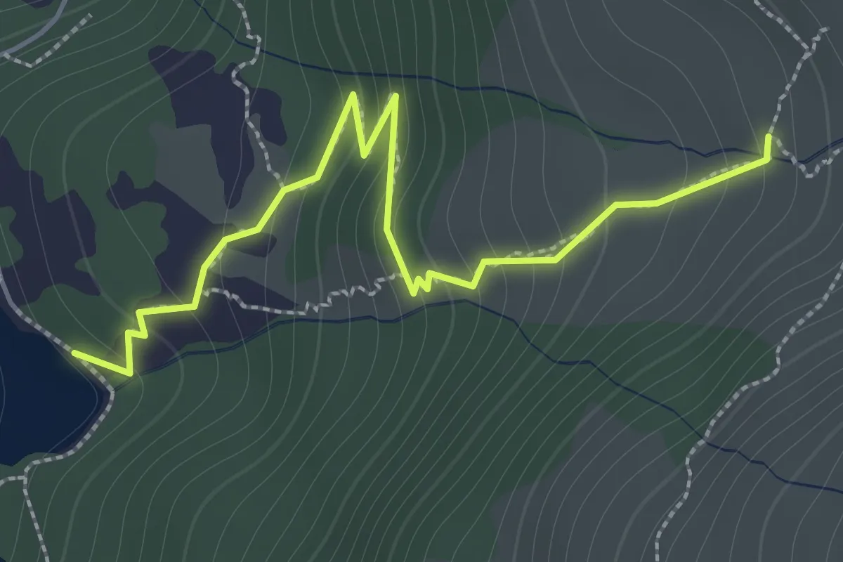
Medium · Trail
Wyssbach – Widerstein
1.9 km · ↑ 212 m · 55 min
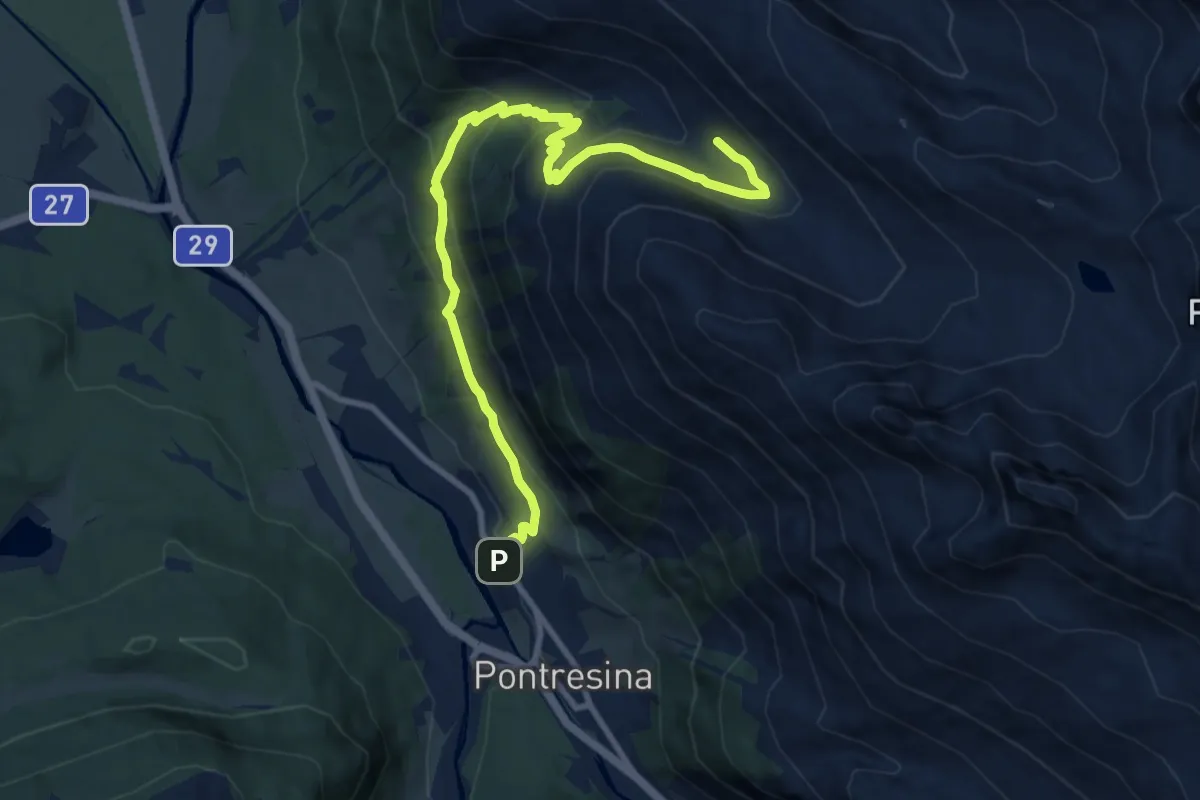
Medium · Trail
Pontresina – Marguns
11.3 km · ↑ 652 m · 4 h 5 min
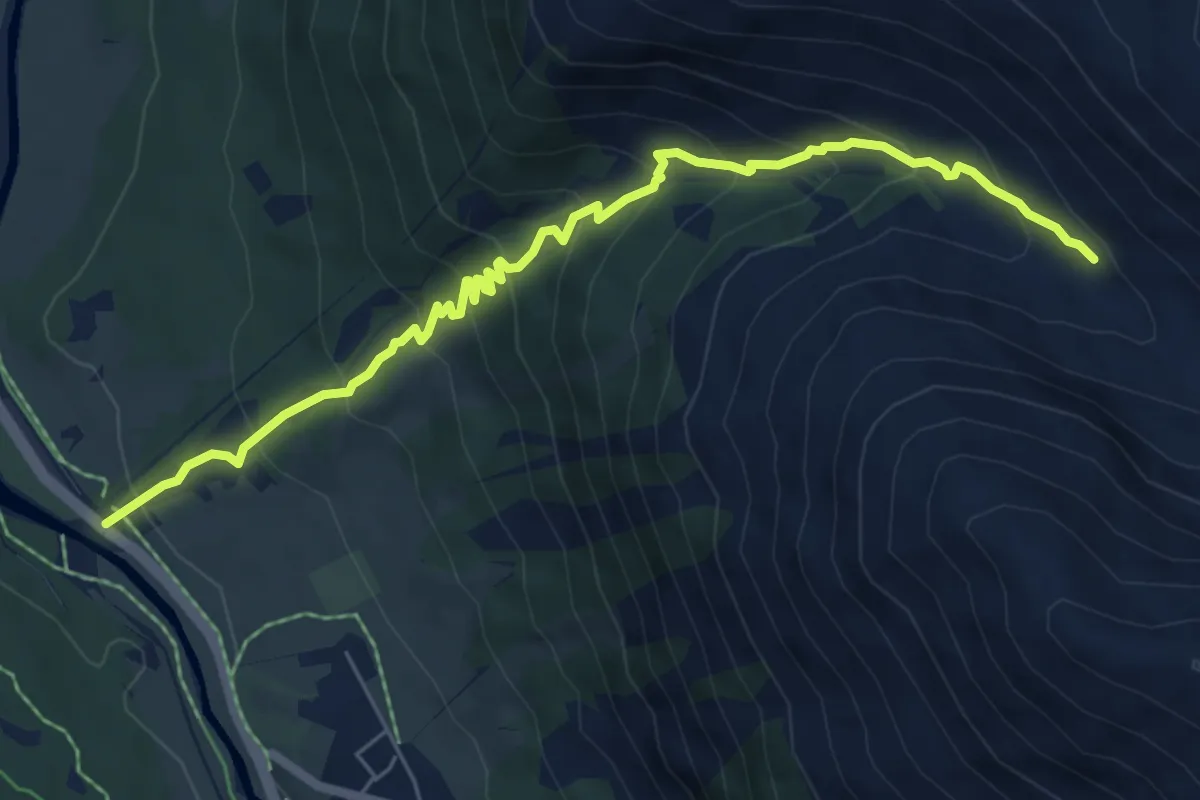
Demanding · Trail
Punt Muragl – Marguns
7.0 km · ↑ 598 m · 2 h 57 min
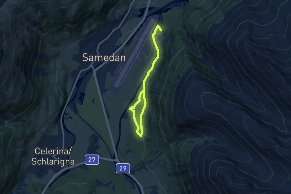
Medium · Trail
Punt Muragl – Acla Chuoz
8.7 km · ↑ 224 m · 2 h 32 min
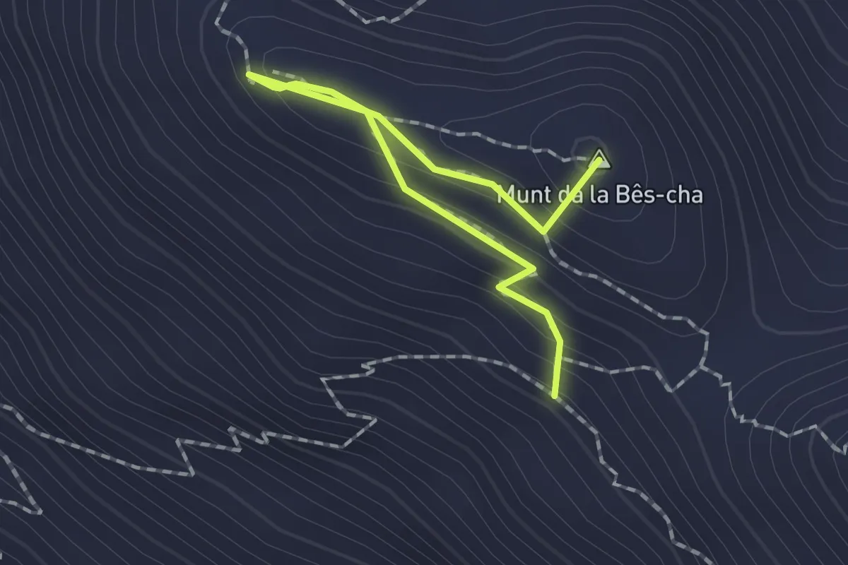
Demanding · Summit
Chamanna Segantini – Las Sours
1.9 km · ↑ 100 m · 40 min
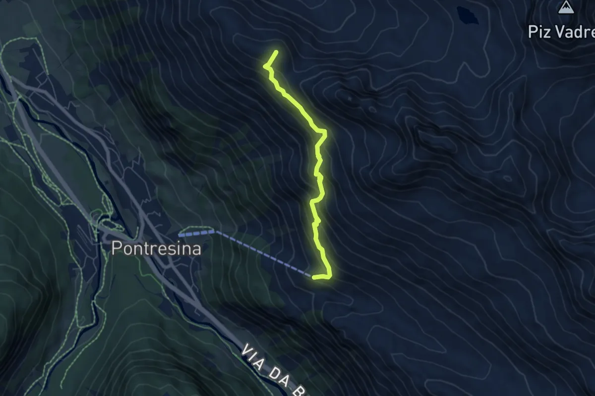
Demanding · Summit
Alp Languard – Chamanna Segantini
5.3 km · ↑ 559 m · 2 h 28 min
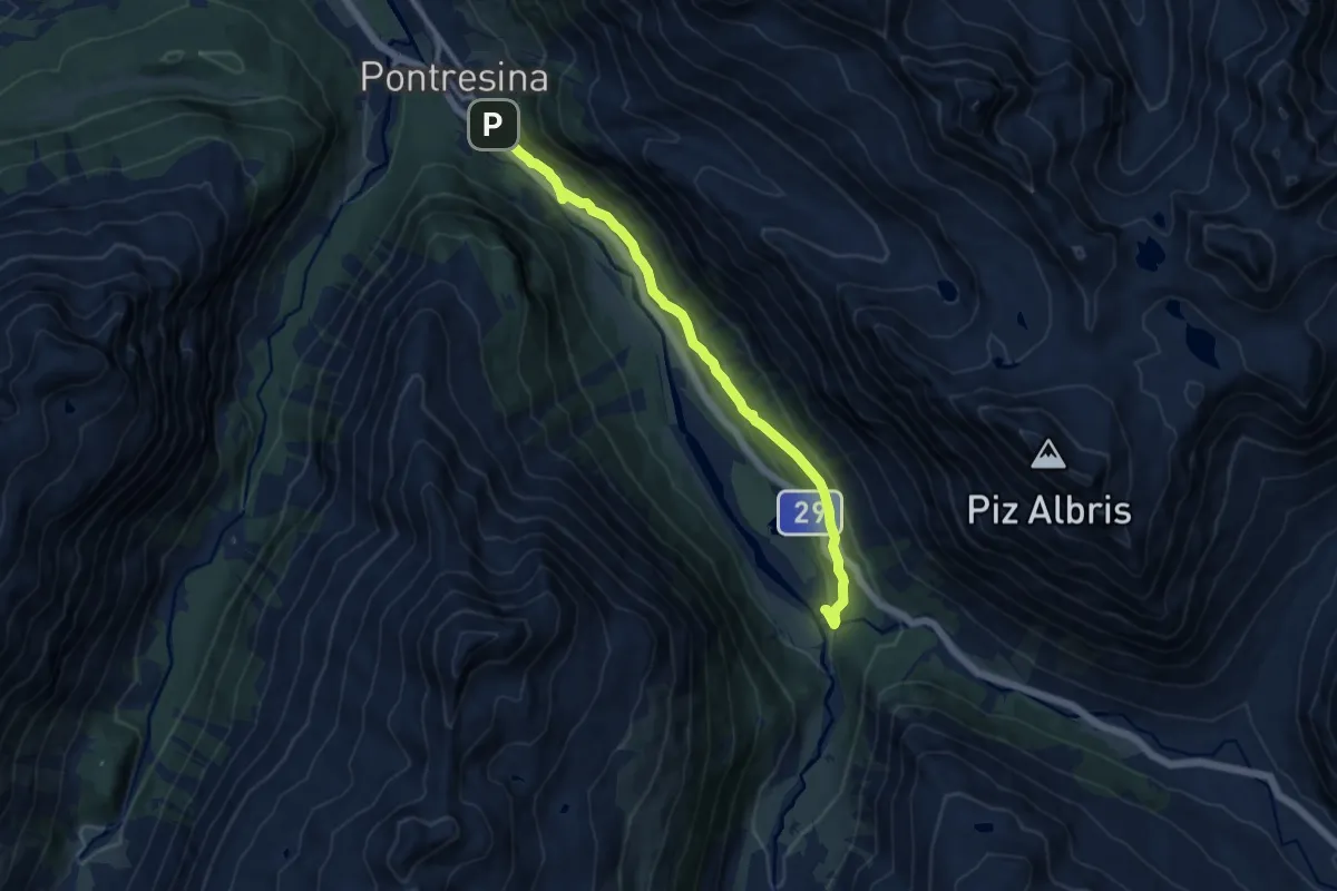
Medium · Trail
Pontresina – Morteratsch
10.7 km · ↑ 320 m · 3 h 14 min
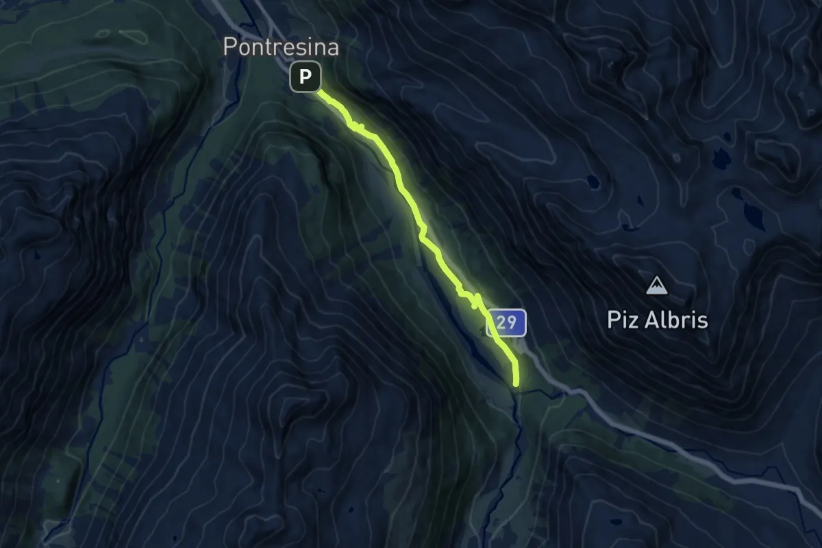
Medium · Trail
Pontresina – Morteratsch
10.9 km · ↑ 127 m · 2 h 51 min
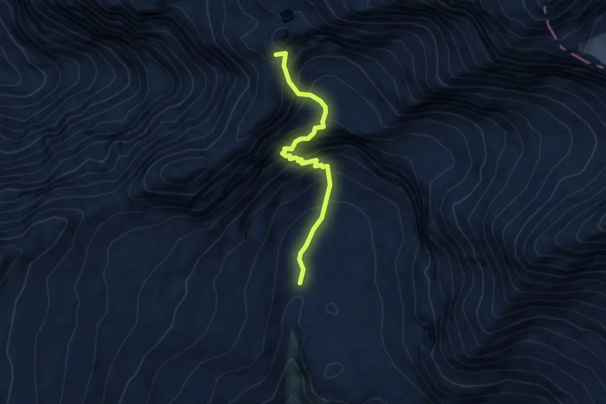
Demanding · Summit
Capanna Adula UTOE – Alpe di Quarnei
3.9 km · ↑ 620 m · 2 h 16 min
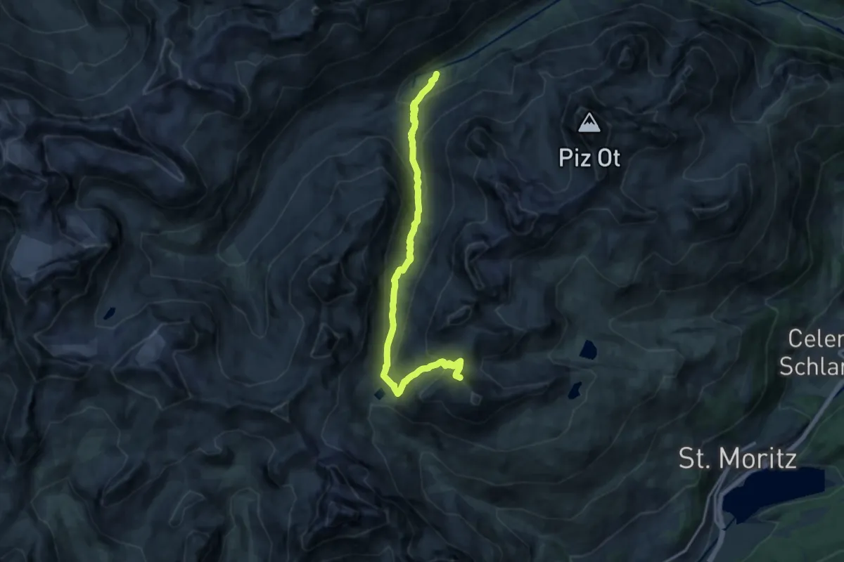
Demanding · Summit
Alp Suvretta – Piz Nair
14.3 km · ↑ 832 m · 5 h 11 min
Demanding · Trail
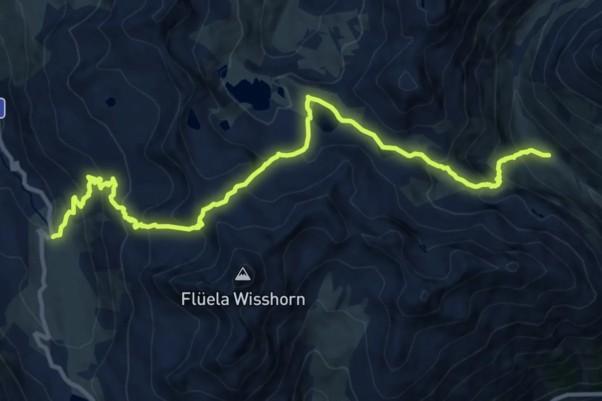
Fluellapass – Alp Fless Dadaint
16.4 km · ↑ 1359 m · 6 h 49 min
Medium · Trail
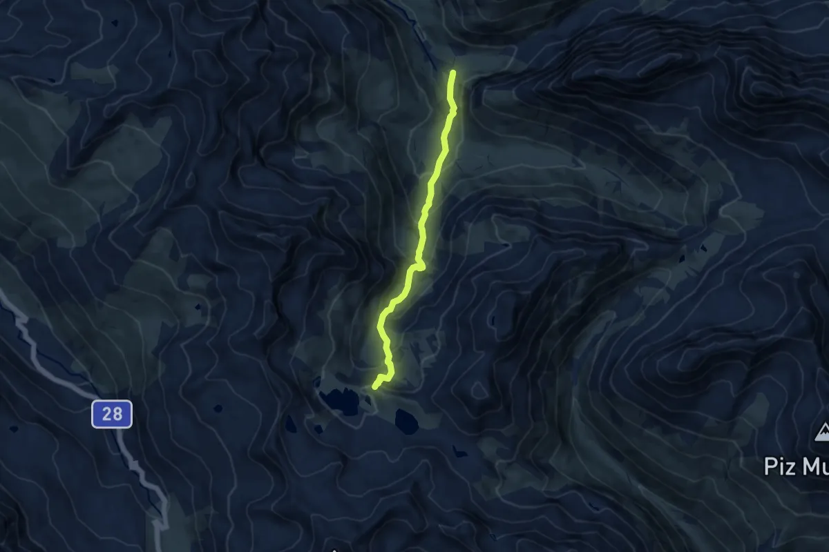
Berghaus Vereina – Joriseen
8.4 km · ↑ 579 m · 3 h 15 min
Medium · Trail
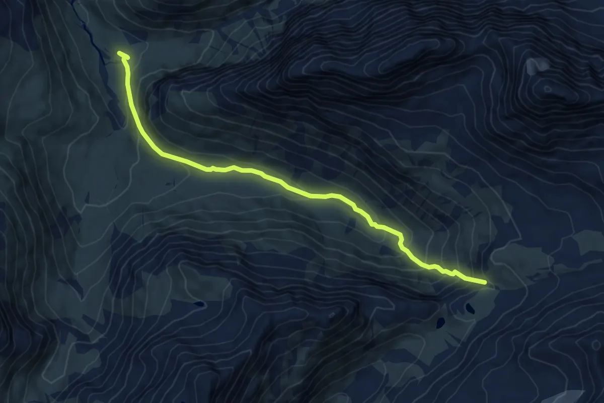
Berghaus Vereina – Flesspass
8.3 km · ↑ 524 m · 3 h 5 min
Medium · Cabin
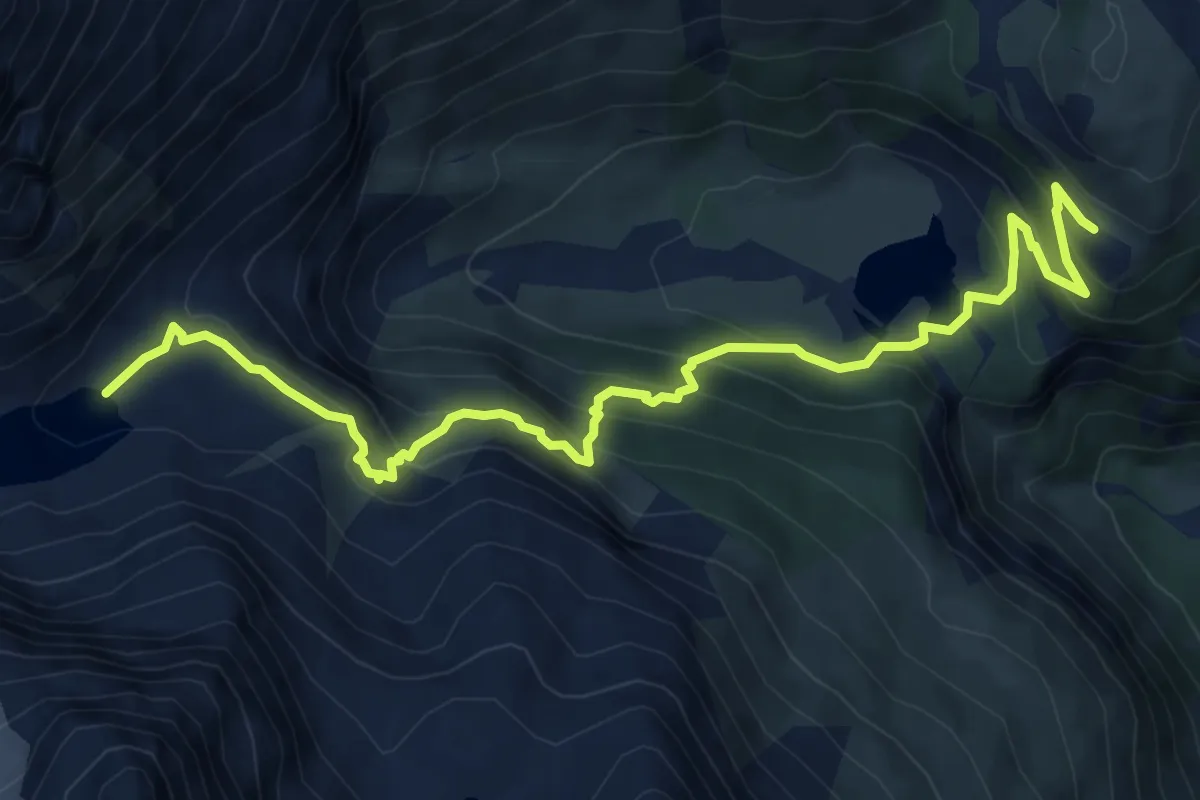
Alp Grum – Lagh da Caralin
8.4 km · ↑ 635 m · 3 h 21 min
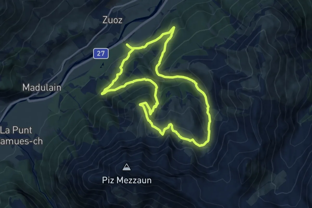
Demanding · Trail
Zuoz – Lei da Prestinaun
11.7 km · ↑ 839 m · 4 h 45 min
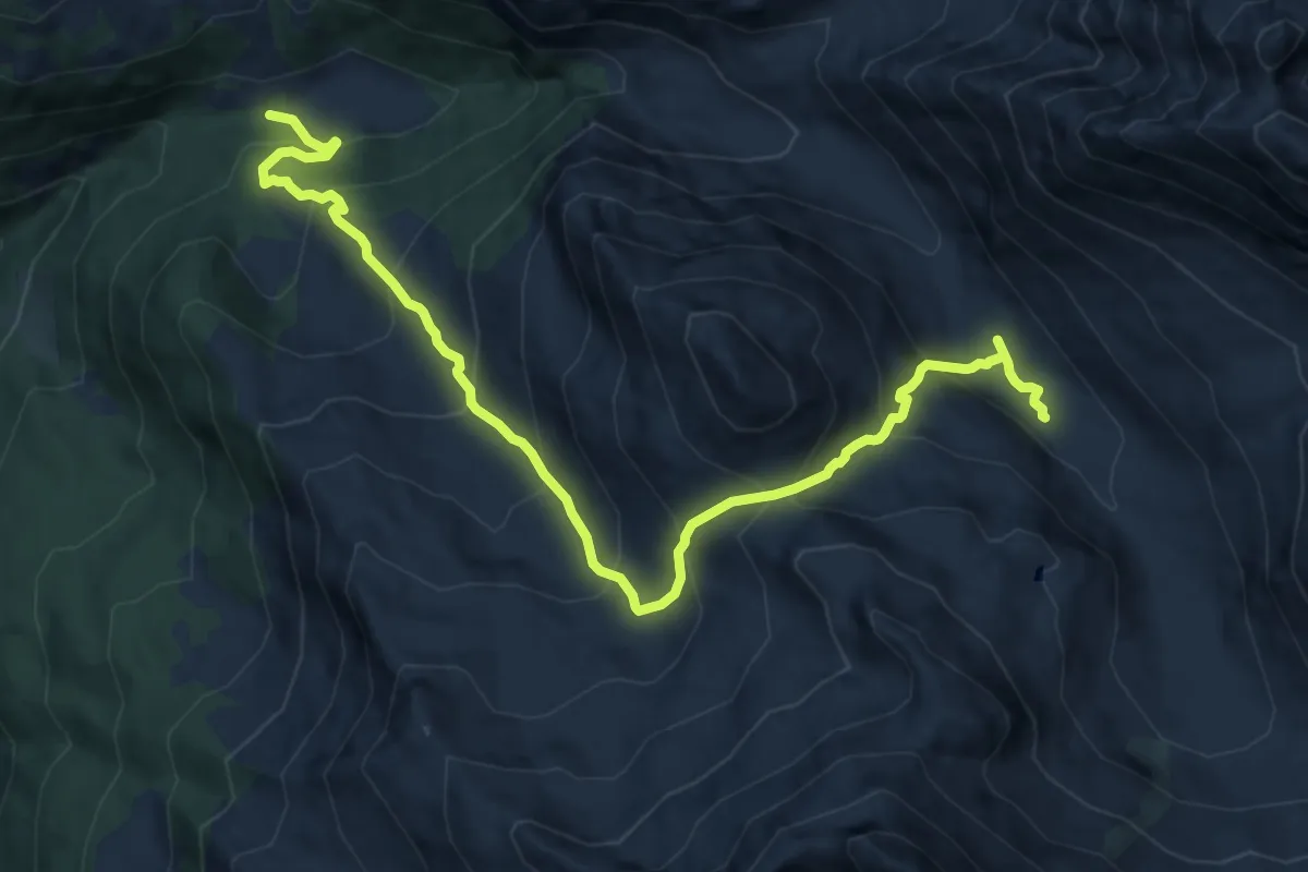
Demanding · Trail
Pensa – Alp d'Err
12.9 km · ↑ 1063 m · 5 h 21 min
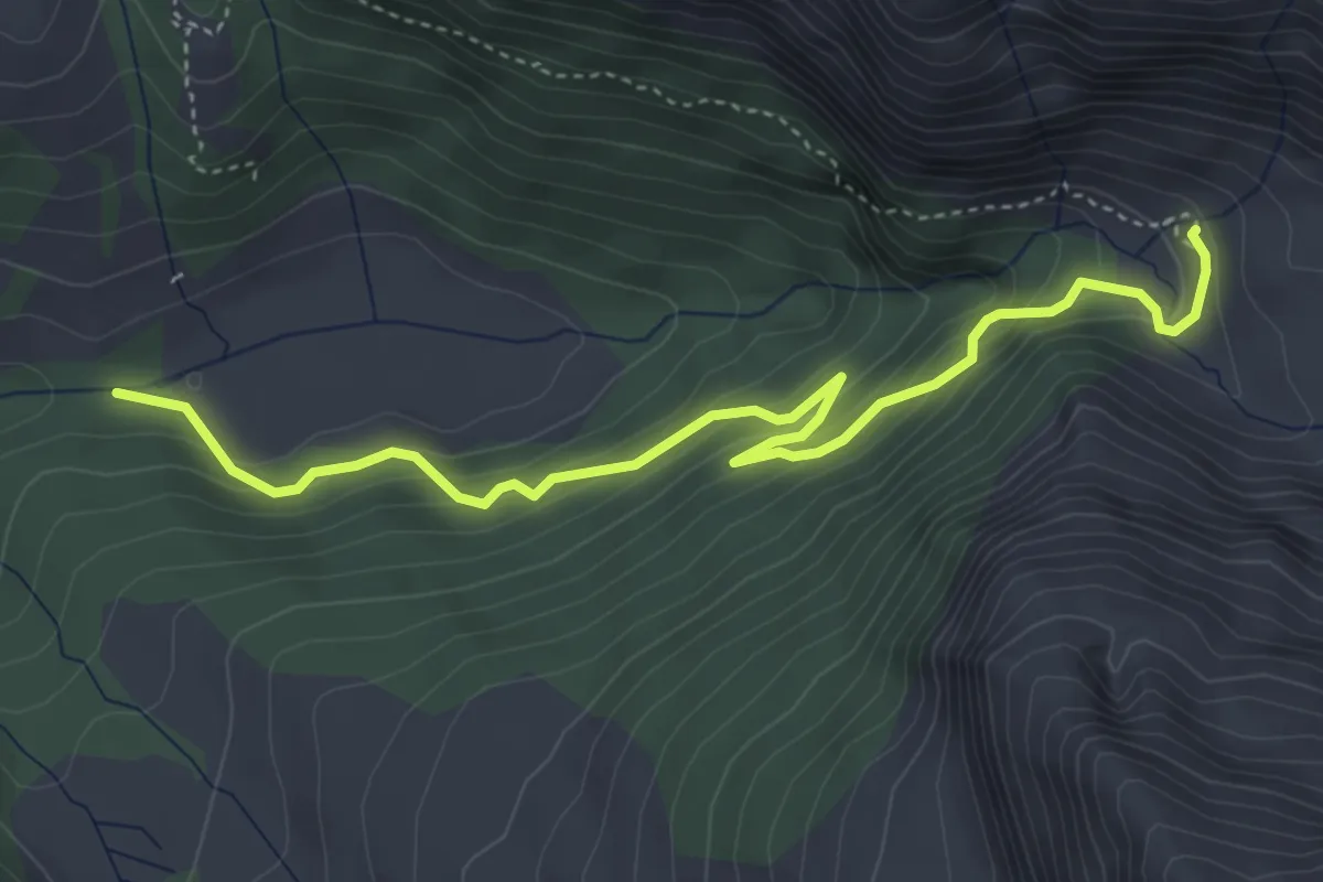
Medium · Trail
Pensa – Motta d'Err
4.8 km · ↑ 329 m · 1 h 51 min
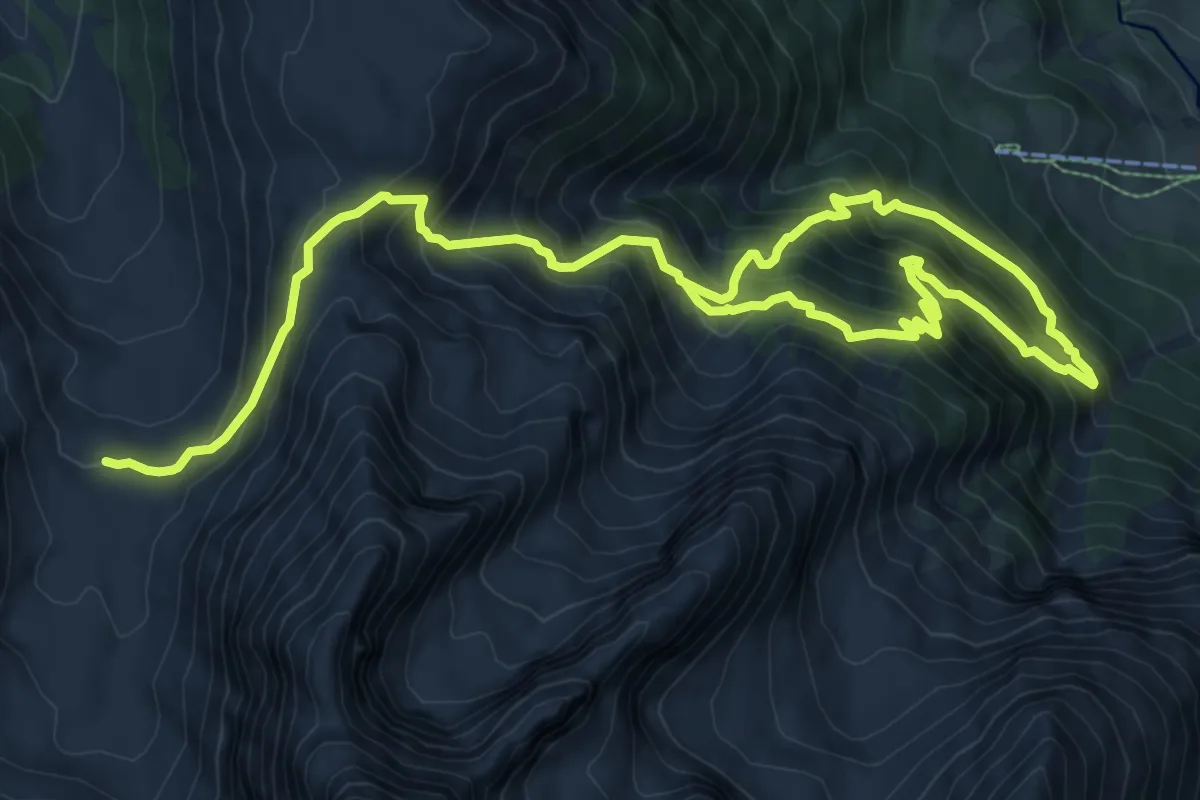
Demanding · Cabin
Bergun – Chamonas d'Ela CAS
15.0 km · ↑ 1547 m · 6 h 54 min