Trails in Switzerland
15,055 hiking trails, each with its route, climb, walking time and grade.
All trails, page 227 of 314
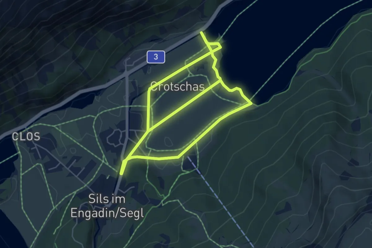
Medium · Trail
Seglias – Beach Club Sils
9.5 km · ↑ 76 m · 2 h 25 min
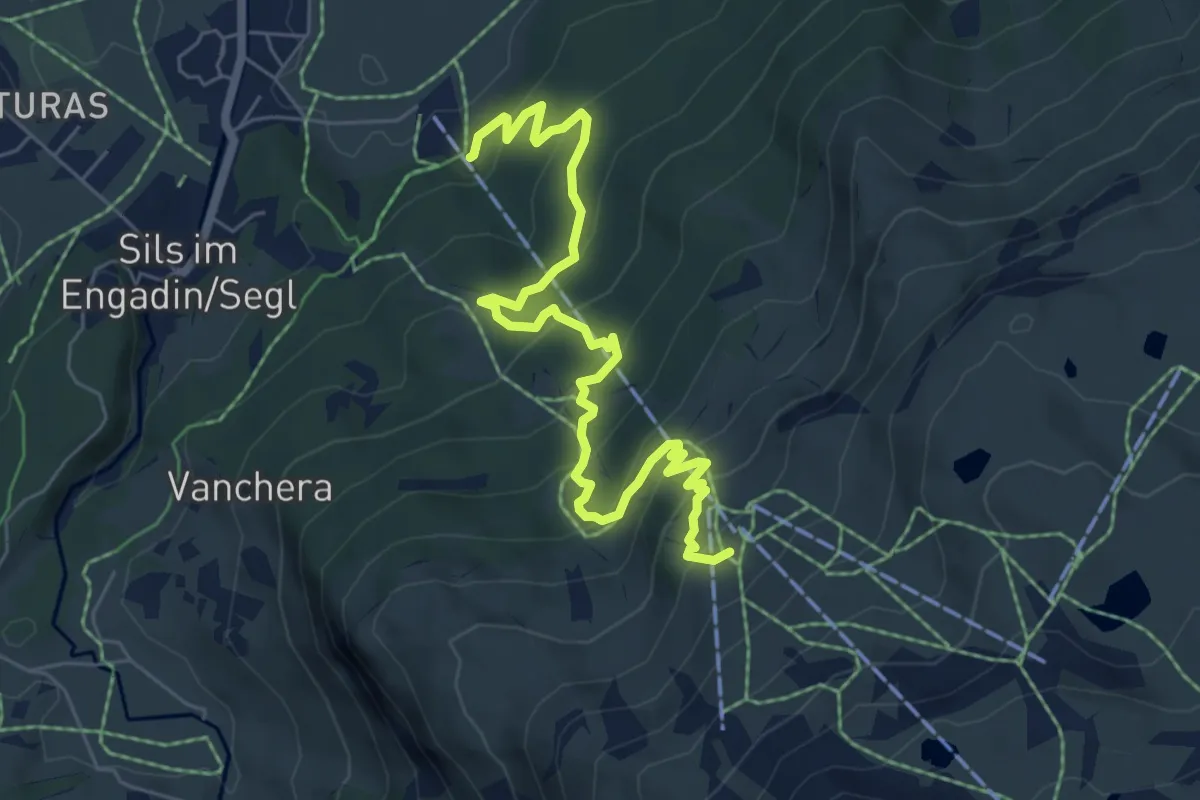
Medium · Trail
Talstation Furtschellasbahn – Bergstation Furtschellasbahn
7.2 km · ↑ 527 m · 2 h 51 min
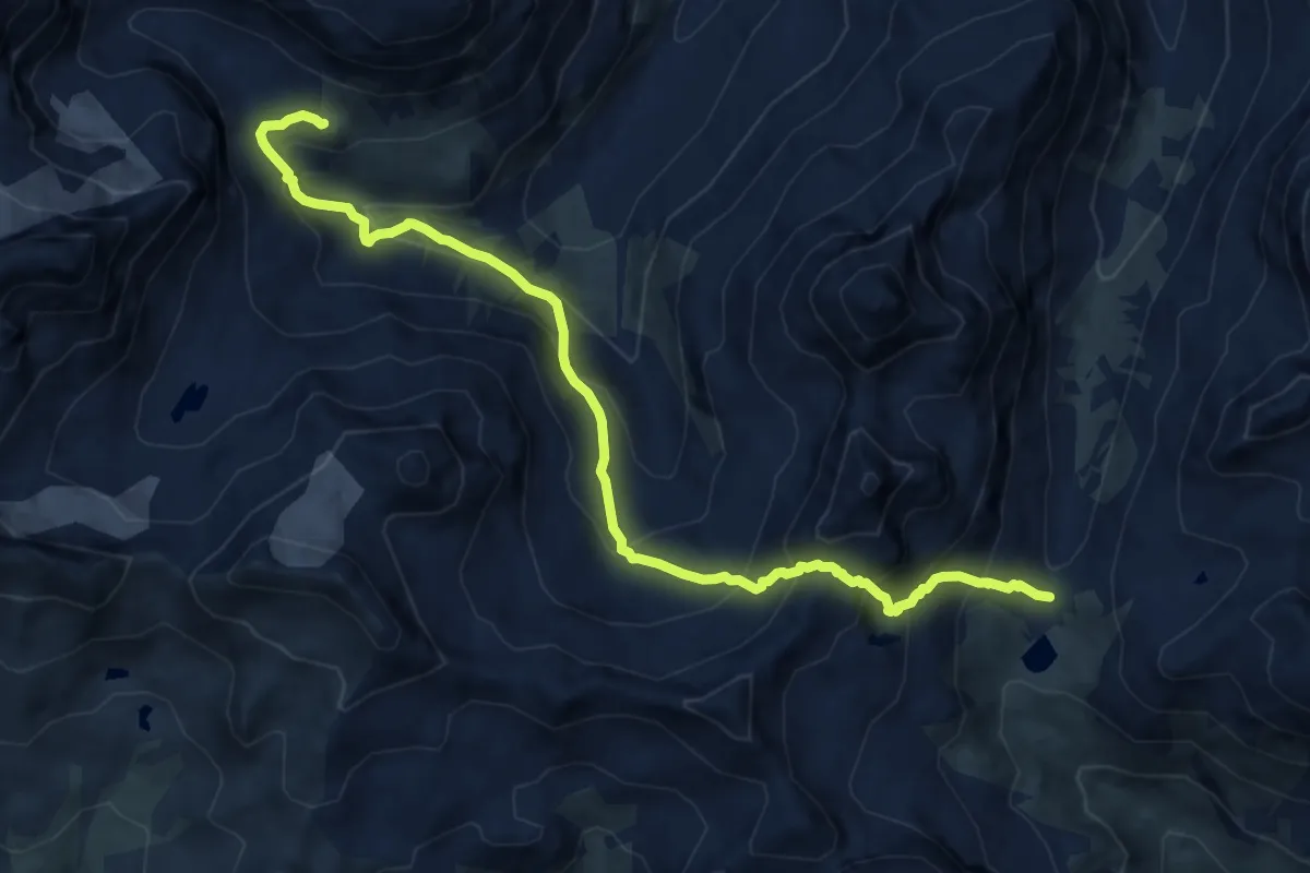
Expert · Cabin
Suvretta-Pass – Chamanna Jenatsch
11.9 km · ↑ 1014 m · 5 h
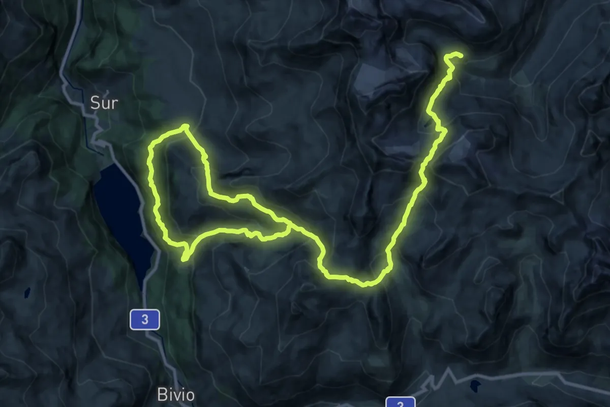
Demanding · Cabin
Chamanna Jenatsch – Alp Natons
18.6 km · ↑ 1484 m · 7 h 43 min
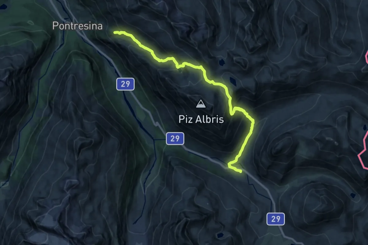
Demanding · Trail
Alp Languard – Diavolezza
10.6 km · ↑ 819 m · 4 h 18 min
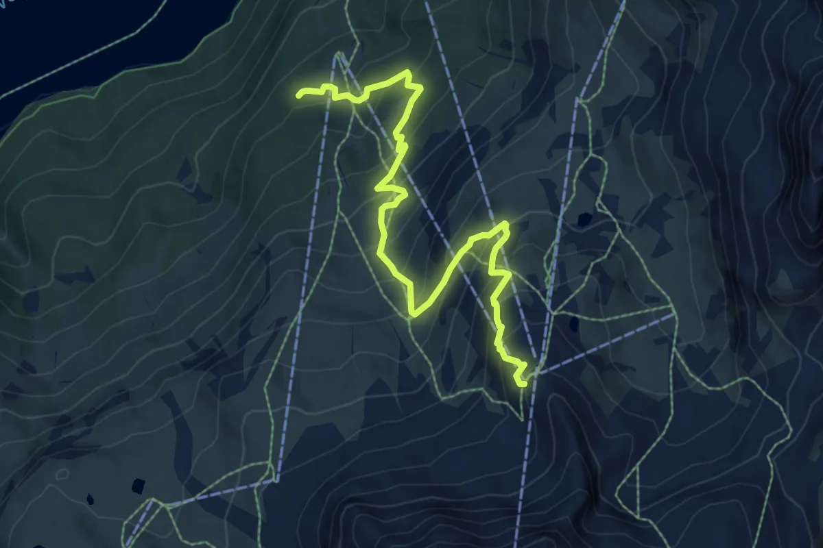
Medium · Trail
Restaurant Alpetta – Murtel
8.1 km · ↑ 640 m · 3 h 18 min
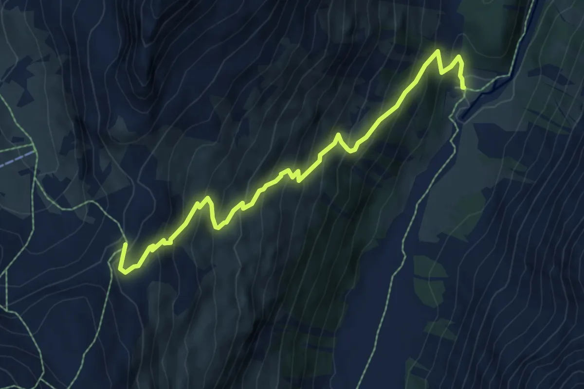
Medium · Trail
Roseg – Fuorcla Surlej
7.7 km · ↑ 740 m · 3 h 26 min
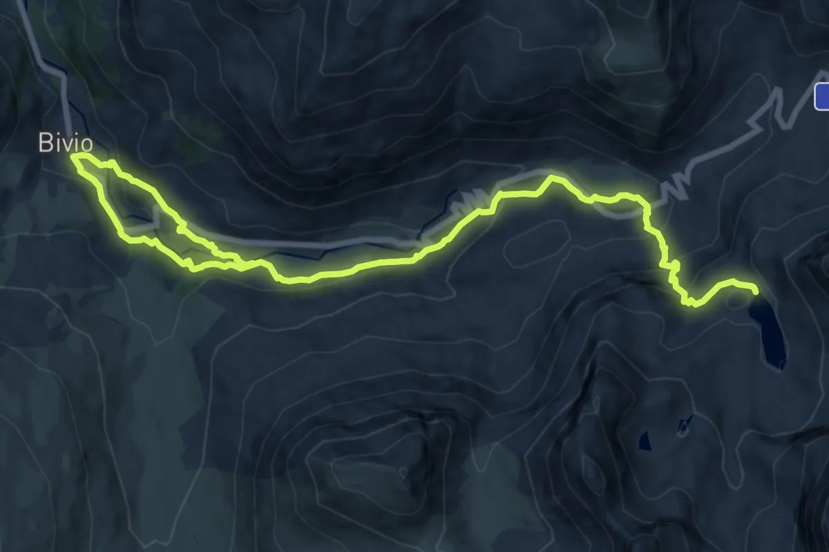
Medium · Trail
Bivio – Leg Grevasalvas
17.1 km · ↑ 786 m · 5 h 45 min
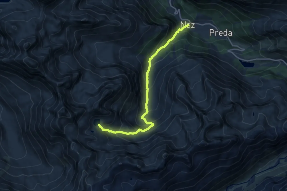
Expert · Trail
Naz – Lai Negr
10.8 km · ↑ 876 m · 4 h 26 min
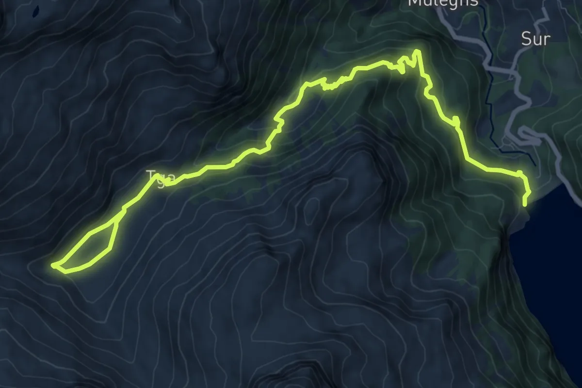
Demanding · Trail
Laj da Marmorera – Plang
15.2 km · ↑ 700 m · 5 h 6 min
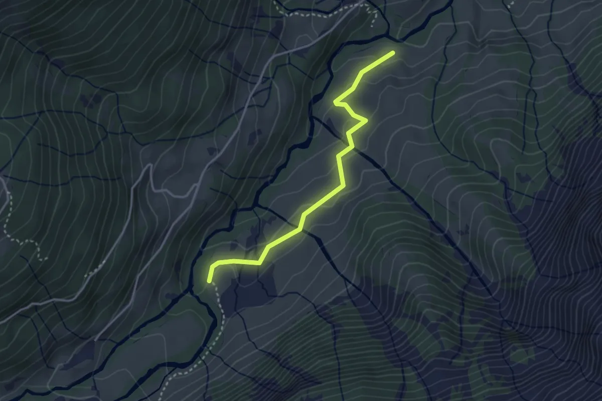
Easy · Trail
Stäfeli – Unter Jetz
3.2 km · ↑ 127 m · 1 h 2 min
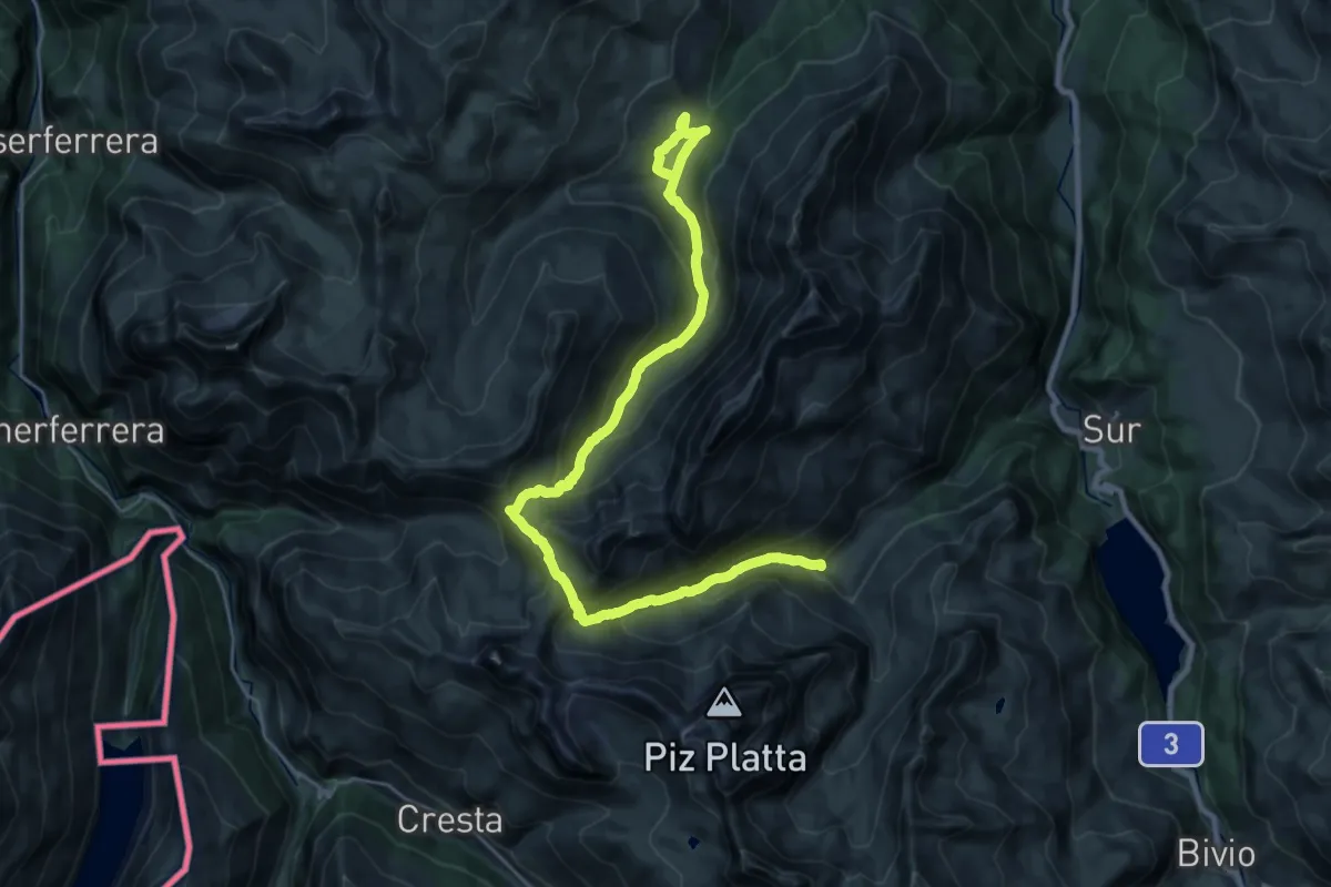
Demanding · Cabin
Plang – Radons
14.6 km · ↑ 844 m · 5 h 26 min
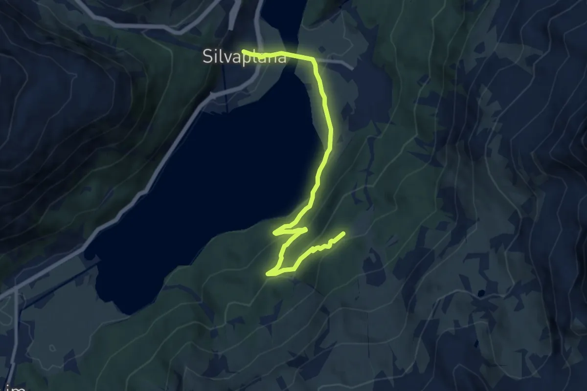
Medium · Trail
Silvaplana – Alp Surlej
9.3 km · ↑ 375 m · 3 h 1 min
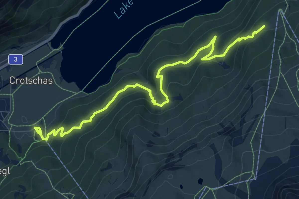
Medium · Trail
Sils im Engadin Furtschellasbahn – Alp Surlej
10.9 km · ↑ 602 m · 3 h 53 min
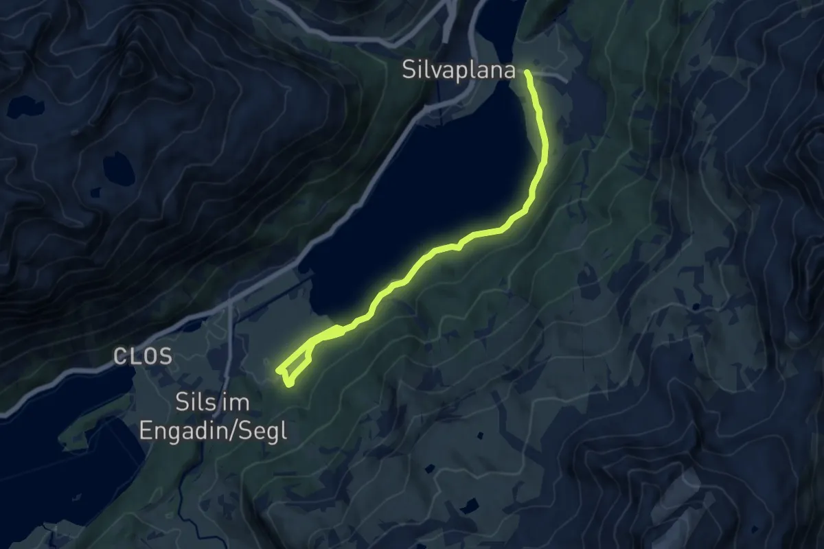
Medium · Trail
Sils im Engadin Furtschellasbahn – Surlej
11.2 km · ↑ 198 m · 3 h 5 min
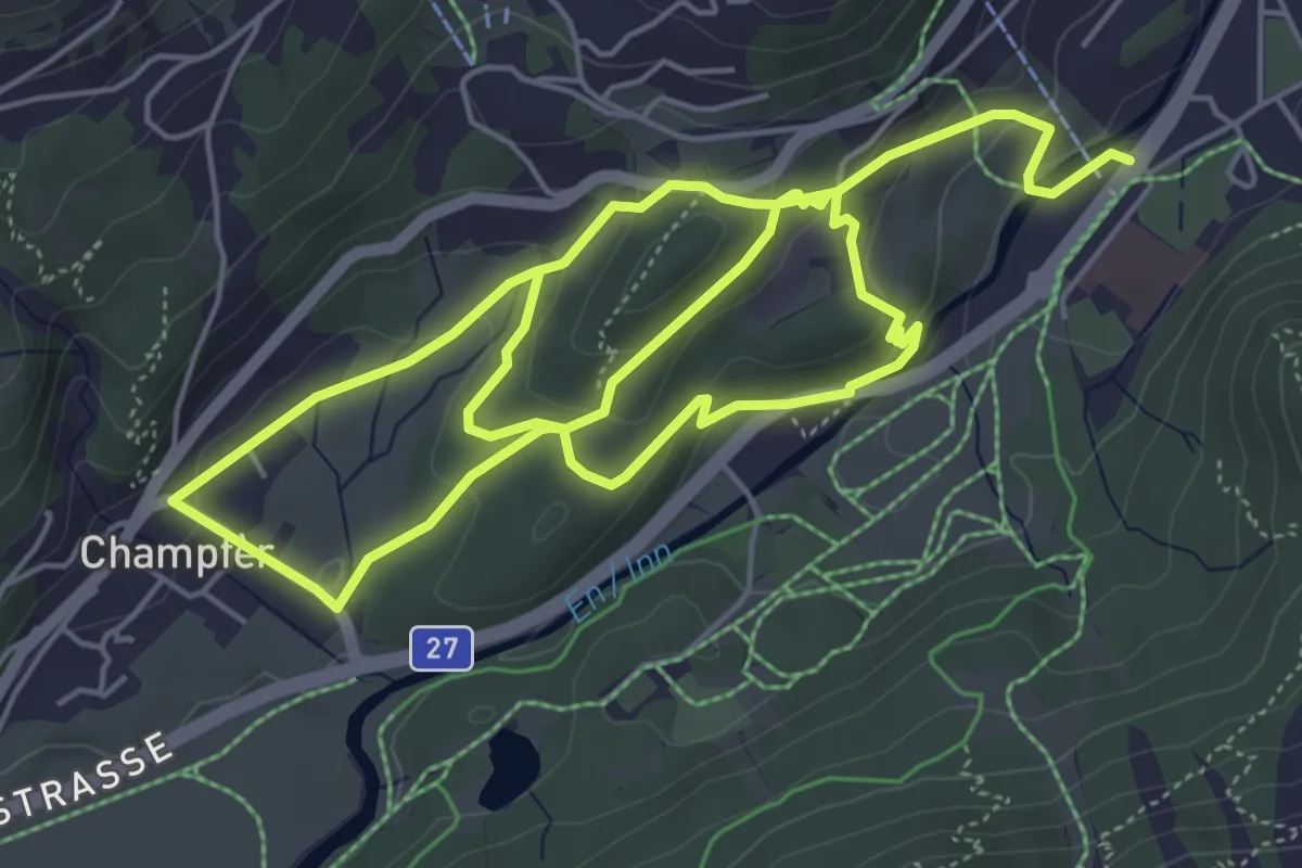
Medium · Trail
Signalbahn – Champfer
10.6 km · ↑ 391 m · 3 h 20 min
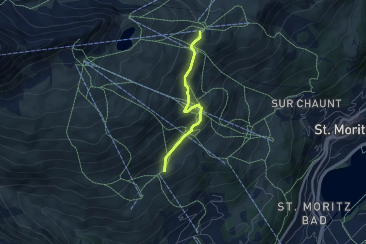
Easy · Cabin
Trutz – Corviglia
4.3 km · ↑ 278 m · 1 h 36 min
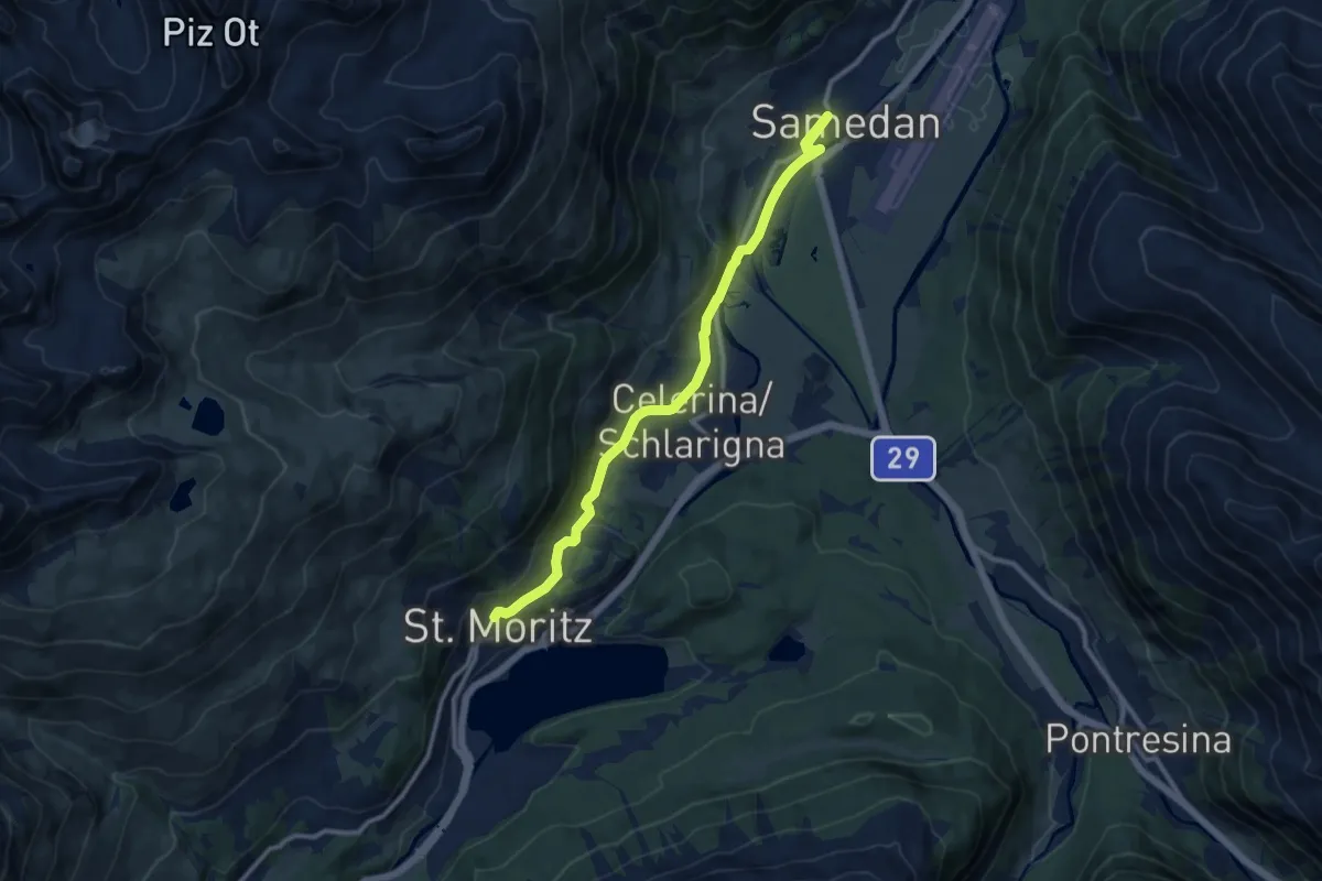
Medium · Trail
St. Moritz Dorf – Samedan
11.6 km · ↑ 249 m · 3 h 16 min
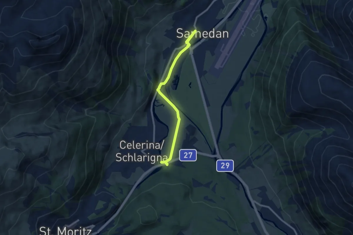
Easy · Trail
Samedan – Celerina Staz
7.4 km · ↑ 75 m · 1 h 55 min
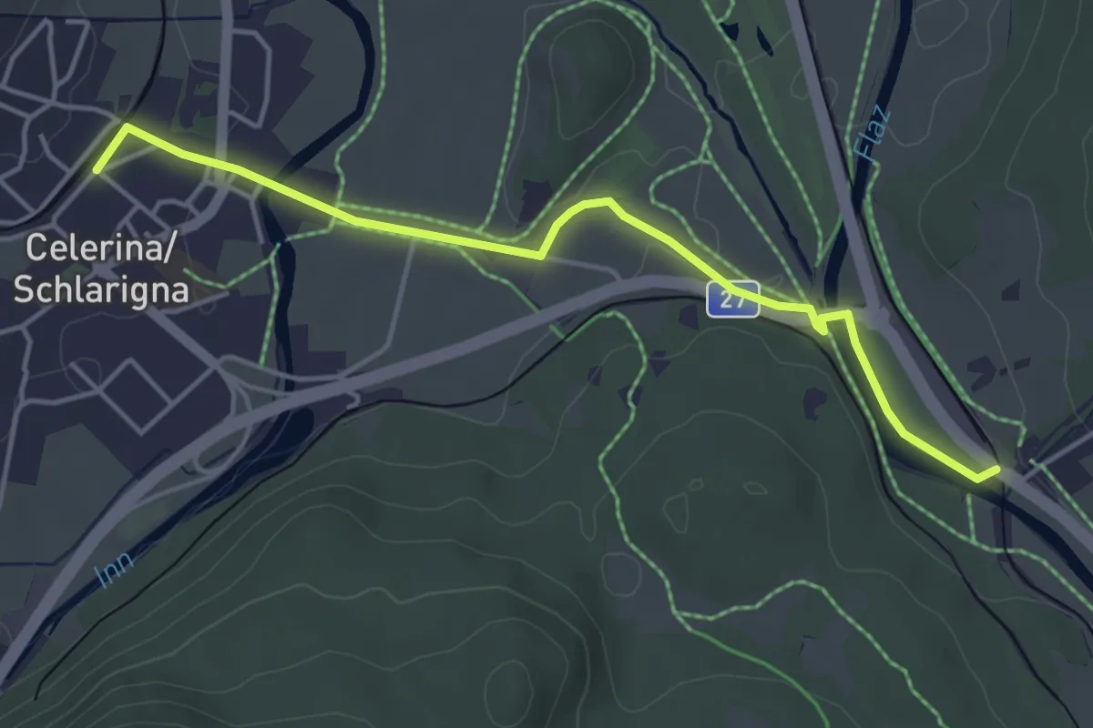
Easy · Trail
Celerina – Punt Muragl
4.4 km · ↑ 47 m · 1 h 9 min
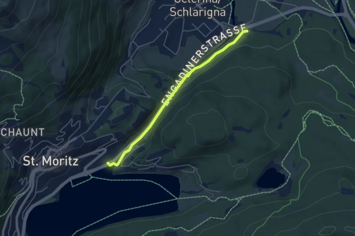
Easy · Trail
St. Moritz Bahnhof – Celerina Staz
4.2 km · ↑ 122 m · 1 h 15 min
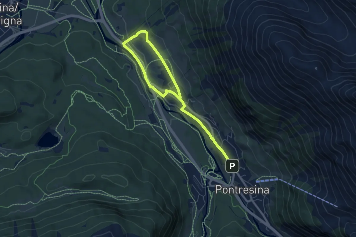
Medium · Trail
Pontresina – Punt Muragl
8.1 km · ↑ 162 m · 2 h 16 min
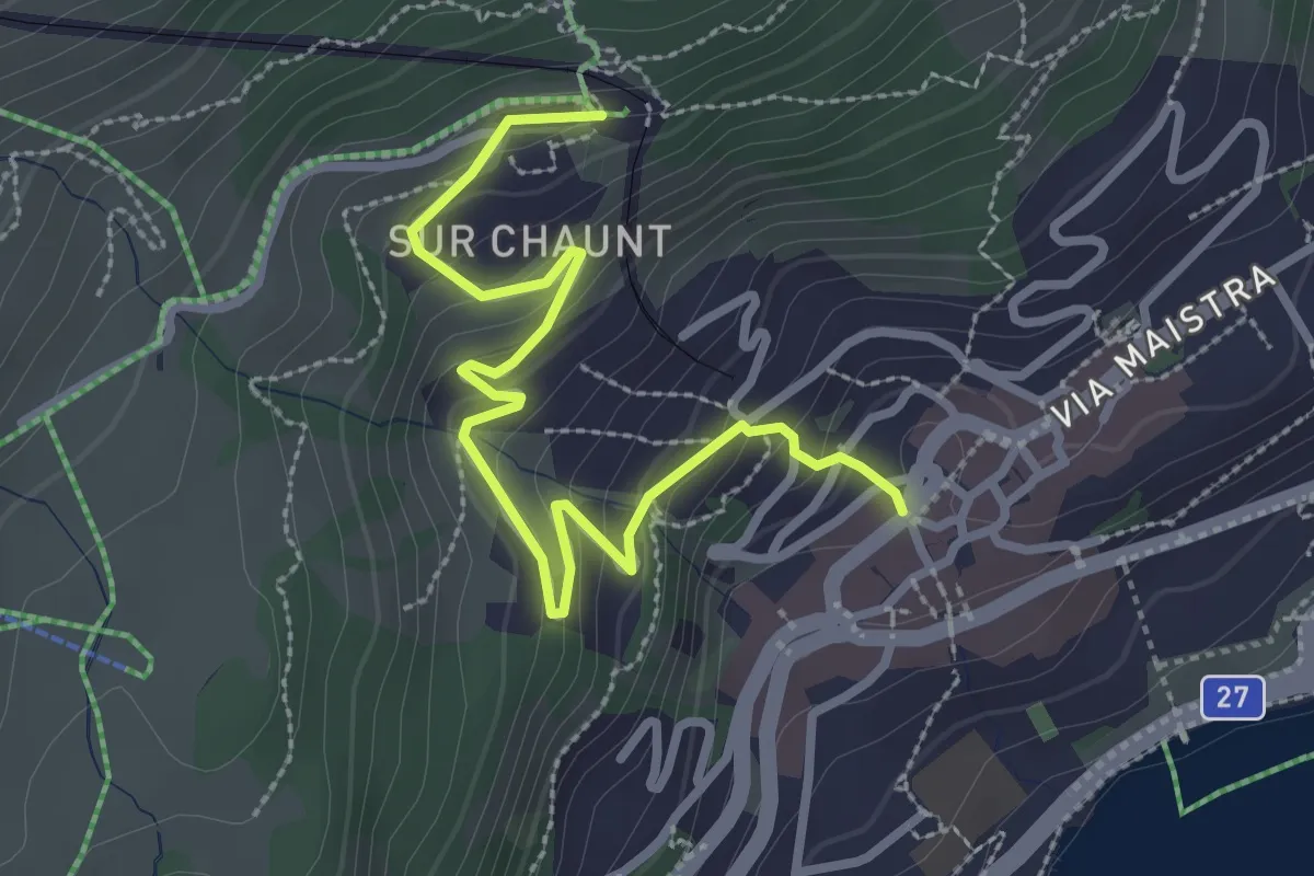
Easy · Trail
St. Moritz Dorf – Chantarella
3.2 km · ↑ 212 m · 1 h 12 min
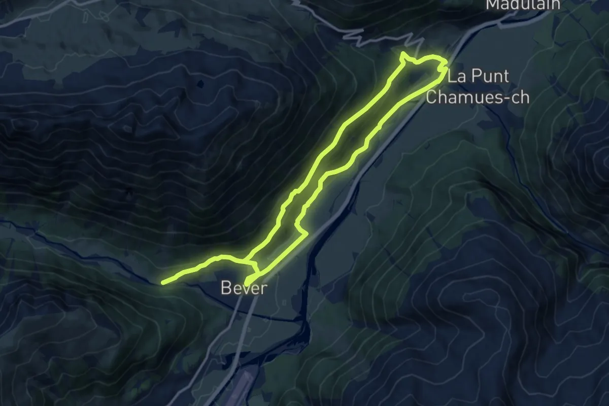
Demanding · Trail
Bever – La Punt
21.5 km · ↑ 741 m · 6 h 41 min
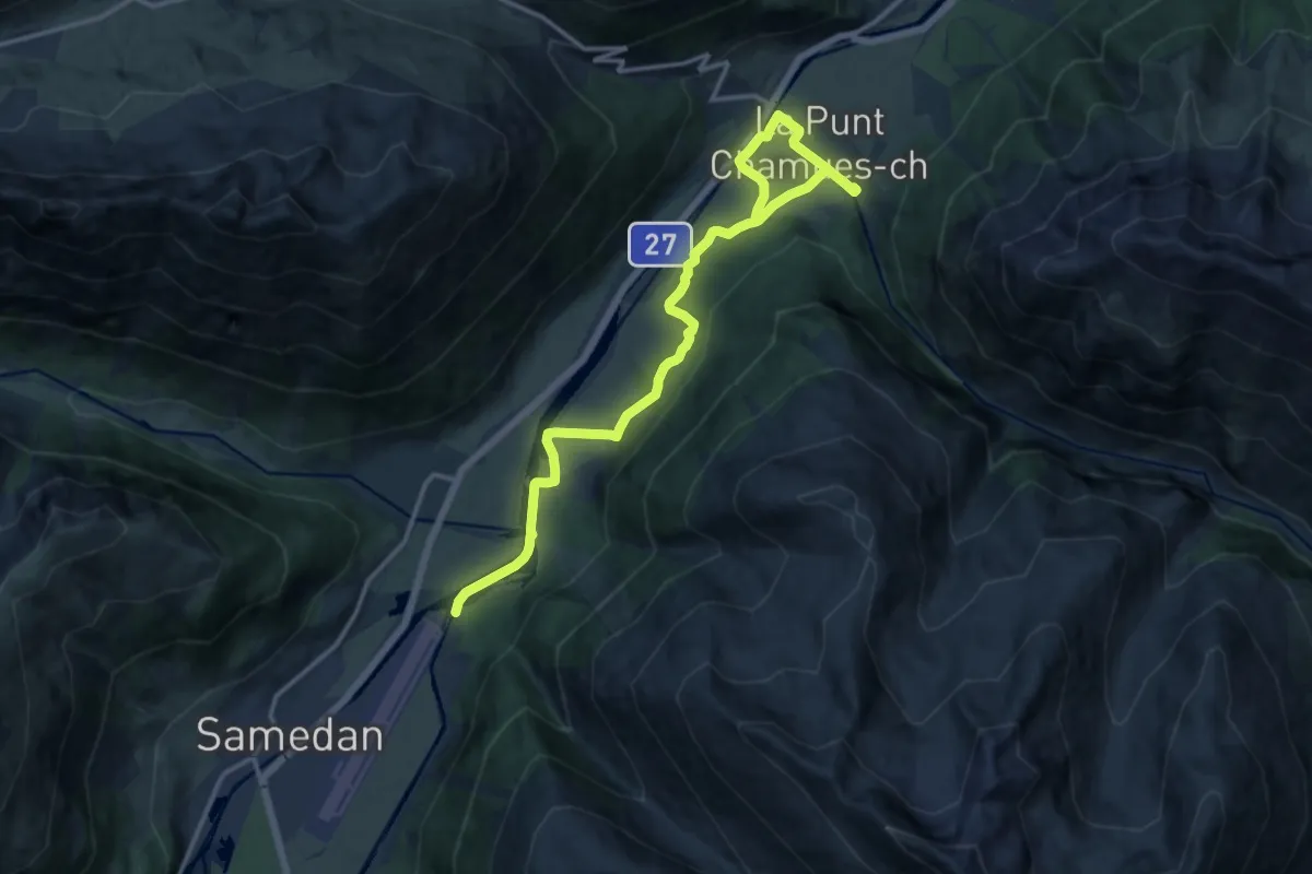
Medium · Trail
Bever – La Punt/Chamues-ch
16.4 km · ↑ 239 m · 4 h 23 min
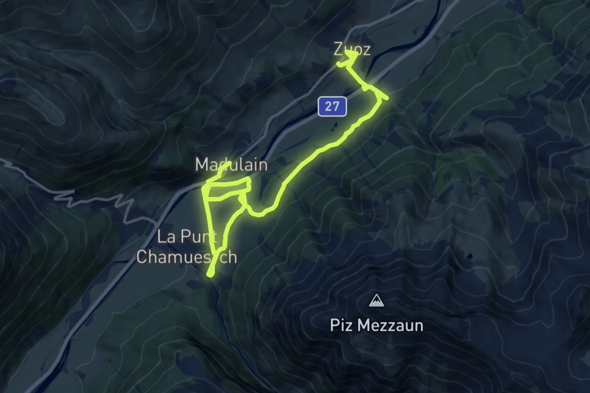
Demanding · Trail
Chamues-ch – Zuoz
18.9 km · ↑ 427 m · 5 h 23 min
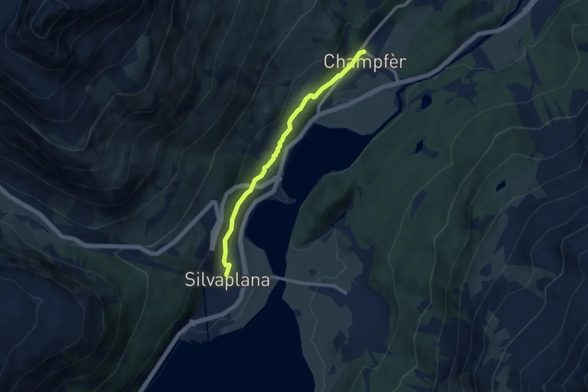
Easy · Trail
Silvaplana – Champfer
5.3 km · ↑ 126 m · 1 h 31 min
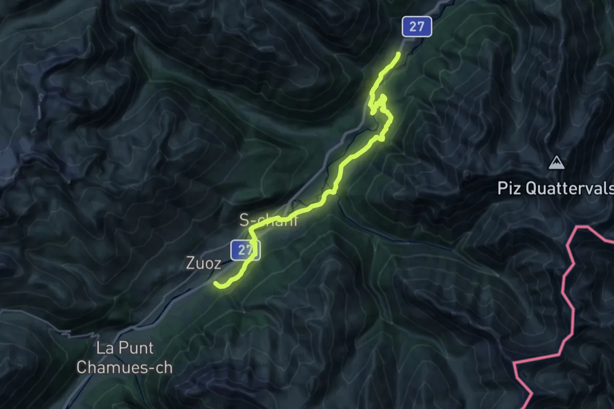
Demanding · Trail
Resgia – Brail
24.4 km · ↑ 624 m · 7 h 7 min
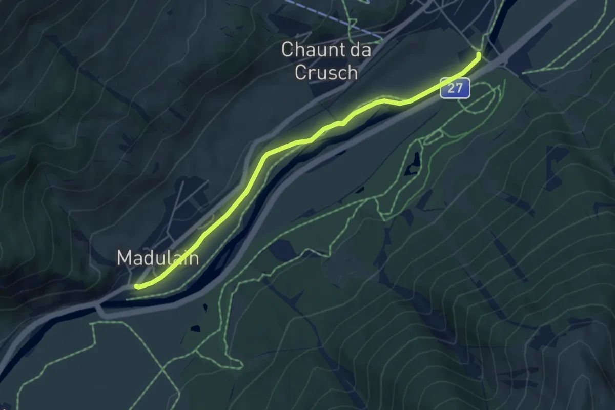
Easy · Trail
Madulain – Zuoz
4.9 km · ↑ 43 m · 1 h 15 min
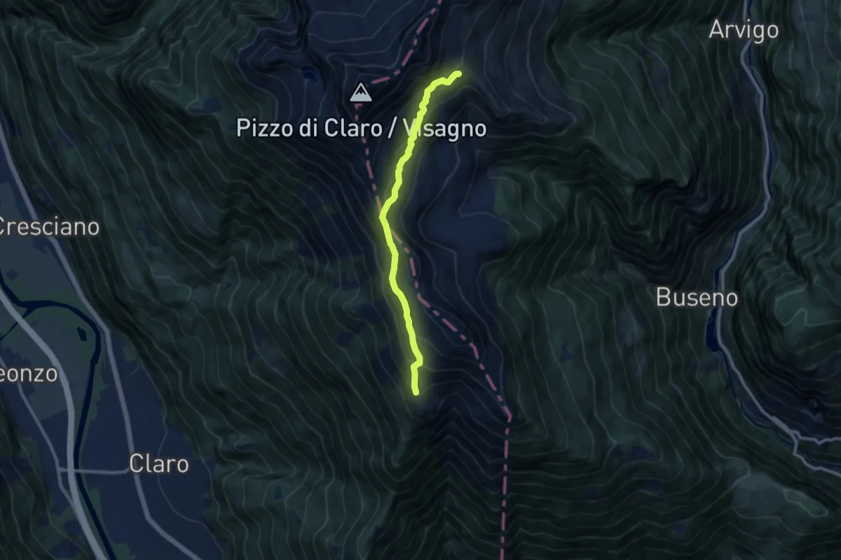
Medium · Cabin
Capanna Brogoldone – P2238
8.8 km · ↑ 590 m · 3 h 22 min
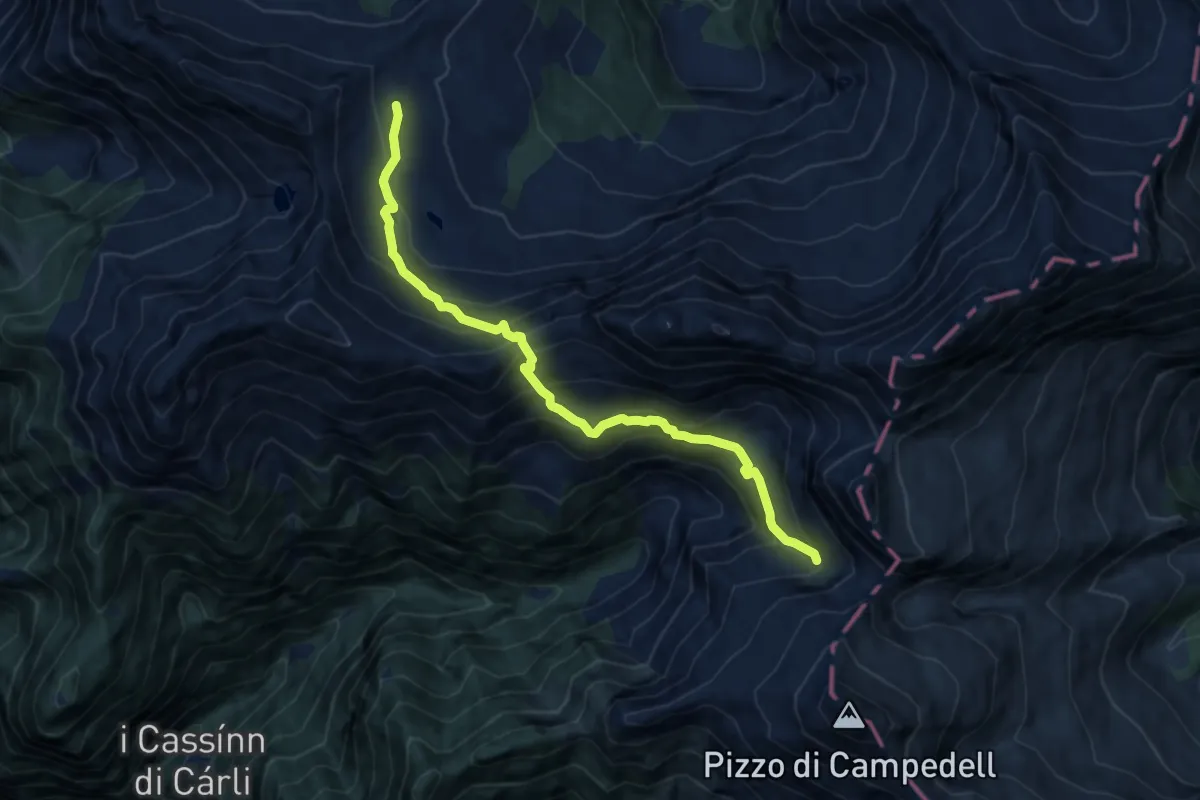
Demanding · Cabin
P2190 – Capanna Cava
9.6 km · ↑ 864 m · 4 h 8 min
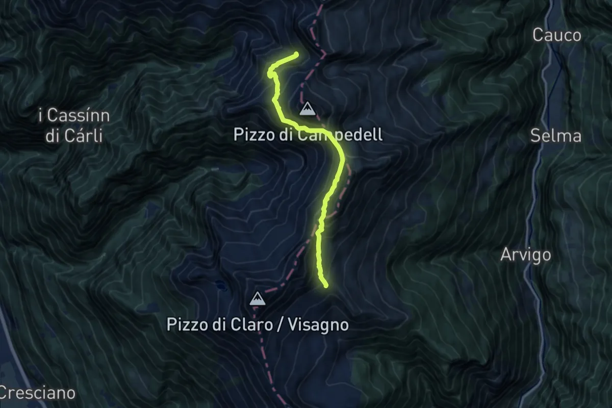
Demanding · Trail
P2268 – P2190
10.8 km · ↑ 820 m · 4 h 19 min
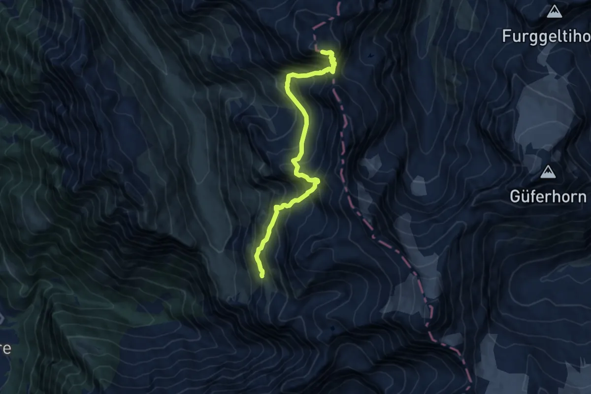
Expert · Summit
Capanna Adula UTOE – Passo Soreda
10.8 km · ↑ 1452 m · 5 h 41 min
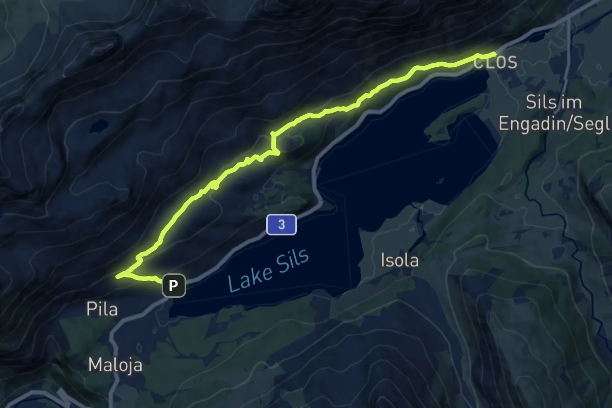
Medium · Trail
Sils/Segl Baselgia – Maloja
13.9 km · ↑ 694 m · 4 h 47 min
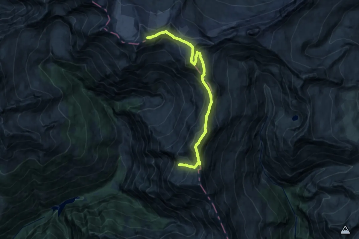
Expert · Summit
Bivacco Piano della Parete – Capanna Quarnei
16.2 km · ↑ 1462 m · 7 h
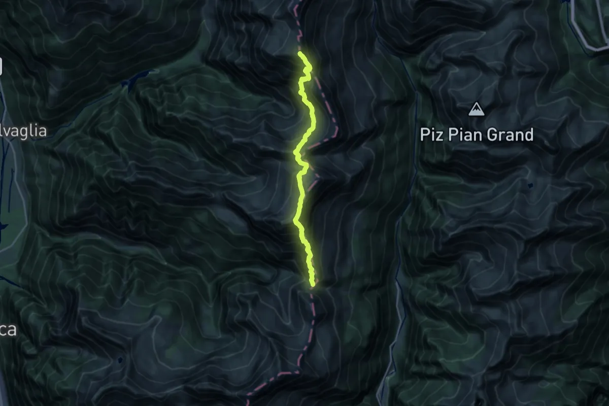
Expert · Summit
Pass di Giümela – Bivacco Piano della Parete
17.2 km · ↑ 2126 m · 8 h 40 min
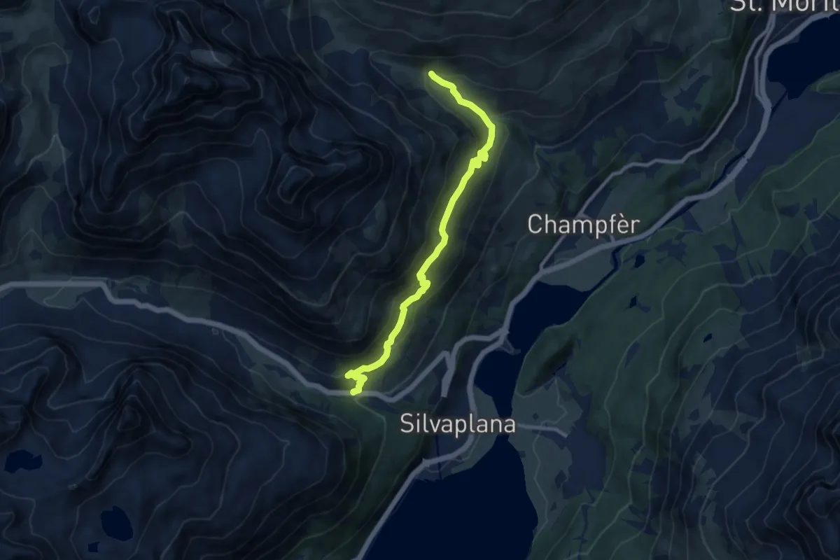
Medium · Trail
Alp Suvretta – Dschember (Silvaplana)
9.6 km · ↑ 485 m · 3 h 19 min
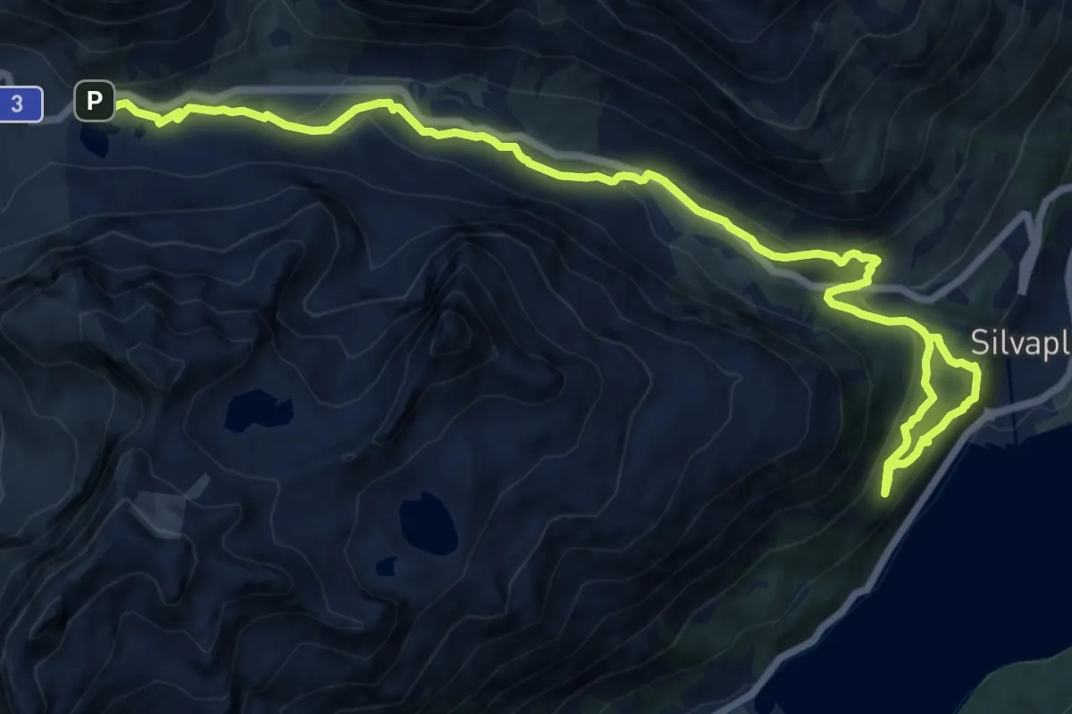
Medium · Trail
Julierpass – Silvaplana
16.7 km · ↑ 724 m · 5 h 31 min
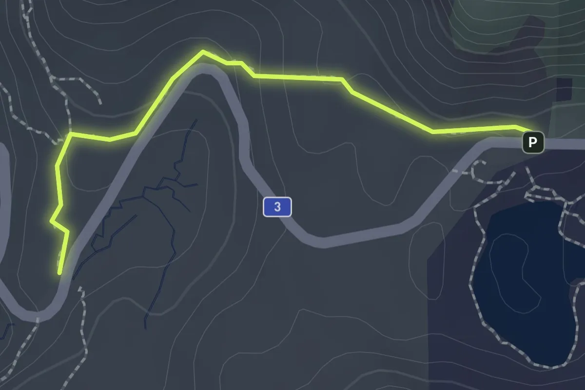
Medium · Trail
Julierpassd – Ospizio La Vedutta
2.2 km · ↑ 78 m · 41 min
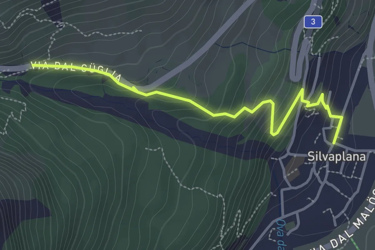
Medium · Trail
Silvaplana – Dschember
3.2 km · ↑ 202 m · 1 h 12 min
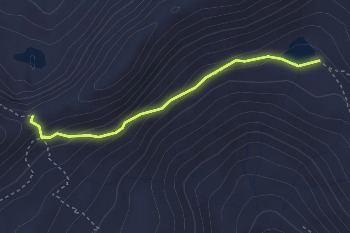
Medium · Trail
Heubützlipass – Plattenseeli
2.5 km · ↑ 143 m · 54 min
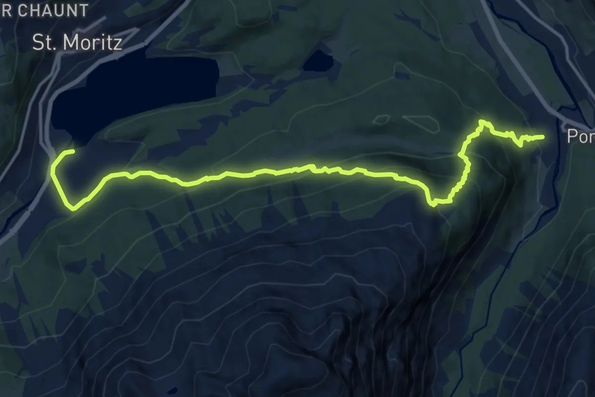
Demanding · Trail
Pontresina – St. Moritz Bad
13.5 km · ↑ 899 m · 5 h 8 min
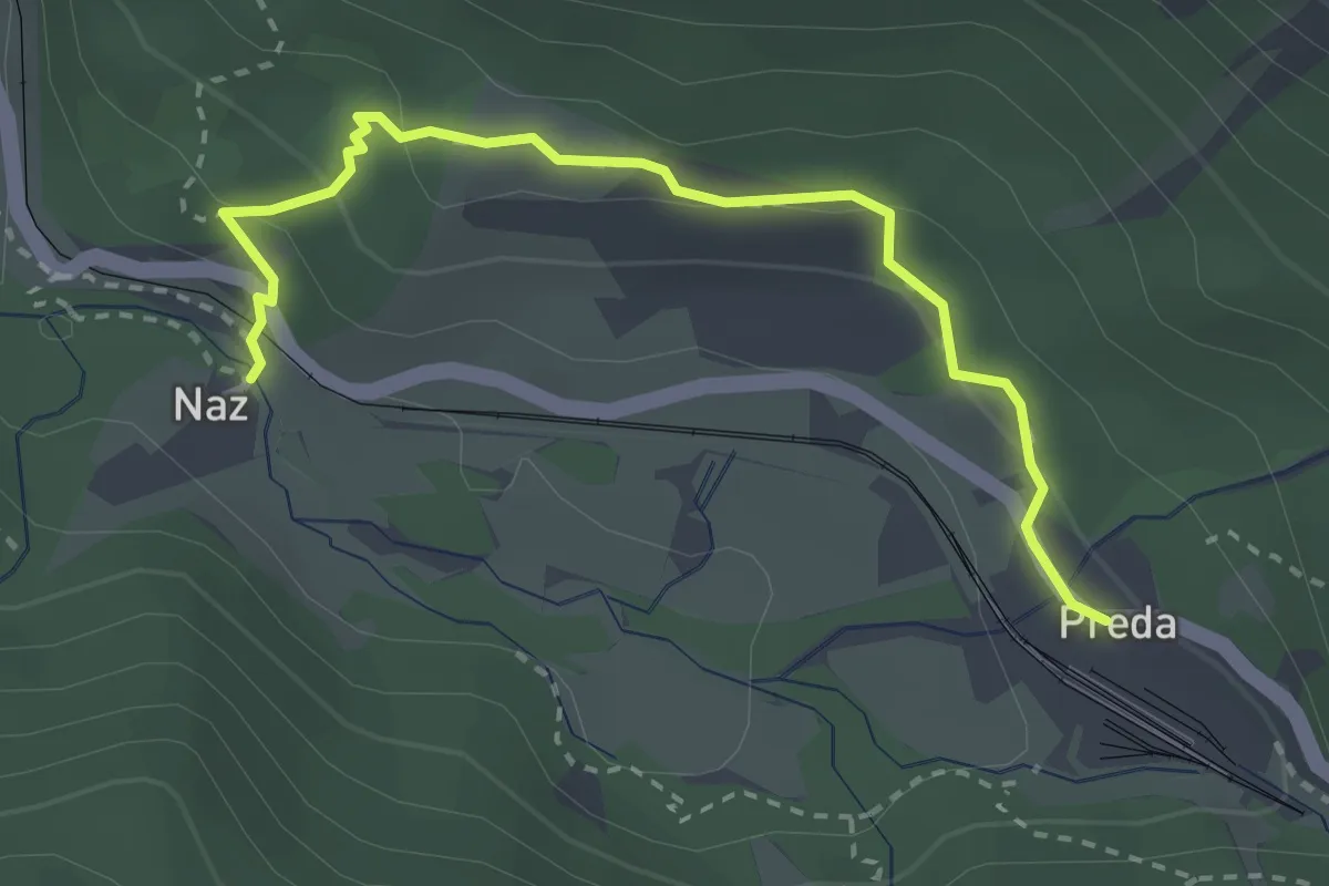
Medium · Trail
Preda – Naz
3.1 km · ↑ 121 m · 59 min
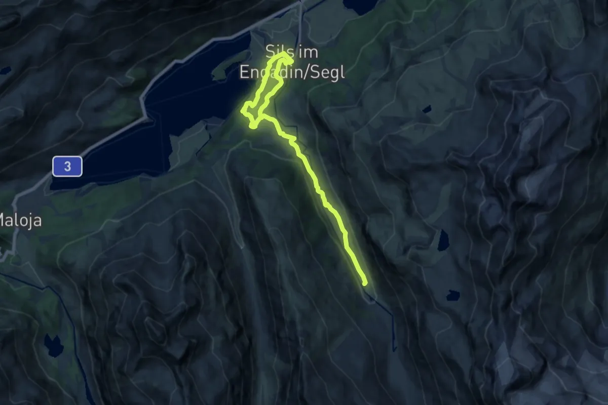
Medium · Trail
Sils Maria – Fex
16.5 km · ↑ 538 m · 5 h 3 min
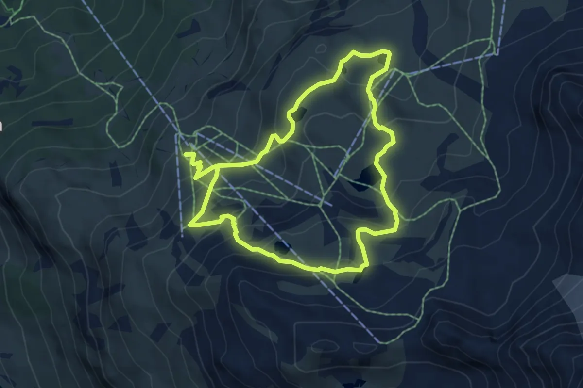
Medium · Trail
Furtschellas – Lejin Malachit
5.3 km · ↑ 388 m · 2 h 7 min
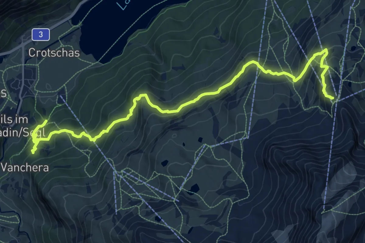
Demanding · Trail
Sils Maria – Murtel
15.1 km · ↑ 1048 m · 5 h 50 min
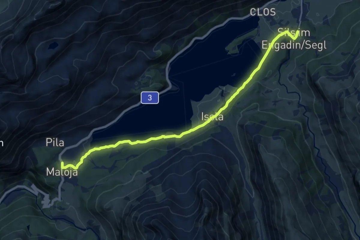
Medium · Trail
Sils Maria – Maloja
14.1 km · ↑ 317 m · 4 h 1 min
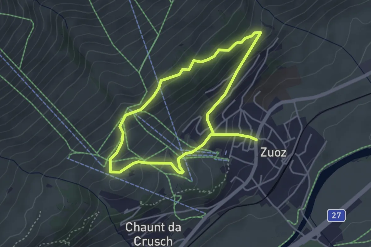
Easy · Trail
Zuoz – Cuort San Gian
3.3 km · ↑ 168 m · 1 h 12 min