Trails in Switzerland
15,055 hiking trails, each with its route, climb, walking time and grade.
All trails, page 228 of 314
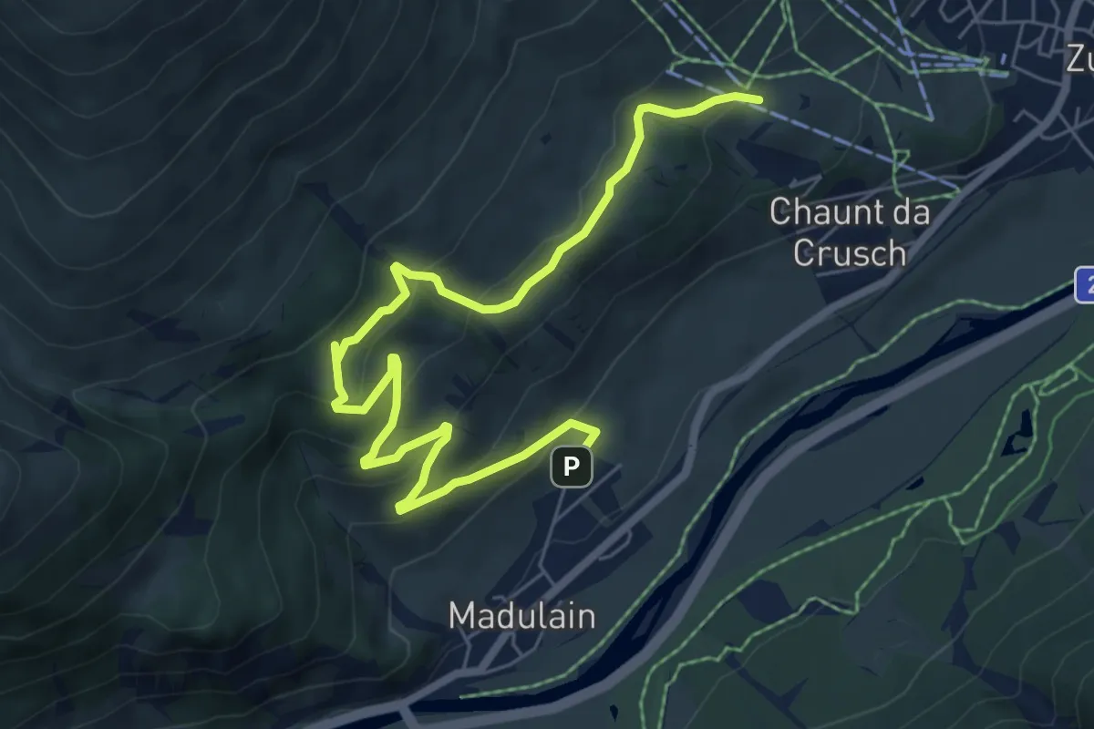
Medium · Trail
Cuort San Gian – Madulain
8.0 km · ↑ 439 m · 2 h 50 min
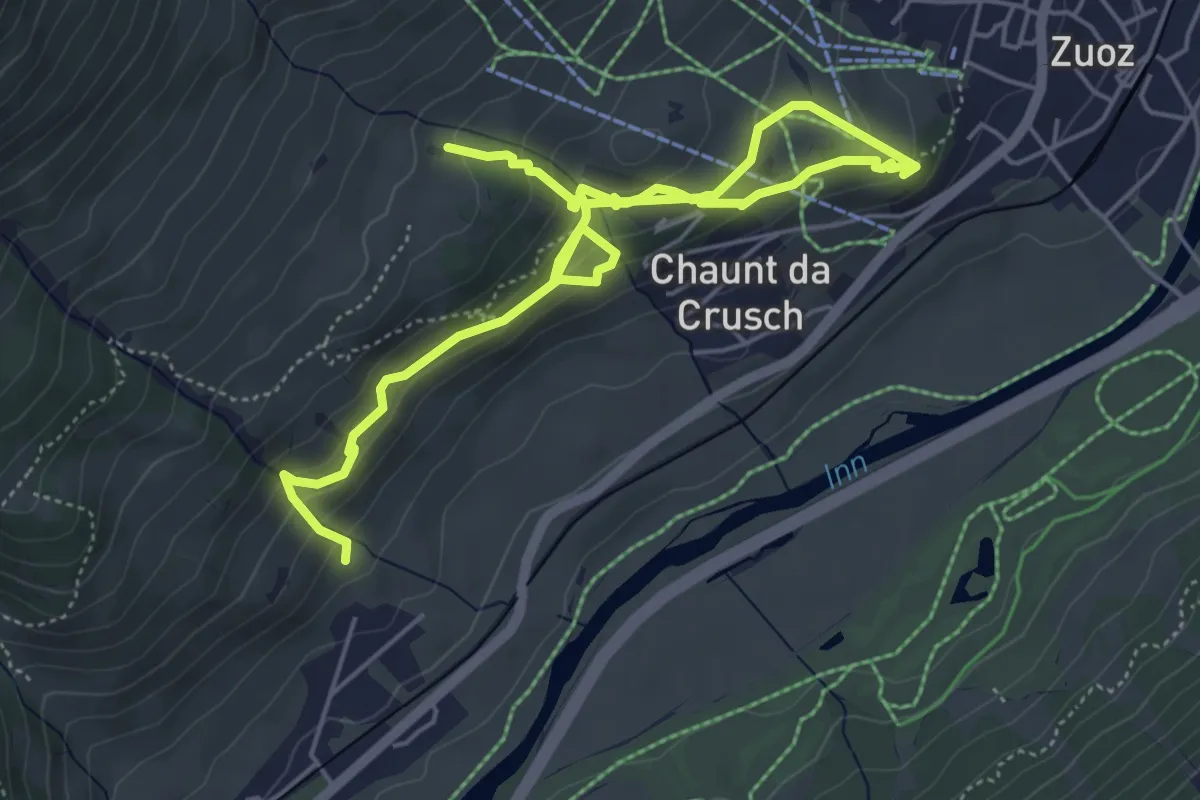
Medium · Trail
Madulain – Zuoz
7.5 km · ↑ 457 m · 2 h 45 min
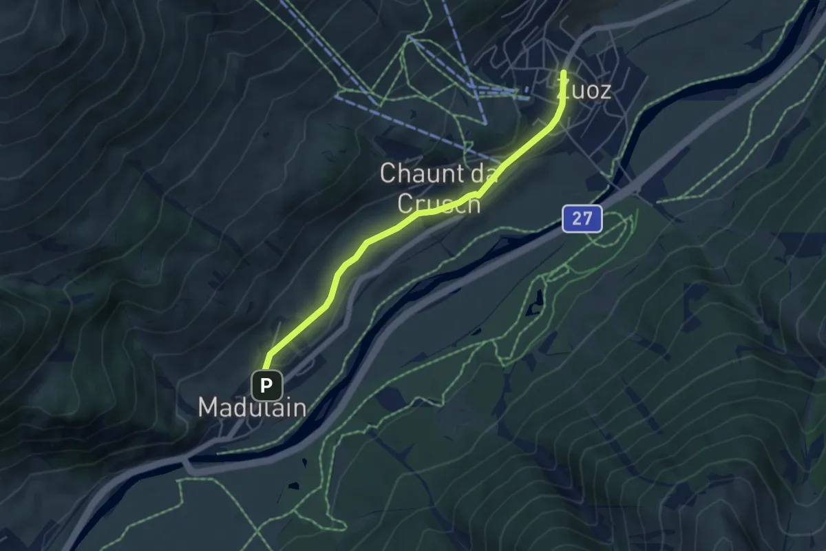
Easy · Trail
Zuoz – Madulain
4.7 km · ↑ 56 m · 1 h 14 min
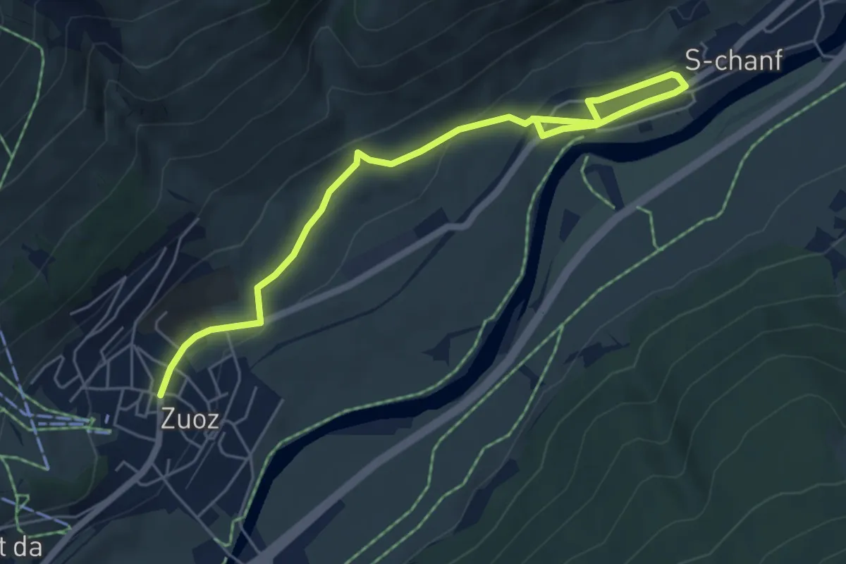
Easy · Trail
Zuoz – S-chanf
6.3 km · ↑ 160 m · 1 h 50 min
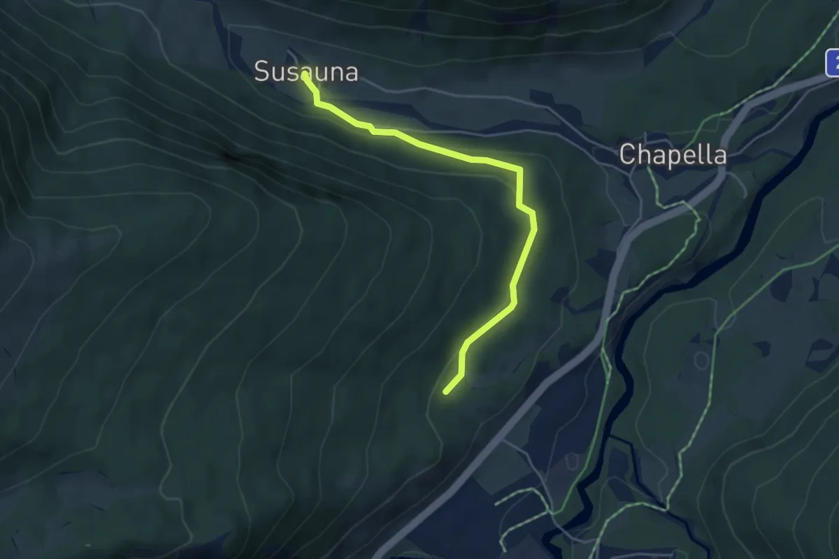
Easy · Trail
Our a God – Susauna
4.4 km · ↑ 111 m · 1 h 16 min
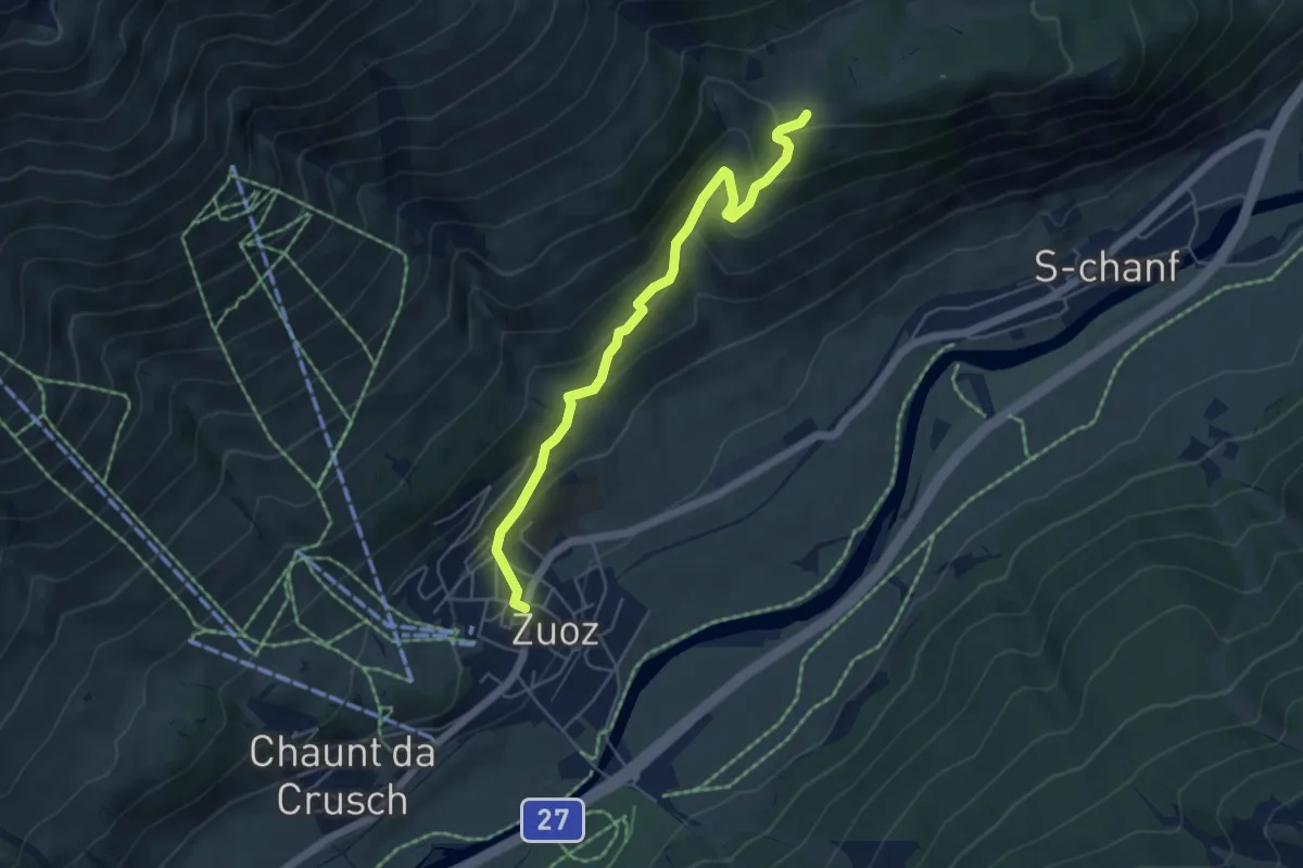
Medium · Trail
Zuoz – Acla Laret
5.1 km · ↑ 372 m · 2 h 1 min
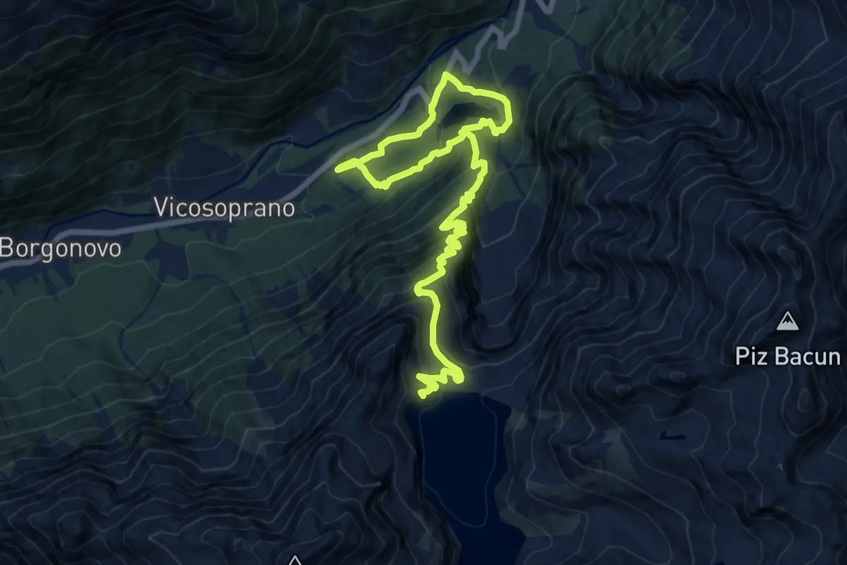
Demanding · Trail
Pranzaira – Diga Albigna
17.2 km · ↑ 1339 m · 6 h 57 min
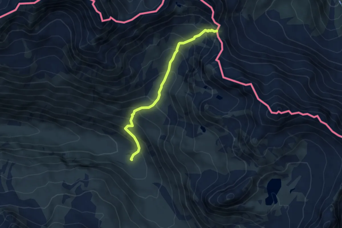
Medium · Trail
Inner Sass – Garnerajoch
4.8 km · ↑ 460 m · 2 h 7 min
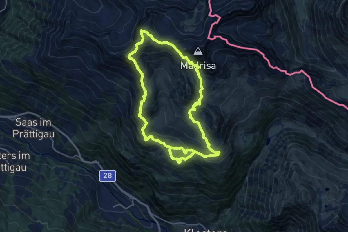
Demanding · Summit
Madrisa Saaser Alp – Rätschenhorn
14.0 km · ↑ 983 m · 5 h 40 min
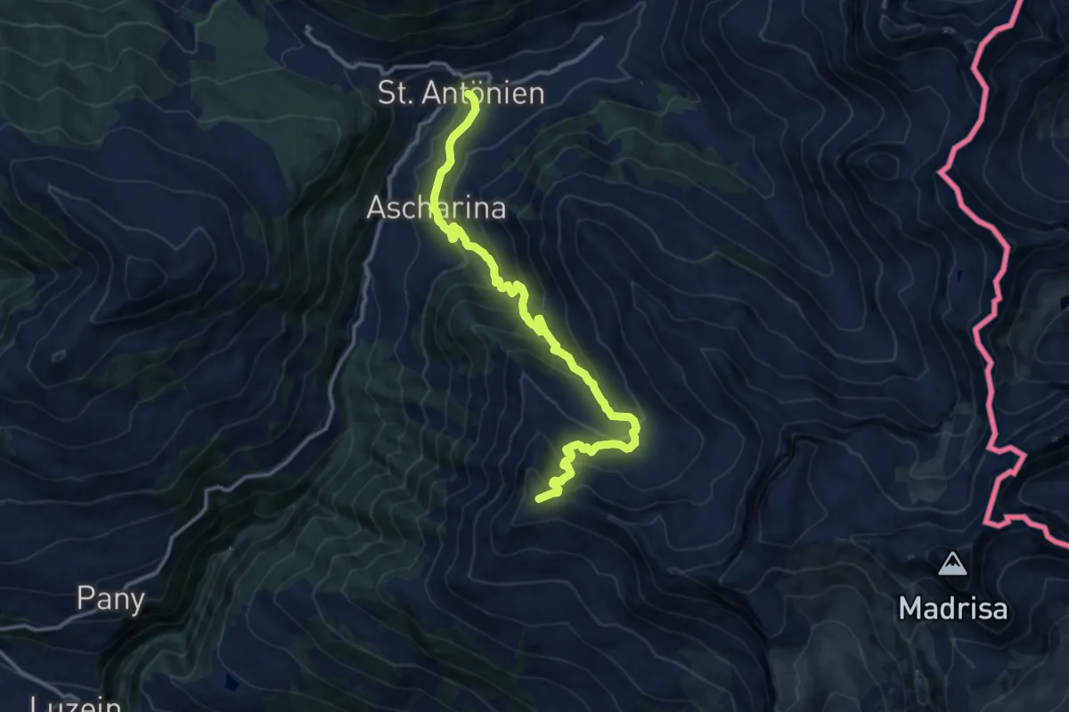
Demanding · Summit
Mässplatte – St. Antonien
13.1 km · ↑ 892 m · 5 h 2 min
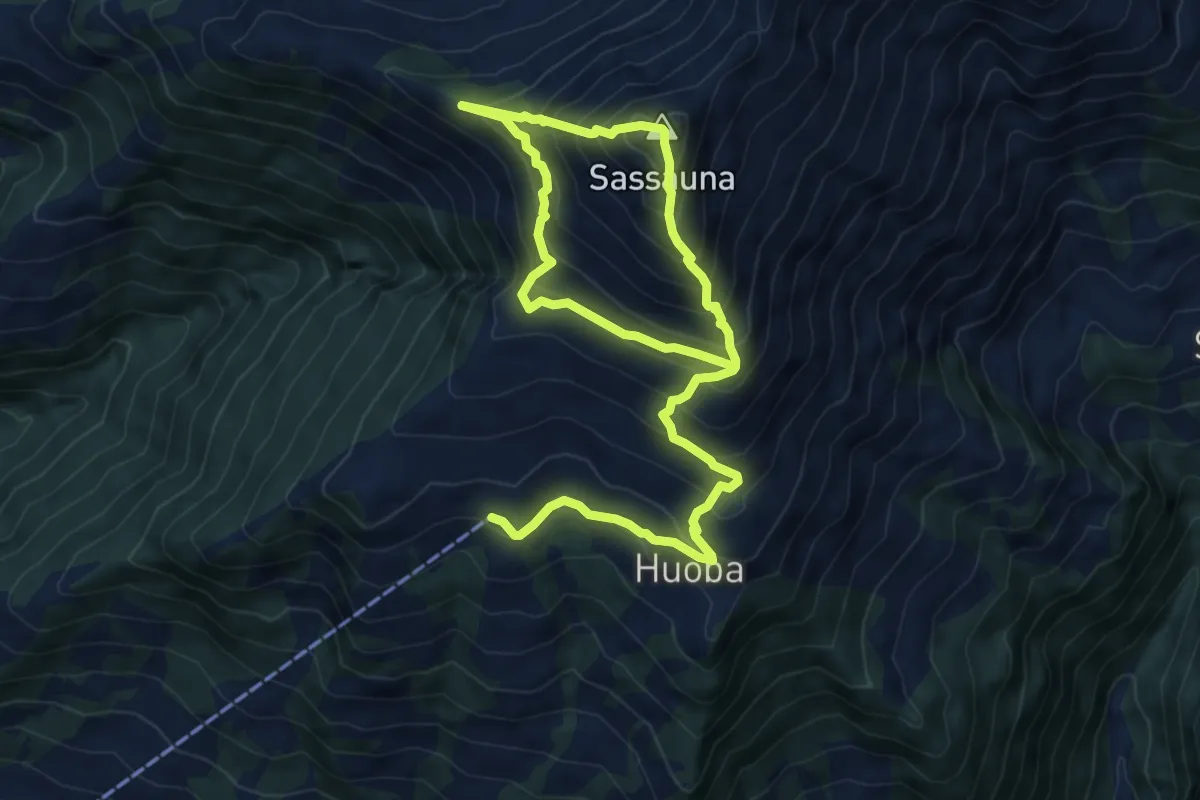
Medium · Summit
Eggli – Sassauna
5.6 km · ↑ 683 m · 2 h 45 min
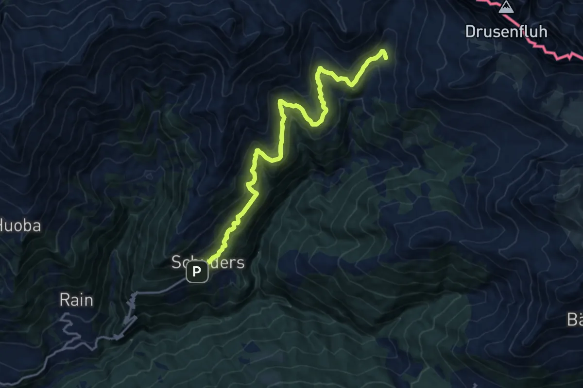
Demanding · Trail
Schuders – Gruscher Alpli
14.5 km · ↑ 851 m · 5 h 16 min
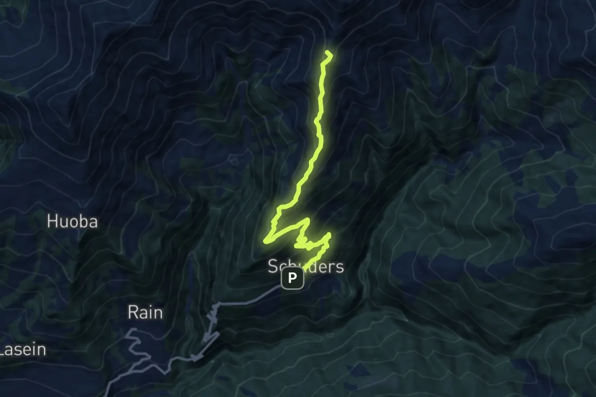
Medium · Summit
Schuders – Hochstelli
11.1 km · ↑ 768 m · 4 h 17 min
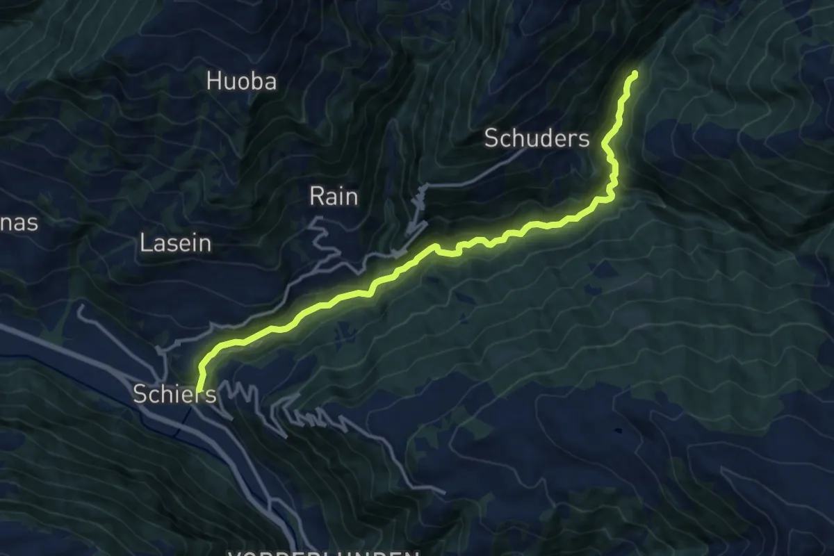
Medium · Trail
Saga – Schiers
13.5 km · ↑ 520 m · 4 h 19 min
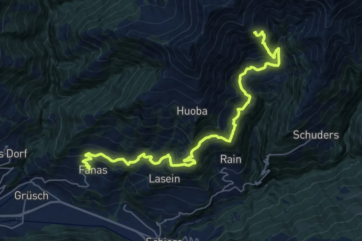
Demanding · Trail
Fanas – Mittelsäss
11.1 km · ↑ 1241 m · 5 h
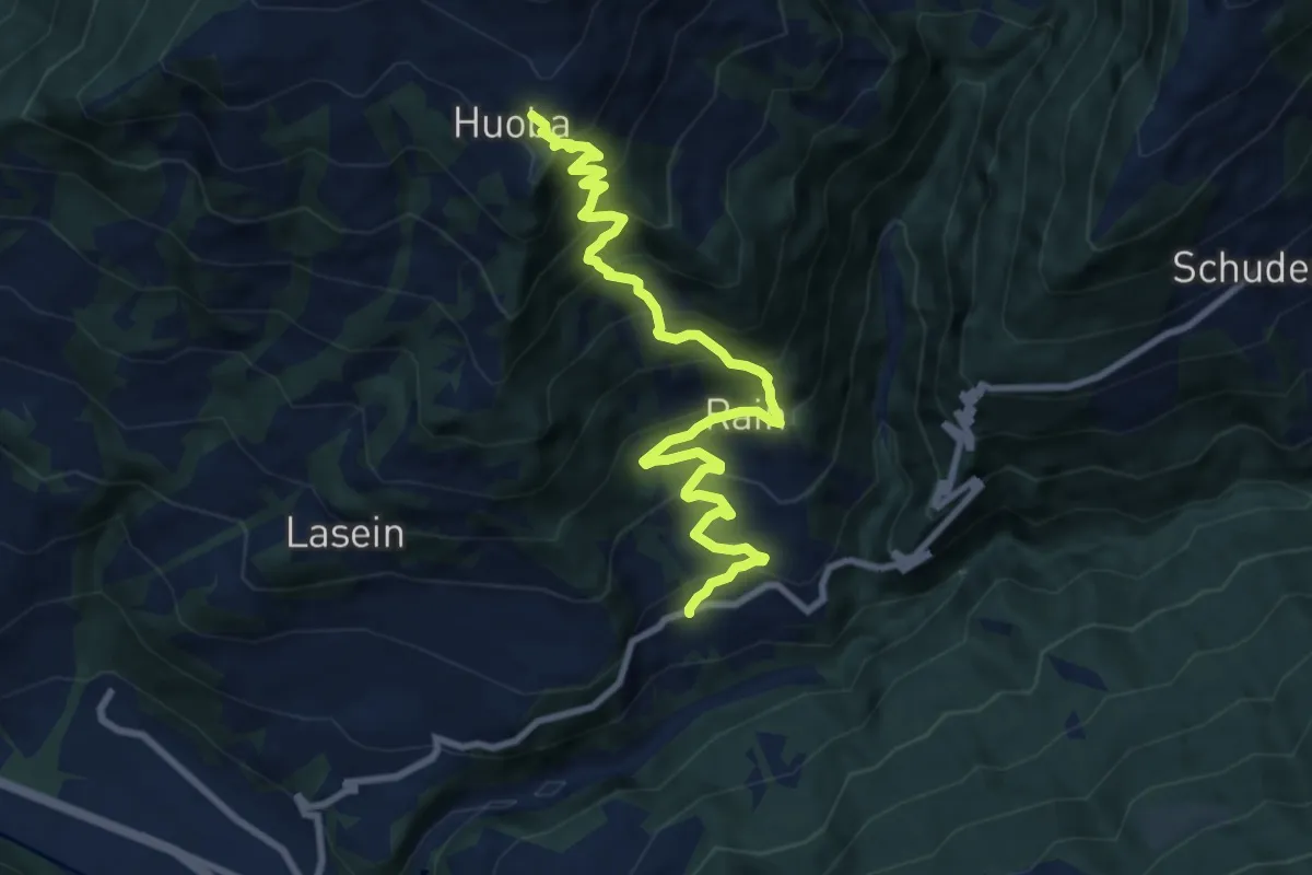
Demanding · Trail
Huoba – Pusserein
9.8 km · ↑ 897 m · 4 h 16 min
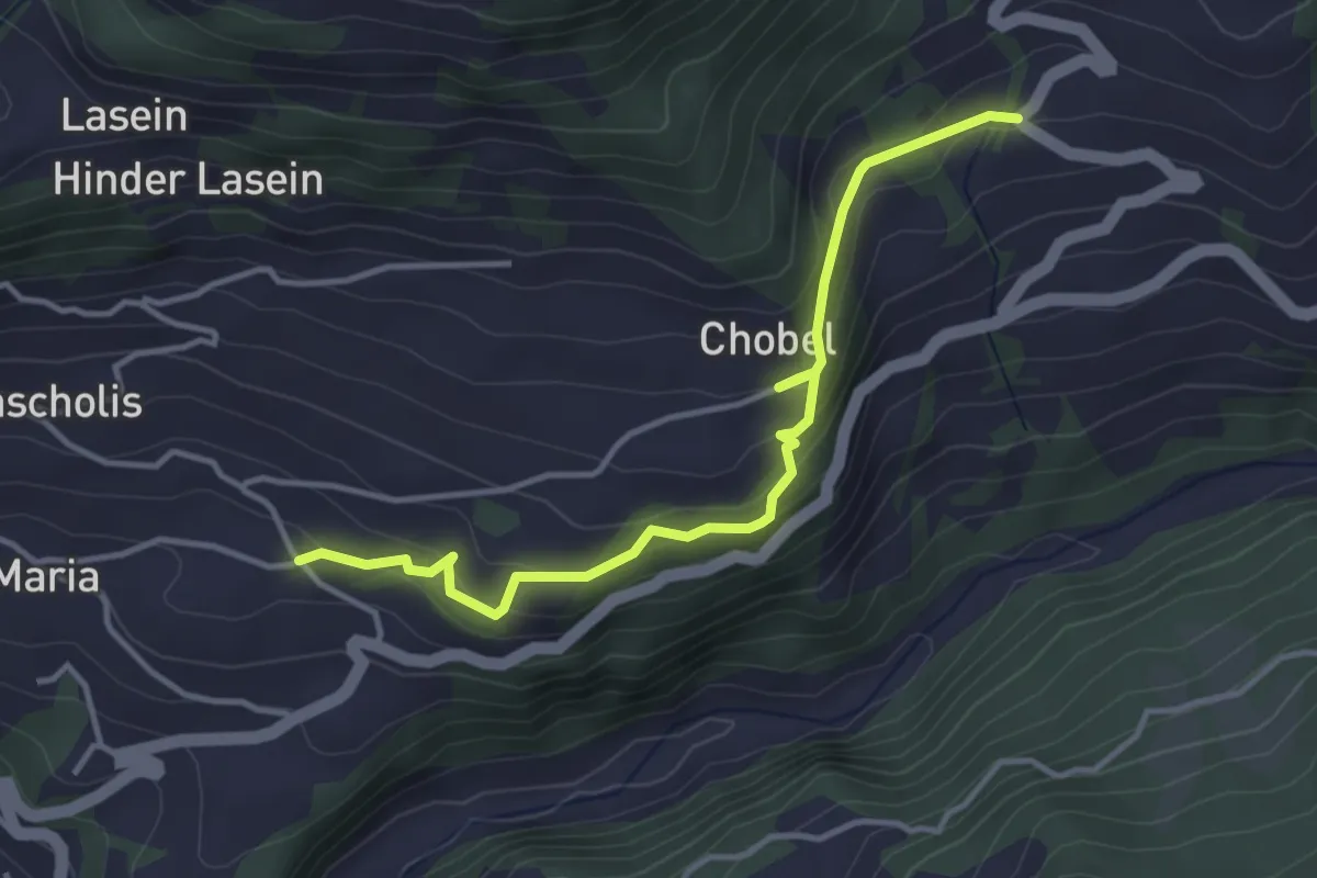
Easy · Trail
Ober Montagna – Salginatobelbrücke
3.9 km · ↑ 209 m · 1 h 22 min
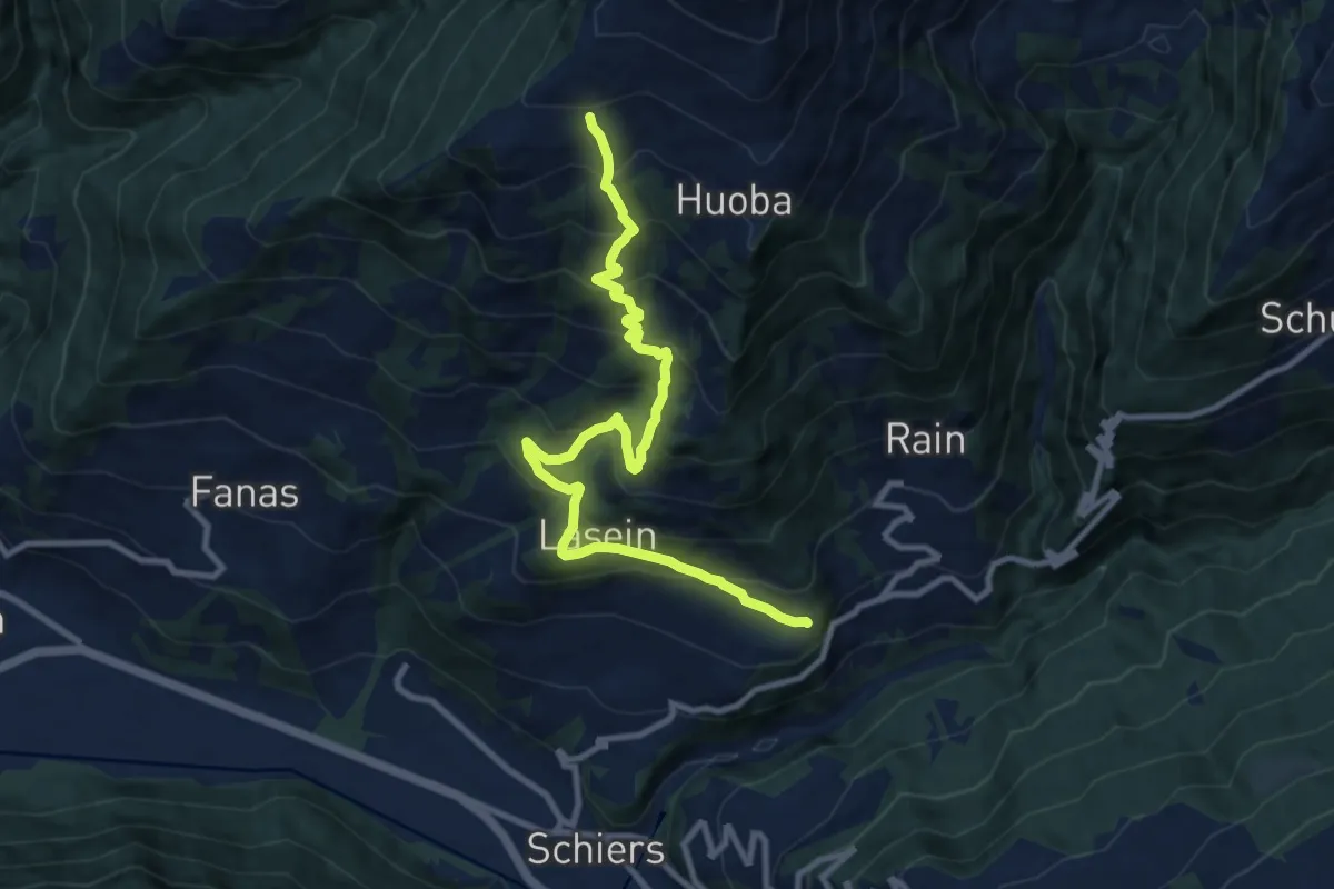
Demanding · Trail
Schiers, Bazolis – Eggli
10.8 km · ↑ 917 m · 4 h 32 min
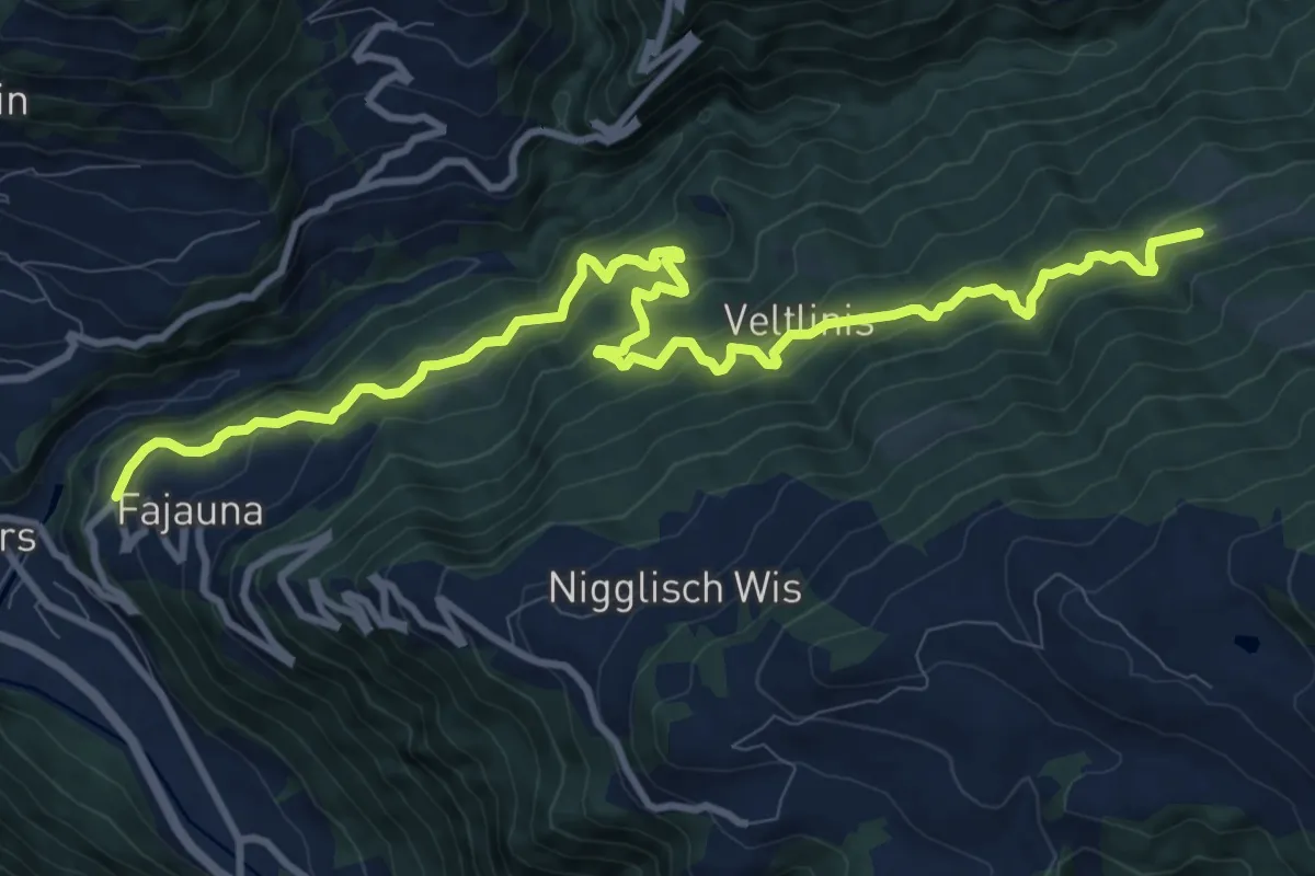
Demanding · Trail
Fajauna – Wäschchrut
12.4 km · ↑ 1033 m · 5 h 9 min
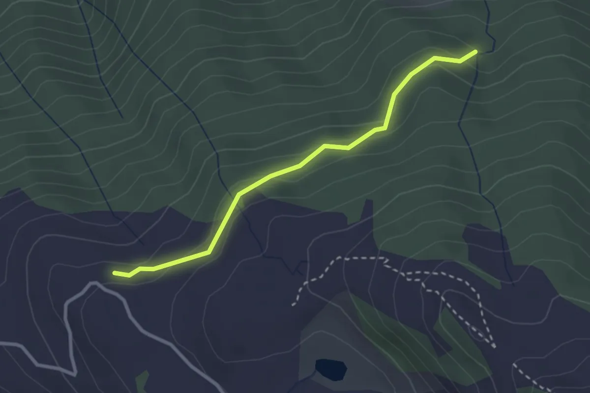
Easy · Trail
Obem Wäschchrut – Berghaus zum See
2.6 km · ↑ 114 m · 52 min
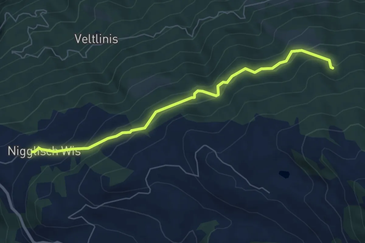
Medium · Trail
Nigglisch Wis – Obem Wäschchrut
6.1 km · ↑ 398 m · 2 h 18 min
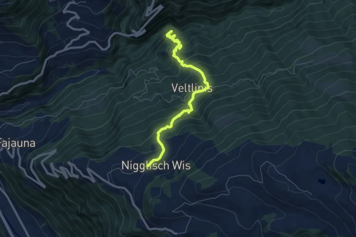
Medium · Trail
Nigglisch Wis – Schrabach
5.9 km · ↑ 651 m · 2 h 48 min
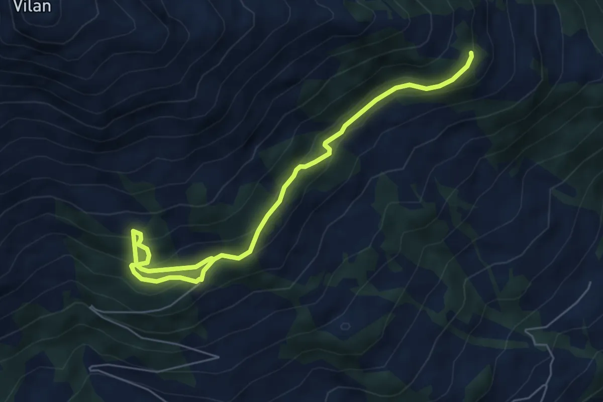
Medium · Trail
Gileila – Guora
6.6 km · ↑ 437 m · 2 h 30 min
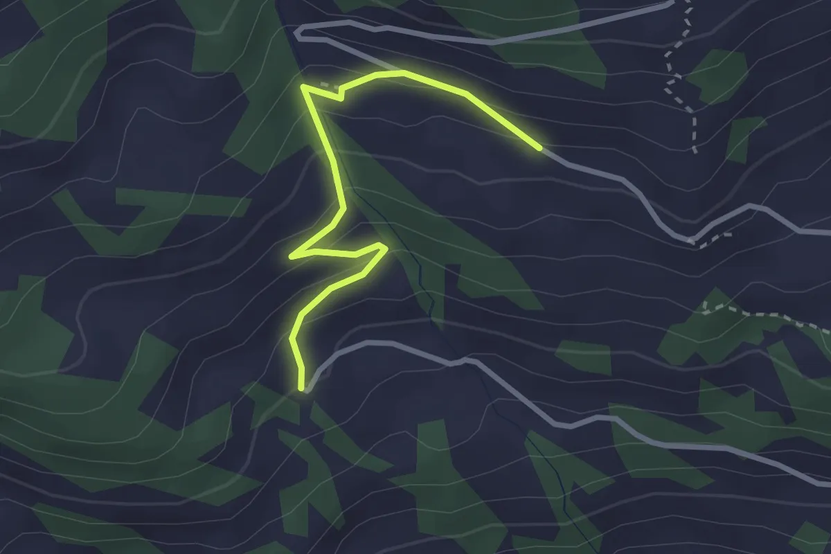
Easy · Trail
Fulli – Mattan
2.6 km · ↑ 184 m · 1 h 1 min
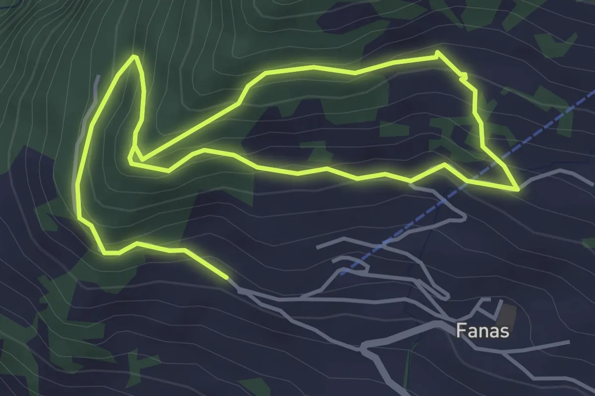
Medium · Trail
Fanas, Trügli – Plandadein
6.9 km · ↑ 452 m · 2 h 36 min
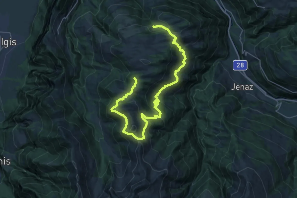
Demanding · Summit
Schwänzelegg – Schwänzelegg
28.5 km · ↑ 1396 m · 9 h 45 min
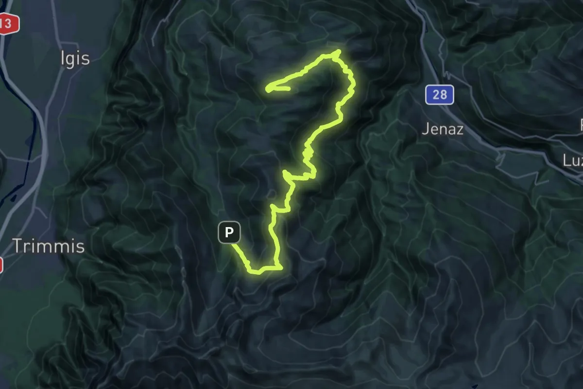
Demanding · Summit
Falsch – Alp Rona
32.4 km · ↑ 2051 m · 12 h 6 min
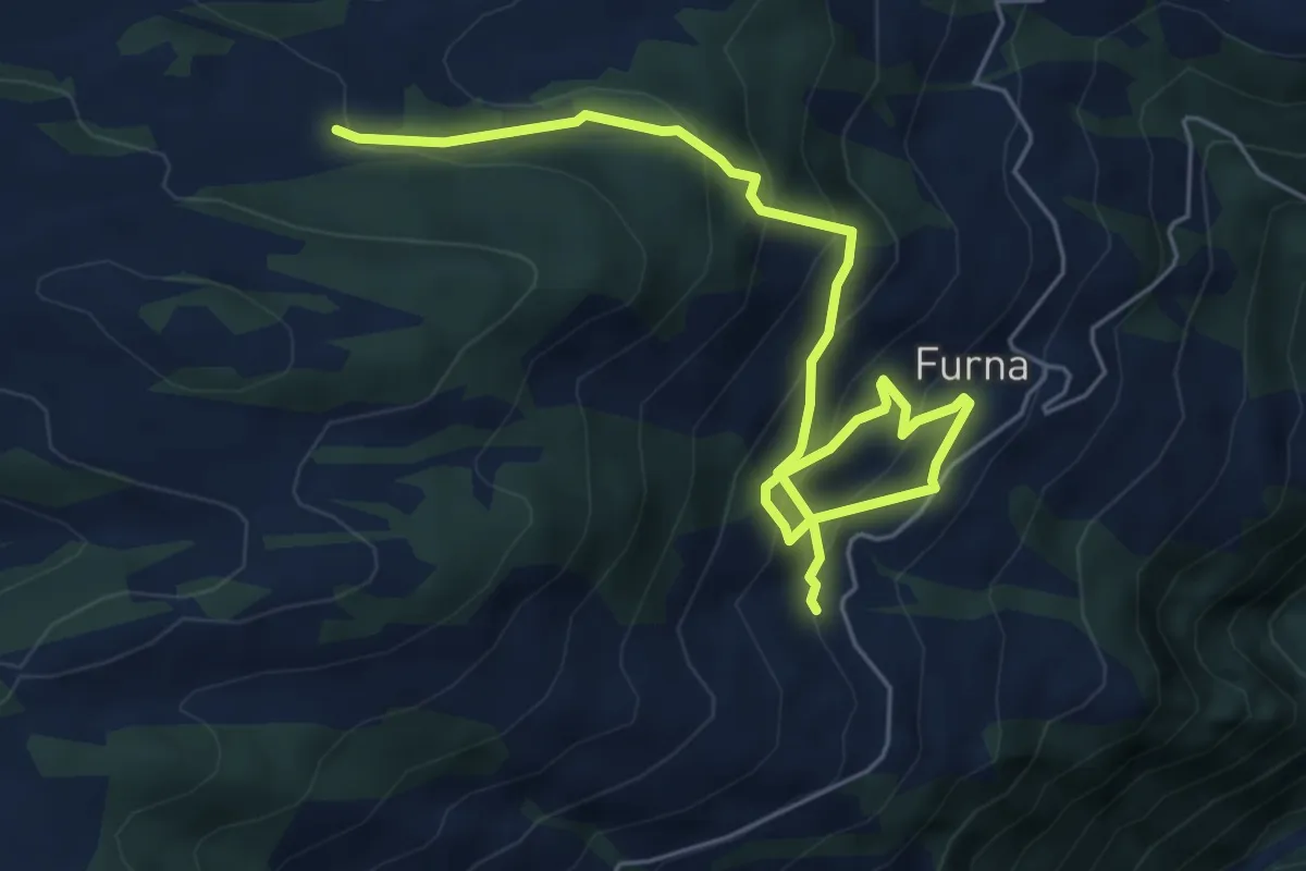
Medium · Trail
Gufer – Furna
6.8 km · ↑ 528 m · 2 h 45 min
Medium · Trail
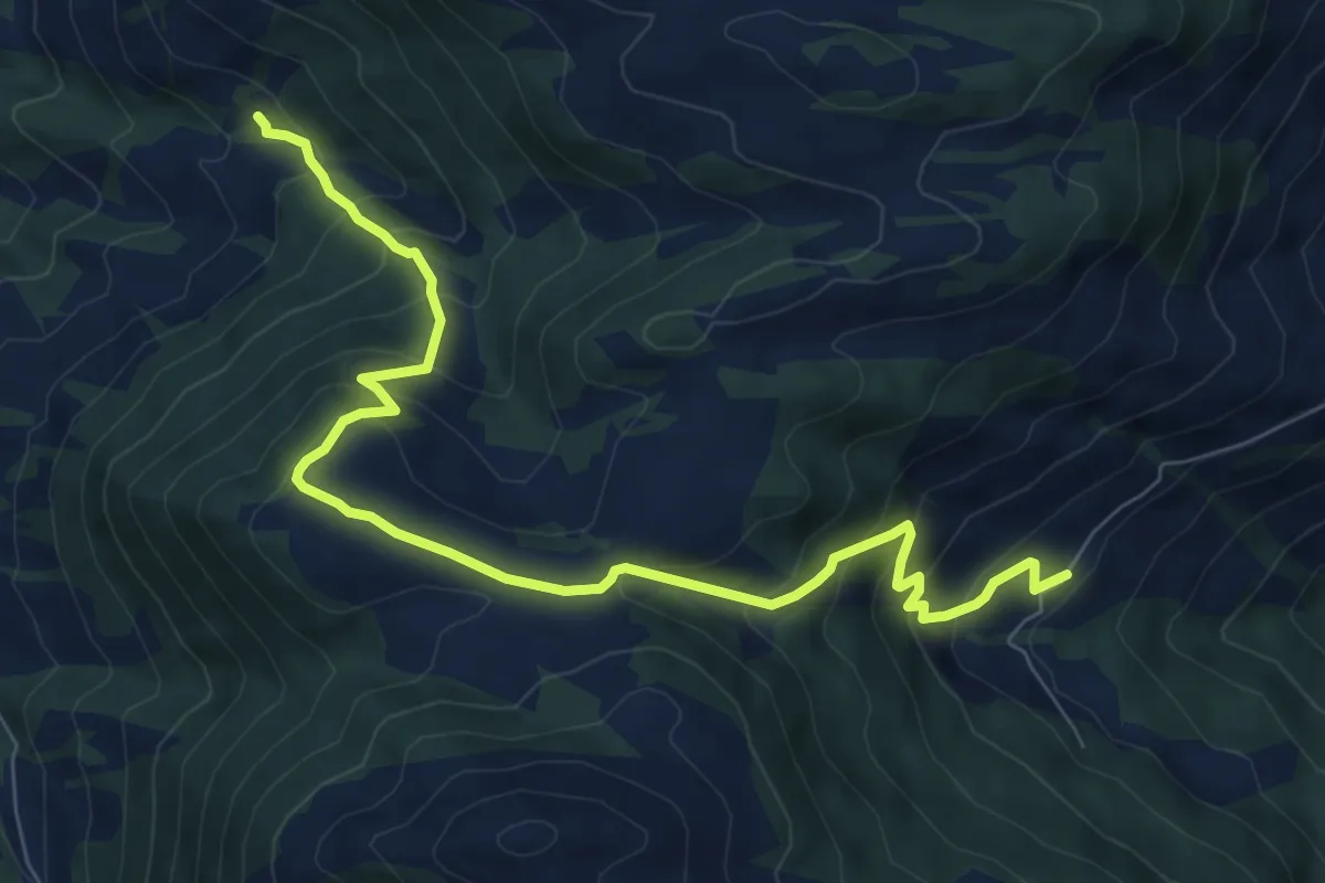
Hinterberg – Wissa Stein
9.0 km · ↑ 662 m · 3 h 33 min
Easy · Trail
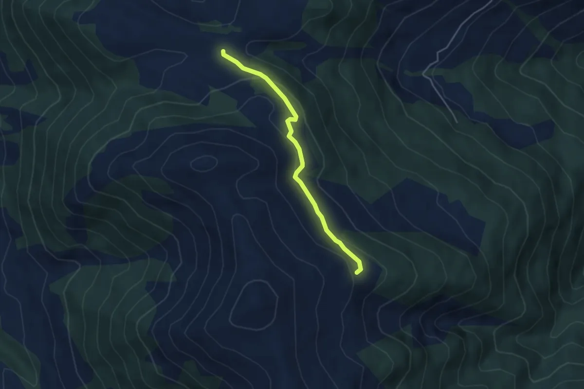
Scara – Obersass
3.6 km · ↑ 142 m · 1 h 10 min
Easy · Cabin
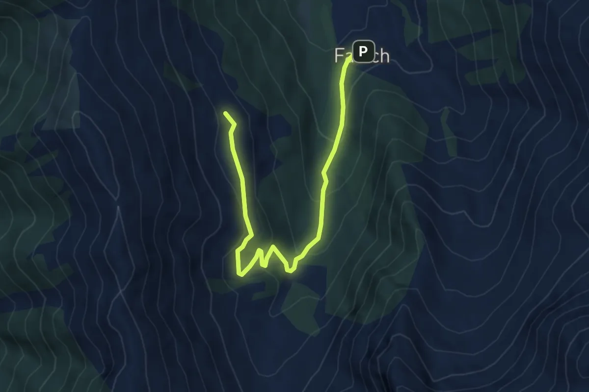
Alpe Zanutsch Vordersäss – Falsch
5.7 km · ↑ 270 m · 1 h 56 min
Medium · Cabin
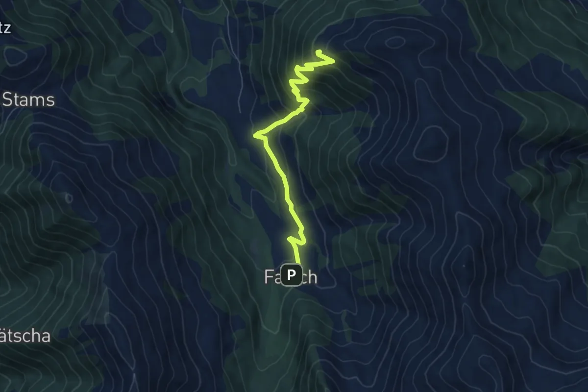
Falsch – Katschlag
6.6 km · ↑ 506 m · 2 h 39 min
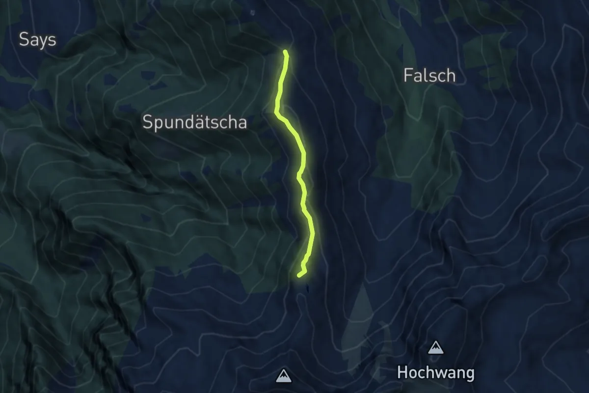
Easy · Summit
Alpe Zanutsch Vordersäss – Zanutscher Boden
5.2 km · ↑ 292 m · 1 h 52 min
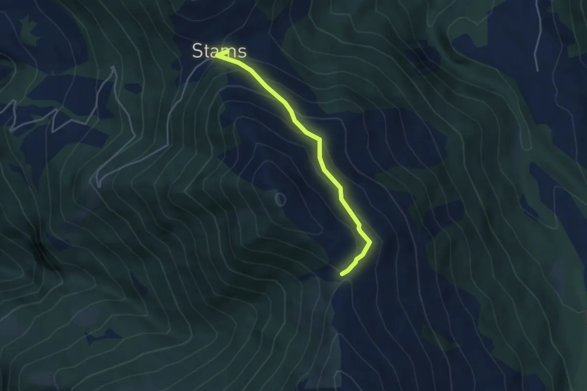
Easy · Trail
Zanutcher Boden – Stams
3.5 km · ↑ 256 m · 1 h 23 min
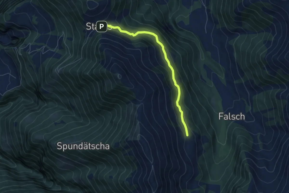
Easy · Cabin
Stams – Alpe Zanutsch Vordersäss
5.7 km · ↑ 265 m · 1 h 55 min
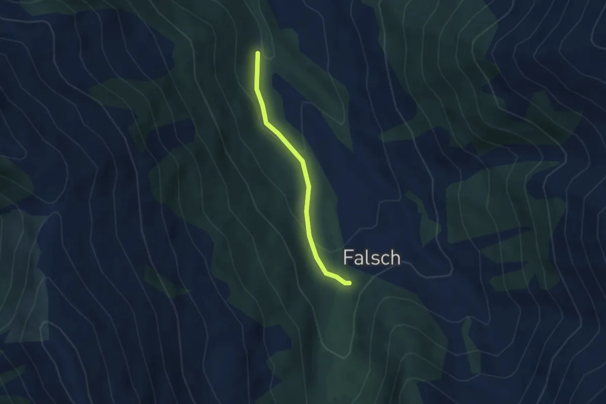
Easy · Trail
Saga – Falsch
2.6 km · ↑ 112 m · 51 min
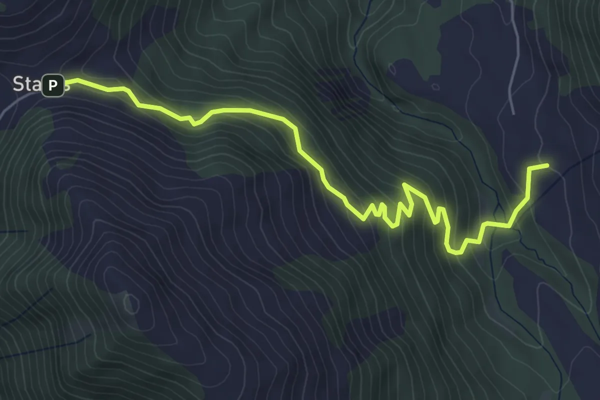
Medium · Trail
Stams – Laubenzug
6.1 km · ↑ 387 m · 2 h 17 min
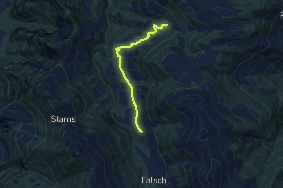
Medium · Trail
Laubenzug – Wissa Stein
8.2 km · ↑ 434 m · 2 h 53 min
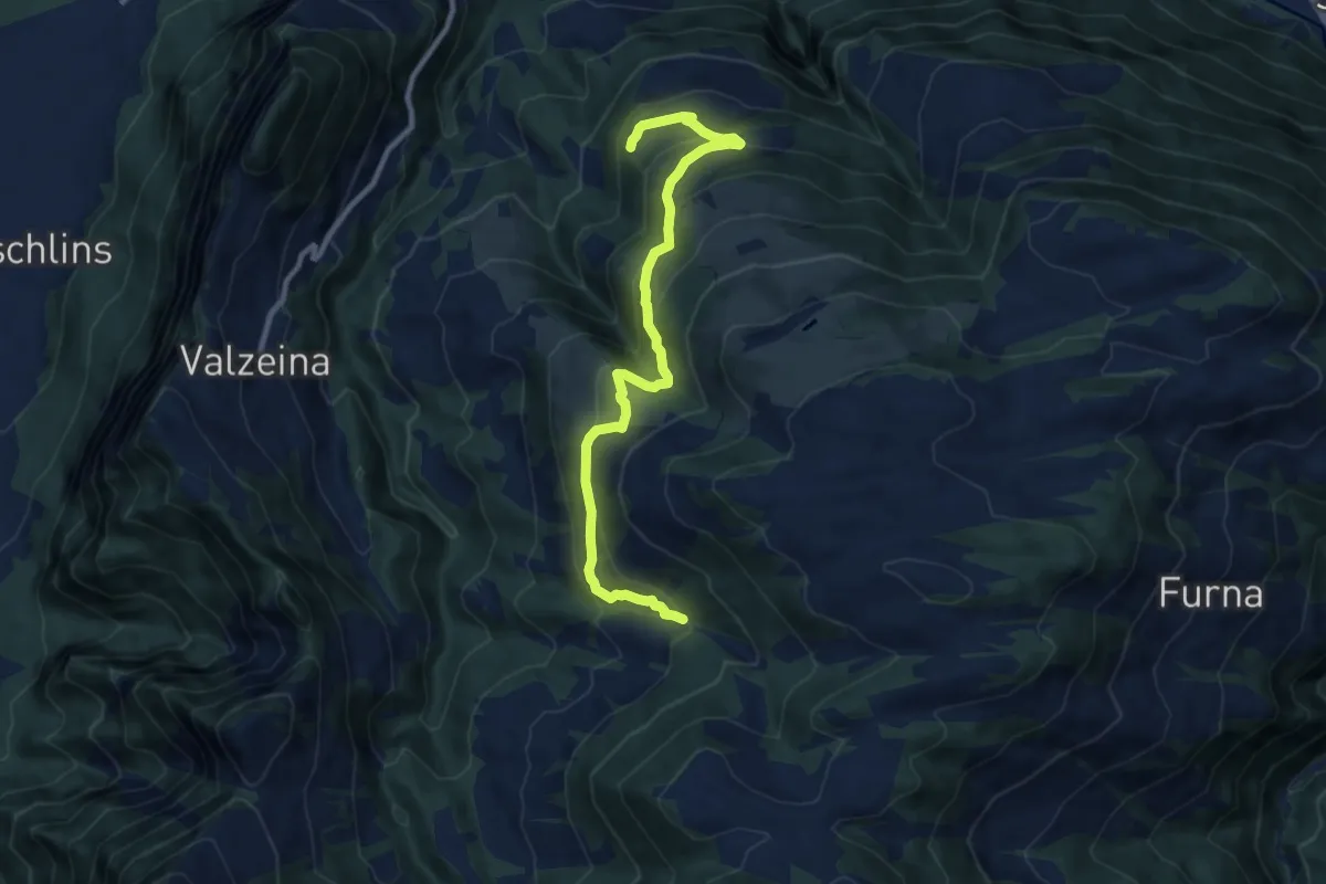
Medium · Trail
Wissa Stein – Cavadura
10.1 km · ↑ 555 m · 3 h 35 min
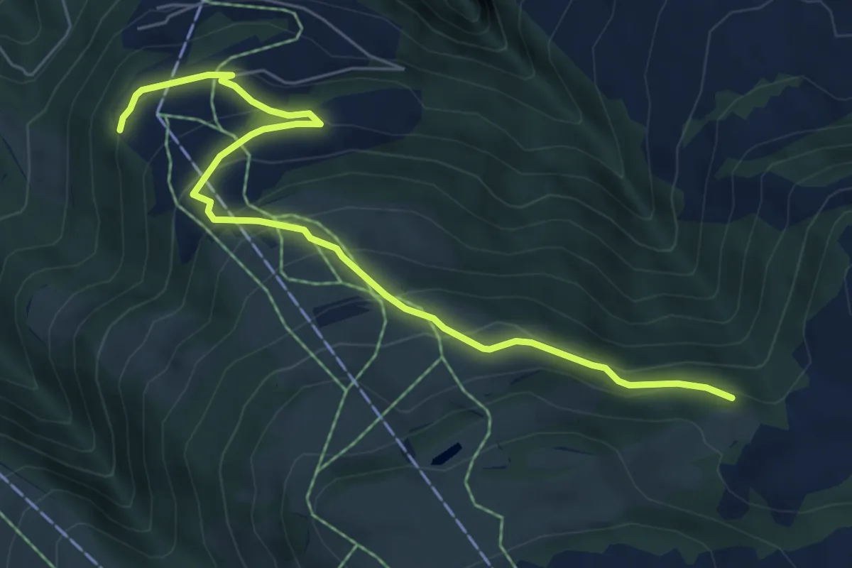
Medium · Trail
Cavadura – Teufried
6.7 km · ↑ 455 m · 2 h 34 min
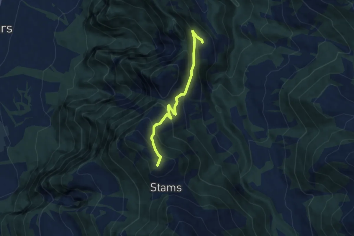
Medium · Summit
Stamps – Oberclavadätsch
6.3 km · ↑ 508 m · 2 h 36 min
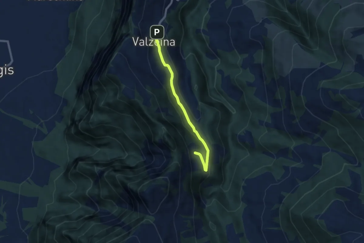
Easy · Trail
Valzeina – Oberclavadätsch
5.1 km · ↑ 180 m · 1 h 36 min
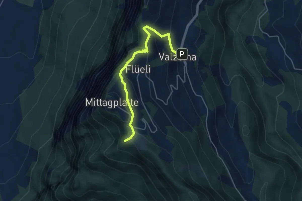
Easy · Trail
Valzeina – Sturnenboden
3.6 km · ↑ 256 m · 1 h 25 min
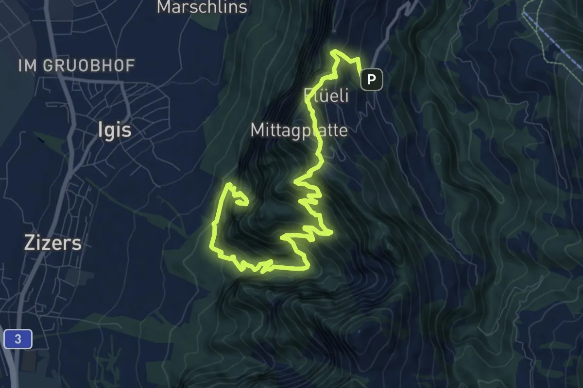
Demanding · Trail
Igis – Valzeina
13.1 km · ↑ 1297 m · 5 h 54 min
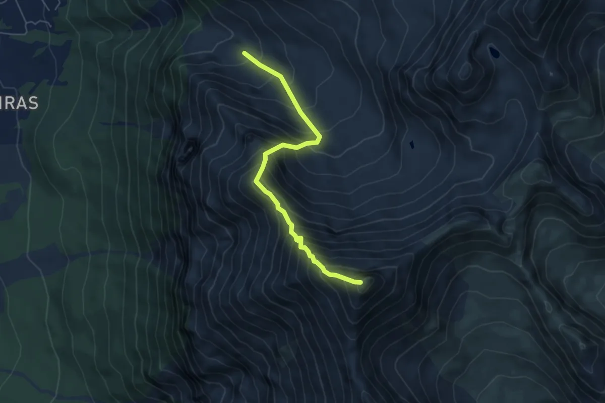
Expert · Summit
Alp Sanasplans – Lenzer Horn
5.3 km · ↑ 799 m · 2 h 59 min
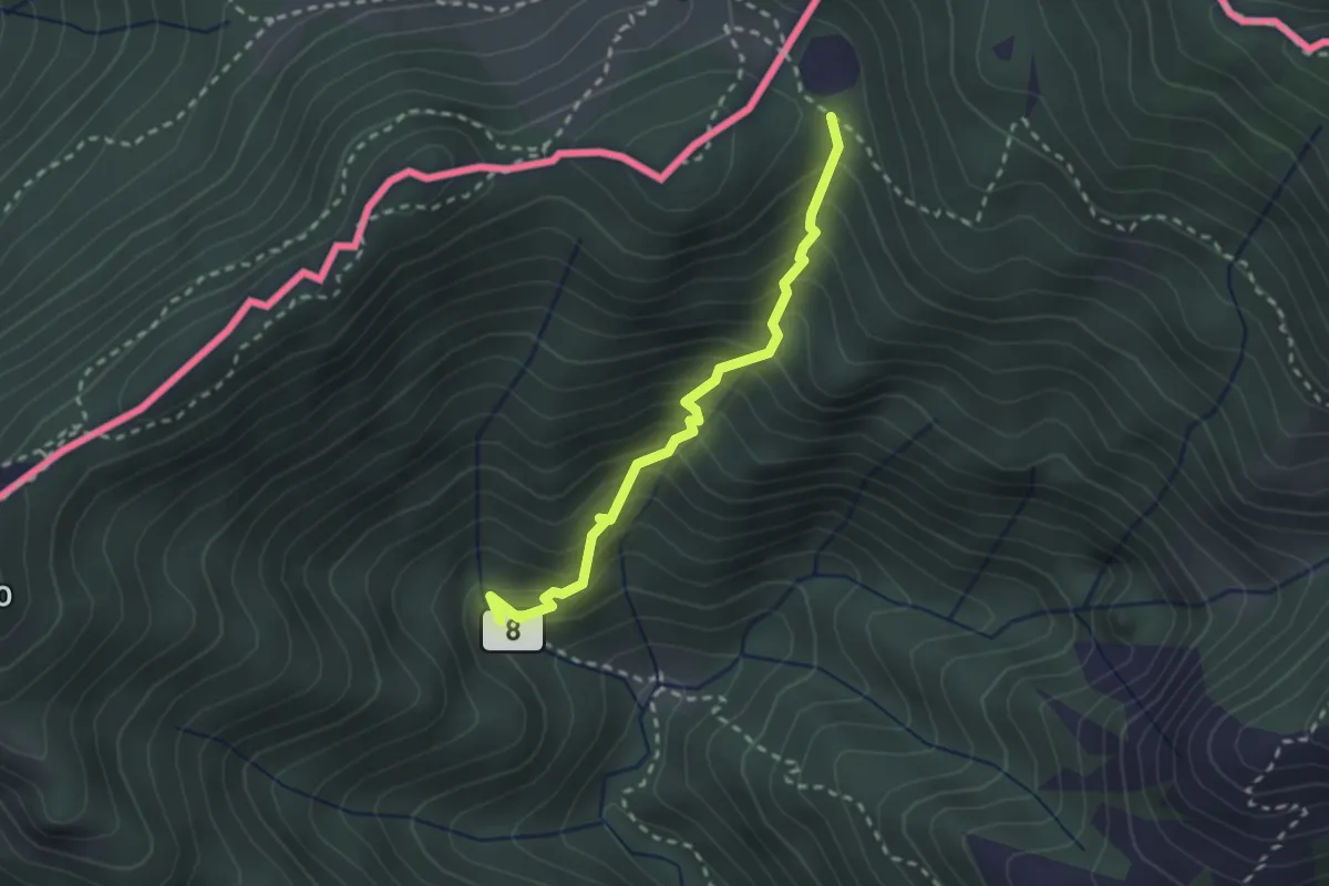
Medium · Trail
Ponte di Bizzo – Passo Pairolo
2.4 km · ↑ 328 m · 1 h 17 min
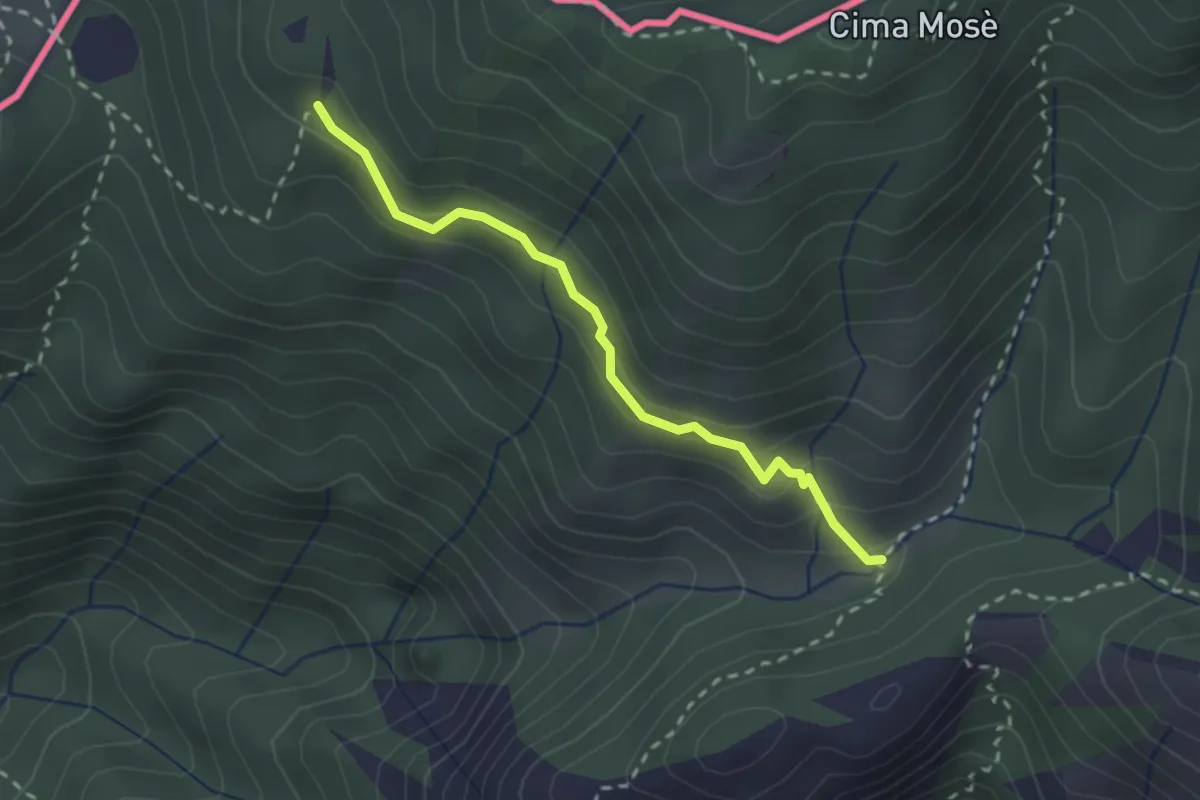
Medium · Trail
Alpet de Sceresa – Alpe Riccola
2.4 km · ↑ 159 m · 54 min
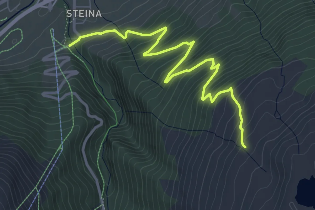
Medium · Trail
Räzünscheralp – Splügen
7.4 km · ↑ 580 m · 3 h