Trails in Switzerland
15,055 hiking trails, each with its route, climb, walking time and grade.
All trails, page 229 of 314
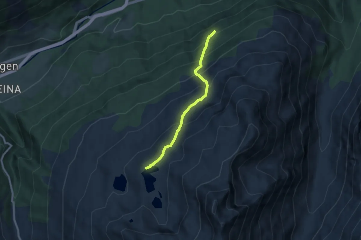
Medium · Cabin
Seehütte – Ross Chopf
5.3 km · ↑ 514 m · 2 h 22 min
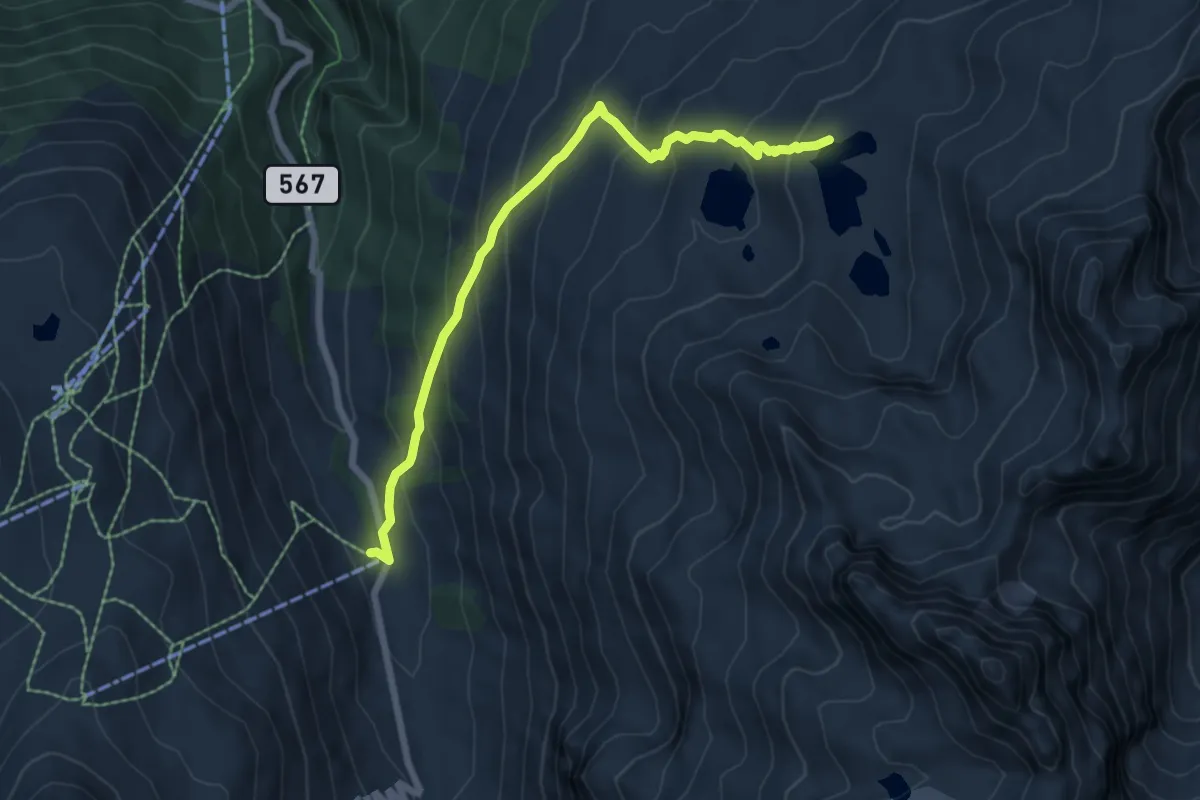
Medium · Cabin
Isabrüggli – Seehütte
6.6 km · ↑ 507 m · 2 h 40 min
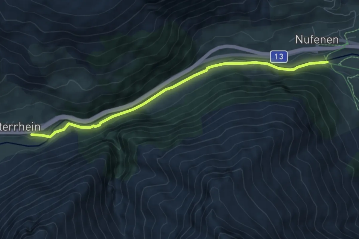
Easy · Trail
Hinterrhein – Nufenen
7.1 km · ↑ 127 m · 1 h 57 min
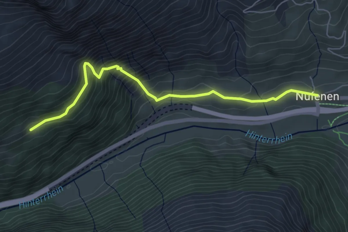
Medium · Trail
Zahütte – Nufenen
5.3 km · ↑ 369 m · 2 h 4 min
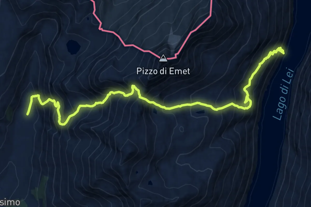
Expert · Trail
Macolino – Ganda Nera
10.3 km · ↑ 1038 m · 4 h 57 min
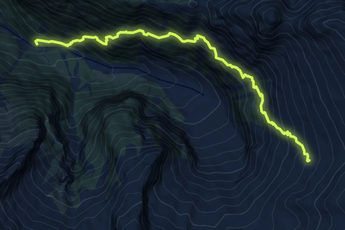
Demanding · Cabin
Porchera – Capanna di Aciora
9.2 km · ↑ 1356 m · 5 h 7 min
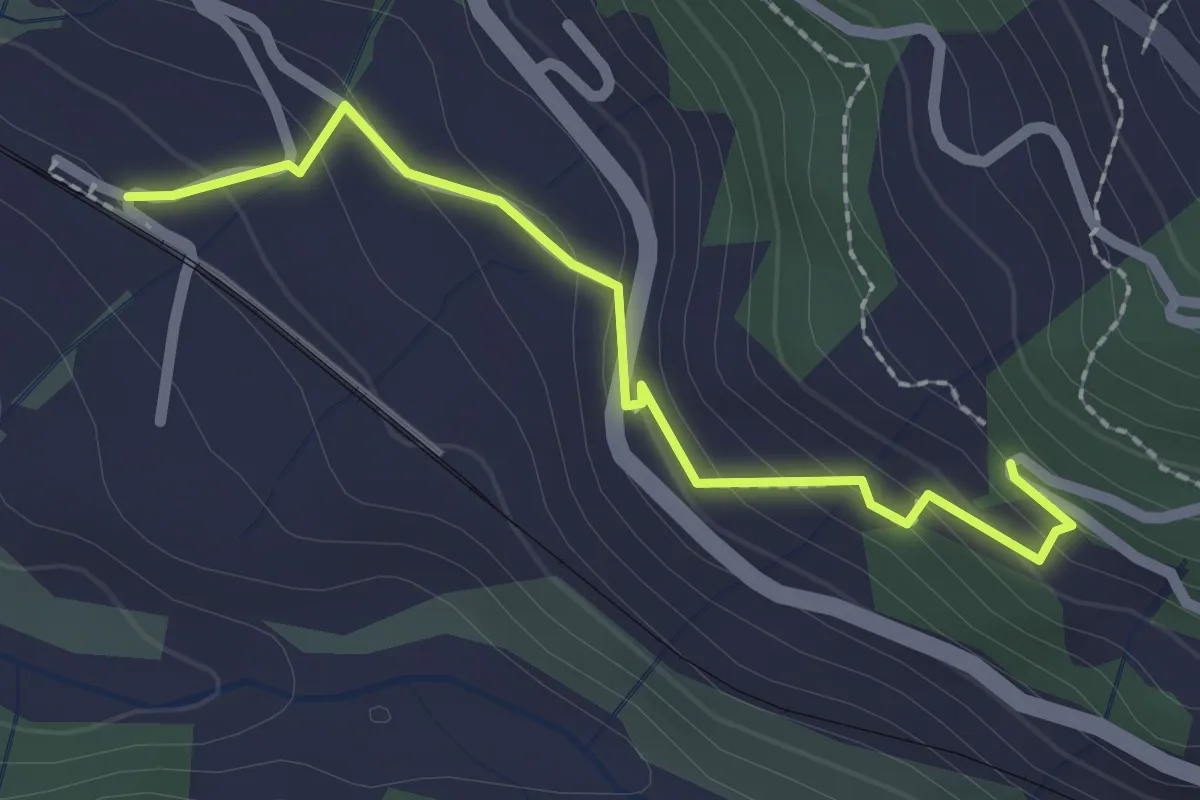
Easy · Trail
Saas Station – Geissegga Wiesli
2.2 km · ↑ 130 m · 48 min
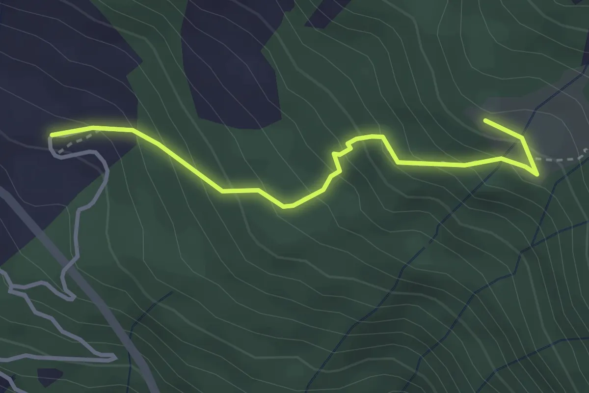
Easy · Trail
Flersch – Ragoz
3.0 km · ↑ 292 m · 1 h 21 min
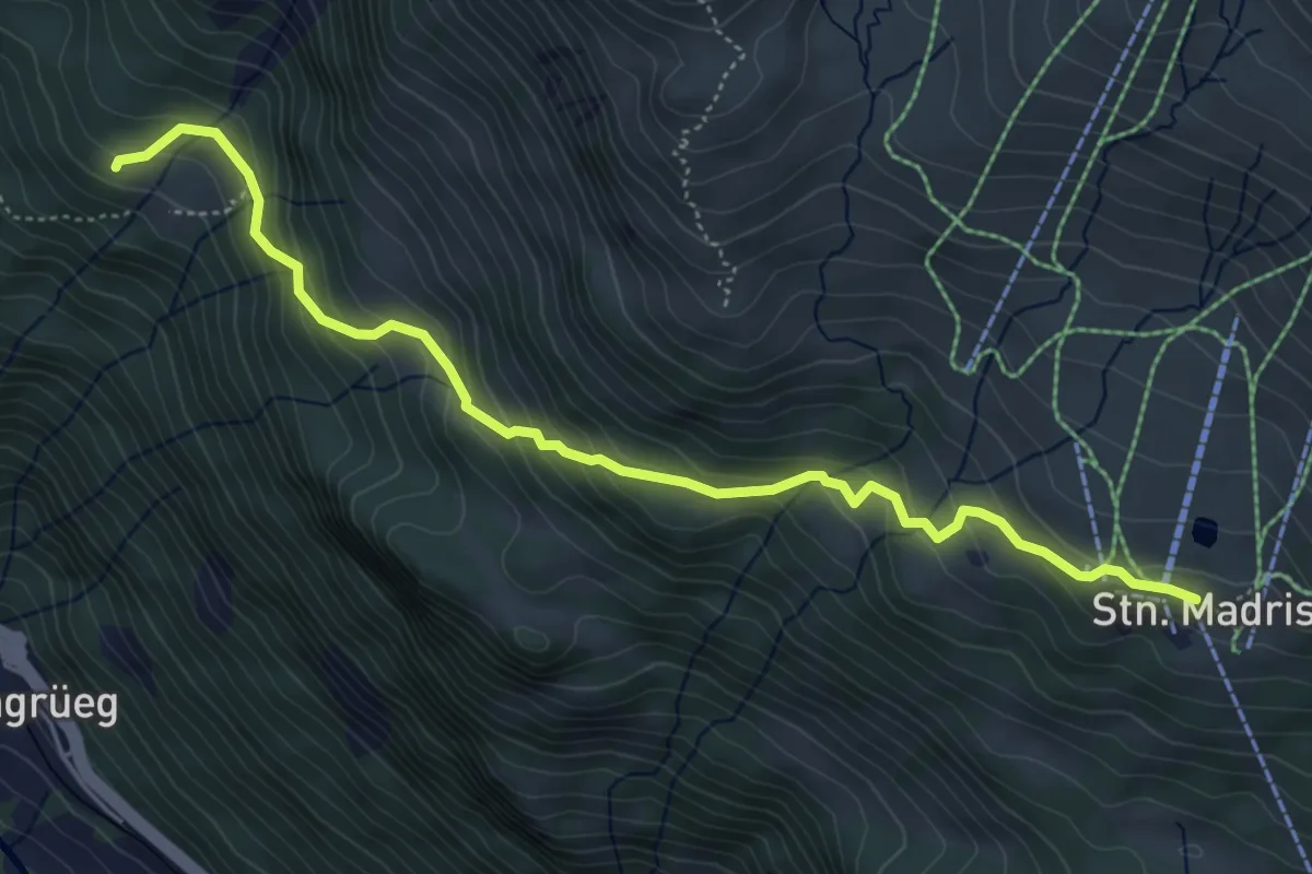
Medium · Trail
Ragoz – Station Madrisa Saaser Alp
5.5 km · ↑ 421 m · 2 h 12 min
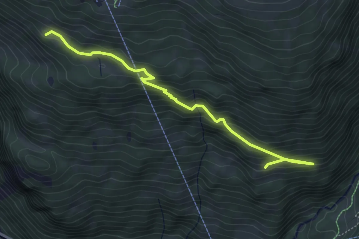
Medium · Summit
Station Madrisa Saaser Alp – Flue
5.4 km · ↑ 350 m · 2 h 2 min
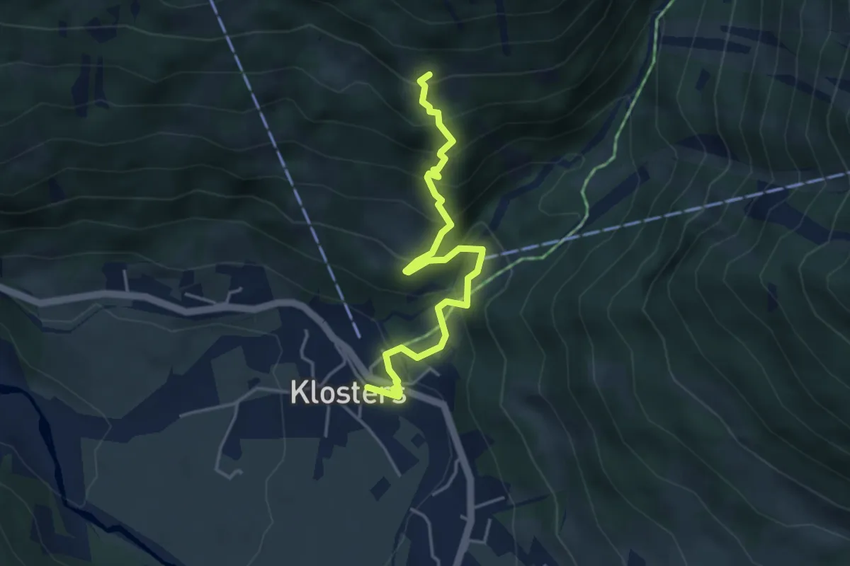
Medium · Trail
Flue – Klosters Dorf
4.0 km · ↑ 398 m · 1 h 49 min
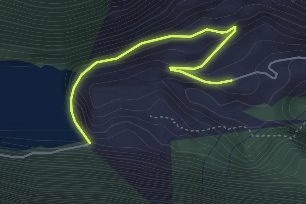
Easy · Trail
Staumauer Gigerwald – Gigerwald
3.5 km · ↑ 258 m · 1 h 23 min
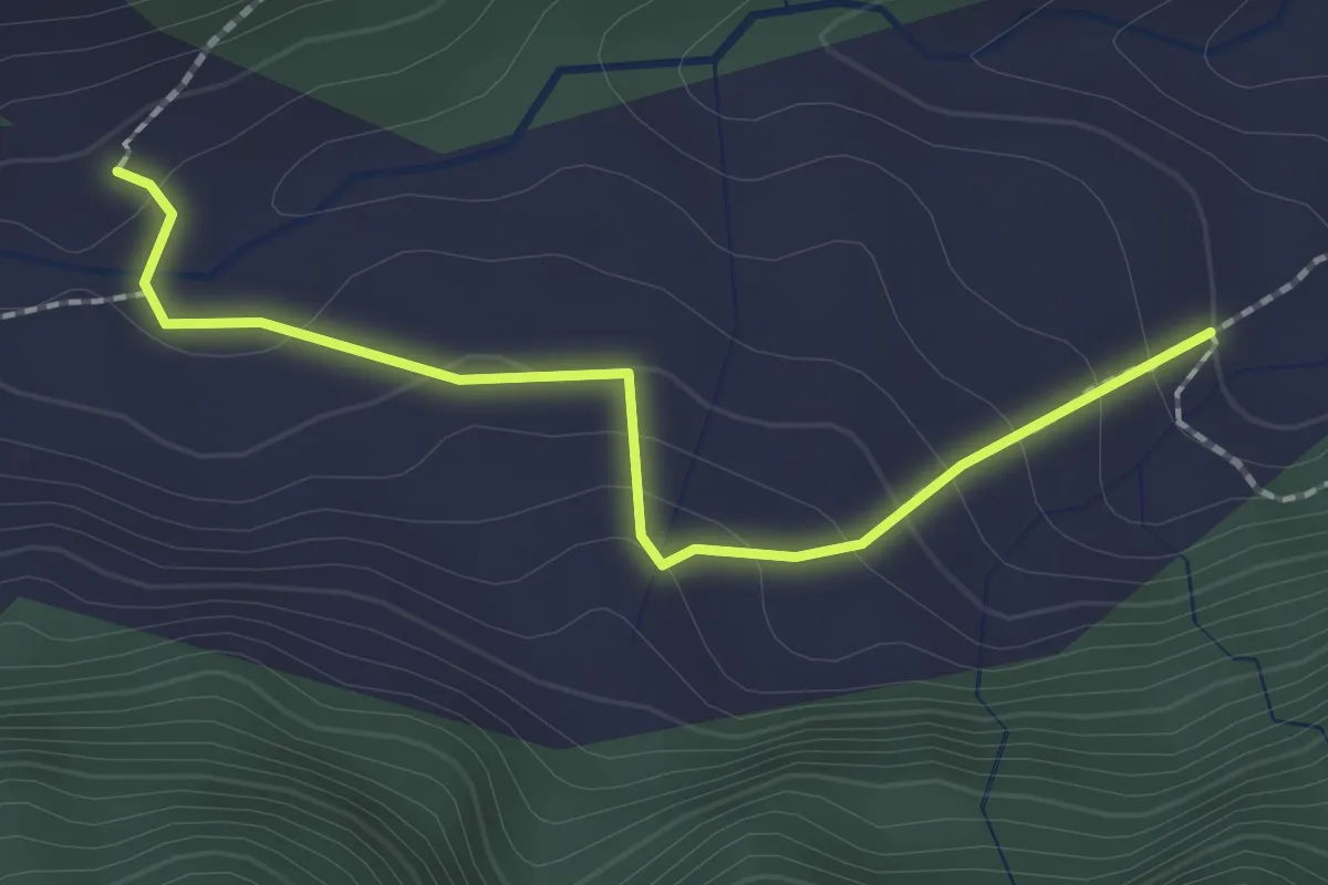
Easy · Trail
Hintere Ebni – Sardonaalp
2.0 km · ↑ 101 m · 41 min
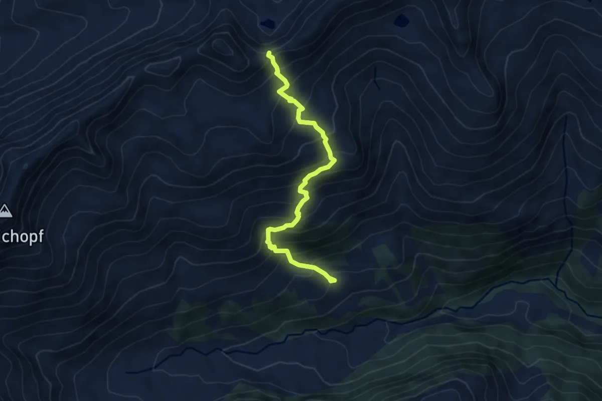
Medium · Trail
Heubützlipass – Gamerälpli Untersäss
5.9 km · ↑ 657 m · 2 h 49 min
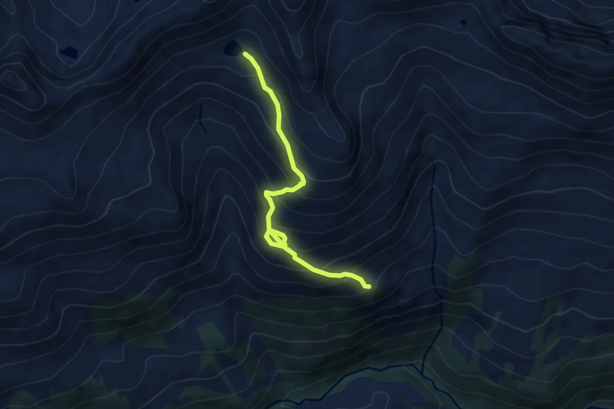
Demanding · Trail
Plattenseeli – Obersäss
5.0 km · ↑ 473 m · 2 h 13 min
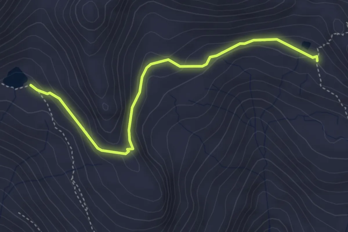
Medium · Trail
Plattenseeli – unterhalb Heidelpass
4.0 km · ↑ 156 m · 1 h 17 min
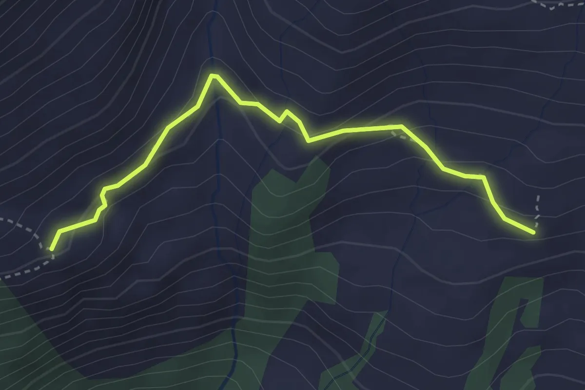
Easy · Trail
Malanseralp – Platten / Obersäss
3.2 km · ↑ 187 m · 1 h 10 min
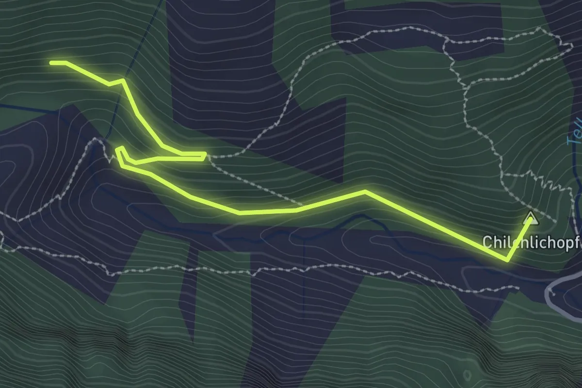
Easy · Summit
Hochegg – St. Martin
3.2 km · ↑ 200 m · 1 h 12 min
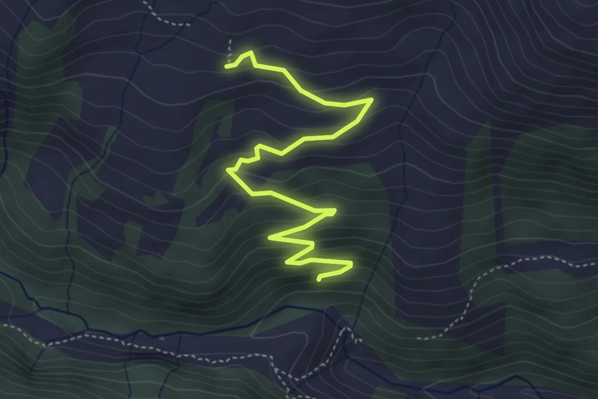
Easy · Trail
Malanseralp – Hochegg
4.8 km · ↑ 311 m · 1 h 48 min
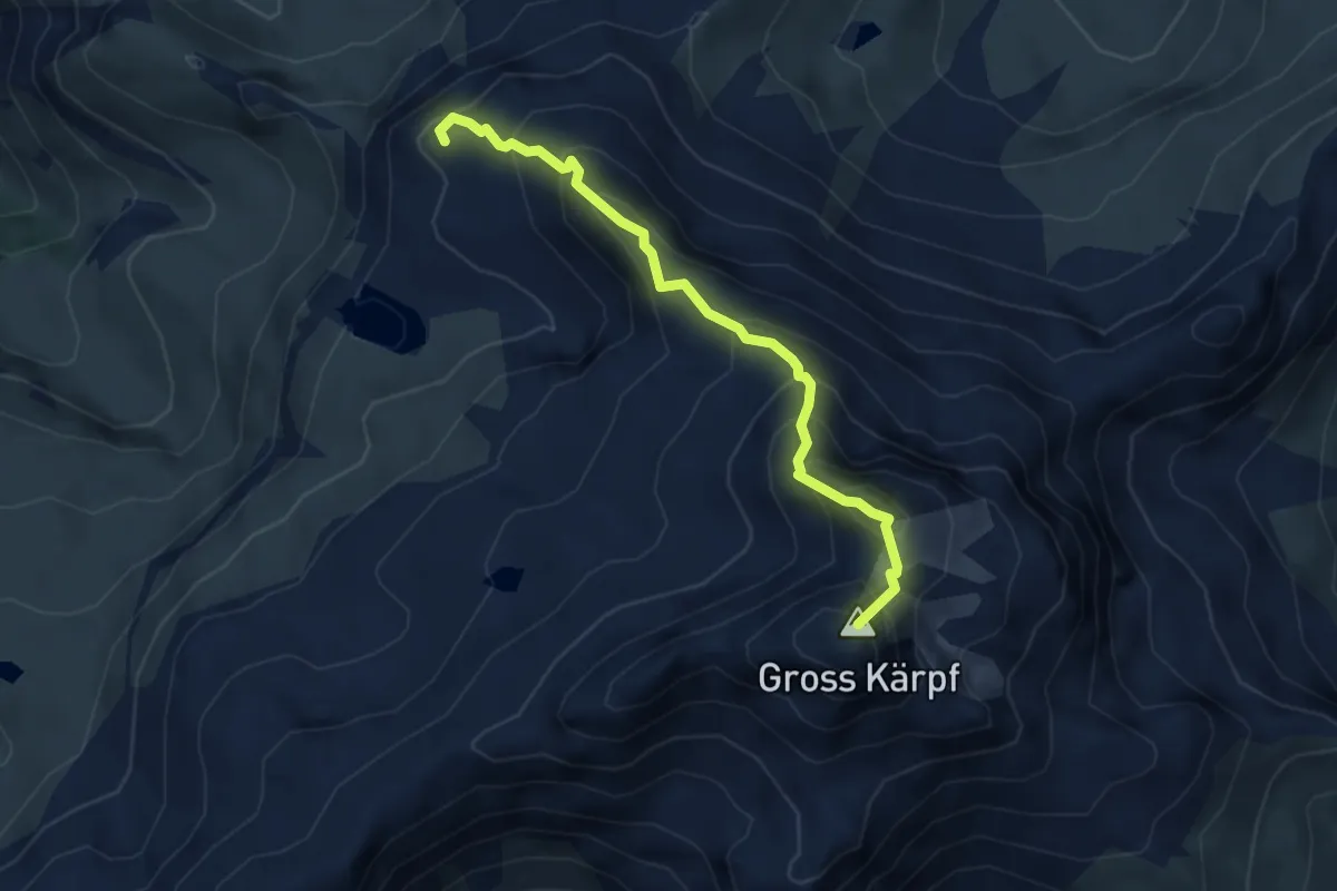
Expert · Summit
Leglerhütte SAC – Skihütte Erbs
4.1 km · ↑ 471 m · 2 h
Expert · Summit
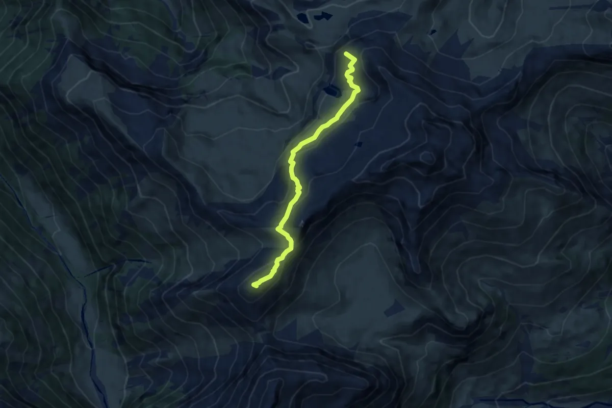
Leglerhütte SAC – Richetlipass
7.5 km · ↑ 386 m · 2 h 37 min
Medium · Trail
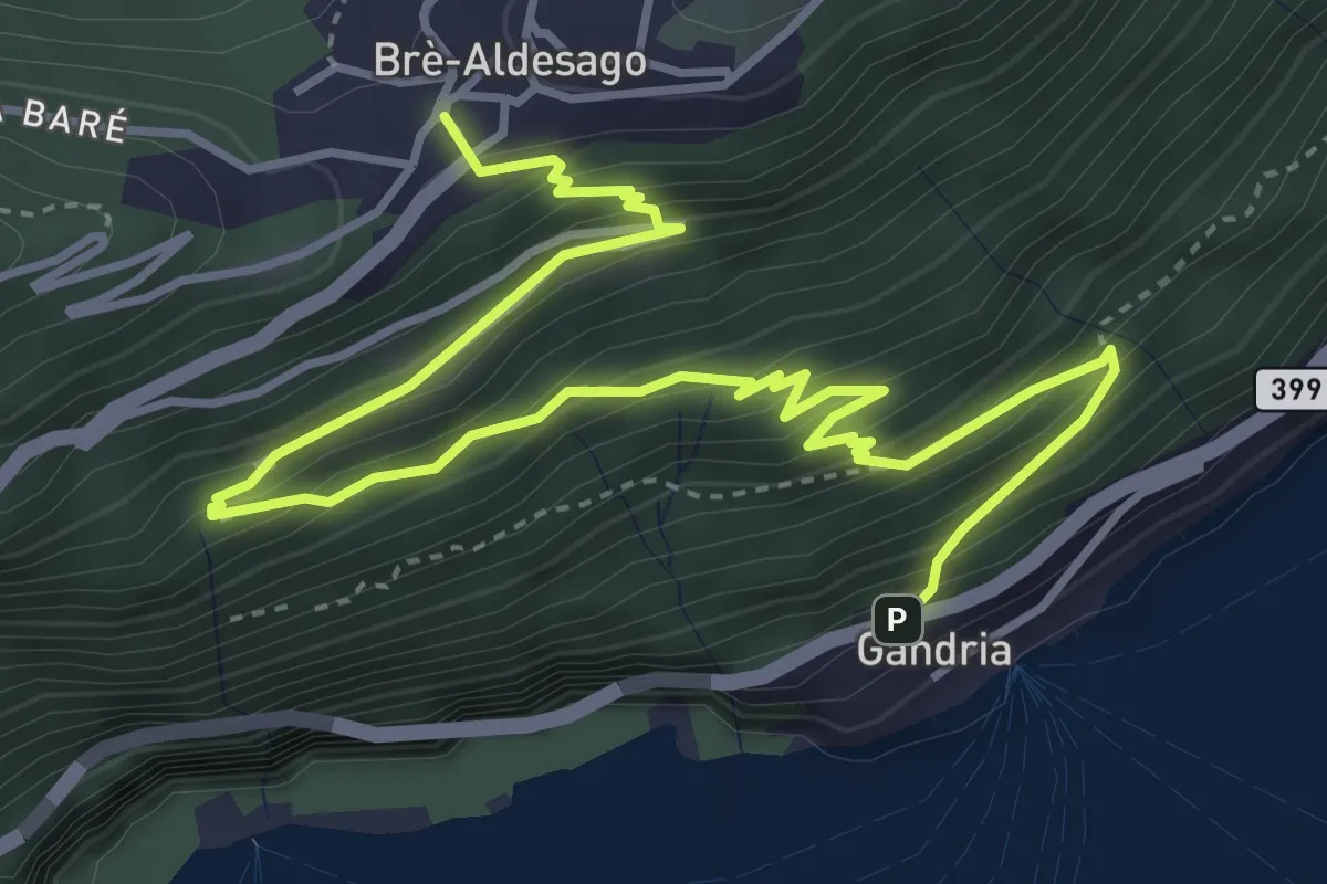
Gandria – Brè
5.7 km · ↑ 457 m · 2 h 21 min
Easy · Trail
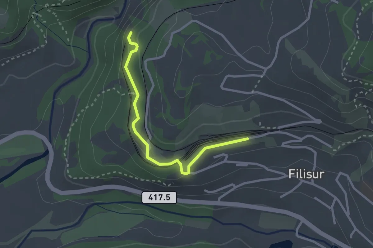
Filisur Bahnhof – Landwasser Viadukt
2.3 km · ↑ 110 m · 48 min
Easy · Trail
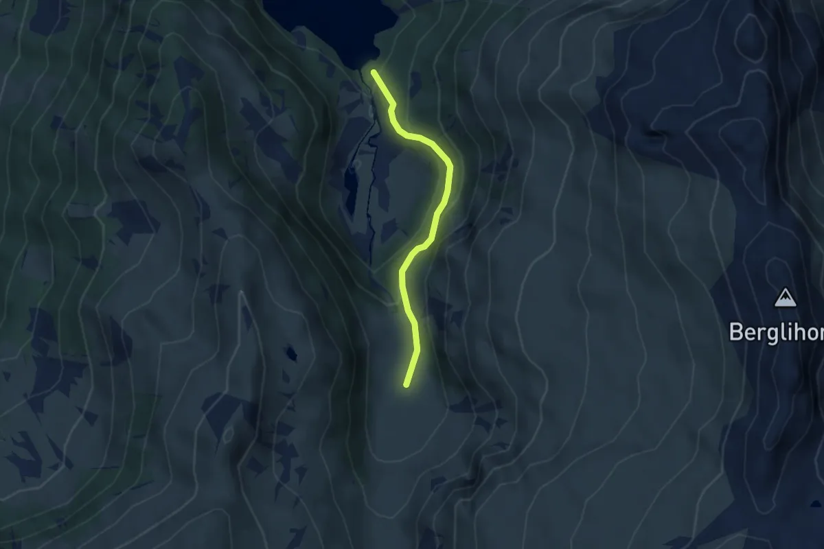
Nideren Matt – Nideren Oberstafel
2.9 km · ↑ 192 m · 1 h 6 min
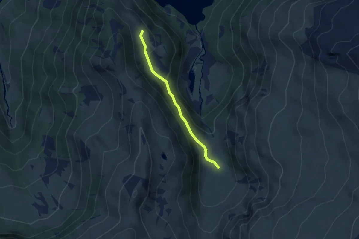
Medium · Trail
Nideren Oberstafel – Oberes Börtli
2.8 km · ↑ 162 m · 1 h 1 min
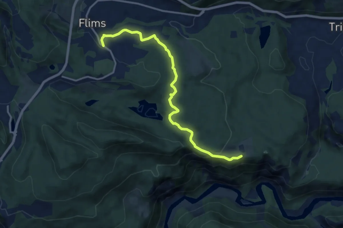
Medium · Trail
Flims – Conn
9.1 km · ↑ 234 m · 2 h 40 min
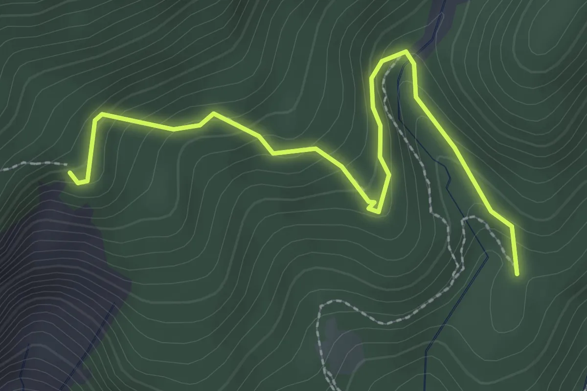
Easy · Trail
Bang'et – Plaun Crappa Naira
2.8 km · ↑ 232 m · 1 h 10 min
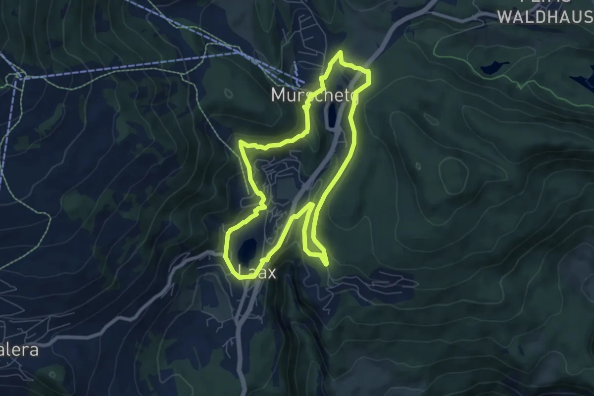
Easy · Trail
Laax Parkplatz oder Postautohaltestelle Post – Laax Parkplatz oder Postautohaltestelle Post
6.4 km · ↑ 205 m · 2 h 3 min
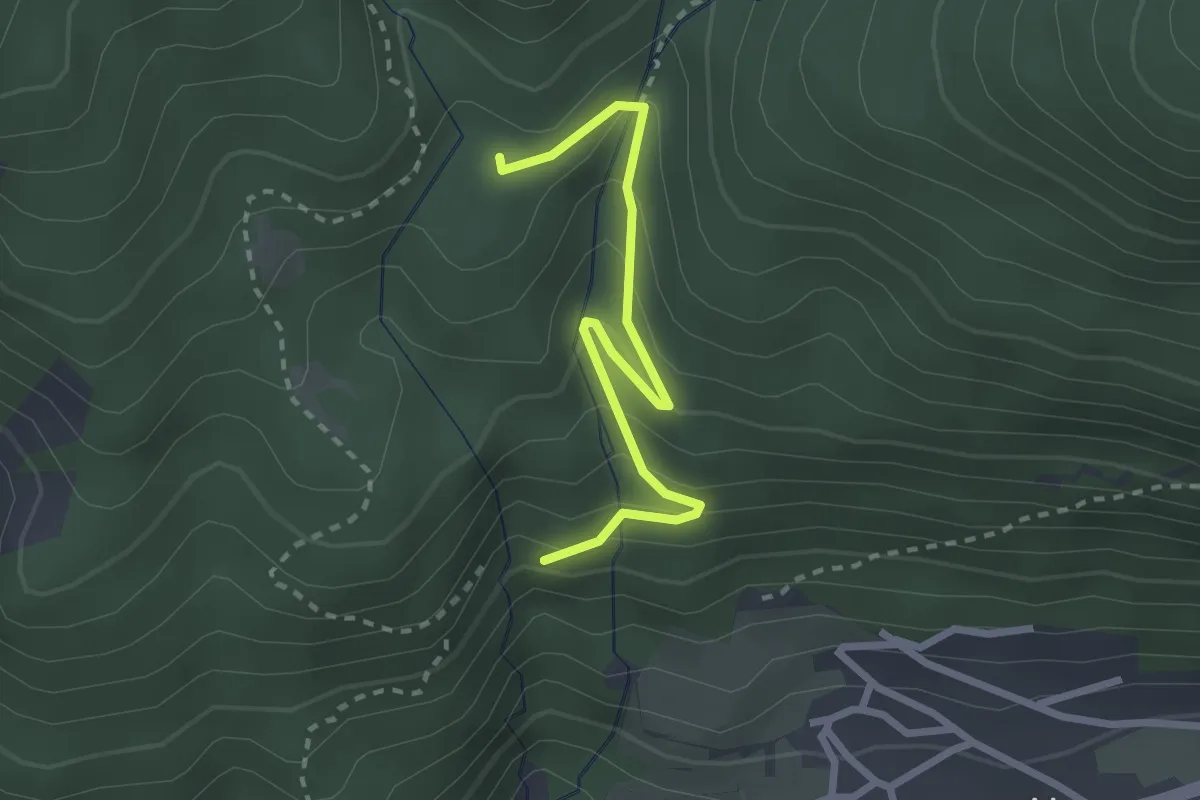
Easy · Trail
Peunt Crap – Bang'et
2.6 km · ↑ 214 m · 1 h 4 min
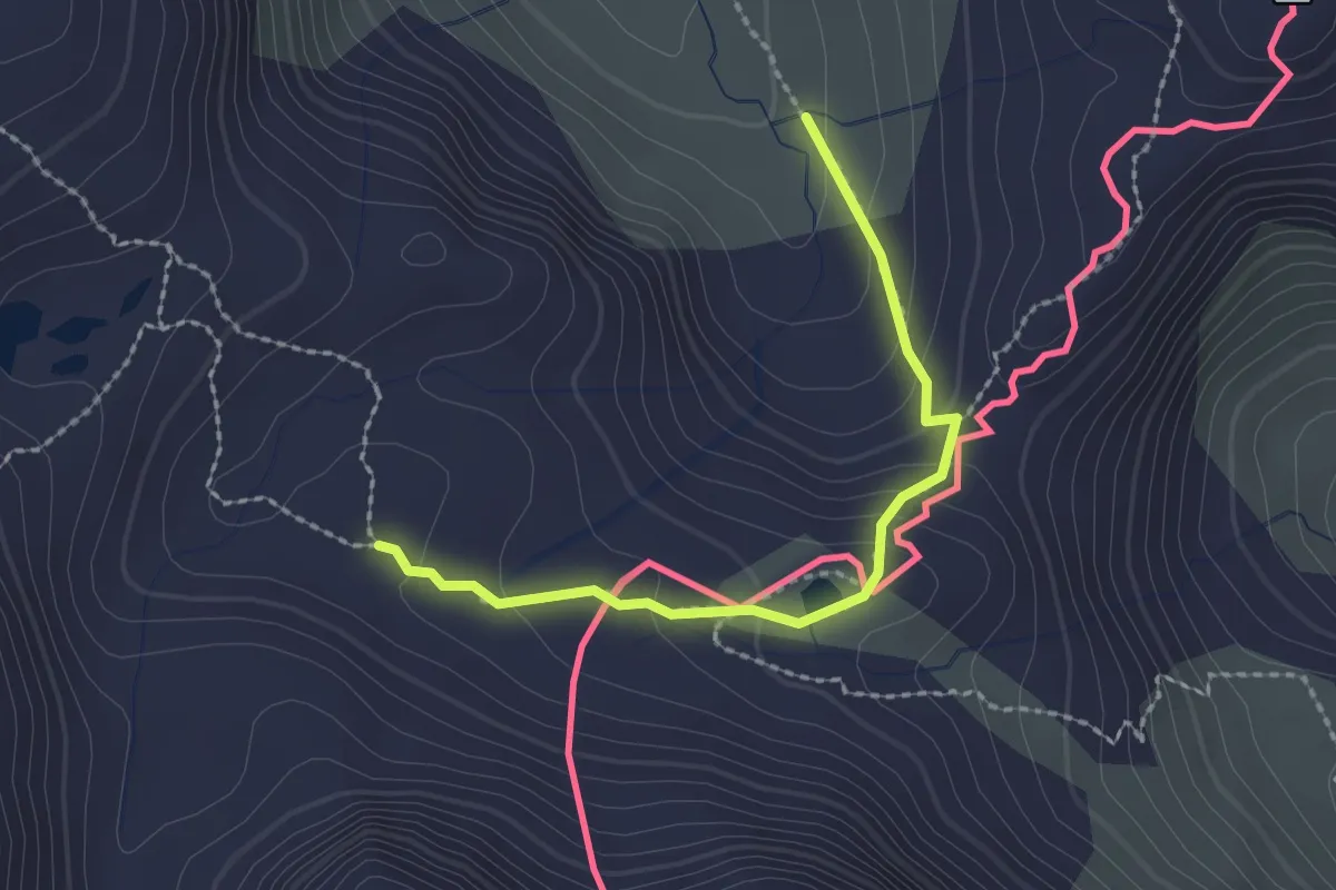
Medium · Trail
Rifugio Marinelli Bombardieri – Rifugio Cristina all'Alpe Prabello
2.1 km · ↑ 126 m · 47 min
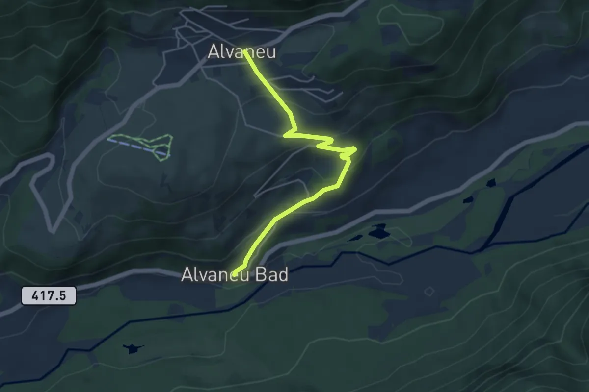
Easy · Trail
Alvaneu – Alvaneu Bad
4.1 km · ↑ 220 m · 1 h 27 min
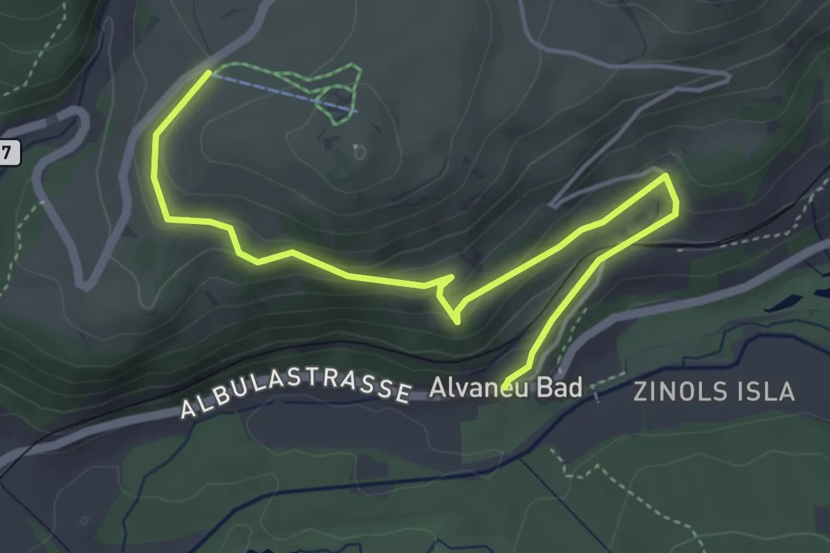
Easy · Trail
Alvaneu Bad – Bual
4.9 km · ↑ 220 m · 1 h 38 min
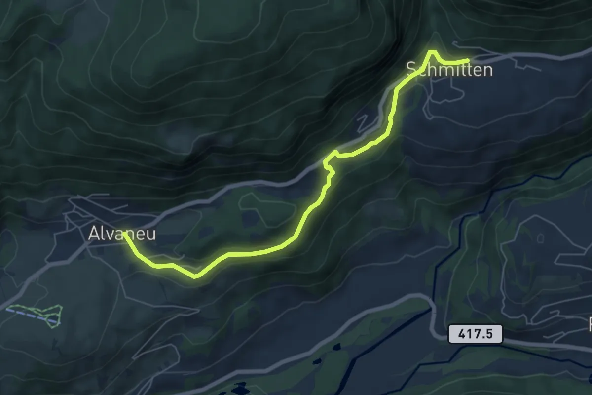
Easy · Trail
Alvaneu – Schmitten
6.1 km · ↑ 209 m · 1 h 54 min
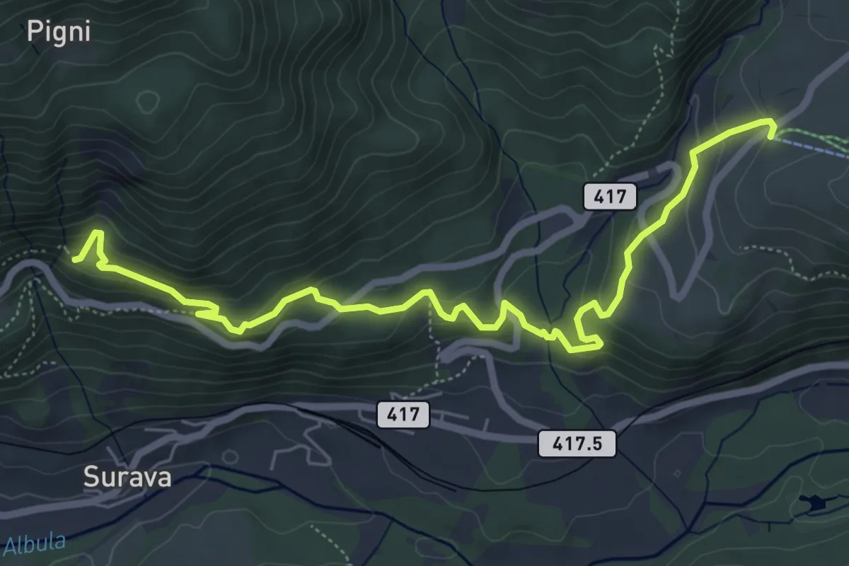
Medium · Trail
Ruine Belfort – Bual
6.8 km · ↑ 380 m · 2 h 25 min
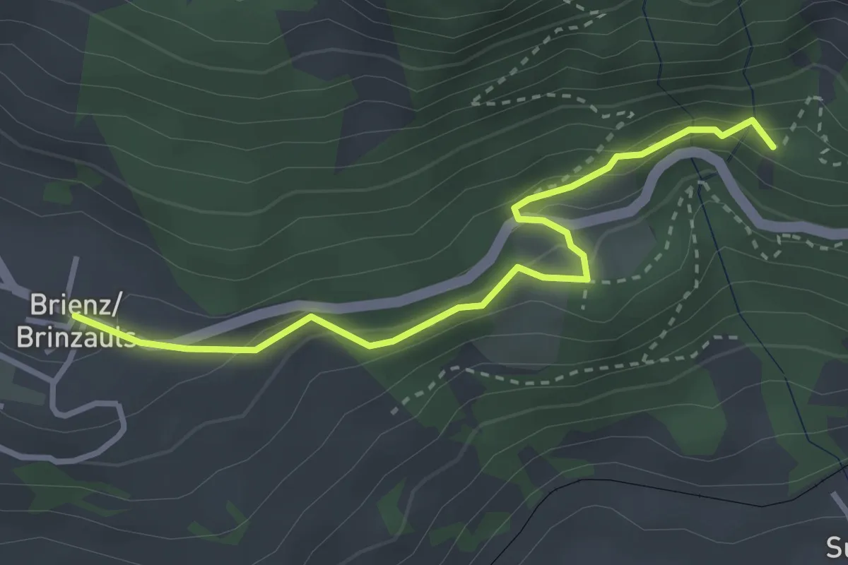
Demanding · Trail
Brienz Brinzauls – Ruine Belfort
3.2 km · ↑ 175 m · 1 h 8 min
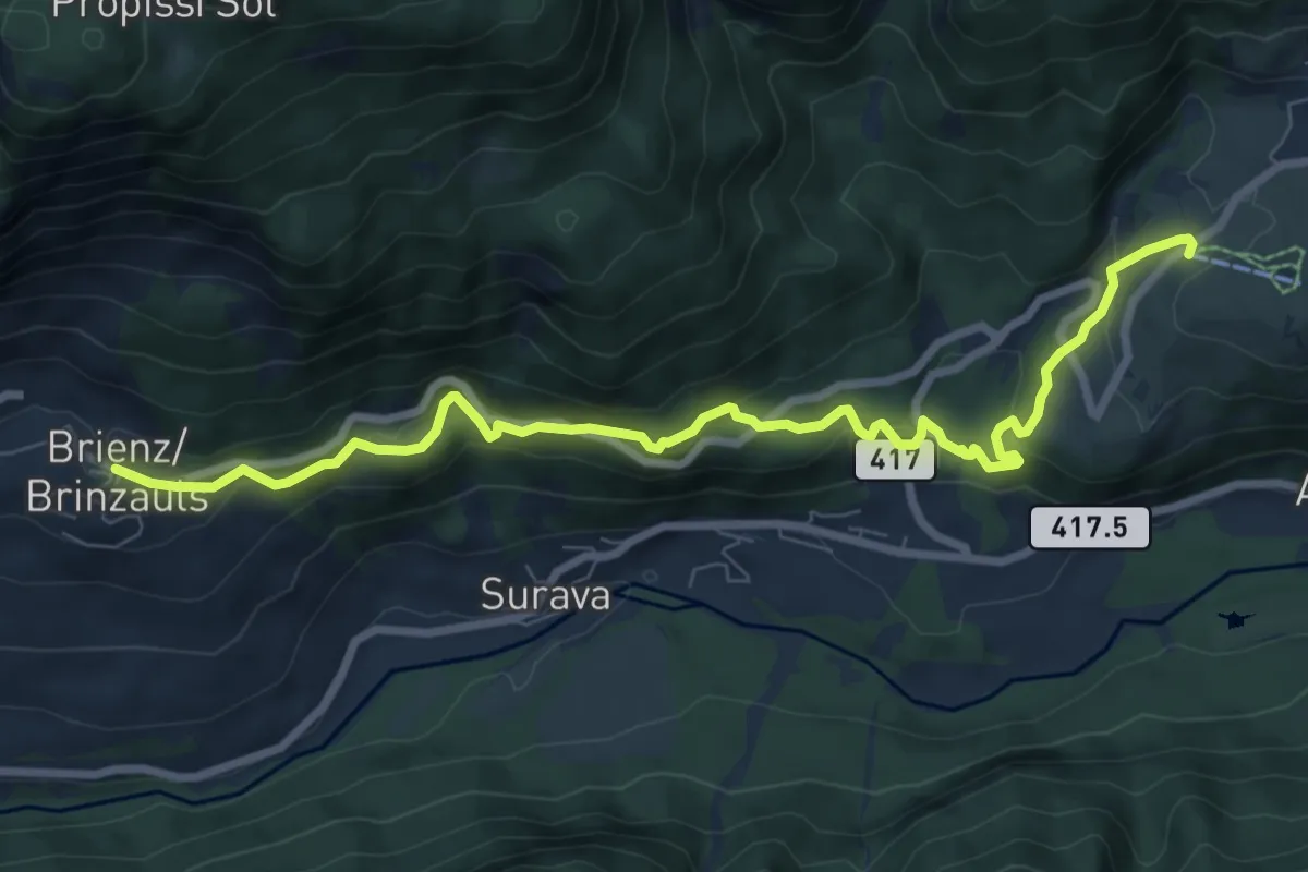
Medium · Trail
Brienz Brinzauls – Bual
8.9 km · ↑ 491 m · 3 h 10 min
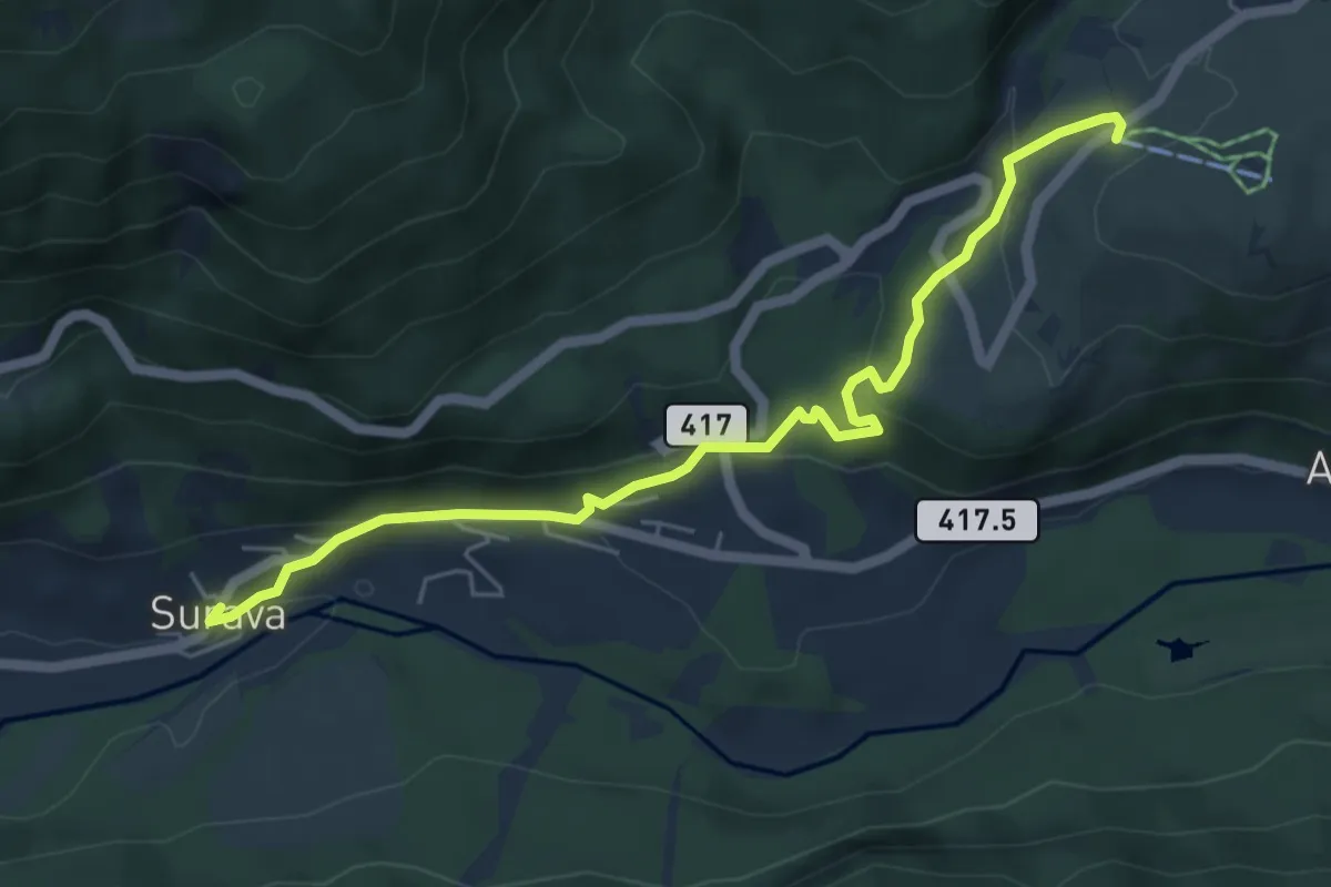
Easy · Trail
Surava – Bual
5.7 km · ↑ 235 m · 1 h 52 min
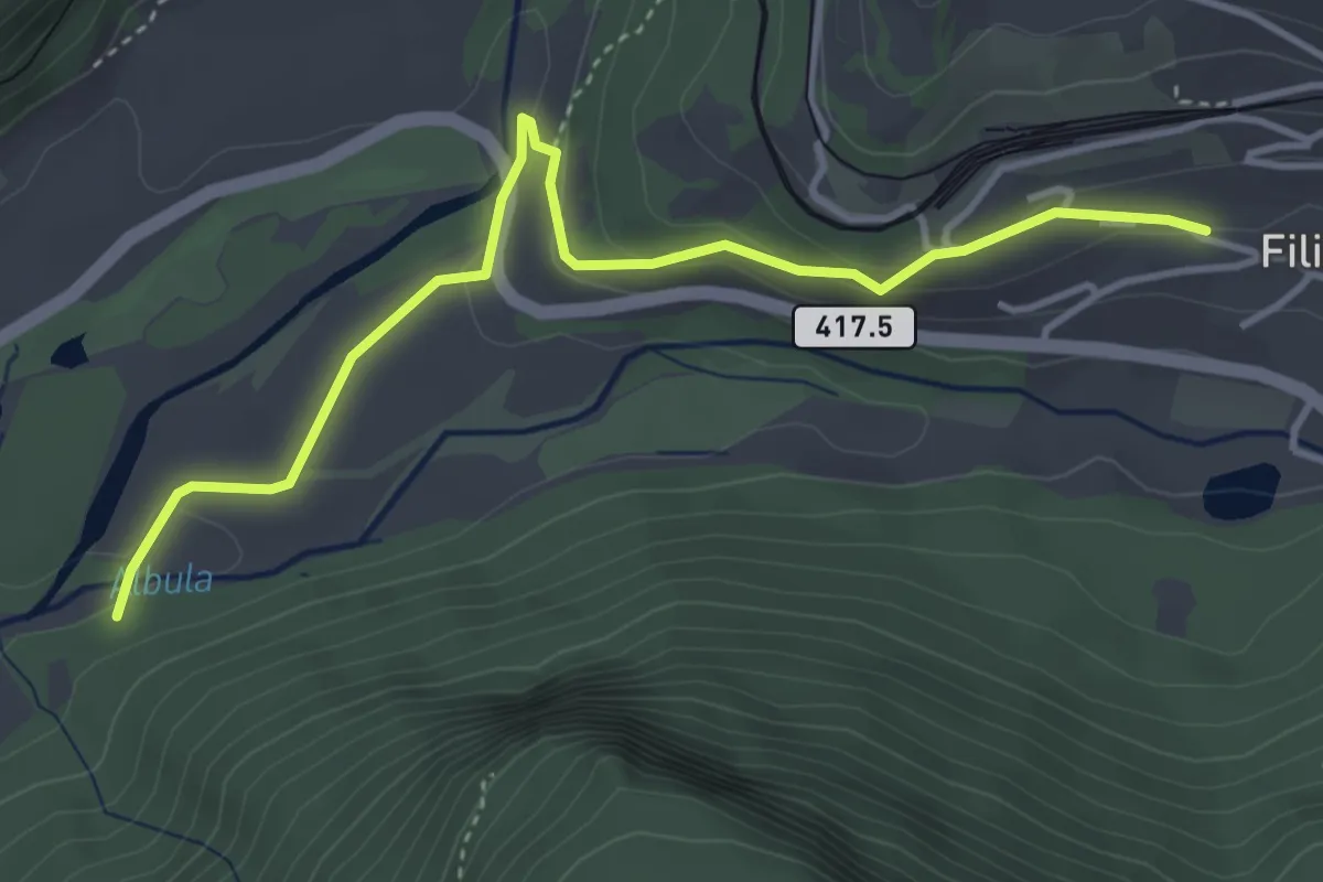
Easy · Trail
Zinols – Filisur
4.2 km · ↑ 121 m · 1 h 15 min
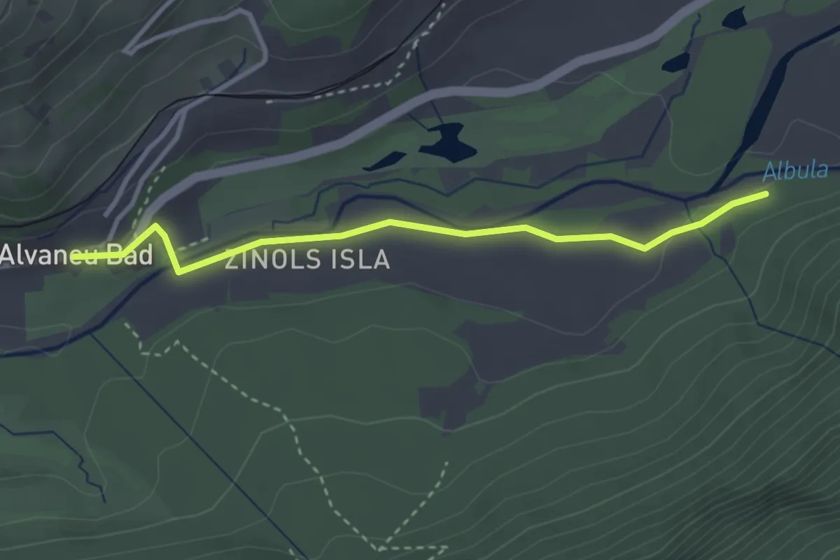
Easy · Trail
Alvaneu Bad – Zinols
3.1 km · ↑ 38 m · 48 min
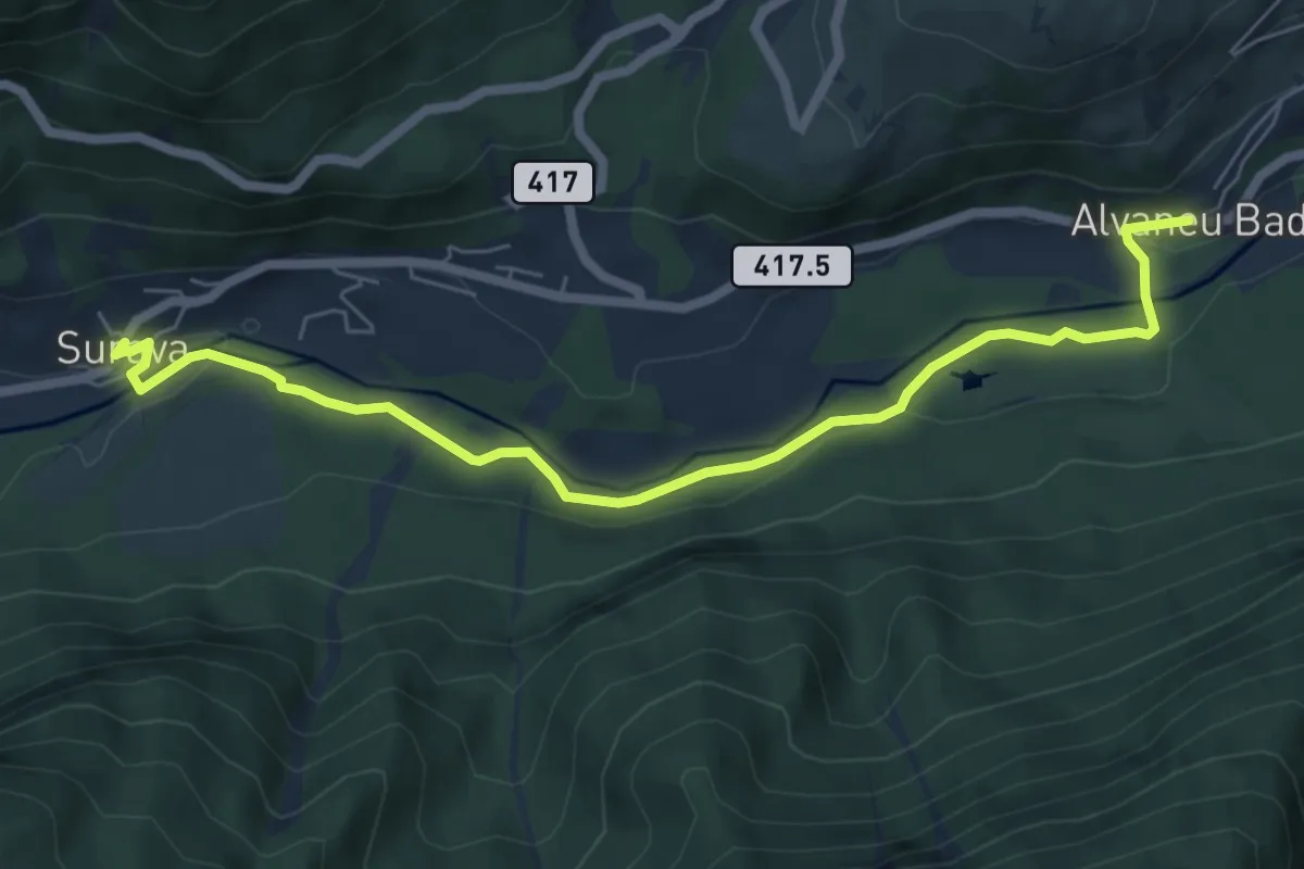
Easy · Trail
Surava – Alvaneu Bad
6.9 km · ↑ 96 m · 1 h 50 min
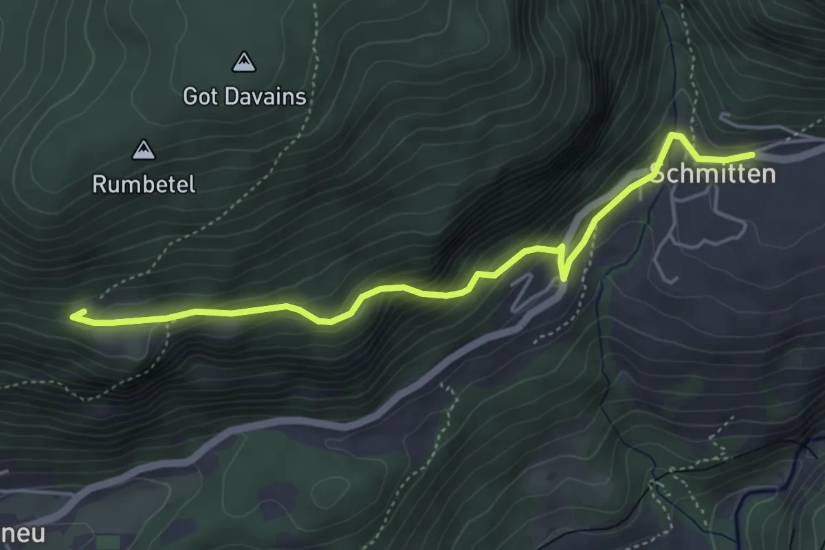
Easy · Trail
Plaun sulla Sesa – Schmitten
4.7 km · ↑ 301 m · 1 h 46 min
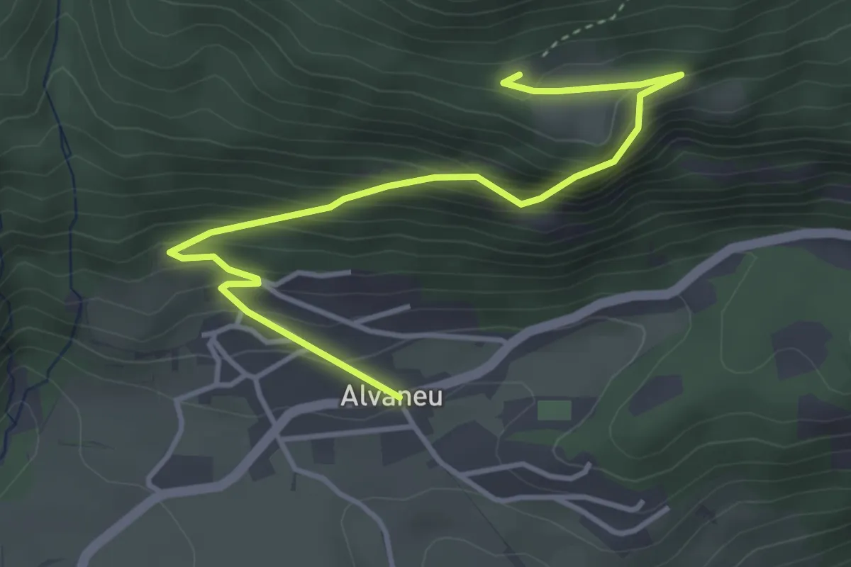
Medium · Trail
Alvaneu – Plaun sulla Sesa
4.3 km · ↑ 412 m · 1 h 55 min
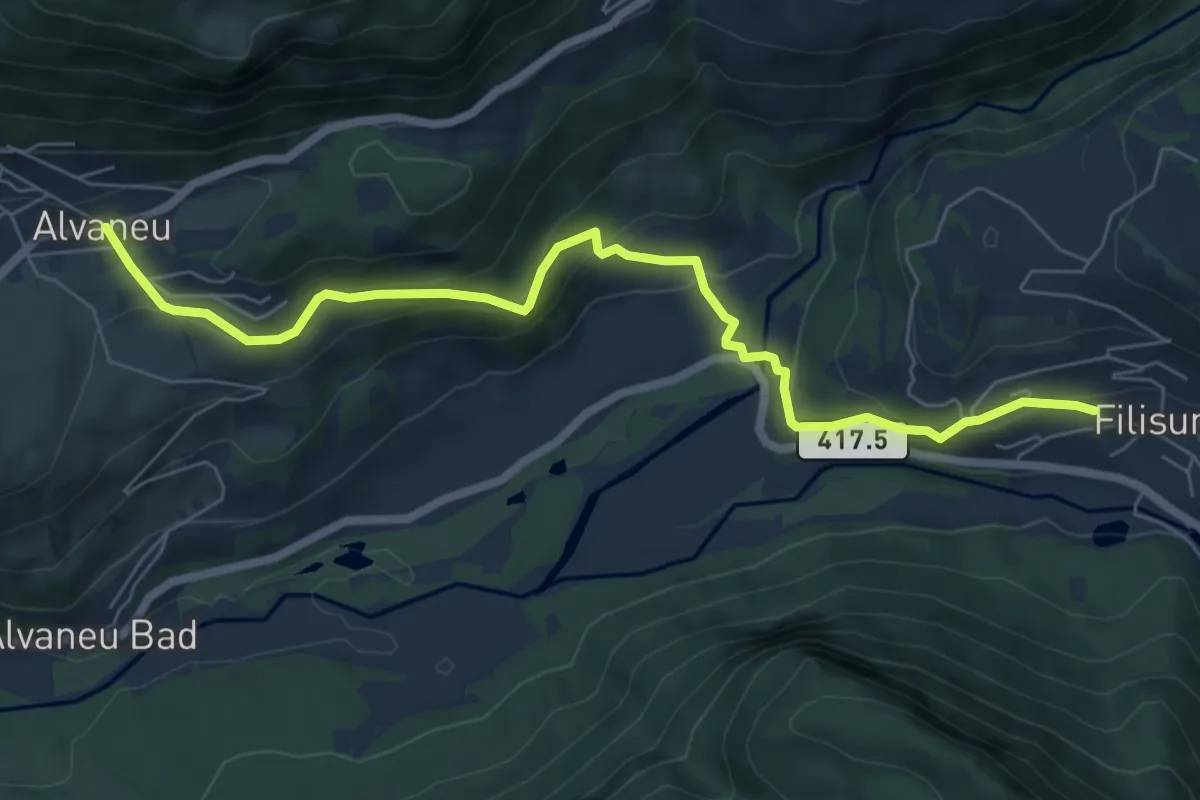
Medium · Trail
Alvaneu – Filisur
7.2 km · ↑ 352 m · 2 h 28 min
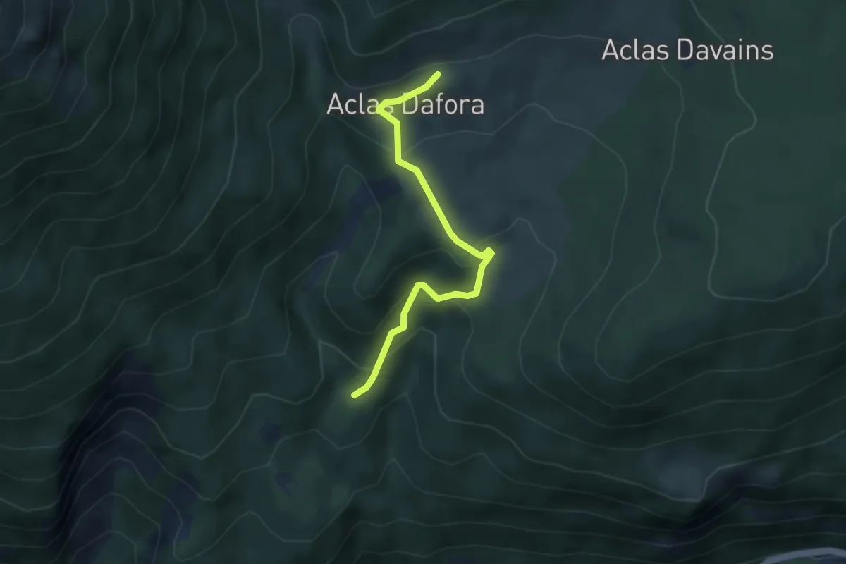
Easy · Trail
Bang'et – Aclas Dafora
3.5 km · ↑ 246 m · 1 h 21 min
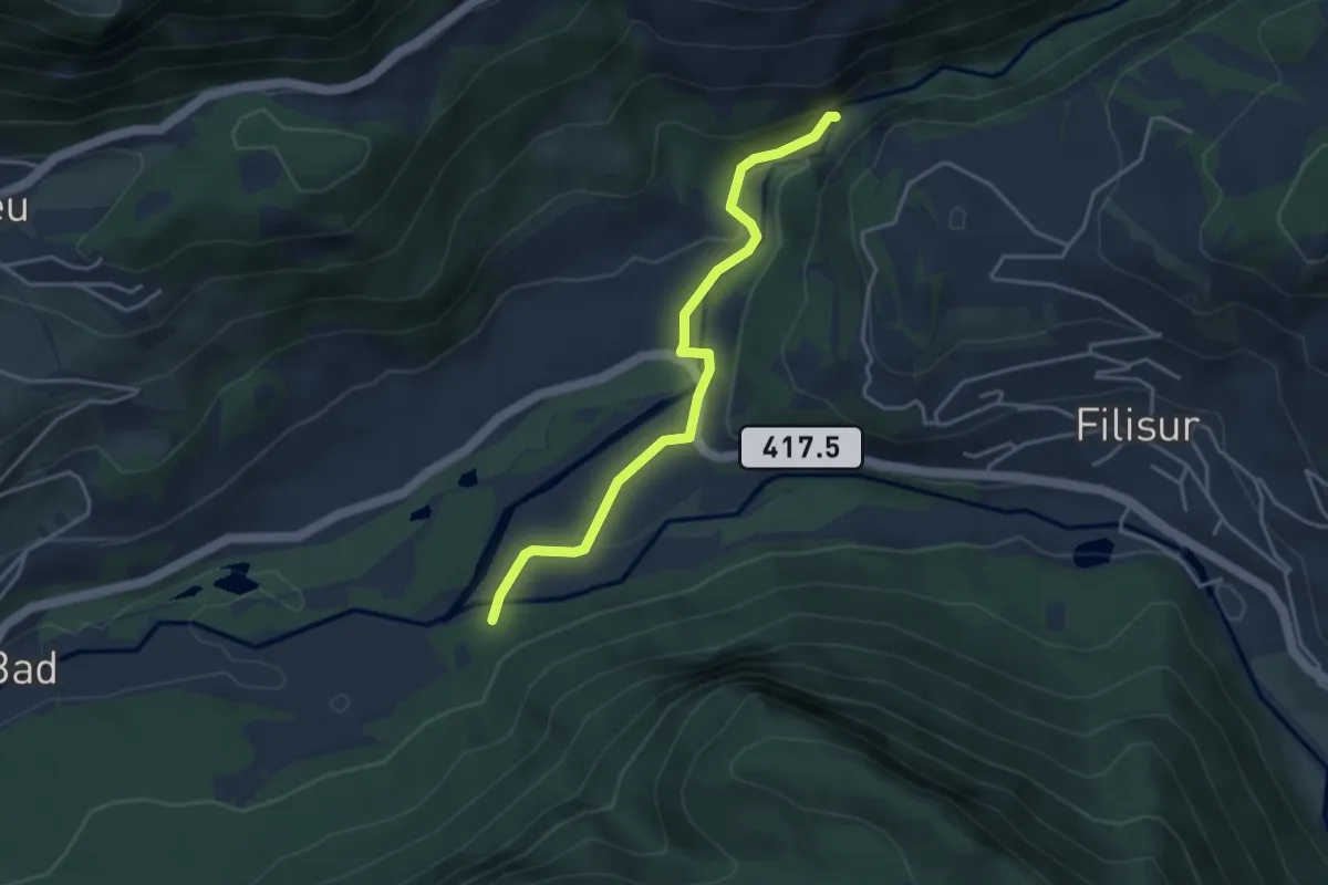
Easy · Trail
Zinols – Landwasserviadukt
3.8 km · ↑ 97 m · 1 h 6 min
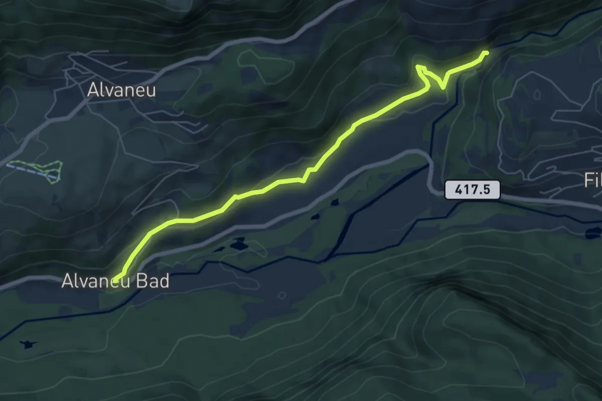
Easy · Trail
Alvaneu Bad – Landwasserviadukt
6.2 km · ↑ 239 m · 1 h 59 min
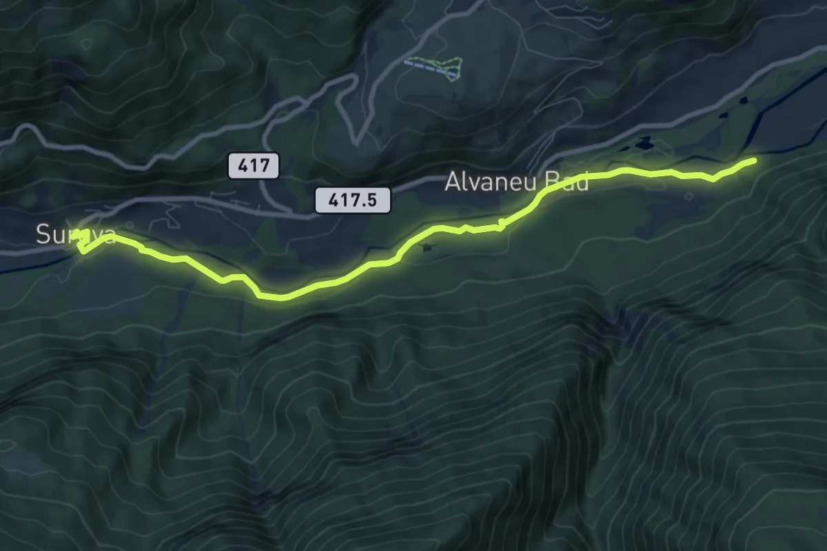
Medium · Trail
Surava – Zinols
9.3 km · ↑ 92 m · 2 h 24 min
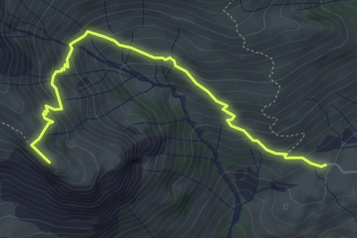
Medium · Summit
Skihütte Erbs – Richetlipass
4.9 km · ↑ 490 m · 2 h 14 min