Trails in Switzerland
15,055 hiking trails, each with its route, climb, walking time and grade.
All trails, page 230 of 314
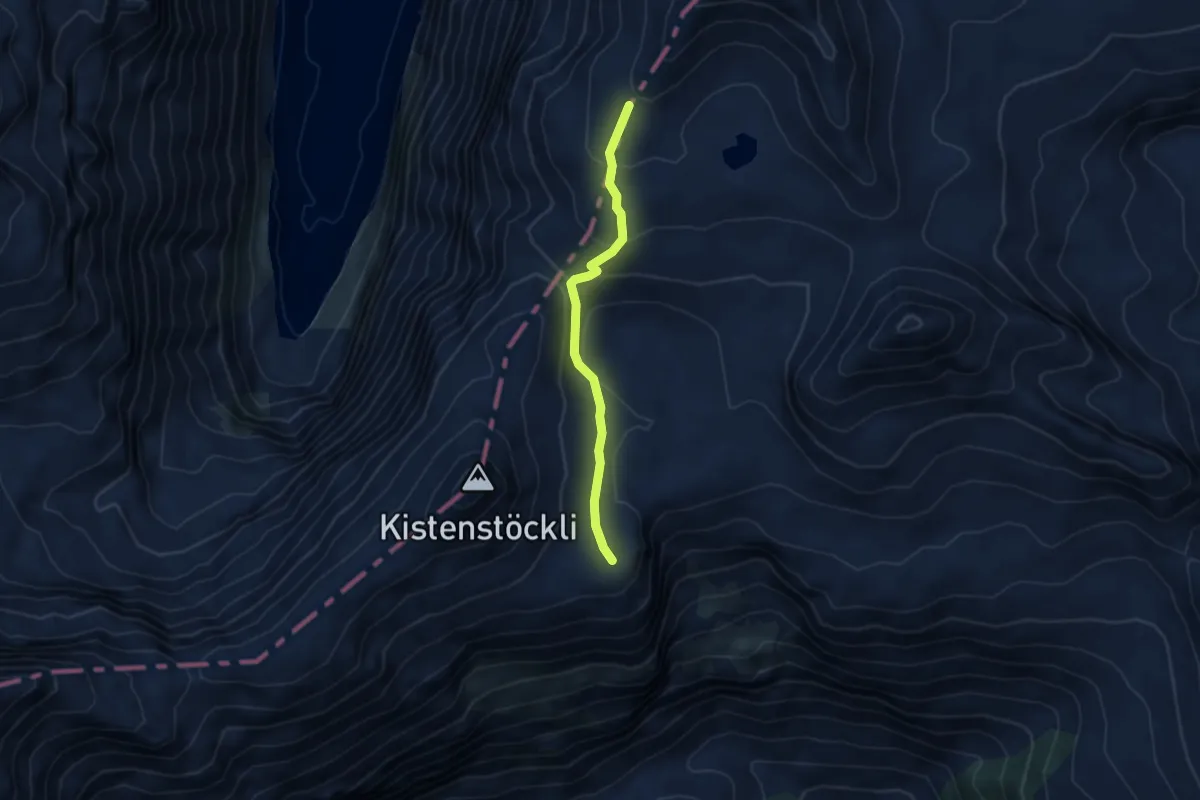
Medium · Cabin
Bifertenhütte AAC – Kistenpass
3.8 km · ↑ 220 m · 1 h 23 min
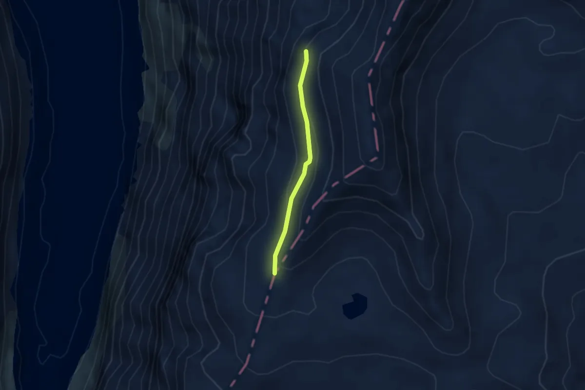
Medium · Cabin
Punkt 2729 – Kistenpass
2.4 km · ↑ 85 m · 45 min
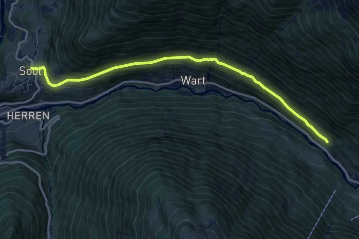
Medium · Trail
Ober-Sool – Usserhöfli
8.6 km · ↑ 411 m · 2 h 55 min
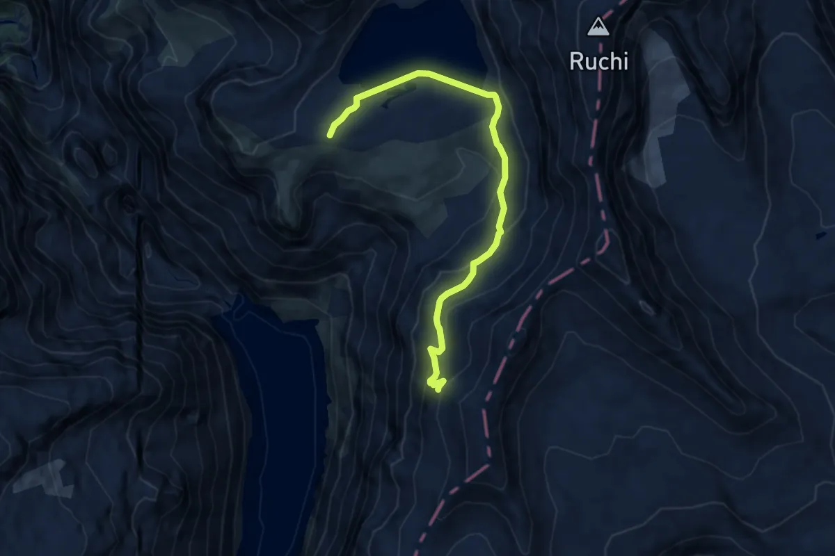
Demanding · Cabin
Muttseehütte – Kistenpasshütte
8.5 km · ↑ 495 m · 3 h 4 min
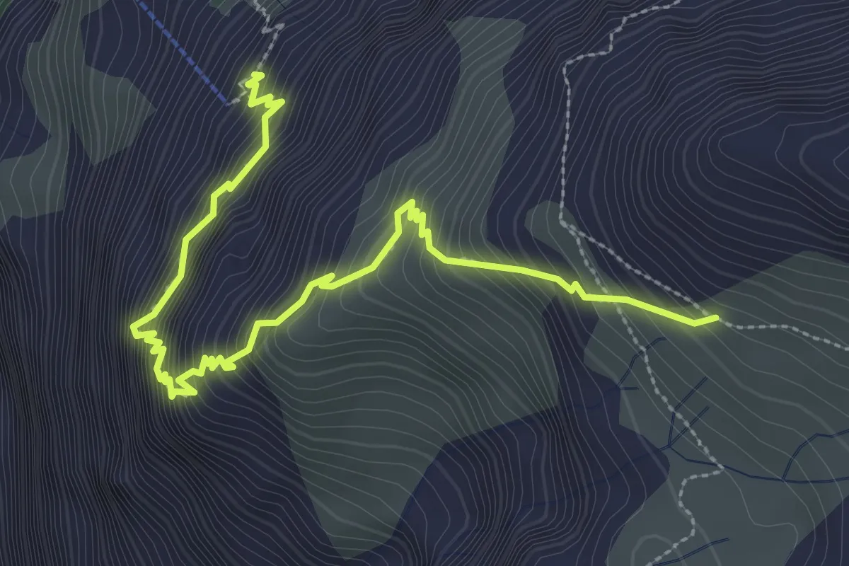
Demanding · Trail
Chalchtrittli – Nüschenegg
3.7 km · ↑ 702 m · 2 h 24 min
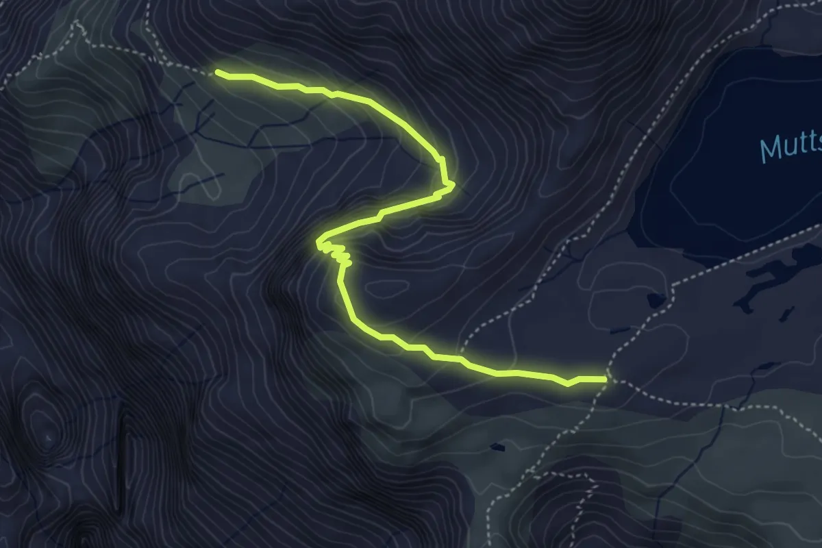
Medium · Cabin
Nüschenegg – Muttseehütte
5.0 km · ↑ 434 m · 2 h 8 min
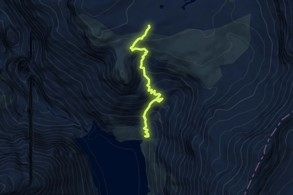
Medium · Cabin
Ochsenstäfeli – Muttseehütte
4.7 km · ↑ 654 m · 2 h 32 min
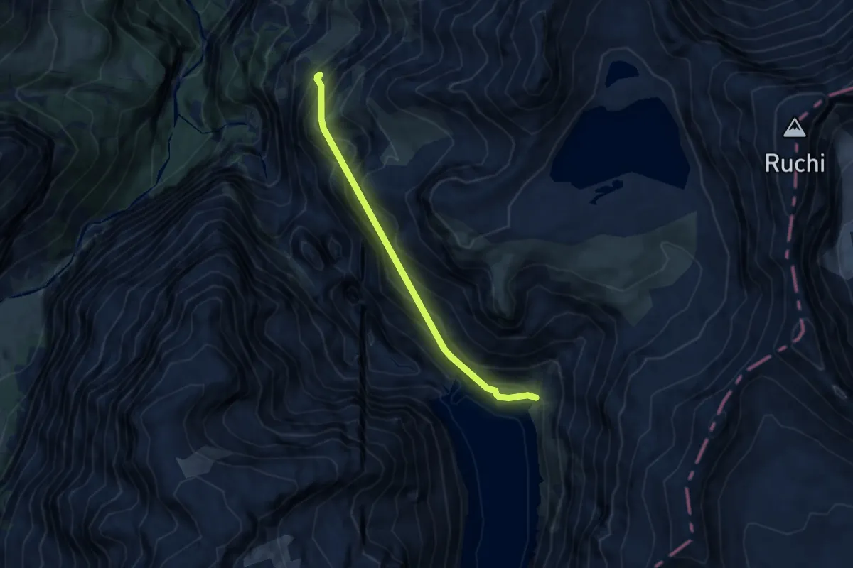
Demanding · Trail
Chalchtrittli – Ochsenstäfeli
6.7 km · ↑ 1048 m · 3 h 51 min
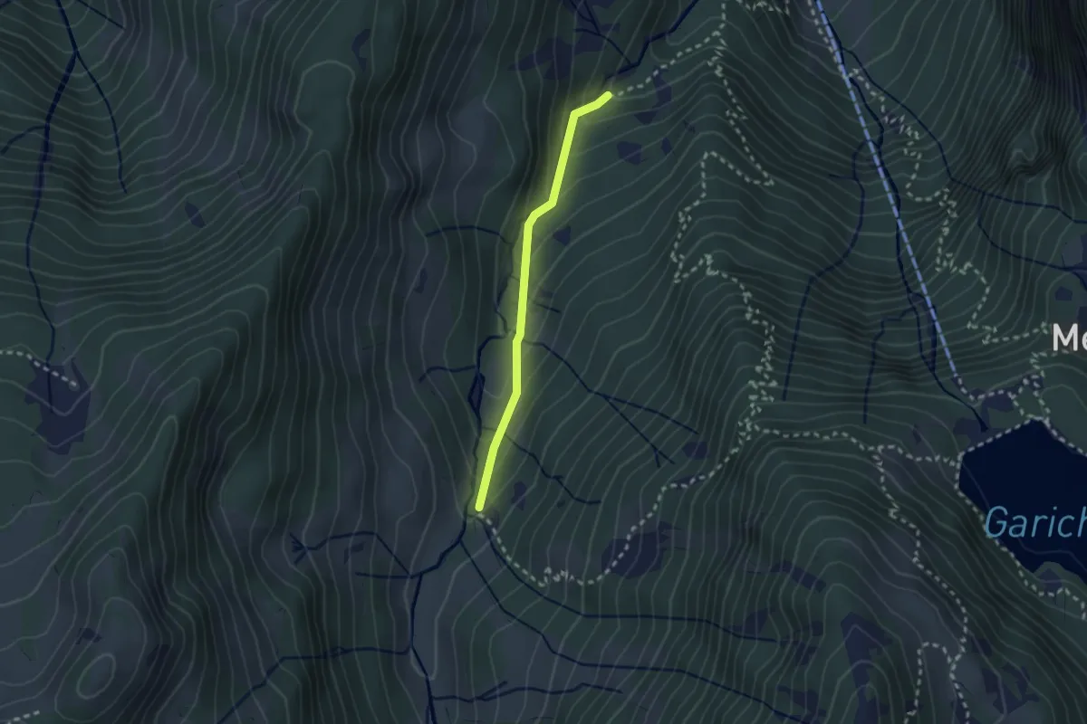
Easy · Trail
Geisserplatz – Rossgletti
2.2 km · ↑ 154 m · 51 min
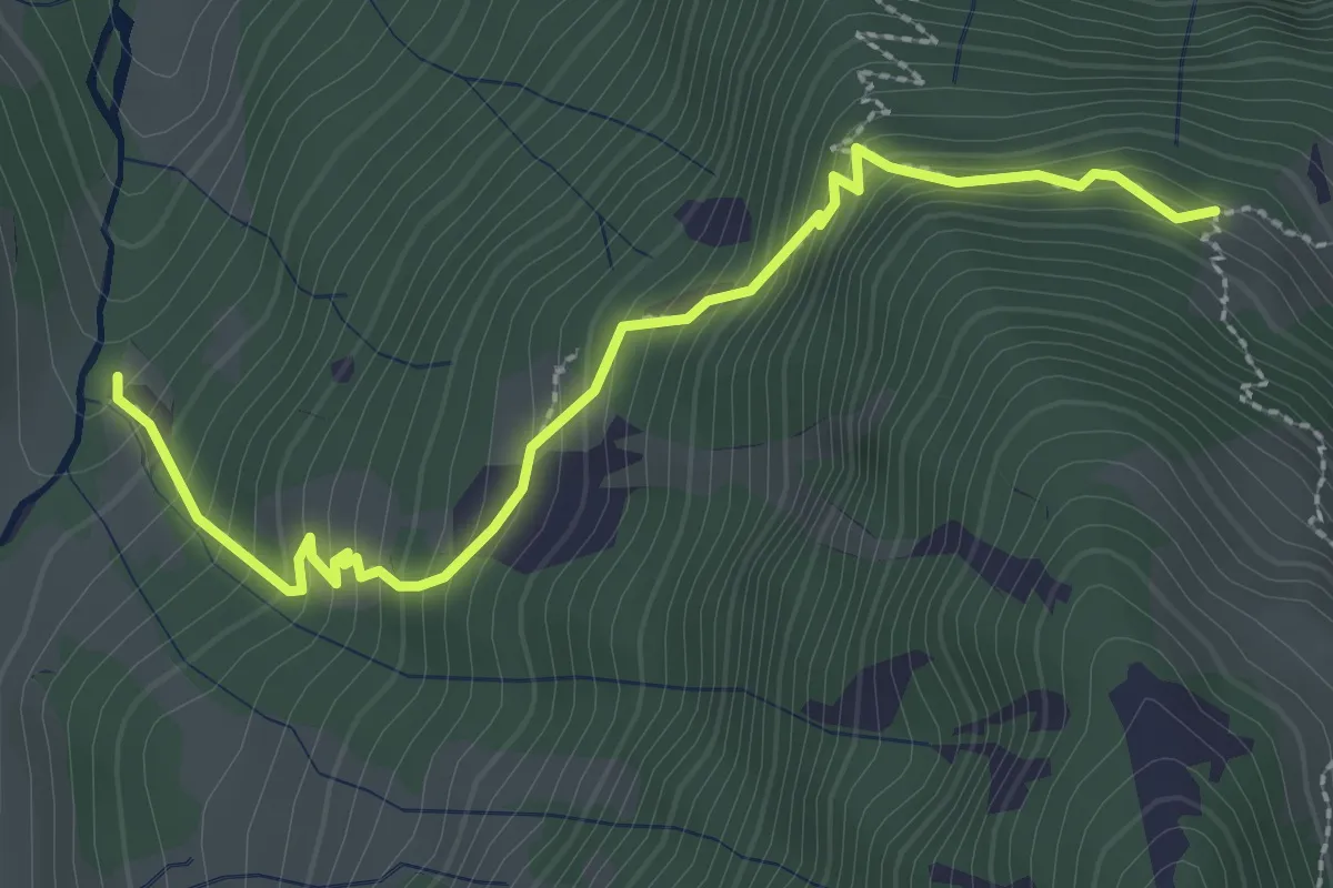
Medium · Trail
Rossgletti – Unteres Börtli
2.9 km · ↑ 321 m · 1 h 22 min
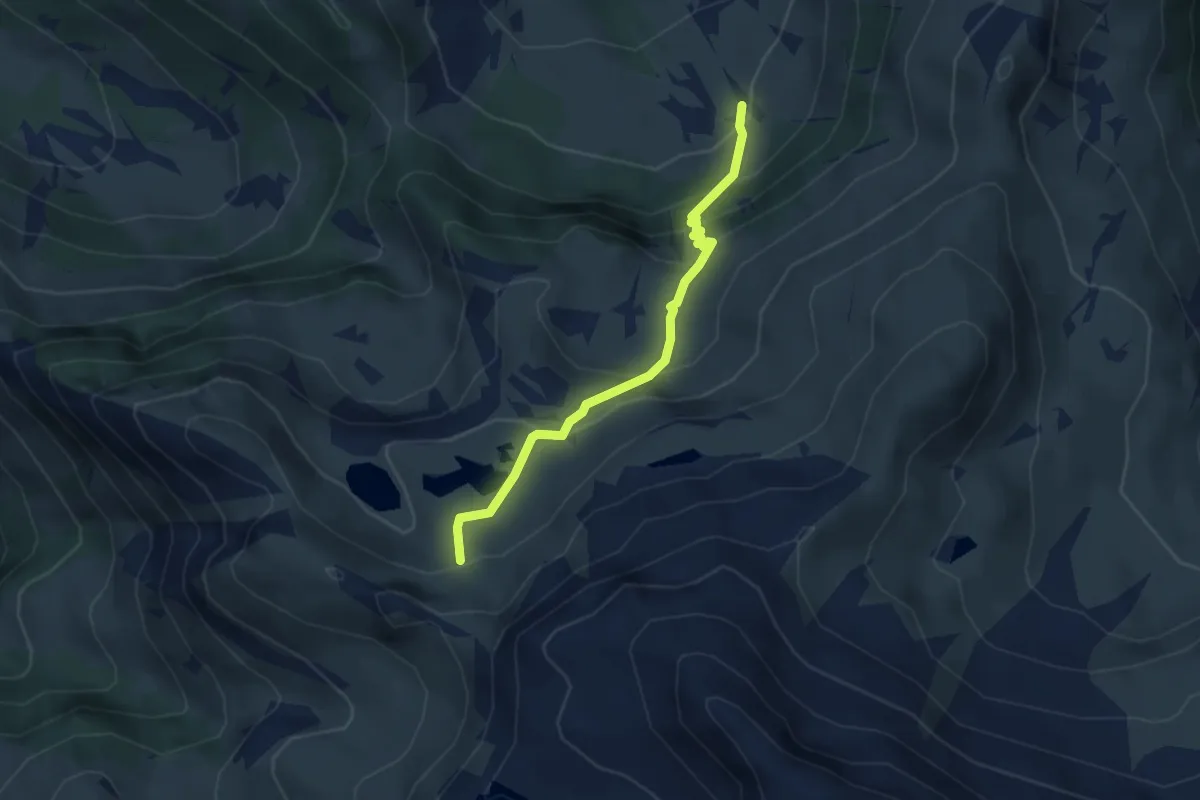
Medium · Trail
Ratzmatt – Ober Ängi
3.3 km · ↑ 300 m · 1 h 26 min
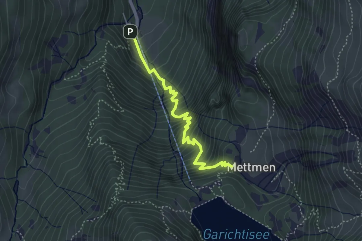
Medium · Cabin
Kies – Naturfreundehaus
3.9 km · ↑ 526 m · 2 h 4 min
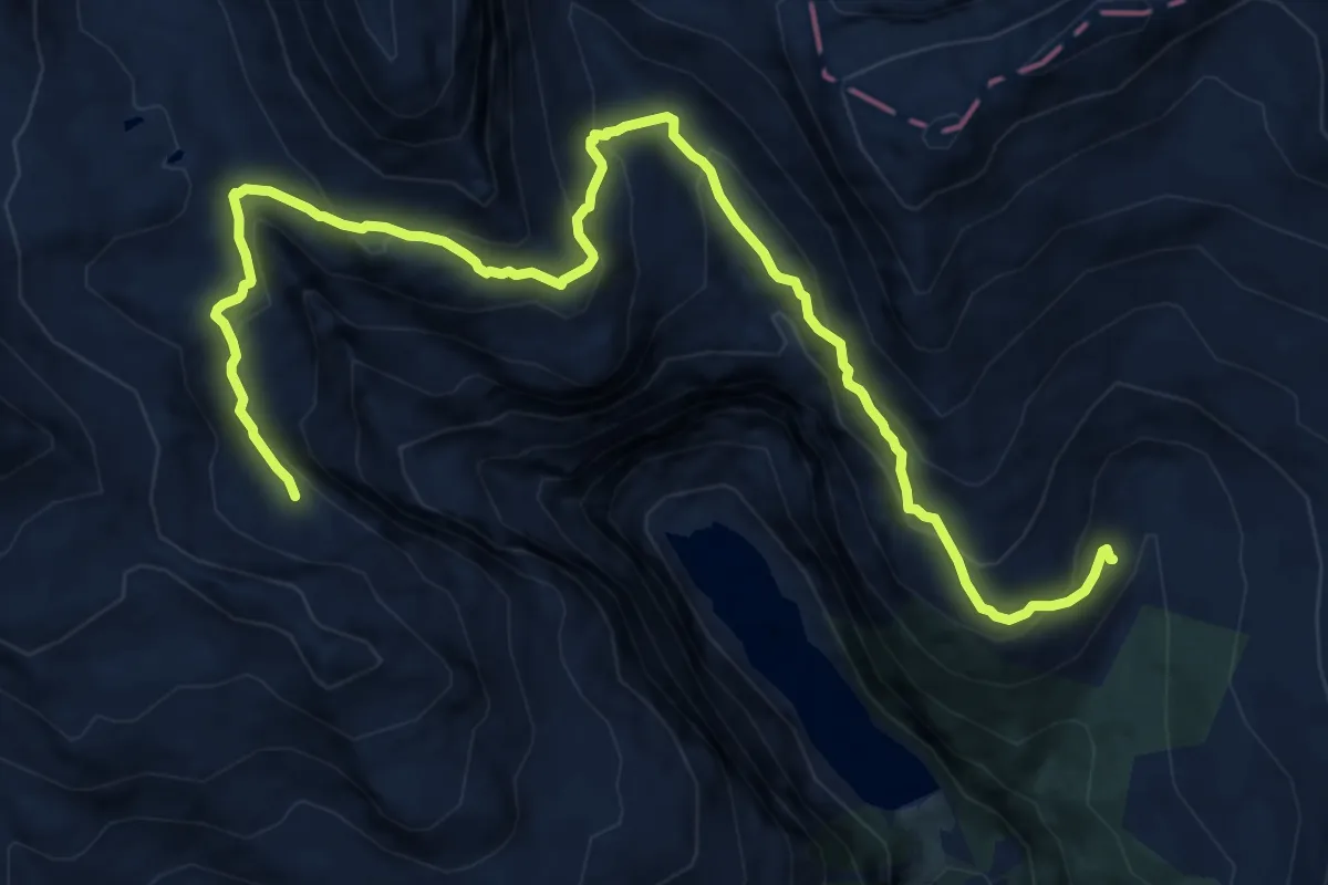
Demanding · Trail
Alp Ranasca – Cuolm da Nuorsas
14.8 km · ↑ 943 m · 5 h 32 min
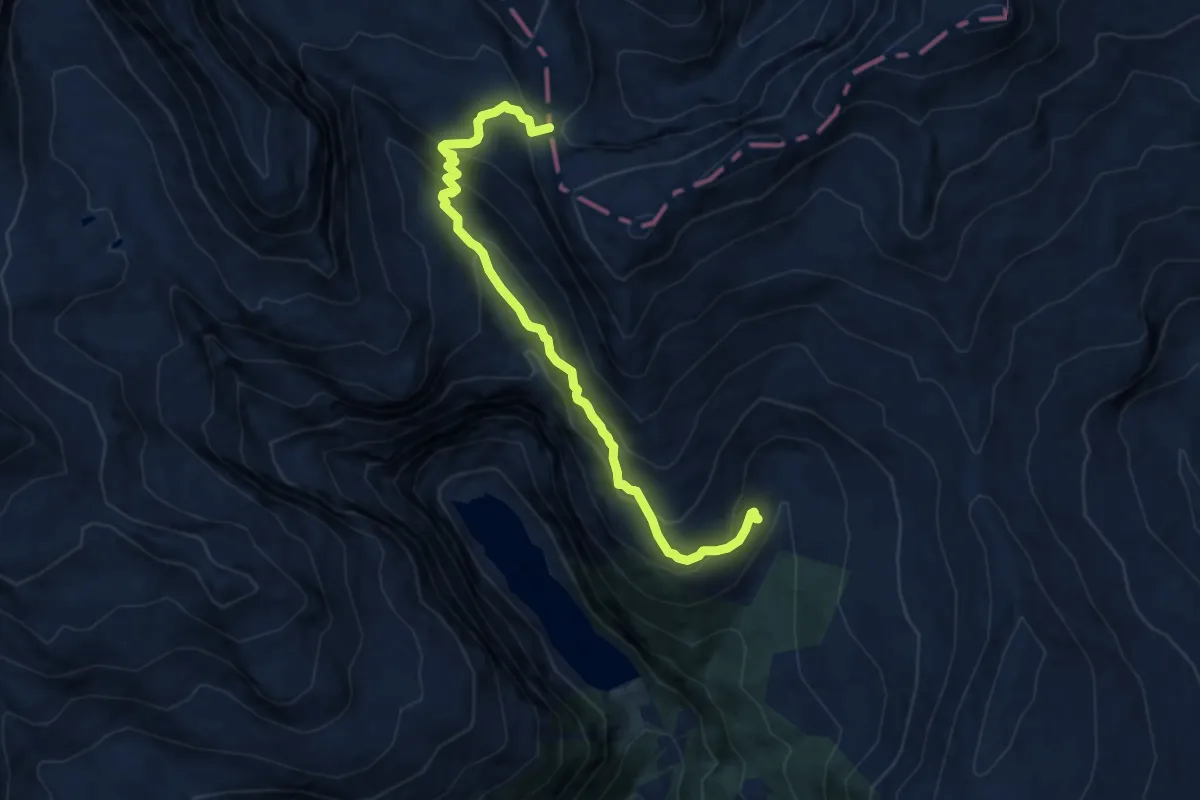
Medium · Cabin
Alp Ranasca – Panixerpass
9.9 km · ↑ 748 m · 3 h 58 min
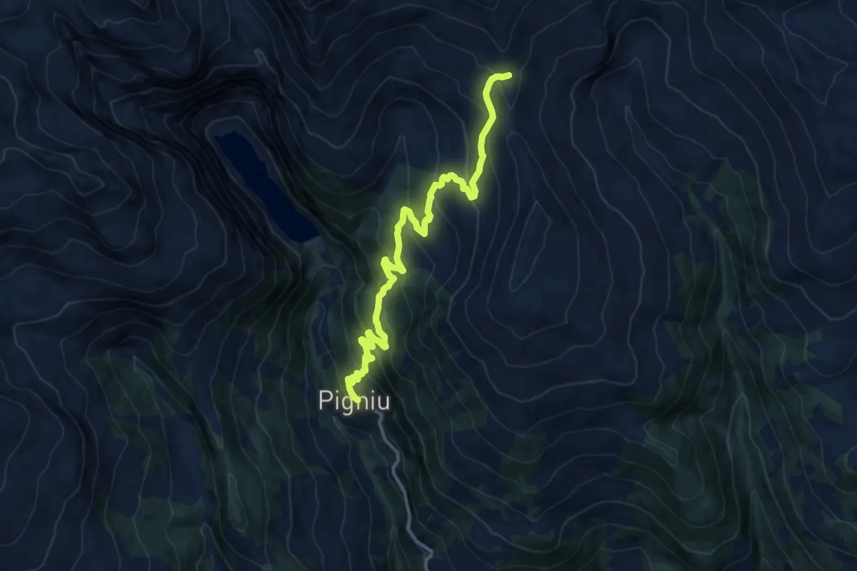
Demanding · Trail
Pigniu – Fuorcla da Ranasca
13.8 km · ↑ 959 m · 5 h 20 min
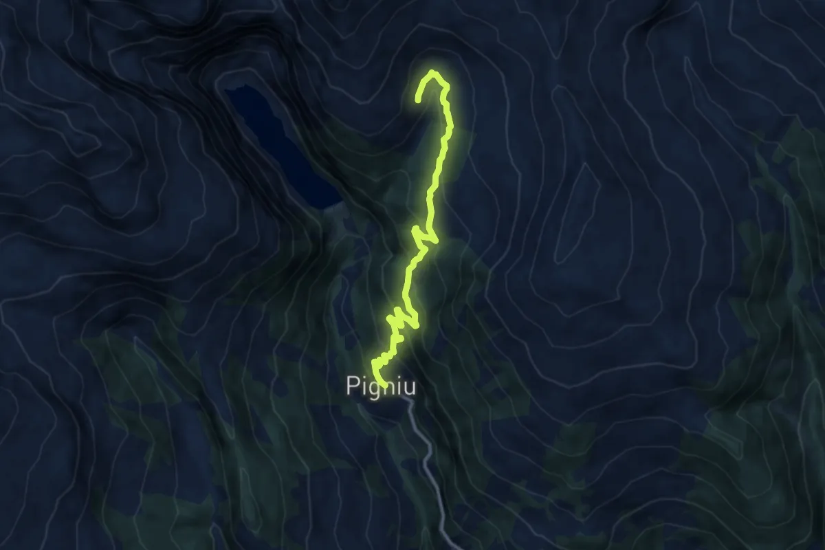
Medium · Trail
Pigniu – Alp Ranasca
10.3 km · ↑ 601 m · 3 h 44 min
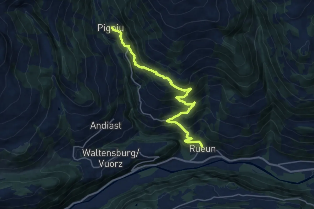
Demanding · Trail
Rueun – Pigniu
14.5 km · ↑ 1118 m · 5 h 50 min
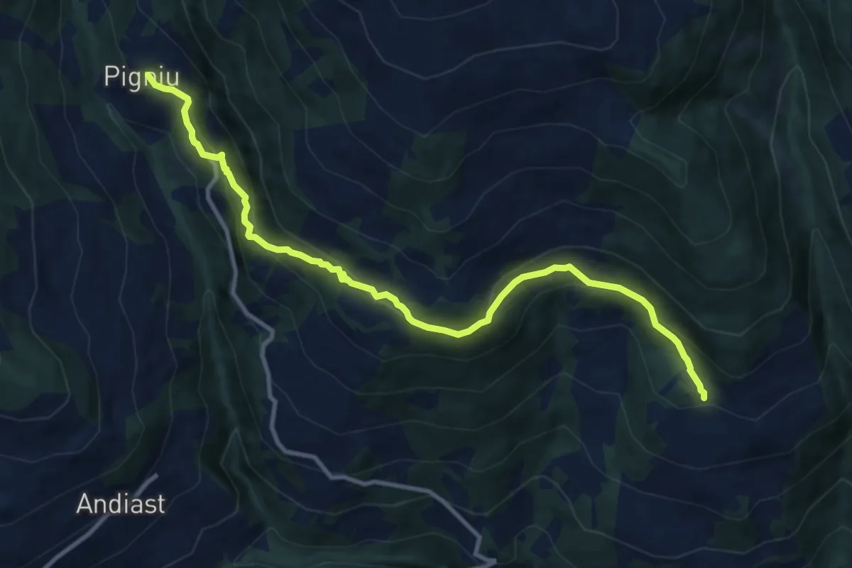
Medium · Trail
Siat – Pigniu
10.5 km · ↑ 632 m · 3 h 51 min
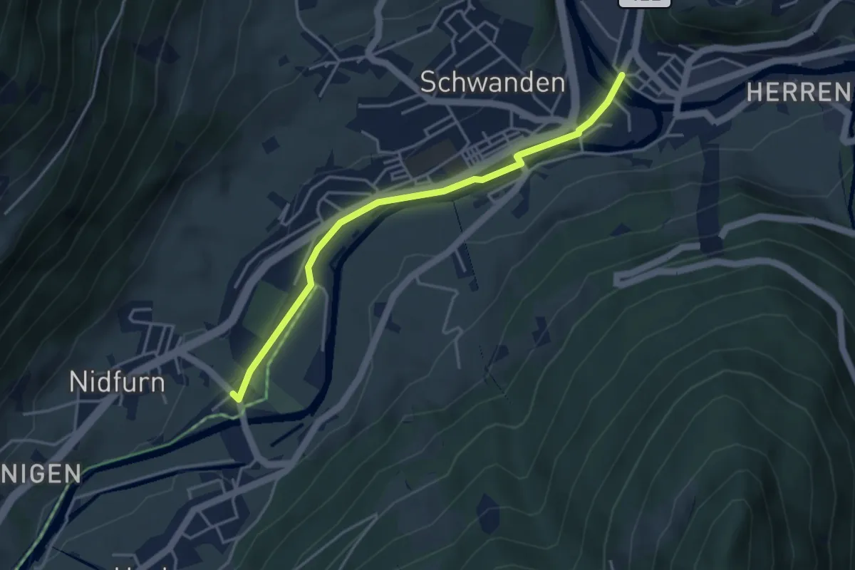
Easy · Trail
Kronenplatz – Nidfurn Haslen
3.8 km · ↑ 19 m · 57 min
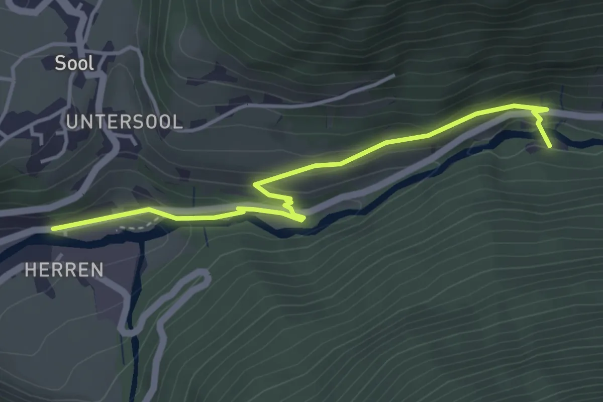
Easy · Trail
Au – Soolsteg
3.8 km · ↑ 157 m · 1 h 14 min
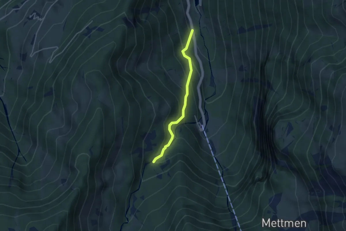
Easy · Trail
Restaurant Fryberg – Geisserplatz
2.9 km · ↑ 310 m · 1 h 22 min
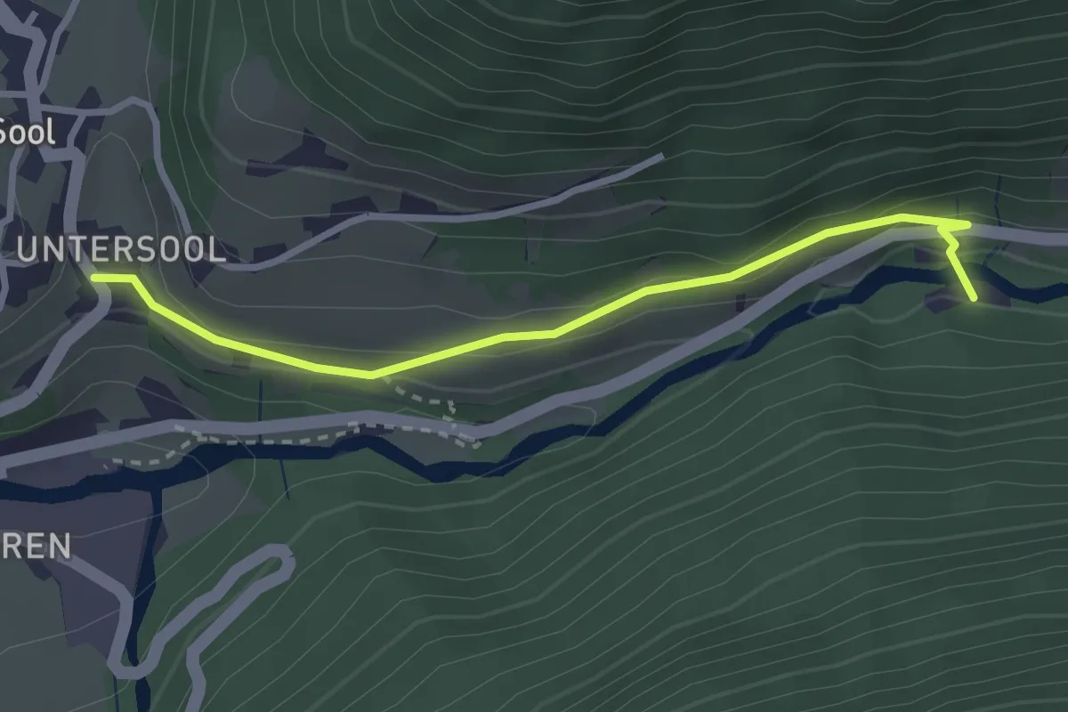
Easy · Trail
Unter-Sool – Soolsteg
2.8 km · ↑ 70 m · 49 min
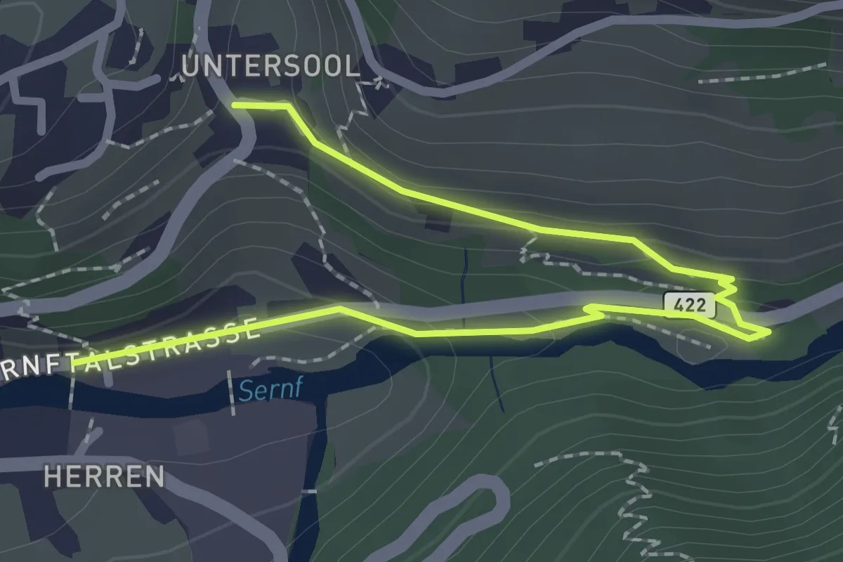
Easy · Trail
Au – Unter-Sool
2.7 km · ↑ 108 m · 53 min
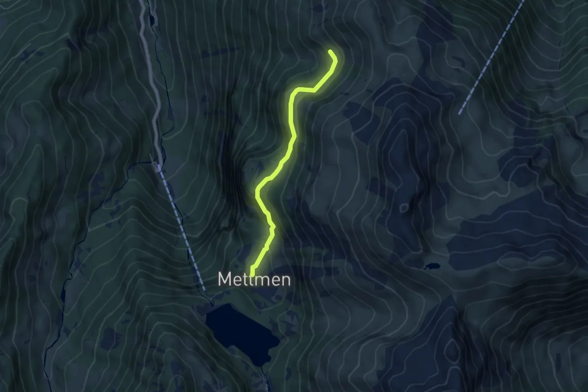
Medium · Cabin
Mettmen Stafel – Mittlist
4.5 km · ↑ 272 m · 1 h 39 min
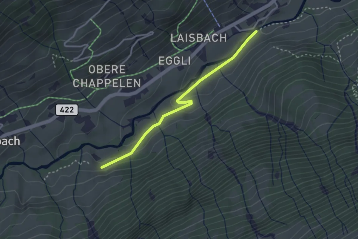
Easy · Trail
Nüen – Chüelaui
2.7 km · ↑ 58 m · 46 min
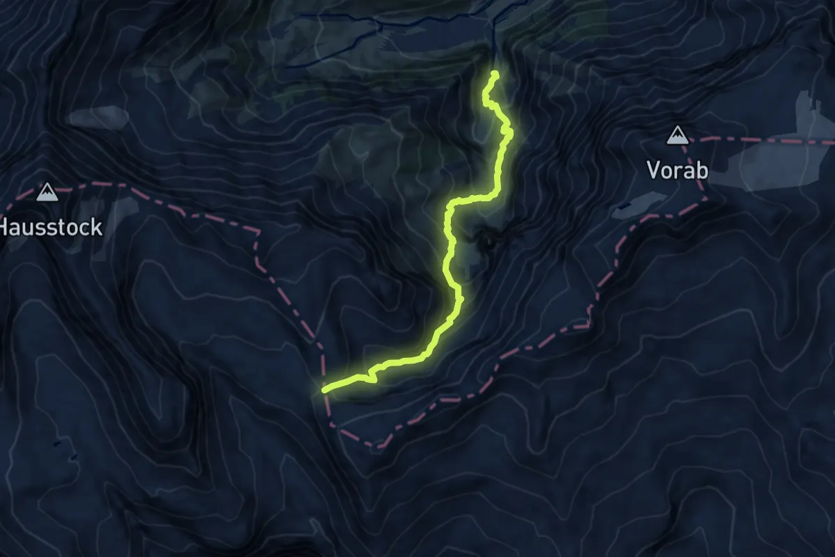
Demanding · Cabin
Jetzloch – Panixerpass
10.9 km · ↑ 1089 m · 4 h 55 min
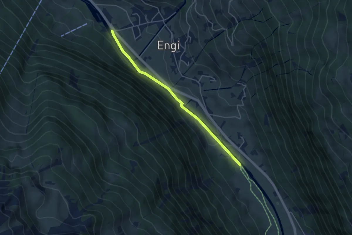
Easy · Trail
Engi – Mattlaui
3.8 km · ↑ 49 m · 1 h
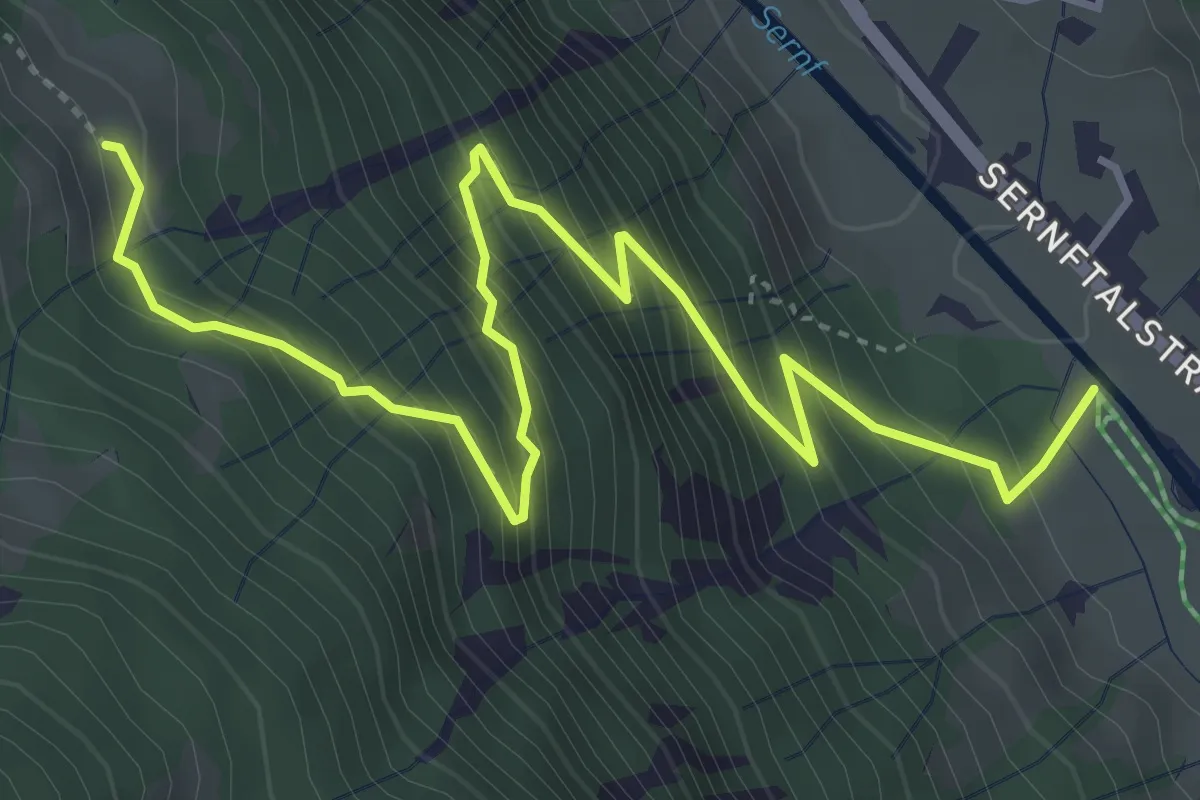
Medium · Trail
Mattlaui – Chreuelberg
5.3 km · ↑ 581 m · 2 h 30 min
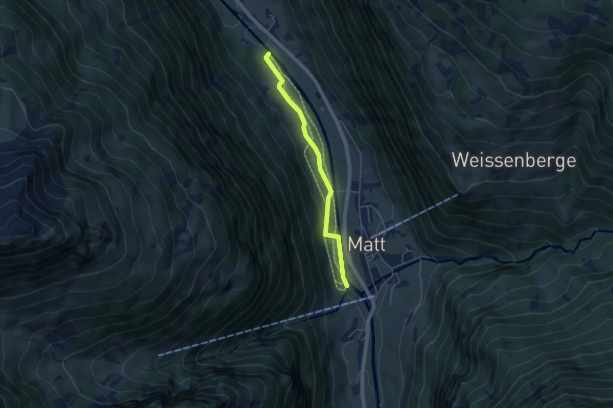
Easy · Trail
Mattlaui – Ober Allmeind
3.8 km · ↑ 70 m · 1 h 3 min
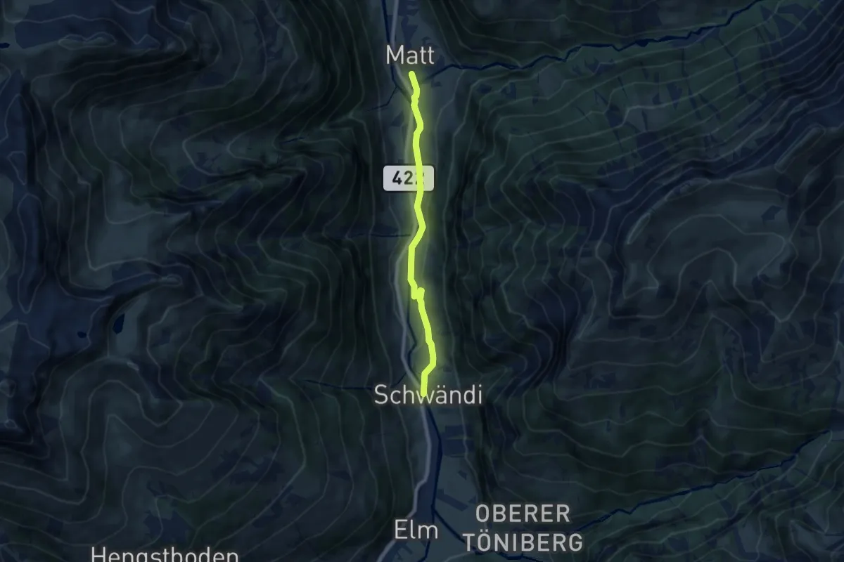
Easy · Trail
Matt Station – Schwändi
6.7 km · ↑ 108 m · 1 h 49 min
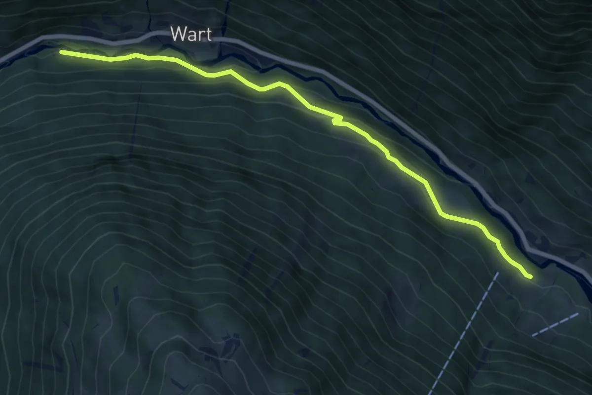
Easy · Trail
Soolsteg – Mettlen
6.6 km · ↑ 246 m · 2 h 5 min
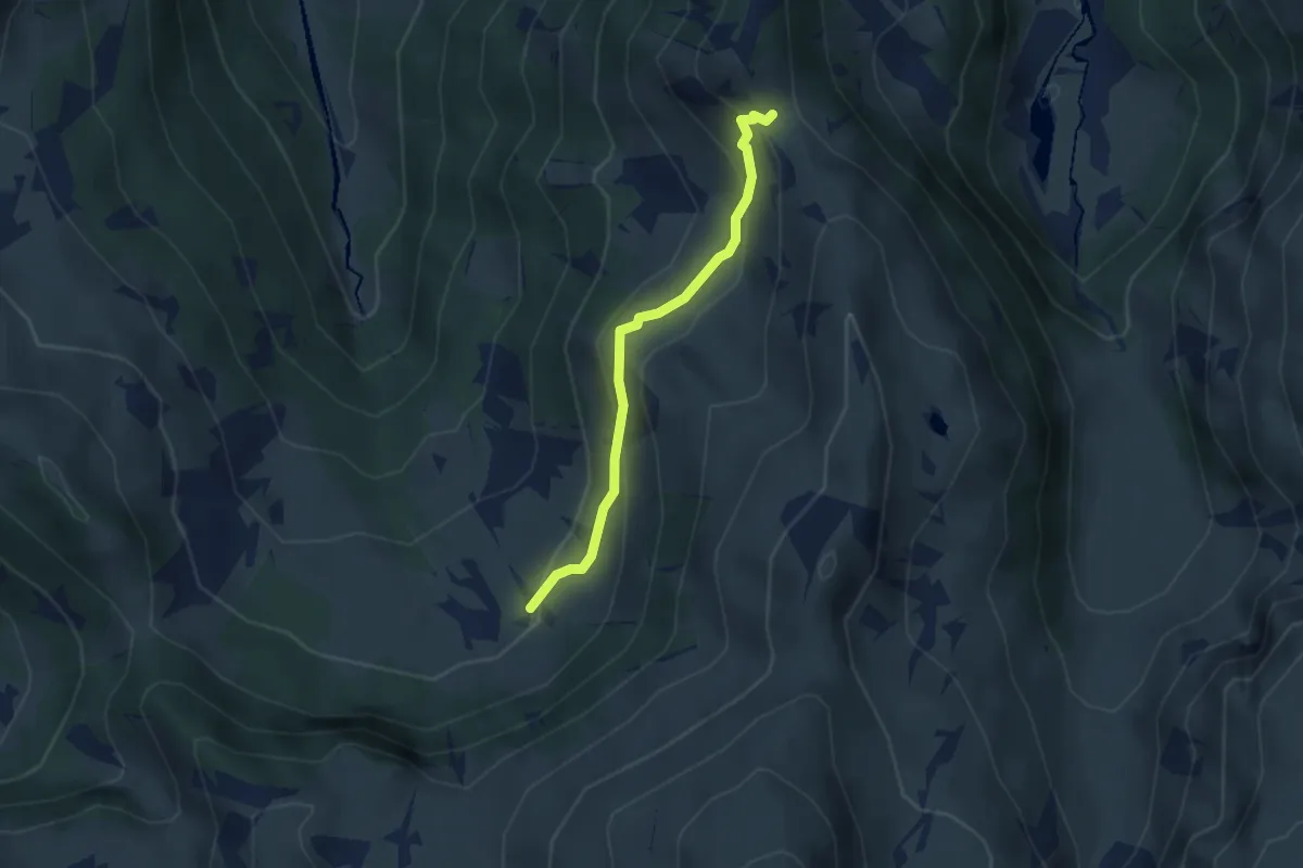
Medium · Trail
Ratzmatt – Matzlenfurggelen
2.9 km · ↑ 167 m · 1 h 2 min
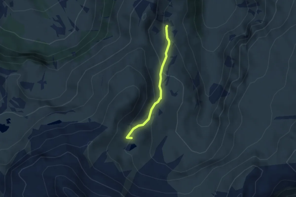
Medium · Trail
Chärpfstäfeli – Hübschbodensee
2.5 km · ↑ 179 m · 59 min
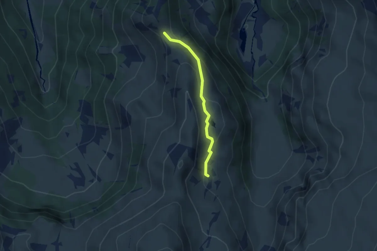
Medium · Trail
Matzlenfurggelen – Chärpfstäfeli
2.7 km · ↑ 120 m · 53 min
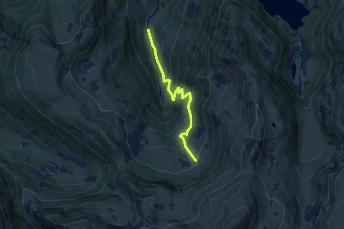
Medium · Trail
Fuchsgand – Ratzmatt
4.8 km · ↑ 343 m · 1 h 52 min
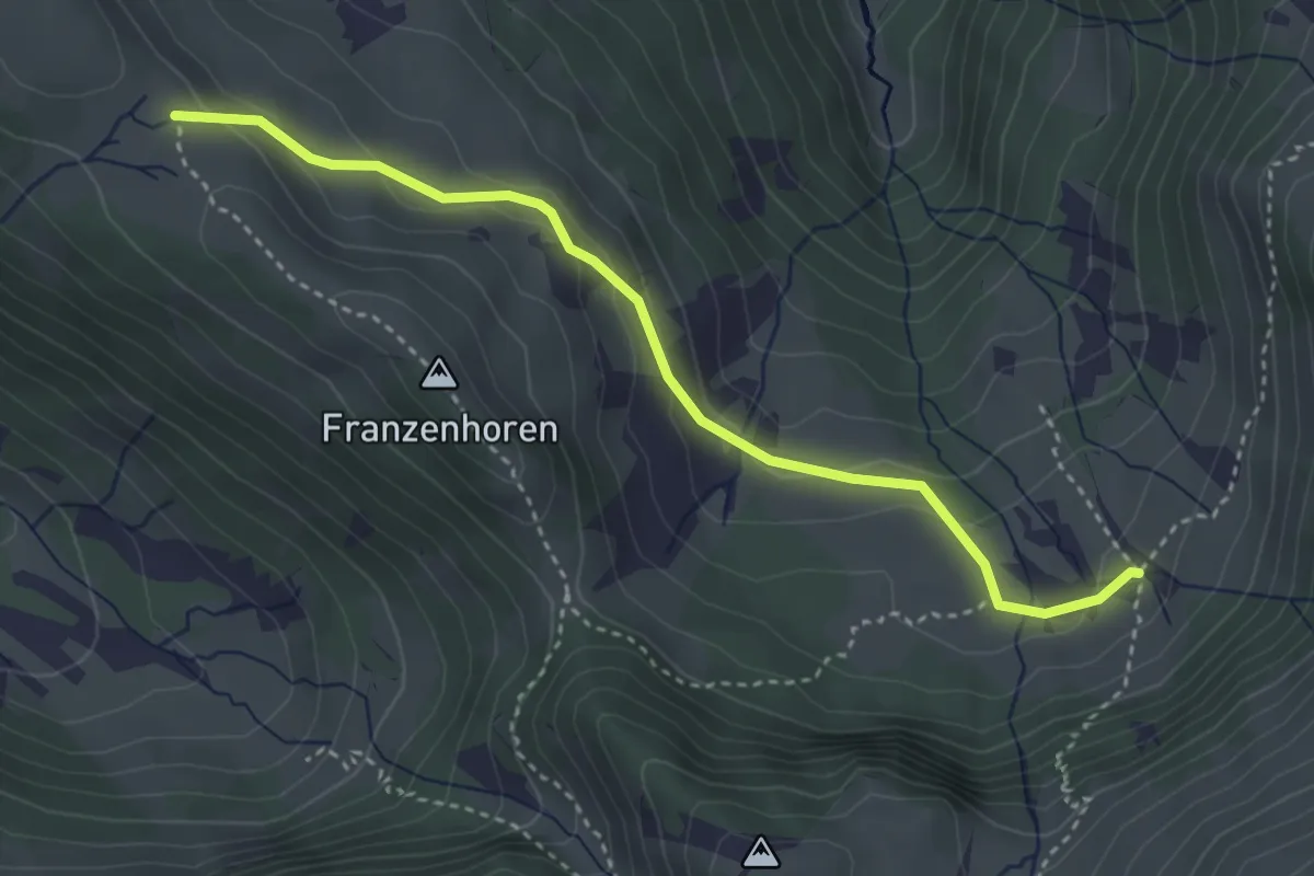
Medium · Trail
Ratzmatt – Rietmatt
3.7 km · ↑ 165 m · 1 h 13 min
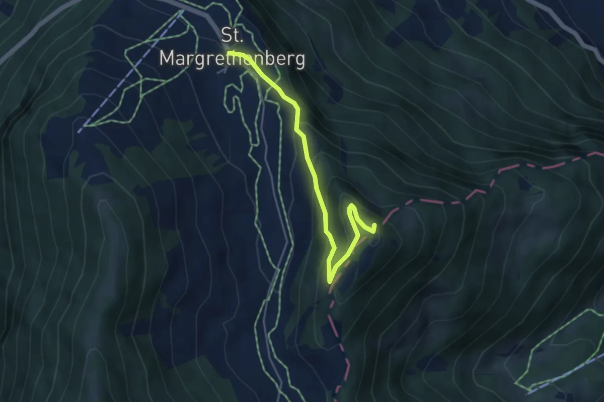
Easy · Summit
Furggels St. Margrethenberg – Pizalun
4.0 km · ↑ 239 m · 1 h 28 min
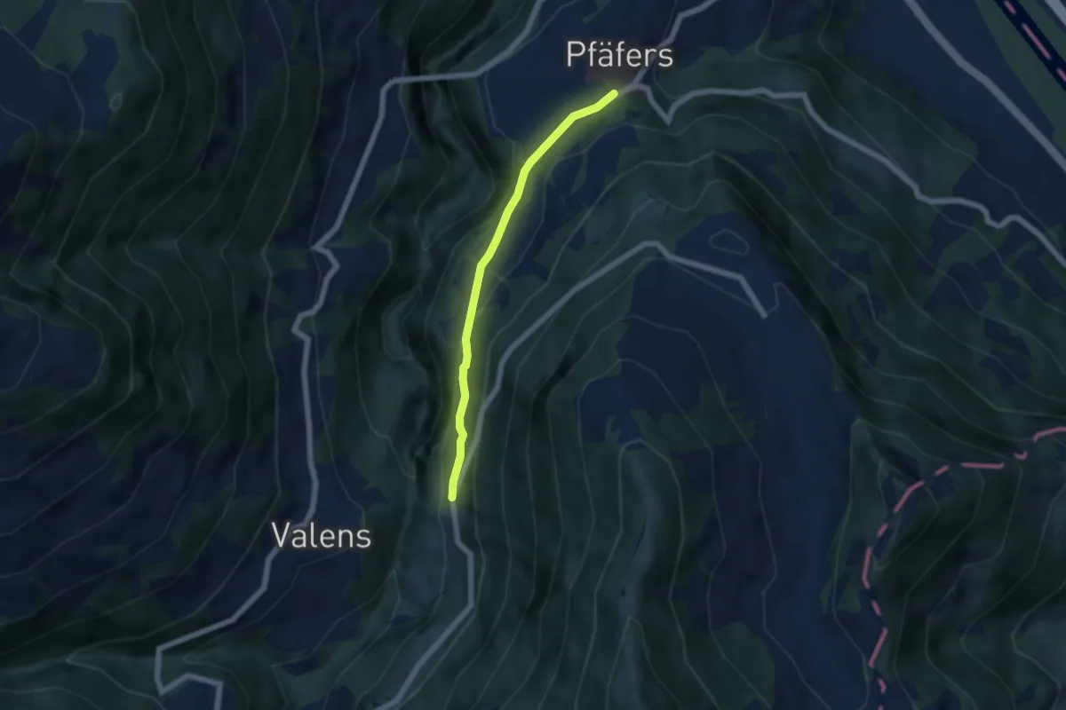
Easy · Trail
Eselrank – Pfäfers
4.6 km · ↑ 191 m · 1 h 30 min
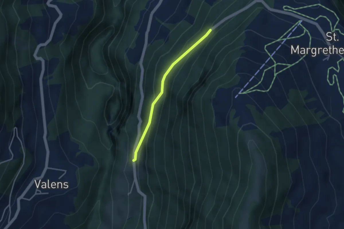
Easy · Trail
Tristeli Wald – Eselrank
2.5 km · ↑ 175 m · 58 min
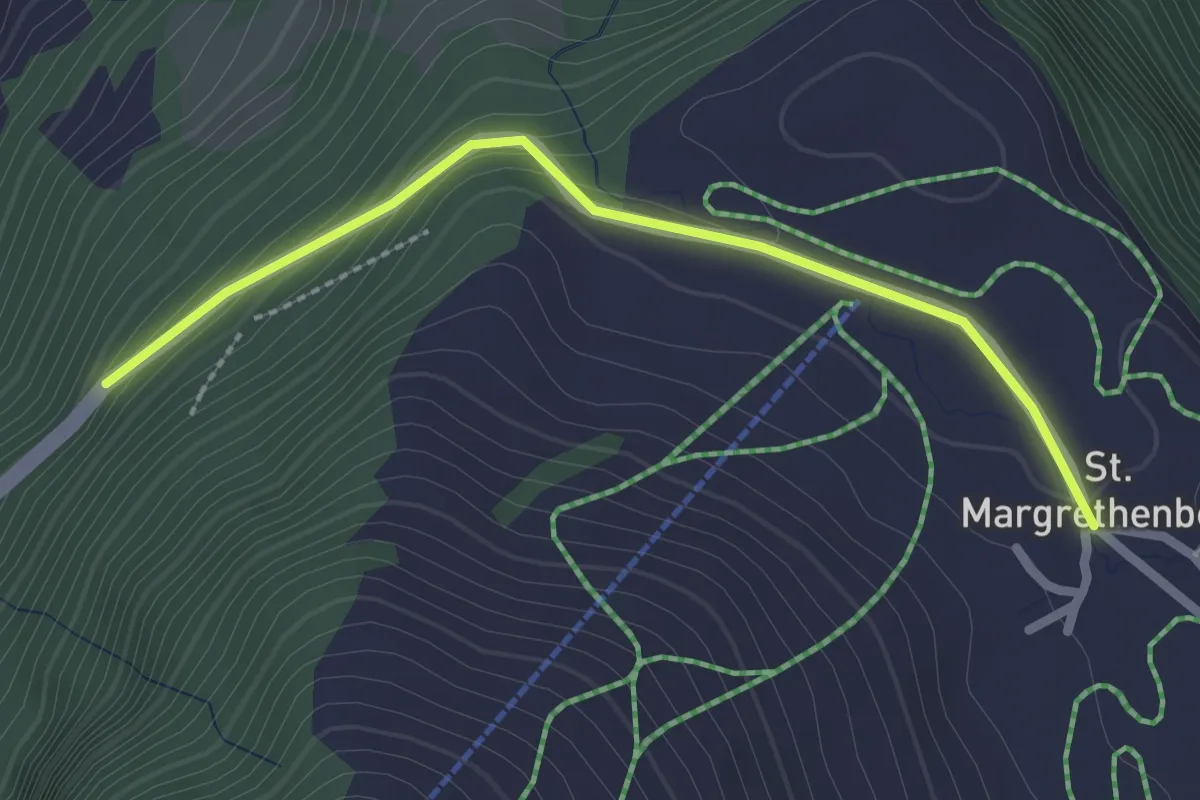
Easy · Trail
Furggels St. Margrethenberg – Tristeli Wald
2.3 km · ↑ 102 m · 47 min
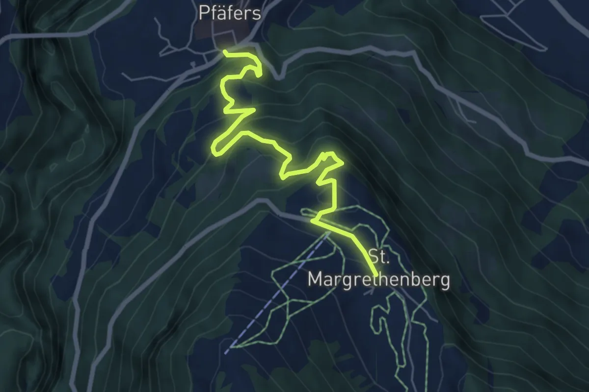
Medium · Trail
Furggels St. Margrethenberg – Pfäfers
6.1 km · ↑ 478 m · 2 h 29 min
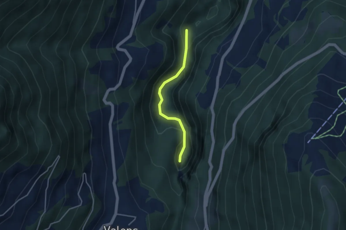
Easy · Trail
Bad Pfäfers – Badtobel Steg
2.5 km · ↑ 165 m · 57 min
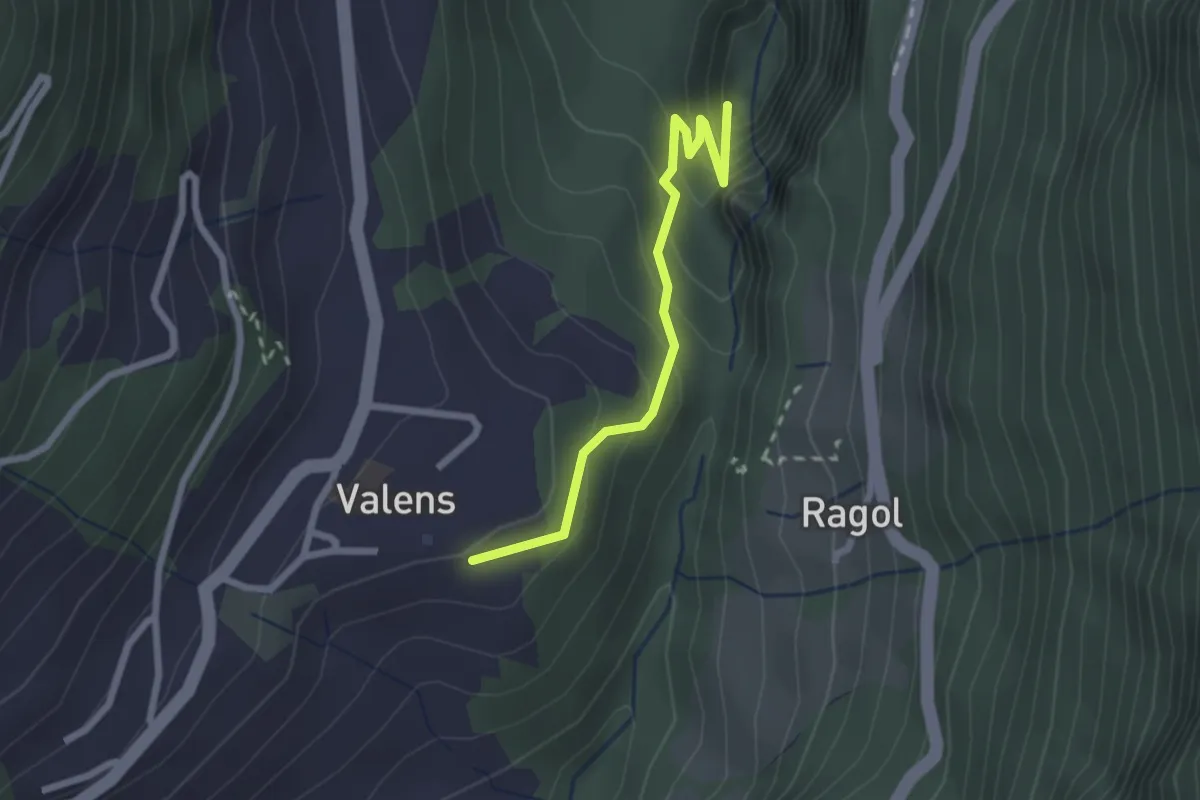
Easy · Trail
Bad Pfäfers – Valens
2.2 km · ↑ 185 m · 55 min
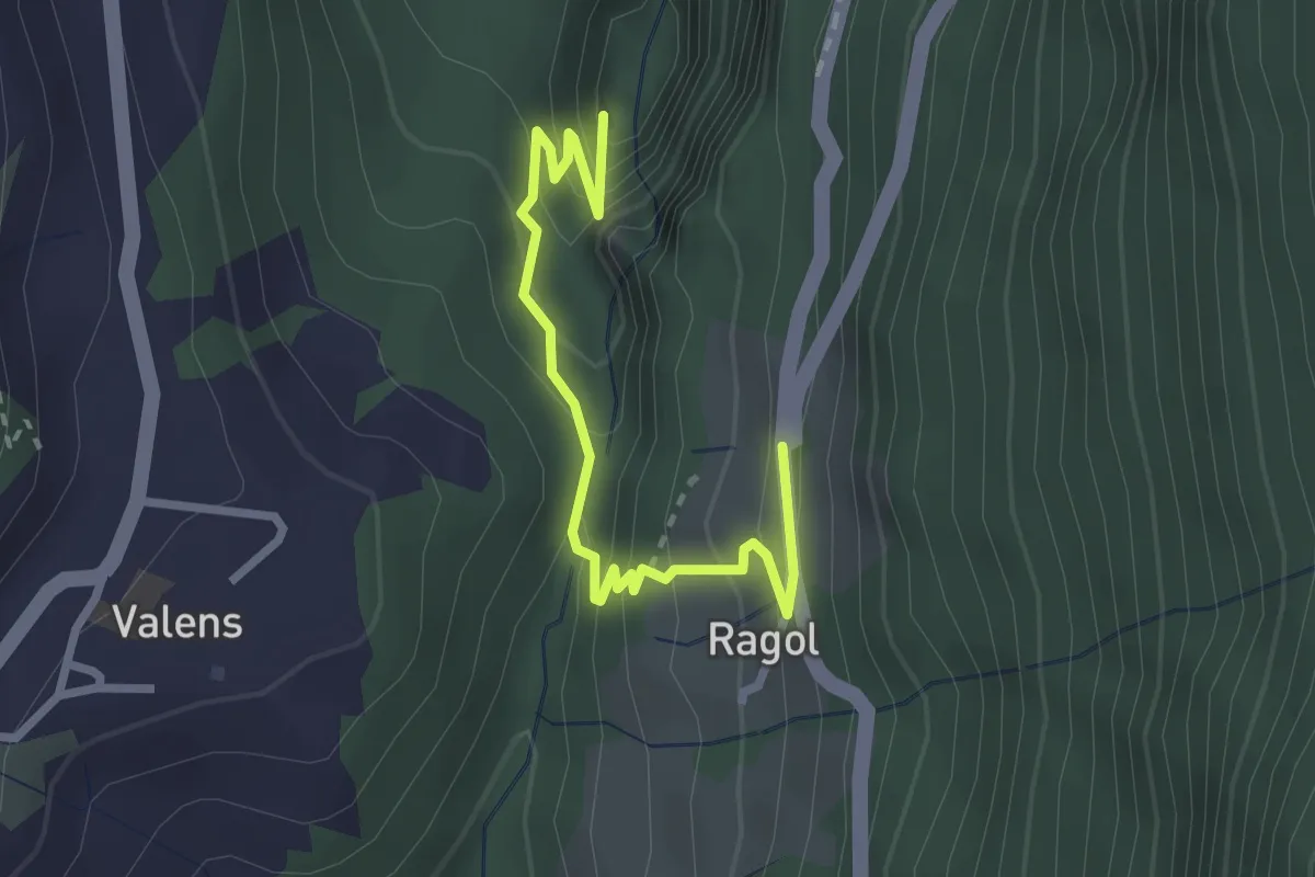
Easy · Trail
Eselrank – Bad Pfäfers
2.8 km · ↑ 229 m · 1 h 10 min
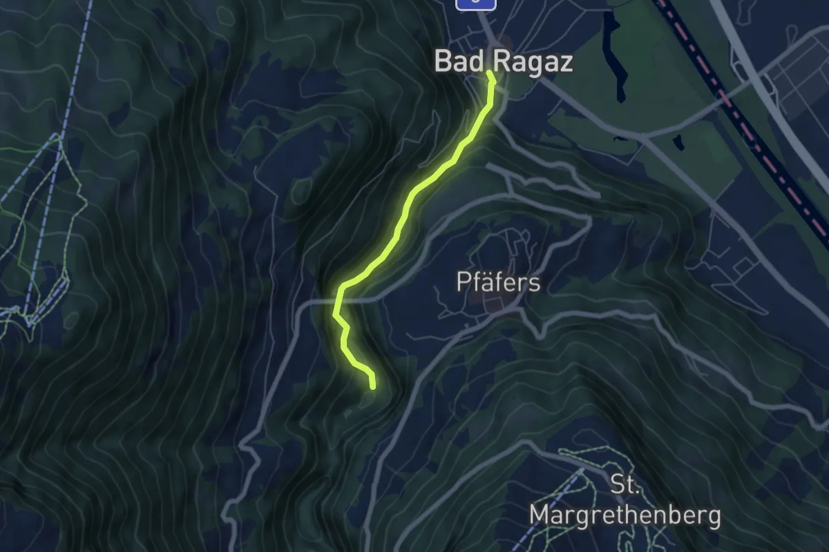
Easy · Trail
Bad Ragaz – Badtobel
4.6 km · ↑ 276 m · 1 h 41 min
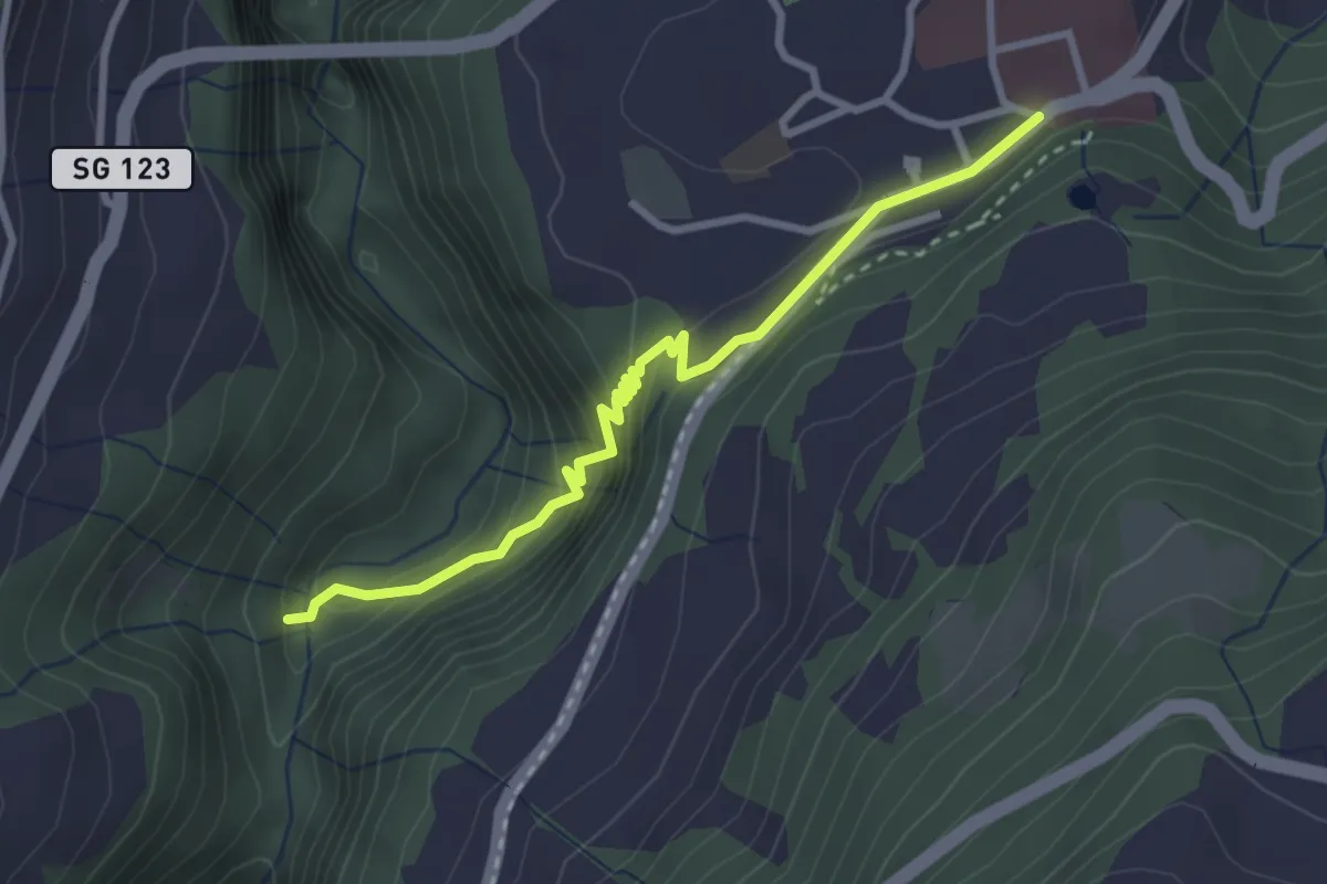
Demanding · Trail
Badtobel Steg – Pfäfers
3.0 km · ↑ 270 m · 1 h 18 min
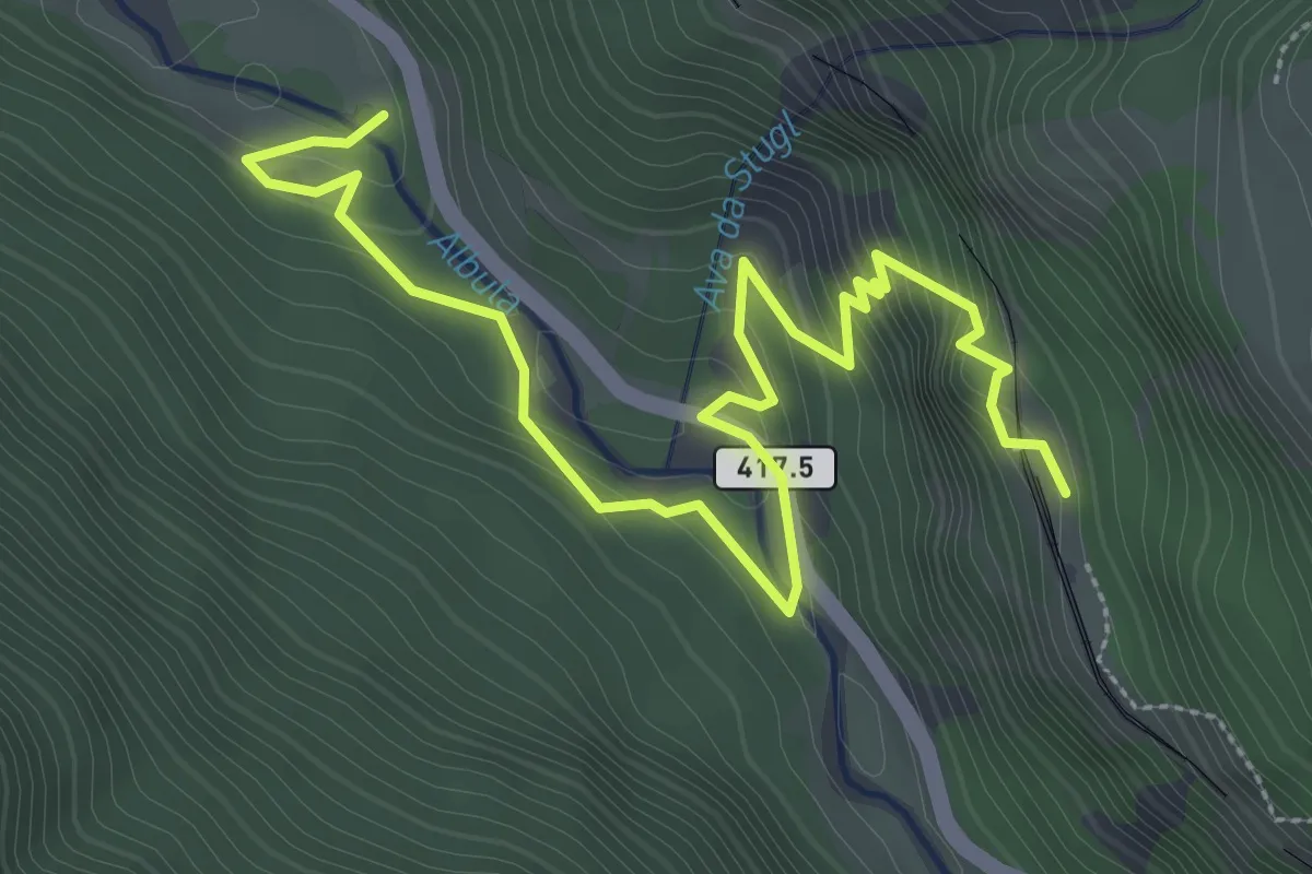
Medium · Trail
Station Stuls – Bellaluna
4.2 km · ↑ 284 m · 1 h 36 min
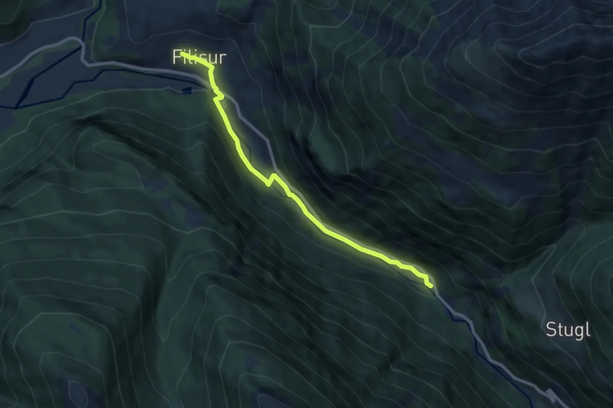
Easy · Trail
Filisur – Bellaluna
7.4 km · ↑ 143 m · 2 h 3 min